

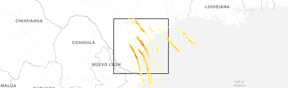
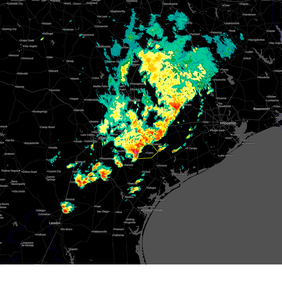
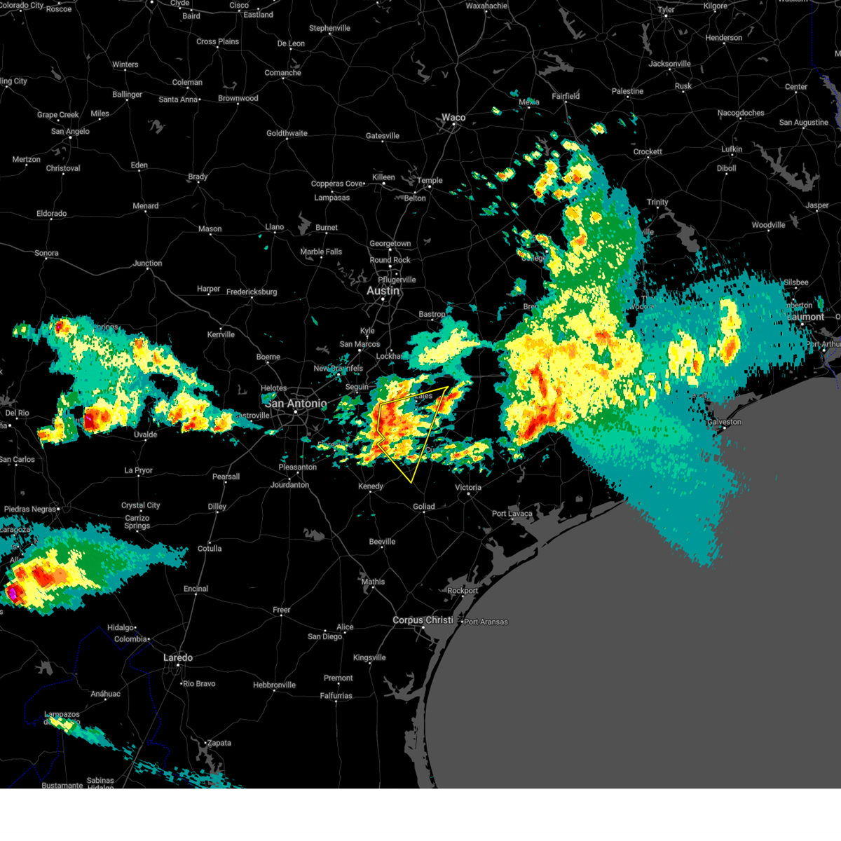
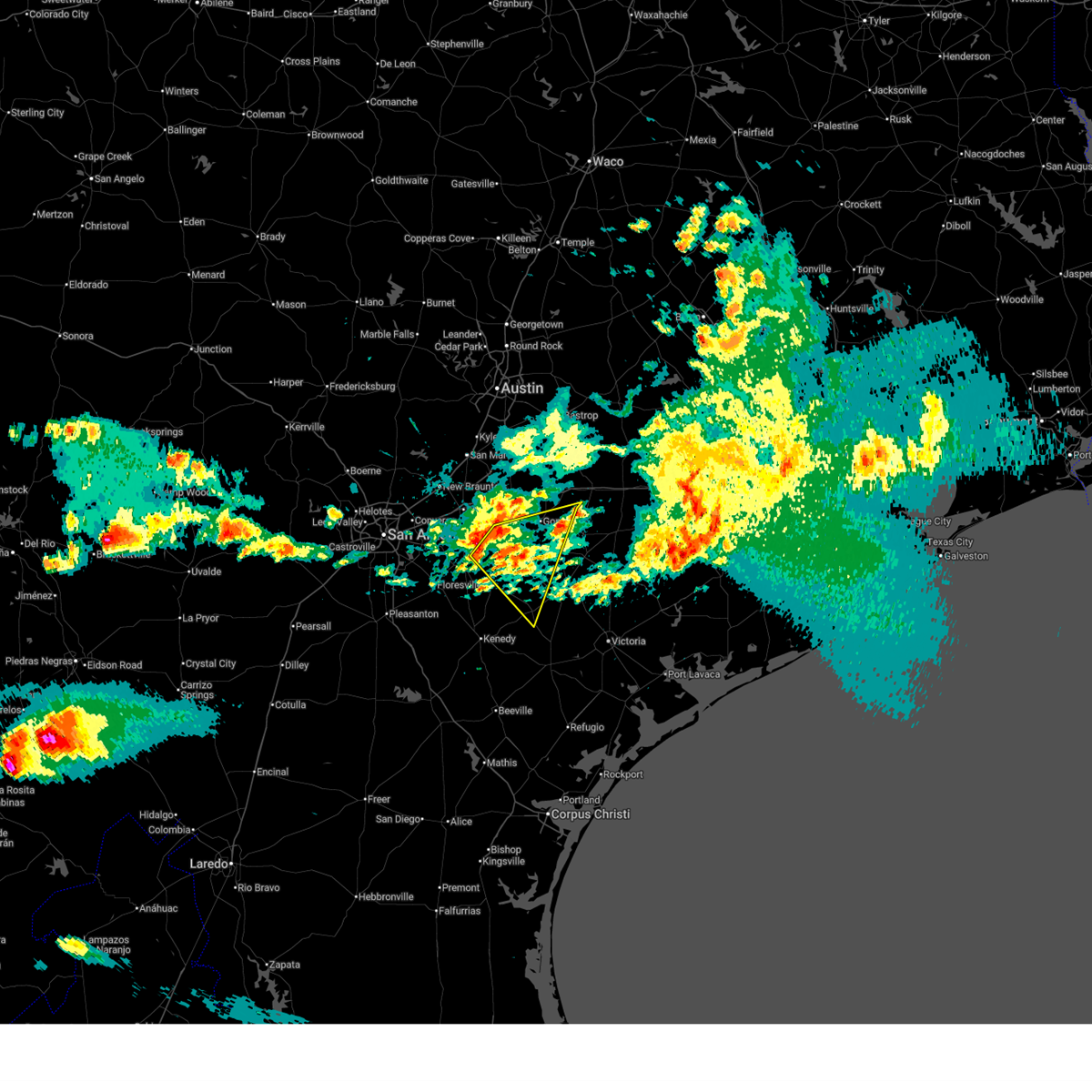
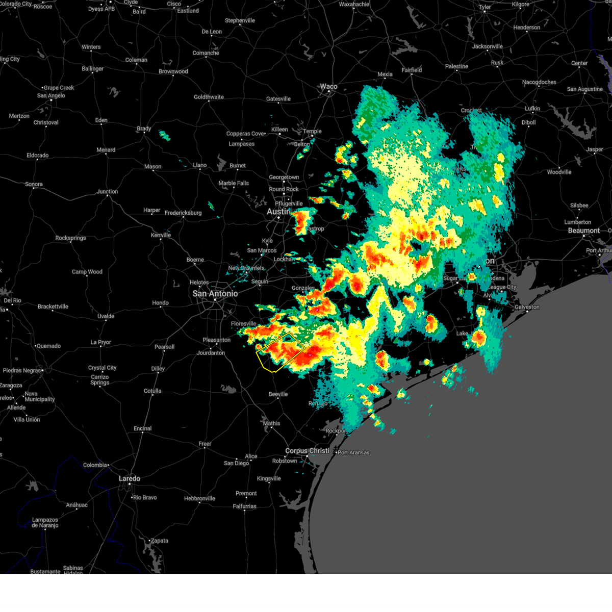
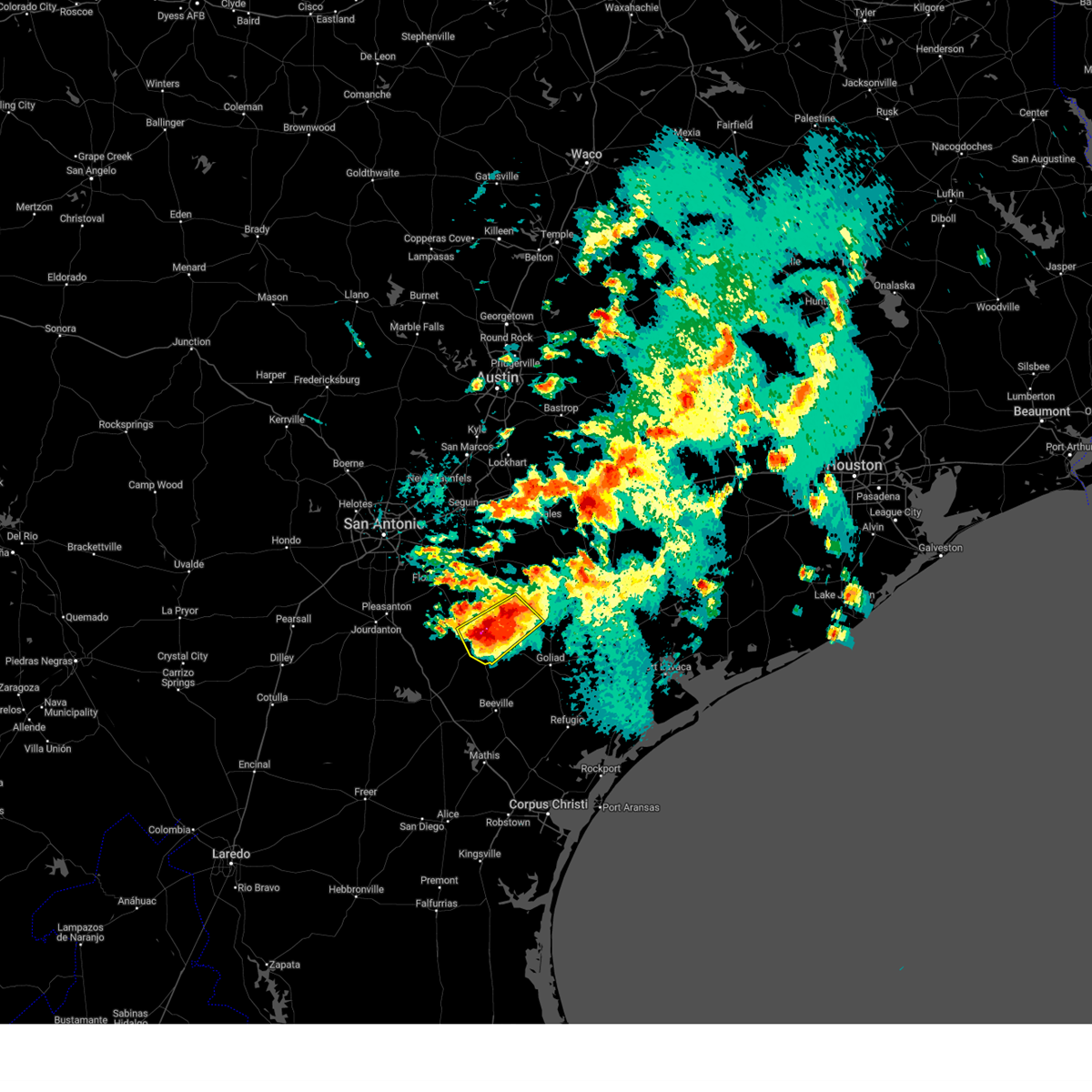
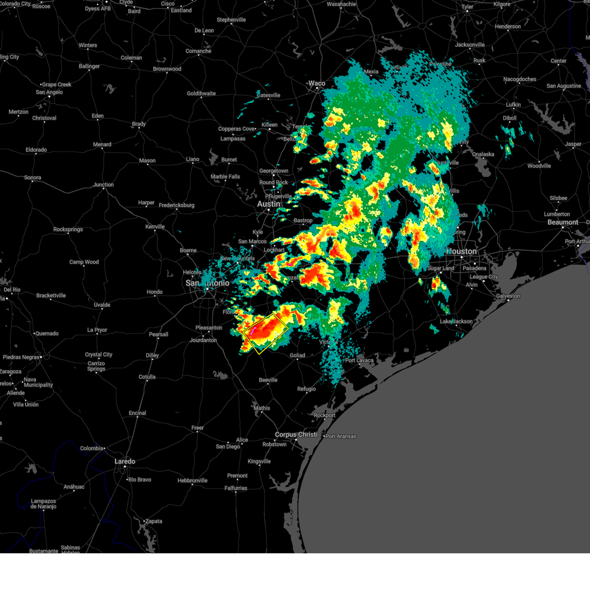
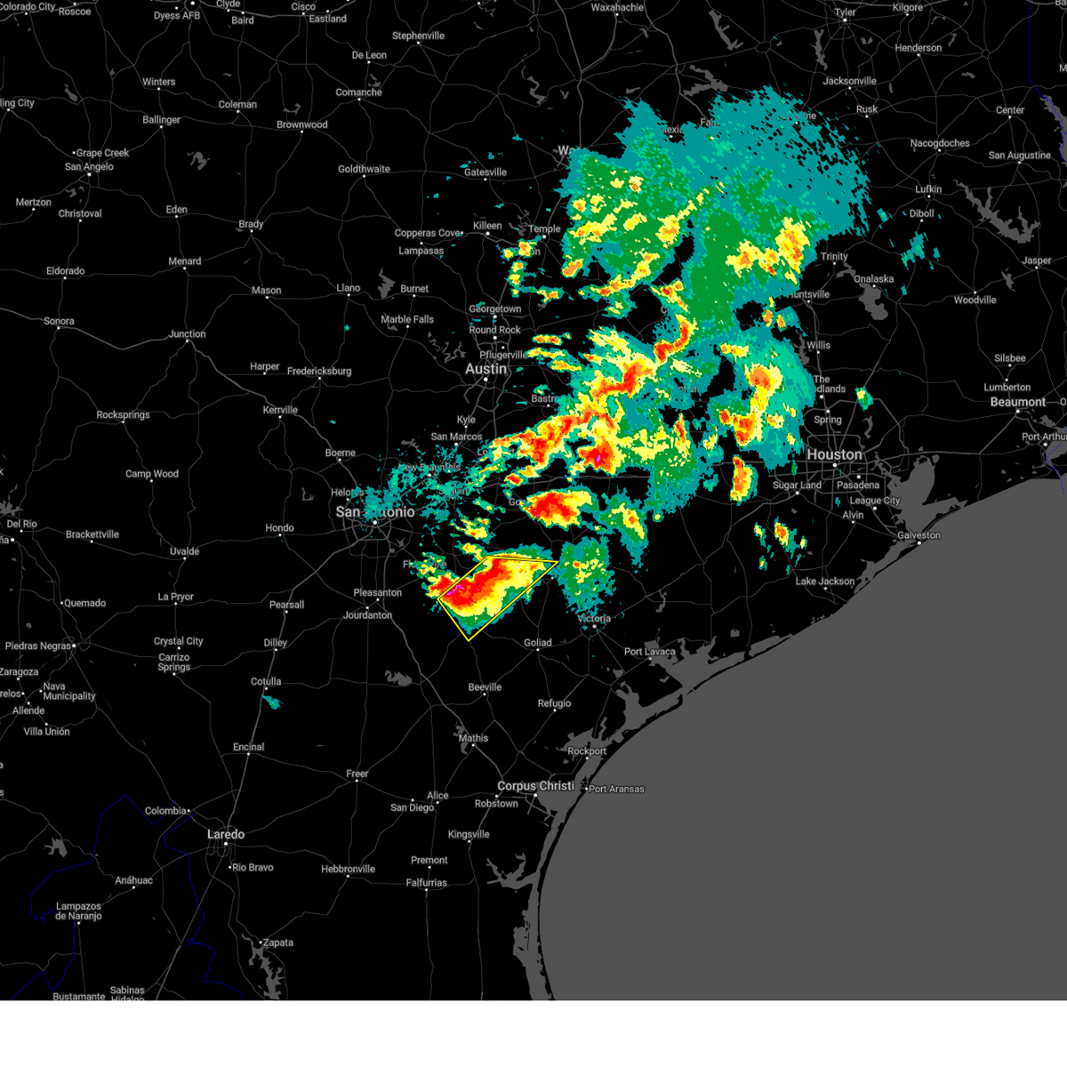
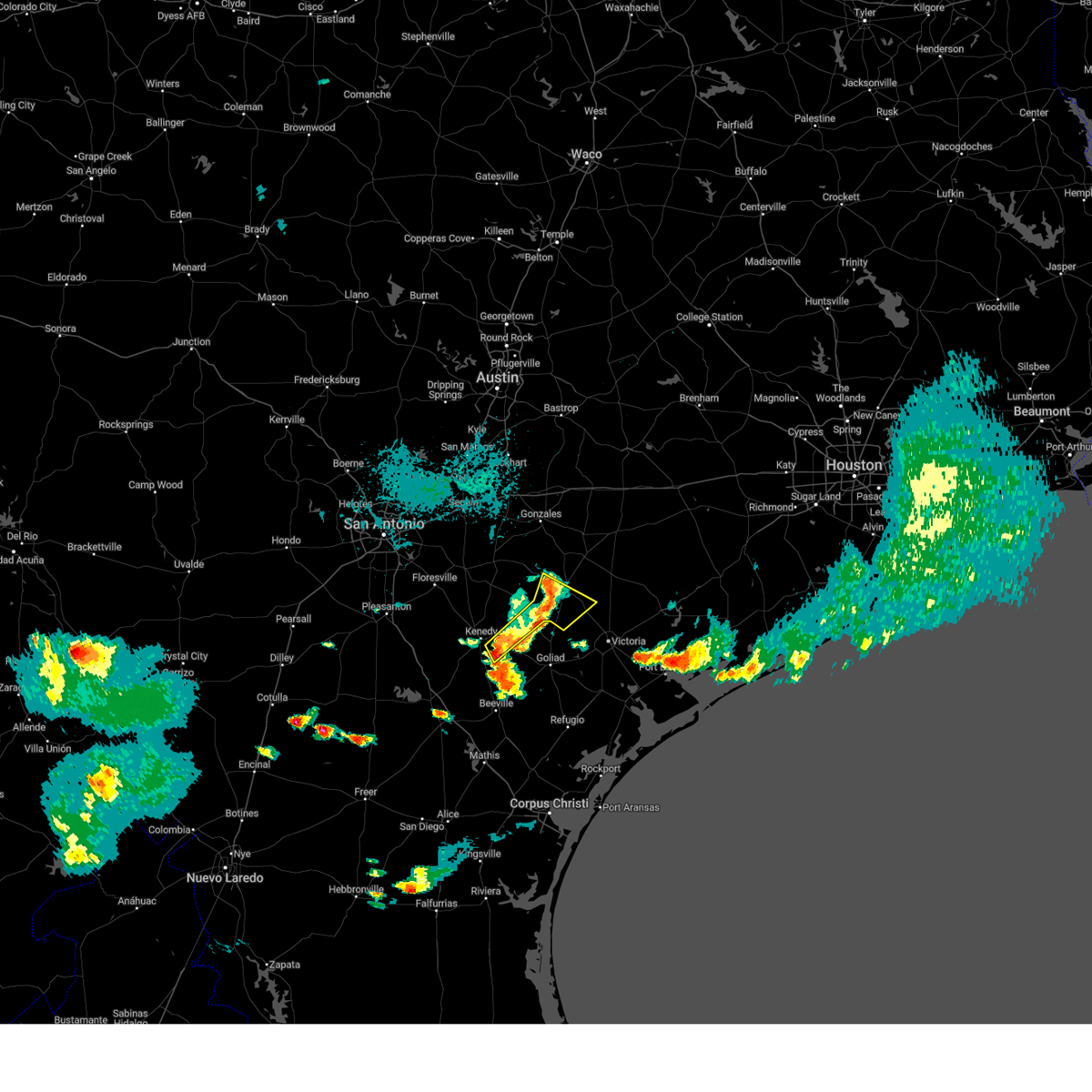
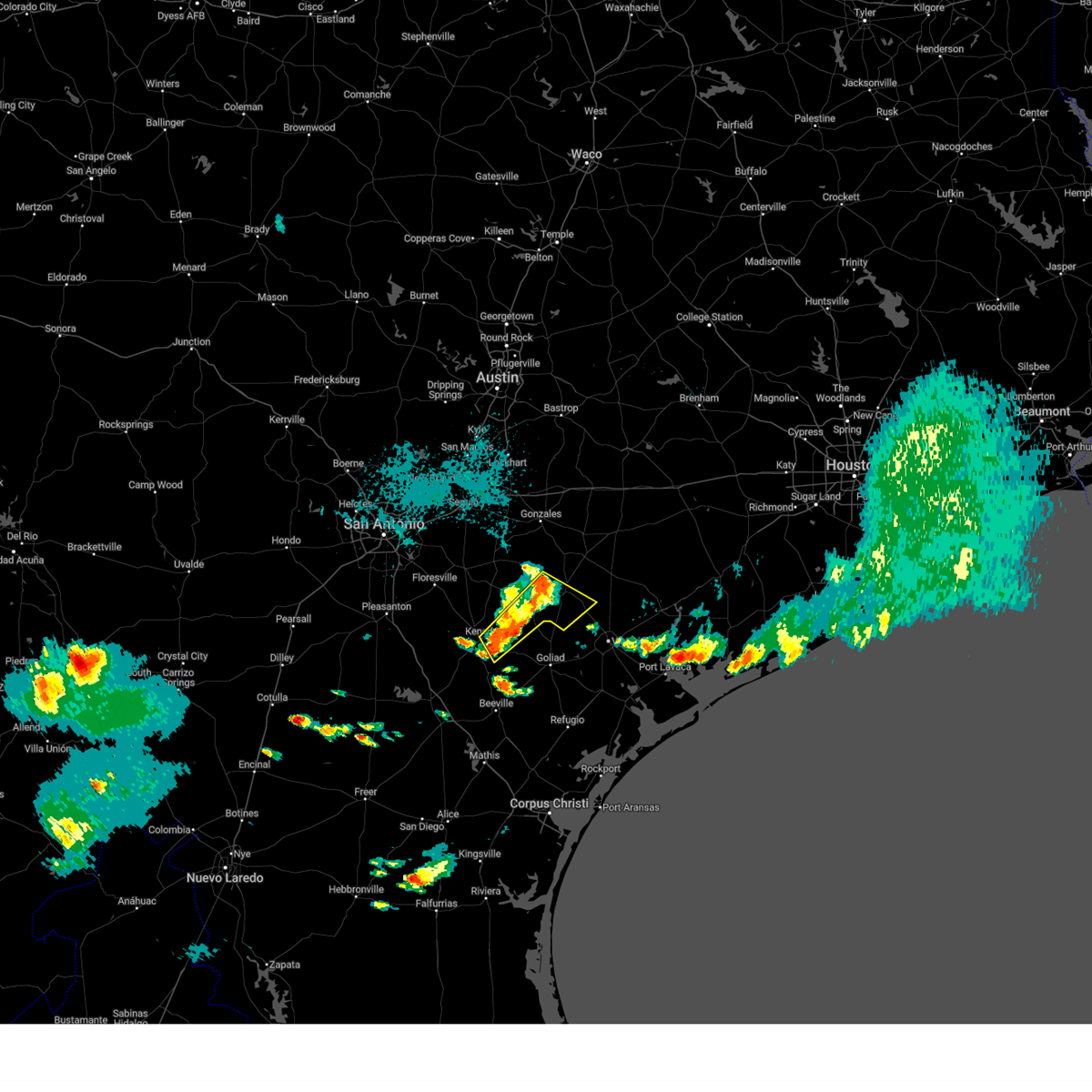
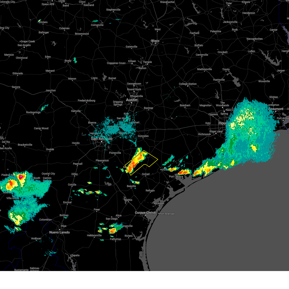
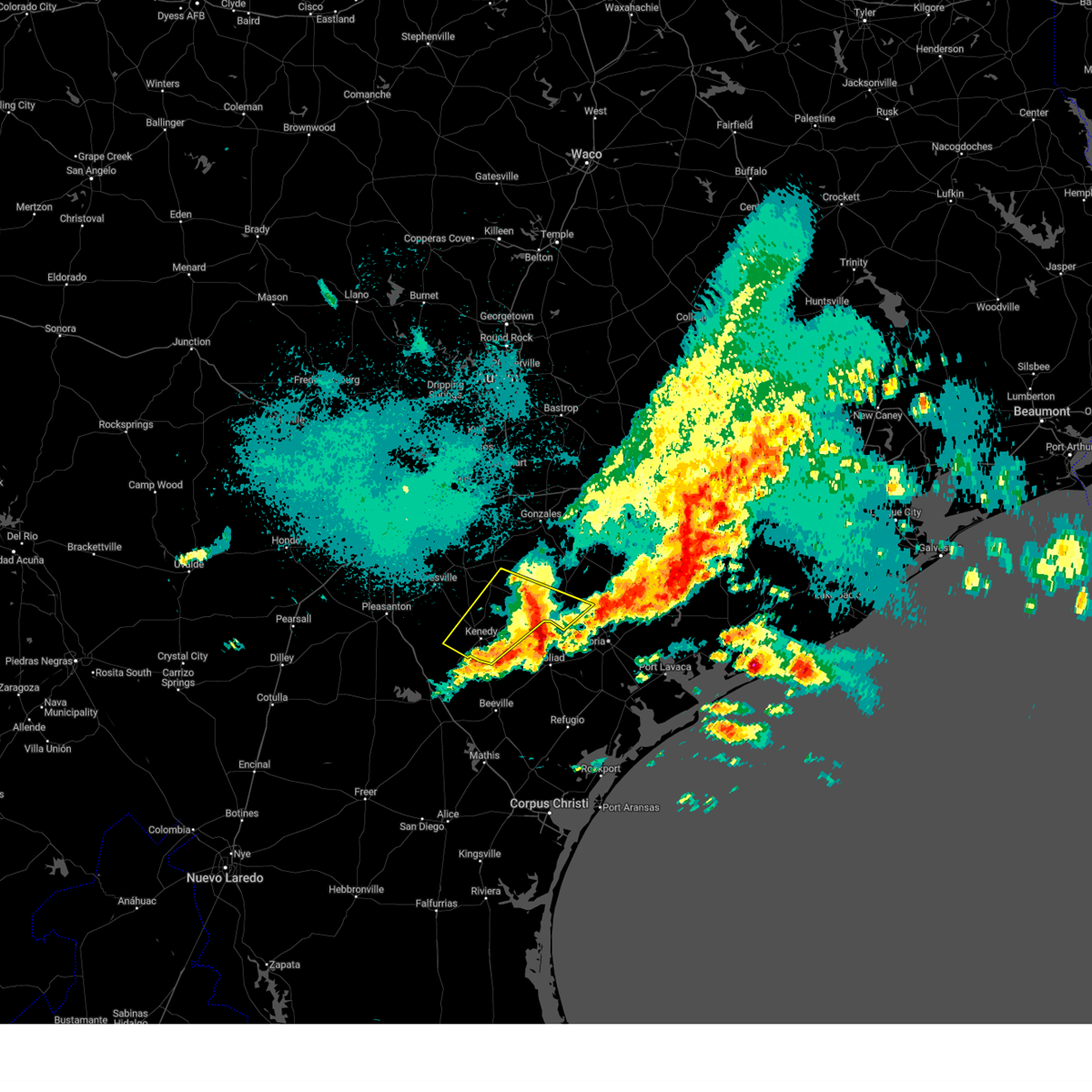
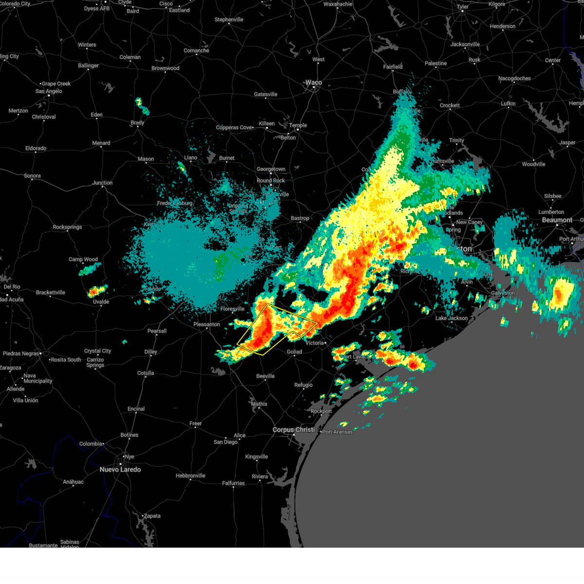
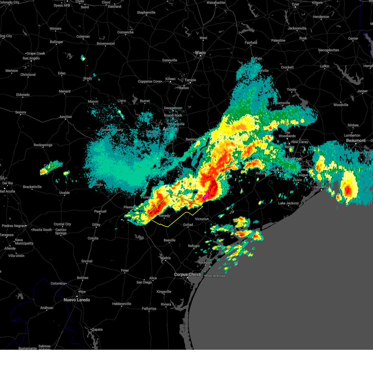
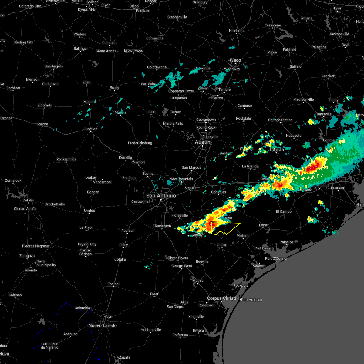
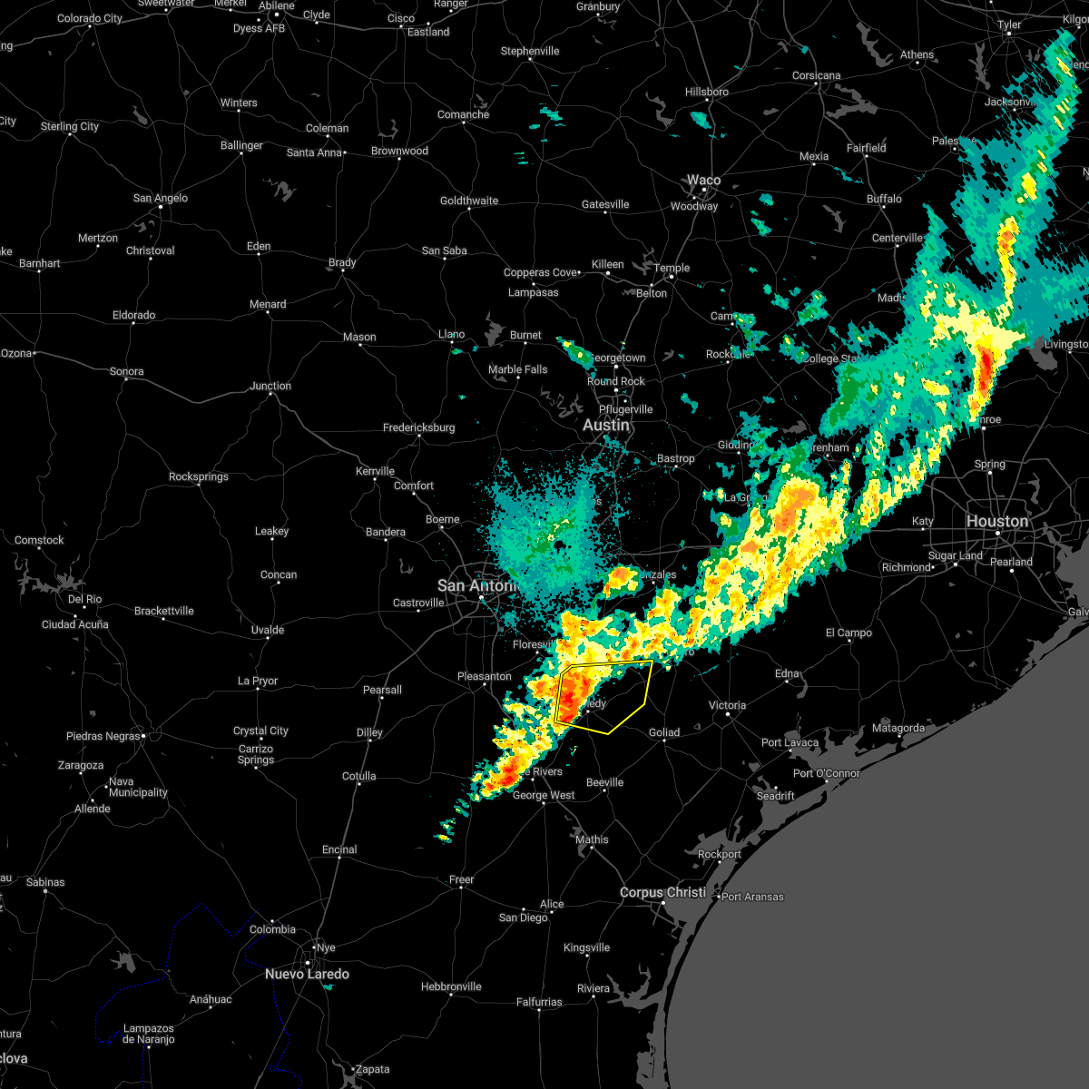
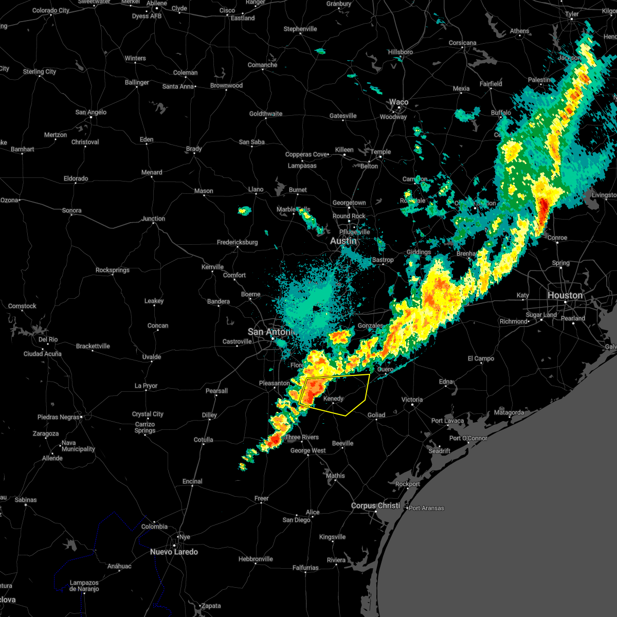
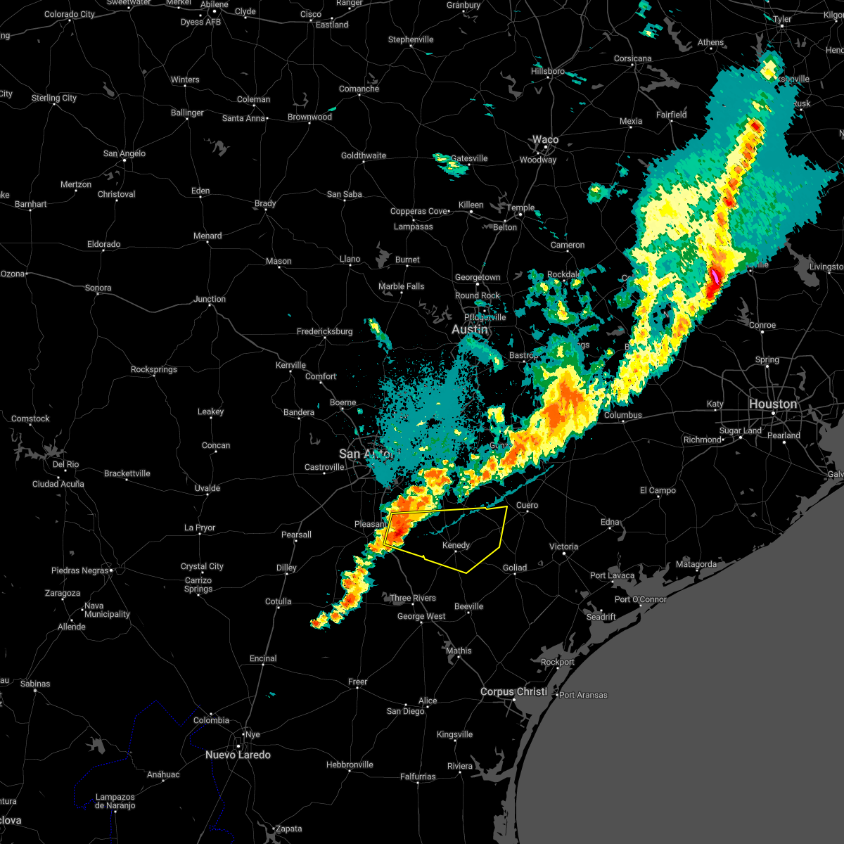
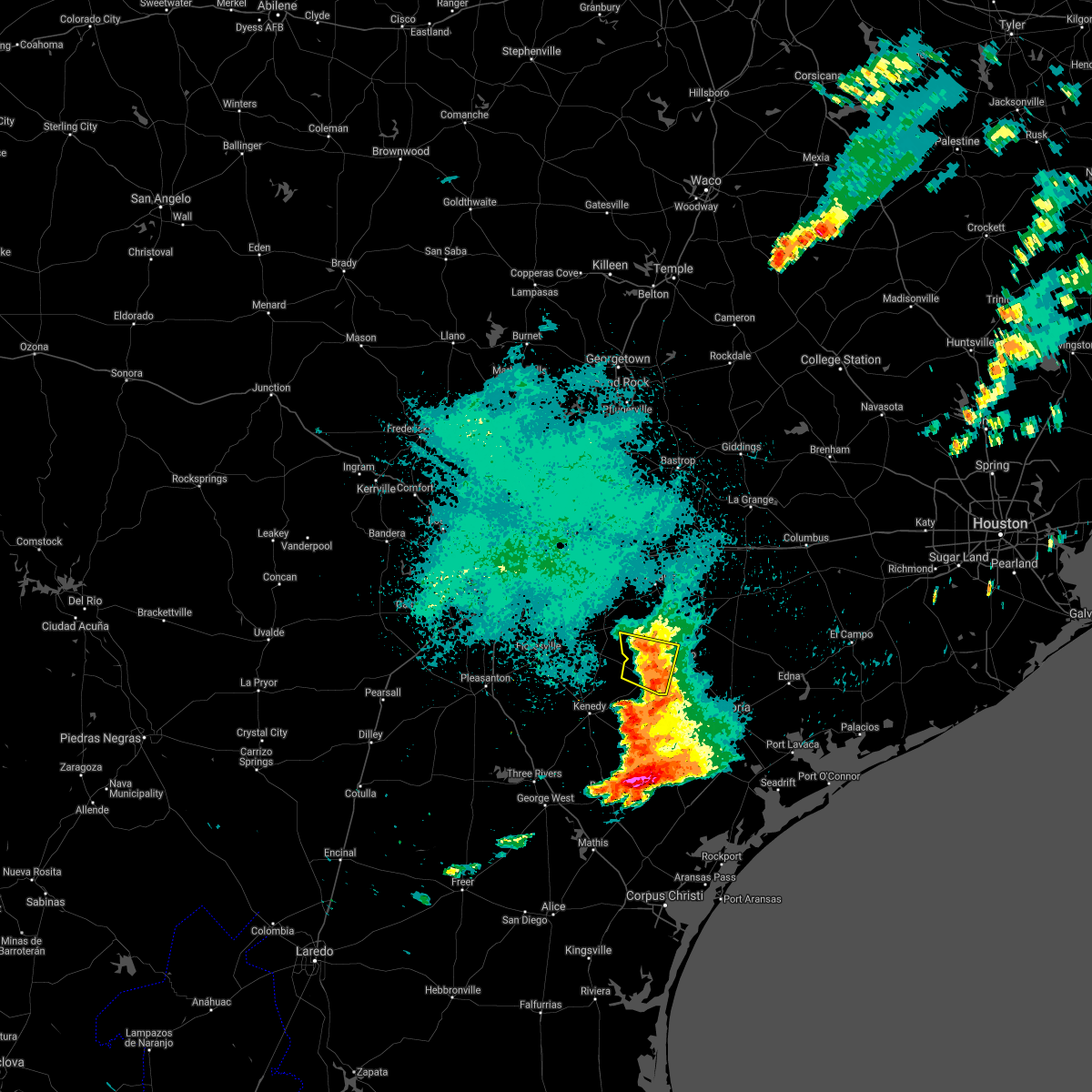
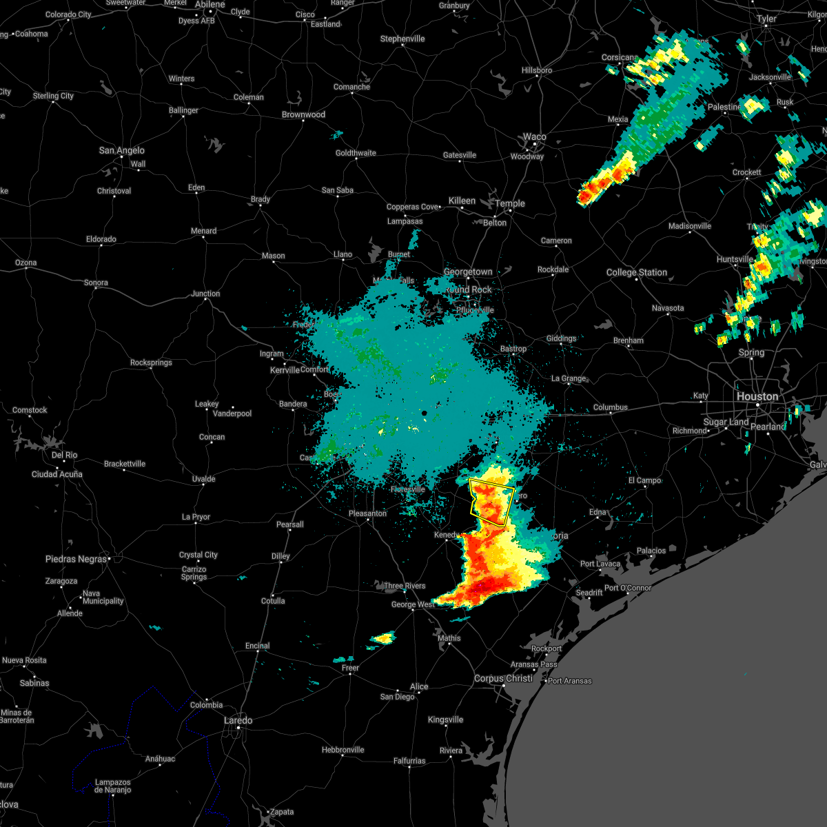
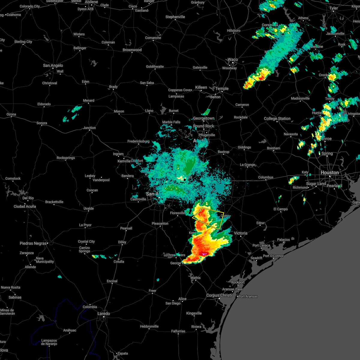
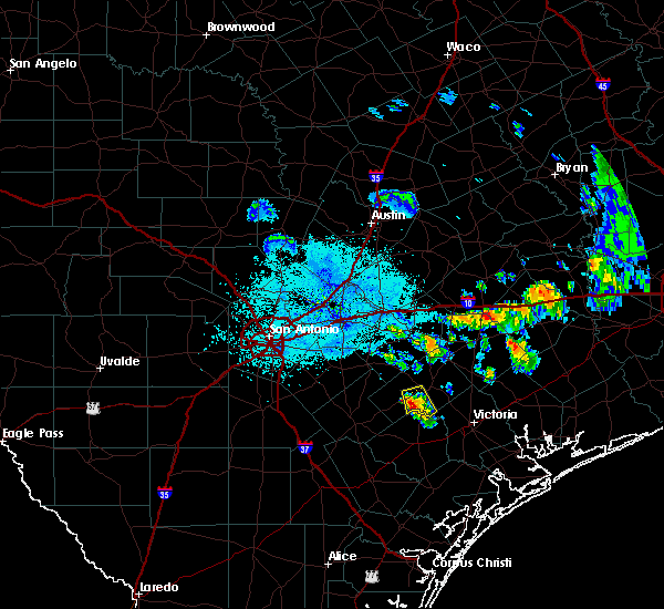
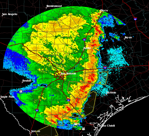
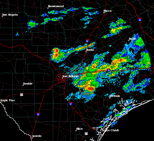
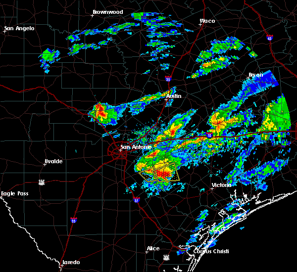
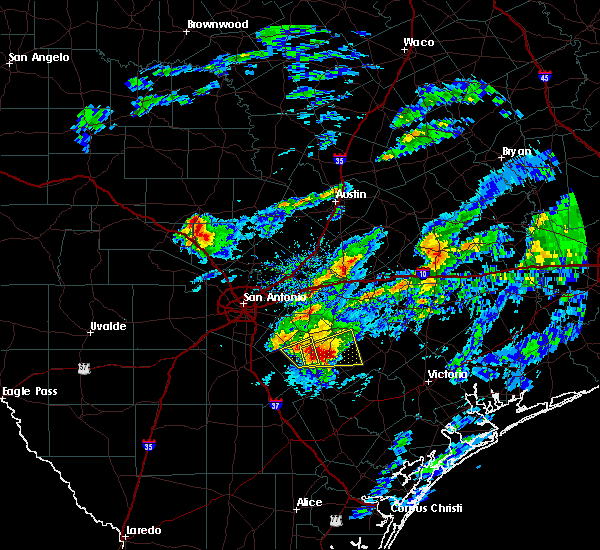
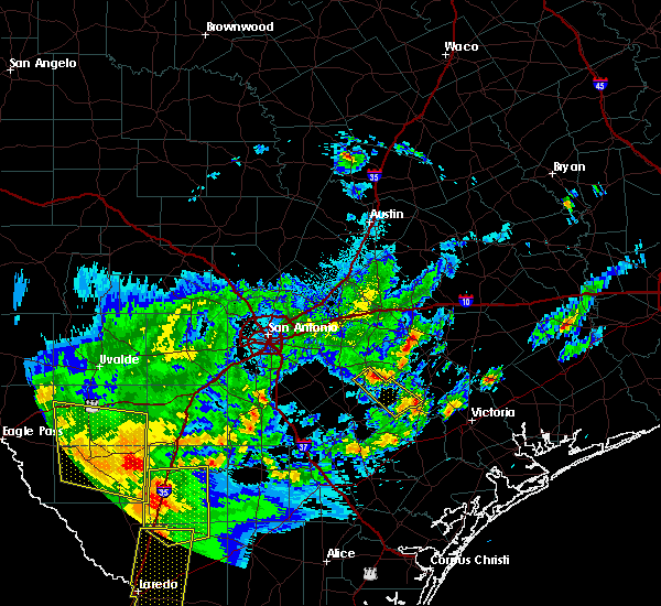
Hail Map for Yorktown, TX
The Yorktown, TX area has had 3 reports of on-the-ground hail by trained spotters, and has been under severe weather warnings 9 times during the past 12 months. Doppler radar has detected hail at or near Yorktown, TX on 34 occasions, including 2 occasions during the past year.
| Name: | Yorktown, TX |
| Where Located: | 67.1 miles ESE of San Antonio, TX |
| Map: | Google Map for Yorktown, TX |
| Population: | 2092 |
| Housing Units: | 1026 |
| More Info: | Search Google for Yorktown, TX |
1
The Top Recent Hail Date for Yorktown, TX is Saturday, November 1, 2025 (4th out of 34)
Hail and Wind Damage Spotted near Yorktown, TX
| Date / Time | Report Details |
|---|---|
| 5/1/2026 3:08 AM CDT |
 At 308 am cdt, a severe thunderstorm was located 7 miles southeast of westhoff, or 8 miles west of cuero, moving northeast at 50 mph (radar indicated). Hazards include 60 mph wind gusts and nickel size hail. Expect damage to roofs, siding, and trees. Locations impacted include, yorktown, cotton patch, gruenau, and new davy. At 308 am cdt, a severe thunderstorm was located 7 miles southeast of westhoff, or 8 miles west of cuero, moving northeast at 50 mph (radar indicated). Hazards include 60 mph wind gusts and nickel size hail. Expect damage to roofs, siding, and trees. Locations impacted include, yorktown, cotton patch, gruenau, and new davy.
|
| 5/1/2026 2:46 AM CDT |
 Svrewx the national weather service in austin san antonio has issued a * severe thunderstorm warning for, southwestern dewitt county in south central texas, northeastern karnes county in south central texas, south central gonzales county in south central texas, * until 330 am cdt. * at 245 am cdt, a severe thunderstorm was located near runge, or 12 miles northeast of karnes city, moving northeast at 50 mph (radar indicated). Hazards include 60 mph wind gusts and quarter size hail. Hail damage to vehicles is expected. Expect wind damage to roofs, siding, and trees. Svrewx the national weather service in austin san antonio has issued a * severe thunderstorm warning for, southwestern dewitt county in south central texas, northeastern karnes county in south central texas, south central gonzales county in south central texas, * until 330 am cdt. * at 245 am cdt, a severe thunderstorm was located near runge, or 12 miles northeast of karnes city, moving northeast at 50 mph (radar indicated). Hazards include 60 mph wind gusts and quarter size hail. Hail damage to vehicles is expected. Expect wind damage to roofs, siding, and trees.
|
| 2/14/2026 4:54 PM CST |
 The initial severe thunderstorm warning for dewitt county is expiring. a new severe thunderstorm warning has been issued for eastern dewitt county and is in effect through 530 pm cst. The initial severe thunderstorm warning for dewitt county is expiring. a new severe thunderstorm warning has been issued for eastern dewitt county and is in effect through 530 pm cst.
|
| 2/14/2026 4:43 PM CST |
 At 442 pm cst, a severe thunderstorm was located 8 miles northeast of yorktown, moving east at 60 mph (radar indicated). Hazards include ping pong ball size hail and 60 mph wind gusts. People and animals outdoors will be injured. expect hail damage to roofs, siding, windows, and vehicles. expect wind damage to roofs, siding, and trees. this severe storm will be near, cuero around 450 pm cst. Other locations impacted by this severe thunderstorm include arneckville, edgar, concrete, and terryville. At 442 pm cst, a severe thunderstorm was located 8 miles northeast of yorktown, moving east at 60 mph (radar indicated). Hazards include ping pong ball size hail and 60 mph wind gusts. People and animals outdoors will be injured. expect hail damage to roofs, siding, windows, and vehicles. expect wind damage to roofs, siding, and trees. this severe storm will be near, cuero around 450 pm cst. Other locations impacted by this severe thunderstorm include arneckville, edgar, concrete, and terryville.
|
| 2/14/2026 4:43 PM CST |
 the severe thunderstorm warning has been cancelled and is no longer in effect the severe thunderstorm warning has been cancelled and is no longer in effect
|
| 2/14/2026 4:32 PM CST |
 At 431 pm cst, a severe thunderstorm was located 7 miles northwest of yorktown, moving east at 60 mph (radar indicated). Hazards include ping pong ball size hail and 60 mph wind gusts. People and animals outdoors will be injured. expect hail damage to roofs, siding, windows, and vehicles. expect wind damage to roofs, siding, and trees. this severe storm will be near, cuero around 445 pm cst. Other locations impacted by this severe thunderstorm include arneckville, cotton patch, edgar, gruenau, new davy, terryville, sample, and concrete. At 431 pm cst, a severe thunderstorm was located 7 miles northwest of yorktown, moving east at 60 mph (radar indicated). Hazards include ping pong ball size hail and 60 mph wind gusts. People and animals outdoors will be injured. expect hail damage to roofs, siding, windows, and vehicles. expect wind damage to roofs, siding, and trees. this severe storm will be near, cuero around 445 pm cst. Other locations impacted by this severe thunderstorm include arneckville, cotton patch, edgar, gruenau, new davy, terryville, sample, and concrete.
|
| 2/14/2026 4:22 PM CST |
 Svrewx the national weather service in austin san antonio has issued a * severe thunderstorm warning for, dewitt county in south central texas, northeastern karnes county in south central texas, south central gonzales county in south central texas, * until 500 pm cst. * at 421 pm cst, a severe thunderstorm was located near gillett, or 10 miles southeast of kosciusko, moving east at 60 mph (radar indicated). Hazards include 60 mph wind gusts and quarter size hail. Hail damage to vehicles is expected. expect wind damage to roofs, siding, and trees. this severe thunderstorm will be near, cuero around 445 pm cst. Other locations impacted by this severe thunderstorm include arneckville, cotton patch, edgar, gruenau, new davy, terryville, ecleto, sample, helena, and concrete. Svrewx the national weather service in austin san antonio has issued a * severe thunderstorm warning for, dewitt county in south central texas, northeastern karnes county in south central texas, south central gonzales county in south central texas, * until 500 pm cst. * at 421 pm cst, a severe thunderstorm was located near gillett, or 10 miles southeast of kosciusko, moving east at 60 mph (radar indicated). Hazards include 60 mph wind gusts and quarter size hail. Hail damage to vehicles is expected. expect wind damage to roofs, siding, and trees. this severe thunderstorm will be near, cuero around 445 pm cst. Other locations impacted by this severe thunderstorm include arneckville, cotton patch, edgar, gruenau, new davy, terryville, ecleto, sample, helena, and concrete.
|
| 11/1/2025 8:00 PM CDT | Quarter sized hail reported 11.3 miles NW of Yorktown, TX, county staff reported hail near weser. |
| 11/1/2025 7:01 PM CDT | At 701 pm cdt, a severe thunderstorm was located near yorktown, moving southeast at 35 mph (radar indicated). Hazards include golf ball size hail and 60 mph wind gusts. People and animals outdoors will be injured. expect hail damage to roofs, siding, windows, and vehicles. expect wind damage to roofs, siding, and trees. Locations impacted include, yorktown and meyersville. |
| 11/1/2025 6:59 PM CDT | Svrewx the national weather service in austin san antonio has issued a * severe thunderstorm warning for, south central dewitt county in south central texas, * until 730 pm cdt. * at 659 pm cdt, a severe thunderstorm was located near yorktown, moving southeast at 35 mph (radar indicated). Hazards include 60 mph wind gusts and half dollar size hail. Hail damage to vehicles is expected. Expect wind damage to roofs, siding, and trees. |
| 5/2/2025 8:14 PM CDT |
 the severe thunderstorm warning has been cancelled and is no longer in effect the severe thunderstorm warning has been cancelled and is no longer in effect
|
| 5/2/2025 8:03 PM CDT |
 the severe thunderstorm warning has been cancelled and is no longer in effect the severe thunderstorm warning has been cancelled and is no longer in effect
|
| 5/2/2025 8:03 PM CDT |
 At 803 pm cdt, a severe thunderstorm was located near smiley, or 18 miles northeast of stockdale, moving east at 35 mph (radar indicated). Hazards include 60 mph wind gusts and quarter size hail. Hail damage to vehicles is expected. expect wind damage to roofs, siding, and trees. Locations impacted include, gonzales, yorktown, nixon, smiley, cheapside, westhoff, leesville, gruenau, new davy, oak forest, sample, glaze city, wrightsboro, cost, dilworth, little new york, hamon, bebe, and monthalia. At 803 pm cdt, a severe thunderstorm was located near smiley, or 18 miles northeast of stockdale, moving east at 35 mph (radar indicated). Hazards include 60 mph wind gusts and quarter size hail. Hail damage to vehicles is expected. expect wind damage to roofs, siding, and trees. Locations impacted include, gonzales, yorktown, nixon, smiley, cheapside, westhoff, leesville, gruenau, new davy, oak forest, sample, glaze city, wrightsboro, cost, dilworth, little new york, hamon, bebe, and monthalia.
|
| 5/2/2025 7:47 PM CDT |
 Svrewx the national weather service in austin san antonio has issued a * severe thunderstorm warning for, western dewitt county in south central texas, northeastern karnes county in south central texas, gonzales county in south central texas, northeastern wilson county in south central texas, * until 845 pm cdt. * at 746 pm cdt, a severe thunderstorm was located 8 miles northwest of nixon, or 12 miles northeast of stockdale, moving east at 35 mph (radar indicated). Hazards include ping pong ball size hail and 60 mph wind gusts. People and animals outdoors will be injured. expect hail damage to roofs, siding, windows, and vehicles. Expect wind damage to roofs, siding, and trees. Svrewx the national weather service in austin san antonio has issued a * severe thunderstorm warning for, western dewitt county in south central texas, northeastern karnes county in south central texas, gonzales county in south central texas, northeastern wilson county in south central texas, * until 845 pm cdt. * at 746 pm cdt, a severe thunderstorm was located 8 miles northwest of nixon, or 12 miles northeast of stockdale, moving east at 35 mph (radar indicated). Hazards include ping pong ball size hail and 60 mph wind gusts. People and animals outdoors will be injured. expect hail damage to roofs, siding, windows, and vehicles. Expect wind damage to roofs, siding, and trees.
|
| 12/25/2024 12:20 AM CST |
 The storms which prompted the warning have weakened below severe limits, and have exited the warned area. therefore, the warning will be allowed to expire. however small hail, gusty winds and heavy rain are still possible with these thunderstorms. a severe thunderstorm watch remains in effect until 600 am cst for south central texas. The storms which prompted the warning have weakened below severe limits, and have exited the warned area. therefore, the warning will be allowed to expire. however small hail, gusty winds and heavy rain are still possible with these thunderstorms. a severe thunderstorm watch remains in effect until 600 am cst for south central texas.
|
| 12/24/2024 11:25 PM CST |
 Svrewx the national weather service in austin san antonio has issued a * severe thunderstorm warning for, southwestern dewitt county in south central texas, southeastern karnes county in south central texas, * until 1230 am cst. * at 1124 pm cst, severe thunderstorms were located along a line extending from near karnes city to near runge to near nordheim, moving south at 25 mph (radar indicated). Hazards include ping pong ball size hail and 60 mph wind gusts. People and animals outdoors will be injured. expect hail damage to roofs, siding, windows, and vehicles. Expect wind damage to roofs, siding, and trees. Svrewx the national weather service in austin san antonio has issued a * severe thunderstorm warning for, southwestern dewitt county in south central texas, southeastern karnes county in south central texas, * until 1230 am cst. * at 1124 pm cst, severe thunderstorms were located along a line extending from near karnes city to near runge to near nordheim, moving south at 25 mph (radar indicated). Hazards include ping pong ball size hail and 60 mph wind gusts. People and animals outdoors will be injured. expect hail damage to roofs, siding, windows, and vehicles. Expect wind damage to roofs, siding, and trees.
|
| 12/24/2024 11:06 PM CST |
 the severe thunderstorm warning has been cancelled and is no longer in effect the severe thunderstorm warning has been cancelled and is no longer in effect
|
| 12/24/2024 11:06 PM CST |
 At 1106 pm cst, severe thunderstorms were located along a line extending from near cestohowa to 8 miles northwest of nordheim to 7 miles southwest of westhoff, moving east at 15 mph (radar indicated). Hazards include ping pong ball size hail and 60 mph wind gusts. People and animals outdoors will be injured. expect hail damage to roofs, siding, windows, and vehicles. expect wind damage to roofs, siding, and trees. Locations impacted include, kenedy, karnes city, yorktown, runge, falls city, nordheim, cestohowa, cotton patch, new davy, hobson, ecleto, helena, and pana maria. At 1106 pm cst, severe thunderstorms were located along a line extending from near cestohowa to 8 miles northwest of nordheim to 7 miles southwest of westhoff, moving east at 15 mph (radar indicated). Hazards include ping pong ball size hail and 60 mph wind gusts. People and animals outdoors will be injured. expect hail damage to roofs, siding, windows, and vehicles. expect wind damage to roofs, siding, and trees. Locations impacted include, kenedy, karnes city, yorktown, runge, falls city, nordheim, cestohowa, cotton patch, new davy, hobson, ecleto, helena, and pana maria.
|
| 12/24/2024 10:42 PM CST |
 Svrewx the national weather service in austin san antonio has issued a * severe thunderstorm warning for, southwestern dewitt county in south central texas, karnes county in south central texas, south central gonzales county in south central texas, * until 1145 pm cst. * at 1042 pm cst, severe thunderstorms were located along a line extending from cestohowa to 6 miles south of gillett to 8 miles south of smiley, moving east at 15 mph (radar indicated). Hazards include ping pong ball size hail and 60 mph wind gusts. People and animals outdoors will be injured. expect hail damage to roofs, siding, windows, and vehicles. Expect wind damage to roofs, siding, and trees. Svrewx the national weather service in austin san antonio has issued a * severe thunderstorm warning for, southwestern dewitt county in south central texas, karnes county in south central texas, south central gonzales county in south central texas, * until 1145 pm cst. * at 1042 pm cst, severe thunderstorms were located along a line extending from cestohowa to 6 miles south of gillett to 8 miles south of smiley, moving east at 15 mph (radar indicated). Hazards include ping pong ball size hail and 60 mph wind gusts. People and animals outdoors will be injured. expect hail damage to roofs, siding, windows, and vehicles. Expect wind damage to roofs, siding, and trees.
|
| 9/25/2023 7:45 PM CDT |
 At 744 pm cdt, severe thunderstorms were located along a line extending from near yoakum to yorktown, moving south at 10 mph (radar indicated). Hazards include 60 mph wind gusts and quarter size hail. Hail damage to vehicles is expected. Expect wind damage to roofs, siding, and trees. At 744 pm cdt, severe thunderstorms were located along a line extending from near yoakum to yorktown, moving south at 10 mph (radar indicated). Hazards include 60 mph wind gusts and quarter size hail. Hail damage to vehicles is expected. Expect wind damage to roofs, siding, and trees.
|
| 9/15/2023 6:28 PM CDT |
 At 628 pm cdt, severe thunderstorms were located along a line extending from near cuero to near weesatche to 6 miles west of charco, moving east at 20 mph (radar indicated). Hazards include 60 mph wind gusts and nickel size hail. Expect damage to roofs, siding, and trees. locations impacted include, cuero, yorktown, nordheim, thomaston, arneckville, choate, and meyersville. hail threat, radar indicated max hail size, 0. 88 in wind threat, radar indicated max wind gust, 60 mph. At 628 pm cdt, severe thunderstorms were located along a line extending from near cuero to near weesatche to 6 miles west of charco, moving east at 20 mph (radar indicated). Hazards include 60 mph wind gusts and nickel size hail. Expect damage to roofs, siding, and trees. locations impacted include, cuero, yorktown, nordheim, thomaston, arneckville, choate, and meyersville. hail threat, radar indicated max hail size, 0. 88 in wind threat, radar indicated max wind gust, 60 mph.
|
| 9/15/2023 6:10 PM CDT |
 At 610 pm cdt, severe thunderstorms were located along a line extending from near westhoff to near nordheim to 6 miles southeast of kenedy, moving southeast at 20 mph (radar indicated). Hazards include 60 mph wind gusts and nickel size hail. Expect damage to roofs, siding, and trees. locations impacted include, cuero, kenedy, yorktown, runge, nordheim, thomaston, arneckville, cotton patch, gruenau, choate, and meyersville. hail threat, radar indicated max hail size, 0. 88 in wind threat, radar indicated max wind gust, 60 mph. At 610 pm cdt, severe thunderstorms were located along a line extending from near westhoff to near nordheim to 6 miles southeast of kenedy, moving southeast at 20 mph (radar indicated). Hazards include 60 mph wind gusts and nickel size hail. Expect damage to roofs, siding, and trees. locations impacted include, cuero, kenedy, yorktown, runge, nordheim, thomaston, arneckville, cotton patch, gruenau, choate, and meyersville. hail threat, radar indicated max hail size, 0. 88 in wind threat, radar indicated max wind gust, 60 mph.
|
| 9/15/2023 6:02 PM CDT |
 At 601 pm cdt, severe thunderstorms were located along a line extending from near westhoff to near nordheim to near kenedy, moving southeast at 25 mph (radar indicated). Hazards include 60 mph wind gusts and nickel size hail. Expect damage to roofs, siding, and trees. locations impacted include, cuero, kenedy, karnes city, yorktown, runge, nordheim, thomaston, westhoff, cotton patch, gruenau, new davy, choate, meyersville, arneckville, and helena. hail threat, radar indicated max hail size, 0. 88 in wind threat, radar indicated max wind gust, 60 mph. At 601 pm cdt, severe thunderstorms were located along a line extending from near westhoff to near nordheim to near kenedy, moving southeast at 25 mph (radar indicated). Hazards include 60 mph wind gusts and nickel size hail. Expect damage to roofs, siding, and trees. locations impacted include, cuero, kenedy, karnes city, yorktown, runge, nordheim, thomaston, westhoff, cotton patch, gruenau, new davy, choate, meyersville, arneckville, and helena. hail threat, radar indicated max hail size, 0. 88 in wind threat, radar indicated max wind gust, 60 mph.
|
| 9/15/2023 5:56 PM CDT |
 At 556 pm cdt, severe thunderstorms were located along a line extending from near westhoff to nordheim to near runge, moving southeast at 20 mph (radar indicated). Hazards include 60 mph wind gusts. expect damage to roofs, siding, and trees At 556 pm cdt, severe thunderstorms were located along a line extending from near westhoff to nordheim to near runge, moving southeast at 20 mph (radar indicated). Hazards include 60 mph wind gusts. expect damage to roofs, siding, and trees
|
| 6/21/2023 9:44 PM CDT |
 At 944 pm cdt, severe thunderstorms were located along a line extending from near ezzell to near weesatche, moving southeast at 35 mph (radar indicated). Hazards include 60 mph wind gusts. expect damage to roofs, siding, and trees At 944 pm cdt, severe thunderstorms were located along a line extending from near ezzell to near weesatche, moving southeast at 35 mph (radar indicated). Hazards include 60 mph wind gusts. expect damage to roofs, siding, and trees
|
| 6/21/2023 9:31 PM CDT |
 At 930 pm cdt, severe thunderstorms were located along a line extending from near moulton to near yoakum to near yorktown, moving southeast at 30 mph (radar indicated). Hazards include 60 mph wind gusts. Expect damage to roofs, siding, and trees. locations impacted include, cuero, gonzales, yoakum, hallettsville, yorktown, shiner, moulton, smiley, sublime, cheapside, ezzell, hochheim, westhoff, komensky, worthing, henkhaus, edgar, terryville, dilworth and vienna. hail threat, radar indicated max hail size, <. 75 in wind threat, radar indicated max wind gust, 60 mph. At 930 pm cdt, severe thunderstorms were located along a line extending from near moulton to near yoakum to near yorktown, moving southeast at 30 mph (radar indicated). Hazards include 60 mph wind gusts. Expect damage to roofs, siding, and trees. locations impacted include, cuero, gonzales, yoakum, hallettsville, yorktown, shiner, moulton, smiley, sublime, cheapside, ezzell, hochheim, westhoff, komensky, worthing, henkhaus, edgar, terryville, dilworth and vienna. hail threat, radar indicated max hail size, <. 75 in wind threat, radar indicated max wind gust, 60 mph.
|
| 6/21/2023 9:02 PM CDT |
 At 902 pm cdt, severe thunderstorms were located along a line extending from near cistern to near flatonia to near nixon, moving southeast at 25 mph (radar indicated). Hazards include 60 mph wind gusts and quarter size hail. Hail damage to vehicles is expected. Expect wind damage to roofs, siding, and trees. At 902 pm cdt, severe thunderstorms were located along a line extending from near cistern to near flatonia to near nixon, moving southeast at 25 mph (radar indicated). Hazards include 60 mph wind gusts and quarter size hail. Hail damage to vehicles is expected. Expect wind damage to roofs, siding, and trees.
|
| 4/28/2023 8:23 PM CDT |
 At 823 pm cdt, severe thunderstorms were located along a line extending from 7 miles southeast of sublime to near thomaston to 6 miles west of weesatche, moving southeast at 40 mph (radar indicated). Hazards include 60 mph wind gusts and quarter size hail. Hail damage to vehicles is expected. expect wind damage to roofs, siding, and trees. locations impacted include, cuero, yoakum, hallettsville, yorktown, shiner, nordheim, sublime, thomaston, ezzell, hochheim, speaks, westhoff, worthing, cotton patch, edgar, terryville, meyersville, vienna, koerth and gruenau. hail threat, radar indicated max hail size, 1. 00 in wind threat, radar indicated max wind gust, 60 mph. At 823 pm cdt, severe thunderstorms were located along a line extending from 7 miles southeast of sublime to near thomaston to 6 miles west of weesatche, moving southeast at 40 mph (radar indicated). Hazards include 60 mph wind gusts and quarter size hail. Hail damage to vehicles is expected. expect wind damage to roofs, siding, and trees. locations impacted include, cuero, yoakum, hallettsville, yorktown, shiner, nordheim, sublime, thomaston, ezzell, hochheim, speaks, westhoff, worthing, cotton patch, edgar, terryville, meyersville, vienna, koerth and gruenau. hail threat, radar indicated max hail size, 1. 00 in wind threat, radar indicated max wind gust, 60 mph.
|
| 4/28/2023 8:13 PM CDT |
 At 812 pm cdt, severe thunderstorms were located along a line extending from near sublime to 7 miles southeast of kenedy, moving southeast at 35 mph (radar indicated). Hazards include 60 mph wind gusts and quarter size hail. Hail damage to vehicles is expected. expect wind damage to roofs, siding, and trees. locations impacted include, cuero, yoakum, kenedy, karnes city, hallettsville, yorktown, shiner, moulton, runge, nordheim, sublime, cheapside, thomaston, ezzell, hochheim, speaks, westhoff, komensky, worthing and henkhaus. hail threat, radar indicated max hail size, 1. 00 in wind threat, radar indicated max wind gust, 60 mph. At 812 pm cdt, severe thunderstorms were located along a line extending from near sublime to 7 miles southeast of kenedy, moving southeast at 35 mph (radar indicated). Hazards include 60 mph wind gusts and quarter size hail. Hail damage to vehicles is expected. expect wind damage to roofs, siding, and trees. locations impacted include, cuero, yoakum, kenedy, karnes city, hallettsville, yorktown, shiner, moulton, runge, nordheim, sublime, cheapside, thomaston, ezzell, hochheim, speaks, westhoff, komensky, worthing and henkhaus. hail threat, radar indicated max hail size, 1. 00 in wind threat, radar indicated max wind gust, 60 mph.
|
| 4/28/2023 7:54 PM CDT |
 At 753 pm cdt, severe thunderstorms were located along a line extending from near schulenburg to karnes city, moving southeast at 35 mph (radar indicated). Hazards include 60 mph wind gusts and quarter size hail. Hail damage to vehicles is expected. Expect wind damage to roofs, siding, and trees. At 753 pm cdt, severe thunderstorms were located along a line extending from near schulenburg to karnes city, moving southeast at 35 mph (radar indicated). Hazards include 60 mph wind gusts and quarter size hail. Hail damage to vehicles is expected. Expect wind damage to roofs, siding, and trees.
|
| 4/21/2023 3:09 AM CDT |
 The severe thunderstorm warning for southern dewitt, karnes and south central gonzales counties will expire at 315 am cdt, the storms which prompted the warning have moved out of the area. therefore, the warning will be allowed to expire. a severe thunderstorm watch remains in effect until 700 am cdt for south central texas. a severe thunderstorm watch also remains in effect until 700 am cdt for south central texas. The severe thunderstorm warning for southern dewitt, karnes and south central gonzales counties will expire at 315 am cdt, the storms which prompted the warning have moved out of the area. therefore, the warning will be allowed to expire. a severe thunderstorm watch remains in effect until 700 am cdt for south central texas. a severe thunderstorm watch also remains in effect until 700 am cdt for south central texas.
|
| 4/21/2023 2:48 AM CDT |
 At 248 am cdt, severe thunderstorms were located along a line extending from near westhoff to near kenedy, moving east at 40 mph (radar indicated). Hazards include 60 mph wind gusts and quarter size hail. Hail damage to vehicles is expected. expect wind damage to roofs, siding, and trees. locations impacted include, cuero, kenedy, karnes city, yorktown, runge, nordheim, thomaston, gillett, coy city, cotton patch, gruenau, new davy, choate, meyersville, arneckville, ecleto, helena and pana maria. hail threat, radar indicated max hail size, 1. 00 in wind threat, radar indicated max wind gust, 60 mph. At 248 am cdt, severe thunderstorms were located along a line extending from near westhoff to near kenedy, moving east at 40 mph (radar indicated). Hazards include 60 mph wind gusts and quarter size hail. Hail damage to vehicles is expected. expect wind damage to roofs, siding, and trees. locations impacted include, cuero, kenedy, karnes city, yorktown, runge, nordheim, thomaston, gillett, coy city, cotton patch, gruenau, new davy, choate, meyersville, arneckville, ecleto, helena and pana maria. hail threat, radar indicated max hail size, 1. 00 in wind threat, radar indicated max wind gust, 60 mph.
|
| 4/21/2023 2:21 AM CDT |
 At 220 am cdt, severe thunderstorms were located along a line extending from near gillett to 11 miles southwest of falls city, moving east at 40 mph (radar indicated). Hazards include 60 mph wind gusts and quarter size hail. Hail damage to vehicles is expected. Expect wind damage to roofs, siding, and trees. At 220 am cdt, severe thunderstorms were located along a line extending from near gillett to 11 miles southwest of falls city, moving east at 40 mph (radar indicated). Hazards include 60 mph wind gusts and quarter size hail. Hail damage to vehicles is expected. Expect wind damage to roofs, siding, and trees.
|
| 3/2/2023 1:14 AM CST |
 At 114 am cst, a severe thunderstorm was located near cuero, moving east at 45 mph (radar indicated). Hazards include golf ball size hail. People and animals outdoors will be injured. expect damage to roofs, siding, windows, and vehicles. locations impacted include, cuero, yoakum, yorktown, thomaston, westhoff, arneckville, edgar, gruenau, concrete and meyersville. thunderstorm damage threat, considerable hail threat, radar indicated max hail size, 1. 75 in wind threat, radar indicated max wind gust, <50 mph. At 114 am cst, a severe thunderstorm was located near cuero, moving east at 45 mph (radar indicated). Hazards include golf ball size hail. People and animals outdoors will be injured. expect damage to roofs, siding, windows, and vehicles. locations impacted include, cuero, yoakum, yorktown, thomaston, westhoff, arneckville, edgar, gruenau, concrete and meyersville. thunderstorm damage threat, considerable hail threat, radar indicated max hail size, 1. 75 in wind threat, radar indicated max wind gust, <50 mph.
|
| 3/2/2023 1:04 AM CST |
 At 103 am cst, a severe thunderstorm was located near yorktown, moving east at 45 mph (radar indicated). Hazards include two inch hail. People and animals outdoors will be injured. expect damage to roofs, siding, windows, and vehicles. locations impacted include, cuero, yoakum, yorktown, thomaston, westhoff, arneckville, edgar, gruenau, concrete and meyersville. thunderstorm damage threat, considerable hail threat, radar indicated max hail size, 2. 00 in wind threat, radar indicated max wind gust, <50 mph. At 103 am cst, a severe thunderstorm was located near yorktown, moving east at 45 mph (radar indicated). Hazards include two inch hail. People and animals outdoors will be injured. expect damage to roofs, siding, windows, and vehicles. locations impacted include, cuero, yoakum, yorktown, thomaston, westhoff, arneckville, edgar, gruenau, concrete and meyersville. thunderstorm damage threat, considerable hail threat, radar indicated max hail size, 2. 00 in wind threat, radar indicated max wind gust, <50 mph.
|
| 3/2/2023 12:54 AM CST |
 At 1253 am cst, a severe thunderstorm was located near nordheim, or near yorktown, moving northeast at 30 mph (radar indicated). Hazards include ping pong ball size hail. People and animals outdoors will be injured. expect damage to roofs, siding, windows, and vehicles. locations impacted include, cuero, yoakum, yorktown, nordheim, thomaston, westhoff, cotton patch, edgar, gruenau, new davy, meyersville, arneckville, ecleto and concrete. hail threat, radar indicated max hail size, 1. 50 in wind threat, radar indicated max wind gust, <50 mph. At 1253 am cst, a severe thunderstorm was located near nordheim, or near yorktown, moving northeast at 30 mph (radar indicated). Hazards include ping pong ball size hail. People and animals outdoors will be injured. expect damage to roofs, siding, windows, and vehicles. locations impacted include, cuero, yoakum, yorktown, nordheim, thomaston, westhoff, cotton patch, edgar, gruenau, new davy, meyersville, arneckville, ecleto and concrete. hail threat, radar indicated max hail size, 1. 50 in wind threat, radar indicated max wind gust, <50 mph.
|
| 3/2/2023 12:38 AM CST |
 At 1238 am cst, a severe thunderstorm was located near runge, or near kenedy, moving east at 45 mph (radar indicated). Hazards include golf ball size hail. People and animals outdoors will be injured. Expect damage to roofs, siding, windows, and vehicles. At 1238 am cst, a severe thunderstorm was located near runge, or near kenedy, moving east at 45 mph (radar indicated). Hazards include golf ball size hail. People and animals outdoors will be injured. Expect damage to roofs, siding, windows, and vehicles.
|
| 1/24/2023 9:39 AM CST |
 At 939 am cst, a severe thunderstorm was located 7 miles north of yorktown, moving northeast at 40 mph (radar indicated). Hazards include 60 mph wind gusts. Expect damage to roofs, siding, and trees. Locations impacted include, cuero, yoakum, cheapside, westhoff, hochheim, dreyer, edgar, gruenau, terryville, glaze city, concrete and hope. At 939 am cst, a severe thunderstorm was located 7 miles north of yorktown, moving northeast at 40 mph (radar indicated). Hazards include 60 mph wind gusts. Expect damage to roofs, siding, and trees. Locations impacted include, cuero, yoakum, cheapside, westhoff, hochheim, dreyer, edgar, gruenau, terryville, glaze city, concrete and hope.
|
| 1/24/2023 9:27 AM CST |
 At 927 am cst, a severe thunderstorm was located near nordheim, or near yorktown, moving northeast at 35 mph (radar indicated). Hazards include 60 mph wind gusts. expect damage to roofs, siding, and trees At 927 am cst, a severe thunderstorm was located near nordheim, or near yorktown, moving northeast at 35 mph (radar indicated). Hazards include 60 mph wind gusts. expect damage to roofs, siding, and trees
|
| 1/7/2023 10:33 PM CST |
 At 1032 pm cst, a severe thunderstorm was located over yorktown, moving east at 20 mph (radar indicated). Hazards include 60 mph wind gusts and quarter size hail. Hail damage to vehicles is expected. Expect wind damage to roofs, siding, and trees. At 1032 pm cst, a severe thunderstorm was located over yorktown, moving east at 20 mph (radar indicated). Hazards include 60 mph wind gusts and quarter size hail. Hail damage to vehicles is expected. Expect wind damage to roofs, siding, and trees.
|
| 10/28/2022 9:41 AM CDT |
 At 941 am cdt, severe thunderstorms were located along a line extending from near yorktown to near nordheim to charco, moving east at 50 mph (radar indicated). Hazards include 60 mph wind gusts. Expect damage to roofs, siding, and trees. Locations impacted include, cuero, yorktown, runge, nordheim, thomaston, arneckville, cotton patch, gruenau, new davy, ecleto, choate and meyersville. At 941 am cdt, severe thunderstorms were located along a line extending from near yorktown to near nordheim to charco, moving east at 50 mph (radar indicated). Hazards include 60 mph wind gusts. Expect damage to roofs, siding, and trees. Locations impacted include, cuero, yorktown, runge, nordheim, thomaston, arneckville, cotton patch, gruenau, new davy, ecleto, choate and meyersville.
|
| 10/28/2022 9:24 AM CDT |
 At 924 am cdt, severe thunderstorms were located along a line extending from 8 miles south of gillett to runge to 6 miles north of tulsita, moving east at 50 mph (radar indicated). Hazards include 60 mph wind gusts. Expect damage to roofs, siding, and trees. Locations impacted include, cuero, kenedy, yorktown, runge, nordheim, thomaston, cestohowa, cotton patch, gruenau, new davy, choate, meyersville, arneckville, ecleto, helena and pana maria. At 924 am cdt, severe thunderstorms were located along a line extending from 8 miles south of gillett to runge to 6 miles north of tulsita, moving east at 50 mph (radar indicated). Hazards include 60 mph wind gusts. Expect damage to roofs, siding, and trees. Locations impacted include, cuero, kenedy, yorktown, runge, nordheim, thomaston, cestohowa, cotton patch, gruenau, new davy, choate, meyersville, arneckville, ecleto, helena and pana maria.
|
| 10/28/2022 9:08 AM CDT |
 At 908 am cdt, severe thunderstorms were located along a line extending from near cestohowa to near karnes city to near nell, moving east at 50 mph (radar indicated). Hazards include 60 mph wind gusts. expect damage to roofs, siding, and trees At 908 am cdt, severe thunderstorms were located along a line extending from near cestohowa to near karnes city to near nell, moving east at 50 mph (radar indicated). Hazards include 60 mph wind gusts. expect damage to roofs, siding, and trees
|
| 10/24/2022 11:58 PM CDT |
 At 1157 pm cdt, a severe thunderstorm was located over kenedy, moving east at 40 mph (radar indicated). Hazards include 60 mph wind gusts and penny size hail. Expect damage to roofs, siding, and trees. locations impacted include, kenedy, karnes city, yorktown, runge, falls city, nordheim, cestohowa, cotton patch, gruenau, new davy, paweleville, choate, hobson, ecleto, helena, pana maria and coy city. hail threat, radar indicated max hail size, 0. 75 in wind threat, radar indicated max wind gust, 60 mph. At 1157 pm cdt, a severe thunderstorm was located over kenedy, moving east at 40 mph (radar indicated). Hazards include 60 mph wind gusts and penny size hail. Expect damage to roofs, siding, and trees. locations impacted include, kenedy, karnes city, yorktown, runge, falls city, nordheim, cestohowa, cotton patch, gruenau, new davy, paweleville, choate, hobson, ecleto, helena, pana maria and coy city. hail threat, radar indicated max hail size, 0. 75 in wind threat, radar indicated max wind gust, 60 mph.
|
| 10/24/2022 11:42 PM CDT |
 At 1142 pm cdt, a severe thunderstorm was located near falls city, or 9 miles west of karnes city, moving east at 40 mph (radar indicated). Hazards include 60 mph wind gusts and penny size hail. Expect damage to roofs, siding, and trees. locations impacted include, kenedy, karnes city, yorktown, runge, falls city, nordheim, cestohowa, coy city, cotton patch, gruenau, new davy, paweleville, choate, fashing, hobson, ecleto, helena, deweesville and pana maria. hail threat, radar indicated max hail size, 0. 75 in wind threat, radar indicated max wind gust, 60 mph. At 1142 pm cdt, a severe thunderstorm was located near falls city, or 9 miles west of karnes city, moving east at 40 mph (radar indicated). Hazards include 60 mph wind gusts and penny size hail. Expect damage to roofs, siding, and trees. locations impacted include, kenedy, karnes city, yorktown, runge, falls city, nordheim, cestohowa, coy city, cotton patch, gruenau, new davy, paweleville, choate, fashing, hobson, ecleto, helena, deweesville and pana maria. hail threat, radar indicated max hail size, 0. 75 in wind threat, radar indicated max wind gust, 60 mph.
|
| 10/24/2022 11:22 PM CDT |
 At 1122 pm cdt, a severe thunderstorm was located 13 miles southwest of poth, moving east at 40 mph (radar indicated). Hazards include 60 mph wind gusts and quarter size hail. Hail damage to vehicles is expected. Expect wind damage to roofs, siding, and trees. At 1122 pm cdt, a severe thunderstorm was located 13 miles southwest of poth, moving east at 40 mph (radar indicated). Hazards include 60 mph wind gusts and quarter size hail. Hail damage to vehicles is expected. Expect wind damage to roofs, siding, and trees.
|
| 5/25/2022 1:40 AM CDT |
 The severe thunderstorm warning for dewitt, southern karnes, frio, southern atascosa and lavaca counties will expire at 145 am cdt, the storms which prompted the warning have weakened below severe limits, and have exited the warned area. therefore, the warning will be allowed to expire. however gusty winds and heavy rain are still possible with these thunderstorms. a severe thunderstorm watch remains in effect until 300 am cdt for south central texas. a severe thunderstorm watch also remains in effect until 500 am cdt for south central texas. The severe thunderstorm warning for dewitt, southern karnes, frio, southern atascosa and lavaca counties will expire at 145 am cdt, the storms which prompted the warning have weakened below severe limits, and have exited the warned area. therefore, the warning will be allowed to expire. however gusty winds and heavy rain are still possible with these thunderstorms. a severe thunderstorm watch remains in effect until 300 am cdt for south central texas. a severe thunderstorm watch also remains in effect until 500 am cdt for south central texas.
|
| 5/25/2022 1:22 AM CDT |
 At 121 am cdt, severe thunderstorms were located along a line extending from near shiner to near cuero to near runge to near campbellton to 7 miles southeast of derby, moving south at 50 mph (radar indicated). Hazards include 60 mph wind gusts and penny size hail. Expect damage to roofs, siding, and trees. locations impacted include, pearsall, cuero, yoakum, jourdanton, dilley, kenedy, karnes city, hallettsville, yorktown, shiner, charlotte, moulton, christine, campbellton, runge, north pearsall, nordheim, goldfinch, sublime and bluff. hail threat, radar indicated max hail size, 0. 75 in wind threat, radar indicated max wind gust, 60 mph. At 121 am cdt, severe thunderstorms were located along a line extending from near shiner to near cuero to near runge to near campbellton to 7 miles southeast of derby, moving south at 50 mph (radar indicated). Hazards include 60 mph wind gusts and penny size hail. Expect damage to roofs, siding, and trees. locations impacted include, pearsall, cuero, yoakum, jourdanton, dilley, kenedy, karnes city, hallettsville, yorktown, shiner, charlotte, moulton, christine, campbellton, runge, north pearsall, nordheim, goldfinch, sublime and bluff. hail threat, radar indicated max hail size, 0. 75 in wind threat, radar indicated max wind gust, 60 mph.
|
| 5/25/2022 12:55 AM CDT |
 At 1254 am cdt, severe thunderstorms were located along a line extending from 7 miles northeast of gonzales to 8 miles southwest of poth to near pearsall, moving southeast at 45 mph (radar indicated). Hazards include 60 mph wind gusts. Expect damage to roofs, siding, and trees. locations impacted include, pleasanton, pearsall, cuero, gonzales, floresville, yoakum, jourdanton, dilley, poteet, kenedy, karnes city, hallettsville, poth, yorktown, shiner, charlotte, stockdale, moulton, christine and kosciusko. hail threat, radar indicated max hail size, <. 75 in wind threat, radar indicated max wind gust, 60 mph. At 1254 am cdt, severe thunderstorms were located along a line extending from 7 miles northeast of gonzales to 8 miles southwest of poth to near pearsall, moving southeast at 45 mph (radar indicated). Hazards include 60 mph wind gusts. Expect damage to roofs, siding, and trees. locations impacted include, pleasanton, pearsall, cuero, gonzales, floresville, yoakum, jourdanton, dilley, poteet, kenedy, karnes city, hallettsville, poth, yorktown, shiner, charlotte, stockdale, moulton, christine and kosciusko. hail threat, radar indicated max hail size, <. 75 in wind threat, radar indicated max wind gust, 60 mph.
|
| 5/25/2022 12:37 AM CDT |
 At 1237 am cdt, severe thunderstorms were located along a line extending from 6 miles southwest of waelder to 7 miles west of floresville to near bluff, moving southeast at 45 mph (radar indicated). Hazards include 60 mph wind gusts. expect damage to roofs, siding, and trees At 1237 am cdt, severe thunderstorms were located along a line extending from 6 miles southwest of waelder to 7 miles west of floresville to near bluff, moving southeast at 45 mph (radar indicated). Hazards include 60 mph wind gusts. expect damage to roofs, siding, and trees
|
| 5/28/2021 10:23 PM CDT |
 At 1022 pm cdt, severe thunderstorms were located along a line extending from near zorn to 8 miles southeast of seguin to near kosciusko to near pleasanton, moving east at 45 mph (radar indicated). Hazards include 60 mph wind gusts. expect damage to roofs, siding, and trees At 1022 pm cdt, severe thunderstorms were located along a line extending from near zorn to 8 miles southeast of seguin to near kosciusko to near pleasanton, moving east at 45 mph (radar indicated). Hazards include 60 mph wind gusts. expect damage to roofs, siding, and trees
|
| 4/23/2021 8:58 PM CDT |
 The severe thunderstorm warning for southwestern dewitt and south central gonzales counties will expire at 900 pm cdt, the storms which prompted the warning have weakened below severe limits, and no longer pose an immediate threat to life or property. therefore, the warning will be allowed to expire. however gusty winds, heavy rain, and frequent cloud to ground lightning are still possible with these thunderstorms. a severe thunderstorm watch remains in effect until 1100 pm cdt for south central texas. The severe thunderstorm warning for southwestern dewitt and south central gonzales counties will expire at 900 pm cdt, the storms which prompted the warning have weakened below severe limits, and no longer pose an immediate threat to life or property. therefore, the warning will be allowed to expire. however gusty winds, heavy rain, and frequent cloud to ground lightning are still possible with these thunderstorms. a severe thunderstorm watch remains in effect until 1100 pm cdt for south central texas.
|
| 4/23/2021 8:50 PM CDT |
 At 850 pm cdt, severe thunderstorms were located along a line extending from near westhoff to 6 miles southwest of cuero to near weesatche, moving east at 45 mph (radar indicated). Hazards include 60 mph wind gusts and penny size hail. Expect damage to roofs, siding, and trees. Locations impacted include, yorktown, westhoff, gruenau, new davy and sample. At 850 pm cdt, severe thunderstorms were located along a line extending from near westhoff to 6 miles southwest of cuero to near weesatche, moving east at 45 mph (radar indicated). Hazards include 60 mph wind gusts and penny size hail. Expect damage to roofs, siding, and trees. Locations impacted include, yorktown, westhoff, gruenau, new davy and sample.
|
| 4/23/2021 8:33 PM CDT |
 At 833 pm cdt, a severe thunderstorm was located 8 miles east of gillett, or 11 miles northwest of yorktown, moving east at 40 mph (radar indicated). Hazards include 60 mph wind gusts and penny size hail. Expect damage to roofs, siding, and trees. Locations impacted include, yorktown, gillett, westhoff, gruenau, new davy, ecleto and sample. At 833 pm cdt, a severe thunderstorm was located 8 miles east of gillett, or 11 miles northwest of yorktown, moving east at 40 mph (radar indicated). Hazards include 60 mph wind gusts and penny size hail. Expect damage to roofs, siding, and trees. Locations impacted include, yorktown, gillett, westhoff, gruenau, new davy, ecleto and sample.
|
| 4/23/2021 8:14 PM CDT |
 At 814 pm cdt, a severe thunderstorm was located near gillett, or 7 miles northeast of kosciusko, moving east at 40 mph (radar indicated). Hazards include 60 mph wind gusts and penny size hail. expect damage to roofs, siding, and trees At 814 pm cdt, a severe thunderstorm was located near gillett, or 7 miles northeast of kosciusko, moving east at 40 mph (radar indicated). Hazards include 60 mph wind gusts and penny size hail. expect damage to roofs, siding, and trees
|
| 6/23/2020 9:41 PM CDT |
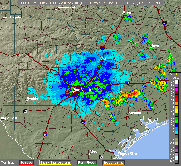 The national weather service in austin san antonio has issued a * severe thunderstorm warning for. west central dewitt county in south central texas. northeastern karnes county in south central texas. south central gonzales county in south central texas. Until 1045 pm cdt. The national weather service in austin san antonio has issued a * severe thunderstorm warning for. west central dewitt county in south central texas. northeastern karnes county in south central texas. south central gonzales county in south central texas. Until 1045 pm cdt.
|
| 6/23/2020 8:28 PM CDT |
 At 828 pm cdt, a severe thunderstorm was located near yorktown, moving south at 15 mph (radar indicated). Hazards include 60 mph wind gusts and quarter size hail. Hail damage to vehicles is expected. expect wind damage to roofs, siding, and trees. Locations impacted include, yorktown. At 828 pm cdt, a severe thunderstorm was located near yorktown, moving south at 15 mph (radar indicated). Hazards include 60 mph wind gusts and quarter size hail. Hail damage to vehicles is expected. expect wind damage to roofs, siding, and trees. Locations impacted include, yorktown.
|
| 6/23/2020 8:14 PM CDT | Ping Pong Ball sized hail reported 5.6 miles SW of Yorktown, TX, report of ping pong ball sized hail along state highway 72. time and location estimated via radar. |
| 6/23/2020 8:12 PM CDT |
 At 811 pm cdt, a severe thunderstorm was located near yorktown, moving southeast at 15 mph (radar indicated). Hazards include ping pong ball size hail and 60 mph wind gusts. People and animals outdoors will be injured. expect hail damage to roofs, siding, windows, and vehicles. expect wind damage to roofs, siding, and trees. Locations impacted include, yorktown and meyersville. At 811 pm cdt, a severe thunderstorm was located near yorktown, moving southeast at 15 mph (radar indicated). Hazards include ping pong ball size hail and 60 mph wind gusts. People and animals outdoors will be injured. expect hail damage to roofs, siding, windows, and vehicles. expect wind damage to roofs, siding, and trees. Locations impacted include, yorktown and meyersville.
|
| 6/23/2020 8:07 PM CDT |
 At 807 pm cdt, a severe thunderstorm was located near yorktown, moving southeast at 15 mph (radar indicated). Hazards include 60 mph wind gusts and quarter size hail. Hail damage to vehicles is expected. Expect wind damage to roofs, siding, and trees. At 807 pm cdt, a severe thunderstorm was located near yorktown, moving southeast at 15 mph (radar indicated). Hazards include 60 mph wind gusts and quarter size hail. Hail damage to vehicles is expected. Expect wind damage to roofs, siding, and trees.
|
| 5/24/2020 11:18 PM CDT |
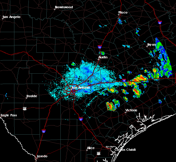
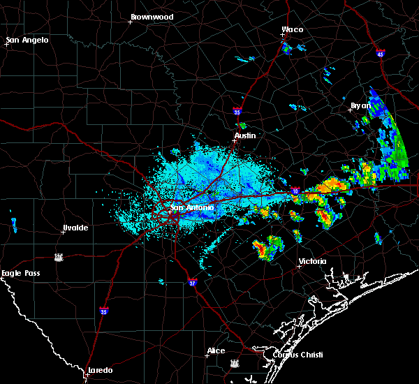
 At 1117 pm cdt, a severe thunderstorm capable of producing a tornado was located near yorktown, moving east at 35 mph (radar indicated rotation). Hazards include tornado. Flying debris will be dangerous to those caught without shelter. mobile homes will be damaged or destroyed. damage to roofs, windows, and vehicles will occur. Tree damage is likely. At 1117 pm cdt, a severe thunderstorm capable of producing a tornado was located near yorktown, moving east at 35 mph (radar indicated rotation). Hazards include tornado. Flying debris will be dangerous to those caught without shelter. mobile homes will be damaged or destroyed. damage to roofs, windows, and vehicles will occur. Tree damage is likely.
|
| 5/24/2020 11:12 PM CDT |
 At 1111 pm cdt, a severe thunderstorm was located near yorktown, moving east at 40 mph (radar indicated). Hazards include 60 mph wind gusts. expect damage to roofs, siding, and trees At 1111 pm cdt, a severe thunderstorm was located near yorktown, moving east at 40 mph (radar indicated). Hazards include 60 mph wind gusts. expect damage to roofs, siding, and trees
|
| 5/16/2020 12:56 AM CDT |
 At 1255 am cdt, a severe thunderstorm was located near weesatche, or near yorktown, moving east at 30 mph (radar indicated). Hazards include 60 mph wind gusts and quarter size hail. Hail damage to vehicles is expected. Expect wind damage to roofs, siding, and trees. At 1255 am cdt, a severe thunderstorm was located near weesatche, or near yorktown, moving east at 30 mph (radar indicated). Hazards include 60 mph wind gusts and quarter size hail. Hail damage to vehicles is expected. Expect wind damage to roofs, siding, and trees.
|
| 5/16/2020 12:46 AM CDT |
 At 1246 am cdt, a severe thunderstorm was located near nordheim, or 11 miles southwest of yorktown, moving east at 40 mph (radar indicated). Hazards include 60 mph wind gusts and quarter size hail. Hail damage to vehicles is expected. expect wind damage to roofs, siding, and trees. Locations impacted include, kenedy, karnes city, yorktown, runge, nordheim, gillett, westhoff, coy city, cotton patch, gruenau, new davy, zunkerville, choate, el oso, ecleto, helena, and pana maria. At 1246 am cdt, a severe thunderstorm was located near nordheim, or 11 miles southwest of yorktown, moving east at 40 mph (radar indicated). Hazards include 60 mph wind gusts and quarter size hail. Hail damage to vehicles is expected. expect wind damage to roofs, siding, and trees. Locations impacted include, kenedy, karnes city, yorktown, runge, nordheim, gillett, westhoff, coy city, cotton patch, gruenau, new davy, zunkerville, choate, el oso, ecleto, helena, and pana maria.
|
| 5/16/2020 12:20 AM CDT |
 At 1220 am cdt, a severe thunderstorm was located over karnes city, moving east at 40 mph (radar indicated). Hazards include 60 mph wind gusts and quarter size hail. Hail damage to vehicles is expected. expect wind damage to roofs, siding, and trees. Locations impacted include, floresville, kenedy, karnes city, poth, yorktown, stockdale, kosciusko, runge, falls city, nordheim, gillett, cestohowa, westhoff, coy city, cotton patch, choate, el oso, ecleto, helena, and pana maria. At 1220 am cdt, a severe thunderstorm was located over karnes city, moving east at 40 mph (radar indicated). Hazards include 60 mph wind gusts and quarter size hail. Hail damage to vehicles is expected. expect wind damage to roofs, siding, and trees. Locations impacted include, floresville, kenedy, karnes city, poth, yorktown, stockdale, kosciusko, runge, falls city, nordheim, gillett, cestohowa, westhoff, coy city, cotton patch, choate, el oso, ecleto, helena, and pana maria.
|
| 5/15/2020 11:54 PM CDT |
 At 1153 pm cdt, a severe thunderstorm was located 10 miles west of falls city, or 12 miles southwest of poth, moving east at 40 mph (radar indicated). Hazards include 60 mph wind gusts and quarter size hail. Hail damage to vehicles is expected. Expect wind damage to roofs, siding, and trees. At 1153 pm cdt, a severe thunderstorm was located 10 miles west of falls city, or 12 miles southwest of poth, moving east at 40 mph (radar indicated). Hazards include 60 mph wind gusts and quarter size hail. Hail damage to vehicles is expected. Expect wind damage to roofs, siding, and trees.
|
| 4/25/2020 1:13 PM CDT |
 At 112 pm cdt, a severe thunderstorm was located near yorktown, moving east at 35 mph (radar indicated). Hazards include quarter size hail. Damage to vehicles is expected. Locations impacted include, cuero, yorktown, thomaston, arneckville, cotton patch and meyersville. At 112 pm cdt, a severe thunderstorm was located near yorktown, moving east at 35 mph (radar indicated). Hazards include quarter size hail. Damage to vehicles is expected. Locations impacted include, cuero, yorktown, thomaston, arneckville, cotton patch and meyersville.
|
| 4/25/2020 12:53 PM CDT |
 At 1252 pm cdt, a severe thunderstorm was located near gillett, or 12 miles northwest of yorktown, moving east at 35 mph (radar indicated). Hazards include quarter size hail. damage to vehicles is expected At 1252 pm cdt, a severe thunderstorm was located near gillett, or 12 miles northwest of yorktown, moving east at 35 mph (radar indicated). Hazards include quarter size hail. damage to vehicles is expected
|
| 6/17/2019 2:27 AM CDT |
 At 226 am cdt, severe thunderstorms were located along a line extending from 6 miles north of gonzales to near hochheim to near cuero to yorktown to near nordheim, moving southeast at 45 mph (radar indicated). Hazards include 60 mph wind gusts. Expect damage to roofs, siding, and trees. Locations impacted include, cuero, gonzales, yoakum, hallettsville, yorktown, shiner, moulton, nordheim, sublime, cheapside, hochheim, palmeto state park, thomaston, ezzell, speaks, westhoff, komensky, henkhaus, cotton patch and meyersville. At 226 am cdt, severe thunderstorms were located along a line extending from 6 miles north of gonzales to near hochheim to near cuero to yorktown to near nordheim, moving southeast at 45 mph (radar indicated). Hazards include 60 mph wind gusts. Expect damage to roofs, siding, and trees. Locations impacted include, cuero, gonzales, yoakum, hallettsville, yorktown, shiner, moulton, nordheim, sublime, cheapside, hochheim, palmeto state park, thomaston, ezzell, speaks, westhoff, komensky, henkhaus, cotton patch and meyersville.
|
| 6/17/2019 2:07 AM CDT |
 At 205 am cdt, severe thunderstorms were located along a line extending from palmeto state park to 8 miles northeast of smiley to near westhoff to 6 miles southeast of gillett to near cestohowa, moving southeast at 40 mph (radar indicated). Hazards include 60 mph wind gusts. expect damage to roofs, siding, and trees At 205 am cdt, severe thunderstorms were located along a line extending from palmeto state park to 8 miles northeast of smiley to near westhoff to 6 miles southeast of gillett to near cestohowa, moving southeast at 40 mph (radar indicated). Hazards include 60 mph wind gusts. expect damage to roofs, siding, and trees
|
| 6/17/2019 1:46 AM CDT |
 At 146 am cdt, severe thunderstorms were located along a line extending from 6 miles southeast of kingsbury to 11 miles northwest of smiley to near nixon to near kosciusko to near elmendorf, moving southeast at 40 mph (radar indicated). Hazards include 60 mph wind gusts. Expect damage to roofs, siding, and trees. Locations impacted include, seguin, gonzales, floresville, luling, karnes city, poth, yorktown, stockdale, kosciusko, mcqueeney, nixon, la vernia, kingsbury, falls city, smiley, new berlin, nordheim, staples, cestohowa and cheapside. At 146 am cdt, severe thunderstorms were located along a line extending from 6 miles southeast of kingsbury to 11 miles northwest of smiley to near nixon to near kosciusko to near elmendorf, moving southeast at 40 mph (radar indicated). Hazards include 60 mph wind gusts. Expect damage to roofs, siding, and trees. Locations impacted include, seguin, gonzales, floresville, luling, karnes city, poth, yorktown, stockdale, kosciusko, mcqueeney, nixon, la vernia, kingsbury, falls city, smiley, new berlin, nordheim, staples, cestohowa and cheapside.
|
| 6/17/2019 1:35 AM CDT |
 At 134 am cdt, severe thunderstorms were located along a line extending from near kingsbury to 10 miles southeast of seguin to near pandora to near floresville to 6 miles west of elmendorf, moving southeast at 40 mph (radar indicated). Hazards include 60 mph wind gusts and nickel size hail. Expect damage to roofs, siding, and trees. locations impacted include, san antonio, new braunfels, schertz, seguin, cibolo, gonzales, floresville, luling, poteet, karnes city, poth, yorktown, stockdale, kosciusko, stinson municipal airport, randolph afb, lytle, mcqueeney, nixon and st. Hedwig. At 134 am cdt, severe thunderstorms were located along a line extending from near kingsbury to 10 miles southeast of seguin to near pandora to near floresville to 6 miles west of elmendorf, moving southeast at 40 mph (radar indicated). Hazards include 60 mph wind gusts and nickel size hail. Expect damage to roofs, siding, and trees. locations impacted include, san antonio, new braunfels, schertz, seguin, cibolo, gonzales, floresville, luling, poteet, karnes city, poth, yorktown, stockdale, kosciusko, stinson municipal airport, randolph afb, lytle, mcqueeney, nixon and st. Hedwig.
|
| 6/17/2019 1:15 AM CDT |
 At 115 am cdt, severe thunderstorms were located along a line extending from near new braunfels to near seguin to near la vernia to near calaveras lake to near somerset, moving southeast at 40 mph (radar indicated). Hazards include 60 mph wind gusts and nickel size hail. expect damage to roofs, siding, and trees At 115 am cdt, severe thunderstorms were located along a line extending from near new braunfels to near seguin to near la vernia to near calaveras lake to near somerset, moving southeast at 40 mph (radar indicated). Hazards include 60 mph wind gusts and nickel size hail. expect damage to roofs, siding, and trees
|
| 6/9/2019 9:53 PM CDT |
 The severe thunderstorm warning for central dewitt, southeastern gonzales and northwestern lavaca counties will expire at 1000 pm cdt, the storm which prompted the warning has weakened below severe limits, and no longer poses an immediate threat to life or property. therefore, the warning will be allowed to expire. a severe thunderstorm watch remains in effect until 1000 pm cdt for south central texas. The severe thunderstorm warning for central dewitt, southeastern gonzales and northwestern lavaca counties will expire at 1000 pm cdt, the storm which prompted the warning has weakened below severe limits, and no longer poses an immediate threat to life or property. therefore, the warning will be allowed to expire. a severe thunderstorm watch remains in effect until 1000 pm cdt for south central texas.
|
| 6/9/2019 9:32 PM CDT |
 At 932 pm cdt, a severe thunderstorm was located over cheapside, or 13 miles northwest of cuero, moving southeast at 30 mph (radar indicated). Hazards include 60 mph wind gusts and quarter size hail. Hail damage to vehicles is expected. expect wind damage to roofs, siding, and trees. Locations impacted include, cuero, yoakum, hallettsville, yorktown, shiner, smiley, cheapside, hochheim, westhoff, worthing, henkhaus, edgar, dilworth, gruenau, sample, glaze city, wrightsboro, mont, sweet home and dreyer. At 932 pm cdt, a severe thunderstorm was located over cheapside, or 13 miles northwest of cuero, moving southeast at 30 mph (radar indicated). Hazards include 60 mph wind gusts and quarter size hail. Hail damage to vehicles is expected. expect wind damage to roofs, siding, and trees. Locations impacted include, cuero, yoakum, hallettsville, yorktown, shiner, smiley, cheapside, hochheim, westhoff, worthing, henkhaus, edgar, dilworth, gruenau, sample, glaze city, wrightsboro, mont, sweet home and dreyer.
|
| 6/9/2019 9:24 PM CDT |
 At 923 pm cdt, a severe thunderstorm was located 7 miles southwest of gonzales, moving southeast at 20 mph (radar indicated). Hazards include 60 mph wind gusts and quarter size hail. Hail damage to vehicles is expected. expect wind damage to roofs, siding, and trees. Locations impacted include, cuero, gonzales, yoakum, hallettsville, yorktown, shiner, moulton, smiley, cheapside, hochheim, palmeto state park, westhoff, worthing, henkhaus, edgar, oak forest, cost, dilworth, ottine and monthalia. At 923 pm cdt, a severe thunderstorm was located 7 miles southwest of gonzales, moving southeast at 20 mph (radar indicated). Hazards include 60 mph wind gusts and quarter size hail. Hail damage to vehicles is expected. expect wind damage to roofs, siding, and trees. Locations impacted include, cuero, gonzales, yoakum, hallettsville, yorktown, shiner, moulton, smiley, cheapside, hochheim, palmeto state park, westhoff, worthing, henkhaus, edgar, oak forest, cost, dilworth, ottine and monthalia.
|
| 6/9/2019 9:03 PM CDT |
 At 903 pm cdt, a severe thunderstorm was located near palmeto state park, or near gonzales, moving southeast at 20 mph (radar indicated). Hazards include 60 mph wind gusts and quarter size hail. Hail damage to vehicles is expected. Expect wind damage to roofs, siding, and trees. At 903 pm cdt, a severe thunderstorm was located near palmeto state park, or near gonzales, moving southeast at 20 mph (radar indicated). Hazards include 60 mph wind gusts and quarter size hail. Hail damage to vehicles is expected. Expect wind damage to roofs, siding, and trees.
|
| 5/9/2019 8:25 PM CDT |
 At 825 pm cdt, severe thunderstorms were located along a line extending from near yoakum to 10 miles northwest of fordtran to 7 miles west of cuero to near weser, moving northeast at 15 mph (radar indicated). Hazards include ping pong ball size hail and 60 mph wind gusts. People and animals outdoors will be injured. expect hail damage to roofs, siding, windows, and vehicles. expect wind damage to roofs, siding, and trees. Locations impacted include, cuero, yoakum, hallettsville, yorktown, sublime, thomaston, ezzell, hochheim, speaks, westhoff, worthing, edgar, terryville, meyersville, vienna, koerth, gruenau, breslau, mont and sweet home. At 825 pm cdt, severe thunderstorms were located along a line extending from near yoakum to 10 miles northwest of fordtran to 7 miles west of cuero to near weser, moving northeast at 15 mph (radar indicated). Hazards include ping pong ball size hail and 60 mph wind gusts. People and animals outdoors will be injured. expect hail damage to roofs, siding, windows, and vehicles. expect wind damage to roofs, siding, and trees. Locations impacted include, cuero, yoakum, hallettsville, yorktown, sublime, thomaston, ezzell, hochheim, speaks, westhoff, worthing, edgar, terryville, meyersville, vienna, koerth, gruenau, breslau, mont and sweet home.
|
| 5/9/2019 8:07 PM CDT |
 At 807 pm cdt, severe thunderstorms were located along a line extending from near hochheim to 7 miles northeast of cuero to near yorktown, moving northeast at 25 mph (radar indicated). Hazards include ping pong ball size hail and 60 mph wind gusts. People and animals outdoors will be injured. expect hail damage to roofs, siding, windows, and vehicles. Expect wind damage to roofs, siding, and trees. At 807 pm cdt, severe thunderstorms were located along a line extending from near hochheim to 7 miles northeast of cuero to near yorktown, moving northeast at 25 mph (radar indicated). Hazards include ping pong ball size hail and 60 mph wind gusts. People and animals outdoors will be injured. expect hail damage to roofs, siding, windows, and vehicles. Expect wind damage to roofs, siding, and trees.
|
| 5/3/2019 10:31 PM CDT |
 At 1031 pm cdt, severe thunderstorms were located along a line extending from near hallettsville to 7 miles southwest of ezzell to near thomaston to weesatche, moving southeast at 35 mph (radar indicated). Hazards include 60 mph wind gusts. Expect damage to roofs, siding, and trees. Locations impacted include, cuero, yoakum, hallettsville, yorktown, shiner, moulton, nordheim, sublime, thomaston, ezzell, hochheim, speaks, westhoff, komensky, worthing, henkhaus, cotton patch, edgar, terryville and meyersville. At 1031 pm cdt, severe thunderstorms were located along a line extending from near hallettsville to 7 miles southwest of ezzell to near thomaston to weesatche, moving southeast at 35 mph (radar indicated). Hazards include 60 mph wind gusts. Expect damage to roofs, siding, and trees. Locations impacted include, cuero, yoakum, hallettsville, yorktown, shiner, moulton, nordheim, sublime, thomaston, ezzell, hochheim, speaks, westhoff, komensky, worthing, henkhaus, cotton patch, edgar, terryville and meyersville.
|
| 5/3/2019 10:17 PM CDT |
 At 1017 pm cdt, severe thunderstorms were located along a line extending from 7 miles northwest of hallettsville to near yoakum to near cuero to near weesatche, moving southeast at 25 mph (radar indicated). Hazards include 60 mph wind gusts. Expect damage to roofs, siding, and trees. Locations impacted include, cuero, yoakum, hallettsville, yorktown, shiner, moulton, nordheim, sublime, thomaston, ezzell, hochheim, speaks, westhoff, komensky, worthing, henkhaus, cotton patch, edgar, terryville and meyersville. At 1017 pm cdt, severe thunderstorms were located along a line extending from 7 miles northwest of hallettsville to near yoakum to near cuero to near weesatche, moving southeast at 25 mph (radar indicated). Hazards include 60 mph wind gusts. Expect damage to roofs, siding, and trees. Locations impacted include, cuero, yoakum, hallettsville, yorktown, shiner, moulton, nordheim, sublime, thomaston, ezzell, hochheim, speaks, westhoff, komensky, worthing, henkhaus, cotton patch, edgar, terryville and meyersville.
|
| 5/3/2019 9:49 PM CDT |
 At 948 pm cdt, severe thunderstorms were located along a line extending from near moulton to near hochheim to westhoff to 7 miles north of runge, moving southeast at 35 mph (radar indicated). Hazards include 60 mph wind gusts and penny size hail. expect damage to roofs, siding, and trees At 948 pm cdt, severe thunderstorms were located along a line extending from near moulton to near hochheim to westhoff to 7 miles north of runge, moving southeast at 35 mph (radar indicated). Hazards include 60 mph wind gusts and penny size hail. expect damage to roofs, siding, and trees
|
| 4/24/2019 6:12 PM CDT |
 At 611 pm cdt, a severe thunderstorm was located near cuero, moving east at 35 mph (emergency management. tree and carport damage was reported in yorktown at 600 pm). Hazards include 60 mph wind gusts and quarter size hail. Hail damage to vehicles is expected. expect wind damage to roofs, siding, and trees. Locations impacted include, cuero, yoakum, yorktown, thomaston, westhoff, arneckville, edgar, gruenau, concrete and meyersville. At 611 pm cdt, a severe thunderstorm was located near cuero, moving east at 35 mph (emergency management. tree and carport damage was reported in yorktown at 600 pm). Hazards include 60 mph wind gusts and quarter size hail. Hail damage to vehicles is expected. expect wind damage to roofs, siding, and trees. Locations impacted include, cuero, yoakum, yorktown, thomaston, westhoff, arneckville, edgar, gruenau, concrete and meyersville.
|
| 4/24/2019 6:00 PM CDT | Several trees blown down... minor roof damage. time of event estimated with rada in dewitt county TX, 0.4 miles WNW of Yorktown, TX |
| 4/24/2019 5:53 PM CDT |
 At 553 pm cdt, a severe thunderstorm was located near yorktown, moving east at 30 mph (radar indicated). Hazards include 60 mph wind gusts and quarter size hail. Hail damage to vehicles is expected. expect wind damage to roofs, siding, and trees. Locations impacted include, cuero, yoakum, yorktown, runge, nordheim, thomaston, westhoff, cotton patch, edgar, gruenau, new davy, sample, meyersville, arneckville and concrete. At 553 pm cdt, a severe thunderstorm was located near yorktown, moving east at 30 mph (radar indicated). Hazards include 60 mph wind gusts and quarter size hail. Hail damage to vehicles is expected. expect wind damage to roofs, siding, and trees. Locations impacted include, cuero, yoakum, yorktown, runge, nordheim, thomaston, westhoff, cotton patch, edgar, gruenau, new davy, sample, meyersville, arneckville and concrete.
|
| 4/24/2019 5:30 PM CDT |
 At 530 pm cdt, a severe thunderstorm was located 7 miles north of runge, or 11 miles northeast of karnes city, moving east at 35 mph (radar indicated). Hazards include 60 mph wind gusts and quarter size hail. Hail damage to vehicles is expected. Expect wind damage to roofs, siding, and trees. At 530 pm cdt, a severe thunderstorm was located 7 miles north of runge, or 11 miles northeast of karnes city, moving east at 35 mph (radar indicated). Hazards include 60 mph wind gusts and quarter size hail. Hail damage to vehicles is expected. Expect wind damage to roofs, siding, and trees.
|
| 4/18/2019 2:32 AM CDT |
 At 231 am cdt, severe thunderstorms were located along a line extending from near ezzell to near nursery to near goliad, moving east at 50 mph. at 155 am cdt, the gonzales county sheriff reported a downed tree blocking fm 108 between wrightsboro and gonzales (law enforcement). Hazards include 60 mph wind gusts and penny size hail. Expect damage to roofs, siding, and trees. Locations impacted include, cuero, yoakum, yorktown, nordheim, thomaston, ezzell, hochheim, speaks, westhoff, cotton patch, edgar, gruenau, terryville, new davy, meyersville, arneckville, concrete and hope. At 231 am cdt, severe thunderstorms were located along a line extending from near ezzell to near nursery to near goliad, moving east at 50 mph. at 155 am cdt, the gonzales county sheriff reported a downed tree blocking fm 108 between wrightsboro and gonzales (law enforcement). Hazards include 60 mph wind gusts and penny size hail. Expect damage to roofs, siding, and trees. Locations impacted include, cuero, yoakum, yorktown, nordheim, thomaston, ezzell, hochheim, speaks, westhoff, cotton patch, edgar, gruenau, terryville, new davy, meyersville, arneckville, concrete and hope.
|
| 4/18/2019 1:52 AM CDT |
 At 152 am cdt, severe thunderstorms were located along a line extending from smiley to 8 miles northwest of nordheim, moving east at 45 mph (radar indicated). Hazards include 60 mph wind gusts and penny size hail. expect damage to roofs, siding, and trees At 152 am cdt, severe thunderstorms were located along a line extending from smiley to 8 miles northwest of nordheim, moving east at 45 mph (radar indicated). Hazards include 60 mph wind gusts and penny size hail. expect damage to roofs, siding, and trees
|
| 2/25/2018 7:08 AM CST |
 The severe thunderstorm warning for west central dewitt, northeastern karnes, south central gonzales and east central wilson counties will expire at 715 am cst, the storm which prompted the warning has weakened below severe limits, and no longer poses an immediate threat to life or property. therefore the warning will be allowed to expire. however, small hail is still a possibility with this storm. to report severe weather, contact your nearest law enforcement agency. they will relay your report to the national weather service austin san antonio. The severe thunderstorm warning for west central dewitt, northeastern karnes, south central gonzales and east central wilson counties will expire at 715 am cst, the storm which prompted the warning has weakened below severe limits, and no longer poses an immediate threat to life or property. therefore the warning will be allowed to expire. however, small hail is still a possibility with this storm. to report severe weather, contact your nearest law enforcement agency. they will relay your report to the national weather service austin san antonio.
|
| 2/25/2018 6:52 AM CST |
 At 651 am cst, a severe thunderstorm was located near gillett, or 7 miles southeast of kosciusko, moving east at 35 mph (radar indicated). Hazards include 60 mph wind gusts and quarter size hail. Hail damage to vehicles is expected. expect wind damage to roofs, siding, and trees. Locations impacted include, yorktown, kosciusko, gillett, cotton patch, gruenau, new davy, ecleto and helena. At 651 am cst, a severe thunderstorm was located near gillett, or 7 miles southeast of kosciusko, moving east at 35 mph (radar indicated). Hazards include 60 mph wind gusts and quarter size hail. Hail damage to vehicles is expected. expect wind damage to roofs, siding, and trees. Locations impacted include, yorktown, kosciusko, gillett, cotton patch, gruenau, new davy, ecleto and helena.
|
| 2/25/2018 6:43 AM CST |
 At 642 am cst, a severe thunderstorm was located over cestohowa, or near kosciusko, moving east at 35 mph (radar indicated). Hazards include 60 mph wind gusts and half dollar size hail. Hail damage to vehicles is expected. Expect wind damage to roofs, siding, and trees. At 642 am cst, a severe thunderstorm was located over cestohowa, or near kosciusko, moving east at 35 mph (radar indicated). Hazards include 60 mph wind gusts and half dollar size hail. Hail damage to vehicles is expected. Expect wind damage to roofs, siding, and trees.
|
| 3/18/2016 10:08 PM CDT |
 The severe thunderstorm warning for northeastern karnes and southwestern dewitt counties will expire at 1015 pm cdt, the storm which prompted the warning has weakened below severe limits, and no longer pose an immediate threat to life or property. therefore the warning will be allowed to expire. however small hail and heavy rain are still possible with this thunderstorm. a severe thunderstorm watch remains in effect until midnight cdt for south central texas. The severe thunderstorm warning for northeastern karnes and southwestern dewitt counties will expire at 1015 pm cdt, the storm which prompted the warning has weakened below severe limits, and no longer pose an immediate threat to life or property. therefore the warning will be allowed to expire. however small hail and heavy rain are still possible with this thunderstorm. a severe thunderstorm watch remains in effect until midnight cdt for south central texas.
|
| 3/18/2016 9:52 PM CDT |
 At 952 pm cdt, a severe thunderstorm was located near gillett, or 14 miles east of kosciusko, moving southeast at 20 mph (trained weather spotters). Hazards include 60 mph wind gusts and quarter size hail. Hail damage to vehicles is expected. expect wind damage to roofs, siding, and trees. Locations impacted include, yorktown, nordheim, gillett, gruenau, ecleto, cotton patch and new davy. At 952 pm cdt, a severe thunderstorm was located near gillett, or 14 miles east of kosciusko, moving southeast at 20 mph (trained weather spotters). Hazards include 60 mph wind gusts and quarter size hail. Hail damage to vehicles is expected. expect wind damage to roofs, siding, and trees. Locations impacted include, yorktown, nordheim, gillett, gruenau, ecleto, cotton patch and new davy.
|
| 3/18/2016 9:17 PM CDT |
 At 916 pm cdt, a severe thunderstorm was located near gillett, or near kosciusko, moving southeast at 30 mph. this storm has a history of producing quarter size hail, including a report four miles southwest of floresville (trained weather spotters). Hazards include 60 mph wind gusts and quarter size hail. Hail damage to vehicles is expected. Expect wind damage to roofs, siding, and trees. At 916 pm cdt, a severe thunderstorm was located near gillett, or near kosciusko, moving southeast at 30 mph. this storm has a history of producing quarter size hail, including a report four miles southwest of floresville (trained weather spotters). Hazards include 60 mph wind gusts and quarter size hail. Hail damage to vehicles is expected. Expect wind damage to roofs, siding, and trees.
|
| 5/25/2015 9:57 PM CDT | At 957 pm cdt, severe thunderstorms were located along a line extending from near weesatche to near charco to near tulsita, moving east at 15 mph (radar indicated). Hazards include 60 mph wind gusts and quarter size hail. Hail damage to vehicles is expected. expect wind damage to roofs, siding and trees. locations impacted include, yorktown, nordheim and choate. a tornado watch remains in effect until 1100 pm cdt for south central texas. A tornado watch also remains in effect until 200 am cdt for south central texas. |
| 5/25/2015 9:23 PM CDT | At 921 pm cdt, severe thunderstorms capable of producing tornadoes were located along a line extending from near yorktown to near nordheim, moving east at 15 mph (radar indicated rotation). Hazards include tornado and quarter size hail. Flying debris will be dangerous to those caught without shelter. mobile homes will be damaged or destroyed. damage to roofs, windows and vehicles will occur. tree damage is likely. these dangerous storms will be near, yorktown around 945 pm cdt. Other locations impacted by these tornadic storms include cotton patch, new davy and gruenau. |
| 5/25/2015 9:19 PM CDT | At 919 pm cdt, a severe thunderstorm was located near kenedy, moving east at 20 mph (radar indicated). Hazards include 60 mph wind gusts and quarter size hail. Hail damage to vehicles is expected. Expect wind damage to roofs, siding and trees. |
| 5/25/2015 9:15 PM CDT | At 914 pm cdt, severe thunderstorms were located along a line extending from near sublime to 6 miles west of ezzell to near yorktown, moving southeast at 10 mph (radar indicated). Hazards include 60 mph wind gusts and quarter size hail. Hail damage to vehicles is expected. expect wind damage to roofs, siding and trees. locations impacted include, cuero, yoakum, hallettsville, yorktown, shiner, moulton, thomaston, cheapside, ezzell, hochheim, sublime, speaks, westhoff, sweet home, henkhaus, dreyer, moravia, koerth, concrete and mont. a tornado watch remains in effect until 1000 pm cdt for south central texas. A tornado watch also remains in effect until 200 am cdt for south central texas. |
| 5/25/2015 9:03 PM CDT | At 902 pm cdt, severe thunderstorms capable of producing tornadoes were located along a line extending from near yorktown to near runge, moving east at 15 mph (radar indicated rotation). Hazards include tornado and quarter size hail. Flying debris will be dangerous to those caught without shelter. mobile homes will be damaged or destroyed. damage to roofs, windows and vehicles will occur. tree damage is likely. these dangerous storms will be near, yorktown around 910 pm cdt. cuero around 945 pm cdt. Other locations impacted by these tornadic storms include cotton patch, new davy and gruenau. |
| 5/25/2015 8:46 PM CDT | At 846 pm cdt, severe thunderstorms were located along a line extending from near schulenburg to 6 miles northwest of ezzell to 9 miles northwest of yorktown, moving east at 30 mph (radar indicated). Hazards include ping pong ball size hail and 60 mph wind gusts. People and animals outdoors will be injured. expect hail damage to roofs, siding, windows and vehicles. expect wind damage to roofs, siding and trees. locations impacted include, cuero, yoakum, hallettsville, yorktown, shiner, moulton, thomaston, cheapside, ezzell, hochheim, sublime, speaks, westhoff, sweet home, henkhaus, dreyer, moravia, koerth, concrete and mont. a tornado watch remains in effect until 1000 pm cdt for south central texas. A tornado watch also remains in effect until 200 am cdt for south central texas. |
| 5/25/2015 8:35 PM CDT | At 835 pm cdt, severe thunderstorms were located along a line extending from near schulenburg to 7 miles northwest of ezzell to 7 miles south of westhoff, moving east at 30 mph (radar indicated). Hazards include 60 mph wind gusts and penny size hail. Expect damage to roofs. Siding and trees. |
| 4/27/2015 3:52 AM CDT | The severe thunderstorm warning for southwestern dewitt county will expire at 400 am cdt, the storm which prompted the warning has weakened below severe limits, and no longer poses an immediate threat to life or property. therefore the warning will be allowed to expire. however small hail, gusty winds and heavy rain are still possible with this thunderstorm. a tornado watch remains in effect until 900 am cdt for south central texas. |
| 4/27/2015 3:37 AM CDT | At 336 am cdt, a severe thunderstorm was located near yorktown, moving east at 40 mph (radar indicated). Hazards include 60 mph wind gusts and quarter size hail. Hail damage to vehicles is expected. expect wind damage to roofs, siding and trees. locations impacted include, yorktown, cotton patch, gruenau and new davy. a tornado watch remains in effect until 900 am cdt for south central texas. 1. 00in. |
| 4/27/2015 3:21 AM CDT | At 320 am cdt, a severe thunderstorm was located 8 miles north of runge, or 12 miles northeast of karnes city, moving east at 40 mph (radar indicated). Hazards include 60 mph wind gusts and quarter size hail. Hail damage to vehicles is expected. expect wind damage to roofs, siding and trees. locations impacted include, yorktown, nordheim, gillett, westhoff, gruenau, ecleto, cotton patch and new davy. a tornado watch remains in effect until 900 am cdt for south central texas. 1. 00in. |
| 4/27/2015 3:06 AM CDT | At 306 am cdt, a severe thunderstorm was located over cestohowa, or near kosciusko, moving east at 35 mph (radar indicated). Hazards include 60 mph wind gusts and quarter size hail. Hail damage to vehicles is expected. expect wind damage to roofs, siding and trees. locations impacted include, karnes city, yorktown, kosciusko, runge, falls city, nordheim, gillett, westhoff, cestohowa, pana maria, cotton patch, new davy, helena, gruenau, hobson, ecleto and paweleville. a tornado watch remains in effect until 900 am cdt for south central texas. 1. 00in. |
| 4/27/2015 3:06 AM CDT | At 306 am cdt, a severe thunderstorm was located over cestohowa, or near kosciusko, moving east at 35 mph (radar indicated). Hazards include 60 mph wind gusts and quarter size hail. Hail damage to vehicles is expected. expect wind damage to roofs, siding and trees. locations impacted include, karnes city, yorktown, kosciusko, runge, falls city, nordheim, gillett, westhoff, cestohowa, pana maria, cotton patch, new davy, helena, gruenau, hobson, ecleto and paweleville. a tornado watch remains in effect until 900 am cdt for south central texas. 1. 00in. |
| 4/27/2015 3:00 AM CDT | At 300 am cdt, a severe thunderstorm was located over cestohowa, or 7 miles south of kosciusko, moving east at 35 mph (radar indicated). Hazards include 60 mph wind gusts. Expect damage to roofs. Siding and trees. |
| 4/17/2015 5:05 PM CDT | At 504 pm cdt, severe thunderstorms were located along a line extending from 7 miles north of cheapside to 6 miles southeast of hochheim to 6 miles north of thomaston to near mission valley to 6 miles south of ander, moving east at 45 mph (radar indicated). Hazards include 60 mph wind gusts and penny size hail. Expect damage to roofs. siding and trees. locations impacted include, gonzales, cuero, yoakum, kenedy, yorktown, shiner, moulton, runge, smiley, nordheim, thomaston, cheapside, ezzell, hochheim, westhoff, sweet home, wrightsboro, henkhaus, dreyer and cotton patch. 0. 75in. |
| 4/17/2015 4:46 PM CDT | At 445 pm cdt, severe thunderstorms were located along a line extending from 7 miles north of smiley to near westhoff to 7 miles west of cuero to near weesatche to near charco, moving east at 45 mph (radar indicated). Hazards include 60 mph wind gusts and penny size hail. Expect damage to roofs. siding and trees. locations impacted include, gonzales, cuero, yoakum, kenedy, karnes city, yorktown, shiner, moulton, nixon, runge, smiley, nordheim, thomaston, gillett, hochheim, pandora, cheapside, ezzell, westhoff and sweet home. 0. 75in. |
| 4/17/2015 4:20 PM CDT | At 419 pm cdt, severe thunderstorms were located along a line extending from near stockdale to gillett to 7 miles northwest of nordheim to near runge to near tulsita, moving east at 45 mph (radar indicated). Hazards include 60 mph wind gusts and penny size hail. Expect damage to roofs. Siding and trees. |
| 5/26/2014 7:00 AM CDT | 3 recreational vehicles were blown over with one badly damaged. wind estimated to be 60 mp in dewitt county TX, 1.9 miles S of Yorktown, TX |
| 1/1/0001 12:00 AM | Quarter sized hail reported 0.4 miles WNW of Yorktown, TX, nickel to quarter size hail for 15 minutes |
Hail Maps for Yorktown, TX
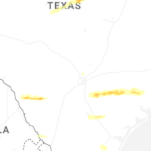
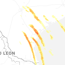
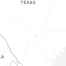

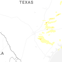


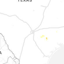


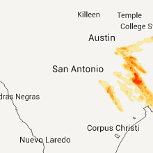
Connect with Interactive Hail Maps