

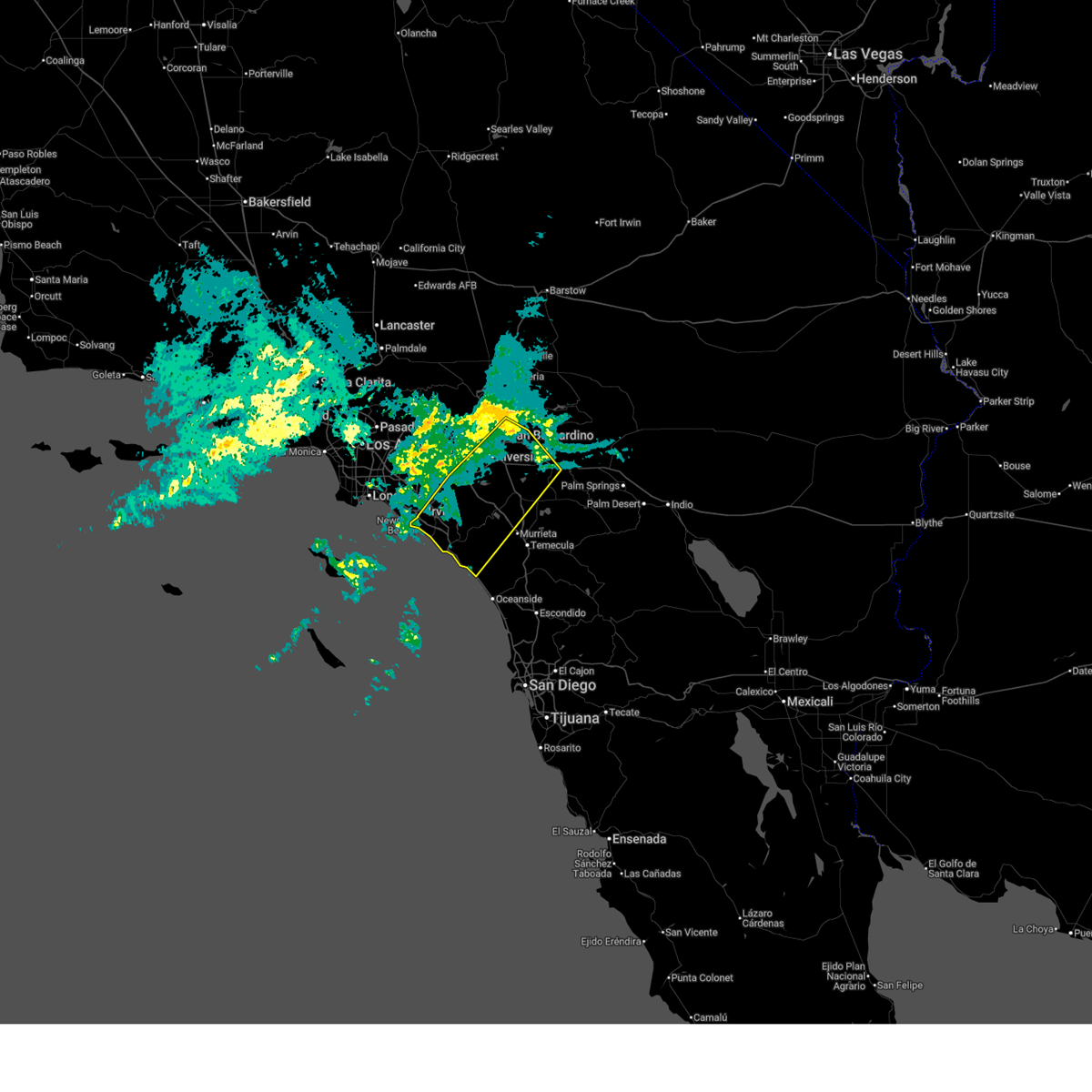
Hail Map for Yucaipa, CA
The Yucaipa, CA area has had 0 reports of on-the-ground hail by trained spotters, and has been under severe weather warnings 1 time during the past 12 months. Doppler radar has detected hail at or near Yucaipa, CA on 7 occasions.
| Name: | Yucaipa, CA |
| Where Located: | 37.1 miles W of Yucca Valley, CA |
| Map: | Google Map for Yucaipa, CA |
| Population: | 51367 |
| Housing Units: | 19642 |
| More Info: | Search Google for Yucaipa, CA |
5
The Top Recent Hail Date for Yucaipa, CA is Thursday, July 30, 2015 (1st out of 7)

Hail and Wind Damage Spotted near Yucaipa, CA
| Date / Time | Report Details |
|---|---|
| 2/18/2026 2:28 AM PST |
 Svrsgx the national weather service in san diego has issued a * severe thunderstorm warning for, san bernardino county in southern california, riverside county in southern california, northwestern san diego county in southwestern california, eastern orange county in southwestern california, * until 330 am pst. * at 226 am pst, a band of severe thunderstorms extended from newport beach to san bernardino and was moving slowly southeast into southern orange county and western riverside county (radar indicated). Hazards include 60 mph wind gusts. expect damage to roofs, siding, and trees Svrsgx the national weather service in san diego has issued a * severe thunderstorm warning for, san bernardino county in southern california, riverside county in southern california, northwestern san diego county in southwestern california, eastern orange county in southwestern california, * until 330 am pst. * at 226 am pst, a band of severe thunderstorms extended from newport beach to san bernardino and was moving slowly southeast into southern orange county and western riverside county (radar indicated). Hazards include 60 mph wind gusts. expect damage to roofs, siding, and trees
|
| 9/9/2021 5:00 PM PDT |
 At 459 pm pdt, a severe thunderstorm was located over redlands, moving northwest at 20 mph (radar indicated). Hazards include 60 mph wind gusts and nickel size hail. Expect damage to roofs, siding, and trees. locations impacted include, moreno valley, redlands, yucaipa, highland, colton, western beaumont, loma linda, mentone, calimesa and cherry valley. hail threat, radar indicated max hail size, 0. 88 in wind threat, radar indicated max wind gust, 60 mph. At 459 pm pdt, a severe thunderstorm was located over redlands, moving northwest at 20 mph (radar indicated). Hazards include 60 mph wind gusts and nickel size hail. Expect damage to roofs, siding, and trees. locations impacted include, moreno valley, redlands, yucaipa, highland, colton, western beaumont, loma linda, mentone, calimesa and cherry valley. hail threat, radar indicated max hail size, 0. 88 in wind threat, radar indicated max wind gust, 60 mph.
|
| 9/9/2021 4:35 PM PDT |
 At 434 pm pdt, a severe thunderstorm was located near beaumont, or 7 miles south of yucaipa, moving northwest at 20 mph (radar indicated). Hazards include 60 mph wind gusts and nickel size hail. expect damage to roofs, siding, and trees At 434 pm pdt, a severe thunderstorm was located near beaumont, or 7 miles south of yucaipa, moving northwest at 20 mph (radar indicated). Hazards include 60 mph wind gusts and nickel size hail. expect damage to roofs, siding, and trees
|
| 9/9/2021 3:34 PM PDT |
 At 332 pm pdt, a severe thunderstorm was located over highland, or near redlands, moving northwest at 10 mph (radar indicated. at 320 pm, 50 mph winds were reported near san timoteo canyon. pea size hail was reported in yucaipa). Hazards include 60 mph wind gusts. Expect damage to roofs, siding, and trees. locations impacted include, san bernardino, moreno valley, redlands, yucaipa, highland, loma linda, mentone, calimesa and cherry valley. hail threat, radar indicated max hail size, <. 75 in wind threat, radar indicated max wind gust, 60 mph. At 332 pm pdt, a severe thunderstorm was located over highland, or near redlands, moving northwest at 10 mph (radar indicated. at 320 pm, 50 mph winds were reported near san timoteo canyon. pea size hail was reported in yucaipa). Hazards include 60 mph wind gusts. Expect damage to roofs, siding, and trees. locations impacted include, san bernardino, moreno valley, redlands, yucaipa, highland, loma linda, mentone, calimesa and cherry valley. hail threat, radar indicated max hail size, <. 75 in wind threat, radar indicated max wind gust, 60 mph.
|
| 9/9/2021 3:10 PM PDT |
 At 309 pm pdt, a severe thunderstorm was located over redlands, moving northwest at 10 mph (radar indicated). Hazards include 60 mph wind gusts. expect damage to roofs, siding, and trees At 309 pm pdt, a severe thunderstorm was located over redlands, moving northwest at 10 mph (radar indicated). Hazards include 60 mph wind gusts. expect damage to roofs, siding, and trees
|
| 8/18/2020 1:57 PM PDT |
 At 156 pm pdt, a severe thunderstorm was located over forest falls, and is nearly stationary (radar indicated). Hazards include 70 mph wind gusts and penny size hail. Expect considerable tree damage. Damage is likely to mobile homes, roofs, and outbuildings. At 156 pm pdt, a severe thunderstorm was located over forest falls, and is nearly stationary (radar indicated). Hazards include 70 mph wind gusts and penny size hail. Expect considerable tree damage. Damage is likely to mobile homes, roofs, and outbuildings.
|
| 8/18/2020 12:54 PM PDT |
 At 1253 pm pdt, a severe thunderstorm was located over angelus oaks, or 7 miles northwest of forest falls, moving west at 5 mph (radar indicated). Hazards include 70 mph wind gusts and nickel size hail. Expect considerable tree damage. Damage is likely to mobile homes, roofs, and outbuildings. At 1253 pm pdt, a severe thunderstorm was located over angelus oaks, or 7 miles northwest of forest falls, moving west at 5 mph (radar indicated). Hazards include 70 mph wind gusts and nickel size hail. Expect considerable tree damage. Damage is likely to mobile homes, roofs, and outbuildings.
|
| 8/16/2018 2:55 PM PDT |
 The severe thunderstorm warning for riverside county will expire at 300 pm pdt, the severe thunderstorm which prompted the warning has weakened in the cherry valley area. therefore, the warning will be allowed to expire. The severe thunderstorm warning for riverside county will expire at 300 pm pdt, the severe thunderstorm which prompted the warning has weakened in the cherry valley area. therefore, the warning will be allowed to expire.
|
| 8/16/2018 2:34 PM PDT |
 At 233 pm pdt, a severe thunderstorm was located over southwestern mount san gorgonio, moving northeast at 5 mph (radar indicated). Hazards include 60 mph wind gusts and penny size hail. Expect damage to roofs, siding, and trees. heavy rain is also ongoing in the area and a flash flood warning is also in effect. Locations impacted include, yucaipa, western beaumont, banning, calimesa, cherry valley and morongo indian reservation. At 233 pm pdt, a severe thunderstorm was located over southwestern mount san gorgonio, moving northeast at 5 mph (radar indicated). Hazards include 60 mph wind gusts and penny size hail. Expect damage to roofs, siding, and trees. heavy rain is also ongoing in the area and a flash flood warning is also in effect. Locations impacted include, yucaipa, western beaumont, banning, calimesa, cherry valley and morongo indian reservation.
|
| 8/16/2018 1:58 PM PDT |
 At 158 pm pdt, a severe thunderstorm was located over banning, or near yucaipa, moving northeast at 5 mph (radar indicated). Hazards include 60 mph wind gusts and penny size hail. expect damage to roofs, siding, and trees At 158 pm pdt, a severe thunderstorm was located over banning, or near yucaipa, moving northeast at 5 mph (radar indicated). Hazards include 60 mph wind gusts and penny size hail. expect damage to roofs, siding, and trees
|
| 8/9/2018 3:18 PM PDT |
 At 316 pm pdt, a group of severe thunderstorms were located near big bear and also near forest falls, moving west at 5 mph (radar indicated). Hazards include 60 mph wind gusts and nickel size hail. Expect damage to roofs, siding, and trees. Locations impacted include, san bernardino, redlands, yucaipa, big bear city, forest falls, lake arrowhead, lucerne valley, highland, big bear lake, running springs, seven oaks, angelus oaks, hwy 18 between running springs and skyforest, hwy 38 between yucaipa and onyx summit, hwy 18 between running springs and big bear, hwy 330 between san bernardino and running springs, skyforest, mountain home village, cedar glen and fawnskin. At 316 pm pdt, a group of severe thunderstorms were located near big bear and also near forest falls, moving west at 5 mph (radar indicated). Hazards include 60 mph wind gusts and nickel size hail. Expect damage to roofs, siding, and trees. Locations impacted include, san bernardino, redlands, yucaipa, big bear city, forest falls, lake arrowhead, lucerne valley, highland, big bear lake, running springs, seven oaks, angelus oaks, hwy 18 between running springs and skyforest, hwy 38 between yucaipa and onyx summit, hwy 18 between running springs and big bear, hwy 330 between san bernardino and running springs, skyforest, mountain home village, cedar glen and fawnskin.
|
| 8/9/2018 2:46 PM PDT |
 At 244 pm pdt, group of severe thunderstorms were located just west of big bear and also near forest falls, moving west at 10 mph (radar indicated). Hazards include 60 mph wind gusts and nickel size hail. expect damage to roofs, siding, and trees At 244 pm pdt, group of severe thunderstorms were located just west of big bear and also near forest falls, moving west at 10 mph (radar indicated). Hazards include 60 mph wind gusts and nickel size hail. expect damage to roofs, siding, and trees
|
| 8/3/2017 4:35 PM PDT |
 At 432 pm pdt, a severe thunderstorm was located near beaumont, or 8 miles south of yucaipa, and is nearly stationary (radar indicated). Hazards include 60 mph wind gusts and quarter size hail. Hail damage to vehicles is possible. Expect wind damage to roofs, power lines and trees. At 432 pm pdt, a severe thunderstorm was located near beaumont, or 8 miles south of yucaipa, and is nearly stationary (radar indicated). Hazards include 60 mph wind gusts and quarter size hail. Hail damage to vehicles is possible. Expect wind damage to roofs, power lines and trees.
|
| 3/7/2016 7:58 AM PST |
 The national weather service in san diego has issued a * severe thunderstorm warning for. eastern orange county in southwestern california. san bernardino county in southern california. riverside county in southern california. Northwestern san diego county in southwestern california. The national weather service in san diego has issued a * severe thunderstorm warning for. eastern orange county in southwestern california. san bernardino county in southern california. riverside county in southern california. Northwestern san diego county in southwestern california.
|
| 3/7/2016 7:43 AM PST |
 At 740 am pst, doppler radar indicated a line of severe thunderstorms capable of producing damaging wind gusts of 45 to 60 mph over eastern orange county. this line of storms was located near canyon lake, moving east at 30 mph. the storms will progress eastward over the next hour, impacting the inland empire and northwest san diego county. locations impacted include but are not limited to, riverside, san bernardino, oceanside, ontario, irvine, moreno valley, corona, rialto, tustin, chino, redlands. At 740 am pst, doppler radar indicated a line of severe thunderstorms capable of producing damaging wind gusts of 45 to 60 mph over eastern orange county. this line of storms was located near canyon lake, moving east at 30 mph. the storms will progress eastward over the next hour, impacting the inland empire and northwest san diego county. locations impacted include but are not limited to, riverside, san bernardino, oceanside, ontario, irvine, moreno valley, corona, rialto, tustin, chino, redlands.
|
| 3/7/2016 7:10 AM PST |
 At 706 am pst, doppler radar indicated a line of severe thunderstorms capable of producing damaging wind gusts of 45 to 60 mph moving through central orange county. this line of storms was located near el toro, moving east at 35 mph. the stroms will progress eastward over the next hour, impacting the inland empire and northwest san diego county. locations impacted include, santa ana, anaheim, riverside, huntington beach, san bernardino, oceanside, ontario, irvine, fontana, orange, rancho cucamonga, corona, costa mesa, mission viejo, rialto. At 706 am pst, doppler radar indicated a line of severe thunderstorms capable of producing damaging wind gusts of 45 to 60 mph moving through central orange county. this line of storms was located near el toro, moving east at 35 mph. the stroms will progress eastward over the next hour, impacting the inland empire and northwest san diego county. locations impacted include, santa ana, anaheim, riverside, huntington beach, san bernardino, oceanside, ontario, irvine, fontana, orange, rancho cucamonga, corona, costa mesa, mission viejo, rialto.
|
| 3/7/2016 6:36 AM PST |
 At 635 am pst, doppler radar indicated a line of severe thunderstorms capable of producing damaging wind gusts of 45 to 60 mph approaching the orange county coast. the leading edge of the storms was located 5 miles southwest of seal beach, and moving east at 35 mph. At 635 am pst, doppler radar indicated a line of severe thunderstorms capable of producing damaging wind gusts of 45 to 60 mph approaching the orange county coast. the leading edge of the storms was located 5 miles southwest of seal beach, and moving east at 35 mph.
|
| 7/30/2015 5:52 PM PDT |
 The severe thunderstorm warning for san bernardino and riverside counties will expire at 600 pm pdt, the severe thunderstorm which prompted the warning has weakened and nearly moved out of the warned area. therefore the warning will be allowed to expire at 600 pm. The severe thunderstorm warning for san bernardino and riverside counties will expire at 600 pm pdt, the severe thunderstorm which prompted the warning has weakened and nearly moved out of the warned area. therefore the warning will be allowed to expire at 600 pm.
|
| 7/30/2015 5:45 PM PDT | Tree was blocking the road at san timoteo canyon rd. and redlands blv in san bernardino county CA, 1.9 miles ENE of Yucaipa, CA |
| 7/30/2015 5:38 PM PDT | Power lines are down and trees are blocking the roadway. san timoteo canyon roa in san bernardino county CA, 1.5 miles NE of Yucaipa, CA |
| 7/30/2015 5:12 PM PDT |
 At 505 pm pdt, doppler radar indicated a severe thunderstorm capable of producing quarter size hail and damaging winds in excess of 60 mph. this storm was located near beaumont, and moving to the northwest at 5 mph. locations impacted include, yucaipa, banning, beaumont, mentone, calimesa and cherry valley. At 505 pm pdt, doppler radar indicated a severe thunderstorm capable of producing quarter size hail and damaging winds in excess of 60 mph. this storm was located near beaumont, and moving to the northwest at 5 mph. locations impacted include, yucaipa, banning, beaumont, mentone, calimesa and cherry valley.
|
| 7/30/2015 4:59 PM PDT |
 At 458 pm pdt, doppler radar indicated a severe thunderstorm capable of producing damaging winds in excess of 60 mph. this storm was located over northern beaumont, or 7 miles south of yucaipa, and moving northwest at 5 mph. At 458 pm pdt, doppler radar indicated a severe thunderstorm capable of producing damaging winds in excess of 60 mph. this storm was located over northern beaumont, or 7 miles south of yucaipa, and moving northwest at 5 mph.
|
Hail Maps for Yucaipa, CA


Connect with Interactive Hail Maps