

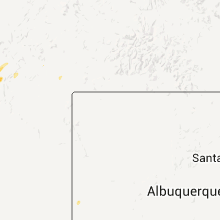
Hail Map for Zuni Pueblo, NM
The Zuni Pueblo, NM area has had 0 reports of on-the-ground hail by trained spotters, and has been under severe weather warnings 3 times during the past 12 months. Doppler radar has detected hail at or near Zuni Pueblo, NM on 7 occasions.
| Name: | Zuni Pueblo, NM |
| Where Located: | 88.5 miles NE of Show Low, AZ |
| Map: | Google Map for Zuni Pueblo, NM |
| Population: | 6302 |
| Housing Units: | 1672 |
| More Info: | Search Google for Zuni Pueblo, NM |
5
The Top Recent Hail Date for Zuni Pueblo, NM is Tuesday, July 13, 2021 (1st out of 7)
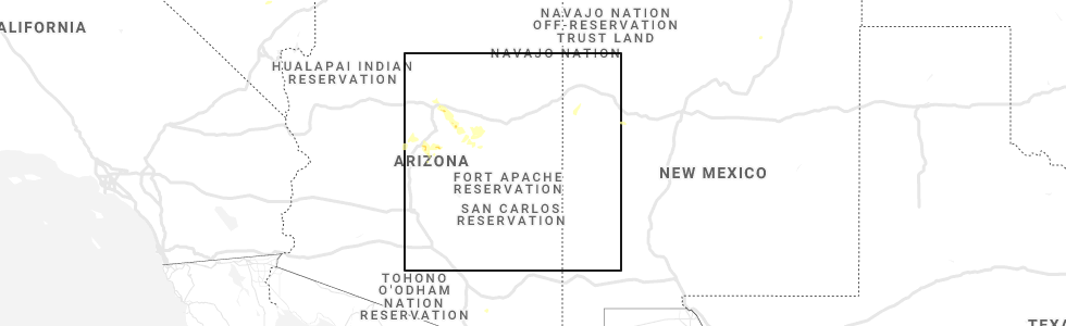
Hail and Wind Damage Spotted near Zuni Pueblo, NM
| Date / Time | Report Details |
|---|---|
| 6/25/2026 1:53 PM MDT |
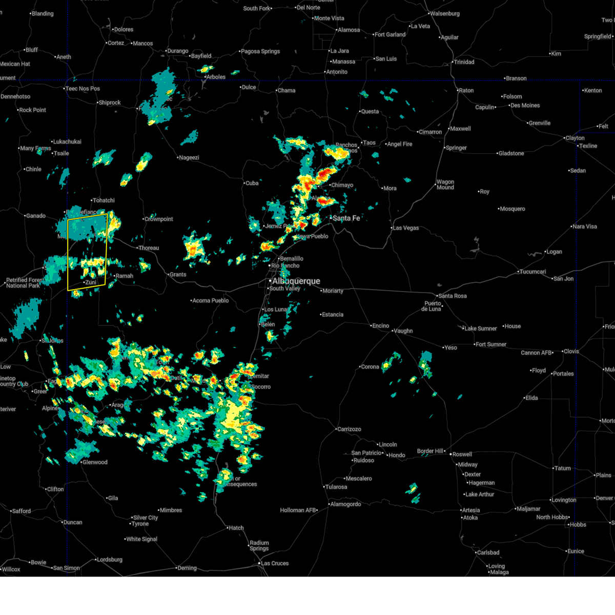 The storms which prompted the warning have weakened below severe limits, and no longer pose an immediate threat to life or property. therefore, the warning will be allowed to expire. however, gusty winds are still possible with these thunderstorms. The storms which prompted the warning have weakened below severe limits, and no longer pose an immediate threat to life or property. therefore, the warning will be allowed to expire. however, gusty winds are still possible with these thunderstorms.
|
| 6/25/2026 1:39 PM MDT |
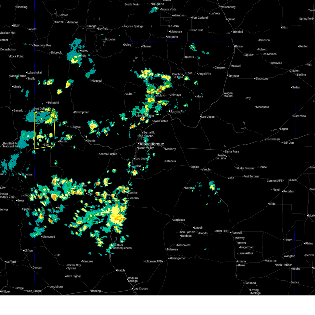 At 139 pm mdt, severe thunderstorms were located along a line from 7 miles northeast of church rock to 6 miles north of zuni pueblo, moving east at 20 mph (radar indicated). Hazards include 60 mph wind gusts and small hail. Expect damage to roofs, siding, and trees. locations impacted include, gallup, zuni pueblo, vanderwagen, manuelito, rock springs, church rock, yah-ta-hey, black rock, tse bonito and red rock state park. This includes interstate 40 between mile markers 1 and 31. At 139 pm mdt, severe thunderstorms were located along a line from 7 miles northeast of church rock to 6 miles north of zuni pueblo, moving east at 20 mph (radar indicated). Hazards include 60 mph wind gusts and small hail. Expect damage to roofs, siding, and trees. locations impacted include, gallup, zuni pueblo, vanderwagen, manuelito, rock springs, church rock, yah-ta-hey, black rock, tse bonito and red rock state park. This includes interstate 40 between mile markers 1 and 31.
|
| 6/25/2026 1:19 PM MDT |
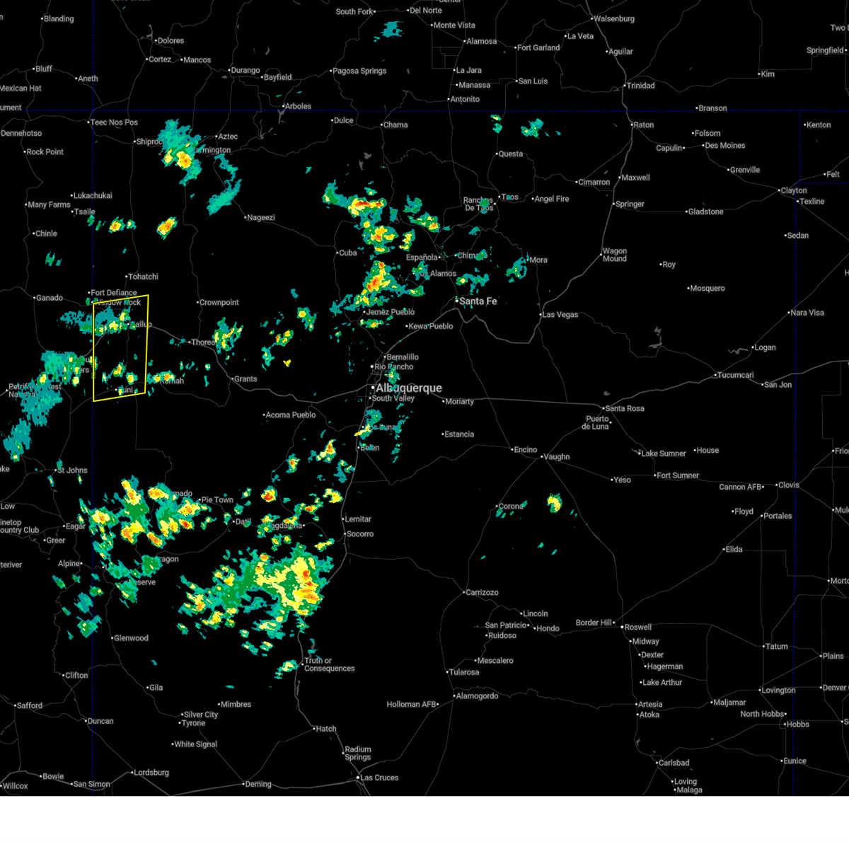 Svrabq the national weather service in albuquerque has issued a * severe thunderstorm warning for, southwestern mckinley county in west central new mexico, * until 200 pm mdt. * at 119 pm mdt, severe thunderstorms were located along a line from near gallup to 16 miles west of zuni pueblo, moving east at 20 mph (radar indicated). Hazards include 60 mph wind gusts and small hail. expect damage to roofs, siding, and trees Svrabq the national weather service in albuquerque has issued a * severe thunderstorm warning for, southwestern mckinley county in west central new mexico, * until 200 pm mdt. * at 119 pm mdt, severe thunderstorms were located along a line from near gallup to 16 miles west of zuni pueblo, moving east at 20 mph (radar indicated). Hazards include 60 mph wind gusts and small hail. expect damage to roofs, siding, and trees
|
| 6/6/2023 3:58 PM MDT |
 The severe thunderstorm warning for west central cibola and southwestern mckinley counties will expire at 400 pm mdt, the storms that prompted the warning have weakened below severe limits, and no longer pose an immediate threat to life or property. therefore, the warning will be allowed to expire. however small hail is still possible with these thunderstorms. The severe thunderstorm warning for west central cibola and southwestern mckinley counties will expire at 400 pm mdt, the storms that prompted the warning have weakened below severe limits, and no longer pose an immediate threat to life or property. therefore, the warning will be allowed to expire. however small hail is still possible with these thunderstorms.
|
| 6/6/2023 3:33 PM MDT |
 At 332 pm mdt, severe thunderstorms were located along a line extending from near rock springs to near black rock to 12 miles south of zuni pueblo, moving north at 20 mph (radar indicated). Hazards include 60 mph wind gusts and quarter size hail. Hail damage to vehicles is expected. expect wind damage to roofs, siding, and trees. locations impacted include, gallup, zuni pueblo, vanderwagen, yah-ta-hey, black rock, ramah, mcgaffey, church rock, rock springs and tse bonito. this includes interstate 40 between mile markers 1 and 29. hail threat, radar indicated max hail size, 1. 00 in wind threat, radar indicated max wind gust, 60 mph. At 332 pm mdt, severe thunderstorms were located along a line extending from near rock springs to near black rock to 12 miles south of zuni pueblo, moving north at 20 mph (radar indicated). Hazards include 60 mph wind gusts and quarter size hail. Hail damage to vehicles is expected. expect wind damage to roofs, siding, and trees. locations impacted include, gallup, zuni pueblo, vanderwagen, yah-ta-hey, black rock, ramah, mcgaffey, church rock, rock springs and tse bonito. this includes interstate 40 between mile markers 1 and 29. hail threat, radar indicated max hail size, 1. 00 in wind threat, radar indicated max wind gust, 60 mph.
|
| 6/6/2023 2:55 PM MDT |
 At 255 pm mdt, severe thunderstorms were located along a line extending from near manuelito to 15 miles south of zuni pueblo to 6 miles northwest of fence lake, moving north at 30 mph (radar indicated). Hazards include 60 mph wind gusts and quarter size hail. Hail damage to vehicles is expected. Expect wind damage to roofs, siding, and trees. At 255 pm mdt, severe thunderstorms were located along a line extending from near manuelito to 15 miles south of zuni pueblo to 6 miles northwest of fence lake, moving north at 30 mph (radar indicated). Hazards include 60 mph wind gusts and quarter size hail. Hail damage to vehicles is expected. Expect wind damage to roofs, siding, and trees.
|
| 7/1/2015 4:36 PM MDT |
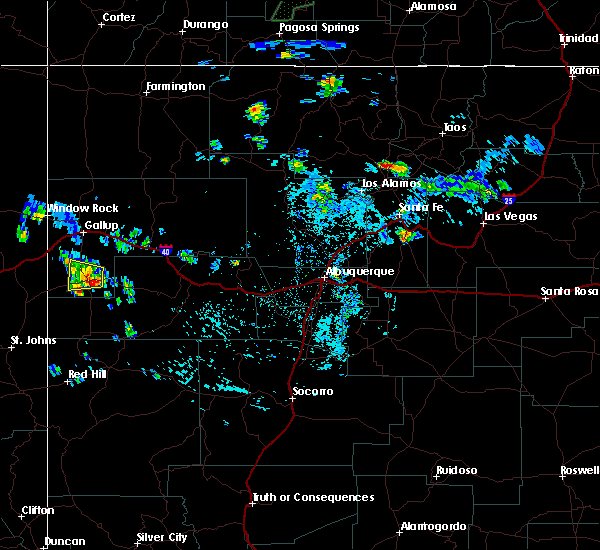 At 435 pm mdt, a severe thunderstorm was located 7 miles northeast of black rock, or 10 miles northeast of zuni pueblo, moving west at 10 mph (radar indicated). Hazards include 60 mph wind gusts and quarter size hail. Hail damage to vehicles is expected. expect wind damage to roofs, siding and trees. Locations impacted include, zuni pueblo, black rock and pescado. At 435 pm mdt, a severe thunderstorm was located 7 miles northeast of black rock, or 10 miles northeast of zuni pueblo, moving west at 10 mph (radar indicated). Hazards include 60 mph wind gusts and quarter size hail. Hail damage to vehicles is expected. expect wind damage to roofs, siding and trees. Locations impacted include, zuni pueblo, black rock and pescado.
|
| 7/1/2015 4:17 PM MDT |
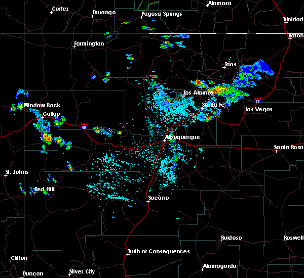 At 417 pm mdt, a severe thunderstorm was located 8 miles northeast of black rock, or 12 miles northeast of zuni pueblo, moving west at 10 mph (radar indicated). Hazards include half dollar size hail and 60 mph wind gusts. Hail damage to vehicles is expected. Expect wind damage to roofs, siding and trees. At 417 pm mdt, a severe thunderstorm was located 8 miles northeast of black rock, or 12 miles northeast of zuni pueblo, moving west at 10 mph (radar indicated). Hazards include half dollar size hail and 60 mph wind gusts. Hail damage to vehicles is expected. Expect wind damage to roofs, siding and trees.
|
Hail Maps for Zuni Pueblo, NM




Connect with Interactive Hail Maps