

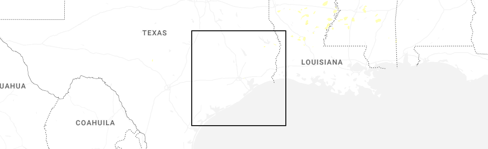
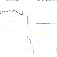
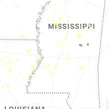
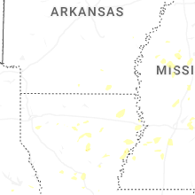
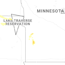
Hail Map for Thursday, August 14, 2025
Number of Impacted Households on 8/14/2025
0
Impacted by 1" or Larger Hail
0
Impacted by 1.75" or Larger Hail
0
Impacted by 2.5" or Larger Hail
Square Miles of Populated Area Impacted on 8/14/2025
0
Impacted by 1" or Larger Hail
0
Impacted by 1.75" or Larger Hail
0
Impacted by 2.5" or Larger Hail
Cities Most Affected by Hail Storms of 8/14/2025
| Hail Size | Demographics of Zip Codes Affected | ||||||
|---|---|---|---|---|---|---|---|
| City | Count | Average | Largest | Pop Density | House Value | Income | Age |
Hail and Wind Damage Spotted on 8/14/2025
Filter by Report Type:Hail ReportsWind Reports
Maine
| Local Time | Report Details |
|---|---|
| 2:25 PM EDT | Fire department reported large tree down blocking intersection of high st and rt. 35 in hollis. time estimated by rada in york county ME, 17.7 miles W of Portland, ME |
Virginia
| Local Time | Report Details |
|---|---|
| 3:27 PM EDT | Several trees down on the 800 block of mt. atlas roa in rockbridge county VA, 51.8 miles NE of Roanoke, VA |
Connect with Interactive Hail Maps