

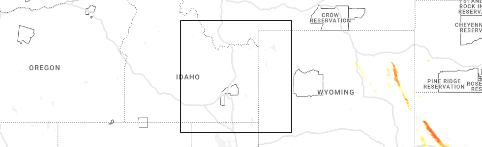
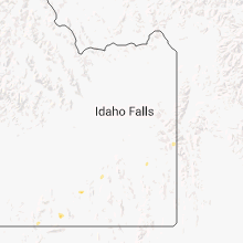
Hail Map for Alpine Northwest, WY
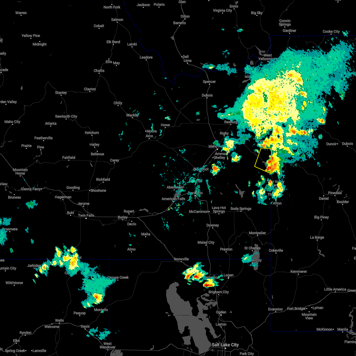
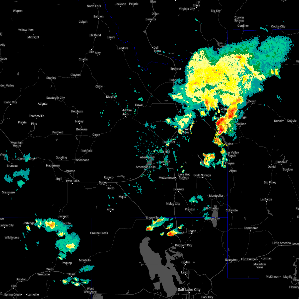
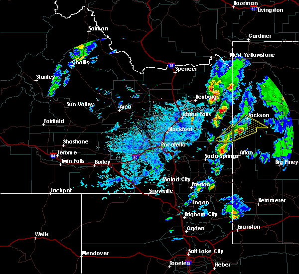
The Alpine Northwest, WY area has had 0 reports of on-the-ground hail by trained spotters, and has been under severe weather warnings 0 times during the past 12 months. Doppler radar has detected hail at or near Alpine Northwest, WY on 7 occasions, including 1 occasion during the past year.
| Name: | Alpine Northwest, WY |
| Where Located: | 55.3 miles ESE of Idaho Falls, ID |
| Map: | Google Map for Alpine Northwest, WY |
| Population: | 244 |
| Housing Units: | 178 |
| More Info: | Search Google for Alpine Northwest, WY |
0
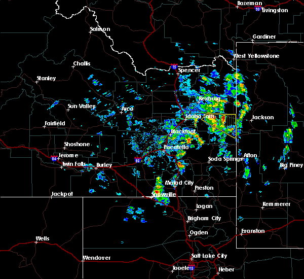
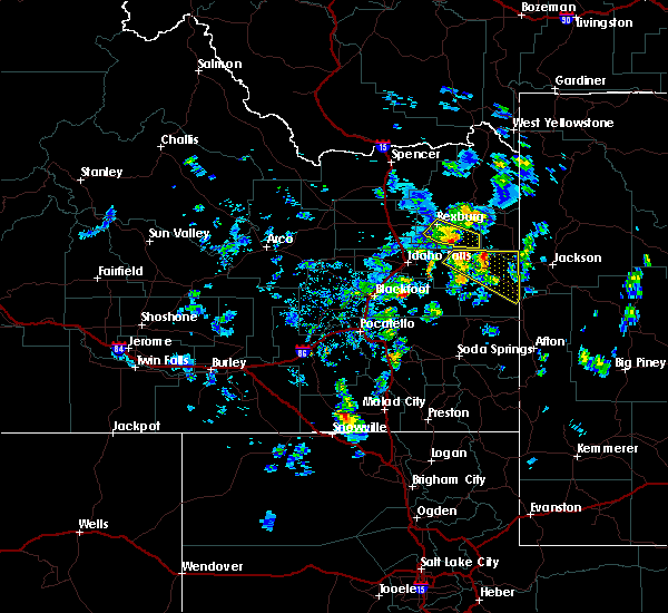
The Top Recent Hail Date for Alpine Northwest, WY is Saturday, July 8, 2023 (7th out of 7)
Hail and Wind Damage Spotted near Alpine Northwest, WY
| Date / Time | Report Details |
|---|---|
| 8/2/2022 5:40 PM MDT |
 The severe thunderstorm warning for east central bonneville county will expire at 545 pm mdt, the storm which prompted the warning has weakened below severe limits, and has exited the warned area. therefore, the warning will be allowed to expire. The severe thunderstorm warning for east central bonneville county will expire at 545 pm mdt, the storm which prompted the warning has weakened below severe limits, and has exited the warned area. therefore, the warning will be allowed to expire.
|
| 8/2/2022 5:09 PM MDT |
 At 509 pm mdt, a severe thunderstorm was located near irwin, or 9 miles east of swan valley, moving east at 20 mph (radar indicated). Hazards include quarter size hail. damage to vehicles is expected At 509 pm mdt, a severe thunderstorm was located near irwin, or 9 miles east of swan valley, moving east at 20 mph (radar indicated). Hazards include quarter size hail. damage to vehicles is expected
|
| 8/7/2016 1:58 PM MDT | The severe thunderstorm warning for southwestern teton and northwestern lincoln counties will expire at 200 pm mdt, the storm which prompted the warning has moved out of the area. therefore, the warning will be allowed to expire. however small hail is still possible in the northern star valley as another strong storms moves in. |
| 8/7/2016 1:43 PM MDT |
 At 143 pm mdt, a severe thunderstorm was located 8 miles southwest of hoback, or 9 miles northeast of alpine, moving northeast at 35 mph (radar indicated). Hazards include 60 mph wind gusts and quarter size hail. Hail damage to vehicles is expected. expect wind damage to roofs, siding, and trees. This severe storm will be near, hoback and rafter j ranch around 200 pm mdt. At 143 pm mdt, a severe thunderstorm was located 8 miles southwest of hoback, or 9 miles northeast of alpine, moving northeast at 35 mph (radar indicated). Hazards include 60 mph wind gusts and quarter size hail. Hail damage to vehicles is expected. expect wind damage to roofs, siding, and trees. This severe storm will be near, hoback and rafter j ranch around 200 pm mdt.
|
| 8/7/2016 1:30 PM MDT |
 At 129 pm mdt, a severe thunderstorm was located over alpine, moving northeast at 30 mph (radar indicated). Hazards include ping pong ball size hail and 60 mph wind gusts. People and animals outdoors will be injured. expect hail damage to roofs, siding, windows, and vehicles. expect wind damage to roofs, siding, and trees. This severe storm will be near, hoback around 200 pm mdt. At 129 pm mdt, a severe thunderstorm was located over alpine, moving northeast at 30 mph (radar indicated). Hazards include ping pong ball size hail and 60 mph wind gusts. People and animals outdoors will be injured. expect hail damage to roofs, siding, windows, and vehicles. expect wind damage to roofs, siding, and trees. This severe storm will be near, hoback around 200 pm mdt.
|
| 8/7/2016 1:19 PM MDT |
 At 118 pm mdt, a severe thunderstorm was located near alpine, moving northeast at 35 mph (radar indicated). Hazards include 60 mph wind gusts and half dollar size hail. Hail damage to vehicles is expected. expect wind damage to roofs, siding, and trees. This severe thunderstorm will be near, hoback around 155 pm mdt. At 118 pm mdt, a severe thunderstorm was located near alpine, moving northeast at 35 mph (radar indicated). Hazards include 60 mph wind gusts and half dollar size hail. Hail damage to vehicles is expected. expect wind damage to roofs, siding, and trees. This severe thunderstorm will be near, hoback around 155 pm mdt.
|
| 8/7/2016 11:56 AM MDT |
 The severe thunderstorm warning for southeastern bonneville county will expire at noon mdt, the storm which prompted the warning has moved out of the area. therefore the warning will be allowed to expire. however small hail and gusty winds are still possible with this thunderstorm. The severe thunderstorm warning for southeastern bonneville county will expire at noon mdt, the storm which prompted the warning has moved out of the area. therefore the warning will be allowed to expire. however small hail and gusty winds are still possible with this thunderstorm.
|
| 8/7/2016 11:27 AM MDT |
 At 1125 am mdt, doppler radar indicated a severe thunderstorm capable of producing quarter size hail and damaging winds in excess of 60 mph. this storm was located 10 miles southwest of alpine, and moving northeast at 40 mph. At 1125 am mdt, doppler radar indicated a severe thunderstorm capable of producing quarter size hail and damaging winds in excess of 60 mph. this storm was located 10 miles southwest of alpine, and moving northeast at 40 mph.
|
| 5/8/2016 7:36 PM MDT |
 At 735 pm mdt, doppler radar indicated a severe thunderstorm capable of producing quarter size hail. this storm was located near ririe reservoir. this storm was moving southeast at 10 mph. locations impacted include, swan valley, palisades reservoir, irwin, alpine campground, pine creek pass and alpine airport. At 735 pm mdt, doppler radar indicated a severe thunderstorm capable of producing quarter size hail. this storm was located near ririe reservoir. this storm was moving southeast at 10 mph. locations impacted include, swan valley, palisades reservoir, irwin, alpine campground, pine creek pass and alpine airport.
|
| 5/8/2016 7:16 PM MDT |
 At 715 pm mdt, doppler radar indicated a severe thunderstorm capable of producing quarter size hail. this storm was located 7 miles northeast of ririe reservoir. this storm was moving southeast at 20 mph. At 715 pm mdt, doppler radar indicated a severe thunderstorm capable of producing quarter size hail. this storm was located 7 miles northeast of ririe reservoir. this storm was moving southeast at 20 mph.
|
| 5/30/2015 7:11 PM MDT | The severe thunderstorm warning for bonneville county will expire at 715 pm mdt, the storms which prompted the warning have weakened below severe limits, and no longer poses an immediate threat to life or property. therefore the warning will be allowed to expire. however gusty winds are still possible with these thunderstorms. |
| 5/30/2015 6:55 PM MDT | At 654 pm mdt, doppler radar indicated a line of severe thunderstorms capable of producing damaging winds in excess of 60 mph. these storms were located along a line extending from 8 miles west of victor to near palisades reservoir, moving east at 45 mph. locations impacted include, swan valley, palisades reservoir, ririe reservoir, irwin, bone, alpine campground, grays lake and alpine airport. |
| 5/30/2015 6:17 PM MDT | At 616 pm mdt, doppler radar indicated a line of severe thunderstorms capable of producing damaging winds in excess of 60 mph. these storms were located along a line extending from 6 miles south of ririe reservoir to 11 miles north of blackfoot reservoir, and moving east at 45 mph. |
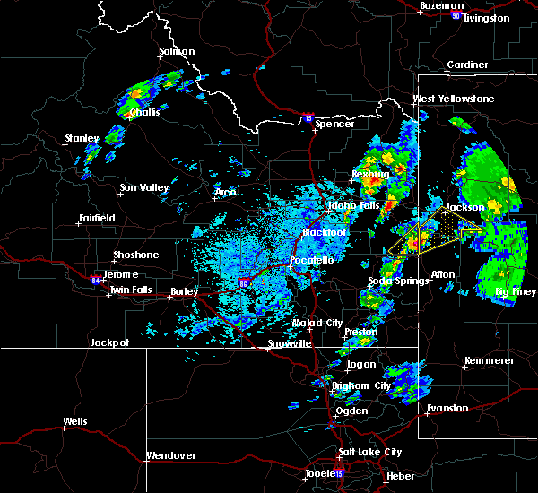
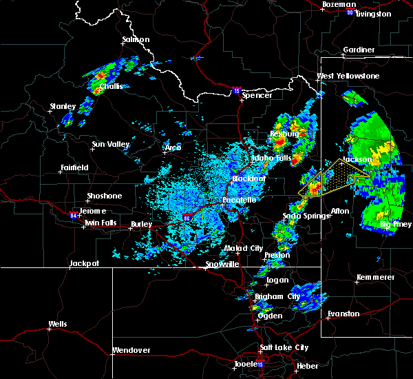
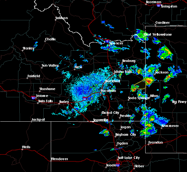
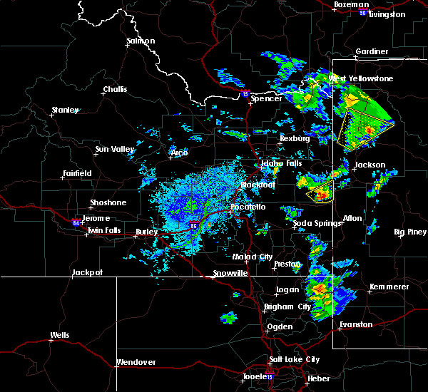
Hail Maps for Alpine Northwest, WY


Connect with Interactive Hail Maps