

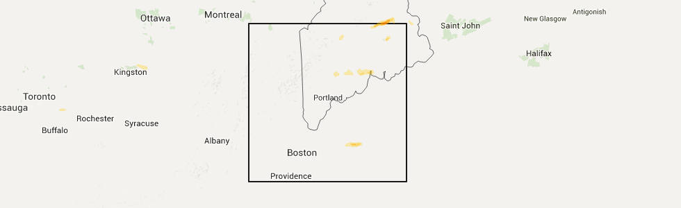
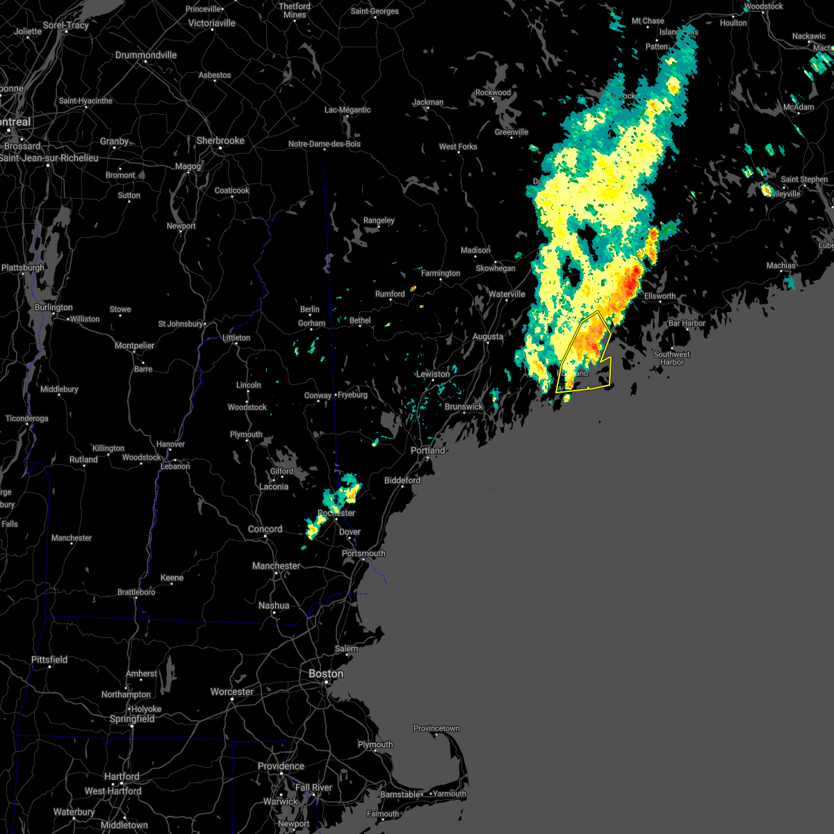
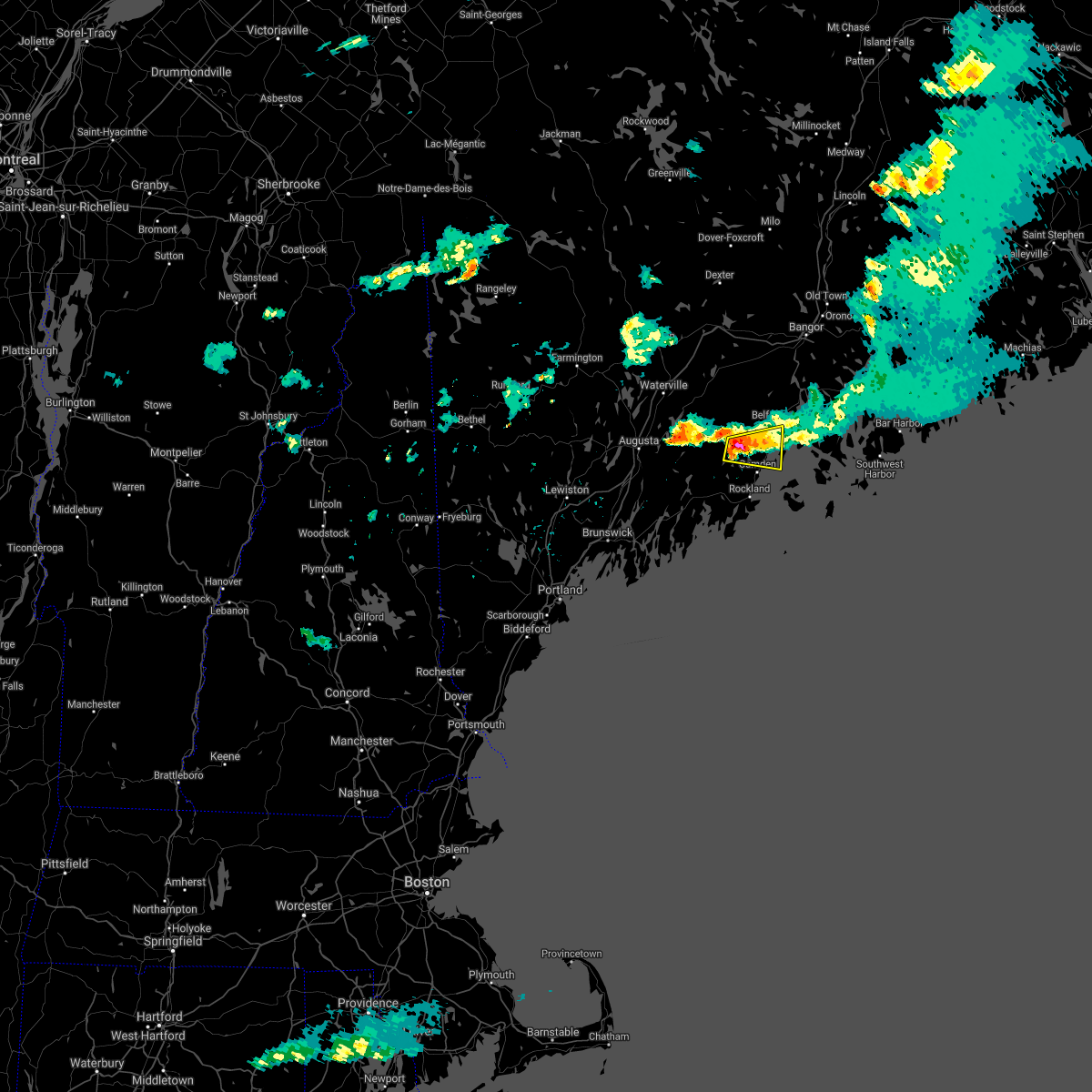
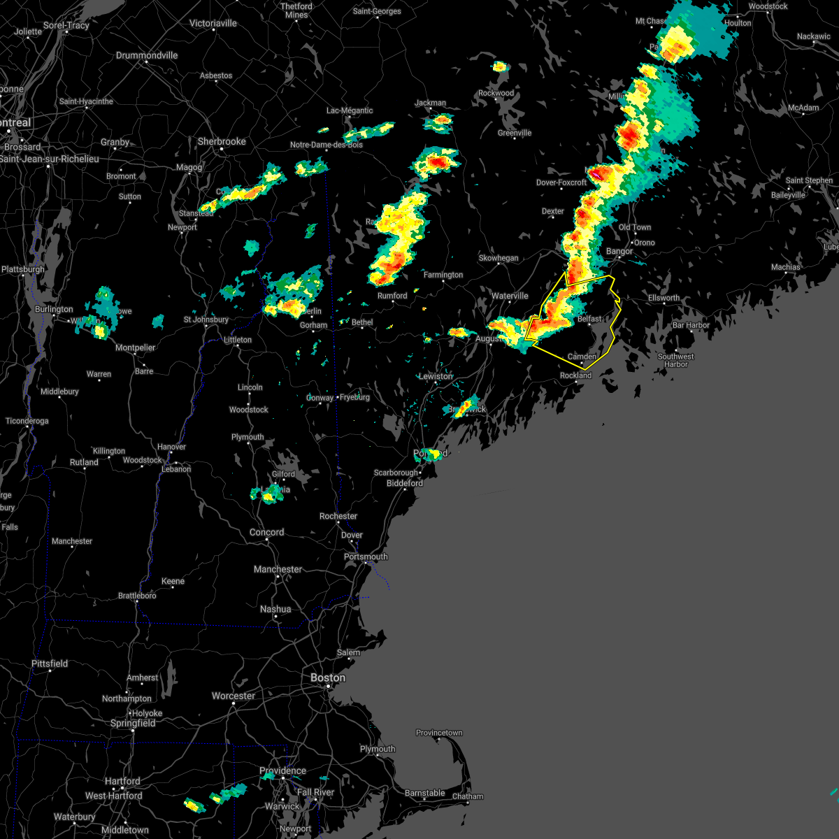
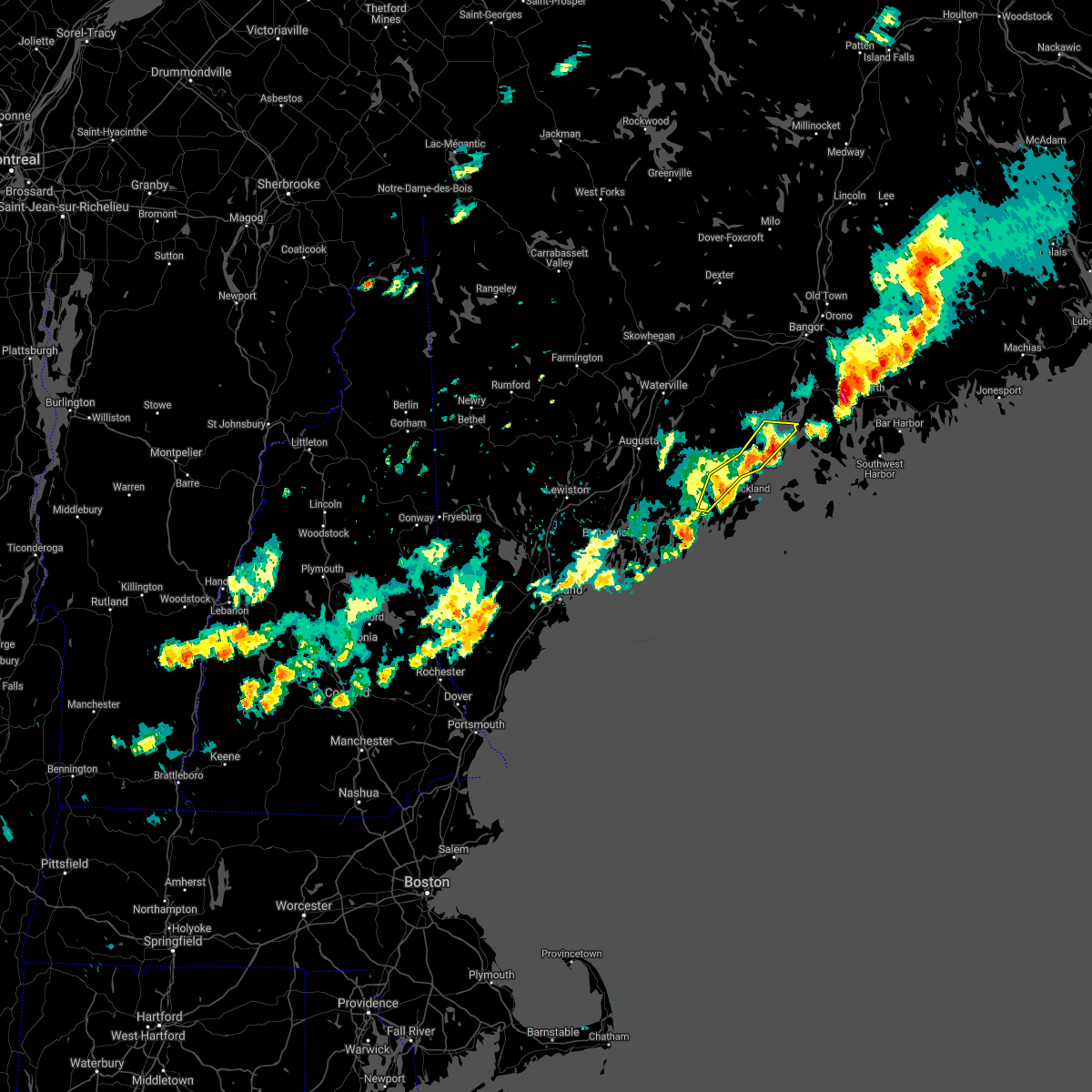
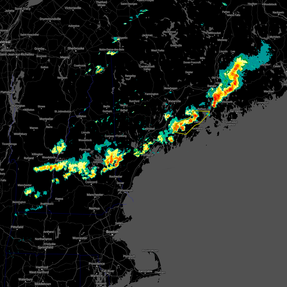
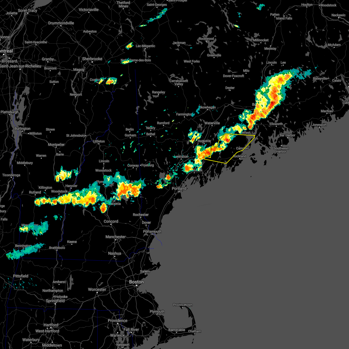
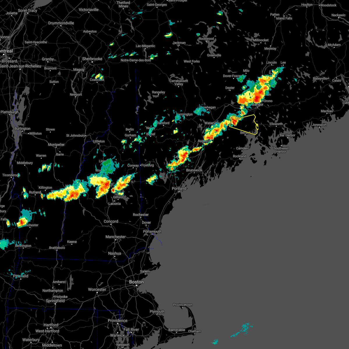
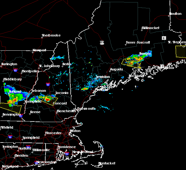
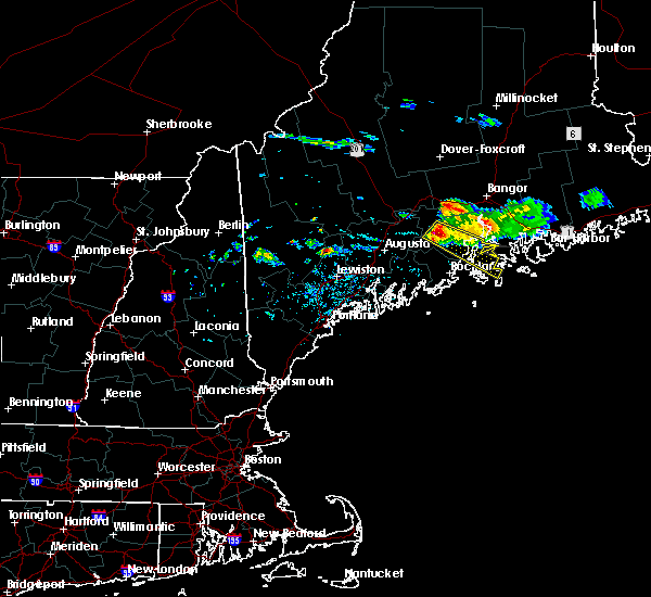
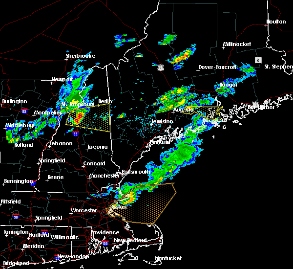
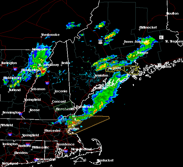
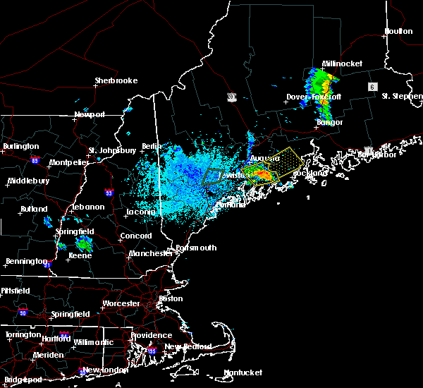
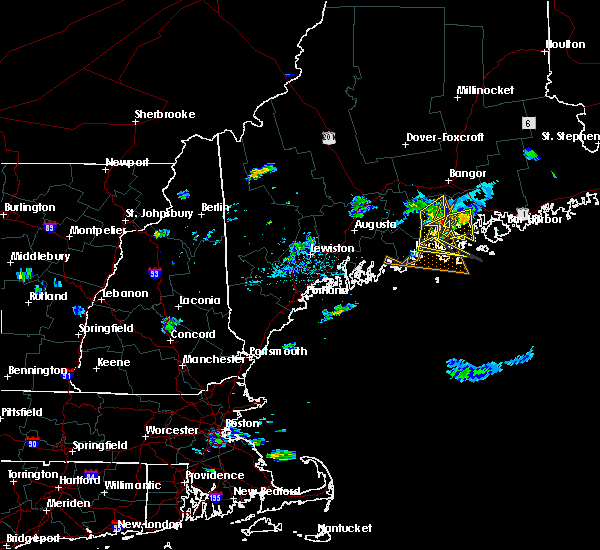
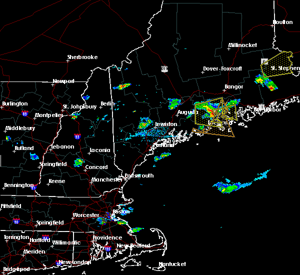
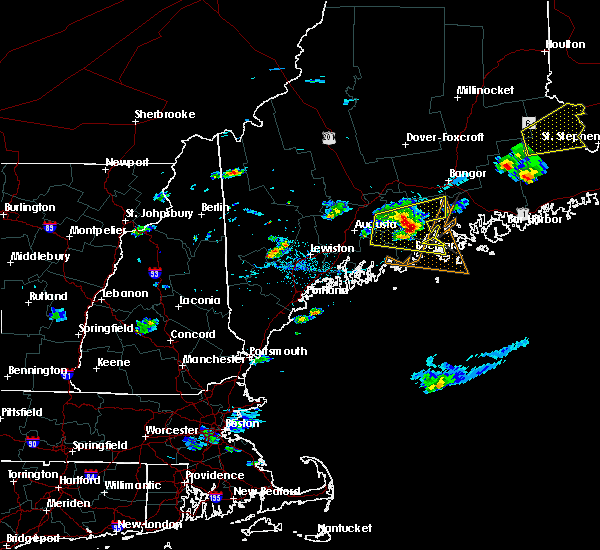
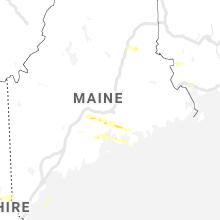
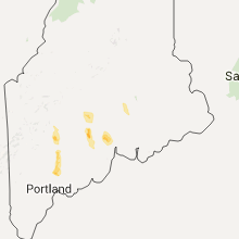
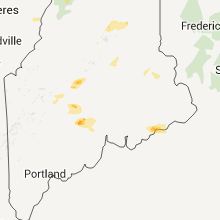
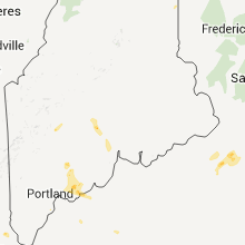
Hail Map for Belfast, ME
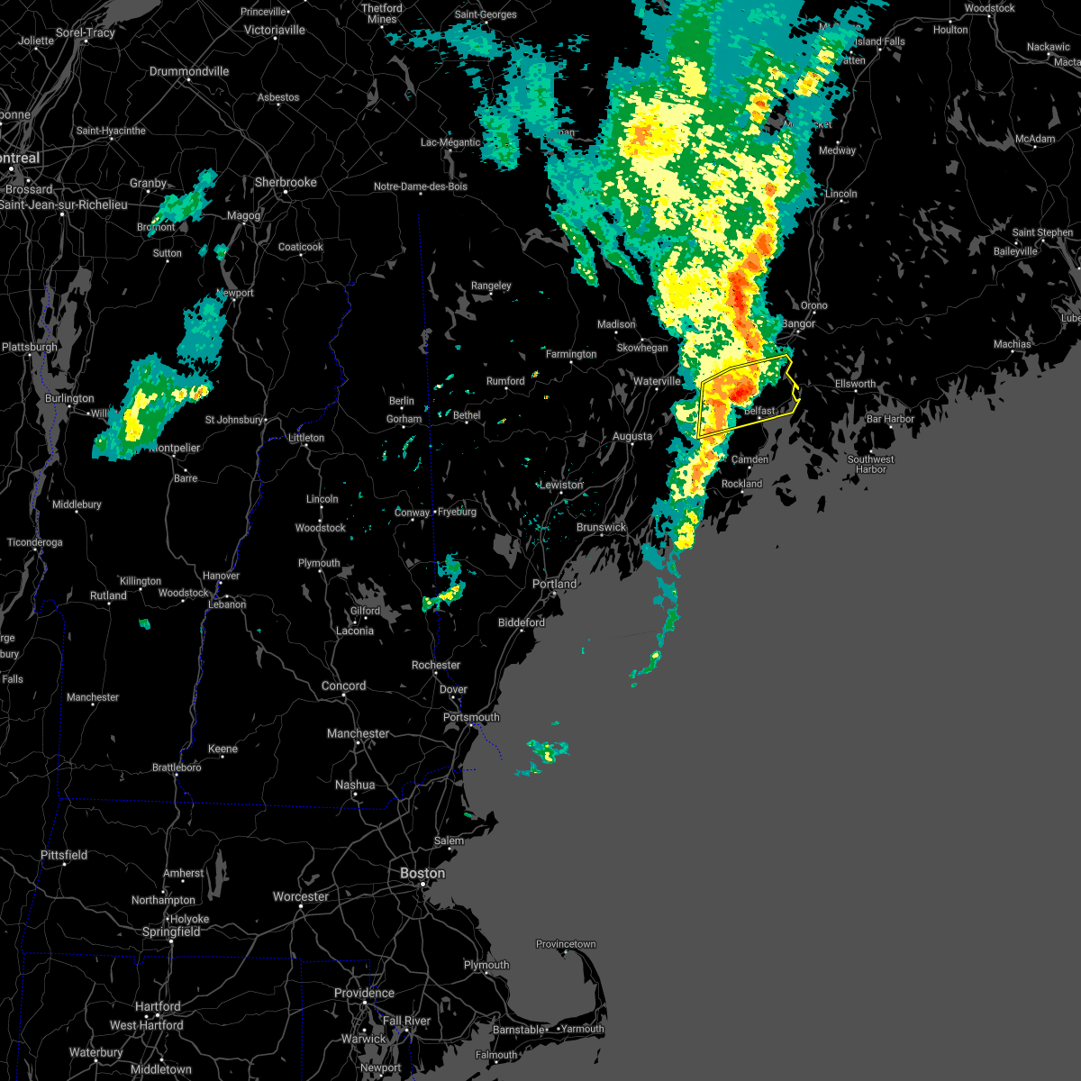
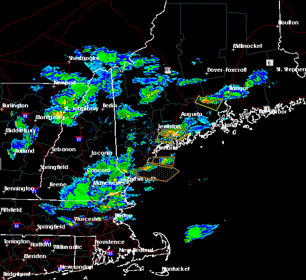
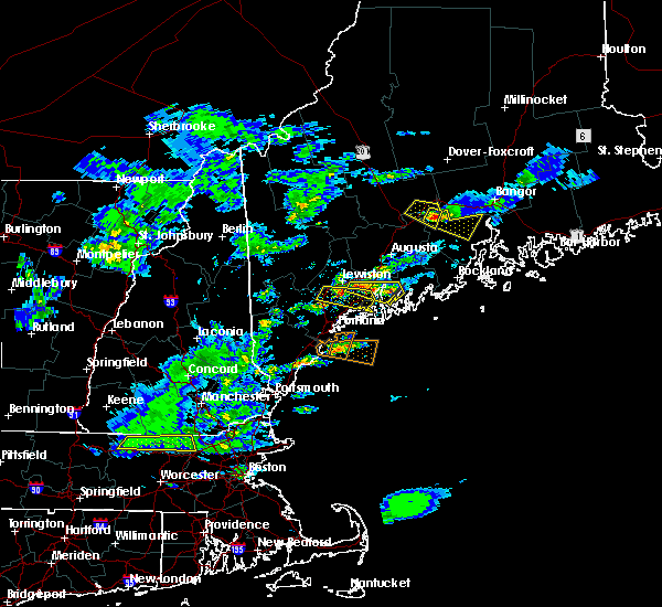
The Belfast, ME area has had 1 report of on-the-ground hail by trained spotters, and has been under severe weather warnings 0 times during the past 12 months. Doppler radar has detected hail at or near Belfast, ME on 7 occasions.
| Name: | Belfast, ME |
| Where Located: | 28.9 miles SSW of Bangor, ME |
| Map: | Google Map for Belfast, ME |
| Population: | 6668 |
| Housing Units: | 3582 |
| More Info: | Search Google for Belfast, ME |
5
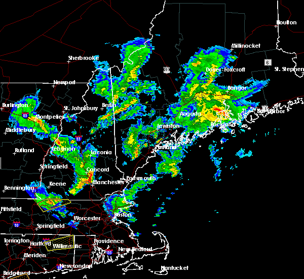
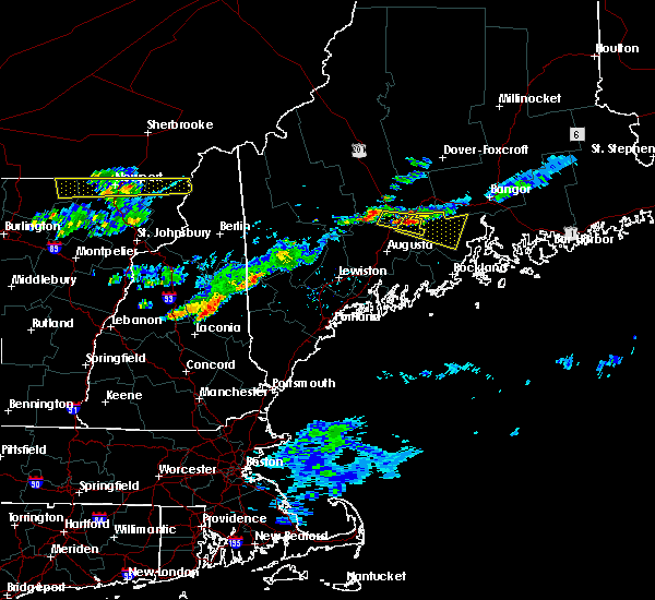
The Top Recent Hail Date for Belfast, ME is Saturday, August 1, 2015 (1st out of 7)
Hail and Wind Damage Spotted near Belfast, ME
| Date / Time | Report Details |
|---|---|
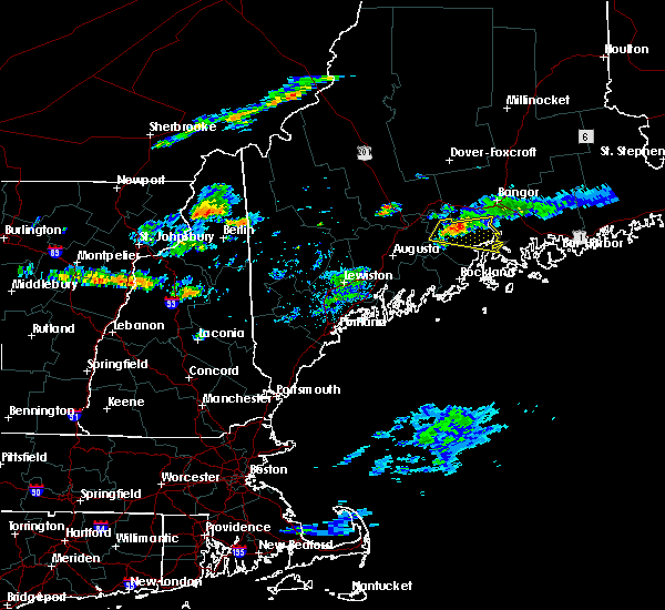
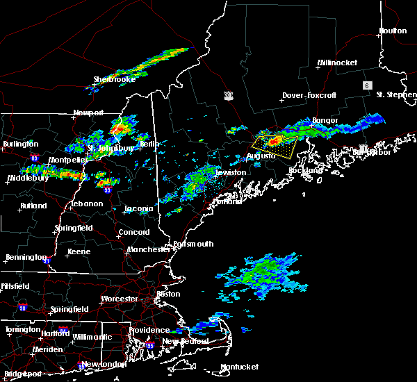
| 9/6/2021 5:31 PM EDT |
 At 530 pm edt, severe thunderstorms were located along a line extending from 24 miles northeast of pittsfield to near winterport to 7 miles east of thorndike to 6 miles east of liberty, moving east at 55 mph (radar indicated). Hazards include 60 mph wind gusts and quarter size hail. Hail damage to vehicles is expected. expect wind damage to roofs, siding, and trees. locations impacted include, belfast, searsport, thorndike, liberty, winterport, stockton springs, prospect, unity, palermo, knox, frankfort, brooks, freedom, jackson, morrill, monroe, montville, waldo, swanville and searsmont. hail threat, radar indicated max hail size, 1. 00 in wind threat, radar indicated max wind gust, 60 mph. At 530 pm edt, severe thunderstorms were located along a line extending from 24 miles northeast of pittsfield to near winterport to 7 miles east of thorndike to 6 miles east of liberty, moving east at 55 mph (radar indicated). Hazards include 60 mph wind gusts and quarter size hail. Hail damage to vehicles is expected. expect wind damage to roofs, siding, and trees. locations impacted include, belfast, searsport, thorndike, liberty, winterport, stockton springs, prospect, unity, palermo, knox, frankfort, brooks, freedom, jackson, morrill, monroe, montville, waldo, swanville and searsmont. hail threat, radar indicated max hail size, 1. 00 in wind threat, radar indicated max wind gust, 60 mph.
|
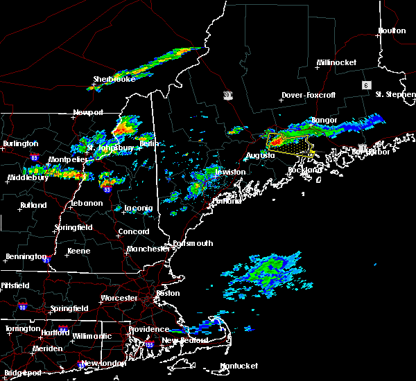
| 9/6/2021 5:08 PM EDT |
 At 508 pm edt, severe thunderstorms were located along a line extending from 12 miles north of pittsfield to thorndike to china to 6 miles southwest of palermo, moving east at 45 mph (radar indicated). Hazards include 60 mph wind gusts and nickel size hail. expect damage to roofs, siding, and trees At 508 pm edt, severe thunderstorms were located along a line extending from 12 miles north of pittsfield to thorndike to china to 6 miles southwest of palermo, moving east at 45 mph (radar indicated). Hazards include 60 mph wind gusts and nickel size hail. expect damage to roofs, siding, and trees
|
| 8/14/2021 3:35 PM EDT |
 The severe thunderstorm warning for central knox and southeastern waldo counties will expire at 345 pm edt, the storm which prompted the warning has weakened below severe limits, and has exited the warned area. therefore, the warning will be allowed to expire. The severe thunderstorm warning for central knox and southeastern waldo counties will expire at 345 pm edt, the storm which prompted the warning has weakened below severe limits, and has exited the warned area. therefore, the warning will be allowed to expire.
|
| 8/14/2021 3:17 PM EDT |
 At 316 pm edt, a severe thunderstorm was located near islesboro, or east of lincolnville, moving east at 25 mph (radar indicated). Hazards include 60 mph wind gusts and penny size hail. Expect damage to roofs, siding, and trees. locations impacted include, rockland, belfast, camden, lincolnville, searsport, thomaston, islesboro, rockport, hope, cushing, north haven, northport, south thomaston, owls head, vinalhaven and belmont. hail threat, radar indicated max hail size, 0. 75 in wind threat, radar indicated max wind gust, 60 mph. At 316 pm edt, a severe thunderstorm was located near islesboro, or east of lincolnville, moving east at 25 mph (radar indicated). Hazards include 60 mph wind gusts and penny size hail. Expect damage to roofs, siding, and trees. locations impacted include, rockland, belfast, camden, lincolnville, searsport, thomaston, islesboro, rockport, hope, cushing, north haven, northport, south thomaston, owls head, vinalhaven and belmont. hail threat, radar indicated max hail size, 0. 75 in wind threat, radar indicated max wind gust, 60 mph.
|
| 8/14/2021 2:56 PM EDT |
 At 256 pm edt, a severe thunderstorm was located near camden, moving east at 20 mph (radar indicated). Hazards include 60 mph wind gusts and quarter size hail. Hail damage to vehicles is expected. Expect wind damage to roofs, siding, and trees. At 256 pm edt, a severe thunderstorm was located near camden, moving east at 20 mph (radar indicated). Hazards include 60 mph wind gusts and quarter size hail. Hail damage to vehicles is expected. Expect wind damage to roofs, siding, and trees.
|
| 7/16/2021 2:34 PM EDT |
 At 233 pm edt, a severe thunderstorm was located near stockton springs, or 7 miles northeast of searsport, moving east at 45 mph (radar indicated). Hazards include 60 mph wind gusts and quarter size hail. Hail damage to vehicles is expected. expect wind damage to roofs, siding, and trees. locations impacted include, belfast, lincolnville, searsport, stockton springs, islesboro, prospect, frankfort, brooks, northport, belmont, swanville, waldo, monroe and searsmont. This also includes, moose point state park. At 233 pm edt, a severe thunderstorm was located near stockton springs, or 7 miles northeast of searsport, moving east at 45 mph (radar indicated). Hazards include 60 mph wind gusts and quarter size hail. Hail damage to vehicles is expected. expect wind damage to roofs, siding, and trees. locations impacted include, belfast, lincolnville, searsport, stockton springs, islesboro, prospect, frankfort, brooks, northport, belmont, swanville, waldo, monroe and searsmont. This also includes, moose point state park.
|
| 7/16/2021 2:18 PM EDT |
 At 217 pm edt, a severe thunderstorm was located near belfast, moving east at 40 mph (radar indicated). Hazards include 60 mph wind gusts and quarter size hail. Hail damage to vehicles is expected. expect wind damage to roofs, siding, and trees. locations impacted include, belfast, lincolnville, searsport, liberty, stockton springs, islesboro, prospect, knox, frankfort, brooks, jackson, morrill, northport, belmont, searsmont, montville, waldo, swanville and monroe. This also includes, moose point state park. At 217 pm edt, a severe thunderstorm was located near belfast, moving east at 40 mph (radar indicated). Hazards include 60 mph wind gusts and quarter size hail. Hail damage to vehicles is expected. expect wind damage to roofs, siding, and trees. locations impacted include, belfast, lincolnville, searsport, liberty, stockton springs, islesboro, prospect, knox, frankfort, brooks, jackson, morrill, northport, belmont, searsmont, montville, waldo, swanville and monroe. This also includes, moose point state park.
|
| 7/16/2021 2:03 PM EDT |
 At 203 pm edt, a severe thunderstorm was located near liberty, or 7 miles south of thorndike, moving east at 35 mph (radar indicated). Hazards include 60 mph wind gusts and quarter size hail. Hail damage to vehicles is expected. expect wind damage to roofs, siding, and trees. this severe thunderstorm will remain over mainly rural areas of central waldo county. This also includes, moose point state park. At 203 pm edt, a severe thunderstorm was located near liberty, or 7 miles south of thorndike, moving east at 35 mph (radar indicated). Hazards include 60 mph wind gusts and quarter size hail. Hail damage to vehicles is expected. expect wind damage to roofs, siding, and trees. this severe thunderstorm will remain over mainly rural areas of central waldo county. This also includes, moose point state park.
|
| 6/19/2021 5:20 PM EDT | Quarter sized hail reported 9.5 miles NNW of Belfast, ME |
| 6/19/2021 4:58 PM EDT |
 At 440 pm edt, a severe thunderstorm was located near liberty, or 12 miles west of lincolnville, moving east at 25 mph (radar indicated). Hazards include 60 mph wind gusts and half dollar size hail. Hail damage to vehicles is expected. Expect wind damage to roofs, siding, and trees. At 440 pm edt, a severe thunderstorm was located near liberty, or 12 miles west of lincolnville, moving east at 25 mph (radar indicated). Hazards include 60 mph wind gusts and half dollar size hail. Hail damage to vehicles is expected. Expect wind damage to roofs, siding, and trees.
|
| 6/19/2021 4:40 PM EDT |
 At 440 pm edt, a severe thunderstorm was located near liberty, or 12 miles west of lincolnville, moving east at 25 mph (radar indicated). Hazards include 60 mph wind gusts and half dollar size hail. Hail damage to vehicles is expected. Expect wind damage to roofs, siding, and trees. At 440 pm edt, a severe thunderstorm was located near liberty, or 12 miles west of lincolnville, moving east at 25 mph (radar indicated). Hazards include 60 mph wind gusts and half dollar size hail. Hail damage to vehicles is expected. Expect wind damage to roofs, siding, and trees.
|
| 6/19/2021 4:35 PM EDT |
 At 434 pm edt, severe thunderstorms were located along a line extending from near prospect to searsport to near liberty, moving east at 35 mph (radar indicated). Hazards include 60 mph wind gusts and nickel size hail. Expect damage to roofs, siding, and trees. locations impacted include, belfast, lincolnville, searsport, liberty, stockton springs, prospect, islesboro, belmont, searsmont, northport, morrill, montville and waldo. This also includes, moose point state park. At 434 pm edt, severe thunderstorms were located along a line extending from near prospect to searsport to near liberty, moving east at 35 mph (radar indicated). Hazards include 60 mph wind gusts and nickel size hail. Expect damage to roofs, siding, and trees. locations impacted include, belfast, lincolnville, searsport, liberty, stockton springs, prospect, islesboro, belmont, searsmont, northport, morrill, montville and waldo. This also includes, moose point state park.
|
| 6/19/2021 4:19 PM EDT |
 At 418 pm edt, severe thunderstorms were located along a line extending from near winterport to near belfast to 6 miles southeast of liberty, moving east at 35 mph (radar indicated). Hazards include 60 mph wind gusts and nickel size hail. Expect damage to roofs, siding, and trees. locations impacted include, belfast, lincolnville, searsport, liberty, winterport, stockton springs, islesboro, prospect, knox, frankfort, brooks, morrill, northport, belmont, monroe, searsmont, waldo, swanville and montville. This also includes, moose point state park. At 418 pm edt, severe thunderstorms were located along a line extending from near winterport to near belfast to 6 miles southeast of liberty, moving east at 35 mph (radar indicated). Hazards include 60 mph wind gusts and nickel size hail. Expect damage to roofs, siding, and trees. locations impacted include, belfast, lincolnville, searsport, liberty, winterport, stockton springs, islesboro, prospect, knox, frankfort, brooks, morrill, northport, belmont, monroe, searsmont, waldo, swanville and montville. This also includes, moose point state park.
|
| 6/19/2021 4:10 PM EDT | Waldo county dispatch reports numerous trees down across the county... including one in the town of morrill. time estimated from rada in waldo county ME, 6.6 miles E of Belfast, ME |
| 6/19/2021 3:56 PM EDT |
 At 355 pm edt, severe thunderstorms were located along a line extending from 8 miles northeast of thorndike to 6 miles northeast of liberty to near palermo, moving southeast at 35 mph (radar indicated). Hazards include 60 mph wind gusts and quarter size hail. Hail damage to vehicles is expected. expect wind damage to roofs, siding, and trees. Some power outages expected. At 355 pm edt, severe thunderstorms were located along a line extending from 8 miles northeast of thorndike to 6 miles northeast of liberty to near palermo, moving southeast at 35 mph (radar indicated). Hazards include 60 mph wind gusts and quarter size hail. Hail damage to vehicles is expected. expect wind damage to roofs, siding, and trees. Some power outages expected.
|
| 8/25/2020 4:10 PM EDT |
 At 410 pm edt, a severe thunderstorm was located over lincolnville, moving east at 35 mph (radar indicated). Hazards include 60 mph wind gusts and penny size hail. Expect damage to roofs, siding, and trees. Locations impacted include, belfast, camden, lincolnville, bremen, islesboro, rockport, hope, northport, waldoboro, union, belmont and searsmont. At 410 pm edt, a severe thunderstorm was located over lincolnville, moving east at 35 mph (radar indicated). Hazards include 60 mph wind gusts and penny size hail. Expect damage to roofs, siding, and trees. Locations impacted include, belfast, camden, lincolnville, bremen, islesboro, rockport, hope, northport, waldoboro, union, belmont and searsmont.
|
| 8/25/2020 3:57 PM EDT |
 At 357 pm edt, severe thunderstorms were located along a line extending from 7 miles east of liberty to 8 miles northeast of damariscotta, moving east at 35 mph (radar indicated). Hazards include 60 mph wind gusts and penny size hail. Expect damage to roofs, siding, and trees. Locations impacted include, belfast, camden, damariscotta, lincolnville, bremen, islesboro, rockport, jefferson, hope, appleton, alna, nobleboro, northport, belmont, searsmont, washington, union, waldoboro, whitefield and morrill. At 357 pm edt, severe thunderstorms were located along a line extending from 7 miles east of liberty to 8 miles northeast of damariscotta, moving east at 35 mph (radar indicated). Hazards include 60 mph wind gusts and penny size hail. Expect damage to roofs, siding, and trees. Locations impacted include, belfast, camden, damariscotta, lincolnville, bremen, islesboro, rockport, jefferson, hope, appleton, alna, nobleboro, northport, belmont, searsmont, washington, union, waldoboro, whitefield and morrill.
|
| 8/25/2020 3:45 PM EDT | Tree down on wires on west appleton rd. time estimated from rada in knox county ME, 13.5 miles ENE of Belfast, ME |
| 8/25/2020 3:40 PM EDT |
 At 340 pm edt, severe thunderstorms were located along a line extending from liberty to 7 miles southeast of gardiner, moving east at 35 mph (radar indicated). Hazards include 60 mph wind gusts and penny size hail. expect damage to roofs, siding, and trees At 340 pm edt, severe thunderstorms were located along a line extending from liberty to 7 miles southeast of gardiner, moving east at 35 mph (radar indicated). Hazards include 60 mph wind gusts and penny size hail. expect damage to roofs, siding, and trees
|
| 8/25/2020 3:15 PM EDT |
 At 315 pm edt, a severe thunderstorm was located near thorndike, moving east at 40 mph (radar indicated). Hazards include 60 mph wind gusts and penny size hail. expect damage to roofs, siding, and trees At 315 pm edt, a severe thunderstorm was located near thorndike, moving east at 40 mph (radar indicated). Hazards include 60 mph wind gusts and penny size hail. expect damage to roofs, siding, and trees
|
| 8/19/2019 4:55 PM EDT |
 The national weather service in gray maine has issued a * severe thunderstorm warning for. southeastern kennebec county in south central maine. knox county in south central maine. southern waldo county in south central maine. Northeastern lincoln county in south central maine. The national weather service in gray maine has issued a * severe thunderstorm warning for. southeastern kennebec county in south central maine. knox county in south central maine. southern waldo county in south central maine. Northeastern lincoln county in south central maine.
|
| 8/9/2019 7:14 PM EDT |
 At 714 pm edt, a severe thunderstorm was located 8 miles northwest of searsport, moving east at 30 mph (radar indicated). Hazards include 60 mph wind gusts and quarter size hail. Hail damage to vehicles is expected. expect wind damage to roofs, siding, and trees. Locations impacted include, belfast, searsport, thorndike, winterport, stockton springs, prospect, knox, frankfort, brooks, jackson, monroe, waldo and swanville. At 714 pm edt, a severe thunderstorm was located 8 miles northwest of searsport, moving east at 30 mph (radar indicated). Hazards include 60 mph wind gusts and quarter size hail. Hail damage to vehicles is expected. expect wind damage to roofs, siding, and trees. Locations impacted include, belfast, searsport, thorndike, winterport, stockton springs, prospect, knox, frankfort, brooks, jackson, monroe, waldo and swanville.
|
| 8/9/2019 7:04 PM EDT |
 At 704 pm edt, a severe thunderstorm was located near thorndike, moving east at 30 mph (radar indicated). Hazards include 60 mph wind gusts and quarter size hail. Hail damage to vehicles is expected. Expect wind damage to roofs, siding, and trees. At 704 pm edt, a severe thunderstorm was located near thorndike, moving east at 30 mph (radar indicated). Hazards include 60 mph wind gusts and quarter size hail. Hail damage to vehicles is expected. Expect wind damage to roofs, siding, and trees.
|
| 7/31/2019 5:47 PM EDT |
 A severe thunderstorm warning remains in effect until 630 pm edt for northwestern knox. south central waldo and northeastern lincoln counties. At 547 pm edt, a severe thunderstorm was located 11 miles northwest of thomaston, or 13 miles northwest of rockland, moving northeast at 30 mph. A severe thunderstorm warning remains in effect until 630 pm edt for northwestern knox. south central waldo and northeastern lincoln counties. At 547 pm edt, a severe thunderstorm was located 11 miles northwest of thomaston, or 13 miles northwest of rockland, moving northeast at 30 mph.
|
| 7/31/2019 5:35 PM EDT |
 The national weather service in gray maine has issued a * severe thunderstorm warning for. northwestern knox county in south central maine. south central waldo county in south central maine. northeastern lincoln county in south central maine. Until 630 pm edt. The national weather service in gray maine has issued a * severe thunderstorm warning for. northwestern knox county in south central maine. south central waldo county in south central maine. northeastern lincoln county in south central maine. Until 630 pm edt.
|
| 7/2/2019 1:57 PM EDT |
 At 157 pm edt, a severe thunderstorm was located near camden, moving southeast at 20 mph (radar indicated). Hazards include 60 mph wind gusts and quarter size hail. Hail damage to vehicles is expected. Expect wind damage to roofs, siding, and trees. At 157 pm edt, a severe thunderstorm was located near camden, moving southeast at 20 mph (radar indicated). Hazards include 60 mph wind gusts and quarter size hail. Hail damage to vehicles is expected. Expect wind damage to roofs, siding, and trees.
|
| 7/10/2018 5:10 PM EDT |
 At 510 pm edt, a severe thunderstorm was located 8 miles west of prospect, or 8 miles northwest of searsport, moving east at 30 mph (radar indicated). Hazards include 60 mph wind gusts and quarter size hail. Hail damage to vehicles is expected. Expect wind damage to roofs, siding, and trees. At 510 pm edt, a severe thunderstorm was located 8 miles west of prospect, or 8 miles northwest of searsport, moving east at 30 mph (radar indicated). Hazards include 60 mph wind gusts and quarter size hail. Hail damage to vehicles is expected. Expect wind damage to roofs, siding, and trees.
|
| 5/23/2018 2:47 PM EDT | Trees down on n mountain valley hw in waldo county ME, 11.2 miles ESE of Belfast, ME |
| 5/23/2018 2:18 PM EDT |
 At 217 pm edt, a severe thunderstorm was located 7 miles southeast of thorndike, moving southeast at 40 mph (radar indicated). Hazards include 60 mph wind gusts. expect damage to roofs, siding, and trees At 217 pm edt, a severe thunderstorm was located 7 miles southeast of thorndike, moving southeast at 40 mph (radar indicated). Hazards include 60 mph wind gusts. expect damage to roofs, siding, and trees
|
| 7/8/2017 3:43 PM EDT |
 At 342 pm edt, a severe thunderstorm was located near liberty, or 10 miles southwest of belfast, moving east at 40 mph (radar indicated). Hazards include 60 mph wind gusts and penny size hail. Expect damage to trees, and power lines. locations impacted include, belfast, camden, lincolnville, searsport, china, liberty, palermo, islesboro, appleton, freedom, morrill, northport, belmont, searsmont, montville, hibberts gore, somerville, washington and waldo. This also includes, moose point state park. At 342 pm edt, a severe thunderstorm was located near liberty, or 10 miles southwest of belfast, moving east at 40 mph (radar indicated). Hazards include 60 mph wind gusts and penny size hail. Expect damage to trees, and power lines. locations impacted include, belfast, camden, lincolnville, searsport, china, liberty, palermo, islesboro, appleton, freedom, morrill, northport, belmont, searsmont, montville, hibberts gore, somerville, washington and waldo. This also includes, moose point state park.
|
| 7/8/2017 3:24 PM EDT |
 At 323 pm edt, a severe thunderstorm was located over palermo, or 14 miles southeast of waterville, moving east at 35 mph (radar indicated). Hazards include 60 mph wind gusts and quarter size hail. Minor hail damage to vehicles is possible. Expect wind damage to roofs, siding, and trees. At 323 pm edt, a severe thunderstorm was located over palermo, or 14 miles southeast of waterville, moving east at 35 mph (radar indicated). Hazards include 60 mph wind gusts and quarter size hail. Minor hail damage to vehicles is possible. Expect wind damage to roofs, siding, and trees.
|
| 6/27/2017 7:25 PM EDT | Sherrifs office trees down shore rd near beech hill r in waldo county ME, 6.6 miles NNW of Belfast, ME |
| 6/27/2017 3:21 PM EDT |
 At 720 pm edt, a severe thunderstorm was located over stockton springs, or near searsport, moving northeast at 30 mph (radar indicated). Hazards include 60 mph wind gusts and quarter size hail. Minor hail damage to vehicles is possible. Expect wind damage to roofs, siding, and trees. At 720 pm edt, a severe thunderstorm was located over stockton springs, or near searsport, moving northeast at 30 mph (radar indicated). Hazards include 60 mph wind gusts and quarter size hail. Minor hail damage to vehicles is possible. Expect wind damage to roofs, siding, and trees.
|
| 7/18/2016 9:05 PM EDT | Trees dow in waldo county ME, 10.2 miles S of Belfast, ME |
| 7/18/2016 9:02 PM EDT |
 At 902 pm edt, a severe thunderstorm was located 9 miles west of prospect, or 10 miles northwest of searsport, moving east at 30 mph (radar indicated). Hazards include 60 mph wind gusts. Expect damage to roofs. siding. and trees. Locations impacted include, belfast, bucksport, searsport, thorndike, verona island, winterport, prospect, stockton springs, knox, frankfort, brooks, jackson, waldo, verona, swanville, monroe, morrill and montville. At 902 pm edt, a severe thunderstorm was located 9 miles west of prospect, or 10 miles northwest of searsport, moving east at 30 mph (radar indicated). Hazards include 60 mph wind gusts. Expect damage to roofs. siding. and trees. Locations impacted include, belfast, bucksport, searsport, thorndike, verona island, winterport, prospect, stockton springs, knox, frankfort, brooks, jackson, waldo, verona, swanville, monroe, morrill and montville.
|
| 7/18/2016 8:50 PM EDT |
 At 849 pm edt, a severe thunderstorm was located near thorndike, moving east at 30 mph (radar indicated). Hazards include 60 mph wind gusts and quarter size hail. Hail damage to vehicles is expected. expect wind damage to roofs, siding, and trees. Locations impacted include, belfast, bucksport, searsport, thorndike, castine, verona island, winterport, prospect, stockton springs, unity, penobscot township, knox, frankfort, brooks, brooksville, freedom, jackson, waldo, troy and morrill. At 849 pm edt, a severe thunderstorm was located near thorndike, moving east at 30 mph (radar indicated). Hazards include 60 mph wind gusts and quarter size hail. Hail damage to vehicles is expected. expect wind damage to roofs, siding, and trees. Locations impacted include, belfast, bucksport, searsport, thorndike, castine, verona island, winterport, prospect, stockton springs, unity, penobscot township, knox, frankfort, brooks, brooksville, freedom, jackson, waldo, troy and morrill.
|
| 7/18/2016 8:43 PM EDT |
 At 842 pm edt, a severe thunderstorm was located over unity, or near thorndike, moving east at 25 mph (radar indicated). Hazards include 60 mph wind gusts and quarter size hail. Hail damage to vehicles is expected. Expect wind damage to roofs, siding, and trees. At 842 pm edt, a severe thunderstorm was located over unity, or near thorndike, moving east at 25 mph (radar indicated). Hazards include 60 mph wind gusts and quarter size hail. Hail damage to vehicles is expected. Expect wind damage to roofs, siding, and trees.
|
| 7/18/2016 8:17 PM EDT |
 At 816 pm edt, a severe thunderstorm was located over fairfield, moving east at 35 mph (radar indicated). Hazards include 60 mph wind gusts and quarter size hail. Hail damage to vehicles is expected. expect wind damage to roofs, siding, and trees. Locations impacted include, waterville, belfast, thorndike, clinton, unity, palermo, winterport, knox, benton, albion, burnham, brooks, freedom, jackson, belmont, montville, waldo, troy, morrill and monroe. At 816 pm edt, a severe thunderstorm was located over fairfield, moving east at 35 mph (radar indicated). Hazards include 60 mph wind gusts and quarter size hail. Hail damage to vehicles is expected. expect wind damage to roofs, siding, and trees. Locations impacted include, waterville, belfast, thorndike, clinton, unity, palermo, winterport, knox, benton, albion, burnham, brooks, freedom, jackson, belmont, montville, waldo, troy, morrill and monroe.
|
| 7/18/2016 8:02 PM EDT |
 At 802 pm edt, a severe thunderstorm was located near fairfield, moving east at 25 mph (radar indicated). Hazards include 60 mph wind gusts and quarter size hail. Hail damage to vehicles is expected. expect wind damage to roofs, siding, and trees. Locations impacted include, waterville, belfast, thorndike, clinton, unity, palermo, winterport, knox, benton, albion, burnham, brooks, freedom, jackson, belmont, montville, waldo, troy, morrill and monroe. At 802 pm edt, a severe thunderstorm was located near fairfield, moving east at 25 mph (radar indicated). Hazards include 60 mph wind gusts and quarter size hail. Hail damage to vehicles is expected. expect wind damage to roofs, siding, and trees. Locations impacted include, waterville, belfast, thorndike, clinton, unity, palermo, winterport, knox, benton, albion, burnham, brooks, freedom, jackson, belmont, montville, waldo, troy, morrill and monroe.
|
| 7/18/2016 7:38 PM EDT |
 At 738 pm edt, a severe thunderstorm was located over fairfield, moving east at 25 mph (radar indicated). Hazards include 60 mph wind gusts and quarter size hail. Hail damage to vehicles is expected. Expect wind damage to roofs, siding, and trees. At 738 pm edt, a severe thunderstorm was located over fairfield, moving east at 25 mph (radar indicated). Hazards include 60 mph wind gusts and quarter size hail. Hail damage to vehicles is expected. Expect wind damage to roofs, siding, and trees.
|
| 3/17/2016 4:12 PM EDT |
 At 412 pm edt, doppler radar indicated a severe thunderstorm capable of producing quarter size hail and damaging winds in excess of 60 mph. this storm was located near thorndike, moving east at 20 mph. locations impacted include, belfast, thorndike, searsport, clinton, unity, winterport, knox, dixmont, burnham, frankfort, brooks, detroit, jackson, waldo, troy, swanville and monroe. At 412 pm edt, doppler radar indicated a severe thunderstorm capable of producing quarter size hail and damaging winds in excess of 60 mph. this storm was located near thorndike, moving east at 20 mph. locations impacted include, belfast, thorndike, searsport, clinton, unity, winterport, knox, dixmont, burnham, frankfort, brooks, detroit, jackson, waldo, troy, swanville and monroe.
|
| 3/17/2016 3:55 PM EDT |
 At 355 pm edt, doppler radar indicated a severe thunderstorm capable of producing quarter size hail and damaging winds in excess of 60 mph. this storm was located near unity, or near thorndike, and moving east at 20 mph. At 355 pm edt, doppler radar indicated a severe thunderstorm capable of producing quarter size hail and damaging winds in excess of 60 mph. this storm was located near unity, or near thorndike, and moving east at 20 mph.
|
| 8/12/2015 9:53 PM EDT |
 At 953 pm edt, doppler radar indicated a severe thunderstorm capable of producing damaging winds in excess of 60 mph. this storm was located near appleton, or 9 miles northwest of camden, moving northeast at 30 mph. locations impacted include, belfast, camden, lincolnville, liberty, rockport, hope, appleton, northport, searsmont, belmont, washington, union, morrill and waldo. At 953 pm edt, doppler radar indicated a severe thunderstorm capable of producing damaging winds in excess of 60 mph. this storm was located near appleton, or 9 miles northwest of camden, moving northeast at 30 mph. locations impacted include, belfast, camden, lincolnville, liberty, rockport, hope, appleton, northport, searsmont, belmont, washington, union, morrill and waldo.
|
| 8/12/2015 9:25 PM EDT |
 At 925 pm edt, doppler radar indicated a severe thunderstorm capable of producing damaging winds in excess of 60 mph. this storm was located near jefferson, or 14 miles north of damariscotta, and moving northeast at 30 mph. At 925 pm edt, doppler radar indicated a severe thunderstorm capable of producing damaging winds in excess of 60 mph. this storm was located near jefferson, or 14 miles north of damariscotta, and moving northeast at 30 mph.
|
| 8/1/2015 4:51 PM EDT |
 At 451 pm edt, doppler radar indicated a severe thunderstorm capable of producing damaging winds in excess of 60 mph. this storm was located over castine, or 7 miles west of blue hill, moving east at 40 mph. penny size hail may also accompany the damaging winds. locations impacted include, belfast, eastern camden, lincolnville, searsport, stockton springs, islesboro, camden hills state park, winterport, prospect, warren island state park, rockport, frankfort, swan lake state park, northport, swanville, north haven, waldo and vinalhaven. At 451 pm edt, doppler radar indicated a severe thunderstorm capable of producing damaging winds in excess of 60 mph. this storm was located over castine, or 7 miles west of blue hill, moving east at 40 mph. penny size hail may also accompany the damaging winds. locations impacted include, belfast, eastern camden, lincolnville, searsport, stockton springs, islesboro, camden hills state park, winterport, prospect, warren island state park, rockport, frankfort, swan lake state park, northport, swanville, north haven, waldo and vinalhaven.
|
| 8/1/2015 4:39 PM EDT |
 At 438 pm edt, doppler radar indicated a severe thunderstorm capable of producing damaging winds in excess of 60 mph. this storm was located over searsport, moving east at 40 mph. penny size hail may also accompany the damaging winds. locations impacted include, belfast, camden, lincolnville, searsport, thorndike, camden hills state park, rockport, stockton springs, islesboro, winterport, prospect, warren island state park, knox, hope, frankfort, brooks, jackson, swan lake state park, northport and swanville. At 438 pm edt, doppler radar indicated a severe thunderstorm capable of producing damaging winds in excess of 60 mph. this storm was located over searsport, moving east at 40 mph. penny size hail may also accompany the damaging winds. locations impacted include, belfast, camden, lincolnville, searsport, thorndike, camden hills state park, rockport, stockton springs, islesboro, winterport, prospect, warren island state park, knox, hope, frankfort, brooks, jackson, swan lake state park, northport and swanville.
|
| 8/1/2015 4:38 PM EDT |
 At 437 pm edt, doppler radar indicated a severe thunderstorm capable of producing damaging winds in excess of 60 mph. this storm was located near islesboro, or near belfast, and moving east at 40 mph. At 437 pm edt, doppler radar indicated a severe thunderstorm capable of producing damaging winds in excess of 60 mph. this storm was located near islesboro, or near belfast, and moving east at 40 mph.
|
| 8/1/2015 4:30 PM EDT | Branches down all over searsmont in waldo county ME, 10 miles ENE of Belfast, ME |
| 8/1/2015 4:27 PM EDT |
 At 426 pm edt, doppler radar indicated a severe thunderstorm capable of producing damaging winds in excess of 60 mph. this storm was located near belfast, moving east at 40 mph. penny size hail may also accompany the damaging winds. locations impacted include, rockland, belfast, camden, lincolnville, searsport, thorndike, liberty, camden hills state park, rockport, stockton springs, islesboro, winterport, prospect, warren island state park, lake st. george state park, unity, knox, hope, appleton and frankfort. At 426 pm edt, doppler radar indicated a severe thunderstorm capable of producing damaging winds in excess of 60 mph. this storm was located near belfast, moving east at 40 mph. penny size hail may also accompany the damaging winds. locations impacted include, rockland, belfast, camden, lincolnville, searsport, thorndike, liberty, camden hills state park, rockport, stockton springs, islesboro, winterport, prospect, warren island state park, lake st. george state park, unity, knox, hope, appleton and frankfort.
|
| 8/1/2015 4:20 PM EDT | Trees and wires down in waldo county ME, 14.1 miles E of Belfast, ME |
| 8/1/2015 4:12 PM EDT |
 At 411 pm edt, doppler radar indicated a severe thunderstorm capable of producing damaging winds in excess of 60 mph. this storm was located over liberty, or 13 miles west of belfast, moving east at 40 mph. penny size hail may also accompany the damaging winds. locations impacted include, rockland, belfast, camden, lincolnville, searsport, thorndike, china, liberty, camden hills state park, palermo, rockport, stockton springs, lake st. george state park, islesboro, damariscotta lake state park, winterport, prospect, warren island state park, unity and knox. At 411 pm edt, doppler radar indicated a severe thunderstorm capable of producing damaging winds in excess of 60 mph. this storm was located over liberty, or 13 miles west of belfast, moving east at 40 mph. penny size hail may also accompany the damaging winds. locations impacted include, rockland, belfast, camden, lincolnville, searsport, thorndike, china, liberty, camden hills state park, palermo, rockport, stockton springs, lake st. george state park, islesboro, damariscotta lake state park, winterport, prospect, warren island state park, unity and knox.
|
| 8/1/2015 3:55 PM EDT |
 At 354 pm edt, doppler radar indicated a severe thunderstorm capable of producing quarter size hail and damaging winds in excess of 60 mph. this storm was located near palermo, or 14 miles east of augusta, moving east at 40 mph. locations impacted include, augusta, rockland, belfast, gardiner, camden, lincolnville, searsport, thorndike, china, farmingdale, hallowell, liberty, camden hills state park, rockport, islesboro, damariscotta lake state park, winterport, warren island state park, palermo and stockton springs. At 354 pm edt, doppler radar indicated a severe thunderstorm capable of producing quarter size hail and damaging winds in excess of 60 mph. this storm was located near palermo, or 14 miles east of augusta, moving east at 40 mph. locations impacted include, augusta, rockland, belfast, gardiner, camden, lincolnville, searsport, thorndike, china, farmingdale, hallowell, liberty, camden hills state park, rockport, islesboro, damariscotta lake state park, winterport, warren island state park, palermo and stockton springs.
|
| 8/1/2015 3:51 PM EDT |
 At 351 pm edt, doppler radar indicated a severe thunderstorm capable of producing quarter size hail and damaging winds in excess of 60 mph. this storm was located near palermo, or 12 miles east of augusta, and moving east at 40 mph. At 351 pm edt, doppler radar indicated a severe thunderstorm capable of producing quarter size hail and damaging winds in excess of 60 mph. this storm was located near palermo, or 12 miles east of augusta, and moving east at 40 mph.
|
| 7/28/2015 4:25 PM EDT |
 At 425 pm edt, doppler radar indicated a severe thunderstorm capable of producing quarter size hail and damaging winds in excess of 60 mph. this storm was located over camden hills state park, or over lincolnville, moving south at 35 mph. locations impacted include, lincolnville, camden hills state park, islesboro, northport and belmont. At 425 pm edt, doppler radar indicated a severe thunderstorm capable of producing quarter size hail and damaging winds in excess of 60 mph. this storm was located over camden hills state park, or over lincolnville, moving south at 35 mph. locations impacted include, lincolnville, camden hills state park, islesboro, northport and belmont.
|
| 7/28/2015 4:00 PM EDT | Large branches and wires down in waldo county ME, 3.3 miles S of Belfast, ME |
| 7/28/2015 3:57 PM EDT |
 At 357 pm edt, doppler radar indicated a severe thunderstorm capable of producing quarter size hail and damaging winds in excess of 60 mph. this storm was located over belfast, and moving south at 20 mph. At 357 pm edt, doppler radar indicated a severe thunderstorm capable of producing quarter size hail and damaging winds in excess of 60 mph. this storm was located over belfast, and moving south at 20 mph.
|
| 7/28/2015 3:41 PM EDT | Trees down across highway 139... power outages in waldo county ME, 10.1 miles SSE of Belfast, ME |
| 7/28/2015 3:22 PM EDT |
 At 322 pm edt, doppler radar indicated a severe thunderstorm capable of producing quarter size hail and damaging winds in excess of 60 mph. this storm was located 7 miles east of thorndike, and moving south at 10 mph. At 322 pm edt, doppler radar indicated a severe thunderstorm capable of producing quarter size hail and damaging winds in excess of 60 mph. this storm was located 7 miles east of thorndike, and moving south at 10 mph.
|
| 7/20/2013 5:25 PM EDT | Waldo county sheriff reported trees down across the county in waldo county ME, 0.7 miles SW of Belfast, ME |
| 7/20/2013 5:25 PM EDT | Waldo county sheriff reported trees down in brooks... freedom... palermo... stockton and belfast in waldo county ME, 0.7 miles SW of Belfast, ME |
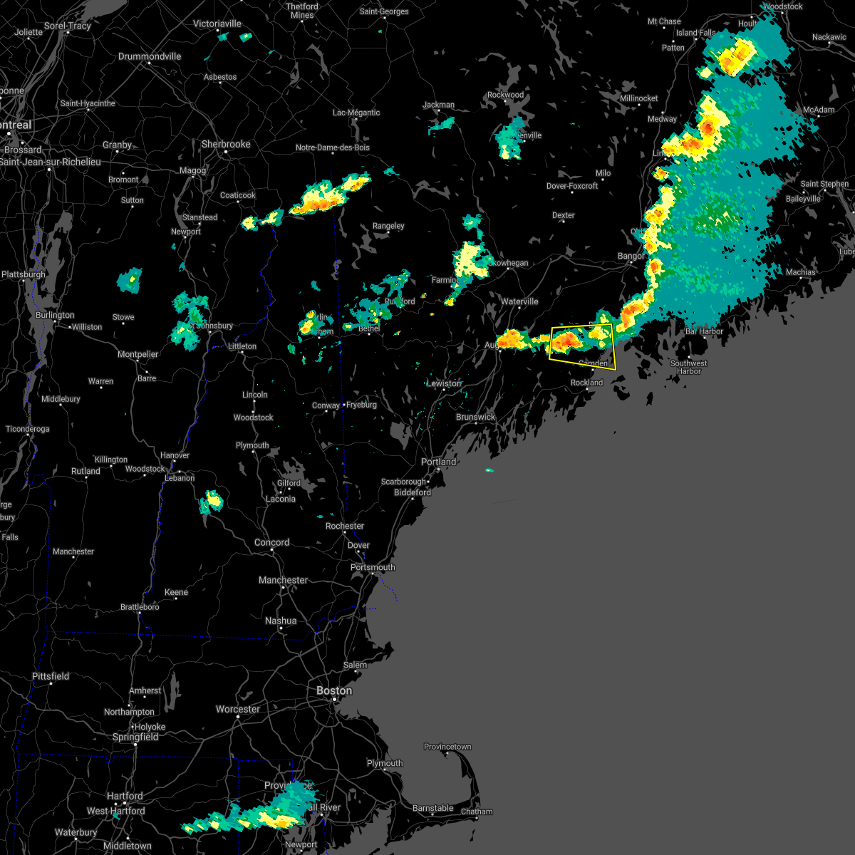
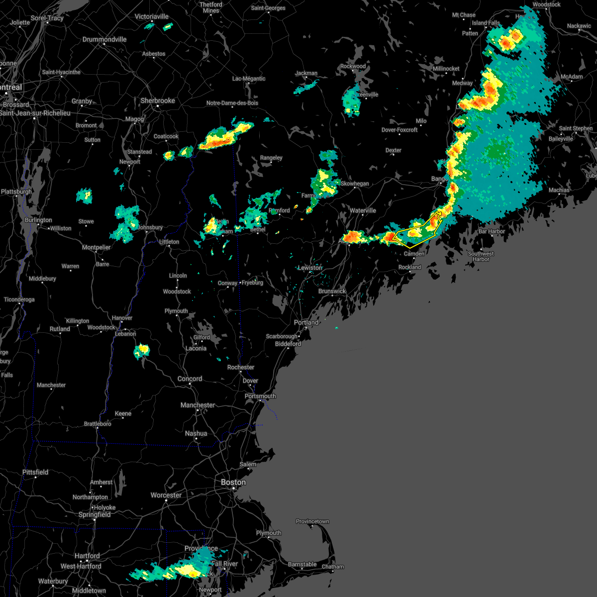
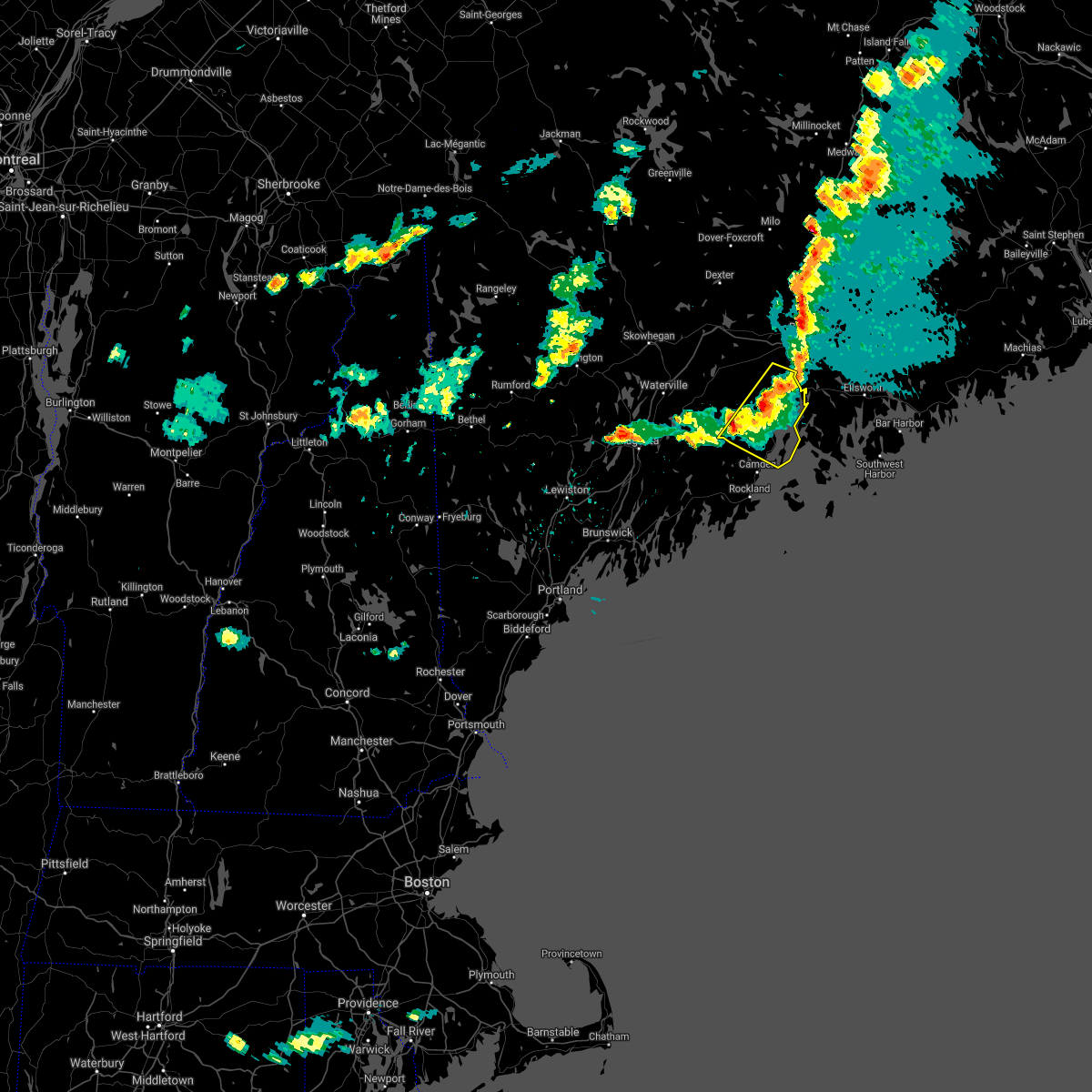
Hail Maps for Belfast, ME


Connect with Interactive Hail Maps