| 11/14/2017 6:30 AM PST |
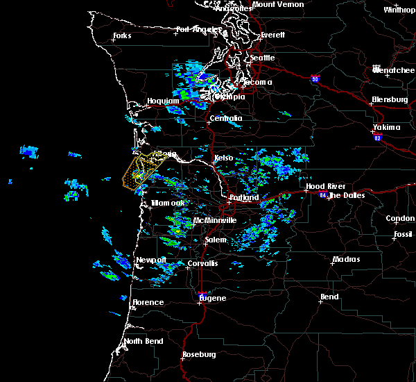 At 630 am pst, a severe thunderstorm was located near cannon beach, moving northeast at 40 mph (radar indicated). Hazards include 60 mph wind gusts and quarter size hail. Hail damage to vehicles is expected. Expect wind damage to roofs, siding, and trees. At 630 am pst, a severe thunderstorm was located near cannon beach, moving northeast at 40 mph (radar indicated). Hazards include 60 mph wind gusts and quarter size hail. Hail damage to vehicles is expected. Expect wind damage to roofs, siding, and trees.
|
| 9/18/2017 4:35 PM PDT |
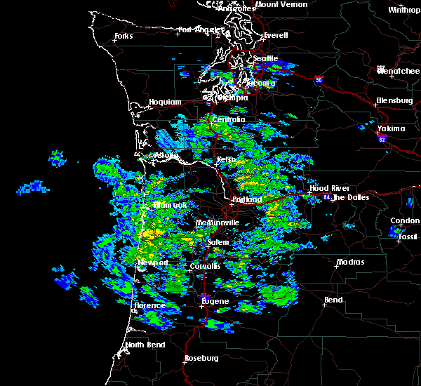 At 433 pm pdt, a severe thunderstorm was located near hammond town, or near warrenton, moving northeast at 20 mph (radar indicated). Hazards include 60 mph wind gusts and quarter size hail. Hail damage to vehicles is expected. expect wind damage to roofs, siding, and trees. locations impacted include, astoria, warrenton, hammond town, hammond, chinook, megler and knappton. this includes the following highways in washington, u. s. highway 101 between mile markers 1 and 5. state route 4 near mile marker 7. in oregon this includes u. s. Highway 101 between mile markers 1 and 3. At 433 pm pdt, a severe thunderstorm was located near hammond town, or near warrenton, moving northeast at 20 mph (radar indicated). Hazards include 60 mph wind gusts and quarter size hail. Hail damage to vehicles is expected. expect wind damage to roofs, siding, and trees. locations impacted include, astoria, warrenton, hammond town, hammond, chinook, megler and knappton. this includes the following highways in washington, u. s. highway 101 between mile markers 1 and 5. state route 4 near mile marker 7. in oregon this includes u. s. Highway 101 between mile markers 1 and 3.
|
| 9/18/2017 4:35 PM PDT |
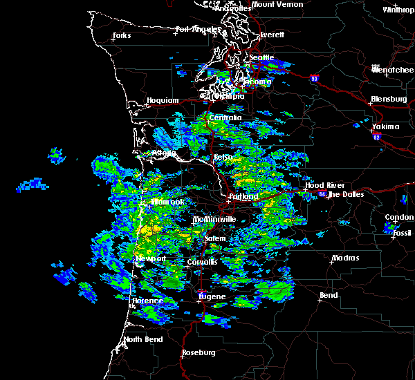 At 433 pm pdt, a severe thunderstorm was located near hammond town, or near warrenton, moving northeast at 20 mph (radar indicated). Hazards include 60 mph wind gusts and quarter size hail. Hail damage to vehicles is expected. expect wind damage to roofs, siding, and trees. locations impacted include, astoria, warrenton, hammond town, hammond, chinook, megler and knappton. this includes the following highways in washington, u. s. highway 101 between mile markers 1 and 5. state route 4 near mile marker 7. in oregon this includes u. s. Highway 101 between mile markers 1 and 3. At 433 pm pdt, a severe thunderstorm was located near hammond town, or near warrenton, moving northeast at 20 mph (radar indicated). Hazards include 60 mph wind gusts and quarter size hail. Hail damage to vehicles is expected. expect wind damage to roofs, siding, and trees. locations impacted include, astoria, warrenton, hammond town, hammond, chinook, megler and knappton. this includes the following highways in washington, u. s. highway 101 between mile markers 1 and 5. state route 4 near mile marker 7. in oregon this includes u. s. Highway 101 between mile markers 1 and 3.
|
| 9/18/2017 4:15 PM PDT |
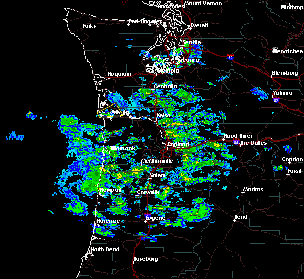 At 414 pm pdt, a severe thunderstorm was located near hammond town, or near warrenton, moving northeast at 20 mph (radar indicated). Hazards include 60 mph wind gusts and quarter size hail. Hail damage to vehicles is expected. Expect wind damage to roofs, siding, and trees. At 414 pm pdt, a severe thunderstorm was located near hammond town, or near warrenton, moving northeast at 20 mph (radar indicated). Hazards include 60 mph wind gusts and quarter size hail. Hail damage to vehicles is expected. Expect wind damage to roofs, siding, and trees.
|
| 9/18/2017 4:15 PM PDT |
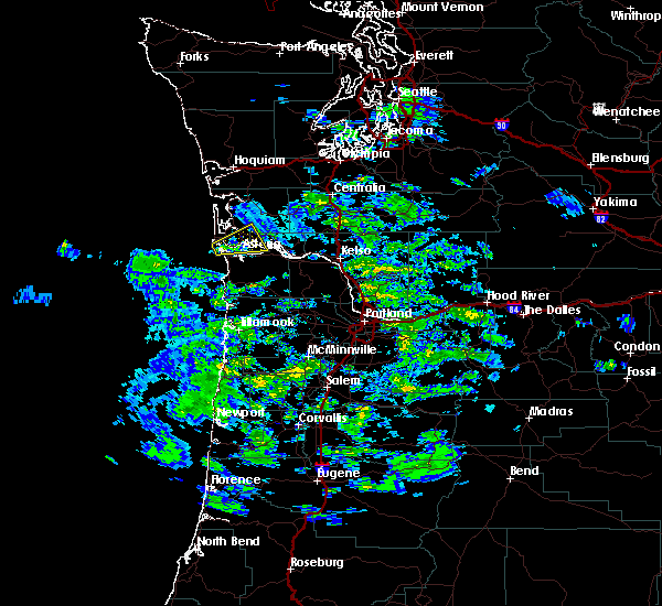 At 414 pm pdt, a severe thunderstorm was located near hammond town, or near warrenton, moving northeast at 20 mph (radar indicated). Hazards include 60 mph wind gusts and quarter size hail. Hail damage to vehicles is expected. Expect wind damage to roofs, siding, and trees. At 414 pm pdt, a severe thunderstorm was located near hammond town, or near warrenton, moving northeast at 20 mph (radar indicated). Hazards include 60 mph wind gusts and quarter size hail. Hail damage to vehicles is expected. Expect wind damage to roofs, siding, and trees.
|
| 10/14/2016 11:47 AM PDT |
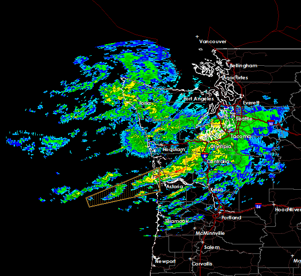 At 1147 am pdt, doppler radar indicated a line of severe thunderstorms capable of producing destructive winds in excess of 70 mph. these storms were located along a line extending from 7 miles southeast of frances to ilwaco, and moving northeast at 50 mph. At 1147 am pdt, doppler radar indicated a line of severe thunderstorms capable of producing destructive winds in excess of 70 mph. these storms were located along a line extending from 7 miles southeast of frances to ilwaco, and moving northeast at 50 mph.
|
| 10/14/2016 11:36 AM PDT |
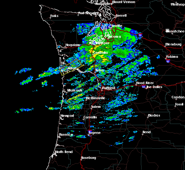 At 1136 am pdt, doppler radar indicated a severe thunderstorm capable of producing destructive winds in excess of 70 mph. this storm was located near grays river, moving northeast at 65 mph. penny size hail may also accompany the damaging winds. locations impacted include, astoria, warrenton, grays river, frances, naselle, hammond town, rosburg, lebam, deep river, megler, pillar rock, altoona, knappton, hammond and chinook. this includes the following highways in washington, u. s. highway 101 between mile markers 1 and 7. state route 4 between mile markers 4 and 28. state route 6 between mile markers 15 and 20. this includes the following highways in oregon, u.s. highway 30 west of portland between mile markers 89 and 99. u.s. highway 101 between mile markers 1 and 15. At 1136 am pdt, doppler radar indicated a severe thunderstorm capable of producing destructive winds in excess of 70 mph. this storm was located near grays river, moving northeast at 65 mph. penny size hail may also accompany the damaging winds. locations impacted include, astoria, warrenton, grays river, frances, naselle, hammond town, rosburg, lebam, deep river, megler, pillar rock, altoona, knappton, hammond and chinook. this includes the following highways in washington, u. s. highway 101 between mile markers 1 and 7. state route 4 between mile markers 4 and 28. state route 6 between mile markers 15 and 20. this includes the following highways in oregon, u.s. highway 30 west of portland between mile markers 89 and 99. u.s. highway 101 between mile markers 1 and 15.
|
| 10/14/2016 11:36 AM PDT |
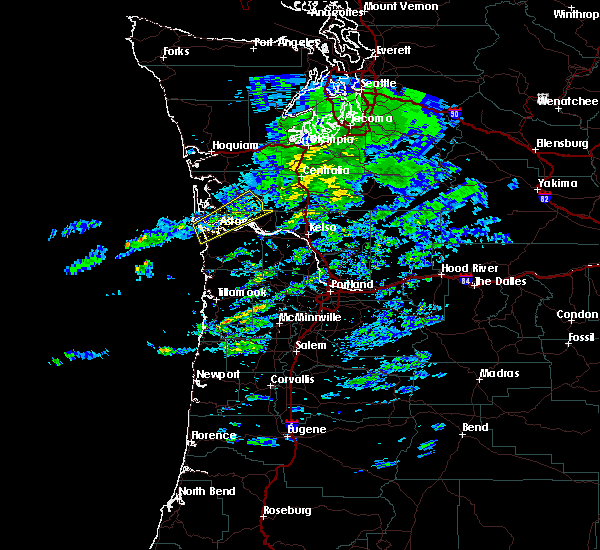 At 1136 am pdt, doppler radar indicated a severe thunderstorm capable of producing destructive winds in excess of 70 mph. this storm was located near grays river, moving northeast at 65 mph. penny size hail may also accompany the damaging winds. locations impacted include, astoria, warrenton, grays river, frances, naselle, hammond town, rosburg, lebam, deep river, megler, pillar rock, altoona, knappton, hammond and chinook. this includes the following highways in washington, u. s. highway 101 between mile markers 1 and 7. state route 4 between mile markers 4 and 28. state route 6 between mile markers 15 and 20. this includes the following highways in oregon, u.s. highway 30 west of portland between mile markers 89 and 99. u.s. highway 101 between mile markers 1 and 15. At 1136 am pdt, doppler radar indicated a severe thunderstorm capable of producing destructive winds in excess of 70 mph. this storm was located near grays river, moving northeast at 65 mph. penny size hail may also accompany the damaging winds. locations impacted include, astoria, warrenton, grays river, frances, naselle, hammond town, rosburg, lebam, deep river, megler, pillar rock, altoona, knappton, hammond and chinook. this includes the following highways in washington, u. s. highway 101 between mile markers 1 and 7. state route 4 between mile markers 4 and 28. state route 6 between mile markers 15 and 20. this includes the following highways in oregon, u.s. highway 30 west of portland between mile markers 89 and 99. u.s. highway 101 between mile markers 1 and 15.
|
| 10/14/2016 11:11 AM PDT |
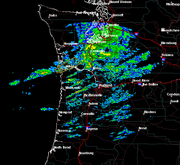 At 1110 am pdt, doppler radar indicated a severe thunderstorm capable of producing destructive winds in excess of 70 mph. a tornado is also possible wit this storm. this storm was located near warrenton, and moving northeast at 65 mph. penny size hail may also accompany the damaging winds. At 1110 am pdt, doppler radar indicated a severe thunderstorm capable of producing destructive winds in excess of 70 mph. a tornado is also possible wit this storm. this storm was located near warrenton, and moving northeast at 65 mph. penny size hail may also accompany the damaging winds.
|
| 10/14/2016 11:11 AM PDT |
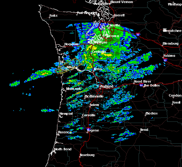 At 1110 am pdt, doppler radar indicated a severe thunderstorm capable of producing destructive winds in excess of 70 mph. a tornado is also possible wit this storm. this storm was located near warrenton, and moving northeast at 65 mph. penny size hail may also accompany the damaging winds. At 1110 am pdt, doppler radar indicated a severe thunderstorm capable of producing destructive winds in excess of 70 mph. a tornado is also possible wit this storm. this storm was located near warrenton, and moving northeast at 65 mph. penny size hail may also accompany the damaging winds.
|
| 10/14/2016 9:11 AM PDT |
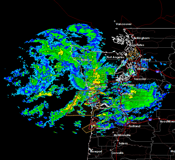 At 910 am pdt, doppler radar indicated a severe thunderstorm capable of producing a tornado. this dangerous storm was located 10 miles southwest of ilwaco, or 11 miles southwest of long beach, and moving northeast at 60 mph. At 910 am pdt, doppler radar indicated a severe thunderstorm capable of producing a tornado. this dangerous storm was located 10 miles southwest of ilwaco, or 11 miles southwest of long beach, and moving northeast at 60 mph.
|
| 10/14/2016 4:26 AM PDT |
 At 425 am pdt, doppler radar indicated a severe thunderstorm capable of producing a tornado. this dangerous storm was located over ilwaco, or near long beach, and moving northeast at 50 mph. At 425 am pdt, doppler radar indicated a severe thunderstorm capable of producing a tornado. this dangerous storm was located over ilwaco, or near long beach, and moving northeast at 50 mph.
|


Connect with Interactive Hail Maps