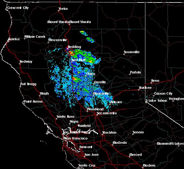
| 8/10/2019 12:19 AM PDT |
 At 1219 am pdt, a severe thunderstorm was located over anderson, or 11 miles south of palo cedro, moving north at 30 mph (radar indicated). Hazards include 60 mph wind gusts and quarter size hail. Hail damage to vehicles is expected. expect wind damage to roofs, siding, and trees. Locations impacted include, redding, palo cedro, anderson, igo, keswick, millville, olinda, centerville and cottonwood. At 1219 am pdt, a severe thunderstorm was located over anderson, or 11 miles south of palo cedro, moving north at 30 mph (radar indicated). Hazards include 60 mph wind gusts and quarter size hail. Hail damage to vehicles is expected. expect wind damage to roofs, siding, and trees. Locations impacted include, redding, palo cedro, anderson, igo, keswick, millville, olinda, centerville and cottonwood.
|
| 8/9/2019 11:56 PM PDT |
 At 1155 pm pdt, a severe thunderstorm was located near blossom, or 7 miles northwest of red bluff, moving north at 30 mph (radar indicated). Hazards include 60 mph wind gusts and half dollar size hail. Hail damage to vehicles is expected. Expect wind damage to roofs, siding, and trees. At 1155 pm pdt, a severe thunderstorm was located near blossom, or 7 miles northwest of red bluff, moving north at 30 mph (radar indicated). Hazards include 60 mph wind gusts and half dollar size hail. Hail damage to vehicles is expected. Expect wind damage to roofs, siding, and trees.
|
| 5/24/2019 8:37 PM PDT |
 At 835 pm pdt, a severe thunderstorm capable of producing a tornado was located near interstate 5 and anderson, or 9 miles south of redding, moving south at 15 mph (radar indicated rotation and funnel cloud reported). Hazards include tornado and two inch hail. Flying debris will be dangerous to those caught without shelter. mobile homes will be damaged or destroyed. damage to roofs, windows, and vehicles will occur. Tree damage is likely. At 835 pm pdt, a severe thunderstorm capable of producing a tornado was located near interstate 5 and anderson, or 9 miles south of redding, moving south at 15 mph (radar indicated rotation and funnel cloud reported). Hazards include tornado and two inch hail. Flying debris will be dangerous to those caught without shelter. mobile homes will be damaged or destroyed. damage to roofs, windows, and vehicles will occur. Tree damage is likely.
|
| 5/24/2019 8:16 PM PDT |
 At 815 pm pdt, a severe thunderstorm capable of producing a tornado was located over anderson, or near redding, moving south at 20 mph (radar indicated rotation). Hazards include tornado and hail up to two inches in diameter. Flying debris will be dangerous to those caught without shelter. mobile homes will be damaged or destroyed. damage to roofs, windows, and vehicles will occur. tree damage is likely. This dangerous storm will be near, anderson around 820 pm pdt. At 815 pm pdt, a severe thunderstorm capable of producing a tornado was located over anderson, or near redding, moving south at 20 mph (radar indicated rotation). Hazards include tornado and hail up to two inches in diameter. Flying debris will be dangerous to those caught without shelter. mobile homes will be damaged or destroyed. damage to roofs, windows, and vehicles will occur. tree damage is likely. This dangerous storm will be near, anderson around 820 pm pdt.
|
| 10/2/2016 2:41 PM PDT |
 At 239 pm pdt, doppler radar indicated a severe thunderstorm capable of producing quarter size hail and damaging winds in excess of 60 mph. this storm was located 7 miles south of anderson, or 13 miles north of red bluff, and moving east at 20 mph. * large amounts of small hail are expected to impact travel on interstate 5. use extreme caution driving as hail can bring very slippery conditions!. At 239 pm pdt, doppler radar indicated a severe thunderstorm capable of producing quarter size hail and damaging winds in excess of 60 mph. this storm was located 7 miles south of anderson, or 13 miles north of red bluff, and moving east at 20 mph. * large amounts of small hail are expected to impact travel on interstate 5. use extreme caution driving as hail can bring very slippery conditions!.
|
| 1/13/2016 2:10 PM PST |
Half inch size hai in tehama county CA, 6 miles WNW of Cottonwood, CA
|
| 10/25/2014 5:35 PM PDT |
Quarter sized hail reported 1.6 miles WSW of Cottonwood, CA
|
| 6/4/2012 6:28 PM PDT |
Quarter sized hail reported 6.5 miles NNE of Cottonwood, CA, hail sizes of 5/8 inch to 1 inch in size. 2 inches of hail depth accumulated on ground so far. small branches down.
|
| 6/4/2012 6:00 PM PDT |
Half Dollar sized hail reported 2.3 miles NNW of Cottonwood, CA
|
| 6/4/2012 5:45 PM PDT |
Quarter sized hail reported 6.4 miles N of Cottonwood, CA, hail between dime and quarter size. hail covering the ground.
|
| 6/4/2012 5:10 PM PDT |
Quarter sized hail reported 7.3 miles NE of Cottonwood, CA, spotter reported hail falling between dime and quarter size. hail also covering the ground.
|


Connect with Interactive Hail Maps