

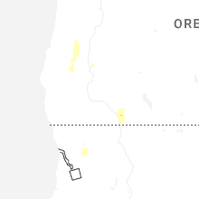
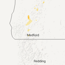
Hail Map for Days Creek, OR
The Days Creek, OR area has had 0 reports of on-the-ground hail by trained spotters, and has been under severe weather warnings 0 times during the past 12 months. Doppler radar has detected hail at or near Days Creek, OR on 2 occasions, including 1 occasion during the past year.
| Name: | Days Creek, OR |
| Where Located: | 46.9 miles NNW of Medford, OR |
| Map: | Google Map for Days Creek, OR |
| Population: | 272 |
| Housing Units: | 135 |
| More Info: | Search Google for Days Creek, OR |
0
The Top Recent Hail Date for Days Creek, OR is Thursday, April 9, 2026 (2nd out of 2)

Hail and Wind Damage Spotted near Days Creek, OR
| Date / Time | Report Details |
|---|---|
| 7/8/2015 4:54 PM PDT |
 The severe thunderstorm warning for south central douglas county will expire at 500 pm pdt, the storm which prompted the warning has weakened below severe limits, and no longer poses an immediate threat to life or property. therefore the warning will be allowed to expire. however heavy rain is still possible with this thunderstorm. to report severe weather, contact your nearest law enforcement agency. they will relay your report to the national weather service medford. The severe thunderstorm warning for south central douglas county will expire at 500 pm pdt, the storm which prompted the warning has weakened below severe limits, and no longer poses an immediate threat to life or property. therefore the warning will be allowed to expire. however heavy rain is still possible with this thunderstorm. to report severe weather, contact your nearest law enforcement agency. they will relay your report to the national weather service medford.
|
| 7/8/2015 4:30 PM PDT |
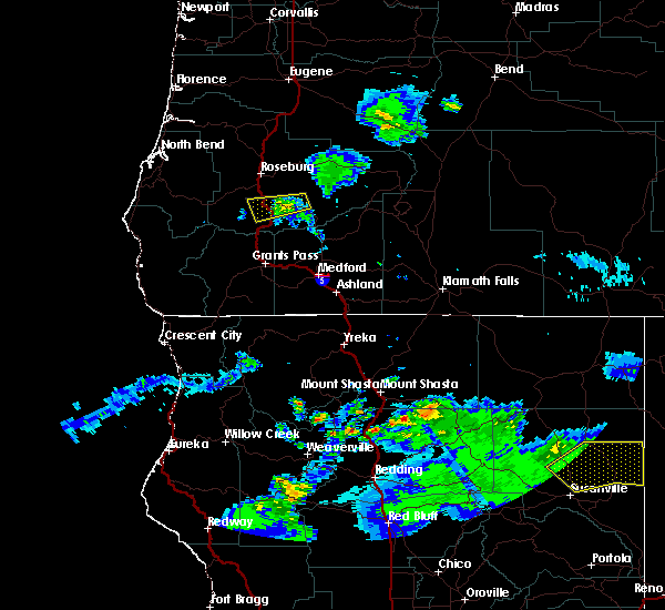
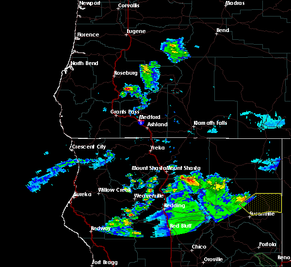 At 430 pm pdt, doppler radar indicated a severe thunderstorm capable of producing quarter size hail and damaging winds in excess of 60 mph. this storm was located 7 miles east of canyonville, or 21 miles southeast of roseburg, and moving west at 25 mph. At 430 pm pdt, doppler radar indicated a severe thunderstorm capable of producing quarter size hail and damaging winds in excess of 60 mph. this storm was located 7 miles east of canyonville, or 21 miles southeast of roseburg, and moving west at 25 mph.
|
| 6/4/2012 1:55 PM PDT | Also reporting heavy rain and one quarter inch hail lasting approx 10 min in douglas county OR, 2.9 miles SSW of Days Creek, OR |
| 4/23/2012 11:17 PM PDT | Dime size hail with a thunderstorm between 300 and 330 pm monday 4/23. another windy storm came through around 530 pm and oak tree was blown down onto a vehicle. this o in douglas county OR, 11.2 miles WNW of Days Creek, OR |
Hail Maps for Days Creek, OR
Connect with Interactive Hail Maps