

Hail Map for El Rancho, CA
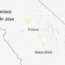
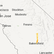
The El Rancho, CA area has had 0 reports of on-the-ground hail by trained spotters, and has been under severe weather warnings 0 times during the past 12 months. Doppler radar has detected hail at or near El Rancho, CA on 3 occasions, including 1 occasion during the past year.
| Name: | El Rancho, CA |
| Where Located: | 53.7 miles SE of Fresno, CA |
| Map: | Google Map for El Rancho, CA |
| Population: | 124 |
| Housing Units: | 30 |
| More Info: | Search Google for El Rancho, CA |
0
The Top Recent Hail Date for El Rancho, CA is Monday, February 19, 2024 (3rd out of 3)

Hail and Wind Damage Spotted near El Rancho, CA
| Date / Time | Report Details |
|---|---|
| 3/22/2018 4:18 PM PDT |
 At 415 pm pdt, nws doppler radar detected a line of severe thunderstorms extended from visalia southwestward to lost hills. thunderstorms were moving norhteastward at about 25 mph. Hazards include potentially damaging winds in excess of 58 mph along with torrential rainfall and localized flooding. frequent cloud to ground lightning and small hail. At 415 pm pdt, nws doppler radar detected a line of severe thunderstorms extended from visalia southwestward to lost hills. thunderstorms were moving norhteastward at about 25 mph. Hazards include potentially damaging winds in excess of 58 mph along with torrential rainfall and localized flooding. frequent cloud to ground lightning and small hail.
|
| 3/21/2017 6:30 PM PDT |
 At 629 pm pdt, doppler radar indicated a severe thunderstorm capable of producing quarter size hail and damaging winds in excess of 60 mph. this storm was located near tulare, and moving east northeast at 15 mph. At 629 pm pdt, doppler radar indicated a severe thunderstorm capable of producing quarter size hail and damaging winds in excess of 60 mph. this storm was located near tulare, and moving east northeast at 15 mph.
|
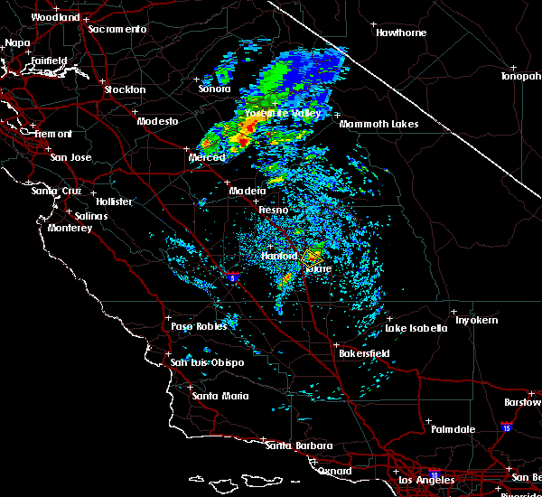
Hail Maps for El Rancho, CA

Connect with Interactive Hail Maps