

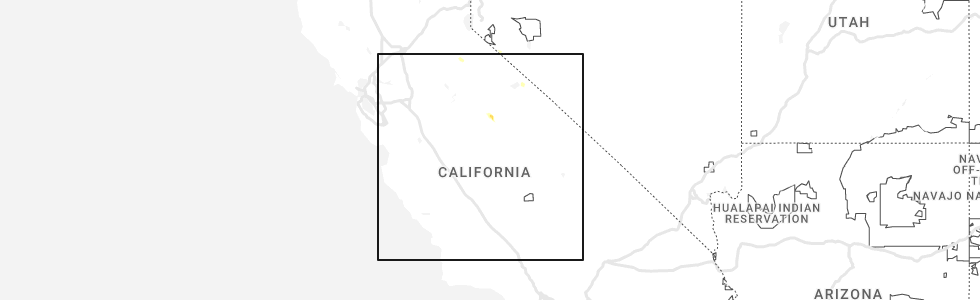
Hail Map for Fish Camp, CA
The Fish Camp, CA area has had 0 reports of on-the-ground hail by trained spotters, and has been under severe weather warnings 2 times during the past 12 months. Doppler radar has detected hail at or near Fish Camp, CA on 1 occasion, including 1 occasion during the past year.
| Name: | Fish Camp, CA |
| Where Located: | 51.6 miles N of Fresno, CA |
| Map: | Google Map for Fish Camp, CA |
| Population: | 59 |
| Housing Units: | 153 |
| More Info: | Search Google for Fish Camp, CA |
5
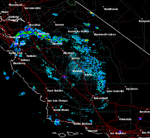
The Top Recent Hail Date for Fish Camp, CA is Monday, June 5, 2023 (1st out of 1)
Hail and Wind Damage Spotted near Fish Camp, CA
| Date / Time | Report Details |
|---|---|
| 6/5/2023 6:22 PM PDT |
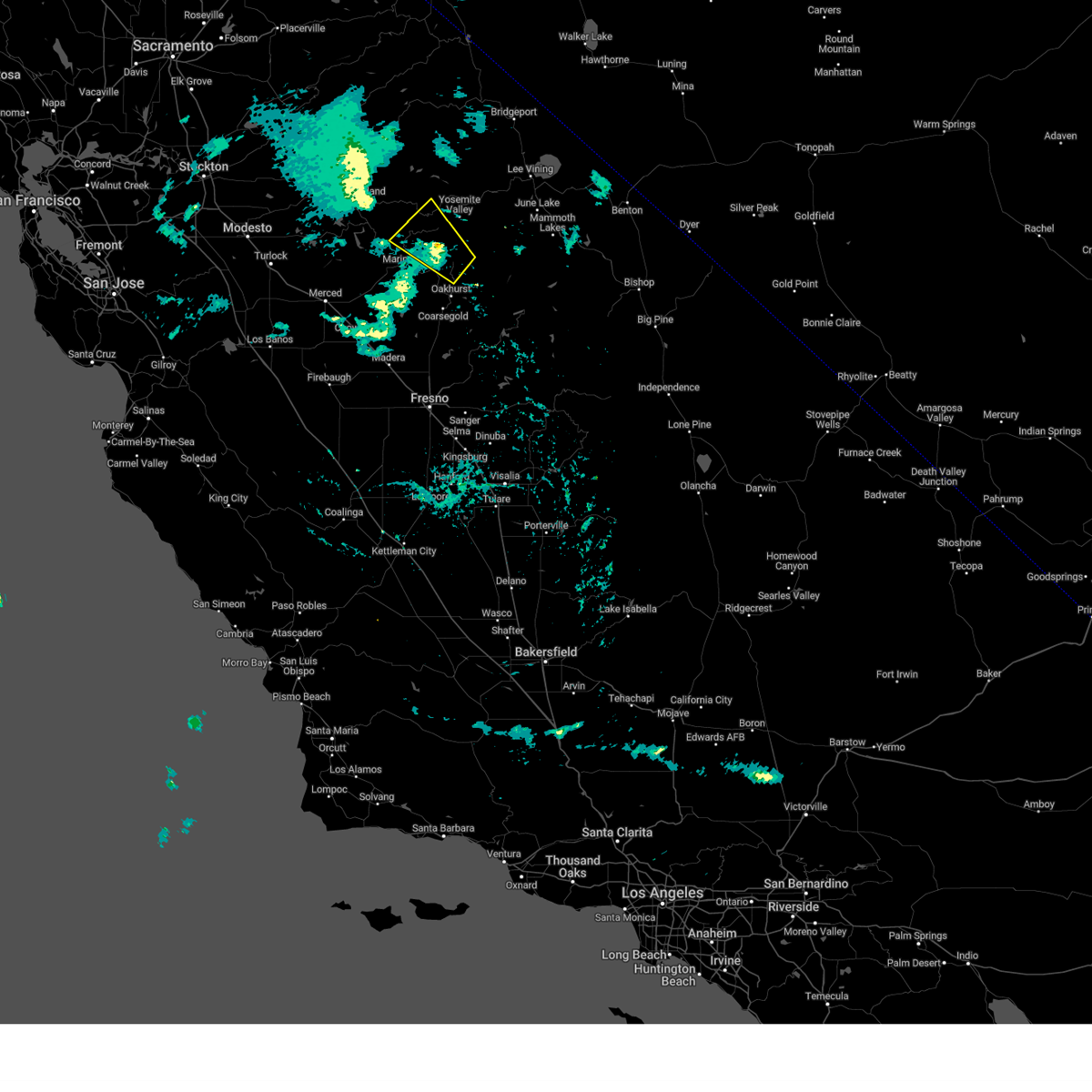 The severe thunderstorm warning for central mariposa, southeastern tuolumne and north central madera counties will expire at 630 pm pdt, the storm which prompted the warning has weakened below severe limits, and no longer poses an immediate threat to life or property. therefore, the warning will be allowed to expire. The severe thunderstorm warning for central mariposa, southeastern tuolumne and north central madera counties will expire at 630 pm pdt, the storm which prompted the warning has weakened below severe limits, and no longer poses an immediate threat to life or property. therefore, the warning will be allowed to expire.
|
| 6/5/2023 5:56 PM PDT |
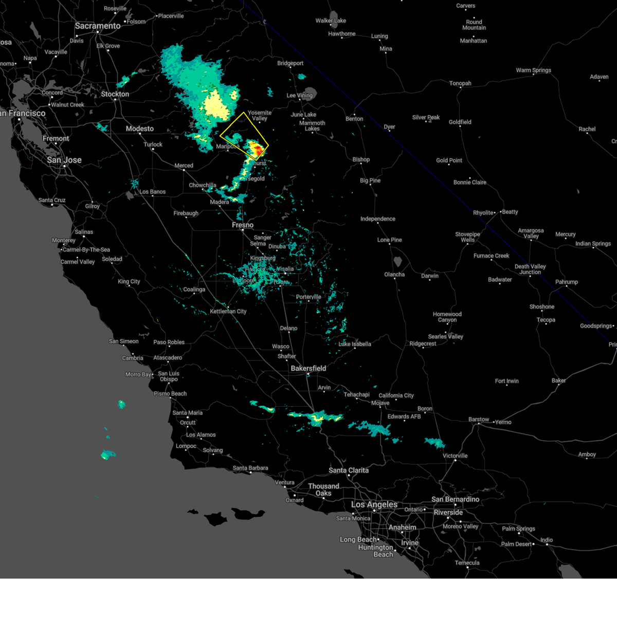 At 551 pm pdt, a severe thunderstorm was located over yosemite south entrance, moving northwest at 25 mph (radar indicated). Hazards include 60 mph wind gusts and quarter size hail. Hail damage to vehicles is expected. Expect wind damage to roofs, siding, and trees. At 551 pm pdt, a severe thunderstorm was located over yosemite south entrance, moving northwest at 25 mph (radar indicated). Hazards include 60 mph wind gusts and quarter size hail. Hail damage to vehicles is expected. Expect wind damage to roofs, siding, and trees.
|
| 7/1/2015 5:36 PM PDT |
 At 535 pm pdt, doppler radar indicated a severe thunderstorm capable of producing quarter size hail. this storm was located 19 miles east of oakhurst, or 19 miles southeast of yosemite south entrance, and moving northwest at 25 mph. At 535 pm pdt, doppler radar indicated a severe thunderstorm capable of producing quarter size hail. this storm was located 19 miles east of oakhurst, or 19 miles southeast of yosemite south entrance, and moving northwest at 25 mph.
|
Hail Maps for Fish Camp, CA

Connect with Interactive Hail Maps