

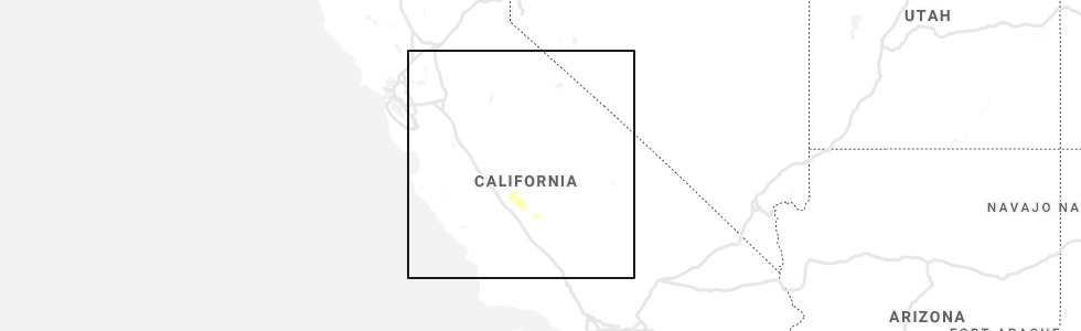
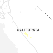
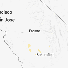
Hail Map for Huron, CA
The Huron, CA area has had 0 reports of on-the-ground hail by trained spotters, and has been under severe weather warnings 0 times during the past 12 months. Doppler radar has detected hail at or near Huron, CA on 2 occasions.
| Name: | Huron, CA |
| Where Located: | 40.6 miles SSW of Fresno, CA |
| Map: | Google Map for Huron, CA |
| Population: | 6754 |
| Housing Units: | 1602 |
| More Info: | Search Google for Huron, CA |
0
The Top Recent Hail Date for Huron, CA is Sunday, May 19, 2019 (2nd out of 2)
Hail and Wind Damage Spotted near Huron, CA
| Date / Time | Report Details |
|---|---|
| 5/19/2019 3:50 PM PDT | Multiple trees and power poles down near gale and lasson street in fresno county CA, 0.9 miles SSW of Huron, CA |
| 10/3/2018 3:41 PM PDT |
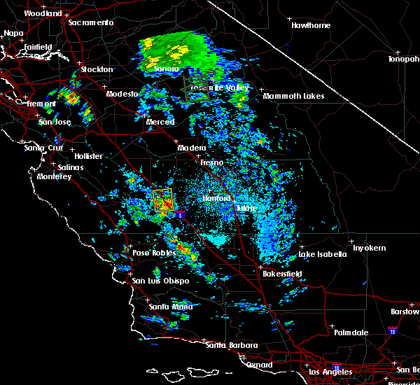 At 340 pm pdt, a severe thunderstorm was located 8 miles east of coalinga, moving north at 15 mph (radar indicated). Hazards include 60 mph wind gusts and half dollar size hail. Hail damage to vehicles is expected. expect wind damage to roofs, siding, and trees. Locations impacted include, coalinga, huron, harris ranch. At 340 pm pdt, a severe thunderstorm was located 8 miles east of coalinga, moving north at 15 mph (radar indicated). Hazards include 60 mph wind gusts and half dollar size hail. Hail damage to vehicles is expected. expect wind damage to roofs, siding, and trees. Locations impacted include, coalinga, huron, harris ranch.
|
| 10/3/2018 3:20 PM PDT |
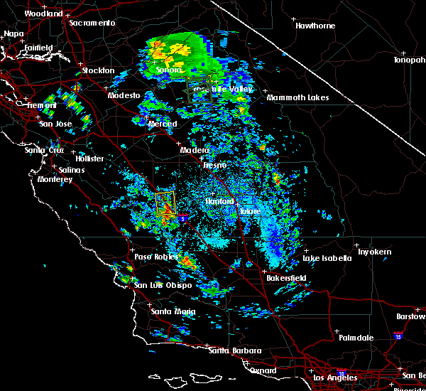 At 319 pm pdt, a severe thunderstorm was located 7 miles east of coalinga, or 34 miles west of hanford, moving north at 20 mph (radar indicated). Hazards include 60 mph wind gusts and half dollar size hail. Hail damage to vehicles is expected. Expect wind damage to roofs, siding, and trees. At 319 pm pdt, a severe thunderstorm was located 7 miles east of coalinga, or 34 miles west of hanford, moving north at 20 mph (radar indicated). Hazards include 60 mph wind gusts and half dollar size hail. Hail damage to vehicles is expected. Expect wind damage to roofs, siding, and trees.
|
Hail Maps for Huron, CA
Connect with Interactive Hail Maps