

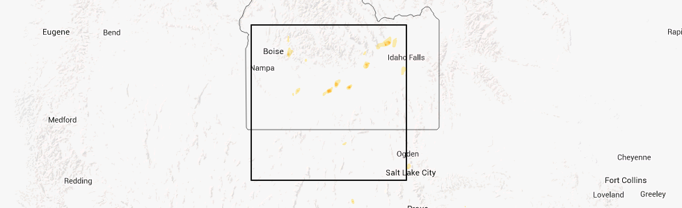
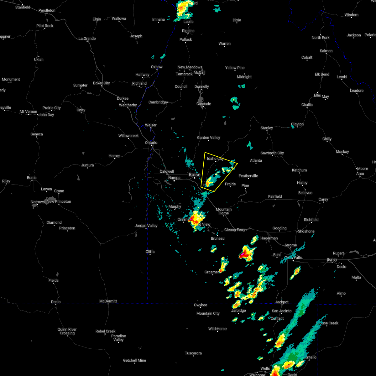
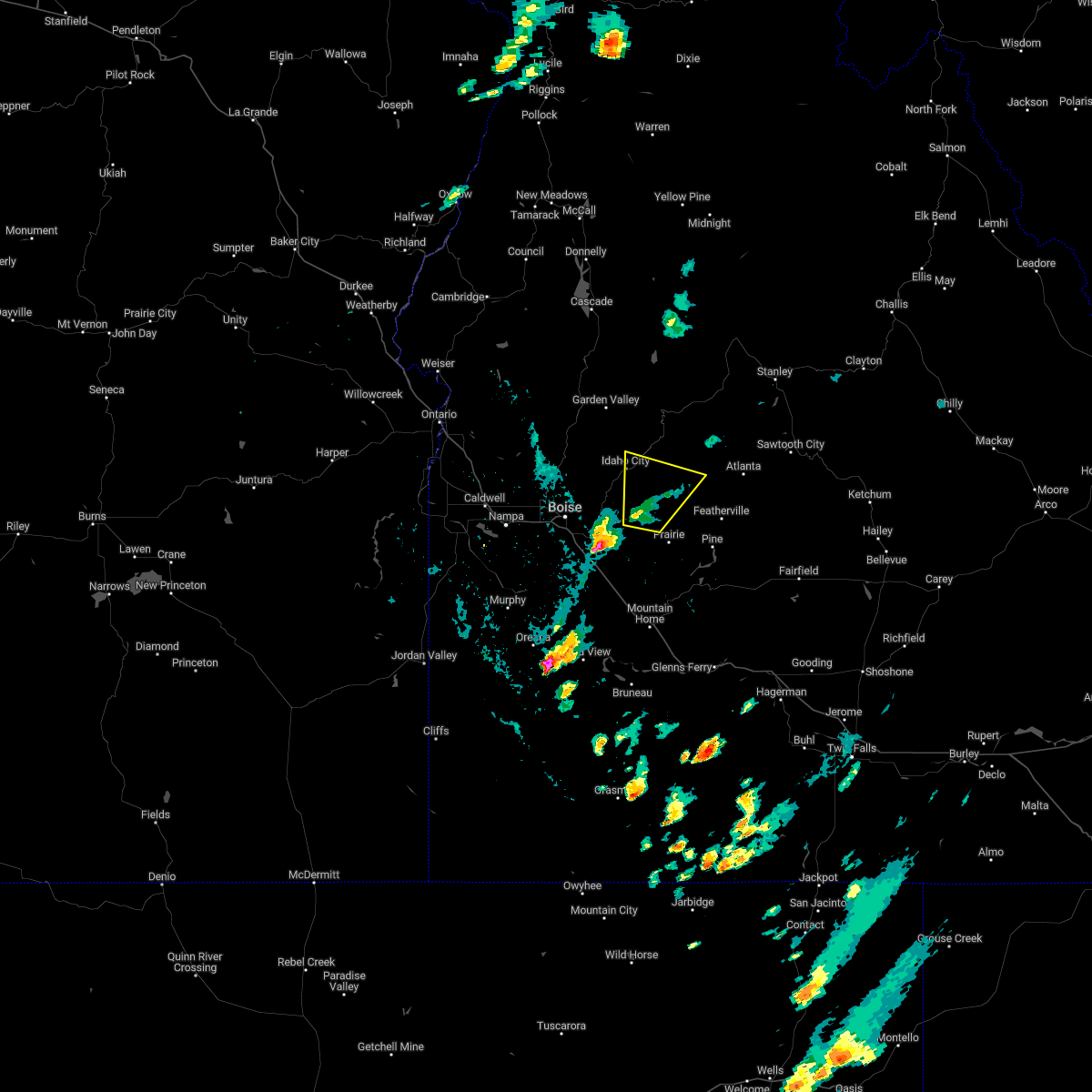
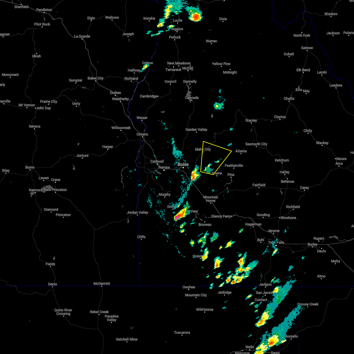
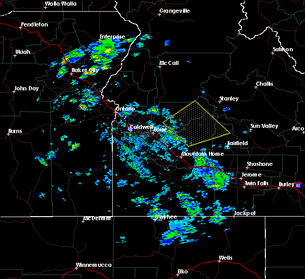
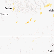
Hail Map for Idaho City, ID
The Idaho City, ID area has had 1 report of on-the-ground hail by trained spotters, and has been under severe weather warnings 2 times during the past 12 months. Doppler radar has detected hail at or near Idaho City, ID on 2 occasions.
| Name: | Idaho City, ID |
| Where Located: | 23.7 miles NE of Boise, ID |
| Map: | Google Map for Idaho City, ID |
| Population: | 485 |
| Housing Units: | 294 |
| More Info: | Search Google for Idaho City, ID |
0
The Top Recent Hail Date for Idaho City, ID is Saturday, August 24, 2013 (2nd out of 2)
Hail and Wind Damage Spotted near Idaho City, ID
| Date / Time | Report Details |
|---|---|
| 4/3/2024 5:56 PM MDT |
 The storm which prompted the warning has weakened below severe limits, and no longer poses an immediate threat to life or property. therefore, the warning will be allowed to expire. when safe to do so, please relay storm reports to the national weather service in boise via local law enforcement, or national weather service boise facebook and twitter accounts. The storm which prompted the warning has weakened below severe limits, and no longer poses an immediate threat to life or property. therefore, the warning will be allowed to expire. when safe to do so, please relay storm reports to the national weather service in boise via local law enforcement, or national weather service boise facebook and twitter accounts.
|
| 4/3/2024 5:24 PM MDT |
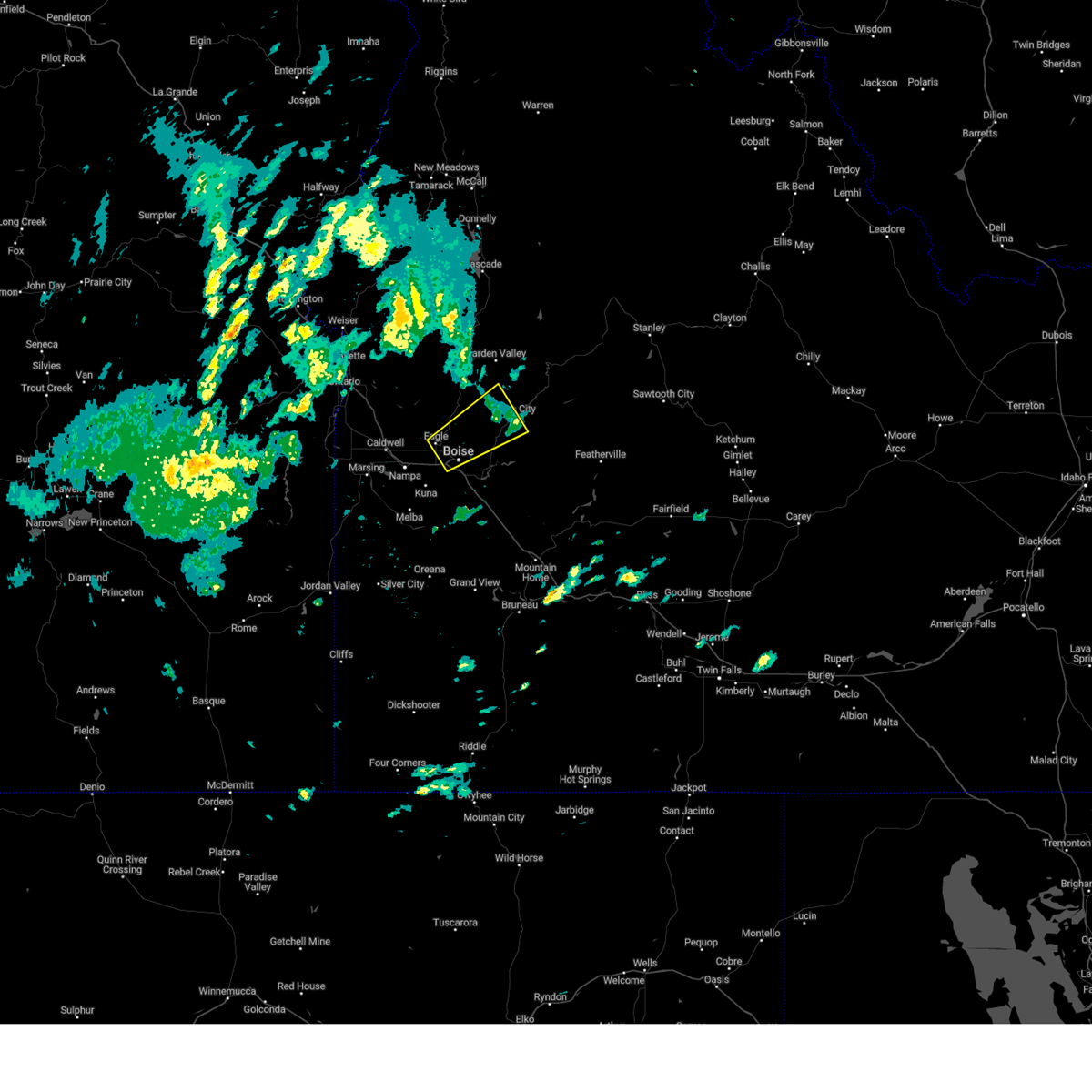
 Svrboi the national weather service in boise has issued a * severe thunderstorm warning for, northeastern ada county in southwestern idaho, southwestern boise county in southwestern idaho, * until 600 pm mdt.. * at 523 pm mdt, a severe thunderstorm was located over garden city, or near boise, moving northeast at 35 mph (radar indicated). Hazards include quarter size hail. Damage to vehicles is expected. this severe thunderstorm will be near, northern boise, hidden springs, and bogus basin ski area around 530 pm mdt. Idaho city around 600 pm mdt. Svrboi the national weather service in boise has issued a * severe thunderstorm warning for, northeastern ada county in southwestern idaho, southwestern boise county in southwestern idaho, * until 600 pm mdt.. * at 523 pm mdt, a severe thunderstorm was located over garden city, or near boise, moving northeast at 35 mph (radar indicated). Hazards include quarter size hail. Damage to vehicles is expected. this severe thunderstorm will be near, northern boise, hidden springs, and bogus basin ski area around 530 pm mdt. Idaho city around 600 pm mdt.
|
| 8/12/2022 4:35 PM MDT |
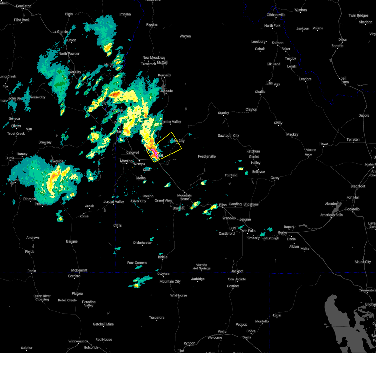
 At 434 pm mdt, a severe thunderstorm was located near arrowrock reservoir, or 10 miles south of idaho city, moving northeast at 25 mph (radar indicated). Hazards include ping pong ball size hail and 60 mph wind gusts. People and animals outdoors will be injured. expect hail damage to roofs, siding, windows, and vehicles. expect wind damage to roofs, siding, and trees. this severe storm will be near, twin springs around 440 pm mdt. thorn creek summit around 450 pm mdt. idaho city around 500 pm mdt. barber flat guard station around 510 pm mdt. hail threat, radar indicated max hail size, 1. 50 in wind threat, radar indicated max wind gust, 60 mph. At 434 pm mdt, a severe thunderstorm was located near arrowrock reservoir, or 10 miles south of idaho city, moving northeast at 25 mph (radar indicated). Hazards include ping pong ball size hail and 60 mph wind gusts. People and animals outdoors will be injured. expect hail damage to roofs, siding, windows, and vehicles. expect wind damage to roofs, siding, and trees. this severe storm will be near, twin springs around 440 pm mdt. thorn creek summit around 450 pm mdt. idaho city around 500 pm mdt. barber flat guard station around 510 pm mdt. hail threat, radar indicated max hail size, 1. 50 in wind threat, radar indicated max wind gust, 60 mph.
|
| 8/12/2022 4:13 PM MDT |
 At 413 pm mdt, a severe thunderstorm was located over lucky peak reservoir, or 14 miles east of boise, moving northeast at 25 mph (radar indicated). Hazards include ping pong ball size hail and 60 mph wind gusts. People and animals outdoors will be injured. expect hail damage to roofs, siding, windows, and vehicles. expect wind damage to roofs, siding, and trees. this severe thunderstorm will be near, arrowrock dam around 420 pm mdt. arrowrock reservoir and twin springs around 440 pm mdt. thorn creek summit around 450 pm mdt. idaho city, barber flat guard station and harris creek summit around 500 pm mdt. hail threat, radar indicated max hail size, 1. 50 in wind threat, radar indicated max wind gust, 60 mph. At 413 pm mdt, a severe thunderstorm was located over lucky peak reservoir, or 14 miles east of boise, moving northeast at 25 mph (radar indicated). Hazards include ping pong ball size hail and 60 mph wind gusts. People and animals outdoors will be injured. expect hail damage to roofs, siding, windows, and vehicles. expect wind damage to roofs, siding, and trees. this severe thunderstorm will be near, arrowrock dam around 420 pm mdt. arrowrock reservoir and twin springs around 440 pm mdt. thorn creek summit around 450 pm mdt. idaho city, barber flat guard station and harris creek summit around 500 pm mdt. hail threat, radar indicated max hail size, 1. 50 in wind threat, radar indicated max wind gust, 60 mph.
|
| 8/12/2022 4:00 PM MDT |
 At 400 pm mdt, a severe thunderstorm was located over twin springs, or 10 miles southeast of idaho city, moving north at 30 mph (radar indicated). Hazards include half dollar size hail. Damage to vehicles is expected. this severe storm will be near, idaho city and barber flat guard station around 420 pm mdt. hail threat, radar indicated max hail size, 1. 25 in wind threat, radar indicated max wind gust, <50 mph. At 400 pm mdt, a severe thunderstorm was located over twin springs, or 10 miles southeast of idaho city, moving north at 30 mph (radar indicated). Hazards include half dollar size hail. Damage to vehicles is expected. this severe storm will be near, idaho city and barber flat guard station around 420 pm mdt. hail threat, radar indicated max hail size, 1. 25 in wind threat, radar indicated max wind gust, <50 mph.
|
| 8/12/2022 3:48 PM MDT |
 At 348 pm mdt, a severe thunderstorm was located near twin springs, or 15 miles south of idaho city, moving north at 35 mph (radar indicated). Hazards include quarter size hail. Damage to vehicles is expected. this severe thunderstorm will be near, thorn creek summit and twin springs around 400 pm mdt. idaho city, barber flat guard station and dutch creek guard station around 410 pm mdt. hail threat, radar indicated max hail size, 1. 00 in wind threat, radar indicated max wind gust, <50 mph. At 348 pm mdt, a severe thunderstorm was located near twin springs, or 15 miles south of idaho city, moving north at 35 mph (radar indicated). Hazards include quarter size hail. Damage to vehicles is expected. this severe thunderstorm will be near, thorn creek summit and twin springs around 400 pm mdt. idaho city, barber flat guard station and dutch creek guard station around 410 pm mdt. hail threat, radar indicated max hail size, 1. 00 in wind threat, radar indicated max wind gust, <50 mph.
|
| 8/30/2017 11:22 PM MDT |
 The severe thunderstorm warning for northern ada, southwestern boise and west central elmore counties will expire at 1130 pm mdt, the outflow winds which prompted the warning have weakened below severe limits, and no longer pose an immediate threat to life or property. therefore the warning will be allowed to expire. when safe to do so, please relay storm reports to the national weather service in boise via local law enforcement, or national weather service boise facebook and twitter accounts. The severe thunderstorm warning for northern ada, southwestern boise and west central elmore counties will expire at 1130 pm mdt, the outflow winds which prompted the warning have weakened below severe limits, and no longer pose an immediate threat to life or property. therefore the warning will be allowed to expire. when safe to do so, please relay storm reports to the national weather service in boise via local law enforcement, or national weather service boise facebook and twitter accounts.
|
| 8/30/2017 10:47 PM MDT |
 At 1046 pm mdt, severe outflow winds were located along a line extending from near meridian to near lucky peak reservoir, moving north at 20 mph. there is no thunder and very little rain at this time, but these winds will be severe (radar indicated). Hazards include 60 mph wind gusts. Expect damage to roofs, siding, and trees. severe thunderstorms will be near, boise around 1050 pm mdt. lucky peak spring shores marina and arrowrock dam around 1100 pm mdt. meridian, garden city, lucky peak reservoir and aldape summit around 1110 pm mdt. star and hidden springs around 1120 pm mdt. Idaho city, eagle, firebird speedway and bogus basin ski area around 1130 pm mdt. At 1046 pm mdt, severe outflow winds were located along a line extending from near meridian to near lucky peak reservoir, moving north at 20 mph. there is no thunder and very little rain at this time, but these winds will be severe (radar indicated). Hazards include 60 mph wind gusts. Expect damage to roofs, siding, and trees. severe thunderstorms will be near, boise around 1050 pm mdt. lucky peak spring shores marina and arrowrock dam around 1100 pm mdt. meridian, garden city, lucky peak reservoir and aldape summit around 1110 pm mdt. star and hidden springs around 1120 pm mdt. Idaho city, eagle, firebird speedway and bogus basin ski area around 1130 pm mdt.
|
| 8/30/2017 5:56 PM MDT |
 The severe thunderstorm warning for central boise, northeastern elmore and northwestern camas counties will expire at 600 pm mdt, the storms which prompted the warning have weakened below severe limits, and no longer pose an immediate threat to life or property. therefore the warning will be allowed to expire. however gusty winds to 50 mph are still possible with these thunderstorms. when safe to do so, please relay storm reports to the national weather service in boise via local law enforcement, or national weather service boise facebook and twitter accounts. The severe thunderstorm warning for central boise, northeastern elmore and northwestern camas counties will expire at 600 pm mdt, the storms which prompted the warning have weakened below severe limits, and no longer pose an immediate threat to life or property. therefore the warning will be allowed to expire. however gusty winds to 50 mph are still possible with these thunderstorms. when safe to do so, please relay storm reports to the national weather service in boise via local law enforcement, or national weather service boise facebook and twitter accounts.
|
| 8/30/2017 5:14 PM MDT |
 At 514 pm mdt, severe thunderstorms were located along a line extending from near idaho city to near prairie, moving northeast at 35 mph (radar indicated). Hazards include 60 mph wind gusts. Expect damage to roofs, siding, and trees. severe thunderstorms will be near, thorn creek summit around 520 pm mdt. pine, trinity lakes and anderson ranch reservoir around 530 pm mdt. mores creek summit, featherville and barber flat guard station around 540 pm mdt. lowman, rocky bar and dutch creek guard station around 550 pm mdt. Atlanta, gunsight peak, helende campground and james creek summit around 600 pm mdt. At 514 pm mdt, severe thunderstorms were located along a line extending from near idaho city to near prairie, moving northeast at 35 mph (radar indicated). Hazards include 60 mph wind gusts. Expect damage to roofs, siding, and trees. severe thunderstorms will be near, thorn creek summit around 520 pm mdt. pine, trinity lakes and anderson ranch reservoir around 530 pm mdt. mores creek summit, featherville and barber flat guard station around 540 pm mdt. lowman, rocky bar and dutch creek guard station around 550 pm mdt. Atlanta, gunsight peak, helende campground and james creek summit around 600 pm mdt.
|
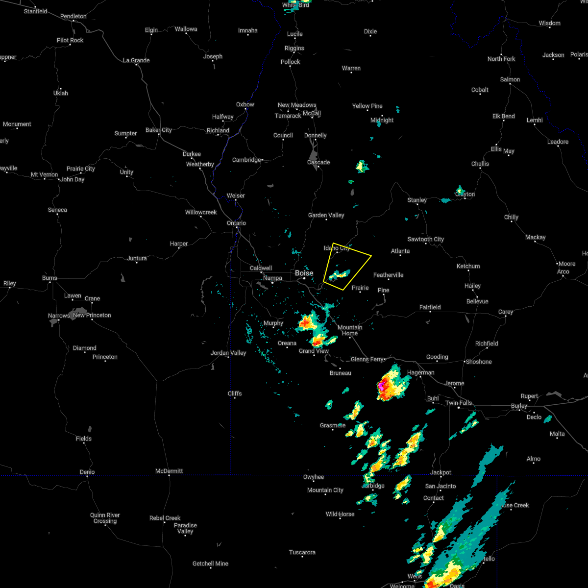
| 1/1/0001 12:00 AM | Golf Ball sized hail reported 8.6 miles SE of Idaho City, ID |
Hail Maps for Idaho City, ID
Connect with Interactive Hail Maps