

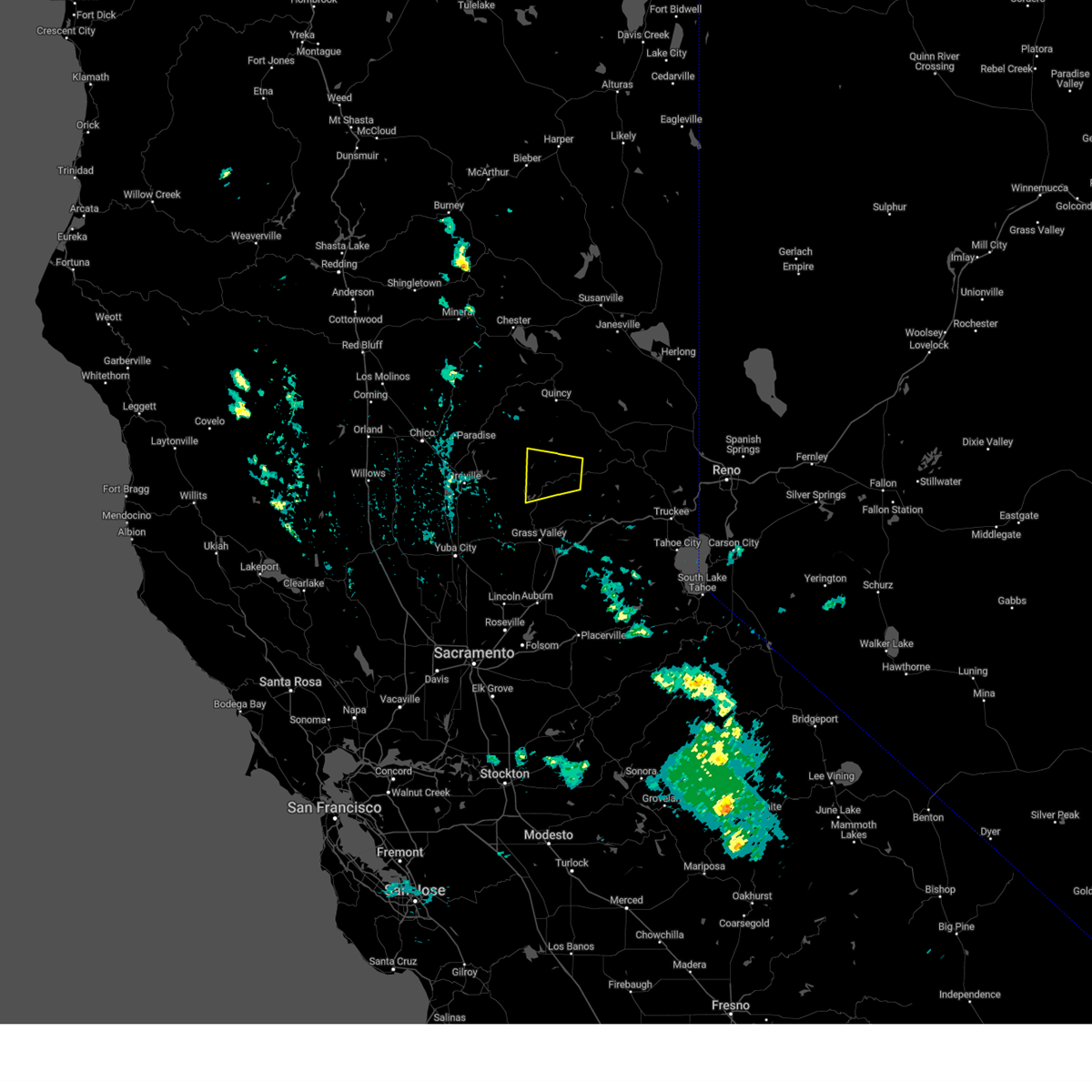
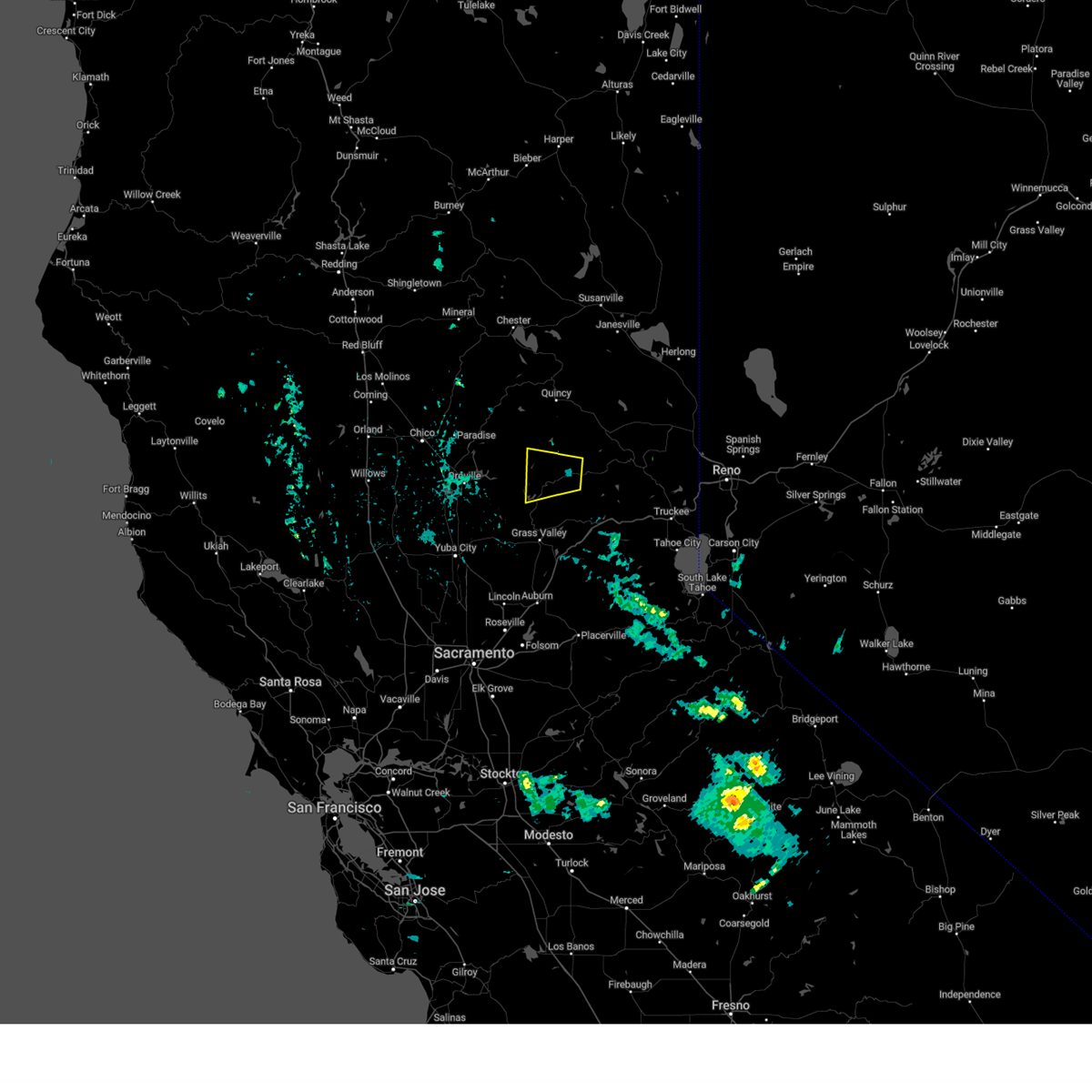
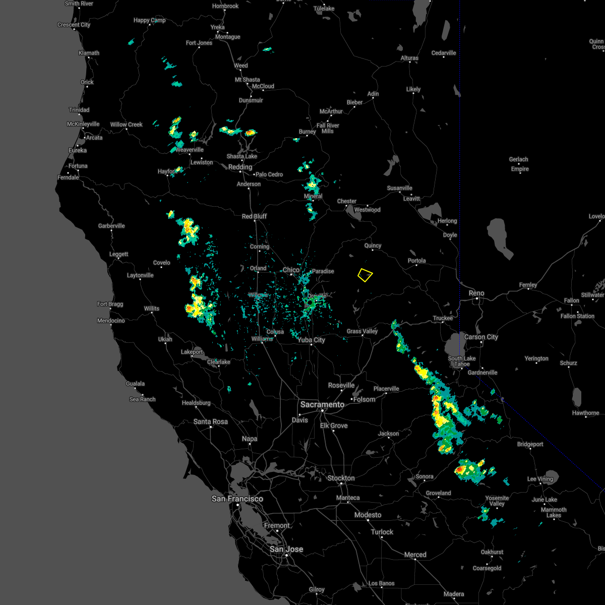
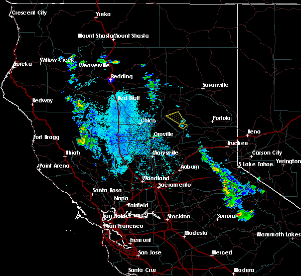
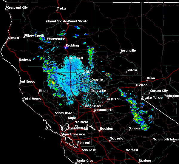
Hail Map for La Porte, CA
The La Porte, CA area has had 0 reports of on-the-ground hail by trained spotters, and has been under severe weather warnings 2 times during the past 12 months. Doppler radar has detected hail at or near La Porte, CA on 4 occasions.
| Name: | La Porte, CA |
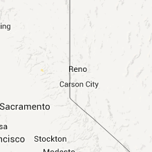
| Where Located: | 63.6 miles W of Reno, NV |
| Map: | Google Map for La Porte, CA |
| Population: | 26 |
| Housing Units: | 145 |
| More Info: | Search Google for La Porte, CA |
5
The Top Recent Hail Date for La Porte, CA is Tuesday, September 13, 2011 (1st out of 4)

Hail and Wind Damage Spotted near La Porte, CA
| Date / Time | Report Details |
|---|---|
| 6/10/2023 2:23 PM PDT |
 The severe thunderstorm warning for south central plumas, east central butte, southwestern sierra and northeastern yuba counties will expire at 230 pm pdt, the storm which prompted the warning has weakened below severe limits, and no longer poses an immediate threat to life or property. therefore, the warning will be allowed to expire. however half-inch hail and heavy rain are still occurring with this thunderstorm. The severe thunderstorm warning for south central plumas, east central butte, southwestern sierra and northeastern yuba counties will expire at 230 pm pdt, the storm which prompted the warning has weakened below severe limits, and no longer poses an immediate threat to life or property. therefore, the warning will be allowed to expire. however half-inch hail and heavy rain are still occurring with this thunderstorm.
|
| 6/10/2023 1:44 PM PDT |
 At 143 pm pdt, a severe thunderstorm was located over downieville, moving west at 10 mph (radar indicated). Hazards include quarter size hail. damage to vehicles is expected At 143 pm pdt, a severe thunderstorm was located over downieville, moving west at 10 mph (radar indicated). Hazards include quarter size hail. damage to vehicles is expected
|
| 5/29/2019 3:57 PM PDT |
 At 350 pm pdt, a severe thunderstorm was located near little grass valley, or 15 miles southwest of quincy. this storm is nearly stationary and producing very heavy rain and strong winds (radar indicated). Hazards include 60 mph wind gusts and quarter size hail. Hail damage to vehicles is expected. expect wind damage to roofs, siding, and trees. Locations impacted include, little grass valley and la porte. At 350 pm pdt, a severe thunderstorm was located near little grass valley, or 15 miles southwest of quincy. this storm is nearly stationary and producing very heavy rain and strong winds (radar indicated). Hazards include 60 mph wind gusts and quarter size hail. Hail damage to vehicles is expected. expect wind damage to roofs, siding, and trees. Locations impacted include, little grass valley and la porte.
|
| 5/29/2019 3:51 PM PDT |
 At 350 pm pdt, a severe thunderstorm was located near little grass valley, or 15 miles southwest of quincy. this storm is nearly stationary and producing very heavy rain and strong winds (radar indicated). Hazards include 60 mph wind gusts and quarter size hail. Hail damage to vehicles is expected. expect wind damage to roofs, siding, and trees. Locations impacted include, little grass valley and la porte. At 350 pm pdt, a severe thunderstorm was located near little grass valley, or 15 miles southwest of quincy. this storm is nearly stationary and producing very heavy rain and strong winds (radar indicated). Hazards include 60 mph wind gusts and quarter size hail. Hail damage to vehicles is expected. expect wind damage to roofs, siding, and trees. Locations impacted include, little grass valley and la porte.
|
| 5/29/2019 3:15 PM PDT |
 At 315 pm pdt, a severe thunderstorm was located near la porte, or 15 miles southwest of quincy, and is nearly stationary (radar indicated). Hazards include quarter size hail. damage to vehicles is expected At 315 pm pdt, a severe thunderstorm was located near la porte, or 15 miles southwest of quincy, and is nearly stationary (radar indicated). Hazards include quarter size hail. damage to vehicles is expected
|
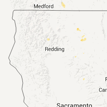
Hail Maps for La Porte, CA


Connect with Interactive Hail Maps