| 1/19/2016 1:38 PM PST |
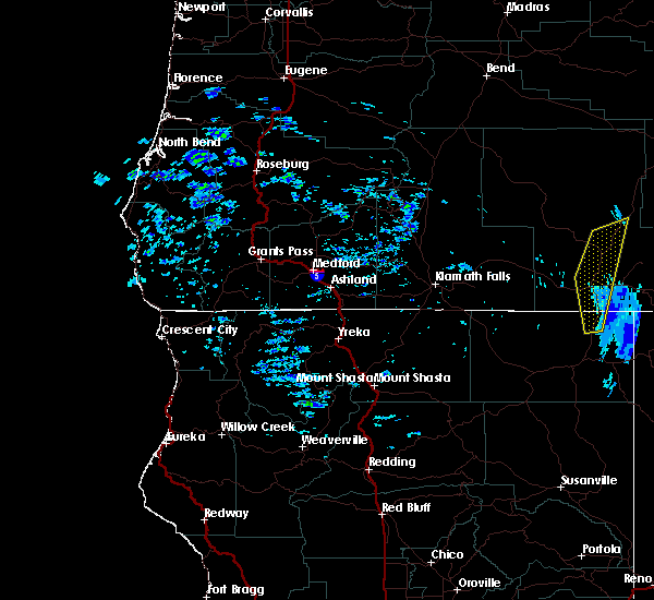 At 136 pm pst, doppler radar indicated a line of severe thunderstorms capable of producing damaging winds in excess of 60 mph. these storms were located along a line extending from near marster spring campground to 11 miles east of clear lake national wildlife refuge, moving northeast at 90 mph. locations impacted include, lakeview, vee lake trailhead, twin spring recreation site, valley falls, highway 140 at warner mountain summit, willow ranch, camas snow park, south fork crooked creek trailhead, rogger meadow trailhead, new pine creek, abert rim geology and goose lake state park. At 136 pm pst, doppler radar indicated a line of severe thunderstorms capable of producing damaging winds in excess of 60 mph. these storms were located along a line extending from near marster spring campground to 11 miles east of clear lake national wildlife refuge, moving northeast at 90 mph. locations impacted include, lakeview, vee lake trailhead, twin spring recreation site, valley falls, highway 140 at warner mountain summit, willow ranch, camas snow park, south fork crooked creek trailhead, rogger meadow trailhead, new pine creek, abert rim geology and goose lake state park.
|
| 1/19/2016 1:12 PM PST |
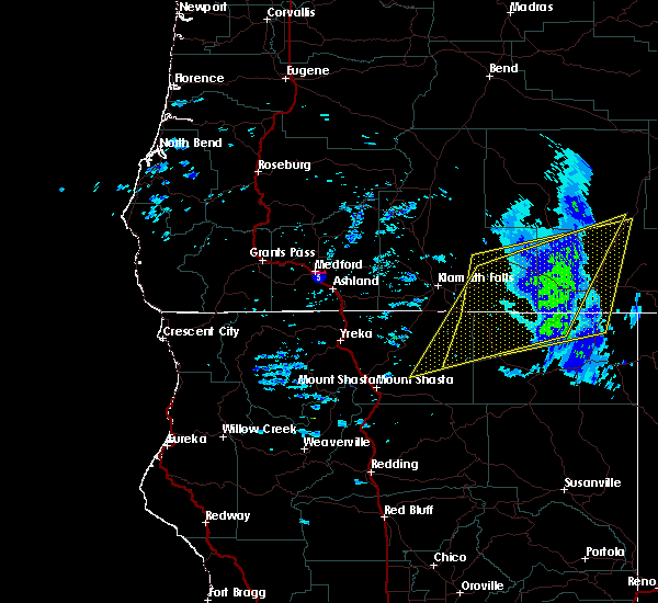
 At 111 pm pst, doppler radar indicated a line of severe thunderstorms capable of producing destructive winds in excess of 70 mph. these storms were located along a line extending from near beatty to doorknob snow park, and moving northeast at 45 mph. At 111 pm pst, doppler radar indicated a line of severe thunderstorms capable of producing destructive winds in excess of 70 mph. these storms were located along a line extending from near beatty to doorknob snow park, and moving northeast at 45 mph.
|
| 1/19/2016 1:12 PM PST |
 At 111 pm pst, doppler radar indicated a line of severe thunderstorms capable of producing destructive winds in excess of 70 mph. these storms were located along a line extending from near beatty to doorknob snow park, and moving northeast at 45 mph. At 111 pm pst, doppler radar indicated a line of severe thunderstorms capable of producing destructive winds in excess of 70 mph. these storms were located along a line extending from near beatty to doorknob snow park, and moving northeast at 45 mph.
|
| 5/11/2015 1:58 PM PDT |
At 150 pm pdt, trained weather spotters reported a severe thunderstorm producing quarter size hail. this storm was located over highway 140 at warner mountain summit, or near lakeview, moving northeast at 25 mph. locations impacted include, lakeview, vee lake trailhead, camas snow park, south fork crooked creek trailhead, valley falls and highway 140 at warner mountain summit.
|
| 5/11/2015 1:55 PM PDT |
Quarter sized hail reported 0.4 miles SW of Lakeview, OR, large hail... unknown size. power line struck by lightning and knocked out phone lines
|
| 5/11/2015 1:43 PM PDT |
At 142 pm pdt, trained weather spotters reported a severe thunderstorm producing quarter size hail. this storm was located near lakeview, and moving northeast at 30 mph.
|
| 5/11/2015 1:35 PM PDT |
Quarter sized hail reported 6.7 miles ENE of Lakeview, OR, mostly pea-size with some quarter-size.
|


Connect with Interactive Hail Maps