

Hail Map for Las Flores, CA
The Las Flores, CA area has had 0 reports of on-the-ground hail by trained spotters, and has been under severe weather warnings 0 times during the past 12 months. Doppler radar has detected hail at or near Las Flores, CA on 2 occasions.
| Name: | Las Flores, CA |
| Where Located: | 48.5 miles SE of Los Angeles, CA |
| Map: | Google Map for Las Flores, CA |
| Population: | 5971 |
| Housing Units: | 1969 |
| More Info: | Search Google for Las Flores, CA |
0
The Top Recent Hail Date for Las Flores, CA is Sunday, April 25, 2021 (2nd out of 2)

Hail and Wind Damage Spotted near Las Flores, CA
| Date / Time | Report Details |
|---|---|
| 9/3/2022 2:01 PM PDT |
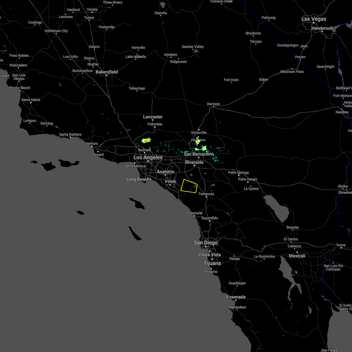 At 201 pm pdt, a severe thunderstorm was located near lake elsinore, moving west at 10 mph (radar indicated). Hazards include 60 mph wind gusts and penny size hail. expect damage to roofs, siding, and trees At 201 pm pdt, a severe thunderstorm was located near lake elsinore, moving west at 10 mph (radar indicated). Hazards include 60 mph wind gusts and penny size hail. expect damage to roofs, siding, and trees
|
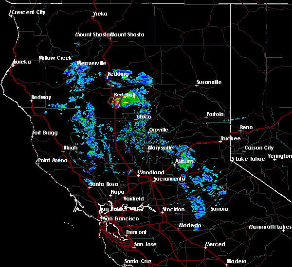
| 4/25/2021 5:46 PM PDT |
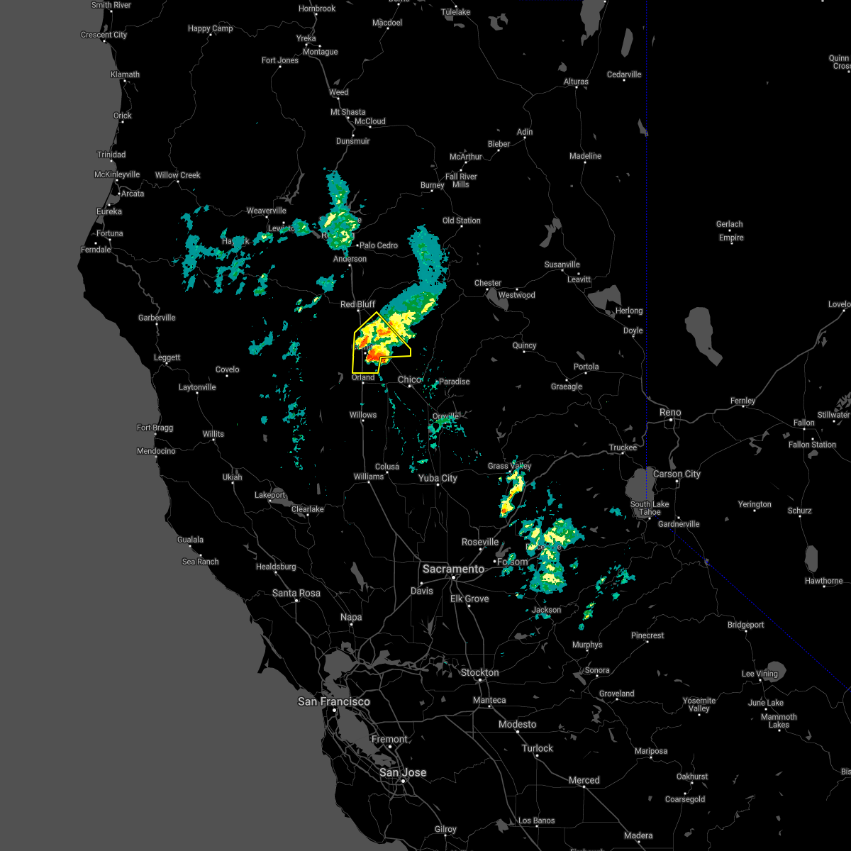 At 545 pm pdt, a severe thunderstorm was located near corning, moving northeast at 15 mph (radar indicated). Hazards include quarter size hail. signicant hail accumulations of several inches possible along highway 99 near los molinos and near corning. Damage to agriculture and hazardous driving. Locations impacted include, corning, tehama, richfield, gerber-las flores, vina and los molinos. At 545 pm pdt, a severe thunderstorm was located near corning, moving northeast at 15 mph (radar indicated). Hazards include quarter size hail. signicant hail accumulations of several inches possible along highway 99 near los molinos and near corning. Damage to agriculture and hazardous driving. Locations impacted include, corning, tehama, richfield, gerber-las flores, vina and los molinos.
|
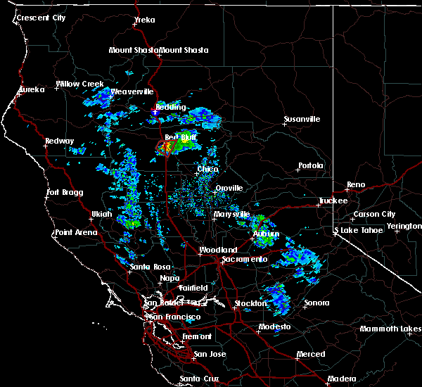
| 4/25/2021 5:14 PM PDT |
 At 511 pm pdt, a severe thunderstorm was located near los molinos, or 10 miles northeast of corning, moving northeast at 20 mph (radar indicated). Hazards include quarter size hail. signicant hail accumulations of several inches possible along highway 99 near los molinos. damage to agriculture and hazardous driving At 511 pm pdt, a severe thunderstorm was located near los molinos, or 10 miles northeast of corning, moving northeast at 20 mph (radar indicated). Hazards include quarter size hail. signicant hail accumulations of several inches possible along highway 99 near los molinos. damage to agriculture and hazardous driving
|
| 2/17/2017 6:28 PM PST |
 At 625 pm pst, doppler radar indicated severe thunderstorms capable of producing damaging winds in excess of 60 mph over eastern orange county in the santa ana canyons. there are reports of numerous trees down in laguna beach at 600 pm. in addition, dangerous flooding is occurring. this line of storms is moving east at 15 mph. locations impacted include, santa ana, irvine, orange, mission viejo, tustin, yorba linda, dana point, laguna beach, san clemente, fullerton, anaheim, laguna niguel, placentia, rancho santa margarita and aliso viejo. At 625 pm pst, doppler radar indicated severe thunderstorms capable of producing damaging winds in excess of 60 mph over eastern orange county in the santa ana canyons. there are reports of numerous trees down in laguna beach at 600 pm. in addition, dangerous flooding is occurring. this line of storms is moving east at 15 mph. locations impacted include, santa ana, irvine, orange, mission viejo, tustin, yorba linda, dana point, laguna beach, san clemente, fullerton, anaheim, laguna niguel, placentia, rancho santa margarita and aliso viejo.
|
| 2/17/2017 5:48 PM PST |
 At 546 pm pst, nws doppler radar indicated a line of severe thunderstorms moving through laguna beach and irvine. this line of heavy rain and high wind will move across orange county and into the santa ana foothills producing damaging winds. winds will decrease rapidly after the storms move through. At 546 pm pst, nws doppler radar indicated a line of severe thunderstorms moving through laguna beach and irvine. this line of heavy rain and high wind will move across orange county and into the santa ana foothills producing damaging winds. winds will decrease rapidly after the storms move through.
|
| 2/17/2017 4:51 PM PST |
 At 448 pm pst, nws doppler radar indicated a line of severe thunderstorms capable of producing damaging winds in excess of 65 mph. these storms were located along a line extending from los alamitos and huntington beach to offshore 20 miles west of san clemente, and moving east at 15 mph. wind gusts of 65 mph are expected with the line of heavy rain. At 448 pm pst, nws doppler radar indicated a line of severe thunderstorms capable of producing damaging winds in excess of 65 mph. these storms were located along a line extending from los alamitos and huntington beach to offshore 20 miles west of san clemente, and moving east at 15 mph. wind gusts of 65 mph are expected with the line of heavy rain.
|
| 3/7/2016 7:43 AM PST |
 At 740 am pst, doppler radar indicated a line of severe thunderstorms capable of producing damaging wind gusts of 45 to 60 mph over eastern orange county. this line of storms was located near canyon lake, moving east at 30 mph. the storms will progress eastward over the next hour, impacting the inland empire and northwest san diego county. locations impacted include but are not limited to, riverside, san bernardino, oceanside, ontario, irvine, moreno valley, corona, rialto, tustin, chino, redlands. At 740 am pst, doppler radar indicated a line of severe thunderstorms capable of producing damaging wind gusts of 45 to 60 mph over eastern orange county. this line of storms was located near canyon lake, moving east at 30 mph. the storms will progress eastward over the next hour, impacting the inland empire and northwest san diego county. locations impacted include but are not limited to, riverside, san bernardino, oceanside, ontario, irvine, moreno valley, corona, rialto, tustin, chino, redlands.
|
| 3/7/2016 7:10 AM PST |
 At 706 am pst, doppler radar indicated a line of severe thunderstorms capable of producing damaging wind gusts of 45 to 60 mph moving through central orange county. this line of storms was located near el toro, moving east at 35 mph. the stroms will progress eastward over the next hour, impacting the inland empire and northwest san diego county. locations impacted include, santa ana, anaheim, riverside, huntington beach, san bernardino, oceanside, ontario, irvine, fontana, orange, rancho cucamonga, corona, costa mesa, mission viejo, rialto. At 706 am pst, doppler radar indicated a line of severe thunderstorms capable of producing damaging wind gusts of 45 to 60 mph moving through central orange county. this line of storms was located near el toro, moving east at 35 mph. the stroms will progress eastward over the next hour, impacting the inland empire and northwest san diego county. locations impacted include, santa ana, anaheim, riverside, huntington beach, san bernardino, oceanside, ontario, irvine, fontana, orange, rancho cucamonga, corona, costa mesa, mission viejo, rialto.
|
| 3/7/2016 6:36 AM PST |
 At 635 am pst, doppler radar indicated a line of severe thunderstorms capable of producing damaging wind gusts of 45 to 60 mph approaching the orange county coast. the leading edge of the storms was located 5 miles southwest of seal beach, and moving east at 35 mph. At 635 am pst, doppler radar indicated a line of severe thunderstorms capable of producing damaging wind gusts of 45 to 60 mph approaching the orange county coast. the leading edge of the storms was located 5 miles southwest of seal beach, and moving east at 35 mph.
|
| 1/31/2016 2:51 PM PST |
 The severe thunderstorm warning for orange county will expire at 300 pm pst, the line of storms which prompted the warning have moved out of the area. therefore the warning will be allowed to expire. however gusty winds are still possible in the area following the passage of a cold front. The severe thunderstorm warning for orange county will expire at 300 pm pst, the line of storms which prompted the warning have moved out of the area. therefore the warning will be allowed to expire. however gusty winds are still possible in the area following the passage of a cold front.
|
| 1/31/2016 2:43 PM PST |
 At 236 pm pst, trained weather spotters reported a line of severe thunderstorms producing damaging winds. these storms have moved east out of orange county, and continue to move northeast at 35 mph. damaging winds up to 55 mph were reported in several locations around orange county with these storms. trained spotters have also reported numerous instances of downed tree limbs and power lines. locations impacted include, santa ana, anaheim, huntington beach, garden grove, irvine, orange, costa mesa, mission viejo, westminster, tustin, el toro, laguna niguel, yorba linda, fountain valley, san clemente, placentia, san juan capistrano, laguna hills, tustin foothills and laguna beach. At 236 pm pst, trained weather spotters reported a line of severe thunderstorms producing damaging winds. these storms have moved east out of orange county, and continue to move northeast at 35 mph. damaging winds up to 55 mph were reported in several locations around orange county with these storms. trained spotters have also reported numerous instances of downed tree limbs and power lines. locations impacted include, santa ana, anaheim, huntington beach, garden grove, irvine, orange, costa mesa, mission viejo, westminster, tustin, el toro, laguna niguel, yorba linda, fountain valley, san clemente, placentia, san juan capistrano, laguna hills, tustin foothills and laguna beach.
|
| 1/31/2016 1:38 PM PST |
 At 137 pm pst, doppler radar indicated a line of severe thunderstorms capable of producing damaging winds in excess of 60 mph. these storms were located along a line extending from near westminster to 14 miles southwest of laguna beach to 23 miles southeast of avalon, and moving northeast at 35 mph. At 137 pm pst, doppler radar indicated a line of severe thunderstorms capable of producing damaging winds in excess of 60 mph. these storms were located along a line extending from near westminster to 14 miles southwest of laguna beach to 23 miles southeast of avalon, and moving northeast at 35 mph.
|
| 1/23/2016 3:51 PM PST |
 At 349 pm pst, trained weather spotters reported a severe thunderstorm producing deep hail on i5. this storm was located over richfield, or near corning, and moving south at 9 mph. At 349 pm pst, trained weather spotters reported a severe thunderstorm producing deep hail on i5. this storm was located over richfield, or near corning, and moving south at 9 mph.
|
| 1/23/2016 3:34 PM PST |
 At 328 pm pst, trained weather spotters reported a funnel cloud 7 miles southwest of red bluff. a tornado may develop at any time. this dangerous storm was located 7 miles south of red bluff over i5, slowly moving east southeast at 5 mph. in addition, at small hail 3 inches deep was reported on i5 4 miles south of red bluff. traffic is at a standstill and numerous accidents have been reported. locations impacted include, i5 south of red bluff, richfield tehama, gerber-las flores and los molinos. At 328 pm pst, trained weather spotters reported a funnel cloud 7 miles southwest of red bluff. a tornado may develop at any time. this dangerous storm was located 7 miles south of red bluff over i5, slowly moving east southeast at 5 mph. in addition, at small hail 3 inches deep was reported on i5 4 miles south of red bluff. traffic is at a standstill and numerous accidents have been reported. locations impacted include, i5 south of red bluff, richfield tehama, gerber-las flores and los molinos.
|
| 1/23/2016 3:14 PM PST |
 At 312 pm pst, trained weather spotters reported a funnel cloud near paskenta road south of red bluff. a tornado may develop at any time. doppler radar showed this dangerous storm moving east southast at 8 mph. At 312 pm pst, trained weather spotters reported a funnel cloud near paskenta road south of red bluff. a tornado may develop at any time. doppler radar showed this dangerous storm moving east southast at 8 mph.
|
| 1/23/2016 2:54 PM PST |
 At 250 pm pst, doppler radar indicated a severe thunderstorm capable of producing a tornado. this dangerous storm was located south southwest of red bluff, moving east southeast at 10 mph. locations impacted include, interstate 5 south of red bluff. the tornado will cross interstate 5 between flores avenue and gyle road. At 250 pm pst, doppler radar indicated a severe thunderstorm capable of producing a tornado. this dangerous storm was located south southwest of red bluff, moving east southeast at 10 mph. locations impacted include, interstate 5 south of red bluff. the tornado will cross interstate 5 between flores avenue and gyle road.
|
| 1/23/2016 2:36 PM PST |
 At 233 pm pst, doppler radar indicated severe thunderstorms capable of producing a tornado located near red bluff and south along i5, and moving east at 10 mph. At 233 pm pst, doppler radar indicated severe thunderstorms capable of producing a tornado located near red bluff and south along i5, and moving east at 10 mph.
|
| 1/13/2016 2:22 PM PST |
 The national weather service in sacramento has issued a * tornado warning for. central tehama county in northern california. until 315 pm pst * at 222 pm pst. doppler radar indicated a severe thunderstorm capable of producing a tornado. This dangerous storm was located. The national weather service in sacramento has issued a * tornado warning for. central tehama county in northern california. until 315 pm pst * at 222 pm pst. doppler radar indicated a severe thunderstorm capable of producing a tornado. This dangerous storm was located.
|
| 1/6/2016 1:12 PM PST |
 At 106 pm pst, doppler radar indicated a severe thunderstorm capable of producing damaging winds in excess of 60 mph. this storm was located near corona, moving northeast at 20 mph. locations impacted include, santa ana, anaheim, riverside, garden grove, ontario, irvine, moreno valley, fontana, orange, corona, mission viejo, rialto, tustin, chino, el toro, yorba linda, colton, placentia, perris and laguna hills. At 106 pm pst, doppler radar indicated a severe thunderstorm capable of producing damaging winds in excess of 60 mph. this storm was located near corona, moving northeast at 20 mph. locations impacted include, santa ana, anaheim, riverside, garden grove, ontario, irvine, moreno valley, fontana, orange, corona, mission viejo, rialto, tustin, chino, el toro, yorba linda, colton, placentia, perris and laguna hills.
|
| 1/6/2016 12:46 PM PST |
 At 1244 pm pst, doppler radar indicated a severe thunderstorm capable of producing damaging winds in excess of 60 mph. this storm was located over southwestern corona, and moving northeast at 25 mph. a line of storms will be capable of severe wind and heavy rain. cities of tustin and norco are in the path of the severe storm. At 1244 pm pst, doppler radar indicated a severe thunderstorm capable of producing damaging winds in excess of 60 mph. this storm was located over southwestern corona, and moving northeast at 25 mph. a line of storms will be capable of severe wind and heavy rain. cities of tustin and norco are in the path of the severe storm.
|
Hail Maps for Las Flores, CA

Connect with Interactive Hail Maps