

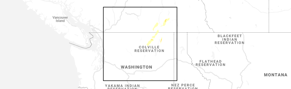
Hail Map for Laurier, WA
The Laurier, WA area has had 0 reports of on-the-ground hail by trained spotters, and has been under severe weather warnings 0 times during the past 12 months. Doppler radar has detected hail at or near Laurier, WA on 2 occasions.
| Name: | Laurier, WA |
| Where Located: | 72.1 miles NE of Omak, WA |
| Map: | Google Map for Laurier, WA |
| Population: | 1 |
| Housing Units: | 3 |
| More Info: | Search Google for Laurier, WA |
5
The Top Recent Hail Date for Laurier, WA is Sunday, June 13, 2021 (2nd out of 2)
Hail and Wind Damage Spotted near Laurier, WA
| Date / Time | Report Details |
|---|---|
| 5/30/2015 6:26 PM PDT | At 622 pm pdt, us customs and border patrol officials at laurier reported a severe thunderstorm producing one half inch to three quarter inch hail and damaging winds in excess of 60 mph. this storm was located 29 miles north of colville, or 75 miles northwest of priest river, moving east at 25 mph. this storm is likely producing quarter size hail over other location closer to the core of the storm. locations impacted include, marble, lauier and pierre lake campground. |
| 5/30/2015 6:21 PM PDT | At 620 pm pdt, doppler radar indicated a severe thunderstorm capable of producing quarter size hail and damaging winds in excess of 60 mph. this storm was located 29 miles northeast of sherman pass, or 75 miles northeast of omak, moving east at 25 mph. locations impacted include, marble, lauier and pierre lake campground. |
| 5/30/2015 6:16 PM PDT | At 616 pm pdt, doppler radar indicated a severe thunderstorm capable of producing quarter size hail. this storm was located 28 miles northeast of sherman pass, or 73 miles northeast of omak, moving east at 25 mph. locations impacted include, marble, lauier and pierre lake campground. |
| 5/30/2015 5:59 PM PDT | At 558 pm pdt, doppler radar indicated a severe thunderstorm capable of producing quarter size hail. this storm was located 25 miles north of sherman pass, or 65 miles northeast of omak, and moving east at 20 mph. |
Hail Maps for Laurier, WA


Connect with Interactive Hail Maps