

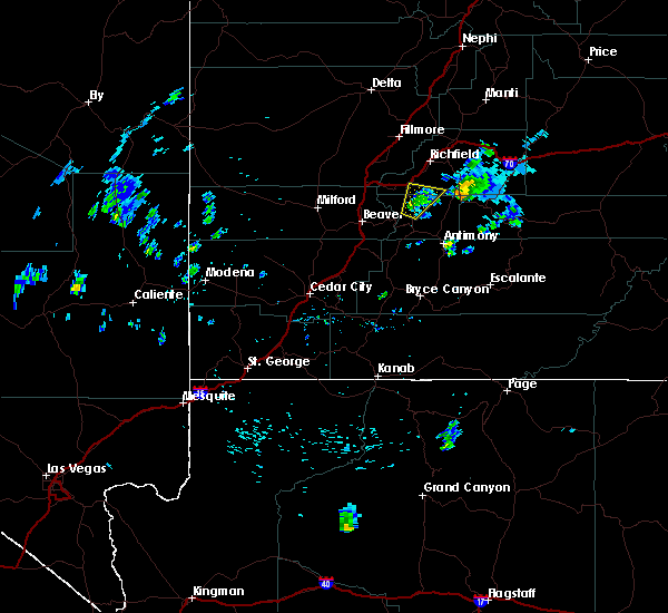
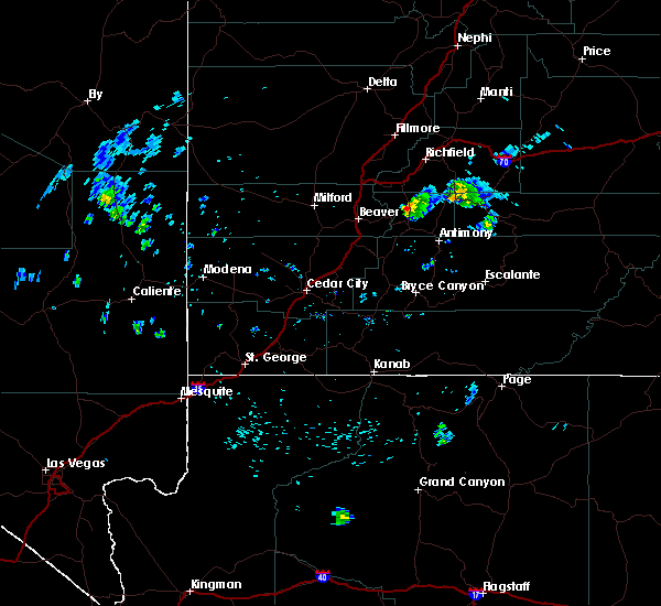
Hail Map for Marysvale, UT
The Marysvale, UT area has had 0 reports of on-the-ground hail by trained spotters, and has been under severe weather warnings 0 times during the past 12 months. Doppler radar has detected hail at or near Marysvale, UT on 1 occasion, including 1 occasion during the past year.
| Name: | Marysvale, UT |
| Where Located: | 15.1 miles SSW of Monroe, UT |
| Map: | Google Map for Marysvale, UT |
| Population: | 408 |
| Housing Units: | 264 |
| More Info: | Search Google for Marysvale, UT |
0
The Top Recent Hail Date for Marysvale, UT is Sunday, May 14, 2023 (1st out of 1)

Hail and Wind Damage Spotted near Marysvale, UT
| Date / Time | Report Details |
|---|---|
| 7/22/2018 5:52 PM MDT |
 At 548 pm mdt, a severe thunderstorm was located near marysvale, or 17 miles north of junction, moving north at 20 mph (radar indicated). Hazards include quarter size hail. Highway 89 between marysvale and junction has been closed in both directions. Locations impacted include, marysvale and sevier. At 548 pm mdt, a severe thunderstorm was located near marysvale, or 17 miles north of junction, moving north at 20 mph (radar indicated). Hazards include quarter size hail. Highway 89 between marysvale and junction has been closed in both directions. Locations impacted include, marysvale and sevier.
|
| 7/22/2018 5:25 PM MDT |
 At 523 pm mdt, a severe thunderstorm was located near marysvale, or 10 miles north of junction, moving north at 20 mph. this storm will affect highway 89 between junction and marysville (radar indicated). Hazards include quarter size hail. gusty winds around 50 mph. damage to vehicles is possible At 523 pm mdt, a severe thunderstorm was located near marysvale, or 10 miles north of junction, moving north at 20 mph. this storm will affect highway 89 between junction and marysville (radar indicated). Hazards include quarter size hail. gusty winds around 50 mph. damage to vehicles is possible
|
Hail Maps for Marysvale, UT

Connect with Interactive Hail Maps