

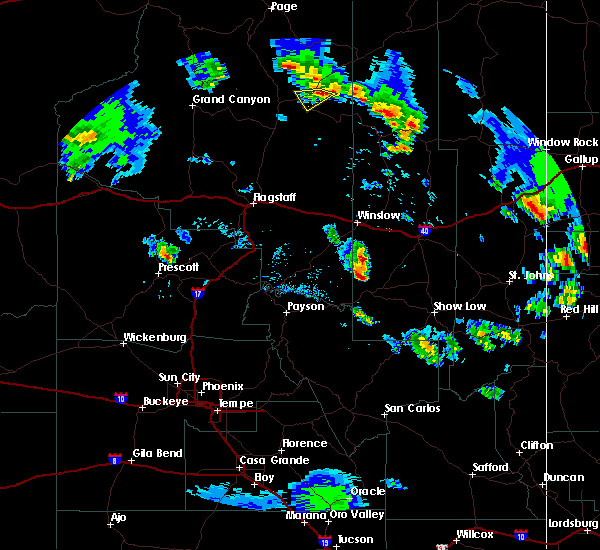
Hail Map for Moenkopi, AZ
The Moenkopi, AZ area has had 0 reports of on-the-ground hail by trained spotters, and has been under severe weather warnings 0 times during the past 12 months. Doppler radar has detected hail at or near Moenkopi, AZ on 2 occasions, including 1 occasion during the past year.
| Name: | Moenkopi, AZ |
| Where Located: | 67.4 miles NNE of Flagstaff, AZ |
| Map: | Google Map for Moenkopi, AZ |
| Population: | 964 |
| Housing Units: | 284 |
| More Info: | Search Google for Moenkopi, AZ |
5
The Top Recent Hail Date for Moenkopi, AZ is Thursday, August 10, 2023 (2nd out of 2)

Hail and Wind Damage Spotted near Moenkopi, AZ
| Date / Time | Report Details |
|---|---|
| 7/1/2015 5:49 PM MDT |
 At 448 pm mst, doppler radar indicated a severe thunderstorm capable of producing quarter size hail and destructive winds in excess of 70 mph. this storm was located 12 miles east of tuba city, and moving southwest at 20 mph. * this severe thunderstorm will be near, tuba city around 515 pm mst. this includes the following highways, state route 264 between mile markers 325 and 326, and near mile marker 332. highway 160 between mile markers 323 and 332. At 448 pm mst, doppler radar indicated a severe thunderstorm capable of producing quarter size hail and destructive winds in excess of 70 mph. this storm was located 12 miles east of tuba city, and moving southwest at 20 mph. * this severe thunderstorm will be near, tuba city around 515 pm mst. this includes the following highways, state route 264 between mile markers 325 and 326, and near mile marker 332. highway 160 between mile markers 323 and 332.
|
Hail Maps for Moenkopi, AZ


Connect with Interactive Hail Maps