

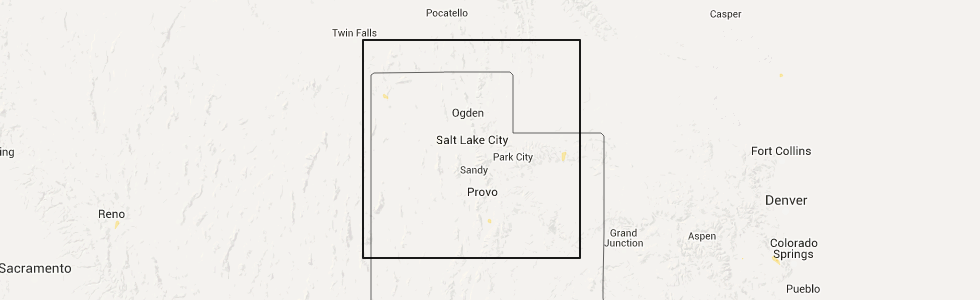
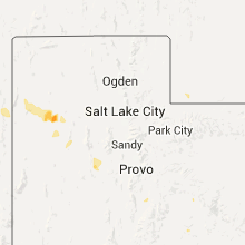
Hail Map for Mount Pleasant, UT
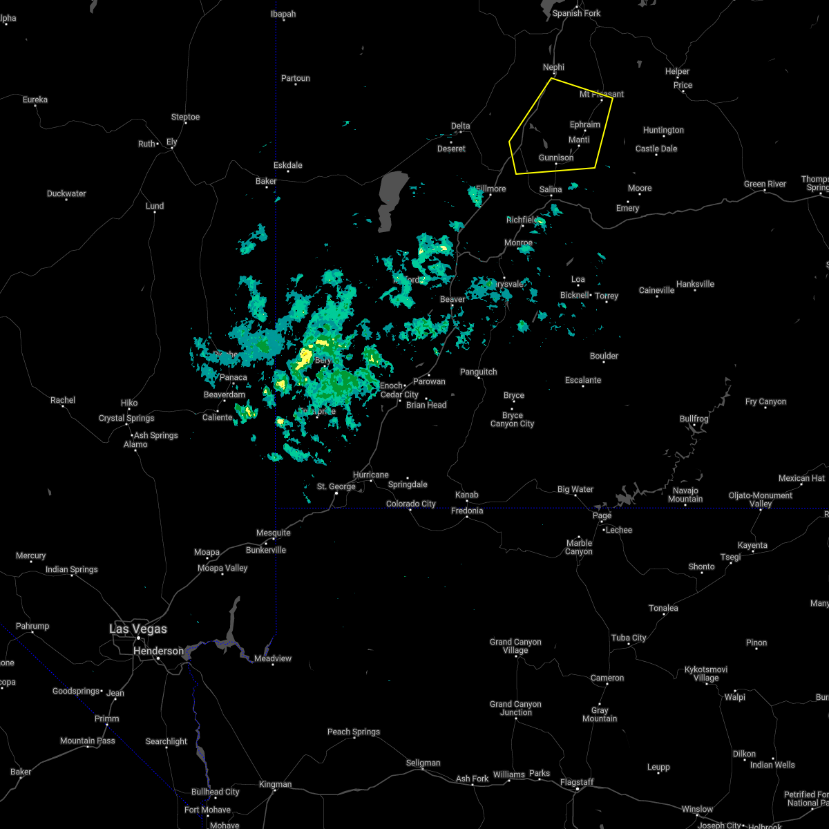
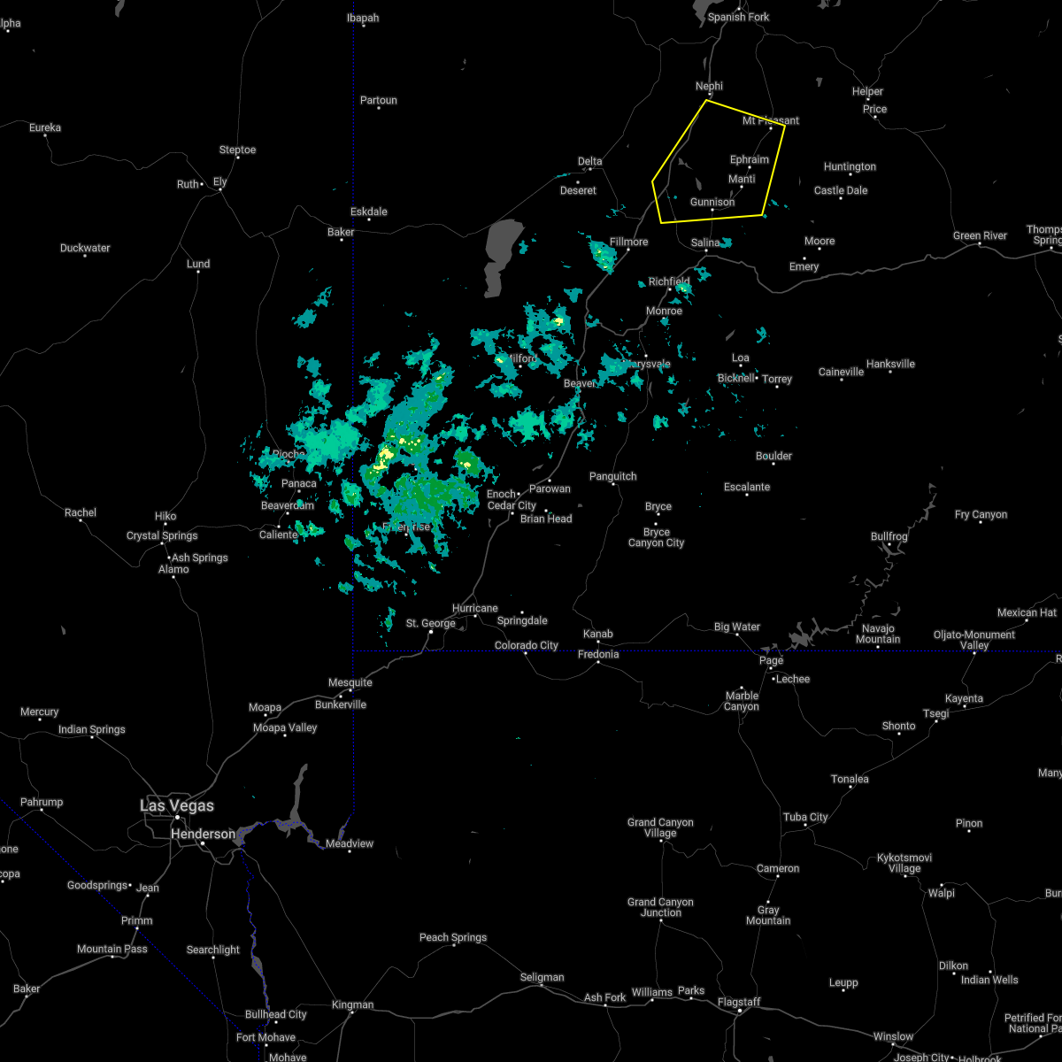
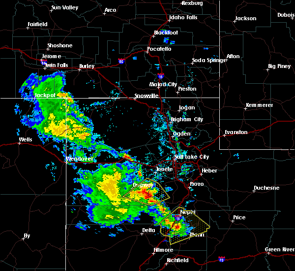
The Mount Pleasant, UT area has had 0 reports of on-the-ground hail by trained spotters, and has been under severe weather warnings 0 times during the past 12 months. Doppler radar has detected hail at or near Mount Pleasant, UT on 5 occasions.
| Name: | Mount Pleasant, UT |
| Where Located: | 34.9 miles W of Price, UT |
| Map: | Google Map for Mount Pleasant, UT |
| Population: | 3260 |
| Housing Units: | 1135 |
| More Info: | Search Google for Mount Pleasant, UT |
5
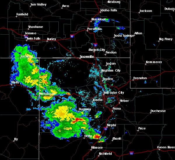
The Top Recent Hail Date for Mount Pleasant, UT is Tuesday, June 30, 2015 (1st out of 5)
Hail and Wind Damage Spotted near Mount Pleasant, UT
| Date / Time | Report Details |
|---|---|
| 4/16/2022 5:04 PM MDT |
 At 504 pm mdt, a severe thunderstorm was located near fayette, or 8 miles west of manti, moving east at 55 mph (radar indicated). Hazards include 60 mph wind gusts. Expect damage to roofs, siding, and trees. locations impacted include, manti, moroni, scipio, ephraim, gunnison, mount pleasant, wales, fayette, centerfield, fountain green, spring city, levan, mayfield, sterling and yuba lake state park. this includes the following highways, interstate 15 between mile markers 184 and 217, and between mile markers 221 and 222. us route 50 between mile markers 130 and 141. us route 89 between mile markers 239 and 280. hail threat, radar indicated max hail size, <. 75 in wind threat, radar indicated max wind gust, 60 mph. At 504 pm mdt, a severe thunderstorm was located near fayette, or 8 miles west of manti, moving east at 55 mph (radar indicated). Hazards include 60 mph wind gusts. Expect damage to roofs, siding, and trees. locations impacted include, manti, moroni, scipio, ephraim, gunnison, mount pleasant, wales, fayette, centerfield, fountain green, spring city, levan, mayfield, sterling and yuba lake state park. this includes the following highways, interstate 15 between mile markers 184 and 217, and between mile markers 221 and 222. us route 50 between mile markers 130 and 141. us route 89 between mile markers 239 and 280. hail threat, radar indicated max hail size, <. 75 in wind threat, radar indicated max wind gust, 60 mph.
|
| 4/16/2022 4:50 PM MDT |
 At 449 pm mdt, a severe thunderstorm was located near scipio, moving east at 55 mph (radar indicated). Hazards include 60 mph wind gusts. expect damage to roofs, siding, and trees At 449 pm mdt, a severe thunderstorm was located near scipio, moving east at 55 mph (radar indicated). Hazards include 60 mph wind gusts. expect damage to roofs, siding, and trees
|
| 6/5/2020 4:30 PM MDT | Sanpete - agrimet mesonet station in sanpete county UT, 1.1 miles E of Mount Pleasant, UT |
| 8/8/2019 5:48 PM MDT |
 At 548 pm mdt, a severe thunderstorm was located 11 miles south of nephi, moving northeast at 35 mph (radar indicated). Hazards include 60 mph wind gusts. Expect damage to roofs, siding, and trees. Locations impacted include, nephi, moroni, ephraim, mount pleasant, wales, mona, fairview, fountain green, spring city, levan and mills. At 548 pm mdt, a severe thunderstorm was located 11 miles south of nephi, moving northeast at 35 mph (radar indicated). Hazards include 60 mph wind gusts. Expect damage to roofs, siding, and trees. Locations impacted include, nephi, moroni, ephraim, mount pleasant, wales, mona, fairview, fountain green, spring city, levan and mills.
|
| 8/8/2019 5:28 PM MDT |
 At 527 pm mdt, a severe thunderstorm was located 13 miles north of scipio, moving northeast at 35 mph (radar indicated). Hazards include 60 mph wind gusts. expect damage to roofs, siding, and trees At 527 pm mdt, a severe thunderstorm was located 13 miles north of scipio, moving northeast at 35 mph (radar indicated). Hazards include 60 mph wind gusts. expect damage to roofs, siding, and trees
|
| 8/23/2018 12:46 AM MDT |
 At 1245 am mdt, a severe thunderstorm was located 11 miles north of moroni, moving east southeast at 40 mph (radar indicated). Hazards include 60 mph wind gusts and quarter size hail. Hail damage to vehicles is expected. expect wind damage to roofs, siding, and trees. This severe thunderstorm will remain over mainly rural areas of northeastern sanpete county, including the following locations: fairview, milburn, indianola and fountain green. At 1245 am mdt, a severe thunderstorm was located 11 miles north of moroni, moving east southeast at 40 mph (radar indicated). Hazards include 60 mph wind gusts and quarter size hail. Hail damage to vehicles is expected. expect wind damage to roofs, siding, and trees. This severe thunderstorm will remain over mainly rural areas of northeastern sanpete county, including the following locations: fairview, milburn, indianola and fountain green.
|
| 8/23/2018 12:08 AM MDT |
 At 1207 am mdt, a severe thunderstorm was located 8 miles west of nephi, moving east at 40 mph (radar indicated). Hazards include ping pong ball size hail and 60 mph wind gusts. People and animals outdoors will be injured. expect hail damage to roofs, siding, windows, and vehicles. expect wind damage to roofs, siding, and trees. this severe thunderstorm will be near, nephi around 1220 am mdt. Other locations impacted by this severe thunderstorm include fairview, mona, milburn, indianola and fountain green. At 1207 am mdt, a severe thunderstorm was located 8 miles west of nephi, moving east at 40 mph (radar indicated). Hazards include ping pong ball size hail and 60 mph wind gusts. People and animals outdoors will be injured. expect hail damage to roofs, siding, windows, and vehicles. expect wind damage to roofs, siding, and trees. this severe thunderstorm will be near, nephi around 1220 am mdt. Other locations impacted by this severe thunderstorm include fairview, mona, milburn, indianola and fountain green.
|
| 6/11/2016 1:52 PM MDT |
 At 151 pm mdt, doppler radar indicated a severe thunderstorm capable of producing destructive winds in excess of 70 mph. this storm has a history of producing strong wind gusts, including an 80 mph gust near salina. this storm was located near mount pleasant, or 7 miles southeast of moroni, moving northeast at 40 mph. locations impacted include, moroni, ephraim, mount pleasant, fairview, spring city and milburn. At 151 pm mdt, doppler radar indicated a severe thunderstorm capable of producing destructive winds in excess of 70 mph. this storm has a history of producing strong wind gusts, including an 80 mph gust near salina. this storm was located near mount pleasant, or 7 miles southeast of moroni, moving northeast at 40 mph. locations impacted include, moroni, ephraim, mount pleasant, fairview, spring city and milburn.
|
| 6/11/2016 1:23 PM MDT |
 At 123 pm mdt, doppler radar indicated a severe thunderstorm capable of producing destructive winds in excess of 70 mph. this storm was located over manti, and moving northeast at 40 mph. At 123 pm mdt, doppler radar indicated a severe thunderstorm capable of producing destructive winds in excess of 70 mph. this storm was located over manti, and moving northeast at 40 mph.
|
| 5/27/2015 5:19 PM MDT | At 518 pm mdt, doppler radar indicated a severe thunderstorm capable of producing quarter size hail. this storm was located near fayette, or 9 miles west of manti, moving northeast at 25 mph. locations impacted include, manti, moroni, ephraim, gunnison, mount pleasant, wales, fayette, centerfield and spring city. |
| 5/27/2015 5:02 PM MDT | At 502 pm mdt, doppler radar indicated a severe thunderstorm capable of producing quarter size hail. this storm was located near fayette, or 10 miles east of scipio, and moving northeast at 25 mph. |
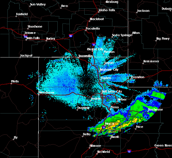
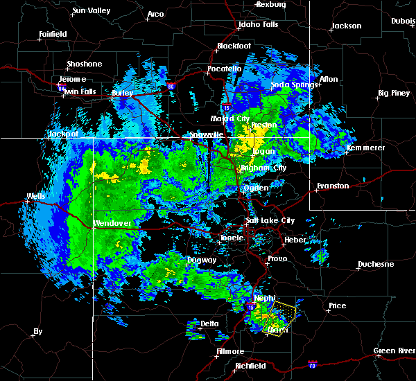
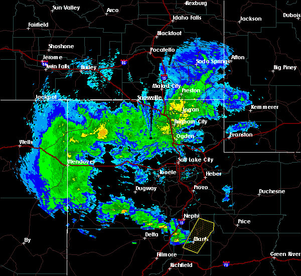
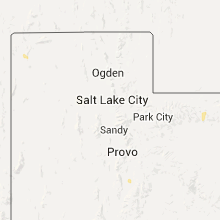
Hail Maps for Mount Pleasant, UT


Connect with Interactive Hail Maps