

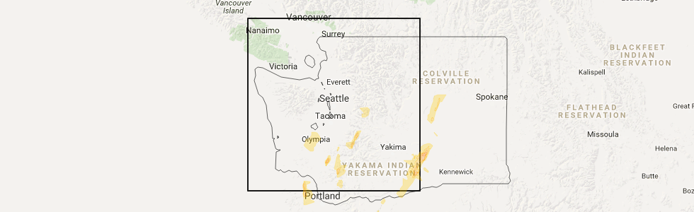
Hail Map for Rainier, WA
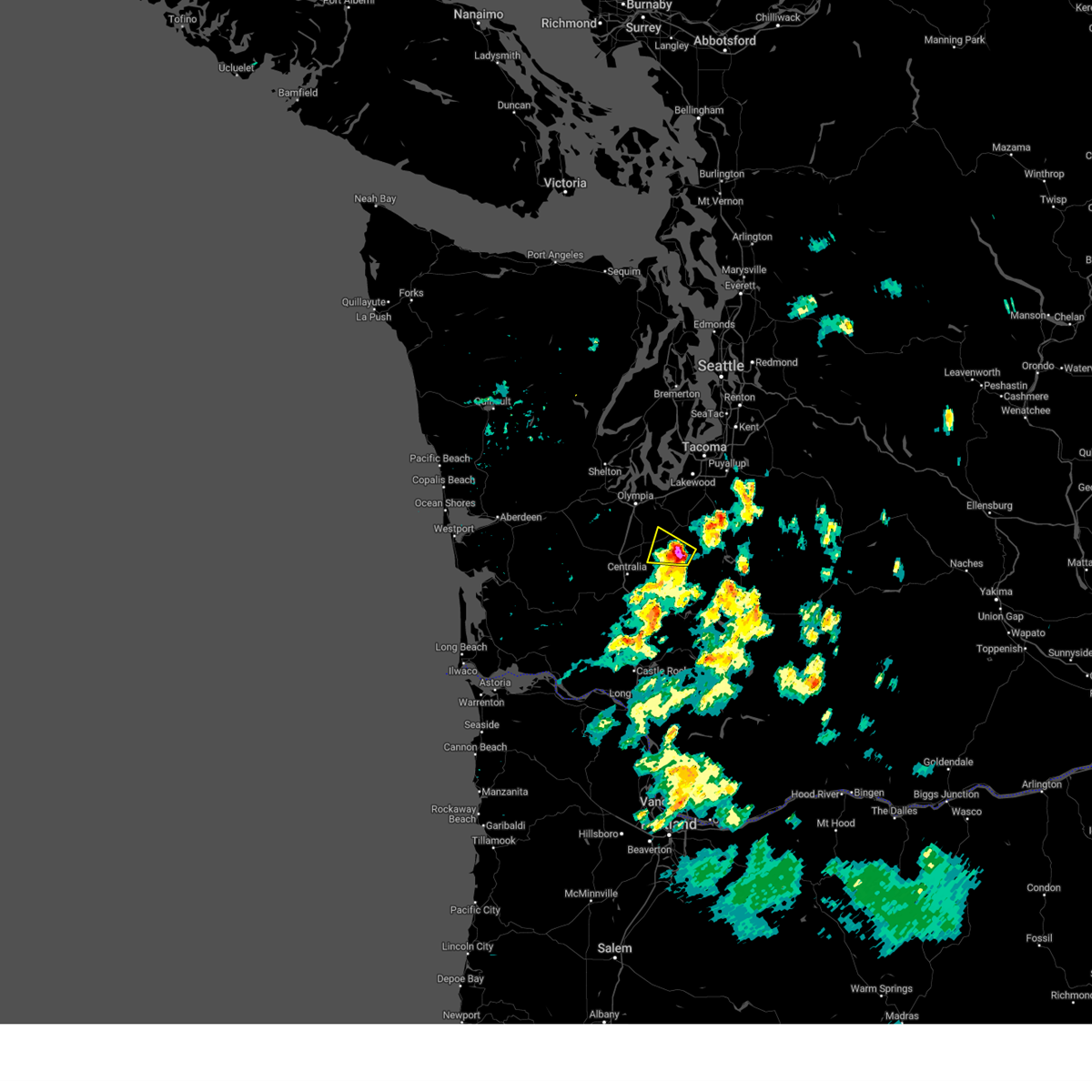
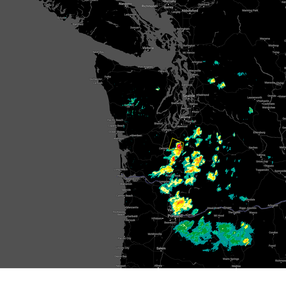
The Rainier, WA area has had 0 reports of on-the-ground hail by trained spotters, and has been under severe weather warnings 2 times during the past 12 months. Doppler radar has detected hail at or near Rainier, WA on 2 occasions.
| Name: | Rainier, WA |
| Where Located: | 51.9 miles SSW of Seattle, WA |
| Map: | Google Map for Rainier, WA |
| Population: | 1794 |
| Housing Units: | 717 |
| More Info: | Search Google for Rainier, WA |
0
The Top Recent Hail Date for Rainier, WA is Thursday, May 4, 2017 (2nd out of 2)
Hail and Wind Damage Spotted near Rainier, WA
| Date / Time | Report Details |
|---|---|
| 5/15/2023 6:09 PM PDT |
 At 608 pm pdt, a severe thunderstorm was located 7 miles east of tenino, or 14 miles northeast of centralia, moving west at 20 mph (radar indicated). Hazards include 60 mph wind gusts and quarter size hail. Hail damage to vehicles is expected. expect wind damage to roofs, siding, and trees. locations impacted include, rainier. hail threat, radar indicated max hail size, 1. 00 in wind threat, radar indicated max wind gust, 60 mph. At 608 pm pdt, a severe thunderstorm was located 7 miles east of tenino, or 14 miles northeast of centralia, moving west at 20 mph (radar indicated). Hazards include 60 mph wind gusts and quarter size hail. Hail damage to vehicles is expected. expect wind damage to roofs, siding, and trees. locations impacted include, rainier. hail threat, radar indicated max hail size, 1. 00 in wind threat, radar indicated max wind gust, 60 mph.
|
| 5/15/2023 5:53 PM PDT |
 At 553 pm pdt, a severe thunderstorm was located 9 miles south of yelm, or 18 miles east of centralia, moving west at 20 mph (radar indicated). Hazards include 60 mph wind gusts and quarter size hail. Hail damage to vehicles is expected. Expect wind damage to roofs, siding, and trees. At 553 pm pdt, a severe thunderstorm was located 9 miles south of yelm, or 18 miles east of centralia, moving west at 20 mph (radar indicated). Hazards include 60 mph wind gusts and quarter size hail. Hail damage to vehicles is expected. Expect wind damage to roofs, siding, and trees.
|
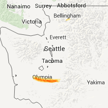
Hail Maps for Rainier, WA

Connect with Interactive Hail Maps