

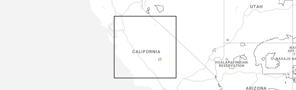
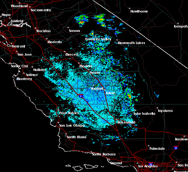
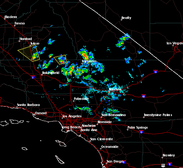
Hail Map for Sugarloaf Saw Mill, CA
The Sugarloaf Saw Mill, CA area has had 0 reports of on-the-ground hail by trained spotters, and has been under severe weather warnings 0 times during the past 12 months. Doppler radar has detected hail at or near Sugarloaf Saw Mill, CA on 1 occasion, including 1 occasion during the past year.
| Name: | Sugarloaf Saw Mill, CA |
| Where Located: | 39.5 miles NE of Bakersfield, CA |
| Map: | Google Map for Sugarloaf Saw Mill, CA |
| Population: | 18 |
| Housing Units: | 61 |
| More Info: | Search Google for Sugarloaf Saw Mill, CA |
5
The Top Recent Hail Date for Sugarloaf Saw Mill, CA is Sunday, August 13, 2023 (1st out of 1)
Hail and Wind Damage Spotted near Sugarloaf Saw Mill, CA
| Date / Time | Report Details |
|---|---|
| 6/17/2019 1:38 PM PDT |
 At 136 pm pdt, a severe thunderstorm was located 20 miles east of east porterville, or 23 miles east of porterville, moving south at 20 mph (radar indicated). Hazards include 60 mph wind gusts and quarter size hail. Hail damage to vehicles is expected. Expect wind damage to roofs, siding, and trees. At 136 pm pdt, a severe thunderstorm was located 20 miles east of east porterville, or 23 miles east of porterville, moving south at 20 mph (radar indicated). Hazards include 60 mph wind gusts and quarter size hail. Hail damage to vehicles is expected. Expect wind damage to roofs, siding, and trees.
|
| 9/11/2017 4:54 PM PDT |
 At 454 pm pdt, a severe thunderstorm was located near south lake cdp, or 8 miles northeast of lake isabella, moving north at 25 mph (radar indicated). Hazards include 60 mph wind gusts and quarter size hail. Hail damage to vehicles is expected. expect wind damage to roofs, siding, and trees. Locations impacted include, lake isabella, riverkern, kernville and wofford heights. At 454 pm pdt, a severe thunderstorm was located near south lake cdp, or 8 miles northeast of lake isabella, moving north at 25 mph (radar indicated). Hazards include 60 mph wind gusts and quarter size hail. Hail damage to vehicles is expected. expect wind damage to roofs, siding, and trees. Locations impacted include, lake isabella, riverkern, kernville and wofford heights.
|
| 9/11/2017 4:40 PM PDT |
 At 440 pm pdt, doppler radar indicated a severe thunderstorm capable of producing quarter size hail and damaging winds in excess of 60 mph. this storm was located over south lake cdp, or near lake isabella, and moving north at 25 mph. At 440 pm pdt, doppler radar indicated a severe thunderstorm capable of producing quarter size hail and damaging winds in excess of 60 mph. this storm was located over south lake cdp, or near lake isabella, and moving north at 25 mph.
|
Hail Maps for Sugarloaf Saw Mill, CA

Connect with Interactive Hail Maps