

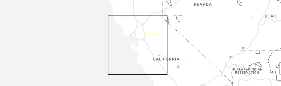
Hail Map for Taft Mosswood, CA
The Taft Mosswood, CA area has had 0 reports of on-the-ground hail by trained spotters, and has been under severe weather warnings 0 times during the past 12 months. Doppler radar has detected hail at or near Taft Mosswood, CA on 1 occasion.
| Name: | Taft Mosswood, CA |
| Where Located: | 51.5 miles NE of San Jose, CA |
| Map: | Google Map for Taft Mosswood, CA |
| Population: | 1530 |
| Housing Units: | 420 |
| More Info: | Search Google for Taft Mosswood, CA |
0
The Top Recent Hail Date for Taft Mosswood, CA is Saturday, March 11, 2023 (1st out of 1)
Hail and Wind Damage Spotted near Taft Mosswood, CA
| Date / Time | Report Details |
|---|---|
| 3/11/2023 1:06 PM PST |
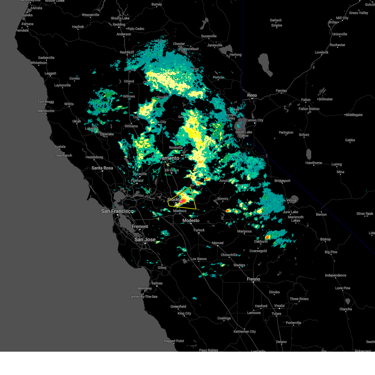 At 104 pm pst, a severe thunderstorm was located over garden acres, or near stockton, moving east at 25 mph (there was a public report of quarter sized hail in stockton). Hazards include quarter size hail. Damage to vehicles is expected. locations impacted include, stockton, waterloo, farmington, country club, taft mosswood, garden acres, kennedy, august, linden, morada, lincoln village and lockeford. hail threat, observed max hail size, 1. 00 in wind threat, radar indicated max wind gust, <50 mph. At 104 pm pst, a severe thunderstorm was located over garden acres, or near stockton, moving east at 25 mph (there was a public report of quarter sized hail in stockton). Hazards include quarter size hail. Damage to vehicles is expected. locations impacted include, stockton, waterloo, farmington, country club, taft mosswood, garden acres, kennedy, august, linden, morada, lincoln village and lockeford. hail threat, observed max hail size, 1. 00 in wind threat, radar indicated max wind gust, <50 mph.
|
| 3/11/2023 12:42 PM PST |
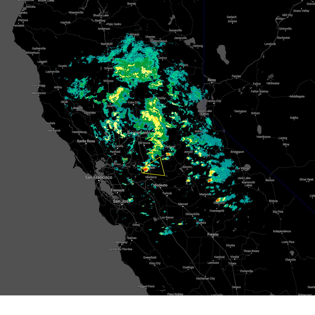 At 1242 pm pst, a severe thunderstorm was located over country club, or near stockton, moving east at 25 mph (radar indicated). Hazards include quarter size hail. damage to vehicles is expected At 1242 pm pst, a severe thunderstorm was located over country club, or near stockton, moving east at 25 mph (radar indicated). Hazards include quarter size hail. damage to vehicles is expected
|
Hail Maps for Taft Mosswood, CA
Connect with Interactive Hail Maps