

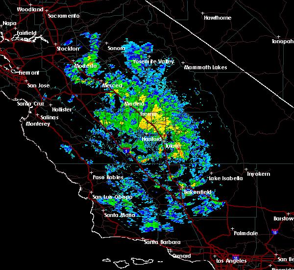
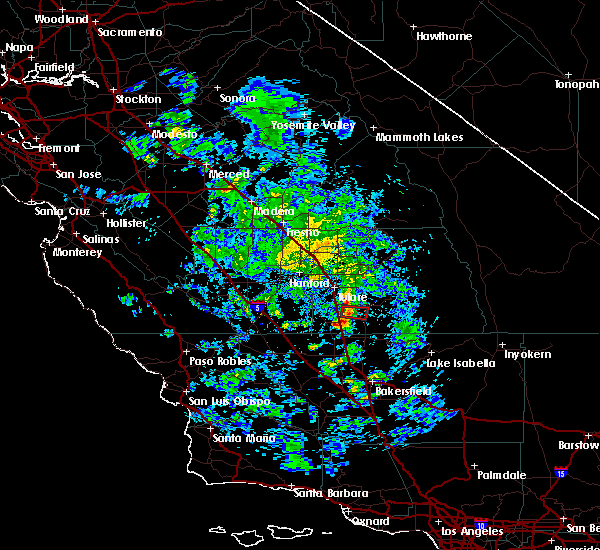
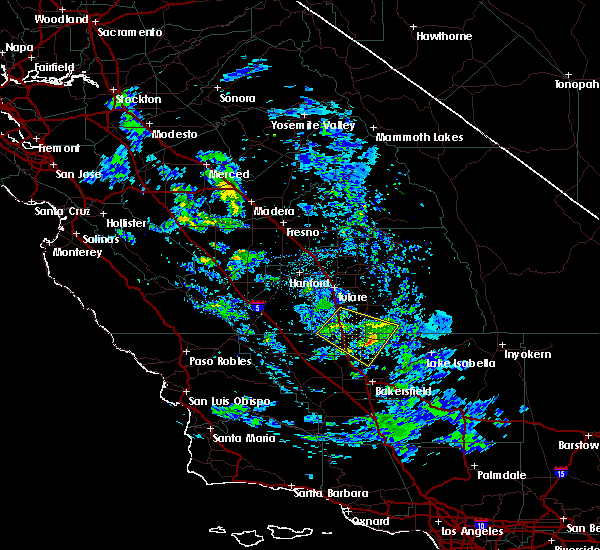
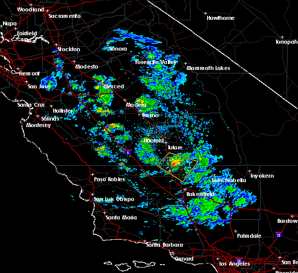
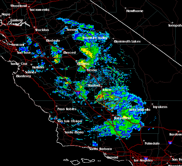
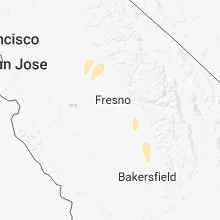
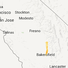
Hail Map for Terra Bella, CA
The Terra Bella, CA area has had 0 reports of on-the-ground hail by trained spotters, and has been under severe weather warnings 0 times during the past 12 months. Doppler radar has detected hail at or near Terra Bella, CA on 2 occasions.
| Name: | Terra Bella, CA |
| Where Located: | 40.7 miles N of Bakersfield, CA |
| Map: | Google Map for Terra Bella, CA |
| Population: | 3310 |
| Housing Units: | 824 |
| More Info: | Search Google for Terra Bella, CA |
5
The Top Recent Hail Date for Terra Bella, CA is Thursday, March 22, 2018 (1st out of 2)

Hail and Wind Damage Spotted near Terra Bella, CA
| Date / Time | Report Details |
|---|---|
| 5/26/2019 3:33 PM PDT |
 At 332 pm pdt, a severe thunderstorm capable of producing a tornado was located about 9 miles east-southeast of porterville, moving to the east at around 30 mph (radar indicated rotation). Hazards include tornado. Damage to roofs, windows, and vehicles will occur. tree damage is likely. Locations impacted include, terra bella and springville. At 332 pm pdt, a severe thunderstorm capable of producing a tornado was located about 9 miles east-southeast of porterville, moving to the east at around 30 mph (radar indicated rotation). Hazards include tornado. Damage to roofs, windows, and vehicles will occur. tree damage is likely. Locations impacted include, terra bella and springville.
|
| 5/26/2019 3:19 PM PDT |
 At 317 pm pdt, a severe thunderstorm capable of producing a tornado was located just south of porterville, moving to the east at around 30 mph (radar indicated rotation). Hazards include tornado. Damage to roofs, windows, and vehicles will occur. tree damage is likely. This tornadic thunderstorm will remain over mainly rural areas of south central tulare county, including the following locations, springville. At 317 pm pdt, a severe thunderstorm capable of producing a tornado was located just south of porterville, moving to the east at around 30 mph (radar indicated rotation). Hazards include tornado. Damage to roofs, windows, and vehicles will occur. tree damage is likely. This tornadic thunderstorm will remain over mainly rural areas of south central tulare county, including the following locations, springville.
|
| 5/26/2019 2:54 PM PDT |
 At 253 pm pdt, a severe thunderstorm capable of producing a tornado was located near poplar-cotton center, or about 11 miles southwest of porterville, moving to the east at 20 mph (radar indicated rotation). Hazards include tornado. Flying debris will be dangerous to those caught without shelter. mobile homes will be damaged or destroyed. damage to roofs, windows, and vehicles will occur. tree damage is likely. This dangerous storm will be near, terra bella around 320 pm pdt. At 253 pm pdt, a severe thunderstorm capable of producing a tornado was located near poplar-cotton center, or about 11 miles southwest of porterville, moving to the east at 20 mph (radar indicated rotation). Hazards include tornado. Flying debris will be dangerous to those caught without shelter. mobile homes will be damaged or destroyed. damage to roofs, windows, and vehicles will occur. tree damage is likely. This dangerous storm will be near, terra bella around 320 pm pdt.
|
| 5/19/2019 6:54 PM PDT |
 The severe thunderstorm warning for north central kern and southwestern tulare counties will expire at 700 pm pdt, the storm which prompted the warning has weakened below severe limits, and no longer poses an immediate threat to life or property. therefore, the warning will be allowed to expire. however small hail and gusty winds are still possible with this thunderstorm. The severe thunderstorm warning for north central kern and southwestern tulare counties will expire at 700 pm pdt, the storm which prompted the warning has weakened below severe limits, and no longer poses an immediate threat to life or property. therefore, the warning will be allowed to expire. however small hail and gusty winds are still possible with this thunderstorm.
|
| 5/19/2019 6:23 PM PDT |
 At 621 pm pdt, a severe thunderstorm was located near delano, moving east-southeast at 20 mph (radar indicated). Hazards include hail up to one inch in diameter. strong gusty outflow winds, frequent lightning, brief heavy rain and a possible funnel cloud. damaging strong winds and hail which could damage vehicles At 621 pm pdt, a severe thunderstorm was located near delano, moving east-southeast at 20 mph (radar indicated). Hazards include hail up to one inch in diameter. strong gusty outflow winds, frequent lightning, brief heavy rain and a possible funnel cloud. damaging strong winds and hail which could damage vehicles
|
| 5/19/2019 5:45 PM PDT |
 At 543 pm pdt, a severe thunderstorm was located 7 miles west of earlimart, or 11 miles northwest of delano, moving southeast at 20 mph (radar indicated). Hazards include hail up to one inch in diameter. strong gusty outflow winds, frequent lightning and a possible funnel cloud. damaging strong winds and hail which could damage vehicles At 543 pm pdt, a severe thunderstorm was located 7 miles west of earlimart, or 11 miles northwest of delano, moving southeast at 20 mph (radar indicated). Hazards include hail up to one inch in diameter. strong gusty outflow winds, frequent lightning and a possible funnel cloud. damaging strong winds and hail which could damage vehicles
|
| 3/22/2018 4:18 PM PDT |
 At 415 pm pdt, nws doppler radar detected a line of severe thunderstorms extended from visalia southwestward to lost hills. thunderstorms were moving norhteastward at about 25 mph. Hazards include potentially damaging winds in excess of 58 mph along with torrential rainfall and localized flooding. frequent cloud to ground lightning and small hail. At 415 pm pdt, nws doppler radar detected a line of severe thunderstorms extended from visalia southwestward to lost hills. thunderstorms were moving norhteastward at about 25 mph. Hazards include potentially damaging winds in excess of 58 mph along with torrential rainfall and localized flooding. frequent cloud to ground lightning and small hail.
|
Hail Maps for Terra Bella, CA
Connect with Interactive Hail Maps