

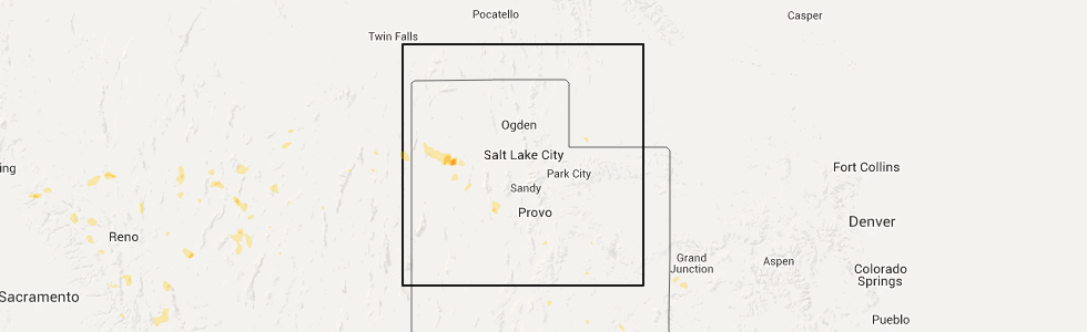
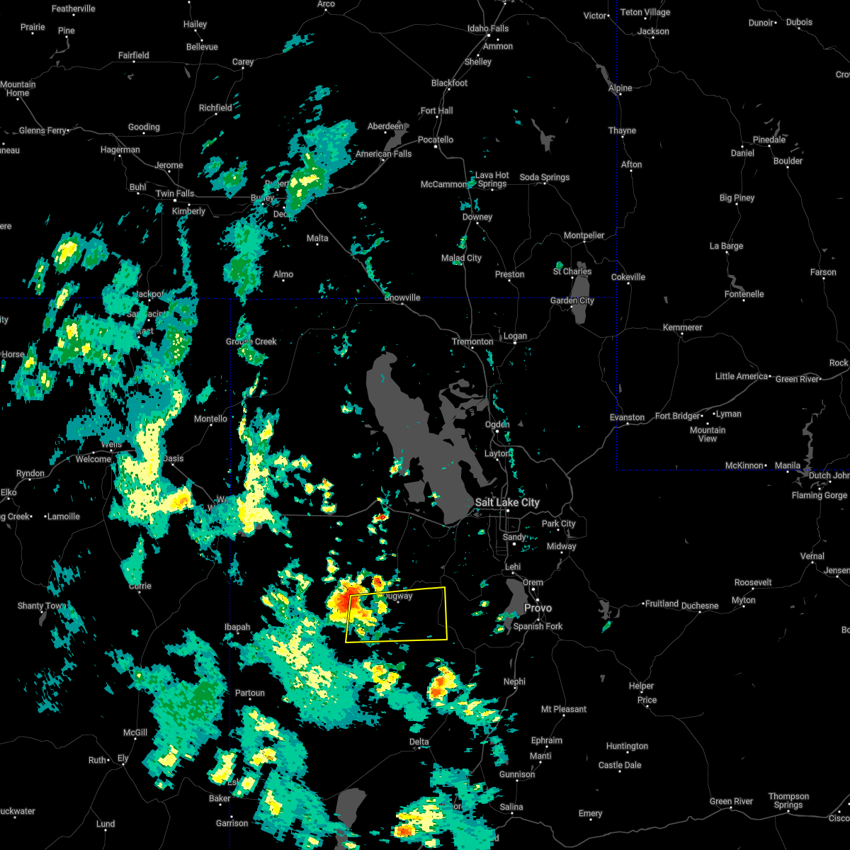
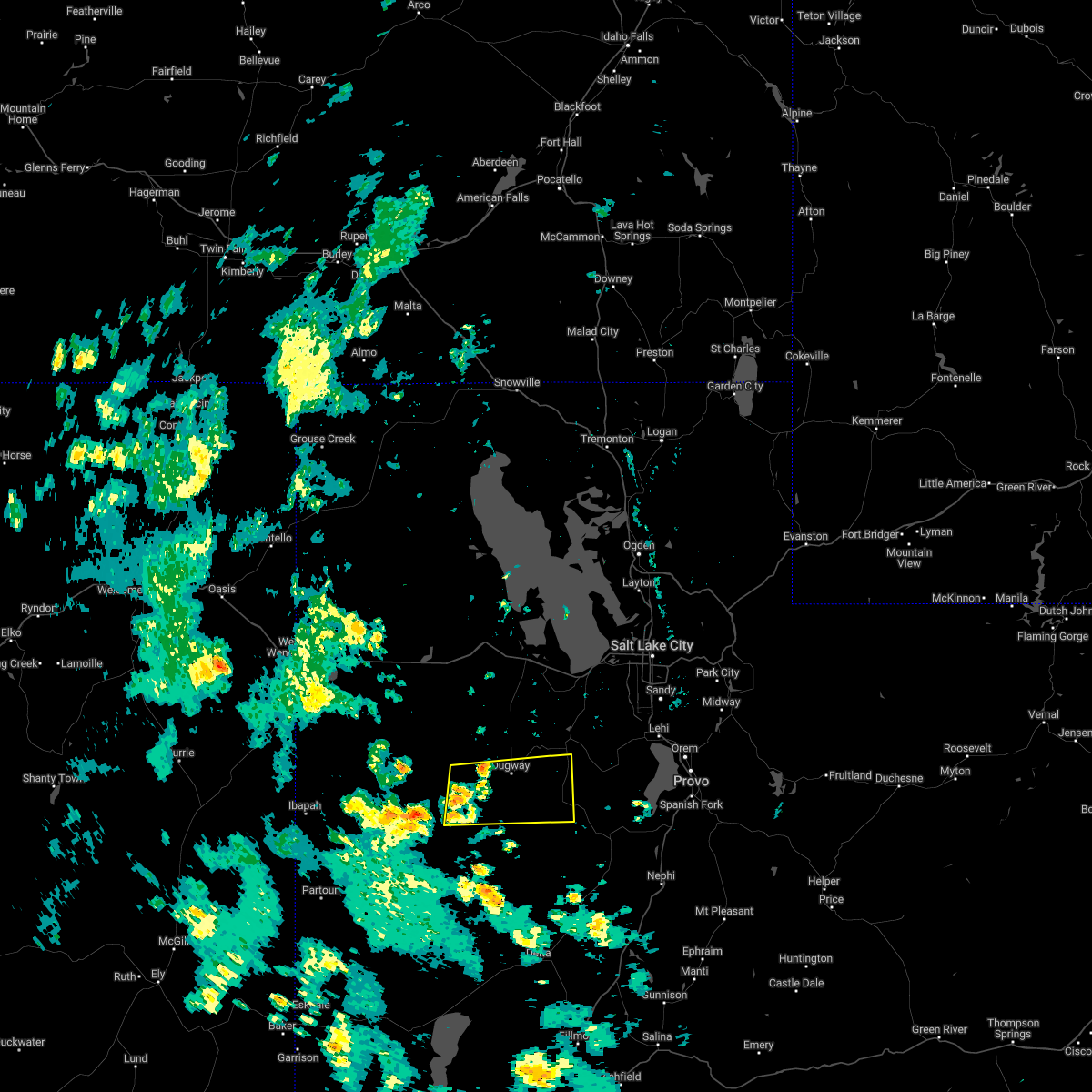
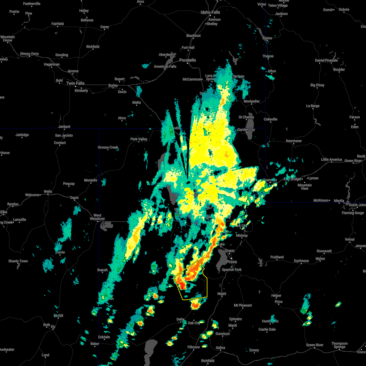
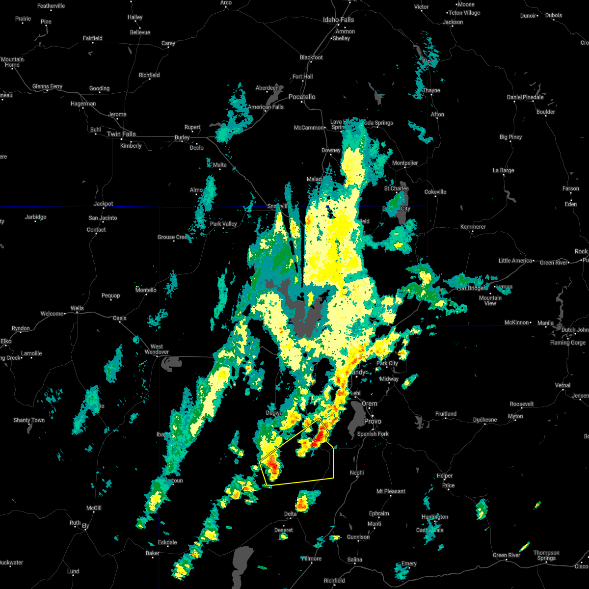
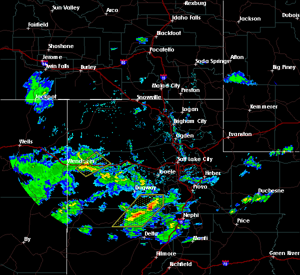
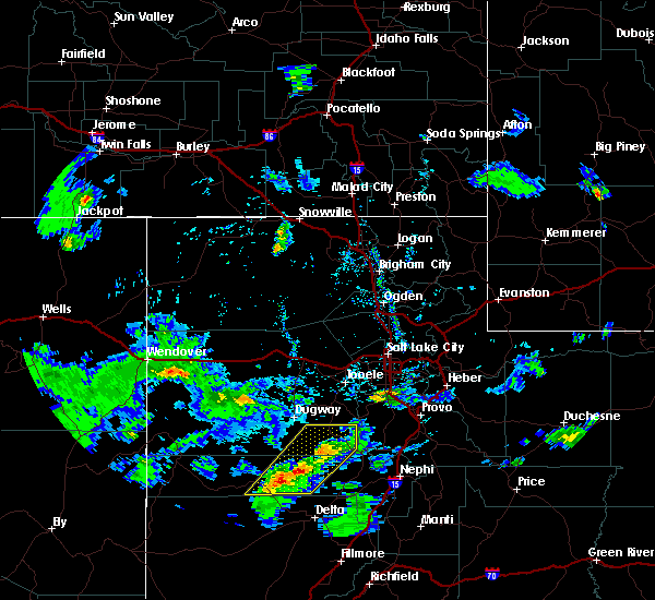
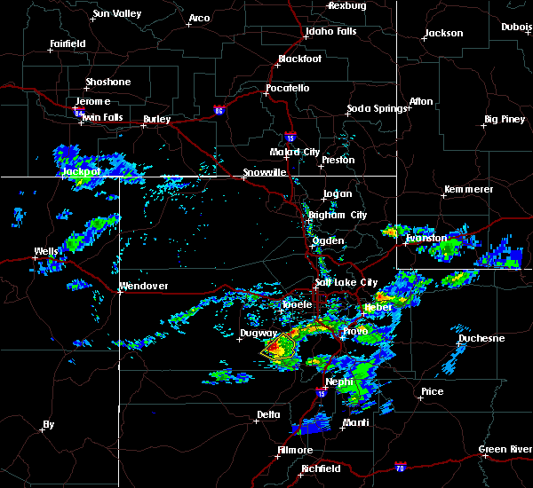
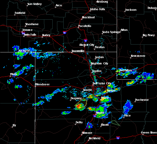
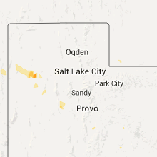
Hail Map for Vernon, UT
The Vernon, UT area has had 0 reports of on-the-ground hail by trained spotters, and has been under severe weather warnings 12 times during the past 12 months. Doppler radar has detected hail at or near Vernon, UT on 6 occasions.
| Name: | Vernon, UT |
| Where Located: | 53.8 miles SSW of Salt Lake City, UT |
| Map: | Google Map for Vernon, UT |
| Population: | 243 |
| Housing Units: | 89 |
| More Info: | Search Google for Vernon, UT |
5
The Top Recent Hail Date for Vernon, UT is Wednesday, July 8, 2015 (1st out of 6)
Hail and Wind Damage Spotted near Vernon, UT
| Date / Time | Report Details |
|---|---|
| 8/2/2023 2:45 PM MDT | Mesonet station vrh vernon hil in tooele county UT, 3.5 miles SW of Vernon, UT |
| 8/2/2023 2:38 PM MDT |
 At 237 pm mdt, severe thunderstorms were located along a line extending from 7 miles east of vernon to near elk ridge, moving north at 30 mph (radar indicated). Hazards include 70 mph wind gusts and quarter size hail. Hail damage to vehicles is expected. expect considerable tree damage. wind damage is also likely to mobile homes, roofs, and outbuildings. locations impacted include, payson, spanish fork, springville, santaquin, mapleton, salem, elk ridge, woodland hills, rocky ridge, vernon, palmyra, benjamin, lake shore, spring lake, west mountain, elberta, utah lake, mona, genola and goshen. this includes the following highways, interstate 15 between mile markers 228 and 261. us route 6 between mile markers 125 and 184. thunderstorm damage threat, considerable hail threat, radar indicated max hail size, 1. 00 in wind threat, observed max wind gust, 70 mph. At 237 pm mdt, severe thunderstorms were located along a line extending from 7 miles east of vernon to near elk ridge, moving north at 30 mph (radar indicated). Hazards include 70 mph wind gusts and quarter size hail. Hail damage to vehicles is expected. expect considerable tree damage. wind damage is also likely to mobile homes, roofs, and outbuildings. locations impacted include, payson, spanish fork, springville, santaquin, mapleton, salem, elk ridge, woodland hills, rocky ridge, vernon, palmyra, benjamin, lake shore, spring lake, west mountain, elberta, utah lake, mona, genola and goshen. this includes the following highways, interstate 15 between mile markers 228 and 261. us route 6 between mile markers 125 and 184. thunderstorm damage threat, considerable hail threat, radar indicated max hail size, 1. 00 in wind threat, observed max wind gust, 70 mph.
|
| 8/2/2023 2:22 PM MDT |
 At 221 pm mdt, severe thunderstorms were located along a line extending from 11 miles southeast of vernon to 6 miles southeast of rocky ridge, moving north at 30 mph (radar indicated). Hazards include 70 mph wind gusts and quarter size hail. at 210 pm a wind gust to 77 mph was reported west of nephi. Hail damage to vehicles is expected. expect considerable tree damage. wind damage is also likely to mobile homes, roofs, and outbuildings. locations impacted include, payson, spanish fork, springville, santaquin, mapleton, salem, elk ridge, woodland hills, rocky ridge, vernon, palmyra, benjamin, lake shore, spring lake, west mountain, elberta, utah lake, mona, genola and goshen. this includes the following highways, interstate 15 between mile markers 228 and 261. us route 6 between mile markers 125 and 184. thunderstorm damage threat, considerable hail threat, radar indicated max hail size, 1. 00 in wind threat, observed max wind gust, 70 mph. At 221 pm mdt, severe thunderstorms were located along a line extending from 11 miles southeast of vernon to 6 miles southeast of rocky ridge, moving north at 30 mph (radar indicated). Hazards include 70 mph wind gusts and quarter size hail. at 210 pm a wind gust to 77 mph was reported west of nephi. Hail damage to vehicles is expected. expect considerable tree damage. wind damage is also likely to mobile homes, roofs, and outbuildings. locations impacted include, payson, spanish fork, springville, santaquin, mapleton, salem, elk ridge, woodland hills, rocky ridge, vernon, palmyra, benjamin, lake shore, spring lake, west mountain, elberta, utah lake, mona, genola and goshen. this includes the following highways, interstate 15 between mile markers 228 and 261. us route 6 between mile markers 125 and 184. thunderstorm damage threat, considerable hail threat, radar indicated max hail size, 1. 00 in wind threat, observed max wind gust, 70 mph.
|
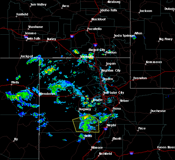
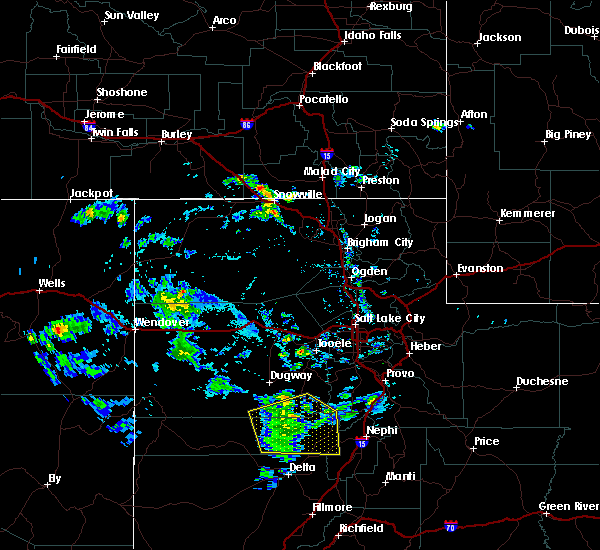
| 8/2/2023 1:46 PM MDT |
 At 145 pm mdt, severe thunderstorms were located along a line extending from 24 miles north of delta to 8 miles south of nephi, moving north at 30 mph (radar indicated. at 120 pm a wind gust to 61 mph was reported at the sevier river bridge along i-15). Hazards include 60 mph wind gusts and quarter size hail. Hail damage to vehicles is expected. Expect wind damage to roofs, siding, and trees. At 145 pm mdt, severe thunderstorms were located along a line extending from 24 miles north of delta to 8 miles south of nephi, moving north at 30 mph (radar indicated. at 120 pm a wind gust to 61 mph was reported at the sevier river bridge along i-15). Hazards include 60 mph wind gusts and quarter size hail. Hail damage to vehicles is expected. Expect wind damage to roofs, siding, and trees.
|
| 7/26/2023 7:51 PM MDT |
 The severe thunderstorm warning for southeastern tooele county will expire at 800 pm mdt, the storms which prompted the warning have weakened below severe limits, and no longer pose an immediate threat to life or property. therefore, the warning will be allowed to expire. however gusty winds are still possible with these thunderstorms. The severe thunderstorm warning for southeastern tooele county will expire at 800 pm mdt, the storms which prompted the warning have weakened below severe limits, and no longer pose an immediate threat to life or property. therefore, the warning will be allowed to expire. however gusty winds are still possible with these thunderstorms.
|
| 7/26/2023 7:42 PM MDT |
 At 741 pm mdt, severe thunderstorms were located along a line extending from 16 miles northeast of dugway proving ground test range to 8 miles northeast of vernon, moving northeast at 25 mph (automated weather sensors). Hazards include 60 mph wind gusts. Expect damage to roofs, siding, and trees. locations impacted include, dugway english village, vernon, tooele army depot south, skull valley, dugway proving ground test range, rush valley, faust and lofgreen. hail threat, radar indicated max hail size, <. 75 in wind threat, observed max wind gust, 60 mph. At 741 pm mdt, severe thunderstorms were located along a line extending from 16 miles northeast of dugway proving ground test range to 8 miles northeast of vernon, moving northeast at 25 mph (automated weather sensors). Hazards include 60 mph wind gusts. Expect damage to roofs, siding, and trees. locations impacted include, dugway english village, vernon, tooele army depot south, skull valley, dugway proving ground test range, rush valley, faust and lofgreen. hail threat, radar indicated max hail size, <. 75 in wind threat, observed max wind gust, 60 mph.
|
| 7/26/2023 7:26 PM MDT |
 At 726 pm mdt, severe thunderstorms were located along a line extending from 12 miles northeast of dugway proving ground test range to near vernon, moving northeast at 25 mph (automated weather stations continue to report winds up to 65 mph). Hazards include 60 mph wind gusts. Expect damage to roofs, siding, and trees. locations impacted include, dugway english village, vernon, tooele army depot south, skull valley, dugway proving ground test range, rush valley, faust and lofgreen. hail threat, radar indicated max hail size, <. 75 in wind threat, observed max wind gust, 60 mph. At 726 pm mdt, severe thunderstorms were located along a line extending from 12 miles northeast of dugway proving ground test range to near vernon, moving northeast at 25 mph (automated weather stations continue to report winds up to 65 mph). Hazards include 60 mph wind gusts. Expect damage to roofs, siding, and trees. locations impacted include, dugway english village, vernon, tooele army depot south, skull valley, dugway proving ground test range, rush valley, faust and lofgreen. hail threat, radar indicated max hail size, <. 75 in wind threat, observed max wind gust, 60 mph.
|
| 7/26/2023 7:13 PM MDT |
 At 712 pm mdt, severe thunderstorms were located along a line extending from dugway proving ground test range to 8 miles southwest of vernon, moving northeast at 25 mph (automated weather stations reported wind gusts in excess of 60 mph). Hazards include 60 mph wind gusts. expect damage to roofs, siding, and trees At 712 pm mdt, severe thunderstorms were located along a line extending from dugway proving ground test range to 8 miles southwest of vernon, moving northeast at 25 mph (automated weather stations reported wind gusts in excess of 60 mph). Hazards include 60 mph wind gusts. expect damage to roofs, siding, and trees
|
| 7/19/2023 6:26 PM MDT |
 The severe thunderstorm warning for eastern tooele county will expire at 630 pm mdt, the storms which prompted the warning have weakened below severe limits, and have exited the warned area. therefore, the warning will be allowed to expire. however small hail, gusty winds and heavy rain are still possible with these thunderstorms. The severe thunderstorm warning for eastern tooele county will expire at 630 pm mdt, the storms which prompted the warning have weakened below severe limits, and have exited the warned area. therefore, the warning will be allowed to expire. however small hail, gusty winds and heavy rain are still possible with these thunderstorms.
|
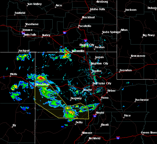
| 7/19/2023 6:04 PM MDT |
 At 603 pm mdt, severe thunderstorms were located along a line extending from delle to 9 miles east of vernon, moving east at 25 mph (radar indicated). Hazards include 60 mph wind gusts and quarter size hail. Hail damage to vehicles is expected. expect wind damage to roofs, siding, and trees. locations impacted include, tooele, grantsville, dugway english village, vernon, ophir, delle, tooele army depot, clive, skull valley, knolls, tooele army depot south, stockton, rush valley and faust. this includes interstate 80 in utah between mile markers 41 and 84. hail threat, radar indicated max hail size, 1. 00 in wind threat, observed max wind gust, 60 mph. At 603 pm mdt, severe thunderstorms were located along a line extending from delle to 9 miles east of vernon, moving east at 25 mph (radar indicated). Hazards include 60 mph wind gusts and quarter size hail. Hail damage to vehicles is expected. expect wind damage to roofs, siding, and trees. locations impacted include, tooele, grantsville, dugway english village, vernon, ophir, delle, tooele army depot, clive, skull valley, knolls, tooele army depot south, stockton, rush valley and faust. this includes interstate 80 in utah between mile markers 41 and 84. hail threat, radar indicated max hail size, 1. 00 in wind threat, observed max wind gust, 60 mph.
|
| 7/19/2023 5:36 PM MDT |
 At 535 pm mdt, severe thunderstorms were located along a line extending from near clive to near vernon, moving east at 25 mph (radar indicated. wind gusts up to 69 mph have been observed). Hazards include 70 mph wind gusts and quarter size hail. Hail damage to vehicles is expected. expect considerable tree damage. Wind damage is also likely to mobile homes, roofs, and outbuildings. At 535 pm mdt, severe thunderstorms were located along a line extending from near clive to near vernon, moving east at 25 mph (radar indicated. wind gusts up to 69 mph have been observed). Hazards include 70 mph wind gusts and quarter size hail. Hail damage to vehicles is expected. expect considerable tree damage. Wind damage is also likely to mobile homes, roofs, and outbuildings.
|
| 7/3/2023 4:47 PM MDT |
 At 447 pm mdt, a severe thunderstorm was located near tooele army depot south, or 16 miles east of dugway english village, moving northeast at 30 mph (radar indicated). Hazards include 60 mph wind gusts. Expect damage to roofs, siding, and trees. locations impacted include, tooele, cedar fort, vernon, ophir, tooele army depot, tooele army depot south, stockton, rush valley, fairfield and faust. hail threat, radar indicated max hail size, <. 75 in wind threat, radar indicated max wind gust, 60 mph. At 447 pm mdt, a severe thunderstorm was located near tooele army depot south, or 16 miles east of dugway english village, moving northeast at 30 mph (radar indicated). Hazards include 60 mph wind gusts. Expect damage to roofs, siding, and trees. locations impacted include, tooele, cedar fort, vernon, ophir, tooele army depot, tooele army depot south, stockton, rush valley, fairfield and faust. hail threat, radar indicated max hail size, <. 75 in wind threat, radar indicated max wind gust, 60 mph.
|
| 7/3/2023 4:31 PM MDT |
 At 431 pm mdt, a severe thunderstorm was located 9 miles east of dugway english village, moving northeast at 30 mph (radar indicated). Hazards include 60 mph wind gusts. expect damage to roofs, siding, and trees At 431 pm mdt, a severe thunderstorm was located 9 miles east of dugway english village, moving northeast at 30 mph (radar indicated). Hazards include 60 mph wind gusts. expect damage to roofs, siding, and trees
|
| 5/23/2023 4:45 PM MDT | Vernon hill in tooele county UT, 3.5 miles SW of Vernon, UT |
| 5/8/2023 5:15 PM MDT | Storm damage reported in tooele county UT, 3.5 miles SW of Vernon, UT |
| 5/4/2023 6:45 PM MDT | Vernon hill mesonet sit in tooele county UT, 3.1 miles SW of Vernon, UT |
| 9/29/2022 9:30 PM MDT | Vernon hill mesonet site in tooele county UT, 3.5 miles SW of Vernon, UT |
| 7/22/2022 4:45 PM MDT |
 At 444 pm mdt, severe thunderstorms were located along a line extending from 7 miles west of delle to 7 miles west of grantsville to near vernon, moving east at 35 mph (radar indicated). Hazards include 60 mph wind gusts. expect damage to roofs, siding, and trees At 444 pm mdt, severe thunderstorms were located along a line extending from 7 miles west of delle to 7 miles west of grantsville to near vernon, moving east at 35 mph (radar indicated). Hazards include 60 mph wind gusts. expect damage to roofs, siding, and trees
|
| 7/22/2022 4:28 PM MDT |
 At 426 pm mdt, severe thunderstorms were located along a line extending from 6 miles south of knolls to near skull valley to 9 miles southeast of dugway english village, moving northeast at 30 mph (radar indicated). Hazards include 60 mph wind gusts. Expect damage to roofs, siding, and trees. locations impacted include, grantsville, dugway english village, vernon, delle, knolls, tooele army depot south, skull valley, clive, tooele army depot, rush valley and faust. this includes interstate 80 in utah between mile markers 34 and 86. hail threat, radar indicated max hail size, <. 75 in wind threat, observed max wind gust, 60 mph. At 426 pm mdt, severe thunderstorms were located along a line extending from 6 miles south of knolls to near skull valley to 9 miles southeast of dugway english village, moving northeast at 30 mph (radar indicated). Hazards include 60 mph wind gusts. Expect damage to roofs, siding, and trees. locations impacted include, grantsville, dugway english village, vernon, delle, knolls, tooele army depot south, skull valley, clive, tooele army depot, rush valley and faust. this includes interstate 80 in utah between mile markers 34 and 86. hail threat, radar indicated max hail size, <. 75 in wind threat, observed max wind gust, 60 mph.
|
| 7/22/2022 4:01 PM MDT |
 At 401 pm mdt, severe thunderstorms were located along a line extending from 6 miles north of utah test and training range south to 14 miles west of skull valley to 14 miles south of dugway english village, moving northeast at 30 mph (radar indicated). Hazards include 60 mph wind gusts. expect damage to roofs, siding, and trees At 401 pm mdt, severe thunderstorms were located along a line extending from 6 miles north of utah test and training range south to 14 miles west of skull valley to 14 miles south of dugway english village, moving northeast at 30 mph (radar indicated). Hazards include 60 mph wind gusts. expect damage to roofs, siding, and trees
|
| 7/18/2022 5:56 PM MDT |
 At 555 pm mdt, severe thunderstorms were located along a line extending from 11 miles north of delle to 9 miles east of vernon, moving east at 30 mph (radar indicated). Hazards include 60 mph wind gusts. Expect damage to roofs, siding, and trees. locations impacted include, grantsville, dugway english village, vernon, skull valley, clive, tooele army depot south, tooele army depot, dugway proving ground test range, rush valley, jericho, faust, lofgreen and little sahara state park. this includes us route 6 between mile markers 123 and 127. hail threat, radar indicated max hail size, <. 75 in wind threat, radar indicated max wind gust, 60 mph. At 555 pm mdt, severe thunderstorms were located along a line extending from 11 miles north of delle to 9 miles east of vernon, moving east at 30 mph (radar indicated). Hazards include 60 mph wind gusts. Expect damage to roofs, siding, and trees. locations impacted include, grantsville, dugway english village, vernon, skull valley, clive, tooele army depot south, tooele army depot, dugway proving ground test range, rush valley, jericho, faust, lofgreen and little sahara state park. this includes us route 6 between mile markers 123 and 127. hail threat, radar indicated max hail size, <. 75 in wind threat, radar indicated max wind gust, 60 mph.
|
| 7/18/2022 5:29 PM MDT |
 At 528 pm mdt, severe thunderstorms were located along a line extending from near knolls to 18 miles southwest of vernon, moving east at 30 mph (radar indicated). Hazards include 60 mph wind gusts. expect damage to roofs, siding, and trees At 528 pm mdt, severe thunderstorms were located along a line extending from near knolls to 18 miles southwest of vernon, moving east at 30 mph (radar indicated). Hazards include 60 mph wind gusts. expect damage to roofs, siding, and trees
|
| 7/17/2022 5:28 PM MDT |
 The severe thunderstorm warning for south central box elder and eastern tooele counties will expire at 530 pm mdt, the storms which prompted the warning have weakened below severe limits. gusty winds up to 55 mph are still possible with these thunderstorms. The severe thunderstorm warning for south central box elder and eastern tooele counties will expire at 530 pm mdt, the storms which prompted the warning have weakened below severe limits. gusty winds up to 55 mph are still possible with these thunderstorms.
|
| 7/17/2022 5:14 PM MDT |
 At 514 pm mdt, severe thunderstorms were located along a line extending from 17 miles east of utah test and training range north to near delle to 13 miles west of vernon, moving east at 25 mph (trained weather spotters). Hazards include 60 mph wind gusts. Expect damage to roofs, siding, and trees. locations impacted include, grantsville, dugway english village, vernon, delle, skull valley, tooele army depot, utah test and training range north, great salt lake south of the causeway and rush valley. this includes interstate 80 in utah between mile markers 58 and 89. hail threat, radar indicated max hail size, <. 75 in wind threat, observed max wind gust, 60 mph. At 514 pm mdt, severe thunderstorms were located along a line extending from 17 miles east of utah test and training range north to near delle to 13 miles west of vernon, moving east at 25 mph (trained weather spotters). Hazards include 60 mph wind gusts. Expect damage to roofs, siding, and trees. locations impacted include, grantsville, dugway english village, vernon, delle, skull valley, tooele army depot, utah test and training range north, great salt lake south of the causeway and rush valley. this includes interstate 80 in utah between mile markers 58 and 89. hail threat, radar indicated max hail size, <. 75 in wind threat, observed max wind gust, 60 mph.
|
| 7/17/2022 4:58 PM MDT |
 At 457 pm mdt, severe thunderstorms were located along a line extending from 10 miles east of utah test and training range north to near delle to 17 miles south of dugway english village, moving east at 25 mph (trained weather spotters). Hazards include 70 mph wind gusts and penny size hail. Expect considerable tree damage. Damage is likely to mobile homes, roofs, and outbuildings. At 457 pm mdt, severe thunderstorms were located along a line extending from 10 miles east of utah test and training range north to near delle to 17 miles south of dugway english village, moving east at 25 mph (trained weather spotters). Hazards include 70 mph wind gusts and penny size hail. Expect considerable tree damage. Damage is likely to mobile homes, roofs, and outbuildings.
|
| 7/17/2022 4:36 PM MDT |
 At 436 pm mdt, a severe thunderstorm was located 11 miles east of dugway proving ground test range, or 13 miles west of dugway english village, moving northeast at 40 mph (trained weather spotters). Hazards include 60 mph wind gusts. Expect damage to roofs, siding, and trees. locations impacted include, dugway english village, vernon, tooele army depot south, dugway proving ground test range and faust. hail threat, radar indicated max hail size, <. 75 in wind threat, radar indicated max wind gust, 60 mph. At 436 pm mdt, a severe thunderstorm was located 11 miles east of dugway proving ground test range, or 13 miles west of dugway english village, moving northeast at 40 mph (trained weather spotters). Hazards include 60 mph wind gusts. Expect damage to roofs, siding, and trees. locations impacted include, dugway english village, vernon, tooele army depot south, dugway proving ground test range and faust. hail threat, radar indicated max hail size, <. 75 in wind threat, radar indicated max wind gust, 60 mph.
|
| 7/17/2022 4:17 PM MDT |
 At 417 pm mdt, a severe thunderstorm was located 12 miles east of dugway proving ground test range, or 14 miles southwest of dugway english village, moving northeast at 40 mph (mesonet observations). Hazards include 60 mph wind gusts. expect damage to roofs, siding, and trees At 417 pm mdt, a severe thunderstorm was located 12 miles east of dugway proving ground test range, or 14 miles southwest of dugway english village, moving northeast at 40 mph (mesonet observations). Hazards include 60 mph wind gusts. expect damage to roofs, siding, and trees
|
| 6/23/2022 5:16 PM MDT |
 At 515 pm mdt, a severe thunderstorm was located 9 miles southwest of dugway english village, moving north at 40 mph (weather station reported gusts to 66 mph). Hazards include 70 mph wind gusts. Expect considerable tree damage. damage is likely to mobile homes, roofs, and outbuildings. locations impacted include, dugway english village, vernon, tooele army depot south, skull valley, dugway proving ground test range and rush valley. thunderstorm damage threat, considerable hail threat, radar indicated max hail size, <. 75 in wind threat, radar indicated max wind gust, 70 mph. At 515 pm mdt, a severe thunderstorm was located 9 miles southwest of dugway english village, moving north at 40 mph (weather station reported gusts to 66 mph). Hazards include 70 mph wind gusts. Expect considerable tree damage. damage is likely to mobile homes, roofs, and outbuildings. locations impacted include, dugway english village, vernon, tooele army depot south, skull valley, dugway proving ground test range and rush valley. thunderstorm damage threat, considerable hail threat, radar indicated max hail size, <. 75 in wind threat, radar indicated max wind gust, 70 mph.
|
| 6/23/2022 4:57 PM MDT |
 At 457 pm mdt, a severe thunderstorm was located 18 miles southeast of dugway proving ground test range, or 20 miles southwest of dugway english village, moving north at 40 mph (mesonet reported gust to 66 mph). Hazards include 70 mph wind gusts. Expect considerable tree damage. Damage is likely to mobile homes, roofs, and outbuildings. At 457 pm mdt, a severe thunderstorm was located 18 miles southeast of dugway proving ground test range, or 20 miles southwest of dugway english village, moving north at 40 mph (mesonet reported gust to 66 mph). Hazards include 70 mph wind gusts. Expect considerable tree damage. Damage is likely to mobile homes, roofs, and outbuildings.
|
| 5/2/2022 9:32 PM MDT |
 At 931 pm mdt, severe outflow winds from showers were located along a line extending from 6 miles east of uintah to taylorsville to near vernon, moving east at 30 mph (weather station observed). Hazards include 60 mph wind gusts. Expect damage to roofs, siding, and trees. locations impacted include, salt lake city, west valley city, sandy, layton, murray, bountiful, tooele, farmington, morgan, hill air force base, west jordan, taylorsville, south jordan, lehi, draper, riverton, roy, pleasant grove, cottonwood heights and clearfield. this includes the following highways, interstate 15 between mile markers 274 and 338. interstate 84 between mile markers 84 and 109. interstate 80 in utah between mile markers 103 and 140. hail threat, radar indicated max hail size, <. 75 in wind threat, radar indicated max wind gust, 60 mph. At 931 pm mdt, severe outflow winds from showers were located along a line extending from 6 miles east of uintah to taylorsville to near vernon, moving east at 30 mph (weather station observed). Hazards include 60 mph wind gusts. Expect damage to roofs, siding, and trees. locations impacted include, salt lake city, west valley city, sandy, layton, murray, bountiful, tooele, farmington, morgan, hill air force base, west jordan, taylorsville, south jordan, lehi, draper, riverton, roy, pleasant grove, cottonwood heights and clearfield. this includes the following highways, interstate 15 between mile markers 274 and 338. interstate 84 between mile markers 84 and 109. interstate 80 in utah between mile markers 103 and 140. hail threat, radar indicated max hail size, <. 75 in wind threat, radar indicated max wind gust, 60 mph.
|
| 5/2/2022 9:11 PM MDT |
 At 910 pm mdt, severe thunderstorms were located along a line extending from riverdale to near magna to near vernon, moving east at 30 mph (observed gusts to 67 mph at the salt lake airport). Hazards include 70 mph wind gusts. Expect considerable tree damage. Damage is likely to mobile homes, roofs, and outbuildings. At 910 pm mdt, severe thunderstorms were located along a line extending from riverdale to near magna to near vernon, moving east at 30 mph (observed gusts to 67 mph at the salt lake airport). Hazards include 70 mph wind gusts. Expect considerable tree damage. Damage is likely to mobile homes, roofs, and outbuildings.
|
| 8/21/2021 6:23 PM MDT |
 At 622 pm mdt, severe thunderstorms were located along a line extending from near hyrum to 7 miles south of syracuse to near skull valley, moving east at 40 mph (trained weather spotters have reported wind gusts to 65 mph and large branches down causing property damage). Hazards include 70 mph wind gusts. Expect considerable tree damage. damage is likely to mobile homes, roofs, and outbuildings. locations impacted include, salt lake city, west valley city, ogden, layton, murray, bountiful, tooele, farmington, brigham city, grantsville, morgan, randolph, hill air force base, dugway english village, west jordan, taylorsville, south jordan, roy, clearfield and midvale. this includes the following highways, interstate 15 between mile markers 299 and 371. interstate 84 between mile markers 82 and 113. interstate 80 in utah between mile markers 48 and 127. thunderstorm damage threat, considerable hail threat, radar indicated max hail size, <. 75 in wind threat, observed max wind gust, 70 mph. At 622 pm mdt, severe thunderstorms were located along a line extending from near hyrum to 7 miles south of syracuse to near skull valley, moving east at 40 mph (trained weather spotters have reported wind gusts to 65 mph and large branches down causing property damage). Hazards include 70 mph wind gusts. Expect considerable tree damage. damage is likely to mobile homes, roofs, and outbuildings. locations impacted include, salt lake city, west valley city, ogden, layton, murray, bountiful, tooele, farmington, brigham city, grantsville, morgan, randolph, hill air force base, dugway english village, west jordan, taylorsville, south jordan, roy, clearfield and midvale. this includes the following highways, interstate 15 between mile markers 299 and 371. interstate 84 between mile markers 82 and 113. interstate 80 in utah between mile markers 48 and 127. thunderstorm damage threat, considerable hail threat, radar indicated max hail size, <. 75 in wind threat, observed max wind gust, 70 mph.
|
| 8/21/2021 6:06 PM MDT |
 At 605 pm mdt, severe thunderstorms were located along a line extending from near wellsville to 7 miles east of great salt lake south of the causeway to 13 miles west of skull valley, moving east at 40 mph (trained weather spotters). Hazards include 70 mph wind gusts. Expect considerable tree damage. Damage is likely to mobile homes, roofs, and outbuildings. At 605 pm mdt, severe thunderstorms were located along a line extending from near wellsville to 7 miles east of great salt lake south of the causeway to 13 miles west of skull valley, moving east at 40 mph (trained weather spotters). Hazards include 70 mph wind gusts. Expect considerable tree damage. Damage is likely to mobile homes, roofs, and outbuildings.
|
| 8/18/2021 1:02 PM MDT |
 At 102 pm mdt, a severe thunderstorm was located 13 miles south of vernon, or 27 miles southeast of dugway english village, moving northeast at 35 mph (radar indicated). Hazards include 60 mph wind gusts and quarter size hail. Hail damage to vehicles is expected. expect wind damage to roofs, siding, and trees. locations impacted include, vernon, eureka, little sahara state park, lofgreen, tintic junction and jericho. This includes us route 6 between mile markers 119 and 140. At 102 pm mdt, a severe thunderstorm was located 13 miles south of vernon, or 27 miles southeast of dugway english village, moving northeast at 35 mph (radar indicated). Hazards include 60 mph wind gusts and quarter size hail. Hail damage to vehicles is expected. expect wind damage to roofs, siding, and trees. locations impacted include, vernon, eureka, little sahara state park, lofgreen, tintic junction and jericho. This includes us route 6 between mile markers 119 and 140.
|
| 8/18/2021 12:34 PM MDT |
 At 1234 pm mdt, a severe thunderstorm was located 27 miles southwest of vernon, or 30 miles north of delta, moving northeast at 35 mph (radar indicated). Hazards include 60 mph wind gusts and quarter size hail. Hail damage to vehicles is expected. Expect wind damage to roofs, siding, and trees. At 1234 pm mdt, a severe thunderstorm was located 27 miles southwest of vernon, or 30 miles north of delta, moving northeast at 35 mph (radar indicated). Hazards include 60 mph wind gusts and quarter size hail. Hail damage to vehicles is expected. Expect wind damage to roofs, siding, and trees.
|
| 8/18/2021 11:43 AM MDT |
 The severe thunderstorm warning for southeastern tooele county will expire at 1145 am mdt, the storm which prompted the warning has weakened below severe limits, and no longer poses an immediate threat to life or property. therefore, the warning will be allowed to expire. however gusty winds and heavy rain are still possible with this thunderstorm. The severe thunderstorm warning for southeastern tooele county will expire at 1145 am mdt, the storm which prompted the warning has weakened below severe limits, and no longer poses an immediate threat to life or property. therefore, the warning will be allowed to expire. however gusty winds and heavy rain are still possible with this thunderstorm.
|
| 8/18/2021 11:25 AM MDT |
 At 1124 am mdt, a severe thunderstorm was located 7 miles southwest of tooele army depot south, or 15 miles east of dugway english village, moving northeast at 30 mph (radar indicated). Hazards include 60 mph wind gusts. Expect damage to roofs, siding, and trees. Locations impacted include, vernon, ophir, tooele army depot south, stockton, rush valley, faust and lofgreen. At 1124 am mdt, a severe thunderstorm was located 7 miles southwest of tooele army depot south, or 15 miles east of dugway english village, moving northeast at 30 mph (radar indicated). Hazards include 60 mph wind gusts. Expect damage to roofs, siding, and trees. Locations impacted include, vernon, ophir, tooele army depot south, stockton, rush valley, faust and lofgreen.
|
| 8/18/2021 11:05 AM MDT |
 At 1105 am mdt, a severe thunderstorm was located 9 miles southeast of dugway english village, moving northeast at 30 mph (radar indicated). Hazards include 60 mph wind gusts. expect damage to roofs, siding, and trees At 1105 am mdt, a severe thunderstorm was located 9 miles southeast of dugway english village, moving northeast at 30 mph (radar indicated). Hazards include 60 mph wind gusts. expect damage to roofs, siding, and trees
|
| 7/18/2021 2:45 PM MDT | Vernon hill weather statio in tooele county UT, 3.5 miles SW of Vernon, UT |
| 7/18/2021 2:42 PM MDT | Vernon raw in tooele county UT, 0.1 miles W of Vernon, UT |
| 6/5/2020 6:00 PM MDT | Mesonet station vrh 3.5 s faust (tooele in tooele county UT, 3.5 miles SW of Vernon, UT |
| 6/5/2020 5:50 PM MDT |
 At 550 pm mdt, severe thunderstorms were located along a line extending from 19 miles southwest of dugway english village to near mapleton, moving north at 45 mph (provo airport measured with gust of 61 mph). Hazards include 60 mph wind gusts. expect damage to roofs, siding, and trees At 550 pm mdt, severe thunderstorms were located along a line extending from 19 miles southwest of dugway english village to near mapleton, moving north at 45 mph (provo airport measured with gust of 61 mph). Hazards include 60 mph wind gusts. expect damage to roofs, siding, and trees
|
| 8/8/2019 6:00 PM MDT | Vernon hills raws in tooele county UT, 3.5 miles SW of Vernon, UT |
| 8/8/2019 6:00 PM MDT |
 At 600 pm mdt, a severe thunderstorm was located near tooele army depot south, or 21 miles east of dugway english village, moving northeast at 35 mph (radar indicated). Hazards include 60 mph wind gusts. expect damage to roofs, siding, and trees At 600 pm mdt, a severe thunderstorm was located near tooele army depot south, or 21 miles east of dugway english village, moving northeast at 35 mph (radar indicated). Hazards include 60 mph wind gusts. expect damage to roofs, siding, and trees
|
| 8/8/2019 5:54 PM MDT | Vernon hills raws in tooele county UT, 3.5 miles SW of Vernon, UT |
| 8/8/2019 5:42 PM MDT |
 At 541 pm mdt, a severe thunderstorm was located near vernon, or 15 miles southeast of dugway english village, moving northeast at 35 mph (radar indicated). Hazards include 60 mph wind gusts. Expect damage to roofs, siding, and trees. Locations impacted include, dugway english village, vernon, tooele army depot south, rush valley, faust and lofgreen. At 541 pm mdt, a severe thunderstorm was located near vernon, or 15 miles southeast of dugway english village, moving northeast at 35 mph (radar indicated). Hazards include 60 mph wind gusts. Expect damage to roofs, siding, and trees. Locations impacted include, dugway english village, vernon, tooele army depot south, rush valley, faust and lofgreen.
|
| 8/8/2019 5:17 PM MDT |
 At 516 pm mdt, a severe thunderstorm was located 15 miles southwest of vernon, or 18 miles south of dugway english village, moving northeast at 35 mph (radar indicated). Hazards include 60 mph wind gusts. expect damage to roofs, siding, and trees At 516 pm mdt, a severe thunderstorm was located 15 miles southwest of vernon, or 18 miles south of dugway english village, moving northeast at 35 mph (radar indicated). Hazards include 60 mph wind gusts. expect damage to roofs, siding, and trees
|
| 6/13/2019 6:21 PM MDT |
 At 621 pm mdt, a severe thunderstorm was located near vernon, or 23 miles southeast of dugway, moving northeast at 10 mph (radar indicated). Hazards include 60 mph wind gusts and nickel size hail. expect damage to roofs, siding, and trees At 621 pm mdt, a severe thunderstorm was located near vernon, or 23 miles southeast of dugway, moving northeast at 10 mph (radar indicated). Hazards include 60 mph wind gusts and nickel size hail. expect damage to roofs, siding, and trees
|
| 6/13/2019 5:47 PM MDT |
 At 545 pm mdt, severe thunderstorms were located along a line extending from near vernon to 27 miles northwest of delta. the storms are near stationary (radar indicated). Hazards include 60 mph wind gusts and quarter size hail. Hail damage to vehicles is expected. expect wind damage to roofs, siding, and trees. Locations impacted include, vernon and lofgreen. At 545 pm mdt, severe thunderstorms were located along a line extending from near vernon to 27 miles northwest of delta. the storms are near stationary (radar indicated). Hazards include 60 mph wind gusts and quarter size hail. Hail damage to vehicles is expected. expect wind damage to roofs, siding, and trees. Locations impacted include, vernon and lofgreen.
|
| 6/13/2019 5:26 PM MDT |
 At 526 pm mdt, a severe thunderstorm was located 28 miles northwest of delta, moving northeast at 5 mph (radar indicated). Hazards include 60 mph wind gusts and quarter size hail. Hail damage to vehicles is expected. Expect wind damage to roofs, siding, and trees. At 526 pm mdt, a severe thunderstorm was located 28 miles northwest of delta, moving northeast at 5 mph (radar indicated). Hazards include 60 mph wind gusts and quarter size hail. Hail damage to vehicles is expected. Expect wind damage to roofs, siding, and trees.
|
| 8/22/2018 3:23 PM MDT |
 The severe thunderstorm warning for northeastern juab, western utah and southeastern tooele counties will expire at 330 pm mdt, the storm which prompted the warning has weakened below severe limits, and no longer poses an immediate threat to life or property. therefore, the warning will be allowed to expire. a severe thunderstorm watch remains in effect until 900 pm mdt for central and northern utah. The severe thunderstorm warning for northeastern juab, western utah and southeastern tooele counties will expire at 330 pm mdt, the storm which prompted the warning has weakened below severe limits, and no longer poses an immediate threat to life or property. therefore, the warning will be allowed to expire. a severe thunderstorm watch remains in effect until 900 pm mdt for central and northern utah.
|
| 8/22/2018 3:16 PM MDT |
 At 316 pm mdt, a severe thunderstorm was located over elberta, or 14 miles southwest of payson, moving northeast at 20 mph (radar indicated). Hazards include 60 mph wind gusts and quarter size hail. Hail damage to vehicles is expected. expect wind damage to roofs, siding, and trees. Locations impacted include, provo, payson, orem, lehi, spanish fork, pleasant grove, springville, american fork, eagle mountain, lindon, santaquin, mapleton, salem, vernon, vineyard, palmyra, lake shore, benjamin, west mountain and elberta. At 316 pm mdt, a severe thunderstorm was located over elberta, or 14 miles southwest of payson, moving northeast at 20 mph (radar indicated). Hazards include 60 mph wind gusts and quarter size hail. Hail damage to vehicles is expected. expect wind damage to roofs, siding, and trees. Locations impacted include, provo, payson, orem, lehi, spanish fork, pleasant grove, springville, american fork, eagle mountain, lindon, santaquin, mapleton, salem, vernon, vineyard, palmyra, lake shore, benjamin, west mountain and elberta.
|
| 8/22/2018 2:48 PM MDT |
 At 248 pm mdt, a severe thunderstorm was located near elberta, or 10 miles west of payson, moving northeast at 30 mph (radar indicated). Hazards include 60 mph wind gusts and quarter size hail. Hail damage to vehicles is expected. Expect wind damage to roofs, siding, and trees. At 248 pm mdt, a severe thunderstorm was located near elberta, or 10 miles west of payson, moving northeast at 30 mph (radar indicated). Hazards include 60 mph wind gusts and quarter size hail. Hail damage to vehicles is expected. Expect wind damage to roofs, siding, and trees.
|
| 8/21/2018 6:47 PM MDT |
 At 647 pm mdt, a severe thunderstorm was located near vernon, or 24 miles southeast of dugway, moving northeast at 30 mph (radar indicated). Hazards include 60 mph wind gusts and quarter size hail. Hail damage to vehicles is expected. expect wind damage to roofs, siding, and trees. Locations impacted include, vernon and faust. At 647 pm mdt, a severe thunderstorm was located near vernon, or 24 miles southeast of dugway, moving northeast at 30 mph (radar indicated). Hazards include 60 mph wind gusts and quarter size hail. Hail damage to vehicles is expected. expect wind damage to roofs, siding, and trees. Locations impacted include, vernon and faust.
|
| 8/21/2018 6:29 PM MDT |
 The national weather service in salt lake city has issued a * severe thunderstorm warning for. west central utah county in northern utah. southeastern tooele county in northern utah. Until 700 pm mdt * at 629 pm mdt, a severe thunderstorm was located near vernon, or 22. The national weather service in salt lake city has issued a * severe thunderstorm warning for. west central utah county in northern utah. southeastern tooele county in northern utah. Until 700 pm mdt * at 629 pm mdt, a severe thunderstorm was located near vernon, or 22.
|
| 6/20/2017 5:15 PM MDT | Vernon hill sensor... vr in tooele county UT, 3.5 miles SW of Vernon, UT |
| 6/20/2017 5:08 PM MDT |
 At 508 pm mdt, a severe thunderstorm was located 20 miles south of vernon, or 31 miles north of delta, moving east at 25 mph (radar indicated). Hazards include 60 mph wind gusts. Expect damage to roofs, siding, and trees. Locations impacted include, vernon, eureka, lofgreen, little sahara state park, tintic junction and jericho. At 508 pm mdt, a severe thunderstorm was located 20 miles south of vernon, or 31 miles north of delta, moving east at 25 mph (radar indicated). Hazards include 60 mph wind gusts. Expect damage to roofs, siding, and trees. Locations impacted include, vernon, eureka, lofgreen, little sahara state park, tintic junction and jericho.
|
| 6/20/2017 4:47 PM MDT |
 At 447 pm mdt, a severe thunderstorm was located 21 miles south of vernon, or 30 miles north of delta, moving east at 25 mph (radar indicated). Hazards include 70 mph wind gusts. Expect considerable tree damage. damage is likely to mobile homes, roofs, and outbuildings. Locations impacted include, vernon, eureka, lofgreen, little sahara state park, tintic junction and jericho. At 447 pm mdt, a severe thunderstorm was located 21 miles south of vernon, or 30 miles north of delta, moving east at 25 mph (radar indicated). Hazards include 70 mph wind gusts. Expect considerable tree damage. damage is likely to mobile homes, roofs, and outbuildings. Locations impacted include, vernon, eureka, lofgreen, little sahara state park, tintic junction and jericho.
|
| 6/20/2017 4:27 PM MDT |
 At 426 pm mdt, a severe thunderstorm was located 26 miles southwest of vernon, or 30 miles north of delta, moving east at 25 mph (radar indicated). Hazards include 70 mph wind gusts. Expect considerable tree damage. Damage is likely to mobile homes, roofs, and outbuildings. At 426 pm mdt, a severe thunderstorm was located 26 miles southwest of vernon, or 30 miles north of delta, moving east at 25 mph (radar indicated). Hazards include 70 mph wind gusts. Expect considerable tree damage. Damage is likely to mobile homes, roofs, and outbuildings.
|
| 12/16/2016 12:58 PM MST |
 The severe thunderstorm warning for utah, southeastern tooele, eastern salt lake, northeastern juab, south central morgan, northwestern wasatch and southwestern summit counties will expire at 100 pm mst, the storms which prompted the warning have weakened below severe limits, and no longer pose an immediate threat to life or property. therefore the warning will be allowed to expire. however gusty winds are still possible with any lingering thunderstorms. The severe thunderstorm warning for utah, southeastern tooele, eastern salt lake, northeastern juab, south central morgan, northwestern wasatch and southwestern summit counties will expire at 100 pm mst, the storms which prompted the warning have weakened below severe limits, and no longer pose an immediate threat to life or property. therefore the warning will be allowed to expire. however gusty winds are still possible with any lingering thunderstorms.
|
| 12/16/2016 12:20 PM MST |
 At 1218 pm mst, doppler radar indicated a line of severe thunderstorms capable of producing damaging winds in excess of 60 mph. these storms were located along a line extending from near summit park to 25 miles northwest of delta, and moving southeast at 35 mph. At 1218 pm mst, doppler radar indicated a line of severe thunderstorms capable of producing damaging winds in excess of 60 mph. these storms were located along a line extending from near summit park to 25 miles northwest of delta, and moving southeast at 35 mph.
|
| 12/16/2016 12:00 PM MST |
 At 1154 am mst, doppler radar indicated a line of severe thunderstorms capable of producing damaging winds in excess of 60 mph. these storms were located along a line extending from 8 mile northeast of morgan to 8 miles southwest of vernon, moving southeast at 45 mph. the strongest storms along this line will exist across salt lake, northwest utah and southeast tooele counties through 1215 pm mst. locations impacted include, salt lake city, west valley city, sandy, murray, bountiful, tooele, farmington, park city, morgan, coalville, west jordan, taylorsville, south jordan, lehi, draper, riverton, pleasant grove, cottonwood heights, midvale and kaysville. At 1154 am mst, doppler radar indicated a line of severe thunderstorms capable of producing damaging winds in excess of 60 mph. these storms were located along a line extending from 8 mile northeast of morgan to 8 miles southwest of vernon, moving southeast at 45 mph. the strongest storms along this line will exist across salt lake, northwest utah and southeast tooele counties through 1215 pm mst. locations impacted include, salt lake city, west valley city, sandy, murray, bountiful, tooele, farmington, park city, morgan, coalville, west jordan, taylorsville, south jordan, lehi, draper, riverton, pleasant grove, cottonwood heights, midvale and kaysville.
|
| 12/16/2016 11:40 AM MST |
 At 1138 am mst, doppler radar indicated a line of severe thunderstorms capable of producing damaging winds in excess of 60 mph. these storms were located along a line extending from 14 miles north of morgan to 12 miles south of dugway, and moving southeast at 45 mph. At 1138 am mst, doppler radar indicated a line of severe thunderstorms capable of producing damaging winds in excess of 60 mph. these storms were located along a line extending from 14 miles north of morgan to 12 miles south of dugway, and moving southeast at 45 mph.
|
| 12/16/2016 11:20 AM MST |
 At 1119 am mst, doppler radar indicated a line of severe thunderstorms capable of producing damaging winds in excess of 60 mph. these storms were located along a line extending from north ogden to 6 miles north of dugway, and moving east at 40 mph. At 1119 am mst, doppler radar indicated a line of severe thunderstorms capable of producing damaging winds in excess of 60 mph. these storms were located along a line extending from north ogden to 6 miles north of dugway, and moving east at 40 mph.
|
| 11/23/2016 4:51 PM MST |
 The severe thunderstorm warning for southeastern tooele and north central juab counties will expire at 500 pm mst, the storms which prompted the warning have moved out of the area. therefore the warning will be allowed to expire. The severe thunderstorm warning for southeastern tooele and north central juab counties will expire at 500 pm mst, the storms which prompted the warning have moved out of the area. therefore the warning will be allowed to expire.
|
| 11/23/2016 4:30 PM MST | Vernon hill - 5761 ft in tooele county UT, 3.5 miles SW of Vernon, UT |
| 11/23/2016 4:26 PM MST |
 At 425 pm mst, doppler radar indicated severe thunderstorms with a history of producing damaging winds in excess of 60 mph. these storms were located along a line extending from 10 miles north of vernon to 28 miles north of delta, moving east at 30 mph. locations impacted include, vernon, ophir, rush valley, faust and lofgreen. At 425 pm mst, doppler radar indicated severe thunderstorms with a history of producing damaging winds in excess of 60 mph. these storms were located along a line extending from 10 miles north of vernon to 28 miles north of delta, moving east at 30 mph. locations impacted include, vernon, ophir, rush valley, faust and lofgreen.
|
| 11/23/2016 3:56 PM MST |
 At 355 pm mst, doppler radar indicated a line of severe thunderstorms with a history of producing damaging winds in excess of 60 mph. these storms were located along a line extending from near dugway to 26 miles east of fish springs wildlife refuge, and moving southeast at 30 mph. At 355 pm mst, doppler radar indicated a line of severe thunderstorms with a history of producing damaging winds in excess of 60 mph. these storms were located along a line extending from near dugway to 26 miles east of fish springs wildlife refuge, and moving southeast at 30 mph.
|
| 10/2/2016 7:45 PM MDT | Vernon hill - 5761 ft in tooele county UT, 3.5 miles SW of Vernon, UT |
| 9/22/2016 3:15 PM MDT | Vernon hill mesonet site in tooele county UT, 3.5 miles SW of Vernon, UT |
| 5/19/2016 7:42 PM MDT | Vernon raws in tooele county UT, 0.1 miles W of Vernon, UT |
| 8/7/2015 6:54 PM MDT |
 At 652 pm mdt, doppler radar indicated a line of severe thunderstorms capable of producing destructive winds in excess of 70 mph. these storms were located over the central portion of the great salt lake, moving northeast at 45 mph. these storms have recently produced winds in the 60 to 75 mph range as well as copious lightning and brief heavy rainfall. locations impacted include, ogden, layton, bountiful, tooele, farmington, brigham city, grantsville, tremonton, cache, roy, clearfield, kaysville, syracuse, clinton, north ogden, south ogden, north salt lake, centerville, woods cross and washington terrace. At 652 pm mdt, doppler radar indicated a line of severe thunderstorms capable of producing destructive winds in excess of 70 mph. these storms were located over the central portion of the great salt lake, moving northeast at 45 mph. these storms have recently produced winds in the 60 to 75 mph range as well as copious lightning and brief heavy rainfall. locations impacted include, ogden, layton, bountiful, tooele, farmington, brigham city, grantsville, tremonton, cache, roy, clearfield, kaysville, syracuse, clinton, north ogden, south ogden, north salt lake, centerville, woods cross and washington terrace.
|
| 8/7/2015 6:45 PM MDT | Storm damage reported in tooele county UT, 3.5 miles SW of Vernon, UT |
| 8/7/2015 6:15 PM MDT |
 At 613 pm mdt, doppler radar indicated a line of severe thunderstorms capable of producing quarter size hail and destructive winds in excess of 70 mph. these storms were located over the great salt lake, nearing grantsville, and dugway , and moving northeast at 40 mph. At 613 pm mdt, doppler radar indicated a line of severe thunderstorms capable of producing quarter size hail and destructive winds in excess of 70 mph. these storms were located over the great salt lake, nearing grantsville, and dugway , and moving northeast at 40 mph.
|
| 7/8/2015 8:33 PM MDT |
 At 832 pm mdt, doppler radar indicated a severe thunderstorm capable of producing destructive winds in excess of 70 mph. this storm was located 8 miles northeast of vernon, or 19 miles east of dugway, and moving northeast at 15 mph. At 832 pm mdt, doppler radar indicated a severe thunderstorm capable of producing destructive winds in excess of 70 mph. this storm was located 8 miles northeast of vernon, or 19 miles east of dugway, and moving northeast at 15 mph.
|
| 7/8/2015 8:15 PM MDT | Vernon hill sensor...vr in tooele county UT, 3.5 miles SW of Vernon, UT |
| 6/10/2014 4:45 PM MDT | Vernon hill sensor vrh in tooele county UT, 3.5 miles SW of Vernon, UT |
| 1/1/0001 12:00 AM | Vernon hill sensor in tooele county UT, 3.5 miles SW of Vernon, UT |
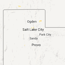
Hail Maps for Vernon, UT


Connect with Interactive Hail Maps