

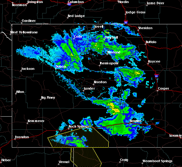
Hail Map for Washam, WY
The Washam, WY area has had 0 reports of on-the-ground hail by trained spotters, and has been under severe weather warnings 0 times during the past 12 months. Doppler radar has detected hail at or near Washam, WY on 2 occasions.
| Name: | Washam, WY |
| Where Located: | 47.2 miles SSW of Rock Springs, WY |
| Map: | Google Map for Washam, WY |
| Population: | 51 |
| Housing Units: | 58 |
| More Info: | Search Google for Washam, WY |
0
The Top Recent Hail Date for Washam, WY is Thursday, June 30, 2022 (2nd out of 2)

Hail and Wind Damage Spotted near Washam, WY
| Date / Time | Report Details |
|---|---|
| 6/6/2020 12:52 PM MDT |
 At 1250 pm mdt, severe thunderstorms were located along a line extending from 36 miles northeast of vernal to near silt, moving north at 65 mph (radar indicated). Hazards include 60 to 70 mph wind gusts. Expect damage to roofs, siding, and trees. severe thunderstorms will be near, bitter creek rest area around 145 pm mdt. other locations impacted by these severe thunderstorms include bitter creek and flaming gorge national recreation area. This includes interstate 80 between mile markers 136 and 150. At 1250 pm mdt, severe thunderstorms were located along a line extending from 36 miles northeast of vernal to near silt, moving north at 65 mph (radar indicated). Hazards include 60 to 70 mph wind gusts. Expect damage to roofs, siding, and trees. severe thunderstorms will be near, bitter creek rest area around 145 pm mdt. other locations impacted by these severe thunderstorms include bitter creek and flaming gorge national recreation area. This includes interstate 80 between mile markers 136 and 150.
|
| 7/15/2015 3:25 PM MDT |
 The severe thunderstorm warning for sweetwater county will expire at 330 pm mdt, the storms which prompted the warning have moved out of the area. therefore the warning will be allowed to expire. however gusty winds are still possible with these thunderstorms. The severe thunderstorm warning for sweetwater county will expire at 330 pm mdt, the storms which prompted the warning have moved out of the area. therefore the warning will be allowed to expire. however gusty winds are still possible with these thunderstorms.
|
| 7/15/2015 3:21 PM MDT |
 At 320 pm mdt, severe thunderstorms were located along a line extending from 21 miles southeast of oregon buttes to 10 miles southeast of squaw hollow boat ramp on flaming gorge, moving east at 35 mph (radar indicated). Hazards include 60 mph wind gusts and penny size hail. Expect damage to roofs. siding and trees. locations impacted include, rock springs, green river, wamsutter, superior, mckinnon, bitter creek rest area, fourteen mile rest area, pilot butte, adobe town rim, oregon buttes, buckboard marina, table rock, killpecker dune field, lowe canyon, sweetwater county airport, squaw hollow boat ramp on flaming gorge, boars tusk, reliance, rock springs memorial hospital and patrick draw natural gas processing plant. those attending the national high school finals rodeo are in the path of these storms and should prepare for changing weather conditions. Seek shelter now! # this includes interstate 80 between mile markers 80 and 175. At 320 pm mdt, severe thunderstorms were located along a line extending from 21 miles southeast of oregon buttes to 10 miles southeast of squaw hollow boat ramp on flaming gorge, moving east at 35 mph (radar indicated). Hazards include 60 mph wind gusts and penny size hail. Expect damage to roofs. siding and trees. locations impacted include, rock springs, green river, wamsutter, superior, mckinnon, bitter creek rest area, fourteen mile rest area, pilot butte, adobe town rim, oregon buttes, buckboard marina, table rock, killpecker dune field, lowe canyon, sweetwater county airport, squaw hollow boat ramp on flaming gorge, boars tusk, reliance, rock springs memorial hospital and patrick draw natural gas processing plant. those attending the national high school finals rodeo are in the path of these storms and should prepare for changing weather conditions. Seek shelter now! # this includes interstate 80 between mile markers 80 and 175.
|
| 7/15/2015 2:55 PM MDT |
 At 255 pm mdt, severe thunderstorms were located along a line extending from 13 miles south of oregon buttes to 6 miles southwest of squaw hollow boat ramp on flaming gorge, moving east at 35 mph (radar indicated). Hazards include 60 mph wind gusts and penny size hail. Expect damage to roofs. siding and trees. these severe thunderstorms will remain over mainly rural areas of sweetwater county, including the following locations, truman elementary school, rock springs memorial hospital, sweetwater county fairgrounds, burntfork, rock springs koa campgorund, roosevelt learning center, washington elementary school, tipton, patrick draw natural gas processing plant and bitter creek. those attending the national high school finals rodeo are in the path of these storms and should prepare for changing weather conditions. Seek shelter now! # this includes interstate 80 between mile markers 80 and 175. At 255 pm mdt, severe thunderstorms were located along a line extending from 13 miles south of oregon buttes to 6 miles southwest of squaw hollow boat ramp on flaming gorge, moving east at 35 mph (radar indicated). Hazards include 60 mph wind gusts and penny size hail. Expect damage to roofs. siding and trees. these severe thunderstorms will remain over mainly rural areas of sweetwater county, including the following locations, truman elementary school, rock springs memorial hospital, sweetwater county fairgrounds, burntfork, rock springs koa campgorund, roosevelt learning center, washington elementary school, tipton, patrick draw natural gas processing plant and bitter creek. those attending the national high school finals rodeo are in the path of these storms and should prepare for changing weather conditions. Seek shelter now! # this includes interstate 80 between mile markers 80 and 175.
|
| 7/15/2015 2:50 PM MDT |
 At 249 pm mdt, severe thunderstorms were located along a line extending from 12 miles south of oregon buttes to 6 miles north of manila, moving east at 35 mph (radar indicated). Hazards include 60 mph wind gusts and penny size hail. Expect damage to roofs. siding and trees. these severe storms will be near, lowe canyon around 305 pm mdt. other locations impacted by these severe thunderstorms include truman elementary school, rock springs memorial hospital, sweetwater county fairgrounds, burntfork, rock springs koa campgorund, roosevelt learning center, washington elementary school, tipton, patrick draw natural gas processing plant and bitter creek. those attending the national high school finals rodeo are in the path of these storms and should prepare for changing weather conditions. Seek shelter now! # this includes interstate 80 between mile markers 80 and 175. At 249 pm mdt, severe thunderstorms were located along a line extending from 12 miles south of oregon buttes to 6 miles north of manila, moving east at 35 mph (radar indicated). Hazards include 60 mph wind gusts and penny size hail. Expect damage to roofs. siding and trees. these severe storms will be near, lowe canyon around 305 pm mdt. other locations impacted by these severe thunderstorms include truman elementary school, rock springs memorial hospital, sweetwater county fairgrounds, burntfork, rock springs koa campgorund, roosevelt learning center, washington elementary school, tipton, patrick draw natural gas processing plant and bitter creek. those attending the national high school finals rodeo are in the path of these storms and should prepare for changing weather conditions. Seek shelter now! # this includes interstate 80 between mile markers 80 and 175.
|
| 7/15/2015 2:35 PM MDT |
 At 233 pm mdt, severe thunderstorms were located along a line extending from 11 miles northeast of killpecker dune field to near mckinnon, moving east at 35 mph (radar indicated). Hazards include 60 mph wind gusts and penny size hail. Expect damage to roofs. siding and trees. severe thunderstorms will be near, squaw hollow boat ramp on flaming gorge and lowe canyon around 300 pm mdt. other locations impacted by these severe thunderstorms include truman elementary school, rock springs memorial hospital, sweetwater county fairgrounds, burntfork, rock springs koa campgorund, roosevelt learning center, washington elementary school, tipton, patrick draw natural gas processing plant and bitter creek. those attending national high school finals rodeo are in the path of these storms and should prepare for imminent dangerous weather conditions. seek shelter now. This includes interstate 80 between mile markers 80 and 175. At 233 pm mdt, severe thunderstorms were located along a line extending from 11 miles northeast of killpecker dune field to near mckinnon, moving east at 35 mph (radar indicated). Hazards include 60 mph wind gusts and penny size hail. Expect damage to roofs. siding and trees. severe thunderstorms will be near, squaw hollow boat ramp on flaming gorge and lowe canyon around 300 pm mdt. other locations impacted by these severe thunderstorms include truman elementary school, rock springs memorial hospital, sweetwater county fairgrounds, burntfork, rock springs koa campgorund, roosevelt learning center, washington elementary school, tipton, patrick draw natural gas processing plant and bitter creek. those attending national high school finals rodeo are in the path of these storms and should prepare for imminent dangerous weather conditions. seek shelter now. This includes interstate 80 between mile markers 80 and 175.
|
Hail Maps for Washam, WY


Connect with Interactive Hail Maps