

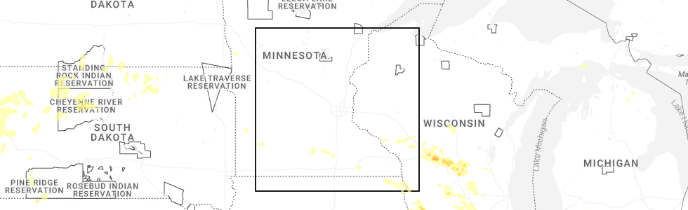
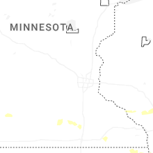
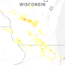
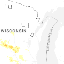
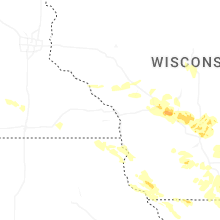
Hail Map for Saturday, August 16, 2025
Number of Impacted Households on 8/16/2025
0
Impacted by 1" or Larger Hail
0
Impacted by 1.75" or Larger Hail
0
Impacted by 2.5" or Larger Hail
Square Miles of Populated Area Impacted on 8/16/2025
0
Impacted by 1" or Larger Hail
0
Impacted by 1.75" or Larger Hail
0
Impacted by 2.5" or Larger Hail
Cities Most Affected by Hail Storms of 8/16/2025
| Hail Size | Demographics of Zip Codes Affected | ||||||
|---|---|---|---|---|---|---|---|
| City | Count | Average | Largest | Pop Density | House Value | Income | Age |
Hail and Wind Damage Spotted on 8/16/2025
Filter by Report Type:Hail ReportsWind Reports
South Dakota
| Local Time | Report Details |
|---|---|
| 8:26 AM CDT | Social media report: received a picture of estimated 4-5 inch diameter branches dow in brookings county SD, 54.3 miles N of Sioux Falls, SD |
Wisconsin
| Local Time | Report Details |
|---|---|
| 3:50 PM UTC | Tree down. time estimatd by rada in waushara county WI, 65.6 miles WSW of Green Bay, WI |
| 4:05 PM UTC | Tree down. time estimatd by rada in waushara county WI, 55.7 miles WSW of Green Bay, WI |
Connect with Interactive Hail Maps