

Hail Map for Thursday, August 30, 2012
Number of Impacted Households on 8/30/2012
0
Impacted by 1" or Larger Hail
0
Impacted by 1.75" or Larger Hail
0
Impacted by 2.5" or Larger Hail
Square Miles of Populated Area Impacted on 8/30/2012
0
Impacted by 1" or Larger Hail
0
Impacted by 1.75" or Larger Hail
0
Impacted by 2.5" or Larger Hail


Cities Most Affected by Hail Storms of 8/30/2012
| Hail Size | Demographics of Zip Codes Affected | ||||||
|---|---|---|---|---|---|---|---|
| City | Count | Average | Largest | Pop Density | House Value | Income | Age |
Hail and Wind Damage Spotted on 8/30/2012
Filter by Report Type:Hail ReportsWind Reports
Mississippi
| Local Time | Report Details |
|---|---|
| 8:00 AM CDT | Trees down across highway 11 in lauderdale county MS, 80 miles S of Starkville, MS |
| 8:00 AM CDT | Trees down across highway 19 in lauderdale county MS, 80 miles S of Starkville, MS |
| 8:00 AM CDT | Trees down across highway 11 in lauderdale county MS, 79.7 miles S of Starkville, MS |
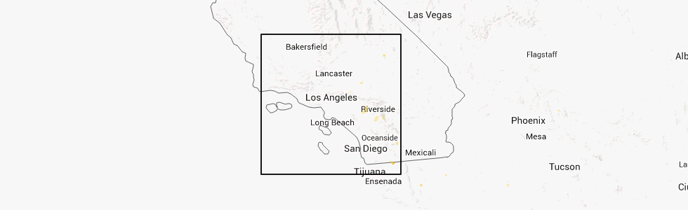
California
| Local Time | Report Details |
|---|---|
| 2:47 PM PDT | An atmo science professor at uc riverside estimated wind gusts to 60 mph from a passing thunderstorm going through campu in riverside county CA, 49.1 miles E of Los Angeles, CA |
| 2:47 PM PDT | Asos measured a peak wind gust of 53 kt or 61 mph at 247 pm pd in riverside county CA, 51.1 miles WSW of Yucca Valley, CA |
| 3:40 PM PDT | Spotter riv517 reported strong winds of unknown speed which knocked down a portion of a neighbors fence. winds were straight line with no rotatio in riverside county CA, 47.5 miles WSW of Yucca Valley, CA |
| 4:26 PM PDT | Edwards wind tower network in kern county CA, 59.6 miles NNE of Los Angeles, CA |
Utah
| Local Time | Report Details |
|---|---|
| 4:55 PM MDT | Camel back mtn - 5077 ft in tooele county UT, 71.3 miles SW of Salt Lake City, UT |
Connect with Interactive Hail Maps