

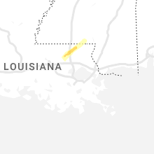
Hail Map for Thursday, February 29, 2024

Number of Impacted Households on 2/29/2024
0
Impacted by 1" or Larger Hail
0
Impacted by 1.75" or Larger Hail
0
Impacted by 2.5" or Larger Hail
Square Miles of Populated Area Impacted on 2/29/2024
0
Impacted by 1" or Larger Hail
0
Impacted by 1.75" or Larger Hail
0
Impacted by 2.5" or Larger Hail
Cities Most Affected by Hail Storms of 2/29/2024
| Hail Size | Demographics of Zip Codes Affected | ||||||
|---|---|---|---|---|---|---|---|
| City | Count | Average | Largest | Pop Density | House Value | Income | Age |
Hail and Wind Damage Spotted on 2/29/2024
Filter by Report Type:Hail ReportsWind Reports
California
| Local Time | Report Details |
|---|---|
| 8:55 PM PST | Tree in roadway with three branches blocking both lane in del norte county CA, 72.2 miles WSW of Medford, OR |
Idaho
| Local Time | Report Details |
|---|---|
| 11:23 PM MST | Mesonet station gasi1 gas cave in fremont county ID, 48.6 miles NNE of Idaho Falls, ID |
Connect with Interactive Hail Maps