

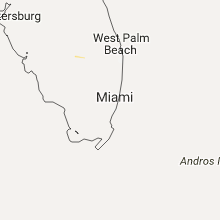
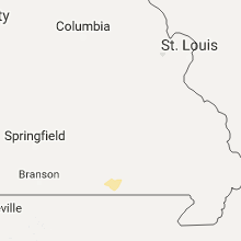
Hail Map for Sunday, September 18, 2016

Number of Impacted Households on 9/18/2016
0
Impacted by 1" or Larger Hail
0
Impacted by 1.75" or Larger Hail
0
Impacted by 2.5" or Larger Hail
Square Miles of Populated Area Impacted on 9/18/2016
0
Impacted by 1" or Larger Hail
0
Impacted by 1.75" or Larger Hail
0
Impacted by 2.5" or Larger Hail


Cities Most Affected by Hail Storms of 9/18/2016
| Hail Size | Demographics of Zip Codes Affected | ||||||
|---|---|---|---|---|---|---|---|
| City | Count | Average | Largest | Pop Density | House Value | Income | Age |
Hail and Wind Damage Spotted on 9/18/2016
Filter by Report Type:Hail ReportsWind Reports
Missouri
| Local Time | Report Details |
|---|---|
| 3:40 PM CDT | Trees down 1 mile west of thayer at us highway 142. reported via public on social medi in oregon county MO, 77 miles S of Salem, MO |
Pennsylvania
| Local Time | Report Details |
|---|---|
| 6:27 PM EDT | Multiple poles dow in lycoming county PA, 50.2 miles ENE of State College, PA |
| 6:30 PM EDT | Large tree dow in lycoming county PA, 50.2 miles ENE of State College, PA |
| 6:45 PM EDT | Multiple trees dow in lycoming county PA, 57.5 miles ENE of State College, PA |
| 7:00 PM EDT | Multiple lines dow in lycoming county PA, 60.5 miles WSW of Scranton, PA |
| 7:10 PM EDT | Windows blown ou in lycoming county PA, 60.5 miles WSW of Scranton, PA |
New York
| Local Time | Report Details |
|---|---|
| 7:07 PM EDT | Several trees and lines down...including one large tree falling on a hom in oswego county NY, 15.7 miles NNE of Syracuse, NY |
Connect with Interactive Hail Maps