

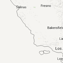
Hail Map for Friday, September 23, 2011

Number of Impacted Households on 9/23/2011
0
Impacted by 1" or Larger Hail
0
Impacted by 1.75" or Larger Hail
0
Impacted by 2.5" or Larger Hail
Square Miles of Populated Area Impacted on 9/23/2011
0
Impacted by 1" or Larger Hail
0
Impacted by 1.75" or Larger Hail
0
Impacted by 2.5" or Larger Hail


Cities Most Affected by Hail Storms of 9/23/2011
| Hail Size | Demographics of Zip Codes Affected | ||||||
|---|---|---|---|---|---|---|---|
| City | Count | Average | Largest | Pop Density | House Value | Income | Age |
Hail and Wind Damage Spotted on 9/23/2011
Filter by Report Type:Hail ReportsWind Reports
States Impacted
CaliforniaCalifornia
| Local Time | Report Details |
|---|---|
| 1:40 AM UTC | Tree toppled into a power pole. 3723 people lost powe in kern county CA, 1.7 miles E of Bakersfield, CA |
| 2:34 AM UTC | Big rig blown over on highway 58 near mile marker 170. both the mojave air and space port and the national test pilot school reported gusts to 56 mph at 1915 pd in kern county CA, 53.5 miles ESE of Bakersfield, CA |
Connect with Interactive Hail Maps