

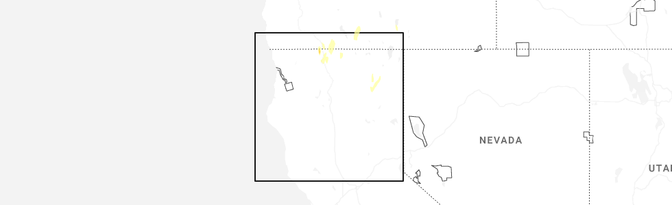
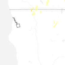
Hail Map for Bonanza, OR
The Bonanza, OR area has had 0 reports of on-the-ground hail by trained spotters, and has been under severe weather warnings 2 times during the past 12 months. Doppler radar has detected hail at or near Bonanza, OR on 1 occasion, including 1 occasion during the past year.
| Name: | Bonanza, OR |
| Where Located: | 54.3 miles W of Lakeview, OR |
| Map: | Google Map for Bonanza, OR |
| Population: | 415 |
| Housing Units: | 169 |
| More Info: | Search Google for Bonanza, OR |
0
The Top Recent Hail Date for Bonanza, OR is Thursday, July 3, 2025 (1st out of 1)
Hail and Wind Damage Spotted near Bonanza, OR
| Date / Time | Report Details |
|---|---|
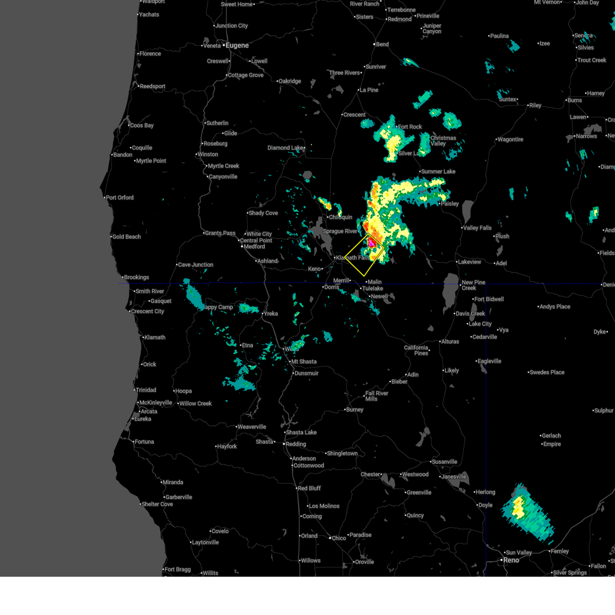
| 7/28/2025 9:50 PM PDT |
 The severe thunderstorm which prompted the warning has weakened. therefore, the warning will be allowed to expire. however small hail and gusty winds are still possible with this thunderstorm. The severe thunderstorm which prompted the warning has weakened. therefore, the warning will be allowed to expire. however small hail and gusty winds are still possible with this thunderstorm.
|
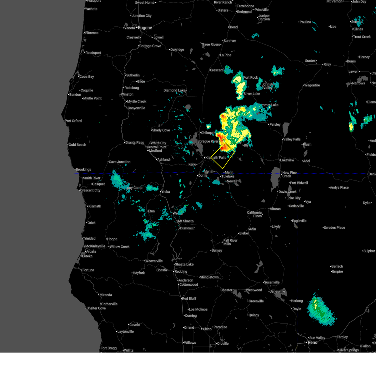
| 7/28/2025 9:30 PM PDT |
 Svrmfr the national weather service in medford has issued a * severe thunderstorm warning for, south central klamath county in south central oregon, * until 1000 pm pdt. * at 930 pm pdt, a severe thunderstorm was located 9 miles southwest of beatty, or 21 miles east of klamath falls, moving southwest at 25 mph (radar indicated). Hazards include quarter size hail. gusts up to 50 mph. damage to vehicles is expected Svrmfr the national weather service in medford has issued a * severe thunderstorm warning for, south central klamath county in south central oregon, * until 1000 pm pdt. * at 930 pm pdt, a severe thunderstorm was located 9 miles southwest of beatty, or 21 miles east of klamath falls, moving southwest at 25 mph (radar indicated). Hazards include quarter size hail. gusts up to 50 mph. damage to vehicles is expected
|
| 1/19/2016 1:12 PM PST |
 At 111 pm pst, doppler radar indicated a line of severe thunderstorms capable of producing destructive winds in excess of 70 mph. these storms were located along a line extending from near beatty to doorknob snow park, and moving northeast at 45 mph. At 111 pm pst, doppler radar indicated a line of severe thunderstorms capable of producing destructive winds in excess of 70 mph. these storms were located along a line extending from near beatty to doorknob snow park, and moving northeast at 45 mph.
|
| 1/19/2016 1:12 PM PST |
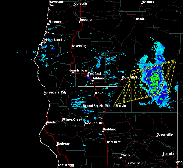 At 111 pm pst, doppler radar indicated a line of severe thunderstorms capable of producing destructive winds in excess of 70 mph. these storms were located along a line extending from near beatty to doorknob snow park, and moving northeast at 45 mph. At 111 pm pst, doppler radar indicated a line of severe thunderstorms capable of producing destructive winds in excess of 70 mph. these storms were located along a line extending from near beatty to doorknob snow park, and moving northeast at 45 mph.
|
| 1/19/2016 12:43 PM PST |
 At 1241 pm pst, doppler radar indicated a line of severe thunderstorms capable of producing destructive winds in excess of 70 mph. these storms were located along a line extending from near beatty to doorknob snow park, and moving northeast at 45 mph. At 1241 pm pst, doppler radar indicated a line of severe thunderstorms capable of producing destructive winds in excess of 70 mph. these storms were located along a line extending from near beatty to doorknob snow park, and moving northeast at 45 mph.
|
Hail Maps for Bonanza, OR
Connect with Interactive Hail Maps