

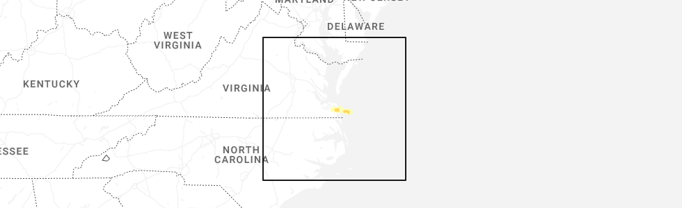
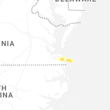
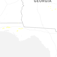
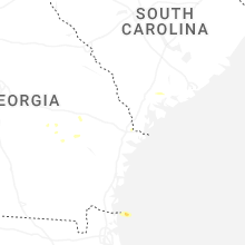
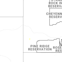
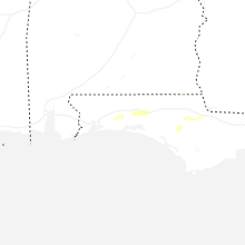
Hail Map for Friday, May 9, 2025
Number of Impacted Households on 5/9/2025
0
Impacted by 1" or Larger Hail
0
Impacted by 1.75" or Larger Hail
0
Impacted by 2.5" or Larger Hail
Square Miles of Populated Area Impacted on 5/9/2025
0
Impacted by 1" or Larger Hail
0
Impacted by 1.75" or Larger Hail
0
Impacted by 2.5" or Larger Hail

Cities Most Affected by Hail Storms of 5/9/2025
| Hail Size | Demographics of Zip Codes Affected | ||||||
|---|---|---|---|---|---|---|---|
| City | Count | Average | Largest | Pop Density | House Value | Income | Age |
Hail and Wind Damage Spotted on 5/9/2025
Filter by Report Type:Hail ReportsWind Reports
Louisiana
| Local Time | Report Details |
|---|---|
| 11:42 AM CDT | Corrects previous non-tstm wnd gst report from 24 s venice. buoy station pstl1 pilots station east (sw pass la). correcting event typ in gmz552 county LA, 81.2 miles SSE of New Orleans, LA |
Florida
| Local Time | Report Details |
|---|---|
| 6:58 PM EDT | Quarter sized hail reported near Leesburg, FL, 30.1 miles WNW of Orlando, FL, trained spotter reporting quarter sized hail on blue cedar rd near the fl turnpike onramp. |
| 7:30 PM EDT | Local church in palm coast near palm coast parkway and us highway 1 reported some picnic tables blown over and a flagpole snapped. time is estimated based on radar imag in flagler county FL, 58.8 miles SSE of Jacksonville, FL |
| 8:15 PM EDT | Two reports of trees down on powerlines in crescent cit in putnam county FL, 61.9 miles S of Jacksonville, FL |
Connect with Interactive Hail Maps