

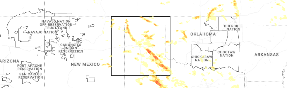
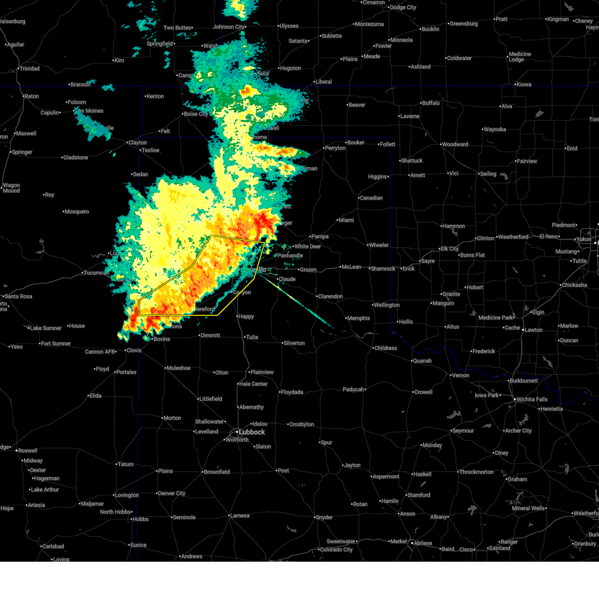
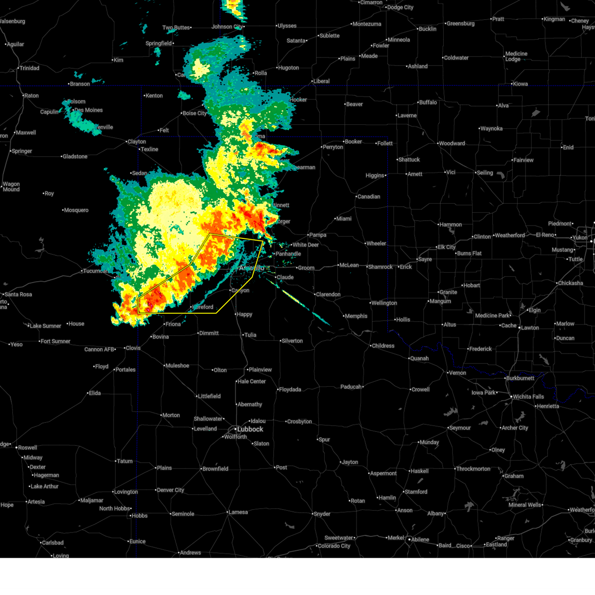
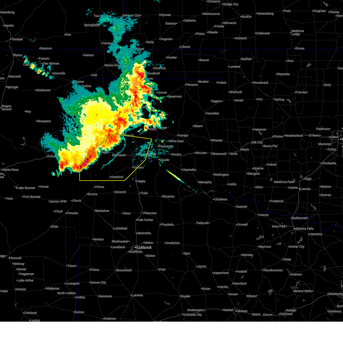
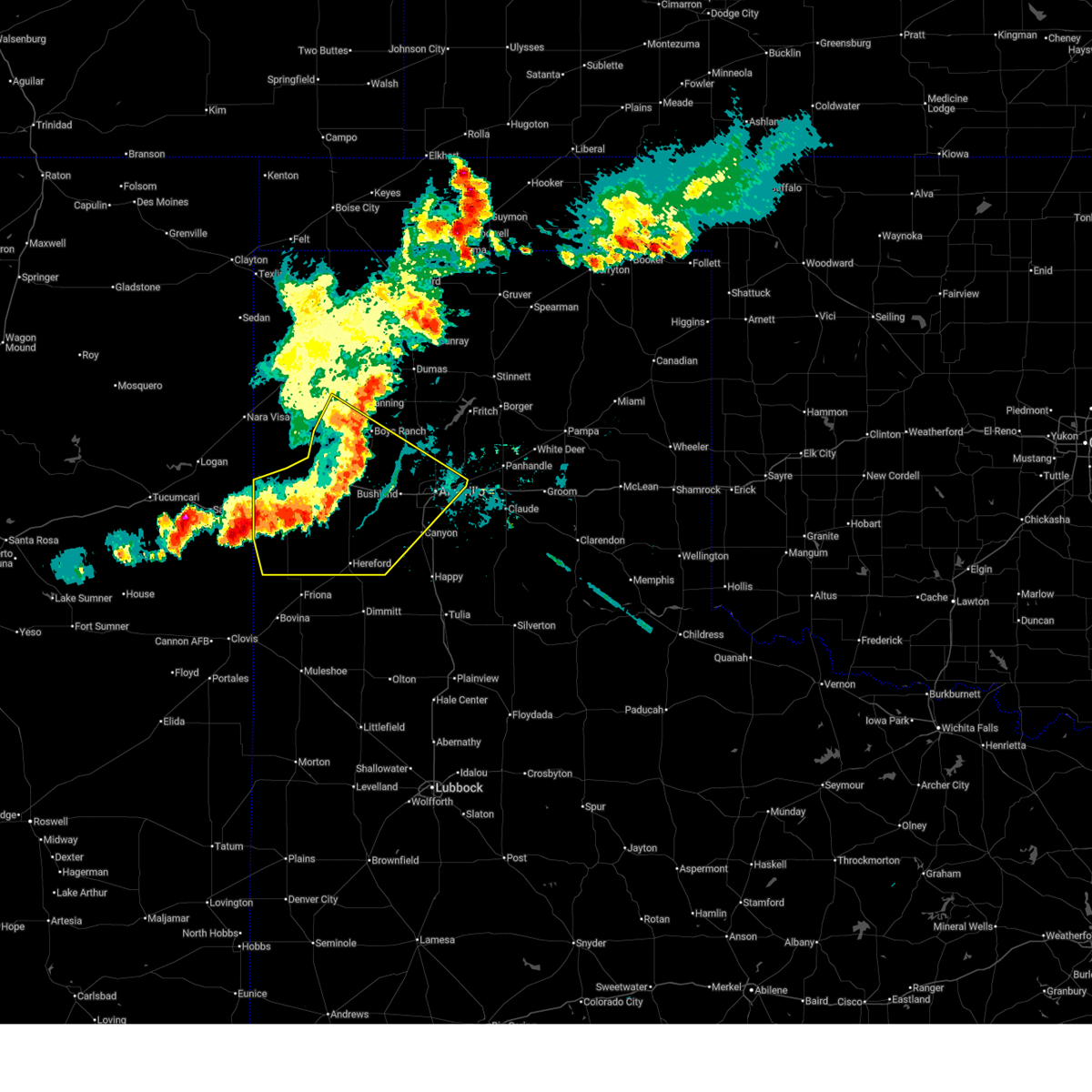
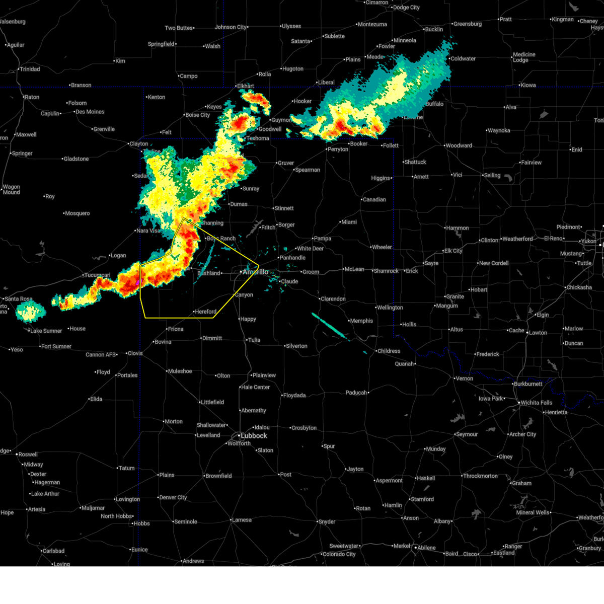
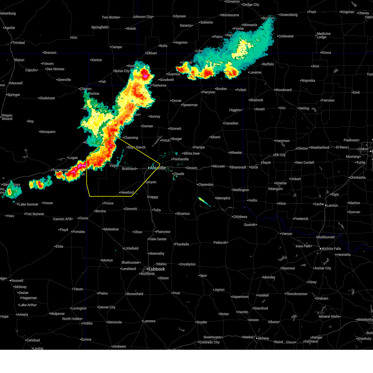
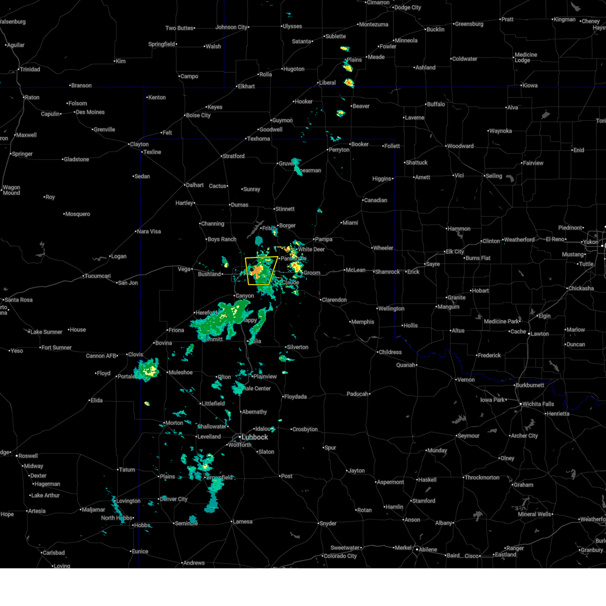
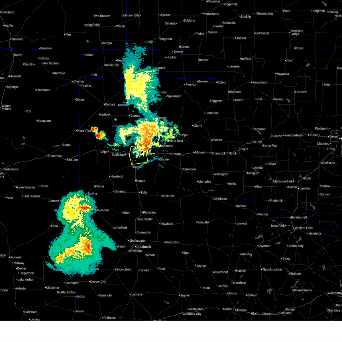
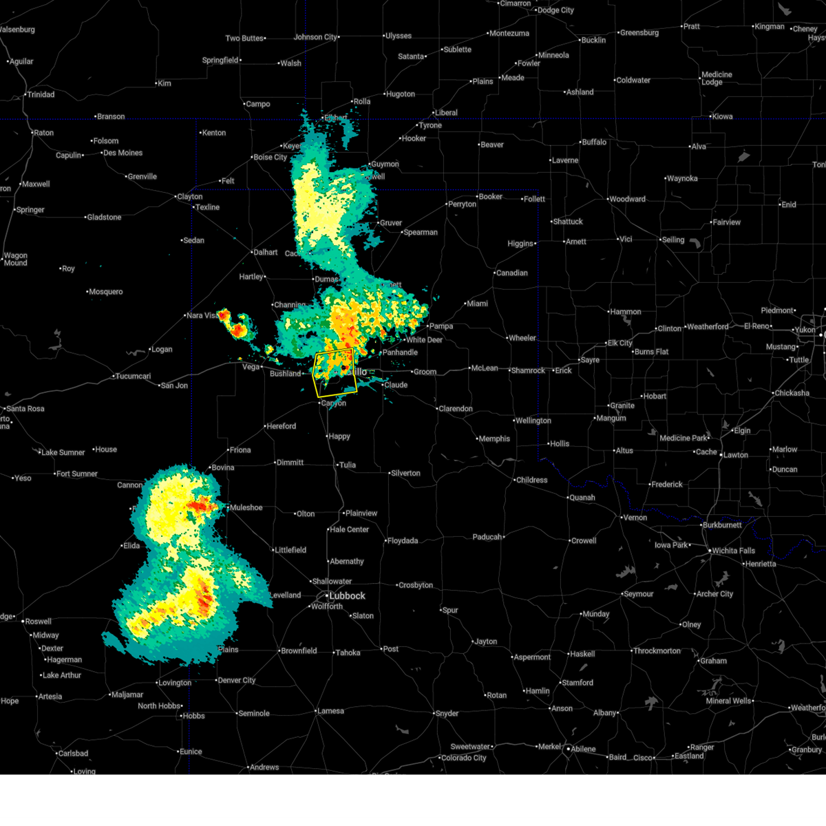
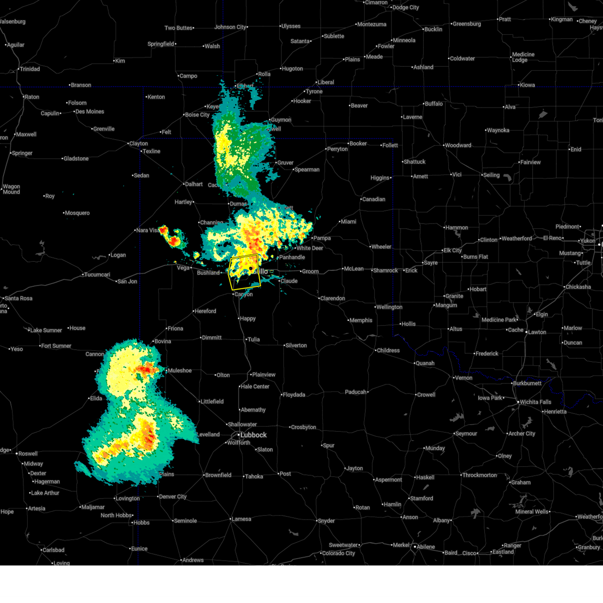
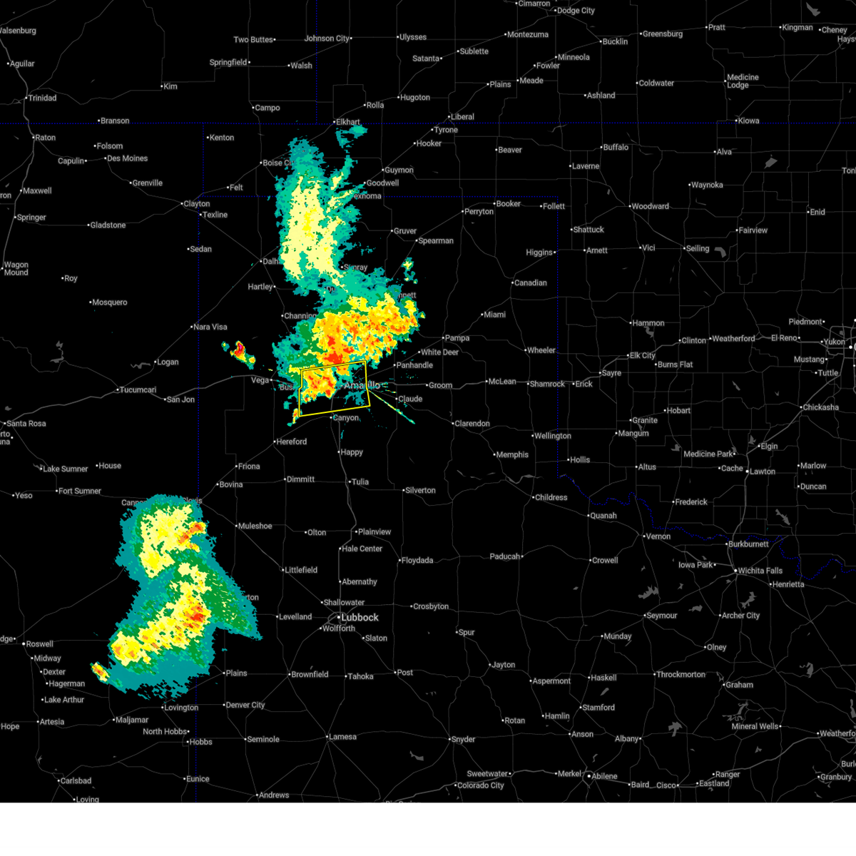
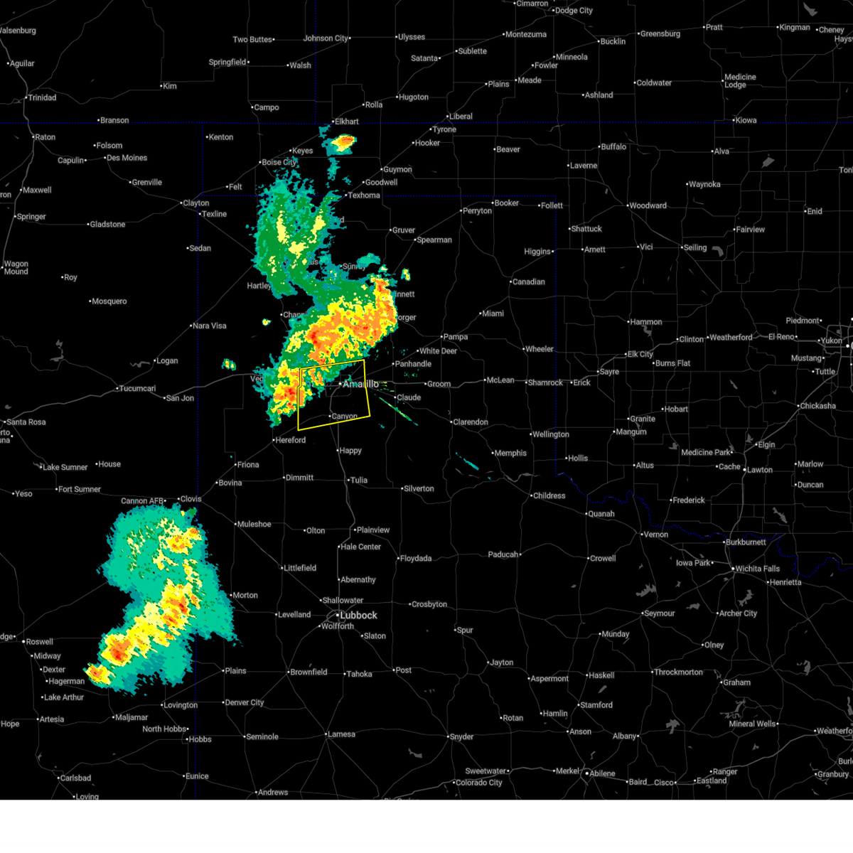
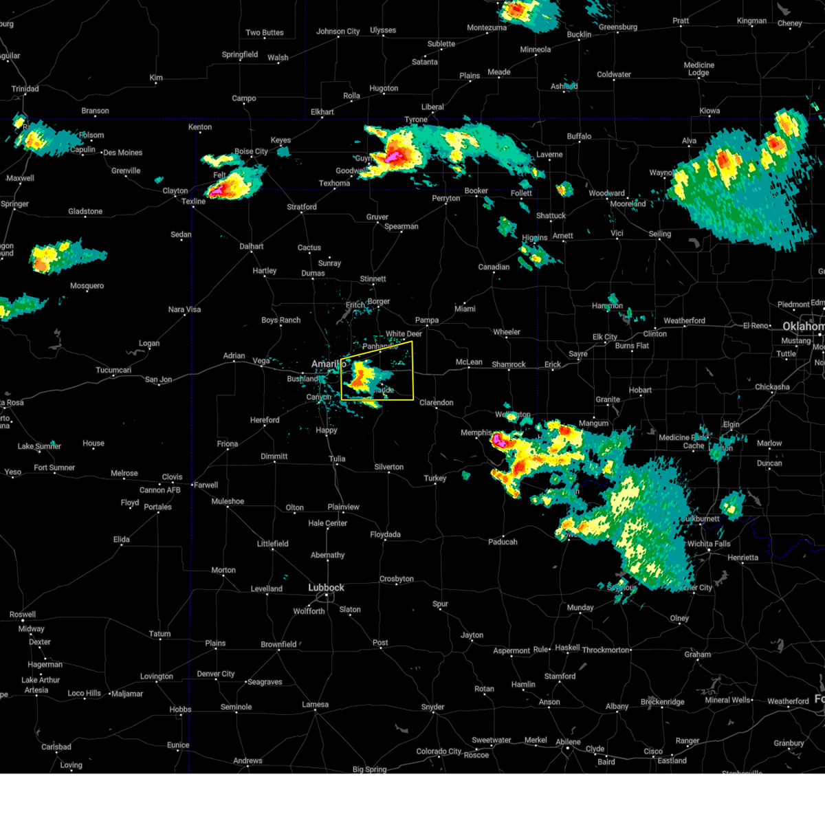
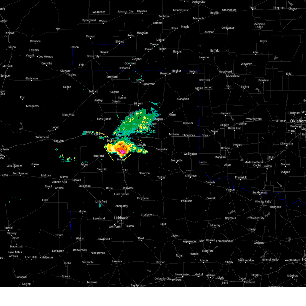
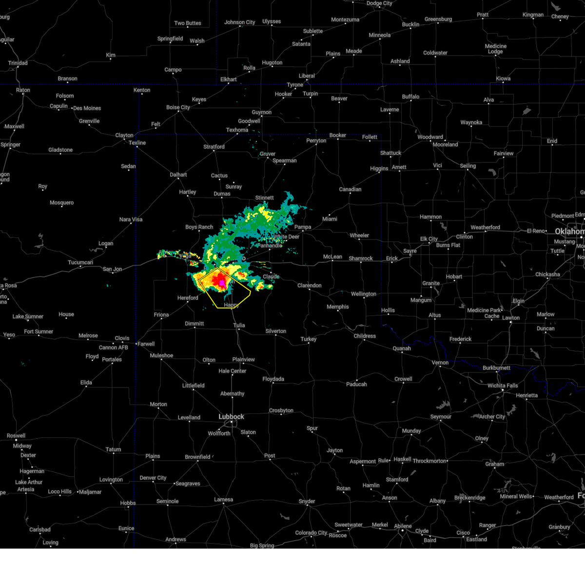
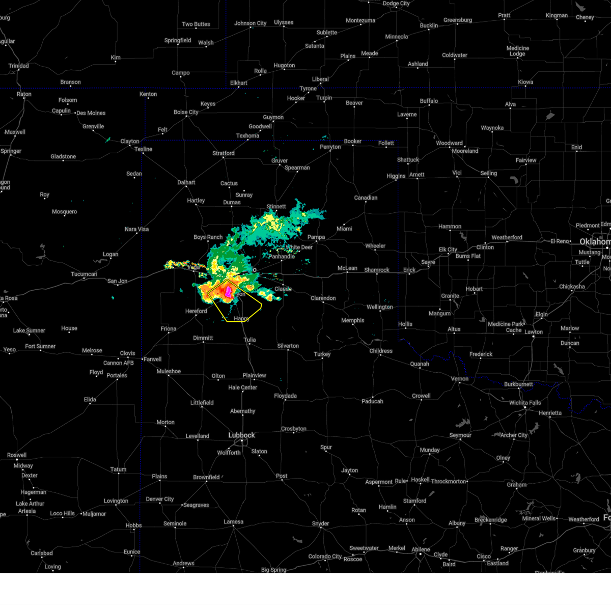
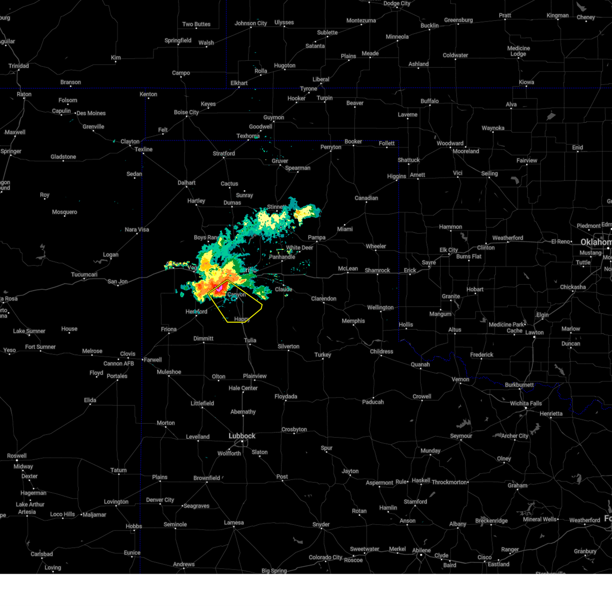
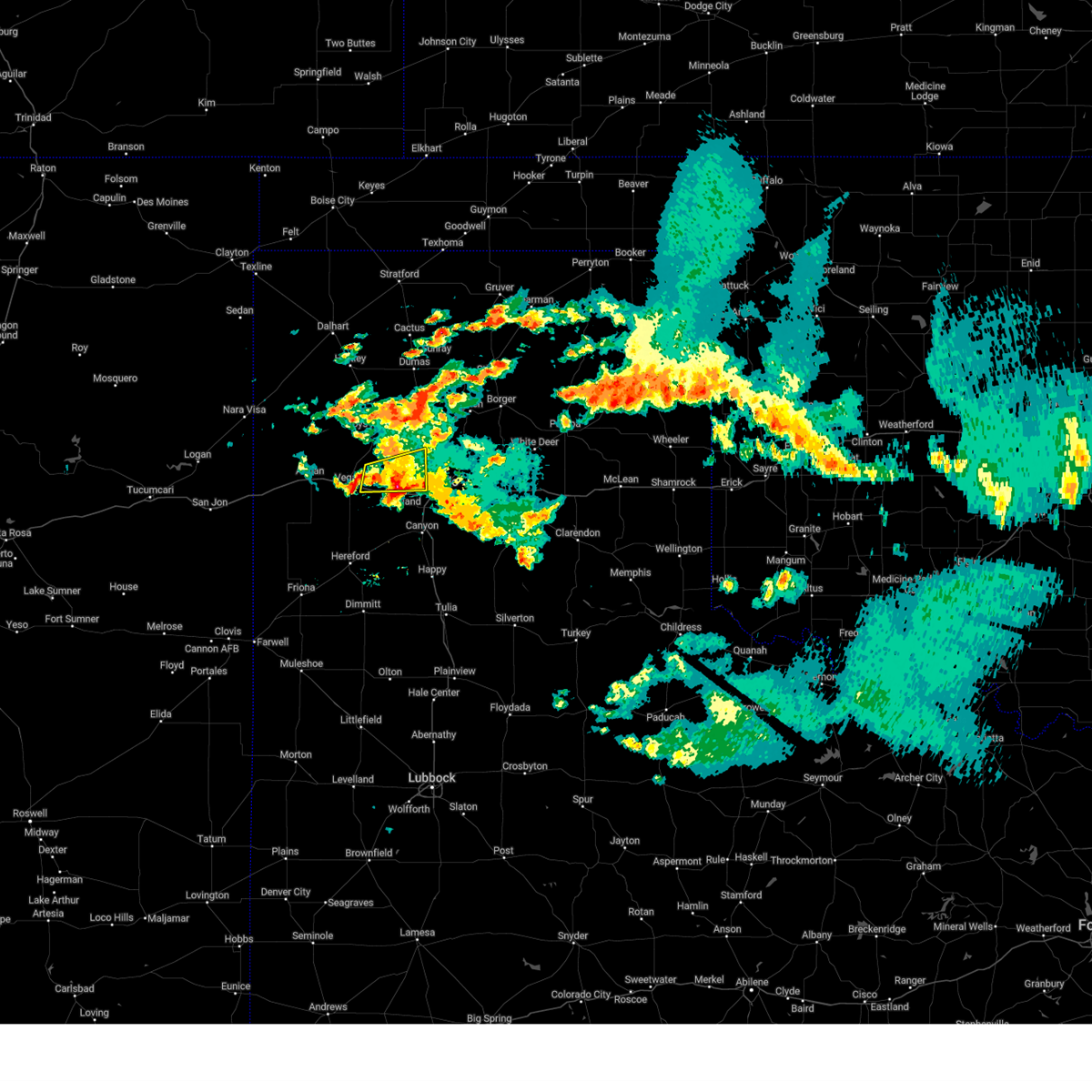
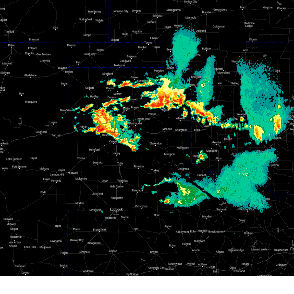
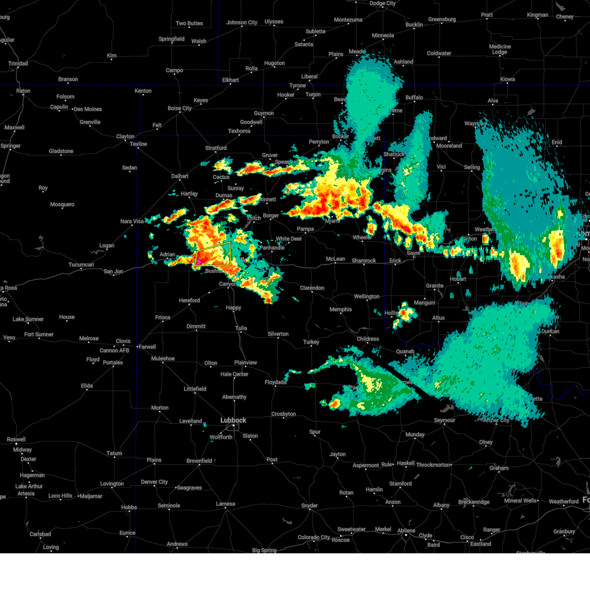
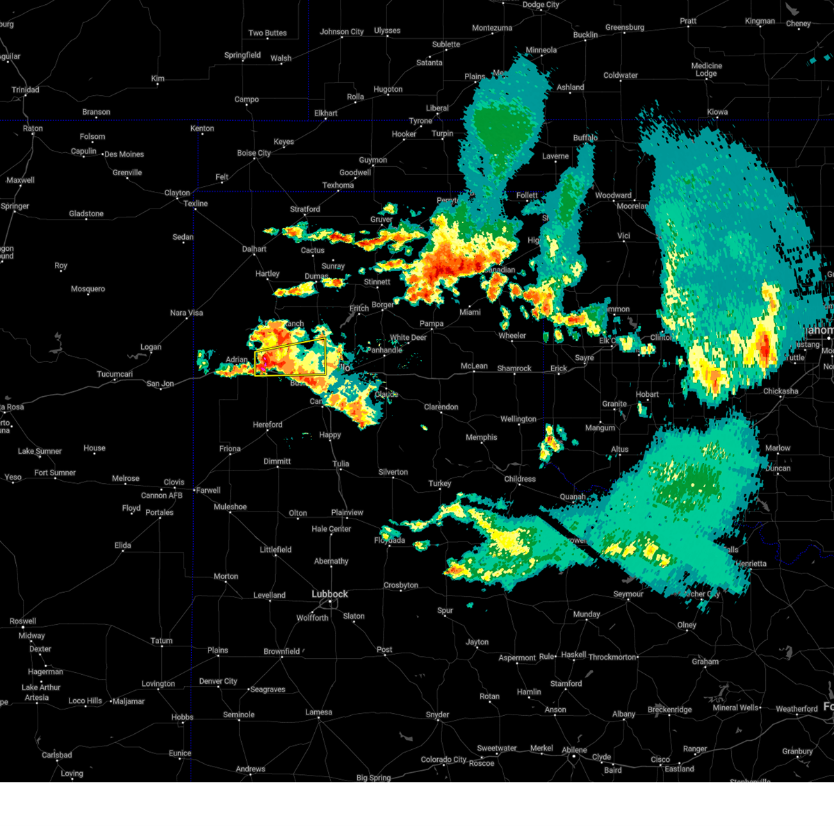
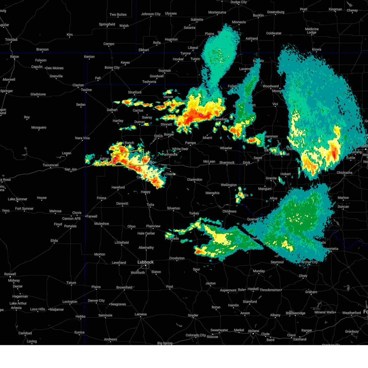
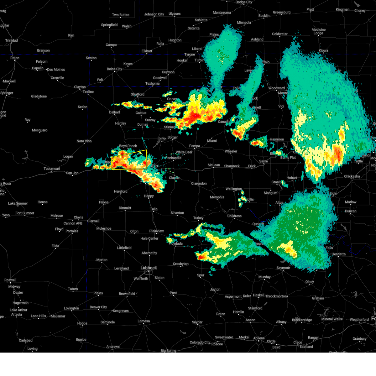
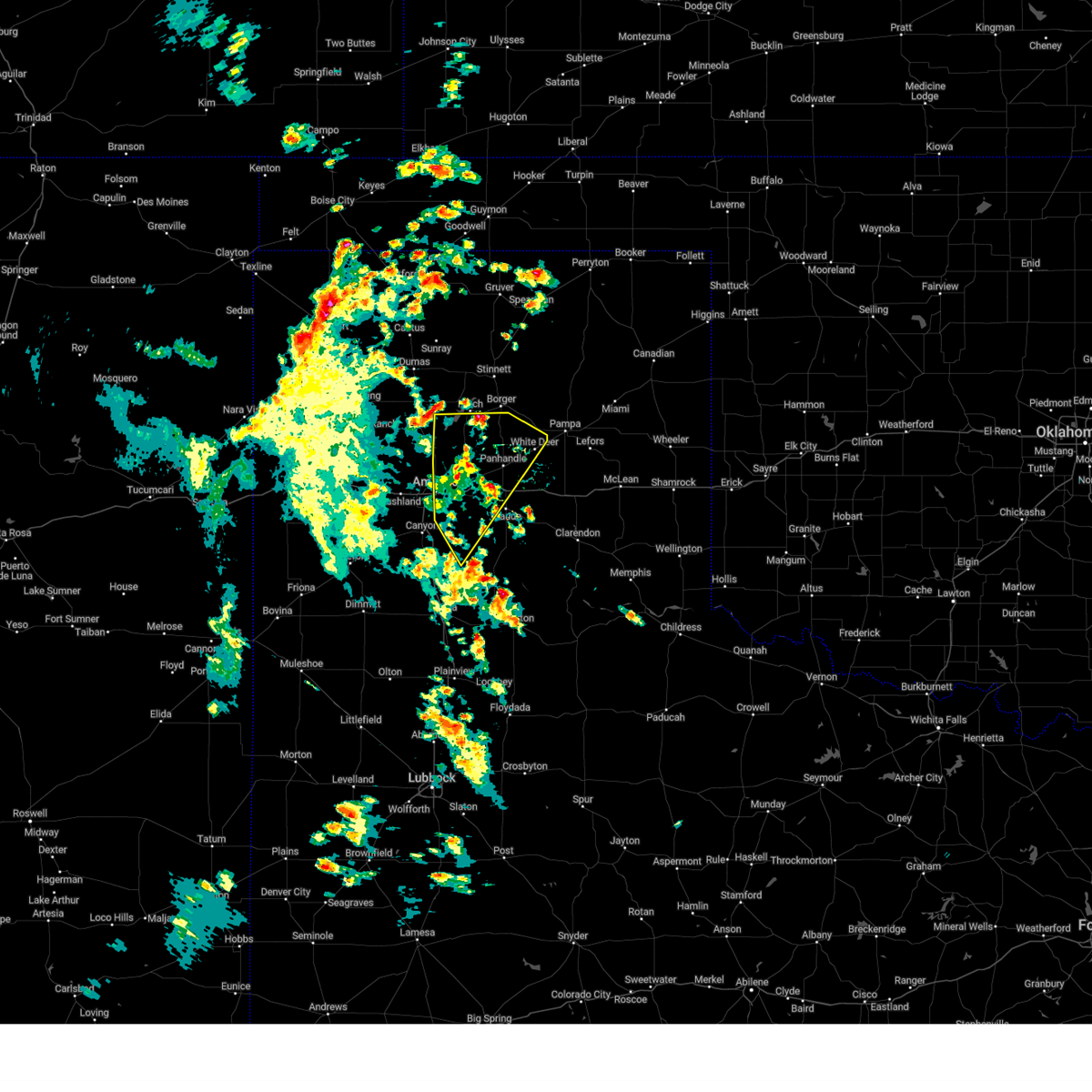
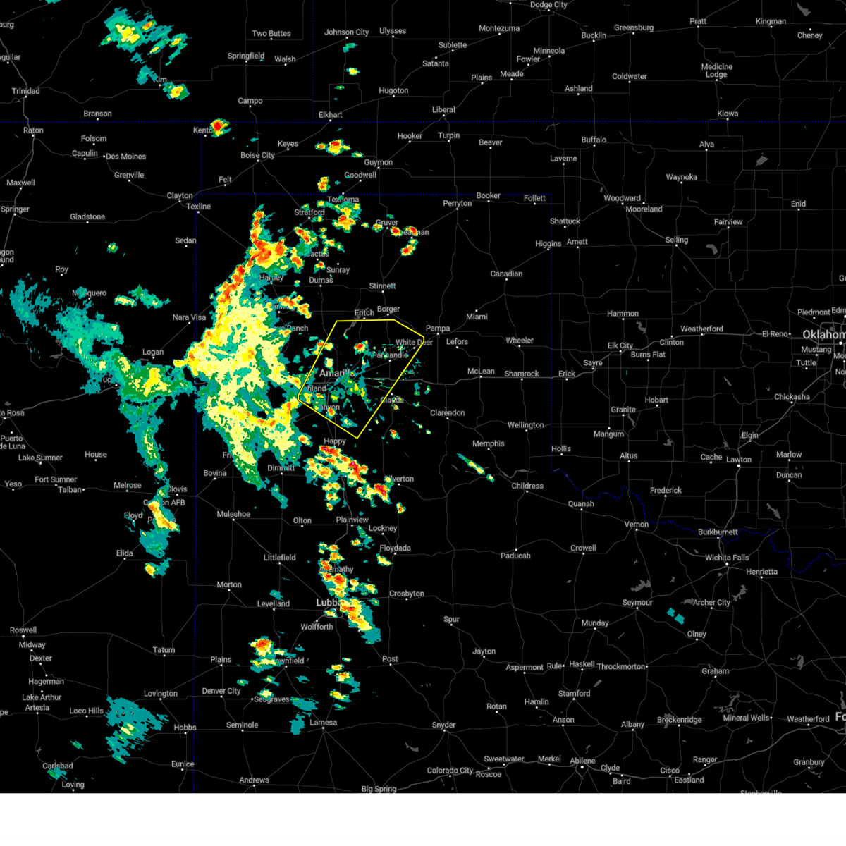
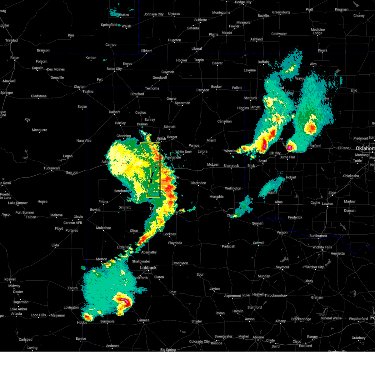
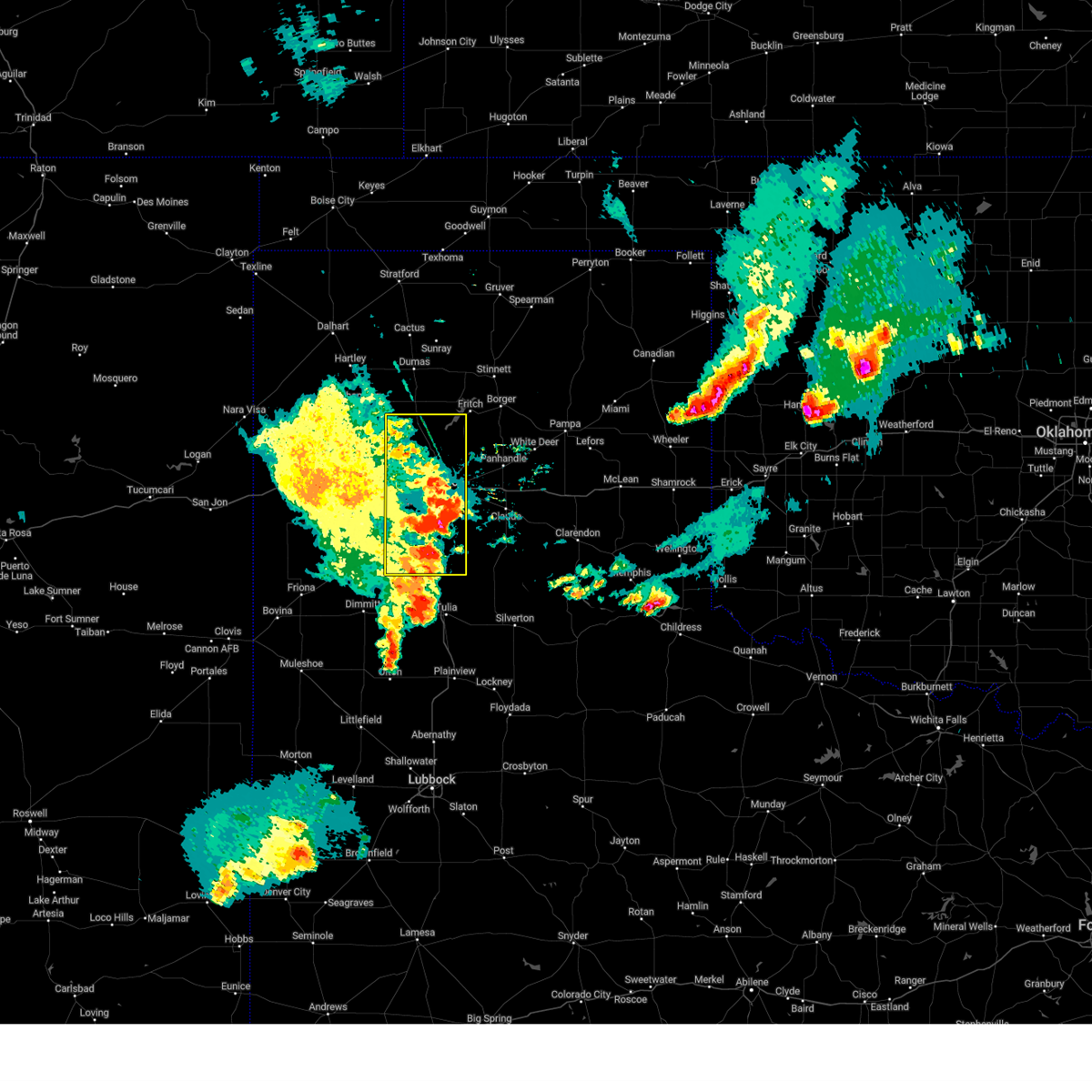
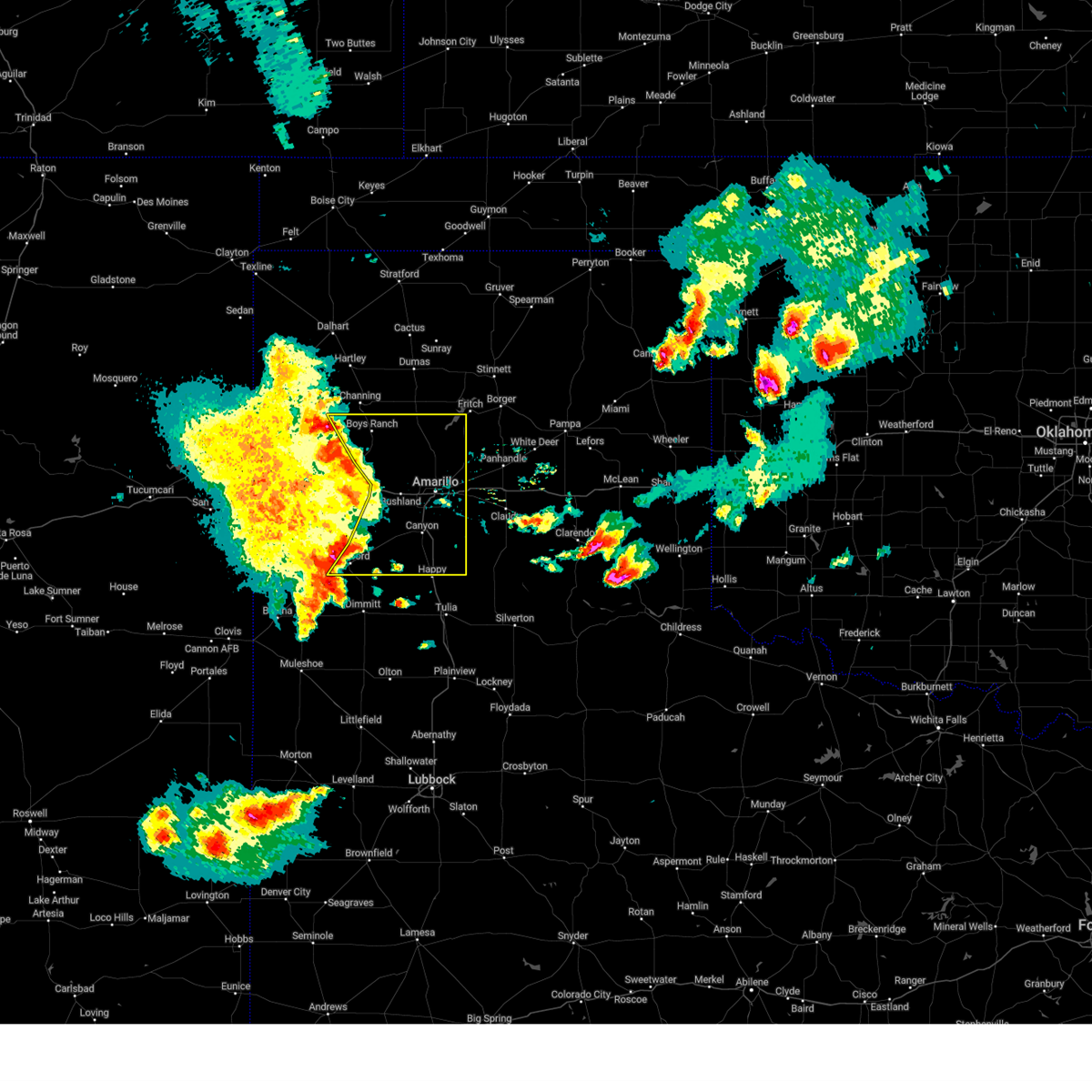
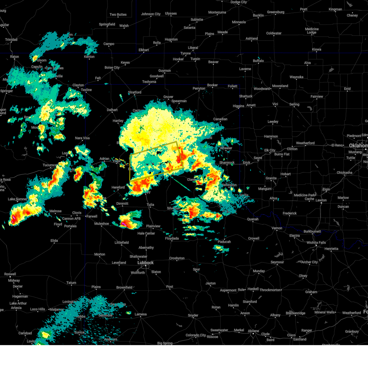
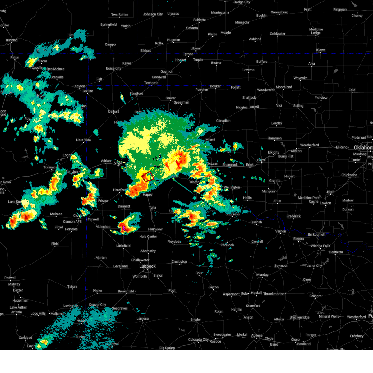
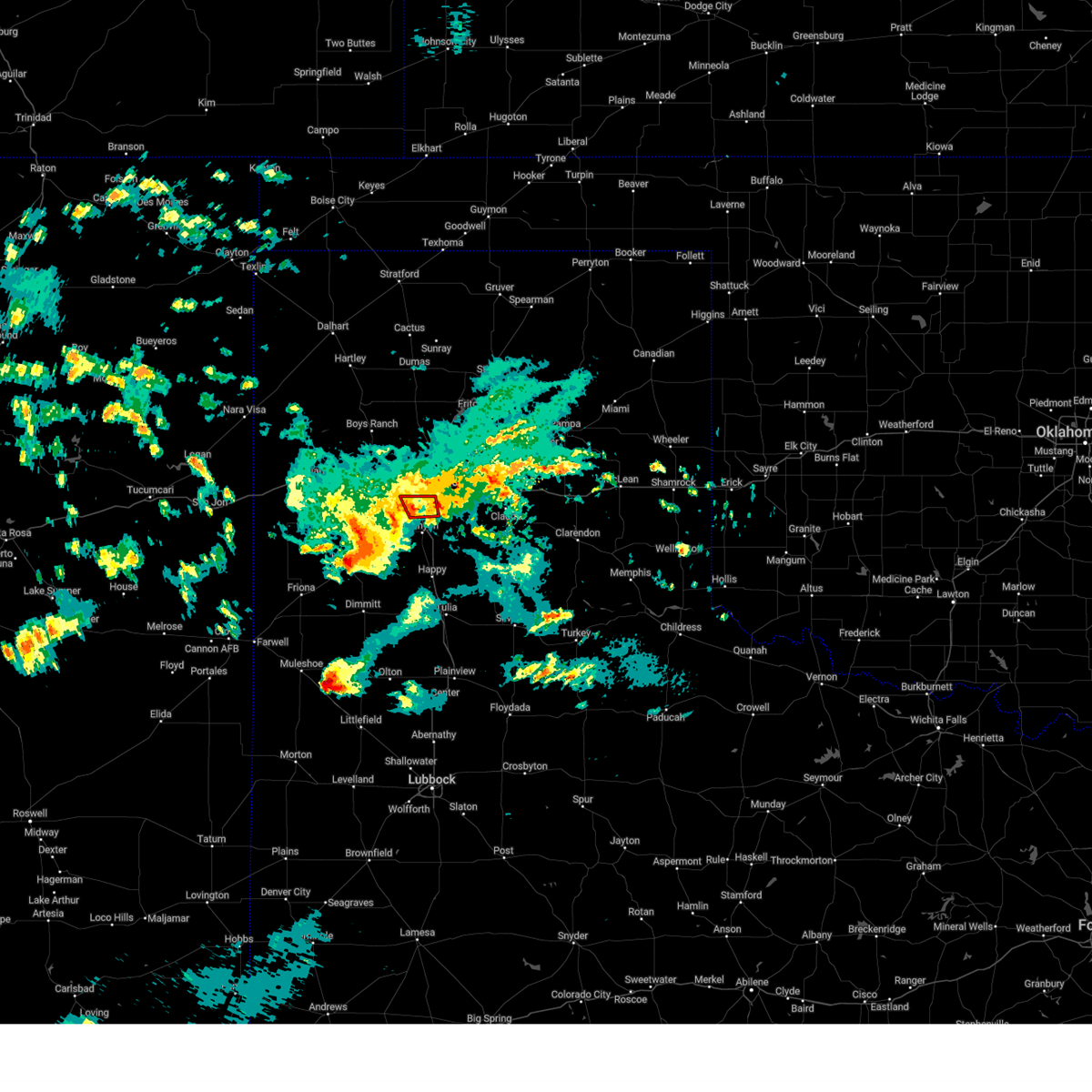
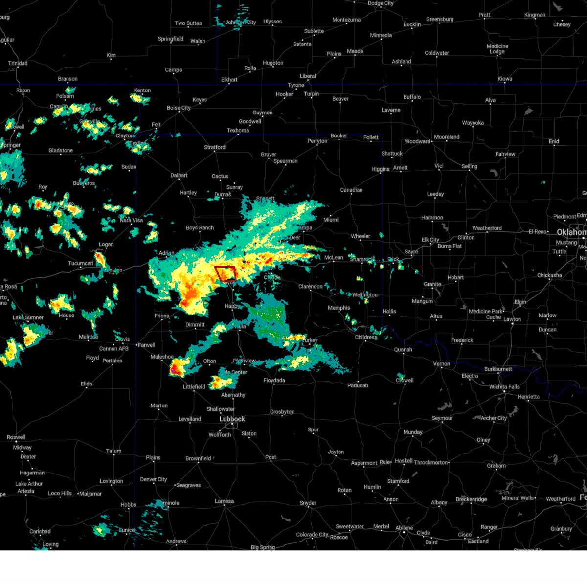
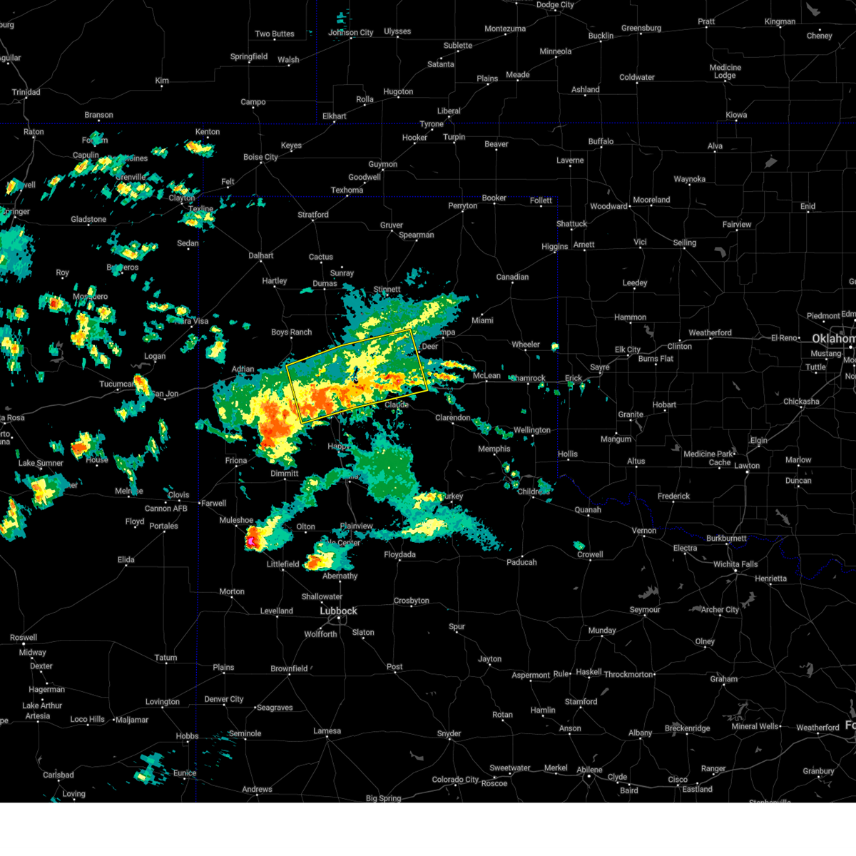
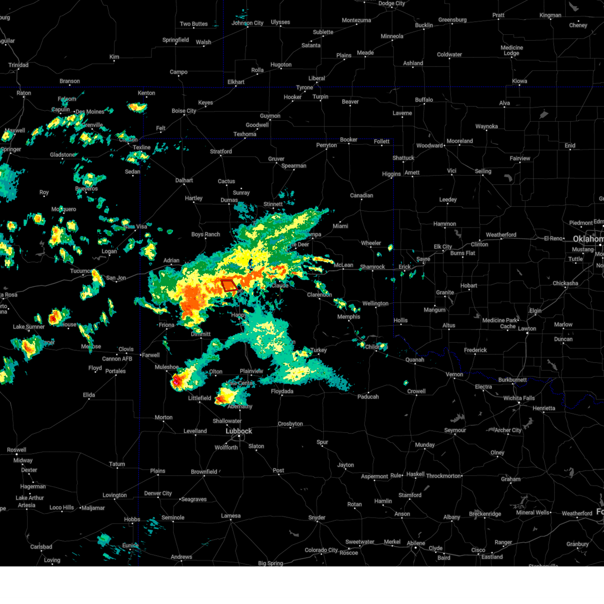
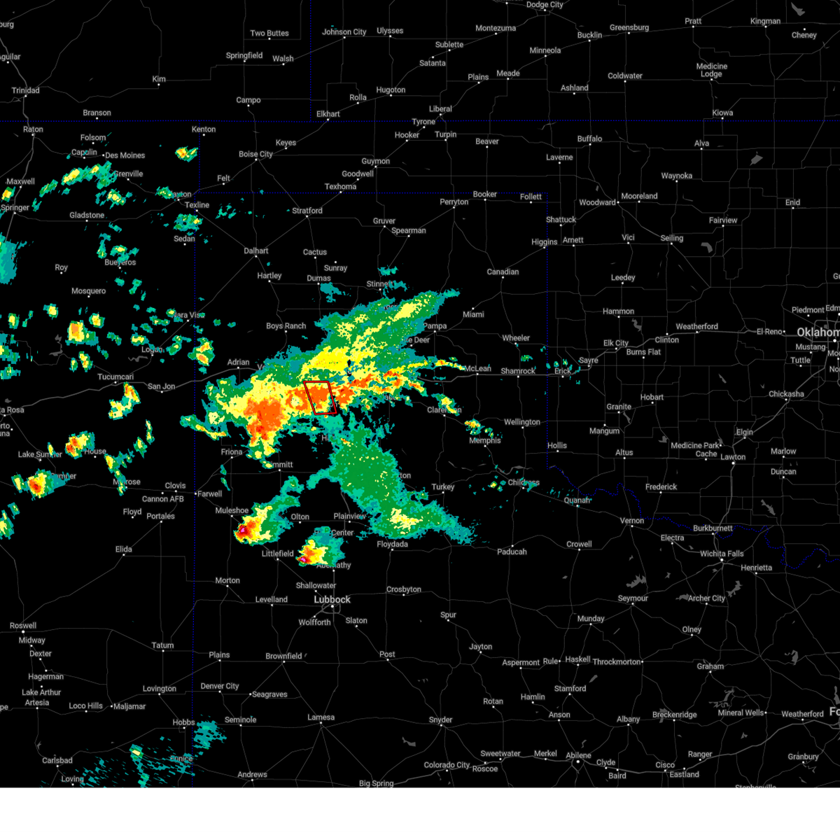
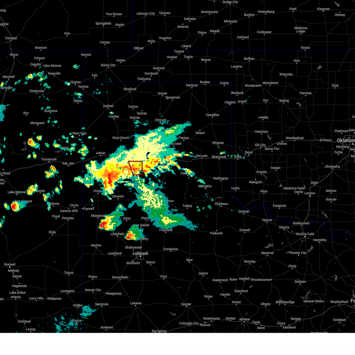
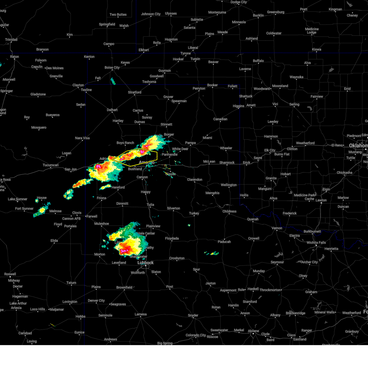
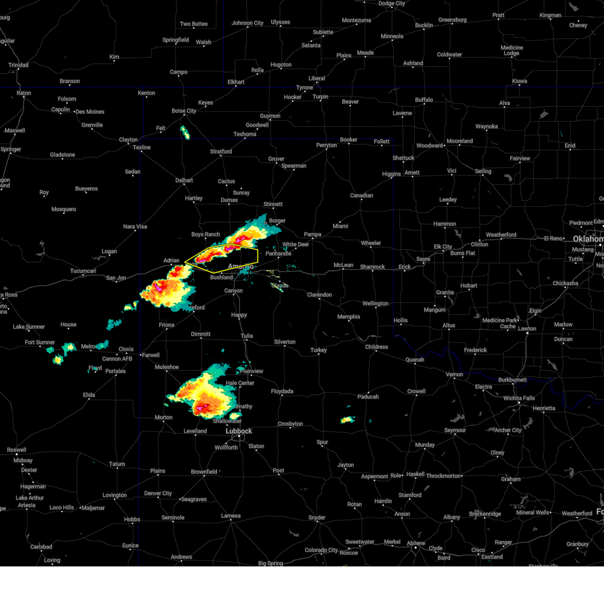
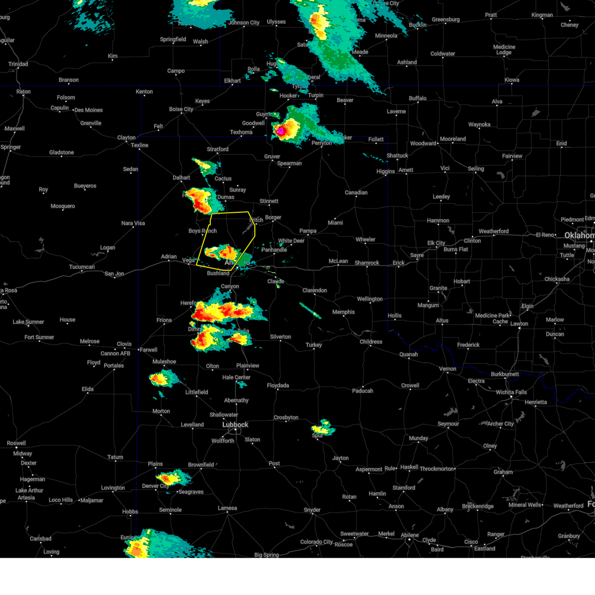
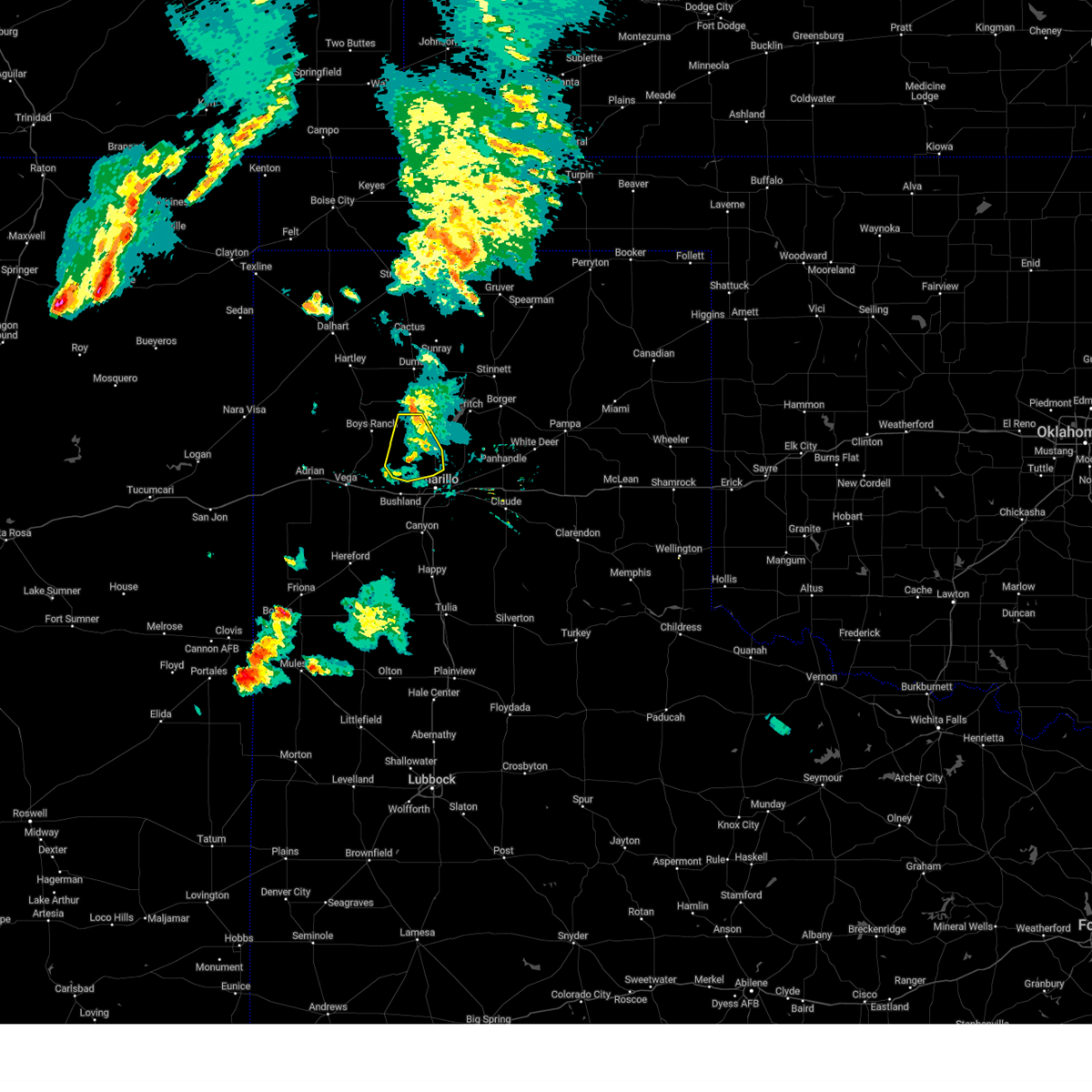
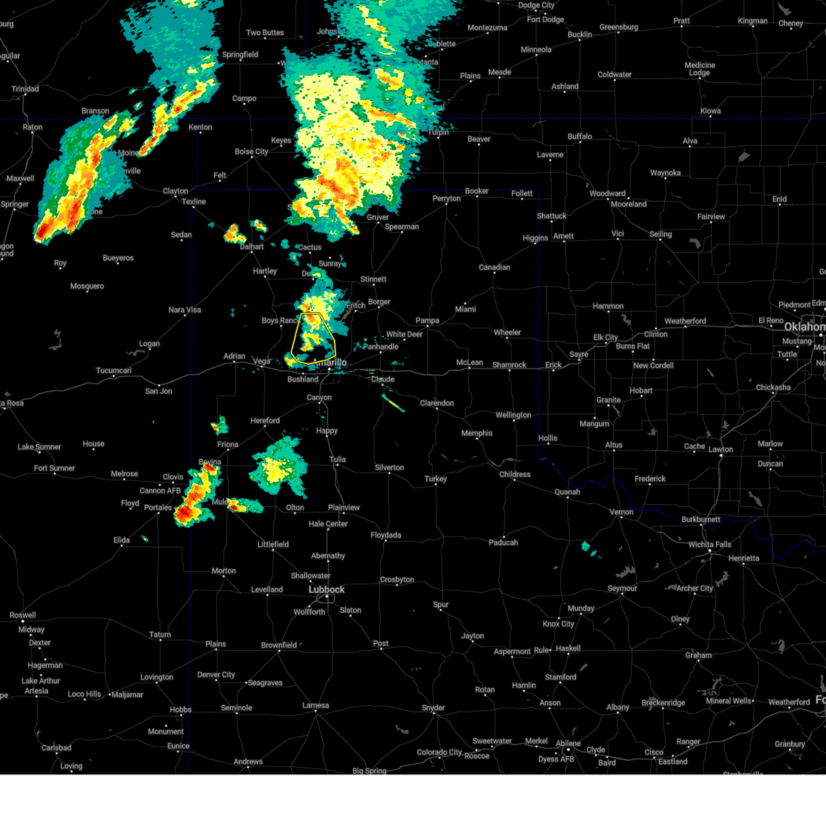
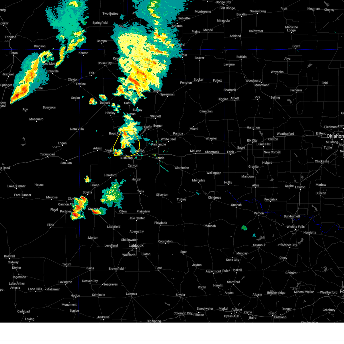
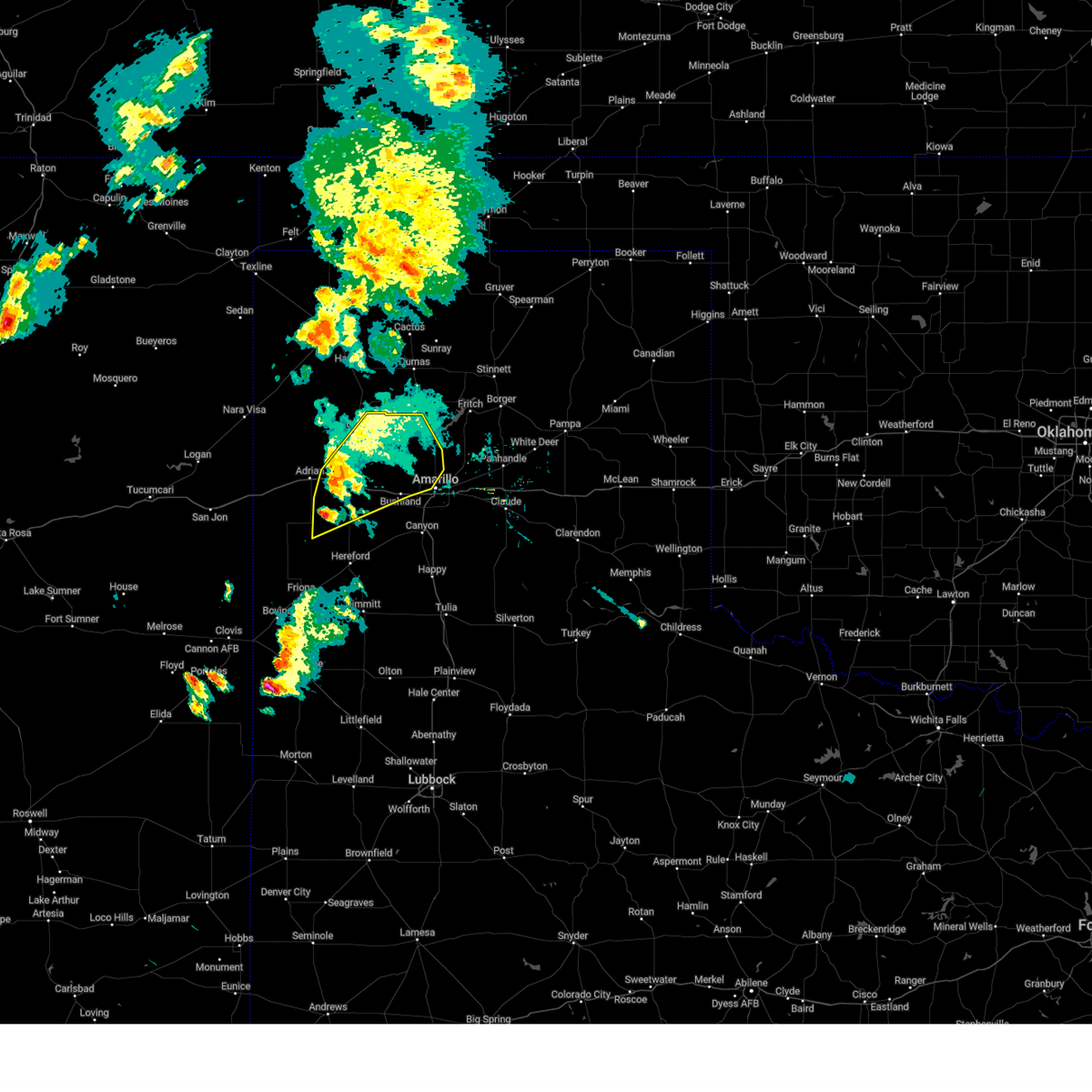
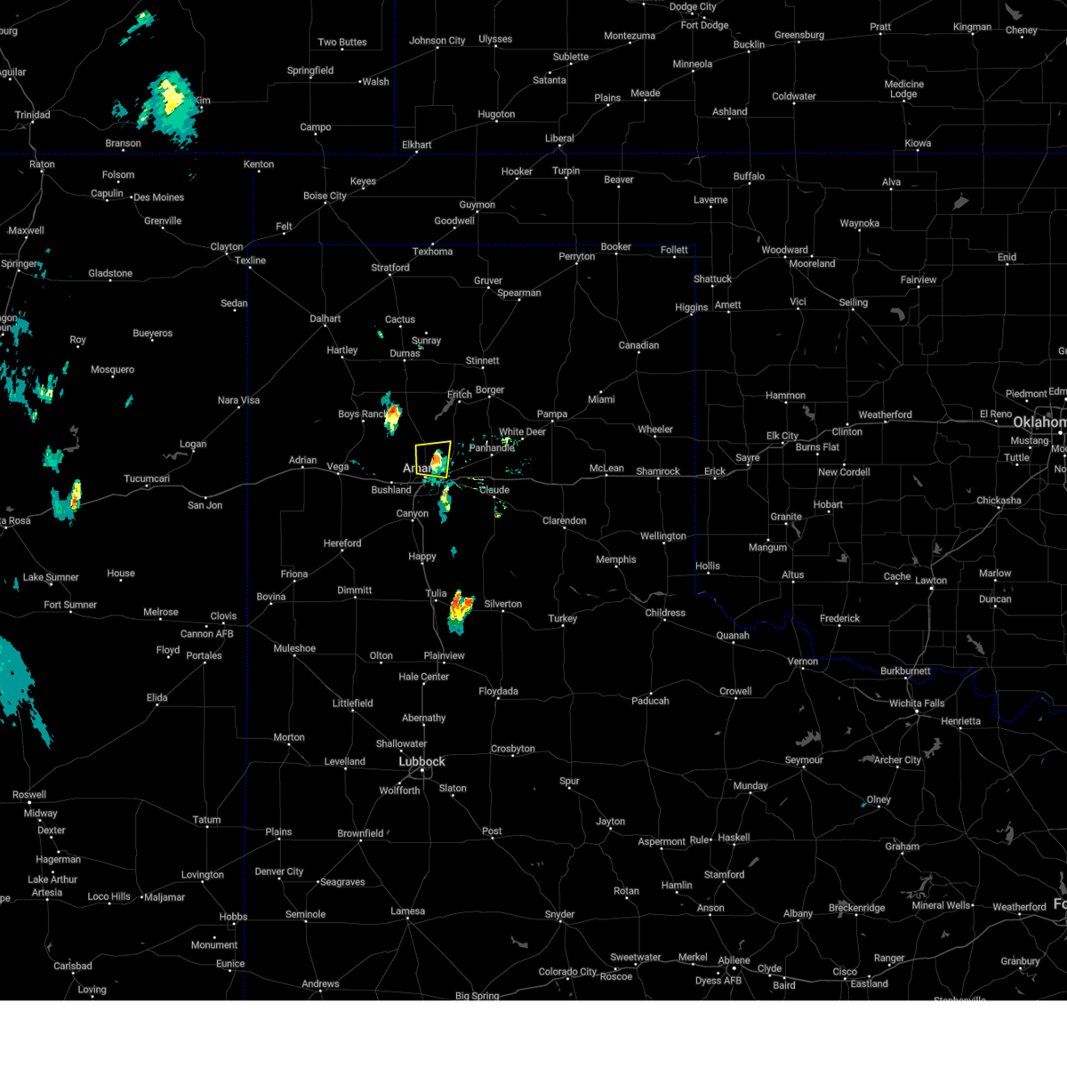
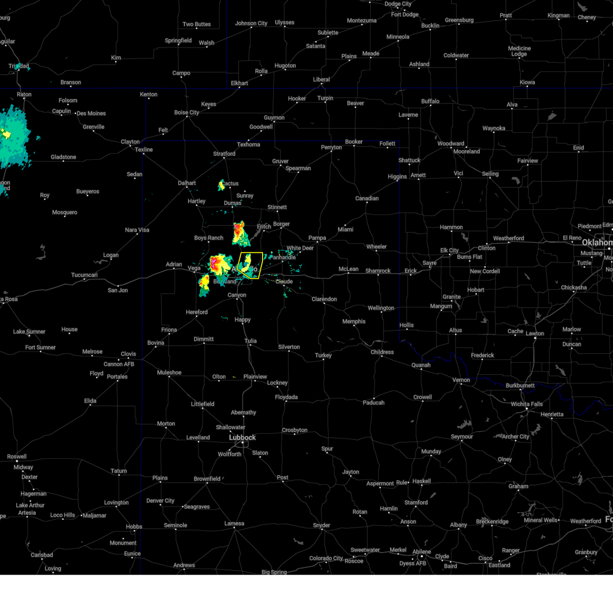
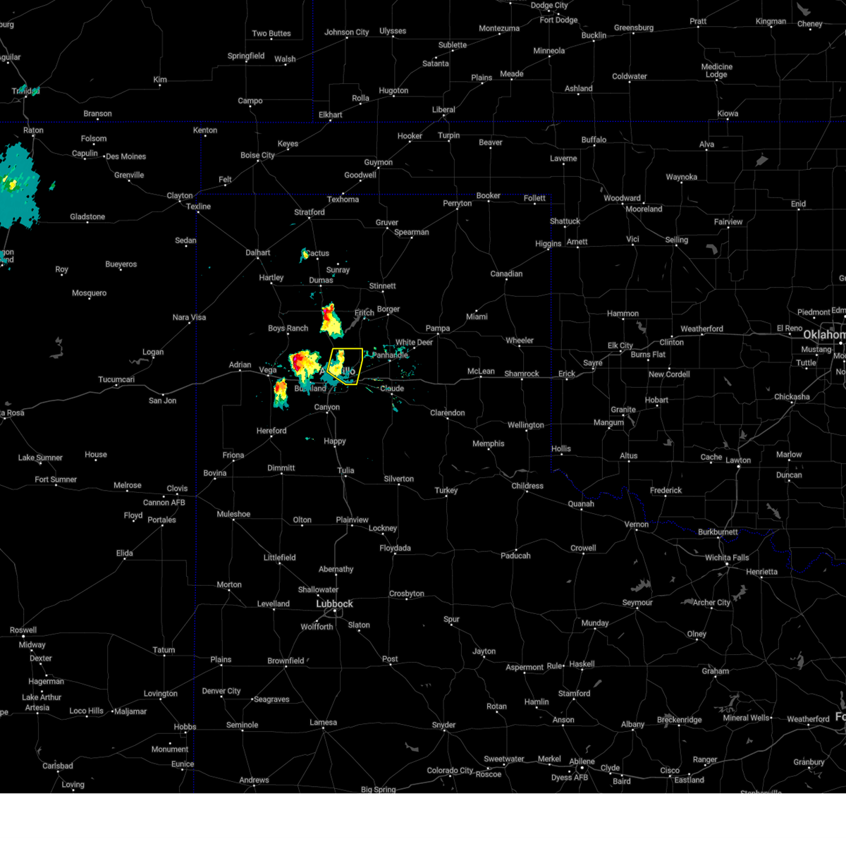
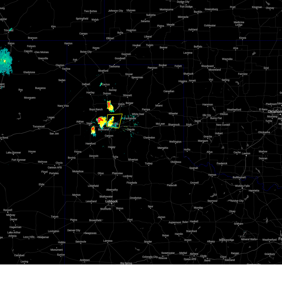
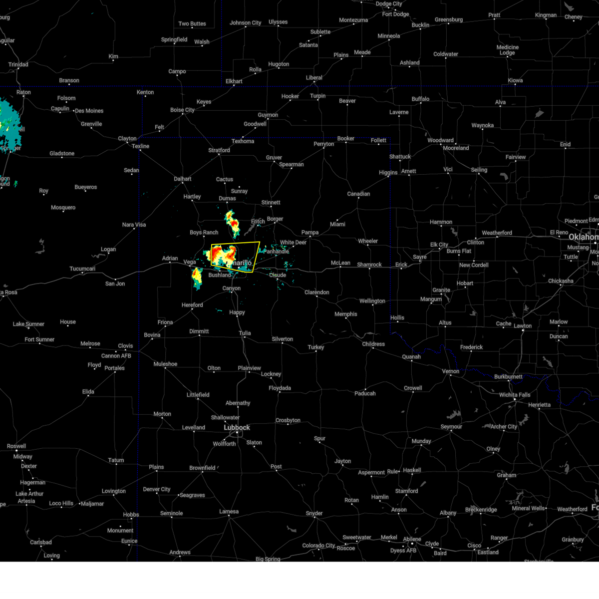
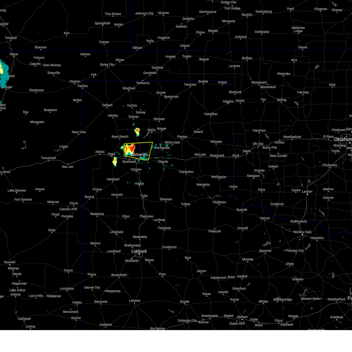
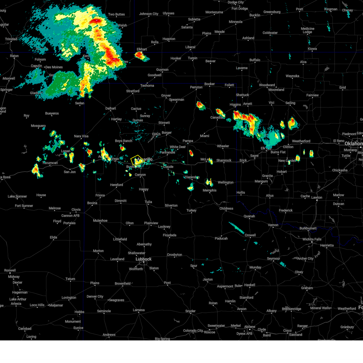
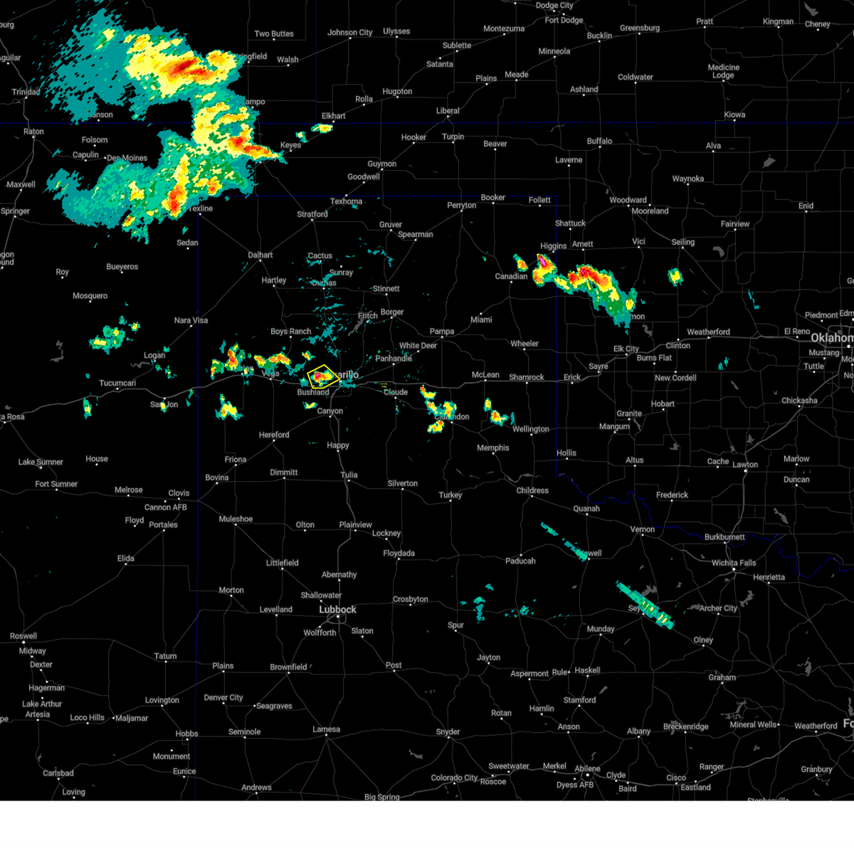
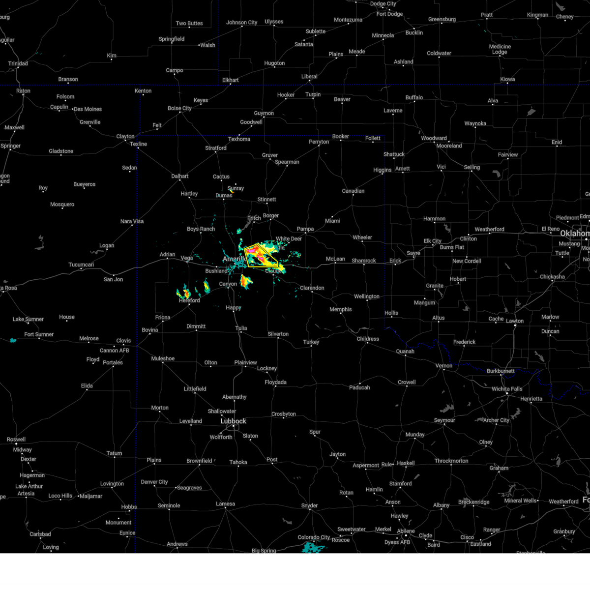
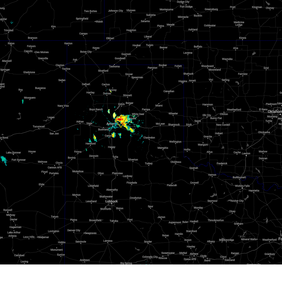
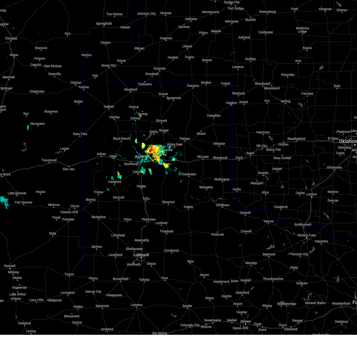
Hail Map for Amarillo, TX
The Amarillo, TX area has had 385 reports of on-the-ground hail by trained spotters, and has been under severe weather warnings 86 times during the past 12 months. Doppler radar has detected hail at or near Amarillo, TX on 187 occasions, including 9 occasions during the past year.
| Name: | Amarillo, TX |
| Where Located: | 0.3 miles S of Amarillo, TX |
| Map: | Google Map for Amarillo, TX |
| Population: | 190695 |
| Housing Units: | 80298 |
| More Info: | Search Google for Amarillo, TX |
1
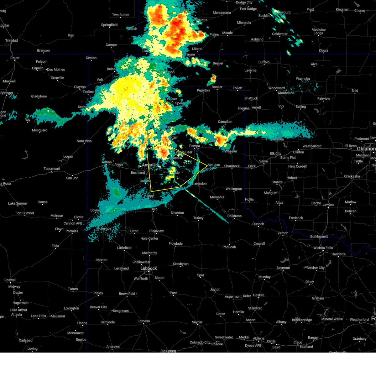
The Top Recent Hail Date for Amarillo, TX is Sunday, June 8, 2025 (28th out of 187)
Hail and Wind Damage Spotted near Amarillo, TX
| Date / Time | Report Details |
|---|---|
| 7/12/2025 12:53 AM CDT |
 Svrama the national weather service in amarillo has issued a * severe thunderstorm warning for, armstrong county in the panhandle of texas, eastern randall county in the panhandle of texas, carson county in the panhandle of texas, southwestern gray county in the panhandle of texas, southeastern potter county in the panhandle of texas, western donley county in the panhandle of texas, * until 200 am cdt. * at 1253 am cdt, a severe thunderstorm was located 5 miles southwest of washburn, or 12 miles southeast of amarillo, moving south at 30 mph (radar indicated). Hazards include 70 mph wind gusts. Expect some tree damage. Damage is likely to mobile homes, roofs, and outbuildings. Svrama the national weather service in amarillo has issued a * severe thunderstorm warning for, armstrong county in the panhandle of texas, eastern randall county in the panhandle of texas, carson county in the panhandle of texas, southwestern gray county in the panhandle of texas, southeastern potter county in the panhandle of texas, western donley county in the panhandle of texas, * until 200 am cdt. * at 1253 am cdt, a severe thunderstorm was located 5 miles southwest of washburn, or 12 miles southeast of amarillo, moving south at 30 mph (radar indicated). Hazards include 70 mph wind gusts. Expect some tree damage. Damage is likely to mobile homes, roofs, and outbuildings.
|
| 7/12/2025 12:36 AM CDT |
 At 1235 am cdt, automated weather equipment reported severe thunderstorms were located along a line extending from 4 miles north of white deer to 7 miles south of panhandle to 8 miles south of washburn, moving southeast at 40 mph (automated weather equipment at pantex). Hazards include 70 mph wind gusts. Expect some tree damage. damage is likely to mobile homes, roofs, and outbuildings. Locations impacted include, amarillo, pampa, borger, panhandle, claude, white deer, skellytown, kingsmill, washburn, and pantex. At 1235 am cdt, automated weather equipment reported severe thunderstorms were located along a line extending from 4 miles north of white deer to 7 miles south of panhandle to 8 miles south of washburn, moving southeast at 40 mph (automated weather equipment at pantex). Hazards include 70 mph wind gusts. Expect some tree damage. damage is likely to mobile homes, roofs, and outbuildings. Locations impacted include, amarillo, pampa, borger, panhandle, claude, white deer, skellytown, kingsmill, washburn, and pantex.
|
| 7/12/2025 12:36 AM CDT |
 the severe thunderstorm warning has been cancelled and is no longer in effect the severe thunderstorm warning has been cancelled and is no longer in effect
|
| 7/12/2025 12:30 AM CDT |
 At 1228 am cdt, automated weather equipment reported severe thunderstorms were located along a line extending from 6 miles west of skellytown to 7 miles southwest of panhandle to 5 miles southwest of washburn, moving southeast at 35 mph (automated weather equipment in amarillo and pantex). Hazards include 60 mph wind gusts. Minor damage to roofs, siding, and trees is possible. Locations impacted include, amarillo, pampa, borger, panhandle, claude, fritch, white deer, skellytown, sanford, washburn, kingsmill, lake meredith, and pantex. At 1228 am cdt, automated weather equipment reported severe thunderstorms were located along a line extending from 6 miles west of skellytown to 7 miles southwest of panhandle to 5 miles southwest of washburn, moving southeast at 35 mph (automated weather equipment in amarillo and pantex). Hazards include 60 mph wind gusts. Minor damage to roofs, siding, and trees is possible. Locations impacted include, amarillo, pampa, borger, panhandle, claude, fritch, white deer, skellytown, sanford, washburn, kingsmill, lake meredith, and pantex.
|
| 7/12/2025 12:22 AM CDT | Storm damage reported in potter county TX, 6.6 miles W of Amarillo, TX |
| 7/12/2025 12:10 AM CDT |
 The storms which prompted the warning have weakened below severe limits, and no longer pose an immediate threat to life or property. therefore, the warning will be allowed to expire. however, gusty winds and heavy rain are still possible with these thunderstorms. a severe thunderstorm watch remains in effect until 100 am cdt for the panhandle of texas. The storms which prompted the warning have weakened below severe limits, and no longer pose an immediate threat to life or property. therefore, the warning will be allowed to expire. however, gusty winds and heavy rain are still possible with these thunderstorms. a severe thunderstorm watch remains in effect until 100 am cdt for the panhandle of texas.
|
| 7/12/2025 12:08 AM CDT |
 Svrama the national weather service in amarillo has issued a * severe thunderstorm warning for, northwestern armstrong county in the panhandle of texas, northeastern randall county in the panhandle of texas, carson county in the panhandle of texas, southern hutchinson county in the panhandle of texas, northwestern gray county in the panhandle of texas, eastern potter county in the panhandle of texas, southwestern roberts county in the panhandle of texas, southeastern moore county in the panhandle of texas, * until 100 am cdt. * at 1208 am cdt, severe thunderstorms were located along a line extending from 7 miles southeast of fritch to 12 miles north of washburn to 4 miles northeast of amarillo, moving southeast at 35 mph (radar indicated). Hazards include 60 mph wind gusts. minor damage to roofs, siding, and trees is possible Svrama the national weather service in amarillo has issued a * severe thunderstorm warning for, northwestern armstrong county in the panhandle of texas, northeastern randall county in the panhandle of texas, carson county in the panhandle of texas, southern hutchinson county in the panhandle of texas, northwestern gray county in the panhandle of texas, eastern potter county in the panhandle of texas, southwestern roberts county in the panhandle of texas, southeastern moore county in the panhandle of texas, * until 100 am cdt. * at 1208 am cdt, severe thunderstorms were located along a line extending from 7 miles southeast of fritch to 12 miles north of washburn to 4 miles northeast of amarillo, moving southeast at 35 mph (radar indicated). Hazards include 60 mph wind gusts. minor damage to roofs, siding, and trees is possible
|
| 7/11/2025 11:57 PM CDT |
 At 1156 pm cdt, severe thunderstorms were located along a line extending from 16 miles northwest of washburn to amarillo to 4 miles west of mescalero park to 5 miles south of hereford, moving southeast at 35 mph (radar indicated). Hazards include 60 mph wind gusts. Minor damage to roofs, siding, and trees is possible. Locations impacted include, amarillo, hereford, canyon, lake tanglewood, buffalo lake, bushland, valley de oro, umbarger, bootleg, wildorado, mescalero park, dawn, simms, timbercreek canyon, and pantex. At 1156 pm cdt, severe thunderstorms were located along a line extending from 16 miles northwest of washburn to amarillo to 4 miles west of mescalero park to 5 miles south of hereford, moving southeast at 35 mph (radar indicated). Hazards include 60 mph wind gusts. Minor damage to roofs, siding, and trees is possible. Locations impacted include, amarillo, hereford, canyon, lake tanglewood, buffalo lake, bushland, valley de oro, umbarger, bootleg, wildorado, mescalero park, dawn, simms, timbercreek canyon, and pantex.
|
| 7/11/2025 11:25 PM CDT |
 Svrama the national weather service in amarillo has issued a * severe thunderstorm warning for, randall county in the panhandle of texas, eastern oldham county in the panhandle of texas, west central carson county in the panhandle of texas, deaf smith county in the panhandle of texas, potter county in the panhandle of texas, * until 1215 am cdt. * at 1125 pm cdt, severe thunderstorms were located along a line extending from near valley de oro to 7 miles northwest of bushland to near wildorado to 8 miles east of bootleg, moving southeast at 35 mph (radar indicated). Hazards include 60 mph wind gusts and penny size hail. minor damage to roofs, siding, and trees is possible Svrama the national weather service in amarillo has issued a * severe thunderstorm warning for, randall county in the panhandle of texas, eastern oldham county in the panhandle of texas, west central carson county in the panhandle of texas, deaf smith county in the panhandle of texas, potter county in the panhandle of texas, * until 1215 am cdt. * at 1125 pm cdt, severe thunderstorms were located along a line extending from near valley de oro to 7 miles northwest of bushland to near wildorado to 8 miles east of bootleg, moving southeast at 35 mph (radar indicated). Hazards include 60 mph wind gusts and penny size hail. minor damage to roofs, siding, and trees is possible
|
| 7/5/2025 9:48 PM CDT |
 the severe thunderstorm warning has been cancelled and is no longer in effect the severe thunderstorm warning has been cancelled and is no longer in effect
|
| 7/5/2025 9:38 PM CDT |
 At 938 pm cdt, severe thunderstorms were located along a line extending from 5 miles south of valley de oro to 8 miles northwest of summerfield, moving east at 35 mph (radar indicated). Hazards include 60 mph wind gusts. Minor damage to roofs, siding, and trees is possible. Locations impacted include, amarillo, hereford, canyon, vega, adrian, glenrio, buffalo lake, bushland, valley de oro, boys ranch, umbarger, bootleg, wildorado, mescalero park, dawn, and simms. At 938 pm cdt, severe thunderstorms were located along a line extending from 5 miles south of valley de oro to 8 miles northwest of summerfield, moving east at 35 mph (radar indicated). Hazards include 60 mph wind gusts. Minor damage to roofs, siding, and trees is possible. Locations impacted include, amarillo, hereford, canyon, vega, adrian, glenrio, buffalo lake, bushland, valley de oro, boys ranch, umbarger, bootleg, wildorado, mescalero park, dawn, and simms.
|
| 7/5/2025 9:17 PM CDT |
 Svrama the national weather service in amarillo has issued a * severe thunderstorm warning for, northwestern randall county in the panhandle of texas, oldham county in the panhandle of texas, deaf smith county in the panhandle of texas, southern potter county in the panhandle of texas, south central hartley county in the panhandle of texas, * until 1015 pm cdt. * at 917 pm cdt, severe thunderstorms were located along a line extending from boys ranch to 7 miles southwest of simms, moving southeast at 35 mph (radar indicated). Hazards include 70 mph wind gusts. Expect some tree damage. Damage is likely to mobile homes, roofs, and outbuildings. Svrama the national weather service in amarillo has issued a * severe thunderstorm warning for, northwestern randall county in the panhandle of texas, oldham county in the panhandle of texas, deaf smith county in the panhandle of texas, southern potter county in the panhandle of texas, south central hartley county in the panhandle of texas, * until 1015 pm cdt. * at 917 pm cdt, severe thunderstorms were located along a line extending from boys ranch to 7 miles southwest of simms, moving southeast at 35 mph (radar indicated). Hazards include 70 mph wind gusts. Expect some tree damage. Damage is likely to mobile homes, roofs, and outbuildings.
|
| 6/25/2025 5:34 PM CDT |
 the severe thunderstorm warning has been cancelled and is no longer in effect the severe thunderstorm warning has been cancelled and is no longer in effect
|
| 6/25/2025 5:28 PM CDT | At 528 pm cdt, a severe thunderstorm was located 7 miles northwest of washburn, or 10 miles east of amarillo, moving north at 25 mph (radar indicated). Hazards include 60 mph wind gusts. Minor damage to roofs, siding, and trees is possible. Locations impacted include, amarillo, washburn, and pantex. |
| 6/25/2025 5:12 PM CDT | Svrama the national weather service in amarillo has issued a * severe thunderstorm warning for, northwestern armstrong county in the panhandle of texas, northeastern randall county in the panhandle of texas, southwestern carson county in the panhandle of texas, southeastern potter county in the panhandle of texas, * until 615 pm cdt. * at 512 pm cdt, a severe thunderstorm was located 6 miles west of washburn, or 10 miles east of amarillo, moving north at 25 mph (radar indicated). Hazards include 60 mph wind gusts. minor damage to roofs, siding, and trees is possible |
| 6/22/2025 10:29 PM CDT |
 The storms which prompted the warning have weakened below severe limits, and no longer pose an immediate threat to life or property. therefore, the warning will be allowed to expire. a severe thunderstorm watch remains in effect until 1100 pm cdt for the panhandle of texas. The storms which prompted the warning have weakened below severe limits, and no longer pose an immediate threat to life or property. therefore, the warning will be allowed to expire. a severe thunderstorm watch remains in effect until 1100 pm cdt for the panhandle of texas.
|
| 6/22/2025 10:19 PM CDT |
 the severe thunderstorm warning has been cancelled and is no longer in effect the severe thunderstorm warning has been cancelled and is no longer in effect
|
| 6/22/2025 10:19 PM CDT |
 At 1018 pm cdt, severe thunderstorms were located along a line extending from 14 miles south of lake meredith to 6 miles northeast of lake tanglewood, moving east at 30 mph (radar indicated). Hazards include 60 mph wind gusts. Minor damage to roofs, siding, and trees is possible. Locations impacted include, amarillo, canyon, lake tanglewood, mescalero park, and timbercreek canyon. At 1018 pm cdt, severe thunderstorms were located along a line extending from 14 miles south of lake meredith to 6 miles northeast of lake tanglewood, moving east at 30 mph (radar indicated). Hazards include 60 mph wind gusts. Minor damage to roofs, siding, and trees is possible. Locations impacted include, amarillo, canyon, lake tanglewood, mescalero park, and timbercreek canyon.
|
| 6/22/2025 9:54 PM CDT |
 At 954 pm cdt, severe thunderstorms were located along a line extending from 13 miles north of amarillo to near mescalero park, moving east at 60 mph (radar indicated). Hazards include 60 mph wind gusts and penny size hail. Minor damage to roofs, siding, and trees is possible. Locations impacted include, amarillo, canyon, lake tanglewood, mescalero park, bushland, and timbercreek canyon. At 954 pm cdt, severe thunderstorms were located along a line extending from 13 miles north of amarillo to near mescalero park, moving east at 60 mph (radar indicated). Hazards include 60 mph wind gusts and penny size hail. Minor damage to roofs, siding, and trees is possible. Locations impacted include, amarillo, canyon, lake tanglewood, mescalero park, bushland, and timbercreek canyon.
|
| 6/22/2025 9:30 PM CDT |
 Svrama the national weather service in amarillo has issued a * severe thunderstorm warning for, northwestern armstrong county in the panhandle of texas, northern randall county in the panhandle of texas, east central deaf smith county in the panhandle of texas, southern potter county in the panhandle of texas, * until 1030 pm cdt. * at 930 pm cdt, severe thunderstorms were located along a line extending from 8 miles northeast of wildorado to near umbarger, moving east at 30 mph (radar indicated). Hazards include 60 mph wind gusts and nickel size hail. minor damage to roofs, siding, and trees is possible Svrama the national weather service in amarillo has issued a * severe thunderstorm warning for, northwestern armstrong county in the panhandle of texas, northern randall county in the panhandle of texas, east central deaf smith county in the panhandle of texas, southern potter county in the panhandle of texas, * until 1030 pm cdt. * at 930 pm cdt, severe thunderstorms were located along a line extending from 8 miles northeast of wildorado to near umbarger, moving east at 30 mph (radar indicated). Hazards include 60 mph wind gusts and nickel size hail. minor damage to roofs, siding, and trees is possible
|
| 6/22/2025 8:51 PM CDT | Storm damage reported in potter county TX, 15.9 miles SSE of Amarillo, TX |
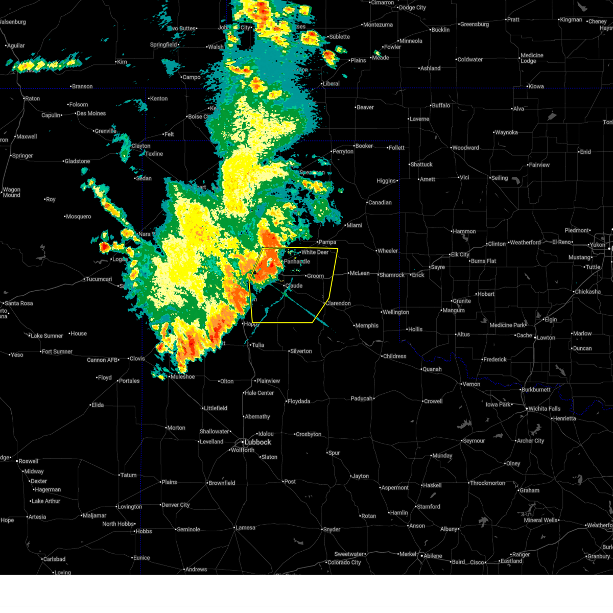
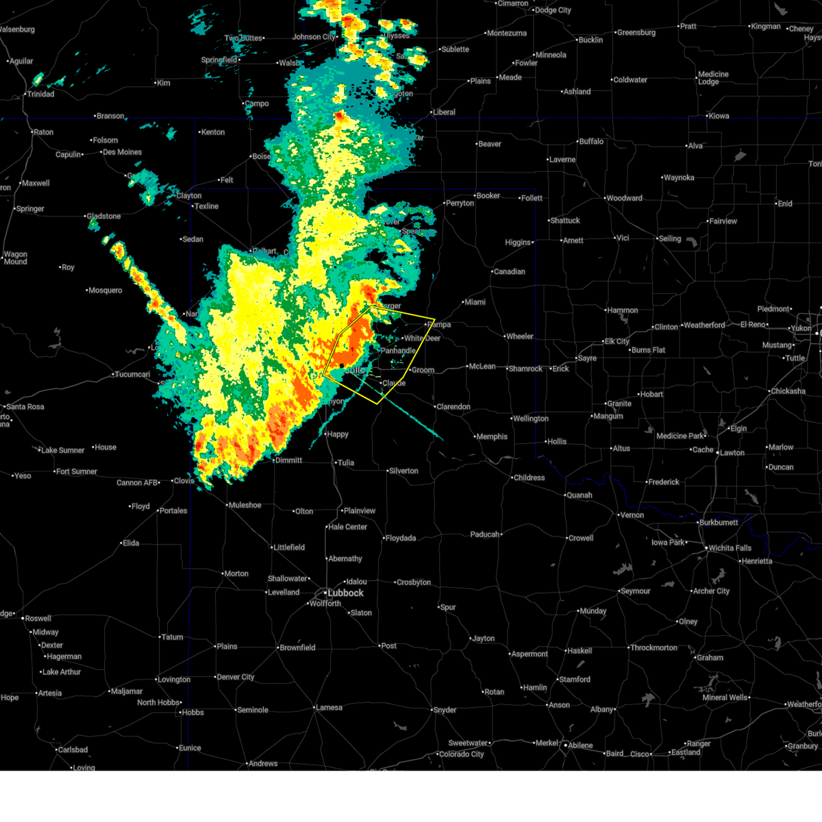
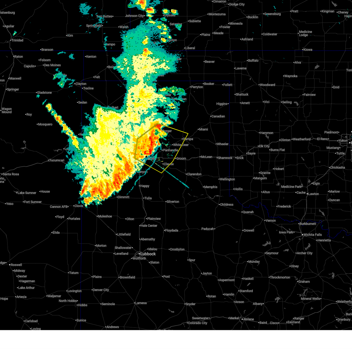
| 6/8/2025 6:01 PM CDT | Svrama the national weather service in amarillo has issued a * severe thunderstorm warning for, potter county in the panhandle of texas, * until 700 pm cdt. * at 601 pm cdt, severe thunderstorms were located along a line extending from 6 miles northeast of valley de oro to 14 miles north of amarillo to 10 miles north of washburn, moving east at 20 mph (radar indicated). Hazards include ping pong ball size hail and 60 mph wind gusts. Minor damage to roofs, siding, and trees is possible. people and animals outdoors will be injured. Expect hail damage to roofs, siding, windows, and vehicles. |
| 6/8/2025 3:05 PM CDT |
 Svrama the national weather service in amarillo has issued a * severe thunderstorm warning for, northern armstrong county in the panhandle of texas, northeastern randall county in the panhandle of texas, southern carson county in the panhandle of texas, southeastern potter county in the panhandle of texas, * until 400 pm cdt. * at 305 pm cdt, a severe thunderstorm was located over washburn, or 14 miles east of amarillo, moving east at 20 mph (radar indicated). Hazards include 60 mph wind gusts and half dollar size hail. Minor damage to roofs, siding, and trees is possible. Hail damage to vehicles is expected. Svrama the national weather service in amarillo has issued a * severe thunderstorm warning for, northern armstrong county in the panhandle of texas, northeastern randall county in the panhandle of texas, southern carson county in the panhandle of texas, southeastern potter county in the panhandle of texas, * until 400 pm cdt. * at 305 pm cdt, a severe thunderstorm was located over washburn, or 14 miles east of amarillo, moving east at 20 mph (radar indicated). Hazards include 60 mph wind gusts and half dollar size hail. Minor damage to roofs, siding, and trees is possible. Hail damage to vehicles is expected.
|
| 6/8/2025 2:48 AM CDT |
 At 247 am cdt, a severe thunderstorm was located 5 miles southwest of palo duro canyon, or 13 miles southeast of canyon, moving southeast at 45 mph. this is a destructive storm for palo duro canyon (public). Hazards include baseball size hail and 70 mph wind gusts. People and animals outdoors will be severely injured. expect shattered windows, extensive damage to roofs, siding, and vehicles. Locations impacted include, umbarger, mescalero park, buffalo lake, palo duro canyon, and canyon. At 247 am cdt, a severe thunderstorm was located 5 miles southwest of palo duro canyon, or 13 miles southeast of canyon, moving southeast at 45 mph. this is a destructive storm for palo duro canyon (public). Hazards include baseball size hail and 70 mph wind gusts. People and animals outdoors will be severely injured. expect shattered windows, extensive damage to roofs, siding, and vehicles. Locations impacted include, umbarger, mescalero park, buffalo lake, palo duro canyon, and canyon.
|
| 6/8/2025 2:37 AM CDT |
 At 236 am cdt, automated weather equipment reported a severe thunderstorm was located near canyon, moving southeast at 40 mph. this is a destructive storm for canyon (automated weather equipment observed 84 mph wind gusts in canyon). Hazards include 80 mph wind gusts and three inch hail. People and animals outdoors will be severely injured. expect shattered windows, extensive damage to roofs, siding, and vehicles. Locations impacted include, umbarger, mescalero park, buffalo lake, palo duro canyon, and canyon. At 236 am cdt, automated weather equipment reported a severe thunderstorm was located near canyon, moving southeast at 40 mph. this is a destructive storm for canyon (automated weather equipment observed 84 mph wind gusts in canyon). Hazards include 80 mph wind gusts and three inch hail. People and animals outdoors will be severely injured. expect shattered windows, extensive damage to roofs, siding, and vehicles. Locations impacted include, umbarger, mescalero park, buffalo lake, palo duro canyon, and canyon.
|
| 6/8/2025 2:29 AM CDT | Ping Pong Ball sized hail reported 13.3 miles NE of Amarillo, TX, mping report of ping pong ball hail. |
| 6/8/2025 2:29 AM CDT |
 At 229 am cdt, automated weather equipment reported a severe thunderstorm was located over canyon, moving southeast at 40 mph (automated weather equipment in umbarger recorded 72 mph wind gust). Hazards include tennis ball size hail and 70 mph wind gusts. Expect some tree damage. damage is likely to mobile homes, roofs, and outbuildings. people and animals outdoors will be injured. expect hail damage to roofs, siding, windows, and vehicles. Locations impacted include, umbarger, mescalero park, buffalo lake, palo duro canyon, and canyon. At 229 am cdt, automated weather equipment reported a severe thunderstorm was located over canyon, moving southeast at 40 mph (automated weather equipment in umbarger recorded 72 mph wind gust). Hazards include tennis ball size hail and 70 mph wind gusts. Expect some tree damage. damage is likely to mobile homes, roofs, and outbuildings. people and animals outdoors will be injured. expect hail damage to roofs, siding, windows, and vehicles. Locations impacted include, umbarger, mescalero park, buffalo lake, palo duro canyon, and canyon.
|
| 6/8/2025 2:22 AM CDT |
 Svrama the national weather service in amarillo has issued a * severe thunderstorm warning for, randall county in the panhandle of texas, east central deaf smith county in the panhandle of texas, * until 300 am cdt. * at 222 am cdt, a severe thunderstorm was located 5 miles north of umbarger, or 9 miles northwest of canyon, moving southeast at 35 mph (radar indicated). Hazards include golf ball size hail and 60 mph wind gusts. Minor damage to roofs, siding, and trees is possible. people and animals outdoors will be injured. Expect hail damage to roofs, siding, windows, and vehicles. Svrama the national weather service in amarillo has issued a * severe thunderstorm warning for, randall county in the panhandle of texas, east central deaf smith county in the panhandle of texas, * until 300 am cdt. * at 222 am cdt, a severe thunderstorm was located 5 miles north of umbarger, or 9 miles northwest of canyon, moving southeast at 35 mph (radar indicated). Hazards include golf ball size hail and 60 mph wind gusts. Minor damage to roofs, siding, and trees is possible. people and animals outdoors will be injured. Expect hail damage to roofs, siding, windows, and vehicles.
|
| 6/7/2025 5:10 AM CDT |
 The storm which prompted the warning has weakened below severe limits, and no longer poses an immediate threat to life or property. therefore, the warning will be allowed to expire. however, heavy rain is still possible with this thunderstorm. The storm which prompted the warning has weakened below severe limits, and no longer poses an immediate threat to life or property. therefore, the warning will be allowed to expire. however, heavy rain is still possible with this thunderstorm.
|
| 6/7/2025 5:02 AM CDT |
 the severe thunderstorm warning has been cancelled and is no longer in effect the severe thunderstorm warning has been cancelled and is no longer in effect
|
| 6/7/2025 5:02 AM CDT |
 At 501 am cdt, a severe thunderstorm was located 7 miles southwest of washburn, or 12 miles southeast of amarillo, moving east at 40 mph (radar indicated). Hazards include 60 mph wind gusts and penny size hail. Minor damage to roofs, siding, and trees is possible. Locations impacted include, washburn, amarillo, lake tanglewood, timbercreek canyon, and mescalero park. At 501 am cdt, a severe thunderstorm was located 7 miles southwest of washburn, or 12 miles southeast of amarillo, moving east at 40 mph (radar indicated). Hazards include 60 mph wind gusts and penny size hail. Minor damage to roofs, siding, and trees is possible. Locations impacted include, washburn, amarillo, lake tanglewood, timbercreek canyon, and mescalero park.
|
| 6/7/2025 4:44 AM CDT |
 At 443 am cdt, a severe thunderstorm was located near amarillo, moving east at 35 mph (radar indicated). Hazards include 60 mph wind gusts and quarter size hail. Minor damage to roofs, siding, and trees is possible. hail damage to vehicles is expected. Locations impacted include, amarillo, mescalero park, bushland, lake tanglewood, timbercreek canyon, washburn, palo duro canyon, and canyon. At 443 am cdt, a severe thunderstorm was located near amarillo, moving east at 35 mph (radar indicated). Hazards include 60 mph wind gusts and quarter size hail. Minor damage to roofs, siding, and trees is possible. hail damage to vehicles is expected. Locations impacted include, amarillo, mescalero park, bushland, lake tanglewood, timbercreek canyon, washburn, palo duro canyon, and canyon.
|
| 6/7/2025 4:26 AM CDT |
 The storm which prompted the warning has moved out of the area. therefore, the warning will be allowed to expire. however, hail, gusty winds and heavy rain are still possible with this thunderstorm. The storm which prompted the warning has moved out of the area. therefore, the warning will be allowed to expire. however, hail, gusty winds and heavy rain are still possible with this thunderstorm.
|
| 6/7/2025 4:25 AM CDT |
 Svrama the national weather service in amarillo has issued a * severe thunderstorm warning for, northwestern armstrong county in the panhandle of texas, northern randall county in the panhandle of texas, southeastern oldham county in the panhandle of texas, southwestern carson county in the panhandle of texas, northeastern deaf smith county in the panhandle of texas, southern potter county in the panhandle of texas, * until 515 am cdt. * at 424 am cdt, a severe thunderstorm was located over bushland, or 10 miles west of amarillo, moving east at 40 mph (radar indicated). Hazards include 60 mph wind gusts and quarter size hail. Minor damage to roofs, siding, and trees is possible. Hail damage to vehicles is expected. Svrama the national weather service in amarillo has issued a * severe thunderstorm warning for, northwestern armstrong county in the panhandle of texas, northern randall county in the panhandle of texas, southeastern oldham county in the panhandle of texas, southwestern carson county in the panhandle of texas, northeastern deaf smith county in the panhandle of texas, southern potter county in the panhandle of texas, * until 515 am cdt. * at 424 am cdt, a severe thunderstorm was located over bushland, or 10 miles west of amarillo, moving east at 40 mph (radar indicated). Hazards include 60 mph wind gusts and quarter size hail. Minor damage to roofs, siding, and trees is possible. Hail damage to vehicles is expected.
|
| 6/7/2025 4:07 AM CDT |
 At 407 am cdt, a severe thunderstorm was located 6 miles north of wildorado, or 10 miles northeast of vega, moving east at 30 mph (radar indicated). Hazards include 60 mph wind gusts and half dollar size hail. Minor damage to roofs, siding, and trees is possible. hail damage to vehicles is expected. Locations impacted include, wildorado and amarillo. At 407 am cdt, a severe thunderstorm was located 6 miles north of wildorado, or 10 miles northeast of vega, moving east at 30 mph (radar indicated). Hazards include 60 mph wind gusts and half dollar size hail. Minor damage to roofs, siding, and trees is possible. hail damage to vehicles is expected. Locations impacted include, wildorado and amarillo.
|
| 6/7/2025 4:06 AM CDT |
 At 406 am cdt, a severe thunderstorm was located near wildorado, or 10 miles east of vega, moving east at 35 mph (radar indicated). Hazards include 60 mph wind gusts and half dollar size hail. Minor damage to roofs, siding, and trees is possible. hail damage to vehicles is expected. Locations impacted include, wildorado and amarillo. At 406 am cdt, a severe thunderstorm was located near wildorado, or 10 miles east of vega, moving east at 35 mph (radar indicated). Hazards include 60 mph wind gusts and half dollar size hail. Minor damage to roofs, siding, and trees is possible. hail damage to vehicles is expected. Locations impacted include, wildorado and amarillo.
|
| 6/7/2025 3:52 AM CDT |
 At 352 am cdt, a severe thunderstorm was located near vega, moving east at 35 mph (radar indicated). Hazards include two inch hail and 60 mph wind gusts. Minor damage to roofs, siding, and trees is possible. people and animals outdoors will be injured. expect hail damage to roofs, siding, windows, and vehicles. Locations impacted include, vega, wildorado, and amarillo. At 352 am cdt, a severe thunderstorm was located near vega, moving east at 35 mph (radar indicated). Hazards include two inch hail and 60 mph wind gusts. Minor damage to roofs, siding, and trees is possible. people and animals outdoors will be injured. expect hail damage to roofs, siding, windows, and vehicles. Locations impacted include, vega, wildorado, and amarillo.
|
| 6/7/2025 3:49 AM CDT |
 Svrama the national weather service in amarillo has issued a * severe thunderstorm warning for, southeastern oldham county in the panhandle of texas, southwestern potter county in the panhandle of texas, * until 430 am cdt. * at 349 am cdt, a severe thunderstorm was located near vega, moving east at 30 mph (radar indicated). Hazards include two inch hail and 60 mph wind gusts. Minor damage to roofs, siding, and trees is possible. people and animals outdoors will be injured. Expect hail damage to roofs, siding, windows, and vehicles. Svrama the national weather service in amarillo has issued a * severe thunderstorm warning for, southeastern oldham county in the panhandle of texas, southwestern potter county in the panhandle of texas, * until 430 am cdt. * at 349 am cdt, a severe thunderstorm was located near vega, moving east at 30 mph (radar indicated). Hazards include two inch hail and 60 mph wind gusts. Minor damage to roofs, siding, and trees is possible. people and animals outdoors will be injured. Expect hail damage to roofs, siding, windows, and vehicles.
|
| 6/7/2025 3:42 AM CDT |
 Svrama the national weather service in amarillo has issued a * severe thunderstorm warning for, southeastern oldham county in the panhandle of texas, southwestern potter county in the panhandle of texas, * until 430 am cdt. * at 341 am cdt, a severe thunderstorm was located 4 miles northwest of vega, moving east at 40 mph (radar indicated). Hazards include 60 mph wind gusts and quarter size hail. Minor damage to roofs, siding, and trees is possible. Hail damage to vehicles is expected. Svrama the national weather service in amarillo has issued a * severe thunderstorm warning for, southeastern oldham county in the panhandle of texas, southwestern potter county in the panhandle of texas, * until 430 am cdt. * at 341 am cdt, a severe thunderstorm was located 4 miles northwest of vega, moving east at 40 mph (radar indicated). Hazards include 60 mph wind gusts and quarter size hail. Minor damage to roofs, siding, and trees is possible. Hail damage to vehicles is expected.
|
| 6/2/2025 11:45 PM CDT | Asos station kama amarillo (asos in potter county TX, 6.6 miles W of Amarillo, TX |
| 6/2/2025 4:06 PM CDT |
 At 406 pm cdt, severe thunderstorms were located along a line extending from 10 miles southwest of lake meredith to near panhandle, moving northeast at 55 mph (radar indicated). Hazards include 70 mph wind gusts. Expect some tree damage. damage is likely to mobile homes, roofs, and outbuildings. Locations impacted include, panhandle, pantex, lake tanglewood, timbercreek canyon, white deer, washburn, palo duro canyon, amarillo, fritch, and borger. At 406 pm cdt, severe thunderstorms were located along a line extending from 10 miles southwest of lake meredith to near panhandle, moving northeast at 55 mph (radar indicated). Hazards include 70 mph wind gusts. Expect some tree damage. damage is likely to mobile homes, roofs, and outbuildings. Locations impacted include, panhandle, pantex, lake tanglewood, timbercreek canyon, white deer, washburn, palo duro canyon, amarillo, fritch, and borger.
|
| 6/2/2025 3:36 PM CDT |
 Svrama the national weather service in amarillo has issued a * severe thunderstorm warning for, northwestern armstrong county in the panhandle of texas, northeastern randall county in the panhandle of texas, carson county in the panhandle of texas, potter county in the panhandle of texas, * until 415 pm cdt. * at 336 pm cdt, severe thunderstorms were located along a line extending from 7 miles northeast of bushland to 8 miles south of washburn, moving northeast at 55 mph (automated weather equipment). Hazards include 60 mph wind gusts. minor damage to roofs, siding, and trees is possible Svrama the national weather service in amarillo has issued a * severe thunderstorm warning for, northwestern armstrong county in the panhandle of texas, northeastern randall county in the panhandle of texas, carson county in the panhandle of texas, potter county in the panhandle of texas, * until 415 pm cdt. * at 336 pm cdt, severe thunderstorms were located along a line extending from 7 miles northeast of bushland to 8 miles south of washburn, moving northeast at 55 mph (automated weather equipment). Hazards include 60 mph wind gusts. minor damage to roofs, siding, and trees is possible
|
| 5/26/2025 10:22 PM CDT |
 The storms which prompted the warning have moved out of the area. therefore, the warning will be allowed to expire. a severe thunderstorm watch remains in effect until midnight cdt for the panhandle of texas. The storms which prompted the warning have moved out of the area. therefore, the warning will be allowed to expire. a severe thunderstorm watch remains in effect until midnight cdt for the panhandle of texas.
|
| 5/26/2025 10:10 PM CDT |
 At 1010 pm cdt, severe thunderstorms were located along a line extending from 7 miles northeast of boys ranch to 8 miles southeast of valley de oro to 10 miles northeast of bushland to 3 miles west of amarillo to 4 miles southeast of umbarger to 8 miles south of buffalo lake, moving east at 20 mph (radar indicated). Hazards include 60 mph wind gusts and penny size hail. Minor damage to roofs, siding, and trees is possible. Locations impacted include, lake tanglewood, timbercreek canyon, palo duro canyon, and amarillo. At 1010 pm cdt, severe thunderstorms were located along a line extending from 7 miles northeast of boys ranch to 8 miles southeast of valley de oro to 10 miles northeast of bushland to 3 miles west of amarillo to 4 miles southeast of umbarger to 8 miles south of buffalo lake, moving east at 20 mph (radar indicated). Hazards include 60 mph wind gusts and penny size hail. Minor damage to roofs, siding, and trees is possible. Locations impacted include, lake tanglewood, timbercreek canyon, palo duro canyon, and amarillo.
|
| 5/26/2025 9:53 PM CDT |
 At 952 pm cdt, severe thunderstorms were located along a line extending from 3 miles northeast of boys ranch to 5 miles south of valley de oro to 8 miles northwest of amarillo to 4 miles east of bushland to near umbarger to 9 miles southeast of hereford, moving east at 20 mph (radar indicated). Hazards include 70 mph wind gusts and quarter size hail. Expect some tree damage. damage is likely to mobile homes, roofs, and outbuildings. hail damage to vehicles is expected. Locations impacted include, amarillo, mescalero park, lake tanglewood, timbercreek canyon, palo duro canyon, and canyon. At 952 pm cdt, severe thunderstorms were located along a line extending from 3 miles northeast of boys ranch to 5 miles south of valley de oro to 8 miles northwest of amarillo to 4 miles east of bushland to near umbarger to 9 miles southeast of hereford, moving east at 20 mph (radar indicated). Hazards include 70 mph wind gusts and quarter size hail. Expect some tree damage. damage is likely to mobile homes, roofs, and outbuildings. hail damage to vehicles is expected. Locations impacted include, amarillo, mescalero park, lake tanglewood, timbercreek canyon, palo duro canyon, and canyon.
|
| 5/26/2025 9:45 PM CDT |
 At 945 pm cdt, severe thunderstorms were located along a line extending from 4 miles northeast of boys ranch to 5 miles south of valley de oro to 7 miles northwest of amarillo to 5 miles east of bushland to umbarger to 9 miles south of dawn, and are nearly stationary (trained weather spotters reported quarter sized hail on the southeast 335 loop). Hazards include 70 mph wind gusts and quarter size hail. Expect some tree damage. damage is likely to mobile homes, roofs, and outbuildings. hail damage to vehicles is expected. Locations impacted include, amarillo, mescalero park, bushland, buffalo lake, lake tanglewood, timbercreek canyon, valley de oro, canyon, umbarger, and palo duro canyon. At 945 pm cdt, severe thunderstorms were located along a line extending from 4 miles northeast of boys ranch to 5 miles south of valley de oro to 7 miles northwest of amarillo to 5 miles east of bushland to umbarger to 9 miles south of dawn, and are nearly stationary (trained weather spotters reported quarter sized hail on the southeast 335 loop). Hazards include 70 mph wind gusts and quarter size hail. Expect some tree damage. damage is likely to mobile homes, roofs, and outbuildings. hail damage to vehicles is expected. Locations impacted include, amarillo, mescalero park, bushland, buffalo lake, lake tanglewood, timbercreek canyon, valley de oro, canyon, umbarger, and palo duro canyon.
|
| 5/26/2025 9:43 PM CDT |
 At 942 pm cdt, severe thunderstorms were located along a line extending from 4 miles northeast of boys ranch to 6 miles south of valley de oro to 7 miles northwest of amarillo to 5 miles east of bushland to umbarger to 9 miles southwest of buffalo lake, moving east at 20 mph (trained weather spotters). Hazards include 70 mph wind gusts and quarter size hail. Expect some tree damage. damage is likely to mobile homes, roofs, and outbuildings. hail damage to vehicles is expected. Locations impacted include, amarillo, mescalero park, bushland, buffalo lake, lake tanglewood, timbercreek canyon, valley de oro, canyon, umbarger, and palo duro canyon. At 942 pm cdt, severe thunderstorms were located along a line extending from 4 miles northeast of boys ranch to 6 miles south of valley de oro to 7 miles northwest of amarillo to 5 miles east of bushland to umbarger to 9 miles southwest of buffalo lake, moving east at 20 mph (trained weather spotters). Hazards include 70 mph wind gusts and quarter size hail. Expect some tree damage. damage is likely to mobile homes, roofs, and outbuildings. hail damage to vehicles is expected. Locations impacted include, amarillo, mescalero park, bushland, buffalo lake, lake tanglewood, timbercreek canyon, valley de oro, canyon, umbarger, and palo duro canyon.
|
| 5/26/2025 9:40 PM CDT |
 the severe thunderstorm warning has been cancelled and is no longer in effect the severe thunderstorm warning has been cancelled and is no longer in effect
|
| 5/26/2025 9:40 PM CDT |
 At 939 pm cdt, severe thunderstorms were located along a line extending from 5 miles northeast of boys ranch to 6 miles southeast of valley de oro to 8 miles northeast of bushland to 5 miles west of amarillo to umbarger to 9 miles southwest of buffalo lake, moving east at 20 mph (radar indicated). Hazards include 70 mph wind gusts and penny size hail. Expect some tree damage. damage is likely to mobile homes, roofs, and outbuildings. Locations impacted include, amarillo, mescalero park, bushland, buffalo lake, lake tanglewood, timbercreek canyon, valley de oro, canyon, umbarger, and palo duro canyon. At 939 pm cdt, severe thunderstorms were located along a line extending from 5 miles northeast of boys ranch to 6 miles southeast of valley de oro to 8 miles northeast of bushland to 5 miles west of amarillo to umbarger to 9 miles southwest of buffalo lake, moving east at 20 mph (radar indicated). Hazards include 70 mph wind gusts and penny size hail. Expect some tree damage. damage is likely to mobile homes, roofs, and outbuildings. Locations impacted include, amarillo, mescalero park, bushland, buffalo lake, lake tanglewood, timbercreek canyon, valley de oro, canyon, umbarger, and palo duro canyon.
|
| 5/26/2025 9:20 PM CDT | Half Dollar sized hail reported 6.5 miles NNW of Amarillo, TX |
| 5/26/2025 8:54 PM CDT |
 Svrama the national weather service in amarillo has issued a * severe thunderstorm warning for, randall county in the panhandle of texas, eastern oldham county in the panhandle of texas, eastern deaf smith county in the panhandle of texas, potter county in the panhandle of texas, * until 1030 pm cdt. * at 853 pm cdt, severe thunderstorms were located along a line extending from 9 miles southwest of channing to 10 miles south of boys ranch to 8 miles northwest of bushland to 3 miles southeast of wildorado to 7 miles west of dawn to 4 miles northeast of summerfield, moving east at 20 mph (automated weather equipment). Hazards include 70 mph wind gusts and penny size hail. Expect some tree damage. Damage is likely to mobile homes, roofs, and outbuildings. Svrama the national weather service in amarillo has issued a * severe thunderstorm warning for, randall county in the panhandle of texas, eastern oldham county in the panhandle of texas, eastern deaf smith county in the panhandle of texas, potter county in the panhandle of texas, * until 1030 pm cdt. * at 853 pm cdt, severe thunderstorms were located along a line extending from 9 miles southwest of channing to 10 miles south of boys ranch to 8 miles northwest of bushland to 3 miles southeast of wildorado to 7 miles west of dawn to 4 miles northeast of summerfield, moving east at 20 mph (automated weather equipment). Hazards include 70 mph wind gusts and penny size hail. Expect some tree damage. Damage is likely to mobile homes, roofs, and outbuildings.
|
| 4/26/2025 1:38 AM CDT |
 The storms which prompted the warning have moved out of the area. therefore, the warning will be allowed to expire. however, gusty winds are still possible with these thunderstorms. a severe thunderstorm watch remains in effect until 400 am cdt for the panhandle of texas. The storms which prompted the warning have moved out of the area. therefore, the warning will be allowed to expire. however, gusty winds are still possible with these thunderstorms. a severe thunderstorm watch remains in effect until 400 am cdt for the panhandle of texas.
|
| 4/26/2025 1:23 AM CDT |
 The storm which prompted the warning has weakened below severe limits, and no longer appears capable of producing a tornado. therefore, the warning will be allowed to expire. however, gusty winds are still possible with this thunderstorm. a severe thunderstorm watch remains in effect until 400 am cdt for the panhandle of texas. The storm which prompted the warning has weakened below severe limits, and no longer appears capable of producing a tornado. therefore, the warning will be allowed to expire. however, gusty winds are still possible with this thunderstorm. a severe thunderstorm watch remains in effect until 400 am cdt for the panhandle of texas.
|
| 4/26/2025 1:10 AM CDT |
 At 109 am cdt, a severe thunderstorm capable of producing a tornado was located over mescalero park, or 5 miles north of canyon, moving northeast at 15 mph (radar indicated rotation). Hazards include tornado. Flying debris will be dangerous to those caught without shelter. mobile homes will be damaged or destroyed. damage to roofs, windows, and vehicles will occur. tree damage is likely. Locations impacted include, mescalero park, lake tanglewood, timbercreek canyon, canyon, and amarillo. At 109 am cdt, a severe thunderstorm capable of producing a tornado was located over mescalero park, or 5 miles north of canyon, moving northeast at 15 mph (radar indicated rotation). Hazards include tornado. Flying debris will be dangerous to those caught without shelter. mobile homes will be damaged or destroyed. damage to roofs, windows, and vehicles will occur. tree damage is likely. Locations impacted include, mescalero park, lake tanglewood, timbercreek canyon, canyon, and amarillo.
|
| 4/26/2025 1:01 AM CDT |
 Torama the national weather service in amarillo has issued a * tornado warning for, northeastern randall county in the panhandle of texas, * until 130 am cdt. * at 101 am cdt, a severe thunderstorm capable of producing a tornado was located over mescalero park, or near canyon, moving northeast at 20 mph (radar indicated rotation). Hazards include tornado. Flying debris will be dangerous to those caught without shelter. mobile homes will be damaged or destroyed. damage to roofs, windows, and vehicles will occur. Tree damage is likely. Torama the national weather service in amarillo has issued a * tornado warning for, northeastern randall county in the panhandle of texas, * until 130 am cdt. * at 101 am cdt, a severe thunderstorm capable of producing a tornado was located over mescalero park, or near canyon, moving northeast at 20 mph (radar indicated rotation). Hazards include tornado. Flying debris will be dangerous to those caught without shelter. mobile homes will be damaged or destroyed. damage to roofs, windows, and vehicles will occur. Tree damage is likely.
|
| 4/26/2025 12:40 AM CDT |
 Svrama the national weather service in amarillo has issued a * severe thunderstorm warning for, northwestern armstrong county in the panhandle of texas, northern randall county in the panhandle of texas, carson county in the panhandle of texas, southern potter county in the panhandle of texas, * until 145 am cdt. * at 1240 am cdt, severe thunderstorms were located along a line extending from 3 miles north of claude to 4 miles north of umbarger, moving northwest at 25 mph (radar indicated). Hazards include 60 mph wind gusts. minor damage to roofs, siding, and trees is possible Svrama the national weather service in amarillo has issued a * severe thunderstorm warning for, northwestern armstrong county in the panhandle of texas, northern randall county in the panhandle of texas, carson county in the panhandle of texas, southern potter county in the panhandle of texas, * until 145 am cdt. * at 1240 am cdt, severe thunderstorms were located along a line extending from 3 miles north of claude to 4 miles north of umbarger, moving northwest at 25 mph (radar indicated). Hazards include 60 mph wind gusts. minor damage to roofs, siding, and trees is possible
|
| 4/26/2025 12:27 AM CDT |
 The tornado threat has diminished and the tornado warning has been cancelled. however, large hail and damaging winds remain likely and a severe thunderstorm warning remains in effect for the area. a severe thunderstorm watch remains in effect until 400 am cdt for the panhandle of texas. The tornado threat has diminished and the tornado warning has been cancelled. however, large hail and damaging winds remain likely and a severe thunderstorm warning remains in effect for the area. a severe thunderstorm watch remains in effect until 400 am cdt for the panhandle of texas.
|
| 4/26/2025 12:19 AM CDT |
 At 1218 am cdt, a severe thunderstorm capable of producing a tornado was located 6 miles northwest of mescalero park, or 8 miles southwest of amarillo, moving north at 20 mph (radar indicated rotation). Hazards include tornado. Flying debris will be dangerous to those caught without shelter. mobile homes will be damaged or destroyed. damage to roofs, windows, and vehicles will occur. tree damage is likely. Locations impacted include, mescalero park and amarillo. At 1218 am cdt, a severe thunderstorm capable of producing a tornado was located 6 miles northwest of mescalero park, or 8 miles southwest of amarillo, moving north at 20 mph (radar indicated rotation). Hazards include tornado. Flying debris will be dangerous to those caught without shelter. mobile homes will be damaged or destroyed. damage to roofs, windows, and vehicles will occur. tree damage is likely. Locations impacted include, mescalero park and amarillo.
|
| 4/26/2025 12:13 AM CDT |
 At 1213 am cdt, a severe thunderstorm capable of producing a tornado was located near mescalero park, or 8 miles north of canyon, moving north at 15 mph (radar indicated rotation). Hazards include tornado. Flying debris will be dangerous to those caught without shelter. mobile homes will be damaged or destroyed. damage to roofs, windows, and vehicles will occur. tree damage is likely. Locations impacted include, mescalero park and amarillo. At 1213 am cdt, a severe thunderstorm capable of producing a tornado was located near mescalero park, or 8 miles north of canyon, moving north at 15 mph (radar indicated rotation). Hazards include tornado. Flying debris will be dangerous to those caught without shelter. mobile homes will be damaged or destroyed. damage to roofs, windows, and vehicles will occur. tree damage is likely. Locations impacted include, mescalero park and amarillo.
|
| 4/26/2025 12:04 AM CDT |
 Torama the national weather service in amarillo has issued a * tornado warning for, north central randall county in the panhandle of texas, * until 1230 am cdt. * at 1204 am cdt, a severe thunderstorm capable of producing a tornado was located over mescalero park, or 6 miles north of canyon, moving north at 15 mph (radar indicated rotation). Hazards include tornado. Flying debris will be dangerous to those caught without shelter. mobile homes will be damaged or destroyed. damage to roofs, windows, and vehicles will occur. Tree damage is likely. Torama the national weather service in amarillo has issued a * tornado warning for, north central randall county in the panhandle of texas, * until 1230 am cdt. * at 1204 am cdt, a severe thunderstorm capable of producing a tornado was located over mescalero park, or 6 miles north of canyon, moving north at 15 mph (radar indicated rotation). Hazards include tornado. Flying debris will be dangerous to those caught without shelter. mobile homes will be damaged or destroyed. damage to roofs, windows, and vehicles will occur. Tree damage is likely.
|
| 4/25/2025 11:51 PM CDT |
 Svrama the national weather service in amarillo has issued a * severe thunderstorm warning for, northern armstrong county in the panhandle of texas, northern randall county in the panhandle of texas, southeastern oldham county in the panhandle of texas, carson county in the panhandle of texas, northeastern deaf smith county in the panhandle of texas, potter county in the panhandle of texas, * until 1245 am cdt. * at 1151 pm cdt, severe thunderstorms were located along a line extending from 5 miles west of groom to 5 miles north of lake tanglewood to 5 miles north of umbarger, moving north at 25 mph (radar indicated). Hazards include 60 mph wind gusts and quarter size hail. Minor damage to roofs, siding, and trees is possible. Hail damage to vehicles is expected. Svrama the national weather service in amarillo has issued a * severe thunderstorm warning for, northern armstrong county in the panhandle of texas, northern randall county in the panhandle of texas, southeastern oldham county in the panhandle of texas, carson county in the panhandle of texas, northeastern deaf smith county in the panhandle of texas, potter county in the panhandle of texas, * until 1245 am cdt. * at 1151 pm cdt, severe thunderstorms were located along a line extending from 5 miles west of groom to 5 miles north of lake tanglewood to 5 miles north of umbarger, moving north at 25 mph (radar indicated). Hazards include 60 mph wind gusts and quarter size hail. Minor damage to roofs, siding, and trees is possible. Hail damage to vehicles is expected.
|
| 4/25/2025 11:46 PM CDT |
 At 1146 pm cdt, a severe thunderstorm capable of producing a tornado was located over mescalero park, or 4 miles northwest of canyon, moving northwest at 10 mph (radar indicated rotation). Hazards include tornado. Flying debris will be dangerous to those caught without shelter. mobile homes will be damaged or destroyed. damage to roofs, windows, and vehicles will occur. tree damage is likely. Locations impacted include, mescalero park, canyon, and amarillo. At 1146 pm cdt, a severe thunderstorm capable of producing a tornado was located over mescalero park, or 4 miles northwest of canyon, moving northwest at 10 mph (radar indicated rotation). Hazards include tornado. Flying debris will be dangerous to those caught without shelter. mobile homes will be damaged or destroyed. damage to roofs, windows, and vehicles will occur. tree damage is likely. Locations impacted include, mescalero park, canyon, and amarillo.
|
| 4/25/2025 11:40 PM CDT |
 At 1139 pm cdt, a severe thunderstorm capable of producing a tornado was located over canyon, moving northwest at 10 mph (radar indicated rotation). Hazards include tornado. Flying debris will be dangerous to those caught without shelter. mobile homes will be damaged or destroyed. damage to roofs, windows, and vehicles will occur. tree damage is likely. Locations impacted include, mescalero park, canyon, and amarillo. At 1139 pm cdt, a severe thunderstorm capable of producing a tornado was located over canyon, moving northwest at 10 mph (radar indicated rotation). Hazards include tornado. Flying debris will be dangerous to those caught without shelter. mobile homes will be damaged or destroyed. damage to roofs, windows, and vehicles will occur. tree damage is likely. Locations impacted include, mescalero park, canyon, and amarillo.
|
| 4/25/2025 11:34 PM CDT |
 Torama the national weather service in amarillo has issued a * tornado warning for, northwestern randall county in the panhandle of texas, * until midnight cdt. * at 1134 pm cdt, a severe thunderstorm capable of producing a tornado was located over canyon, moving north at 15 mph (radar indicated rotation). Hazards include tornado and quarter size hail. Flying debris will be dangerous to those caught without shelter. mobile homes will be damaged or destroyed. damage to roofs, windows, and vehicles will occur. Tree damage is likely. Torama the national weather service in amarillo has issued a * tornado warning for, northwestern randall county in the panhandle of texas, * until midnight cdt. * at 1134 pm cdt, a severe thunderstorm capable of producing a tornado was located over canyon, moving north at 15 mph (radar indicated rotation). Hazards include tornado and quarter size hail. Flying debris will be dangerous to those caught without shelter. mobile homes will be damaged or destroyed. damage to roofs, windows, and vehicles will occur. Tree damage is likely.
|
| 4/25/2025 5:59 PM CDT | Quarter sized hail reported 10.1 miles S of Amarillo, TX, picture submitted via social media; a few inches of accumulating hail ranging from nickels to quarters. |
| 4/25/2025 5:44 PM CDT |
 At 543 pm cdt, a severe thunderstorm was located 10 miles east of valley de oro, or 15 miles north of amarillo, moving east at 15 mph. this is a destructive storm for central potter county (radar indicated). Hazards include baseball size hail and 60 mph wind gusts. People and animals outdoors will be severely injured. expect shattered windows, extensive damage to roofs, siding, and vehicles. Locations impacted include, valley de oro, wildorado, and amarillo. At 543 pm cdt, a severe thunderstorm was located 10 miles east of valley de oro, or 15 miles north of amarillo, moving east at 15 mph. this is a destructive storm for central potter county (radar indicated). Hazards include baseball size hail and 60 mph wind gusts. People and animals outdoors will be severely injured. expect shattered windows, extensive damage to roofs, siding, and vehicles. Locations impacted include, valley de oro, wildorado, and amarillo.
|
| 4/25/2025 5:28 PM CDT |
 Svrama the national weather service in amarillo has issued a * severe thunderstorm warning for, southeastern oldham county in the panhandle of texas, southern potter county in the panhandle of texas, * until 630 pm cdt. * at 527 pm cdt, severe thunderstorms were located along a line extending from 13 miles southeast of masterson to 7 miles south of valley de oro to 6 miles northeast of vega, moving east at 35 mph (radar indicated). Hazards include two inch hail and 60 mph wind gusts. Minor damage to roofs, siding, and trees is possible. people and animals outdoors will be injured. Expect hail damage to roofs, siding, windows, and vehicles. Svrama the national weather service in amarillo has issued a * severe thunderstorm warning for, southeastern oldham county in the panhandle of texas, southern potter county in the panhandle of texas, * until 630 pm cdt. * at 527 pm cdt, severe thunderstorms were located along a line extending from 13 miles southeast of masterson to 7 miles south of valley de oro to 6 miles northeast of vega, moving east at 35 mph (radar indicated). Hazards include two inch hail and 60 mph wind gusts. Minor damage to roofs, siding, and trees is possible. people and animals outdoors will be injured. Expect hail damage to roofs, siding, windows, and vehicles.
|
| 4/23/2025 7:09 PM CDT |
 At 709 pm cdt, a severe thunderstorm was located 10 miles southeast of valley de oro, or 12 miles northwest of amarillo, moving north at 20 mph (radar indicated). Hazards include 60 mph wind gusts and half dollar size hail. Minor damage to roofs, siding, and trees is possible. hail damage to vehicles is expected. Locations impacted include, bushland, four way, valley de oro, masterson, lake meredith, wildorado, and amarillo. At 709 pm cdt, a severe thunderstorm was located 10 miles southeast of valley de oro, or 12 miles northwest of amarillo, moving north at 20 mph (radar indicated). Hazards include 60 mph wind gusts and half dollar size hail. Minor damage to roofs, siding, and trees is possible. hail damage to vehicles is expected. Locations impacted include, bushland, four way, valley de oro, masterson, lake meredith, wildorado, and amarillo.
|
| 4/23/2025 6:52 PM CDT |
 Svrama the national weather service in amarillo has issued a * severe thunderstorm warning for, eastern oldham county in the panhandle of texas, potter county in the panhandle of texas, southern moore county in the panhandle of texas, * until 815 pm cdt. * at 652 pm cdt, a severe thunderstorm was located 5 miles northeast of bushland, or 10 miles northwest of amarillo, moving north at 20 mph (radar indicated). Hazards include 60 mph wind gusts and half dollar size hail. Minor damage to roofs, siding, and trees is possible. Hail damage to vehicles is expected. Svrama the national weather service in amarillo has issued a * severe thunderstorm warning for, eastern oldham county in the panhandle of texas, potter county in the panhandle of texas, southern moore county in the panhandle of texas, * until 815 pm cdt. * at 652 pm cdt, a severe thunderstorm was located 5 miles northeast of bushland, or 10 miles northwest of amarillo, moving north at 20 mph (radar indicated). Hazards include 60 mph wind gusts and half dollar size hail. Minor damage to roofs, siding, and trees is possible. Hail damage to vehicles is expected.
|
| 11/2/2024 12:35 AM CDT |
 the severe thunderstorm warning has been cancelled and is no longer in effect the severe thunderstorm warning has been cancelled and is no longer in effect
|
| 11/2/2024 12:35 AM CDT |
 At 1234 am cdt, a severe thunderstorm was located 7 miles north of bushland, or 11 miles northwest of amarillo, moving northeast at 30 mph (radar indicated). Hazards include 60 mph wind gusts and quarter size hail. Minor damage to roofs, siding, and trees is possible. hail damage to vehicles is expected. Locations impacted include, amarillo and valley de oro. At 1234 am cdt, a severe thunderstorm was located 7 miles north of bushland, or 11 miles northwest of amarillo, moving northeast at 30 mph (radar indicated). Hazards include 60 mph wind gusts and quarter size hail. Minor damage to roofs, siding, and trees is possible. hail damage to vehicles is expected. Locations impacted include, amarillo and valley de oro.
|
| 11/2/2024 12:03 AM CDT |
 Svrama the national weather service in amarillo has issued a * severe thunderstorm warning for, northwestern randall county in the panhandle of texas, southeastern oldham county in the panhandle of texas, northeastern deaf smith county in the panhandle of texas, potter county in the panhandle of texas, south central moore county in the panhandle of texas, * until 100 am cdt. * at 1202 am cdt, a severe thunderstorm was located 4 miles southwest of bushland, or 15 miles west of amarillo, moving northeast at 30 mph (radar indicated). Hazards include 60 mph wind gusts and quarter size hail. Minor damage to roofs, siding, and trees is possible. Hail damage to vehicles is expected. Svrama the national weather service in amarillo has issued a * severe thunderstorm warning for, northwestern randall county in the panhandle of texas, southeastern oldham county in the panhandle of texas, northeastern deaf smith county in the panhandle of texas, potter county in the panhandle of texas, south central moore county in the panhandle of texas, * until 100 am cdt. * at 1202 am cdt, a severe thunderstorm was located 4 miles southwest of bushland, or 15 miles west of amarillo, moving northeast at 30 mph (radar indicated). Hazards include 60 mph wind gusts and quarter size hail. Minor damage to roofs, siding, and trees is possible. Hail damage to vehicles is expected.
|
| 9/17/2024 8:35 PM CDT |
 The storms which prompted the warning have weakened below severe limits, and no longer pose an immediate threat to life or property. therefore, the warning will be allowed to expire. however, gusty winds are still possible with these thunderstorms. The storms which prompted the warning have weakened below severe limits, and no longer pose an immediate threat to life or property. therefore, the warning will be allowed to expire. however, gusty winds are still possible with these thunderstorms.
|
| 9/17/2024 8:31 PM CDT |
 the severe thunderstorm warning has been cancelled and is no longer in effect the severe thunderstorm warning has been cancelled and is no longer in effect
|
| 9/17/2024 8:31 PM CDT |
 At 831 pm cdt, severe thunderstorms were located along a line extending from 4 miles west of masterson to 7 miles south of valley de oro, moving northeast at 40 mph (radar indicated). Hazards include 60 mph wind gusts. Minor damage to roofs, siding, and trees is possible. Locations impacted include, amarillo and valley de oro. At 831 pm cdt, severe thunderstorms were located along a line extending from 4 miles west of masterson to 7 miles south of valley de oro, moving northeast at 40 mph (radar indicated). Hazards include 60 mph wind gusts. Minor damage to roofs, siding, and trees is possible. Locations impacted include, amarillo and valley de oro.
|
| 9/17/2024 8:20 PM CDT |
 At 820 pm cdt, severe thunderstorms were located along a line extending from 8 miles southwest of masterson to 5 miles south of valley de oro to wildorado, moving northeast at 30 mph (radar indicated). Hazards include 60 mph wind gusts. Minor damage to roofs, siding, and trees is possible. Locations impacted include, amarillo, bushland, wildorado, and valley de oro. At 820 pm cdt, severe thunderstorms were located along a line extending from 8 miles southwest of masterson to 5 miles south of valley de oro to wildorado, moving northeast at 30 mph (radar indicated). Hazards include 60 mph wind gusts. Minor damage to roofs, siding, and trees is possible. Locations impacted include, amarillo, bushland, wildorado, and valley de oro.
|
| 9/17/2024 8:20 PM CDT |
 the severe thunderstorm warning has been cancelled and is no longer in effect the severe thunderstorm warning has been cancelled and is no longer in effect
|
| 9/17/2024 7:44 PM CDT |
 Svrama the national weather service in amarillo has issued a * severe thunderstorm warning for, northwestern randall county in the panhandle of texas, eastern oldham county in the panhandle of texas, northeastern deaf smith county in the panhandle of texas, potter county in the panhandle of texas, * until 845 pm cdt. * at 743 pm cdt, severe thunderstorms were located along a line extending from 13 miles northeast of adrian to 3 miles north of vega to 7 miles northeast of simms, moving northeast at 30 mph (radar indicated). Hazards include 60 mph wind gusts. minor damage to roofs, siding, and trees is possible Svrama the national weather service in amarillo has issued a * severe thunderstorm warning for, northwestern randall county in the panhandle of texas, eastern oldham county in the panhandle of texas, northeastern deaf smith county in the panhandle of texas, potter county in the panhandle of texas, * until 845 pm cdt. * at 743 pm cdt, severe thunderstorms were located along a line extending from 13 miles northeast of adrian to 3 miles north of vega to 7 miles northeast of simms, moving northeast at 30 mph (radar indicated). Hazards include 60 mph wind gusts. minor damage to roofs, siding, and trees is possible
|
| 8/25/2024 5:15 PM CDT | Received a photo on social media of an older telephone pole snaped at its bas in randall county TX, 2.3 miles N of Amarillo, TX |
| 8/1/2024 10:16 PM CDT |
 the severe thunderstorm warning has been cancelled and is no longer in effect the severe thunderstorm warning has been cancelled and is no longer in effect
|
| 8/1/2024 9:57 PM CDT |
 At 956 pm cdt, a severe thunderstorm was located 7 miles south of panhandle, moving southeast at 15 mph (radar indicated). Hazards include 60 mph wind gusts. Minor damage to roofs, siding, and trees is possible. Locations impacted include, amarillo, panhandle, claude, fritch, white deer, lake tanglewood, groom, lake mcclellan, washburn, palo duro canyon, goodnight, timbercreek canyon, and pantex. At 956 pm cdt, a severe thunderstorm was located 7 miles south of panhandle, moving southeast at 15 mph (radar indicated). Hazards include 60 mph wind gusts. Minor damage to roofs, siding, and trees is possible. Locations impacted include, amarillo, panhandle, claude, fritch, white deer, lake tanglewood, groom, lake mcclellan, washburn, palo duro canyon, goodnight, timbercreek canyon, and pantex.
|
| 8/1/2024 9:43 PM CDT |
 At 942 pm cdt, a severe thunderstorm was located 6 miles southwest of panhandle, moving southeast at 20 mph (radar indicated). Hazards include 60 mph wind gusts. Minor damage to roofs, siding, and trees is possible. Locations impacted include, amarillo, canyon, panhandle, claude, fritch, white deer, lake tanglewood, groom, lake mcclellan, washburn, palo duro canyon, goodnight, mescalero park, timbercreek canyon, and pantex. At 942 pm cdt, a severe thunderstorm was located 6 miles southwest of panhandle, moving southeast at 20 mph (radar indicated). Hazards include 60 mph wind gusts. Minor damage to roofs, siding, and trees is possible. Locations impacted include, amarillo, canyon, panhandle, claude, fritch, white deer, lake tanglewood, groom, lake mcclellan, washburn, palo duro canyon, goodnight, mescalero park, timbercreek canyon, and pantex.
|
| 8/1/2024 9:15 PM CDT |
 Svrama the national weather service in amarillo has issued a * severe thunderstorm warning for, northern armstrong county in the panhandle of texas, eastern randall county in the panhandle of texas, carson county in the panhandle of texas, southwestern gray county in the panhandle of texas, eastern potter county in the panhandle of texas, northwestern donley county in the panhandle of texas, * until 1045 pm cdt. * at 915 pm cdt, a severe thunderstorm was located 10 miles northwest of panhandle, moving south at 20 mph (radar indicated). Hazards include 70 mph wind gusts. Expect some tree damage. Damage is likely to mobile homes, roofs, and outbuildings. Svrama the national weather service in amarillo has issued a * severe thunderstorm warning for, northern armstrong county in the panhandle of texas, eastern randall county in the panhandle of texas, carson county in the panhandle of texas, southwestern gray county in the panhandle of texas, eastern potter county in the panhandle of texas, northwestern donley county in the panhandle of texas, * until 1045 pm cdt. * at 915 pm cdt, a severe thunderstorm was located 10 miles northwest of panhandle, moving south at 20 mph (radar indicated). Hazards include 70 mph wind gusts. Expect some tree damage. Damage is likely to mobile homes, roofs, and outbuildings.
|
| 7/26/2024 7:48 PM CDT |
 the severe thunderstorm warning has been cancelled and is no longer in effect the severe thunderstorm warning has been cancelled and is no longer in effect
|
| 7/26/2024 7:20 PM CDT |
 Svrama the national weather service in amarillo has issued a * severe thunderstorm warning for, southeastern potter county in the panhandle of texas, * until 815 pm cdt. * at 720 pm cdt, a severe thunderstorm was located 9 miles northeast of amarillo, moving west at 5 mph (radar indicated). Hazards include 60 mph wind gusts. minor damage to roofs, siding, and trees is possible Svrama the national weather service in amarillo has issued a * severe thunderstorm warning for, southeastern potter county in the panhandle of texas, * until 815 pm cdt. * at 720 pm cdt, a severe thunderstorm was located 9 miles northeast of amarillo, moving west at 5 mph (radar indicated). Hazards include 60 mph wind gusts. minor damage to roofs, siding, and trees is possible
|
| 7/19/2024 5:00 PM CDT |
 The storm which prompted the warning has weakened below severe limits, and no longer poses an immediate threat to life or property. therefore, the warning has been allowed to expire. The storm which prompted the warning has weakened below severe limits, and no longer poses an immediate threat to life or property. therefore, the warning has been allowed to expire.
|
| 7/19/2024 4:51 PM CDT |
 the severe thunderstorm warning has been cancelled and is no longer in effect the severe thunderstorm warning has been cancelled and is no longer in effect
|
| 7/19/2024 4:51 PM CDT |
 At 451 pm cdt, a severe thunderstorm was located 11 miles northeast of amarillo, moving east at 25 mph (radar indicated). Hazards include 60 mph wind gusts. Minor damage to roofs, siding, and trees is possible. Locations impacted include, amarillo. At 451 pm cdt, a severe thunderstorm was located 11 miles northeast of amarillo, moving east at 25 mph (radar indicated). Hazards include 60 mph wind gusts. Minor damage to roofs, siding, and trees is possible. Locations impacted include, amarillo.
|
| 7/19/2024 4:43 PM CDT |
 At 443 pm cdt, a severe thunderstorm was located 10 miles north of amarillo, moving east at 25 mph (radar indicated). Hazards include 60 mph wind gusts and nickel size hail. Minor damage to roofs, siding, and trees is possible. Locations impacted include, amarillo. At 443 pm cdt, a severe thunderstorm was located 10 miles north of amarillo, moving east at 25 mph (radar indicated). Hazards include 60 mph wind gusts and nickel size hail. Minor damage to roofs, siding, and trees is possible. Locations impacted include, amarillo.
|
| 7/19/2024 4:33 PM CDT |
 At 432 pm cdt, a severe thunderstorm was located 10 miles north of amarillo, moving east at 20 mph (radar indicated). Hazards include golf ball size hail and 70 mph wind gusts. Expect some tree damage. damage is likely to mobile homes, roofs, and outbuildings. people and animals outdoors will be injured. expect hail damage to roofs, siding, windows, and vehicles. Locations impacted include, amarillo and valley de oro. At 432 pm cdt, a severe thunderstorm was located 10 miles north of amarillo, moving east at 20 mph (radar indicated). Hazards include golf ball size hail and 70 mph wind gusts. Expect some tree damage. damage is likely to mobile homes, roofs, and outbuildings. people and animals outdoors will be injured. expect hail damage to roofs, siding, windows, and vehicles. Locations impacted include, amarillo and valley de oro.
|
| 7/19/2024 4:22 PM CDT |
 Svrama the national weather service in amarillo has issued a * severe thunderstorm warning for, west central carson county in the panhandle of texas, southern potter county in the panhandle of texas, * until 500 pm cdt. * at 422 pm cdt, a severe thunderstorm was located 11 miles east of valley de oro, or 13 miles north of amarillo, moving east at 25 mph (radar indicated). Hazards include 70 mph wind gusts and half dollar size hail. Expect some tree damage. damage is likely to mobile homes, roofs, and outbuildings. Hail damage to vehicles is expected. Svrama the national weather service in amarillo has issued a * severe thunderstorm warning for, west central carson county in the panhandle of texas, southern potter county in the panhandle of texas, * until 500 pm cdt. * at 422 pm cdt, a severe thunderstorm was located 11 miles east of valley de oro, or 13 miles north of amarillo, moving east at 25 mph (radar indicated). Hazards include 70 mph wind gusts and half dollar size hail. Expect some tree damage. damage is likely to mobile homes, roofs, and outbuildings. Hail damage to vehicles is expected.
|
| 7/16/2024 6:36 PM CDT |
 The storm which prompted the warning has weakened below severe limits, and no longer poses an immediate threat to life or property. therefore, the warning will be allowed to expire. The storm which prompted the warning has weakened below severe limits, and no longer poses an immediate threat to life or property. therefore, the warning will be allowed to expire.
|
| 7/16/2024 5:57 PM CDT |
 Svrama the national weather service in amarillo has issued a * severe thunderstorm warning for, southwestern potter county in the panhandle of texas, * until 645 pm cdt. * at 557 pm cdt, a severe thunderstorm was located 5 miles north of bushland, or 10 miles west of amarillo, and is nearly stationary (radar indicated). Hazards include 60 mph wind gusts and quarter size hail. Minor damage to roofs, siding, and trees is possible. Hail damage to vehicles is expected. Svrama the national weather service in amarillo has issued a * severe thunderstorm warning for, southwestern potter county in the panhandle of texas, * until 645 pm cdt. * at 557 pm cdt, a severe thunderstorm was located 5 miles north of bushland, or 10 miles west of amarillo, and is nearly stationary (radar indicated). Hazards include 60 mph wind gusts and quarter size hail. Minor damage to roofs, siding, and trees is possible. Hail damage to vehicles is expected.
|
| 7/6/2024 6:12 PM CDT |
 Svrama the national weather service in amarillo has issued a * severe thunderstorm warning for, southwestern carson county in the panhandle of texas, southeastern potter county in the panhandle of texas, * until 715 pm cdt. * at 611 pm cdt, a severe thunderstorm was located 12 miles northwest of washburn, or 12 miles northeast of amarillo, moving southeast at 5 mph (radar indicated). Hazards include 60 mph wind gusts and half dollar size hail. Minor damage to roofs, siding, and trees is possible. Hail damage to vehicles is expected. Svrama the national weather service in amarillo has issued a * severe thunderstorm warning for, southwestern carson county in the panhandle of texas, southeastern potter county in the panhandle of texas, * until 715 pm cdt. * at 611 pm cdt, a severe thunderstorm was located 12 miles northwest of washburn, or 12 miles northeast of amarillo, moving southeast at 5 mph (radar indicated). Hazards include 60 mph wind gusts and half dollar size hail. Minor damage to roofs, siding, and trees is possible. Hail damage to vehicles is expected.
|
| 7/6/2024 6:02 PM CDT |
 At 602 pm cdt, a severe thunderstorm was located 12 miles northwest of washburn, or 14 miles northeast of amarillo, moving southeast at 5 mph (radar indicated). Hazards include 60 mph wind gusts and quarter size hail. Minor damage to roofs, siding, and trees is possible. hail damage to vehicles is expected. Locations impacted include, pantex. At 602 pm cdt, a severe thunderstorm was located 12 miles northwest of washburn, or 14 miles northeast of amarillo, moving southeast at 5 mph (radar indicated). Hazards include 60 mph wind gusts and quarter size hail. Minor damage to roofs, siding, and trees is possible. hail damage to vehicles is expected. Locations impacted include, pantex.
|
| 7/6/2024 5:50 PM CDT |
 At 549 pm cdt, a severe thunderstorm was located 13 miles north of washburn, or 15 miles northeast of amarillo, moving southeast at 5 mph (radar indicated). Hazards include 60 mph wind gusts. Minor damage to roofs, siding, and trees is possible. Locations impacted include, pantex. At 549 pm cdt, a severe thunderstorm was located 13 miles north of washburn, or 15 miles northeast of amarillo, moving southeast at 5 mph (radar indicated). Hazards include 60 mph wind gusts. Minor damage to roofs, siding, and trees is possible. Locations impacted include, pantex.
|
| 7/6/2024 5:23 PM CDT |
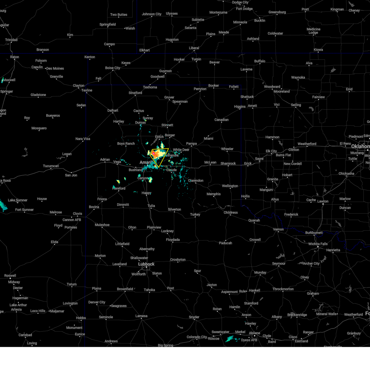 Svrama the national weather service in amarillo has issued a * severe thunderstorm warning for, southwestern carson county in the panhandle of texas, east central potter county in the panhandle of texas, * until 615 pm cdt. * at 522 pm cdt, a severe thunderstorm was located 16 miles northeast of amarillo, moving east-southeast at 5 mph (radar indicated). Hazards include 60 mph wind gusts and quarter size hail. Minor damage to roofs, siding, and trees is possible. Hail damage to vehicles is expected. Svrama the national weather service in amarillo has issued a * severe thunderstorm warning for, southwestern carson county in the panhandle of texas, east central potter county in the panhandle of texas, * until 615 pm cdt. * at 522 pm cdt, a severe thunderstorm was located 16 miles northeast of amarillo, moving east-southeast at 5 mph (radar indicated). Hazards include 60 mph wind gusts and quarter size hail. Minor damage to roofs, siding, and trees is possible. Hail damage to vehicles is expected.
|
| 7/2/2024 8:23 PM CDT | At 823 pm cdt, a severe thunderstorm was located 5 miles east of amarillo, moving northeast at 20 mph (radar indicated). Hazards include 60 mph wind gusts. Minor damage to roofs, siding, and trees is possible. Locations impacted include, amarillo. |
| 7/2/2024 8:07 PM CDT | A second report was received of tree limbs blown down that were approximately 4 inches in diamete in randall county TX, 4 miles NNE of Amarillo, TX |
| 7/2/2024 8:06 PM CDT |
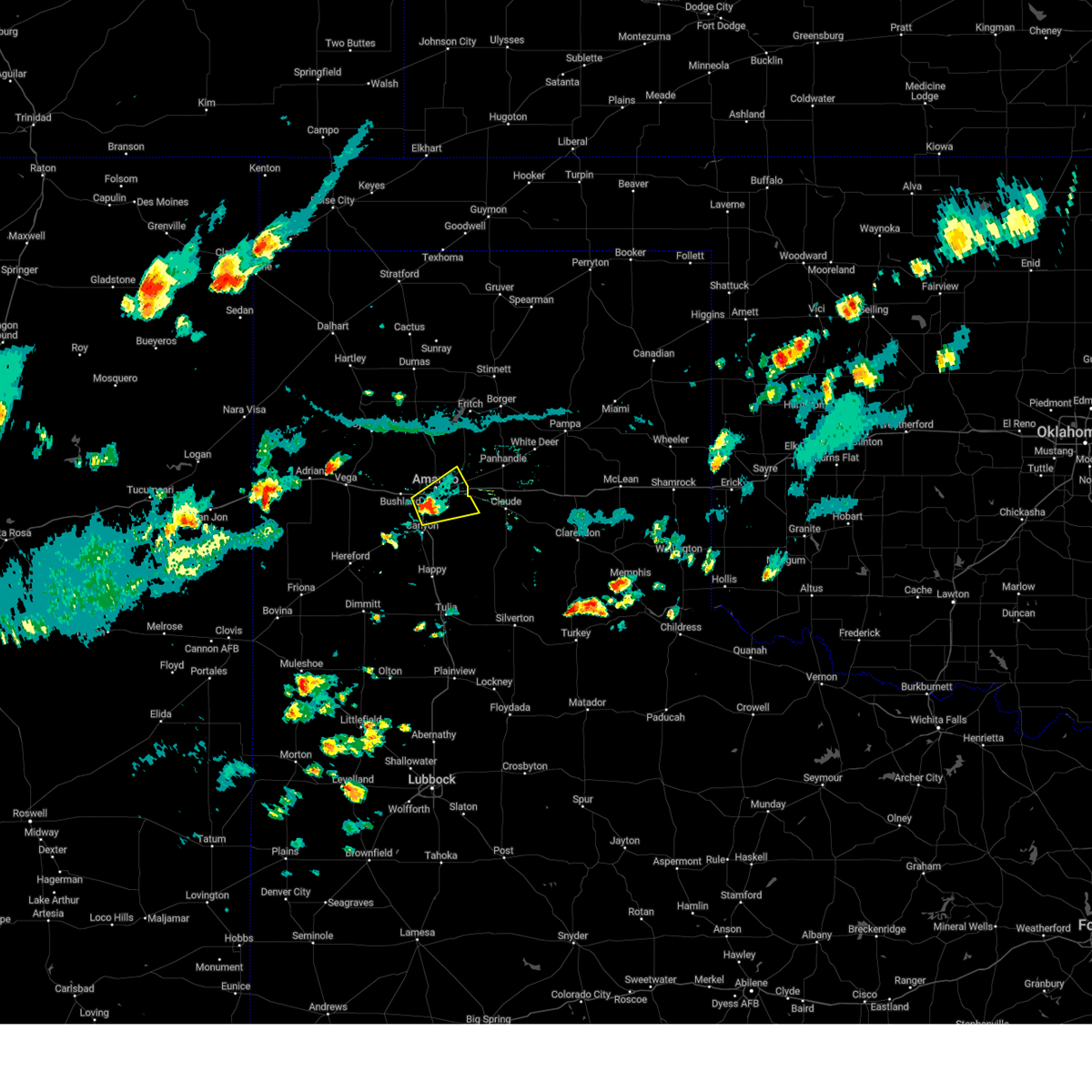 Svrama the national weather service in amarillo has issued a * severe thunderstorm warning for, northwestern armstrong county in the panhandle of texas, northeastern randall county in the panhandle of texas, southeastern potter county in the panhandle of texas, * until 845 pm cdt. * at 805 pm cdt, a severe thunderstorm was located 4 miles south of amarillo, moving northeast at 15 mph (radar indicated). Hazards include 60 mph wind gusts and penny size hail. minor damage to roofs, siding, and trees is possible Svrama the national weather service in amarillo has issued a * severe thunderstorm warning for, northwestern armstrong county in the panhandle of texas, northeastern randall county in the panhandle of texas, southeastern potter county in the panhandle of texas, * until 845 pm cdt. * at 805 pm cdt, a severe thunderstorm was located 4 miles south of amarillo, moving northeast at 15 mph (radar indicated). Hazards include 60 mph wind gusts and penny size hail. minor damage to roofs, siding, and trees is possible
|
| 7/2/2024 8:05 PM CDT | Four inch diameter tree limbs were blown down. the approximate diameter was based on pictures receive in randall county TX, 4 miles NNE of Amarillo, TX |
| 6/25/2024 8:19 PM CDT |
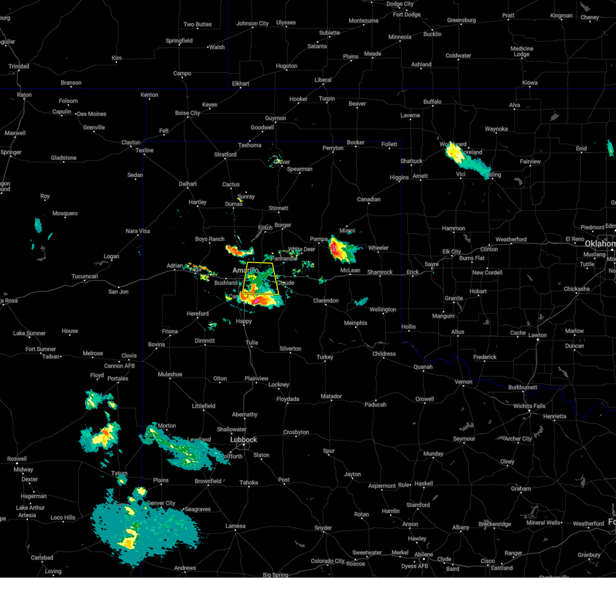 the severe thunderstorm warning has been cancelled and is no longer in effect the severe thunderstorm warning has been cancelled and is no longer in effect
|
| 6/25/2024 8:03 PM CDT | Picture of large healthy tree branch approximately 1 foot in diameter snapped off tree at ne 14th and n spring st. report received via social media. time estimated base in potter county TX, 3.1 miles SW of Amarillo, TX |
| 6/25/2024 7:55 PM CDT |
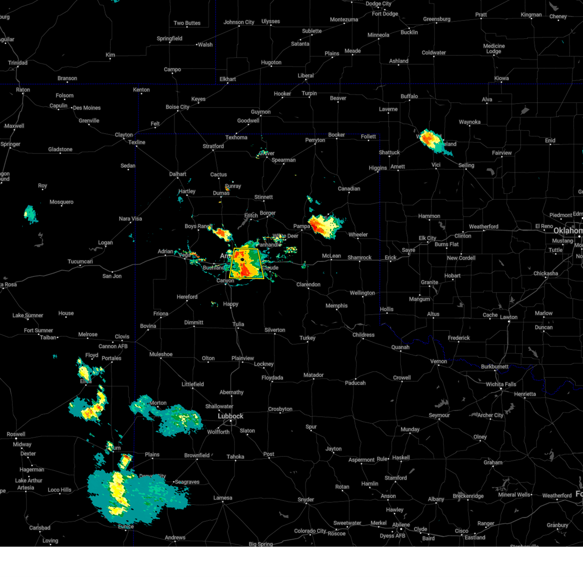 At 754 pm cdt, a severe thunderstorm was located 7 miles northeast of lake tanglewood, or 9 miles southeast of amarillo, moving south at 10 mph (radar indicated). Hazards include 70 mph wind gusts and nickel size hail. Expect some tree damage. damage is likely to mobile homes, roofs, and outbuildings. Locations impacted include, amarillo, lake tanglewood, washburn, timbercreek canyon, and pantex. At 754 pm cdt, a severe thunderstorm was located 7 miles northeast of lake tanglewood, or 9 miles southeast of amarillo, moving south at 10 mph (radar indicated). Hazards include 70 mph wind gusts and nickel size hail. Expect some tree damage. damage is likely to mobile homes, roofs, and outbuildings. Locations impacted include, amarillo, lake tanglewood, washburn, timbercreek canyon, and pantex.
|
| 6/25/2024 7:46 PM CDT |
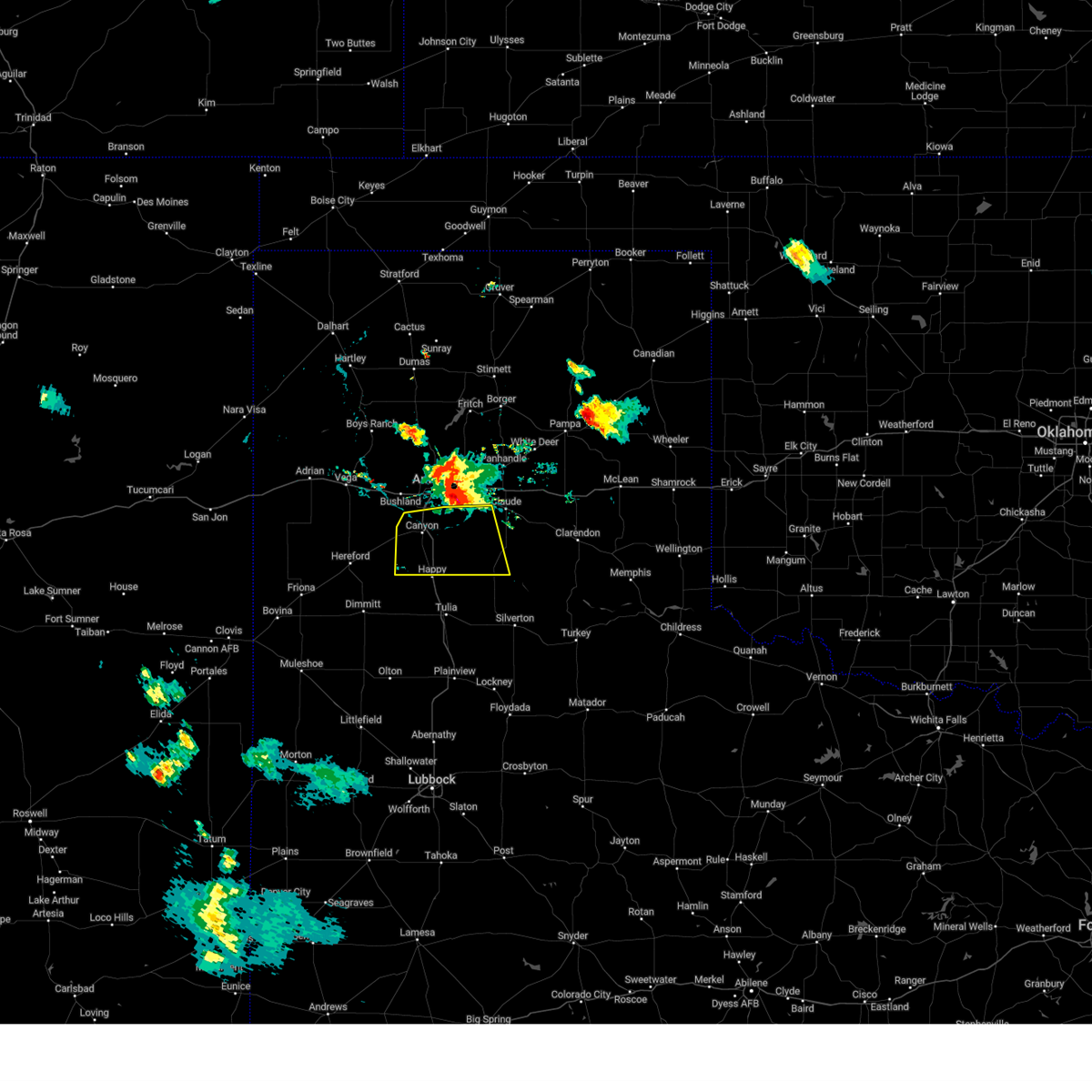 Svrama the national weather service in amarillo has issued a * severe thunderstorm warning for, western armstrong county in the panhandle of texas, randall county in the panhandle of texas, * until 845 pm cdt. * at 745 pm cdt, a severe thunderstorm was located along an outflow line extending from 5 miles southwest of bushland to 5 miles east of canyon to 5 miles south of washburn, moving south at 25 mph (radar indicated). Hazards include 70 mph wind gusts and nickel size hail. Expect some tree damage. Damage is likely to mobile homes, roofs, and outbuildings. Svrama the national weather service in amarillo has issued a * severe thunderstorm warning for, western armstrong county in the panhandle of texas, randall county in the panhandle of texas, * until 845 pm cdt. * at 745 pm cdt, a severe thunderstorm was located along an outflow line extending from 5 miles southwest of bushland to 5 miles east of canyon to 5 miles south of washburn, moving south at 25 mph (radar indicated). Hazards include 70 mph wind gusts and nickel size hail. Expect some tree damage. Damage is likely to mobile homes, roofs, and outbuildings.
|
| 6/25/2024 7:45 PM CDT | Picture of a large tree knocked over in downtown at 10th and fillmore. local broadcast media report received via slac in potter county TX, 0.4 miles NE of Amarillo, TX |
| 6/25/2024 7:42 PM CDT | Mesonet recorded gust of 60 mph at 7:42 pm then subsided. event was still ongoing at time of repor in randall county TX, 7.4 miles NNW of Amarillo, TX |
| 6/25/2024 7:37 PM CDT | Corrects previous tstm wnd gst report from 6 ene amarillo. multiple peak wind gusts of 78 mph with other severe gusts occurring between 715 pm and time of repor in potter county TX, 6.6 miles W of Amarillo, TX |
| 6/25/2024 7:36 PM CDT | Public report of semi blown over on westbound i-40 at airport blv in potter county TX, 6.5 miles W of Amarillo, TX |
| 6/25/2024 7:23 PM CDT |
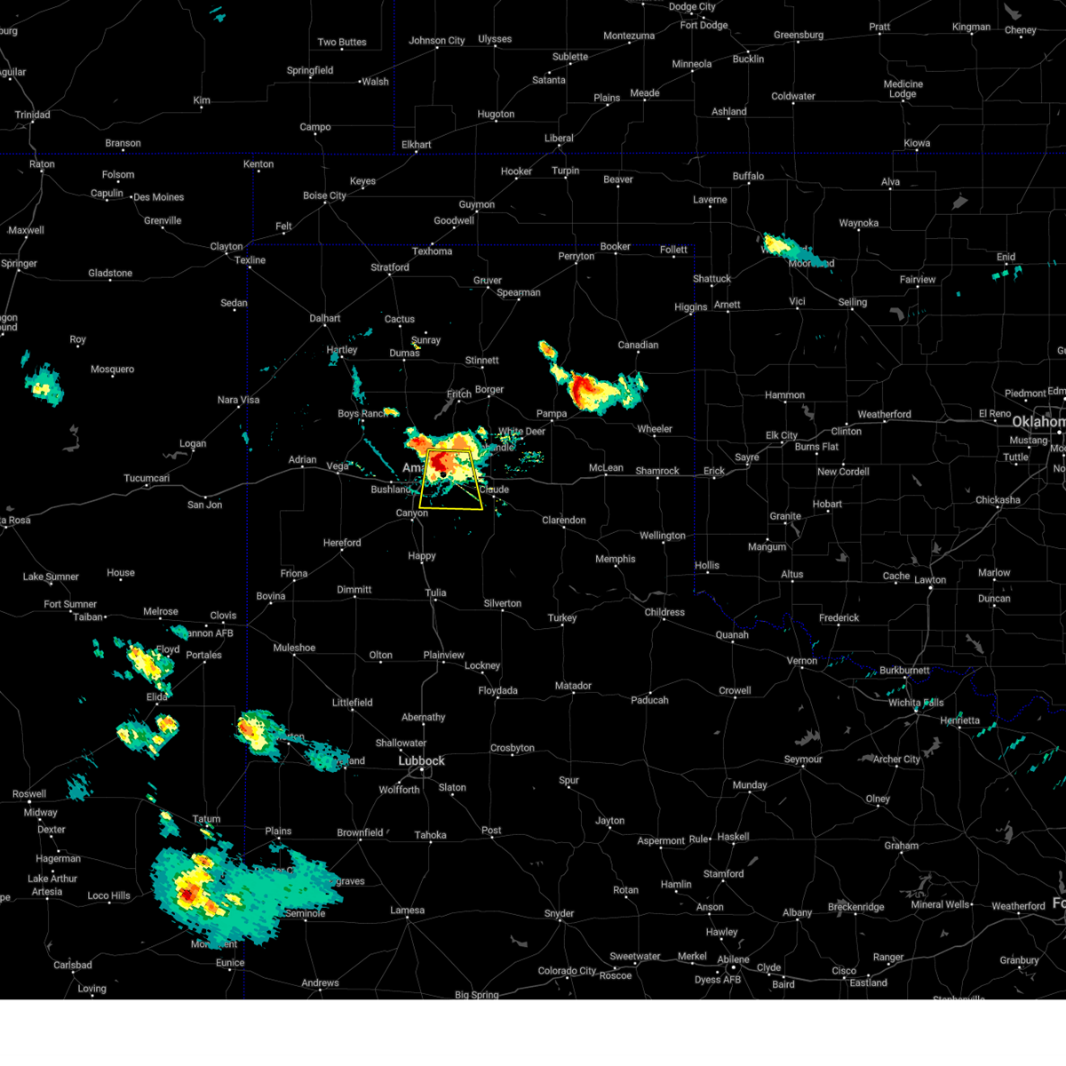 Svrama the national weather service in amarillo has issued a * severe thunderstorm warning for, northwestern armstrong county in the panhandle of texas, northeastern randall county in the panhandle of texas, southwestern carson county in the panhandle of texas, southeastern potter county in the panhandle of texas, * until 830 pm cdt. * at 722 pm cdt, a severe thunderstorm was located 9 miles northeast of amarillo, moving south at 10 mph. this is a destructive storm for eastern portions of amarillo (radar indicated). Hazards include 80 mph wind gusts and nickel size hail. Flying debris will be dangerous to those caught without shelter. mobile homes will be heavily damaged. expect considerable damage to roofs, windows, and vehicles. Tree damage and power outages are likely. Svrama the national weather service in amarillo has issued a * severe thunderstorm warning for, northwestern armstrong county in the panhandle of texas, northeastern randall county in the panhandle of texas, southwestern carson county in the panhandle of texas, southeastern potter county in the panhandle of texas, * until 830 pm cdt. * at 722 pm cdt, a severe thunderstorm was located 9 miles northeast of amarillo, moving south at 10 mph. this is a destructive storm for eastern portions of amarillo (radar indicated). Hazards include 80 mph wind gusts and nickel size hail. Flying debris will be dangerous to those caught without shelter. mobile homes will be heavily damaged. expect considerable damage to roofs, windows, and vehicles. Tree damage and power outages are likely.
|
| 6/25/2024 7:15 PM CDT | Picture of power pole snapped along ne 24th ave in front of the clements unit received via social media. time estimated based on rada in potter county TX, 5.9 miles WSW of Amarillo, TX |
| 6/25/2024 7:14 PM CDT |
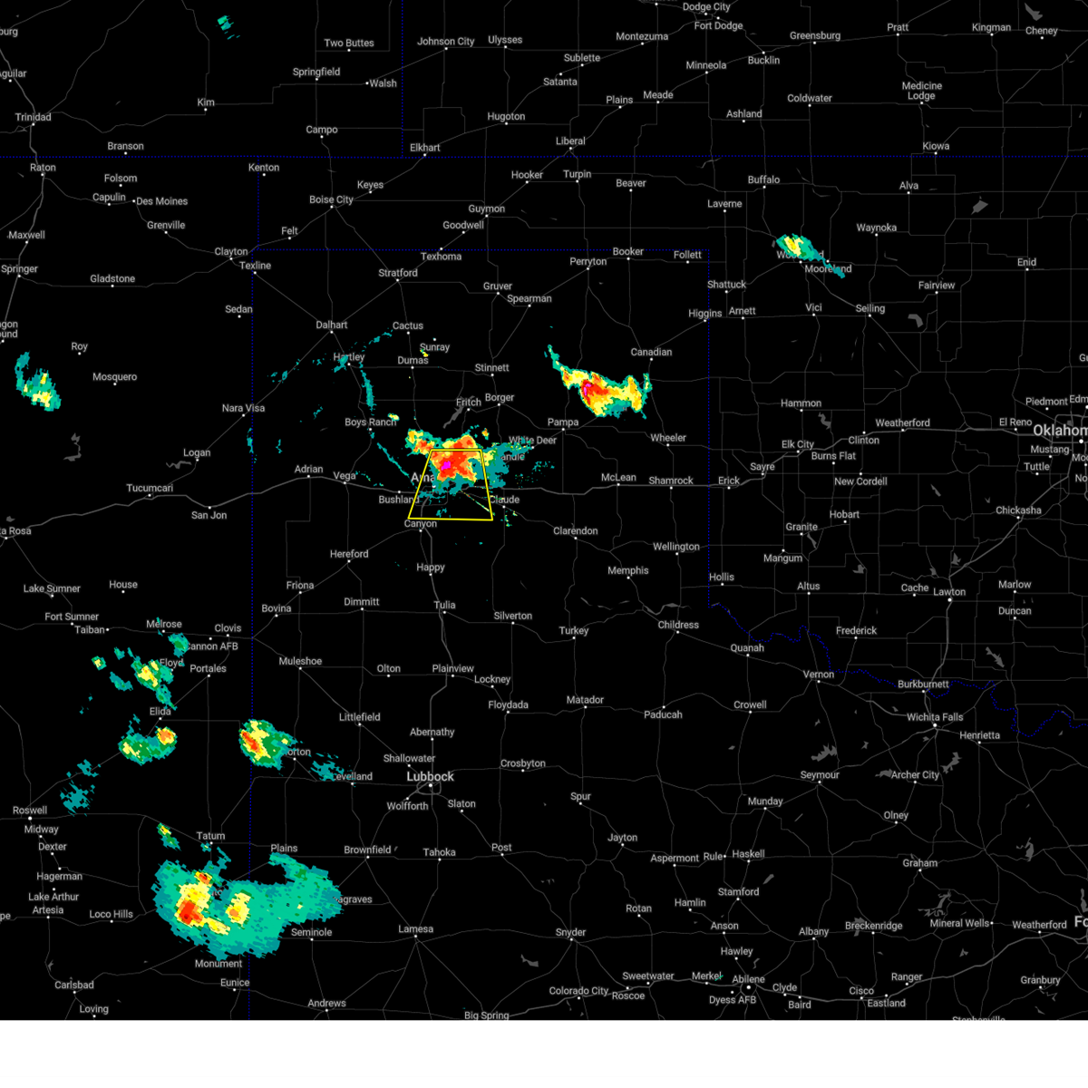 At 714 pm cdt, a severe thunderstorm was located 7 miles northeast of amarillo, moving south at 15 mph (radar indicated). Hazards include 70 mph wind gusts and nickel size hail. Expect some tree damage. damage is likely to mobile homes, roofs, and outbuildings. Locations impacted include, amarillo, lake tanglewood, washburn, mescalero park, timbercreek canyon, and pantex. At 714 pm cdt, a severe thunderstorm was located 7 miles northeast of amarillo, moving south at 15 mph (radar indicated). Hazards include 70 mph wind gusts and nickel size hail. Expect some tree damage. damage is likely to mobile homes, roofs, and outbuildings. Locations impacted include, amarillo, lake tanglewood, washburn, mescalero park, timbercreek canyon, and pantex.
|
| 6/25/2024 7:10 PM CDT | Corrects previous tstm wnd gst report from 9 n amarillo. mesonet recorded peak gust of 79 mph at 710 pm with other severe gusts occurring from 655 pm to 720 p in potter county TX, 9.5 miles S of Amarillo, TX |
| 6/25/2024 7:08 PM CDT |
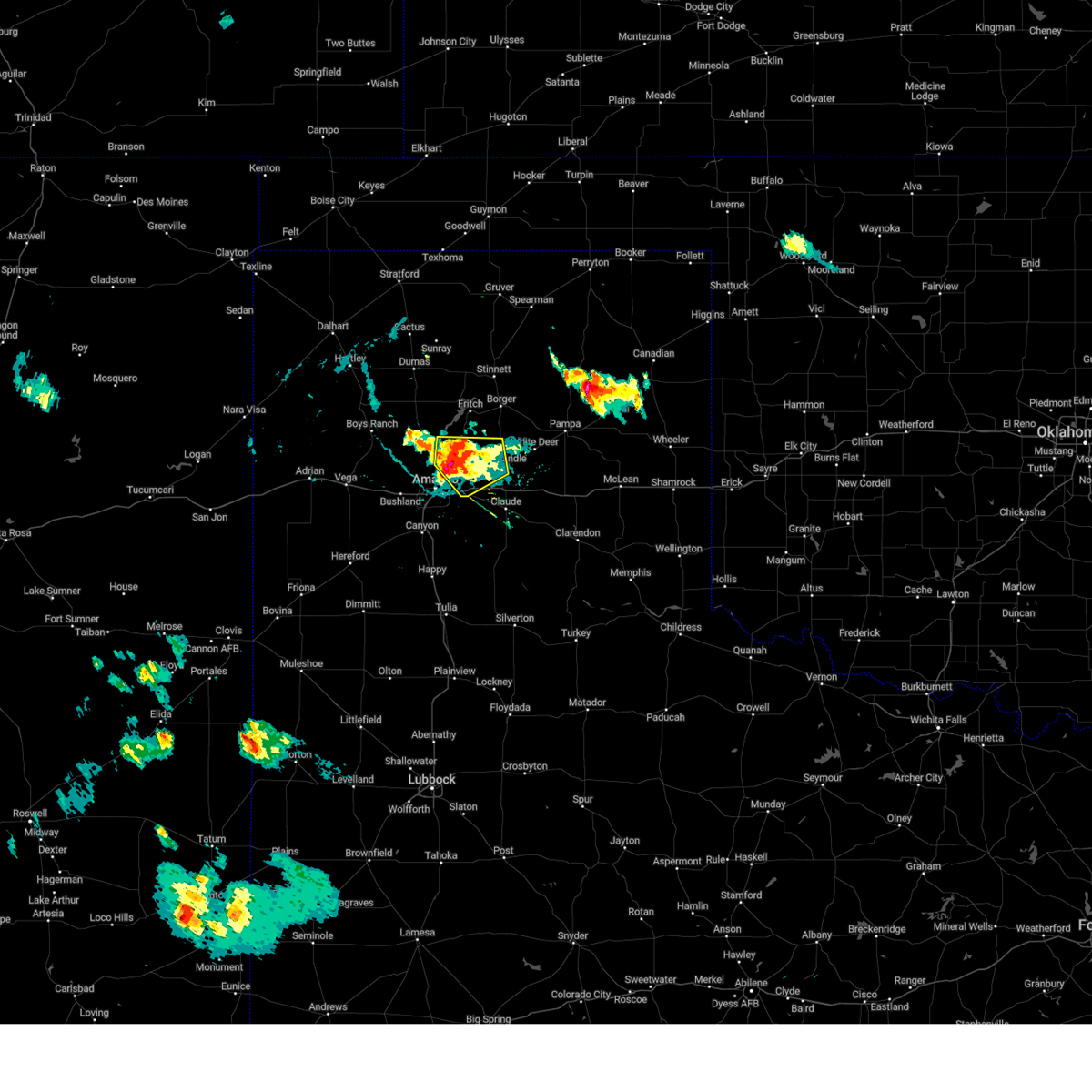 the severe thunderstorm warning has been cancelled and is no longer in effect the severe thunderstorm warning has been cancelled and is no longer in effect
|
| 6/25/2024 7:08 PM CDT |
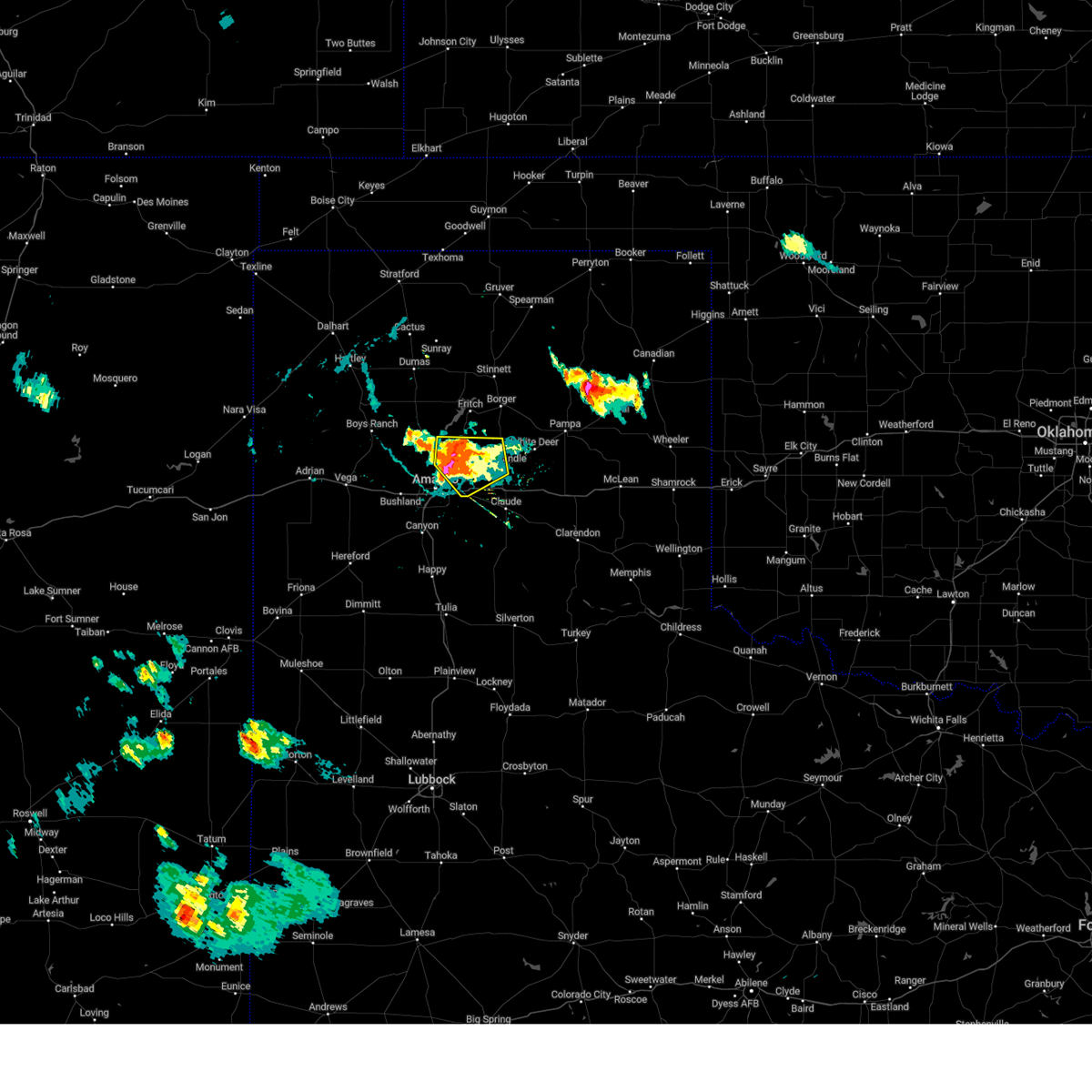 At 707 pm cdt, a severe thunderstorm was located 14 miles northwest of washburn, or 14 miles northeast of amarillo, moving south at 15 mph (radar indicated). Hazards include 70 mph wind gusts and quarter size hail. Expect some tree damage. damage is likely to mobile homes, roofs, and outbuildings. hail damage to vehicles is expected. Locations impacted include, amarillo, panhandle, and pantex. At 707 pm cdt, a severe thunderstorm was located 14 miles northwest of washburn, or 14 miles northeast of amarillo, moving south at 15 mph (radar indicated). Hazards include 70 mph wind gusts and quarter size hail. Expect some tree damage. damage is likely to mobile homes, roofs, and outbuildings. hail damage to vehicles is expected. Locations impacted include, amarillo, panhandle, and pantex.
|
| 6/25/2024 7:00 PM CDT |
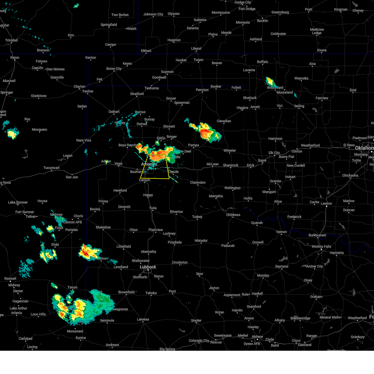 Svrama the national weather service in amarillo has issued a * severe thunderstorm warning for, northwestern armstrong county in the panhandle of texas, northeastern randall county in the panhandle of texas, southwestern carson county in the panhandle of texas, southeastern potter county in the panhandle of texas, * until 800 pm cdt. * at 659 pm cdt, a severe thunderstorm was located 10 miles northeast of amarillo, moving south at 15 mph (radar indicated). Hazards include 70 mph wind gusts. Expect some tree damage. Damage is likely to mobile homes, roofs, and outbuildings. Svrama the national weather service in amarillo has issued a * severe thunderstorm warning for, northwestern armstrong county in the panhandle of texas, northeastern randall county in the panhandle of texas, southwestern carson county in the panhandle of texas, southeastern potter county in the panhandle of texas, * until 800 pm cdt. * at 659 pm cdt, a severe thunderstorm was located 10 miles northeast of amarillo, moving south at 15 mph (radar indicated). Hazards include 70 mph wind gusts. Expect some tree damage. Damage is likely to mobile homes, roofs, and outbuildings.
|
| 6/25/2024 6:30 PM CDT |
 Svrama the national weather service in amarillo has issued a * severe thunderstorm warning for, western carson county in the panhandle of texas, southwestern hutchinson county in the panhandle of texas, eastern potter county in the panhandle of texas, southeastern moore county in the panhandle of texas, * until 730 pm cdt. * at 630 pm cdt, a severe thunderstorm was located 8 miles south of fritch, or 14 miles southwest of borger, moving southeast at 15 mph (radar indicated). Hazards include 60 mph wind gusts and quarter size hail. Minor damage to roofs, siding, and trees is possible. Hail damage to vehicles is expected. Svrama the national weather service in amarillo has issued a * severe thunderstorm warning for, western carson county in the panhandle of texas, southwestern hutchinson county in the panhandle of texas, eastern potter county in the panhandle of texas, southeastern moore county in the panhandle of texas, * until 730 pm cdt. * at 630 pm cdt, a severe thunderstorm was located 8 miles south of fritch, or 14 miles southwest of borger, moving southeast at 15 mph (radar indicated). Hazards include 60 mph wind gusts and quarter size hail. Minor damage to roofs, siding, and trees is possible. Hail damage to vehicles is expected.
|
| 6/6/2024 9:01 PM CDT | Storm damage reported in potter county TX, 6.6 miles W of Amarillo, TX |
| 6/6/2024 8:38 PM CDT |
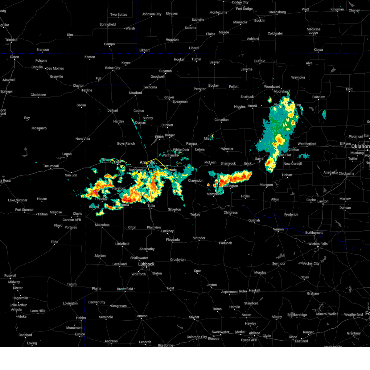 the severe thunderstorm warning has been cancelled and is no longer in effect the severe thunderstorm warning has been cancelled and is no longer in effect
|
| 6/6/2024 8:31 PM CDT | Power lines down on south washington street near the 3400 block. time estimated by rada in randall county TX, 1.9 miles NNE of Amarillo, TX |
| 6/6/2024 8:18 PM CDT |
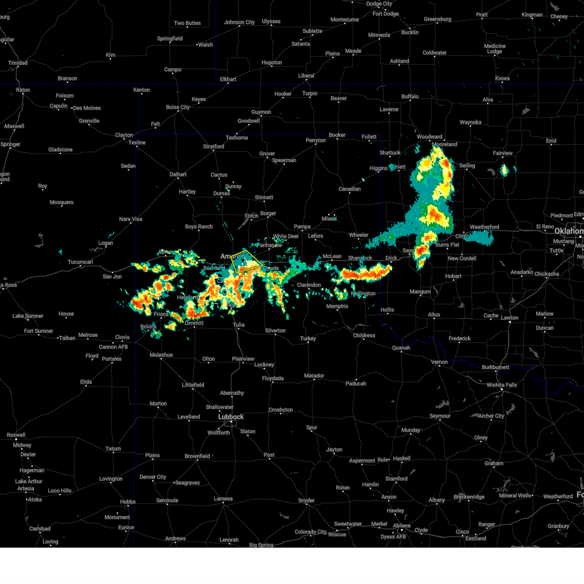 At 818 pm cdt, a severe thunderstorm was located 6 miles west of washburn, or 9 miles east of amarillo, moving southeast at 10 mph (radar indicated). Hazards include 60 mph wind gusts. Minor damage to roofs, siding, and trees is possible. Locations impacted include, amarillo and washburn. At 818 pm cdt, a severe thunderstorm was located 6 miles west of washburn, or 9 miles east of amarillo, moving southeast at 10 mph (radar indicated). Hazards include 60 mph wind gusts. Minor damage to roofs, siding, and trees is possible. Locations impacted include, amarillo and washburn.
|
| 6/6/2024 7:55 PM CDT |
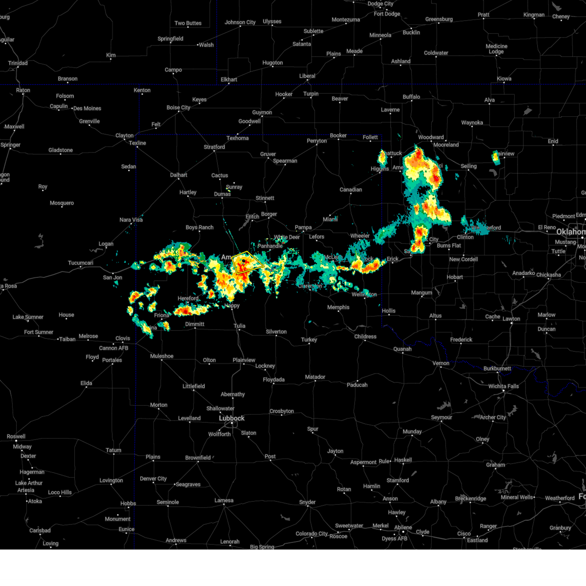 Svrama the national weather service in amarillo has issued a * severe thunderstorm warning for, northwestern armstrong county in the panhandle of texas, northeastern randall county in the panhandle of texas, southwestern carson county in the panhandle of texas, southeastern potter county in the panhandle of texas, * until 900 pm cdt. * at 755 pm cdt, a severe thunderstorm was located 8 miles west of washburn, or 8 miles east of amarillo, and is nearly stationary (radar indicated). Hazards include 60 mph wind gusts. minor damage to roofs, siding, and trees is possible Svrama the national weather service in amarillo has issued a * severe thunderstorm warning for, northwestern armstrong county in the panhandle of texas, northeastern randall county in the panhandle of texas, southwestern carson county in the panhandle of texas, southeastern potter county in the panhandle of texas, * until 900 pm cdt. * at 755 pm cdt, a severe thunderstorm was located 8 miles west of washburn, or 8 miles east of amarillo, and is nearly stationary (radar indicated). Hazards include 60 mph wind gusts. minor damage to roofs, siding, and trees is possible
|
| 6/6/2024 7:30 PM CDT | Picture sent to us of fence blown over from reported microburst near the intersection of 37th and coulter stree in randall county TX, 5.4 miles ENE of Amarillo, TX |
| 6/6/2024 7:15 PM CDT | Corrects previous tstm wnd dmg report from 2 sw amarillo. power lines down on south washington street near the 3400 block. time estimated by rada in randall county TX, 1.9 miles NNE of Amarillo, TX |
| 6/6/2024 7:15 PM CDT | Two large trees down near the intersection of 34th and georgia stree in randall county TX, 2.6 miles NE of Amarillo, TX |
| 6/6/2024 7:02 PM CDT |
 the severe thunderstorm warning has been cancelled and is no longer in effect the severe thunderstorm warning has been cancelled and is no longer in effect
|
| 6/6/2024 6:57 PM CDT |
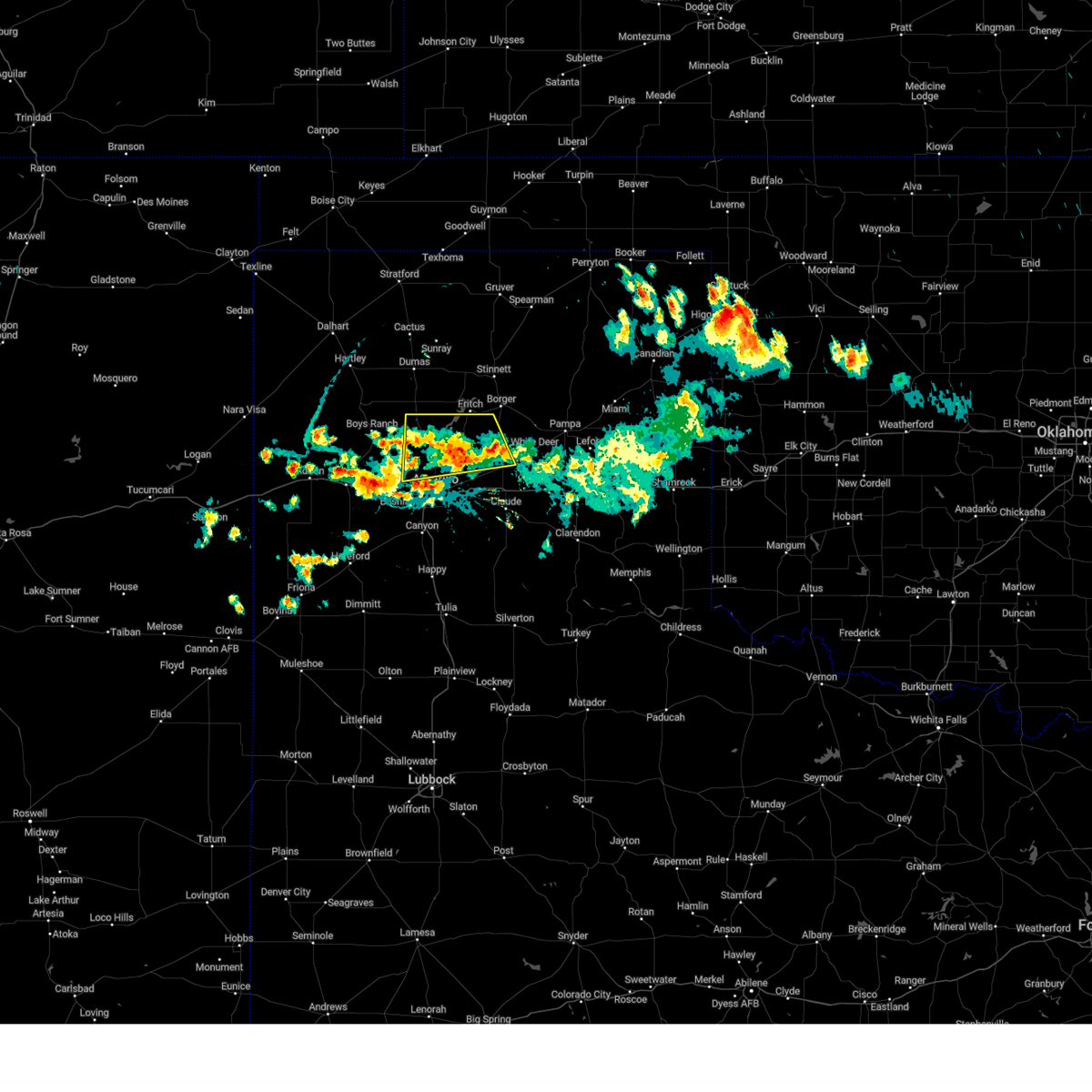 At 657 pm cdt, a severe thunderstorm was located 12 miles north of washburn, or 13 miles west of panhandle, moving southeast at 30 mph (radar indicated). Hazards include 60 mph wind gusts and quarter size hail. Minor damage to roofs, siding, and trees is possible. hail damage to vehicles is expected. Locations impacted include, amarillo, panhandle, fritch, and pantex. At 657 pm cdt, a severe thunderstorm was located 12 miles north of washburn, or 13 miles west of panhandle, moving southeast at 30 mph (radar indicated). Hazards include 60 mph wind gusts and quarter size hail. Minor damage to roofs, siding, and trees is possible. hail damage to vehicles is expected. Locations impacted include, amarillo, panhandle, fritch, and pantex.
|
| 6/6/2024 6:36 PM CDT |
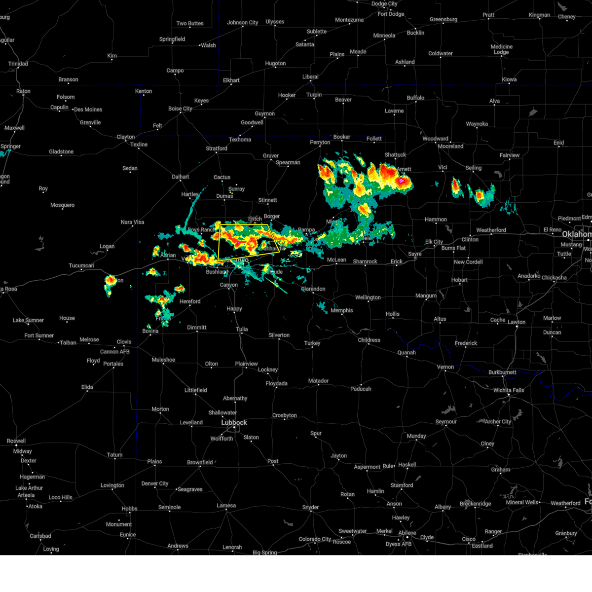 the severe thunderstorm warning has been cancelled and is no longer in effect the severe thunderstorm warning has been cancelled and is no longer in effect
|
| 6/6/2024 6:36 PM CDT |
 At 636 pm cdt, a severe thunderstorm was located 13 miles north of amarillo, moving southeast at 10 mph (radar indicated). Hazards include ping pong ball size hail and 60 mph wind gusts. Minor damage to roofs, siding, and trees is possible. people and animals outdoors will be injured. expect hail damage to roofs, siding, windows, and vehicles. Locations impacted include, amarillo, panhandle, fritch, and pantex. At 636 pm cdt, a severe thunderstorm was located 13 miles north of amarillo, moving southeast at 10 mph (radar indicated). Hazards include ping pong ball size hail and 60 mph wind gusts. Minor damage to roofs, siding, and trees is possible. people and animals outdoors will be injured. expect hail damage to roofs, siding, windows, and vehicles. Locations impacted include, amarillo, panhandle, fritch, and pantex.
|
| 6/6/2024 6:20 PM CDT |
 At 620 pm cdt, a severe thunderstorm was located 14 miles north of amarillo, moving southeast at 10 mph (radar indicated). Hazards include golf ball size hail and 60 mph wind gusts. Minor damage to roofs, siding, and trees is possible. people and animals outdoors will be injured. expect hail damage to roofs, siding, windows, and vehicles. Locations impacted include, amarillo, borger, panhandle, fritch, sanford, four way, masterson, lake meredith, and pantex. At 620 pm cdt, a severe thunderstorm was located 14 miles north of amarillo, moving southeast at 10 mph (radar indicated). Hazards include golf ball size hail and 60 mph wind gusts. Minor damage to roofs, siding, and trees is possible. people and animals outdoors will be injured. expect hail damage to roofs, siding, windows, and vehicles. Locations impacted include, amarillo, borger, panhandle, fritch, sanford, four way, masterson, lake meredith, and pantex.
|
| 6/6/2024 5:53 PM CDT |
 Svrama the national weather service in amarillo has issued a * severe thunderstorm warning for, northwestern carson county in the panhandle of texas, southwestern hutchinson county in the panhandle of texas, central potter county in the panhandle of texas, southeastern moore county in the panhandle of texas, * until 730 pm cdt. * at 553 pm cdt, a severe thunderstorm was located 8 miles east of masterson, or 18 miles southeast of dumas, moving southeast at 10 mph (radar indicated). Hazards include ping pong ball size hail and 60 mph wind gusts. Minor damage to roofs, siding, and trees is possible. people and animals outdoors will be injured. Expect hail damage to roofs, siding, windows, and vehicles. Svrama the national weather service in amarillo has issued a * severe thunderstorm warning for, northwestern carson county in the panhandle of texas, southwestern hutchinson county in the panhandle of texas, central potter county in the panhandle of texas, southeastern moore county in the panhandle of texas, * until 730 pm cdt. * at 553 pm cdt, a severe thunderstorm was located 8 miles east of masterson, or 18 miles southeast of dumas, moving southeast at 10 mph (radar indicated). Hazards include ping pong ball size hail and 60 mph wind gusts. Minor damage to roofs, siding, and trees is possible. people and animals outdoors will be injured. Expect hail damage to roofs, siding, windows, and vehicles.
|
| 6/6/2024 5:29 PM CDT |
 At 529 pm cdt, a severe thunderstorm was located 7 miles north of claude, moving south at 20 mph (radar indicated). Hazards include 60 mph wind gusts and nickel size hail. Minor damage to roofs, siding, and trees is possible. Locations impacted include, amarillo, panhandle, claude, washburn, and pantex. At 529 pm cdt, a severe thunderstorm was located 7 miles north of claude, moving south at 20 mph (radar indicated). Hazards include 60 mph wind gusts and nickel size hail. Minor damage to roofs, siding, and trees is possible. Locations impacted include, amarillo, panhandle, claude, washburn, and pantex.
|
| 6/6/2024 5:08 PM CDT |
 At 508 pm cdt, a severe thunderstorm was located near panhandle, moving southeast at 20 mph (radar indicated). Hazards include 60 mph wind gusts and quarter size hail. Minor damage to roofs, siding, and trees is possible. hail damage to vehicles is expected. Locations impacted include, amarillo, panhandle, claude, washburn, and pantex. At 508 pm cdt, a severe thunderstorm was located near panhandle, moving southeast at 20 mph (radar indicated). Hazards include 60 mph wind gusts and quarter size hail. Minor damage to roofs, siding, and trees is possible. hail damage to vehicles is expected. Locations impacted include, amarillo, panhandle, claude, washburn, and pantex.
|
| 6/6/2024 4:48 PM CDT |
 Svrama the national weather service in amarillo has issued a * severe thunderstorm warning for, northern armstrong county in the panhandle of texas, northeastern randall county in the panhandle of texas, southwestern carson county in the panhandle of texas, southeastern potter county in the panhandle of texas, * until 615 pm cdt. * at 448 pm cdt, a severe thunderstorm was located 6 miles west of panhandle, moving south at 10 mph (radar indicated). Hazards include 70 mph wind gusts and ping pong ball size hail. Expect some tree damage. damage is likely to mobile homes, roofs, and outbuildings. people and animals outdoors will be injured. Expect hail damage to roofs, siding, windows, and vehicles. Svrama the national weather service in amarillo has issued a * severe thunderstorm warning for, northern armstrong county in the panhandle of texas, northeastern randall county in the panhandle of texas, southwestern carson county in the panhandle of texas, southeastern potter county in the panhandle of texas, * until 615 pm cdt. * at 448 pm cdt, a severe thunderstorm was located 6 miles west of panhandle, moving south at 10 mph (radar indicated). Hazards include 70 mph wind gusts and ping pong ball size hail. Expect some tree damage. damage is likely to mobile homes, roofs, and outbuildings. people and animals outdoors will be injured. Expect hail damage to roofs, siding, windows, and vehicles.
|
| 6/2/2024 6:49 PM CDT | Quarter sized hail reported 7.3 miles WSW of Amarillo, TX, this report was here at the nws amarillo office. |
| 6/2/2024 6:44 PM CDT |
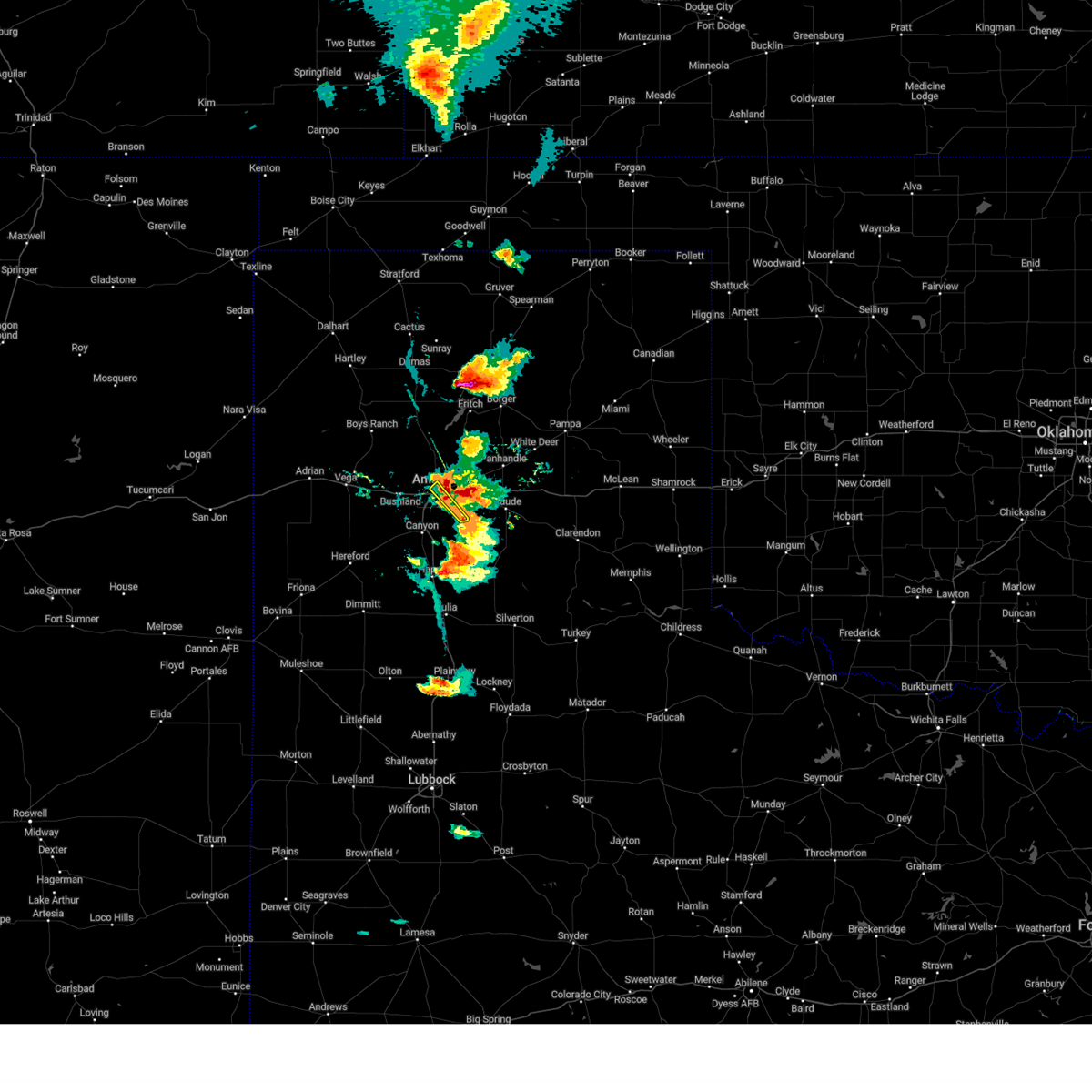 At 643 pm cdt, a severe thunderstorm was located 6 miles east of amarillo, moving northeast at 30 mph (radar indicated). Hazards include 60 mph wind gusts and quarter size hail. Minor damage to roofs, siding, and trees is possible. hail damage to vehicles is expected. Locations impacted include, amarillo. At 643 pm cdt, a severe thunderstorm was located 6 miles east of amarillo, moving northeast at 30 mph (radar indicated). Hazards include 60 mph wind gusts and quarter size hail. Minor damage to roofs, siding, and trees is possible. hail damage to vehicles is expected. Locations impacted include, amarillo.
|
| 6/2/2024 6:37 PM CDT | Storm damage reported in potter county TX, 6.6 miles W of Amarillo, TX |
| 6/2/2024 6:32 PM CDT |
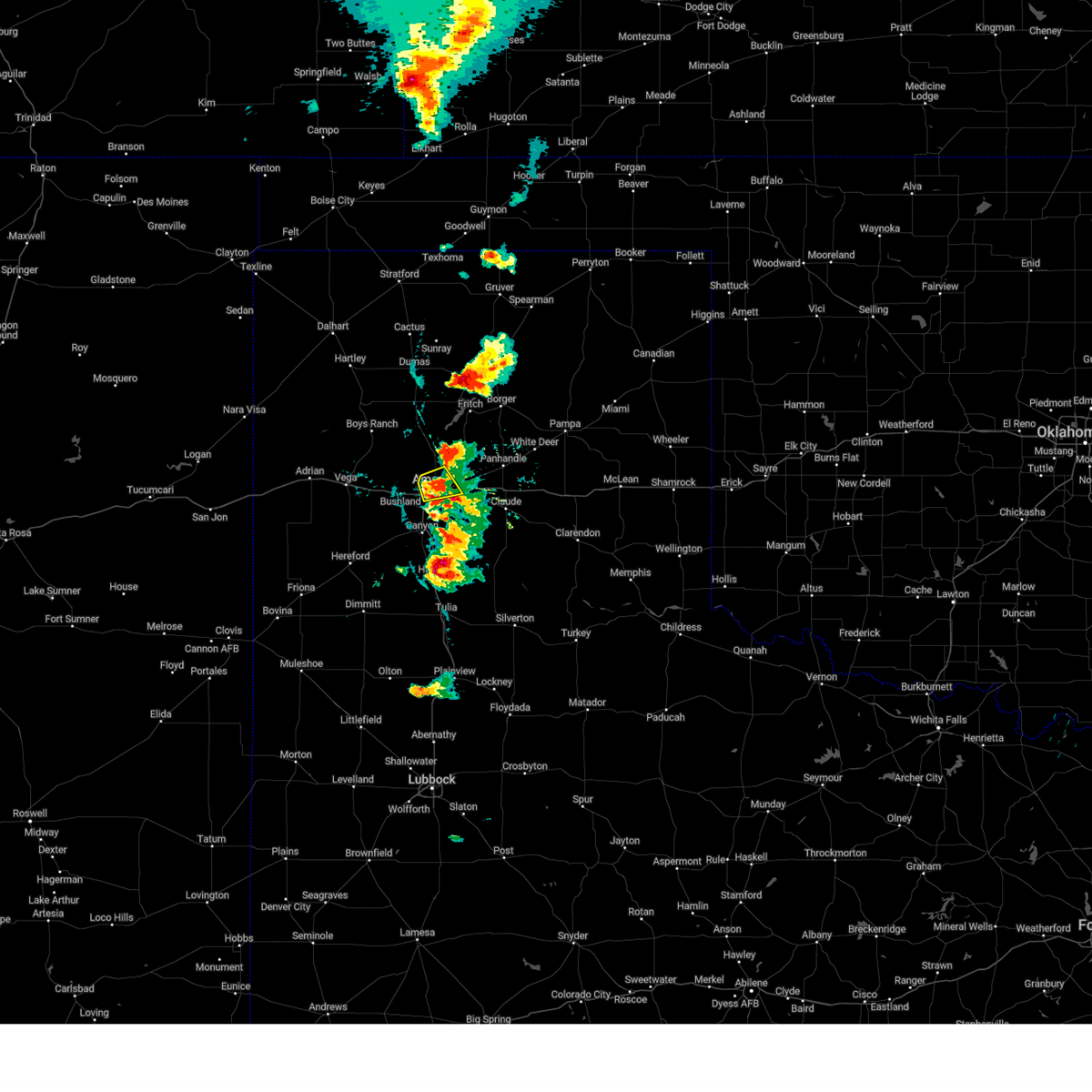 At 631 pm cdt, a severe thunderstorm was located 6 miles northeast of amarillo, moving northeast at 50 mph (radar indicated). Hazards include 60 mph wind gusts and quarter size hail. Minor damage to roofs, siding, and trees is possible. hail damage to vehicles is expected. Locations impacted include, amarillo. At 631 pm cdt, a severe thunderstorm was located 6 miles northeast of amarillo, moving northeast at 50 mph (radar indicated). Hazards include 60 mph wind gusts and quarter size hail. Minor damage to roofs, siding, and trees is possible. hail damage to vehicles is expected. Locations impacted include, amarillo.
|
| 6/2/2024 6:30 PM CDT | Half Dollar sized hail reported 7.4 miles NNE of Amarillo, TX |
| 6/2/2024 6:30 PM CDT | Half Dollar sized hail reported 5.5 miles NNE of Amarillo, TX |
| 6/2/2024 6:26 PM CDT |
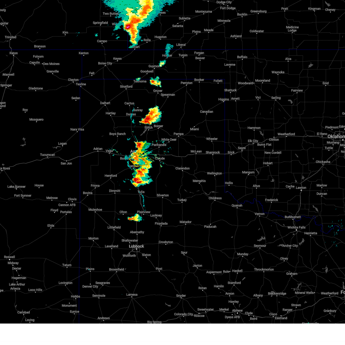 At 626 pm cdt, a severe thunderstorm was located near amarillo, moving northeast at 50 mph (radar indicated). Hazards include 60 mph wind gusts and quarter size hail. Minor damage to roofs, siding, and trees is possible. hail damage to vehicles is expected. Locations impacted include, amarillo, lake tanglewood, mescalero park, and timbercreek canyon. At 626 pm cdt, a severe thunderstorm was located near amarillo, moving northeast at 50 mph (radar indicated). Hazards include 60 mph wind gusts and quarter size hail. Minor damage to roofs, siding, and trees is possible. hail damage to vehicles is expected. Locations impacted include, amarillo, lake tanglewood, mescalero park, and timbercreek canyon.
|
| 6/2/2024 6:24 PM CDT |
 Svrama the national weather service in amarillo has issued a * severe thunderstorm warning for, northwestern armstrong county in the panhandle of texas, northeastern randall county in the panhandle of texas, southeastern carson county in the panhandle of texas, west central gray county in the panhandle of texas, southeastern potter county in the panhandle of texas, * until 730 pm cdt. * at 624 pm cdt, a severe thunderstorm was located 6 miles southwest of washburn, or 10 miles southeast of amarillo, moving northeast at 35 mph (radar indicated). Hazards include 60 mph wind gusts and half dollar size hail. Minor damage to roofs, siding, and trees is possible. Hail damage to vehicles is expected. Svrama the national weather service in amarillo has issued a * severe thunderstorm warning for, northwestern armstrong county in the panhandle of texas, northeastern randall county in the panhandle of texas, southeastern carson county in the panhandle of texas, west central gray county in the panhandle of texas, southeastern potter county in the panhandle of texas, * until 730 pm cdt. * at 624 pm cdt, a severe thunderstorm was located 6 miles southwest of washburn, or 10 miles southeast of amarillo, moving northeast at 35 mph (radar indicated). Hazards include 60 mph wind gusts and half dollar size hail. Minor damage to roofs, siding, and trees is possible. Hail damage to vehicles is expected.
|
| 6/2/2024 6:20 PM CDT | Golf Ball sized hail reported 13.5 miles S of Amarillo, TX |
| 6/2/2024 6:17 PM CDT |
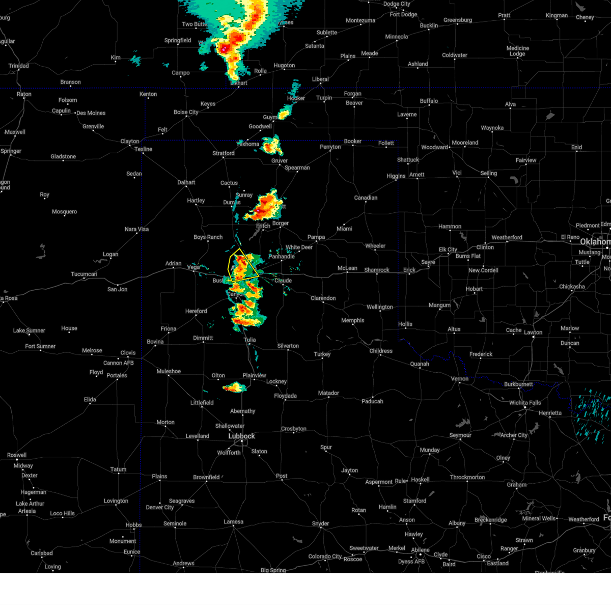 At 617 pm cdt, a severe thunderstorm was located 4 miles north of amarillo, moving east at 50 mph (radar indicated). Hazards include 60 mph wind gusts and quarter size hail. Minor damage to roofs, siding, and trees is possible. hail damage to vehicles is expected. Locations impacted include, amarillo. At 617 pm cdt, a severe thunderstorm was located 4 miles north of amarillo, moving east at 50 mph (radar indicated). Hazards include 60 mph wind gusts and quarter size hail. Minor damage to roofs, siding, and trees is possible. hail damage to vehicles is expected. Locations impacted include, amarillo.
|
| 6/2/2024 6:14 PM CDT |
 Svrama the national weather service in amarillo has issued a * severe thunderstorm warning for, northwestern carson county in the panhandle of texas, eastern potter county in the panhandle of texas, southeastern moore county in the panhandle of texas, * until 700 pm cdt. * at 614 pm cdt, a severe thunderstorm was located 11 miles north of amarillo, moving northeast at 35 mph (radar indicated). Hazards include ping pong ball size hail and 60 mph wind gusts. Minor damage to roofs, siding, and trees is possible. people and animals outdoors will be injured. Expect hail damage to roofs, siding, windows, and vehicles. Svrama the national weather service in amarillo has issued a * severe thunderstorm warning for, northwestern carson county in the panhandle of texas, eastern potter county in the panhandle of texas, southeastern moore county in the panhandle of texas, * until 700 pm cdt. * at 614 pm cdt, a severe thunderstorm was located 11 miles north of amarillo, moving northeast at 35 mph (radar indicated). Hazards include ping pong ball size hail and 60 mph wind gusts. Minor damage to roofs, siding, and trees is possible. people and animals outdoors will be injured. Expect hail damage to roofs, siding, windows, and vehicles.
|
| 6/2/2024 6:10 PM CDT |
 At 610 pm cdt, a severe thunderstorm was located 4 miles west of mescalero park, or 6 miles northwest of canyon, moving northeast at 45 mph (radar indicated). Hazards include 60 mph wind gusts and half dollar size hail. Minor damage to roofs, siding, and trees is possible. hail damage to vehicles is expected. Locations impacted include, amarillo, canyon, lake tanglewood, mescalero park, and timbercreek canyon. At 610 pm cdt, a severe thunderstorm was located 4 miles west of mescalero park, or 6 miles northwest of canyon, moving northeast at 45 mph (radar indicated). Hazards include 60 mph wind gusts and half dollar size hail. Minor damage to roofs, siding, and trees is possible. hail damage to vehicles is expected. Locations impacted include, amarillo, canyon, lake tanglewood, mescalero park, and timbercreek canyon.
|
| 6/2/2024 6:05 PM CDT | Quarter sized hail reported 14 miles NE of Amarillo, TX |
| 6/2/2024 6:05 PM CDT |
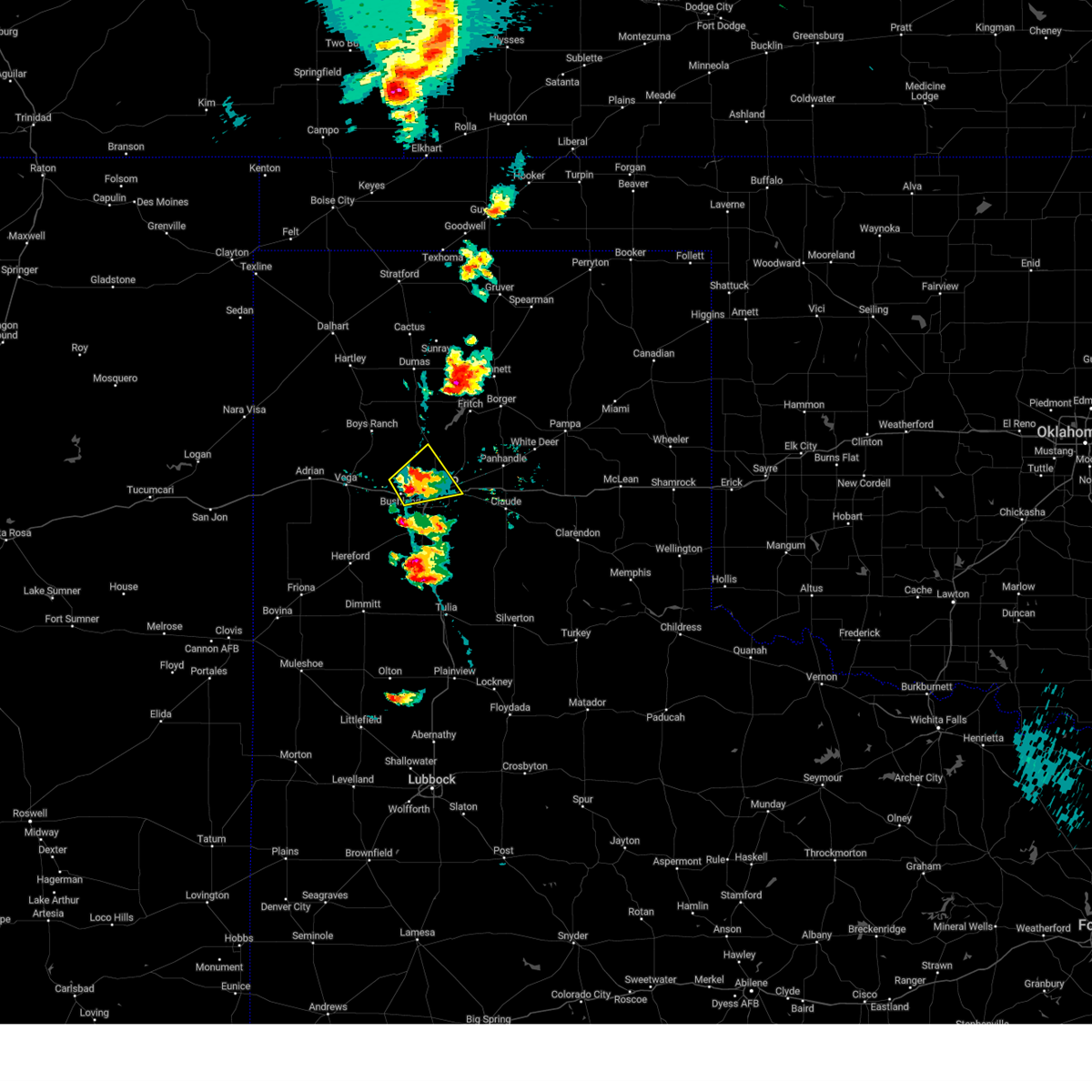 At 604 pm cdt, a severe thunderstorm was located near bushland, or 9 miles west of amarillo, moving northeast at 25 mph (radar indicated). Hazards include ping pong ball size hail and 60 mph wind gusts. Minor damage to roofs, siding, and trees is possible. people and animals outdoors will be injured. expect hail damage to roofs, siding, windows, and vehicles. Locations impacted include, amarillo and bushland. At 604 pm cdt, a severe thunderstorm was located near bushland, or 9 miles west of amarillo, moving northeast at 25 mph (radar indicated). Hazards include ping pong ball size hail and 60 mph wind gusts. Minor damage to roofs, siding, and trees is possible. people and animals outdoors will be injured. expect hail damage to roofs, siding, windows, and vehicles. Locations impacted include, amarillo and bushland.
|
| 6/2/2024 6:02 PM CDT |
 Svrama the national weather service in amarillo has issued a * severe thunderstorm warning for, northern randall county in the panhandle of texas, south central potter county in the panhandle of texas, * until 700 pm cdt. * at 602 pm cdt, a severe thunderstorm was located 5 miles north of umbarger, or 9 miles west of canyon, moving northeast at 20 mph (radar indicated). Hazards include ping pong ball size hail and 60 mph wind gusts. Minor damage to roofs, siding, and trees is possible. people and animals outdoors will be injured. Expect hail damage to roofs, siding, windows, and vehicles. Svrama the national weather service in amarillo has issued a * severe thunderstorm warning for, northern randall county in the panhandle of texas, south central potter county in the panhandle of texas, * until 700 pm cdt. * at 602 pm cdt, a severe thunderstorm was located 5 miles north of umbarger, or 9 miles west of canyon, moving northeast at 20 mph (radar indicated). Hazards include ping pong ball size hail and 60 mph wind gusts. Minor damage to roofs, siding, and trees is possible. people and animals outdoors will be injured. Expect hail damage to roofs, siding, windows, and vehicles.
|
| 6/2/2024 5:52 PM CDT |
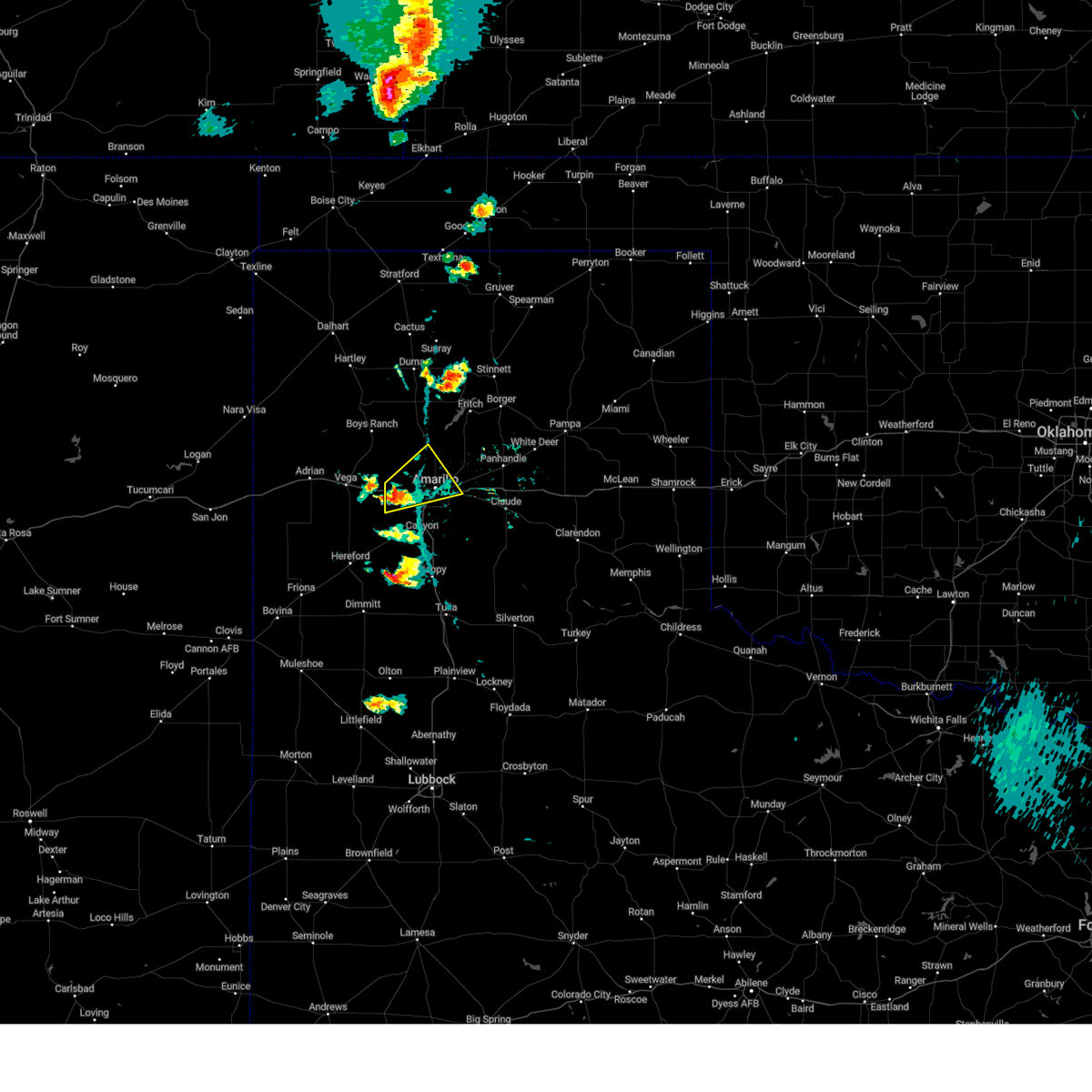 Svrama the national weather service in amarillo has issued a * severe thunderstorm warning for, northwestern randall county in the panhandle of texas, southern potter county in the panhandle of texas, * until 645 pm cdt. * at 549 pm cdt, a severe thunderstorm was located over bushland, or 14 miles west of amarillo, moving northeast at 25 mph (radar indicated). Hazards include 60 mph wind gusts and half dollar size hail. Minor damage to roofs, siding, and trees is possible. Hail damage to vehicles is expected. Svrama the national weather service in amarillo has issued a * severe thunderstorm warning for, northwestern randall county in the panhandle of texas, southern potter county in the panhandle of texas, * until 645 pm cdt. * at 549 pm cdt, a severe thunderstorm was located over bushland, or 14 miles west of amarillo, moving northeast at 25 mph (radar indicated). Hazards include 60 mph wind gusts and half dollar size hail. Minor damage to roofs, siding, and trees is possible. Hail damage to vehicles is expected.
|
| 5/31/2024 10:06 PM CDT |
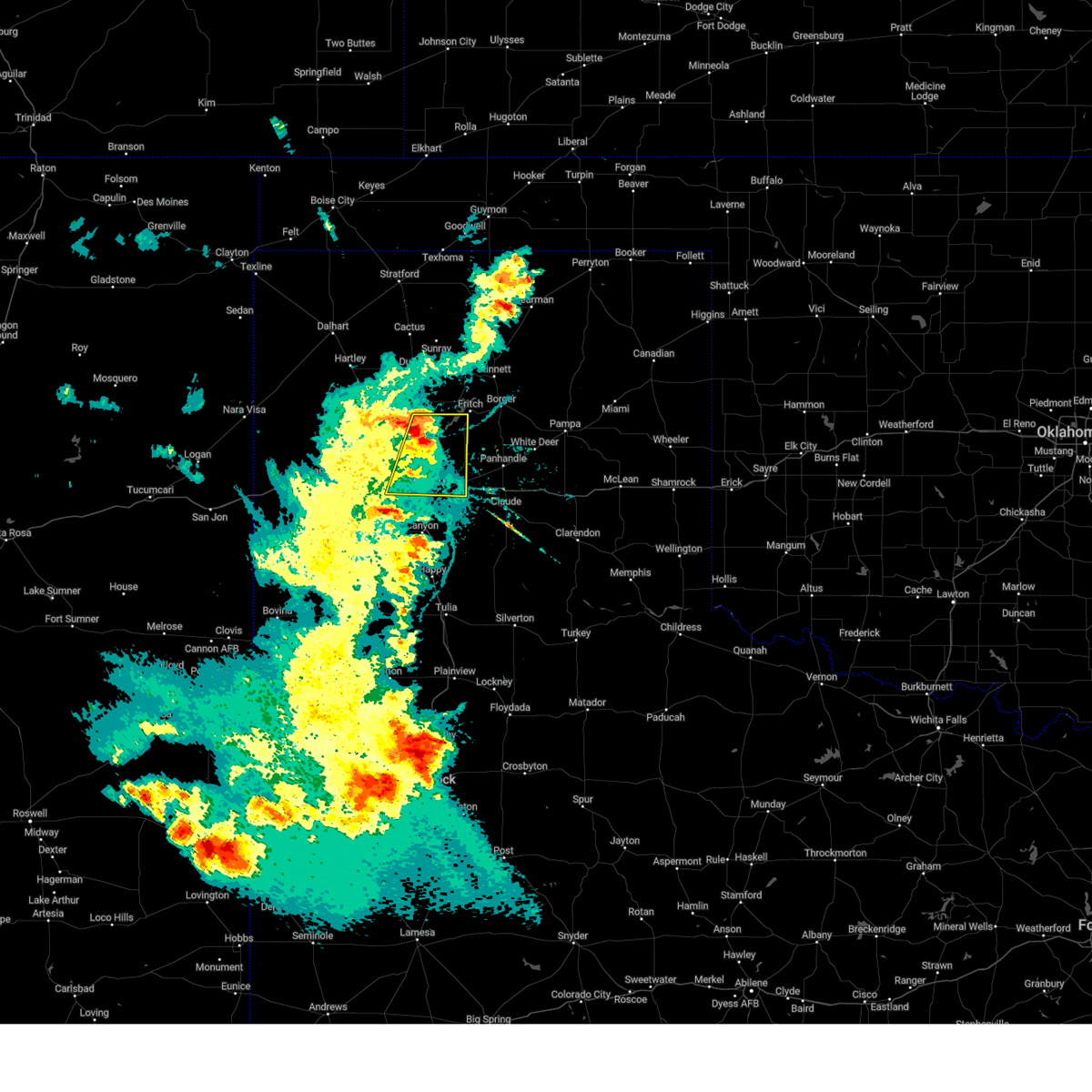 At 1005 pm cdt, a severe thunderstorm was located 7 miles northeast of amarillo, moving east at 35 mph (radar indicated). Hazards include 60 mph wind gusts and penny size hail. Minor damage to roofs, siding, and trees is possible. Locations impacted include, amarillo and bushland. At 1005 pm cdt, a severe thunderstorm was located 7 miles northeast of amarillo, moving east at 35 mph (radar indicated). Hazards include 60 mph wind gusts and penny size hail. Minor damage to roofs, siding, and trees is possible. Locations impacted include, amarillo and bushland.
|
| 5/31/2024 10:06 PM CDT |
 the severe thunderstorm warning has been cancelled and is no longer in effect the severe thunderstorm warning has been cancelled and is no longer in effect
|
| 5/31/2024 10:05 PM CDT |
 At 1005 pm cdt, a severe thunderstorm was located over lake tanglewood, or 7 miles northeast of canyon, moving east at 35 mph (radar indicated). Hazards include 60 mph wind gusts and penny size hail. Minor damage to roofs, siding, and trees is possible. Locations impacted include, amarillo, canyon, lake tanglewood, mescalero park, palo duro canyon, and timbercreek canyon. At 1005 pm cdt, a severe thunderstorm was located over lake tanglewood, or 7 miles northeast of canyon, moving east at 35 mph (radar indicated). Hazards include 60 mph wind gusts and penny size hail. Minor damage to roofs, siding, and trees is possible. Locations impacted include, amarillo, canyon, lake tanglewood, mescalero park, palo duro canyon, and timbercreek canyon.
|
| 5/31/2024 9:54 PM CDT |
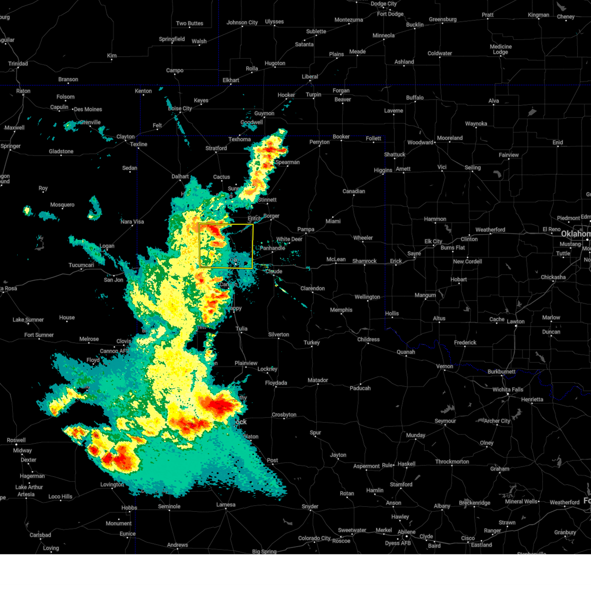 the severe thunderstorm warning has been cancelled and is no longer in effect the severe thunderstorm warning has been cancelled and is no longer in effect
|
| 5/31/2024 9:54 PM CDT |
 At 954 pm cdt, a severe thunderstorm was located 9 miles north of amarillo, moving east at 35 mph (radar indicated). Hazards include 60 mph wind gusts and penny size hail. Minor damage to roofs, siding, and trees is possible. Locations impacted include, amarillo, boys ranch, bushland, wildorado, and valley de oro. At 954 pm cdt, a severe thunderstorm was located 9 miles north of amarillo, moving east at 35 mph (radar indicated). Hazards include 60 mph wind gusts and penny size hail. Minor damage to roofs, siding, and trees is possible. Locations impacted include, amarillo, boys ranch, bushland, wildorado, and valley de oro.
|
| 5/31/2024 9:52 PM CDT |
 At 951 pm cdt, a severe thunderstorm was located near mescalero park, or 4 miles northwest of canyon, moving northeast at 45 mph (radar indicated). Hazards include 70 mph wind gusts and penny size hail. Expect some tree damage. damage is likely to mobile homes, roofs, and outbuildings. Locations impacted include, amarillo, canyon, lake tanglewood, mescalero park, buffalo lake, umbarger, palo duro canyon, and timbercreek canyon. At 951 pm cdt, a severe thunderstorm was located near mescalero park, or 4 miles northwest of canyon, moving northeast at 45 mph (radar indicated). Hazards include 70 mph wind gusts and penny size hail. Expect some tree damage. damage is likely to mobile homes, roofs, and outbuildings. Locations impacted include, amarillo, canyon, lake tanglewood, mescalero park, buffalo lake, umbarger, palo duro canyon, and timbercreek canyon.
|
| 5/31/2024 9:52 PM CDT |
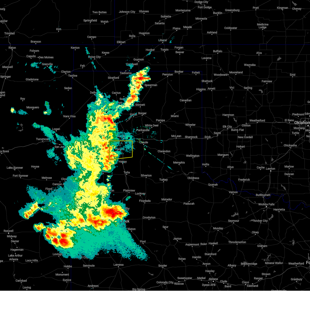 the severe thunderstorm warning has been cancelled and is no longer in effect the severe thunderstorm warning has been cancelled and is no longer in effect
|
| 5/31/2024 9:31 PM CDT |
 Svrama the national weather service in amarillo has issued a * severe thunderstorm warning for, eastern oldham county in the panhandle of texas, potter county in the panhandle of texas, southern moore county in the panhandle of texas, southeastern hartley county in the panhandle of texas, * until 1030 pm cdt. * at 931 pm cdt, a severe thunderstorm was located 5 miles south of valley de oro, or 18 miles northeast of vega, moving east at 35 mph (radar indicated). Hazards include 60 mph wind gusts and penny size hail. minor damage to roofs, siding, and trees is possible Svrama the national weather service in amarillo has issued a * severe thunderstorm warning for, eastern oldham county in the panhandle of texas, potter county in the panhandle of texas, southern moore county in the panhandle of texas, southeastern hartley county in the panhandle of texas, * until 1030 pm cdt. * at 931 pm cdt, a severe thunderstorm was located 5 miles south of valley de oro, or 18 miles northeast of vega, moving east at 35 mph (radar indicated). Hazards include 60 mph wind gusts and penny size hail. minor damage to roofs, siding, and trees is possible
|
| 5/31/2024 9:27 PM CDT |
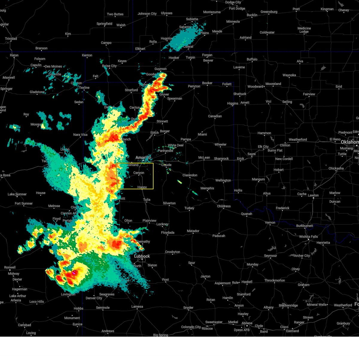 Svrama the national weather service in amarillo has issued a * severe thunderstorm warning for, randall county in the panhandle of texas, eastern deaf smith county in the panhandle of texas, * until 1030 pm cdt. * at 926 pm cdt, a severe thunderstorm was located near dawn, or 9 miles northeast of hereford, moving east at 35 mph (radar indicated). Hazards include 70 mph wind gusts and penny size hail. Expect some tree damage. Damage is likely to mobile homes, roofs, and outbuildings. Svrama the national weather service in amarillo has issued a * severe thunderstorm warning for, randall county in the panhandle of texas, eastern deaf smith county in the panhandle of texas, * until 1030 pm cdt. * at 926 pm cdt, a severe thunderstorm was located near dawn, or 9 miles northeast of hereford, moving east at 35 mph (radar indicated). Hazards include 70 mph wind gusts and penny size hail. Expect some tree damage. Damage is likely to mobile homes, roofs, and outbuildings.
|
| 5/30/2024 7:06 PM CDT |
 At 706 pm cdt, severe thunderstorms were located along a line extending from 18 miles southwest of wolf creek park to 6 miles southwest of codman to 7 miles south of white deer to 4 miles southwest of washburn, moving east at 40 mph (radar indicated). Hazards include 70 mph wind gusts and nickel size hail. Expect some tree damage. damage is likely to mobile homes, roofs, and outbuildings. Locations impacted include, amarillo, pampa, canyon, canadian, panhandle, clarendon, claude, miami, briscoe, white deer, lake tanglewood, mclean, groom, lefors, skellytown, howardwick, bushland, lake mcclellan, wayside, and goodnight. At 706 pm cdt, severe thunderstorms were located along a line extending from 18 miles southwest of wolf creek park to 6 miles southwest of codman to 7 miles south of white deer to 4 miles southwest of washburn, moving east at 40 mph (radar indicated). Hazards include 70 mph wind gusts and nickel size hail. Expect some tree damage. damage is likely to mobile homes, roofs, and outbuildings. Locations impacted include, amarillo, pampa, canyon, canadian, panhandle, clarendon, claude, miami, briscoe, white deer, lake tanglewood, mclean, groom, lefors, skellytown, howardwick, bushland, lake mcclellan, wayside, and goodnight.
|
| 5/30/2024 6:44 PM CDT |
 Svrama the national weather service in amarillo has issued a * severe thunderstorm warning for, armstrong county in the panhandle of texas, randall county in the panhandle of texas, western wheeler county in the panhandle of texas, carson county in the panhandle of texas, eastern hutchinson county in the panhandle of texas, gray county in the panhandle of texas, southern potter county in the panhandle of texas, roberts county in the panhandle of texas, western hemphill county in the panhandle of texas, northwestern donley county in the panhandle of texas, * until 800 pm cdt. * at 643 pm cdt, severe thunderstorms were located along a line extending from 14 miles southeast of spearman to 6 miles northeast of skellytown to near panhandle to 4 miles north of amarillo, moving east at 40 mph (radar indicated). Hazards include 70 mph wind gusts and penny size hail. Expect some tree damage. Damage is likely to mobile homes, roofs, and outbuildings. Svrama the national weather service in amarillo has issued a * severe thunderstorm warning for, armstrong county in the panhandle of texas, randall county in the panhandle of texas, western wheeler county in the panhandle of texas, carson county in the panhandle of texas, eastern hutchinson county in the panhandle of texas, gray county in the panhandle of texas, southern potter county in the panhandle of texas, roberts county in the panhandle of texas, western hemphill county in the panhandle of texas, northwestern donley county in the panhandle of texas, * until 800 pm cdt. * at 643 pm cdt, severe thunderstorms were located along a line extending from 14 miles southeast of spearman to 6 miles northeast of skellytown to near panhandle to 4 miles north of amarillo, moving east at 40 mph (radar indicated). Hazards include 70 mph wind gusts and penny size hail. Expect some tree damage. Damage is likely to mobile homes, roofs, and outbuildings.
|
| 5/30/2024 5:49 PM CDT |
 Svrama the national weather service in amarillo has issued a * severe thunderstorm warning for, northern armstrong county in the panhandle of texas, northern randall county in the panhandle of texas, southeastern oldham county in the panhandle of texas, carson county in the panhandle of texas, hutchinson county in the panhandle of texas, western gray county in the panhandle of texas, potter county in the panhandle of texas, roberts county in the panhandle of texas, southeastern moore county in the panhandle of texas, * until 645 pm cdt. * at 546 pm cdt, severe thunderstorms were located along a line extending from 9 miles east of morse to near sanford to 9 miles southwest of lake meredith to 4 miles east of valley de oro to 7 miles southwest of boys ranch, moving southeast at 40 mph (automated weather equipment). Hazards include 70 mph wind gusts. Expect some tree damage. Damage is likely to mobile homes, roofs, and outbuildings. Svrama the national weather service in amarillo has issued a * severe thunderstorm warning for, northern armstrong county in the panhandle of texas, northern randall county in the panhandle of texas, southeastern oldham county in the panhandle of texas, carson county in the panhandle of texas, hutchinson county in the panhandle of texas, western gray county in the panhandle of texas, potter county in the panhandle of texas, roberts county in the panhandle of texas, southeastern moore county in the panhandle of texas, * until 645 pm cdt. * at 546 pm cdt, severe thunderstorms were located along a line extending from 9 miles east of morse to near sanford to 9 miles southwest of lake meredith to 4 miles east of valley de oro to 7 miles southwest of boys ranch, moving southeast at 40 mph (automated weather equipment). Hazards include 70 mph wind gusts. Expect some tree damage. Damage is likely to mobile homes, roofs, and outbuildings.
|
| 5/28/2024 5:33 PM CDT |
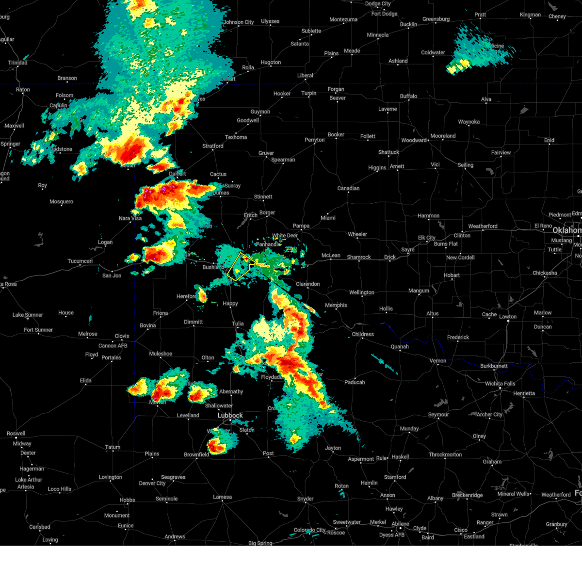 the severe thunderstorm warning has been cancelled and is no longer in effect the severe thunderstorm warning has been cancelled and is no longer in effect
|
| 5/28/2024 5:19 PM CDT |
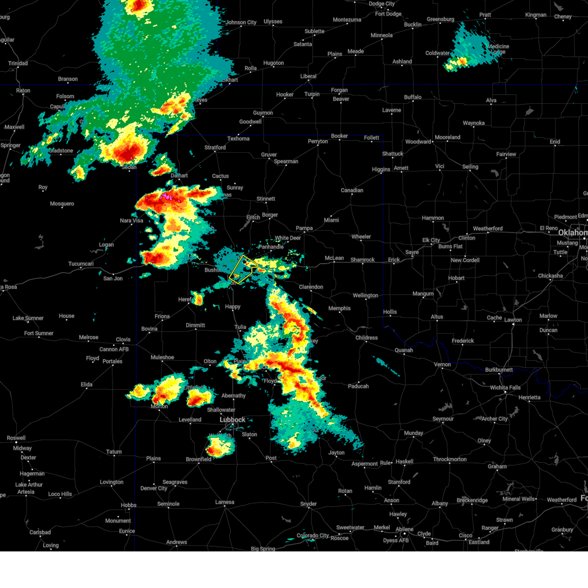 At 519 pm cdt, a severe thunderstorm was located 6 miles west of washburn, or 9 miles east of amarillo, moving northeast at 20 mph (radar indicated). Hazards include 60 mph wind gusts and quarter size hail. Minor damage to roofs, siding, and trees is possible. hail damage to vehicles is expected. Locations impacted include, amarillo, lake tanglewood, mescalero park, and timbercreek canyon. At 519 pm cdt, a severe thunderstorm was located 6 miles west of washburn, or 9 miles east of amarillo, moving northeast at 20 mph (radar indicated). Hazards include 60 mph wind gusts and quarter size hail. Minor damage to roofs, siding, and trees is possible. hail damage to vehicles is expected. Locations impacted include, amarillo, lake tanglewood, mescalero park, and timbercreek canyon.
|
| 5/28/2024 5:03 PM CDT |
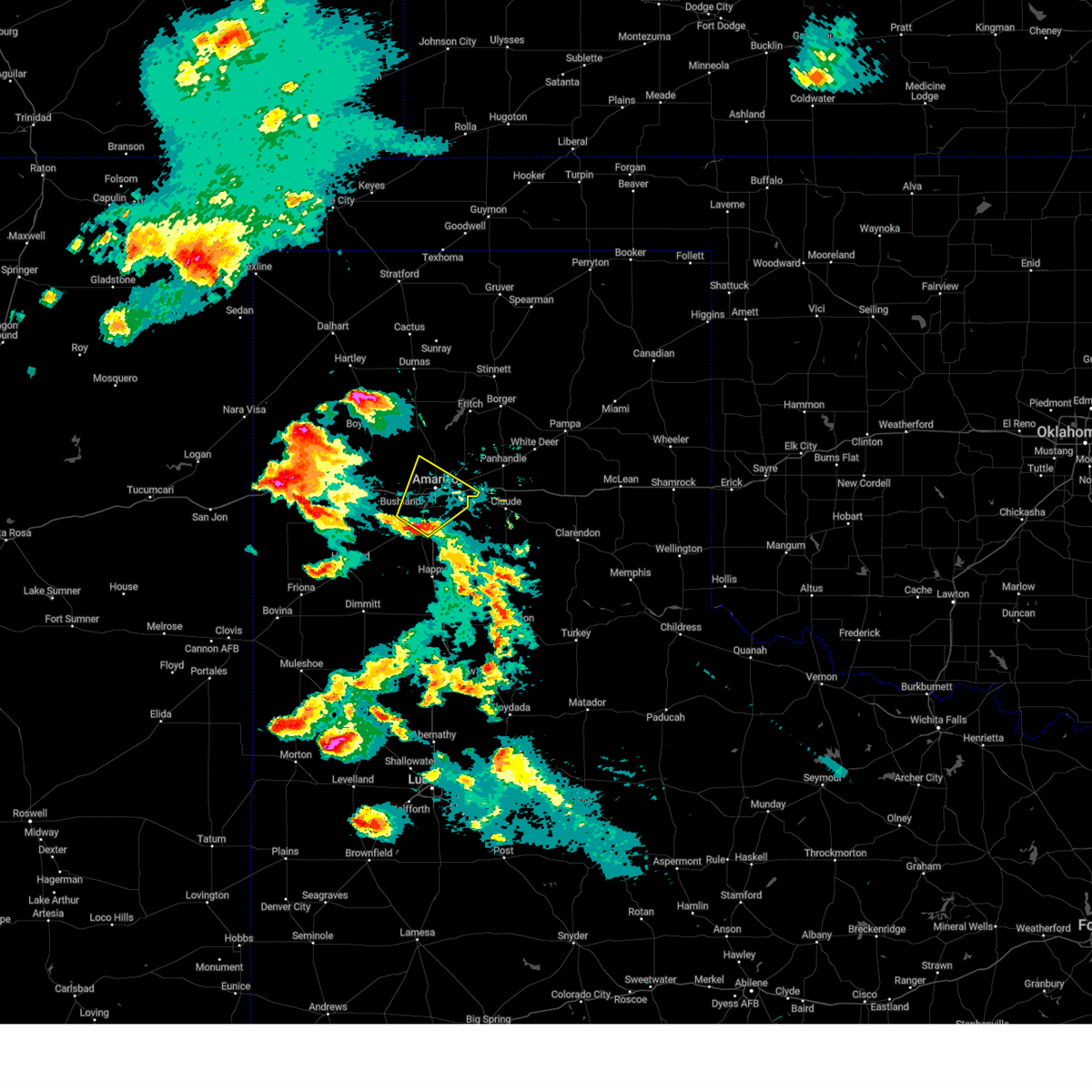 At 503 pm cdt, a severe thunderstorm was located near mescalero park, or 6 miles southwest of amarillo, moving northeast at 25 mph (law enforcement). Hazards include 60 mph wind gusts and quarter size hail. Minor damage to roofs, siding, and trees is possible. hail damage to vehicles is expected. Locations impacted include, amarillo, canyon, lake tanglewood, mescalero park, and timbercreek canyon. At 503 pm cdt, a severe thunderstorm was located near mescalero park, or 6 miles southwest of amarillo, moving northeast at 25 mph (law enforcement). Hazards include 60 mph wind gusts and quarter size hail. Minor damage to roofs, siding, and trees is possible. hail damage to vehicles is expected. Locations impacted include, amarillo, canyon, lake tanglewood, mescalero park, and timbercreek canyon.
|
| 5/28/2024 5:03 PM CDT |
 the severe thunderstorm warning has been cancelled and is no longer in effect the severe thunderstorm warning has been cancelled and is no longer in effect
|
| 5/28/2024 4:47 PM CDT |
 At 446 pm cdt, a severe thunderstorm was located 4 miles northwest of canyon, moving northeast at 25 mph (law enforcement confirmed golf ball size hail in canyon). Hazards include golf ball size hail and 70 mph wind gusts. Expect some tree damage. damage is likely to mobile homes, roofs, and outbuildings. people and animals outdoors will be injured. expect hail damage to roofs, siding, windows, and vehicles. Locations impacted include, amarillo, canyon, lake tanglewood, mescalero park, bushland, umbarger, and timbercreek canyon. At 446 pm cdt, a severe thunderstorm was located 4 miles northwest of canyon, moving northeast at 25 mph (law enforcement confirmed golf ball size hail in canyon). Hazards include golf ball size hail and 70 mph wind gusts. Expect some tree damage. damage is likely to mobile homes, roofs, and outbuildings. people and animals outdoors will be injured. expect hail damage to roofs, siding, windows, and vehicles. Locations impacted include, amarillo, canyon, lake tanglewood, mescalero park, bushland, umbarger, and timbercreek canyon.
|
| 5/28/2024 4:38 PM CDT |
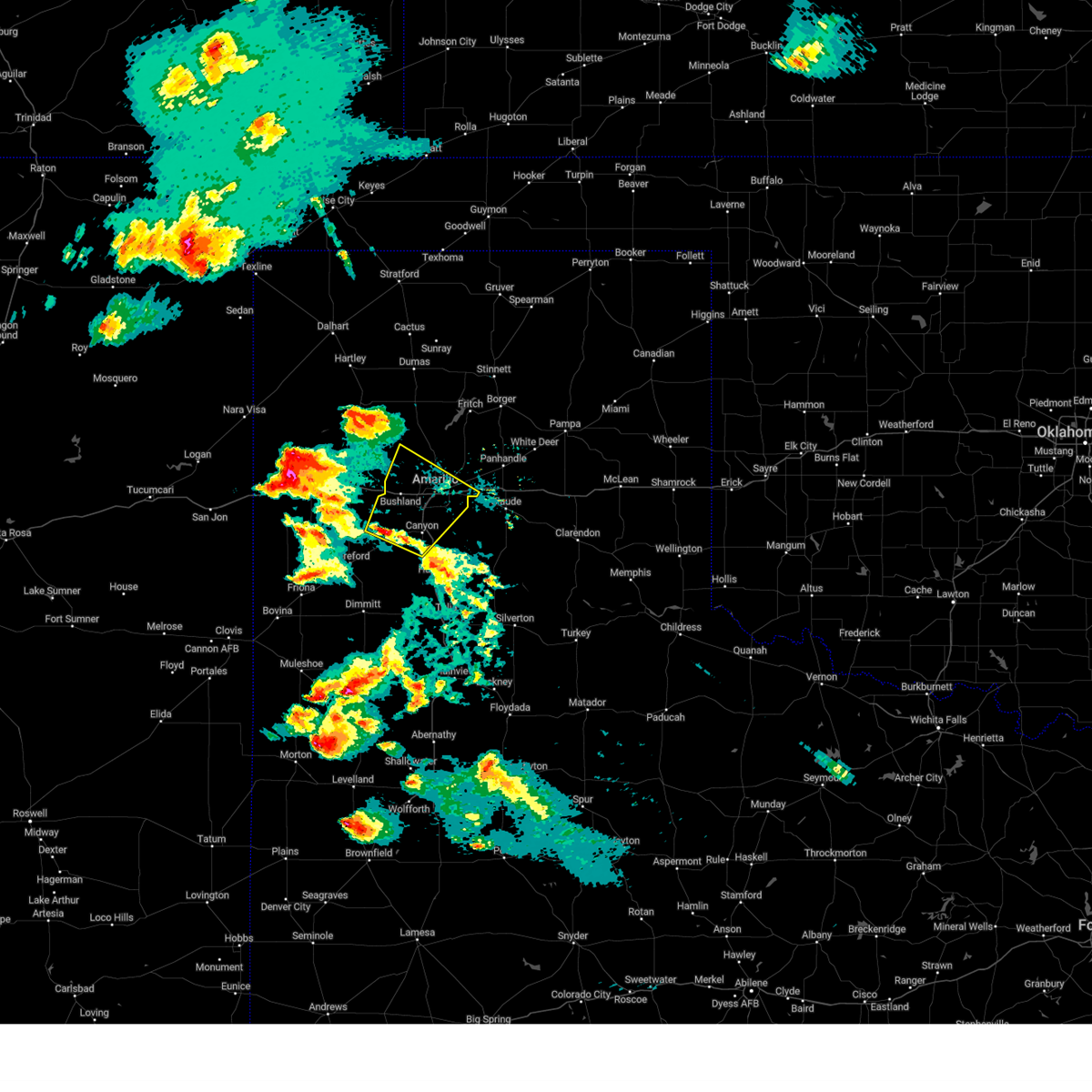 Svrama the national weather service in amarillo has issued a * severe thunderstorm warning for, northern randall county in the panhandle of texas, southwestern carson county in the panhandle of texas, northeastern deaf smith county in the panhandle of texas, southern potter county in the panhandle of texas, * until 545 pm cdt. * at 438 pm cdt, a severe thunderstorm was located 5 miles east of umbarger, or 5 miles west of canyon, moving northeast at 25 mph (radar indicated). Hazards include 70 mph wind gusts and ping pong ball size hail. Expect some tree damage. damage is likely to mobile homes, roofs, and outbuildings. people and animals outdoors will be injured. Expect hail damage to roofs, siding, windows, and vehicles. Svrama the national weather service in amarillo has issued a * severe thunderstorm warning for, northern randall county in the panhandle of texas, southwestern carson county in the panhandle of texas, northeastern deaf smith county in the panhandle of texas, southern potter county in the panhandle of texas, * until 545 pm cdt. * at 438 pm cdt, a severe thunderstorm was located 5 miles east of umbarger, or 5 miles west of canyon, moving northeast at 25 mph (radar indicated). Hazards include 70 mph wind gusts and ping pong ball size hail. Expect some tree damage. damage is likely to mobile homes, roofs, and outbuildings. people and animals outdoors will be injured. Expect hail damage to roofs, siding, windows, and vehicles.
|
| 5/15/2024 7:36 PM CDT |
 the severe thunderstorm warning has been cancelled and is no longer in effect the severe thunderstorm warning has been cancelled and is no longer in effect
|
| 5/15/2024 7:27 PM CDT |
 At 725 pm cdt, severe thunderstorms were located along a line extending from 4 miles south of borger to 10 miles west of hereford, storm are nearly stationary (radar indicated). Hazards include 60 mph wind gusts and quarter size hail. Minor damage to roofs, siding, and trees is possible. hail damage to vehicles is expected. Locations impacted include, amarillo, hereford, borger, fritch, bushland, bootleg, wildorado, simms, lake meredith, mescalero park, and pantex. At 725 pm cdt, severe thunderstorms were located along a line extending from 4 miles south of borger to 10 miles west of hereford, storm are nearly stationary (radar indicated). Hazards include 60 mph wind gusts and quarter size hail. Minor damage to roofs, siding, and trees is possible. hail damage to vehicles is expected. Locations impacted include, amarillo, hereford, borger, fritch, bushland, bootleg, wildorado, simms, lake meredith, mescalero park, and pantex.
|
| 5/15/2024 7:06 PM CDT |
 Svrama the national weather service in amarillo has issued a * severe thunderstorm warning for, northwestern randall county in the panhandle of texas, southeastern oldham county in the panhandle of texas, northwestern carson county in the panhandle of texas, southwestern hutchinson county in the panhandle of texas, deaf smith county in the panhandle of texas, potter county in the panhandle of texas, southeastern moore county in the panhandle of texas, * until 800 pm cdt. * at 706 pm cdt, severe thunderstorms were located along a line extending from 8 miles southwest of borger to 10 miles northwest of dawn, storms are nearly stationary (radar indicated). Hazards include 60 mph wind gusts and quarter size hail. Minor damage to roofs, siding, and trees is possible. Hail damage to vehicles is expected. Svrama the national weather service in amarillo has issued a * severe thunderstorm warning for, northwestern randall county in the panhandle of texas, southeastern oldham county in the panhandle of texas, northwestern carson county in the panhandle of texas, southwestern hutchinson county in the panhandle of texas, deaf smith county in the panhandle of texas, potter county in the panhandle of texas, southeastern moore county in the panhandle of texas, * until 800 pm cdt. * at 706 pm cdt, severe thunderstorms were located along a line extending from 8 miles southwest of borger to 10 miles northwest of dawn, storms are nearly stationary (radar indicated). Hazards include 60 mph wind gusts and quarter size hail. Minor damage to roofs, siding, and trees is possible. Hail damage to vehicles is expected.
|
| 5/12/2024 2:50 PM CDT |
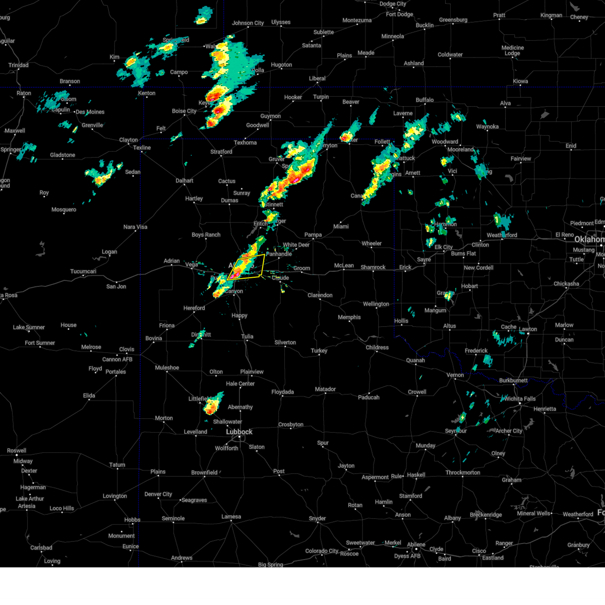 At 249 pm cdt, a severe thunderstorm was located 6 miles northeast of amarillo, moving east at 25 mph (radar indicated). Hazards include 60 mph wind gusts and quarter size hail. Minor damage to roofs, siding, and trees is possible. hail damage to vehicles is expected. Locations impacted include, amarillo and pantex. At 249 pm cdt, a severe thunderstorm was located 6 miles northeast of amarillo, moving east at 25 mph (radar indicated). Hazards include 60 mph wind gusts and quarter size hail. Minor damage to roofs, siding, and trees is possible. hail damage to vehicles is expected. Locations impacted include, amarillo and pantex.
|
| 5/12/2024 2:30 PM CDT |
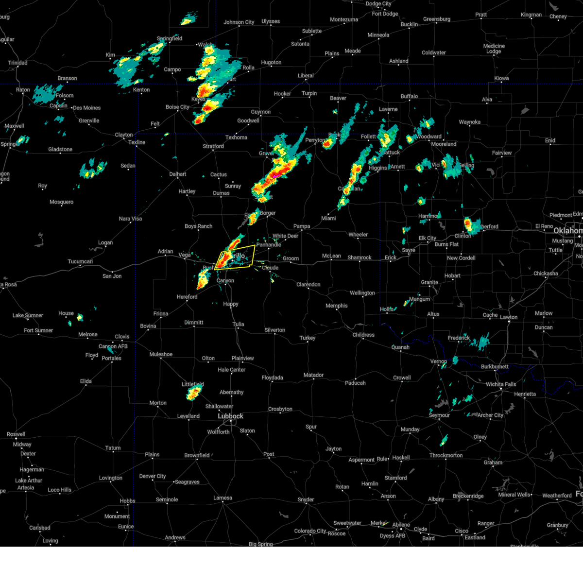 Svrama the national weather service in amarillo has issued a * severe thunderstorm warning for, northeastern randall county in the panhandle of texas, southwestern carson county in the panhandle of texas, southeastern potter county in the panhandle of texas, * until 315 pm cdt. * at 229 pm cdt, a severe thunderstorm was located near amarillo, moving east at 25 mph (radar indicated). Hazards include 60 mph wind gusts and quarter size hail. Minor damage to roofs, siding, and trees is possible. Hail damage to vehicles is expected. Svrama the national weather service in amarillo has issued a * severe thunderstorm warning for, northeastern randall county in the panhandle of texas, southwestern carson county in the panhandle of texas, southeastern potter county in the panhandle of texas, * until 315 pm cdt. * at 229 pm cdt, a severe thunderstorm was located near amarillo, moving east at 25 mph (radar indicated). Hazards include 60 mph wind gusts and quarter size hail. Minor damage to roofs, siding, and trees is possible. Hail damage to vehicles is expected.
|
| 5/12/2024 1:36 AM CDT |
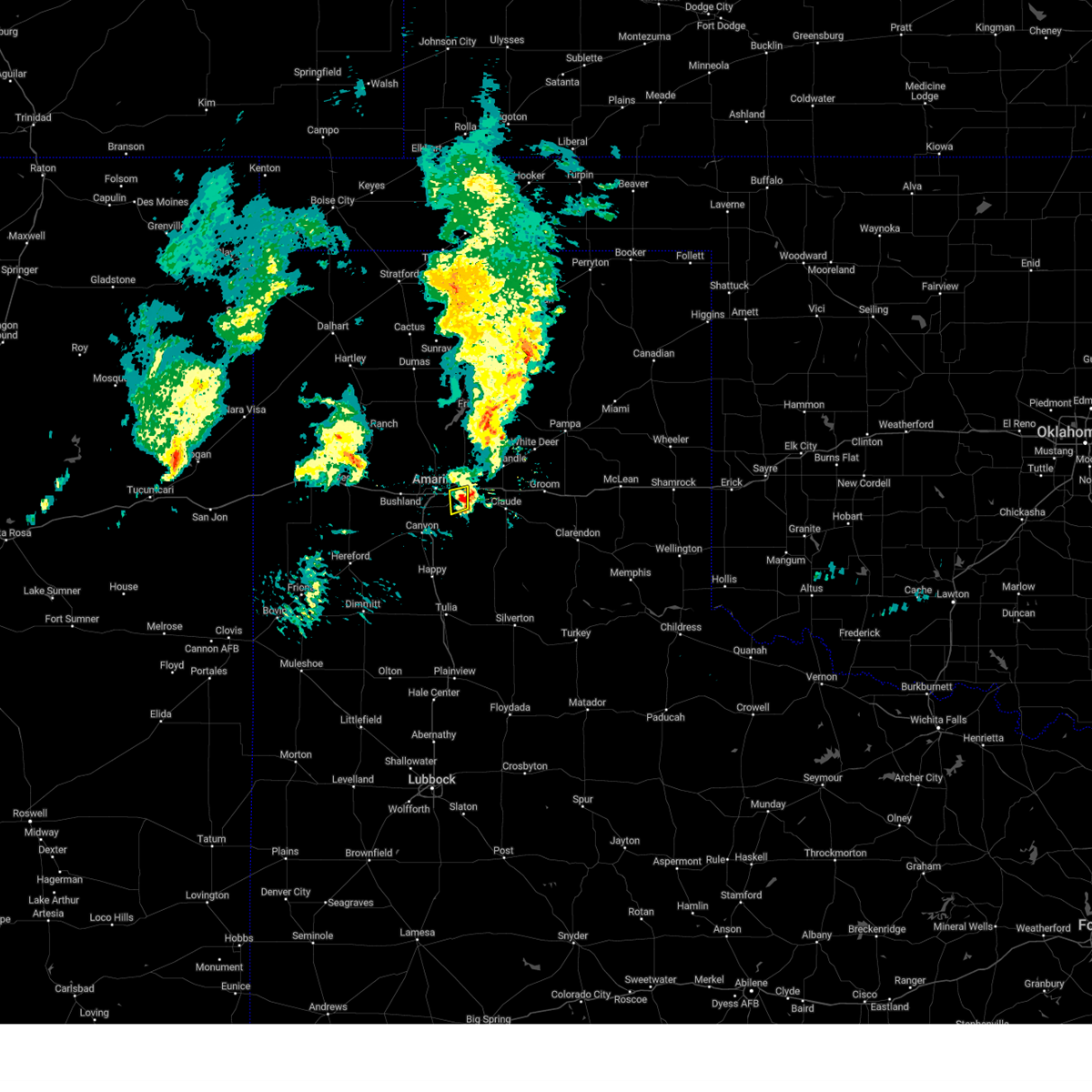 The storm which prompted the warning has weakened below severe limits, and no longer poses an immediate threat to life or property. therefore, the warning will be allowed to expire. The storm which prompted the warning has weakened below severe limits, and no longer poses an immediate threat to life or property. therefore, the warning will be allowed to expire.
|
| 5/12/2024 1:30 AM CDT |
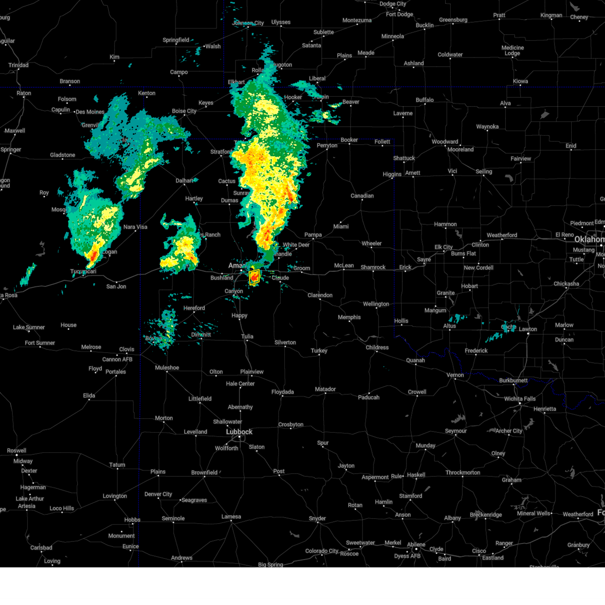 At 129 am cdt, a severe thunderstorm was located 5 miles west of washburn, or 10 miles east of amarillo, moving east at 35 mph (radar indicated). Hazards include quarter size hail. Damage to vehicles is expected. Locations impacted include, amarillo. At 129 am cdt, a severe thunderstorm was located 5 miles west of washburn, or 10 miles east of amarillo, moving east at 35 mph (radar indicated). Hazards include quarter size hail. Damage to vehicles is expected. Locations impacted include, amarillo.
|
| 5/12/2024 1:16 AM CDT |
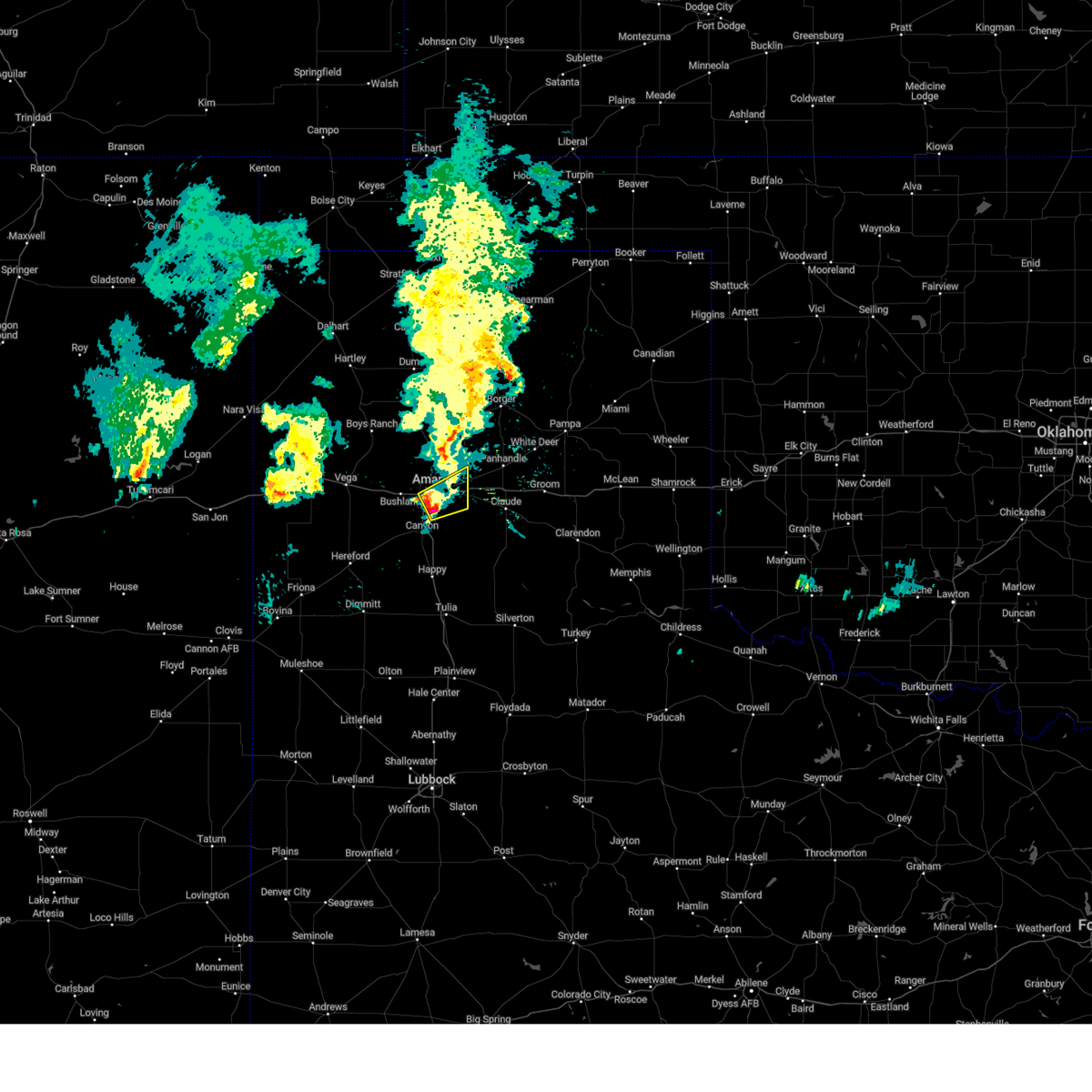 At 116 am cdt, a severe thunderstorm was located 4 miles north of lake tanglewood, or 6 miles southeast of amarillo, moving east at 40 mph (radar indicated). Hazards include 60 mph wind gusts and quarter size hail. Minor damage to roofs, siding, and trees is possible. hail damage to vehicles is expected. Locations impacted include, amarillo. At 116 am cdt, a severe thunderstorm was located 4 miles north of lake tanglewood, or 6 miles southeast of amarillo, moving east at 40 mph (radar indicated). Hazards include 60 mph wind gusts and quarter size hail. Minor damage to roofs, siding, and trees is possible. hail damage to vehicles is expected. Locations impacted include, amarillo.
|
| 5/12/2024 1:15 AM CDT | Quarter sized hail reported 5.9 miles NNW of Amarillo, TX, video sent to us of accumulating hail up to quarter size. |
| 5/12/2024 1:04 AM CDT |
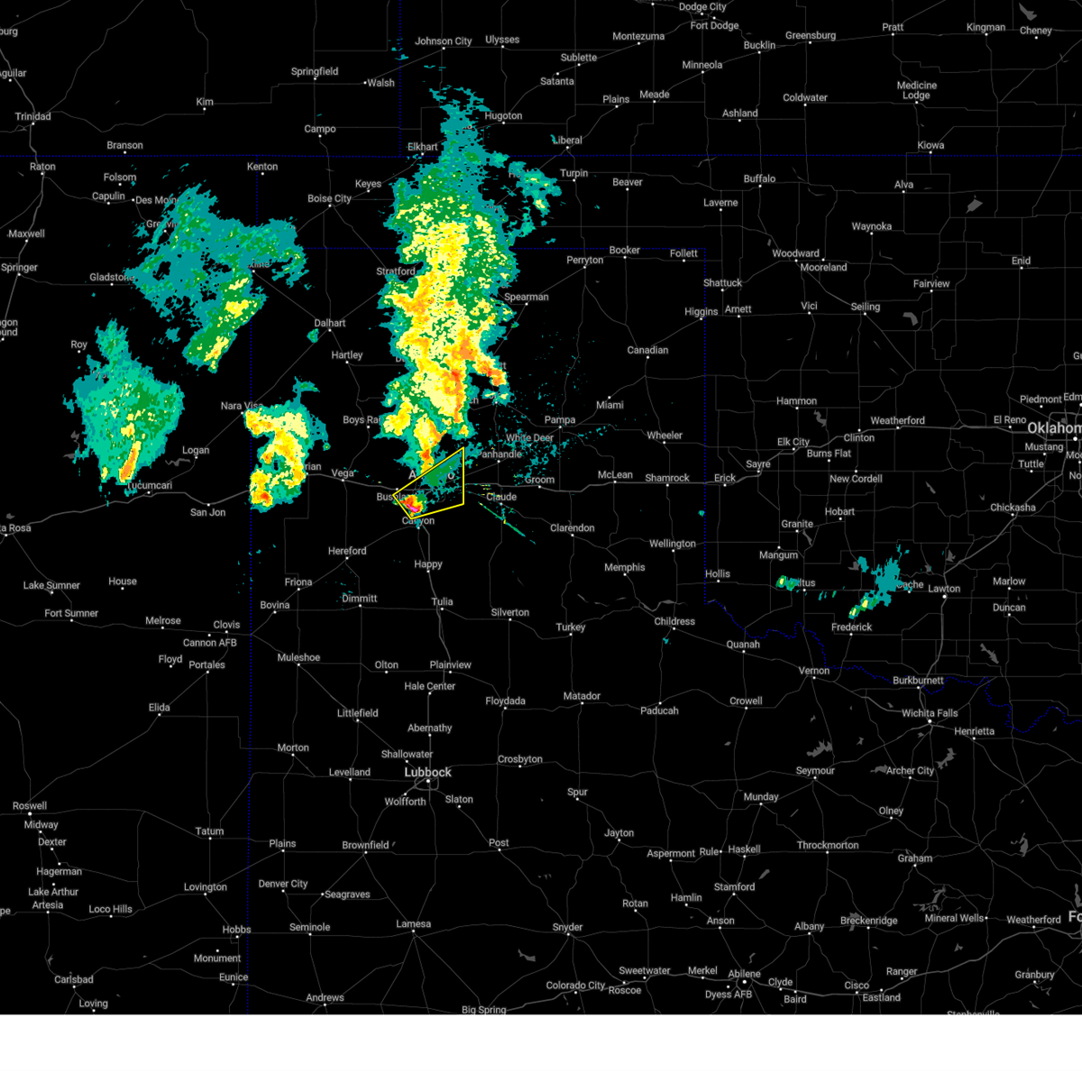 At 104 am cdt, a severe thunderstorm was located 4 miles northwest of mescalero park, or 7 miles southwest of amarillo, moving northeast at 40 mph (radar indicated). Hazards include 60 mph wind gusts and half dollar size hail. Minor damage to roofs, siding, and trees is possible. hail damage to vehicles is expected. Locations impacted include, amarillo and mescalero park. At 104 am cdt, a severe thunderstorm was located 4 miles northwest of mescalero park, or 7 miles southwest of amarillo, moving northeast at 40 mph (radar indicated). Hazards include 60 mph wind gusts and half dollar size hail. Minor damage to roofs, siding, and trees is possible. hail damage to vehicles is expected. Locations impacted include, amarillo and mescalero park.
|
| 5/12/2024 12:52 AM CDT |
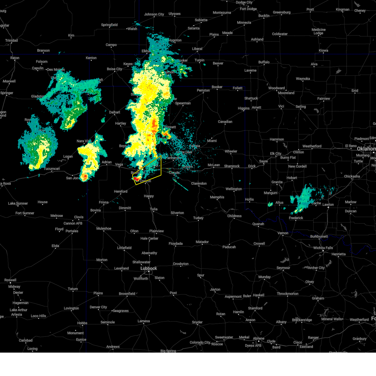 Svrama the national weather service in amarillo has issued a * severe thunderstorm warning for, northern randall county in the panhandle of texas, southeastern potter county in the panhandle of texas, * until 145 am cdt. * at 1252 am cdt, a severe thunderstorm was located 8 miles west of mescalero park, or 9 miles northwest of canyon, moving northeast at 40 mph (radar indicated). Hazards include quarter size hail. damage to vehicles is expected Svrama the national weather service in amarillo has issued a * severe thunderstorm warning for, northern randall county in the panhandle of texas, southeastern potter county in the panhandle of texas, * until 145 am cdt. * at 1252 am cdt, a severe thunderstorm was located 8 miles west of mescalero park, or 9 miles northwest of canyon, moving northeast at 40 mph (radar indicated). Hazards include quarter size hail. damage to vehicles is expected
|
| 5/4/2024 10:11 PM CDT |
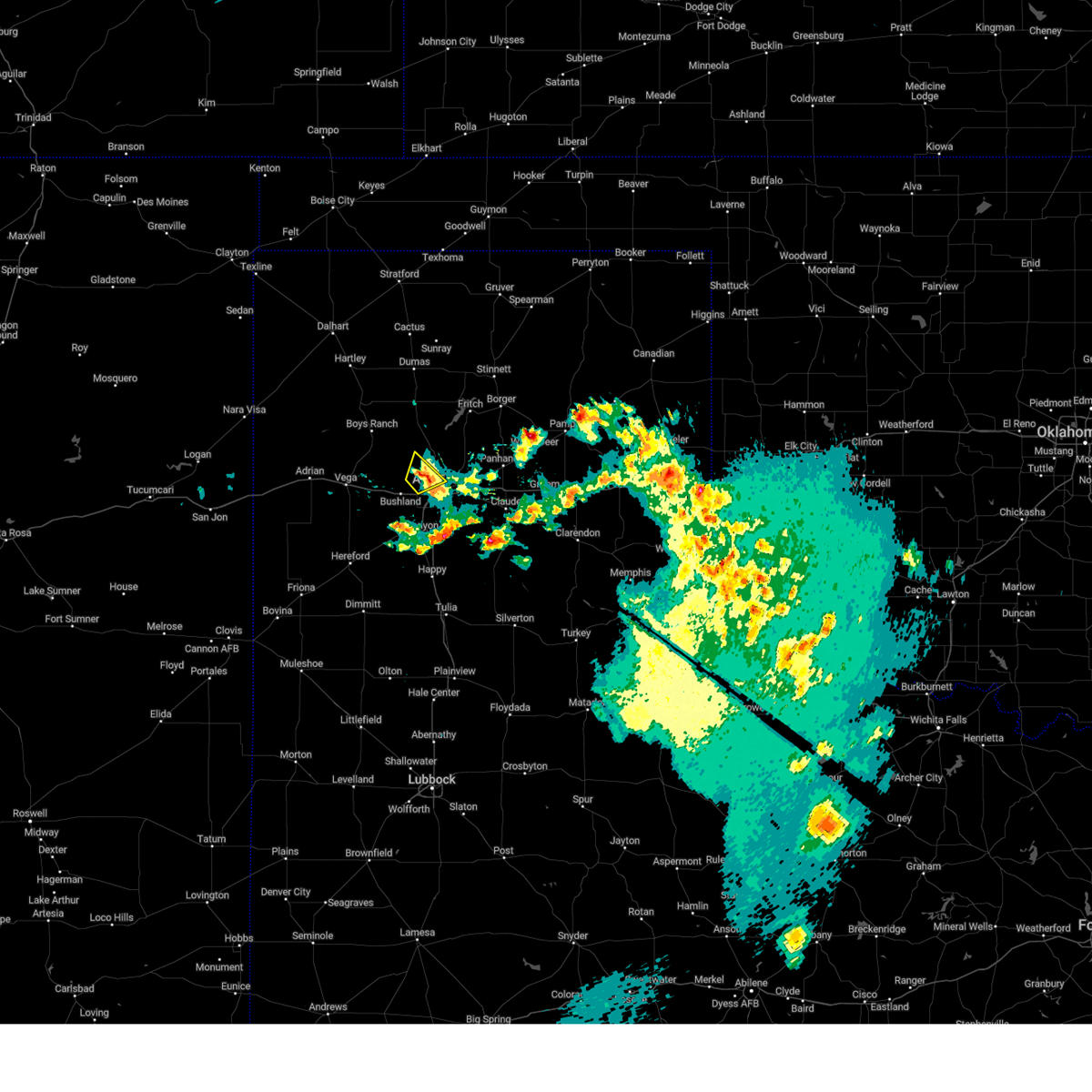 The storm which prompted the warning has weakened below severe limits, and no longer poses an immediate threat to life or property. therefore, the warning will be allowed to expire. The storm which prompted the warning has weakened below severe limits, and no longer poses an immediate threat to life or property. therefore, the warning will be allowed to expire.
|
| 5/4/2024 10:05 PM CDT | Quarter sized hail reported 4.7 miles SSE of Amarillo, TX |
| 5/4/2024 10:00 PM CDT | Quarter sized hail reported 5 miles ESE of Amarillo, TX |
| 5/4/2024 9:58 PM CDT |
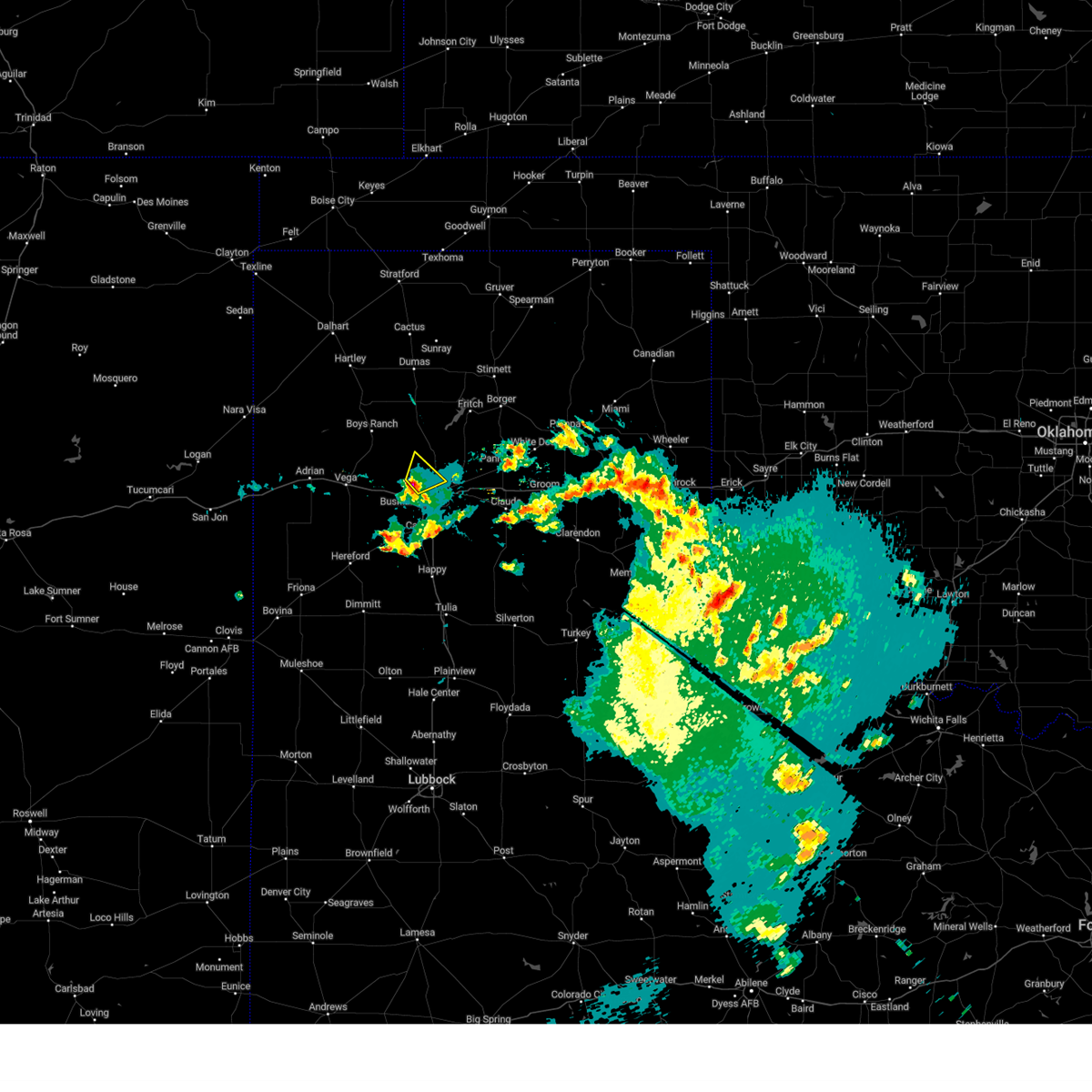 the severe thunderstorm warning has been cancelled and is no longer in effect the severe thunderstorm warning has been cancelled and is no longer in effect
|
| 5/4/2024 9:58 PM CDT |
 At 957 pm cdt, a severe thunderstorm was located 6 miles northwest of amarillo, moving northeast at 20 mph (radar indicated). Hazards include 60 mph wind gusts and half dollar size hail. Minor damage to roofs, siding, and trees is possible. hail damage to vehicles is expected. Locations impacted include, amarillo. At 957 pm cdt, a severe thunderstorm was located 6 miles northwest of amarillo, moving northeast at 20 mph (radar indicated). Hazards include 60 mph wind gusts and half dollar size hail. Minor damage to roofs, siding, and trees is possible. hail damage to vehicles is expected. Locations impacted include, amarillo.
|
| 5/4/2024 9:45 PM CDT |
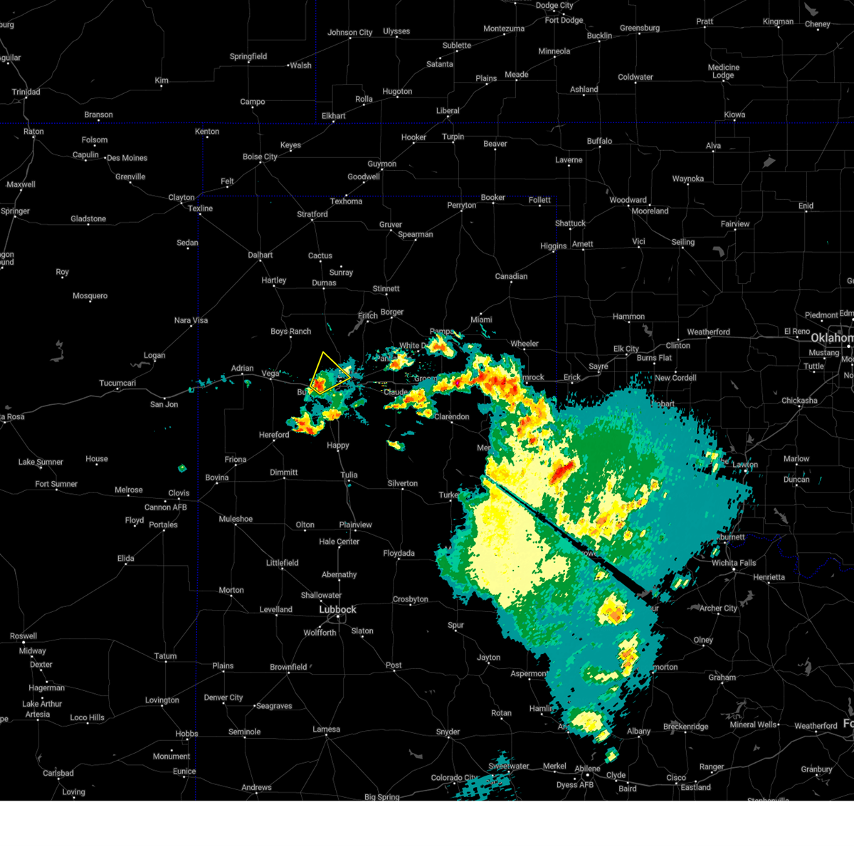 At 945 pm cdt, a severe thunderstorm was located near bushland, or 8 miles west of amarillo, moving northeast at 20 mph (radar indicated). Hazards include 60 mph wind gusts and half dollar size hail. Minor damage to roofs, siding, and trees is possible. hail damage to vehicles is expected. Locations impacted include, amarillo and bushland. At 945 pm cdt, a severe thunderstorm was located near bushland, or 8 miles west of amarillo, moving northeast at 20 mph (radar indicated). Hazards include 60 mph wind gusts and half dollar size hail. Minor damage to roofs, siding, and trees is possible. hail damage to vehicles is expected. Locations impacted include, amarillo and bushland.
|
| 5/4/2024 9:37 PM CDT | Quarter sized hail reported 13.1 miles ENE of Amarillo, TX |
| 5/4/2024 9:27 PM CDT |
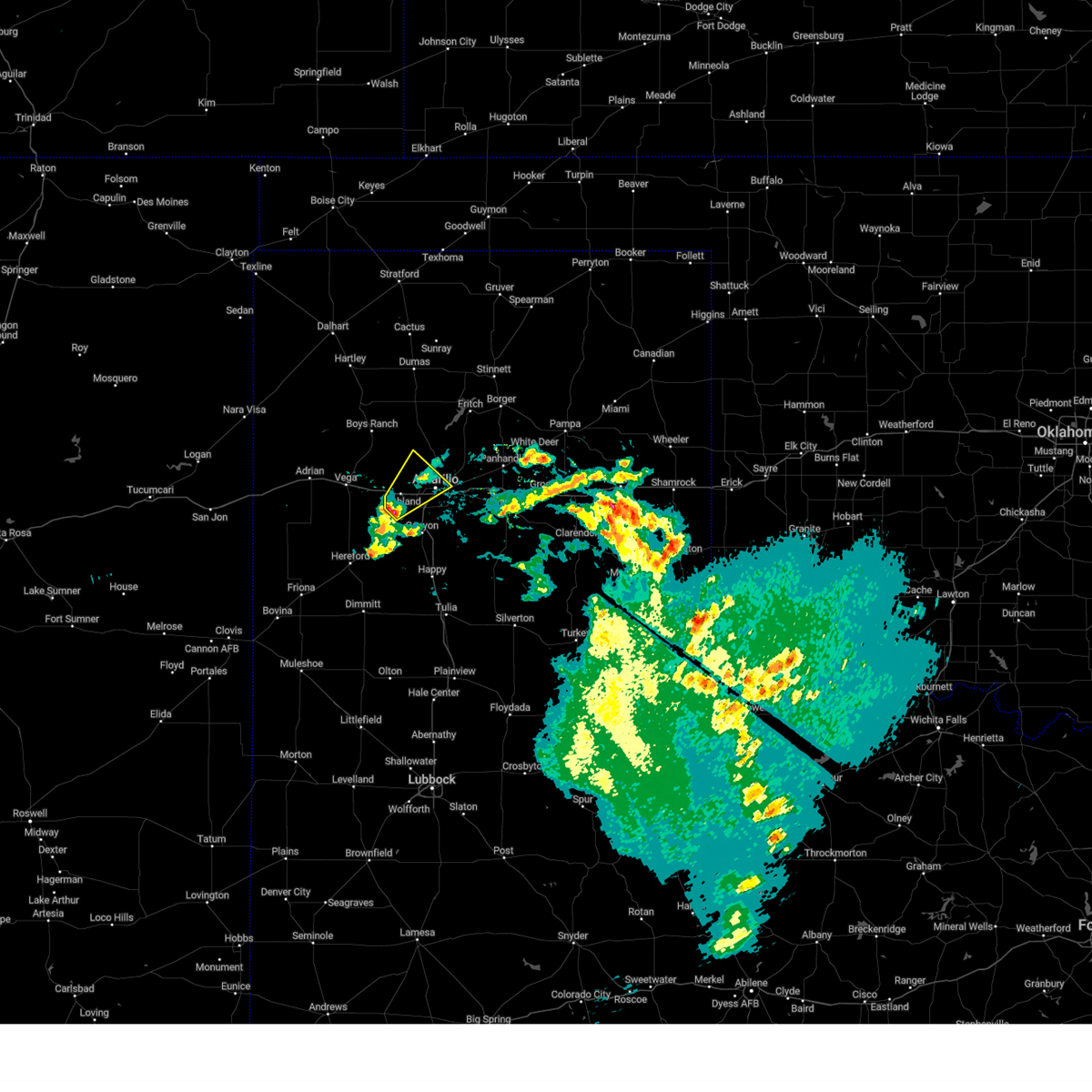 Svrama the national weather service in amarillo has issued a * severe thunderstorm warning for, northwestern randall county in the panhandle of texas, southwestern potter county in the panhandle of texas, * until 1015 pm cdt. * at 926 pm cdt, a severe thunderstorm was located 4 miles south of bushland, or 13 miles northwest of canyon, moving northeast at 20 mph (radar indicated). Hazards include 60 mph wind gusts and half dollar size hail. Minor damage to roofs, siding, and trees is possible. Hail damage to vehicles is expected. Svrama the national weather service in amarillo has issued a * severe thunderstorm warning for, northwestern randall county in the panhandle of texas, southwestern potter county in the panhandle of texas, * until 1015 pm cdt. * at 926 pm cdt, a severe thunderstorm was located 4 miles south of bushland, or 13 miles northwest of canyon, moving northeast at 20 mph (radar indicated). Hazards include 60 mph wind gusts and half dollar size hail. Minor damage to roofs, siding, and trees is possible. Hail damage to vehicles is expected.
|
| 12/23/2023 5:12 PM CST |
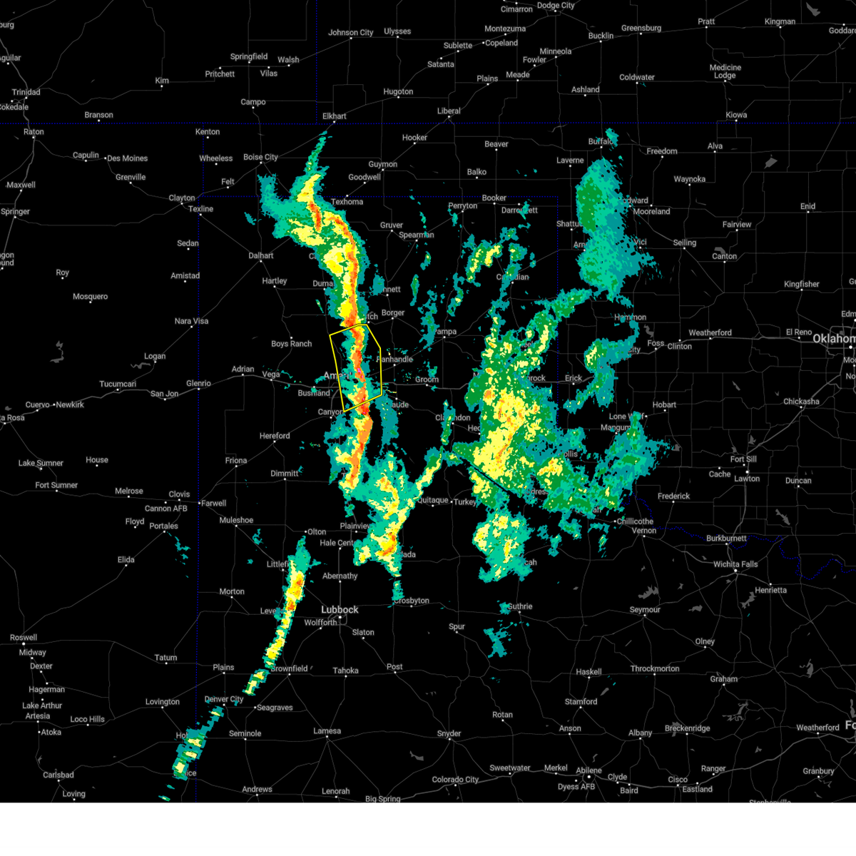 The severe thunderstorm warning for northwestern armstrong, northeastern randall, southwestern carson and eastern potter counties will expire at 515 pm cst, the storms which prompted the warning have weakened below severe limits, and no longer pose an immediate threat to life or property. therefore, the warning will be allowed to expire. however small hail, gusty winds and heavy rain are still possible with these thunderstorms. The severe thunderstorm warning for northwestern armstrong, northeastern randall, southwestern carson and eastern potter counties will expire at 515 pm cst, the storms which prompted the warning have weakened below severe limits, and no longer pose an immediate threat to life or property. therefore, the warning will be allowed to expire. however small hail, gusty winds and heavy rain are still possible with these thunderstorms.
|
| 12/23/2023 4:58 PM CST |
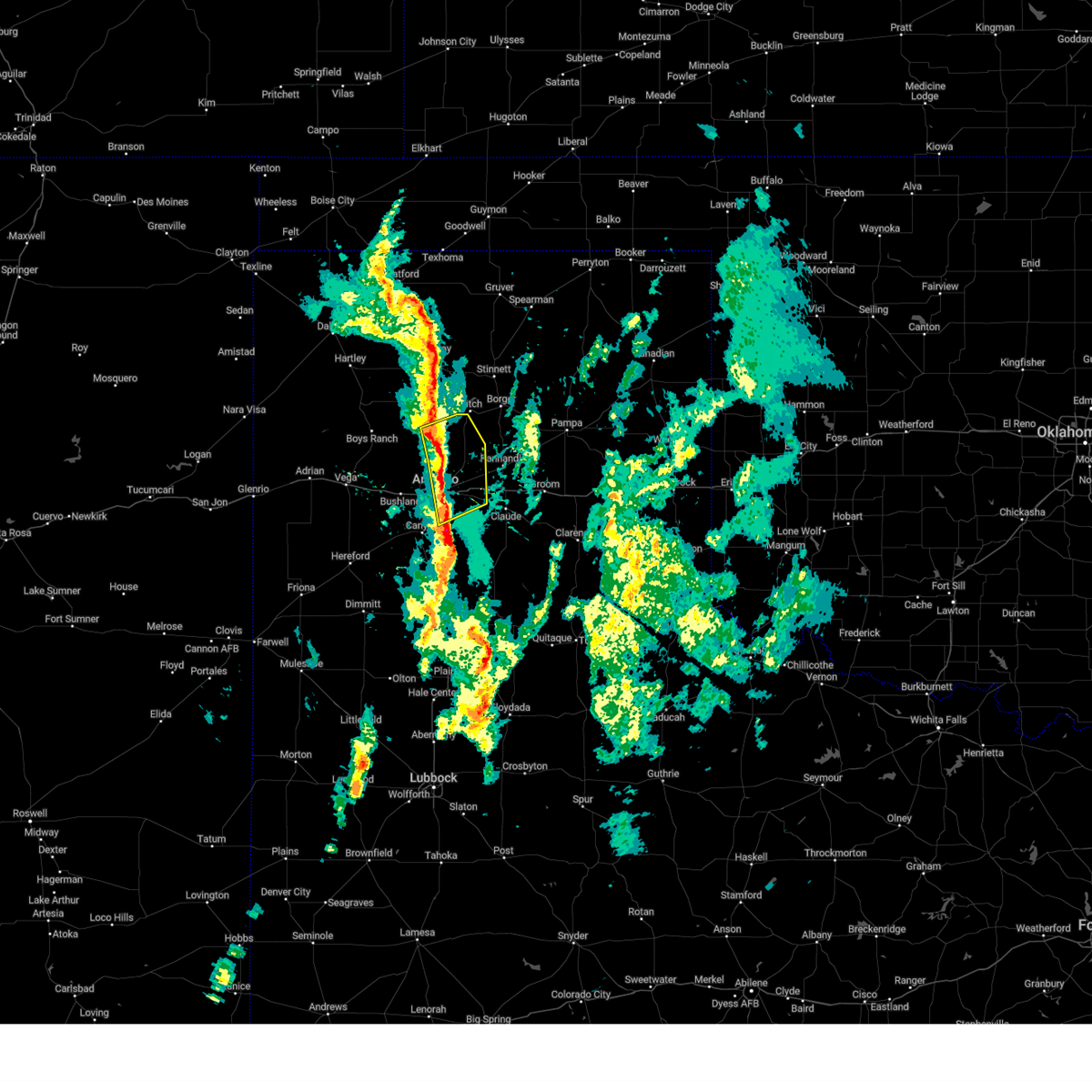 At 457 pm cst, severe thunderstorms were located along a line extending from 9 miles southwest of lake meredith to 13 miles northeast of amarillo to 6 miles northeast of lake tanglewood, moving northeast at 45 mph (radar indicated). Hazards include 60 mph wind gusts. Minor damage to roofs, siding, and trees is possible. locations impacted include, amarillo, lake tanglewood, washburn, timbercreek canyon, and pantex. hail threat, radar indicated max hail size, <. 75 in wind threat, radar indicated max wind gust, 60 mph. At 457 pm cst, severe thunderstorms were located along a line extending from 9 miles southwest of lake meredith to 13 miles northeast of amarillo to 6 miles northeast of lake tanglewood, moving northeast at 45 mph (radar indicated). Hazards include 60 mph wind gusts. Minor damage to roofs, siding, and trees is possible. locations impacted include, amarillo, lake tanglewood, washburn, timbercreek canyon, and pantex. hail threat, radar indicated max hail size, <. 75 in wind threat, radar indicated max wind gust, 60 mph.
|
| 12/23/2023 4:45 PM CST | Shingles removed from roof tops. source came from a public phone cal in randall county TX, 6.2 miles ENE of Amarillo, TX |
| 12/23/2023 4:42 PM CST |
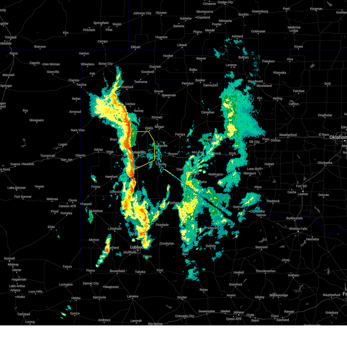 At 441 pm cst, severe thunderstorms were located along a line extending from 8 miles east of valley de oro to 3 miles northwest of amarillo to near mescalero park, moving northeast at 45 mph (radar indicated). Hazards include 60 mph wind gusts and penny size hail. Minor damage to roofs, siding, and trees is possible. locations impacted include, amarillo, canyon, lake tanglewood, mescalero park, valley de oro, washburn, timbercreek canyon, and pantex. hail threat, radar indicated max hail size, 0. 75in wind threat, radar indicated max wind gust, 60 mph. At 441 pm cst, severe thunderstorms were located along a line extending from 8 miles east of valley de oro to 3 miles northwest of amarillo to near mescalero park, moving northeast at 45 mph (radar indicated). Hazards include 60 mph wind gusts and penny size hail. Minor damage to roofs, siding, and trees is possible. locations impacted include, amarillo, canyon, lake tanglewood, mescalero park, valley de oro, washburn, timbercreek canyon, and pantex. hail threat, radar indicated max hail size, 0. 75in wind threat, radar indicated max wind gust, 60 mph.
|
| 12/23/2023 4:28 PM CST |
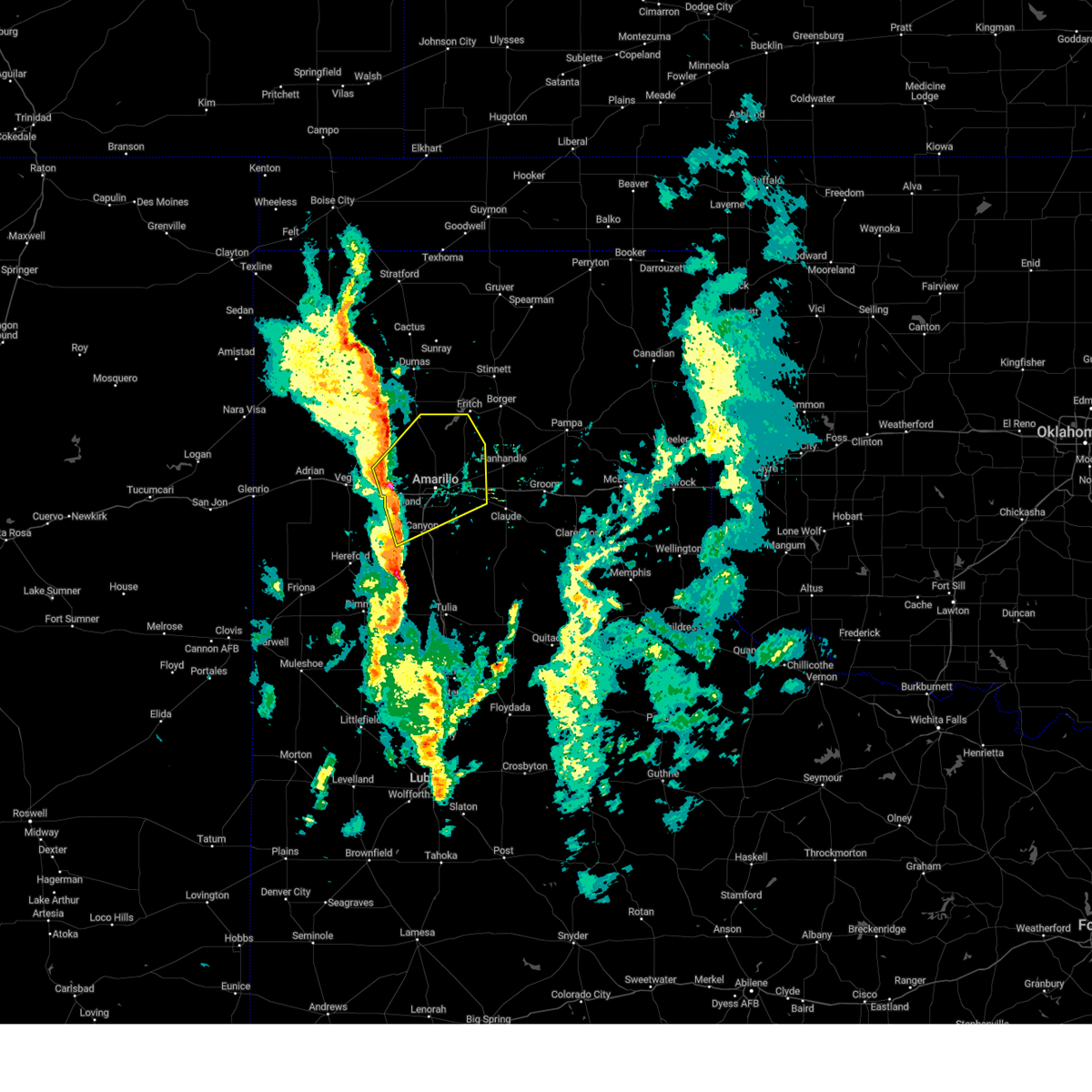 At 427 pm cst, severe thunderstorms were located along a line extending from 8 miles south of valley de oro to near bushland to 5 miles west of canyon, moving northeast at 45 mph (radar indicated). Hazards include 60 mph wind gusts and quarter size hail. Minor damage to roofs, siding, and trees is possible. Hail damage to vehicles is expected. At 427 pm cst, severe thunderstorms were located along a line extending from 8 miles south of valley de oro to near bushland to 5 miles west of canyon, moving northeast at 45 mph (radar indicated). Hazards include 60 mph wind gusts and quarter size hail. Minor damage to roofs, siding, and trees is possible. Hail damage to vehicles is expected.
|
| 12/23/2023 4:17 PM CST |
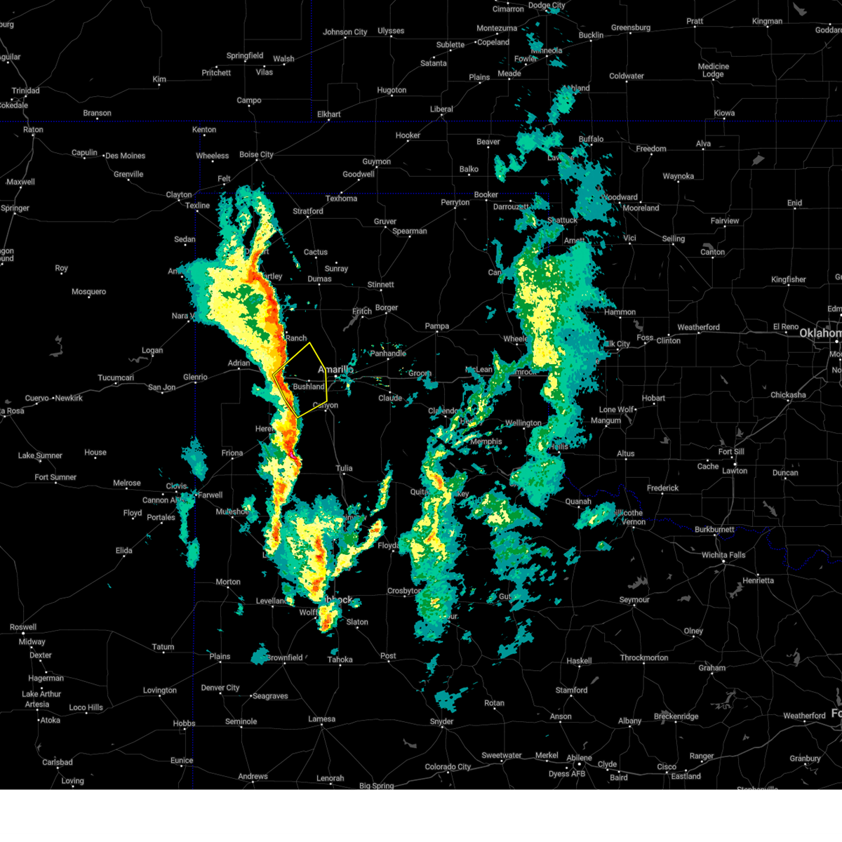 At 417 pm cst, severe thunderstorms were located along a line extending from wildorado to 7 miles southwest of bushland to 4 miles northwest of umbarger, moving northeast at 50 mph (radar indicated). Hazards include 60 mph wind gusts and penny size hail. Minor damage to roofs, siding, and trees is possible. locations impacted include, amarillo, bushland, wildorado, and mescalero park. hail threat, radar indicated max hail size, 0. 75in wind threat, radar indicated max wind gust, 60 mph. At 417 pm cst, severe thunderstorms were located along a line extending from wildorado to 7 miles southwest of bushland to 4 miles northwest of umbarger, moving northeast at 50 mph (radar indicated). Hazards include 60 mph wind gusts and penny size hail. Minor damage to roofs, siding, and trees is possible. locations impacted include, amarillo, bushland, wildorado, and mescalero park. hail threat, radar indicated max hail size, 0. 75in wind threat, radar indicated max wind gust, 60 mph.
|
| 12/23/2023 4:06 PM CST |
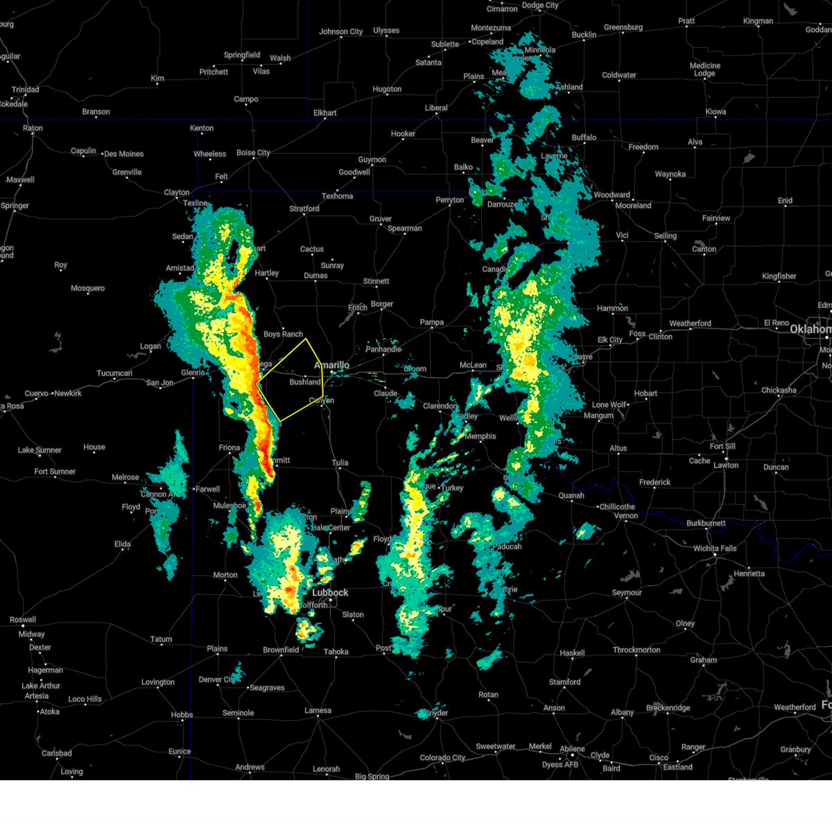 At 406 pm cst, severe thunderstorms were located along a line extending from 6 miles southeast of vega to 10 miles south of wildorado to 4 miles west of dawn, moving northeast at 50 mph (radar indicated). Hazards include 60 mph wind gusts and penny size hail. minor damage to roofs, siding, and trees is possible At 406 pm cst, severe thunderstorms were located along a line extending from 6 miles southeast of vega to 10 miles south of wildorado to 4 miles west of dawn, moving northeast at 50 mph (radar indicated). Hazards include 60 mph wind gusts and penny size hail. minor damage to roofs, siding, and trees is possible
|
| 9/10/2023 10:46 PM CDT |
 At 1045 pm cdt, automated weather equipment reported severe thunderstorms were located along a line extending from 10 miles north of panhandle to 5 miles northwest of wayside, moving east at 35 mph (automated weather equipment. at 1042 pm cdt, automated weather equipment recorded a 59 mph wind gust 4 miles west northwest of pantex). Hazards include 60 mph wind gusts. Minor damage to roofs, siding, and trees is possible. locations impacted include, panhandle, claude, washburn, wayside, palo duro canyon, and pantex. hail threat, radar indicated max hail size, <. 75 in wind threat, observed max wind gust, 60 mph. At 1045 pm cdt, automated weather equipment reported severe thunderstorms were located along a line extending from 10 miles north of panhandle to 5 miles northwest of wayside, moving east at 35 mph (automated weather equipment. at 1042 pm cdt, automated weather equipment recorded a 59 mph wind gust 4 miles west northwest of pantex). Hazards include 60 mph wind gusts. Minor damage to roofs, siding, and trees is possible. locations impacted include, panhandle, claude, washburn, wayside, palo duro canyon, and pantex. hail threat, radar indicated max hail size, <. 75 in wind threat, observed max wind gust, 60 mph.
|
| 9/10/2023 10:43 PM CDT | Storm damage reported in carson county TX, 13.7 miles WSW of Amarillo, TX |
| 9/10/2023 10:33 PM CDT |
 At 1033 pm cdt, severe thunderstorms were located along a line extending from 9 miles south of fritch to 7 miles southwest of palo duro canyon, moving east at 25 mph (radar indicated). Hazards include 60 mph wind gusts and quarter size hail. Minor damage to roofs, siding, and trees is possible. hail damage to vehicles is expected. locations impacted include, amarillo, canyon, panhandle, claude, lake tanglewood, mescalero park, wayside, washburn, palo duro canyon, timbercreek canyon, and pantex. hail threat, radar indicated max hail size, 1. 00in wind threat, radar indicated max wind gust, 60 mph. At 1033 pm cdt, severe thunderstorms were located along a line extending from 9 miles south of fritch to 7 miles southwest of palo duro canyon, moving east at 25 mph (radar indicated). Hazards include 60 mph wind gusts and quarter size hail. Minor damage to roofs, siding, and trees is possible. hail damage to vehicles is expected. locations impacted include, amarillo, canyon, panhandle, claude, lake tanglewood, mescalero park, wayside, washburn, palo duro canyon, timbercreek canyon, and pantex. hail threat, radar indicated max hail size, 1. 00in wind threat, radar indicated max wind gust, 60 mph.
|
| 9/10/2023 10:20 PM CDT |
 At 1019 pm cdt, automated weather equipment reported severe thunderstorms were located along a line extending from 13 miles southwest of lake meredith to 8 miles northwest of happy, moving east at 35 mph (automated weather equipment. at 957 pm cdt, automated weather equipment recorded a 63 mph wind gust 15 miles north northwest of amarillo). Hazards include 60 mph wind gusts. Minor damage to roofs, siding, and trees is possible. locations impacted include, amarillo, canyon, panhandle, claude, lake tanglewood, mescalero park, wayside, washburn, palo duro canyon, timbercreek canyon, and pantex. hail threat, radar indicated max hail size, <. 75 in wind threat, observed max wind gust, 60 mph. At 1019 pm cdt, automated weather equipment reported severe thunderstorms were located along a line extending from 13 miles southwest of lake meredith to 8 miles northwest of happy, moving east at 35 mph (automated weather equipment. at 957 pm cdt, automated weather equipment recorded a 63 mph wind gust 15 miles north northwest of amarillo). Hazards include 60 mph wind gusts. Minor damage to roofs, siding, and trees is possible. locations impacted include, amarillo, canyon, panhandle, claude, lake tanglewood, mescalero park, wayside, washburn, palo duro canyon, timbercreek canyon, and pantex. hail threat, radar indicated max hail size, <. 75 in wind threat, observed max wind gust, 60 mph.
|
| 9/10/2023 10:10 PM CDT |
 At 1010 pm cdt, automated weather equipment reported severe thunderstorms were located along a line extending from 14 miles southeast of masterson to 8 miles southeast of buffalo lake, moving east at 35 mph (automated weather equipment. at 957 pm cdt, automated weather equipment recorded a 63 mph wind gust 15 miles north northwest of amarillo). Hazards include 60 mph wind gusts. Minor damage to roofs, siding, and trees is possible. locations impacted include, amarillo, hereford, canyon, panhandle, claude, lake tanglewood, buffalo lake, bushland, wayside, washburn, umbarger, palo duro canyon, mescalero park, dawn, timbercreek canyon, and pantex. hail threat, radar indicated max hail size, <. 75 in wind threat, observed max wind gust, 60 mph. At 1010 pm cdt, automated weather equipment reported severe thunderstorms were located along a line extending from 14 miles southeast of masterson to 8 miles southeast of buffalo lake, moving east at 35 mph (automated weather equipment. at 957 pm cdt, automated weather equipment recorded a 63 mph wind gust 15 miles north northwest of amarillo). Hazards include 60 mph wind gusts. Minor damage to roofs, siding, and trees is possible. locations impacted include, amarillo, hereford, canyon, panhandle, claude, lake tanglewood, buffalo lake, bushland, wayside, washburn, umbarger, palo duro canyon, mescalero park, dawn, timbercreek canyon, and pantex. hail threat, radar indicated max hail size, <. 75 in wind threat, observed max wind gust, 60 mph.
|
| 9/10/2023 10:00 PM CDT |
 At 1000 pm cdt, severe thunderstorms were located along a line extending from 12 miles east of valley de oro to 6 miles southeast of buffalo lake, moving east at 35 mph (radar indicated). Hazards include 60 mph wind gusts. minor damage to roofs, siding, and trees is possible At 1000 pm cdt, severe thunderstorms were located along a line extending from 12 miles east of valley de oro to 6 miles southeast of buffalo lake, moving east at 35 mph (radar indicated). Hazards include 60 mph wind gusts. minor damage to roofs, siding, and trees is possible
|
| 9/10/2023 9:57 PM CDT | Storm damage reported in potter county TX, 15.9 miles SSE of Amarillo, TX |
| 8/8/2023 8:06 PM CDT |
 At 805 pm cdt, a severe thunderstorm was located near amarillo, moving northeast at 35 mph (radar indicated). Hazards include 60 mph wind gusts. Minor damage to roofs, siding, and trees is possible. locations impacted include, amarillo, lake tanglewood, mescalero park and timbercreek canyon. hail threat, radar indicated max hail size, <. 75 in wind threat, radar indicated max wind gust, 60 mph. At 805 pm cdt, a severe thunderstorm was located near amarillo, moving northeast at 35 mph (radar indicated). Hazards include 60 mph wind gusts. Minor damage to roofs, siding, and trees is possible. locations impacted include, amarillo, lake tanglewood, mescalero park and timbercreek canyon. hail threat, radar indicated max hail size, <. 75 in wind threat, radar indicated max wind gust, 60 mph.
|
| 8/8/2023 7:39 PM CDT |
 At 738 pm cdt, a severe thunderstorm was located 7 miles west of mescalero park, or 8 miles northwest of canyon, moving northeast at 30 mph (radar indicated). Hazards include 60 mph wind gusts. minor damage to roofs, siding, and trees is possible At 738 pm cdt, a severe thunderstorm was located 7 miles west of mescalero park, or 8 miles northwest of canyon, moving northeast at 30 mph (radar indicated). Hazards include 60 mph wind gusts. minor damage to roofs, siding, and trees is possible
|
| 8/5/2023 4:05 PM CDT | Quarter sized hail reported 0.4 miles NW of Amarillo, TX, report from mping: quarter (1.00 in.). |
| 8/5/2023 4:05 PM CDT | Quarter sized hail reported 0.4 miles NE of Amarillo, TX |
| 8/5/2023 4:05 PM CDT |
 At 405 pm cdt, a severe thunderstorm was located over amarillo, moving east at 25 mph (public. at 355 pm cdt, quarter size hail was reported in amarillo). Hazards include 60 mph wind gusts and quarter size hail. Minor damage to roofs, siding, and trees is possible. hail damage to vehicles is expected. locations impacted include, amarillo, washburn and pantex. hail threat, observed max hail size, 1. 00in wind threat, radar indicated max wind gust, 60 mph. At 405 pm cdt, a severe thunderstorm was located over amarillo, moving east at 25 mph (public. at 355 pm cdt, quarter size hail was reported in amarillo). Hazards include 60 mph wind gusts and quarter size hail. Minor damage to roofs, siding, and trees is possible. hail damage to vehicles is expected. locations impacted include, amarillo, washburn and pantex. hail threat, observed max hail size, 1. 00in wind threat, radar indicated max wind gust, 60 mph.
|
| 8/5/2023 4:02 PM CDT | Quarter sized hail reported 2 miles E of Amarillo, TX, photo submitted via social media. |
| 8/5/2023 4:00 PM CDT | Quarter sized hail reported 3.7 miles E of Amarillo, TX |
| 8/5/2023 3:55 PM CDT | Quarter sized hail reported 2.1 miles ESE of Amarillo, TX |
| 8/5/2023 3:55 PM CDT | Quarter sized hail reported 2.6 miles NE of Amarillo, TX |
| 8/5/2023 3:54 PM CDT | Quarter sized hail reported 3.5 miles NE of Amarillo, TX |
| 8/5/2023 3:53 PM CDT | Quarter sized hail reported 2.2 miles ENE of Amarillo, TX, photo submitted via social media. |
| 8/5/2023 3:47 PM CDT |
 At 347 pm cdt, severe thunderstorms were located along a line extending from 9 miles northwest of panhandle to 15 miles northwest of washburn to 4 miles northwest of amarillo, moving east at 25 mph (public. at 344 pm cdt, half dollar size hail was reported in northwestern amarillo). Hazards include 60 mph wind gusts and half dollar size hail. Minor damage to roofs, siding, and trees is possible. hail damage to vehicles is expected. locations impacted include, amarillo, panhandle, washburn, bushland and pantex. hail threat, observed max hail size, 1. 25 in wind threat, radar indicated max wind gust, 60 mph. At 347 pm cdt, severe thunderstorms were located along a line extending from 9 miles northwest of panhandle to 15 miles northwest of washburn to 4 miles northwest of amarillo, moving east at 25 mph (public. at 344 pm cdt, half dollar size hail was reported in northwestern amarillo). Hazards include 60 mph wind gusts and half dollar size hail. Minor damage to roofs, siding, and trees is possible. hail damage to vehicles is expected. locations impacted include, amarillo, panhandle, washburn, bushland and pantex. hail threat, observed max hail size, 1. 25 in wind threat, radar indicated max wind gust, 60 mph.
|
| 8/5/2023 3:46 PM CDT | Quarter sized hail reported 3.2 miles E of Amarillo, TX, report from mping: quarter (1.00 in.). |
| 8/5/2023 3:44 PM CDT | Half Dollar sized hail reported 5 miles ESE of Amarillo, TX, report from mping: half dollar (1.25 in.). |
| 8/5/2023 3:33 PM CDT |
 At 333 pm cdt, severe thunderstorms were located along a line extending from 12 miles south of fritch to 11 miles north of amarillo to 6 miles northeast of bushland, moving east at 25 mph (radar indicated). Hazards include 60 mph wind gusts and quarter size hail. Minor damage to roofs, siding, and trees is possible. Hail damage to vehicles is expected. At 333 pm cdt, severe thunderstorms were located along a line extending from 12 miles south of fritch to 11 miles north of amarillo to 6 miles northeast of bushland, moving east at 25 mph (radar indicated). Hazards include 60 mph wind gusts and quarter size hail. Minor damage to roofs, siding, and trees is possible. Hail damage to vehicles is expected.
|
| 7/16/2023 12:01 AM CDT |
 At 1200 am cdt, a severe thunderstorm was located 6 miles south of canyon, moving southeast at 35 mph (radar indicated). Hazards include 70 mph wind gusts. Expect some tree damage. damage is likely to mobile homes, roofs, and outbuildings. locations impacted include, amarillo, hereford, canyon, lake tanglewood, mescalero park, buffalo lake, dawn, wayside, umbarger, palo duro canyon and timbercreek canyon. thunderstorm damage threat, considerable hail threat, radar indicated max hail size, <. 75 in wind threat, radar indicated max wind gust, 70 mph. At 1200 am cdt, a severe thunderstorm was located 6 miles south of canyon, moving southeast at 35 mph (radar indicated). Hazards include 70 mph wind gusts. Expect some tree damage. damage is likely to mobile homes, roofs, and outbuildings. locations impacted include, amarillo, hereford, canyon, lake tanglewood, mescalero park, buffalo lake, dawn, wayside, umbarger, palo duro canyon and timbercreek canyon. thunderstorm damage threat, considerable hail threat, radar indicated max hail size, <. 75 in wind threat, radar indicated max wind gust, 70 mph.
|
| 7/15/2023 11:56 PM CDT |
 The severe thunderstorm warning for northwestern randall, southeastern oldham, northeastern deaf smith and southwestern potter counties will expire at midnight cdt, the storm which prompted the warning has moved out of the area. therefore, the warning will be allowed to expire. a severe thunderstorm watch remains in effect until 400 am cdt for the panhandle of texas. remember, a severe thunderstorm warning still remains in effect for potter, randall, and deaf smith counties until 12:45 am. The severe thunderstorm warning for northwestern randall, southeastern oldham, northeastern deaf smith and southwestern potter counties will expire at midnight cdt, the storm which prompted the warning has moved out of the area. therefore, the warning will be allowed to expire. a severe thunderstorm watch remains in effect until 400 am cdt for the panhandle of texas. remember, a severe thunderstorm warning still remains in effect for potter, randall, and deaf smith counties until 12:45 am.
|
| 7/15/2023 11:54 PM CDT |
 At 1153 pm cdt, a severe thunderstorm was located over buffalo lake, or 12 miles southwest of canyon, moving southeast at 20 mph (radar indicated). Hazards include 70 mph wind gusts. Expect some tree damage. damage is likely to mobile homes, roofs, and outbuildings. locations impacted include, amarillo, hereford, canyon, claude, lake tanglewood, buffalo lake, wayside, washburn, umbarger, palo duro canyon, mescalero park, dawn and timbercreek canyon. thunderstorm damage threat, considerable hail threat, radar indicated max hail size, <. 75 in wind threat, radar indicated max wind gust, 70 mph. At 1153 pm cdt, a severe thunderstorm was located over buffalo lake, or 12 miles southwest of canyon, moving southeast at 20 mph (radar indicated). Hazards include 70 mph wind gusts. Expect some tree damage. damage is likely to mobile homes, roofs, and outbuildings. locations impacted include, amarillo, hereford, canyon, claude, lake tanglewood, buffalo lake, wayside, washburn, umbarger, palo duro canyon, mescalero park, dawn and timbercreek canyon. thunderstorm damage threat, considerable hail threat, radar indicated max hail size, <. 75 in wind threat, radar indicated max wind gust, 70 mph.
|
| 7/15/2023 11:43 PM CDT | At 1143 pm cdt, a severe thunderstorm was located near canyon, moving east at 25 mph (radar indicated). Hazards include 70 mph wind gusts. Expect some tree damage. damage is likely to mobile homes, roofs, and outbuildings. locations impacted include, amarillo, hereford, canyon, claude, lake tanglewood, buffalo lake, wayside, washburn, umbarger, palo duro canyon, mescalero park, dawn and timbercreek canyon. thunderstorm damage threat, considerable hail threat, radar indicated max hail size, <. 75 in wind threat, radar indicated max wind gust, 70 mph. |
| 7/15/2023 11:40 PM CDT |
 At 1140 pm cdt, a severe thunderstorm was located over umbarger, or 10 miles west of canyon, moving southeast at 30 mph (radar indicated). Hazards include 70 mph wind gusts. Expect some tree damage. damage is likely to mobile homes, roofs, and outbuildings. locations impacted include, amarillo, vega, umbarger, bushland and wildorado. thunderstorm damage threat, considerable hail threat, radar indicated max hail size, <. 75 in wind threat, radar indicated max wind gust, 70 mph. At 1140 pm cdt, a severe thunderstorm was located over umbarger, or 10 miles west of canyon, moving southeast at 30 mph (radar indicated). Hazards include 70 mph wind gusts. Expect some tree damage. damage is likely to mobile homes, roofs, and outbuildings. locations impacted include, amarillo, vega, umbarger, bushland and wildorado. thunderstorm damage threat, considerable hail threat, radar indicated max hail size, <. 75 in wind threat, radar indicated max wind gust, 70 mph.
|
| 7/15/2023 11:32 PM CDT |
 At 1132 pm cdt, a severe thunderstorm was located over lake tanglewood, or 8 miles southeast of amarillo, moving southeast at 35 mph (radar indicated). Hazards include 70 mph wind gusts and quarter size hail. Expect some tree damage. damage is likely to mobile homes, roofs, and outbuildings. hail damage to vehicles is expected. locations impacted include, amarillo, hereford, canyon, claude, lake tanglewood, buffalo lake, wayside, washburn, umbarger, palo duro canyon, mescalero park, dawn and timbercreek canyon. thunderstorm damage threat, considerable hail threat, radar indicated max hail size, 1. 00in wind threat, radar indicated max wind gust, 70 mph. At 1132 pm cdt, a severe thunderstorm was located over lake tanglewood, or 8 miles southeast of amarillo, moving southeast at 35 mph (radar indicated). Hazards include 70 mph wind gusts and quarter size hail. Expect some tree damage. damage is likely to mobile homes, roofs, and outbuildings. hail damage to vehicles is expected. locations impacted include, amarillo, hereford, canyon, claude, lake tanglewood, buffalo lake, wayside, washburn, umbarger, palo duro canyon, mescalero park, dawn and timbercreek canyon. thunderstorm damage threat, considerable hail threat, radar indicated max hail size, 1. 00in wind threat, radar indicated max wind gust, 70 mph.
|
| 7/15/2023 11:24 PM CDT | Quarter sized hail reported 7.7 miles E of Amarillo, TX |
| 7/15/2023 11:21 PM CDT |
 At 1120 pm cdt, a severe thunderstorm was located 5 miles northwest of umbarger, or 14 miles west of canyon, moving southeast at 45 mph (radar indicated). Hazards include 70 mph wind gusts and quarter size hail. Expect some tree damage. damage is likely to mobile homes, roofs, and outbuildings. hail damage to vehicles is expected. locations impacted include, amarillo, vega, adrian, bushland, valley de oro, umbarger and wildorado. thunderstorm damage threat, considerable hail threat, radar indicated max hail size, 1. 00in wind threat, radar indicated max wind gust, 70 mph. At 1120 pm cdt, a severe thunderstorm was located 5 miles northwest of umbarger, or 14 miles west of canyon, moving southeast at 45 mph (radar indicated). Hazards include 70 mph wind gusts and quarter size hail. Expect some tree damage. damage is likely to mobile homes, roofs, and outbuildings. hail damage to vehicles is expected. locations impacted include, amarillo, vega, adrian, bushland, valley de oro, umbarger and wildorado. thunderstorm damage threat, considerable hail threat, radar indicated max hail size, 1. 00in wind threat, radar indicated max wind gust, 70 mph.
|
| 7/15/2023 11:14 PM CDT |
 At 1114 pm cdt, a severe thunderstorm was located 4 miles southeast of amarillo, moving southeast at 25 mph (radar indicated). Hazards include 70 mph wind gusts and quarter size hail. Expect some tree damage. damage is likely to mobile homes, roofs, and outbuildings. Hail damage to vehicles is expected. At 1114 pm cdt, a severe thunderstorm was located 4 miles southeast of amarillo, moving southeast at 25 mph (radar indicated). Hazards include 70 mph wind gusts and quarter size hail. Expect some tree damage. damage is likely to mobile homes, roofs, and outbuildings. Hail damage to vehicles is expected.
|
| 7/15/2023 10:58 PM CDT |
 At 1058 pm cdt, a severe thunderstorm was located 4 miles southeast of vega, moving southeast at 20 mph (radar indicated). Hazards include 70 mph wind gusts and half dollar size hail. Expect some tree damage. damage is likely to mobile homes, roofs, and outbuildings. hail damage to vehicles is expected. locations impacted include, amarillo, vega, adrian, bushland, valley de oro, boys ranch, umbarger and wildorado. thunderstorm damage threat, considerable hail threat, radar indicated max hail size, 1. 25 in wind threat, radar indicated max wind gust, 70 mph. At 1058 pm cdt, a severe thunderstorm was located 4 miles southeast of vega, moving southeast at 20 mph (radar indicated). Hazards include 70 mph wind gusts and half dollar size hail. Expect some tree damage. damage is likely to mobile homes, roofs, and outbuildings. hail damage to vehicles is expected. locations impacted include, amarillo, vega, adrian, bushland, valley de oro, boys ranch, umbarger and wildorado. thunderstorm damage threat, considerable hail threat, radar indicated max hail size, 1. 25 in wind threat, radar indicated max wind gust, 70 mph.
|
| 7/15/2023 10:50 PM CDT |
 At 1050 pm cdt, a severe thunderstorm was located over vega, moving south at 35 mph (radar indicated). Hazards include tennis ball size hail and 70 mph wind gusts. Expect some tree damage. damage is likely to mobile homes, roofs, and outbuildings. people and animals outdoors will be injured. expect hail damage to roofs, siding, windows, and vehicles. locations impacted include, amarillo, vega, adrian, bushland, valley de oro, boys ranch, umbarger and wildorado. thunderstorm damage threat, considerable hail threat, radar indicated max hail size, 2. 50 in wind threat, radar indicated max wind gust, 70 mph. At 1050 pm cdt, a severe thunderstorm was located over vega, moving south at 35 mph (radar indicated). Hazards include tennis ball size hail and 70 mph wind gusts. Expect some tree damage. damage is likely to mobile homes, roofs, and outbuildings. people and animals outdoors will be injured. expect hail damage to roofs, siding, windows, and vehicles. locations impacted include, amarillo, vega, adrian, bushland, valley de oro, boys ranch, umbarger and wildorado. thunderstorm damage threat, considerable hail threat, radar indicated max hail size, 2. 50 in wind threat, radar indicated max wind gust, 70 mph.
|
| 7/15/2023 10:43 PM CDT |
 At 1043 pm cdt, a severe thunderstorm was located over vega, moving southeast at 30 mph (radar indicated). Hazards include two inch hail and 70 mph wind gusts. Expect some tree damage. damage is likely to mobile homes, roofs, and outbuildings. people and animals outdoors will be injured. expect hail damage to roofs, siding, windows, and vehicles. locations impacted include, amarillo, vega, adrian, bushland, valley de oro, boys ranch, umbarger and wildorado. thunderstorm damage threat, considerable hail threat, radar indicated max hail size, 2. 00 in wind threat, radar indicated max wind gust, 70 mph. At 1043 pm cdt, a severe thunderstorm was located over vega, moving southeast at 30 mph (radar indicated). Hazards include two inch hail and 70 mph wind gusts. Expect some tree damage. damage is likely to mobile homes, roofs, and outbuildings. people and animals outdoors will be injured. expect hail damage to roofs, siding, windows, and vehicles. locations impacted include, amarillo, vega, adrian, bushland, valley de oro, boys ranch, umbarger and wildorado. thunderstorm damage threat, considerable hail threat, radar indicated max hail size, 2. 00 in wind threat, radar indicated max wind gust, 70 mph.
|
| 7/15/2023 10:36 PM CDT |
 At 1036 pm cdt, a severe thunderstorm was located 7 miles north of vega, moving south at 15 mph (radar indicated). Hazards include two inch hail and 70 mph wind gusts. Expect some tree damage. damage is likely to mobile homes, roofs, and outbuildings. people and animals outdoors will be injured. expect hail damage to roofs, siding, windows, and vehicles. locations impacted include, amarillo, vega, channing, adrian, bushland, valley de oro, boys ranch, umbarger and wildorado. thunderstorm damage threat, considerable hail threat, radar indicated max hail size, 2. 00 in wind threat, radar indicated max wind gust, 70 mph. At 1036 pm cdt, a severe thunderstorm was located 7 miles north of vega, moving south at 15 mph (radar indicated). Hazards include two inch hail and 70 mph wind gusts. Expect some tree damage. damage is likely to mobile homes, roofs, and outbuildings. people and animals outdoors will be injured. expect hail damage to roofs, siding, windows, and vehicles. locations impacted include, amarillo, vega, channing, adrian, bushland, valley de oro, boys ranch, umbarger and wildorado. thunderstorm damage threat, considerable hail threat, radar indicated max hail size, 2. 00 in wind threat, radar indicated max wind gust, 70 mph.
|
| 7/15/2023 10:31 PM CDT |
 At 1031 pm cdt, a severe thunderstorm was located 9 miles north of vega, moving south at 15 mph (radar indicated). Hazards include 60 mph wind gusts and quarter size hail. Minor damage to roofs, siding, and trees is possible. Hail damage to vehicles is expected. At 1031 pm cdt, a severe thunderstorm was located 9 miles north of vega, moving south at 15 mph (radar indicated). Hazards include 60 mph wind gusts and quarter size hail. Minor damage to roofs, siding, and trees is possible. Hail damage to vehicles is expected.
|
| 7/15/2023 2:45 AM CDT |
 At 244 am cdt, a severe thunderstorm was located 9 miles northwest of umbarger, or 16 miles west of canyon, moving southeast at 10 mph (radar indicated). Hazards include 60 mph wind gusts. Minor damage to roofs, siding, and trees is possible. locations impacted include, amarillo, canyon, umbarger, mescalero park, buffalo lake and dawn. hail threat, radar indicated max hail size, <. 75 in wind threat, radar indicated max wind gust, 60 mph. At 244 am cdt, a severe thunderstorm was located 9 miles northwest of umbarger, or 16 miles west of canyon, moving southeast at 10 mph (radar indicated). Hazards include 60 mph wind gusts. Minor damage to roofs, siding, and trees is possible. locations impacted include, amarillo, canyon, umbarger, mescalero park, buffalo lake and dawn. hail threat, radar indicated max hail size, <. 75 in wind threat, radar indicated max wind gust, 60 mph.
|
| 7/15/2023 2:27 AM CDT |
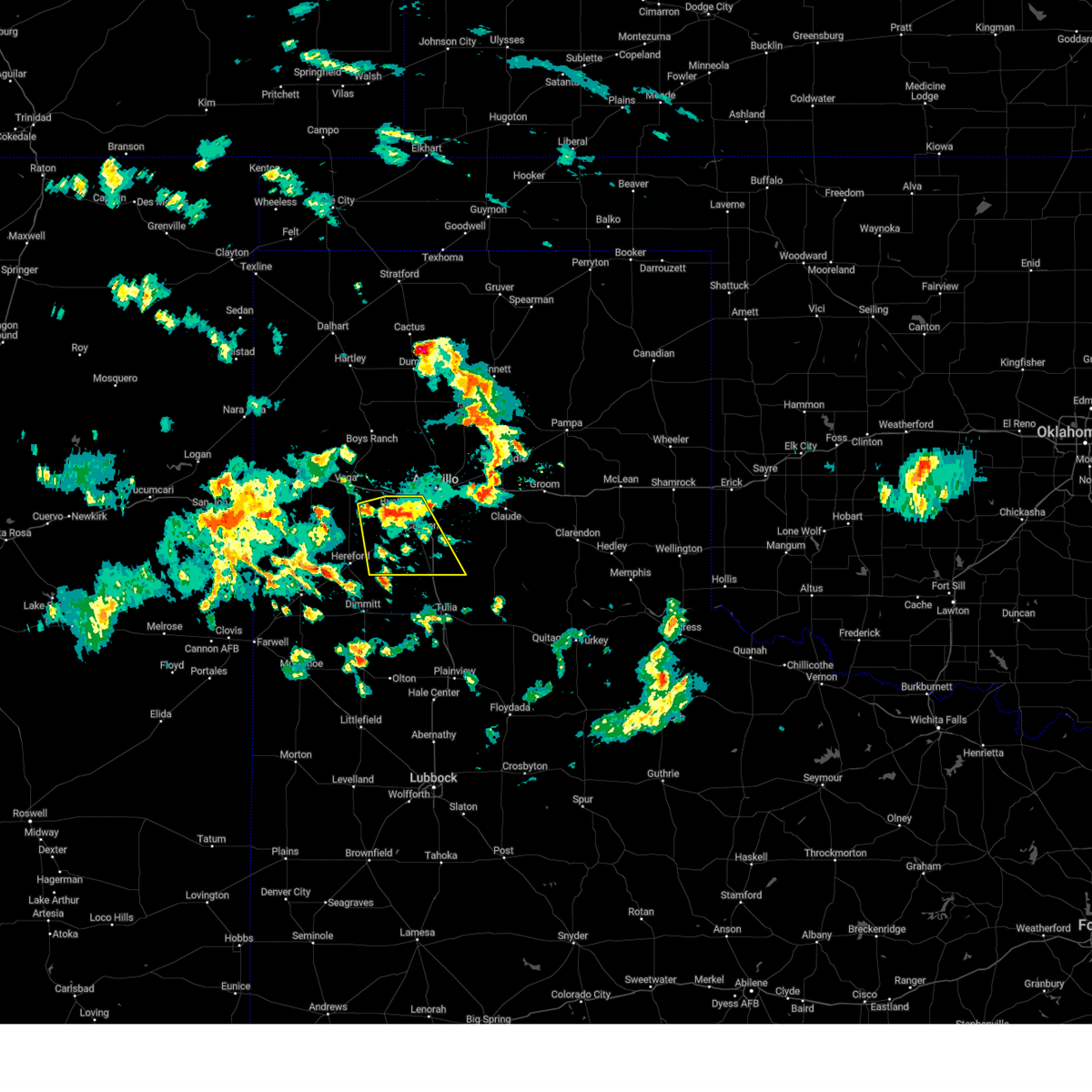 At 227 am cdt, a severe thunderstorm was located 4 miles northwest of umbarger, or 13 miles west of canyon, moving southeast at 20 mph (radar indicated). Hazards include 60 mph wind gusts and penny size hail. Minor damage to roofs, siding, and trees is possible. locations impacted include, amarillo, canyon, umbarger, mescalero park, buffalo lake and dawn. hail threat, radar indicated max hail size, 0. 75in wind threat, radar indicated max wind gust, 60 mph. At 227 am cdt, a severe thunderstorm was located 4 miles northwest of umbarger, or 13 miles west of canyon, moving southeast at 20 mph (radar indicated). Hazards include 60 mph wind gusts and penny size hail. Minor damage to roofs, siding, and trees is possible. locations impacted include, amarillo, canyon, umbarger, mescalero park, buffalo lake and dawn. hail threat, radar indicated max hail size, 0. 75in wind threat, radar indicated max wind gust, 60 mph.
|
| 7/15/2023 2:15 AM CDT |
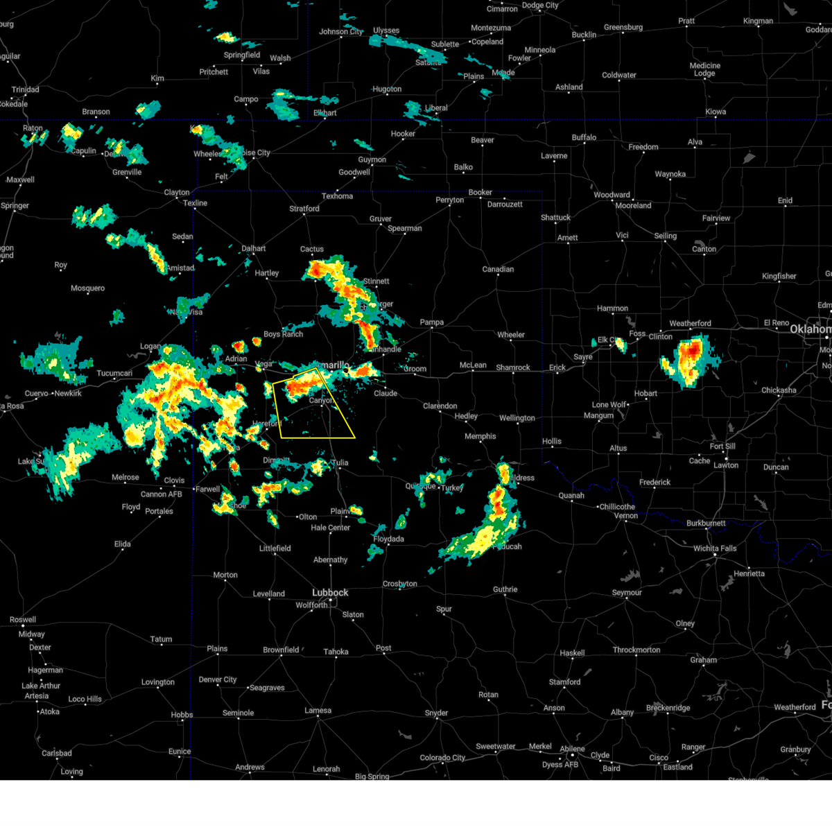 At 214 am cdt, a severe thunderstorm was located 5 miles northwest of umbarger, or 13 miles west of canyon, moving southeast at 20 mph (radar indicated). Hazards include 60 mph wind gusts and quarter size hail. Minor damage to roofs, siding, and trees is possible. hail damage to vehicles is expected. locations impacted include, amarillo, canyon, mescalero park, buffalo lake, bushland, dawn and umbarger. hail threat, radar indicated max hail size, 1. 00in wind threat, radar indicated max wind gust, 60 mph. At 214 am cdt, a severe thunderstorm was located 5 miles northwest of umbarger, or 13 miles west of canyon, moving southeast at 20 mph (radar indicated). Hazards include 60 mph wind gusts and quarter size hail. Minor damage to roofs, siding, and trees is possible. hail damage to vehicles is expected. locations impacted include, amarillo, canyon, mescalero park, buffalo lake, bushland, dawn and umbarger. hail threat, radar indicated max hail size, 1. 00in wind threat, radar indicated max wind gust, 60 mph.
|
| 7/15/2023 2:03 AM CDT |
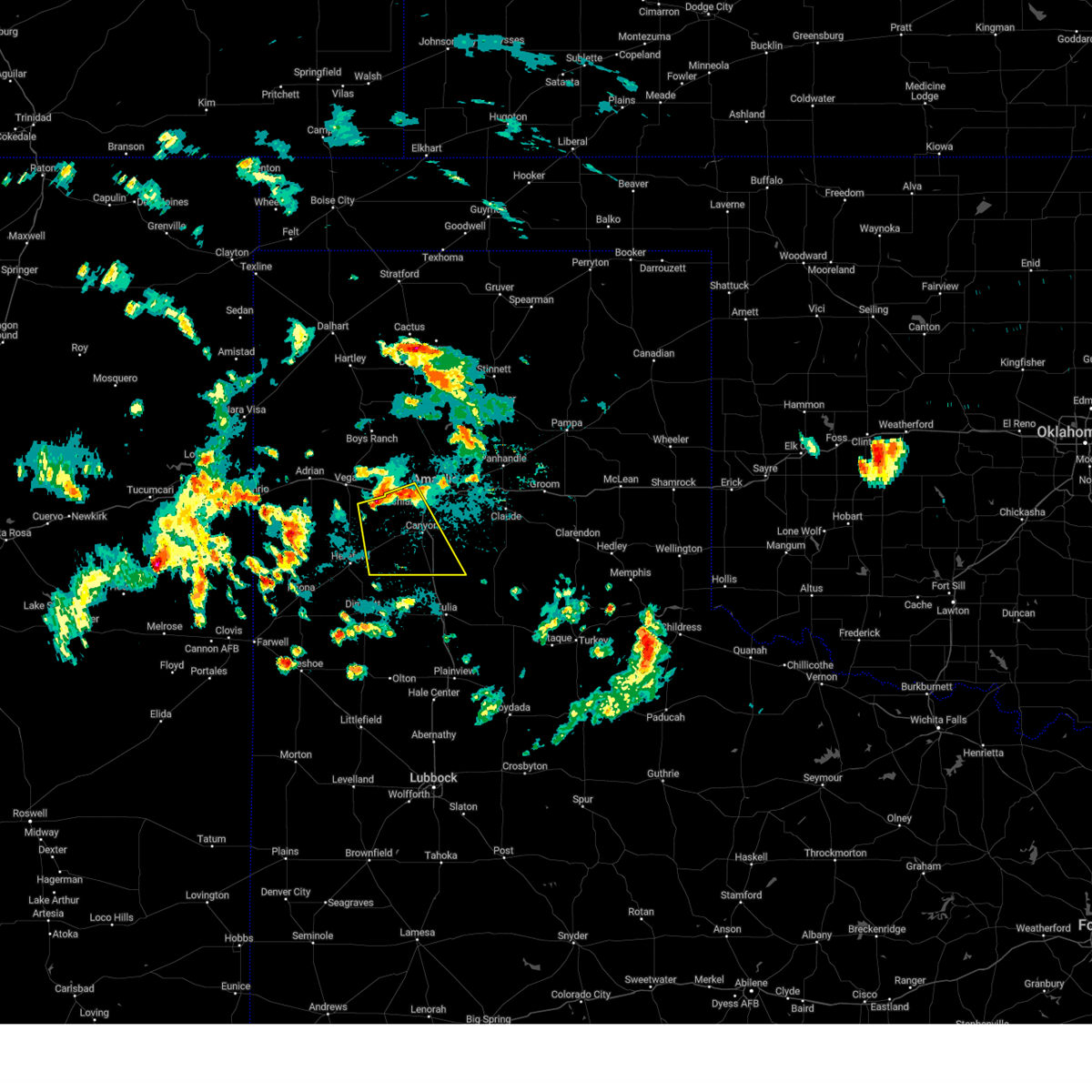 At 203 am cdt, a severe thunderstorm was located 9 miles south of wildorado, or 16 miles northwest of canyon, moving southeast at 20 mph (radar indicated). Hazards include 60 mph wind gusts and quarter size hail. Minor damage to roofs, siding, and trees is possible. Hail damage to vehicles is expected. At 203 am cdt, a severe thunderstorm was located 9 miles south of wildorado, or 16 miles northwest of canyon, moving southeast at 20 mph (radar indicated). Hazards include 60 mph wind gusts and quarter size hail. Minor damage to roofs, siding, and trees is possible. Hail damage to vehicles is expected.
|
| 7/8/2023 10:21 PM CDT |
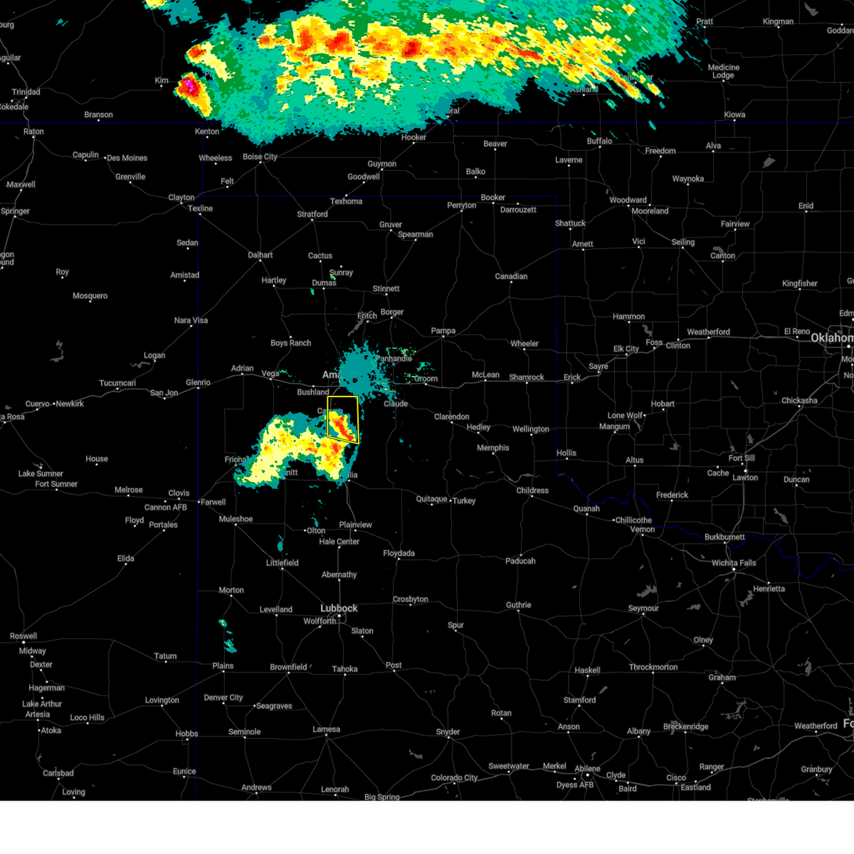 At 1021 pm cdt, a severe thunderstorm was located 7 miles southwest of palo duro canyon, or 9 miles southeast of canyon, moving east at 30 mph (radar indicated). Hazards include 60 mph wind gusts. Minor damage to roofs, siding, and trees is possible. locations impacted include, amarillo, canyon, lake tanglewood, mescalero park and timbercreek canyon. hail threat, radar indicated max hail size, <. 75 in wind threat, radar indicated max wind gust, 60 mph. At 1021 pm cdt, a severe thunderstorm was located 7 miles southwest of palo duro canyon, or 9 miles southeast of canyon, moving east at 30 mph (radar indicated). Hazards include 60 mph wind gusts. Minor damage to roofs, siding, and trees is possible. locations impacted include, amarillo, canyon, lake tanglewood, mescalero park and timbercreek canyon. hail threat, radar indicated max hail size, <. 75 in wind threat, radar indicated max wind gust, 60 mph.
|
| 7/8/2023 9:58 PM CDT |
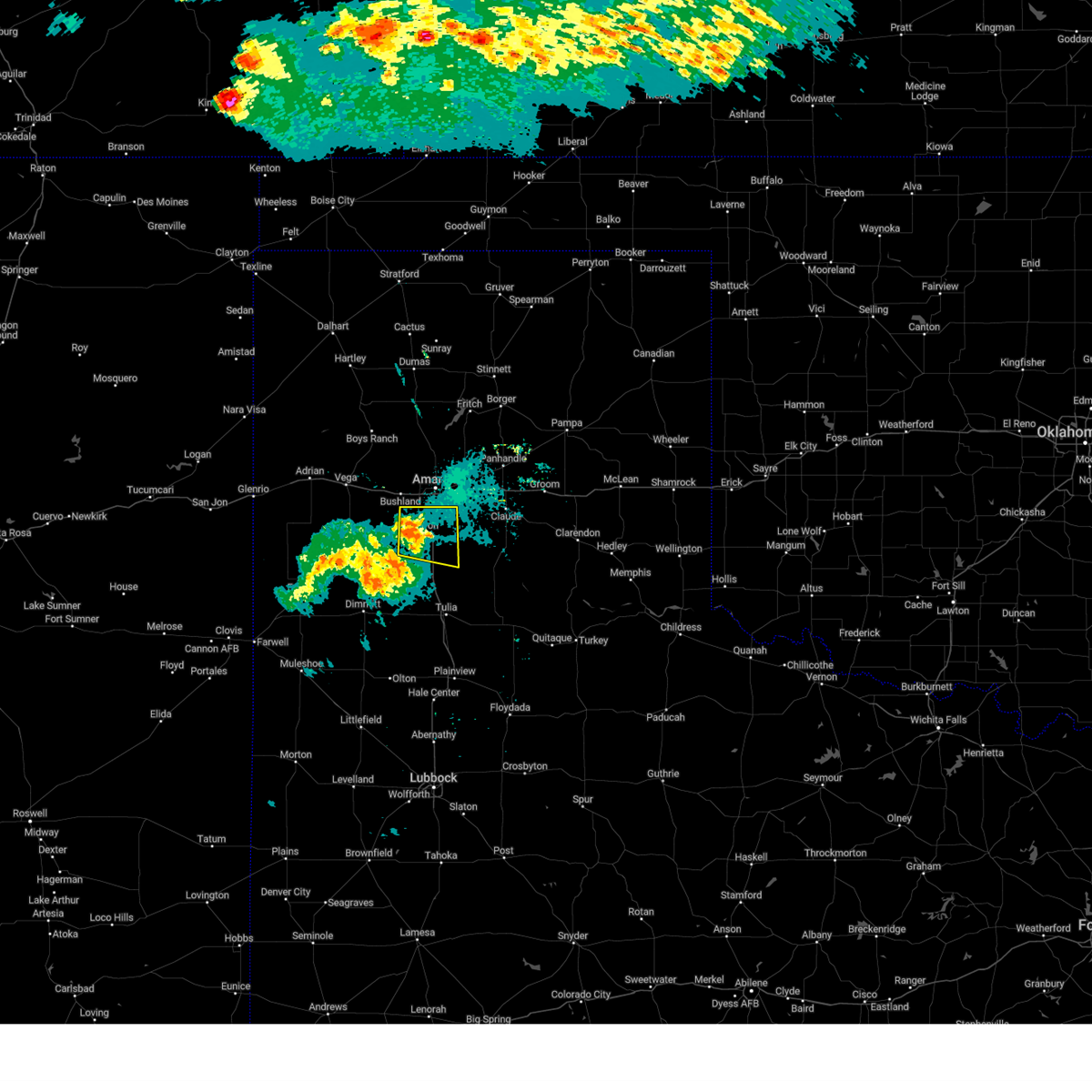 At 957 pm cdt, a severe thunderstorm was located 4 miles west of canyon, moving east at 25 mph (radar indicated). Hazards include 60 mph wind gusts. minor damage to roofs, siding, and trees is possible At 957 pm cdt, a severe thunderstorm was located 4 miles west of canyon, moving east at 25 mph (radar indicated). Hazards include 60 mph wind gusts. minor damage to roofs, siding, and trees is possible
|
| 7/7/2023 6:40 PM CDT |
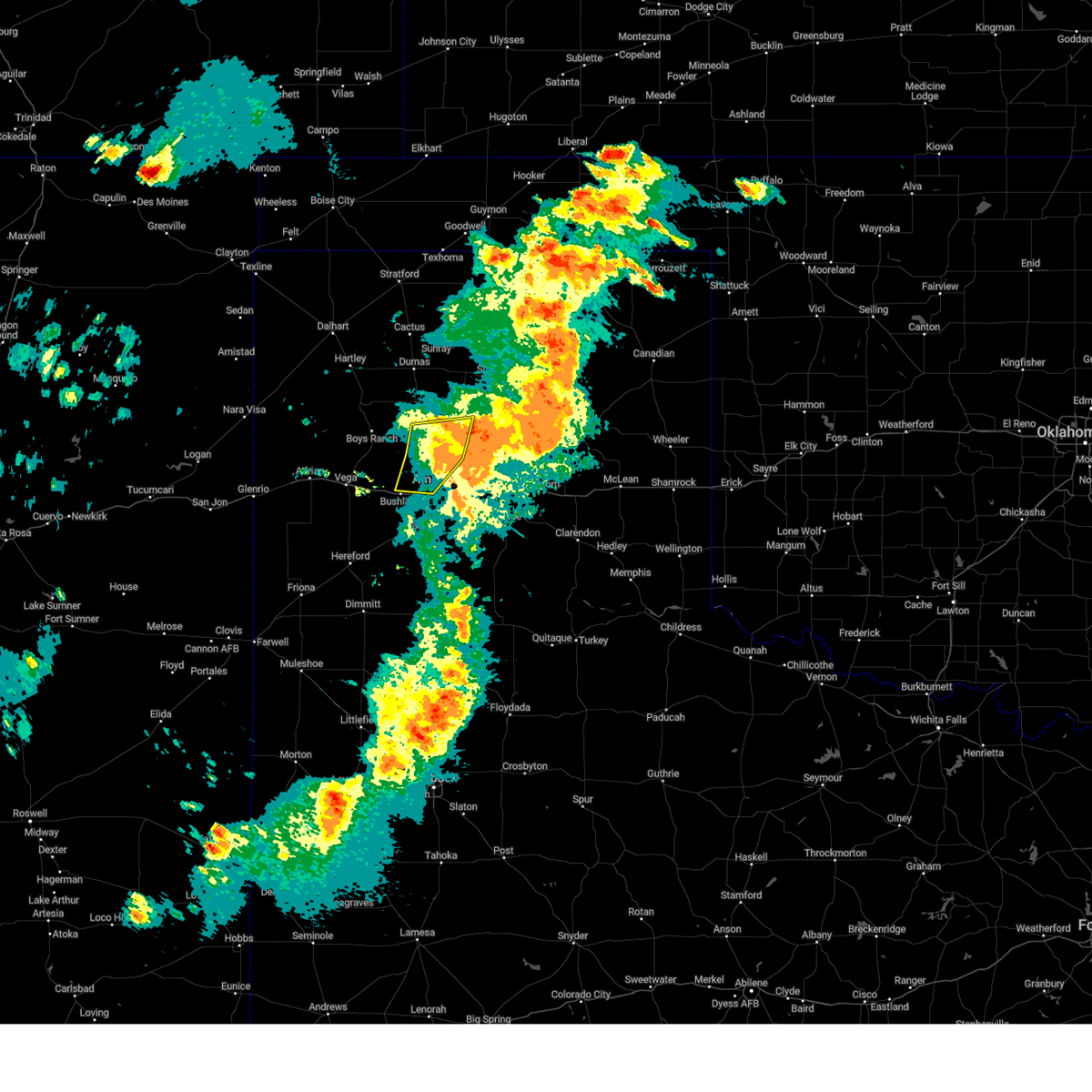 The severe thunderstorm warning for northwestern carson and central potter counties will expire at 645 pm cdt, the storms which prompted the warning have moved out of the area. therefore, the warning will be allowed to expire. however gusty winds and heavy rain are still possible with these thunderstorms. a severe thunderstorm watch remains in effect until 900 pm cdt for the panhandle of texas. remember, a severe thunderstorm warning still remains in effect for portions of eastern potter county!. The severe thunderstorm warning for northwestern carson and central potter counties will expire at 645 pm cdt, the storms which prompted the warning have moved out of the area. therefore, the warning will be allowed to expire. however gusty winds and heavy rain are still possible with these thunderstorms. a severe thunderstorm watch remains in effect until 900 pm cdt for the panhandle of texas. remember, a severe thunderstorm warning still remains in effect for portions of eastern potter county!.
|
| 7/7/2023 6:19 PM CDT |
 At 618 pm cdt, severe thunderstorms were located along a line extending from 7 miles west of lake meredith to 14 miles northwest of washburn to amarillo, moving east at 55 mph. these are destructive storms! (radar indicated). Hazards include 80 mph wind gusts and half dollar size hail. Flying debris will be dangerous to those caught without shelter. mobile homes will be heavily damaged. expect considerable damage to roofs, windows, and vehicles. tree damage and power outages are likely. Hail damage to vehicles is expected. At 618 pm cdt, severe thunderstorms were located along a line extending from 7 miles west of lake meredith to 14 miles northwest of washburn to amarillo, moving east at 55 mph. these are destructive storms! (radar indicated). Hazards include 80 mph wind gusts and half dollar size hail. Flying debris will be dangerous to those caught without shelter. mobile homes will be heavily damaged. expect considerable damage to roofs, windows, and vehicles. tree damage and power outages are likely. Hail damage to vehicles is expected.
|
| 7/7/2023 6:18 PM CDT | Multiple wind gusts in excess of 58 mph measured by the mesonet located 9 nne of amarill in potter county TX, 9.5 miles S of Amarillo, TX |
| 7/7/2023 6:15 PM CDT | Large tree branches down by intersection near sam houston par in potter county TX, 2.6 miles E of Amarillo, TX |
| 7/7/2023 6:10 PM CDT | Storm damage reported in potter county TX, 15.9 miles SSE of Amarillo, TX |
| 7/7/2023 6:10 PM CDT |
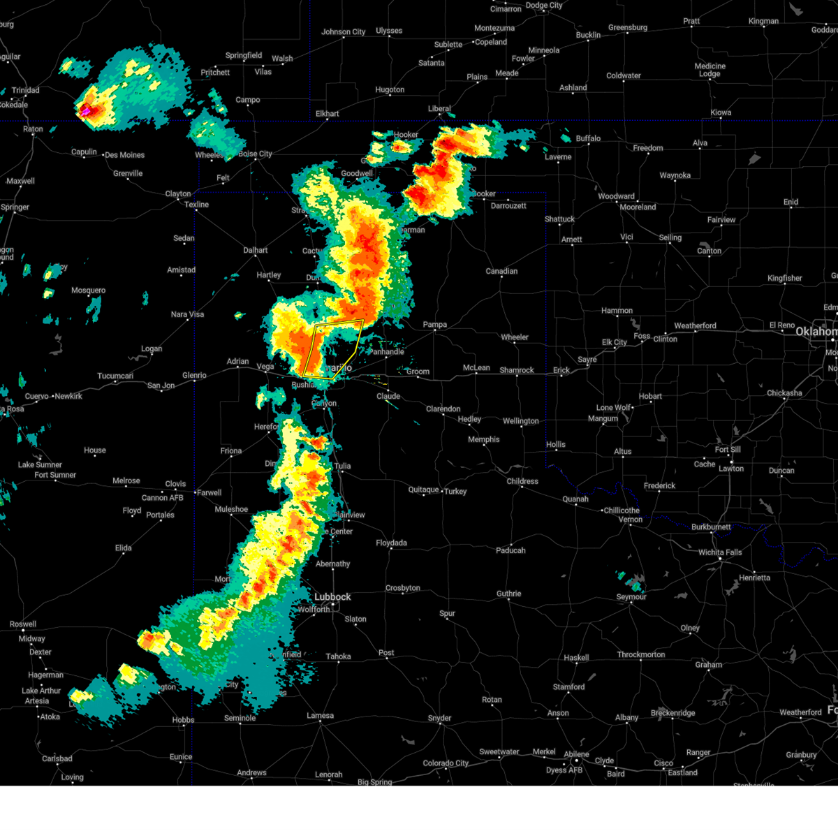 At 610 pm cdt, severe thunderstorms were located along a line extending from 3 miles east of masterson to 10 miles north of amarillo to 5 miles northeast of bushland, moving east at 50 mph. these are destructive storms for central potter county (radar indicated). Hazards include 80 mph wind gusts and half dollar size hail. Flying debris will be dangerous to those caught without shelter. mobile homes will be heavily damaged. expect considerable damage to roofs, windows, and vehicles. tree damage and power outages are likely. hail damage to vehicles is expected. Locations impacted include, amarillo. At 610 pm cdt, severe thunderstorms were located along a line extending from 3 miles east of masterson to 10 miles north of amarillo to 5 miles northeast of bushland, moving east at 50 mph. these are destructive storms for central potter county (radar indicated). Hazards include 80 mph wind gusts and half dollar size hail. Flying debris will be dangerous to those caught without shelter. mobile homes will be heavily damaged. expect considerable damage to roofs, windows, and vehicles. tree damage and power outages are likely. hail damage to vehicles is expected. Locations impacted include, amarillo.
|
| 7/7/2023 5:59 PM CDT |
 At 559 pm cdt, severe thunderstorms were located along a line extending from 3 miles west of masterson to 5 miles southeast of valley de oro to 5 miles north of wildorado, moving east at 45 mph. these are destructive storms for western and central potter county (radar indicated). Hazards include 80 mph wind gusts and quarter size hail. Flying debris will be dangerous to those caught without shelter. mobile homes will be heavily damaged. expect considerable damage to roofs, windows, and vehicles. tree damage and power outages are likely. Hail damage to vehicles is expected. At 559 pm cdt, severe thunderstorms were located along a line extending from 3 miles west of masterson to 5 miles southeast of valley de oro to 5 miles north of wildorado, moving east at 45 mph. these are destructive storms for western and central potter county (radar indicated). Hazards include 80 mph wind gusts and quarter size hail. Flying debris will be dangerous to those caught without shelter. mobile homes will be heavily damaged. expect considerable damage to roofs, windows, and vehicles. tree damage and power outages are likely. Hail damage to vehicles is expected.
|
| 7/6/2023 1:25 AM CDT |
 At 125 am cdt, a severe thunderstorm was located 5 miles west of washburn, or 10 miles east of amarillo, moving south at 15 mph (radar indicated). Hazards include 60 mph wind gusts. Minor damage to roofs, siding, and trees is possible. locations impacted include, amarillo, canyon, claude, lake tanglewood, mescalero park, washburn, palo duro canyon, goodnight and timbercreek canyon. hail threat, radar indicated max hail size, <. 75 in wind threat, radar indicated max wind gust, 60 mph. At 125 am cdt, a severe thunderstorm was located 5 miles west of washburn, or 10 miles east of amarillo, moving south at 15 mph (radar indicated). Hazards include 60 mph wind gusts. Minor damage to roofs, siding, and trees is possible. locations impacted include, amarillo, canyon, claude, lake tanglewood, mescalero park, washburn, palo duro canyon, goodnight and timbercreek canyon. hail threat, radar indicated max hail size, <. 75 in wind threat, radar indicated max wind gust, 60 mph.
|
| 7/6/2023 1:02 AM CDT |
 At 101 am cdt, automated weather equipment reported a severe thunderstorm was located 8 miles east of amarillo, moving south at 15 mph (automated weather equipment. at 101 am cdt, a 59 mph wind gust was recorded at the amarillo airport). Hazards include 60 mph wind gusts. Minor damage to roofs, siding, and trees is possible. locations impacted include, amarillo, canyon, panhandle, claude, lake tanglewood, mescalero park, washburn, palo duro canyon, goodnight, timbercreek canyon and pantex. hail threat, radar indicated max hail size, <. 75 in wind threat, radar indicated max wind gust, 60 mph. At 101 am cdt, automated weather equipment reported a severe thunderstorm was located 8 miles east of amarillo, moving south at 15 mph (automated weather equipment. at 101 am cdt, a 59 mph wind gust was recorded at the amarillo airport). Hazards include 60 mph wind gusts. Minor damage to roofs, siding, and trees is possible. locations impacted include, amarillo, canyon, panhandle, claude, lake tanglewood, mescalero park, washburn, palo duro canyon, goodnight, timbercreek canyon and pantex. hail threat, radar indicated max hail size, <. 75 in wind threat, radar indicated max wind gust, 60 mph.
|
| 7/6/2023 1:00 AM CDT | Potential wake low. gusts in excess of 58 mph from 1:00am pm to 1:10 am with peak occurring at 1:00 a in potter county TX, 6.6 miles W of Amarillo, TX |
| 7/6/2023 12:46 AM CDT |
 At 1245 am cdt, severe thunderstorms were located along a line extending from 4 miles northwest of panhandle to 7 miles north of amarillo, moving south at 15 mph (automated weather equipment. at 1239 am cdt, a 61 mph gust was recorded 1 mile east southeast of pantex). Hazards include 60 mph wind gusts. minor damage to roofs, siding, and trees is possible At 1245 am cdt, severe thunderstorms were located along a line extending from 4 miles northwest of panhandle to 7 miles north of amarillo, moving south at 15 mph (automated weather equipment. at 1239 am cdt, a 61 mph gust was recorded 1 mile east southeast of pantex). Hazards include 60 mph wind gusts. minor damage to roofs, siding, and trees is possible
|
| 7/5/2023 11:17 PM CDT |
 At 1117 pm cdt, severe thunderstorms were located along a line extending from bushland to 5 miles north of umbarger to 8 miles south of simms, moving east at 30 mph (radar indicated). Hazards include 70 mph wind gusts and quarter size hail. Expect some tree damage. damage is likely to mobile homes, roofs, and outbuildings. hail damage to vehicles is expected. locations impacted include, amarillo, hereford, canyon, mescalero park, buffalo lake, bushland, dawn, umbarger, bootleg, wildorado and simms. thunderstorm damage threat, considerable hail threat, radar indicated max hail size, 1. 00in wind threat, radar indicated max wind gust, 70 mph. At 1117 pm cdt, severe thunderstorms were located along a line extending from bushland to 5 miles north of umbarger to 8 miles south of simms, moving east at 30 mph (radar indicated). Hazards include 70 mph wind gusts and quarter size hail. Expect some tree damage. damage is likely to mobile homes, roofs, and outbuildings. hail damage to vehicles is expected. locations impacted include, amarillo, hereford, canyon, mescalero park, buffalo lake, bushland, dawn, umbarger, bootleg, wildorado and simms. thunderstorm damage threat, considerable hail threat, radar indicated max hail size, 1. 00in wind threat, radar indicated max wind gust, 70 mph.
|
| 7/5/2023 10:59 PM CDT |
 At 1059 pm cdt, severe thunderstorms were located along a line extending from 7 miles northeast of wildorado to 12 miles southeast of vega to 4 miles southwest of simms, moving southeast at 15 mph (radar indicated). Hazards include 60 mph wind gusts and quarter size hail. Minor damage to roofs, siding, and trees is possible. Hail damage to vehicles is expected. At 1059 pm cdt, severe thunderstorms were located along a line extending from 7 miles northeast of wildorado to 12 miles southeast of vega to 4 miles southwest of simms, moving southeast at 15 mph (radar indicated). Hazards include 60 mph wind gusts and quarter size hail. Minor damage to roofs, siding, and trees is possible. Hail damage to vehicles is expected.
|
| 7/2/2023 7:53 PM CDT |
 At 752 pm cdt, severe thunderstorms were located along a line extending from 9 miles southeast of fritch to near washburn to near mescalero park, moving east at 25 mph (radar indicated). Hazards include 60 mph wind gusts. minor damage to roofs, siding, and trees is possible At 752 pm cdt, severe thunderstorms were located along a line extending from 9 miles southeast of fritch to near washburn to near mescalero park, moving east at 25 mph (radar indicated). Hazards include 60 mph wind gusts. minor damage to roofs, siding, and trees is possible
|
| 7/2/2023 7:41 PM CDT |
 At 740 pm cdt, severe thunderstorms were located along a line extending from 10 miles southeast of fritch to 6 miles northwest of washburn to mescalero park to 6 miles north of dawn, moving east at 35 mph (radar indicated). Hazards include 60 mph wind gusts. Minor damage to roofs, siding, and trees is possible. locations impacted include, amarillo, canyon, panhandle, fritch, white deer, lake tanglewood, buffalo lake, bushland, washburn, umbarger, palo duro canyon, mescalero park, timbercreek canyon and pantex. hail threat, radar indicated max hail size, <. 75 in wind threat, radar indicated max wind gust, 60 mph. At 740 pm cdt, severe thunderstorms were located along a line extending from 10 miles southeast of fritch to 6 miles northwest of washburn to mescalero park to 6 miles north of dawn, moving east at 35 mph (radar indicated). Hazards include 60 mph wind gusts. Minor damage to roofs, siding, and trees is possible. locations impacted include, amarillo, canyon, panhandle, fritch, white deer, lake tanglewood, buffalo lake, bushland, washburn, umbarger, palo duro canyon, mescalero park, timbercreek canyon and pantex. hail threat, radar indicated max hail size, <. 75 in wind threat, radar indicated max wind gust, 60 mph.
|
| 7/2/2023 7:04 PM CDT |
 At 704 pm cdt, severe thunderstorms were located along a line extending from 4 miles northwest of lake meredith to 12 miles east of valley de oro to 6 miles northwest of bushland to 4 miles southwest of vega, moving southeast at 35 mph (radar indicated). Hazards include 70 mph wind gusts and nickel size hail. Expect some tree damage. damage is likely to mobile homes, roofs, and outbuildings. locations impacted include, amarillo, canyon, panhandle, vega, fritch, white deer, lake tanglewood, buffalo lake, bushland, washburn, umbarger, wildorado, palo duro canyon, mescalero park, dawn, lake meredith, timbercreek canyon and pantex. thunderstorm damage threat, considerable hail threat, radar indicated max hail size, 0. 88in wind threat, radar indicated max wind gust, 70 mph. At 704 pm cdt, severe thunderstorms were located along a line extending from 4 miles northwest of lake meredith to 12 miles east of valley de oro to 6 miles northwest of bushland to 4 miles southwest of vega, moving southeast at 35 mph (radar indicated). Hazards include 70 mph wind gusts and nickel size hail. Expect some tree damage. damage is likely to mobile homes, roofs, and outbuildings. locations impacted include, amarillo, canyon, panhandle, vega, fritch, white deer, lake tanglewood, buffalo lake, bushland, washburn, umbarger, wildorado, palo duro canyon, mescalero park, dawn, lake meredith, timbercreek canyon and pantex. thunderstorm damage threat, considerable hail threat, radar indicated max hail size, 0. 88in wind threat, radar indicated max wind gust, 70 mph.
|
| 7/2/2023 6:59 PM CDT |
 At 658 pm cdt, severe thunderstorms were located along a line extending from 6 miles northwest of lake meredith to 11 miles east of valley de oro to 6 miles northeast of wildorado to 4 miles southwest of vega, moving southeast at 35 mph (radar indicated). Hazards include 60 mph wind gusts and nickel size hail. minor damage to roofs, siding, and trees is possible At 658 pm cdt, severe thunderstorms were located along a line extending from 6 miles northwest of lake meredith to 11 miles east of valley de oro to 6 miles northeast of wildorado to 4 miles southwest of vega, moving southeast at 35 mph (radar indicated). Hazards include 60 mph wind gusts and nickel size hail. minor damage to roofs, siding, and trees is possible
|
| 7/1/2023 2:08 AM CDT |
 At 208 am cdt, a severe thunderstorm was located 12 miles northwest of washburn, or 13 miles northeast of amarillo, moving east at 30 mph (radar indicated). Hazards include 60 mph wind gusts. minor damage to roofs, siding, and trees is possible At 208 am cdt, a severe thunderstorm was located 12 miles northwest of washburn, or 13 miles northeast of amarillo, moving east at 30 mph (radar indicated). Hazards include 60 mph wind gusts. minor damage to roofs, siding, and trees is possible
|
| 7/1/2023 1:43 AM CDT | Storm damage reported in potter county TX, 15.9 miles SSE of Amarillo, TX |
| 6/30/2023 3:04 PM CDT |
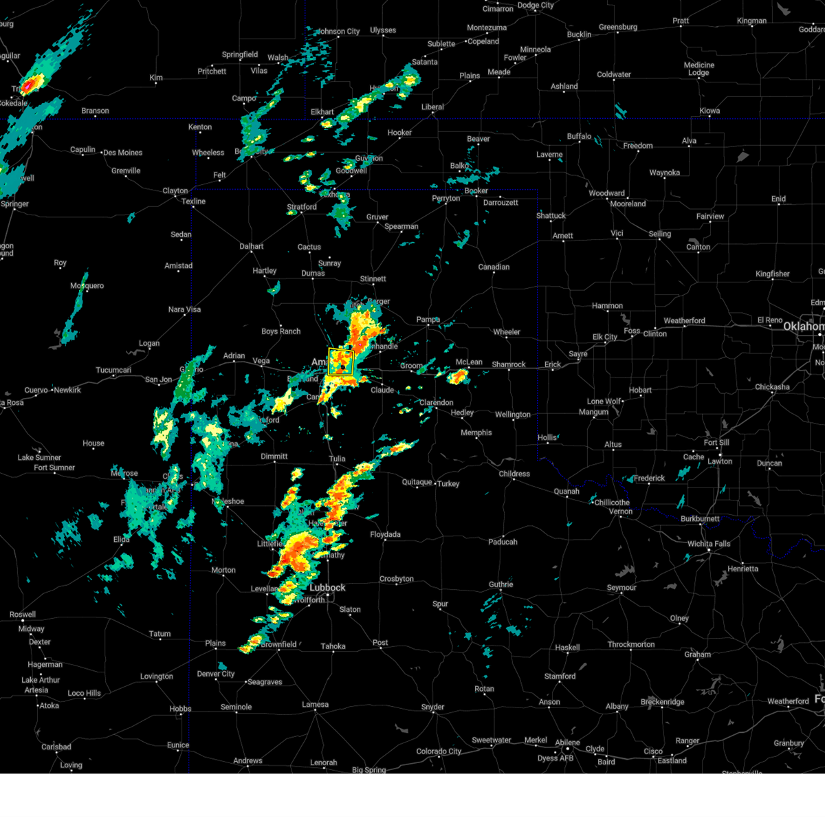 At 303 pm cdt, a severe thunderstorm was located 8 miles east of amarillo, moving northeast at 20 mph (radar indicated). Hazards include 60 mph wind gusts and quarter size hail. Minor damage to roofs, siding, and trees is possible. hail damage to vehicles is expected. locations impacted include, amarillo. hail threat, observed max hail size, 1. 00in wind threat, radar indicated max wind gust, 60 mph. At 303 pm cdt, a severe thunderstorm was located 8 miles east of amarillo, moving northeast at 20 mph (radar indicated). Hazards include 60 mph wind gusts and quarter size hail. Minor damage to roofs, siding, and trees is possible. hail damage to vehicles is expected. locations impacted include, amarillo. hail threat, observed max hail size, 1. 00in wind threat, radar indicated max wind gust, 60 mph.
|
| 6/30/2023 2:50 PM CDT | Quarter sized hail reported 4.3 miles WNW of Amarillo, TX, mostly nickel size with a few quarter size hail along i-40 between eastern and lakeside. |
| 6/30/2023 2:45 PM CDT |
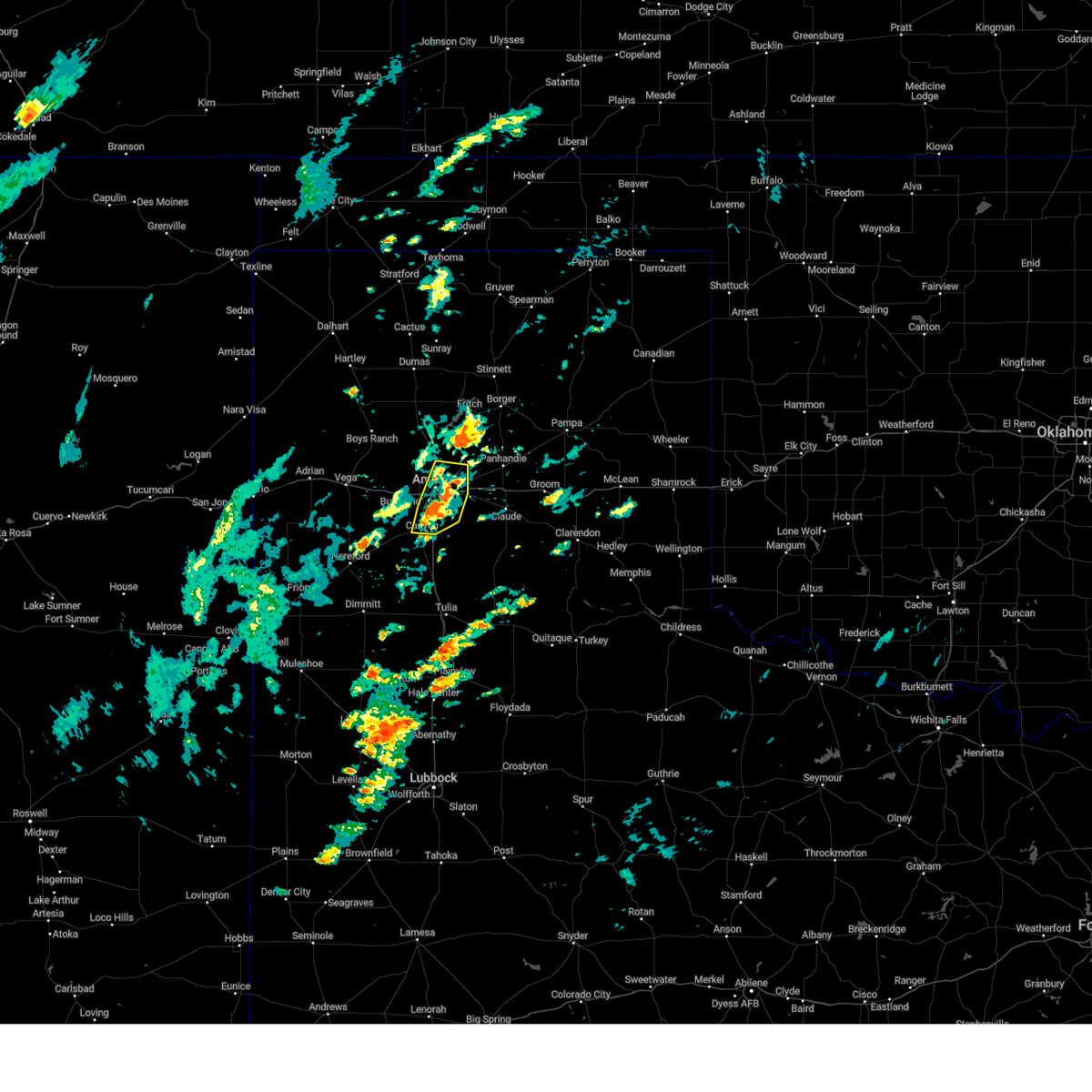 At 244 pm cdt, a severe thunderstorm was located 4 miles south of amarillo, moving north at 20 mph (radar indicated). Hazards include 60 mph wind gusts and quarter size hail. Minor damage to roofs, siding, and trees is possible. hail damage to vehicles is expected. locations impacted include, amarillo, canyon, lake tanglewood, mescalero park and timbercreek canyon. hail threat, radar indicated max hail size, 1. 00in wind threat, radar indicated max wind gust, 60 mph. At 244 pm cdt, a severe thunderstorm was located 4 miles south of amarillo, moving north at 20 mph (radar indicated). Hazards include 60 mph wind gusts and quarter size hail. Minor damage to roofs, siding, and trees is possible. hail damage to vehicles is expected. locations impacted include, amarillo, canyon, lake tanglewood, mescalero park and timbercreek canyon. hail threat, radar indicated max hail size, 1. 00in wind threat, radar indicated max wind gust, 60 mph.
|
| 6/30/2023 2:33 PM CDT |
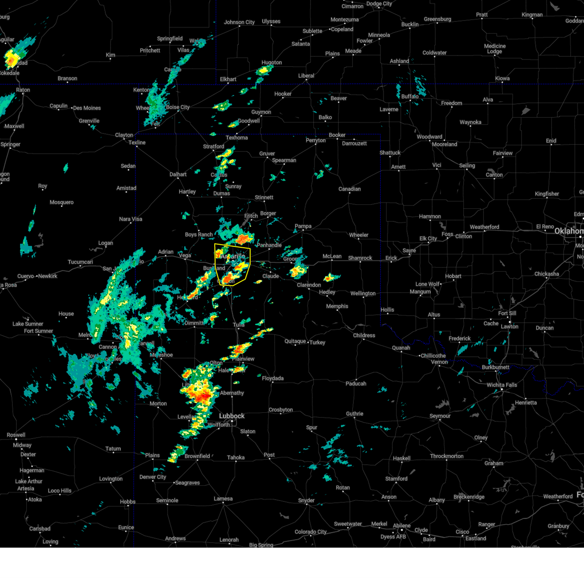 At 233 pm cdt, a severe thunderstorm was located over mescalero park, or 6 miles north of canyon, moving north at 20 mph (radar indicated). Hazards include 60 mph wind gusts and quarter size hail. Minor damage to roofs, siding, and trees is possible. hail damage to vehicles is expected. locations impacted include, amarillo, canyon, lake tanglewood, mescalero park and timbercreek canyon. hail threat, radar indicated max hail size, 1. 00in wind threat, radar indicated max wind gust, 60 mph. At 233 pm cdt, a severe thunderstorm was located over mescalero park, or 6 miles north of canyon, moving north at 20 mph (radar indicated). Hazards include 60 mph wind gusts and quarter size hail. Minor damage to roofs, siding, and trees is possible. hail damage to vehicles is expected. locations impacted include, amarillo, canyon, lake tanglewood, mescalero park and timbercreek canyon. hail threat, radar indicated max hail size, 1. 00in wind threat, radar indicated max wind gust, 60 mph.
|
| 6/30/2023 2:24 PM CDT |
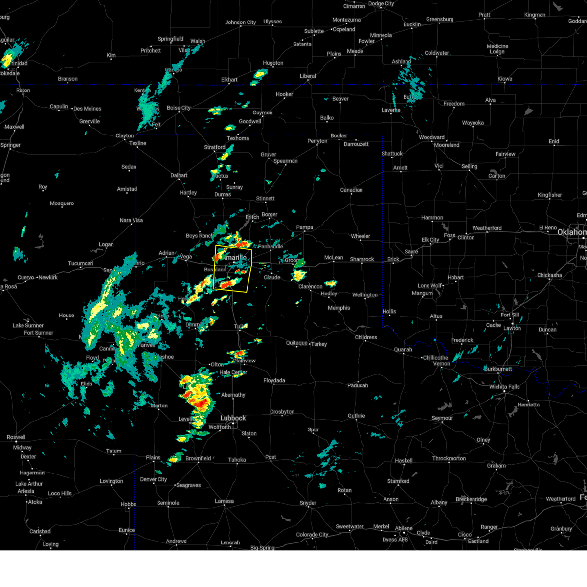 At 224 pm cdt, a severe thunderstorm was located over mescalero park, or near canyon, moving north at 20 mph (radar indicated). Hazards include 60 mph wind gusts and quarter size hail. Minor damage to roofs, siding, and trees is possible. Hail damage to vehicles is expected. At 224 pm cdt, a severe thunderstorm was located over mescalero park, or near canyon, moving north at 20 mph (radar indicated). Hazards include 60 mph wind gusts and quarter size hail. Minor damage to roofs, siding, and trees is possible. Hail damage to vehicles is expected.
|
| 6/23/2023 6:23 PM CDT |
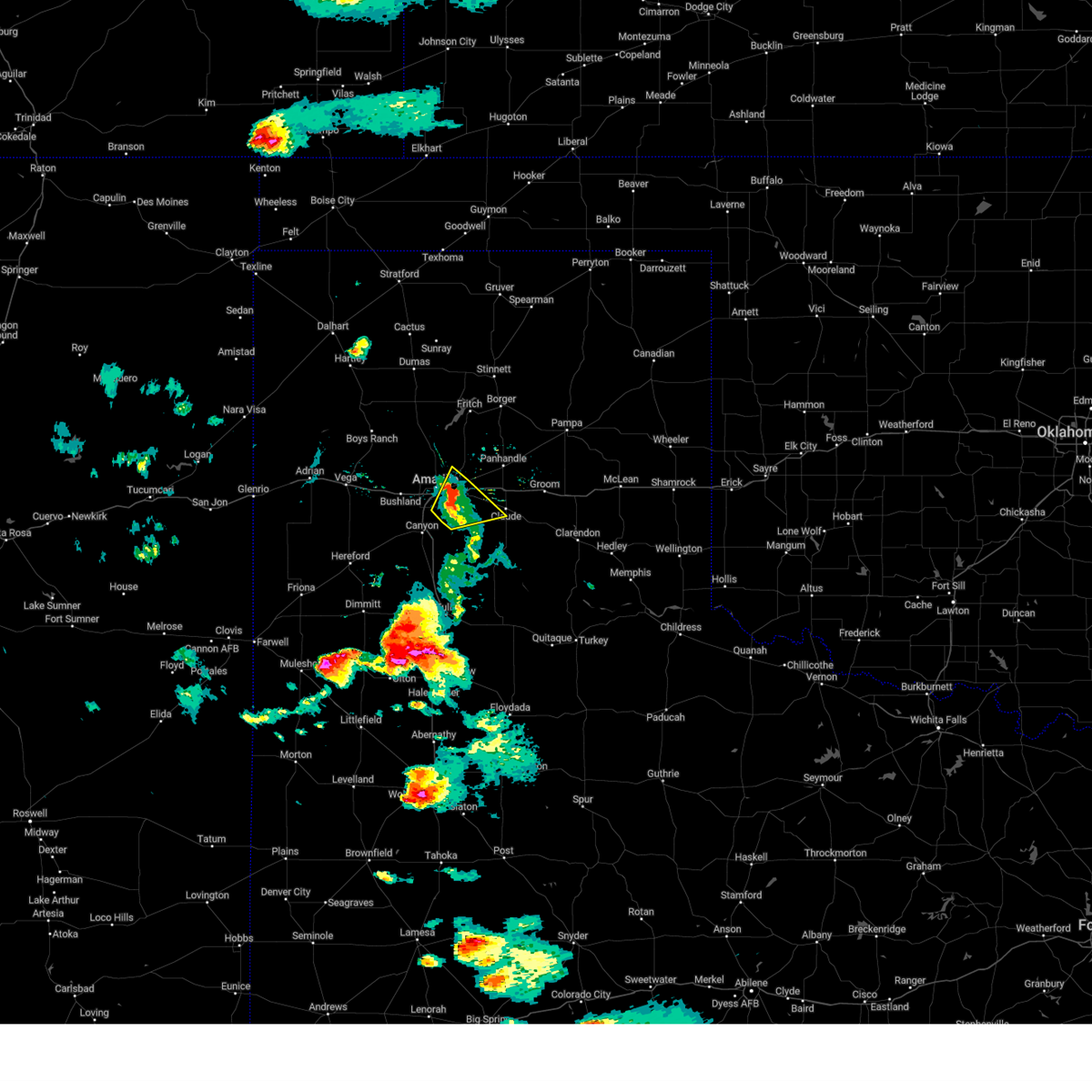 The severe thunderstorm warning for northwestern armstrong, northeastern randall, southwestern carson and southeastern potter counties will expire at 630 pm cdt, the storm which prompted the warning has weakened below severe limits, and no longer poses an immediate threat to life or property. therefore, the warning will be allowed to expire. however small hail, gusty winds and heavy rain are still possible with this thunderstorm. a severe thunderstorm watch remains in effect until 1100 pm cdt for the panhandle of texas. The severe thunderstorm warning for northwestern armstrong, northeastern randall, southwestern carson and southeastern potter counties will expire at 630 pm cdt, the storm which prompted the warning has weakened below severe limits, and no longer poses an immediate threat to life or property. therefore, the warning will be allowed to expire. however small hail, gusty winds and heavy rain are still possible with this thunderstorm. a severe thunderstorm watch remains in effect until 1100 pm cdt for the panhandle of texas.
|
| 6/23/2023 6:19 PM CDT | Quarter sized hail reported 7.3 miles WSW of Amarillo, TX, mostly peas to nickels with a few quarters mixed in; observed at the nws amarillo office. |
| 6/23/2023 6:14 PM CDT |
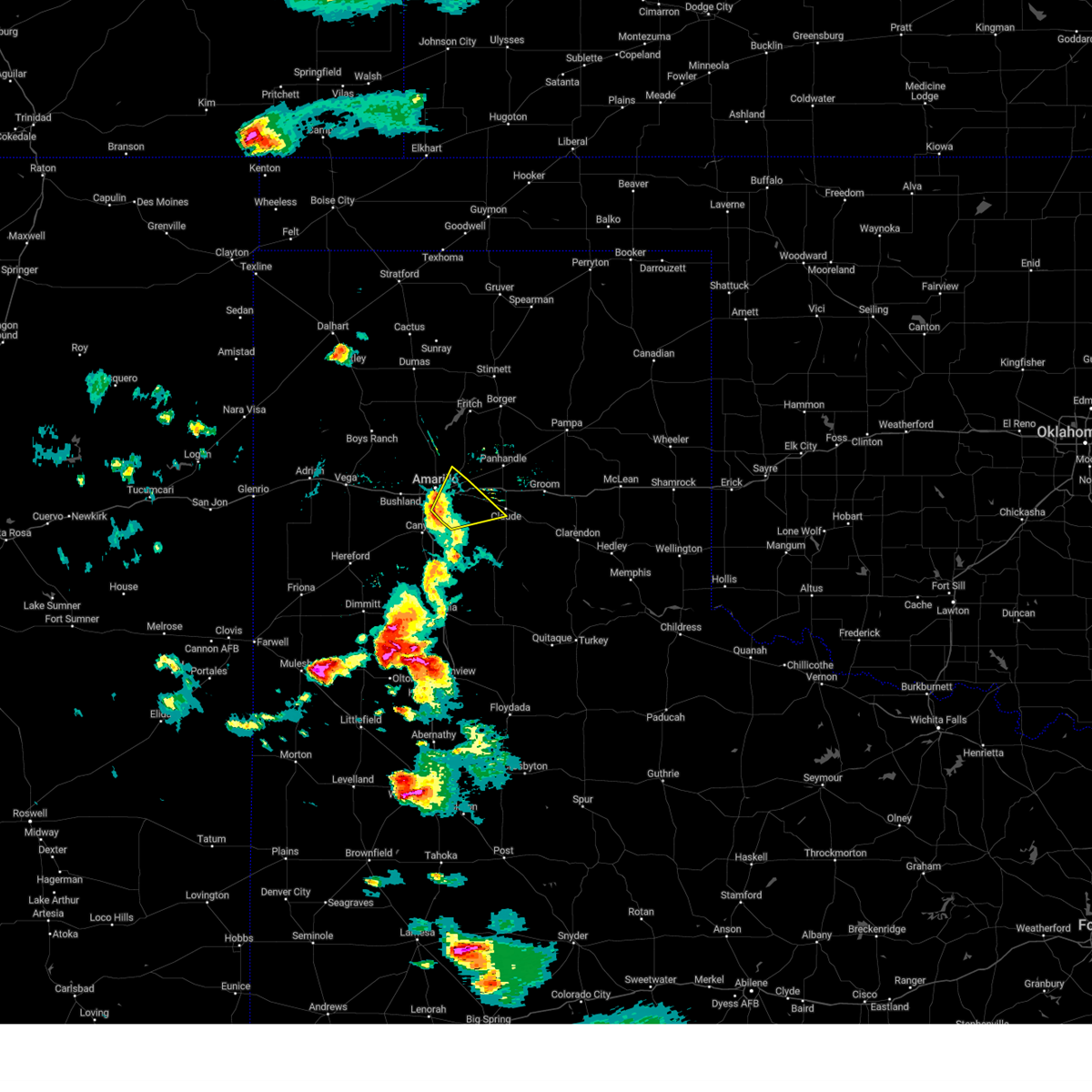 At 613 pm cdt, a severe thunderstorm was located 11 miles northwest of washburn, or 13 miles northeast of amarillo, moving northeast at 60 mph (radar indicated). Hazards include 60 mph wind gusts and quarter size hail. Minor damage to roofs, siding, and trees is possible. hail damage to vehicles is expected. locations impacted include, amarillo, lake tanglewood and washburn. hail threat, radar indicated max hail size, 1. 00in wind threat, radar indicated max wind gust, 60 mph. At 613 pm cdt, a severe thunderstorm was located 11 miles northwest of washburn, or 13 miles northeast of amarillo, moving northeast at 60 mph (radar indicated). Hazards include 60 mph wind gusts and quarter size hail. Minor damage to roofs, siding, and trees is possible. hail damage to vehicles is expected. locations impacted include, amarillo, lake tanglewood and washburn. hail threat, radar indicated max hail size, 1. 00in wind threat, radar indicated max wind gust, 60 mph.
|
| 6/23/2023 6:12 PM CDT | Quarter sized hail reported 2.5 miles W of Amarillo, TX, report from mping. |
| 6/23/2023 6:09 PM CDT |
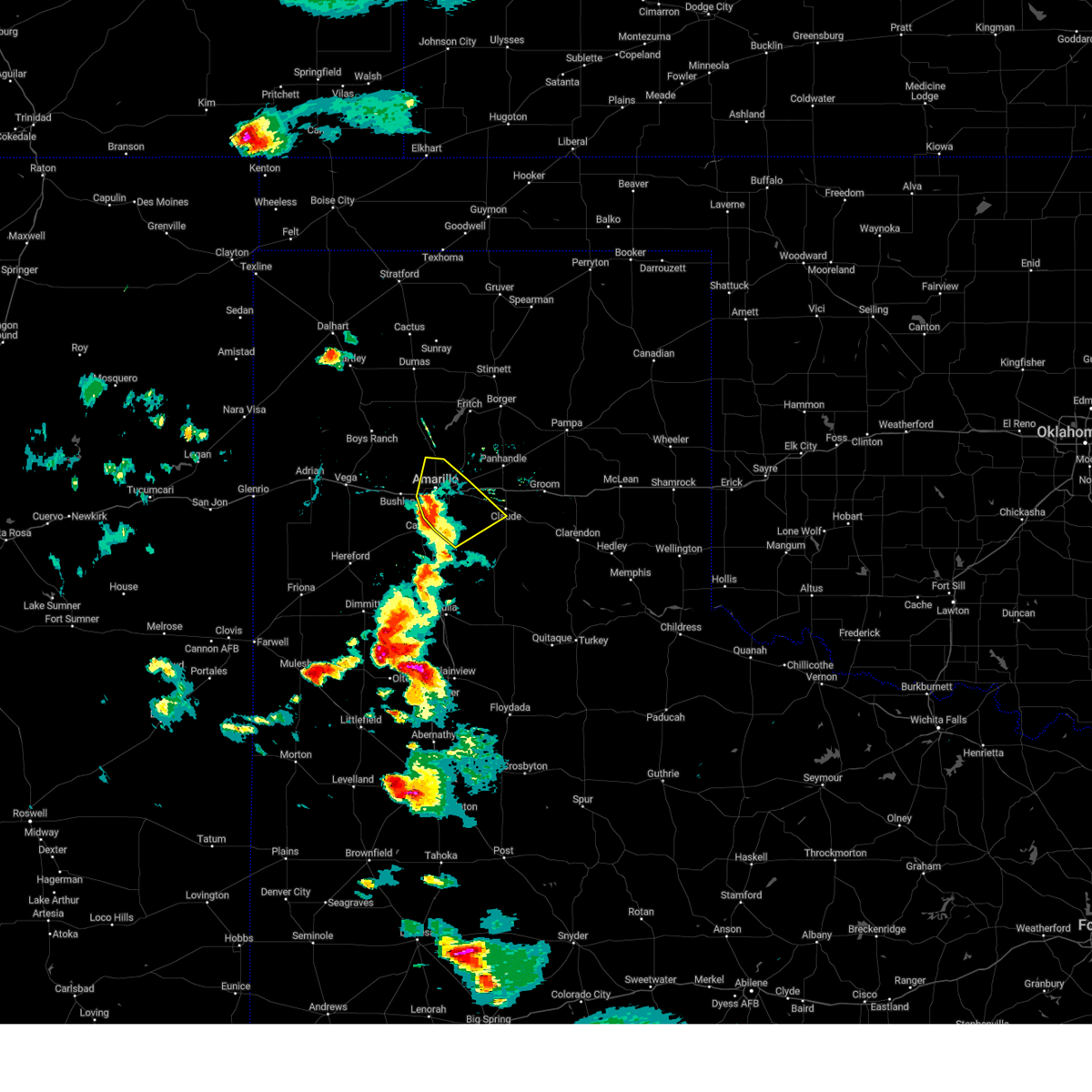 At 609 pm cdt, a severe thunderstorm was located 9 miles northeast of amarillo, moving northeast at 60 mph (radar indicated). Hazards include 60 mph wind gusts and quarter size hail. Minor damage to roofs, siding, and trees is possible. hail damage to vehicles is expected. locations impacted include, amarillo, lake tanglewood, washburn, palo duro canyon, mescalero park and timbercreek canyon. hail threat, radar indicated max hail size, 1. 00in wind threat, radar indicated max wind gust, 60 mph. At 609 pm cdt, a severe thunderstorm was located 9 miles northeast of amarillo, moving northeast at 60 mph (radar indicated). Hazards include 60 mph wind gusts and quarter size hail. Minor damage to roofs, siding, and trees is possible. hail damage to vehicles is expected. locations impacted include, amarillo, lake tanglewood, washburn, palo duro canyon, mescalero park and timbercreek canyon. hail threat, radar indicated max hail size, 1. 00in wind threat, radar indicated max wind gust, 60 mph.
|
| 6/23/2023 6:04 PM CDT | Quarter sized hail reported 4 miles NNE of Amarillo, TX, report from mping. |
| 6/23/2023 6:02 PM CDT |
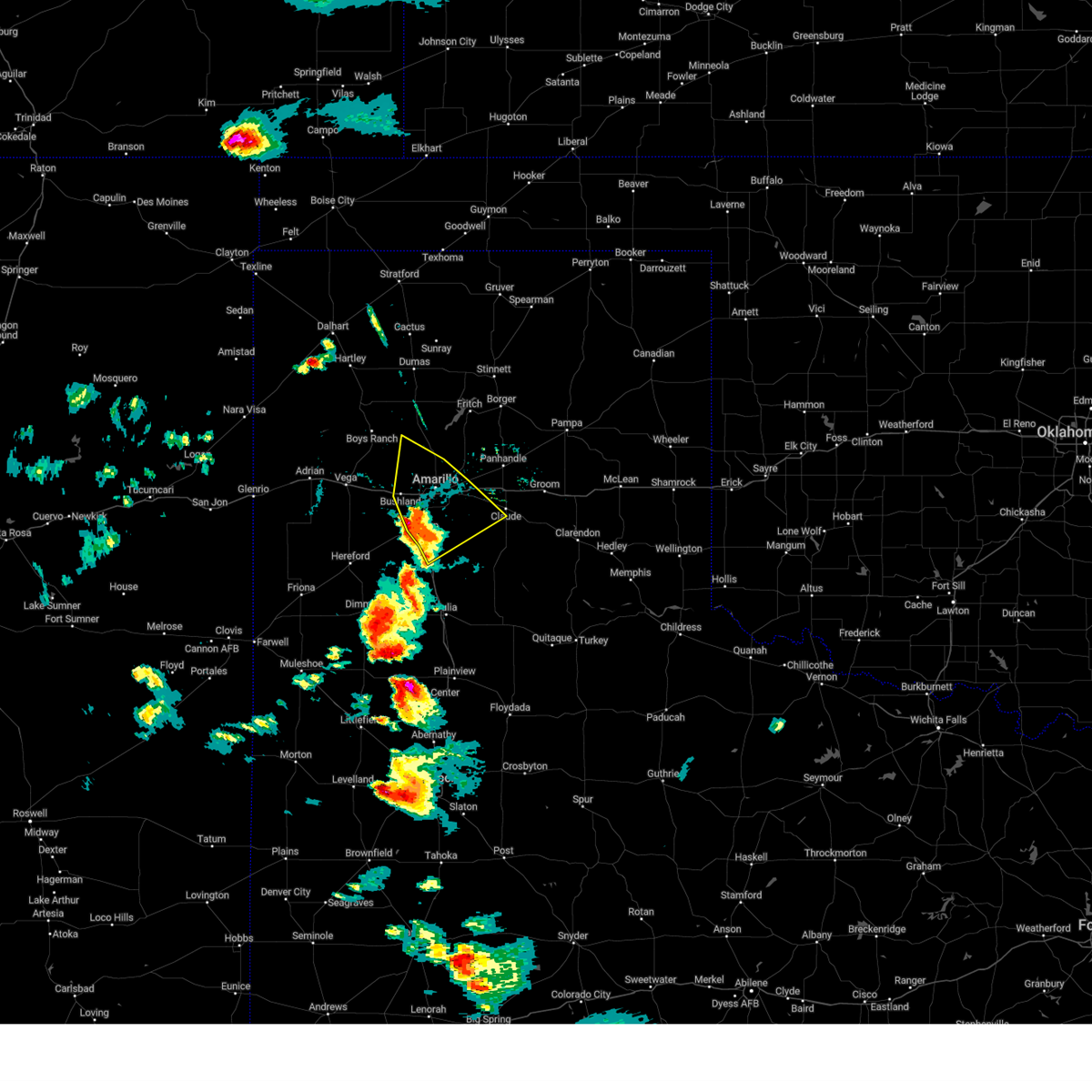 At 601 pm cdt, a severe thunderstorm was located over amarillo, moving northeast at 60 mph (radar indicated). Hazards include 60 mph wind gusts and quarter size hail. Minor damage to roofs, siding, and trees is possible. hail damage to vehicles is expected. locations impacted include, amarillo, canyon, lake tanglewood, mescalero park, bushland, washburn, palo duro canyon and timbercreek canyon. hail threat, radar indicated max hail size, 1. 00in wind threat, radar indicated max wind gust, 60 mph. At 601 pm cdt, a severe thunderstorm was located over amarillo, moving northeast at 60 mph (radar indicated). Hazards include 60 mph wind gusts and quarter size hail. Minor damage to roofs, siding, and trees is possible. hail damage to vehicles is expected. locations impacted include, amarillo, canyon, lake tanglewood, mescalero park, bushland, washburn, palo duro canyon and timbercreek canyon. hail threat, radar indicated max hail size, 1. 00in wind threat, radar indicated max wind gust, 60 mph.
|
| 6/23/2023 5:50 PM CDT |
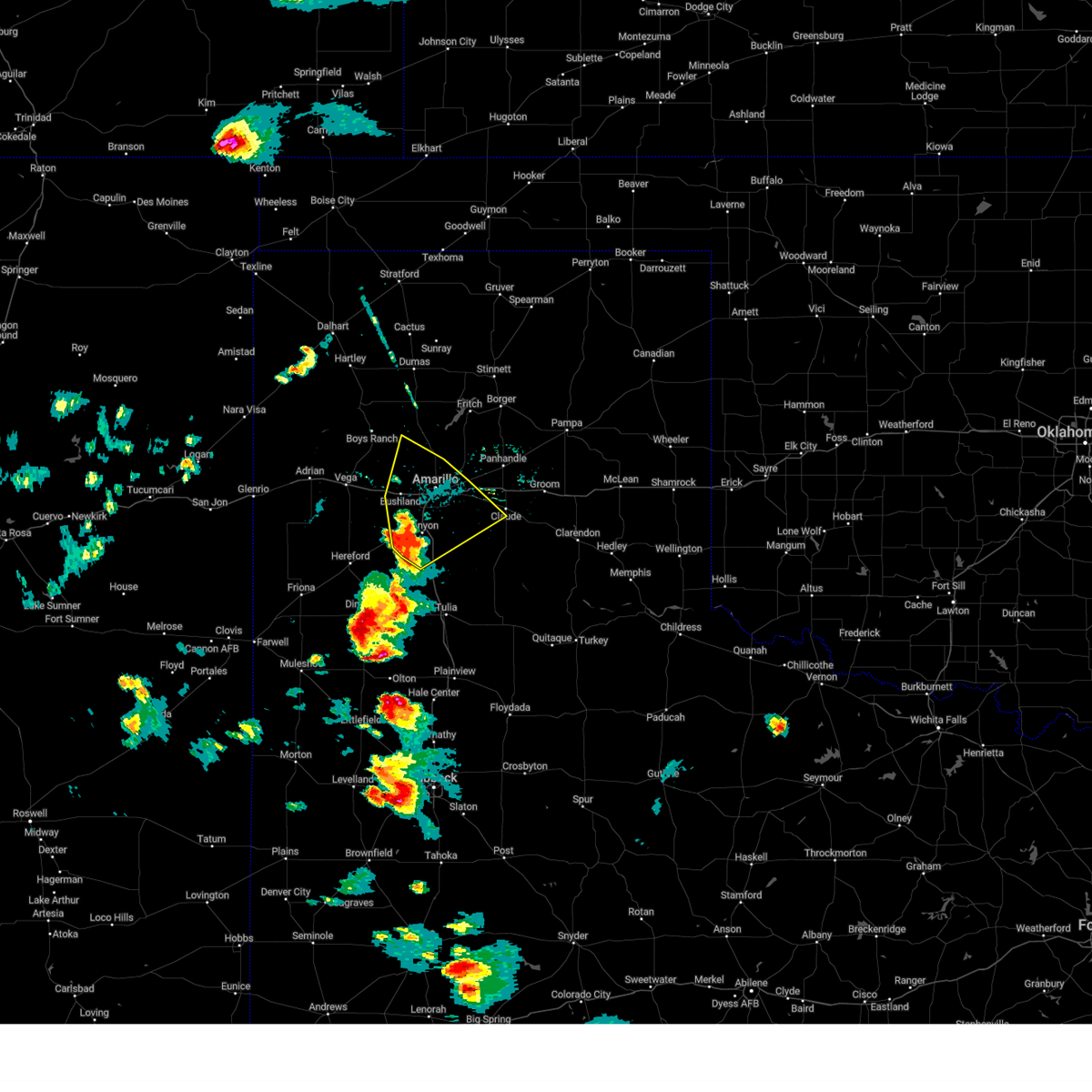 At 550 pm cdt, a severe thunderstorm was located over mescalero park, or 5 miles north of canyon, moving northeast at 60 mph (radar indicated). Hazards include 60 mph wind gusts and quarter size hail. Minor damage to roofs, siding, and trees is possible. hail damage to vehicles is expected. locations impacted include, amarillo, canyon, lake tanglewood, mescalero park, bushland, washburn, umbarger, palo duro canyon and timbercreek canyon. hail threat, radar indicated max hail size, 1. 00in wind threat, radar indicated max wind gust, 60 mph. At 550 pm cdt, a severe thunderstorm was located over mescalero park, or 5 miles north of canyon, moving northeast at 60 mph (radar indicated). Hazards include 60 mph wind gusts and quarter size hail. Minor damage to roofs, siding, and trees is possible. hail damage to vehicles is expected. locations impacted include, amarillo, canyon, lake tanglewood, mescalero park, bushland, washburn, umbarger, palo duro canyon and timbercreek canyon. hail threat, radar indicated max hail size, 1. 00in wind threat, radar indicated max wind gust, 60 mph.
|
| 6/23/2023 5:40 PM CDT |
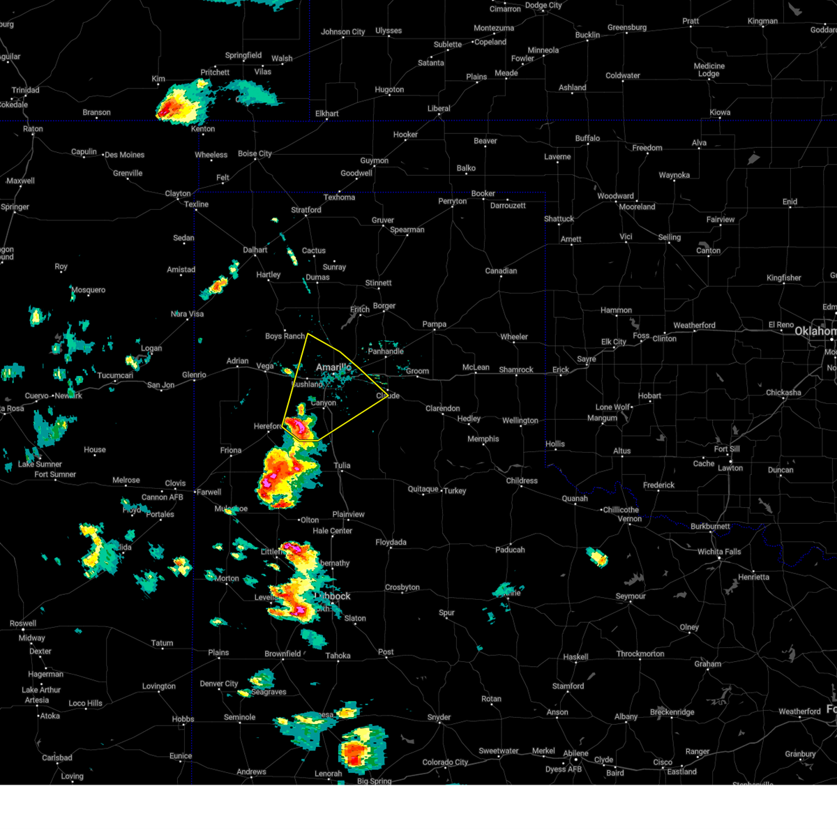 At 539 pm cdt, a severe thunderstorm was located near umbarger, or 7 miles west of canyon, moving northeast at 60 mph (radar indicated). Hazards include 60 mph wind gusts and quarter size hail. Minor damage to roofs, siding, and trees is possible. Hail damage to vehicles is expected. At 539 pm cdt, a severe thunderstorm was located near umbarger, or 7 miles west of canyon, moving northeast at 60 mph (radar indicated). Hazards include 60 mph wind gusts and quarter size hail. Minor damage to roofs, siding, and trees is possible. Hail damage to vehicles is expected.
|
| 6/11/2023 8:56 PM CDT |
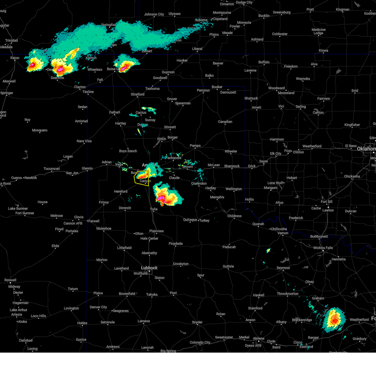 The severe thunderstorm warning for northwestern randall county will expire at 900 pm cdt, the storm which prompted the warning has weakened below severe limits, and no longer poses an immediate threat to life or property. therefore, the warning will be allowed to expire. a severe thunderstorm watch remains in effect until 1000 pm cdt for the panhandle of texas. The severe thunderstorm warning for northwestern randall county will expire at 900 pm cdt, the storm which prompted the warning has weakened below severe limits, and no longer poses an immediate threat to life or property. therefore, the warning will be allowed to expire. a severe thunderstorm watch remains in effect until 1000 pm cdt for the panhandle of texas.
|
| 6/11/2023 8:49 PM CDT |
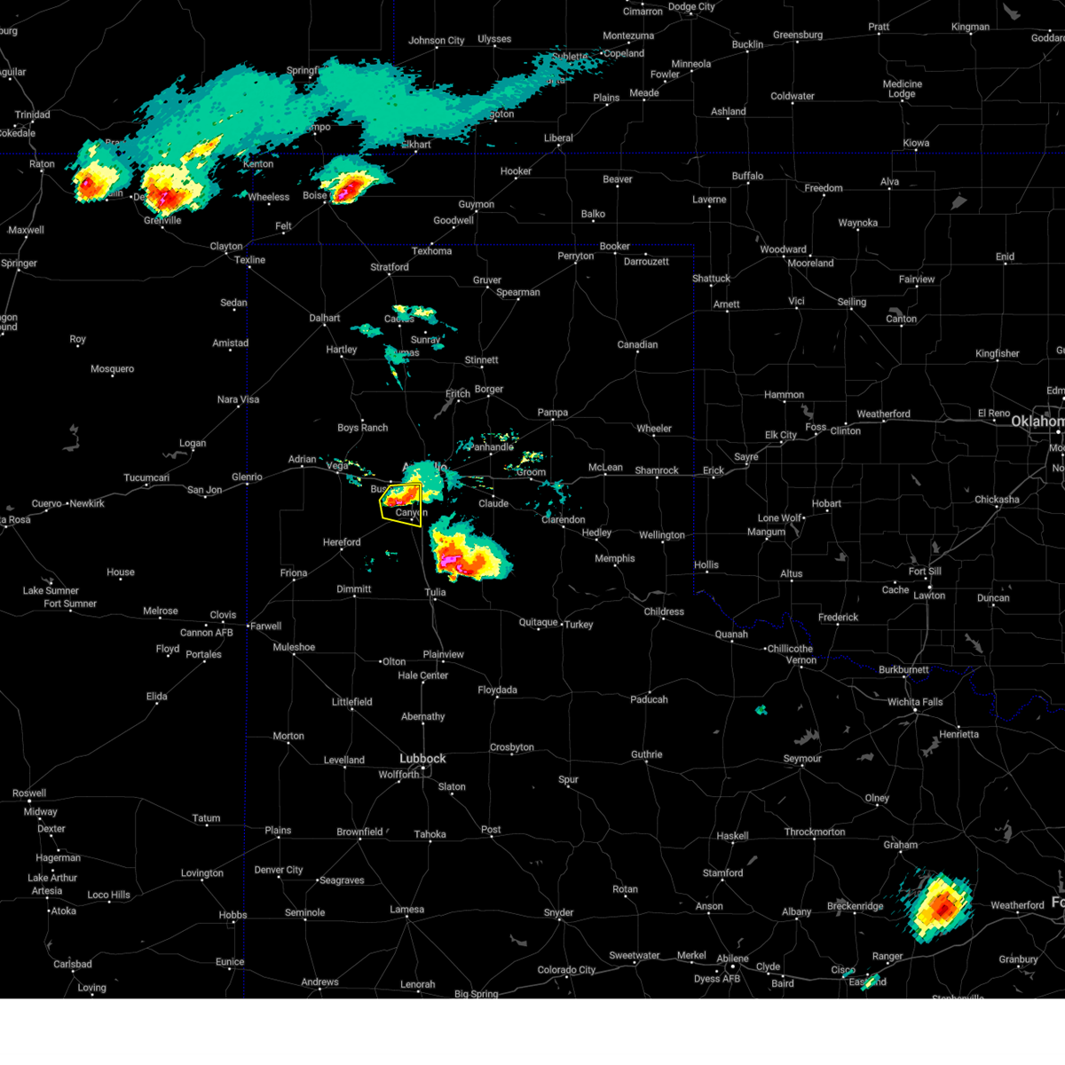 At 848 pm cdt, a severe thunderstorm was located over mescalero park, or 5 miles north of canyon, moving east at 20 mph (radar indicated). Hazards include 60 mph wind gusts and half dollar size hail. Minor damage to roofs, siding, and trees is possible. hail damage to vehicles is expected. locations impacted include, amarillo, canyon and mescalero park. hail threat, radar indicated max hail size, 1. 25 in wind threat, radar indicated max wind gust, 60 mph. At 848 pm cdt, a severe thunderstorm was located over mescalero park, or 5 miles north of canyon, moving east at 20 mph (radar indicated). Hazards include 60 mph wind gusts and half dollar size hail. Minor damage to roofs, siding, and trees is possible. hail damage to vehicles is expected. locations impacted include, amarillo, canyon and mescalero park. hail threat, radar indicated max hail size, 1. 25 in wind threat, radar indicated max wind gust, 60 mph.
|
| 6/11/2023 8:34 PM CDT |
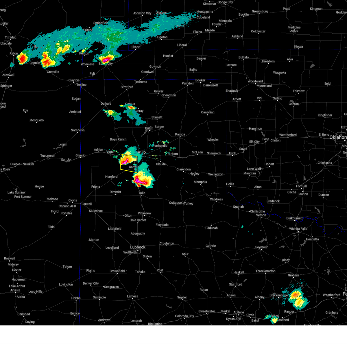 At 834 pm cdt, a severe thunderstorm was located 6 miles west of mescalero park, or 8 miles northwest of canyon, moving east at 25 mph (radar indicated). Hazards include ping pong ball size hail and 60 mph wind gusts. Minor damage to roofs, siding, and trees is possible. people and animals outdoors will be injured. expect hail damage to roofs, siding, windows, and vehicles. locations impacted include, amarillo, canyon, mescalero park and bushland. hail threat, radar indicated max hail size, 1. 50 in wind threat, radar indicated max wind gust, 60 mph. At 834 pm cdt, a severe thunderstorm was located 6 miles west of mescalero park, or 8 miles northwest of canyon, moving east at 25 mph (radar indicated). Hazards include ping pong ball size hail and 60 mph wind gusts. Minor damage to roofs, siding, and trees is possible. people and animals outdoors will be injured. expect hail damage to roofs, siding, windows, and vehicles. locations impacted include, amarillo, canyon, mescalero park and bushland. hail threat, radar indicated max hail size, 1. 50 in wind threat, radar indicated max wind gust, 60 mph.
|
| 6/11/2023 8:30 PM CDT | Golf Ball sized hail reported 19.5 miles ENE of Amarillo, TX, fire chief report. |
| 6/11/2023 8:25 PM CDT |
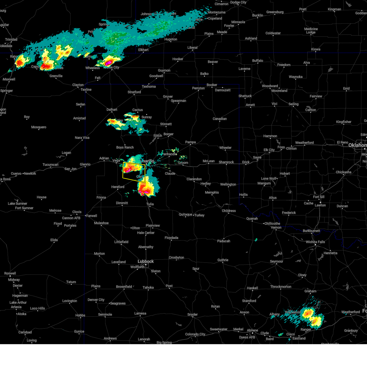 At 825 pm cdt, a severe thunderstorm was located 7 miles south of bushland, or 11 miles northwest of canyon, moving east at 25 mph (radar indicated). Hazards include tennis ball size hail and 60 mph wind gusts. Minor damage to roofs, siding, and trees is possible. people and animals outdoors will be injured. expect hail damage to roofs, siding, windows, and vehicles. locations impacted include, amarillo, canyon, mescalero park, bushland and wildorado. thunderstorm damage threat, considerable hail threat, radar indicated max hail size, 2. 50 in wind threat, radar indicated max wind gust, 60 mph. At 825 pm cdt, a severe thunderstorm was located 7 miles south of bushland, or 11 miles northwest of canyon, moving east at 25 mph (radar indicated). Hazards include tennis ball size hail and 60 mph wind gusts. Minor damage to roofs, siding, and trees is possible. people and animals outdoors will be injured. expect hail damage to roofs, siding, windows, and vehicles. locations impacted include, amarillo, canyon, mescalero park, bushland and wildorado. thunderstorm damage threat, considerable hail threat, radar indicated max hail size, 2. 50 in wind threat, radar indicated max wind gust, 60 mph.
|
| 6/11/2023 8:09 PM CDT |
 At 809 pm cdt, a severe thunderstorm was located 6 miles south of wildorado, or 14 miles southeast of vega, moving east at 25 mph (radar indicated). Hazards include tennis ball size hail and 60 mph wind gusts. Minor damage to roofs, siding, and trees is possible. people and animals outdoors will be injured. expect hail damage to roofs, siding, windows, and vehicles. locations impacted include, amarillo, canyon, mescalero park, bushland and wildorado. thunderstorm damage threat, considerable hail threat, radar indicated max hail size, 2. 50 in wind threat, radar indicated max wind gust, 60 mph. At 809 pm cdt, a severe thunderstorm was located 6 miles south of wildorado, or 14 miles southeast of vega, moving east at 25 mph (radar indicated). Hazards include tennis ball size hail and 60 mph wind gusts. Minor damage to roofs, siding, and trees is possible. people and animals outdoors will be injured. expect hail damage to roofs, siding, windows, and vehicles. locations impacted include, amarillo, canyon, mescalero park, bushland and wildorado. thunderstorm damage threat, considerable hail threat, radar indicated max hail size, 2. 50 in wind threat, radar indicated max wind gust, 60 mph.
|
| 6/11/2023 7:57 PM CDT |
 At 757 pm cdt, a severe thunderstorm was located 5 miles southwest of wildorado, or 10 miles southeast of vega, moving east at 25 mph (radar indicated). Hazards include ping pong ball size hail and 60 mph wind gusts. Minor damage to roofs, siding, and trees is possible. people and animals outdoors will be injured. Expect hail damage to roofs, siding, windows, and vehicles. At 757 pm cdt, a severe thunderstorm was located 5 miles southwest of wildorado, or 10 miles southeast of vega, moving east at 25 mph (radar indicated). Hazards include ping pong ball size hail and 60 mph wind gusts. Minor damage to roofs, siding, and trees is possible. people and animals outdoors will be injured. Expect hail damage to roofs, siding, windows, and vehicles.
|
| 6/4/2023 2:41 PM CDT |
 The severe thunderstorm warning for northwestern armstrong, carson and eastern potter counties will expire at 245 pm cdt, the storm which prompted the warning has weakened below severe limits, and no longer poses an immediate threat to life or property. therefore, the warning will be allowed to expire. however gusty winds and heavy rain are still possible with this thunderstorm. The severe thunderstorm warning for northwestern armstrong, carson and eastern potter counties will expire at 245 pm cdt, the storm which prompted the warning has weakened below severe limits, and no longer poses an immediate threat to life or property. therefore, the warning will be allowed to expire. however gusty winds and heavy rain are still possible with this thunderstorm.
|
| 6/4/2023 2:11 PM CDT |
 At 211 pm cdt, a severe thunderstorm was located 8 miles west of panhandle, moving west at 10 mph (radar indicated). Hazards include 60 mph wind gusts and quarter size hail. Minor damage to roofs, siding, and trees is possible. hail damage to vehicles is expected. locations impacted include, amarillo, panhandle, washburn and pantex. hail threat, radar indicated max hail size, 1. 00in wind threat, radar indicated max wind gust, 60 mph. At 211 pm cdt, a severe thunderstorm was located 8 miles west of panhandle, moving west at 10 mph (radar indicated). Hazards include 60 mph wind gusts and quarter size hail. Minor damage to roofs, siding, and trees is possible. hail damage to vehicles is expected. locations impacted include, amarillo, panhandle, washburn and pantex. hail threat, radar indicated max hail size, 1. 00in wind threat, radar indicated max wind gust, 60 mph.
|
| 6/4/2023 2:10 PM CDT |
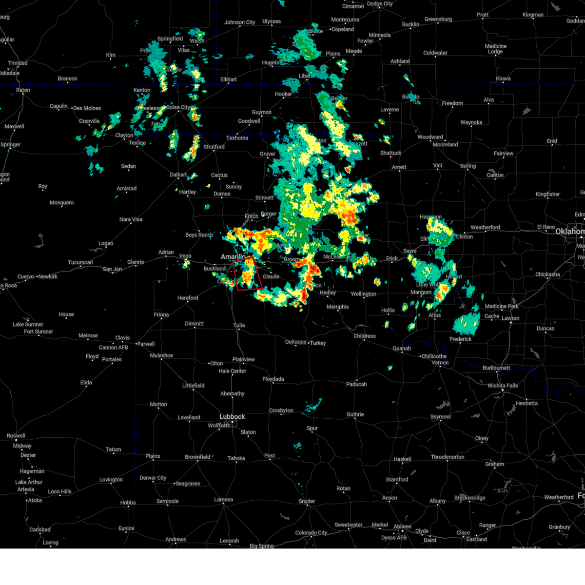 The tornado warning for northwestern armstrong, northeastern randall, southwestern carson and southeastern potter counties will expire at 215 pm cdt, the tornado threat has diminished and the tornado warning has been cancelled. however, large hail and damaging winds remain likely and a severe thunderstorm warning remains in effect for the area. however gusty winds and heavy rain are still possible with this thunderstorm. The tornado warning for northwestern armstrong, northeastern randall, southwestern carson and southeastern potter counties will expire at 215 pm cdt, the tornado threat has diminished and the tornado warning has been cancelled. however, large hail and damaging winds remain likely and a severe thunderstorm warning remains in effect for the area. however gusty winds and heavy rain are still possible with this thunderstorm.
|
| 6/4/2023 2:06 PM CDT |
 At 206 pm cdt, a severe thunderstorm capable of producing a tornado was located near palo duro canyon, or 12 miles east of canyon, moving south at 10 mph (radar indicated rotation). Hazards include tornado and quarter size hail. Flying debris will be dangerous to those caught without shelter. mobile homes will be damaged or destroyed. damage to roofs, windows, and vehicles will occur. tree damage is likely. Locations impacted include, amarillo, lake tanglewood, washburn and palo duro canyon. At 206 pm cdt, a severe thunderstorm capable of producing a tornado was located near palo duro canyon, or 12 miles east of canyon, moving south at 10 mph (radar indicated rotation). Hazards include tornado and quarter size hail. Flying debris will be dangerous to those caught without shelter. mobile homes will be damaged or destroyed. damage to roofs, windows, and vehicles will occur. tree damage is likely. Locations impacted include, amarillo, lake tanglewood, washburn and palo duro canyon.
|
| 6/4/2023 2:00 PM CDT |
 At 159 pm cdt, a severe thunderstorm was located 8 miles west of panhandle, moving west at 20 mph (radar indicated). Hazards include 60 mph wind gusts and quarter size hail. Minor damage to roofs, siding, and trees is possible. hail damage to vehicles is expected. locations impacted include, amarillo, panhandle, washburn and pantex. hail threat, radar indicated max hail size, 1. 00in wind threat, radar indicated max wind gust, 60 mph. At 159 pm cdt, a severe thunderstorm was located 8 miles west of panhandle, moving west at 20 mph (radar indicated). Hazards include 60 mph wind gusts and quarter size hail. Minor damage to roofs, siding, and trees is possible. hail damage to vehicles is expected. locations impacted include, amarillo, panhandle, washburn and pantex. hail threat, radar indicated max hail size, 1. 00in wind threat, radar indicated max wind gust, 60 mph.
|
| 6/4/2023 1:57 PM CDT |
 At 157 pm cdt, a severe thunderstorm capable of producing a tornado was located 5 miles north of palo duro canyon, or 12 miles east of canyon, moving south at 10 mph (radar indicated rotation). Hazards include tornado and quarter size hail. Flying debris will be dangerous to those caught without shelter. mobile homes will be damaged or destroyed. damage to roofs, windows, and vehicles will occur. tree damage is likely. Locations impacted include, amarillo, lake tanglewood, washburn and palo duro canyon. At 157 pm cdt, a severe thunderstorm capable of producing a tornado was located 5 miles north of palo duro canyon, or 12 miles east of canyon, moving south at 10 mph (radar indicated rotation). Hazards include tornado and quarter size hail. Flying debris will be dangerous to those caught without shelter. mobile homes will be damaged or destroyed. damage to roofs, windows, and vehicles will occur. tree damage is likely. Locations impacted include, amarillo, lake tanglewood, washburn and palo duro canyon.
|
| 6/4/2023 1:49 PM CDT |
 At 149 pm cdt, a severe thunderstorm capable of producing a tornado was located 6 miles east of lake tanglewood, or 13 miles southeast of amarillo, and is nearly stationary (radar indicated rotation). Hazards include tornado and quarter size hail. Flying debris will be dangerous to those caught without shelter. mobile homes will be damaged or destroyed. damage to roofs, windows, and vehicles will occur. tree damage is likely. Locations impacted include, amarillo, lake tanglewood, washburn and palo duro canyon. At 149 pm cdt, a severe thunderstorm capable of producing a tornado was located 6 miles east of lake tanglewood, or 13 miles southeast of amarillo, and is nearly stationary (radar indicated rotation). Hazards include tornado and quarter size hail. Flying debris will be dangerous to those caught without shelter. mobile homes will be damaged or destroyed. damage to roofs, windows, and vehicles will occur. tree damage is likely. Locations impacted include, amarillo, lake tanglewood, washburn and palo duro canyon.
|
| 6/4/2023 1:46 PM CDT |
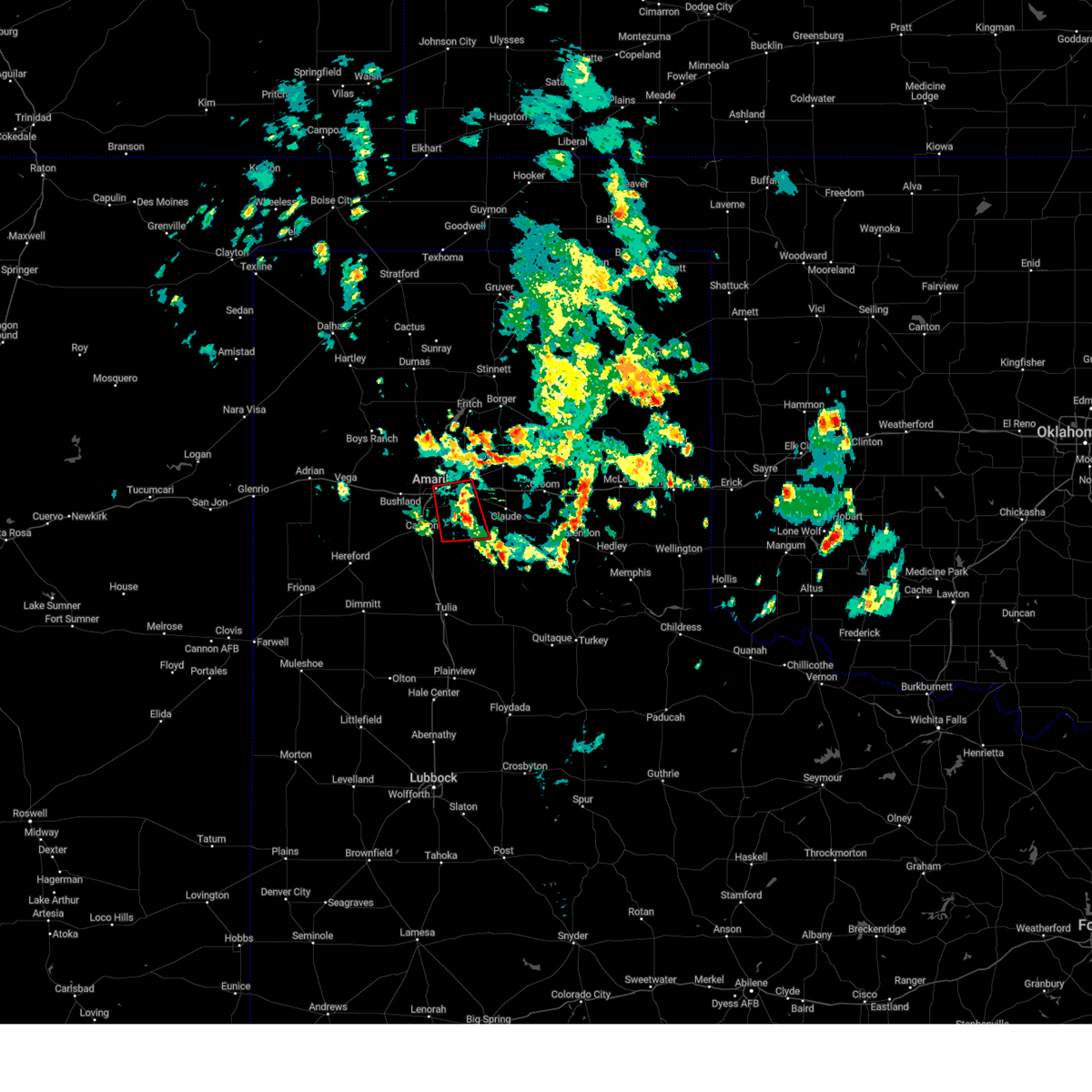 At 146 pm cdt, a severe thunderstorm capable of producing a tornado was located 4 miles west of washburn, or 11 miles east of amarillo, and is nearly stationary (radar indicated rotation). Hazards include tornado and quarter size hail. Flying debris will be dangerous to those caught without shelter. mobile homes will be damaged or destroyed. damage to roofs, windows, and vehicles will occur. tree damage is likely. Locations impacted include, amarillo, lake tanglewood, washburn, palo duro canyon and timbercreek canyon. At 146 pm cdt, a severe thunderstorm capable of producing a tornado was located 4 miles west of washburn, or 11 miles east of amarillo, and is nearly stationary (radar indicated rotation). Hazards include tornado and quarter size hail. Flying debris will be dangerous to those caught without shelter. mobile homes will be damaged or destroyed. damage to roofs, windows, and vehicles will occur. tree damage is likely. Locations impacted include, amarillo, lake tanglewood, washburn, palo duro canyon and timbercreek canyon.
|
| 6/4/2023 1:44 PM CDT |
 At 144 pm cdt, a severe thunderstorm was located near panhandle, moving west at 20 mph (radar indicated). Hazards include 60 mph wind gusts and quarter size hail. Minor damage to roofs, siding, and trees is possible. Hail damage to vehicles is expected. At 144 pm cdt, a severe thunderstorm was located near panhandle, moving west at 20 mph (radar indicated). Hazards include 60 mph wind gusts and quarter size hail. Minor damage to roofs, siding, and trees is possible. Hail damage to vehicles is expected.
|
| 6/4/2023 1:34 PM CDT |
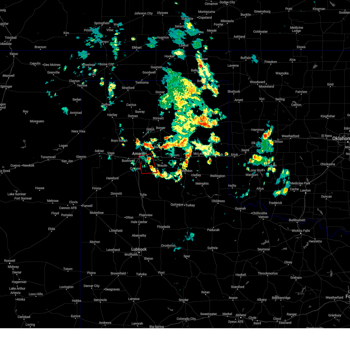 At 133 pm cdt, a severe thunderstorm capable of producing a tornado was located 6 miles southwest of washburn, or 11 miles southeast of amarillo, moving south at 10 mph (weather spotters reported a funnel cloud). Hazards include tornado. Flying debris will be dangerous to those caught without shelter. mobile homes will be damaged or destroyed. damage to roofs, windows, and vehicles will occur. tree damage is likely. Locations impacted include, amarillo, lake tanglewood, washburn, palo duro canyon and timbercreek canyon. At 133 pm cdt, a severe thunderstorm capable of producing a tornado was located 6 miles southwest of washburn, or 11 miles southeast of amarillo, moving south at 10 mph (weather spotters reported a funnel cloud). Hazards include tornado. Flying debris will be dangerous to those caught without shelter. mobile homes will be damaged or destroyed. damage to roofs, windows, and vehicles will occur. tree damage is likely. Locations impacted include, amarillo, lake tanglewood, washburn, palo duro canyon and timbercreek canyon.
|
| 6/4/2023 1:26 PM CDT |
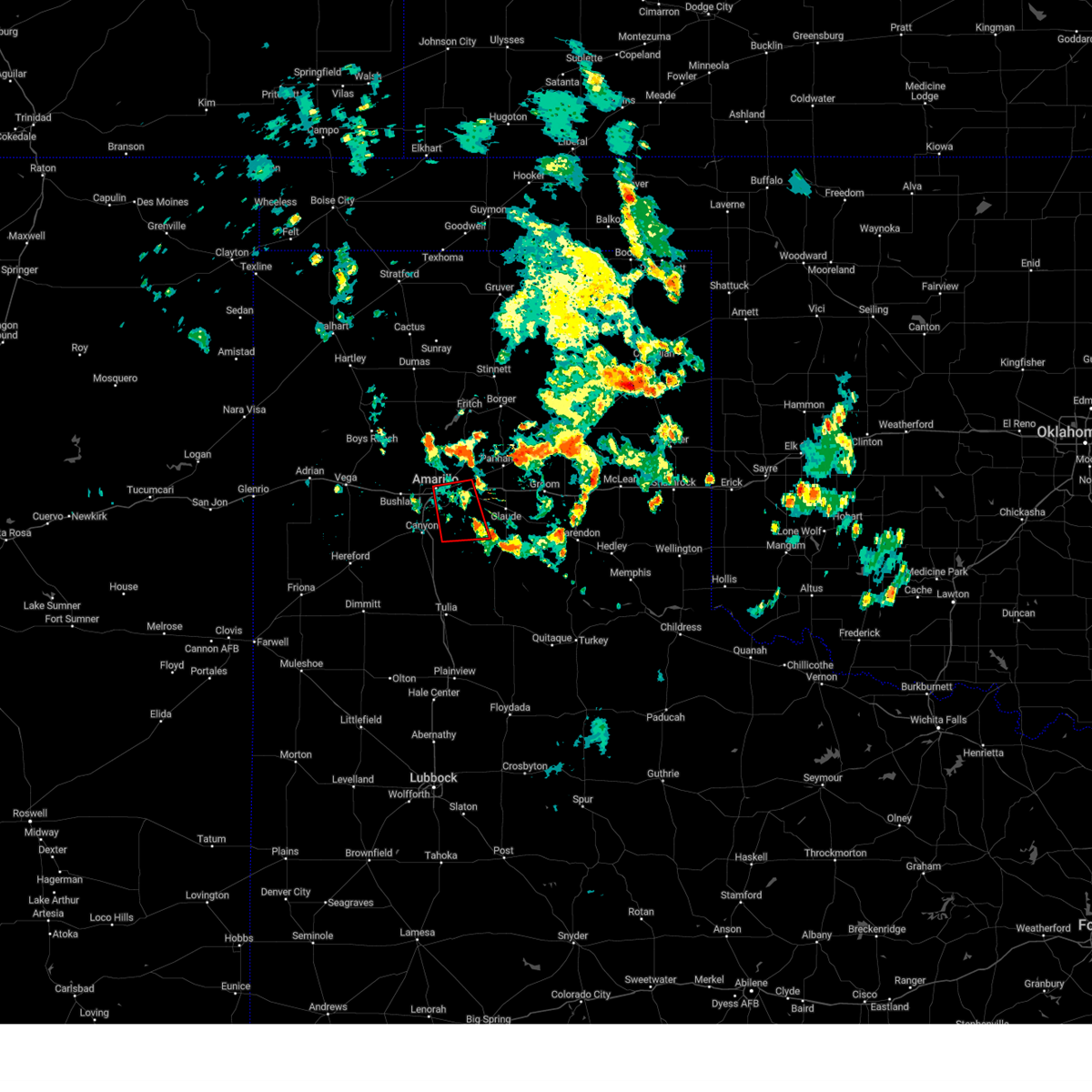 At 126 pm cdt, a severe thunderstorm capable of producing a tornado was located 6 miles west of washburn, or 10 miles east of amarillo, moving south at 10 mph (weather spotters reported funnel cloud). Hazards include tornado. Flying debris will be dangerous to those caught without shelter. mobile homes will be damaged or destroyed. damage to roofs, windows, and vehicles will occur. Tree damage is likely. At 126 pm cdt, a severe thunderstorm capable of producing a tornado was located 6 miles west of washburn, or 10 miles east of amarillo, moving south at 10 mph (weather spotters reported funnel cloud). Hazards include tornado. Flying debris will be dangerous to those caught without shelter. mobile homes will be damaged or destroyed. damage to roofs, windows, and vehicles will occur. Tree damage is likely.
|
| 6/3/2023 9:54 PM CDT |
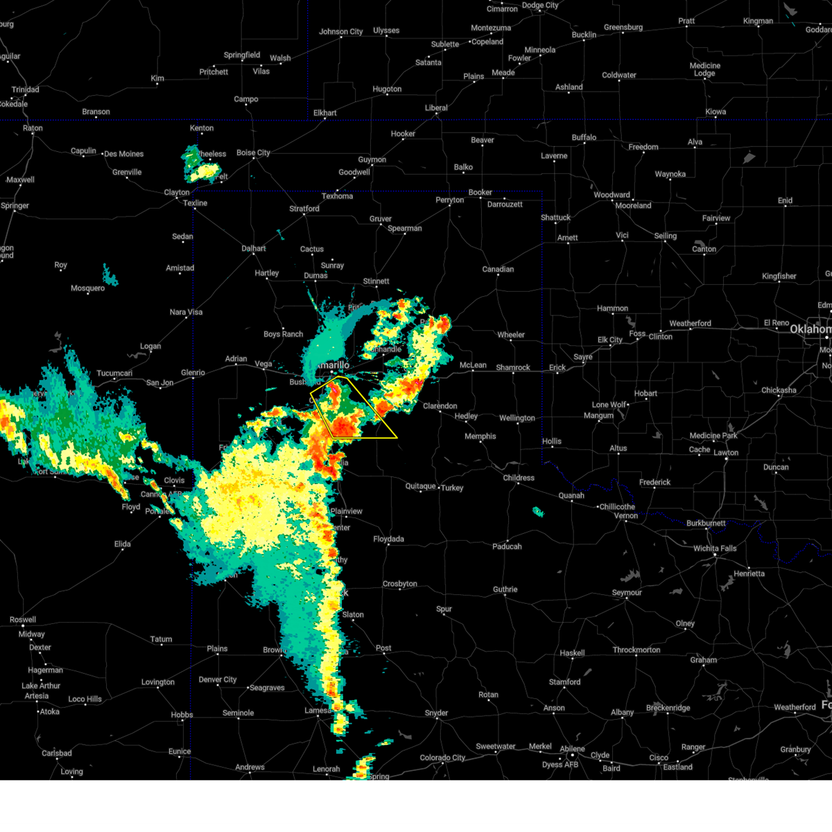 At 954 pm cdt, a severe thunderstorm was located over lake tanglewood, or 9 miles southeast of amarillo, moving southeast at 20 mph (radar indicated). Hazards include 60 mph wind gusts and quarter size hail. Minor damage to roofs, siding, and trees is possible. hail damage to vehicles is expected. locations impacted include, amarillo, canyon, lake tanglewood, mescalero park, wayside, palo duro canyon and timbercreek canyon. hail threat, radar indicated max hail size, 1. 00in wind threat, radar indicated max wind gust, 60 mph. At 954 pm cdt, a severe thunderstorm was located over lake tanglewood, or 9 miles southeast of amarillo, moving southeast at 20 mph (radar indicated). Hazards include 60 mph wind gusts and quarter size hail. Minor damage to roofs, siding, and trees is possible. hail damage to vehicles is expected. locations impacted include, amarillo, canyon, lake tanglewood, mescalero park, wayside, palo duro canyon and timbercreek canyon. hail threat, radar indicated max hail size, 1. 00in wind threat, radar indicated max wind gust, 60 mph.
|
| 6/3/2023 9:15 PM CDT |
 At 914 pm cdt, severe thunderstorms were located along a line extending from 7 miles southwest of lefors to 6 miles northeast of palo duro canyon, moving east at 15 mph (radar indicated). Hazards include 60 mph wind gusts and half dollar size hail. Minor damage to roofs, siding, and trees is possible. hail damage to vehicles is expected. locations impacted include, amarillo, pampa, panhandle, clarendon, claude, white deer, groom, howardwick, hedley, lelia lake, lake mcclellan, washburn, goodnight, kingsmill, alanreed, greenbelt lake and pantex. hail threat, radar indicated max hail size, 1. 25 in wind threat, radar indicated max wind gust, 60 mph. At 914 pm cdt, severe thunderstorms were located along a line extending from 7 miles southwest of lefors to 6 miles northeast of palo duro canyon, moving east at 15 mph (radar indicated). Hazards include 60 mph wind gusts and half dollar size hail. Minor damage to roofs, siding, and trees is possible. hail damage to vehicles is expected. locations impacted include, amarillo, pampa, panhandle, clarendon, claude, white deer, groom, howardwick, hedley, lelia lake, lake mcclellan, washburn, goodnight, kingsmill, alanreed, greenbelt lake and pantex. hail threat, radar indicated max hail size, 1. 25 in wind threat, radar indicated max wind gust, 60 mph.
|
| 6/3/2023 9:05 PM CDT |
 At 905 pm cdt, severe thunderstorms were located along a line extending from 3 miles southwest of mescalero park to 7 miles northwest of black, moving southeast at 25 mph (radar indicated). Hazards include ping pong ball size hail and 60 mph wind gusts. Minor damage to roofs, siding, and trees is possible. people and animals outdoors will be injured. expect hail damage to roofs, siding, windows, and vehicles. locations impacted include, amarillo, hereford, canyon, lake tanglewood, mescalero park, buffalo lake, dawn, wayside, umbarger, bootleg, palo duro canyon and timbercreek canyon. hail threat, radar indicated max hail size, 1. 50 in wind threat, radar indicated max wind gust, 60 mph. At 905 pm cdt, severe thunderstorms were located along a line extending from 3 miles southwest of mescalero park to 7 miles northwest of black, moving southeast at 25 mph (radar indicated). Hazards include ping pong ball size hail and 60 mph wind gusts. Minor damage to roofs, siding, and trees is possible. people and animals outdoors will be injured. expect hail damage to roofs, siding, windows, and vehicles. locations impacted include, amarillo, hereford, canyon, lake tanglewood, mescalero park, buffalo lake, dawn, wayside, umbarger, bootleg, palo duro canyon and timbercreek canyon. hail threat, radar indicated max hail size, 1. 50 in wind threat, radar indicated max wind gust, 60 mph.
|
| 6/3/2023 8:53 PM CDT |
 At 853 pm cdt, severe thunderstorms were located along a line extending from 9 miles southeast of kingsmill to 5 miles east of lake tanglewood, moving south at 10 mph (radar indicated). Hazards include 60 mph wind gusts and half dollar size hail. Minor damage to roofs, siding, and trees is possible. hail damage to vehicles is expected. locations impacted include, amarillo, pampa, panhandle, clarendon, claude, white deer, groom, howardwick, hedley, lelia lake, lake mcclellan, washburn, quail, goodnight, kingsmill, alanreed, greenbelt lake and pantex. hail threat, radar indicated max hail size, 1. 25 in wind threat, radar indicated max wind gust, 60 mph. At 853 pm cdt, severe thunderstorms were located along a line extending from 9 miles southeast of kingsmill to 5 miles east of lake tanglewood, moving south at 10 mph (radar indicated). Hazards include 60 mph wind gusts and half dollar size hail. Minor damage to roofs, siding, and trees is possible. hail damage to vehicles is expected. locations impacted include, amarillo, pampa, panhandle, clarendon, claude, white deer, groom, howardwick, hedley, lelia lake, lake mcclellan, washburn, quail, goodnight, kingsmill, alanreed, greenbelt lake and pantex. hail threat, radar indicated max hail size, 1. 25 in wind threat, radar indicated max wind gust, 60 mph.
|
| 6/3/2023 8:47 PM CDT |
 At 847 pm cdt, severe thunderstorms were located along a line extending from 6 miles south of bushland to 6 miles southeast of bootleg, moving southeast at 10 mph (radar indicated). Hazards include 60 mph wind gusts and half dollar size hail. Minor damage to roofs, siding, and trees is possible. hail damage to vehicles is expected. locations impacted include, amarillo, hereford, canyon, lake tanglewood, buffalo lake, bushland, wayside, umbarger, bootleg, palo duro canyon, mescalero park, dawn and timbercreek canyon. hail threat, radar indicated max hail size, 1. 25 in wind threat, radar indicated max wind gust, 60 mph. At 847 pm cdt, severe thunderstorms were located along a line extending from 6 miles south of bushland to 6 miles southeast of bootleg, moving southeast at 10 mph (radar indicated). Hazards include 60 mph wind gusts and half dollar size hail. Minor damage to roofs, siding, and trees is possible. hail damage to vehicles is expected. locations impacted include, amarillo, hereford, canyon, lake tanglewood, buffalo lake, bushland, wayside, umbarger, bootleg, palo duro canyon, mescalero park, dawn and timbercreek canyon. hail threat, radar indicated max hail size, 1. 25 in wind threat, radar indicated max wind gust, 60 mph.
|
| 6/3/2023 8:38 PM CDT |
 At 838 pm cdt, severe thunderstorms were located along a line extending from 3 miles south of pampa to amarillo, moving east at 15 mph (radar indicated). Hazards include 60 mph wind gusts and half dollar size hail. Minor damage to roofs, siding, and trees is possible. Hail damage to vehicles is expected. At 838 pm cdt, severe thunderstorms were located along a line extending from 3 miles south of pampa to amarillo, moving east at 15 mph (radar indicated). Hazards include 60 mph wind gusts and half dollar size hail. Minor damage to roofs, siding, and trees is possible. Hail damage to vehicles is expected.
|
| 6/3/2023 8:29 PM CDT | Half Dollar sized hail reported 9.4 miles W of Amarillo, TX, report from mping: half dollar (1.25 in.). |
| 6/3/2023 8:29 PM CDT |
 At 829 pm cdt, a severe thunderstorm was located 6 miles west of panhandle, moving south at 20 mph (radar indicated). Hazards include ping pong ball size hail and 60 mph wind gusts. Minor damage to roofs, siding, and trees is possible. people and animals outdoors will be injured. expect hail damage to roofs, siding, windows, and vehicles. locations impacted include, amarillo, canyon, panhandle, claude, white deer, lake tanglewood, groom, skellytown, wayside, washburn, palo duro canyon, goodnight, mescalero park, timbercreek canyon and pantex. hail threat, radar indicated max hail size, 1. 50 in wind threat, radar indicated max wind gust, 60 mph. At 829 pm cdt, a severe thunderstorm was located 6 miles west of panhandle, moving south at 20 mph (radar indicated). Hazards include ping pong ball size hail and 60 mph wind gusts. Minor damage to roofs, siding, and trees is possible. people and animals outdoors will be injured. expect hail damage to roofs, siding, windows, and vehicles. locations impacted include, amarillo, canyon, panhandle, claude, white deer, lake tanglewood, groom, skellytown, wayside, washburn, palo duro canyon, goodnight, mescalero park, timbercreek canyon and pantex. hail threat, radar indicated max hail size, 1. 50 in wind threat, radar indicated max wind gust, 60 mph.
|
| 6/3/2023 8:24 PM CDT |
 At 824 pm cdt, severe thunderstorms were located along a line extending from 3 miles south of bushland to 3 miles east of bootleg, moving southeast at 10 mph (radar indicated). Hazards include 60 mph wind gusts and half dollar size hail. Minor damage to roofs, siding, and trees is possible. Hail damage to vehicles is expected. At 824 pm cdt, severe thunderstorms were located along a line extending from 3 miles south of bushland to 3 miles east of bootleg, moving southeast at 10 mph (radar indicated). Hazards include 60 mph wind gusts and half dollar size hail. Minor damage to roofs, siding, and trees is possible. Hail damage to vehicles is expected.
|
| 6/3/2023 8:16 PM CDT |
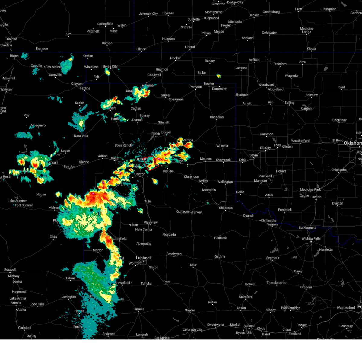 At 816 pm cdt, a severe thunderstorm capable of producing a tornado was located 8 miles east of amarillo, moving west at 15 mph (radar indicated rotation). Hazards include tornado. Flying debris will be dangerous to those caught without shelter. mobile homes will be damaged or destroyed. damage to roofs, windows, and vehicles will occur. tree damage is likely. Locations impacted include, amarillo and washburn. At 816 pm cdt, a severe thunderstorm capable of producing a tornado was located 8 miles east of amarillo, moving west at 15 mph (radar indicated rotation). Hazards include tornado. Flying debris will be dangerous to those caught without shelter. mobile homes will be damaged or destroyed. damage to roofs, windows, and vehicles will occur. tree damage is likely. Locations impacted include, amarillo and washburn.
|
| 6/3/2023 8:13 PM CDT |
 At 813 pm cdt, a severe thunderstorm was located 8 miles east of bootleg, or 14 miles north of friona, moving south at 15 mph (radar indicated). Hazards include 60 mph wind gusts and quarter size hail. Minor damage to roofs, siding, and trees is possible. hail damage to vehicles is expected. locations impacted include, amarillo, hereford, canyon, mescalero park, buffalo lake, dawn, umbarger, bootleg and simms. hail threat, radar indicated max hail size, 1. 00in wind threat, radar indicated max wind gust, 60 mph. At 813 pm cdt, a severe thunderstorm was located 8 miles east of bootleg, or 14 miles north of friona, moving south at 15 mph (radar indicated). Hazards include 60 mph wind gusts and quarter size hail. Minor damage to roofs, siding, and trees is possible. hail damage to vehicles is expected. locations impacted include, amarillo, hereford, canyon, mescalero park, buffalo lake, dawn, umbarger, bootleg and simms. hail threat, radar indicated max hail size, 1. 00in wind threat, radar indicated max wind gust, 60 mph.
|
| 6/3/2023 8:12 PM CDT | Half Dollar sized hail reported 10.9 miles WSW of Amarillo, TX, half dollar sized hail observed near highland park via social media. |
| 6/3/2023 8:09 PM CDT |
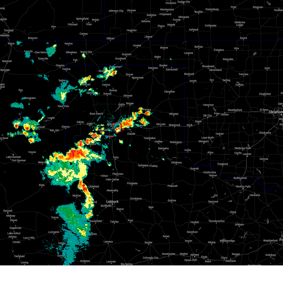 At 809 pm cdt, a severe thunderstorm capable of producing a tornado was located 6 miles northwest of washburn, or 10 miles east of amarillo, moving west at 15 mph (radar indicated rotation). Hazards include tornado. Flying debris will be dangerous to those caught without shelter. mobile homes will be damaged or destroyed. damage to roofs, windows, and vehicles will occur. Tree damage is likely. At 809 pm cdt, a severe thunderstorm capable of producing a tornado was located 6 miles northwest of washburn, or 10 miles east of amarillo, moving west at 15 mph (radar indicated rotation). Hazards include tornado. Flying debris will be dangerous to those caught without shelter. mobile homes will be damaged or destroyed. damage to roofs, windows, and vehicles will occur. Tree damage is likely.
|
| 6/3/2023 8:00 PM CDT |
 At 800 pm cdt, a severe thunderstorm was located 7 miles south of panhandle, moving south at 5 mph (radar indicated). Hazards include 60 mph wind gusts and half dollar size hail. Minor damage to roofs, siding, and trees is possible. hail damage to vehicles is expected. locations impacted include, amarillo, canyon, panhandle, claude, white deer, lake tanglewood, groom, skellytown, wayside, washburn, palo duro canyon, goodnight, mescalero park, timbercreek canyon and pantex. hail threat, radar indicated max hail size, 1. 25 in wind threat, radar indicated max wind gust, 60 mph. At 800 pm cdt, a severe thunderstorm was located 7 miles south of panhandle, moving south at 5 mph (radar indicated). Hazards include 60 mph wind gusts and half dollar size hail. Minor damage to roofs, siding, and trees is possible. hail damage to vehicles is expected. locations impacted include, amarillo, canyon, panhandle, claude, white deer, lake tanglewood, groom, skellytown, wayside, washburn, palo duro canyon, goodnight, mescalero park, timbercreek canyon and pantex. hail threat, radar indicated max hail size, 1. 25 in wind threat, radar indicated max wind gust, 60 mph.
|
| 6/3/2023 7:55 PM CDT |
 At 755 pm cdt, a severe thunderstorm was located 11 miles northwest of dawn, or 14 miles north of hereford, moving south at 20 mph (radar indicated). Hazards include 60 mph wind gusts and quarter size hail. Minor damage to roofs, siding, and trees is possible. hail damage to vehicles is expected. locations impacted include, amarillo, hereford, canyon, mescalero park, buffalo lake, dawn, umbarger, bootleg and simms. hail threat, radar indicated max hail size, 1. 00in wind threat, radar indicated max wind gust, 60 mph. At 755 pm cdt, a severe thunderstorm was located 11 miles northwest of dawn, or 14 miles north of hereford, moving south at 20 mph (radar indicated). Hazards include 60 mph wind gusts and quarter size hail. Minor damage to roofs, siding, and trees is possible. hail damage to vehicles is expected. locations impacted include, amarillo, hereford, canyon, mescalero park, buffalo lake, dawn, umbarger, bootleg and simms. hail threat, radar indicated max hail size, 1. 00in wind threat, radar indicated max wind gust, 60 mph.
|
| 6/3/2023 7:42 PM CDT |
 At 742 pm cdt, a severe thunderstorm was located 9 miles north of hereford, moving south at 20 mph (radar indicated). Hazards include 60 mph wind gusts and quarter size hail. Minor damage to roofs, siding, and trees is possible. hail damage to vehicles is expected. locations impacted include, amarillo, hereford, canyon, mescalero park, buffalo lake, dawn, umbarger, bootleg and simms. hail threat, radar indicated max hail size, 1. 00in wind threat, radar indicated max wind gust, 60 mph. At 742 pm cdt, a severe thunderstorm was located 9 miles north of hereford, moving south at 20 mph (radar indicated). Hazards include 60 mph wind gusts and quarter size hail. Minor damage to roofs, siding, and trees is possible. hail damage to vehicles is expected. locations impacted include, amarillo, hereford, canyon, mescalero park, buffalo lake, dawn, umbarger, bootleg and simms. hail threat, radar indicated max hail size, 1. 00in wind threat, radar indicated max wind gust, 60 mph.
|
| 6/3/2023 7:39 PM CDT |
 At 738 pm cdt, a severe thunderstorm was located 5 miles southwest of panhandle, moving south at 5 mph (radar indicated). Hazards include 60 mph wind gusts and half dollar size hail. Minor damage to roofs, siding, and trees is possible. hail damage to vehicles is expected. locations impacted include, amarillo, canyon, panhandle, claude, white deer, lake tanglewood, groom, skellytown, wayside, washburn, palo duro canyon, goodnight, mescalero park, timbercreek canyon and pantex. hail threat, radar indicated max hail size, 1. 25 in wind threat, radar indicated max wind gust, 60 mph. At 738 pm cdt, a severe thunderstorm was located 5 miles southwest of panhandle, moving south at 5 mph (radar indicated). Hazards include 60 mph wind gusts and half dollar size hail. Minor damage to roofs, siding, and trees is possible. hail damage to vehicles is expected. locations impacted include, amarillo, canyon, panhandle, claude, white deer, lake tanglewood, groom, skellytown, wayside, washburn, palo duro canyon, goodnight, mescalero park, timbercreek canyon and pantex. hail threat, radar indicated max hail size, 1. 25 in wind threat, radar indicated max wind gust, 60 mph.
|
| 6/3/2023 7:33 PM CDT |
 At 732 pm cdt, a severe thunderstorm was located 4 miles south of panhandle, moving southeast at 5 mph (radar indicated). Hazards include 60 mph wind gusts and half dollar size hail. Minor damage to roofs, siding, and trees is possible. hail damage to vehicles is expected. locations impacted include, amarillo, canyon, panhandle, claude, white deer, lake tanglewood, groom, skellytown, wayside, washburn, palo duro canyon, goodnight, mescalero park, timbercreek canyon and pantex. hail threat, radar indicated max hail size, 1. 25 in wind threat, radar indicated max wind gust, 60 mph. At 732 pm cdt, a severe thunderstorm was located 4 miles south of panhandle, moving southeast at 5 mph (radar indicated). Hazards include 60 mph wind gusts and half dollar size hail. Minor damage to roofs, siding, and trees is possible. hail damage to vehicles is expected. locations impacted include, amarillo, canyon, panhandle, claude, white deer, lake tanglewood, groom, skellytown, wayside, washburn, palo duro canyon, goodnight, mescalero park, timbercreek canyon and pantex. hail threat, radar indicated max hail size, 1. 25 in wind threat, radar indicated max wind gust, 60 mph.
|
| 6/3/2023 7:25 PM CDT |
 At 724 pm cdt, a severe thunderstorm was located 10 miles northwest of dawn, or 11 miles north of hereford, moving southeast at 10 mph (radar indicated). Hazards include 60 mph wind gusts and half dollar size hail. Minor damage to roofs, siding, and trees is possible. hail damage to vehicles is expected. locations impacted include, amarillo, hereford, canyon, mescalero park, buffalo lake, dawn, umbarger, bootleg and simms. hail threat, radar indicated max hail size, 1. 25 in wind threat, radar indicated max wind gust, 60 mph. At 724 pm cdt, a severe thunderstorm was located 10 miles northwest of dawn, or 11 miles north of hereford, moving southeast at 10 mph (radar indicated). Hazards include 60 mph wind gusts and half dollar size hail. Minor damage to roofs, siding, and trees is possible. hail damage to vehicles is expected. locations impacted include, amarillo, hereford, canyon, mescalero park, buffalo lake, dawn, umbarger, bootleg and simms. hail threat, radar indicated max hail size, 1. 25 in wind threat, radar indicated max wind gust, 60 mph.
|
| 6/3/2023 7:21 PM CDT |
 At 721 pm cdt, a severe thunderstorm was located 7 miles west of panhandle, moving south at 10 mph (radar indicated). Hazards include 60 mph wind gusts and half dollar size hail. Minor damage to roofs, siding, and trees is possible. Hail damage to vehicles is expected. At 721 pm cdt, a severe thunderstorm was located 7 miles west of panhandle, moving south at 10 mph (radar indicated). Hazards include 60 mph wind gusts and half dollar size hail. Minor damage to roofs, siding, and trees is possible. Hail damage to vehicles is expected.
|
| 6/3/2023 7:04 PM CDT |
 At 704 pm cdt, severe thunderstorms were located along a line extending from 5 miles northwest of dawn to 4 miles east of summerfield to 3 miles south of bootleg, moving south at 10 mph (radar indicated). Hazards include 60 mph wind gusts and half dollar size hail. Minor damage to roofs, siding, and trees is possible. hail damage to vehicles is expected. locations impacted include, amarillo, hereford, canyon, mescalero park, buffalo lake, dawn, umbarger, bootleg and simms. hail threat, radar indicated max hail size, 1. 25 in wind threat, radar indicated max wind gust, 60 mph. At 704 pm cdt, severe thunderstorms were located along a line extending from 5 miles northwest of dawn to 4 miles east of summerfield to 3 miles south of bootleg, moving south at 10 mph (radar indicated). Hazards include 60 mph wind gusts and half dollar size hail. Minor damage to roofs, siding, and trees is possible. hail damage to vehicles is expected. locations impacted include, amarillo, hereford, canyon, mescalero park, buffalo lake, dawn, umbarger, bootleg and simms. hail threat, radar indicated max hail size, 1. 25 in wind threat, radar indicated max wind gust, 60 mph.
|
| 6/3/2023 6:52 PM CDT |
 At 652 pm cdt, severe thunderstorms were located along a line extending from 6 miles north of dawn to 4 miles southwest of hereford to near bootleg, moving south at 10 mph (radar indicated). Hazards include 60 mph wind gusts and half dollar size hail. Minor damage to roofs, siding, and trees is possible. Hail damage to vehicles is expected. At 652 pm cdt, severe thunderstorms were located along a line extending from 6 miles north of dawn to 4 miles southwest of hereford to near bootleg, moving south at 10 mph (radar indicated). Hazards include 60 mph wind gusts and half dollar size hail. Minor damage to roofs, siding, and trees is possible. Hail damage to vehicles is expected.
|
| 5/31/2023 9:34 PM CDT |
 At 934 pm cdt, automated weather equipment reported severe thunderstorms were located along a line extending from 5 miles north of lake meredith to 5 miles north of washburn to 6 miles south of canyon, moving northeast at 45 mph (automated weather equipment. at 923 pm cdt, automated weather equipment recorded a 60 mph wind gust 1 mile west northwest of fritch). Hazards include 60 mph wind gusts. Minor damage to roofs, siding, and trees is possible. locations impacted include, amarillo, dumas, canyon, borger, panhandle, claude, fritch, sunray, stinnett, lake tanglewood, sanford, buffalo lake, bushland, valley de oro, washburn, umbarger, palo duro canyon, mescalero park, four way and masterson. hail threat, radar indicated max hail size, <. 75 in wind threat, radar indicated max wind gust, 60 mph. At 934 pm cdt, automated weather equipment reported severe thunderstorms were located along a line extending from 5 miles north of lake meredith to 5 miles north of washburn to 6 miles south of canyon, moving northeast at 45 mph (automated weather equipment. at 923 pm cdt, automated weather equipment recorded a 60 mph wind gust 1 mile west northwest of fritch). Hazards include 60 mph wind gusts. Minor damage to roofs, siding, and trees is possible. locations impacted include, amarillo, dumas, canyon, borger, panhandle, claude, fritch, sunray, stinnett, lake tanglewood, sanford, buffalo lake, bushland, valley de oro, washburn, umbarger, palo duro canyon, mescalero park, four way and masterson. hail threat, radar indicated max hail size, <. 75 in wind threat, radar indicated max wind gust, 60 mph.
|
| 5/31/2023 9:00 PM CDT |
 At 900 pm cdt, automated weather equipment reported severe thunderstorms were located along a line extending from 3 miles south of masterson to 11 miles north of amarillo to near canyon, moving northeast at 30 mph (automated weather equipment. at 854 pm cdt, automated weather equipment measured a 58 mph wind gust 15 miles north northwest of amarillo). Hazards include 60 mph wind gusts and nickel size hail. Minor damage to roofs, siding, and trees is possible. locations impacted include, amarillo, dumas, canyon, borger, panhandle, claude, fritch, sunray, stinnett, lake tanglewood, sanford, buffalo lake, bushland, valley de oro, washburn, umbarger, palo duro canyon, mescalero park, four way and masterson. hail threat, radar indicated max hail size, 0. 88in wind threat, radar indicated max wind gust, 60 mph. At 900 pm cdt, automated weather equipment reported severe thunderstorms were located along a line extending from 3 miles south of masterson to 11 miles north of amarillo to near canyon, moving northeast at 30 mph (automated weather equipment. at 854 pm cdt, automated weather equipment measured a 58 mph wind gust 15 miles north northwest of amarillo). Hazards include 60 mph wind gusts and nickel size hail. Minor damage to roofs, siding, and trees is possible. locations impacted include, amarillo, dumas, canyon, borger, panhandle, claude, fritch, sunray, stinnett, lake tanglewood, sanford, buffalo lake, bushland, valley de oro, washburn, umbarger, palo duro canyon, mescalero park, four way and masterson. hail threat, radar indicated max hail size, 0. 88in wind threat, radar indicated max wind gust, 60 mph.
|
| 5/31/2023 8:54 PM CDT | Observed at wt mesone in potter county TX, 15.9 miles SSE of Amarillo, TX |
| 5/31/2023 8:32 PM CDT |
 At 831 pm cdt, severe thunderstorms were located along a line extending from 9 miles west of masterson to 10 miles southeast of valley de oro to 7 miles south of canyon, moving northeast at 35 mph (radar indicated). Hazards include 60 mph wind gusts and nickel size hail. minor damage to roofs, siding, and trees is possible At 831 pm cdt, severe thunderstorms were located along a line extending from 9 miles west of masterson to 10 miles southeast of valley de oro to 7 miles south of canyon, moving northeast at 35 mph (radar indicated). Hazards include 60 mph wind gusts and nickel size hail. minor damage to roofs, siding, and trees is possible
|
| 5/31/2023 8:19 PM CDT |
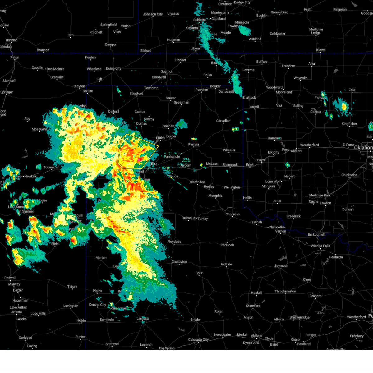 At 818 pm cdt, a severe thunderstorm was located 8 miles northeast of boys ranch, or 21 miles southwest of dumas, moving northeast at 40 mph (radar indicated). Hazards include 60 mph wind gusts and penny size hail. Minor damage to roofs, siding, and trees is possible. locations impacted include, amarillo, channing, boys ranch, masterson, wildorado and valley de oro. hail threat, radar indicated max hail size, 0. 75in wind threat, radar indicated max wind gust, 60 mph. At 818 pm cdt, a severe thunderstorm was located 8 miles northeast of boys ranch, or 21 miles southwest of dumas, moving northeast at 40 mph (radar indicated). Hazards include 60 mph wind gusts and penny size hail. Minor damage to roofs, siding, and trees is possible. locations impacted include, amarillo, channing, boys ranch, masterson, wildorado and valley de oro. hail threat, radar indicated max hail size, 0. 75in wind threat, radar indicated max wind gust, 60 mph.
|
| 5/31/2023 8:02 PM CDT |
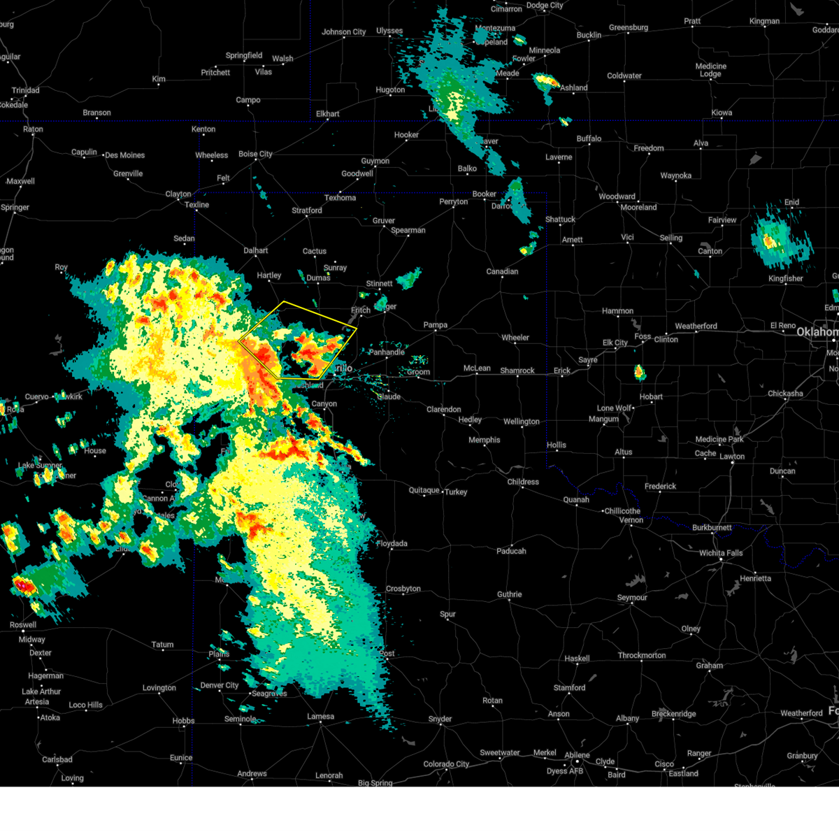 At 801 pm cdt, a severe thunderstorm was located near boys ranch, or 16 miles northeast of vega, moving northeast at 40 mph. another severe storm was located 5 miles northwest of bishopp hills moving north at 25 mph (radar indicated). Hazards include 60 mph wind gusts and half dollar size hail. Minor damage to roofs, siding, and trees is possible. Hail damage to vehicles is expected. At 801 pm cdt, a severe thunderstorm was located near boys ranch, or 16 miles northeast of vega, moving northeast at 40 mph. another severe storm was located 5 miles northwest of bishopp hills moving north at 25 mph (radar indicated). Hazards include 60 mph wind gusts and half dollar size hail. Minor damage to roofs, siding, and trees is possible. Hail damage to vehicles is expected.
|
| 5/31/2023 5:46 AM CDT |
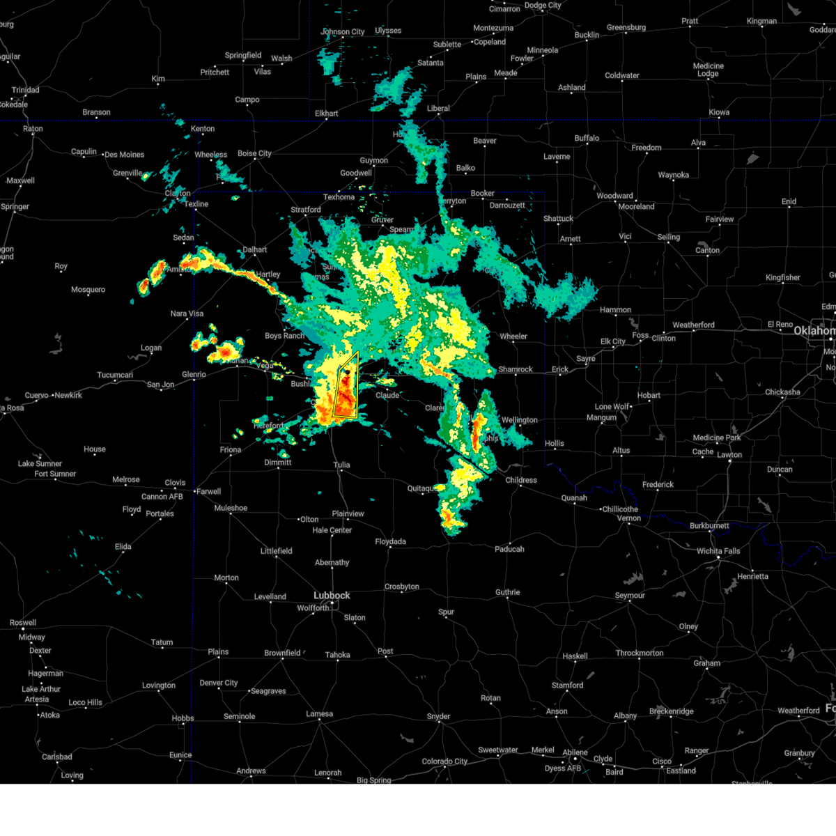 At 545 am cdt, a severe thunderstorm was located 6 miles north of palo duro canyon, or 15 miles east of canyon, moving east at 30 mph (radar indicated). Hazards include 60 mph wind gusts and nickel size hail. Minor damage to roofs, siding, and trees is possible. locations impacted include, amarillo, lake tanglewood and palo duro canyon. hail threat, radar indicated max hail size, 0. 88in wind threat, radar indicated max wind gust, 60 mph. At 545 am cdt, a severe thunderstorm was located 6 miles north of palo duro canyon, or 15 miles east of canyon, moving east at 30 mph (radar indicated). Hazards include 60 mph wind gusts and nickel size hail. Minor damage to roofs, siding, and trees is possible. locations impacted include, amarillo, lake tanglewood and palo duro canyon. hail threat, radar indicated max hail size, 0. 88in wind threat, radar indicated max wind gust, 60 mph.
|
| 5/31/2023 5:29 AM CDT |
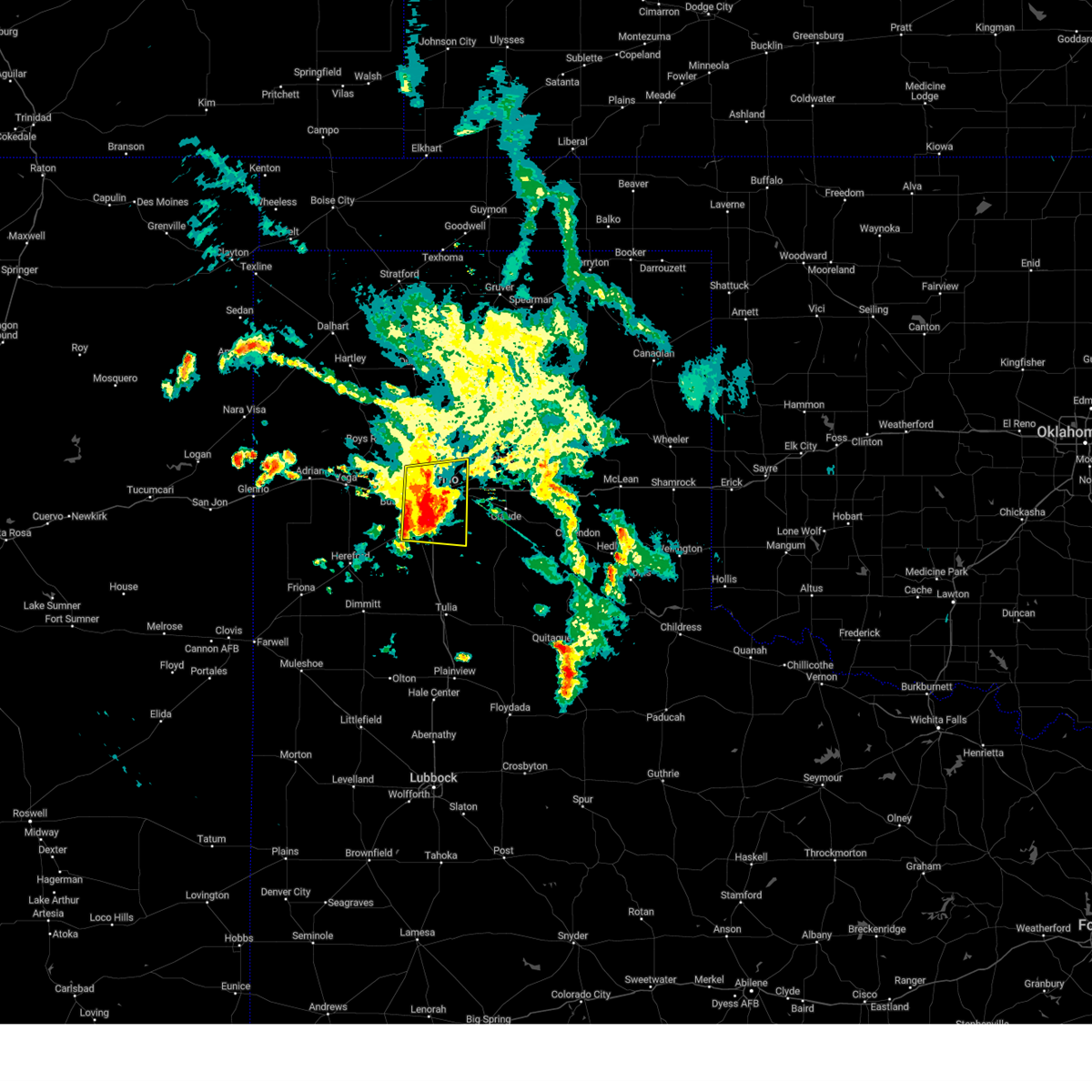 At 529 am cdt, a severe thunderstorm was located 4 miles east of amarillo, moving east at 30 mph (radar indicated). Hazards include 60 mph wind gusts and nickel size hail. Minor damage to roofs, siding, and trees is possible. locations impacted include, amarillo, canyon, lake tanglewood, mescalero park, palo duro canyon and timbercreek canyon. hail threat, radar indicated max hail size, 0. 88in wind threat, radar indicated max wind gust, 60 mph. At 529 am cdt, a severe thunderstorm was located 4 miles east of amarillo, moving east at 30 mph (radar indicated). Hazards include 60 mph wind gusts and nickel size hail. Minor damage to roofs, siding, and trees is possible. locations impacted include, amarillo, canyon, lake tanglewood, mescalero park, palo duro canyon and timbercreek canyon. hail threat, radar indicated max hail size, 0. 88in wind threat, radar indicated max wind gust, 60 mph.
|
| 5/31/2023 5:18 AM CDT | Quarter sized hail reported 9.5 miles NNE of Amarillo, TX, time estimated by radar. |
| 5/31/2023 4:54 AM CDT |
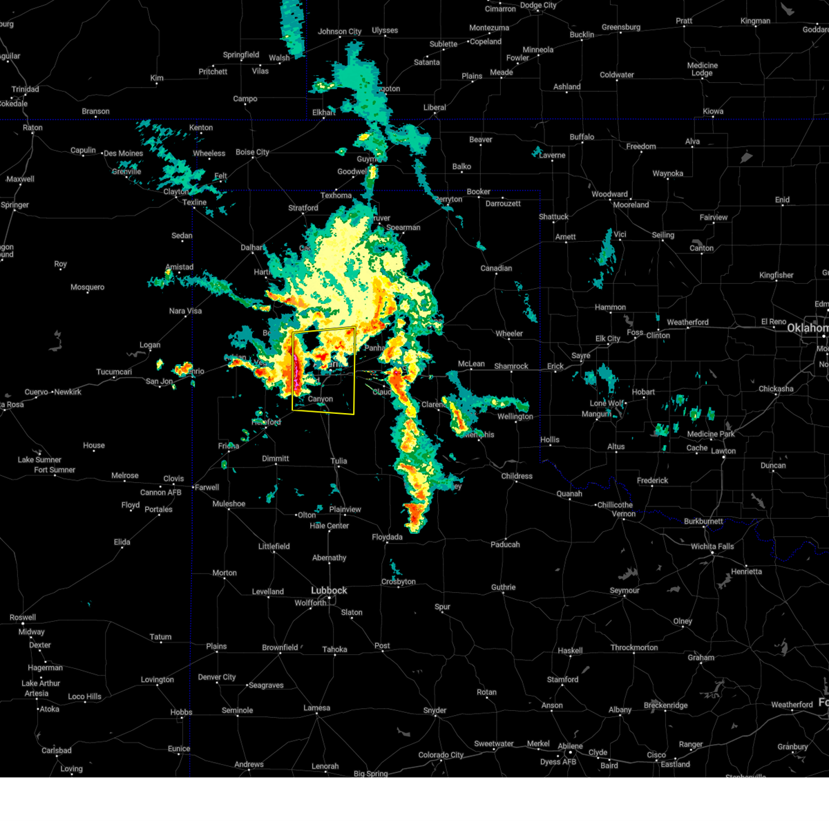 At 453 am cdt, a severe thunderstorm was located near bushland, or 12 miles west of amarillo, moving east at 30 mph (radar indicated). Hazards include 60 mph wind gusts and nickel size hail. minor damage to roofs, siding, and trees is possible At 453 am cdt, a severe thunderstorm was located near bushland, or 12 miles west of amarillo, moving east at 30 mph (radar indicated). Hazards include 60 mph wind gusts and nickel size hail. minor damage to roofs, siding, and trees is possible
|
| 5/24/2023 9:27 PM CDT |
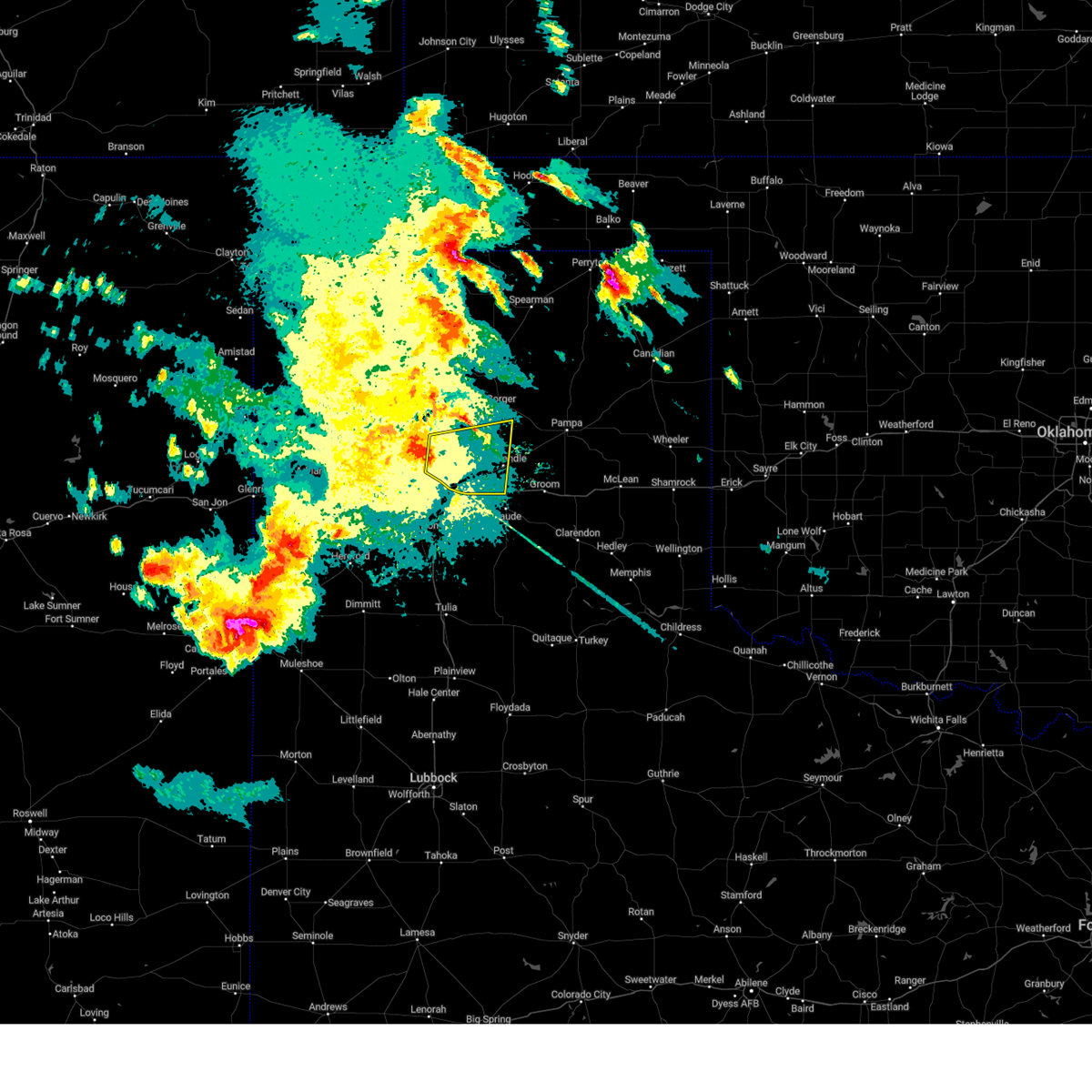 At 927 pm cdt, a severe thunderstorm was located 14 miles north of amarillo, moving east at 30 mph (automated weather equipment). Hazards include 65 mph wind gusts and penny size hail. minor damage to roofs, siding, and trees is possible At 927 pm cdt, a severe thunderstorm was located 14 miles north of amarillo, moving east at 30 mph (automated weather equipment). Hazards include 65 mph wind gusts and penny size hail. minor damage to roofs, siding, and trees is possible
|
| 5/24/2023 9:20 PM CDT | Observed by mesone in potter county TX, 15.9 miles SSE of Amarillo, TX |
| 5/23/2023 7:12 PM CDT |
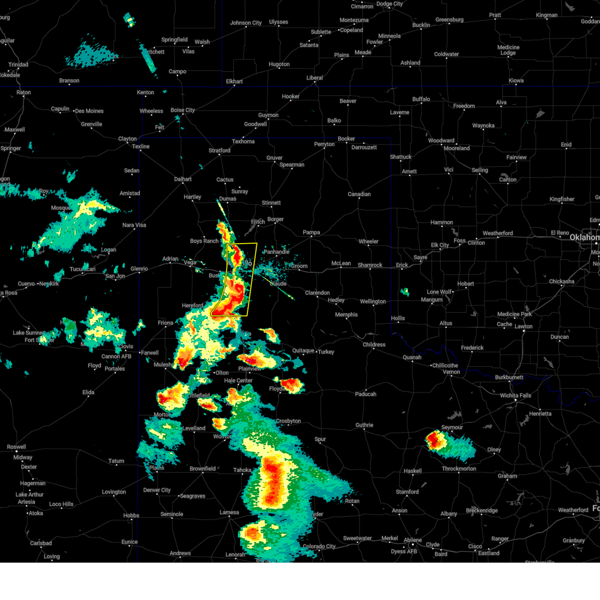 At 711 pm cdt, severe thunderstorms were located along a line extending from 15 miles north of amarillo to near lake tanglewood to 6 miles northwest of happy, moving east at 35 mph (radar indicated). Hazards include 60 mph wind gusts and nickel size hail. Minor damage to roofs, siding, and trees is possible. locations impacted include, amarillo, canyon, lake tanglewood, mescalero park and timbercreek canyon. hail threat, radar indicated max hail size, 0. 88in wind threat, radar indicated max wind gust, 60 mph. At 711 pm cdt, severe thunderstorms were located along a line extending from 15 miles north of amarillo to near lake tanglewood to 6 miles northwest of happy, moving east at 35 mph (radar indicated). Hazards include 60 mph wind gusts and nickel size hail. Minor damage to roofs, siding, and trees is possible. locations impacted include, amarillo, canyon, lake tanglewood, mescalero park and timbercreek canyon. hail threat, radar indicated max hail size, 0. 88in wind threat, radar indicated max wind gust, 60 mph.
|
| 5/23/2023 6:57 PM CDT |
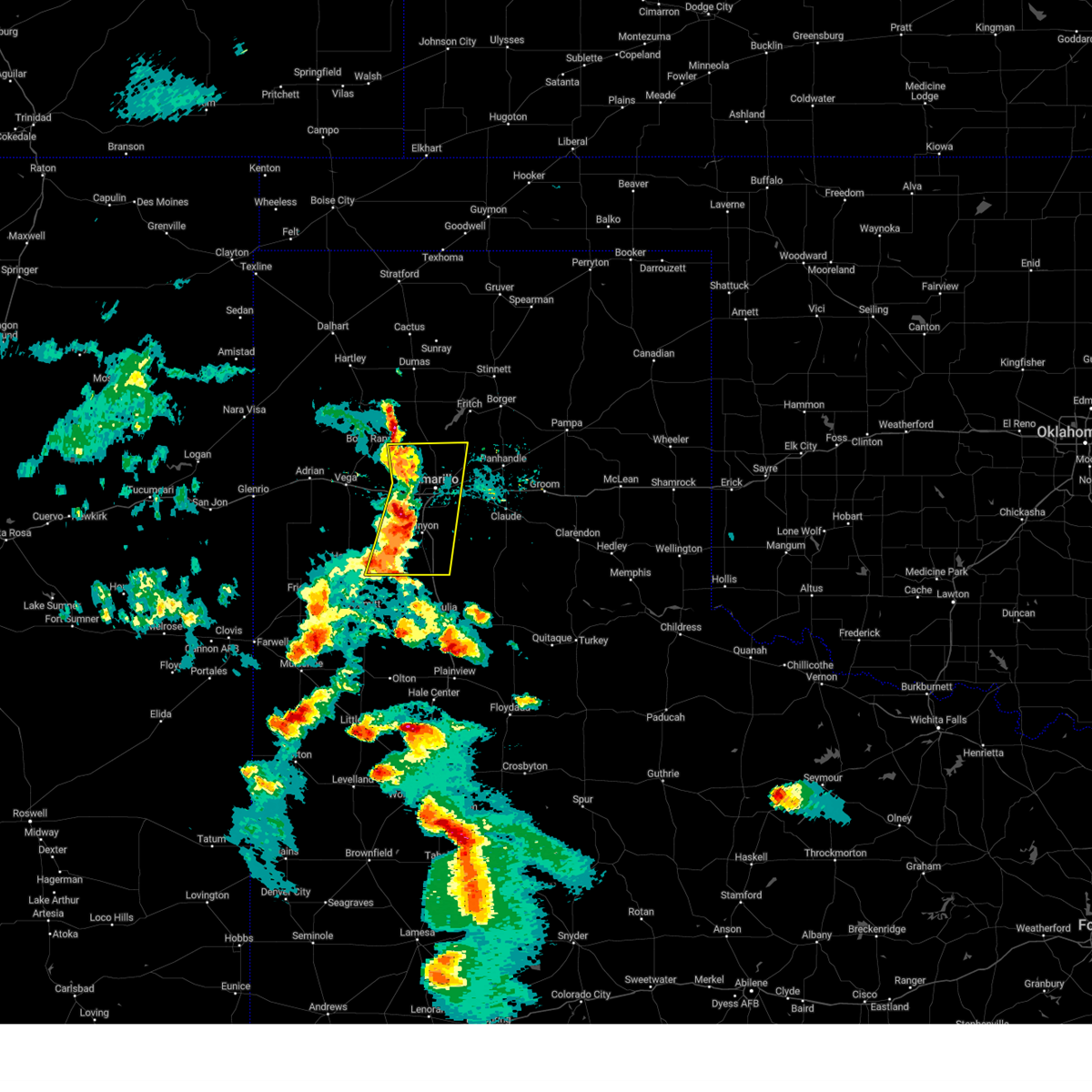 At 656 pm cdt, severe thunderstorms were located along a line extending from 10 miles east of valley de oro to near mescalero park to 6 miles southeast of buffalo lake, moving east at 35 mph (radar indicated). Hazards include 60 mph wind gusts and quarter size hail. Minor damage to roofs, siding, and trees is possible. hail damage to vehicles is expected. locations impacted include, amarillo, canyon, lake tanglewood, mescalero park, buffalo lake, bushland, dawn, valley de oro, umbarger and timbercreek canyon. hail threat, radar indicated max hail size, 1. 00in wind threat, radar indicated max wind gust, 60 mph. At 656 pm cdt, severe thunderstorms were located along a line extending from 10 miles east of valley de oro to near mescalero park to 6 miles southeast of buffalo lake, moving east at 35 mph (radar indicated). Hazards include 60 mph wind gusts and quarter size hail. Minor damage to roofs, siding, and trees is possible. hail damage to vehicles is expected. locations impacted include, amarillo, canyon, lake tanglewood, mescalero park, buffalo lake, bushland, dawn, valley de oro, umbarger and timbercreek canyon. hail threat, radar indicated max hail size, 1. 00in wind threat, radar indicated max wind gust, 60 mph.
|
| 5/23/2023 6:45 PM CDT |
 At 645 pm cdt, severe thunderstorms were located along a line extending from 4 miles southeast of valley de oro to 5 miles northeast of umbarger to 6 miles southwest of buffalo lake, moving east at 40 mph (radar indicated). Hazards include 60 mph wind gusts and half dollar size hail. Minor damage to roofs, siding, and trees is possible. hail damage to vehicles is expected. locations impacted include, amarillo, hereford, canyon, lake tanglewood, mescalero park, buffalo lake, bushland, dawn, valley de oro, umbarger and timbercreek canyon. hail threat, radar indicated max hail size, 1. 25 in wind threat, radar indicated max wind gust, 60 mph. At 645 pm cdt, severe thunderstorms were located along a line extending from 4 miles southeast of valley de oro to 5 miles northeast of umbarger to 6 miles southwest of buffalo lake, moving east at 40 mph (radar indicated). Hazards include 60 mph wind gusts and half dollar size hail. Minor damage to roofs, siding, and trees is possible. hail damage to vehicles is expected. locations impacted include, amarillo, hereford, canyon, lake tanglewood, mescalero park, buffalo lake, bushland, dawn, valley de oro, umbarger and timbercreek canyon. hail threat, radar indicated max hail size, 1. 25 in wind threat, radar indicated max wind gust, 60 mph.
|
| 5/23/2023 6:35 PM CDT |
 At 635 pm cdt, severe thunderstorms were located along a line extending from 3 miles southwest of valley de oro to 7 miles northwest of umbarger to 6 miles east of hereford, moving east at 35 mph (radar indicated). Hazards include 60 mph wind gusts and quarter size hail. Minor damage to roofs, siding, and trees is possible. Hail damage to vehicles is expected. At 635 pm cdt, severe thunderstorms were located along a line extending from 3 miles southwest of valley de oro to 7 miles northwest of umbarger to 6 miles east of hereford, moving east at 35 mph (radar indicated). Hazards include 60 mph wind gusts and quarter size hail. Minor damage to roofs, siding, and trees is possible. Hail damage to vehicles is expected.
|
| 5/18/2023 9:51 PM CDT |
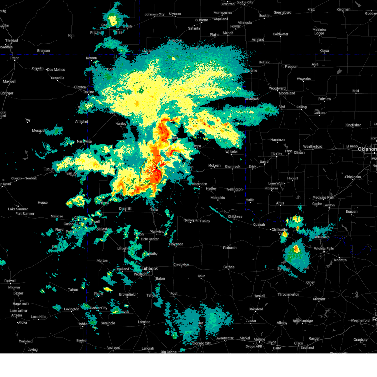 The severe thunderstorm warning for northeastern randall and southeastern potter counties will expire at 1000 pm cdt, the storm which prompted the warning has weakened below severe limits, and no longer poses an immediate threat to life or property. therefore, the warning will be allowed to expire. however, heavy rain and flooding are still possible with this storm and a flash flood warning is in effect for southeastern potter and northwestern randall counties, including the cities of amarillo and canyon, until midnight cdt. The severe thunderstorm warning for northeastern randall and southeastern potter counties will expire at 1000 pm cdt, the storm which prompted the warning has weakened below severe limits, and no longer poses an immediate threat to life or property. therefore, the warning will be allowed to expire. however, heavy rain and flooding are still possible with this storm and a flash flood warning is in effect for southeastern potter and northwestern randall counties, including the cities of amarillo and canyon, until midnight cdt.
|
| 5/18/2023 9:23 PM CDT |
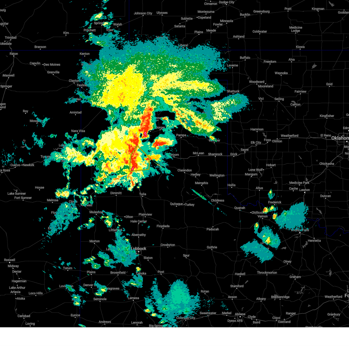 At 923 pm cdt, a severe thunderstorm was located over mescalero park, or near canyon, moving east at 30 mph (radar indicated). Hazards include 70 mph wind gusts and quarter size hail. Expect some tree damage. damage is likely to mobile homes, roofs, and outbuildings. hail damage to vehicles is expected. locations impacted include, amarillo, canyon, lake tanglewood, mescalero park and timbercreek canyon. thunderstorm damage threat, considerable hail threat, radar indicated max hail size, 1. 00in wind threat, radar indicated max wind gust, 70 mph. At 923 pm cdt, a severe thunderstorm was located over mescalero park, or near canyon, moving east at 30 mph (radar indicated). Hazards include 70 mph wind gusts and quarter size hail. Expect some tree damage. damage is likely to mobile homes, roofs, and outbuildings. hail damage to vehicles is expected. locations impacted include, amarillo, canyon, lake tanglewood, mescalero park and timbercreek canyon. thunderstorm damage threat, considerable hail threat, radar indicated max hail size, 1. 00in wind threat, radar indicated max wind gust, 70 mph.
|
| 5/18/2023 8:56 PM CDT |
 At 856 pm cdt, two severe thunderstorms, the first located 6 miles west of mescalero park and the second located 7 miles east of lake tanglewood, were moving northeast at 15 mph (radar indicated). Hazards include 60 mph wind gusts and quarter size hail. Minor damage to roofs, siding, and trees is possible. hail damage to vehicles is expected. locations impacted include, amarillo, canyon, lake tanglewood, mescalero park and timbercreek canyon. hail threat, radar indicated max hail size, 1. 00in wind threat, radar indicated max wind gust, 60 mph. At 856 pm cdt, two severe thunderstorms, the first located 6 miles west of mescalero park and the second located 7 miles east of lake tanglewood, were moving northeast at 15 mph (radar indicated). Hazards include 60 mph wind gusts and quarter size hail. Minor damage to roofs, siding, and trees is possible. hail damage to vehicles is expected. locations impacted include, amarillo, canyon, lake tanglewood, mescalero park and timbercreek canyon. hail threat, radar indicated max hail size, 1. 00in wind threat, radar indicated max wind gust, 60 mph.
|
| 5/18/2023 8:31 PM CDT |
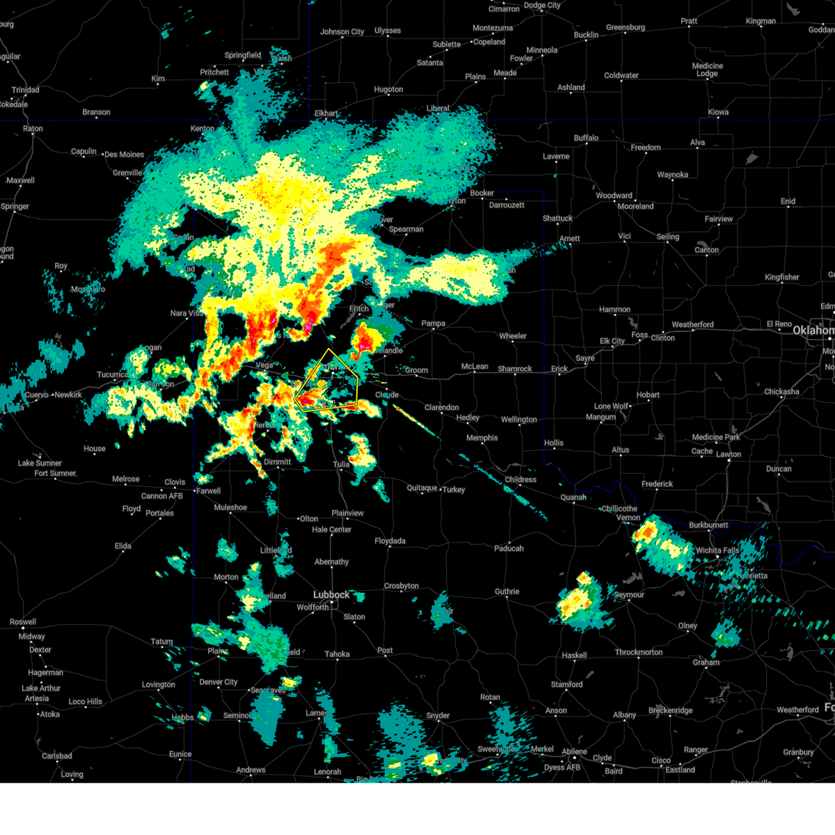 At 831 pm cdt, a severe thunderstorm was located 6 miles northeast of umbarger, or 8 miles northwest of canyon, moving northeast at 15 mph (radar indicated). Hazards include ping pong ball size hail and 60 mph wind gusts. Minor damage to roofs, siding, and trees is possible. people and animals outdoors will be injured. Expect hail damage to roofs, siding, windows, and vehicles. At 831 pm cdt, a severe thunderstorm was located 6 miles northeast of umbarger, or 8 miles northwest of canyon, moving northeast at 15 mph (radar indicated). Hazards include ping pong ball size hail and 60 mph wind gusts. Minor damage to roofs, siding, and trees is possible. people and animals outdoors will be injured. Expect hail damage to roofs, siding, windows, and vehicles.
|
| 5/18/2023 8:10 PM CDT | Quarter sized hail reported 14.9 miles SW of Amarillo, TX |
| 5/18/2023 7:59 PM CDT | Golf Ball sized hail reported 18 miles SW of Amarillo, TX |
| 5/18/2023 7:01 PM CDT |
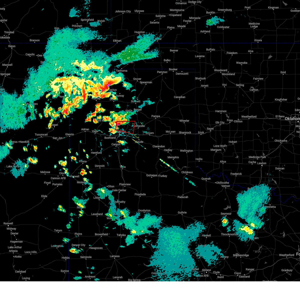 At 700 pm cdt, a severe thunderstorm capable of producing a tornado was located 11 miles north of amarillo, moving east at 15 mph (weather spotters reported a rotating wall cloud). Hazards include tornado and golf ball size hail. Flying debris will be dangerous to those caught without shelter. mobile homes will be damaged or destroyed. damage to roofs, windows, and vehicles will occur. Tree damage is likely. At 700 pm cdt, a severe thunderstorm capable of producing a tornado was located 11 miles north of amarillo, moving east at 15 mph (weather spotters reported a rotating wall cloud). Hazards include tornado and golf ball size hail. Flying debris will be dangerous to those caught without shelter. mobile homes will be damaged or destroyed. damage to roofs, windows, and vehicles will occur. Tree damage is likely.
|
| 5/18/2023 6:50 PM CDT | Tennis Ball sized hail reported 14.2 miles S of Amarillo, TX |
| 5/18/2023 6:50 PM CDT |
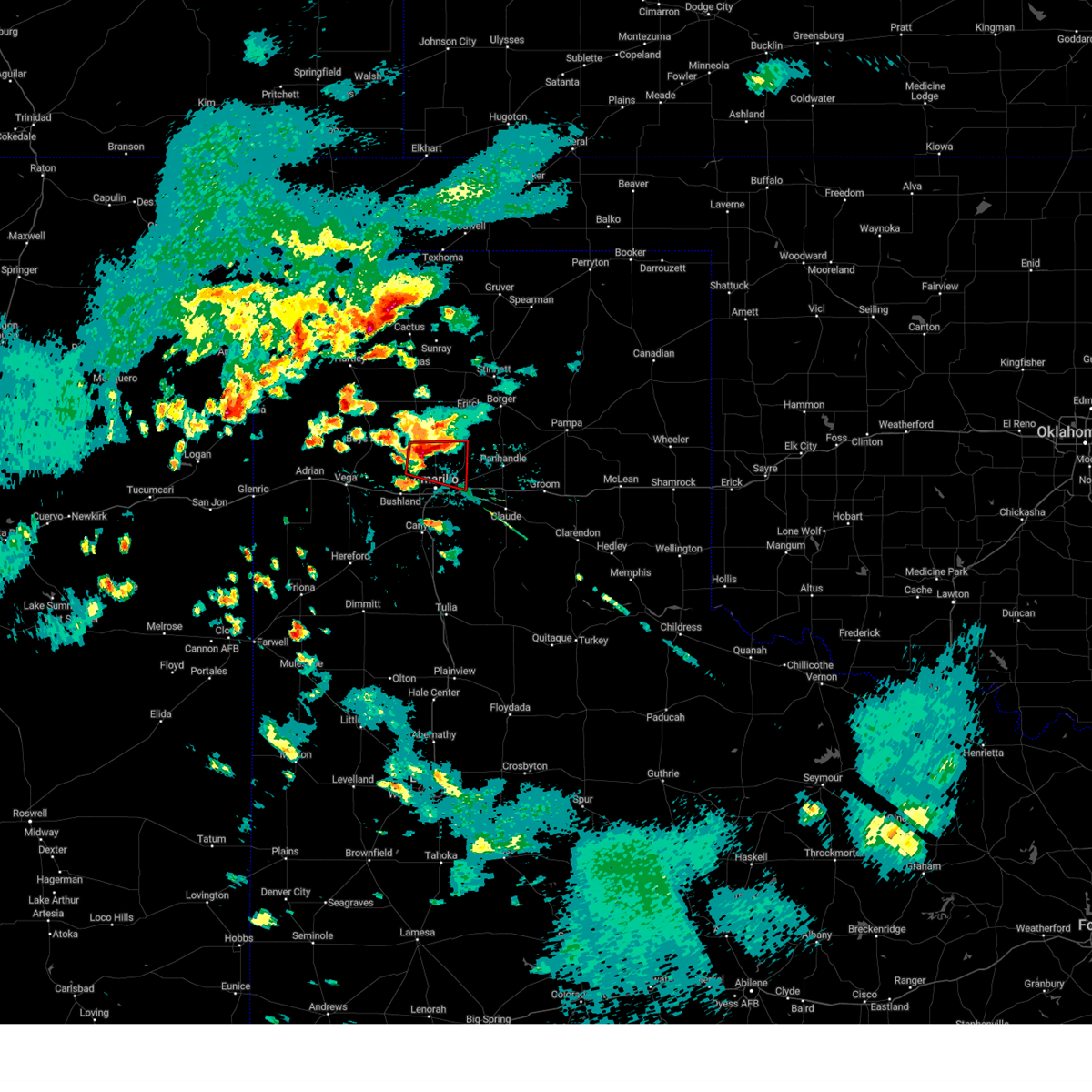 At 650 pm cdt, a severe thunderstorm capable of producing a tornado was located 11 miles north of amarillo, moving east at 20 mph (weather spotters reported a rotating wall cloud). Hazards include tornado and golf ball size hail. Flying debris will be dangerous to those caught without shelter. mobile homes will be damaged or destroyed. damage to roofs, windows, and vehicles will occur. tree damage is likely. Locations impacted include, amarillo. At 650 pm cdt, a severe thunderstorm capable of producing a tornado was located 11 miles north of amarillo, moving east at 20 mph (weather spotters reported a rotating wall cloud). Hazards include tornado and golf ball size hail. Flying debris will be dangerous to those caught without shelter. mobile homes will be damaged or destroyed. damage to roofs, windows, and vehicles will occur. tree damage is likely. Locations impacted include, amarillo.
|
| 5/18/2023 6:23 PM CDT |
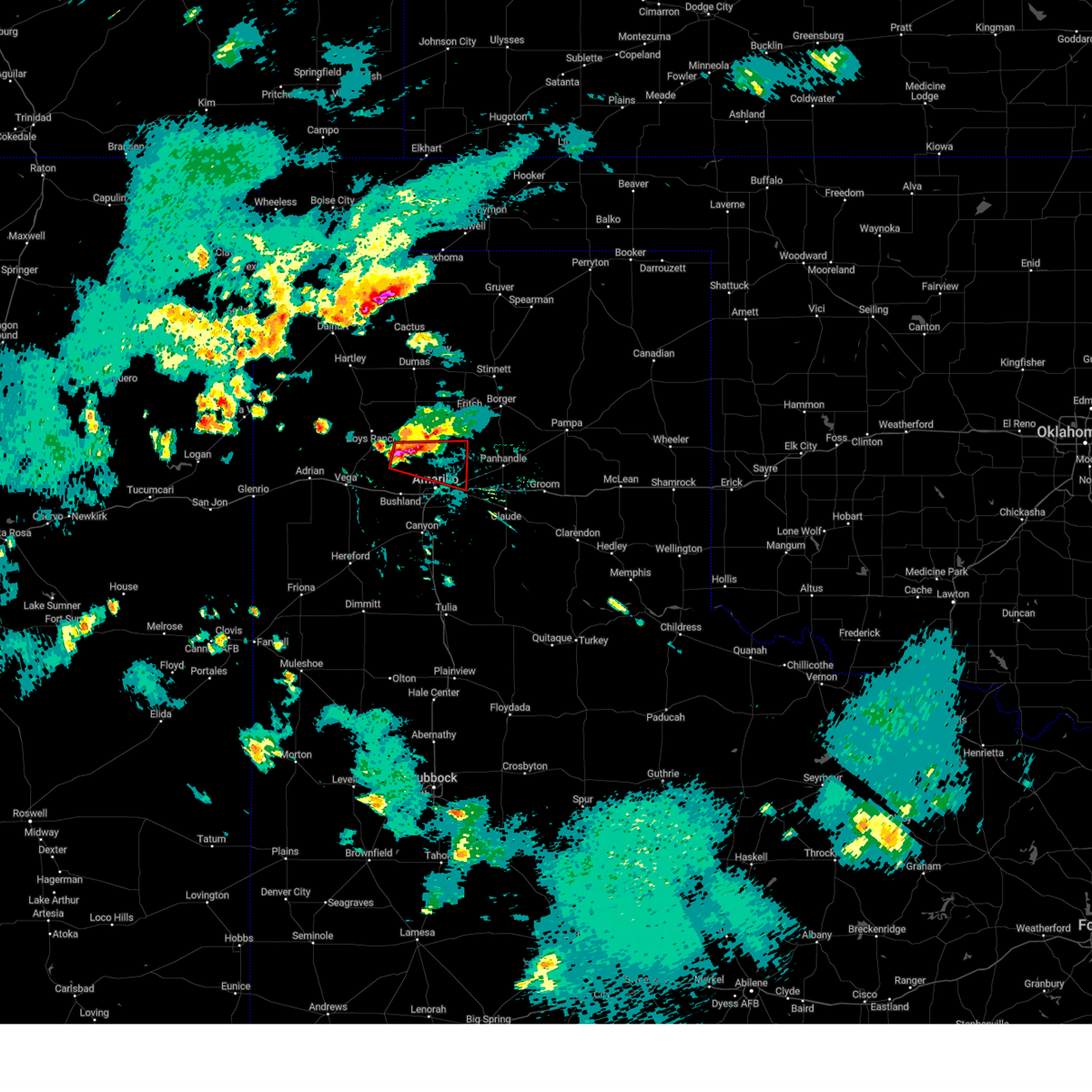 At 622 pm cdt, a severe thunderstorm capable of producing a tornado was located 9 miles southeast of valley de oro, or 14 miles northwest of amarillo, moving east at 20 mph (weather spotters reported a rotating wall cloud). Hazards include tornado and baseball size hail. Flying debris will be dangerous to those caught without shelter. mobile homes will be damaged or destroyed. damage to roofs, windows, and vehicles will occur. tree damage is likely. Locations impacted include, amarillo and valley de oro. At 622 pm cdt, a severe thunderstorm capable of producing a tornado was located 9 miles southeast of valley de oro, or 14 miles northwest of amarillo, moving east at 20 mph (weather spotters reported a rotating wall cloud). Hazards include tornado and baseball size hail. Flying debris will be dangerous to those caught without shelter. mobile homes will be damaged or destroyed. damage to roofs, windows, and vehicles will occur. tree damage is likely. Locations impacted include, amarillo and valley de oro.
|
| 5/18/2023 6:15 PM CDT |
 At 614 pm cdt, a severe thunderstorm capable of producing a tornado was located 7 miles southeast of valley de oro, or 15 miles northwest of amarillo, moving east at 20 mph (weather spotters reported funnel cloud). Hazards include tornado and baseball size hail. Flying debris will be dangerous to those caught without shelter. mobile homes will be damaged or destroyed. damage to roofs, windows, and vehicles will occur. Tree damage is likely. At 614 pm cdt, a severe thunderstorm capable of producing a tornado was located 7 miles southeast of valley de oro, or 15 miles northwest of amarillo, moving east at 20 mph (weather spotters reported funnel cloud). Hazards include tornado and baseball size hail. Flying debris will be dangerous to those caught without shelter. mobile homes will be damaged or destroyed. damage to roofs, windows, and vehicles will occur. Tree damage is likely.
|
| 5/18/2023 6:09 PM CDT |
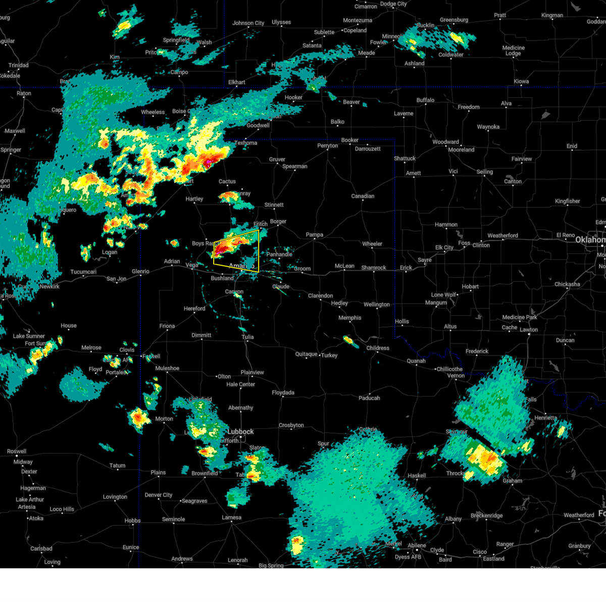 At 609 pm cdt, a severe thunderstorm was located 5 miles southeast of valley de oro, or 17 miles northwest of amarillo, moving east at 15 mph (radar indicated). Hazards include two inch hail and 60 mph wind gusts. Minor damage to roofs, siding, and trees is possible. people and animals outdoors will be injured. expect hail damage to roofs, siding, windows, and vehicles. locations impacted include, amarillo and valley de oro. thunderstorm damage threat, considerable hail threat, radar indicated max hail size, 2. 00 in wind threat, radar indicated max wind gust, 60 mph. At 609 pm cdt, a severe thunderstorm was located 5 miles southeast of valley de oro, or 17 miles northwest of amarillo, moving east at 15 mph (radar indicated). Hazards include two inch hail and 60 mph wind gusts. Minor damage to roofs, siding, and trees is possible. people and animals outdoors will be injured. expect hail damage to roofs, siding, windows, and vehicles. locations impacted include, amarillo and valley de oro. thunderstorm damage threat, considerable hail threat, radar indicated max hail size, 2. 00 in wind threat, radar indicated max wind gust, 60 mph.
|
| 5/18/2023 5:59 PM CDT |
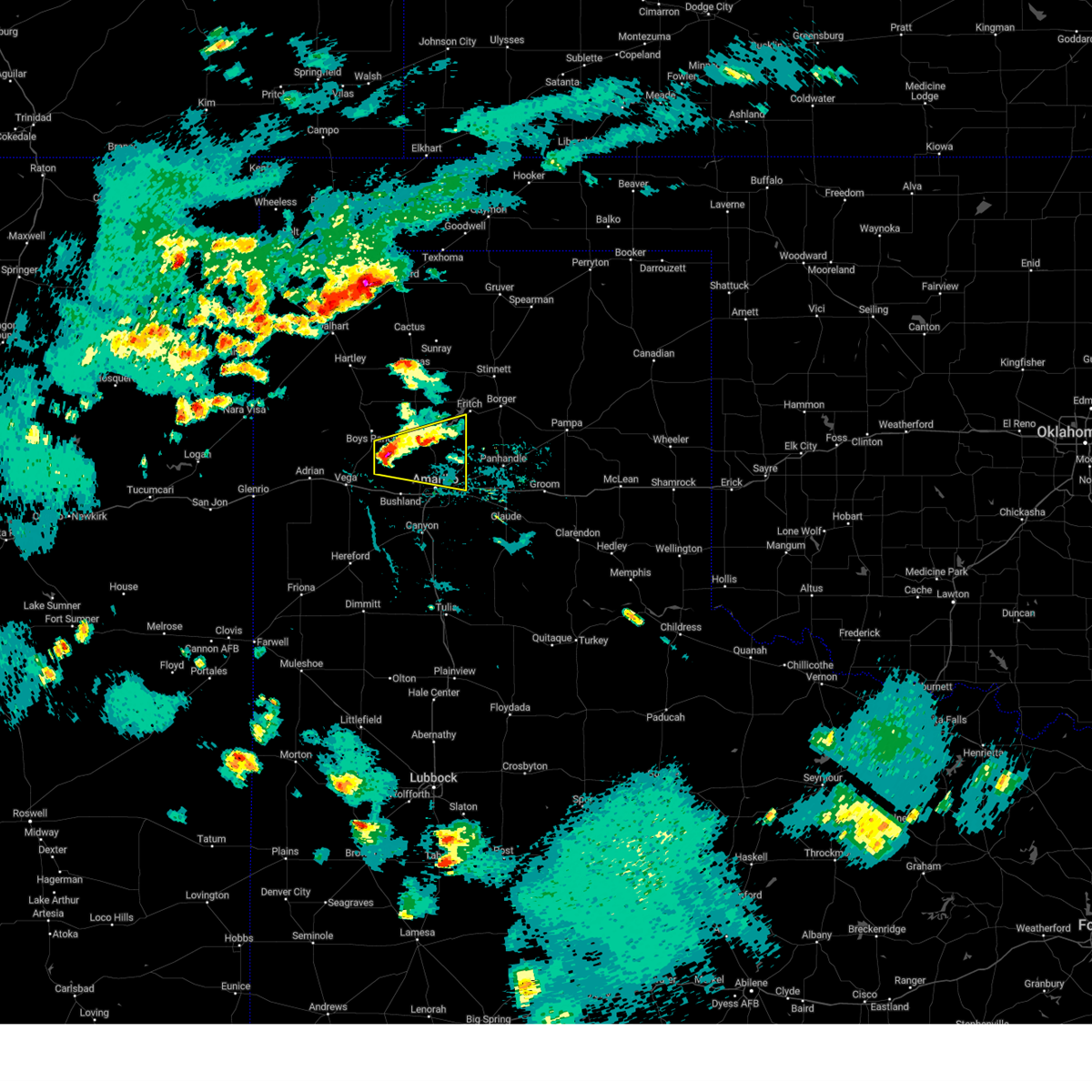 At 558 pm cdt, a severe thunderstorm was located 4 miles south of valley de oro, or 19 miles northwest of amarillo, moving east at 15 mph (radar indicated). Hazards include two inch hail and 60 mph wind gusts. Minor damage to roofs, siding, and trees is possible. people and animals outdoors will be injured. expect hail damage to roofs, siding, windows, and vehicles. Locations impacted include, amarillo and valley de oro. At 558 pm cdt, a severe thunderstorm was located 4 miles south of valley de oro, or 19 miles northwest of amarillo, moving east at 15 mph (radar indicated). Hazards include two inch hail and 60 mph wind gusts. Minor damage to roofs, siding, and trees is possible. people and animals outdoors will be injured. expect hail damage to roofs, siding, windows, and vehicles. Locations impacted include, amarillo and valley de oro.
|
| 5/18/2023 5:48 PM CDT |
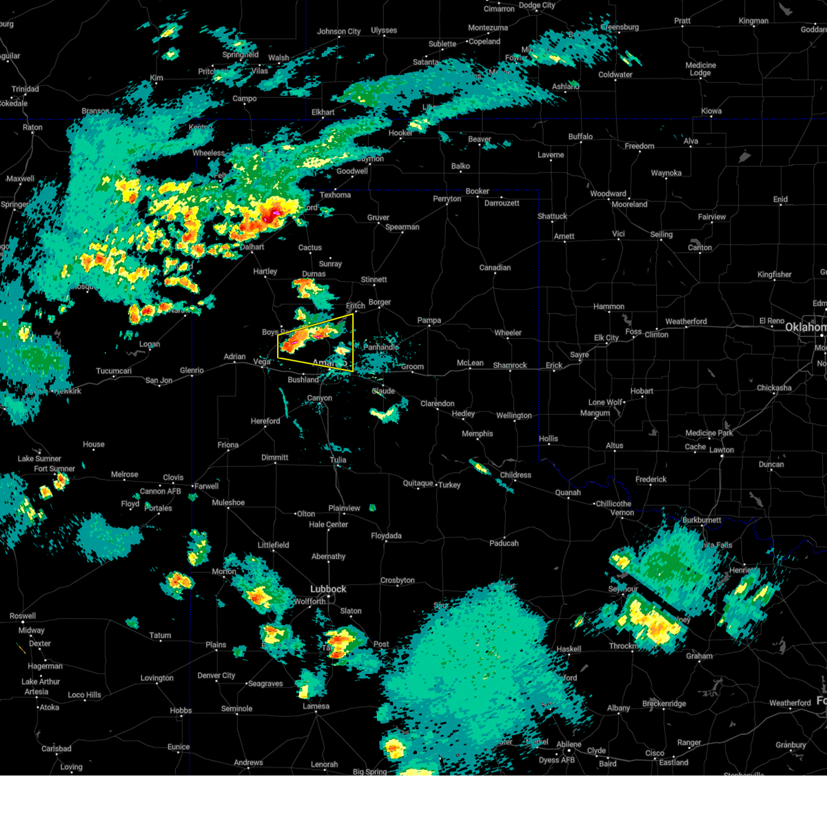 At 548 pm cdt, a severe thunderstorm was located 4 miles southwest of valley de oro, or 18 miles northeast of vega, moving east at 15 mph (radar indicated). Hazards include 60 mph wind gusts and quarter size hail. Minor damage to roofs, siding, and trees is possible. Hail damage to vehicles is expected. At 548 pm cdt, a severe thunderstorm was located 4 miles southwest of valley de oro, or 18 miles northeast of vega, moving east at 15 mph (radar indicated). Hazards include 60 mph wind gusts and quarter size hail. Minor damage to roofs, siding, and trees is possible. Hail damage to vehicles is expected.
|
| 5/2/2023 11:23 PM CDT |
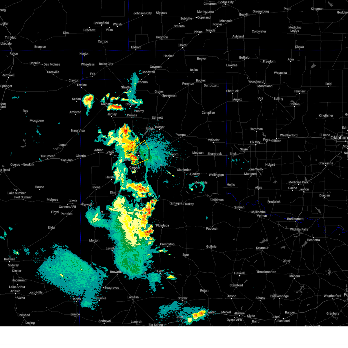 At 1123 pm cdt, a severe thunderstorm was located over amarillo, moving northeast at 10 mph (radar indicated). Hazards include 60 mph wind gusts and penny size hail. Minor damage to roofs, siding, and trees is possible. locations impacted include, amarillo and mescalero park. hail threat, radar indicated max hail size, 0. 75in wind threat, radar indicated max wind gust, 60 mph. At 1123 pm cdt, a severe thunderstorm was located over amarillo, moving northeast at 10 mph (radar indicated). Hazards include 60 mph wind gusts and penny size hail. Minor damage to roofs, siding, and trees is possible. locations impacted include, amarillo and mescalero park. hail threat, radar indicated max hail size, 0. 75in wind threat, radar indicated max wind gust, 60 mph.
|
| 5/2/2023 11:03 PM CDT |
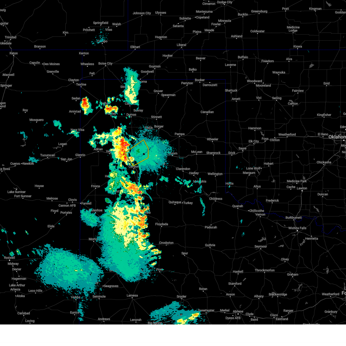 At 1103 pm cdt, a severe thunderstorm was located 4 miles west of amarillo, moving northeast at 10 mph (radar indicated). Hazards include 60 mph wind gusts and quarter size hail. Minor damage to roofs, siding, and trees is possible. Hail damage to vehicles is expected. At 1103 pm cdt, a severe thunderstorm was located 4 miles west of amarillo, moving northeast at 10 mph (radar indicated). Hazards include 60 mph wind gusts and quarter size hail. Minor damage to roofs, siding, and trees is possible. Hail damage to vehicles is expected.
|
| 4/25/2023 5:10 PM CDT |
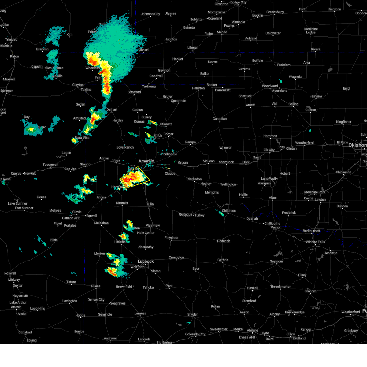 At 509 pm cdt, a severe thunderstorm was located over umbarger, or 10 miles west of canyon, moving northeast at 20 mph (radar indicated). Hazards include 60 mph wind gusts and quarter size hail. Minor damage to roofs, siding, and trees is possible. Hail damage to vehicles is expected. At 509 pm cdt, a severe thunderstorm was located over umbarger, or 10 miles west of canyon, moving northeast at 20 mph (radar indicated). Hazards include 60 mph wind gusts and quarter size hail. Minor damage to roofs, siding, and trees is possible. Hail damage to vehicles is expected.
|
| 4/13/2023 5:20 PM CDT | Gust was associated with gust front outflow ahead of the main lin in potter county TX, 6.6 miles W of Amarillo, TX |
| 2/26/2023 4:34 PM CST |
 At 433 pm cst, automated weather equipment reported severe thunderstorms were located along a line extending from 9 miles southeast of sunray to near sanford to 7 miles southeast of borger, moving northeast at 70 mph (automated weather equipment. at 434 pm cst, automated weather equipment recorded a 75 mph wind gust at the amarillo airport). Hazards include 70 mph wind gusts and quarter size hail. Expect some tree damage. damage is likely to mobile homes, roofs, and outbuildings. hail damage to vehicles is expected. locations impacted include, amarillo, dumas, borger, spearman, panhandle, fritch, stinnett, skellytown, sanford, farnsworth, waka, pringle, morse, four way, masterson, lake meredith and pantex. thunderstorm damage threat, considerable hail threat, radar indicated max hail size, 1. 00in wind threat, radar indicated max wind gust, 70 mph. At 433 pm cst, automated weather equipment reported severe thunderstorms were located along a line extending from 9 miles southeast of sunray to near sanford to 7 miles southeast of borger, moving northeast at 70 mph (automated weather equipment. at 434 pm cst, automated weather equipment recorded a 75 mph wind gust at the amarillo airport). Hazards include 70 mph wind gusts and quarter size hail. Expect some tree damage. damage is likely to mobile homes, roofs, and outbuildings. hail damage to vehicles is expected. locations impacted include, amarillo, dumas, borger, spearman, panhandle, fritch, stinnett, skellytown, sanford, farnsworth, waka, pringle, morse, four way, masterson, lake meredith and pantex. thunderstorm damage threat, considerable hail threat, radar indicated max hail size, 1. 00in wind threat, radar indicated max wind gust, 70 mph.
|
| 2/26/2023 4:32 PM CST | Storm damage reported in potter county TX, 7.3 miles WSW of Amarillo, TX |
| 2/26/2023 4:30 PM CST |
 At 429 pm cst, severe thunderstorms were located along a line extending from 5 miles northwest of morse to sanford to 10 miles southeast of fritch, moving northeast at 70 mph (trained weather spotters. at 429 pm cst, trained spotters reported nickel size hail in fritch). Hazards include 70 mph wind gusts and quarter size hail. Expect some tree damage. damage is likely to mobile homes, roofs, and outbuildings. hail damage to vehicles is expected. locations impacted include, amarillo, dumas, borger, spearman, panhandle, fritch, stinnett, skellytown, sanford, farnsworth, waka, pringle, morse, four way, masterson, lake meredith and pantex. thunderstorm damage threat, considerable hail threat, radar indicated max hail size, 1. 00in wind threat, radar indicated max wind gust, 70 mph. At 429 pm cst, severe thunderstorms were located along a line extending from 5 miles northwest of morse to sanford to 10 miles southeast of fritch, moving northeast at 70 mph (trained weather spotters. at 429 pm cst, trained spotters reported nickel size hail in fritch). Hazards include 70 mph wind gusts and quarter size hail. Expect some tree damage. damage is likely to mobile homes, roofs, and outbuildings. hail damage to vehicles is expected. locations impacted include, amarillo, dumas, borger, spearman, panhandle, fritch, stinnett, skellytown, sanford, farnsworth, waka, pringle, morse, four way, masterson, lake meredith and pantex. thunderstorm damage threat, considerable hail threat, radar indicated max hail size, 1. 00in wind threat, radar indicated max wind gust, 70 mph.
|
| 2/26/2023 4:11 PM CST |
 At 411 pm cst, severe thunderstorms were located along a line extending from 8 miles south of sunray to 12 miles southwest of lake meredith to 7 miles northeast of amarillo, moving northeast at 65 mph (radar indicated). Hazards include 70 mph wind gusts and penny size hail. Expect some tree damage. Damage is likely to mobile homes, roofs, and outbuildings. At 411 pm cst, severe thunderstorms were located along a line extending from 8 miles south of sunray to 12 miles southwest of lake meredith to 7 miles northeast of amarillo, moving northeast at 65 mph (radar indicated). Hazards include 70 mph wind gusts and penny size hail. Expect some tree damage. Damage is likely to mobile homes, roofs, and outbuildings.
|
| 9/15/2022 6:41 PM CDT |
 The severe thunderstorm warning for northwestern armstrong, northeastern randall, southwestern carson and southeastern potter counties will expire at 645 pm cdt, the storm which prompted the warning has weakened below severe limits, and no longer poses an immediate threat to life or property. therefore, the warning will be allowed to expire. The severe thunderstorm warning for northwestern armstrong, northeastern randall, southwestern carson and southeastern potter counties will expire at 645 pm cdt, the storm which prompted the warning has weakened below severe limits, and no longer poses an immediate threat to life or property. therefore, the warning will be allowed to expire.
|
| 9/15/2022 6:16 PM CDT |
 At 616 pm cdt, a severe thunderstorm was located 8 miles southwest of panhandle, moving east at 20 mph (public). Hazards include 60 mph wind gusts and quarter size hail. Minor damage to roofs, siding, and trees is possible. hail damage to vehicles is expected. locations impacted include, amarillo, panhandle, claude, washburn and pantex. hail threat, radar indicated max hail size, 1. 00in wind threat, radar indicated max wind gust, 60 mph. At 616 pm cdt, a severe thunderstorm was located 8 miles southwest of panhandle, moving east at 20 mph (public). Hazards include 60 mph wind gusts and quarter size hail. Minor damage to roofs, siding, and trees is possible. hail damage to vehicles is expected. locations impacted include, amarillo, panhandle, claude, washburn and pantex. hail threat, radar indicated max hail size, 1. 00in wind threat, radar indicated max wind gust, 60 mph.
|
| 9/15/2022 5:49 PM CDT | Ping Pong Ball sized hail reported 9.5 miles W of Amarillo, TX |
| 9/15/2022 5:46 PM CDT |
 At 545 pm cdt, a severe thunderstorm was located 4 miles northwest of washburn, or 12 miles east of amarillo, moving east at 20 mph (public). Hazards include 60 mph wind gusts and half dollar size hail. Minor damage to roofs, siding, and trees is possible. Hail damage to vehicles is expected. At 545 pm cdt, a severe thunderstorm was located 4 miles northwest of washburn, or 12 miles east of amarillo, moving east at 20 mph (public). Hazards include 60 mph wind gusts and half dollar size hail. Minor damage to roofs, siding, and trees is possible. Hail damage to vehicles is expected.
|
| 9/15/2022 5:42 PM CDT | Golf Ball sized hail reported 10.4 miles WSW of Amarillo, TX |
| 9/15/2022 5:41 PM CDT | Ping Pong Ball sized hail reported 9.5 miles W of Amarillo, TX |
| 8/29/2022 4:13 PM CDT |
 The severe thunderstorm warning for northwestern armstrong. northern randall. southwestern carson and southeastern potter counties will expire at 415 pm cdt. the storms which prompted the warning have moved out of the area. therefore, the warning will be allowed to expire. However gusty winds and heavy rain are still possible with these thunderstorms. The severe thunderstorm warning for northwestern armstrong. northern randall. southwestern carson and southeastern potter counties will expire at 415 pm cdt. the storms which prompted the warning have moved out of the area. therefore, the warning will be allowed to expire. However gusty winds and heavy rain are still possible with these thunderstorms.
|
| 8/29/2022 3:56 PM CDT | Three to four four inch diameter tree branches down in tangle aire subdivision. time estimated from rada in randall county TX, 10.1 miles N of Amarillo, TX |
| 8/29/2022 3:45 PM CDT |
 At 345 pm cdt, severe thunderstorms were located along a line extending from washburn to 3 miles northeast of mescalero park, moving east at 10 mph (radar indicated). Hazards include 60 mph wind gusts and quarter size hail. Minor damage to roofs, siding, and trees is possible. hail damage to vehicles is expected. locations impacted include, amarillo, canyon, panhandle, lake tanglewood, mescalero park, washburn, timbercreek canyon and pantex. hail threat, radar indicated max hail size, 1. 00in wind threat, radar indicated max wind gust, 60 mph. At 345 pm cdt, severe thunderstorms were located along a line extending from washburn to 3 miles northeast of mescalero park, moving east at 10 mph (radar indicated). Hazards include 60 mph wind gusts and quarter size hail. Minor damage to roofs, siding, and trees is possible. hail damage to vehicles is expected. locations impacted include, amarillo, canyon, panhandle, lake tanglewood, mescalero park, washburn, timbercreek canyon and pantex. hail threat, radar indicated max hail size, 1. 00in wind threat, radar indicated max wind gust, 60 mph.
|
| 8/29/2022 3:35 PM CDT | Quarter sized hail reported 6.1 miles NE of Amarillo, TX, report from mping: quarter (1.00 in.). |
| 8/29/2022 3:25 PM CDT | Quarter sized hail reported 8.3 miles SW of Amarillo, TX, social media report with picture including reference quarter. |
| 8/29/2022 3:21 PM CDT |
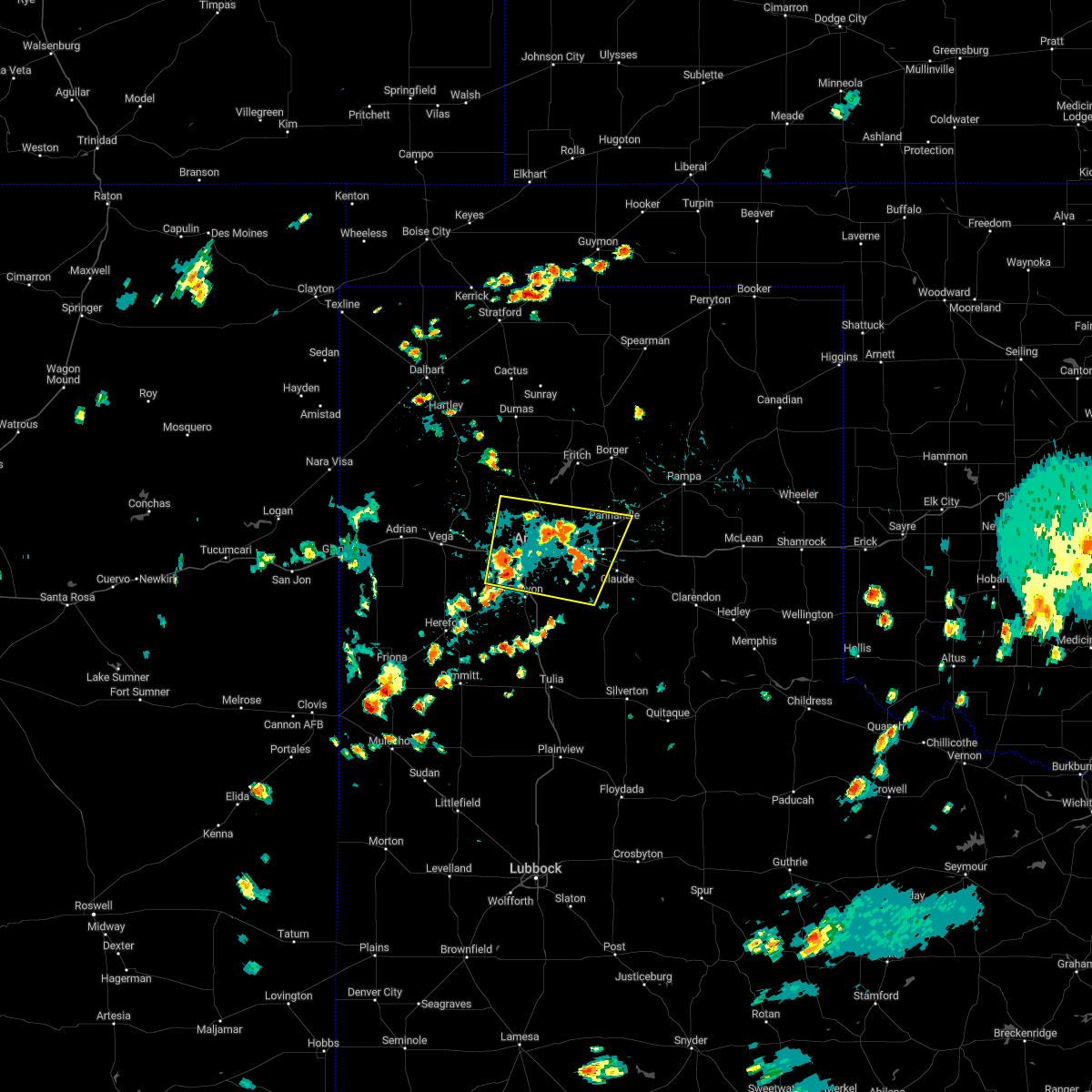 At 321 pm cdt, severe thunderstorms were located along a line extending from 6 miles northwest of washburn to 5 miles west of mescalero park, moving east at 10 mph (radar indicated). Hazards include 60 mph wind gusts and quarter size hail. Minor damage to roofs, siding, and trees is possible. Hail damage to vehicles is expected. At 321 pm cdt, severe thunderstorms were located along a line extending from 6 miles northwest of washburn to 5 miles west of mescalero park, moving east at 10 mph (radar indicated). Hazards include 60 mph wind gusts and quarter size hail. Minor damage to roofs, siding, and trees is possible. Hail damage to vehicles is expected.
|
| 8/4/2022 4:19 PM CDT |
 At 418 pm cdt, a severe thunderstorm was located 7 miles northwest of panhandle, moving east at 10 mph (radar indicated). Hazards include 60 mph wind gusts and penny size hail. Minor damage to roofs, siding, and trees is possible. locations impacted include, amarillo, panhandle, claude, white deer, washburn and pantex. hail threat, radar indicated max hail size, 0. 75in wind threat, radar indicated max wind gust, 60 mph. At 418 pm cdt, a severe thunderstorm was located 7 miles northwest of panhandle, moving east at 10 mph (radar indicated). Hazards include 60 mph wind gusts and penny size hail. Minor damage to roofs, siding, and trees is possible. locations impacted include, amarillo, panhandle, claude, white deer, washburn and pantex. hail threat, radar indicated max hail size, 0. 75in wind threat, radar indicated max wind gust, 60 mph.
|
| 8/4/2022 4:09 PM CDT |
 At 409 pm cdt, a severe thunderstorm was located 9 miles northwest of panhandle, and is nearly stationary (radar indicated). Hazards include 60 mph wind gusts and half dollar size hail. Minor damage to roofs, siding, and trees is possible. hail damage to vehicles is expected. locations impacted include, amarillo, panhandle, claude, white deer, washburn and pantex. hail threat, radar indicated max hail size, 1. 25 in wind threat, radar indicated max wind gust, 60 mph. At 409 pm cdt, a severe thunderstorm was located 9 miles northwest of panhandle, and is nearly stationary (radar indicated). Hazards include 60 mph wind gusts and half dollar size hail. Minor damage to roofs, siding, and trees is possible. hail damage to vehicles is expected. locations impacted include, amarillo, panhandle, claude, white deer, washburn and pantex. hail threat, radar indicated max hail size, 1. 25 in wind threat, radar indicated max wind gust, 60 mph.
|
| 8/4/2022 3:56 PM CDT |
 At 355 pm cdt, a severe thunderstorm was located 9 miles west of panhandle, moving east at 15 mph (radar indicated). Hazards include 60 mph wind gusts and half dollar size hail. Minor damage to roofs, siding, and trees is possible. Hail damage to vehicles is expected. At 355 pm cdt, a severe thunderstorm was located 9 miles west of panhandle, moving east at 15 mph (radar indicated). Hazards include 60 mph wind gusts and half dollar size hail. Minor damage to roofs, siding, and trees is possible. Hail damage to vehicles is expected.
|
| 7/29/2022 6:24 PM CDT | Corrects previous tstm wnd dmg report from bushland. roof partially blown off a busines in potter county TX, 12.8 miles E of Amarillo, TX |
| 7/29/2022 6:18 PM CDT |
 At 618 pm cdt, severe thunderstorms were located along a line extending from 5 miles southwest of bushland to mescalero park to 4 miles north of palo duro canyon, moving northeast at 20 mph (radar indicated). Hazards include 60 mph wind gusts and penny size hail. minor damage to roofs, siding, and trees is possible At 618 pm cdt, severe thunderstorms were located along a line extending from 5 miles southwest of bushland to mescalero park to 4 miles north of palo duro canyon, moving northeast at 20 mph (radar indicated). Hazards include 60 mph wind gusts and penny size hail. minor damage to roofs, siding, and trees is possible
|
| 7/27/2022 4:49 PM CDT |
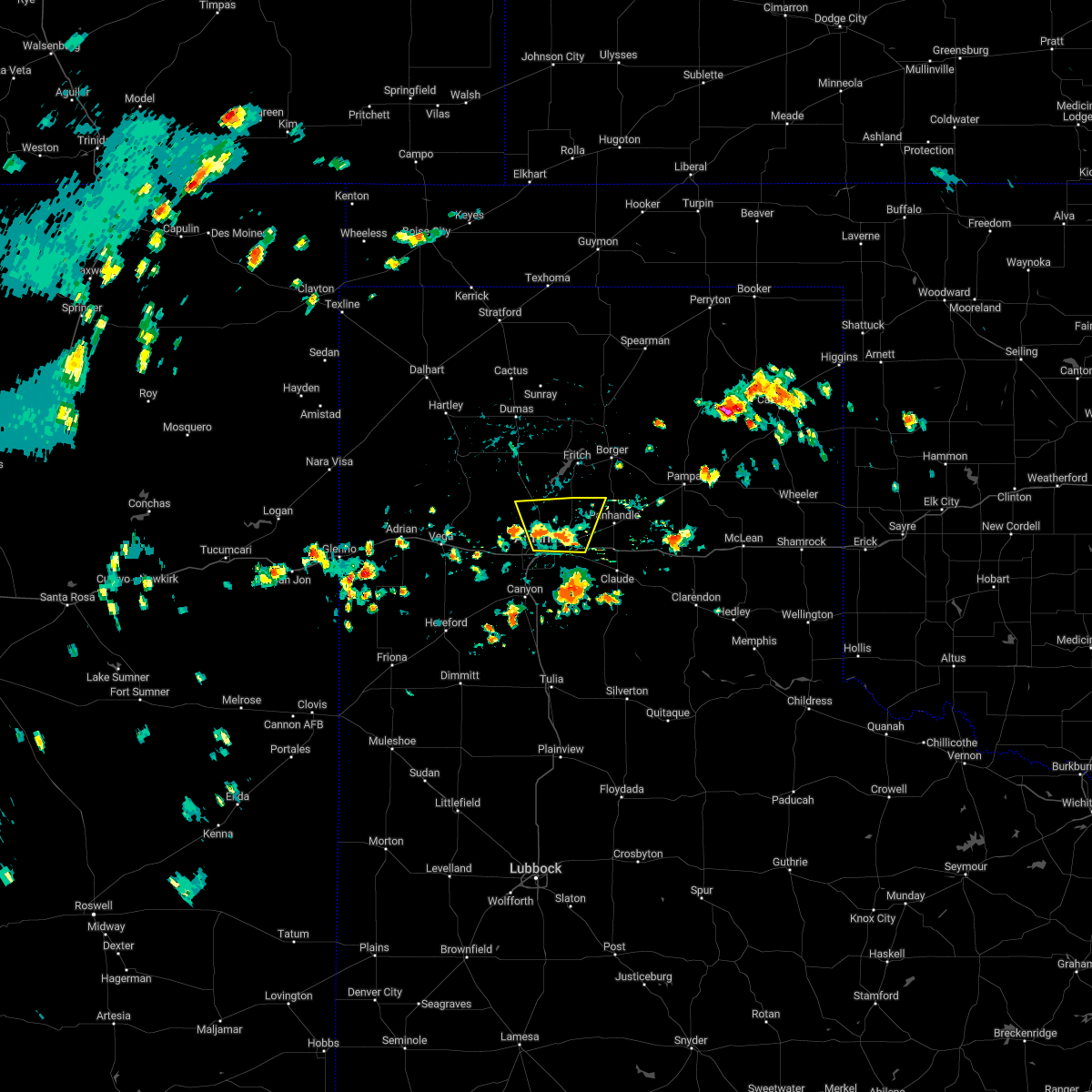 At 448 pm cdt, a severe thunderstorm was located 12 miles northeast of amarillo, moving north at 15 mph (radar indicated). Hazards include 60 mph wind gusts. Minor damage to roofs, siding, and trees is possible. locations impacted include, amarillo and pantex. hail threat, radar indicated max hail size, <. 75 in wind threat, radar indicated max wind gust, 60 mph. At 448 pm cdt, a severe thunderstorm was located 12 miles northeast of amarillo, moving north at 15 mph (radar indicated). Hazards include 60 mph wind gusts. Minor damage to roofs, siding, and trees is possible. locations impacted include, amarillo and pantex. hail threat, radar indicated max hail size, <. 75 in wind threat, radar indicated max wind gust, 60 mph.
|
| 7/27/2022 4:39 PM CDT |
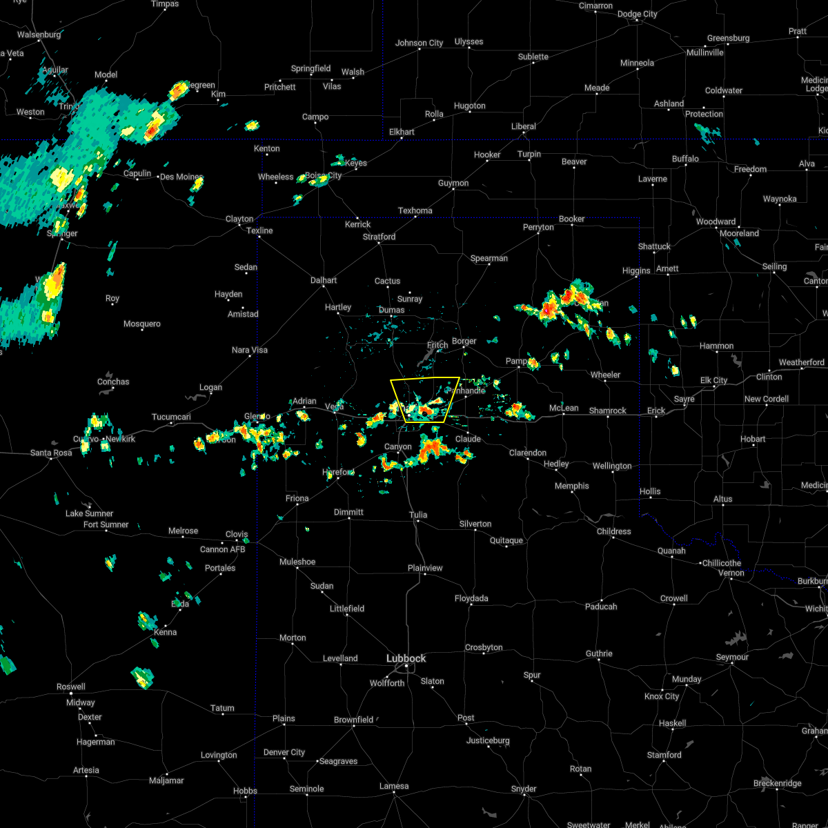 At 439 pm cdt, a severe thunderstorm was located 10 miles northeast of amarillo, moving north at 10 mph (radar indicated). Hazards include 60 mph wind gusts. minor damage to roofs, siding, and trees is possible At 439 pm cdt, a severe thunderstorm was located 10 miles northeast of amarillo, moving north at 10 mph (radar indicated). Hazards include 60 mph wind gusts. minor damage to roofs, siding, and trees is possible
|
| 7/12/2022 9:33 PM CDT |
 At 932 pm cdt, a severe thunderstorm was located 9 miles north of washburn, or 14 miles northeast of amarillo, moving northeast at 10 mph (radar indicated). Hazards include golf ball size hail and 60 mph wind gusts. Minor damage to roofs, siding, and trees is possible. people and animals outdoors will be injured. expect hail damage to roofs, siding, windows, and vehicles. locations impacted include, panhandle and pantex. thunderstorm damage threat, considerable hail threat, radar indicated max hail size, 1. 75 in wind threat, radar indicated max wind gust, 60 mph. At 932 pm cdt, a severe thunderstorm was located 9 miles north of washburn, or 14 miles northeast of amarillo, moving northeast at 10 mph (radar indicated). Hazards include golf ball size hail and 60 mph wind gusts. Minor damage to roofs, siding, and trees is possible. people and animals outdoors will be injured. expect hail damage to roofs, siding, windows, and vehicles. locations impacted include, panhandle and pantex. thunderstorm damage threat, considerable hail threat, radar indicated max hail size, 1. 75 in wind threat, radar indicated max wind gust, 60 mph.
|
| 7/12/2022 9:27 PM CDT |
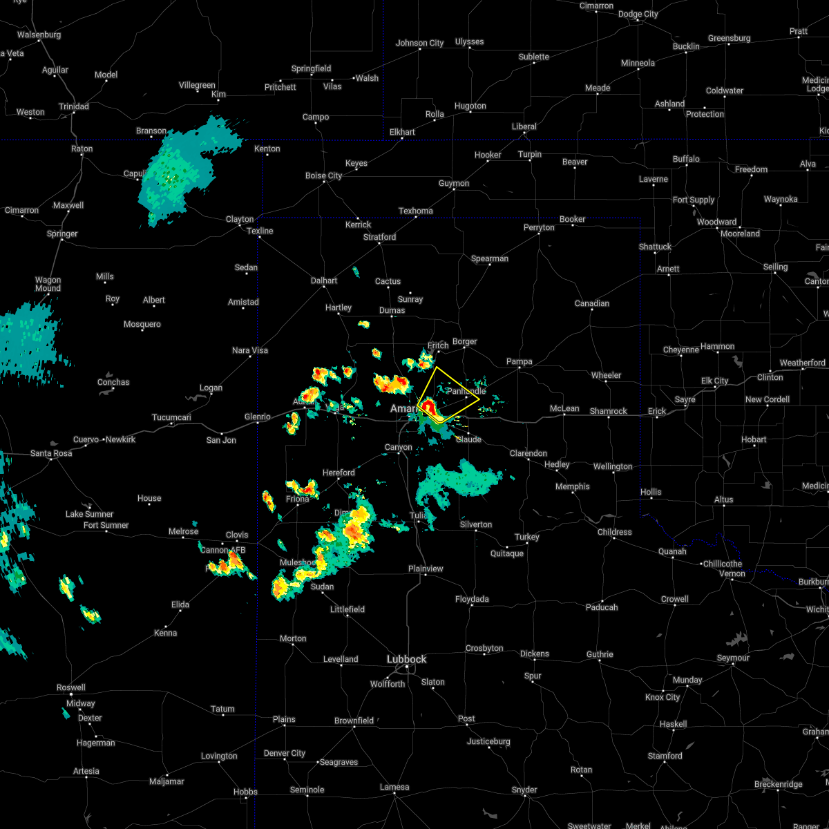 At 927 pm cdt, a severe thunderstorm was located 9 miles northwest of washburn, or 13 miles northeast of amarillo, moving northeast at 10 mph (radar indicated). Hazards include 60 mph wind gusts and half dollar size hail. Minor damage to roofs, siding, and trees is possible. Hail damage to vehicles is expected. At 927 pm cdt, a severe thunderstorm was located 9 miles northwest of washburn, or 13 miles northeast of amarillo, moving northeast at 10 mph (radar indicated). Hazards include 60 mph wind gusts and half dollar size hail. Minor damage to roofs, siding, and trees is possible. Hail damage to vehicles is expected.
|
| 7/2/2022 4:12 PM CDT | Storm damage reported in potter county TX, 6.6 miles W of Amarillo, TX |
| 6/8/2022 6:36 AM CDT |
 At 636 am cdt, severe thunderstorms were located along a line extending from 7 miles north of sweetwater to 5 miles north of lefors to 7 miles west of panhandle to 8 miles northeast of bushland, moving southeast at 55 mph (radar indicated). Hazards include 70 mph wind gusts and quarter size hail. Expect some tree damage. damage is likely to mobile homes, roofs, and outbuildings. Hail damage to vehicles is expected. At 636 am cdt, severe thunderstorms were located along a line extending from 7 miles north of sweetwater to 5 miles north of lefors to 7 miles west of panhandle to 8 miles northeast of bushland, moving southeast at 55 mph (radar indicated). Hazards include 70 mph wind gusts and quarter size hail. Expect some tree damage. damage is likely to mobile homes, roofs, and outbuildings. Hail damage to vehicles is expected.
|
| 6/8/2022 6:02 AM CDT |
 At 602 am cdt, severe thunderstorms were located along a line extending from near lake marvin to 11 miles northeast of borger to 6 miles west of four way, moving south at 30 mph (radar indicated). Hazards include 70 mph wind gusts and half dollar size hail. Expect some tree damage. damage is likely to mobile homes, roofs, and outbuildings. Hail damage to vehicles is expected. At 602 am cdt, severe thunderstorms were located along a line extending from near lake marvin to 11 miles northeast of borger to 6 miles west of four way, moving south at 30 mph (radar indicated). Hazards include 70 mph wind gusts and half dollar size hail. Expect some tree damage. damage is likely to mobile homes, roofs, and outbuildings. Hail damage to vehicles is expected.
|
| 5/16/2022 10:45 PM CDT |
 At 1044 pm cdt, severe thunderstorms were located along a line extending from 3 miles southwest of borger to 11 miles south of fritch to 9 miles north of washburn, moving east at 35 mph (radar indicated). Hazards include 60 mph wind gusts. minor damage to roofs, siding, and trees is possible At 1044 pm cdt, severe thunderstorms were located along a line extending from 3 miles southwest of borger to 11 miles south of fritch to 9 miles north of washburn, moving east at 35 mph (radar indicated). Hazards include 60 mph wind gusts. minor damage to roofs, siding, and trees is possible
|
| 5/16/2022 10:42 PM CDT | Storm damage reported in potter county TX, 6.9 miles WSW of Amarillo, TX |
| 5/10/2022 7:00 PM CDT | Quarter sized hail reported 3.5 miles SSW of Amarillo, TX |
| 5/10/2022 7:00 PM CDT | Storm damage reported in potter county TX, 6.9 miles WSW of Amarillo, TX |
| 5/10/2022 7:00 PM CDT | Corrects previous tstm wnd gst report from 6 ene amarill in potter county TX, 6.9 miles WSW of Amarillo, TX |
| 5/10/2022 6:58 PM CDT | West texas mesonet 9nne amarill in potter county TX, 9.5 miles S of Amarillo, TX |
| 5/10/2022 6:56 PM CDT | West texas mesonet 15 nnw amarill in potter county TX, 15.9 miles SSE of Amarillo, TX |
| 5/10/2022 6:53 PM CDT | Quarter sized hail reported 3.1 miles NE of Amarillo, TX, report from mping: quarter (1.00 in.). |
| 5/10/2022 6:52 PM CDT | Corrects previous tstm wnd gst report from 6 ene amarillo. corrects previous tstm wnd gst report from 6 ene amarill in potter county TX, 6.9 miles WSW of Amarillo, TX |
| 5/10/2022 6:48 PM CDT | Quarter sized hail reported 9.2 miles ENE of Amarillo, TX |
| 5/10/2022 6:44 PM CDT |
 At 643 pm cdt, severe thunderstorms were located along a line extending from 4 miles east of vega to 4 miles south of washburn, moving northeast at 50 mph (radar indicated). Hazards include golf ball size hail and 70 mph wind gusts. Expect some tree damage. damage is likely to mobile homes, roofs, and outbuildings. people and animals outdoors will be injured. expect hail damage to roofs, siding, windows, and vehicles. locations impacted include, amarillo, canyon, panhandle, vega, lake tanglewood, bushland, valley de oro, washburn, boys ranch, umbarger, wildorado, palo duro canyon, mescalero park, timbercreek canyon and pantex. thunderstorm damage threat, considerable hail threat, radar indicated max hail size, 1. 75 in wind threat, radar indicated max wind gust, 70 mph. At 643 pm cdt, severe thunderstorms were located along a line extending from 4 miles east of vega to 4 miles south of washburn, moving northeast at 50 mph (radar indicated). Hazards include golf ball size hail and 70 mph wind gusts. Expect some tree damage. damage is likely to mobile homes, roofs, and outbuildings. people and animals outdoors will be injured. expect hail damage to roofs, siding, windows, and vehicles. locations impacted include, amarillo, canyon, panhandle, vega, lake tanglewood, bushland, valley de oro, washburn, boys ranch, umbarger, wildorado, palo duro canyon, mescalero park, timbercreek canyon and pantex. thunderstorm damage threat, considerable hail threat, radar indicated max hail size, 1. 75 in wind threat, radar indicated max wind gust, 70 mph.
|
| 5/10/2022 6:43 PM CDT | Ping Pong Ball sized hail reported 0.9 miles ENE of Amarillo, TX |
| 5/10/2022 6:43 PM CDT | 8 inch diameter tree branch that blew down. peak wind gust measured at 52 mp in randall county TX, 13.6 miles NE of Amarillo, TX |
| 5/10/2022 6:33 PM CDT | Hen Egg sized hail reported 9.4 miles NNE of Amarillo, TX |
| 5/10/2022 6:29 PM CDT |
 At 629 pm cdt, severe thunderstorms were located along a line extending from 10 miles northeast of simms to palo duro canyon, moving northeast at 50 mph (radar indicated). Hazards include 70 mph wind gusts and ping pong ball size hail. Expect some tree damage. damage is likely to mobile homes, roofs, and outbuildings. people and animals outdoors will be injured. Expect hail damage to roofs, siding, windows, and vehicles. At 629 pm cdt, severe thunderstorms were located along a line extending from 10 miles northeast of simms to palo duro canyon, moving northeast at 50 mph (radar indicated). Hazards include 70 mph wind gusts and ping pong ball size hail. Expect some tree damage. damage is likely to mobile homes, roofs, and outbuildings. people and animals outdoors will be injured. Expect hail damage to roofs, siding, windows, and vehicles.
|
| 5/10/2022 6:14 PM CDT |
 At 614 pm cdt, a severe thunderstorm was located over hereford, moving north at 30 mph (radar indicated). Hazards include 70 mph wind gusts and quarter size hail. Expect some tree damage. damage is likely to mobile homes, roofs, and outbuildings. hail damage to vehicles is expected. locations impacted include, amarillo, hereford, canyon, mescalero park, buffalo lake, dawn, umbarger and timbercreek canyon. thunderstorm damage threat, considerable hail threat, radar indicated max hail size, 1. 00in wind threat, radar indicated max wind gust, 70 mph. At 614 pm cdt, a severe thunderstorm was located over hereford, moving north at 30 mph (radar indicated). Hazards include 70 mph wind gusts and quarter size hail. Expect some tree damage. damage is likely to mobile homes, roofs, and outbuildings. hail damage to vehicles is expected. locations impacted include, amarillo, hereford, canyon, mescalero park, buffalo lake, dawn, umbarger and timbercreek canyon. thunderstorm damage threat, considerable hail threat, radar indicated max hail size, 1. 00in wind threat, radar indicated max wind gust, 70 mph.
|
| 5/10/2022 5:45 PM CDT |
 At 545 pm cdt, a severe thunderstorm was located 4 miles west of easter, or 10 miles northwest of dimmitt, moving north at 30 mph (radar indicated). Hazards include 60 mph wind gusts and quarter size hail. Minor damage to roofs, siding, and trees is possible. Hail damage to vehicles is expected. At 545 pm cdt, a severe thunderstorm was located 4 miles west of easter, or 10 miles northwest of dimmitt, moving north at 30 mph (radar indicated). Hazards include 60 mph wind gusts and quarter size hail. Minor damage to roofs, siding, and trees is possible. Hail damage to vehicles is expected.
|
| 5/4/2022 2:33 PM CDT |
 At 232 pm cdt, a severe thunderstorm was located 5 miles west of washburn, or 10 miles east of amarillo, moving east at 30 mph (trained weather spotters. at 225 pm cdt, trained spotters reported half dollar to ping pong ball size hail southeast of amarillo). Hazards include ping pong ball size hail and 60 mph wind gusts. Minor damage to roofs, siding, and trees is possible. people and animals outdoors will be injured. expect hail damage to roofs, siding, windows, and vehicles. locations impacted include, amarillo, panhandle, white deer, groom and washburn. hail threat, observed max hail size, 1. 50 in wind threat, radar indicated max wind gust, 60 mph. At 232 pm cdt, a severe thunderstorm was located 5 miles west of washburn, or 10 miles east of amarillo, moving east at 30 mph (trained weather spotters. at 225 pm cdt, trained spotters reported half dollar to ping pong ball size hail southeast of amarillo). Hazards include ping pong ball size hail and 60 mph wind gusts. Minor damage to roofs, siding, and trees is possible. people and animals outdoors will be injured. expect hail damage to roofs, siding, windows, and vehicles. locations impacted include, amarillo, panhandle, white deer, groom and washburn. hail threat, observed max hail size, 1. 50 in wind threat, radar indicated max wind gust, 60 mph.
|
| 5/4/2022 2:31 PM CDT |
 At 231 pm cdt, a severe thunderstorm was located 6 miles west of washburn, or 9 miles east of amarillo, moving east at 30 mph (radar indicated). Hazards include 60 mph wind gusts and half dollar size hail. Minor damage to roofs, siding, and trees is possible. Hail damage to vehicles is expected. At 231 pm cdt, a severe thunderstorm was located 6 miles west of washburn, or 9 miles east of amarillo, moving east at 30 mph (radar indicated). Hazards include 60 mph wind gusts and half dollar size hail. Minor damage to roofs, siding, and trees is possible. Hail damage to vehicles is expected.
|
| 5/4/2022 2:25 PM CDT | Ping Pong Ball sized hail reported 7.8 miles N of Amarillo, TX, half dollar to ping pong ball size hail reported by storm chasers. |
| 5/4/2022 2:20 PM CDT | Quarter sized hail reported 6.3 miles NNE of Amarillo, TX |
| 5/4/2022 2:19 PM CDT |
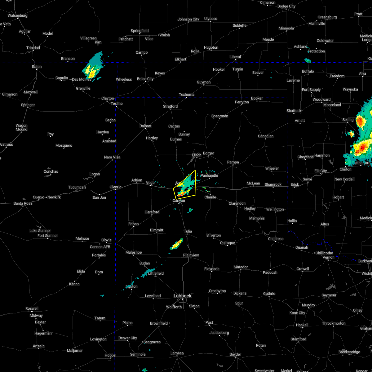 At 219 pm cdt, a severe thunderstorm was located 5 miles northwest of lake tanglewood, or 5 miles south of amarillo, moving east at 25 mph (public). Hazards include 60 mph wind gusts and half dollar size hail. Minor damage to roofs, siding, and trees is possible. hail damage to vehicles is expected. locations impacted include, amarillo and mescalero park. hail threat, observed max hail size, 1. 25 in wind threat, radar indicated max wind gust, 60 mph. At 219 pm cdt, a severe thunderstorm was located 5 miles northwest of lake tanglewood, or 5 miles south of amarillo, moving east at 25 mph (public). Hazards include 60 mph wind gusts and half dollar size hail. Minor damage to roofs, siding, and trees is possible. hail damage to vehicles is expected. locations impacted include, amarillo and mescalero park. hail threat, observed max hail size, 1. 25 in wind threat, radar indicated max wind gust, 60 mph.
|
| 5/4/2022 2:15 PM CDT |
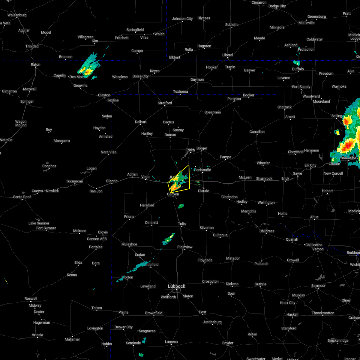 At 215 pm cdt, a severe thunderstorm was located 4 miles northwest of lake tanglewood, or 5 miles south of amarillo, moving east at 30 mph (public). Hazards include 60 mph wind gusts and half dollar size hail. Minor damage to roofs, siding, and trees is possible. hail damage to vehicles is expected. locations impacted include, amarillo and mescalero park. hail threat, radar indicated max hail size, 1. 25 in wind threat, radar indicated max wind gust, 60 mph. At 215 pm cdt, a severe thunderstorm was located 4 miles northwest of lake tanglewood, or 5 miles south of amarillo, moving east at 30 mph (public). Hazards include 60 mph wind gusts and half dollar size hail. Minor damage to roofs, siding, and trees is possible. hail damage to vehicles is expected. locations impacted include, amarillo and mescalero park. hail threat, radar indicated max hail size, 1. 25 in wind threat, radar indicated max wind gust, 60 mph.
|
| 5/4/2022 2:12 PM CDT | Quarter sized hail reported 9.5 miles NNE of Amarillo, TX, report from mping: quarter (1.00 in.). |
| 5/4/2022 2:01 PM CDT |
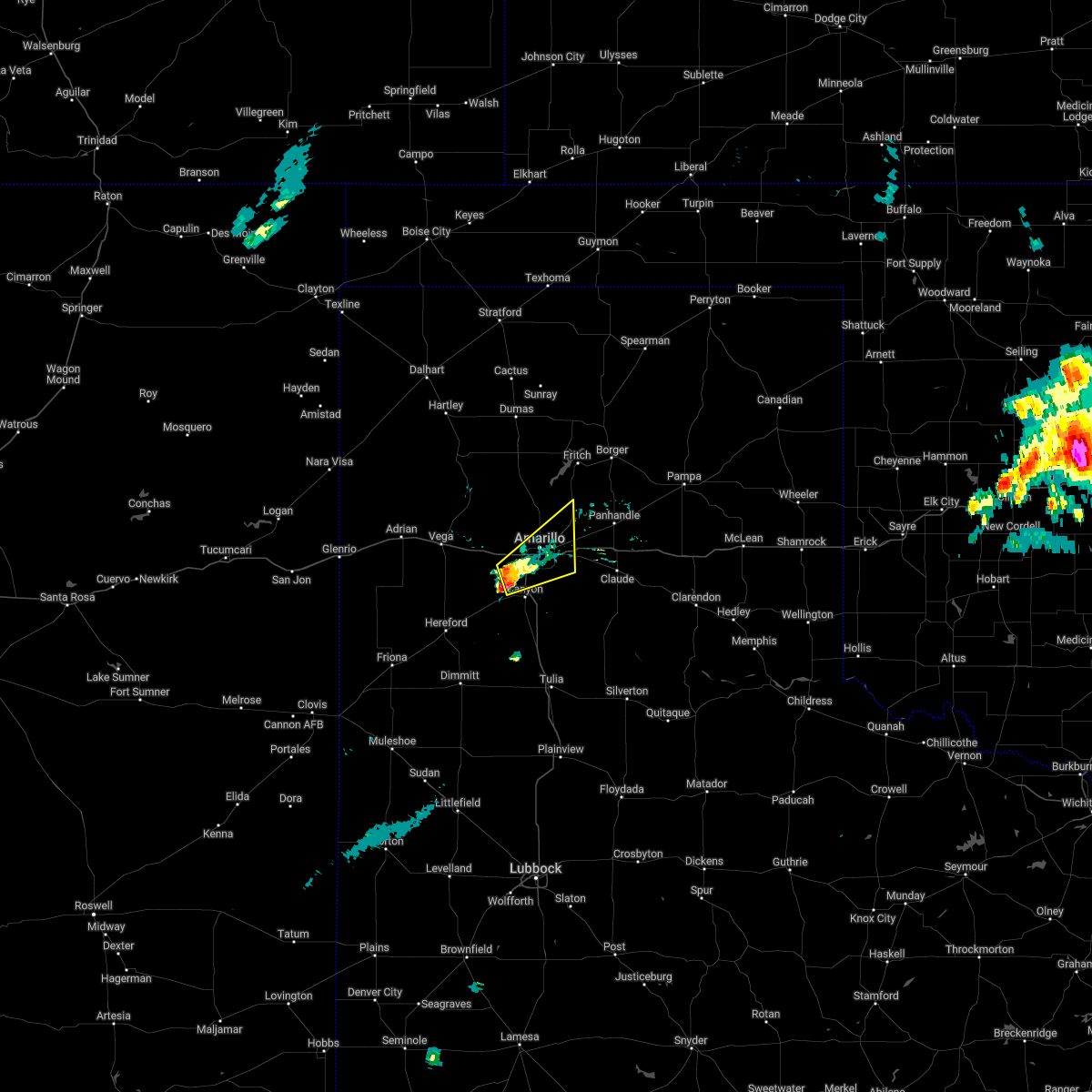 At 201 pm cdt, a severe thunderstorm was located near mescalero park, or 7 miles north of canyon, moving northeast at 40 mph (trained weather spotters). Hazards include 60 mph wind gusts and half dollar size hail. Minor damage to roofs, siding, and trees is possible. hail damage to vehicles is expected. locations impacted include, amarillo, canyon, lake tanglewood, mescalero park and timbercreek canyon. hail threat, radar indicated max hail size, 1. 25 in wind threat, radar indicated max wind gust, 60 mph. At 201 pm cdt, a severe thunderstorm was located near mescalero park, or 7 miles north of canyon, moving northeast at 40 mph (trained weather spotters). Hazards include 60 mph wind gusts and half dollar size hail. Minor damage to roofs, siding, and trees is possible. hail damage to vehicles is expected. locations impacted include, amarillo, canyon, lake tanglewood, mescalero park and timbercreek canyon. hail threat, radar indicated max hail size, 1. 25 in wind threat, radar indicated max wind gust, 60 mph.
|
| 5/4/2022 1:45 PM CDT |
 At 145 pm cdt, a severe thunderstorm was located near umbarger, or 11 miles west of canyon, moving northeast at 30 mph (radar indicated). Hazards include 60 mph wind gusts and half dollar size hail. Minor damage to roofs, siding, and trees is possible. Hail damage to vehicles is expected. At 145 pm cdt, a severe thunderstorm was located near umbarger, or 11 miles west of canyon, moving northeast at 30 mph (radar indicated). Hazards include 60 mph wind gusts and half dollar size hail. Minor damage to roofs, siding, and trees is possible. Hail damage to vehicles is expected.
|
| 5/1/2022 10:01 PM CDT |
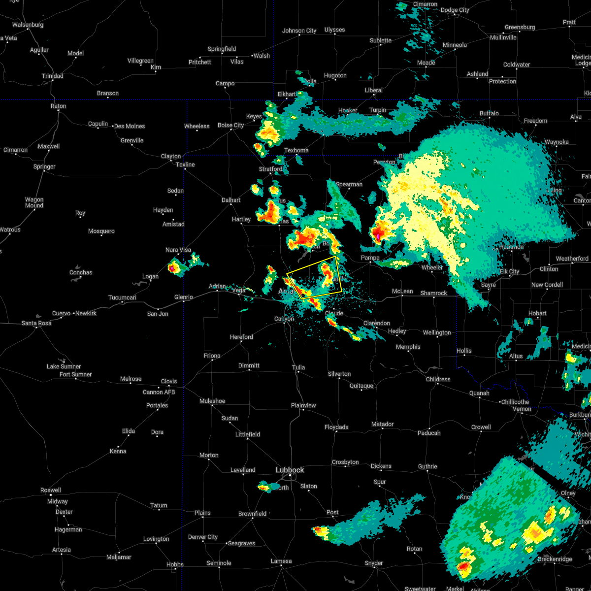 At 1000 pm cdt, a severe thunderstorm was located 9 miles northwest of washburn, or 11 miles northeast of amarillo, moving east at 35 mph (radar indicated). Hazards include 60 mph wind gusts and quarter size hail. Minor damage to roofs, siding, and trees is possible. Hail damage to vehicles is expected. At 1000 pm cdt, a severe thunderstorm was located 9 miles northwest of washburn, or 11 miles northeast of amarillo, moving east at 35 mph (radar indicated). Hazards include 60 mph wind gusts and quarter size hail. Minor damage to roofs, siding, and trees is possible. Hail damage to vehicles is expected.
|
| 5/1/2022 9:35 PM CDT |
 At 934 pm cdt, a severe thunderstorm was located 4 miles northeast of lake tanglewood, or 9 miles southeast of amarillo, moving east at 30 mph (radar indicated). Hazards include 60 mph wind gusts and half dollar size hail. Minor damage to roofs, siding, and trees is possible. Hail damage to vehicles is expected. At 934 pm cdt, a severe thunderstorm was located 4 miles northeast of lake tanglewood, or 9 miles southeast of amarillo, moving east at 30 mph (radar indicated). Hazards include 60 mph wind gusts and half dollar size hail. Minor damage to roofs, siding, and trees is possible. Hail damage to vehicles is expected.
|
| 5/1/2022 7:48 PM CDT |
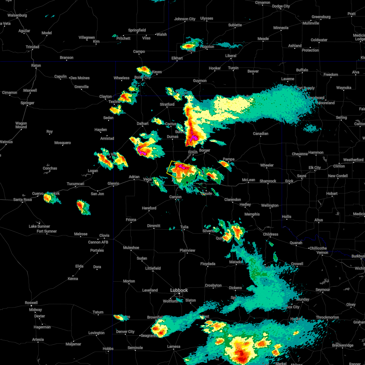 At 748 pm cdt, automated weather equipment reported a severe thunderstorm was located 7 miles southwest of lake meredith, or 21 miles west of borger, moving northeast at 55 mph. this is a destructive storm (automated weather equipment reported 86 mph at 7:37 pm at amarillo 15 nnw mesonet. several reports of golf ball to baseball size hail in western amarillo to bushland. ). Hazards include 90 mph wind gusts and baseball size hail. You are in a life-threatening situation. flying debris may be deadly to those caught without shelter. mobile homes will be heavily damaged or destroyed. homes and businesses will have substantial roof and window damage. expect extensive tree damage and power outages. locations impacted include, amarillo. thunderstorm damage threat, destructive hail threat, observed max hail size, 2. 75 in wind threat, observed max wind gust, 90 mph. At 748 pm cdt, automated weather equipment reported a severe thunderstorm was located 7 miles southwest of lake meredith, or 21 miles west of borger, moving northeast at 55 mph. this is a destructive storm (automated weather equipment reported 86 mph at 7:37 pm at amarillo 15 nnw mesonet. several reports of golf ball to baseball size hail in western amarillo to bushland. ). Hazards include 90 mph wind gusts and baseball size hail. You are in a life-threatening situation. flying debris may be deadly to those caught without shelter. mobile homes will be heavily damaged or destroyed. homes and businesses will have substantial roof and window damage. expect extensive tree damage and power outages. locations impacted include, amarillo. thunderstorm damage threat, destructive hail threat, observed max hail size, 2. 75 in wind threat, observed max wind gust, 90 mph.
|
| 5/1/2022 7:37 PM CDT | Storm damage reported in potter county TX, 14.4 miles SSE of Amarillo, TX |
| 5/1/2022 7:34 PM CDT | Storm damage reported in potter county TX, 14.4 miles SSE of Amarillo, TX |
| 5/1/2022 7:30 PM CDT | Ping Pong Ball sized hail reported 6.5 miles SSE of Amarillo, TX |
| 5/1/2022 7:30 PM CDT | Quarter sized hail reported 5 miles SE of Amarillo, TX |
| 5/1/2022 7:30 PM CDT |
 At 730 pm cdt, a severe thunderstorm was located 10 miles north of amarillo, moving northeast at 55 mph. this is a destructive storm (radar indicated). Hazards include baseball size hail and 70 mph wind gusts. People and animals outdoors will be severely injured. Expect shattered windows, extensive damage to roofs, siding, and vehicles. At 730 pm cdt, a severe thunderstorm was located 10 miles north of amarillo, moving northeast at 55 mph. this is a destructive storm (radar indicated). Hazards include baseball size hail and 70 mph wind gusts. People and animals outdoors will be severely injured. Expect shattered windows, extensive damage to roofs, siding, and vehicles.
|
| 5/1/2022 7:28 PM CDT | Quarter sized hail reported 10 miles E of Amarillo, TX, tractor trailer blown over (i-40 & arnot rd). |
| 5/1/2022 7:28 PM CDT | Power line dow in potter county TX, 0.4 miles NW of Amarillo, TX |
| 5/1/2022 7:27 PM CDT | Golf Ball sized hail reported 7.1 miles ESE of Amarillo, TX |
| 5/1/2022 7:27 PM CDT |
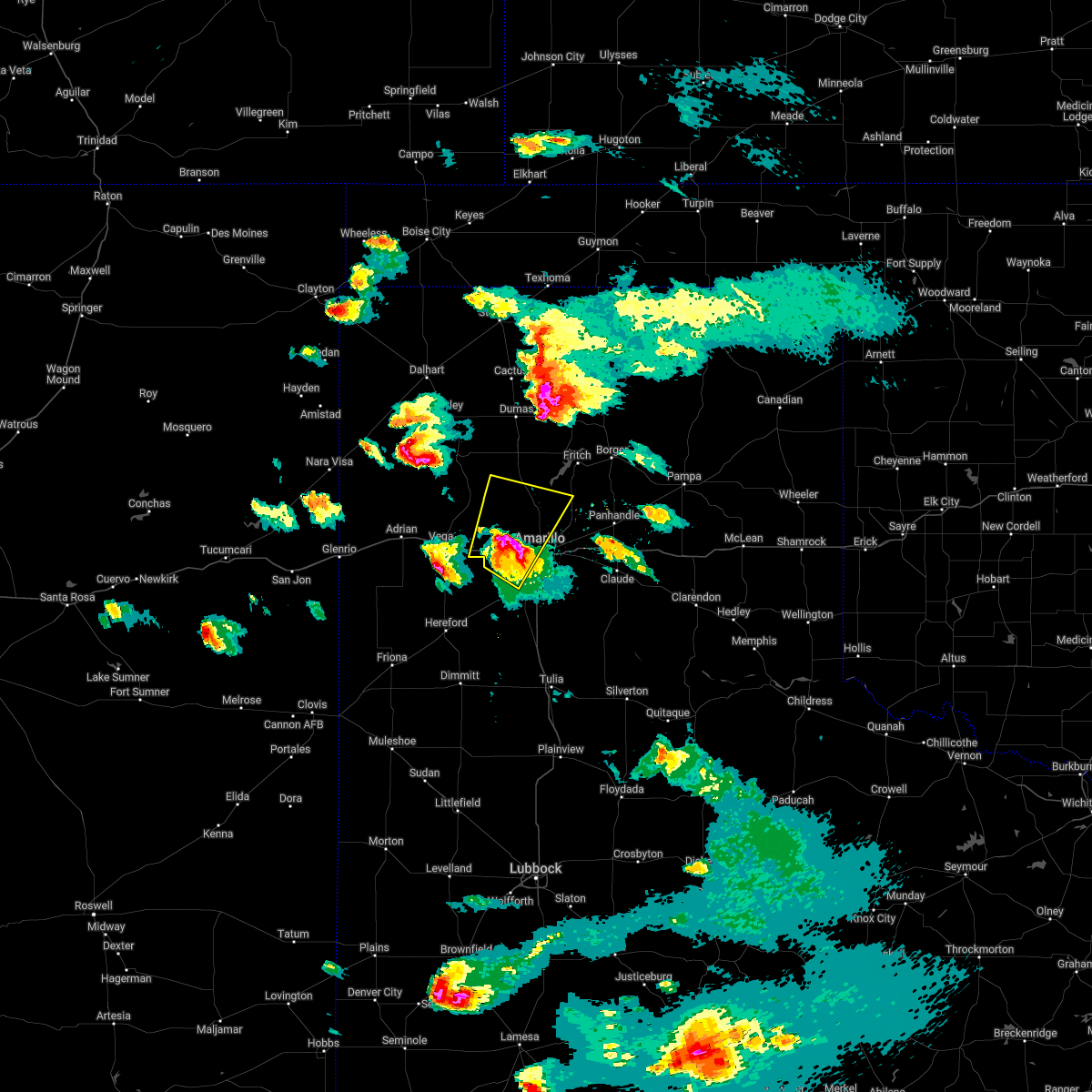 At 724 pm cdt, a severe thunderstorm was located 9 miles northeast of bushland, or 10 miles northwest of amarillo, moving northeast at 55 mph. this is a destructive storm (radar indicated and several reports of golf ball to baseball size size hail in western amarillo to bushland). Hazards include baseball size hail and 70 mph wind gusts. People and animals outdoors will be severely injured. expect shattered windows, extensive damage to roofs, siding, and vehicles. locations impacted include, amarillo, wildorado, bushland, valley de oro and mescalero park. thunderstorm damage threat, destructive hail threat, observed max hail size, 2. 75 in wind threat, observed max wind gust, 70 mph. At 724 pm cdt, a severe thunderstorm was located 9 miles northeast of bushland, or 10 miles northwest of amarillo, moving northeast at 55 mph. this is a destructive storm (radar indicated and several reports of golf ball to baseball size size hail in western amarillo to bushland). Hazards include baseball size hail and 70 mph wind gusts. People and animals outdoors will be severely injured. expect shattered windows, extensive damage to roofs, siding, and vehicles. locations impacted include, amarillo, wildorado, bushland, valley de oro and mescalero park. thunderstorm damage threat, destructive hail threat, observed max hail size, 2. 75 in wind threat, observed max wind gust, 70 mph.
|
| 5/1/2022 7:26 PM CDT | Baseball sized hail reported 5.4 miles SSW of Amarillo, TX, pcfd bishop hills. |
| 5/1/2022 7:25 PM CDT | Quarter sized hail reported 5.4 miles ESE of Amarillo, TX |
| 5/1/2022 7:25 PM CDT | Storm damage reported in potter county TX, 6.9 miles WSW of Amarillo, TX |
| 5/1/2022 7:25 PM CDT | Ping Pong Ball sized hail reported 4.4 miles ESE of Amarillo, TX, report from mping: ping pong ball (1.50 in.). |
| 5/1/2022 7:23 PM CDT | Golf Ball sized hail reported 4.4 miles ESE of Amarillo, TX, report from mping: golf ball (1.75 in.). |
| 5/1/2022 7:20 PM CDT | Golf Ball sized hail reported 10.1 miles E of Amarillo, TX, small tree limbs around 1 to 2 inches downed. |
| 5/1/2022 7:17 PM CDT | Quarter sized hail reported 8.3 miles NE of Amarillo, TX, report from southwest amarillo in hillside terrace. |
| 5/1/2022 7:01 PM CDT |
 At 659 pm cdt, a severe thunderstorm was located 6 miles northwest of umbarger, or 15 miles west of canyon, moving northeast at 55 mph. this is a destructive storm for areas along i-40 west of i-27 to wildorado (trained weather spotters reported baseball size hail in hereford and near umbarger. widespread damage was reported in hereford due to hail and wind). Hazards include three inch hail and 70 mph wind gusts. People and animals outdoors will be severely injured. Expect shattered windows, extensive damage to roofs, siding, and vehicles. At 659 pm cdt, a severe thunderstorm was located 6 miles northwest of umbarger, or 15 miles west of canyon, moving northeast at 55 mph. this is a destructive storm for areas along i-40 west of i-27 to wildorado (trained weather spotters reported baseball size hail in hereford and near umbarger. widespread damage was reported in hereford due to hail and wind). Hazards include three inch hail and 70 mph wind gusts. People and animals outdoors will be severely injured. Expect shattered windows, extensive damage to roofs, siding, and vehicles.
|
| 5/1/2022 6:40 PM CDT | Golf Ball sized hail reported 12.8 miles E of Amarillo, TX |
| 4/22/2022 7:41 PM CDT |
 At 741 pm cdt, a severe thunderstorm was located over palo duro canyon, or 12 miles east of canyon, moving northeast at 50 mph (radar indicated). Hazards include golf ball size hail and 60 mph wind gusts. Minor damage to roofs, siding, and trees is possible. people and animals outdoors will be injured. expect hail damage to roofs, siding, windows, and vehicles. locations impacted include, canyon, claude, lake tanglewood, wayside, washburn, palo duro canyon and timbercreek canyon. thunderstorm damage threat, considerable hail threat, radar indicated max hail size, 1. 75 in wind threat, radar indicated max wind gust, 60 mph. At 741 pm cdt, a severe thunderstorm was located over palo duro canyon, or 12 miles east of canyon, moving northeast at 50 mph (radar indicated). Hazards include golf ball size hail and 60 mph wind gusts. Minor damage to roofs, siding, and trees is possible. people and animals outdoors will be injured. expect hail damage to roofs, siding, windows, and vehicles. locations impacted include, canyon, claude, lake tanglewood, wayside, washburn, palo duro canyon and timbercreek canyon. thunderstorm damage threat, considerable hail threat, radar indicated max hail size, 1. 75 in wind threat, radar indicated max wind gust, 60 mph.
|
| 4/22/2022 7:31 PM CDT | Quarter sized hail reported 7.3 miles WSW of Amarillo, TX |
| 4/22/2022 7:31 PM CDT |
 At 730 pm cdt, a severe thunderstorm was located 5 miles northeast of happy, or 14 miles southeast of canyon, moving northeast at 50 mph (radar indicated). Hazards include ping pong ball size hail and 60 mph wind gusts. Minor damage to roofs, siding, and trees is possible. people and animals outdoors will be injured. Expect hail damage to roofs, siding, windows, and vehicles. At 730 pm cdt, a severe thunderstorm was located 5 miles northeast of happy, or 14 miles southeast of canyon, moving northeast at 50 mph (radar indicated). Hazards include ping pong ball size hail and 60 mph wind gusts. Minor damage to roofs, siding, and trees is possible. people and animals outdoors will be injured. Expect hail damage to roofs, siding, windows, and vehicles.
|
| 4/22/2022 7:26 PM CDT | Quarter sized hail reported 3.1 miles NE of Amarillo, TX |
| 4/22/2022 7:26 PM CDT | Quarter sized hail reported 3.9 miles NE of Amarillo, TX |
| 4/22/2022 7:26 PM CDT |
 At 726 pm cdt, a severe thunderstorm was located 4 miles northeast of amarillo, moving northeast at 50 mph (trained weather spotters reported golf ball size hail). Hazards include golf ball size hail and 60 mph wind gusts. Minor damage to roofs, siding, and trees is possible. people and animals outdoors will be injured. expect hail damage to roofs, siding, windows, and vehicles. locations impacted include, amarillo, panhandle, fritch, lake tanglewood, washburn, mescalero park and pantex. thunderstorm damage threat, considerable hail threat, observed max hail size, 1. 75 in wind threat, radar indicated max wind gust, 60 mph. At 726 pm cdt, a severe thunderstorm was located 4 miles northeast of amarillo, moving northeast at 50 mph (trained weather spotters reported golf ball size hail). Hazards include golf ball size hail and 60 mph wind gusts. Minor damage to roofs, siding, and trees is possible. people and animals outdoors will be injured. expect hail damage to roofs, siding, windows, and vehicles. locations impacted include, amarillo, panhandle, fritch, lake tanglewood, washburn, mescalero park and pantex. thunderstorm damage threat, considerable hail threat, observed max hail size, 1. 75 in wind threat, radar indicated max wind gust, 60 mph.
|
| 4/22/2022 7:25 PM CDT | Golf Ball sized hail reported 3.2 miles WNW of Amarillo, TX |
| 4/22/2022 7:24 PM CDT | Quarter sized hail reported 0.5 miles SSW of Amarillo, TX |
| 4/22/2022 7:22 PM CDT | Part of a sign blown off the side of the hospita in potter county TX, 4.8 miles E of Amarillo, TX |
| 4/22/2022 7:19 PM CDT | Half Dollar sized hail reported 4.5 miles NE of Amarillo, TX |
| 4/22/2022 7:18 PM CDT | Quarter sized hail reported 6.1 miles NE of Amarillo, TX |
| 4/22/2022 7:17 PM CDT |
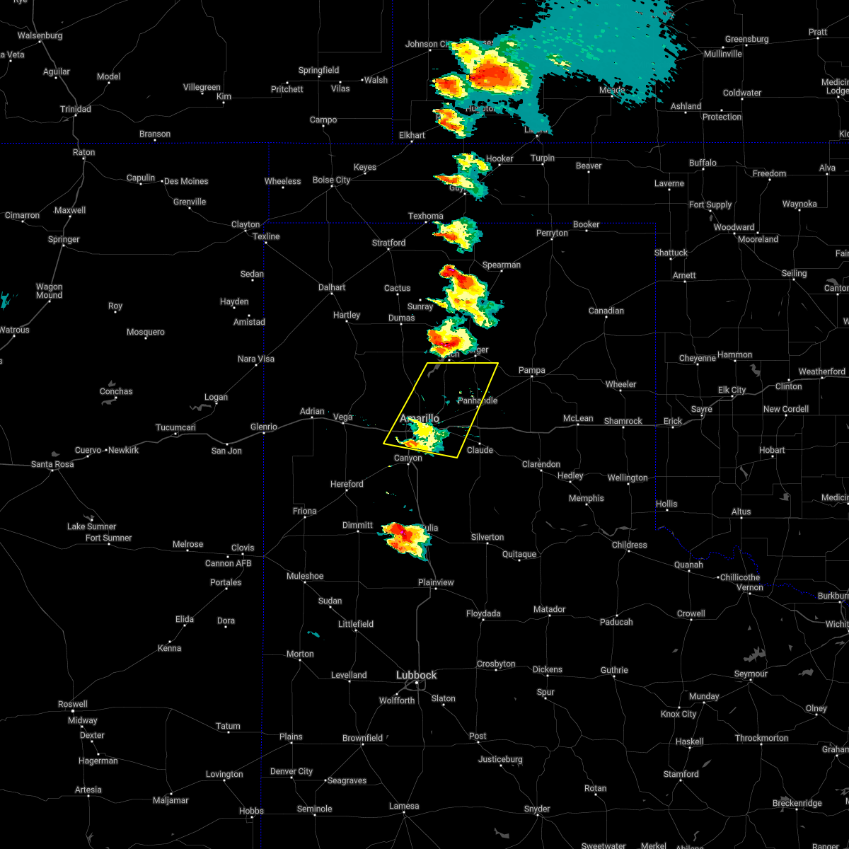 At 716 pm cdt, a severe thunderstorm was located 4 miles south of amarillo, moving northeast at 50 mph (radar indicated). Hazards include 60 mph wind gusts and half dollar size hail. Minor damage to roofs, siding, and trees is possible. Hail damage to vehicles is expected. At 716 pm cdt, a severe thunderstorm was located 4 miles south of amarillo, moving northeast at 50 mph (radar indicated). Hazards include 60 mph wind gusts and half dollar size hail. Minor damage to roofs, siding, and trees is possible. Hail damage to vehicles is expected.
|
| 4/22/2022 6:52 PM CDT | Tennis Ball sized hail reported 22.3 miles SSE of Amarillo, TX |
| 4/22/2022 6:48 PM CDT | Golf Ball sized hail reported 23 miles SSE of Amarillo, TX |
| 4/22/2022 6:46 PM CDT | Half Dollar sized hail reported 18.5 miles S of Amarillo, TX |
| 4/22/2022 6:43 PM CDT | Golf Ball sized hail reported 22.3 miles SSE of Amarillo, TX |
| 4/22/2022 6:42 PM CDT | Quarter sized hail reported 18.5 miles S of Amarillo, TX |
| 4/22/2022 6:17 PM CDT |
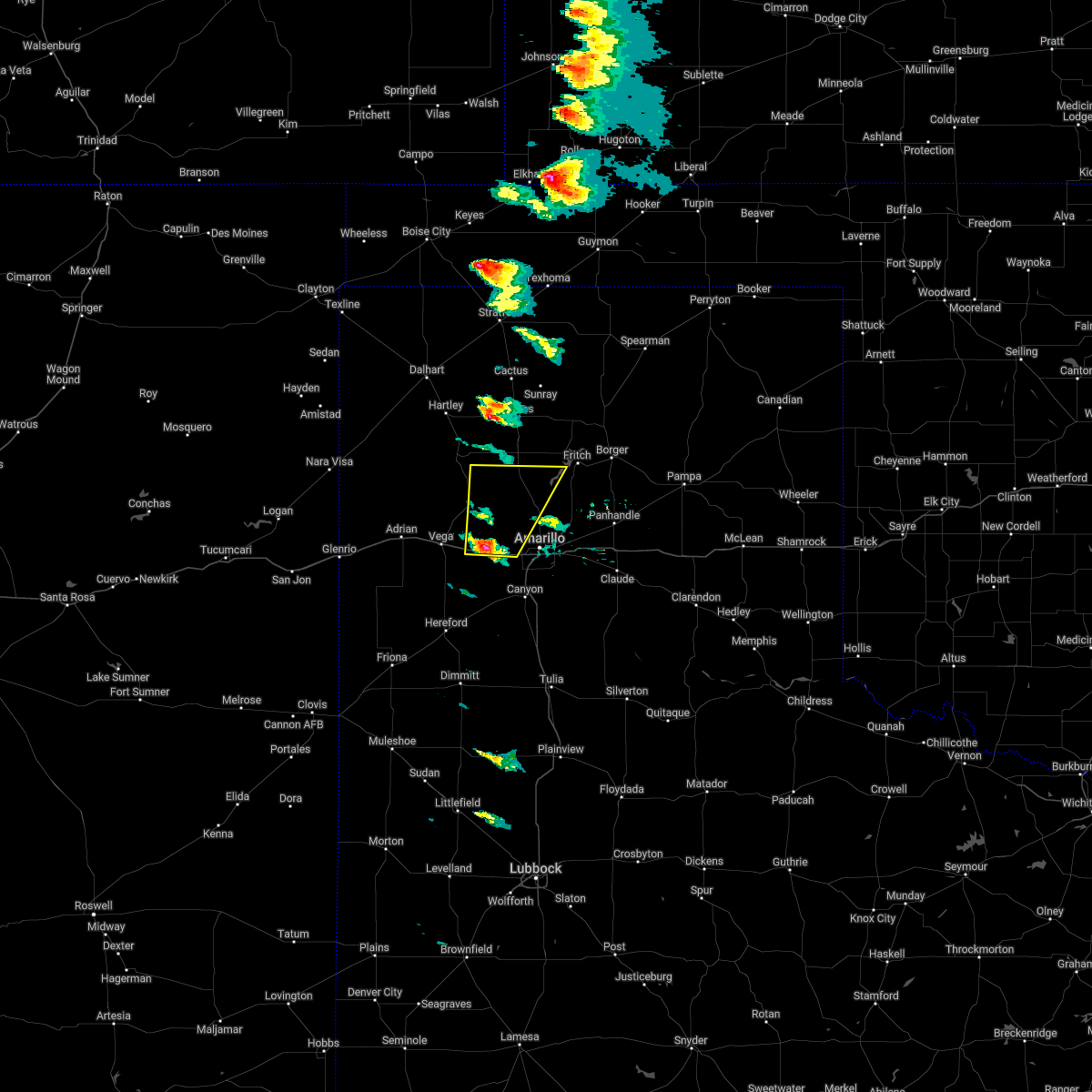 At 617 pm cdt, a severe thunderstorm was located 8 miles northwest of bushland, or 17 miles northwest of amarillo, moving northeast at 55 mph (radar indicated). Hazards include golf ball size hail and 60 mph wind gusts. Minor damage to roofs, siding, and trees is possible. people and animals outdoors will be injured. expect hail damage to roofs, siding, windows, and vehicles. locations impacted include, boys ranch, wildorado, bushland and valley de oro. thunderstorm damage threat, considerable hail threat, radar indicated max hail size, 1. 75 in wind threat, radar indicated max wind gust, 60 mph. At 617 pm cdt, a severe thunderstorm was located 8 miles northwest of bushland, or 17 miles northwest of amarillo, moving northeast at 55 mph (radar indicated). Hazards include golf ball size hail and 60 mph wind gusts. Minor damage to roofs, siding, and trees is possible. people and animals outdoors will be injured. expect hail damage to roofs, siding, windows, and vehicles. locations impacted include, boys ranch, wildorado, bushland and valley de oro. thunderstorm damage threat, considerable hail threat, radar indicated max hail size, 1. 75 in wind threat, radar indicated max wind gust, 60 mph.
|
| 4/22/2022 6:08 PM CDT |
 At 607 pm cdt, a severe thunderstorm was located over wildorado, or 12 miles east of vega, moving northeast at 55 mph (radar indicated). Hazards include 60 mph wind gusts and quarter size hail. Minor damage to roofs, siding, and trees is possible. Hail damage to vehicles is expected. At 607 pm cdt, a severe thunderstorm was located over wildorado, or 12 miles east of vega, moving northeast at 55 mph (radar indicated). Hazards include 60 mph wind gusts and quarter size hail. Minor damage to roofs, siding, and trees is possible. Hail damage to vehicles is expected.
|
| 3/21/2022 4:07 PM CDT |
 At 407 pm cdt, severe thunderstorms were located along a line extending from 9 miles northwest of washburn to near claude, moving east at 20 mph (radar indicated). Hazards include 60 mph wind gusts and penny size hail. minor damage to roofs, siding, and trees is possible At 407 pm cdt, severe thunderstorms were located along a line extending from 9 miles northwest of washburn to near claude, moving east at 20 mph (radar indicated). Hazards include 60 mph wind gusts and penny size hail. minor damage to roofs, siding, and trees is possible
|
| 10/12/2021 9:44 PM CDT | Asos station kama amarillo. gust due to virg in potter county TX, 6.6 miles W of Amarillo, TX |
| 8/29/2021 3:12 PM CDT |
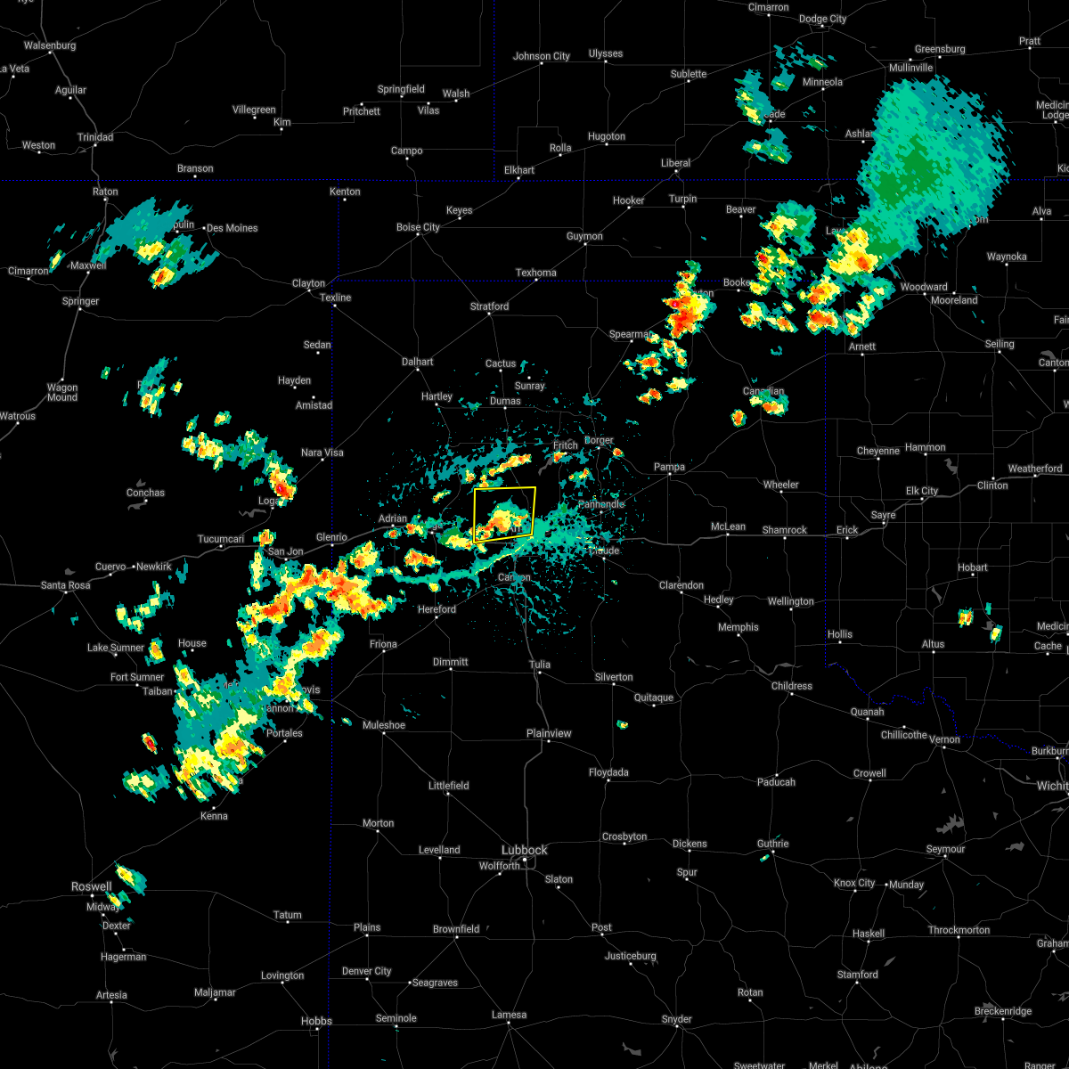 The severe thunderstorm warning for southwestern potter county will expire at 315 pm cdt, the severe thunderstorm which prompted the warning has weakened. therefore, the warning will be allowed to expire. however gusty winds and heavy rain are still possible with this thunderstorm. The severe thunderstorm warning for southwestern potter county will expire at 315 pm cdt, the severe thunderstorm which prompted the warning has weakened. therefore, the warning will be allowed to expire. however gusty winds and heavy rain are still possible with this thunderstorm.
|
| 8/29/2021 2:53 PM CDT |
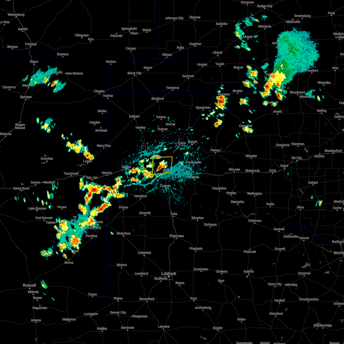 At 253 pm cdt, a severe thunderstorm was located 5 miles north of bushland, or 12 miles northwest of amarillo, moving southwest at 5 mph (radar indicated). Hazards include 60 mph wind gusts and penny size hail. Minor damage to roofs, siding, and trees is possible. locations impacted include, amarillo and valley de oro. hail threat, radar indicated max hail size, 0. 75in wind threat, radar indicated max wind gust, 60 mph. At 253 pm cdt, a severe thunderstorm was located 5 miles north of bushland, or 12 miles northwest of amarillo, moving southwest at 5 mph (radar indicated). Hazards include 60 mph wind gusts and penny size hail. Minor damage to roofs, siding, and trees is possible. locations impacted include, amarillo and valley de oro. hail threat, radar indicated max hail size, 0. 75in wind threat, radar indicated max wind gust, 60 mph.
|
| 8/29/2021 2:36 PM CDT |
 At 235 pm cdt, a severe thunderstorm was located 9 miles northeast of bushland, or 11 miles northwest of amarillo, and is nearly stationary (radar indicated). Hazards include 60 mph wind gusts and quarter size hail. Minor damage to roofs, siding, and trees is possible. Hail damage to vehicles is expected. At 235 pm cdt, a severe thunderstorm was located 9 miles northeast of bushland, or 11 miles northwest of amarillo, and is nearly stationary (radar indicated). Hazards include 60 mph wind gusts and quarter size hail. Minor damage to roofs, siding, and trees is possible. Hail damage to vehicles is expected.
|
| 8/21/2021 6:41 PM CDT |
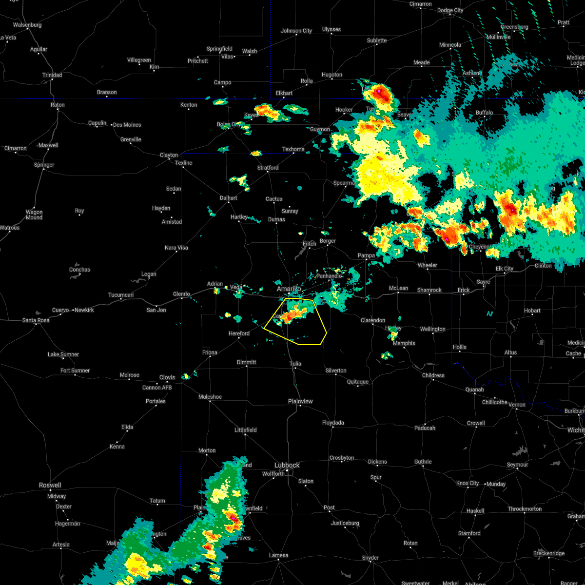 The severe thunderstorm warning for western armstrong and randall counties will expire at 645 pm cdt, the storm which prompted the warning has weakened below severe limits, and no longer poses an immediate threat to life or property. therefore, the warning will be allowed to expire. however gusty winds are still possible with this thunderstorm. The severe thunderstorm warning for western armstrong and randall counties will expire at 645 pm cdt, the storm which prompted the warning has weakened below severe limits, and no longer poses an immediate threat to life or property. therefore, the warning will be allowed to expire. however gusty winds are still possible with this thunderstorm.
|
| 8/21/2021 6:10 PM CDT |
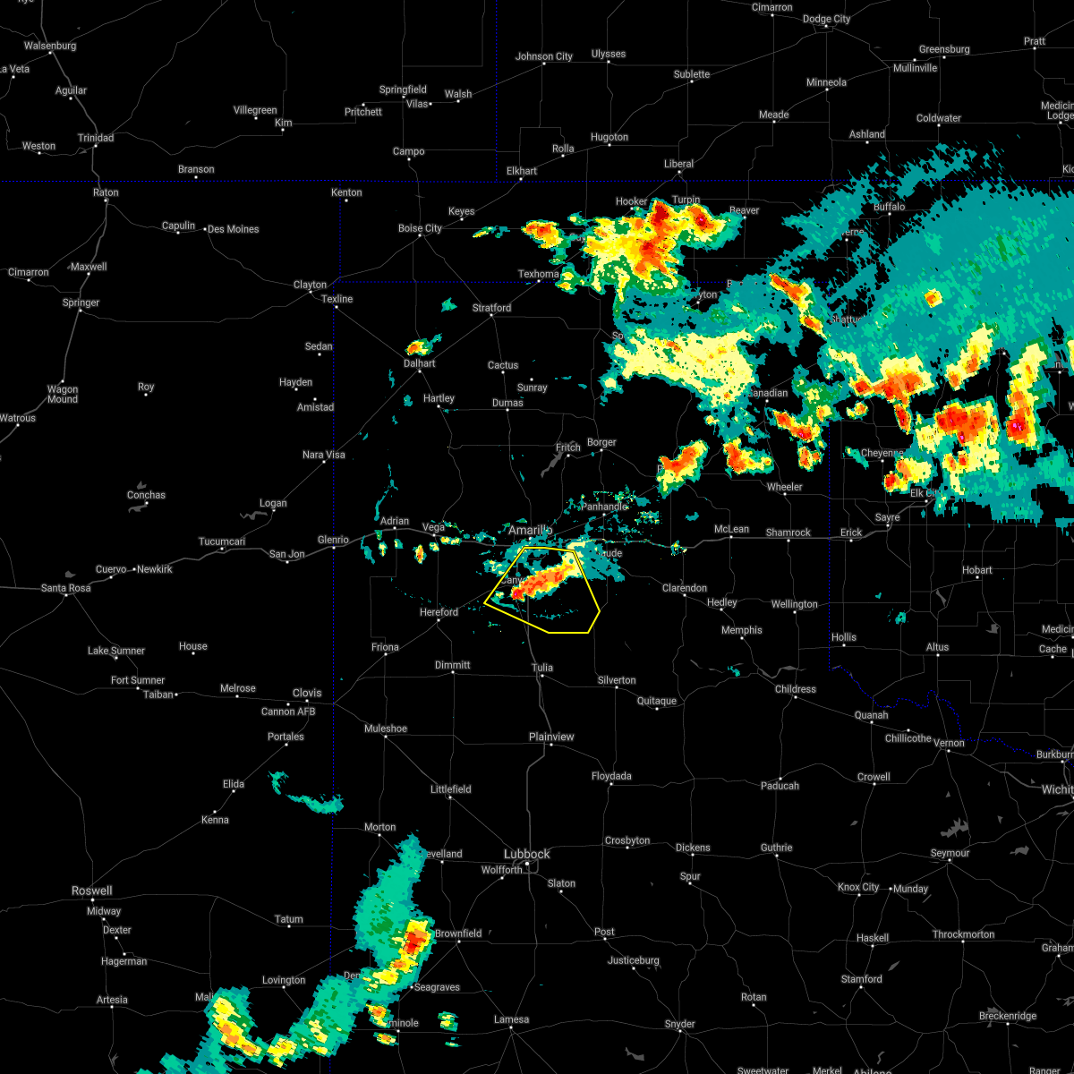 At 610 pm cdt, a severe thunderstorm was located over canyon, moving northeast at 15 mph (radar indicated). Hazards include 60 mph wind gusts and quarter size hail. Minor damage to roofs, siding, and trees is possible. hail damage to vehicles is expected. locations impacted include, amarillo, canyon, lake tanglewood, mescalero park, wayside, palo duro canyon and timbercreek canyon. hail threat, radar indicated max hail size, 1. 00in wind threat, radar indicated max wind gust, 60 mph. At 610 pm cdt, a severe thunderstorm was located over canyon, moving northeast at 15 mph (radar indicated). Hazards include 60 mph wind gusts and quarter size hail. Minor damage to roofs, siding, and trees is possible. hail damage to vehicles is expected. locations impacted include, amarillo, canyon, lake tanglewood, mescalero park, wayside, palo duro canyon and timbercreek canyon. hail threat, radar indicated max hail size, 1. 00in wind threat, radar indicated max wind gust, 60 mph.
|
| 8/21/2021 5:57 PM CDT |
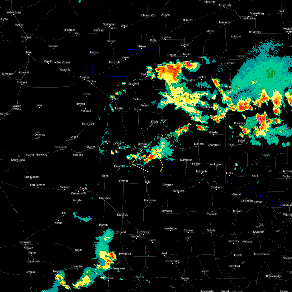 At 556 pm cdt, a severe thunderstorm was located 6 miles north of palo duro canyon, or 15 miles east of canyon, moving northeast at 10 mph (radar indicated). Hazards include 60 mph wind gusts. Minor damage to roofs, siding, and trees is possible. locations impacted include, amarillo, canyon, lake tanglewood, mescalero park, wayside, palo duro canyon and timbercreek canyon. hail threat, radar indicated max hail size, <. 75 in wind threat, radar indicated max wind gust, 60 mph. At 556 pm cdt, a severe thunderstorm was located 6 miles north of palo duro canyon, or 15 miles east of canyon, moving northeast at 10 mph (radar indicated). Hazards include 60 mph wind gusts. Minor damage to roofs, siding, and trees is possible. locations impacted include, amarillo, canyon, lake tanglewood, mescalero park, wayside, palo duro canyon and timbercreek canyon. hail threat, radar indicated max hail size, <. 75 in wind threat, radar indicated max wind gust, 60 mph.
|
| 8/21/2021 5:33 PM CDT |
 At 533 pm cdt, a severe thunderstorm was located 7 miles north of palo duro canyon, or 15 miles west of claude, moving northeast at 20 mph (radar indicated). Hazards include 60 mph wind gusts and nickel size hail. Minor damage to roofs, siding, and trees is possible. locations impacted include, amarillo, canyon, panhandle, claude, lake tanglewood, mescalero park, wayside, washburn, palo duro canyon, timbercreek canyon and pantex. hail threat, radar indicated max hail size, 0. 88in wind threat, radar indicated max wind gust, 60 mph. At 533 pm cdt, a severe thunderstorm was located 7 miles north of palo duro canyon, or 15 miles west of claude, moving northeast at 20 mph (radar indicated). Hazards include 60 mph wind gusts and nickel size hail. Minor damage to roofs, siding, and trees is possible. locations impacted include, amarillo, canyon, panhandle, claude, lake tanglewood, mescalero park, wayside, washburn, palo duro canyon, timbercreek canyon and pantex. hail threat, radar indicated max hail size, 0. 88in wind threat, radar indicated max wind gust, 60 mph.
|
| 8/21/2021 5:14 PM CDT |
 At 514 pm cdt, a severe thunderstorm was located 6 miles south of washburn, or 13 miles west of claude, moving northeast at 15 mph (radar indicated). Hazards include 60 mph wind gusts and quarter size hail. Minor damage to roofs, siding, and trees is possible. Hail damage to vehicles is expected. At 514 pm cdt, a severe thunderstorm was located 6 miles south of washburn, or 13 miles west of claude, moving northeast at 15 mph (radar indicated). Hazards include 60 mph wind gusts and quarter size hail. Minor damage to roofs, siding, and trees is possible. Hail damage to vehicles is expected.
|
| 8/21/2021 4:29 PM CDT |
 At 428 pm cdt, a severe thunderstorm was located near umbarger, or 11 miles west of canyon, moving northeast at 5 mph (radar indicated). Hazards include 60 mph wind gusts. Minor damage to roofs, siding, and trees is possible. locations impacted include, amarillo, canyon, mescalero park, bushland and timbercreek canyon. hail threat, radar indicated max hail size, <. 75 in wind threat, radar indicated max wind gust, 60 mph. At 428 pm cdt, a severe thunderstorm was located near umbarger, or 11 miles west of canyon, moving northeast at 5 mph (radar indicated). Hazards include 60 mph wind gusts. Minor damage to roofs, siding, and trees is possible. locations impacted include, amarillo, canyon, mescalero park, bushland and timbercreek canyon. hail threat, radar indicated max hail size, <. 75 in wind threat, radar indicated max wind gust, 60 mph.
|
| 8/21/2021 4:11 PM CDT |
 At 410 pm cdt, a severe thunderstorm was located near amarillo, moving northeast at 15 mph (radar indicated). Hazards include 60 mph wind gusts and penny size hail. Minor damage to roofs, siding, and trees is possible. locations impacted include, amarillo, canyon, lake tanglewood, mescalero park, bushland, washburn, timbercreek canyon and pantex. hail threat, radar indicated max hail size, 0. 75in wind threat, radar indicated max wind gust, 60 mph. At 410 pm cdt, a severe thunderstorm was located near amarillo, moving northeast at 15 mph (radar indicated). Hazards include 60 mph wind gusts and penny size hail. Minor damage to roofs, siding, and trees is possible. locations impacted include, amarillo, canyon, lake tanglewood, mescalero park, bushland, washburn, timbercreek canyon and pantex. hail threat, radar indicated max hail size, 0. 75in wind threat, radar indicated max wind gust, 60 mph.
|
| 8/21/2021 4:03 PM CDT |
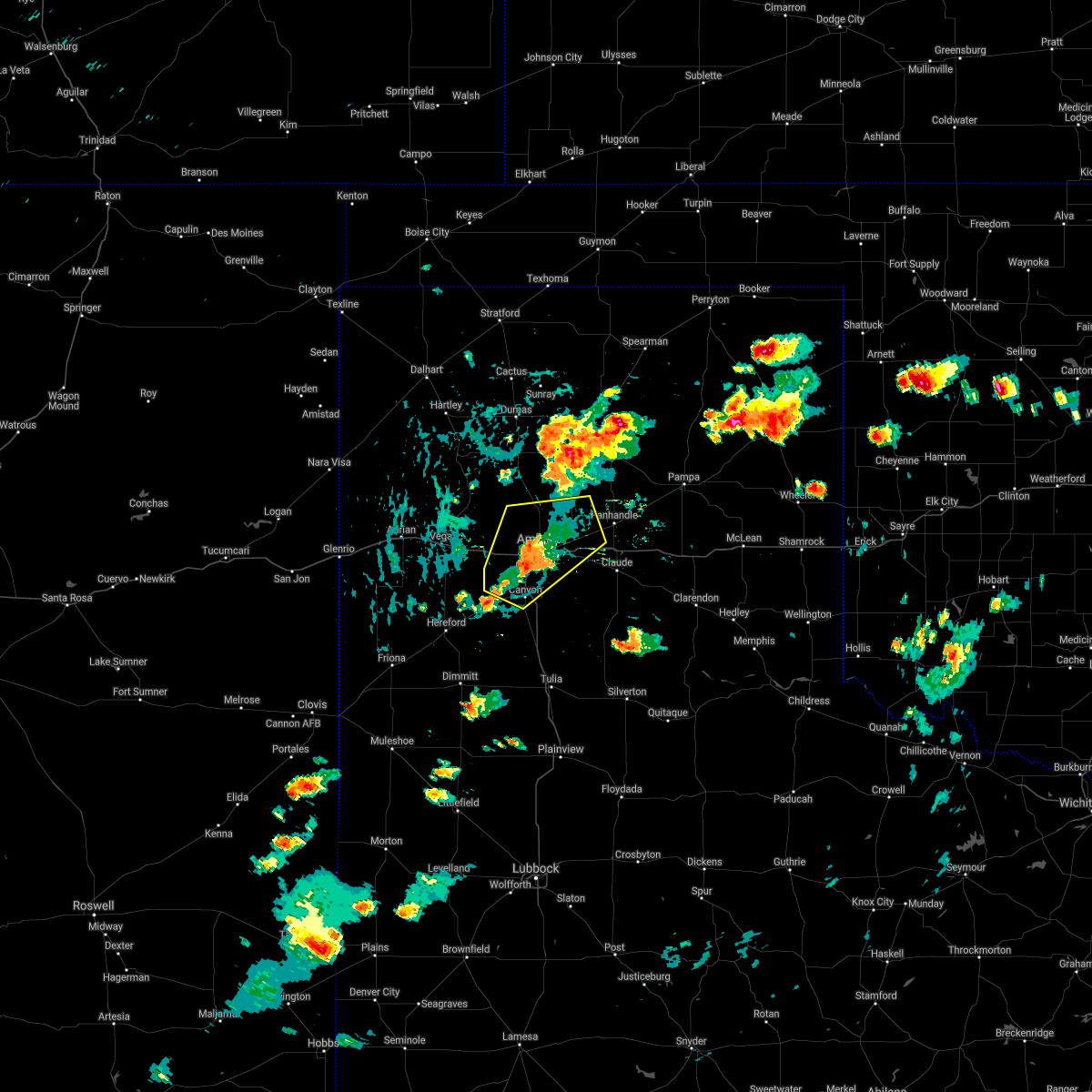 At 403 pm cdt, a severe thunderstorm was located 5 miles southwest of amarillo, moving northeast at 10 mph (radar indicated). Hazards include 60 mph wind gusts and quarter size hail. Minor damage to roofs, siding, and trees is possible. hail damage to vehicles is expected. locations impacted include, amarillo, canyon, lake tanglewood, mescalero park, bushland, washburn, timbercreek canyon and pantex. hail threat, radar indicated max hail size, 1. 00in wind threat, radar indicated max wind gust, 60 mph. At 403 pm cdt, a severe thunderstorm was located 5 miles southwest of amarillo, moving northeast at 10 mph (radar indicated). Hazards include 60 mph wind gusts and quarter size hail. Minor damage to roofs, siding, and trees is possible. hail damage to vehicles is expected. locations impacted include, amarillo, canyon, lake tanglewood, mescalero park, bushland, washburn, timbercreek canyon and pantex. hail threat, radar indicated max hail size, 1. 00in wind threat, radar indicated max wind gust, 60 mph.
|
| 8/21/2021 3:55 PM CDT | Reports of widespread tree damage near avondale elementary and at least one large tree was completely uproote in potter county TX, 3.2 miles E of Amarillo, TX |
| 8/21/2021 3:54 PM CDT |
 At 353 pm cdt, a severe thunderstorm was located 5 miles southwest of amarillo, moving northeast at 15 mph (trained weather spotters). Hazards include 70 mph wind gusts and quarter size hail. Expect some tree damage. damage is likely to mobile homes, roofs, and outbuildings. hail damage to vehicles is expected. locations impacted include, amarillo, canyon, lake tanglewood, mescalero park, bushland, washburn, timbercreek canyon and pantex. thunderstorm damage threat, considerable hail threat, radar indicated max hail size, 1. 00in wind threat, radar indicated max wind gust, 70 mph. At 353 pm cdt, a severe thunderstorm was located 5 miles southwest of amarillo, moving northeast at 15 mph (trained weather spotters). Hazards include 70 mph wind gusts and quarter size hail. Expect some tree damage. damage is likely to mobile homes, roofs, and outbuildings. hail damage to vehicles is expected. locations impacted include, amarillo, canyon, lake tanglewood, mescalero park, bushland, washburn, timbercreek canyon and pantex. thunderstorm damage threat, considerable hail threat, radar indicated max hail size, 1. 00in wind threat, radar indicated max wind gust, 70 mph.
|
| 8/21/2021 3:50 PM CDT | Quarter sized hail reported 5.7 miles ENE of Amarillo, TX, trained spotter reports nickel to quarter sized hail. |
| 8/21/2021 3:46 PM CDT |
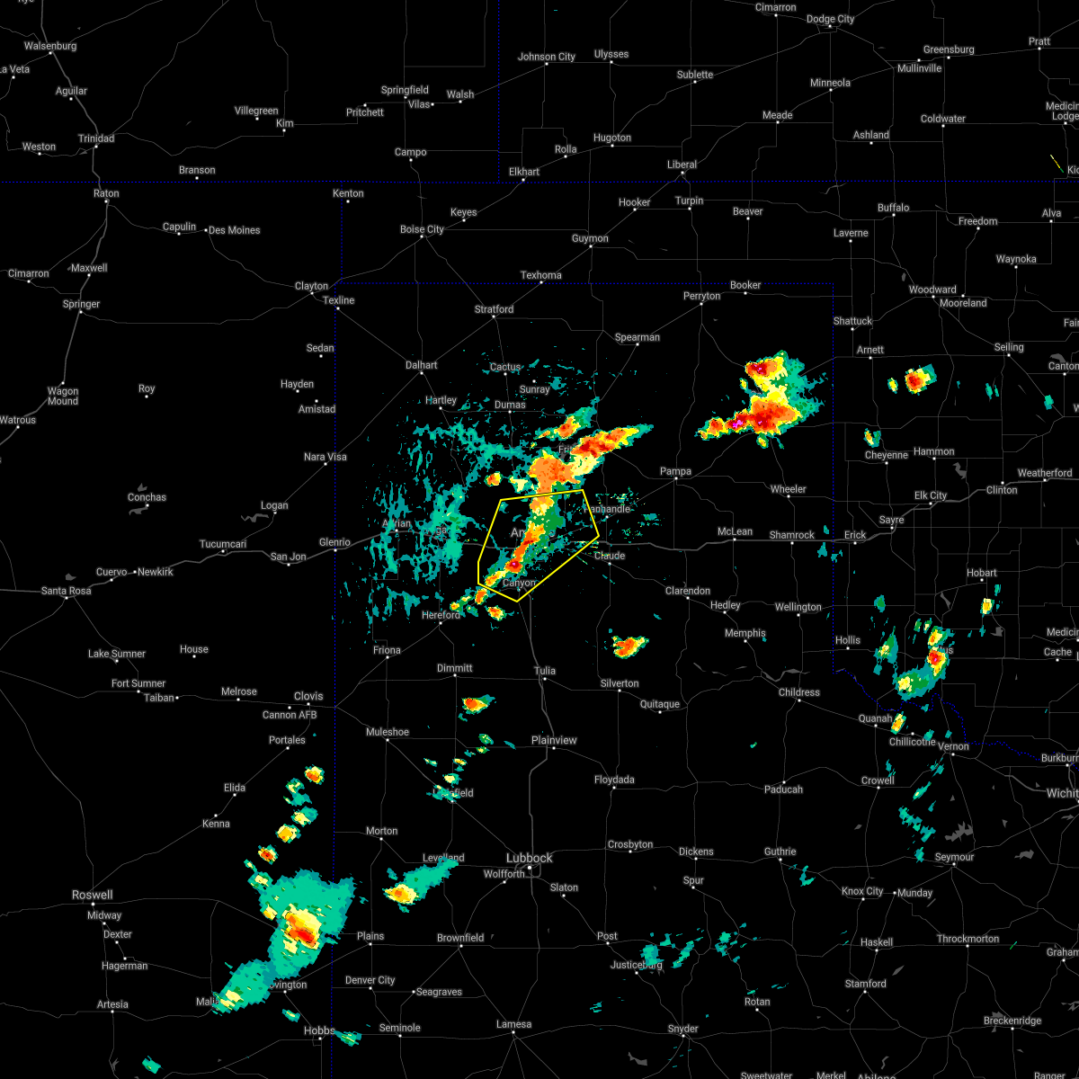 At 346 pm cdt, a severe thunderstorm was located 4 miles north of mescalero park, or 7 miles southwest of amarillo, moving northeast at 15 mph (trained weather spotters). Hazards include 60 mph wind gusts and half dollar size hail. Minor damage to roofs, siding, and trees is possible. hail damage to vehicles is expected. locations impacted include, amarillo, canyon, lake tanglewood, mescalero park, bushland, washburn, timbercreek canyon and pantex. hail threat, radar indicated max hail size, 1. 25 in wind threat, radar indicated max wind gust, 60 mph. At 346 pm cdt, a severe thunderstorm was located 4 miles north of mescalero park, or 7 miles southwest of amarillo, moving northeast at 15 mph (trained weather spotters). Hazards include 60 mph wind gusts and half dollar size hail. Minor damage to roofs, siding, and trees is possible. hail damage to vehicles is expected. locations impacted include, amarillo, canyon, lake tanglewood, mescalero park, bushland, washburn, timbercreek canyon and pantex. hail threat, radar indicated max hail size, 1. 25 in wind threat, radar indicated max wind gust, 60 mph.
|
| 8/21/2021 3:44 PM CDT | Half Dollar sized hail reported 9.6 miles NE of Amarillo, TX, trained spotter reports up to half dollar sized hail. |
| 8/21/2021 3:42 PM CDT |
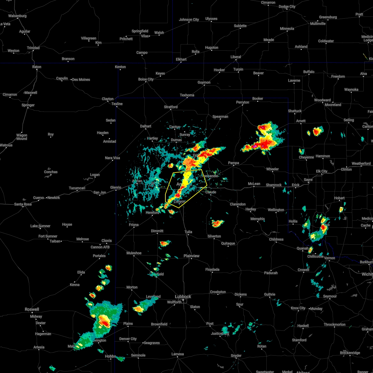 At 342 pm cdt, a severe thunderstorm was located 4 miles northwest of mescalero park, or 8 miles north of canyon, moving northeast at 15 mph (radar indicated). Hazards include 60 mph wind gusts and half dollar size hail. Minor damage to roofs, siding, and trees is possible. Hail damage to vehicles is expected. At 342 pm cdt, a severe thunderstorm was located 4 miles northwest of mescalero park, or 8 miles north of canyon, moving northeast at 15 mph (radar indicated). Hazards include 60 mph wind gusts and half dollar size hail. Minor damage to roofs, siding, and trees is possible. Hail damage to vehicles is expected.
|
| 8/12/2021 6:24 PM CDT |
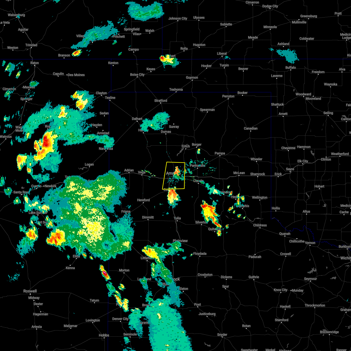 At 623 pm cdt, a severe thunderstorm was located 4 miles north of lake tanglewood, or 6 miles southeast of amarillo, moving north at 25 mph (radar indicated). Hazards include 60 mph wind gusts. minor damage to roofs, siding, and trees is possible At 623 pm cdt, a severe thunderstorm was located 4 miles north of lake tanglewood, or 6 miles southeast of amarillo, moving north at 25 mph (radar indicated). Hazards include 60 mph wind gusts. minor damage to roofs, siding, and trees is possible
|
| 8/7/2021 7:50 PM CDT |
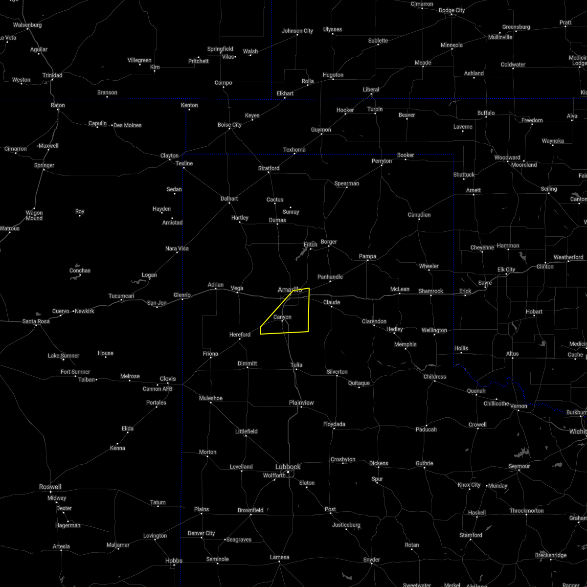 The severe thunderstorm warning for central randall and southeastern potter counties will expire at 800 pm cdt, the storm which prompted the warning has moved out of the area. therefore, the warning will be allowed to expire. however gusty winds are still possible with this thunderstorm. The severe thunderstorm warning for central randall and southeastern potter counties will expire at 800 pm cdt, the storm which prompted the warning has moved out of the area. therefore, the warning will be allowed to expire. however gusty winds are still possible with this thunderstorm.
|
| 8/7/2021 7:27 PM CDT | Asos station kama amarillo (asos in potter county TX, 6.6 miles W of Amarillo, TX |
| 8/7/2021 7:27 PM CDT |
 At 726 pm cdt, a severe thunderstorm was located 4 miles north of lake tanglewood, or 6 miles southeast of amarillo, moving east at 20 mph (radar indicated). Hazards include 60 mph wind gusts. Minor damage to roofs, siding, and trees is possible. locations impacted include, amarillo, canyon, lake tanglewood, mescalero park, buffalo lake, umbarger, palo duro canyon and timbercreek canyon. hail threat, radar indicated max hail size, <. 75 in wind threat, radar indicated max wind gust, 60 mph. At 726 pm cdt, a severe thunderstorm was located 4 miles north of lake tanglewood, or 6 miles southeast of amarillo, moving east at 20 mph (radar indicated). Hazards include 60 mph wind gusts. Minor damage to roofs, siding, and trees is possible. locations impacted include, amarillo, canyon, lake tanglewood, mescalero park, buffalo lake, umbarger, palo duro canyon and timbercreek canyon. hail threat, radar indicated max hail size, <. 75 in wind threat, radar indicated max wind gust, 60 mph.
|
| 8/7/2021 7:04 PM CDT |
 At 704 pm cdt, a severe thunderstorm was located 4 miles north of mescalero park, or 7 miles southwest of amarillo, moving east at 20 mph (radar indicated). Hazards include 60 mph wind gusts and quarter size hail. Minor damage to roofs, siding, and trees is possible. Hail damage to vehicles is expected. At 704 pm cdt, a severe thunderstorm was located 4 miles north of mescalero park, or 7 miles southwest of amarillo, moving east at 20 mph (radar indicated). Hazards include 60 mph wind gusts and quarter size hail. Minor damage to roofs, siding, and trees is possible. Hail damage to vehicles is expected.
|
| 7/31/2021 7:37 PM CDT |
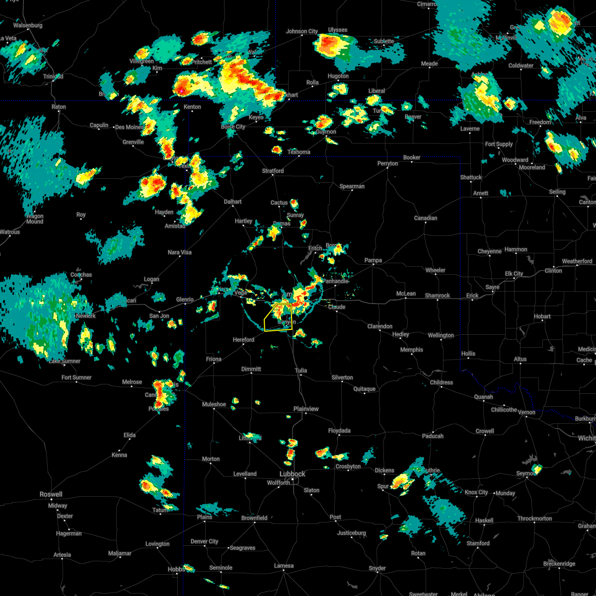 The severe thunderstorm warning for northwestern randall county will expire at 745 pm cdt, the storm which prompted the warning has weakened below severe limits, and has exited the warned area. therefore, the warning will be allowed to expire. however gusty winds and heavy rain are still possible with this thunderstorm. The severe thunderstorm warning for northwestern randall county will expire at 745 pm cdt, the storm which prompted the warning has weakened below severe limits, and has exited the warned area. therefore, the warning will be allowed to expire. however gusty winds and heavy rain are still possible with this thunderstorm.
|
| 7/31/2021 7:20 PM CDT |
 At 719 pm cdt, a severe thunderstorm was located 5 miles northeast of umbarger, or 7 miles west of canyon, moving south at 15 mph (radar indicated). Hazards include 60 mph wind gusts and nickel size hail. Minor damage to roofs, siding, and trees is possible. Locations impacted include, amarillo, canyon, umbarger and mescalero park. At 719 pm cdt, a severe thunderstorm was located 5 miles northeast of umbarger, or 7 miles west of canyon, moving south at 15 mph (radar indicated). Hazards include 60 mph wind gusts and nickel size hail. Minor damage to roofs, siding, and trees is possible. Locations impacted include, amarillo, canyon, umbarger and mescalero park.
|
| 7/31/2021 6:54 PM CDT |
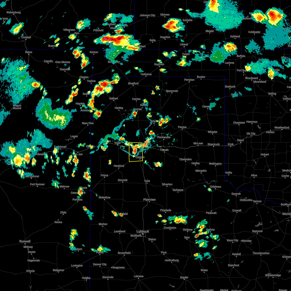 At 654 pm cdt, a severe thunderstorm was located 7 miles west of mescalero park, or 9 miles northwest of canyon, moving south at 15 mph (radar indicated). Hazards include 60 mph wind gusts and nickel size hail. minor damage to roofs, siding, and trees is possible At 654 pm cdt, a severe thunderstorm was located 7 miles west of mescalero park, or 9 miles northwest of canyon, moving south at 15 mph (radar indicated). Hazards include 60 mph wind gusts and nickel size hail. minor damage to roofs, siding, and trees is possible
|
| 7/25/2021 4:05 PM CDT |
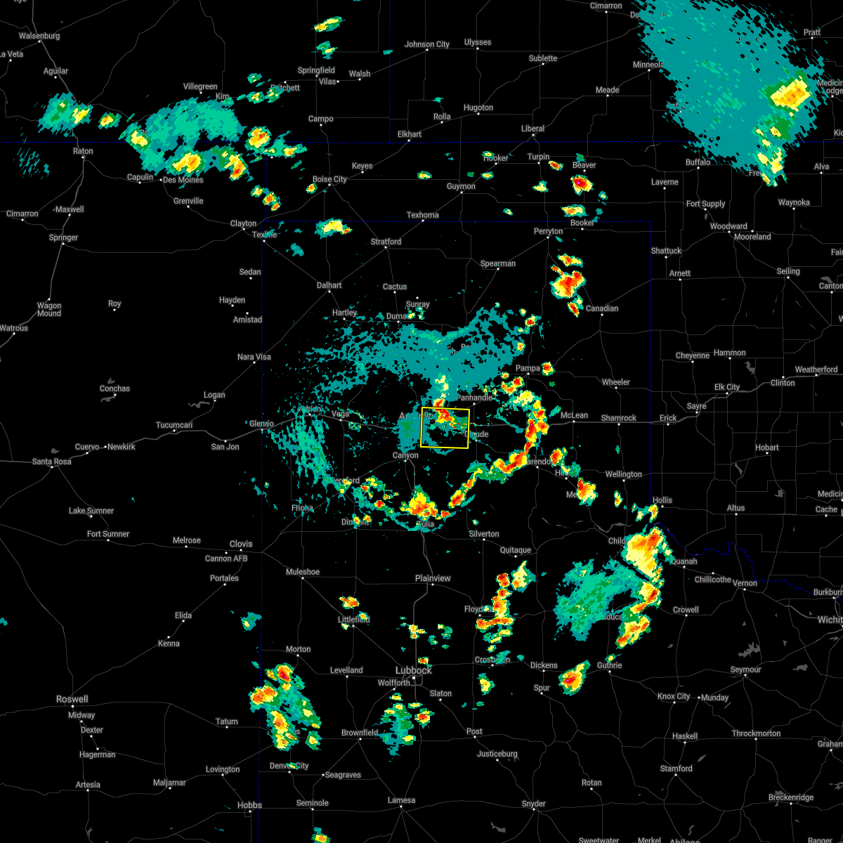 The severe thunderstorm warning for northwestern armstrong, northeastern randall, southwestern carson and southeastern potter counties will expire at 415 pm cdt, the storm which prompted the warning has weakened below severe limits, and has exited the warned area. therefore, the warning will be allowed to expire. however gusty winds and heavy rain are still possible with this thunderstorm. The severe thunderstorm warning for northwestern armstrong, northeastern randall, southwestern carson and southeastern potter counties will expire at 415 pm cdt, the storm which prompted the warning has weakened below severe limits, and has exited the warned area. therefore, the warning will be allowed to expire. however gusty winds and heavy rain are still possible with this thunderstorm.
|
| 7/25/2021 3:33 PM CDT |
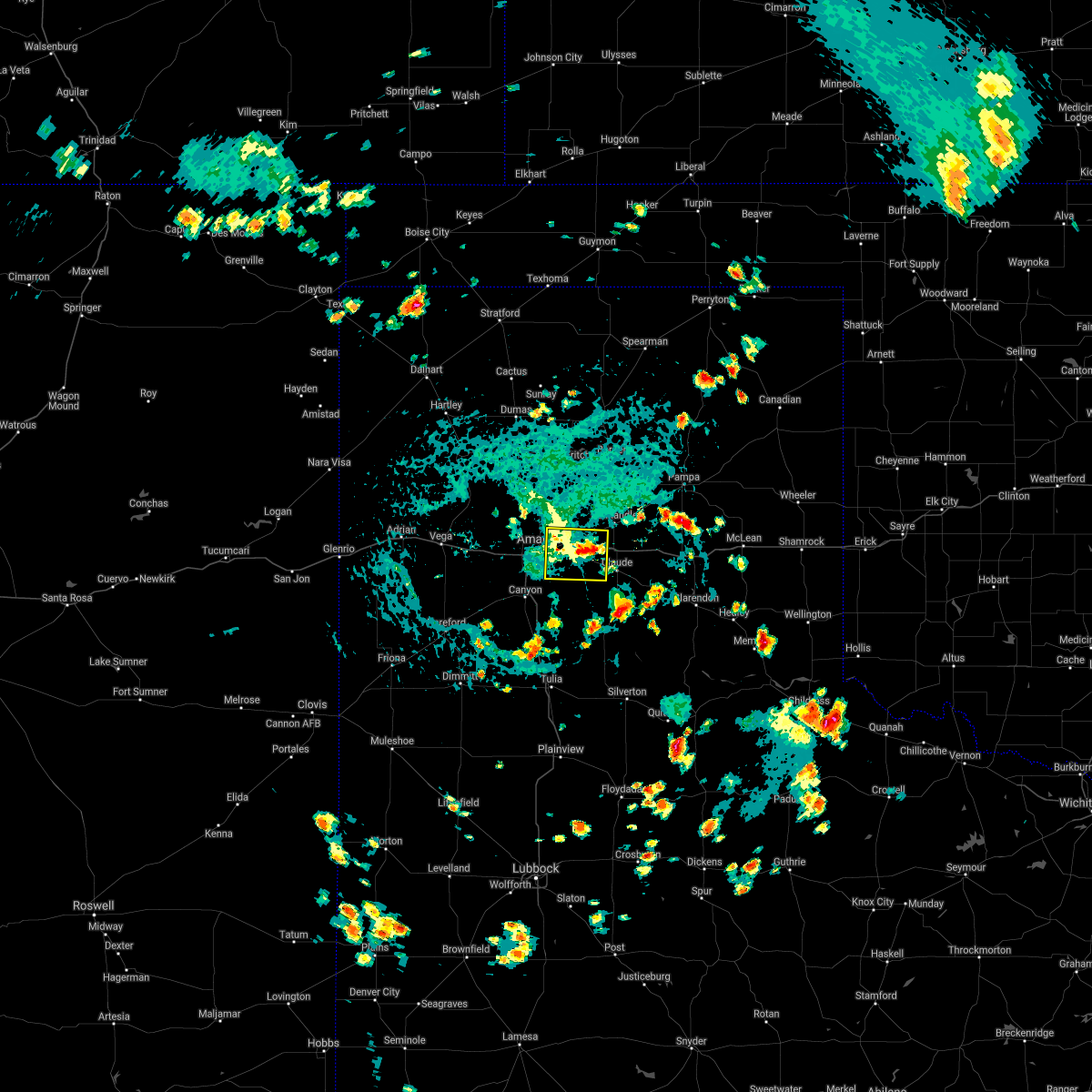 At 332 pm cdt, a severe thunderstorm was located over washburn, or 13 miles northwest of claude, moving south at 10 mph (radar indicated). Hazards include 60 mph wind gusts and quarter size hail. Minor damage to roofs, siding, and trees is possible. Hail damage to vehicles is expected. At 332 pm cdt, a severe thunderstorm was located over washburn, or 13 miles northwest of claude, moving south at 10 mph (radar indicated). Hazards include 60 mph wind gusts and quarter size hail. Minor damage to roofs, siding, and trees is possible. Hail damage to vehicles is expected.
|
| 7/17/2021 7:58 PM CDT |
 At 758 pm cdt, severe thunderstorms were located along a line extending from 7 miles south of canyon to 12 miles northwest of dawn to 10 miles north of bellview, moving southwest at 15 mph (radar indicated). Hazards include 70 mph wind gusts and quarter size hail. Expect some tree damage. damage is likely to mobile homes, roofs, and outbuildings. hail damage to vehicles is expected. Locations impacted include, amarillo, hereford, canyon, mescalero park, buffalo lake, dawn, umbarger, bootleg and simms. At 758 pm cdt, severe thunderstorms were located along a line extending from 7 miles south of canyon to 12 miles northwest of dawn to 10 miles north of bellview, moving southwest at 15 mph (radar indicated). Hazards include 70 mph wind gusts and quarter size hail. Expect some tree damage. damage is likely to mobile homes, roofs, and outbuildings. hail damage to vehicles is expected. Locations impacted include, amarillo, hereford, canyon, mescalero park, buffalo lake, dawn, umbarger, bootleg and simms.
|
| 7/17/2021 7:51 PM CDT |
 At 751 pm cdt, severe thunderstorms were located along a line extending from 8 miles south of canyon to 12 miles northwest of dawn to 10 miles north of bellview, moving southwest at 15 mph (radar indicated). Hazards include 70 mph wind gusts and penny size hail. Expect some tree damage. Damage is likely to mobile homes, roofs, and outbuildings. At 751 pm cdt, severe thunderstorms were located along a line extending from 8 miles south of canyon to 12 miles northwest of dawn to 10 miles north of bellview, moving southwest at 15 mph (radar indicated). Hazards include 70 mph wind gusts and penny size hail. Expect some tree damage. Damage is likely to mobile homes, roofs, and outbuildings.
|
| 7/17/2021 7:42 PM CDT |
 At 742 pm cdt, automated weather equipment reported a severe thunderstorm was located near amarillo, moving south at 15 mph (automated weather equipment). Hazards include 60 mph wind gusts and quarter size hail. Minor damage to roofs, siding, and trees is possible. hail damage to vehicles is expected. Locations impacted include, amarillo, mescalero park and bushland. At 742 pm cdt, automated weather equipment reported a severe thunderstorm was located near amarillo, moving south at 15 mph (automated weather equipment). Hazards include 60 mph wind gusts and quarter size hail. Minor damage to roofs, siding, and trees is possible. hail damage to vehicles is expected. Locations impacted include, amarillo, mescalero park and bushland.
|
| 7/17/2021 7:04 PM CDT | Ama 15 nn in potter county TX, 0.9 miles WNW of Amarillo, TX |
| 7/17/2021 7:04 PM CDT |
 At 703 pm cdt, a severe thunderstorm was located 11 miles northwest of amarillo, moving south at 15 mph (automated weather equipment). Hazards include 60 mph wind gusts and penny size hail. minor damage to roofs, siding, and trees is possible At 703 pm cdt, a severe thunderstorm was located 11 miles northwest of amarillo, moving south at 15 mph (automated weather equipment). Hazards include 60 mph wind gusts and penny size hail. minor damage to roofs, siding, and trees is possible
|
| 7/17/2021 6:55 PM CDT | Corrected for time from previous tstm wnd gst report from amarill in potter county TX, 0.9 miles WNW of Amarillo, TX |
| 7/17/2021 6:55 PM CDT | Storm damage reported in potter county TX, 14.4 miles SSE of Amarillo, TX |
| 7/5/2021 2:43 AM CDT |
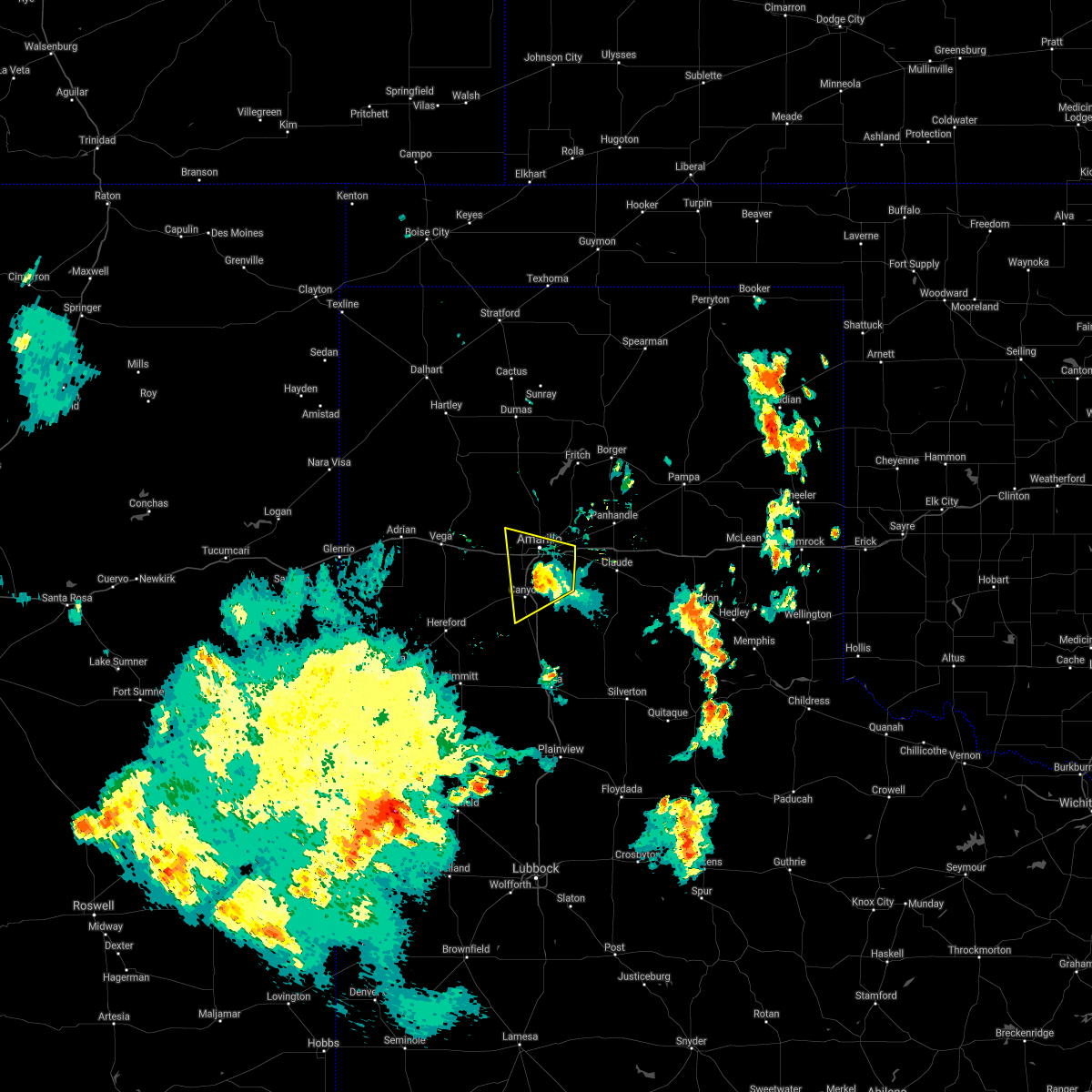 The severe thunderstorm warning for northeastern randall and southeastern potter counties will expire at 245 am cdt, the storm which prompted the warning has weakened below severe limits, and no longer poses an immediate threat to life or property. therefore, the warning will be allowed to expire. however small hail, gusty winds and heavy rain are still possible with this thunderstorm. The severe thunderstorm warning for northeastern randall and southeastern potter counties will expire at 245 am cdt, the storm which prompted the warning has weakened below severe limits, and no longer poses an immediate threat to life or property. therefore, the warning will be allowed to expire. however small hail, gusty winds and heavy rain are still possible with this thunderstorm.
|
| 7/5/2021 2:26 AM CDT |
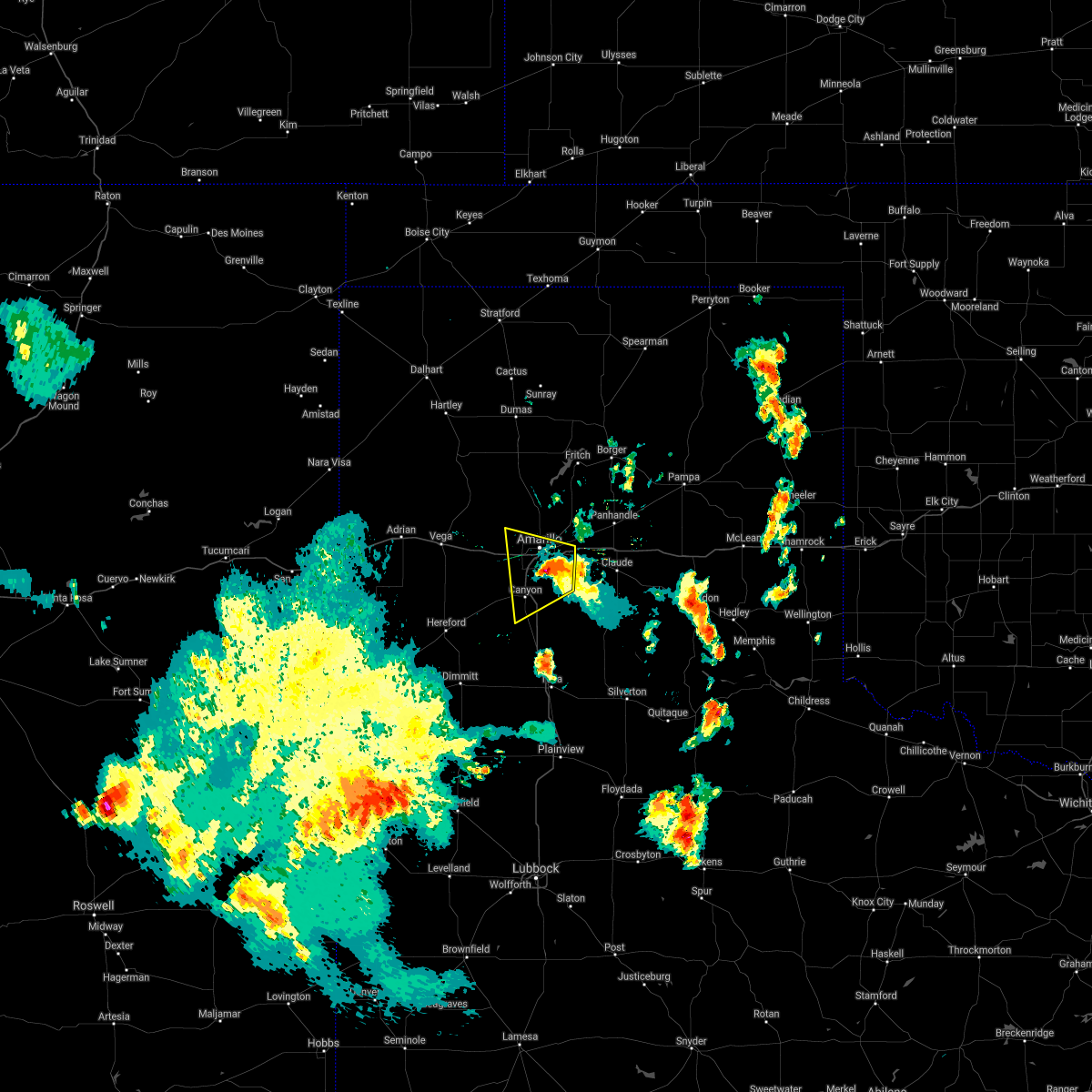 At 226 am cdt, a severe thunderstorm was located 5 miles southwest of amarillo, moving west at 20 mph (radar indicated). Hazards include 70 mph wind gusts and ping pong ball size hail. Expect some tree damage. damage is likely to mobile homes, roofs, and outbuildings. people and animals outdoors will be injured. expect hail damage to roofs, siding, windows, and vehicles. Locations impacted include, amarillo, canyon, lake tanglewood, mescalero park and timbercreek canyon. At 226 am cdt, a severe thunderstorm was located 5 miles southwest of amarillo, moving west at 20 mph (radar indicated). Hazards include 70 mph wind gusts and ping pong ball size hail. Expect some tree damage. damage is likely to mobile homes, roofs, and outbuildings. people and animals outdoors will be injured. expect hail damage to roofs, siding, windows, and vehicles. Locations impacted include, amarillo, canyon, lake tanglewood, mescalero park and timbercreek canyon.
|
| 7/5/2021 2:22 AM CDT | Mesonet station 75 amarillo 7ss in randall county TX, 6.7 miles NNW of Amarillo, TX |
| 7/5/2021 2:15 AM CDT |
 At 215 am cdt, a severe thunderstorm was located over amarillo, moving west at 20 mph (radar indicated). Hazards include 60 mph wind gusts and quarter size hail. Minor damage to roofs, siding, and trees is possible. hail damage to vehicles is expected. Locations impacted include, amarillo, canyon, lake tanglewood, washburn, mescalero park and timbercreek canyon. At 215 am cdt, a severe thunderstorm was located over amarillo, moving west at 20 mph (radar indicated). Hazards include 60 mph wind gusts and quarter size hail. Minor damage to roofs, siding, and trees is possible. hail damage to vehicles is expected. Locations impacted include, amarillo, canyon, lake tanglewood, washburn, mescalero park and timbercreek canyon.
|
| 7/5/2021 1:58 AM CDT |
 At 158 am cdt, a severe thunderstorm was located 6 miles east of amarillo, moving west at 20 mph (radar indicated). Hazards include 70 mph wind gusts and ping pong ball size hail. Expect some tree damage. damage is likely to mobile homes, roofs, and outbuildings. people and animals outdoors will be injured. expect hail damage to roofs, siding, windows, and vehicles. Locations impacted include, amarillo, canyon, claude, lake tanglewood, mescalero park, washburn and timbercreek canyon. At 158 am cdt, a severe thunderstorm was located 6 miles east of amarillo, moving west at 20 mph (radar indicated). Hazards include 70 mph wind gusts and ping pong ball size hail. Expect some tree damage. damage is likely to mobile homes, roofs, and outbuildings. people and animals outdoors will be injured. expect hail damage to roofs, siding, windows, and vehicles. Locations impacted include, amarillo, canyon, claude, lake tanglewood, mescalero park, washburn and timbercreek canyon.
|
| 7/5/2021 1:41 AM CDT |
 At 141 am cdt, a severe thunderstorm was located near washburn, or 11 miles east of amarillo, moving west at 20 mph. this is a very dangerous storm (radar indicated). Hazards include 80 mph wind gusts and ping pong ball size hail. Flying debris will be dangerous to those caught without shelter. mobile homes will be heavily damaged. expect considerable damage to roofs, windows, and vehicles. tree damage and power outages are likely. people and animals outdoors will be injured. expect hail damage to roofs, siding, windows, and vehicles. Locations impacted include, amarillo, canyon, claude, lake tanglewood, mescalero park, washburn and timbercreek canyon. At 141 am cdt, a severe thunderstorm was located near washburn, or 11 miles east of amarillo, moving west at 20 mph. this is a very dangerous storm (radar indicated). Hazards include 80 mph wind gusts and ping pong ball size hail. Flying debris will be dangerous to those caught without shelter. mobile homes will be heavily damaged. expect considerable damage to roofs, windows, and vehicles. tree damage and power outages are likely. people and animals outdoors will be injured. expect hail damage to roofs, siding, windows, and vehicles. Locations impacted include, amarillo, canyon, claude, lake tanglewood, mescalero park, washburn and timbercreek canyon.
|
| 7/5/2021 1:31 AM CDT |
 At 131 am cdt, a severe thunderstorm was located over washburn, or 13 miles northwest of claude, moving west at 20 mph (radar indicated). Hazards include 70 mph wind gusts and ping pong ball size hail. Expect some tree damage. damage is likely to mobile homes, roofs, and outbuildings. people and animals outdoors will be injured. Expect hail damage to roofs, siding, windows, and vehicles. At 131 am cdt, a severe thunderstorm was located over washburn, or 13 miles northwest of claude, moving west at 20 mph (radar indicated). Hazards include 70 mph wind gusts and ping pong ball size hail. Expect some tree damage. damage is likely to mobile homes, roofs, and outbuildings. people and animals outdoors will be injured. Expect hail damage to roofs, siding, windows, and vehicles.
|
| 6/25/2021 4:39 PM CDT |
 At 439 pm cdt, a severe thunderstorm was located 13 miles east of valley de oro, or 15 miles north of amarillo, moving east at 35 mph (radar indicated). Hazards include 60 mph wind gusts and quarter size hail. Minor damage to roofs, siding, and trees is possible. Hail damage to vehicles is expected. At 439 pm cdt, a severe thunderstorm was located 13 miles east of valley de oro, or 15 miles north of amarillo, moving east at 35 mph (radar indicated). Hazards include 60 mph wind gusts and quarter size hail. Minor damage to roofs, siding, and trees is possible. Hail damage to vehicles is expected.
|
| 6/25/2021 4:30 PM CDT | West texas mesonet station 15 nnw amarill in potter county TX, 15.9 miles SSE of Amarillo, TX |
| 6/13/2021 2:13 AM CDT | Approximately 6 inch diameter tree down near zita along loop 33 in randall county TX, 5.1 miles N of Amarillo, TX |
| 6/13/2021 1:48 AM CDT |
 At 148 am cdt, automated weather equipment reported a severe thunderstorm was located 6 miles south of washburn, or 9 miles west of claude, moving east at 15 mph (automated weather equipment). Hazards include ping pong ball size hail and 60 mph wind gusts. Minor damage to roofs, siding, and trees is possible. people and animals outdoors will be injured. expect hail damage to roofs, siding, windows, and vehicles. Locations impacted include, amarillo, pampa, borger, panhandle, claude, fritch, white deer, groom, lefors, skellytown, washburn, palo duro canyon, kingsmill, codman and pantex. At 148 am cdt, automated weather equipment reported a severe thunderstorm was located 6 miles south of washburn, or 9 miles west of claude, moving east at 15 mph (automated weather equipment). Hazards include ping pong ball size hail and 60 mph wind gusts. Minor damage to roofs, siding, and trees is possible. people and animals outdoors will be injured. expect hail damage to roofs, siding, windows, and vehicles. Locations impacted include, amarillo, pampa, borger, panhandle, claude, fritch, white deer, groom, lefors, skellytown, washburn, palo duro canyon, kingsmill, codman and pantex.
|
| 6/13/2021 1:29 AM CDT | Shingles blown off house in potter county TX, 3.9 miles S of Amarillo, TX |
| 6/13/2021 1:17 AM CDT |
 At 116 am cdt, a severe thunderstorm was located 7 miles north of panhandle, moving southeast at 50 mph (automated weather equipment measured a 67 mile per hour wind gust at the borger airport). Hazards include 70 mph wind gusts and nickel size hail. Expect some tree damage. damage is likely to mobile homes, roofs, and outbuildings. Locations impacted include, amarillo, pampa, borger, panhandle, claude, fritch, white deer, groom, lefors, skellytown, washburn, palo duro canyon, kingsmill, codman and pantex. At 116 am cdt, a severe thunderstorm was located 7 miles north of panhandle, moving southeast at 50 mph (automated weather equipment measured a 67 mile per hour wind gust at the borger airport). Hazards include 70 mph wind gusts and nickel size hail. Expect some tree damage. damage is likely to mobile homes, roofs, and outbuildings. Locations impacted include, amarillo, pampa, borger, panhandle, claude, fritch, white deer, groom, lefors, skellytown, washburn, palo duro canyon, kingsmill, codman and pantex.
|
| 6/13/2021 1:15 AM CDT |
 At 115 am cdt, a severe thunderstorm was located 8 miles north of panhandle, moving southeast at 50 mph (radar indicated). Hazards include 60 mph wind gusts and nickel size hail. minor damage to roofs, siding, and trees is possible At 115 am cdt, a severe thunderstorm was located 8 miles north of panhandle, moving southeast at 50 mph (radar indicated). Hazards include 60 mph wind gusts and nickel size hail. minor damage to roofs, siding, and trees is possible
|
| 6/6/2021 9:40 PM CDT |
 At 940 pm cdt, severe thunderstorms were located along a line extending from near wildorado to 7 miles southeast of hereford, moving east at 15 mph (radar indicated). Hazards include 60 mph wind gusts and quarter size hail. Minor damage to roofs, siding, and trees is possible. Hail damage to vehicles is expected. At 940 pm cdt, severe thunderstorms were located along a line extending from near wildorado to 7 miles southeast of hereford, moving east at 15 mph (radar indicated). Hazards include 60 mph wind gusts and quarter size hail. Minor damage to roofs, siding, and trees is possible. Hail damage to vehicles is expected.
|
| 5/30/2021 11:27 PM CDT |
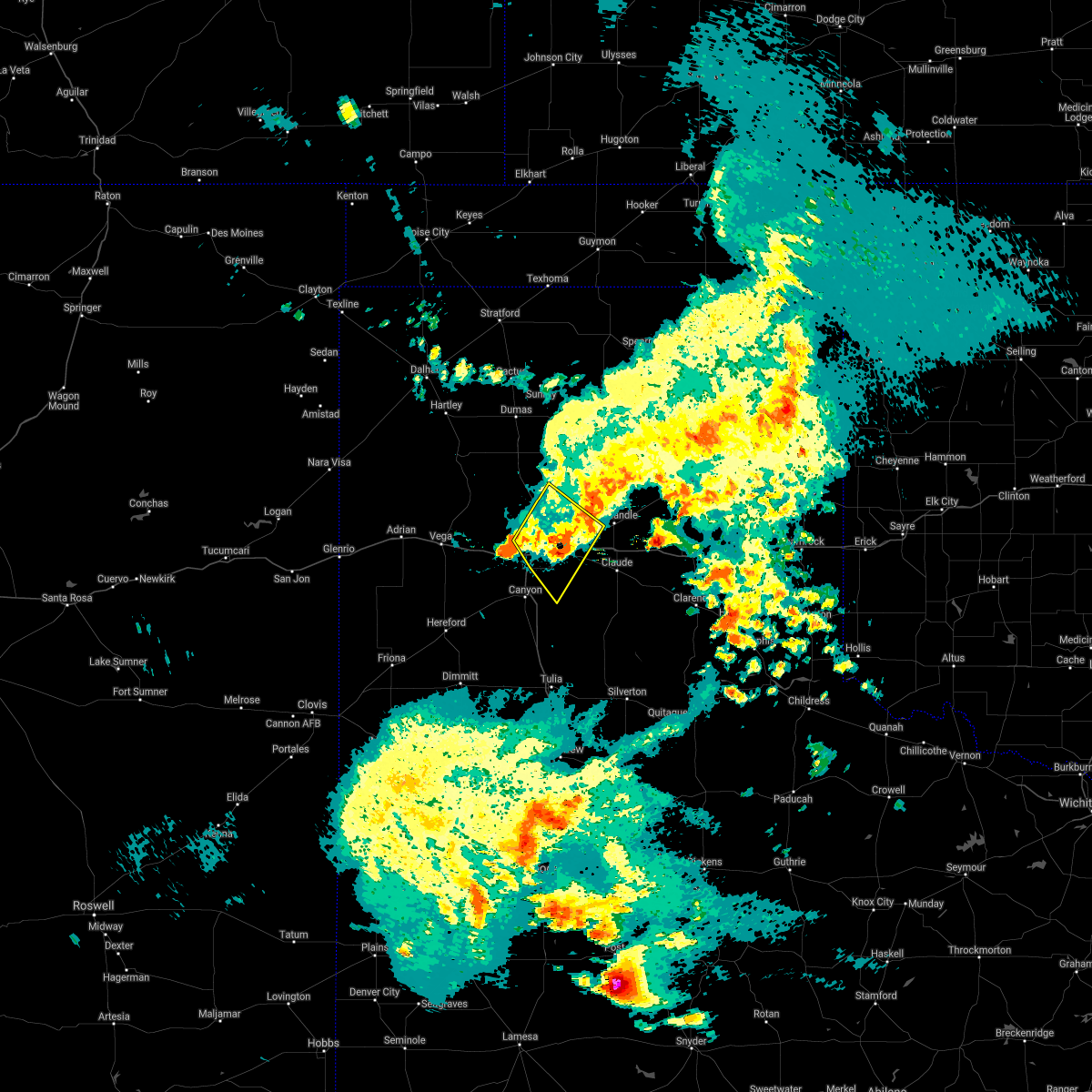 The severe thunderstorm warning for northwestern armstrong, northeastern randall, southwestern carson and eastern potter counties will expire at 1130 pm cdt, the storms which prompted the warning have weakened below severe limits, and no longer pose an immediate threat to life or property. therefore, the warning will be allowed to expire. however heavy rain is still possible with these thunderstorms. a tornado watch remains in effect until midnight cdt for the panhandle of texas. The severe thunderstorm warning for northwestern armstrong, northeastern randall, southwestern carson and eastern potter counties will expire at 1130 pm cdt, the storms which prompted the warning have weakened below severe limits, and no longer pose an immediate threat to life or property. therefore, the warning will be allowed to expire. however heavy rain is still possible with these thunderstorms. a tornado watch remains in effect until midnight cdt for the panhandle of texas.
|
| 5/30/2021 11:07 PM CDT |
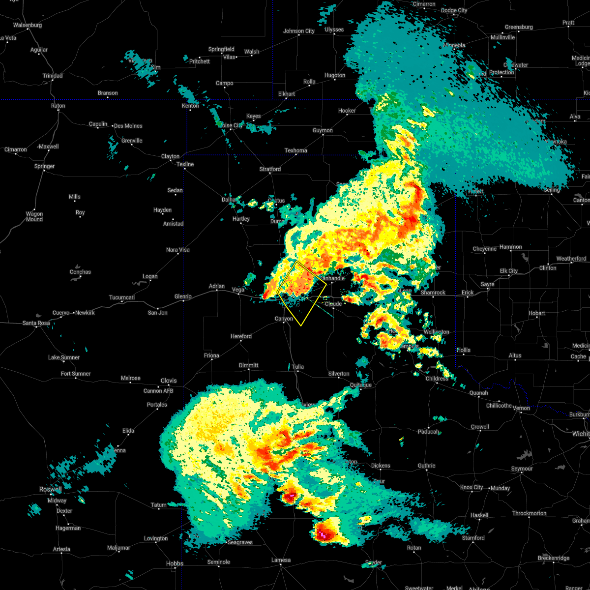 At 1106 pm cdt, severe thunderstorms were located along a line extending from 12 miles northwest of washburn to 5 miles northeast of mescalero park, moving southeast at 20 mph (radar indicated). Hazards include 60 mph wind gusts and penny size hail. Minor damage to roofs, siding, and trees is possible. locations impacted include, amarillo, lake tanglewood, washburn, timbercreek canyon and pantex. A tornado watch remains in effect until midnight cdt for the panhandle of texas. At 1106 pm cdt, severe thunderstorms were located along a line extending from 12 miles northwest of washburn to 5 miles northeast of mescalero park, moving southeast at 20 mph (radar indicated). Hazards include 60 mph wind gusts and penny size hail. Minor damage to roofs, siding, and trees is possible. locations impacted include, amarillo, lake tanglewood, washburn, timbercreek canyon and pantex. A tornado watch remains in effect until midnight cdt for the panhandle of texas.
|
| 5/30/2021 10:42 PM CDT |
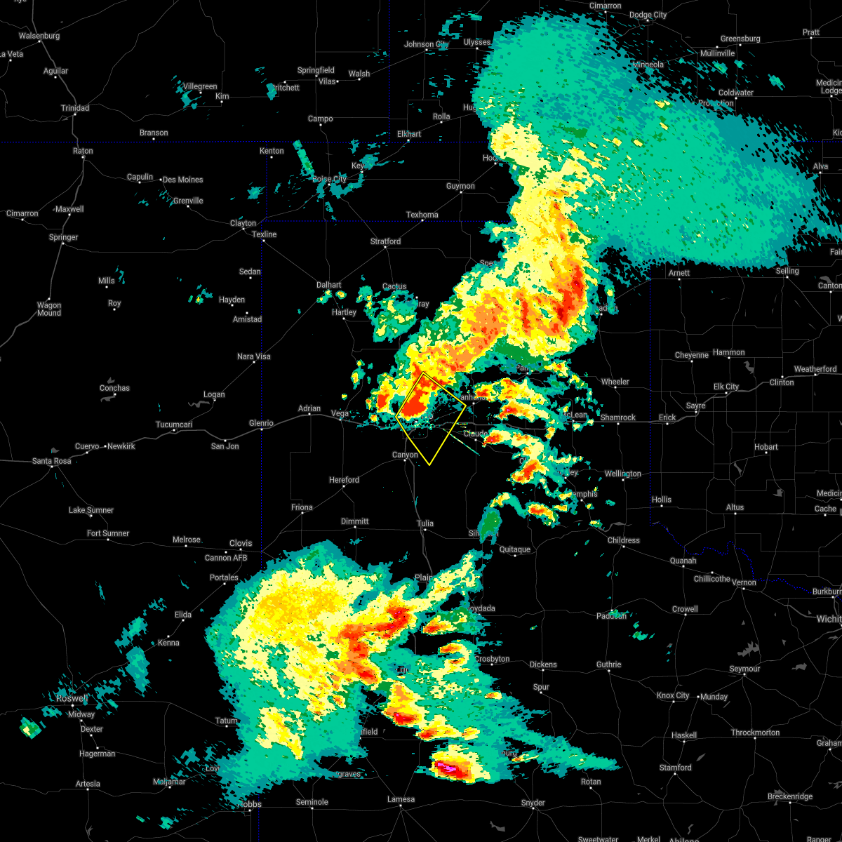 At 1042 pm cdt, severe thunderstorms were located along a line extending from 17 miles northwest of washburn to 3 miles southwest of amarillo, moving southeast at 20 mph (radar indicated). Hazards include 70 mph wind gusts and quarter size hail. Expect some tree damage. damage is likely to mobile homes, roofs, and outbuildings. hail damage to vehicles is expected. locations impacted include, amarillo, lake tanglewood, washburn, timbercreek canyon and pantex. A tornado watch remains in effect until midnight cdt for the panhandle of texas. At 1042 pm cdt, severe thunderstorms were located along a line extending from 17 miles northwest of washburn to 3 miles southwest of amarillo, moving southeast at 20 mph (radar indicated). Hazards include 70 mph wind gusts and quarter size hail. Expect some tree damage. damage is likely to mobile homes, roofs, and outbuildings. hail damage to vehicles is expected. locations impacted include, amarillo, lake tanglewood, washburn, timbercreek canyon and pantex. A tornado watch remains in effect until midnight cdt for the panhandle of texas.
|
| 5/30/2021 10:27 PM CDT |
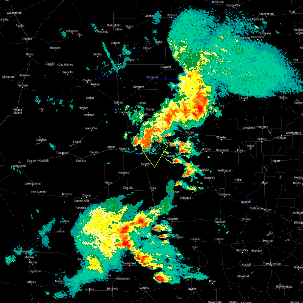 At 1027 pm cdt, severe thunderstorms were located along a line extending from 16 miles southwest of lake meredith to 5 miles west of amarillo, moving southeast at 20 mph (radar indicated). Hazards include 60 mph wind gusts and quarter size hail. Minor damage to roofs, siding, and trees is possible. Hail damage to vehicles is expected. At 1027 pm cdt, severe thunderstorms were located along a line extending from 16 miles southwest of lake meredith to 5 miles west of amarillo, moving southeast at 20 mph (radar indicated). Hazards include 60 mph wind gusts and quarter size hail. Minor damage to roofs, siding, and trees is possible. Hail damage to vehicles is expected.
|
| 5/26/2021 6:56 PM CDT | Rick husband intl airport asos measured 60 mph wind gus in potter county TX, 7.1 miles W of Amarillo, TX |
| 5/26/2021 6:47 PM CDT |
 At 646 pm cdt, two severe thunderstorms, the first over lake tanglewood and the second 3 miles south of palo duro canyon, were moving northeast at 40 mph (radar indicated). Hazards include ping pong ball size hail and 60 mph wind gusts. Minor damage to roofs, siding, and trees is possible. people and animals outdoors will be injured. Expect hail damage to roofs, siding, windows, and vehicles. At 646 pm cdt, two severe thunderstorms, the first over lake tanglewood and the second 3 miles south of palo duro canyon, were moving northeast at 40 mph (radar indicated). Hazards include ping pong ball size hail and 60 mph wind gusts. Minor damage to roofs, siding, and trees is possible. people and animals outdoors will be injured. Expect hail damage to roofs, siding, windows, and vehicles.
|
| 5/26/2021 5:43 PM CDT |
 At 543 pm cdt, a severe thunderstorm was located 8 miles west of panhandle, moving northeast at 15 mph (radar indicated). Hazards include 60 mph wind gusts and quarter size hail. Minor damage to roofs, siding, and trees is possible. Hail damage to vehicles is expected. At 543 pm cdt, a severe thunderstorm was located 8 miles west of panhandle, moving northeast at 15 mph (radar indicated). Hazards include 60 mph wind gusts and quarter size hail. Minor damage to roofs, siding, and trees is possible. Hail damage to vehicles is expected.
|
| 5/26/2021 5:26 PM CDT |
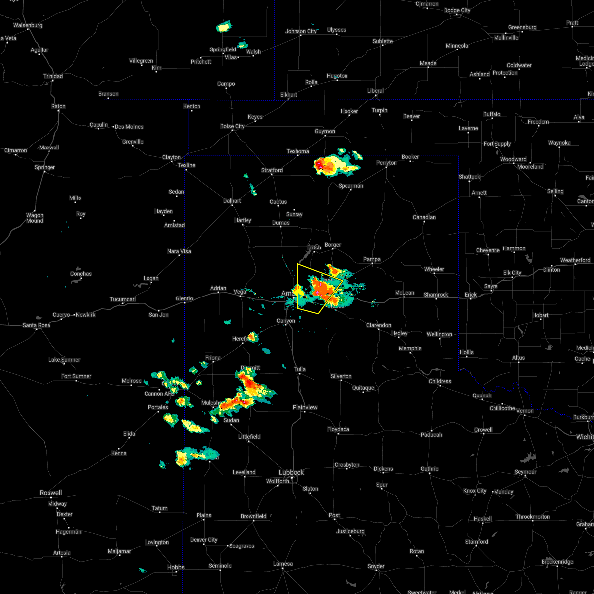 At 526 pm cdt, a severe thunderstorm was located 6 miles north of washburn, or 10 miles southwest of panhandle, moving north at 25 mph (trained weather spotters). Hazards include 60 mph wind gusts and half dollar size hail. Minor damage to roofs, siding, and trees is possible. hail damage to vehicles is expected. locations impacted include, amarillo, panhandle, washburn and pantex. A tornado watch remains in effect until midnight cdt for the panhandle of texas. At 526 pm cdt, a severe thunderstorm was located 6 miles north of washburn, or 10 miles southwest of panhandle, moving north at 25 mph (trained weather spotters). Hazards include 60 mph wind gusts and half dollar size hail. Minor damage to roofs, siding, and trees is possible. hail damage to vehicles is expected. locations impacted include, amarillo, panhandle, washburn and pantex. A tornado watch remains in effect until midnight cdt for the panhandle of texas.
|
| 5/26/2021 5:16 PM CDT | Half Dollar sized hail reported 11.6 miles W of Amarillo, TX, mostly half inch to quarter... a few half dollar size hail. |
| 5/26/2021 5:11 PM CDT |
 At 511 pm cdt, a severe thunderstorm was located over washburn, or 13 miles west of claude, moving northeast at 20 mph (radar indicated). Hazards include two inch hail and 60 mph wind gusts. Minor damage to roofs, siding, and trees is possible. people and animals outdoors will be injured. expect hail damage to roofs, siding, windows, and vehicles. Locations impacted include, amarillo, panhandle, washburn and pantex. At 511 pm cdt, a severe thunderstorm was located over washburn, or 13 miles west of claude, moving northeast at 20 mph (radar indicated). Hazards include two inch hail and 60 mph wind gusts. Minor damage to roofs, siding, and trees is possible. people and animals outdoors will be injured. expect hail damage to roofs, siding, windows, and vehicles. Locations impacted include, amarillo, panhandle, washburn and pantex.
|
| 5/26/2021 5:08 PM CDT |
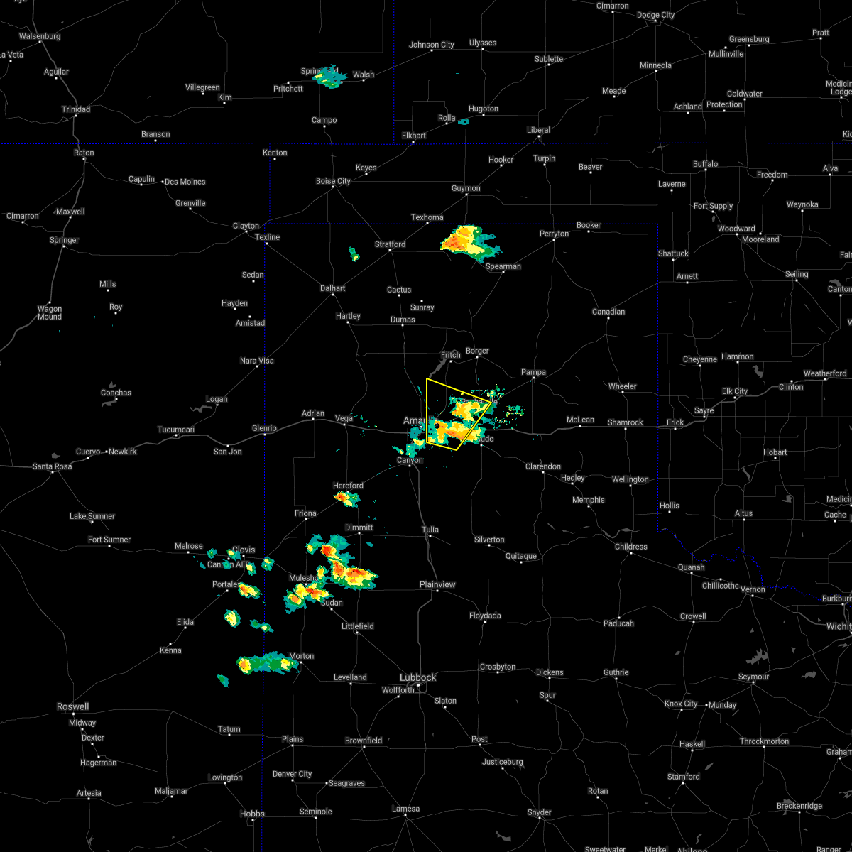 At 508 pm cdt, a severe thunderstorm was located over washburn, or 14 miles west of claude, moving northeast at 20 mph (radar indicated). Hazards include ping pong ball size hail and 60 mph wind gusts. Minor damage to roofs, siding, and trees is possible. people and animals outdoors will be injured. expect hail damage to roofs, siding, windows, and vehicles. Locations impacted include, amarillo, panhandle, washburn and pantex. At 508 pm cdt, a severe thunderstorm was located over washburn, or 14 miles west of claude, moving northeast at 20 mph (radar indicated). Hazards include ping pong ball size hail and 60 mph wind gusts. Minor damage to roofs, siding, and trees is possible. people and animals outdoors will be injured. expect hail damage to roofs, siding, windows, and vehicles. Locations impacted include, amarillo, panhandle, washburn and pantex.
|
| 5/26/2021 4:45 PM CDT |
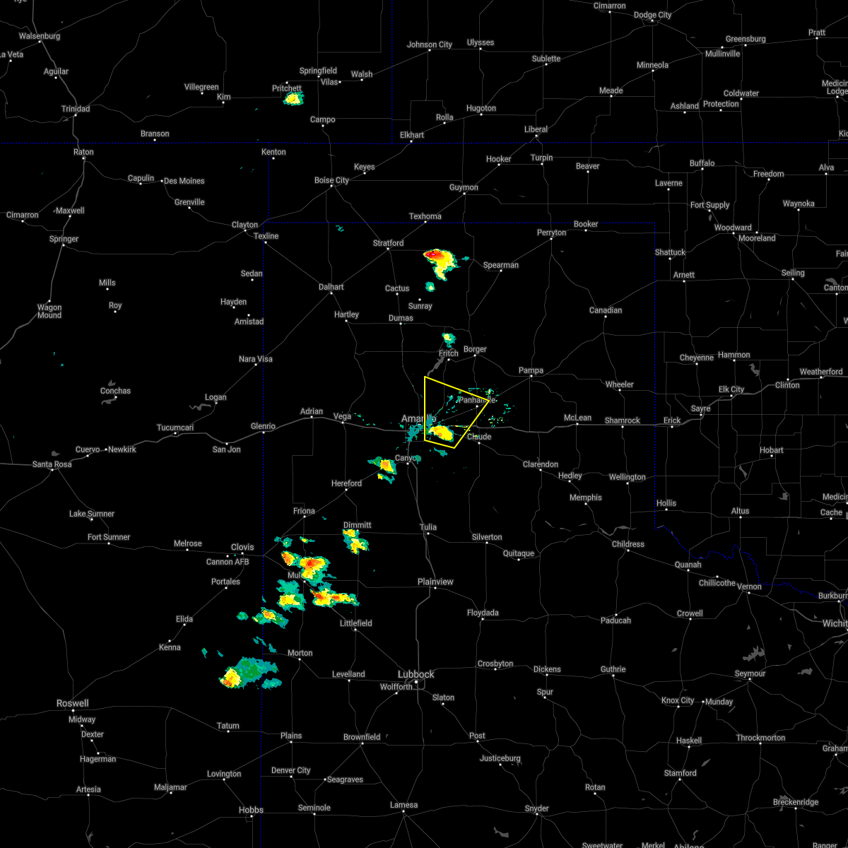 At 445 pm cdt, a severe thunderstorm was located 6 miles west of washburn, or 9 miles east of amarillo, moving north at 25 mph (radar indicated). Hazards include 60 mph wind gusts and half dollar size hail. Minor damage to roofs, siding, and trees is possible. Hail damage to vehicles is expected. At 445 pm cdt, a severe thunderstorm was located 6 miles west of washburn, or 9 miles east of amarillo, moving north at 25 mph (radar indicated). Hazards include 60 mph wind gusts and half dollar size hail. Minor damage to roofs, siding, and trees is possible. Hail damage to vehicles is expected.
|
| 5/25/2021 7:30 PM CDT |
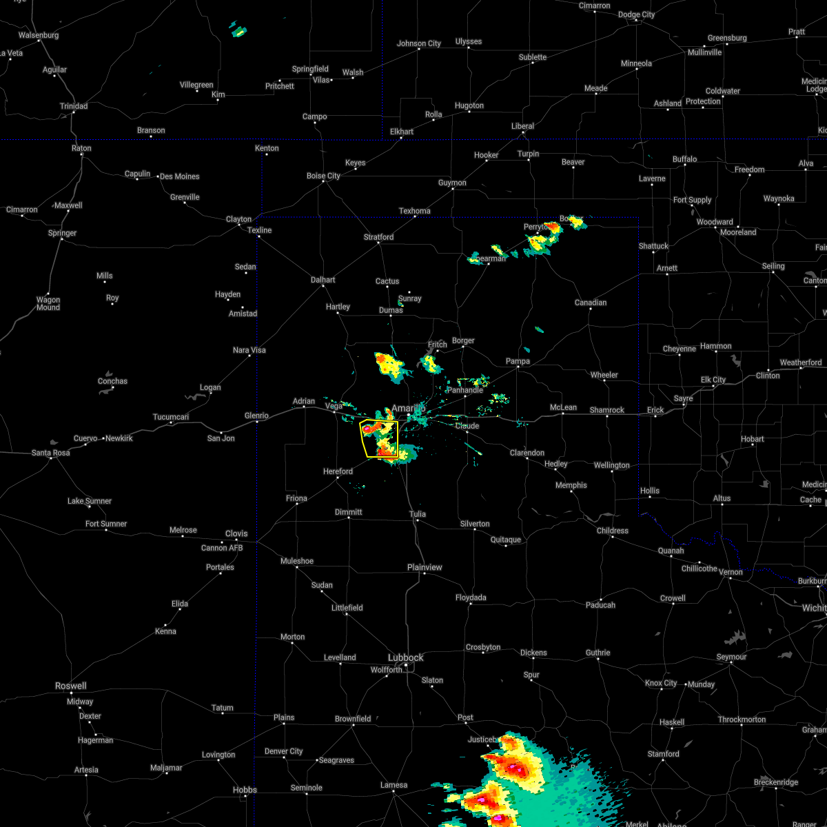 At 730 pm cdt, a severe thunderstorm was located 7 miles southwest of bushland, or 15 miles northwest of canyon, moving southeast at 5 mph (radar indicated). Hazards include 60 mph wind gusts and half dollar size hail. Minor damage to roofs, siding, and trees is possible. hail damage to vehicles is expected. Locations impacted include, amarillo, canyon, umbarger and mescalero park. At 730 pm cdt, a severe thunderstorm was located 7 miles southwest of bushland, or 15 miles northwest of canyon, moving southeast at 5 mph (radar indicated). Hazards include 60 mph wind gusts and half dollar size hail. Minor damage to roofs, siding, and trees is possible. hail damage to vehicles is expected. Locations impacted include, amarillo, canyon, umbarger and mescalero park.
|
| 5/25/2021 6:56 PM CDT |
 At 655 pm cdt, a severe thunderstorm was located 8 miles southwest of bushland, or 14 miles northwest of canyon, moving east at 10 mph (radar indicated). Hazards include 60 mph wind gusts and quarter size hail. Minor damage to roofs, siding, and trees is possible. Hail damage to vehicles is expected. At 655 pm cdt, a severe thunderstorm was located 8 miles southwest of bushland, or 14 miles northwest of canyon, moving east at 10 mph (radar indicated). Hazards include 60 mph wind gusts and quarter size hail. Minor damage to roofs, siding, and trees is possible. Hail damage to vehicles is expected.
|
| 5/25/2021 6:54 PM CDT | Golf Ball sized hail reported 15.3 miles NE of Amarillo, TX, reported on fm 2219 and blessin rd. |
| 5/25/2021 6:05 PM CDT | Quarter sized hail reported 22.4 miles ENE of Amarillo, TX, facebook report off fm 2587 south of wildorado. time estimated based on radar. |
| 5/18/2021 6:36 PM CDT |
 At 636 pm cdt, severe thunderstorms were located along a line extending from 6 miles east of masterson to near palo duro canyon, moving east at 25 mph (radar indicated). Hazards include 60 mph wind gusts and quarter size hail. Minor damage to roofs, siding, and trees is possible. hail damage to vehicles is expected. Locations impacted include, amarillo, canyon, lake tanglewood, mescalero park, washburn, masterson, lake meredith, timbercreek canyon and pantex. At 636 pm cdt, severe thunderstorms were located along a line extending from 6 miles east of masterson to near palo duro canyon, moving east at 25 mph (radar indicated). Hazards include 60 mph wind gusts and quarter size hail. Minor damage to roofs, siding, and trees is possible. hail damage to vehicles is expected. Locations impacted include, amarillo, canyon, lake tanglewood, mescalero park, washburn, masterson, lake meredith, timbercreek canyon and pantex.
|
| 5/18/2021 6:26 PM CDT |
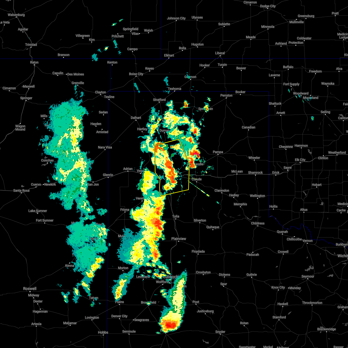 At 625 pm cdt, severe thunderstorms were located along a line extending from 3 miles southeast of masterson to near palo duro canyon, moving east at 15 mph (radar indicated). Hazards include 60 mph wind gusts and quarter size hail. Minor damage to roofs, siding, and trees is possible. hail damage to vehicles is expected. Locations impacted include, amarillo, canyon, lake tanglewood, mescalero park, bushland, four way, valley de oro, washburn, masterson, lake meredith, timbercreek canyon and pantex. At 625 pm cdt, severe thunderstorms were located along a line extending from 3 miles southeast of masterson to near palo duro canyon, moving east at 15 mph (radar indicated). Hazards include 60 mph wind gusts and quarter size hail. Minor damage to roofs, siding, and trees is possible. hail damage to vehicles is expected. Locations impacted include, amarillo, canyon, lake tanglewood, mescalero park, bushland, four way, valley de oro, washburn, masterson, lake meredith, timbercreek canyon and pantex.
|
| 5/18/2021 6:18 PM CDT |
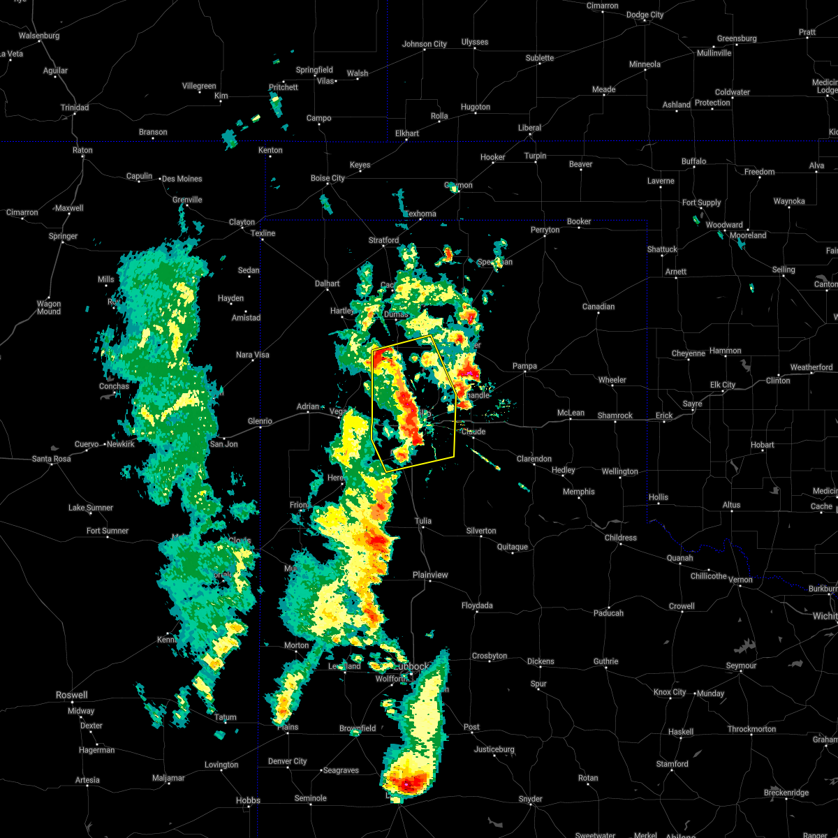 At 617 pm cdt, severe thunderstorms were located along a line extending from near masterson to 4 miles northwest of palo duro canyon, moving east at 15 mph (radar indicated). Hazards include 60 mph wind gusts and quarter size hail. Minor damage to roofs, siding, and trees is possible. hail damage to vehicles is expected. Locations impacted include, amarillo, canyon, lake tanglewood, mescalero park, bushland, four way, valley de oro, washburn, masterson, lake meredith, timbercreek canyon and pantex. At 617 pm cdt, severe thunderstorms were located along a line extending from near masterson to 4 miles northwest of palo duro canyon, moving east at 15 mph (radar indicated). Hazards include 60 mph wind gusts and quarter size hail. Minor damage to roofs, siding, and trees is possible. hail damage to vehicles is expected. Locations impacted include, amarillo, canyon, lake tanglewood, mescalero park, bushland, four way, valley de oro, washburn, masterson, lake meredith, timbercreek canyon and pantex.
|
| 5/18/2021 6:05 PM CDT |
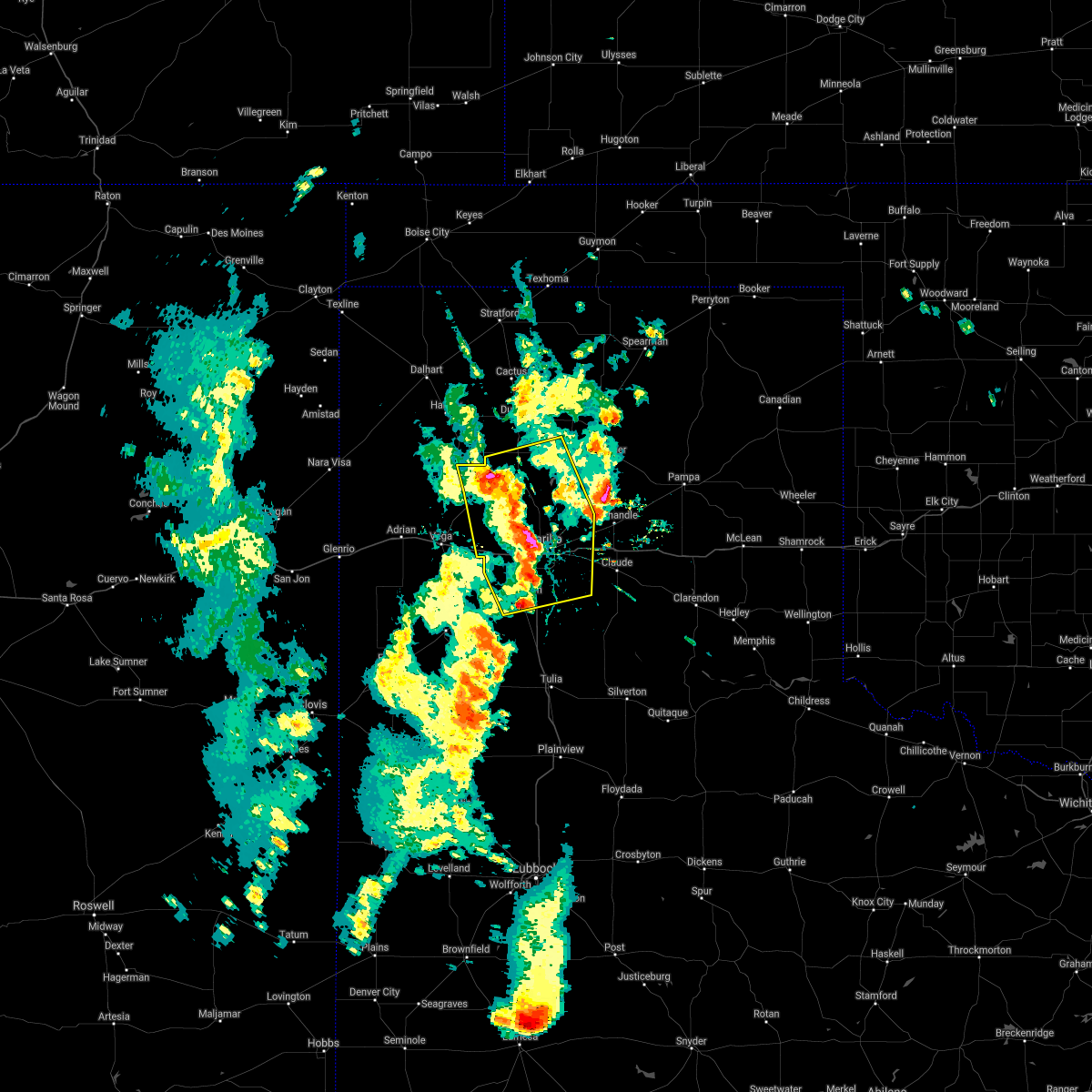 At 604 pm cdt, severe thunderstorms were located along a line extending from 3 miles southwest of masterson to 6 miles south of lake tanglewood, moving east at 20 mph (radar indicated). Hazards include 60 mph wind gusts and quarter size hail. Minor damage to roofs, siding, and trees is possible. hail damage to vehicles is expected. Locations impacted include, amarillo, canyon, lake tanglewood, bushland, valley de oro, washburn, boys ranch, mescalero park, four way, masterson, lake meredith, timbercreek canyon and pantex. At 604 pm cdt, severe thunderstorms were located along a line extending from 3 miles southwest of masterson to 6 miles south of lake tanglewood, moving east at 20 mph (radar indicated). Hazards include 60 mph wind gusts and quarter size hail. Minor damage to roofs, siding, and trees is possible. hail damage to vehicles is expected. Locations impacted include, amarillo, canyon, lake tanglewood, bushland, valley de oro, washburn, boys ranch, mescalero park, four way, masterson, lake meredith, timbercreek canyon and pantex.
|
| 5/18/2021 5:54 PM CDT |
 At 553 pm cdt, severe thunderstorms were located along a line extending from 5 miles northeast of valley de oro to 3 miles north of mescalero park, moving east at 15 mph (radar indicated). Hazards include 60 mph wind gusts and quarter size hail. Minor damage to roofs, siding, and trees is possible. hail damage to vehicles is expected. Locations impacted include, amarillo, canyon, lake tanglewood, bushland, valley de oro, washburn, boys ranch, mescalero park, four way, masterson, lake meredith, timbercreek canyon and pantex. At 553 pm cdt, severe thunderstorms were located along a line extending from 5 miles northeast of valley de oro to 3 miles north of mescalero park, moving east at 15 mph (radar indicated). Hazards include 60 mph wind gusts and quarter size hail. Minor damage to roofs, siding, and trees is possible. hail damage to vehicles is expected. Locations impacted include, amarillo, canyon, lake tanglewood, bushland, valley de oro, washburn, boys ranch, mescalero park, four way, masterson, lake meredith, timbercreek canyon and pantex.
|
| 5/18/2021 5:41 PM CDT |
 At 541 pm cdt, severe thunderstorms were located along a line extending from near valley de oro to 4 miles northwest of mescalero park, moving east at 20 mph (radar indicated). Hazards include 60 mph wind gusts and quarter size hail. Minor damage to roofs, siding, and trees is possible. hail damage to vehicles is expected. Locations impacted include, amarillo, canyon, lake tanglewood, bushland, valley de oro, washburn, boys ranch, mescalero park, four way, masterson, lake meredith, timbercreek canyon and pantex. At 541 pm cdt, severe thunderstorms were located along a line extending from near valley de oro to 4 miles northwest of mescalero park, moving east at 20 mph (radar indicated). Hazards include 60 mph wind gusts and quarter size hail. Minor damage to roofs, siding, and trees is possible. hail damage to vehicles is expected. Locations impacted include, amarillo, canyon, lake tanglewood, bushland, valley de oro, washburn, boys ranch, mescalero park, four way, masterson, lake meredith, timbercreek canyon and pantex.
|
| 5/18/2021 5:32 PM CDT |
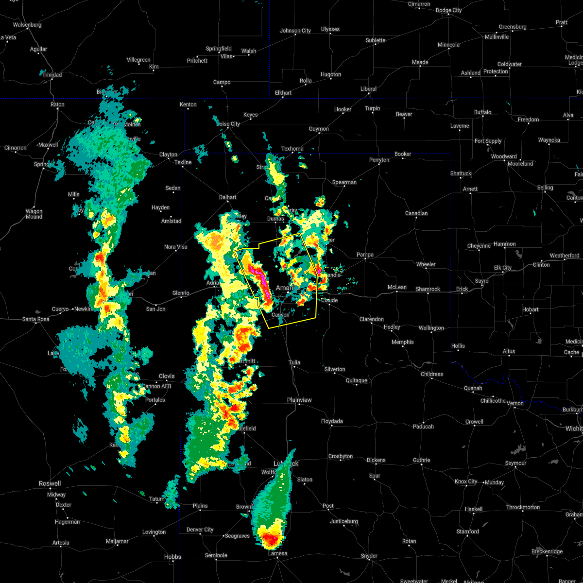 At 532 pm cdt, severe thunderstorms were located along a line extending from valley de oro to 4 miles northwest of mescalero park, moving east at 20 mph (radar indicated). Hazards include 60 mph wind gusts and half dollar size hail. Minor damage to roofs, siding, and trees is possible. hail damage to vehicles is expected. Locations impacted include, amarillo, canyon, lake tanglewood, bushland, valley de oro, washburn, boys ranch, mescalero park, four way, masterson, lake meredith, timbercreek canyon and pantex. At 532 pm cdt, severe thunderstorms were located along a line extending from valley de oro to 4 miles northwest of mescalero park, moving east at 20 mph (radar indicated). Hazards include 60 mph wind gusts and half dollar size hail. Minor damage to roofs, siding, and trees is possible. hail damage to vehicles is expected. Locations impacted include, amarillo, canyon, lake tanglewood, bushland, valley de oro, washburn, boys ranch, mescalero park, four way, masterson, lake meredith, timbercreek canyon and pantex.
|
| 5/18/2021 5:19 PM CDT |
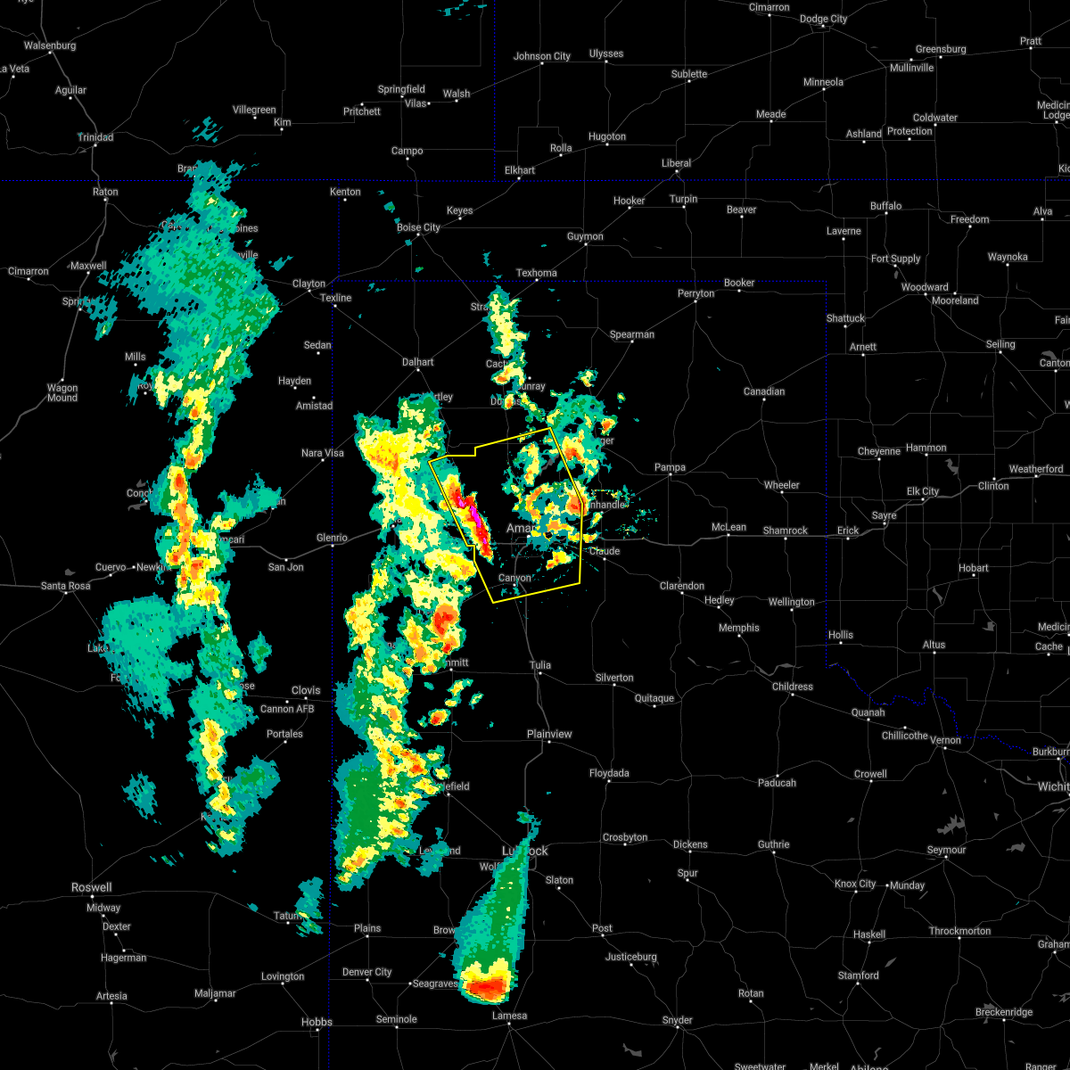 At 519 pm cdt, severe thunderstorms were located along a line extending from 6 miles west of valley de oro to 4 miles south of bushland, moving east at 20 mph (radar indicated). Hazards include 60 mph wind gusts and half dollar size hail. Minor damage to roofs, siding, and trees is possible. Hail damage to vehicles is expected. At 519 pm cdt, severe thunderstorms were located along a line extending from 6 miles west of valley de oro to 4 miles south of bushland, moving east at 20 mph (radar indicated). Hazards include 60 mph wind gusts and half dollar size hail. Minor damage to roofs, siding, and trees is possible. Hail damage to vehicles is expected.
|
| 5/17/2021 8:00 PM CDT | Half Dollar sized hail reported 6.5 miles W of Amarillo, TX, report from mping: half dollar (1.25 in.). |
| 5/17/2021 7:59 PM CDT |
 The national weather service in amarillo has issued a * severe thunderstorm warning for. armstrong county in the panhandle of texas. randall county in the panhandle of texas. carson county in the panhandle of texas. Southwestern hutchinson county in the panhandle of texas. The national weather service in amarillo has issued a * severe thunderstorm warning for. armstrong county in the panhandle of texas. randall county in the panhandle of texas. carson county in the panhandle of texas. Southwestern hutchinson county in the panhandle of texas.
|
| 5/17/2021 7:54 PM CDT | Report from mping: 3-inch tree limbs broken; power poles broke in potter county TX, 6.5 miles W of Amarillo, TX |
| 5/17/2021 7:54 PM CDT | Half Dollar sized hail reported 6.5 miles W of Amarillo, TX, report from mping: half dollar (1.25 in.). |
| 5/17/2021 7:54 PM CDT | 64 mph wind gust at kama airpor in potter county TX, 7.8 miles WSW of Amarillo, TX |
| 5/17/2021 7:29 PM CDT | Half Dollar sized hail reported 21 miles NNW of Amarillo, TX, report from mping: half dollar (1.25 in.). |
| 5/17/2021 7:15 PM CDT |
 At 715 pm cdt, severe thunderstorms were located along a line extending from 3 miles west of boys ranch to 8 miles northeast of wildorado to 10 miles northwest of umbarger, moving north at 30 mph (radar indicated). Hazards include golf ball size hail and 60 mph wind gusts. Minor damage to roofs, siding, and trees is possible. people and animals outdoors will be injured. Expect hail damage to roofs, siding, windows, and vehicles. At 715 pm cdt, severe thunderstorms were located along a line extending from 3 miles west of boys ranch to 8 miles northeast of wildorado to 10 miles northwest of umbarger, moving north at 30 mph (radar indicated). Hazards include golf ball size hail and 60 mph wind gusts. Minor damage to roofs, siding, and trees is possible. people and animals outdoors will be injured. Expect hail damage to roofs, siding, windows, and vehicles.
|
| 5/17/2021 7:15 PM CDT |
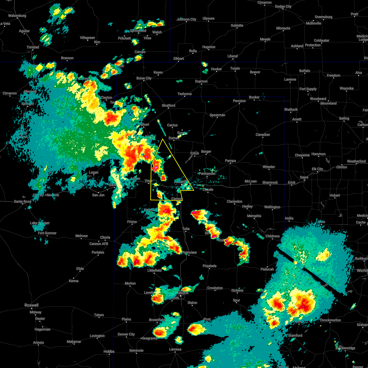 At 715 pm cdt, severe thunderstorms were located along a line extending from 3 miles west of boys ranch to 8 miles northeast of wildorado to 10 miles northwest of umbarger, moving north at 30 mph (radar indicated). Hazards include golf ball size hail and 60 mph wind gusts. Minor damage to roofs, siding, and trees is possible. people and animals outdoors will be injured. Expect hail damage to roofs, siding, windows, and vehicles. At 715 pm cdt, severe thunderstorms were located along a line extending from 3 miles west of boys ranch to 8 miles northeast of wildorado to 10 miles northwest of umbarger, moving north at 30 mph (radar indicated). Hazards include golf ball size hail and 60 mph wind gusts. Minor damage to roofs, siding, and trees is possible. people and animals outdoors will be injured. Expect hail damage to roofs, siding, windows, and vehicles.
|
| 5/16/2021 9:21 PM CDT |
 The severe thunderstorm warning for southwestern carson and southern potter counties will expire at 930 pm cdt, the storm which prompted the warning has weakened below severe limits, and no longer poses an immediate threat to life or property. therefore, the warning will be allowed to expire. a severe thunderstorm watch remains in effect until 1100 pm cdt for the panhandle of texas. The severe thunderstorm warning for southwestern carson and southern potter counties will expire at 930 pm cdt, the storm which prompted the warning has weakened below severe limits, and no longer poses an immediate threat to life or property. therefore, the warning will be allowed to expire. a severe thunderstorm watch remains in effect until 1100 pm cdt for the panhandle of texas.
|
| 5/16/2021 9:06 PM CDT |
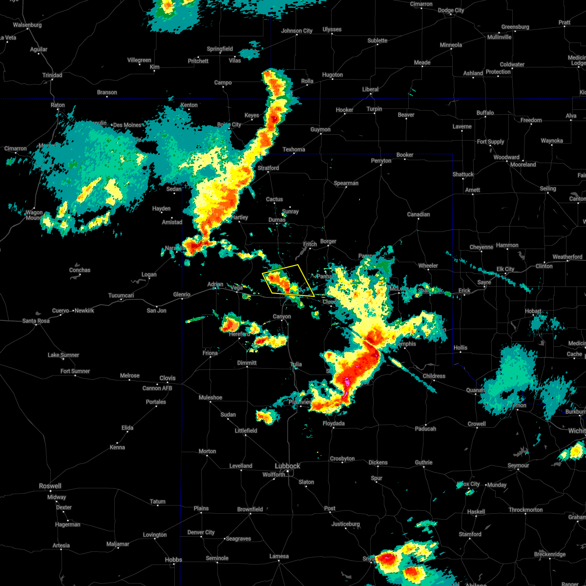 At 906 pm cdt, a severe thunderstorm was located 5 miles north of amarillo, moving east at 35 mph (radar indicated). Hazards include 60 mph wind gusts and quarter size hail. Minor damage to roofs, siding, and trees is possible. hail damage to vehicles is expected. Locations impacted include, amarillo. At 906 pm cdt, a severe thunderstorm was located 5 miles north of amarillo, moving east at 35 mph (radar indicated). Hazards include 60 mph wind gusts and quarter size hail. Minor damage to roofs, siding, and trees is possible. hail damage to vehicles is expected. Locations impacted include, amarillo.
|
| 5/16/2021 8:47 PM CDT |
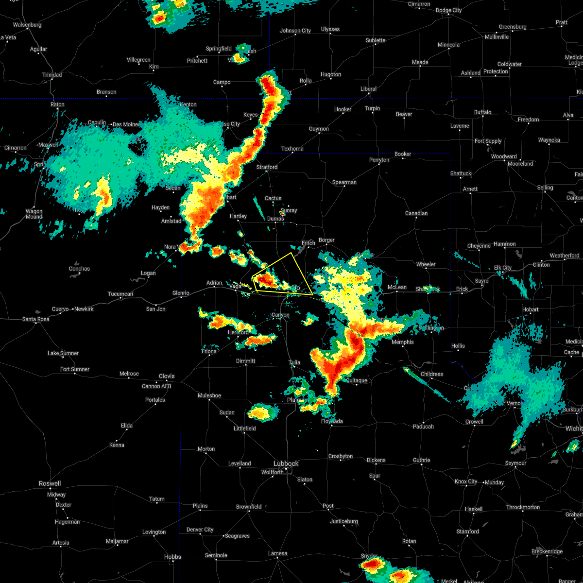 At 847 pm cdt, a severe thunderstorm was located 8 miles south of valley de oro, or 16 miles northwest of amarillo, moving east at 25 mph (radar indicated). Hazards include 60 mph wind gusts and quarter size hail. Minor damage to roofs, siding, and trees is possible. Hail damage to vehicles is expected. At 847 pm cdt, a severe thunderstorm was located 8 miles south of valley de oro, or 16 miles northwest of amarillo, moving east at 25 mph (radar indicated). Hazards include 60 mph wind gusts and quarter size hail. Minor damage to roofs, siding, and trees is possible. Hail damage to vehicles is expected.
|
| 5/16/2021 7:44 PM CDT |
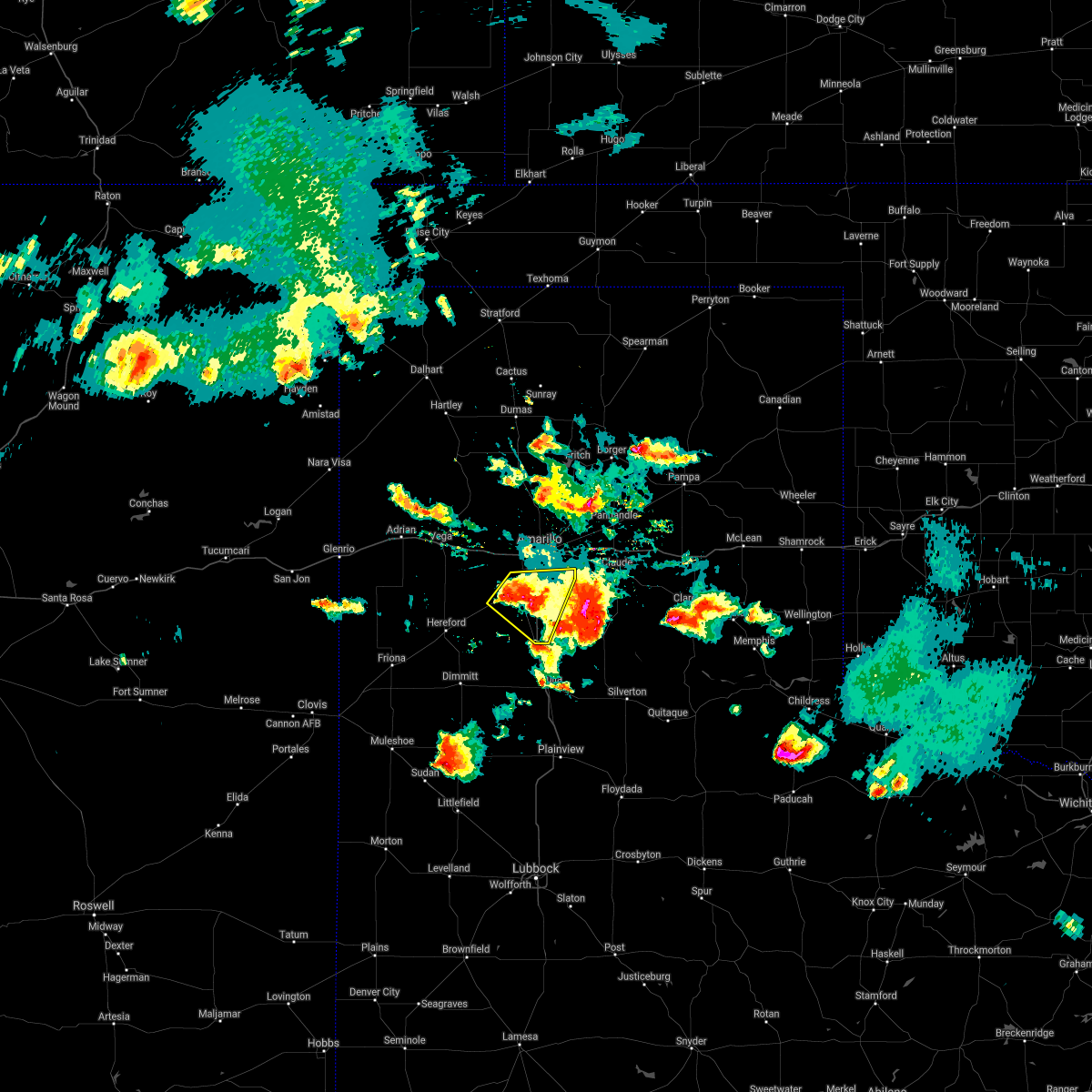 At 744 pm cdt, a severe thunderstorm was located over canyon, and is nearly stationary. at 738 pm cdt, the public reported half dollar size hail 5 miles east southeast of canyon (public). Hazards include 60 mph wind gusts and half dollar size hail. Minor damage to roofs, siding, and trees is possible. hail damage to vehicles is expected. Hail may accumulate on roadways causing hazardous travel. At 744 pm cdt, a severe thunderstorm was located over canyon, and is nearly stationary. at 738 pm cdt, the public reported half dollar size hail 5 miles east southeast of canyon (public). Hazards include 60 mph wind gusts and half dollar size hail. Minor damage to roofs, siding, and trees is possible. hail damage to vehicles is expected. Hail may accumulate on roadways causing hazardous travel.
|
| 5/16/2021 7:10 PM CDT |
 At 710 pm cdt, a severe thunderstorm was located 6 miles southwest of palo duro canyon, or 9 miles southeast of canyon, moving southeast at 20 mph (radar indicated). Hazards include 70 mph wind gusts and ping pong ball size hail. Expect some tree damage. damage is likely to mobile homes, roofs, and outbuildings. people and animals outdoors will be injured. expect hail damage to roofs, siding, windows, and vehicles. Locations impacted include, amarillo, canyon, lake tanglewood, mescalero park, palo duro canyon and timbercreek canyon. At 710 pm cdt, a severe thunderstorm was located 6 miles southwest of palo duro canyon, or 9 miles southeast of canyon, moving southeast at 20 mph (radar indicated). Hazards include 70 mph wind gusts and ping pong ball size hail. Expect some tree damage. damage is likely to mobile homes, roofs, and outbuildings. people and animals outdoors will be injured. expect hail damage to roofs, siding, windows, and vehicles. Locations impacted include, amarillo, canyon, lake tanglewood, mescalero park, palo duro canyon and timbercreek canyon.
|
| 5/16/2021 6:57 PM CDT | Quarter sized hail reported 9.5 miles NNE of Amarillo, TX, report from mping: quarter (1.00 in.). |
| 5/16/2021 6:47 PM CDT |
 At 646 pm cdt, a severe thunderstorm was located 5 miles northwest of washburn, or 12 miles east of amarillo, moving northeast at 15 mph (radar indicated). Hazards include 60 mph wind gusts and quarter size hail. Minor damage to roofs, siding, and trees is possible. hail damage to vehicles is expected. Locations impacted include, amarillo and pantex. At 646 pm cdt, a severe thunderstorm was located 5 miles northwest of washburn, or 12 miles east of amarillo, moving northeast at 15 mph (radar indicated). Hazards include 60 mph wind gusts and quarter size hail. Minor damage to roofs, siding, and trees is possible. hail damage to vehicles is expected. Locations impacted include, amarillo and pantex.
|
| 5/16/2021 6:45 PM CDT |
 At 645 pm cdt, a severe thunderstorm was located 4 miles northeast of canyon, and is nearly stationary. at 644 pm cdt a trained spotter reports ping pong size hail and estimated 70 mph wind gusts in canyon (trained weather spotters). Hazards include golf ball size hail and 70 mph wind gusts. Expect some tree damage. damage is likely to mobile homes, roofs, and outbuildings. people and animals outdoors will be injured. expect hail damage to roofs, siding, windows, and vehicles. hail may accumulate on roadways causing hazardous travel. Locations impacted include, amarillo, canyon, lake tanglewood, mescalero park, umbarger, palo duro canyon and timbercreek canyon. At 645 pm cdt, a severe thunderstorm was located 4 miles northeast of canyon, and is nearly stationary. at 644 pm cdt a trained spotter reports ping pong size hail and estimated 70 mph wind gusts in canyon (trained weather spotters). Hazards include golf ball size hail and 70 mph wind gusts. Expect some tree damage. damage is likely to mobile homes, roofs, and outbuildings. people and animals outdoors will be injured. expect hail damage to roofs, siding, windows, and vehicles. hail may accumulate on roadways causing hazardous travel. Locations impacted include, amarillo, canyon, lake tanglewood, mescalero park, umbarger, palo duro canyon and timbercreek canyon.
|
| 5/16/2021 6:41 PM CDT |
 The national weather service in amarillo has issued a * severe thunderstorm warning for. northwestern armstrong county in the panhandle of texas. randall county in the panhandle of texas. until 745 pm cdt. At 641 pm cdt, a severe thunderstorm was located 4 miles northeast. The national weather service in amarillo has issued a * severe thunderstorm warning for. northwestern armstrong county in the panhandle of texas. randall county in the panhandle of texas. until 745 pm cdt. At 641 pm cdt, a severe thunderstorm was located 4 miles northeast.
|
| 5/16/2021 6:33 PM CDT |
 At 633 pm cdt, a severe thunderstorm was located 7 miles northwest of washburn, or 9 miles east of amarillo, moving northeast at 15 mph (trained weather spotters). Hazards include 60 mph wind gusts and quarter size hail. Minor damage to roofs, siding, and trees is possible. hail damage to vehicles is expected. Hail may accumulate on roadways causing hazardous travel. At 633 pm cdt, a severe thunderstorm was located 7 miles northwest of washburn, or 9 miles east of amarillo, moving northeast at 15 mph (trained weather spotters). Hazards include 60 mph wind gusts and quarter size hail. Minor damage to roofs, siding, and trees is possible. hail damage to vehicles is expected. Hail may accumulate on roadways causing hazardous travel.
|
| 5/16/2021 6:30 PM CDT | Quarter sized hail reported 1.7 miles NW of Amarillo, TX, report from mping: quarter (1.00 in.). |
| 5/16/2021 6:30 PM CDT |
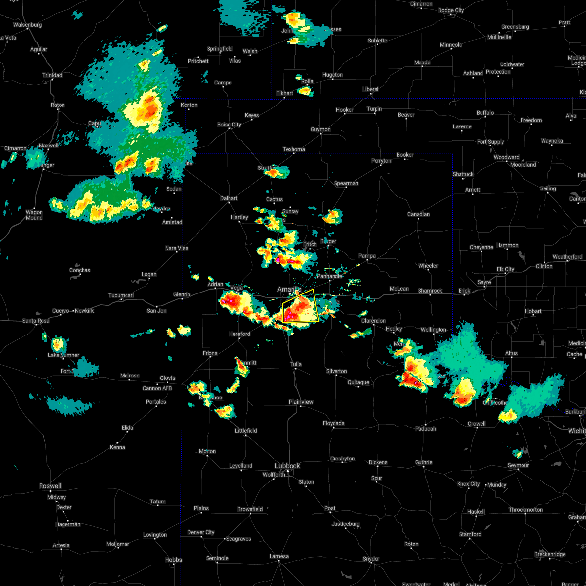 At 630 pm cdt, a severe thunderstorm was located over lake tanglewood, or 7 miles northeast of canyon, and is nearly stationary (radar indicated). Hazards include golf ball size hail and 60 mph wind gusts. Minor damage to roofs, siding, and trees is possible. people and animals outdoors will be injured. expect hail damage to roofs, siding, windows, and vehicles. hail may accumulate on roadways causing hazardous travel. Locations impacted include, amarillo, canyon, lake tanglewood, washburn, mescalero park and timbercreek canyon. At 630 pm cdt, a severe thunderstorm was located over lake tanglewood, or 7 miles northeast of canyon, and is nearly stationary (radar indicated). Hazards include golf ball size hail and 60 mph wind gusts. Minor damage to roofs, siding, and trees is possible. people and animals outdoors will be injured. expect hail damage to roofs, siding, windows, and vehicles. hail may accumulate on roadways causing hazardous travel. Locations impacted include, amarillo, canyon, lake tanglewood, washburn, mescalero park and timbercreek canyon.
|
| 5/16/2021 6:29 PM CDT | Quarter sized hail reported 7.5 miles WSW of Amarillo, TX |
| 5/16/2021 6:23 PM CDT |
 At 623 pm cdt, a severe thunderstorm was located over lake tanglewood, or 9 miles southeast of amarillo, moving east at 10 mph (radar indicated). Hazards include two inch hail and 60 mph wind gusts. Minor damage to roofs, siding, and trees is possible. people and animals outdoors will be injured. expect hail damage to roofs, siding, windows, and vehicles. hail may accumulate on roadways causing hazardous travel. Locations impacted include, amarillo, canyon, panhandle, claude, lake tanglewood, mescalero park, washburn and timbercreek canyon. At 623 pm cdt, a severe thunderstorm was located over lake tanglewood, or 9 miles southeast of amarillo, moving east at 10 mph (radar indicated). Hazards include two inch hail and 60 mph wind gusts. Minor damage to roofs, siding, and trees is possible. people and animals outdoors will be injured. expect hail damage to roofs, siding, windows, and vehicles. hail may accumulate on roadways causing hazardous travel. Locations impacted include, amarillo, canyon, panhandle, claude, lake tanglewood, mescalero park, washburn and timbercreek canyon.
|
| 5/16/2021 6:17 PM CDT |
 At 616 pm cdt, a severe thunderstorm was located over lake tanglewood, or 9 miles northeast of canyon, moving east at 10 mph. at 614 pm cdt, a trained spotter reports just under tennis ball size hail 4 miles east northeast of canyon (trained weather spotters). Hazards include two inch hail and 60 mph wind gusts. Minor damage to roofs, siding, and trees is possible. people and animals outdoors will be injured. expect hail damage to roofs, siding, windows, and vehicles. hail may accumulate on roadways causing hazardous travel. Locations impacted include, amarillo, canyon, panhandle, claude, lake tanglewood, mescalero park, washburn and timbercreek canyon. At 616 pm cdt, a severe thunderstorm was located over lake tanglewood, or 9 miles northeast of canyon, moving east at 10 mph. at 614 pm cdt, a trained spotter reports just under tennis ball size hail 4 miles east northeast of canyon (trained weather spotters). Hazards include two inch hail and 60 mph wind gusts. Minor damage to roofs, siding, and trees is possible. people and animals outdoors will be injured. expect hail damage to roofs, siding, windows, and vehicles. hail may accumulate on roadways causing hazardous travel. Locations impacted include, amarillo, canyon, panhandle, claude, lake tanglewood, mescalero park, washburn and timbercreek canyon.
|
| 5/16/2021 6:11 PM CDT | Half Dollar sized hail reported 9.5 miles NNE of Amarillo, TX, report from mping: half dollar (1.25 in.). |
| 5/16/2021 6:03 PM CDT |
 At 603 pm cdt, a severe thunderstorm was located over lake tanglewood, or 8 miles northeast of canyon, moving northeast at 5 mph (radar indicated). Hazards include golf ball size hail and 60 mph wind gusts. Minor damage to roofs, siding, and trees is possible. people and animals outdoors will be injured. expect hail damage to roofs, siding, windows, and vehicles. hail may accumulate on roadways causing hazardous travel. Locations impacted include, amarillo, canyon, panhandle, claude, lake tanglewood, mescalero park, washburn and timbercreek canyon. At 603 pm cdt, a severe thunderstorm was located over lake tanglewood, or 8 miles northeast of canyon, moving northeast at 5 mph (radar indicated). Hazards include golf ball size hail and 60 mph wind gusts. Minor damage to roofs, siding, and trees is possible. people and animals outdoors will be injured. expect hail damage to roofs, siding, windows, and vehicles. hail may accumulate on roadways causing hazardous travel. Locations impacted include, amarillo, canyon, panhandle, claude, lake tanglewood, mescalero park, washburn and timbercreek canyon.
|
| 5/16/2021 6:00 PM CDT | Half Dollar sized hail reported 10.4 miles NNW of Amarillo, TX |
| 5/16/2021 6:00 PM CDT | Quarter sized hail reported 9.3 miles N of Amarillo, TX, lots of dimes... nickels and some quarter size hail reported. it is accumulating on the ground. |
| 5/16/2021 5:45 PM CDT |
 At 545 pm cdt, a severe thunderstorm was located 4 miles northeast of lake tanglewood, or 9 miles southeast of amarillo, moving east at 10 mph (radar indicated). Hazards include ping pong ball size hail and 60 mph wind gusts. Minor damage to roofs, siding, and trees is possible. people and animals outdoors will be injured. Expect hail damage to roofs, siding, windows, and vehicles. At 545 pm cdt, a severe thunderstorm was located 4 miles northeast of lake tanglewood, or 9 miles southeast of amarillo, moving east at 10 mph (radar indicated). Hazards include ping pong ball size hail and 60 mph wind gusts. Minor damage to roofs, siding, and trees is possible. people and animals outdoors will be injured. Expect hail damage to roofs, siding, windows, and vehicles.
|
| 5/16/2021 5:23 PM CDT | Quarter sized hail reported 2.5 miles NNW of Amarillo, TX |
| 5/16/2021 5:22 PM CDT | Half Dollar sized hail reported 1.7 miles N of Amarillo, TX |
| 5/16/2021 5:22 PM CDT | Half Dollar sized hail reported 3.1 miles NNW of Amarillo, TX |
| 5/16/2021 5:17 PM CDT |
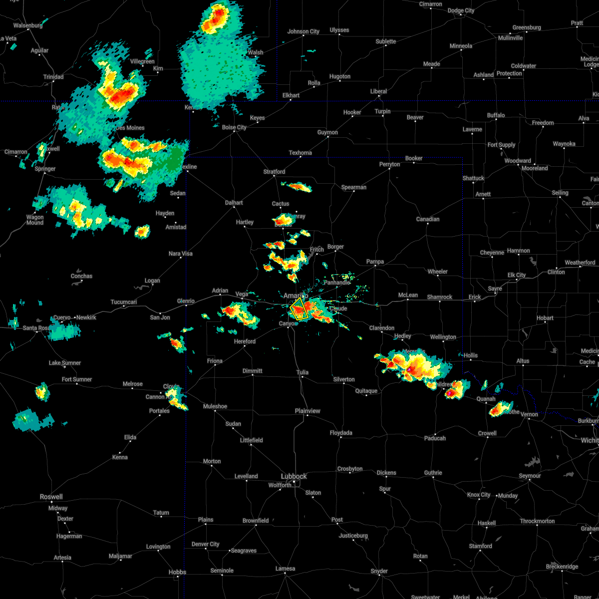 At 516 pm cdt, a severe thunderstorm was located 5 miles south of amarillo, moving northeast at 10 mph. reports of two inch hail with this storm (public). Hazards include two inch hail and 60 mph wind gusts. Minor damage to roofs, siding, and trees is possible. people and animals outdoors will be injured. expect hail damage to roofs, siding, windows, and vehicles. Locations impacted include, amarillo, lake tanglewood and timbercreek canyon. At 516 pm cdt, a severe thunderstorm was located 5 miles south of amarillo, moving northeast at 10 mph. reports of two inch hail with this storm (public). Hazards include two inch hail and 60 mph wind gusts. Minor damage to roofs, siding, and trees is possible. people and animals outdoors will be injured. expect hail damage to roofs, siding, windows, and vehicles. Locations impacted include, amarillo, lake tanglewood and timbercreek canyon.
|
| 5/16/2021 5:16 PM CDT | Golf Ball sized hail reported 4 miles NNE of Amarillo, TX |
| 5/16/2021 5:16 PM CDT | Hen Egg sized hail reported 4 miles NNE of Amarillo, TX |
| 5/16/2021 5:15 PM CDT |
 At 515 pm cdt, a severe thunderstorm was located 7 miles west of washburn, or 8 miles east of amarillo, moving northeast at 5 mph (radar indicated). Hazards include ping pong ball size hail and 60 mph wind gusts. Minor damage to roofs, siding, and trees is possible. people and animals outdoors will be injured. expect hail damage to roofs, siding, windows, and vehicles. Locations impacted include, amarillo and washburn. At 515 pm cdt, a severe thunderstorm was located 7 miles west of washburn, or 8 miles east of amarillo, moving northeast at 5 mph (radar indicated). Hazards include ping pong ball size hail and 60 mph wind gusts. Minor damage to roofs, siding, and trees is possible. people and animals outdoors will be injured. expect hail damage to roofs, siding, windows, and vehicles. Locations impacted include, amarillo and washburn.
|
| 5/16/2021 5:14 PM CDT | Ping Pong Ball sized hail reported 4.6 miles NNE of Amarillo, TX |
| 5/16/2021 5:12 PM CDT | Quarter sized hail reported 9.5 miles NNE of Amarillo, TX, report from mping: quarter (1.00 in.). |
| 5/16/2021 5:07 PM CDT |
 At 506 pm cdt, a severe thunderstorm was located near mescalero park, or 6 miles south of amarillo, moving northeast at 10 mph. multiple trained spotters have reported quarter to half dollar size hail with this storm (trained weather spotters). Hazards include 60 mph wind gusts and half dollar size hail. Minor damage to roofs, siding, and trees is possible. hail damage to vehicles is expected. Locations impacted include, amarillo, lake tanglewood, mescalero park and timbercreek canyon. At 506 pm cdt, a severe thunderstorm was located near mescalero park, or 6 miles south of amarillo, moving northeast at 10 mph. multiple trained spotters have reported quarter to half dollar size hail with this storm (trained weather spotters). Hazards include 60 mph wind gusts and half dollar size hail. Minor damage to roofs, siding, and trees is possible. hail damage to vehicles is expected. Locations impacted include, amarillo, lake tanglewood, mescalero park and timbercreek canyon.
|
| 5/16/2021 5:06 PM CDT | Half Dollar sized hail reported 5.5 miles NNE of Amarillo, TX |
| 5/16/2021 5:01 PM CDT | Quarter sized hail reported 5.8 miles N of Amarillo, TX |
| 5/16/2021 5:00 PM CDT | Quarter sized hail reported 6.8 miles NNE of Amarillo, TX, pea to quarter size hail... most being pea to dime size. |
| 5/16/2021 5:00 PM CDT | Half Dollar sized hail reported 5.7 miles NNE of Amarillo, TX |
| 5/16/2021 4:58 PM CDT |
 At 458 pm cdt, a severe thunderstorm was located near mescalero park, or 7 miles south of amarillo, moving northeast at 10 mph (radar indicated). Hazards include 60 mph wind gusts and half dollar size hail. Minor damage to roofs, siding, and trees is possible. hail damage to vehicles is expected. Locations impacted include, amarillo, canyon, lake tanglewood, mescalero park and timbercreek canyon. At 458 pm cdt, a severe thunderstorm was located near mescalero park, or 7 miles south of amarillo, moving northeast at 10 mph (radar indicated). Hazards include 60 mph wind gusts and half dollar size hail. Minor damage to roofs, siding, and trees is possible. hail damage to vehicles is expected. Locations impacted include, amarillo, canyon, lake tanglewood, mescalero park and timbercreek canyon.
|
| 5/16/2021 4:46 PM CDT |
 At 446 pm cdt, a severe thunderstorm was located over mescalero park, or 7 miles north of canyon, moving northeast at 10 mph (radar indicated). Hazards include 60 mph wind gusts and quarter size hail. Minor damage to roofs, siding, and trees is possible. Hail damage to vehicles is expected. At 446 pm cdt, a severe thunderstorm was located over mescalero park, or 7 miles north of canyon, moving northeast at 10 mph (radar indicated). Hazards include 60 mph wind gusts and quarter size hail. Minor damage to roofs, siding, and trees is possible. Hail damage to vehicles is expected.
|
| 5/16/2021 4:38 PM CDT | Quarter sized hail reported 3.8 miles NNE of Amarillo, TX |
| 5/16/2021 4:37 PM CDT |
 At 437 pm cdt, a severe thunderstorm was located 5 miles northeast of lake tanglewood, or 7 miles southeast of amarillo, moving northeast at 15 mph (public). Hazards include 60 mph wind gusts and quarter size hail. Minor damage to roofs, siding, and trees is possible. Hail damage to vehicles is expected. At 437 pm cdt, a severe thunderstorm was located 5 miles northeast of lake tanglewood, or 7 miles southeast of amarillo, moving northeast at 15 mph (public). Hazards include 60 mph wind gusts and quarter size hail. Minor damage to roofs, siding, and trees is possible. Hail damage to vehicles is expected.
|
| 5/15/2021 9:57 PM CDT |
 The severe thunderstorm warning for northwestern randall, southeastern oldham, northeastern deaf smith and southern potter counties will expire at 1000 pm cdt, the storm which prompted the warning has weakened below severe limits, and no longer poses an immediate threat to life or property. therefore, the warning will be allowed to expire. however heavy rain is still possible with this thunderstorm. a severe thunderstorm watch remains in effect until 1100 pm cdt for the panhandle of texas. The severe thunderstorm warning for northwestern randall, southeastern oldham, northeastern deaf smith and southern potter counties will expire at 1000 pm cdt, the storm which prompted the warning has weakened below severe limits, and no longer poses an immediate threat to life or property. therefore, the warning will be allowed to expire. however heavy rain is still possible with this thunderstorm. a severe thunderstorm watch remains in effect until 1100 pm cdt for the panhandle of texas.
|
| 5/15/2021 9:32 PM CDT |
 At 931 pm cdt, a severe thunderstorm was located over bushland, or 12 miles west of amarillo, moving northeast at 30 mph (radar indicated). Hazards include 60 mph wind gusts and quarter size hail. Minor damage to roofs, siding, and trees is possible. Hail damage to vehicles is expected. At 931 pm cdt, a severe thunderstorm was located over bushland, or 12 miles west of amarillo, moving northeast at 30 mph (radar indicated). Hazards include 60 mph wind gusts and quarter size hail. Minor damage to roofs, siding, and trees is possible. Hail damage to vehicles is expected.
|
| 5/14/2021 7:55 PM CDT |
 The national weather service in amarillo has issued a * severe thunderstorm warning for. northern armstrong county in the panhandle of texas. northeastern randall county in the panhandle of texas. southern carson county in the panhandle of texas. Southeastern potter county in the panhandle of texas. The national weather service in amarillo has issued a * severe thunderstorm warning for. northern armstrong county in the panhandle of texas. northeastern randall county in the panhandle of texas. southern carson county in the panhandle of texas. Southeastern potter county in the panhandle of texas.
|
| 5/14/2021 7:41 PM CDT |
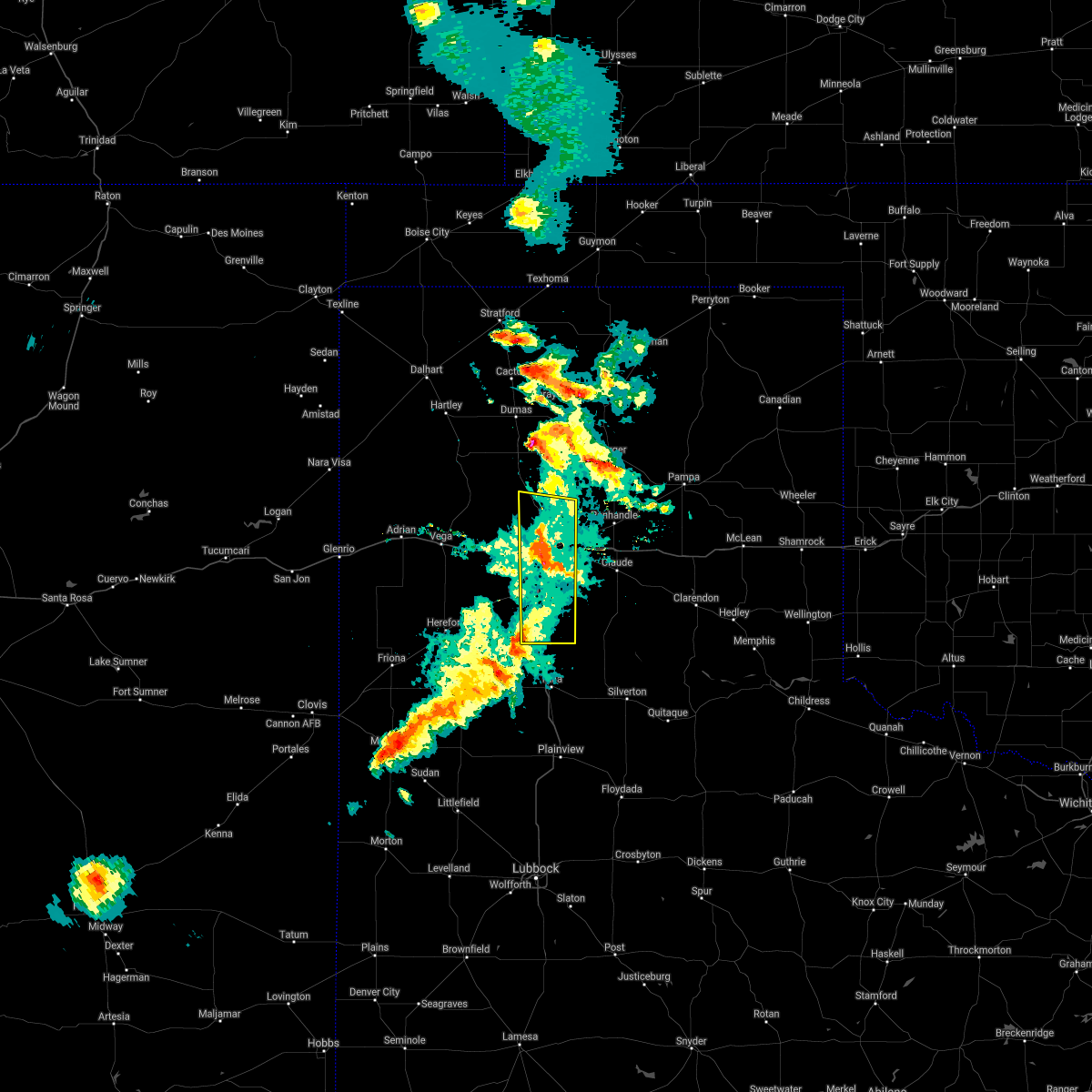 At 741 pm cdt, severe thunderstorms were located along a line extending from 5 miles north of amarillo to 7 miles northeast of lake tanglewood, moving northeast at 30 mph (radar indicated). Hazards include 70 mph wind gusts. Expect some tree damage. damage is likely to mobile homes, roofs, and outbuildings. Locations impacted include, amarillo, canyon, lake tanglewood, mescalero park, palo duro canyon and timbercreek canyon. At 741 pm cdt, severe thunderstorms were located along a line extending from 5 miles north of amarillo to 7 miles northeast of lake tanglewood, moving northeast at 30 mph (radar indicated). Hazards include 70 mph wind gusts. Expect some tree damage. damage is likely to mobile homes, roofs, and outbuildings. Locations impacted include, amarillo, canyon, lake tanglewood, mescalero park, palo duro canyon and timbercreek canyon.
|
| 5/14/2021 7:29 PM CDT | Report of several tree branches down around 3 inches in diamete in randall county TX, 3.6 miles NNE of Amarillo, TX |
| 5/14/2021 7:06 PM CDT |
 At 705 pm cdt, severe thunderstorms were located along a line extending from 3 miles south of vega to bushland to 8 miles south of buffalo lake, moving east at 20 mph (automated weather equipment 4 miles east of vega reported 70 mph wind gust at 700 pm cdt). Hazards include 70 mph wind gusts and quarter size hail. Expect some tree damage. damage is likely to mobile homes, roofs, and outbuildings. Hail damage to vehicles is expected. At 705 pm cdt, severe thunderstorms were located along a line extending from 3 miles south of vega to bushland to 8 miles south of buffalo lake, moving east at 20 mph (automated weather equipment 4 miles east of vega reported 70 mph wind gust at 700 pm cdt). Hazards include 70 mph wind gusts and quarter size hail. Expect some tree damage. damage is likely to mobile homes, roofs, and outbuildings. Hail damage to vehicles is expected.
|
| 5/14/2021 6:46 PM CDT |
 At 645 pm cdt, severe thunderstorms were located along a line extending from 12 miles north of vega to 4 miles northwest of bushland to 4 miles north of hereford, moving northeast at 20 mph (radar indicated). Hazards include 60 mph wind gusts and quarter size hail. Minor damage to roofs, siding, and trees is possible. hail damage to vehicles is expected. Locations impacted include, amarillo, hereford, canyon, vega, adrian, bushland, buffalo lake, dawn, umbarger, wildorado, simms and mescalero park. At 645 pm cdt, severe thunderstorms were located along a line extending from 12 miles north of vega to 4 miles northwest of bushland to 4 miles north of hereford, moving northeast at 20 mph (radar indicated). Hazards include 60 mph wind gusts and quarter size hail. Minor damage to roofs, siding, and trees is possible. hail damage to vehicles is expected. Locations impacted include, amarillo, hereford, canyon, vega, adrian, bushland, buffalo lake, dawn, umbarger, wildorado, simms and mescalero park.
|
| 5/14/2021 5:55 PM CDT |
 At 555 pm cdt, severe thunderstorms were located along a line extending from adrian to 8 miles south of wildorado to near summerfield, moving northeast at 20 mph (radar indicated). Hazards include 70 mph wind gusts and half dollar size hail. Expect some tree damage. damage is likely to mobile homes, roofs, and outbuildings. Hail damage to vehicles is expected. At 555 pm cdt, severe thunderstorms were located along a line extending from adrian to 8 miles south of wildorado to near summerfield, moving northeast at 20 mph (radar indicated). Hazards include 70 mph wind gusts and half dollar size hail. Expect some tree damage. damage is likely to mobile homes, roofs, and outbuildings. Hail damage to vehicles is expected.
|
| 5/7/2021 6:54 PM CDT |
 At 653 pm cdt, severe thunderstorms were located along a line extending from 3 miles southwest of white deer to 6 miles southwest of groom to 10 miles northeast of wayside, moving east at 45 mph (radar indicated). Hazards include 60 mph wind gusts and quarter size hail. Minor damage to roofs, siding, and trees is possible. hail damage to vehicles is expected. Locations impacted include, amarillo, hereford, canyon, panhandle, claude, lake tanglewood, buffalo lake, washburn, umbarger, palo duro canyon, mescalero park, dawn, timbercreek canyon and pantex. At 653 pm cdt, severe thunderstorms were located along a line extending from 3 miles southwest of white deer to 6 miles southwest of groom to 10 miles northeast of wayside, moving east at 45 mph (radar indicated). Hazards include 60 mph wind gusts and quarter size hail. Minor damage to roofs, siding, and trees is possible. hail damage to vehicles is expected. Locations impacted include, amarillo, hereford, canyon, panhandle, claude, lake tanglewood, buffalo lake, washburn, umbarger, palo duro canyon, mescalero park, dawn, timbercreek canyon and pantex.
|
| 5/7/2021 6:40 PM CDT |
 At 640 pm cdt, severe thunderstorms were located along a line extending from 3 miles north of panhandle to 3 miles north of claude to 3 miles southeast of palo duro canyon, moving east at 45 mph (radar indicated). Hazards include 60 mph wind gusts and quarter size hail. Minor damage to roofs, siding, and trees is possible. hail damage to vehicles is expected. Locations impacted include, amarillo, hereford, canyon, panhandle, claude, vega, fritch, lake tanglewood, bushland, buffalo lake, washburn, umbarger, wildorado, palo duro canyon, mescalero park, dawn, timbercreek canyon and pantex. At 640 pm cdt, severe thunderstorms were located along a line extending from 3 miles north of panhandle to 3 miles north of claude to 3 miles southeast of palo duro canyon, moving east at 45 mph (radar indicated). Hazards include 60 mph wind gusts and quarter size hail. Minor damage to roofs, siding, and trees is possible. hail damage to vehicles is expected. Locations impacted include, amarillo, hereford, canyon, panhandle, claude, vega, fritch, lake tanglewood, bushland, buffalo lake, washburn, umbarger, wildorado, palo duro canyon, mescalero park, dawn, timbercreek canyon and pantex.
|
| 5/7/2021 5:56 PM CDT | Tree down on the north shore drive of lake tanglewoo in randall county TX, 10.4 miles NNW of Amarillo, TX |
| 5/7/2021 5:38 PM CDT |
 At 538 pm cdt, severe thunderstorms were located along a line extending from 5 miles southwest of valley de oro to 5 miles southeast of wildorado to 6 miles north of hereford, moving east at 45 mph (radar indicated). Hazards include 60 mph wind gusts and quarter size hail. Minor damage to roofs, siding, and trees is possible. Hail damage to vehicles is expected. At 538 pm cdt, severe thunderstorms were located along a line extending from 5 miles southwest of valley de oro to 5 miles southeast of wildorado to 6 miles north of hereford, moving east at 45 mph (radar indicated). Hazards include 60 mph wind gusts and quarter size hail. Minor damage to roofs, siding, and trees is possible. Hail damage to vehicles is expected.
|
| 3/13/2021 4:22 PM CST | Ping Pong Ball sized hail reported 20.4 miles NNW of Amarillo, TX |
| 3/13/2021 4:14 PM CST |
 At 414 pm cst, severe thunderstorms were located along a line extending from 4 miles east of sunray to 7 miles northwest of lake meredith to 6 miles northwest of amarillo, moving northeast at 40 mph (radar indicated). Hazards include 70 mph wind gusts and half dollar size hail. Expect some tree damage. damage is likely to mobile homes, roofs, and outbuildings. hail damage to vehicles is expected. locations impacted include, amarillo, dumas, fritch, masterson, four way and lake meredith. a tornado watch remains in effect until 600 pm cst for the panhandle of texas. A tornado watch also remains in effect until 900 pm cst for the panhandle of texas. At 414 pm cst, severe thunderstorms were located along a line extending from 4 miles east of sunray to 7 miles northwest of lake meredith to 6 miles northwest of amarillo, moving northeast at 40 mph (radar indicated). Hazards include 70 mph wind gusts and half dollar size hail. Expect some tree damage. damage is likely to mobile homes, roofs, and outbuildings. hail damage to vehicles is expected. locations impacted include, amarillo, dumas, fritch, masterson, four way and lake meredith. a tornado watch remains in effect until 600 pm cst for the panhandle of texas. A tornado watch also remains in effect until 900 pm cst for the panhandle of texas.
|
| 3/13/2021 4:00 PM CST | Ping Pong Ball sized hail reported 7.8 miles NNW of Amarillo, TX |
| 3/13/2021 3:57 PM CST |
 At 356 pm cst, severe thunderstorms were located along a line extending from 3 miles west of sunray to 4 miles east of masterson to 7 miles east of valley de oro, moving northeast at 40 mph (radar indicated). Hazards include 60 mph wind gusts and half dollar size hail. Minor damage to roofs, siding, and trees is possible. hail damage to vehicles is expected. locations impacted include, amarillo, dumas, fritch, four way, valley de oro, masterson and lake meredith. a tornado watch remains in effect until 600 pm cst for the panhandle of texas. A tornado watch also remains in effect until 900 pm cst for the panhandle of texas. At 356 pm cst, severe thunderstorms were located along a line extending from 3 miles west of sunray to 4 miles east of masterson to 7 miles east of valley de oro, moving northeast at 40 mph (radar indicated). Hazards include 60 mph wind gusts and half dollar size hail. Minor damage to roofs, siding, and trees is possible. hail damage to vehicles is expected. locations impacted include, amarillo, dumas, fritch, four way, valley de oro, masterson and lake meredith. a tornado watch remains in effect until 600 pm cst for the panhandle of texas. A tornado watch also remains in effect until 900 pm cst for the panhandle of texas.
|
| 3/13/2021 3:30 PM CST |
 At 329 pm cst, severe thunderstorms were located along a line extending from 7 miles west of dumas to valley de oro to 3 miles northeast of wildorado, moving northeast at 40 mph (radar indicated). Hazards include 60 mph wind gusts and half dollar size hail. Minor damage to roofs, siding, and trees is possible. Hail damage to vehicles is expected. At 329 pm cst, severe thunderstorms were located along a line extending from 7 miles west of dumas to valley de oro to 3 miles northeast of wildorado, moving northeast at 40 mph (radar indicated). Hazards include 60 mph wind gusts and half dollar size hail. Minor damage to roofs, siding, and trees is possible. Hail damage to vehicles is expected.
|
| 9/1/2020 6:27 PM CDT |
 At 627 pm cdt, a severe thunderstorm was located 14 miles south of lake meredith, or 18 miles north of amarillo, moving east at 45 mph (radar indicated). Hazards include 60 mph wind gusts and quarter size hail. Minor damage to roofs, siding, and trees is possible. hail damage to vehicles is expected. Locations impacted include, amarillo. At 627 pm cdt, a severe thunderstorm was located 14 miles south of lake meredith, or 18 miles north of amarillo, moving east at 45 mph (radar indicated). Hazards include 60 mph wind gusts and quarter size hail. Minor damage to roofs, siding, and trees is possible. hail damage to vehicles is expected. Locations impacted include, amarillo.
|
| 9/1/2020 6:17 PM CDT | Quarter sized hail reported 17.8 miles S of Amarillo, TX |
| 9/1/2020 6:05 PM CDT |
 At 605 pm cdt, a severe thunderstorm was located 4 miles southeast of valley de oro, or 19 miles northwest of amarillo, moving east at 20 mph (radar indicated). Hazards include 60 mph wind gusts and quarter size hail. Minor damage to roofs, siding, and trees is possible. Hail damage to vehicles is expected. At 605 pm cdt, a severe thunderstorm was located 4 miles southeast of valley de oro, or 19 miles northwest of amarillo, moving east at 20 mph (radar indicated). Hazards include 60 mph wind gusts and quarter size hail. Minor damage to roofs, siding, and trees is possible. Hail damage to vehicles is expected.
|
| 8/29/2020 9:03 PM CDT |
 At 903 pm cdt, a severe thunderstorm was located 5 miles east of buffalo lake, or 9 miles southwest of canyon, moving east at 20 mph (radar indicated). Hazards include 60 mph wind gusts and quarter size hail. Minor damage to roofs, siding, and trees is possible. hail damage to vehicles is expected. Locations impacted include, amarillo, canyon, lake tanglewood, mescalero park, buffalo lake, umbarger, palo duro canyon and timbercreek canyon. At 903 pm cdt, a severe thunderstorm was located 5 miles east of buffalo lake, or 9 miles southwest of canyon, moving east at 20 mph (radar indicated). Hazards include 60 mph wind gusts and quarter size hail. Minor damage to roofs, siding, and trees is possible. hail damage to vehicles is expected. Locations impacted include, amarillo, canyon, lake tanglewood, mescalero park, buffalo lake, umbarger, palo duro canyon and timbercreek canyon.
|
| 8/29/2020 8:37 PM CDT |
 At 836 pm cdt, automated weather equipment reported a severe thunderstorm was located over washburn, or 12 miles east of amarillo, moving east at 35 mph (automated weather equipment. at 822 pm cdt, automated weather equipment recorded a 68 mph wind gust at amarillo rick husband international airport). Hazards include 70 mph wind gusts and quarter size hail. accumulating hail is also possible with this storm. Expect some tree damage. damage is likely to mobile homes, roofs, and outbuildings. hail damage to vehicles is expected. hail may accumulate on roadways causing hazardous travel. Locations impacted include, amarillo, panhandle, claude, groom, washburn, goodnight and pantex. At 836 pm cdt, automated weather equipment reported a severe thunderstorm was located over washburn, or 12 miles east of amarillo, moving east at 35 mph (automated weather equipment. at 822 pm cdt, automated weather equipment recorded a 68 mph wind gust at amarillo rick husband international airport). Hazards include 70 mph wind gusts and quarter size hail. accumulating hail is also possible with this storm. Expect some tree damage. damage is likely to mobile homes, roofs, and outbuildings. hail damage to vehicles is expected. hail may accumulate on roadways causing hazardous travel. Locations impacted include, amarillo, panhandle, claude, groom, washburn, goodnight and pantex.
|
| 8/29/2020 8:29 PM CDT |
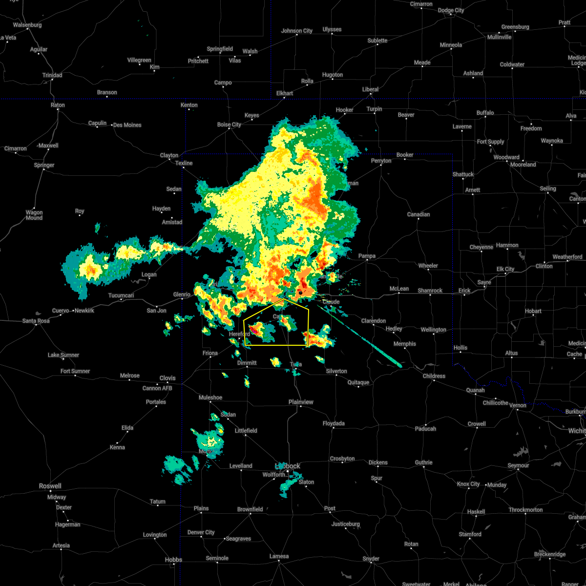 At 829 pm cdt, a severe thunderstorm was located 4 miles southwest of dawn, or 8 miles northeast of hereford, moving east at 20 mph (radar indicated). Hazards include 70 mph wind gusts and half dollar size hail. Expect some tree damage. damage is likely to mobile homes, roofs, and outbuildings. Hail damage to vehicles is expected. At 829 pm cdt, a severe thunderstorm was located 4 miles southwest of dawn, or 8 miles northeast of hereford, moving east at 20 mph (radar indicated). Hazards include 70 mph wind gusts and half dollar size hail. Expect some tree damage. damage is likely to mobile homes, roofs, and outbuildings. Hail damage to vehicles is expected.
|
| 8/29/2020 8:22 PM CDT | Storm damage reported in potter county TX, 6.6 miles W of Amarillo, TX |
| 8/29/2020 8:21 PM CDT | Downed power lines and fence blown over at loop 335 and amarillo blvd in northeast amarilo in potter county TX, 5.5 miles WSW of Amarillo, TX |
| 8/29/2020 8:21 PM CDT | Train was blown over near the intersection of u.s. highway 60 and farm-to-market 191 in potter county TX, 10.9 miles WSW of Amarillo, TX |
| 8/29/2020 8:21 PM CDT | Corrected location...train was blown over with possible 80 to 90 mph wind gust. also...tree snapped in half and laying across roadwa in carson county TX, 13.5 miles WSW of Amarillo, TX |
| 8/29/2020 8:21 PM CDT | Multiple downed trees in northeast amarill in potter county TX, 5.3 miles SW of Amarillo, TX |
| 8/29/2020 8:21 PM CDT | Late report of siding from house torn of building and vent on roof damaged due to blowing debris. time estimated from rada in potter county TX, 6.7 miles WSW of Amarillo, TX |
| 8/29/2020 8:18 PM CDT |
 At 818 pm cdt, a severe thunderstorm was located 4 miles northeast of amarillo, moving east at 35 mph (trained weather spotters). Hazards include two inch hail and 70 mph wind gusts. Expect some tree damage. damage is likely to mobile homes, roofs, and outbuildings. people and animals outdoors will be injured. expect hail damage to roofs, siding, windows, and vehicles. Hail may accumulate on roadways causing hazardous travel. At 818 pm cdt, a severe thunderstorm was located 4 miles northeast of amarillo, moving east at 35 mph (trained weather spotters). Hazards include two inch hail and 70 mph wind gusts. Expect some tree damage. damage is likely to mobile homes, roofs, and outbuildings. people and animals outdoors will be injured. expect hail damage to roofs, siding, windows, and vehicles. Hail may accumulate on roadways causing hazardous travel.
|
| 8/29/2020 8:16 PM CDT |
 At 815 pm cdt, a severe thunderstorm was located 6 miles north of amarillo, moving east at 20 mph (trained weather spotters. at 815 pm cdt, trained spotters reported two inch diameter hail 7 miles north of amarillo). Hazards include two inch hail and 70 mph wind gusts. accumulating hail is also possible with this storm. Expect some tree damage. damage is likely to mobile homes, roofs, and outbuildings. people and animals outdoors will be injured. expect hail damage to roofs, siding, windows, and vehicles. hail may accumulate on roadways causing hazardous travel. Locations impacted include, amarillo and valley de oro. At 815 pm cdt, a severe thunderstorm was located 6 miles north of amarillo, moving east at 20 mph (trained weather spotters. at 815 pm cdt, trained spotters reported two inch diameter hail 7 miles north of amarillo). Hazards include two inch hail and 70 mph wind gusts. accumulating hail is also possible with this storm. Expect some tree damage. damage is likely to mobile homes, roofs, and outbuildings. people and animals outdoors will be injured. expect hail damage to roofs, siding, windows, and vehicles. hail may accumulate on roadways causing hazardous travel. Locations impacted include, amarillo and valley de oro.
|
| 8/29/2020 8:15 PM CDT | Ping Pong Ball sized hail reported 4.6 miles S of Amarillo, TX, late picture received of hail covering the ground up to 5 inches deep. time estimated from radar and nearby reports. |
| 8/29/2020 8:15 PM CDT | Ping Pong Ball sized hail reported 4.6 miles S of Amarillo, TX, wind blown ping pong ball size hail blew out north facing windows...with winds destroying a 16 foot trampoline. time estimated from radar. |
| 8/29/2020 8:15 PM CDT | Wind blown ping pong ball size hail blew out north facing windows...with winds destroying a 16 foot trampoline. time estimated from rada in potter county TX, 4.6 miles S of Amarillo, TX |
| 8/29/2020 8:15 PM CDT | Quarter sized hail reported 5.3 miles S of Amarillo, TX, accumulating hail... and large tree blown into home in north amarillo. |
| 8/29/2020 8:15 PM CDT | Accumulating hail... and large tree blown into home in north amarill in potter county TX, 5.3 miles S of Amarillo, TX |
| 8/29/2020 8:15 PM CDT | Numerous 3 to 5 inch diameter trees limbs down. time estimated from rada in potter county TX, 3.3 miles SSW of Amarillo, TX |
| 8/29/2020 8:13 PM CDT | Hen Egg sized hail reported 6.6 miles S of Amarillo, TX, wind shield was damaged... sideways blown hail. trained spotter estimated 70 mph wind gust. |
| 8/29/2020 8:13 PM CDT | Wind shield was damaged... sideways blown hail. trained spotter estimated 70 mph wind gus in potter county TX, 6.6 miles S of Amarillo, TX |
| 8/29/2020 8:12 PM CDT |
 At 812 pm cdt, a severe thunderstorm was located 6 miles north of amarillo, moving east at 15 mph (radar indicated). Hazards include two inch hail and 70 mph wind gusts. accumulating hail is also possible with this storm. Expect some tree damage. damage is likely to mobile homes, roofs, and outbuildings. people and animals outdoors will be injured. expect hail damage to roofs, siding, windows, and vehicles. hail may accumulate on roadways causing hazardous travel. Locations impacted include, amarillo and valley de oro. At 812 pm cdt, a severe thunderstorm was located 6 miles north of amarillo, moving east at 15 mph (radar indicated). Hazards include two inch hail and 70 mph wind gusts. accumulating hail is also possible with this storm. Expect some tree damage. damage is likely to mobile homes, roofs, and outbuildings. people and animals outdoors will be injured. expect hail damage to roofs, siding, windows, and vehicles. hail may accumulate on roadways causing hazardous travel. Locations impacted include, amarillo and valley de oro.
|
| 8/29/2020 8:08 PM CDT | Quarter sized hail reported 7.3 miles SE of Amarillo, TX, accumulating hail severe inches deep. |
| 8/29/2020 8:07 PM CDT | Quarter sized hail reported 3.3 miles SSE of Amarillo, TX, late social media report of quarter size hail with time estimated from radar. |
| 8/29/2020 8:07 PM CDT | Late report of travel trailer damage...fences blown over...power lines blown down and metal sheds destroyed due to thunderstorm wind gusts. time estimated from rada in potter county TX, 4 miles SSE of Amarillo, TX |
| 8/29/2020 8:07 PM CDT | Golf Ball sized hail reported 3.9 miles S of Amarillo, TX, roof blown off home and golf ball size hail. time estimated from radar. |
| 8/29/2020 8:07 PM CDT | Roof blown off home and golf ball size hail. time estimated from rada in potter county TX, 3.9 miles S of Amarillo, TX |
| 8/29/2020 8:04 PM CDT | Collapsed workshop building pictured near loop 335 and willow creek r in potter county TX, 5.3 miles S of Amarillo, TX |
| 8/29/2020 8:04 PM CDT |
 At 803 pm cdt, a severe thunderstorm was located 8 miles north of amarillo, moving east at 30 mph (radar indicated). Hazards include golf ball size hail and 70 mph wind gusts. Expect some tree damage. damage is likely to mobile homes, roofs, and outbuildings. people and animals outdoors will be injured. expect hail damage to roofs, siding, windows, and vehicles. Locations impacted include, amarillo and valley de oro. At 803 pm cdt, a severe thunderstorm was located 8 miles north of amarillo, moving east at 30 mph (radar indicated). Hazards include golf ball size hail and 70 mph wind gusts. Expect some tree damage. damage is likely to mobile homes, roofs, and outbuildings. people and animals outdoors will be injured. expect hail damage to roofs, siding, windows, and vehicles. Locations impacted include, amarillo and valley de oro.
|
| 8/29/2020 7:53 PM CDT | Quarter sized hail reported 7.3 miles SE of Amarillo, TX, late report of quarter size hail reported with time estimated from radar. |
| 8/29/2020 7:53 PM CDT |
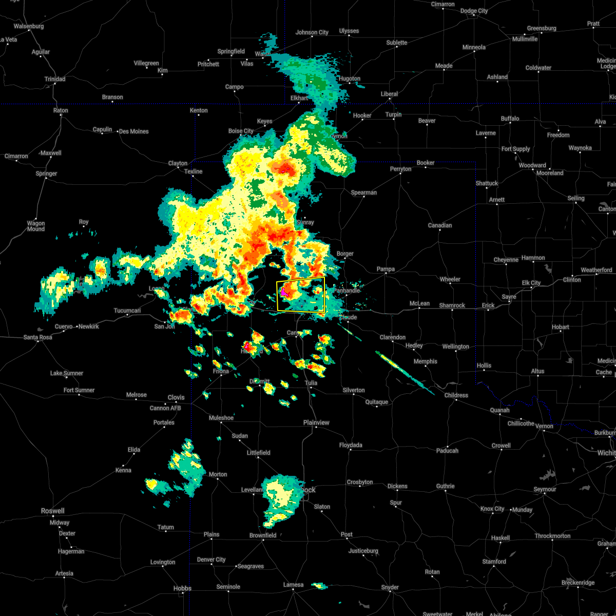 At 753 pm cdt, a severe thunderstorm was located 10 miles southeast of valley de oro, or 13 miles northwest of amarillo, moving east at 20 mph (radar indicated). Hazards include golf ball size hail and 70 mph wind gusts. Expect some tree damage. damage is likely to mobile homes, roofs, and outbuildings. people and animals outdoors will be injured. expect hail damage to roofs, siding, windows, and vehicles. Locations impacted include, amarillo and valley de oro. At 753 pm cdt, a severe thunderstorm was located 10 miles southeast of valley de oro, or 13 miles northwest of amarillo, moving east at 20 mph (radar indicated). Hazards include golf ball size hail and 70 mph wind gusts. Expect some tree damage. damage is likely to mobile homes, roofs, and outbuildings. people and animals outdoors will be injured. expect hail damage to roofs, siding, windows, and vehicles. Locations impacted include, amarillo and valley de oro.
|
| 8/29/2020 7:50 PM CDT |
 At 750 pm cdt, a severe thunderstorm was located 9 miles southeast of valley de oro, or 14 miles northwest of amarillo, moving east at 20 mph (radar indicated). Hazards include golf ball size hail and 60 mph wind gusts. Minor damage to roofs, siding, and trees is possible. people and animals outdoors will be injured. Expect hail damage to roofs, siding, windows, and vehicles. At 750 pm cdt, a severe thunderstorm was located 9 miles southeast of valley de oro, or 14 miles northwest of amarillo, moving east at 20 mph (radar indicated). Hazards include golf ball size hail and 60 mph wind gusts. Minor damage to roofs, siding, and trees is possible. people and animals outdoors will be injured. Expect hail damage to roofs, siding, windows, and vehicles.
|
| 8/14/2020 5:13 PM CDT |
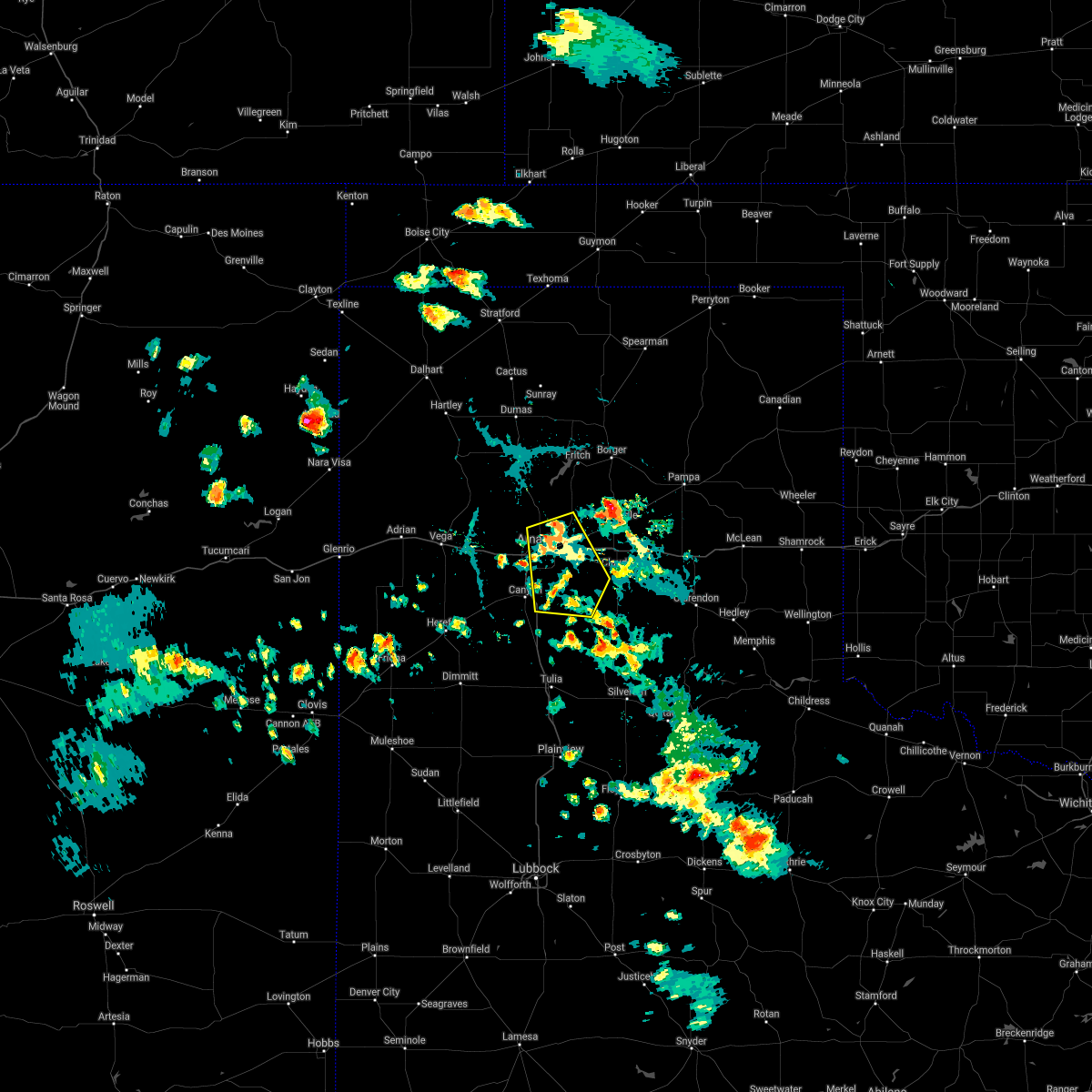 At 513 pm cdt, a severe thunderstorm was located 4 miles northeast of amarillo, moving southeast at 5 mph (radar indicated). Hazards include 60 mph wind gusts and quarter size hail. Minor damage to roofs, siding, and trees is possible. hail damage to vehicles is expected. Locations impacted include, amarillo, lake tanglewood, washburn, palo duro canyon, timbercreek canyon and pantex. At 513 pm cdt, a severe thunderstorm was located 4 miles northeast of amarillo, moving southeast at 5 mph (radar indicated). Hazards include 60 mph wind gusts and quarter size hail. Minor damage to roofs, siding, and trees is possible. hail damage to vehicles is expected. Locations impacted include, amarillo, lake tanglewood, washburn, palo duro canyon, timbercreek canyon and pantex.
|
| 8/14/2020 4:58 PM CDT |
 At 458 pm cdt, a severe thunderstorm was located 5 miles northeast of amarillo, moving southeast at 10 mph (radar indicated). Hazards include 60 mph wind gusts and quarter size hail. Minor damage to roofs, siding, and trees is possible. Hail damage to vehicles is expected. At 458 pm cdt, a severe thunderstorm was located 5 miles northeast of amarillo, moving southeast at 10 mph (radar indicated). Hazards include 60 mph wind gusts and quarter size hail. Minor damage to roofs, siding, and trees is possible. Hail damage to vehicles is expected.
|
| 8/11/2020 8:43 PM CDT |
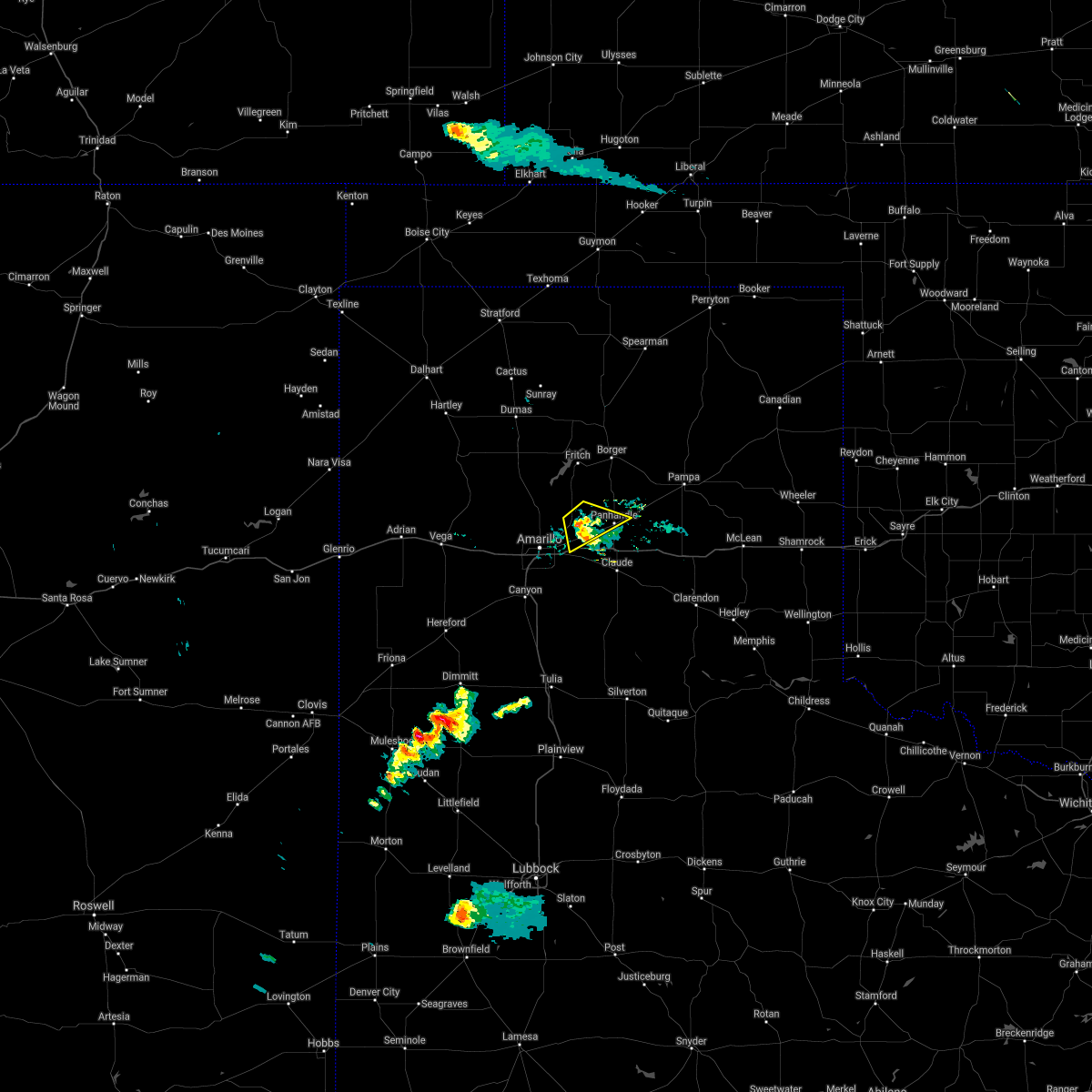 The severe thunderstorm warning for southwestern carson and southeastern potter counties will expire at 845 pm cdt, the storm which prompted the warning has weakened below severe limits, and no longer poses an immediate threat to life or property. therefore, the warning will be allowed to expire. however gusty winds are still possible with this thunderstorm. The severe thunderstorm warning for southwestern carson and southeastern potter counties will expire at 845 pm cdt, the storm which prompted the warning has weakened below severe limits, and no longer poses an immediate threat to life or property. therefore, the warning will be allowed to expire. however gusty winds are still possible with this thunderstorm.
|
| 8/11/2020 8:35 PM CDT |
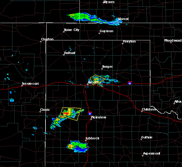 At 834 pm cdt, a severe thunderstorm was located 12 miles north of washburn, or 13 miles west of panhandle, moving southeast at 10 mph (radar indicated). Hazards include 60 mph wind gusts. Minor damage to roofs, siding, and trees is possible. Locations impacted include, panhandle and pantex. At 834 pm cdt, a severe thunderstorm was located 12 miles north of washburn, or 13 miles west of panhandle, moving southeast at 10 mph (radar indicated). Hazards include 60 mph wind gusts. Minor damage to roofs, siding, and trees is possible. Locations impacted include, panhandle and pantex.
|
| 8/11/2020 8:13 PM CDT |
 At 812 pm cdt, a severe thunderstorm was located 15 miles north of washburn, or 15 miles northeast of amarillo, moving southeast at 10 mph (radar indicated). Hazards include 60 mph wind gusts and penny size hail. Minor damage to roofs, siding, and trees is possible. Locations impacted include, panhandle and pantex. At 812 pm cdt, a severe thunderstorm was located 15 miles north of washburn, or 15 miles northeast of amarillo, moving southeast at 10 mph (radar indicated). Hazards include 60 mph wind gusts and penny size hail. Minor damage to roofs, siding, and trees is possible. Locations impacted include, panhandle and pantex.
|
| 8/11/2020 7:54 PM CDT |
 At 753 pm cdt, a severe thunderstorm was located 16 miles northeast of amarillo, moving southeast at 10 mph (radar indicated). Hazards include 60 mph wind gusts and quarter size hail. Minor damage to roofs, siding, and trees is possible. hail damage to vehicles is expected. Locations impacted include, amarillo, panhandle and pantex. At 753 pm cdt, a severe thunderstorm was located 16 miles northeast of amarillo, moving southeast at 10 mph (radar indicated). Hazards include 60 mph wind gusts and quarter size hail. Minor damage to roofs, siding, and trees is possible. hail damage to vehicles is expected. Locations impacted include, amarillo, panhandle and pantex.
|
| 8/11/2020 7:43 PM CDT |
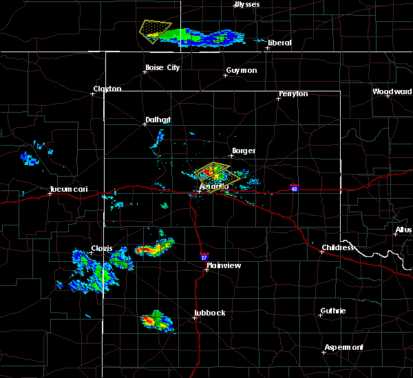 At 742 pm cdt, a severe thunderstorm was located 15 miles south of lake meredith, or 17 miles northeast of amarillo, moving southeast at 10 mph (radar indicated). Hazards include 70 mph wind gusts and ping pong ball size hail. Expect some tree damage. damage is likely to mobile homes, roofs, and outbuildings. people and animals outdoors will be injured. Expect hail damage to roofs, siding, windows, and vehicles. At 742 pm cdt, a severe thunderstorm was located 15 miles south of lake meredith, or 17 miles northeast of amarillo, moving southeast at 10 mph (radar indicated). Hazards include 70 mph wind gusts and ping pong ball size hail. Expect some tree damage. damage is likely to mobile homes, roofs, and outbuildings. people and animals outdoors will be injured. Expect hail damage to roofs, siding, windows, and vehicles.
|
| 8/7/2020 6:11 PM CDT |
 At 611 pm cdt, a severe thunderstorm was located 13 miles east of valley de oro, or 16 miles north of amarillo, moving north at 15 mph (radar indicated). Hazards include 60 mph wind gusts. minor damage to roofs, siding, and trees is possible At 611 pm cdt, a severe thunderstorm was located 13 miles east of valley de oro, or 16 miles north of amarillo, moving north at 15 mph (radar indicated). Hazards include 60 mph wind gusts. minor damage to roofs, siding, and trees is possible
|
| 7/27/2020 8:43 PM CDT | Measured wind gust of 58 mph at the west texas mesonet 15 miles nnw of amarill in potter county TX, 15.9 miles SSE of Amarillo, TX |
| 6/22/2020 9:28 PM CDT |
 The severe thunderstorm warning for northern armstrong, randall, southwestern carson, deaf smith and southern potter counties will expire at 930 pm cdt, the storms which prompted the warning have moved out of the area. therefore, the warning will be allowed to expire. a severe thunderstorm watch remains in effect until 1100 pm cdt for the panhandle of texas. The severe thunderstorm warning for northern armstrong, randall, southwestern carson, deaf smith and southern potter counties will expire at 930 pm cdt, the storms which prompted the warning have moved out of the area. therefore, the warning will be allowed to expire. a severe thunderstorm watch remains in effect until 1100 pm cdt for the panhandle of texas.
|
| 6/22/2020 9:07 PM CDT |
 At 907 pm cdt, severe thunderstorms were located along a line extending from near claude to 8 miles southeast of buffalo lake, moving southeast at 50 mph (radar indicated). Hazards include 60 mph wind gusts. Minor damage to roofs, siding, and trees is possible. Locations impacted include, amarillo, hereford, canyon, panhandle, claude, lake tanglewood, buffalo lake, bushland, washburn, umbarger, bootleg, goodnight, palo duro canyon, mescalero park, dawn, simms, timbercreek canyon and pantex. At 907 pm cdt, severe thunderstorms were located along a line extending from near claude to 8 miles southeast of buffalo lake, moving southeast at 50 mph (radar indicated). Hazards include 60 mph wind gusts. Minor damage to roofs, siding, and trees is possible. Locations impacted include, amarillo, hereford, canyon, panhandle, claude, lake tanglewood, buffalo lake, bushland, washburn, umbarger, bootleg, goodnight, palo duro canyon, mescalero park, dawn, simms, timbercreek canyon and pantex.
|
| 6/22/2020 9:03 PM CDT |
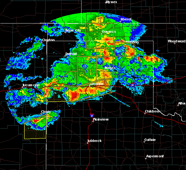 At 902 pm cdt, severe thunderstorms were located along a line extending from 5 miles southeast of masterson to 12 miles east of valley de oro, moving southeast at 10 mph (radar indicated). Hazards include 60 mph wind gusts. Minor damage to roofs, siding, and trees is possible. Locations impacted include, amarillo and valley de oro. At 902 pm cdt, severe thunderstorms were located along a line extending from 5 miles southeast of masterson to 12 miles east of valley de oro, moving southeast at 10 mph (radar indicated). Hazards include 60 mph wind gusts. Minor damage to roofs, siding, and trees is possible. Locations impacted include, amarillo and valley de oro.
|
| 6/22/2020 8:43 PM CDT |
 At 842 pm cdt, severe thunderstorms were located along a line extending from 4 miles southeast of dumas to 9 miles east of valley de oro, moving east at 10 mph (radar indicated). Hazards include 60 mph wind gusts. Minor damage to roofs, siding, and trees is possible. Winds may occur with very little lightning. At 842 pm cdt, severe thunderstorms were located along a line extending from 4 miles southeast of dumas to 9 miles east of valley de oro, moving east at 10 mph (radar indicated). Hazards include 60 mph wind gusts. Minor damage to roofs, siding, and trees is possible. Winds may occur with very little lightning.
|
| 6/22/2020 8:38 PM CDT |
 At 837 pm cdt, severe thunderstorms were located along a line extending from 9 miles northwest of washburn to 11 miles north of hereford, moving south at 40 mph (trained weather spotters). Hazards include 70 mph wind gusts and half dollar size hail. Expect some tree damage. damage is likely to mobile homes, roofs, and outbuildings. Locations impacted include, amarillo, hereford, canyon, panhandle, claude, lake tanglewood, buffalo lake, bushland, washburn, umbarger, bootleg, goodnight, palo duro canyon, mescalero park, dawn, simms, timbercreek canyon and pantex. At 837 pm cdt, severe thunderstorms were located along a line extending from 9 miles northwest of washburn to 11 miles north of hereford, moving south at 40 mph (trained weather spotters). Hazards include 70 mph wind gusts and half dollar size hail. Expect some tree damage. damage is likely to mobile homes, roofs, and outbuildings. Locations impacted include, amarillo, hereford, canyon, panhandle, claude, lake tanglewood, buffalo lake, bushland, washburn, umbarger, bootleg, goodnight, palo duro canyon, mescalero park, dawn, simms, timbercreek canyon and pantex.
|
| 6/22/2020 8:27 PM CDT | Storm damage reported in potter county TX, 9.5 miles S of Amarillo, TX |
| 6/22/2020 8:07 PM CDT | Storm damage reported in potter county TX, 15.9 miles SSE of Amarillo, TX |
| 6/22/2020 8:01 PM CDT |
 At 800 pm cdt, severe thunderstorms were located along a line extending from 8 miles east of four way to 4 miles southeast of vega, moving southeast at 50 mph. these are very dangerous storms (trained weather spotters). Hazards include 80 mph wind gusts and golf ball size hail. Flying debris will be dangerous to those caught without shelter. mobile homes could be heavily damaged. expect considerable damage to roofs, windows, and vehicles. tree damage and power outages are possible. people and animals outdoors will be injured. Expect hail damage to roofs, siding, windows, and vehicles. At 800 pm cdt, severe thunderstorms were located along a line extending from 8 miles east of four way to 4 miles southeast of vega, moving southeast at 50 mph. these are very dangerous storms (trained weather spotters). Hazards include 80 mph wind gusts and golf ball size hail. Flying debris will be dangerous to those caught without shelter. mobile homes could be heavily damaged. expect considerable damage to roofs, windows, and vehicles. tree damage and power outages are possible. people and animals outdoors will be injured. Expect hail damage to roofs, siding, windows, and vehicles.
|
| 6/22/2020 7:54 PM CDT |
 At 754 pm cdt, severe thunderstorms were located along a line extending from 3 miles southeast of masterson to 4 miles southwest of valley de oro, moving southeast at 45 mph (radar indicated). Hazards include 70 mph wind gusts and quarter size hail. Expect some tree damage. damage is likely to mobile homes, roofs, and outbuildings. hail damage to vehicles is expected. Locations impacted include, amarillo and valley de oro. At 754 pm cdt, severe thunderstorms were located along a line extending from 3 miles southeast of masterson to 4 miles southwest of valley de oro, moving southeast at 45 mph (radar indicated). Hazards include 70 mph wind gusts and quarter size hail. Expect some tree damage. damage is likely to mobile homes, roofs, and outbuildings. hail damage to vehicles is expected. Locations impacted include, amarillo and valley de oro.
|
| 6/22/2020 7:36 PM CDT |
 At 736 pm cdt, severe thunderstorms were located along a line extending from 4 miles southwest of dumas to 8 miles west of boys ranch, moving southeast at 45 mph (radar indicated). Hazards include 60 mph wind gusts and quarter size hail. Minor damage to roofs, siding, and trees is possible. Hail damage to vehicles is expected. At 736 pm cdt, severe thunderstorms were located along a line extending from 4 miles southwest of dumas to 8 miles west of boys ranch, moving southeast at 45 mph (radar indicated). Hazards include 60 mph wind gusts and quarter size hail. Minor damage to roofs, siding, and trees is possible. Hail damage to vehicles is expected.
|
| 6/19/2020 5:44 PM CDT |
 At 543 pm cdt, a severe thunderstorm was located 6 miles west of groom, or 10 miles northeast of claude, moving east at 25 mph (radar indicated). Hazards include ping pong ball size hail and 60 mph wind gusts. Minor damage to roofs, siding, and trees is possible. people and animals outdoors will be injured. Expect hail damage to roofs, siding, windows, and vehicles. At 543 pm cdt, a severe thunderstorm was located 6 miles west of groom, or 10 miles northeast of claude, moving east at 25 mph (radar indicated). Hazards include ping pong ball size hail and 60 mph wind gusts. Minor damage to roofs, siding, and trees is possible. people and animals outdoors will be injured. Expect hail damage to roofs, siding, windows, and vehicles.
|
| 6/19/2020 5:19 PM CDT | Half Dollar sized hail reported 8 miles WSW of Amarillo, TX, hail lasted 4 minutes and ended at 523 pm. |
| 6/19/2020 5:10 PM CDT | Half Dollar sized hail reported 7.6 miles SSW of Amarillo, TX, hail ranging from nickel to half dollar size. lasted several minutes. |
| 6/19/2020 5:06 PM CDT | Half Dollar sized hail reported 7.3 miles WSW of Amarillo, TX, corrects previous hail report from 7 ene amarillo. second round of half dollar size hail at nws amarillo... lasting 7 minutes. |
| 6/19/2020 5:06 PM CDT | Golf Ball sized hail reported 7.3 miles WSW of Amarillo, TX, second round of half dollar size hail at nws amarillo... lasting 7 minutes. |
| 6/19/2020 4:56 PM CDT |
 At 455 pm cdt, a severe thunderstorm was located over washburn, or 12 miles west of claude, moving east at 20 mph (radar indicated). Hazards include two inch hail and 60 mph wind gusts. Minor damage to roofs, siding, and trees is possible. people and animals outdoors will be injured. Expect hail damage to roofs, siding, windows, and vehicles. At 455 pm cdt, a severe thunderstorm was located over washburn, or 12 miles west of claude, moving east at 20 mph (radar indicated). Hazards include two inch hail and 60 mph wind gusts. Minor damage to roofs, siding, and trees is possible. people and animals outdoors will be injured. Expect hail damage to roofs, siding, windows, and vehicles.
|
| 6/19/2020 4:37 PM CDT |
 At 436 pm cdt, a severe thunderstorm was located 5 miles east of amarillo, moving northeast at 15 mph (half dollar size hail reported at national weather service amarillo). Hazards include 60 mph wind gusts and half dollar size hail. Minor damage to roofs, siding, and trees is possible. hail damage to vehicles is expected. Locations impacted include, amarillo, washburn and pantex. At 436 pm cdt, a severe thunderstorm was located 5 miles east of amarillo, moving northeast at 15 mph (half dollar size hail reported at national weather service amarillo). Hazards include 60 mph wind gusts and half dollar size hail. Minor damage to roofs, siding, and trees is possible. hail damage to vehicles is expected. Locations impacted include, amarillo, washburn and pantex.
|
| 6/19/2020 4:36 PM CDT | Half Dollar sized hail reported 7.1 miles W of Amarillo, TX, ground crews at rick husband international airport reported hail to half dollar. |
| 6/19/2020 4:32 PM CDT | Half Dollar sized hail reported 7.5 miles WSW of Amarillo, TX, half dollar size hail measured at nws amarillo. |
| 6/19/2020 4:25 PM CDT | Golf Ball sized hail reported 0.4 miles NW of Amarillo, TX, local media outlet measured golf ball size hail in downtown amarillo. |
| 6/19/2020 4:20 PM CDT | Ping Pong Ball sized hail reported 2.3 miles WSW of Amarillo, TX |
| 6/19/2020 4:18 PM CDT | Golf Ball sized hail reported 2.5 miles W of Amarillo, TX |
| 6/19/2020 4:17 PM CDT | Quarter sized hail reported 2.2 miles NE of Amarillo, TX, some dents noted on vehicles... downed smaller limbs and leaves torn off due to hail. |
| 6/19/2020 4:15 PM CDT | Half Dollar sized hail reported 3.2 miles E of Amarillo, TX, picture received of half dollar size hail near i-40 and wolflin. |
| 6/19/2020 4:15 PM CDT | Hen Egg sized hail reported 1 miles NNE of Amarillo, TX, reported via twitter. |
| 6/19/2020 4:14 PM CDT | Quarter sized hail reported 2.8 miles WSW of Amarillo, TX |
| 6/19/2020 4:13 PM CDT |
 At 413 pm cdt, a severe thunderstorm was located over amarillo, moving northeast at 15 mph (radar indicated). Hazards include two inch hail and 60 mph wind gusts. Minor damage to roofs, siding, and trees is possible. people and animals outdoors will be injured. Expect hail damage to roofs, siding, windows, and vehicles. At 413 pm cdt, a severe thunderstorm was located over amarillo, moving northeast at 15 mph (radar indicated). Hazards include two inch hail and 60 mph wind gusts. Minor damage to roofs, siding, and trees is possible. people and animals outdoors will be injured. Expect hail damage to roofs, siding, windows, and vehicles.
|
| 6/19/2020 4:10 PM CDT | Ping Pong Ball sized hail reported 2.5 miles W of Amarillo, TX, report from mping: ping pong ball (1.50 in.). |
| 6/19/2020 4:10 PM CDT | Golf Ball sized hail reported 0.5 miles SSW of Amarillo, TX, local broadcast media reported golf ball size hail. |
| 6/19/2020 4:09 PM CDT | Quarter sized hail reported 2.2 miles WNW of Amarillo, TX, report from mping: quarter (1.00 in.). |
| 6/19/2020 4:07 PM CDT | Half Dollar sized hail reported 6.4 miles SW of Amarillo, TX |
| 6/19/2020 4:04 PM CDT | Quarter sized hail reported 1.7 miles ENE of Amarillo, TX |
| 6/19/2020 4:03 PM CDT | Quarter sized hail reported 1 miles NNE of Amarillo, TX, picture sent to the office. |
| 6/19/2020 4:01 PM CDT | Ping Pong Ball sized hail reported 4.1 miles ENE of Amarillo, TX |
| 6/19/2020 3:59 PM CDT |
 At 359 pm cdt, a severe thunderstorm was located near amarillo, moving northeast at 5 mph. this is a very dangerous storm (radar indicated). Hazards include baseball size hail and 60 mph wind gusts. People and animals outdoors will be severely injured. expect shattered windows, extensive damage to roofs, siding, and vehicles. Locations impacted include, amarillo and mescalero park. At 359 pm cdt, a severe thunderstorm was located near amarillo, moving northeast at 5 mph. this is a very dangerous storm (radar indicated). Hazards include baseball size hail and 60 mph wind gusts. People and animals outdoors will be severely injured. expect shattered windows, extensive damage to roofs, siding, and vehicles. Locations impacted include, amarillo and mescalero park.
|
| 6/19/2020 3:57 PM CDT | Half Dollar sized hail reported 3.3 miles ENE of Amarillo, TX, report from mping: half dollar (1.25 in.). |
| 6/19/2020 3:56 PM CDT | Quarter sized hail reported 4 miles NE of Amarillo, TX, report from mping: quarter (1.00 in.). |
| 6/19/2020 3:56 PM CDT |
 At 356 pm cdt, a severe thunderstorm was located near amarillo, moving east at 5 mph (trained weather spotters). Hazards include golf ball size hail and 60 mph wind gusts. Minor damage to roofs, siding, and trees is possible. people and animals outdoors will be injured. expect hail damage to roofs, siding, windows, and vehicles. Locations impacted include, amarillo and mescalero park. At 356 pm cdt, a severe thunderstorm was located near amarillo, moving east at 5 mph (trained weather spotters). Hazards include golf ball size hail and 60 mph wind gusts. Minor damage to roofs, siding, and trees is possible. people and animals outdoors will be injured. expect hail damage to roofs, siding, windows, and vehicles. Locations impacted include, amarillo and mescalero park.
|
| 6/19/2020 3:54 PM CDT | Quarter sized hail reported 2.6 miles E of Amarillo, TX, report from mping: quarter (1.00 in.). |
| 6/19/2020 3:54 PM CDT | Golf Ball sized hail reported 3.2 miles E of Amarillo, TX |
| 6/19/2020 3:48 PM CDT | Quarter sized hail reported 4.9 miles E of Amarillo, TX, report from mping: quarter (1.00 in.). |
| 6/19/2020 3:46 PM CDT | Quarter sized hail reported 3.2 miles E of Amarillo, TX, report from mping: quarter (1.00 in.). |
| 6/19/2020 3:46 PM CDT |
 At 346 pm cdt, a severe thunderstorm was located near amarillo, moving northeast at 10 mph (trained weather spotters). Hazards include 60 mph wind gusts and half dollar size hail. Minor damage to roofs, siding, and trees is possible. hail damage to vehicles is expected. Locations impacted include, amarillo, bushland and mescalero park. At 346 pm cdt, a severe thunderstorm was located near amarillo, moving northeast at 10 mph (trained weather spotters). Hazards include 60 mph wind gusts and half dollar size hail. Minor damage to roofs, siding, and trees is possible. hail damage to vehicles is expected. Locations impacted include, amarillo, bushland and mescalero park.
|
| 6/19/2020 3:44 PM CDT | Half Dollar sized hail reported 3.2 miles E of Amarillo, TX |
| 6/19/2020 3:40 PM CDT |
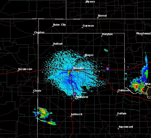 At 340 pm cdt, a severe thunderstorm was located 4 miles west of amarillo, moving northeast at 10 mph (radar indicated). Hazards include 60 mph wind gusts and quarter size hail. Minor damage to roofs, siding, and trees is possible. Hail damage to vehicles is expected. At 340 pm cdt, a severe thunderstorm was located 4 miles west of amarillo, moving northeast at 10 mph (radar indicated). Hazards include 60 mph wind gusts and quarter size hail. Minor damage to roofs, siding, and trees is possible. Hail damage to vehicles is expected.
|
| 6/4/2020 3:27 PM CDT |
 At 327 pm cdt, a severe thunderstorm was located over washburn, or 13 miles east of amarillo, moving east at 10 mph (radar indicated). Hazards include 60 mph wind gusts and quarter size hail. Minor damage to roofs, siding, and trees is possible. hail damage to vehicles is expected. Locations impacted include, pampa, panhandle, white deer, groom, kingsmill, washburn and pantex. At 327 pm cdt, a severe thunderstorm was located over washburn, or 13 miles east of amarillo, moving east at 10 mph (radar indicated). Hazards include 60 mph wind gusts and quarter size hail. Minor damage to roofs, siding, and trees is possible. hail damage to vehicles is expected. Locations impacted include, pampa, panhandle, white deer, groom, kingsmill, washburn and pantex.
|
| 6/4/2020 3:18 PM CDT |
 At 318 pm cdt, a severe thunderstorm was located 6 miles west of panhandle, moving east at 20 mph (radar indicated). Hazards include 60 mph wind gusts and quarter size hail. Minor damage to roofs, siding, and trees is possible. Hail damage to vehicles is expected. At 318 pm cdt, a severe thunderstorm was located 6 miles west of panhandle, moving east at 20 mph (radar indicated). Hazards include 60 mph wind gusts and quarter size hail. Minor damage to roofs, siding, and trees is possible. Hail damage to vehicles is expected.
|
| 6/4/2020 3:17 PM CDT | Quarter sized hail reported 16.5 miles WSW of Amarillo, TX, dime to quarter size hail falling at time of observation. |
| 6/4/2020 3:11 PM CDT | Quarter sized hail reported 9.5 miles W of Amarillo, TX, mostly dime to nickel size hail with a few quarter size stones. lasted about 5 minutes. |
| 5/23/2020 5:38 PM CDT |
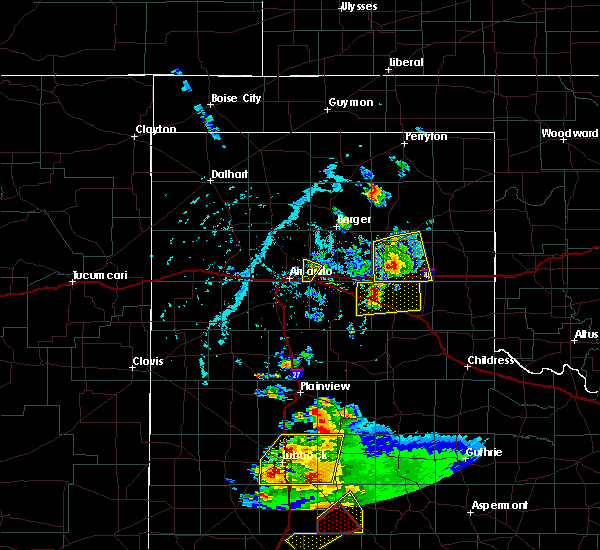 The severe thunderstorm warning for southwestern carson and southeastern potter counties will expire at 545 pm cdt, the storm which prompted the warning has weakened below severe limits, and has exited the warned area. therefore, the warning will be allowed to expire. however small hail is still possible with this thunderstorm. a severe thunderstorm watch remains in effect until 1000 pm cdt for the panhandle of texas. The severe thunderstorm warning for southwestern carson and southeastern potter counties will expire at 545 pm cdt, the storm which prompted the warning has weakened below severe limits, and has exited the warned area. therefore, the warning will be allowed to expire. however small hail is still possible with this thunderstorm. a severe thunderstorm watch remains in effect until 1000 pm cdt for the panhandle of texas.
|
| 5/23/2020 5:29 PM CDT |
 At 529 pm cdt, a severe thunderstorm was located 11 miles northwest of washburn, or 12 miles northeast of amarillo, moving northeast at 20 mph (radar indicated). Hazards include quarter size hail. Damage to vehicles is expected. Locations impacted include, amarillo and pantex. At 529 pm cdt, a severe thunderstorm was located 11 miles northwest of washburn, or 12 miles northeast of amarillo, moving northeast at 20 mph (radar indicated). Hazards include quarter size hail. Damage to vehicles is expected. Locations impacted include, amarillo and pantex.
|
| 5/23/2020 5:13 PM CDT |
 At 512 pm cdt, a severe thunderstorm was located 7 miles northeast of amarillo, moving northeast at 20 mph (radar indicated). Hazards include quarter size hail. Damage to vehicles is expected. Locations impacted include, amarillo and pantex. At 512 pm cdt, a severe thunderstorm was located 7 miles northeast of amarillo, moving northeast at 20 mph (radar indicated). Hazards include quarter size hail. Damage to vehicles is expected. Locations impacted include, amarillo and pantex.
|
| 5/23/2020 4:39 PM CDT |
 At 439 pm cdt, a severe thunderstorm was located 4 miles south of amarillo, moving northeast at 20 mph (radar indicated). Hazards include 60 mph wind gusts and quarter size hail. Minor damage to roofs, siding, and trees is possible. Hail damage to vehicles is expected. At 439 pm cdt, a severe thunderstorm was located 4 miles south of amarillo, moving northeast at 20 mph (radar indicated). Hazards include 60 mph wind gusts and quarter size hail. Minor damage to roofs, siding, and trees is possible. Hail damage to vehicles is expected.
|
| 5/11/2020 8:49 PM CDT |
 At 848 pm cdt, severe thunderstorms were located along a line extending from mescalero park to 7 miles south of canyon to 9 miles west of happy, moving east at 45 mph (radar indicated). Hazards include 60 mph wind gusts and quarter size hail. Minor damage to roofs, siding, and trees is possible. hail damage to vehicles is expected. Locations impacted include, amarillo, canyon, lake tanglewood, mescalero park, buffalo lake, bushland, wayside, umbarger, palo duro canyon and timbercreek canyon. At 848 pm cdt, severe thunderstorms were located along a line extending from mescalero park to 7 miles south of canyon to 9 miles west of happy, moving east at 45 mph (radar indicated). Hazards include 60 mph wind gusts and quarter size hail. Minor damage to roofs, siding, and trees is possible. hail damage to vehicles is expected. Locations impacted include, amarillo, canyon, lake tanglewood, mescalero park, buffalo lake, bushland, wayside, umbarger, palo duro canyon and timbercreek canyon.
|
| 5/11/2020 8:32 PM CDT |
 At 832 pm cdt, severe thunderstorms were located along a line extending from 6 miles southwest of bushland to buffalo lake to 12 miles south of dawn, moving east at 45 mph (radar indicated). Hazards include 60 mph wind gusts and quarter size hail. Minor damage to roofs, siding, and trees is possible. hail damage to vehicles is expected. Locations impacted include, amarillo, hereford, canyon, vega, lake tanglewood, buffalo lake, bushland, wayside, umbarger, wildorado, palo duro canyon, mescalero park, dawn and timbercreek canyon. At 832 pm cdt, severe thunderstorms were located along a line extending from 6 miles southwest of bushland to buffalo lake to 12 miles south of dawn, moving east at 45 mph (radar indicated). Hazards include 60 mph wind gusts and quarter size hail. Minor damage to roofs, siding, and trees is possible. hail damage to vehicles is expected. Locations impacted include, amarillo, hereford, canyon, vega, lake tanglewood, buffalo lake, bushland, wayside, umbarger, wildorado, palo duro canyon, mescalero park, dawn and timbercreek canyon.
|
| 5/11/2020 8:15 PM CDT |
 At 815 pm cdt, severe thunderstorms were located along a line extending from 6 miles southeast of vega to 8 miles northwest of dawn to near hereford, moving east at 45 mph (radar indicated). Hazards include 60 mph wind gusts and quarter size hail. Minor damage to roofs, siding, and trees is possible. Hail damage to vehicles is expected. At 815 pm cdt, severe thunderstorms were located along a line extending from 6 miles southeast of vega to 8 miles northwest of dawn to near hereford, moving east at 45 mph (radar indicated). Hazards include 60 mph wind gusts and quarter size hail. Minor damage to roofs, siding, and trees is possible. Hail damage to vehicles is expected.
|
| 9/28/2019 8:17 PM CDT |
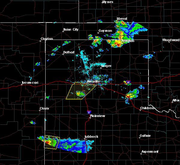 At 817 pm cdt, a severe thunderstorm was located near buffalo lake, or 10 miles southwest of canyon, moving northeast at 35 mph (law enforcement reported downed power lines in dimmitt). Hazards include 70 mph wind gusts. Expect some tree damage. damage is likely to mobile homes, roofs, and outbuildings. Locations impacted include, amarillo, canyon, lake tanglewood, mescalero park, buffalo lake, bushland, umbarger and timbercreek canyon. At 817 pm cdt, a severe thunderstorm was located near buffalo lake, or 10 miles southwest of canyon, moving northeast at 35 mph (law enforcement reported downed power lines in dimmitt). Hazards include 70 mph wind gusts. Expect some tree damage. damage is likely to mobile homes, roofs, and outbuildings. Locations impacted include, amarillo, canyon, lake tanglewood, mescalero park, buffalo lake, bushland, umbarger and timbercreek canyon.
|
| 9/28/2019 8:10 PM CDT |
 At 809 pm cdt, a severe thunderstorm was located near umbarger, or 8 miles southwest of canyon, moving northeast at 45 mph (law enforcement reported downed power poles in south dimmitt). Hazards include 70 mph wind gusts and quarter size hail. Expect some tree damage. damage is likely to mobile homes, roofs, and outbuildings. hail damage to vehicles is expected. Locations impacted include, amarillo, hereford, canyon, lake tanglewood, mescalero park, buffalo lake, bushland, dawn, umbarger and timbercreek canyon. At 809 pm cdt, a severe thunderstorm was located near umbarger, or 8 miles southwest of canyon, moving northeast at 45 mph (law enforcement reported downed power poles in south dimmitt). Hazards include 70 mph wind gusts and quarter size hail. Expect some tree damage. damage is likely to mobile homes, roofs, and outbuildings. hail damage to vehicles is expected. Locations impacted include, amarillo, hereford, canyon, lake tanglewood, mescalero park, buffalo lake, bushland, dawn, umbarger and timbercreek canyon.
|
| 9/28/2019 7:48 PM CDT |
 At 748 pm cdt, a severe thunderstorm was located 12 miles northeast of easter, or 13 miles northeast of dimmitt, moving northeast at 50 mph (radar indicated). Hazards include 70 mph wind gusts and quarter size hail. Expect some tree damage. damage is likely to mobile homes, roofs, and outbuildings. Hail damage to vehicles is expected. At 748 pm cdt, a severe thunderstorm was located 12 miles northeast of easter, or 13 miles northeast of dimmitt, moving northeast at 50 mph (radar indicated). Hazards include 70 mph wind gusts and quarter size hail. Expect some tree damage. damage is likely to mobile homes, roofs, and outbuildings. Hail damage to vehicles is expected.
|
| 8/31/2019 10:50 PM CDT |
 At 1050 pm cdt, a severe thunderstorm was located 12 miles north of amarillo, moving southeast at 5 mph (radar indicated). Hazards include 60 mph wind gusts and nickel size hail. Minor damage to roofs, siding, and trees is possible. Locations impacted include, amarillo. At 1050 pm cdt, a severe thunderstorm was located 12 miles north of amarillo, moving southeast at 5 mph (radar indicated). Hazards include 60 mph wind gusts and nickel size hail. Minor damage to roofs, siding, and trees is possible. Locations impacted include, amarillo.
|
| 8/31/2019 10:41 PM CDT | Quarter sized hail reported 6.4 miles SW of Amarillo, TX, hail a bit larger than a quarter but smaller than a half dollar. |
| 8/31/2019 10:41 PM CDT |
 At 1041 pm cdt, a severe thunderstorm was located 13 miles north of amarillo, moving southeast at 5 mph (radar indicated). Hazards include 60 mph wind gusts and half dollar size hail. Minor damage to roofs, siding, and trees is possible. hail damage to vehicles is expected. Locations impacted include, amarillo. At 1041 pm cdt, a severe thunderstorm was located 13 miles north of amarillo, moving southeast at 5 mph (radar indicated). Hazards include 60 mph wind gusts and half dollar size hail. Minor damage to roofs, siding, and trees is possible. hail damage to vehicles is expected. Locations impacted include, amarillo.
|
| 8/31/2019 10:40 PM CDT | Quarter sized hail reported 6 miles S of Amarillo, TX, nickel to quarter size hail fell briefly. time estimated from radar. |
| 8/31/2019 10:25 PM CDT |
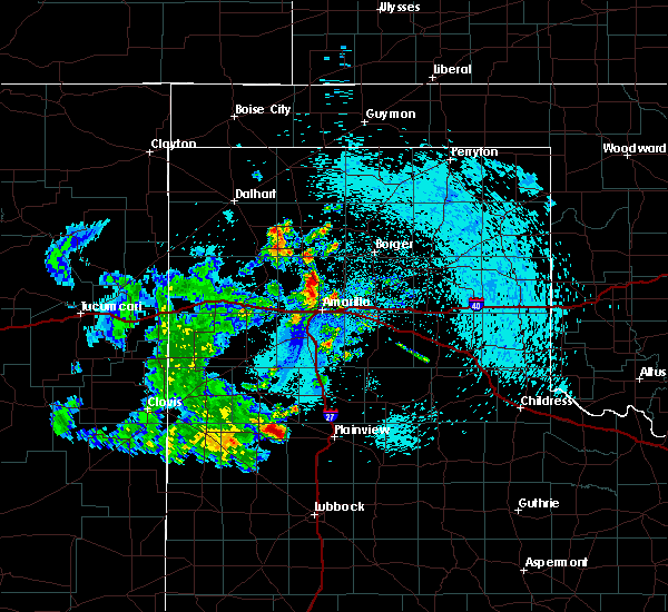 At 1025 pm cdt, a severe thunderstorm was located 12 miles east of valley de oro, or 14 miles north of amarillo, moving southeast at 5 mph (radar indicated). Hazards include 60 mph wind gusts and half dollar size hail. Minor damage to roofs, siding, and trees is possible. Hail damage to vehicles is expected. At 1025 pm cdt, a severe thunderstorm was located 12 miles east of valley de oro, or 14 miles north of amarillo, moving southeast at 5 mph (radar indicated). Hazards include 60 mph wind gusts and half dollar size hail. Minor damage to roofs, siding, and trees is possible. Hail damage to vehicles is expected.
|
| 8/23/2019 8:10 PM CDT |
 At 810 pm cdt, severe thunderstorms were located along a line extending from 4 miles north of sunray to 7 miles west of dumas to 5 miles west of channing, moving south at 35 mph (radar indicated). Hazards include 60 mph wind gusts and quarter size hail. Minor damage to roofs, siding, and trees is possible. Hail damage to vehicles is expected. At 810 pm cdt, severe thunderstorms were located along a line extending from 4 miles north of sunray to 7 miles west of dumas to 5 miles west of channing, moving south at 35 mph (radar indicated). Hazards include 60 mph wind gusts and quarter size hail. Minor damage to roofs, siding, and trees is possible. Hail damage to vehicles is expected.
|
| 8/15/2019 5:40 AM CDT |
 At 539 am cdt, automated weather equipment reported a severe thunderstorm was located 11 miles northwest of panhandle, moving southeast at 45 mph (automated weather equipment. at 532 am cdt, automated equipment recorded a 73 mph gust in fritch). Hazards include 70 mph wind gusts. Expect some tree damage. damage is likely to mobile homes, roofs, and outbuildings. Locations impacted include, amarillo, borger, panhandle, claude, fritch, stinnett, lake tanglewood, sanford, washburn, goodnight, palo duro canyon, lake meredith and pantex. At 539 am cdt, automated weather equipment reported a severe thunderstorm was located 11 miles northwest of panhandle, moving southeast at 45 mph (automated weather equipment. at 532 am cdt, automated equipment recorded a 73 mph gust in fritch). Hazards include 70 mph wind gusts. Expect some tree damage. damage is likely to mobile homes, roofs, and outbuildings. Locations impacted include, amarillo, borger, panhandle, claude, fritch, stinnett, lake tanglewood, sanford, washburn, goodnight, palo duro canyon, lake meredith and pantex.
|
| 8/15/2019 5:31 AM CDT |
 At 530 am cdt, a severe thunderstorm was located 7 miles south of fritch, or 14 miles southwest of borger, moving south at 45 mph (radar indicated). Hazards include 60 mph wind gusts. minor damage to roofs, siding, and trees is possible At 530 am cdt, a severe thunderstorm was located 7 miles south of fritch, or 14 miles southwest of borger, moving south at 45 mph (radar indicated). Hazards include 60 mph wind gusts. minor damage to roofs, siding, and trees is possible
|
| 8/9/2019 6:26 PM CDT |
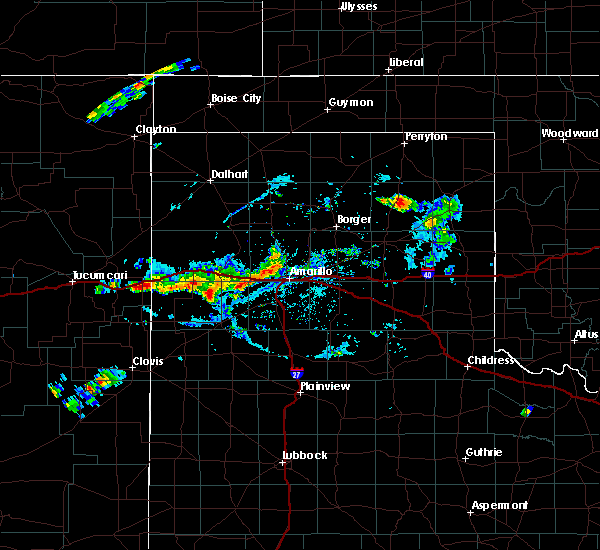 The severe thunderstorm warning for southwestern carson and southeastern potter counties will expire at 630 pm cdt, the storm which prompted the warning has weakened below severe limits, and has exited the warned area. therefore, the warning will be allowed to expire. however gusty winds are still possible with this thunderstorm. The severe thunderstorm warning for southwestern carson and southeastern potter counties will expire at 630 pm cdt, the storm which prompted the warning has weakened below severe limits, and has exited the warned area. therefore, the warning will be allowed to expire. however gusty winds are still possible with this thunderstorm.
|
| 8/9/2019 5:50 PM CDT |
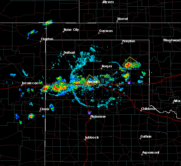 At 550 pm cdt, a severe thunderstorm was located 6 miles east of amarillo, moving northeast at 10 mph (automated weather equipment). Hazards include 60 mph wind gusts and penny size hail. minor damage to roofs, siding, and trees is possible At 550 pm cdt, a severe thunderstorm was located 6 miles east of amarillo, moving northeast at 10 mph (automated weather equipment). Hazards include 60 mph wind gusts and penny size hail. minor damage to roofs, siding, and trees is possible
|
| 8/9/2019 5:43 PM CDT | Amarillo asos gusted to 58 mp in potter county TX, 6.6 miles W of Amarillo, TX |
| 8/9/2019 4:59 PM CDT |
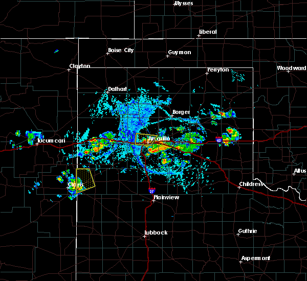 The national weather service in amarillo has issued a * severe thunderstorm warning for. north central randall county in the panhandle of texas. southeastern potter county in the panhandle of texas. until 545 pm cdt. At 458 pm cdt, a severe thunderstorm was located near amarillo,. The national weather service in amarillo has issued a * severe thunderstorm warning for. north central randall county in the panhandle of texas. southeastern potter county in the panhandle of texas. until 545 pm cdt. At 458 pm cdt, a severe thunderstorm was located near amarillo,.
|
| 8/9/2019 4:50 PM CDT | Quarter sized hail reported 3.3 miles ENE of Amarillo, TX, nickel to quarter hail just west of i-40 and western. lasted about 2 to 3 minutes. |
| 8/9/2019 4:17 PM CDT |
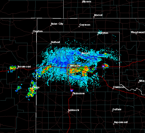 At 416 pm cdt, a severe thunderstorm was located near lake tanglewood, or 7 miles southeast of amarillo, moving north at 5 mph (radar indicated). Hazards include 60 mph wind gusts and quarter size hail. Minor damage to roofs, siding, and trees is possible. Hail damage to vehicles is expected. At 416 pm cdt, a severe thunderstorm was located near lake tanglewood, or 7 miles southeast of amarillo, moving north at 5 mph (radar indicated). Hazards include 60 mph wind gusts and quarter size hail. Minor damage to roofs, siding, and trees is possible. Hail damage to vehicles is expected.
|
| 8/8/2019 5:41 PM CDT |
 The severe thunderstorm warning for west central carson and southeastern potter counties will expire at 545 pm cdt, the storm which prompted the warning has weakened below severe limits, and no longer poses an immediate threat to life or property. therefore, the warning will be allowed to expire. however heavy rain is still possible with this thunderstorm. The severe thunderstorm warning for west central carson and southeastern potter counties will expire at 545 pm cdt, the storm which prompted the warning has weakened below severe limits, and no longer poses an immediate threat to life or property. therefore, the warning will be allowed to expire. however heavy rain is still possible with this thunderstorm.
|
| 8/8/2019 5:14 PM CDT |
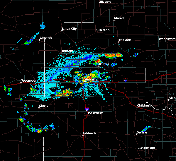 At 514 pm cdt, a severe thunderstorm was located 4 miles west of amarillo, and is nearly stationary (radar indicated). Hazards include 60 mph wind gusts and quarter size hail. Minor damage to roofs, siding, and trees is possible. hail damage to vehicles is expected. Locations impacted include, amarillo. At 514 pm cdt, a severe thunderstorm was located 4 miles west of amarillo, and is nearly stationary (radar indicated). Hazards include 60 mph wind gusts and quarter size hail. Minor damage to roofs, siding, and trees is possible. hail damage to vehicles is expected. Locations impacted include, amarillo.
|
| 8/8/2019 5:03 PM CDT |
 At 502 pm cdt, a severe thunderstorm was located 5 miles west of amarillo, and is nearly stationary (trained weather spotters report ping pong ball hail 5 miles north of amarillo in the river road area). Hazards include 70 mph wind gusts and ping pong ball size hail. Expect some tree damage. damage is likely to mobile homes, roofs, and outbuildings. people and animals outdoors will be injured. expect hail damage to roofs, siding, windows, and vehicles. Locations impacted include, amarillo. At 502 pm cdt, a severe thunderstorm was located 5 miles west of amarillo, and is nearly stationary (trained weather spotters report ping pong ball hail 5 miles north of amarillo in the river road area). Hazards include 70 mph wind gusts and ping pong ball size hail. Expect some tree damage. damage is likely to mobile homes, roofs, and outbuildings. people and animals outdoors will be injured. expect hail damage to roofs, siding, windows, and vehicles. Locations impacted include, amarillo.
|
| 8/8/2019 5:00 PM CDT | Half Dollar sized hail reported 4.6 miles S of Amarillo, TX |
| 8/8/2019 5:00 PM CDT | Ping Pong Ball sized hail reported 4.6 miles S of Amarillo, TX |
| 8/8/2019 4:59 PM CDT | Quarter sized hail reported 4.7 miles S of Amarillo, TX, quarter size hail reported in north amarillo. |
| 8/8/2019 4:56 PM CDT |
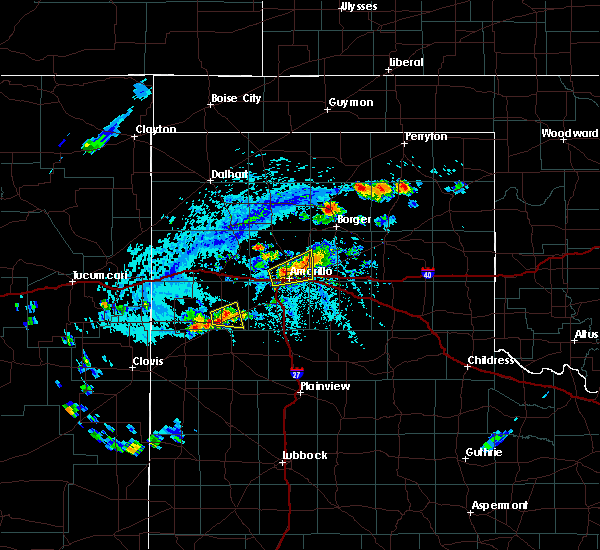 At 455 pm cdt, a severe thunderstorm was located 5 miles west of amarillo, and is nearly stationary (broadcast media reported 1 inch hail). Hazards include 70 mph wind gusts and quarter size hail. Expect some tree damage. damage is likely to mobile homes, roofs, and outbuildings. hail damage to vehicles is expected. Locations impacted include, amarillo. At 455 pm cdt, a severe thunderstorm was located 5 miles west of amarillo, and is nearly stationary (broadcast media reported 1 inch hail). Hazards include 70 mph wind gusts and quarter size hail. Expect some tree damage. damage is likely to mobile homes, roofs, and outbuildings. hail damage to vehicles is expected. Locations impacted include, amarillo.
|
| 8/8/2019 4:55 PM CDT | Quarter sized hail reported 2.8 miles ESE of Amarillo, TX, dime to quarter size hail reported by local broadcast meteorologist. |
| 8/8/2019 4:47 PM CDT |
 At 446 pm cdt, a severe thunderstorm was located 6 miles west of amarillo, and is nearly stationary (radar indicated). Hazards include 70 mph wind gusts and half dollar size hail. Expect some tree damage. damage is likely to mobile homes, roofs, and outbuildings. Hail damage to vehicles is expected. At 446 pm cdt, a severe thunderstorm was located 6 miles west of amarillo, and is nearly stationary (radar indicated). Hazards include 70 mph wind gusts and half dollar size hail. Expect some tree damage. damage is likely to mobile homes, roofs, and outbuildings. Hail damage to vehicles is expected.
|
| 8/8/2019 4:05 PM CDT |
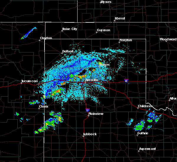 At 405 pm cdt, a severe thunderstorm was located 6 miles north of amarillo, moving southeast at 5 mph (radar indicated). Hazards include 60 mph wind gusts and penny size hail. minor damage to roofs, siding, and trees is possible At 405 pm cdt, a severe thunderstorm was located 6 miles north of amarillo, moving southeast at 5 mph (radar indicated). Hazards include 60 mph wind gusts and penny size hail. minor damage to roofs, siding, and trees is possible
|
| 8/7/2019 5:02 PM CDT |
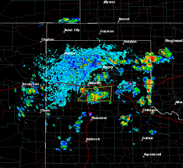 At 502 pm cdt, a severe thunderstorm was located near mescalero park, or 6 miles north of canyon, moving northeast at 20 mph (radar indicated). Hazards include 70 mph wind gusts and penny size hail. Expect some tree damage. Damage is likely to mobile homes, roofs, and outbuildings. At 502 pm cdt, a severe thunderstorm was located near mescalero park, or 6 miles north of canyon, moving northeast at 20 mph (radar indicated). Hazards include 70 mph wind gusts and penny size hail. Expect some tree damage. Damage is likely to mobile homes, roofs, and outbuildings.
|
| 7/10/2019 10:09 PM CDT |
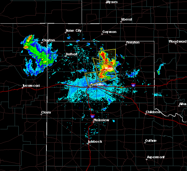 At 1009 pm cdt, a severe thunderstorm was located 10 miles southeast of fritch, or 13 miles southwest of borger, moving west at 25 mph (radar indicated). Hazards include 60 mph wind gusts and half dollar size hail. Minor damage to roofs, siding, and trees is possible. Hail damage to vehicles is expected. At 1009 pm cdt, a severe thunderstorm was located 10 miles southeast of fritch, or 13 miles southwest of borger, moving west at 25 mph (radar indicated). Hazards include 60 mph wind gusts and half dollar size hail. Minor damage to roofs, siding, and trees is possible. Hail damage to vehicles is expected.
|
| 7/10/2019 3:10 PM CDT |
 At 309 pm cdt, a severe thunderstorm was located 4 miles west of mescalero park, or 6 miles northwest of canyon, moving southwest at 35 mph (radar indicated). Hazards include 60 mph wind gusts and quarter size hail. Minor damage to roofs, siding, and trees is possible. Hail damage to vehicles is expected. At 309 pm cdt, a severe thunderstorm was located 4 miles west of mescalero park, or 6 miles northwest of canyon, moving southwest at 35 mph (radar indicated). Hazards include 60 mph wind gusts and quarter size hail. Minor damage to roofs, siding, and trees is possible. Hail damage to vehicles is expected.
|
| 6/25/2019 10:17 PM CDT |
 At 1017 pm cdt, a severe thunderstorm was located 7 miles north of washburn, or 13 miles west of panhandle, moving east at 25 mph (radar indicated). Hazards include 60 mph wind gusts and quarter size hail. Minor damage to roofs, siding, and trees is possible. hail damage to vehicles is expected. Locations impacted include, pantex. At 1017 pm cdt, a severe thunderstorm was located 7 miles north of washburn, or 13 miles west of panhandle, moving east at 25 mph (radar indicated). Hazards include 60 mph wind gusts and quarter size hail. Minor damage to roofs, siding, and trees is possible. hail damage to vehicles is expected. Locations impacted include, pantex.
|
| 6/25/2019 10:08 PM CDT |
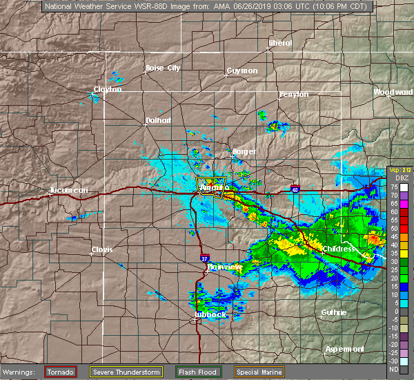 At 1006 pm cdt, a severe thunderstorm was located 9 miles northeast of amarillo, moving east at 15 mph (radar indicated). Hazards include ping pong ball size hail and 60 mph wind gusts. Minor damage to roofs, siding, and trees is possible. people and animals outdoors will be injured. expect hail damage to roofs, siding, windows, and vehicles. Locations impacted include, amarillo and pantex. At 1006 pm cdt, a severe thunderstorm was located 9 miles northeast of amarillo, moving east at 15 mph (radar indicated). Hazards include ping pong ball size hail and 60 mph wind gusts. Minor damage to roofs, siding, and trees is possible. people and animals outdoors will be injured. expect hail damage to roofs, siding, windows, and vehicles. Locations impacted include, amarillo and pantex.
|
| 6/25/2019 9:59 PM CDT |
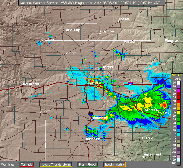 At 958 pm cdt, a severe thunderstorm was located 8 miles northeast of amarillo, moving east at 15 mph (public reported ping pong ball size hail near river road high school around 945 pm). Hazards include ping pong ball size hail and 60 mph wind gusts. Minor damage to roofs, siding, and trees is possible. people and animals outdoors will be injured. expect hail damage to roofs, siding, windows, and vehicles. Locations impacted include, amarillo, washburn and pantex. At 958 pm cdt, a severe thunderstorm was located 8 miles northeast of amarillo, moving east at 15 mph (public reported ping pong ball size hail near river road high school around 945 pm). Hazards include ping pong ball size hail and 60 mph wind gusts. Minor damage to roofs, siding, and trees is possible. people and animals outdoors will be injured. expect hail damage to roofs, siding, windows, and vehicles. Locations impacted include, amarillo, washburn and pantex.
|
| 6/25/2019 9:48 PM CDT |
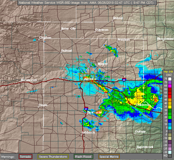 At 946 pm cdt, a severe thunderstorm was located 7 miles north of amarillo, moving east at 15 mph (broadcast media reported sporadic half dollar size hail stones mixed in with smaller ones). Hazards include 60 mph wind gusts and half dollar size hail. Minor damage to roofs, siding, and trees is possible. hail damage to vehicles is expected. Locations impacted include, amarillo, washburn and pantex. At 946 pm cdt, a severe thunderstorm was located 7 miles north of amarillo, moving east at 15 mph (broadcast media reported sporadic half dollar size hail stones mixed in with smaller ones). Hazards include 60 mph wind gusts and half dollar size hail. Minor damage to roofs, siding, and trees is possible. hail damage to vehicles is expected. Locations impacted include, amarillo, washburn and pantex.
|
| 6/25/2019 9:45 PM CDT | Ping Pong Ball sized hail reported 7.3 miles S of Amarillo, TX |
| 6/25/2019 9:43 PM CDT |
 The national weather service in amarillo has issued a * severe thunderstorm warning for. northwestern armstrong county in the panhandle of texas. southwestern carson county in the panhandle of texas. southeastern potter county in the panhandle of texas. Until 1045 pm cdt. The national weather service in amarillo has issued a * severe thunderstorm warning for. northwestern armstrong county in the panhandle of texas. southwestern carson county in the panhandle of texas. southeastern potter county in the panhandle of texas. Until 1045 pm cdt.
|
| 6/25/2019 9:40 PM CDT | Half Dollar sized hail reported 6 miles S of Amarillo, TX, sporadic half dollar size hail reported at kfda studio. |
| 6/18/2019 6:55 PM CDT |
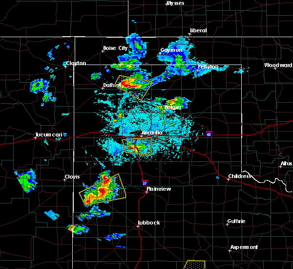 At 655 pm cdt, a severe thunderstorm was located near canyon, moving east at 25 mph (radar indicated). Hazards include golf ball size hail and 60 mph wind gusts. Minor damage to roofs, siding, and trees is possible. people and animals outdoors will be injured. expect hail damage to roofs, siding, windows, and vehicles. Locations impacted include, amarillo, canyon, lake tanglewood, mescalero park, palo duro canyon and timbercreek canyon. At 655 pm cdt, a severe thunderstorm was located near canyon, moving east at 25 mph (radar indicated). Hazards include golf ball size hail and 60 mph wind gusts. Minor damage to roofs, siding, and trees is possible. people and animals outdoors will be injured. expect hail damage to roofs, siding, windows, and vehicles. Locations impacted include, amarillo, canyon, lake tanglewood, mescalero park, palo duro canyon and timbercreek canyon.
|
| 6/18/2019 6:52 PM CDT |
 At 651 pm cdt, a severe thunderstorm was located 5 miles northeast of umbarger, or 7 miles west of canyon, moving east at 25 mph (radar indicated). Hazards include 60 mph wind gusts and half dollar size hail. Minor damage to roofs, siding, and trees is possible. Hail damage to vehicles is expected. At 651 pm cdt, a severe thunderstorm was located 5 miles northeast of umbarger, or 7 miles west of canyon, moving east at 25 mph (radar indicated). Hazards include 60 mph wind gusts and half dollar size hail. Minor damage to roofs, siding, and trees is possible. Hail damage to vehicles is expected.
|
| 6/18/2019 6:50 PM CDT |
 At 650 pm cdt, a severe thunderstorm was located 4 miles north of umbarger, or 9 miles west of canyon, moving east at 30 mph (radar indicated). Hazards include 60 mph wind gusts and half dollar size hail. Minor damage to roofs, siding, and trees is possible. Hail damage to vehicles is expected. At 650 pm cdt, a severe thunderstorm was located 4 miles north of umbarger, or 9 miles west of canyon, moving east at 30 mph (radar indicated). Hazards include 60 mph wind gusts and half dollar size hail. Minor damage to roofs, siding, and trees is possible. Hail damage to vehicles is expected.
|
| 6/17/2019 10:06 PM CDT |
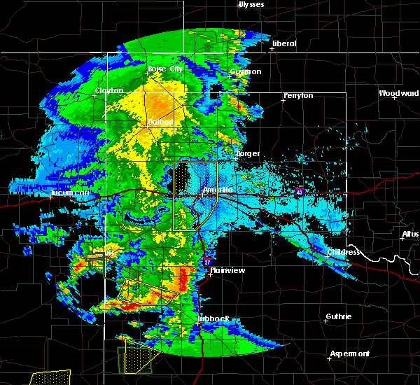 The severe thunderstorm warning for randall and potter counties will expire at 1015 pm cdt, the storms which prompted the warning have weakened below severe limits, and no longer pose an immediate threat to life or property. therefore, the warning will be allowed to expire. The severe thunderstorm warning for randall and potter counties will expire at 1015 pm cdt, the storms which prompted the warning have weakened below severe limits, and no longer pose an immediate threat to life or property. therefore, the warning will be allowed to expire.
|
| 6/17/2019 9:49 PM CDT |
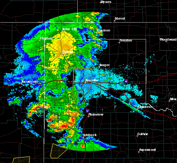 At 948 pm cdt, severe thunderstorms were located along a line extending from 10 miles south of masterson to 8 miles west of amarillo to 4 miles southwest of bushland to 8 miles south of buffalo lake, moving east at 30 mph (trained weather spotters). Hazards include 60 mph wind gusts. Minor damage to roofs, siding, and trees is possible. Locations impacted include, amarillo, canyon, lake tanglewood, mescalero park, buffalo lake, bushland, valley de oro, umbarger and timbercreek canyon. At 948 pm cdt, severe thunderstorms were located along a line extending from 10 miles south of masterson to 8 miles west of amarillo to 4 miles southwest of bushland to 8 miles south of buffalo lake, moving east at 30 mph (trained weather spotters). Hazards include 60 mph wind gusts. Minor damage to roofs, siding, and trees is possible. Locations impacted include, amarillo, canyon, lake tanglewood, mescalero park, buffalo lake, bushland, valley de oro, umbarger and timbercreek canyon.
|
| 6/17/2019 9:21 PM CDT |
 At 920 pm cdt, severe thunderstorms were located along a line extending from 8 miles north of valley de oro to 4 miles west of wildorado to 9 miles northwest of summerfield, moving southeast at 40 mph (trained weather spotters. at 915 pm cdt, storm chasers reported at least 60 mph gusts and blowing dust in vega). Hazards include 60 mph wind gusts. Minor damage to roofs, siding, and trees is possible. Locations impacted include, amarillo, hereford, canyon, vega, lake tanglewood, adrian, buffalo lake, bushland, valley de oro, boys ranch, umbarger, bootleg, wildorado, mescalero park, dawn, simms and timbercreek canyon. At 920 pm cdt, severe thunderstorms were located along a line extending from 8 miles north of valley de oro to 4 miles west of wildorado to 9 miles northwest of summerfield, moving southeast at 40 mph (trained weather spotters. at 915 pm cdt, storm chasers reported at least 60 mph gusts and blowing dust in vega). Hazards include 60 mph wind gusts. Minor damage to roofs, siding, and trees is possible. Locations impacted include, amarillo, hereford, canyon, vega, lake tanglewood, adrian, buffalo lake, bushland, valley de oro, boys ranch, umbarger, bootleg, wildorado, mescalero park, dawn, simms and timbercreek canyon.
|
| 6/17/2019 9:09 PM CDT |
 At 907 pm cdt, severe thunderstorms were located along a line extending from 5 miles northeast of boys ranch to vega to 3 miles northeast of bootleg, moving southeast at 30 mph (automated weather equipment. at 857 pm cdt, a 67 mph gust was recorded 11 miles west northwest of bootleg). Hazards include 60 mph wind gusts. minor damage to roofs, siding, and trees is possible At 907 pm cdt, severe thunderstorms were located along a line extending from 5 miles northeast of boys ranch to vega to 3 miles northeast of bootleg, moving southeast at 30 mph (automated weather equipment. at 857 pm cdt, a 67 mph gust was recorded 11 miles west northwest of bootleg). Hazards include 60 mph wind gusts. minor damage to roofs, siding, and trees is possible
|
| 6/15/2019 8:54 PM CDT |
 At 853 pm cdt, severe thunderstorms were located along a line extending from 9 miles east of dalhart to 7 miles northeast of channing to 5 miles west of adrian, moving northeast at 50 mph (radar indicated). Hazards include 60 mph wind gusts and quarter size hail. Minor damage to roofs, siding, and trees is possible. Hail damage to vehicles is expected. At 853 pm cdt, severe thunderstorms were located along a line extending from 9 miles east of dalhart to 7 miles northeast of channing to 5 miles west of adrian, moving northeast at 50 mph (radar indicated). Hazards include 60 mph wind gusts and quarter size hail. Minor damage to roofs, siding, and trees is possible. Hail damage to vehicles is expected.
|
| 6/6/2019 3:26 PM CDT |
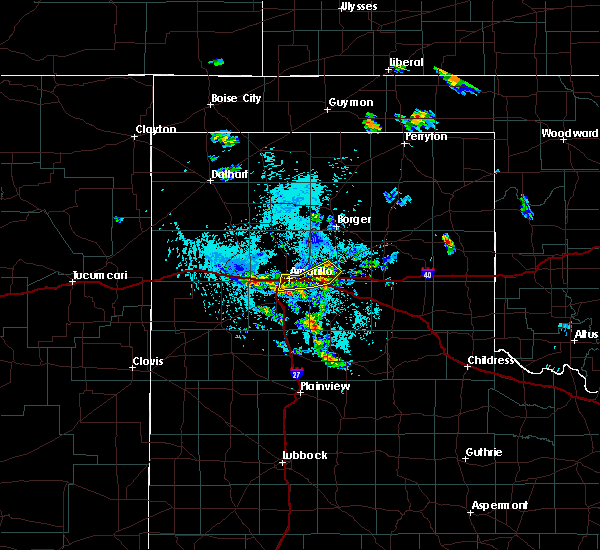 The severe thunderstorm warning for northeastern randall, northwestern armstrong, southwestern carson and southeastern potter counties will expire at 330 pm cdt, the storms which prompted the warning have weakened, and the main gust front has moved out of the warned area. therefore, the warning will be allowed to expire. The severe thunderstorm warning for northeastern randall, northwestern armstrong, southwestern carson and southeastern potter counties will expire at 330 pm cdt, the storms which prompted the warning have weakened, and the main gust front has moved out of the warned area. therefore, the warning will be allowed to expire.
|
| 6/6/2019 3:19 PM CDT |
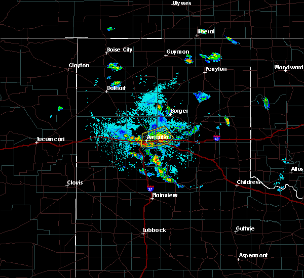 At 318 pm cdt, severe thunderstorms were located along a line extending from 9 miles northwest of claude to 5 miles west of washburn, moving southeast at 30 mph (radar indicated). Hazards include 60 mph wind gusts. Minor damage to roofs, siding, and trees is possible. Locations impacted include, amarillo and washburn. At 318 pm cdt, severe thunderstorms were located along a line extending from 9 miles northwest of claude to 5 miles west of washburn, moving southeast at 30 mph (radar indicated). Hazards include 60 mph wind gusts. Minor damage to roofs, siding, and trees is possible. Locations impacted include, amarillo and washburn.
|
| 6/6/2019 2:55 PM CDT |
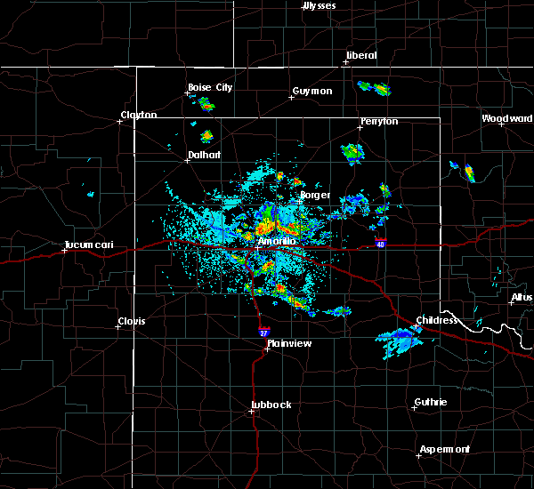 At 255 pm cdt, severe thunderstorms were located along a line extending from 9 miles west of panhandle to 8 miles northeast of amarillo, moving southeast at 30 mph (radar indicated). Hazards include 60 mph wind gusts. minor damage to roofs, siding, and trees is possible At 255 pm cdt, severe thunderstorms were located along a line extending from 9 miles west of panhandle to 8 miles northeast of amarillo, moving southeast at 30 mph (radar indicated). Hazards include 60 mph wind gusts. minor damage to roofs, siding, and trees is possible
|
| 6/5/2019 7:27 PM CDT |
 The severe thunderstorm warning for randall, armstrong, western carson and southern potter counties will expire at 730 pm cdt, the storms which prompted the warning have weakened below severe limits, and no longer pose an immediate threat to life or property. therefore, the warning will be allowed to expire. however small hail, gusty winds up to 55 mph, and heavy rain are still possible with these thunderstorms. The severe thunderstorm warning for randall, armstrong, western carson and southern potter counties will expire at 730 pm cdt, the storms which prompted the warning have weakened below severe limits, and no longer pose an immediate threat to life or property. therefore, the warning will be allowed to expire. however small hail, gusty winds up to 55 mph, and heavy rain are still possible with these thunderstorms.
|
| 6/5/2019 6:49 PM CDT |
 At 649 pm cdt, severe thunderstorms were located along a line extending from 12 miles southeast of valley de oro to 3 miles northwest of lake tanglewood to 3 miles northeast of happy, moving east at 35 mph (automated weather equipment. at 627 pm cdt, automated weather equipment recorded a 58 mph wind gust at umbarger). Hazards include 60 mph wind gusts and quarter size hail. Minor damage to roofs, siding, and trees is possible. hail damage to vehicles is expected. Locations impacted include, amarillo, canyon, panhandle, claude, lake tanglewood, mescalero park, bushland, wayside, washburn, palo duro canyon, timbercreek canyon and pantex. At 649 pm cdt, severe thunderstorms were located along a line extending from 12 miles southeast of valley de oro to 3 miles northwest of lake tanglewood to 3 miles northeast of happy, moving east at 35 mph (automated weather equipment. at 627 pm cdt, automated weather equipment recorded a 58 mph wind gust at umbarger). Hazards include 60 mph wind gusts and quarter size hail. Minor damage to roofs, siding, and trees is possible. hail damage to vehicles is expected. Locations impacted include, amarillo, canyon, panhandle, claude, lake tanglewood, mescalero park, bushland, wayside, washburn, palo duro canyon, timbercreek canyon and pantex.
|
| 6/5/2019 6:38 PM CDT |
 At 637 pm cdt, severe thunderstorms were located along a line extending from 9 miles southeast of valley de oro to near mescalero park to 3 miles northwest of happy, moving east at 35 mph (automated weather equipment. at 627 pm cdt, automated weather equipment at umbarger recorded a 58 mph wind gust). Hazards include 60 mph wind gusts and penny size hail. minor damage to roofs, siding, and trees is possible At 637 pm cdt, severe thunderstorms were located along a line extending from 9 miles southeast of valley de oro to near mescalero park to 3 miles northwest of happy, moving east at 35 mph (automated weather equipment. at 627 pm cdt, automated weather equipment at umbarger recorded a 58 mph wind gust). Hazards include 60 mph wind gusts and penny size hail. minor damage to roofs, siding, and trees is possible
|
| 6/1/2019 8:36 PM CDT |
 At 836 pm cdt, severe thunderstorms were located along a line extending from 7 miles north of washburn to 3 miles northeast of palo duro canyon to 7 miles southeast of canyon, moving east at 35 mph (radar indicated). Hazards include 70 mph wind gusts and quarter size hail. Expect some tree damage. damage is likely to mobile homes, roofs, and outbuildings. hail damage to vehicles is expected. Locations impacted include, amarillo, canyon, claude, lake tanglewood, mescalero park, wayside, washburn, palo duro canyon, timbercreek canyon and pantex. At 836 pm cdt, severe thunderstorms were located along a line extending from 7 miles north of washburn to 3 miles northeast of palo duro canyon to 7 miles southeast of canyon, moving east at 35 mph (radar indicated). Hazards include 70 mph wind gusts and quarter size hail. Expect some tree damage. damage is likely to mobile homes, roofs, and outbuildings. hail damage to vehicles is expected. Locations impacted include, amarillo, canyon, claude, lake tanglewood, mescalero park, wayside, washburn, palo duro canyon, timbercreek canyon and pantex.
|
| 6/1/2019 8:24 PM CDT |
 At 823 pm cdt, automated weather equipment reported severe thunderstorms were located along a line extending from 11 miles northeast of amarillo to near lake tanglewood to 3 miles southwest of canyon, moving southeast at 35 mph. these are very dangerous storms (automated weather equipment. at 804 pm cdt, automated weather equipment recorded a 91 mph wind gust 7 miles south southeast of amarillo). Hazards include 90 mph wind gusts and quarter size hail. You are in a life-threatening situation. flying debris may be deadly to those caught without shelter. mobile homes will be heavily damaged or destroyed. homes and businesses will have substantial roof and window damage. expect extensive tree damage and power outages. Locations impacted include, amarillo, canyon, claude, lake tanglewood, mescalero park, wayside, washburn, palo duro canyon, timbercreek canyon and pantex. At 823 pm cdt, automated weather equipment reported severe thunderstorms were located along a line extending from 11 miles northeast of amarillo to near lake tanglewood to 3 miles southwest of canyon, moving southeast at 35 mph. these are very dangerous storms (automated weather equipment. at 804 pm cdt, automated weather equipment recorded a 91 mph wind gust 7 miles south southeast of amarillo). Hazards include 90 mph wind gusts and quarter size hail. You are in a life-threatening situation. flying debris may be deadly to those caught without shelter. mobile homes will be heavily damaged or destroyed. homes and businesses will have substantial roof and window damage. expect extensive tree damage and power outages. Locations impacted include, amarillo, canyon, claude, lake tanglewood, mescalero park, wayside, washburn, palo duro canyon, timbercreek canyon and pantex.
|
| 6/1/2019 8:15 PM CDT | Storm damage reported in randall county TX, 6.7 miles NNW of Amarillo, TX |
| 6/1/2019 8:12 PM CDT | Quarter sized hail reported 0.9 miles WNW of Amarillo, TX, 10th and eastern |
| 6/1/2019 8:08 PM CDT |
 At 807 pm cdt, severe thunderstorms were located along a line extending from 16 miles east of valley de oro to 5 miles south of amarillo to 5 miles northeast of umbarger, moving southeast at 35 mph (trained weather spotters. at 806 pm cdt, trained weather spotters estimated a 60 mph wind gust 3 miles east of amarillo). Hazards include 70 mph wind gusts and quarter size hail. Expect some tree damage. damage is likely to mobile homes, roofs, and outbuildings. hail damage to vehicles is expected. Locations impacted include, amarillo, canyon, claude, lake tanglewood, mescalero park, wayside, washburn, palo duro canyon, timbercreek canyon and pantex. At 807 pm cdt, severe thunderstorms were located along a line extending from 16 miles east of valley de oro to 5 miles south of amarillo to 5 miles northeast of umbarger, moving southeast at 35 mph (trained weather spotters. at 806 pm cdt, trained weather spotters estimated a 60 mph wind gust 3 miles east of amarillo). Hazards include 70 mph wind gusts and quarter size hail. Expect some tree damage. damage is likely to mobile homes, roofs, and outbuildings. hail damage to vehicles is expected. Locations impacted include, amarillo, canyon, claude, lake tanglewood, mescalero park, wayside, washburn, palo duro canyon, timbercreek canyon and pantex.
|
| 6/1/2019 8:04 PM CDT | Storm damage reported in randall county TX, 6.7 miles NNW of Amarillo, TX |
| 6/1/2019 8:00 PM CDT |
 The national weather service in amarillo has issued a * severe thunderstorm warning for. randall county in the panhandle of texas. western armstrong county in the panhandle of texas. southwestern carson county in the panhandle of texas. Eastern potter county in the panhandle of texas. The national weather service in amarillo has issued a * severe thunderstorm warning for. randall county in the panhandle of texas. western armstrong county in the panhandle of texas. southwestern carson county in the panhandle of texas. Eastern potter county in the panhandle of texas.
|
| 6/1/2019 7:58 PM CDT | Golf Ball sized hail reported 5.4 miles NE of Amarillo, TX |
| 6/1/2019 7:56 PM CDT |
 At 756 pm cdt, automated weather equipment reported a severe thunderstorm was located over amarillo, moving southeast at 35 mph (automated weather equipment. at 754 pm cdt, a storm chaser recorded a 66 mph wind gust on the southwest side of amarillo). Hazards include ping pong ball size hail and 60 mph wind gusts. Minor damage to roofs, siding, and trees is possible. people and animals outdoors will be injured. expect hail damage to roofs, siding, windows, and vehicles. hail may accumulate on roadways causing hazardous travel. Locations impacted include, amarillo, canyon, lake tanglewood, mescalero park, bushland, valley de oro and timbercreek canyon. At 756 pm cdt, automated weather equipment reported a severe thunderstorm was located over amarillo, moving southeast at 35 mph (automated weather equipment. at 754 pm cdt, a storm chaser recorded a 66 mph wind gust on the southwest side of amarillo). Hazards include ping pong ball size hail and 60 mph wind gusts. Minor damage to roofs, siding, and trees is possible. people and animals outdoors will be injured. expect hail damage to roofs, siding, windows, and vehicles. hail may accumulate on roadways causing hazardous travel. Locations impacted include, amarillo, canyon, lake tanglewood, mescalero park, bushland, valley de oro and timbercreek canyon.
|
| 6/1/2019 7:54 PM CDT | Storm damage reported in randall county TX, 9.6 miles NE of Amarillo, TX |
| 6/1/2019 7:16 PM CDT |
 At 715 pm cdt, a severe thunderstorm was located over valley de oro, or 21 miles northwest of amarillo, moving southeast at 35 mph (automated weather equipment. at 703 pm cdt, automated weather equipment recorded a 60 mph wind gust at boys ranch). Hazards include ping pong ball size hail and 60 mph wind gusts. Minor damage to roofs, siding, and trees is possible. people and animals outdoors will be injured. expect hail damage to roofs, siding, windows, and vehicles. hail may accumulate on roadways causing hazardous travel. Locations impacted include, amarillo, canyon, lake tanglewood, mescalero park, bushland, valley de oro, boys ranch, wildorado and timbercreek canyon. At 715 pm cdt, a severe thunderstorm was located over valley de oro, or 21 miles northwest of amarillo, moving southeast at 35 mph (automated weather equipment. at 703 pm cdt, automated weather equipment recorded a 60 mph wind gust at boys ranch). Hazards include ping pong ball size hail and 60 mph wind gusts. Minor damage to roofs, siding, and trees is possible. people and animals outdoors will be injured. expect hail damage to roofs, siding, windows, and vehicles. hail may accumulate on roadways causing hazardous travel. Locations impacted include, amarillo, canyon, lake tanglewood, mescalero park, bushland, valley de oro, boys ranch, wildorado and timbercreek canyon.
|
| 6/1/2019 7:12 PM CDT |
 At 711 pm cdt, a severe thunderstorm was located over valley de oro, or 22 miles northeast of vega, moving southeast at 35 mph (radar indicated). Hazards include ping pong ball size hail and 60 mph wind gusts. Minor damage to roofs, siding, and trees is possible. people and animals outdoors will be injured. expect hail damage to roofs, siding, windows, and vehicles. Hail may accumulate on roadways causing hazardous travel. At 711 pm cdt, a severe thunderstorm was located over valley de oro, or 22 miles northeast of vega, moving southeast at 35 mph (radar indicated). Hazards include ping pong ball size hail and 60 mph wind gusts. Minor damage to roofs, siding, and trees is possible. people and animals outdoors will be injured. expect hail damage to roofs, siding, windows, and vehicles. Hail may accumulate on roadways causing hazardous travel.
|
| 5/26/2019 10:10 PM CDT |
 At 1010 pm cdt, severe thunderstorms were located along a line extending from 10 miles north of panhandle to 4 miles west of washburn, moving northeast at 55 mph (radar indicated). Hazards include 60 mph wind gusts and quarter size hail. Minor damage to roofs, siding, and trees is possible. hail damage to vehicles is expected. locations impacted include, far eastern amarillo, panhandle, claude, white deer, skellytown, washburn, goodnight and pantex. A tornado watch remains in effect until 200 am cdt for the panhandle of texas. At 1010 pm cdt, severe thunderstorms were located along a line extending from 10 miles north of panhandle to 4 miles west of washburn, moving northeast at 55 mph (radar indicated). Hazards include 60 mph wind gusts and quarter size hail. Minor damage to roofs, siding, and trees is possible. hail damage to vehicles is expected. locations impacted include, far eastern amarillo, panhandle, claude, white deer, skellytown, washburn, goodnight and pantex. A tornado watch remains in effect until 200 am cdt for the panhandle of texas.
|
| 5/26/2019 9:42 PM CDT |
 At 941 pm cdt, severe thunderstorms were located along a line extending from 7 miles northeast of amarillo to 4 miles southeast of mescalero park, moving northeast at 45 mph (emergency management. at 934 pm cdt, quarter size hail was reported in amarillo). Hazards include 60 mph wind gusts and quarter size hail. Minor damage to roofs, siding, and trees is possible. Hail damage to vehicles is expected. At 941 pm cdt, severe thunderstorms were located along a line extending from 7 miles northeast of amarillo to 4 miles southeast of mescalero park, moving northeast at 45 mph (emergency management. at 934 pm cdt, quarter size hail was reported in amarillo). Hazards include 60 mph wind gusts and quarter size hail. Minor damage to roofs, siding, and trees is possible. Hail damage to vehicles is expected.
|
| 5/26/2019 9:34 PM CDT | Quarter sized hail reported 4 miles SSW of Amarillo, TX |
| 5/26/2019 9:31 PM CDT | Golf Ball sized hail reported 4.6 miles S of Amarillo, TX |
| 5/26/2019 9:23 PM CDT | Quarter sized hail reported 6.2 miles ESE of Amarillo, TX |
| 5/26/2019 9:23 PM CDT |
 At 922 pm cdt, severe thunderstorms were located along a line extending from 7 miles southwest of lake meredith to 9 miles north of amarillo to 5 miles northwest of mescalero park, moving east at 40 mph (emergency management. at 921 pm, emergency management reported quarter size hail at hillside and soncy in amarillo). Hazards include 60 mph wind gusts and quarter size hail. Minor damage to roofs, siding, and trees is possible. hail damage to vehicles is expected. locations impacted include, amarillo, canyon, borger, panhandle, fritch, lake tanglewood, bushland, washburn, umbarger, palo duro canyon, mescalero park, timbercreek canyon and pantex. A tornado watch remains in effect until 200 am cdt for the panhandle of texas. At 922 pm cdt, severe thunderstorms were located along a line extending from 7 miles southwest of lake meredith to 9 miles north of amarillo to 5 miles northwest of mescalero park, moving east at 40 mph (emergency management. at 921 pm, emergency management reported quarter size hail at hillside and soncy in amarillo). Hazards include 60 mph wind gusts and quarter size hail. Minor damage to roofs, siding, and trees is possible. hail damage to vehicles is expected. locations impacted include, amarillo, canyon, borger, panhandle, fritch, lake tanglewood, bushland, washburn, umbarger, palo duro canyon, mescalero park, timbercreek canyon and pantex. A tornado watch remains in effect until 200 am cdt for the panhandle of texas.
|
| 5/26/2019 9:20 PM CDT | Quarter sized hail reported 7 miles ENE of Amarillo, TX |
| 5/26/2019 9:17 PM CDT | Quarter sized hail reported 12.8 miles E of Amarillo, TX |
| 5/26/2019 8:52 PM CDT |
 At 851 pm cdt, severe thunderstorms were located along a line extending from 5 miles southwest of valley de oro to 3 miles southwest of wildorado to 7 miles north of hereford, moving east at 55 mph (radar indicated). Hazards include 70 mph wind gusts and quarter size hail. Expect some tree damage. damage is likely to mobile homes, roofs, and outbuildings. Hail damage to vehicles is expected. At 851 pm cdt, severe thunderstorms were located along a line extending from 5 miles southwest of valley de oro to 3 miles southwest of wildorado to 7 miles north of hereford, moving east at 55 mph (radar indicated). Hazards include 70 mph wind gusts and quarter size hail. Expect some tree damage. damage is likely to mobile homes, roofs, and outbuildings. Hail damage to vehicles is expected.
|
| 5/26/2019 3:21 PM CDT |
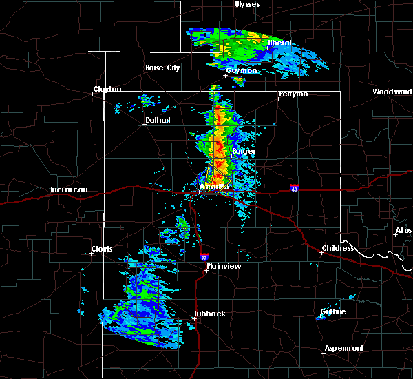 At 320 pm cdt, a severe thunderstorm was located 10 miles south of fritch, or 14 miles northwest of panhandle, moving northeast at 40 mph (radar indicated). Hazards include quarter size hail. Damage to vehicles is expected. Locations impacted include, amarillo and pantex. At 320 pm cdt, a severe thunderstorm was located 10 miles south of fritch, or 14 miles northwest of panhandle, moving northeast at 40 mph (radar indicated). Hazards include quarter size hail. Damage to vehicles is expected. Locations impacted include, amarillo and pantex.
|
| 5/26/2019 3:10 PM CDT |
 At 310 pm cdt, a severe thunderstorm was located 15 miles south of fritch, or 16 miles west of panhandle, moving northeast at 40 mph (radar indicated). Hazards include quarter size hail. Damage to vehicles is expected. locations impacted include, amarillo, lake tanglewood and pantex. A tornado watch remains in effect until 1000 pm cdt for the panhandle of texas. At 310 pm cdt, a severe thunderstorm was located 15 miles south of fritch, or 16 miles west of panhandle, moving northeast at 40 mph (radar indicated). Hazards include quarter size hail. Damage to vehicles is expected. locations impacted include, amarillo, lake tanglewood and pantex. A tornado watch remains in effect until 1000 pm cdt for the panhandle of texas.
|
| 5/26/2019 2:42 PM CDT |
 At 242 pm cdt, a severe thunderstorm was located near amarillo, moving northeast at 40 mph (radar indicated). Hazards include quarter size hail. damage to vehicles is expected At 242 pm cdt, a severe thunderstorm was located near amarillo, moving northeast at 40 mph (radar indicated). Hazards include quarter size hail. damage to vehicles is expected
|
| 5/25/2019 4:30 PM CDT |
 At 430 pm cdt, a severe thunderstorm was located over amarillo, moving northeast at 40 mph (radar indicated). Hazards include 60 mph wind gusts and quarter size hail. Minor damage to roofs, siding, and trees is possible. hail damage to vehicles is expected. Locations impacted include, amarillo. At 430 pm cdt, a severe thunderstorm was located over amarillo, moving northeast at 40 mph (radar indicated). Hazards include 60 mph wind gusts and quarter size hail. Minor damage to roofs, siding, and trees is possible. hail damage to vehicles is expected. Locations impacted include, amarillo.
|
| 5/25/2019 4:16 PM CDT |
 At 416 pm cdt, a severe thunderstorm was located 6 miles northwest of mescalero park, or 9 miles southwest of amarillo, moving northeast at 40 mph (radar indicated). Hazards include 60 mph wind gusts and quarter size hail. Minor damage to roofs, siding, and trees is possible. Hail damage to vehicles is expected. At 416 pm cdt, a severe thunderstorm was located 6 miles northwest of mescalero park, or 9 miles southwest of amarillo, moving northeast at 40 mph (radar indicated). Hazards include 60 mph wind gusts and quarter size hail. Minor damage to roofs, siding, and trees is possible. Hail damage to vehicles is expected.
|
| 5/23/2019 7:36 PM CDT |
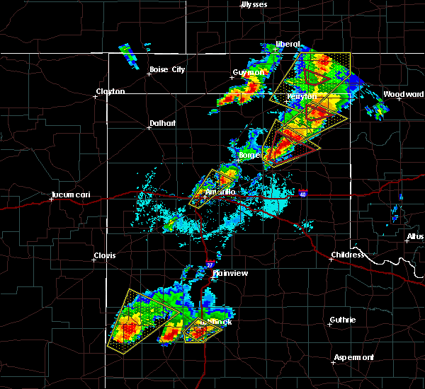 The severe thunderstorm warning for north central randall, west central carson and southeastern potter counties will expire at 745 pm cdt, the storm which prompted the warning has weakened below severe limits, and no longer poses an immediate threat to life or property. therefore, the warning will be allowed to expire. however small hail and heavy rain are still possible with this thunderstorm. a tornado watch remains in effect until 1000 pm cdt for the panhandle of texas. The severe thunderstorm warning for north central randall, west central carson and southeastern potter counties will expire at 745 pm cdt, the storm which prompted the warning has weakened below severe limits, and no longer poses an immediate threat to life or property. therefore, the warning will be allowed to expire. however small hail and heavy rain are still possible with this thunderstorm. a tornado watch remains in effect until 1000 pm cdt for the panhandle of texas.
|
| 5/23/2019 7:23 PM CDT |
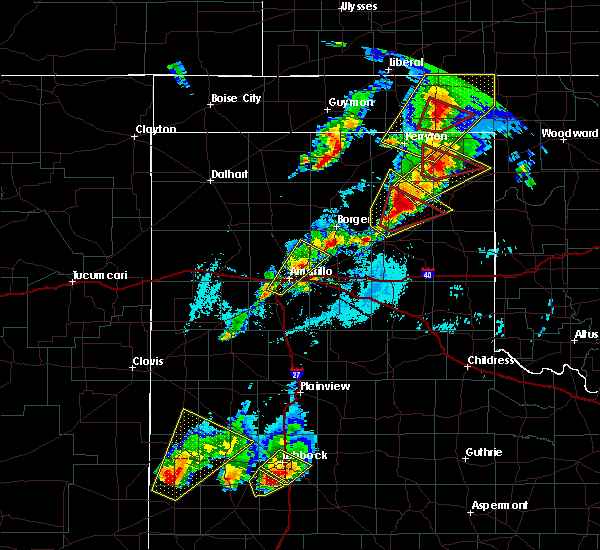 At 722 pm cdt, a severe thunderstorm was located 11 miles northeast of amarillo, about 2 miles north of rick husband international airport, moving northeast at 45 mph (radar indicated). Hazards include 60 mph wind gusts and quarter size hail. Minor damage to roofs, siding, and trees is possible. hail damage to vehicles is expected. locations impacted include, amarillo, mescalero park and pantex. A tornado watch remains in effect until 1000 pm cdt for the panhandle of texas. At 722 pm cdt, a severe thunderstorm was located 11 miles northeast of amarillo, about 2 miles north of rick husband international airport, moving northeast at 45 mph (radar indicated). Hazards include 60 mph wind gusts and quarter size hail. Minor damage to roofs, siding, and trees is possible. hail damage to vehicles is expected. locations impacted include, amarillo, mescalero park and pantex. A tornado watch remains in effect until 1000 pm cdt for the panhandle of texas.
|
| 5/23/2019 7:05 PM CDT |
 At 705 pm cdt, a severe thunderstorm was located over amarillo, moving northeast at 45 mph (radar indicated). Hazards include 60 mph wind gusts and quarter size hail. Minor damage to roofs, siding, and trees is possible. hail damage to vehicles is expected. locations impacted include, amarillo, mescalero park and pantex. A tornado watch remains in effect until 1000 pm cdt for the panhandle of texas. At 705 pm cdt, a severe thunderstorm was located over amarillo, moving northeast at 45 mph (radar indicated). Hazards include 60 mph wind gusts and quarter size hail. Minor damage to roofs, siding, and trees is possible. hail damage to vehicles is expected. locations impacted include, amarillo, mescalero park and pantex. A tornado watch remains in effect until 1000 pm cdt for the panhandle of texas.
|
| 5/23/2019 7:00 PM CDT | Quarter sized hail reported 7.8 miles NE of Amarillo, TX |
| 5/23/2019 6:59 PM CDT |
 At 651 pm cdt, a severe thunderstorm was located 4 miles west of mescalero park, or 6 miles northwest of canyon, moving northeast at 45 mph (radar indicated). Hazards include tennis ball size hail and 60 mph wind gusts. Minor damage to roofs, siding, and trees is possible. people and animals outdoors will be injured. expect hail damage to roofs, siding, windows, and vehicles. locations impacted include, amarillo, canyon, mescalero park, bushland and pantex. A tornado watch remains in effect until 1000 pm cdt for the panhandle of texas. At 651 pm cdt, a severe thunderstorm was located 4 miles west of mescalero park, or 6 miles northwest of canyon, moving northeast at 45 mph (radar indicated). Hazards include tennis ball size hail and 60 mph wind gusts. Minor damage to roofs, siding, and trees is possible. people and animals outdoors will be injured. expect hail damage to roofs, siding, windows, and vehicles. locations impacted include, amarillo, canyon, mescalero park, bushland and pantex. A tornado watch remains in effect until 1000 pm cdt for the panhandle of texas.
|
| 5/23/2019 6:58 PM CDT | Quarter sized hail reported 6.9 miles NNE of Amarillo, TX |
| 5/23/2019 6:52 PM CDT |
 At 651 pm cdt, a severe thunderstorm was located 4 miles west of mescalero park, or 6 miles northwest of canyon, moving northeast at 45 mph (radar indicated). Hazards include tennis ball size hail and 60 mph wind gusts. Minor damage to roofs, siding, and trees is possible. people and animals outdoors will be injured. expect hail damage to roofs, siding, windows, and vehicles. locations impacted include, amarillo, canyon, mescalero park, bushland and pantex. A tornado watch remains in effect until 1000 pm cdt for the panhandle of texas. At 651 pm cdt, a severe thunderstorm was located 4 miles west of mescalero park, or 6 miles northwest of canyon, moving northeast at 45 mph (radar indicated). Hazards include tennis ball size hail and 60 mph wind gusts. Minor damage to roofs, siding, and trees is possible. people and animals outdoors will be injured. expect hail damage to roofs, siding, windows, and vehicles. locations impacted include, amarillo, canyon, mescalero park, bushland and pantex. A tornado watch remains in effect until 1000 pm cdt for the panhandle of texas.
|
| 5/23/2019 6:50 PM CDT | Golf Ball sized hail reported 11.9 miles NNE of Amarillo, TX |
| 5/23/2019 6:44 PM CDT |
 At 644 pm cdt, a severe thunderstorm was located near umbarger, or 7 miles west of canyon, moving northeast at 45 mph (radar indicated). Hazards include ping pong ball size hail and 60 mph wind gusts. Minor damage to roofs, siding, and trees is possible. people and animals outdoors will be injured. Expect hail damage to roofs, siding, windows, and vehicles. At 644 pm cdt, a severe thunderstorm was located near umbarger, or 7 miles west of canyon, moving northeast at 45 mph (radar indicated). Hazards include ping pong ball size hail and 60 mph wind gusts. Minor damage to roofs, siding, and trees is possible. people and animals outdoors will be injured. Expect hail damage to roofs, siding, windows, and vehicles.
|
| 5/23/2019 6:37 PM CDT | Quarter sized hail reported 9.5 miles NNE of Amarillo, TX, mping report. |
| 5/23/2019 6:37 PM CDT | Quarter sized hail reported 10.4 miles NNE of Amarillo, TX, quarter size hail report via mping. |
| 5/23/2019 6:11 PM CDT |
 At 611 pm cdt, a severe thunderstorm was located 6 miles north of umbarger, or 11 miles west of canyon, moving north at 60 mph (radar indicated). Hazards include ping pong ball size hail and 60 mph wind gusts. Minor damage to roofs, siding, and trees is possible. people and animals outdoors will be injured. expect hail damage to roofs, siding, windows, and vehicles. locations impacted include, amarillo, hereford, canyon, lake tanglewood, mescalero park, buffalo lake, bushland, dawn, valley de oro, umbarger, wildorado and timbercreek canyon. A tornado watch remains in effect until 1000 pm cdt for the panhandle of texas. At 611 pm cdt, a severe thunderstorm was located 6 miles north of umbarger, or 11 miles west of canyon, moving north at 60 mph (radar indicated). Hazards include ping pong ball size hail and 60 mph wind gusts. Minor damage to roofs, siding, and trees is possible. people and animals outdoors will be injured. expect hail damage to roofs, siding, windows, and vehicles. locations impacted include, amarillo, hereford, canyon, lake tanglewood, mescalero park, buffalo lake, bushland, dawn, valley de oro, umbarger, wildorado and timbercreek canyon. A tornado watch remains in effect until 1000 pm cdt for the panhandle of texas.
|
| 5/23/2019 5:47 PM CDT |
 At 547 pm cdt, a severe thunderstorm was located 9 miles northeast of easter, or 9 miles southeast of hereford, moving northeast at 55 mph (radar indicated). Hazards include 60 mph wind gusts and quarter size hail. Minor damage to roofs, siding, and trees is possible. Hail damage to vehicles is expected. At 547 pm cdt, a severe thunderstorm was located 9 miles northeast of easter, or 9 miles southeast of hereford, moving northeast at 55 mph (radar indicated). Hazards include 60 mph wind gusts and quarter size hail. Minor damage to roofs, siding, and trees is possible. Hail damage to vehicles is expected.
|
| 5/23/2019 5:43 PM CDT |
 At 543 pm cdt, a severe thunderstorm was located 12 miles north of amarillo, moving northeast at 45 mph (radar indicated). Hazards include 60 mph wind gusts and quarter size hail. Minor damage to roofs, siding, and trees is possible. hail damage to vehicles is expected. locations impacted include, amarillo, borger, fritch, skellytown, sanford, lake meredith and pantex. A tornado watch remains in effect until 1000 pm cdt for the panhandle of texas. At 543 pm cdt, a severe thunderstorm was located 12 miles north of amarillo, moving northeast at 45 mph (radar indicated). Hazards include 60 mph wind gusts and quarter size hail. Minor damage to roofs, siding, and trees is possible. hail damage to vehicles is expected. locations impacted include, amarillo, borger, fritch, skellytown, sanford, lake meredith and pantex. A tornado watch remains in effect until 1000 pm cdt for the panhandle of texas.
|
| 5/23/2019 5:29 PM CDT | Golf Ball sized hail reported 12.8 miles E of Amarillo, TX, late report of ping pong to golf ball size hail. |
| 5/23/2019 5:28 PM CDT |
 At 528 pm cdt, a severe thunderstorm was located 7 miles northwest of amarillo, moving northeast at 45 mph (radar indicated). Hazards include 60 mph wind gusts and half dollar size hail. Minor damage to roofs, siding, and trees is possible. Hail damage to vehicles is expected. At 528 pm cdt, a severe thunderstorm was located 7 miles northwest of amarillo, moving northeast at 45 mph (radar indicated). Hazards include 60 mph wind gusts and half dollar size hail. Minor damage to roofs, siding, and trees is possible. Hail damage to vehicles is expected.
|
| 5/23/2019 5:15 PM CDT | Quarter sized hail reported 7.5 miles ENE of Amarillo, TX |
| 5/23/2019 5:12 PM CDT |
 At 512 pm cdt, a severe thunderstorm was located 5 miles northeast of wildorado, or 15 miles east of vega, moving northeast at 55 mph (radar indicated). Hazards include golf ball size hail and 60 mph wind gusts. Minor damage to roofs, siding, and trees is possible. people and animals outdoors will be injured. expect hail damage to roofs, siding, windows, and vehicles. locations impacted include, amarillo, wildorado and bushland. A tornado watch remains in effect until 1000 pm cdt for the panhandle of texas. At 512 pm cdt, a severe thunderstorm was located 5 miles northeast of wildorado, or 15 miles east of vega, moving northeast at 55 mph (radar indicated). Hazards include golf ball size hail and 60 mph wind gusts. Minor damage to roofs, siding, and trees is possible. people and animals outdoors will be injured. expect hail damage to roofs, siding, windows, and vehicles. locations impacted include, amarillo, wildorado and bushland. A tornado watch remains in effect until 1000 pm cdt for the panhandle of texas.
|
| 5/23/2019 5:09 PM CDT |
 At 509 pm cdt, a severe thunderstorm was located 7 miles northeast of amarillo, moving northeast at 45 mph (radar indicated). Hazards include 60 mph wind gusts and quarter size hail. Minor damage to roofs, siding, and trees is possible. Hail damage to vehicles is expected. At 509 pm cdt, a severe thunderstorm was located 7 miles northeast of amarillo, moving northeast at 45 mph (radar indicated). Hazards include 60 mph wind gusts and quarter size hail. Minor damage to roofs, siding, and trees is possible. Hail damage to vehicles is expected.
|
| 5/23/2019 5:04 PM CDT |
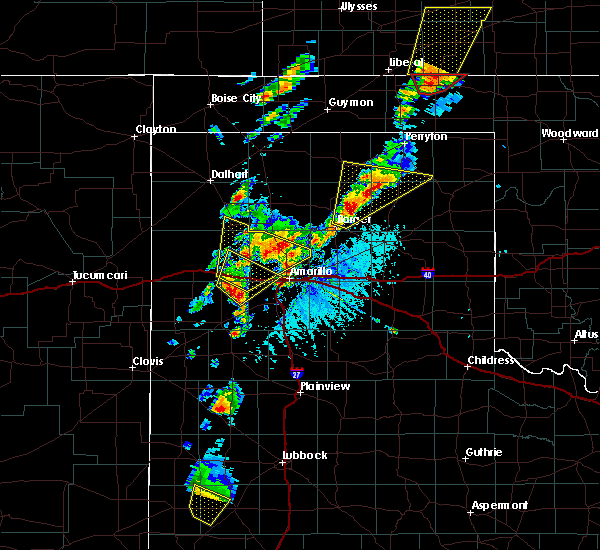 At 504 pm cdt, a severe thunderstorm was located over valley de oro, or 22 miles northwest of amarillo, moving northeast at 45 mph (radar indicated). Hazards include 60 mph wind gusts and quarter size hail. Minor damage to roofs, siding, and trees is possible. hail damage to vehicles is expected. locations impacted include, amarillo and valley de oro. A tornado watch remains in effect until 1000 pm cdt for the panhandle of texas. At 504 pm cdt, a severe thunderstorm was located over valley de oro, or 22 miles northwest of amarillo, moving northeast at 45 mph (radar indicated). Hazards include 60 mph wind gusts and quarter size hail. Minor damage to roofs, siding, and trees is possible. hail damage to vehicles is expected. locations impacted include, amarillo and valley de oro. A tornado watch remains in effect until 1000 pm cdt for the panhandle of texas.
|
| 5/23/2019 5:02 PM CDT |
 At 502 pm cdt, a severe thunderstorm was located 5 miles south of wildorado, or 12 miles southeast of vega, moving northeast at 55 mph (radar indicated). Hazards include golf ball size hail and 60 mph wind gusts. Minor damage to roofs, siding, and trees is possible. people and animals outdoors will be injured. expect hail damage to roofs, siding, windows, and vehicles. locations impacted include, amarillo, wildorado and bushland. A tornado watch remains in effect until 1000 pm cdt for the panhandle of texas. At 502 pm cdt, a severe thunderstorm was located 5 miles south of wildorado, or 12 miles southeast of vega, moving northeast at 55 mph (radar indicated). Hazards include golf ball size hail and 60 mph wind gusts. Minor damage to roofs, siding, and trees is possible. people and animals outdoors will be injured. expect hail damage to roofs, siding, windows, and vehicles. locations impacted include, amarillo, wildorado and bushland. A tornado watch remains in effect until 1000 pm cdt for the panhandle of texas.
|
| 5/23/2019 4:51 PM CDT |
 At 450 pm cdt, a severe thunderstorm was located 11 miles northwest of dawn, or 12 miles north of hereford, moving northeast at 55 mph (radar indicated). Hazards include 60 mph wind gusts and half dollar size hail. Minor damage to roofs, siding, and trees is possible. hail damage to vehicles is expected. locations impacted include, amarillo, hereford, canyon, vega, mescalero park, bushland, dawn, umbarger, wildorado and timbercreek canyon. A tornado watch remains in effect until 1000 pm cdt for the panhandle of texas. At 450 pm cdt, a severe thunderstorm was located 11 miles northwest of dawn, or 12 miles north of hereford, moving northeast at 55 mph (radar indicated). Hazards include 60 mph wind gusts and half dollar size hail. Minor damage to roofs, siding, and trees is possible. hail damage to vehicles is expected. locations impacted include, amarillo, hereford, canyon, vega, mescalero park, bushland, dawn, umbarger, wildorado and timbercreek canyon. A tornado watch remains in effect until 1000 pm cdt for the panhandle of texas.
|
| 5/23/2019 4:40 PM CDT |
 At 440 pm cdt, a severe thunderstorm was located 5 miles northwest of hereford, moving northeast at 55 mph (radar indicated). Hazards include 60 mph wind gusts and quarter size hail. Minor damage to roofs, siding, and trees is possible. Hail damage to vehicles is expected. At 440 pm cdt, a severe thunderstorm was located 5 miles northwest of hereford, moving northeast at 55 mph (radar indicated). Hazards include 60 mph wind gusts and quarter size hail. Minor damage to roofs, siding, and trees is possible. Hail damage to vehicles is expected.
|
| 5/23/2019 4:36 PM CDT |
 At 435 pm cdt, a severe thunderstorm was located over wildorado, or 10 miles east of vega, moving northeast at 45 mph (radar indicated). Hazards include 60 mph wind gusts and half dollar size hail. Minor damage to roofs, siding, and trees is possible. hail damage to vehicles is expected. locations impacted include, amarillo, vega, channing, bushland, valley de oro, boys ranch and wildorado. A tornado watch remains in effect until 1000 pm cdt for the panhandle of texas. At 435 pm cdt, a severe thunderstorm was located over wildorado, or 10 miles east of vega, moving northeast at 45 mph (radar indicated). Hazards include 60 mph wind gusts and half dollar size hail. Minor damage to roofs, siding, and trees is possible. hail damage to vehicles is expected. locations impacted include, amarillo, vega, channing, bushland, valley de oro, boys ranch and wildorado. A tornado watch remains in effect until 1000 pm cdt for the panhandle of texas.
|
| 5/23/2019 4:26 PM CDT |
 At 426 pm cdt, a severe thunderstorm was located 8 miles southwest of wildorado, or 11 miles southeast of vega, moving northeast at 45 mph (radar indicated). Hazards include 60 mph wind gusts and half dollar size hail. Minor damage to roofs, siding, and trees is possible. Hail damage to vehicles is expected. At 426 pm cdt, a severe thunderstorm was located 8 miles southwest of wildorado, or 11 miles southeast of vega, moving northeast at 45 mph (radar indicated). Hazards include 60 mph wind gusts and half dollar size hail. Minor damage to roofs, siding, and trees is possible. Hail damage to vehicles is expected.
|
| 5/23/2019 4:11 PM CDT |
 At 411 pm cdt, a severe thunderstorm was located 12 miles northwest of dawn, or 14 miles north of hereford, moving northeast at 60 mph (radar indicated). Hazards include golf ball size hail and 60 mph wind gusts. Minor damage to roofs, siding, and trees is possible. people and animals outdoors will be injured. expect hail damage to roofs, siding, windows, and vehicles. locations impacted include, amarillo, hereford, vega, bushland, dawn, umbarger, wildorado and mescalero park. A tornado watch remains in effect until 1000 pm cdt for the panhandle of texas. At 411 pm cdt, a severe thunderstorm was located 12 miles northwest of dawn, or 14 miles north of hereford, moving northeast at 60 mph (radar indicated). Hazards include golf ball size hail and 60 mph wind gusts. Minor damage to roofs, siding, and trees is possible. people and animals outdoors will be injured. expect hail damage to roofs, siding, windows, and vehicles. locations impacted include, amarillo, hereford, vega, bushland, dawn, umbarger, wildorado and mescalero park. A tornado watch remains in effect until 1000 pm cdt for the panhandle of texas.
|
| 5/23/2019 3:49 PM CDT |
 The national weather service in amarillo has issued a * severe thunderstorm warning for. northwestern randall county in the panhandle of texas. southeastern oldham county in the panhandle of texas. eastern deaf smith county in the panhandle of texas. Southwestern potter county in the panhandle of texas. The national weather service in amarillo has issued a * severe thunderstorm warning for. northwestern randall county in the panhandle of texas. southeastern oldham county in the panhandle of texas. eastern deaf smith county in the panhandle of texas. Southwestern potter county in the panhandle of texas.
|
| 5/20/2019 8:48 AM CDT |
 At 848 am cdt, severe thunderstorms were located along a line extending from 4 miles northeast of lake meredith to borger, moving northeast at 70 mph (radar indicated). Hazards include quarter size hail. Damage to vehicles is expected. Locations impacted include, amarillo, borger, fritch, stinnett, sanford, lake meredith, pringle and pantex. At 848 am cdt, severe thunderstorms were located along a line extending from 4 miles northeast of lake meredith to borger, moving northeast at 70 mph (radar indicated). Hazards include quarter size hail. Damage to vehicles is expected. Locations impacted include, amarillo, borger, fritch, stinnett, sanford, lake meredith, pringle and pantex.
|
| 5/20/2019 8:34 AM CDT |
 At 834 am cdt, severe thunderstorms were located along a line extending from 9 miles southwest of lake meredith to 11 miles northwest of panhandle, moving northeast at 70 mph (multiple reports from trained weather spotters and the public). Hazards include quarter size hail. Damage to vehicles is expected. Locations impacted include, amarillo, borger, fritch, stinnett, skellytown, sanford, washburn, lake meredith, pringle and pantex. At 834 am cdt, severe thunderstorms were located along a line extending from 9 miles southwest of lake meredith to 11 miles northwest of panhandle, moving northeast at 70 mph (multiple reports from trained weather spotters and the public). Hazards include quarter size hail. Damage to vehicles is expected. Locations impacted include, amarillo, borger, fritch, stinnett, skellytown, sanford, washburn, lake meredith, pringle and pantex.
|
| 5/20/2019 8:24 AM CDT |
 A severe thunderstorm warning remains in effect until 915 am cdt for northern randall. northwestern armstrong. northwestern carson. hutchinson. potter. northwestern roberts and eastern moore counties. At 823 am cdt, severe thunderstorms were located along a line extending from 13 miles northeast of bushland to 8 miles northeast of. A severe thunderstorm warning remains in effect until 915 am cdt for northern randall. northwestern armstrong. northwestern carson. hutchinson. potter. northwestern roberts and eastern moore counties. At 823 am cdt, severe thunderstorms were located along a line extending from 13 miles northeast of bushland to 8 miles northeast of.
|
| 5/20/2019 8:18 AM CDT | Quarter sized hail reported 2.7 miles WNW of Amarillo, TX |
| 5/20/2019 8:14 AM CDT | Quarter sized hail reported 3.1 miles W of Amarillo, TX |
| 5/20/2019 8:14 AM CDT | Quarter sized hail reported 2.5 miles NW of Amarillo, TX, late report from caprock high school. |
| 5/20/2019 8:10 AM CDT |
 The national weather service in amarillo has issued a * severe thunderstorm warning for. northern randall county in the panhandle of texas. northwestern armstrong county in the panhandle of texas. northwestern carson county in the panhandle of texas. Hutchinson county in the panhandle of texas. The national weather service in amarillo has issued a * severe thunderstorm warning for. northern randall county in the panhandle of texas. northwestern armstrong county in the panhandle of texas. northwestern carson county in the panhandle of texas. Hutchinson county in the panhandle of texas.
|
| 5/20/2019 8:06 AM CDT |
 At 806 am cdt, severe thunderstorms were located along a line extending from 4 miles southeast of bushland to lake tanglewood, moving northeast at 70 mph (public). Hazards include 60 mph wind gusts and quarter size hail. Minor damage to roofs, siding, and trees is possible. hail damage to vehicles is expected. Locations impacted include, amarillo, canyon, lake tanglewood, mescalero park, buffalo lake, bushland, valley de oro, washburn, umbarger, palo duro canyon and timbercreek canyon. At 806 am cdt, severe thunderstorms were located along a line extending from 4 miles southeast of bushland to lake tanglewood, moving northeast at 70 mph (public). Hazards include 60 mph wind gusts and quarter size hail. Minor damage to roofs, siding, and trees is possible. hail damage to vehicles is expected. Locations impacted include, amarillo, canyon, lake tanglewood, mescalero park, buffalo lake, bushland, valley de oro, washburn, umbarger, palo duro canyon and timbercreek canyon.
|
| 5/20/2019 8:03 AM CDT | Half Dollar sized hail reported 9.4 miles NNE of Amarillo, TX, university researches reporting 1.27 inch hail |
| 5/20/2019 8:00 AM CDT | Quarter sized hail reported 3.5 miles ENE of Amarillo, TX |
| 5/20/2019 7:56 AM CDT |
 At 756 am cdt, severe thunderstorms were located along a line extending from 4 miles north of umbarger to near canyon, moving northeast at 70 mph (radar indicated). Hazards include golf ball size hail and 60 mph wind gusts. Minor damage to roofs, siding, and trees is possible. people and animals outdoors will be injured. expect hail damage to roofs, siding, windows, and vehicles. Locations impacted include, amarillo, canyon, lake tanglewood, mescalero park, buffalo lake, bushland, dawn, valley de oro, washburn, umbarger, palo duro canyon and timbercreek canyon. At 756 am cdt, severe thunderstorms were located along a line extending from 4 miles north of umbarger to near canyon, moving northeast at 70 mph (radar indicated). Hazards include golf ball size hail and 60 mph wind gusts. Minor damage to roofs, siding, and trees is possible. people and animals outdoors will be injured. expect hail damage to roofs, siding, windows, and vehicles. Locations impacted include, amarillo, canyon, lake tanglewood, mescalero park, buffalo lake, bushland, dawn, valley de oro, washburn, umbarger, palo duro canyon and timbercreek canyon.
|
| 5/20/2019 7:49 AM CDT |
 At 748 am cdt, severe thunderstorms were located along a line extending from 3 miles northeast of dawn to 8 miles south of canyon, moving northeast at 70 mph (radar indicated). Hazards include 60 mph wind gusts and half dollar size hail. Minor damage to roofs, siding, and trees is possible. hail damage to vehicles is expected. Locations impacted include, amarillo, canyon, lake tanglewood, buffalo lake, bushland, valley de oro, washburn, umbarger, wildorado, palo duro canyon, mescalero park, dawn and timbercreek canyon. At 748 am cdt, severe thunderstorms were located along a line extending from 3 miles northeast of dawn to 8 miles south of canyon, moving northeast at 70 mph (radar indicated). Hazards include 60 mph wind gusts and half dollar size hail. Minor damage to roofs, siding, and trees is possible. hail damage to vehicles is expected. Locations impacted include, amarillo, canyon, lake tanglewood, buffalo lake, bushland, valley de oro, washburn, umbarger, wildorado, palo duro canyon, mescalero park, dawn and timbercreek canyon.
|
| 5/20/2019 7:40 AM CDT |
 At 740 am cdt, severe thunderstorms were located along a line extending from 4 miles south of dawn to 9 miles southeast of buffalo lake, moving northeast at 70 mph (radar indicated). Hazards include ping pong ball size hail and 60 mph wind gusts. Minor damage to roofs, siding, and trees is possible. people and animals outdoors will be injured. expect hail damage to roofs, siding, windows, and vehicles. Locations impacted include, amarillo, hereford, canyon, lake tanglewood, buffalo lake, bushland, valley de oro, washburn, umbarger, wildorado, palo duro canyon, mescalero park, dawn and timbercreek canyon. At 740 am cdt, severe thunderstorms were located along a line extending from 4 miles south of dawn to 9 miles southeast of buffalo lake, moving northeast at 70 mph (radar indicated). Hazards include ping pong ball size hail and 60 mph wind gusts. Minor damage to roofs, siding, and trees is possible. people and animals outdoors will be injured. expect hail damage to roofs, siding, windows, and vehicles. Locations impacted include, amarillo, hereford, canyon, lake tanglewood, buffalo lake, bushland, valley de oro, washburn, umbarger, wildorado, palo duro canyon, mescalero park, dawn and timbercreek canyon.
|
| 5/20/2019 7:30 AM CDT |
 At 729 am cdt, severe thunderstorms were located along a line extending from 6 miles northeast of easter to 13 miles northeast of dimmitt, moving northeast at 70 mph (radar indicated). Hazards include two inch hail and 60 mph wind gusts. Minor damage to roofs, siding, and trees is possible. people and animals outdoors will be injured. Expect hail damage to roofs, siding, windows, and vehicles. At 729 am cdt, severe thunderstorms were located along a line extending from 6 miles northeast of easter to 13 miles northeast of dimmitt, moving northeast at 70 mph (radar indicated). Hazards include two inch hail and 60 mph wind gusts. Minor damage to roofs, siding, and trees is possible. people and animals outdoors will be injured. Expect hail damage to roofs, siding, windows, and vehicles.
|
| 5/7/2019 9:15 PM CDT |
 At 915 pm cdt, severe thunderstorms were located along a line extending from 13 miles southeast of masterson to 8 miles northeast of amarillo, moving northeast at 50 mph (radar indicated). Hazards include 60 mph wind gusts and quarter size hail. Minor damage to roofs, siding, and trees is possible. hail damage to vehicles is expected. locations impacted include, amarillo. A tornado watch remains in effect until 1000 pm cdt for the panhandle of texas. At 915 pm cdt, severe thunderstorms were located along a line extending from 13 miles southeast of masterson to 8 miles northeast of amarillo, moving northeast at 50 mph (radar indicated). Hazards include 60 mph wind gusts and quarter size hail. Minor damage to roofs, siding, and trees is possible. hail damage to vehicles is expected. locations impacted include, amarillo. A tornado watch remains in effect until 1000 pm cdt for the panhandle of texas.
|
| 5/7/2019 9:02 PM CDT |
 At 901 pm cdt, severe thunderstorms were located along a line extending from 13 miles southeast of valley de oro to near amarillo, moving northeast at 50 mph (radar indicated). Hazards include quarter size hail. Damage to vehicles is expected. locations impacted include, amarillo. A tornado watch remains in effect until 1000 pm cdt for the panhandle of texas. At 901 pm cdt, severe thunderstorms were located along a line extending from 13 miles southeast of valley de oro to near amarillo, moving northeast at 50 mph (radar indicated). Hazards include quarter size hail. Damage to vehicles is expected. locations impacted include, amarillo. A tornado watch remains in effect until 1000 pm cdt for the panhandle of texas.
|
| 5/7/2019 8:53 PM CDT | Quarter sized hail reported 4.1 miles ESE of Amarillo, TX |
| 5/7/2019 8:44 PM CDT |
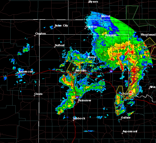 At 843 pm cdt, severe thunderstorms were located along a line extending from 5 miles east of bushland to 3 miles northeast of canyon, moving northeast at 50 mph (radar indicated). Hazards include quarter size hail. damage to vehicles is expected At 843 pm cdt, severe thunderstorms were located along a line extending from 5 miles east of bushland to 3 miles northeast of canyon, moving northeast at 50 mph (radar indicated). Hazards include quarter size hail. damage to vehicles is expected
|
| 5/7/2019 8:04 PM CDT |
 At 804 pm cdt, a severe thunderstorm was located 11 miles east of valley de oro, or 18 miles north of amarillo, moving northeast at 40 mph (radar indicated). Hazards include quarter size hail. Damage to vehicles is expected. locations impacted include, amarillo and bushland. A tornado watch remains in effect until 1000 pm cdt for the panhandle of texas. At 804 pm cdt, a severe thunderstorm was located 11 miles east of valley de oro, or 18 miles north of amarillo, moving northeast at 40 mph (radar indicated). Hazards include quarter size hail. Damage to vehicles is expected. locations impacted include, amarillo and bushland. A tornado watch remains in effect until 1000 pm cdt for the panhandle of texas.
|
| 5/7/2019 7:52 PM CDT |
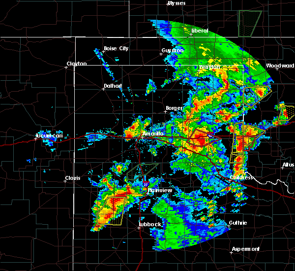 At 752 pm cdt, a severe thunderstorm was located 6 miles northeast of bushland, or 9 miles west of amarillo, moving northeast at 45 mph (radar indicated). Hazards include quarter size hail. Damage to vehicles is expected. locations impacted include, amarillo and bushland. A tornado watch remains in effect until 1000 pm cdt for the panhandle of texas. At 752 pm cdt, a severe thunderstorm was located 6 miles northeast of bushland, or 9 miles west of amarillo, moving northeast at 45 mph (radar indicated). Hazards include quarter size hail. Damage to vehicles is expected. locations impacted include, amarillo and bushland. A tornado watch remains in effect until 1000 pm cdt for the panhandle of texas.
|
| 5/7/2019 7:38 PM CDT |
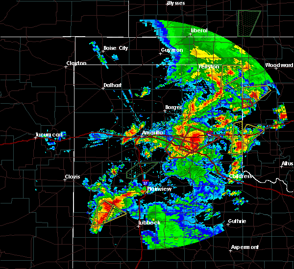 At 738 pm cdt, a severe thunderstorm was located 4 miles south of bushland, or 13 miles northwest of canyon, moving northeast at 45 mph (radar indicated). Hazards include half dollar size hail. damage to vehicles is expected At 738 pm cdt, a severe thunderstorm was located 4 miles south of bushland, or 13 miles northwest of canyon, moving northeast at 45 mph (radar indicated). Hazards include half dollar size hail. damage to vehicles is expected
|
| 5/7/2019 5:14 PM CDT |
 At 513 pm cdt, a severe thunderstorm was located 7 miles south of masterson, or 22 miles south of dumas, moving northeast at 30 mph (radar indicated). Hazards include 60 mph wind gusts and half dollar size hail. Minor damage to roofs, siding, and trees is possible. Hail damage to vehicles is expected. At 513 pm cdt, a severe thunderstorm was located 7 miles south of masterson, or 22 miles south of dumas, moving northeast at 30 mph (radar indicated). Hazards include 60 mph wind gusts and half dollar size hail. Minor damage to roofs, siding, and trees is possible. Hail damage to vehicles is expected.
|
| 5/7/2019 5:11 PM CDT |
 The severe thunderstorm warning for northwestern randall and southwestern potter counties will expire at 515 pm cdt, the storm which prompted the warning has weakened below severe limits, and has exited the warned area. therefore, the warning will be allowed to expire. a tornado watch remains in effect until 1000 pm cdt for the panhandle of texas. The severe thunderstorm warning for northwestern randall and southwestern potter counties will expire at 515 pm cdt, the storm which prompted the warning has weakened below severe limits, and has exited the warned area. therefore, the warning will be allowed to expire. a tornado watch remains in effect until 1000 pm cdt for the panhandle of texas.
|
| 5/7/2019 4:54 PM CDT |
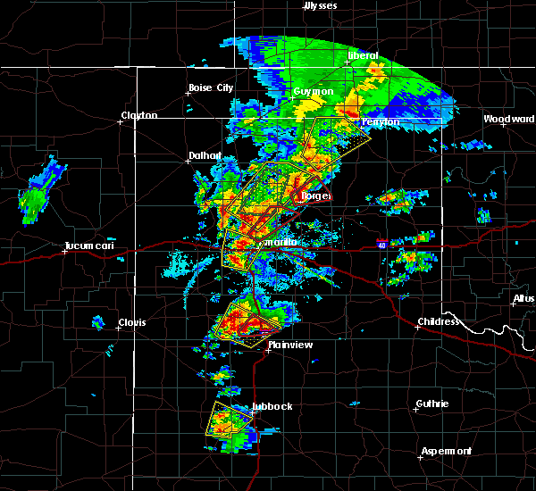 At 453 pm cdt, a severe thunderstorm capable of producing a tornado was located 16 miles northeast of amarillo, moving northeast at 25 mph (nws meteorologists reporting a rotating wall cloud). Hazards include tornado and golf ball size hail. Flying debris will be dangerous to those caught without shelter. mobile homes will be damaged or destroyed. damage to roofs, windows, and vehicles will occur. tree damage is likely. Locations impacted include, amarillo. At 453 pm cdt, a severe thunderstorm capable of producing a tornado was located 16 miles northeast of amarillo, moving northeast at 25 mph (nws meteorologists reporting a rotating wall cloud). Hazards include tornado and golf ball size hail. Flying debris will be dangerous to those caught without shelter. mobile homes will be damaged or destroyed. damage to roofs, windows, and vehicles will occur. tree damage is likely. Locations impacted include, amarillo.
|
| 5/7/2019 4:52 PM CDT |
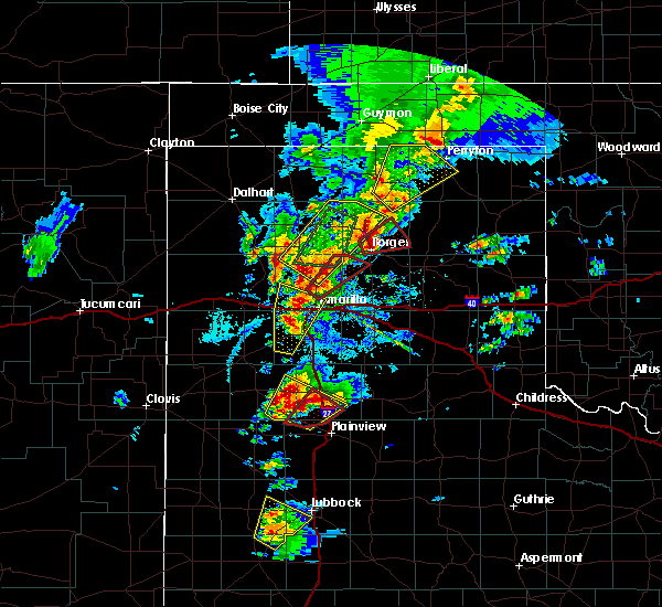 At 452 pm cdt, a severe thunderstorm was located over bushland, or 13 miles west of amarillo, moving north at 55 mph (radar indicated). Hazards include 60 mph wind gusts and quarter size hail. Minor damage to roofs, siding, and trees is possible. hail damage to vehicles is expected. locations impacted include, amarillo, canyon, mescalero park and bushland. A tornado watch remains in effect until 1000 pm cdt for the panhandle of texas. At 452 pm cdt, a severe thunderstorm was located over bushland, or 13 miles west of amarillo, moving north at 55 mph (radar indicated). Hazards include 60 mph wind gusts and quarter size hail. Minor damage to roofs, siding, and trees is possible. hail damage to vehicles is expected. locations impacted include, amarillo, canyon, mescalero park and bushland. A tornado watch remains in effect until 1000 pm cdt for the panhandle of texas.
|
| 5/7/2019 4:48 PM CDT |
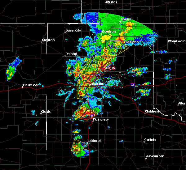 At 448 pm cdt, a severe thunderstorm capable of producing a tornado was located 14 miles north of amarillo, moving northeast at 30 mph (weather spotters reported a rotating wall cloud). Hazards include tornado and quarter size hail. Flying debris will be dangerous to those caught without shelter. mobile homes will be damaged or destroyed. damage to roofs, windows, and vehicles will occur. tree damage is likely. Locations impacted include, amarillo. At 448 pm cdt, a severe thunderstorm capable of producing a tornado was located 14 miles north of amarillo, moving northeast at 30 mph (weather spotters reported a rotating wall cloud). Hazards include tornado and quarter size hail. Flying debris will be dangerous to those caught without shelter. mobile homes will be damaged or destroyed. damage to roofs, windows, and vehicles will occur. tree damage is likely. Locations impacted include, amarillo.
|
| 5/7/2019 4:37 PM CDT | Quarter sized hail reported 11 miles NNE of Amarillo, TX |
| 5/7/2019 4:37 PM CDT | Quarter sized hail reported 5.4 miles NE of Amarillo, TX |
| 5/7/2019 4:37 PM CDT |
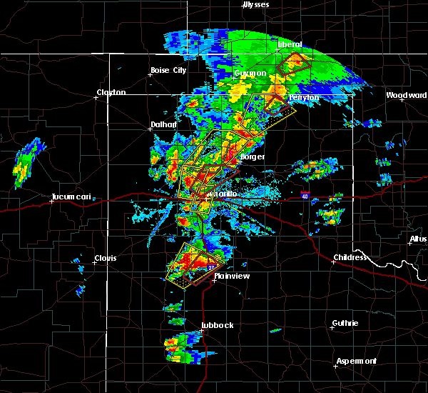 At 436 pm cdt, a severe thunderstorm was located over umbarger, or 10 miles west of canyon, moving north at 55 mph (radar indicated). Hazards include two inch hail and 60 mph wind gusts. Minor damage to roofs, siding, and trees is possible. people and animals outdoors will be injured. Expect hail damage to roofs, siding, windows, and vehicles. At 436 pm cdt, a severe thunderstorm was located over umbarger, or 10 miles west of canyon, moving north at 55 mph (radar indicated). Hazards include two inch hail and 60 mph wind gusts. Minor damage to roofs, siding, and trees is possible. people and animals outdoors will be injured. Expect hail damage to roofs, siding, windows, and vehicles.
|
| 5/7/2019 4:35 PM CDT |
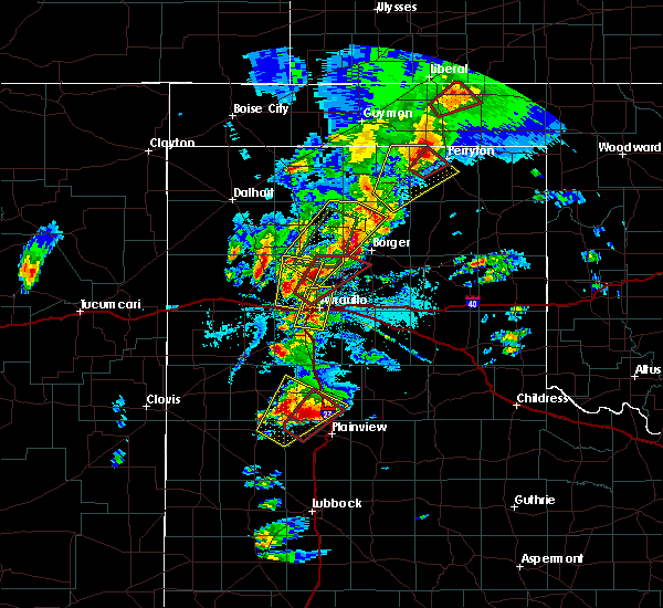 At 434 pm cdt, multiple reports of funnel clouds located 9 miles north of amarillo, moving northeast at 20 mph (broadcast media and chasers report funnel clouds). Hazards include tornado and quarter size hail. Flying debris will be dangerous to those caught without shelter. mobile homes will be damaged or destroyed. damage to roofs, windows, and vehicles will occur. tree damage is likely. Locations impacted include, amarillo. At 434 pm cdt, multiple reports of funnel clouds located 9 miles north of amarillo, moving northeast at 20 mph (broadcast media and chasers report funnel clouds). Hazards include tornado and quarter size hail. Flying debris will be dangerous to those caught without shelter. mobile homes will be damaged or destroyed. damage to roofs, windows, and vehicles will occur. tree damage is likely. Locations impacted include, amarillo.
|
| 5/7/2019 4:31 PM CDT |
 At 431 pm cdt, a severe thunderstorm was located 5 miles southwest of amarillo, moving north at 40 mph (radar indicated). Hazards include 60 mph wind gusts and quarter size hail. Minor damage to roofs, siding, and trees is possible. hail damage to vehicles is expected. locations impacted include, amarillo, lake tanglewood, mescalero park and timbercreek canyon. A tornado watch remains in effect until 1000 pm cdt for the panhandle of texas. At 431 pm cdt, a severe thunderstorm was located 5 miles southwest of amarillo, moving north at 40 mph (radar indicated). Hazards include 60 mph wind gusts and quarter size hail. Minor damage to roofs, siding, and trees is possible. hail damage to vehicles is expected. locations impacted include, amarillo, lake tanglewood, mescalero park and timbercreek canyon. A tornado watch remains in effect until 1000 pm cdt for the panhandle of texas.
|
| 5/7/2019 4:24 PM CDT |
 At 424 pm cdt, a severe thunderstorm capable of producing a tornado was located 11 miles northwest of amarillo, moving northeast at 30 mph (live storm chase video of a funnel cloud). Hazards include tornado and golf ball size hail. Flying debris will be dangerous to those caught without shelter. mobile homes will be damaged or destroyed. damage to roofs, windows, and vehicles will occur. Tree damage is likely. At 424 pm cdt, a severe thunderstorm capable of producing a tornado was located 11 miles northwest of amarillo, moving northeast at 30 mph (live storm chase video of a funnel cloud). Hazards include tornado and golf ball size hail. Flying debris will be dangerous to those caught without shelter. mobile homes will be damaged or destroyed. damage to roofs, windows, and vehicles will occur. Tree damage is likely.
|
| 5/7/2019 4:17 PM CDT |
 At 416 pm cdt, a severe thunderstorm was located over canyon, moving north at 40 mph (radar indicated). Hazards include 60 mph wind gusts and half dollar size hail. Minor damage to roofs, siding, and trees is possible. Hail damage to vehicles is expected. At 416 pm cdt, a severe thunderstorm was located over canyon, moving north at 40 mph (radar indicated). Hazards include 60 mph wind gusts and half dollar size hail. Minor damage to roofs, siding, and trees is possible. Hail damage to vehicles is expected.
|
| 5/7/2019 4:16 PM CDT |
 At 416 pm cdt, a funnel cloud was located 9 miles northeast of bushland, or 11 miles northwest of amarillo, moving northeast at 25 mph (broadcast media showing live video of funnel cloud). Hazards include tornado and baseball size hail. Flying debris will be dangerous to those caught without shelter. mobile homes will be damaged or destroyed. damage to roofs, windows, and vehicles will occur. tree damage is likely. This tornadic thunderstorm will remain over mainly rural areas of central potter county. At 416 pm cdt, a funnel cloud was located 9 miles northeast of bushland, or 11 miles northwest of amarillo, moving northeast at 25 mph (broadcast media showing live video of funnel cloud). Hazards include tornado and baseball size hail. Flying debris will be dangerous to those caught without shelter. mobile homes will be damaged or destroyed. damage to roofs, windows, and vehicles will occur. tree damage is likely. This tornadic thunderstorm will remain over mainly rural areas of central potter county.
|
| 5/7/2019 4:09 PM CDT |
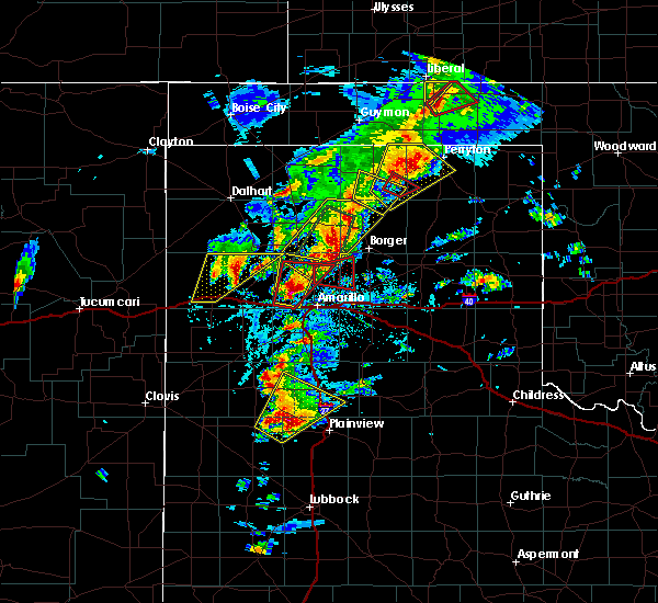 At 409 pm cdt, a severe thunderstorm capable of producing a tornado was located 6 miles northeast of bushland, or 11 miles northwest of amarillo, moving northeast at 30 mph (weather spotters reported a funnel cloud). Hazards include tornado and baseball size hail. Flying debris will be dangerous to those caught without shelter. mobile homes will be damaged or destroyed. damage to roofs, windows, and vehicles will occur. tree damage is likely. This tornadic thunderstorm will remain over mainly rural areas of central potter county. At 409 pm cdt, a severe thunderstorm capable of producing a tornado was located 6 miles northeast of bushland, or 11 miles northwest of amarillo, moving northeast at 30 mph (weather spotters reported a funnel cloud). Hazards include tornado and baseball size hail. Flying debris will be dangerous to those caught without shelter. mobile homes will be damaged or destroyed. damage to roofs, windows, and vehicles will occur. tree damage is likely. This tornadic thunderstorm will remain over mainly rural areas of central potter county.
|
| 5/7/2019 4:07 PM CDT | Tennis Ball sized hail reported 12 miles ESE of Amarillo, TX |
| 5/7/2019 3:57 PM CDT |
 At 357 pm cdt, a severe thunderstorm capable of producing a tornado was located near bushland, or 13 miles west of amarillo, moving north at 30 mph (radar indicated rotation). Hazards include tornado and baseball size hail. Flying debris will be dangerous to those caught without shelter. mobile homes will be damaged or destroyed. damage to roofs, windows, and vehicles will occur. tree damage is likely. This tornadic thunderstorm will remain over mainly rural areas of central potter county. At 357 pm cdt, a severe thunderstorm capable of producing a tornado was located near bushland, or 13 miles west of amarillo, moving north at 30 mph (radar indicated rotation). Hazards include tornado and baseball size hail. Flying debris will be dangerous to those caught without shelter. mobile homes will be damaged or destroyed. damage to roofs, windows, and vehicles will occur. tree damage is likely. This tornadic thunderstorm will remain over mainly rural areas of central potter county.
|
| 5/7/2019 3:56 PM CDT |
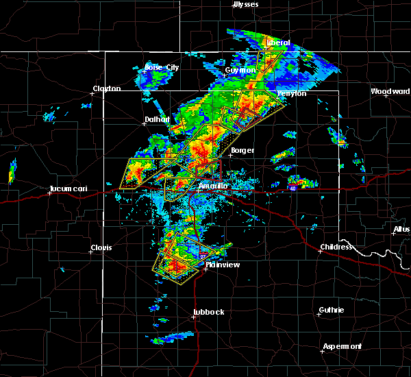 At 356 pm cdt, a severe thunderstorm was located 6 miles north of bushland, or 13 miles northwest of amarillo, moving north at 20 mph. this is a very dangerous storm (radar indicated). Hazards include baseball size hail and 60 mph wind gusts. People and animals outdoors will be severely injured. Expect shattered windows, extensive damage to roofs, siding, and vehicles. At 356 pm cdt, a severe thunderstorm was located 6 miles north of bushland, or 13 miles northwest of amarillo, moving north at 20 mph. this is a very dangerous storm (radar indicated). Hazards include baseball size hail and 60 mph wind gusts. People and animals outdoors will be severely injured. Expect shattered windows, extensive damage to roofs, siding, and vehicles.
|
| 5/7/2019 3:36 PM CDT |
 At 336 pm cdt, a severe thunderstorm was located 4 miles southeast of wildorado, or 14 miles east of vega, moving north at 35 mph (trained weather spotters). Hazards include golf ball size hail and 60 mph wind gusts. Minor damage to roofs, siding, and trees is possible. people and animals outdoors will be injured. expect hail damage to roofs, siding, windows, and vehicles. locations impacted include, bushland. A tornado watch remains in effect until 1000 pm cdt for the panhandle of texas. At 336 pm cdt, a severe thunderstorm was located 4 miles southeast of wildorado, or 14 miles east of vega, moving north at 35 mph (trained weather spotters). Hazards include golf ball size hail and 60 mph wind gusts. Minor damage to roofs, siding, and trees is possible. people and animals outdoors will be injured. expect hail damage to roofs, siding, windows, and vehicles. locations impacted include, bushland. A tornado watch remains in effect until 1000 pm cdt for the panhandle of texas.
|
| 5/7/2019 3:34 PM CDT | Golf Ball sized hail reported 21.1 miles ENE of Amarillo, TX |
| 5/7/2019 3:22 PM CDT |
 At 322 pm cdt, a severe thunderstorm was located 9 miles south of wildorado, or 16 miles southeast of vega, moving north at 25 mph (radar indicated). Hazards include 60 mph wind gusts and half dollar size hail. Minor damage to roofs, siding, and trees is possible. hail damage to vehicles is expected. locations impacted include, wildorado and bushland. A tornado watch remains in effect until 1000 pm cdt for the panhandle of texas. At 322 pm cdt, a severe thunderstorm was located 9 miles south of wildorado, or 16 miles southeast of vega, moving north at 25 mph (radar indicated). Hazards include 60 mph wind gusts and half dollar size hail. Minor damage to roofs, siding, and trees is possible. hail damage to vehicles is expected. locations impacted include, wildorado and bushland. A tornado watch remains in effect until 1000 pm cdt for the panhandle of texas.
|
| 5/7/2019 3:12 PM CDT |
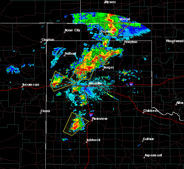 At 312 pm cdt, a severe thunderstorm was located 9 miles north of dawn, or 17 miles southeast of vega, moving north at 35 mph (radar indicated). Hazards include 60 mph wind gusts and quarter size hail. Minor damage to roofs, siding, and trees is possible. Hail damage to vehicles is expected. At 312 pm cdt, a severe thunderstorm was located 9 miles north of dawn, or 17 miles southeast of vega, moving north at 35 mph (radar indicated). Hazards include 60 mph wind gusts and quarter size hail. Minor damage to roofs, siding, and trees is possible. Hail damage to vehicles is expected.
|
| 5/7/2019 2:28 PM CDT | Quarter sized hail reported 20.8 miles S of Amarillo, TX |
| 5/7/2019 2:18 PM CDT | Quarter sized hail reported 21.5 miles SSE of Amarillo, TX |
| 5/7/2019 1:12 PM CDT | Quarter sized hail reported 25.6 miles SSE of Amarillo, TX |
| 5/6/2019 8:30 PM CDT |
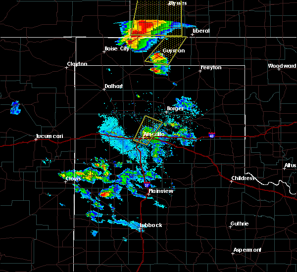 At 830 pm cdt, a severe thunderstorm was located 9 miles north of amarillo, moving northeast at 30 mph (radar indicated). Hazards include 60 mph wind gusts and quarter size hail. Minor damage to roofs, siding, and trees is possible. hail damage to vehicles is expected. Locations impacted include, amarillo and pantex. At 830 pm cdt, a severe thunderstorm was located 9 miles north of amarillo, moving northeast at 30 mph (radar indicated). Hazards include 60 mph wind gusts and quarter size hail. Minor damage to roofs, siding, and trees is possible. hail damage to vehicles is expected. Locations impacted include, amarillo and pantex.
|
| 5/6/2019 8:18 PM CDT | Quarter sized hail reported 2.7 miles WNW of Amarillo, TX |
| 5/6/2019 8:14 PM CDT |
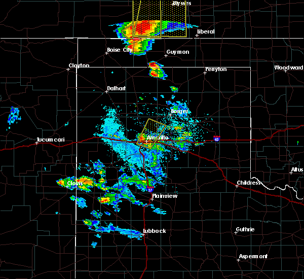 At 814 pm cdt, a severe thunderstorm was located over amarillo, moving northeast at 30 mph (radar indicated). Hazards include 60 mph wind gusts and quarter size hail. Minor damage to roofs, siding, and trees is possible. hail damage to vehicles is expected. Locations impacted include, amarillo and pantex. At 814 pm cdt, a severe thunderstorm was located over amarillo, moving northeast at 30 mph (radar indicated). Hazards include 60 mph wind gusts and quarter size hail. Minor damage to roofs, siding, and trees is possible. hail damage to vehicles is expected. Locations impacted include, amarillo and pantex.
|
| 5/6/2019 8:13 PM CDT | Half Dollar sized hail reported 5.5 miles NNE of Amarillo, TX |
| 5/6/2019 8:09 PM CDT | Half Dollar sized hail reported 7.4 miles NNE of Amarillo, TX |
| 5/6/2019 8:07 PM CDT | Quarter sized hail reported 4.6 miles NNE of Amarillo, TX |
| 5/6/2019 8:05 PM CDT | Quarter sized hail reported 6.4 miles ENE of Amarillo, TX, lots of dime to nickel size hail with some quarter size |
| 5/6/2019 8:03 PM CDT | Quarter sized hail reported 6.6 miles NE of Amarillo, TX |
| 5/6/2019 8:02 PM CDT | Quarter sized hail reported 7.5 miles NE of Amarillo, TX |
| 5/6/2019 8:01 PM CDT | Quarter sized hail reported 4.9 miles NE of Amarillo, TX, lots of nickel and quasrter size hail on the ground |
| 5/6/2019 7:50 PM CDT |
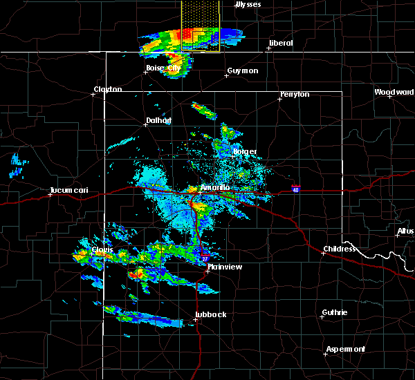 At 750 pm cdt, a severe thunderstorm was located over mescalero park, or 5 miles north of canyon, moving northeast at 30 mph (radar indicated). Hazards include golf ball size hail and 60 mph wind gusts. Minor damage to roofs, siding, and trees is possible. people and animals outdoors will be injured. Expect hail damage to roofs, siding, windows, and vehicles. At 750 pm cdt, a severe thunderstorm was located over mescalero park, or 5 miles north of canyon, moving northeast at 30 mph (radar indicated). Hazards include golf ball size hail and 60 mph wind gusts. Minor damage to roofs, siding, and trees is possible. people and animals outdoors will be injured. Expect hail damage to roofs, siding, windows, and vehicles.
|
| 5/6/2019 6:45 PM CDT |
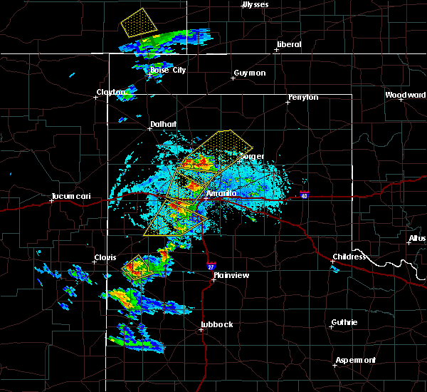 At 645 pm cdt, a severe thunderstorm was located 10 miles southeast of valley de oro, or 13 miles northwest of amarillo, moving northeast at 30 mph (radar indicated). Hazards include ping pong ball size hail and 60 mph wind gusts. Minor damage to roofs, siding, and trees is possible. people and animals outdoors will be injured. expect hail damage to roofs, siding, windows, and vehicles. Locations impacted include, amarillo, wildorado, bushland and valley de oro. At 645 pm cdt, a severe thunderstorm was located 10 miles southeast of valley de oro, or 13 miles northwest of amarillo, moving northeast at 30 mph (radar indicated). Hazards include ping pong ball size hail and 60 mph wind gusts. Minor damage to roofs, siding, and trees is possible. people and animals outdoors will be injured. expect hail damage to roofs, siding, windows, and vehicles. Locations impacted include, amarillo, wildorado, bushland and valley de oro.
|
| 5/6/2019 6:28 PM CDT |
 At 628 pm cdt, a severe thunderstorm was located 5 miles northwest of bushland, or 16 miles west of amarillo, moving northeast at 30 mph (radar indicated). Hazards include golf ball size hail and 60 mph wind gusts. Minor damage to roofs, siding, and trees is possible. people and animals outdoors will be injured. expect hail damage to roofs, siding, windows, and vehicles. Locations impacted include, amarillo, wildorado, bushland and valley de oro. At 628 pm cdt, a severe thunderstorm was located 5 miles northwest of bushland, or 16 miles west of amarillo, moving northeast at 30 mph (radar indicated). Hazards include golf ball size hail and 60 mph wind gusts. Minor damage to roofs, siding, and trees is possible. people and animals outdoors will be injured. expect hail damage to roofs, siding, windows, and vehicles. Locations impacted include, amarillo, wildorado, bushland and valley de oro.
|
| 5/6/2019 6:20 PM CDT | Golf Ball sized hail reported 12.8 miles E of Amarillo, TX, report received via spotter network. |
| 5/6/2019 6:16 PM CDT |
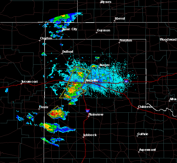 At 615 pm cdt, a severe thunderstorm was located 5 miles west of bushland, or 16 miles east of vega, moving northeast at 30 mph (radar indicated). Hazards include golf ball size hail and 60 mph wind gusts. Minor damage to roofs, siding, and trees is possible. people and animals outdoors will be injured. expect hail damage to roofs, siding, windows, and vehicles. Locations impacted include, amarillo, wildorado, bushland and valley de oro. At 615 pm cdt, a severe thunderstorm was located 5 miles west of bushland, or 16 miles east of vega, moving northeast at 30 mph (radar indicated). Hazards include golf ball size hail and 60 mph wind gusts. Minor damage to roofs, siding, and trees is possible. people and animals outdoors will be injured. expect hail damage to roofs, siding, windows, and vehicles. Locations impacted include, amarillo, wildorado, bushland and valley de oro.
|
| 5/6/2019 6:15 PM CDT | Ping Pong Ball sized hail reported 17.9 miles E of Amarillo, TX, report received via twitter. time estimated from radar. |
| 5/6/2019 6:09 PM CDT |
 The national weather service in amarillo has issued a * severe thunderstorm warning for. northwestern randall county in the panhandle of texas. southeastern oldham county in the panhandle of texas. northeastern deaf smith county in the panhandle of texas. Potter county in the panhandle of texas. The national weather service in amarillo has issued a * severe thunderstorm warning for. northwestern randall county in the panhandle of texas. southeastern oldham county in the panhandle of texas. northeastern deaf smith county in the panhandle of texas. Potter county in the panhandle of texas.
|
| 5/5/2019 6:26 PM CDT |
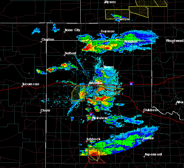 At 625 pm cdt, a severe thunderstorm was located 6 miles southwest of canyon, moving east at 20 mph (radar indicated). Hazards include 60 mph wind gusts and quarter size hail. Minor damage to roofs, siding, and trees is possible. hail damage to vehicles is expected. Locations impacted include, amarillo, canyon, umbarger and mescalero park. At 625 pm cdt, a severe thunderstorm was located 6 miles southwest of canyon, moving east at 20 mph (radar indicated). Hazards include 60 mph wind gusts and quarter size hail. Minor damage to roofs, siding, and trees is possible. hail damage to vehicles is expected. Locations impacted include, amarillo, canyon, umbarger and mescalero park.
|
| 5/5/2019 6:14 PM CDT |
 At 613 pm cdt, a severe thunderstorm was located over umbarger, or 9 miles west of canyon, moving east at 35 mph (radar indicated). Hazards include ping pong ball size hail and 60 mph wind gusts. Minor damage to roofs, siding, and trees is possible. people and animals outdoors will be injured. expect hail damage to roofs, siding, windows, and vehicles. Locations impacted include, amarillo, canyon, umbarger, buffalo lake, dawn and mescalero park. At 613 pm cdt, a severe thunderstorm was located over umbarger, or 9 miles west of canyon, moving east at 35 mph (radar indicated). Hazards include ping pong ball size hail and 60 mph wind gusts. Minor damage to roofs, siding, and trees is possible. people and animals outdoors will be injured. expect hail damage to roofs, siding, windows, and vehicles. Locations impacted include, amarillo, canyon, umbarger, buffalo lake, dawn and mescalero park.
|
| 5/5/2019 6:04 PM CDT |
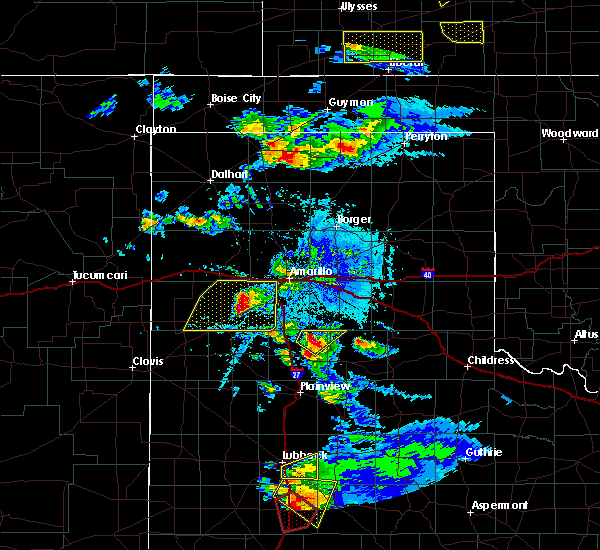 At 604 pm cdt, a severe thunderstorm was located over dawn, or 13 miles northeast of hereford, moving east at 25 mph (radar indicated). Hazards include ping pong ball size hail and 60 mph wind gusts. Minor damage to roofs, siding, and trees is possible. people and animals outdoors will be injured. expect hail damage to roofs, siding, windows, and vehicles. Locations impacted include, amarillo, hereford, canyon, buffalo lake, dawn, umbarger and mescalero park. At 604 pm cdt, a severe thunderstorm was located over dawn, or 13 miles northeast of hereford, moving east at 25 mph (radar indicated). Hazards include ping pong ball size hail and 60 mph wind gusts. Minor damage to roofs, siding, and trees is possible. people and animals outdoors will be injured. expect hail damage to roofs, siding, windows, and vehicles. Locations impacted include, amarillo, hereford, canyon, buffalo lake, dawn, umbarger and mescalero park.
|
| 5/5/2019 5:56 PM CDT |
 At 556 pm cdt, a severe thunderstorm was located 5 miles northwest of dawn, or 11 miles northeast of hereford, moving east at 25 mph (radar indicated). Hazards include golf ball size hail and 60 mph wind gusts. Minor damage to roofs, siding, and trees is possible. people and animals outdoors will be injured. expect hail damage to roofs, siding, windows, and vehicles. Locations impacted include, amarillo, hereford, canyon, buffalo lake, dawn, umbarger and mescalero park. At 556 pm cdt, a severe thunderstorm was located 5 miles northwest of dawn, or 11 miles northeast of hereford, moving east at 25 mph (radar indicated). Hazards include golf ball size hail and 60 mph wind gusts. Minor damage to roofs, siding, and trees is possible. people and animals outdoors will be injured. expect hail damage to roofs, siding, windows, and vehicles. Locations impacted include, amarillo, hereford, canyon, buffalo lake, dawn, umbarger and mescalero park.
|
| 5/5/2019 5:40 PM CDT |
 At 540 pm cdt, a severe thunderstorm was located 10 miles north of hereford, moving east at 25 mph (radar indicated). Hazards include ping pong ball size hail and 60 mph wind gusts. Minor damage to roofs, siding, and trees is possible. people and animals outdoors will be injured. expect hail damage to roofs, siding, windows, and vehicles. Locations impacted include, amarillo, hereford, canyon, buffalo lake, dawn, umbarger and mescalero park. At 540 pm cdt, a severe thunderstorm was located 10 miles north of hereford, moving east at 25 mph (radar indicated). Hazards include ping pong ball size hail and 60 mph wind gusts. Minor damage to roofs, siding, and trees is possible. people and animals outdoors will be injured. expect hail damage to roofs, siding, windows, and vehicles. Locations impacted include, amarillo, hereford, canyon, buffalo lake, dawn, umbarger and mescalero park.
|
| 5/5/2019 5:32 PM CDT |
 At 532 pm cdt, a severe thunderstorm was located 10 miles north of hereford, moving east at 25 mph (radar indicated). Hazards include ping pong ball size hail and 60 mph wind gusts. Minor damage to roofs, siding, and trees is possible. people and animals outdoors will be injured. expect hail damage to roofs, siding, windows, and vehicles. Locations impacted include, amarillo, hereford, canyon, buffalo lake, dawn, umbarger, simms and mescalero park. At 532 pm cdt, a severe thunderstorm was located 10 miles north of hereford, moving east at 25 mph (radar indicated). Hazards include ping pong ball size hail and 60 mph wind gusts. Minor damage to roofs, siding, and trees is possible. people and animals outdoors will be injured. expect hail damage to roofs, siding, windows, and vehicles. Locations impacted include, amarillo, hereford, canyon, buffalo lake, dawn, umbarger, simms and mescalero park.
|
| 5/5/2019 5:22 PM CDT |
 At 522 pm cdt, a severe thunderstorm was located 5 miles east of simms, or 16 miles northwest of hereford, moving east at 20 mph (radar indicated). Hazards include 60 mph wind gusts and half dollar size hail. Minor damage to roofs, siding, and trees is possible. hail damage to vehicles is expected. Locations impacted include, amarillo, hereford, canyon, buffalo lake, dawn, umbarger, bootleg, simms and mescalero park. At 522 pm cdt, a severe thunderstorm was located 5 miles east of simms, or 16 miles northwest of hereford, moving east at 20 mph (radar indicated). Hazards include 60 mph wind gusts and half dollar size hail. Minor damage to roofs, siding, and trees is possible. hail damage to vehicles is expected. Locations impacted include, amarillo, hereford, canyon, buffalo lake, dawn, umbarger, bootleg, simms and mescalero park.
|
| 5/5/2019 5:12 PM CDT |
 At 511 pm cdt, a severe thunderstorm was located over simms, or 18 miles southwest of vega, moving east at 20 mph (radar indicated). Hazards include 60 mph wind gusts and half dollar size hail. Minor damage to roofs, siding, and trees is possible. Hail damage to vehicles is expected. At 511 pm cdt, a severe thunderstorm was located over simms, or 18 miles southwest of vega, moving east at 20 mph (radar indicated). Hazards include 60 mph wind gusts and half dollar size hail. Minor damage to roofs, siding, and trees is possible. Hail damage to vehicles is expected.
|
| 4/30/2019 10:17 AM CDT | Golf Ball sized hail reported 7 miles ENE of Amarillo, TX, nws employee reported golf ball size hail near hillside and soncy rd. |
| 4/30/2019 10:03 AM CDT | Quarter sized hail reported 4.8 miles NE of Amarillo, TX, quarter size hail report received via twitter. |
| 4/30/2019 10:03 AM CDT | Quarter sized hail reported 0.4 miles NE of Amarillo, TX, quarter size hail reported by broadcast media. |
| 4/30/2019 10:00 AM CDT | Quarter sized hail reported 5.9 miles ENE of Amarillo, TX, nbc meteorologist reported nickles to quarter sized hail. |
| 4/30/2019 10:00 AM CDT | Quarter sized hail reported 3.2 miles E of Amarillo, TX, facebook report of quarter size hail in west amarillo. |
| 4/30/2019 9:59 AM CDT | Ping Pong Ball sized hail reported 3.5 miles ENE of Amarillo, TX, ping pong ball size hail reported at crockett middle school |
| 4/30/2019 9:58 AM CDT | Golf Ball sized hail reported 6.1 miles NE of Amarillo, TX, nbc broadcast media relayed public report of golf ball size hail. |
| 4/30/2019 9:57 AM CDT | Quarter sized hail reported 6.6 miles NE of Amarillo, TX, nws employee reported quarter size hail. |
| 4/30/2019 9:54 AM CDT | Quarter sized hail reported 7 miles ENE of Amarillo, TX, spotter network report of quarter size hail. |
| 4/17/2019 5:53 PM CDT | Quarter sized hail reported 9.2 miles NNE of Amarillo, TX, late report of accumulating hail ranging from dimes to quarters. ground was covered up to several inches deep. |
| 4/17/2019 5:53 PM CDT |
 At 552 pm cdt, severe thunderstorms were located along a line extending from 5 miles east of washburn to 5 miles north of lake tanglewood, moving northwest at 5 mph (radar indicated). Hazards include 60 mph wind gusts and quarter size hail. Minor damage to roofs, siding, and trees is possible. hail damage to vehicles is expected. Hail may accumulate on roadways causing hazardous travel. At 552 pm cdt, severe thunderstorms were located along a line extending from 5 miles east of washburn to 5 miles north of lake tanglewood, moving northwest at 5 mph (radar indicated). Hazards include 60 mph wind gusts and quarter size hail. Minor damage to roofs, siding, and trees is possible. hail damage to vehicles is expected. Hail may accumulate on roadways causing hazardous travel.
|
| 4/17/2019 5:28 PM CDT |
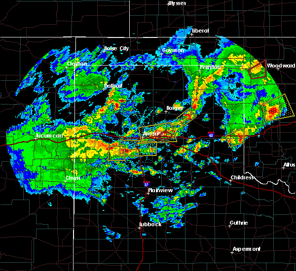 At 528 pm cdt, severe thunderstorms were located along a line extending from 4 miles north of dawn to 3 miles north of palo duro canyon, moving north at 20 mph (radar indicated). Hazards include 60 mph wind gusts and quarter size hail. Minor damage to roofs, siding, and trees is possible. Hail damage to vehicles is expected. At 528 pm cdt, severe thunderstorms were located along a line extending from 4 miles north of dawn to 3 miles north of palo duro canyon, moving north at 20 mph (radar indicated). Hazards include 60 mph wind gusts and quarter size hail. Minor damage to roofs, siding, and trees is possible. Hail damage to vehicles is expected.
|
| 4/17/2019 5:13 PM CDT |
 At 513 pm cdt, severe thunderstorms were located along a line extending from near panhandle to 7 miles northeast of amarillo, moving northwest at 15 mph (radar indicated). Hazards include 60 mph wind gusts and half dollar size hail. Minor damage to roofs, siding, and trees is possible. hail damage to vehicles is expected. Locations impacted include, amarillo, panhandle, washburn and pantex. At 513 pm cdt, severe thunderstorms were located along a line extending from near panhandle to 7 miles northeast of amarillo, moving northwest at 15 mph (radar indicated). Hazards include 60 mph wind gusts and half dollar size hail. Minor damage to roofs, siding, and trees is possible. hail damage to vehicles is expected. Locations impacted include, amarillo, panhandle, washburn and pantex.
|
| 4/17/2019 5:05 PM CDT |
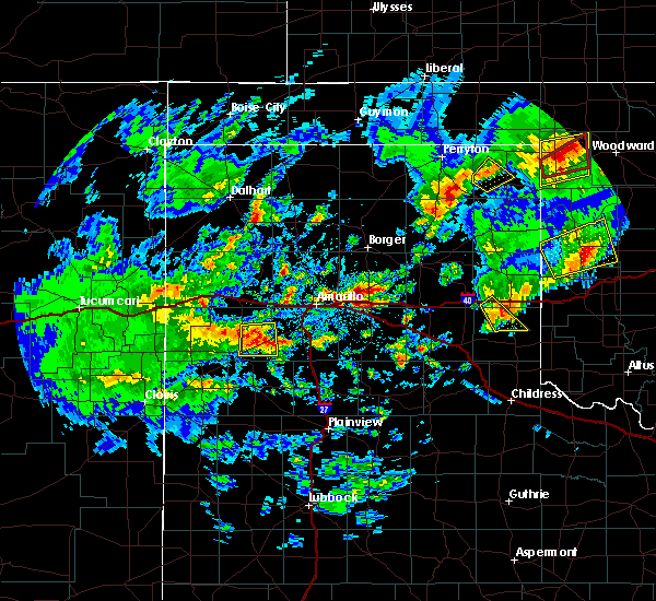 At 505 pm cdt, severe thunderstorms were located along a line extending from near panhandle to 8 miles northeast of amarillo, moving northwest at 20 mph (radar indicated). Hazards include 60 mph wind gusts and quarter size hail. Minor damage to roofs, siding, and trees is possible. Hail damage to vehicles is expected. At 505 pm cdt, severe thunderstorms were located along a line extending from near panhandle to 8 miles northeast of amarillo, moving northwest at 20 mph (radar indicated). Hazards include 60 mph wind gusts and quarter size hail. Minor damage to roofs, siding, and trees is possible. Hail damage to vehicles is expected.
|
| 3/22/2019 8:36 PM CDT |
 At 833 pm cdt, a severe thunderstorm was located 4 miles northeast of lake tanglewood, or 9 miles southeast of amarillo, moving east at 30 mph (radar indicated. trained weather spotters reported half dollar size hail in lake tanglewood at 8:29 pm cdt). Hazards include golf ball size hail. People and animals outdoors will be injured. expect damage to roofs, siding, windows, and vehicles. Locations impacted include, amarillo, canyon, panhandle, claude, white deer, lake tanglewood, skellytown, wayside, washburn, palo duro canyon, mescalero park, timbercreek canyon and pantex. At 833 pm cdt, a severe thunderstorm was located 4 miles northeast of lake tanglewood, or 9 miles southeast of amarillo, moving east at 30 mph (radar indicated. trained weather spotters reported half dollar size hail in lake tanglewood at 8:29 pm cdt). Hazards include golf ball size hail. People and animals outdoors will be injured. expect damage to roofs, siding, windows, and vehicles. Locations impacted include, amarillo, canyon, panhandle, claude, white deer, lake tanglewood, skellytown, wayside, washburn, palo duro canyon, mescalero park, timbercreek canyon and pantex.
|
| 3/22/2019 8:29 PM CDT | Half Dollar sized hail reported 10.4 miles NNW of Amarillo, TX |
| 3/22/2019 8:22 PM CDT | Quarter sized hail reported 8.9 miles NNW of Amarillo, TX |
| 3/22/2019 8:10 PM CDT |
 At 807 pm cdt, a severe thunderstorm was located over canyon, moving east at 40 mph. other less intense storms were located from near amarillo to north of panhandle (trained weather spotters reported tennis ball size hail 4 miles west of canyon at 8:05 pm cdt). Hazards include tennis ball size hail and 60 mph wind gusts. Minor damage to roofs, siding, and trees is possible. people and animals outdoors will be injured. expect hail damage to roofs, siding, windows, and vehicles. Locations impacted include, amarillo, canyon, panhandle, claude, white deer, lake tanglewood, skellytown, buffalo lake, wayside, washburn, umbarger, palo duro canyon, mescalero park, dawn, timbercreek canyon and pantex. At 807 pm cdt, a severe thunderstorm was located over canyon, moving east at 40 mph. other less intense storms were located from near amarillo to north of panhandle (trained weather spotters reported tennis ball size hail 4 miles west of canyon at 8:05 pm cdt). Hazards include tennis ball size hail and 60 mph wind gusts. Minor damage to roofs, siding, and trees is possible. people and animals outdoors will be injured. expect hail damage to roofs, siding, windows, and vehicles. Locations impacted include, amarillo, canyon, panhandle, claude, white deer, lake tanglewood, skellytown, buffalo lake, wayside, washburn, umbarger, palo duro canyon, mescalero park, dawn, timbercreek canyon and pantex.
|
| 3/22/2019 8:01 PM CDT |
 At 800 pm cdt, severe thunderstorms were located along a line extending from 6 miles north of panhandle to 4 miles east of buffalo lake, moving northeast at 40 mph (radar indicated). Hazards include 60 mph wind gusts and quarter size hail. Minor damage to roofs, siding, and trees is possible. Hail damage to vehicles is expected. At 800 pm cdt, severe thunderstorms were located along a line extending from 6 miles north of panhandle to 4 miles east of buffalo lake, moving northeast at 40 mph (radar indicated). Hazards include 60 mph wind gusts and quarter size hail. Minor damage to roofs, siding, and trees is possible. Hail damage to vehicles is expected.
|
| 3/22/2019 7:49 PM CDT |
 At 749 pm cdt, severe thunderstorms were located along a line extending from 5 miles northwest of panhandle to 5 miles southeast of hereford, moving east at 15 mph (radar indicated). Hazards include 60 mph wind gusts and quarter size hail. Minor damage to roofs, siding, and trees is possible. hail damage to vehicles is expected. hail may accumulate on roadways causing hazardous travel. Locations impacted include, amarillo, hereford, canyon, fritch, lake tanglewood, buffalo lake, washburn, umbarger, palo duro canyon, mescalero park, dawn, timbercreek canyon and pantex. At 749 pm cdt, severe thunderstorms were located along a line extending from 5 miles northwest of panhandle to 5 miles southeast of hereford, moving east at 15 mph (radar indicated). Hazards include 60 mph wind gusts and quarter size hail. Minor damage to roofs, siding, and trees is possible. hail damage to vehicles is expected. hail may accumulate on roadways causing hazardous travel. Locations impacted include, amarillo, hereford, canyon, fritch, lake tanglewood, buffalo lake, washburn, umbarger, palo duro canyon, mescalero park, dawn, timbercreek canyon and pantex.
|
| 3/22/2019 7:31 PM CDT | Ping Pong Ball sized hail reported 7.5 miles SW of Amarillo, TX |
| 3/22/2019 7:20 PM CDT |
 At 720 pm cdt, severe thunderstorms were located along a line extending from 5 miles north of lake meredith to 4 miles east of amarillo to near hereford, moving east at 10 mph (radar indicated). Hazards include tennis ball size hail and 60 mph wind gusts. Minor damage to roofs, siding, and trees is possible. people and animals outdoors will be injured. expect hail damage to roofs, siding, windows, and vehicles. hail may accumulate on roadways causing hazardous travel. Locations impacted include, amarillo, hereford, canyon, borger, fritch, stinnett, lake tanglewood, sanford, buffalo lake, bushland, washburn, umbarger, palo duro canyon, mescalero park, dawn, lake meredith, timbercreek canyon and pantex. At 720 pm cdt, severe thunderstorms were located along a line extending from 5 miles north of lake meredith to 4 miles east of amarillo to near hereford, moving east at 10 mph (radar indicated). Hazards include tennis ball size hail and 60 mph wind gusts. Minor damage to roofs, siding, and trees is possible. people and animals outdoors will be injured. expect hail damage to roofs, siding, windows, and vehicles. hail may accumulate on roadways causing hazardous travel. Locations impacted include, amarillo, hereford, canyon, borger, fritch, stinnett, lake tanglewood, sanford, buffalo lake, bushland, washburn, umbarger, palo duro canyon, mescalero park, dawn, lake meredith, timbercreek canyon and pantex.
|
| 3/22/2019 7:19 PM CDT |
 At 718 pm cdt, a severe thunderstorm capable of producing a tornado was located 8 miles northeast of amarillo, moving northeast at 30 mph (radar indicated rotation). Hazards include tornado and quarter size hail. Flying debris will be dangerous to those caught without shelter. mobile homes will be damaged or destroyed. damage to roofs, windows, and vehicles will occur. tree damage is likely. Locations impacted include, northeastern amarillo. At 718 pm cdt, a severe thunderstorm capable of producing a tornado was located 8 miles northeast of amarillo, moving northeast at 30 mph (radar indicated rotation). Hazards include tornado and quarter size hail. Flying debris will be dangerous to those caught without shelter. mobile homes will be damaged or destroyed. damage to roofs, windows, and vehicles will occur. tree damage is likely. Locations impacted include, northeastern amarillo.
|
| 3/22/2019 7:03 PM CDT | Quarter sized hail reported 5.8 miles SE of Amarillo, TX, hail is accumulating on the ground several inches deep. |
| 3/22/2019 7:03 PM CDT |
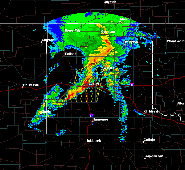 At 702 pm cdt, a severe thunderstorm capable of producing a tornado was located near amarillo, moving northeast at 30 mph (weather spotters reported funnel cloud). Hazards include tornado and golf ball size hail. Flying debris will be dangerous to those caught without shelter. mobile homes will be damaged or destroyed. damage to roofs, windows, and vehicles will occur. Tree damage is likely. At 702 pm cdt, a severe thunderstorm capable of producing a tornado was located near amarillo, moving northeast at 30 mph (weather spotters reported funnel cloud). Hazards include tornado and golf ball size hail. Flying debris will be dangerous to those caught without shelter. mobile homes will be damaged or destroyed. damage to roofs, windows, and vehicles will occur. Tree damage is likely.
|
| 3/22/2019 7:02 PM CDT | Storm damage reported in randall county TX, 5.9 miles ENE of Amarillo, TX |
| 3/22/2019 6:53 PM CDT |
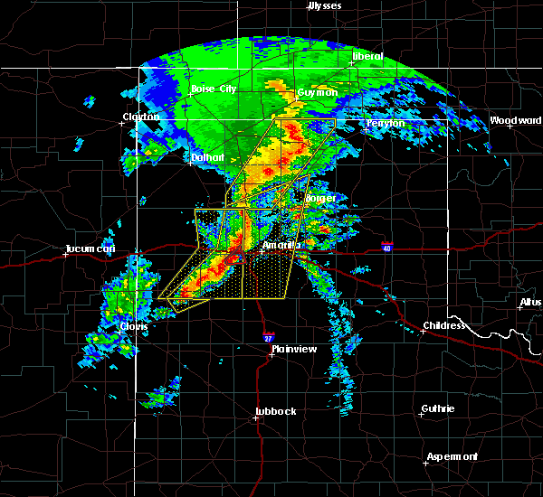 At 652 pm cdt, a severe thunderstorm capable of producing a tornado was located 6 miles east of bushland, or 7 miles west of amarillo, moving northeast at 30 mph (trained weather spotters reported a funnel cloud near 45th and soncy around 6:45 pm cdt). Hazards include tornado and golf ball size hail. Flying debris will be dangerous to those caught without shelter. mobile homes will be damaged or destroyed. damage to roofs, windows, and vehicles will occur. tree damage is likely. Locations impacted include, amarillo. At 652 pm cdt, a severe thunderstorm capable of producing a tornado was located 6 miles east of bushland, or 7 miles west of amarillo, moving northeast at 30 mph (trained weather spotters reported a funnel cloud near 45th and soncy around 6:45 pm cdt). Hazards include tornado and golf ball size hail. Flying debris will be dangerous to those caught without shelter. mobile homes will be damaged or destroyed. damage to roofs, windows, and vehicles will occur. tree damage is likely. Locations impacted include, amarillo.
|
| 3/22/2019 6:45 PM CDT |
 At 644 pm cdt, a severe thunderstorm capable of producing a tornado was located near bushland, or 11 miles west of amarillo, moving northeast at 30 mph (radar indicated rotation). Hazards include tornado and golf ball size hail. Flying debris will be dangerous to those caught without shelter. mobile homes will be damaged or destroyed. damage to roofs, windows, and vehicles will occur. Tree damage is likely. At 644 pm cdt, a severe thunderstorm capable of producing a tornado was located near bushland, or 11 miles west of amarillo, moving northeast at 30 mph (radar indicated rotation). Hazards include tornado and golf ball size hail. Flying debris will be dangerous to those caught without shelter. mobile homes will be damaged or destroyed. damage to roofs, windows, and vehicles will occur. Tree damage is likely.
|
| 3/22/2019 6:36 PM CDT |
 At 634 pm cdt, severe thunderstorms were located along a line extending from 4 miles southwest of masterson to 4 miles northwest of amarillo to near summerfield, moving east at 30 mph (radar indicated). Hazards include tennis ball size hail and 70 mph wind gusts. Expect some tree damage. damage is likely to mobile homes, roofs, and outbuildings. people and animals outdoors will be injured. Expect hail damage to roofs, siding, windows, and vehicles. At 634 pm cdt, severe thunderstorms were located along a line extending from 4 miles southwest of masterson to 4 miles northwest of amarillo to near summerfield, moving east at 30 mph (radar indicated). Hazards include tennis ball size hail and 70 mph wind gusts. Expect some tree damage. damage is likely to mobile homes, roofs, and outbuildings. people and animals outdoors will be injured. Expect hail damage to roofs, siding, windows, and vehicles.
|
| 3/22/2019 6:22 PM CDT | Ping Pong Ball sized hail reported 21.3 miles ENE of Amarillo, TX |
| 12/26/2018 3:27 PM CST |
 At 327 pm cst, a severe thunderstorm was located 8 miles northwest of amarillo, moving north at 50 mph (trained weather spotters). Hazards include quarter size hail. Damage to vehicles is expected. hail may accumulate on roadways causing hazardous travel. Locations impacted include, amarillo, bushland, valley de oro and mescalero park. At 327 pm cst, a severe thunderstorm was located 8 miles northwest of amarillo, moving north at 50 mph (trained weather spotters). Hazards include quarter size hail. Damage to vehicles is expected. hail may accumulate on roadways causing hazardous travel. Locations impacted include, amarillo, bushland, valley de oro and mescalero park.
|
| 12/26/2018 3:16 PM CST |
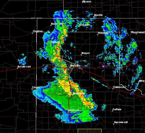 At 315 pm cst, a severe thunderstorm was located 6 miles southeast of bushland, or 8 miles southwest of amarillo, moving north at 35 mph (trained weather spotters). Hazards include quarter size hail. Damage to vehicles is expected. Locations impacted include, amarillo, canyon, mescalero park, bushland, valley de oro, umbarger and timbercreek canyon. At 315 pm cst, a severe thunderstorm was located 6 miles southeast of bushland, or 8 miles southwest of amarillo, moving north at 35 mph (trained weather spotters). Hazards include quarter size hail. Damage to vehicles is expected. Locations impacted include, amarillo, canyon, mescalero park, bushland, valley de oro, umbarger and timbercreek canyon.
|
| 12/26/2018 2:59 PM CST |
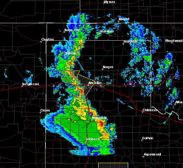 At 258 pm cst, a severe thunderstorm was located 4 miles northwest of canyon, moving north at 50 mph (radar indicated). Hazards include half dollar size hail. damage to vehicles is expected At 258 pm cst, a severe thunderstorm was located 4 miles northwest of canyon, moving north at 50 mph (radar indicated). Hazards include half dollar size hail. damage to vehicles is expected
|
| 10/7/2018 5:39 PM CDT |
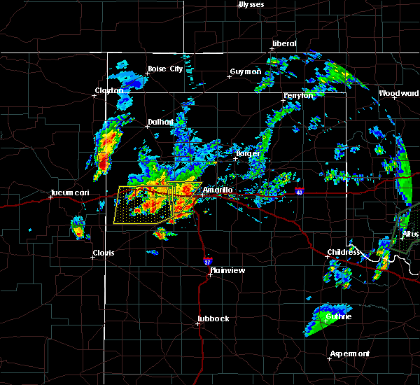 At 538 pm cdt, a severe thunderstorm capable of producing a tornado was located 4 miles northeast of bushland, or 9 miles west of amarillo, moving northeast at 15 mph (radar indicated rotation). Hazards include tornado and quarter size hail. Flying debris will be dangerous to those caught without shelter. mobile homes will be damaged or destroyed. damage to roofs, windows, and vehicles will occur. tree damage is likely. Locations impacted include, amarillo. At 538 pm cdt, a severe thunderstorm capable of producing a tornado was located 4 miles northeast of bushland, or 9 miles west of amarillo, moving northeast at 15 mph (radar indicated rotation). Hazards include tornado and quarter size hail. Flying debris will be dangerous to those caught without shelter. mobile homes will be damaged or destroyed. damage to roofs, windows, and vehicles will occur. tree damage is likely. Locations impacted include, amarillo.
|
| 10/7/2018 5:27 PM CDT |
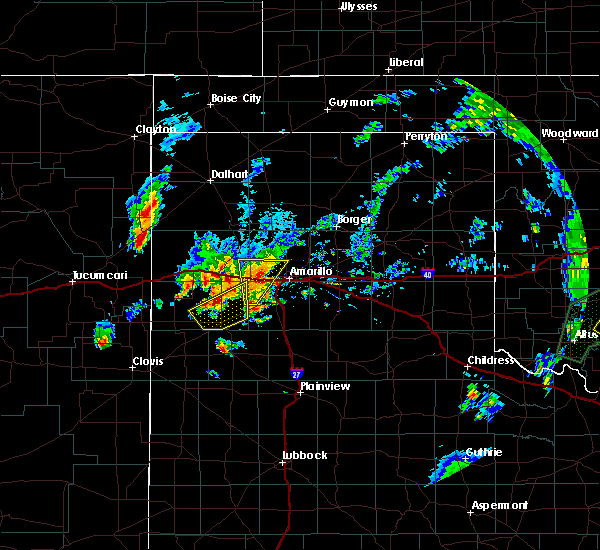 At 526 pm cdt, a severe thunderstorm capable of producing a tornado was located over bushland, or 11 miles west of amarillo, moving northeast at 25 mph (radar indicated rotation). Hazards include tornado and quarter size hail. Flying debris will be dangerous to those caught without shelter. mobile homes will be damaged or destroyed. damage to roofs, windows, and vehicles will occur. Tree damage is likely. At 526 pm cdt, a severe thunderstorm capable of producing a tornado was located over bushland, or 11 miles west of amarillo, moving northeast at 25 mph (radar indicated rotation). Hazards include tornado and quarter size hail. Flying debris will be dangerous to those caught without shelter. mobile homes will be damaged or destroyed. damage to roofs, windows, and vehicles will occur. Tree damage is likely.
|
| 10/7/2018 5:02 PM CDT |
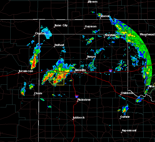 At 501 pm cdt, a severe thunderstorm was located 7 miles north of umbarger, or 13 miles west of canyon, moving north at 20 mph (radar indicated). Hazards include ping pong ball size hail and 60 mph wind gusts. Minor damage to roofs, siding, and trees is possible. people and animals outdoors will be injured. Expect hail damage to roofs, siding, windows, and vehicles. At 501 pm cdt, a severe thunderstorm was located 7 miles north of umbarger, or 13 miles west of canyon, moving north at 20 mph (radar indicated). Hazards include ping pong ball size hail and 60 mph wind gusts. Minor damage to roofs, siding, and trees is possible. people and animals outdoors will be injured. Expect hail damage to roofs, siding, windows, and vehicles.
|
| 10/5/2018 11:46 PM CDT | Storm damage reported in randall county TX, 6.7 miles NNW of Amarillo, TX |
| 9/1/2018 6:28 PM CDT |
 At 627 pm cdt, a severe thunderstorm was located 7 miles northwest of amarillo, moving north at 25 mph (radar indicated). Hazards include 60 mph wind gusts and half dollar size hail. Minor damage to roofs, siding, and trees is possible. hail damage to vehicles is expected. Locations impacted include, amarillo, canyon, lake tanglewood, mescalero park, palo duro canyon and timbercreek canyon. At 627 pm cdt, a severe thunderstorm was located 7 miles northwest of amarillo, moving north at 25 mph (radar indicated). Hazards include 60 mph wind gusts and half dollar size hail. Minor damage to roofs, siding, and trees is possible. hail damage to vehicles is expected. Locations impacted include, amarillo, canyon, lake tanglewood, mescalero park, palo duro canyon and timbercreek canyon.
|
| 9/1/2018 6:15 PM CDT |
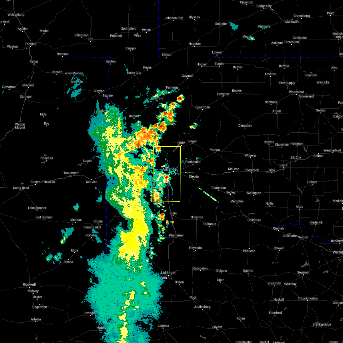 At 614 pm cdt, a severe thunderstorm was located near amarillo, moving north at 25 mph (trained weather spotters). Hazards include golf ball size hail was reported at randall high school. 60 mph winds still possible with this storm. Minor damage to roofs, siding, and trees is possible. people and animals outdoors will be injured. expect hail damage to roofs, siding, windows, and vehicles. Locations impacted include, amarillo, canyon, lake tanglewood, mescalero park, buffalo lake, bushland, valley de oro, umbarger, palo duro canyon and timbercreek canyon. At 614 pm cdt, a severe thunderstorm was located near amarillo, moving north at 25 mph (trained weather spotters). Hazards include golf ball size hail was reported at randall high school. 60 mph winds still possible with this storm. Minor damage to roofs, siding, and trees is possible. people and animals outdoors will be injured. expect hail damage to roofs, siding, windows, and vehicles. Locations impacted include, amarillo, canyon, lake tanglewood, mescalero park, buffalo lake, bushland, valley de oro, umbarger, palo duro canyon and timbercreek canyon.
|
| 9/1/2018 6:14 PM CDT | Power poles and tree limbs broke in potter county TX, 12.8 miles E of Amarillo, TX |
| 9/1/2018 6:14 PM CDT | Golf Ball sized hail reported 7.4 miles NNE of Amarillo, TX, golf ball sized hail reported near rhs |
| 9/1/2018 6:11 PM CDT |
 The national weather service in amarillo has issued a * severe thunderstorm warning for. randall county in the panhandle of texas. potter county in the panhandle of texas. until 715 pm cdt. At 609 pm cdt, a severe thunderstorm was located near amarillo,. The national weather service in amarillo has issued a * severe thunderstorm warning for. randall county in the panhandle of texas. potter county in the panhandle of texas. until 715 pm cdt. At 609 pm cdt, a severe thunderstorm was located near amarillo,.
|
| 9/1/2018 5:56 PM CDT | Schoolnet in potter county TX, 12.2 miles E of Amarillo, TX |
| 8/8/2018 2:35 AM CDT |
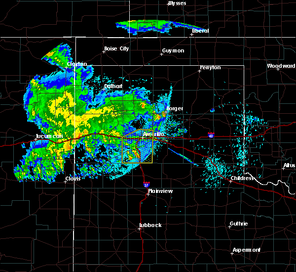 The severe thunderstorm warning for randall and southern potter counties will expire at 245 am cdt, the storms which prompted the warning have weakened below severe limits, and have exited the warned area. therefore, the warning will be allowed to expire. however gusty winds are still possible with these thunderstorms. The severe thunderstorm warning for randall and southern potter counties will expire at 245 am cdt, the storms which prompted the warning have weakened below severe limits, and have exited the warned area. therefore, the warning will be allowed to expire. however gusty winds are still possible with these thunderstorms.
|
| 8/8/2018 2:06 AM CDT |
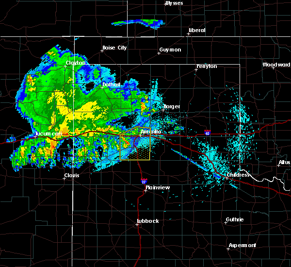 At 206 am cdt, severe thunderstorms were located along a line extending from 5 miles northwest of amarillo to 9 miles south of buffalo lake, moving east at 40 mph (radar indicated). Hazards include 60 mph wind gusts. Minor damage to roofs, siding, and trees is possible. Locations impacted include, amarillo, canyon, lake tanglewood, mescalero park, buffalo lake, bushland, umbarger, palo duro canyon and timbercreek canyon. At 206 am cdt, severe thunderstorms were located along a line extending from 5 miles northwest of amarillo to 9 miles south of buffalo lake, moving east at 40 mph (radar indicated). Hazards include 60 mph wind gusts. Minor damage to roofs, siding, and trees is possible. Locations impacted include, amarillo, canyon, lake tanglewood, mescalero park, buffalo lake, bushland, umbarger, palo duro canyon and timbercreek canyon.
|
| 8/8/2018 1:39 AM CDT |
 At 139 am cdt, severe thunderstorms were located along a line extending from 8 miles northwest of amarillo to 7 miles southeast of bootleg, moving southeast at 35 mph (radar indicated). Hazards include 60 mph wind gusts and penny size hail. minor damage to roofs, siding, and trees is possible At 139 am cdt, severe thunderstorms were located along a line extending from 8 miles northwest of amarillo to 7 miles southeast of bootleg, moving southeast at 35 mph (radar indicated). Hazards include 60 mph wind gusts and penny size hail. minor damage to roofs, siding, and trees is possible
|
| 8/1/2018 8:24 PM CDT |
 The severe thunderstorm warning for western randall and east central deaf smith counties will expire at 830 pm cdt, the storm which prompted the warning has moved out of the area. therefore, the warning will be allowed to expire. The severe thunderstorm warning for western randall and east central deaf smith counties will expire at 830 pm cdt, the storm which prompted the warning has moved out of the area. therefore, the warning will be allowed to expire.
|
| 8/1/2018 7:55 PM CDT |
 The severe thunderstorm warning for northeastern randall, northwestern armstrong, southwestern carson and southern potter counties will expire at 800 pm cdt, the storm which prompted the warning has moved out of the area. therefore, the warning will be allowed to expire. The severe thunderstorm warning for northeastern randall, northwestern armstrong, southwestern carson and southern potter counties will expire at 800 pm cdt, the storm which prompted the warning has moved out of the area. therefore, the warning will be allowed to expire.
|
| 8/1/2018 7:51 PM CDT |
 At 750 pm cdt, a severe thunderstorm was located 6 miles north of umbarger, or 11 miles west of canyon, moving southwest at 20 mph (radar indicated). Hazards include ping pong ball size hail and 60 mph wind gusts. Minor damage to roofs, siding, and trees is possible. people and animals outdoors will be injured. expect hail damage to roofs, siding, windows, and vehicles. Locations impacted include, amarillo, canyon, umbarger, mescalero park, buffalo lake and dawn. At 750 pm cdt, a severe thunderstorm was located 6 miles north of umbarger, or 11 miles west of canyon, moving southwest at 20 mph (radar indicated). Hazards include ping pong ball size hail and 60 mph wind gusts. Minor damage to roofs, siding, and trees is possible. people and animals outdoors will be injured. expect hail damage to roofs, siding, windows, and vehicles. Locations impacted include, amarillo, canyon, umbarger, mescalero park, buffalo lake and dawn.
|
| 8/1/2018 7:37 PM CDT | One power pole blown down... resulting in a nearby fire. time estimated based on radar dat in randall county TX, 18 miles ENE of Amarillo, TX |
| 8/1/2018 7:35 PM CDT | One home under construction suffered damage. time estimated based on radar dat in randall county TX, 12.5 miles ENE of Amarillo, TX |
| 8/1/2018 7:26 PM CDT |
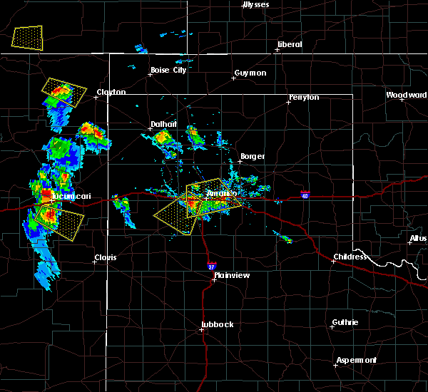 At 726 pm cdt, a severe thunderstorm was located near bushland, or 12 miles west of amarillo, moving southwest at 20 mph (radar indicated). Hazards include 60 mph wind gusts and quarter size hail. Minor damage to roofs, siding, and trees is possible. Hail damage to vehicles is expected. At 726 pm cdt, a severe thunderstorm was located near bushland, or 12 miles west of amarillo, moving southwest at 20 mph (radar indicated). Hazards include 60 mph wind gusts and quarter size hail. Minor damage to roofs, siding, and trees is possible. Hail damage to vehicles is expected.
|
| 8/1/2018 7:18 PM CDT |
 At 718 pm cdt, a severe thunderstorm was located over amarillo, moving south at 10 mph (radar indicated). Hazards include 60 mph wind gusts and nickel size hail. Minor damage to roofs, siding, and trees is possible. Locations impacted include, amarillo, canyon, lake tanglewood, mescalero park, washburn, timbercreek canyon and pantex. At 718 pm cdt, a severe thunderstorm was located over amarillo, moving south at 10 mph (radar indicated). Hazards include 60 mph wind gusts and nickel size hail. Minor damage to roofs, siding, and trees is possible. Locations impacted include, amarillo, canyon, lake tanglewood, mescalero park, washburn, timbercreek canyon and pantex.
|
| 8/1/2018 6:55 PM CDT |
 At 655 pm cdt, a severe thunderstorm was located 4 miles north of amarillo, moving south at 10 mph (radar indicated). Hazards include 60 mph wind gusts and nickel size hail. minor damage to roofs, siding, and trees is possible At 655 pm cdt, a severe thunderstorm was located 4 miles north of amarillo, moving south at 10 mph (radar indicated). Hazards include 60 mph wind gusts and nickel size hail. minor damage to roofs, siding, and trees is possible
|
| 8/1/2018 6:44 PM CDT | Storm damage reported in potter county TX, 9.5 miles S of Amarillo, TX |
| 7/15/2018 5:30 PM CDT |
 At 530 pm cdt, a severe thunderstorm was located 5 miles west of amarillo, moving southeast at 5 mph (radar indicated). Hazards include 70 mph wind gusts. Expect some tree damage. Damage is likely to mobile homes, roofs, and outbuildings. At 530 pm cdt, a severe thunderstorm was located 5 miles west of amarillo, moving southeast at 5 mph (radar indicated). Hazards include 70 mph wind gusts. Expect some tree damage. Damage is likely to mobile homes, roofs, and outbuildings.
|
| 6/25/2018 4:04 AM CDT |
 At 404 am cdt, a severe thunderstorm was located 5 miles north of amarillo, moving east at 35 mph (radar indicated). Hazards include quarter size hail. Damage to vehicles is expected. Locations impacted include, amarillo. At 404 am cdt, a severe thunderstorm was located 5 miles north of amarillo, moving east at 35 mph (radar indicated). Hazards include quarter size hail. Damage to vehicles is expected. Locations impacted include, amarillo.
|
| 6/25/2018 3:52 AM CDT |
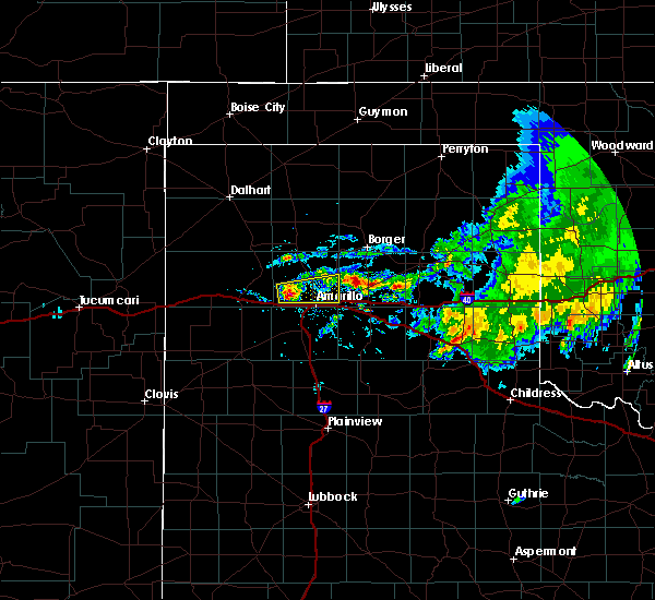 At 352 am cdt, a severe thunderstorm was located 7 miles northeast of bushland, or 10 miles northwest of amarillo, moving east at 35 mph (radar indicated). Hazards include half dollar size hail. damage to vehicles is expected At 352 am cdt, a severe thunderstorm was located 7 miles northeast of bushland, or 10 miles northwest of amarillo, moving east at 35 mph (radar indicated). Hazards include half dollar size hail. damage to vehicles is expected
|
| 6/24/2018 11:57 PM CDT | Amarillo aso in potter county TX, 0.9 miles WNW of Amarillo, TX |
| 6/24/2018 11:50 PM CDT | Waffle house reported they lost power with the strong winds that were ahead of the line of storms to the nort in randall county TX, 7.2 miles NE of Amarillo, TX |
| 6/24/2018 11:48 PM CDT | Schoolnet kjrt radio studios in randall county TX, 4.9 miles NE of Amarillo, TX |
| 6/24/2018 11:29 PM CDT | Abc7 transmitter in potter county TX, 14.2 miles S of Amarillo, TX |
| 6/22/2018 6:58 PM CDT |
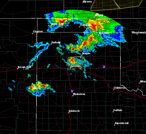 At 658 pm cdt, a severe thunderstorm was located 16 miles south of lake meredith, or 16 miles northeast of amarillo, moving east at 35 mph (radar indicated). Hazards include 60 mph wind gusts and quarter size hail. Minor damage to roofs, siding, and trees is possible. Hail damage to vehicles is expected. At 658 pm cdt, a severe thunderstorm was located 16 miles south of lake meredith, or 16 miles northeast of amarillo, moving east at 35 mph (radar indicated). Hazards include 60 mph wind gusts and quarter size hail. Minor damage to roofs, siding, and trees is possible. Hail damage to vehicles is expected.
|
| 6/22/2018 6:23 PM CDT | Storm damage reported in potter county TX, 15.9 miles SSE of Amarillo, TX |
| 6/22/2018 6:07 PM CDT | Storm damage reported in potter county TX, 15.9 miles SSE of Amarillo, TX |
| 6/13/2018 12:38 AM CDT |
 At 1238 am cdt, a severe thunderstorm was located over palo duro canyon, or 12 miles east of canyon, moving south at 25 mph (public). Hazards include 60 mph wind gusts and quarter size hail. Minor damage to roofs, siding, and trees is possible. hail damage to vehicles is expected. Locations impacted include, amarillo, canyon, lake tanglewood, mescalero park, palo duro canyon and timbercreek canyon. At 1238 am cdt, a severe thunderstorm was located over palo duro canyon, or 12 miles east of canyon, moving south at 25 mph (public). Hazards include 60 mph wind gusts and quarter size hail. Minor damage to roofs, siding, and trees is possible. hail damage to vehicles is expected. Locations impacted include, amarillo, canyon, lake tanglewood, mescalero park, palo duro canyon and timbercreek canyon.
|
| 6/13/2018 12:20 AM CDT |
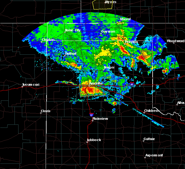 At 1219 am cdt, a severe thunderstorm was located near lake tanglewood, or 9 miles southeast of amarillo, moving south at 20 mph (public). Hazards include 70 mph wind gusts and quarter size hail. Expect some tree damage. damage is likely to mobile homes, roofs, and outbuildings. hail damage to vehicles is expected. Locations impacted include, amarillo, canyon, lake tanglewood, mescalero park, bushland, palo duro canyon and timbercreek canyon. At 1219 am cdt, a severe thunderstorm was located near lake tanglewood, or 9 miles southeast of amarillo, moving south at 20 mph (public). Hazards include 70 mph wind gusts and quarter size hail. Expect some tree damage. damage is likely to mobile homes, roofs, and outbuildings. hail damage to vehicles is expected. Locations impacted include, amarillo, canyon, lake tanglewood, mescalero park, bushland, palo duro canyon and timbercreek canyon.
|
| 6/13/2018 12:18 AM CDT | Quarter sized hail reported 3.1 miles ENE of Amarillo, TX |
| 6/13/2018 12:13 AM CDT | Quarter sized hail reported 4.5 miles NE of Amarillo, TX, twitter report of nickel to quarter sized hail at i-27 and western st. |
| 6/13/2018 12:09 AM CDT |
 At 1209 am cdt, a severe thunderstorm was located 5 miles northeast of lake tanglewood, or 7 miles southeast of amarillo, moving south at 25 mph (public). Hazards include 60 mph wind gusts and quarter size hail. Minor damage to roofs, siding, and trees is possible. hail damage to vehicles is expected. Locations impacted include, amarillo, canyon, lake tanglewood, mescalero park, bushland, washburn, palo duro canyon and timbercreek canyon. At 1209 am cdt, a severe thunderstorm was located 5 miles northeast of lake tanglewood, or 7 miles southeast of amarillo, moving south at 25 mph (public). Hazards include 60 mph wind gusts and quarter size hail. Minor damage to roofs, siding, and trees is possible. hail damage to vehicles is expected. Locations impacted include, amarillo, canyon, lake tanglewood, mescalero park, bushland, washburn, palo duro canyon and timbercreek canyon.
|
| 6/13/2018 12:05 AM CDT | Quarter sized hail reported 4.3 miles WNW of Amarillo, TX |
| 6/12/2018 11:53 PM CDT |
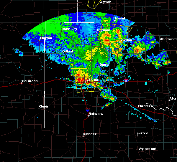 At 1152 pm cdt, a severe thunderstorm was located over amarillo, moving south at 25 mph (radar indicated). Hazards include 60 mph wind gusts and quarter size hail. Minor damage to roofs, siding, and trees is possible. Hail damage to vehicles is expected. At 1152 pm cdt, a severe thunderstorm was located over amarillo, moving south at 25 mph (radar indicated). Hazards include 60 mph wind gusts and quarter size hail. Minor damage to roofs, siding, and trees is possible. Hail damage to vehicles is expected.
|
| 6/12/2018 9:44 PM CDT |
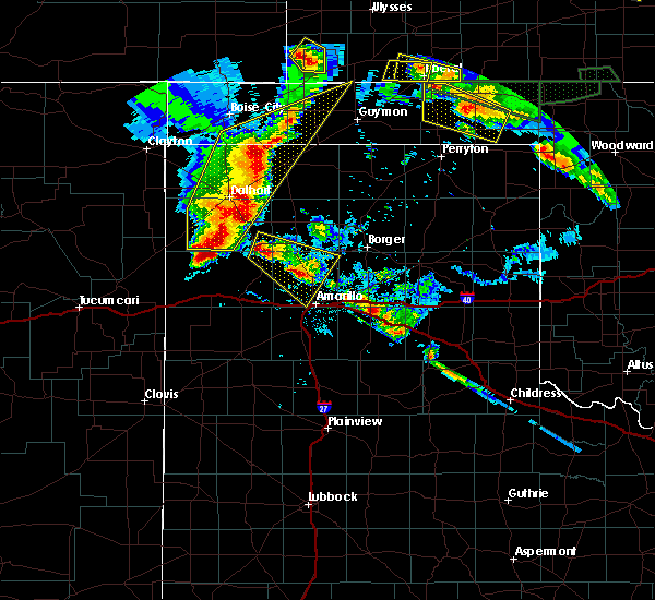 At 944 pm cdt, a severe thunderstorm was located 7 miles north of boys ranch, or 22 miles southwest of dumas, moving southeast at 10 mph (radar indicated). Hazards include two inch hail and 60 mph wind gusts. Minor damage to roofs, siding, and trees is possible. people and animals outdoors will be injured. Expect hail damage to roofs, siding, windows, and vehicles. At 944 pm cdt, a severe thunderstorm was located 7 miles north of boys ranch, or 22 miles southwest of dumas, moving southeast at 10 mph (radar indicated). Hazards include two inch hail and 60 mph wind gusts. Minor damage to roofs, siding, and trees is possible. people and animals outdoors will be injured. Expect hail damage to roofs, siding, windows, and vehicles.
|
| 5/28/2018 8:25 PM CDT |
 At 825 pm cdt, a severe thunderstorm was located 13 miles southwest of lake meredith, or 19 miles north of amarillo, moving northeast at 35 mph (radar indicated). Hazards include 60 mph wind gusts and half dollar size hail. Minor damage to roofs, siding, and trees is possible. hail damage to vehicles is expected. Locations impacted include, amarillo and pantex. At 825 pm cdt, a severe thunderstorm was located 13 miles southwest of lake meredith, or 19 miles north of amarillo, moving northeast at 35 mph (radar indicated). Hazards include 60 mph wind gusts and half dollar size hail. Minor damage to roofs, siding, and trees is possible. hail damage to vehicles is expected. Locations impacted include, amarillo and pantex.
|
| 5/28/2018 8:08 PM CDT |
 At 807 pm cdt, a severe thunderstorm was located 12 miles southeast of valley de oro, or 12 miles northwest of amarillo, moving northeast at 35 mph (radar indicated). Hazards include 60 mph wind gusts and half dollar size hail. Minor damage to roofs, siding, and trees is possible. hail damage to vehicles is expected. Locations impacted include, amarillo and pantex. At 807 pm cdt, a severe thunderstorm was located 12 miles southeast of valley de oro, or 12 miles northwest of amarillo, moving northeast at 35 mph (radar indicated). Hazards include 60 mph wind gusts and half dollar size hail. Minor damage to roofs, siding, and trees is possible. hail damage to vehicles is expected. Locations impacted include, amarillo and pantex.
|
| 5/28/2018 7:54 PM CDT |
 At 754 pm cdt, a severe thunderstorm was located 7 miles northeast of bushland, or 12 miles northwest of amarillo, moving northeast at 35 mph (radar indicated). Hazards include golf ball size hail and 60 mph wind gusts. Minor damage to roofs, siding, and trees is possible. people and animals outdoors will be injured. Expect hail damage to roofs, siding, windows, and vehicles. At 754 pm cdt, a severe thunderstorm was located 7 miles northeast of bushland, or 12 miles northwest of amarillo, moving northeast at 35 mph (radar indicated). Hazards include golf ball size hail and 60 mph wind gusts. Minor damage to roofs, siding, and trees is possible. people and animals outdoors will be injured. Expect hail damage to roofs, siding, windows, and vehicles.
|
| 5/19/2018 11:13 PM CDT | Storm damage reported in potter county TX, 6.6 miles W of Amarillo, TX |
| 10/6/2017 9:36 PM CDT | Trees and power lines down on mirror street between ne 20th and ne 24th avenue in potter county TX, 2.6 miles SSW of Amarillo, TX |
| 10/6/2017 9:17 PM CDT | Wonderland park in potter county TX, 2 miles SSW of Amarillo, TX |
| 10/6/2017 9:13 PM CDT |
 At 912 pm cdt, a severe thunderstorm was located 4 miles northwest of amarillo, moving east at 40 mph (radar indicated). Hazards include 60 mph wind gusts and quarter size hail. Minor damage to roofs, siding, and trees is possible. Hail damage to vehicles is expected. At 912 pm cdt, a severe thunderstorm was located 4 miles northwest of amarillo, moving east at 40 mph (radar indicated). Hazards include 60 mph wind gusts and quarter size hail. Minor damage to roofs, siding, and trees is possible. Hail damage to vehicles is expected.
|
| 9/17/2017 4:56 PM CDT |
 The severe thunderstorm warning for northwestern randall, southeastern oldham, eastern deaf smith and southwestern potter counties will expire at 500 pm cdt, the storm which prompted the warning has weakened below severe limits, and no longer poses an immediate threat to life or property. therefore the warning will be allowed to expire. a severe thunderstorm watch remains in effect until 1100 pm cdt for the panhandle of texas. The severe thunderstorm warning for northwestern randall, southeastern oldham, eastern deaf smith and southwestern potter counties will expire at 500 pm cdt, the storm which prompted the warning has weakened below severe limits, and no longer poses an immediate threat to life or property. therefore the warning will be allowed to expire. a severe thunderstorm watch remains in effect until 1100 pm cdt for the panhandle of texas.
|
| 9/17/2017 4:27 PM CDT |
 At 424 pm cdt, a severe thunderstorm was located 14 miles south of vega, moving northeast at 30 mph. another severe thunderstorm just southeast of bootleg is moving north northeast at about 20 mph (radar indicated). Hazards include 60 mph wind gusts and quarter to half dollar sized hail. Minor damage to roofs, siding, and trees is possible. hail damage to vehicles is expected. Locations impacted include, hereford, vega, wildorado, bushland and dawn. At 424 pm cdt, a severe thunderstorm was located 14 miles south of vega, moving northeast at 30 mph. another severe thunderstorm just southeast of bootleg is moving north northeast at about 20 mph (radar indicated). Hazards include 60 mph wind gusts and quarter to half dollar sized hail. Minor damage to roofs, siding, and trees is possible. hail damage to vehicles is expected. Locations impacted include, hereford, vega, wildorado, bushland and dawn.
|
| 9/17/2017 3:59 PM CDT |
 At 357 pm cdt, a severe thunderstorm was located 7 miles northwest of hereford, moving northeast at 30 mph. another storm just east of simms is included in this warning and is severe as well. this storm is fairly stationary and moving slightly east about 5 mph (radar indicated). Hazards include 60 mph wind gusts and half dollar size hail. Minor damage to roofs, siding, and trees is possible. Hail damage to vehicles is expected. At 357 pm cdt, a severe thunderstorm was located 7 miles northwest of hereford, moving northeast at 30 mph. another storm just east of simms is included in this warning and is severe as well. this storm is fairly stationary and moving slightly east about 5 mph (radar indicated). Hazards include 60 mph wind gusts and half dollar size hail. Minor damage to roofs, siding, and trees is possible. Hail damage to vehicles is expected.
|
| 8/27/2017 10:42 PM CDT |
 The severe thunderstorm warning for eastern oldham, western potter, southeastern hartley and southwestern moore counties will expire at 1045 pm cdt, the storm which prompted the warning has weakened below severe limits, and no longer poses an immediate threat to life or property. therefore the warning will be allowed to expire. however gusty winds are still possible with this thunderstorm. a severe thunderstorm watch remains in effect until 1100 pm cdt for the panhandle of texas. The severe thunderstorm warning for eastern oldham, western potter, southeastern hartley and southwestern moore counties will expire at 1045 pm cdt, the storm which prompted the warning has weakened below severe limits, and no longer poses an immediate threat to life or property. therefore the warning will be allowed to expire. however gusty winds are still possible with this thunderstorm. a severe thunderstorm watch remains in effect until 1100 pm cdt for the panhandle of texas.
|
| 8/27/2017 10:37 PM CDT |
 At 1037 pm cdt, a severe thunderstorm was located 6 miles northeast of wildorado, or 14 miles east of vega, moving south at 20 mph (radar indicated). Hazards include 60 mph wind gusts. minor damage to roofs, siding, and trees is possible At 1037 pm cdt, a severe thunderstorm was located 6 miles northeast of wildorado, or 14 miles east of vega, moving south at 20 mph (radar indicated). Hazards include 60 mph wind gusts. minor damage to roofs, siding, and trees is possible
|
| 8/27/2017 9:50 PM CDT |
 At 950 pm cdt, a severe thunderstorm was located 7 miles northeast of boys ranch, or 21 miles southwest of dumas, moving south at 50 mph (radar indicated). Hazards include 60 mph wind gusts and nickel size hail. minor damage to roofs, siding, and trees is possible At 950 pm cdt, a severe thunderstorm was located 7 miles northeast of boys ranch, or 21 miles southwest of dumas, moving south at 50 mph (radar indicated). Hazards include 60 mph wind gusts and nickel size hail. minor damage to roofs, siding, and trees is possible
|
| 8/17/2017 7:59 PM CDT | Storm damage reported in randall county TX, 9.6 miles NNW of Amarillo, TX |
| 8/17/2017 7:59 PM CDT |
 At 758 pm cdt, a severe thunderstorm was located over lake tanglewood, or 8 miles south of amarillo, moving east at 15 mph (radar indicated). Hazards include 60 mph wind gusts and penny size hail. Minor damage to roofs, siding, and trees is possible. Locations impacted include, amarillo, claude, lake tanglewood, mescalero park and timbercreek canyon. At 758 pm cdt, a severe thunderstorm was located over lake tanglewood, or 8 miles south of amarillo, moving east at 15 mph (radar indicated). Hazards include 60 mph wind gusts and penny size hail. Minor damage to roofs, siding, and trees is possible. Locations impacted include, amarillo, claude, lake tanglewood, mescalero park and timbercreek canyon.
|
| 8/17/2017 7:20 PM CDT |
 At 720 pm cdt, a severe thunderstorm was located 5 miles north of mescalero park, or 8 miles southwest of amarillo, moving east at 25 mph (radar indicated). Hazards include 60 mph wind gusts and quarter size hail. Minor damage to roofs, siding, and trees is possible. Hail damage to vehicles is expected. At 720 pm cdt, a severe thunderstorm was located 5 miles north of mescalero park, or 8 miles southwest of amarillo, moving east at 25 mph (radar indicated). Hazards include 60 mph wind gusts and quarter size hail. Minor damage to roofs, siding, and trees is possible. Hail damage to vehicles is expected.
|
| 8/14/2017 11:21 PM CDT |
 At 1121 pm cdt, severe thunderstorms were located along a line extending from 7 miles northwest of claude to 12 miles south of buffalo lake, moving southeast at 30 mph (radar indicated). Hazards include 60 mph wind gusts. Minor damage to roofs, siding, and trees is possible. Locations impacted include, amarillo, hereford, canyon, panhandle, clarendon, claude, lake tanglewood, mclean, groom, howardwick, buffalo lake, lake mcclellan, wayside, washburn, umbarger, palo duro canyon, goodnight, mescalero park, dawn and alanreed. At 1121 pm cdt, severe thunderstorms were located along a line extending from 7 miles northwest of claude to 12 miles south of buffalo lake, moving southeast at 30 mph (radar indicated). Hazards include 60 mph wind gusts. Minor damage to roofs, siding, and trees is possible. Locations impacted include, amarillo, hereford, canyon, panhandle, clarendon, claude, lake tanglewood, mclean, groom, howardwick, buffalo lake, lake mcclellan, wayside, washburn, umbarger, palo duro canyon, goodnight, mescalero park, dawn and alanreed.
|
| 8/14/2017 10:57 PM CDT |
 At 1057 pm cdt, severe thunderstorms were located along a line extending from 11 miles north of amarillo to 10 miles north of dawn, moving southeast at 25 mph (radar indicated). Hazards include 60 mph wind gusts. Minor damage to roofs, siding, and trees is possible. Locations impacted include, amarillo, hereford, mescalero park, bushland, dawn, umbarger, bootleg, wildorado and pantex. At 1057 pm cdt, severe thunderstorms were located along a line extending from 11 miles north of amarillo to 10 miles north of dawn, moving southeast at 25 mph (radar indicated). Hazards include 60 mph wind gusts. Minor damage to roofs, siding, and trees is possible. Locations impacted include, amarillo, hereford, mescalero park, bushland, dawn, umbarger, bootleg, wildorado and pantex.
|
| 8/14/2017 10:40 PM CDT |
 At 1038 pm cdt, severe thunderstorms were located along a line extending from 15 miles north of amarillo to 6 miles north of hereford, moving southeast at 40 mph (radar indicated). Hazards include 60 mph wind gusts. minor damage to roofs, siding, and trees is possible At 1038 pm cdt, severe thunderstorms were located along a line extending from 15 miles north of amarillo to 6 miles north of hereford, moving southeast at 40 mph (radar indicated). Hazards include 60 mph wind gusts. minor damage to roofs, siding, and trees is possible
|
| 8/14/2017 10:35 PM CDT |
 At 1035 pm cdt, severe thunderstorms were located along a line extending from 11 miles east of valley de oro to 8 miles south of vega, moving southeast at 25 mph (radar indicated). Hazards include 60 mph wind gusts. Minor damage to roofs, siding, and trees is possible. Locations impacted include, amarillo, hereford, vega, fritch, bushland, valley de oro, umbarger, bootleg, wildorado, mescalero park, dawn, simms and pantex. At 1035 pm cdt, severe thunderstorms were located along a line extending from 11 miles east of valley de oro to 8 miles south of vega, moving southeast at 25 mph (radar indicated). Hazards include 60 mph wind gusts. Minor damage to roofs, siding, and trees is possible. Locations impacted include, amarillo, hereford, vega, fritch, bushland, valley de oro, umbarger, bootleg, wildorado, mescalero park, dawn, simms and pantex.
|
| 8/14/2017 9:59 PM CDT |
 At 959 pm cdt, severe thunderstorms were located along a line extending from 6 miles north of valley de oro to 3 miles southeast of adrian, moving southeast at 25 mph (radar indicated). Hazards include 60 mph wind gusts and penny size hail. Minor damage to roofs, siding, and trees is possible. Locations impacted include, amarillo, hereford, vega, fritch, adrian, glenrio, bushland, valley de oro, boys ranch, umbarger, bootleg, wildorado, mescalero park, dawn, four way, masterson, simms, lake meredith and pantex. At 959 pm cdt, severe thunderstorms were located along a line extending from 6 miles north of valley de oro to 3 miles southeast of adrian, moving southeast at 25 mph (radar indicated). Hazards include 60 mph wind gusts and penny size hail. Minor damage to roofs, siding, and trees is possible. Locations impacted include, amarillo, hereford, vega, fritch, adrian, glenrio, bushland, valley de oro, boys ranch, umbarger, bootleg, wildorado, mescalero park, dawn, four way, masterson, simms, lake meredith and pantex.
|
| 8/14/2017 9:43 PM CDT |
 At 943 pm cdt, severe thunderstorms were located along a line extending from 5 miles north of boys ranch to 4 miles west of adrian, moving southeast at 25 mph (radar indicated). Hazards include 60 mph wind gusts and penny size hail. minor damage to roofs, siding, and trees is possible At 943 pm cdt, severe thunderstorms were located along a line extending from 5 miles north of boys ranch to 4 miles west of adrian, moving southeast at 25 mph (radar indicated). Hazards include 60 mph wind gusts and penny size hail. minor damage to roofs, siding, and trees is possible
|
| 8/13/2017 8:27 PM CDT |
 At 827 pm cdt, severe thunderstorms were located along a line extending from 6 miles south of panhandle to 5 miles northeast of umbarger, moving southeast at 25 mph (radar indicated). Hazards include 60 mph wind gusts and penny size hail. Minor damage to roofs, siding, and trees is possible. Locations impacted include, amarillo, canyon, panhandle, claude, lake tanglewood, groom, buffalo lake, wayside, washburn, umbarger, palo duro canyon, mescalero park, timbercreek canyon and pantex. At 827 pm cdt, severe thunderstorms were located along a line extending from 6 miles south of panhandle to 5 miles northeast of umbarger, moving southeast at 25 mph (radar indicated). Hazards include 60 mph wind gusts and penny size hail. Minor damage to roofs, siding, and trees is possible. Locations impacted include, amarillo, canyon, panhandle, claude, lake tanglewood, groom, buffalo lake, wayside, washburn, umbarger, palo duro canyon, mescalero park, timbercreek canyon and pantex.
|
| 8/13/2017 8:24 PM CDT |
 The severe thunderstorm warning for northwestern randall, southeastern oldham, northeastern deaf smith and southwestern potter counties will expire at 830 pm cdt, the storms which prompted the warning have weakened below severe limits, and no longer pose an immediate threat to life or property. therefore the warning will be allowed to expire. however heavy rain is still possible with these thunderstorms. a severe thunderstorm watch remains in effect until midnight cdt for the panhandle of texas. The severe thunderstorm warning for northwestern randall, southeastern oldham, northeastern deaf smith and southwestern potter counties will expire at 830 pm cdt, the storms which prompted the warning have weakened below severe limits, and no longer pose an immediate threat to life or property. therefore the warning will be allowed to expire. however heavy rain is still possible with these thunderstorms. a severe thunderstorm watch remains in effect until midnight cdt for the panhandle of texas.
|
| 8/13/2017 8:12 PM CDT | Storm damage reported in potter county TX, 6.6 miles W of Amarillo, TX |
| 8/13/2017 8:11 PM CDT | Storm damage reported in potter county TX, 10.4 miles WSW of Amarillo, TX |
| 8/13/2017 8:11 PM CDT |
 At 811 pm cdt, severe thunderstorms were located along a line extending from 7 miles southwest of lake meredith to 10 miles northwest of dawn, moving southeast at 20 mph (radar indicated). Hazards include 60 mph wind gusts and penny size hail. Minor damage to roofs, siding, and trees is possible. Locations impacted include, amarillo, vega, bushland, buffalo lake, valley de oro, umbarger and wildorado. At 811 pm cdt, severe thunderstorms were located along a line extending from 7 miles southwest of lake meredith to 10 miles northwest of dawn, moving southeast at 20 mph (radar indicated). Hazards include 60 mph wind gusts and penny size hail. Minor damage to roofs, siding, and trees is possible. Locations impacted include, amarillo, vega, bushland, buffalo lake, valley de oro, umbarger and wildorado.
|
| 8/13/2017 7:50 PM CDT |
 At 749 pm cdt, severe thunderstorms were located along a line extending from 10 miles south of fritch to 3 miles southwest of bushland, moving southeast at 35 mph. these are very dangerous storms (radar indicated). Hazards include 80 mph wind gusts and penny size hail. Flying debris will be dangerous to those caught without shelter. mobile homes will be heavily damaged. expect considerable damage to roofs, windows, and vehicles. Tree damage and power outages are likely. At 749 pm cdt, severe thunderstorms were located along a line extending from 10 miles south of fritch to 3 miles southwest of bushland, moving southeast at 35 mph. these are very dangerous storms (radar indicated). Hazards include 80 mph wind gusts and penny size hail. Flying debris will be dangerous to those caught without shelter. mobile homes will be heavily damaged. expect considerable damage to roofs, windows, and vehicles. Tree damage and power outages are likely.
|
| 8/13/2017 7:45 PM CDT |
 At 744 pm cdt, severe thunderstorms were located along a line extending from 6 miles east of masterson to 7 miles southeast of vega, moving southeast at 30 mph. these are very dangerous storms (radar indicated). Hazards include 80 mph wind gusts and penny size hail. Flying debris will be dangerous to those caught without shelter. mobile homes will be heavily damaged. expect considerable damage to roofs, windows, and vehicles. tree damage and power outages are likely. Locations impacted include, amarillo, vega, bushland, buffalo lake, four way, valley de oro, boys ranch, masterson, umbarger and wildorado. At 744 pm cdt, severe thunderstorms were located along a line extending from 6 miles east of masterson to 7 miles southeast of vega, moving southeast at 30 mph. these are very dangerous storms (radar indicated). Hazards include 80 mph wind gusts and penny size hail. Flying debris will be dangerous to those caught without shelter. mobile homes will be heavily damaged. expect considerable damage to roofs, windows, and vehicles. tree damage and power outages are likely. Locations impacted include, amarillo, vega, bushland, buffalo lake, four way, valley de oro, boys ranch, masterson, umbarger and wildorado.
|
| 8/13/2017 7:26 PM CDT |
 At 725 pm cdt, severe thunderstorms were located along a line extending from 7 miles west of dumas to vega, moving southeast at 20 mph. these are very dangerous storms (radar indicated). Hazards include 80 mph wind gusts and penny size hail. Flying debris will be dangerous to those caught without shelter. mobile homes will be heavily damaged. expect considerable damage to roofs, windows, and vehicles. Tree damage and power outages are likely. At 725 pm cdt, severe thunderstorms were located along a line extending from 7 miles west of dumas to vega, moving southeast at 20 mph. these are very dangerous storms (radar indicated). Hazards include 80 mph wind gusts and penny size hail. Flying debris will be dangerous to those caught without shelter. mobile homes will be heavily damaged. expect considerable damage to roofs, windows, and vehicles. Tree damage and power outages are likely.
|
| 8/13/2017 7:00 PM CDT |
 At 700 pm cdt, a severe thunderstorm was located 9 miles southwest of lake meredith, or 22 miles west of borger, moving east at 10 mph (radar indicated). Hazards include 60 mph wind gusts and penny size hail. minor damage to roofs, siding, and trees is possible At 700 pm cdt, a severe thunderstorm was located 9 miles southwest of lake meredith, or 22 miles west of borger, moving east at 10 mph (radar indicated). Hazards include 60 mph wind gusts and penny size hail. minor damage to roofs, siding, and trees is possible
|
| 8/3/2017 3:24 PM CDT |
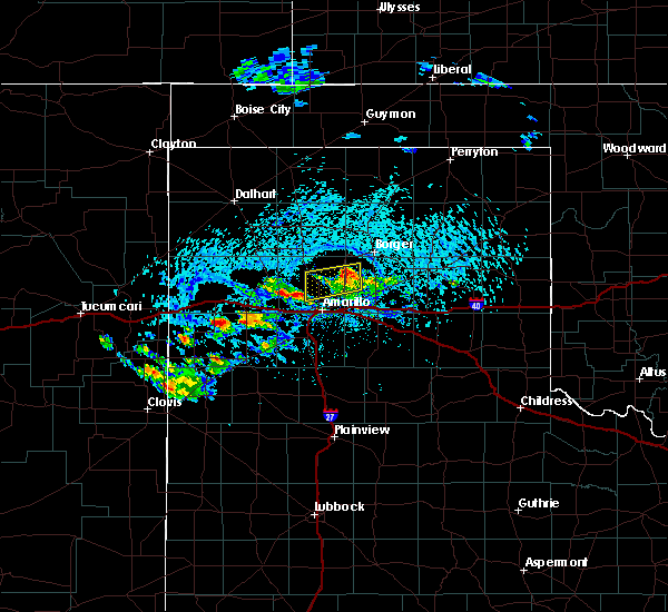 At 324 pm cdt, a severe thunderstorm was located 12 miles south of fritch, or 16 miles northwest of panhandle, moving east at 10 mph (radar indicated). Hazards include 60 mph wind gusts and quarter size hail. Minor damage to roofs, siding, and trees is possible. hail damage to vehicles is expected. Locations impacted include, amarillo. At 324 pm cdt, a severe thunderstorm was located 12 miles south of fritch, or 16 miles northwest of panhandle, moving east at 10 mph (radar indicated). Hazards include 60 mph wind gusts and quarter size hail. Minor damage to roofs, siding, and trees is possible. hail damage to vehicles is expected. Locations impacted include, amarillo.
|
| 8/3/2017 3:13 PM CDT |
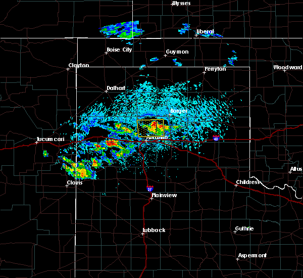 At 313 pm cdt, a severe thunderstorm was located 11 miles south of fritch, or 18 miles northwest of panhandle, moving east at 15 mph (radar indicated). Hazards include 60 mph wind gusts and quarter size hail. Minor damage to roofs, siding, and trees is possible. hail damage to vehicles is expected. Locations impacted include, amarillo and pantex. At 313 pm cdt, a severe thunderstorm was located 11 miles south of fritch, or 18 miles northwest of panhandle, moving east at 15 mph (radar indicated). Hazards include 60 mph wind gusts and quarter size hail. Minor damage to roofs, siding, and trees is possible. hail damage to vehicles is expected. Locations impacted include, amarillo and pantex.
|
| 8/3/2017 3:00 PM CDT |
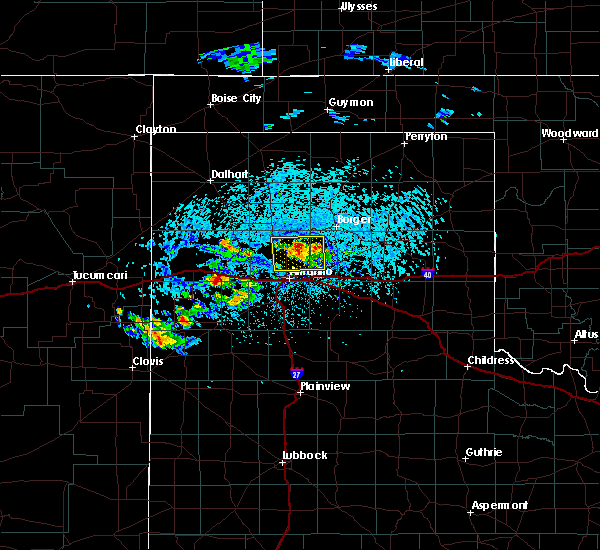 At 259 pm cdt, a severe thunderstorm was located 13 miles south of fritch, or 15 miles northwest of panhandle, moving southeast at 10 mph (radar indicated). Hazards include 60 mph wind gusts and quarter size hail. Minor damage to roofs, siding, and trees is possible. hail damage to vehicles is expected. Locations impacted include, amarillo and pantex. At 259 pm cdt, a severe thunderstorm was located 13 miles south of fritch, or 15 miles northwest of panhandle, moving southeast at 10 mph (radar indicated). Hazards include 60 mph wind gusts and quarter size hail. Minor damage to roofs, siding, and trees is possible. hail damage to vehicles is expected. Locations impacted include, amarillo and pantex.
|
| 8/3/2017 2:47 PM CDT |
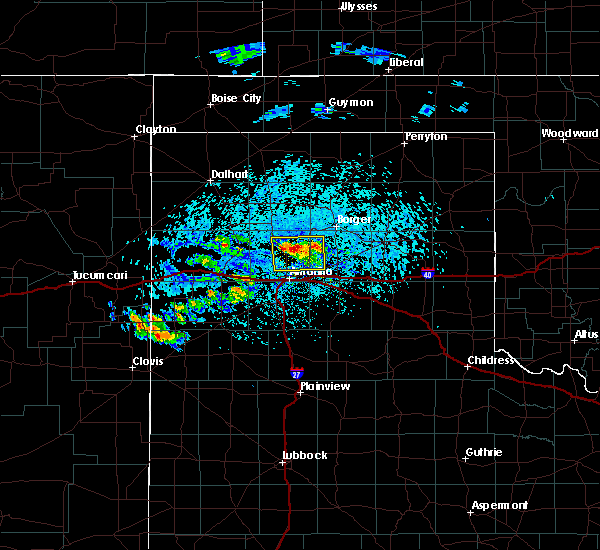 At 247 pm cdt, a severe thunderstorm was located 12 miles south of lake meredith, or 19 miles north of amarillo, moving southeast at 10 mph (radar indicated). Hazards include 60 mph wind gusts and quarter size hail. Minor damage to roofs, siding, and trees is possible. Hail damage to vehicles is expected. At 247 pm cdt, a severe thunderstorm was located 12 miles south of lake meredith, or 19 miles north of amarillo, moving southeast at 10 mph (radar indicated). Hazards include 60 mph wind gusts and quarter size hail. Minor damage to roofs, siding, and trees is possible. Hail damage to vehicles is expected.
|
| 7/29/2017 4:54 PM CDT | East side of old airport terminal collapsed... both airport doors blown out due to microburst wind in potter county TX, 7.3 miles WSW of Amarillo, TX |
| 7/29/2017 4:06 PM CDT |
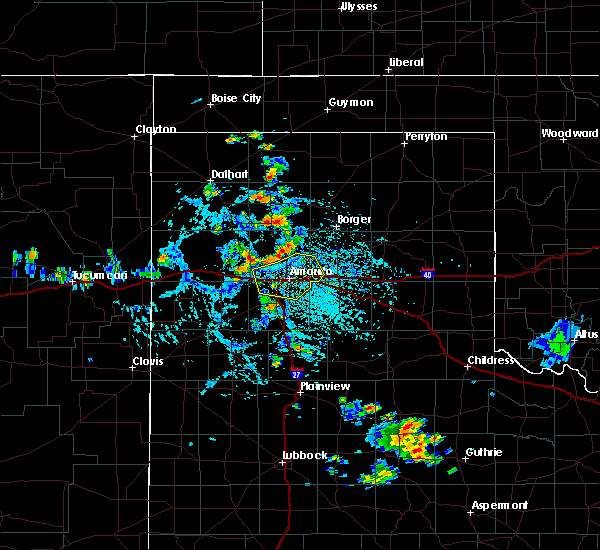 At 406 pm cdt, severe thunderstorms were located along a line extending from 16 miles northwest of washburn to 7 miles northwest of amarillo to 5 miles north of bushland, moving southeast at 5 mph (radar indicated). Hazards include 60 mph wind gusts and nickel size hail. minor damage to roofs, siding, and trees is possible At 406 pm cdt, severe thunderstorms were located along a line extending from 16 miles northwest of washburn to 7 miles northwest of amarillo to 5 miles north of bushland, moving southeast at 5 mph (radar indicated). Hazards include 60 mph wind gusts and nickel size hail. minor damage to roofs, siding, and trees is possible
|
| 7/29/2017 3:54 PM CDT | Storm damage reported in potter county TX, 15.9 miles SSE of Amarillo, TX |
| 7/29/2017 3:15 PM CDT | Storm damage reported in potter county TX, 15.9 miles SSE of Amarillo, TX |
| 7/26/2017 7:33 PM CDT |
 At 731 pm cdt, a severe thunderstorm was located over bushland, or 12 miles west of amarillo, moving east at 5 mph (radar indicated). Hazards include 70 mph wind gusts. a 66 mph wind gust was reported at kvii studio schoolnet at 7:26 pm. Expect some tree damage. damage is likely to mobile homes, roofs, and outbuildings. Locations impacted include, amarillo, lake tanglewood, mescalero park, bushland and timbercreek canyon. At 731 pm cdt, a severe thunderstorm was located over bushland, or 12 miles west of amarillo, moving east at 5 mph (radar indicated). Hazards include 70 mph wind gusts. a 66 mph wind gust was reported at kvii studio schoolnet at 7:26 pm. Expect some tree damage. damage is likely to mobile homes, roofs, and outbuildings. Locations impacted include, amarillo, lake tanglewood, mescalero park, bushland and timbercreek canyon.
|
| 7/26/2017 7:30 PM CDT | Four trees blown down at this location in downtown amarill in potter county TX, 0.4 miles NE of Amarillo, TX |
| 7/26/2017 7:26 PM CDT | Storm damage reported in potter county TX, 0.4 miles NW of Amarillo, TX |
| 7/26/2017 7:25 PM CDT |
 At 724 pm cdt, a severe thunderstorm was located over bushland, or 16 miles west of amarillo, moving east at 5 mph (radar indicated). Hazards include 65 mph wind gusts. Expect some tree damage. Damage is likely to mobile homes, roofs, and outbuildings. At 724 pm cdt, a severe thunderstorm was located over bushland, or 16 miles west of amarillo, moving east at 5 mph (radar indicated). Hazards include 65 mph wind gusts. Expect some tree damage. Damage is likely to mobile homes, roofs, and outbuildings.
|
| 7/26/2017 7:21 PM CDT |
 At 719 pm cdt, a severe thunderstorm was located 6 miles north of mescalero park, or 7 miles southwest of amarillo, and is moving southeast at 5 mph (radar indicated). Hazards include 65 mph wind gusts. Expect some tree damage. damage is likely to mobile homes, roofs, and outbuildings. Locations impacted include, amarillo, wildorado, bushland and mescalero park. At 719 pm cdt, a severe thunderstorm was located 6 miles north of mescalero park, or 7 miles southwest of amarillo, and is moving southeast at 5 mph (radar indicated). Hazards include 65 mph wind gusts. Expect some tree damage. damage is likely to mobile homes, roofs, and outbuildings. Locations impacted include, amarillo, wildorado, bushland and mescalero park.
|
| 7/26/2017 7:00 PM CDT | Storm damage reported in potter county TX, 9.9 miles ESE of Amarillo, TX |
| 7/26/2017 6:49 PM CDT |
 At 648 pm cdt, a severe thunderstorm was located 4 miles east of bushland, or 9 miles west of amarillo, moving southeast at 10 mph (radar indicated). Hazards include 60 mph wind gusts. minor damage to roofs, siding, and trees is possible At 648 pm cdt, a severe thunderstorm was located 4 miles east of bushland, or 9 miles west of amarillo, moving southeast at 10 mph (radar indicated). Hazards include 60 mph wind gusts. minor damage to roofs, siding, and trees is possible
|
| 7/4/2017 10:13 PM CDT | Storm damage reported in randall county TX, 6.7 miles NNW of Amarillo, TX |
| 7/4/2017 9:45 PM CDT |
 At 943 pm cdt, a severe thunderstorm was located 11 miles south of lake meredith, or 20 miles north of amarillo, moving southeast at 25 mph. this storm may merge with another severe storm located 20 miles northwest of amarillo (radar indicated). Hazards include 70 mph wind gusts and quarter size hail. Expect some tree damage. damage is likely to mobile homes, roofs, and outbuildings. hail damage to vehicles is expected. Locations impacted include, amarillo, borger, fritch, sanford and lake meredith. At 943 pm cdt, a severe thunderstorm was located 11 miles south of lake meredith, or 20 miles north of amarillo, moving southeast at 25 mph. this storm may merge with another severe storm located 20 miles northwest of amarillo (radar indicated). Hazards include 70 mph wind gusts and quarter size hail. Expect some tree damage. damage is likely to mobile homes, roofs, and outbuildings. hail damage to vehicles is expected. Locations impacted include, amarillo, borger, fritch, sanford and lake meredith.
|
| 7/4/2017 9:39 PM CDT |
 At 938 pm cdt, a severe thunderstorm was located 9 miles southeast of valley de oro, or 14 miles northwest of amarillo, moving south at 25 mph (radar indicated). Hazards include 70 mph wind gusts and penny size hail. Expect some tree damage. Damage is likely to mobile homes, roofs, and outbuildings. At 938 pm cdt, a severe thunderstorm was located 9 miles southeast of valley de oro, or 14 miles northwest of amarillo, moving south at 25 mph (radar indicated). Hazards include 70 mph wind gusts and penny size hail. Expect some tree damage. Damage is likely to mobile homes, roofs, and outbuildings.
|
| 7/4/2017 9:26 PM CDT |
 At 925 pm cdt, a severe thunderstorm was located 6 miles southwest of lake meredith, or 20 miles southeast of dumas, moving southeast at 15 mph. this is a very dangerous storm (radar indicated). Hazards include baseball size hail and 70 mph wind gusts. People and animals outdoors will be severely injured. expect shattered windows, extensive damage to roofs, siding, and vehicles. Locations impacted include, amarillo, borger, fritch, sanford, masterson and lake meredith. At 925 pm cdt, a severe thunderstorm was located 6 miles southwest of lake meredith, or 20 miles southeast of dumas, moving southeast at 15 mph. this is a very dangerous storm (radar indicated). Hazards include baseball size hail and 70 mph wind gusts. People and animals outdoors will be severely injured. expect shattered windows, extensive damage to roofs, siding, and vehicles. Locations impacted include, amarillo, borger, fritch, sanford, masterson and lake meredith.
|
| 7/4/2017 9:11 PM CDT |
 The national weather service in amarillo has issued a * severe thunderstorm warning for. northwestern carson county in the panhandle of texas. southwestern hutchinson county in the panhandle of texas. eastern potter county in the panhandle of texas. Southern moore county in the panhandle of texas. The national weather service in amarillo has issued a * severe thunderstorm warning for. northwestern carson county in the panhandle of texas. southwestern hutchinson county in the panhandle of texas. eastern potter county in the panhandle of texas. Southern moore county in the panhandle of texas.
|
| 7/3/2017 7:08 PM CDT |
 At 708 pm cdt, a severe thunderstorm was located 6 miles north of mescalero park, or 7 miles southwest of amarillo, moving east at 30 mph (radar indicated). Hazards include 60 mph wind gusts and quarter size hail. Minor damage to roofs, siding, and trees is possible. hail damage to vehicles is expected. Locations impacted include, amarillo, canyon, lake tanglewood, mescalero park, bushland and timbercreek canyon. At 708 pm cdt, a severe thunderstorm was located 6 miles north of mescalero park, or 7 miles southwest of amarillo, moving east at 30 mph (radar indicated). Hazards include 60 mph wind gusts and quarter size hail. Minor damage to roofs, siding, and trees is possible. hail damage to vehicles is expected. Locations impacted include, amarillo, canyon, lake tanglewood, mescalero park, bushland and timbercreek canyon.
|
| 7/3/2017 7:04 PM CDT |
 At 704 pm cdt, a severe thunderstorm was located 5 miles southeast of bushland, or 9 miles west of amarillo, moving east at 25 mph (radar indicated). Hazards include 60 mph wind gusts and quarter size hail. quarter size hail was reported in bushland around 7pm. Minor damage to roofs, siding, and trees is possible. Hail damage to vehicles is expected. At 704 pm cdt, a severe thunderstorm was located 5 miles southeast of bushland, or 9 miles west of amarillo, moving east at 25 mph (radar indicated). Hazards include 60 mph wind gusts and quarter size hail. quarter size hail was reported in bushland around 7pm. Minor damage to roofs, siding, and trees is possible. Hail damage to vehicles is expected.
|
| 7/3/2017 6:59 PM CDT | Quarter sized hail reported 12.9 miles E of Amarillo, TX, quarter size hail reported. |
| 7/3/2017 6:59 PM CDT | Half Dollar sized hail reported 12.3 miles E of Amarillo, TX, late report of half dollar size hail reported via twitter. |
| 7/3/2017 6:49 PM CDT |
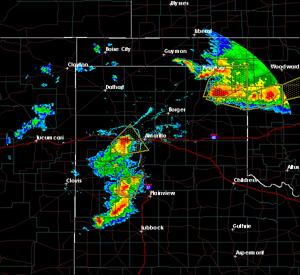 At 621 pm cdt, a severe thunderstorm was located 4 miles south of wildorado, or 12 miles southeast of vega, moving northeast at 30 mph (radar indicated). Hazards include golf ball size hail and 70 mph wind gusts. Expect some tree damage. damage is likely to mobile homes, roofs, and outbuildings. people and animals outdoors will be injured. Expect hail damage to roofs, siding, windows, and vehicles. At 621 pm cdt, a severe thunderstorm was located 4 miles south of wildorado, or 12 miles southeast of vega, moving northeast at 30 mph (radar indicated). Hazards include golf ball size hail and 70 mph wind gusts. Expect some tree damage. damage is likely to mobile homes, roofs, and outbuildings. people and animals outdoors will be injured. Expect hail damage to roofs, siding, windows, and vehicles.
|
| 7/3/2017 6:21 PM CDT |
 At 621 pm cdt, a severe thunderstorm was located 4 miles south of wildorado, or 12 miles southeast of vega, moving northeast at 30 mph (radar indicated). Hazards include golf ball size hail and 70 mph wind gusts. Expect some tree damage. damage is likely to mobile homes, roofs, and outbuildings. people and animals outdoors will be injured. Expect hail damage to roofs, siding, windows, and vehicles. At 621 pm cdt, a severe thunderstorm was located 4 miles south of wildorado, or 12 miles southeast of vega, moving northeast at 30 mph (radar indicated). Hazards include golf ball size hail and 70 mph wind gusts. Expect some tree damage. damage is likely to mobile homes, roofs, and outbuildings. people and animals outdoors will be injured. Expect hail damage to roofs, siding, windows, and vehicles.
|
| 7/2/2017 10:46 PM CDT | Quarter sized hail reported 12.8 miles E of Amarillo, TX, some quarters within the accumulating hail. |
| 7/2/2017 10:34 PM CDT | Quarter sized hail reported 12.8 miles E of Amarillo, TX, some quarters within the accumulating hail. |
| 6/8/2017 9:04 PM CDT |
 At 902 pm cdt, a severe thunderstorm was located near lake tanglewood, or 6 miles northeast of canyon, moving south at 25 mph (radar indicated). Hazards include golf ball size hail and 70 mph wind gusts. Expect some tree damage. damage is likely to mobile homes, roofs, and outbuildings. people and animals outdoors will be injured. expect hail damage to roofs, siding, windows, and vehicles. Locations impacted include, amarillo, canyon, lake tanglewood, mescalero park, palo duro canyon and timbercreek canyon. At 902 pm cdt, a severe thunderstorm was located near lake tanglewood, or 6 miles northeast of canyon, moving south at 25 mph (radar indicated). Hazards include golf ball size hail and 70 mph wind gusts. Expect some tree damage. damage is likely to mobile homes, roofs, and outbuildings. people and animals outdoors will be injured. expect hail damage to roofs, siding, windows, and vehicles. Locations impacted include, amarillo, canyon, lake tanglewood, mescalero park, palo duro canyon and timbercreek canyon.
|
| 6/8/2017 9:00 PM CDT | 1000 lb. building blown over... pieces of metal torn off roof in randall county TX, 9.3 miles N of Amarillo, TX |
| 6/8/2017 8:56 PM CDT |
 At 855 pm cdt, a severe thunderstorm was located over lake tanglewood, or 9 miles south of amarillo, moving south at 30 mph (trained weather spotters). Hazards include golf ball size hail and 60 mph wind gusts. Minor damage to roofs, siding, and trees is possible. people and animals outdoors will be injured. expect hail damage to roofs, siding, windows, and vehicles. hail may accumulate on roadways causing hazardous travel. Locations impacted include, amarillo, canyon, lake tanglewood, mescalero park, palo duro canyon and timbercreek canyon. At 855 pm cdt, a severe thunderstorm was located over lake tanglewood, or 9 miles south of amarillo, moving south at 30 mph (trained weather spotters). Hazards include golf ball size hail and 60 mph wind gusts. Minor damage to roofs, siding, and trees is possible. people and animals outdoors will be injured. expect hail damage to roofs, siding, windows, and vehicles. hail may accumulate on roadways causing hazardous travel. Locations impacted include, amarillo, canyon, lake tanglewood, mescalero park, palo duro canyon and timbercreek canyon.
|
| 6/8/2017 8:55 PM CDT | Storm damage reported in randall county TX, 6.7 miles NNW of Amarillo, TX |
| 6/8/2017 8:50 PM CDT | Storm damage reported in randall county TX, 6.7 miles NNW of Amarillo, TX |
| 6/8/2017 8:49 PM CDT | Half Dollar sized hail reported 0.9 miles WNW of Amarillo, TX, quarter to half dollar size hail reported. |
| 6/8/2017 8:48 PM CDT | Quarter sized hail reported 5.1 miles N of Amarillo, TX |
| 6/8/2017 8:47 PM CDT | Tennis Ball sized hail reported 0.9 miles WNW of Amarillo, TX |
| 6/8/2017 8:46 PM CDT | Golf Ball sized hail reported 0.9 miles WNW of Amarillo, TX, 58th and washington |
| 6/8/2017 8:43 PM CDT | Quarter sized hail reported 4.6 miles NNE of Amarillo, TX |
| 6/8/2017 8:43 PM CDT | Storm damage reported in randall county TX, 4.6 miles NNE of Amarillo, TX |
| 6/8/2017 8:41 PM CDT | Ping Pong Ball sized hail reported 0.9 miles WNW of Amarillo, TX, washington and i27 |
| 6/8/2017 8:40 PM CDT | Half Dollar sized hail reported 0.4 miles NW of Amarillo, TX, quarter to half dollar size hail reported. |
| 6/8/2017 8:40 PM CDT | Ping Pong Ball sized hail reported 0.4 miles NW of Amarillo, TX, quarter to half dollar size hail reported. |
| 6/8/2017 8:38 PM CDT |
 At 837 pm cdt, a severe thunderstorm was located over amarillo, moving south at 30 mph (trained weather spotters). Hazards include two inch hail and 60 mph wind gusts. Minor damage to roofs, siding, and trees is possible. people and animals outdoors will be injured. expect hail damage to roofs, siding, windows, and vehicles. Hail may accumulate on roadways causing hazardous travel. At 837 pm cdt, a severe thunderstorm was located over amarillo, moving south at 30 mph (trained weather spotters). Hazards include two inch hail and 60 mph wind gusts. Minor damage to roofs, siding, and trees is possible. people and animals outdoors will be injured. expect hail damage to roofs, siding, windows, and vehicles. Hail may accumulate on roadways causing hazardous travel.
|
| 6/8/2017 8:37 PM CDT | Golf Ball sized hail reported 0.9 miles WNW of Amarillo, TX, 24th and grand st |
| 6/8/2017 8:37 PM CDT | Quarter sized hail reported 2.3 miles SW of Amarillo, TX, martin road lake |
| 6/8/2017 8:35 PM CDT | Hen Egg sized hail reported 6.7 miles S of Amarillo, TX |
| 6/8/2017 8:35 PM CDT | Golf Ball sized hail reported 0.9 miles WNW of Amarillo, TX, 9th and ross |
| 6/8/2017 8:35 PM CDT |
 At 835 pm cdt, a severe thunderstorm was located 4 miles southeast of amarillo, moving south at 30 mph (trained weather spotters). Hazards include two inch hail and 60 mph wind gusts. Minor damage to roofs, siding, and trees is possible. people and animals outdoors will be injured. expect hail damage to roofs, siding, windows, and vehicles. Locations impacted include, amarillo, canyon, lake tanglewood, mescalero park, washburn, timbercreek canyon and pantex. At 835 pm cdt, a severe thunderstorm was located 4 miles southeast of amarillo, moving south at 30 mph (trained weather spotters). Hazards include two inch hail and 60 mph wind gusts. Minor damage to roofs, siding, and trees is possible. people and animals outdoors will be injured. expect hail damage to roofs, siding, windows, and vehicles. Locations impacted include, amarillo, canyon, lake tanglewood, mescalero park, washburn, timbercreek canyon and pantex.
|
| 6/8/2017 8:32 PM CDT | Quarter sized hail reported 4.6 miles S of Amarillo, TX |
| 6/8/2017 8:31 PM CDT | Quarter sized hail reported 8 miles S of Amarillo, TX, givens ave. and hwy 87 |
| 6/8/2017 8:19 PM CDT | Storm damage reported in potter county TX, 6.6 miles W of Amarillo, TX |
| 6/8/2017 8:08 PM CDT |
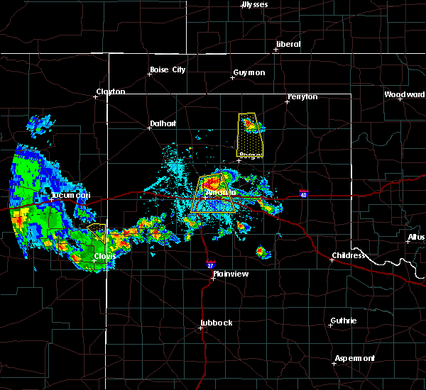 At 807 pm cdt, a severe thunderstorm was located 9 miles north of amarillo, moving south at 30 mph (radar indicated. a 64 mph wind gust was reported 14 miles north of amarillo). Hazards include ping pong ball size hail and 60 mph wind gusts. Minor damage to roofs, siding, and trees is possible. people and animals outdoors will be injured. expect hail damage to roofs, siding, windows, and vehicles. Locations impacted include, amarillo, canyon, lake tanglewood, mescalero park, washburn, timbercreek canyon and pantex. At 807 pm cdt, a severe thunderstorm was located 9 miles north of amarillo, moving south at 30 mph (radar indicated. a 64 mph wind gust was reported 14 miles north of amarillo). Hazards include ping pong ball size hail and 60 mph wind gusts. Minor damage to roofs, siding, and trees is possible. people and animals outdoors will be injured. expect hail damage to roofs, siding, windows, and vehicles. Locations impacted include, amarillo, canyon, lake tanglewood, mescalero park, washburn, timbercreek canyon and pantex.
|
| 6/8/2017 7:56 PM CDT | Storm damage reported in potter county TX, 14.2 miles S of Amarillo, TX |
| 6/8/2017 7:45 PM CDT |
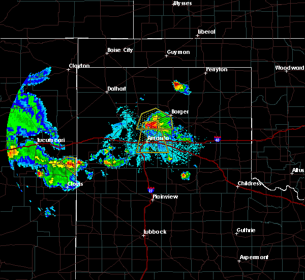 At 745 pm cdt, a severe thunderstorm was located 14 miles southwest of lake meredith, or 18 miles north of amarillo, moving south at 25 mph (radar indicated). Hazards include ping pong ball size hail and 60 mph wind gusts. Minor damage to roofs, siding, and trees is possible. people and animals outdoors will be injured. Expect hail damage to roofs, siding, windows, and vehicles. At 745 pm cdt, a severe thunderstorm was located 14 miles southwest of lake meredith, or 18 miles north of amarillo, moving south at 25 mph (radar indicated). Hazards include ping pong ball size hail and 60 mph wind gusts. Minor damage to roofs, siding, and trees is possible. people and animals outdoors will be injured. Expect hail damage to roofs, siding, windows, and vehicles.
|
| 6/8/2017 7:08 PM CDT | Baseball sized hail reported 33.5 miles S of Amarillo, TX |
| 5/10/2017 4:30 PM CDT |
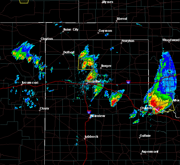 At 429 pm cdt, a severe thunderstorm was located 9 miles north of amarillo, moving north at 30 mph (radar indicated. two inch hail has been reported with this storm). Hazards include two inch hail and 60 mph wind gusts. Minor damage to roofs, siding, and trees is possible. people and animals outdoors will be injured. expect hail damage to roofs, siding, windows, and vehicles. Locations impacted include, amarillo. At 429 pm cdt, a severe thunderstorm was located 9 miles north of amarillo, moving north at 30 mph (radar indicated. two inch hail has been reported with this storm). Hazards include two inch hail and 60 mph wind gusts. Minor damage to roofs, siding, and trees is possible. people and animals outdoors will be injured. expect hail damage to roofs, siding, windows, and vehicles. Locations impacted include, amarillo.
|
| 5/10/2017 4:25 PM CDT | Tennis Ball sized hail reported 3.2 miles SW of Amarillo, TX, picture of hail received via facebook. |
| 5/10/2017 4:25 PM CDT | Tennis Ball sized hail reported 3.7 miles SSW of Amarillo, TX, late report on facebook with picture showing tennis ball sized hail. |
| 5/10/2017 4:22 PM CDT |
 At 420 pm cdt, a severe thunderstorm was located 8 miles northeast of amarillo, moving northeast at 35 mph (radar indicated. at 420 pm cdt two inch hail was reported in northeast amarillo near 24th and grand). Hazards include two inch hail and 60 mph wind gusts. Minor damage to roofs, siding, and trees is possible. people and animals outdoors will be injured. expect hail damage to roofs, siding, windows, and vehicles. Locations impacted include, amarillo, panhandle and pantex. At 420 pm cdt, a severe thunderstorm was located 8 miles northeast of amarillo, moving northeast at 35 mph (radar indicated. at 420 pm cdt two inch hail was reported in northeast amarillo near 24th and grand). Hazards include two inch hail and 60 mph wind gusts. Minor damage to roofs, siding, and trees is possible. people and animals outdoors will be injured. expect hail damage to roofs, siding, windows, and vehicles. Locations impacted include, amarillo, panhandle and pantex.
|
| 5/10/2017 4:21 PM CDT | Golf Ball sized hail reported 3.2 miles SW of Amarillo, TX |
| 5/10/2017 4:19 PM CDT |
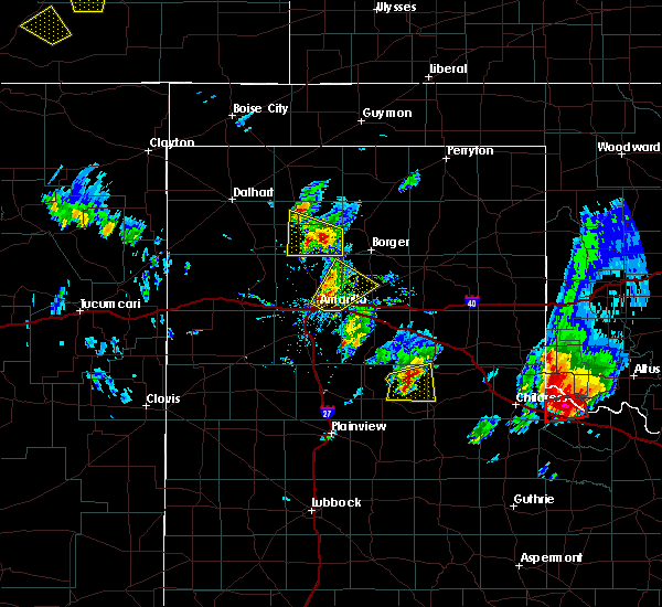 At 415 pm cdt, a severe thunderstorm was located 5 miles northeast of amarillo, moving northeast at 35 mph (radar indicated). Hazards include 60 mph wind gusts and quarter size hail. Minor damage to roofs, siding, and trees is possible. Hail damage to vehicles is expected. At 415 pm cdt, a severe thunderstorm was located 5 miles northeast of amarillo, moving northeast at 35 mph (radar indicated). Hazards include 60 mph wind gusts and quarter size hail. Minor damage to roofs, siding, and trees is possible. Hail damage to vehicles is expected.
|
| 5/10/2017 4:15 PM CDT |
 At 415 pm cdt, a severe thunderstorm was located 5 miles northeast of amarillo, moving northeast at 35 mph (radar indicated). Hazards include 60 mph wind gusts and quarter size hail. Minor damage to roofs, siding, and trees is possible. Hail damage to vehicles is expected. At 415 pm cdt, a severe thunderstorm was located 5 miles northeast of amarillo, moving northeast at 35 mph (radar indicated). Hazards include 60 mph wind gusts and quarter size hail. Minor damage to roofs, siding, and trees is possible. Hail damage to vehicles is expected.
|
| 5/10/2017 4:04 AM CDT |
 At 403 am cdt, a severe thunderstorm was located 5 miles west of washburn, or 8 miles east of amarillo, moving northeast at 40 mph (radar indicated). Hazards include golf ball size hail. People and animals outdoors will be injured. Expect damage to roofs, siding, windows, and vehicles. At 403 am cdt, a severe thunderstorm was located 5 miles west of washburn, or 8 miles east of amarillo, moving northeast at 40 mph (radar indicated). Hazards include golf ball size hail. People and animals outdoors will be injured. Expect damage to roofs, siding, windows, and vehicles.
|
| 5/10/2017 4:00 AM CDT |
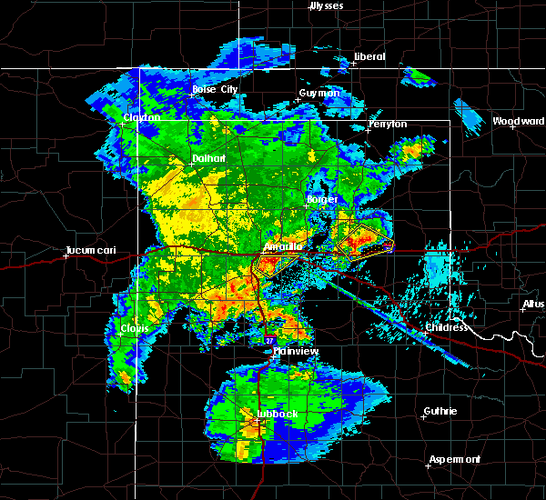 At 400 am cdt, a severe thunderstorm was located 5 miles northeast of lake tanglewood, or 8 miles southeast of amarillo, moving northeast at 35 mph (radar indicated). Hazards include golf ball size hail. People and animals outdoors will be injured. expect damage to roofs, siding, windows, and vehicles. Locations impacted include, amarillo, lake tanglewood, washburn and timbercreek canyon. At 400 am cdt, a severe thunderstorm was located 5 miles northeast of lake tanglewood, or 8 miles southeast of amarillo, moving northeast at 35 mph (radar indicated). Hazards include golf ball size hail. People and animals outdoors will be injured. expect damage to roofs, siding, windows, and vehicles. Locations impacted include, amarillo, lake tanglewood, washburn and timbercreek canyon.
|
| 5/10/2017 3:50 AM CDT |
 At 350 am cdt, a severe thunderstorm was located over lake tanglewood, or 8 miles northeast of canyon, moving northeast at 30 mph (radar indicated). Hazards include ping pong ball size hail. People and animals outdoors will be injured. expect damage to roofs, siding, windows, and vehicles. Locations impacted include, amarillo, canyon, lake tanglewood, washburn, mescalero park and timbercreek canyon. At 350 am cdt, a severe thunderstorm was located over lake tanglewood, or 8 miles northeast of canyon, moving northeast at 30 mph (radar indicated). Hazards include ping pong ball size hail. People and animals outdoors will be injured. expect damage to roofs, siding, windows, and vehicles. Locations impacted include, amarillo, canyon, lake tanglewood, washburn, mescalero park and timbercreek canyon.
|
| 5/10/2017 3:37 AM CDT |
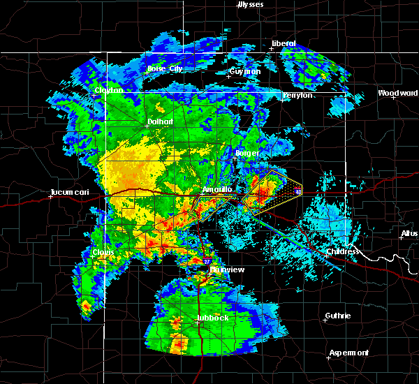 At 336 am cdt, a severe thunderstorm was located 4 miles east of canyon, moving northeast at 30 mph (radar indicated). Hazards include ping pong ball size hail. People and animals outdoors will be injured. Expect damage to roofs, siding, windows, and vehicles. At 336 am cdt, a severe thunderstorm was located 4 miles east of canyon, moving northeast at 30 mph (radar indicated). Hazards include ping pong ball size hail. People and animals outdoors will be injured. Expect damage to roofs, siding, windows, and vehicles.
|
| 3/31/2017 10:52 PM CDT | Quarter sized hail reported 15.5 miles WSW of Amarillo, TX, time estimated by radar. |
| 3/23/2017 9:39 PM CDT | Storm damage reported in potter county TX, 6.6 miles W of Amarillo, TX |
| 8/25/2016 6:03 PM CDT |
 At 603 pm cdt, a severe thunderstorm was located 12 miles north of amarillo, moving northwest at 10 mph (radar indicated). Hazards include 60 mph wind gusts and quarter size hail. Minor damage to roofs. siding. and trees is possible. hail damage to vehicles is expected. locations impacted include, amarillo. this includes the following highways, interstate 27 between mile markers 115 and 123. Interstate 40 between mile markers 65 and 80. At 603 pm cdt, a severe thunderstorm was located 12 miles north of amarillo, moving northwest at 10 mph (radar indicated). Hazards include 60 mph wind gusts and quarter size hail. Minor damage to roofs. siding. and trees is possible. hail damage to vehicles is expected. locations impacted include, amarillo. this includes the following highways, interstate 27 between mile markers 115 and 123. Interstate 40 between mile markers 65 and 80.
|
| 8/25/2016 5:41 PM CDT |
 A severe thunderstorm warning remains in effect until 630 pm cdt for southwestern carson. northeastern randall and southeastern potter counties. at 539 pm cdt. a severe thunderstorm was located 7 miles northeast of amarillo. moving north northwest at 15 mph. this storm produced half dollar hail on interstate 80 near exit 80. Or 10 miles east of. A severe thunderstorm warning remains in effect until 630 pm cdt for southwestern carson. northeastern randall and southeastern potter counties. at 539 pm cdt. a severe thunderstorm was located 7 miles northeast of amarillo. moving north northwest at 15 mph. this storm produced half dollar hail on interstate 80 near exit 80. Or 10 miles east of.
|
| 8/25/2016 5:39 PM CDT | Half Dollar sized hail reported 10.9 miles WSW of Amarillo, TX |
| 8/25/2016 5:27 PM CDT | Half Dollar sized hail reported 9.3 miles W of Amarillo, TX |
| 8/25/2016 5:26 PM CDT |
 At 526 pm cdt, a severe thunderstorm was located 5 miles west of washburn, or 8 miles east of amarillo, moving north northwest at 15 mph (radar indicated). Hazards include 60 mph wind gusts and quarter size hail. Minor damage to roofs. siding. and trees is possible. Hail damage to vehicles is expected. At 526 pm cdt, a severe thunderstorm was located 5 miles west of washburn, or 8 miles east of amarillo, moving north northwest at 15 mph (radar indicated). Hazards include 60 mph wind gusts and quarter size hail. Minor damage to roofs. siding. and trees is possible. Hail damage to vehicles is expected.
|
| 8/11/2016 5:42 PM CDT | Storm damage reported in potter county TX, 6.6 miles W of Amarillo, TX |
| 8/7/2016 4:06 PM CDT | Storm damage reported in potter county TX, 15.9 miles SSE of Amarillo, TX |
| 7/15/2016 8:59 PM CDT |
 At 859 pm cdt, a severe thunderstorm was located 5 miles northwest of claude, moving east at 20 mph (radar indicated). Hazards include 60 mph wind gusts. Minor damage to roofs. siding. and trees is possible. Locations impacted include, amarillo, claude, lake tanglewood, washburn and goodnight. At 859 pm cdt, a severe thunderstorm was located 5 miles northwest of claude, moving east at 20 mph (radar indicated). Hazards include 60 mph wind gusts. Minor damage to roofs. siding. and trees is possible. Locations impacted include, amarillo, claude, lake tanglewood, washburn and goodnight.
|
| 7/15/2016 8:34 PM CDT | Storm damage reported in randall county TX, 9.8 miles NNW of Amarillo, TX |
| 7/15/2016 8:25 PM CDT |
 At 825 pm cdt, a severe thunderstorm was located 5 miles west of washburn, or 8 miles east of amarillo, moving east at 20 mph (radar indicated). Hazards include 60 mph wind gusts and nickel size hail. Minor damage to roofs. siding. And trees is possible. At 825 pm cdt, a severe thunderstorm was located 5 miles west of washburn, or 8 miles east of amarillo, moving east at 20 mph (radar indicated). Hazards include 60 mph wind gusts and nickel size hail. Minor damage to roofs. siding. And trees is possible.
|
| 7/15/2016 8:07 PM CDT |
 At 806 pm cdt, severe thunderstorms were located along a line extending from 11 miles southeast of fritch to 3 miles northeast of mescalero park, moving east at 40 mph (radar indicated). Hazards include 60 mph wind gusts. Minor damage to roofs. siding. and trees is possible. severe winds are expected to occur before the rain starts. Locations impacted include, amarillo, lake tanglewood, bushland, mescalero park and timbercreek canyon. At 806 pm cdt, severe thunderstorms were located along a line extending from 11 miles southeast of fritch to 3 miles northeast of mescalero park, moving east at 40 mph (radar indicated). Hazards include 60 mph wind gusts. Minor damage to roofs. siding. and trees is possible. severe winds are expected to occur before the rain starts. Locations impacted include, amarillo, lake tanglewood, bushland, mescalero park and timbercreek canyon.
|
| 7/15/2016 7:40 PM CDT |
 At 740 pm cdt, severe thunderstorms were located along a line extending from 6 miles southwest of lake meredith to bushland, moving east at 40 mph (radar indicated). Hazards include 60 mph wind gusts. Minor damage to roofs. siding. and trees is possible. Locations impacted include, amarillo, canyon, lake tanglewood, bushland, mescalero park and timbercreek canyon. At 740 pm cdt, severe thunderstorms were located along a line extending from 6 miles southwest of lake meredith to bushland, moving east at 40 mph (radar indicated). Hazards include 60 mph wind gusts. Minor damage to roofs. siding. and trees is possible. Locations impacted include, amarillo, canyon, lake tanglewood, bushland, mescalero park and timbercreek canyon.
|
| 7/15/2016 7:28 PM CDT |
 At 728 pm cdt, severe thunderstorms were located along a line extending from near masterson to 10 miles southeast of valley de oro to 3 miles west of wildorado, moving east at 45 mph (radar indicated). Hazards include 60 mph wind gusts. Minor damage to roofs. siding. And trees is possible. At 728 pm cdt, severe thunderstorms were located along a line extending from near masterson to 10 miles southeast of valley de oro to 3 miles west of wildorado, moving east at 45 mph (radar indicated). Hazards include 60 mph wind gusts. Minor damage to roofs. siding. And trees is possible.
|
| 7/14/2016 8:36 PM CDT | Half Dollar sized hail reported 9.6 miles NNW of Amarillo, TX |
| 7/14/2016 8:36 PM CDT |
 At 836 pm cdt, a severe thunderstorm was located over lake tanglewood, or 9 miles south of amarillo, moving south at 10 mph (trained weather spotters). Hazards include half dollar size hail. Damage to vehicles is expected. locations impacted include, amarillo, canyon, lake tanglewood, mescalero park, palo duro canyon and timbercreek canyon. This includes interstate 27 between mile markers 101 and 110, and near mile marker 121. At 836 pm cdt, a severe thunderstorm was located over lake tanglewood, or 9 miles south of amarillo, moving south at 10 mph (trained weather spotters). Hazards include half dollar size hail. Damage to vehicles is expected. locations impacted include, amarillo, canyon, lake tanglewood, mescalero park, palo duro canyon and timbercreek canyon. This includes interstate 27 between mile markers 101 and 110, and near mile marker 121.
|
| 7/14/2016 8:20 PM CDT |
 At 819 pm cdt, severe thunderstorms were located along a line extending from 5 miles north of mescalero park to 6 miles east of lake tanglewood, moving southwest at 5 mph (radar indicated). Hazards include 60 mph wind gusts and half dollar size hail. Minor damage to roofs. siding. and trees is possible. Hail damage to vehicles is expected. At 819 pm cdt, severe thunderstorms were located along a line extending from 5 miles north of mescalero park to 6 miles east of lake tanglewood, moving southwest at 5 mph (radar indicated). Hazards include 60 mph wind gusts and half dollar size hail. Minor damage to roofs. siding. and trees is possible. Hail damage to vehicles is expected.
|
| 6/26/2016 1:39 PM CDT |
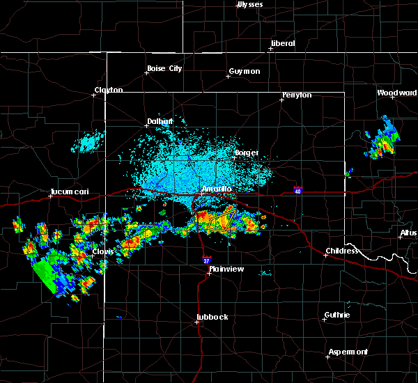 At 139 pm cdt, a severe thunderstorm was located 5 miles west of palo duro canyon, or 9 miles east of canyon, moving northeast at 20 mph (radar indicated). Hazards include ping pong ball size hail and 60 mph wind gusts. Minor damage to roofs. siding. and trees is possible. people and animals outdoors will be injured. Expect hail damage to roofs, siding, windows, and vehicles. At 139 pm cdt, a severe thunderstorm was located 5 miles west of palo duro canyon, or 9 miles east of canyon, moving northeast at 20 mph (radar indicated). Hazards include ping pong ball size hail and 60 mph wind gusts. Minor damage to roofs. siding. and trees is possible. people and animals outdoors will be injured. Expect hail damage to roofs, siding, windows, and vehicles.
|
| 6/13/2016 10:10 PM CDT |
 At 1009 pm cdt, a severe thunderstorm was located over lake tanglewood, or 11 miles southeast of amarillo, moving east at 30 mph (radar indicated). Hazards include quarter size hail. Damage to vehicles is possible. locations impacted include, amarillo, lake tanglewood and timbercreek canyon. A tornado watch remains in effect until 200 am cdt for the panhandle of texas. At 1009 pm cdt, a severe thunderstorm was located over lake tanglewood, or 11 miles southeast of amarillo, moving east at 30 mph (radar indicated). Hazards include quarter size hail. Damage to vehicles is possible. locations impacted include, amarillo, lake tanglewood and timbercreek canyon. A tornado watch remains in effect until 200 am cdt for the panhandle of texas.
|
| 6/13/2016 10:01 PM CDT |
 At 1001 pm cdt, a severe thunderstorm was located over lake tanglewood, or 8 miles south of amarillo, moving east at 35 mph (trained weather spotters). Hazards include up to golf ball size hail. People and animals outdoors will be injured. expect damage to roofs, siding, windows, and vehicles. locations impacted include, amarillo, lake tanglewood, mescalero park and timbercreek canyon. A tornado watch remains in effect until 200 am cdt for the panhandle of texas. At 1001 pm cdt, a severe thunderstorm was located over lake tanglewood, or 8 miles south of amarillo, moving east at 35 mph (trained weather spotters). Hazards include up to golf ball size hail. People and animals outdoors will be injured. expect damage to roofs, siding, windows, and vehicles. locations impacted include, amarillo, lake tanglewood, mescalero park and timbercreek canyon. A tornado watch remains in effect until 200 am cdt for the panhandle of texas.
|
| 6/13/2016 9:59 PM CDT | Golf Ball sized hail reported 7.5 miles NE of Amarillo, TX |
| 6/13/2016 9:56 PM CDT | Half Dollar sized hail reported 8.3 miles NE of Amarillo, TX |
| 6/13/2016 9:52 PM CDT | Half Dollar sized hail reported 11 miles NNE of Amarillo, TX |
| 6/13/2016 9:51 PM CDT |
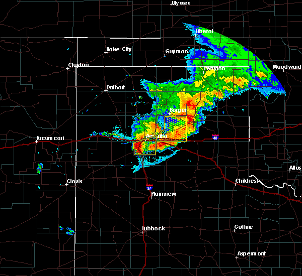 At 950 pm cdt, a severe thunderstorm was located over mescalero park, or 6 miles north of canyon, moving east at 35 mph (radar indicated). Hazards include 60 mph wind gusts and half dollar size hail. Minor damage to roofs. siding. and trees is possible. hail damage to vehicles is expected. locations impacted include, amarillo, canyon, lake tanglewood, mescalero park, palo duro canyon and timbercreek canyon. A tornado watch remains in effect until 200 am cdt for the panhandle of texas. At 950 pm cdt, a severe thunderstorm was located over mescalero park, or 6 miles north of canyon, moving east at 35 mph (radar indicated). Hazards include 60 mph wind gusts and half dollar size hail. Minor damage to roofs. siding. and trees is possible. hail damage to vehicles is expected. locations impacted include, amarillo, canyon, lake tanglewood, mescalero park, palo duro canyon and timbercreek canyon. A tornado watch remains in effect until 200 am cdt for the panhandle of texas.
|
| 6/13/2016 9:39 PM CDT |
 At 938 pm cdt, severe thunderstorms were located along a line extending from 3 miles southeast of bushland to umbarger, moving east at 30 mph (radar indicated). Hazards include ping pong ball size hail and 60 mph wind gusts. Minor damage to roofs. siding. and trees is possible. people and animals outdoors will be injured. Expect hail damage to roofs, siding, windows, and vehicles. At 938 pm cdt, severe thunderstorms were located along a line extending from 3 miles southeast of bushland to umbarger, moving east at 30 mph (radar indicated). Hazards include ping pong ball size hail and 60 mph wind gusts. Minor damage to roofs. siding. and trees is possible. people and animals outdoors will be injured. Expect hail damage to roofs, siding, windows, and vehicles.
|
| 6/13/2016 9:03 PM CDT |
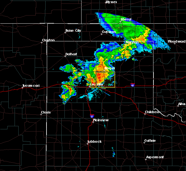 At 903 pm cdt, a severe thunderstorm was located 9 miles northwest of washburn, or 9 miles northeast of amarillo, moving east at 35 mph (radar indicated). Hazards include 60 mph wind gusts and nickel size hail. Minor damage to roofs. siding. and trees is possible. locations impacted include, amarillo. A tornado watch remains in effect until 200 am cdt for the panhandle of texas. At 903 pm cdt, a severe thunderstorm was located 9 miles northwest of washburn, or 9 miles northeast of amarillo, moving east at 35 mph (radar indicated). Hazards include 60 mph wind gusts and nickel size hail. Minor damage to roofs. siding. and trees is possible. locations impacted include, amarillo. A tornado watch remains in effect until 200 am cdt for the panhandle of texas.
|
| 6/13/2016 8:46 PM CDT |
 At 846 pm cdt, a severe thunderstorm was located 7 miles north of amarillo, moving east at 35 mph (radar indicated). Hazards include 60 mph wind gusts and half dollar size hail. Minor damage to roofs. siding. and trees is possible. Hail damage to vehicles is expected. At 846 pm cdt, a severe thunderstorm was located 7 miles north of amarillo, moving east at 35 mph (radar indicated). Hazards include 60 mph wind gusts and half dollar size hail. Minor damage to roofs. siding. and trees is possible. Hail damage to vehicles is expected.
|
| 6/13/2016 8:13 PM CDT | Quarter sized hail reported 20.1 miles S of Amarillo, TX |
| 6/13/2016 7:50 PM CDT | Golf Ball sized hail reported 18.7 miles S of Amarillo, TX |
| 6/13/2016 6:16 PM CDT |
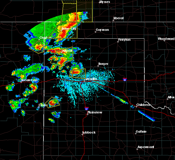 At 616 pm cdt, a severe thunderstorm was located over valley de oro, or 20 miles northeast of vega, moving east at 20 mph (radar indicated). Hazards include two inch hail. People and animals outdoors will be injured. expect damage to roofs, siding, windows, and vehicles. locations impacted include, amarillo and valley de oro. A tornado watch remains in effect until 1000 pm cdt for the panhandle of texas. At 616 pm cdt, a severe thunderstorm was located over valley de oro, or 20 miles northeast of vega, moving east at 20 mph (radar indicated). Hazards include two inch hail. People and animals outdoors will be injured. expect damage to roofs, siding, windows, and vehicles. locations impacted include, amarillo and valley de oro. A tornado watch remains in effect until 1000 pm cdt for the panhandle of texas.
|
| 6/13/2016 6:00 PM CDT |
 At 559 pm cdt, a severe thunderstorm was located 7 miles south of boys ranch, or 14 miles northeast of vega, moving east at 20 mph (radar indicated). Hazards include tennis ball size hail. People and animals outdoors will be injured. Expect damage to roofs, siding, windows, and vehicles. At 559 pm cdt, a severe thunderstorm was located 7 miles south of boys ranch, or 14 miles northeast of vega, moving east at 20 mph (radar indicated). Hazards include tennis ball size hail. People and animals outdoors will be injured. Expect damage to roofs, siding, windows, and vehicles.
|
| 5/31/2016 1:28 AM CDT |
 At 128 am cdt, severe thunderstorms were located along a line extending from 3 miles east of borger to 9 miles north of amarillo, moving east at 15 mph (trained weather spotters). Hazards include half dollar size hail. Damage to vehicles is expected. locations impacted include, amarillo, pampa, borger, panhandle, fritch, white deer, skellytown, washburn, kingsmill and pantex. this includes the following highways, interstate 27 between mile markers 120 and 123. Interstate 40 between mile markers 64 and 97. At 128 am cdt, severe thunderstorms were located along a line extending from 3 miles east of borger to 9 miles north of amarillo, moving east at 15 mph (trained weather spotters). Hazards include half dollar size hail. Damage to vehicles is expected. locations impacted include, amarillo, pampa, borger, panhandle, fritch, white deer, skellytown, washburn, kingsmill and pantex. this includes the following highways, interstate 27 between mile markers 120 and 123. Interstate 40 between mile markers 64 and 97.
|
| 5/31/2016 12:56 AM CDT |
 At 1256 am cdt, severe thunderstorms were located along a line extending from 4 miles southwest of borger to 9 miles north of bushland, moving east at 20 mph (radar indicated). Hazards include 60 mph wind gusts and half dollar size hail. Minor damage to roofs. siding. and trees is possible. Hail damage to vehicles is expected. At 1256 am cdt, severe thunderstorms were located along a line extending from 4 miles southwest of borger to 9 miles north of bushland, moving east at 20 mph (radar indicated). Hazards include 60 mph wind gusts and half dollar size hail. Minor damage to roofs. siding. and trees is possible. Hail damage to vehicles is expected.
|
| 5/31/2016 12:43 AM CDT |
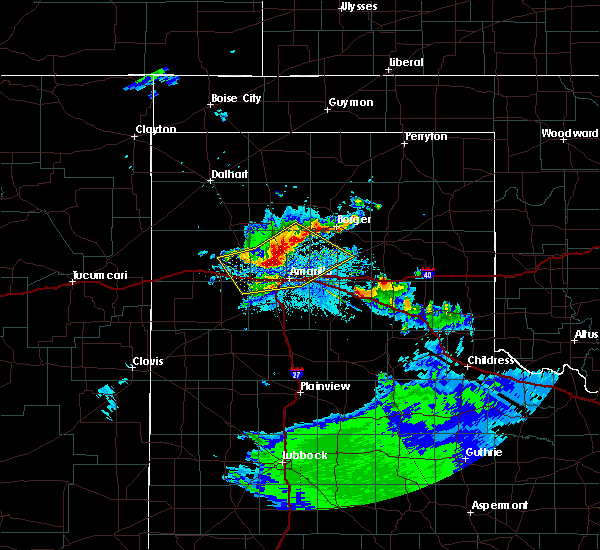 At 1243 am cdt, severe thunderstorms were located along a line extending from 3 miles southeast of fritch to 10 miles southeast of valley de oro to 9 miles south of boys ranch, moving southeast at 10 mph (radar indicated). Hazards include 60 mph wind gusts and half dollar size hail. Minor damage to roofs. siding. and trees is possible. hail damage to vehicles is expected. locations impacted include, amarillo, panhandle, valley de oro, wildorado, bushland and pantex. this includes the following highways, interstate 27 between mile markers 117 and 123. Interstate 40 between mile markers 43 and 86. At 1243 am cdt, severe thunderstorms were located along a line extending from 3 miles southeast of fritch to 10 miles southeast of valley de oro to 9 miles south of boys ranch, moving southeast at 10 mph (radar indicated). Hazards include 60 mph wind gusts and half dollar size hail. Minor damage to roofs. siding. and trees is possible. hail damage to vehicles is expected. locations impacted include, amarillo, panhandle, valley de oro, wildorado, bushland and pantex. this includes the following highways, interstate 27 between mile markers 117 and 123. Interstate 40 between mile markers 43 and 86.
|
| 5/31/2016 12:24 AM CDT |
 At 1224 am cdt, severe thunderstorms were located along a line extending from lake meredith to 5 miles south of valley de oro to 10 miles north of vega, moving southeast at 20 mph (radar indicated). Hazards include 70 mph wind gusts and half dollar size hail. Expect some tree damage. damage is likely to mobile homes. roofs, and outbuildings. hail damage to vehicles is expected. locations impacted include, amarillo, panhandle, fritch, wildorado, lake meredith, valley de oro, bushland and pantex. this includes the following highways, interstate 27 between mile markers 117 and 123. Interstate 40 between mile markers 42 and 86. At 1224 am cdt, severe thunderstorms were located along a line extending from lake meredith to 5 miles south of valley de oro to 10 miles north of vega, moving southeast at 20 mph (radar indicated). Hazards include 70 mph wind gusts and half dollar size hail. Expect some tree damage. damage is likely to mobile homes. roofs, and outbuildings. hail damage to vehicles is expected. locations impacted include, amarillo, panhandle, fritch, wildorado, lake meredith, valley de oro, bushland and pantex. this includes the following highways, interstate 27 between mile markers 117 and 123. Interstate 40 between mile markers 42 and 86.
|
| 5/31/2016 12:02 AM CDT |
 At 1202 am cdt, severe thunderstorms were located along a line extending from 7 miles west of lake meredith to valley de oro to 12 miles north of vega, moving southeast at 25 mph (radar indicated). Hazards include 70 mph wind gusts and half dollar size hail. Expect some tree damage. damage is likely to mobile homes, roofs, and outbuildings. Hail damage to vehicles is expected. At 1202 am cdt, severe thunderstorms were located along a line extending from 7 miles west of lake meredith to valley de oro to 12 miles north of vega, moving southeast at 25 mph (radar indicated). Hazards include 70 mph wind gusts and half dollar size hail. Expect some tree damage. damage is likely to mobile homes, roofs, and outbuildings. Hail damage to vehicles is expected.
|
| 5/29/2016 5:21 PM CDT |
 The severe thunderstorm warning for northeastern deaf smith, northern randall and southeastern potter counties will expire at 530 pm cdt, the storms which prompted the warning have weakened below severe limits, and no longer pose an immediate threat to life or property. therefore the warning will be allowed to expire. however heavy rain is still possible with these thunderstorms. a severe thunderstorm watch remains in effect until 1000 pm cdt for the texas panhandle. The severe thunderstorm warning for northeastern deaf smith, northern randall and southeastern potter counties will expire at 530 pm cdt, the storms which prompted the warning have weakened below severe limits, and no longer pose an immediate threat to life or property. therefore the warning will be allowed to expire. however heavy rain is still possible with these thunderstorms. a severe thunderstorm watch remains in effect until 1000 pm cdt for the texas panhandle.
|
| 5/29/2016 5:09 PM CDT |
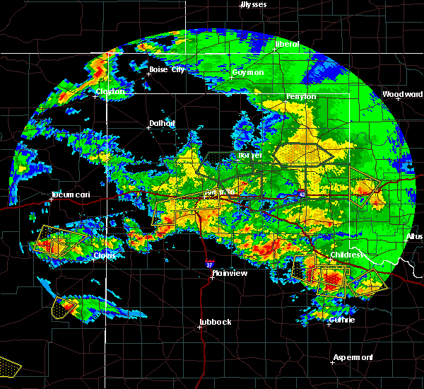 At 508 pm cdt, severe thunderstorms were located along a line extending from 4 miles northwest of washburn to 4 miles northeast of hereford, moving east at 15 mph (radar indicated). Hazards include 60 mph wind gusts and quarter size hail. Minor damage to roofs. siding. and trees is possible. hail damage to vehicles is expected. locations impacted include, amarillo, lake tanglewood, bushland, mescalero park, dawn and timbercreek canyon. this includes the following highways, interstate 27 between mile markers 113 and 123. Interstate 40 between mile markers 55 and 82. At 508 pm cdt, severe thunderstorms were located along a line extending from 4 miles northwest of washburn to 4 miles northeast of hereford, moving east at 15 mph (radar indicated). Hazards include 60 mph wind gusts and quarter size hail. Minor damage to roofs. siding. and trees is possible. hail damage to vehicles is expected. locations impacted include, amarillo, lake tanglewood, bushland, mescalero park, dawn and timbercreek canyon. this includes the following highways, interstate 27 between mile markers 113 and 123. Interstate 40 between mile markers 55 and 82.
|
| 5/29/2016 4:48 PM CDT |
 At 448 pm cdt, severe thunderstorms were located along a line extending from 8 miles northwest of washburn to 10 miles northwest of hereford, moving east at 15 mph (radar indicated). Hazards include 60 mph wind gusts and half dollar size hail. Minor damage to roofs. siding. and trees is possible. hail damage to vehicles is expected. locations impacted include, amarillo, vega, lake tanglewood, wildorado, bushland, mescalero park, dawn and timbercreek canyon. this includes the following highways, interstate 27 between mile markers 113 and 123. Interstate 40 between mile markers 36 and 82. At 448 pm cdt, severe thunderstorms were located along a line extending from 8 miles northwest of washburn to 10 miles northwest of hereford, moving east at 15 mph (radar indicated). Hazards include 60 mph wind gusts and half dollar size hail. Minor damage to roofs. siding. and trees is possible. hail damage to vehicles is expected. locations impacted include, amarillo, vega, lake tanglewood, wildorado, bushland, mescalero park, dawn and timbercreek canyon. this includes the following highways, interstate 27 between mile markers 113 and 123. Interstate 40 between mile markers 36 and 82.
|
| 5/29/2016 4:45 PM CDT | Downed tree near washington street and interstate 27 in randall county TX, 3.8 miles NNE of Amarillo, TX |
| 5/29/2016 4:29 PM CDT |
 At 429 pm cdt, severe thunderstorms were located along a line extending from 5 miles northwest of amarillo to 3 miles west of bootleg, moving east at 15 mph (radar indicated). Hazards include ping pong ball size hail and 60 mph wind gusts. Minor damage to roofs. siding. and trees is possible. people and animals outdoors will be injured. Expect hail damage to roofs, siding, windows, and vehicles. At 429 pm cdt, severe thunderstorms were located along a line extending from 5 miles northwest of amarillo to 3 miles west of bootleg, moving east at 15 mph (radar indicated). Hazards include ping pong ball size hail and 60 mph wind gusts. Minor damage to roofs. siding. and trees is possible. people and animals outdoors will be injured. Expect hail damage to roofs, siding, windows, and vehicles.
|
| 5/29/2016 4:13 PM CDT |
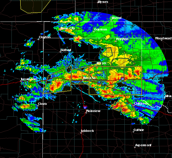 At 412 pm cdt, severe thunderstorms were located along a line extending from 12 miles south of fritch to near bushland, moving southeast at 15 mph (radar indicated). Hazards include golf ball size hail and 60 mph wind gusts. Minor damage to roofs. siding. and trees is possible. people and animals outdoors will be injured. expect hail damage to roofs, siding, windows, and vehicles. locations impacted include, amarillo, valley de oro, bushland and mescalero park. this includes the following highways, interstate 27 between mile markers 115 and 123. Interstate 40 between mile markers 52 and 83. At 412 pm cdt, severe thunderstorms were located along a line extending from 12 miles south of fritch to near bushland, moving southeast at 15 mph (radar indicated). Hazards include golf ball size hail and 60 mph wind gusts. Minor damage to roofs. siding. and trees is possible. people and animals outdoors will be injured. expect hail damage to roofs, siding, windows, and vehicles. locations impacted include, amarillo, valley de oro, bushland and mescalero park. this includes the following highways, interstate 27 between mile markers 115 and 123. Interstate 40 between mile markers 52 and 83.
|
| 5/29/2016 3:36 PM CDT |
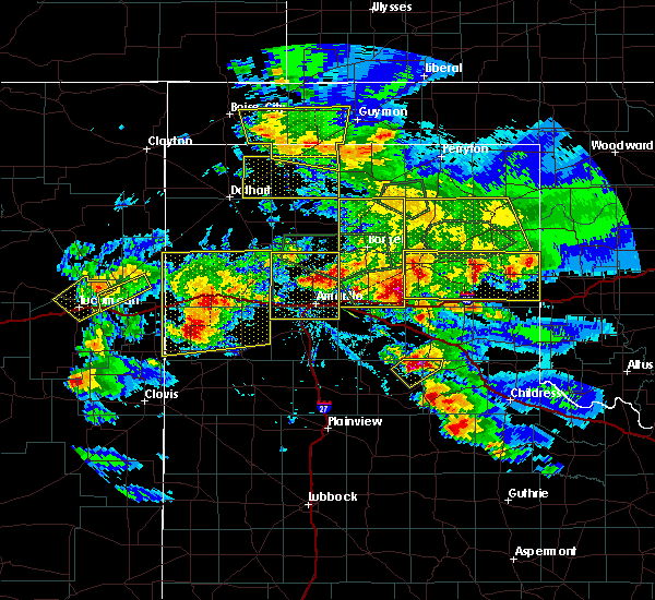 At 336 pm cdt, a severe thunderstorm was located 12 miles north of amarillo, moving northeast at 15 mph (radar indicated). Hazards include golf ball size hail and 60 mph wind gusts. Minor damage to roofs. siding. and trees is possible. people and animals outdoors will be injured. Expect hail damage to roofs, siding, windows, and vehicles. At 336 pm cdt, a severe thunderstorm was located 12 miles north of amarillo, moving northeast at 15 mph (radar indicated). Hazards include golf ball size hail and 60 mph wind gusts. Minor damage to roofs. siding. and trees is possible. people and animals outdoors will be injured. Expect hail damage to roofs, siding, windows, and vehicles.
|
| 5/29/2016 3:34 PM CDT | Half Dollar sized hail reported 10.8 miles S of Amarillo, TX |
| 5/16/2016 9:45 PM CDT | Golf Ball sized hail reported 16.5 miles WSW of Amarillo, TX, hail to the size of golf balls and 52 mph wind gusts reported at pantex. |
| 5/16/2016 9:31 PM CDT |
 At 931 pm cdt, a severe thunderstorm was located 14 miles north of amarillo, moving east at 25 mph (radar indicated). Hazards include ping pong ball size hail and 60 mph wind gusts. Minor damage to roofs. siding. and trees is possible. people and animals outdoors will be injured. expect hail damage to roofs, siding, windows, and vehicles. This severe thunderstorm will remain over mainly rural areas of eastern potter county. At 931 pm cdt, a severe thunderstorm was located 14 miles north of amarillo, moving east at 25 mph (radar indicated). Hazards include ping pong ball size hail and 60 mph wind gusts. Minor damage to roofs. siding. and trees is possible. people and animals outdoors will be injured. expect hail damage to roofs, siding, windows, and vehicles. This severe thunderstorm will remain over mainly rural areas of eastern potter county.
|
| 5/16/2016 9:15 PM CDT | Golf Ball sized hail reported 10.8 miles S of Amarillo, TX, hail to the size of golf balls fell along us highway 87. |
| 5/16/2016 9:15 PM CDT |
 At 915 pm cdt, a severe thunderstorm was located 13 miles east of valley de oro, or 16 miles north of amarillo, moving east at 30 mph (radar indicated). Hazards include 60 mph wind gusts and half dollar size hail. Minor damage to roofs. siding. and trees is possible. Hail damage to vehicles is expected. At 915 pm cdt, a severe thunderstorm was located 13 miles east of valley de oro, or 16 miles north of amarillo, moving east at 30 mph (radar indicated). Hazards include 60 mph wind gusts and half dollar size hail. Minor damage to roofs. siding. and trees is possible. Hail damage to vehicles is expected.
|
| 5/16/2016 8:51 PM CDT | Baseball sized hail reported 24.9 miles SSE of Amarillo, TX |
| 5/16/2016 8:40 PM CDT | Tea Cup sized hail reported 22.3 miles SSE of Amarillo, TX, hail up to 3 inches in diameter fell south of masterson along us highway 87. |
| 5/16/2016 8:36 PM CDT | Hen Egg sized hail reported 22.9 miles S of Amarillo, TX |
| 5/16/2016 8:31 PM CDT | Tennis Ball sized hail reported 27.6 miles SSE of Amarillo, TX |
| 5/11/2016 10:20 PM CDT | Quarter sized hail reported 4 miles SSW of Amarillo, TX |
| 5/11/2016 10:20 PM CDT |
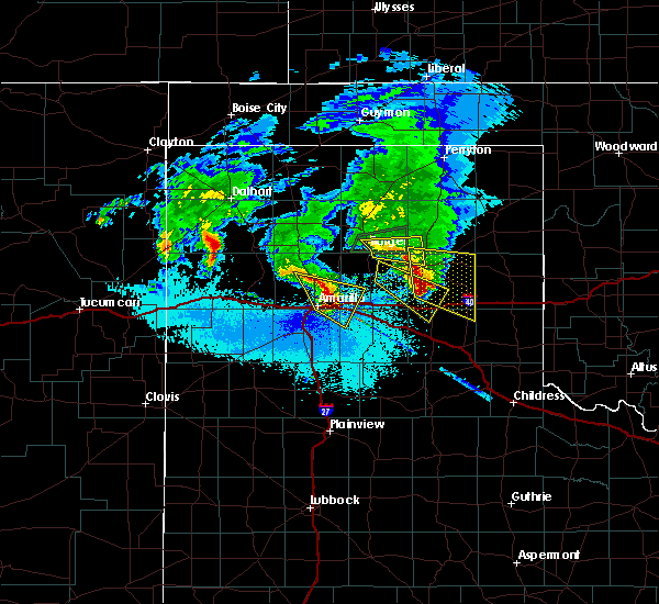 At 1020 pm cdt, a severe thunderstorm was located 9 miles northeast of amarillo, moving east at 40 mph (public). Hazards include 60 mph wind gusts and quarter size hail. Minor damage to roofs. siding. and trees is possible. hail damage to vehicles is expected. Locations impacted include, amarillo, washburn and pantex. At 1020 pm cdt, a severe thunderstorm was located 9 miles northeast of amarillo, moving east at 40 mph (public). Hazards include 60 mph wind gusts and quarter size hail. Minor damage to roofs. siding. and trees is possible. hail damage to vehicles is expected. Locations impacted include, amarillo, washburn and pantex.
|
| 5/11/2016 10:18 PM CDT | Quarter sized hail reported 7.3 miles WSW of Amarillo, TX |
| 5/11/2016 10:17 PM CDT | Storm damage reported in potter county TX, 6.6 miles W of Amarillo, TX |
| 5/11/2016 10:13 PM CDT | Storm damage reported in potter county TX, 9.1 miles SSW of Amarillo, TX |
| 5/11/2016 10:12 PM CDT | Quarter sized hail reported 5.3 miles S of Amarillo, TX |
| 5/11/2016 10:11 PM CDT | Quarter sized hail reported 4.4 miles SW of Amarillo, TX |
| 5/11/2016 10:10 PM CDT | Quarter sized hail reported 7.3 miles S of Amarillo, TX |
| 5/11/2016 10:10 PM CDT |
 At 1010 pm cdt, a severe thunderstorm was located 10 miles north of amarillo, moving east at 40 mph (trained weather spotters). Hazards include 60 mph wind gusts and quarter size hail. Minor damage to roofs. siding. and trees is possible. hail damage to vehicles is expected. Locations impacted include, amarillo, washburn and pantex. At 1010 pm cdt, a severe thunderstorm was located 10 miles north of amarillo, moving east at 40 mph (trained weather spotters). Hazards include 60 mph wind gusts and quarter size hail. Minor damage to roofs. siding. and trees is possible. hail damage to vehicles is expected. Locations impacted include, amarillo, washburn and pantex.
|
| 5/11/2016 10:09 PM CDT | Ping Pong Ball sized hail reported 6 miles S of Amarillo, TX, hail reported to be larger than quarter size but between quarter and golfball size. |
| 5/11/2016 10:08 PM CDT | Quarter sized hail reported 3.2 miles SE of Amarillo, TX |
| 5/11/2016 10:07 PM CDT | Quarter sized hail reported 6 miles S of Amarillo, TX |
| 5/11/2016 10:02 PM CDT | Quarter sized hail reported 4.1 miles SE of Amarillo, TX |
| 5/11/2016 9:56 PM CDT |
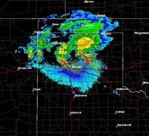 At 956 pm cdt, a severe thunderstorm was located 6 miles southeast of valley de oro, or 17 miles northwest of amarillo, moving east at 40 mph (trained weather spotters). Hazards include 60 mph wind gusts and quarter size hail. Minor damage to roofs. siding. and trees is possible. hail damage to vehicles is expected. Locations impacted include, amarillo, washburn and pantex. At 956 pm cdt, a severe thunderstorm was located 6 miles southeast of valley de oro, or 17 miles northwest of amarillo, moving east at 40 mph (trained weather spotters). Hazards include 60 mph wind gusts and quarter size hail. Minor damage to roofs. siding. and trees is possible. hail damage to vehicles is expected. Locations impacted include, amarillo, washburn and pantex.
|
| 5/11/2016 9:46 PM CDT |
 At 946 pm cdt, a severe thunderstorm was located over valley de oro, or 21 miles northeast of vega, moving east at 40 mph (radar indicated). Hazards include 60 mph wind gusts and quarter size hail. Minor damage to roofs. siding. and trees is possible. Hail damage to vehicles is expected. At 946 pm cdt, a severe thunderstorm was located over valley de oro, or 21 miles northeast of vega, moving east at 40 mph (radar indicated). Hazards include 60 mph wind gusts and quarter size hail. Minor damage to roofs. siding. and trees is possible. Hail damage to vehicles is expected.
|
| 4/16/2016 12:45 AM CDT | Quarter sized hail reported 9.6 miles ESE of Amarillo, TX, hail of up to quarter size hail was falling near bishop hills. |
| 4/16/2016 12:35 AM CDT | Golf Ball sized hail reported 15.1 miles E of Amarillo, TX |
| 4/10/2016 9:58 PM CDT |
 At 957 pm cdt, severe thunderstorms were located along a line extending from 4 miles southeast of fritch to near claude, moving east at 40 mph (radar indicated). Hazards include 60 mph wind gusts. Minor damage to roofs. siding. and trees is possible. the severe winds will likely begin before the rain starts. little or no lightning will accompany these storms. Locations impacted include, amarillo, panhandle, claude, fritch, lake tanglewood, washburn, timbercreek canyon and pantex. At 957 pm cdt, severe thunderstorms were located along a line extending from 4 miles southeast of fritch to near claude, moving east at 40 mph (radar indicated). Hazards include 60 mph wind gusts. Minor damage to roofs. siding. and trees is possible. the severe winds will likely begin before the rain starts. little or no lightning will accompany these storms. Locations impacted include, amarillo, panhandle, claude, fritch, lake tanglewood, washburn, timbercreek canyon and pantex.
|
| 4/10/2016 9:56 PM CDT | Storm damage reported in potter county TX, 14.2 miles S of Amarillo, TX |
| 4/10/2016 9:56 PM CDT | Storm damage reported in potter county TX, 0.4 miles NW of Amarillo, TX |
| 4/10/2016 9:44 PM CDT | Several reports of power lines dow in potter county TX, 0.9 miles WNW of Amarillo, TX |
| 4/10/2016 9:41 PM CDT |
 At 940 pm cdt, severe thunderstorms were located along a line extending from 11 miles east of valley de oro to 4 miles north of palo duro canyon, moving northeast at 50 mph (radar indicated). Hazards include 70 mph wind gusts. Expect some tree damage. damage is likely to mobile homes. roofs, and outbuildings. little or no lightning will accompany these storms. the severe winds may begin before the rain starts. a 68 mph wind gust occurred at the amarillo airport at 940 pm cdt. Locations impacted include, amarillo, panhandle, claude, fritch, lake tanglewood, washburn, mescalero park, timbercreek canyon and pantex. At 940 pm cdt, severe thunderstorms were located along a line extending from 11 miles east of valley de oro to 4 miles north of palo duro canyon, moving northeast at 50 mph (radar indicated). Hazards include 70 mph wind gusts. Expect some tree damage. damage is likely to mobile homes. roofs, and outbuildings. little or no lightning will accompany these storms. the severe winds may begin before the rain starts. a 68 mph wind gust occurred at the amarillo airport at 940 pm cdt. Locations impacted include, amarillo, panhandle, claude, fritch, lake tanglewood, washburn, mescalero park, timbercreek canyon and pantex.
|
| 4/10/2016 9:40 PM CDT | Storm damage reported in potter county TX, 15.9 miles SSE of Amarillo, TX |
| 4/10/2016 9:39 PM CDT | Storm damage reported in potter county TX, 6.6 miles W of Amarillo, TX |
| 4/10/2016 9:37 PM CDT | Rolling hills elementary school in potter county TX, 8.1 miles S of Amarillo, TX |
| 4/10/2016 9:33 PM CDT |
 At 932 pm cdt, severe thunderstorms were located along a line extending from 8 miles southeast of valley de oro to 4 miles northwest of palo duro canyon, moving northeast at 50 mph (radar indicated). Hazards include 60 mph wind gusts. Minor damage to roofs. siding. And trees is possible. At 932 pm cdt, severe thunderstorms were located along a line extending from 8 miles southeast of valley de oro to 4 miles northwest of palo duro canyon, moving northeast at 50 mph (radar indicated). Hazards include 60 mph wind gusts. Minor damage to roofs. siding. And trees is possible.
|
| 4/10/2016 9:29 PM CDT | At wonderland park in potter county TX, 4 miles SSW of Amarillo, TX |
| 4/10/2016 9:29 PM CDT | Storm damage reported in potter county TX, 2.3 miles SE of Amarillo, TX |
| 4/10/2016 9:28 PM CDT | Storm damage reported in potter county TX, 5 miles ESE of Amarillo, TX |
| 4/10/2016 9:28 PM CDT | Storm damage reported in potter county TX, 5.5 miles E of Amarillo, TX |
| 4/10/2016 9:26 PM CDT | Storm damage reported in potter county TX, 5 miles ESE of Amarillo, TX |
| 4/10/2016 9:20 PM CDT | Storm damage reported in potter county TX, 10 miles E of Amarillo, TX |
| 11/16/2015 8:15 PM CST |
 At 815 pm cst, severe thunderstorms were located extending from near lake tanglewood to near happy, moving northeast at 45 mph (radar indicated). Hazards include 70 mph wind gusts and quarter size hail. Expect some tree damage. wind damage is also likely to mobile homes, roofs and outbuildings. locations impacted include, claude, lake tanglewood, washburn, palo duro canyon and timbercreek canyon. A tornado watch remains in effect until 900 pm cst for central texas. At 815 pm cst, severe thunderstorms were located extending from near lake tanglewood to near happy, moving northeast at 45 mph (radar indicated). Hazards include 70 mph wind gusts and quarter size hail. Expect some tree damage. wind damage is also likely to mobile homes, roofs and outbuildings. locations impacted include, claude, lake tanglewood, washburn, palo duro canyon and timbercreek canyon. A tornado watch remains in effect until 900 pm cst for central texas.
|
| 11/16/2015 8:15 PM CST |
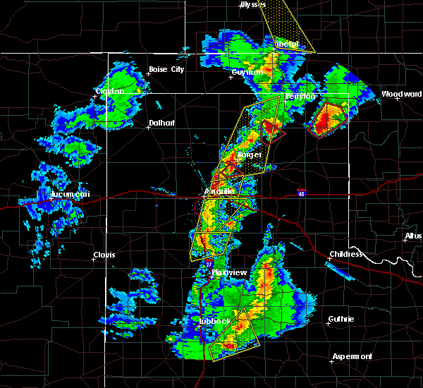 At 814 pm cst, a severe thunderstorm was located 7 miles north of panhandle, moving northeast at 40 mph (radar indicated). Hazards include ping pong ball size hail and 60 mph wind gusts. People and animals outdoors will be injured. expect hail damage to roofs, siding, windows and vehicles. minor wind damage to roofs, siding and trees is possible. locations impacted include, amarillo, panhandle and pantex. A tornado watch remains in effect until 900 pm cst. At 814 pm cst, a severe thunderstorm was located 7 miles north of panhandle, moving northeast at 40 mph (radar indicated). Hazards include ping pong ball size hail and 60 mph wind gusts. People and animals outdoors will be injured. expect hail damage to roofs, siding, windows and vehicles. minor wind damage to roofs, siding and trees is possible. locations impacted include, amarillo, panhandle and pantex. A tornado watch remains in effect until 900 pm cst.
|
| 11/16/2015 8:08 PM CST | Quarter sized hail reported 0.9 miles WNW of Amarillo, TX, multiple reports of quarter size hail across downtown amarillo. |
| 11/16/2015 8:05 PM CST | Quarter sized hail reported 0.9 miles WNW of Amarillo, TX |
| 11/16/2015 8:05 PM CST | Quarter sized hail reported 4.5 miles NNE of Amarillo, TX, hail at 58th and washington. |
| 11/16/2015 7:56 PM CST | Storm damage reported in randall county TX, 3 miles N of Amarillo, TX |
| 11/16/2015 7:37 PM CST |
 At 737 pm cst, a severe thunderstorm was located over happy, or 14 miles north of tulia, moving north at 60 mph (radar indicated). Hazards include ping pong ball size hail and 60 mph wind gusts. People and animals outdoors will be injured. expect hail damage to roofs, siding, windows and vehicles. Minor wind damage to roofs, siding and trees is possible. At 737 pm cst, a severe thunderstorm was located over happy, or 14 miles north of tulia, moving north at 60 mph (radar indicated). Hazards include ping pong ball size hail and 60 mph wind gusts. People and animals outdoors will be injured. expect hail damage to roofs, siding, windows and vehicles. Minor wind damage to roofs, siding and trees is possible.
|
| 11/16/2015 7:37 PM CST |
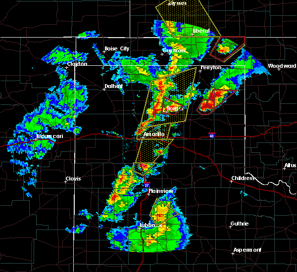 At 737 pm cst, a severe thunderstorm was located near amarillo, moving northeast at 40 mph (radar indicated). Hazards include ping pong ball size hail and 60 mph wind gusts. People and animals outdoors will be injured. expect hail damage to roofs, siding, windows and vehicles. Minor wind damage to roofs, siding and trees is possible. At 737 pm cst, a severe thunderstorm was located near amarillo, moving northeast at 40 mph (radar indicated). Hazards include ping pong ball size hail and 60 mph wind gusts. People and animals outdoors will be injured. expect hail damage to roofs, siding, windows and vehicles. Minor wind damage to roofs, siding and trees is possible.
|
| 11/16/2015 6:49 PM CST | Quarter sized hail reported 3.6 miles NNE of Amarillo, TX |
| 11/16/2015 6:48 PM CST | Penny size hail and wind gusts near 60 mph reported near 34th and teckl in potter county TX, 0.9 miles WNW of Amarillo, TX |
| 11/16/2015 6:36 PM CST |
 At 636 pm cst, a severe thunderstorm was located near amarillo, moving northeast at 40 mph (radar indicated). Hazards include ping pong ball size hail and 60 mph wind gusts. People and animals outdoors will be injured. expect hail damage to roofs, siding, windows and vehicles. minor wind damage to roofs, siding and trees is possible. locations impacted include, amarillo. A tornado watch remains in effect until 900 pm cst for central texas. At 636 pm cst, a severe thunderstorm was located near amarillo, moving northeast at 40 mph (radar indicated). Hazards include ping pong ball size hail and 60 mph wind gusts. People and animals outdoors will be injured. expect hail damage to roofs, siding, windows and vehicles. minor wind damage to roofs, siding and trees is possible. locations impacted include, amarillo. A tornado watch remains in effect until 900 pm cst for central texas.
|
| 11/16/2015 6:32 PM CST |
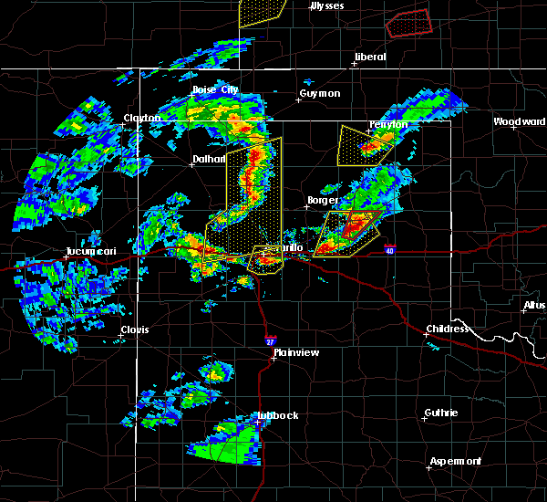 At 631 pm cst, severe thunderstorms were located extending from 13 miles southeast of stratford to wildorado, moving northeast at 45 mph (radar indicated). Hazards include 70 mph wind gusts and penny size hail. Expect some tree damage. damage is likely to mobile homes, roofs and outbuildings. locations impacted include, amarillo, dumas, cactus, sunray, boys ranch, masterson, wildorado, lake meredith, valley de oro, bushland and four way. A tornado watch remains in effect until 900 pm cst for central texas. At 631 pm cst, severe thunderstorms were located extending from 13 miles southeast of stratford to wildorado, moving northeast at 45 mph (radar indicated). Hazards include 70 mph wind gusts and penny size hail. Expect some tree damage. damage is likely to mobile homes, roofs and outbuildings. locations impacted include, amarillo, dumas, cactus, sunray, boys ranch, masterson, wildorado, lake meredith, valley de oro, bushland and four way. A tornado watch remains in effect until 900 pm cst for central texas.
|
| 11/16/2015 6:26 PM CST |
 At 625 pm cst, a severe thunderstorm was located over lake tanglewood, or 8 miles south of amarillo, moving northeast at 40 mph (radar indicated). Hazards include golf ball size hail and 60 mph wind gusts. People and animals outdoors will be injured. expect hail damage to roofs, siding, windows and vehicles. minor wind damage to roofs, siding and trees is possible. locations impacted include, amarillo, lake tanglewood, mescalero park and timbercreek canyon. A tornado watch remains in effect until 900 pm cst. At 625 pm cst, a severe thunderstorm was located over lake tanglewood, or 8 miles south of amarillo, moving northeast at 40 mph (radar indicated). Hazards include golf ball size hail and 60 mph wind gusts. People and animals outdoors will be injured. expect hail damage to roofs, siding, windows and vehicles. minor wind damage to roofs, siding and trees is possible. locations impacted include, amarillo, lake tanglewood, mescalero park and timbercreek canyon. A tornado watch remains in effect until 900 pm cst.
|
| 11/16/2015 6:19 PM CST |
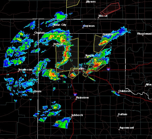 At 619 pm cst, a severe thunderstorm was located near canyon, moving northeast at 45 mph (radar indicated). Hazards include ping pong ball size hail and 60 mph wind gusts. People and animals outdoors will be injured. expect hail damage to roofs, siding, windows and vehicles. Minor wind damage to roofs, siding and trees is possible. At 619 pm cst, a severe thunderstorm was located near canyon, moving northeast at 45 mph (radar indicated). Hazards include ping pong ball size hail and 60 mph wind gusts. People and animals outdoors will be injured. expect hail damage to roofs, siding, windows and vehicles. Minor wind damage to roofs, siding and trees is possible.
|
| 11/16/2015 6:09 PM CST |
 At 608 pm cst, severe thunderstorms were located extending from near hartley to near vega, moving northeast at 45 mph (radar indicated. similar storms today have produced wind gusts to 70 mph). Hazards include 70 mph wind gusts and penny size hail. Expect some tree damage. Damage is likely to mobile homes, roofs and outbuildings. At 608 pm cst, severe thunderstorms were located extending from near hartley to near vega, moving northeast at 45 mph (radar indicated. similar storms today have produced wind gusts to 70 mph). Hazards include 70 mph wind gusts and penny size hail. Expect some tree damage. Damage is likely to mobile homes, roofs and outbuildings.
|
| 8/19/2015 2:41 AM CDT |
 At 241 am cdt, severe thunderstorms were located along a line extending from 6 miles southwest of panhandle to 10 miles south of claude to 10 miles southeast of wayside, moving east at 40 mph (radar indicated). Hazards include 60 mph wind gusts and half dollar size hail. Hail damage to vehicles is expected. minor wind damage to roofs, siding and trees is possible. Locations impacted include, amarillo, clarendon, claude, groom, howardwick, wayside, washburn, palo duro canyon, greenbelt lake and goodnight. At 241 am cdt, severe thunderstorms were located along a line extending from 6 miles southwest of panhandle to 10 miles south of claude to 10 miles southeast of wayside, moving east at 40 mph (radar indicated). Hazards include 60 mph wind gusts and half dollar size hail. Hail damage to vehicles is expected. minor wind damage to roofs, siding and trees is possible. Locations impacted include, amarillo, clarendon, claude, groom, howardwick, wayside, washburn, palo duro canyon, greenbelt lake and goodnight.
|
| 8/19/2015 2:24 AM CDT |
 At 224 am cdt, severe thunderstorms were located along a line extending from 8 miles northwest of washburn to near palo duro canyon to near wayside, moving east at 40 mph (radar indicated). Hazards include 65 mph wind gusts and half dollar size hail. Hail damage to vehicles is expected. Minor wind damage to roofs, siding and trees is possible. At 224 am cdt, severe thunderstorms were located along a line extending from 8 miles northwest of washburn to near palo duro canyon to near wayside, moving east at 40 mph (radar indicated). Hazards include 65 mph wind gusts and half dollar size hail. Hail damage to vehicles is expected. Minor wind damage to roofs, siding and trees is possible.
|
| 8/19/2015 1:58 AM CDT |
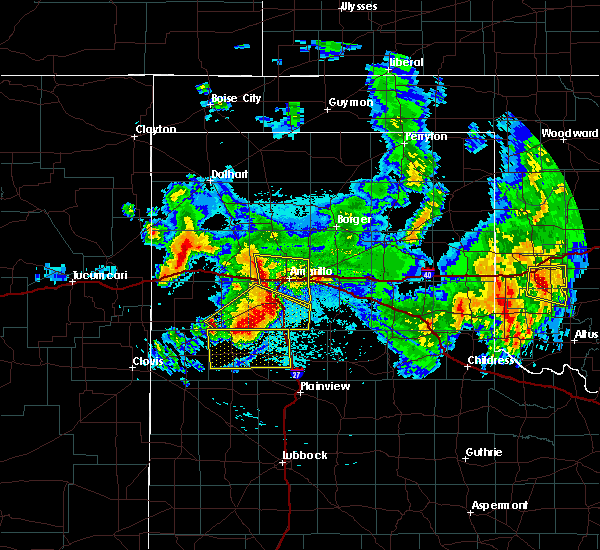 At 158 am cdt, severe thunderstorms were located along a line extending from 7 miles southeast of valley de oro to near bushland to near mescalero park, moving east at 35 mph (radar indicated). Hazards include 60 mph wind gusts and half dollar size hail. Hail damage to vehicles is expected. Minor wind damage to roofs, siding and trees is possible. At 158 am cdt, severe thunderstorms were located along a line extending from 7 miles southeast of valley de oro to near bushland to near mescalero park, moving east at 35 mph (radar indicated). Hazards include 60 mph wind gusts and half dollar size hail. Hail damage to vehicles is expected. Minor wind damage to roofs, siding and trees is possible.
|
| 8/18/2015 11:22 PM CDT |
 At 1119 pm cdt, a severe thunderstorm was located over umbarger, or 12 miles west of canyon, moving southeast at 30 mph (radar indicated). Hazards include 60 mph wind gusts and half dollar size hail. Hail damage to vehicles is expected. minor wind damage to roofs, siding and trees is possible. Locations impacted include, amarillo, hereford, canyon, umbarger, mescalero park, buffalo lake and dawn. At 1119 pm cdt, a severe thunderstorm was located over umbarger, or 12 miles west of canyon, moving southeast at 30 mph (radar indicated). Hazards include 60 mph wind gusts and half dollar size hail. Hail damage to vehicles is expected. minor wind damage to roofs, siding and trees is possible. Locations impacted include, amarillo, hereford, canyon, umbarger, mescalero park, buffalo lake and dawn.
|
| 8/18/2015 11:10 PM CDT |
 At 1109 pm cdt, a severe thunderstorm was located near dawn, or 14 miles northeast of hereford, moving southeast at 30 mph (radar indicated). Hazards include 60 mph wind gusts and half dollar size hail. Hail damage to vehicles is expected. minor wind damage to roofs, siding and trees is possible. Locations impacted include, amarillo, hereford, canyon, wildorado, bushland, umbarger, mescalero park, buffalo lake and dawn. At 1109 pm cdt, a severe thunderstorm was located near dawn, or 14 miles northeast of hereford, moving southeast at 30 mph (radar indicated). Hazards include 60 mph wind gusts and half dollar size hail. Hail damage to vehicles is expected. minor wind damage to roofs, siding and trees is possible. Locations impacted include, amarillo, hereford, canyon, wildorado, bushland, umbarger, mescalero park, buffalo lake and dawn.
|
| 8/18/2015 10:55 PM CDT |
 At 1055 pm cdt, a severe thunderstorm was located 13 miles northwest of dawn, or 14 miles south of vega, moving southeast at 35 mph (radar indicated). Hazards include 60 mph wind gusts and half dollar size hail. Hail damage to vehicles is expected. Minor wind damage to roofs, siding and trees is possible. At 1055 pm cdt, a severe thunderstorm was located 13 miles northwest of dawn, or 14 miles south of vega, moving southeast at 35 mph (radar indicated). Hazards include 60 mph wind gusts and half dollar size hail. Hail damage to vehicles is expected. Minor wind damage to roofs, siding and trees is possible.
|
| 7/17/2015 8:52 PM CDT |
 The severe thunderstorm warning for north central randall and southeastern potter counties will expire at 900 pm cdt, the storm which prompted the warning has weakened below severe limits, and no longer poses an immediate threat to life or property. The severe thunderstorm warning for north central randall and southeastern potter counties will expire at 900 pm cdt, the storm which prompted the warning has weakened below severe limits, and no longer poses an immediate threat to life or property.
|
| 7/17/2015 8:44 PM CDT |
 At 843 pm cdt, a severe thunderstorm was located 9 miles north of amarillo, and moving northeast at 35 mph (radar indicated). Hazards include 60 mph wind gusts. Minor damage to roofs. Siding and trees is possible. At 843 pm cdt, a severe thunderstorm was located 9 miles north of amarillo, and moving northeast at 35 mph (radar indicated). Hazards include 60 mph wind gusts. Minor damage to roofs. Siding and trees is possible.
|
| 7/17/2015 8:31 PM CDT | Storm damage reported in potter county TX, 12.2 miles E of Amarillo, TX |
| 7/17/2015 8:28 PM CDT | Storm damage reported in potter county TX, 10 miles E of Amarillo, TX |
| 7/17/2015 8:27 PM CDT |
 At 826 pm cdt, a severe thunderstorm was located near bushland, and moving northeast at 35 mph (radar indicated). Hazards include 65 mph wind gusts and penny size hail. this storm produced a 61 mph wind gust at bushland high school. Minor damage to roofs. Siding and trees is possible. At 826 pm cdt, a severe thunderstorm was located near bushland, and moving northeast at 35 mph (radar indicated). Hazards include 65 mph wind gusts and penny size hail. this storm produced a 61 mph wind gust at bushland high school. Minor damage to roofs. Siding and trees is possible.
|
| 7/17/2015 8:15 PM CDT | Storm damage reported in potter county TX, 10 miles E of Amarillo, TX |
| 7/17/2015 8:13 PM CDT | Storm damage reported in potter county TX, 12.2 miles E of Amarillo, TX |
| 7/17/2015 8:10 PM CDT |
 At 810 pm cdt, a severe thunderstorm was located 6 miles southwest of bushland, and moving northeast at 35 mph (radar indicated). Hazards include 60 mph wind gusts and penny size hail. Minor damage to roofs. Siding and trees is possible. At 810 pm cdt, a severe thunderstorm was located 6 miles southwest of bushland, and moving northeast at 35 mph (radar indicated). Hazards include 60 mph wind gusts and penny size hail. Minor damage to roofs. Siding and trees is possible.
|
| 7/17/2015 4:50 PM CDT |
 At 448 pm cdt, a severe thunderstorm was located near amarillo, and moving northeast at 35 mph (radar indicated). Hazards include 60 mph wind gusts. Minor damage to roofs. Siding and trees is possible. At 448 pm cdt, a severe thunderstorm was located near amarillo, and moving northeast at 35 mph (radar indicated). Hazards include 60 mph wind gusts. Minor damage to roofs. Siding and trees is possible.
|
| 7/17/2015 4:40 PM CDT |
 At 437 pm cdt, a severe thunderstorm was located 6 miles northwest of lake tanglewood, and moving northeast at 25 mph (radar indicated). Hazards include 60 mph wind gusts and nickel size hail. Minor damage to roofs. Siding and trees is possible. At 437 pm cdt, a severe thunderstorm was located 6 miles northwest of lake tanglewood, and moving northeast at 25 mph (radar indicated). Hazards include 60 mph wind gusts and nickel size hail. Minor damage to roofs. Siding and trees is possible.
|
| 7/17/2015 4:27 PM CDT |
 At 424 pm cdt, a severe thunderstorm was located 6 miles north of canyon, and moving northeast at 20 mph (radar indicated). Hazards include 60 mph wind gusts and nickel size hail. Minor damage to roofs. Siding and trees is possible. At 424 pm cdt, a severe thunderstorm was located 6 miles north of canyon, and moving northeast at 20 mph (radar indicated). Hazards include 60 mph wind gusts and nickel size hail. Minor damage to roofs. Siding and trees is possible.
|
| 7/17/2015 4:26 PM CDT | Storm damage reported in randall county TX, 9.9 miles NNE of Amarillo, TX |
| 7/17/2015 4:19 PM CDT |
 At 416 pm cdt, a severe thunderstorm was located 6 miles northwest of canyon, and moving northeast at 20 mph (radar indicated). Hazards include 60 mph wind gusts and quarter size hail. Hail damage to vehicles is expected. Minor wind damage to roofs, siding and trees is possible. At 416 pm cdt, a severe thunderstorm was located 6 miles northwest of canyon, and moving northeast at 20 mph (radar indicated). Hazards include 60 mph wind gusts and quarter size hail. Hail damage to vehicles is expected. Minor wind damage to roofs, siding and trees is possible.
|
| 7/17/2015 4:11 PM CDT |
 At 408 pm cdt, a severe thunderstorm was located 6 miles northeast of umbarger, and moving east at 25 mph (radar indicated). Hazards include 60 mph wind gusts and quarter size hail. Hail damage to vehicles is expected. Minor wind damage to roofs, siding and trees is possible. At 408 pm cdt, a severe thunderstorm was located 6 miles northeast of umbarger, and moving east at 25 mph (radar indicated). Hazards include 60 mph wind gusts and quarter size hail. Hail damage to vehicles is expected. Minor wind damage to roofs, siding and trees is possible.
|
| 7/16/2015 7:33 PM CDT |
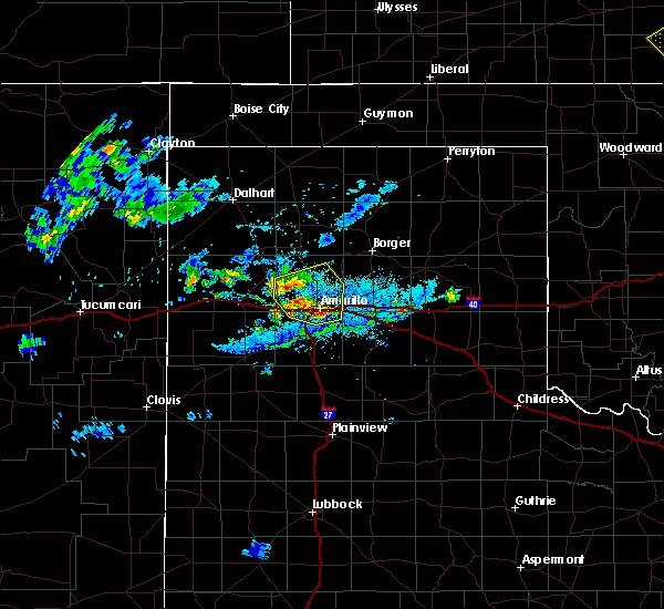 At 729 pm cdt, severe thunderstorms were located along a line extending from 7 miles southeast of valley de oro to amarillo, and moving northeast at 20 mph (trained weather spotters). Hazards include 60 mph wind gusts and half dollar size hail. Hail damage to vehicles is expected. Minor wind damage to roofs, siding and trees is possible. At 729 pm cdt, severe thunderstorms were located along a line extending from 7 miles southeast of valley de oro to amarillo, and moving northeast at 20 mph (trained weather spotters). Hazards include 60 mph wind gusts and half dollar size hail. Hail damage to vehicles is expected. Minor wind damage to roofs, siding and trees is possible.
|
| 7/16/2015 7:22 PM CDT |
 At 718 pm cdt, severe thunderstorms were located along a line extending from 7 miles south of valley de oro to 5 miles southeast of amarillo, and moving northeast at 20 mph (trained weather spotters). Hazards include ping pong ball size hail and 60 mph wind gusts. People and animals outdoors will be injured. expect hail damage to roofs, siding, windows and vehicles. Minor wind damage to roofs, siding and trees is possible. At 718 pm cdt, severe thunderstorms were located along a line extending from 7 miles south of valley de oro to 5 miles southeast of amarillo, and moving northeast at 20 mph (trained weather spotters). Hazards include ping pong ball size hail and 60 mph wind gusts. People and animals outdoors will be injured. expect hail damage to roofs, siding, windows and vehicles. Minor wind damage to roofs, siding and trees is possible.
|
| 7/16/2015 7:19 PM CDT | Quarter sized hail reported 3.1 miles NE of Amarillo, TX, quarter size hail reported. |
| 7/16/2015 7:18 PM CDT | Quarter sized hail reported 3.8 miles NNE of Amarillo, TX, quarter size hail reported. |
| 7/16/2015 7:15 PM CDT |
 At 713 pm cdt, severe thunderstorms were located along a line extending from 8 miles south of valley de oro to lake tanglewood, and moving northeast at 20 mph (radar indicated). Hazards include 60 mph wind gusts and quarter size hail. Hail damage to vehicles is expected. Minor wind damage to roofs, siding and trees is possible. At 713 pm cdt, severe thunderstorms were located along a line extending from 8 miles south of valley de oro to lake tanglewood, and moving northeast at 20 mph (radar indicated). Hazards include 60 mph wind gusts and quarter size hail. Hail damage to vehicles is expected. Minor wind damage to roofs, siding and trees is possible.
|
| 7/16/2015 7:15 PM CDT |
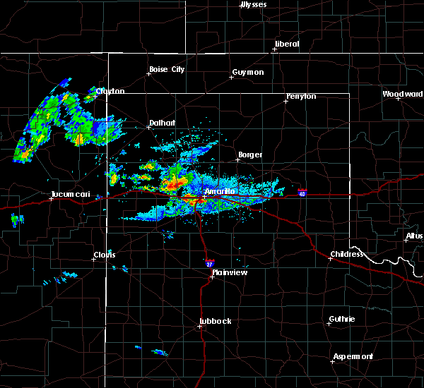 At 713 pm cdt, severe thunderstorms were located along a line extending from 8 miles south of valley de oro to lake tanglewood, and moving northeast at 20 mph (radar indicated). Hazards include 60 mph wind gusts and quarter size hail. Hail damage to vehicles is expected. Minor wind damage to roofs, siding and trees is possible. At 713 pm cdt, severe thunderstorms were located along a line extending from 8 miles south of valley de oro to lake tanglewood, and moving northeast at 20 mph (radar indicated). Hazards include 60 mph wind gusts and quarter size hail. Hail damage to vehicles is expected. Minor wind damage to roofs, siding and trees is possible.
|
| 7/8/2015 11:35 PM CDT |
 At 1133 pm cdt, a severe thunderstorm was located near lake tanglewood, and moving east at 30 mph (radar indicated). Hazards include 60 mph wind gusts and quarter size hail. Hail damage to vehicles is expected. Minor wind damage to roofs, siding and trees is possible. At 1133 pm cdt, a severe thunderstorm was located near lake tanglewood, and moving east at 30 mph (radar indicated). Hazards include 60 mph wind gusts and quarter size hail. Hail damage to vehicles is expected. Minor wind damage to roofs, siding and trees is possible.
|
| 7/8/2015 11:01 PM CDT |
 At 1058 pm cdt, a severe thunderstorm was located 6 miles southwest of bushland, and moving east at 25 mph (radar indicated). Hazards include 60 mph wind gusts and quarter size hail. Hail damage to vehicles is expected. Minor wind damage to roofs, siding and trees is possible. At 1058 pm cdt, a severe thunderstorm was located 6 miles southwest of bushland, and moving east at 25 mph (radar indicated). Hazards include 60 mph wind gusts and quarter size hail. Hail damage to vehicles is expected. Minor wind damage to roofs, siding and trees is possible.
|
| 7/8/2015 9:53 PM CDT |
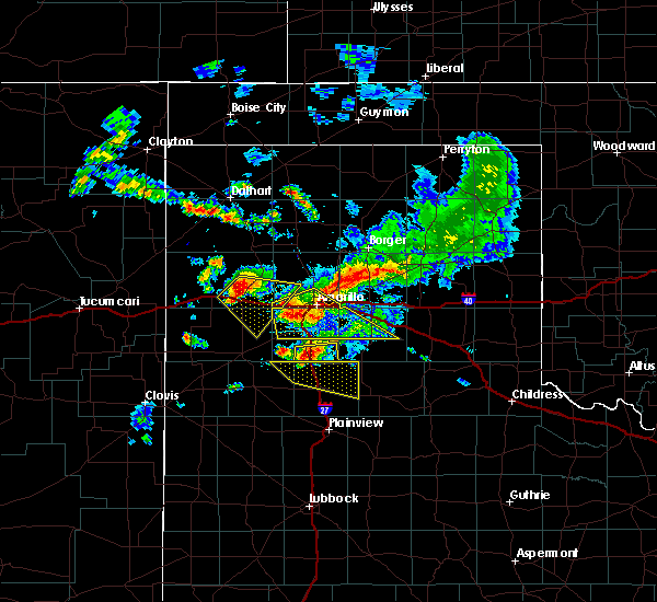 At 951 pm cdt, severe thunderstorms were located along a line extending from amarillo to 6 miles southeast of bushland, and moving southeast at 30 mph (emergency management. at 916 pm...golf ball size hail was reported 5 miles northeast of wildorado). Hazards include golf ball size hail and 60 mph wind gusts. People and animals outdoors will be injured. expect hail damage to roofs, siding, windows and vehicles. Minor wind damage to roofs, siding and trees is possible. At 951 pm cdt, severe thunderstorms were located along a line extending from amarillo to 6 miles southeast of bushland, and moving southeast at 30 mph (emergency management. at 916 pm...golf ball size hail was reported 5 miles northeast of wildorado). Hazards include golf ball size hail and 60 mph wind gusts. People and animals outdoors will be injured. expect hail damage to roofs, siding, windows and vehicles. Minor wind damage to roofs, siding and trees is possible.
|
| 7/8/2015 9:44 PM CDT |
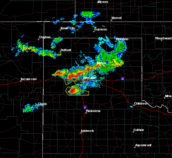 At 942 pm cdt, severe thunderstorms were located along a line extending from amarillo to bushland, and moving southeast at 30 mph (emergency management). Hazards include golf ball size hail and 60 mph wind gusts. People and animals outdoors will be injured. expect hail damage to roofs, siding, windows and vehicles. Minor wind damage to roofs, siding and trees is possible. At 942 pm cdt, severe thunderstorms were located along a line extending from amarillo to bushland, and moving southeast at 30 mph (emergency management). Hazards include golf ball size hail and 60 mph wind gusts. People and animals outdoors will be injured. expect hail damage to roofs, siding, windows and vehicles. Minor wind damage to roofs, siding and trees is possible.
|
| 7/8/2015 9:32 PM CDT | Quarter sized hail reported 12.8 miles E of Amarillo, TX |
| 7/8/2015 9:30 PM CDT | Several trees down and one power line down on cliffside from 7000 block to sonc in potter county TX, 5 miles SE of Amarillo, TX |
| 7/8/2015 9:21 PM CDT |
 At 919 pm cdt, severe thunderstorms were located along a line extending from 11 miles northwest of amarillo to wildorado, and moving southeast at 20 mph (radar indicated). Hazards include 60 mph wind gusts and half dollar size hail. Hail damage to vehicles is expected. Minor wind damage to roofs, siding and trees is possible. At 919 pm cdt, severe thunderstorms were located along a line extending from 11 miles northwest of amarillo to wildorado, and moving southeast at 20 mph (radar indicated). Hazards include 60 mph wind gusts and half dollar size hail. Hail damage to vehicles is expected. Minor wind damage to roofs, siding and trees is possible.
|
| 7/8/2015 8:55 PM CDT |
 At 852 pm cdt, a severe thunderstorm was located 5 miles southeast of valley de oro, and moving southeast at 20 mph (radar indicated). Hazards include 60 mph wind gusts and half dollar size hail. Hail damage to vehicles is expected. Minor wind damage to roofs, siding and trees is possible. At 852 pm cdt, a severe thunderstorm was located 5 miles southeast of valley de oro, and moving southeast at 20 mph (radar indicated). Hazards include 60 mph wind gusts and half dollar size hail. Hail damage to vehicles is expected. Minor wind damage to roofs, siding and trees is possible.
|
| 7/8/2015 8:35 PM CDT |
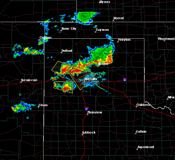 At 831 pm cdt, a severe thunderstorm was located near valley de oro, and moving southeast at 15 mph (trained weather spotters). Hazards include golf ball size hail and 60 mph wind gusts. People and animals outdoors will be injured. expect hail damage to roofs, siding, windows and vehicles. Minor wind damage to roofs, siding and trees is possible. At 831 pm cdt, a severe thunderstorm was located near valley de oro, and moving southeast at 15 mph (trained weather spotters). Hazards include golf ball size hail and 60 mph wind gusts. People and animals outdoors will be injured. expect hail damage to roofs, siding, windows and vehicles. Minor wind damage to roofs, siding and trees is possible.
|
| 7/8/2015 8:14 PM CDT |
 At 813 pm cdt, a severe thunderstorm was located near boys ranch, and moving southeast at 20 mph (trained weather spotters). Hazards include golf ball size hail and 60 mph wind gusts. People and animals outdoors will be injured. expect hail damage to roofs, siding, windows and vehicles. Minor wind damage to roofs, siding and trees is possible. At 813 pm cdt, a severe thunderstorm was located near boys ranch, and moving southeast at 20 mph (trained weather spotters). Hazards include golf ball size hail and 60 mph wind gusts. People and animals outdoors will be injured. expect hail damage to roofs, siding, windows and vehicles. Minor wind damage to roofs, siding and trees is possible.
|
| 7/3/2015 9:48 PM CDT |
 At 945 pm cdt, a severe thunderstorm was located 8 miles southwest of amarillo, and moving southwest at 20 mph (radar indicated). Hazards include 70 mph wind gusts and penny size hail. Expect some tree damage. damage is likely to mobile homes. Roofs and outbuildings. At 945 pm cdt, a severe thunderstorm was located 8 miles southwest of amarillo, and moving southwest at 20 mph (radar indicated). Hazards include 70 mph wind gusts and penny size hail. Expect some tree damage. damage is likely to mobile homes. Roofs and outbuildings.
|
| 7/3/2015 9:24 PM CDT |
 At 921 pm cdt, a severe thunderstorm was located near amarillo, and moving south at 30 mph (radar indicated). Hazards include 70 mph wind gusts and penny size hail. Expect some tree damage. Damage is likely to mobile homes, roofs and outbuildings. At 921 pm cdt, a severe thunderstorm was located near amarillo, and moving south at 30 mph (radar indicated). Hazards include 70 mph wind gusts and penny size hail. Expect some tree damage. Damage is likely to mobile homes, roofs and outbuildings.
|
| 7/3/2015 9:14 PM CDT |
 At 912 pm cdt, a severe thunderstorm was located near amarillo, and moving south at 30 mph (radar indicated). Hazards include 60 mph wind gusts and penny size hail. Minor damage to roofs. Siding and trees is possible. At 912 pm cdt, a severe thunderstorm was located near amarillo, and moving south at 30 mph (radar indicated). Hazards include 60 mph wind gusts and penny size hail. Minor damage to roofs. Siding and trees is possible.
|
| 7/3/2015 9:10 PM CDT | Power pole down south 4th and birmingham - time estimated by radar in potter county TX, 0.9 miles WNW of Amarillo, TX |
| 7/3/2015 9:09 PM CDT | At 34th avenue and bell street in randall county TX, 6.6 miles NE of Amarillo, TX |
| 7/3/2015 9:08 PM CDT | 61 mph gust reported at wonderland schoolnet mesonet in potter county TX, 2 miles SSW of Amarillo, TX |
| 7/3/2015 9:03 PM CDT |
 At 901 pm cdt, a severe thunderstorm was located near washburn, and moving south at 30 mph (radar indicated). Hazards include 60 mph wind gusts and penny size hail. Minor damage to roofs. Siding and trees is possible. At 901 pm cdt, a severe thunderstorm was located near washburn, and moving south at 30 mph (radar indicated). Hazards include 60 mph wind gusts and penny size hail. Minor damage to roofs. Siding and trees is possible.
|
| 7/3/2015 8:53 PM CDT | Storm damage reported in potter county TX, 9.1 miles SSW of Amarillo, TX |
| 7/3/2015 8:28 PM CDT |
 At 826 pm cdt, a severe thunderstorm was located 8 miles northwest of panhandle, and moving south at 30 mph (radar indicated). Hazards include 70 mph wind gusts and quarter size hail. Hail damage to vehicles is expected. expect some tree damage. Wind damage is also likely to mobile homes, roofs and outbuildings. At 826 pm cdt, a severe thunderstorm was located 8 miles northwest of panhandle, and moving south at 30 mph (radar indicated). Hazards include 70 mph wind gusts and quarter size hail. Hail damage to vehicles is expected. expect some tree damage. Wind damage is also likely to mobile homes, roofs and outbuildings.
|
| 7/3/2015 8:05 PM CDT |
 At 801 pm cdt, a severe thunderstorm was located near borger, and moving south at 30 mph (radar indicated). Hazards include 70 mph wind gusts and quarter size hail. Hail damage to vehicles is expected. expect some tree damage. Wind damage is also likely to mobile homes, roofs and outbuildings. At 801 pm cdt, a severe thunderstorm was located near borger, and moving south at 30 mph (radar indicated). Hazards include 70 mph wind gusts and quarter size hail. Hail damage to vehicles is expected. expect some tree damage. Wind damage is also likely to mobile homes, roofs and outbuildings.
|
| 7/3/2015 7:54 PM CDT |
 At 754 pm cdt, a severe thunderstorm was located near borger, and moving south at 30 mph (radar indicated). Hazards include 70 mph wind gusts and quarter size hail. Hail damage to vehicles is expected. expect some tree damage. Wind damage is also likely to mobile homes, roofs and outbuildings. At 754 pm cdt, a severe thunderstorm was located near borger, and moving south at 30 mph (radar indicated). Hazards include 70 mph wind gusts and quarter size hail. Hail damage to vehicles is expected. expect some tree damage. Wind damage is also likely to mobile homes, roofs and outbuildings.
|
| 7/3/2015 7:26 PM CDT |
 At 722 pm cdt, a severe thunderstorm was located 7 miles east of stinnett, and moving south at 45 mph (radar indicated). Hazards include 70 mph wind gusts and quarter size hail. Hail damage to vehicles is expected. expect some tree damage. Wind damage is also likely to mobile homes, roofs and outbuildings. At 722 pm cdt, a severe thunderstorm was located 7 miles east of stinnett, and moving south at 45 mph (radar indicated). Hazards include 70 mph wind gusts and quarter size hail. Hail damage to vehicles is expected. expect some tree damage. Wind damage is also likely to mobile homes, roofs and outbuildings.
|
| 6/14/2015 8:02 PM CDT | Roof blown off of western marketing inc. building on southeast 3rd avenue and houston stree in potter county TX, 2.1 miles NW of Amarillo, TX |
| 6/14/2015 7:57 PM CDT | Trampoline blown over a basketball goal...a wooden baseball field fence blown down...and a dumpster overturne in potter county TX, 12.8 miles E of Amarillo, TX |
| 6/14/2015 7:43 PM CDT |
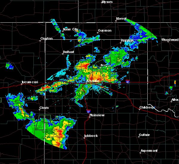 At 740 pm cdt, severe thunderstorms were located along a line extending from 11 miles northwest of washburn to panhandle, and moving east at 25 mph (radar indicated). Hazards include 60 mph wind gusts. Minor damage to roofs. Siding and trees is possible. At 740 pm cdt, severe thunderstorms were located along a line extending from 11 miles northwest of washburn to panhandle, and moving east at 25 mph (radar indicated). Hazards include 60 mph wind gusts. Minor damage to roofs. Siding and trees is possible.
|
| 6/14/2015 7:41 PM CDT | Tree blown over onto a home on river roa in potter county TX, 6 miles S of Amarillo, TX |
| 6/14/2015 7:40 PM CDT | Tree reported blown down at us highway 287 and givens road in the river road are in potter county TX, 6.7 miles S of Amarillo, TX |
| 6/14/2015 7:33 PM CDT |
 A severe thunderstorm warning remains in effect for western carson and southeastern potter counties until 800 pm cdt. at 729 pm cdt. a severe thunderstorm was located 12 miles west of panhandle. and moving east at 25 mph. hazard. 70 mph wind gusts and penny size hail. source. Radar indicated. A severe thunderstorm warning remains in effect for western carson and southeastern potter counties until 800 pm cdt. at 729 pm cdt. a severe thunderstorm was located 12 miles west of panhandle. and moving east at 25 mph. hazard. 70 mph wind gusts and penny size hail. source. Radar indicated.
|
| 6/14/2015 7:28 PM CDT | Two power poles blown over near central avenue and buck street in north amarill in potter county TX, 2.5 miles S of Amarillo, TX |
| 6/14/2015 7:15 PM CDT |
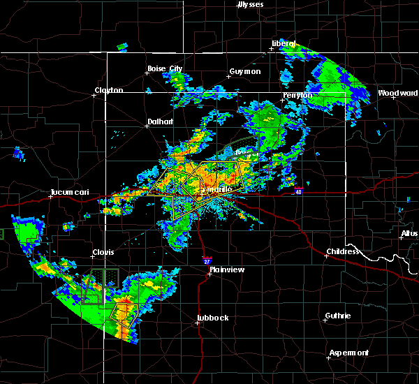 At 711 pm cdt, a severe thunderstorm was located 12 miles northeast of amarillo, and moving northeast at 40 mph (trained weather spotters). Hazards include 70 mph wind gusts and penny size hail. Expect some tree damage. damage is likely to mobile homes. Roofs and outbuildings. At 711 pm cdt, a severe thunderstorm was located 12 miles northeast of amarillo, and moving northeast at 40 mph (trained weather spotters). Hazards include 70 mph wind gusts and penny size hail. Expect some tree damage. damage is likely to mobile homes. Roofs and outbuildings.
|
| 6/14/2015 7:06 PM CDT | Storm damage reported in potter county TX, 9.5 miles S of Amarillo, TX |
| 6/14/2015 7:05 PM CDT | Storm damage reported in potter county TX, 9.5 miles S of Amarillo, TX |
| 6/14/2015 7:01 PM CDT |
 At 658 pm cdt, a severe thunderstorm was located near amarillo, and moving northeast at 25 mph (trained weather spotters). Hazards include 70 mph wind gusts and penny size hail. Expect some tree damage. damage is likely to mobile homes. Roofs and outbuildings. At 658 pm cdt, a severe thunderstorm was located near amarillo, and moving northeast at 25 mph (trained weather spotters). Hazards include 70 mph wind gusts and penny size hail. Expect some tree damage. damage is likely to mobile homes. Roofs and outbuildings.
|
| 6/14/2015 6:58 PM CDT | Roof blown off of western marketing inc. building on southeast 3rd avenue and houston stree in potter county TX, 2.1 miles NW of Amarillo, TX |
| 6/14/2015 6:57 PM CDT | Tree reported blown down at us highway 287 and givens road in the river road are in potter county TX, 6.7 miles S of Amarillo, TX |
| 6/14/2015 6:56 PM CDT | Tree blown over onto a home on river roa in potter county TX, 6 miles S of Amarillo, TX |
| 6/14/2015 6:55 PM CDT | Two power poles blown over near central avenue and buck street in north amarill in potter county TX, 2.5 miles S of Amarillo, TX |
| 6/14/2015 6:51 PM CDT |
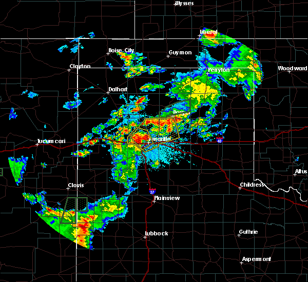 At 647 pm cdt, a severe thunderstorm was located near amarillo, and moving northeast at 35 mph. this is a very dangerous storm (trained weather spotters). Hazards include 80 mph wind gusts and quarter size hail. Flying debris will be dangerous to those caught without shelter. mobile homes will be heavily damaged. expect considerable damage to roofs, windows and vehicles. Tree damage and power outages are likely. At 647 pm cdt, a severe thunderstorm was located near amarillo, and moving northeast at 35 mph. this is a very dangerous storm (trained weather spotters). Hazards include 80 mph wind gusts and quarter size hail. Flying debris will be dangerous to those caught without shelter. mobile homes will be heavily damaged. expect considerable damage to roofs, windows and vehicles. Tree damage and power outages are likely.
|
| 6/14/2015 6:50 PM CDT | Storm damage reported in potter county TX, 6 miles S of Amarillo, TX |
| 6/14/2015 6:47 PM CDT |
 At 644 pm cdt, a severe thunderstorm was located near amarillo, and moving northeast at 25 mph (radar indicated). Hazards include 75 mph wind gusts and penny size hail. Expect some tree damage. Damage is likely to mobile homes, roofs and outbuildings. At 644 pm cdt, a severe thunderstorm was located near amarillo, and moving northeast at 25 mph (radar indicated). Hazards include 75 mph wind gusts and penny size hail. Expect some tree damage. Damage is likely to mobile homes, roofs and outbuildings.
|
| 6/14/2015 6:47 PM CDT |
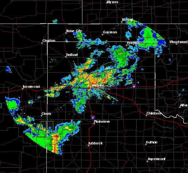 The national weather service in amarillo has issued a * severe thunderstorm warning for. western carson county in the panhandle of texas. potter county in the panhandle of texas. northern randall county in the panhandle of texas. Until 800 pm cdt. The national weather service in amarillo has issued a * severe thunderstorm warning for. western carson county in the panhandle of texas. potter county in the panhandle of texas. northern randall county in the panhandle of texas. Until 800 pm cdt.
|
| 6/14/2015 6:43 PM CDT | Winds of at least 65 mph near soncy rd and 34th av in randall county TX, 6.2 miles ENE of Amarillo, TX |
| 6/14/2015 6:42 PM CDT | Peak wind gust at lorenzo de zavala middle school. report via kvii schoolne in potter county TX, 5 miles ESE of Amarillo, TX |
| 6/14/2015 6:39 PM CDT |
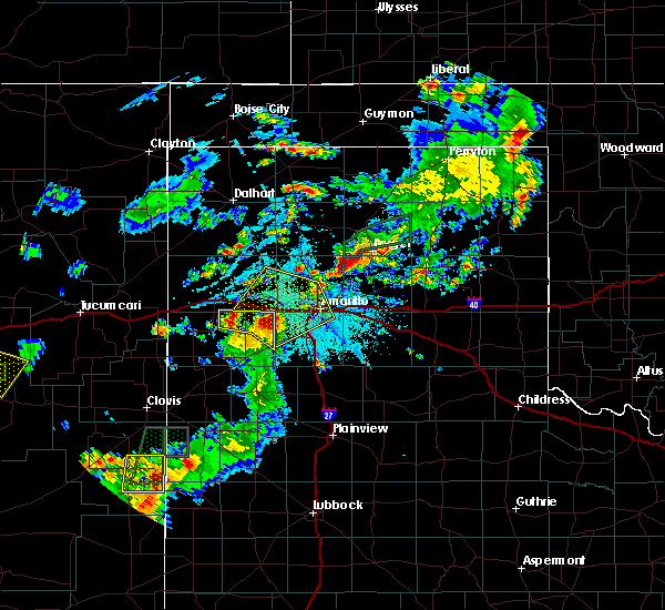 At 636 pm cdt, a severe thunderstorm was located 5 miles east of bushland, and moving northeast at 35 mph. this is a very dangerous storm (radar indicated). Hazards include 85 mph wind gusts. Flying debris will be dangerous to those caught without shelter. mobile homes will be heavily damaged. expect considerable damage to roofs, windows and vehicles. Tree damage and power outages are likely. At 636 pm cdt, a severe thunderstorm was located 5 miles east of bushland, and moving northeast at 35 mph. this is a very dangerous storm (radar indicated). Hazards include 85 mph wind gusts. Flying debris will be dangerous to those caught without shelter. mobile homes will be heavily damaged. expect considerable damage to roofs, windows and vehicles. Tree damage and power outages are likely.
|
| 6/14/2015 6:35 PM CDT | Persistent gusts between 70 to 90 mph. report via kvii schoolne in potter county TX, 10 miles E of Amarillo, TX |
| 6/14/2015 6:35 PM CDT | Peak wind gust at bushland high school. report via kvii schoolne in potter county TX, 12.2 miles E of Amarillo, TX |
| 6/14/2015 6:35 PM CDT |
 At 633 pm cdt, a severe thunderstorm was located near bushland, and moving northeast at 30 mph. this is a very dangerous storm (radar indicated). Hazards include 80 mph wind gusts and quarter size hail. Flying debris will be dangerous to those caught without shelter. mobile homes will be heavily damaged. expect considerable damage to roofs, windows and vehicles. Tree damage and power outages are likely. At 633 pm cdt, a severe thunderstorm was located near bushland, and moving northeast at 30 mph. this is a very dangerous storm (radar indicated). Hazards include 80 mph wind gusts and quarter size hail. Flying debris will be dangerous to those caught without shelter. mobile homes will be heavily damaged. expect considerable damage to roofs, windows and vehicles. Tree damage and power outages are likely.
|
| 6/14/2015 6:33 PM CDT | Persistent wind gusts between 70 to 80 mp in potter county TX, 10 miles E of Amarillo, TX |
| 6/14/2015 6:31 PM CDT | Trampoline blown over a basketball goal...a wooden baseball field fence blown down...and a dumpster overturne in potter county TX, 12.8 miles E of Amarillo, TX |
| 6/14/2015 6:28 PM CDT |
 At 625 pm cdt, a severe thunderstorm was located near bushland, and moving northeast at 30 mph (radar indicated). Hazards include 75 mph wind gusts and quarter size hail. Hail damage to vehicles is expected. expect some tree damage. Wind damage is also likely to mobile homes, roofs and outbuildings. At 625 pm cdt, a severe thunderstorm was located near bushland, and moving northeast at 30 mph (radar indicated). Hazards include 75 mph wind gusts and quarter size hail. Hail damage to vehicles is expected. expect some tree damage. Wind damage is also likely to mobile homes, roofs and outbuildings.
|
| 6/14/2015 6:14 PM CDT |
 At 612 pm cdt, a severe thunderstorm was located 10 miles northwest of umbarger, and moving northeast at 30 mph (radar indicated). Hazards include 70 mph wind gusts and quarter size hail. Hail damage to vehicles is expected. expect some tree damage. Wind damage is also likely to mobile homes, roofs and outbuildings. At 612 pm cdt, a severe thunderstorm was located 10 miles northwest of umbarger, and moving northeast at 30 mph (radar indicated). Hazards include 70 mph wind gusts and quarter size hail. Hail damage to vehicles is expected. expect some tree damage. Wind damage is also likely to mobile homes, roofs and outbuildings.
|
| 5/28/2015 2:10 AM CDT | At 206 am cdt, a severe thunderstorm was located 5 miles west of lake tanglewood, and moving east at 10 mph (radar indicated). Hazards include ping pong ball size hail. People and animals outdoors will be injured. Expect damage to roofs, siding, windows and vehicles. |
| 5/28/2015 2:02 AM CDT | At 201 am cdt, a severe thunderstorm was located 5 miles north of canyon, and moving east at 15 mph (trained weather spotters). Hazards include half dollar size hail. damage to vehicles is expected |
| 5/28/2015 2:01 AM CDT | Half Dollar sized hail reported 11.1 miles NNE of Amarillo, TX, spotter estimated quarter to half dollar size hail. |
| 5/27/2015 11:40 PM CDT | At 1137 pm cdt, a severe thunderstorm was located near canyon, and moving northeast at 15 mph (trained weather spotters). Hazards include hail up to golf ball size. People and animals outdoors will be injured. Expect damage to roofs, siding, windows and vehicles. |
| 5/27/2015 11:32 PM CDT | At 1130 pm cdt, a severe thunderstorm was located near canyon, and moving northeast at 15 mph (public). Hazards include golf ball size hail. People and animals outdoors will be injured. Expect damage to roofs, siding, windows and vehicles. |
| 5/27/2015 11:20 PM CDT | At 1118 pm cdt, a severe thunderstorm was located near canyon, and moving northeast at 10 mph (radar indicated). Hazards include half dollar size hail. damage to vehicles is expected |
| 5/27/2015 11:02 PM CDT | At 1100 pm cdt, a severe thunderstorm was located near canyon, and moving northeast at 10 mph (radar indicated). Hazards include half dollar size hail. damage to vehicles is expected |
| 5/23/2015 3:31 PM CDT | At 328 pm cdt, a severe thunderstorm was located near lake tanglewood, and moving northeast at 35 mph (radar indicated). Hazards include 60 mph wind gusts. Minor damage to roofs. Siding and trees is possible. |
| 5/23/2015 3:22 PM CDT | At 320 pm cdt, a severe thunderstorm was located near lake tanglewood, and moving northeast at 35 mph (radar indicated). Hazards include 60 mph wind gusts and penny size hail. Minor damage to roofs. Siding and trees is possible. |
| 5/23/2015 3:12 PM CDT | At 310 pm cdt, a severe thunderstorm was located near canyon, and moving northeast at 35 mph (radar indicated). Hazards include 60 mph wind gusts and quarter size hail. Hail damage to vehicles is expected. Minor wind damage to roofs, siding and trees is possible. |
| 5/23/2015 5:53 AM CDT | At 553 am cdt, severe thunderstorms were located along a line extending from panhandle to claude to 9 miles east of palo duro canyon, and moving east at 40 mph (radar indicated). Hazards include 60 mph wind gusts and quarter size hail. Hail damage to vehicles is expected. Minor wind damage to roofs, siding and trees is possible. |
| 5/23/2015 5:44 AM CDT | At 544 am cdt, severe thunderstorms were located along a line extending from 10 miles west of panhandle to washburn to palo duro canyon, and moving east at 40 mph (radar indicated). Hazards include 60 mph wind gusts and quarter size hail. Hail damage to vehicles is expected. Minor wind damage to roofs, siding and trees is possible. |
| 5/23/2015 5:24 AM CDT | At 523 am cdt, severe thunderstorms were located along a line extending from 9 miles north of amarillo to 5 miles southeast of amarillo to canyon, and moving east at 40 mph (radar indicated. a 64 mph thunderstorm wind gust was reported at tradewind elementary school at 5:18 am). Hazards include 65 mph wind gusts and quarter size hail. Hail damage to vehicles is expected. Minor wind damage to roofs, siding and trees is possible. |
| 5/23/2015 5:09 AM CDT | At 509 am cdt, severe thunderstorms were located along a line extending from 11 miles northwest of amarillo to 6 miles southwest of amarillo to canyon, and moving east at 40 mph (radar indicated). Hazards include 65 mph wind gusts and quarter size hail. Hail damage to vehicles is expected. Minor wind damage to roofs, siding and trees is possible. |
| 5/19/2015 4:42 PM CDT | The severe thunderstorm warning for northeastern randall county will expire at 445 pm cdt, the storm which prompted the warning has weakened and moved out of the warned area. hail up to nickel size is still possible with this thunderstorm. |
| 5/19/2015 4:27 PM CDT | At 424 pm cdt, a severe thunderstorm was located near lake tanglewood, and moving east at 25 mph (radar indicated). Hazards include 60 mph wind gusts and half dollar size hail. Hail damage to vehicles is expected. Minor wind damage to roofs, siding and trees is possible. |
| 5/19/2015 4:20 PM CDT | At 416 pm cdt, a severe thunderstorm was located near lake tanglewood, and moving east at 45 mph (trained weather spotters). Hazards include 60 mph wind gusts and quarter size hail. Hail damage to vehicles is expected. Minor wind damage to roofs, siding and trees is possible. |
| 5/19/2015 4:10 PM CDT | At 408 pm cdt, a severe thunderstorm was located 5 miles north of canyon, and moving east at 35 mph (trained weather spotters). Hazards include 60 mph wind gusts and half dollar size hail. Hail damage to vehicles is expected. Minor wind damage to roofs, siding and trees is possible. |
| 5/19/2015 4:05 PM CDT | At 403 pm cdt, a severe thunderstorm was located near canyon, and moving east at 35 mph (radar indicated). Hazards include half dollar size hail. damage to vehicles is expected |
| 5/16/2015 12:38 AM CDT | At 1236 am cdt, severe thunderstorms were located along a line extending from 6 miles south of wildorado to buffalo lake to 22 miles southeast of summerfield, and moving northeast at 45 mph (radar indicated). Hazards include 60 mph wind gusts and quarter size hail. Hail damage to vehicles is expected. Minor wind damage to roofs, siding and trees is possible. |
| 5/16/2015 12:32 AM CDT | At 1231 am cdt, severe thunderstorms were located along a line extending from 5 miles southwest of bushland to umbarger to 22 miles southwest of happy, and moving northeast at 120 mph (radar indicated). Hazards include 60 mph wind gusts and quarter size hail. Hail damage to vehicles is expected. Minor wind damage to roofs, siding and trees is possible. |
| 5/16/2015 12:20 AM CDT | At 1218 am cdt, severe thunderstorms were located along a line extending from 10 miles southwest of wildorado to 7 miles southwest of buffalo lake to 20 miles southeast of summerfield, and moving northeast at 45 mph (radar indicated). Hazards include 60 mph wind gusts and quarter size hail. Hail damage to vehicles is expected. Minor wind damage to roofs, siding and trees is possible. |
| 5/16/2015 12:05 AM CDT | At 1202 am cdt, severe thunderstorms were located along a line extending from simms to summerfield to 21 miles south of black, and moving northeast at 45 mph (radar indicated). Hazards include 60 mph wind gusts and quarter size hail. Hail damage to vehicles is expected. Minor wind damage to roofs, siding and trees is possible. |
| 5/9/2015 5:46 AM CDT | At 544 am cdt, a severe thunderstorm was located 12 miles northeast of bushland, and moving northeast at 35 mph (radar indicated). Hazards include 60 mph wind gusts and half dollar size hail. Hail damage to vehicles is expected. Minor wind damage to roofs, siding and trees is possible. |
| 5/9/2015 5:40 AM CDT | Golf Ball sized hail reported 5.4 miles ESE of Amarillo, TX, golf ball size in tascosa hills along with power being out. |
| 5/9/2015 5:40 AM CDT | At 539 am cdt, a severe thunderstorm was located 9 miles north of bushland, and moving north at 35 mph (radar indicated). Hazards include 70 mph wind gusts and ping pong ball size hail. People and animals outdoors will be injured. expect hail damage to roofs, siding, windows and vehicles. expect some tree damage. Wind damage is also likely to mobile homes, roofs and outbuildings. |
| 5/9/2015 5:25 AM CDT | Tennis Ball sized hail reported 11.7 miles E of Amarillo, TX |
| 5/9/2015 5:24 AM CDT | At 520 am cdt, a severe thunderstorm was located near bushland, and moving north at 35 mph (radar indicated). Hazards include golf ball size hail and 70 mph wind gusts. People and animals outdoors will be injured. expect hail damage to roofs, siding, windows and vehicles. expect some tree damage. Wind damage is also likely to mobile homes, roofs and outbuildings. |
| 5/9/2015 5:21 AM CDT | At 518 am cdt, a severe thunderstorm was located near bushland, and moving northeast at 35 mph (radar indicated). Hazards include golf ball size hail and 70 mph wind gusts. People and animals outdoors will be injured. expect hail damage to roofs, siding, windows and vehicles. expect some tree damage. Wind damage is also likely to mobile homes, roofs and outbuildings. |
| 5/9/2015 5:08 AM CDT | At 507 am cdt, a severe thunderstorm was located 6 miles north of umbarger, and moving northeast at 35 mph (radar indicated). Hazards include 70 mph wind gusts and ping pong ball size hail. People and animals outdoors will be injured. expect hail damage to roofs, siding, windows and vehicles. expect some tree damage. Wind damage is also likely to mobile homes, roofs and outbuildings. |
| 5/9/2015 4:45 AM CDT | At 442 am cdt, a severe thunderstorm was located near dawn, and moving northeast at 35 mph (radar indicated). Hazards include tennis ball size hail and 70 mph wind gusts. People and animals outdoors will be injured. expect hail damage to roofs, siding, windows and vehicles. expect some tree damage. Wind damage is also likely to mobile homes, roofs and outbuildings. |
| 5/9/2015 4:30 AM CDT | At 426 am cdt, a severe thunderstorm was located near hereford, and moving northeast at 40 mph (radar indicated). Hazards include golf ball size hail and 70 mph wind gusts. People and animals outdoors will be injured. expect hail damage to roofs, siding, windows and vehicles. expect some tree damage. Wind damage is also likely to mobile homes, roofs and outbuildings. |
| 5/9/2015 4:23 AM CDT | At 421 am cdt, a severe thunderstorm was located 7 miles southeast of hereford, and moving northeast at 40 mph (radar indicated). Hazards include 70 mph wind gusts and half dollar size hail. Hail damage to vehicles is expected. expect some tree damage. Wind damage is also likely to mobile homes, roofs and outbuildings. |
| 5/5/2015 6:42 PM CDT | Storm damage reported in potter county TX, 6.6 miles W of Amarillo, TX |
| 5/5/2015 6:24 PM CDT | Southbound i-27 near bell...tractor trailer overturned due to high winds. radar estimated tim in potter county TX, 0.9 miles WNW of Amarillo, TX |
| 5/5/2015 6:21 PM CDT | Schoolnet site at oasis rv resor in potter county TX, 10 miles E of Amarillo, TX |
| 5/5/2015 6:08 PM CDT | At 605 pm cdt, severe thunderstorms were located along a line extending from 8 miles south of wildorado to 5 miles south of buffalo lake, and moving northeast at 40 mph (radar indicated). Hazards include 60 mph wind gusts and quarter size hail. Hail damage to vehicles is expected. Minor wind damage to roofs, siding and trees is possible. |
| 4/26/2015 5:45 PM CDT | Quarter sized hail reported 14.6 miles WSW of Amarillo, TX |
| 4/26/2015 5:21 PM CDT | Golf Ball sized hail reported 16.5 miles WSW of Amarillo, TX |
| 4/26/2015 5:17 PM CDT | Golf Ball sized hail reported 16.5 miles WSW of Amarillo, TX |
| 4/16/2015 3:37 PM CDT | Golf Ball sized hail reported 10.4 miles WSW of Amarillo, TX, golf ball size hail fell near highland park area. |
| 4/16/2015 3:35 PM CDT | Quarter sized hail reported 17.6 miles SW of Amarillo, TX, at county road c and highway 283. |
| 4/16/2015 3:32 PM CDT | At 330 pm cdt, a severe thunderstorm was located 6 miles southeast of amarillo, and moving northeast at 30 mph (radar indicated). Hazards include quarter size hail. damage to vehicles is expected |
| 4/16/2015 3:29 PM CDT | At 328 pm cdt, a severe thunderstorm was located 16 miles west of panhandle, and moving northeast at 30 mph (trained weather spotters). Hazards include 60 mph wind gusts and half dollar size hail. Hail damage to vehicles is expected. Minor wind damage to roofs, siding and trees is possible. |
| 4/16/2015 3:25 PM CDT | Half Dollar sized hail reported 3.2 miles WNW of Amarillo, TX, interstate 40 and eastern street |
| 4/16/2015 3:24 PM CDT | Quarter sized hail reported 0.9 miles WNW of Amarillo, TX, quarter size hail fell near 31st ave and south grand street. |
| 4/16/2015 3:24 PM CDT | At 322 pm cdt, a severe thunderstorm was located near lake tanglewood, and moving north at 30 mph (radar indicated). Hazards include quarter size hail. damage to vehicles is expected |
| 4/16/2015 3:15 PM CDT | Ping Pong Ball sized hail reported 4.8 miles SW of Amarillo, TX, ping pong ball size hail was falling in northeast amarillo. |
| 4/16/2015 3:15 PM CDT | Golf Ball sized hail reported 3.1 miles NNE of Amarillo, TX, ping pong to golf ball size hail fell near 46th street and washington streets. |
| 4/16/2015 3:14 PM CDT | Quarter sized hail reported 6.1 miles NNE of Amarillo, TX, at 58th and georgia. |
| 4/16/2015 3:13 PM CDT | Golf Ball sized hail reported 6.3 miles NNE of Amarillo, TX, golf ball size hail was falling at south western st and loop 335. |
| 4/16/2015 3:12 PM CDT | Golf Ball sized hail reported 2 miles W of Amarillo, TX, at interstate 40 and osage. |
| 4/16/2015 3:12 PM CDT | At 309 pm cdt, a severe thunderstorm was located near lake tanglewood, and moving north at 30 mph (radar indicated). Hazards include ping pong ball size hail and 60 mph wind gusts. People and animals outdoors will be injured. expect hail damage to roofs, siding, windows and vehicles. Minor wind damage to roofs, siding and trees is possible. |
| 4/16/2015 3:11 PM CDT | Golf Ball sized hail reported 7.3 miles WSW of Amarillo, TX |
| 4/16/2015 3:11 PM CDT | At 309 pm cdt, a severe thunderstorm was located near amarillo, and moving northeast at 20 mph (trained weather spotters). Hazards include golf ball size hail and 60 mph wind gusts. People and animals outdoors will be injured. expect hail damage to roofs, siding, windows and vehicles. Minor wind damage to roofs, siding and trees is possible. |
| 4/16/2015 3:03 PM CDT | At 259 pm cdt, a severe thunderstorm was located near amarillo, and moving northeast at 35 mph (trained weather spotters). Hazards include golf ball size hail and 60 mph wind gusts. People and animals outdoors will be injured. expect hail damage to roofs, siding, windows and vehicles. Minor wind damage to roofs, siding and trees is possible. |
| 4/16/2015 3:00 PM CDT | Golf Ball sized hail reported 1.7 miles N of Amarillo, TX, golfball sized hail reported at 34th and washington |
| 4/16/2015 2:59 PM CDT | Quarter sized hail reported 0.4 miles NW of Amarillo, TX |
| 4/16/2015 2:58 PM CDT | Quarter sized hail reported 5.9 miles NNW of Amarillo, TX |
| 4/16/2015 2:56 PM CDT | Quarter sized hail reported 0.9 miles WNW of Amarillo, TX |
| 4/16/2015 2:55 PM CDT | Quarter sized hail reported 1.7 miles N of Amarillo, TX, quarter sized hail at 34th and washington |
| 4/16/2015 2:55 PM CDT | At 252 pm cdt, a severe thunderstorm was located near amarillo, and moving northeast at 15 mph (trained weather spotters). Hazards include golf ball size hail and 60 mph wind gusts. People and animals outdoors will be injured. expect hail damage to roofs, siding, windows and vehicles. Minor wind damage to roofs, siding and trees is possible. |
| 4/16/2015 2:42 PM CDT | At 240 pm cdt, a severe thunderstorm was located 6 miles northwest of lake tanglewood, and moving northeast at 15 mph (radar indicated). Hazards include ping pong ball size hail and 60 mph wind gusts. People and animals outdoors will be injured. expect hail damage to roofs, siding, windows and vehicles. Minor wind damage to roofs, siding and trees is possible. |
| 4/16/2015 2:32 PM CDT | At 229 pm cdt, a severe thunderstorm was located 6 miles west of lake tanglewood, and moving northeast at 15 mph (radar indicated). Hazards include 60 mph wind gusts and half dollar size hail. Hail damage to vehicles is expected. Minor wind damage to roofs, siding and trees is possible. |
| 4/16/2015 2:25 PM CDT | Quarter sized hail reported 16.5 miles WSW of Amarillo, TX |
| 4/15/2015 6:59 PM CDT | Storm damage reported in potter county TX, 6.6 miles W of Amarillo, TX |
| 10/12/2014 6:09 PM CDT | Storm damage reported in randall county TX, 2.5 miles NNW of Amarillo, TX |
| 10/12/2014 6:09 PM CDT | Storm damage reported in potter county TX, 6 miles S of Amarillo, TX |
| 10/12/2014 6:08 PM CDT | Storm damage reported in randall county TX, 9.6 miles NNW of Amarillo, TX |
| 10/12/2014 6:06 PM CDT | Storm damage reported in randall county TX, 6.7 miles NNW of Amarillo, TX |
| 10/12/2014 6:00 PM CDT | Storm damage reported in potter county TX, 4 miles SSE of Amarillo, TX |
| 10/12/2014 5:59 PM CDT | Storm damage reported in potter county TX, 10 miles E of Amarillo, TX |
| 10/12/2014 5:41 PM CDT | Storm damage reported in potter county TX, 15.9 miles SSE of Amarillo, TX |
| 10/9/2014 7:15 PM CDT | Hen Egg sized hail reported 14.9 miles S of Amarillo, TX, hail resulted in a cracked windshield. |
| 10/9/2014 7:13 PM CDT | Quarter sized hail reported 12.2 miles S of Amarillo, TX, nickel to quarter size hail reported by a viewer. |
| 9/24/2014 1:40 PM CDT | Quarter sized hail reported 7.3 miles WSW of Amarillo, TX |
| 9/24/2014 1:31 PM CDT | Quarter sized hail reported 6 miles S of Amarillo, TX, quarter size hail now covering ground. |
| 9/2/2014 7:10 PM CDT | Golf Ball sized hail reported 0.9 miles WNW of Amarillo, TX, half dollar to golf ball hail |
| 9/2/2014 7:08 PM CDT | Quarter sized hail reported 7.3 miles WSW of Amarillo, TX, quarter size hail continues to fall |
| 9/2/2014 7:03 PM CDT | Quarter sized hail reported 7.3 miles WSW of Amarillo, TX, quarter size hail ongoing. peak wind gust at kama asos so far is 50 mph. |
| 9/2/2014 6:59 PM CDT | Half Dollar sized hail reported 7.3 miles WSW of Amarillo, TX |
| 9/2/2014 6:53 PM CDT | Quarter sized hail reported 7.3 miles WSW of Amarillo, TX |
| 9/2/2014 6:52 PM CDT | Half Dollar sized hail reported 4.8 miles W of Amarillo, TX, dime to half dollar size |
| 9/2/2014 6:43 PM CDT | Quarter sized hail reported 3.9 miles NW of Amarillo, TX |
| 9/2/2014 6:42 PM CDT | Quarter sized hail reported 5.6 miles NW of Amarillo, TX, dime to quarter size hail |
| 9/2/2014 6:41 PM CDT | Quarter sized hail reported 2 miles W of Amarillo, TX, dime to quarter size hail currently falling. |
| 8/16/2014 4:53 PM CDT | Storm damage reported in potter county TX, 7.3 miles WSW of Amarillo, TX |
| 8/16/2014 4:51 PM CDT | Storm damage reported in potter county TX, 7.3 miles WSW of Amarillo, TX |
| 7/14/2014 7:04 PM CDT | Quarter sized hail reported 7.9 miles NE of Amarillo, TX, hail up to quarter size fell in the hillside terrace neighborhood. |
| 7/14/2014 6:57 PM CDT | Quarter sized hail reported 6.7 miles ENE of Amarillo, TX, a mix of pea to quarter size hail was falling along with very heavy rain and street flooding near 45th and soncy. |
| 6/22/2014 11:47 PM CDT | Storm damage reported in potter county TX, 10.4 miles WSW of Amarillo, TX |
| 6/22/2014 11:47 PM CDT | Storm damage reported in randall county TX, 9.9 miles NNE of Amarillo, TX |
| 6/22/2014 11:46 PM CDT | Storm damage reported in potter county TX, 6.6 miles W of Amarillo, TX |
| 6/22/2014 11:39 PM CDT | Storm damage reported in randall county TX, 7.4 miles NNE of Amarillo, TX |
| 6/22/2014 11:38 PM CDT | Roof blown off a carport and a large tree blown down. damage on the north side of amarill in potter county TX, 1 miles ESE of Amarillo, TX |
| 6/22/2014 11:38 PM CDT | Storm damage reported in randall county TX, 5.2 miles N of Amarillo, TX |
| 6/22/2014 11:38 PM CDT | Roof blown off a carport and a large tree blown down. damage on the north side of amarill in potter county TX, 0.9 miles WNW of Amarillo, TX |
| 6/22/2014 11:38 PM CDT | Storm damage reported in potter county TX, 9.1 miles SSW of Amarillo, TX |
| 6/22/2014 11:35 PM CDT | Storm damage reported in potter county TX, 9.1 miles SSW of Amarillo, TX |
| 6/22/2014 11:30 PM CDT | Storm damage reported in potter county TX, 6 miles S of Amarillo, TX |
| 6/19/2014 12:46 AM CDT | Via the west texas mesonet in potter county TX, 14.4 miles SSE of Amarillo, TX |
| 6/8/2014 9:40 PM CDT | Storm damage reported in potter county TX, 6 miles S of Amarillo, TX |
| 6/8/2014 9:37 PM CDT | Storm damage reported in randall county TX, 3 miles NW of Amarillo, TX |
| 6/8/2014 9:35 PM CDT | Storm damage reported in potter county TX, 9.1 miles SSW of Amarillo, TX |
| 6/8/2014 9:23 PM CDT | Storm damage reported in potter county TX, 12.8 miles E of Amarillo, TX |
| 6/8/2014 9:20 PM CDT | Traffic barrel blown over at the canadian river bridg in potter county TX, 18.5 miles S of Amarillo, TX |
| 6/6/2014 9:31 PM CDT | Some damaged roofs and fences in randall county TX, 9.8 miles NNE of Amarillo, TX |
| 6/6/2014 9:26 PM CDT | Several farily large portable steel buildings blown around... one on top of a car and another through a fence in randall county TX, 12 miles NE of Amarillo, TX |
| 6/6/2014 9:21 PM CDT | Three semi trucks blown over near interstate 40 mile marker 8 in potter county TX, 8.7 miles W of Amarillo, TX |
| 6/6/2014 8:15 PM CDT | Also heavy rain falling at the tim in potter county TX, 6.6 miles W of Amarillo, TX |
| 6/6/2014 3:15 AM CDT | Quarter sized hail reported 2.7 miles ENE of Amarillo, TX, quarter size hail falling at western and olsen streets. |
| 6/6/2014 1:45 AM CDT | Half Dollar sized hail reported 10.4 miles NNW of Amarillo, TX, quarter to half dollar size hail was reported near lake tanglewood. exact location is estimated |
| 6/6/2014 1:33 AM CDT | Ping Pong Ball sized hail reported 5.9 miles NNE of Amarillo, TX |
| 6/6/2014 1:29 AM CDT | Half Dollar sized hail reported 2.6 miles E of Amarillo, TX, at line ave and tennessee st |
| 6/6/2014 1:22 AM CDT | Quarter sized hail reported 2.7 miles ENE of Amarillo, TX, quarter size hail falling at western and olsen streets. |
| 6/6/2014 1:21 AM CDT | Golf Ball sized hail reported 1.7 miles N of Amarillo, TX, at 34th and interstate 27 |
| 6/6/2014 1:18 AM CDT | Quarter sized hail reported 4.4 miles ENE of Amarillo, TX, quarter size hail and very heavy rain still falling in sleepy hollow neighborhood. |
| 6/6/2014 1:12 AM CDT | Golf Ball sized hail reported 4.4 miles ENE of Amarillo, TX, a lot of quarter size to golf ball size hail and very heavy rain falling in sleepy hollow neighborhood. |
| 6/6/2014 1:12 AM CDT | Baseball sized hail reported 13.3 miles ENE of Amarillo, TX |
| 6/6/2014 1:09 AM CDT | Quarter sized hail reported 13.7 miles ENE of Amarillo, TX, quarter size hail |
| 6/6/2014 1:03 AM CDT | Hen Egg sized hail reported 9.2 miles NE of Amarillo, TX |
| 6/6/2014 1:02 AM CDT | Storm damage reported in potter county TX, 10 miles E of Amarillo, TX |
| 6/6/2014 1:00 AM CDT | Storm damage reported in potter county TX, 10 miles E of Amarillo, TX |
| 9/16/2013 4:50 PM CDT | Quarter sized hail reported 4.4 miles ENE of Amarillo, TX |
| 9/16/2013 4:50 PM CDT | Quarter sized hail reported 3.2 miles E of Amarillo, TX |
| 9/16/2013 4:50 PM CDT | Quarter sized hail reported 3.1 miles ENE of Amarillo, TX |
| 9/16/2013 4:46 PM CDT | Quarter sized hail reported 5.6 miles ENE of Amarillo, TX |
| 9/16/2013 4:45 PM CDT | Quarter sized hail reported 4.4 miles ENE of Amarillo, TX, also received 0.8 inches of rain in approximately 13 minutes |
| 8/12/2013 2:36 PM CDT | Storm damage reported in potter county TX, 3.3 miles ESE of Amarillo, TX |
| 6/28/2013 12:15 AM CDT | Outbuilding destroyed. some debris found one half mile away. time estimated by landowne in randall county TX, 7.8 miles NW of Amarillo, TX |
| 6/28/2013 12:08 AM CDT | Storm damage reported in randall county TX, 5.2 miles N of Amarillo, TX |
| 6/27/2013 11:35 PM CDT | Storm damage reported in potter county TX, 4.4 miles SSE of Amarillo, TX |
| 6/20/2013 8:19 PM CDT | Quarter sized hail reported 8.6 miles NE of Amarillo, TX |
| 6/20/2013 8:06 PM CDT | Ping Pong Ball sized hail reported 2.7 miles NNE of Amarillo, TX, ping pong ball size hail at 38th and western |
| 6/20/2013 8:00 PM CDT | Quarter sized hail reported 14.6 miles ENE of Amarillo, TX |
| 6/20/2013 7:55 PM CDT | Quarter sized hail reported 4.9 miles NE of Amarillo, TX |
| 6/20/2013 7:52 PM CDT | Golf Ball sized hail reported 4.5 miles NNE of Amarillo, TX, hillside and bell |
| 6/20/2013 7:51 PM CDT | Quarter sized hail reported 3.6 miles NNE of Amarillo, TX, quarter size hail at 45th and western |
| 6/20/2013 7:50 PM CDT | Quarter sized hail reported 5.4 miles NE of Amarillo, TX |
| 6/20/2013 7:50 PM CDT | Quarter sized hail reported 10.1 miles NE of Amarillo, TX |
| 6/20/2013 7:50 PM CDT | Half Dollar sized hail reported 5.7 miles NE of Amarillo, TX |
| 6/20/2013 7:50 PM CDT | Golf Ball sized hail reported 6.8 miles NNE of Amarillo, TX, golf ball size hail at bell and arden |
| 6/20/2013 7:46 PM CDT | Ping Pong Ball sized hail reported 6.8 miles NNE of Amarillo, TX, ping pong ball size hail at bell and arden roads |
| 6/20/2013 7:45 PM CDT | Ping Pong Ball sized hail reported 6.6 miles NE of Amarillo, TX, public report through media |
| 6/20/2013 7:45 PM CDT | Quarter sized hail reported 4.5 miles NE of Amarillo, TX, quarter size hail at 45th and bell |
| 6/20/2013 7:45 PM CDT | Quarter sized hail reported 14.3 miles ENE of Amarillo, TX |
| 6/20/2013 7:45 PM CDT | Quarter sized hail reported 13.1 miles NE of Amarillo, TX |
| 6/20/2013 7:45 PM CDT | Ping Pong Ball sized hail reported 15 miles ENE of Amarillo, TX |
| 6/20/2013 7:43 PM CDT | Quarter sized hail reported 6.6 miles NE of Amarillo, TX, off duty nws employee |
| 6/20/2013 7:41 PM CDT | Quarter sized hail reported 8.6 miles NE of Amarillo, TX, nssl shave report. corrected and adjusted time based on radar. |
| 6/20/2013 7:40 PM CDT | Half Dollar sized hail reported 6.6 miles NE of Amarillo, TX |
| 6/20/2013 7:30 PM CDT | Half Dollar sized hail reported 10.9 miles NE of Amarillo, TX |
| 6/8/2013 9:38 PM CDT | Quarter sized hail reported 19.1 miles S of Amarillo, TX |
| 5/29/2013 12:30 AM CDT | Half Dollar sized hail reported 7.3 miles WSW of Amarillo, TX, peas to half dollar size hail |
| 5/29/2013 12:15 AM CDT | Quarter sized hail reported 4.8 miles E of Amarillo, TX, hail covering roadway. |
| 5/29/2013 12:14 AM CDT | Golf Ball sized hail reported 0.9 miles WNW of Amarillo, TX, hail nearly the ground. |
| 5/29/2013 12:05 AM CDT | Quarter sized hail reported 0.9 miles WNW of Amarillo, TX, pea to quarter size hail fell at the nws office. hail was nearly covering the ground. |
| 5/29/2013 12:00 AM CDT | Golf Ball sized hail reported 3.9 miles S of Amarillo, TX |
| 5/28/2013 11:52 PM CDT | Quarter sized hail reported 3.9 miles S of Amarillo, TX, 1.5 inches of hail covering ground. |
| 5/28/2013 11:47 PM CDT | Golf Ball sized hail reported 5.6 miles ENE of Amarillo, TX |
| 5/28/2013 11:47 PM CDT | Quarter sized hail reported 0.9 miles WNW of Amarillo, TX |
| 5/28/2013 11:41 PM CDT | Half Dollar sized hail reported 0.9 miles WNW of Amarillo, TX |
| 5/28/2013 11:41 PM CDT | Large 2 to 3 foot diameter tree was split with the split part peeling down and southward facing windows and skylights were broken at an apartment comple in randall county TX, 4.4 miles ENE of Amarillo, TX |
| 5/28/2013 11:40 PM CDT | Baseball sized hail reported 0.9 miles WNW of Amarillo, TX, hail broke windows at a restaurant at 34th and soncy. |
| 5/28/2013 11:39 PM CDT | Golf Ball sized hail reported 0.9 miles WNW of Amarillo, TX, golfball size hail at the loop and western |
| 5/28/2013 11:38 PM CDT | Half Dollar sized hail reported 6.7 miles ENE of Amarillo, TX |
| 5/28/2013 11:38 PM CDT | Golf Ball sized hail reported 0.9 miles WNW of Amarillo, TX, golfball size hail at i-40 and coulter |
| 5/28/2013 11:35 PM CDT | Golf Ball sized hail reported 2.7 miles ENE of Amarillo, TX |
| 5/28/2013 11:11 PM CDT | Baseball sized hail reported 16 miles ENE of Amarillo, TX, power flashes also reported at this location |
| 5/28/2013 6:13 PM CDT | Storm damage reported in potter county TX, 7.3 miles WSW of Amarillo, TX |
| 5/28/2013 6:11 PM CDT | Storm damage reported in potter county TX, 4.3 miles E of Amarillo, TX |
| 5/28/2013 6:09 PM CDT | Storm damage reported in potter county TX, 4.4 miles SSE of Amarillo, TX |
| 5/28/2013 6:06 PM CDT | Storm damage reported in potter county TX, 10.4 miles WSW of Amarillo, TX |
| 5/28/2013 6:05 PM CDT | Storm damage reported in potter county TX, 0.9 miles ENE of Amarillo, TX |
| 5/28/2013 6:05 PM CDT | Storm damage reported in potter county TX, 7.3 miles WSW of Amarillo, TX |
| 5/28/2013 6:02 PM CDT | Storm damage reported in potter county TX, 7.3 miles WSW of Amarillo, TX |
| 5/28/2013 5:57 PM CDT | Storm damage reported in randall county TX, 5.2 miles N of Amarillo, TX |
| 5/28/2013 5:57 PM CDT | Roof blown off a metal building at 6th and osage in potter county TX, 2 miles W of Amarillo, TX |
| 5/28/2013 5:57 PM CDT | Power lines down in the fairgrounds are in potter county TX, 3.1 miles W of Amarillo, TX |
| 5/28/2013 5:44 PM CDT | Storm damage reported in potter county TX, 6.6 miles W of Amarillo, TX |
| 5/28/2013 5:44 PM CDT | Storm damage reported in potter county TX, 2.3 miles SE of Amarillo, TX |
| 5/28/2013 5:36 PM CDT | Storm damage reported in potter county TX, 6.6 miles W of Amarillo, TX |
| 5/28/2013 5:28 PM CDT | Storm damage reported in potter county TX, 1.3 miles NE of Amarillo, TX |
| 5/28/2013 5:20 PM CDT | Tractor trailer rig blown over on u.s. highway 287 about five miles east of the interstate 40 and u.s. highway 287 split in armstrong county TX, 13.4 miles W of Amarillo, TX |
| 5/28/2013 5:20 PM CDT | Tractor trailer rig blown over on u.s. highway 287 about five miles west of the interstate 40 and u.s. highway 287 split in armstrong county TX, 13.4 miles W of Amarillo, TX |
| 5/28/2013 5:16 PM CDT | Two power poles snapped at washington street and farmers in randall county TX, 2.7 miles NNE of Amarillo, TX |
| 5/28/2013 5:00 PM CDT | Storm damage reported in potter county TX, 7.3 miles WSW of Amarillo, TX |
| 5/28/2013 5:00 PM CDT | Tree limbs blown off - most around three to four inches in diameter with some five to seven inch diameter limbs in randall county TX, 4.9 miles NE of Amarillo, TX |
| 5/28/2013 4:59 PM CDT | Storm damage reported in potter county TX, 4.8 miles E of Amarillo, TX |
| 5/28/2013 4:57 PM CDT | Storm damage reported in randall county TX, 9.9 miles NNE of Amarillo, TX |
| 5/28/2013 4:52 PM CDT | Storm damage reported in potter county TX, 10 miles E of Amarillo, TX |
| 5/28/2013 4:46 PM CDT | Storm damage reported in potter county TX, 6.6 miles W of Amarillo, TX |
| 5/28/2013 4:33 PM CDT | Storm damage reported in randall county TX, 5.2 miles N of Amarillo, TX |
| 5/25/2013 8:44 PM CDT | Oasis rv resort school net in potter county TX, 10 miles E of Amarillo, TX |
| 5/23/2013 5:36 PM CDT | Quarter sized hail reported 10.8 miles S of Amarillo, TX |
| 5/9/2013 8:46 PM CDT | Storm damage reported in potter county TX, 9.9 miles W of Amarillo, TX |
| 4/13/2013 5:40 PM CDT | Strong thunderstorm wind gust pushed a trailer off the road at interstate 40 and fm 1912. the wind gust ripped the fifth wheel out of the truck. time was estimated and in potter county TX, 10.4 miles W of Amarillo, TX |
| 3/17/2013 5:30 PM CDT | Storm damage reported in potter county TX, 6.6 miles W of Amarillo, TX |
| 3/17/2013 5:30 PM CDT | Power line and power pole pushed over on northeast side of loop 335 in potter county TX, 6.6 miles SW of Amarillo, TX |
| 3/17/2013 5:20 PM CDT | Storm damage reported in randall county TX, 7.4 miles NNE of Amarillo, TX |
| 3/17/2013 5:17 PM CDT | Storm damage reported in randall county TX, 5.4 miles NE of Amarillo, TX |
| 3/17/2013 5:12 PM CDT | Storm damage reported in potter county TX, 10 miles E of Amarillo, TX |
| 3/17/2013 5:07 PM CDT | Storm damage reported in potter county TX, 10 miles E of Amarillo, TX |
| 12/14/2012 4:01 PM CST | Storm damage reported in randall county TX, 5.4 miles NE of Amarillo, TX |
| 12/14/2012 3:57 PM CST | Storm damage reported in potter county TX, 2.3 miles SE of Amarillo, TX |
| 12/14/2012 3:54 PM CST | Storm damage reported in randall county TX, 7.4 miles NE of Amarillo, TX |
| 12/14/2012 3:54 PM CST | With pea sized hail in randall county TX, 6.1 miles NE of Amarillo, TX |
| 9/5/2012 4:50 PM CDT | Large portion of office roof blown off. debris blown over a large area to the southeas in potter county TX, 12.7 miles SW of Amarillo, TX |
| 9/5/2012 4:49 PM CDT | Damage at softball complex...two scoreboards damaged and a light pole snappe in potter county TX, 3 miles WNW of Amarillo, TX |
| 9/5/2012 4:27 PM CDT | Storm damage reported in potter county TX, 2 miles W of Amarillo, TX |
| 9/5/2012 4:23 PM CDT | Quarter sized hail reported 7.9 miles NE of Amarillo, TX, hail reported at the intersection of nancy ellen and hillside |
| 9/5/2012 4:09 PM CDT | Storm damage reported in randall county TX, 3.6 miles NNE of Amarillo, TX |
| 9/5/2012 4:04 PM CDT | Quarter sized hail reported 4.5 miles N of Amarillo, TX |
| 9/5/2012 3:57 PM CDT | Quarter sized hail reported 3.8 miles WNW of Amarillo, TX |
| 9/5/2012 3:53 PM CDT | Quarter sized hail reported 2.5 miles NNW of Amarillo, TX |
| 9/5/2012 3:50 PM CDT | Half Dollar sized hail reported 2.5 miles NNW of Amarillo, TX |
| 9/5/2012 3:50 PM CDT | Storm damage reported in randall county TX, 2.5 miles NNW of Amarillo, TX |
| 9/5/2012 3:50 PM CDT | Storm damage reported in randall county TX, 2.5 miles NNW of Amarillo, TX |
| 9/5/2012 3:50 PM CDT | Storage building destroyed at 34th and ross - osag in randall county TX, 3.9 miles NW of Amarillo, TX |
| 9/5/2012 3:50 PM CDT | 3 foot diameter tree uproote in randall county TX, 4.7 miles NW of Amarillo, TX |
| 9/5/2012 3:50 PM CDT | Damage at softball complex...two scoreboards damaged and a light pole snappe in randall county TX, 4.7 miles NW of Amarillo, TX |
| 8/20/2012 8:00 PM CDT | 45th and georgia stop sign blown off post in potter county TX, 0.9 miles WNW of Amarillo, TX |
| 8/20/2012 7:58 PM CDT | Large tree about 10 ft tall and 6 inches in diameter down in backyard in potter county TX, 0.9 miles WNW of Amarillo, TX |
| 8/20/2012 7:55 PM CDT | 45th and western. power is still ou in randall county TX, 5.1 miles N of Amarillo, TX |
| 8/20/2012 7:40 PM CDT | Storm damage reported in potter county TX, 6.6 miles W of Amarillo, TX |
| 8/20/2012 7:40 PM CDT | Storm damage reported in randall county TX, 3.1 miles NNW of Amarillo, TX |
| 8/20/2012 7:40 PM CDT | Open hangar door damaged in potter county TX, 7.3 miles WSW of Amarillo, TX |
| 8/20/2012 7:38 PM CDT | Storm damage reported in randall county TX, 2.5 miles NNW of Amarillo, TX |
| 8/20/2012 7:38 PM CDT | Storm damage reported in randall county TX, 2.5 miles NNW of Amarillo, TX |
| 8/20/2012 7:35 PM CDT | Significant tree damage with some big trees leaning and or downed in amarillo college area in potter county TX, 1.7 miles N of Amarillo, TX |
| 8/20/2012 7:32 PM CDT | Storm damage reported in potter county TX, 0.9 miles WNW of Amarillo, TX |
| 8/20/2012 7:22 PM CDT | Oasis rv park school net site in potter county TX, 10 miles E of Amarillo, TX |
| 8/20/2012 6:10 PM CDT | Quarter sized hail reported 23 miles SE of Amarillo, TX, pea up to quarter size hail reported at sierrita creek and fm 1061. |
| 8/7/2012 6:30 PM CDT | Damage to solar panels with unknown wind speeds in potter county TX, 3.2 miles SE of Amarillo, TX |
| 6/16/2012 10:14 PM CDT | Storm damage reported in potter county TX, 12.2 miles E of Amarillo, TX |
| 6/16/2012 10:13 PM CDT | Storm damage reported in randall county TX, 2.5 miles NNW of Amarillo, TX |
| 6/16/2012 10:12 PM CDT | Storm damage reported in randall county TX, 7.4 miles NNE of Amarillo, TX |
| 6/16/2012 10:10 PM CDT | Storm damage reported in potter county TX, 10 miles E of Amarillo, TX |
| 6/16/2012 9:50 PM CDT | A tractor trailer was knocked off its jacks and blown down. power lines blown down as well. pea size hail accompanied the stor in randall county TX, 14.5 miles ENE of Amarillo, TX |
| 6/14/2012 7:22 PM CDT | Storm damage reported in potter county TX, 6.6 miles W of Amarillo, TX |
| 6/2/2012 1:32 AM CDT | Storm damage reported in potter county TX, 6.6 miles W of Amarillo, TX |
| 6/2/2012 1:24 AM CDT | Storm damage reported in potter county TX, 6.6 miles W of Amarillo, TX |
| 6/1/2012 5:40 PM CDT | Golf Ball sized hail reported 10 miles W of Amarillo, TX, relayed by nssl |
| 6/1/2012 5:39 PM CDT | Golf Ball sized hail reported 11 miles W of Amarillo, TX |
| 6/1/2012 4:51 PM CDT | Quarter sized hail reported 7.3 miles WSW of Amarillo, TX |
| 5/21/2012 10:31 PM CDT | Storm damage reported in potter county TX, 0.4 miles NW of Amarillo, TX |
| 4/30/2012 5:55 PM CDT | Golf Ball sized hail reported 4.5 miles NNE of Amarillo, TX |
| 4/30/2012 5:45 PM CDT | Ping Pong Ball sized hail reported 5.1 miles N of Amarillo, TX |
| 4/30/2012 5:35 PM CDT | Quarter sized hail reported 5.4 miles ENE of Amarillo, TX |
| 4/30/2012 5:35 PM CDT | Half Dollar sized hail reported 9.3 miles NE of Amarillo, TX |
| 4/30/2012 5:33 PM CDT | Quarter sized hail reported 5.4 miles NE of Amarillo, TX |
| 4/30/2012 5:29 PM CDT | Quarter sized hail reported 9.3 miles NE of Amarillo, TX |
| 4/30/2012 5:26 PM CDT | Ping Pong Ball sized hail reported 6.6 miles NE of Amarillo, TX |
| 4/30/2012 5:25 PM CDT | Quarter sized hail reported 0.9 miles WNW of Amarillo, TX |
| 4/30/2012 5:24 PM CDT | Quarter sized hail reported 6.1 miles NE of Amarillo, TX |
| 4/30/2012 5:21 PM CDT | Quarter sized hail reported 6.1 miles NE of Amarillo, TX |
| 4/29/2012 3:55 AM CDT | Golf Ball sized hail reported 8.9 miles SE of Amarillo, TX, quarter to golfball size hail northeast of bishop hills. |
| 4/29/2012 3:40 AM CDT | Quarter sized hail reported 23 miles SE of Amarillo, TX, mostly nickel size hail with some larger up to quarters in valley de oro. |
| 4/29/2012 3:05 AM CDT | Quarter sized hail reported 4.4 miles ENE of Amarillo, TX, quarter size hail reported on southwest side of amarillo |
| 4/29/2012 3:00 AM CDT | Quarter sized hail reported 2.8 miles ESE of Amarillo, TX |
| 4/29/2012 2:55 AM CDT | Golf Ball sized hail reported 5.4 miles ENE of Amarillo, TX, golf ball size hail reported on southwest side of amarillo |
| 4/29/2012 2:45 AM CDT | Quarter sized hail reported 5.6 miles ENE of Amarillo, TX, pea to quarter size hail reported in sleepy hollow subdivision off of coulter street in amarillo. |
| 4/29/2012 2:10 AM CDT | Quarter sized hail reported 1.4 miles SW of Amarillo, TX, quarter size hail near palo duro high school in amarillo. |
| 4/29/2012 2:02 AM CDT | Quarter sized hail reported 0.9 miles WNW of Amarillo, TX, quarter size hail reported on polk street in downtown amarillo. |
| 4/29/2012 2:00 AM CDT | Quarter sized hail reported 5.3 miles S of Amarillo, TX, river road area |
| 4/26/2012 6:23 PM CDT | Ping Pong Ball sized hail reported 10.4 miles NNW of Amarillo, TX |
| 4/26/2012 5:20 PM CDT | Storm damage reported in randall county TX, 6.6 miles NE of Amarillo, TX |
| 4/26/2012 4:40 PM CDT | Discovery center school net sit in potter county TX, 2 miles E of Amarillo, TX |
| 4/26/2012 4:39 PM CDT | Quarter sized hail reported 1.3 miles NE of Amarillo, TX, near amarillo high school. |
| 4/16/2012 5:15 PM CDT | At 26th and buchanan streets a metal roof was blown off a metal workshop and it came to rest on 26th street. 2 inch diameter tree limbs dow in randall county TX, 2.5 miles NNW of Amarillo, TX |
| 4/16/2012 5:15 PM CDT | At 24th and arthur streets...a carport had damage to it. a fence with metal poles and wooden pickets was blown over. a telephone pole was leaning in the backyard of a r in potter county TX, 3 miles WNW of Amarillo, TX |
| 4/16/2012 5:15 PM CDT | At 25th and arthur streets...a carport had damage to it. a fence with metal poles and wooden pickets was blown over. a telephone pole was leaning in the backyard of a r in potter county TX, 3 miles WNW of Amarillo, TX |
| 4/11/2012 5:35 PM CDT | Golf Ball sized hail reported 24.8 miles SSW of Amarillo, TX |
| 4/11/2012 5:32 PM CDT | Hen Egg sized hail reported 27.8 miles SSW of Amarillo, TX |
| 4/11/2012 5:20 PM CDT | Baseball sized hail reported 27.6 miles SSW of Amarillo, TX |
| 4/11/2012 3:28 PM CDT | Quarter sized hail reported 19.1 miles S of Amarillo, TX |
| 1/1/0001 12:00 AM | Quarter sized hail reported 2 miles E of Amarillo, TX |
| 1/1/0001 12:00 AM | Golf Ball sized hail reported 10.1 miles S of Amarillo, TX, golfball size hail at riviera park. |
| 1/1/0001 12:00 AM | Quarter sized hail reported 5.1 miles N of Amarillo, TX |
| 1/1/0001 12:00 AM | Quarter sized hail reported 4.5 miles NE of Amarillo, TX |
| 1/1/0001 12:00 AM | Estimated 60 mph gusts 6 miles north of amarillo in potter county TX, 6 miles S of Amarillo, TX |
| 1/1/0001 12:00 AM | 80 to 90 mph microburst wind damage. damaged outbuildings... carports... fences... overhead garage door... construction framin in potter county TX, 7.1 miles SW of Amarillo, TX |
| 1/1/0001 12:00 AM | Storm damage reported in potter county TX, 6.6 miles W of Amarillo, TX |
| 1/1/0001 12:00 AM | Damage to hangar doors and two aircraft at the airport...also wind sheild broken in a parking lot adjacent to the airport in potter county TX, 6.6 miles W of Amarillo, TX |
| 1/1/0001 12:00 AM | Storm damage reported in potter county TX, 6.6 miles W of Amarillo, TX |
| 1/1/0001 12:00 AM | Storm damage reported in potter county TX, 6.6 miles W of Amarillo, TX |
| 1/1/0001 12:00 AM | Storm damage reported in potter county TX, 6.6 miles W of Amarillo, TX |
| 1/1/0001 12:00 AM | Metal out building blown over a fence on the south side of highway 60 in potter county TX, 6.9 miles WSW of Amarillo, TX |
| 1/1/0001 12:00 AM | Part of a roof blown off a vacant house...lead to broken windows in neighboring homes. delayed report in potter county TX, 7 miles SSW of Amarillo, TX |
| 1/1/0001 12:00 AM | Storm damage reported in potter county TX, 6.6 miles W of Amarillo, TX |
| 1/1/0001 12:00 AM | Storm damage reported in randall county TX, 2.5 miles NNW of Amarillo, TX |
| 1/1/0001 12:00 AM | Old live trees blown down and 1 to 1.5 inch tree limbs blown down on the south and southwest side of amarillo. the tree limb damage was pretty widespread throughout tow in potter county TX, 0.9 miles WNW of Amarillo, TX |
| 1/1/0001 12:00 AM | About a half dozen power liines and poles down in amarillo. also...some minor wind damage along interstate 2 in potter county TX, 0.9 miles WNW of Amarillo, TX |
| 1/1/0001 12:00 AM | Storm damage reported in potter county TX, 2 miles W of Amarillo, TX |
| 1/1/0001 12:00 AM | Lawn furnature also being blown around along with reduced visibilities from blowing dus in potter county TX, 0.9 miles WNW of Amarillo, TX |
| 1/1/0001 12:00 AM | Lawn furniture also being blown around along with reduced visibilities from blowing dus in potter county TX, 0.9 miles WNW of Amarillo, TX |
Hail Maps for Amarillo, TX

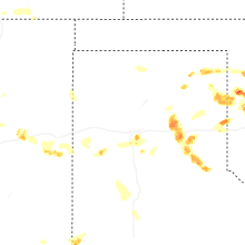
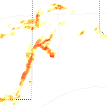


Connect with Interactive Hail Maps