

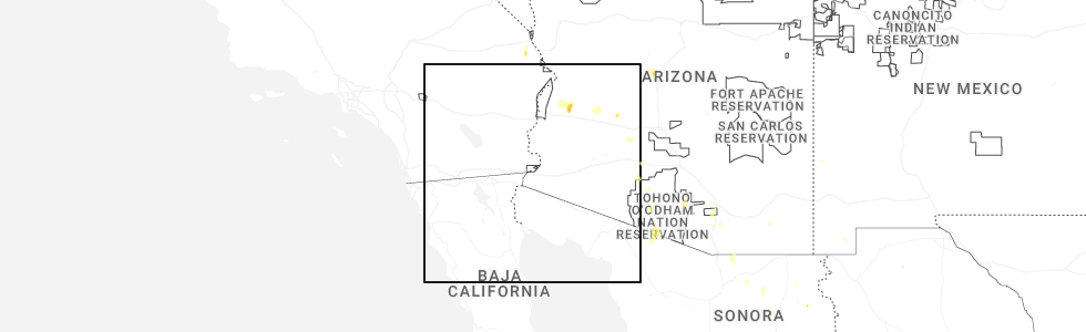
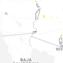
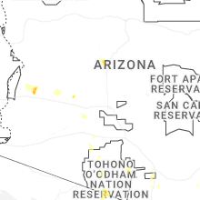
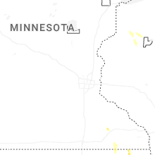
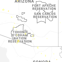
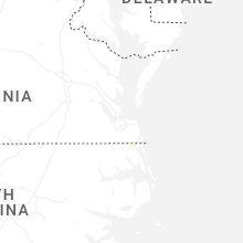
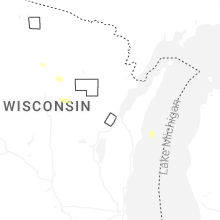
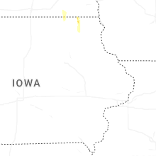
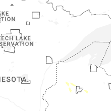
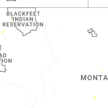
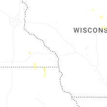
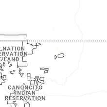
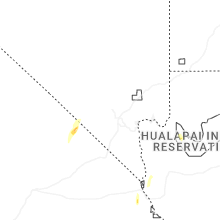
Hail Map for Wednesday, July 2, 2025
Number of Impacted Households on 7/2/2025
0
Impacted by 1" or Larger Hail
0
Impacted by 1.75" or Larger Hail
0
Impacted by 2.5" or Larger Hail
Square Miles of Populated Area Impacted on 7/2/2025
0
Impacted by 1" or Larger Hail
0
Impacted by 1.75" or Larger Hail
0
Impacted by 2.5" or Larger Hail
Cities Most Affected by Hail Storms of 7/2/2025
| Hail Size | Demographics of Zip Codes Affected | ||||||
|---|---|---|---|---|---|---|---|
| City | Count | Average | Largest | Pop Density | House Value | Income | Age |
Hail and Wind Damage Spotted on 7/2/2025
Filter by Report Type:Hail ReportsWind Reports
States Impacted
North Carolina, Nevada, Arizona, Montana, California, Minnesota, Utah, Iowa, Idaho, South DakotaNorth Carolina
| Local Time | Report Details |
|---|---|
| 2:10 PM EDT | Large tree limb downed onto a power line in coroll in currituck county NC, 18.2 miles SE of Virginia Beach, VA |
| 5:44 PM EDT | 51 knot wind gust measured at the white plains wxflow statio in amz156 county NC, 102.3 miles ENE of Wilmington, NC |
Nevada
| Local Time | Report Details |
|---|---|
| 12:00 PM PDT | Sord station 38 observed a gust of 68 mph from a nearby thunderstor in nye county NV, 92.4 miles NW of Las Vegas, NV |
| 12:15 PM PDT | Yucca mountain oymab reported a 65 mph wind gust from a nearby thunderstor in nye county NV, 87.6 miles WNW of Las Vegas, NV |
| 1:30 PM PDT | Beef a04aa observed a 58 mph gust from a nearby thunderstor in nye county NV, 82.4 miles NW of Las Vegas, NV |
| 3:38 PM PDT | Peak outflow gust at mesonet station cldnv 1.9 s cold springs valley (nv dot in washoe county NV, 12.3 miles NW of Reno, NV |
Arizona
| Local Time | Report Details |
|---|---|
| 12:35 PM MST | Personal weather station gusted to 83 mp in santa cruz county AZ, 48.6 miles SSE of Tucson, AZ |
| 2:05 PM MST | 56 people without power due to equipment damage from thunderstor in pima county AZ, 3.7 miles SW of Tucson, AZ |
| 2:38 PM MST | (delayed report) media reported downed power poles near the intersection of south 6th avenue and nebraska stree in pima county AZ, 4.9 miles S of Tucson, AZ |
| 2:38 PM MST | (delayed report) some downed tree limbs... over an inch of rai in pima county AZ, 4.8 miles SSW of Tucson, AZ |
| 7:50 PM MST | Time estimated based on rada in maricopa county AZ, 51 miles WNW of Phoenix, AZ |
Montana
| Local Time | Report Details |
|---|---|
| 2:07 PM MDT | Estimated wind gust of 58 mph at an ambient weather station... chicken coo in beaverhead county MT, 61.9 miles E of Salmon, ID |
| 2:14 PM MDT | 74 mph wind gust at the dillon airpor in beaverhead county MT, 66 miles E of Salmon, ID |
| 2:15 PM MDT | Mesonet station brrm8 brenner raws. time of event is estimate in beaverhead county MT, 35.6 miles ESE of Salmon, ID |
| 5:10 PM MDT | Public reported on social media that an abandoned lumber shop collapsed due to the thunderstorms with photos of debris across the property. time estimated based on rada in fergus county MT, 92.1 miles ESE of Great Falls, MT |
| 5:15 PM MDT | Corrects previous tstm wnd dmg report from 1 nw lewistown. public reported on social media that an abandoned lumber shop collapsed due to the thunderstorms with photos in fergus county MT, 92.1 miles ESE of Great Falls, MT |
| 5:15 PM MDT | Trees down along the lewistown trail system blocking the trail. time estimated based on rada in fergus county MT, 93 miles ESE of Great Falls, MT |
| 5:45 PM MDT | Mesonet station mtm09 2.1 w moccasin (mt-meso in judith basin county MT, 70.8 miles ESE of Great Falls, MT |
| 6:56 PM MDT | Awos station k1hm 6 nne fairfiel in teton county MT, 32.9 miles WNW of Great Falls, MT |
| 7:13 PM MDT | Awos station k1gm gol in lewis and clark county MT, 39.2 miles WSW of Great Falls, MT |
| 7:19 PM MDT | Asos station khln helena airpor in lewis and clark county MT, 70.3 miles SSW of Great Falls, MT |
| 7:30 PM MDT | Multiple cottonwood trees have limb damage... wicked lightning... estimated winds 55-60 mph... lots of rai in phillips county MT, 66.1 miles WSW of Glasgow, MT |
| 7:41 PM MDT | Manning corral dogtown... mt (raws - ggw in phillips county MT, 80.7 miles SE of Havre, MT |
| 8:08 PM MDT | South sawmill cree in garfield county MT, 60.4 miles SW of Glasgow, MT |
| 8:10 PM MDT | Saco s (hydromet) statio in phillips county MT, 35.4 miles W of Glasgow, MT |
| 8:15 PM MDT | Mesonet station gw1852 tiber marin in liberty county MT, 57.4 miles N of Great Falls, MT |
| 8:35 PM MDT | Storm damage reported in mccone county MT, 61.7 miles ESE of Glasgow, MT |
| 9:00 PM MDT | St. marie mt-24 mp 18.0... m in valley county MT, 15.9 miles NNE of Glasgow, MT |
California
| Local Time | Report Details |
|---|---|
| 3:45 PM PDT | Quarter sized hail reported near South Lake Tahoe, CA, 43.8 miles SSW of Reno, NV, public reported 1 inch hail reported in south lake tahoe. |
Minnesota
| Local Time | Report Details |
|---|---|
| 6:07 PM CDT | Large branches downed and a tree uproote in fillmore county MN, 39.2 miles WSW of La Crosse, WI |
| 7:31 PM CDT | Two large trees snapped and damage to a metal outbuildin in fillmore county MN, 50 miles ENE of Mason City, IA |
Utah
| Local Time | Report Details |
|---|---|
| 5:10 PM MDT | Salt lake intl airport - 4226 ft in salt lake county UT, 3.3 miles WNW of Salt Lake City, UT |
Iowa
| Local Time | Report Details |
|---|---|
| 6:52 PM CDT | Quarter sized hail reported near Decorah, IA, 43.8 miles SW of La Crosse, WI, penny to quarter size hail. |
| 7:39 PM CDT | A couple large tree branches downe in howard county IA, 49 miles ENE of Mason City, IA |
Idaho
| Local Time | Report Details |
|---|---|
| 7:20 PM MDT | A tree snapped from outflow boundar in ada county ID, 7.5 miles WNW of Boise, ID |
| 7:23 PM MDT | Thunderstorm outflow wind w 51 mph. damage to construction fences. power outages at airport and nws boise. visibility 3 sm in blowing dus in ada county ID, 4 miles SW of Boise, ID |
South Dakota
| Local Time | Report Details |
|---|---|
| 12:44 AM CDT | Half Dollar sized hail reported near Freeman, SD, 37.6 miles WSW of Sioux Falls, SD, 0.75 inch hail began at 12:43am. largest up to 1.25 inch hail fell 12:44-12:45am before diminishing in size again. |
Connect with Interactive Hail Maps