

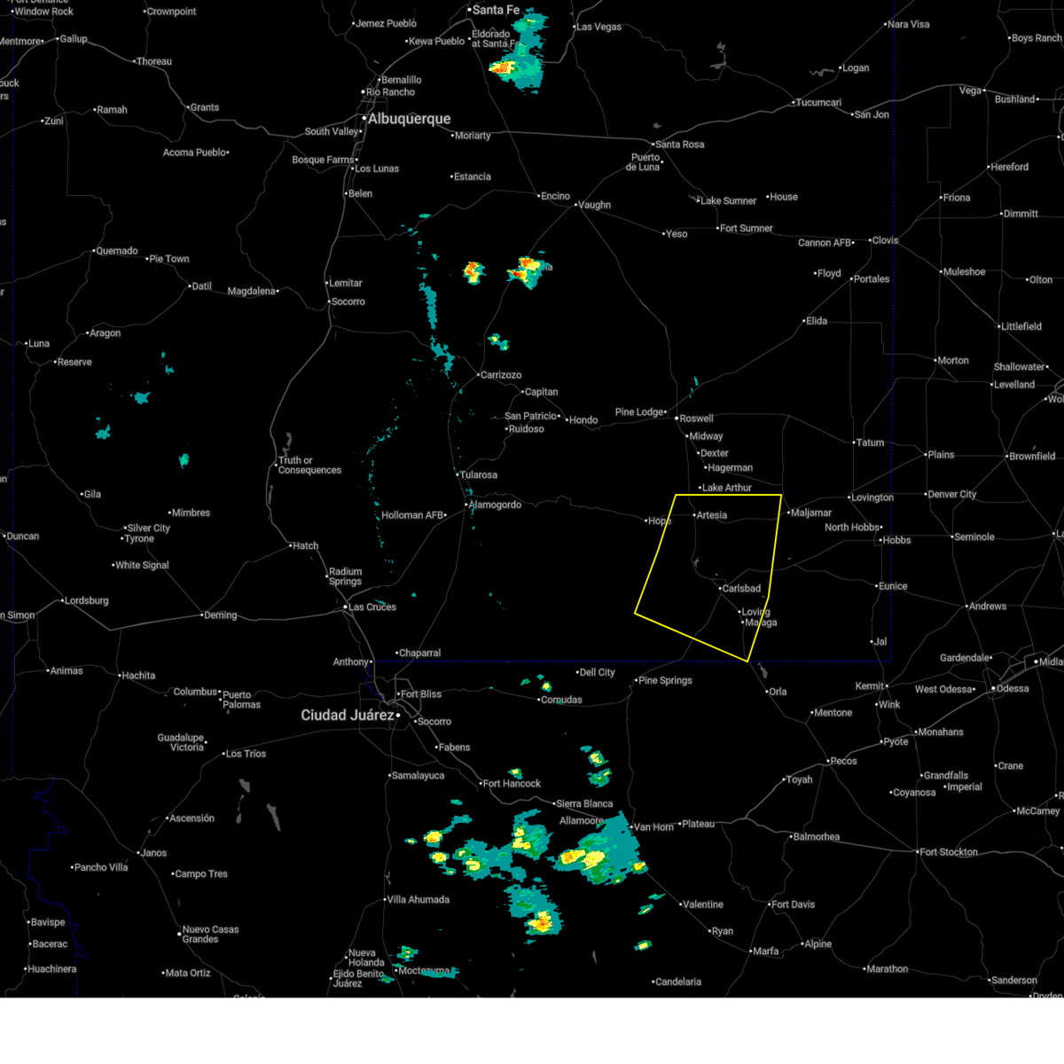
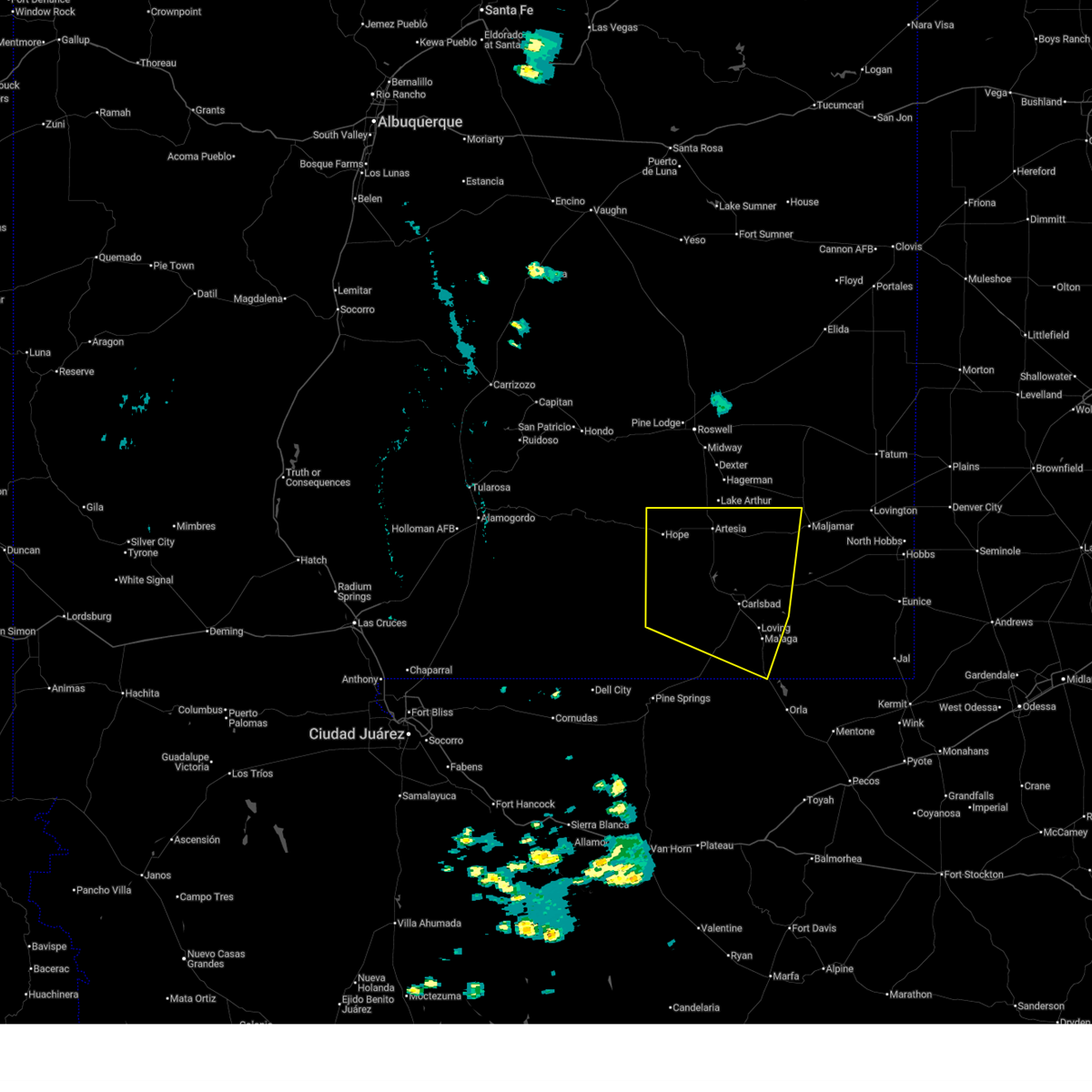
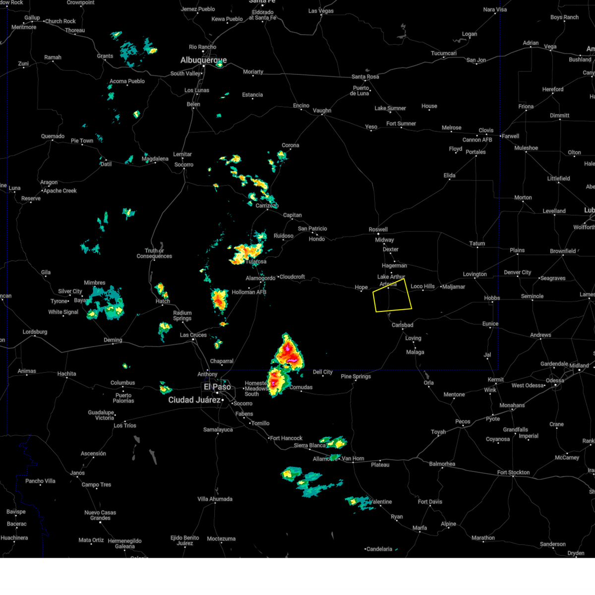
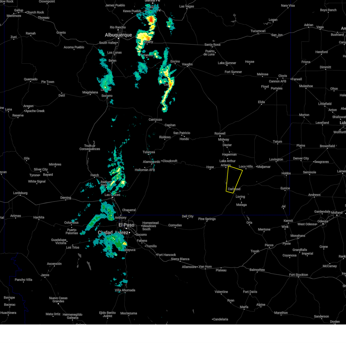
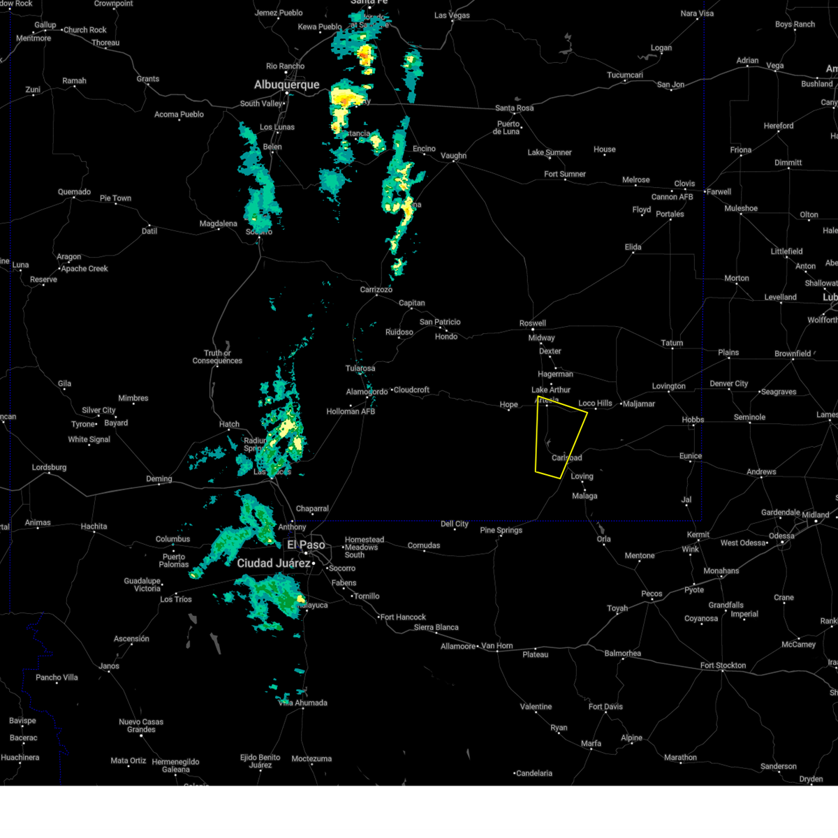
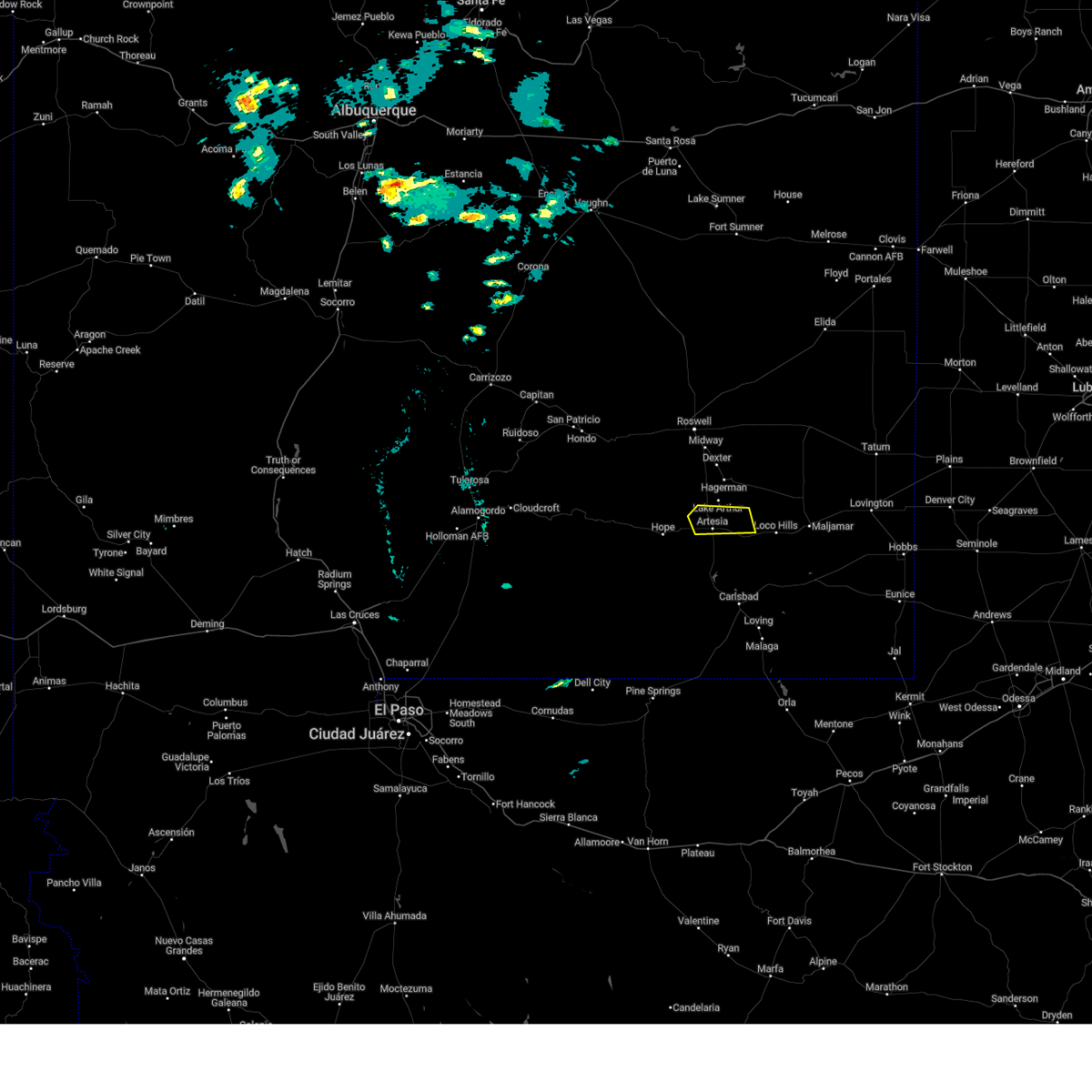
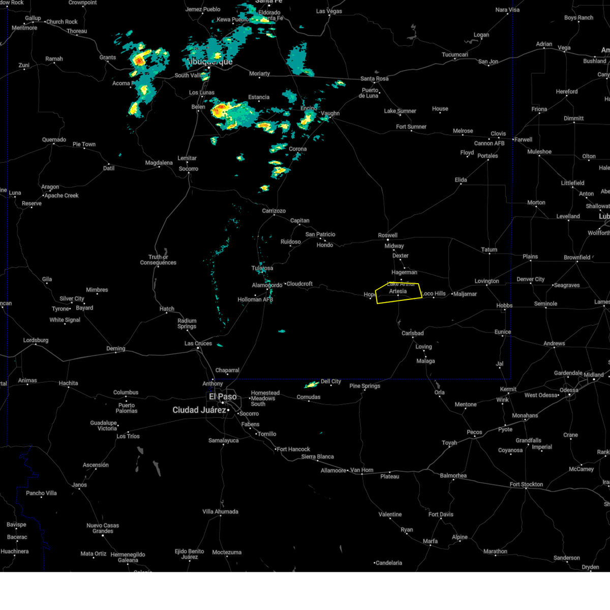
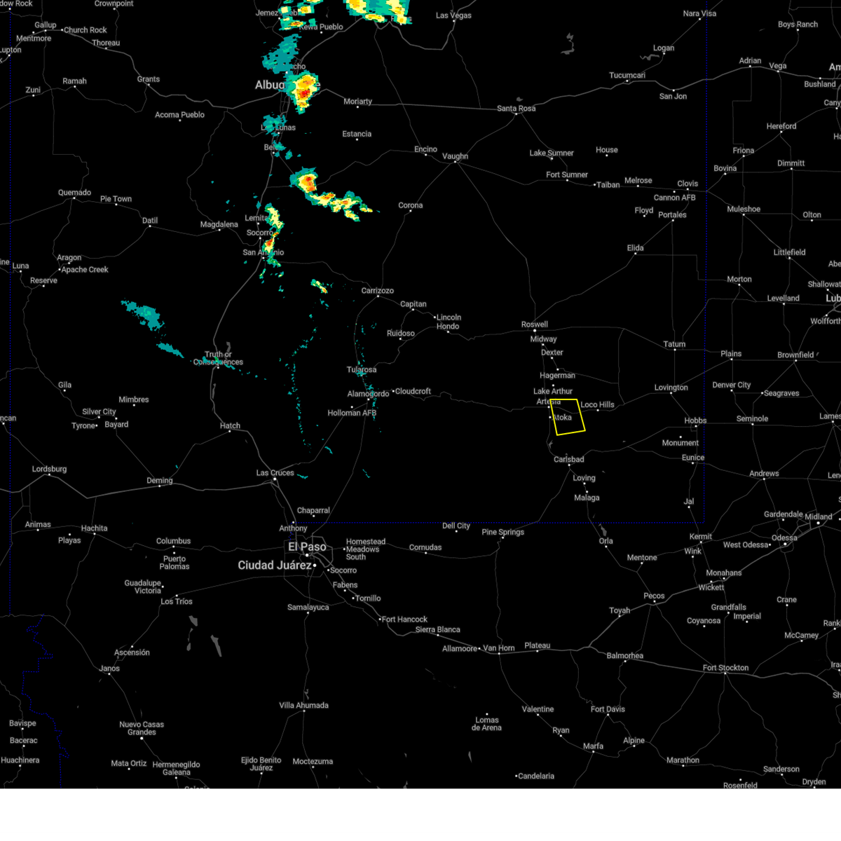
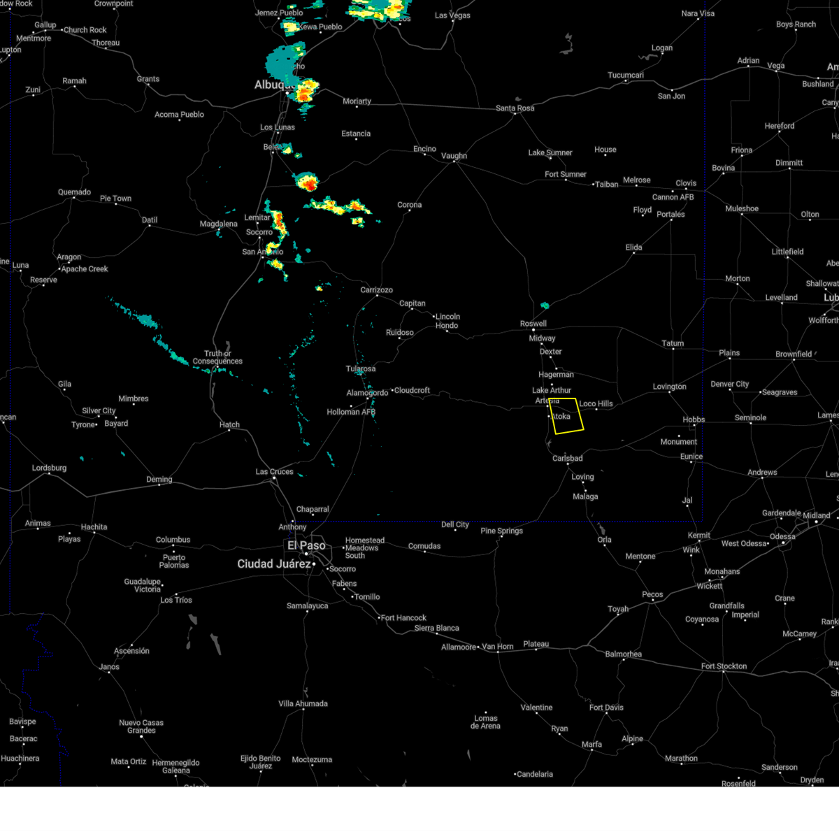
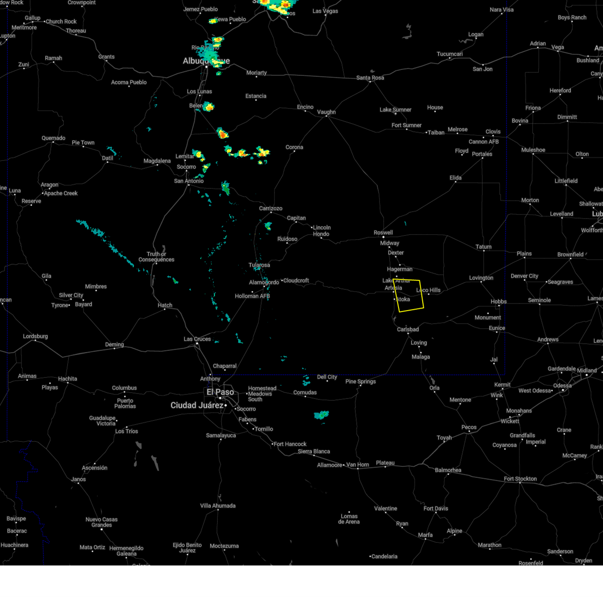
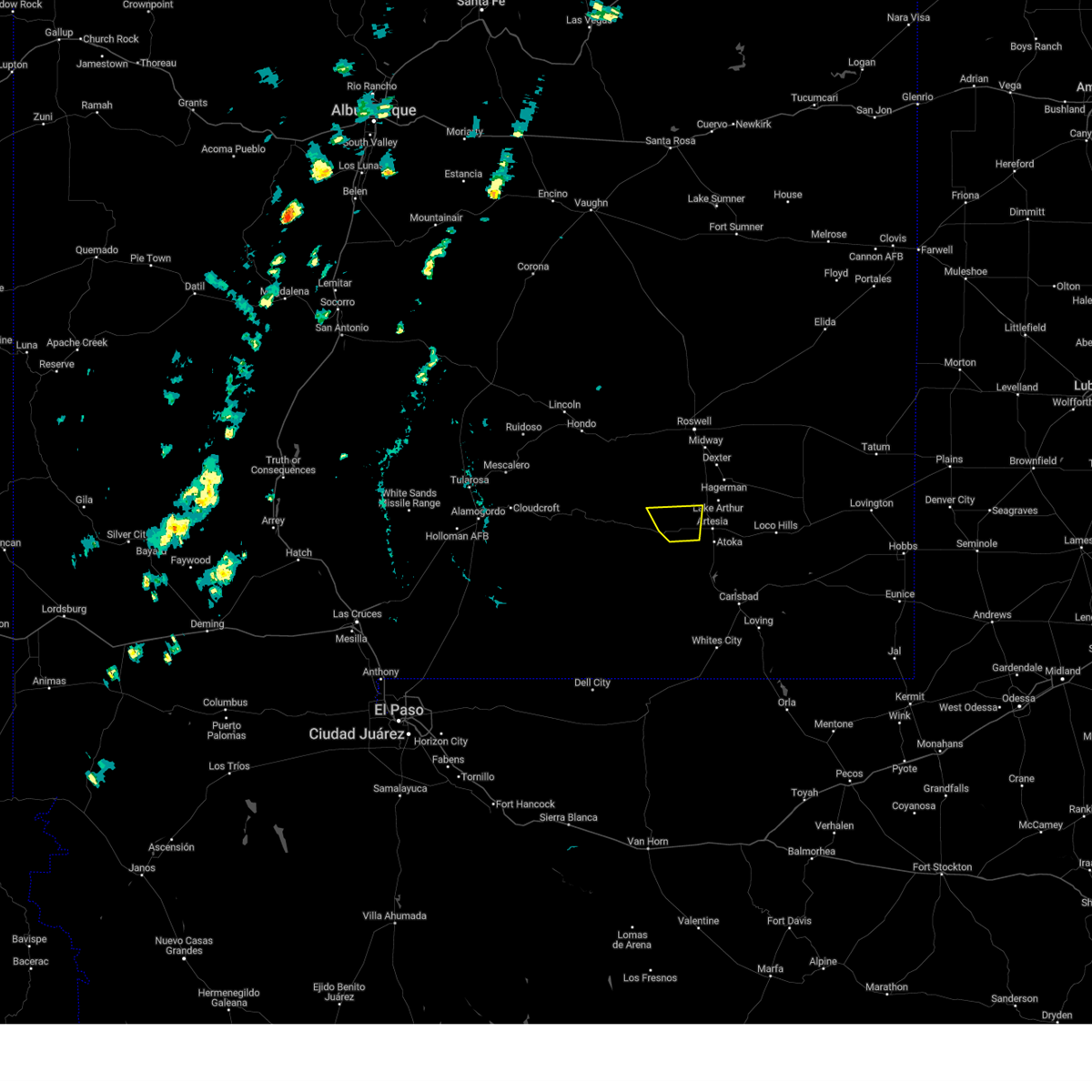
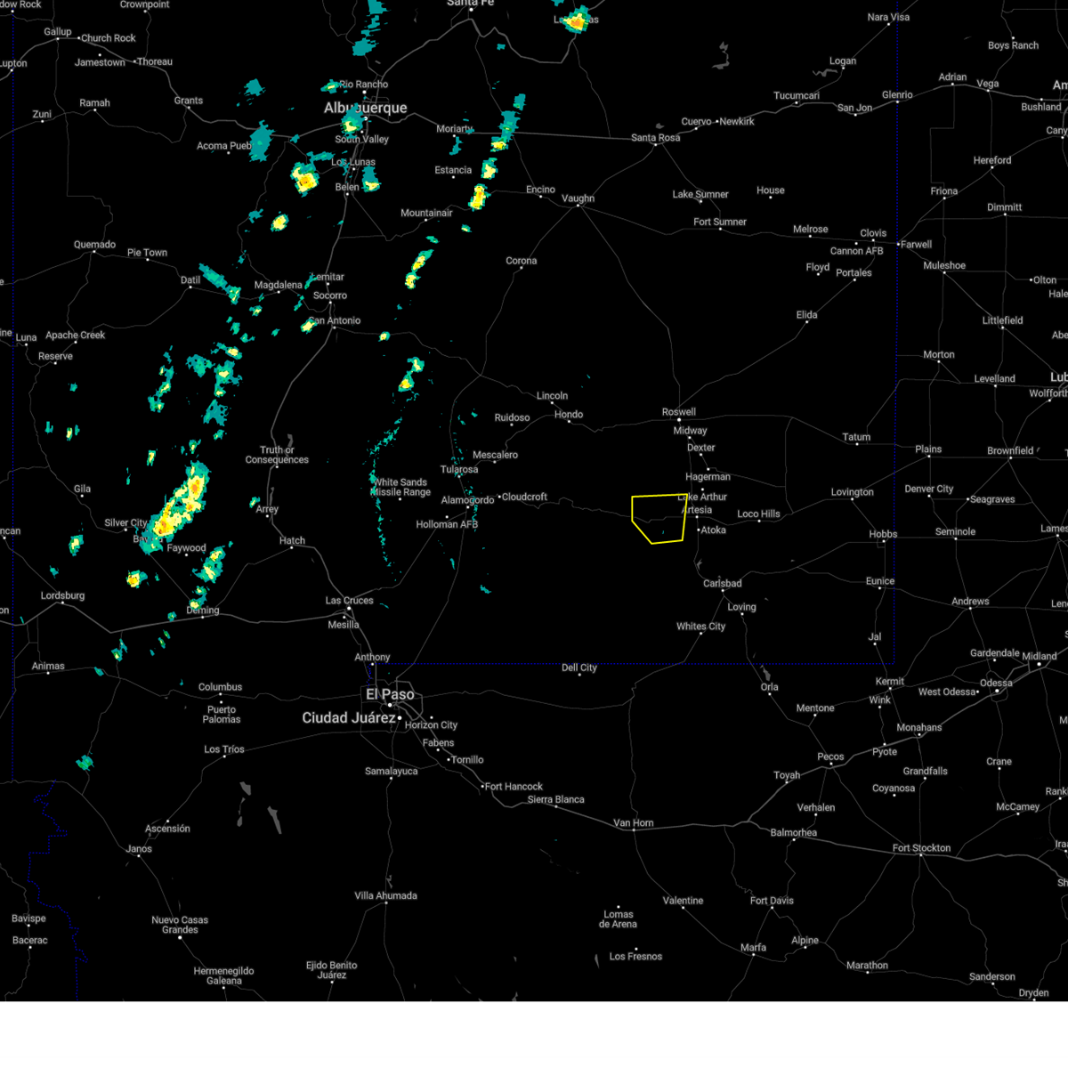
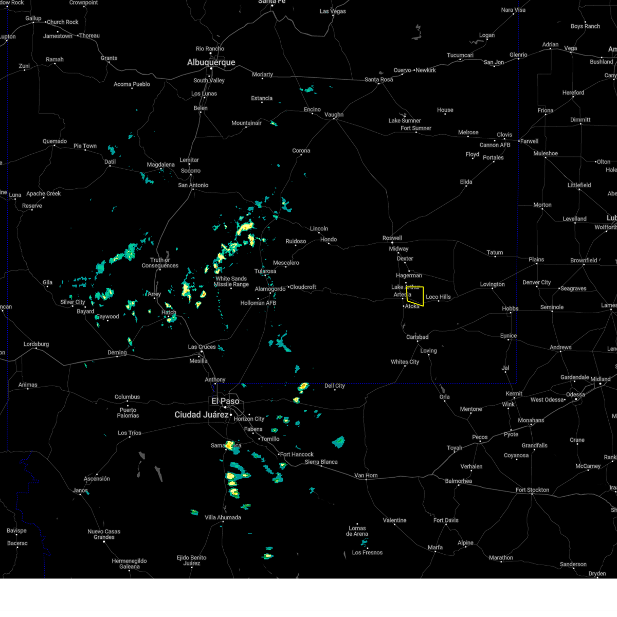
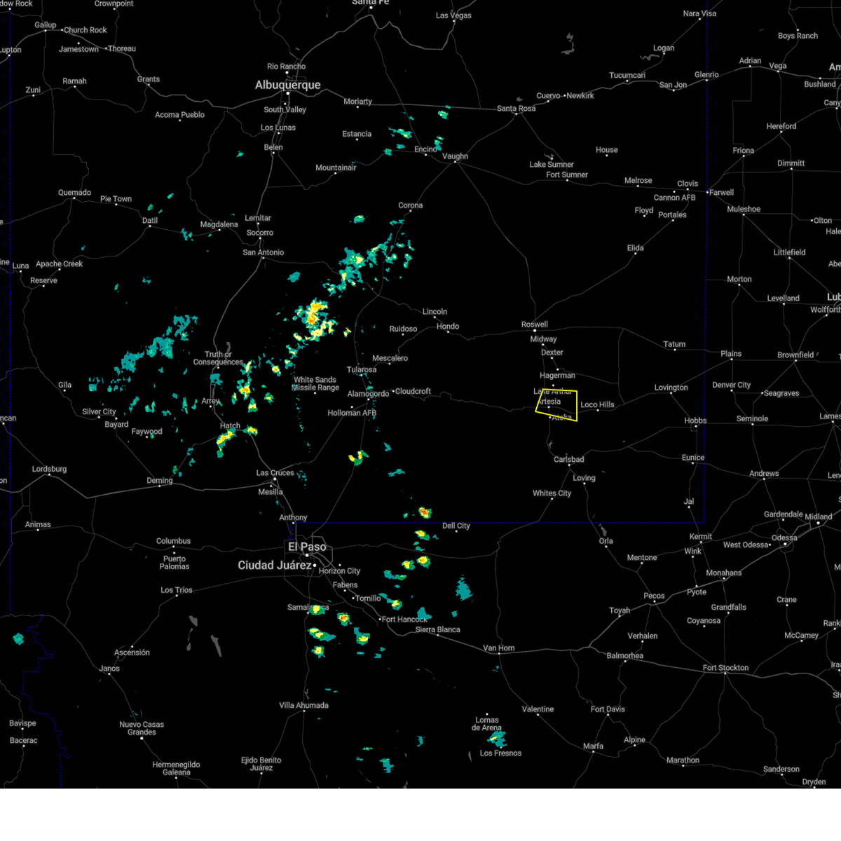
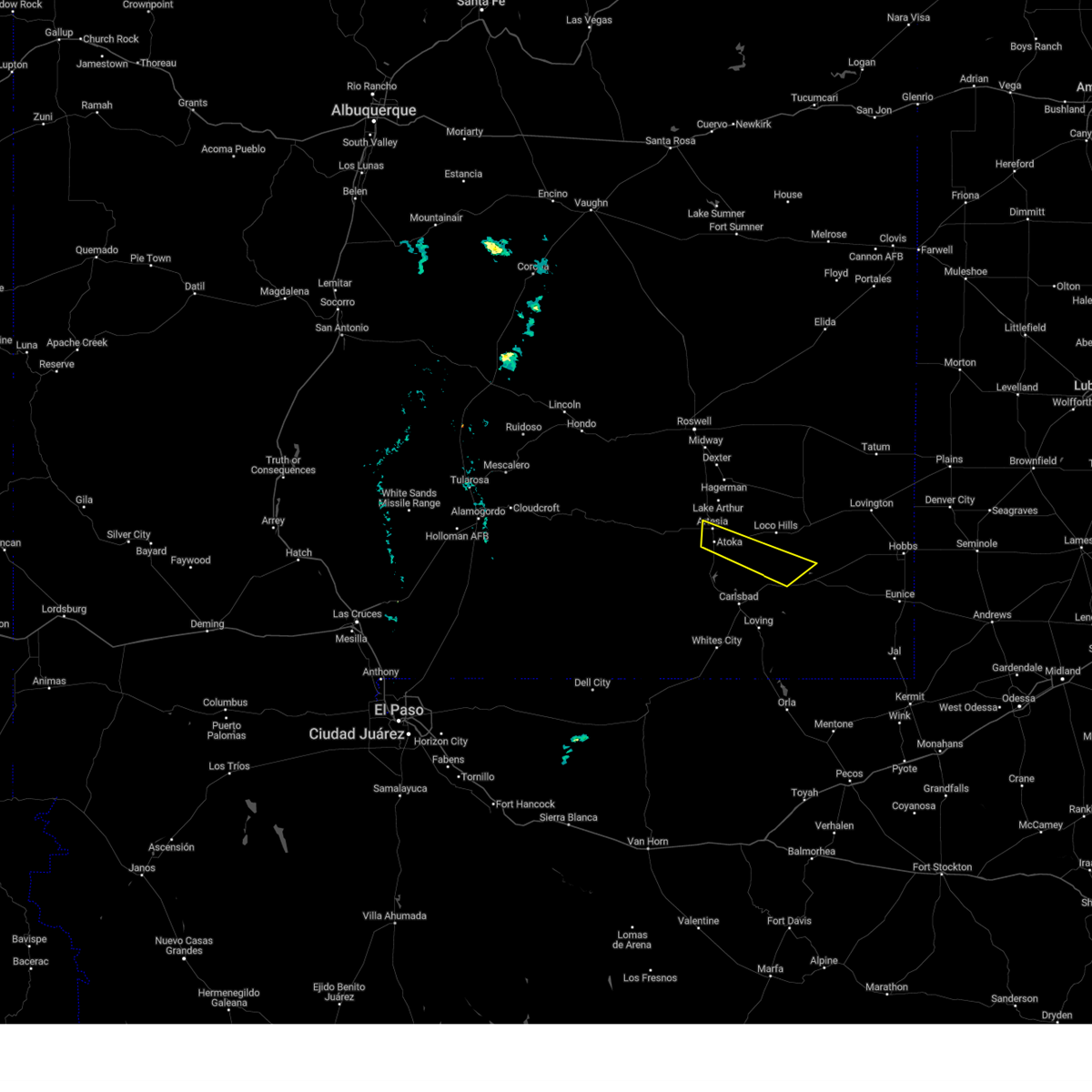
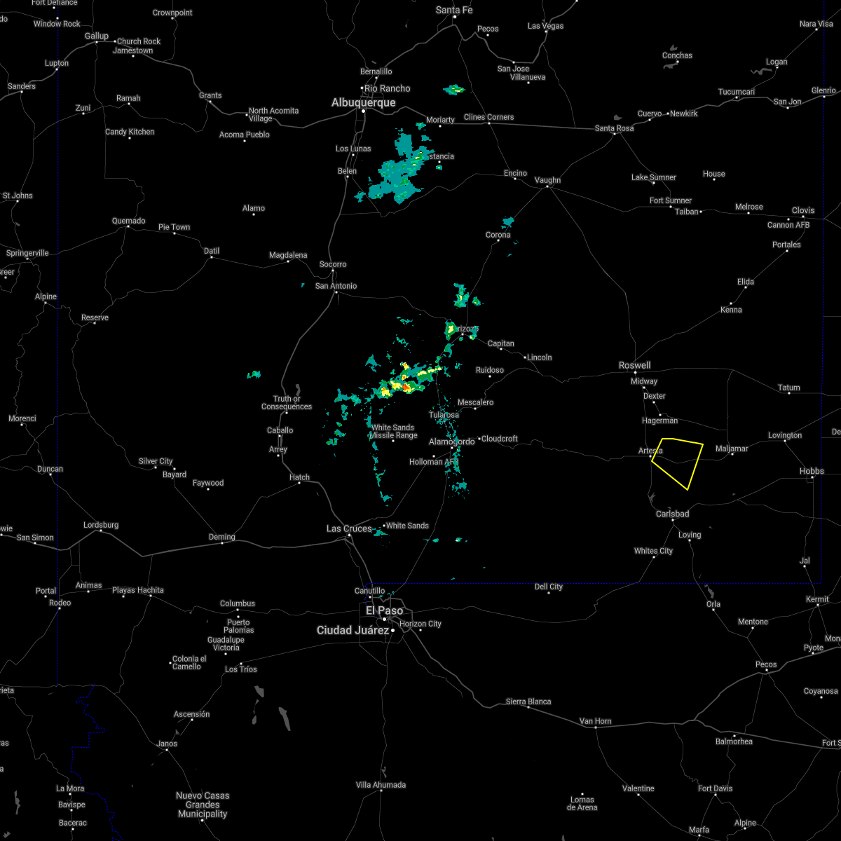
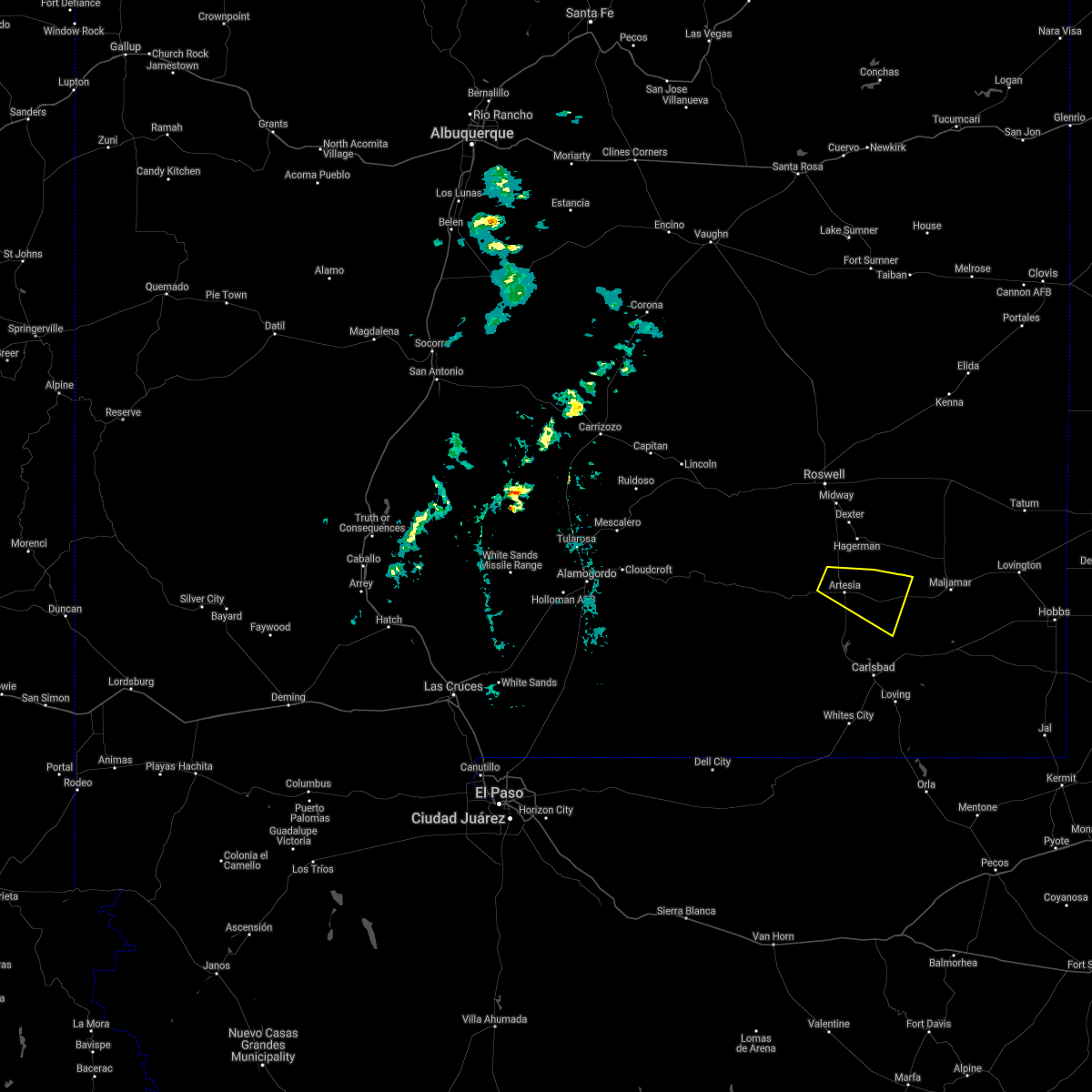
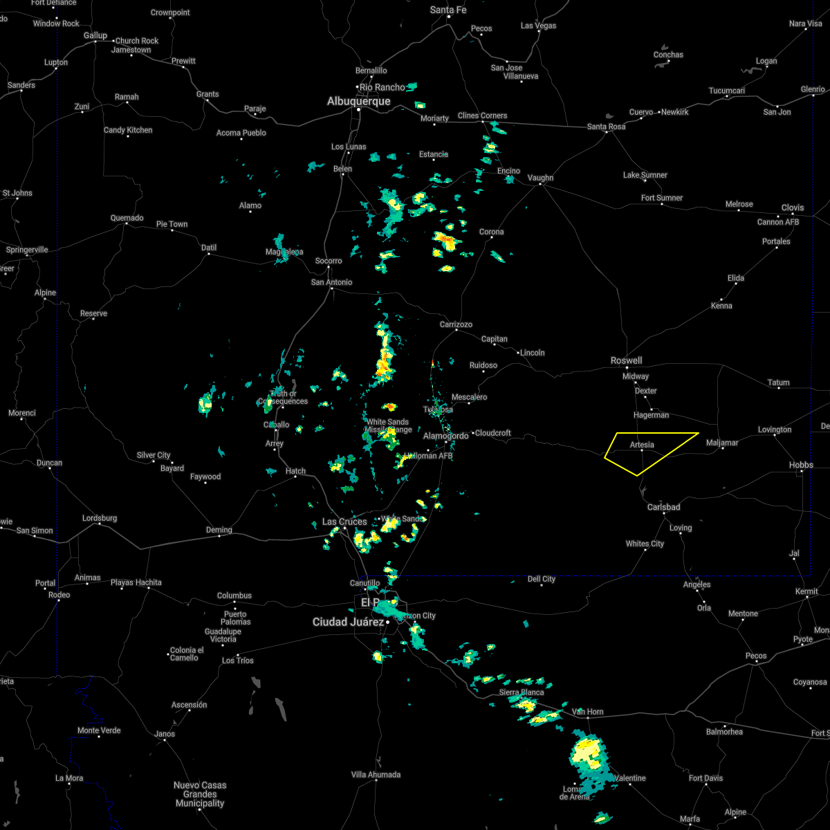
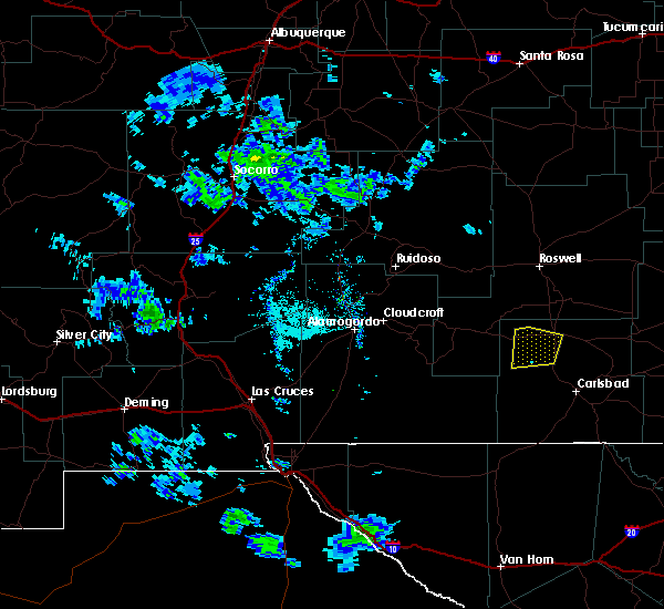
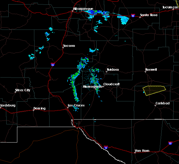
Hail Map for Artesia, NM
The Artesia, NM area has had 50 reports of on-the-ground hail by trained spotters, and has been under severe weather warnings 8 times during the past 12 months. Doppler radar has detected hail at or near Artesia, NM on 20 occasions.
| Name: | Artesia, NM |
| Where Located: | 38 miles S of Roswell, NM |
| Map: | Google Map for Artesia, NM |
| Population: | 11301 |
| Housing Units: | 4724 |
| More Info: | Search Google for Artesia, NM |
0
The Top Recent Hail Date for Artesia, NM is Wednesday, June 26, 2024 (20th out of 20)

Hail and Wind Damage Spotted near Artesia, NM
| Date / Time | Report Details |
|---|---|
| 6/15/2025 3:55 PM MDT |
 At 355 pm mdt, severe thunderstorms were located along a line extending from 8 miles southeast of artesia to near brantley lake state park to near carlsbad caverns national park, moving east at 25 mph (radar indicated). Hazards include 70 mph wind gusts and quarter size hail. Hail damage to vehicles is expected. expect considerable tree damage. wind damage is also likely to mobile homes, roofs, and outbuildings. Locations impacted include, carlsbad, artesia, loving, avalon, seven rivers airport, malaga, brantley lake state park, carlsbad north, whites city, carlsbad caverns national park, lincoln national forest, lea county zip franklin memorial airport, loco hills, artesia municipal airport, otis, cavern city air terminal, living desert state park, dayton, lakewood, and atoka. At 355 pm mdt, severe thunderstorms were located along a line extending from 8 miles southeast of artesia to near brantley lake state park to near carlsbad caverns national park, moving east at 25 mph (radar indicated). Hazards include 70 mph wind gusts and quarter size hail. Hail damage to vehicles is expected. expect considerable tree damage. wind damage is also likely to mobile homes, roofs, and outbuildings. Locations impacted include, carlsbad, artesia, loving, avalon, seven rivers airport, malaga, brantley lake state park, carlsbad north, whites city, carlsbad caverns national park, lincoln national forest, lea county zip franklin memorial airport, loco hills, artesia municipal airport, otis, cavern city air terminal, living desert state park, dayton, lakewood, and atoka.
|
| 6/15/2025 3:25 PM MDT |
 Svrmaf the national weather service in midland has issued a * severe thunderstorm warning for, eddy county in southeastern new mexico, * until 430 pm mdt. * at 324 pm mdt, severe thunderstorms were located along a line extending from near artesia to 8 miles southwest of seven rivers airport to 13 miles north of carlsbad caverns national park, moving east at 30 mph (radar indicated). Hazards include 70 mph wind gusts and quarter size hail. Hail damage to vehicles is expected. expect considerable tree damage. Wind damage is also likely to mobile homes, roofs, and outbuildings. Svrmaf the national weather service in midland has issued a * severe thunderstorm warning for, eddy county in southeastern new mexico, * until 430 pm mdt. * at 324 pm mdt, severe thunderstorms were located along a line extending from near artesia to 8 miles southwest of seven rivers airport to 13 miles north of carlsbad caverns national park, moving east at 30 mph (radar indicated). Hazards include 70 mph wind gusts and quarter size hail. Hail damage to vehicles is expected. expect considerable tree damage. Wind damage is also likely to mobile homes, roofs, and outbuildings.
|
| 6/15/2025 3:15 PM MDT | Awos station kats artesi in eddy county NM, 3.1 miles E of Artesia, NM |
| 6/10/2025 2:48 PM MDT | At 247 pm mdt, a severe thunderstorm was located 8 miles south of artesia, moving east at 15 mph (radar indicated). Hazards include 60 mph wind gusts and quarter size hail. Hail damage to vehicles is expected. expect wind damage to roofs, siding, and trees. Locations impacted include, artesia, atoka, dayton, lakewood, and artesia municipal airport. |
| 6/10/2025 2:42 PM MDT | Quarter sized hail reported 17.3 miles N of Artesia, NM, report of quarter sized hail near sever rivers... off of us hwy 285. |
| 6/10/2025 2:22 PM MDT |
 Svrmaf the national weather service in midland has issued a * severe thunderstorm warning for, north central eddy county in southeastern new mexico, * until 315 pm mdt. * at 221 pm mdt, a severe thunderstorm was located 8 miles northwest of seven rivers airport, or 9 miles southwest of artesia, moving east at 15 mph (radar indicated). Hazards include 60 mph wind gusts and quarter size hail. Hail damage to vehicles is expected. Expect wind damage to roofs, siding, and trees. Svrmaf the national weather service in midland has issued a * severe thunderstorm warning for, north central eddy county in southeastern new mexico, * until 315 pm mdt. * at 221 pm mdt, a severe thunderstorm was located 8 miles northwest of seven rivers airport, or 9 miles southwest of artesia, moving east at 15 mph (radar indicated). Hazards include 60 mph wind gusts and quarter size hail. Hail damage to vehicles is expected. Expect wind damage to roofs, siding, and trees.
|
| 5/5/2025 7:59 PM MDT |
 At 759 pm mdt, a severe thunderstorm was located near avalon, or 9 miles north of carlsbad, moving northeast at 25 mph (radar indicated). Hazards include 60 mph wind gusts and half dollar size hail. Hail damage to vehicles is expected. expect wind damage to roofs, siding, and trees. Locations impacted include, carlsbad, brantley lake state park, avalon, carlsbad north, lake avalon, living desert state park, and lakewood. At 759 pm mdt, a severe thunderstorm was located near avalon, or 9 miles north of carlsbad, moving northeast at 25 mph (radar indicated). Hazards include 60 mph wind gusts and half dollar size hail. Hail damage to vehicles is expected. expect wind damage to roofs, siding, and trees. Locations impacted include, carlsbad, brantley lake state park, avalon, carlsbad north, lake avalon, living desert state park, and lakewood.
|
| 5/5/2025 7:46 PM MDT |
 Svrmaf the national weather service in midland has issued a * severe thunderstorm warning for, central eddy county in southeastern new mexico, * until 845 pm mdt. * at 746 pm mdt, a severe thunderstorm was located near brantley lake state park, or 8 miles northwest of carlsbad, moving north at 20 mph (radar indicated). Hazards include 60 mph wind gusts and half dollar size hail. Hail damage to vehicles is expected. Expect wind damage to roofs, siding, and trees. Svrmaf the national weather service in midland has issued a * severe thunderstorm warning for, central eddy county in southeastern new mexico, * until 845 pm mdt. * at 746 pm mdt, a severe thunderstorm was located near brantley lake state park, or 8 miles northwest of carlsbad, moving north at 20 mph (radar indicated). Hazards include 60 mph wind gusts and half dollar size hail. Hail damage to vehicles is expected. Expect wind damage to roofs, siding, and trees.
|
| 5/4/2025 5:26 PM MDT |
 At 526 pm mdt, a severe thunderstorm was located near artesia, moving northeast at 30 mph (public). Hazards include 60 mph wind gusts and half dollar size hail. Hail damage to vehicles is expected. expect wind damage to roofs, siding, and trees. Locations impacted include, artesia and artesia municipal airport. At 526 pm mdt, a severe thunderstorm was located near artesia, moving northeast at 30 mph (public). Hazards include 60 mph wind gusts and half dollar size hail. Hail damage to vehicles is expected. expect wind damage to roofs, siding, and trees. Locations impacted include, artesia and artesia municipal airport.
|
| 5/4/2025 5:22 PM MDT | Golf Ball sized hail reported 8.4 miles E of Artesia, NM, report from mping: golf ball (1.75 in.). |
| 5/4/2025 5:19 PM MDT | Quarter sized hail reported 10.7 miles E of Artesia, NM, report from mping: quarter (1.00 in.). |
| 5/4/2025 5:17 PM MDT |
 Svrmaf the national weather service in midland has issued a * severe thunderstorm warning for, northwestern eddy county in southeastern new mexico, * until 600 pm mdt. * at 516 pm mdt, a severe thunderstorm was located 8 miles east of hope, moving east at 25 mph (public). Hazards include 60 mph wind gusts and quarter size hail. Hail damage to vehicles is expected. Expect wind damage to roofs, siding, and trees. Svrmaf the national weather service in midland has issued a * severe thunderstorm warning for, northwestern eddy county in southeastern new mexico, * until 600 pm mdt. * at 516 pm mdt, a severe thunderstorm was located 8 miles east of hope, moving east at 25 mph (public). Hazards include 60 mph wind gusts and quarter size hail. Hail damage to vehicles is expected. Expect wind damage to roofs, siding, and trees.
|
| 11/2/2024 1:20 PM MDT | Golf Ball sized hail reported 13.8 miles NW of Artesia, NM, social media picture of golf ball size hail. |
| 6/9/2024 3:52 PM MDT |
 The storm which prompted the warning has weakened below severe limits, and has exited the warned area. therefore, the warning will be allowed to expire. however, small hail and gusty winds are still possible with this thunderstorm. The storm which prompted the warning has weakened below severe limits, and has exited the warned area. therefore, the warning will be allowed to expire. however, small hail and gusty winds are still possible with this thunderstorm.
|
| 6/9/2024 3:37 PM MDT |
 At 336 pm mdt, a severe thunderstorm was located 11 miles northeast of brantley lake state park, or 12 miles southeast of artesia, moving west at 10 mph (radar indicated). Hazards include 60 mph wind gusts and quarter size hail. Hail damage to vehicles is expected. expect wind damage to roofs, siding, and trees. This severe thunderstorm will remain over mainly rural areas of north central eddy county. At 336 pm mdt, a severe thunderstorm was located 11 miles northeast of brantley lake state park, or 12 miles southeast of artesia, moving west at 10 mph (radar indicated). Hazards include 60 mph wind gusts and quarter size hail. Hail damage to vehicles is expected. expect wind damage to roofs, siding, and trees. This severe thunderstorm will remain over mainly rural areas of north central eddy county.
|
| 6/9/2024 3:14 PM MDT |
 Svrmaf the national weather service in midland has issued a * severe thunderstorm warning for, north central eddy county in southeastern new mexico, * until 400 pm mdt. * at 314 pm mdt, a severe thunderstorm was located 14 miles southeast of artesia, moving north at 15 mph (radar indicated). Hazards include ping pong ball size hail and 60 mph wind gusts. People and animals outdoors will be injured. expect hail damage to roofs, siding, windows, and vehicles. expect wind damage to roofs, siding, and trees. This severe thunderstorm will remain over mainly rural areas of north central eddy county. Svrmaf the national weather service in midland has issued a * severe thunderstorm warning for, north central eddy county in southeastern new mexico, * until 400 pm mdt. * at 314 pm mdt, a severe thunderstorm was located 14 miles southeast of artesia, moving north at 15 mph (radar indicated). Hazards include ping pong ball size hail and 60 mph wind gusts. People and animals outdoors will be injured. expect hail damage to roofs, siding, windows, and vehicles. expect wind damage to roofs, siding, and trees. This severe thunderstorm will remain over mainly rural areas of north central eddy county.
|
| 10/2/2023 1:51 PM MDT |
 At 151 pm mdt, a severe thunderstorm was located near hope, moving north at 35 mph (radar indicated). Hazards include 60 mph wind gusts and half dollar size hail. Hail damage to vehicles is expected. expect wind damage to roofs, siding, and trees. locations impacted include, hope. hail threat, radar indicated max hail size, 1. 25 in wind threat, radar indicated max wind gust, 60 mph. At 151 pm mdt, a severe thunderstorm was located near hope, moving north at 35 mph (radar indicated). Hazards include 60 mph wind gusts and half dollar size hail. Hail damage to vehicles is expected. expect wind damage to roofs, siding, and trees. locations impacted include, hope. hail threat, radar indicated max hail size, 1. 25 in wind threat, radar indicated max wind gust, 60 mph.
|
| 10/2/2023 1:44 PM MDT |
 At 144 pm mdt, a severe thunderstorm was located near hope, moving north at 35 mph (radar indicated). Hazards include golf ball size hail and 70 mph wind gusts. People and animals outdoors will be injured. expect hail damage to roofs, siding, windows, and vehicles. expect considerable tree damage. wind damage is also likely to mobile homes, roofs, and outbuildings. locations impacted include, hope. thunderstorm damage threat, considerable hail threat, radar indicated max hail size, 1. 75 in wind threat, radar indicated max wind gust, 70 mph. At 144 pm mdt, a severe thunderstorm was located near hope, moving north at 35 mph (radar indicated). Hazards include golf ball size hail and 70 mph wind gusts. People and animals outdoors will be injured. expect hail damage to roofs, siding, windows, and vehicles. expect considerable tree damage. wind damage is also likely to mobile homes, roofs, and outbuildings. locations impacted include, hope. thunderstorm damage threat, considerable hail threat, radar indicated max hail size, 1. 75 in wind threat, radar indicated max wind gust, 70 mph.
|
| 9/30/2023 11:36 PM MDT |
 The severe thunderstorm warning for northeastern eddy county will expire at 1145 pm mdt, the storm which prompted the warning has weakened below severe limits, and no longer poses an immediate threat to life or property. therefore, the warning will be allowed to expire. however, gusty wind is still possible with this thunderstorm. The severe thunderstorm warning for northeastern eddy county will expire at 1145 pm mdt, the storm which prompted the warning has weakened below severe limits, and no longer poses an immediate threat to life or property. therefore, the warning will be allowed to expire. however, gusty wind is still possible with this thunderstorm.
|
| 9/30/2023 10:48 PM MDT |
 At 1047 pm mdt, a severe thunderstorm was located over artesia, moving northeast at 30 mph (radar indicated). Hazards include 60 mph wind gusts and penny size hail. expect damage to roofs, siding, and trees At 1047 pm mdt, a severe thunderstorm was located over artesia, moving northeast at 30 mph (radar indicated). Hazards include 60 mph wind gusts and penny size hail. expect damage to roofs, siding, and trees
|
| 9/30/2023 10:35 PM MDT | Awos station kat in eddy county NM, 3.1 miles E of Artesia, NM |
| 7/10/2023 5:18 PM MDT |
 At 518 pm mdt, a severe thunderstorm was located 11 miles east of artesia, moving east at 15 mph (radar indicated). Hazards include 60 mph wind gusts and quarter size hail. Hail damage to vehicles is expected. expect wind damage to roofs, siding, and trees. this severe thunderstorm will remain over mainly rural areas of north central eddy county. hail threat, radar indicated max hail size, 1. 00 in wind threat, radar indicated max wind gust, 60 mph. At 518 pm mdt, a severe thunderstorm was located 11 miles east of artesia, moving east at 15 mph (radar indicated). Hazards include 60 mph wind gusts and quarter size hail. Hail damage to vehicles is expected. expect wind damage to roofs, siding, and trees. this severe thunderstorm will remain over mainly rural areas of north central eddy county. hail threat, radar indicated max hail size, 1. 00 in wind threat, radar indicated max wind gust, 60 mph.
|
| 7/10/2023 4:51 PM MDT |
 At 451 pm mdt, a severe thunderstorm was located 7 miles northeast of artesia, and is nearly stationary (radar indicated). Hazards include 60 mph wind gusts and half dollar size hail. Hail damage to vehicles is expected. Expect wind damage to roofs, siding, and trees. At 451 pm mdt, a severe thunderstorm was located 7 miles northeast of artesia, and is nearly stationary (radar indicated). Hazards include 60 mph wind gusts and half dollar size hail. Hail damage to vehicles is expected. Expect wind damage to roofs, siding, and trees.
|
| 5/3/2023 6:44 PM MDT |
 At 643 pm mdt, severe thunderstorms were located along a line extending from 17 miles south of maljamar to 11 miles southeast of artesia, moving northeast at 30 mph (radar indicated). Hazards include 60 mph wind gusts and quarter size hail. Hail damage to vehicles is expected. expect wind damage to roofs, siding, and trees. locations impacted include, artesia, atoka, dayton and artesia municipal airport. hail threat, radar indicated max hail size, 1. 00 in wind threat, radar indicated max wind gust, 60 mph. At 643 pm mdt, severe thunderstorms were located along a line extending from 17 miles south of maljamar to 11 miles southeast of artesia, moving northeast at 30 mph (radar indicated). Hazards include 60 mph wind gusts and quarter size hail. Hail damage to vehicles is expected. expect wind damage to roofs, siding, and trees. locations impacted include, artesia, atoka, dayton and artesia municipal airport. hail threat, radar indicated max hail size, 1. 00 in wind threat, radar indicated max wind gust, 60 mph.
|
| 5/3/2023 6:20 PM MDT |
 At 619 pm mdt, severe thunderstorms were located along a line extending from 15 miles northeast of loving to near brantley lake state park, moving northeast at 25 mph (trained weather spotters. at 709 pm mdt a trained spotter measured a 66 mph wind gust 6 miles west of avalon, nm). Hazards include 60 mph wind gusts and quarter size hail. Hail damage to vehicles is expected. expect wind damage to roofs, siding, and trees. locations impacted include, carlsbad, artesia, avalon, seven rivers airport, brantley lake state park, carlsbad north, artesia municipal airport, living desert state park, dayton, lakewood, halfway, atoka and lake avalon. hail threat, radar indicated max hail size, 1. 00 in wind threat, observed max wind gust, 60 mph. At 619 pm mdt, severe thunderstorms were located along a line extending from 15 miles northeast of loving to near brantley lake state park, moving northeast at 25 mph (trained weather spotters. at 709 pm mdt a trained spotter measured a 66 mph wind gust 6 miles west of avalon, nm). Hazards include 60 mph wind gusts and quarter size hail. Hail damage to vehicles is expected. expect wind damage to roofs, siding, and trees. locations impacted include, carlsbad, artesia, avalon, seven rivers airport, brantley lake state park, carlsbad north, artesia municipal airport, living desert state park, dayton, lakewood, halfway, atoka and lake avalon. hail threat, radar indicated max hail size, 1. 00 in wind threat, observed max wind gust, 60 mph.
|
| 5/3/2023 6:03 PM MDT |
 At 603 pm mdt, severe thunderstorms were located along a line extending from near loving to near brantley lake state park, moving northeast at 25 mph (radar indicated). Hazards include 60 mph wind gusts and quarter size hail. Hail damage to vehicles is expected. Expect wind damage to roofs, siding, and trees. At 603 pm mdt, severe thunderstorms were located along a line extending from near loving to near brantley lake state park, moving northeast at 25 mph (radar indicated). Hazards include 60 mph wind gusts and quarter size hail. Hail damage to vehicles is expected. Expect wind damage to roofs, siding, and trees.
|
| 10/1/2021 4:15 PM MDT |
 At 414 pm mdt, a severe thunderstorm was located 8 miles east of artesia, moving east at 15 mph (radar indicated). Hazards include 60 mph wind gusts and quarter size hail. Hail damage to vehicles is expected. expect wind damage to roofs, siding, and trees. this severe thunderstorm will remain over mainly rural areas of north central eddy county. hail threat, radar indicated max hail size, 1. 00 in wind threat, radar indicated max wind gust, 60 mph. At 414 pm mdt, a severe thunderstorm was located 8 miles east of artesia, moving east at 15 mph (radar indicated). Hazards include 60 mph wind gusts and quarter size hail. Hail damage to vehicles is expected. expect wind damage to roofs, siding, and trees. this severe thunderstorm will remain over mainly rural areas of north central eddy county. hail threat, radar indicated max hail size, 1. 00 in wind threat, radar indicated max wind gust, 60 mph.
|
| 10/1/2021 4:00 PM MDT |
 At 358 pm mdt, a severe thunderstorm was located near artesia, moving east at 15 mph. hail up to half an inch in diameter was reported covering the ground a few miles north of artesia (radar indicated). Hazards include 60 mph wind gusts and quarter size hail. Hail damage to vehicles is expected. expect wind damage to roofs, siding, and trees. locations impacted include, artesia, atoka and artesia municipal airport. hail threat, radar indicated max hail size, 1. 00 in wind threat, radar indicated max wind gust, 60 mph. At 358 pm mdt, a severe thunderstorm was located near artesia, moving east at 15 mph. hail up to half an inch in diameter was reported covering the ground a few miles north of artesia (radar indicated). Hazards include 60 mph wind gusts and quarter size hail. Hail damage to vehicles is expected. expect wind damage to roofs, siding, and trees. locations impacted include, artesia, atoka and artesia municipal airport. hail threat, radar indicated max hail size, 1. 00 in wind threat, radar indicated max wind gust, 60 mph.
|
| 10/1/2021 3:44 PM MDT | Ping Pong Ball sized hail reported 2.7 miles S of Artesia, NM, shredded leaves off trees and some dents on cars. |
| 10/1/2021 3:40 PM MDT | Quarter sized hail reported 4.8 miles S of Artesia, NM |
| 10/1/2021 3:39 PM MDT |
 At 339 pm mdt, a severe thunderstorm was located near artesia, moving east at 15 mph (radar indicated). Hazards include 60 mph wind gusts and quarter size hail. Hail damage to vehicles is expected. Expect wind damage to roofs, siding, and trees. At 339 pm mdt, a severe thunderstorm was located near artesia, moving east at 15 mph (radar indicated). Hazards include 60 mph wind gusts and quarter size hail. Hail damage to vehicles is expected. Expect wind damage to roofs, siding, and trees.
|
| 7/11/2021 4:02 PM MDT |
 At 402 pm mdt, a severe thunderstorm was located near hope, moving south at 25 mph (radar indicated). Hazards include 60 mph wind gusts and half dollar size hail. Hail damage to vehicles is expected. expect wind damage to roofs, siding, and trees. Locations impacted include, artesia, hope and artesia municipal airport. At 402 pm mdt, a severe thunderstorm was located near hope, moving south at 25 mph (radar indicated). Hazards include 60 mph wind gusts and half dollar size hail. Hail damage to vehicles is expected. expect wind damage to roofs, siding, and trees. Locations impacted include, artesia, hope and artesia municipal airport.
|
| 7/11/2021 3:28 PM MDT |
 At 328 pm mdt, a severe thunderstorm was located 16 miles north of hope, moving southwest at 25 mph (radar indicated). Hazards include two inch hail and 60 mph wind gusts. People and animals outdoors will be injured. expect hail damage to roofs, siding, windows, and vehicles. Expect wind damage to roofs, siding, and trees. At 328 pm mdt, a severe thunderstorm was located 16 miles north of hope, moving southwest at 25 mph (radar indicated). Hazards include two inch hail and 60 mph wind gusts. People and animals outdoors will be injured. expect hail damage to roofs, siding, windows, and vehicles. Expect wind damage to roofs, siding, and trees.
|
| 7/5/2021 3:31 AM MDT |
 At 331 am mdt, severe thunderstorms were located along a line extending from near nadine to 7 miles west of eunice airport to 14 miles east of loving to near brantley lake state park to 11 miles southeast of hope, moving south at 30 mph (radar indicated). Hazards include 60 mph wind gusts and nickel size hail. Expect damage to roofs, siding, and trees. Locations impacted include, hobbs, carlsbad, artesia, lovington, eunice, loving, monument, humble city, avalon, maljamar, eunice airport, seven rivers airport, nadine, brantley lake state park, carlsbad north, malaga, loco hills, otis, dayton and halfway. At 331 am mdt, severe thunderstorms were located along a line extending from near nadine to 7 miles west of eunice airport to 14 miles east of loving to near brantley lake state park to 11 miles southeast of hope, moving south at 30 mph (radar indicated). Hazards include 60 mph wind gusts and nickel size hail. Expect damage to roofs, siding, and trees. Locations impacted include, hobbs, carlsbad, artesia, lovington, eunice, loving, monument, humble city, avalon, maljamar, eunice airport, seven rivers airport, nadine, brantley lake state park, carlsbad north, malaga, loco hills, otis, dayton and halfway.
|
| 7/5/2021 3:00 AM MDT |
 At 300 am mdt, severe thunderstorms were located along a line extending from 7 miles northeast of hobbs to 6 miles west of monument to 22 miles east of carlsbad north to 7 miles south of artesia to 10 miles northeast of hope, moving south at 35 mph (radar indicated). Hazards include 60 mph wind gusts and nickel size hail. expect damage to roofs, siding, and trees At 300 am mdt, severe thunderstorms were located along a line extending from 7 miles northeast of hobbs to 6 miles west of monument to 22 miles east of carlsbad north to 7 miles south of artesia to 10 miles northeast of hope, moving south at 35 mph (radar indicated). Hazards include 60 mph wind gusts and nickel size hail. expect damage to roofs, siding, and trees
|
| 5/30/2021 7:56 PM MDT |
 At 756 pm mdt, a severe thunderstorm was located near seven rivers airport, or 11 miles south of artesia, moving east at 15 mph (radar indicated). Hazards include 60 mph wind gusts and quarter size hail. Hail damage to vehicles is expected. expect wind damage to roofs, siding, and trees. Locations impacted include, artesia, atoka and dayton. At 756 pm mdt, a severe thunderstorm was located near seven rivers airport, or 11 miles south of artesia, moving east at 15 mph (radar indicated). Hazards include 60 mph wind gusts and quarter size hail. Hail damage to vehicles is expected. expect wind damage to roofs, siding, and trees. Locations impacted include, artesia, atoka and dayton.
|
| 5/30/2021 7:41 PM MDT |
 At 741 pm mdt, a severe thunderstorm was located 8 miles northwest of seven rivers airport, or 10 miles southwest of artesia, moving east at 20 mph (radar indicated). Hazards include 60 mph wind gusts and quarter size hail. Hail damage to vehicles is expected. expect wind damage to roofs, siding, and trees. Locations impacted include, artesia, atoka, dayton and artesia municipal airport. At 741 pm mdt, a severe thunderstorm was located 8 miles northwest of seven rivers airport, or 10 miles southwest of artesia, moving east at 20 mph (radar indicated). Hazards include 60 mph wind gusts and quarter size hail. Hail damage to vehicles is expected. expect wind damage to roofs, siding, and trees. Locations impacted include, artesia, atoka, dayton and artesia municipal airport.
|
| 5/30/2021 7:25 PM MDT |
 At 725 pm mdt, a severe thunderstorm was located 7 miles southeast of hope, moving northeast at 15 mph (radar indicated). Hazards include 60 mph wind gusts and quarter size hail. Hail damage to vehicles is expected. Expect wind damage to roofs, siding, and trees. At 725 pm mdt, a severe thunderstorm was located 7 miles southeast of hope, moving northeast at 15 mph (radar indicated). Hazards include 60 mph wind gusts and quarter size hail. Hail damage to vehicles is expected. Expect wind damage to roofs, siding, and trees.
|
| 5/28/2021 9:01 PM MDT | Golf Ball sized hail reported 17.3 miles N of Artesia, NM, spotter report of up to golf ball size hail on the road at their location. hailed for about 10 minutes. |
| 5/28/2021 8:45 PM MDT | Quarter sized hail reported 16.4 miles NNW of Artesia, NM, report of mostly smaller hail around dime size with largest hail up to quarter size. |
| 5/28/2021 8:19 PM MDT | Ping Pong Ball sized hail reported 3.3 miles W of Artesia, NM, social media report of mostly quarter size hail or smaller with a few ping pong ball size hail. |
| 5/28/2021 8:09 PM MDT |
 At 809 pm mdt, a severe thunderstorm was located near artesia, moving southeast at 50 mph (radar indicated). Hazards include 60 mph wind gusts. Expect damage to roofs, siding, and trees. Locations impacted include, artesia, maljamar, lea county zip franklin memorial airport, halfway, loco hills, artesia municipal airport, atoka and dayton. At 809 pm mdt, a severe thunderstorm was located near artesia, moving southeast at 50 mph (radar indicated). Hazards include 60 mph wind gusts. Expect damage to roofs, siding, and trees. Locations impacted include, artesia, maljamar, lea county zip franklin memorial airport, halfway, loco hills, artesia municipal airport, atoka and dayton.
|
| 5/28/2021 7:38 PM MDT |
 At 738 pm mdt, a severe thunderstorm was located 13 miles east of hagerman, or 22 miles northeast of artesia, moving southeast at 40 mph (radar indicated). Hazards include 60 mph wind gusts and half dollar size hail. Hail damage to vehicles is expected. Expect wind damage to roofs, siding, and trees. At 738 pm mdt, a severe thunderstorm was located 13 miles east of hagerman, or 22 miles northeast of artesia, moving southeast at 40 mph (radar indicated). Hazards include 60 mph wind gusts and half dollar size hail. Hail damage to vehicles is expected. Expect wind damage to roofs, siding, and trees.
|
| 5/15/2021 4:51 PM MDT |
 The severe thunderstorm warning for north central eddy county will expire at 500 pm mdt, the storm which prompted the warning has weakened below severe limits, and no longer poses an immediate threat to life or property. therefore, the warning will be allowed to expire. however heavy rain is still possible with this thunderstorm. The severe thunderstorm warning for north central eddy county will expire at 500 pm mdt, the storm which prompted the warning has weakened below severe limits, and no longer poses an immediate threat to life or property. therefore, the warning will be allowed to expire. however heavy rain is still possible with this thunderstorm.
|
| 5/15/2021 4:35 PM MDT |
 At 434 pm mdt, a severe thunderstorm was located near artesia, moving northeast at 20 mph (spotters reported pea to dime size hail in artesia and radar indicated hail up to one inch is possible). Hazards include 60 mph wind gusts and quarter size hail. Hail damage to vehicles is expected. expect wind damage to roofs, siding, and trees. Locations impacted include, artesia, atoka, dayton and artesia municipal airport. At 434 pm mdt, a severe thunderstorm was located near artesia, moving northeast at 20 mph (spotters reported pea to dime size hail in artesia and radar indicated hail up to one inch is possible). Hazards include 60 mph wind gusts and quarter size hail. Hail damage to vehicles is expected. expect wind damage to roofs, siding, and trees. Locations impacted include, artesia, atoka, dayton and artesia municipal airport.
|
| 5/15/2021 4:16 PM MDT |
 At 416 pm mdt, a severe thunderstorm was located near artesia, moving east at 10 mph (radar indicated). Hazards include 60 mph wind gusts and quarter size hail. Hail damage to vehicles is expected. expect wind damage to roofs, siding, and trees. Locations impacted include, artesia, atoka, dayton and artesia municipal airport. At 416 pm mdt, a severe thunderstorm was located near artesia, moving east at 10 mph (radar indicated). Hazards include 60 mph wind gusts and quarter size hail. Hail damage to vehicles is expected. expect wind damage to roofs, siding, and trees. Locations impacted include, artesia, atoka, dayton and artesia municipal airport.
|
| 5/15/2021 3:59 PM MDT |
 At 359 pm mdt, a severe thunderstorm was located near artesia, moving northeast at 10 mph (radar indicated). Hazards include 60 mph wind gusts and quarter size hail. Hail damage to vehicles is expected. Expect wind damage to roofs, siding, and trees. At 359 pm mdt, a severe thunderstorm was located near artesia, moving northeast at 10 mph (radar indicated). Hazards include 60 mph wind gusts and quarter size hail. Hail damage to vehicles is expected. Expect wind damage to roofs, siding, and trees.
|
| 6/23/2020 8:17 PM MDT |
 At 815 pm mdt, a line of severe thunderstorms was located from 10 miles southeast of caprock to near artesia. the line of storms were moving to the south at 30 mph (radar indicated). Hazards include 60 mph wind gusts and quarter size hail. Hail damage to vehicles is expected. expect wind damage to roofs, siding, and trees. Locations impacted include, hobbs, artesia, lovington, tatum, hope, humble city, maljamar, crossroads, seven rivers airport, mcdonald, brantley lake state park, lea county zip franklin memorial airport, loco hills, artesia municipal airport, dayton, gladiola, tatum airport, lakewood, knowles and atoka. At 815 pm mdt, a line of severe thunderstorms was located from 10 miles southeast of caprock to near artesia. the line of storms were moving to the south at 30 mph (radar indicated). Hazards include 60 mph wind gusts and quarter size hail. Hail damage to vehicles is expected. expect wind damage to roofs, siding, and trees. Locations impacted include, hobbs, artesia, lovington, tatum, hope, humble city, maljamar, crossroads, seven rivers airport, mcdonald, brantley lake state park, lea county zip franklin memorial airport, loco hills, artesia municipal airport, dayton, gladiola, tatum airport, lakewood, knowles and atoka.
|
| 6/23/2020 7:44 PM MDT |
 At 743 pm mdt, a line of severe thunderstorm was located from near caprock to artesia. the line of storms were moving southeast at 30 mph (radar indicated). Hazards include 60 mph wind gusts and quarter size hail. Hail damage to vehicles is expected. Expect wind damage to roofs, siding, and trees. At 743 pm mdt, a line of severe thunderstorm was located from near caprock to artesia. the line of storms were moving southeast at 30 mph (radar indicated). Hazards include 60 mph wind gusts and quarter size hail. Hail damage to vehicles is expected. Expect wind damage to roofs, siding, and trees.
|
| 4/22/2020 6:15 PM MDT | Storm damage reported in eddy county NM, 2 miles E of Artesia, NM |
| 7/21/2019 7:13 PM MDT |
 At 652 pm mdt, a severe thunderstorm was located near artesia, and is nearly stationary (radar indicated). Hazards include 60 mph wind gusts and quarter size hail. Hail damage to vehicles is expected. Expect wind damage to roofs, siding, and trees. At 652 pm mdt, a severe thunderstorm was located near artesia, and is nearly stationary (radar indicated). Hazards include 60 mph wind gusts and quarter size hail. Hail damage to vehicles is expected. Expect wind damage to roofs, siding, and trees.
|
| 7/21/2019 6:52 PM MDT |
 At 652 pm mdt, a severe thunderstorm was located near artesia, and is nearly stationary (radar indicated). Hazards include 60 mph wind gusts and quarter size hail. Hail damage to vehicles is expected. Expect wind damage to roofs, siding, and trees. At 652 pm mdt, a severe thunderstorm was located near artesia, and is nearly stationary (radar indicated). Hazards include 60 mph wind gusts and quarter size hail. Hail damage to vehicles is expected. Expect wind damage to roofs, siding, and trees.
|
| 6/17/2019 7:46 PM MDT |
 At 746 pm mdt, a severe thunderstorm was located near artesia, moving east at 20 mph (radar indicated). Hazards include 60 mph wind gusts and half dollar size hail. Hail damage to vehicles is expected. Expect wind damage to roofs, siding, and trees. At 746 pm mdt, a severe thunderstorm was located near artesia, moving east at 20 mph (radar indicated). Hazards include 60 mph wind gusts and half dollar size hail. Hail damage to vehicles is expected. Expect wind damage to roofs, siding, and trees.
|
| 6/17/2019 7:30 PM MDT | Half Dollar sized hail reported 0.8 miles E of Artesia, NM, hail was covering the ground in artesia. |
| 6/17/2019 7:19 PM MDT | Quarter sized hail reported 0.8 miles E of Artesia, NM, nickel hail was covering the ground. |
| 6/17/2019 7:11 PM MDT | Quarter sized hail reported 4.7 miles NE of Artesia, NM |
| 6/17/2019 7:01 PM MDT |
 At 700 pm mdt, a severe thunderstorm was located over artesia, moving northeast at 15 mph. at 658 pm mdt, public reported quarter sized hail in artesia (radar indicated). Hazards include ping pong ball size hail and 60 mph wind gusts. People and animals outdoors will be injured. expect hail damage to roofs, siding, windows, and vehicles. expect wind damage to roofs, siding, and trees. Locations impacted include, artesia, atoka, dayton and artesia municipal airport. At 700 pm mdt, a severe thunderstorm was located over artesia, moving northeast at 15 mph. at 658 pm mdt, public reported quarter sized hail in artesia (radar indicated). Hazards include ping pong ball size hail and 60 mph wind gusts. People and animals outdoors will be injured. expect hail damage to roofs, siding, windows, and vehicles. expect wind damage to roofs, siding, and trees. Locations impacted include, artesia, atoka, dayton and artesia municipal airport.
|
| 6/17/2019 6:59 PM MDT | Quarter sized hail reported 0.8 miles E of Artesia, NM |
| 6/17/2019 6:40 PM MDT |
 At 639 pm mdt, a severe thunderstorm was located over artesia, moving northeast at 20 mph (radar indicated). Hazards include ping pong ball size hail and 60 mph wind gusts. People and animals outdoors will be injured. expect hail damage to roofs, siding, windows, and vehicles. Expect wind damage to roofs, siding, and trees. At 639 pm mdt, a severe thunderstorm was located over artesia, moving northeast at 20 mph (radar indicated). Hazards include ping pong ball size hail and 60 mph wind gusts. People and animals outdoors will be injured. expect hail damage to roofs, siding, windows, and vehicles. Expect wind damage to roofs, siding, and trees.
|
| 6/2/2019 7:30 PM MDT |
 At 730 pm mdt, a severe thunderstorm was located 8 miles southeast of hope, moving southeast at 25 mph (public). Hazards include 60 mph wind gusts and half dollar size hail. Hail damage to vehicles is expected. expect wind damage to roofs, siding, and trees. Locations impacted include, artesia, seven rivers airport, brantley lake state park and artesia municipal airport. At 730 pm mdt, a severe thunderstorm was located 8 miles southeast of hope, moving southeast at 25 mph (public). Hazards include 60 mph wind gusts and half dollar size hail. Hail damage to vehicles is expected. expect wind damage to roofs, siding, and trees. Locations impacted include, artesia, seven rivers airport, brantley lake state park and artesia municipal airport.
|
| 6/2/2019 6:57 PM MDT |
 At 655 pm mdt, a severe thunderstorm was located 7 miles northwest of hope, moving east at 25 mph (radar indicated). Hazards include 60 mph wind gusts and half dollar size hail. Hail damage to vehicles is expected. Expect wind damage to roofs, siding, and trees. At 655 pm mdt, a severe thunderstorm was located 7 miles northwest of hope, moving east at 25 mph (radar indicated). Hazards include 60 mph wind gusts and half dollar size hail. Hail damage to vehicles is expected. Expect wind damage to roofs, siding, and trees.
|
| 6/2/2019 6:41 PM MDT | Storm damage reported in eddy county NM, 3.7 miles E of Artesia, NM |
| 6/2/2019 6:34 PM MDT |
 At 634 pm mdt, a severe thunderstorm was located near artesia, moving east at 25 mph (radar indicated). Hazards include two inch hail and 60 mph wind gusts. People and animals outdoors will be injured. expect hail damage to roofs, siding, windows, and vehicles. expect wind damage to roofs, siding, and trees. Locations impacted include, artesia and artesia municipal airport. At 634 pm mdt, a severe thunderstorm was located near artesia, moving east at 25 mph (radar indicated). Hazards include two inch hail and 60 mph wind gusts. People and animals outdoors will be injured. expect hail damage to roofs, siding, windows, and vehicles. expect wind damage to roofs, siding, and trees. Locations impacted include, artesia and artesia municipal airport.
|
| 6/2/2019 6:13 PM MDT |
 At 613 pm mdt, a severe thunderstorm was located 11 miles northeast of hope, moving east at 25 mph (radar indicated). Hazards include golf ball size hail and 60 mph wind gusts. People and animals outdoors will be injured. expect hail damage to roofs, siding, windows, and vehicles. expect wind damage to roofs, siding, and trees. Locations impacted include, artesia and artesia municipal airport. At 613 pm mdt, a severe thunderstorm was located 11 miles northeast of hope, moving east at 25 mph (radar indicated). Hazards include golf ball size hail and 60 mph wind gusts. People and animals outdoors will be injured. expect hail damage to roofs, siding, windows, and vehicles. expect wind damage to roofs, siding, and trees. Locations impacted include, artesia and artesia municipal airport.
|
| 6/2/2019 6:03 PM MDT |
 At 603 pm mdt, a severe thunderstorm was located 10 miles northeast of hope, moving east at 25 mph (radar indicated). Hazards include 60 mph wind gusts and quarter size hail. Hail damage to vehicles is expected. Expect wind damage to roofs, siding, and trees. At 603 pm mdt, a severe thunderstorm was located 10 miles northeast of hope, moving east at 25 mph (radar indicated). Hazards include 60 mph wind gusts and quarter size hail. Hail damage to vehicles is expected. Expect wind damage to roofs, siding, and trees.
|
| 6/1/2019 6:23 PM MDT | Baseball sized hail reported 10.4 miles N of Artesia, NM, damage included busted windshield |
| 6/1/2019 4:57 PM MDT | Hen Egg sized hail reported 9.1 miles N of Artesia, NM, mile marker 59 on us highway 285 |
| 6/1/2019 4:52 PM MDT | Half Dollar sized hail reported 9.1 miles N of Artesia, NM |
| 6/1/2019 4:29 PM MDT |
 At 428 pm mdt, a severe thunderstorm was located 9 miles southeast of artesia, moving northeast at 25 mph (radar indicated). Hazards include ping pong ball size hail and 60 mph wind gusts. People and animals outdoors will be injured. expect hail damage to roofs, siding, windows, and vehicles. Expect wind damage to roofs, siding, and trees. At 428 pm mdt, a severe thunderstorm was located 9 miles southeast of artesia, moving northeast at 25 mph (radar indicated). Hazards include ping pong ball size hail and 60 mph wind gusts. People and animals outdoors will be injured. expect hail damage to roofs, siding, windows, and vehicles. Expect wind damage to roofs, siding, and trees.
|
| 6/1/2019 4:23 PM MDT | Golf Ball sized hail reported 9.1 miles N of Artesia, NM, golfball hail 9 miles south of artesia on us hwy 285 at mm 59. |
| 6/1/2019 4:15 PM MDT |
 At 415 pm mdt, a severe thunderstorm was located near seven rivers airport, or 13 miles south of artesia, moving northeast at 20 mph (radar indicated). Hazards include two inch hail and 60 mph wind gusts. People and animals outdoors will be injured. expect hail damage to roofs, siding, windows, and vehicles. expect wind damage to roofs, siding, and trees. Locations impacted include, artesia, seven rivers airport, brantley lake state park, atoka, dayton and lakewood. At 415 pm mdt, a severe thunderstorm was located near seven rivers airport, or 13 miles south of artesia, moving northeast at 20 mph (radar indicated). Hazards include two inch hail and 60 mph wind gusts. People and animals outdoors will be injured. expect hail damage to roofs, siding, windows, and vehicles. expect wind damage to roofs, siding, and trees. Locations impacted include, artesia, seven rivers airport, brantley lake state park, atoka, dayton and lakewood.
|
| 6/1/2019 4:10 PM MDT |
 At 410 pm mdt, a severe thunderstorm was located over seven rivers airport, or 15 miles south of artesia, moving northeast at 20 mph (radar indicated). Hazards include ping pong ball size hail and 60 mph wind gusts. People and animals outdoors will be injured. expect hail damage to roofs, siding, windows, and vehicles. expect wind damage to roofs, siding, and trees. Locations impacted include, artesia, brantley lake state park, seven rivers airport, atoka, dayton and lakewood. At 410 pm mdt, a severe thunderstorm was located over seven rivers airport, or 15 miles south of artesia, moving northeast at 20 mph (radar indicated). Hazards include ping pong ball size hail and 60 mph wind gusts. People and animals outdoors will be injured. expect hail damage to roofs, siding, windows, and vehicles. expect wind damage to roofs, siding, and trees. Locations impacted include, artesia, brantley lake state park, seven rivers airport, atoka, dayton and lakewood.
|
| 6/1/2019 3:53 PM MDT |
 At 353 pm mdt, a severe thunderstorm was located near seven rivers airport, or 19 miles south of artesia, moving northeast at 20 mph (radar indicated). Hazards include ping pong ball size hail and 60 mph wind gusts. People and animals outdoors will be injured. expect hail damage to roofs, siding, windows, and vehicles. expect wind damage to roofs, siding, and trees. Locations impacted include, artesia, brantley lake state park, seven rivers airport, atoka, dayton and lakewood. At 353 pm mdt, a severe thunderstorm was located near seven rivers airport, or 19 miles south of artesia, moving northeast at 20 mph (radar indicated). Hazards include ping pong ball size hail and 60 mph wind gusts. People and animals outdoors will be injured. expect hail damage to roofs, siding, windows, and vehicles. expect wind damage to roofs, siding, and trees. Locations impacted include, artesia, brantley lake state park, seven rivers airport, atoka, dayton and lakewood.
|
| 6/1/2019 3:34 PM MDT |
 At 333 pm mdt, a severe thunderstorm was located 10 miles southwest of seven rivers airport, or 21 miles southeast of hope, moving northeast at 25 mph (radar indicated). Hazards include 60 mph wind gusts and half dollar size hail. Hail damage to vehicles is expected. Expect wind damage to roofs, siding, and trees. At 333 pm mdt, a severe thunderstorm was located 10 miles southwest of seven rivers airport, or 21 miles southeast of hope, moving northeast at 25 mph (radar indicated). Hazards include 60 mph wind gusts and half dollar size hail. Hail damage to vehicles is expected. Expect wind damage to roofs, siding, and trees.
|
| 3/12/2019 6:29 PM MDT |
 At 629 pm mdt, a severe thunderstorm was located 18 miles northeast of avalon, or 22 miles northeast of carlsbad, moving east at 30 mph (radar indicated). Hazards include 60 mph wind gusts and quarter size hail. Hail damage to vehicles is expected. expect wind damage to roofs, siding, and trees. locations impacted include, carlsbad, avalon, carlsbad north, lea county zip franklin memorial airport, loco hills, lake avalon, otis, cavern city air terminal and living desert state park. A tornado watch remains in effect until 1000 pm mdt for southeastern new mexico. At 629 pm mdt, a severe thunderstorm was located 18 miles northeast of avalon, or 22 miles northeast of carlsbad, moving east at 30 mph (radar indicated). Hazards include 60 mph wind gusts and quarter size hail. Hail damage to vehicles is expected. expect wind damage to roofs, siding, and trees. locations impacted include, carlsbad, avalon, carlsbad north, lea county zip franklin memorial airport, loco hills, lake avalon, otis, cavern city air terminal and living desert state park. A tornado watch remains in effect until 1000 pm mdt for southeastern new mexico.
|
| 3/12/2019 6:09 PM MDT |
 At 608 pm mdt, a severe thunderstorm was located 8 miles northeast of avalon, or 14 miles northeast of carlsbad, moving east at 45 mph (radar indicated). Hazards include 60 mph wind gusts and quarter size hail. Hail damage to vehicles is expected. Expect wind damage to roofs, siding, and trees. At 608 pm mdt, a severe thunderstorm was located 8 miles northeast of avalon, or 14 miles northeast of carlsbad, moving east at 45 mph (radar indicated). Hazards include 60 mph wind gusts and quarter size hail. Hail damage to vehicles is expected. Expect wind damage to roofs, siding, and trees.
|
| 10/4/2018 6:35 PM MDT | Half Dollar sized hail reported 40.5 miles WNW of Artesia, NM |
| 7/30/2018 5:44 PM MDT |
 At 525 pm mdt, a severe thunderstorm was located near artesia, moving south at 15 mph (radar indicated). Hazards include 60 mph wind gusts and quarter size hail. Hail damage to vehicles is expected. Expect wind damage to roofs, siding, and trees. At 525 pm mdt, a severe thunderstorm was located near artesia, moving south at 15 mph (radar indicated). Hazards include 60 mph wind gusts and quarter size hail. Hail damage to vehicles is expected. Expect wind damage to roofs, siding, and trees.
|
| 7/30/2018 5:26 PM MDT |
 At 525 pm mdt, a severe thunderstorm was located near artesia, moving south at 15 mph (radar indicated). Hazards include 60 mph wind gusts and quarter size hail. Hail damage to vehicles is expected. Expect wind damage to roofs, siding, and trees. At 525 pm mdt, a severe thunderstorm was located near artesia, moving south at 15 mph (radar indicated). Hazards include 60 mph wind gusts and quarter size hail. Hail damage to vehicles is expected. Expect wind damage to roofs, siding, and trees.
|
| 6/16/2018 12:27 PM MDT |
 At 1227 pm mdt, severe thunderstorms were located along a line extending from 12 miles south of hagerman to 6 miles southeast of artesia to near brantley lake state park, moving east at 15 mph (trained weather spotters). Hazards include 60 mph wind gusts and nickel size hail. Expect damage to roofs, siding, and trees. Locations impacted include, artesia, brantley lake state park, seven rivers airport, lea county zip franklin memorial airport, loco hills, artesia municipal airport, atoka, dayton and lakewood. At 1227 pm mdt, severe thunderstorms were located along a line extending from 12 miles south of hagerman to 6 miles southeast of artesia to near brantley lake state park, moving east at 15 mph (trained weather spotters). Hazards include 60 mph wind gusts and nickel size hail. Expect damage to roofs, siding, and trees. Locations impacted include, artesia, brantley lake state park, seven rivers airport, lea county zip franklin memorial airport, loco hills, artesia municipal airport, atoka, dayton and lakewood.
|
| 6/16/2018 12:05 PM MDT | Measured at personal weather station. location is 20th st and hermosa av in eddy county NM, 1.6 miles ENE of Artesia, NM |
| 6/16/2018 12:01 PM MDT |
 At 1201 pm mdt, severe thunderstorms were located along a line extending from 7 miles southwest of hagerman to seven rivers airport, moving northeast at 15 mph (radar indicated). Hazards include 60 mph wind gusts and nickel size hail. expect damage to roofs, siding, and trees At 1201 pm mdt, severe thunderstorms were located along a line extending from 7 miles southwest of hagerman to seven rivers airport, moving northeast at 15 mph (radar indicated). Hazards include 60 mph wind gusts and nickel size hail. expect damage to roofs, siding, and trees
|
| 6/16/2018 11:55 AM MDT | Storm damage reported in eddy county NM, 2.5 miles E of Artesia, NM |
| 6/3/2018 9:08 PM MDT |
 At 955 pm cdt/855 pm mdt/, severe thunderstorms were located along a line extending from 20 miles east of hagerman to 11 miles south of maljamar to 20 miles west of jal to 7 miles southeast of orla, moving northeast at 40 mph (radar indicated). Hazards include 70 mph wind gusts and ping pong ball size hail. People and animals outdoors will be injured. expect hail damage to roofs, siding, windows, and vehicles. expect considerable tree damage. wind damage is also likely to mobile homes, roofs, and outbuildings. Locations impacted include, artesia, loving, maljamar, red bluff reservoir, orla, malaga, lea county zip franklin memorial airport, halfway, loco hills, slash ranch and red bluff. At 955 pm cdt/855 pm mdt/, severe thunderstorms were located along a line extending from 20 miles east of hagerman to 11 miles south of maljamar to 20 miles west of jal to 7 miles southeast of orla, moving northeast at 40 mph (radar indicated). Hazards include 70 mph wind gusts and ping pong ball size hail. People and animals outdoors will be injured. expect hail damage to roofs, siding, windows, and vehicles. expect considerable tree damage. wind damage is also likely to mobile homes, roofs, and outbuildings. Locations impacted include, artesia, loving, maljamar, red bluff reservoir, orla, malaga, lea county zip franklin memorial airport, halfway, loco hills, slash ranch and red bluff.
|
| 6/3/2018 9:08 PM MDT |
 The severe thunderstorm warning for eastern eddy, southwestern lea, northwestern reeves, northeastern culberson and northwestern loving counties will expire at 1015 pm cdt/915 pm mdt/, the storms which prompted the warning are moving out of the area. therefore, the warning will be allowed to expire. however small hail, gusty winds and heavy rain are still possible with these thunderstorms. a severe thunderstorm watch remains in effect until midnight cdt/1100 pm mdt/ for southeastern new mexico, and southwestern texas. a severe thunderstorm watch also remains in effect until 500 am cdt/400 am mdt/ for southeastern new mexico, and western texas. The severe thunderstorm warning for eastern eddy, southwestern lea, northwestern reeves, northeastern culberson and northwestern loving counties will expire at 1015 pm cdt/915 pm mdt/, the storms which prompted the warning are moving out of the area. therefore, the warning will be allowed to expire. however small hail, gusty winds and heavy rain are still possible with these thunderstorms. a severe thunderstorm watch remains in effect until midnight cdt/1100 pm mdt/ for southeastern new mexico, and southwestern texas. a severe thunderstorm watch also remains in effect until 500 am cdt/400 am mdt/ for southeastern new mexico, and western texas.
|
| 6/3/2018 8:55 PM MDT |
 At 955 pm cdt/855 pm mdt/, severe thunderstorms were located along a line extending from 20 miles east of hagerman to 11 miles south of maljamar to 20 miles west of jal to 7 miles southeast of orla, moving northeast at 40 mph (radar indicated). Hazards include 70 mph wind gusts and ping pong ball size hail. People and animals outdoors will be injured. expect hail damage to roofs, siding, windows, and vehicles. expect considerable tree damage. wind damage is also likely to mobile homes, roofs, and outbuildings. Locations impacted include, artesia, loving, maljamar, red bluff reservoir, orla, malaga, lea county zip franklin memorial airport, halfway, loco hills, slash ranch and red bluff. At 955 pm cdt/855 pm mdt/, severe thunderstorms were located along a line extending from 20 miles east of hagerman to 11 miles south of maljamar to 20 miles west of jal to 7 miles southeast of orla, moving northeast at 40 mph (radar indicated). Hazards include 70 mph wind gusts and ping pong ball size hail. People and animals outdoors will be injured. expect hail damage to roofs, siding, windows, and vehicles. expect considerable tree damage. wind damage is also likely to mobile homes, roofs, and outbuildings. Locations impacted include, artesia, loving, maljamar, red bluff reservoir, orla, malaga, lea county zip franklin memorial airport, halfway, loco hills, slash ranch and red bluff.
|
| 6/3/2018 8:30 PM MDT |
 At 930 pm cdt/830 pm mdt/, severe thunderstorms were located along a line extending from 10 miles southeast of hagerman to 20 miles east of avalon to 15 miles northeast of red bluff reservoir to 13 miles south of orla, moving northeast at 40 mph (radar indicated). Hazards include 70 mph wind gusts and ping pong ball size hail. People and animals outdoors will be injured. expect hail damage to roofs, siding, windows, and vehicles. expect considerable tree damage. Wind damage is also likely to mobile homes, roofs, and outbuildings. At 930 pm cdt/830 pm mdt/, severe thunderstorms were located along a line extending from 10 miles southeast of hagerman to 20 miles east of avalon to 15 miles northeast of red bluff reservoir to 13 miles south of orla, moving northeast at 40 mph (radar indicated). Hazards include 70 mph wind gusts and ping pong ball size hail. People and animals outdoors will be injured. expect hail damage to roofs, siding, windows, and vehicles. expect considerable tree damage. Wind damage is also likely to mobile homes, roofs, and outbuildings.
|
| 6/3/2018 8:10 PM MDT |
 At 910 pm cdt/810 pm mdt/, severe thunderstorms were located along a line extending from near artesia to near carlsbad north to near red bluff reservoir to 28 miles southwest of orla, moving northeast at 35 mph (radar indicated). Hazards include 70 mph wind gusts and ping pong ball size hail. People and animals outdoors will be injured. expect hail damage to roofs, siding, windows, and vehicles. expect considerable tree damage. Wind damage is also likely to mobile homes, roofs, and outbuildings. At 910 pm cdt/810 pm mdt/, severe thunderstorms were located along a line extending from near artesia to near carlsbad north to near red bluff reservoir to 28 miles southwest of orla, moving northeast at 35 mph (radar indicated). Hazards include 70 mph wind gusts and ping pong ball size hail. People and animals outdoors will be injured. expect hail damage to roofs, siding, windows, and vehicles. expect considerable tree damage. Wind damage is also likely to mobile homes, roofs, and outbuildings.
|
| 5/23/2018 5:50 PM MDT |
 The severe thunderstorm warning for northwestern eddy county will expire at 600 pm mdt, the storm which prompted the warning has weakened below severe limits, and no longer poses an immediate threat to life or property. therefore, the warning will be allowed to expire. a severe thunderstorm watch remains in effect until 900 pm mdt for southeastern new mexico. The severe thunderstorm warning for northwestern eddy county will expire at 600 pm mdt, the storm which prompted the warning has weakened below severe limits, and no longer poses an immediate threat to life or property. therefore, the warning will be allowed to expire. a severe thunderstorm watch remains in effect until 900 pm mdt for southeastern new mexico.
|
| 5/23/2018 5:36 PM MDT |
 At 536 pm mdt, a severe thunderstorm was located 7 miles northeast of hope, moving northeast at 10 mph (radar indicated). Hazards include 60 mph wind gusts and quarter size hail. Hail damage to vehicles is expected. expect wind damage to roofs, siding, and trees. Locations impacted include, artesia, hope, atoka, artesia municipal airport and dayton. At 536 pm mdt, a severe thunderstorm was located 7 miles northeast of hope, moving northeast at 10 mph (radar indicated). Hazards include 60 mph wind gusts and quarter size hail. Hail damage to vehicles is expected. expect wind damage to roofs, siding, and trees. Locations impacted include, artesia, hope, atoka, artesia municipal airport and dayton.
|
| 5/23/2018 5:20 PM MDT |
 At 519 pm mdt, a severe thunderstorm was located 9 miles west of artesia, moving east at 35 mph (radar indicated). Hazards include two inch hail and 70 mph wind gusts. People and animals outdoors will be injured. expect hail damage to roofs, siding, windows, and vehicles. expect considerable tree damage. wind damage is also likely to mobile homes, roofs, and outbuildings. Locations impacted include, artesia, hope, atoka, artesia municipal airport and dayton. At 519 pm mdt, a severe thunderstorm was located 9 miles west of artesia, moving east at 35 mph (radar indicated). Hazards include two inch hail and 70 mph wind gusts. People and animals outdoors will be injured. expect hail damage to roofs, siding, windows, and vehicles. expect considerable tree damage. wind damage is also likely to mobile homes, roofs, and outbuildings. Locations impacted include, artesia, hope, atoka, artesia municipal airport and dayton.
|
| 5/23/2018 5:05 PM MDT |
 At 505 pm mdt, a severe thunderstorm was located 7 miles northeast of hope, moving east at 20 mph (radar indicated). Hazards include 60 mph wind gusts and half dollar size hail. Hail damage to vehicles is expected. Expect wind damage to roofs, siding, and trees. At 505 pm mdt, a severe thunderstorm was located 7 miles northeast of hope, moving east at 20 mph (radar indicated). Hazards include 60 mph wind gusts and half dollar size hail. Hail damage to vehicles is expected. Expect wind damage to roofs, siding, and trees.
|
| 5/9/2017 11:21 PM MDT |
 At 1120 pm mdt, a severe thunderstorm was located 11 miles northwest of loco hills, or 17 miles east of artesia, moving northeast at 25 mph (radar indicated). Hazards include 60 mph wind gusts and quarter size hail. Hail damage to vehicles is expected. expect wind damage to roofs, siding, and trees. Locations impacted include, carlsbad, artesia, loco hills, avalon, living desert state park, seven rivers airport, lakewood, brantley lake state park, seven rivers, carlsbad north, lea county zip franklin memorial airport, dayton, atoka and lake avalon. At 1120 pm mdt, a severe thunderstorm was located 11 miles northwest of loco hills, or 17 miles east of artesia, moving northeast at 25 mph (radar indicated). Hazards include 60 mph wind gusts and quarter size hail. Hail damage to vehicles is expected. expect wind damage to roofs, siding, and trees. Locations impacted include, carlsbad, artesia, loco hills, avalon, living desert state park, seven rivers airport, lakewood, brantley lake state park, seven rivers, carlsbad north, lea county zip franklin memorial airport, dayton, atoka and lake avalon.
|
| 5/9/2017 10:57 PM MDT |
 At 1056 pm mdt, a severe thunderstorm was located 10 miles east of artesia, moving northeast at 40 mph (radar indicated). Hazards include 60 mph wind gusts and quarter size hail. Hail damage to vehicles is expected. Expect wind damage to roofs, siding, and trees. At 1056 pm mdt, a severe thunderstorm was located 10 miles east of artesia, moving northeast at 40 mph (radar indicated). Hazards include 60 mph wind gusts and quarter size hail. Hail damage to vehicles is expected. Expect wind damage to roofs, siding, and trees.
|
| 5/9/2017 10:21 PM MDT |
 At 1021 pm mdt, a severe thunderstorm was located over seven rivers, or 16 miles northwest of carlsbad, moving north at 30 mph (radar indicated). Hazards include 60 mph wind gusts and quarter size hail. Hail damage to vehicles is expected. expect wind damage to roofs, siding, and trees. Locations impacted include, artesia, loco hills, avalon, living desert state park, seven rivers airport, lakewood, brantley lake state park, cottonwood, seven rivers, lea county zip franklin memorial airport, artesia municipal airport, dayton, atoka and lake avalon. At 1021 pm mdt, a severe thunderstorm was located over seven rivers, or 16 miles northwest of carlsbad, moving north at 30 mph (radar indicated). Hazards include 60 mph wind gusts and quarter size hail. Hail damage to vehicles is expected. expect wind damage to roofs, siding, and trees. Locations impacted include, artesia, loco hills, avalon, living desert state park, seven rivers airport, lakewood, brantley lake state park, cottonwood, seven rivers, lea county zip franklin memorial airport, artesia municipal airport, dayton, atoka and lake avalon.
|
| 5/9/2017 9:48 PM MDT |
 At 947 pm mdt, a severe thunderstorm was located 8 miles southwest of brantley lake state park, or 14 miles west of carlsbad, moving north at 45 mph (radar indicated). Hazards include 60 mph wind gusts and half dollar size hail. Hail damage to vehicles is expected. Expect wind damage to roofs, siding, and trees. At 947 pm mdt, a severe thunderstorm was located 8 miles southwest of brantley lake state park, or 14 miles west of carlsbad, moving north at 45 mph (radar indicated). Hazards include 60 mph wind gusts and half dollar size hail. Hail damage to vehicles is expected. Expect wind damage to roofs, siding, and trees.
|
| 5/8/2017 7:03 PM MDT |
 At 702 pm mdt, a severe thunderstorm was located 11 miles northeast of hope, moving north at 30 mph (radar indicated). Hazards include 60 mph wind gusts and quarter size hail. Hail damage to vehicles is expected. expect wind damage to roofs, siding, and trees. Locations impacted include, open country of extreme northwestern eddy county. At 702 pm mdt, a severe thunderstorm was located 11 miles northeast of hope, moving north at 30 mph (radar indicated). Hazards include 60 mph wind gusts and quarter size hail. Hail damage to vehicles is expected. expect wind damage to roofs, siding, and trees. Locations impacted include, open country of extreme northwestern eddy county.
|
| 5/8/2017 6:43 PM MDT |
 At 642 pm mdt, a severe thunderstorm was located 7 miles east of hope, moving north at 25 mph (radar indicated). Hazards include 60 mph wind gusts and quarter size hail. Hail damage to vehicles is expected. Expect wind damage to roofs, siding, and trees. At 642 pm mdt, a severe thunderstorm was located 7 miles east of hope, moving north at 25 mph (radar indicated). Hazards include 60 mph wind gusts and quarter size hail. Hail damage to vehicles is expected. Expect wind damage to roofs, siding, and trees.
|
| 4/12/2017 4:30 PM MDT | Golf Ball sized hail reported 16.4 miles NNW of Artesia, NM |
| 4/12/2017 4:30 PM MDT | Significant roof damage to home in eddy county NM, 16.4 miles NNW of Artesia, NM |
| 4/12/2017 4:07 PM MDT | Golf Ball sized hail reported 17.3 miles N of Artesia, NM |
| 9/17/2016 4:39 PM MDT |
 At 438 pm mdt, a severe thunderstorm was located over artesia, moving southeast at 15 mph. this is a very dangerous storm (trained weather spotters. at 436 mdt golf ball hail was reported 1 mile north of artesia). Hazards include baseball size hail and 60 mph wind gusts. People and animals outdoors will be severely injured. expect shattered windows, extensive damage to roofs, siding, and vehicles. Locations impacted include, artesia, loco hills, atoka, dayton and artesia municipal airport. At 438 pm mdt, a severe thunderstorm was located over artesia, moving southeast at 15 mph. this is a very dangerous storm (trained weather spotters. at 436 mdt golf ball hail was reported 1 mile north of artesia). Hazards include baseball size hail and 60 mph wind gusts. People and animals outdoors will be severely injured. expect shattered windows, extensive damage to roofs, siding, and vehicles. Locations impacted include, artesia, loco hills, atoka, dayton and artesia municipal airport.
|
| 9/17/2016 4:26 PM MDT |
 At 424 pm mdt, a severe thunderstorm was located over artesia, moving east at 25 mph. this is a very dangerous storm (trained weather spotters. at 421 mdt...baseball sized hail was reported 1 mile west of artesia). Hazards include baseball size hail and 60 mph wind gusts. People and animals outdoors will be severely injured. Expect shattered windows, extensive damage to roofs, siding, and vehicles. At 424 pm mdt, a severe thunderstorm was located over artesia, moving east at 25 mph. this is a very dangerous storm (trained weather spotters. at 421 mdt...baseball sized hail was reported 1 mile west of artesia). Hazards include baseball size hail and 60 mph wind gusts. People and animals outdoors will be severely injured. Expect shattered windows, extensive damage to roofs, siding, and vehicles.
|
| 9/17/2016 4:21 PM MDT | Baseball sized hail reported 2 miles E of Artesia, NM, broken windshield on car and broken window in house. |
| 9/17/2016 4:18 PM MDT |
 At 417 pm mdt, a severe thunderstorm was located over artesia, moving southeast at 20 mph (trained weather spotters reported tennis ball sized 2 miles north of artesia at 415 pm mdt). Hazards include tennis ball size hail and 60 mph wind gusts. People and animals outdoors will be injured. expect hail damage to roofs, siding, windows, and vehicles. expect wind damage to roofs, siding, and trees. Locations impacted include, artesia, cottonwood and artesia municipal airport. At 417 pm mdt, a severe thunderstorm was located over artesia, moving southeast at 20 mph (trained weather spotters reported tennis ball sized 2 miles north of artesia at 415 pm mdt). Hazards include tennis ball size hail and 60 mph wind gusts. People and animals outdoors will be injured. expect hail damage to roofs, siding, windows, and vehicles. expect wind damage to roofs, siding, and trees. Locations impacted include, artesia, cottonwood and artesia municipal airport.
|
| 9/17/2016 4:17 PM MDT | Baseball sized hail reported 0.8 miles E of Artesia, NM, artesia airport manager reports extensive damage to vehicles and hangers |
| 9/17/2016 4:17 PM MDT | Tennis Ball sized hail reported 2.1 miles SSE of Artesia, NM |
| 9/17/2016 4:17 PM MDT | Golf Ball sized hail reported 0.8 miles E of Artesia, NM, golf ball size hail on the west side of artesia. |
| 9/17/2016 4:15 PM MDT | Golf Ball sized hail reported 2.8 miles SSE of Artesia, NM, 415 mdt |
| 9/17/2016 4:15 PM MDT | Golf Ball sized hail reported 2 miles E of Artesia, NM, golf ball size hail 1-2 miles west of artesia. |
| 9/17/2016 4:01 PM MDT |
 At 401 pm mdt, a severe thunderstorm was located near artesia, moving southeast at 25 mph (trained weather spotters). Hazards include ping pong ball size hail and 60 mph wind gusts. People and animals outdoors will be injured. expect hail damage to roofs, siding, windows, and vehicles. expect wind damage to roofs, siding, and trees. Locations impacted include, artesia, cottonwood and artesia municipal airport. At 401 pm mdt, a severe thunderstorm was located near artesia, moving southeast at 25 mph (trained weather spotters). Hazards include ping pong ball size hail and 60 mph wind gusts. People and animals outdoors will be injured. expect hail damage to roofs, siding, windows, and vehicles. expect wind damage to roofs, siding, and trees. Locations impacted include, artesia, cottonwood and artesia municipal airport.
|
| 9/17/2016 3:24 PM MDT |
 At 323 pm mdt, a severe thunderstorm was located 13 miles north of hope, moving southeast at 15 mph (trained weather spotters indicated a rotating wall cloud). Hazards include ping pong ball size hail and 60 mph wind gusts. People and animals outdoors will be injured. expect hail damage to roofs, siding, windows, and vehicles. Expect wind damage to roofs, siding, and trees. At 323 pm mdt, a severe thunderstorm was located 13 miles north of hope, moving southeast at 15 mph (trained weather spotters indicated a rotating wall cloud). Hazards include ping pong ball size hail and 60 mph wind gusts. People and animals outdoors will be injured. expect hail damage to roofs, siding, windows, and vehicles. Expect wind damage to roofs, siding, and trees.
|
| 9/15/2016 10:18 PM MDT | Grapefruit sized hail reported 17.3 miles N of Artesia, NM, 3 to 4 inch hail beat a vehicle and broke the windshield. |
| 9/15/2016 9:35 PM MDT | Golf Ball sized hail reported 16.4 miles NNW of Artesia, NM |
| 9/15/2016 7:24 PM MDT |
 At 723 pm mdt, a severe thunderstorm was located near hope, moving east at 20 mph (radar indicated). Hazards include 60 mph wind gusts and quarter size hail. Hail damage to vehicles is expected. expect wind damage to roofs, siding, and trees. Locations impacted include, hope and artesia municipal airport. At 723 pm mdt, a severe thunderstorm was located near hope, moving east at 20 mph (radar indicated). Hazards include 60 mph wind gusts and quarter size hail. Hail damage to vehicles is expected. expect wind damage to roofs, siding, and trees. Locations impacted include, hope and artesia municipal airport.
|
| 9/15/2016 6:53 PM MDT |
 At 652 pm mdt, a severe thunderstorm was located 7 miles west of hope, moving east at 20 mph (radar indicated). Hazards include 60 mph wind gusts and half dollar size hail. Hail damage to vehicles is expected. Expect wind damage to roofs, siding, and trees. At 652 pm mdt, a severe thunderstorm was located 7 miles west of hope, moving east at 20 mph (radar indicated). Hazards include 60 mph wind gusts and half dollar size hail. Hail damage to vehicles is expected. Expect wind damage to roofs, siding, and trees.
|
| 9/15/2016 6:00 PM MDT | Golf Ball sized hail reported 8.5 miles N of Artesia, NM, 10 miles south of artesia at 6 pm mdt. |
| 9/15/2016 5:50 PM MDT | Golf Ball sized hail reported 4.3 miles N of Artesia, NM, reported 550 pm mdt. |
| 9/15/2016 5:49 PM MDT | Quarter sized hail reported 5 miles N of Artesia, NM, 549 pm mdt. |
| 9/15/2016 5:48 PM MDT |
 At 547 pm mdt, a severe thunderstorm was located near atocka and dayton, or 14 miles southeast of artesia, moving southeast at 20 mph (radar indicated). Hazards include golf ball size hail and 70 mph wind gusts. People and animals outdoors will be injured. expect hail damage to roofs, siding, windows, and vehicles. expect considerable tree damage. Wind damage is also likely to mobile homes, roofs, and outbuildings. At 547 pm mdt, a severe thunderstorm was located near atocka and dayton, or 14 miles southeast of artesia, moving southeast at 20 mph (radar indicated). Hazards include golf ball size hail and 70 mph wind gusts. People and animals outdoors will be injured. expect hail damage to roofs, siding, windows, and vehicles. expect considerable tree damage. Wind damage is also likely to mobile homes, roofs, and outbuildings.
|
| 9/15/2016 5:27 PM MDT |
 At 527 pm mdt, a severe thunderstorm was located near lakewood, or 9 miles south of artesia, moving southeast at 20 mph (radar indicated). Hazards include 60 mph wind gusts and half dollar size hail. Hail damage to vehicles is expected. expect wind damage to roofs, siding, and trees. Locations impacted include, artesia, seven rivers airport, seven rivers, lakewood, brantley lake state park, artesia municipal airport, atoka and dayton. At 527 pm mdt, a severe thunderstorm was located near lakewood, or 9 miles south of artesia, moving southeast at 20 mph (radar indicated). Hazards include 60 mph wind gusts and half dollar size hail. Hail damage to vehicles is expected. expect wind damage to roofs, siding, and trees. Locations impacted include, artesia, seven rivers airport, seven rivers, lakewood, brantley lake state park, artesia municipal airport, atoka and dayton.
|
| 9/15/2016 4:58 PM MDT |
 At 457 pm mdt, a severe thunderstorm was located 8 miles southwest of artesia, moving southeast at 20 mph (radar indicated). Hazards include 60 mph wind gusts and half dollar size hail. Hail damage to vehicles is expected. Expect wind damage to roofs, siding, and trees. At 457 pm mdt, a severe thunderstorm was located 8 miles southwest of artesia, moving southeast at 20 mph (radar indicated). Hazards include 60 mph wind gusts and half dollar size hail. Hail damage to vehicles is expected. Expect wind damage to roofs, siding, and trees.
|
| 9/15/2016 4:34 PM MDT |
 At 433 pm mdt, a severe thunderstorm was located 3 miles southeast of hope, moving southeast at 10 mph (radar indicated). Hazards include golf ball size hail and 70 mph wind gusts. People and animals outdoors will be injured. expect hail damage to roofs, siding, windows, and vehicles. expect considerable tree damage. wind damage is also likely to mobile homes, roofs, and outbuildings. Locations impacted include, artesia, hope, artesia municipal airport, atoka and dayton. At 433 pm mdt, a severe thunderstorm was located 3 miles southeast of hope, moving southeast at 10 mph (radar indicated). Hazards include golf ball size hail and 70 mph wind gusts. People and animals outdoors will be injured. expect hail damage to roofs, siding, windows, and vehicles. expect considerable tree damage. wind damage is also likely to mobile homes, roofs, and outbuildings. Locations impacted include, artesia, hope, artesia municipal airport, atoka and dayton.
|
| 9/15/2016 4:00 PM MDT |
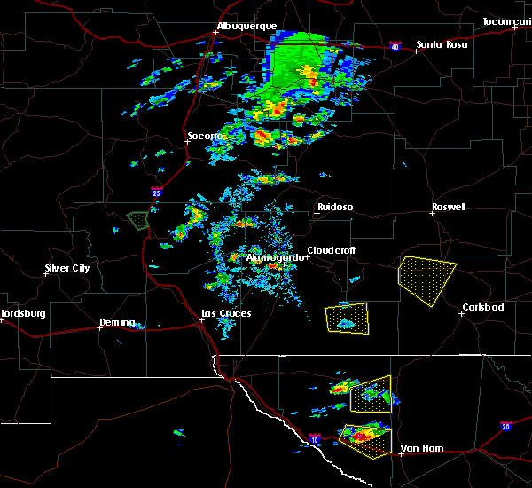 At 400 pm mdt, a severe thunderstorm was located over hope, moving southeast at 25 mph (radar indicated). Hazards include 60 mph wind gusts and half dollar size hail. Hail damage to vehicles is expected. Expect wind damage to roofs, siding, and trees. At 400 pm mdt, a severe thunderstorm was located over hope, moving southeast at 25 mph (radar indicated). Hazards include 60 mph wind gusts and half dollar size hail. Hail damage to vehicles is expected. Expect wind damage to roofs, siding, and trees.
|
| 9/15/2016 3:35 PM MDT |
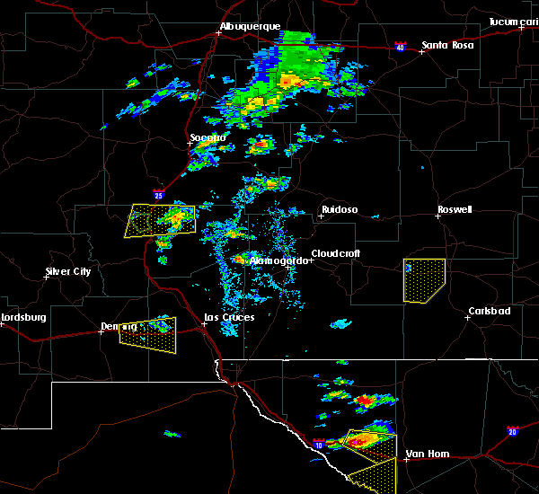 At 334 pm mdt, a severe thunderstorm was located near hope, moving east at 15 mph (radar indicated). Hazards include 60 mph wind gusts and quarter size hail. Hail damage to vehicles is expected. expect wind damage to roofs, siding, and trees. Locations impacted include, artesia, hope and artesia municipal airport. At 334 pm mdt, a severe thunderstorm was located near hope, moving east at 15 mph (radar indicated). Hazards include 60 mph wind gusts and quarter size hail. Hail damage to vehicles is expected. expect wind damage to roofs, siding, and trees. Locations impacted include, artesia, hope and artesia municipal airport.
|
| 9/15/2016 3:02 PM MDT |
 At 301 pm mdt, a severe thunderstorm was located 11 miles northwest of hope, moving southeast at 35 mph (radar indicated). Hazards include 60 mph wind gusts and quarter size hail. Hail damage to vehicles is expected. Expect wind damage to roofs, siding, and trees. At 301 pm mdt, a severe thunderstorm was located 11 miles northwest of hope, moving southeast at 35 mph (radar indicated). Hazards include 60 mph wind gusts and quarter size hail. Hail damage to vehicles is expected. Expect wind damage to roofs, siding, and trees.
|
| 5/31/2016 3:42 PM MDT |
 At 342 pm mdt, a severe thunderstorm was located 10 miles west of loco hills, or 15 miles east of artesia, moving east at 20 mph (radar indicated). Hazards include 60 mph wind gusts and quarter size hail. Hail damage to vehicles is expected. expect wind damage to roofs, siding, and trees. Locations impacted include, dayton and atoka. At 342 pm mdt, a severe thunderstorm was located 10 miles west of loco hills, or 15 miles east of artesia, moving east at 20 mph (radar indicated). Hazards include 60 mph wind gusts and quarter size hail. Hail damage to vehicles is expected. expect wind damage to roofs, siding, and trees. Locations impacted include, dayton and atoka.
|
| 5/31/2016 3:14 PM MDT |
 At 314 pm mdt, a severe thunderstorm was located near artesia municipal airport, or near artesia, moving east at 20 mph (radar indicated). Hazards include 60 mph wind gusts and quarter size hail. Hail damage to vehicles is expected. Expect wind damage to roofs, siding, and trees. At 314 pm mdt, a severe thunderstorm was located near artesia municipal airport, or near artesia, moving east at 20 mph (radar indicated). Hazards include 60 mph wind gusts and quarter size hail. Hail damage to vehicles is expected. Expect wind damage to roofs, siding, and trees.
|
| 5/31/2016 2:47 PM MDT |
 At 247 pm mdt, a severe thunderstorm was located 9 miles west of artesia municipal airport, or 13 miles west of artesia, moving east at 20 mph (radar indicated). Hazards include 60 mph wind gusts and quarter size hail. Hail damage to vehicles is expected. expect wind damage to roofs, siding, and trees. Locations impacted include, artesia, cottonwood, artesia municipal airport and hope. At 247 pm mdt, a severe thunderstorm was located 9 miles west of artesia municipal airport, or 13 miles west of artesia, moving east at 20 mph (radar indicated). Hazards include 60 mph wind gusts and quarter size hail. Hail damage to vehicles is expected. expect wind damage to roofs, siding, and trees. Locations impacted include, artesia, cottonwood, artesia municipal airport and hope.
|
| 5/31/2016 2:14 PM MDT |
 At 214 pm mdt, a severe thunderstorm was located 20 miles west of artesia municipal airport, or 23 miles west of artesia, moving east at 20 mph (radar indicated). Hazards include 60 mph wind gusts and quarter size hail. Hail damage to vehicles is expected. Expect wind damage to roofs, siding, and trees. At 214 pm mdt, a severe thunderstorm was located 20 miles west of artesia municipal airport, or 23 miles west of artesia, moving east at 20 mph (radar indicated). Hazards include 60 mph wind gusts and quarter size hail. Hail damage to vehicles is expected. Expect wind damage to roofs, siding, and trees.
|
| 5/13/2016 4:12 PM MDT | The severe thunderstorm warning for northwestern eddy county will expire at 415 pm mdt, the storm which prompted the warning has weakened below severe limits, and no longer pose an immediate threat to life or property. therefore the warning will be allowed to expire. however small hail is still possible with this thunderstorm. |
| 5/13/2016 3:57 PM MDT |
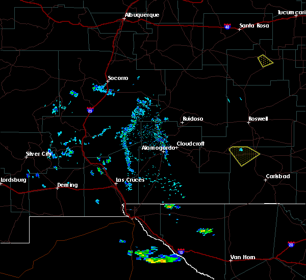 At 357 pm mdt, a severe thunderstorm was located 9 miles west of artesia municipal airport, or 12 miles west of artesia, moving southeast at 15 mph (radar indicated). Hazards include 60 mph wind gusts and quarter size hail. Hail damage to vehicles is expected. expect wind damage to roofs, siding, and trees. Locations impacted include, artesia, artesia municipal airport and hope. At 357 pm mdt, a severe thunderstorm was located 9 miles west of artesia municipal airport, or 12 miles west of artesia, moving southeast at 15 mph (radar indicated). Hazards include 60 mph wind gusts and quarter size hail. Hail damage to vehicles is expected. expect wind damage to roofs, siding, and trees. Locations impacted include, artesia, artesia municipal airport and hope.
|
| 5/13/2016 3:33 PM MDT |
 At 332 pm mdt, a severe thunderstorm was located 15 miles west of artesia municipal airport, or 18 miles west of artesia, moving southeast at 20 mph (radar indicated). Hazards include 60 mph wind gusts and quarter size hail. Hail damage to vehicles is expected. Expect wind damage to roofs, siding, and trees. At 332 pm mdt, a severe thunderstorm was located 15 miles west of artesia municipal airport, or 18 miles west of artesia, moving southeast at 20 mph (radar indicated). Hazards include 60 mph wind gusts and quarter size hail. Hail damage to vehicles is expected. Expect wind damage to roofs, siding, and trees.
|
| 10/21/2015 10:39 PM MDT |
 At 1138 pm cdt/1038 pm mdt/, doppler radar indicated a line of severe thunderstorms capable of producing quarter size hail and damaging winds in excess of 60 mph. these storms were located along a line extending from near eunice to 7 miles west of winkler county airport, and moving northeast at 35 mph. At 1138 pm cdt/1038 pm mdt/, doppler radar indicated a line of severe thunderstorms capable of producing quarter size hail and damaging winds in excess of 60 mph. these storms were located along a line extending from near eunice to 7 miles west of winkler county airport, and moving northeast at 35 mph.
|
| 10/21/2015 6:35 PM MDT |
 At 628 pm mdt, a severe thunderstorm was located over atoka, or near artesia, moving northeast at 25 mph (public). Hazards include quarter size hail reported. Damage to vehicles is expected. Locations impacted include, artesia, cottonwood, artesia municipal airport, dayton and atoka. At 628 pm mdt, a severe thunderstorm was located over atoka, or near artesia, moving northeast at 25 mph (public). Hazards include quarter size hail reported. Damage to vehicles is expected. Locations impacted include, artesia, cottonwood, artesia municipal airport, dayton and atoka.
|
| 10/21/2015 6:28 PM MDT | Quarter sized hail reported 5.8 miles NNW of Artesia, NM |
| 10/21/2015 6:13 PM MDT |
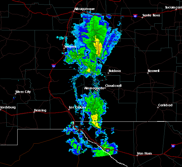 At 612 pm mdt, a severe thunderstorm was located over artesia, moving northeast at 25 mph (radar indicated). Hazards include 60 mph wind gusts and quarter size hail. Hail damage to vehicles is expected. Expect wind damage to roofs, siding and trees. At 612 pm mdt, a severe thunderstorm was located over artesia, moving northeast at 25 mph (radar indicated). Hazards include 60 mph wind gusts and quarter size hail. Hail damage to vehicles is expected. Expect wind damage to roofs, siding and trees.
|
| 10/3/2015 6:06 PM MDT |
 At 604 pm mdt, a trained spotter reported nickel size hail and 50 mph winds in lakewood. at 605 pm mdt, severe thunderstorms were located along a line extending from near atoka to 12 miles east of lincoln national forest, moving northeast at 40 mph (radar indicated). Hazards include 60 mph wind gusts and quarter size hail. Hail damage to vehicles is expected. expect wind damage to roofs, siding and trees. Locations impacted include, carlsbad, artesia, carlsbad north, seven rivers, cottonwood, lake avalon, lakewood, dayton, artesia municipal airport, avalon, atoka, cavern city air terminal, brantley lake state park, lincoln national forest, hope, seven rivers airport and living desert state park. At 604 pm mdt, a trained spotter reported nickel size hail and 50 mph winds in lakewood. at 605 pm mdt, severe thunderstorms were located along a line extending from near atoka to 12 miles east of lincoln national forest, moving northeast at 40 mph (radar indicated). Hazards include 60 mph wind gusts and quarter size hail. Hail damage to vehicles is expected. expect wind damage to roofs, siding and trees. Locations impacted include, carlsbad, artesia, carlsbad north, seven rivers, cottonwood, lake avalon, lakewood, dayton, artesia municipal airport, avalon, atoka, cavern city air terminal, brantley lake state park, lincoln national forest, hope, seven rivers airport and living desert state park.
|
| 10/3/2015 5:58 PM MDT |
 At 558 pm mdt, severe thunderstorms were located along a line extending from atoka to 10 miles east of lincoln national forest, moving east at 25 mph (radar indicated). Hazards include 60 mph wind gusts and quarter size hail. Hail damage to vehicles is expected. expect wind damage to roofs, siding and trees. Locations impacted include, carlsbad, artesia, carlsbad north, seven rivers, cottonwood, lake avalon, lakewood, dayton, artesia municipal airport, avalon, atoka, cavern city air terminal, brantley lake state park, lincoln national forest, hope, seven rivers airport and living desert state park. At 558 pm mdt, severe thunderstorms were located along a line extending from atoka to 10 miles east of lincoln national forest, moving east at 25 mph (radar indicated). Hazards include 60 mph wind gusts and quarter size hail. Hail damage to vehicles is expected. expect wind damage to roofs, siding and trees. Locations impacted include, carlsbad, artesia, carlsbad north, seven rivers, cottonwood, lake avalon, lakewood, dayton, artesia municipal airport, avalon, atoka, cavern city air terminal, brantley lake state park, lincoln national forest, hope, seven rivers airport and living desert state park.
|
| 10/3/2015 5:30 PM MDT |
 At 529 pm mdt, severe thunderstorms were located along a line extending from 11 miles southwest of artesia municipal airport to near lincoln national forest, moving northeast at 30 mph (radar indicated). Hazards include 60 mph wind gusts and quarter size hail. Hail damage to vehicles is expected. Expect wind damage to roofs, siding and trees. At 529 pm mdt, severe thunderstorms were located along a line extending from 11 miles southwest of artesia municipal airport to near lincoln national forest, moving northeast at 30 mph (radar indicated). Hazards include 60 mph wind gusts and quarter size hail. Hail damage to vehicles is expected. Expect wind damage to roofs, siding and trees.
|
| 10/3/2015 5:07 PM MDT |
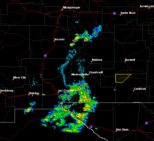 At 507 pm mdt, a severe thunderstorm was located 7 miles northwest of artesia municipal airport, or 10 miles northwest of artesia, moving northeast at 20 mph (radar indicated). Hazards include 60 mph wind gusts and quarter size hail. Hail damage to vehicles is expected. expect wind damage to roofs, siding and trees. Locations impacted include, artesia, cottonwood, artesia municipal airport and hope. At 507 pm mdt, a severe thunderstorm was located 7 miles northwest of artesia municipal airport, or 10 miles northwest of artesia, moving northeast at 20 mph (radar indicated). Hazards include 60 mph wind gusts and quarter size hail. Hail damage to vehicles is expected. expect wind damage to roofs, siding and trees. Locations impacted include, artesia, cottonwood, artesia municipal airport and hope.
|
| 10/3/2015 4:44 PM MDT |
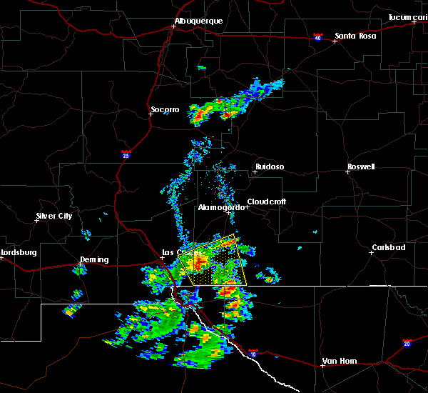 At 444 pm mdt, a severe thunderstorm was located 9 miles west of artesia municipal airport, or 12 miles west of artesia, moving northeast at 25 mph (radar indicated). Hazards include 60 mph wind gusts and quarter size hail. Hail damage to vehicles is expected. Expect wind damage to roofs, siding and trees. At 444 pm mdt, a severe thunderstorm was located 9 miles west of artesia municipal airport, or 12 miles west of artesia, moving northeast at 25 mph (radar indicated). Hazards include 60 mph wind gusts and quarter size hail. Hail damage to vehicles is expected. Expect wind damage to roofs, siding and trees.
|
| 8/21/2015 9:05 PM MDT | Quarter sized hail reported 12.4 miles WNW of Artesia, NM, spotter reported quarter size hail along hwy 82. |
| 6/13/2015 4:15 PM MDT | Storm damage reported in eddy county NM, 0.8 miles E of Artesia, NM |
| 7/19/2014 10:52 PM MDT | Golf Ball sized hail reported 0.8 miles E of Artesia, NM |
| 6/8/2014 6:40 PM MDT | Grapefruit sized hail reported 10.4 miles N of Artesia, NM |
| 6/8/2014 6:31 PM MDT | Hen Egg sized hail reported 5.8 miles NNW of Artesia, NM, golf ball to hen egg size hail at brevins and 285 in atoka. |
| 6/8/2014 6:25 PM MDT | Tennis Ball sized hail reported 0.8 miles E of Artesia, NM, hail measuring 1/2 inch up to 2 1/2 inches. |
| 6/8/2014 6:15 PM MDT | Quarter sized hail reported 4.3 miles N of Artesia, NM, on south 13th. |
| 5/25/2014 7:22 PM MDT | Half Dollar sized hail reported 35.2 miles WNW of Artesia, NM, spotter reported half dollar size hail |
| 5/23/2014 7:05 PM MDT | Golf Ball sized hail reported 8.4 miles N of Artesia, NM, spotter reported golf ball size hail south of artesia. |
| 5/23/2014 7:03 PM MDT | Ping Pong Ball sized hail reported 10.4 miles N of Artesia, NM |
| 5/23/2014 6:45 PM MDT | Golf Ball sized hail reported 16.4 miles NNW of Artesia, NM, spotter reported golf ball hail. |
| 5/23/2013 2:40 PM MDT | Golf Ball sized hail reported 16.4 miles NNW of Artesia, NM |
| 10/12/2012 5:53 PM MDT | Quarter sized hail reported 4.3 miles N of Artesia, NM, 1 inch hail. event lasted 5 min. |
| 10/12/2012 3:02 AM MDT | Golf Ball sized hail reported 1.4 miles SSW of Artesia, NM |
| 5/13/2012 7:20 PM MDT | Quarter sized hail reported 12.5 miles N of Artesia, NM, at us 285 and county rd 21 |
| 5/13/2012 7:19 PM MDT | Quarter sized hail reported 2.8 miles SSE of Artesia, NM, nickle to quarter size hail covering the ground. |
| 5/13/2012 6:55 PM MDT | Storm damage reported in eddy county NM, 2.5 miles E of Artesia, NM |
| 5/7/2012 4:30 PM MDT | Baseball sized hail reported 1.4 miles SSW of Artesia, NM, baseball hail lasted from 430 pm to 445 pm mdt. |
| 5/7/2012 4:27 PM MDT | Quarter sized hail reported 7.7 miles SE of Artesia, NM |
| 5/7/2012 3:30 PM MDT | Baseball sized hail reported 1.4 miles SSW of Artesia, NM, baseball hail lasted from 430 pm to 445 pm mdt. |
Hail Maps for Artesia, NM


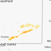


Connect with Interactive Hail Maps