

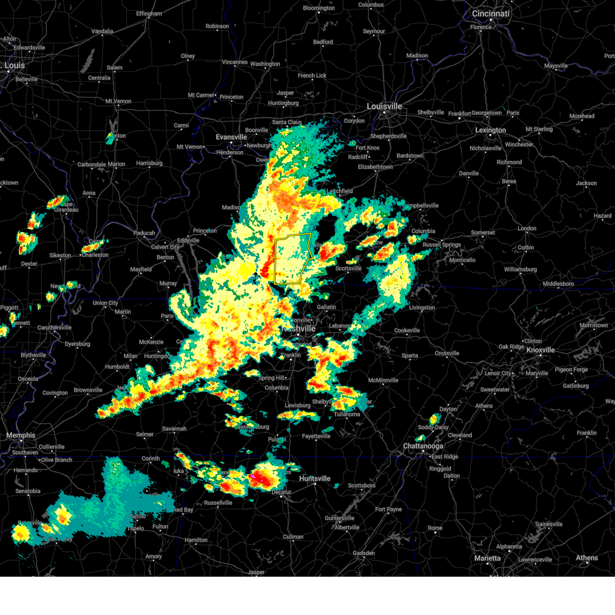
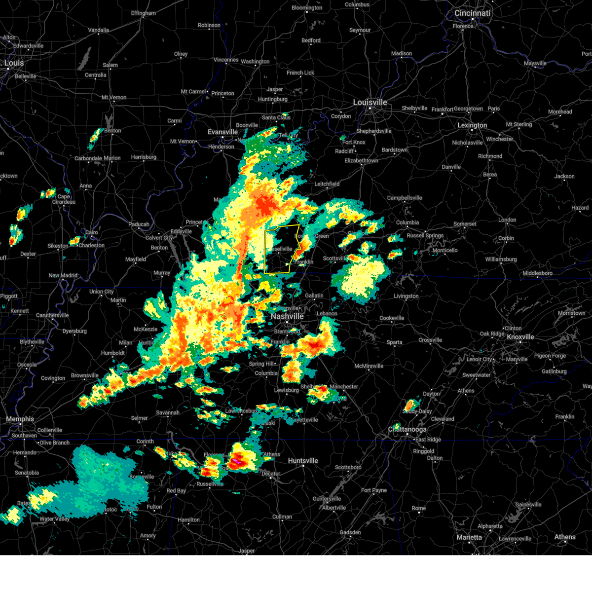
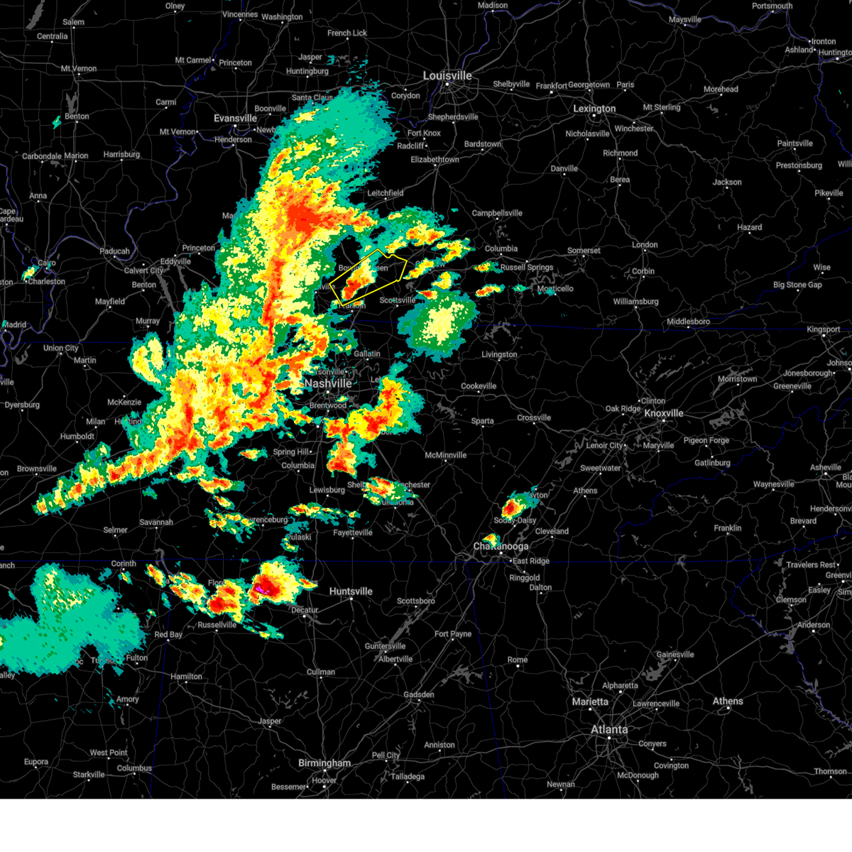
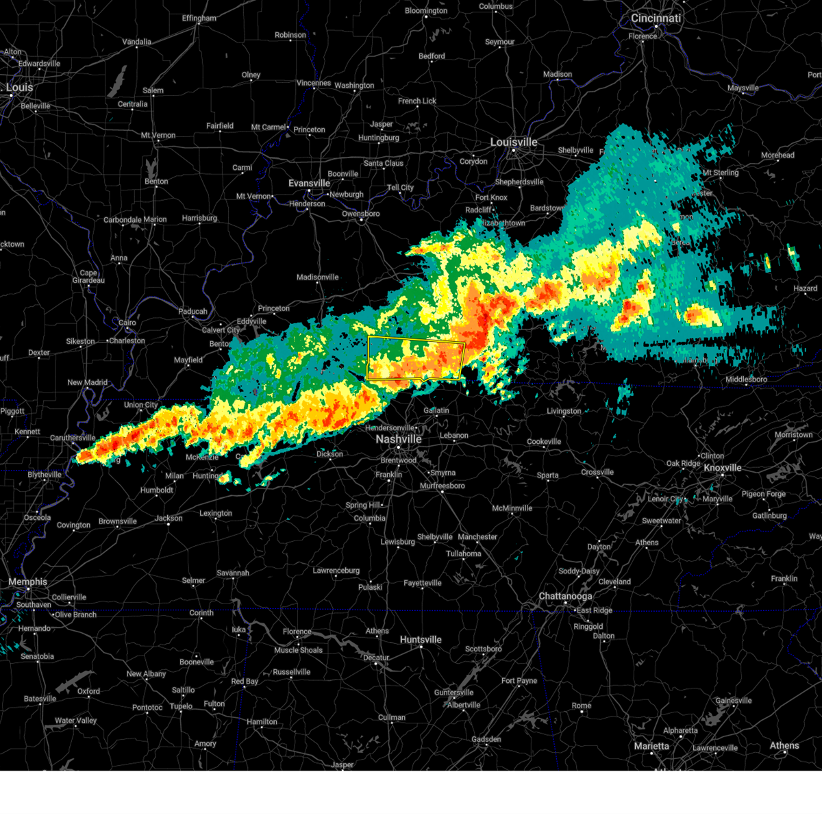
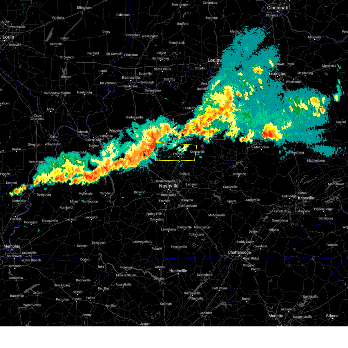
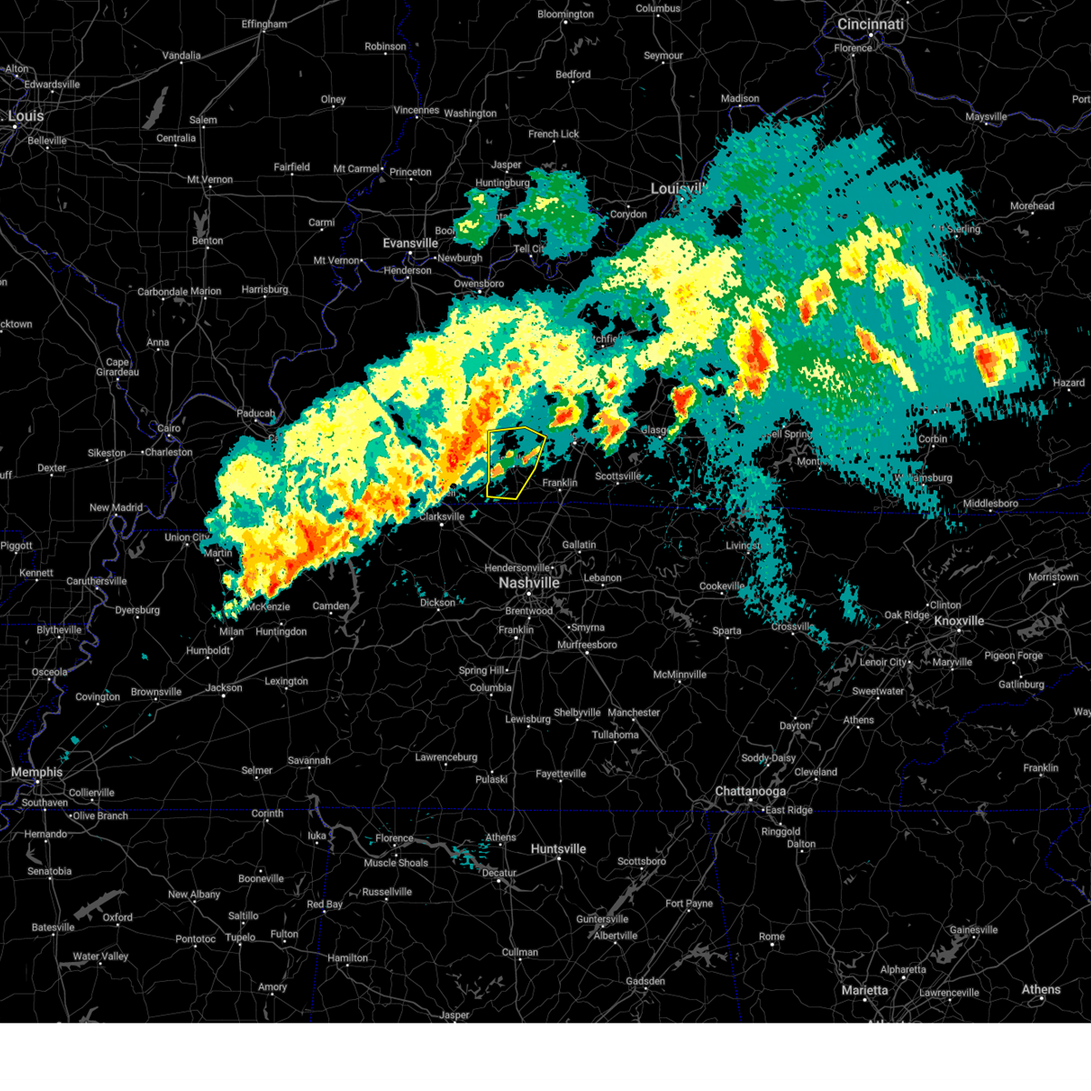
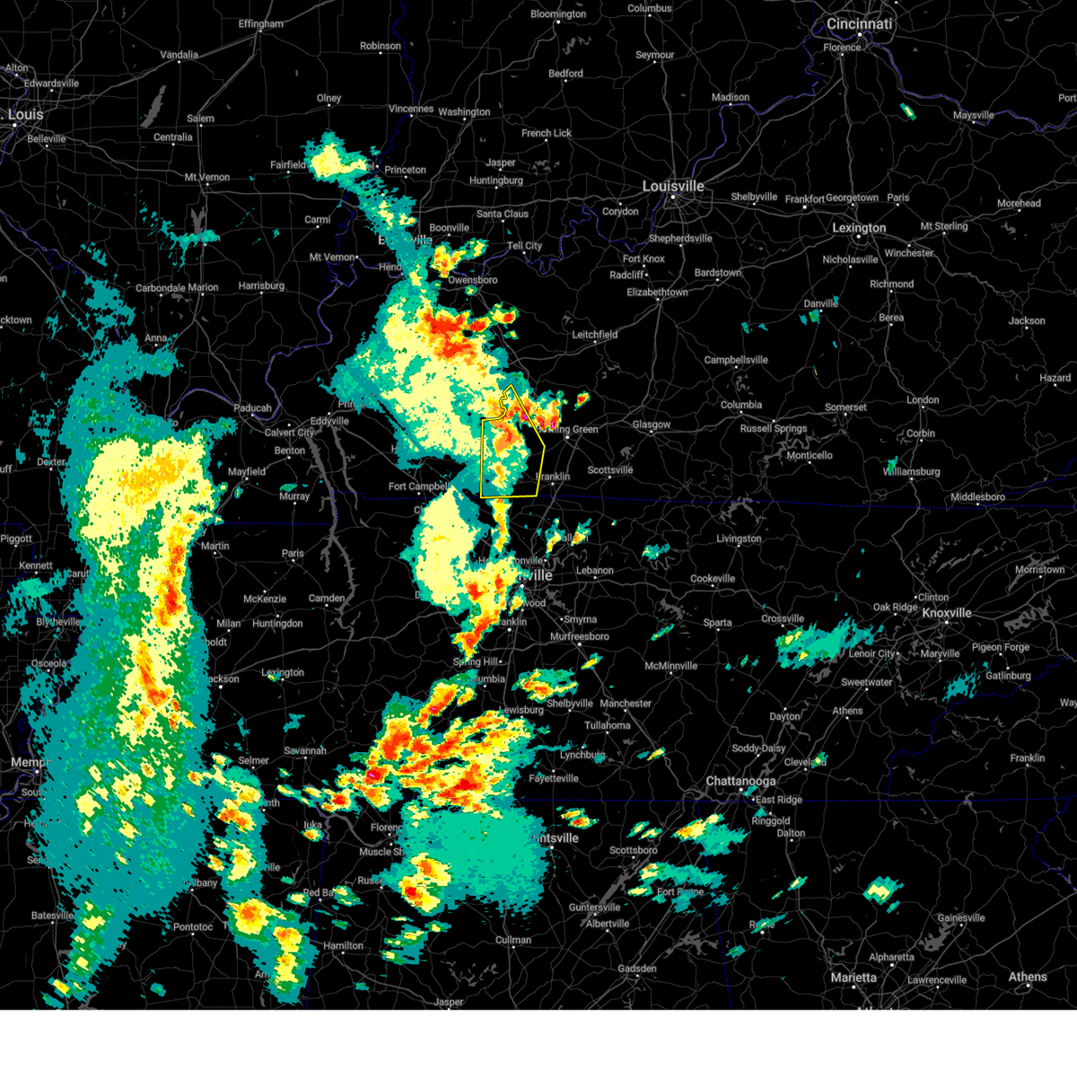
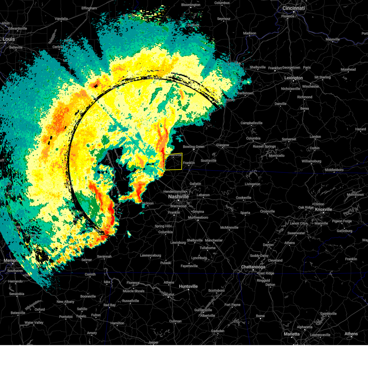
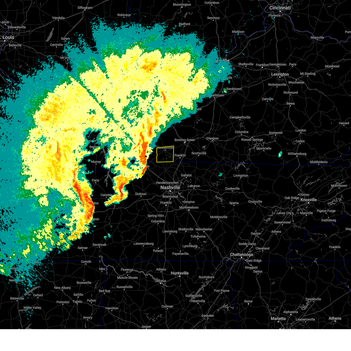
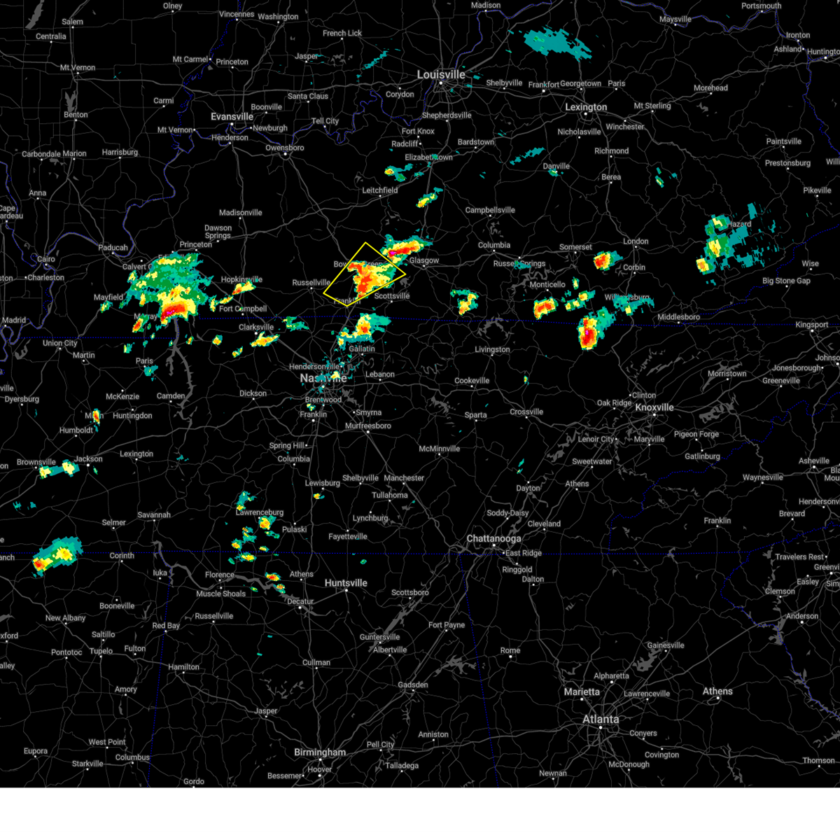
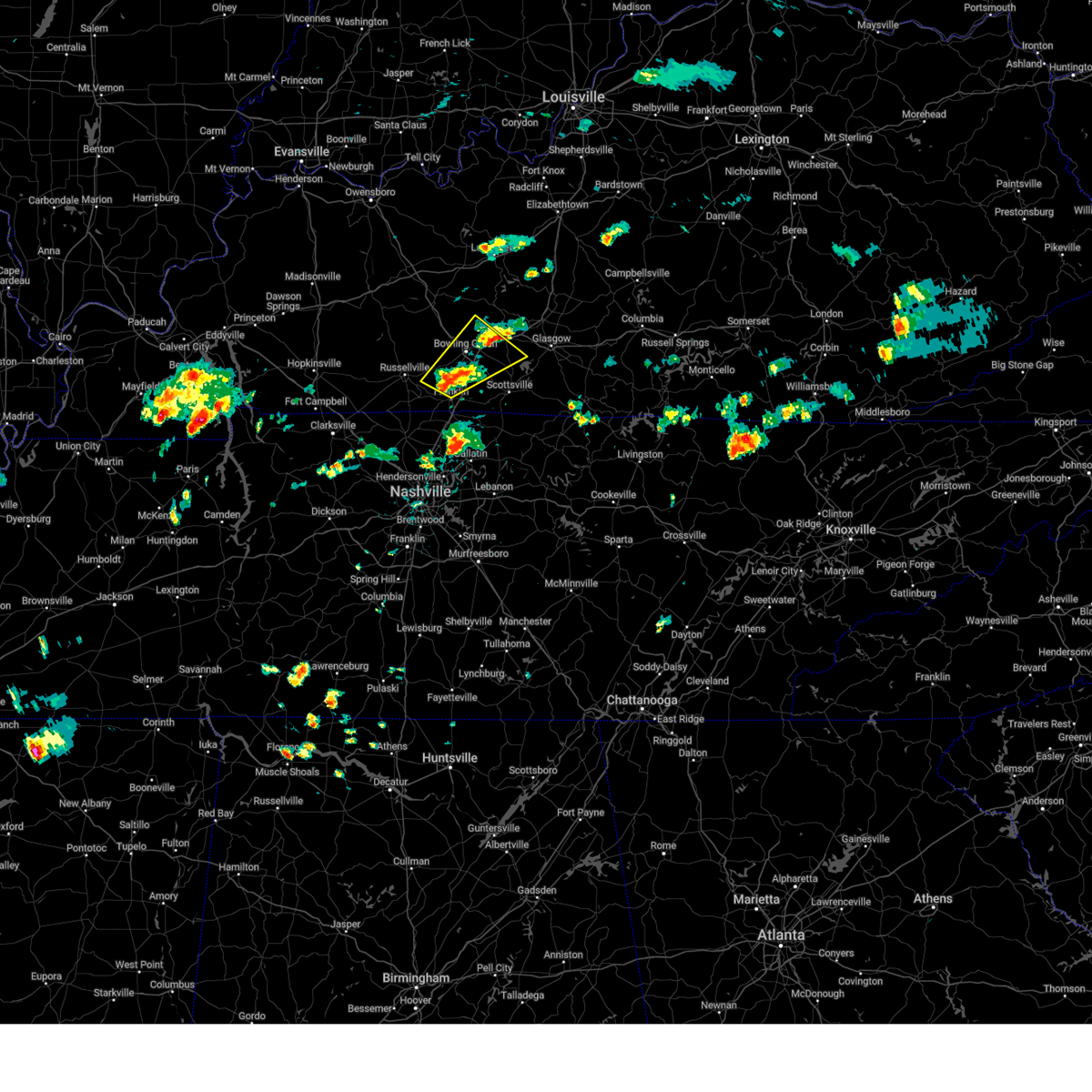
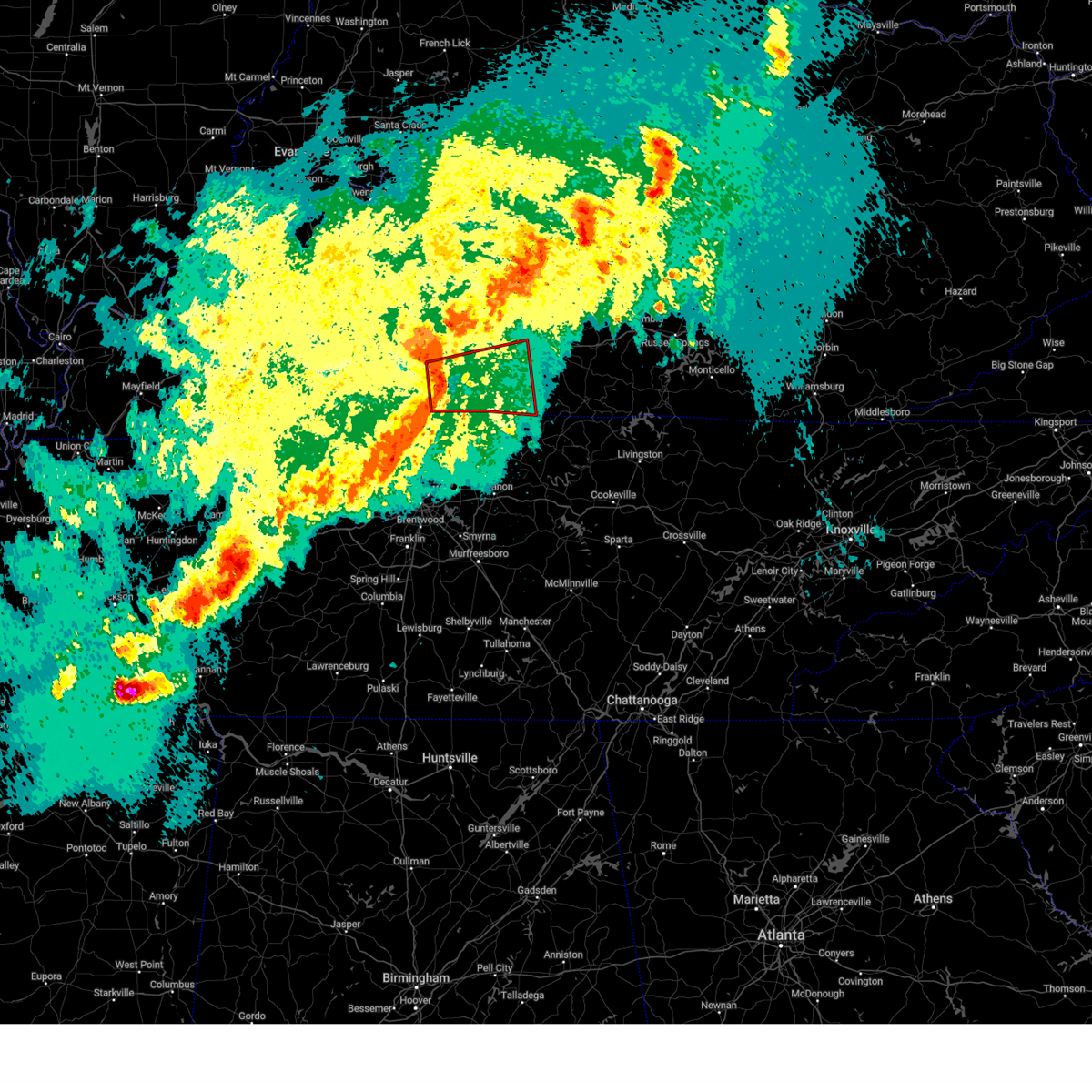
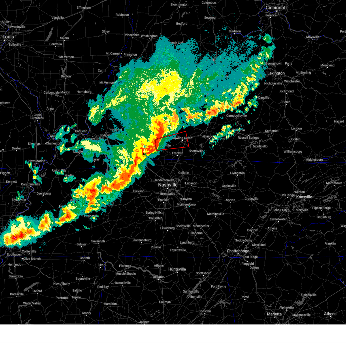
Hail Map for Auburn, KY
The Auburn, KY area has had 1 report of on-the-ground hail by trained spotters, and has been under severe weather warnings 40 times during the past 12 months. Doppler radar has detected hail at or near Auburn, KY on 59 occasions, including 6 occasions during the past year.
| Name: | Auburn, KY |
| Where Located: | 48.4 miles N of Nashville, TN |
| Map: | Google Map for Auburn, KY |
| Population: | 1340 |
| Housing Units: | 629 |
| More Info: | Search Google for Auburn, KY |
2
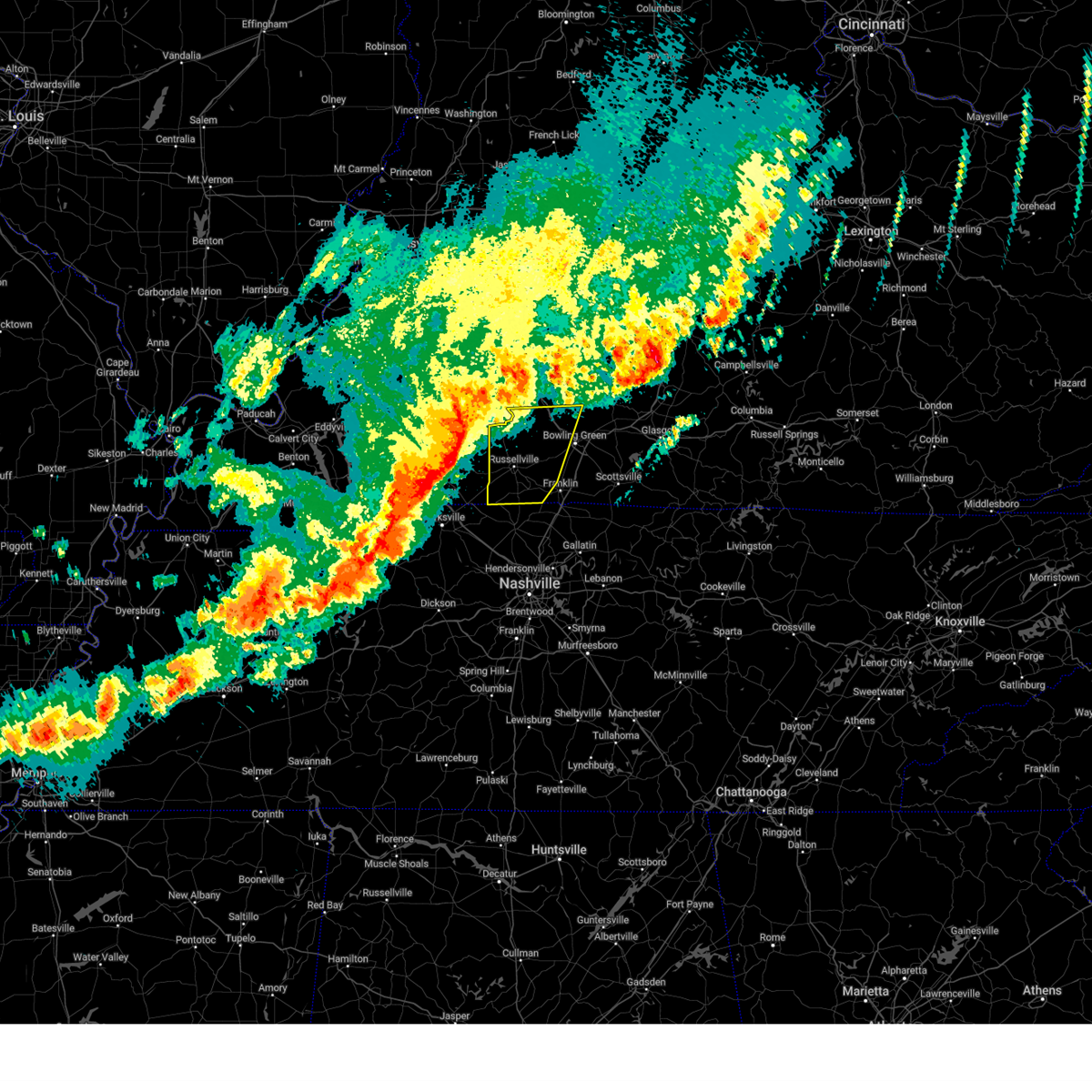
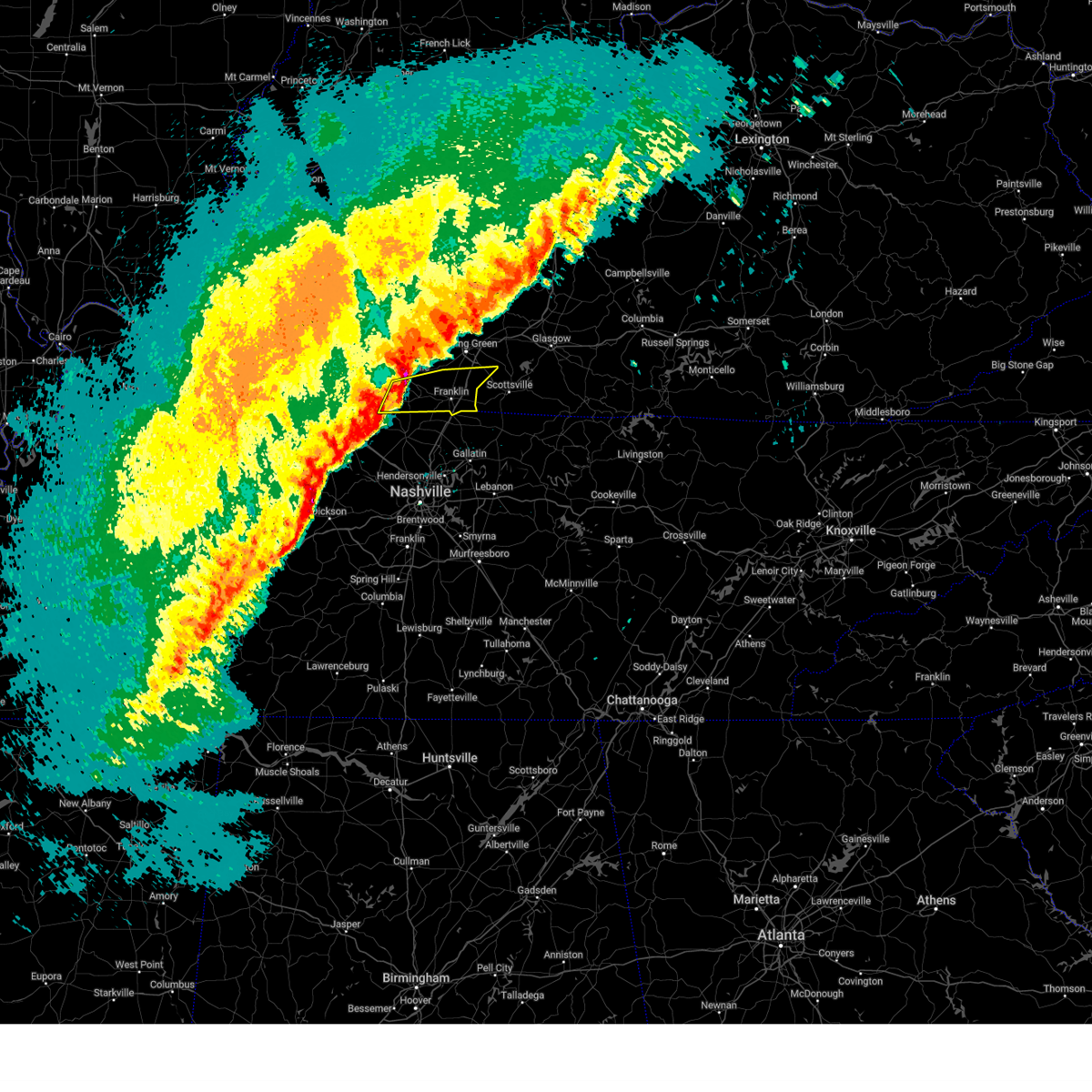
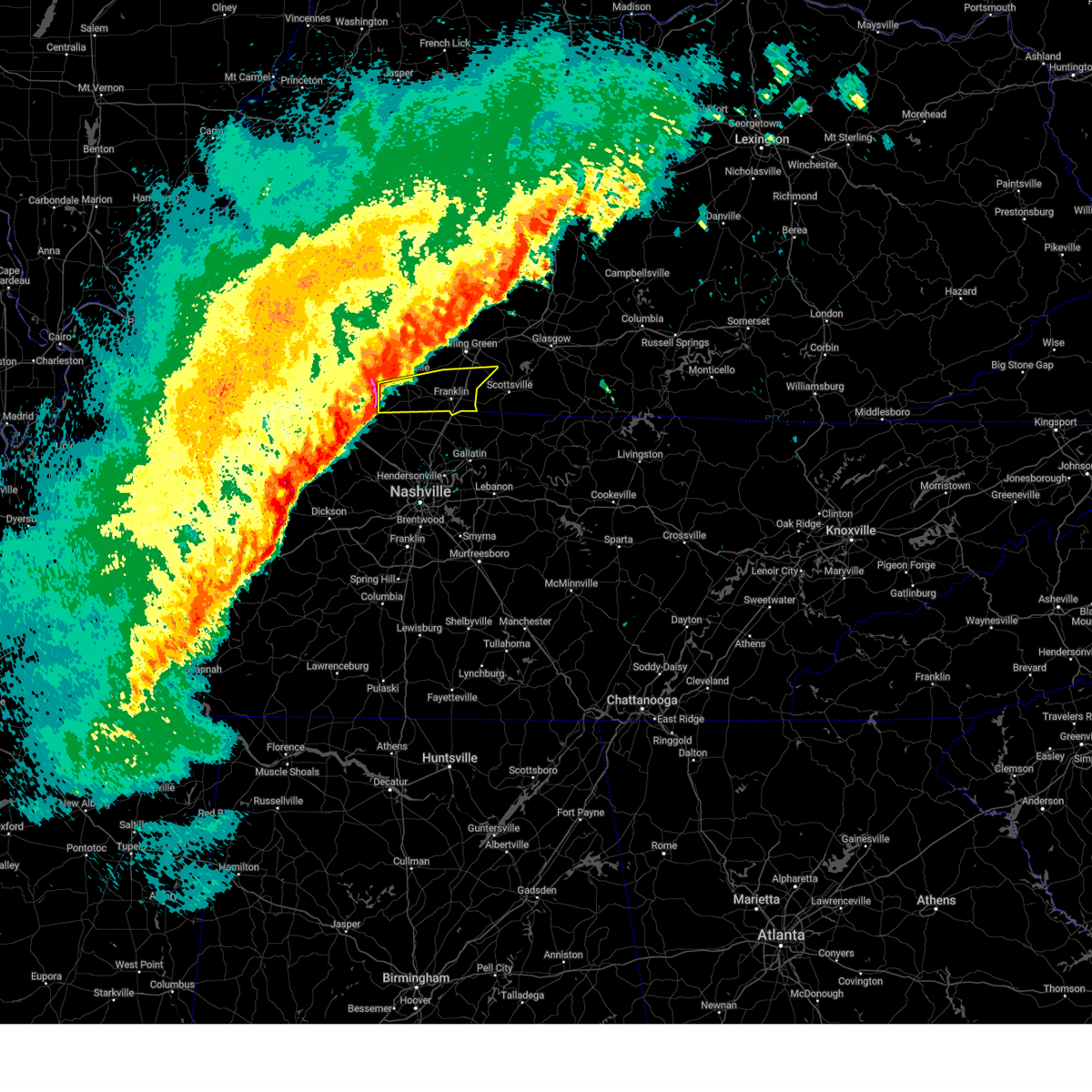
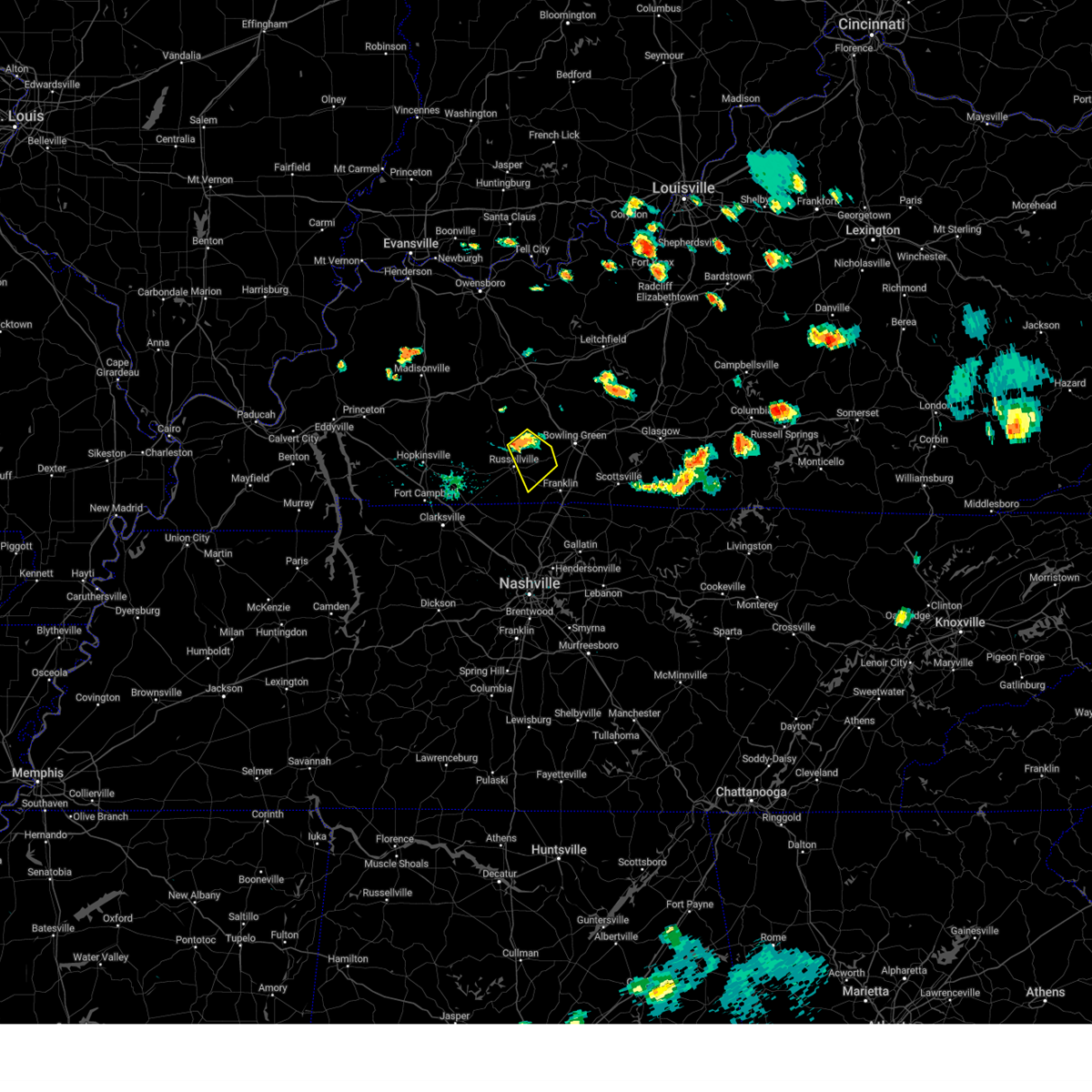
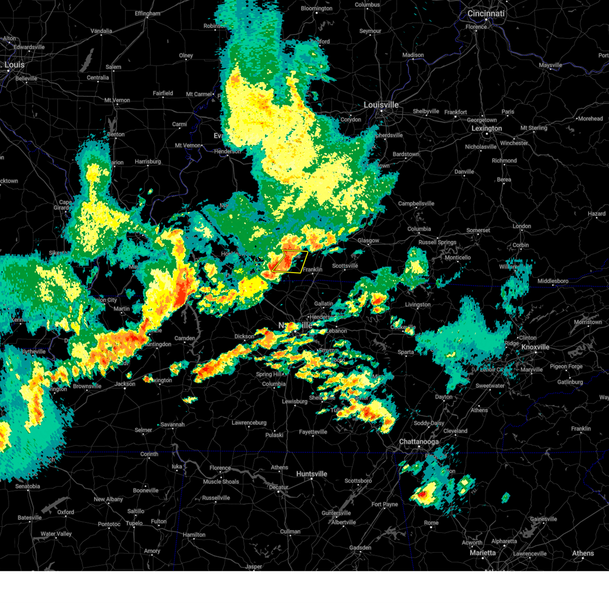
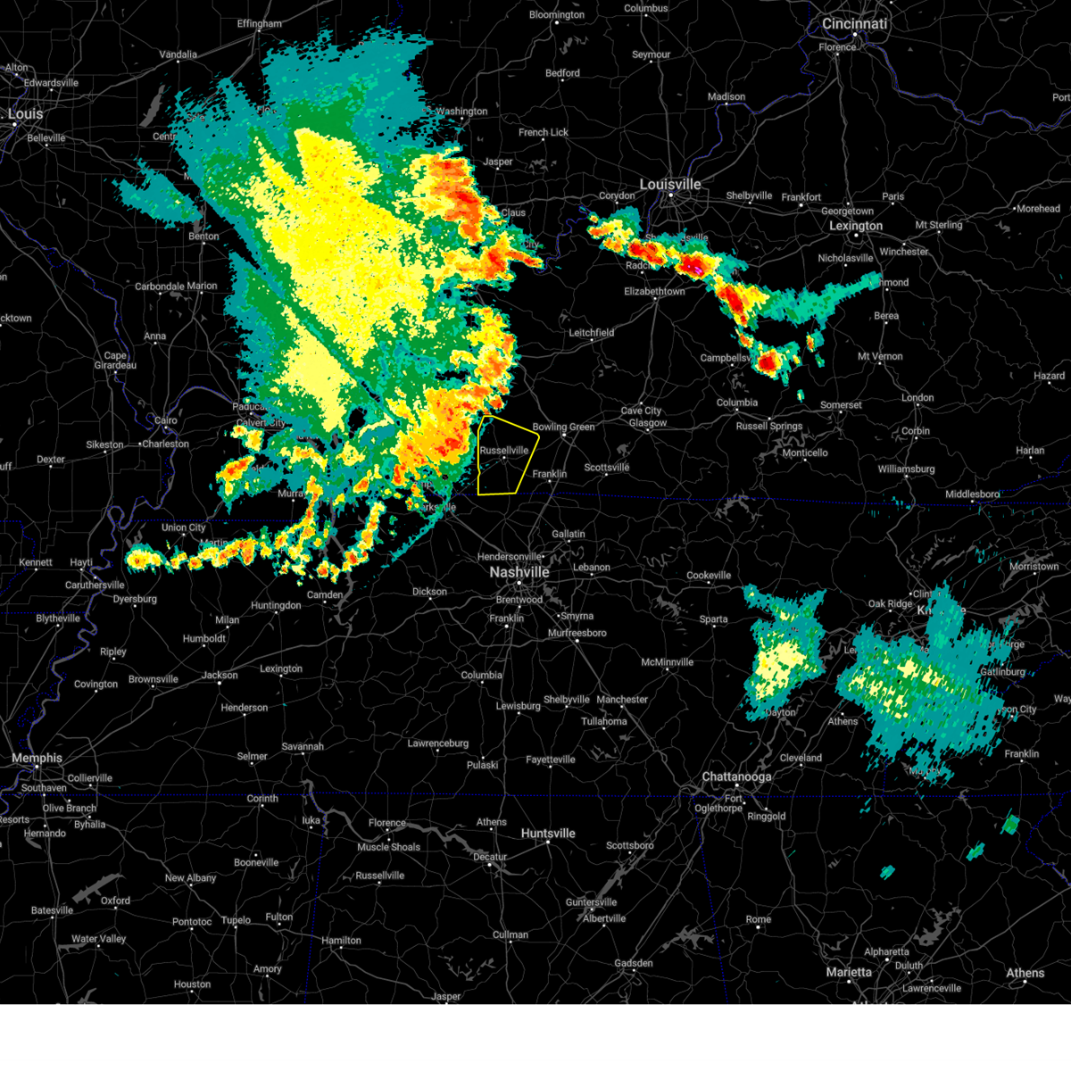
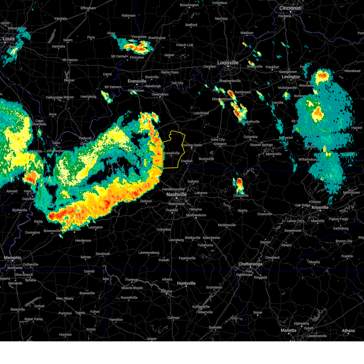
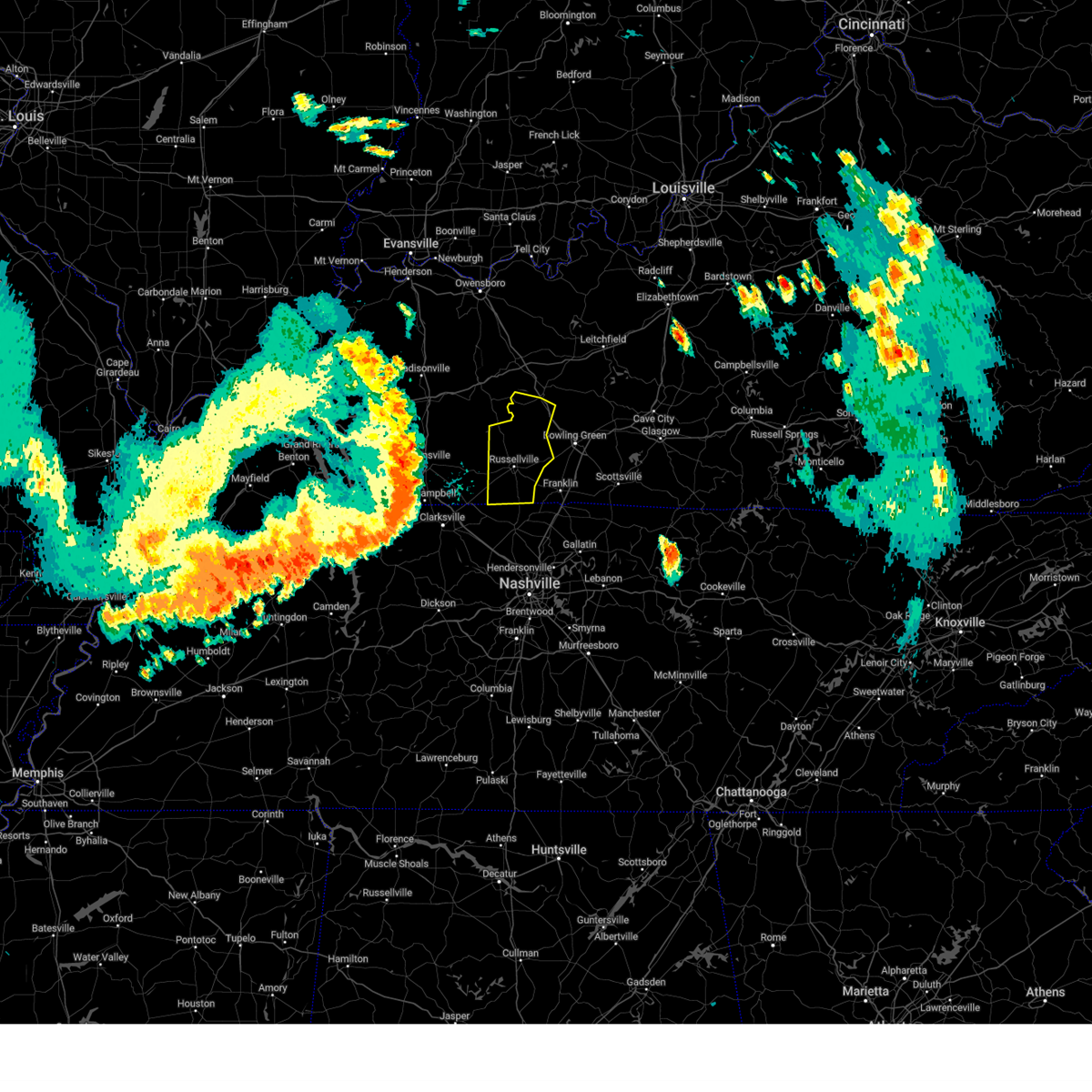
The Top Recent Hail Date for Auburn, KY is Tuesday, May 20, 2025 (9th out of 59)

Hail and Wind Damage Spotted near Auburn, KY
| Date / Time | Report Details |
|---|---|
| 6/18/2025 7:14 PM CDT | Svrlmk the national weather service in louisville has issued a * severe thunderstorm warning for, southern logan county in south central kentucky, simpson county in south central kentucky, southwestern hart county in central kentucky, warren county in south central kentucky, edmonson county in south central kentucky, * until 800 pm cdt. * at 714 pm cdt, severe thunderstorms were located along a line extending from near brownsville to near russellville, moving east at 30 mph (radar indicated). Hazards include 60 mph wind gusts. expect damage to roofs, siding, and trees |
| 5/20/2025 5:59 PM CDT | the severe thunderstorm warning has been cancelled and is no longer in effect |
| 5/20/2025 5:38 PM CDT |
 At 537 pm cdt, severe thunderstorms were located along a line extending from 7 miles southwest of dunmor to guthrie, moving east at 45 mph (radar indicated). Hazards include 60 mph wind gusts. Expect damage to roofs, siding, and trees. Locations impacted include, russellville, anderson, auburn, adairville, lewisburg, insco, gordonsville, dimple, spa, epleys, hilltop, dennis, wolf lick, crossroad, buffalo fork, lickskillet, cave springs, lost city, agnes, and keysburg. At 537 pm cdt, severe thunderstorms were located along a line extending from 7 miles southwest of dunmor to guthrie, moving east at 45 mph (radar indicated). Hazards include 60 mph wind gusts. Expect damage to roofs, siding, and trees. Locations impacted include, russellville, anderson, auburn, adairville, lewisburg, insco, gordonsville, dimple, spa, epleys, hilltop, dennis, wolf lick, crossroad, buffalo fork, lickskillet, cave springs, lost city, agnes, and keysburg.
|
| 5/20/2025 5:25 PM CDT |
 Svrlmk the national weather service in louisville has issued a * severe thunderstorm warning for, logan county in south central kentucky, southwestern butler county in south central kentucky, * until 615 pm cdt. * at 525 pm cdt, severe thunderstorms were located along a line extending from 9 miles south of weir to near clarksville, moving east at 45 mph (radar indicated). Hazards include 60 mph wind gusts. expect damage to roofs, siding, and trees Svrlmk the national weather service in louisville has issued a * severe thunderstorm warning for, logan county in south central kentucky, southwestern butler county in south central kentucky, * until 615 pm cdt. * at 525 pm cdt, severe thunderstorms were located along a line extending from 9 miles south of weir to near clarksville, moving east at 45 mph (radar indicated). Hazards include 60 mph wind gusts. expect damage to roofs, siding, and trees
|
| 5/20/2025 5:23 PM CDT |
 Svrlmk the national weather service in louisville has issued a * severe thunderstorm warning for, east central logan county in south central kentucky, northern simpson county in south central kentucky, warren county in south central kentucky, * until 615 pm cdt. * at 523 pm cdt, a severe thunderstorm was located 9 miles southwest of memphis junction, or 12 miles southwest of bowling green, moving northeast at 35 mph (radar indicated). Hazards include 60 mph wind gusts and quarter size hail. Hail damage to vehicles is expected. Expect wind damage to roofs, siding, and trees. Svrlmk the national weather service in louisville has issued a * severe thunderstorm warning for, east central logan county in south central kentucky, northern simpson county in south central kentucky, warren county in south central kentucky, * until 615 pm cdt. * at 523 pm cdt, a severe thunderstorm was located 9 miles southwest of memphis junction, or 12 miles southwest of bowling green, moving northeast at 35 mph (radar indicated). Hazards include 60 mph wind gusts and quarter size hail. Hail damage to vehicles is expected. Expect wind damage to roofs, siding, and trees.
|
| 5/16/2025 10:32 PM CDT |
 The storms which prompted the warning have moved out of the area. therefore, the warning has been allowed to expire. a tornado watch remains in effect until midnight cdt for south central kentucky. a tornado watch also remains in effect until 200 am cdt for south central kentucky. to report severe weather, contact your nearest law enforcement agency. they will relay your report to the national weather service louisville. The storms which prompted the warning have moved out of the area. therefore, the warning has been allowed to expire. a tornado watch remains in effect until midnight cdt for south central kentucky. a tornado watch also remains in effect until 200 am cdt for south central kentucky. to report severe weather, contact your nearest law enforcement agency. they will relay your report to the national weather service louisville.
|
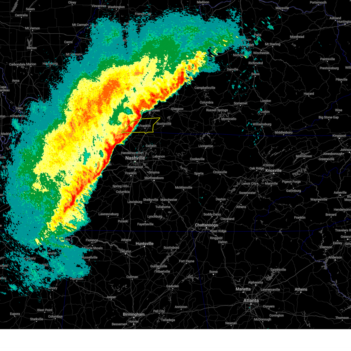
| 5/16/2025 10:02 PM CDT | At 1002 pm cdt, a confirmed tornado was located 8 miles east of russellville, moving east at 75 mph (radar confirmed tornado). Hazards include damaging tornado. Flying debris will be dangerous to those caught without shelter. mobile homes will be damaged or destroyed. damage to roofs, windows, and vehicles will occur. tree damage is likely. this tornado will be near, bowling green around 1010 pm cdt. Other locations impacted by this tornadic thunderstorm include hillsdale, hardcastle, allen springs, dennis, rockfield, rich pond, auburn, greenhill, south union, and woodburn. |
| 5/16/2025 9:58 PM CDT | At 957 pm cdt, a confirmed tornado was located near russellville, moving east at 70 mph (radar confirmed tornado). Hazards include damaging tornado. Flying debris will be dangerous to those caught without shelter. mobile homes will be damaged or destroyed. damage to roofs, windows, and vehicles will occur. tree damage is likely. this tornado will be near, bowling green and memphis junction around 1010 pm cdt. Other locations impacted by this tornadic thunderstorm include hardcastle, allen springs, epleys, dennis, rich pond, greenhill, trammel, polkville, boyce, and motley. |
| 5/16/2025 9:54 PM CDT |
 Torlmk the national weather service in louisville has issued a * tornado warning for, central logan county in south central kentucky, northern simpson county in south central kentucky, west central allen county in south central kentucky, southwestern warren county in south central kentucky, * until 1030 pm cdt. * at 954 pm cdt, a severe thunderstorm capable of producing a tornado was located near russellville, moving east at 70 mph (radar indicated rotation). Hazards include tornado. Flying debris will be dangerous to those caught without shelter. mobile homes will be damaged or destroyed. damage to roofs, windows, and vehicles will occur. tree damage is likely. this dangerous storm will be near, bowling green and memphis junction around 1010 pm cdt. Other locations impacted by this tornadic thunderstorm include hardcastle, allen springs, epleys, dennis, rich pond, greenhill, trammel, polkville, boyce, and motley. Torlmk the national weather service in louisville has issued a * tornado warning for, central logan county in south central kentucky, northern simpson county in south central kentucky, west central allen county in south central kentucky, southwestern warren county in south central kentucky, * until 1030 pm cdt. * at 954 pm cdt, a severe thunderstorm capable of producing a tornado was located near russellville, moving east at 70 mph (radar indicated rotation). Hazards include tornado. Flying debris will be dangerous to those caught without shelter. mobile homes will be damaged or destroyed. damage to roofs, windows, and vehicles will occur. tree damage is likely. this dangerous storm will be near, bowling green and memphis junction around 1010 pm cdt. Other locations impacted by this tornadic thunderstorm include hardcastle, allen springs, epleys, dennis, rich pond, greenhill, trammel, polkville, boyce, and motley.
|
| 5/16/2025 9:52 PM CDT |
 At 952 pm cdt, severe thunderstorms were located along a line extending from 8 miles south of dunmor to guthrie, moving east at 70 mph (radar indicated). Hazards include 70 mph wind gusts and quarter size hail. Hail damage to vehicles is expected. expect considerable tree damage. wind damage is also likely to mobile homes, roofs, and outbuildings. Locations impacted include, russellville, franklin, auburn, adairville, woodburn, epleys, black jack, rich pond, crossroad, and settle. At 952 pm cdt, severe thunderstorms were located along a line extending from 8 miles south of dunmor to guthrie, moving east at 70 mph (radar indicated). Hazards include 70 mph wind gusts and quarter size hail. Hail damage to vehicles is expected. expect considerable tree damage. wind damage is also likely to mobile homes, roofs, and outbuildings. Locations impacted include, russellville, franklin, auburn, adairville, woodburn, epleys, black jack, rich pond, crossroad, and settle.
|
| 5/16/2025 9:45 PM CDT | Svrlmk the national weather service in louisville has issued a * severe thunderstorm warning for, logan county in south central kentucky, simpson county in south central kentucky, western allen county in south central kentucky, southern warren county in south central kentucky, * until 1030 pm cdt. * at 945 pm cdt, severe thunderstorms were located along a line extending from 9 miles southwest of dunmor to 6 miles west of guthrie, moving east at 70 mph (radar indicated). Hazards include 70 mph wind gusts and quarter size hail. Hail damage to vehicles is expected. expect considerable tree damage. Wind damage is also likely to mobile homes, roofs, and outbuildings. |
| 5/16/2025 7:30 PM CDT |
 The storm which prompted the warning has moved out of the area. therefore, the warning has been allowed to expire. a tornado watch remains in effect until 1000 pm cdt for south central kentucky. to report severe weather, contact your nearest law enforcement agency. they will relay your report to the national weather service louisville. The storm which prompted the warning has moved out of the area. therefore, the warning has been allowed to expire. a tornado watch remains in effect until 1000 pm cdt for south central kentucky. to report severe weather, contact your nearest law enforcement agency. they will relay your report to the national weather service louisville.
|
| 5/16/2025 7:19 PM CDT | At 719 pm cdt, a severe thunderstorm capable of producing a tornado was located 8 miles north of russellville, moving east at 40 mph (radar indicated rotation). Hazards include tornado and golf ball size hail. Flying debris will be dangerous to those caught without shelter. mobile homes will be damaged or destroyed. damage to roofs, windows, and vehicles will occur. tree damage is likely. Locations impacted include, anderson, auburn, gasper, cooperstown, insco, lost city, epleys, homer, chandlers chapel, and costelow. |
| 5/16/2025 7:07 PM CDT | At 707 pm cdt, a severe thunderstorm capable of producing a tornado was located 8 miles south of dunmor, moving east at 40 mph (radar indicated rotation). Hazards include tornado and golf ball size hail. Flying debris will be dangerous to those caught without shelter. mobile homes will be damaged or destroyed. damage to roofs, windows, and vehicles will occur. tree damage is likely. Locations impacted include, anderson, auburn, lewisburg, cooperstown, insco, spa, epleys, diamond springs, wolf lick, and everett. |
| 5/16/2025 10:04 AM CDT |
 the severe thunderstorm warning has been cancelled and is no longer in effect the severe thunderstorm warning has been cancelled and is no longer in effect
|
| 5/16/2025 9:44 AM CDT |
 Svrlmk the national weather service in louisville has issued a * severe thunderstorm warning for, logan county in south central kentucky, central simpson county in south central kentucky, southwestern warren county in south central kentucky, * until 1015 am cdt. * at 944 am cdt, severe thunderstorms were located along a line extending from near dunmor to near elkton, moving east at 45 mph (radar indicated). Hazards include 60 mph wind gusts and penny size hail. expect damage to roofs, siding, and trees Svrlmk the national weather service in louisville has issued a * severe thunderstorm warning for, logan county in south central kentucky, central simpson county in south central kentucky, southwestern warren county in south central kentucky, * until 1015 am cdt. * at 944 am cdt, severe thunderstorms were located along a line extending from near dunmor to near elkton, moving east at 45 mph (radar indicated). Hazards include 60 mph wind gusts and penny size hail. expect damage to roofs, siding, and trees
|
| 5/16/2025 9:22 AM CDT |
 Svrlmk the national weather service in louisville has issued a * severe thunderstorm warning for, logan county in south central kentucky, * until 945 am cdt. * at 922 am cdt, severe thunderstorms were located along a line extending from near weir to near pembroke to near oak grove, moving east at 55 mph (radar indicated). Hazards include 60 mph wind gusts and nickel size hail. expect damage to roofs, siding, and trees Svrlmk the national weather service in louisville has issued a * severe thunderstorm warning for, logan county in south central kentucky, * until 945 am cdt. * at 922 am cdt, severe thunderstorms were located along a line extending from near weir to near pembroke to near oak grove, moving east at 55 mph (radar indicated). Hazards include 60 mph wind gusts and nickel size hail. expect damage to roofs, siding, and trees
|
| 5/2/2025 1:00 PM CDT |
 The storms which prompted the warning have weakened below severe limits, and have exited the warned area. therefore, the warning has been allowed to expire. a severe thunderstorm watch remains in effect until 500 pm cdt for south central kentucky. a severe thunderstorm watch also remains in effect until 800 pm cdt for central kentucky. to report severe weather, contact your nearest law enforcement agency. they will relay your report to the national weather service louisville. The storms which prompted the warning have weakened below severe limits, and have exited the warned area. therefore, the warning has been allowed to expire. a severe thunderstorm watch remains in effect until 500 pm cdt for south central kentucky. a severe thunderstorm watch also remains in effect until 800 pm cdt for central kentucky. to report severe weather, contact your nearest law enforcement agency. they will relay your report to the national weather service louisville.
|
| 5/2/2025 12:40 PM CDT | At 1240 pm cdt, severe thunderstorms were located along a line extending from near weir to 6 miles southwest of russellville to 8 miles northwest of coopertown, moving northeast at 35 mph (radar indicated). Hazards include 60 mph wind gusts and quarter size hail. Hail damage to vehicles is expected. expect wind damage to roofs, siding, and trees. Locations impacted include, russellville, anderson, auburn, adairville, lewisburg, rochester, insco, spa, epleys, and crossroad. |
| 5/2/2025 12:22 PM CDT | Svrlmk the national weather service in louisville has issued a * severe thunderstorm warning for, logan county in south central kentucky, western simpson county in south central kentucky, southwestern butler county in south central kentucky, * until 100 pm cdt. * at 1221 pm cdt, severe thunderstorms were located along a line extending from 8 miles east of crofton to near guthrie to 10 miles southeast of clarksville, moving northeast at 40 mph (radar indicated). Hazards include 60 mph wind gusts and quarter size hail. Hail damage to vehicles is expected. Expect wind damage to roofs, siding, and trees. |
| 4/5/2025 3:59 PM CDT |
 The storm which prompted the warning has weakened below severe limits, and no longer poses an immediate threat to life or property. therefore, the warning will be allowed to expire. however, gusty winds and heavy rain are still possible with this thunderstorm. a tornado watch remains in effect until 900 pm cdt for south central kentucky. The storm which prompted the warning has weakened below severe limits, and no longer poses an immediate threat to life or property. therefore, the warning will be allowed to expire. however, gusty winds and heavy rain are still possible with this thunderstorm. a tornado watch remains in effect until 900 pm cdt for south central kentucky.
|
| 4/5/2025 3:31 PM CDT |
 Svrlmk the national weather service in louisville has issued a * severe thunderstorm warning for, southern logan county in south central kentucky, southwestern simpson county in south central kentucky, * until 400 pm cdt. * at 330 pm cdt, a severe thunderstorm was located near elkton, moving east at 45 mph (radar indicated). Hazards include 60 mph wind gusts. expect damage to roofs, siding, and trees Svrlmk the national weather service in louisville has issued a * severe thunderstorm warning for, southern logan county in south central kentucky, southwestern simpson county in south central kentucky, * until 400 pm cdt. * at 330 pm cdt, a severe thunderstorm was located near elkton, moving east at 45 mph (radar indicated). Hazards include 60 mph wind gusts. expect damage to roofs, siding, and trees
|
| 4/4/2025 3:37 PM CDT |
 The storm which prompted the warning has weakened below severe limits, and no longer poses an immediate threat to life or property. therefore, the warning will be allowed to expire. however, gusty winds and heavy rain are still possible with this thunderstorm. The storm which prompted the warning has weakened below severe limits, and no longer poses an immediate threat to life or property. therefore, the warning will be allowed to expire. however, gusty winds and heavy rain are still possible with this thunderstorm.
|
| 4/4/2025 3:17 PM CDT |
 Svrlmk the national weather service in louisville has issued a * severe thunderstorm warning for, east central logan county in south central kentucky, northern simpson county in south central kentucky, northwestern allen county in south central kentucky, warren county in south central kentucky, west central barren county in south central kentucky, * until 345 pm cdt. * at 317 pm cdt, a severe thunderstorm was located 7 miles south of memphis junction, moving northeast at 40 mph (radar indicated). Hazards include 60 mph wind gusts and quarter size hail. Hail damage to vehicles is expected. Expect wind damage to roofs, siding, and trees. Svrlmk the national weather service in louisville has issued a * severe thunderstorm warning for, east central logan county in south central kentucky, northern simpson county in south central kentucky, northwestern allen county in south central kentucky, warren county in south central kentucky, west central barren county in south central kentucky, * until 345 pm cdt. * at 317 pm cdt, a severe thunderstorm was located 7 miles south of memphis junction, moving northeast at 40 mph (radar indicated). Hazards include 60 mph wind gusts and quarter size hail. Hail damage to vehicles is expected. Expect wind damage to roofs, siding, and trees.
|
| 4/3/2025 12:30 AM CDT |
 Torlmk the national weather service in louisville has issued a * tornado warning for, east central logan county in south central kentucky, simpson county in south central kentucky, allen county in south central kentucky, southern warren county in south central kentucky, southwestern barren county in south central kentucky, * until 100 am cdt. * at 1230 am cdt, a severe thunderstorm capable of producing a tornado was located 13 miles southwest of memphis junction, moving east at 65 mph (radar indicated rotation). Hazards include tornado. Flying debris will be dangerous to those caught without shelter. mobile homes will be damaged or destroyed. damage to roofs, windows, and vehicles will occur. tree damage is likely. This tornadic thunderstorm will remain over mainly rural areas of east central logan, simpson, allen, southern warren and southwestern barren counties, including the following locations, franklin, three forks, red cross, hardcastle, rich pond, greenhill, settle, raley ford, alonzo, and butlersville. Torlmk the national weather service in louisville has issued a * tornado warning for, east central logan county in south central kentucky, simpson county in south central kentucky, allen county in south central kentucky, southern warren county in south central kentucky, southwestern barren county in south central kentucky, * until 100 am cdt. * at 1230 am cdt, a severe thunderstorm capable of producing a tornado was located 13 miles southwest of memphis junction, moving east at 65 mph (radar indicated rotation). Hazards include tornado. Flying debris will be dangerous to those caught without shelter. mobile homes will be damaged or destroyed. damage to roofs, windows, and vehicles will occur. tree damage is likely. This tornadic thunderstorm will remain over mainly rural areas of east central logan, simpson, allen, southern warren and southwestern barren counties, including the following locations, franklin, three forks, red cross, hardcastle, rich pond, greenhill, settle, raley ford, alonzo, and butlersville.
|
| 4/3/2025 12:14 AM CDT | Svrlmk the national weather service in louisville has issued a * severe thunderstorm warning for, logan county in south central kentucky, simpson county in south central kentucky, allen county in south central kentucky, warren county in south central kentucky, * until 100 am cdt. * at 1213 am cdt, a severe thunderstorm was located 7 miles southwest of russellville, moving east at 60 mph (radar indicated). Hazards include 60 mph wind gusts. expect damage to roofs, siding, and trees |
| 4/2/2025 6:54 PM CDT | At 653 pm cdt, a severe thunderstorm was located 8 miles northwest of portland, moving north at 50 mph (radar indicated). Hazards include ping pong ball size hail and 60 mph wind gusts. People and animals outdoors will be injured. expect hail damage to roofs, siding, windows, and vehicles. expect wind damage to roofs, siding, and trees. Locations impacted include, bowling green, memphis junction, franklin, auburn, woodburn, black jack, hilltop, rich pond, geddes, and middleton. |
| 4/2/2025 6:35 PM CDT | Svrlmk the national weather service in louisville has issued a * severe thunderstorm warning for, southeastern logan county in south central kentucky, simpson county in south central kentucky, southwestern warren county in south central kentucky, * until 715 pm cdt. * at 634 pm cdt, a severe thunderstorm was located near cross plains, moving northeast at 45 mph (radar indicated). Hazards include ping pong ball size hail and 60 mph wind gusts. People and animals outdoors will be injured. expect hail damage to roofs, siding, windows, and vehicles. Expect wind damage to roofs, siding, and trees. |
| 3/30/2025 10:13 PM CDT | The storm which prompted the warning has moved out of the area. therefore, the warning will be allowed to expire. however, gusty winds and heavy rain are still possible with this thunderstorm. a tornado watch remains in effect until 300 am cdt for south central kentucky. |
| 3/30/2025 10:06 PM CDT | Svrlmk the national weather service in louisville has issued a * severe thunderstorm warning for, southeastern logan county in south central kentucky, simpson county in south central kentucky, hart county in central kentucky, western allen county in south central kentucky, northeastern butler county in south central kentucky, southeastern grayson county in central kentucky, warren county in south central kentucky, northern barren county in south central kentucky, edmonson county in south central kentucky, * until 1045 pm cdt. * at 1005 pm cdt, severe thunderstorms were located along a line extending from 12 miles northwest of brownsville to 8 miles north of plum springs to 11 miles south of russellville, moving east at 60 mph (radar indicated). Hazards include 60 mph wind gusts and penny size hail. expect damage to roofs, siding, and trees |
| 3/30/2025 9:45 PM CDT |
 Torlmk the national weather service in louisville has issued a * tornado warning for, central logan county in south central kentucky, northwestern simpson county in south central kentucky, south central butler county in south central kentucky, western warren county in south central kentucky, * until 1015 pm cdt. * at 944 pm cdt, a severe thunderstorm capable of producing a tornado was located near russellville, moving east at 65 mph (radar indicated rotation). Hazards include tornado. Flying debris will be dangerous to those caught without shelter. mobile homes will be damaged or destroyed. damage to roofs, windows, and vehicles will occur. tree damage is likely. this dangerous storm will be near, bowling green around 1000 pm cdt. memphis junction and crestmoor around 1005 pm cdt. plum springs and mount victor around 1010 pm cdt. Other locations impacted by this tornadic thunderstorm include insco, gordonsville, spa, epleys, dennis, rich pond, crossroad, buffalo fork, lost city, and sharer. Torlmk the national weather service in louisville has issued a * tornado warning for, central logan county in south central kentucky, northwestern simpson county in south central kentucky, south central butler county in south central kentucky, western warren county in south central kentucky, * until 1015 pm cdt. * at 944 pm cdt, a severe thunderstorm capable of producing a tornado was located near russellville, moving east at 65 mph (radar indicated rotation). Hazards include tornado. Flying debris will be dangerous to those caught without shelter. mobile homes will be damaged or destroyed. damage to roofs, windows, and vehicles will occur. tree damage is likely. this dangerous storm will be near, bowling green around 1000 pm cdt. memphis junction and crestmoor around 1005 pm cdt. plum springs and mount victor around 1010 pm cdt. Other locations impacted by this tornadic thunderstorm include insco, gordonsville, spa, epleys, dennis, rich pond, crossroad, buffalo fork, lost city, and sharer.
|
| 3/30/2025 9:28 PM CDT |
 Svrlmk the national weather service in louisville has issued a * severe thunderstorm warning for, logan county in south central kentucky, western simpson county in south central kentucky, southern butler county in south central kentucky, western warren county in south central kentucky, * until 1015 pm cdt. * at 928 pm cdt, severe thunderstorms were located along a line extending from 7 miles south of weir to near pembroke to near fort campbell, moving east at 50 mph (radar indicated). Hazards include 60 mph wind gusts and penny size hail. expect damage to roofs, siding, and trees Svrlmk the national weather service in louisville has issued a * severe thunderstorm warning for, logan county in south central kentucky, western simpson county in south central kentucky, southern butler county in south central kentucky, western warren county in south central kentucky, * until 1015 pm cdt. * at 928 pm cdt, severe thunderstorms were located along a line extending from 7 miles south of weir to near pembroke to near fort campbell, moving east at 50 mph (radar indicated). Hazards include 60 mph wind gusts and penny size hail. expect damage to roofs, siding, and trees
|
| 3/23/2025 8:28 PM CDT |
 The storm which prompted the warning has weakened below severe limits, and no longer poses an immediate threat to life or property. therefore, the warning will be allowed to expire. however, gusty winds are still possible with this thunderstorm. The storm which prompted the warning has weakened below severe limits, and no longer poses an immediate threat to life or property. therefore, the warning will be allowed to expire. however, gusty winds are still possible with this thunderstorm.
|
| 3/23/2025 8:03 PM CDT |
 Svrlmk the national weather service in louisville has issued a * severe thunderstorm warning for, northern logan county in south central kentucky, * until 830 pm cdt. * at 803 pm cdt, a severe thunderstorm was located 9 miles southwest of dunmor, moving east at 45 mph (radar indicated). Hazards include 60 mph wind gusts and penny size hail. expect damage to roofs, siding, and trees Svrlmk the national weather service in louisville has issued a * severe thunderstorm warning for, northern logan county in south central kentucky, * until 830 pm cdt. * at 803 pm cdt, a severe thunderstorm was located 9 miles southwest of dunmor, moving east at 45 mph (radar indicated). Hazards include 60 mph wind gusts and penny size hail. expect damage to roofs, siding, and trees
|
| 2/15/2025 9:40 PM CST | Quarter sized hail reported 1.7 miles NW of Auburn, KY, quarter-sized hail was reported near auburn. |
| 2/15/2025 9:37 PM CST |
 At 937 pm cst, a severe thunderstorm was located 9 miles southeast of russellville, moving east at 45 mph (radar indicated). Hazards include 60 mph wind gusts and nickel size hail. Expect damage to roofs, siding, and trees. Locations impacted include, franklin, adairville, woodburn, hillsdale, black jack, hilltop, neosheo, dot, geddes, and schley. At 937 pm cst, a severe thunderstorm was located 9 miles southeast of russellville, moving east at 45 mph (radar indicated). Hazards include 60 mph wind gusts and nickel size hail. Expect damage to roofs, siding, and trees. Locations impacted include, franklin, adairville, woodburn, hillsdale, black jack, hilltop, neosheo, dot, geddes, and schley.
|
| 2/15/2025 9:26 PM CST |
 At 926 pm cst, a severe thunderstorm was located 9 miles south of russellville, moving east at 45 mph (radar indicated). Hazards include 70 mph wind gusts and quarter size hail. Hail damage to vehicles is expected. expect considerable tree damage. wind damage is also likely to mobile homes, roofs, and outbuildings. Locations impacted include, russellville, franklin, adairville, woodburn, black jack, hilltop, geddes, lickskillet, cave springs, and keysburg. At 926 pm cst, a severe thunderstorm was located 9 miles south of russellville, moving east at 45 mph (radar indicated). Hazards include 70 mph wind gusts and quarter size hail. Hail damage to vehicles is expected. expect considerable tree damage. wind damage is also likely to mobile homes, roofs, and outbuildings. Locations impacted include, russellville, franklin, adairville, woodburn, black jack, hilltop, geddes, lickskillet, cave springs, and keysburg.
|
| 2/15/2025 9:16 PM CST |
 Svrlmk the national weather service in louisville has issued a * severe thunderstorm warning for, southern logan county in south central kentucky, simpson county in south central kentucky, southwestern warren county in south central kentucky, * until 945 pm cst. * at 915 pm cst, a severe thunderstorm was located 9 miles east of guthrie, moving east at 55 mph (radar indicated). Hazards include 70 mph wind gusts. Expect considerable tree damage. Damage is likely to mobile homes, roofs, and outbuildings. Svrlmk the national weather service in louisville has issued a * severe thunderstorm warning for, southern logan county in south central kentucky, simpson county in south central kentucky, southwestern warren county in south central kentucky, * until 945 pm cst. * at 915 pm cst, a severe thunderstorm was located 9 miles east of guthrie, moving east at 55 mph (radar indicated). Hazards include 70 mph wind gusts. Expect considerable tree damage. Damage is likely to mobile homes, roofs, and outbuildings.
|
| 8/17/2024 6:40 PM CDT |
 The storm which prompted the warning has weakened below severe limits, and has exited the warned area. therefore, the warning will be allowed to expire. however, gusty winds and heavy rain are still possible with this thunderstorm. The storm which prompted the warning has weakened below severe limits, and has exited the warned area. therefore, the warning will be allowed to expire. however, gusty winds and heavy rain are still possible with this thunderstorm.
|
| 8/17/2024 6:36 PM CDT | Trees down near the intersection of plainview church road and proctor mill roa in logan county KY, 5.1 miles ESE of Auburn, KY |
| 8/17/2024 6:29 PM CDT |
 At 629 pm cdt, a severe thunderstorm was located 8 miles east of russellville, moving southeast at 25 mph (radar indicated). Hazards include 60 mph wind gusts. Expect damage to roofs, siding, and trees. Locations impacted include, auburn, schochoh, middleton, gasper, south union, and dennis. At 629 pm cdt, a severe thunderstorm was located 8 miles east of russellville, moving southeast at 25 mph (radar indicated). Hazards include 60 mph wind gusts. Expect damage to roofs, siding, and trees. Locations impacted include, auburn, schochoh, middleton, gasper, south union, and dennis.
|
| 8/17/2024 6:15 PM CDT |
 Svrlmk the national weather service in louisville has issued a * severe thunderstorm warning for, central logan county in south central kentucky, northwestern simpson county in south central kentucky, * until 645 pm cdt. * at 615 pm cdt, a severe thunderstorm was located 7 miles northeast of russellville, moving southeast at 25 mph (radar indicated). Hazards include 60 mph wind gusts. expect damage to roofs, siding, and trees Svrlmk the national weather service in louisville has issued a * severe thunderstorm warning for, central logan county in south central kentucky, northwestern simpson county in south central kentucky, * until 645 pm cdt. * at 615 pm cdt, a severe thunderstorm was located 7 miles northeast of russellville, moving southeast at 25 mph (radar indicated). Hazards include 60 mph wind gusts. expect damage to roofs, siding, and trees
|
| 6/26/2024 5:55 PM CDT |
 Svrlmk the national weather service in louisville has issued a * severe thunderstorm warning for, logan county in south central kentucky, southwestern butler county in south central kentucky, west central warren county in south central kentucky, * until 630 pm cdt. * at 555 pm cdt, severe thunderstorms were located along a line extending from 8 miles northwest of russellville to 11 miles north of cross plains, moving northeast at 45 mph (radar indicated). Hazards include 60 mph wind gusts. expect damage to roofs, siding, and trees Svrlmk the national weather service in louisville has issued a * severe thunderstorm warning for, logan county in south central kentucky, southwestern butler county in south central kentucky, west central warren county in south central kentucky, * until 630 pm cdt. * at 555 pm cdt, severe thunderstorms were located along a line extending from 8 miles northwest of russellville to 11 miles north of cross plains, moving northeast at 45 mph (radar indicated). Hazards include 60 mph wind gusts. expect damage to roofs, siding, and trees
|
| 5/26/2024 10:42 PM CDT |
 the severe thunderstorm warning has been cancelled and is no longer in effect the severe thunderstorm warning has been cancelled and is no longer in effect
|
| 5/26/2024 10:42 PM CDT |
 At 1042 pm cdt, severe thunderstorms were located along a line extending from 9 miles south of brownsville to 8 miles south of mount victor to 12 miles north of springfield, moving east at 80 mph (radar indicated). Hazards include 60 mph wind gusts. Expect damage to roofs, siding, and trees. Locations impacted include, bowling green, russellville, plum springs, crestmoor, memphis junction, mount victor, anderson, franklin, auburn, and adairville. At 1042 pm cdt, severe thunderstorms were located along a line extending from 9 miles south of brownsville to 8 miles south of mount victor to 12 miles north of springfield, moving east at 80 mph (radar indicated). Hazards include 60 mph wind gusts. Expect damage to roofs, siding, and trees. Locations impacted include, bowling green, russellville, plum springs, crestmoor, memphis junction, mount victor, anderson, franklin, auburn, and adairville.
|
| 5/26/2024 10:11 PM CDT |
 Svrlmk the national weather service in louisville has issued a * severe thunderstorm warning for, logan county in south central kentucky, simpson county in south central kentucky, northwestern allen county in south central kentucky, central butler county in south central kentucky, warren county in south central kentucky, southwestern edmonson county in south central kentucky, * until 1100 pm cdt. * at 1010 pm cdt, severe thunderstorms were located along a line extending from 10 miles northeast of morgantown to 8 miles southwest of russellville, moving southeast at 50 mph (radar indicated). Hazards include 60 mph wind gusts. expect damage to roofs, siding, and trees Svrlmk the national weather service in louisville has issued a * severe thunderstorm warning for, logan county in south central kentucky, simpson county in south central kentucky, northwestern allen county in south central kentucky, central butler county in south central kentucky, warren county in south central kentucky, southwestern edmonson county in south central kentucky, * until 1100 pm cdt. * at 1010 pm cdt, severe thunderstorms were located along a line extending from 10 miles northeast of morgantown to 8 miles southwest of russellville, moving southeast at 50 mph (radar indicated). Hazards include 60 mph wind gusts. expect damage to roofs, siding, and trees
|
| 5/26/2024 9:46 PM CDT |
 Svrlmk the national weather service in louisville has issued a * severe thunderstorm warning for, logan county in south central kentucky, northwestern simpson county in south central kentucky, butler county in south central kentucky, northwestern warren county in south central kentucky, southern ohio county in central kentucky, * until 1015 pm cdt. * at 946 pm cdt, severe thunderstorms were located along a line extending from near hartford to near hopkinsville, moving southeast at 60 mph (radar indicated). Hazards include 60 mph wind gusts and quarter size hail. Hail damage to vehicles is expected. Expect wind damage to roofs, siding, and trees. Svrlmk the national weather service in louisville has issued a * severe thunderstorm warning for, logan county in south central kentucky, northwestern simpson county in south central kentucky, butler county in south central kentucky, northwestern warren county in south central kentucky, southern ohio county in central kentucky, * until 1015 pm cdt. * at 946 pm cdt, severe thunderstorms were located along a line extending from near hartford to near hopkinsville, moving southeast at 60 mph (radar indicated). Hazards include 60 mph wind gusts and quarter size hail. Hail damage to vehicles is expected. Expect wind damage to roofs, siding, and trees.
|
| 5/26/2024 10:07 AM CDT |
 At 1006 am cdt, severe thunderstorms were located along a line extending from 10 miles northwest of crestmoor to 8 miles northwest of portland, moving east at 50 mph (radar indicated). Hazards include 60 mph wind gusts. Expect damage to roofs, siding, and trees. Locations impacted include, bowling green, crestmoor, memphis junction, mount victor, franklin, auburn, woodburn, hardcastle, allen springs, and black jack. At 1006 am cdt, severe thunderstorms were located along a line extending from 10 miles northwest of crestmoor to 8 miles northwest of portland, moving east at 50 mph (radar indicated). Hazards include 60 mph wind gusts. Expect damage to roofs, siding, and trees. Locations impacted include, bowling green, crestmoor, memphis junction, mount victor, franklin, auburn, woodburn, hardcastle, allen springs, and black jack.
|
| 5/26/2024 9:57 AM CDT |
 The storms which prompted the warning have moved out of the area. therefore, the warning will be allowed to expire. however, gusty winds are still possible with these thunderstorms. a tornado watch remains in effect until 300 pm cdt for south central kentucky. remember, a severe thunderstorm warning still remains in effect for east logan county, and parts of warren and allen counties. The storms which prompted the warning have moved out of the area. therefore, the warning will be allowed to expire. however, gusty winds are still possible with these thunderstorms. a tornado watch remains in effect until 300 pm cdt for south central kentucky. remember, a severe thunderstorm warning still remains in effect for east logan county, and parts of warren and allen counties.
|
| 5/26/2024 9:56 AM CDT |
 The tornado threat has diminished and the tornado warning has been cancelled. however, large hail and damaging winds remain likely and a severe thunderstorm warning remains in effect for the area. however, gusty winds are still possible with this thunderstorm. a tornado watch remains in effect until 300 pm cdt for south central kentucky. remember, a severe thunderstorm warning still remains in effect for logan, warren, and allen counties. The tornado threat has diminished and the tornado warning has been cancelled. however, large hail and damaging winds remain likely and a severe thunderstorm warning remains in effect for the area. however, gusty winds are still possible with this thunderstorm. a tornado watch remains in effect until 300 pm cdt for south central kentucky. remember, a severe thunderstorm warning still remains in effect for logan, warren, and allen counties.
|
| 5/26/2024 9:54 AM CDT |
 Svrlmk the national weather service in louisville has issued a * severe thunderstorm warning for, eastern logan county in south central kentucky, simpson county in south central kentucky, southwestern allen county in south central kentucky, southwestern warren county in south central kentucky, * until 1030 am cdt. * at 954 am cdt, severe thunderstorms were located along a line extending from 11 miles south of morgantown to 8 miles northwest of cross plains, moving east at 50 mph (radar indicated). Hazards include 60 mph wind gusts. expect damage to roofs, siding, and trees Svrlmk the national weather service in louisville has issued a * severe thunderstorm warning for, eastern logan county in south central kentucky, simpson county in south central kentucky, southwestern allen county in south central kentucky, southwestern warren county in south central kentucky, * until 1030 am cdt. * at 954 am cdt, severe thunderstorms were located along a line extending from 11 miles south of morgantown to 8 miles northwest of cross plains, moving east at 50 mph (radar indicated). Hazards include 60 mph wind gusts. expect damage to roofs, siding, and trees
|
| 5/26/2024 9:46 AM CDT |
 At 946 am cdt, severe thunderstorms were located along a line extending from russellville to 11 miles north of springfield, moving east at 60 mph (radar indicated). Hazards include 60 mph wind gusts. Expect damage to roofs, siding, and trees. Locations impacted include, russellville, franklin, auburn, adairville, woodburn, hillsdale, black jack, hilltop, neosheo, and dennis. At 946 am cdt, severe thunderstorms were located along a line extending from russellville to 11 miles north of springfield, moving east at 60 mph (radar indicated). Hazards include 60 mph wind gusts. Expect damage to roofs, siding, and trees. Locations impacted include, russellville, franklin, auburn, adairville, woodburn, hillsdale, black jack, hilltop, neosheo, and dennis.
|
| 5/26/2024 9:42 AM CDT |
 At 942 am cdt, a severe squall line capable of producing both tornadoes and extensive straight line wind damage was located 7 miles northeast of russellville, moving east at 70 mph (radar indicated rotation). Hazards include tornado. Flying debris will be dangerous to those caught without shelter. mobile homes will be damaged or destroyed. damage to roofs, windows, and vehicles will occur. tree damage is likely. these dangerous storms will be near, bowling green around 955 am cdt. memphis junction and crestmoor around 1000 am cdt. Other locations impacted by this tornadic thunderstorm include insco, epleys, dennis, rich pond, rockland, buffalo fork, lost city, sharer, richelieu, and cooperstown. At 942 am cdt, a severe squall line capable of producing both tornadoes and extensive straight line wind damage was located 7 miles northeast of russellville, moving east at 70 mph (radar indicated rotation). Hazards include tornado. Flying debris will be dangerous to those caught without shelter. mobile homes will be damaged or destroyed. damage to roofs, windows, and vehicles will occur. tree damage is likely. these dangerous storms will be near, bowling green around 955 am cdt. memphis junction and crestmoor around 1000 am cdt. Other locations impacted by this tornadic thunderstorm include insco, epleys, dennis, rich pond, rockland, buffalo fork, lost city, sharer, richelieu, and cooperstown.
|
| 5/26/2024 9:41 AM CDT |
 At 934 am cdt, severe thunderstorms were located along a line extending from 6 miles east of elkton to 6 miles east of guthrie, moving east at 60 mph (radar indicated). Hazards include 70 mph wind gusts. Expect considerable tree damage. damage is likely to mobile homes, roofs, and outbuildings. Locations impacted include, russellville, franklin, auburn, adairville, woodburn, black jack, hilltop, dennis, geddes, and lickskillet. At 934 am cdt, severe thunderstorms were located along a line extending from 6 miles east of elkton to 6 miles east of guthrie, moving east at 60 mph (radar indicated). Hazards include 70 mph wind gusts. Expect considerable tree damage. damage is likely to mobile homes, roofs, and outbuildings. Locations impacted include, russellville, franklin, auburn, adairville, woodburn, black jack, hilltop, dennis, geddes, and lickskillet.
|
| 5/26/2024 9:29 AM CDT |
 Svrlmk the national weather service in louisville has issued a * severe thunderstorm warning for, southern logan county in south central kentucky, simpson county in south central kentucky, southwestern warren county in south central kentucky, * until 1000 am cdt. * at 929 am cdt, severe thunderstorms were located along a line extending from near elkton to near guthrie, moving east at 60 mph (radar indicated). Hazards include 70 mph wind gusts. Expect considerable tree damage. Damage is likely to mobile homes, roofs, and outbuildings. Svrlmk the national weather service in louisville has issued a * severe thunderstorm warning for, southern logan county in south central kentucky, simpson county in south central kentucky, southwestern warren county in south central kentucky, * until 1000 am cdt. * at 929 am cdt, severe thunderstorms were located along a line extending from near elkton to near guthrie, moving east at 60 mph (radar indicated). Hazards include 70 mph wind gusts. Expect considerable tree damage. Damage is likely to mobile homes, roofs, and outbuildings.
|
| 5/26/2024 9:25 AM CDT |
 Torlmk the national weather service in louisville has issued a * tornado warning for, central logan county in south central kentucky, north central simpson county in south central kentucky, south central butler county in south central kentucky, western warren county in south central kentucky, * until 1000 am cdt. * at 924 am cdt, severe thunderstorms capable of producing both tornadoes and extensive straight line wind damage were located near elkton, moving east at 70 mph (radar indicated rotation). Hazards include tornado. Flying debris will be dangerous to those caught without shelter. mobile homes will be damaged or destroyed. damage to roofs, windows, and vehicles will occur. tree damage is likely. these dangerous storms will be near, russellville around 935 am cdt. bowling green around 955 am cdt. memphis junction around 1000 am cdt. Other locations impacted by this tornadic thunderstorm include justice, insco, gordonsville, spa, epleys, dennis, rich pond, everett, rockland, and crossroad. Torlmk the national weather service in louisville has issued a * tornado warning for, central logan county in south central kentucky, north central simpson county in south central kentucky, south central butler county in south central kentucky, western warren county in south central kentucky, * until 1000 am cdt. * at 924 am cdt, severe thunderstorms capable of producing both tornadoes and extensive straight line wind damage were located near elkton, moving east at 70 mph (radar indicated rotation). Hazards include tornado. Flying debris will be dangerous to those caught without shelter. mobile homes will be damaged or destroyed. damage to roofs, windows, and vehicles will occur. tree damage is likely. these dangerous storms will be near, russellville around 935 am cdt. bowling green around 955 am cdt. memphis junction around 1000 am cdt. Other locations impacted by this tornadic thunderstorm include justice, insco, gordonsville, spa, epleys, dennis, rich pond, everett, rockland, and crossroad.
|
| 5/14/2024 6:29 PM CDT |
 The storm which prompted the warning has weakened below severe limits, and no longer poses an immediate threat to life or property. therefore, the warning will be allowed to expire. The storm which prompted the warning has weakened below severe limits, and no longer poses an immediate threat to life or property. therefore, the warning will be allowed to expire.
|
| 5/14/2024 6:13 PM CDT |
 At 612 pm cdt, a severe thunderstorm was located 8 miles southeast of russellville, moving northeast at 15 mph (radar indicated). Hazards include 60 mph wind gusts. Expect damage to roofs, siding, and trees. Locations impacted include, franklin, auburn, salmons, turnertown, dennis, schochoh, middleton, and south union. At 612 pm cdt, a severe thunderstorm was located 8 miles southeast of russellville, moving northeast at 15 mph (radar indicated). Hazards include 60 mph wind gusts. Expect damage to roofs, siding, and trees. Locations impacted include, franklin, auburn, salmons, turnertown, dennis, schochoh, middleton, and south union.
|
| 5/14/2024 5:59 PM CDT |
 Svrlmk the national weather service in louisville has issued a * severe thunderstorm warning for, southeastern logan county in south central kentucky, northwestern simpson county in south central kentucky, * until 630 pm cdt. * at 559 pm cdt, a severe thunderstorm was located 7 miles southeast of russellville, moving northeast at 15 mph (radar indicated). Hazards include 60 mph wind gusts. expect damage to roofs, siding, and trees Svrlmk the national weather service in louisville has issued a * severe thunderstorm warning for, southeastern logan county in south central kentucky, northwestern simpson county in south central kentucky, * until 630 pm cdt. * at 559 pm cdt, a severe thunderstorm was located 7 miles southeast of russellville, moving northeast at 15 mph (radar indicated). Hazards include 60 mph wind gusts. expect damage to roofs, siding, and trees
|
| 5/9/2024 1:14 AM CDT |
 The storm which prompted the warning has moved out of the area. therefore, the warning will be allowed to expire. to report severe weather, contact your nearest law enforcement agency. they will relay your report to the national weather service louisville. The storm which prompted the warning has moved out of the area. therefore, the warning will be allowed to expire. to report severe weather, contact your nearest law enforcement agency. they will relay your report to the national weather service louisville.
|
| 5/9/2024 1:08 AM CDT |
 At 107 am cdt, a severe thunderstorm was located 9 miles east of russellville, moving east at 45 mph (radar indicated). Hazards include 60 mph wind gusts and quarter size hail. Hail damage to vehicles is expected. expect wind damage to roofs, siding, and trees. Locations impacted include, auburn, middleton, south union, and dennis. At 107 am cdt, a severe thunderstorm was located 9 miles east of russellville, moving east at 45 mph (radar indicated). Hazards include 60 mph wind gusts and quarter size hail. Hail damage to vehicles is expected. expect wind damage to roofs, siding, and trees. Locations impacted include, auburn, middleton, south union, and dennis.
|
| 5/9/2024 12:59 AM CDT |
 At 1259 am cdt, a severe thunderstorm was located near russellville, moving east at 45 mph (radar indicated). Hazards include 60 mph wind gusts and quarter size hail. Hail damage to vehicles is expected. expect wind damage to roofs, siding, and trees. Locations impacted include, russellville, auburn, cooperstown, cave springs, dennis, middleton, oakville, south union, old volney, and lickskillet. At 1259 am cdt, a severe thunderstorm was located near russellville, moving east at 45 mph (radar indicated). Hazards include 60 mph wind gusts and quarter size hail. Hail damage to vehicles is expected. expect wind damage to roofs, siding, and trees. Locations impacted include, russellville, auburn, cooperstown, cave springs, dennis, middleton, oakville, south union, old volney, and lickskillet.
|
| 5/9/2024 12:41 AM CDT |
 Svrlmk the national weather service in louisville has issued a * severe thunderstorm warning for, central logan county in south central kentucky, northwestern simpson county in south central kentucky, * until 115 am cdt. * at 1240 am cdt, a severe thunderstorm was located 7 miles east of elkton, moving east at 40 mph (radar indicated). Hazards include 60 mph wind gusts and quarter size hail. Hail damage to vehicles is expected. Expect wind damage to roofs, siding, and trees. Svrlmk the national weather service in louisville has issued a * severe thunderstorm warning for, central logan county in south central kentucky, northwestern simpson county in south central kentucky, * until 115 am cdt. * at 1240 am cdt, a severe thunderstorm was located 7 miles east of elkton, moving east at 40 mph (radar indicated). Hazards include 60 mph wind gusts and quarter size hail. Hail damage to vehicles is expected. Expect wind damage to roofs, siding, and trees.
|
| 4/2/2024 6:20 PM CDT |
 Torlmk the national weather service in louisville has issued a * tornado warning for, east central logan county in south central kentucky, northern simpson county in south central kentucky, west central allen county in south central kentucky, southwestern warren county in south central kentucky, * until 645 pm cdt. * at 620 pm cdt, a severe thunderstorm capable of producing a tornado was located 10 miles southwest of memphis junction, moving east at 45 mph (radar indicated rotation). Hazards include tornado. Flying debris will be dangerous to those caught without shelter. mobile homes will be damaged or destroyed. damage to roofs, windows, and vehicles will occur. tree damage is likely. this dangerous storm will be near, bowling green around 630 pm cdt. memphis junction around 635 pm cdt. Other locations impacted by this tornadic thunderstorm include hardcastle, allen springs, rockfield, rich pond, auburn, greenhill, south union, woodburn, matlock, and alvaton. Torlmk the national weather service in louisville has issued a * tornado warning for, east central logan county in south central kentucky, northern simpson county in south central kentucky, west central allen county in south central kentucky, southwestern warren county in south central kentucky, * until 645 pm cdt. * at 620 pm cdt, a severe thunderstorm capable of producing a tornado was located 10 miles southwest of memphis junction, moving east at 45 mph (radar indicated rotation). Hazards include tornado. Flying debris will be dangerous to those caught without shelter. mobile homes will be damaged or destroyed. damage to roofs, windows, and vehicles will occur. tree damage is likely. this dangerous storm will be near, bowling green around 630 pm cdt. memphis junction around 635 pm cdt. Other locations impacted by this tornadic thunderstorm include hardcastle, allen springs, rockfield, rich pond, auburn, greenhill, south union, woodburn, matlock, and alvaton.
|
| 3/6/2024 10:06 AM EST |
 Torlmk the national weather service in louisville has issued a * this is a test message. tornado warning for, meade county in central kentucky, larue county in central kentucky, jessamine county in central kentucky, nicholas county in central kentucky, adair county in south central kentucky, bourbon county in central kentucky, warren county in south central kentucky, cumberland county in south central kentucky, henry county in central kentucky, russell county in south central kentucky, taylor county in central kentucky, jefferson county in central kentucky, hardin county in central kentucky, spencer county in central kentucky, scott county in central kentucky, hancock county in central kentucky, trimble county in central kentucky, monroe county in south central kentucky, metcalfe county in south central kentucky, shelby county in central kentucky, logan county in south central kentucky, nelson county in central kentucky, anderson county in central kentucky, clark county in central kentucky, marion county in central kentucky, simpson county in south central kentucky, grayson county in central kentucky, casey county in central kentucky, franklin county in central kentucky, edmonson county in south central kentucky, lincoln county in central kentucky, woodford county in central kentucky, butler county in south central kentucky, madison county in central kentucky, barren county in south central kentucky, ohio county in central kentucky, oldham county in central kentucky, garrard county in central kentucky, hart county in central kentucky, bullitt county in central kentucky, harrison county in central kentucky, mercer county in central kentucky, clinton county in south central kentucky, green county in central kentucky, allen county in south central kentucky, washington county in central kentucky, boyle county in central kentucky, breckinridge county in central kentucky, fayette county in central kentucky, * this is a test message. until 1030 am est/930 am cst/. * this is a test message. Torlmk the national weather service in louisville has issued a * this is a test message. tornado warning for, meade county in central kentucky, larue county in central kentucky, jessamine county in central kentucky, nicholas county in central kentucky, adair county in south central kentucky, bourbon county in central kentucky, warren county in south central kentucky, cumberland county in south central kentucky, henry county in central kentucky, russell county in south central kentucky, taylor county in central kentucky, jefferson county in central kentucky, hardin county in central kentucky, spencer county in central kentucky, scott county in central kentucky, hancock county in central kentucky, trimble county in central kentucky, monroe county in south central kentucky, metcalfe county in south central kentucky, shelby county in central kentucky, logan county in south central kentucky, nelson county in central kentucky, anderson county in central kentucky, clark county in central kentucky, marion county in central kentucky, simpson county in south central kentucky, grayson county in central kentucky, casey county in central kentucky, franklin county in central kentucky, edmonson county in south central kentucky, lincoln county in central kentucky, woodford county in central kentucky, butler county in south central kentucky, madison county in central kentucky, barren county in south central kentucky, ohio county in central kentucky, oldham county in central kentucky, garrard county in central kentucky, hart county in central kentucky, bullitt county in central kentucky, harrison county in central kentucky, mercer county in central kentucky, clinton county in south central kentucky, green county in central kentucky, allen county in south central kentucky, washington county in central kentucky, boyle county in central kentucky, breckinridge county in central kentucky, fayette county in central kentucky, * this is a test message. until 1030 am est/930 am cst/. * this is a test message.
|
| 12/9/2023 2:42 PM CST |
 At 242 pm cst, a severe thunderstorm capable of producing a tornado was located 8 miles east of russellville, moving northeast at 40 mph (radar indicated rotation). Hazards include tornado. Flying debris will be dangerous to those caught without shelter. mobile homes will be damaged or destroyed. damage to roofs, windows, and vehicles will occur. tree damage is likely. Locations impacted include, bowling green, crestmoor, memphis junction, auburn, woodburn, dennis, rockfield, rich pond, south union and matlock. At 242 pm cst, a severe thunderstorm capable of producing a tornado was located 8 miles east of russellville, moving northeast at 40 mph (radar indicated rotation). Hazards include tornado. Flying debris will be dangerous to those caught without shelter. mobile homes will be damaged or destroyed. damage to roofs, windows, and vehicles will occur. tree damage is likely. Locations impacted include, bowling green, crestmoor, memphis junction, auburn, woodburn, dennis, rockfield, rich pond, south union and matlock.
|
| 12/9/2023 2:34 PM CST |
 At 234 pm cst, a confirmed large and extremely dangerous tornado was located 3 mile southeast of russellville, moving northeast at 45 mph. this is a particularly dangerous situation. take cover now! (radar confirmed tornado). Hazards include damaging tornado. You are in a life-threatening situation. flying debris may be deadly to those caught without shelter. mobile homes will be destroyed. considerable damage to homes, businesses, and vehicles is likely and complete destruction is possible. Locations impacted include, bowling green, russellville, crestmoor, memphis junction, auburn, woodburn, dennis, rockfield, rich pond and south union. At 234 pm cst, a confirmed large and extremely dangerous tornado was located 3 mile southeast of russellville, moving northeast at 45 mph. this is a particularly dangerous situation. take cover now! (radar confirmed tornado). Hazards include damaging tornado. You are in a life-threatening situation. flying debris may be deadly to those caught without shelter. mobile homes will be destroyed. considerable damage to homes, businesses, and vehicles is likely and complete destruction is possible. Locations impacted include, bowling green, russellville, crestmoor, memphis junction, auburn, woodburn, dennis, rockfield, rich pond and south union.
|
| 12/9/2023 2:17 PM CST |
 At 216 pm cst, a tornado producing storm was located 7 miles northeast of guthrie, moving east at 40 mph (radar confirmed tornado). Hazards include damaging tornado. Flying debris will be dangerous to those caught without shelter. mobile homes will be damaged or destroyed. damage to roofs, windows, and vehicles will occur. tree damage is likely. this tornadic storm will be near, russellville around 230 pm cst. bowling green around 300 pm cst. memphis junction around 305 pm cst. Other locations impacted by this tornadic thunderstorm include hillsdale, dennis, rockfield, rich pond, auburn, south union, woodburn, matlock, alvaton and browning. At 216 pm cst, a tornado producing storm was located 7 miles northeast of guthrie, moving east at 40 mph (radar confirmed tornado). Hazards include damaging tornado. Flying debris will be dangerous to those caught without shelter. mobile homes will be damaged or destroyed. damage to roofs, windows, and vehicles will occur. tree damage is likely. this tornadic storm will be near, russellville around 230 pm cst. bowling green around 300 pm cst. memphis junction around 305 pm cst. Other locations impacted by this tornadic thunderstorm include hillsdale, dennis, rockfield, rich pond, auburn, south union, woodburn, matlock, alvaton and browning.
|
| 9/28/2023 1:01 AM CDT |
 At 101 am cdt, a severe thunderstorm was located near russellville, moving southeast at 25 mph (radar indicated). Hazards include 60 mph wind gusts and quarter size hail. Hail damage to vehicles is expected. Expect wind damage to roofs, siding, and trees. At 101 am cdt, a severe thunderstorm was located near russellville, moving southeast at 25 mph (radar indicated). Hazards include 60 mph wind gusts and quarter size hail. Hail damage to vehicles is expected. Expect wind damage to roofs, siding, and trees.
|
| 9/28/2023 12:43 AM CDT |
 The severe thunderstorm warning for northern logan, northwestern simpson, southwestern butler and west central warren counties will expire at 1245 am cdt, the storm which prompted the warning has weakened below severe limits, and no longer poses an immediate threat to life or property. therefore, the warning will be allowed to expire. however, small hail, gusty winds and heavy rain are still possible with this thunderstorm. to report severe weather, contact your nearest law enforcement agency. they will relay your report to the national weather service louisville. The severe thunderstorm warning for northern logan, northwestern simpson, southwestern butler and west central warren counties will expire at 1245 am cdt, the storm which prompted the warning has weakened below severe limits, and no longer poses an immediate threat to life or property. therefore, the warning will be allowed to expire. however, small hail, gusty winds and heavy rain are still possible with this thunderstorm. to report severe weather, contact your nearest law enforcement agency. they will relay your report to the national weather service louisville.
|
| 9/27/2023 11:58 PM CDT |
 At 1158 pm cdt, a severe thunderstorm was located 7 miles southeast of dunmor, moving southeast at 35 mph (radar indicated). Hazards include 60 mph wind gusts and quarter size hail. Hail damage to vehicles is expected. Expect wind damage to roofs, siding, and trees. At 1158 pm cdt, a severe thunderstorm was located 7 miles southeast of dunmor, moving southeast at 35 mph (radar indicated). Hazards include 60 mph wind gusts and quarter size hail. Hail damage to vehicles is expected. Expect wind damage to roofs, siding, and trees.
|
| 7/29/2023 9:10 PM CDT | Tree down blocking west main street in auburn... k in logan county KY, 0.8 miles NW of Auburn, KY |
| 7/29/2023 9:09 PM CDT |
 The severe thunderstorm warning for southern logan county will expire at 915 pm cdt, the storms which prompted the warning have weakened below severe limits, and no longer pose an immediate threat to life or property. therefore, the warning will be allowed to expire. however, gusty winds and heavy rain are still possible with these thunderstorms. to report severe weather, contact your nearest law enforcement agency. they will relay your report to the national weather service louisville. The severe thunderstorm warning for southern logan county will expire at 915 pm cdt, the storms which prompted the warning have weakened below severe limits, and no longer pose an immediate threat to life or property. therefore, the warning will be allowed to expire. however, gusty winds and heavy rain are still possible with these thunderstorms. to report severe weather, contact your nearest law enforcement agency. they will relay your report to the national weather service louisville.
|
| 7/29/2023 8:59 PM CDT |
 At 859 pm cdt, severe thunderstorms were located along a line extending from 9 miles northeast of russellville to near coopertown, moving southeast at 40 mph (radar indicated). Hazards include 60 mph wind gusts. Expect damage to roofs, siding, and trees. locations impacted include, russellville, auburn, adairville, keysburg, dennis, schochoh, dot, oakville, lickskillet and schley. hail threat, radar indicated max hail size, <. 75 in wind threat, radar indicated max wind gust, 60 mph. At 859 pm cdt, severe thunderstorms were located along a line extending from 9 miles northeast of russellville to near coopertown, moving southeast at 40 mph (radar indicated). Hazards include 60 mph wind gusts. Expect damage to roofs, siding, and trees. locations impacted include, russellville, auburn, adairville, keysburg, dennis, schochoh, dot, oakville, lickskillet and schley. hail threat, radar indicated max hail size, <. 75 in wind threat, radar indicated max wind gust, 60 mph.
|
| 7/29/2023 8:41 PM CDT |
 At 841 pm cdt, severe thunderstorms were located along a line extending from 8 miles southeast of dunmor to 7 miles south of guthrie, moving southeast at 40 mph (radar indicated). Hazards include 60 mph wind gusts. expect damage to roofs, siding, and trees At 841 pm cdt, severe thunderstorms were located along a line extending from 8 miles southeast of dunmor to 7 miles south of guthrie, moving southeast at 40 mph (radar indicated). Hazards include 60 mph wind gusts. expect damage to roofs, siding, and trees
|
| 7/20/2023 12:43 PM CDT |
 The severe thunderstorm warning for logan, western simpson, southwestern butler and northwestern warren counties will expire at 1245 pm cdt, the storms which prompted the warning have weakened below severe limits, and have exited the warned area. therefore, the warning will be allowed to expire. however, gusty winds and heavy rain are still possible with these thunderstorms. a severe thunderstorm watch remains in effect until 700 pm cdt for south central kentucky. The severe thunderstorm warning for logan, western simpson, southwestern butler and northwestern warren counties will expire at 1245 pm cdt, the storms which prompted the warning have weakened below severe limits, and have exited the warned area. therefore, the warning will be allowed to expire. however, gusty winds and heavy rain are still possible with these thunderstorms. a severe thunderstorm watch remains in effect until 700 pm cdt for south central kentucky.
|
| 7/20/2023 12:33 PM CDT |
 At 1233 pm cdt, severe thunderstorms were located along a line extending from 11 miles south of morgantown to near springfield, moving east at 60 mph (radar indicated). Hazards include 60 mph wind gusts and quarter size hail. Hail damage to vehicles is expected. expect wind damage to roofs, siding, and trees. locations impacted include, russellville, anderson, auburn, adairville, lewisburg, insco, dimple, spa, epleys and leetown. hail threat, radar indicated max hail size, 1. 00 in wind threat, radar indicated max wind gust, 60 mph. At 1233 pm cdt, severe thunderstorms were located along a line extending from 11 miles south of morgantown to near springfield, moving east at 60 mph (radar indicated). Hazards include 60 mph wind gusts and quarter size hail. Hail damage to vehicles is expected. expect wind damage to roofs, siding, and trees. locations impacted include, russellville, anderson, auburn, adairville, lewisburg, insco, dimple, spa, epleys and leetown. hail threat, radar indicated max hail size, 1. 00 in wind threat, radar indicated max wind gust, 60 mph.
|
| 7/20/2023 12:09 PM CDT |
 At 1208 pm cdt, severe thunderstorms were located along a line extending from near dunmor to near clarksville, moving east at 40 mph (radar indicated). Hazards include 60 mph wind gusts and quarter size hail. Hail damage to vehicles is expected. Expect wind damage to roofs, siding, and trees. At 1208 pm cdt, severe thunderstorms were located along a line extending from near dunmor to near clarksville, moving east at 40 mph (radar indicated). Hazards include 60 mph wind gusts and quarter size hail. Hail damage to vehicles is expected. Expect wind damage to roofs, siding, and trees.
|
| 7/18/2023 3:15 PM CDT |
 At 314 pm cdt, severe thunderstorms were located along a line extending from 6 miles east of powderly to 8 miles northwest of springfield to 7 miles northeast of mcewen, moving east at 45 mph (radar indicated). Hazards include 60 mph wind gusts. expect damage to roofs, siding, and trees At 314 pm cdt, severe thunderstorms were located along a line extending from 6 miles east of powderly to 8 miles northwest of springfield to 7 miles northeast of mcewen, moving east at 45 mph (radar indicated). Hazards include 60 mph wind gusts. expect damage to roofs, siding, and trees
|
| 7/18/2023 3:07 PM CDT |
 At 307 pm cdt, severe thunderstorms were located along a line extending from powderly to 7 miles east of guthrie to 15 miles south of clarksville, moving east at 50 mph (radar indicated). Hazards include 60 mph wind gusts. Expect damage to roofs, siding, and trees. Locations impacted include, russellville, morgantown, anderson, auburn, adairville, lewisburg, rochester, insco, dimple and spa. At 307 pm cdt, severe thunderstorms were located along a line extending from powderly to 7 miles east of guthrie to 15 miles south of clarksville, moving east at 50 mph (radar indicated). Hazards include 60 mph wind gusts. Expect damage to roofs, siding, and trees. Locations impacted include, russellville, morgantown, anderson, auburn, adairville, lewisburg, rochester, insco, dimple and spa.
|
| 7/18/2023 2:35 PM CDT |
 At 235 pm cdt, severe thunderstorms were located along a line extending from near earlington to 6 miles northwest of oak grove to near dover, moving east at 50 mph (radar indicated). Hazards include 60 mph wind gusts. expect damage to roofs, siding, and trees At 235 pm cdt, severe thunderstorms were located along a line extending from near earlington to 6 miles northwest of oak grove to near dover, moving east at 50 mph (radar indicated). Hazards include 60 mph wind gusts. expect damage to roofs, siding, and trees
|
| 6/29/2023 11:18 AM CDT | Trees down on plainview church roa in logan county KY, 4.9 miles ESE of Auburn, KY |
| 6/29/2023 11:16 AM CDT |
 At 1115 am cdt, a severe thunderstorm was located 11 miles northeast of russellville, moving southeast at 45 mph. there are three areas of rotation we are vigilantly watching around these damaging winds (radar indicated). Hazards include 70 mph wind gusts. Expect considerable tree damage. damage is likely to mobile homes, roofs, and outbuildings. Locations impacted include, bowling green, russellville, scottsville, plum springs, memphis junction, mount victor, crestmoor, anderson, casey and auburn. At 1115 am cdt, a severe thunderstorm was located 11 miles northeast of russellville, moving southeast at 45 mph. there are three areas of rotation we are vigilantly watching around these damaging winds (radar indicated). Hazards include 70 mph wind gusts. Expect considerable tree damage. damage is likely to mobile homes, roofs, and outbuildings. Locations impacted include, bowling green, russellville, scottsville, plum springs, memphis junction, mount victor, crestmoor, anderson, casey and auburn.
|
| 6/29/2023 11:11 AM CDT |
 At 1110 am cdt, a severe thunderstorm was located 11 miles southeast of dunmor, moving southeast at 45 mph (radar indicated). Hazards include 70 mph wind gusts. Expect considerable tree damage. Damage is likely to mobile homes, roofs, and outbuildings. At 1110 am cdt, a severe thunderstorm was located 11 miles southeast of dunmor, moving southeast at 45 mph (radar indicated). Hazards include 70 mph wind gusts. Expect considerable tree damage. Damage is likely to mobile homes, roofs, and outbuildings.
|
| 6/25/2023 11:43 PM CDT |
 At 1142 pm cdt, severe thunderstorms were located along a line extending from near russellville to near bowling green to 10 miles northeast of scottsville, moving southeast at 25 mph (kentucky mesonet). Hazards include 60 mph wind gusts and penny size hail. Expect damage to roofs, siding, and trees. the kentucky mesonet station near plum springs just reported a 63 mph wind gust. locations impacted include, bowling green, russellville, scottsville, plum springs, crestmoor, memphis junction, mount victor, auburn, adairville and woodburn. hail threat, radar indicated max hail size, 0. 75 in wind threat, observed max wind gust, 60 mph. At 1142 pm cdt, severe thunderstorms were located along a line extending from near russellville to near bowling green to 10 miles northeast of scottsville, moving southeast at 25 mph (kentucky mesonet). Hazards include 60 mph wind gusts and penny size hail. Expect damage to roofs, siding, and trees. the kentucky mesonet station near plum springs just reported a 63 mph wind gust. locations impacted include, bowling green, russellville, scottsville, plum springs, crestmoor, memphis junction, mount victor, auburn, adairville and woodburn. hail threat, radar indicated max hail size, 0. 75 in wind threat, observed max wind gust, 60 mph.
|
| 6/25/2023 11:28 PM CDT |
 At 1128 pm cdt, severe thunderstorms were located along a line extending from 9 miles northwest of russellville to 7 miles northwest of bowling green to 12 miles east of plum springs, moving southeast at 25 mph (kentucky mesonet). Hazards include 60 mph wind gusts and penny size hail. Expect damage to roofs, siding, and trees. The kentucky mesonet station in butler county reported a 60 mph wind gust at 1120 pm cdt. At 1128 pm cdt, severe thunderstorms were located along a line extending from 9 miles northwest of russellville to 7 miles northwest of bowling green to 12 miles east of plum springs, moving southeast at 25 mph (kentucky mesonet). Hazards include 60 mph wind gusts and penny size hail. Expect damage to roofs, siding, and trees. The kentucky mesonet station in butler county reported a 60 mph wind gust at 1120 pm cdt.
|
| 5/7/2023 5:12 PM CDT |
 At 511 pm cdt, a severe thunderstorm was located 9 miles east of russellville, moving east at 35 mph (radar indicated). Hazards include 70 mph wind gusts and ping pong ball size hail. People and animals outdoors will be injured. expect hail damage to roofs, siding, windows, and vehicles. expect considerable tree damage. Wind damage is also likely to mobile homes, roofs, and outbuildings. At 511 pm cdt, a severe thunderstorm was located 9 miles east of russellville, moving east at 35 mph (radar indicated). Hazards include 70 mph wind gusts and ping pong ball size hail. People and animals outdoors will be injured. expect hail damage to roofs, siding, windows, and vehicles. expect considerable tree damage. Wind damage is also likely to mobile homes, roofs, and outbuildings.
|
| 5/7/2023 5:03 PM CDT |
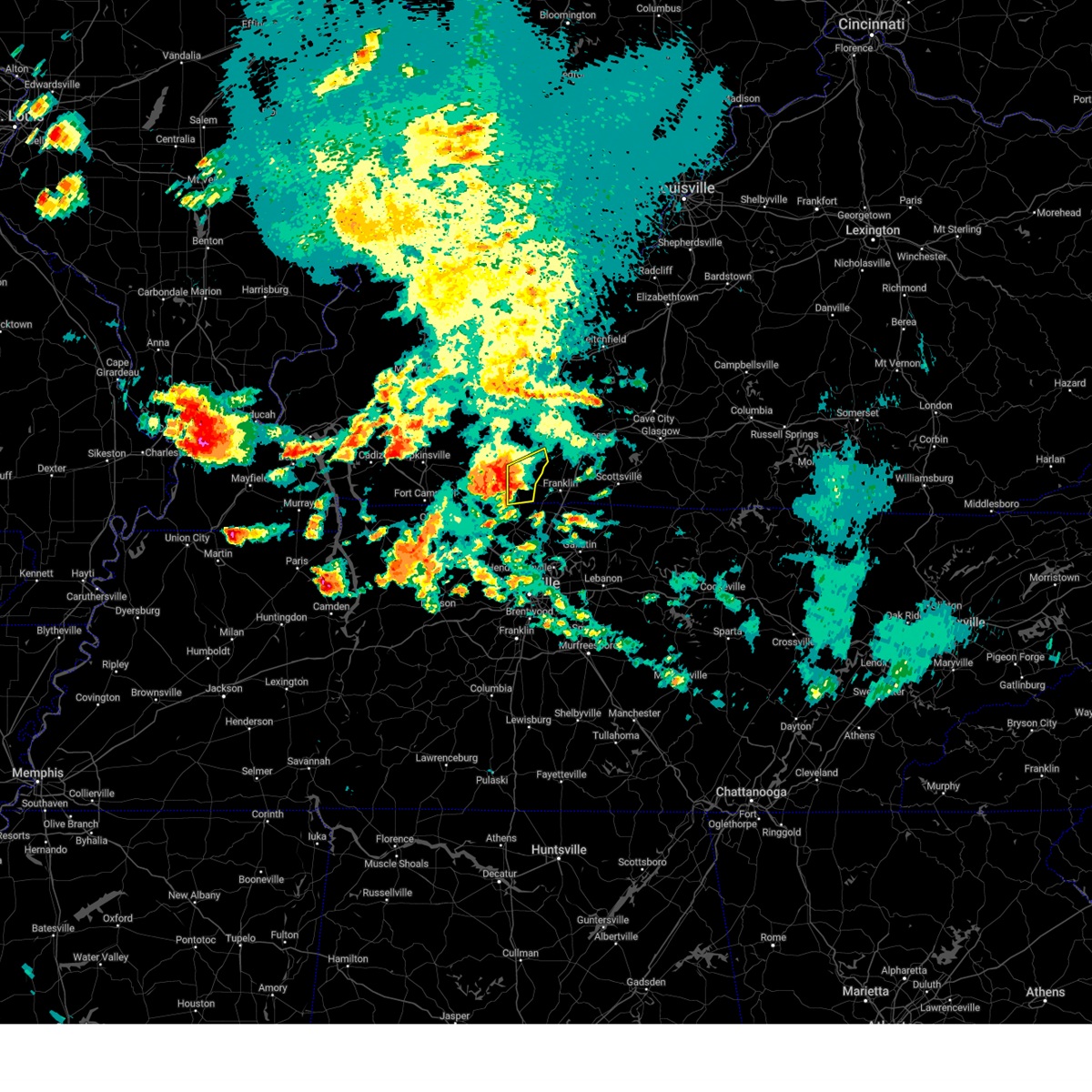 At 502 pm cdt, a severe thunderstorm was located near russellville, moving east at 35 mph (radar indicated). Hazards include 70 mph wind gusts and ping pong ball size hail. People and animals outdoors will be injured. expect hail damage to roofs, siding, windows, and vehicles. expect considerable tree damage. wind damage is also likely to mobile homes, roofs, and outbuildings. locations impacted include, russellville, auburn, adairville, dennis, schochoh, oakville and schley. thunderstorm damage threat, considerable hail threat, radar indicated max hail size, 1. 50 in wind threat, radar indicated max wind gust, 70 mph. At 502 pm cdt, a severe thunderstorm was located near russellville, moving east at 35 mph (radar indicated). Hazards include 70 mph wind gusts and ping pong ball size hail. People and animals outdoors will be injured. expect hail damage to roofs, siding, windows, and vehicles. expect considerable tree damage. wind damage is also likely to mobile homes, roofs, and outbuildings. locations impacted include, russellville, auburn, adairville, dennis, schochoh, oakville and schley. thunderstorm damage threat, considerable hail threat, radar indicated max hail size, 1. 50 in wind threat, radar indicated max wind gust, 70 mph.
|
| 5/7/2023 4:41 PM CDT |
 At 441 pm cdt, a severe thunderstorm was located 7 miles southeast of elkton, moving east at 35 mph (radar indicated). Hazards include 60 mph wind gusts and quarter size hail. Hail damage to vehicles is expected. Expect wind damage to roofs, siding, and trees. At 441 pm cdt, a severe thunderstorm was located 7 miles southeast of elkton, moving east at 35 mph (radar indicated). Hazards include 60 mph wind gusts and quarter size hail. Hail damage to vehicles is expected. Expect wind damage to roofs, siding, and trees.
|
| 5/7/2023 1:17 PM CDT |
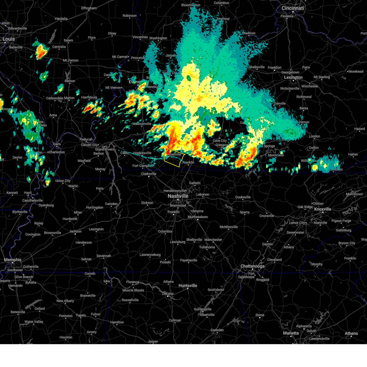 At 117 pm cdt, a severe thunderstorm was located near russellville, moving southeast at 40 mph (radar indicated). Hazards include 60 mph wind gusts and quarter size hail. Hail damage to vehicles is expected. Expect wind damage to roofs, siding, and trees. At 117 pm cdt, a severe thunderstorm was located near russellville, moving southeast at 40 mph (radar indicated). Hazards include 60 mph wind gusts and quarter size hail. Hail damage to vehicles is expected. Expect wind damage to roofs, siding, and trees.
|
| 4/5/2023 3:29 PM CDT |
 At 429 pm edt/329 pm cdt/, severe thunderstorms were located along a line extending from 8 miles northwest of leitchfield to 9 miles northwest of cross plains, moving east at 65 mph (radar indicated). Hazards include 60 mph wind gusts. Expect damage to roofs, siding, and trees. severe thunderstorms will be near, leitchfield around 335 pm cdt. hail threat, radar indicated max hail size, <. 75 in wind threat, radar indicated max wind gust, 60 mph. At 429 pm edt/329 pm cdt/, severe thunderstorms were located along a line extending from 8 miles northwest of leitchfield to 9 miles northwest of cross plains, moving east at 65 mph (radar indicated). Hazards include 60 mph wind gusts. Expect damage to roofs, siding, and trees. severe thunderstorms will be near, leitchfield around 335 pm cdt. hail threat, radar indicated max hail size, <. 75 in wind threat, radar indicated max wind gust, 60 mph.
|
| 4/5/2023 3:22 PM CDT |
 At 322 pm cdt, severe thunderstorms were located along a line extending from 16 miles west of leitchfield to 6 miles east of guthrie, moving east at 60 mph (radar indicated). Hazards include 60 mph wind gusts. Expect damage to roofs, siding, and trees. these severe thunderstorms will remain over mainly rural areas of logan, butler, western grayson, northwestern warren and ohio counties, including the following locations, steff, mining city, ralph, leetown, do stop, neafus, gilstrap, cave springs, ellmitch and keysburg. hail threat, radar indicated max hail size, <. 75 in wind threat, radar indicated max wind gust, 60 mph. At 322 pm cdt, severe thunderstorms were located along a line extending from 16 miles west of leitchfield to 6 miles east of guthrie, moving east at 60 mph (radar indicated). Hazards include 60 mph wind gusts. Expect damage to roofs, siding, and trees. these severe thunderstorms will remain over mainly rural areas of logan, butler, western grayson, northwestern warren and ohio counties, including the following locations, steff, mining city, ralph, leetown, do stop, neafus, gilstrap, cave springs, ellmitch and keysburg. hail threat, radar indicated max hail size, <. 75 in wind threat, radar indicated max wind gust, 60 mph.
|
| 4/5/2023 2:56 PM CDT |
 At 256 pm cdt, severe thunderstorms were located along a line extending from near livermore to near fort campbell north, moving east at 60 mph (radar indicated). Hazards include 60 mph wind gusts. Expect damage to roofs, siding, and trees. severe thunderstorms will be near, hartford around 305 pm cdt. hail threat, radar indicated max hail size, <. 75 in wind threat, radar indicated max wind gust, 60 mph. At 256 pm cdt, severe thunderstorms were located along a line extending from near livermore to near fort campbell north, moving east at 60 mph (radar indicated). Hazards include 60 mph wind gusts. Expect damage to roofs, siding, and trees. severe thunderstorms will be near, hartford around 305 pm cdt. hail threat, radar indicated max hail size, <. 75 in wind threat, radar indicated max wind gust, 60 mph.
|
| 3/24/2023 10:57 PM CDT |
 At 1056 pm cdt, severe thunderstorms were located along a line extending from 9 miles east of dunmor to 9 miles northwest of cross plains to near greenbrier, moving northeast at 55 mph (radar indicated). Hazards include 70 mph wind gusts. Expect considerable tree damage. damage is likely to mobile homes, roofs, and outbuildings. Locations impacted include, russellville, auburn, adairville, black jack, neosheo, dennis, geddes, chandlers chapel, south union and gasper. At 1056 pm cdt, severe thunderstorms were located along a line extending from 9 miles east of dunmor to 9 miles northwest of cross plains to near greenbrier, moving northeast at 55 mph (radar indicated). Hazards include 70 mph wind gusts. Expect considerable tree damage. damage is likely to mobile homes, roofs, and outbuildings. Locations impacted include, russellville, auburn, adairville, black jack, neosheo, dennis, geddes, chandlers chapel, south union and gasper.
|
| 3/24/2023 10:49 PM CDT |
 At 1049 pm cdt, severe thunderstorms were located along a line extending from near dunmor to 7 miles west of springfield to near ashland city, moving northeast at 45 mph (radar indicated). Hazards include 70 mph wind gusts. Expect considerable tree damage. damage is likely to mobile homes, roofs, and outbuildings. Locations impacted include, russellville, anderson, auburn, adairville, lewisburg, insco, gordonsville, spa, epleys and black jack. At 1049 pm cdt, severe thunderstorms were located along a line extending from near dunmor to 7 miles west of springfield to near ashland city, moving northeast at 45 mph (radar indicated). Hazards include 70 mph wind gusts. Expect considerable tree damage. damage is likely to mobile homes, roofs, and outbuildings. Locations impacted include, russellville, anderson, auburn, adairville, lewisburg, insco, gordonsville, spa, epleys and black jack.
|
| 3/24/2023 10:37 PM CDT |
 At 1036 pm cdt, severe thunderstorms were located along a line extending from near dunmor to 11 miles northwest of coopertown to near ashland city, moving east at 45 mph (radar indicated). Hazards include 60 mph wind gusts. Expect damage to roofs, siding, and trees. these severe thunderstorms will remain over mainly rural areas of logan and western simpson counties, including the following locations, insco, gordonsville, spa, epleys, black jack, dennis, wolf lick, geddes, crossroad and lickskillet. hail threat, radar indicated max hail size, <. 75 in wind threat, radar indicated max wind gust, 60 mph. At 1036 pm cdt, severe thunderstorms were located along a line extending from near dunmor to 11 miles northwest of coopertown to near ashland city, moving east at 45 mph (radar indicated). Hazards include 60 mph wind gusts. Expect damage to roofs, siding, and trees. these severe thunderstorms will remain over mainly rural areas of logan and western simpson counties, including the following locations, insco, gordonsville, spa, epleys, black jack, dennis, wolf lick, geddes, crossroad and lickskillet. hail threat, radar indicated max hail size, <. 75 in wind threat, radar indicated max wind gust, 60 mph.
|
| 3/3/2023 12:11 PM CST |
 At 1210 pm cst, severe thunderstorms were located along a line extending from near providence to near oak grove, moving northeast at 65 mph. these are destructive storms for logan, butler, and ohio counties (radar indicated). Hazards include 80 mph wind gusts. Flying debris will be dangerous to those caught without shelter. mobile homes will be heavily damaged. expect considerable damage to roofs, windows, and vehicles. Extensive tree damage and power outages are likely. At 1210 pm cst, severe thunderstorms were located along a line extending from near providence to near oak grove, moving northeast at 65 mph. these are destructive storms for logan, butler, and ohio counties (radar indicated). Hazards include 80 mph wind gusts. Flying debris will be dangerous to those caught without shelter. mobile homes will be heavily damaged. expect considerable damage to roofs, windows, and vehicles. Extensive tree damage and power outages are likely.
|
| 1/12/2023 6:30 AM CST | Reports via social media of damage to a house and a grain bin destroye in logan county KY, 7.1 miles SSE of Auburn, KY |
| 11/29/2022 6:13 PM CST |
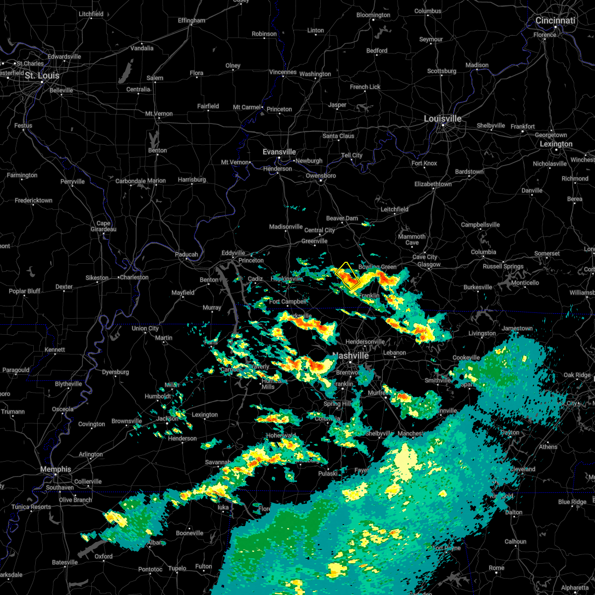 The severe thunderstorm warning for northeastern logan county will expire at 615 pm cst, the storm which prompted the warning has weakened below severe limits, and has exited the warned area. therefore, the warning will be allowed to expire. however gusty winds are still possible with this thunderstorm. to report severe weather, contact your nearest law enforcement agency. they will relay your report to the national weather service louisville. The severe thunderstorm warning for northeastern logan county will expire at 615 pm cst, the storm which prompted the warning has weakened below severe limits, and has exited the warned area. therefore, the warning will be allowed to expire. however gusty winds are still possible with this thunderstorm. to report severe weather, contact your nearest law enforcement agency. they will relay your report to the national weather service louisville.
|
| 11/29/2022 6:07 PM CST |
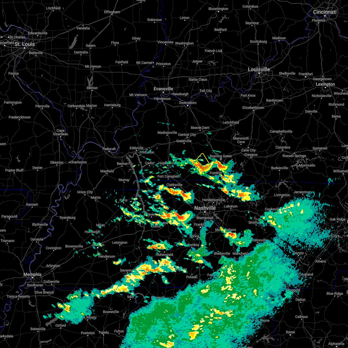 At 606 pm cst, a severe thunderstorm was located 8 miles northeast of russellville, moving northeast at 40 mph (radar indicated). Hazards include 60 mph wind gusts and quarter size hail. Hail damage to vehicles is expected. expect wind damage to roofs, siding, and trees. this severe thunderstorm will remain over mainly rural areas of northeastern logan county, including the following locations, cooperstown, insco, lost city, dennis, homer, auburn, chandlers chapel, anderson, gasper and edwards. hail threat, radar indicated max hail size, 1. 00 in wind threat, radar indicated max wind gust, 60 mph. At 606 pm cst, a severe thunderstorm was located 8 miles northeast of russellville, moving northeast at 40 mph (radar indicated). Hazards include 60 mph wind gusts and quarter size hail. Hail damage to vehicles is expected. expect wind damage to roofs, siding, and trees. this severe thunderstorm will remain over mainly rural areas of northeastern logan county, including the following locations, cooperstown, insco, lost city, dennis, homer, auburn, chandlers chapel, anderson, gasper and edwards. hail threat, radar indicated max hail size, 1. 00 in wind threat, radar indicated max wind gust, 60 mph.
|
| 11/29/2022 5:48 PM CST |
 At 548 pm cst, a severe thunderstorm was located near guthrie, moving northeast at 60 mph (radar indicated). Hazards include quarter size hail. Damage to vehicles is expected. this severe thunderstorm will be near, russellville around 600 pm cst. hail threat, radar indicated max hail size, 1. 00 in wind threat, radar indicated max wind gust, <50 mph. At 548 pm cst, a severe thunderstorm was located near guthrie, moving northeast at 60 mph (radar indicated). Hazards include quarter size hail. Damage to vehicles is expected. this severe thunderstorm will be near, russellville around 600 pm cst. hail threat, radar indicated max hail size, 1. 00 in wind threat, radar indicated max wind gust, <50 mph.
|
| 9/3/2022 3:11 PM CDT |
 At 311 pm cdt, a severe thunderstorm was located 10 miles southeast of russellville, moving northeast at 25 mph (radar indicated). Hazards include 60 mph wind gusts. Expect damage to roofs, siding, and trees. locations impacted include, salmons, neosheo, schochoh, middleton, schweizer, prices mill, peden mill and south union. hail threat, radar indicated max hail size, <. 75 in wind threat, radar indicated max wind gust, 60 mph. At 311 pm cdt, a severe thunderstorm was located 10 miles southeast of russellville, moving northeast at 25 mph (radar indicated). Hazards include 60 mph wind gusts. Expect damage to roofs, siding, and trees. locations impacted include, salmons, neosheo, schochoh, middleton, schweizer, prices mill, peden mill and south union. hail threat, radar indicated max hail size, <. 75 in wind threat, radar indicated max wind gust, 60 mph.
|
| 9/3/2022 2:58 PM CDT |
 At 258 pm cdt, a severe thunderstorm was located 9 miles southeast of russellville, moving northeast at 25 mph (radar indicated). Hazards include 60 mph wind gusts. Expect damage to roofs, siding, and trees. this severe thunderstorm will remain over mainly rural areas of southeastern logan and western simpson counties, including the following locations, neosheo, south union, adairville, salmons, schochoh, middleton, schweizer, oakville, prices mill and peden mill. hail threat, radar indicated max hail size, <. 75 in wind threat, radar indicated max wind gust, 60 mph. At 258 pm cdt, a severe thunderstorm was located 9 miles southeast of russellville, moving northeast at 25 mph (radar indicated). Hazards include 60 mph wind gusts. Expect damage to roofs, siding, and trees. this severe thunderstorm will remain over mainly rural areas of southeastern logan and western simpson counties, including the following locations, neosheo, south union, adairville, salmons, schochoh, middleton, schweizer, oakville, prices mill and peden mill. hail threat, radar indicated max hail size, <. 75 in wind threat, radar indicated max wind gust, 60 mph.
|
| 7/27/2022 6:47 PM CDT |
 At 646 pm cdt, a severe thunderstorm was located 10 miles west of memphis junction, moving southeast at 25 mph (radar indicated). Hazards include 60 mph wind gusts and penny size hail. expect damage to roofs, siding, and trees At 646 pm cdt, a severe thunderstorm was located 10 miles west of memphis junction, moving southeast at 25 mph (radar indicated). Hazards include 60 mph wind gusts and penny size hail. expect damage to roofs, siding, and trees
|
| 6/17/2022 9:59 AM CDT |
 At 957 am cdt, a severe thunderstorm was located near russellville, moving southeast at 35 mph. numerous trees have been reported down in logan county, especially in and around russellville area (radar indicated). Hazards include 60 mph wind gusts and penny size hail. Expect damage to roofs, siding, and trees. locations impacted include, bowling green, russellville, anderson, auburn, adairville, lewisburg, woodburn, insco, epleys and black jack. hail threat, radar indicated max hail size, 0. 75 in wind threat, radar indicated max wind gust, 60 mph. At 957 am cdt, a severe thunderstorm was located near russellville, moving southeast at 35 mph. numerous trees have been reported down in logan county, especially in and around russellville area (radar indicated). Hazards include 60 mph wind gusts and penny size hail. Expect damage to roofs, siding, and trees. locations impacted include, bowling green, russellville, anderson, auburn, adairville, lewisburg, woodburn, insco, epleys and black jack. hail threat, radar indicated max hail size, 0. 75 in wind threat, radar indicated max wind gust, 60 mph.
|
| 6/17/2022 9:50 AM CDT | Trees reported dow in logan county KY, 1.2 miles W of Auburn, KY |
| 6/17/2022 9:42 AM CDT |
 At 942 am cdt, a severe thunderstorm was located 9 miles north of russellville, moving east at 40 mph (radar indicated). Hazards include 60 mph wind gusts and quarter size hail. Hail damage to vehicles is expected. expect wind damage to roofs, siding, and trees. this severe thunderstorm will remain over mainly rural areas of logan, simpson and southwestern warren counties, including the following locations, insco, spa, epleys, black jack, rich pond, crossroad, cave springs, old volney, olmstead and cooperstown. hail threat, radar indicated max hail size, 1. 00 in wind threat, radar indicated max wind gust, 60 mph. At 942 am cdt, a severe thunderstorm was located 9 miles north of russellville, moving east at 40 mph (radar indicated). Hazards include 60 mph wind gusts and quarter size hail. Hail damage to vehicles is expected. expect wind damage to roofs, siding, and trees. this severe thunderstorm will remain over mainly rural areas of logan, simpson and southwestern warren counties, including the following locations, insco, spa, epleys, black jack, rich pond, crossroad, cave springs, old volney, olmstead and cooperstown. hail threat, radar indicated max hail size, 1. 00 in wind threat, radar indicated max wind gust, 60 mph.
|
| 6/17/2022 9:20 AM CDT |
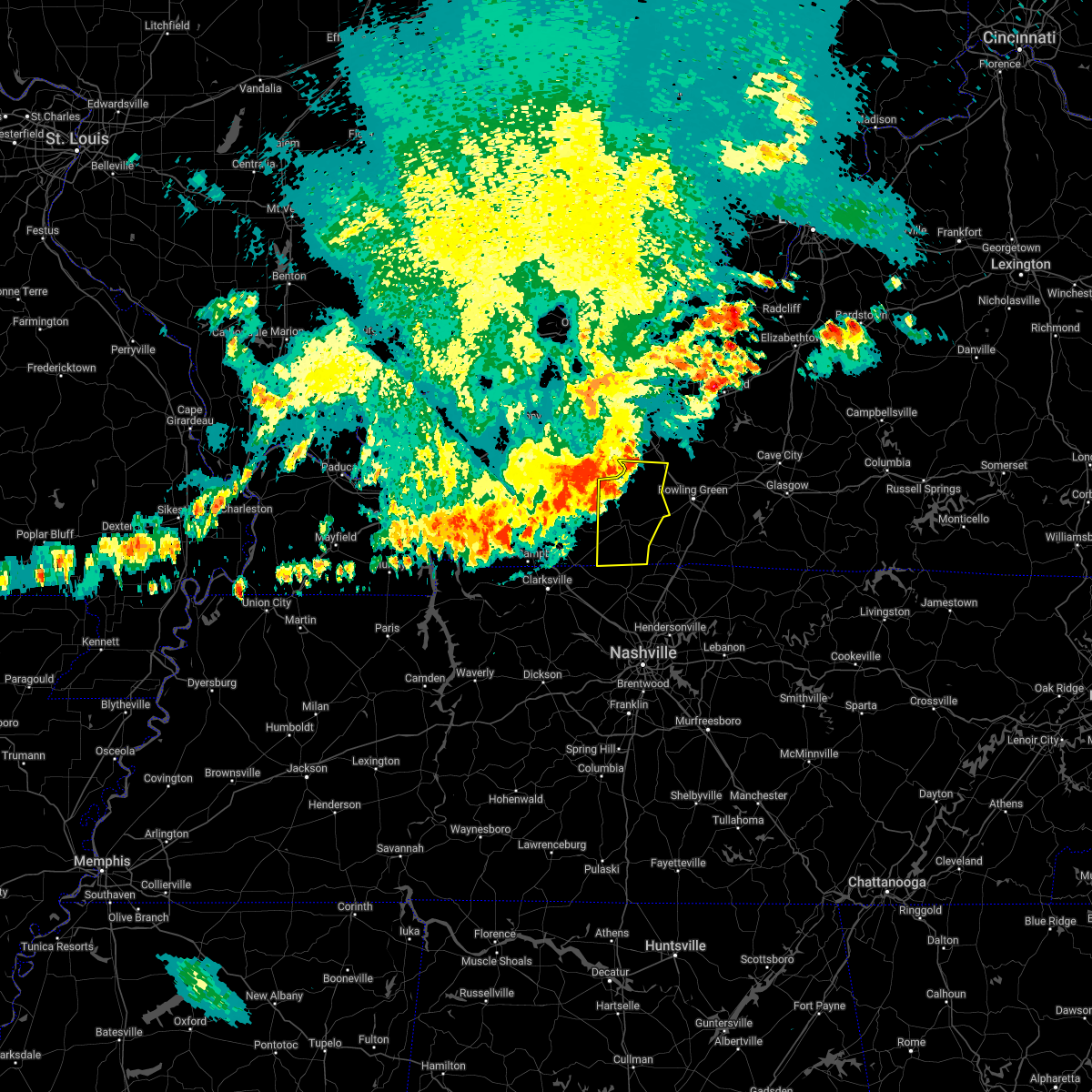 At 920 am cdt, a severe thunderstorm was located near dunmor, moving southeast at 40 mph (radar indicated). Hazards include 60 mph wind gusts. Expect damage to roofs, siding, and trees. this severe thunderstorm will remain over mainly rural areas of logan and southwestern butler counties, including the following locations, insco, gordonsville, dimple, spa, epleys, leetown, dennis, wolf lick, crossroad and buffalo fork. hail threat, radar indicated max hail size, <. 75 in wind threat, radar indicated max wind gust, 60 mph. At 920 am cdt, a severe thunderstorm was located near dunmor, moving southeast at 40 mph (radar indicated). Hazards include 60 mph wind gusts. Expect damage to roofs, siding, and trees. this severe thunderstorm will remain over mainly rural areas of logan and southwestern butler counties, including the following locations, insco, gordonsville, dimple, spa, epleys, leetown, dennis, wolf lick, crossroad and buffalo fork. hail threat, radar indicated max hail size, <. 75 in wind threat, radar indicated max wind gust, 60 mph.
|
| 4/13/2022 6:08 PM CDT |
 At 607 pm cdt, severe thunderstorms were located along a line extending from 8 miles southeast of dunmor to near guthrie, moving northeast at 65 mph (radar indicated). Hazards include 70 mph wind gusts and penny size hail. Expect considerable tree damage. damage is likely to mobile homes, roofs, and outbuildings. severe thunderstorms will be near, russellville around 625 pm cdt. Other locations in the path of these severe thunderstorms include memphis junction, bowling green and crestmoor. At 607 pm cdt, severe thunderstorms were located along a line extending from 8 miles southeast of dunmor to near guthrie, moving northeast at 65 mph (radar indicated). Hazards include 70 mph wind gusts and penny size hail. Expect considerable tree damage. damage is likely to mobile homes, roofs, and outbuildings. severe thunderstorms will be near, russellville around 625 pm cdt. Other locations in the path of these severe thunderstorms include memphis junction, bowling green and crestmoor.
|
| 2/22/2022 8:40 AM CST |
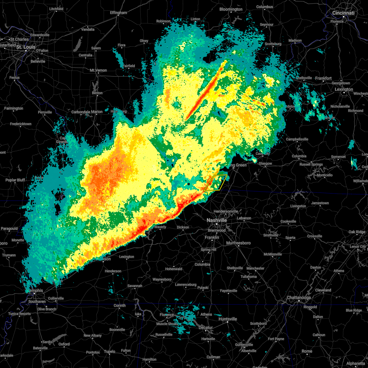 At 839 am cst, severe thunderstorms were located along a line extending from 9 miles northeast of russellville to 9 miles northwest of springfield, moving east at 65 mph (radar indicated). Hazards include 60 mph wind gusts. Expect damage to roofs, siding, and trees. These severe thunderstorms will remain over mainly rural areas of southeastern logan and western simpson counties, including the following locations, adairville, dennis, schochoh, middleton, dot, oakville, auburn, prices mill and schley. At 839 am cst, severe thunderstorms were located along a line extending from 9 miles northeast of russellville to 9 miles northwest of springfield, moving east at 65 mph (radar indicated). Hazards include 60 mph wind gusts. Expect damage to roofs, siding, and trees. These severe thunderstorms will remain over mainly rural areas of southeastern logan and western simpson counties, including the following locations, adairville, dennis, schochoh, middleton, dot, oakville, auburn, prices mill and schley.
|
| 2/22/2022 8:27 AM CST |
 At 827 am cst, severe thunderstorms were located along a line extending from 6 miles west of russellville to near clarksville, moving east at 30 mph (radar indicated). Hazards include 60 mph wind gusts. Expect damage to roofs, siding, and trees. Severe thunderstorms will be near, russellville around 835 am cst. At 827 am cst, severe thunderstorms were located along a line extending from 6 miles west of russellville to near clarksville, moving east at 30 mph (radar indicated). Hazards include 60 mph wind gusts. Expect damage to roofs, siding, and trees. Severe thunderstorms will be near, russellville around 835 am cst.
|
| 1/1/2022 11:39 AM CST |
 At 1138 am cst, a severe thunderstorm capable of producing a tornado was located 10 miles east of russellville, moving northeast at 60 mph (radar indicated rotation). Hazards include tornado. Flying debris will be dangerous to those caught without shelter. mobile homes will be damaged or destroyed. damage to roofs, windows, and vehicles will occur. tree damage is likely. this dangerous storm will be near, memphis junction and crestmoor around 1150 am cst. plum springs and mount victor around 1155 am cst. Other locations in the path of this tornadic thunderstorm include bowling green. At 1138 am cst, a severe thunderstorm capable of producing a tornado was located 10 miles east of russellville, moving northeast at 60 mph (radar indicated rotation). Hazards include tornado. Flying debris will be dangerous to those caught without shelter. mobile homes will be damaged or destroyed. damage to roofs, windows, and vehicles will occur. tree damage is likely. this dangerous storm will be near, memphis junction and crestmoor around 1150 am cst. plum springs and mount victor around 1155 am cst. Other locations in the path of this tornadic thunderstorm include bowling green.
|
| 1/1/2022 11:33 AM CST |
 At 1132 am cst, a severe thunderstorm capable of producing a tornado was located near russellville, moving east at 50 mph (radar indicated rotation). Hazards include tornado. Flying debris will be dangerous to those caught without shelter. mobile homes will be damaged or destroyed. damage to roofs, windows, and vehicles will occur. tree damage is likely. Locations impacted include, russellville, auburn and dennis. At 1132 am cst, a severe thunderstorm capable of producing a tornado was located near russellville, moving east at 50 mph (radar indicated rotation). Hazards include tornado. Flying debris will be dangerous to those caught without shelter. mobile homes will be damaged or destroyed. damage to roofs, windows, and vehicles will occur. tree damage is likely. Locations impacted include, russellville, auburn and dennis.
|
| 1/1/2022 11:24 AM CST |
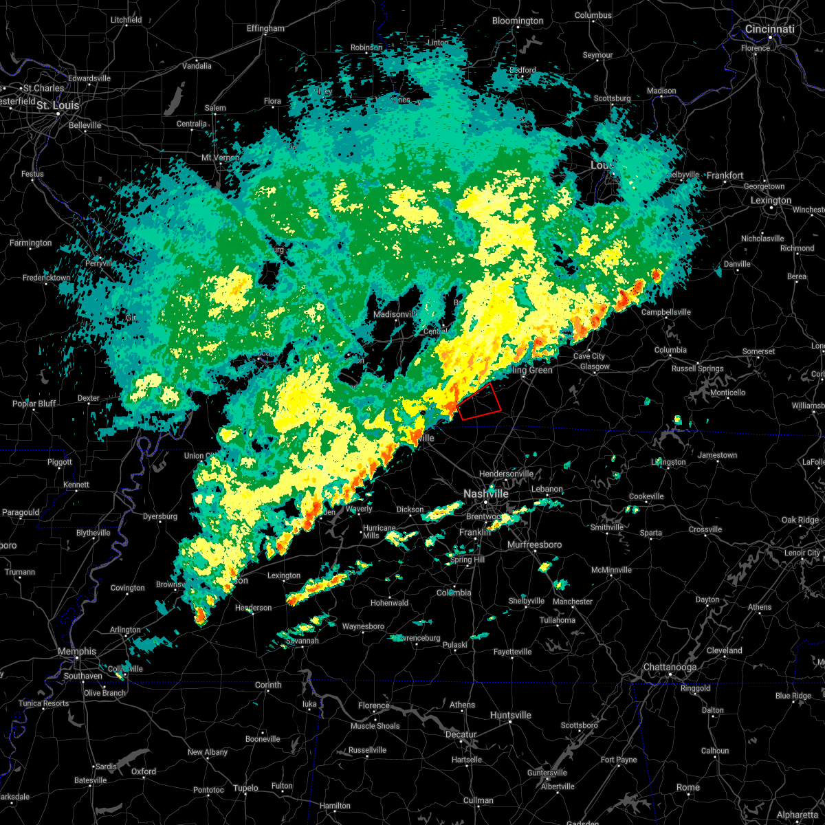 At 1124 am cst, a severe thunderstorm capable of producing a tornado was located near russellville, moving east at 50 mph (radar indicated rotation). Hazards include tornado. Flying debris will be dangerous to those caught without shelter. mobile homes will be damaged or destroyed. damage to roofs, windows, and vehicles will occur. tree damage is likely. This tornadic thunderstorm will remain over mainly rural areas of southern logan and west central simpson counties, including the following locations, middleton, oakville, cave springs, lickskillet, dennis and auburn. At 1124 am cst, a severe thunderstorm capable of producing a tornado was located near russellville, moving east at 50 mph (radar indicated rotation). Hazards include tornado. Flying debris will be dangerous to those caught without shelter. mobile homes will be damaged or destroyed. damage to roofs, windows, and vehicles will occur. tree damage is likely. This tornadic thunderstorm will remain over mainly rural areas of southern logan and west central simpson counties, including the following locations, middleton, oakville, cave springs, lickskillet, dennis and auburn.
|
| 1/1/2022 10:37 AM CST |
 At 1037 am cst, a severe thunderstorm was located 8 miles northeast of elkton, moving east at 55 mph (radar indicated). Hazards include 60 mph wind gusts. Expect damage to roofs, siding, and trees. This severe thunderstorm will be near, russellville around 1045 am cst. At 1037 am cst, a severe thunderstorm was located 8 miles northeast of elkton, moving east at 55 mph (radar indicated). Hazards include 60 mph wind gusts. Expect damage to roofs, siding, and trees. This severe thunderstorm will be near, russellville around 1045 am cst.
|
| 12/6/2021 4:43 AM CST |
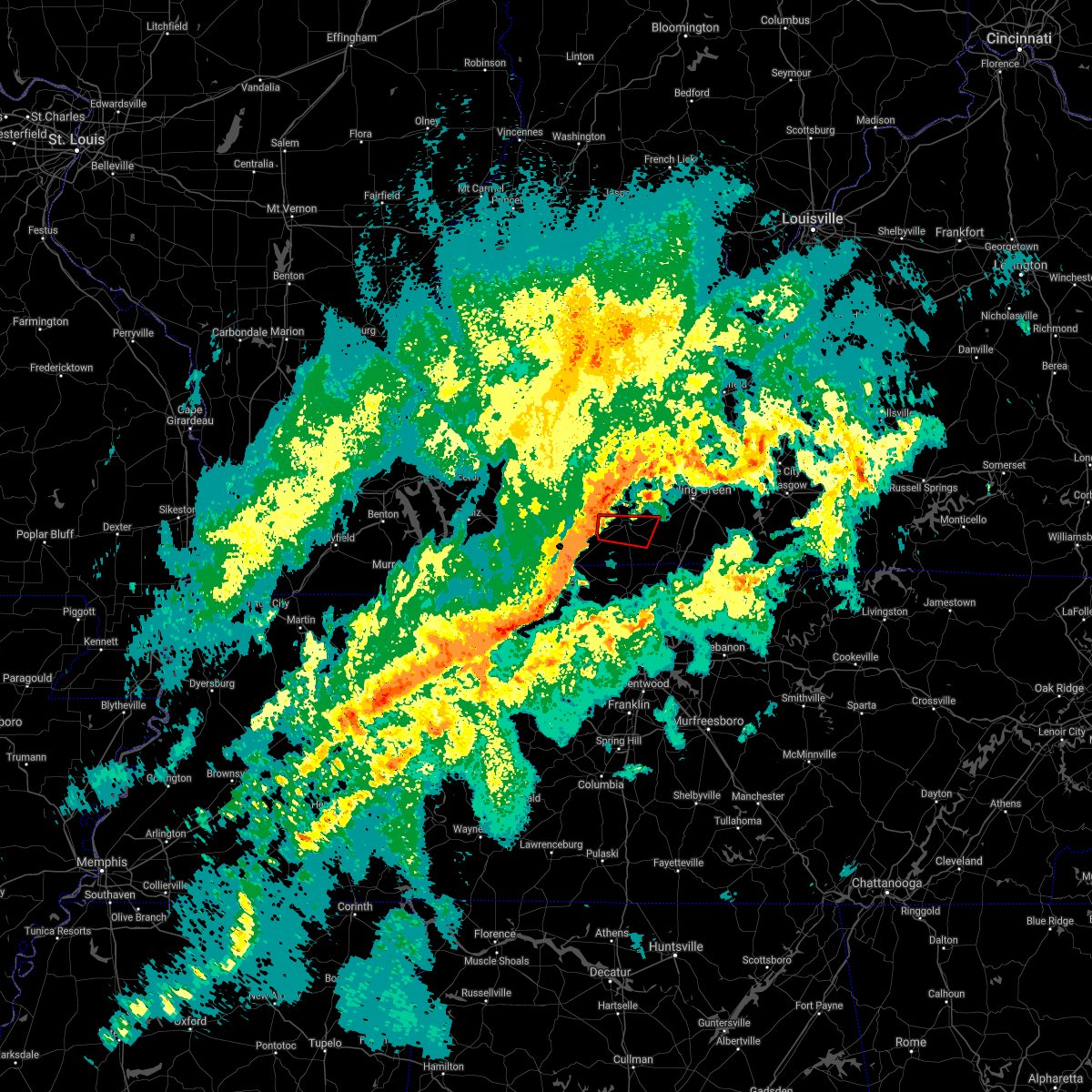 At 443 am cst, a severe thunderstorm capable of producing a tornado was located near elkton, moving east at 55 mph (radar indicated rotation). Hazards include tornado. Flying debris will be dangerous to those caught without shelter. mobile homes will be damaged or destroyed. damage to roofs, windows, and vehicles will occur. tree damage is likely. This dangerous storm will be near, russellville around 450 am cst. At 443 am cst, a severe thunderstorm capable of producing a tornado was located near elkton, moving east at 55 mph (radar indicated rotation). Hazards include tornado. Flying debris will be dangerous to those caught without shelter. mobile homes will be damaged or destroyed. damage to roofs, windows, and vehicles will occur. tree damage is likely. This dangerous storm will be near, russellville around 450 am cst.
|
| 3/25/2021 6:40 PM CDT |
 At 640 pm cdt, a severe thunderstorm was located 9 miles north of springfield, moving northeast at 65 mph (radar indicated). Hazards include 60 mph wind gusts and penny size hail. expect damage to roofs, siding, and trees At 640 pm cdt, a severe thunderstorm was located 9 miles north of springfield, moving northeast at 65 mph (radar indicated). Hazards include 60 mph wind gusts and penny size hail. expect damage to roofs, siding, and trees
|
| 7/21/2020 5:54 PM CDT |
 At 554 pm cdt, a severe thunderstorm was located 8 miles northeast of russellville, moving northeast at 15 mph (radar indicated). Hazards include 60 mph wind gusts. expect damage to roofs, siding, and trees At 554 pm cdt, a severe thunderstorm was located 8 miles northeast of russellville, moving northeast at 15 mph (radar indicated). Hazards include 60 mph wind gusts. expect damage to roofs, siding, and trees
|
| 4/8/2020 9:28 PM CDT |
 At 928 pm cdt, a severe thunderstorm was located 10 miles southeast of russellville, moving east at 50 mph (radar indicated). Hazards include 60 mph wind gusts and quarter size hail. Hail damage to vehicles is expected. Expect wind damage to roofs, siding, and trees. At 928 pm cdt, a severe thunderstorm was located 10 miles southeast of russellville, moving east at 50 mph (radar indicated). Hazards include 60 mph wind gusts and quarter size hail. Hail damage to vehicles is expected. Expect wind damage to roofs, siding, and trees.
|
| 4/8/2020 9:15 PM CDT |
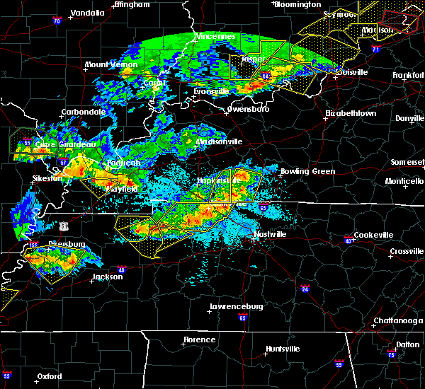 At 914 pm cdt, severe thunderstorms were located along a line extending from 8 miles southeast of dunmor to 11 miles east of guthrie, moving east at 50 mph. the strongest winds will move through lickskillet, dot, oakville, and adairville over the next 10- 15 minutes (radar indicated). Hazards include 70 mph wind gusts and quarter size hail. Hail damage to vehicles is expected. expect considerable tree damage. wind damage is also likely to mobile homes, roofs, and outbuildings. Locations impacted include, russellville, anderson, auburn, adairville, lewisburg, justice, insco, gordonsville, spa and epleys. At 914 pm cdt, severe thunderstorms were located along a line extending from 8 miles southeast of dunmor to 11 miles east of guthrie, moving east at 50 mph. the strongest winds will move through lickskillet, dot, oakville, and adairville over the next 10- 15 minutes (radar indicated). Hazards include 70 mph wind gusts and quarter size hail. Hail damage to vehicles is expected. expect considerable tree damage. wind damage is also likely to mobile homes, roofs, and outbuildings. Locations impacted include, russellville, anderson, auburn, adairville, lewisburg, justice, insco, gordonsville, spa and epleys.
|
| 4/8/2020 9:05 PM CDT |
 At 905 pm cdt, severe thunderstorms were located along a line extending from near dunmor to near guthrie, moving east at 50 mph (radar indicated). Hazards include 60 mph wind gusts and quarter size hail. Hail damage to vehicles is expected. Expect wind damage to roofs, siding, and trees. At 905 pm cdt, severe thunderstorms were located along a line extending from near dunmor to near guthrie, moving east at 50 mph (radar indicated). Hazards include 60 mph wind gusts and quarter size hail. Hail damage to vehicles is expected. Expect wind damage to roofs, siding, and trees.
|
| 3/28/2020 11:14 PM CDT |
 At 1114 pm cdt, severe thunderstorms were located along a line extending from 9 miles west of memphis junction to 12 miles east of russellville, moving east at 55 mph (radar indicated). Hazards include 60 mph wind gusts and penny size hail. expect damage to roofs, siding, and trees At 1114 pm cdt, severe thunderstorms were located along a line extending from 9 miles west of memphis junction to 12 miles east of russellville, moving east at 55 mph (radar indicated). Hazards include 60 mph wind gusts and penny size hail. expect damage to roofs, siding, and trees
|
| 3/28/2020 11:04 PM CDT |
 At 1103 pm cdt, severe thunderstorms were located along a line extending from near russellville to 10 miles north of springfield, moving east at 55 mph (radar indicated). Hazards include 70 mph wind gusts and penny size hail. Expect considerable tree damage. damage is likely to mobile homes, roofs, and outbuildings. Locations impacted include, russellville, adairville, neosheo, geddes, schley, schochoh, middleton, schweizer, oakville and prices mill. At 1103 pm cdt, severe thunderstorms were located along a line extending from near russellville to 10 miles north of springfield, moving east at 55 mph (radar indicated). Hazards include 70 mph wind gusts and penny size hail. Expect considerable tree damage. damage is likely to mobile homes, roofs, and outbuildings. Locations impacted include, russellville, adairville, neosheo, geddes, schley, schochoh, middleton, schweizer, oakville and prices mill.
|
| 3/28/2020 10:54 PM CDT |
 At 1054 pm cdt, a severe thunderstorm was located 9 miles east of guthrie, moving east at 45 mph (radar indicated). Hazards include 60 mph wind gusts and penny size hail. expect damage to roofs, siding, and trees At 1054 pm cdt, a severe thunderstorm was located 9 miles east of guthrie, moving east at 45 mph (radar indicated). Hazards include 60 mph wind gusts and penny size hail. expect damage to roofs, siding, and trees
|
| 3/28/2020 10:22 PM CDT |
 At 1022 pm cdt, a severe thunderstorm was located 10 miles east of russellville, moving northeast at 50 mph (radar indicated). Hazards include 60 mph wind gusts and quarter size hail. Hail damage to vehicles is expected. Expect wind damage to roofs, siding, and trees. At 1022 pm cdt, a severe thunderstorm was located 10 miles east of russellville, moving northeast at 50 mph (radar indicated). Hazards include 60 mph wind gusts and quarter size hail. Hail damage to vehicles is expected. Expect wind damage to roofs, siding, and trees.
|
| 1/11/2020 8:59 AM CST |
 At 858 am cst, a severe thunderstorm was located 9 miles west of memphis junction, moving northeast at 45 mph (radar indicated). Hazards include 60 mph wind gusts. expect damage to roofs, siding, and trees At 858 am cst, a severe thunderstorm was located 9 miles west of memphis junction, moving northeast at 45 mph (radar indicated). Hazards include 60 mph wind gusts. expect damage to roofs, siding, and trees
|
| 1/11/2020 8:34 AM CST |
 At 833 am cst, a severe thunderstorm was located over russellville, moving northeast at 60 mph (radar indicated). Hazards include 60 mph wind gusts. expect damage to roofs, siding, and trees At 833 am cst, a severe thunderstorm was located over russellville, moving northeast at 60 mph (radar indicated). Hazards include 60 mph wind gusts. expect damage to roofs, siding, and trees
|
| 8/20/2019 4:15 PM CDT |
 At 415 pm cdt, a severe thunderstorm was located 8 miles southeast of dunmor, moving southeast at 35 mph (radar indicated). Hazards include 60 mph wind gusts. expect damage to roofs, siding, and trees At 415 pm cdt, a severe thunderstorm was located 8 miles southeast of dunmor, moving southeast at 35 mph (radar indicated). Hazards include 60 mph wind gusts. expect damage to roofs, siding, and trees
|
| 8/6/2019 7:16 PM CDT |
 At 716 pm cdt, a severe thunderstorm was located near russellville, moving southeast at 55 mph (radar indicated). Hazards include 60 mph wind gusts. expect damage to roofs, siding, and trees At 716 pm cdt, a severe thunderstorm was located near russellville, moving southeast at 55 mph (radar indicated). Hazards include 60 mph wind gusts. expect damage to roofs, siding, and trees
|
| 7/16/2019 5:05 PM CDT |
 At 505 pm cdt, a severe thunderstorm was located 10 miles east of russellville, moving northeast at 50 mph (radar indicated). Hazards include 60 mph wind gusts. expect damage to roofs, siding, and trees At 505 pm cdt, a severe thunderstorm was located 10 miles east of russellville, moving northeast at 50 mph (radar indicated). Hazards include 60 mph wind gusts. expect damage to roofs, siding, and trees
|
| 6/27/2019 6:58 PM CDT |
 At 658 pm cdt, severe thunderstorms were located along a line extending from 7 miles southeast of russellville to 12 miles northwest of portland to 11 miles southwest of memphis junction to 10 miles south of three springs, moving north at 40 mph (radar indicated). Hazards include 60 mph wind gusts. Expect damage to roofs, siding, and trees. Locations impacted include, russellville, auburn, adairville, woodburn, allen springs, black jack, dennis, rich pond, clare and geddes. At 658 pm cdt, severe thunderstorms were located along a line extending from 7 miles southeast of russellville to 12 miles northwest of portland to 11 miles southwest of memphis junction to 10 miles south of three springs, moving north at 40 mph (radar indicated). Hazards include 60 mph wind gusts. Expect damage to roofs, siding, and trees. Locations impacted include, russellville, auburn, adairville, woodburn, allen springs, black jack, dennis, rich pond, clare and geddes.
|
| 6/27/2019 6:52 PM CDT | Large tree down at ky 73 and morgantown r in simpson county KY, 5.2 miles WNW of Auburn, KY |
| 6/27/2019 6:40 PM CDT |
 The national weather service in louisville has issued a * severe thunderstorm warning for. southeastern logan county in south central kentucky. simpson county in south central kentucky. southwestern allen county in south central kentucky. Southwestern warren county in south central kentucky. The national weather service in louisville has issued a * severe thunderstorm warning for. southeastern logan county in south central kentucky. simpson county in south central kentucky. southwestern allen county in south central kentucky. Southwestern warren county in south central kentucky.
|
| 6/26/2019 8:02 PM CDT |
 At 801 pm cdt, a severe thunderstorm was located 10 miles west of memphis junction, moving northeast at 15 mph (radar indicated). Hazards include 60 mph wind gusts and nickel size hail. Expect damage to roofs, siding, and trees. Locations impacted include, auburn, gasper, browning, dennis, sharer, buffalo fork, south union, petros, richelieu and blue level. At 801 pm cdt, a severe thunderstorm was located 10 miles west of memphis junction, moving northeast at 15 mph (radar indicated). Hazards include 60 mph wind gusts and nickel size hail. Expect damage to roofs, siding, and trees. Locations impacted include, auburn, gasper, browning, dennis, sharer, buffalo fork, south union, petros, richelieu and blue level.
|
| 6/26/2019 7:52 PM CDT |
 At 752 pm cdt, a severe thunderstorm was located 11 miles east of russellville, moving northeast at 15 mph (radar indicated). Hazards include 60 mph wind gusts and penny size hail. expect damage to roofs, siding, and trees At 752 pm cdt, a severe thunderstorm was located 11 miles east of russellville, moving northeast at 15 mph (radar indicated). Hazards include 60 mph wind gusts and penny size hail. expect damage to roofs, siding, and trees
|
| 6/21/2019 7:26 PM CDT |
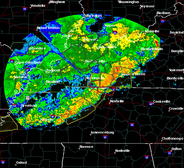 At 726 pm cdt, a severe thunderstorm was located near russellville, moving east at 45 mph. this storm has produced significant wind damage in russellville (radar indicated). Hazards include 70 mph wind gusts. Expect considerable tree damage. damage is likely to mobile homes, roofs, and outbuildings. Locations impacted include, russellville, anderson, auburn, adairville, insco, epleys, dennis, lickskillet, cave springs and lost city. At 726 pm cdt, a severe thunderstorm was located near russellville, moving east at 45 mph. this storm has produced significant wind damage in russellville (radar indicated). Hazards include 70 mph wind gusts. Expect considerable tree damage. damage is likely to mobile homes, roofs, and outbuildings. Locations impacted include, russellville, anderson, auburn, adairville, insco, epleys, dennis, lickskillet, cave springs and lost city.
|
| 6/21/2019 7:18 PM CDT |
 At 717 pm cdt, a severe thunderstorm was located 7 miles northeast of russellville, moving east at 45 mph. this storm has a long history of producing wind damage (radar indicated). Hazards include 70 mph wind gusts. Expect considerable tree damage. Damage is likely to mobile homes, roofs, and outbuildings. At 717 pm cdt, a severe thunderstorm was located 7 miles northeast of russellville, moving east at 45 mph. this storm has a long history of producing wind damage (radar indicated). Hazards include 70 mph wind gusts. Expect considerable tree damage. Damage is likely to mobile homes, roofs, and outbuildings.
|
| 6/21/2019 6:59 PM CDT |
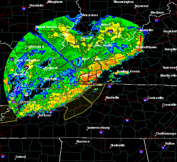 The national weather service in louisville has issued a * severe thunderstorm warning for. logan county in south central kentucky. west central simpson county in south central kentucky. until 745 pm cdt. At 658 pm cdt, a severe thunderstorm was located over elkton,. The national weather service in louisville has issued a * severe thunderstorm warning for. logan county in south central kentucky. west central simpson county in south central kentucky. until 745 pm cdt. At 658 pm cdt, a severe thunderstorm was located over elkton,.
|
| 5/29/2019 3:46 PM CDT |
 At 346 pm cdt, a severe thunderstorm was located near russellville, moving east at 25 mph (radar indicated). Hazards include 60 mph wind gusts and quarter size hail. Hail damage to vehicles is expected. expect wind damage to roofs, siding, and trees. Locations impacted include, auburn, lewisburg, gasper, cooperstown, insco, lost city, danby, edwards, epleys and homer. At 346 pm cdt, a severe thunderstorm was located near russellville, moving east at 25 mph (radar indicated). Hazards include 60 mph wind gusts and quarter size hail. Hail damage to vehicles is expected. expect wind damage to roofs, siding, and trees. Locations impacted include, auburn, lewisburg, gasper, cooperstown, insco, lost city, danby, edwards, epleys and homer.
|
| 5/29/2019 3:31 PM CDT |
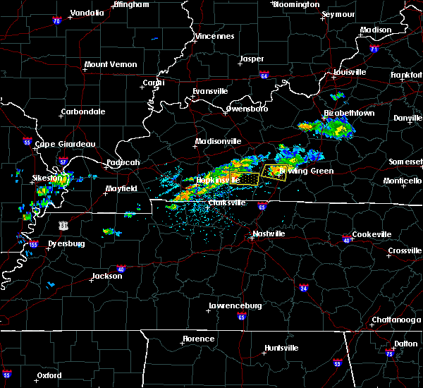 At 331 pm cdt, a severe thunderstorm was located 7 miles northwest of russellville, moving east at 25 mph (radar indicated). Hazards include 60 mph wind gusts and quarter size hail. Hail damage to vehicles is expected. Expect wind damage to roofs, siding, and trees. At 331 pm cdt, a severe thunderstorm was located 7 miles northwest of russellville, moving east at 25 mph (radar indicated). Hazards include 60 mph wind gusts and quarter size hail. Hail damage to vehicles is expected. Expect wind damage to roofs, siding, and trees.
|
| 2/6/2019 7:35 AM CST |
 At 735 am cst, a severe thunderstorm was located 9 miles west of memphis junction, moving east at 35 mph (radar indicated). Hazards include 60 mph wind gusts. Expect damage to roofs, siding, and trees. Locations impacted include, bowling green, memphis junction, auburn, woodburn, browning, blue level, rockfield, rich pond, south union and petros. At 735 am cst, a severe thunderstorm was located 9 miles west of memphis junction, moving east at 35 mph (radar indicated). Hazards include 60 mph wind gusts. Expect damage to roofs, siding, and trees. Locations impacted include, bowling green, memphis junction, auburn, woodburn, browning, blue level, rockfield, rich pond, south union and petros.
|
| 2/6/2019 7:24 AM CST |
 At 724 am cst, a severe thunderstorm was located near russellville, moving east at 35 mph (radar indicated). Hazards include 60 mph wind gusts. expect damage to roofs, siding, and trees At 724 am cst, a severe thunderstorm was located near russellville, moving east at 35 mph (radar indicated). Hazards include 60 mph wind gusts. expect damage to roofs, siding, and trees
|
| 12/31/2018 2:11 PM CST |
 The severe thunderstorm warning for logan, butler and southeastern ohio counties will expire at 215 pm cst, the storms which prompted the warning have moved out of the area. therefore, the warning will be allowed to expire. a severe thunderstorm watch remains in effect until 600 pm cst for south central and central kentucky. report severe weather to local law enforcement, post your report to the national weather service louisville facebook page, or tweet your report using hashtag l, m, k, spotter. The severe thunderstorm warning for logan, butler and southeastern ohio counties will expire at 215 pm cst, the storms which prompted the warning have moved out of the area. therefore, the warning will be allowed to expire. a severe thunderstorm watch remains in effect until 600 pm cst for south central and central kentucky. report severe weather to local law enforcement, post your report to the national weather service louisville facebook page, or tweet your report using hashtag l, m, k, spotter.
|
| 12/31/2018 1:33 PM CST |
 At 132 pm cst, severe thunderstorms were located along a line extending from 6 miles southeast of central city to guthrie, moving northeast at 65 mph (radar indicated). Hazards include 60 mph wind gusts. expect damage to roofs, siding, and trees At 132 pm cst, severe thunderstorms were located along a line extending from 6 miles southeast of central city to guthrie, moving northeast at 65 mph (radar indicated). Hazards include 60 mph wind gusts. expect damage to roofs, siding, and trees
|
| 7/21/2018 2:12 AM CDT |
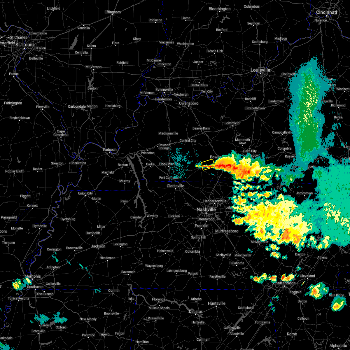 The severe thunderstorm warning for east central logan county will expire at 215 am cdt, the storm which prompted the warning has weakened below severe limits, and no longer poses an immediate threat to life or property. therefore, the warning will be allowed to expire. however small hail, gusty winds and heavy rain are still possible with this thunderstorm. report severe weather to local law enforcement, post your report to the national weather service louisville facebook page, or tweet your report using hashtag l, m, k, spotter. The severe thunderstorm warning for east central logan county will expire at 215 am cdt, the storm which prompted the warning has weakened below severe limits, and no longer poses an immediate threat to life or property. therefore, the warning will be allowed to expire. however small hail, gusty winds and heavy rain are still possible with this thunderstorm. report severe weather to local law enforcement, post your report to the national weather service louisville facebook page, or tweet your report using hashtag l, m, k, spotter.
|
| 7/21/2018 2:02 AM CDT |
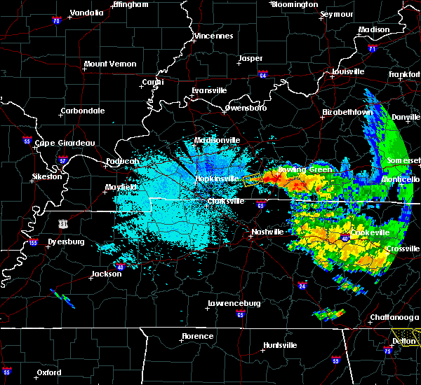 At 202 am cdt, a severe thunderstorm was located 9 miles east northeast of russellville, moving south at 15 mph (radar indicated). Hazards include 60 mph wind gusts and quarter size hail. Hail damage to vehicles is expected. expect wind damage to roofs, siding, and trees. Locations impacted include, auburn, gasper, dennis and chandlers chapel. At 202 am cdt, a severe thunderstorm was located 9 miles east northeast of russellville, moving south at 15 mph (radar indicated). Hazards include 60 mph wind gusts and quarter size hail. Hail damage to vehicles is expected. expect wind damage to roofs, siding, and trees. Locations impacted include, auburn, gasper, dennis and chandlers chapel.
|
| 7/21/2018 1:43 AM CDT |
 At 143 am cdt, a severe thunderstorm was located 10 miles northeast of russellville, moving south at 15 mph (radar indicated). Hazards include 60 mph wind gusts and quarter size hail. Hail damage to vehicles is expected. Expect wind damage to roofs, siding, and trees. At 143 am cdt, a severe thunderstorm was located 10 miles northeast of russellville, moving south at 15 mph (radar indicated). Hazards include 60 mph wind gusts and quarter size hail. Hail damage to vehicles is expected. Expect wind damage to roofs, siding, and trees.
|
| 6/24/2018 3:25 PM CDT |
 At 324 pm cdt, a severe thunderstorm was located 9 miles east of russellville, moving southeast at 25 mph (radar indicated). Hazards include ping pong ball size hail and 60 mph wind gusts. People and animals outdoors will be injured. expect hail damage to roofs, siding, windows, and vehicles. Expect wind damage to roofs, siding, and trees. At 324 pm cdt, a severe thunderstorm was located 9 miles east of russellville, moving southeast at 25 mph (radar indicated). Hazards include ping pong ball size hail and 60 mph wind gusts. People and animals outdoors will be injured. expect hail damage to roofs, siding, windows, and vehicles. Expect wind damage to roofs, siding, and trees.
|
| 5/31/2018 5:42 PM CDT |
 At 542 pm cdt, severe thunderstorms were located along a line extending from 9 miles east of russellville to elkton, moving east at 35 mph (radar indicated). Hazards include 60 mph wind gusts and penny size hail. expect damage to roofs, siding, and trees At 542 pm cdt, severe thunderstorms were located along a line extending from 9 miles east of russellville to elkton, moving east at 35 mph (radar indicated). Hazards include 60 mph wind gusts and penny size hail. expect damage to roofs, siding, and trees
|
| 5/17/2018 5:59 PM CDT |
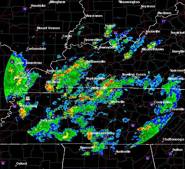 At 559 pm cdt, a severe thunderstorm was located 8 miles east of russellville, moving northwest at 15 mph (radar indicated). Hazards include 60 mph wind gusts and half dollar size hail. Hail damage to vehicles is expected. Expect wind damage to roofs, siding, and trees. At 559 pm cdt, a severe thunderstorm was located 8 miles east of russellville, moving northwest at 15 mph (radar indicated). Hazards include 60 mph wind gusts and half dollar size hail. Hail damage to vehicles is expected. Expect wind damage to roofs, siding, and trees.
|
| 2/24/2018 9:34 PM CST |
 At 934 pm cst, a severe squall line capable of producing both tornadoes and extensive straight line wind damage was located 8 miles northwest of memphis junction, moving northeast at 55 mph (radar indicated rotation). Hazards include tornado. Flying debris will be dangerous to those caught without shelter. mobile homes will be damaged or destroyed. damage to roofs, windows, and vehicles will occur. tree damage is likely. Locations impacted include, bowling green, plum springs, crestmoor, memphis junction, mount victor, auburn, girkin, rockland, buffalo fork and sunnyside. At 934 pm cst, a severe squall line capable of producing both tornadoes and extensive straight line wind damage was located 8 miles northwest of memphis junction, moving northeast at 55 mph (radar indicated rotation). Hazards include tornado. Flying debris will be dangerous to those caught without shelter. mobile homes will be damaged or destroyed. damage to roofs, windows, and vehicles will occur. tree damage is likely. Locations impacted include, bowling green, plum springs, crestmoor, memphis junction, mount victor, auburn, girkin, rockland, buffalo fork and sunnyside.
|
| 2/24/2018 9:28 PM CST |
 At 928 pm cst, severe thunderstorms capable of producing both tornadoes and extensive straight line wind damage were located 12 miles west of memphis junction, moving northeast at 55 mph (radar indicated rotation). Hazards include tornado. Flying debris will be dangerous to those caught without shelter. mobile homes will be damaged or destroyed. damage to roofs, windows, and vehicles will occur. Tree damage is likely. At 928 pm cst, severe thunderstorms capable of producing both tornadoes and extensive straight line wind damage were located 12 miles west of memphis junction, moving northeast at 55 mph (radar indicated rotation). Hazards include tornado. Flying debris will be dangerous to those caught without shelter. mobile homes will be damaged or destroyed. damage to roofs, windows, and vehicles will occur. Tree damage is likely.
|
| 2/24/2018 9:20 PM CST |
 At 919 pm cst, severe thunderstorms were located along a line extending from 7 miles southeast of dunmor to 10 miles northwest of springfield, moving east at 55 mph (radar indicated). Hazards include 70 mph wind gusts. Expect considerable tree damage. damage is likely to mobile homes, roofs, and outbuildings. locations impacted include, bowling green, russellville, crestmoor, memphis junction, anderson, auburn, adairville, lewisburg, woodburn and insco. A tornado watch remains in effect until 200 am cst for south central kentucky. At 919 pm cst, severe thunderstorms were located along a line extending from 7 miles southeast of dunmor to 10 miles northwest of springfield, moving east at 55 mph (radar indicated). Hazards include 70 mph wind gusts. Expect considerable tree damage. damage is likely to mobile homes, roofs, and outbuildings. locations impacted include, bowling green, russellville, crestmoor, memphis junction, anderson, auburn, adairville, lewisburg, woodburn and insco. A tornado watch remains in effect until 200 am cst for south central kentucky.
|
| 2/24/2018 9:05 PM CST |
 At 905 pm cst, severe thunderstorms were located along a line extending from 6 miles southwest of dunmor to near guthrie, moving east at 55 mph (radar indicated). Hazards include 60 mph wind gusts. expect damage to roofs, siding, and trees At 905 pm cst, severe thunderstorms were located along a line extending from 6 miles southwest of dunmor to near guthrie, moving east at 55 mph (radar indicated). Hazards include 60 mph wind gusts. expect damage to roofs, siding, and trees
|
| 8/2/2017 5:15 PM CDT |
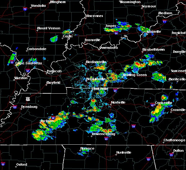 At 515 pm cdt, severe thunderstorms were from 14 miles south of morgantown to 11 miles west of memphis junction, moving northeast at 10 mph (radar indicated). Hazards include 60 mph wind gusts and quarter size hail. Hail damage to vehicles is expected. expect wind damage to roofs, siding, and trees. Locations impacted include, anderson, auburn, gasper, insco, davis crossroads, homer, sharer, buffalo fork, chandlers chapel, and costelow. At 515 pm cdt, severe thunderstorms were from 14 miles south of morgantown to 11 miles west of memphis junction, moving northeast at 10 mph (radar indicated). Hazards include 60 mph wind gusts and quarter size hail. Hail damage to vehicles is expected. expect wind damage to roofs, siding, and trees. Locations impacted include, anderson, auburn, gasper, insco, davis crossroads, homer, sharer, buffalo fork, chandlers chapel, and costelow.
|
| 8/2/2017 4:57 PM CDT |
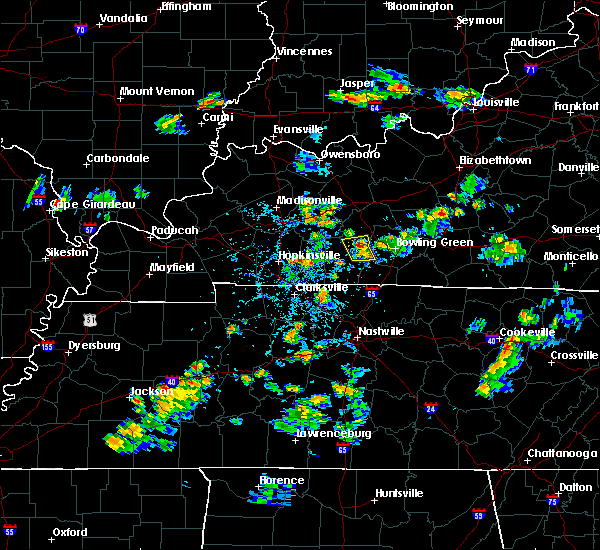 At 456 pm cdt, a severe thunderstorm was located 12 miles northeast of russellville, and was nearly stationary (radar indicated). Hazards include 60 mph wind gusts and quarter size hail. Hail damage to vehicles is expected. Expect wind damage to roofs, siding, and trees. At 456 pm cdt, a severe thunderstorm was located 12 miles northeast of russellville, and was nearly stationary (radar indicated). Hazards include 60 mph wind gusts and quarter size hail. Hail damage to vehicles is expected. Expect wind damage to roofs, siding, and trees.
|
| 5/20/2017 4:01 PM CDT |
 At 358 pm cdt, a severe thunderstorm was located 9 miles southeast of dunmor, moving northeast at 40 mph. this storm produced nickel- size hail near elkton in todd county. this storm also produced a 55 mph wind gust at fort campbell (radar indicated). Hazards include 60 mph wind gusts and nickel size hail. Expect damage to roofs, siding, and trees. Locations impacted include, russellville, anderson, auburn, lewisburg, insco, gordonsville, spa, epleys, dennis and wolf lick. At 358 pm cdt, a severe thunderstorm was located 9 miles southeast of dunmor, moving northeast at 40 mph. this storm produced nickel- size hail near elkton in todd county. this storm also produced a 55 mph wind gust at fort campbell (radar indicated). Hazards include 60 mph wind gusts and nickel size hail. Expect damage to roofs, siding, and trees. Locations impacted include, russellville, anderson, auburn, lewisburg, insco, gordonsville, spa, epleys, dennis and wolf lick.
|
| 5/20/2017 3:35 PM CDT |
 At 334 pm cdt, a severe thunderstorm was located near elkton, moving northeast at 40 mph (radar indicated). Hazards include 60 mph wind gusts and nickel size hail. expect damage to roofs, siding, and trees At 334 pm cdt, a severe thunderstorm was located near elkton, moving northeast at 40 mph (radar indicated). Hazards include 60 mph wind gusts and nickel size hail. expect damage to roofs, siding, and trees
|
| 4/19/2017 5:12 PM CDT |
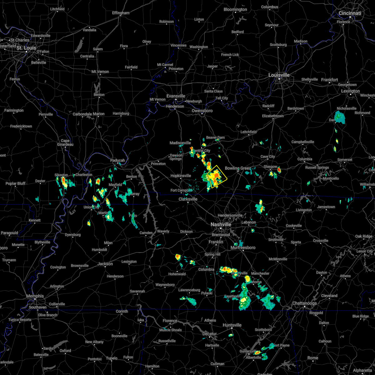 The severe thunderstorm warning for central logan county will expire at 515 pm cdt, the storm which prompted the warning has weakened below severe limits, and no longer poses an immediate threat to life or property. therefore the warning will be allowed to expire. however gusty winds are still possible with this thunderstorm. report severe weather to local law enforcement, post your report to the national weather service louisville facebook page, or tweet your report using hashtag l, m, k, spotter. The severe thunderstorm warning for central logan county will expire at 515 pm cdt, the storm which prompted the warning has weakened below severe limits, and no longer poses an immediate threat to life or property. therefore the warning will be allowed to expire. however gusty winds are still possible with this thunderstorm. report severe weather to local law enforcement, post your report to the national weather service louisville facebook page, or tweet your report using hashtag l, m, k, spotter.
|
| 4/19/2017 5:04 PM CDT |
 At 503 pm cdt, a severe thunderstorm was located near russellville, moving northeast at 30 mph (county 911 dispatchers). Hazards include 60 mph wind gusts and quarter size hail. Hail damage to vehicles is expected. expect wind damage to roofs, siding, and trees. a tree had fallen on power lines in the city of russellville. Locations impacted include, russellville, auburn, lewisburg, cooperstown, insco, danby, epleys, dennis, chandlers chapel and cave springs. At 503 pm cdt, a severe thunderstorm was located near russellville, moving northeast at 30 mph (county 911 dispatchers). Hazards include 60 mph wind gusts and quarter size hail. Hail damage to vehicles is expected. expect wind damage to roofs, siding, and trees. a tree had fallen on power lines in the city of russellville. Locations impacted include, russellville, auburn, lewisburg, cooperstown, insco, danby, epleys, dennis, chandlers chapel and cave springs.
|
| 4/19/2017 4:48 PM CDT |
 At 448 pm cdt, a severe thunderstorm was located near russellville, moving northeast at 30 mph (radar indicated). Hazards include 60 mph wind gusts and quarter size hail. Hail damage to vehicles is expected. Expect wind damage to roofs, siding, and trees. At 448 pm cdt, a severe thunderstorm was located near russellville, moving northeast at 30 mph (radar indicated). Hazards include 60 mph wind gusts and quarter size hail. Hail damage to vehicles is expected. Expect wind damage to roofs, siding, and trees.
|
| 4/5/2017 4:06 PM CDT |
 At 405 pm cdt, a severe thunderstorm was located 11 miles northwest of portland, moving northeast at 55 mph. a second severe thunderstorm was located near the bowling green regional airport. dime sized hail was reported by the civil air patrol at bowling green regional airport (radar indicated). Hazards include 60 mph wind gusts and quarter size hail. Hail damage to vehicles is expected. expect wind damage to roofs, siding, and trees. locations impacted include, bowling green, plum springs, crestmoor, memphis junction, mount victor, auburn, woodburn, hardcastle, rich pond and rockland. A tornado watch remains in effect until 900 pm cdt for central and south central kentucky. At 405 pm cdt, a severe thunderstorm was located 11 miles northwest of portland, moving northeast at 55 mph. a second severe thunderstorm was located near the bowling green regional airport. dime sized hail was reported by the civil air patrol at bowling green regional airport (radar indicated). Hazards include 60 mph wind gusts and quarter size hail. Hail damage to vehicles is expected. expect wind damage to roofs, siding, and trees. locations impacted include, bowling green, plum springs, crestmoor, memphis junction, mount victor, auburn, woodburn, hardcastle, rich pond and rockland. A tornado watch remains in effect until 900 pm cdt for central and south central kentucky.
|
| 4/5/2017 3:55 PM CDT |
 At 354 pm cdt, a severe thunderstorm was located 7 miles north of cross plains, moving northeast at 55 mph (radar indicated). Hazards include 60 mph wind gusts and quarter size hail. Hail damage to vehicles is expected. Expect wind damage to roofs, siding, and trees. At 354 pm cdt, a severe thunderstorm was located 7 miles north of cross plains, moving northeast at 55 mph (radar indicated). Hazards include 60 mph wind gusts and quarter size hail. Hail damage to vehicles is expected. Expect wind damage to roofs, siding, and trees.
|
| 4/5/2017 3:45 PM CDT |
 At 345 pm cdt, a severe thunderstorm was located 8 miles southwest of memphis junction, moving northeast at 50 mph (radar indicated). Hazards include 60 mph wind gusts and quarter size hail. Hail damage to vehicles is expected. expect wind damage to roofs, siding, and trees. locations impacted include, bowling green, memphis junction, auburn, browning, blue level, rockfield, rich pond, south union, petros and turnertown. A tornado watch remains in effect until 900 pm cdt for central and south central kentucky. At 345 pm cdt, a severe thunderstorm was located 8 miles southwest of memphis junction, moving northeast at 50 mph (radar indicated). Hazards include 60 mph wind gusts and quarter size hail. Hail damage to vehicles is expected. expect wind damage to roofs, siding, and trees. locations impacted include, bowling green, memphis junction, auburn, browning, blue level, rockfield, rich pond, south union, petros and turnertown. A tornado watch remains in effect until 900 pm cdt for central and south central kentucky.
|
| 4/5/2017 3:37 PM CDT |
 At 337 pm cdt, a severe thunderstorm was located 10 miles east of russellville, moving northeast at 50 mph (radar indicated). Hazards include 60 mph wind gusts and quarter size hail. Hail damage to vehicles is expected. expect wind damage to roofs, siding, and trees. locations impacted include, bowling green, memphis junction, auburn, dennis, rockfield, rich pond, buffalo fork, south union, gasper and browning. A tornado watch remains in effect until 900 pm cdt for south central and central kentucky. At 337 pm cdt, a severe thunderstorm was located 10 miles east of russellville, moving northeast at 50 mph (radar indicated). Hazards include 60 mph wind gusts and quarter size hail. Hail damage to vehicles is expected. expect wind damage to roofs, siding, and trees. locations impacted include, bowling green, memphis junction, auburn, dennis, rockfield, rich pond, buffalo fork, south union, gasper and browning. A tornado watch remains in effect until 900 pm cdt for south central and central kentucky.
|
| 4/5/2017 3:28 PM CDT |
 At 328 pm cdt, a severe thunderstorm was located 9 miles southeast of russellville, moving northeast at 55 mph (radar indicated). Hazards include 60 mph wind gusts and quarter size hail. Hail damage to vehicles is expected. Expect wind damage to roofs, siding, and trees. At 328 pm cdt, a severe thunderstorm was located 9 miles southeast of russellville, moving northeast at 55 mph (radar indicated). Hazards include 60 mph wind gusts and quarter size hail. Hail damage to vehicles is expected. Expect wind damage to roofs, siding, and trees.
|
| 3/27/2017 3:54 PM CDT |
 At 354 pm cdt, severe thunderstorms were located along a line extending from 13 miles northeast of russellville to 12 miles southwest of memphis junction to 8 miles northwest of cross plains, moving northeast at 50 mph (radar indicated). Hazards include 60 mph wind gusts and quarter size hail. Hail damage to vehicles is expected. Expect wind damage to roofs, siding, and trees. At 354 pm cdt, severe thunderstorms were located along a line extending from 13 miles northeast of russellville to 12 miles southwest of memphis junction to 8 miles northwest of cross plains, moving northeast at 50 mph (radar indicated). Hazards include 60 mph wind gusts and quarter size hail. Hail damage to vehicles is expected. Expect wind damage to roofs, siding, and trees.
|
| 3/1/2017 6:52 AM CST |
 At 651 am cst, severe thunderstorms were located along a line extending from 10 miles east of dunmor to 10 miles north of springfield, moving east at 50 mph (radar indicated). Hazards include 60 mph wind gusts. Expect damage to roofs, siding, and trees. locations impacted include, bowling green, glasgow, russellville, scottsville, plum springs, memphis junction, mount victor, delafield, crestmoor and anderson. a tornado watch remains in effect until 800 am cst for south central and central kentucky. A tornado watch also remains in effect until 1000 am cst for south central and central kentucky. At 651 am cst, severe thunderstorms were located along a line extending from 10 miles east of dunmor to 10 miles north of springfield, moving east at 50 mph (radar indicated). Hazards include 60 mph wind gusts. Expect damage to roofs, siding, and trees. locations impacted include, bowling green, glasgow, russellville, scottsville, plum springs, memphis junction, mount victor, delafield, crestmoor and anderson. a tornado watch remains in effect until 800 am cst for south central and central kentucky. A tornado watch also remains in effect until 1000 am cst for south central and central kentucky.
|
| 3/1/2017 6:29 AM CST |
 At 629 am cst, severe thunderstorms were located along a line extending from near weir to near guthrie, moving east at 65 mph (radar indicated). Hazards include 70 mph wind gusts and nickel size hail. Expect considerable tree damage. Damage is likely to mobile homes, roofs, and outbuildings. At 629 am cst, severe thunderstorms were located along a line extending from near weir to near guthrie, moving east at 65 mph (radar indicated). Hazards include 70 mph wind gusts and nickel size hail. Expect considerable tree damage. Damage is likely to mobile homes, roofs, and outbuildings.
|
| 3/1/2017 12:22 AM CST |
 At 1221 am cst, a severe thunderstorm was located near dunmor, moving east at 50 mph (radar indicated). Hazards include 60 mph wind gusts. expect damage to roofs, siding, and trees At 1221 am cst, a severe thunderstorm was located near dunmor, moving east at 50 mph (radar indicated). Hazards include 60 mph wind gusts. expect damage to roofs, siding, and trees
|
| 9/10/2016 3:21 PM CDT |
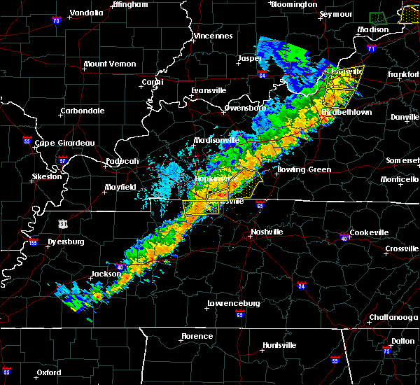 At 321 pm cdt, a severe thunderstorm was located 7 miles east of elkton, moving northeast at 45 mph (radar indicated). Hazards include 60 mph wind gusts and quarter size hail. Hail damage to vehicles is expected. Expect wind damage to roofs, siding, and trees. At 321 pm cdt, a severe thunderstorm was located 7 miles east of elkton, moving northeast at 45 mph (radar indicated). Hazards include 60 mph wind gusts and quarter size hail. Hail damage to vehicles is expected. Expect wind damage to roofs, siding, and trees.
|
| 8/5/2016 4:12 PM CDT | The severe thunderstorm warning for warren, northern simpson and east central logan counties will expire at 415 pm cdt, the storm which prompted the warning has weakened below severe limits, and no longer pose an immediate threat to life or property. therefore the warning will be allowed to expire. however gusty winds are still possible with this thunderstorm. report severe weather to local law enforcement, post your report to the national weather service louisville facebook page, or tweet your report using hashtag l, m, k, spotter. |
| 8/5/2016 4:01 PM CDT |
 At 401 pm cdt, a severe thunderstorm was located near three springs, moving southeast at 30 mph (radar indicated). Hazards include 60 mph wind gusts. Expect damage to roofs. siding. and trees. Locations impacted include, bowling green, plum springs, memphis junction, crestmoor, mount victor, delafield, auburn, woodburn, blue level and petros. At 401 pm cdt, a severe thunderstorm was located near three springs, moving southeast at 30 mph (radar indicated). Hazards include 60 mph wind gusts. Expect damage to roofs. siding. and trees. Locations impacted include, bowling green, plum springs, memphis junction, crestmoor, mount victor, delafield, auburn, woodburn, blue level and petros.
|
| 8/5/2016 3:30 PM CDT |
 At 328 pm cdt, a severe thunderstorm was located 11 miles south of morgantown, moving southeast at 30 mph (radar indicated). Hazards include 60 mph wind gusts. Expect damage to roofs. siding. And trees. At 328 pm cdt, a severe thunderstorm was located 11 miles south of morgantown, moving southeast at 30 mph (radar indicated). Hazards include 60 mph wind gusts. Expect damage to roofs. siding. And trees.
|
| 7/8/2016 8:57 PM CDT | The severe thunderstorm warning for northwestern simpson and eastern logan counties will expire at 900 pm cdt, the storm which prompted the warning has moved out of the area. therefore the warning will be allowed to expire. report severe weather to local law enforcement, post your report to the national weather service louisville facebook page, or tweet your report using hashtag l, m, k, spotter. |
| 7/8/2016 8:49 PM CDT |
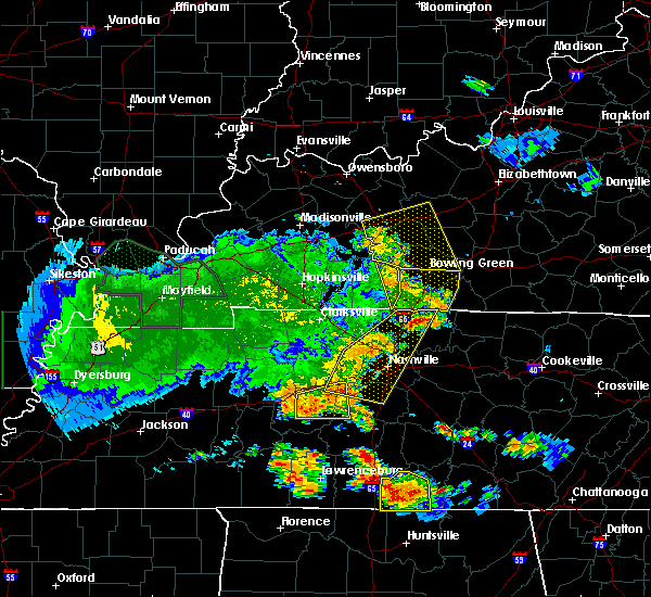 At 849 pm cdt, a severe thunderstorm was located 11 miles northwest of memphis junction, moving east at 60 mph (radar indicated). Hazards include 60 mph wind gusts. Expect damage to roofs. siding. and trees. Locations impacted include, anderson, auburn, dennis, chandlers chapel, prices mill, gasper, costelow, homer and middleton. At 849 pm cdt, a severe thunderstorm was located 11 miles northwest of memphis junction, moving east at 60 mph (radar indicated). Hazards include 60 mph wind gusts. Expect damage to roofs. siding. and trees. Locations impacted include, anderson, auburn, dennis, chandlers chapel, prices mill, gasper, costelow, homer and middleton.
|
| 7/8/2016 8:31 PM CDT |
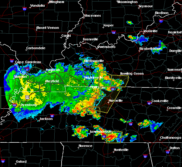 At 831 pm cdt, a severe thunderstorm was located near dunmor, moving east at 60 mph (radar indicated). Hazards include 60 mph wind gusts. Expect damage to roofs. siding. And trees. At 831 pm cdt, a severe thunderstorm was located near dunmor, moving east at 60 mph (radar indicated). Hazards include 60 mph wind gusts. Expect damage to roofs. siding. And trees.
|
| 7/8/2016 8:18 PM CDT |
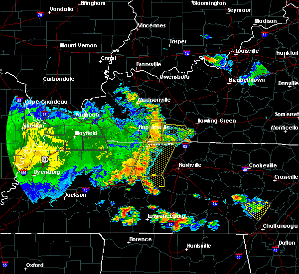 At 818 pm cdt, a severe thunderstorm was located near russellville, moving east at 55 mph (radar indicated). Hazards include 65 mph wind gusts. Expect damage to roofs. siding. and trees. Locations impacted include, russellville, auburn, adairville, lickskillet, epleys, spa, cooperstown, neosheo, oakville and schley. At 818 pm cdt, a severe thunderstorm was located near russellville, moving east at 55 mph (radar indicated). Hazards include 65 mph wind gusts. Expect damage to roofs. siding. and trees. Locations impacted include, russellville, auburn, adairville, lickskillet, epleys, spa, cooperstown, neosheo, oakville and schley.
|
| 7/8/2016 8:02 PM CDT |
 At 801 pm cdt, a severe thunderstorm was located near elkton, moving east at 55 mph (radar indicated). Hazards include 60 mph wind gusts. Expect damage to roofs. siding. And trees. At 801 pm cdt, a severe thunderstorm was located near elkton, moving east at 55 mph (radar indicated). Hazards include 60 mph wind gusts. Expect damage to roofs. siding. And trees.
|
| 7/7/2016 2:31 PM CDT |
 At 230 pm cdt, severe thunderstorms were located along a line extending from 9 miles west of memphis junction to 10 miles northwest of cross plains, moving east at 60 mph (radar indicated). Hazards include 70 mph wind gusts. Expect considerable tree damage. damage is likely to mobile homes, roofs, and outbuildings. Locations impacted include, bowling green, russellville, plum springs, crestmoor, mount victor, delafield, memphis junction, anderson, auburn and adairville. At 230 pm cdt, severe thunderstorms were located along a line extending from 9 miles west of memphis junction to 10 miles northwest of cross plains, moving east at 60 mph (radar indicated). Hazards include 70 mph wind gusts. Expect considerable tree damage. damage is likely to mobile homes, roofs, and outbuildings. Locations impacted include, bowling green, russellville, plum springs, crestmoor, mount victor, delafield, memphis junction, anderson, auburn and adairville.
|
| 7/7/2016 2:16 PM CDT |
 At 216 pm cdt, severe thunderstorms were located along a line extending from 8 miles southeast of dunmor to guthrie, moving east at 45 mph (radar indicated). Hazards include 60 mph wind gusts and penny size hail. Expect damage to roofs. siding. And trees. At 216 pm cdt, severe thunderstorms were located along a line extending from 8 miles southeast of dunmor to guthrie, moving east at 45 mph (radar indicated). Hazards include 60 mph wind gusts and penny size hail. Expect damage to roofs. siding. And trees.
|
| 7/6/2016 3:29 PM CDT |
 At 328 pm cdt, severe thunderstorms were located along a line extending from 7 miles southwest of morgantown to 9 miles northeast of russellville to 9 miles north of springfield, moving east at 55 mph (radar indicated). Hazards include 60 mph wind gusts. Expect damage to roofs. siding. And trees. At 328 pm cdt, severe thunderstorms were located along a line extending from 7 miles southwest of morgantown to 9 miles northeast of russellville to 9 miles north of springfield, moving east at 55 mph (radar indicated). Hazards include 60 mph wind gusts. Expect damage to roofs. siding. And trees.
|
| 7/6/2016 3:12 PM CDT |
 At 311 pm cdt, severe thunderstorms were located along a line extending from near central city to near dunmor to near elkton, moving east at 55 mph (radar indicated). Hazards include 60 mph wind gusts. Expect damage to roofs. siding. and trees. Locations impacted include, russellville, morgantown, anderson, auburn, adairville, lewisburg, rochester, woodbury, lickskillet and cooperstown. At 311 pm cdt, severe thunderstorms were located along a line extending from near central city to near dunmor to near elkton, moving east at 55 mph (radar indicated). Hazards include 60 mph wind gusts. Expect damage to roofs. siding. and trees. Locations impacted include, russellville, morgantown, anderson, auburn, adairville, lewisburg, rochester, woodbury, lickskillet and cooperstown.
|
| 7/6/2016 2:50 PM CDT |
 At 249 pm cdt, severe thunderstorms were located along a line extending from near earlington to 6 miles south of crofton to 8 miles northeast of big rock, moving east at 60 mph (radar indicated). Hazards include 60-70 mph wind gusts. Expect damage to roofs. siding. And trees. At 249 pm cdt, severe thunderstorms were located along a line extending from near earlington to 6 miles south of crofton to 8 miles northeast of big rock, moving east at 60 mph (radar indicated). Hazards include 60-70 mph wind gusts. Expect damage to roofs. siding. And trees.
|
| 7/4/2016 1:20 PM CDT |
 At 120 pm cdt, a severe thunderstorm was located 8 miles southwest of memphis junction, moving east at 50 mph (radar indicated). Hazards include 60 mph wind gusts. Expect damage to roofs. siding. And trees. At 120 pm cdt, a severe thunderstorm was located 8 miles southwest of memphis junction, moving east at 50 mph (radar indicated). Hazards include 60 mph wind gusts. Expect damage to roofs. siding. And trees.
|
| 6/16/2016 6:00 PM CDT |
 At 600 pm cdt, a severe thunderstorm was located 11 miles southwest of memphis junction, moving southeast at 35 mph (radar indicated). Hazards include 60 mph wind gusts and quarter size hail. Hail damage to vehicles is expected. expect wind damage to roofs, siding, and trees. Locations impacted include, russellville, auburn, adairville, woodburn, petros, neosheo, browning, oakville, dennis and peden mill. At 600 pm cdt, a severe thunderstorm was located 11 miles southwest of memphis junction, moving southeast at 35 mph (radar indicated). Hazards include 60 mph wind gusts and quarter size hail. Hail damage to vehicles is expected. expect wind damage to roofs, siding, and trees. Locations impacted include, russellville, auburn, adairville, woodburn, petros, neosheo, browning, oakville, dennis and peden mill.
|
| 6/16/2016 5:41 PM CDT |
 At 541 pm cdt, a severe thunderstorm was located 13 miles northeast of russellville, moving southeast at 45 mph (radar indicated). Hazards include 60 mph wind gusts and quarter size hail. Hail damage to vehicles is expected. Expect wind damage to roofs, siding, and trees. At 541 pm cdt, a severe thunderstorm was located 13 miles northeast of russellville, moving southeast at 45 mph (radar indicated). Hazards include 60 mph wind gusts and quarter size hail. Hail damage to vehicles is expected. Expect wind damage to roofs, siding, and trees.
|
| 6/16/2016 5:36 PM CDT |
 At 536 pm cdt, a severe thunderstorm was located 13 miles east of dunmor, moving southeast at 45 mph (radar indicated). Hazards include 60 mph wind gusts and penny size hail. Expect damage to roofs. siding. and trees. Locations impacted include, bowling green, russellville, anderson, auburn, lewisburg, rochester, blue level, epleys, cooperstown and buffalo fork. At 536 pm cdt, a severe thunderstorm was located 13 miles east of dunmor, moving southeast at 45 mph (radar indicated). Hazards include 60 mph wind gusts and penny size hail. Expect damage to roofs. siding. and trees. Locations impacted include, bowling green, russellville, anderson, auburn, lewisburg, rochester, blue level, epleys, cooperstown and buffalo fork.
|
| 6/16/2016 5:16 PM CDT |
 At 516 pm cdt, a severe thunderstorm was located 9 miles northeast of dunmor, moving southeast at 75 mph (radar indicated). Hazards include 60 mph wind gusts. Expect damage to roofs. siding. And trees. At 516 pm cdt, a severe thunderstorm was located 9 miles northeast of dunmor, moving southeast at 75 mph (radar indicated). Hazards include 60 mph wind gusts. Expect damage to roofs. siding. And trees.
|
| 6/15/2016 2:51 PM CDT |
 At 251 pm cdt, a severe thunderstorm was located over dunmor, moving southeast at 35 mph (radar indicated). Hazards include 60 mph wind gusts. Expect damage to roofs. siding. And trees. At 251 pm cdt, a severe thunderstorm was located over dunmor, moving southeast at 35 mph (radar indicated). Hazards include 60 mph wind gusts. Expect damage to roofs. siding. And trees.
|
| 6/3/2016 5:42 PM CDT | The severe thunderstorm warning for northwestern simpson and southern logan counties will expire at 545 pm cdt, the storm which prompted the warning is moving into simpson county. therefore the warning for logan county will be allowed to expire. remember, a severe thunderstorm warning still remains in effect for simpson county until 630 pm cdt. |
| 6/3/2016 5:30 PM CDT |
 At 529 pm cdt, a severe thunderstorm was located 9 miles southeast of russellville, moving northeast at 15 mph (radar indicated). Hazards include 60 mph wind gusts and quarter size hail. Hail damage to vehicles is expected. expect wind damage to roofs, siding, and trees. Locations impacted include, russellville, auburn, adairville, prices mill, gasper, schochoh, middleton, neosheo, salmons and oakville. At 529 pm cdt, a severe thunderstorm was located 9 miles southeast of russellville, moving northeast at 15 mph (radar indicated). Hazards include 60 mph wind gusts and quarter size hail. Hail damage to vehicles is expected. expect wind damage to roofs, siding, and trees. Locations impacted include, russellville, auburn, adairville, prices mill, gasper, schochoh, middleton, neosheo, salmons and oakville.
|
| 6/3/2016 5:19 PM CDT |
 At 519 pm cdt, a severe thunderstorm was located 7 miles southeast of russellville, moving northeast at 15 mph (radar indicated). Hazards include 60 mph wind gusts and quarter size hail. Hail damage to vehicles is expected. Expect wind damage to roofs, siding, and trees. At 519 pm cdt, a severe thunderstorm was located 7 miles southeast of russellville, moving northeast at 15 mph (radar indicated). Hazards include 60 mph wind gusts and quarter size hail. Hail damage to vehicles is expected. Expect wind damage to roofs, siding, and trees.
|
| 3/31/2016 3:55 PM CDT |
 At 354 pm cdt, a severe thunderstorm was located 9 miles northeast of russellville, moving northeast at 55 mph (radar indicated). Hazards include 60 mph wind gusts. Expect damage to roofs. siding. And trees. At 354 pm cdt, a severe thunderstorm was located 9 miles northeast of russellville, moving northeast at 55 mph (radar indicated). Hazards include 60 mph wind gusts. Expect damage to roofs. siding. And trees.
|
| 3/31/2016 3:36 PM CDT |
 At 335 pm cdt, a severe thunderstorm was located near russellville, moving northeast at 55 mph (radar indicated). Hazards include 60 mph wind gusts. Expect damage to roofs. siding. And trees. At 335 pm cdt, a severe thunderstorm was located near russellville, moving northeast at 55 mph (radar indicated). Hazards include 60 mph wind gusts. Expect damage to roofs. siding. And trees.
|
| 6/29/2015 5:47 PM CDT | The severe thunderstorm warning for allen, southern warren, simpson and southern logan counties will expire at 650 pm edt/550 pm cdt/, the line of storms which prompted the warning has weakened below severe limits, and no longer poses an immediate threat to life or property. however, heavy rain is still possible with these thunderstorms. |
| 6/29/2015 5:08 PM CDT |
 At 503 pm cdt, developing severe thunderstorms were located along a line extending from greenwood to 8 miles north of franklin to 5 miles south of russellville to 11 miles northwest of elkton, and moving southeast at 25 mph (radar indicated). Hazards include 60 mph wind gusts and penny size hail. Expect damage to roofs. Siding and trees. At 503 pm cdt, developing severe thunderstorms were located along a line extending from greenwood to 8 miles north of franklin to 5 miles south of russellville to 11 miles northwest of elkton, and moving southeast at 25 mph (radar indicated). Hazards include 60 mph wind gusts and penny size hail. Expect damage to roofs. Siding and trees.
|
| 6/8/2015 2:06 PM CDT |
 At 203 pm cdt, a severe thunderstorm was located 8 miles east of russellville, and moving east at 50 mph (radar indicated). Hazards include 60 mph wind gusts. Expect damage to roofs. Siding and trees. At 203 pm cdt, a severe thunderstorm was located 8 miles east of russellville, and moving east at 50 mph (radar indicated). Hazards include 60 mph wind gusts. Expect damage to roofs. Siding and trees.
|
| 6/8/2015 2:01 PM CDT |
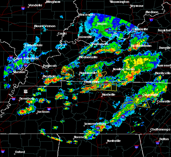 At 158 pm cdt, a severe thunderstorm was located near russellville, and moving east at 45 mph (radar indicated). Hazards include 60 mph wind gusts. Expect damage to roofs. siding and trees. Locations impacted include, auburn. At 158 pm cdt, a severe thunderstorm was located near russellville, and moving east at 45 mph (radar indicated). Hazards include 60 mph wind gusts. Expect damage to roofs. siding and trees. Locations impacted include, auburn.
|
| 6/8/2015 1:51 PM CDT |
 At 148 pm cdt, a severe thunderstorm was located near russellville, and moving east at 45 mph (radar indicated). Hazards include 60 mph wind gusts. Expect damage to roofs. Siding and trees. At 148 pm cdt, a severe thunderstorm was located near russellville, and moving east at 45 mph (radar indicated). Hazards include 60 mph wind gusts. Expect damage to roofs. Siding and trees.
|
| 5/30/2015 6:18 PM CDT | At 617 pm cdt, a severe thunderstorm was located 5 miles north of franklin, and was nearly stationary (radar indicated). Hazards include 60 mph wind gusts. Expect damage to roofs. Siding and trees. |
| 4/10/2015 2:45 AM CDT | A severe thunderstorm warning remains in effect for west central warren and east central logan counties until 300 am cdt. at 243 am cdt. a severe thunderstorm was located 6 miles west of memphis junction. and moving northeast at 55 mph. hazard. 60 mph wind gusts. source. Radar indicated. |
| 4/10/2015 2:29 AM CDT | The national weather service in louisville has issued a * severe thunderstorm warning for. south central butler county in south central kentucky. eastern logan county in south central kentucky. west central warren county in south central kentucky. Until 300 am cdt. |
| 4/10/2015 1:54 AM CDT | A severe thunderstorm warning remains in effect for warren and east central logan counties until 210 am cdt. at 152 am cdt. a severe thunderstorm was located 9 miles west of memphis junction. and moving northeast at 55 mph. hazard. 60 mph wind gusts. source. Radar indicated. |
| 4/10/2015 1:39 AM CDT | The national weather service in louisville has issued a * severe thunderstorm warning for. logan county in south central kentucky. warren county in south central kentucky. until 210 am cdt * at 138 am cdt. A severe thunderstorm was located near. |
| 4/2/2015 4:22 PM CDT | The national weather service in louisville has issued a * severe thunderstorm warning for. south logan county in south central kentucky. western simpson county in south central kentucky. southwestern warren county in south central kentucky. Until 450 pm cdt. |
| 1/1/0001 12:00 AM | Roof damage in logan county KY, 1.2 miles W of Auburn, KY |
| 1/1/0001 12:00 AM | Barns and outbuildings destroyed in logan county KY, 1.2 miles W of Auburn, KY |
| 1/1/0001 12:00 AM | An nws storm survey confirmed straight line wind damage in chandlers chapel. several small outbuildings including a car port and a barn were severely damaged. numerous in logan county KY, 5.4 miles SE of Auburn, KY |
Hail Maps for Auburn, KY


Connect with Interactive Hail Maps