

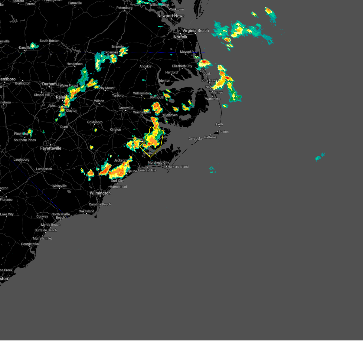
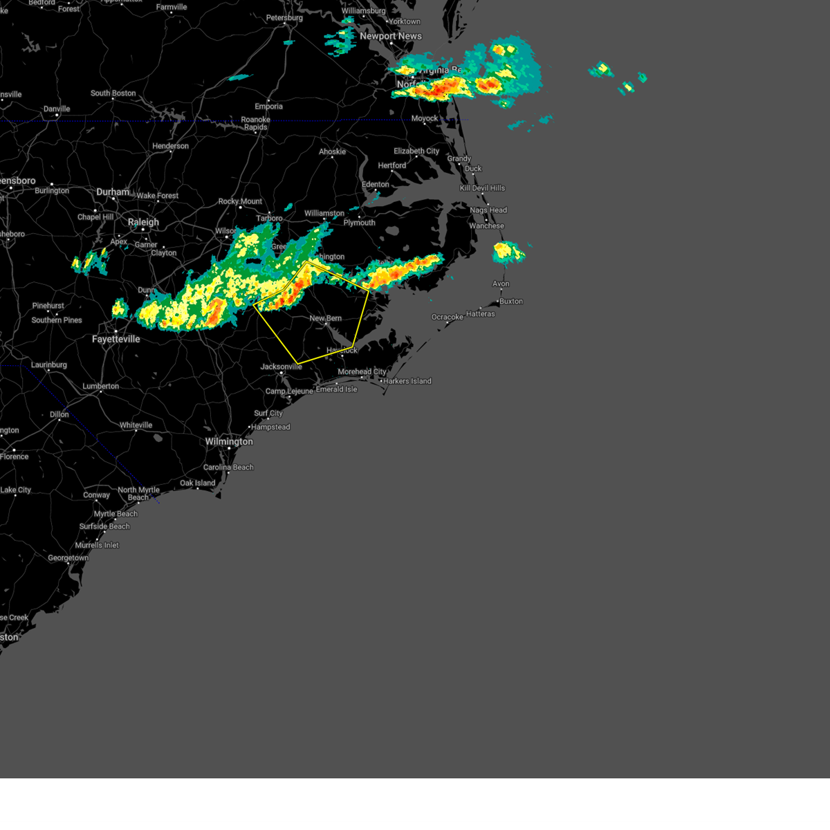
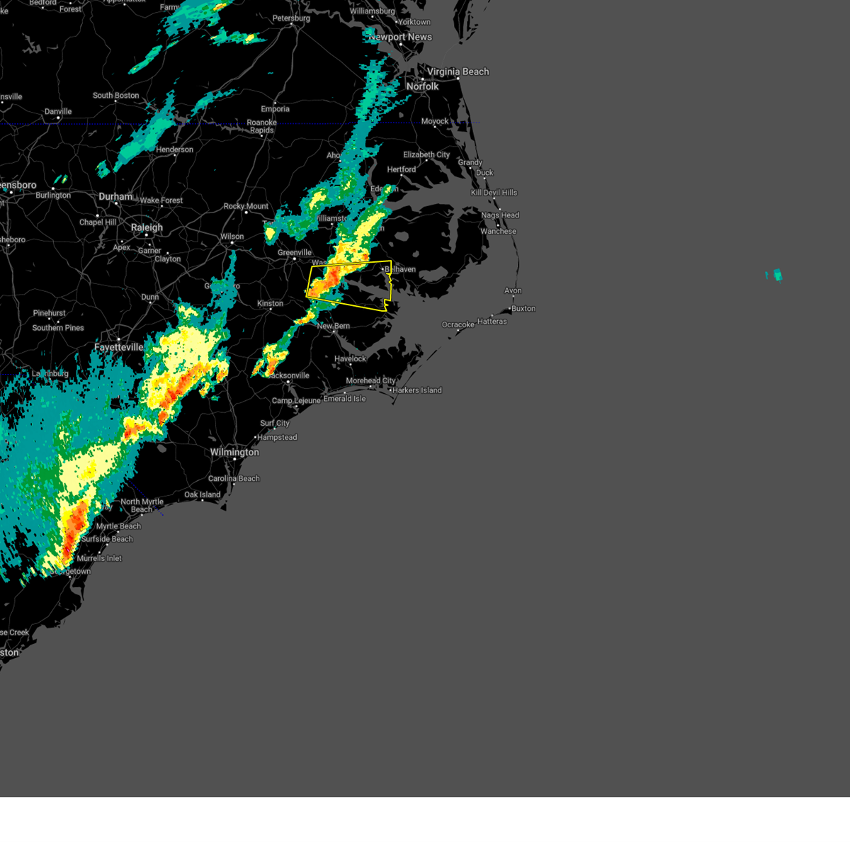
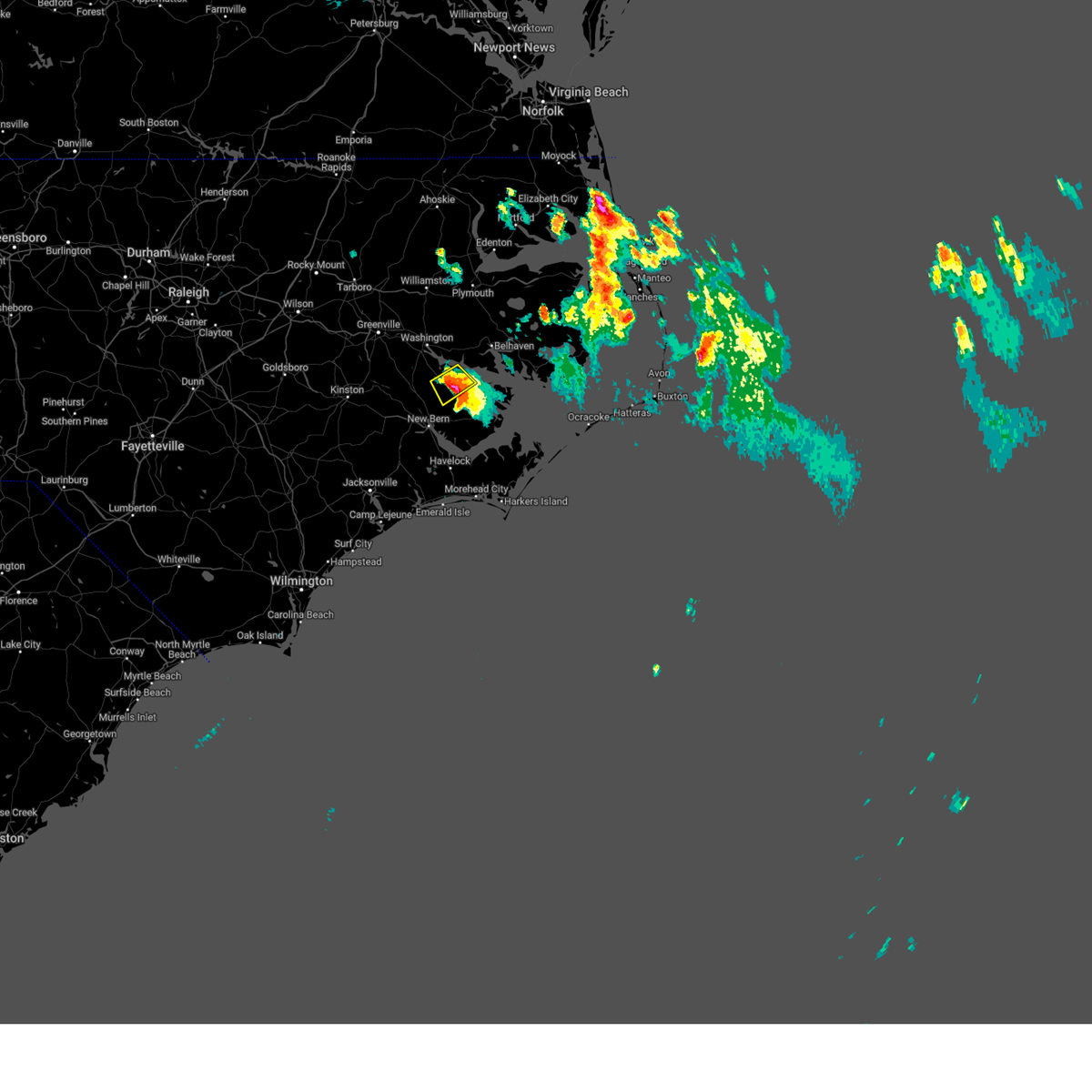
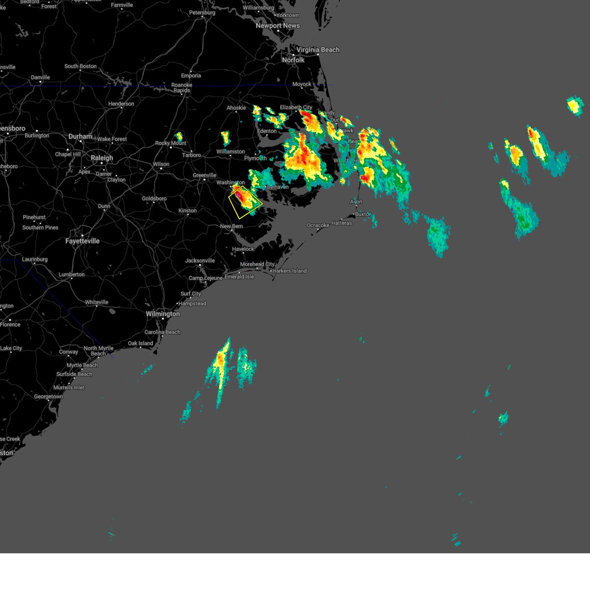
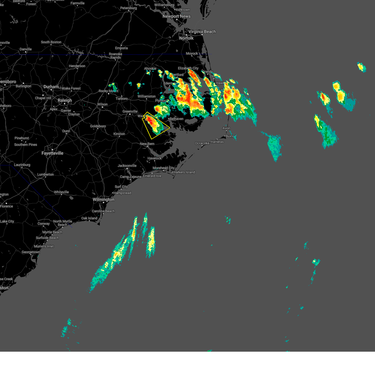
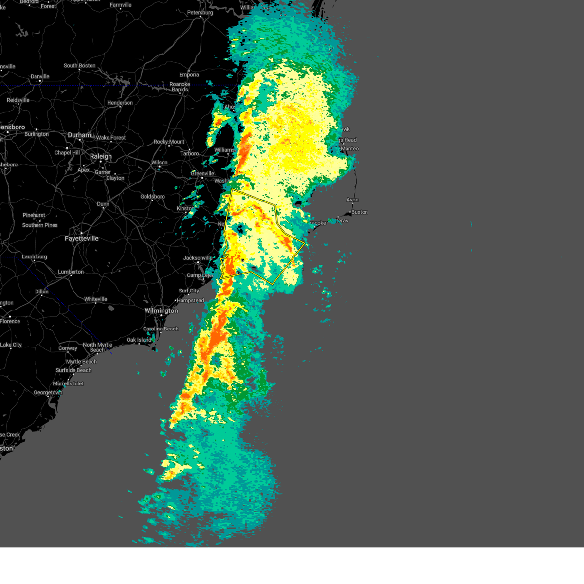
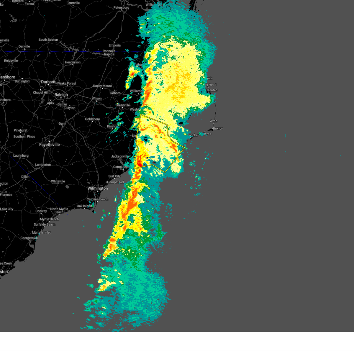
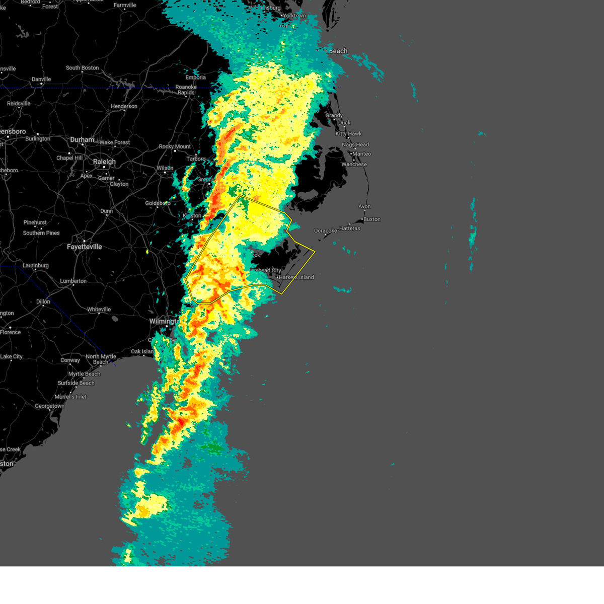
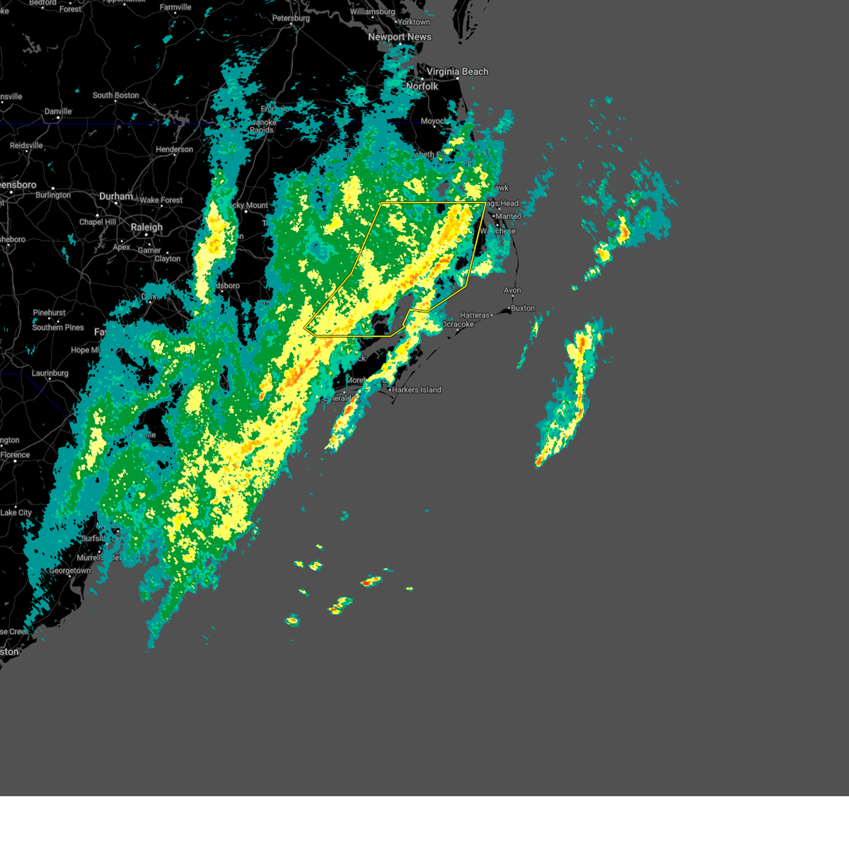
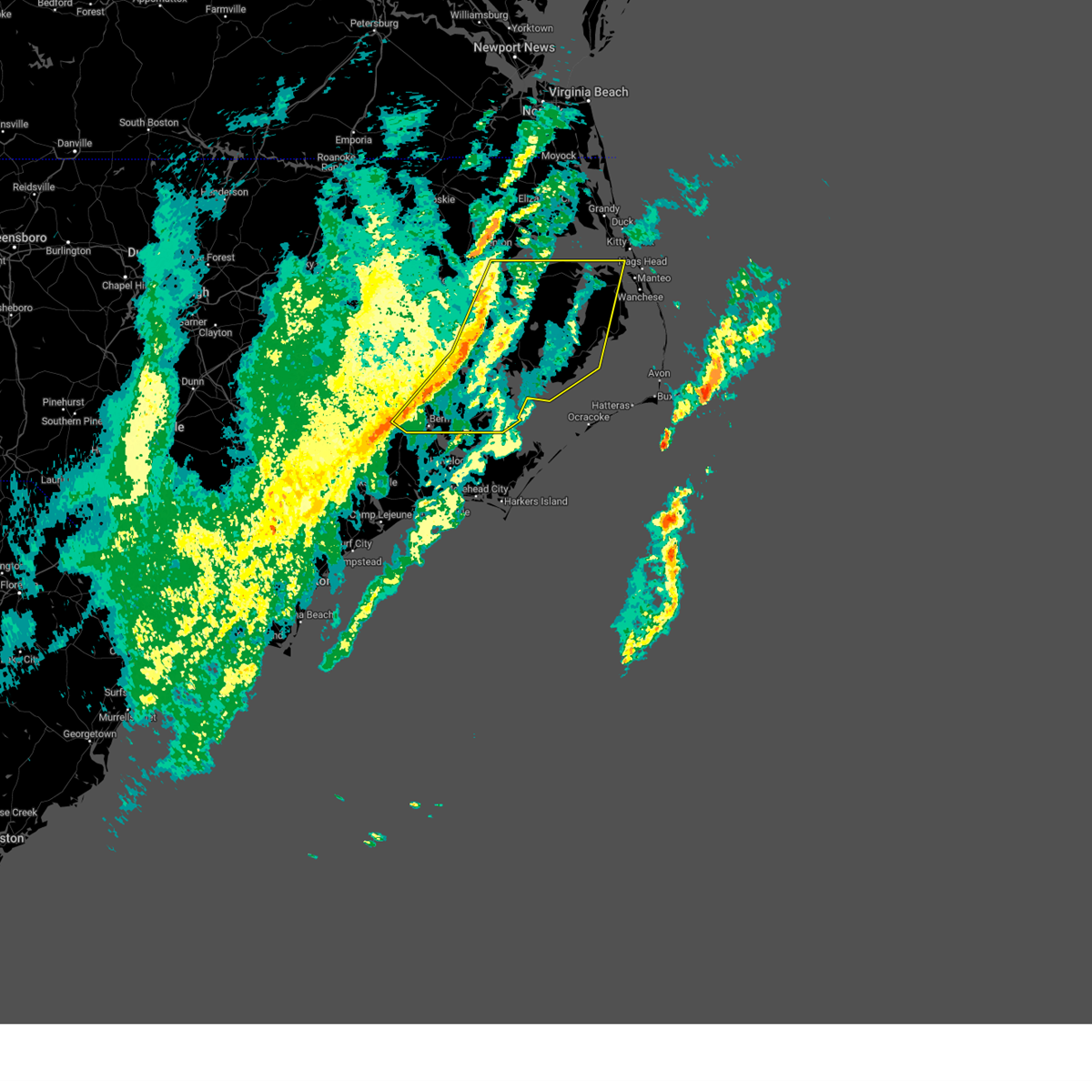
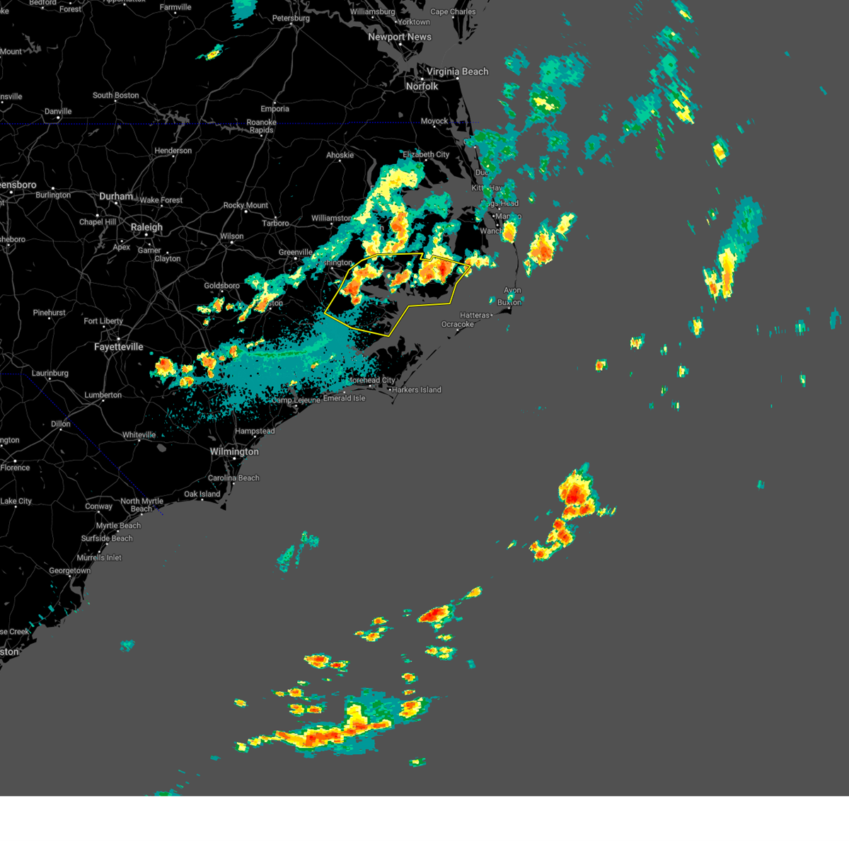
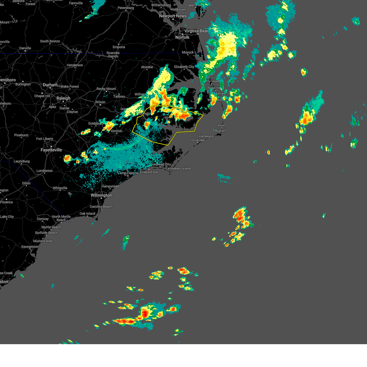
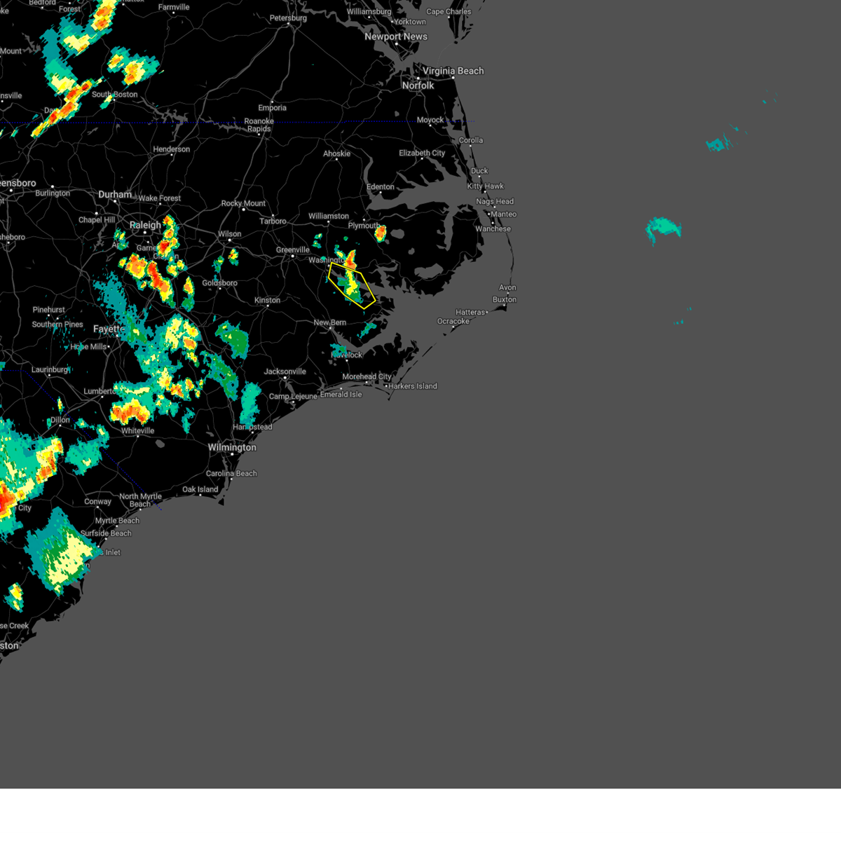
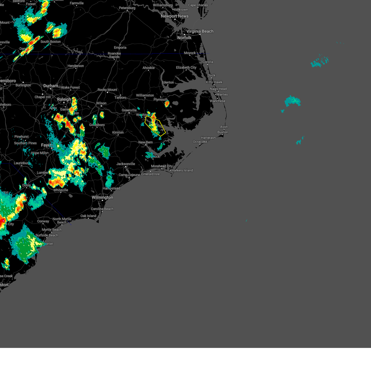
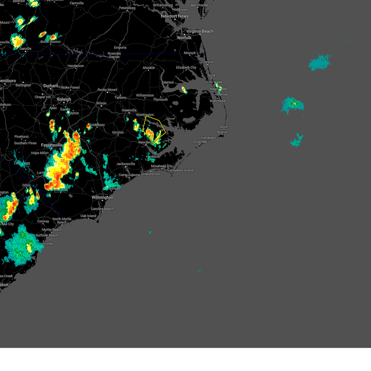
Hail Map for Aurora, NC
The Aurora, NC area has had 1 report of on-the-ground hail by trained spotters, and has been under severe weather warnings 29 times during the past 12 months. Doppler radar has detected hail at or near Aurora, NC on 39 occasions, including 1 occasion during the past year.
| Name: | Aurora, NC |
| Where Located: | 98.7 miles NE of Wilmington, NC |
| Map: | Google Map for Aurora, NC |
| Population: | 520 |
| Housing Units: | 315 |
| More Info: | Search Google for Aurora, NC |
0
The Top Recent Hail Date for Aurora, NC is Thursday, May 15, 2025 (20th out of 39)

Hail and Wind Damage Spotted near Aurora, NC
| Date / Time | Report Details |
|---|---|
| 6/7/2025 6:14 PM EDT |
 The storm which prompted the warning has weakened below severe limits, and no longer poses an immediate threat to life or property. therefore, the warning will be allowed to expire. however, gusty winds and heavy rain are still possible with this thunderstorm. The storm which prompted the warning has weakened below severe limits, and no longer poses an immediate threat to life or property. therefore, the warning will be allowed to expire. however, gusty winds and heavy rain are still possible with this thunderstorm.
|
| 6/7/2025 6:04 PM EDT |
 At 603 pm edt, a severe thunderstorm was located near minnesott beach ferry, or 8 miles east of james city, moving east at 35 mph (law enforcement. this thunderstorm has a history of producing tree damage in parts of craven county). Hazards include 60 mph wind gusts. Expect damage to roofs, siding, and trees. Locations impacted include, new bern, havelock, james city, olympia, janeiro, edward, grantsboro, royal, croatan, riverdale, maribel, merritt, neuse forest, cherry branch ferry terminal, fairfield harbour, minnesott beach ferry, bayboro, alliance, arapahoe, and aurora. At 603 pm edt, a severe thunderstorm was located near minnesott beach ferry, or 8 miles east of james city, moving east at 35 mph (law enforcement. this thunderstorm has a history of producing tree damage in parts of craven county). Hazards include 60 mph wind gusts. Expect damage to roofs, siding, and trees. Locations impacted include, new bern, havelock, james city, olympia, janeiro, edward, grantsboro, royal, croatan, riverdale, maribel, merritt, neuse forest, cherry branch ferry terminal, fairfield harbour, minnesott beach ferry, bayboro, alliance, arapahoe, and aurora.
|
| 6/7/2025 6:04 PM EDT |
 the severe thunderstorm warning has been cancelled and is no longer in effect the severe thunderstorm warning has been cancelled and is no longer in effect
|
| 6/7/2025 5:36 PM EDT |
 Svrmhx the national weather service in newport has issued a * severe thunderstorm warning for, east central jones county in eastern north carolina, eastern craven county in eastern north carolina, south central beaufort county in eastern north carolina, pamlico county in eastern north carolina, * until 615 pm edt. * at 535 pm edt, a severe thunderstorm was located over river bend, or near new bern, moving east at 35 mph (law enforcement. this thunderstorm has a history of producing tree damage in vanceboro and cove city). Hazards include 70 mph wind gusts and quarter size hail. Hail damage to vehicles is expected. expect considerable tree damage. Wind damage is also likely to mobile homes, roofs, and outbuildings. Svrmhx the national weather service in newport has issued a * severe thunderstorm warning for, east central jones county in eastern north carolina, eastern craven county in eastern north carolina, south central beaufort county in eastern north carolina, pamlico county in eastern north carolina, * until 615 pm edt. * at 535 pm edt, a severe thunderstorm was located over river bend, or near new bern, moving east at 35 mph (law enforcement. this thunderstorm has a history of producing tree damage in vanceboro and cove city). Hazards include 70 mph wind gusts and quarter size hail. Hail damage to vehicles is expected. expect considerable tree damage. Wind damage is also likely to mobile homes, roofs, and outbuildings.
|
| 5/31/2025 7:49 PM EDT |
 the severe thunderstorm warning has been cancelled and is no longer in effect the severe thunderstorm warning has been cancelled and is no longer in effect
|
| 5/31/2025 7:49 PM EDT |
 At 749 pm edt, severe thunderstorms were located along a line extending from near grantsboro to fairfield harbour to near trent woods, moving east at 45 mph (radar indicated). Hazards include 60 mph wind gusts. Expect damage to roofs, siding, and trees. Locations impacted include, new bern, havelock, james city, trent woods, river bend, phillips crossroads, maysville, askins, cayton, tuscarora, belgrade, rhems, edward, grantsboro, royal, bonnerton, riverdale, olympia, croatan, and south creek. At 749 pm edt, severe thunderstorms were located along a line extending from near grantsboro to fairfield harbour to near trent woods, moving east at 45 mph (radar indicated). Hazards include 60 mph wind gusts. Expect damage to roofs, siding, and trees. Locations impacted include, new bern, havelock, james city, trent woods, river bend, phillips crossroads, maysville, askins, cayton, tuscarora, belgrade, rhems, edward, grantsboro, royal, bonnerton, riverdale, olympia, croatan, and south creek.
|
| 5/31/2025 7:10 PM EDT |
 Svrmhx the national weather service in newport has issued a * severe thunderstorm warning for, jones county in eastern north carolina, east central lenoir county in eastern north carolina, craven county in eastern north carolina, southeastern pitt county in eastern north carolina, northeastern onslow county in eastern north carolina, southwestern beaufort county in eastern north carolina, southwestern pamlico county in eastern north carolina, * until 800 pm edt. * at 710 pm edt, severe thunderstorms were located along a line extending from calico to fort barnwell to near wyse fork, moving southeast at 45 mph (radar indicated). Hazards include 60 mph wind gusts. expect damage to roofs, siding, and trees Svrmhx the national weather service in newport has issued a * severe thunderstorm warning for, jones county in eastern north carolina, east central lenoir county in eastern north carolina, craven county in eastern north carolina, southeastern pitt county in eastern north carolina, northeastern onslow county in eastern north carolina, southwestern beaufort county in eastern north carolina, southwestern pamlico county in eastern north carolina, * until 800 pm edt. * at 710 pm edt, severe thunderstorms were located along a line extending from calico to fort barnwell to near wyse fork, moving southeast at 45 mph (radar indicated). Hazards include 60 mph wind gusts. expect damage to roofs, siding, and trees
|
| 5/30/2025 6:47 PM EDT |
 At 646 pm edt, a severe thunderstorm was located near winsteadville, or 22 miles east of river road, moving east at 45 mph (radar indicated). Hazards include 60 mph wind gusts. Expect damage to roofs, siding, and trees. Locations impacted include, belhaven, ransomville, pamlico beach, edward, royal, bonnerton, winsteadville, core point, south creek, bayview, sidney crossroads, yeatesville, aurora ferry terminal, goose creek state park, bayview ferry terminal, aurora, sydney crossroads, and pantego. At 646 pm edt, a severe thunderstorm was located near winsteadville, or 22 miles east of river road, moving east at 45 mph (radar indicated). Hazards include 60 mph wind gusts. Expect damage to roofs, siding, and trees. Locations impacted include, belhaven, ransomville, pamlico beach, edward, royal, bonnerton, winsteadville, core point, south creek, bayview, sidney crossroads, yeatesville, aurora ferry terminal, goose creek state park, bayview ferry terminal, aurora, sydney crossroads, and pantego.
|
| 5/30/2025 6:39 PM EDT |
 the severe thunderstorm warning has been cancelled and is no longer in effect the severe thunderstorm warning has been cancelled and is no longer in effect
|
| 5/30/2025 6:39 PM EDT |
 At 638 pm edt, a severe thunderstorm was located over sidney crossroads, or 16 miles east of river road, moving east at 45 mph (radar indicated). Hazards include 60 mph wind gusts. Expect damage to roofs, siding, and trees. Locations impacted include, washington, river road, belhaven, ransomville, blounts creek, pamlico beach, edward, bunyan, royal, cox crossroads, bonnerton, winsteadville, core point, south creek, bayview, sidney crossroads, yeatesville, aurora ferry terminal, goose creek state park, and bayview ferry terminal. At 638 pm edt, a severe thunderstorm was located over sidney crossroads, or 16 miles east of river road, moving east at 45 mph (radar indicated). Hazards include 60 mph wind gusts. Expect damage to roofs, siding, and trees. Locations impacted include, washington, river road, belhaven, ransomville, blounts creek, pamlico beach, edward, bunyan, royal, cox crossroads, bonnerton, winsteadville, core point, south creek, bayview, sidney crossroads, yeatesville, aurora ferry terminal, goose creek state park, and bayview ferry terminal.
|
| 5/30/2025 6:31 PM EDT |
 At 630 pm edt, a severe thunderstorm was located near bayview, or 10 miles east of river road, moving east at 45 mph (radar indicated). Hazards include 60 mph wind gusts. Expect damage to roofs, siding, and trees. Locations impacted include, washington, river road, belhaven, ransomville, blounts creek, pamlico beach, wilmar, edward, royal, cox crossroads, bonnerton, bayview, bunyan, winsteadville, core point, south creek, sidney crossroads, yeatesville, aurora ferry terminal, and goose creek state park. At 630 pm edt, a severe thunderstorm was located near bayview, or 10 miles east of river road, moving east at 45 mph (radar indicated). Hazards include 60 mph wind gusts. Expect damage to roofs, siding, and trees. Locations impacted include, washington, river road, belhaven, ransomville, blounts creek, pamlico beach, wilmar, edward, royal, cox crossroads, bonnerton, bayview, bunyan, winsteadville, core point, south creek, sidney crossroads, yeatesville, aurora ferry terminal, and goose creek state park.
|
| 5/30/2025 6:31 PM EDT |
 the severe thunderstorm warning has been cancelled and is no longer in effect the severe thunderstorm warning has been cancelled and is no longer in effect
|
| 5/30/2025 6:13 PM EDT |
 Svrmhx the national weather service in newport has issued a * severe thunderstorm warning for, north central craven county in eastern north carolina, southeastern pitt county in eastern north carolina, beaufort county in eastern north carolina, * until 700 pm edt. * at 613 pm edt, a severe thunderstorm was located near river road, moving east at 45 mph (radar indicated). Hazards include 60 mph wind gusts. expect damage to roofs, siding, and trees Svrmhx the national weather service in newport has issued a * severe thunderstorm warning for, north central craven county in eastern north carolina, southeastern pitt county in eastern north carolina, beaufort county in eastern north carolina, * until 700 pm edt. * at 613 pm edt, a severe thunderstorm was located near river road, moving east at 45 mph (radar indicated). Hazards include 60 mph wind gusts. expect damage to roofs, siding, and trees
|
| 5/15/2025 8:14 PM EDT |
 The storm which prompted the warning has weakened below severe limits, and no longer poses an immediate threat to life or property. therefore, the warning will be allowed to expire. however, small hail and gusty winds are still possible with this thunderstorm. a severe thunderstorm watch remains in effect until midnight edt for eastern north carolina. The storm which prompted the warning has weakened below severe limits, and no longer poses an immediate threat to life or property. therefore, the warning will be allowed to expire. however, small hail and gusty winds are still possible with this thunderstorm. a severe thunderstorm watch remains in effect until midnight edt for eastern north carolina.
|
| 5/15/2025 8:04 PM EDT |
 At 804 pm edt, a severe thunderstorm was located over edward, or 12 miles southeast of river road, moving southeast at 20 mph (radar indicated). Hazards include 60 mph wind gusts and half dollar size hail. Hail damage to vehicles is expected. expect wind damage to roofs, siding, and trees. Locations impacted include, blounts creek, core point, edward, cox crossroads, and bonnerton. At 804 pm edt, a severe thunderstorm was located over edward, or 12 miles southeast of river road, moving southeast at 20 mph (radar indicated). Hazards include 60 mph wind gusts and half dollar size hail. Hail damage to vehicles is expected. expect wind damage to roofs, siding, and trees. Locations impacted include, blounts creek, core point, edward, cox crossroads, and bonnerton.
|
| 5/15/2025 7:50 PM EDT |
 At 750 pm edt, a severe thunderstorm was located over cox crossroads, or 7 miles south of river road, moving southeast at 25 mph (radar indicated). Hazards include golf ball size hail and 60 mph wind gusts. People and animals outdoors will be injured. expect hail damage to roofs, siding, windows, and vehicles. expect wind damage to roofs, siding, and trees. Locations impacted include, blounts creek, cox crossroads, bonnerton, core point, edward, aurora ferry terminal, goose creek state park, and aurora. At 750 pm edt, a severe thunderstorm was located over cox crossroads, or 7 miles south of river road, moving southeast at 25 mph (radar indicated). Hazards include golf ball size hail and 60 mph wind gusts. People and animals outdoors will be injured. expect hail damage to roofs, siding, windows, and vehicles. expect wind damage to roofs, siding, and trees. Locations impacted include, blounts creek, cox crossroads, bonnerton, core point, edward, aurora ferry terminal, goose creek state park, and aurora.
|
| 5/15/2025 7:44 PM EDT |
 At 743 pm edt, a severe thunderstorm was located near goose creek state park, or near river road, moving southeast at 25 mph (radar indicated). Hazards include ping pong ball size hail and 60 mph wind gusts. People and animals outdoors will be injured. expect hail damage to roofs, siding, windows, and vehicles. expect wind damage to roofs, siding, and trees. Locations impacted include, washington, blounts creek, cox crossroads, bonnerton, core point, edward, bayview, aurora ferry terminal, goose creek state park, bayview ferry terminal, and aurora. At 743 pm edt, a severe thunderstorm was located near goose creek state park, or near river road, moving southeast at 25 mph (radar indicated). Hazards include ping pong ball size hail and 60 mph wind gusts. People and animals outdoors will be injured. expect hail damage to roofs, siding, windows, and vehicles. expect wind damage to roofs, siding, and trees. Locations impacted include, washington, blounts creek, cox crossroads, bonnerton, core point, edward, bayview, aurora ferry terminal, goose creek state park, bayview ferry terminal, and aurora.
|
| 5/15/2025 7:28 PM EDT |
 Svrmhx the national weather service in newport has issued a * severe thunderstorm warning for, northeastern craven county in eastern north carolina, southwestern beaufort county in eastern north carolina, northwestern pamlico county in eastern north carolina, * until 815 pm edt. * at 728 pm edt, a severe thunderstorm was located over washington, moving southeast at 20 mph (radar indicated). Hazards include 60 mph wind gusts and quarter size hail. Hail damage to vehicles is expected. Expect wind damage to roofs, siding, and trees. Svrmhx the national weather service in newport has issued a * severe thunderstorm warning for, northeastern craven county in eastern north carolina, southwestern beaufort county in eastern north carolina, northwestern pamlico county in eastern north carolina, * until 815 pm edt. * at 728 pm edt, a severe thunderstorm was located over washington, moving southeast at 20 mph (radar indicated). Hazards include 60 mph wind gusts and quarter size hail. Hail damage to vehicles is expected. Expect wind damage to roofs, siding, and trees.
|
| 3/5/2025 4:25 PM EST |
 the severe thunderstorm warning has been cancelled and is no longer in effect the severe thunderstorm warning has been cancelled and is no longer in effect
|
| 3/5/2025 4:25 PM EST |
 At 424 pm est, severe thunderstorms were located along a line extending from near royal to near broad creek, moving northeast at 60 mph (radar indicated). Hazards include 70 mph wind gusts and quarter size hail. Hail damage to vehicles is expected. expect considerable tree damage. wind damage is also likely to mobile homes, roofs, and outbuildings. Locations impacted include, neuse forest, maribel, askins, broad creek, florence, stonewall, janeiro, north harlowe, davis, aurora, north river, bonnerton, great neck, riverdale, ernul, bettie, new bern, lowland, south river, and havelock. At 424 pm est, severe thunderstorms were located along a line extending from near royal to near broad creek, moving northeast at 60 mph (radar indicated). Hazards include 70 mph wind gusts and quarter size hail. Hail damage to vehicles is expected. expect considerable tree damage. wind damage is also likely to mobile homes, roofs, and outbuildings. Locations impacted include, neuse forest, maribel, askins, broad creek, florence, stonewall, janeiro, north harlowe, davis, aurora, north river, bonnerton, great neck, riverdale, ernul, bettie, new bern, lowland, south river, and havelock.
|
| 3/5/2025 3:45 PM EST |
 Svrmhx the national weather service in newport has issued a * severe thunderstorm warning for, eastern jones county in eastern north carolina, craven county in eastern north carolina, onslow county in eastern north carolina, southern beaufort county in eastern north carolina, carteret county in eastern north carolina, pamlico county in eastern north carolina, * until 500 pm est. * at 345 pm est, severe thunderstorms were located along a line extending from near belgrade to 14 miles southeast of topsail beach, moving northeast at 60 mph (radar indicated). Hazards include 70 mph wind gusts. Expect considerable tree damage. Damage is likely to mobile homes, roofs, and outbuildings. Svrmhx the national weather service in newport has issued a * severe thunderstorm warning for, eastern jones county in eastern north carolina, craven county in eastern north carolina, onslow county in eastern north carolina, southern beaufort county in eastern north carolina, carteret county in eastern north carolina, pamlico county in eastern north carolina, * until 500 pm est. * at 345 pm est, severe thunderstorms were located along a line extending from near belgrade to 14 miles southeast of topsail beach, moving northeast at 60 mph (radar indicated). Hazards include 70 mph wind gusts. Expect considerable tree damage. Damage is likely to mobile homes, roofs, and outbuildings.
|
| 2/16/2025 12:00 PM EST |
 the severe thunderstorm warning has been cancelled and is no longer in effect the severe thunderstorm warning has been cancelled and is no longer in effect
|
| 2/16/2025 11:27 AM EST |
 Svrmhx the national weather service in newport has issued a * severe thunderstorm warning for, washington county in eastern north carolina, northern craven county in eastern north carolina, hyde county in eastern north carolina, west central dare county in eastern north carolina, beaufort county in eastern north carolina, tyrrell county in eastern north carolina, pamlico county in eastern north carolina, * until 1215 pm est. * at 1126 am est, severe thunderstorms were located along a line extending from near pleasant grove to ransomville to near tuscarora, moving east at 50 mph (radar indicated). Hazards include 60 mph wind gusts. expect damage to roofs, siding, and trees Svrmhx the national weather service in newport has issued a * severe thunderstorm warning for, washington county in eastern north carolina, northern craven county in eastern north carolina, hyde county in eastern north carolina, west central dare county in eastern north carolina, beaufort county in eastern north carolina, tyrrell county in eastern north carolina, pamlico county in eastern north carolina, * until 1215 pm est. * at 1126 am est, severe thunderstorms were located along a line extending from near pleasant grove to ransomville to near tuscarora, moving east at 50 mph (radar indicated). Hazards include 60 mph wind gusts. expect damage to roofs, siding, and trees
|
| 8/19/2024 9:45 PM EDT |
 At 945 pm edt, severe thunderstorms were located along a line extending from gull rock to bayview ferry terminal to near grantsboro, moving southeast at 35 mph (radar indicated). Hazards include 60 mph wind gusts and quarter size hail. Hail damage to vehicles is expected. expect wind damage to roofs, siding, and trees. Locations impacted include, belhaven, swindell fork, sladesville, ransomville, ponzer, scranton, gull rock, fairfield, pungo, new holland, blounts creek, pamlico beach, askins, lowland, cayton, florence, bonnerton, rose bay, whortonsville, and winsteadville. At 945 pm edt, severe thunderstorms were located along a line extending from gull rock to bayview ferry terminal to near grantsboro, moving southeast at 35 mph (radar indicated). Hazards include 60 mph wind gusts and quarter size hail. Hail damage to vehicles is expected. expect wind damage to roofs, siding, and trees. Locations impacted include, belhaven, swindell fork, sladesville, ransomville, ponzer, scranton, gull rock, fairfield, pungo, new holland, blounts creek, pamlico beach, askins, lowland, cayton, florence, bonnerton, rose bay, whortonsville, and winsteadville.
|
| 8/19/2024 9:24 PM EDT |
 Svrmhx the national weather service in newport has issued a * severe thunderstorm warning for, north central craven county in eastern north carolina, hyde county in eastern north carolina, beaufort county in eastern north carolina, pamlico county in eastern north carolina, * until 1015 pm edt. * at 924 pm edt, severe thunderstorms were located along a line extending from near fairfield to near pinetown to blounts creek, moving southeast at 35 mph (radar indicated). Hazards include 60 mph wind gusts and quarter size hail. Hail damage to vehicles is expected. Expect wind damage to roofs, siding, and trees. Svrmhx the national weather service in newport has issued a * severe thunderstorm warning for, north central craven county in eastern north carolina, hyde county in eastern north carolina, beaufort county in eastern north carolina, pamlico county in eastern north carolina, * until 1015 pm edt. * at 924 pm edt, severe thunderstorms were located along a line extending from near fairfield to near pinetown to blounts creek, moving southeast at 35 mph (radar indicated). Hazards include 60 mph wind gusts and quarter size hail. Hail damage to vehicles is expected. Expect wind damage to roofs, siding, and trees.
|
| 8/2/2024 4:26 PM EDT |
 the severe thunderstorm warning has been cancelled and is no longer in effect the severe thunderstorm warning has been cancelled and is no longer in effect
|
| 8/2/2024 4:20 PM EDT |
 At 419 pm edt, severe thunderstorms were located along a line extending from near cox crossroads to near bonnerton to near edward, moving northeast at 20 mph (radar indicated). Hazards include 60 mph wind gusts and quarter size hail. Hail damage to vehicles is expected. expect wind damage to roofs, siding, and trees. Locations impacted include, washington, river road, edward, bunyan, royal, bonnerton, cox crossroads, core point, south creek, bayview, aurora ferry terminal, goose creek state park, bayview ferry terminal, aurora, and washington park. At 419 pm edt, severe thunderstorms were located along a line extending from near cox crossroads to near bonnerton to near edward, moving northeast at 20 mph (radar indicated). Hazards include 60 mph wind gusts and quarter size hail. Hail damage to vehicles is expected. expect wind damage to roofs, siding, and trees. Locations impacted include, washington, river road, edward, bunyan, royal, bonnerton, cox crossroads, core point, south creek, bayview, aurora ferry terminal, goose creek state park, bayview ferry terminal, aurora, and washington park.
|
| 8/2/2024 4:20 PM EDT |
 the severe thunderstorm warning has been cancelled and is no longer in effect the severe thunderstorm warning has been cancelled and is no longer in effect
|
| 8/2/2024 3:59 PM EDT |
 Svrmhx the national weather service in newport has issued a * severe thunderstorm warning for, north central craven county in eastern north carolina, southwestern beaufort county in eastern north carolina, west central pamlico county in eastern north carolina, * until 445 pm edt. * at 359 pm edt, severe thunderstorms were located along a line extending from near blounts creek to near edward to near cayton, moving northeast at 20 mph (radar indicated). Hazards include 60 mph wind gusts and quarter size hail. Hail damage to vehicles is expected. Expect wind damage to roofs, siding, and trees. Svrmhx the national weather service in newport has issued a * severe thunderstorm warning for, north central craven county in eastern north carolina, southwestern beaufort county in eastern north carolina, west central pamlico county in eastern north carolina, * until 445 pm edt. * at 359 pm edt, severe thunderstorms were located along a line extending from near blounts creek to near edward to near cayton, moving northeast at 20 mph (radar indicated). Hazards include 60 mph wind gusts and quarter size hail. Hail damage to vehicles is expected. Expect wind damage to roofs, siding, and trees.
|
| 6/24/2024 4:07 PM EDT |
 Svrmhx the national weather service in newport has issued a * severe thunderstorm warning for, southeastern beaufort county in eastern north carolina, northern pamlico county in eastern north carolina, * until 445 pm edt. * at 407 pm edt, a severe thunderstorm was located over maribel, or 18 miles northeast of james city, moving northeast at 25 mph (radar indicated). Hazards include 60 mph wind gusts and penny size hail. expect damage to roofs, siding, and trees Svrmhx the national weather service in newport has issued a * severe thunderstorm warning for, southeastern beaufort county in eastern north carolina, northern pamlico county in eastern north carolina, * until 445 pm edt. * at 407 pm edt, a severe thunderstorm was located over maribel, or 18 miles northeast of james city, moving northeast at 25 mph (radar indicated). Hazards include 60 mph wind gusts and penny size hail. expect damage to roofs, siding, and trees
|
| 5/27/2024 1:36 PM EDT |
 Svrmhx the national weather service in newport has issued a * severe thunderstorm warning for, southeastern craven county in eastern north carolina, west central hyde county in eastern north carolina, southeastern beaufort county in eastern north carolina, pamlico county in eastern north carolina, north central carteret county in eastern north carolina, * until 215 pm edt. * at 135 pm edt, severe thunderstorms were located along a line extending from near maribel to havelock, moving northeast at 40 mph (radar indicated). Hazards include 60 mph wind gusts and penny size hail. expect damage to roofs, siding, and trees Svrmhx the national weather service in newport has issued a * severe thunderstorm warning for, southeastern craven county in eastern north carolina, west central hyde county in eastern north carolina, southeastern beaufort county in eastern north carolina, pamlico county in eastern north carolina, north central carteret county in eastern north carolina, * until 215 pm edt. * at 135 pm edt, severe thunderstorms were located along a line extending from near maribel to havelock, moving northeast at 40 mph (radar indicated). Hazards include 60 mph wind gusts and penny size hail. expect damage to roofs, siding, and trees
|
| 5/10/2024 5:58 PM EDT |
 Svrmhx the national weather service in newport has issued a * severe thunderstorm warning for, jones county in eastern north carolina, craven county in eastern north carolina, hyde county in eastern north carolina, southeastern beaufort county in eastern north carolina, pamlico county in eastern north carolina, * until 700 pm edt. * at 558 pm edt, severe thunderstorms were located along a line extending from near yeatesville to blounts creek to near wyse fork, moving east at 35 mph (public). Hazards include golf ball size hail and 70 mph wind gusts. People and animals outdoors will be injured. expect hail damage to roofs, siding, windows, and vehicles. expect considerable tree damage. Wind damage is also likely to mobile homes, roofs, and outbuildings. Svrmhx the national weather service in newport has issued a * severe thunderstorm warning for, jones county in eastern north carolina, craven county in eastern north carolina, hyde county in eastern north carolina, southeastern beaufort county in eastern north carolina, pamlico county in eastern north carolina, * until 700 pm edt. * at 558 pm edt, severe thunderstorms were located along a line extending from near yeatesville to blounts creek to near wyse fork, moving east at 35 mph (public). Hazards include golf ball size hail and 70 mph wind gusts. People and animals outdoors will be injured. expect hail damage to roofs, siding, windows, and vehicles. expect considerable tree damage. Wind damage is also likely to mobile homes, roofs, and outbuildings.
|
| 5/10/2024 5:45 PM EDT | Half Dollar sized hail reported 1.2 miles W of Aurora, NC, delayed report. quarter to half dollar size hail reported east of aurora. report via facebook. |
| 5/10/2024 5:44 PM EDT | Delayed report. beaufort county 911 reported trees and power lines down... and trees blocking roads from blounts creek to auror in beaufort county NC, 8.3 miles ESE of Aurora, NC |
| 5/10/2024 5:39 PM EDT |
 At 538 pm edt, severe thunderstorms were located along a line extending from near pinetown to graingers, moving east at 40 mph (public). Hazards include tennis ball size hail and 70 mph wind gusts. People and animals outdoors will be injured. expect hail damage to roofs, siding, windows, and vehicles. expect considerable tree damage. wind damage is also likely to mobile homes, roofs, and outbuildings. Locations impacted include, washington, river road, ransomville, pinetown, pungo, blounts creek, vanceboro, askins, cayton, fort barnwell, jasper, wilmar, edward, royal, bonnerton, cox crossroads, bayview, bunyan, core point, and south creek. At 538 pm edt, severe thunderstorms were located along a line extending from near pinetown to graingers, moving east at 40 mph (public). Hazards include tennis ball size hail and 70 mph wind gusts. People and animals outdoors will be injured. expect hail damage to roofs, siding, windows, and vehicles. expect considerable tree damage. wind damage is also likely to mobile homes, roofs, and outbuildings. Locations impacted include, washington, river road, ransomville, pinetown, pungo, blounts creek, vanceboro, askins, cayton, fort barnwell, jasper, wilmar, edward, royal, bonnerton, cox crossroads, bayview, bunyan, core point, and south creek.
|
| 5/10/2024 5:39 PM EDT |
 the severe thunderstorm warning has been cancelled and is no longer in effect the severe thunderstorm warning has been cancelled and is no longer in effect
|
| 5/10/2024 5:10 PM EDT |
 Svrmhx the national weather service in newport has issued a * severe thunderstorm warning for, north central jones county in eastern north carolina, greene county in eastern north carolina, lenoir county in eastern north carolina, northwestern craven county in eastern north carolina, central pitt county in eastern north carolina, beaufort county in eastern north carolina, * until 615 pm edt. * at 510 pm edt, severe thunderstorms were located along a line extending from near pactolus to jason, moving east at 40 mph (public). Hazards include 70 mph wind gusts and ping pong ball size hail. People and animals outdoors will be injured. expect hail damage to roofs, siding, windows, and vehicles. expect considerable tree damage. Wind damage is also likely to mobile homes, roofs, and outbuildings. Svrmhx the national weather service in newport has issued a * severe thunderstorm warning for, north central jones county in eastern north carolina, greene county in eastern north carolina, lenoir county in eastern north carolina, northwestern craven county in eastern north carolina, central pitt county in eastern north carolina, beaufort county in eastern north carolina, * until 615 pm edt. * at 510 pm edt, severe thunderstorms were located along a line extending from near pactolus to jason, moving east at 40 mph (public). Hazards include 70 mph wind gusts and ping pong ball size hail. People and animals outdoors will be injured. expect hail damage to roofs, siding, windows, and vehicles. expect considerable tree damage. Wind damage is also likely to mobile homes, roofs, and outbuildings.
|
| 3/28/2024 5:42 AM EDT |
 The storms which prompted the warning have weakened below severe limits, and have exited the warned area. therefore, the warning will be allowed to expire. however, gusty winds are still possible with these thunderstorms. The storms which prompted the warning have weakened below severe limits, and have exited the warned area. therefore, the warning will be allowed to expire. however, gusty winds are still possible with these thunderstorms.
|
| 3/28/2024 5:01 AM EDT |
 Svrmhx the national weather service in newport has issued a * severe thunderstorm warning for, east central jones county in eastern north carolina, central craven county in eastern north carolina, southern beaufort county in eastern north carolina, pamlico county in eastern north carolina, * until 545 am edt. * at 500 am edt, severe thunderstorms were located along a line extending from jasper to near rhems to near catfish lake, moving northeast at 45 mph (radar indicated). Hazards include 60 mph wind gusts. expect damage to roofs, siding, and trees Svrmhx the national weather service in newport has issued a * severe thunderstorm warning for, east central jones county in eastern north carolina, central craven county in eastern north carolina, southern beaufort county in eastern north carolina, pamlico county in eastern north carolina, * until 545 am edt. * at 500 am edt, severe thunderstorms were located along a line extending from jasper to near rhems to near catfish lake, moving northeast at 45 mph (radar indicated). Hazards include 60 mph wind gusts. expect damage to roofs, siding, and trees
|
| 1/10/2024 6:40 PM EST | Tideland electric cooperative reported three broken power poles on west rd. just sw of auror in beaufort county NC, 2.3 miles NE of Aurora, NC |
| 1/9/2024 8:25 PM EST |
 At 825 pm est, severe thunderstorms were located along a line extending from near vanceboro to near cape carteret, moving east at 40 mph (radar indicated). Hazards include 70 mph wind gusts. Expect considerable tree damage. Damage is likely to mobile homes, roofs, and outbuildings. At 825 pm est, severe thunderstorms were located along a line extending from near vanceboro to near cape carteret, moving east at 40 mph (radar indicated). Hazards include 70 mph wind gusts. Expect considerable tree damage. Damage is likely to mobile homes, roofs, and outbuildings.
|
| 1/9/2024 6:25 PM EST |
 At 625 pm est, severe thunderstorms were located along a line extending from near james city to near croatan, moving north at 75 mph (radar indicated). Hazards include 70 mph wind gusts. Expect considerable tree damage. Damage is likely to mobile homes, roofs, and outbuildings. At 625 pm est, severe thunderstorms were located along a line extending from near james city to near croatan, moving north at 75 mph (radar indicated). Hazards include 70 mph wind gusts. Expect considerable tree damage. Damage is likely to mobile homes, roofs, and outbuildings.
|
| 8/7/2023 9:49 PM EDT |
 At 949 pm edt, severe thunderstorms were located along a line extending from near edward to hubert to sneads ferry, moving east at 45 mph (radar indicated). Hazards include 60 mph wind gusts. Expect damage to roofs, siding, and trees. locations impacted include, jacksonville, new bern, havelock, morehead city, north topsail beach, newport, pumpkin center, new river station, half moon, camp lejeune center, piney green, james city, trent woods, river bend, stella, swansboro, hubert, south river, cape carteret and merrimon. hail threat, radar indicated max hail size, <. 75 in wind threat, radar indicated max wind gust, 60 mph. At 949 pm edt, severe thunderstorms were located along a line extending from near edward to hubert to sneads ferry, moving east at 45 mph (radar indicated). Hazards include 60 mph wind gusts. Expect damage to roofs, siding, and trees. locations impacted include, jacksonville, new bern, havelock, morehead city, north topsail beach, newport, pumpkin center, new river station, half moon, camp lejeune center, piney green, james city, trent woods, river bend, stella, swansboro, hubert, south river, cape carteret and merrimon. hail threat, radar indicated max hail size, <. 75 in wind threat, radar indicated max wind gust, 60 mph.
|
| 8/7/2023 9:35 PM EDT |
 At 934 pm edt, severe thunderstorms were located along a line extending from near wilmar to jacksonville to near folkstone, moving east at 35 mph (radar indicated). Hazards include 60 mph wind gusts. expect damage to roofs, siding, and trees At 934 pm edt, severe thunderstorms were located along a line extending from near wilmar to jacksonville to near folkstone, moving east at 35 mph (radar indicated). Hazards include 60 mph wind gusts. expect damage to roofs, siding, and trees
|
| 8/7/2023 8:50 PM EDT |
 At 849 pm edt, severe thunderstorms were located along a line extending from near lizzie to 6 miles northwest of deep run to willard, moving east at 55 mph (radar indicated). Hazards include 60 mph wind gusts. expect damage to roofs, siding, and trees At 849 pm edt, severe thunderstorms were located along a line extending from near lizzie to 6 miles northwest of deep run to willard, moving east at 55 mph (radar indicated). Hazards include 60 mph wind gusts. expect damage to roofs, siding, and trees
|
| 6/27/2023 1:36 AM EDT |
 At 136 am edt, severe thunderstorms were located along a line extending from near wenona to leechville to near maribel, moving east at 50 mph (radar indicated). Hazards include 70 mph wind gusts and quarter size hail. Hail damage to vehicles is expected. expect considerable tree damage. wind damage is also likely to mobile homes, roofs, and outbuildings. locations impacted include, new bern, plymouth, james city, trent woods, belhaven, killkenny, swindell fork, sladesville, ransomville, ponzer, scranton, gull rock, gum neck, kilkenny, fairfield, pungo, new holland, pamlico beach, lowland and columbia. thunderstorm damage threat, considerable hail threat, observed max hail size, 1. 00 in wind threat, observed max wind gust, 70 mph. At 136 am edt, severe thunderstorms were located along a line extending from near wenona to leechville to near maribel, moving east at 50 mph (radar indicated). Hazards include 70 mph wind gusts and quarter size hail. Hail damage to vehicles is expected. expect considerable tree damage. wind damage is also likely to mobile homes, roofs, and outbuildings. locations impacted include, new bern, plymouth, james city, trent woods, belhaven, killkenny, swindell fork, sladesville, ransomville, ponzer, scranton, gull rock, gum neck, kilkenny, fairfield, pungo, new holland, pamlico beach, lowland and columbia. thunderstorm damage threat, considerable hail threat, observed max hail size, 1. 00 in wind threat, observed max wind gust, 70 mph.
|
| 6/27/2023 1:16 AM EDT |
 At 115 am edt, severe thunderstorms were located along a line extending from near pinetown to near yeatesville to near olympia, moving east at 50 mph (radar indicated). Hazards include 70 mph wind gusts and quarter size hail. Hail damage to vehicles is expected. expect considerable tree damage. wind damage is also likely to mobile homes, roofs, and outbuildings. locations impacted include, new bern, washington, plymouth, river road, james city, trent woods, belhaven, killkenny, swindell fork, sladesville, ransomville, ponzer, scranton, pinetown, gull rock, gum neck, kilkenny, fairfield, pungo and new holland. thunderstorm damage threat, considerable hail threat, observed max hail size, 1. 00 in wind threat, observed max wind gust, 70 mph. At 115 am edt, severe thunderstorms were located along a line extending from near pinetown to near yeatesville to near olympia, moving east at 50 mph (radar indicated). Hazards include 70 mph wind gusts and quarter size hail. Hail damage to vehicles is expected. expect considerable tree damage. wind damage is also likely to mobile homes, roofs, and outbuildings. locations impacted include, new bern, washington, plymouth, river road, james city, trent woods, belhaven, killkenny, swindell fork, sladesville, ransomville, ponzer, scranton, pinetown, gull rock, gum neck, kilkenny, fairfield, pungo and new holland. thunderstorm damage threat, considerable hail threat, observed max hail size, 1. 00 in wind threat, observed max wind gust, 70 mph.
|
| 6/27/2023 1:00 AM EDT |
 At 1259 am edt, severe thunderstorms were located along a line extending from old ford to near cayton, moving east at 50 mph (radar indicated). Hazards include 60 mph wind gusts and quarter size hail. Hail damage to vehicles is expected. Expect wind damage to roofs, siding, and trees. At 1259 am edt, severe thunderstorms were located along a line extending from old ford to near cayton, moving east at 50 mph (radar indicated). Hazards include 60 mph wind gusts and quarter size hail. Hail damage to vehicles is expected. Expect wind damage to roofs, siding, and trees.
|
| 6/22/2023 2:10 PM EDT |
 At 209 pm edt, severe thunderstorms were located along a line extending from bunyan to aurora ferry terminal to near florence, moving northeast at 50 mph (emergency management. these thunderstorms have a history of producing wind damage). Hazards include 70 mph wind gusts. Expect considerable tree damage. Damage is likely to mobile homes, roofs, and outbuildings. At 209 pm edt, severe thunderstorms were located along a line extending from bunyan to aurora ferry terminal to near florence, moving northeast at 50 mph (emergency management. these thunderstorms have a history of producing wind damage). Hazards include 70 mph wind gusts. Expect considerable tree damage. Damage is likely to mobile homes, roofs, and outbuildings.
|
| 6/22/2023 1:48 PM EDT |
 At 147 pm edt, severe thunderstorms were located along a line extending from near ernul to near olympia to cherry branch ferry terminal, moving northeast at 40 mph (emergency management. these thunderstorms have a history of producing wind damage). Hazards include 70 mph wind gusts. Expect considerable tree damage. damage is likely to mobile homes, roofs, and outbuildings. Locations impacted include, new bern, havelock, james city, blounts creek, askins, cayton, lowland, florence, janeiro, edward, grantsboro, royal, cox crossroads, bonnerton, riverdale, olympia, whortonsville, croatan, south creek and maribel. At 147 pm edt, severe thunderstorms were located along a line extending from near ernul to near olympia to cherry branch ferry terminal, moving northeast at 40 mph (emergency management. these thunderstorms have a history of producing wind damage). Hazards include 70 mph wind gusts. Expect considerable tree damage. damage is likely to mobile homes, roofs, and outbuildings. Locations impacted include, new bern, havelock, james city, blounts creek, askins, cayton, lowland, florence, janeiro, edward, grantsboro, royal, cox crossroads, bonnerton, riverdale, olympia, whortonsville, croatan, south creek and maribel.
|
| 6/22/2023 1:23 PM EDT |
 At 123 pm edt, severe thunderstorms were located along a line extending from jasper to near catfish lake to near kuhns, moving northeast at 45 mph (radar indicated). Hazards include 60 mph wind gusts. expect damage to roofs, siding, and trees At 123 pm edt, severe thunderstorms were located along a line extending from jasper to near catfish lake to near kuhns, moving northeast at 45 mph (radar indicated). Hazards include 60 mph wind gusts. expect damage to roofs, siding, and trees
|
| 4/30/2023 4:23 PM EDT |
 At 423 pm edt, severe thunderstorms were located along a line extending from plymouth to near yeatesville, moving northeast at 60 mph (radar indicated). Hazards include 60 mph wind gusts and quarter size hail. Hail damage to vehicles is expected. expect wind damage to roofs, siding, and trees. locations impacted include, plymouth, belhaven, sladesville, ransomville, ponzer, scranton, pinetown, pungo, pamlico beach, cayton, edward, cox crossroads, bonnerton, wenona, hinson, bayview, pike road, leechville, winsteadville and core point. hail threat, radar indicated max hail size, 1. 00 in wind threat, radar indicated max wind gust, 60 mph. At 423 pm edt, severe thunderstorms were located along a line extending from plymouth to near yeatesville, moving northeast at 60 mph (radar indicated). Hazards include 60 mph wind gusts and quarter size hail. Hail damage to vehicles is expected. expect wind damage to roofs, siding, and trees. locations impacted include, plymouth, belhaven, sladesville, ransomville, ponzer, scranton, pinetown, pungo, pamlico beach, cayton, edward, cox crossroads, bonnerton, wenona, hinson, bayview, pike road, leechville, winsteadville and core point. hail threat, radar indicated max hail size, 1. 00 in wind threat, radar indicated max wind gust, 60 mph.
|
| 4/30/2023 4:02 PM EDT |
 At 401 pm edt, severe thunderstorms were located along a line extending from near old ford to near blounts creek, moving northeast at 60 mph (radar indicated). Hazards include 60 mph wind gusts and quarter size hail. Hail damage to vehicles is expected. Expect wind damage to roofs, siding, and trees. At 401 pm edt, severe thunderstorms were located along a line extending from near old ford to near blounts creek, moving northeast at 60 mph (radar indicated). Hazards include 60 mph wind gusts and quarter size hail. Hail damage to vehicles is expected. Expect wind damage to roofs, siding, and trees.
|
| 4/28/2023 10:07 PM EDT |
 At 1007 pm edt, a severe thunderstorm was located over royal, or 19 miles southeast of river road, moving east at 30 mph (radar indicated). Hazards include 60 mph wind gusts and quarter size hail. Hail damage to vehicles is expected. expect wind damage to roofs, siding, and trees. locations impacted include, royal, south creek, maribel, aurora ferry terminal, aurora, vandemere and mesic. hail threat, radar indicated max hail size, 1. 00 in wind threat, radar indicated max wind gust, 60 mph. At 1007 pm edt, a severe thunderstorm was located over royal, or 19 miles southeast of river road, moving east at 30 mph (radar indicated). Hazards include 60 mph wind gusts and quarter size hail. Hail damage to vehicles is expected. expect wind damage to roofs, siding, and trees. locations impacted include, royal, south creek, maribel, aurora ferry terminal, aurora, vandemere and mesic. hail threat, radar indicated max hail size, 1. 00 in wind threat, radar indicated max wind gust, 60 mph.
|
| 4/28/2023 9:54 PM EDT |
 At 954 pm edt, a severe thunderstorm was located over edward, or 12 miles south of river road, moving east at 30 mph (radar indicated). Hazards include 60 mph wind gusts and quarter size hail. Hail damage to vehicles is expected. expect wind damage to roofs, siding, and trees. locations impacted include, blounts creek, pamlico beach, cayton, edward, royal, cox crossroads, bonnerton, core point, south creek, maribel, aurora ferry terminal, bayview ferry terminal, aurora, vandemere and mesic. hail threat, radar indicated max hail size, 1. 00 in wind threat, radar indicated max wind gust, 60 mph. At 954 pm edt, a severe thunderstorm was located over edward, or 12 miles south of river road, moving east at 30 mph (radar indicated). Hazards include 60 mph wind gusts and quarter size hail. Hail damage to vehicles is expected. expect wind damage to roofs, siding, and trees. locations impacted include, blounts creek, pamlico beach, cayton, edward, royal, cox crossroads, bonnerton, core point, south creek, maribel, aurora ferry terminal, bayview ferry terminal, aurora, vandemere and mesic. hail threat, radar indicated max hail size, 1. 00 in wind threat, radar indicated max wind gust, 60 mph.
|
| 4/28/2023 9:38 PM EDT |
 At 938 pm edt, a severe thunderstorm was located near blounts creek, or 10 miles south of river road, moving east at 25 mph (radar indicated). Hazards include 60 mph wind gusts and quarter size hail. Hail damage to vehicles is expected. Expect wind damage to roofs, siding, and trees. At 938 pm edt, a severe thunderstorm was located near blounts creek, or 10 miles south of river road, moving east at 25 mph (radar indicated). Hazards include 60 mph wind gusts and quarter size hail. Hail damage to vehicles is expected. Expect wind damage to roofs, siding, and trees.
|
| 1/4/2023 2:56 PM EST |
 At 255 pm est, severe thunderstorms were located along a line extending from near hinson to near pamlico beach to near cherry branch ferry terminal, moving east at 50 mph (radar indicated). Hazards include 60 mph wind gusts. Expect damage to roofs, siding, and trees. Locations impacted include, havelock, plymouth, belhaven, swindell fork, sladesville, ransomville, ponzer, scranton, pinetown, fairfield, pungo, new holland, pamlico beach, lowland, florence, janeiro, rose bay, wenona, pike road and whortonsville. At 255 pm est, severe thunderstorms were located along a line extending from near hinson to near pamlico beach to near cherry branch ferry terminal, moving east at 50 mph (radar indicated). Hazards include 60 mph wind gusts. Expect damage to roofs, siding, and trees. Locations impacted include, havelock, plymouth, belhaven, swindell fork, sladesville, ransomville, ponzer, scranton, pinetown, fairfield, pungo, new holland, pamlico beach, lowland, florence, janeiro, rose bay, wenona, pike road and whortonsville.
|
| 1/4/2023 2:54 PM EST | Sheriffs dept called in to report multiple trees down along hwy 33 between broome rd and guilford station rd with some damage to nearby houses. multiple power poles dow in beaufort county NC, 1.7 miles E of Aurora, NC |
| 1/4/2023 2:31 PM EST |
 At 231 pm est, severe thunderstorms were located along a line extending from black jack to near cox crossroads to catfish lake, moving east at 55 mph (radar indicated). Hazards include 60 mph wind gusts. expect damage to roofs, siding, and trees At 231 pm est, severe thunderstorms were located along a line extending from black jack to near cox crossroads to catfish lake, moving east at 55 mph (radar indicated). Hazards include 60 mph wind gusts. expect damage to roofs, siding, and trees
|
| 9/30/2022 3:08 PM EDT |
 At 308 pm edt, a severe thunderstorm capable of producing a tornado was located near south creek, or 24 miles northeast of james city, moving northwest at 35 mph (radar indicated rotation). Hazards include tornado. Flying debris will be dangerous to those caught without shelter. mobile homes will be damaged or destroyed. damage to roofs, windows, and vehicles will occur. tree damage is likely. Locations impacted include, royal, south creek, bonnerton, aurora ferry terminal and aurora. At 308 pm edt, a severe thunderstorm capable of producing a tornado was located near south creek, or 24 miles northeast of james city, moving northwest at 35 mph (radar indicated rotation). Hazards include tornado. Flying debris will be dangerous to those caught without shelter. mobile homes will be damaged or destroyed. damage to roofs, windows, and vehicles will occur. tree damage is likely. Locations impacted include, royal, south creek, bonnerton, aurora ferry terminal and aurora.
|
| 9/30/2022 2:56 PM EDT |
 At 256 pm edt, a severe thunderstorm capable of producing a tornado was located over florence, or 21 miles east of james city, moving northwest at 40 mph (radar indicated rotation). Hazards include tornado. Flying debris will be dangerous to those caught without shelter. mobile homes will be damaged or destroyed. damage to roofs, windows, and vehicles will occur. tree damage is likely. Locations impacted include, florence, royal, bonnerton, edward, south creek, maribel, aurora ferry terminal, aurora, vandemere and mesic. At 256 pm edt, a severe thunderstorm capable of producing a tornado was located over florence, or 21 miles east of james city, moving northwest at 40 mph (radar indicated rotation). Hazards include tornado. Flying debris will be dangerous to those caught without shelter. mobile homes will be damaged or destroyed. damage to roofs, windows, and vehicles will occur. tree damage is likely. Locations impacted include, florence, royal, bonnerton, edward, south creek, maribel, aurora ferry terminal, aurora, vandemere and mesic.
|
| 9/30/2022 2:46 PM EDT |
 At 245 pm edt, a severe thunderstorm capable of producing a tornado was located over whortonsville, or 16 miles west of cedar island, moving northwest at 45 mph (radar indicated rotation). Hazards include tornado. Flying debris will be dangerous to those caught without shelter. mobile homes will be damaged or destroyed. damage to roofs, windows, and vehicles will occur. Tree damage is likely. At 245 pm edt, a severe thunderstorm capable of producing a tornado was located over whortonsville, or 16 miles west of cedar island, moving northwest at 45 mph (radar indicated rotation). Hazards include tornado. Flying debris will be dangerous to those caught without shelter. mobile homes will be damaged or destroyed. damage to roofs, windows, and vehicles will occur. Tree damage is likely.
|
| 7/7/2022 12:09 AM EDT |
 At 1208 am edt, severe thunderstorms were located along a line extending from rose bay to near rhems, moving southeast at 25 mph (radar indicated). Hazards include 60 mph wind gusts. Expect damage to roofs, siding, and trees. locations impacted include, new bern, havelock, james city, trent woods, river bend, sladesville, pamlico beach, maysville, askins, cayton, lowland, florence, tuscarora, rhems, janeiro, grantsboro, royal, riverdale, rose bay and olympia. hail threat, radar indicated max hail size, <. 75 in wind threat, radar indicated max wind gust, 60 mph. At 1208 am edt, severe thunderstorms were located along a line extending from rose bay to near rhems, moving southeast at 25 mph (radar indicated). Hazards include 60 mph wind gusts. Expect damage to roofs, siding, and trees. locations impacted include, new bern, havelock, james city, trent woods, river bend, sladesville, pamlico beach, maysville, askins, cayton, lowland, florence, tuscarora, rhems, janeiro, grantsboro, royal, riverdale, rose bay and olympia. hail threat, radar indicated max hail size, <. 75 in wind threat, radar indicated max wind gust, 60 mph.
|
| 7/6/2022 11:41 PM EDT |
 At 1141 pm edt, severe thunderstorms were located along a line extending from near leechville to near fort barnwell, moving southeast at 20 mph (radar indicated). Hazards include 60 mph wind gusts. expect damage to roofs, siding, and trees At 1141 pm edt, severe thunderstorms were located along a line extending from near leechville to near fort barnwell, moving southeast at 20 mph (radar indicated). Hazards include 60 mph wind gusts. expect damage to roofs, siding, and trees
|
| 6/17/2022 9:24 PM EDT |
 At 923 pm edt, severe thunderstorms were located along a line extending from near lowland to near minnesott beach ferry to near silverdale to near maple hill, moving southeast at 35 mph (radar indicated). Hazards include 60 mph wind gusts and quarter size hail. Hail damage to vehicles is expected. expect wind damage to roofs, siding, and trees. locations impacted include, jacksonville, new bern, havelock, morehead city, north topsail beach, newport, cedar island, harkers island, pumpkin center, new river station, half moon, camp lejeune center, piney green, james city, stella, swansboro, hubert, south river, cape carteret and north river. hail threat, radar indicated max hail size, 1. 00 in wind threat, radar indicated max wind gust, 60 mph. At 923 pm edt, severe thunderstorms were located along a line extending from near lowland to near minnesott beach ferry to near silverdale to near maple hill, moving southeast at 35 mph (radar indicated). Hazards include 60 mph wind gusts and quarter size hail. Hail damage to vehicles is expected. expect wind damage to roofs, siding, and trees. locations impacted include, jacksonville, new bern, havelock, morehead city, north topsail beach, newport, cedar island, harkers island, pumpkin center, new river station, half moon, camp lejeune center, piney green, james city, stella, swansboro, hubert, south river, cape carteret and north river. hail threat, radar indicated max hail size, 1. 00 in wind threat, radar indicated max wind gust, 60 mph.
|
| 6/17/2022 8:52 PM EDT |
 At 851 pm edt, severe thunderstorms were located along a line extending from near goose creek state park to near askins to near petersburg to near penderlea, moving southeast at 40 mph (radar indicated). Hazards include 60 mph wind gusts and quarter size hail. Hail damage to vehicles is expected. Expect wind damage to roofs, siding, and trees. At 851 pm edt, severe thunderstorms were located along a line extending from near goose creek state park to near askins to near petersburg to near penderlea, moving southeast at 40 mph (radar indicated). Hazards include 60 mph wind gusts and quarter size hail. Hail damage to vehicles is expected. Expect wind damage to roofs, siding, and trees.
|
| 6/17/2022 8:46 PM EDT |
 At 845 pm edt, severe thunderstorms were located along a line extending from near goose creek state park to 7 miles southwest of tuscarora to richlands to near wallace, moving southeast at 45 mph (radar indicated). Hazards include 60 mph wind gusts and quarter size hail. Hail damage to vehicles is expected. expect wind damage to roofs, siding, and trees. locations impacted include, jacksonville, new bern, washington, wallace, pumpkin center, piney green, new river station, river road, half moon, camp lejeune center, james city, trent woods, river bend, stella, swansboro, phillips crossroads, hubert, rose hill, richlands and beulaville. hail threat, radar indicated max hail size, 1. 00 in wind threat, radar indicated max wind gust, 60 mph. At 845 pm edt, severe thunderstorms were located along a line extending from near goose creek state park to 7 miles southwest of tuscarora to richlands to near wallace, moving southeast at 45 mph (radar indicated). Hazards include 60 mph wind gusts and quarter size hail. Hail damage to vehicles is expected. expect wind damage to roofs, siding, and trees. locations impacted include, jacksonville, new bern, washington, wallace, pumpkin center, piney green, new river station, river road, half moon, camp lejeune center, james city, trent woods, river bend, stella, swansboro, phillips crossroads, hubert, rose hill, richlands and beulaville. hail threat, radar indicated max hail size, 1. 00 in wind threat, radar indicated max wind gust, 60 mph.
|
| 6/17/2022 8:37 PM EDT |
 At 835 pm edt, severe thunderstorms were located along a line extending from near washington to near phillips crossroads to near potters hill to near harrells, moving southeast at 40 mph (radar indicated). Hazards include 60 mph wind gusts. Expect damage to roofs, siding, and trees. locations impacted include, jacksonville, new bern, washington, wallace, pumpkin center, piney green, new river station, river road, half moon, camp lejeune center, james city, trent woods, river bend, stella, swansboro, phillips crossroads, hubert, rose hill, richlands and beulaville. hail threat, radar indicated max hail size, <. 75 in wind threat, radar indicated max wind gust, 60 mph. At 835 pm edt, severe thunderstorms were located along a line extending from near washington to near phillips crossroads to near potters hill to near harrells, moving southeast at 40 mph (radar indicated). Hazards include 60 mph wind gusts. Expect damage to roofs, siding, and trees. locations impacted include, jacksonville, new bern, washington, wallace, pumpkin center, piney green, new river station, river road, half moon, camp lejeune center, james city, trent woods, river bend, stella, swansboro, phillips crossroads, hubert, rose hill, richlands and beulaville. hail threat, radar indicated max hail size, <. 75 in wind threat, radar indicated max wind gust, 60 mph.
|
| 6/17/2022 8:09 PM EDT |
 At 808 pm edt, severe thunderstorms were located along a line extending from pactolus to near wyse fork to near kornegay to near rose hill, moving southeast at 45 mph (radar indicated). Hazards include 60 mph wind gusts. expect damage to roofs, siding, and trees At 808 pm edt, severe thunderstorms were located along a line extending from pactolus to near wyse fork to near kornegay to near rose hill, moving southeast at 45 mph (radar indicated). Hazards include 60 mph wind gusts. expect damage to roofs, siding, and trees
|
| 4/26/2022 7:23 PM EDT |
 The severe thunderstorm warning for washington, eastern pitt, northwestern hyde, southeastern martin and beaufort counties will expire at 730 pm edt, the storms which prompted the warning have weakened below severe limits, and no longer pose an immediate threat to life or property. therefore, the warning will be allowed to expire. however gusty winds and heavy rain are still possible with these thunderstorms. to report severe weather, contact your nearest law enforcement agency. they will relay your report to the national weather service newport. The severe thunderstorm warning for washington, eastern pitt, northwestern hyde, southeastern martin and beaufort counties will expire at 730 pm edt, the storms which prompted the warning have weakened below severe limits, and no longer pose an immediate threat to life or property. therefore, the warning will be allowed to expire. however gusty winds and heavy rain are still possible with these thunderstorms. to report severe weather, contact your nearest law enforcement agency. they will relay your report to the national weather service newport.
|
| 4/26/2022 7:16 PM EDT |
 At 715 pm edt, severe thunderstorms were located along a line extending from near scuppernong to near cox crossroads, moving east at 45 mph (radar indicated). Hazards include 60 mph wind gusts. Expect damage to roofs, siding, and trees. locations impacted include, washington, plymouth, river road, belhaven, sladesville, ransomville, ponzer, scranton, pinetown, pungo, blounts creek, pamlico beach, florence, bonnerton, wenona, pike road, winsteadville, sidney crossroads, edward and royal. hail threat, radar indicated max hail size, <. 75 in wind threat, radar indicated max wind gust, 60 mph. At 715 pm edt, severe thunderstorms were located along a line extending from near scuppernong to near cox crossroads, moving east at 45 mph (radar indicated). Hazards include 60 mph wind gusts. Expect damage to roofs, siding, and trees. locations impacted include, washington, plymouth, river road, belhaven, sladesville, ransomville, ponzer, scranton, pinetown, pungo, blounts creek, pamlico beach, florence, bonnerton, wenona, pike road, winsteadville, sidney crossroads, edward and royal. hail threat, radar indicated max hail size, <. 75 in wind threat, radar indicated max wind gust, 60 mph.
|
| 4/26/2022 6:28 PM EDT |
 At 626 pm edt, severe thunderstorms were located along a line extending from near williamston to near kinston, moving east at 45 mph (radar indicated). Hazards include 60 mph wind gusts and quarter size hail. Hail damage to vehicles is expected. Expect wind damage to roofs, siding, and trees. At 626 pm edt, severe thunderstorms were located along a line extending from near williamston to near kinston, moving east at 45 mph (radar indicated). Hazards include 60 mph wind gusts and quarter size hail. Hail damage to vehicles is expected. Expect wind damage to roofs, siding, and trees.
|
| 3/31/2022 7:36 PM EDT |
 At 735 pm edt, a severe thunderstorm was located over bonnerton, or 10 miles southeast of river road, moving northeast at 55 mph (radar indicated). Hazards include 60 mph wind gusts. Expect damage to roofs, siding, and trees. locations impacted include, new bern, james city, trent woods, river bend, blounts creek, vanceboro, askins, cayton, jasper, tuscarora, rhems, edward, grantsboro, royal, bonnerton, cox crossroads, riverdale, olympia, maribel and merritt. hail threat, radar indicated max hail size, <. 75 in wind threat, radar indicated max wind gust, 60 mph. At 735 pm edt, a severe thunderstorm was located over bonnerton, or 10 miles southeast of river road, moving northeast at 55 mph (radar indicated). Hazards include 60 mph wind gusts. Expect damage to roofs, siding, and trees. locations impacted include, new bern, james city, trent woods, river bend, blounts creek, vanceboro, askins, cayton, jasper, tuscarora, rhems, edward, grantsboro, royal, bonnerton, cox crossroads, riverdale, olympia, maribel and merritt. hail threat, radar indicated max hail size, <. 75 in wind threat, radar indicated max wind gust, 60 mph.
|
| 3/31/2022 7:23 PM EDT |
 At 723 pm edt, a severe thunderstorm was located over ernul, or 14 miles north of new bern, moving northeast at 45 mph (radar indicated). Hazards include 60 mph wind gusts. Expect damage to roofs, siding, and trees. locations impacted include, new bern, james city, trent woods, river bend, blounts creek, vanceboro, askins, cayton, fort barnwell, jasper, tuscarora, rhems, wilmar, edward, grantsboro, royal, bonnerton, cox crossroads, riverdale and olympia. hail threat, radar indicated max hail size, <. 75 in wind threat, radar indicated max wind gust, 60 mph. At 723 pm edt, a severe thunderstorm was located over ernul, or 14 miles north of new bern, moving northeast at 45 mph (radar indicated). Hazards include 60 mph wind gusts. Expect damage to roofs, siding, and trees. locations impacted include, new bern, james city, trent woods, river bend, blounts creek, vanceboro, askins, cayton, fort barnwell, jasper, tuscarora, rhems, wilmar, edward, grantsboro, royal, bonnerton, cox crossroads, riverdale and olympia. hail threat, radar indicated max hail size, <. 75 in wind threat, radar indicated max wind gust, 60 mph.
|
| 3/31/2022 7:01 PM EDT |
 At 700 pm edt, a severe thunderstorm was located near phillips crossroads, or 18 miles west of new bern, moving northeast at 45 mph (radar indicated). Hazards include 60 mph wind gusts. expect damage to roofs, siding, and trees At 700 pm edt, a severe thunderstorm was located near phillips crossroads, or 18 miles west of new bern, moving northeast at 45 mph (radar indicated). Hazards include 60 mph wind gusts. expect damage to roofs, siding, and trees
|
| 3/12/2022 9:40 AM EST |
 At 939 am est, severe thunderstorms were located along a line extending from sidney crossroads to near rhems to near cypress creek, moving east at 20 mph (radar indicated). Hazards include 70 mph wind gusts. Expect considerable tree damage. Damage is likely to mobile homes, roofs, and outbuildings. At 939 am est, severe thunderstorms were located along a line extending from sidney crossroads to near rhems to near cypress creek, moving east at 20 mph (radar indicated). Hazards include 70 mph wind gusts. Expect considerable tree damage. Damage is likely to mobile homes, roofs, and outbuildings.
|
| 3/12/2022 9:20 AM EST |
 At 919 am est, severe thunderstorms were located along a line extending from near plymouth to near blounts creek to near potters hill, moving northeast at 90 mph (radar indicated). Hazards include 70 mph wind gusts. Expect considerable tree damage. damage is likely to mobile homes, roofs, and outbuildings. locations impacted include, jacksonville, new bern, havelock, washington, wallace, pumpkin center, river road, half moon, james city, trent woods, river bend, phillips crossroads, belhaven, richlands, ransomville, pinetown, pungo, beulaville, blounts creek and pamlico beach. thunderstorm damage threat, considerable hail threat, radar indicated max hail size, <. 75 in wind threat, radar indicated max wind gust, 70 mph. At 919 am est, severe thunderstorms were located along a line extending from near plymouth to near blounts creek to near potters hill, moving northeast at 90 mph (radar indicated). Hazards include 70 mph wind gusts. Expect considerable tree damage. damage is likely to mobile homes, roofs, and outbuildings. locations impacted include, jacksonville, new bern, havelock, washington, wallace, pumpkin center, river road, half moon, james city, trent woods, river bend, phillips crossroads, belhaven, richlands, ransomville, pinetown, pungo, beulaville, blounts creek and pamlico beach. thunderstorm damage threat, considerable hail threat, radar indicated max hail size, <. 75 in wind threat, radar indicated max wind gust, 70 mph.
|
| 3/12/2022 9:01 AM EST |
 At 900 am est, severe thunderstorms were located along a line extending from near pactolus to near wyse fork to near wallace, moving northeast at 80 mph (radar indicated). Hazards include 60 mph wind gusts. expect damage to roofs, siding, and trees At 900 am est, severe thunderstorms were located along a line extending from near pactolus to near wyse fork to near wallace, moving northeast at 80 mph (radar indicated). Hazards include 60 mph wind gusts. expect damage to roofs, siding, and trees
|
| 1/3/2022 8:32 AM EST |
 At 832 am est, severe thunderstorms were located along a line extending from near olympia to 6 miles west of newport, moving northeast at 55 mph (radar indicated). Hazards include 60 mph wind gusts. Expect damage to roofs, siding, and trees. locations impacted include, new bern, havelock, morehead city, newport, pine knoll shores, harlowe, broad creek, janeiro, grantsboro, royal, riverdale, olympia, wildwood, croatan, south creek, maribel, north harlowe, merritt, neuse forest and cherry branch ferry terminal. hail threat, radar indicated max hail size, <. 75 in wind threat, radar indicated max wind gust, 60 mph. At 832 am est, severe thunderstorms were located along a line extending from near olympia to 6 miles west of newport, moving northeast at 55 mph (radar indicated). Hazards include 60 mph wind gusts. Expect damage to roofs, siding, and trees. locations impacted include, new bern, havelock, morehead city, newport, pine knoll shores, harlowe, broad creek, janeiro, grantsboro, royal, riverdale, olympia, wildwood, croatan, south creek, maribel, north harlowe, merritt, neuse forest and cherry branch ferry terminal. hail threat, radar indicated max hail size, <. 75 in wind threat, radar indicated max wind gust, 60 mph.
|
| 1/3/2022 8:03 AM EST |
 At 801 am est, severe thunderstorms were located along a line extending from near belgrade to near onslow beach, moving northeast at 55 mph (radar indicated). Hazards include 60 mph wind gusts. expect damage to roofs, siding, and trees At 801 am est, severe thunderstorms were located along a line extending from near belgrade to near onslow beach, moving northeast at 55 mph (radar indicated). Hazards include 60 mph wind gusts. expect damage to roofs, siding, and trees
|
| 8/1/2021 3:39 PM EDT |
 At 338 pm edt, severe thunderstorms were located along a line extending from near rose bay to trent woods, moving east at 40 mph (radar indicated). Hazards include 60 mph wind gusts and penny size hail. Expect damage to roofs, siding, and trees. Locations impacted include, new bern, james city, trent woods, river bend, sladesville, ransomville, swindell fork, gull rock, pamlico beach, askins, cayton, lowland, florence, tuscarora, rhems, edward, grantsboro, royal, bonnerton and riverdale. At 338 pm edt, severe thunderstorms were located along a line extending from near rose bay to trent woods, moving east at 40 mph (radar indicated). Hazards include 60 mph wind gusts and penny size hail. Expect damage to roofs, siding, and trees. Locations impacted include, new bern, james city, trent woods, river bend, sladesville, ransomville, swindell fork, gull rock, pamlico beach, askins, cayton, lowland, florence, tuscarora, rhems, edward, grantsboro, royal, bonnerton and riverdale.
|
| 8/1/2021 3:15 PM EDT |
 At 314 pm edt, severe thunderstorms were located along a line extending from near ransomville to near phillips crossroads, moving east at 40 mph (radar indicated). Hazards include 60 mph wind gusts and nickel size hail. expect damage to roofs, siding, and trees At 314 pm edt, severe thunderstorms were located along a line extending from near ransomville to near phillips crossroads, moving east at 40 mph (radar indicated). Hazards include 60 mph wind gusts and nickel size hail. expect damage to roofs, siding, and trees
|
| 7/28/2021 5:37 PM EDT |
 At 536 pm edt, severe thunderstorms were located along a line extending from near goose creek state park to near winsteadville to near rose bay, moving south at 30 mph (radar indicated). Hazards include 60 mph wind gusts and quarter size hail. Hail damage to vehicles is expected. Expect wind damage to roofs, siding, and trees. At 536 pm edt, severe thunderstorms were located along a line extending from near goose creek state park to near winsteadville to near rose bay, moving south at 30 mph (radar indicated). Hazards include 60 mph wind gusts and quarter size hail. Hail damage to vehicles is expected. Expect wind damage to roofs, siding, and trees.
|
| 7/9/2021 8:00 PM EDT |
 At 800 pm edt, severe thunderstorms were located along a line extending from near fort barnwell to near comfort to near cypress creek, moving east at 20 mph (radar indicated). Hazards include 60 mph wind gusts and penny size hail. expect damage to roofs, siding, and trees At 800 pm edt, severe thunderstorms were located along a line extending from near fort barnwell to near comfort to near cypress creek, moving east at 20 mph (radar indicated). Hazards include 60 mph wind gusts and penny size hail. expect damage to roofs, siding, and trees
|
| 3/28/2021 6:05 PM EDT |
 At 605 pm edt, severe thunderstorms were located along a line extending from goose creek state park to near olympia to near river bend, moving east at 50 mph (radar indicated). Hazards include 60 mph wind gusts and penny size hail. Expect damage to roofs, siding, and trees. Locations impacted include, new bern, james city, trent woods, river bend, ransomville, blounts creek, askins, cayton, rhems, edward, grantsboro, royal, bonnerton, cox crossroads, bayview, olympia, winsteadville, core point, south creek and sidney crossroads. At 605 pm edt, severe thunderstorms were located along a line extending from goose creek state park to near olympia to near river bend, moving east at 50 mph (radar indicated). Hazards include 60 mph wind gusts and penny size hail. Expect damage to roofs, siding, and trees. Locations impacted include, new bern, james city, trent woods, river bend, ransomville, blounts creek, askins, cayton, rhems, edward, grantsboro, royal, bonnerton, cox crossroads, bayview, olympia, winsteadville, core point, south creek and sidney crossroads.
|
| 3/28/2021 5:48 PM EDT |
 At 548 pm edt, severe thunderstorms were located along a line extending from wilmar to 8 miles southeast of phillips crossroads to cypress creek, moving east at 45 mph (radar indicated). Hazards include 60 mph wind gusts and penny size hail. Expect damage to roofs, siding, and trees. Locations impacted include, jacksonville, new bern, pumpkin center, piney green, half moon, james city, trent woods, river bend, ransomville, blounts creek, maysville, vanceboro, askins, catherine lake, kellum, midway park, cayton, tuscarora, jasper and belgrade. At 548 pm edt, severe thunderstorms were located along a line extending from wilmar to 8 miles southeast of phillips crossroads to cypress creek, moving east at 45 mph (radar indicated). Hazards include 60 mph wind gusts and penny size hail. Expect damage to roofs, siding, and trees. Locations impacted include, jacksonville, new bern, pumpkin center, piney green, half moon, james city, trent woods, river bend, ransomville, blounts creek, maysville, vanceboro, askins, catherine lake, kellum, midway park, cayton, tuscarora, jasper and belgrade.
|
| 3/28/2021 5:32 PM EDT |
 At 532 pm edt, severe thunderstorms were located along a line extending from near fort barnwell to comfort to 7 miles southwest of chinquapin, moving east at 45 mph (radar indicated). Hazards include 60 mph wind gusts and nickel size hail. expect damage to roofs, siding, and trees At 532 pm edt, severe thunderstorms were located along a line extending from near fort barnwell to comfort to 7 miles southwest of chinquapin, moving east at 45 mph (radar indicated). Hazards include 60 mph wind gusts and nickel size hail. expect damage to roofs, siding, and trees
|
| 8/4/2020 12:08 AM EDT |
 At 1208 am edt, a severe thunderstorm capable of producing a tornado was located over bonnerton, or 14 miles southeast of river road, moving north at 65 mph (radar indicated rotation). Hazards include tornado. Flying debris will be dangerous to those caught without shelter. mobile homes will be damaged or destroyed. damage to roofs, windows, and vehicles will occur. Tree damage is likely. At 1208 am edt, a severe thunderstorm capable of producing a tornado was located over bonnerton, or 14 miles southeast of river road, moving north at 65 mph (radar indicated rotation). Hazards include tornado. Flying debris will be dangerous to those caught without shelter. mobile homes will be damaged or destroyed. damage to roofs, windows, and vehicles will occur. Tree damage is likely.
|
| 8/1/2020 2:55 PM EDT | Beaufort county sheriffs department relayed report of powerlines and power poles down in aurora near the intersection of hwy 33 and 306. also damage to a restaurant roo in beaufort county NC, 0.7 miles SE of Aurora, NC |
| 6/22/2020 3:01 PM EDT |
 At 301 pm edt, a severe thunderstorm was located over trent woods, or over new bern, moving northeast at 20 mph (radar indicated). Hazards include 60 mph wind gusts and quarter size hail. Hail damage to vehicles is expected. expect wind damage to roofs, siding, and trees. Locations impacted include, new bern, james city, trent woods, olympia, grantsboro, fairfield harbour, coastal carolina regional airport, bayboro, alliance, aurora, bridgeton and stonewall. At 301 pm edt, a severe thunderstorm was located over trent woods, or over new bern, moving northeast at 20 mph (radar indicated). Hazards include 60 mph wind gusts and quarter size hail. Hail damage to vehicles is expected. expect wind damage to roofs, siding, and trees. Locations impacted include, new bern, james city, trent woods, olympia, grantsboro, fairfield harbour, coastal carolina regional airport, bayboro, alliance, aurora, bridgeton and stonewall.
|
| 6/22/2020 2:40 PM EDT |
 At 239 pm edt, a severe thunderstorm was located over new bern, moving northeast at 15 mph (radar indicated). Hazards include 60 mph wind gusts and quarter size hail. Hail damage to vehicles is expected. Expect wind damage to roofs, siding, and trees. At 239 pm edt, a severe thunderstorm was located over new bern, moving northeast at 15 mph (radar indicated). Hazards include 60 mph wind gusts and quarter size hail. Hail damage to vehicles is expected. Expect wind damage to roofs, siding, and trees.
|
| 4/30/2020 1:42 PM EDT |
 At 142 pm edt, severe thunderstorms were located along a line extending from near blounts creek to near pine knoll shores, moving east at 35 mph (radar indicated). Hazards include 60 mph wind gusts. Expect damage to roofs, siding, and trees. Locations impacted include, new bern, havelock, morehead city, newport, harkers island, james city, south river, north river, davis, straits, ransomville, marshallberg, smyrna, merrimon, pine knoll shores, harlowe, blounts creek, pamlico beach, askins and cayton. At 142 pm edt, severe thunderstorms were located along a line extending from near blounts creek to near pine knoll shores, moving east at 35 mph (radar indicated). Hazards include 60 mph wind gusts. Expect damage to roofs, siding, and trees. Locations impacted include, new bern, havelock, morehead city, newport, harkers island, james city, south river, north river, davis, straits, ransomville, marshallberg, smyrna, merrimon, pine knoll shores, harlowe, blounts creek, pamlico beach, askins and cayton.
|
| 4/30/2020 1:28 PM EDT |
 At 127 pm edt, severe thunderstorms were located along a line extending from near vanceboro to near bogue inlet pier, moving east at 35 mph (radar indicated). Hazards include 60 mph wind gusts. Expect damage to roofs, siding, and trees. Locations impacted include, new bern, havelock, morehead city, newport, harkers island, james city, trent woods, river bend, south river, cape carteret, north river, davis, straits, ransomville, marshallberg, smyrna, merrimon, pine knoll shores, harlowe and blounts creek. At 127 pm edt, severe thunderstorms were located along a line extending from near vanceboro to near bogue inlet pier, moving east at 35 mph (radar indicated). Hazards include 60 mph wind gusts. Expect damage to roofs, siding, and trees. Locations impacted include, new bern, havelock, morehead city, newport, harkers island, james city, trent woods, river bend, south river, cape carteret, north river, davis, straits, ransomville, marshallberg, smyrna, merrimon, pine knoll shores, harlowe and blounts creek.
|
| 4/30/2020 1:11 PM EDT |
 At 110 pm edt, severe thunderstorms were located along a line extending from fort barnwell to near hammocks beach state park, moving east at 35 mph (radar indicated). Hazards include 60 mph wind gusts. expect damage to roofs, siding, and trees At 110 pm edt, severe thunderstorms were located along a line extending from fort barnwell to near hammocks beach state park, moving east at 35 mph (radar indicated). Hazards include 60 mph wind gusts. expect damage to roofs, siding, and trees
|
| 4/18/2020 12:24 PM EDT |
 At 1224 pm edt, a severe thunderstorm was located near lowland, or 25 miles north of cedar island, moving east at 55 mph (radar indicated). Hazards include ping pong ball size hail and 60 mph wind gusts. People and animals outdoors will be injured. expect hail damage to roofs, siding, windows, and vehicles. expect wind damage to roofs, siding, and trees. Locations impacted include, sladesville, pamlico beach, lowland, royal, rose bay, south creek, swan quarter ferry terminal and mesic. At 1224 pm edt, a severe thunderstorm was located near lowland, or 25 miles north of cedar island, moving east at 55 mph (radar indicated). Hazards include ping pong ball size hail and 60 mph wind gusts. People and animals outdoors will be injured. expect hail damage to roofs, siding, windows, and vehicles. expect wind damage to roofs, siding, and trees. Locations impacted include, sladesville, pamlico beach, lowland, royal, rose bay, south creek, swan quarter ferry terminal and mesic.
|
| 4/18/2020 12:10 PM EDT |
 At 1209 pm edt, a severe thunderstorm was located over south creek, or 19 miles southeast of river road, moving east at 55 mph (radar indicated). Hazards include ping pong ball size hail and 60 mph wind gusts. People and animals outdoors will be injured. expect hail damage to roofs, siding, windows, and vehicles. expect wind damage to roofs, siding, and trees. Locations impacted include, sladesville, ransomville, scranton, blounts creek, pamlico beach, lowland, cayton, edward, royal, bonnerton, winsteadville, cox crossroads, rose bay, core point, south creek, bayview, swan quarter ferry terminal, aurora ferry terminal, bayview ferry terminal and aurora. At 1209 pm edt, a severe thunderstorm was located over south creek, or 19 miles southeast of river road, moving east at 55 mph (radar indicated). Hazards include ping pong ball size hail and 60 mph wind gusts. People and animals outdoors will be injured. expect hail damage to roofs, siding, windows, and vehicles. expect wind damage to roofs, siding, and trees. Locations impacted include, sladesville, ransomville, scranton, blounts creek, pamlico beach, lowland, cayton, edward, royal, bonnerton, winsteadville, cox crossroads, rose bay, core point, south creek, bayview, swan quarter ferry terminal, aurora ferry terminal, bayview ferry terminal and aurora.
|
| 4/18/2020 11:56 AM EDT |
 At 1156 am edt, a severe thunderstorm was located near cayton, or 14 miles south of river road, moving east at 50 mph (radar indicated). Hazards include 60 mph wind gusts and quarter size hail. Hail damage to vehicles is expected. Expect wind damage to roofs, siding, and trees. At 1156 am edt, a severe thunderstorm was located near cayton, or 14 miles south of river road, moving east at 50 mph (radar indicated). Hazards include 60 mph wind gusts and quarter size hail. Hail damage to vehicles is expected. Expect wind damage to roofs, siding, and trees.
|
| 4/13/2020 10:27 AM EDT |
 At 1027 am edt, a confirmed tornado was located over olympia, or near james city, moving northeast at 50 mph (radar confirmed tornado). Hazards include damaging tornado. Flying debris will be dangerous to those caught without shelter. mobile homes will be damaged or destroyed. damage to roofs, windows, and vehicles will occur. tree damage is likely. Locations impacted include, lowland, royal, south creek, maribel, aurora, vandemere and mesic. At 1027 am edt, a confirmed tornado was located over olympia, or near james city, moving northeast at 50 mph (radar confirmed tornado). Hazards include damaging tornado. Flying debris will be dangerous to those caught without shelter. mobile homes will be damaged or destroyed. damage to roofs, windows, and vehicles will occur. tree damage is likely. Locations impacted include, lowland, royal, south creek, maribel, aurora, vandemere and mesic.
|
| 4/13/2020 10:19 AM EDT |
 At 1019 am edt, a severe thunderstorm capable of producing a tornado was located over fairfield harbour, or near james city, moving northeast at 55 mph (radar indicated rotation). Hazards include tornado and quarter size hail. Flying debris will be dangerous to those caught without shelter. mobile homes will be damaged or destroyed. damage to roofs, windows, and vehicles will occur. Tree damage is likely. At 1019 am edt, a severe thunderstorm capable of producing a tornado was located over fairfield harbour, or near james city, moving northeast at 55 mph (radar indicated rotation). Hazards include tornado and quarter size hail. Flying debris will be dangerous to those caught without shelter. mobile homes will be damaged or destroyed. damage to roofs, windows, and vehicles will occur. Tree damage is likely.
|
| 4/13/2020 10:17 AM EDT |
 At 1017 am edt, severe thunderstorms were located along a line extending from 7 miles south of nixonton to near royal, moving east at 40 mph (radar indicated). Hazards include 60 mph wind gusts. expect damage to roofs, siding, and trees At 1017 am edt, severe thunderstorms were located along a line extending from 7 miles south of nixonton to near royal, moving east at 40 mph (radar indicated). Hazards include 60 mph wind gusts. expect damage to roofs, siding, and trees
|
| 4/13/2020 10:08 AM EDT | Reports of trees down at a few locations along stilley town r in beaufort county NC, 6 miles ESE of Aurora, NC |
| 4/13/2020 10:06 AM EDT |
 At 1005 am edt, a tornado producing storm was located near maysville, or 12 miles southwest of james city, moving northeast at 50 mph (radar confirmed tornado). Hazards include damaging tornado. Flying debris will be dangerous to those caught without shelter. mobile homes will be damaged or destroyed. damage to roofs, windows, and vehicles will occur. Tree damage is likely. At 1005 am edt, a tornado producing storm was located near maysville, or 12 miles southwest of james city, moving northeast at 50 mph (radar confirmed tornado). Hazards include damaging tornado. Flying debris will be dangerous to those caught without shelter. mobile homes will be damaged or destroyed. damage to roofs, windows, and vehicles will occur. Tree damage is likely.
|
| 4/13/2020 9:46 AM EDT |
 At 946 am edt, severe thunderstorms were located along a line extending from near hinson to near tuscarora to edgecomb, moving east at 35 mph (law enforcement). Hazards include 60 mph wind gusts. Expect damage to roofs, siding, and trees. locations impacted include, jacksonville, new bern, havelock, washington, plymouth, pumpkin center, piney green, new river station, river road, half moon, camp lejeune center, trent woods, river bend, stella, swansboro, hubert, cape carteret, pinetown, blounts creek and maysville. A tornado watch remains in effect until noon edt for eastern north carolina. At 946 am edt, severe thunderstorms were located along a line extending from near hinson to near tuscarora to edgecomb, moving east at 35 mph (law enforcement). Hazards include 60 mph wind gusts. Expect damage to roofs, siding, and trees. locations impacted include, jacksonville, new bern, havelock, washington, plymouth, pumpkin center, piney green, new river station, river road, half moon, camp lejeune center, trent woods, river bend, stella, swansboro, hubert, cape carteret, pinetown, blounts creek and maysville. A tornado watch remains in effect until noon edt for eastern north carolina.
|
| 4/13/2020 9:28 AM EDT |
 At 927 am edt, severe thunderstorms were located along a line extending from near old ford to near phillips crossroads to near rocky point, moving east at 30 mph (radar indicated). Hazards include 60 mph wind gusts. expect damage to roofs, siding, and trees At 927 am edt, severe thunderstorms were located along a line extending from near old ford to near phillips crossroads to near rocky point, moving east at 30 mph (radar indicated). Hazards include 60 mph wind gusts. expect damage to roofs, siding, and trees
|
| 4/6/2020 6:32 PM EDT |
 At 631 pm edt, severe thunderstorms were located along a line extending from near phelps lake to core point to near wyse fork, moving east at 45 mph (law enforcement). Hazards include 60 mph wind gusts and nickel size hail. Expect damage to roofs, siding, and trees. Locations impacted include, new bern, washington, plymouth, river road, belhaven, ransomville, ponzer, pinetown, pungo, blounts creek, pamlico beach, vanceboro, askins, cayton, columbia, fort barnwell, tuscarora, jasper, wilmar and bonnerton. At 631 pm edt, severe thunderstorms were located along a line extending from near phelps lake to core point to near wyse fork, moving east at 45 mph (law enforcement). Hazards include 60 mph wind gusts and nickel size hail. Expect damage to roofs, siding, and trees. Locations impacted include, new bern, washington, plymouth, river road, belhaven, ransomville, ponzer, pinetown, pungo, blounts creek, pamlico beach, vanceboro, askins, cayton, columbia, fort barnwell, tuscarora, jasper, wilmar and bonnerton.
|
| 4/6/2020 6:10 PM EDT |
 At 610 pm edt, severe thunderstorms were located along a line extending from near plymouth to near washington to near kinston regional jetport, moving southeast at 45 mph (radar indicated). Hazards include 60 mph wind gusts and quarter size hail. Hail damage to vehicles is expected. Expect wind damage to roofs, siding, and trees. At 610 pm edt, severe thunderstorms were located along a line extending from near plymouth to near washington to near kinston regional jetport, moving southeast at 45 mph (radar indicated). Hazards include 60 mph wind gusts and quarter size hail. Hail damage to vehicles is expected. Expect wind damage to roofs, siding, and trees.
|
| 10/22/2019 7:58 PM EDT |
 At 758 pm edt, a severe thunderstorm capable of producing a tornado was located over blounts creek, or 10 miles south of river road, moving east at 35 mph (radar indicated rotation). Hazards include tornado. Flying debris will be dangerous to those caught without shelter. mobile homes will be damaged or destroyed. damage to roofs, windows, and vehicles will occur. tree damage is likely. Locations impacted include, blounts creek, bonnerton, cox crossroads, core point, edward, bayview, royal, aurora ferry terminal, bayview ferry terminal and aurora. At 758 pm edt, a severe thunderstorm capable of producing a tornado was located over blounts creek, or 10 miles south of river road, moving east at 35 mph (radar indicated rotation). Hazards include tornado. Flying debris will be dangerous to those caught without shelter. mobile homes will be damaged or destroyed. damage to roofs, windows, and vehicles will occur. tree damage is likely. Locations impacted include, blounts creek, bonnerton, cox crossroads, core point, edward, bayview, royal, aurora ferry terminal, bayview ferry terminal and aurora.
|
| 10/22/2019 7:39 PM EDT |
 At 739 pm edt, a severe thunderstorm capable of producing a tornado was located near vanceboro, or 15 miles southwest of river road, moving east at 30 mph (radar indicated rotation). Hazards include tornado. Flying debris will be dangerous to those caught without shelter. mobile homes will be damaged or destroyed. damage to roofs, windows, and vehicles will occur. Tree damage is likely. At 739 pm edt, a severe thunderstorm capable of producing a tornado was located near vanceboro, or 15 miles southwest of river road, moving east at 30 mph (radar indicated rotation). Hazards include tornado. Flying debris will be dangerous to those caught without shelter. mobile homes will be damaged or destroyed. damage to roofs, windows, and vehicles will occur. Tree damage is likely.
|
| 8/10/2019 4:11 PM EDT |
 At 410 pm edt, a severe thunderstorm was located near grantsboro, or 13 miles northeast of james city, moving northeast at 25 mph (radar and public indicated). Hazards include two inch hail and 70 mph wind gusts. People and animals outdoors will be injured. expect hail damage to roofs, siding, windows, and vehicles. expect considerable tree damage. wind damage is also likely to mobile homes, roofs, and outbuildings. Locations impacted include, lowland, florence, janeiro, edward, grantsboro, royal, whortonsville, bonnerton, south creek, maribel, nc pamlico, merritt, aurora ferry terminal, bayboro, alliance, arapahoe, aurora, stonewall, vandemere and mesic. At 410 pm edt, a severe thunderstorm was located near grantsboro, or 13 miles northeast of james city, moving northeast at 25 mph (radar and public indicated). Hazards include two inch hail and 70 mph wind gusts. People and animals outdoors will be injured. expect hail damage to roofs, siding, windows, and vehicles. expect considerable tree damage. wind damage is also likely to mobile homes, roofs, and outbuildings. Locations impacted include, lowland, florence, janeiro, edward, grantsboro, royal, whortonsville, bonnerton, south creek, maribel, nc pamlico, merritt, aurora ferry terminal, bayboro, alliance, arapahoe, aurora, stonewall, vandemere and mesic.
|
| 8/10/2019 3:53 PM EDT |
 At 353 pm edt, a severe thunderstorm was located over olympia, or near james city, moving northeast at 25 mph (radar indicated). Hazards include two inch hail and 70 mph wind gusts. People and animals outdoors will be injured. expect hail damage to roofs, siding, windows, and vehicles. expect considerable tree damage. Wind damage is also likely to mobile homes, roofs, and outbuildings. At 353 pm edt, a severe thunderstorm was located over olympia, or near james city, moving northeast at 25 mph (radar indicated). Hazards include two inch hail and 70 mph wind gusts. People and animals outdoors will be injured. expect hail damage to roofs, siding, windows, and vehicles. expect considerable tree damage. Wind damage is also likely to mobile homes, roofs, and outbuildings.
|
| 6/20/2019 6:38 PM EDT |
 At 637 pm edt, severe thunderstorms were located along a line extending from 10 miles east of whalebone to near fort landing to near royal, moving southeast at 55 mph (radar indicated). Hazards include 70 mph wind gusts. Expect considerable tree damage. Damage is likely to mobile homes, roofs, and outbuildings. At 637 pm edt, severe thunderstorms were located along a line extending from 10 miles east of whalebone to near fort landing to near royal, moving southeast at 55 mph (radar indicated). Hazards include 70 mph wind gusts. Expect considerable tree damage. Damage is likely to mobile homes, roofs, and outbuildings.
|
| 5/31/2019 9:19 PM EDT |
 The national weather service in newport has issued a * severe thunderstorm warning for. northwestern hyde county in eastern north carolina. central beaufort county in eastern north carolina. northern pamlico county in eastern north carolina. Until 1000 pm edt. The national weather service in newport has issued a * severe thunderstorm warning for. northwestern hyde county in eastern north carolina. central beaufort county in eastern north carolina. northern pamlico county in eastern north carolina. Until 1000 pm edt.
|
| 5/31/2019 9:02 PM EDT |
 A tornado warning remains in effect until 915 pm edt for north central craven and southwestern beaufort counties. at 902 pm edt, a severe thunderstorm capable of producing a tornado was located over blounts creek, or 8 miles south of river road, moving east at 35 mph. hazard. Tornado and ping pong ball size hail. A tornado warning remains in effect until 915 pm edt for north central craven and southwestern beaufort counties. at 902 pm edt, a severe thunderstorm capable of producing a tornado was located over blounts creek, or 8 miles south of river road, moving east at 35 mph. hazard. Tornado and ping pong ball size hail.
|
| 5/31/2019 8:52 PM EDT |
 At 851 pm edt, a severe thunderstorm capable of producing a tornado was located over wilmar, or 11 miles southwest of river road, moving east at 35 mph (radar indicated rotation). Hazards include tornado and ping pong ball size hail. Flying debris will be dangerous to those caught without shelter. mobile homes will be damaged or destroyed. damage to roofs, windows, and vehicles will occur. tree damage is likely. Locations impacted include, washington, blounts creek, vanceboro, cayton, bonnerton, cox crossroads, core point, wilmar, edward, goose creek state park and aurora. At 851 pm edt, a severe thunderstorm capable of producing a tornado was located over wilmar, or 11 miles southwest of river road, moving east at 35 mph (radar indicated rotation). Hazards include tornado and ping pong ball size hail. Flying debris will be dangerous to those caught without shelter. mobile homes will be damaged or destroyed. damage to roofs, windows, and vehicles will occur. tree damage is likely. Locations impacted include, washington, blounts creek, vanceboro, cayton, bonnerton, cox crossroads, core point, wilmar, edward, goose creek state park and aurora.
|
| 5/31/2019 8:40 PM EDT |
 At 840 pm edt, a severe thunderstorm capable of producing a tornado was located near calico, or 13 miles southeast of ayden, moving east at 35 mph (radar indicated rotation). Hazards include tornado and ping pong ball size hail. Flying debris will be dangerous to those caught without shelter. mobile homes will be damaged or destroyed. damage to roofs, windows, and vehicles will occur. Tree damage is likely. At 840 pm edt, a severe thunderstorm capable of producing a tornado was located near calico, or 13 miles southeast of ayden, moving east at 35 mph (radar indicated rotation). Hazards include tornado and ping pong ball size hail. Flying debris will be dangerous to those caught without shelter. mobile homes will be damaged or destroyed. damage to roofs, windows, and vehicles will occur. Tree damage is likely.
|
| 5/31/2019 5:30 PM EDT |
 At 529 pm edt, a severe thunderstorm was located over aurora ferry terminal, or 15 miles southeast of river road, moving east at 35 mph (radar indicated). Hazards include 60 mph wind gusts and quarter size hail. Hail damage to vehicles is expected. Expect wind damage to roofs, siding, and trees. At 529 pm edt, a severe thunderstorm was located over aurora ferry terminal, or 15 miles southeast of river road, moving east at 35 mph (radar indicated). Hazards include 60 mph wind gusts and quarter size hail. Hail damage to vehicles is expected. Expect wind damage to roofs, siding, and trees.
|
| 5/31/2019 4:55 PM EDT |
 At 455 pm edt, a severe thunderstorm was located over cayton, or 10 miles north of new bern, moving east at 60 mph (radar indicated). Hazards include ping pong ball size hail and 60 mph wind gusts. People and animals outdoors will be injured. expect hail damage to roofs, siding, windows, and vehicles. expect wind damage to roofs, siding, and trees. Locations impacted include, new bern, sladesville, blounts creek, pamlico beach, vanceboro, askins, lowland, cayton, florence, jasper, tuscarora, wilmar, edward, grantsboro, royal, bonnerton, cox crossroads, olympia, core point and south creek. At 455 pm edt, a severe thunderstorm was located over cayton, or 10 miles north of new bern, moving east at 60 mph (radar indicated). Hazards include ping pong ball size hail and 60 mph wind gusts. People and animals outdoors will be injured. expect hail damage to roofs, siding, windows, and vehicles. expect wind damage to roofs, siding, and trees. Locations impacted include, new bern, sladesville, blounts creek, pamlico beach, vanceboro, askins, lowland, cayton, florence, jasper, tuscarora, wilmar, edward, grantsboro, royal, bonnerton, cox crossroads, olympia, core point and south creek.
|
| 5/31/2019 4:42 PM EDT |
 At 442 pm edt, a severe thunderstorm was located near jasper, or 13 miles northwest of new bern, moving east at 55 mph (radar indicated). Hazards include ping pong ball size hail and 60 mph wind gusts. People and animals outdoors will be injured. expect hail damage to roofs, siding, windows, and vehicles. Expect wind damage to roofs, siding, and trees. At 442 pm edt, a severe thunderstorm was located near jasper, or 13 miles northwest of new bern, moving east at 55 mph (radar indicated). Hazards include ping pong ball size hail and 60 mph wind gusts. People and animals outdoors will be injured. expect hail damage to roofs, siding, windows, and vehicles. Expect wind damage to roofs, siding, and trees.
|
| 5/13/2019 3:51 PM EDT |
 At 350 pm edt, a severe thunderstorm was located over goose creek state park, or near river road, moving east at 40 mph (radar indicated). Hazards include two inch hail and 60 mph wind gusts. People and animals outdoors will be injured. expect hail damage to roofs, siding, windows, and vehicles. Expect wind damage to roofs, siding, and trees. At 350 pm edt, a severe thunderstorm was located over goose creek state park, or near river road, moving east at 40 mph (radar indicated). Hazards include two inch hail and 60 mph wind gusts. People and animals outdoors will be injured. expect hail damage to roofs, siding, windows, and vehicles. Expect wind damage to roofs, siding, and trees.
|
| 4/15/2019 4:10 AM EDT |
 At 409 am edt, severe thunderstorms were located along a line extending from near pungo to broad creek, moving northeast at 55 mph (radar indicated). Hazards include 60 mph wind gusts. expect damage to roofs, siding, and trees At 409 am edt, severe thunderstorms were located along a line extending from near pungo to broad creek, moving northeast at 55 mph (radar indicated). Hazards include 60 mph wind gusts. expect damage to roofs, siding, and trees
|
| 11/13/2018 3:50 AM EST |
 At 350 am est, severe thunderstorms were located along a line extending from near plymouth to near bunyan to near vanceboro, moving northeast at 70 mph (radar indicated). Hazards include 60 mph wind gusts and quarter size hail. Hail damage to vehicles is expected. expect wind damage to roofs, siding, and trees. locations impacted include, washington, plymouth, river road, pinetown, blounts creek, vanceboro, askins, cayton, wilmar, edward, bonnerton, cox crossroads, wenona, hinson, bayview, bunyan, pike road, core point, terra ceia and yeatesville. A tornado watch remains in effect until 800 am est for eastern north carolina. At 350 am est, severe thunderstorms were located along a line extending from near plymouth to near bunyan to near vanceboro, moving northeast at 70 mph (radar indicated). Hazards include 60 mph wind gusts and quarter size hail. Hail damage to vehicles is expected. expect wind damage to roofs, siding, and trees. locations impacted include, washington, plymouth, river road, pinetown, blounts creek, vanceboro, askins, cayton, wilmar, edward, bonnerton, cox crossroads, wenona, hinson, bayview, bunyan, pike road, core point, terra ceia and yeatesville. A tornado watch remains in effect until 800 am est for eastern north carolina.
|
| 11/13/2018 3:32 AM EST |
 At 332 am est, severe thunderstorms were located along a line extending from near williamston to near black jack to near fort barnwell, moving northeast at 50 mph (radar indicated). Hazards include 60 mph wind gusts and quarter size hail. Hail damage to vehicles is expected. Expect wind damage to roofs, siding, and trees. At 332 am est, severe thunderstorms were located along a line extending from near williamston to near black jack to near fort barnwell, moving northeast at 50 mph (radar indicated). Hazards include 60 mph wind gusts and quarter size hail. Hail damage to vehicles is expected. Expect wind damage to roofs, siding, and trees.
|
| 9/13/2018 11:31 AM EDT |
 At 1131 am edt, a severe thunderstorm capable of producing a tornado was located near lowland, or 25 miles southeast of river road, moving southwest at 40 mph (radar indicated rotation). Hazards include tornado. Flying debris will be dangerous to those caught without shelter. mobile homes will be damaged or destroyed. damage to roofs, windows, and vehicles will occur. tree damage is likely. this dangerous storm will be near, royal and maribel around 1140 am edt. grantsboro around 1145 am edt. Other locations impacted by this tornadic thunderstorm include aurora, stonewall, mesic, alliance, bayboro, vandemere and bridgeton. At 1131 am edt, a severe thunderstorm capable of producing a tornado was located near lowland, or 25 miles southeast of river road, moving southwest at 40 mph (radar indicated rotation). Hazards include tornado. Flying debris will be dangerous to those caught without shelter. mobile homes will be damaged or destroyed. damage to roofs, windows, and vehicles will occur. tree damage is likely. this dangerous storm will be near, royal and maribel around 1140 am edt. grantsboro around 1145 am edt. Other locations impacted by this tornadic thunderstorm include aurora, stonewall, mesic, alliance, bayboro, vandemere and bridgeton.
|
| 9/13/2018 11:19 AM EDT |
 At 1118 am edt, a severe thunderstorm capable of producing a tornado was located near lowland, or 24 miles northwest of cedar island, moving west at 50 mph (radar indicated rotation). Hazards include tornado. Flying debris will be dangerous to those caught without shelter. mobile homes will be damaged or destroyed. damage to roofs, windows, and vehicles will occur. tree damage is likely. this dangerous storm will be near, south creek around 1130 am edt. royal and maribel around 1135 am edt. edward around 1140 am edt. grantsboro and olympia around 1145 am edt. Other locations impacted by this tornadic thunderstorm include aurora, stonewall, mesic, alliance, bayboro, vandemere and bridgeton. At 1118 am edt, a severe thunderstorm capable of producing a tornado was located near lowland, or 24 miles northwest of cedar island, moving west at 50 mph (radar indicated rotation). Hazards include tornado. Flying debris will be dangerous to those caught without shelter. mobile homes will be damaged or destroyed. damage to roofs, windows, and vehicles will occur. tree damage is likely. this dangerous storm will be near, south creek around 1130 am edt. royal and maribel around 1135 am edt. edward around 1140 am edt. grantsboro and olympia around 1145 am edt. Other locations impacted by this tornadic thunderstorm include aurora, stonewall, mesic, alliance, bayboro, vandemere and bridgeton.
|
| 6/24/2018 4:30 PM EDT |
 At 430 pm edt, a severe thunderstorm was located over royal, or 18 miles northeast of james city, moving east at 35 mph (emergency management). Hazards include 60 mph wind gusts and penny size hail. expect damage to roofs, siding, and trees At 430 pm edt, a severe thunderstorm was located over royal, or 18 miles northeast of james city, moving east at 35 mph (emergency management). Hazards include 60 mph wind gusts and penny size hail. expect damage to roofs, siding, and trees
|
| 6/24/2018 4:13 PM EDT |
 At 412 pm edt, a severe thunderstorm was located near askins, or near new bern, moving east at 35 mph (radar indicated). Hazards include 60 mph wind gusts and penny size hail. Expect damage to roofs, siding, and trees. Locations impacted include, new bern, james city, trent woods, askins, cayton, tuscarora, olympia, edward, royal, ernul, fairfield harbour, coastal carolina regional airport, aurora and bridgeton. At 412 pm edt, a severe thunderstorm was located near askins, or near new bern, moving east at 35 mph (radar indicated). Hazards include 60 mph wind gusts and penny size hail. Expect damage to roofs, siding, and trees. Locations impacted include, new bern, james city, trent woods, askins, cayton, tuscarora, olympia, edward, royal, ernul, fairfield harbour, coastal carolina regional airport, aurora and bridgeton.
|
| 6/24/2018 3:56 PM EDT |
 At 355 pm edt, a severe thunderstorm was located over jasper, or 10 miles northwest of new bern, moving east at 30 mph (radar indicated). Hazards include 60 mph wind gusts and quarter size hail. Hail damage to vehicles is expected. Expect wind damage to roofs, siding, and trees. At 355 pm edt, a severe thunderstorm was located over jasper, or 10 miles northwest of new bern, moving east at 30 mph (radar indicated). Hazards include 60 mph wind gusts and quarter size hail. Hail damage to vehicles is expected. Expect wind damage to roofs, siding, and trees.
|
| 6/11/2018 12:57 PM EDT |
 At 1257 pm edt, a severe thunderstorm was located over janeiro, or 9 miles northeast of havelock, moving east at 30 mph (radar indicated). Hazards include 60 mph wind gusts and quarter size hail. Hail damage to vehicles is expected. expect wind damage to roofs, siding, and trees. Locations impacted include, lowland, florence, janeiro, edward, grantsboro, royal, whortonsville, bonnerton, south creek, maribel, nc pamlico, merritt, cherry branch ferry terminal, aurora ferry terminal, minnesott beach ferry, bayboro, alliance, arapahoe, aurora and minnesott beach. At 1257 pm edt, a severe thunderstorm was located over janeiro, or 9 miles northeast of havelock, moving east at 30 mph (radar indicated). Hazards include 60 mph wind gusts and quarter size hail. Hail damage to vehicles is expected. expect wind damage to roofs, siding, and trees. Locations impacted include, lowland, florence, janeiro, edward, grantsboro, royal, whortonsville, bonnerton, south creek, maribel, nc pamlico, merritt, cherry branch ferry terminal, aurora ferry terminal, minnesott beach ferry, bayboro, alliance, arapahoe, aurora and minnesott beach.
|
| 6/11/2018 12:35 PM EDT |
 At 1235 pm edt, a severe thunderstorm was located over royal, or 17 miles southeast of river road, moving southeast at 35 mph (radar indicated). Hazards include 60 mph wind gusts and quarter size hail. Hail damage to vehicles is expected. Expect wind damage to roofs, siding, and trees. At 1235 pm edt, a severe thunderstorm was located over royal, or 17 miles southeast of river road, moving southeast at 35 mph (radar indicated). Hazards include 60 mph wind gusts and quarter size hail. Hail damage to vehicles is expected. Expect wind damage to roofs, siding, and trees.
|
| 5/20/2017 5:02 PM EDT |
 At 501 pm edt, a severe thunderstorm was located near goose creek state park, or 8 miles south of river road, moving south at 10 mph (radar indicated). Hazards include 60 mph wind gusts and quarter size hail. Hail damage to vehicles is expected. Expect wind damage to roofs, siding, and trees. At 501 pm edt, a severe thunderstorm was located near goose creek state park, or 8 miles south of river road, moving south at 10 mph (radar indicated). Hazards include 60 mph wind gusts and quarter size hail. Hail damage to vehicles is expected. Expect wind damage to roofs, siding, and trees.
|
| 7/30/2016 3:09 PM EDT |
 At 308 pm edt, a severe thunderstorm was located 13 miles south of aurora ferry terminal, or 16 miles northeast of james city, moving northeast at 25 mph (radar indicated). Hazards include 60 mph wind gusts. Expect damage to roofs. siding. and trees. Locations impacted include, aurora ferry terminal, bayboro, alliance, aurora, stonewall, vandemere and mesic. At 308 pm edt, a severe thunderstorm was located 13 miles south of aurora ferry terminal, or 16 miles northeast of james city, moving northeast at 25 mph (radar indicated). Hazards include 60 mph wind gusts. Expect damage to roofs. siding. and trees. Locations impacted include, aurora ferry terminal, bayboro, alliance, aurora, stonewall, vandemere and mesic.
|
| 7/30/2016 2:59 PM EDT |
 At 259 pm edt, a severe thunderstorm was located 9 miles east of fairfield harbour, or 11 miles east of james city, moving northeast at 20 mph (radar indicated). Hazards include 60 mph wind gusts and nickel size hail. Expect damage to roofs. siding. And trees. At 259 pm edt, a severe thunderstorm was located 9 miles east of fairfield harbour, or 11 miles east of james city, moving northeast at 20 mph (radar indicated). Hazards include 60 mph wind gusts and nickel size hail. Expect damage to roofs. siding. And trees.
|
| 7/8/2016 10:14 PM EDT |
 At 1012 pm edt, severe thunderstorms were located along a line extending from 7 miles east of swan quarter ferry terminal to near neuse forest to 8 miles north of richlands, moving southeast at 45 mph. a gust to 58 mph was recorded at the the coastal carolina regional airport in new bern (radar indicated). Hazards include 60 mph wind gusts. Expect damage to roofs. siding. and trees. Locations impacted include, jacksonville, new bern, havelock, morehead city, newport, wallace, warsaw, camp lejeune center, pumpkin center, half moon, new river station, piney green, james city, mount olive, trent woods, river bend, swansboro, cape carteret, rose hill and richlands. At 1012 pm edt, severe thunderstorms were located along a line extending from 7 miles east of swan quarter ferry terminal to near neuse forest to 8 miles north of richlands, moving southeast at 45 mph. a gust to 58 mph was recorded at the the coastal carolina regional airport in new bern (radar indicated). Hazards include 60 mph wind gusts. Expect damage to roofs. siding. and trees. Locations impacted include, jacksonville, new bern, havelock, morehead city, newport, wallace, warsaw, camp lejeune center, pumpkin center, half moon, new river station, piney green, james city, mount olive, trent woods, river bend, swansboro, cape carteret, rose hill and richlands.
|
| 7/8/2016 9:41 PM EDT |
 At 940 pm edt, severe thunderstorms were located along a line extending from 8 miles east of belhaven to 7 miles northwest of new bern to 6 miles south of walnut creek, moving southeast at 40 mph (radar indicated). Hazards include 60 mph wind gusts. Expect damage to roofs. siding. And trees. At 940 pm edt, severe thunderstorms were located along a line extending from 8 miles east of belhaven to 7 miles northwest of new bern to 6 miles south of walnut creek, moving southeast at 40 mph (radar indicated). Hazards include 60 mph wind gusts. Expect damage to roofs. siding. And trees.
|
| 7/8/2016 9:33 PM EDT |
 At 932 pm edt, severe thunderstorms were located along a line extending from near belhaven to 6 miles north of vanceboro to kinston, moving southeast at 40 mph (law enforcement). Hazards include 60 mph wind gusts. Expect damage to roofs. siding. and trees. Locations impacted include, greenville, jacksonville, new bern, kinston, washington, winterville, ayden, la grange, half moon, river road, james city, trent woods, river bend, grifton, belhaven, snow hill, richlands, maysville, vanceboro and kinston regional jetport. At 932 pm edt, severe thunderstorms were located along a line extending from near belhaven to 6 miles north of vanceboro to kinston, moving southeast at 40 mph (law enforcement). Hazards include 60 mph wind gusts. Expect damage to roofs. siding. and trees. Locations impacted include, greenville, jacksonville, new bern, kinston, washington, winterville, ayden, la grange, half moon, river road, james city, trent woods, river bend, grifton, belhaven, snow hill, richlands, maysville, vanceboro and kinston regional jetport.
|
| 7/8/2016 9:16 PM EDT |
 At 915 pm edt, severe thunderstorms were located along a line extending from 11 miles south of plymouth to near winterville to 6 miles west of snow hill, moving southeast at 40 mph (radar indicated). Hazards include 60 mph wind gusts. Expect damage to roofs. siding. and trees. Locations impacted include, greenville, jacksonville, new bern, kinston, washington, winterville, williamston, ayden, farmville, la grange, river road, half moon, james city, trent woods, river bend, grifton, belhaven, snow hill, richlands and robersonville. At 915 pm edt, severe thunderstorms were located along a line extending from 11 miles south of plymouth to near winterville to 6 miles west of snow hill, moving southeast at 40 mph (radar indicated). Hazards include 60 mph wind gusts. Expect damage to roofs. siding. and trees. Locations impacted include, greenville, jacksonville, new bern, kinston, washington, winterville, williamston, ayden, farmville, la grange, river road, half moon, james city, trent woods, river bend, grifton, belhaven, snow hill, richlands and robersonville.
|
| 7/8/2016 8:50 PM EDT |
 At 849 pm edt, severe thunderstorms were located along a line extending from 6 miles north of robersonville to 6 miles west of pitt greenville airport to near goldsboro, moving southeast at 45 mph (radar indicated). Hazards include 60 mph wind gusts. Expect damage to roofs. siding. And trees. At 849 pm edt, severe thunderstorms were located along a line extending from 6 miles north of robersonville to 6 miles west of pitt greenville airport to near goldsboro, moving southeast at 45 mph (radar indicated). Hazards include 60 mph wind gusts. Expect damage to roofs. siding. And trees.
|
| 7/7/2016 7:15 PM EDT |
 At 714 pm edt, severe thunderstorms were located along a line extending from near bayview ferry terminal to 6 miles east of fairfield harbour to near maysville, moving east at 35 mph (radar indicated). Hazards include 60 mph wind gusts and quarter size hail. Hail damage to vehicles is expected. expect wind damage to roofs, siding, and trees. Locations impacted include, new bern, havelock, james city, maysville, aurora ferry terminal, fairfield harbour, neuse forest, bayview ferry terminal, cherry branch ferry terminal, bayboro, alliance, arapahoe, aurora, minnesott beach, stonewall, vandemere and mesic. At 714 pm edt, severe thunderstorms were located along a line extending from near bayview ferry terminal to 6 miles east of fairfield harbour to near maysville, moving east at 35 mph (radar indicated). Hazards include 60 mph wind gusts and quarter size hail. Hail damage to vehicles is expected. expect wind damage to roofs, siding, and trees. Locations impacted include, new bern, havelock, james city, maysville, aurora ferry terminal, fairfield harbour, neuse forest, bayview ferry terminal, cherry branch ferry terminal, bayboro, alliance, arapahoe, aurora, minnesott beach, stonewall, vandemere and mesic.
|
| 7/7/2016 6:59 PM EDT |
 At 658 pm edt, severe thunderstorms were located along a line extending from near goose creek state park to near coastal carolina regional airport to near half moon, moving east at 35 mph (radar indicated). Hazards include 60 mph wind gusts. Expect damage to roofs. siding. And trees. At 658 pm edt, severe thunderstorms were located along a line extending from near goose creek state park to near coastal carolina regional airport to near half moon, moving east at 35 mph (radar indicated). Hazards include 60 mph wind gusts. Expect damage to roofs. siding. And trees.
|
| 6/23/2016 12:52 AM EDT |
 At 1252 am edt, a severe thunderstorm was located 9 miles east of vanceboro, or 12 miles northeast of new bern, moving southeast at 25 mph (radar indicated). Hazards include 60 mph wind gusts and quarter size hail. Hail damage to vehicles is expected. expect wind damage to roofs, siding, and trees. Locations impacted include, bayboro, alliance and aurora. At 1252 am edt, a severe thunderstorm was located 9 miles east of vanceboro, or 12 miles northeast of new bern, moving southeast at 25 mph (radar indicated). Hazards include 60 mph wind gusts and quarter size hail. Hail damage to vehicles is expected. expect wind damage to roofs, siding, and trees. Locations impacted include, bayboro, alliance and aurora.
|
| 6/23/2016 12:32 AM EDT |
 At 1231 am edt, a severe thunderstorm was located near vanceboro, or 12 miles southwest of river road, moving southeast at 35 mph (radar indicated). Hazards include 60 mph wind gusts and quarter size hail. Hail damage to vehicles is expected. Expect wind damage to roofs, siding, and trees. At 1231 am edt, a severe thunderstorm was located near vanceboro, or 12 miles southwest of river road, moving southeast at 35 mph (radar indicated). Hazards include 60 mph wind gusts and quarter size hail. Hail damage to vehicles is expected. Expect wind damage to roofs, siding, and trees.
|
| 2/16/2016 8:04 AM EST |
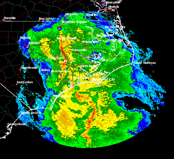 At 803 am est, doppler radar indicated a line of severe thunderstorms capable of producing damaging winds in excess of 60 mph. these storms were located along a line extending from 8 miles north of farmville to near ayden to 7 miles east of kinston, and moving east at 50 mph. At 803 am est, doppler radar indicated a line of severe thunderstorms capable of producing damaging winds in excess of 60 mph. these storms were located along a line extending from 8 miles north of farmville to near ayden to 7 miles east of kinston, and moving east at 50 mph.
|
| 7/11/2015 1:58 PM EDT |
 At 157 pm edt, doppler radar indicated a severe thunderstorm capable of producing quarter size hail and damaging winds in excess of 60 mph. this storm was located near aurora ferry terminal, or 19 miles southeast of river road, and moving east at 15 mph. At 157 pm edt, doppler radar indicated a severe thunderstorm capable of producing quarter size hail and damaging winds in excess of 60 mph. this storm was located near aurora ferry terminal, or 19 miles southeast of river road, and moving east at 15 mph.
|
| 6/26/2015 6:06 PM EDT | At 605 pm edt, doppler radar indicated a line of severe thunderstorms capable of producing quarter size hail and damaging winds in excess of 60 mph. these storms were located along a line extending from 14 miles southwest of swan quarter ferry terminal to 11 miles south of aurora ferry terminal to near fairfield harbour to near maysville, moving southeast at 20 mph. locations impacted include, new bern, havelock, trent woods, coastal carolina regional airport, bayboro, alliance, aurora, stonewall, vandemere and mesic. |
| 6/26/2015 5:50 PM EDT | At 548 pm edt, doppler radar indicated a line of severe thunderstorms capable of producing quarter size hail and damaging winds in excess of 60 mph. these storms were located along a line extending from 13 miles southwest of swan quarter ferry terminal to 9 miles south of aurora ferry terminal to 6 miles east of vanceboro to near maysville, and moving southeast at 10 mph. |
| 6/6/2015 4:53 PM EDT | At 452 pm edt, doppler radar indicated a severe thunderstorm capable of producing damaging winds in excess of 60 mph. this storm was located 10 miles southwest of aurora ferry terminal, or 15 miles northeast of new bern, and moving south at 30 mph. nickel size hail may also accompany the damaging winds. |
| 5/21/2015 4:45 PM EDT | At 445 pm edt, trained weather spotters reported a severe thunderstorm producing quarter size hail and damaging winds in excess of 60 mph. this storm was located 9 miles southwest of goose creek state park, or 9 miles south of river road, moving northeast at 25 mph. locations impacted include, vanceboro and aurora. |
| 5/21/2015 4:27 PM EDT | At 426 pm edt, doppler radar indicated a severe thunderstorm capable of producing quarter size hail and damaging winds in excess of 60 mph. this storm was located over vanceboro, or 14 miles north of new bern, and moving northeast at 25 mph. |
| 1/1/0001 12:00 AM | Large branches down... reported by blounts creek fire department near auror in beaufort county NC, 0.2 miles NNW of Aurora, NC |
Hail Maps for Aurora, NC


Connect with Interactive Hail Maps