

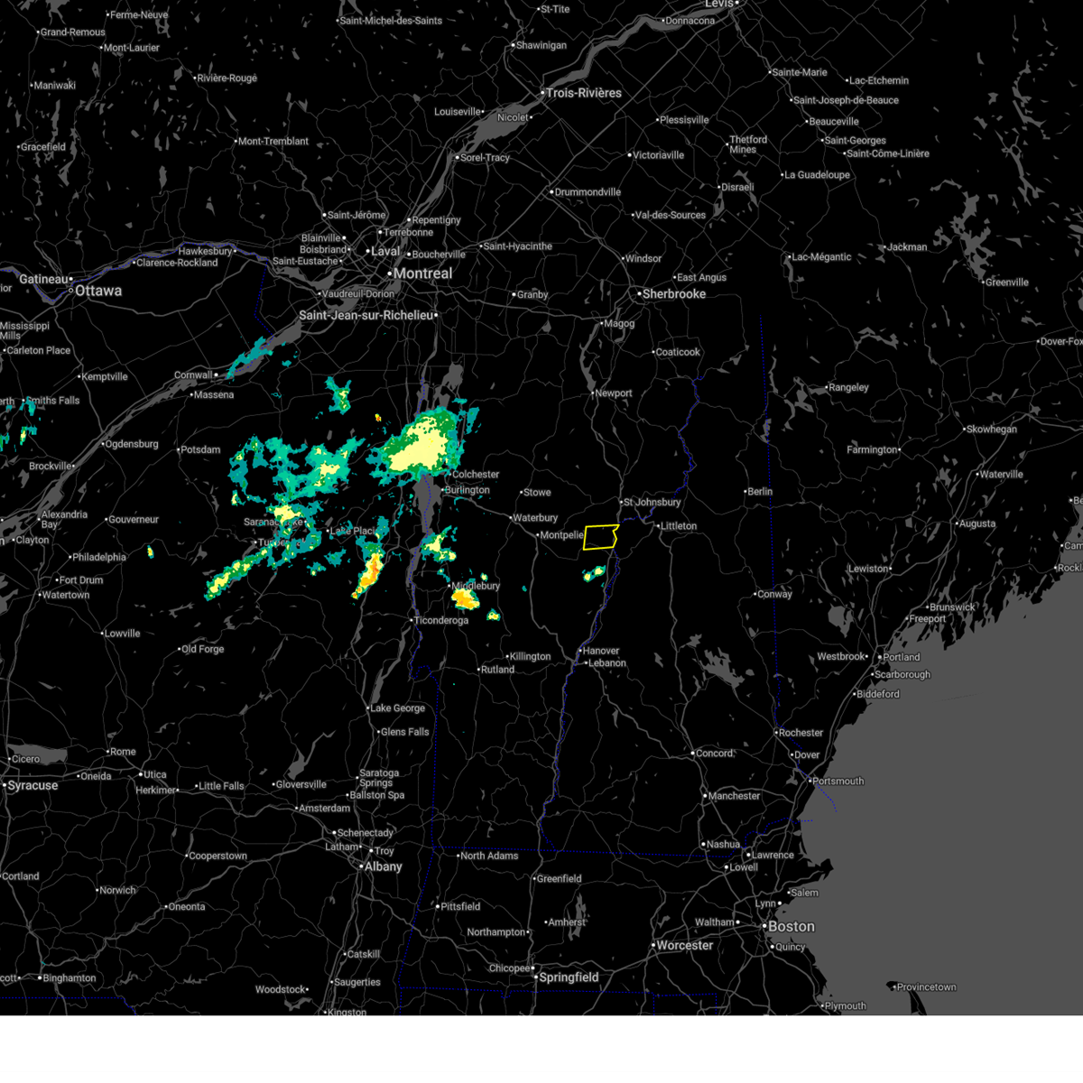
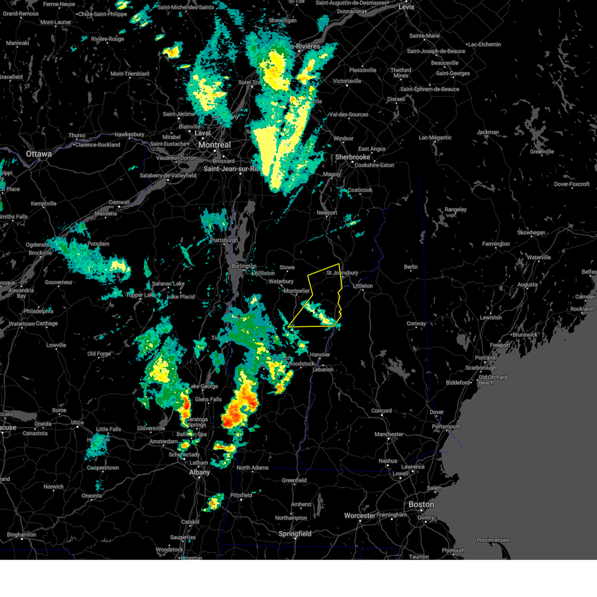
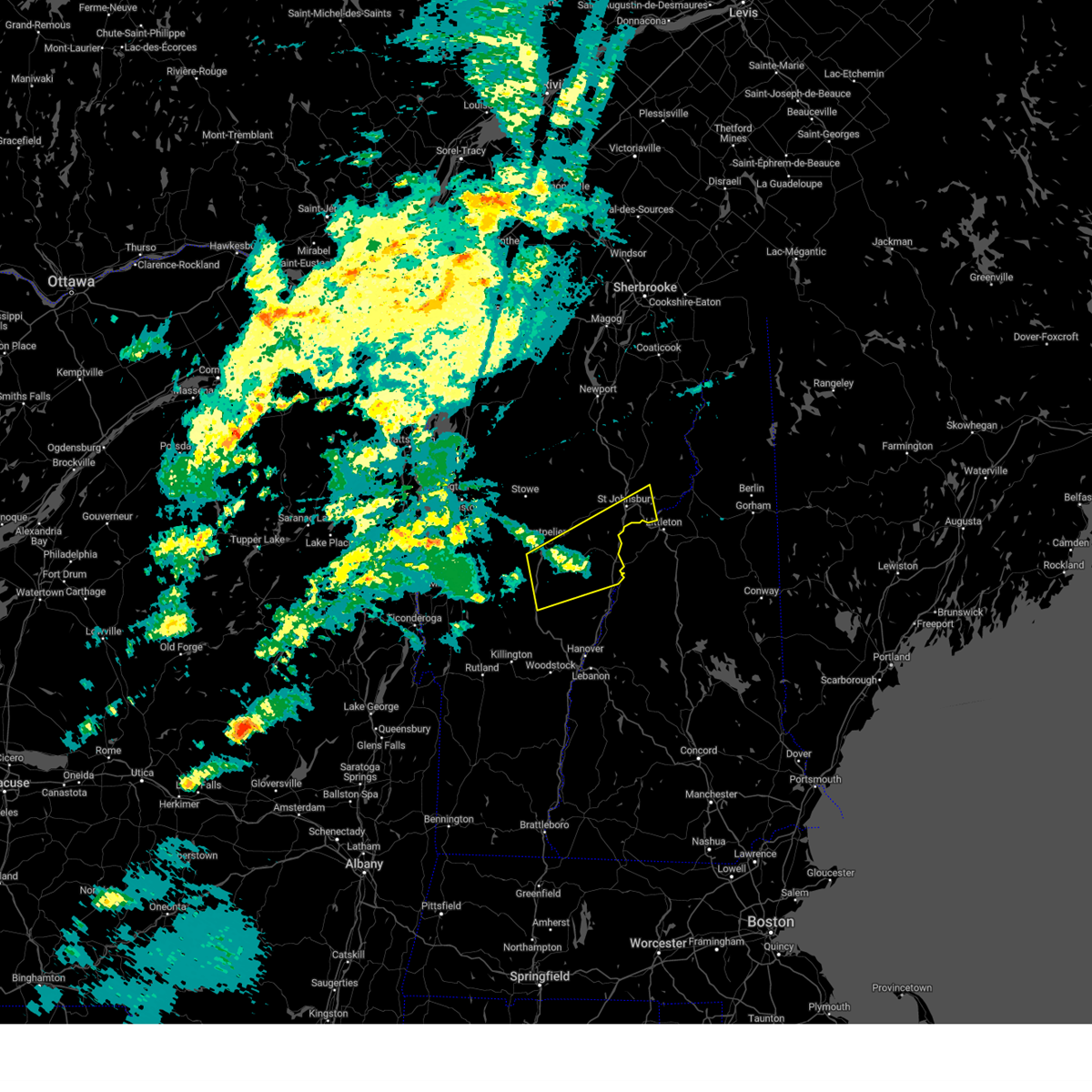
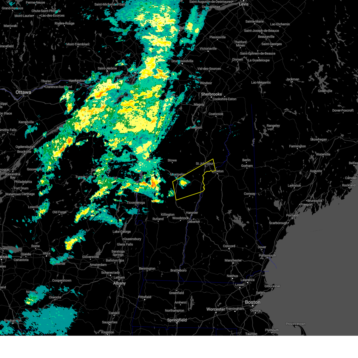
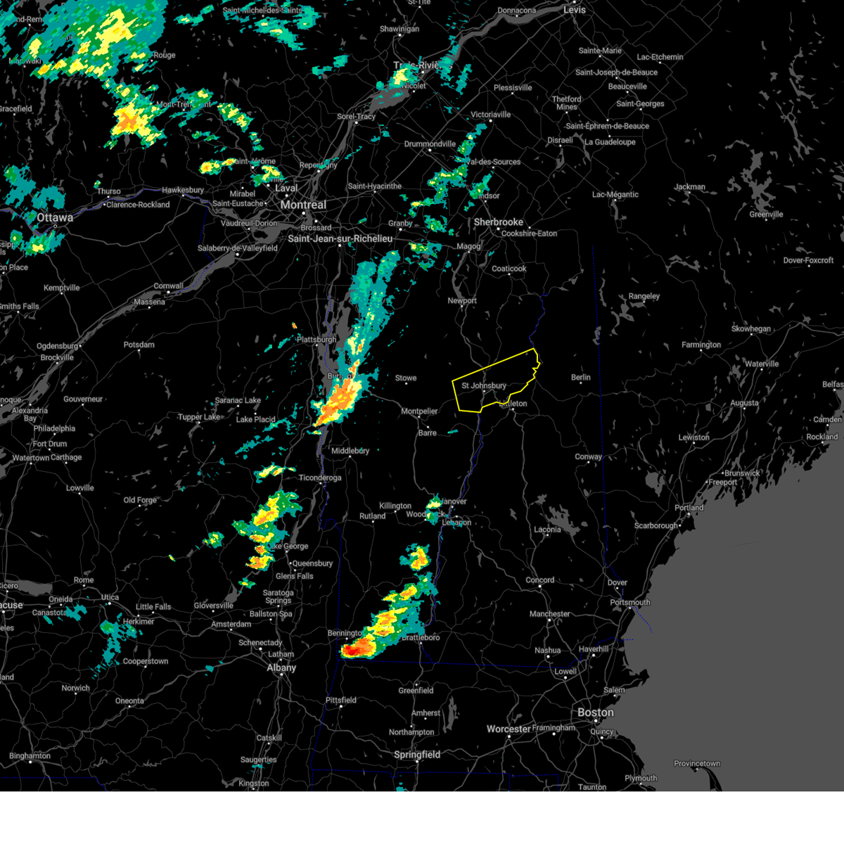
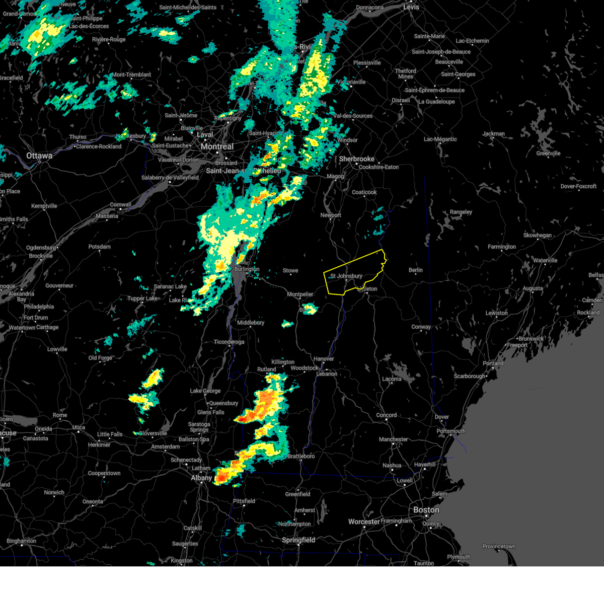
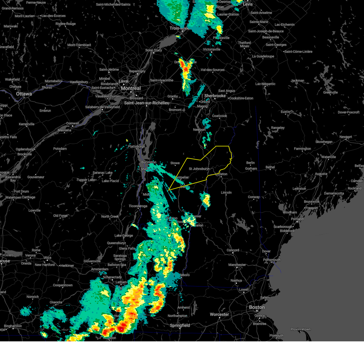
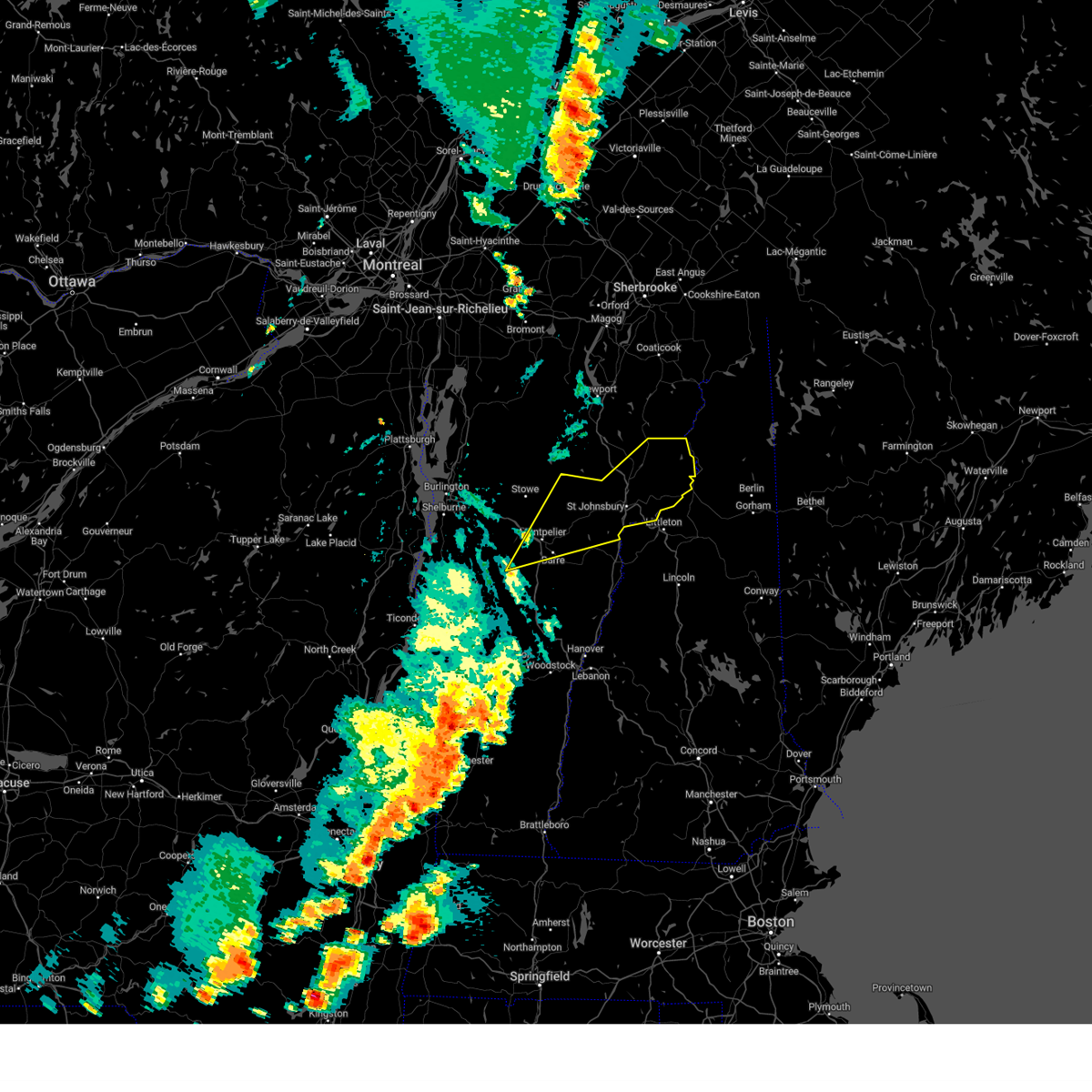
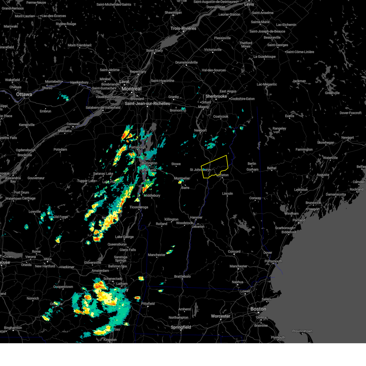
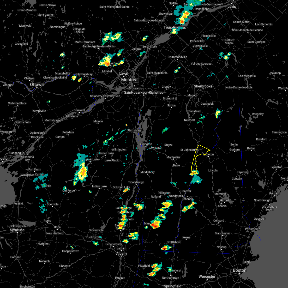
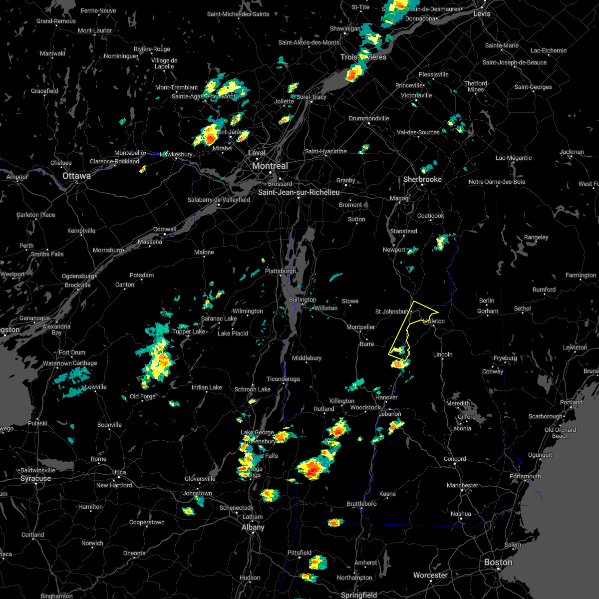
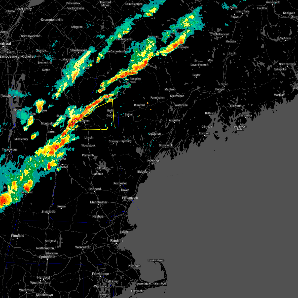
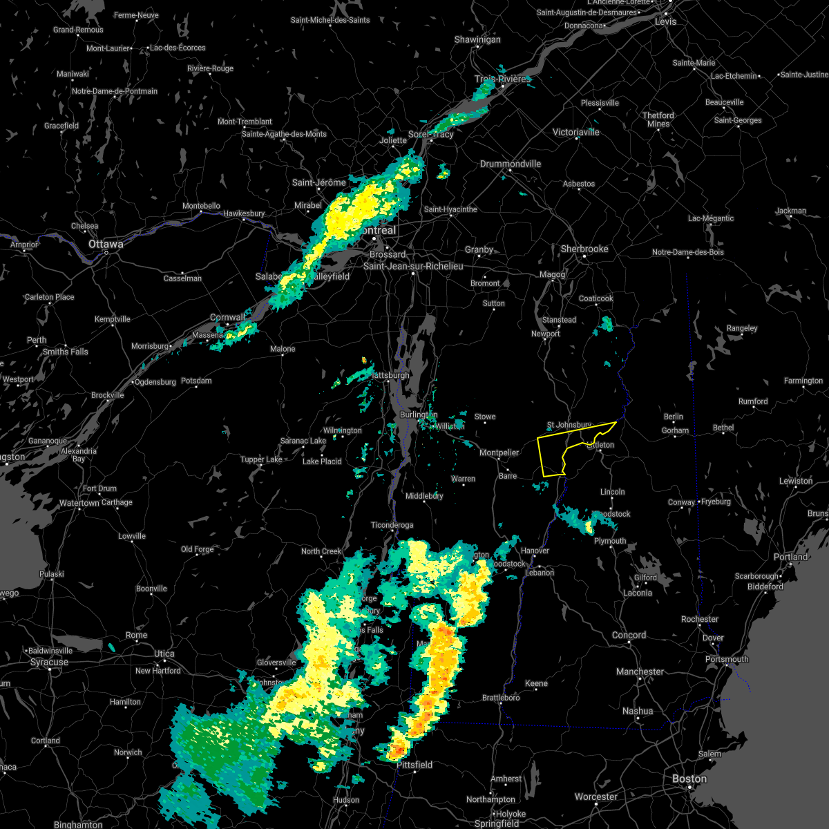
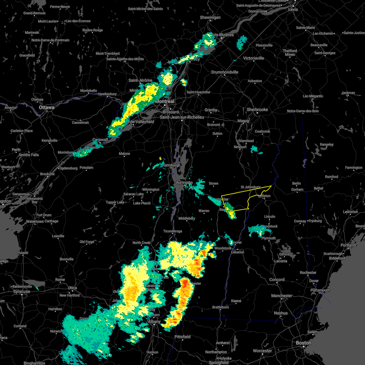
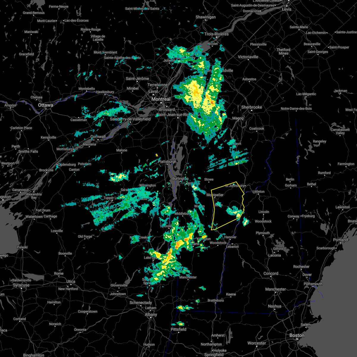
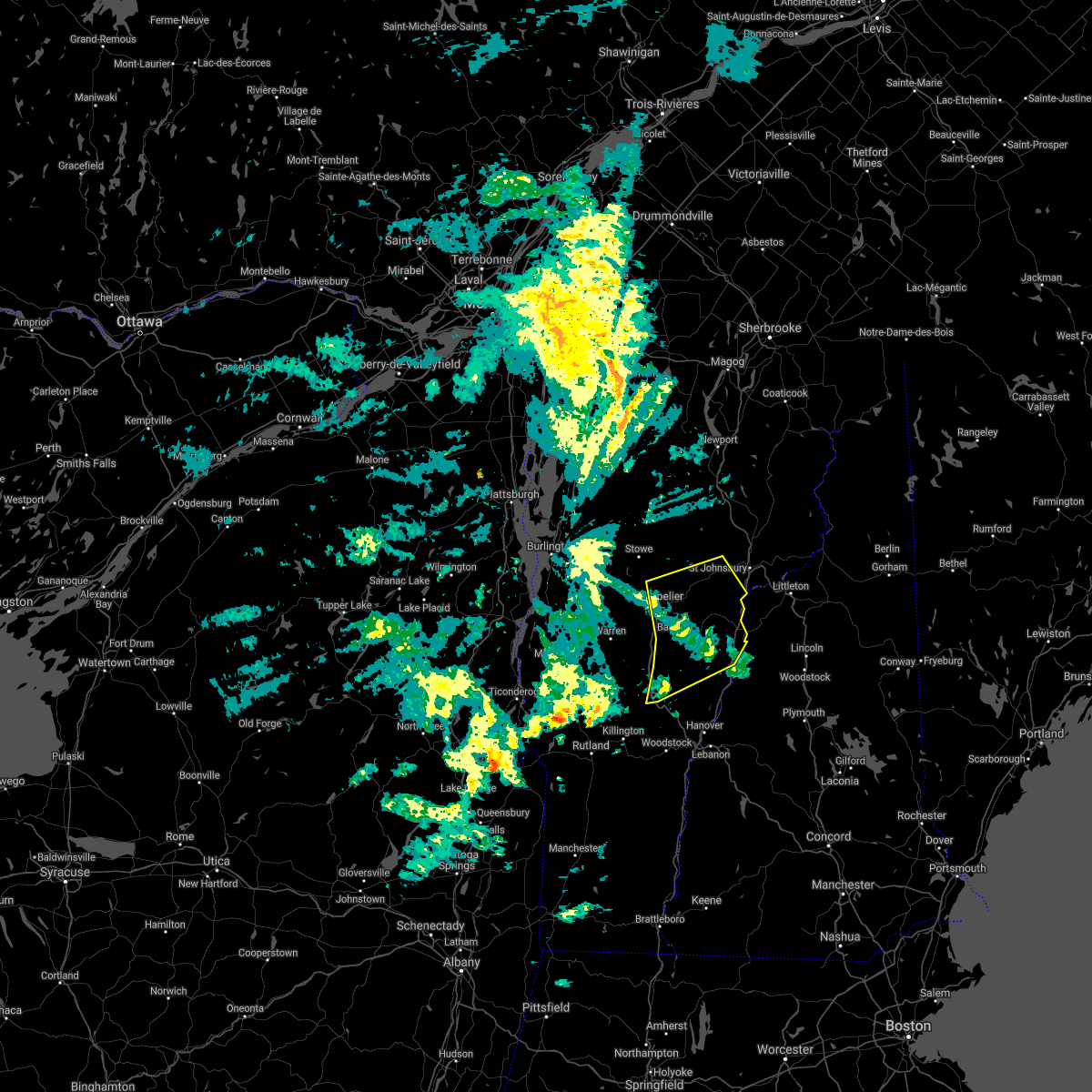
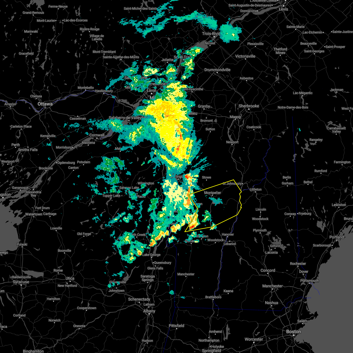
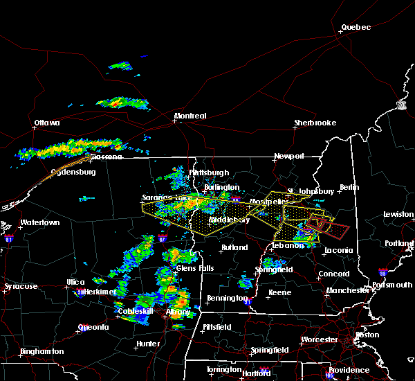
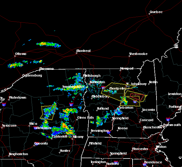
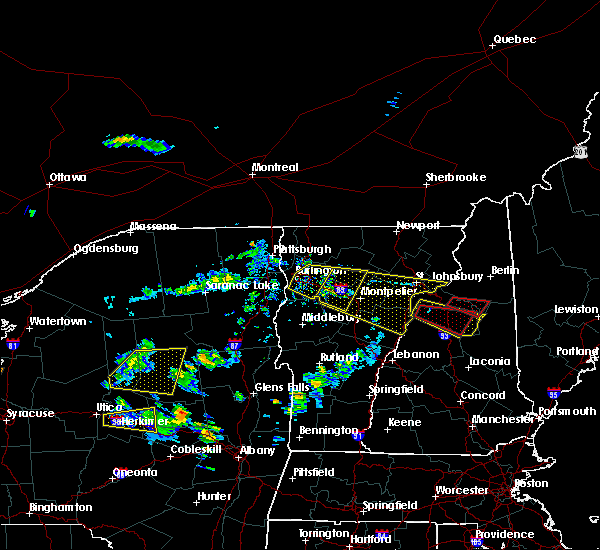
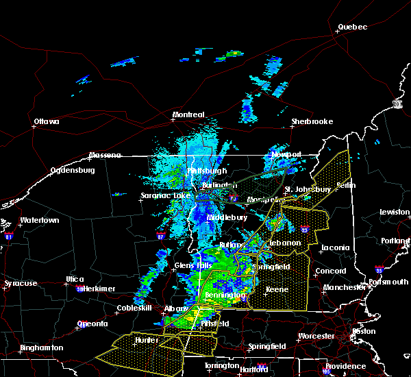
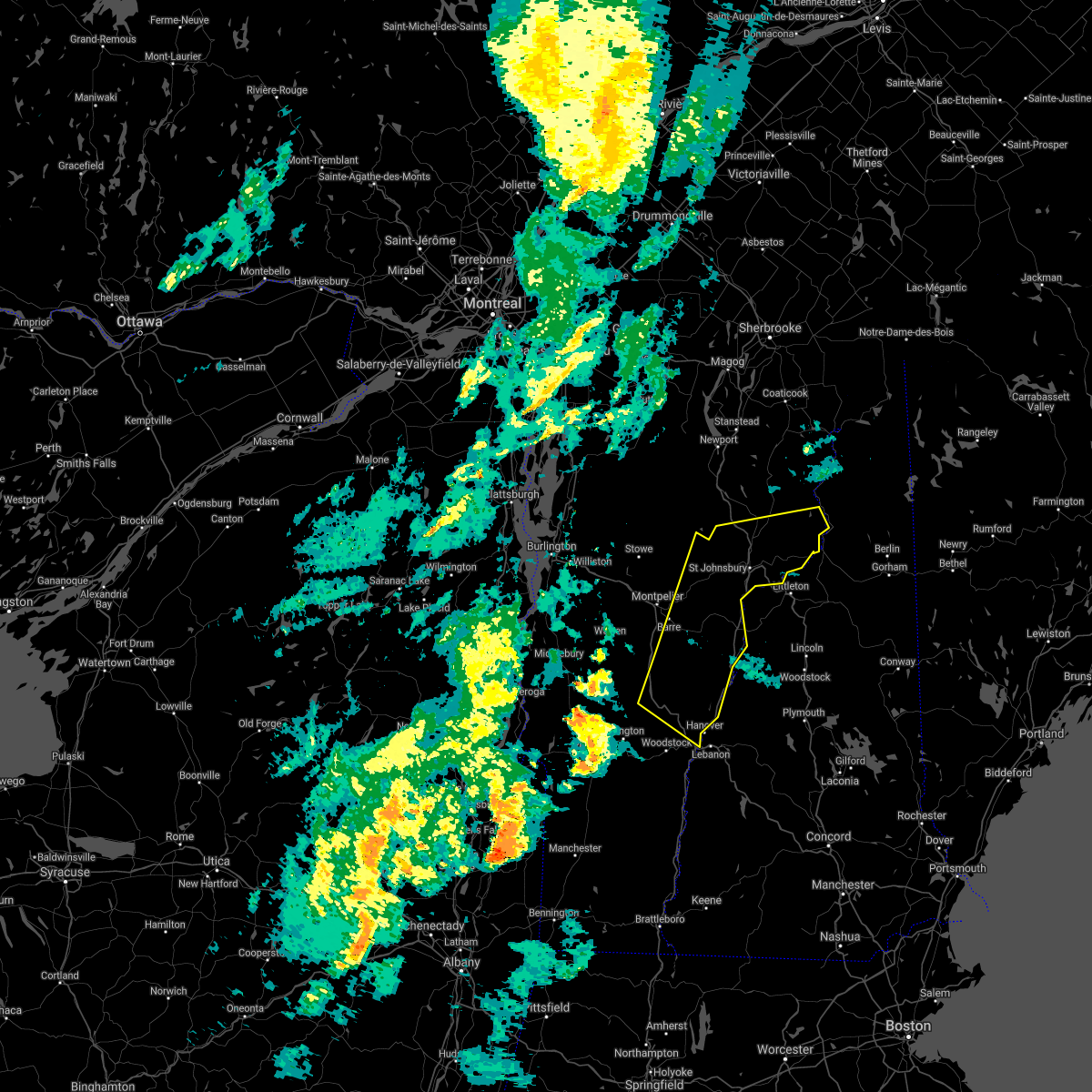
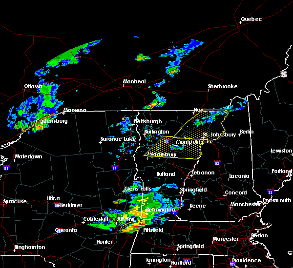
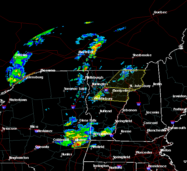
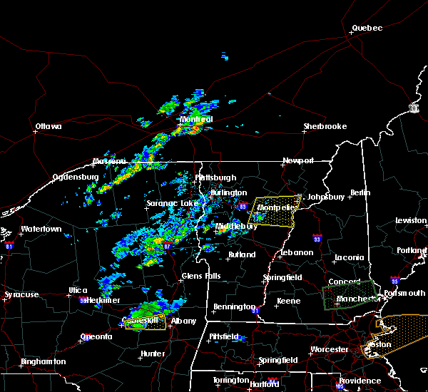
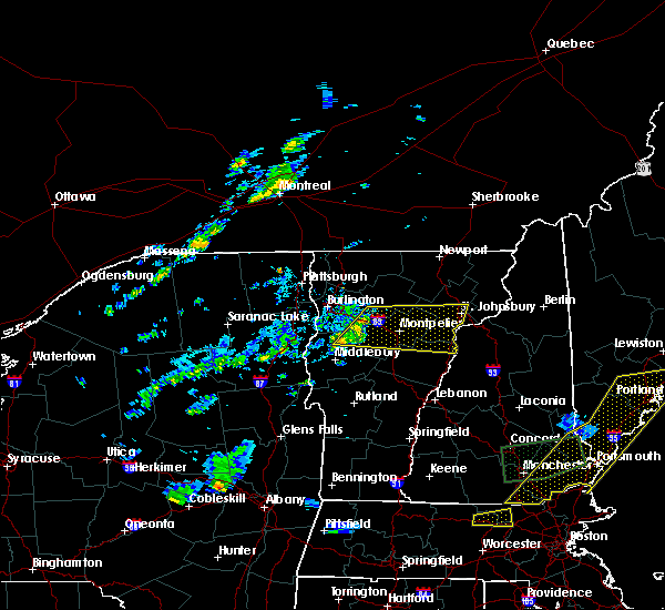
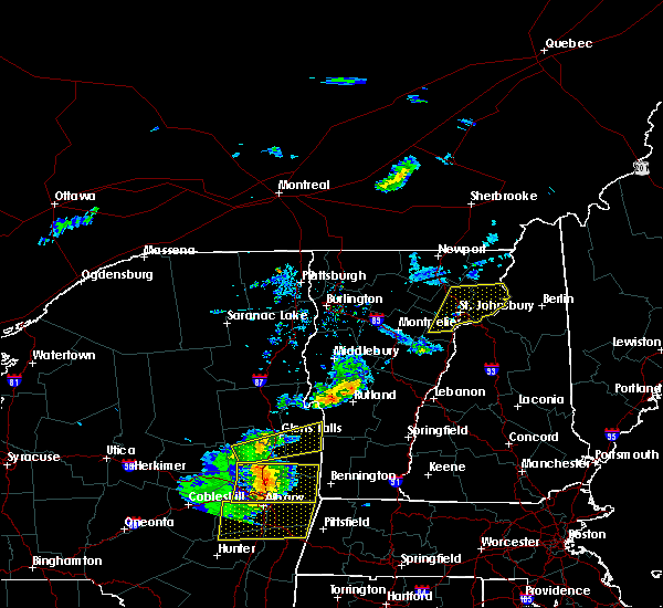
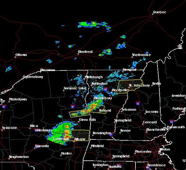
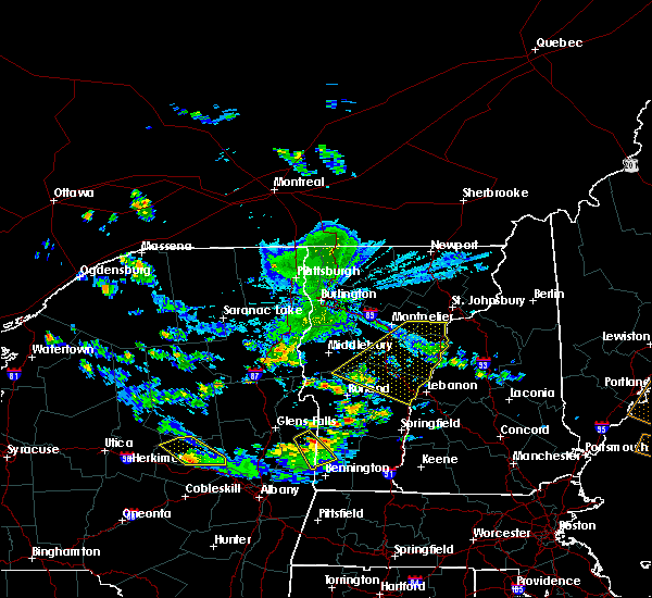
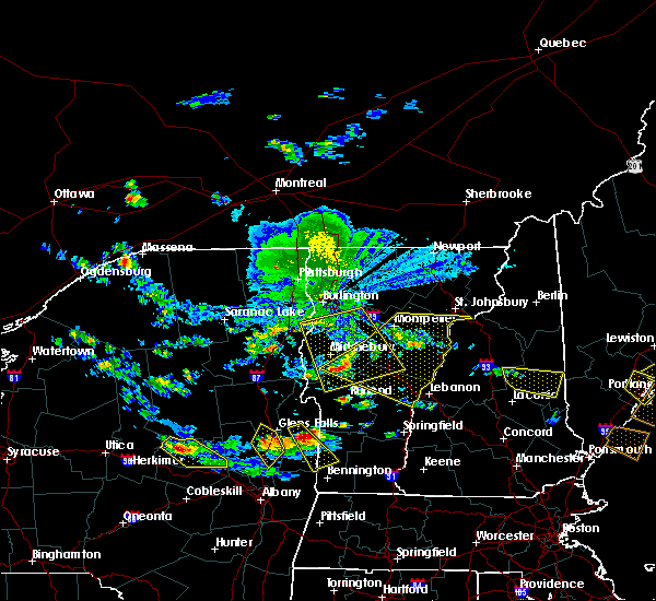
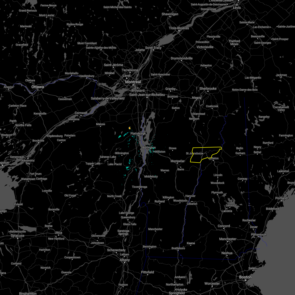
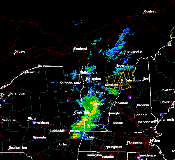
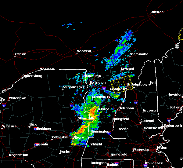
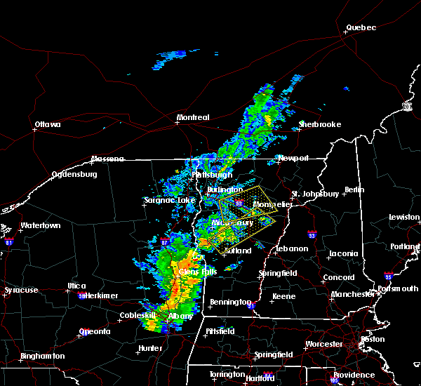
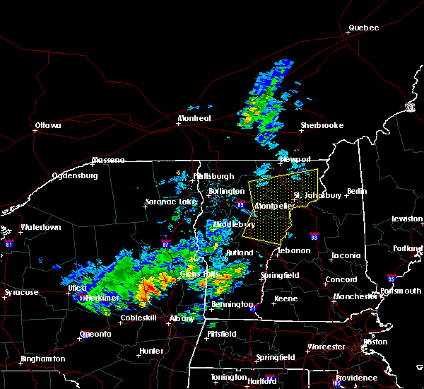
Hail Map for Barnet, VT
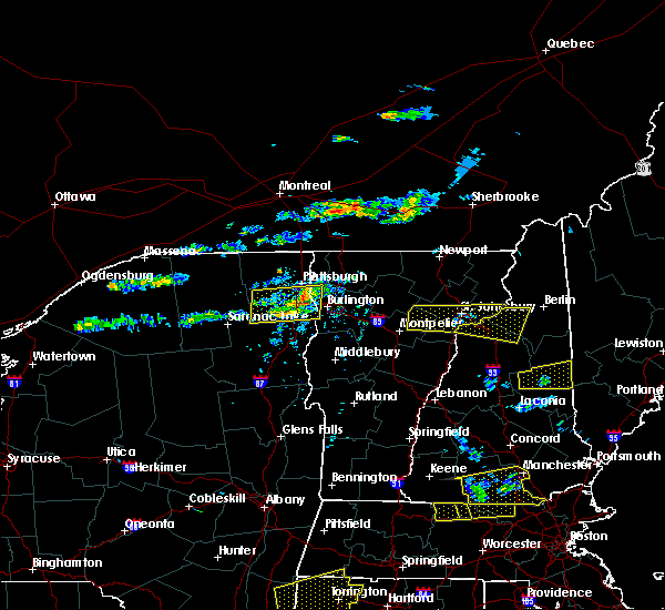
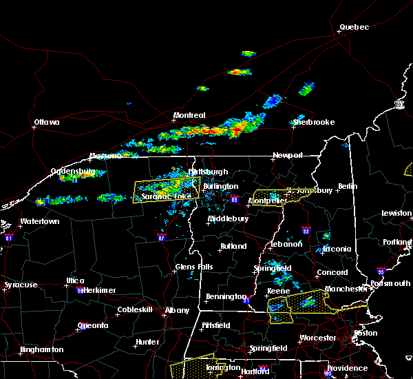
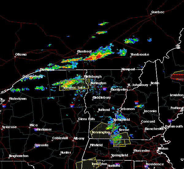
The Barnet, VT area has had 2 reports of on-the-ground hail by trained spotters, and has been under severe weather warnings 11 times during the past 12 months. Doppler radar has detected hail at or near Barnet, VT on 12 occasions.
| Name: | Barnet, VT |
| Where Located: | 58.9 miles ESE of Burlington, VT |
| Map: | Google Map for Barnet, VT |
| Population: | 129 |
| Housing Units: | 58 |
| More Info: | Search Google for Barnet, VT |
5
The Top Recent Hail Date for Barnet, VT is Thursday, May 26, 2011 (1st out of 12)

Hail and Wind Damage Spotted near Barnet, VT
| Date / Time | Report Details |
|---|---|
| 7/3/2025 8:03 PM EDT | At 803 pm edt, a severe thunderstorm was located near mcindoe falls, moving east at 35 mph (radar indicated). Hazards include 60 mph wind gusts and penny size hail. Expect damage to trees and powerlines. this storm has a history of wind damage leading to power outages. locations impacted include, barre, st. Johnsbury, lyndon, waterford, plainfield, orange, stannard, websterville, marshfield village, topsham, lunenburg, groton, marshfield, cabot village, lower waterford, barre town, lyndonville village, topsham four corners, wells river village, and ryegate. |
| 7/3/2025 8:03 PM EDT | the severe thunderstorm warning has been cancelled and is no longer in effect |
| 7/3/2025 7:10 PM EDT | Svrbtv the national weather service in burlington has issued a * severe thunderstorm warning for, southern lamoille county in northwestern vermont, northeastern orange county in central vermont, caledonia county in northeastern vermont, southern orleans county in northeastern vermont, southern essex county in northeastern vermont, east central chittenden county in northwestern vermont, washington county in central vermont, * until 830 pm edt. * at 709 pm edt, a severe thunderstorm was located near worcester, moving east at 35 mph (radar indicated). Hazards include 60 mph wind gusts and penny size hail. Expect damage to trees and powerlines. This storm has a history of wind damage and moderate size hail. |
| 6/24/2025 7:13 PM EDT |
 The storm which prompted the warning has weakened below severe limits, and has exited the warned area. therefore, the warning will be allowed to expire. to report severe weather, contact your nearest law enforcement agency. they will relay your report to the national weather service burlington. The storm which prompted the warning has weakened below severe limits, and has exited the warned area. therefore, the warning will be allowed to expire. to report severe weather, contact your nearest law enforcement agency. they will relay your report to the national weather service burlington.
|
| 6/24/2025 6:58 PM EDT |
 the severe thunderstorm warning has been cancelled and is no longer in effect the severe thunderstorm warning has been cancelled and is no longer in effect
|
| 6/24/2025 6:58 PM EDT |
 At 658 pm edt, a severe thunderstorm was located over groton village, moving east at 25 mph (radar indicated). Hazards include 60 mph wind gusts. Expect damage to trees and powerlines. Locations impacted include, ryegate, groton village, ricker state park, groton, barnet, peacham, ryegate corner, west groton, and mcindoe falls. At 658 pm edt, a severe thunderstorm was located over groton village, moving east at 25 mph (radar indicated). Hazards include 60 mph wind gusts. Expect damage to trees and powerlines. Locations impacted include, ryegate, groton village, ricker state park, groton, barnet, peacham, ryegate corner, west groton, and mcindoe falls.
|
| 6/24/2025 6:40 PM EDT |
 Svrbtv the national weather service in burlington has issued a * severe thunderstorm warning for, northeastern orange county in central vermont, southwestern caledonia county in northeastern vermont, east central washington county in central vermont, * until 715 pm edt. * at 640 pm edt, a severe thunderstorm was located over groton, moving east at 30 mph (radar indicated). Hazards include 60 mph wind gusts. expect damage to trees and powerlines Svrbtv the national weather service in burlington has issued a * severe thunderstorm warning for, northeastern orange county in central vermont, southwestern caledonia county in northeastern vermont, east central washington county in central vermont, * until 715 pm edt. * at 640 pm edt, a severe thunderstorm was located over groton, moving east at 30 mph (radar indicated). Hazards include 60 mph wind gusts. expect damage to trees and powerlines
|
| 5/17/2025 5:31 PM EDT |
 the severe thunderstorm warning has been cancelled and is no longer in effect the severe thunderstorm warning has been cancelled and is no longer in effect
|
| 5/17/2025 5:12 PM EDT |
 the severe thunderstorm warning has been cancelled and is no longer in effect the severe thunderstorm warning has been cancelled and is no longer in effect
|
| 5/17/2025 5:12 PM EDT |
 At 511 pm edt, severe thunderstorms were located along a line extending from east cabot to south peacham to north randolph, moving east at 35 mph (radar indicated). Hazards include 60 mph wind gusts and quarter size hail. Minor hail damage to vehicles is possible. expect wind damage to trees and powerlines. Locations impacted include, bradford, south ryegate, west corinth, orange, boltonville, east braintree, west danville, chelsea, upper graniteville, mcindoe falls, stillwater state park, south cabot, south newbury, websterville, corinth, marshfield village, east barnet, wells river, topsham, and bradford center. At 511 pm edt, severe thunderstorms were located along a line extending from east cabot to south peacham to north randolph, moving east at 35 mph (radar indicated). Hazards include 60 mph wind gusts and quarter size hail. Minor hail damage to vehicles is possible. expect wind damage to trees and powerlines. Locations impacted include, bradford, south ryegate, west corinth, orange, boltonville, east braintree, west danville, chelsea, upper graniteville, mcindoe falls, stillwater state park, south cabot, south newbury, websterville, corinth, marshfield village, east barnet, wells river, topsham, and bradford center.
|
| 5/17/2025 4:46 PM EDT |
 Svrbtv the national weather service in burlington has issued a * severe thunderstorm warning for, southeastern lamoille county in northwestern vermont, northern orange county in central vermont, southwestern caledonia county in northeastern vermont, eastern washington county in central vermont, * until 545 pm edt. * at 446 pm edt, severe thunderstorms were located along a line extending from adamant to near barre town to braintree, moving east at 15 mph (radar indicated). Hazards include 60 mph wind gusts and quarter size hail. Minor hail damage to vehicles is possible. Expect wind damage to trees and powerlines. Svrbtv the national weather service in burlington has issued a * severe thunderstorm warning for, southeastern lamoille county in northwestern vermont, northern orange county in central vermont, southwestern caledonia county in northeastern vermont, eastern washington county in central vermont, * until 545 pm edt. * at 446 pm edt, severe thunderstorms were located along a line extending from adamant to near barre town to braintree, moving east at 15 mph (radar indicated). Hazards include 60 mph wind gusts and quarter size hail. Minor hail damage to vehicles is possible. Expect wind damage to trees and powerlines.
|
| 7/10/2024 7:50 PM EDT |
 The storm which prompted the warning has weakened below severe limits, and no longer poses an immediate threat to life or property. therefore, the warning will be allowed to expire. however, heavy rain is still possible with this thunderstorm. a tornado watch remains in effect until 900 pm edt for central and northeastern vermont. The storm which prompted the warning has weakened below severe limits, and no longer poses an immediate threat to life or property. therefore, the warning will be allowed to expire. however, heavy rain is still possible with this thunderstorm. a tornado watch remains in effect until 900 pm edt for central and northeastern vermont.
|
| 7/10/2024 7:40 PM EDT |
 At 740 pm edt, a severe thunderstorm was located over groton village, moving northeast at 30 mph (radar indicated). Hazards include 60 mph wind gusts. Expect damage to trees and powerlines. locations impacted include, barre, st. Johnsbury, montpelier, waterford, plainfield, orange, chelsea, websterville, corinth, randolph, topsham, berlin, groton, marshfield, lower waterford, barre town, northfield village, corinth corners, topsham four corners, and washington. At 740 pm edt, a severe thunderstorm was located over groton village, moving northeast at 30 mph (radar indicated). Hazards include 60 mph wind gusts. Expect damage to trees and powerlines. locations impacted include, barre, st. Johnsbury, montpelier, waterford, plainfield, orange, chelsea, websterville, corinth, randolph, topsham, berlin, groton, marshfield, lower waterford, barre town, northfield village, corinth corners, topsham four corners, and washington.
|
| 7/10/2024 7:16 PM EDT |
 Svrbtv the national weather service in burlington has issued a * severe thunderstorm warning for, northern orange county in central vermont, southern caledonia county in northeastern vermont, southwestern essex county in northeastern vermont, central washington county in central vermont, * until 800 pm edt. * at 715 pm edt, a severe thunderstorm was located over east barre, moving northeast at 30 mph (radar indicated). Hazards include 60 mph wind gusts. expect damage to trees and powerlines Svrbtv the national weather service in burlington has issued a * severe thunderstorm warning for, northern orange county in central vermont, southern caledonia county in northeastern vermont, southwestern essex county in northeastern vermont, central washington county in central vermont, * until 800 pm edt. * at 715 pm edt, a severe thunderstorm was located over east barre, moving northeast at 30 mph (radar indicated). Hazards include 60 mph wind gusts. expect damage to trees and powerlines
|
| 6/23/2024 3:52 PM EDT |
 The storm which prompted the warning has weakened below severe limits, and no longer poses an immediate threat to life or property. therefore, the warning will be allowed to expire. however, gusty winds are still possible with this thunderstorm. a tornado watch remains in effect until 800 pm edt for central and northeastern vermont. The storm which prompted the warning has weakened below severe limits, and no longer poses an immediate threat to life or property. therefore, the warning will be allowed to expire. however, gusty winds are still possible with this thunderstorm. a tornado watch remains in effect until 800 pm edt for central and northeastern vermont.
|
| 6/23/2024 3:21 PM EDT |
 Svrbtv the national weather service in burlington has issued a * severe thunderstorm warning for, central caledonia county in northeastern vermont, southern essex county in northeastern vermont, eastern washington county in central vermont, * until 400 pm edt. * at 319 pm edt, a severe thunderstorm was located over west danville, moving east at 35 mph (radar indicated). Hazards include 60 mph wind gusts and penny size hail. expect damage to trees and powerlines Svrbtv the national weather service in burlington has issued a * severe thunderstorm warning for, central caledonia county in northeastern vermont, southern essex county in northeastern vermont, eastern washington county in central vermont, * until 400 pm edt. * at 319 pm edt, a severe thunderstorm was located over west danville, moving east at 35 mph (radar indicated). Hazards include 60 mph wind gusts and penny size hail. expect damage to trees and powerlines
|
| 9/7/2023 10:52 PM EDT |
 At 1051 pm edt, severe thunderstorms were located along a line extending from 20 miles northwest of littleton to 7 miles north of hanover, moving north at 85 mph (radar indicated). Hazards include 60 mph wind gusts and quarter size hail. Expect wind damage to trees and power lines. minor hail damage to vehicles is possible. locations impacted include, franklin, littleton, bethlehem, lincoln, new london, plymouth, grafton, hanover, haverhill, enfield, canaan, bradford, danbury, franconia, groton, woodstock, piermont, newport, walpole and alstead. hail threat, radar indicated max hail size, 1. 00 in wind threat, observed max wind gust, 60 mph. At 1051 pm edt, severe thunderstorms were located along a line extending from 20 miles northwest of littleton to 7 miles north of hanover, moving north at 85 mph (radar indicated). Hazards include 60 mph wind gusts and quarter size hail. Expect wind damage to trees and power lines. minor hail damage to vehicles is possible. locations impacted include, franklin, littleton, bethlehem, lincoln, new london, plymouth, grafton, hanover, haverhill, enfield, canaan, bradford, danbury, franconia, groton, woodstock, piermont, newport, walpole and alstead. hail threat, radar indicated max hail size, 1. 00 in wind threat, observed max wind gust, 60 mph.
|
| 9/7/2023 10:18 PM EDT |
 At 1018 pm edt, severe thunderstorms were located along a line extending from 17 miles northwest of hanover to near charlestown, moving north at 85 mph (radar indicated). Hazards include 60 mph wind gusts and quarter size hail. Expect wind damage to trees and power lines. Minor hail damage to vehicles is possible. At 1018 pm edt, severe thunderstorms were located along a line extending from 17 miles northwest of hanover to near charlestown, moving north at 85 mph (radar indicated). Hazards include 60 mph wind gusts and quarter size hail. Expect wind damage to trees and power lines. Minor hail damage to vehicles is possible.
|
| 7/13/2023 8:06 PM EDT |
 The severe thunderstorm warning for southeastern lamoille, north central orange, caledonia, southern orleans, southern essex and central washington counties will expire at 815 pm edt, the storms which prompted the warning have weakened below severe limits, and have exited the warned area. therefore, the warning will be allowed to expire. a severe thunderstorm watch remains in effect until 1000 pm edt for central, northeastern and northwestern vermont. The severe thunderstorm warning for southeastern lamoille, north central orange, caledonia, southern orleans, southern essex and central washington counties will expire at 815 pm edt, the storms which prompted the warning have weakened below severe limits, and have exited the warned area. therefore, the warning will be allowed to expire. a severe thunderstorm watch remains in effect until 1000 pm edt for central, northeastern and northwestern vermont.
|
| 7/13/2023 8:02 PM EDT |
 At 802 pm edt, severe thunderstorms were located along a line extending from 11 miles west of littleton to 9 miles southwest of lebanon, moving northeast at 65 mph (radar indicated). Hazards include 60 mph wind gusts. expect damage to roofs, siding, and trees At 802 pm edt, severe thunderstorms were located along a line extending from 11 miles west of littleton to 9 miles southwest of lebanon, moving northeast at 65 mph (radar indicated). Hazards include 60 mph wind gusts. expect damage to roofs, siding, and trees
|
| 7/13/2023 7:37 PM EDT |
 The severe thunderstorm warning for orange, south central caledonia, east central rutland, windsor and southeastern washington counties will expire at 745 pm edt, the storms which prompted the warning have weakened. therefore, the warning will be allowed to expire. a severe thunderstorm watch remains in effect until 1000 pm edt for central, southern and northeastern vermont. The severe thunderstorm warning for orange, south central caledonia, east central rutland, windsor and southeastern washington counties will expire at 745 pm edt, the storms which prompted the warning have weakened. therefore, the warning will be allowed to expire. a severe thunderstorm watch remains in effect until 1000 pm edt for central, southern and northeastern vermont.
|
| 7/13/2023 7:26 PM EDT |
 At 726 pm edt, severe thunderstorms were located along a line extending from near hardwick center to northfield, moving northeast at 30 mph (radar indicated). Hazards include 60 mph wind gusts and quarter size hail. Minor hail damage to vehicles is possible. Expect wind damage to trees and powerlines. At 726 pm edt, severe thunderstorms were located along a line extending from near hardwick center to northfield, moving northeast at 30 mph (radar indicated). Hazards include 60 mph wind gusts and quarter size hail. Minor hail damage to vehicles is possible. Expect wind damage to trees and powerlines.
|
| 7/13/2023 6:57 PM EDT |
 At 657 pm edt, severe thunderstorms were located along a line extending from near irasville to near south wallingford, moving east at 55 mph (radar indicated). Hazards include 60 mph wind gusts and quarter size hail. Minor hail damage to vehicles is possible. Expect wind damage to trees and powerlines. At 657 pm edt, severe thunderstorms were located along a line extending from near irasville to near south wallingford, moving east at 55 mph (radar indicated). Hazards include 60 mph wind gusts and quarter size hail. Minor hail damage to vehicles is possible. Expect wind damage to trees and powerlines.
|
| 7/7/2023 1:25 PM EDT |
 At 125 pm edt, a severe thunderstorm was located over greenbank hollow, moving east at 15 mph (radar indicated). Hazards include 60 mph wind gusts and quarter size hail. Minor hail damage to vehicles is possible. Expect wind damage to trees and powerlines. At 125 pm edt, a severe thunderstorm was located over greenbank hollow, moving east at 15 mph (radar indicated). Hazards include 60 mph wind gusts and quarter size hail. Minor hail damage to vehicles is possible. Expect wind damage to trees and powerlines.
|
| 7/21/2022 2:20 PM EDT |
 At 220 pm edt, a severe thunderstorm was located over piermont, or 18 miles west of lincoln, moving northeast at 45 mph (radar indicated). Hazards include 60 mph wind gusts and quarter size hail. Hail damage to vehicles is expected. expect wind damage to roofs, siding, and trees. locations impacted include, littleton, bethlehem, lincoln, haverhill, franconia, piermont, woodstock, lisbon, bath, dalton, benton, easton, monroe, landaff, lyman, sugar hill and orford. This includes interstate 93 between mile markers 100 and 131. At 220 pm edt, a severe thunderstorm was located over piermont, or 18 miles west of lincoln, moving northeast at 45 mph (radar indicated). Hazards include 60 mph wind gusts and quarter size hail. Hail damage to vehicles is expected. expect wind damage to roofs, siding, and trees. locations impacted include, littleton, bethlehem, lincoln, haverhill, franconia, piermont, woodstock, lisbon, bath, dalton, benton, easton, monroe, landaff, lyman, sugar hill and orford. This includes interstate 93 between mile markers 100 and 131.
|
| 7/21/2022 2:00 PM EDT |
 At 159 pm edt, a severe thunderstorm was located over newbury center, moving northeast at 25 mph (spotter reports three quarter inch hail in bradford). Hazards include 60 mph wind gusts and penny size hail. Expect damage to trees and powerlines. locations impacted include, st. johnsbury, waterford, wells river village, ryegate, newbury, newbury village, barnet, concord, lower waterford, kirby, danville, wells river, st. Johnsbury center, concord corner, west waterford, newbury center, south ryegate, boltonville, mcindoe falls and south newbury. At 159 pm edt, a severe thunderstorm was located over newbury center, moving northeast at 25 mph (spotter reports three quarter inch hail in bradford). Hazards include 60 mph wind gusts and penny size hail. Expect damage to trees and powerlines. locations impacted include, st. johnsbury, waterford, wells river village, ryegate, newbury, newbury village, barnet, concord, lower waterford, kirby, danville, wells river, st. Johnsbury center, concord corner, west waterford, newbury center, south ryegate, boltonville, mcindoe falls and south newbury.
|
| 7/21/2022 1:47 PM EDT |
 At 147 pm edt, a severe thunderstorm was located over topsham four corners, moving northeast at 30 mph (radar indicated). Hazards include 60 mph wind gusts and quarter size hail. Minor hail damage to vehicles is possible. Expect wind damage to trees and powerlines. At 147 pm edt, a severe thunderstorm was located over topsham four corners, moving northeast at 30 mph (radar indicated). Hazards include 60 mph wind gusts and quarter size hail. Minor hail damage to vehicles is possible. Expect wind damage to trees and powerlines.
|
| 7/21/2022 1:46 PM EDT |
 At 146 pm edt, a severe thunderstorm was located 7 miles northwest of haverhill, or 22 miles southwest of littleton, moving northeast at 30 mph (radar indicated). Hazards include 60 mph wind gusts and quarter size hail. Hail damage to vehicles is expected. Expect wind damage to roofs, siding, and trees. At 146 pm edt, a severe thunderstorm was located 7 miles northwest of haverhill, or 22 miles southwest of littleton, moving northeast at 30 mph (radar indicated). Hazards include 60 mph wind gusts and quarter size hail. Hail damage to vehicles is expected. Expect wind damage to roofs, siding, and trees.
|
| 9/15/2021 2:18 PM EDT |
 At 218 pm edt, a severe thunderstorm was located 11 miles west of littleton, moving east at 45 mph (radar indicated). Hazards include 60 mph wind gusts and quarter size hail. Hail damage to vehicles is expected. Expect wind damage to roofs, siding, and trees. At 218 pm edt, a severe thunderstorm was located 11 miles west of littleton, moving east at 45 mph (radar indicated). Hazards include 60 mph wind gusts and quarter size hail. Hail damage to vehicles is expected. Expect wind damage to roofs, siding, and trees.
|
| 7/20/2021 8:11 PM EDT |
 At 808 pm edt, a line of severe thunderstorms over northern and central vermont was located along a line extending from near east richford to near wolcott to ainsworth state park to near pittsfield, moving east at 30 mph (radar indicated). Hazards include 60 mph wind gusts and quarter size hail. Expect wind damage to trees and powerlines. minor hail damage to vehicles is possible. these storms have a history of producing wind damage and power outages. locations impacted include, barre, montpelier, island pond, lyndon, st. Johnsbury, middlebury, newport city, vergennes, crown point, morrisville, enosburg falls, orleans, derby center, charleston, braintree hill, glover, waterbury village, montgomery center, websterville and orwell. At 808 pm edt, a line of severe thunderstorms over northern and central vermont was located along a line extending from near east richford to near wolcott to ainsworth state park to near pittsfield, moving east at 30 mph (radar indicated). Hazards include 60 mph wind gusts and quarter size hail. Expect wind damage to trees and powerlines. minor hail damage to vehicles is possible. these storms have a history of producing wind damage and power outages. locations impacted include, barre, montpelier, island pond, lyndon, st. Johnsbury, middlebury, newport city, vergennes, crown point, morrisville, enosburg falls, orleans, derby center, charleston, braintree hill, glover, waterbury village, montgomery center, websterville and orwell.
|
| 7/20/2021 7:32 PM EDT |
 At 730 pm edt, a line of severe thunderstorms over western vermont was located along a line extending from near east franklin to stowe to east warren to mossy point, moving east at 40 mph (radar indicated). Hazards include 60 mph wind gusts and quarter size hail. Expect wind damage to trees and powerlines. minor hail damage to vehicles is possible. This line of storms has a history of producing wind damage and power outages. At 730 pm edt, a line of severe thunderstorms over western vermont was located along a line extending from near east franklin to stowe to east warren to mossy point, moving east at 40 mph (radar indicated). Hazards include 60 mph wind gusts and quarter size hail. Expect wind damage to trees and powerlines. minor hail damage to vehicles is possible. This line of storms has a history of producing wind damage and power outages.
|
| 5/26/2021 5:01 PM EDT |
 At 501 pm edt, severe thunderstorms were located along a line extending from barnet to wells river, moving east at 60 mph (radar indicated). Hazards include 60 mph wind gusts. Expect damage to trees and powerlines. locations impacted include, st. Johnsbury, waterford, ryegate, gilman, barnet, concord, groton village, peacham, lower waterford, lunenburg, groton, cabot, danville, topsham, newbury, concord corner, west waterford, south ryegate, boltonville and west barnet. At 501 pm edt, severe thunderstorms were located along a line extending from barnet to wells river, moving east at 60 mph (radar indicated). Hazards include 60 mph wind gusts. Expect damage to trees and powerlines. locations impacted include, st. Johnsbury, waterford, ryegate, gilman, barnet, concord, groton village, peacham, lower waterford, lunenburg, groton, cabot, danville, topsham, newbury, concord corner, west waterford, south ryegate, boltonville and west barnet.
|
| 5/26/2021 5:00 PM EDT | Trees and wires down in caledonia county VT, 0.3 miles S of Barnet, VT |
| 5/26/2021 4:51 PM EDT |
 At 450 pm edt, a severe thunderstorm was located 21 miles north of haverhill, or 21 miles west of littleton, moving east at 50 mph. this storm has a history of producing wind damage in vermont (radar indicated). Hazards include 60 mph wind gusts and penny size hail. expect damage to roofs, siding, and trees At 450 pm edt, a severe thunderstorm was located 21 miles north of haverhill, or 21 miles west of littleton, moving east at 50 mph. this storm has a history of producing wind damage in vermont (radar indicated). Hazards include 60 mph wind gusts and penny size hail. expect damage to roofs, siding, and trees
|
| 5/26/2021 4:39 PM EDT |
 At 439 pm edt, severe thunderstorms were located along a line extending from north montpelier to orange, moving east at 60 mph (radar indicated). Hazards include 60 mph wind gusts. expect damage to trees and powerlines At 439 pm edt, severe thunderstorms were located along a line extending from north montpelier to orange, moving east at 60 mph (radar indicated). Hazards include 60 mph wind gusts. expect damage to trees and powerlines
|
| 3/26/2021 2:41 PM EDT |
 The severe thunderstorm warning for southwestern caledonia, orange, north central windsor and northeastern washington counties will expire at 245 pm edt, the storms which prompted the warning have weakened below severe limits, and no longer pose an immediate threat to life or property. therefore, the warning will be allowed to expire. a severe thunderstorm watch remains in effect until 400 pm edt for central and southern vermont. The severe thunderstorm warning for southwestern caledonia, orange, north central windsor and northeastern washington counties will expire at 245 pm edt, the storms which prompted the warning have weakened below severe limits, and no longer pose an immediate threat to life or property. therefore, the warning will be allowed to expire. a severe thunderstorm watch remains in effect until 400 pm edt for central and southern vermont.
|
| 3/26/2021 2:24 PM EDT |
 At 223 pm edt, severe thunderstorms were located along a line extending from east montpelier center to east barre to near east brookfield to east randolph to near rochester, moving east at 45 mph (radar indicated). Hazards include 60 mph wind gusts. Expect damage to trees and powerlines. Locations impacted include, barre, montpelier, calais, bradford, plainfield, orange, chelsea, websterville, east montpelier, corinth, marshfield village, randolph, topsham, groton, middlesex, marshfield, cabot village, barre town, tunbridge and vershire. At 223 pm edt, severe thunderstorms were located along a line extending from east montpelier center to east barre to near east brookfield to east randolph to near rochester, moving east at 45 mph (radar indicated). Hazards include 60 mph wind gusts. Expect damage to trees and powerlines. Locations impacted include, barre, montpelier, calais, bradford, plainfield, orange, chelsea, websterville, east montpelier, corinth, marshfield village, randolph, topsham, groton, middlesex, marshfield, cabot village, barre town, tunbridge and vershire.
|
| 3/26/2021 1:57 PM EDT |
 At 156 pm edt, severe thunderstorms were located along a line extending from camels hump state park to near east warren to lower granville to near hancock to near sudbury, moving east at 40 mph (radar indicated). Hazards include 60 mph wind gusts. expect damage to trees and powerlines At 156 pm edt, severe thunderstorms were located along a line extending from camels hump state park to near east warren to lower granville to near hancock to near sudbury, moving east at 40 mph (radar indicated). Hazards include 60 mph wind gusts. expect damage to trees and powerlines
|
| 10/10/2020 7:01 PM EDT |
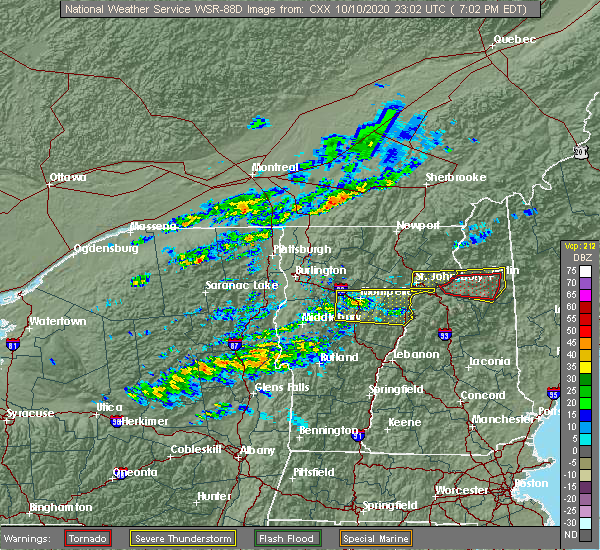 At 701 pm edt, a severe thunderstorm was located 15 miles south of gilman, moving east at 65 mph (radar indicated). Hazards include 70 mph wind gusts and quarter size hail. Minor hail damage to vehicles is possible. expect considerable tree damage. wind damage is also likely to mobile homes, roofs, and outbuildings. Locations impacted include, barre, montpelier, calais, plainfield, orange, waterbury village, websterville, east montpelier, corinth, marshfield village, waitsfield, topsham, berlin, groton, middlesex, marshfield, lower waterford, barre town, northfield village and topsham four corners. At 701 pm edt, a severe thunderstorm was located 15 miles south of gilman, moving east at 65 mph (radar indicated). Hazards include 70 mph wind gusts and quarter size hail. Minor hail damage to vehicles is possible. expect considerable tree damage. wind damage is also likely to mobile homes, roofs, and outbuildings. Locations impacted include, barre, montpelier, calais, plainfield, orange, waterbury village, websterville, east montpelier, corinth, marshfield village, waitsfield, topsham, berlin, groton, middlesex, marshfield, lower waterford, barre town, northfield village and topsham four corners.
|
| 10/10/2020 6:27 PM EDT |
 At 626 pm edt, a severe thunderstorm was located over barre, moving east at 65 mph (radar indicated). Hazards include 70 mph wind gusts and half dollar size hail. Minor hail damage to vehicles is possible. expect considerable tree damage. Wind damage is also likely to mobile homes, roofs, and outbuildings. At 626 pm edt, a severe thunderstorm was located over barre, moving east at 65 mph (radar indicated). Hazards include 70 mph wind gusts and half dollar size hail. Minor hail damage to vehicles is possible. expect considerable tree damage. Wind damage is also likely to mobile homes, roofs, and outbuildings.
|
| 7/28/2018 6:40 PM EDT |
 At 639 pm edt, a severe thunderstorm was located 13 miles west of littleton, moving northeast at 30 mph (radar indicated). Hazards include 60 mph wind gusts and quarter size hail. Hail damage to vehicles is expected. Expect wind damage to roofs, siding, and trees. At 639 pm edt, a severe thunderstorm was located 13 miles west of littleton, moving northeast at 30 mph (radar indicated). Hazards include 60 mph wind gusts and quarter size hail. Hail damage to vehicles is expected. Expect wind damage to roofs, siding, and trees.
|
| 7/1/2018 1:42 AM EDT |
 At 142 am edt, a severe thunderstorm was located over barnet, moving southeast at 50 mph (radar indicated). Hazards include 60 mph wind gusts. expect damage to trees and powerlines At 142 am edt, a severe thunderstorm was located over barnet, moving southeast at 50 mph (radar indicated). Hazards include 60 mph wind gusts. expect damage to trees and powerlines
|
| 6/18/2018 4:08 PM EDT |
 The severe thunderstorm warning for southern caledonia, northeastern orange, southwestern essex and east central washington counties will expire at 415 pm edt, the storm which prompted the warning has moved out of the area. therefore, the warning will be allowed to expire. a severe thunderstorm watch remains in effect until 1000 pm edt for central and northeastern vermont. The severe thunderstorm warning for southern caledonia, northeastern orange, southwestern essex and east central washington counties will expire at 415 pm edt, the storm which prompted the warning has moved out of the area. therefore, the warning will be allowed to expire. a severe thunderstorm watch remains in effect until 1000 pm edt for central and northeastern vermont.
|
| 6/18/2018 3:55 PM EDT |
 At 355 pm edt, a severe thunderstorm was located over ryegate, moving east at 40 mph (radar indicated). Hazards include 60 mph wind gusts and penny size hail. Expect damage to trees and powerlines. locations impacted include, barre, st. Johnsbury, waterford, bradford, plainfield, orange, websterville, corinth, topsham, groton, marshfield, lower waterford, barre town, topsham four corners, wells river village, ryegate, gilman, cabot, newbury and barre city. At 355 pm edt, a severe thunderstorm was located over ryegate, moving east at 40 mph (radar indicated). Hazards include 60 mph wind gusts and penny size hail. Expect damage to trees and powerlines. locations impacted include, barre, st. Johnsbury, waterford, bradford, plainfield, orange, websterville, corinth, topsham, groton, marshfield, lower waterford, barre town, topsham four corners, wells river village, ryegate, gilman, cabot, newbury and barre city.
|
| 6/18/2018 3:35 PM EDT |
 At 335 pm edt, a severe thunderstorm was located over peacham, moving east at 45 mph (radar indicated). Hazards include 60 mph wind gusts and penny size hail. Expect damage to trees and powerlines. locations impacted include, barre, st. Johnsbury, montpelier, calais, bradford, orange, websterville, worcester, middlesex, marshfield, cabot village, fairlee, corinth corners, washington, ryegate, gilman, woodbury, cabot, moretown and newbury. At 335 pm edt, a severe thunderstorm was located over peacham, moving east at 45 mph (radar indicated). Hazards include 60 mph wind gusts and penny size hail. Expect damage to trees and powerlines. locations impacted include, barre, st. Johnsbury, montpelier, calais, bradford, orange, websterville, worcester, middlesex, marshfield, cabot village, fairlee, corinth corners, washington, ryegate, gilman, woodbury, cabot, moretown and newbury.
|
| 6/18/2018 3:10 PM EDT |
 At 310 pm edt, a severe thunderstorm was located over worcester, moving east at 45 mph (radar indicated). Hazards include 60 mph wind gusts and penny size hail. expect damage to trees and powerlines At 310 pm edt, a severe thunderstorm was located over worcester, moving east at 45 mph (radar indicated). Hazards include 60 mph wind gusts and penny size hail. expect damage to trees and powerlines
|
| 5/4/2018 9:15 PM EDT |
 At 914 pm edt, severe thunderstorms were located along a line extending from east barnet to newbury village to woodstock village, moving east at 50 mph (radar indicated). Hazards include 60 mph wind gusts and quarter size hail. Minor hail damage to vehicles is possible. expect wind damage to trees and powerlines. locations impacted include, woodstock, hartland four corners, waterford, bradford, thetford hill state park, strafford, pomfret, thetford, hartland, lower waterford, fairlee, west fairlee, woodstock village, vershire, sharon, topsham four corners, wells river village, ryegate, thetford center and quechee. A tornado watch remains in effect until 1000 pm edt for central, southern and northeastern vermont. At 914 pm edt, severe thunderstorms were located along a line extending from east barnet to newbury village to woodstock village, moving east at 50 mph (radar indicated). Hazards include 60 mph wind gusts and quarter size hail. Minor hail damage to vehicles is possible. expect wind damage to trees and powerlines. locations impacted include, woodstock, hartland four corners, waterford, bradford, thetford hill state park, strafford, pomfret, thetford, hartland, lower waterford, fairlee, west fairlee, woodstock village, vershire, sharon, topsham four corners, wells river village, ryegate, thetford center and quechee. A tornado watch remains in effect until 1000 pm edt for central, southern and northeastern vermont.
|
| 5/4/2018 9:10 PM EDT |
 At 910 pm edt, severe thunderstorms were located along a line extending from 17 miles south of jackman to 10 miles south of eustis to near berlin to near mount washington, moving east at 50 mph (radar indicated). Hazards include 60 mph wind gusts. Expect damage to roofs, siding, and trees. locations impacted include, berlin, littleton, lancaster, bethlehem, colebrook, franconia, errol, dixville, stratford, pittsburg, carroll, lisbon, jefferson, dalton, columbia, dummer, clarksville, whitefield, northumberland and monroe. this also includes, umbagog lake state park, kilkenny ridge trail, pontook reservoir, dixville notch state park, and percy peaks. This includes interstate 93 between mile markers 112 and 131. At 910 pm edt, severe thunderstorms were located along a line extending from 17 miles south of jackman to 10 miles south of eustis to near berlin to near mount washington, moving east at 50 mph (radar indicated). Hazards include 60 mph wind gusts. Expect damage to roofs, siding, and trees. locations impacted include, berlin, littleton, lancaster, bethlehem, colebrook, franconia, errol, dixville, stratford, pittsburg, carroll, lisbon, jefferson, dalton, columbia, dummer, clarksville, whitefield, northumberland and monroe. this also includes, umbagog lake state park, kilkenny ridge trail, pontook reservoir, dixville notch state park, and percy peaks. This includes interstate 93 between mile markers 112 and 131.
|
| 5/4/2018 8:52 PM EDT |
 At 852 pm edt, severe thunderstorms were located along a line extending from near plainfield to south washington to near mendon, moving east at 55 mph (radar indicated). Hazards include 70 mph wind gusts and quarter size hail. Minor hail damage to vehicles is possible. expect considerable tree damage. wind damage is also likely to mobile homes, roofs, and outbuildings. locations impacted include, barre, rutland, woodstock, montpelier, middlebury, braintree hill, bradford, killington, salisbury, rutland city, waterbury village, websterville, pomfret, hartland, middlesex, marshfield, ira, fairlee, sharon and washington. A tornado watch remains in effect until 1000 pm edt for central, southern, northeastern and northwestern vermont. At 852 pm edt, severe thunderstorms were located along a line extending from near plainfield to south washington to near mendon, moving east at 55 mph (radar indicated). Hazards include 70 mph wind gusts and quarter size hail. Minor hail damage to vehicles is possible. expect considerable tree damage. wind damage is also likely to mobile homes, roofs, and outbuildings. locations impacted include, barre, rutland, woodstock, montpelier, middlebury, braintree hill, bradford, killington, salisbury, rutland city, waterbury village, websterville, pomfret, hartland, middlesex, marshfield, ira, fairlee, sharon and washington. A tornado watch remains in effect until 1000 pm edt for central, southern, northeastern and northwestern vermont.
|
| 5/4/2018 8:41 PM EDT |
 A severe thunderstorm warning remains in effect until 900 pm edt for central caledonia. essex and northern washington counties. at 840 pm edt, severe thunderstorms were located along a line extending from near canaan to granby to east cabot, moving east at 40 mph. hazard. 60 mph wind gusts and quarter size hail. A severe thunderstorm warning remains in effect until 900 pm edt for central caledonia. essex and northern washington counties. at 840 pm edt, severe thunderstorms were located along a line extending from near canaan to granby to east cabot, moving east at 40 mph. hazard. 60 mph wind gusts and quarter size hail.
|
| 5/4/2018 8:37 PM EDT |
 At 837 pm edt, severe thunderstorms were located along a line extending from coburn gore to 16 miles east of pittsburg to near lancaster to 6 miles west of littleton, moving east at 35 mph (radar indicated). Hazards include 60 mph wind gusts and penny size hail. Expect damage to roofs, siding, and trees. locations impacted include, berlin, littleton, lancaster, bethlehem, colebrook, franconia, errol, pittsburg, dixville, stratford, carroll, lisbon, jefferson, dalton, columbia, dummer, clarksville, whitefield, northumberland and monroe. this also includes, umbagog lake state park, first connecticut lake, kilkenny ridge trail, pontook reservoir, and dixville notch state park. This includes interstate 93 between mile markers 112 and 131. At 837 pm edt, severe thunderstorms were located along a line extending from coburn gore to 16 miles east of pittsburg to near lancaster to 6 miles west of littleton, moving east at 35 mph (radar indicated). Hazards include 60 mph wind gusts and penny size hail. Expect damage to roofs, siding, and trees. locations impacted include, berlin, littleton, lancaster, bethlehem, colebrook, franconia, errol, pittsburg, dixville, stratford, carroll, lisbon, jefferson, dalton, columbia, dummer, clarksville, whitefield, northumberland and monroe. this also includes, umbagog lake state park, first connecticut lake, kilkenny ridge trail, pontook reservoir, and dixville notch state park. This includes interstate 93 between mile markers 112 and 131.
|
| 5/4/2018 8:30 PM EDT |
 At 829 pm edt, severe thunderstorms were located along a line extending from north duxbury to near warren to fair haven, moving east at 50 mph (radar indicated). Hazards include 70 mph wind gusts and quarter size hail. Minor hail damage to vehicles is possible. expect considerable tree damage. wind damage is also likely to mobile homes, roofs, and outbuildings. locations impacted include, barre, rutland, woodstock, montpelier, middlebury, braintree hill, bradford, killington, salisbury, rutland city, waterbury village, websterville, pomfret, hartland, middlesex, marshfield, ira, fairlee, sharon and washington. A tornado watch remains in effect until 1000 pm edt for central, southern, northeastern and northwestern vermont. At 829 pm edt, severe thunderstorms were located along a line extending from north duxbury to near warren to fair haven, moving east at 50 mph (radar indicated). Hazards include 70 mph wind gusts and quarter size hail. Minor hail damage to vehicles is possible. expect considerable tree damage. wind damage is also likely to mobile homes, roofs, and outbuildings. locations impacted include, barre, rutland, woodstock, montpelier, middlebury, braintree hill, bradford, killington, salisbury, rutland city, waterbury village, websterville, pomfret, hartland, middlesex, marshfield, ira, fairlee, sharon and washington. A tornado watch remains in effect until 1000 pm edt for central, southern, northeastern and northwestern vermont.
|
| 5/4/2018 8:25 PM EDT |
 At 825 pm edt, severe thunderstorms were located along a line extending from near jonesville to south lincoln to near west haven, moving east at 50 mph (radar indicated). Hazards include 70 mph wind gusts and quarter size hail. Minor hail damage to vehicles is possible. expect considerable tree damage. Wind damage is also likely to mobile homes, roofs, and outbuildings. At 825 pm edt, severe thunderstorms were located along a line extending from near jonesville to south lincoln to near west haven, moving east at 50 mph (radar indicated). Hazards include 70 mph wind gusts and quarter size hail. Minor hail damage to vehicles is possible. expect considerable tree damage. Wind damage is also likely to mobile homes, roofs, and outbuildings.
|
| 5/4/2018 8:12 PM EDT |
 At 811 pm edt, severe thunderstorms were located along a line extending from 14 miles west of coburn gore to near pittsburg to 17 miles west of lancaster to 20 miles west of littleton, moving east at 50 mph (radar indicated). Hazards include 60 mph wind gusts and nickel size hail. expect damage to roofs, siding, and trees At 811 pm edt, severe thunderstorms were located along a line extending from 14 miles west of coburn gore to near pittsburg to 17 miles west of lancaster to 20 miles west of littleton, moving east at 50 mph (radar indicated). Hazards include 60 mph wind gusts and nickel size hail. expect damage to roofs, siding, and trees
|
| 5/4/2018 8:05 PM EDT |
 The national weather service in burlington has issued a * severe thunderstorm warning for. caledonia county in northeastern vermont. northeastern orleans county in northeastern vermont. essex county in northeastern vermont. Northern washington county in central vermont. The national weather service in burlington has issued a * severe thunderstorm warning for. caledonia county in northeastern vermont. northeastern orleans county in northeastern vermont. essex county in northeastern vermont. Northern washington county in central vermont.
|
| 8/22/2017 7:41 PM EDT |
 The severe thunderstorm warning for orange, caledonia, southern essex, northeastern windsor and northeastern washington counties will expire at 745 pm edt, the storms which prompted the warning will be allowed to expire. however gusty winds are still possible with these thunderstorms. a severe thunderstorm watch remains in effect until midnight edt for central, southern and northeastern vermont. to report severe weather, contact your nearest law enforcement agency. they will relay your report to the national weather service burlington. The severe thunderstorm warning for orange, caledonia, southern essex, northeastern windsor and northeastern washington counties will expire at 745 pm edt, the storms which prompted the warning will be allowed to expire. however gusty winds are still possible with these thunderstorms. a severe thunderstorm watch remains in effect until midnight edt for central, southern and northeastern vermont. to report severe weather, contact your nearest law enforcement agency. they will relay your report to the national weather service burlington.
|
| 8/22/2017 7:12 PM EDT |
 At 712 pm edt, severe thunderstorms were located along a line extending from east cabot to corinth to tunbridge, moving east at 50 mph (radar indicated). Hazards include 60 mph wind gusts. Expect damage to trees and powerlines. locations impacted include, barre, st. Johnsbury, white river junction, lyndon, bradford, orange, thetford hill state park, websterville, burke, thetford, marshfield, cabot village, fairlee, tunbridge, sharon, corinth corners, washington, ryegate, granby and cabot. At 712 pm edt, severe thunderstorms were located along a line extending from east cabot to corinth to tunbridge, moving east at 50 mph (radar indicated). Hazards include 60 mph wind gusts. Expect damage to trees and powerlines. locations impacted include, barre, st. Johnsbury, white river junction, lyndon, bradford, orange, thetford hill state park, websterville, burke, thetford, marshfield, cabot village, fairlee, tunbridge, sharon, corinth corners, washington, ryegate, granby and cabot.
|
| 8/22/2017 7:03 PM EDT |
 At 703 pm edt, severe thunderstorms were located along a line extending from 27 miles west of littleton to 13 miles northwest of haverhill to 17 miles west of piermont, moving east at 55 mph (radar indicated). Hazards include 60 mph wind gusts and penny size hail. expect damage to trees, and power lines At 703 pm edt, severe thunderstorms were located along a line extending from 27 miles west of littleton to 13 miles northwest of haverhill to 17 miles west of piermont, moving east at 55 mph (radar indicated). Hazards include 60 mph wind gusts and penny size hail. expect damage to trees, and power lines
|
| 8/22/2017 7:03 PM EDT |
 At 702 pm edt, severe thunderstorms were located along a line extending from south woodbury to south washington to near gaysville, moving east at 50 mph (radar indicated). Hazards include 60 mph wind gusts. Expect damage to trees and powerlines. locations impacted include, barre, st. Johnsbury, montpelier, white river junction, lyndon, braintree hill, bradford, websterville, burke, marshfield, cabot village, fairlee, west burke village, sharon, washington, woodbury, kirby, newbury, williamstown and greensboro. At 702 pm edt, severe thunderstorms were located along a line extending from south woodbury to south washington to near gaysville, moving east at 50 mph (radar indicated). Hazards include 60 mph wind gusts. Expect damage to trees and powerlines. locations impacted include, barre, st. Johnsbury, montpelier, white river junction, lyndon, braintree hill, bradford, websterville, burke, marshfield, cabot village, fairlee, west burke village, sharon, washington, woodbury, kirby, newbury, williamstown and greensboro.
|
| 8/22/2017 6:51 PM EDT |
 At 650 pm edt, severe thunderstorms were located along a line extending from hyde park to east brookfield to near north sherburne, moving east at 50 mph (radar indicated). Hazards include 70 mph wind gusts and penny size hail. Expect considerable tree damage. damage is likely to mobile homes, roofs, and outbuildings. locations impacted include, barre, st. Johnsbury, montpelier, white river junction, lyndon, morrisville, braintree hill, bradford, waterbury village, websterville, burke, pomfret, worcester, middlesex, marshfield, cabot village, fairlee, west burke village, sharon and washington. At 650 pm edt, severe thunderstorms were located along a line extending from hyde park to east brookfield to near north sherburne, moving east at 50 mph (radar indicated). Hazards include 70 mph wind gusts and penny size hail. Expect considerable tree damage. damage is likely to mobile homes, roofs, and outbuildings. locations impacted include, barre, st. Johnsbury, montpelier, white river junction, lyndon, morrisville, braintree hill, bradford, waterbury village, websterville, burke, pomfret, worcester, middlesex, marshfield, cabot village, fairlee, west burke village, sharon and washington.
|
| 8/22/2017 6:28 PM EDT |
 At 628 pm edt, severe thunderstorms were located along a line extending from south cambridge to near northfield to east hubbardton, moving east at 50 mph (radar indicated). Hazards include 70 mph wind gusts and penny size hail. Expect considerable tree damage. Damage is likely to mobile homes, roofs, and outbuildings. At 628 pm edt, severe thunderstorms were located along a line extending from south cambridge to near northfield to east hubbardton, moving east at 50 mph (radar indicated). Hazards include 70 mph wind gusts and penny size hail. Expect considerable tree damage. Damage is likely to mobile homes, roofs, and outbuildings.
|
| 8/12/2017 7:42 PM EDT |
 At 741 pm edt, a severe thunderstorm was located over plainfield, moving east at 30 mph (radar indicated). Hazards include 70 mph wind gusts and quarter size hail. Minor hail damage to vehicles is possible. expect considerable tree damage. wind damage is also likely to mobile homes, roofs, and outbuildings. Locations impacted include, barre, montpelier, calais, bradford, orange, websterville, worcester, middlesex, marshfield, cabot village, corinth corners, washington, ryegate, cabot, moretown, newbury, newbury village, williamstown, e f knapp state airport and waterford. At 741 pm edt, a severe thunderstorm was located over plainfield, moving east at 30 mph (radar indicated). Hazards include 70 mph wind gusts and quarter size hail. Minor hail damage to vehicles is possible. expect considerable tree damage. wind damage is also likely to mobile homes, roofs, and outbuildings. Locations impacted include, barre, montpelier, calais, bradford, orange, websterville, worcester, middlesex, marshfield, cabot village, corinth corners, washington, ryegate, cabot, moretown, newbury, newbury village, williamstown, e f knapp state airport and waterford.
|
| 8/12/2017 7:04 PM EDT |
 At 703 pm edt, a severe thunderstorm was located near jerusalem, moving east at 45 mph (radar indicated). Hazards include 60 mph wind gusts and quarter size hail. Minor hail damage to vehicles is possible. Expect wind damage to trees and powerlines. At 703 pm edt, a severe thunderstorm was located near jerusalem, moving east at 45 mph (radar indicated). Hazards include 60 mph wind gusts and quarter size hail. Minor hail damage to vehicles is possible. Expect wind damage to trees and powerlines.
|
| 7/8/2017 2:58 PM EDT | Trees dow in caledonia county VT, 4.6 miles ESE of Barnet, VT |
| 7/8/2017 2:41 PM EDT |
 A severe thunderstorm warning remains in effect until 300 pm edt for southeastern lamoille. northeastern orange. southern caledonia and eastern washington counties. at 240 pm edt, a severe thunderstorm was located over marshfield, moving east at 40 mph. hazard. 60 mph wind gusts and quarter size hail. A severe thunderstorm warning remains in effect until 300 pm edt for southeastern lamoille. northeastern orange. southern caledonia and eastern washington counties. at 240 pm edt, a severe thunderstorm was located over marshfield, moving east at 40 mph. hazard. 60 mph wind gusts and quarter size hail.
|
| 7/8/2017 2:05 PM EDT |
 At 204 pm edt, a severe thunderstorm was located over north fayston, moving east at 40 mph (radar indicated). Hazards include 60 mph wind gusts and quarter size hail. Minor hail damage to vehicles is possible. Expect wind damage to trees and powerlines. At 204 pm edt, a severe thunderstorm was located over north fayston, moving east at 40 mph (radar indicated). Hazards include 60 mph wind gusts and quarter size hail. Minor hail damage to vehicles is possible. Expect wind damage to trees and powerlines.
|
| 5/31/2017 4:29 PM EDT |
 At 428 pm edt, a severe thunderstorm was located over south kirby, moving east at 35 mph (radar indicated). Hazards include 60 mph wind gusts and quarter size hail. Minor hail damage to vehicles is possible. expect wind damage to trees and powerlines. locations impacted include, st. Johnsbury, lyndon, waterford, burke, sutton, lunenburg, lower waterford, west burke village, guildhall, lyndonville village, east haven, granby, kirby, victory, barnet, concord, peacham, danville, maidstone and maidstone state park. At 428 pm edt, a severe thunderstorm was located over south kirby, moving east at 35 mph (radar indicated). Hazards include 60 mph wind gusts and quarter size hail. Minor hail damage to vehicles is possible. expect wind damage to trees and powerlines. locations impacted include, st. Johnsbury, lyndon, waterford, burke, sutton, lunenburg, lower waterford, west burke village, guildhall, lyndonville village, east haven, granby, kirby, victory, barnet, concord, peacham, danville, maidstone and maidstone state park.
|
| 5/31/2017 4:05 PM EDT |
 At 404 pm edt, a trained spotter reported a severe thunderstorm with quarter sized hail over walden, moving east at 35 mph (spotter). Hazards include 60 mph wind gusts and quarter size hail. Minor hail damage to vehicles is possible. Expect wind damage to trees and powerlines. At 404 pm edt, a trained spotter reported a severe thunderstorm with quarter sized hail over walden, moving east at 35 mph (spotter). Hazards include 60 mph wind gusts and quarter size hail. Minor hail damage to vehicles is possible. Expect wind damage to trees and powerlines.
|
| 5/18/2017 9:27 PM EDT | Trees and wires down... trees blocking various roads in grafton county NH, 3.9 miles N of Barnet, VT |
| 5/18/2017 8:31 PM EDT |
 At 831 pm edt, a severe thunderstorm was located 10 miles north of haverhill, or 14 miles southwest of littleton, moving east at 40 mph (radar indicated). Hazards include 60 mph wind gusts and penny size hail. expect damage to trees, and power lines At 831 pm edt, a severe thunderstorm was located 10 miles north of haverhill, or 14 miles southwest of littleton, moving east at 40 mph (radar indicated). Hazards include 60 mph wind gusts and penny size hail. expect damage to trees, and power lines
|
| 7/23/2016 4:48 PM EDT |
 At 448 pm edt, severe thunderstorms were located along a line extending from ricker state park to near chelsea to near goshen, moving southeast at 35 mph (radar indicated). Hazards include 60 mph wind gusts. Expect damage to roofs. siding. and trees. Locations impacted include, barre, chelsea, orange, hartford, randolph, norwich, hartland, williamstown, bradford, royalton, bethel, sharon, corinth, brookfield, tunbridge, plainfield, topsham, rochester, strafford and washington. At 448 pm edt, severe thunderstorms were located along a line extending from ricker state park to near chelsea to near goshen, moving southeast at 35 mph (radar indicated). Hazards include 60 mph wind gusts. Expect damage to roofs. siding. and trees. Locations impacted include, barre, chelsea, orange, hartford, randolph, norwich, hartland, williamstown, bradford, royalton, bethel, sharon, corinth, brookfield, tunbridge, plainfield, topsham, rochester, strafford and washington.
|
| 7/23/2016 4:25 PM EDT |
 At 425 pm edt, severe thunderstorms were located along a line extending from north montpelier to east roxbury to salisbury, moving southeast at 35 mph (radar indicated). Hazards include 60 mph wind gusts. Expect damage to roofs. siding. And trees. At 425 pm edt, severe thunderstorms were located along a line extending from north montpelier to east roxbury to salisbury, moving southeast at 35 mph (radar indicated). Hazards include 60 mph wind gusts. Expect damage to roofs. siding. And trees.
|
| 7/23/2016 12:26 AM EDT |
 The severe thunderstorm warning for east central essex, northern windsor, orange, south central lamoille, southeastern chittenden, washington, addison, southern caledonia and northern rutland counties will expire at 1230 am edt, the storms which prompted the warning have weakened below severe limits, and will exit the warned area by 1230 am. therefore the warning will be allowed to expire. The severe thunderstorm warning for east central essex, northern windsor, orange, south central lamoille, southeastern chittenden, washington, addison, southern caledonia and northern rutland counties will expire at 1230 am edt, the storms which prompted the warning have weakened below severe limits, and will exit the warned area by 1230 am. therefore the warning will be allowed to expire.
|
| 7/22/2016 11:40 PM EDT |
 At 1139 pm edt, severe thunderstorms were located along a line extending from marshfield to east middlebury, moving east at 35 mph (radar indicated). Hazards include 60 mph wind gusts and quarter size hail. Hail damage to vehicles is expected. expect wind damage to roofs, siding, and trees. Locations impacted include, barre, montpelier, bristol, chelsea, addison, orange, randolph, stowe, norwich, williamstown, berlin, bradford, royalton, east montpelier, bethel, monkton, huntington, starksboro, middlesex and new haven. At 1139 pm edt, severe thunderstorms were located along a line extending from marshfield to east middlebury, moving east at 35 mph (radar indicated). Hazards include 60 mph wind gusts and quarter size hail. Hail damage to vehicles is expected. expect wind damage to roofs, siding, and trees. Locations impacted include, barre, montpelier, bristol, chelsea, addison, orange, randolph, stowe, norwich, williamstown, berlin, bradford, royalton, east montpelier, bethel, monkton, huntington, starksboro, middlesex and new haven.
|
| 7/22/2016 11:26 PM EDT |
 At 1126 pm edt, severe thunderstorms were located along a line extending from 9 miles southeast of stratford to 6 miles southeast of bethlehem to haverhill, moving east at 50 mph (radar indicated). Hazards include 60 mph wind gusts. Expect damage to roofs. siding. And trees. At 1126 pm edt, severe thunderstorms were located along a line extending from 9 miles southeast of stratford to 6 miles southeast of bethlehem to haverhill, moving east at 50 mph (radar indicated). Hazards include 60 mph wind gusts. Expect damage to roofs. siding. And trees.
|
| 7/22/2016 10:56 PM EDT |
 At 1054 pm edt, severe thunderstorms were located along a line extending from burlington to near lake placid, moving east at 40 mph. other isolated severe thunderstorms are ahead of this line across central vermont also moving east at 40 mph (radar indicated). Hazards include 60 mph wind gusts and quarter size hail. Hail damage to vehicles is expected. Expect wind damage to roofs, siding, and trees. At 1054 pm edt, severe thunderstorms were located along a line extending from burlington to near lake placid, moving east at 40 mph. other isolated severe thunderstorms are ahead of this line across central vermont also moving east at 40 mph (radar indicated). Hazards include 60 mph wind gusts and quarter size hail. Hail damage to vehicles is expected. Expect wind damage to roofs, siding, and trees.
|
| 7/18/2016 3:27 PM EDT |
 The severe thunderstorm warning for southwestern essex and central caledonia counties will expire at 330 pm edt, the storm which prompted the warning has moved out of the area. therefore the warning will be allowed to expire. a severe thunderstorm watch remains in effect until 800 pm edt for northeastern and central vermont. to report severe weather, contact your nearest law enforcement agency. they will relay your report to the national weather service burlington. The severe thunderstorm warning for southwestern essex and central caledonia counties will expire at 330 pm edt, the storm which prompted the warning has moved out of the area. therefore the warning will be allowed to expire. a severe thunderstorm watch remains in effect until 800 pm edt for northeastern and central vermont. to report severe weather, contact your nearest law enforcement agency. they will relay your report to the national weather service burlington.
|
| 7/18/2016 3:05 PM EDT |
 At 305 pm edt, a severe thunderstorm was located over passumpsic, moving east at 35 mph (radar indicated). Hazards include 60 mph wind gusts and quarter size hail. Hail damage to vehicles is expected. expect wind damage to roofs, siding, and trees. locations impacted include, littleton, danville, barnet, lunenburg, concord, walden, peacham, victory, lower waterford, lyndon, greenbank hollow, east st. johnsbury, stillwater state park, east peacham, peacham corner, west waterford, south kirby, passumpsic, st. johnsbury center and north concord. At 305 pm edt, a severe thunderstorm was located over passumpsic, moving east at 35 mph (radar indicated). Hazards include 60 mph wind gusts and quarter size hail. Hail damage to vehicles is expected. expect wind damage to roofs, siding, and trees. locations impacted include, littleton, danville, barnet, lunenburg, concord, walden, peacham, victory, lower waterford, lyndon, greenbank hollow, east st. johnsbury, stillwater state park, east peacham, peacham corner, west waterford, south kirby, passumpsic, st. johnsbury center and north concord.
|
| 7/18/2016 2:54 PM EDT | Tree down in caledonia county VT, 0.3 miles S of Barnet, VT |
| 7/18/2016 2:49 PM EDT |
 At 249 pm edt, a severe thunderstorm was located over east cabot, moving east at 35 mph (radar indicated). Hazards include 60 mph wind gusts and quarter size hail. Hail damage to vehicles is expected. expect wind damage to roofs, siding, and trees. locations impacted include, littleton, lancaster, hardwick, danville, barnet, calais, lunenburg, concord, walden, woodbury, peacham, marshfield, cabot, victory, lower waterford, lyndon, greenbank hollow, east st. johnsbury, north montpelier and east peacham. At 249 pm edt, a severe thunderstorm was located over east cabot, moving east at 35 mph (radar indicated). Hazards include 60 mph wind gusts and quarter size hail. Hail damage to vehicles is expected. expect wind damage to roofs, siding, and trees. locations impacted include, littleton, lancaster, hardwick, danville, barnet, calais, lunenburg, concord, walden, woodbury, peacham, marshfield, cabot, victory, lower waterford, lyndon, greenbank hollow, east st. johnsbury, north montpelier and east peacham.
|
| 7/18/2016 2:33 PM EDT |
 At 233 pm edt, a severe thunderstorm was located over north calais, moving east at 35 mph (radar indicated). Hazards include 60 mph wind gusts and quarter size hail. Hail damage to vehicles is expected. Expect wind damage to roofs, siding, and trees. At 233 pm edt, a severe thunderstorm was located over north calais, moving east at 35 mph (radar indicated). Hazards include 60 mph wind gusts and quarter size hail. Hail damage to vehicles is expected. Expect wind damage to roofs, siding, and trees.
|
| 7/14/2016 5:45 PM EDT | Branches and power lines down causing power outages in grafton county NH, 4 miles NNW of Barnet, VT |
| 7/14/2016 4:54 PM EDT |
 The severe thunderstorm warning for southeastern lamoille, southern orleans, northeastern washington, southwestern essex and caledonia counties will expire at 500 pm edt, the storm which prompted the warning has moved into eastern caledonia and essex counties in far northeastern vermont. therefore the warning will be allowed to expire. to report severe weather, contact your nearest law enforcement agency. they will relay your report to the national weather service burlington. remember, a severe thunderstorm warning still remains in effect for the eastern half of caledonia county and essex county in vermont. The severe thunderstorm warning for southeastern lamoille, southern orleans, northeastern washington, southwestern essex and caledonia counties will expire at 500 pm edt, the storm which prompted the warning has moved into eastern caledonia and essex counties in far northeastern vermont. therefore the warning will be allowed to expire. to report severe weather, contact your nearest law enforcement agency. they will relay your report to the national weather service burlington. remember, a severe thunderstorm warning still remains in effect for the eastern half of caledonia county and essex county in vermont.
|
| 7/14/2016 4:46 PM EDT |
 At 445 pm edt, severe thunderstorms were located along a line extending from island pond to groton, moving east at 35 to 40 mph (radar indicated). Hazards include 60 mph wind gusts. Expect damage to roofs. siding. And trees. At 445 pm edt, severe thunderstorms were located along a line extending from island pond to groton, moving east at 35 to 40 mph (radar indicated). Hazards include 60 mph wind gusts. Expect damage to roofs. siding. And trees.
|
| 7/14/2016 4:31 PM EDT |
 At 430 pm edt, a severe thunderstorm was located over walden, moving east at 35 mph. this storm has a history of producing wind damage in the calais area (radar indicated). Hazards include 60 mph wind gusts. Expect damage to roofs. siding. and trees. Locations impacted include, littleton, hardwick, danville, barnet, wolcott, calais, plainfield, concord, craftsbury, glover, sutton, walden, woodbury, elmore, wheelock, greensboro, peacham, sheffield, marshfield and cabot. At 430 pm edt, a severe thunderstorm was located over walden, moving east at 35 mph. this storm has a history of producing wind damage in the calais area (radar indicated). Hazards include 60 mph wind gusts. Expect damage to roofs. siding. and trees. Locations impacted include, littleton, hardwick, danville, barnet, wolcott, calais, plainfield, concord, craftsbury, glover, sutton, walden, woodbury, elmore, wheelock, greensboro, peacham, sheffield, marshfield and cabot.
|
| 7/14/2016 4:07 PM EDT |
 At 406 pm edt, a severe thunderstorm was located over south woodbury, moving east northeast at 35 mph (radar indicated). Hazards include 60 mph wind gusts. Expect damage to roofs. siding. And trees. At 406 pm edt, a severe thunderstorm was located over south woodbury, moving east northeast at 35 mph (radar indicated). Hazards include 60 mph wind gusts. Expect damage to roofs. siding. And trees.
|
| 6/21/2016 1:07 AM EDT |
 The severe thunderstorm warning for orange, eastern lamoille, southern orleans, eastern washington, central essex and caledonia counties will expire at 115 am edt, the storms which prompted the warning have weakened below severe limits, and are moving out of the area. therefore the warning will be allowed to expire. The severe thunderstorm warning for orange, eastern lamoille, southern orleans, eastern washington, central essex and caledonia counties will expire at 115 am edt, the storms which prompted the warning have weakened below severe limits, and are moving out of the area. therefore the warning will be allowed to expire.
|
| 6/21/2016 12:44 AM EDT |
 At 1243 am edt, severe thunderstorms were located along a line extending from near albany to near ricker state park to near thetford center, moving east at 55 mph (radar indicated). Hazards include 60 mph wind gusts. Expect damage to roofs. siding. and trees. locations impacted include, barre, montpelier, littleton, chelsea, island pond, orange, randolph, haverhill, williamstown, hardwick, berlin, bradford, east montpelier, danville, morrisville, barnet, wolcott, calais, corinth and eden. At 1243 am edt, severe thunderstorms were located along a line extending from near albany to near ricker state park to near thetford center, moving east at 55 mph (radar indicated). Hazards include 60 mph wind gusts. Expect damage to roofs. siding. and trees. locations impacted include, barre, montpelier, littleton, chelsea, island pond, orange, randolph, haverhill, williamstown, hardwick, berlin, bradford, east montpelier, danville, morrisville, barnet, wolcott, calais, corinth and eden.
|
| 6/21/2016 12:20 AM EDT |
 At 1220 am edt, severe thunderstorms were located along a line extending from near waterville to near montpelier to bethel, moving east at 55 mph (radar indicated). Hazards include 60 mph wind gusts. Expect damage to roofs. siding. And trees. At 1220 am edt, severe thunderstorms were located along a line extending from near waterville to near montpelier to bethel, moving east at 55 mph (radar indicated). Hazards include 60 mph wind gusts. Expect damage to roofs. siding. And trees.
|
| 7/19/2015 6:11 PM EDT |
 At 610 pm edt, doppler radar indicated a severe thunderstorm capable of producing quarter size hail and damaging winds in excess of 60 mph. this storm was located over stannard, and moving east at 30 mph. * locations to be impacted include, littleton, lancaster, danville, barnet, lunenburg, concord, walden, wheelock, peacham, sheffield, guildhall, stannard, victory, lower waterford, lyndon, granby, east lyndon, burke hollow, greenbank hollow and east st. johnsbury. At 610 pm edt, doppler radar indicated a severe thunderstorm capable of producing quarter size hail and damaging winds in excess of 60 mph. this storm was located over stannard, and moving east at 30 mph. * locations to be impacted include, littleton, lancaster, danville, barnet, lunenburg, concord, walden, wheelock, peacham, sheffield, guildhall, stannard, victory, lower waterford, lyndon, granby, east lyndon, burke hollow, greenbank hollow and east st. johnsbury.
|
| 5/27/2015 5:01 PM EDT | At 459 pm edt, doppler radar indicated a line of severe thunderstorms capable of producing damaging winds in excess of 60 mph. these storms were located along a line extending from near groton vermont to near white river junction, moving northeast at 25 mph. downed trees were reported in sharon vermont with this line of storms around 4:30 pm. locations impacted include, littleton, chelsea, hanover, hartford, haverhill, norwich, bradford, barnet, sharon, corinth, tunbridge, topsham, strafford, washington, groton, pomfret, woodstock, vershire, newbury and lower waterford. |
| 5/27/2015 4:55 PM EDT | At 455 pm edt, doppler radar indicated a line of severe thunderstorms capable of producing damaging winds in excess of 60 mph. these storms were located along a line extending from near barnet to near fairlee to near north hartland, and moving northeast at 55 mph. |
| 5/27/2015 4:40 PM EDT | At 439 pm edt, doppler radar indicated a line of severe thunderstorms capable of producing damaging winds in excess of 60 mph. these storms were located along a line extending from near topsham vermont to near quechee vermont, and moving northeast at 25 mph. * locations to be impacted include, littleton, chelsea, hanover, hartford, haverhill, norwich, bradford, barnet, sharon, corinth, tunbridge, topsham, strafford, washington, groton, pomfret, woodstock, vershire, newbury and lower waterford. |
| 5/27/2015 4:34 PM EDT | The national weather service in gray maine has issued a * severe thunderstorm warning for. central grafton county in northern new hampshire. until 500 pm edt * at 434 pm edt. Doppler radar indicated a line of severe thunderstorms capable of producing damaging winds in excess of 60. |
| 7/17/2013 8:45 PM EDT | Trees down in caledonia county VT, 0.3 miles S of Barnet, VT |
| 7/17/2013 7:50 PM EDT | Multiple trees down throughout lyman...time estimated by radar in grafton county NH, 4 miles NNW of Barnet, VT |
| 7/4/2012 5:00 PM EDT | Nh 135 blocked from tree near town hall in grafton county NH, 3.9 miles N of Barnet, VT |
| 7/4/2012 5:00 PM EDT | Tree limbs down on cloud brook road in caledonia county VT, 2 miles E of Barnet, VT |
| 7/4/2012 4:49 PM EDT | Trained spotter in caledonia county VT, 0.3 miles S of Barnet, VT |
| 1/1/0001 12:00 AM | Trees down parker hill rd in grafton county NH, 4 miles NNW of Barnet, VT |
| 1/1/0001 12:00 AM | Quarter sized hail reported 2.4 miles SSW of Barnet, VT, quarter size hail reported |
| 1/1/0001 12:00 AM | Golf Ball sized hail reported 4.6 miles ESE of Barnet, VT, quarter to golf ball size hail reported. |
Hail Maps for Barnet, VT


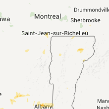


Connect with Interactive Hail Maps