

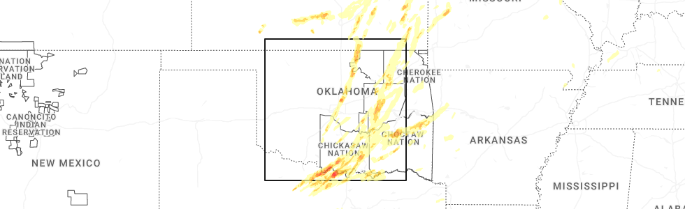
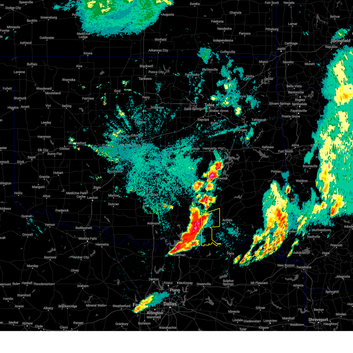
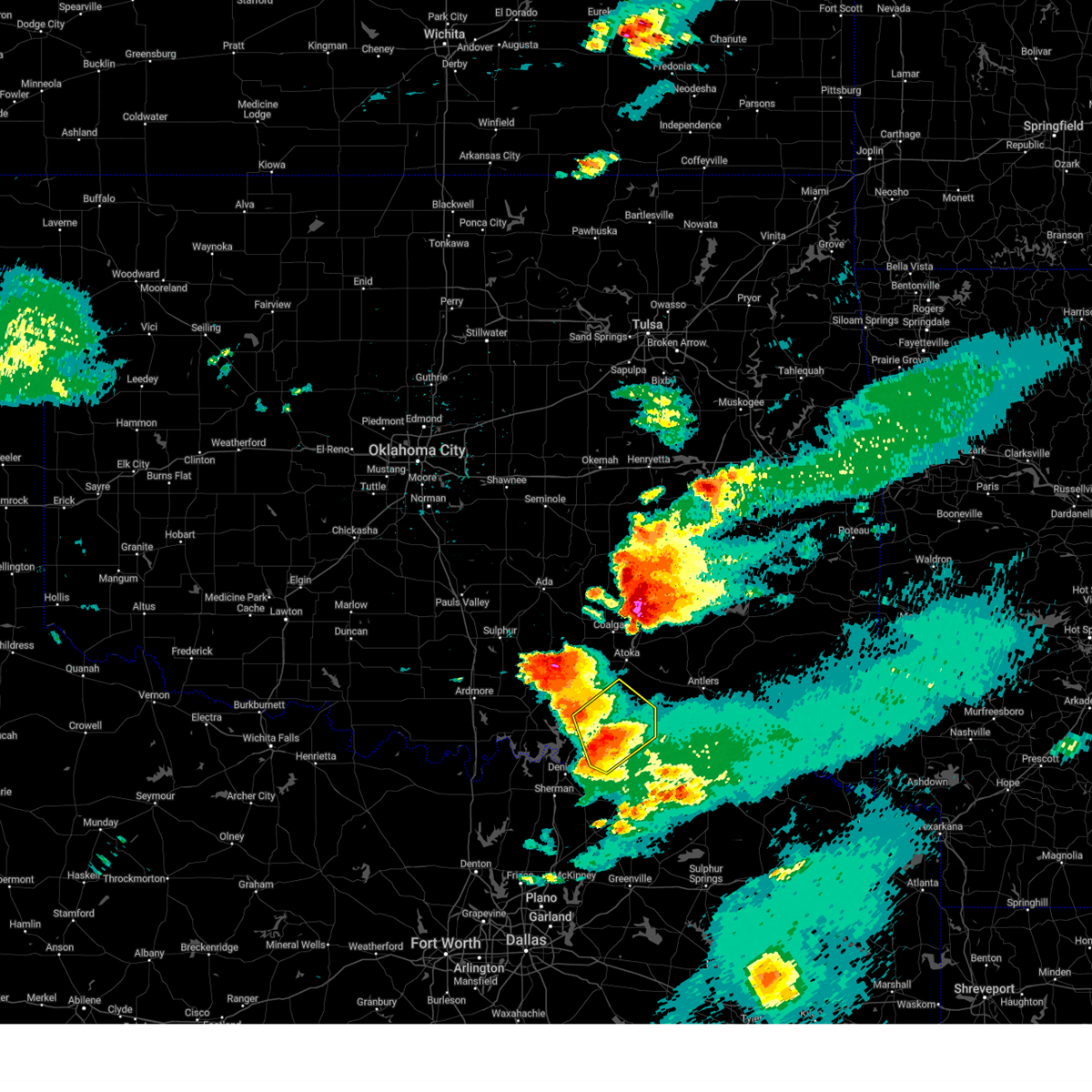
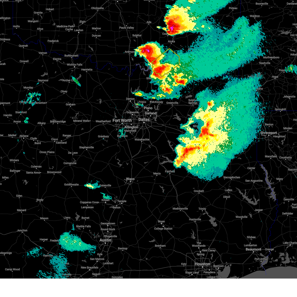
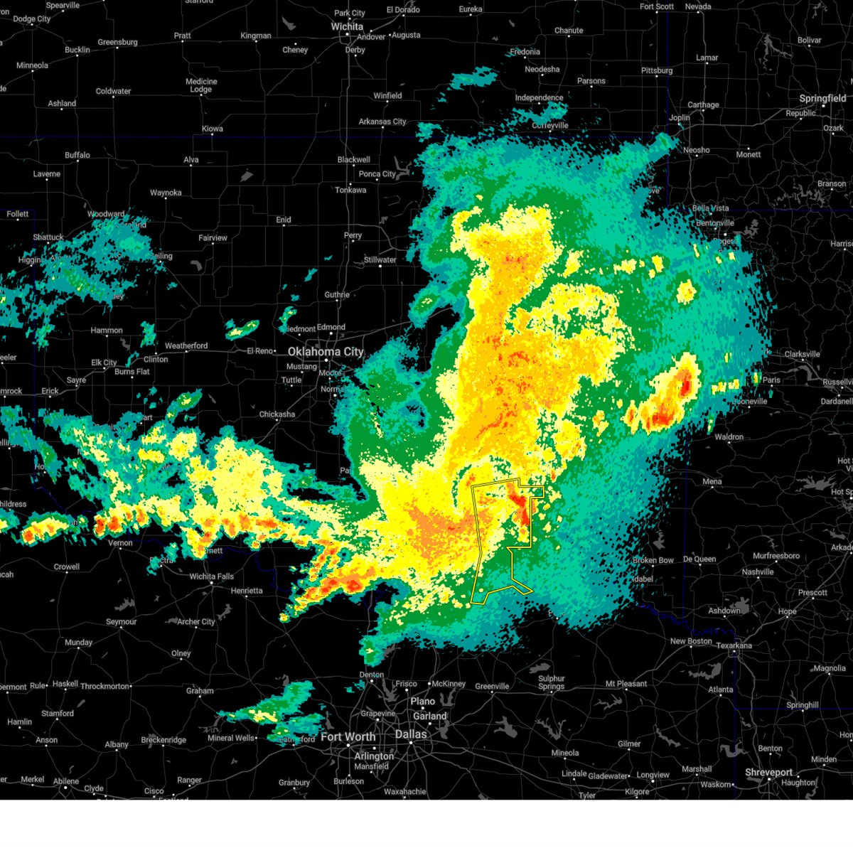
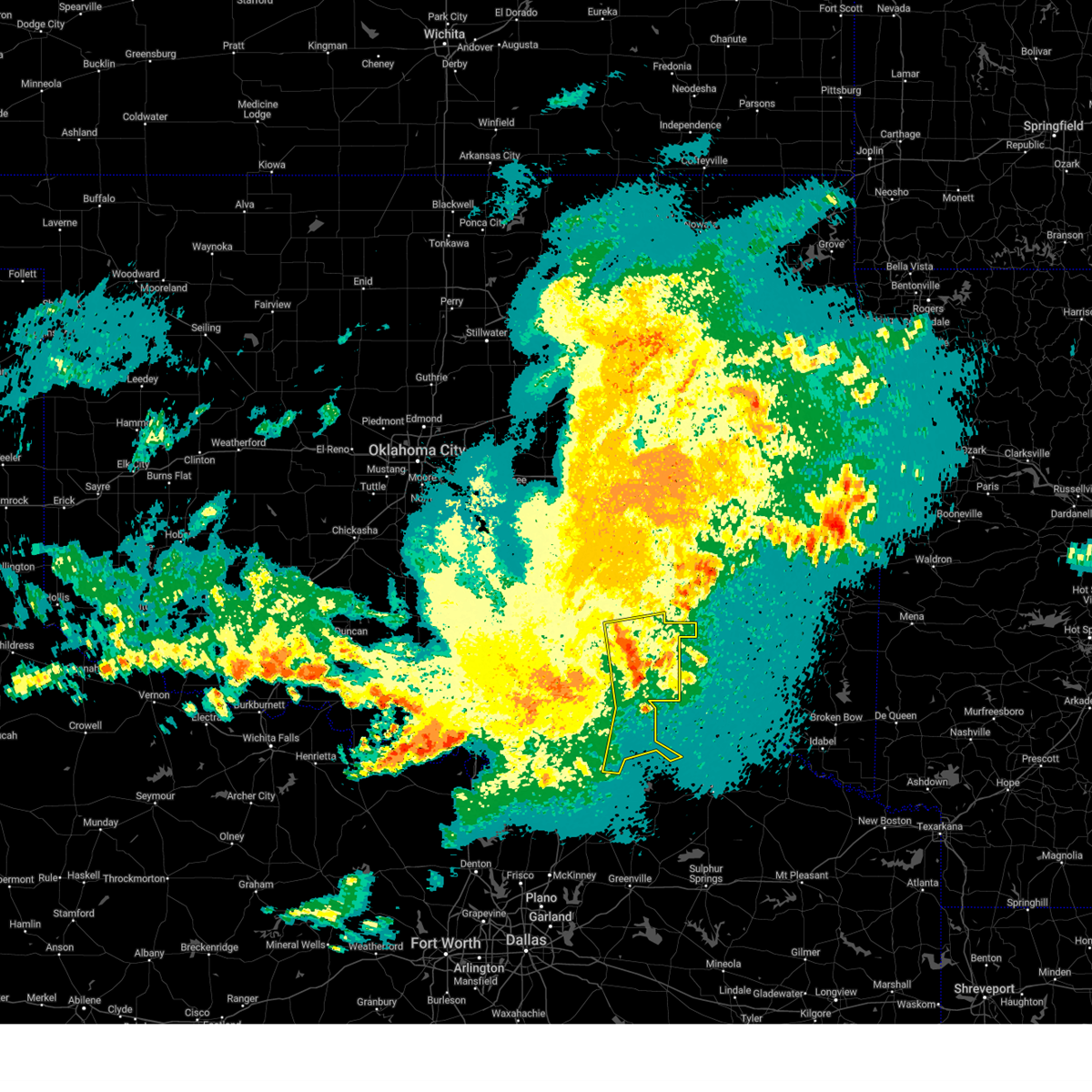
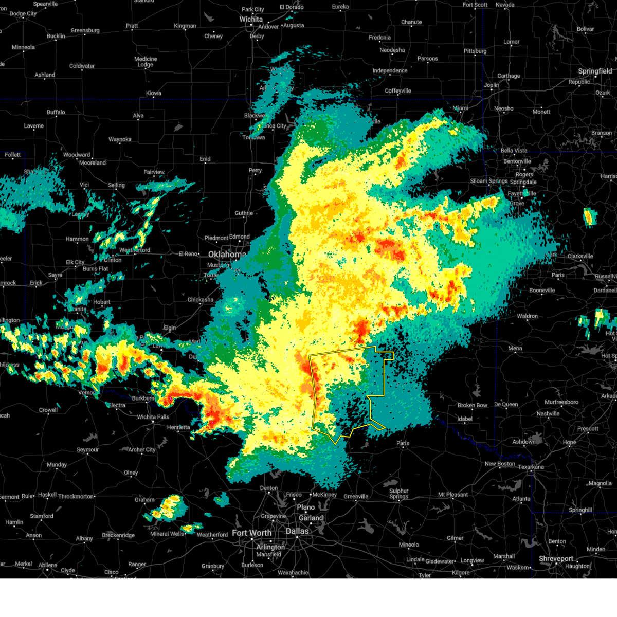
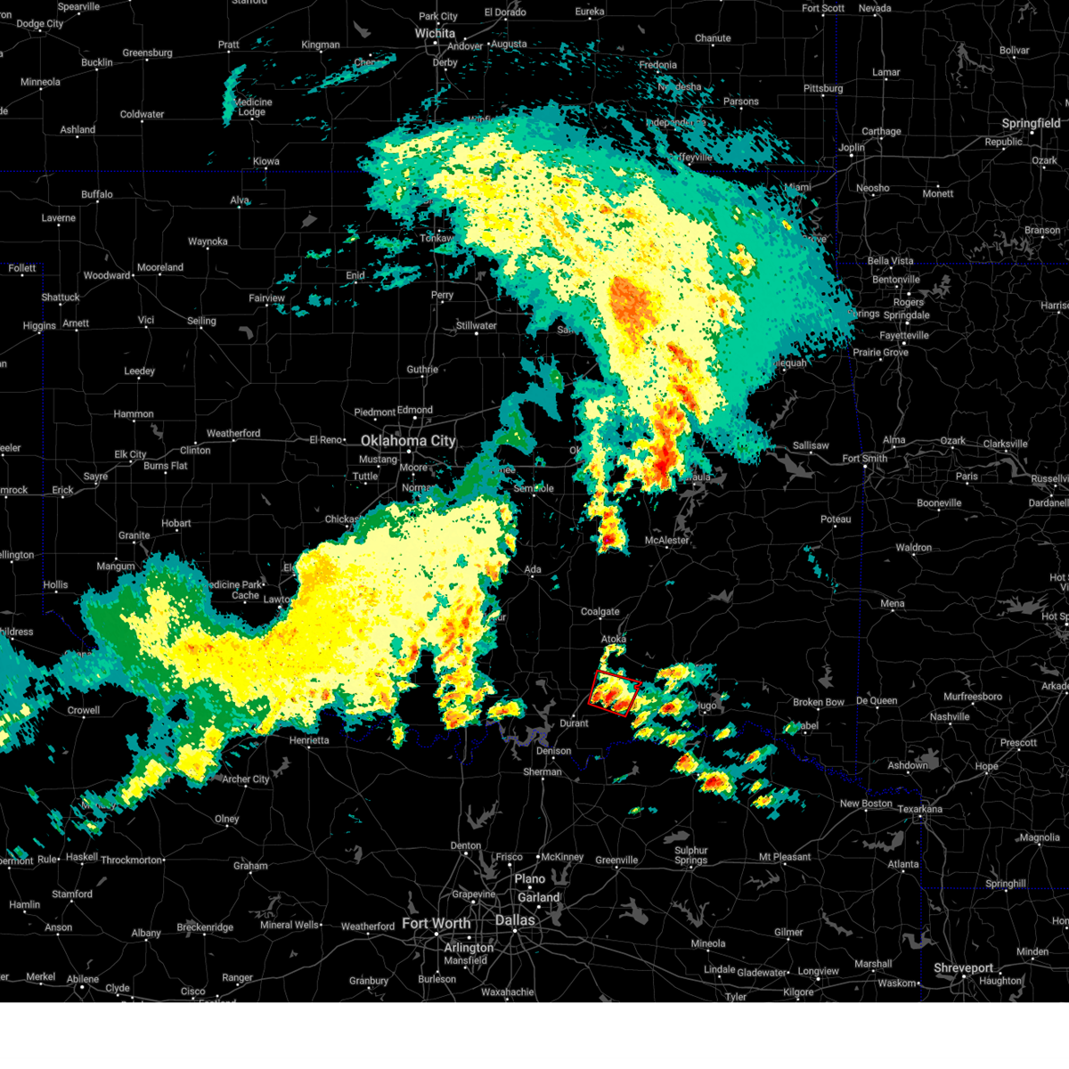
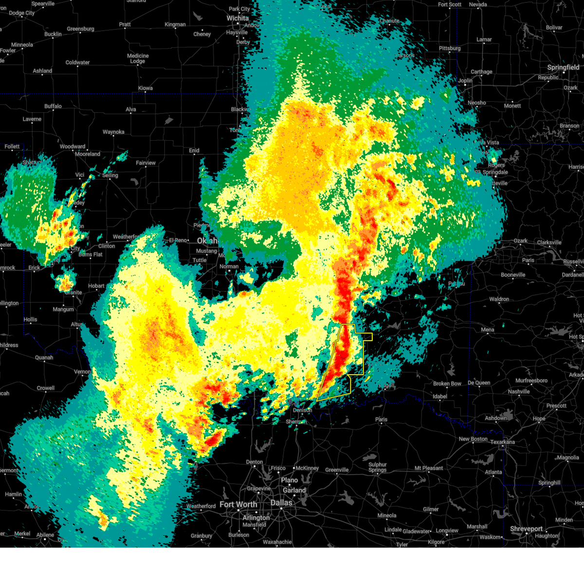
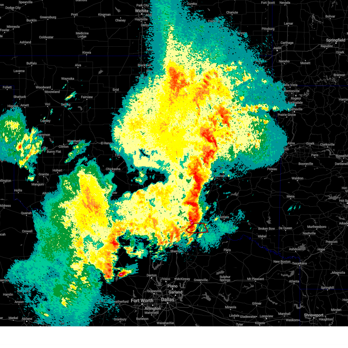
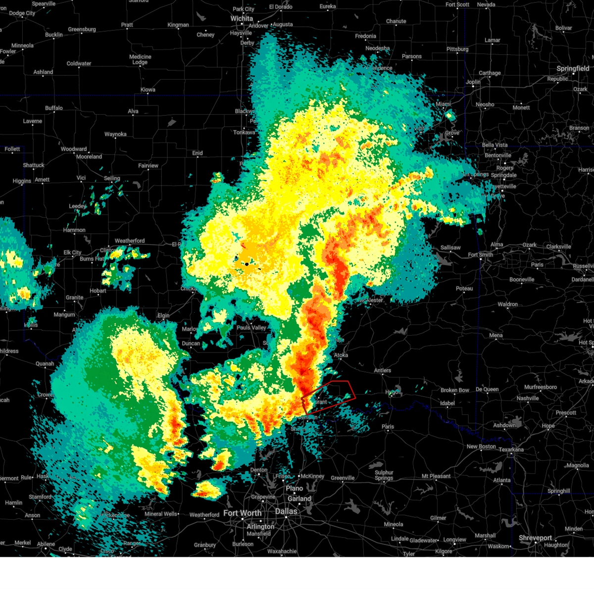
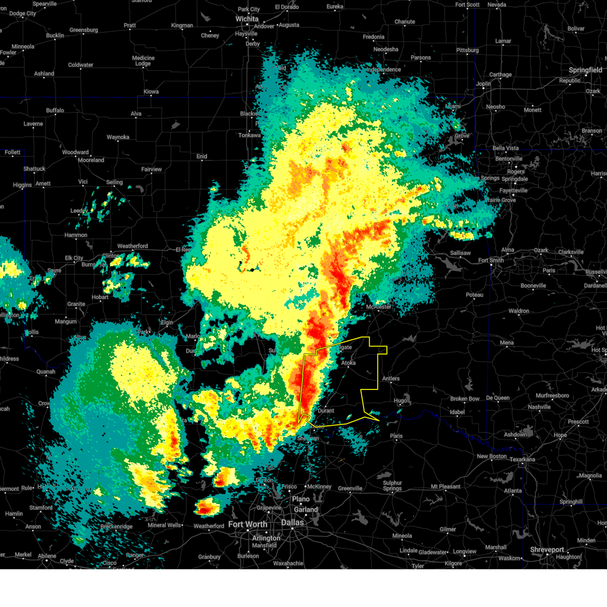
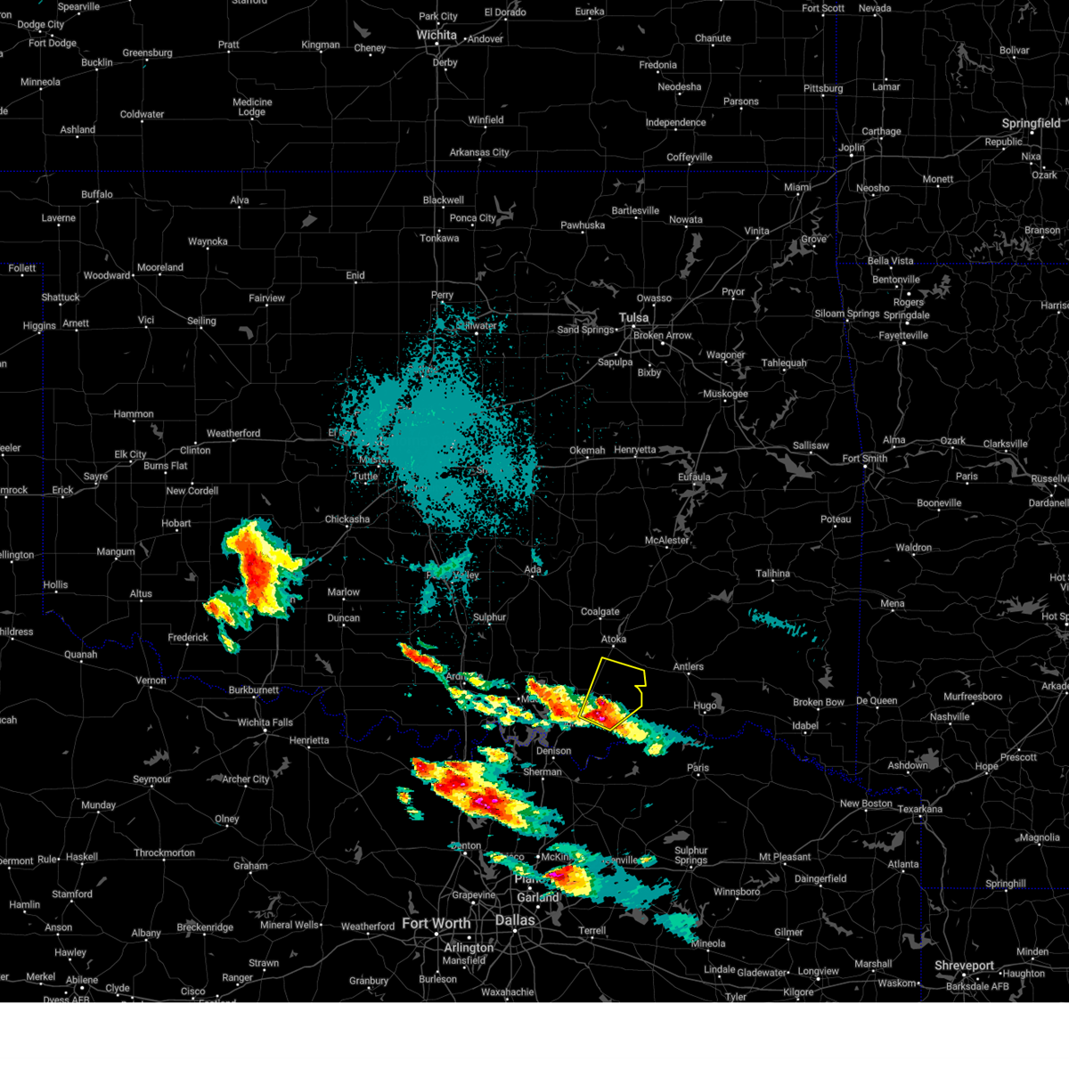
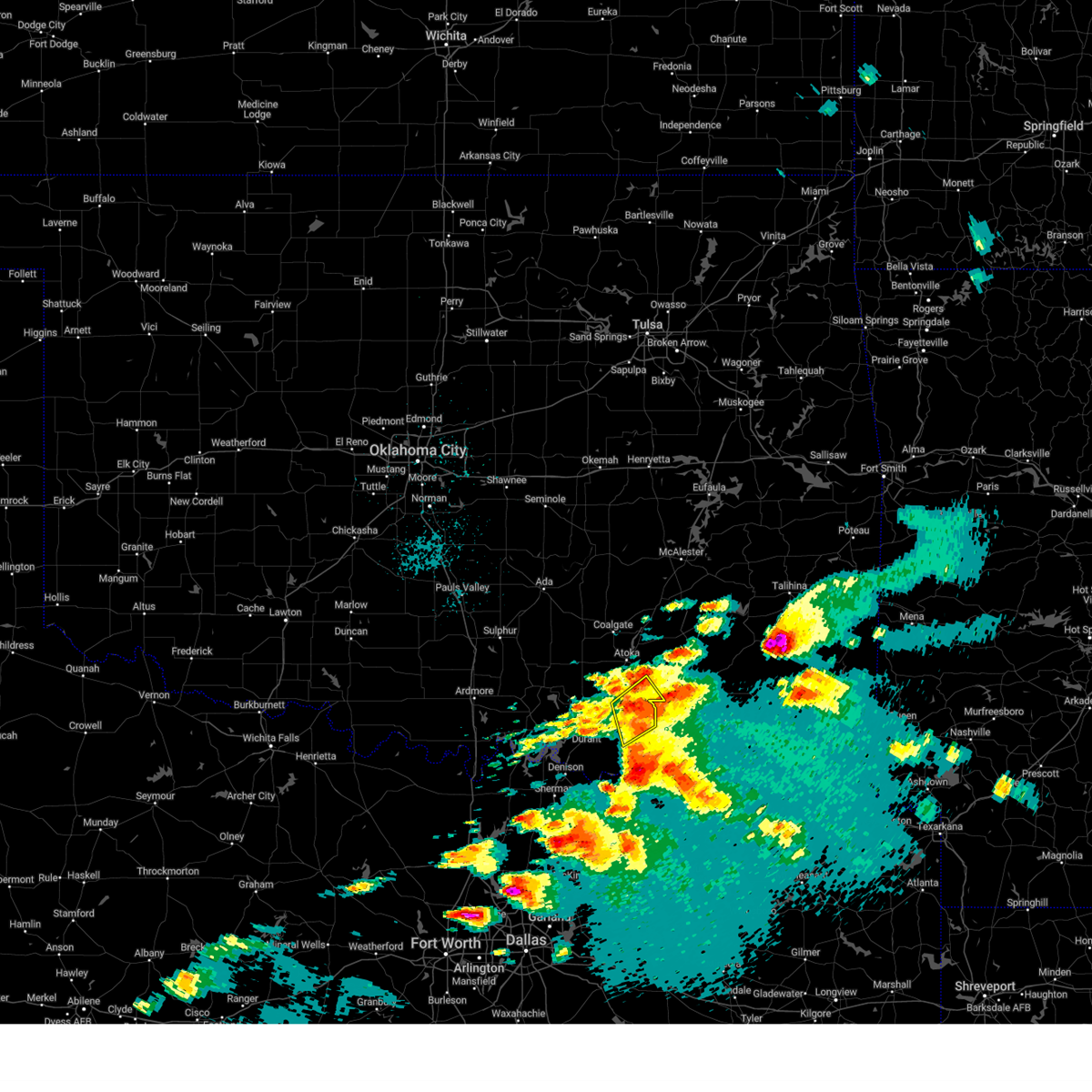
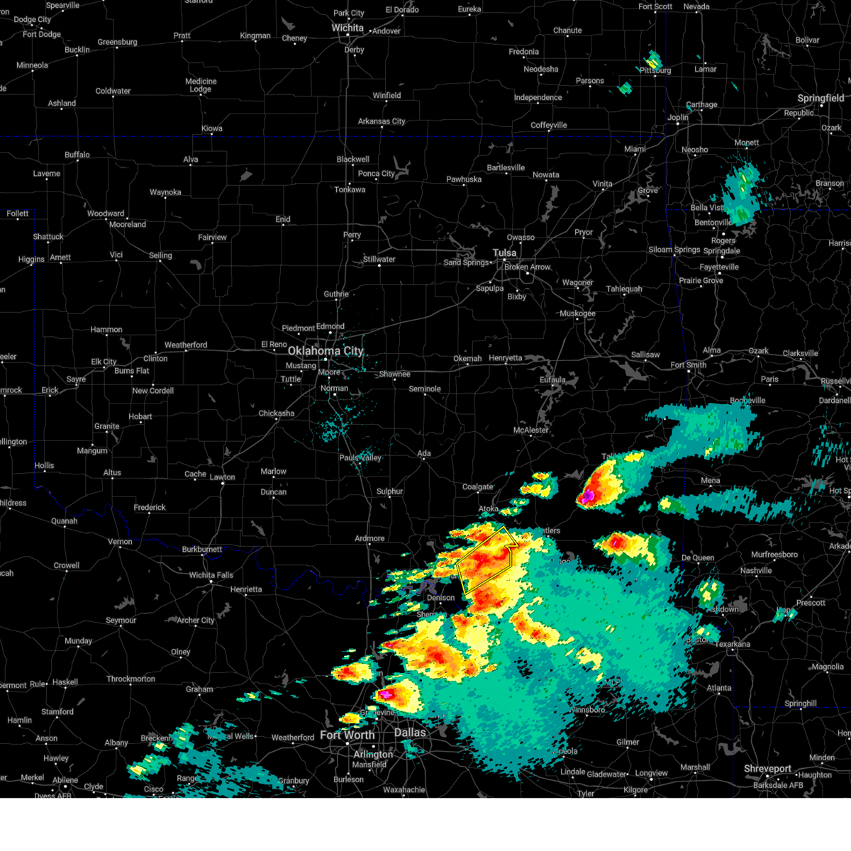
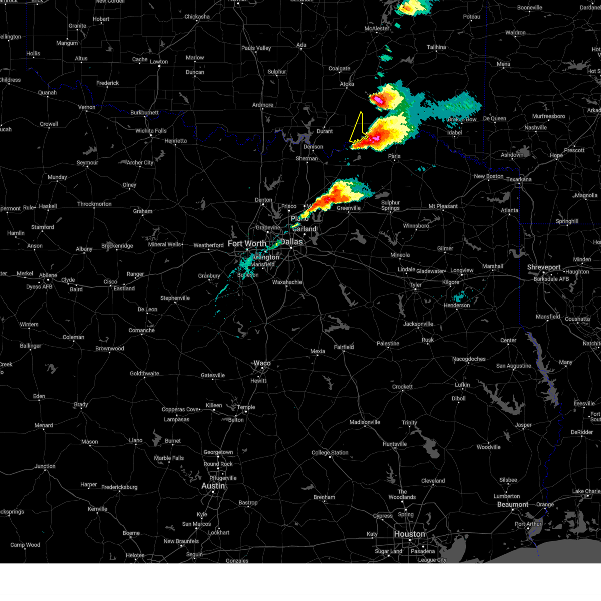
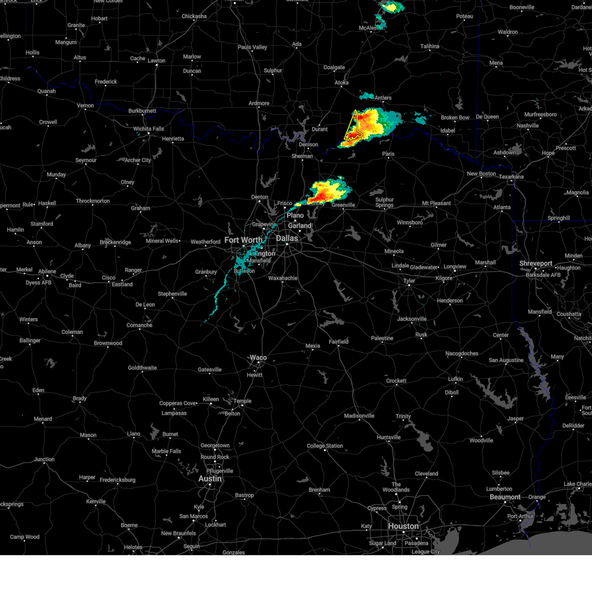
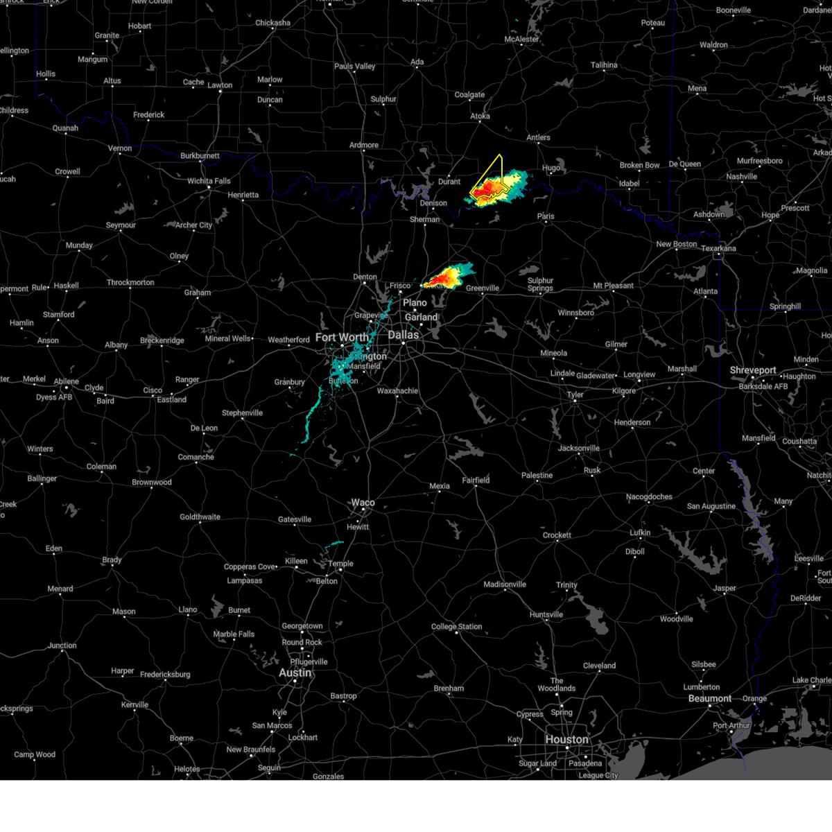
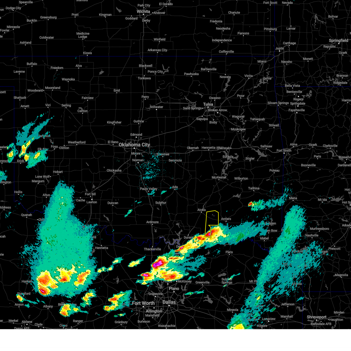
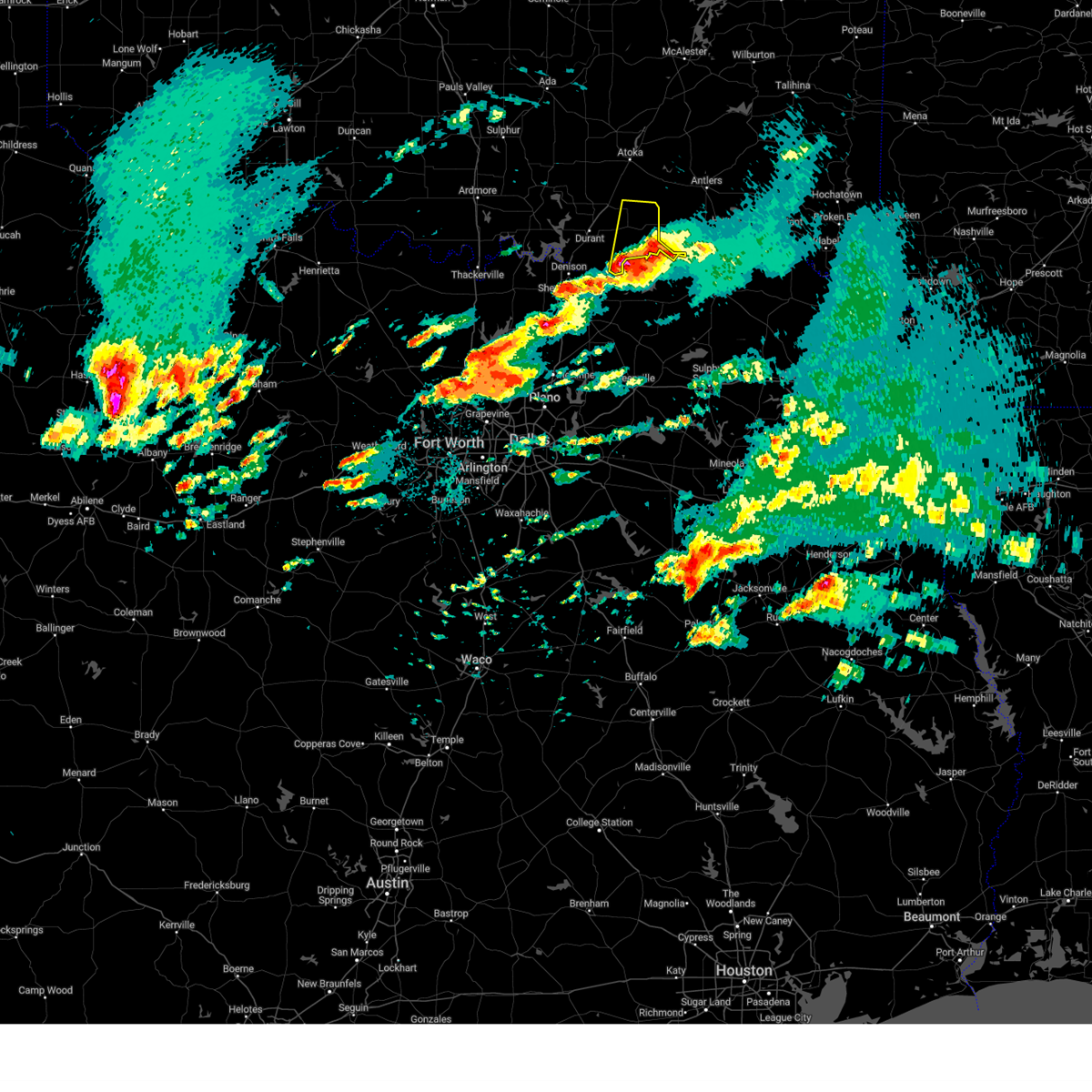
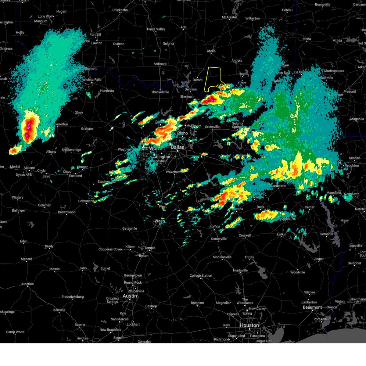
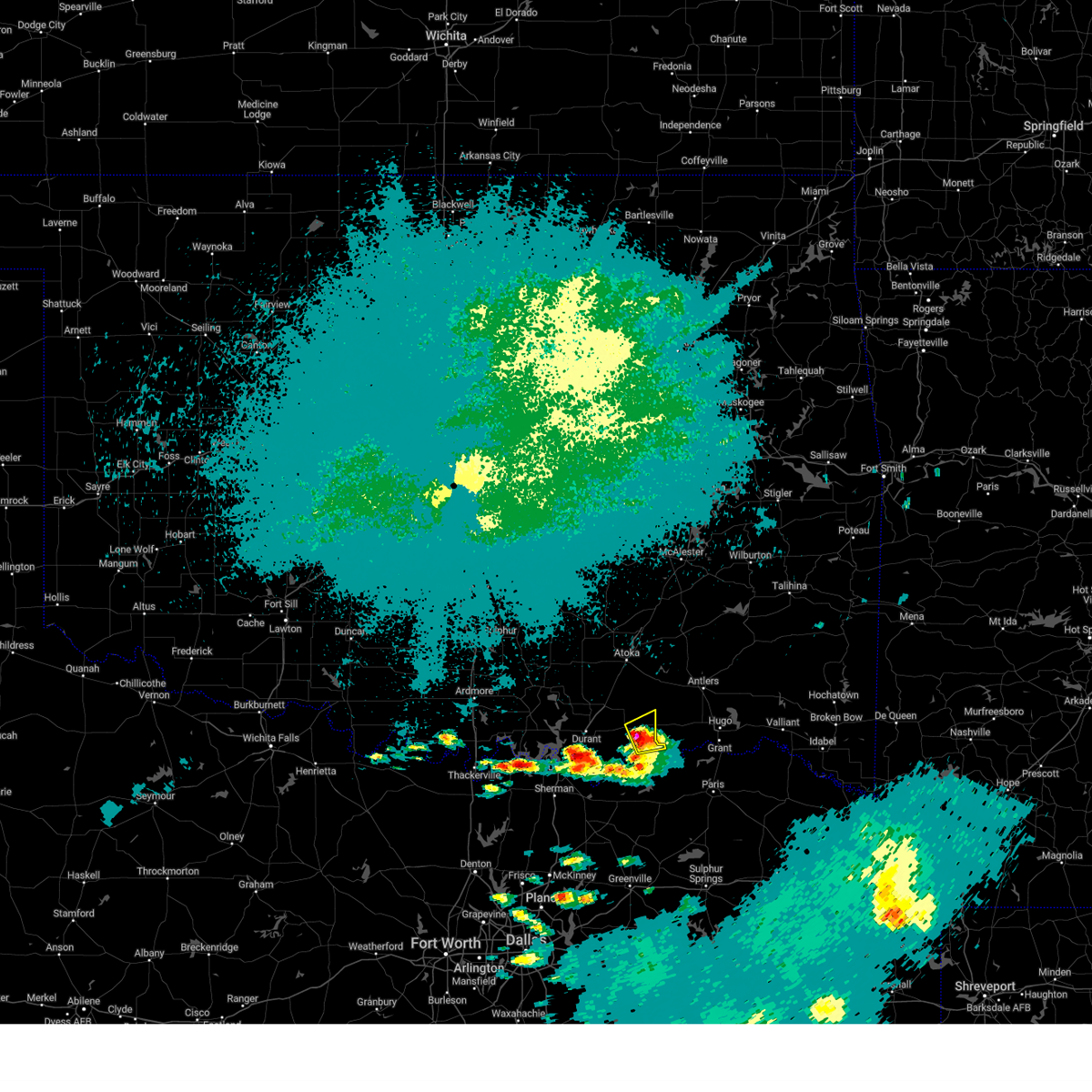
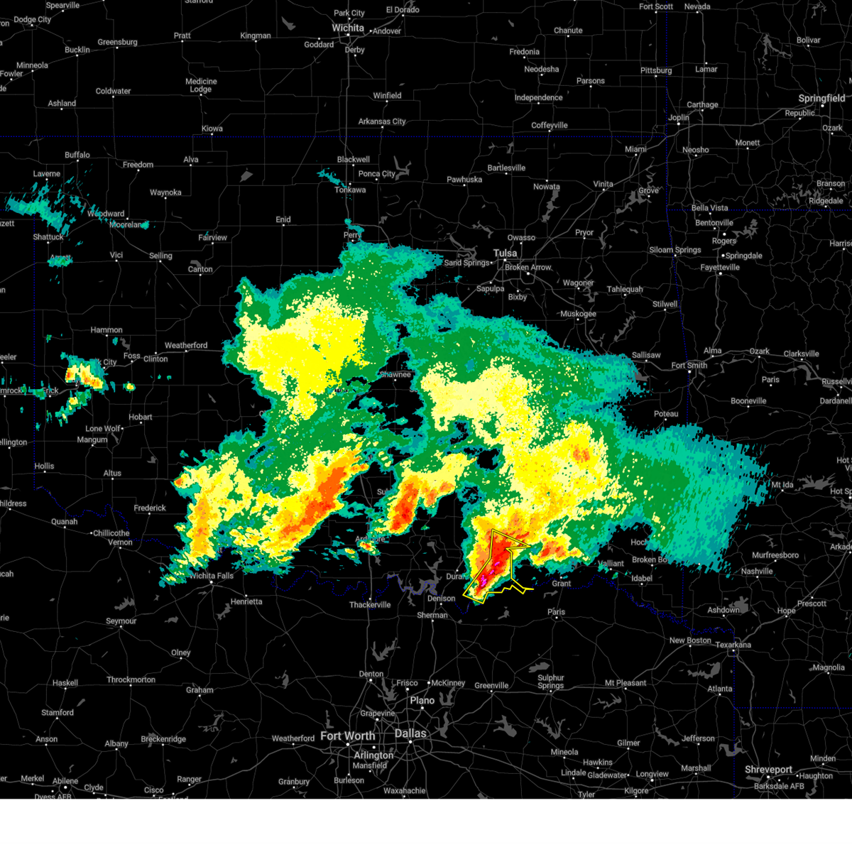
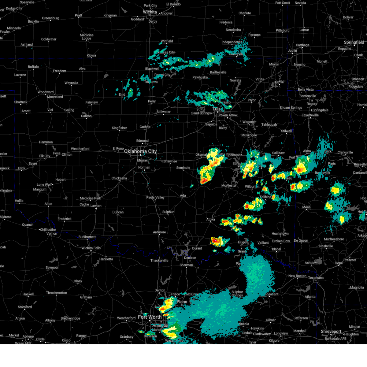
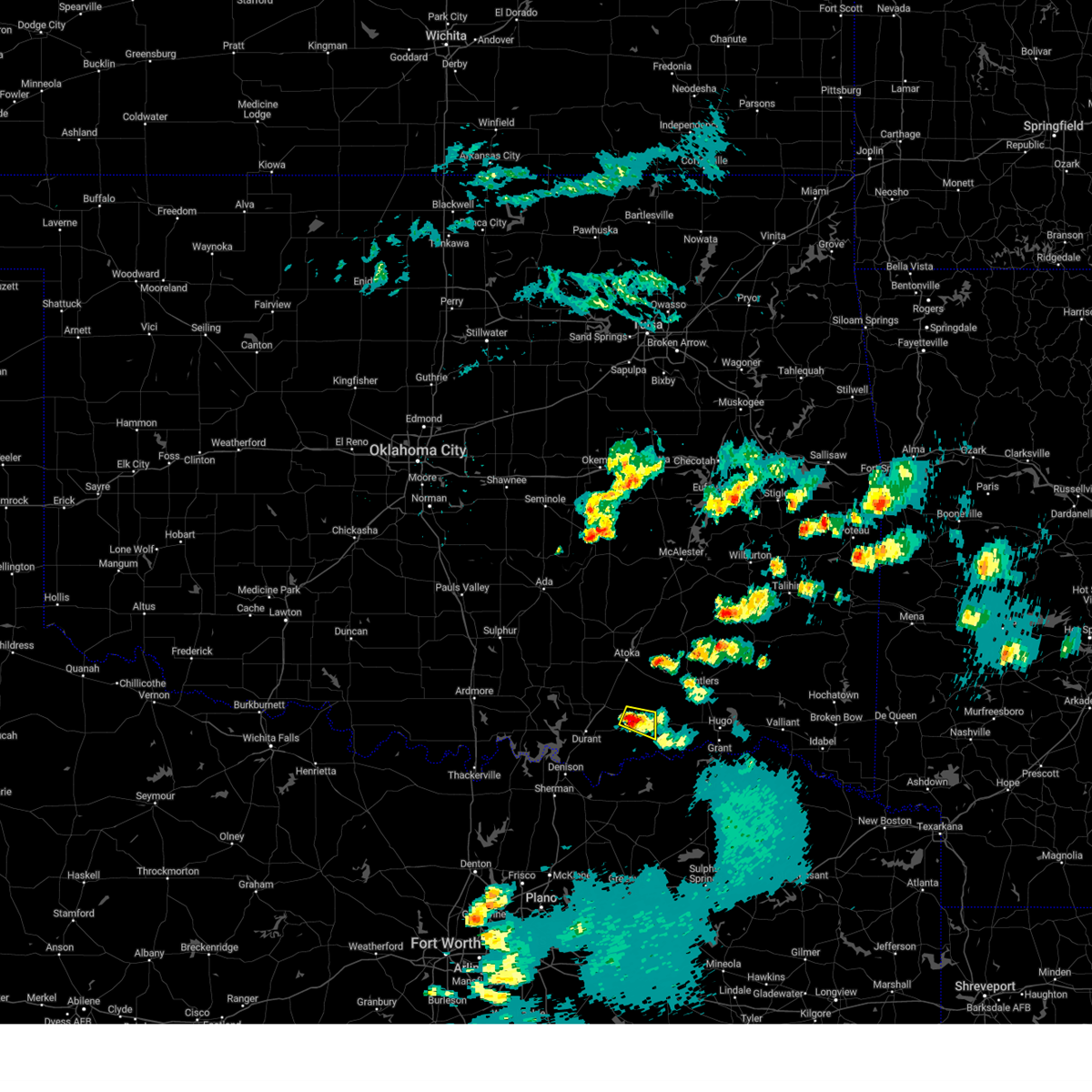
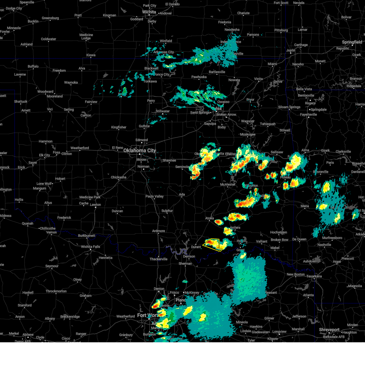
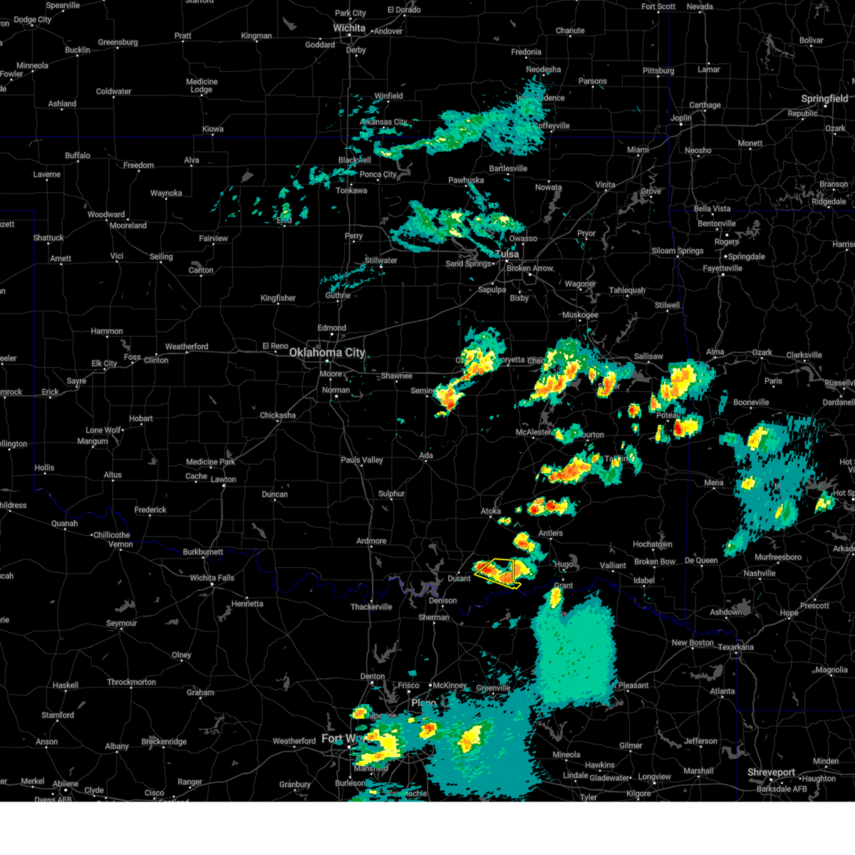
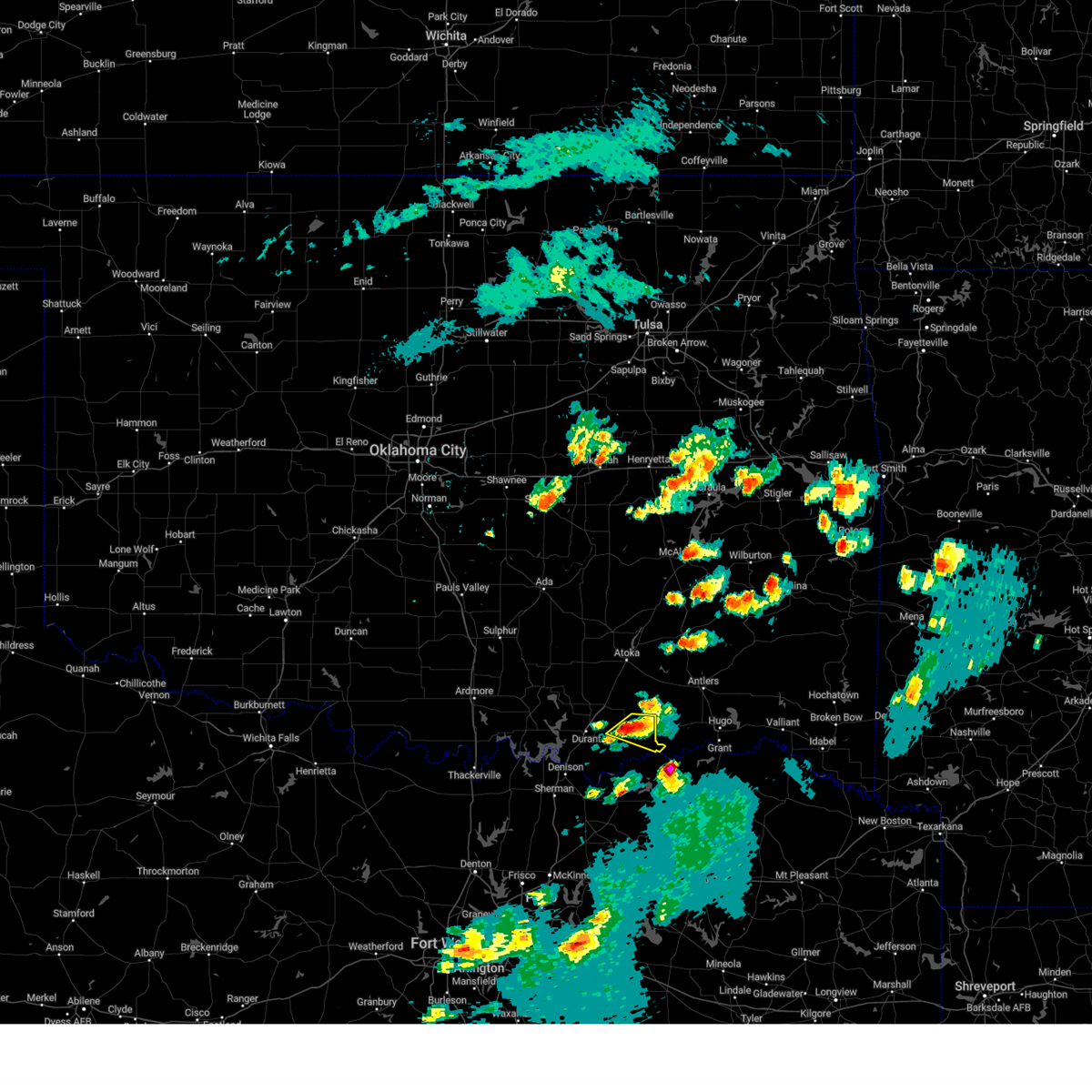
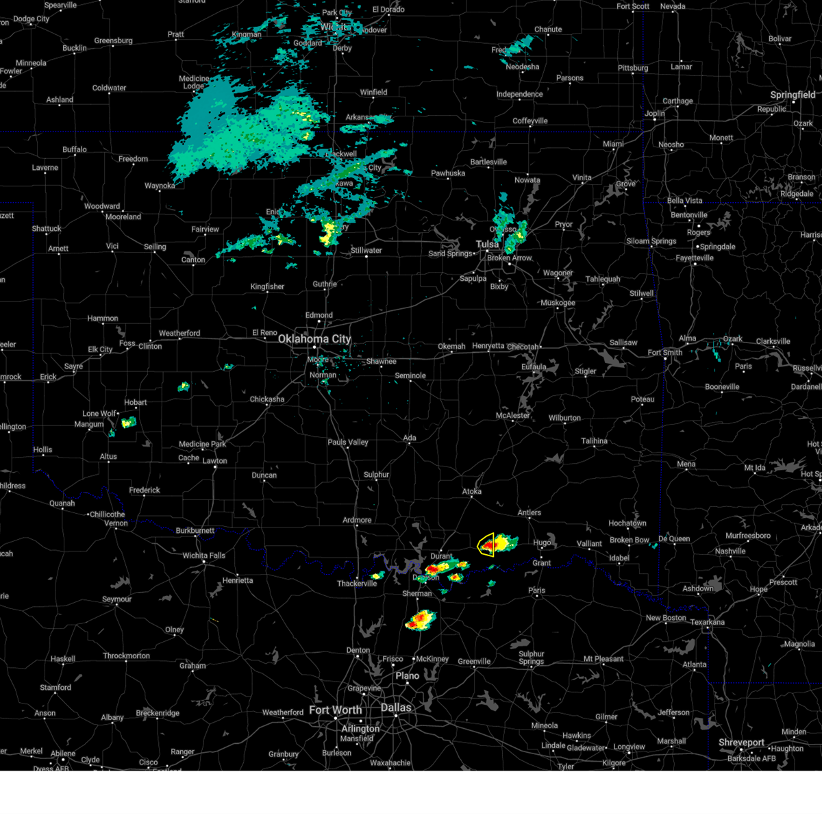
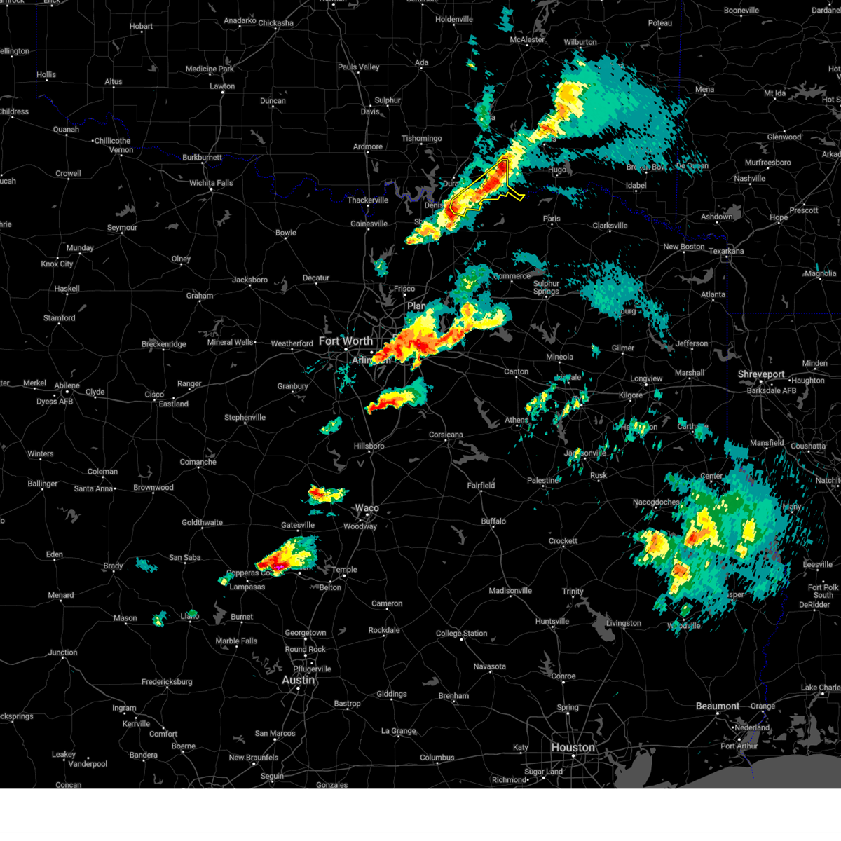
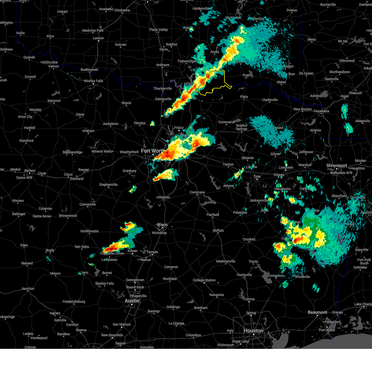
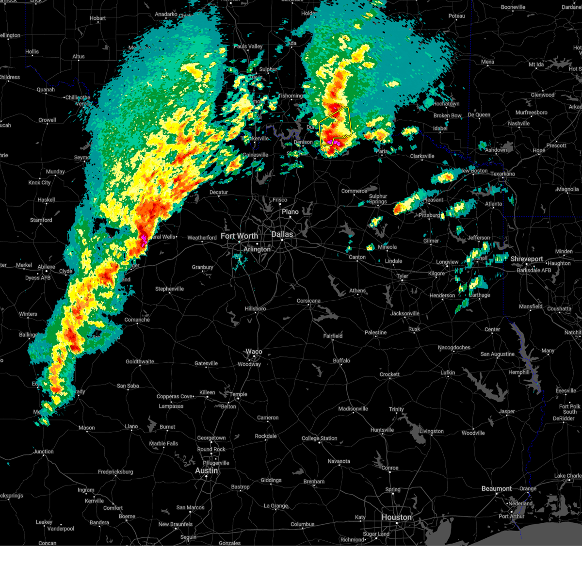
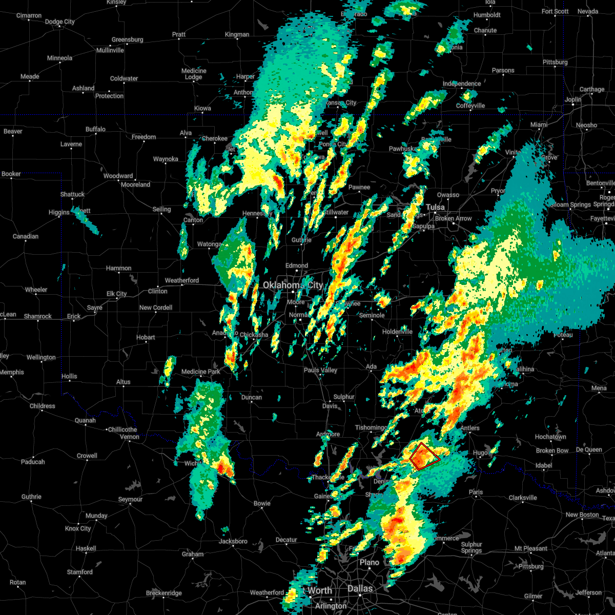
Hail Map for Bennington, OK
The Bennington, OK area has had 4 reports of on-the-ground hail by trained spotters, and has been under severe weather warnings 29 times during the past 12 months. Doppler radar has detected hail at or near Bennington, OK on 55 occasions, including 1 occasion during the past year.
| Name: | Bennington, OK |
| Where Located: | 27 miles S of Atoka, OK |
| Map: | Google Map for Bennington, OK |
| Population: | 334 |
| Housing Units: | 143 |
| More Info: | Search Google for Bennington, OK |
0
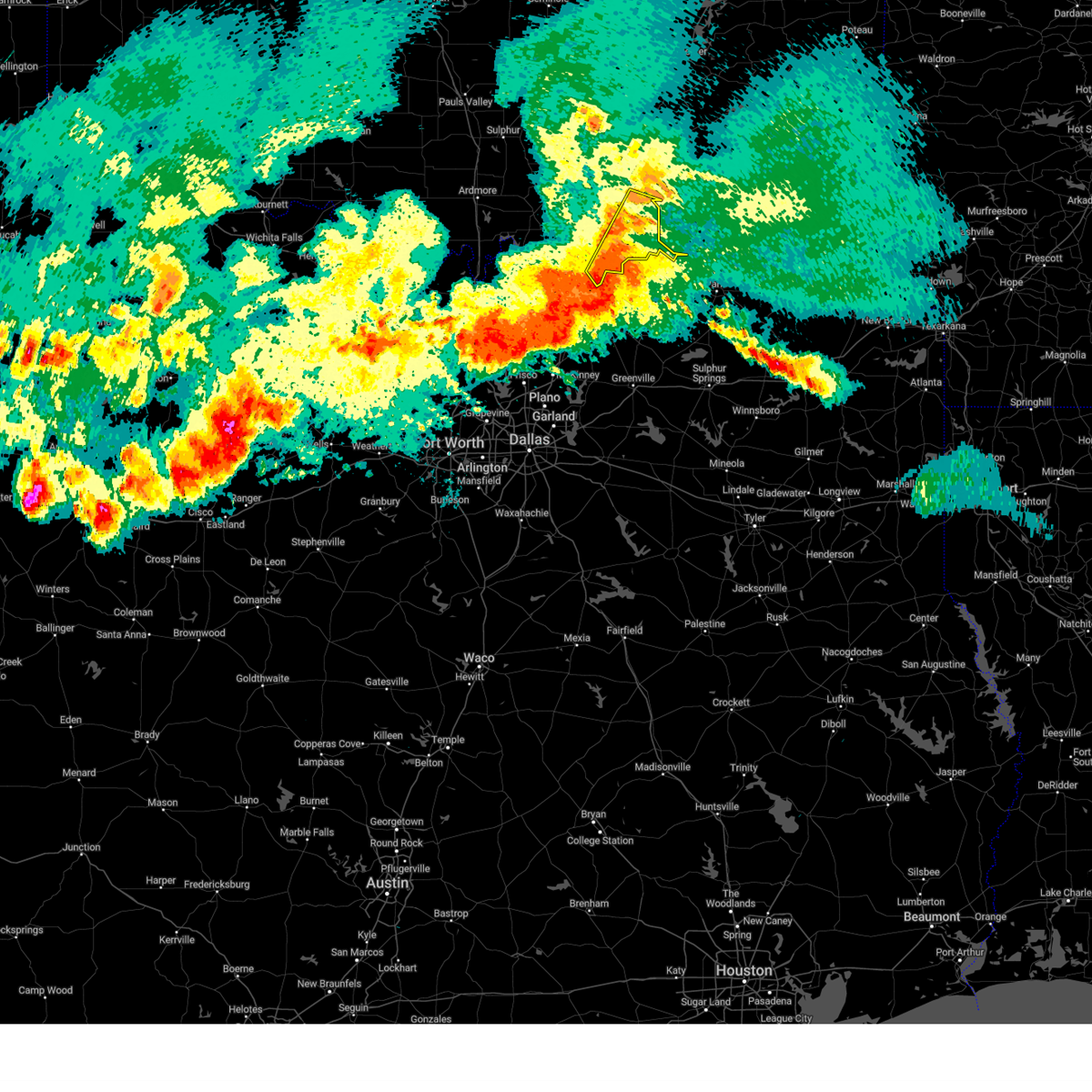
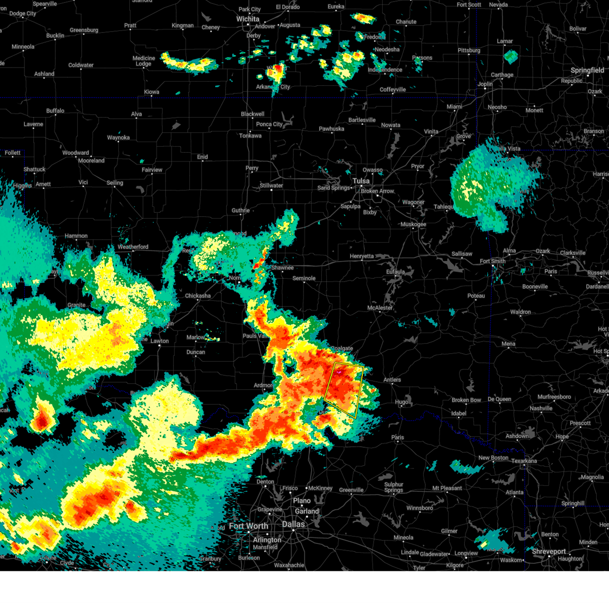
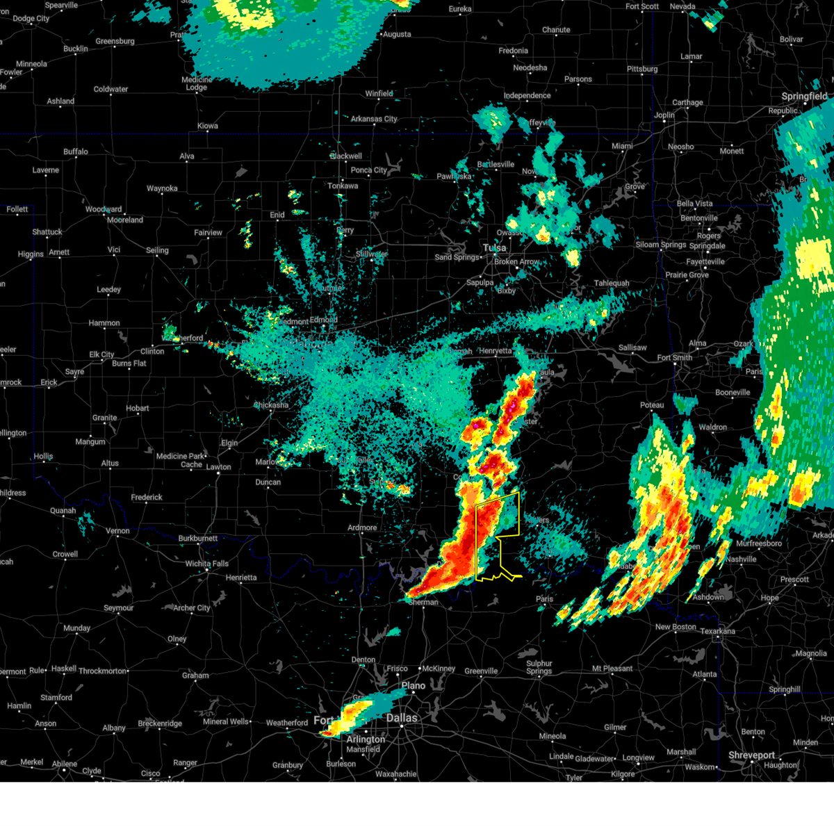
The Top Recent Hail Date for Bennington, OK is Monday, May 19, 2025 (37th out of 55)
Hail and Wind Damage Spotted near Bennington, OK
| Date / Time | Report Details |
|---|---|
| 6/8/2025 9:59 PM CDT |
 Svroun the national weather service in norman has issued a * severe thunderstorm warning for, central bryan county in southeastern oklahoma, south central atoka county in southeastern oklahoma, * until 1030 pm cdt. * at 959 pm cdt, severe thunderstorms were located along a line extending from 10 miles north of bennington to 4 miles southeast of kemp, moving southeast at 30 mph (radar indicated). Hazards include 70 mph wind gusts. Expect considerable tree damage. Damage is likely to mobile homes, roofs, and outbuildings. Svroun the national weather service in norman has issued a * severe thunderstorm warning for, central bryan county in southeastern oklahoma, south central atoka county in southeastern oklahoma, * until 1030 pm cdt. * at 959 pm cdt, severe thunderstorms were located along a line extending from 10 miles north of bennington to 4 miles southeast of kemp, moving southeast at 30 mph (radar indicated). Hazards include 70 mph wind gusts. Expect considerable tree damage. Damage is likely to mobile homes, roofs, and outbuildings.
|
| 6/8/2025 9:11 PM CDT |
 Svroun the national weather service in norman has issued a * severe thunderstorm warning for, north central bryan county in southeastern oklahoma, south central coal county in southeastern oklahoma, southwestern atoka county in southeastern oklahoma, * until 1000 pm cdt. * at 911 pm cdt, severe thunderstorms were located along a line extending from 3 miles northwest of tushka to near caddo, moving southeast at 5 mph (radar indicated). Hazards include 60 mph wind gusts and quarter size hail. Hail damage to vehicles is expected. Expect wind damage to roofs, siding, and trees. Svroun the national weather service in norman has issued a * severe thunderstorm warning for, north central bryan county in southeastern oklahoma, south central coal county in southeastern oklahoma, southwestern atoka county in southeastern oklahoma, * until 1000 pm cdt. * at 911 pm cdt, severe thunderstorms were located along a line extending from 3 miles northwest of tushka to near caddo, moving southeast at 5 mph (radar indicated). Hazards include 60 mph wind gusts and quarter size hail. Hail damage to vehicles is expected. Expect wind damage to roofs, siding, and trees.
|
| 5/20/2025 12:42 AM CDT | At 1241 am cdt, a severe thunderstorm was located 10 miles west of kellond, moving east at 40 mph (radar indicated). Hazards include 60 mph wind gusts. Expect damage to roofs, siding, and trees. Locations impacted include, bokchito, bennington, wade, darwin, and southeastern mcgee creek lake. |
| 5/20/2025 12:16 AM CDT |
 At 1216 am cdt, a severe thunderstorm was located 4 miles southwest of lane, moving east at 50 mph (trained weather spotters). Hazards include 70 mph wind gusts and quarter size hail. Hail damage to vehicles is expected. expect considerable tree damage. wind damage is also likely to mobile homes, roofs, and outbuildings. Locations impacted include, atoka, bokchito, bennington, lane, wade, mcgee creek lake, bentley, and darwin. At 1216 am cdt, a severe thunderstorm was located 4 miles southwest of lane, moving east at 50 mph (trained weather spotters). Hazards include 70 mph wind gusts and quarter size hail. Hail damage to vehicles is expected. expect considerable tree damage. wind damage is also likely to mobile homes, roofs, and outbuildings. Locations impacted include, atoka, bokchito, bennington, lane, wade, mcgee creek lake, bentley, and darwin.
|
| 5/20/2025 12:10 AM CDT |
 Svroun the national weather service in norman has issued a * severe thunderstorm warning for, northeastern bryan county in southeastern oklahoma, southeastern atoka county in southeastern oklahoma, * until 100 am cdt. * at 1209 am cdt, a severe thunderstorm was located 4 miles east of caney, moving east at 50 mph (radar indicated). Hazards include 70 mph wind gusts and quarter size hail. Hail damage to vehicles is expected. expect considerable tree damage. Wind damage is also likely to mobile homes, roofs, and outbuildings. Svroun the national weather service in norman has issued a * severe thunderstorm warning for, northeastern bryan county in southeastern oklahoma, southeastern atoka county in southeastern oklahoma, * until 100 am cdt. * at 1209 am cdt, a severe thunderstorm was located 4 miles east of caney, moving east at 50 mph (radar indicated). Hazards include 70 mph wind gusts and quarter size hail. Hail damage to vehicles is expected. expect considerable tree damage. Wind damage is also likely to mobile homes, roofs, and outbuildings.
|
| 5/19/2025 9:36 PM CDT |
 The storm which prompted the warning has weakened below severe limits, therefore the warning will be allowed to expire. however, small hail and gusty winds are still possible with this thunderstorm. The storm which prompted the warning has weakened below severe limits, therefore the warning will be allowed to expire. however, small hail and gusty winds are still possible with this thunderstorm.
|
| 5/19/2025 8:55 PM CDT |
 Svroun the national weather service in norman has issued a * severe thunderstorm warning for, central bryan county in southeastern oklahoma, * until 945 pm cdt. * at 855 pm cdt, a severe thunderstorm was located near hendrix, moving northeast at 35 mph (radar indicated). Hazards include 60 mph wind gusts and quarter size hail. Hail damage to vehicles is expected. Expect wind damage to roofs, siding, and trees. Svroun the national weather service in norman has issued a * severe thunderstorm warning for, central bryan county in southeastern oklahoma, * until 945 pm cdt. * at 855 pm cdt, a severe thunderstorm was located near hendrix, moving northeast at 35 mph (radar indicated). Hazards include 60 mph wind gusts and quarter size hail. Hail damage to vehicles is expected. Expect wind damage to roofs, siding, and trees.
|
| 5/17/2025 8:12 PM CDT |
 The storms which prompted the warning have weakened below severe limits, therefore the warning will be allowed to expire. however, small hail and gusty winds are still possible with these thunderstorms. The storms which prompted the warning have weakened below severe limits, therefore the warning will be allowed to expire. however, small hail and gusty winds are still possible with these thunderstorms.
|
| 5/17/2025 8:08 PM CDT |
 At 808 pm cdt, severe thunderstorms were located along a line extending from 3 miles south of caney to 4 miles northeast of bokchito, moving northeast at 45 mph (radar indicated). Hazards include 60 mph wind gusts and quarter size hail. Hail damage to vehicles is expected. expect wind damage to roofs, siding, and trees. Locations impacted include, caddo, bokchito, bennington, caney, and wade. At 808 pm cdt, severe thunderstorms were located along a line extending from 3 miles south of caney to 4 miles northeast of bokchito, moving northeast at 45 mph (radar indicated). Hazards include 60 mph wind gusts and quarter size hail. Hail damage to vehicles is expected. expect wind damage to roofs, siding, and trees. Locations impacted include, caddo, bokchito, bennington, caney, and wade.
|
| 5/17/2025 7:53 PM CDT |
 At 753 pm cdt, the leading edge of severe thunderstorms was located along a line extending from near kenefic to near blue, moving northeast at 30 mph (radar indicated). Hazards include 60 mph wind gusts and quarter size hail. Hail damage to vehicles is expected. expect wind damage to roofs, siding, and trees. Locations impacted include, durant, caddo, bokchito, achille, bennington, silo, caney, kenefic, armstrong, blue, utica, albany, calera, and wade. At 753 pm cdt, the leading edge of severe thunderstorms was located along a line extending from near kenefic to near blue, moving northeast at 30 mph (radar indicated). Hazards include 60 mph wind gusts and quarter size hail. Hail damage to vehicles is expected. expect wind damage to roofs, siding, and trees. Locations impacted include, durant, caddo, bokchito, achille, bennington, silo, caney, kenefic, armstrong, blue, utica, albany, calera, and wade.
|
| 5/17/2025 7:35 PM CDT |
 Svroun the national weather service in norman has issued a * severe thunderstorm warning for, bryan county in southeastern oklahoma, south central atoka county in southeastern oklahoma, * until 815 pm cdt. * at 735 pm cdt, a severe thunderstorm was located near achille, moving northeast at 40 mph (radar indicated). Hazards include 60 mph wind gusts and quarter size hail. Hail damage to vehicles is expected. Expect wind damage to roofs, siding, and trees. Svroun the national weather service in norman has issued a * severe thunderstorm warning for, bryan county in southeastern oklahoma, south central atoka county in southeastern oklahoma, * until 815 pm cdt. * at 735 pm cdt, a severe thunderstorm was located near achille, moving northeast at 40 mph (radar indicated). Hazards include 60 mph wind gusts and quarter size hail. Hail damage to vehicles is expected. Expect wind damage to roofs, siding, and trees.
|
| 5/2/2025 5:43 AM CDT |
 The storms which prompted the warning have moved out of the area. therefore, the warning will be allowed to expire. however, gusty winds and heavy rain are still possible with these thunderstorms. The storms which prompted the warning have moved out of the area. therefore, the warning will be allowed to expire. however, gusty winds and heavy rain are still possible with these thunderstorms.
|
| 5/2/2025 5:26 AM CDT |
 At 526 am cdt, severe thunderstorms were located along a line extending from 5 miles south of wardville to 5 miles southeast of lane to 7 miles south of bennington, moving east at 50 mph (radar indicated). Hazards include 60 mph wind gusts. Expect damage to roofs, siding, and trees. Locations impacted include, atoka, coalgate, bokchito, stringtown, lehigh, bennington, tushka, caney, blue, lane, utica, daisy, albany, phillips, atoka reservoir, wade, chockie, bentley, mcgee creek lake, and redden. At 526 am cdt, severe thunderstorms were located along a line extending from 5 miles south of wardville to 5 miles southeast of lane to 7 miles south of bennington, moving east at 50 mph (radar indicated). Hazards include 60 mph wind gusts. Expect damage to roofs, siding, and trees. Locations impacted include, atoka, coalgate, bokchito, stringtown, lehigh, bennington, tushka, caney, blue, lane, utica, daisy, albany, phillips, atoka reservoir, wade, chockie, bentley, mcgee creek lake, and redden.
|
| 5/2/2025 5:26 AM CDT |
 the severe thunderstorm warning has been cancelled and is no longer in effect the severe thunderstorm warning has been cancelled and is no longer in effect
|
| 5/2/2025 4:50 AM CDT |
 Svroun the national weather service in norman has issued a * severe thunderstorm warning for, eastern johnston county in southeastern oklahoma, bryan county in southeastern oklahoma, southern coal county in southeastern oklahoma, south central pontotoc county in east central oklahoma, east central marshall county in southeastern oklahoma, atoka county in southeastern oklahoma, * until 545 am cdt. * at 450 am cdt, severe thunderstorms were located along a line extending from near pontotoc to near nida to near cartwright, moving east at 45 mph (radar indicated). Hazards include 70 mph wind gusts and quarter size hail. Hail damage to vehicles is expected. expect considerable tree damage. Wind damage is also likely to mobile homes, roofs, and outbuildings. Svroun the national weather service in norman has issued a * severe thunderstorm warning for, eastern johnston county in southeastern oklahoma, bryan county in southeastern oklahoma, southern coal county in southeastern oklahoma, south central pontotoc county in east central oklahoma, east central marshall county in southeastern oklahoma, atoka county in southeastern oklahoma, * until 545 am cdt. * at 450 am cdt, severe thunderstorms were located along a line extending from near pontotoc to near nida to near cartwright, moving east at 45 mph (radar indicated). Hazards include 70 mph wind gusts and quarter size hail. Hail damage to vehicles is expected. expect considerable tree damage. Wind damage is also likely to mobile homes, roofs, and outbuildings.
|
| 4/26/2025 3:19 PM CDT |
 Toroun the national weather service in norman has issued a * tornado warning for, northeastern bryan county in southeastern oklahoma, southeastern atoka county in southeastern oklahoma, * until 345 pm cdt. * at 318 pm cdt, a severe thunderstorm capable of producing a tornado was located 6 miles north of boswell, moving north at 20 mph (radar indicated rotation). Hazards include tornado and quarter size hail. Flying debris will be dangerous to those caught without shelter. mobile homes will be damaged or destroyed. damage to roofs, windows, and vehicles will occur. Tree damage is likely. Toroun the national weather service in norman has issued a * tornado warning for, northeastern bryan county in southeastern oklahoma, southeastern atoka county in southeastern oklahoma, * until 345 pm cdt. * at 318 pm cdt, a severe thunderstorm capable of producing a tornado was located 6 miles north of boswell, moving north at 20 mph (radar indicated rotation). Hazards include tornado and quarter size hail. Flying debris will be dangerous to those caught without shelter. mobile homes will be damaged or destroyed. damage to roofs, windows, and vehicles will occur. Tree damage is likely.
|
| 4/26/2025 2:45 PM CDT |
 Toroun the national weather service in norman has issued a * tornado warning for, northeastern bryan county in southeastern oklahoma, southeastern atoka county in southeastern oklahoma, * until 315 pm cdt. * at 245 pm cdt, a severe thunderstorm capable of producing a tornado was located near boswell, moving northeast at 15 mph (radar indicated rotation). Hazards include tornado. Flying debris will be dangerous to those caught without shelter. mobile homes will be damaged or destroyed. damage to roofs, windows, and vehicles will occur. Tree damage is likely. Toroun the national weather service in norman has issued a * tornado warning for, northeastern bryan county in southeastern oklahoma, southeastern atoka county in southeastern oklahoma, * until 315 pm cdt. * at 245 pm cdt, a severe thunderstorm capable of producing a tornado was located near boswell, moving northeast at 15 mph (radar indicated rotation). Hazards include tornado. Flying debris will be dangerous to those caught without shelter. mobile homes will be damaged or destroyed. damage to roofs, windows, and vehicles will occur. Tree damage is likely.
|
| 4/26/2025 2:36 PM CDT |
 At 236 pm cdt, a confirmed tornado was located 5 miles north of bokchito, moving northeast at 15 mph (weather spotters confirmed tornado). Hazards include damaging tornado and quarter size hail. Flying debris will be dangerous to those caught without shelter. mobile homes will be damaged or destroyed. damage to roofs, windows, and vehicles will occur. tree damage is likely. Locations impacted include, caddo, bokchito, bennington, and caney. At 236 pm cdt, a confirmed tornado was located 5 miles north of bokchito, moving northeast at 15 mph (weather spotters confirmed tornado). Hazards include damaging tornado and quarter size hail. Flying debris will be dangerous to those caught without shelter. mobile homes will be damaged or destroyed. damage to roofs, windows, and vehicles will occur. tree damage is likely. Locations impacted include, caddo, bokchito, bennington, and caney.
|
| 4/26/2025 2:31 PM CDT |
 Toroun the national weather service in norman has issued a * tornado warning for, north central bryan county in southeastern oklahoma, south central atoka county in southeastern oklahoma, * until 300 pm cdt. * at 231 pm cdt, a severe thunderstorm capable of producing a tornado was located 4 miles north of bokchito, moving northeast at 15 mph (radar indicated rotation). Hazards include tornado and quarter size hail. Flying debris will be dangerous to those caught without shelter. mobile homes will be damaged or destroyed. damage to roofs, windows, and vehicles will occur. Tree damage is likely. Toroun the national weather service in norman has issued a * tornado warning for, north central bryan county in southeastern oklahoma, south central atoka county in southeastern oklahoma, * until 300 pm cdt. * at 231 pm cdt, a severe thunderstorm capable of producing a tornado was located 4 miles north of bokchito, moving northeast at 15 mph (radar indicated rotation). Hazards include tornado and quarter size hail. Flying debris will be dangerous to those caught without shelter. mobile homes will be damaged or destroyed. damage to roofs, windows, and vehicles will occur. Tree damage is likely.
|
| 4/20/2025 12:16 AM CDT |
 Svroun the national weather service in norman has issued a * severe thunderstorm warning for, northeastern bryan county in southeastern oklahoma, atoka county in southeastern oklahoma, * until 100 am cdt. * at 1215 am cdt, severe thunderstorms were located along a line extending from near wardville to 7 miles southeast of stringtown to near blue, moving northeast at 35 mph (radar indicated). Hazards include 70 mph wind gusts and quarter size hail. Hail damage to vehicles is expected. expect considerable tree damage. Wind damage is also likely to mobile homes, roofs, and outbuildings. Svroun the national weather service in norman has issued a * severe thunderstorm warning for, northeastern bryan county in southeastern oklahoma, atoka county in southeastern oklahoma, * until 100 am cdt. * at 1215 am cdt, severe thunderstorms were located along a line extending from near wardville to 7 miles southeast of stringtown to near blue, moving northeast at 35 mph (radar indicated). Hazards include 70 mph wind gusts and quarter size hail. Hail damage to vehicles is expected. expect considerable tree damage. Wind damage is also likely to mobile homes, roofs, and outbuildings.
|
| 4/20/2025 12:03 AM CDT |
 the severe thunderstorm warning has been cancelled and is no longer in effect the severe thunderstorm warning has been cancelled and is no longer in effect
|
| 4/20/2025 12:03 AM CDT |
 At 1202 am cdt, severe thunderstorms were located along a line extending from 3 miles southwest of wardville to 4 miles west of lane to 3 miles north of utica, moving northeast at 50 mph (radar indicated). Hazards include 70 mph wind gusts and half dollar size hail. Hail damage to vehicles is expected. expect considerable tree damage. wind damage is also likely to mobile homes, roofs, and outbuildings. Locations impacted include, durant, atoka, coalgate, caddo, bokchito, achille, stringtown, lehigh, bennington, tushka, caney, kenefic, armstrong, utica, wardville, albany, blue, lane, daisy, and phillips. At 1202 am cdt, severe thunderstorms were located along a line extending from 3 miles southwest of wardville to 4 miles west of lane to 3 miles north of utica, moving northeast at 50 mph (radar indicated). Hazards include 70 mph wind gusts and half dollar size hail. Hail damage to vehicles is expected. expect considerable tree damage. wind damage is also likely to mobile homes, roofs, and outbuildings. Locations impacted include, durant, atoka, coalgate, caddo, bokchito, achille, stringtown, lehigh, bennington, tushka, caney, kenefic, armstrong, utica, wardville, albany, blue, lane, daisy, and phillips.
|
| 4/19/2025 11:50 PM CDT |
 At 1149 pm cdt, a severe thunderstorm capable of producing a tornado was located near caddo, moving northeast at 45 mph. the storm is also increasing again near durant (radar indicated rotation). Hazards include tornado and ping pong ball size hail. Flying debris will be dangerous to those caught without shelter. mobile homes will be damaged or destroyed. damage to roofs, windows, and vehicles will occur. tree damage is likely. Locations impacted include, durant, caddo, bokchito, bennington, and armstrong. At 1149 pm cdt, a severe thunderstorm capable of producing a tornado was located near caddo, moving northeast at 45 mph. the storm is also increasing again near durant (radar indicated rotation). Hazards include tornado and ping pong ball size hail. Flying debris will be dangerous to those caught without shelter. mobile homes will be damaged or destroyed. damage to roofs, windows, and vehicles will occur. tree damage is likely. Locations impacted include, durant, caddo, bokchito, bennington, and armstrong.
|
| 4/19/2025 11:36 PM CDT | At 1136 pm cdt, a severe thunderstorm capable of producing a tornado was located near durant, moving northeast at 40 mph (radar indicated rotation). Hazards include tornado and ping pong ball size hail. Flying debris will be dangerous to those caught without shelter. mobile homes will be damaged or destroyed. damage to roofs, windows, and vehicles will occur. tree damage is likely. Locations impacted include, durant, caddo, bokchito, bennington, silo, armstrong, blue, and calera. |
| 4/19/2025 11:21 PM CDT |
 Toroun the national weather service in norman has issued a * tornado warning for, northern bryan county in southeastern oklahoma, * until midnight cdt. * at 1120 pm cdt, a severe thunderstorm capable of producing a tornado was located 4 miles south of mead, moving northeast at 30 mph. this storm is moving toward durant (radar indicated rotation). Hazards include tornado and golf ball size hail. Flying debris will be dangerous to those caught without shelter. mobile homes will be damaged or destroyed. damage to roofs, windows, and vehicles will occur. Tree damage is likely. Toroun the national weather service in norman has issued a * tornado warning for, northern bryan county in southeastern oklahoma, * until midnight cdt. * at 1120 pm cdt, a severe thunderstorm capable of producing a tornado was located 4 miles south of mead, moving northeast at 30 mph. this storm is moving toward durant (radar indicated rotation). Hazards include tornado and golf ball size hail. Flying debris will be dangerous to those caught without shelter. mobile homes will be damaged or destroyed. damage to roofs, windows, and vehicles will occur. Tree damage is likely.
|
| 4/19/2025 11:18 PM CDT |
 Svroun the national weather service in norman has issued a * severe thunderstorm warning for, eastern johnston county in southeastern oklahoma, bryan county in southeastern oklahoma, southern coal county in southeastern oklahoma, eastern marshall county in southeastern oklahoma, atoka county in southeastern oklahoma, * until 1215 am cdt. * at 1117 pm cdt, severe thunderstorms were located along a line extending from near clarita to near cartwright, moving east- northeast at 35 mph (radar indicated). Hazards include 70 mph wind gusts and half dollar size hail. Hail damage to vehicles is expected. expect considerable tree damage. Wind damage is also likely to mobile homes, roofs, and outbuildings. Svroun the national weather service in norman has issued a * severe thunderstorm warning for, eastern johnston county in southeastern oklahoma, bryan county in southeastern oklahoma, southern coal county in southeastern oklahoma, eastern marshall county in southeastern oklahoma, atoka county in southeastern oklahoma, * until 1215 am cdt. * at 1117 pm cdt, severe thunderstorms were located along a line extending from near clarita to near cartwright, moving east- northeast at 35 mph (radar indicated). Hazards include 70 mph wind gusts and half dollar size hail. Hail damage to vehicles is expected. expect considerable tree damage. Wind damage is also likely to mobile homes, roofs, and outbuildings.
|
| 3/4/2025 6:17 AM CST |
 At 616 am cst, severe thunderstorms were located along a line extending from near wardville to near lane to near bennington, moving northeast at 40 mph (radar indicated). Hazards include 70 mph wind gusts and quarter size hail. Hail damage to vehicles is expected. expect considerable tree damage. wind damage is also likely to mobile homes, roofs, and outbuildings. Locations impacted include, atoka reservoir, lane, chockie, bentley, mcgee creek lake, redden, atoka, wardville, daisy, bokchito, stringtown, darwin, and bennington. At 616 am cst, severe thunderstorms were located along a line extending from near wardville to near lane to near bennington, moving northeast at 40 mph (radar indicated). Hazards include 70 mph wind gusts and quarter size hail. Hail damage to vehicles is expected. expect considerable tree damage. wind damage is also likely to mobile homes, roofs, and outbuildings. Locations impacted include, atoka reservoir, lane, chockie, bentley, mcgee creek lake, redden, atoka, wardville, daisy, bokchito, stringtown, darwin, and bennington.
|
| 3/4/2025 6:17 AM CST |
 the severe thunderstorm warning has been cancelled and is no longer in effect the severe thunderstorm warning has been cancelled and is no longer in effect
|
| 3/4/2025 5:53 AM CST |
 Svroun the national weather service in norman has issued a * severe thunderstorm warning for, northern bryan county in southeastern oklahoma, coal county in southeastern oklahoma, atoka county in southeastern oklahoma, hughes county in southeastern oklahoma, * until 645 am cst. * at 553 am cst, severe thunderstorms were located along a line extending from 4 miles south of weleetka to near stuart to near blue, moving northeast at 65 mph (radar indicated). Hazards include 70 mph wind gusts and quarter size hail. Hail damage to vehicles is expected. expect considerable tree damage. Wind damage is also likely to mobile homes, roofs, and outbuildings. Svroun the national weather service in norman has issued a * severe thunderstorm warning for, northern bryan county in southeastern oklahoma, coal county in southeastern oklahoma, atoka county in southeastern oklahoma, hughes county in southeastern oklahoma, * until 645 am cst. * at 553 am cst, severe thunderstorms were located along a line extending from 4 miles south of weleetka to near stuart to near blue, moving northeast at 65 mph (radar indicated). Hazards include 70 mph wind gusts and quarter size hail. Hail damage to vehicles is expected. expect considerable tree damage. Wind damage is also likely to mobile homes, roofs, and outbuildings.
|
| 6/4/2024 4:38 AM CDT |
 The storms which prompted the warning have moved out of the area. therefore, the warning will be allowed to expire. however, gusty winds are still possible with these thunderstorms. The storms which prompted the warning have moved out of the area. therefore, the warning will be allowed to expire. however, gusty winds are still possible with these thunderstorms.
|
| 6/4/2024 4:27 AM CDT |
 the severe thunderstorm warning has been cancelled and is no longer in effect the severe thunderstorm warning has been cancelled and is no longer in effect
|
| 6/4/2024 4:27 AM CDT |
 At 427 am cdt, severe thunderstorms were located along a line extending from 4 miles west of snow to 4 miles southwest of boswell to near durant, moving southeast at 40 mph (radar indicated). Hazards include 60 mph wind gusts and penny size hail. Expect damage to roofs, siding, and trees. Locations impacted include, durant, colbert, caddo, bokchito, achille, bennington, silo, caney, kenefic, kemp, mead, armstrong, hendrix, blue, lane, utica, albany, eastern lake texoma, calera, and wade. At 427 am cdt, severe thunderstorms were located along a line extending from 4 miles west of snow to 4 miles southwest of boswell to near durant, moving southeast at 40 mph (radar indicated). Hazards include 60 mph wind gusts and penny size hail. Expect damage to roofs, siding, and trees. Locations impacted include, durant, colbert, caddo, bokchito, achille, bennington, silo, caney, kenefic, kemp, mead, armstrong, hendrix, blue, lane, utica, albany, eastern lake texoma, calera, and wade.
|
| 6/4/2024 4:16 AM CDT |
 the severe thunderstorm warning has been cancelled and is no longer in effect the severe thunderstorm warning has been cancelled and is no longer in effect
|
| 6/4/2024 4:16 AM CDT |
 At 415 am cdt, severe thunderstorms were located along a line extending from near dunbar to near bennington to near lake texoma, moving southeast at 45 mph (radar indicated). Hazards include 60 mph wind gusts and quarter size hail. Hail damage to vehicles is expected. expect wind damage to roofs, siding, and trees. Locations impacted include, durant, atoka, denison, colbert, caddo, bokchito, achille, stringtown, bennington, silo, milburn, tushka, caney, kenefic, kemp, mead, armstrong, hendrix, cartwright, and utica. At 415 am cdt, severe thunderstorms were located along a line extending from near dunbar to near bennington to near lake texoma, moving southeast at 45 mph (radar indicated). Hazards include 60 mph wind gusts and quarter size hail. Hail damage to vehicles is expected. expect wind damage to roofs, siding, and trees. Locations impacted include, durant, atoka, denison, colbert, caddo, bokchito, achille, stringtown, bennington, silo, milburn, tushka, caney, kenefic, kemp, mead, armstrong, hendrix, cartwright, and utica.
|
| 6/4/2024 4:02 AM CDT |
 At 401 am cdt, severe thunderstorms were located along a line extending from 4 miles northeast of daisy to 3 miles east of caddo to near madill, moving southeast at 40 mph (radar indicated). Hazards include 60 mph wind gusts and quarter size hail. Hail damage to vehicles is expected. expect wind damage to roofs, siding, and trees. Locations impacted include, durant, madill, atoka, tishomingo, coalgate, denison, kingston, dickson, colbert, caddo, mannsville, bokchito, ravia, achille, wapanucka, stringtown, lehigh, bennington, silo, and milburn. At 401 am cdt, severe thunderstorms were located along a line extending from 4 miles northeast of daisy to 3 miles east of caddo to near madill, moving southeast at 40 mph (radar indicated). Hazards include 60 mph wind gusts and quarter size hail. Hail damage to vehicles is expected. expect wind damage to roofs, siding, and trees. Locations impacted include, durant, madill, atoka, tishomingo, coalgate, denison, kingston, dickson, colbert, caddo, mannsville, bokchito, ravia, achille, wapanucka, stringtown, lehigh, bennington, silo, and milburn.
|
| 6/4/2024 4:02 AM CDT |
 the severe thunderstorm warning has been cancelled and is no longer in effect the severe thunderstorm warning has been cancelled and is no longer in effect
|
| 6/4/2024 3:44 AM CDT |
 Svroun the national weather service in norman has issued a * severe thunderstorm warning for, johnston county in southeastern oklahoma, bryan county in southeastern oklahoma, coal county in southeastern oklahoma, east central carter county in southern oklahoma, marshall county in southeastern oklahoma, atoka county in southeastern oklahoma, southeastern murray county in southern oklahoma, * until 445 am cdt. * at 343 am cdt, severe thunderstorms were located along a line extending from near kiowa to 4 miles east of coleman to near mannsville, moving southeast at 50 mph (radar indicated). Hazards include 60 mph wind gusts and quarter size hail. Hail damage to vehicles is expected. Expect wind damage to roofs, siding, and trees. Svroun the national weather service in norman has issued a * severe thunderstorm warning for, johnston county in southeastern oklahoma, bryan county in southeastern oklahoma, coal county in southeastern oklahoma, east central carter county in southern oklahoma, marshall county in southeastern oklahoma, atoka county in southeastern oklahoma, southeastern murray county in southern oklahoma, * until 445 am cdt. * at 343 am cdt, severe thunderstorms were located along a line extending from near kiowa to 4 miles east of coleman to near mannsville, moving southeast at 50 mph (radar indicated). Hazards include 60 mph wind gusts and quarter size hail. Hail damage to vehicles is expected. Expect wind damage to roofs, siding, and trees.
|
| 5/23/2024 11:42 PM CDT |
 The storm which prompted the warning has weakened below severe limits, therefore the warning will be allowed to expire. however, small hail, gusty winds and heavy rain are still possible with this thunderstorm. remember, a severe thunderstorm warning still remains in effect for the area. The storm which prompted the warning has weakened below severe limits, therefore the warning will be allowed to expire. however, small hail, gusty winds and heavy rain are still possible with this thunderstorm. remember, a severe thunderstorm warning still remains in effect for the area.
|
| 5/23/2024 10:56 PM CDT |
 Svroun the national weather service in norman has issued a * severe thunderstorm warning for, bryan county in southeastern oklahoma, * until 1145 pm cdt. * at 1056 pm cdt, a severe thunderstorm was located near colbert, moving northeast at 40 mph (radar indicated). Hazards include 60 mph wind gusts and half dollar size hail. Hail damage to vehicles is expected. Expect wind damage to roofs, siding, and trees. Svroun the national weather service in norman has issued a * severe thunderstorm warning for, bryan county in southeastern oklahoma, * until 1145 pm cdt. * at 1056 pm cdt, a severe thunderstorm was located near colbert, moving northeast at 40 mph (radar indicated). Hazards include 60 mph wind gusts and half dollar size hail. Hail damage to vehicles is expected. Expect wind damage to roofs, siding, and trees.
|
| 5/23/2024 10:13 PM CDT |
 Svroun the national weather service in norman has issued a * severe thunderstorm warning for, northeastern bryan county in southeastern oklahoma, south central atoka county in southeastern oklahoma, * until 1100 pm cdt. * at 1013 pm cdt, a severe thunderstorm was located near bokchito, moving northeast at 25 mph (radar indicated). Hazards include 60 mph wind gusts and quarter size hail. Hail damage to vehicles is expected. Expect wind damage to roofs, siding, and trees. Svroun the national weather service in norman has issued a * severe thunderstorm warning for, northeastern bryan county in southeastern oklahoma, south central atoka county in southeastern oklahoma, * until 1100 pm cdt. * at 1013 pm cdt, a severe thunderstorm was located near bokchito, moving northeast at 25 mph (radar indicated). Hazards include 60 mph wind gusts and quarter size hail. Hail damage to vehicles is expected. Expect wind damage to roofs, siding, and trees.
|
| 5/22/2024 1:49 PM CDT |
 At 148 pm cdt, a severe thunderstorm was located 7 miles northeast of bokchito, moving northeast at 45 mph (radar indicated). Hazards include 60 mph wind gusts and quarter size hail. Hail damage to vehicles is expected. expect wind damage to roofs, siding, and trees. Locations impacted include, bokchito, bennington, and bentley. At 148 pm cdt, a severe thunderstorm was located 7 miles northeast of bokchito, moving northeast at 45 mph (radar indicated). Hazards include 60 mph wind gusts and quarter size hail. Hail damage to vehicles is expected. expect wind damage to roofs, siding, and trees. Locations impacted include, bokchito, bennington, and bentley.
|
| 5/22/2024 1:38 PM CDT |
 At 137 pm cdt, a severe thunderstorm was located near bokchito, moving northeast at 35 mph (radar indicated). Hazards include 60 mph wind gusts and half dollar size hail. Hail damage to vehicles is expected. expect wind damage to roofs, siding, and trees. Locations impacted include, durant, caddo, bokchito, bennington, armstrong, blue, utica, and bentley. At 137 pm cdt, a severe thunderstorm was located near bokchito, moving northeast at 35 mph (radar indicated). Hazards include 60 mph wind gusts and half dollar size hail. Hail damage to vehicles is expected. expect wind damage to roofs, siding, and trees. Locations impacted include, durant, caddo, bokchito, bennington, armstrong, blue, utica, and bentley.
|
| 5/22/2024 1:15 PM CDT |
 Svroun the national weather service in norman has issued a * severe thunderstorm warning for, northwestern bryan county in southeastern oklahoma, south central atoka county in southeastern oklahoma, * until 200 pm cdt. * at 115 pm cdt, a severe thunderstorm was located 4 miles south of durant, moving northeast at 35 mph (radar indicated). Hazards include ping pong ball size hail and 60 mph wind gusts. People and animals outdoors will be injured. expect hail damage to roofs, siding, windows, and vehicles. Expect wind damage to roofs, siding, and trees. Svroun the national weather service in norman has issued a * severe thunderstorm warning for, northwestern bryan county in southeastern oklahoma, south central atoka county in southeastern oklahoma, * until 200 pm cdt. * at 115 pm cdt, a severe thunderstorm was located 4 miles south of durant, moving northeast at 35 mph (radar indicated). Hazards include ping pong ball size hail and 60 mph wind gusts. People and animals outdoors will be injured. expect hail damage to roofs, siding, windows, and vehicles. Expect wind damage to roofs, siding, and trees.
|
| 5/22/2024 1:07 PM CDT |
 At 107 pm cdt, a severe thunderstorm was located 4 miles southwest of albany, moving east at 50 mph (radar indicated). Hazards include 60 mph wind gusts and quarter size hail. Hail damage to vehicles is expected. expect wind damage to roofs, siding, and trees. Locations impacted include, durant, colbert, achille, bennington, kemp, hendrix, cartwright, utica, albany, eastern lake texoma, calera, wade, and mcbride. At 107 pm cdt, a severe thunderstorm was located 4 miles southwest of albany, moving east at 50 mph (radar indicated). Hazards include 60 mph wind gusts and quarter size hail. Hail damage to vehicles is expected. expect wind damage to roofs, siding, and trees. Locations impacted include, durant, colbert, achille, bennington, kemp, hendrix, cartwright, utica, albany, eastern lake texoma, calera, wade, and mcbride.
|
| 5/22/2024 12:56 PM CDT |
 At 1255 pm cdt, a severe thunderstorm was located near hendrix, moving northeast at 20 mph (radar indicated). Hazards include ping pong ball size hail and 60 mph wind gusts. People and animals outdoors will be injured. expect hail damage to roofs, siding, windows, and vehicles. expect wind damage to roofs, siding, and trees. Locations impacted include, durant, colbert, achille, bennington, kemp, hendrix, cartwright, utica, albany, eastern lake texoma, calera, wade, and mcbride. At 1255 pm cdt, a severe thunderstorm was located near hendrix, moving northeast at 20 mph (radar indicated). Hazards include ping pong ball size hail and 60 mph wind gusts. People and animals outdoors will be injured. expect hail damage to roofs, siding, windows, and vehicles. expect wind damage to roofs, siding, and trees. Locations impacted include, durant, colbert, achille, bennington, kemp, hendrix, cartwright, utica, albany, eastern lake texoma, calera, wade, and mcbride.
|
| 5/22/2024 12:45 PM CDT |
 Svroun the national weather service in norman has issued a * severe thunderstorm warning for, central bryan county in southeastern oklahoma, east central marshall county in southeastern oklahoma, * until 130 pm cdt. * at 1244 pm cdt, a severe thunderstorm was located 4 miles northeast of kemp, moving east at 50 mph (radar indicated). Hazards include two inch hail and 60 mph wind gusts. People and animals outdoors will be injured. expect hail damage to roofs, siding, windows, and vehicles. Expect wind damage to roofs, siding, and trees. Svroun the national weather service in norman has issued a * severe thunderstorm warning for, central bryan county in southeastern oklahoma, east central marshall county in southeastern oklahoma, * until 130 pm cdt. * at 1244 pm cdt, a severe thunderstorm was located 4 miles northeast of kemp, moving east at 50 mph (radar indicated). Hazards include two inch hail and 60 mph wind gusts. People and animals outdoors will be injured. expect hail damage to roofs, siding, windows, and vehicles. Expect wind damage to roofs, siding, and trees.
|
| 5/22/2024 10:42 AM CDT |
 At 1041 am cdt, a severe thunderstorm was located near atoka, moving southeast at 50 mph (trained weather spotters measured 70 mph wind gust in atoka). Hazards include 70 mph wind gusts and half dollar size hail. Hail damage to vehicles is expected. expect considerable tree damage. wind damage is also likely to mobile homes, roofs, and outbuildings. Locations impacted include, atoka, coalgate, caddo, stringtown, lehigh, bennington, tushka, caney, kenefic, lane, phillips, atoka reservoir, bentley, mcgee creek lake, redden, boggy depot park, and darwin. At 1041 am cdt, a severe thunderstorm was located near atoka, moving southeast at 50 mph (trained weather spotters measured 70 mph wind gust in atoka). Hazards include 70 mph wind gusts and half dollar size hail. Hail damage to vehicles is expected. expect considerable tree damage. wind damage is also likely to mobile homes, roofs, and outbuildings. Locations impacted include, atoka, coalgate, caddo, stringtown, lehigh, bennington, tushka, caney, kenefic, lane, phillips, atoka reservoir, bentley, mcgee creek lake, redden, boggy depot park, and darwin.
|
| 5/22/2024 10:32 AM CDT |
 the severe thunderstorm warning has been cancelled and is no longer in effect the severe thunderstorm warning has been cancelled and is no longer in effect
|
| 5/22/2024 10:32 AM CDT |
 At 1032 am cdt, a severe thunderstorm was located 4 miles south of lehigh, moving east at 60 mph (radar indicated). Hazards include ping pong ball size hail and 60 mph wind gusts. People and animals outdoors will be injured. expect hail damage to roofs, siding, windows, and vehicles. expect wind damage to roofs, siding, and trees. Locations impacted include, atoka, coalgate, caddo, stringtown, lehigh, bennington, tushka, caney, kenefic, centrahoma, lane, olney, phillips, atoka reservoir, bentley, mcgee creek lake, redden, boggy depot park, and darwin. At 1032 am cdt, a severe thunderstorm was located 4 miles south of lehigh, moving east at 60 mph (radar indicated). Hazards include ping pong ball size hail and 60 mph wind gusts. People and animals outdoors will be injured. expect hail damage to roofs, siding, windows, and vehicles. expect wind damage to roofs, siding, and trees. Locations impacted include, atoka, coalgate, caddo, stringtown, lehigh, bennington, tushka, caney, kenefic, centrahoma, lane, olney, phillips, atoka reservoir, bentley, mcgee creek lake, redden, boggy depot park, and darwin.
|
| 5/22/2024 10:21 AM CDT |
 At 1021 am cdt, a severe thunderstorm was located near clarita, moving southeast at 45 mph (radar indicated). Hazards include golf ball size hail and 60 mph wind gusts. People and animals outdoors will be injured. expect hail damage to roofs, siding, windows, and vehicles. expect wind damage to roofs, siding, and trees. Locations impacted include, atoka, coalgate, caddo, wapanucka, stringtown, lehigh, bennington, tupelo, milburn, tushka, caney, kenefic, bromide, centrahoma, clarita, olney, fillmore, lane, coleman, and phillips. At 1021 am cdt, a severe thunderstorm was located near clarita, moving southeast at 45 mph (radar indicated). Hazards include golf ball size hail and 60 mph wind gusts. People and animals outdoors will be injured. expect hail damage to roofs, siding, windows, and vehicles. expect wind damage to roofs, siding, and trees. Locations impacted include, atoka, coalgate, caddo, wapanucka, stringtown, lehigh, bennington, tupelo, milburn, tushka, caney, kenefic, bromide, centrahoma, clarita, olney, fillmore, lane, coleman, and phillips.
|
| 5/22/2024 10:21 AM CDT |
 the severe thunderstorm warning has been cancelled and is no longer in effect the severe thunderstorm warning has been cancelled and is no longer in effect
|
| 5/22/2024 10:05 AM CDT |
 Svroun the national weather service in norman has issued a * severe thunderstorm warning for, northern johnston county in southeastern oklahoma, northeastern bryan county in southeastern oklahoma, coal county in southeastern oklahoma, southeastern pontotoc county in east central oklahoma, atoka county in southeastern oklahoma, * until 1100 am cdt. * at 1004 am cdt, a severe thunderstorm was located near connerville, moving southeast at 50 mph (emergency management reported golf ball hail in pontotoc). Hazards include golf ball size hail and 60 mph wind gusts. People and animals outdoors will be injured. expect hail damage to roofs, siding, windows, and vehicles. Expect wind damage to roofs, siding, and trees. Svroun the national weather service in norman has issued a * severe thunderstorm warning for, northern johnston county in southeastern oklahoma, northeastern bryan county in southeastern oklahoma, coal county in southeastern oklahoma, southeastern pontotoc county in east central oklahoma, atoka county in southeastern oklahoma, * until 1100 am cdt. * at 1004 am cdt, a severe thunderstorm was located near connerville, moving southeast at 50 mph (emergency management reported golf ball hail in pontotoc). Hazards include golf ball size hail and 60 mph wind gusts. People and animals outdoors will be injured. expect hail damage to roofs, siding, windows, and vehicles. Expect wind damage to roofs, siding, and trees.
|
| 5/8/2024 7:13 PM CDT |
 The storms which prompted the warning are moving out of the area. therefore, the warning will be allowed to expire. The storms which prompted the warning are moving out of the area. therefore, the warning will be allowed to expire.
|
| 5/8/2024 6:40 PM CDT |
 At 640 pm cdt, severe thunderstorms were located 5 miles west of boswell and 7 miles south of bennington, moving northeast at 30 mph (radar indicated). Hazards include ping pong ball size hail and 60 mph wind gusts. People and animals outdoors will be injured. expect hail damage to roofs, siding, windows, and vehicles. expect wind damage to roofs, siding, and trees. Locations impacted include, wade. At 640 pm cdt, severe thunderstorms were located 5 miles west of boswell and 7 miles south of bennington, moving northeast at 30 mph (radar indicated). Hazards include ping pong ball size hail and 60 mph wind gusts. People and animals outdoors will be injured. expect hail damage to roofs, siding, windows, and vehicles. expect wind damage to roofs, siding, and trees. Locations impacted include, wade.
|
| 5/8/2024 6:23 PM CDT |
 Svroun the national weather service in norman has issued a * severe thunderstorm warning for, northeastern bryan county in southeastern oklahoma, * until 715 pm cdt. * at 622 pm cdt, a severe thunderstorm was located near wade, or 6 miles east of albany, moving northeast at 20 mph (radar indicated). Hazards include ping pong ball size hail and 60 mph wind gusts. People and animals outdoors will be injured. expect hail damage to roofs, siding, windows, and vehicles. Expect wind damage to roofs, siding, and trees. Svroun the national weather service in norman has issued a * severe thunderstorm warning for, northeastern bryan county in southeastern oklahoma, * until 715 pm cdt. * at 622 pm cdt, a severe thunderstorm was located near wade, or 6 miles east of albany, moving northeast at 20 mph (radar indicated). Hazards include ping pong ball size hail and 60 mph wind gusts. People and animals outdoors will be injured. expect hail damage to roofs, siding, windows, and vehicles. Expect wind damage to roofs, siding, and trees.
|
| 4/8/2024 10:10 PM CDT |
 Svroun the national weather service in norman has issued a * severe thunderstorm warning for, northeastern bryan county in southeastern oklahoma, southeastern atoka county in southeastern oklahoma, * until 1100 pm cdt. * at 1010 pm cdt, a severe thunderstorm was located 4 miles west of boswell, moving north at 25 mph (radar indicated). Hazards include 60 mph wind gusts and half dollar size hail. Hail damage to vehicles is expected. Expect wind damage to roofs, siding, and trees. Svroun the national weather service in norman has issued a * severe thunderstorm warning for, northeastern bryan county in southeastern oklahoma, southeastern atoka county in southeastern oklahoma, * until 1100 pm cdt. * at 1010 pm cdt, a severe thunderstorm was located 4 miles west of boswell, moving north at 25 mph (radar indicated). Hazards include 60 mph wind gusts and half dollar size hail. Hail damage to vehicles is expected. Expect wind damage to roofs, siding, and trees.
|
| 4/8/2024 9:53 PM CDT |
 At 953 pm cdt, a severe thunderstorm was located near albany, moving north at 40 mph (radar indicated). Hazards include 60 mph wind gusts and quarter size hail. Hail damage to vehicles is expected. expect wind damage to roofs, siding, and trees. Locations impacted include, bokchito, bennington, utica, albany, and wade. At 953 pm cdt, a severe thunderstorm was located near albany, moving north at 40 mph (radar indicated). Hazards include 60 mph wind gusts and quarter size hail. Hail damage to vehicles is expected. expect wind damage to roofs, siding, and trees. Locations impacted include, bokchito, bennington, utica, albany, and wade.
|
| 4/8/2024 9:28 PM CDT |
 Svroun the national weather service in norman has issued a * severe thunderstorm warning for, central bryan county in southeastern oklahoma, * until 1015 pm cdt. * at 928 pm cdt, a severe thunderstorm was located near lake bonham, moving north at 40 mph (radar indicated). Hazards include ping pong ball size hail and 60 mph wind gusts. People and animals outdoors will be injured. expect hail damage to roofs, siding, windows, and vehicles. Expect wind damage to roofs, siding, and trees. Svroun the national weather service in norman has issued a * severe thunderstorm warning for, central bryan county in southeastern oklahoma, * until 1015 pm cdt. * at 928 pm cdt, a severe thunderstorm was located near lake bonham, moving north at 40 mph (radar indicated). Hazards include ping pong ball size hail and 60 mph wind gusts. People and animals outdoors will be injured. expect hail damage to roofs, siding, windows, and vehicles. Expect wind damage to roofs, siding, and trees.
|
| 10/25/2023 7:28 PM CDT |
 At 728 pm cdt, a severe thunderstorm was located near silo, moving northeast at 35 mph (radar indicated). Hazards include 60 mph wind gusts and dime size hail. expect damage to roofs, siding, and trees At 728 pm cdt, a severe thunderstorm was located near silo, moving northeast at 35 mph (radar indicated). Hazards include 60 mph wind gusts and dime size hail. expect damage to roofs, siding, and trees
|
| 9/25/2023 12:00 AM CDT |
 At 1200 am cdt, a severe thunderstorm was located 5 miles northeast of albany, moving east at 20 mph (radar indicated). Hazards include 60 mph wind gusts and half dollar size hail. Hail damage to vehicles is expected. expect wind damage to roofs, siding, and trees. locations impacted include, bennington, albany, and wade. hail threat, radar indicated max hail size, 1. 25 in wind threat, radar indicated max wind gust, 60 mph. At 1200 am cdt, a severe thunderstorm was located 5 miles northeast of albany, moving east at 20 mph (radar indicated). Hazards include 60 mph wind gusts and half dollar size hail. Hail damage to vehicles is expected. expect wind damage to roofs, siding, and trees. locations impacted include, bennington, albany, and wade. hail threat, radar indicated max hail size, 1. 25 in wind threat, radar indicated max wind gust, 60 mph.
|
| 9/24/2023 11:44 PM CDT |
 At 1143 pm cdt, a severe thunderstorm was located near albany, moving east at 20 mph (radar indicated). Hazards include ping pong ball size hail and 60 mph wind gusts. People and animals outdoors will be injured. expect hail damage to roofs, siding, windows, and vehicles. Expect wind damage to roofs, siding, and trees. At 1143 pm cdt, a severe thunderstorm was located near albany, moving east at 20 mph (radar indicated). Hazards include ping pong ball size hail and 60 mph wind gusts. People and animals outdoors will be injured. expect hail damage to roofs, siding, windows, and vehicles. Expect wind damage to roofs, siding, and trees.
|
| 9/24/2023 11:13 PM CDT |
 At 1113 pm cdt, a severe thunderstorm was located 4 miles southwest of boswell, moving east at 15 mph (radar indicated). Hazards include golf ball size hail and 60 mph wind gusts. People and animals outdoors will be injured. expect hail damage to roofs, siding, windows, and vehicles. expect wind damage to roofs, siding, and trees. locations impacted include, bennington. thunderstorm damage threat, considerable hail threat, radar indicated max hail size, 1. 75 in wind threat, radar indicated max wind gust, 60 mph. At 1113 pm cdt, a severe thunderstorm was located 4 miles southwest of boswell, moving east at 15 mph (radar indicated). Hazards include golf ball size hail and 60 mph wind gusts. People and animals outdoors will be injured. expect hail damage to roofs, siding, windows, and vehicles. expect wind damage to roofs, siding, and trees. locations impacted include, bennington. thunderstorm damage threat, considerable hail threat, radar indicated max hail size, 1. 75 in wind threat, radar indicated max wind gust, 60 mph.
|
| 9/24/2023 10:52 PM CDT |
 At 1052 pm cdt, a severe thunderstorm was located near bennington, moving east at 20 mph (radar indicated). Hazards include 60 mph wind gusts and half dollar size hail. Hail damage to vehicles is expected. Expect wind damage to roofs, siding, and trees. At 1052 pm cdt, a severe thunderstorm was located near bennington, moving east at 20 mph (radar indicated). Hazards include 60 mph wind gusts and half dollar size hail. Hail damage to vehicles is expected. Expect wind damage to roofs, siding, and trees.
|
| 7/11/2023 6:43 AM CDT |
 The severe thunderstorm warning for bryan county will expire at 645 am cdt, the storms which prompted the warning have weakened below severe limits, therefore the warning will be allowed to expire. however, heavy rain is still possible with these thunderstorms. The severe thunderstorm warning for bryan county will expire at 645 am cdt, the storms which prompted the warning have weakened below severe limits, therefore the warning will be allowed to expire. however, heavy rain is still possible with these thunderstorms.
|
| 7/11/2023 6:31 AM CDT |
 At 630 am cdt, severe thunderstorms were located along a line extending from 8 miles north of bokchito to 3 miles southwest of hendrix, moving east at 50 mph (radar indicated). Hazards include 60 mph wind gusts. Expect damage to roofs, siding, and trees. locations impacted include, durant, caddo, bokchito, achille, bennington, kemp, armstrong, hendrix, blue, utica, albany, calera, and wade. hail threat, radar indicated max hail size, <. 75 in wind threat, radar indicated max wind gust, 60 mph. At 630 am cdt, severe thunderstorms were located along a line extending from 8 miles north of bokchito to 3 miles southwest of hendrix, moving east at 50 mph (radar indicated). Hazards include 60 mph wind gusts. Expect damage to roofs, siding, and trees. locations impacted include, durant, caddo, bokchito, achille, bennington, kemp, armstrong, hendrix, blue, utica, albany, calera, and wade. hail threat, radar indicated max hail size, <. 75 in wind threat, radar indicated max wind gust, 60 mph.
|
| 7/11/2023 6:15 AM CDT |
 At 614 am cdt, severe thunderstorms were located along a line extending from 9 miles north of bennington to near bells, moving east at 30 mph (radar indicated). Hazards include 60 mph wind gusts. Expect damage to roofs, siding, and trees. locations impacted include, durant, kingston, colbert, caddo, bokchito, achille, bennington, silo, kemp, mead, armstrong, hendrix, cartwright, blue, lane, woodville, utica, willis, lake texoma, and albany. hail threat, radar indicated max hail size, <. 75 in wind threat, radar indicated max wind gust, 60 mph. At 614 am cdt, severe thunderstorms were located along a line extending from 9 miles north of bennington to near bells, moving east at 30 mph (radar indicated). Hazards include 60 mph wind gusts. Expect damage to roofs, siding, and trees. locations impacted include, durant, kingston, colbert, caddo, bokchito, achille, bennington, silo, kemp, mead, armstrong, hendrix, cartwright, blue, lane, woodville, utica, willis, lake texoma, and albany. hail threat, radar indicated max hail size, <. 75 in wind threat, radar indicated max wind gust, 60 mph.
|
| 7/11/2023 5:47 AM CDT |
 At 547 am cdt, severe thunderstorms were located along a line extending from 4 miles northwest of milburn to 3 miles northwest of willis, moving southeast at 30 mph (radar indicated). Hazards include 60 mph wind gusts. expect damage to roofs, siding, and trees At 547 am cdt, severe thunderstorms were located along a line extending from 4 miles northwest of milburn to 3 miles northwest of willis, moving southeast at 30 mph (radar indicated). Hazards include 60 mph wind gusts. expect damage to roofs, siding, and trees
|
| 7/11/2023 5:28 AM CDT |
 At 528 am cdt, severe thunderstorms were located along a line extending from near wapanucka to 4 miles southeast of fillmore to 4 miles northwest of mead, moving east at 30 mph (radar indicated). Hazards include 60 mph wind gusts. Expect damage to roofs, siding, and trees. locations impacted include, durant, atoka, caddo, bokchito, wapanucka, bennington, silo, milburn, tushka, caney, kenefic, bromide, mead, armstrong, blue, lane, fillmore, coleman, little city, and nida. hail threat, radar indicated max hail size, <. 75 in wind threat, radar indicated max wind gust, 60 mph. At 528 am cdt, severe thunderstorms were located along a line extending from near wapanucka to 4 miles southeast of fillmore to 4 miles northwest of mead, moving east at 30 mph (radar indicated). Hazards include 60 mph wind gusts. Expect damage to roofs, siding, and trees. locations impacted include, durant, atoka, caddo, bokchito, wapanucka, bennington, silo, milburn, tushka, caney, kenefic, bromide, mead, armstrong, blue, lane, fillmore, coleman, little city, and nida. hail threat, radar indicated max hail size, <. 75 in wind threat, radar indicated max wind gust, 60 mph.
|
| 7/11/2023 5:02 AM CDT |
 At 501 am cdt, severe thunderstorms were located along a line extending from 4 miles south of connerville to near tishomingo to 3 miles west of madill, moving east at 35 mph (radar indicated). Hazards include 60 mph wind gusts. expect damage to roofs, siding, and trees At 501 am cdt, severe thunderstorms were located along a line extending from 4 miles south of connerville to near tishomingo to 3 miles west of madill, moving east at 35 mph (radar indicated). Hazards include 60 mph wind gusts. expect damage to roofs, siding, and trees
|
| 6/17/2023 11:26 PM CDT |
 At 1126 pm cdt, severe thunderstorms were located along a line extending from 7 miles north of daisy to 6 miles southeast of lane to near albany, moving east at 55 mph (durant measured a 61 mph wind gust). Hazards include 70 mph wind gusts and quarter size hail. Hail damage to vehicles is expected. expect considerable tree damage. wind damage is also likely to mobile homes, roofs, and outbuildings. locations impacted include, atoka, caddo, bokchito, achille, stringtown, lehigh, bennington, tushka, caney, kemp, hendrix, blue, lane, utica, wardville, daisy, albany, atoka reservoir, wade, and chockie. thunderstorm damage threat, considerable hail threat, radar indicated max hail size, 1. 00 in wind threat, radar indicated max wind gust, 70 mph. At 1126 pm cdt, severe thunderstorms were located along a line extending from 7 miles north of daisy to 6 miles southeast of lane to near albany, moving east at 55 mph (durant measured a 61 mph wind gust). Hazards include 70 mph wind gusts and quarter size hail. Hail damage to vehicles is expected. expect considerable tree damage. wind damage is also likely to mobile homes, roofs, and outbuildings. locations impacted include, atoka, caddo, bokchito, achille, stringtown, lehigh, bennington, tushka, caney, kemp, hendrix, blue, lane, utica, wardville, daisy, albany, atoka reservoir, wade, and chockie. thunderstorm damage threat, considerable hail threat, radar indicated max hail size, 1. 00 in wind threat, radar indicated max wind gust, 70 mph.
|
| 6/17/2023 10:59 PM CDT |
 At 1059 pm cdt, severe thunderstorms were located along a line extending from 5 miles northeast of coalgate to near kenefic to near lake texoma, moving east at 50 mph (radar indicated). Hazards include 70 mph wind gusts and quarter size hail. Hail damage to vehicles is expected. expect considerable tree damage. Wind damage is also likely to mobile homes, roofs, and outbuildings. At 1059 pm cdt, severe thunderstorms were located along a line extending from 5 miles northeast of coalgate to near kenefic to near lake texoma, moving east at 50 mph (radar indicated). Hazards include 70 mph wind gusts and quarter size hail. Hail damage to vehicles is expected. expect considerable tree damage. Wind damage is also likely to mobile homes, roofs, and outbuildings.
|
| 6/12/2023 9:30 AM CDT |
 At 929 am cdt, severe thunderstorms were located along a line extending from 8 miles southeast of lane to 4 miles southeast of bennington to 7 miles south of albany, moving southeast at 55 mph (radar indicated). Hazards include 60 mph wind gusts and quarter size hail. Hail damage to vehicles is expected. expect wind damage to roofs, siding, and trees. locations impacted include, bokchito, bennington, utica, albany, wade, and bentley. hail threat, radar indicated max hail size, 1. 00 in wind threat, radar indicated max wind gust, 60 mph. At 929 am cdt, severe thunderstorms were located along a line extending from 8 miles southeast of lane to 4 miles southeast of bennington to 7 miles south of albany, moving southeast at 55 mph (radar indicated). Hazards include 60 mph wind gusts and quarter size hail. Hail damage to vehicles is expected. expect wind damage to roofs, siding, and trees. locations impacted include, bokchito, bennington, utica, albany, wade, and bentley. hail threat, radar indicated max hail size, 1. 00 in wind threat, radar indicated max wind gust, 60 mph.
|
| 6/12/2023 9:22 AM CDT |
 At 921 am cdt, severe thunderstorms were located along a line extending from near lane to near bennington to 5 miles southwest of utica, moving southeast at 55 mph (radar indicated). Hazards include 60 mph wind gusts and half dollar size hail. Hail damage to vehicles is expected. expect wind damage to roofs, siding, and trees. locations impacted include, durant, atoka, colbert, bokchito, achille, stringtown, bennington, tushka, kemp, blue, lane, utica, albany, calera, wade, bentley, mcgee creek lake, darwin, and southwestern atoka reservoir. hail threat, radar indicated max hail size, 1. 25 in wind threat, radar indicated max wind gust, 60 mph. At 921 am cdt, severe thunderstorms were located along a line extending from near lane to near bennington to 5 miles southwest of utica, moving southeast at 55 mph (radar indicated). Hazards include 60 mph wind gusts and half dollar size hail. Hail damage to vehicles is expected. expect wind damage to roofs, siding, and trees. locations impacted include, durant, atoka, colbert, bokchito, achille, stringtown, bennington, tushka, kemp, blue, lane, utica, albany, calera, wade, bentley, mcgee creek lake, darwin, and southwestern atoka reservoir. hail threat, radar indicated max hail size, 1. 25 in wind threat, radar indicated max wind gust, 60 mph.
|
| 6/12/2023 9:05 AM CDT |
 At 904 am cdt, severe thunderstorms were located along a line extending from 5 miles south of lehigh to near kenefic to 3 miles southwest of mead, moving southeast at 50 mph (radar indicated). Hazards include ping pong ball size hail and 60 mph wind gusts. People and animals outdoors will be injured. expect hail damage to roofs, siding, windows, and vehicles. Expect wind damage to roofs, siding, and trees. At 904 am cdt, severe thunderstorms were located along a line extending from 5 miles south of lehigh to near kenefic to 3 miles southwest of mead, moving southeast at 50 mph (radar indicated). Hazards include ping pong ball size hail and 60 mph wind gusts. People and animals outdoors will be injured. expect hail damage to roofs, siding, windows, and vehicles. Expect wind damage to roofs, siding, and trees.
|
| 5/19/2023 6:14 PM CDT |
 At 614 pm cdt, a severe thunderstorm was located 4 miles north of bennington, moving east at 15 mph (radar indicated). Hazards include 60 mph wind gusts and quarter size hail. Hail damage to vehicles is expected. expect wind damage to roofs, siding, and trees. locations impacted include, bennington. hail threat, radar indicated max hail size, 1. 00 in wind threat, radar indicated max wind gust, 60 mph. At 614 pm cdt, a severe thunderstorm was located 4 miles north of bennington, moving east at 15 mph (radar indicated). Hazards include 60 mph wind gusts and quarter size hail. Hail damage to vehicles is expected. expect wind damage to roofs, siding, and trees. locations impacted include, bennington. hail threat, radar indicated max hail size, 1. 00 in wind threat, radar indicated max wind gust, 60 mph.
|
| 5/19/2023 6:06 PM CDT |
 At 606 pm cdt, a severe thunderstorm was located near bokchito, moving east at 15 mph (radar indicated). Hazards include 60 mph wind gusts and quarter size hail. Hail damage to vehicles is expected. Expect wind damage to roofs, siding, and trees. At 606 pm cdt, a severe thunderstorm was located near bokchito, moving east at 15 mph (radar indicated). Hazards include 60 mph wind gusts and quarter size hail. Hail damage to vehicles is expected. Expect wind damage to roofs, siding, and trees.
|
| 5/19/2023 5:57 PM CDT |
 The severe thunderstorm warning for northeastern bryan county will expire at 600 pm cdt, the storm which prompted the warning has weakened below severe limits, therefore the warning will be allowed to expire. however, gusty winds and heavy rain are still possible with this thunderstorm. The severe thunderstorm warning for northeastern bryan county will expire at 600 pm cdt, the storm which prompted the warning has weakened below severe limits, therefore the warning will be allowed to expire. however, gusty winds and heavy rain are still possible with this thunderstorm.
|
| 5/19/2023 5:47 PM CDT |
 At 546 pm cdt, a severe thunderstorm was located near bokchito, moving east at 25 mph (broadcast media). Hazards include 60 mph wind gusts and quarter size hail. Hail damage to vehicles is expected. expect wind damage to roofs, siding, and trees. locations impacted include, bokchito, bennington, and blue. hail threat, observed max hail size, 1. 00 in wind threat, radar indicated max wind gust, 60 mph. At 546 pm cdt, a severe thunderstorm was located near bokchito, moving east at 25 mph (broadcast media). Hazards include 60 mph wind gusts and quarter size hail. Hail damage to vehicles is expected. expect wind damage to roofs, siding, and trees. locations impacted include, bokchito, bennington, and blue. hail threat, observed max hail size, 1. 00 in wind threat, radar indicated max wind gust, 60 mph.
|
| 5/19/2023 5:22 PM CDT |
 At 522 pm cdt, a severe thunderstorm was located near bokchito, moving east at 20 mph (radar indicated). Hazards include 60 mph wind gusts and quarter size hail. Hail damage to vehicles is expected. Expect wind damage to roofs, siding, and trees. At 522 pm cdt, a severe thunderstorm was located near bokchito, moving east at 20 mph (radar indicated). Hazards include 60 mph wind gusts and quarter size hail. Hail damage to vehicles is expected. Expect wind damage to roofs, siding, and trees.
|
| 5/19/2023 1:22 PM CDT |
 At 122 pm cdt, a severe thunderstorm was located 4 miles west of boswell, moving east at 25 mph (radar indicated). Hazards include 60 mph wind gusts and quarter size hail. Hail damage to vehicles is expected. Expect wind damage to roofs, siding, and trees. At 122 pm cdt, a severe thunderstorm was located 4 miles west of boswell, moving east at 25 mph (radar indicated). Hazards include 60 mph wind gusts and quarter size hail. Hail damage to vehicles is expected. Expect wind damage to roofs, siding, and trees.
|
| 3/16/2023 6:04 PM CDT |
 At 603 pm cdt, severe thunderstorms were located near kemp, and 3 miles southeast of bennington, moving east-northeast at 55 mph (radar indicated). Hazards include 60 mph wind gusts and quarter size hail. Hail damage to vehicles is expected. expect wind damage to roofs, siding, and trees. locations impacted include, bokchito, achille, bennington, kemp, hendrix, utica, albany and wade. hail threat, radar indicated max hail size, 1. 00 in wind threat, radar indicated max wind gust, 60 mph. At 603 pm cdt, severe thunderstorms were located near kemp, and 3 miles southeast of bennington, moving east-northeast at 55 mph (radar indicated). Hazards include 60 mph wind gusts and quarter size hail. Hail damage to vehicles is expected. expect wind damage to roofs, siding, and trees. locations impacted include, bokchito, achille, bennington, kemp, hendrix, utica, albany and wade. hail threat, radar indicated max hail size, 1. 00 in wind threat, radar indicated max wind gust, 60 mph.
|
| 3/16/2023 5:40 PM CDT |
 At 540 pm cdt, severe thunderstorms were located along a line extending from near blue to 4 miles west of utica, moving east at 40 mph (radar indicated). Hazards include 60 mph wind gusts and quarter size hail. Hail damage to vehicles is expected. Expect wind damage to roofs, siding, and trees. At 540 pm cdt, severe thunderstorms were located along a line extending from near blue to 4 miles west of utica, moving east at 40 mph (radar indicated). Hazards include 60 mph wind gusts and quarter size hail. Hail damage to vehicles is expected. Expect wind damage to roofs, siding, and trees.
|
| 3/2/2023 4:34 PM CST |
 At 434 pm cst, a severe thunderstorm was located 9 miles southeast of albany, moving east at 50 mph (radar indicated). Hazards include ping pong ball size hail and 60 mph wind gusts. People and animals outdoors will be injured. expect hail damage to roofs, siding, windows, and vehicles. expect wind damage to roofs, siding, and trees. locations impacted include, bokchito, bennington, utica, blue, albany and wade. hail threat, radar indicated max hail size, 1. 50 in wind threat, radar indicated max wind gust, 60 mph. At 434 pm cst, a severe thunderstorm was located 9 miles southeast of albany, moving east at 50 mph (radar indicated). Hazards include ping pong ball size hail and 60 mph wind gusts. People and animals outdoors will be injured. expect hail damage to roofs, siding, windows, and vehicles. expect wind damage to roofs, siding, and trees. locations impacted include, bokchito, bennington, utica, blue, albany and wade. hail threat, radar indicated max hail size, 1. 50 in wind threat, radar indicated max wind gust, 60 mph.
|
| 3/2/2023 3:56 PM CST |
 At 356 pm cst, a severe thunderstorm was located 4 miles southeast of knollwood, moving east at 50 mph (radar indicated). Hazards include golf ball size hail and 60 mph wind gusts. People and animals outdoors will be injured. expect hail damage to roofs, siding, windows, and vehicles. Expect wind damage to roofs, siding, and trees. At 356 pm cst, a severe thunderstorm was located 4 miles southeast of knollwood, moving east at 50 mph (radar indicated). Hazards include golf ball size hail and 60 mph wind gusts. People and animals outdoors will be injured. expect hail damage to roofs, siding, windows, and vehicles. Expect wind damage to roofs, siding, and trees.
|
| 11/4/2022 3:04 PM CDT |
 At 304 pm cdt, a severe thunderstorm capable of producing a tornado was located near bennington, moving northeast at 40 mph (radar indicated rotation). Hazards include tornado. Flying debris will be dangerous to those caught without shelter. mobile homes will be damaged or destroyed. damage to roofs, windows, and vehicles will occur. tree damage is likely. Locations impacted include, bokchito and bennington. At 304 pm cdt, a severe thunderstorm capable of producing a tornado was located near bennington, moving northeast at 40 mph (radar indicated rotation). Hazards include tornado. Flying debris will be dangerous to those caught without shelter. mobile homes will be damaged or destroyed. damage to roofs, windows, and vehicles will occur. tree damage is likely. Locations impacted include, bokchito and bennington.
|
| 11/4/2022 3:03 PM CDT |
 At 303 pm cdt, a severe thunderstorm capable of producing a tornado was located near bokchito, moving northeast at 40 mph (radar indicated rotation). Hazards include tornado. Flying debris will be dangerous to those caught without shelter. mobile homes will be damaged or destroyed. damage to roofs, windows, and vehicles will occur. Tree damage is likely. At 303 pm cdt, a severe thunderstorm capable of producing a tornado was located near bokchito, moving northeast at 40 mph (radar indicated rotation). Hazards include tornado. Flying debris will be dangerous to those caught without shelter. mobile homes will be damaged or destroyed. damage to roofs, windows, and vehicles will occur. Tree damage is likely.
|
| 11/4/2022 2:57 PM CDT |
 At 257 pm cdt, a severe thunderstorm capable of producing a tornado was located near bokchito, moving northeast at 40 mph (radar indicated rotation). Hazards include tornado. Flying debris will be dangerous to those caught without shelter. mobile homes will be damaged or destroyed. damage to roofs, windows, and vehicles will occur. tree damage is likely. Locations impacted include, bokchito, bennington and blue. At 257 pm cdt, a severe thunderstorm capable of producing a tornado was located near bokchito, moving northeast at 40 mph (radar indicated rotation). Hazards include tornado. Flying debris will be dangerous to those caught without shelter. mobile homes will be damaged or destroyed. damage to roofs, windows, and vehicles will occur. tree damage is likely. Locations impacted include, bokchito, bennington and blue.
|
| 11/4/2022 2:47 PM CDT |
 At 247 pm cdt, a severe thunderstorm capable of producing a tornado was located over utica, moving northeast at 40 mph (radar indicated rotation). Hazards include tornado. Flying debris will be dangerous to those caught without shelter. mobile homes will be damaged or destroyed. damage to roofs, windows, and vehicles will occur. tree damage is likely. Locations impacted include, bokchito, bennington, utica, blue and albany. At 247 pm cdt, a severe thunderstorm capable of producing a tornado was located over utica, moving northeast at 40 mph (radar indicated rotation). Hazards include tornado. Flying debris will be dangerous to those caught without shelter. mobile homes will be damaged or destroyed. damage to roofs, windows, and vehicles will occur. tree damage is likely. Locations impacted include, bokchito, bennington, utica, blue and albany.
|
| 11/4/2022 2:38 PM CDT |
 At 238 pm cdt, a severe thunderstorm capable of producing a tornado was located 4 miles northeast of kemp, moving northeast at 40 mph (radar indicated rotation). Hazards include tornado. Flying debris will be dangerous to those caught without shelter. mobile homes will be damaged or destroyed. damage to roofs, windows, and vehicles will occur. Tree damage is likely. At 238 pm cdt, a severe thunderstorm capable of producing a tornado was located 4 miles northeast of kemp, moving northeast at 40 mph (radar indicated rotation). Hazards include tornado. Flying debris will be dangerous to those caught without shelter. mobile homes will be damaged or destroyed. damage to roofs, windows, and vehicles will occur. Tree damage is likely.
|
| 11/4/2022 2:04 PM CDT |
 At 204 pm cdt, a severe thunderstorm capable of producing a tornado was located over bokchito, moving northeast at 35 mph (radar indicated rotation). Hazards include tornado and quarter size hail. Flying debris will be dangerous to those caught without shelter. mobile homes will be damaged or destroyed. damage to roofs, windows, and vehicles will occur. tree damage is likely. Locations impacted include, bokchito, bennington, caney and bentley. At 204 pm cdt, a severe thunderstorm capable of producing a tornado was located over bokchito, moving northeast at 35 mph (radar indicated rotation). Hazards include tornado and quarter size hail. Flying debris will be dangerous to those caught without shelter. mobile homes will be damaged or destroyed. damage to roofs, windows, and vehicles will occur. tree damage is likely. Locations impacted include, bokchito, bennington, caney and bentley.
|
| 11/4/2022 1:58 PM CDT |
 At 157 pm cdt, a severe thunderstorm capable of producing a tornado was located near utica, moving east at 30 mph (radar indicated rotation). Hazards include tornado and quarter size hail. Flying debris will be dangerous to those caught without shelter. mobile homes will be damaged or destroyed. damage to roofs, windows, and vehicles will occur. tree damage is likely. Locations impacted include, caddo, bokchito, bennington, caney, blue, utica, albany, wade and bentley. At 157 pm cdt, a severe thunderstorm capable of producing a tornado was located near utica, moving east at 30 mph (radar indicated rotation). Hazards include tornado and quarter size hail. Flying debris will be dangerous to those caught without shelter. mobile homes will be damaged or destroyed. damage to roofs, windows, and vehicles will occur. tree damage is likely. Locations impacted include, caddo, bokchito, bennington, caney, blue, utica, albany, wade and bentley.
|
| 11/4/2022 1:40 PM CDT |
 At 139 pm cdt, a severe thunderstorm capable of producing a tornado was located near durant, moving northeast at 40 mph. another possible tornado was located near achille (radar indicated rotation). Hazards include tornado and quarter size hail. Flying debris will be dangerous to those caught without shelter. mobile homes will be damaged or destroyed. damage to roofs, windows, and vehicles will occur. Tree damage is likely. At 139 pm cdt, a severe thunderstorm capable of producing a tornado was located near durant, moving northeast at 40 mph. another possible tornado was located near achille (radar indicated rotation). Hazards include tornado and quarter size hail. Flying debris will be dangerous to those caught without shelter. mobile homes will be damaged or destroyed. damage to roofs, windows, and vehicles will occur. Tree damage is likely.
|
| 5/15/2022 9:11 PM CDT |
 At 910 pm cdt, severe thunderstorms were located along a line extending from 7 miles southeast of bennington to 3 miles northeast of kemp to 4 miles southeast of willis to near marietta to 7 miles north of rubottom, moving northeast at 10 mph (radar indicated). Hazards include two inch hail and 70 mph wind gusts. People and animals outdoors will be injured. expect hail damage to roofs, siding, windows, and vehicles. expect considerable tree damage. wind damage is also likely to mobile homes, roofs, and outbuildings. locations impacted include, ardmore, durant, madill, tishomingo, marietta, lone grove, healdton, wilson, kingston, dickson, colbert, caddo, mannsville, bokchito, ravia, achille, thackerville, bennington, silo and milburn. thunderstorm damage threat, considerable hail threat, radar indicated max hail size, 2. 00 in wind threat, radar indicated max wind gust, 70 mph. At 910 pm cdt, severe thunderstorms were located along a line extending from 7 miles southeast of bennington to 3 miles northeast of kemp to 4 miles southeast of willis to near marietta to 7 miles north of rubottom, moving northeast at 10 mph (radar indicated). Hazards include two inch hail and 70 mph wind gusts. People and animals outdoors will be injured. expect hail damage to roofs, siding, windows, and vehicles. expect considerable tree damage. wind damage is also likely to mobile homes, roofs, and outbuildings. locations impacted include, ardmore, durant, madill, tishomingo, marietta, lone grove, healdton, wilson, kingston, dickson, colbert, caddo, mannsville, bokchito, ravia, achille, thackerville, bennington, silo and milburn. thunderstorm damage threat, considerable hail threat, radar indicated max hail size, 2. 00 in wind threat, radar indicated max wind gust, 70 mph.
|
| 5/15/2022 8:42 PM CDT |
 At 841 pm cdt, severe thunderstorms were located along a line extending from 4 miles northeast of bennington to near durant to near kingston to near lake murray to near wilson, moving southeast at 30 mph (radar indicated). Hazards include two inch hail and 70 mph wind gusts. People and animals outdoors will be injured. expect hail damage to roofs, siding, windows, and vehicles. expect considerable tree damage. Wind damage is also likely to mobile homes, roofs, and outbuildings. At 841 pm cdt, severe thunderstorms were located along a line extending from 4 miles northeast of bennington to near durant to near kingston to near lake murray to near wilson, moving southeast at 30 mph (radar indicated). Hazards include two inch hail and 70 mph wind gusts. People and animals outdoors will be injured. expect hail damage to roofs, siding, windows, and vehicles. expect considerable tree damage. Wind damage is also likely to mobile homes, roofs, and outbuildings.
|
| 5/15/2022 8:37 PM CDT |
 At 837 pm cdt, severe thunderstorms were located along a line extending from 9 miles south of lane to 4 miles northwest of bokchito to near silo to near madill to near lake murray to near lone grove, moving south at 30 mph (radar indicated). Hazards include tennis ball size hail and 70 mph wind gusts. People and animals outdoors will be injured. expect hail damage to roofs, siding, windows, and vehicles. expect considerable tree damage. wind damage is also likely to mobile homes, roofs, and outbuildings. locations impacted include, ardmore, durant, madill, atoka, tishomingo, coalgate, lone grove, kingston, dickson, caddo, mannsville, springer, bokchito, ravia, wapanucka, stringtown, lehigh, bennington, silo and mill creek. thunderstorm damage threat, considerable hail threat, radar indicated max hail size, 2. 50 in wind threat, radar indicated max wind gust, 70 mph. At 837 pm cdt, severe thunderstorms were located along a line extending from 9 miles south of lane to 4 miles northwest of bokchito to near silo to near madill to near lake murray to near lone grove, moving south at 30 mph (radar indicated). Hazards include tennis ball size hail and 70 mph wind gusts. People and animals outdoors will be injured. expect hail damage to roofs, siding, windows, and vehicles. expect considerable tree damage. wind damage is also likely to mobile homes, roofs, and outbuildings. locations impacted include, ardmore, durant, madill, atoka, tishomingo, coalgate, lone grove, kingston, dickson, caddo, mannsville, springer, bokchito, ravia, wapanucka, stringtown, lehigh, bennington, silo and mill creek. thunderstorm damage threat, considerable hail threat, radar indicated max hail size, 2. 50 in wind threat, radar indicated max wind gust, 70 mph.
|
| 5/15/2022 8:31 PM CDT |
 At 831 pm cdt, severe thunderstorms were located along a line extending from 7 miles south of lane to 4 miles southeast of caddo to near silo to near madill to near lake murray to near lone grove, moving southeast at 25 mph (radar indicated). Hazards include tennis ball size hail and 60 mph wind gusts. People and animals outdoors will be injured. expect hail damage to roofs, siding, windows, and vehicles. expect wind damage to roofs, siding, and trees. locations impacted include, ardmore, durant, madill, atoka, tishomingo, coalgate, lone grove, kingston, dickson, caddo, mannsville, springer, bokchito, ravia, wapanucka, stringtown, lehigh, bennington, silo and mill creek. thunderstorm damage threat, considerable hail threat, radar indicated max hail size, 2. 50 in wind threat, radar indicated max wind gust, 60 mph. At 831 pm cdt, severe thunderstorms were located along a line extending from 7 miles south of lane to 4 miles southeast of caddo to near silo to near madill to near lake murray to near lone grove, moving southeast at 25 mph (radar indicated). Hazards include tennis ball size hail and 60 mph wind gusts. People and animals outdoors will be injured. expect hail damage to roofs, siding, windows, and vehicles. expect wind damage to roofs, siding, and trees. locations impacted include, ardmore, durant, madill, atoka, tishomingo, coalgate, lone grove, kingston, dickson, caddo, mannsville, springer, bokchito, ravia, wapanucka, stringtown, lehigh, bennington, silo and mill creek. thunderstorm damage threat, considerable hail threat, radar indicated max hail size, 2. 50 in wind threat, radar indicated max wind gust, 60 mph.
|
| 5/15/2022 8:16 PM CDT |
 At 816 pm cdt, severe thunderstorms were located along a line extending from near lane to near caney to 3 miles east of nida to 3 miles southeast of russett to 3 miles east of ardmore to 4 miles southeast of milo, moving southeast at 25 mph (radar indicated). Hazards include two inch hail and 60 mph wind gusts. People and animals outdoors will be injured. expect hail damage to roofs, siding, windows, and vehicles. expect wind damage to roofs, siding, and trees. locations impacted include, ardmore, durant, madill, atoka, tishomingo, coalgate, lone grove, kingston, dickson, caddo, mannsville, springer, bokchito, ravia, wapanucka, stringtown, lehigh, bennington, silo and mill creek. thunderstorm damage threat, considerable hail threat, radar indicated max hail size, 2. 00 in wind threat, radar indicated max wind gust, 60 mph. At 816 pm cdt, severe thunderstorms were located along a line extending from near lane to near caney to 3 miles east of nida to 3 miles southeast of russett to 3 miles east of ardmore to 4 miles southeast of milo, moving southeast at 25 mph (radar indicated). Hazards include two inch hail and 60 mph wind gusts. People and animals outdoors will be injured. expect hail damage to roofs, siding, windows, and vehicles. expect wind damage to roofs, siding, and trees. locations impacted include, ardmore, durant, madill, atoka, tishomingo, coalgate, lone grove, kingston, dickson, caddo, mannsville, springer, bokchito, ravia, wapanucka, stringtown, lehigh, bennington, silo and mill creek. thunderstorm damage threat, considerable hail threat, radar indicated max hail size, 2. 00 in wind threat, radar indicated max wind gust, 60 mph.
|
| 5/15/2022 7:57 PM CDT |
 At 757 pm cdt, severe thunderstorms were located along a line extending from 4 miles southeast of stringtown to 3 miles northwest of tushka to near milburn to near mannsville to near springer, moving south at 30 mph (radar indicated). Hazards include two inch hail and 60 mph wind gusts. People and animals outdoors will be injured. expect hail damage to roofs, siding, windows, and vehicles. Expect wind damage to roofs, siding, and trees. At 757 pm cdt, severe thunderstorms were located along a line extending from 4 miles southeast of stringtown to 3 miles northwest of tushka to near milburn to near mannsville to near springer, moving south at 30 mph (radar indicated). Hazards include two inch hail and 60 mph wind gusts. People and animals outdoors will be injured. expect hail damage to roofs, siding, windows, and vehicles. Expect wind damage to roofs, siding, and trees.
|
| 5/5/2022 1:43 PM CDT |
 The severe thunderstorm warning for northeastern bryan county will expire at 145 pm cdt, the storm which prompted the warning has moved out of the area. therefore, the warning will be allowed to expire. The severe thunderstorm warning for northeastern bryan county will expire at 145 pm cdt, the storm which prompted the warning has moved out of the area. therefore, the warning will be allowed to expire.
|
| 5/5/2022 1:27 PM CDT |
 At 127 pm cdt, a severe thunderstorm was located 7 miles south of bennington, moving northeast at 35 mph (radar indicated). Hazards include golf ball size hail and 60 mph wind gusts. People and animals outdoors will be injured. expect hail damage to roofs, siding, windows, and vehicles. expect wind damage to roofs, siding, and trees. locations impacted include, bennington and wade. thunderstorm damage threat, considerable hail threat, observed max hail size, 1. 75 in wind threat, radar indicated max wind gust, 60 mph. At 127 pm cdt, a severe thunderstorm was located 7 miles south of bennington, moving northeast at 35 mph (radar indicated). Hazards include golf ball size hail and 60 mph wind gusts. People and animals outdoors will be injured. expect hail damage to roofs, siding, windows, and vehicles. expect wind damage to roofs, siding, and trees. locations impacted include, bennington and wade. thunderstorm damage threat, considerable hail threat, observed max hail size, 1. 75 in wind threat, radar indicated max wind gust, 60 mph.
|
| 5/5/2022 1:25 PM CDT | Half Dollar sized hail reported 8.6 miles N of Bennington, OK |
| 5/5/2022 1:10 PM CDT |
 At 109 pm cdt, a severe thunderstorm was located 8 miles south of albany, moving northeast at 40 mph (radar indicated). Hazards include two inch hail and 60 mph wind gusts. People and animals outdoors will be injured. expect hail damage to roofs, siding, windows, and vehicles. expect wind damage to roofs, siding, and trees. locations impacted include, bennington and wade. thunderstorm damage threat, considerable hail threat, observed max hail size, 2. 00 in wind threat, radar indicated max wind gust, 60 mph. At 109 pm cdt, a severe thunderstorm was located 8 miles south of albany, moving northeast at 40 mph (radar indicated). Hazards include two inch hail and 60 mph wind gusts. People and animals outdoors will be injured. expect hail damage to roofs, siding, windows, and vehicles. expect wind damage to roofs, siding, and trees. locations impacted include, bennington and wade. thunderstorm damage threat, considerable hail threat, observed max hail size, 2. 00 in wind threat, radar indicated max wind gust, 60 mph.
|
| 5/5/2022 1:01 PM CDT |
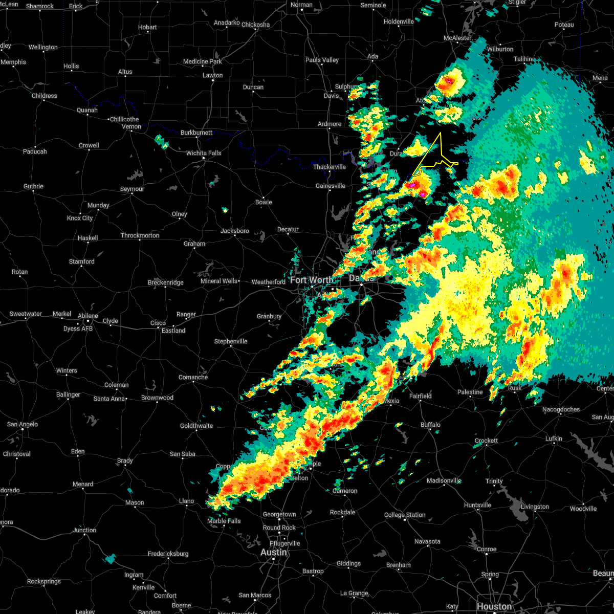 At 100 pm cdt, a severe thunderstorm was located 4 miles northeast of ravenna, moving northeast at 40 mph (radar indicated). Hazards include golf ball size hail. People and animals outdoors will be injured. Expect damage to roofs, siding, windows, and vehicles. At 100 pm cdt, a severe thunderstorm was located 4 miles northeast of ravenna, moving northeast at 40 mph (radar indicated). Hazards include golf ball size hail. People and animals outdoors will be injured. Expect damage to roofs, siding, windows, and vehicles.
|
| 5/2/2022 11:40 PM CDT |
 The severe thunderstorm warning for bryan county will expire at 1145 pm cdt, the storms which prompted the warning have weakened below severe limits, therefore the warning will be allowed to expire. however gusty winds and heavy rain are still possible with these thunderstorms. The severe thunderstorm warning for bryan county will expire at 1145 pm cdt, the storms which prompted the warning have weakened below severe limits, therefore the warning will be allowed to expire. however gusty winds and heavy rain are still possible with these thunderstorms.
|
| 5/2/2022 11:17 PM CDT |
 At 1117 pm cdt, severe thunderstorms were located along a line extending from 3 miles northwest of boswell to 3 miles south of bokchito to near colbert, moving southeast at 25 mph (radar indicated). Hazards include 60 mph wind gusts and quarter size hail. Hail damage to vehicles is expected. expect wind damage to roofs, siding, and trees. locations impacted include, durant, colbert, caddo, bokchito, achille, bennington, silo, kenefic, kemp, mead, armstrong, hendrix, cartwright, blue, utica, albany, eastern lake texoma, calera and wade. hail threat, radar indicated max hail size, 1. 00 in wind threat, radar indicated max wind gust, 60 mph. At 1117 pm cdt, severe thunderstorms were located along a line extending from 3 miles northwest of boswell to 3 miles south of bokchito to near colbert, moving southeast at 25 mph (radar indicated). Hazards include 60 mph wind gusts and quarter size hail. Hail damage to vehicles is expected. expect wind damage to roofs, siding, and trees. locations impacted include, durant, colbert, caddo, bokchito, achille, bennington, silo, kenefic, kemp, mead, armstrong, hendrix, cartwright, blue, utica, albany, eastern lake texoma, calera and wade. hail threat, radar indicated max hail size, 1. 00 in wind threat, radar indicated max wind gust, 60 mph.
|
| 5/2/2022 11:07 PM CDT |
 At 1107 pm cdt, severe thunderstorms were located along a line extending from 3 miles southwest of kellond to 3 miles north of bennington to near cartwright, moving east at 30 mph (radar indicated). Hazards include 60 mph wind gusts and quarter size hail. Hail damage to vehicles is expected. expect wind damage to roofs, siding, and trees. locations impacted include, durant, kingston, colbert, caddo, bokchito, achille, bennington, silo, kenefic, kemp, mead, armstrong, hendrix, cartwright, utica, albany, blue, lane, woodville and lebanon. hail threat, radar indicated max hail size, 1. 00 in wind threat, radar indicated max wind gust, 60 mph. At 1107 pm cdt, severe thunderstorms were located along a line extending from 3 miles southwest of kellond to 3 miles north of bennington to near cartwright, moving east at 30 mph (radar indicated). Hazards include 60 mph wind gusts and quarter size hail. Hail damage to vehicles is expected. expect wind damage to roofs, siding, and trees. locations impacted include, durant, kingston, colbert, caddo, bokchito, achille, bennington, silo, kenefic, kemp, mead, armstrong, hendrix, cartwright, utica, albany, blue, lane, woodville and lebanon. hail threat, radar indicated max hail size, 1. 00 in wind threat, radar indicated max wind gust, 60 mph.
|
| 5/2/2022 10:41 PM CDT |
 At 1040 pm cdt, severe thunderstorms were located along a line extending from 6 miles northeast of lane to 3 miles northeast of caddo to 4 miles southwest of kingston, moving southeast at 30 mph (radar indicated). Hazards include 60 mph wind gusts and quarter size hail. Hail damage to vehicles is expected. Expect wind damage to roofs, siding, and trees. At 1040 pm cdt, severe thunderstorms were located along a line extending from 6 miles northeast of lane to 3 miles northeast of caddo to 4 miles southwest of kingston, moving southeast at 30 mph (radar indicated). Hazards include 60 mph wind gusts and quarter size hail. Hail damage to vehicles is expected. Expect wind damage to roofs, siding, and trees.
|
| 5/2/2022 8:00 AM CDT |
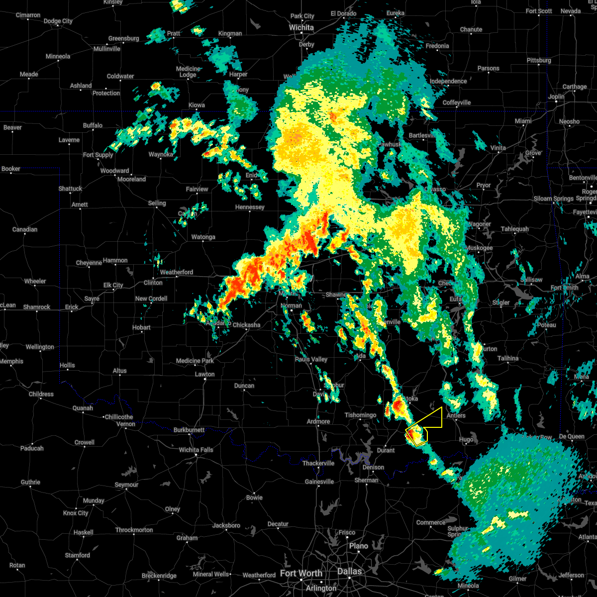 At 800 am cdt, a severe thunderstorm was located 7 miles north of bennington, moving northeast at 25 mph (radar indicated). Hazards include 60 mph wind gusts and quarter size hail. Hail damage to vehicles is expected. Expect wind damage to roofs, siding, and trees. At 800 am cdt, a severe thunderstorm was located 7 miles north of bennington, moving northeast at 25 mph (radar indicated). Hazards include 60 mph wind gusts and quarter size hail. Hail damage to vehicles is expected. Expect wind damage to roofs, siding, and trees.
|
| 3/30/2022 3:43 AM CDT |
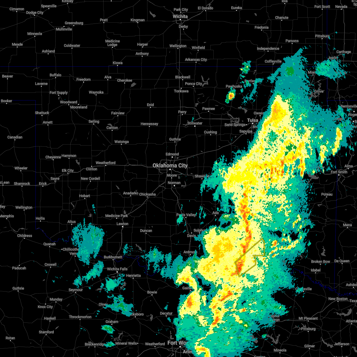 At 343 am cdt, a severe thunderstorm was located near bokchito, moving northeast at 55 mph (radar indicated). Hazards include 60 mph wind gusts and penny size hail. expect damage to roofs, siding, and trees At 343 am cdt, a severe thunderstorm was located near bokchito, moving northeast at 55 mph (radar indicated). Hazards include 60 mph wind gusts and penny size hail. expect damage to roofs, siding, and trees
|
| 3/21/2022 7:33 PM CDT |
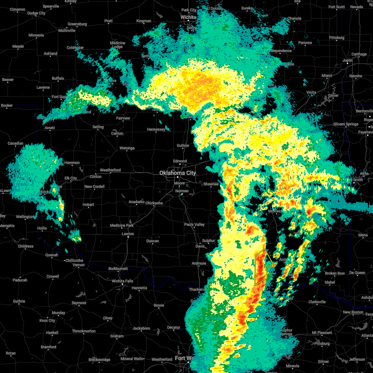 At 732 pm cdt, a severe thunderstorm was located 7 miles south of lane, moving northeast at 50 mph (emergency management reported quarter size hail in bentley). Hazards include 60 mph wind gusts and quarter size hail. Hail damage to vehicles is expected. expect wind damage to roofs, siding, and trees. locations impacted include, bokchito, bennington, lane and bentley. hail threat, radar indicated max hail size, 1. 00 in wind threat, radar indicated max wind gust, 60 mph. At 732 pm cdt, a severe thunderstorm was located 7 miles south of lane, moving northeast at 50 mph (emergency management reported quarter size hail in bentley). Hazards include 60 mph wind gusts and quarter size hail. Hail damage to vehicles is expected. expect wind damage to roofs, siding, and trees. locations impacted include, bokchito, bennington, lane and bentley. hail threat, radar indicated max hail size, 1. 00 in wind threat, radar indicated max wind gust, 60 mph.
|
| 3/21/2022 7:24 PM CDT |
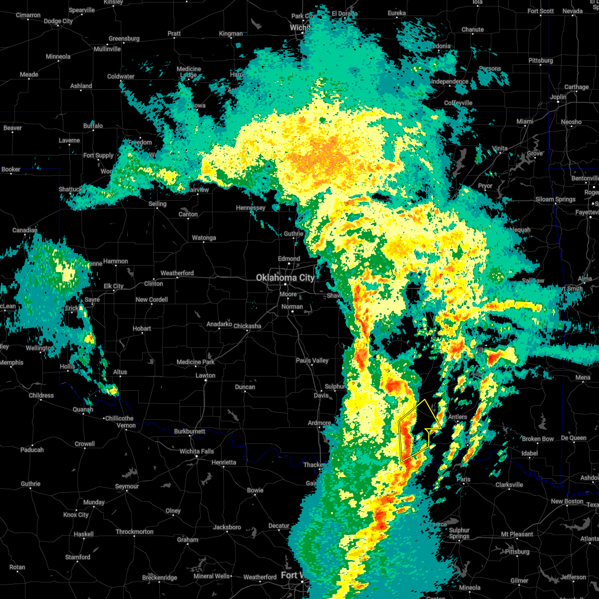 At 723 pm cdt, a severe thunderstorm was located 9 miles southeast of caney, moving northeast at 60 mph (radar indicated. surface observations in durant recorded a 58 mph wind gust with this storm at 710 pm). Hazards include 60 mph wind gusts and penny size hail. Expect damage to roofs, siding, and trees. Locations impacted include, caddo, bokchito, bennington, caney, blue, lane, utica and bentley. At 723 pm cdt, a severe thunderstorm was located 9 miles southeast of caney, moving northeast at 60 mph (radar indicated. surface observations in durant recorded a 58 mph wind gust with this storm at 710 pm). Hazards include 60 mph wind gusts and penny size hail. Expect damage to roofs, siding, and trees. Locations impacted include, caddo, bokchito, bennington, caney, blue, lane, utica and bentley.
|
| 3/21/2022 7:07 PM CDT |
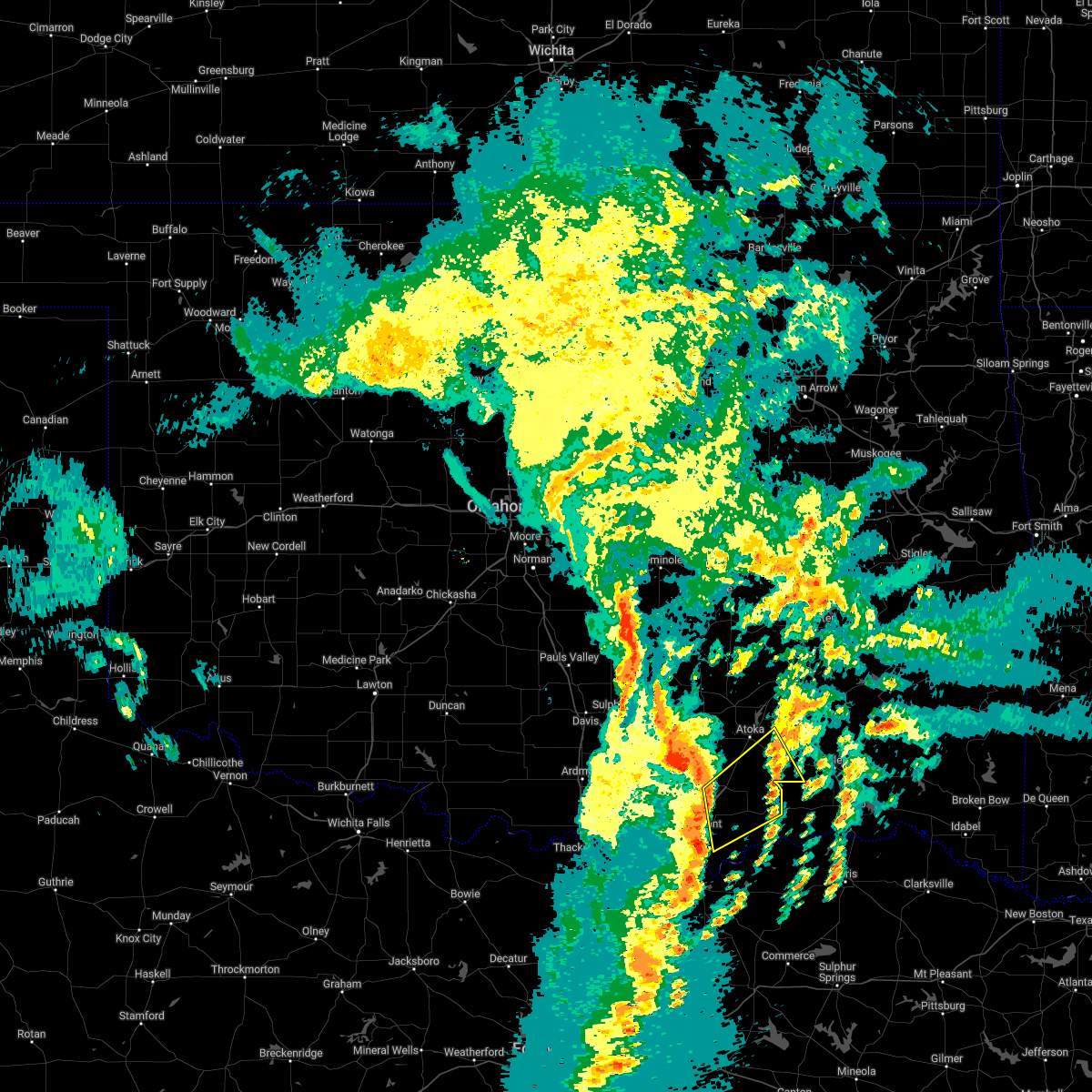 At 707 pm cdt, a severe thunderstorm was located near blue, moving northeast at 55 mph (radar indicated). Hazards include 60 mph wind gusts and penny size hail. expect damage to roofs, siding, and trees At 707 pm cdt, a severe thunderstorm was located near blue, moving northeast at 55 mph (radar indicated). Hazards include 60 mph wind gusts and penny size hail. expect damage to roofs, siding, and trees
|
| 3/14/2022 7:12 PM CDT |
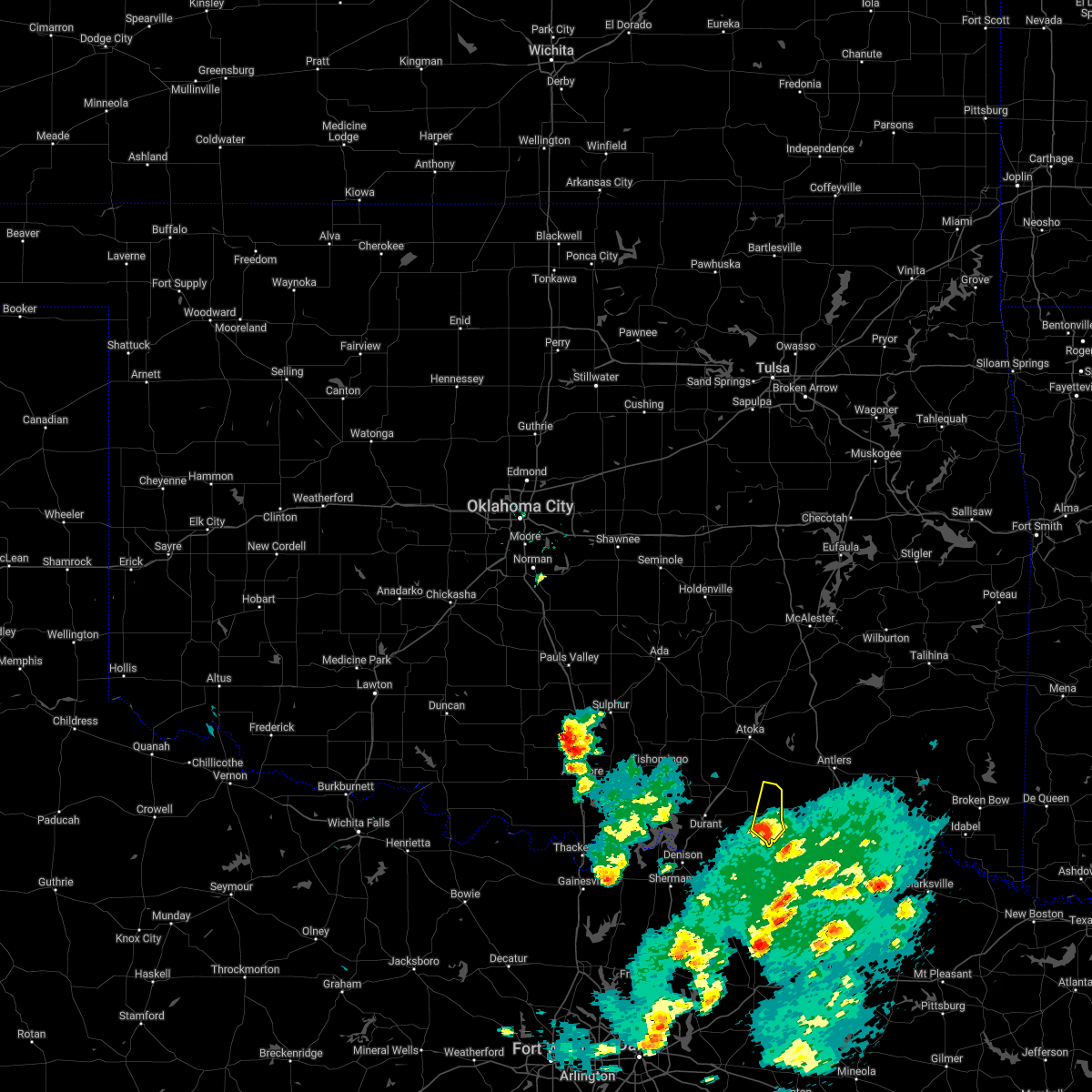 At 712 pm cdt, a severe thunderstorm was located near bennington, moving northeast at 30 mph (radar indicated). Hazards include 60 mph wind gusts and quarter size hail. Hail damage to vehicles is expected. expect wind damage to roofs, siding, and trees. locations impacted include, bennington. hail threat, radar indicated max hail size, 1. 00 in wind threat, radar indicated max wind gust, 60 mph. At 712 pm cdt, a severe thunderstorm was located near bennington, moving northeast at 30 mph (radar indicated). Hazards include 60 mph wind gusts and quarter size hail. Hail damage to vehicles is expected. expect wind damage to roofs, siding, and trees. locations impacted include, bennington. hail threat, radar indicated max hail size, 1. 00 in wind threat, radar indicated max wind gust, 60 mph.
|
| 3/14/2022 6:55 PM CDT |
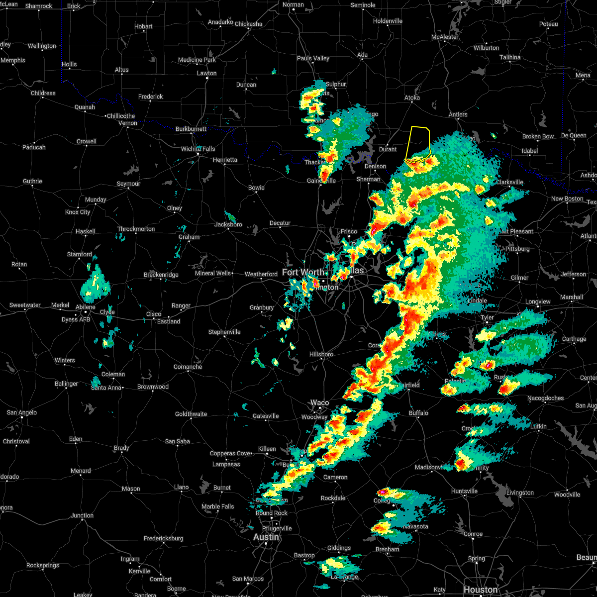 At 655 pm cdt, a severe thunderstorm was located near albany, moving northeast at 30 mph (radar indicated). Hazards include 60 mph wind gusts and quarter size hail. Hail damage to vehicles is expected. Expect wind damage to roofs, siding, and trees. At 655 pm cdt, a severe thunderstorm was located near albany, moving northeast at 30 mph (radar indicated). Hazards include 60 mph wind gusts and quarter size hail. Hail damage to vehicles is expected. Expect wind damage to roofs, siding, and trees.
|
| 10/10/2021 10:30 PM CDT |
 At 1029 pm cdt, severe thunderstorms were located along a line extending from 4 miles northwest of stringtown to 5 miles east of ravenna, moving east at 35 mph (radar indicated). Hazards include 60 mph wind gusts and quarter size hail. Hail damage to vehicles is expected. Expect wind damage to roofs, siding, and trees. At 1029 pm cdt, severe thunderstorms were located along a line extending from 4 miles northwest of stringtown to 5 miles east of ravenna, moving east at 35 mph (radar indicated). Hazards include 60 mph wind gusts and quarter size hail. Hail damage to vehicles is expected. Expect wind damage to roofs, siding, and trees.
|
| 10/10/2021 10:13 PM CDT |
 At 1013 pm cdt, severe thunderstorms were located along a line extending from 4 miles southeast of olney to 3 miles southwest of blue, moving east at 50 mph (radar indicated). Hazards include 60 mph wind gusts and quarter size hail. Hail damage to vehicles is expected. expect wind damage to roofs, siding, and trees. locations impacted include, durant, atoka, coalgate, colbert, caddo, bokchito, achille, stringtown, lehigh, bennington, silo, tushka, caney, kenefic, kemp, mead, armstrong, hendrix, cartwright and utica. hail threat, radar indicated max hail size, 1. 00 in wind threat, radar indicated max wind gust, 60 mph. At 1013 pm cdt, severe thunderstorms were located along a line extending from 4 miles southeast of olney to 3 miles southwest of blue, moving east at 50 mph (radar indicated). Hazards include 60 mph wind gusts and quarter size hail. Hail damage to vehicles is expected. expect wind damage to roofs, siding, and trees. locations impacted include, durant, atoka, coalgate, colbert, caddo, bokchito, achille, stringtown, lehigh, bennington, silo, tushka, caney, kenefic, kemp, mead, armstrong, hendrix, cartwright and utica. hail threat, radar indicated max hail size, 1. 00 in wind threat, radar indicated max wind gust, 60 mph.
|
| 10/10/2021 9:43 PM CDT |
 At 943 pm cdt, severe thunderstorms were located along a line extending from near reagan to 3 miles west of eisenhower state park, moving east at 50 mph (radar indicated). Hazards include 60 mph wind gusts and quarter size hail. Hail damage to vehicles is expected. Expect wind damage to roofs, siding, and trees. At 943 pm cdt, severe thunderstorms were located along a line extending from near reagan to 3 miles west of eisenhower state park, moving east at 50 mph (radar indicated). Hazards include 60 mph wind gusts and quarter size hail. Hail damage to vehicles is expected. Expect wind damage to roofs, siding, and trees.
|
| 5/10/2021 7:54 PM CDT | Tennis Ball sized hail reported 10.5 miles N of Bennington, OK |
| 4/9/2021 9:45 PM CDT |
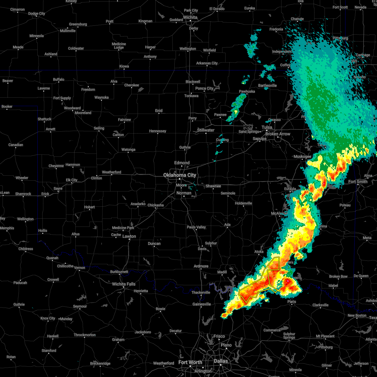 At 945 pm cdt, severe thunderstorms were located along a line extending from near moyers to near boswell to near bells, moving southeast at 30 mph (radar indicated). Hazards include 70 mph wind gusts and quarter size hail. Hail damage to vehicles is expected. expect considerable tree damage. wind damage is also likely to mobile homes, roofs, and outbuildings. Locations impacted include, achille, bennington, kemp, hendrix, utica, albany, wade, darwin and southeastern mcgee creek lake. At 945 pm cdt, severe thunderstorms were located along a line extending from near moyers to near boswell to near bells, moving southeast at 30 mph (radar indicated). Hazards include 70 mph wind gusts and quarter size hail. Hail damage to vehicles is expected. expect considerable tree damage. wind damage is also likely to mobile homes, roofs, and outbuildings. Locations impacted include, achille, bennington, kemp, hendrix, utica, albany, wade, darwin and southeastern mcgee creek lake.
|
| 4/9/2021 9:28 PM CDT |
 At 927 pm cdt, severe thunderstorms were located along a line extending from near daisy to 8 miles southwest of lane to near eisenhower state park, moving southeast at 35 mph (radar indicated). Hazards include 60 mph wind gusts and quarter size hail. Hail damage to vehicles is expected. expect wind damage to roofs, siding, and trees. Locations impacted include, durant, colbert, caddo, bokchito, achille, bennington, kemp, armstrong, hendrix, cartwright, blue, lane, utica, daisy, albany, eastern lake texoma, calera, wade, bentley and mcgee creek lake. At 927 pm cdt, severe thunderstorms were located along a line extending from near daisy to 8 miles southwest of lane to near eisenhower state park, moving southeast at 35 mph (radar indicated). Hazards include 60 mph wind gusts and quarter size hail. Hail damage to vehicles is expected. expect wind damage to roofs, siding, and trees. Locations impacted include, durant, colbert, caddo, bokchito, achille, bennington, kemp, armstrong, hendrix, cartwright, blue, lane, utica, daisy, albany, eastern lake texoma, calera, wade, bentley and mcgee creek lake.
|
| 4/9/2021 9:15 PM CDT |
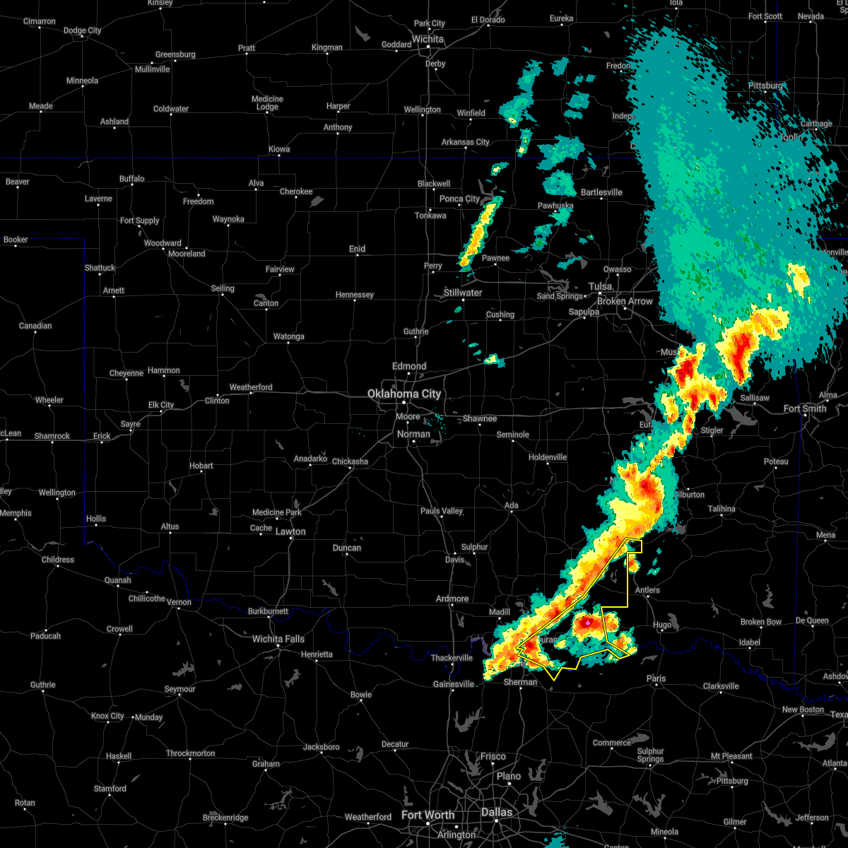 At 915 pm cdt, severe thunderstorms were located along a line extending from 7 miles northwest of daisy to near caney to 6 miles west of pottsboro, moving southeast at 35 mph (radar indicated). Hazards include 60 mph wind gusts and penny size hail. expect damage to roofs, siding, and trees At 915 pm cdt, severe thunderstorms were located along a line extending from 7 miles northwest of daisy to near caney to 6 miles west of pottsboro, moving southeast at 35 mph (radar indicated). Hazards include 60 mph wind gusts and penny size hail. expect damage to roofs, siding, and trees
|
| 3/17/2021 6:24 AM CDT |
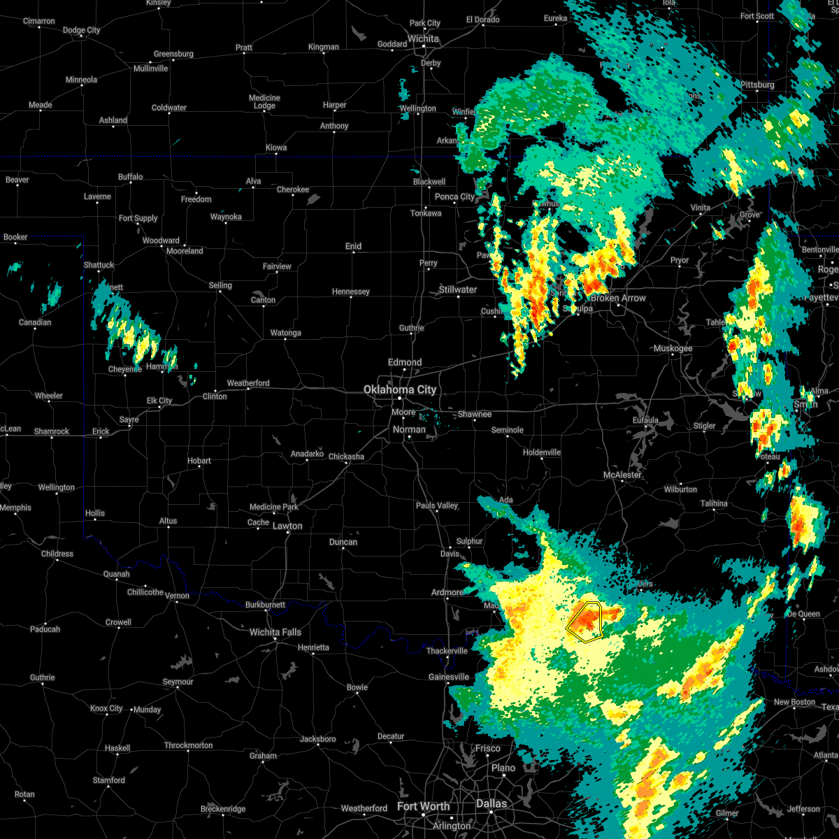 At 624 am cdt, a severe thunderstorm was located over bennington, moving northeast at 50 mph (radar indicated). Hazards include 60 mph wind gusts and nickel size hail. Expect damage to roofs, siding, and trees. Locations impacted include, bokchito and bennington. At 624 am cdt, a severe thunderstorm was located over bennington, moving northeast at 50 mph (radar indicated). Hazards include 60 mph wind gusts and nickel size hail. Expect damage to roofs, siding, and trees. Locations impacted include, bokchito and bennington.
|
| 3/17/2021 6:11 AM CDT |
 At 611 am cdt, a severe thunderstorm was located over albany, moving northeast at 50 mph (radar indicated). Hazards include 60 mph wind gusts and quarter size hail. Hail damage to vehicles is expected. Expect wind damage to roofs, siding, and trees. At 611 am cdt, a severe thunderstorm was located over albany, moving northeast at 50 mph (radar indicated). Hazards include 60 mph wind gusts and quarter size hail. Hail damage to vehicles is expected. Expect wind damage to roofs, siding, and trees.
|
| 3/17/2021 5:40 AM CDT |
 At 540 am cdt, a severe thunderstorm was located near kemp, moving northeast at 50 mph (radar indicated). Hazards include 60 mph wind gusts and quarter size hail. Hail damage to vehicles is expected. Expect wind damage to roofs, siding, and trees. At 540 am cdt, a severe thunderstorm was located near kemp, moving northeast at 50 mph (radar indicated). Hazards include 60 mph wind gusts and quarter size hail. Hail damage to vehicles is expected. Expect wind damage to roofs, siding, and trees.
|
| 2/28/2021 10:29 AM CST |
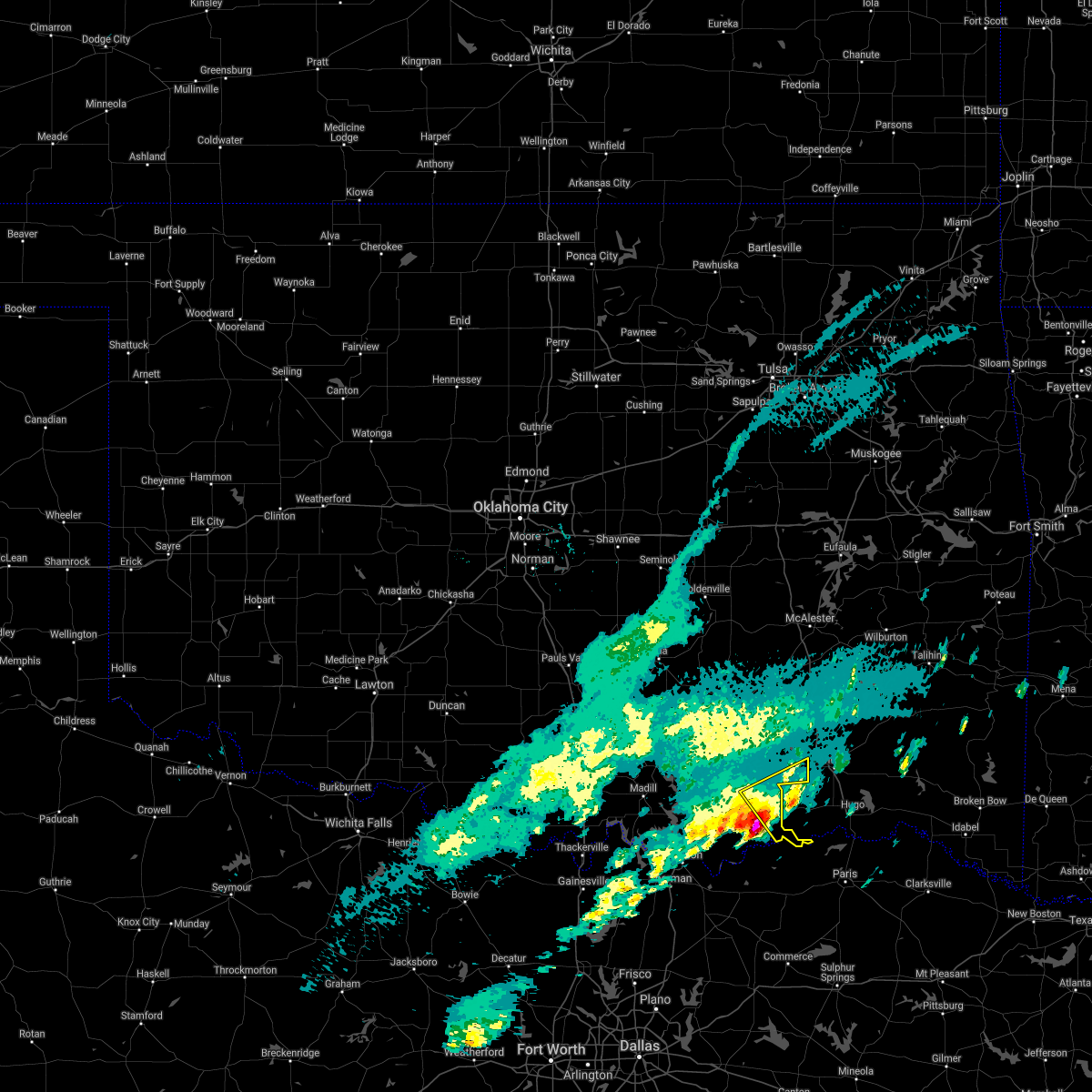 At 1029 am cst, a severe thunderstorm was located near bennington, moving northeast at 55 mph (radar indicated). Hazards include ping pong ball size hail and 60 mph wind gusts. People and animals outdoors will be injured. expect hail damage to roofs, siding, windows, and vehicles. Expect wind damage to roofs, siding, and trees. At 1029 am cst, a severe thunderstorm was located near bennington, moving northeast at 55 mph (radar indicated). Hazards include ping pong ball size hail and 60 mph wind gusts. People and animals outdoors will be injured. expect hail damage to roofs, siding, windows, and vehicles. Expect wind damage to roofs, siding, and trees.
|
| 11/24/2020 8:43 PM CST |
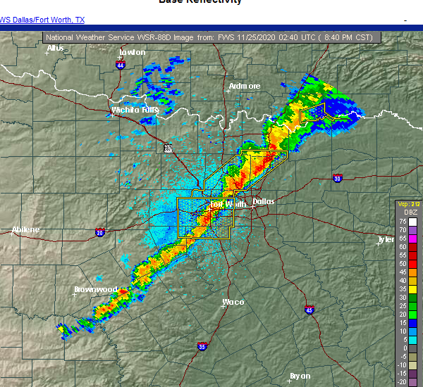 At 843 pm cst, a severe thunderstorm was located near utica, moving east at 45 mph (radar indicated). Hazards include up to 60 mph wind gusts and penny size hail. Expect damage to roofs, siding, and trees. Locations impacted include, bennington, utica, albany and wade. At 843 pm cst, a severe thunderstorm was located near utica, moving east at 45 mph (radar indicated). Hazards include up to 60 mph wind gusts and penny size hail. Expect damage to roofs, siding, and trees. Locations impacted include, bennington, utica, albany and wade.
|
| 11/24/2020 8:28 PM CST |
 At 827 pm cst, a severe thunderstorm was located near achille, moving east at 45 mph (radar indicated). Hazards include 60 mph wind gusts and penny size hail. expect damage to roofs, siding, and trees At 827 pm cst, a severe thunderstorm was located near achille, moving east at 45 mph (radar indicated). Hazards include 60 mph wind gusts and penny size hail. expect damage to roofs, siding, and trees
|
| 9/27/2020 10:02 PM CDT |
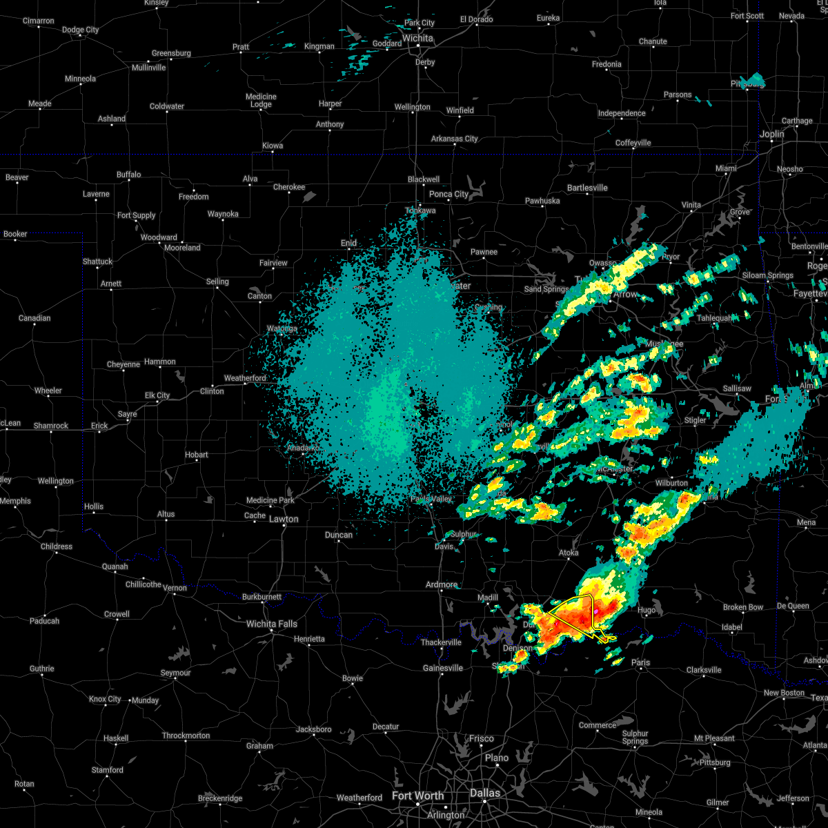 At 1001 pm cdt, a severe thunderstorm was located near boswell, moving southeast at 30 mph (radar indicated). Hazards include 60 mph wind gusts and quarter size hail. Hail damage to vehicles is expected. expect wind damage to roofs, siding, and trees. Locations impacted include, bokchito and bennington. At 1001 pm cdt, a severe thunderstorm was located near boswell, moving southeast at 30 mph (radar indicated). Hazards include 60 mph wind gusts and quarter size hail. Hail damage to vehicles is expected. expect wind damage to roofs, siding, and trees. Locations impacted include, bokchito and bennington.
|
| 9/27/2020 9:43 PM CDT |
 At 943 pm cdt, a severe thunderstorm was located 7 miles northeast of bennington, moving east at 40 mph (radar indicated). Hazards include 60 mph wind gusts and quarter size hail. Hail damage to vehicles is expected. expect wind damage to roofs, siding, and trees. Locations impacted include, bokchito, bennington, lane, bentley, darwin and southern mcgee creek lake. At 943 pm cdt, a severe thunderstorm was located 7 miles northeast of bennington, moving east at 40 mph (radar indicated). Hazards include 60 mph wind gusts and quarter size hail. Hail damage to vehicles is expected. expect wind damage to roofs, siding, and trees. Locations impacted include, bokchito, bennington, lane, bentley, darwin and southern mcgee creek lake.
|
| 9/27/2020 9:21 PM CDT |
 At 921 pm cdt, a severe thunderstorm was located near caney, moving southeast at 30 mph (radar indicated). Hazards include ping pong ball size hail and 60 mph wind gusts. People and animals outdoors will be injured. expect hail damage to roofs, siding, windows, and vehicles. Expect wind damage to roofs, siding, and trees. At 921 pm cdt, a severe thunderstorm was located near caney, moving southeast at 30 mph (radar indicated). Hazards include ping pong ball size hail and 60 mph wind gusts. People and animals outdoors will be injured. expect hail damage to roofs, siding, windows, and vehicles. Expect wind damage to roofs, siding, and trees.
|
| 8/29/2020 10:43 PM CDT |
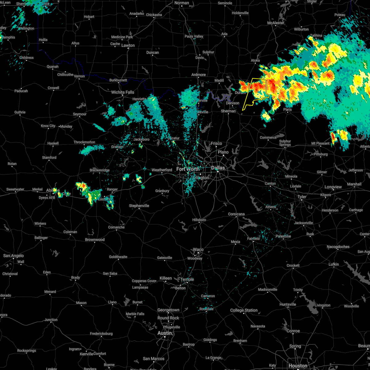 At 1042 pm cdt, a severe thunderstorm was located near bennington, moving southeast at 20 mph (radar indicated). Hazards include 60 mph wind gusts and quarter size hail. Hail damage to vehicles is expected. expect wind damage to roofs, siding, and trees. Locations impacted include, bokchito, bennington, utica, blue, albany and wade. At 1042 pm cdt, a severe thunderstorm was located near bennington, moving southeast at 20 mph (radar indicated). Hazards include 60 mph wind gusts and quarter size hail. Hail damage to vehicles is expected. expect wind damage to roofs, siding, and trees. Locations impacted include, bokchito, bennington, utica, blue, albany and wade.
|
| 8/29/2020 10:25 PM CDT |
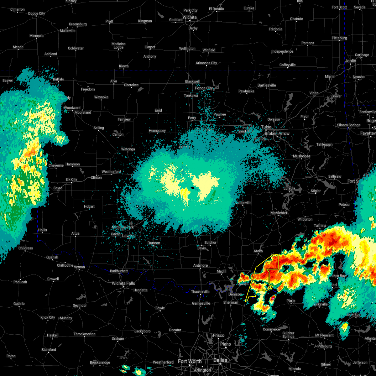 At 1025 pm cdt, severe thunderstorms were located along a line extending from 9 miles west of kellond to 7 miles northeast of bennington to near albany, moving southeast at 15 mph (radar indicated). Hazards include 60 mph wind gusts and nickel size hail. Expect damage to roofs, siding, and trees. Locations impacted include, bokchito, bennington, blue, lane, utica, albany, wade, bentley, darwin and southeastern mcgee creek lake. At 1025 pm cdt, severe thunderstorms were located along a line extending from 9 miles west of kellond to 7 miles northeast of bennington to near albany, moving southeast at 15 mph (radar indicated). Hazards include 60 mph wind gusts and nickel size hail. Expect damage to roofs, siding, and trees. Locations impacted include, bokchito, bennington, blue, lane, utica, albany, wade, bentley, darwin and southeastern mcgee creek lake.
|
| 8/29/2020 10:03 PM CDT |
 At 1002 pm cdt, severe thunderstorms were located along a line extending from 7 miles east of lane to 10 miles north of bennington to near utica, moving east at 15 mph (radar indicated). Hazards include 60 mph wind gusts and quarter size hail. Hail damage to vehicles is expected. Expect wind damage to roofs, siding, and trees. At 1002 pm cdt, severe thunderstorms were located along a line extending from 7 miles east of lane to 10 miles north of bennington to near utica, moving east at 15 mph (radar indicated). Hazards include 60 mph wind gusts and quarter size hail. Hail damage to vehicles is expected. Expect wind damage to roofs, siding, and trees.
|
| 8/11/2020 6:24 PM CDT |
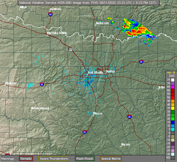 At 624 pm cdt, a severe thunderstorm was located near bennington, moving southeast at 25 mph (radar indicated). Hazards include 60 mph wind gusts and quarter size hail. Hail damage to vehicles is expected. Expect wind damage to roofs, siding, and trees. At 624 pm cdt, a severe thunderstorm was located near bennington, moving southeast at 25 mph (radar indicated). Hazards include 60 mph wind gusts and quarter size hail. Hail damage to vehicles is expected. Expect wind damage to roofs, siding, and trees.
|
| 7/30/2020 7:58 PM CDT |
 At 757 pm cdt, severe thunderstorms were located along a line extending from 7 miles northeast of daisy to 8 miles northwest of boswell to 5 miles west of pottsboro, moving southeast at 60 mph (radar indicated). Hazards include 70 mph wind gusts. Expect considerable tree damage. damage is likely to mobile homes, roofs, and outbuildings. locations impacted include, durant, madill, atoka, tishomingo, marietta, coalgate, kingston, colbert, caddo, mannsville, bokchito, ravia, achille, wapanucka, stringtown, lehigh, bennington, silo, milburn and tushka. This includes interstate 35 between mile markers 13 and 17. At 757 pm cdt, severe thunderstorms were located along a line extending from 7 miles northeast of daisy to 8 miles northwest of boswell to 5 miles west of pottsboro, moving southeast at 60 mph (radar indicated). Hazards include 70 mph wind gusts. Expect considerable tree damage. damage is likely to mobile homes, roofs, and outbuildings. locations impacted include, durant, madill, atoka, tishomingo, marietta, coalgate, kingston, colbert, caddo, mannsville, bokchito, ravia, achille, wapanucka, stringtown, lehigh, bennington, silo, milburn and tushka. This includes interstate 35 between mile markers 13 and 17.
|
| 7/30/2020 7:37 PM CDT |
 At 737 pm cdt, severe thunderstorms were located along a line extending from 3 miles northwest of kiowa to near caney to 4 miles southeast of marietta, moving southeast at 60 mph (radar indicated). Hazards include 70 mph wind gusts and penny size hail. Expect considerable tree damage. Damage is likely to mobile homes, roofs, and outbuildings. At 737 pm cdt, severe thunderstorms were located along a line extending from 3 miles northwest of kiowa to near caney to 4 miles southeast of marietta, moving southeast at 60 mph (radar indicated). Hazards include 70 mph wind gusts and penny size hail. Expect considerable tree damage. Damage is likely to mobile homes, roofs, and outbuildings.
|
| 7/12/2020 2:56 AM CDT |
 The severe thunderstorm warning for johnston, bryan, northeastern love, southeastern carter, marshall and southwestern atoka counties will expire at 300 am cdt, the storms which prompted the warning have weakened below severe limits, therefore the warning will be allowed to expire. however gusty winds and heavy rain are still possible with these thunderstorms. The severe thunderstorm warning for johnston, bryan, northeastern love, southeastern carter, marshall and southwestern atoka counties will expire at 300 am cdt, the storms which prompted the warning have weakened below severe limits, therefore the warning will be allowed to expire. however gusty winds and heavy rain are still possible with these thunderstorms.
|
| 7/12/2020 2:11 AM CDT |
 At 210 am cdt, severe thunderstorms were located along a line extending from near coleman to 3 miles southwest of little city to near marietta, moving southeast at 45 mph (radar indicated). Hazards include 70 mph wind gusts and nickel size hail. Expect considerable tree damage. Damage is likely to mobile homes, roofs, and outbuildings. At 210 am cdt, severe thunderstorms were located along a line extending from near coleman to 3 miles southwest of little city to near marietta, moving southeast at 45 mph (radar indicated). Hazards include 70 mph wind gusts and nickel size hail. Expect considerable tree damage. Damage is likely to mobile homes, roofs, and outbuildings.
|
| 5/23/2020 1:36 AM CDT |
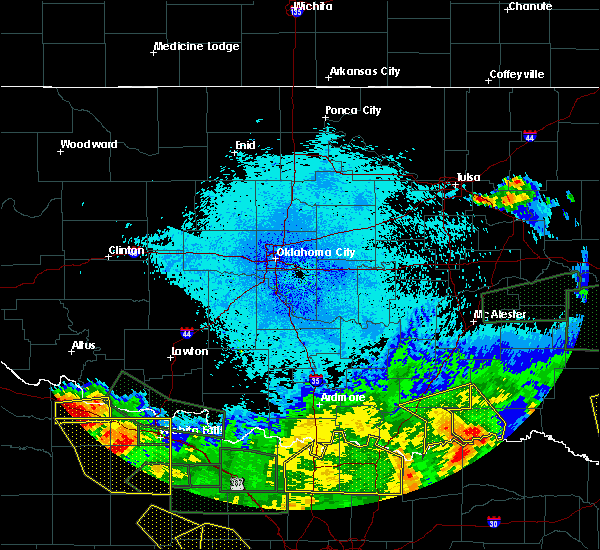 The severe thunderstorm warning for eastern bryan and southern atoka counties will expire at 145 am cdt, the storms which prompted the warning have moved out of the area. therefore, the warning will be allowed to expire. The severe thunderstorm warning for eastern bryan and southern atoka counties will expire at 145 am cdt, the storms which prompted the warning have moved out of the area. therefore, the warning will be allowed to expire.
|
| 5/23/2020 12:54 AM CDT |
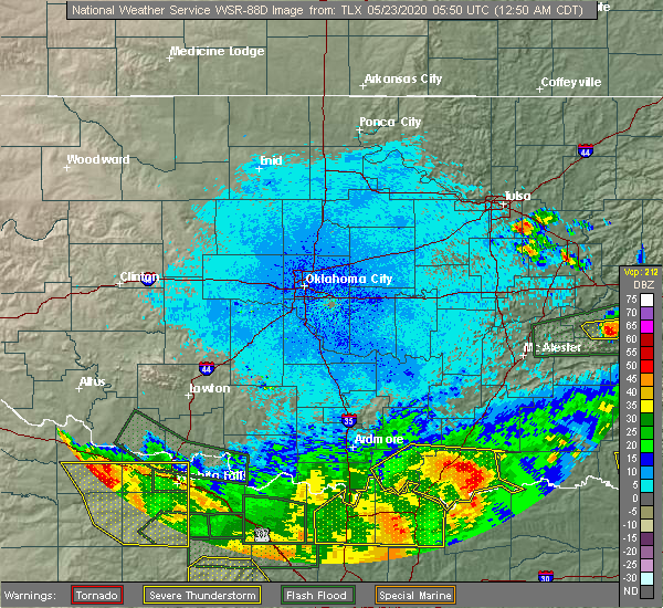 At 1252 am cdt, severe thunderstorms were located along a line extending from 2 miles south of caddo to near bokchito to 4 miles southeast of albany, moving east at 30 mph (law enforcement). Hazards include 70 mph wind gusts and penny size hail. Expect considerable tree damage. Damage is likely to mobile homes, roofs, and outbuildings. At 1252 am cdt, severe thunderstorms were located along a line extending from 2 miles south of caddo to near bokchito to 4 miles southeast of albany, moving east at 30 mph (law enforcement). Hazards include 70 mph wind gusts and penny size hail. Expect considerable tree damage. Damage is likely to mobile homes, roofs, and outbuildings.
|
| 5/23/2020 12:48 AM CDT |
 At 1248 am cdt, severe thunderstorms were located along a line extending from near silo to near blue, moving northeast at 45 mph (emergency management). Hazards include 70 mph wind gusts and penny size hail. Expect considerable tree damage. damage is likely to mobile homes, roofs, and outbuildings. Locations impacted include, durant, madill, kingston, colbert, caddo, bokchito, achille, bennington, silo, kenefic, kemp, mead, armstrong, hendrix, cartwright, utica, albany, blue, woodville and lebanon. At 1248 am cdt, severe thunderstorms were located along a line extending from near silo to near blue, moving northeast at 45 mph (emergency management). Hazards include 70 mph wind gusts and penny size hail. Expect considerable tree damage. damage is likely to mobile homes, roofs, and outbuildings. Locations impacted include, durant, madill, kingston, colbert, caddo, bokchito, achille, bennington, silo, kenefic, kemp, mead, armstrong, hendrix, cartwright, utica, albany, blue, woodville and lebanon.
|
| 5/23/2020 12:01 AM CDT |
 At 1201 am cdt, severe thunderstorms were located along a line extending from 8 miles northeast of nocona to 3 miles northwest of knollwood, moving northwest at 30 mph (radar indicated). Hazards include 60 mph wind gusts and penny size hail. expect damage to roofs, siding, and trees At 1201 am cdt, severe thunderstorms were located along a line extending from 8 miles northeast of nocona to 3 miles northwest of knollwood, moving northwest at 30 mph (radar indicated). Hazards include 60 mph wind gusts and penny size hail. expect damage to roofs, siding, and trees
|
| 5/8/2020 3:27 AM CDT |
 The severe thunderstorm warning for southeastern johnston, bryan, northeastern marshall and southern atoka counties will expire at 330 am cdt, the storms which prompted the warning have weakened below severe limits, and have exited the warned area. therefore, the warning will be allowed to expire. however small hail, gusty winds and heavy rain are still possible with these thunderstorms. The severe thunderstorm warning for southeastern johnston, bryan, northeastern marshall and southern atoka counties will expire at 330 am cdt, the storms which prompted the warning have weakened below severe limits, and have exited the warned area. therefore, the warning will be allowed to expire. however small hail, gusty winds and heavy rain are still possible with these thunderstorms.
|
| 5/8/2020 3:09 AM CDT |
 At 306 am cdt, severe thunderstorms were located along a line extending from 3 miles west of kellond to near boswell to near silo, moving southeast at 70 mph (radar indicated). Hazards include 60 mph wind gusts and quarter size hail. Hail damage to vehicles is expected. expect wind damage to roofs, siding, and trees. Locations impacted include, durant, madill, caddo, bokchito, bennington, silo, caney, kenefic, mead, armstrong, blue, lane, utica, little city, nida, albany, northeastern lake texoma, calera, wade and bentley. At 306 am cdt, severe thunderstorms were located along a line extending from 3 miles west of kellond to near boswell to near silo, moving southeast at 70 mph (radar indicated). Hazards include 60 mph wind gusts and quarter size hail. Hail damage to vehicles is expected. expect wind damage to roofs, siding, and trees. Locations impacted include, durant, madill, caddo, bokchito, bennington, silo, caney, kenefic, mead, armstrong, blue, lane, utica, little city, nida, albany, northeastern lake texoma, calera, wade and bentley.
|
| 5/8/2020 2:54 AM CDT |
 At 254 am cdt, severe thunderstorms were located along a line extending from 7 miles northeast of lane to 5 miles southeast of caney to 3 miles southeast of russett, moving southeast at 65 mph (radar indicated). Hazards include 60 mph wind gusts and quarter size hail. Hail damage to vehicles is expected. expect wind damage to roofs, siding, and trees. Locations impacted include, durant, madill, atoka, tishomingo, caddo, mannsville, bokchito, ravia, wapanucka, stringtown, lehigh, bennington, silo, milburn, tushka, caney, kenefic, bromide, mead and armstrong. At 254 am cdt, severe thunderstorms were located along a line extending from 7 miles northeast of lane to 5 miles southeast of caney to 3 miles southeast of russett, moving southeast at 65 mph (radar indicated). Hazards include 60 mph wind gusts and quarter size hail. Hail damage to vehicles is expected. expect wind damage to roofs, siding, and trees. Locations impacted include, durant, madill, atoka, tishomingo, caddo, mannsville, bokchito, ravia, wapanucka, stringtown, lehigh, bennington, silo, milburn, tushka, caney, kenefic, bromide, mead and armstrong.
|
| 5/8/2020 2:30 AM CDT |
 At 230 am cdt, severe thunderstorms were located along a line extending from 3 miles south of centrahoma to 4 miles southwest of bromide to near springer, moving southeast at 65 mph (radar indicated). Hazards include 60 mph wind gusts and quarter size hail. Hail damage to vehicles is expected. Expect wind damage to roofs, siding, and trees. At 230 am cdt, severe thunderstorms were located along a line extending from 3 miles south of centrahoma to 4 miles southwest of bromide to near springer, moving southeast at 65 mph (radar indicated). Hazards include 60 mph wind gusts and quarter size hail. Hail damage to vehicles is expected. Expect wind damage to roofs, siding, and trees.
|
| 4/28/2020 10:31 PM CDT |
 At 1029 pm cdt, severe thunderstorms were located along a line extending from 4 miles south of boswell to 3 miles south of colbert, moving southeast at 45 mph (radar indicated). Hazards include ping pong ball size hail and 60 mph wind gusts. People and animals outdoors will be injured. expect hail damage to roofs, siding, windows, and vehicles. expect wind damage to roofs, siding, and trees. Locations impacted include, durant, colbert, caddo, bokchito, achille, bennington, silo, kemp, armstrong, hendrix, cartwright, blue, utica, albany, eastern lake texoma, calera and wade. At 1029 pm cdt, severe thunderstorms were located along a line extending from 4 miles south of boswell to 3 miles south of colbert, moving southeast at 45 mph (radar indicated). Hazards include ping pong ball size hail and 60 mph wind gusts. People and animals outdoors will be injured. expect hail damage to roofs, siding, windows, and vehicles. expect wind damage to roofs, siding, and trees. Locations impacted include, durant, colbert, caddo, bokchito, achille, bennington, silo, kemp, armstrong, hendrix, cartwright, blue, utica, albany, eastern lake texoma, calera and wade.
|
| 4/28/2020 10:15 PM CDT |
 At 1013 pm cdt, severe thunderstorms were located along a line extending from 6 miles northeast of bennington to near woodville, moving southeast at 40 mph (radar indicated). Hazards include ping pong ball size hail and 60 mph wind gusts. People and animals outdoors will be injured. expect hail damage to roofs, siding, windows, and vehicles. expect wind damage to roofs, siding, and trees. Locations impacted include, durant, madill, atoka, kingston, colbert, caddo, bokchito, achille, bennington, silo, tushka, caney, kenefic, kemp, mead, armstrong, hendrix, cartwright, utica and albany. At 1013 pm cdt, severe thunderstorms were located along a line extending from 6 miles northeast of bennington to near woodville, moving southeast at 40 mph (radar indicated). Hazards include ping pong ball size hail and 60 mph wind gusts. People and animals outdoors will be injured. expect hail damage to roofs, siding, windows, and vehicles. expect wind damage to roofs, siding, and trees. Locations impacted include, durant, madill, atoka, kingston, colbert, caddo, bokchito, achille, bennington, silo, tushka, caney, kenefic, kemp, mead, armstrong, hendrix, cartwright, utica and albany.
|
| 4/28/2020 9:43 PM CDT |
 At 943 pm cdt, severe thunderstorms were located along a line extending from 8 miles south of daisy to near russett, moving southeast at 50 mph (radar indicated). Hazards include ping pong ball size hail and 60 mph wind gusts. People and animals outdoors will be injured. expect hail damage to roofs, siding, windows, and vehicles. Expect wind damage to roofs, siding, and trees. At 943 pm cdt, severe thunderstorms were located along a line extending from 8 miles south of daisy to near russett, moving southeast at 50 mph (radar indicated). Hazards include ping pong ball size hail and 60 mph wind gusts. People and animals outdoors will be injured. expect hail damage to roofs, siding, windows, and vehicles. Expect wind damage to roofs, siding, and trees.
|
| 4/24/2020 6:54 PM CDT |
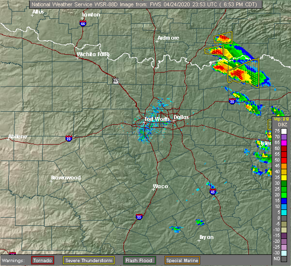 At 654 pm cdt, a severe thunderstorm capable of producing a tornado was located near bennington, moving east southeast at 35 mph (radar indicated rotation). Hazards include tornado and tennis ball size hail. Flying debris will be dangerous to those caught without shelter. mobile homes will be damaged or destroyed. damage to roofs, windows, and vehicles will occur. Tree damage is likely. At 654 pm cdt, a severe thunderstorm capable of producing a tornado was located near bennington, moving east southeast at 35 mph (radar indicated rotation). Hazards include tornado and tennis ball size hail. Flying debris will be dangerous to those caught without shelter. mobile homes will be damaged or destroyed. damage to roofs, windows, and vehicles will occur. Tree damage is likely.
|
| 4/24/2020 6:53 PM CDT | Hen Egg sized hail reported 0.2 miles NE of Bennington, OK |
| 4/24/2020 6:45 PM CDT |
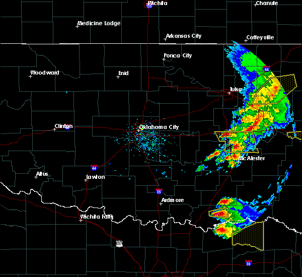 At 645 pm cdt, a severe thunderstorm was located over bokchito, moving east at 30 mph. this is a very dangerous storm (radar indicated). Hazards include baseball size hail and 60 mph wind gusts. People and animals outdoors will be severely injured. expect shattered windows, extensive damage to roofs, siding, and vehicles. Locations impacted include, bokchito, bennington and blue. At 645 pm cdt, a severe thunderstorm was located over bokchito, moving east at 30 mph. this is a very dangerous storm (radar indicated). Hazards include baseball size hail and 60 mph wind gusts. People and animals outdoors will be severely injured. expect shattered windows, extensive damage to roofs, siding, and vehicles. Locations impacted include, bokchito, bennington and blue.
|
| 4/24/2020 6:40 PM CDT |
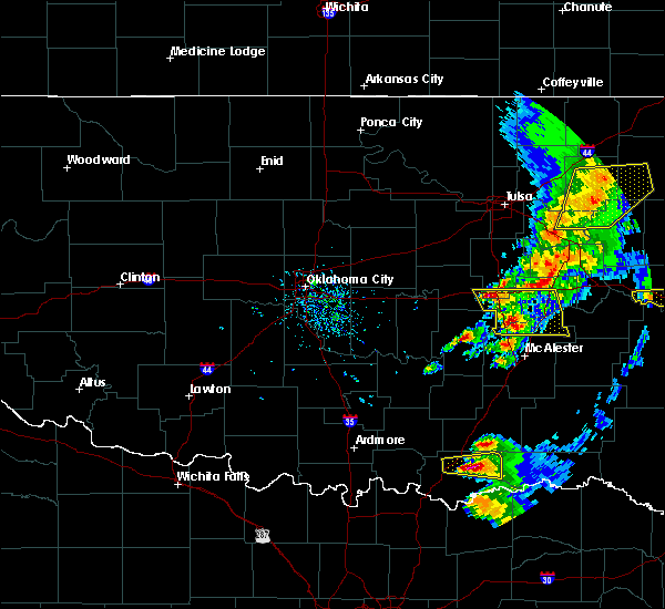 At 639 pm cdt, a severe thunderstorm was located near blue, moving east at 35 mph (radar indicated). Hazards include two inch hail and 60 mph wind gusts. People and animals outdoors will be injured. expect hail damage to roofs, siding, windows, and vehicles. expect wind damage to roofs, siding, and trees. Locations impacted include, bokchito, bennington and blue. At 639 pm cdt, a severe thunderstorm was located near blue, moving east at 35 mph (radar indicated). Hazards include two inch hail and 60 mph wind gusts. People and animals outdoors will be injured. expect hail damage to roofs, siding, windows, and vehicles. expect wind damage to roofs, siding, and trees. Locations impacted include, bokchito, bennington and blue.
|
| 4/24/2020 6:28 PM CDT |
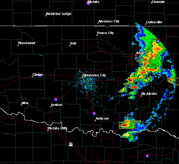 At 627 pm cdt, a severe thunderstorm was located 4 miles east of armstrong, moving east at 30 mph (radar indicated). Hazards include ping pong ball size hail and 60 mph wind gusts. People and animals outdoors will be injured. expect hail damage to roofs, siding, windows, and vehicles. expect wind damage to roofs, siding, and trees. Locations impacted include, durant, caddo, bokchito, bennington, armstrong and blue. At 627 pm cdt, a severe thunderstorm was located 4 miles east of armstrong, moving east at 30 mph (radar indicated). Hazards include ping pong ball size hail and 60 mph wind gusts. People and animals outdoors will be injured. expect hail damage to roofs, siding, windows, and vehicles. expect wind damage to roofs, siding, and trees. Locations impacted include, durant, caddo, bokchito, bennington, armstrong and blue.
|
| 4/24/2020 6:21 PM CDT |
 At 621 pm cdt, a severe thunderstorm was located over armstrong, moving east at 30 mph (radar indicated). Hazards include ping pong ball size hail and 60 mph wind gusts. People and animals outdoors will be injured. expect hail damage to roofs, siding, windows, and vehicles. Expect wind damage to roofs, siding, and trees. At 621 pm cdt, a severe thunderstorm was located over armstrong, moving east at 30 mph (radar indicated). Hazards include ping pong ball size hail and 60 mph wind gusts. People and animals outdoors will be injured. expect hail damage to roofs, siding, windows, and vehicles. Expect wind damage to roofs, siding, and trees.
|
| 4/22/2020 6:04 PM CDT |
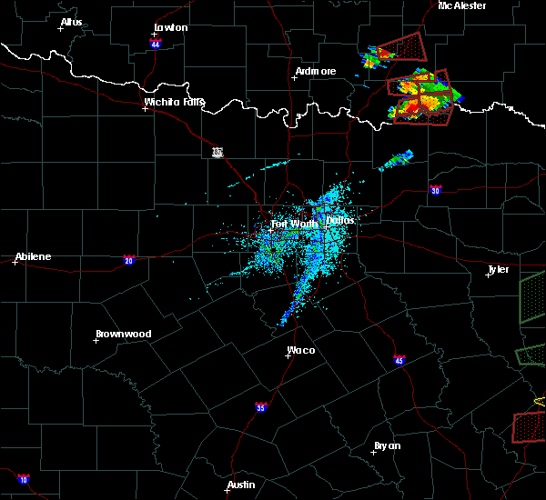 At 603 pm cdt, a severe thunderstorm capable of producing a tornado was located 9 miles east of albany, moving east at 45 mph (radar indicated rotation). Hazards include tornado and golf ball size hail. Flying debris will be dangerous to those caught without shelter. mobile homes will be damaged or destroyed. damage to roofs, windows, and vehicles will occur. tree damage is likely. Locations impacted include, bennington and wade. At 603 pm cdt, a severe thunderstorm capable of producing a tornado was located 9 miles east of albany, moving east at 45 mph (radar indicated rotation). Hazards include tornado and golf ball size hail. Flying debris will be dangerous to those caught without shelter. mobile homes will be damaged or destroyed. damage to roofs, windows, and vehicles will occur. tree damage is likely. Locations impacted include, bennington and wade.
|
| 4/22/2020 5:45 PM CDT |
 At 545 pm cdt, a severe thunderstorm capable of producing a tornado was located 4 miles south of utica, moving east at 25 mph (radar indicated rotation). Hazards include tornado and golf ball size hail. Flying debris will be dangerous to those caught without shelter. mobile homes will be damaged or destroyed. damage to roofs, windows, and vehicles will occur. Tree damage is likely. At 545 pm cdt, a severe thunderstorm capable of producing a tornado was located 4 miles south of utica, moving east at 25 mph (radar indicated rotation). Hazards include tornado and golf ball size hail. Flying debris will be dangerous to those caught without shelter. mobile homes will be damaged or destroyed. damage to roofs, windows, and vehicles will occur. Tree damage is likely.
|
| 4/22/2020 5:39 PM CDT |
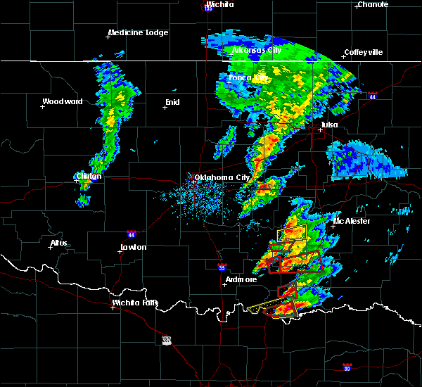 At 539 pm cdt, a confirmed large and extremely dangerous tornado was located near armstrong, moving east at 30 mph. this is a particularly dangerous situation. take cover now! (weather spotters confirmed tornado). Hazards include damaging tornado. You are in a life-threatening situation. flying debris may be deadly to those caught without shelter. mobile homes will be destroyed. Considerable damage to homes, businesses, and vehicles is likely and complete destruction is possible. At 539 pm cdt, a confirmed large and extremely dangerous tornado was located near armstrong, moving east at 30 mph. this is a particularly dangerous situation. take cover now! (weather spotters confirmed tornado). Hazards include damaging tornado. You are in a life-threatening situation. flying debris may be deadly to those caught without shelter. mobile homes will be destroyed. Considerable damage to homes, businesses, and vehicles is likely and complete destruction is possible.
|
| 4/22/2020 2:31 AM CDT |
 At 230 am cdt, a severe thunderstorm was located 6 miles southeast of caney, moving east at 45 mph (radar indicated). Hazards include golf ball size hail and 70 mph wind gusts. People and animals outdoors will be injured. expect hail damage to roofs, siding, windows, and vehicles. expect considerable tree damage. wind damage is also likely to mobile homes, roofs, and outbuildings. Locations impacted include, caddo, bokchito, bennington, tushka, caney, lane, bentley, darwin and southern mcgee creek lake. At 230 am cdt, a severe thunderstorm was located 6 miles southeast of caney, moving east at 45 mph (radar indicated). Hazards include golf ball size hail and 70 mph wind gusts. People and animals outdoors will be injured. expect hail damage to roofs, siding, windows, and vehicles. expect considerable tree damage. wind damage is also likely to mobile homes, roofs, and outbuildings. Locations impacted include, caddo, bokchito, bennington, tushka, caney, lane, bentley, darwin and southern mcgee creek lake.
|
| 4/22/2020 2:09 AM CDT |
 At 209 am cdt, a severe thunderstorm was located 4 miles southeast of coleman, moving east at 40 mph (radar indicated). Hazards include golf ball size hail and 70 mph wind gusts. People and animals outdoors will be injured. expect hail damage to roofs, siding, windows, and vehicles. expect considerable tree damage. wind damage is also likely to mobile homes, roofs, and outbuildings. Locations impacted include, caddo, bokchito, bennington, tushka, caney, kenefic, lane, coleman, nida, bentley, boggy depot park, darwin and southern mcgee creek lake. At 209 am cdt, a severe thunderstorm was located 4 miles southeast of coleman, moving east at 40 mph (radar indicated). Hazards include golf ball size hail and 70 mph wind gusts. People and animals outdoors will be injured. expect hail damage to roofs, siding, windows, and vehicles. expect considerable tree damage. wind damage is also likely to mobile homes, roofs, and outbuildings. Locations impacted include, caddo, bokchito, bennington, tushka, caney, kenefic, lane, coleman, nida, bentley, boggy depot park, darwin and southern mcgee creek lake.
|
| 4/22/2020 1:50 AM CDT |
 At 149 am cdt, a large severe thunderstorm was centered near milburn, moving east-southeast at 40 mph. this is a very dangerous storm (radar indicated). Hazards include baseball size hail and 70 mph wind gusts. People and animals outdoors will be severely injured. Expect shattered windows, extensive damage to roofs, siding, and vehicles. At 149 am cdt, a large severe thunderstorm was centered near milburn, moving east-southeast at 40 mph. this is a very dangerous storm (radar indicated). Hazards include baseball size hail and 70 mph wind gusts. People and animals outdoors will be severely injured. Expect shattered windows, extensive damage to roofs, siding, and vehicles.
|
| 4/12/2020 4:20 PM CDT |
 The severe thunderstorm warning for central bryan county will expire at 430 pm cdt, the storm which prompted the warning has moved out of the area. therefore, the warning will be allowed to expire. however hail up to the size of nickels, gusty winds and heavy rain are still possible with this thunderstorm over extreme southeastern bryan county. The severe thunderstorm warning for central bryan county will expire at 430 pm cdt, the storm which prompted the warning has moved out of the area. therefore, the warning will be allowed to expire. however hail up to the size of nickels, gusty winds and heavy rain are still possible with this thunderstorm over extreme southeastern bryan county.
|
| 4/12/2020 4:00 PM CDT |
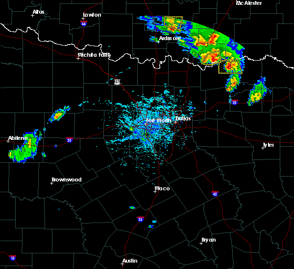 At 400 pm cdt, a severe thunderstorm was located near albany, moving east at 35 mph (radar indicated). Hazards include 60 mph wind gusts and quarter size hail. Hail damage to vehicles is expected. expect wind damage to roofs, siding, and trees. Locations impacted include, utica, albany and wade. At 400 pm cdt, a severe thunderstorm was located near albany, moving east at 35 mph (radar indicated). Hazards include 60 mph wind gusts and quarter size hail. Hail damage to vehicles is expected. expect wind damage to roofs, siding, and trees. Locations impacted include, utica, albany and wade.
|
| 4/12/2020 3:51 PM CDT |
 At 351 pm cdt, a severe thunderstorm was located 4 miles northeast of achille, moving east at 25 mph (radar indicated). Hazards include 60 mph wind gusts and quarter size hail. Hail damage to vehicles is expected. Expect wind damage to roofs, siding, and trees. At 351 pm cdt, a severe thunderstorm was located 4 miles northeast of achille, moving east at 25 mph (radar indicated). Hazards include 60 mph wind gusts and quarter size hail. Hail damage to vehicles is expected. Expect wind damage to roofs, siding, and trees.
|
| 11/30/2019 6:17 AM CST |
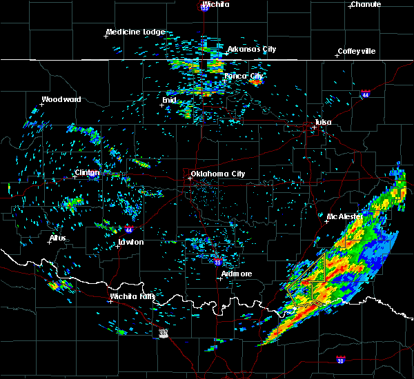 At 617 am cst, a severe thunderstorm was located 9 miles south of lane, moving northeast at 50 mph (radar indicated). Hazards include 60 mph wind gusts and quarter size hail. Hail damage to vehicles is expected. expect wind damage to roofs, siding, and trees. Locations impacted include, bokchito, bennington, lane, albany, blue, wade, mcgee creek lake, bentley and darwin. At 617 am cst, a severe thunderstorm was located 9 miles south of lane, moving northeast at 50 mph (radar indicated). Hazards include 60 mph wind gusts and quarter size hail. Hail damage to vehicles is expected. expect wind damage to roofs, siding, and trees. Locations impacted include, bokchito, bennington, lane, albany, blue, wade, mcgee creek lake, bentley and darwin.
|
| 11/30/2019 5:53 AM CST |
 At 553 am cst, a severe thunderstorm was located near blue, moving northeast at 50 mph (radar indicated). Hazards include 60 mph wind gusts and quarter size hail. Hail damage to vehicles is expected. Expect wind damage to roofs, siding, and trees. At 553 am cst, a severe thunderstorm was located near blue, moving northeast at 50 mph (radar indicated). Hazards include 60 mph wind gusts and quarter size hail. Hail damage to vehicles is expected. Expect wind damage to roofs, siding, and trees.
|
| 10/21/2019 12:41 AM CDT |
 The severe thunderstorm warning for eastern bryan county will expire at 1245 am cdt, the storm which prompted the warning has weakened below severe limits, and has exited the warned area. therefore, the warning will be allowed to expire. however heavy rain is still possible with this thunderstorm. The severe thunderstorm warning for eastern bryan county will expire at 1245 am cdt, the storm which prompted the warning has weakened below severe limits, and has exited the warned area. therefore, the warning will be allowed to expire. however heavy rain is still possible with this thunderstorm.
|
| 10/21/2019 12:24 AM CDT |
 At 1224 am cdt, a severe thunderstorm was located near bennington, moving east at 50 mph (radar indicated). Hazards include 60 mph wind gusts and nickel size hail. expect damage to roofs, siding, and trees At 1224 am cdt, a severe thunderstorm was located near bennington, moving east at 50 mph (radar indicated). Hazards include 60 mph wind gusts and nickel size hail. expect damage to roofs, siding, and trees
|
| 10/21/2019 12:15 AM CDT |
 At 1215 am cdt, severe thunderstorms were located along a line extending from 7 miles west of stanley to near moyers to 4 miles west of kellond to 11 miles southeast of lane to near bennington to near kemp, moving east at 60 mph (radar indicated). Hazards include 60 mph wind gusts and quarter size hail. Hail damage to vehicles is expected. expect wind damage to roofs, siding, and trees. Locations impacted include, durant, bokchito, achille, bennington, kemp, hendrix, blue, utica, albany, wade, southeastern mcgee creek lake and darwin. At 1215 am cdt, severe thunderstorms were located along a line extending from 7 miles west of stanley to near moyers to 4 miles west of kellond to 11 miles southeast of lane to near bennington to near kemp, moving east at 60 mph (radar indicated). Hazards include 60 mph wind gusts and quarter size hail. Hail damage to vehicles is expected. expect wind damage to roofs, siding, and trees. Locations impacted include, durant, bokchito, achille, bennington, kemp, hendrix, blue, utica, albany, wade, southeastern mcgee creek lake and darwin.
|
| 10/21/2019 12:06 AM CDT |
 At 1206 am cdt, severe thunderstorms were located along a line extending from near daisy to 6 miles west of moyers to 12 miles west of kellond to 6 miles south of lane to near blue to 3 miles east of achille, moving east at 55 mph (radar indicated). Hazards include 60 mph wind gusts and quarter size hail. Hail damage to vehicles is expected. expect wind damage to roofs, siding, and trees. Locations impacted include, durant, colbert, caddo, bokchito, achille, bennington, caney, kemp, armstrong, hendrix, blue, lane, utica, daisy, albany, calera, wade, bentley, mcgee creek lake and redden. At 1206 am cdt, severe thunderstorms were located along a line extending from near daisy to 6 miles west of moyers to 12 miles west of kellond to 6 miles south of lane to near blue to 3 miles east of achille, moving east at 55 mph (radar indicated). Hazards include 60 mph wind gusts and quarter size hail. Hail damage to vehicles is expected. expect wind damage to roofs, siding, and trees. Locations impacted include, durant, colbert, caddo, bokchito, achille, bennington, caney, kemp, armstrong, hendrix, blue, lane, utica, daisy, albany, calera, wade, bentley, mcgee creek lake and redden.
|
| 10/20/2019 11:44 PM CDT |
 At 1143 pm cdt, severe thunderstorms were located along a line extending from 4 miles northwest of stringtown to 4 miles south of tushka to 3 miles southwest of caney to near kenefic to near cartwright, moving east at 60 mph (radar indicated). Hazards include 60 mph wind gusts and quarter size hail. Hail damage to vehicles is expected. Expect wind damage to roofs, siding, and trees. At 1143 pm cdt, severe thunderstorms were located along a line extending from 4 miles northwest of stringtown to 4 miles south of tushka to 3 miles southwest of caney to near kenefic to near cartwright, moving east at 60 mph (radar indicated). Hazards include 60 mph wind gusts and quarter size hail. Hail damage to vehicles is expected. Expect wind damage to roofs, siding, and trees.
|
| 6/19/2019 3:37 AM CDT |
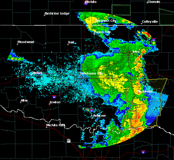 The severe thunderstorm warning for central bryan and southeastern atoka counties will expire at 345 am cdt, the storms which prompted the warning have moved out of the area. therefore, the warning will be allowed to expire. however gusty winds and heavy rain are still possible with these thunderstorms. The severe thunderstorm warning for central bryan and southeastern atoka counties will expire at 345 am cdt, the storms which prompted the warning have moved out of the area. therefore, the warning will be allowed to expire. however gusty winds and heavy rain are still possible with these thunderstorms.
|
| 6/19/2019 3:30 AM CDT |
 At 329 am cdt, severe thunderstorms were located along a line extending from 8 miles east of lane to 4 miles northwest of boswell to 9 miles southeast of bennington to 8 miles northeast of ravenna, moving east at 20 mph (radar indicated). Hazards include 70 mph wind gusts and penny size hail. Expect considerable tree damage. damage is likely to mobile homes, roofs, and outbuildings. Locations impacted include, bokchito, bennington, lane, utica, albany, wade, mcgee creek lake, bentley and darwin. At 329 am cdt, severe thunderstorms were located along a line extending from 8 miles east of lane to 4 miles northwest of boswell to 9 miles southeast of bennington to 8 miles northeast of ravenna, moving east at 20 mph (radar indicated). Hazards include 70 mph wind gusts and penny size hail. Expect considerable tree damage. damage is likely to mobile homes, roofs, and outbuildings. Locations impacted include, bokchito, bennington, lane, utica, albany, wade, mcgee creek lake, bentley and darwin.
|
| 6/19/2019 3:13 AM CDT |
 At 312 am cdt, severe thunderstorms were located along a line extending from 4 miles northeast of lane to 5 miles northeast of bennington to 7 miles east of albany to 4 miles east of kemp, moving east at 35 mph (radar indicated). Hazards include 70 mph wind gusts and penny size hail. Expect considerable tree damage. damage is likely to mobile homes, roofs, and outbuildings. Locations impacted include, durant, atoka, colbert, caddo, bokchito, achille, bennington, tushka, caney, kemp, armstrong, hendrix, blue, lane, utica, albany, calera, wade, bentley and mcgee creek lake. At 312 am cdt, severe thunderstorms were located along a line extending from 4 miles northeast of lane to 5 miles northeast of bennington to 7 miles east of albany to 4 miles east of kemp, moving east at 35 mph (radar indicated). Hazards include 70 mph wind gusts and penny size hail. Expect considerable tree damage. damage is likely to mobile homes, roofs, and outbuildings. Locations impacted include, durant, atoka, colbert, caddo, bokchito, achille, bennington, tushka, caney, kemp, armstrong, hendrix, blue, lane, utica, albany, calera, wade, bentley and mcgee creek lake.
|
| 6/19/2019 2:54 AM CDT |
 At 253 am cdt, severe thunderstorms were located along a line extending from 3 miles west of tushka to 4 miles northwest of bokchito to near utica to near hendrix, moving east at 45 mph (radar indicated). Hazards include 70 mph wind gusts and penny size hail. Expect considerable tree damage. damage is likely to mobile homes, roofs, and outbuildings. Locations impacted include, durant, atoka, colbert, caddo, bokchito, achille, wapanucka, bennington, silo, milburn, tushka, caney, kenefic, kemp, mead, armstrong, hendrix, cartwright, fillmore and utica. At 253 am cdt, severe thunderstorms were located along a line extending from 3 miles west of tushka to 4 miles northwest of bokchito to near utica to near hendrix, moving east at 45 mph (radar indicated). Hazards include 70 mph wind gusts and penny size hail. Expect considerable tree damage. damage is likely to mobile homes, roofs, and outbuildings. Locations impacted include, durant, atoka, colbert, caddo, bokchito, achille, wapanucka, bennington, silo, milburn, tushka, caney, kenefic, kemp, mead, armstrong, hendrix, cartwright, fillmore and utica.
|
| 6/19/2019 2:30 AM CDT |
 At 230 am cdt, severe thunderstorms were located along a line extending from 6 miles southwest of bromide to near nida to near colbert, moving east at 35 mph (radar indicated). Hazards include 70 mph wind gusts and penny size hail. Expect considerable tree damage. Damage is likely to mobile homes, roofs, and outbuildings. At 230 am cdt, severe thunderstorms were located along a line extending from 6 miles southwest of bromide to near nida to near colbert, moving east at 35 mph (radar indicated). Hazards include 70 mph wind gusts and penny size hail. Expect considerable tree damage. Damage is likely to mobile homes, roofs, and outbuildings.
|
| 5/18/2019 10:50 AM CDT |
 The national weather service in norman has issued a * severe thunderstorm warning for. southeastern johnston county in southeastern oklahoma. bryan county in southeastern oklahoma. southern coal county in southeastern oklahoma. Marshall county in southeastern oklahoma. The national weather service in norman has issued a * severe thunderstorm warning for. southeastern johnston county in southeastern oklahoma. bryan county in southeastern oklahoma. southern coal county in southeastern oklahoma. Marshall county in southeastern oklahoma.
|
| 5/1/2019 7:37 PM CDT |
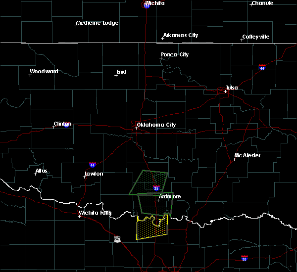 At 736 pm cdt, severe thunderstorms were located along a line extending from near bokchito to near bennington to 6 miles southeast of albany, moving northeast at 30 mph (radar indicated). Hazards include 60 mph wind gusts and quarter size hail. Hail damage to vehicles is expected. expect wind damage to roofs, siding, and trees. Locations impacted include, bokchito, bennington, albany, wade and darwin. At 736 pm cdt, severe thunderstorms were located along a line extending from near bokchito to near bennington to 6 miles southeast of albany, moving northeast at 30 mph (radar indicated). Hazards include 60 mph wind gusts and quarter size hail. Hail damage to vehicles is expected. expect wind damage to roofs, siding, and trees. Locations impacted include, bokchito, bennington, albany, wade and darwin.
|
| 5/1/2019 7:20 PM CDT |
 The national weather service in norman has issued a * severe thunderstorm warning for. central bryan county in southeastern oklahoma. southern atoka county in southeastern oklahoma. until 815 pm cdt. At 719 pm cdt, severe thunderstorms were located along a line. The national weather service in norman has issued a * severe thunderstorm warning for. central bryan county in southeastern oklahoma. southern atoka county in southeastern oklahoma. until 815 pm cdt. At 719 pm cdt, severe thunderstorms were located along a line.
|
| 5/1/2019 7:12 PM CDT |
 At 711 pm cdt, severe thunderstorms were located along a line extending from near caddo to 3 miles southwest of blue to near kemp, moving east at 15 mph. the most dangerous area of storms is just east of calera and near blue (radar indicated). Hazards include golf ball size hail and 60 mph wind gusts. People and animals outdoors will be injured. expect hail damage to roofs, siding, windows, and vehicles. expect wind damage to roofs, siding, and trees. Locations impacted include, durant, colbert, caddo, bokchito, achille, bennington, caney, kenefic, kemp, armstrong, hendrix, blue, lane, utica, albany, calera, wade, bentley, southeastern mcgee creek lake and darwin. At 711 pm cdt, severe thunderstorms were located along a line extending from near caddo to 3 miles southwest of blue to near kemp, moving east at 15 mph. the most dangerous area of storms is just east of calera and near blue (radar indicated). Hazards include golf ball size hail and 60 mph wind gusts. People and animals outdoors will be injured. expect hail damage to roofs, siding, windows, and vehicles. expect wind damage to roofs, siding, and trees. Locations impacted include, durant, colbert, caddo, bokchito, achille, bennington, caney, kenefic, kemp, armstrong, hendrix, blue, lane, utica, albany, calera, wade, bentley, southeastern mcgee creek lake and darwin.
|
| 5/1/2019 6:54 PM CDT |
 At 653 pm cdt, severe thunderstorms were located along a line extending from 4 miles southwest of kenefic to near utica to near kemp, moving east at 30 mph. the most dangerous area of storms is near achille and kemp, near the red river (radar indicated). Hazards include 60 mph wind gusts and quarter size hail. Hail damage to vehicles is expected. expect wind damage to roofs, siding, and trees. Locations impacted include, durant, tishomingo, colbert, caddo, bokchito, achille, bennington, silo, milburn, tushka, caney, kenefic, kemp, mead, armstrong, hendrix, cartwright, utica, albany and blue. At 653 pm cdt, severe thunderstorms were located along a line extending from 4 miles southwest of kenefic to near utica to near kemp, moving east at 30 mph. the most dangerous area of storms is near achille and kemp, near the red river (radar indicated). Hazards include 60 mph wind gusts and quarter size hail. Hail damage to vehicles is expected. expect wind damage to roofs, siding, and trees. Locations impacted include, durant, tishomingo, colbert, caddo, bokchito, achille, bennington, silo, milburn, tushka, caney, kenefic, kemp, mead, armstrong, hendrix, cartwright, utica, albany and blue.
|
| 5/1/2019 6:26 PM CDT |
 At 626 pm cdt, severe thunderstorms were located along a line extending from 4 miles west of little city to near lake texoma to near denison, moving east at 45 mph (radar indicated). Hazards include 60 mph wind gusts and quarter size hail. Hail damage to vehicles is expected. Expect wind damage to roofs, siding, and trees. At 626 pm cdt, severe thunderstorms were located along a line extending from 4 miles west of little city to near lake texoma to near denison, moving east at 45 mph (radar indicated). Hazards include 60 mph wind gusts and quarter size hail. Hail damage to vehicles is expected. Expect wind damage to roofs, siding, and trees.
|
| 4/17/2019 10:11 PM CDT |
 At 1011 pm cdt, severe thunderstorms were located along a line extending from 5 miles northwest of tushka to 5 miles southeast of caney to 3 miles north of kemp, moving east at 40 mph (radar indicated). Hazards include 60 mph wind gusts and quarter size hail. Hail damage to vehicles is expected. expect wind damage to roofs, siding, and trees. Locations impacted include, durant, atoka, colbert, caddo, bokchito, achille, stringtown, bennington, silo, tushka, caney, kenefic, kemp, mead, armstrong, hendrix, cartwright, utica, albany and blue. At 1011 pm cdt, severe thunderstorms were located along a line extending from 5 miles northwest of tushka to 5 miles southeast of caney to 3 miles north of kemp, moving east at 40 mph (radar indicated). Hazards include 60 mph wind gusts and quarter size hail. Hail damage to vehicles is expected. expect wind damage to roofs, siding, and trees. Locations impacted include, durant, atoka, colbert, caddo, bokchito, achille, stringtown, bennington, silo, tushka, caney, kenefic, kemp, mead, armstrong, hendrix, cartwright, utica, albany and blue.
|
| 4/17/2019 9:44 PM CDT |
 At 943 pm cdt, severe thunderstorms were located along a line extending from near fillmore to 3 miles north of silo to near cartwright, moving northeast at 35 mph (radar indicated). Hazards include 60 mph wind gusts and quarter size hail. Hail damage to vehicles is expected. Expect wind damage to roofs, siding, and trees. At 943 pm cdt, severe thunderstorms were located along a line extending from near fillmore to 3 miles north of silo to near cartwright, moving northeast at 35 mph (radar indicated). Hazards include 60 mph wind gusts and quarter size hail. Hail damage to vehicles is expected. Expect wind damage to roofs, siding, and trees.
|
| 3/24/2019 7:50 PM CDT |
 At 749 pm cdt, a severe thunderstorm was located near bennington, moving northeast at 40 mph (radar indicated). Hazards include 60 mph wind gusts and quarter size hail. Hail damage to vehicles is expected. expect wind damage to roofs, siding, and trees. Locations impacted include, bennington. At 749 pm cdt, a severe thunderstorm was located near bennington, moving northeast at 40 mph (radar indicated). Hazards include 60 mph wind gusts and quarter size hail. Hail damage to vehicles is expected. expect wind damage to roofs, siding, and trees. Locations impacted include, bennington.
|
| 3/24/2019 7:32 PM CDT |
 At 731 pm cdt, a severe thunderstorm was located near albany, moving east at 40 mph (radar indicated). Hazards include 60 mph wind gusts and quarter size hail. Hail damage to vehicles is expected. Expect wind damage to roofs, siding, and trees. At 731 pm cdt, a severe thunderstorm was located near albany, moving east at 40 mph (radar indicated). Hazards include 60 mph wind gusts and quarter size hail. Hail damage to vehicles is expected. Expect wind damage to roofs, siding, and trees.
|
| 3/13/2019 6:03 AM CDT |
 At 603 am cdt, severe thunderstorms were located along a line extending from near olney to 7 miles southeast of albany, moving northeast at 50 mph (radar indicated). Hazards include 70 mph wind gusts. Expect considerable tree damage. Damage is likely to mobile homes, roofs, and outbuildings. At 603 am cdt, severe thunderstorms were located along a line extending from near olney to 7 miles southeast of albany, moving northeast at 50 mph (radar indicated). Hazards include 70 mph wind gusts. Expect considerable tree damage. Damage is likely to mobile homes, roofs, and outbuildings.
|
| 10/9/2018 9:48 AM CDT |
 At 948 am cdt, severe thunderstorms were located along a line extending from near calvin to 5 miles northeast of centrahoma to 4 miles east of caney to near utica, moving northeast at 25 mph (radar indicated). Hazards include 70 mph wind gusts. Expect considerable tree damage. damage is likely to mobile homes, roofs, and outbuildings. Locations impacted include, atoka, coalgate, caddo, bokchito, stringtown, lehigh, bennington, tushka, calvin, caney, stuart, gerty, armstrong, centrahoma, atwood, olney, utica, wardville, albany and blue. At 948 am cdt, severe thunderstorms were located along a line extending from near calvin to 5 miles northeast of centrahoma to 4 miles east of caney to near utica, moving northeast at 25 mph (radar indicated). Hazards include 70 mph wind gusts. Expect considerable tree damage. damage is likely to mobile homes, roofs, and outbuildings. Locations impacted include, atoka, coalgate, caddo, bokchito, stringtown, lehigh, bennington, tushka, calvin, caney, stuart, gerty, armstrong, centrahoma, atwood, olney, utica, wardville, albany and blue.
|
| 10/9/2018 9:26 AM CDT |
 At 926 am cdt, severe thunderstorms were located along a line extending from near francis to near tupelo to 4 miles southwest of caney to 5 miles northeast of achille, moving east at 35 mph (radar indicated). Hazards include 60 mph wind gusts. Expect damage to roofs, siding, and trees. Locations impacted include, ada, durant, atoka, coalgate, byng, colbert, caddo, allen, bokchito, achille, stonewall, wapanucka, stringtown, lehigh, bennington, silo, tupelo, francis, tushka and calvin. At 926 am cdt, severe thunderstorms were located along a line extending from near francis to near tupelo to 4 miles southwest of caney to 5 miles northeast of achille, moving east at 35 mph (radar indicated). Hazards include 60 mph wind gusts. Expect damage to roofs, siding, and trees. Locations impacted include, ada, durant, atoka, coalgate, byng, colbert, caddo, allen, bokchito, achille, stonewall, wapanucka, stringtown, lehigh, bennington, silo, tupelo, francis, tushka and calvin.
|
| 10/9/2018 9:01 AM CDT |
 At 901 am cdt, severe thunderstorms were located along a line extending from 6 miles northeast of vanoss to near fittstown to near nida to near cartwright, moving east at 45 mph (radar indicated). Hazards include 70 mph wind gusts. Expect considerable tree damage. Damage is likely to mobile homes, roofs, and outbuildings. At 901 am cdt, severe thunderstorms were located along a line extending from 6 miles northeast of vanoss to near fittstown to near nida to near cartwright, moving east at 45 mph (radar indicated). Hazards include 70 mph wind gusts. Expect considerable tree damage. Damage is likely to mobile homes, roofs, and outbuildings.
|
| 10/7/2018 5:20 PM CDT |
 At 520 pm cdt, a severe thunderstorm was located near bokchito, moving north at 30 mph (radar indicated). Hazards include 60 mph wind gusts and quarter size hail. Hail damage to vehicles is expected. Expect wind damage to roofs, siding, and trees. At 520 pm cdt, a severe thunderstorm was located near bokchito, moving north at 30 mph (radar indicated). Hazards include 60 mph wind gusts and quarter size hail. Hail damage to vehicles is expected. Expect wind damage to roofs, siding, and trees.
|
| 6/24/2018 5:40 PM CDT |
 At 539 pm cdt, severe thunderstorms were located along a line extending from 6 miles north of bennington to 5 miles south of utica, moving east at 5 mph (radar indicated). Hazards include up to 60 mph wind gusts and hail up to nickel size. Expect damage to roofs, siding, and trees. Locations impacted include, bokchito, bennington, kemp, blue, utica, albany and wade. At 539 pm cdt, severe thunderstorms were located along a line extending from 6 miles north of bennington to 5 miles south of utica, moving east at 5 mph (radar indicated). Hazards include up to 60 mph wind gusts and hail up to nickel size. Expect damage to roofs, siding, and trees. Locations impacted include, bokchito, bennington, kemp, blue, utica, albany and wade.
|
| 6/24/2018 5:25 PM CDT |
 At 525 pm cdt, severe thunderstorms were located along a line extending from 3 miles north of bokchito to 5 miles southwest of blue, moving northeast at 10 mph (radar indicated). Hazards include up to 70 mph wind gusts and hail up to the size of quarters. Hail damage to vehicles is possible. expect considerable tree damage. wind damage is also likely to mobile homes, roofs, and outbuildings. Locations impacted include, durant, caddo, bokchito, achille, bennington, kemp, armstrong, hendrix, blue, utica, albany, calera and wade. At 525 pm cdt, severe thunderstorms were located along a line extending from 3 miles north of bokchito to 5 miles southwest of blue, moving northeast at 10 mph (radar indicated). Hazards include up to 70 mph wind gusts and hail up to the size of quarters. Hail damage to vehicles is possible. expect considerable tree damage. wind damage is also likely to mobile homes, roofs, and outbuildings. Locations impacted include, durant, caddo, bokchito, achille, bennington, kemp, armstrong, hendrix, blue, utica, albany, calera and wade.
|
| 6/24/2018 5:14 PM CDT |
 At 512 pm cdt, severe thunderstorms were located along a line extending from 7 miles east of caddo to 4 miles west of utica, moving northeast at 10 mph (radar indicated). Hazards include 70 mph wind gusts and quarter size hail. Hail damage to vehicles is possible. expect considerable tree damage. Wind damage is also likely to mobile homes, roofs, and outbuildings. At 512 pm cdt, severe thunderstorms were located along a line extending from 7 miles east of caddo to 4 miles west of utica, moving northeast at 10 mph (radar indicated). Hazards include 70 mph wind gusts and quarter size hail. Hail damage to vehicles is possible. expect considerable tree damage. Wind damage is also likely to mobile homes, roofs, and outbuildings.
|
| 6/23/2018 1:55 AM CDT |
 At 154 am cdt, the leading edge of a line of severe thunderstorms was located from near daisy to 4 miles north of kenefic, moving east at 40 mph (radar indicated). Hazards include 60 mph wind gusts and penny size hail. Expect damage to roofs, siding, and trees. Locations impacted include, atoka, coalgate, caddo, bokchito, wapanucka, stringtown, lehigh, bennington, milburn, tushka, caney, kenefic, bromide, armstrong, olney, fillmore, wardville, blue, lane and daisy. At 154 am cdt, the leading edge of a line of severe thunderstorms was located from near daisy to 4 miles north of kenefic, moving east at 40 mph (radar indicated). Hazards include 60 mph wind gusts and penny size hail. Expect damage to roofs, siding, and trees. Locations impacted include, atoka, coalgate, caddo, bokchito, wapanucka, stringtown, lehigh, bennington, milburn, tushka, caney, kenefic, bromide, armstrong, olney, fillmore, wardville, blue, lane and daisy.
|
| 6/23/2018 1:28 AM CDT |
 At 128 am cdt, severe thunderstorms were located along a line extending from 3 miles west of wardville to 3 miles north of tishomingo, moving east-southeast at 45 mph (radar indicated). Hazards include 60 mph wind gusts and nickel size hail. expect damage to roofs, siding, and trees At 128 am cdt, severe thunderstorms were located along a line extending from 3 miles west of wardville to 3 miles north of tishomingo, moving east-southeast at 45 mph (radar indicated). Hazards include 60 mph wind gusts and nickel size hail. expect damage to roofs, siding, and trees
|
| 6/23/2018 12:28 AM CDT |
 At 1228 am cdt, severe thunderstorms were located along a line extending from 4 miles west of scipio to near stonewall to 4 miles southwest of lone grove, moving southeast at 40 mph (radar indicated). Hazards include 60 mph wind gusts. expect damage to roofs, siding, and trees At 1228 am cdt, severe thunderstorms were located along a line extending from 4 miles west of scipio to near stonewall to 4 miles southwest of lone grove, moving southeast at 40 mph (radar indicated). Hazards include 60 mph wind gusts. expect damage to roofs, siding, and trees
|
| 5/25/2018 12:24 PM CDT |
 The severe thunderstorm warning for central bryan county will expire at 1230 pm cdt, the storms which prompted the warning have moved out of the area. therefore the warning will be allowed to expire. however heavy rain is still possible with these thunderstorms. The severe thunderstorm warning for central bryan county will expire at 1230 pm cdt, the storms which prompted the warning have moved out of the area. therefore the warning will be allowed to expire. however heavy rain is still possible with these thunderstorms.
|
| 5/25/2018 11:55 AM CDT |
 At 1155 am cdt, severe thunderstorms were located along a line extending from 4 miles southeast of bennington to near kemp, moving east at 40 mph (radar indicated). Hazards include 60 mph wind gusts and quarter size hail. Hail damage to vehicles is expected. Expect wind damage to roofs, siding, and trees. At 1155 am cdt, severe thunderstorms were located along a line extending from 4 miles southeast of bennington to near kemp, moving east at 40 mph (radar indicated). Hazards include 60 mph wind gusts and quarter size hail. Hail damage to vehicles is expected. Expect wind damage to roofs, siding, and trees.
|
| 4/13/2018 5:10 PM CDT |
 The severe thunderstorm warning for central bryan county will expire at 515 pm cdt, the storm which prompted the warning has weakened below severe limits, and no longer poses an immediate threat to life or property. therefore the warning will be allowed to expire. however small hail up to the size of nickels, gusty winds and heavy rain are still possible with this thunderstorm. The severe thunderstorm warning for central bryan county will expire at 515 pm cdt, the storm which prompted the warning has weakened below severe limits, and no longer poses an immediate threat to life or property. therefore the warning will be allowed to expire. however small hail up to the size of nickels, gusty winds and heavy rain are still possible with this thunderstorm.
|
| 4/13/2018 5:00 PM CDT |
 At 500 pm cdt, a severe thunderstorm was located near utica, moving northeast at 40 mph (radar indicated). Hazards include 60 mph wind gusts and half dollar size hail. Hail damage to vehicles is expected. expect wind damage to roofs, siding, and trees. Locations impacted include, colbert, bokchito, achille, bennington, kemp, hendrix, utica, albany, blue and wade. At 500 pm cdt, a severe thunderstorm was located near utica, moving northeast at 40 mph (radar indicated). Hazards include 60 mph wind gusts and half dollar size hail. Hail damage to vehicles is expected. expect wind damage to roofs, siding, and trees. Locations impacted include, colbert, bokchito, achille, bennington, kemp, hendrix, utica, albany, blue and wade.
|
| 4/13/2018 4:22 PM CDT |
 At 421 pm cdt, a severe thunderstorm was located 4 miles east of denison, moving northeast at 45 mph (radar indicated). Hazards include 60 mph wind gusts and half dollar size hail. Hail damage to vehicles is expected. Expect wind damage to roofs, siding, and trees. At 421 pm cdt, a severe thunderstorm was located 4 miles east of denison, moving northeast at 45 mph (radar indicated). Hazards include 60 mph wind gusts and half dollar size hail. Hail damage to vehicles is expected. Expect wind damage to roofs, siding, and trees.
|
| 7/3/2017 4:50 AM CDT |
 The severe thunderstorm warning for central bryan county will expire at 500 am cdt, the storm which prompted the warning has weakened below severe limits, and no longer poses an immediate threat to life or property. therefore the warning will be allowed to expire. however, small hail and heavy rain are still possible with this thunderstorm. The severe thunderstorm warning for central bryan county will expire at 500 am cdt, the storm which prompted the warning has weakened below severe limits, and no longer poses an immediate threat to life or property. therefore the warning will be allowed to expire. however, small hail and heavy rain are still possible with this thunderstorm.
|
| 7/3/2017 4:45 AM CDT |
 At 444 am cdt, a severe thunderstorm was located over bokchito, moving east at 15 mph (radar indicated). Hazards include quarter size hail. Damage to vehicles is expected. Locations impacted include, bokchito, bennington and wade. At 444 am cdt, a severe thunderstorm was located over bokchito, moving east at 15 mph (radar indicated). Hazards include quarter size hail. Damage to vehicles is expected. Locations impacted include, bokchito, bennington and wade.
|
| 7/3/2017 4:26 AM CDT |
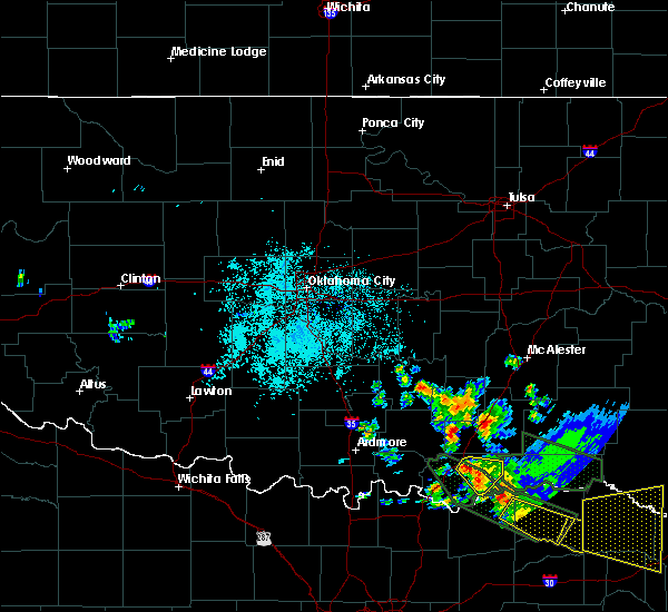 At 426 am cdt, a severe thunderstorm was located 4 miles southeast of caddo, moving east at 15 mph (radar indicated). Hazards include half dollar size hail. damage to vehicles is expected At 426 am cdt, a severe thunderstorm was located 4 miles southeast of caddo, moving east at 15 mph (radar indicated). Hazards include half dollar size hail. damage to vehicles is expected
|
| 7/2/2017 10:55 PM CDT |
 The severe thunderstorm warning for bryan county will expire at 1100 pm cdt, the storm which prompted the warning has moved out of the area. therefore the warning will be allowed to expire. however gusty winds and heavy rain are still possible with this thunderstorm. The severe thunderstorm warning for bryan county will expire at 1100 pm cdt, the storm which prompted the warning has moved out of the area. therefore the warning will be allowed to expire. however gusty winds and heavy rain are still possible with this thunderstorm.
|
| 7/2/2017 10:18 PM CDT |
 At 1017 pm cdt, a severe thunderstorm was located near durant, moving east at 40 mph (emergency management reported a 61 mph gust with this storm over durant). Hazards include 60 mph wind gusts and quarter size hail. Hail damage to vehicles is expected. expect wind damage to roofs, siding, and trees. Locations impacted include, durant, colbert, bokchito, achille, bennington, silo, kemp, mead, armstrong, hendrix, cartwright, blue, utica, albany, eastern lake texoma, calera and wade. At 1017 pm cdt, a severe thunderstorm was located near durant, moving east at 40 mph (emergency management reported a 61 mph gust with this storm over durant). Hazards include 60 mph wind gusts and quarter size hail. Hail damage to vehicles is expected. expect wind damage to roofs, siding, and trees. Locations impacted include, durant, colbert, bokchito, achille, bennington, silo, kemp, mead, armstrong, hendrix, cartwright, blue, utica, albany, eastern lake texoma, calera and wade.
|
| 7/2/2017 10:03 PM CDT |
 At 1003 pm cdt, a severe thunderstorm was located over eastern lake texoma, moving east at 35 mph (radar indicated). Hazards include 60 mph wind gusts and quarter size hail. Hail damage to vehicles is expected. Expect wind damage to roofs, siding, and trees. At 1003 pm cdt, a severe thunderstorm was located over eastern lake texoma, moving east at 35 mph (radar indicated). Hazards include 60 mph wind gusts and quarter size hail. Hail damage to vehicles is expected. Expect wind damage to roofs, siding, and trees.
|
| 6/30/2017 11:44 PM CDT |
 At 1144 pm cdt, severe thunderstorms were located along a line extending from near tushka to near boswell to 12 miles north of honey grove, moving east at 45 mph (radar indicated). Hazards include 60 mph wind gusts and nickel size hail. Expect damage to roofs, siding, and trees. Locations impacted include, caddo, bokchito, bennington, tushka, caney, kenefic, kemp, armstrong, blue, lane, utica, albany, wade, bentley, darwin and southeastern mcgee creek lake. At 1144 pm cdt, severe thunderstorms were located along a line extending from near tushka to near boswell to 12 miles north of honey grove, moving east at 45 mph (radar indicated). Hazards include 60 mph wind gusts and nickel size hail. Expect damage to roofs, siding, and trees. Locations impacted include, caddo, bokchito, bennington, tushka, caney, kenefic, kemp, armstrong, blue, lane, utica, albany, wade, bentley, darwin and southeastern mcgee creek lake.
|
| 6/30/2017 11:37 PM CDT |
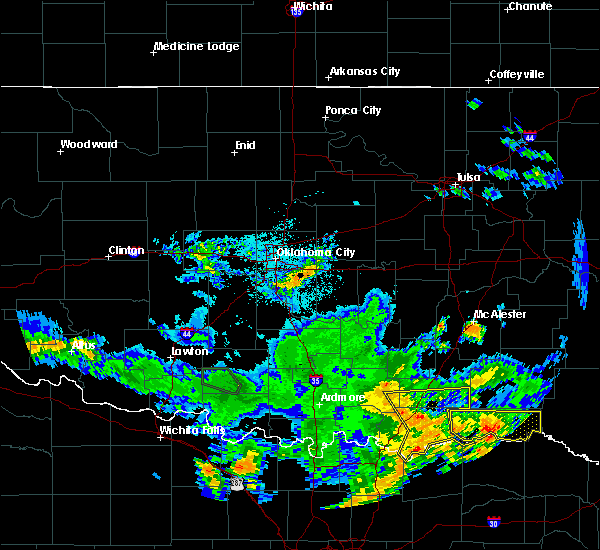 At 1137 pm cdt, severe thunderstorms were located along a line extending from 3 miles north of caney to 3 miles north of bennington to 5 miles north of ravenna, moving east at 50 mph (radar indicated). Hazards include 60 mph wind gusts and nickel size hail. Expect damage to roofs, siding, and trees. Locations impacted include, caddo, bokchito, bennington, tushka, caney, kenefic, kemp, armstrong, hendrix, blue, lane, fillmore, utica, coleman, albany, wade, bentley, darwin and southeastern mcgee creek lake. At 1137 pm cdt, severe thunderstorms were located along a line extending from 3 miles north of caney to 3 miles north of bennington to 5 miles north of ravenna, moving east at 50 mph (radar indicated). Hazards include 60 mph wind gusts and nickel size hail. Expect damage to roofs, siding, and trees. Locations impacted include, caddo, bokchito, bennington, tushka, caney, kenefic, kemp, armstrong, hendrix, blue, lane, fillmore, utica, coleman, albany, wade, bentley, darwin and southeastern mcgee creek lake.
|
| 6/30/2017 11:28 PM CDT |
 At 1127 pm cdt, severe thunderstorms were located along a line extending from 5 miles east of coleman to near blue to near kemp, moving east at 35 mph (emergency management reported 60 to 70 mph winds near mead). Hazards include 70 mph wind gusts and nickel size hail. Expect considerable tree damage. damage is likely to mobile homes, roofs, and outbuildings. Locations impacted include, durant, tishomingo, colbert, caddo, bokchito, achille, bennington, silo, milburn, tushka, caney, kenefic, kemp, mead, armstrong, hendrix, cartwright, fillmore, utica and albany. At 1127 pm cdt, severe thunderstorms were located along a line extending from 5 miles east of coleman to near blue to near kemp, moving east at 35 mph (emergency management reported 60 to 70 mph winds near mead). Hazards include 70 mph wind gusts and nickel size hail. Expect considerable tree damage. damage is likely to mobile homes, roofs, and outbuildings. Locations impacted include, durant, tishomingo, colbert, caddo, bokchito, achille, bennington, silo, milburn, tushka, caney, kenefic, kemp, mead, armstrong, hendrix, cartwright, fillmore, utica and albany.
|
| 6/30/2017 11:05 PM CDT |
 At 1104 pm cdt, severe thunderstorms were located along a line extending from near tishomingo to near mead to 3 miles north of dorchester, moving east at 50 mph (trained weather spotters reported a 70 mph wind gust in oakland). Hazards include 70 mph wind gusts and nickel size hail. Expect considerable tree damage. damage is likely to mobile homes, roofs, and outbuildings. Locations impacted include, durant, madill, tishomingo, kingston, colbert, caddo, mannsville, bokchito, ravia, achille, bennington, silo, milburn, tushka, caney, kenefic, kemp, mead, armstrong and hendrix. At 1104 pm cdt, severe thunderstorms were located along a line extending from near tishomingo to near mead to 3 miles north of dorchester, moving east at 50 mph (trained weather spotters reported a 70 mph wind gust in oakland). Hazards include 70 mph wind gusts and nickel size hail. Expect considerable tree damage. damage is likely to mobile homes, roofs, and outbuildings. Locations impacted include, durant, madill, tishomingo, kingston, colbert, caddo, mannsville, bokchito, ravia, achille, bennington, silo, milburn, tushka, caney, kenefic, kemp, mead, armstrong and hendrix.
|
| 6/30/2017 10:57 PM CDT |
 At 1056 pm cdt, severe thunderstorms were located along a line extending from near ravia to near lake texoma to 5 miles east of collinsville, moving east at 50 mph (the madill mesonet measured a 60 mph wind gust). Hazards include 60 mph wind gusts and nickel size hail. expect damage to roofs, siding, and trees At 1056 pm cdt, severe thunderstorms were located along a line extending from near ravia to near lake texoma to 5 miles east of collinsville, moving east at 50 mph (the madill mesonet measured a 60 mph wind gust). Hazards include 60 mph wind gusts and nickel size hail. expect damage to roofs, siding, and trees
|
| 5/20/2017 1:28 AM CDT |
 At 127 am cdt, severe thunderstorms were located along a line extending from 5 miles west of daisy to near lane to near blue to near achille, moving northeast at 45 mph (radar indicated). Hazards include 60 mph wind gusts and quarter size hail. Hail damage to vehicles is expected. Expect wind damage to roofs, siding, and trees. At 127 am cdt, severe thunderstorms were located along a line extending from 5 miles west of daisy to near lane to near blue to near achille, moving northeast at 45 mph (radar indicated). Hazards include 60 mph wind gusts and quarter size hail. Hail damage to vehicles is expected. Expect wind damage to roofs, siding, and trees.
|
| 5/20/2017 1:04 AM CDT |
 At 104 am cdt, severe thunderstorms were located along a line extending from 7 miles southeast of kiowa to 3 miles southeast of atoka to near caddo to 3 miles northwest of achille, moving northeast at 40 mph (radar indicated). Hazards include 60 mph wind gusts and quarter size hail. Hail damage to vehicles is expected. expect wind damage to roofs, siding, and trees. Locations impacted include, durant, atoka, coalgate, colbert, caddo, bokchito, achille, stringtown, lehigh, bennington, silo, tushka, caney, kenefic, kemp, mead, armstrong, hendrix, cartwright and utica. At 104 am cdt, severe thunderstorms were located along a line extending from 7 miles southeast of kiowa to 3 miles southeast of atoka to near caddo to 3 miles northwest of achille, moving northeast at 40 mph (radar indicated). Hazards include 60 mph wind gusts and quarter size hail. Hail damage to vehicles is expected. expect wind damage to roofs, siding, and trees. Locations impacted include, durant, atoka, coalgate, colbert, caddo, bokchito, achille, stringtown, lehigh, bennington, silo, tushka, caney, kenefic, kemp, mead, armstrong, hendrix, cartwright and utica.
|
| 5/20/2017 12:08 AM CDT |
 At 1208 am cdt, severe thunderstorms were located along a line extending from near wardville to near lehigh to 4 miles southeast of coleman to near colbert, moving northeast at 40 mph (radar indicated). Hazards include 60 mph wind gusts and quarter size hail. Hail damage to vehicles is expected. Expect wind damage to roofs, siding, and trees. At 1208 am cdt, severe thunderstorms were located along a line extending from near wardville to near lehigh to 4 miles southeast of coleman to near colbert, moving northeast at 40 mph (radar indicated). Hazards include 60 mph wind gusts and quarter size hail. Hail damage to vehicles is expected. Expect wind damage to roofs, siding, and trees.
|
| 4/29/2017 9:38 PM CDT |
 At 938 pm cdt, a severe thunderstorm was located near bennington, moving northeast at 55 mph (radar indicated). Hazards include 60 mph wind gusts and quarter size hail. Hail damage to vehicles is expected. Expect wind damage to roofs, siding, and trees. At 938 pm cdt, a severe thunderstorm was located near bennington, moving northeast at 55 mph (radar indicated). Hazards include 60 mph wind gusts and quarter size hail. Hail damage to vehicles is expected. Expect wind damage to roofs, siding, and trees.
|
| 4/29/2017 5:39 PM CDT |
 At 539 pm cdt, severe thunderstorms were located along a line extending from 5 miles south of lane to 4 miles south of albany, moving northeast at 40 mph (radar indicated). Hazards include 60 mph wind gusts and quarter size hail. Hail damage to vehicles is expected. Expect wind damage to roofs, siding, and trees. At 539 pm cdt, severe thunderstorms were located along a line extending from 5 miles south of lane to 4 miles south of albany, moving northeast at 40 mph (radar indicated). Hazards include 60 mph wind gusts and quarter size hail. Hail damage to vehicles is expected. Expect wind damage to roofs, siding, and trees.
|
| 4/21/2017 6:42 PM CDT |
 At 641 pm cdt, a severe thunderstorm capable of producing a tornado was located 7 miles east of caddo, moving east-southeast at 35 mph (weather spotters reported funnel clouds at times with this storm). Hazards include tornado and tennis ball size hail. Flying debris will be dangerous to those caught without shelter. mobile homes will be damaged or destroyed. damage to roofs, windows, and vehicles will occur. tree damage is likely. Locations impacted include, bennington and northeastern portions of bryan county north of bennington and east of caddo. At 641 pm cdt, a severe thunderstorm capable of producing a tornado was located 7 miles east of caddo, moving east-southeast at 35 mph (weather spotters reported funnel clouds at times with this storm). Hazards include tornado and tennis ball size hail. Flying debris will be dangerous to those caught without shelter. mobile homes will be damaged or destroyed. damage to roofs, windows, and vehicles will occur. tree damage is likely. Locations impacted include, bennington and northeastern portions of bryan county north of bennington and east of caddo.
|
| 4/21/2017 6:22 PM CDT |
 At 621 pm cdt, a severe thunderstorm capable of producing a tornado was located near caddo, moving southeast at 25 mph (radar indicated rotation). Hazards include tornado and tennis ball size hail. Flying debris will be dangerous to those caught without shelter. mobile homes will be damaged or destroyed. damage to roofs, windows, and vehicles will occur. Tree damage is likely. At 621 pm cdt, a severe thunderstorm capable of producing a tornado was located near caddo, moving southeast at 25 mph (radar indicated rotation). Hazards include tornado and tennis ball size hail. Flying debris will be dangerous to those caught without shelter. mobile homes will be damaged or destroyed. damage to roofs, windows, and vehicles will occur. Tree damage is likely.
|
| 10/26/2016 5:06 PM CDT |
 At 506 pm cdt, a severe thunderstorm was located near caddo, moving southeast at 25 mph (radar indicated). Hazards include ping pong ball size hail and 60 mph wind gusts. People and animals outdoors will be injured. expect hail damage to roofs, siding, windows, and vehicles. expect wind damage to roofs, siding, and trees. Locations impacted include, caddo, bokchito, bennington, tushka, caney, armstrong, blue and bentley. At 506 pm cdt, a severe thunderstorm was located near caddo, moving southeast at 25 mph (radar indicated). Hazards include ping pong ball size hail and 60 mph wind gusts. People and animals outdoors will be injured. expect hail damage to roofs, siding, windows, and vehicles. expect wind damage to roofs, siding, and trees. Locations impacted include, caddo, bokchito, bennington, tushka, caney, armstrong, blue and bentley.
|
| 10/26/2016 5:06 PM CDT |
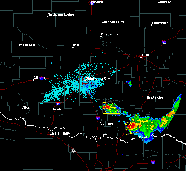 At 506 pm cdt, a severe thunderstorm was located near caddo, moving southeast at 25 mph (radar indicated). Hazards include ping pong ball size hail and 60 mph wind gusts. People and animals outdoors will be injured. expect hail damage to roofs, siding, windows, and vehicles. expect wind damage to roofs, siding, and trees. Locations impacted include, caddo, bokchito, bennington, tushka, caney, armstrong, blue and bentley. At 506 pm cdt, a severe thunderstorm was located near caddo, moving southeast at 25 mph (radar indicated). Hazards include ping pong ball size hail and 60 mph wind gusts. People and animals outdoors will be injured. expect hail damage to roofs, siding, windows, and vehicles. expect wind damage to roofs, siding, and trees. Locations impacted include, caddo, bokchito, bennington, tushka, caney, armstrong, blue and bentley.
|
| 10/26/2016 4:55 PM CDT |
 At 455 pm cdt, a severe thunderstorm was located near caney, moving southeast at 20 mph (radar indicated). Hazards include 60 mph wind gusts and quarter size hail. Hail damage to vehicles is expected. Expect wind damage to roofs, siding, and trees. At 455 pm cdt, a severe thunderstorm was located near caney, moving southeast at 20 mph (radar indicated). Hazards include 60 mph wind gusts and quarter size hail. Hail damage to vehicles is expected. Expect wind damage to roofs, siding, and trees.
|
| 5/29/2016 9:40 PM CDT |
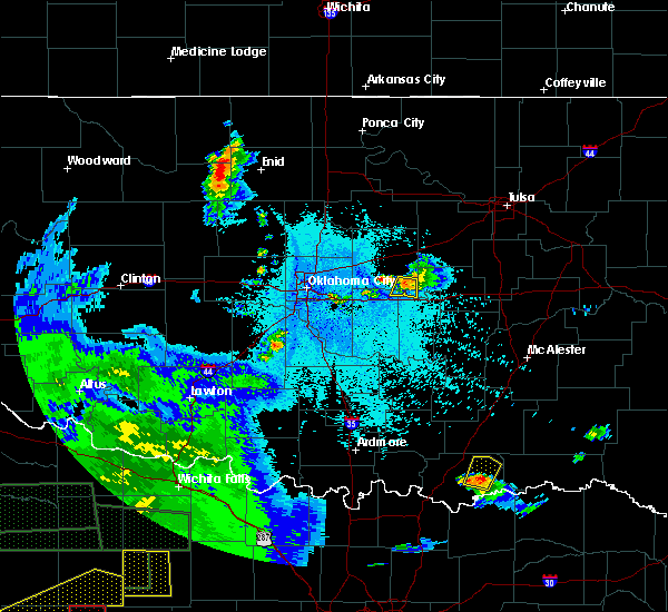 At 940 pm cdt, a severe thunderstorm was located near bokchito, moving northeast at 30 mph (radar indicated). Hazards include 60 mph wind gusts and quarter size hail. Hail damage to vehicles is expected. expect wind damage to roofs, siding, and trees. Locations impacted include, bokchito, bennington and wade. At 940 pm cdt, a severe thunderstorm was located near bokchito, moving northeast at 30 mph (radar indicated). Hazards include 60 mph wind gusts and quarter size hail. Hail damage to vehicles is expected. expect wind damage to roofs, siding, and trees. Locations impacted include, bokchito, bennington and wade.
|
| 5/29/2016 9:28 PM CDT |
 At 928 pm cdt, a severe thunderstorm was located near albany, moving northeast at 25 mph (radar indicated). Hazards include 60 mph wind gusts and half dollar size hail. Hail damage to vehicles is expected. expect wind damage to roofs, siding, and trees. Locations impacted include, bokchito, bennington, albany, blue, utica and wade. At 928 pm cdt, a severe thunderstorm was located near albany, moving northeast at 25 mph (radar indicated). Hazards include 60 mph wind gusts and half dollar size hail. Hail damage to vehicles is expected. expect wind damage to roofs, siding, and trees. Locations impacted include, bokchito, bennington, albany, blue, utica and wade.
|
| 5/29/2016 9:11 PM CDT |
 At 911 pm cdt, a severe thunderstorm was located 4 miles southwest of albany, moving northeast at 30 mph (radar indicated). Hazards include 60 mph wind gusts and half dollar size hail. Hail damage to vehicles is expected. Expect wind damage to roofs, siding, and trees. At 911 pm cdt, a severe thunderstorm was located 4 miles southwest of albany, moving northeast at 30 mph (radar indicated). Hazards include 60 mph wind gusts and half dollar size hail. Hail damage to vehicles is expected. Expect wind damage to roofs, siding, and trees.
|
| 5/9/2016 5:57 PM CDT |
 At 557 pm cdt, a severe thunderstorm capable of producing a tornado was located near blue, moving east at 30 mph (radar indicated rotation). Hazards include tornado and golf ball size hail. Flying debris will be dangerous to those caught without shelter. mobile homes will be damaged or destroyed. damage to roofs, windows, and vehicles will occur. Tree damage is likely. At 557 pm cdt, a severe thunderstorm capable of producing a tornado was located near blue, moving east at 30 mph (radar indicated rotation). Hazards include tornado and golf ball size hail. Flying debris will be dangerous to those caught without shelter. mobile homes will be damaged or destroyed. damage to roofs, windows, and vehicles will occur. Tree damage is likely.
|
| 5/9/2016 5:53 PM CDT |
 At 553 pm cdt, a severe thunderstorm capable of producing a tornado was located near blue, moving east at 30 mph (radar indicated rotation). Hazards include tornado and golf ball size hail. Flying debris will be dangerous to those caught without shelter. mobile homes will be damaged or destroyed. damage to roofs, windows, and vehicles will occur. tree damage is likely. Locations impacted include, bokchito, bennington and blue. At 553 pm cdt, a severe thunderstorm capable of producing a tornado was located near blue, moving east at 30 mph (radar indicated rotation). Hazards include tornado and golf ball size hail. Flying debris will be dangerous to those caught without shelter. mobile homes will be damaged or destroyed. damage to roofs, windows, and vehicles will occur. tree damage is likely. Locations impacted include, bokchito, bennington and blue.
|
| 5/9/2016 5:34 PM CDT |
 At 534 pm cdt, a severe thunderstorm capable of producing a tornado was located near durant, moving east at 30 mph (radar indicated rotation). Hazards include tornado and golf ball size hail. Flying debris will be dangerous to those caught without shelter. mobile homes will be damaged or destroyed. damage to roofs, windows, and vehicles will occur. Tree damage is likely. At 534 pm cdt, a severe thunderstorm capable of producing a tornado was located near durant, moving east at 30 mph (radar indicated rotation). Hazards include tornado and golf ball size hail. Flying debris will be dangerous to those caught without shelter. mobile homes will be damaged or destroyed. damage to roofs, windows, and vehicles will occur. Tree damage is likely.
|
| 4/29/2016 4:27 PM CDT |
 At 426 pm cdt, a severe thunderstorm was located near denison, moving northeast at 40 mph (radar indicated). Hazards include 60 mph wind gusts and quarter size hail. Hail damage to vehicles is expected. Expect wind damage to roofs, siding, and trees. At 426 pm cdt, a severe thunderstorm was located near denison, moving northeast at 40 mph (radar indicated). Hazards include 60 mph wind gusts and quarter size hail. Hail damage to vehicles is expected. Expect wind damage to roofs, siding, and trees.
|
| 4/26/2016 10:55 PM CDT |
 At 1054 pm cdt, severe thunderstorms were located along a line extending from near kiowa to 3 miles south of lane to 5 miles south of bennington, moving northeast at 50 mph (radar indicated). Hazards include 60 mph wind gusts and nickel size hail. Expect damage to roofs. siding. And trees. At 1054 pm cdt, severe thunderstorms were located along a line extending from near kiowa to 3 miles south of lane to 5 miles south of bennington, moving northeast at 50 mph (radar indicated). Hazards include 60 mph wind gusts and nickel size hail. Expect damage to roofs. siding. And trees.
|
| 4/26/2016 10:39 PM CDT |
 At 1038 pm cdt, severe thunderstorms were located along a line extending from 5 miles west of scipio to 5 miles north of stringtown to near bennington, moving northeast at 60 mph (radar indicated). Hazards include 60 mph wind gusts and nickel size hail. Expect damage to roofs. siding. and trees. Locations impacted include, durant, atoka, coalgate, caddo, bokchito, achille, stringtown, lehigh, bennington, tushka, caney, kenefic, stuart, kemp, gerty, armstrong, centrahoma, hendrix, lane and albany. At 1038 pm cdt, severe thunderstorms were located along a line extending from 5 miles west of scipio to 5 miles north of stringtown to near bennington, moving northeast at 60 mph (radar indicated). Hazards include 60 mph wind gusts and nickel size hail. Expect damage to roofs. siding. and trees. Locations impacted include, durant, atoka, coalgate, caddo, bokchito, achille, stringtown, lehigh, bennington, tushka, caney, kenefic, stuart, kemp, gerty, armstrong, centrahoma, hendrix, lane and albany.
|
| 4/26/2016 10:22 PM CDT |
 At 1022 pm cdt, severe thunderstorms were located along a line extending from 4 miles north of gerty to 5 miles southeast of olney to 4 miles east of achille, moving northeast at 60 mph (radar indicated). Hazards include 60 mph wind gusts and nickel size hail. Expect damage to roofs. siding. And trees. At 1022 pm cdt, severe thunderstorms were located along a line extending from 4 miles north of gerty to 5 miles southeast of olney to 4 miles east of achille, moving northeast at 60 mph (radar indicated). Hazards include 60 mph wind gusts and nickel size hail. Expect damage to roofs. siding. And trees.
|
| 4/19/2016 11:52 PM CDT |
 At 1152 pm cdt, a severe thunderstorm was located near blue, moving east at 25 mph (radar indicated). Hazards include 60 mph wind gusts and quarter size hail. Hail damage to vehicles is expected. expect wind damage to roofs, siding, and trees. Locations impacted include, bokchito, bennington and blue. At 1152 pm cdt, a severe thunderstorm was located near blue, moving east at 25 mph (radar indicated). Hazards include 60 mph wind gusts and quarter size hail. Hail damage to vehicles is expected. expect wind damage to roofs, siding, and trees. Locations impacted include, bokchito, bennington and blue.
|
| 4/19/2016 11:41 PM CDT |
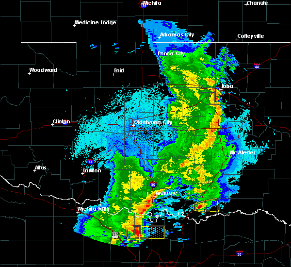 At 1141 pm cdt, a severe thunderstorm was located near blue, moving east at 25 mph (radar indicated). Hazards include 60 mph wind gusts and half dollar size hail. Hail damage to vehicles is expected. Expect wind damage to roofs, siding, and trees. At 1141 pm cdt, a severe thunderstorm was located near blue, moving east at 25 mph (radar indicated). Hazards include 60 mph wind gusts and half dollar size hail. Hail damage to vehicles is expected. Expect wind damage to roofs, siding, and trees.
|
| 4/11/2016 3:12 PM CDT |
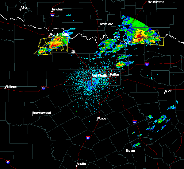 At 312 pm cdt, a severe thunderstorm was located 6 miles southeast of bennington, moving east at 45 mph (radar indicated). Hazards include two inch hail and 60 mph wind gusts. People and animals outdoors will be injured. expect hail damage to roofs, siding, windows, and vehicles. expect wind damage to roofs, siding, and trees. Locations impacted include, bennington and wade. At 312 pm cdt, a severe thunderstorm was located 6 miles southeast of bennington, moving east at 45 mph (radar indicated). Hazards include two inch hail and 60 mph wind gusts. People and animals outdoors will be injured. expect hail damage to roofs, siding, windows, and vehicles. expect wind damage to roofs, siding, and trees. Locations impacted include, bennington and wade.
|
| 4/11/2016 2:40 PM CDT |
 At 240 pm cdt, a severe thunderstorm was located 4 miles south of durant, moving east at 50 mph (radar indicated). Hazards include two inch hail and 60 mph wind gusts. People and animals outdoors will be injured. expect hail damage to roofs, siding, windows, and vehicles. Expect wind damage to roofs, siding, and trees. At 240 pm cdt, a severe thunderstorm was located 4 miles south of durant, moving east at 50 mph (radar indicated). Hazards include two inch hail and 60 mph wind gusts. People and animals outdoors will be injured. expect hail damage to roofs, siding, windows, and vehicles. Expect wind damage to roofs, siding, and trees.
|
| 4/11/2016 2:28 PM CDT |
 At 228 pm cdt, a severe thunderstorm was located near mead, moving east at 45 mph (trained weather spotters). Hazards include 60 mph wind gusts and quarter size hail. Hail damage to vehicles is expected. expect wind damage to roofs, siding, and trees. Locations impacted include, durant, colbert, caddo, bokchito, bennington, silo, kenefic, mead, armstrong, nida, albany, blue, utica, little city, woodville, cartwright, northeastern lake texoma, calera, mcbride and wade. At 228 pm cdt, a severe thunderstorm was located near mead, moving east at 45 mph (trained weather spotters). Hazards include 60 mph wind gusts and quarter size hail. Hail damage to vehicles is expected. expect wind damage to roofs, siding, and trees. Locations impacted include, durant, colbert, caddo, bokchito, bennington, silo, kenefic, mead, armstrong, nida, albany, blue, utica, little city, woodville, cartwright, northeastern lake texoma, calera, mcbride and wade.
|
| 4/11/2016 2:06 PM CDT |
 At 206 pm cdt, a severe thunderstorm was located near lebanon, moving east at 35 mph (radar indicated). Hazards include 60 mph wind gusts and quarter size hail. Hail damage to vehicles is expected. Expect wind damage to roofs, siding, and trees. At 206 pm cdt, a severe thunderstorm was located near lebanon, moving east at 35 mph (radar indicated). Hazards include 60 mph wind gusts and quarter size hail. Hail damage to vehicles is expected. Expect wind damage to roofs, siding, and trees.
|
| 3/23/2016 9:07 PM CDT |
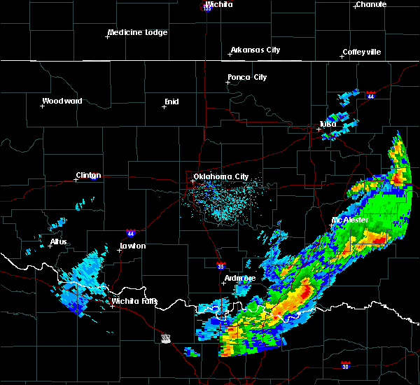 At 906 pm cdt, severe thunderstorms were located along a line extending from 7 miles southwest of lane to 8 miles northwest of boswell to near bennington, moving east at 50 mph (radar indicated). Hazards include 70 mph wind gusts and ping pong ball size hail. People and animals outdoors will be injured. expect hail damage to roofs, siding, windows, and vehicles. expect considerable tree damage. wind damage is also likely to mobile homes, roofs, and outbuildings. Locations impacted include, bennington, bentley and southeastern mcgee creek lake. At 906 pm cdt, severe thunderstorms were located along a line extending from 7 miles southwest of lane to 8 miles northwest of boswell to near bennington, moving east at 50 mph (radar indicated). Hazards include 70 mph wind gusts and ping pong ball size hail. People and animals outdoors will be injured. expect hail damage to roofs, siding, windows, and vehicles. expect considerable tree damage. wind damage is also likely to mobile homes, roofs, and outbuildings. Locations impacted include, bennington, bentley and southeastern mcgee creek lake.
|
| 3/23/2016 8:55 PM CDT |
 At 855 pm cdt, severe thunderstorms were located along a line extending from 4 miles east of caddo to 3 miles north of bokchito to 3 miles north of utica, moving east at 50 mph (radar indicated). Hazards include 70 mph wind gusts and ping pong ball size hail. People and animals outdoors will be injured. expect hail damage to roofs, siding, windows, and vehicles. expect considerable tree damage. Wind damage is also likely to mobile homes, roofs, and outbuildings. At 855 pm cdt, severe thunderstorms were located along a line extending from 4 miles east of caddo to 3 miles north of bokchito to 3 miles north of utica, moving east at 50 mph (radar indicated). Hazards include 70 mph wind gusts and ping pong ball size hail. People and animals outdoors will be injured. expect hail damage to roofs, siding, windows, and vehicles. expect considerable tree damage. Wind damage is also likely to mobile homes, roofs, and outbuildings.
|
| 3/23/2016 8:49 PM CDT |
 At 847 pm cdt, severe thunderstorms were located along a line extending from 6 miles north of bokchito to 3 miles east of caddo to near blue to near achille, moving northeast at 45 mph (radar indicated. in addition...the bryan county emergency manager reported quarter size hail in durant). Hazards include ping pong ball size hail and 60 mph wind gusts. People and animals outdoors will be injured. expect hail damage to roofs, siding, windows, and vehicles. expect wind damage to roofs, siding, and trees. Locations impacted include, durant, colbert, caddo, bokchito, achille, bennington, kemp, armstrong, hendrix, albany, blue, utica, calera and wade. At 847 pm cdt, severe thunderstorms were located along a line extending from 6 miles north of bokchito to 3 miles east of caddo to near blue to near achille, moving northeast at 45 mph (radar indicated. in addition...the bryan county emergency manager reported quarter size hail in durant). Hazards include ping pong ball size hail and 60 mph wind gusts. People and animals outdoors will be injured. expect hail damage to roofs, siding, windows, and vehicles. expect wind damage to roofs, siding, and trees. Locations impacted include, durant, colbert, caddo, bokchito, achille, bennington, kemp, armstrong, hendrix, albany, blue, utica, calera and wade.
|
| 3/23/2016 8:20 PM CDT |
 At 819 pm cdt, severe thunderstorms were located along a line extending from near armstrong to near eisenhower state park, moving east at 45 mph (radar indicated). Hazards include golf ball size hail and 60 mph wind gusts. People and animals outdoors will be injured. expect hail damage to roofs, siding, windows, and vehicles. Expect wind damage to roofs, siding, and trees. At 819 pm cdt, severe thunderstorms were located along a line extending from near armstrong to near eisenhower state park, moving east at 45 mph (radar indicated). Hazards include golf ball size hail and 60 mph wind gusts. People and animals outdoors will be injured. expect hail damage to roofs, siding, windows, and vehicles. Expect wind damage to roofs, siding, and trees.
|
| 3/18/2016 9:20 AM CDT |
 At 920 am cdt, a severe thunderstorm was located 4 miles east of caney, moving east at 30 mph (radar indicated). Hazards include 60 mph wind gusts and half dollar size hail. Hail damage to vehicles is expected. expect wind damage to roofs, siding, and trees. Locations impacted include, durant, caddo, bokchito, bennington, silo, caney, kenefic, mead, armstrong, lane, nida, albany, blue, utica, northeastern lake texoma, calera, bentley and wade. At 920 am cdt, a severe thunderstorm was located 4 miles east of caney, moving east at 30 mph (radar indicated). Hazards include 60 mph wind gusts and half dollar size hail. Hail damage to vehicles is expected. expect wind damage to roofs, siding, and trees. Locations impacted include, durant, caddo, bokchito, bennington, silo, caney, kenefic, mead, armstrong, lane, nida, albany, blue, utica, northeastern lake texoma, calera, bentley and wade.
|
| 3/18/2016 9:04 AM CDT |
 The national weather service in norman has issued a * severe thunderstorm warning for. northwestern bryan county in southeastern oklahoma. southeastern johnston county in southeastern oklahoma. southwestern atoka county in southeastern oklahoma. Northeastern marshall county in southeastern oklahoma. The national weather service in norman has issued a * severe thunderstorm warning for. northwestern bryan county in southeastern oklahoma. southeastern johnston county in southeastern oklahoma. southwestern atoka county in southeastern oklahoma. Northeastern marshall county in southeastern oklahoma.
|
| 3/17/2016 7:39 AM CDT |
 At 739 am cdt, a severe thunderstorm was located near mead, moving east at 65 mph (radar indicated). Hazards include 60 mph wind gusts and quarter size hail. Hail damage to vehicles is expected. Expect wind damage to roofs, siding, and trees. At 739 am cdt, a severe thunderstorm was located near mead, moving east at 65 mph (radar indicated). Hazards include 60 mph wind gusts and quarter size hail. Hail damage to vehicles is expected. Expect wind damage to roofs, siding, and trees.
|
| 12/26/2015 8:46 PM CST |
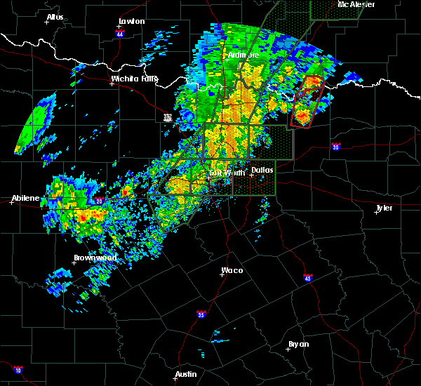 At 845 pm cst, a severe thunderstorm capable of producing a tornado was located 4 miles east of albany, moving north at 35 mph (radar indicated rotation). Hazards include tornado. Flying debris will be dangerous to those caught without shelter. mobile homes will be damaged or destroyed. damage to roofs, windows, and vehicles will occur. tree damage is likely. Locations impacted include, bennington, albany and wade. At 845 pm cst, a severe thunderstorm capable of producing a tornado was located 4 miles east of albany, moving north at 35 mph (radar indicated rotation). Hazards include tornado. Flying debris will be dangerous to those caught without shelter. mobile homes will be damaged or destroyed. damage to roofs, windows, and vehicles will occur. tree damage is likely. Locations impacted include, bennington, albany and wade.
|
| 12/26/2015 8:25 PM CST |
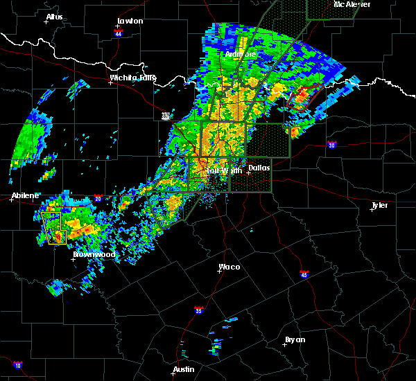 At 825 pm cst, a severe thunderstorm capable of producing a tornado was located 6 miles northeast of ravenna texas, moving north at 35 mph (radar indicated rotation). Hazards include tornado. Flying debris will be dangerous to those caught without shelter. mobile homes will be damaged or destroyed. damage to roofs, windows, and vehicles will occur. Tree damage is likely. At 825 pm cst, a severe thunderstorm capable of producing a tornado was located 6 miles northeast of ravenna texas, moving north at 35 mph (radar indicated rotation). Hazards include tornado. Flying debris will be dangerous to those caught without shelter. mobile homes will be damaged or destroyed. damage to roofs, windows, and vehicles will occur. Tree damage is likely.
|
| 11/5/2015 6:57 PM CST | The severe thunderstorm warning for eastern bryan county will expire at 700 pm cst, the storms which prompted the warning have weakened below severe limits, and no longer pose an immediate threat to life or property. therefore the warning will be allowed to expire. however gusty winds and heavy rain are still possible with these thunderstorms. |
| 11/5/2015 6:52 PM CST |
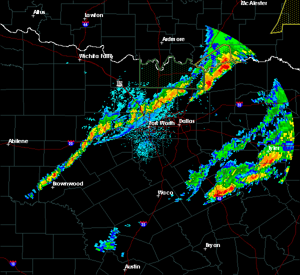 At 652 pm cst, severe thunderstorms were located along a line extending from 3 miles southwest of boswell to 5 miles east of albany, moving northeast at 50 mph (radar indicated). Hazards include 60 mph wind gusts. Expect damage to roofs. siding and trees. Locations impacted include, bennington, albany and wade. At 652 pm cst, severe thunderstorms were located along a line extending from 3 miles southwest of boswell to 5 miles east of albany, moving northeast at 50 mph (radar indicated). Hazards include 60 mph wind gusts. Expect damage to roofs. siding and trees. Locations impacted include, bennington, albany and wade.
|
| 11/5/2015 6:15 PM CST |
 At 615 pm cst, severe thunderstorms were located along a line extending from near bennington to near hendrix, moving northeast at 50 mph (radar indicated). Hazards include 60 mph wind gusts and quarter size hail. Hail damage to vehicles is expected. Expect wind damage to roofs, siding and trees. At 615 pm cst, severe thunderstorms were located along a line extending from near bennington to near hendrix, moving northeast at 50 mph (radar indicated). Hazards include 60 mph wind gusts and quarter size hail. Hail damage to vehicles is expected. Expect wind damage to roofs, siding and trees.
|
| 11/5/2015 5:46 PM CST |
 At 545 pm cst, severe thunderstorms were located along a line extending from 7 miles northwest of moyers to 6 miles north of bennington to near denison, moving northeast at 60 mph (radar indicated). Hazards include 60 mph wind gusts and half dollar size hail. Hail damage to vehicles is expected. expect wind damage to roofs, siding and trees. Locations impacted include, durant, atoka, colbert, caddo, bokchito, achille, stringtown, bennington, silo, tushka, caney, kenefic, kemp, mead, armstrong, hendrix, lane, albany, blue and utica. At 545 pm cst, severe thunderstorms were located along a line extending from 7 miles northwest of moyers to 6 miles north of bennington to near denison, moving northeast at 60 mph (radar indicated). Hazards include 60 mph wind gusts and half dollar size hail. Hail damage to vehicles is expected. expect wind damage to roofs, siding and trees. Locations impacted include, durant, atoka, colbert, caddo, bokchito, achille, stringtown, bennington, silo, tushka, caney, kenefic, kemp, mead, armstrong, hendrix, lane, albany, blue and utica.
|
| 11/5/2015 5:25 PM CST |
 At 525 pm cst, severe thunderstorms were located along a line extending from 9 miles east of lane to 5 miles north of bennington to 3 miles east of durant to near whitesboro, moving northeast at 45 mph (radar indicated). Hazards include 60 mph wind gusts and quarter size hail. Hail damage to vehicles is expected. Expect wind damage to roofs, siding and trees. At 525 pm cst, severe thunderstorms were located along a line extending from 9 miles east of lane to 5 miles north of bennington to 3 miles east of durant to near whitesboro, moving northeast at 45 mph (radar indicated). Hazards include 60 mph wind gusts and quarter size hail. Hail damage to vehicles is expected. Expect wind damage to roofs, siding and trees.
|
| 5/25/2015 3:28 PM CDT | At 326 pm cdt, severe thunderstorms were located along a line extending from 4 miles east of tushka to near antioch, and south to near durant. these storms were moving northeast at 30 to 40 mph (radar indicated). Hazards include 60 mph wind gusts and nickel size hail. Expect damage to roofs. Siding and trees. |
| 5/25/2015 2:45 PM CDT | At 245 pm cdt, severe thunderstorms were located along a line extending from near marlow to near gene autry to 8 miles southeast of lane, moving northeast at 95 mph (radar indicated). Hazards include 70 mph wind gusts and ping pong ball size hail. People and animals outdoors will be injured. expect hail damage to roofs, siding, windows and vehicles. expect considerable tree damage. Wind damage is also likely to mobile homes, roofs and outbuildings. |
| 5/25/2015 2:15 PM CDT | At 215 pm cdt, a severe thunderstorm was located 4 miles south of durant, moving north at 40 mph. another strong to severe thunderstorm was located just southeast of bennington (radar indicated). Hazards include 70 mph wind gusts and ping pong ball size hail. People and animals outdoors will be injured. expect hail damage to roofs, siding, windows and vehicles. expect considerable tree damage. Wind damage is also likely to mobile homes, roofs and outbuildings. |
| 5/9/2015 1:44 AM CDT | At 144 am cdt, a severe thunderstorm was located near utica, moving northeast at 40 mph (radar indicated). Hazards include 60 mph wind gusts and half dollar size hail. Hail damage to vehicles is expected. expect wind damage to roofs, siding and trees. locations impacted include, bokchito, bennington, blue and utica. 1. 25in. |
| 5/9/2015 1:21 AM CDT | At 120 am cdt, severe thunderstorms were located 4 miles southeast of durant and 5 miles northeast of colbert, moving northeast at 45 mph (radar indicated). Hazards include ping pong ball size hail and 60 mph wind gusts. People and animals outdoors will be injured. expect hail damage to roofs, siding, windows and vehicles. Expect wind damage to roofs, siding and trees. |
| 4/24/2015 7:35 PM CDT | At 735 pm cdt, a severe thunderstorm was located 6 miles southeast of bennington, moving east at 45 mph (radar indicated). Hazards include 60 mph wind gusts and quarter size hail. Hail damage to vehicles is expected. expect wind damage to roofs, siding and trees. locations impacted include, bennington and wade. 1. 00in. |
| 4/24/2015 7:18 PM CDT | At 717 pm cdt, severe thunderstorms were located along a line extending from 5 miles north of bokchito to 3 miles south of utica, moving east at 45 mph (radar indicated). Hazards include 60 mph wind gusts and half dollar size hail. Hail damage to vehicles is expected. expect wind damage to roofs, siding and trees. locations impacted include, bokchito, achille, bennington, kemp, hendrix, blue, utica, albany and wade. 1. 25in. |
| 4/24/2015 6:55 PM CDT | At 654 pm cdt, severe thunderstorms were located along a line extending from 3 miles west of armstrong to near colbert, moving east at 45 mph (radar indicated). Hazards include golf ball size hail and 60 mph wind gusts. People and animals outdoors will be injured. expect hail damage to roofs, siding, windows and vehicles. Expect wind damage to roofs, siding and trees. |
| 3/26/2015 12:39 AM CDT | The severe thunderstorm warning for northeastern bryan and southeastern atoka counties will expire at 1245 am cdt. the storms which prompted the warning have moved out of the area. therefore the warning will be allowed to expire. However gusty winds and heavy rain are still possible with an area of thunderstorms running from near bentley south to bokchito. |
| 3/26/2015 12:08 AM CDT | The national weather service in norman has issued a * severe thunderstorm warning for. northeastern bryan county in southeastern oklahoma. southeastern atoka county in southeastern oklahoma. until 1245 am cdt * at 1208 am cdt. Severe thunderstorms were located along a line. |
| 4/13/2014 9:25 PM CDT | Tree damage and pwr lines down in bryan county OK, 0.2 miles NE of Bennington, OK |
| 12/19/2012 8:04 PM CST | Storm damage reported in bryan county OK, 0.2 miles NE of Bennington, OK |
| 1/1/0001 12:00 AM | Half Dollar sized hail reported 6.3 miles SE of Bennington, OK |
| 1/1/0001 12:00 AM | Downed trees reported on perry street in bryan county OK, 0.2 miles NE of Bennington, OK |
Hail Maps for Bennington, OK


Connect with Interactive Hail Maps