

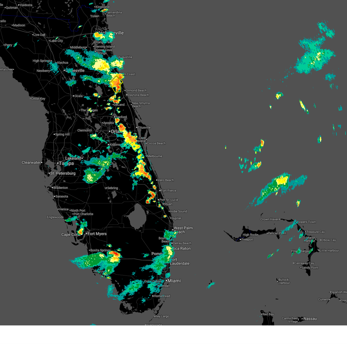
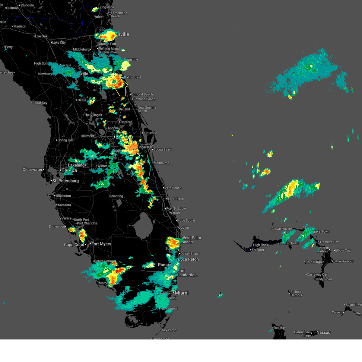
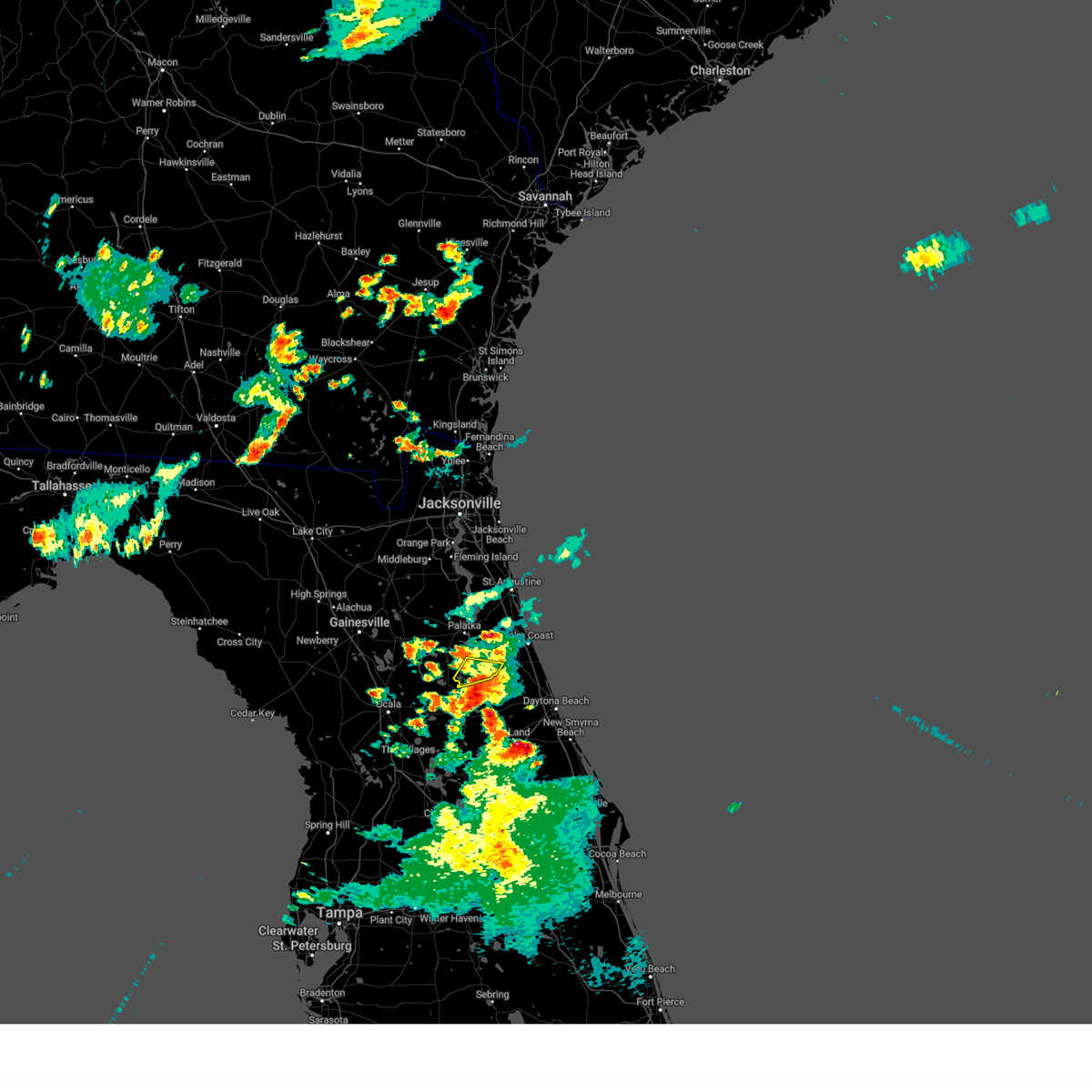
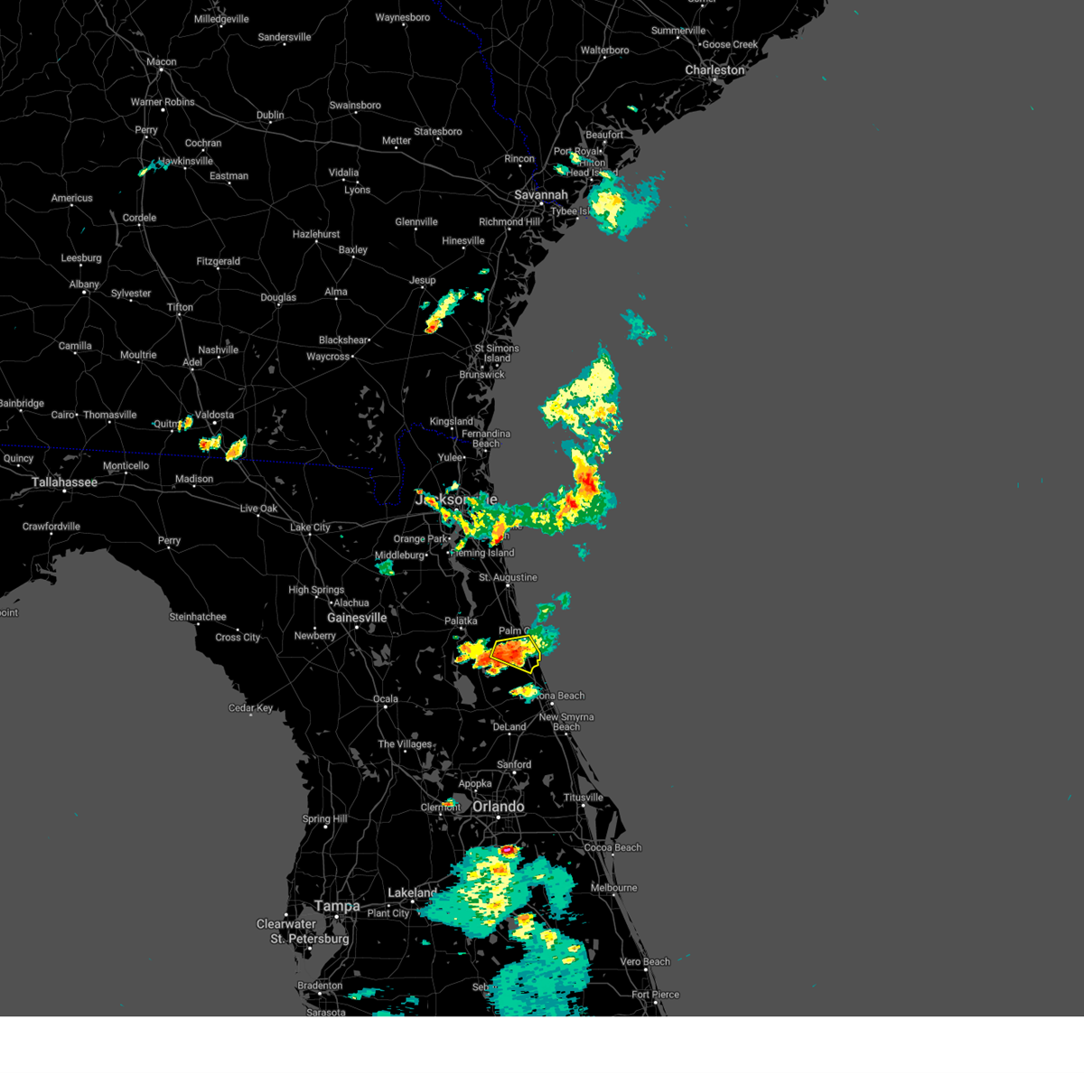
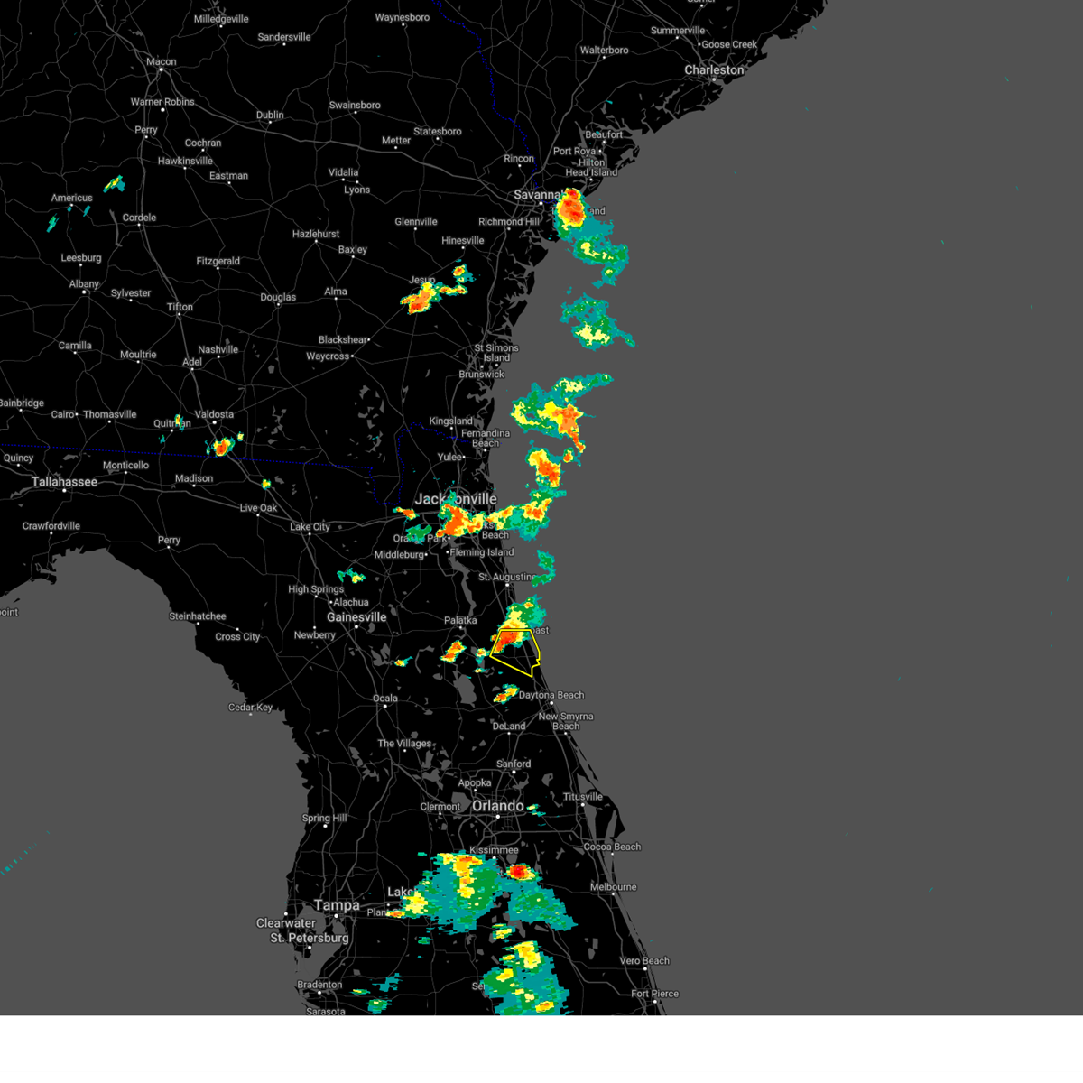
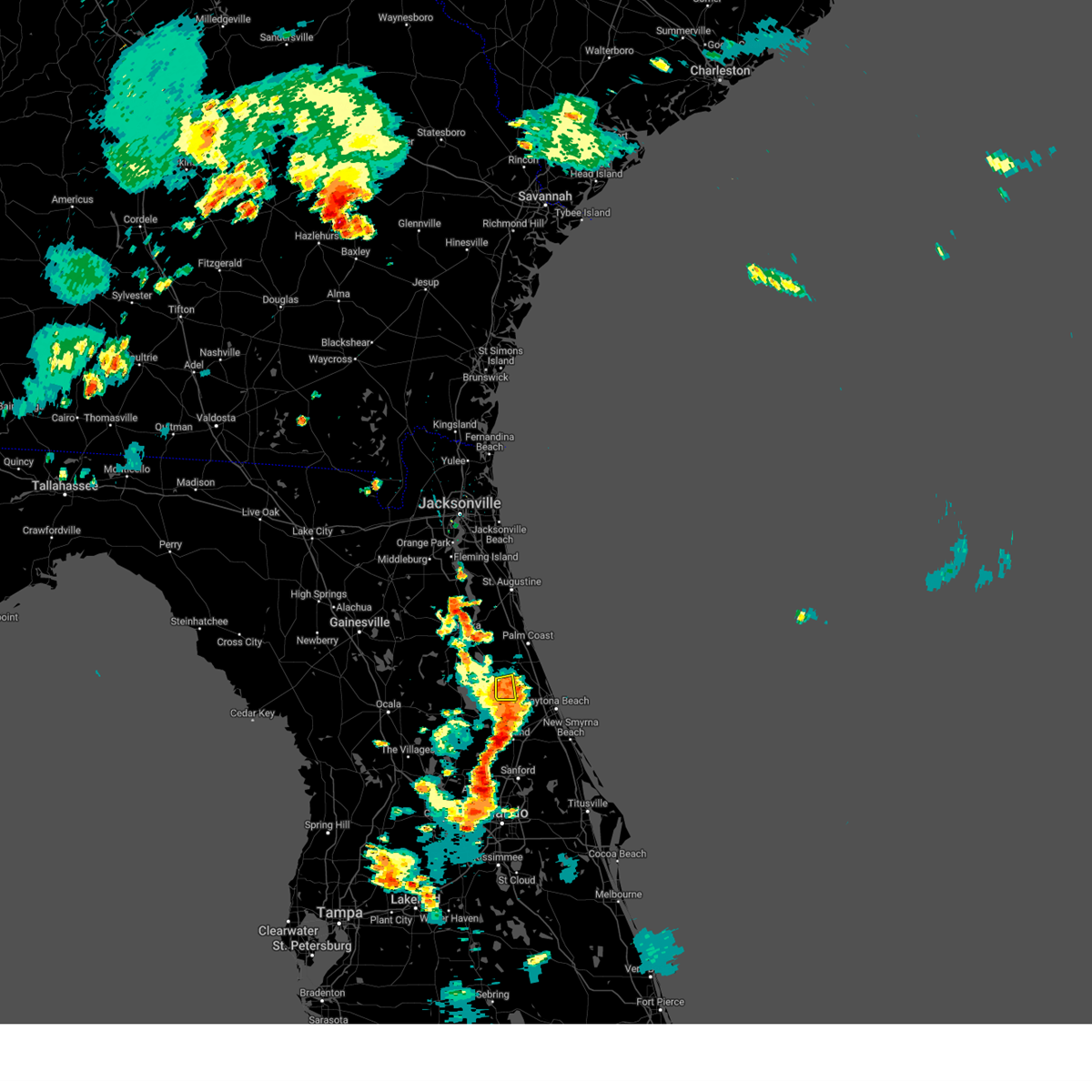
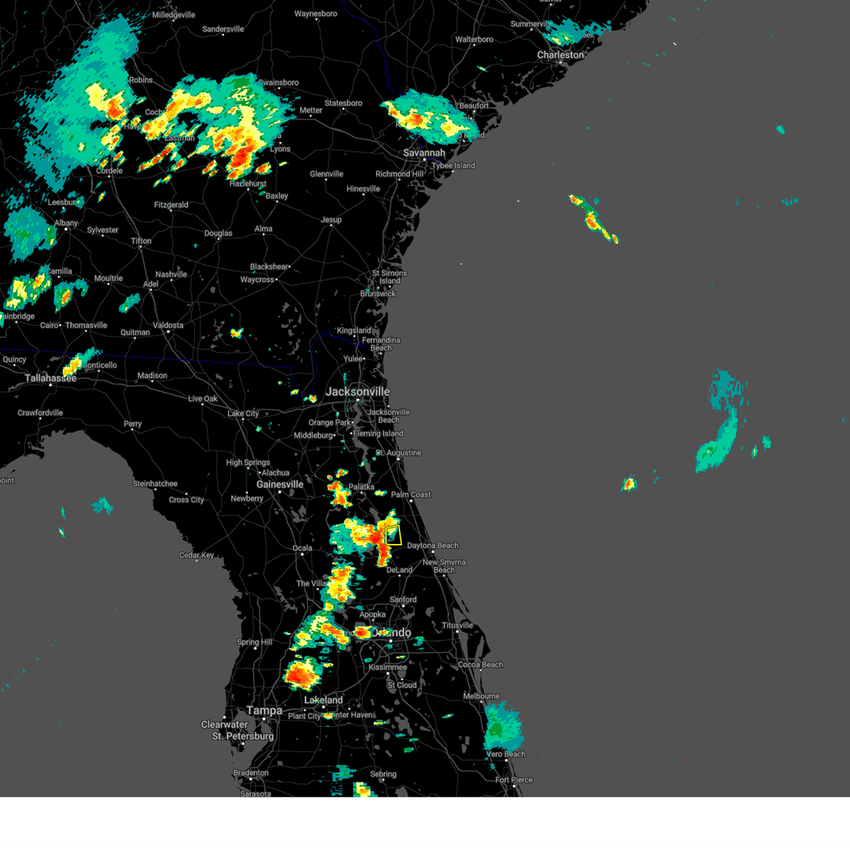
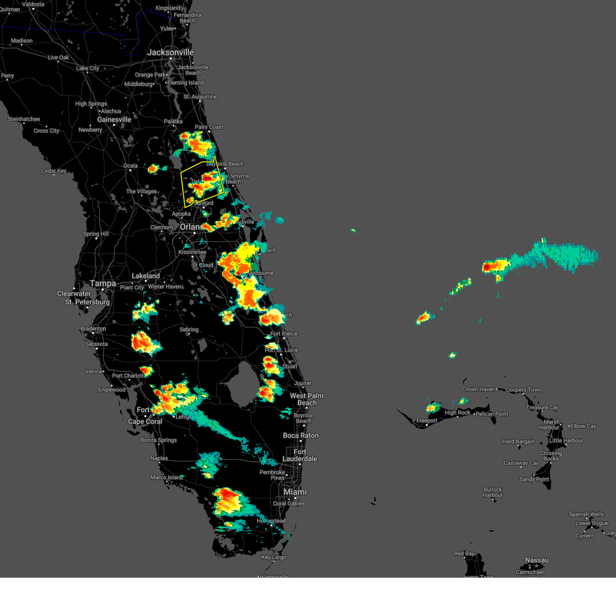
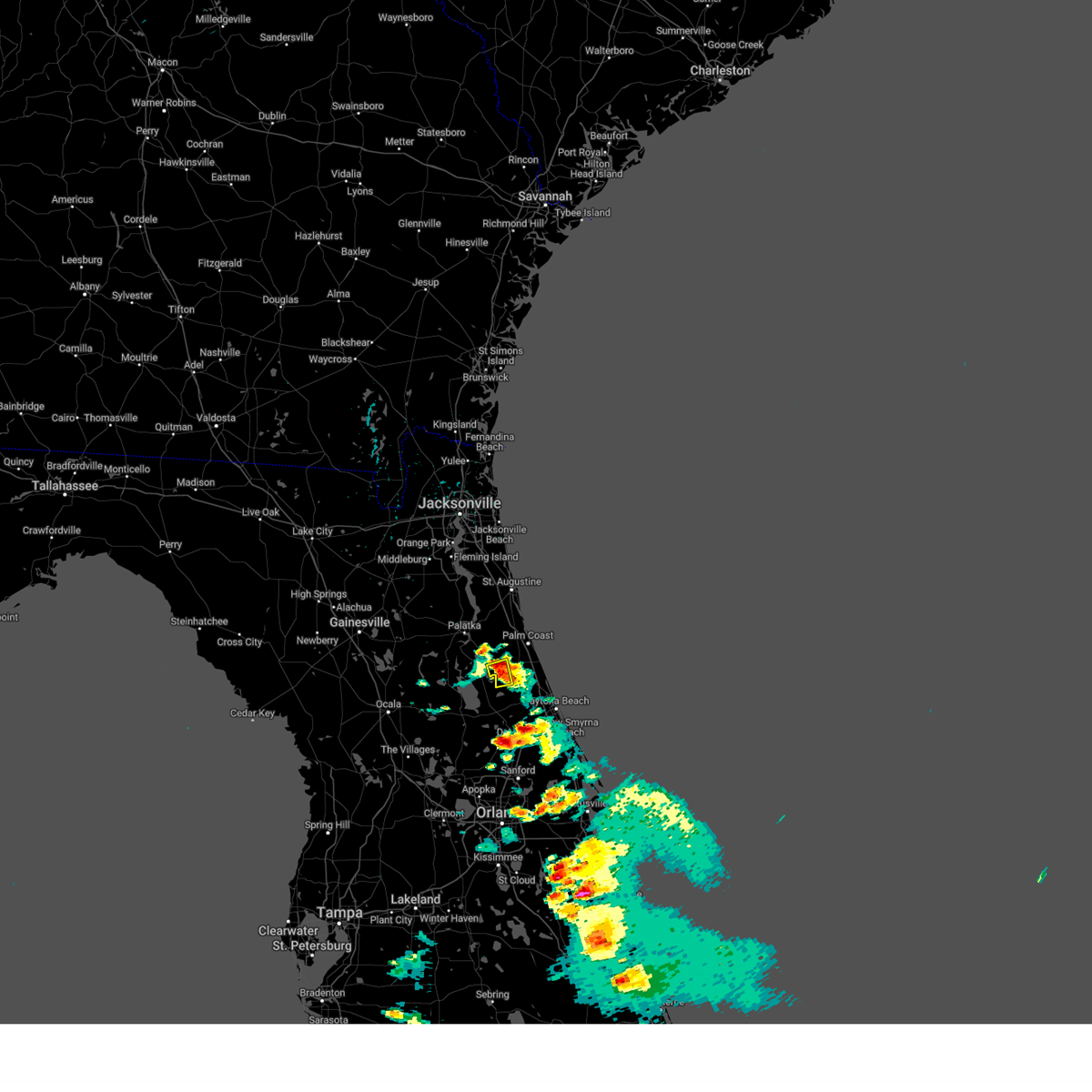
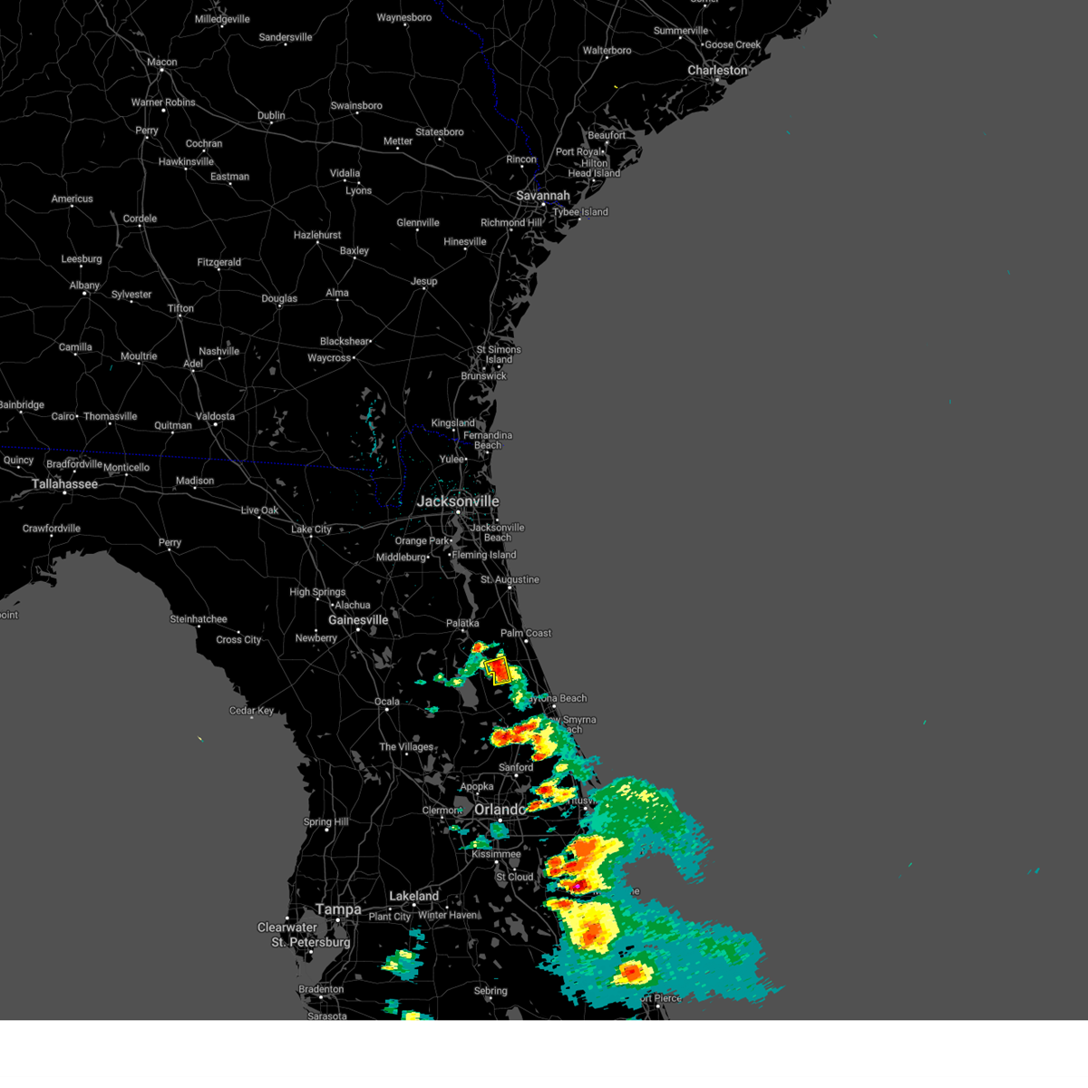
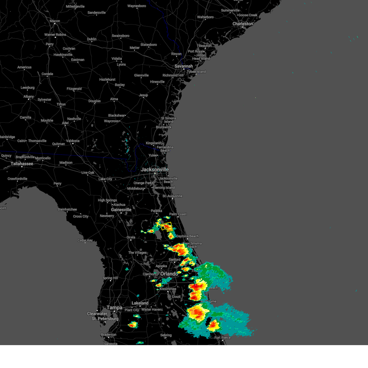
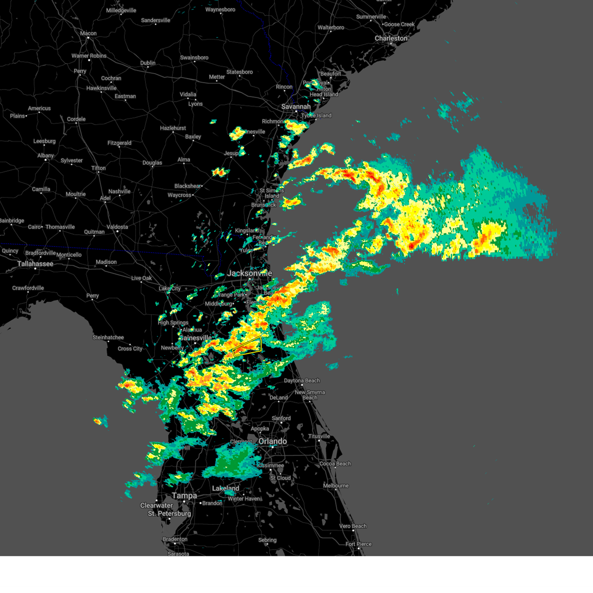
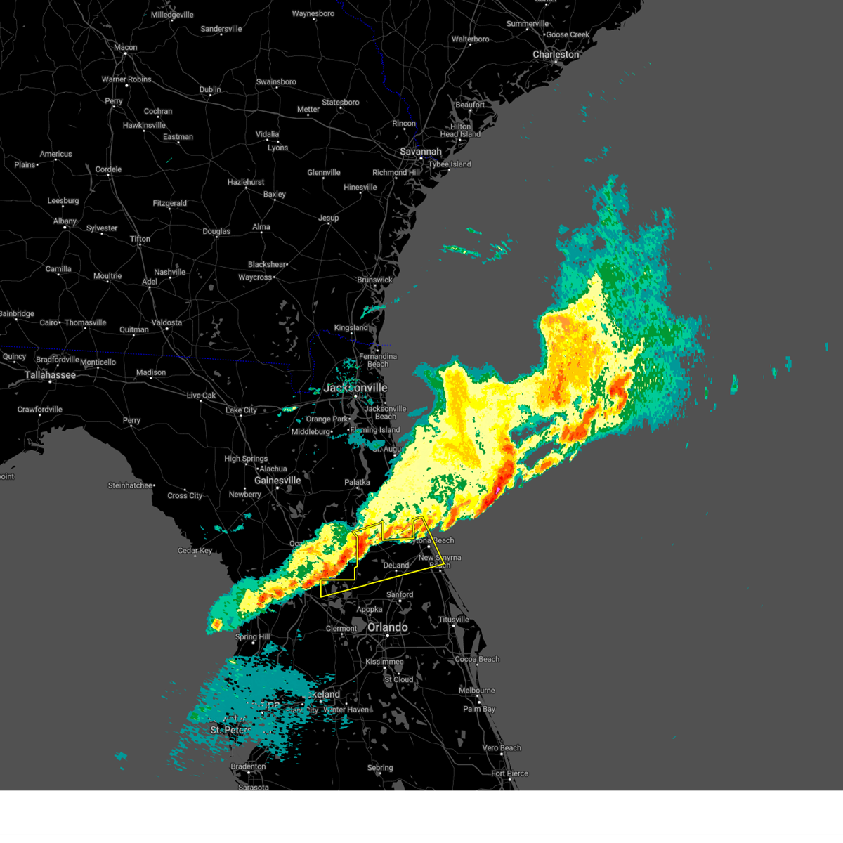
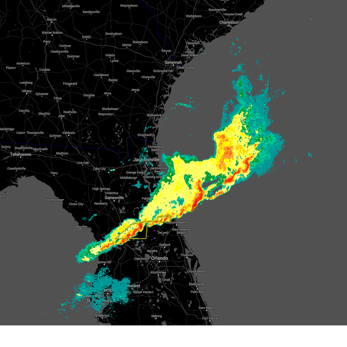
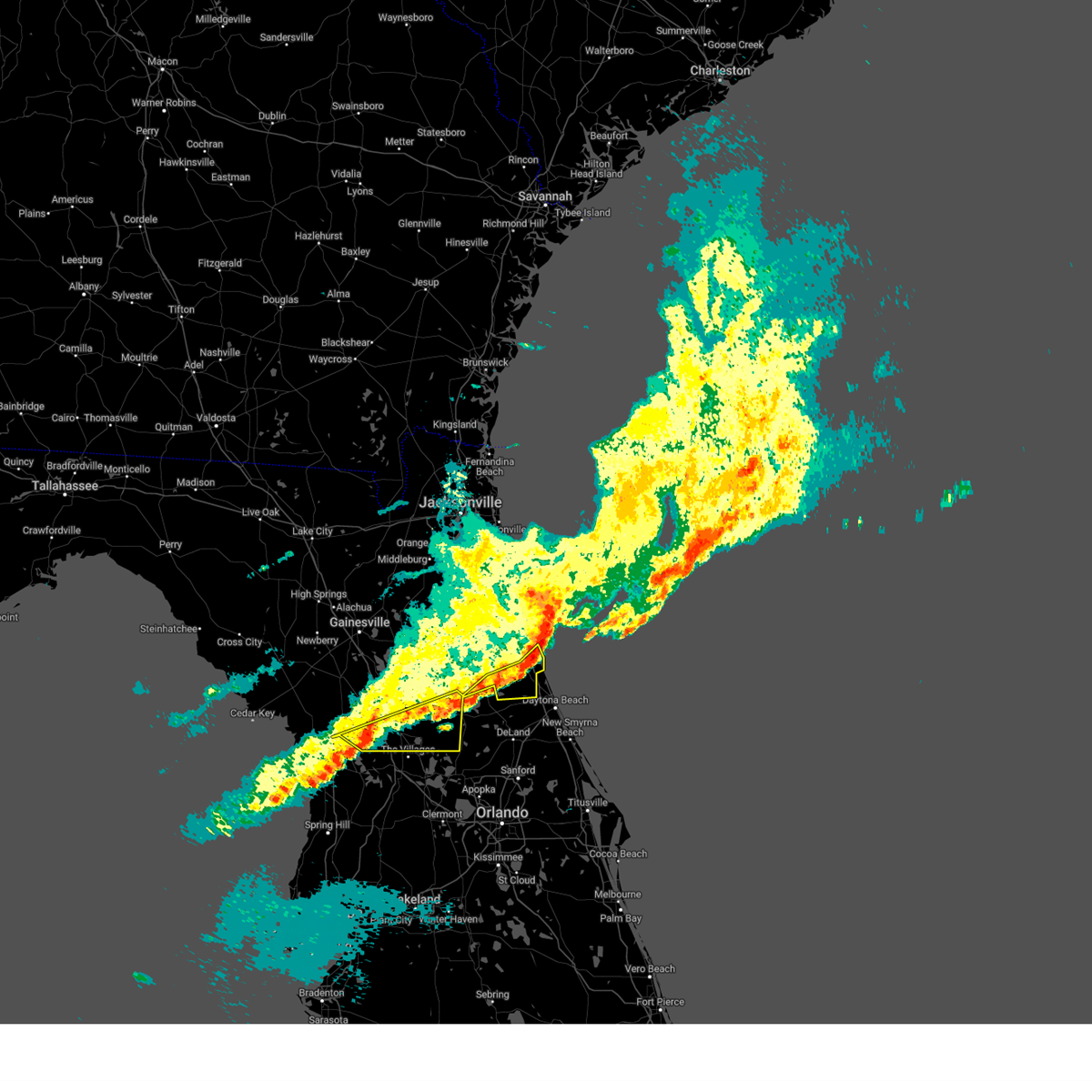
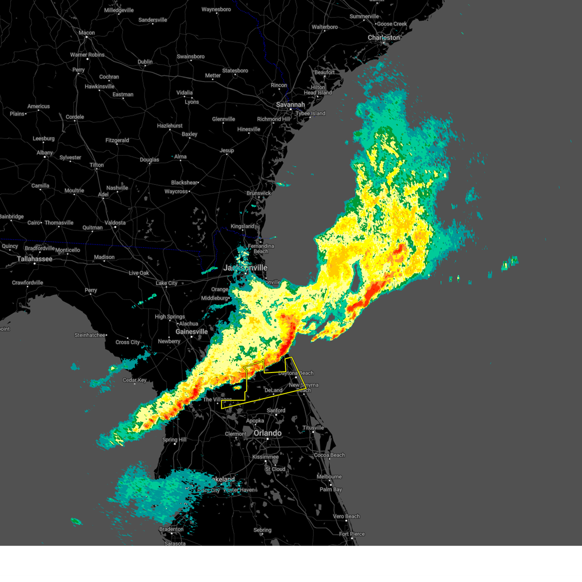
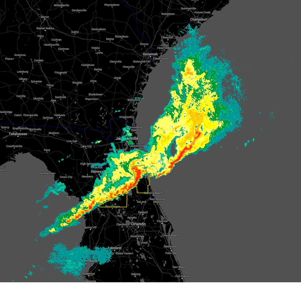
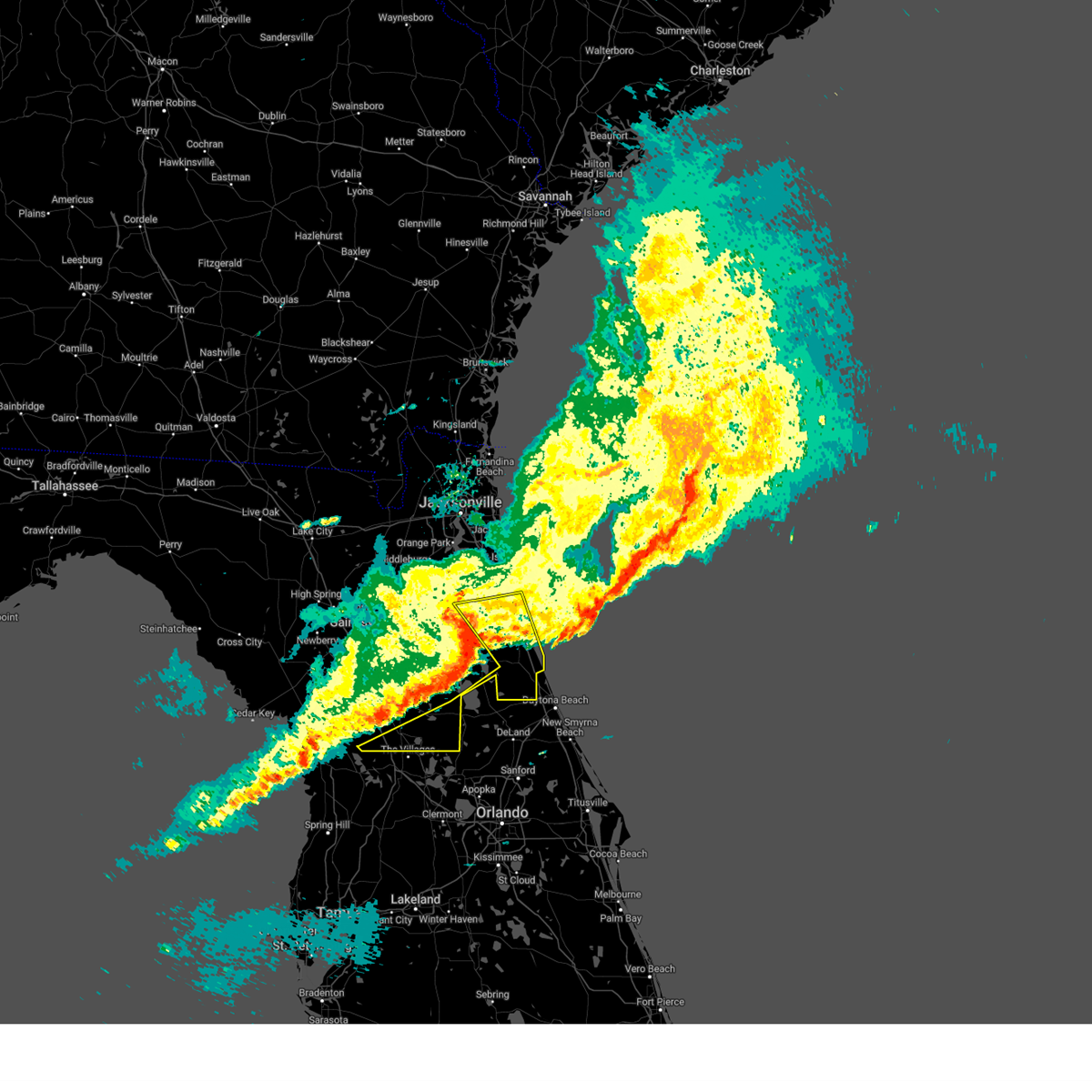
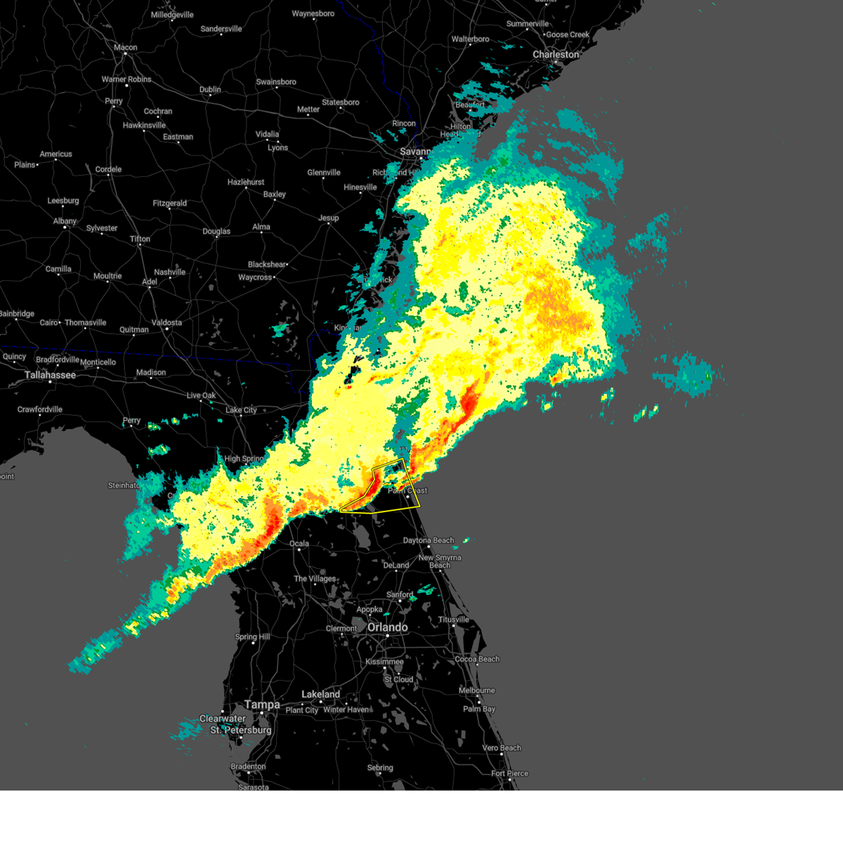
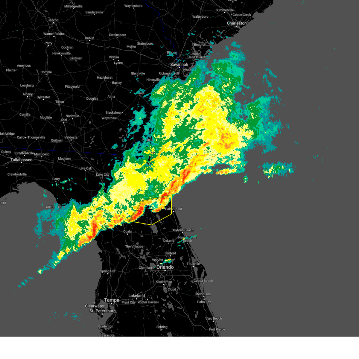
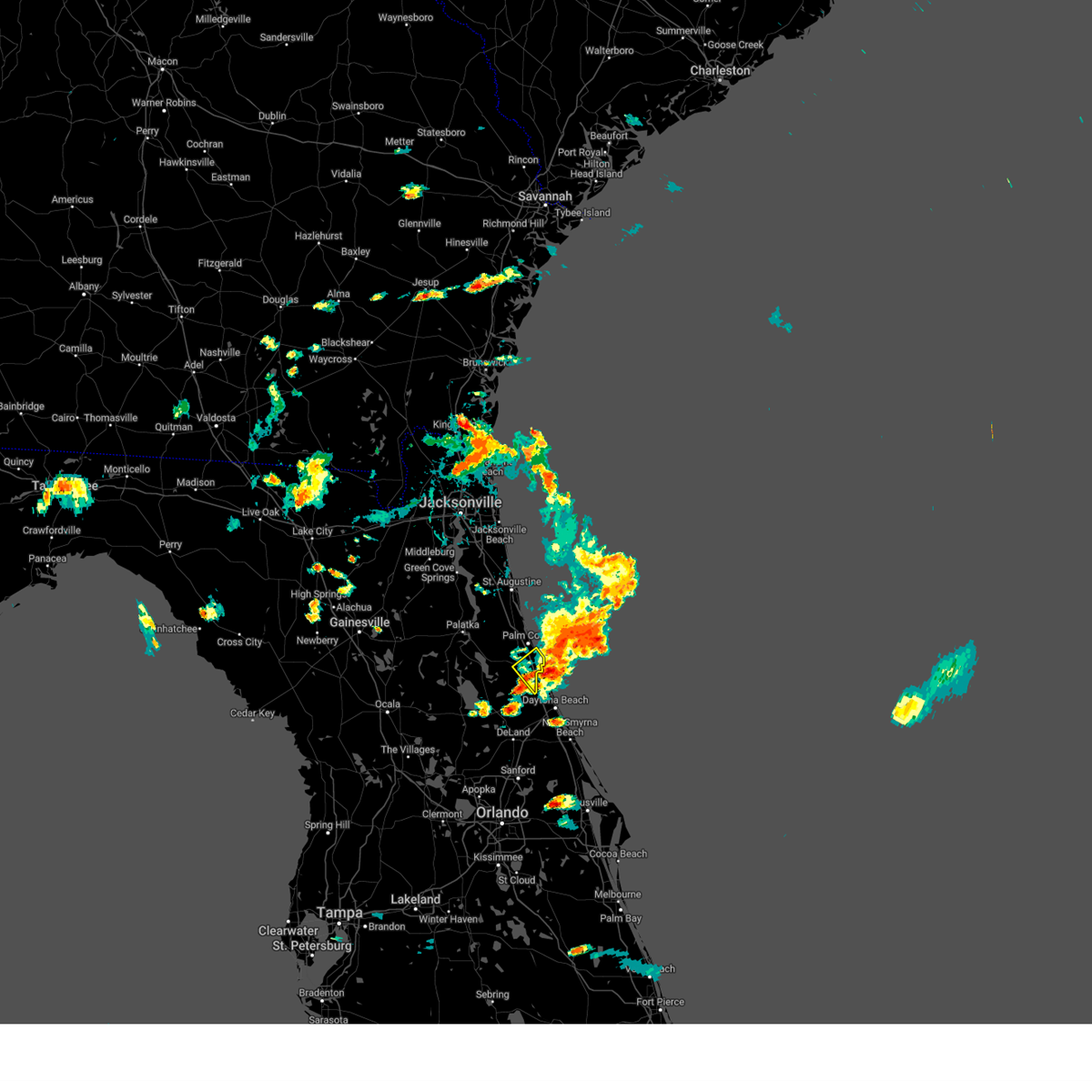
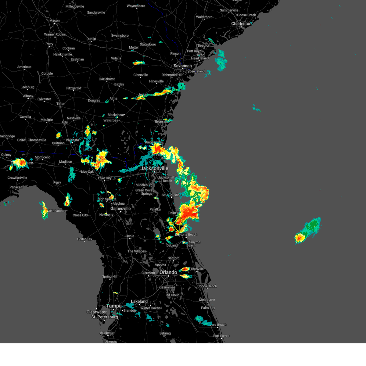
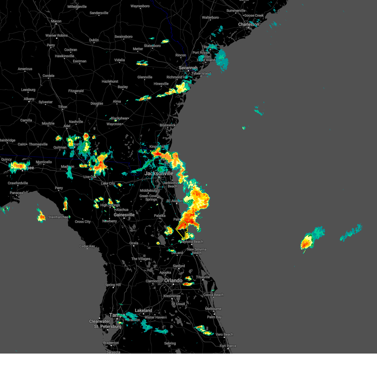
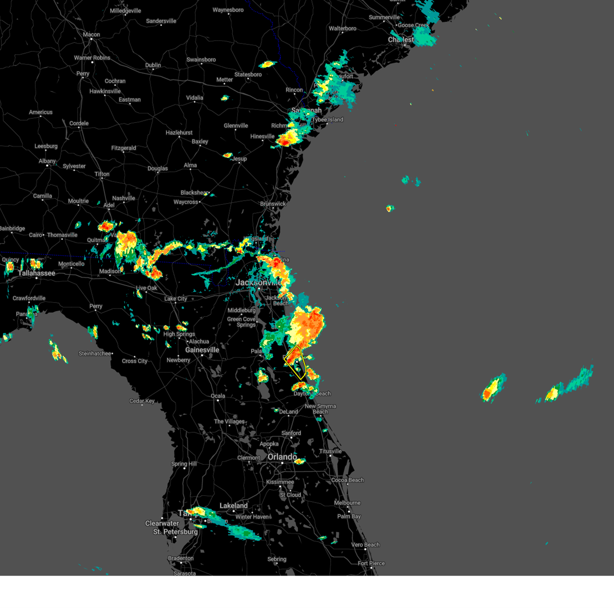
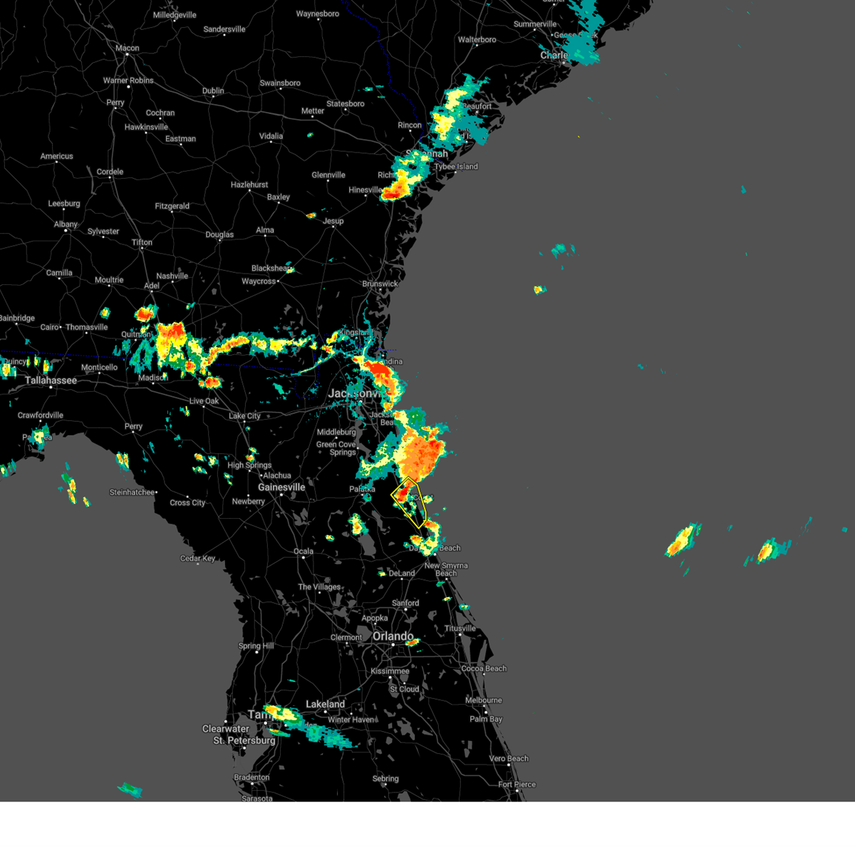
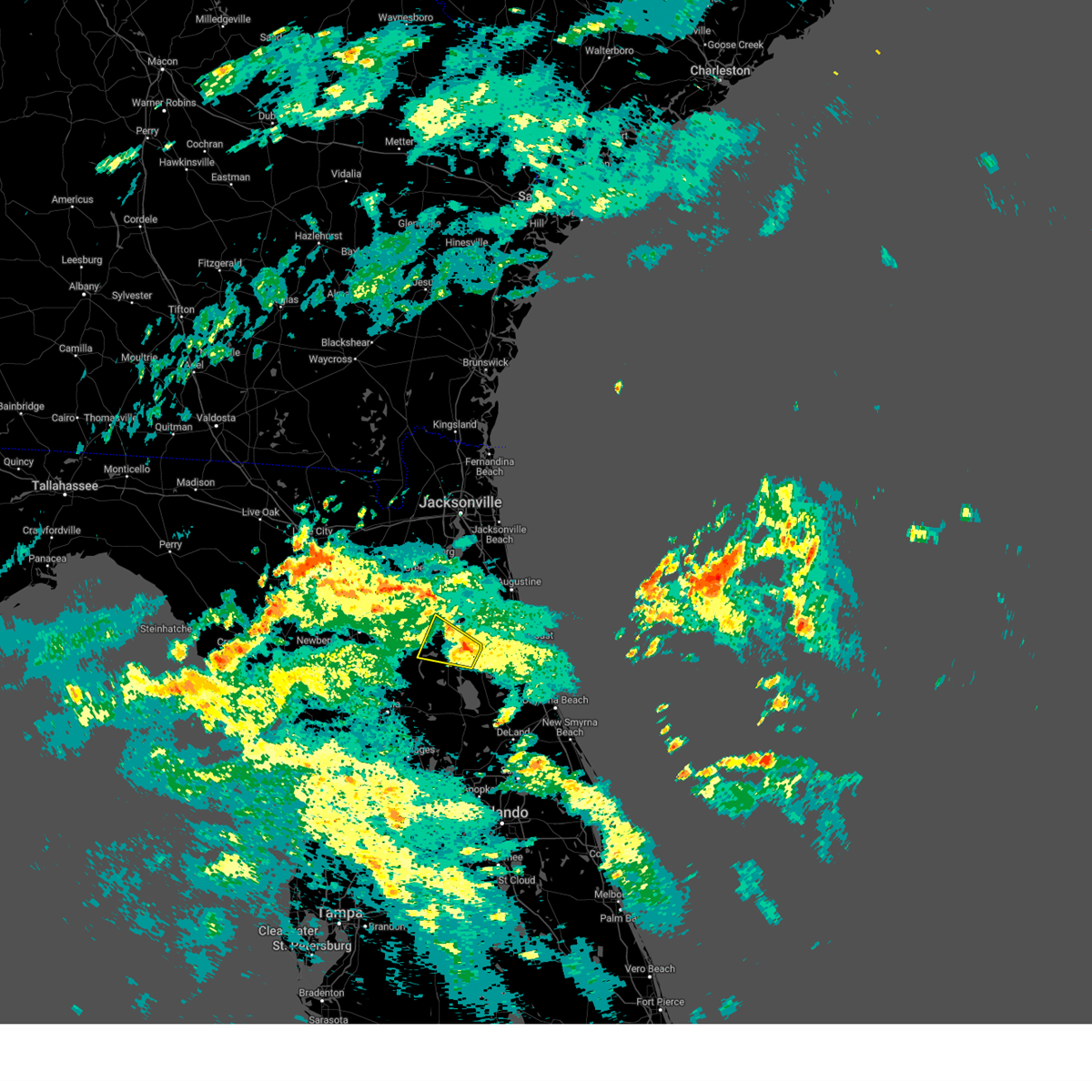
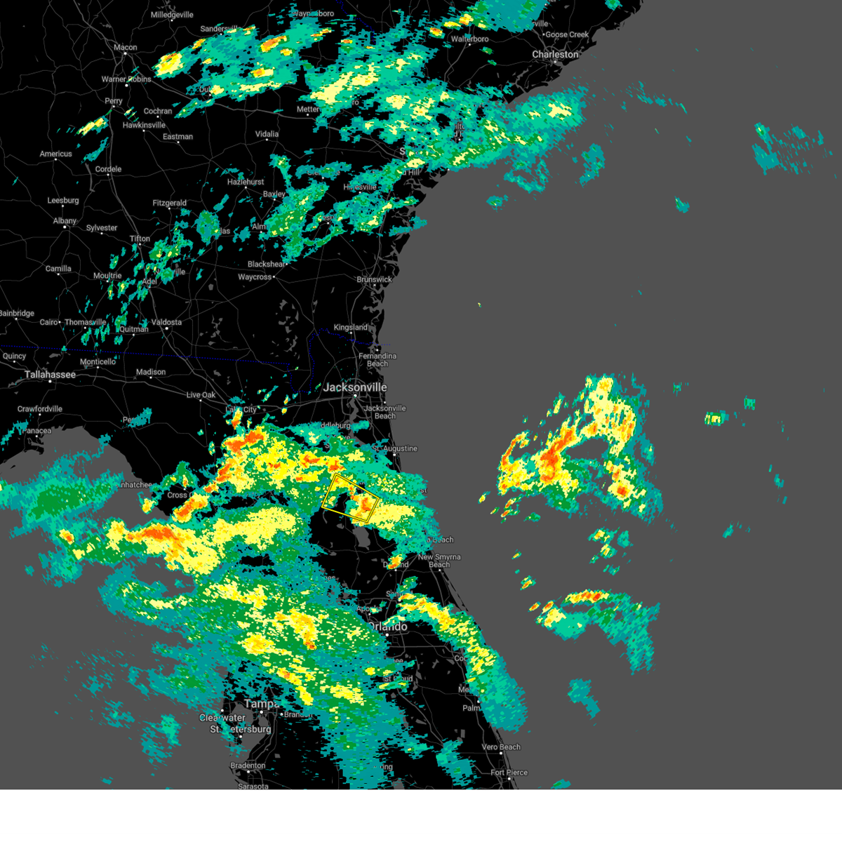
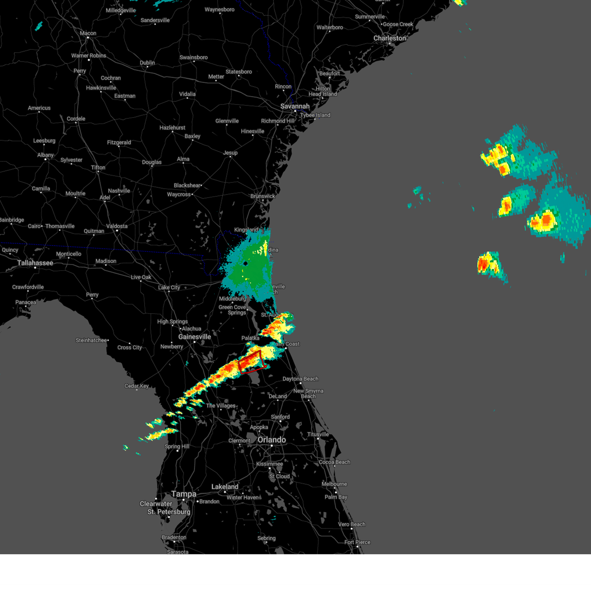
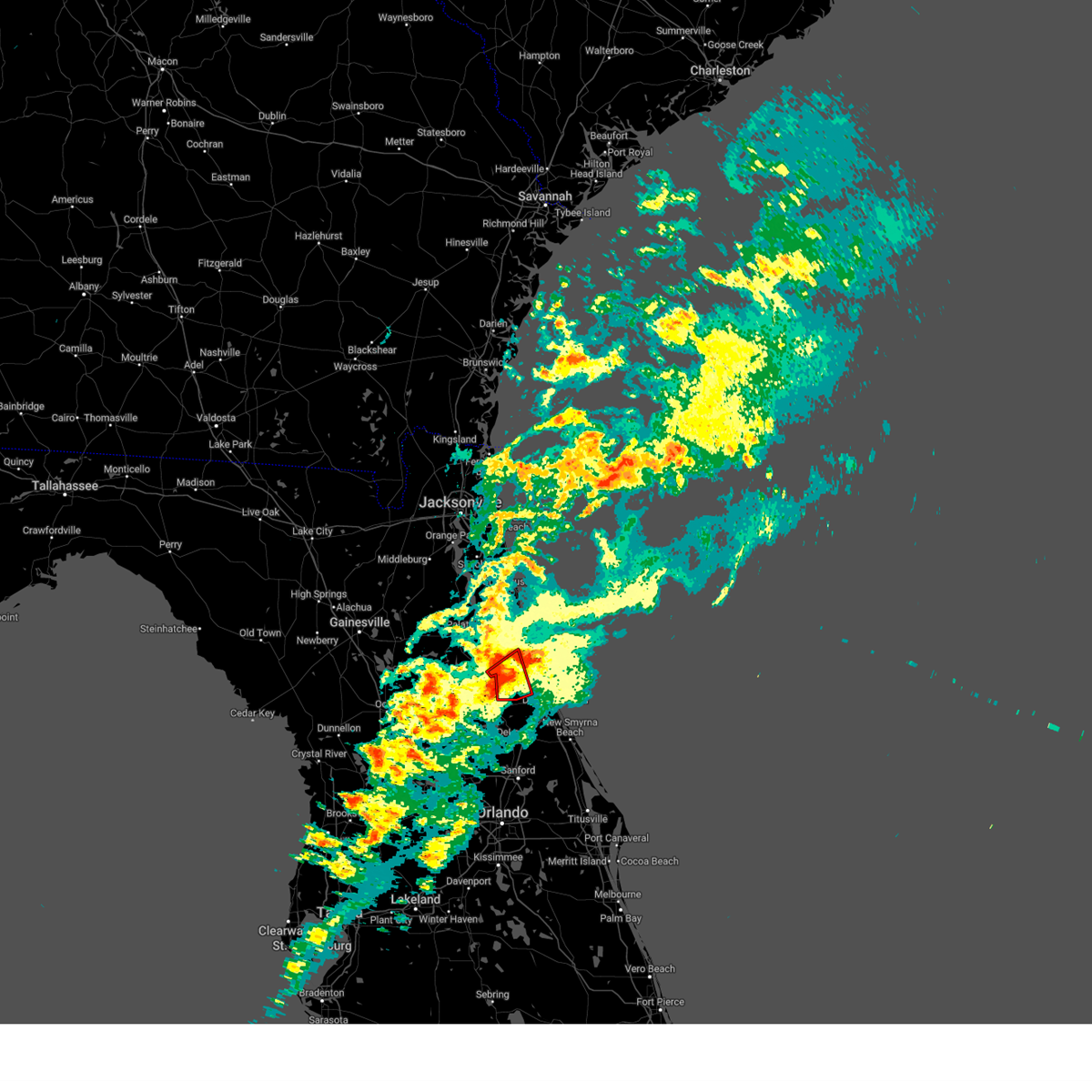
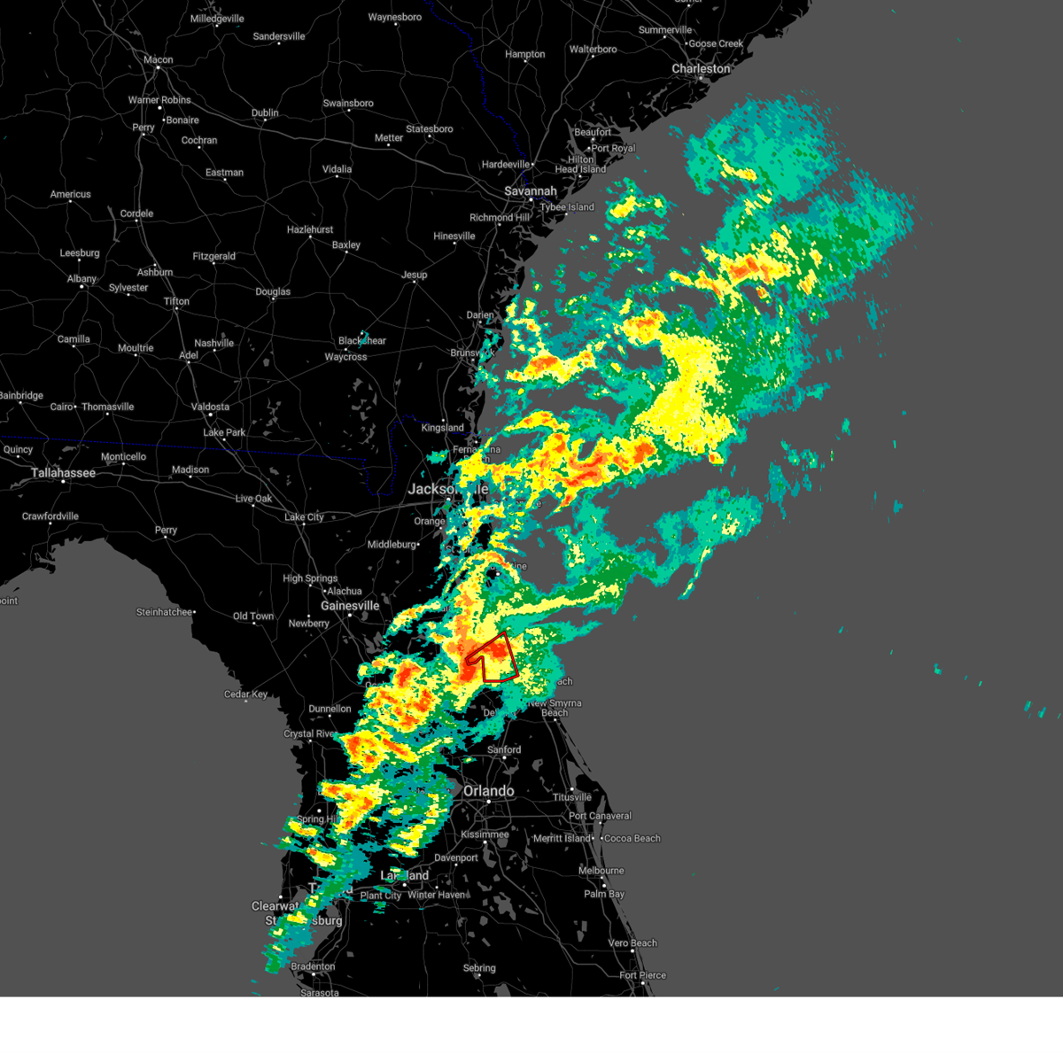
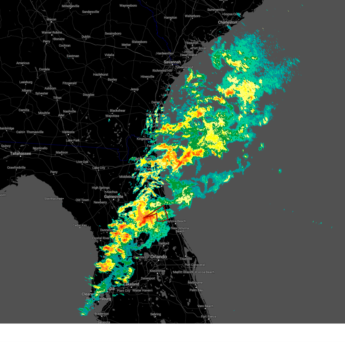
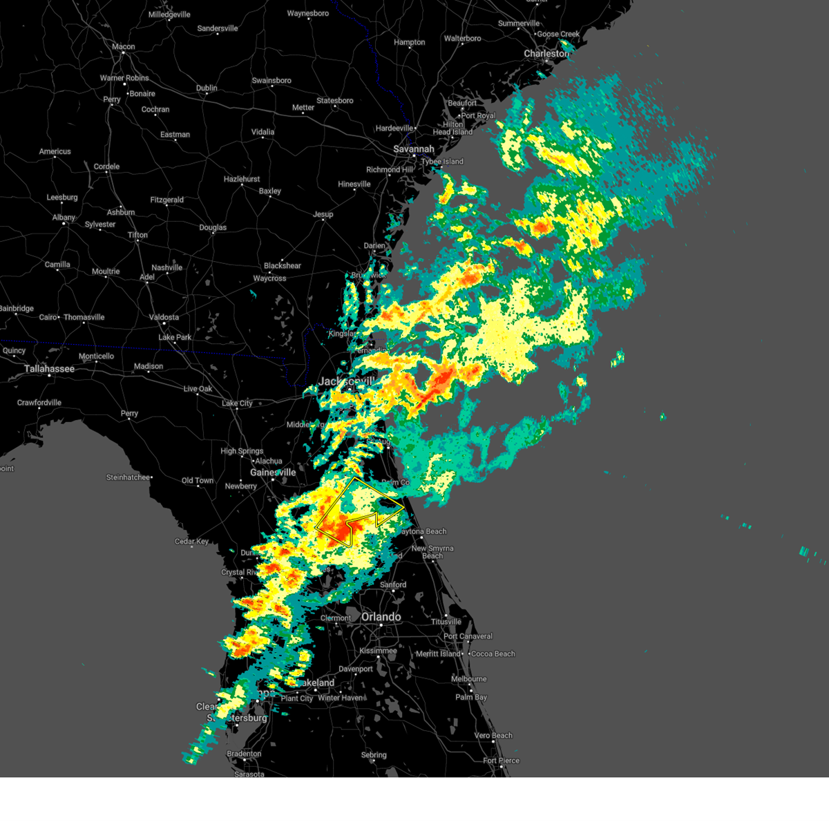
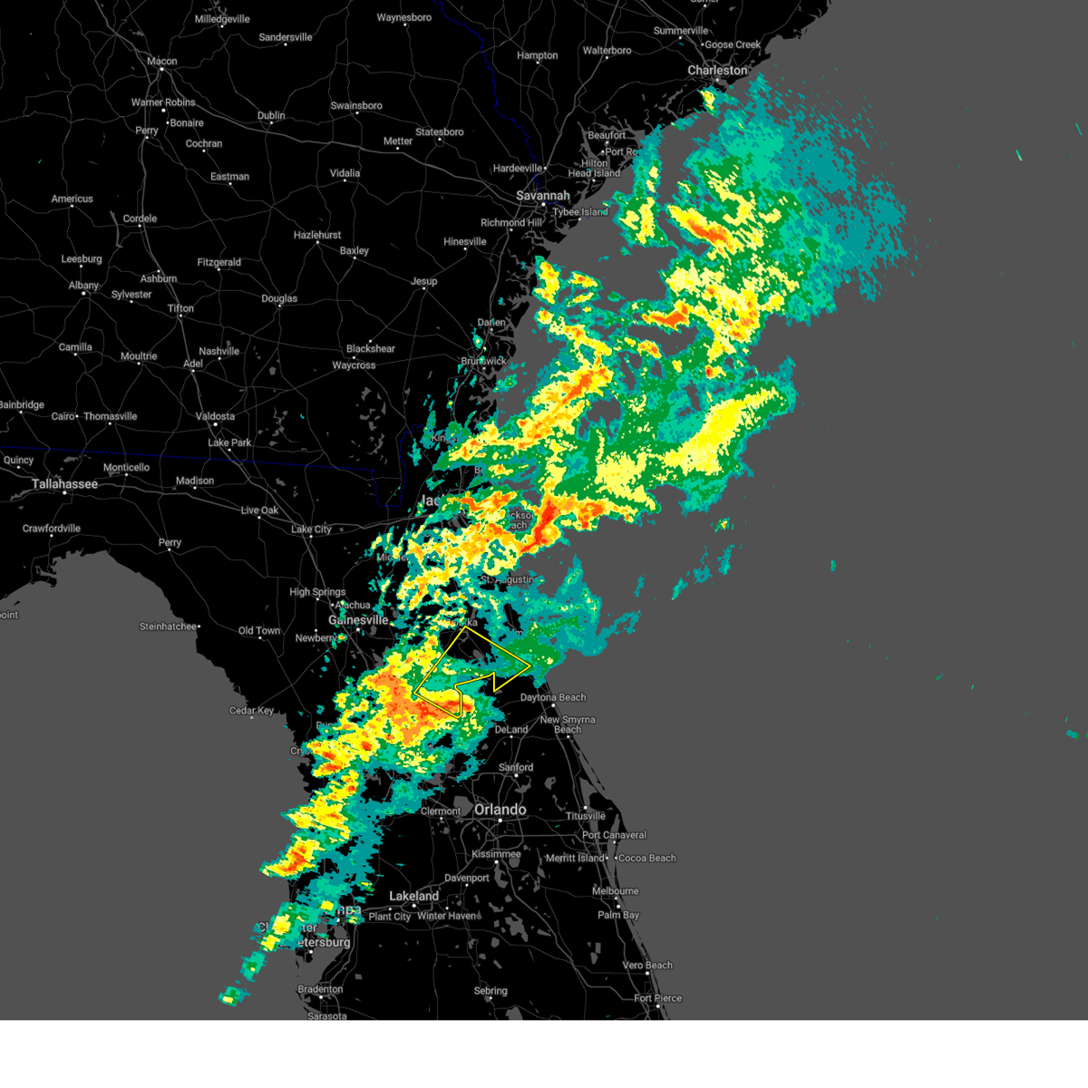
Hail Map for Bunnell, FL
The Bunnell, FL area has had 10 reports of on-the-ground hail by trained spotters, and has been under severe weather warnings 47 times during the past 12 months. Doppler radar has detected hail at or near Bunnell, FL on 147 occasions, including 13 occasions during the past year.
| Name: | Bunnell, FL |
| Where Located: | 62.1 miles N of Orlando, FL |
| Map: | Google Map for Bunnell, FL |
| Population: | 2676 |
| Housing Units: | 1354 |
| More Info: | Search Google for Bunnell, FL |
1
The Top Recent Hail Date for Bunnell, FL is Friday, July 19, 2024 (16th out of 147)

Hail and Wind Damage Spotted near Bunnell, FL
| Date / Time | Report Details |
|---|---|
| 7/12/2025 5:06 PM EDT |
 The storm which prompted the warning has weakened below severe limits, and has exited the warned area. therefore, the warning will be allowed to expire. The storm which prompted the warning has weakened below severe limits, and has exited the warned area. therefore, the warning will be allowed to expire.
|
| 7/12/2025 4:37 PM EDT |
 Svrjax the national weather service in jacksonville has issued a * severe thunderstorm warning for, southeastern flagler county in northeastern florida, * until 515 pm edt. * at 437 pm edt, a severe thunderstorm was located near bunnell, moving southeast at 15 mph (radar indicated). Hazards include 60 mph wind gusts and penny size hail. expect damage to roofs, siding, and trees Svrjax the national weather service in jacksonville has issued a * severe thunderstorm warning for, southeastern flagler county in northeastern florida, * until 515 pm edt. * at 437 pm edt, a severe thunderstorm was located near bunnell, moving southeast at 15 mph (radar indicated). Hazards include 60 mph wind gusts and penny size hail. expect damage to roofs, siding, and trees
|
| 6/10/2025 8:39 PM EDT |
 the severe thunderstorm warning has been cancelled and is no longer in effect the severe thunderstorm warning has been cancelled and is no longer in effect
|
| 6/10/2025 8:23 PM EDT |
 Svrjax the national weather service in jacksonville has issued a * severe thunderstorm warning for, west central flagler county in northeastern florida, southeastern putnam county in northeastern florida, * until 900 pm edt. * at 823 pm edt, a severe thunderstorm was located near lake george, or 7 miles southwest of crescent city, moving northeast at 5 mph (radar indicated). Hazards include 60 mph wind gusts and quarter size hail. Hail damage to vehicles is expected. Expect wind damage to roofs, siding, and trees. Svrjax the national weather service in jacksonville has issued a * severe thunderstorm warning for, west central flagler county in northeastern florida, southeastern putnam county in northeastern florida, * until 900 pm edt. * at 823 pm edt, a severe thunderstorm was located near lake george, or 7 miles southwest of crescent city, moving northeast at 5 mph (radar indicated). Hazards include 60 mph wind gusts and quarter size hail. Hail damage to vehicles is expected. Expect wind damage to roofs, siding, and trees.
|
| 5/28/2025 7:57 PM EDT |
 The storm which prompted the warning has weakened below severe limits, and no longer poses an immediate threat to life or property. therefore, the warning will be allowed to expire. however, gusty winds and heavy rain are still possible with this thunderstorm. to report severe weather, contact your nearest law enforcement agency. they will relay your report to the national weather service jacksonville. The storm which prompted the warning has weakened below severe limits, and no longer poses an immediate threat to life or property. therefore, the warning will be allowed to expire. however, gusty winds and heavy rain are still possible with this thunderstorm. to report severe weather, contact your nearest law enforcement agency. they will relay your report to the national weather service jacksonville.
|
| 5/28/2025 7:47 PM EDT |
 At 747 pm edt, a severe thunderstorm was located over palm coast, moving east at 10 mph (radar indicated). Hazards include 60 mph wind gusts and penny size hail. Expect damage to roofs, siding, and trees. Locations impacted include, palm coast, flagler beach, bunnell, beverly beach, and espanola. At 747 pm edt, a severe thunderstorm was located over palm coast, moving east at 10 mph (radar indicated). Hazards include 60 mph wind gusts and penny size hail. Expect damage to roofs, siding, and trees. Locations impacted include, palm coast, flagler beach, bunnell, beverly beach, and espanola.
|
| 5/28/2025 7:12 PM EDT |
 Svrjax the national weather service in jacksonville has issued a * severe thunderstorm warning for, central flagler county in northeastern florida, * until 800 pm edt. * at 712 pm edt, a severe thunderstorm was located near bunnell, moving east at 15 mph (radar indicated). Hazards include 60 mph wind gusts and penny size hail. expect damage to roofs, siding, and trees Svrjax the national weather service in jacksonville has issued a * severe thunderstorm warning for, central flagler county in northeastern florida, * until 800 pm edt. * at 712 pm edt, a severe thunderstorm was located near bunnell, moving east at 15 mph (radar indicated). Hazards include 60 mph wind gusts and penny size hail. expect damage to roofs, siding, and trees
|
| 5/28/2025 7:00 PM EDT |
 The storm which prompted the warning has weakened below severe limits, and no longer poses an immediate threat to life or property. therefore, the warning will be allowed to expire. however, gusty winds and heavy rain are still possible with this thunderstorm. The storm which prompted the warning has weakened below severe limits, and no longer poses an immediate threat to life or property. therefore, the warning will be allowed to expire. however, gusty winds and heavy rain are still possible with this thunderstorm.
|
| 5/28/2025 6:46 PM EDT |
 At 646 pm edt, a severe thunderstorm was located near crescent beach, or 11 miles east of hastings, moving east at 15 mph (radar indicated). Hazards include 60 mph wind gusts. Expect damage to roofs, siding, and trees. Locations impacted include, marineland, crescent beach, butler beach, saint augustine shores, dupont center, and elkton. At 646 pm edt, a severe thunderstorm was located near crescent beach, or 11 miles east of hastings, moving east at 15 mph (radar indicated). Hazards include 60 mph wind gusts. Expect damage to roofs, siding, and trees. Locations impacted include, marineland, crescent beach, butler beach, saint augustine shores, dupont center, and elkton.
|
| 5/28/2025 6:24 PM EDT |
 Svrjax the national weather service in jacksonville has issued a * severe thunderstorm warning for, northern flagler county in northeastern florida, southeastern st. johns county in northeastern florida, * until 700 pm edt. * at 624 pm edt, a severe thunderstorm was located near hastings, moving east at 15 mph (radar indicated). Hazards include 60 mph wind gusts. expect damage to roofs, siding, and trees Svrjax the national weather service in jacksonville has issued a * severe thunderstorm warning for, northern flagler county in northeastern florida, southeastern st. johns county in northeastern florida, * until 700 pm edt. * at 624 pm edt, a severe thunderstorm was located near hastings, moving east at 15 mph (radar indicated). Hazards include 60 mph wind gusts. expect damage to roofs, siding, and trees
|
| 5/27/2025 6:51 PM EDT |
 The storms which prompted the warning have weakened below severe limits, and no longer pose an immediate threat to life or property. therefore, the warning has been allowed to expire. however, gusty winds and heavy rain are still possible with these thunderstorms. The storms which prompted the warning have weakened below severe limits, and no longer pose an immediate threat to life or property. therefore, the warning has been allowed to expire. however, gusty winds and heavy rain are still possible with these thunderstorms.
|
| 5/27/2025 6:17 PM EDT |
 Svrjax the national weather service in jacksonville has issued a * severe thunderstorm warning for, south central flagler county in northeastern florida, * until 645 pm edt. * at 616 pm edt, severe thunderstorms were located along a line extending from 6 miles east of lake george to near pierson, moving east at 10 mph (radar indicated). Hazards include 60 mph wind gusts. Expect damage to roofs, siding, and trees. These severe thunderstorms will remain over mainly rural areas of south central flagler county. Svrjax the national weather service in jacksonville has issued a * severe thunderstorm warning for, south central flagler county in northeastern florida, * until 645 pm edt. * at 616 pm edt, severe thunderstorms were located along a line extending from 6 miles east of lake george to near pierson, moving east at 10 mph (radar indicated). Hazards include 60 mph wind gusts. Expect damage to roofs, siding, and trees. These severe thunderstorms will remain over mainly rural areas of south central flagler county.
|
| 5/24/2025 4:23 PM EDT |
 Svrmlb the national weather service in melbourne has issued a * severe thunderstorm warning for, northeastern lake county in east central florida, central volusia county in east central florida, * until 500 pm edt. * at 422 pm edt, a severe thunderstorm was located near deland airport, or near deland. movement was nearly stationary (radar indicated). Hazards include 60 mph wind gusts and quarter size hail. Hail damage to vehicles is expected. Expect wind damage to roofs, siding, and trees. Svrmlb the national weather service in melbourne has issued a * severe thunderstorm warning for, northeastern lake county in east central florida, central volusia county in east central florida, * until 500 pm edt. * at 422 pm edt, a severe thunderstorm was located near deland airport, or near deland. movement was nearly stationary (radar indicated). Hazards include 60 mph wind gusts and quarter size hail. Hail damage to vehicles is expected. Expect wind damage to roofs, siding, and trees.
|
| 5/24/2025 4:14 PM EDT |
 the severe thunderstorm warning has been cancelled and is no longer in effect the severe thunderstorm warning has been cancelled and is no longer in effect
|
| 5/24/2025 4:07 PM EDT |
 At 407 pm edt, a severe thunderstorm was located near crescent city, and is nearly stationary (radar indicated). Hazards include 60 mph wind gusts and quarter size hail. Hail damage to vehicles is expected. expect wind damage to roofs, siding, and trees. This severe thunderstorm will remain over mainly rural areas of southwestern flagler county. At 407 pm edt, a severe thunderstorm was located near crescent city, and is nearly stationary (radar indicated). Hazards include 60 mph wind gusts and quarter size hail. Hail damage to vehicles is expected. expect wind damage to roofs, siding, and trees. This severe thunderstorm will remain over mainly rural areas of southwestern flagler county.
|
| 5/24/2025 4:07 PM EDT |
 the severe thunderstorm warning has been cancelled and is no longer in effect the severe thunderstorm warning has been cancelled and is no longer in effect
|
| 5/24/2025 3:54 PM EDT |
 Svrjax the national weather service in jacksonville has issued a * severe thunderstorm warning for, southwestern flagler county in northeastern florida, southeastern putnam county in northeastern florida, * until 430 pm edt. * at 353 pm edt, a severe thunderstorm was located near crescent city, and is nearly stationary (radar indicated). Hazards include 60 mph wind gusts and quarter size hail. Hail damage to vehicles is expected. Expect wind damage to roofs, siding, and trees. Svrjax the national weather service in jacksonville has issued a * severe thunderstorm warning for, southwestern flagler county in northeastern florida, southeastern putnam county in northeastern florida, * until 430 pm edt. * at 353 pm edt, a severe thunderstorm was located near crescent city, and is nearly stationary (radar indicated). Hazards include 60 mph wind gusts and quarter size hail. Hail damage to vehicles is expected. Expect wind damage to roofs, siding, and trees.
|
| 3/10/2025 8:00 AM EDT | The storm which prompted the warning has weakened below severe limits, and no longer poses an immediate threat to life or property. therefore, the warning has been allowed to expire. however, gusty winds are still possible with this thunderstorm. |
| 3/10/2025 7:33 AM EDT |
 Svrjax the national weather service in jacksonville has issued a * severe thunderstorm warning for, central putnam county in northeastern florida, * until 800 am edt. * at 733 am edt, a severe thunderstorm was located near hollister, or 7 miles southeast of interlachen, moving east at 40 mph (radar indicated). Hazards include 60 mph wind gusts. expect damage to roofs, siding, and trees Svrjax the national weather service in jacksonville has issued a * severe thunderstorm warning for, central putnam county in northeastern florida, * until 800 am edt. * at 733 am edt, a severe thunderstorm was located near hollister, or 7 miles southeast of interlachen, moving east at 40 mph (radar indicated). Hazards include 60 mph wind gusts. expect damage to roofs, siding, and trees
|
| 1/19/2025 8:51 AM EST |
 Svrmlb the national weather service in melbourne has issued a * severe thunderstorm warning for, northern lake county in east central florida, northern volusia county in east central florida, * until 930 am est. * at 850 am est, a severe thunderstorm was located near the villages, moving east at 55 mph (radar indicated). Hazards include 60 mph wind gusts and penny size hail. expect damage to roofs, siding, and trees Svrmlb the national weather service in melbourne has issued a * severe thunderstorm warning for, northern lake county in east central florida, northern volusia county in east central florida, * until 930 am est. * at 850 am est, a severe thunderstorm was located near the villages, moving east at 55 mph (radar indicated). Hazards include 60 mph wind gusts and penny size hail. expect damage to roofs, siding, and trees
|
| 1/19/2025 8:38 AM EST |
 At 838 am est, severe thunderstorms were located along a line extending from near salt springs to near moss bluff to inverness highlands south, moving east at 55 mph (radar indicated). Hazards include 60 mph wind gusts and penny size hail. Expect damage to roofs, siding, and trees. Locations impacted include, juniper springs, lynne, weirsdale, santos, the village of briar meadow, ocklawaha, moss bluff, silver springs shores, lake weir, and belleview. At 838 am est, severe thunderstorms were located along a line extending from near salt springs to near moss bluff to inverness highlands south, moving east at 55 mph (radar indicated). Hazards include 60 mph wind gusts and penny size hail. Expect damage to roofs, siding, and trees. Locations impacted include, juniper springs, lynne, weirsdale, santos, the village of briar meadow, ocklawaha, moss bluff, silver springs shores, lake weir, and belleview.
|
| 1/19/2025 8:15 AM EST |
 Svrjax the national weather service in jacksonville has issued a * severe thunderstorm warning for, southern flagler county in northeastern florida, southern marion county in northern florida, * until 845 am est. * at 814 am est, severe thunderstorms were located along a line extending from 9 miles east of marineland to 7 miles southwest of flagler beach to 7 miles south of lake george to homosassa springs, moving east at 50 mph (radar indicated). Hazards include 60 mph wind gusts and penny size hail. expect damage to roofs, siding, and trees Svrjax the national weather service in jacksonville has issued a * severe thunderstorm warning for, southern flagler county in northeastern florida, southern marion county in northern florida, * until 845 am est. * at 814 am est, severe thunderstorms were located along a line extending from 9 miles east of marineland to 7 miles southwest of flagler beach to 7 miles south of lake george to homosassa springs, moving east at 50 mph (radar indicated). Hazards include 60 mph wind gusts and penny size hail. expect damage to roofs, siding, and trees
|
| 1/19/2025 8:12 AM EST |
 Svrmlb the national weather service in melbourne has issued a * severe thunderstorm warning for, northern lake county in east central florida, northern volusia county in east central florida, * until 900 am est. * at 811 am est, a severe thunderstorm was located near moss bluff, or near juniper springs, moving east at 50 mph (radar indicated). Hazards include 60 mph wind gusts and penny size hail. expect damage to roofs, siding, and trees Svrmlb the national weather service in melbourne has issued a * severe thunderstorm warning for, northern lake county in east central florida, northern volusia county in east central florida, * until 900 am est. * at 811 am est, a severe thunderstorm was located near moss bluff, or near juniper springs, moving east at 50 mph (radar indicated). Hazards include 60 mph wind gusts and penny size hail. expect damage to roofs, siding, and trees
|
| 1/19/2025 8:01 AM EST |
 At 801 am est, severe thunderstorms were located along a line extending from 7 miles west of saint augustine south to near butler beach to near palm coast to 7 miles southeast of crescent city to near silver springs shores, moving east at 65 mph (radar indicated). Hazards include 70 mph wind gusts and quarter size hail. Hail damage to vehicles is expected. expect considerable tree damage. wind damage is also likely to mobile homes, roofs, and outbuildings. Locations impacted include, palm coast, flagler beach, bunnell, hastings, juniper springs, saint augustine beach, marineland, weirsdale, the village of briar meadow, and ocklawaha. At 801 am est, severe thunderstorms were located along a line extending from 7 miles west of saint augustine south to near butler beach to near palm coast to 7 miles southeast of crescent city to near silver springs shores, moving east at 65 mph (radar indicated). Hazards include 70 mph wind gusts and quarter size hail. Hail damage to vehicles is expected. expect considerable tree damage. wind damage is also likely to mobile homes, roofs, and outbuildings. Locations impacted include, palm coast, flagler beach, bunnell, hastings, juniper springs, saint augustine beach, marineland, weirsdale, the village of briar meadow, and ocklawaha.
|
| 1/19/2025 7:48 AM EST |
 Svrjax the national weather service in jacksonville has issued a * severe thunderstorm warning for, flagler county in northeastern florida, southeastern st. johns county in northeastern florida, southeastern marion county in northern florida, eastern putnam county in northeastern florida, * until 815 am est. * at 748 am est, severe thunderstorms were located along a line extending from near bostwick to hastings to near andalusia to near lake george to 8 miles south of ocala airport, moving east at 70 mph (radar indicated). Hazards include 70 mph wind gusts and quarter size hail. Hail damage to vehicles is expected. expect considerable tree damage. Wind damage is also likely to mobile homes, roofs, and outbuildings. Svrjax the national weather service in jacksonville has issued a * severe thunderstorm warning for, flagler county in northeastern florida, southeastern st. johns county in northeastern florida, southeastern marion county in northern florida, eastern putnam county in northeastern florida, * until 815 am est. * at 748 am est, severe thunderstorms were located along a line extending from near bostwick to hastings to near andalusia to near lake george to 8 miles south of ocala airport, moving east at 70 mph (radar indicated). Hazards include 70 mph wind gusts and quarter size hail. Hail damage to vehicles is expected. expect considerable tree damage. Wind damage is also likely to mobile homes, roofs, and outbuildings.
|
| 1/19/2025 7:42 AM EST |
 At 742 am est, severe thunderstorms were located along a line extending from near palatka to fruitland to 10 miles southwest of ocala airport, moving east at 70 mph (radar indicated). Hazards include 70 mph wind gusts and quarter size hail. Hail damage to vehicles is expected. expect considerable tree damage. wind damage is also likely to mobile homes, roofs, and outbuildings. Locations impacted include, palatka, bunnell, crescent city, interlachen, pomona park, hastings, east palatka, salt springs, andalusia, and juniper springs. At 742 am est, severe thunderstorms were located along a line extending from near palatka to fruitland to 10 miles southwest of ocala airport, moving east at 70 mph (radar indicated). Hazards include 70 mph wind gusts and quarter size hail. Hail damage to vehicles is expected. expect considerable tree damage. wind damage is also likely to mobile homes, roofs, and outbuildings. Locations impacted include, palatka, bunnell, crescent city, interlachen, pomona park, hastings, east palatka, salt springs, andalusia, and juniper springs.
|
| 1/19/2025 7:33 AM EST |
 Svrmlb the national weather service in melbourne has issued a * severe thunderstorm warning for, northern lake county in east central florida, northwestern volusia county in east central florida, * until 815 am est. * at 733 am est, a severe thunderstorm was located near fort mccoy, moving east at 70 mph (radar indicated). Hazards include 60 mph wind gusts and penny size hail. expect damage to roofs, siding, and trees Svrmlb the national weather service in melbourne has issued a * severe thunderstorm warning for, northern lake county in east central florida, northwestern volusia county in east central florida, * until 815 am est. * at 733 am est, a severe thunderstorm was located near fort mccoy, moving east at 70 mph (radar indicated). Hazards include 60 mph wind gusts and penny size hail. expect damage to roofs, siding, and trees
|
| 1/19/2025 7:32 AM EST |
 Svrjax the national weather service in jacksonville has issued a * severe thunderstorm warning for, western flagler county in northeastern florida, south central st. johns county in northeastern florida, eastern marion county in northern florida, putnam county in northeastern florida, * until 800 am est. * at 732 am est, severe thunderstorms were located along a line extending from near lake geneva to near fort mccoy to 8 miles southwest of rainbow lakes estates, moving east at 55 mph (radar indicated). Hazards include 70 mph wind gusts and quarter size hail. Hail damage to vehicles is expected. expect considerable tree damage. Wind damage is also likely to mobile homes, roofs, and outbuildings. Svrjax the national weather service in jacksonville has issued a * severe thunderstorm warning for, western flagler county in northeastern florida, south central st. johns county in northeastern florida, eastern marion county in northern florida, putnam county in northeastern florida, * until 800 am est. * at 732 am est, severe thunderstorms were located along a line extending from near lake geneva to near fort mccoy to 8 miles southwest of rainbow lakes estates, moving east at 55 mph (radar indicated). Hazards include 70 mph wind gusts and quarter size hail. Hail damage to vehicles is expected. expect considerable tree damage. Wind damage is also likely to mobile homes, roofs, and outbuildings.
|
| 1/19/2025 7:30 AM EST |
 the severe thunderstorm warning has been cancelled and is no longer in effect the severe thunderstorm warning has been cancelled and is no longer in effect
|
| 1/19/2025 7:25 AM EST |
 the severe thunderstorm warning has been cancelled and is no longer in effect the severe thunderstorm warning has been cancelled and is no longer in effect
|
| 1/19/2025 7:25 AM EST |
 At 724 am est, severe thunderstorms were located along a line extending from saint augustine beach to marineland to near palm coast to 6 miles northeast of andalusia, moving east at 55 mph (radar indicated). Hazards include 70 mph wind gusts and penny size hail. Expect considerable tree damage. damage is likely to mobile homes, roofs, and outbuildings. Locations impacted include, palm coast, saint augustine beach, marineland, crescent beach, butler beach, saint augustine shores, and dupont center. At 724 am est, severe thunderstorms were located along a line extending from saint augustine beach to marineland to near palm coast to 6 miles northeast of andalusia, moving east at 55 mph (radar indicated). Hazards include 70 mph wind gusts and penny size hail. Expect considerable tree damage. damage is likely to mobile homes, roofs, and outbuildings. Locations impacted include, palm coast, saint augustine beach, marineland, crescent beach, butler beach, saint augustine shores, and dupont center.
|
| 1/19/2025 7:12 AM EST |
 Svrjax the national weather service in jacksonville has issued a * severe thunderstorm warning for, northern flagler county in northeastern florida, southeastern st. johns county in northeastern florida, east central putnam county in northeastern florida, * until 745 am est. * at 711 am est, severe thunderstorms were located along a line extending from 6 miles northeast of federal point to near hastings to near pomona park to lake delancy, moving east at 60 mph (radar indicated). Hazards include 70 mph wind gusts and penny size hail. Expect considerable tree damage. Damage is likely to mobile homes, roofs, and outbuildings. Svrjax the national weather service in jacksonville has issued a * severe thunderstorm warning for, northern flagler county in northeastern florida, southeastern st. johns county in northeastern florida, east central putnam county in northeastern florida, * until 745 am est. * at 711 am est, severe thunderstorms were located along a line extending from 6 miles northeast of federal point to near hastings to near pomona park to lake delancy, moving east at 60 mph (radar indicated). Hazards include 70 mph wind gusts and penny size hail. Expect considerable tree damage. Damage is likely to mobile homes, roofs, and outbuildings.
|
| 1/19/2025 7:01 AM EST | At 701 am est, severe thunderstorms were located along a line extending from near bostwick to satsuma to near fort mccoy, moving east at 60 mph (radar indicated). Hazards include 60 mph wind gusts. Expect damage to roofs, siding, and trees. Locations impacted include, palatka, crescent city, pomona park, hastings, east palatka, andalusia, saint augustine beach, lake delancy, federal point, and orange springs. |
| 1/19/2025 6:51 AM EST |
 Svrjax the national weather service in jacksonville has issued a * severe thunderstorm warning for, northwestern flagler county in northeastern florida, southeastern st. johns county in northeastern florida, northeastern marion county in northern florida, putnam county in northeastern florida, * until 715 am est. * at 650 am est, severe thunderstorms were located along a line extending from near bardin to 6 miles south of hollister to near sparr, moving east at 55 mph (radar indicated). Hazards include 60 mph wind gusts. expect damage to roofs, siding, and trees Svrjax the national weather service in jacksonville has issued a * severe thunderstorm warning for, northwestern flagler county in northeastern florida, southeastern st. johns county in northeastern florida, northeastern marion county in northern florida, putnam county in northeastern florida, * until 715 am est. * at 650 am est, severe thunderstorms were located along a line extending from near bardin to 6 miles south of hollister to near sparr, moving east at 55 mph (radar indicated). Hazards include 60 mph wind gusts. expect damage to roofs, siding, and trees
|
| 9/18/2024 5:55 PM EDT |
 The storms which prompted the warning have weakened below severe limits, and have exited the warned area. therefore, the warning will be allowed to expire. however, gusty winds of about 40 mph and heavy rain are still likely with these thunderstorms. The storms which prompted the warning have weakened below severe limits, and have exited the warned area. therefore, the warning will be allowed to expire. however, gusty winds of about 40 mph and heavy rain are still likely with these thunderstorms.
|
| 9/18/2024 5:40 PM EDT |
 At 540 pm edt, a severe thunderstorm was located just northwest of flagler beach, moving southeast at 15 mph (radar indicated). Hazards include 60 mph wind gusts. Expect damage to roofs, siding, and trees. Locations impacted include, palm coast, flagler beach, bunnell, and beverly beach. At 540 pm edt, a severe thunderstorm was located just northwest of flagler beach, moving southeast at 15 mph (radar indicated). Hazards include 60 mph wind gusts. Expect damage to roofs, siding, and trees. Locations impacted include, palm coast, flagler beach, bunnell, and beverly beach.
|
| 9/18/2024 5:25 PM EDT |
 Svrjax the national weather service in jacksonville has issued a * severe thunderstorm warning for, eastern flagler county in northeastern florida, * until 600 pm edt. * at 524 pm edt, a severe thunderstorm was located over palm coast, moving southeast at 15 mph (radar indicated). Hazards include 60 mph wind gusts. expect damage to roofs, siding, and trees Svrjax the national weather service in jacksonville has issued a * severe thunderstorm warning for, eastern flagler county in northeastern florida, * until 600 pm edt. * at 524 pm edt, a severe thunderstorm was located over palm coast, moving southeast at 15 mph (radar indicated). Hazards include 60 mph wind gusts. expect damage to roofs, siding, and trees
|
| 9/18/2024 5:20 PM EDT |
 the severe thunderstorm warning has been cancelled and is no longer in effect the severe thunderstorm warning has been cancelled and is no longer in effect
|
| 9/18/2024 5:20 PM EDT |
 At 519 pm edt, a severe thunderstorm was located near palm coast, moving southeast at 15 mph (radar indicated). Hazards include 60 mph wind gusts. Expect damage to roofs, siding, and trees. Locations impacted include, palm coast, flagler beach, and beverly beach. At 519 pm edt, a severe thunderstorm was located near palm coast, moving southeast at 15 mph (radar indicated). Hazards include 60 mph wind gusts. Expect damage to roofs, siding, and trees. Locations impacted include, palm coast, flagler beach, and beverly beach.
|
| 9/18/2024 5:04 PM EDT |
 At 503 pm edt, a severe thunderstorm was located near marineland, or 7 miles north of palm coast, moving southeast at 15 mph (radar indicated). Hazards include 60 mph wind gusts and small hail. Expect damage to roofs, siding, and trees. Locations impacted include, palm coast, flagler beach, marineland, crescent beach, and beverly beach. At 503 pm edt, a severe thunderstorm was located near marineland, or 7 miles north of palm coast, moving southeast at 15 mph (radar indicated). Hazards include 60 mph wind gusts and small hail. Expect damage to roofs, siding, and trees. Locations impacted include, palm coast, flagler beach, marineland, crescent beach, and beverly beach.
|
| 9/18/2024 4:46 PM EDT |
 Svrjax the national weather service in jacksonville has issued a * severe thunderstorm warning for, northeastern flagler county in northeastern florida, southeastern st. johns county in northeastern florida, * until 530 pm edt. * at 445 pm edt, a severe thunderstorm was located near marineland, or 10 miles north of palm coast, moving southeast at 15 mph (radar indicated). Hazards include 60 mph wind gusts. expect damage to roofs, siding, and trees Svrjax the national weather service in jacksonville has issued a * severe thunderstorm warning for, northeastern flagler county in northeastern florida, southeastern st. johns county in northeastern florida, * until 530 pm edt. * at 445 pm edt, a severe thunderstorm was located near marineland, or 10 miles north of palm coast, moving southeast at 15 mph (radar indicated). Hazards include 60 mph wind gusts. expect damage to roofs, siding, and trees
|
| 8/4/2024 3:15 PM EDT |
 At 314 pm edt, a severe thunderstorm was located over satsuma, or over pomona park, moving west at 25 mph (radar indicated). Hazards include 60 mph wind gusts. Expect damage to roofs, siding, and trees. Locations impacted include, palatka, interlachen, pomona park, hollister, san mateo, satsuma, welaka, carraway, mannville, and lake como. At 314 pm edt, a severe thunderstorm was located over satsuma, or over pomona park, moving west at 25 mph (radar indicated). Hazards include 60 mph wind gusts. Expect damage to roofs, siding, and trees. Locations impacted include, palatka, interlachen, pomona park, hollister, san mateo, satsuma, welaka, carraway, mannville, and lake como.
|
| 8/4/2024 3:15 PM EDT |
 the severe thunderstorm warning has been cancelled and is no longer in effect the severe thunderstorm warning has been cancelled and is no longer in effect
|
| 8/4/2024 3:10 PM EDT |
 Svrjax the national weather service in jacksonville has issued a * severe thunderstorm warning for, west central flagler county in northeastern florida, northeastern marion county in northern florida, central putnam county in northeastern florida, * until 345 pm edt. * at 309 pm edt, a severe thunderstorm was located over pomona park, moving northwest at 25 mph (radar indicated). Hazards include 60 mph wind gusts. expect damage to roofs, siding, and trees Svrjax the national weather service in jacksonville has issued a * severe thunderstorm warning for, west central flagler county in northeastern florida, northeastern marion county in northern florida, central putnam county in northeastern florida, * until 345 pm edt. * at 309 pm edt, a severe thunderstorm was located over pomona park, moving northwest at 25 mph (radar indicated). Hazards include 60 mph wind gusts. expect damage to roofs, siding, and trees
|
| 7/17/2024 5:12 PM EDT | The storm which prompted the warning has weakened below severe limits, and no longer poses an immediate threat to life or property. therefore, the warning will be allowed to expire. however, gusty winds and heavy rain are still expected with this thunderstorm. |
| 7/17/2024 4:49 PM EDT | At 448 pm edt, a severe thunderstorm was located near bunnell, moving east at 5 mph (radar indicated). Hazards include 60 mph wind gusts and penny size hail. Expect damage to roofs, siding, and trees. Locations impacted include, bunnell and espanola. |
| 7/17/2024 4:32 PM EDT | Svrjax the national weather service in jacksonville has issued a * severe thunderstorm warning for, western flagler county in northeastern florida, * until 515 pm edt. * at 432 pm edt, a severe thunderstorm was located near andalusia, moving northeast at 5 mph (radar indicated). Hazards include 60 mph wind gusts and penny size hail. expect damage to roofs, siding, and trees |
| 6/6/2024 5:29 PM EDT |
 Svrjax the national weather service in jacksonville has issued a * severe thunderstorm warning for, northwestern flagler county in northeastern florida, southeastern st. johns county in northeastern florida, northeastern putnam county in northeastern florida, * until 600 pm edt. * at 529 pm edt, a severe thunderstorm was located near hastings, moving east at 5 mph (radar indicated). Hazards include 60 mph wind gusts and penny size hail. expect damage to roofs, siding, and trees Svrjax the national weather service in jacksonville has issued a * severe thunderstorm warning for, northwestern flagler county in northeastern florida, southeastern st. johns county in northeastern florida, northeastern putnam county in northeastern florida, * until 600 pm edt. * at 529 pm edt, a severe thunderstorm was located near hastings, moving east at 5 mph (radar indicated). Hazards include 60 mph wind gusts and penny size hail. expect damage to roofs, siding, and trees
|
| 5/25/2024 9:11 PM EDT |
 At 910 pm edt, a severe thunderstorm was located 7 miles east of hastings, moving south at 30 mph (radar indicated). Hazards include 60 mph wind gusts and penny size hail. Expect damage to roofs, siding, and trees. Locations impacted include, palm coast, bunnell, and espanola. At 910 pm edt, a severe thunderstorm was located 7 miles east of hastings, moving south at 30 mph (radar indicated). Hazards include 60 mph wind gusts and penny size hail. Expect damage to roofs, siding, and trees. Locations impacted include, palm coast, bunnell, and espanola.
|
| 5/25/2024 8:59 PM EDT |
 Svrjax the national weather service in jacksonville has issued a * severe thunderstorm warning for, northern flagler county in northeastern florida, southeastern st. johns county in northeastern florida, * until 930 pm edt. * at 859 pm edt, a severe thunderstorm was located near hastings, moving south at 30 mph (radar indicated). Hazards include 60 mph wind gusts and penny size hail. expect damage to roofs, siding, and trees Svrjax the national weather service in jacksonville has issued a * severe thunderstorm warning for, northern flagler county in northeastern florida, southeastern st. johns county in northeastern florida, * until 930 pm edt. * at 859 pm edt, a severe thunderstorm was located near hastings, moving south at 30 mph (radar indicated). Hazards include 60 mph wind gusts and penny size hail. expect damage to roofs, siding, and trees
|
| 5/18/2024 4:54 PM EDT |
 At 454 pm edt, a severe thunderstorm was located 9 miles west of ormond beach, moving northeast at 30 mph (radar indicated). Hazards include 60 mph wind gusts and quarter size hail. Hail damage to vehicles is expected. expect wind damage to roofs, siding, and trees. Locations impacted include, daytona beach, ormond beach, south daytona, holly hill, and ormond-by-the-sea. At 454 pm edt, a severe thunderstorm was located 9 miles west of ormond beach, moving northeast at 30 mph (radar indicated). Hazards include 60 mph wind gusts and quarter size hail. Hail damage to vehicles is expected. expect wind damage to roofs, siding, and trees. Locations impacted include, daytona beach, ormond beach, south daytona, holly hill, and ormond-by-the-sea.
|
| 5/18/2024 4:43 PM EDT |
 the severe thunderstorm warning has been cancelled and is no longer in effect the severe thunderstorm warning has been cancelled and is no longer in effect
|
| 5/18/2024 4:43 PM EDT |
 At 442 pm edt, a severe thunderstorm was located 7 miles northeast of barberville, moving northeast at 40 mph (radar indicated). Hazards include 60 mph wind gusts and quarter size hail. Hail damage to vehicles is expected. expect wind damage to roofs, siding, and trees. Locations impacted include, daytona beach, port orange, ormond beach, south daytona, and holly hill. At 442 pm edt, a severe thunderstorm was located 7 miles northeast of barberville, moving northeast at 40 mph (radar indicated). Hazards include 60 mph wind gusts and quarter size hail. Hail damage to vehicles is expected. expect wind damage to roofs, siding, and trees. Locations impacted include, daytona beach, port orange, ormond beach, south daytona, and holly hill.
|
| 5/18/2024 4:43 PM EDT |
 At 443 pm edt, a severe thunderstorm was located 9 miles south of bunnell, moving northeast at 35 mph (radar indicated). Hazards include 60 mph wind gusts and quarter size hail. Hail damage to vehicles is expected. expect wind damage to roofs, siding, and trees. Locations impacted include, palm coast, flagler beach, bunnell, and beverly beach. At 443 pm edt, a severe thunderstorm was located 9 miles south of bunnell, moving northeast at 35 mph (radar indicated). Hazards include 60 mph wind gusts and quarter size hail. Hail damage to vehicles is expected. expect wind damage to roofs, siding, and trees. Locations impacted include, palm coast, flagler beach, bunnell, and beverly beach.
|
| 5/18/2024 4:28 PM EDT |
 Svrjax the national weather service in jacksonville has issued a * severe thunderstorm warning for, eastern flagler county in northeastern florida, * until 500 pm edt. * at 428 pm edt, a severe thunderstorm was located near barberville, moving northeast at 40 mph (radar indicated). Hazards include 60 mph wind gusts and quarter size hail. Hail damage to vehicles is expected. Expect wind damage to roofs, siding, and trees. Svrjax the national weather service in jacksonville has issued a * severe thunderstorm warning for, eastern flagler county in northeastern florida, * until 500 pm edt. * at 428 pm edt, a severe thunderstorm was located near barberville, moving northeast at 40 mph (radar indicated). Hazards include 60 mph wind gusts and quarter size hail. Hail damage to vehicles is expected. Expect wind damage to roofs, siding, and trees.
|
| 5/18/2024 4:26 PM EDT |
 Svrmlb the national weather service in melbourne has issued a * severe thunderstorm warning for, northeastern lake county in east central florida, northwestern volusia county in east central florida, * until 515 pm edt. * at 426 pm edt, a severe thunderstorm was located near barberville, moving northeast at 30 mph (radar indicated). Hazards include 60 mph wind gusts and quarter size hail. Hail damage to vehicles is expected. Expect wind damage to roofs, siding, and trees. Svrmlb the national weather service in melbourne has issued a * severe thunderstorm warning for, northeastern lake county in east central florida, northwestern volusia county in east central florida, * until 515 pm edt. * at 426 pm edt, a severe thunderstorm was located near barberville, moving northeast at 30 mph (radar indicated). Hazards include 60 mph wind gusts and quarter size hail. Hail damage to vehicles is expected. Expect wind damage to roofs, siding, and trees.
|
| 5/18/2024 4:10 PM EDT |
 Svrjax the national weather service in jacksonville has issued a * severe thunderstorm warning for, southeastern flagler county in northeastern florida, * until 445 pm edt. * at 410 pm edt, a severe thunderstorm was located 7 miles west of ormond-by-the-sea, moving northeast at 25 mph (radar indicated). Hazards include 60 mph wind gusts. possible tornado. expect damage to roofs, siding, and trees Svrjax the national weather service in jacksonville has issued a * severe thunderstorm warning for, southeastern flagler county in northeastern florida, * until 445 pm edt. * at 410 pm edt, a severe thunderstorm was located 7 miles west of ormond-by-the-sea, moving northeast at 25 mph (radar indicated). Hazards include 60 mph wind gusts. possible tornado. expect damage to roofs, siding, and trees
|
| 5/15/2024 5:00 AM EDT |
 The storm which prompted the warning has weakened below severe limits, and has exited the warned area. therefore, the warning will be allowed to expire. a tornado watch remains in effect until 1100 am edt for east central florida. The storm which prompted the warning has weakened below severe limits, and has exited the warned area. therefore, the warning will be allowed to expire. a tornado watch remains in effect until 1100 am edt for east central florida.
|
| 5/15/2024 4:36 AM EDT |
 At 434 am edt, a severe thunderstorm capable of producing a tornado was located near daytona beach, moving east at 35 mph (radar indicated rotation). Hazards include tornado and quarter size hail. Flying debris will be dangerous to those caught without shelter. mobile homes will be damaged or destroyed. damage to roofs, windows, and vehicles will occur. tree damage is likely. this dangerous storm will be near, daytona beach, ormond beach, and holly hill around 440 am edt. Other locations impacted by this tornadic thunderstorm include ormond beach airport. At 434 am edt, a severe thunderstorm capable of producing a tornado was located near daytona beach, moving east at 35 mph (radar indicated rotation). Hazards include tornado and quarter size hail. Flying debris will be dangerous to those caught without shelter. mobile homes will be damaged or destroyed. damage to roofs, windows, and vehicles will occur. tree damage is likely. this dangerous storm will be near, daytona beach, ormond beach, and holly hill around 440 am edt. Other locations impacted by this tornadic thunderstorm include ormond beach airport.
|
| 5/15/2024 4:36 AM EDT |
 The storm which prompted the warning has moved out of the area. therefore, the warning will be allowed to expire. however, small hail, gusty winds and heavy rain are still possible with this thunderstorm. a tornado watch remains in effect until 1100 am edt for northeastern florida. The storm which prompted the warning has moved out of the area. therefore, the warning will be allowed to expire. however, small hail, gusty winds and heavy rain are still possible with this thunderstorm. a tornado watch remains in effect until 1100 am edt for northeastern florida.
|
| 5/15/2024 4:19 AM EDT |
 At 417 am edt, a severe thunderstorm capable of producing a tornado was located near barberville, moving east at 30 mph (radar indicated rotation). Hazards include tornado and quarter size hail. Flying debris will be dangerous to those caught without shelter. mobile homes will be damaged or destroyed. damage to roofs, windows, and vehicles will occur. tree damage is likely. this dangerous storm will be near, daytona beach around 430 am edt. ormond beach, holly hill, and ormond-by-the-sea around 440 am edt. Other locations impacted by this tornadic thunderstorm include ormond beach airport. At 417 am edt, a severe thunderstorm capable of producing a tornado was located near barberville, moving east at 30 mph (radar indicated rotation). Hazards include tornado and quarter size hail. Flying debris will be dangerous to those caught without shelter. mobile homes will be damaged or destroyed. damage to roofs, windows, and vehicles will occur. tree damage is likely. this dangerous storm will be near, daytona beach around 430 am edt. ormond beach, holly hill, and ormond-by-the-sea around 440 am edt. Other locations impacted by this tornadic thunderstorm include ormond beach airport.
|
| 5/15/2024 4:19 AM EDT |
 the tornado warning has been cancelled and is no longer in effect the tornado warning has been cancelled and is no longer in effect
|
| 5/15/2024 4:12 AM EDT |
 Torjax the national weather service in jacksonville has issued a * tornado warning for, southeastern flagler county in northeastern florida, * until 445 am edt. * at 412 am edt, a severe thunderstorm capable of producing a tornado was located near barberville, moving east at 30 mph (radar indicated rotation). Hazards include tornado and quarter size hail. Flying debris will be dangerous to those caught without shelter. mobile homes will be damaged or destroyed. damage to roofs, windows, and vehicles will occur. tree damage is likely. This tornadic thunderstorm will remain over mainly rural areas of southeastern flagler county. Torjax the national weather service in jacksonville has issued a * tornado warning for, southeastern flagler county in northeastern florida, * until 445 am edt. * at 412 am edt, a severe thunderstorm capable of producing a tornado was located near barberville, moving east at 30 mph (radar indicated rotation). Hazards include tornado and quarter size hail. Flying debris will be dangerous to those caught without shelter. mobile homes will be damaged or destroyed. damage to roofs, windows, and vehicles will occur. tree damage is likely. This tornadic thunderstorm will remain over mainly rural areas of southeastern flagler county.
|
| 5/15/2024 4:10 AM EDT |
 Tormlb the national weather service in melbourne has issued a * tornado warning for, northern lake county in east central florida, northwestern volusia county in east central florida, * until 500 am edt. * at 409 am edt, a severe thunderstorm capable of producing a tornado was located near pierson, moving east at 40 mph (radar indicated rotation). Hazards include tornado and quarter size hail. Flying debris will be dangerous to those caught without shelter. mobile homes will be damaged or destroyed. damage to roofs, windows, and vehicles will occur. tree damage is likely. this dangerous storm will be near, daytona beach around 420 am edt. ormond beach, holly hill, and ormond-by-the-sea around 430 am edt. Other locations impacted by this tornadic thunderstorm include eldridge. Tormlb the national weather service in melbourne has issued a * tornado warning for, northern lake county in east central florida, northwestern volusia county in east central florida, * until 500 am edt. * at 409 am edt, a severe thunderstorm capable of producing a tornado was located near pierson, moving east at 40 mph (radar indicated rotation). Hazards include tornado and quarter size hail. Flying debris will be dangerous to those caught without shelter. mobile homes will be damaged or destroyed. damage to roofs, windows, and vehicles will occur. tree damage is likely. this dangerous storm will be near, daytona beach around 420 am edt. ormond beach, holly hill, and ormond-by-the-sea around 430 am edt. Other locations impacted by this tornadic thunderstorm include eldridge.
|
| 5/15/2024 4:06 AM EDT |
 Svrmlb the national weather service in melbourne has issued a * severe thunderstorm warning for, northeastern lake county in east central florida, northwestern volusia county in east central florida, * until 500 am edt. * at 406 am edt, a severe thunderstorm was located over pierson, moving east at 35 mph (radar indicated). Hazards include 60 mph wind gusts and quarter size hail. Hail damage to vehicles is expected. Expect wind damage to roofs, siding, and trees. Svrmlb the national weather service in melbourne has issued a * severe thunderstorm warning for, northeastern lake county in east central florida, northwestern volusia county in east central florida, * until 500 am edt. * at 406 am edt, a severe thunderstorm was located over pierson, moving east at 35 mph (radar indicated). Hazards include 60 mph wind gusts and quarter size hail. Hail damage to vehicles is expected. Expect wind damage to roofs, siding, and trees.
|
| 5/15/2024 4:03 AM EDT |
 At 403 am edt, a severe thunderstorm was located near bunnell, moving east at 30 mph (radar indicated). Hazards include 60 mph wind gusts and nickel size hail. Expect damage to roofs, siding, and trees. Locations impacted include, palm coast, flagler beach, bunnell, and beverly beach. At 403 am edt, a severe thunderstorm was located near bunnell, moving east at 30 mph (radar indicated). Hazards include 60 mph wind gusts and nickel size hail. Expect damage to roofs, siding, and trees. Locations impacted include, palm coast, flagler beach, bunnell, and beverly beach.
|
| 5/15/2024 3:32 AM EDT |
 Svrjax the national weather service in jacksonville has issued a * severe thunderstorm warning for, flagler county in northeastern florida, * until 430 am edt. * at 332 am edt, a severe thunderstorm was located near crescent city, moving east at 30 mph (radar indicated). Hazards include 60 mph wind gusts and quarter size hail. Hail damage to vehicles is expected. Expect wind damage to roofs, siding, and trees. Svrjax the national weather service in jacksonville has issued a * severe thunderstorm warning for, flagler county in northeastern florida, * until 430 am edt. * at 332 am edt, a severe thunderstorm was located near crescent city, moving east at 30 mph (radar indicated). Hazards include 60 mph wind gusts and quarter size hail. Hail damage to vehicles is expected. Expect wind damage to roofs, siding, and trees.
|
| 5/15/2024 3:26 AM EDT |
 Svrmlb the national weather service in melbourne has issued a * severe thunderstorm warning for, northern lake county in east central florida, northwestern volusia county in east central florida, * until 415 am edt. * at 325 am edt, a severe thunderstorm was located near juniper springs, moving east at 45 mph (radar indicated). Hazards include 60 mph wind gusts and quarter size hail. Hail damage to vehicles is expected. Expect wind damage to roofs, siding, and trees. Svrmlb the national weather service in melbourne has issued a * severe thunderstorm warning for, northern lake county in east central florida, northwestern volusia county in east central florida, * until 415 am edt. * at 325 am edt, a severe thunderstorm was located near juniper springs, moving east at 45 mph (radar indicated). Hazards include 60 mph wind gusts and quarter size hail. Hail damage to vehicles is expected. Expect wind damage to roofs, siding, and trees.
|
| 5/15/2024 3:23 AM EDT |
 The storm which prompted the warning has weakened below severe limits, and has exited the warned area. therefore, the warning will be allowed to expire. however, small hail, gusty winds and heavy rain are still possible with this thunderstorm. a tornado watch remains in effect until 1100 am edt for northeastern florida. The storm which prompted the warning has weakened below severe limits, and has exited the warned area. therefore, the warning will be allowed to expire. however, small hail, gusty winds and heavy rain are still possible with this thunderstorm. a tornado watch remains in effect until 1100 am edt for northeastern florida.
|
| 5/15/2024 3:14 AM EDT |
 At 314 am edt, a severe thunderstorm capable of producing a tornado was located over bunnell, moving east at 35 mph (radar indicated rotation). Hazards include tornado and quarter size hail. Flying debris will be dangerous to those caught without shelter. mobile homes will be damaged or destroyed. damage to roofs, windows, and vehicles will occur. tree damage is likely. this dangerous storm will be near, palm coast and flagler beach around 320 am edt. Other locations impacted by this tornadic thunderstorm include beverly beach and espanola. At 314 am edt, a severe thunderstorm capable of producing a tornado was located over bunnell, moving east at 35 mph (radar indicated rotation). Hazards include tornado and quarter size hail. Flying debris will be dangerous to those caught without shelter. mobile homes will be damaged or destroyed. damage to roofs, windows, and vehicles will occur. tree damage is likely. this dangerous storm will be near, palm coast and flagler beach around 320 am edt. Other locations impacted by this tornadic thunderstorm include beverly beach and espanola.
|
| 5/15/2024 3:07 AM EDT |
 At 307 am edt, a severe thunderstorm capable of producing a tornado was located near bunnell, moving east at 40 mph (radar indicated rotation). Hazards include tornado and quarter size hail. Flying debris will be dangerous to those caught without shelter. mobile homes will be damaged or destroyed. damage to roofs, windows, and vehicles will occur. tree damage is likely. this dangerous storm will be near, palm coast and bunnell around 310 am edt. flagler beach around 320 am edt. Other locations impacted by this tornadic thunderstorm include beverly beach and espanola. At 307 am edt, a severe thunderstorm capable of producing a tornado was located near bunnell, moving east at 40 mph (radar indicated rotation). Hazards include tornado and quarter size hail. Flying debris will be dangerous to those caught without shelter. mobile homes will be damaged or destroyed. damage to roofs, windows, and vehicles will occur. tree damage is likely. this dangerous storm will be near, palm coast and bunnell around 310 am edt. flagler beach around 320 am edt. Other locations impacted by this tornadic thunderstorm include beverly beach and espanola.
|
| 5/15/2024 2:59 AM EDT |
 At 259 am edt, a severe thunderstorm capable of producing a tornado was located near andalusia, moving east at 40 mph (radar indicated rotation). Hazards include tornado and quarter size hail. Flying debris will be dangerous to those caught without shelter. mobile homes will be damaged or destroyed. damage to roofs, windows, and vehicles will occur. tree damage is likely. this dangerous storm will be near, bunnell around 305 am edt. palm coast around 310 am edt. flagler beach around 320 am edt. Other locations impacted by this tornadic thunderstorm include beverly beach and espanola. At 259 am edt, a severe thunderstorm capable of producing a tornado was located near andalusia, moving east at 40 mph (radar indicated rotation). Hazards include tornado and quarter size hail. Flying debris will be dangerous to those caught without shelter. mobile homes will be damaged or destroyed. damage to roofs, windows, and vehicles will occur. tree damage is likely. this dangerous storm will be near, bunnell around 305 am edt. palm coast around 310 am edt. flagler beach around 320 am edt. Other locations impacted by this tornadic thunderstorm include beverly beach and espanola.
|
| 5/15/2024 2:52 AM EDT | Power outage mondex about 10 miles west of bunnel in flagler county FL, 3.6 miles ESE of Bunnell, FL |
| 5/15/2024 2:41 AM EDT |
 Torjax the national weather service in jacksonville has issued a * tornado warning for, flagler county in northeastern florida, * until 330 am edt. * at 240 am edt, a severe thunderstorm capable of producing a tornado was located near fruitland, or near crescent city, moving east at 40 mph (radar indicated rotation). Hazards include tornado. Flying debris will be dangerous to those caught without shelter. mobile homes will be damaged or destroyed. damage to roofs, windows, and vehicles will occur. tree damage is likely. this dangerous storm will be near, bunnell around 305 am edt. palm coast around 310 am edt. flagler beach around 320 am edt. Other locations impacted by this tornadic thunderstorm include beverly beach and espanola. Torjax the national weather service in jacksonville has issued a * tornado warning for, flagler county in northeastern florida, * until 330 am edt. * at 240 am edt, a severe thunderstorm capable of producing a tornado was located near fruitland, or near crescent city, moving east at 40 mph (radar indicated rotation). Hazards include tornado. Flying debris will be dangerous to those caught without shelter. mobile homes will be damaged or destroyed. damage to roofs, windows, and vehicles will occur. tree damage is likely. this dangerous storm will be near, bunnell around 305 am edt. palm coast around 310 am edt. flagler beach around 320 am edt. Other locations impacted by this tornadic thunderstorm include beverly beach and espanola.
|
| 5/15/2024 2:26 AM EDT |
 Torjax the national weather service in jacksonville has issued a * tornado warning for, northeastern marion county in northern florida, southeastern putnam county in northeastern florida, * until 300 am edt. * at 226 am edt, a severe thunderstorm capable of producing a tornado was located over salt springs, moving east at 30 mph (radar indicated rotation). Hazards include tornado. Flying debris will be dangerous to those caught without shelter. mobile homes will be damaged or destroyed. damage to roofs, windows, and vehicles will occur. tree damage is likely. this dangerous storm will be near, fruitland around 230 am edt. crescent city around 245 am edt. Other locations impacted by this tornadic thunderstorm include lake como, welaka, and georgetown. Torjax the national weather service in jacksonville has issued a * tornado warning for, northeastern marion county in northern florida, southeastern putnam county in northeastern florida, * until 300 am edt. * at 226 am edt, a severe thunderstorm capable of producing a tornado was located over salt springs, moving east at 30 mph (radar indicated rotation). Hazards include tornado. Flying debris will be dangerous to those caught without shelter. mobile homes will be damaged or destroyed. damage to roofs, windows, and vehicles will occur. tree damage is likely. this dangerous storm will be near, fruitland around 230 am edt. crescent city around 245 am edt. Other locations impacted by this tornadic thunderstorm include lake como, welaka, and georgetown.
|
| 5/10/2024 10:00 AM EDT |
 the severe thunderstorm warning has been cancelled and is no longer in effect the severe thunderstorm warning has been cancelled and is no longer in effect
|
| 5/10/2024 9:59 AM EDT |
 The storms which prompted the warning have moved out of the area. therefore, the warning will be allowed to expire. however, heavy rain is still possible with these thunderstorms. a severe thunderstorm watch remains in effect until noon edt for northern and northeastern florida, and southeastern georgia. The storms which prompted the warning have moved out of the area. therefore, the warning will be allowed to expire. however, heavy rain is still possible with these thunderstorms. a severe thunderstorm watch remains in effect until noon edt for northern and northeastern florida, and southeastern georgia.
|
| 5/10/2024 9:45 AM EDT |
 Svrjax the national weather service in jacksonville has issued a * severe thunderstorm warning for, northwestern flagler county in northeastern florida, northeastern nassau county in northeastern florida, st. johns county in northeastern florida, putnam county in northeastern florida, northeastern clay county in northeastern florida, duval county in northeastern florida, southeastern camden county in southeastern georgia, * until 1015 am edt. * at 945 am edt, severe thunderstorms were located along a line extending from near st. marys to near bostwick to near lake delancy, moving east at 55 mph (radar indicated). Hazards include 60 mph wind gusts and penny size hail. expect damage to roofs, siding, and trees Svrjax the national weather service in jacksonville has issued a * severe thunderstorm warning for, northwestern flagler county in northeastern florida, northeastern nassau county in northeastern florida, st. johns county in northeastern florida, putnam county in northeastern florida, northeastern clay county in northeastern florida, duval county in northeastern florida, southeastern camden county in southeastern georgia, * until 1015 am edt. * at 945 am edt, severe thunderstorms were located along a line extending from near st. marys to near bostwick to near lake delancy, moving east at 55 mph (radar indicated). Hazards include 60 mph wind gusts and penny size hail. expect damage to roofs, siding, and trees
|
| 5/10/2024 9:25 AM EDT |
 Svrjax the national weather service in jacksonville has issued a * severe thunderstorm warning for, nassau county in northeastern florida, southeastern alachua county in northern florida, st. johns county in northeastern florida, central marion county in northern florida, putnam county in northeastern florida, clay county in northeastern florida, duval county in northeastern florida, camden county in southeastern georgia, northeastern charlton county in southeastern georgia, * until 1000 am edt. * at 925 am edt, severe thunderstorms were located along a line extending from near kings ferry to near florahome to near williston municipal airport, moving east at 60 mph (radar indicated). Hazards include 60 mph wind gusts and penny size hail. expect damage to roofs, siding, and trees Svrjax the national weather service in jacksonville has issued a * severe thunderstorm warning for, nassau county in northeastern florida, southeastern alachua county in northern florida, st. johns county in northeastern florida, central marion county in northern florida, putnam county in northeastern florida, clay county in northeastern florida, duval county in northeastern florida, camden county in southeastern georgia, northeastern charlton county in southeastern georgia, * until 1000 am edt. * at 925 am edt, severe thunderstorms were located along a line extending from near kings ferry to near florahome to near williston municipal airport, moving east at 60 mph (radar indicated). Hazards include 60 mph wind gusts and penny size hail. expect damage to roofs, siding, and trees
|
| 4/11/2024 1:58 PM EDT |
 The storm which prompted the warning has weakened below severe limits, and no longer poses an immediate threat to life or property. therefore, the warning will be allowed to expire. however, gusty winds and heavy rain are still possible with this thunderstorm. a tornado watch remains in effect until 300 pm edt for northeastern florida. to report severe weather, contact your nearest law enforcement agency. they will relay your report to the national weather service jacksonville. The storm which prompted the warning has weakened below severe limits, and no longer poses an immediate threat to life or property. therefore, the warning will be allowed to expire. however, gusty winds and heavy rain are still possible with this thunderstorm. a tornado watch remains in effect until 300 pm edt for northeastern florida. to report severe weather, contact your nearest law enforcement agency. they will relay your report to the national weather service jacksonville.
|
| 4/11/2024 1:52 PM EDT |
 At 152 pm edt, a severe thunderstorm was located 11 miles northeast of pierson, moving northeast at 55 mph (radar indicated). Hazards include 60 mph wind gusts. Expect damage to roofs, siding, and trees. Locations impacted include, flagler beach. At 152 pm edt, a severe thunderstorm was located 11 miles northeast of pierson, moving northeast at 55 mph (radar indicated). Hazards include 60 mph wind gusts. Expect damage to roofs, siding, and trees. Locations impacted include, flagler beach.
|
| 4/11/2024 1:43 PM EDT |
 Svrmlb the national weather service in melbourne has issued a * severe thunderstorm warning for, north central volusia county in east central florida, * until 230 pm edt. * at 143 pm edt, a severe thunderstorm was located near pierson, moving east at 60 mph (radar indicated). Hazards include 60 mph wind gusts. expect damage to roofs, siding, and trees Svrmlb the national weather service in melbourne has issued a * severe thunderstorm warning for, north central volusia county in east central florida, * until 230 pm edt. * at 143 pm edt, a severe thunderstorm was located near pierson, moving east at 60 mph (radar indicated). Hazards include 60 mph wind gusts. expect damage to roofs, siding, and trees
|
| 4/11/2024 1:41 PM EDT |
 Svrjax the national weather service in jacksonville has issued a * severe thunderstorm warning for, southeastern flagler county in northeastern florida, * until 200 pm edt. * at 141 pm edt, a severe thunderstorm was located over pierson, moving northeast at 50 mph (radar indicated). Hazards include 60 mph wind gusts. possible tornado. expect damage to roofs, siding, and trees Svrjax the national weather service in jacksonville has issued a * severe thunderstorm warning for, southeastern flagler county in northeastern florida, * until 200 pm edt. * at 141 pm edt, a severe thunderstorm was located over pierson, moving northeast at 50 mph (radar indicated). Hazards include 60 mph wind gusts. possible tornado. expect damage to roofs, siding, and trees
|
| 4/11/2024 1:11 PM EDT |
 The storm which prompted the warning has weakened below severe limits, and no longer poses an immediate threat to life or property. therefore, the warning will be allowed to expire. however, heavy rain is still possible with this thunderstorm. a tornado watch remains in effect until 300 pm edt for northeastern florida. The storm which prompted the warning has weakened below severe limits, and no longer poses an immediate threat to life or property. therefore, the warning will be allowed to expire. however, heavy rain is still possible with this thunderstorm. a tornado watch remains in effect until 300 pm edt for northeastern florida.
|
| 4/11/2024 1:06 PM EDT |
 The tornado threat has diminished and the tornado warning has been cancelled. however, large hail and damaging winds remain likely and a severe thunderstorm warning remains in effect for the area. a tornado watch remains in effect until 300 pm edt for northeastern florida. remember, a severe thunderstorm warning still remains in effect for central and eastern portions of flagler county. The tornado threat has diminished and the tornado warning has been cancelled. however, large hail and damaging winds remain likely and a severe thunderstorm warning remains in effect for the area. a tornado watch remains in effect until 300 pm edt for northeastern florida. remember, a severe thunderstorm warning still remains in effect for central and eastern portions of flagler county.
|
| 4/11/2024 12:59 PM EDT |
 Svrjax the national weather service in jacksonville has issued a * severe thunderstorm warning for, central flagler county in northeastern florida, * until 115 pm edt. * at 1259 pm edt, a severe thunderstorm was located near bunnell, moving northeast at 60 mph (radar indicated). Hazards include 70 mph wind gusts. possible tornado. Expect considerable tree damage. Damage is likely to mobile homes, roofs, and outbuildings. Svrjax the national weather service in jacksonville has issued a * severe thunderstorm warning for, central flagler county in northeastern florida, * until 115 pm edt. * at 1259 pm edt, a severe thunderstorm was located near bunnell, moving northeast at 60 mph (radar indicated). Hazards include 70 mph wind gusts. possible tornado. Expect considerable tree damage. Damage is likely to mobile homes, roofs, and outbuildings.
|
| 4/11/2024 12:55 PM EDT |
 the tornado warning has been cancelled and is no longer in effect the tornado warning has been cancelled and is no longer in effect
|
| 4/11/2024 12:55 PM EDT |
 At 1255 pm edt, a severe thunderstorm capable of producing a tornado was located 7 miles southeast of andalusia, moving northeast at 60 mph (radar indicated rotation). Hazards include tornado. Flying debris will be dangerous to those caught without shelter. mobile homes will be damaged or destroyed. damage to roofs, windows, and vehicles will occur. tree damage is likely. this dangerous storm will be near, palm coast and bunnell around 100 pm edt. Other locations impacted by this tornadic thunderstorm include espanola. At 1255 pm edt, a severe thunderstorm capable of producing a tornado was located 7 miles southeast of andalusia, moving northeast at 60 mph (radar indicated rotation). Hazards include tornado. Flying debris will be dangerous to those caught without shelter. mobile homes will be damaged or destroyed. damage to roofs, windows, and vehicles will occur. tree damage is likely. this dangerous storm will be near, palm coast and bunnell around 100 pm edt. Other locations impacted by this tornadic thunderstorm include espanola.
|
| 4/11/2024 12:47 PM EDT |
 At 1247 pm edt, a severe thunderstorm capable of producing a tornado was located near crescent city, moving northeast at 55 mph (radar indicated rotation). Hazards include tornado. Flying debris will be dangerous to those caught without shelter. mobile homes will be damaged or destroyed. damage to roofs, windows, and vehicles will occur. tree damage is likely. this dangerous storm will be near, palm coast and bunnell around 100 pm edt. Other locations impacted by this tornadic thunderstorm include espanola. At 1247 pm edt, a severe thunderstorm capable of producing a tornado was located near crescent city, moving northeast at 55 mph (radar indicated rotation). Hazards include tornado. Flying debris will be dangerous to those caught without shelter. mobile homes will be damaged or destroyed. damage to roofs, windows, and vehicles will occur. tree damage is likely. this dangerous storm will be near, palm coast and bunnell around 100 pm edt. Other locations impacted by this tornadic thunderstorm include espanola.
|
| 4/11/2024 12:40 PM EDT |
 Torjax the national weather service in jacksonville has issued a * tornado warning for, southwestern flagler county in northeastern florida, southeastern putnam county in northeastern florida, * until 115 pm edt. * at 1239 pm edt, a severe thunderstorm capable of producing a tornado was located over lake george, or 7 miles northwest of pierson, moving northeast at 55 mph (radar indicated rotation). Hazards include tornado. Flying debris will be dangerous to those caught without shelter. mobile homes will be damaged or destroyed. damage to roofs, windows, and vehicles will occur. tree damage is likely. this dangerous storm will be near, bunnell around 100 pm edt. Other locations impacted by this tornadic thunderstorm include espanola. Torjax the national weather service in jacksonville has issued a * tornado warning for, southwestern flagler county in northeastern florida, southeastern putnam county in northeastern florida, * until 115 pm edt. * at 1239 pm edt, a severe thunderstorm capable of producing a tornado was located over lake george, or 7 miles northwest of pierson, moving northeast at 55 mph (radar indicated rotation). Hazards include tornado. Flying debris will be dangerous to those caught without shelter. mobile homes will be damaged or destroyed. damage to roofs, windows, and vehicles will occur. tree damage is likely. this dangerous storm will be near, bunnell around 100 pm edt. Other locations impacted by this tornadic thunderstorm include espanola.
|
| 4/11/2024 12:31 PM EDT |
 At 1230 pm edt, a severe thunderstorm was located near lynne, moving northeast at 55 mph (radar indicated). Hazards include 70 mph wind gusts. possible tornado heafing towards lake george. Expect considerable tree damage. damage is likely to mobile homes, roofs, and outbuildings. Locations impacted include, bunnell, crescent city, pomona park, salt springs, east palatka, andalusia, juniper springs, lake delancy, fruitland, and san mateo. At 1230 pm edt, a severe thunderstorm was located near lynne, moving northeast at 55 mph (radar indicated). Hazards include 70 mph wind gusts. possible tornado heafing towards lake george. Expect considerable tree damage. damage is likely to mobile homes, roofs, and outbuildings. Locations impacted include, bunnell, crescent city, pomona park, salt springs, east palatka, andalusia, juniper springs, lake delancy, fruitland, and san mateo.
|
| 4/11/2024 12:18 PM EDT |
 Svrjax the national weather service in jacksonville has issued a * severe thunderstorm warning for, southern flagler county in northeastern florida, northeastern marion county in northern florida, southeastern putnam county in northeastern florida, * until 1245 pm edt. * at 1217 pm edt, a severe thunderstorm was located near salt springs, moving northeast at 50 mph (radar indicated). Hazards include 60 mph wind gusts. expect damage to roofs, siding, and trees Svrjax the national weather service in jacksonville has issued a * severe thunderstorm warning for, southern flagler county in northeastern florida, northeastern marion county in northern florida, southeastern putnam county in northeastern florida, * until 1245 pm edt. * at 1217 pm edt, a severe thunderstorm was located near salt springs, moving northeast at 50 mph (radar indicated). Hazards include 60 mph wind gusts. expect damage to roofs, siding, and trees
|
| 2/4/2024 6:56 PM EST |
 At 655 pm est, a severe thunderstorm was located near palm coast, moving northeast at 40 mph (radar indicated). Hazards include 60 mph wind gusts and quarter size hail. Hail damage to vehicles is expected. expect wind damage to roofs, siding, and trees. locations impacted include, palm coast, flagler beach, bunnell, and beverly beach. hail threat, observed max hail size, 1. 00 in wind threat, radar indicated max wind gust, 60 mph. At 655 pm est, a severe thunderstorm was located near palm coast, moving northeast at 40 mph (radar indicated). Hazards include 60 mph wind gusts and quarter size hail. Hail damage to vehicles is expected. expect wind damage to roofs, siding, and trees. locations impacted include, palm coast, flagler beach, bunnell, and beverly beach. hail threat, observed max hail size, 1. 00 in wind threat, radar indicated max wind gust, 60 mph.
|
| 2/4/2024 6:44 PM EST |
 At 644 pm est, a severe thunderstorm was located near bunnell, moving northeast at 35 mph (radar indicated). Hazards include 60 mph wind gusts and quarter size hail. Hail damage to vehicles is expected. Expect wind damage to roofs, siding, and trees. At 644 pm est, a severe thunderstorm was located near bunnell, moving northeast at 35 mph (radar indicated). Hazards include 60 mph wind gusts and quarter size hail. Hail damage to vehicles is expected. Expect wind damage to roofs, siding, and trees.
|
| 2/4/2024 6:31 PM EST |
 At 631 pm est, a severe thunderstorm was located near bunnell, moving northeast at 40 mph (radar indicated). Hazards include 60 mph wind gusts and half dollar size hail. Hail damage to vehicles is expected. expect wind damage to roofs, siding, and trees. locations impacted include, palm coast, flagler beach, bunnell, beverly beach, and espanola. hail threat, radar indicated max hail size, 1. 25 in wind threat, radar indicated max wind gust, 60 mph. At 631 pm est, a severe thunderstorm was located near bunnell, moving northeast at 40 mph (radar indicated). Hazards include 60 mph wind gusts and half dollar size hail. Hail damage to vehicles is expected. expect wind damage to roofs, siding, and trees. locations impacted include, palm coast, flagler beach, bunnell, beverly beach, and espanola. hail threat, radar indicated max hail size, 1. 25 in wind threat, radar indicated max wind gust, 60 mph.
|
| 2/4/2024 6:11 PM EST |
 At 610 pm est, a severe thunderstorm was located near lake george, or near pierson, moving northeast at 45 mph (radar indicated). Hazards include 60 mph wind gusts and half dollar size hail. Hail damage to vehicles is expected. Expect wind damage to roofs, siding, and trees. At 610 pm est, a severe thunderstorm was located near lake george, or near pierson, moving northeast at 45 mph (radar indicated). Hazards include 60 mph wind gusts and half dollar size hail. Hail damage to vehicles is expected. Expect wind damage to roofs, siding, and trees.
|
| 1/9/2024 5:28 PM EST |
 At 528 pm est, a severe thunderstorm was located 10 miles northeast of barberville, moving northeast at 65 mph (radar indicated). Hazards include 60 mph wind gusts. expect damage to roofs, siding, and trees At 528 pm est, a severe thunderstorm was located 10 miles northeast of barberville, moving northeast at 65 mph (radar indicated). Hazards include 60 mph wind gusts. expect damage to roofs, siding, and trees
|
| 1/9/2024 5:28 PM EST |
 The tornado warning for flagler county will expire at 530 pm est, the tornado threat has diminished and the tornado warning has been cancelled. however, damaging winds remain likely and a severe thunderstorm warning remains in effect for the area. however, gusty winds are still possible with this thunderstorm. a tornado watch remains in effect until 600 pm est for northeastern florida. The tornado warning for flagler county will expire at 530 pm est, the tornado threat has diminished and the tornado warning has been cancelled. however, damaging winds remain likely and a severe thunderstorm warning remains in effect for the area. however, gusty winds are still possible with this thunderstorm. a tornado watch remains in effect until 600 pm est for northeastern florida.
|
| 1/9/2024 5:21 PM EST |
 The national weather service in melbourne has issued a * severe thunderstorm warning for. seminole county in east central florida. central lake county in east central florida. orange county in east central florida. Volusia county in east central florida. The national weather service in melbourne has issued a * severe thunderstorm warning for. seminole county in east central florida. central lake county in east central florida. orange county in east central florida. Volusia county in east central florida.
|
| 1/9/2024 5:05 PM EST |
 A tornado warning remains in effect until 530 pm est for flagler county. at 504 pm est, a severe thunderstorm capable of producing a tornado was located 7 miles north of pierson, moving northeast at 55 mph. hazard. tornado. source. Radar indicated rotation. A tornado warning remains in effect until 530 pm est for flagler county. at 504 pm est, a severe thunderstorm capable of producing a tornado was located 7 miles north of pierson, moving northeast at 55 mph. hazard. tornado. source. Radar indicated rotation.
|
| 1/9/2024 5:02 PM EST |
 A severe thunderstorm warning remains in effect until 515 pm est for flagler. southeastern st. johns and southeastern putnam counties. At 501 pm est, severe thunderstorms were located along a line extending from near marineland to 6 miles northeast of eustis, moving east at 60 mph. A severe thunderstorm warning remains in effect until 515 pm est for flagler. southeastern st. johns and southeastern putnam counties. At 501 pm est, severe thunderstorms were located along a line extending from near marineland to 6 miles northeast of eustis, moving east at 60 mph.
|
| 1/9/2024 4:57 PM EST |
 At 457 pm est, a severe thunderstorm capable of producing a tornado was located near lake george, or near pierson, moving northeast at 55 mph (radar indicated rotation). Hazards include tornado. Flying debris will be dangerous to those caught without shelter. mobile homes will be damaged or destroyed. damage to roofs, windows, and vehicles will occur. tree damage is likely. this dangerous storm will be near, palm coast and bunnell around 515 pm est. flagler beach around 525 pm est. Other locations impacted by this tornadic thunderstorm include beverly beach and espanola. At 457 pm est, a severe thunderstorm capable of producing a tornado was located near lake george, or near pierson, moving northeast at 55 mph (radar indicated rotation). Hazards include tornado. Flying debris will be dangerous to those caught without shelter. mobile homes will be damaged or destroyed. damage to roofs, windows, and vehicles will occur. tree damage is likely. this dangerous storm will be near, palm coast and bunnell around 515 pm est. flagler beach around 525 pm est. Other locations impacted by this tornadic thunderstorm include beverly beach and espanola.
|
| 1/9/2024 4:42 PM EST |
 At 442 pm est, severe thunderstorms were located along a line extending from near hastings to lady lake, moving east at 60 mph (radar indicated). Hazards include 60 mph wind gusts. expect damage to roofs, siding, and trees At 442 pm est, severe thunderstorms were located along a line extending from near hastings to lady lake, moving east at 60 mph (radar indicated). Hazards include 60 mph wind gusts. expect damage to roofs, siding, and trees
|
| 1/9/2024 4:40 PM EST |
 The severe thunderstorm warning for western flagler, southeastern st. johns, eastern marion and eastern putnam counties will expire at 445 pm est, the storms that prompted this severe thunderstorm warning continue to impact putnam, marion, st johns and flagler counties. a new severe thunderstorm warning will reissued for these threatened areas. a tornado watch remains in effect until 600 pm est for northern and northeastern florida. The severe thunderstorm warning for western flagler, southeastern st. johns, eastern marion and eastern putnam counties will expire at 445 pm est, the storms that prompted this severe thunderstorm warning continue to impact putnam, marion, st johns and flagler counties. a new severe thunderstorm warning will reissued for these threatened areas. a tornado watch remains in effect until 600 pm est for northern and northeastern florida.
|
| 1/9/2024 4:30 PM EST |
 A severe thunderstorm warning remains in effect until 445 pm est for western flagler. southeastern st. johns. eastern marion and eastern putnam counties. at 430 pm est, severe thunderstorms were located along a line extending from near hastings to lady lake, moving east at 45 mph. hazard. 60 mph wind gusts. A severe thunderstorm warning remains in effect until 445 pm est for western flagler. southeastern st. johns. eastern marion and eastern putnam counties. at 430 pm est, severe thunderstorms were located along a line extending from near hastings to lady lake, moving east at 45 mph. hazard. 60 mph wind gusts.
|
| 1/9/2024 4:01 PM EST |
 At 401 pm est, severe thunderstorms were located along a line extending from near bardin to 9 miles northeast of inverness highlands north, moving east at 45 mph (radar indicated). Hazards include 60 mph wind gusts. expect damage to roofs, siding, and trees At 401 pm est, severe thunderstorms were located along a line extending from near bardin to 9 miles northeast of inverness highlands north, moving east at 45 mph (radar indicated). Hazards include 60 mph wind gusts. expect damage to roofs, siding, and trees
|
| 10/12/2023 7:55 AM EDT |
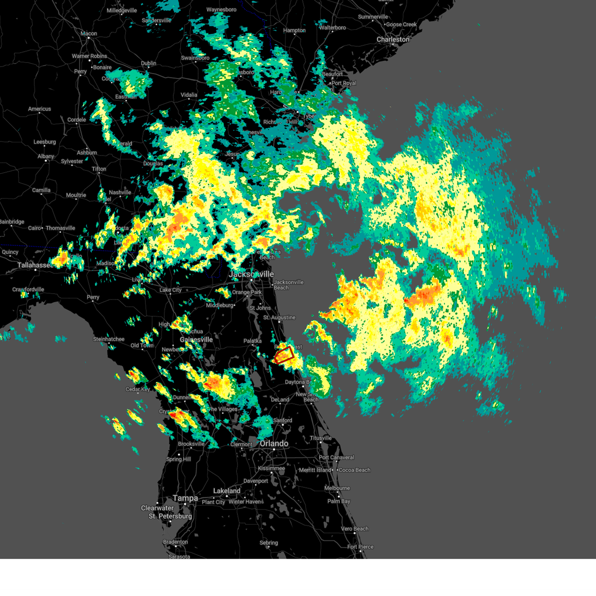 At 755 am edt, a severe thunderstorm capable of producing a tornado was located over bunnell, moving northeast at 55 mph (radar indicated rotation). Hazards include tornado. Flying debris will be dangerous to those caught without shelter. mobile homes will be damaged or destroyed. damage to roofs, windows, and vehicles will occur. tree damage is likely. this dangerous storm will be near, palm coast and bunnell around 800 am edt. Other locations impacted by this tornadic thunderstorm include espanola and beverly beach. At 755 am edt, a severe thunderstorm capable of producing a tornado was located over bunnell, moving northeast at 55 mph (radar indicated rotation). Hazards include tornado. Flying debris will be dangerous to those caught without shelter. mobile homes will be damaged or destroyed. damage to roofs, windows, and vehicles will occur. tree damage is likely. this dangerous storm will be near, palm coast and bunnell around 800 am edt. Other locations impacted by this tornadic thunderstorm include espanola and beverly beach.
|
| 10/12/2023 7:46 AM EDT |
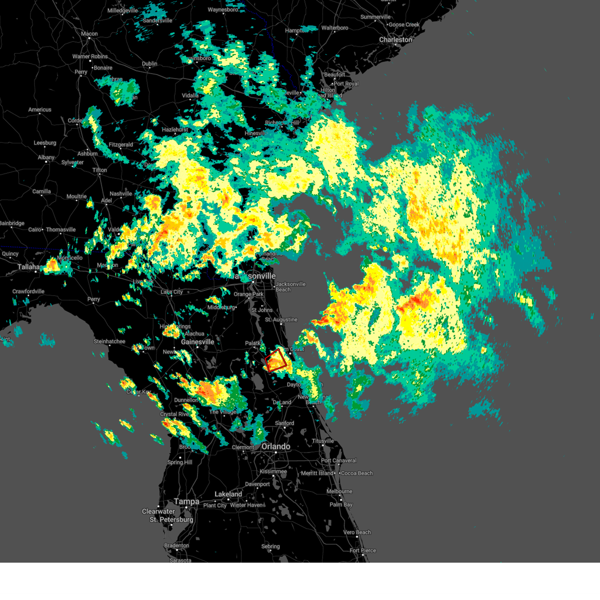 At 746 am edt, thunderstorm capable of producing a tornado was located near andalusia, moving northeast at 55 mph (radar indicated rotation). Hazards include tornado. Flying debris will be dangerous to those caught without shelter. mobile homes will be damaged or destroyed. damage to roofs, windows, and vehicles will occur. tree damage is likely. Locations impacted include, bunnell, andalusia, and espanola. At 746 am edt, thunderstorm capable of producing a tornado was located near andalusia, moving northeast at 55 mph (radar indicated rotation). Hazards include tornado. Flying debris will be dangerous to those caught without shelter. mobile homes will be damaged or destroyed. damage to roofs, windows, and vehicles will occur. tree damage is likely. Locations impacted include, bunnell, andalusia, and espanola.
|
| 10/12/2023 7:36 AM EDT |
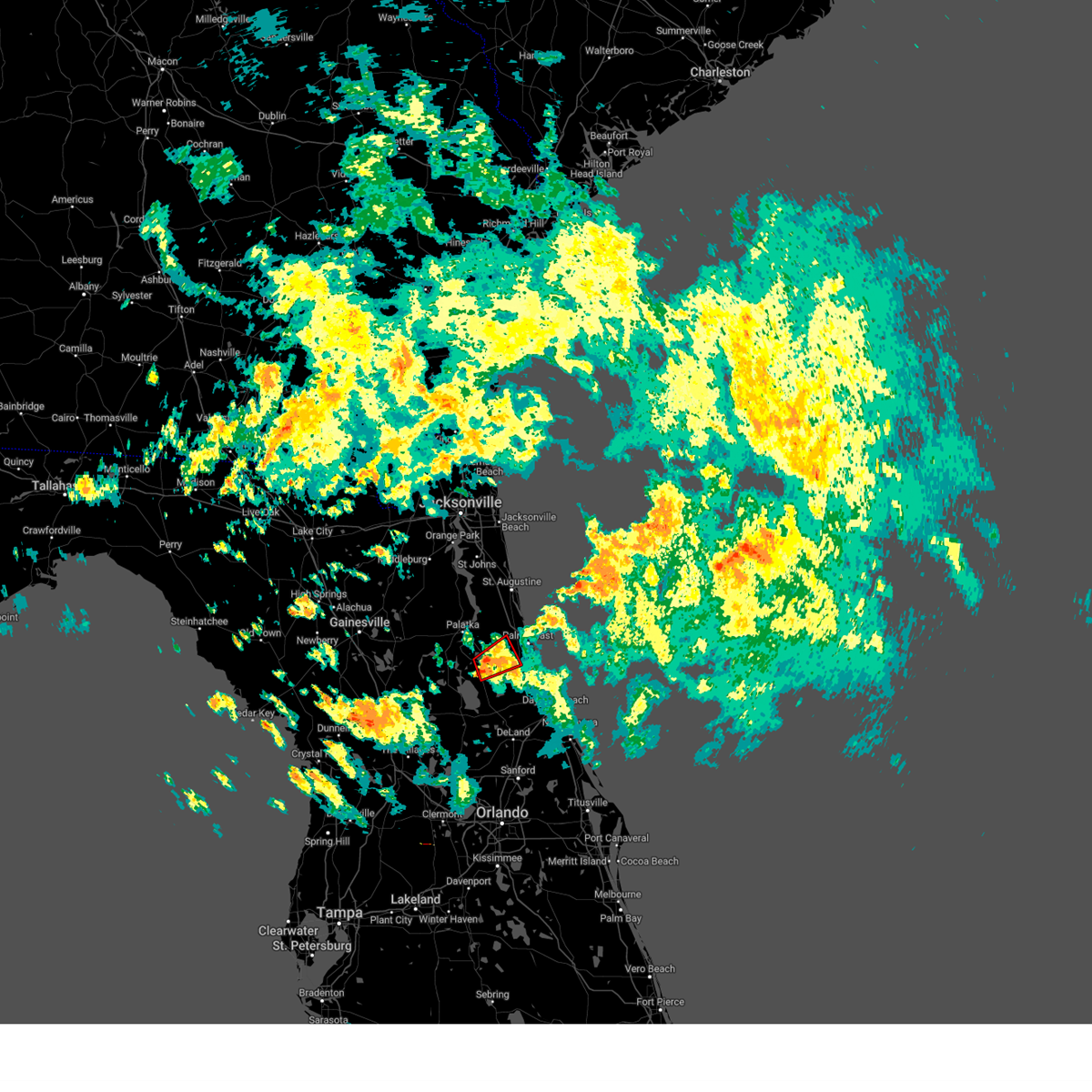 At 736 am edt, a thunderstorm capable of producing a tornado was located over andalusia, moving northeast at 45 mph (radar indicated rotation). Hazards include tornado. Flying debris will be dangerous to those caught without shelter. mobile homes will be damaged or destroyed. damage to roofs, windows, and vehicles will occur. tree damage is likely. This tornadic thunderstorm will remain over mainly rural areas of northwestern flagler and southeastern putnam counties, including the following locations, espanola. At 736 am edt, a thunderstorm capable of producing a tornado was located over andalusia, moving northeast at 45 mph (radar indicated rotation). Hazards include tornado. Flying debris will be dangerous to those caught without shelter. mobile homes will be damaged or destroyed. damage to roofs, windows, and vehicles will occur. tree damage is likely. This tornadic thunderstorm will remain over mainly rural areas of northwestern flagler and southeastern putnam counties, including the following locations, espanola.
|
| 10/12/2023 7:06 AM EDT |
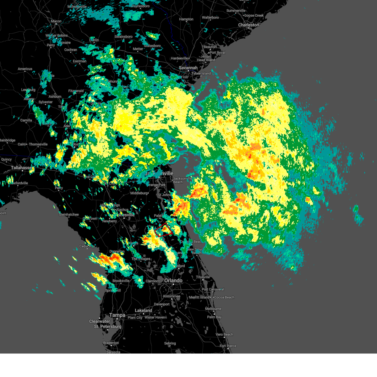 The tornado warning for west central flagler and southeastern putnam counties will expire at 715 am edt, the storm which prompted the warning has weakened below severe limits, and has exited the warned area. therefore, the warning will be allowed to expire. a tornado watch remains in effect until 900 am edt for northern and northeastern florida. The tornado warning for west central flagler and southeastern putnam counties will expire at 715 am edt, the storm which prompted the warning has weakened below severe limits, and has exited the warned area. therefore, the warning will be allowed to expire. a tornado watch remains in effect until 900 am edt for northern and northeastern florida.
|
| 10/12/2023 6:48 AM EDT |
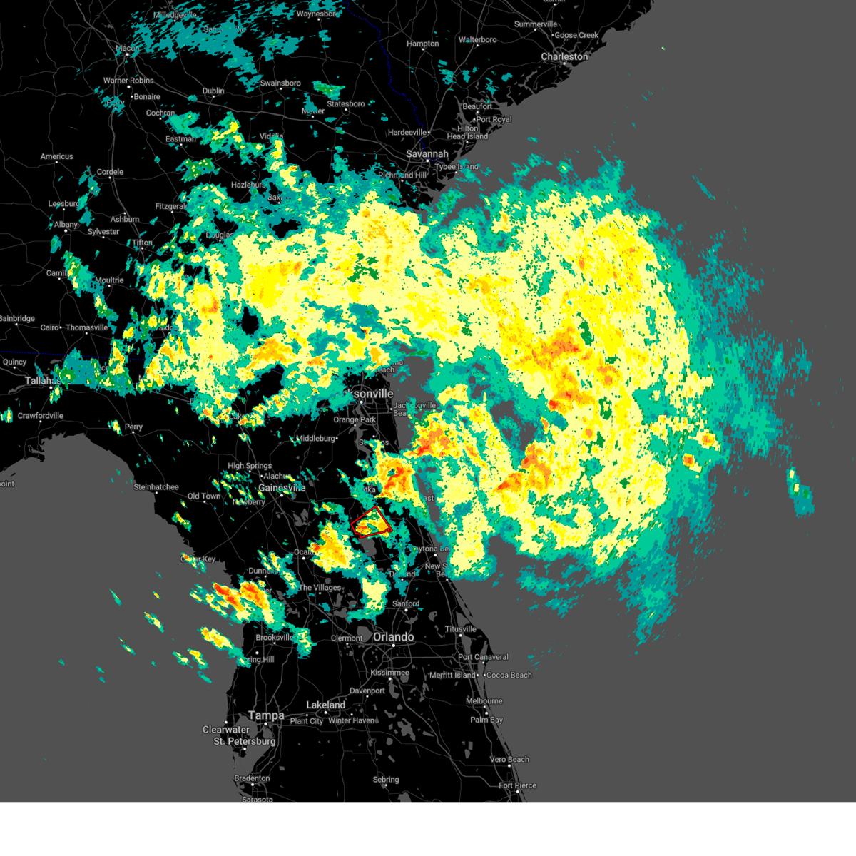 At 647 am edt, a severe thunderstorm capable of producing a tornado was located over fruitland, or near pomona park, moving northeast at 45 mph (radar indicated rotation). Hazards include tornado. Flying debris will be dangerous to those caught without shelter. mobile homes will be damaged or destroyed. damage to roofs, windows, and vehicles will occur. tree damage is likely. this dangerous storm will be near, crescent city and pomona park around 655 am edt. andalusia around 700 am edt. Other locations impacted by this tornadic thunderstorm include lake como, welaka, and georgetown. At 647 am edt, a severe thunderstorm capable of producing a tornado was located over fruitland, or near pomona park, moving northeast at 45 mph (radar indicated rotation). Hazards include tornado. Flying debris will be dangerous to those caught without shelter. mobile homes will be damaged or destroyed. damage to roofs, windows, and vehicles will occur. tree damage is likely. this dangerous storm will be near, crescent city and pomona park around 655 am edt. andalusia around 700 am edt. Other locations impacted by this tornadic thunderstorm include lake como, welaka, and georgetown.
|
| 10/12/2023 6:41 AM EDT |
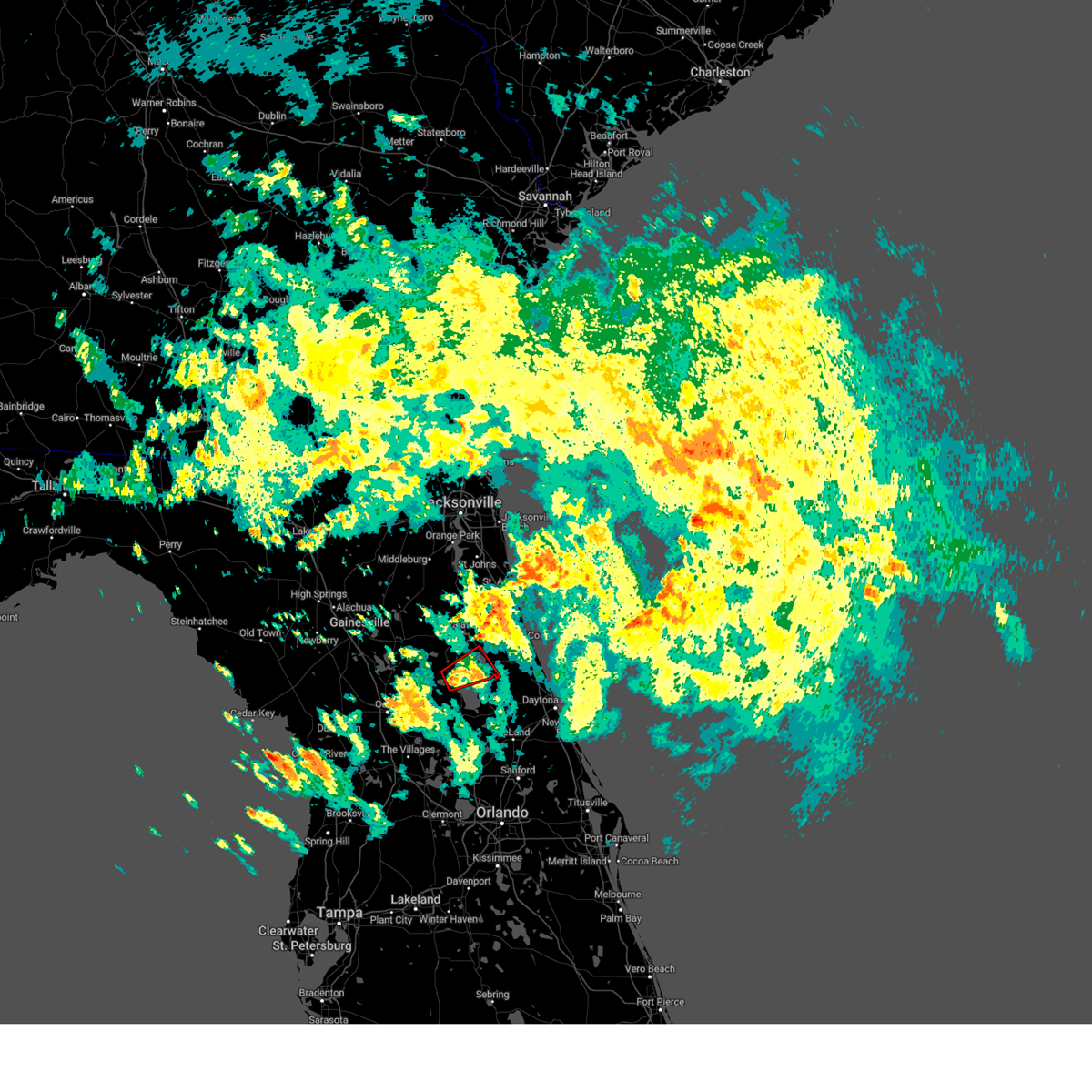 At 641 am edt, a severe thunderstorm capable of producing a tornado was located near salt springs, moving northeast at 45 mph (radar indicated rotation). Hazards include tornado. Flying debris will be dangerous to those caught without shelter. mobile homes will be damaged or destroyed. damage to roofs, windows, and vehicles will occur. tree damage is likely. this dangerous storm will be near, fruitland around 645 am edt. pomona park around 650 am edt. crescent city around 655 am edt. andalusia around 700 am edt. Other locations impacted by this tornadic thunderstorm include lake como, welaka, and georgetown. At 641 am edt, a severe thunderstorm capable of producing a tornado was located near salt springs, moving northeast at 45 mph (radar indicated rotation). Hazards include tornado. Flying debris will be dangerous to those caught without shelter. mobile homes will be damaged or destroyed. damage to roofs, windows, and vehicles will occur. tree damage is likely. this dangerous storm will be near, fruitland around 645 am edt. pomona park around 650 am edt. crescent city around 655 am edt. andalusia around 700 am edt. Other locations impacted by this tornadic thunderstorm include lake como, welaka, and georgetown.
|
| 10/12/2023 5:23 AM EDT |
 At 522 am edt, a severe thunderstorm capable of producing a tornado was located over ormond-by-the-sea, moving east at 40 mph. an additional thunderstorm capable of producing a tornado was located near lake woodruff (radar indicated rotation). Hazards include tornado. Flying debris will be dangerous to those caught without shelter. mobile homes will be damaged or destroyed. damage to roofs, windows, and vehicles will occur. tree damage is likely. this dangerous storm will be near, ormond-by-the-sea around 530 am edt. Other locations impacted by this tornadic thunderstorm include ormond beach airport. At 522 am edt, a severe thunderstorm capable of producing a tornado was located over ormond-by-the-sea, moving east at 40 mph. an additional thunderstorm capable of producing a tornado was located near lake woodruff (radar indicated rotation). Hazards include tornado. Flying debris will be dangerous to those caught without shelter. mobile homes will be damaged or destroyed. damage to roofs, windows, and vehicles will occur. tree damage is likely. this dangerous storm will be near, ormond-by-the-sea around 530 am edt. Other locations impacted by this tornadic thunderstorm include ormond beach airport.
|
| 10/12/2023 5:10 AM EDT |
 At 509 am edt, a severe thunderstorm capable of producing a tornado was located 7 miles northeast of deleon springs. another severe thunderstorm capable of producing a tornado was located near lake woodruff. both were moving northeast at 40 mph (radar indicated rotation). Hazards include tornado. Flying debris will be dangerous to those caught without shelter. mobile homes will be damaged or destroyed. damage to roofs, windows, and vehicles will occur. tree damage is likely. this dangerous storm will be near, daytona beach around 510 am edt. ormond beach, holly hill, and ormond-by-the-sea around 520 am edt. Other locations impacted by this tornadic thunderstorm include spruce creek. At 509 am edt, a severe thunderstorm capable of producing a tornado was located 7 miles northeast of deleon springs. another severe thunderstorm capable of producing a tornado was located near lake woodruff. both were moving northeast at 40 mph (radar indicated rotation). Hazards include tornado. Flying debris will be dangerous to those caught without shelter. mobile homes will be damaged or destroyed. damage to roofs, windows, and vehicles will occur. tree damage is likely. this dangerous storm will be near, daytona beach around 510 am edt. ormond beach, holly hill, and ormond-by-the-sea around 520 am edt. Other locations impacted by this tornadic thunderstorm include spruce creek.
|
| 10/12/2023 4:56 AM EDT |
 At 456 am edt, a severe thunderstorm capable of producing a tornado was located over deleon springs, moving east at 30 mph (radar indicated rotation). Hazards include tornado. Flying debris will be dangerous to those caught without shelter. mobile homes will be damaged or destroyed. damage to roofs, windows, and vehicles will occur. tree damage is likely. this dangerous storm will be near, deland and deleon springs around 500 am edt. daytona beach around 510 am edt. daytona beach airport and daytona international speedway around 520 am edt. port orange, ormond beach, and south daytona around 530 am edt. Other locations impacted by this tornadic thunderstorm include spruce creek. At 456 am edt, a severe thunderstorm capable of producing a tornado was located over deleon springs, moving east at 30 mph (radar indicated rotation). Hazards include tornado. Flying debris will be dangerous to those caught without shelter. mobile homes will be damaged or destroyed. damage to roofs, windows, and vehicles will occur. tree damage is likely. this dangerous storm will be near, deland and deleon springs around 500 am edt. daytona beach around 510 am edt. daytona beach airport and daytona international speedway around 520 am edt. port orange, ormond beach, and south daytona around 530 am edt. Other locations impacted by this tornadic thunderstorm include spruce creek.
|
| 10/12/2023 4:45 AM EDT | A tree was blown down along county road 75. the time of damage was based on rada in flagler county FL, 1.7 miles ESE of Bunnell, FL |
| 10/12/2023 4:42 AM EDT |
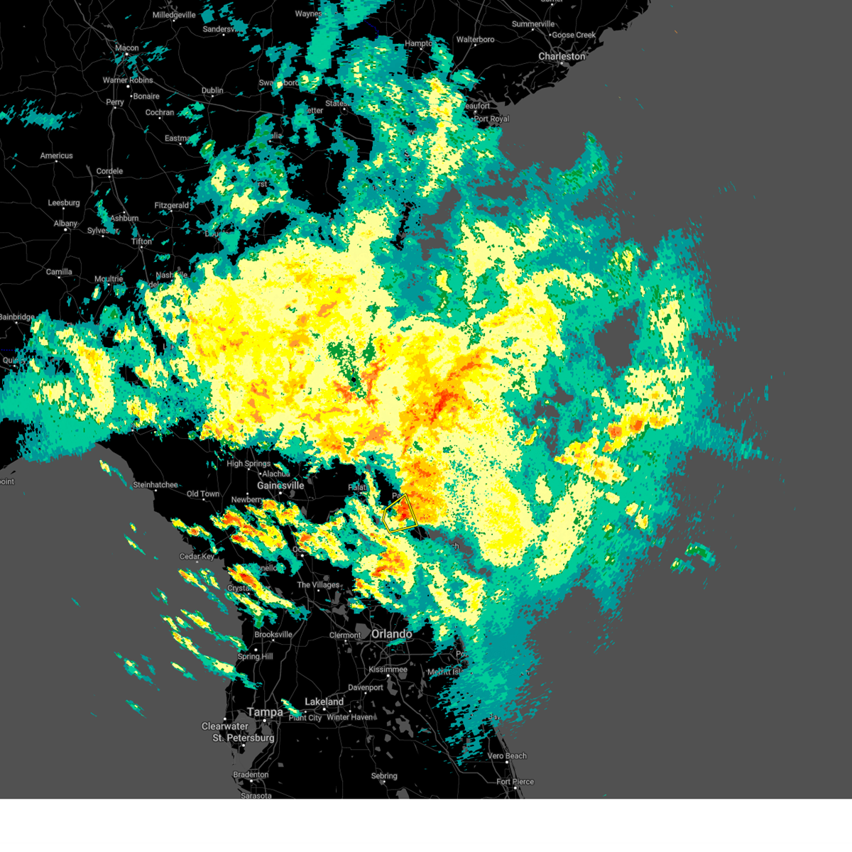 The severe thunderstorm warning for central flagler county will expire at 445 am edt, the severe thunderstorm which prompted the warning has moved out of the warned area. therefore, the warning will be allowed to expire. however, gusty winds are still possible with this thunderstorm. a tornado watch remains in effect until 900 am edt for northeastern florida. a new severe thunderstorm warning is in effect for northeastern flagler county. The severe thunderstorm warning for central flagler county will expire at 445 am edt, the severe thunderstorm which prompted the warning has moved out of the warned area. therefore, the warning will be allowed to expire. however, gusty winds are still possible with this thunderstorm. a tornado watch remains in effect until 900 am edt for northeastern florida. a new severe thunderstorm warning is in effect for northeastern flagler county.
|
| 10/12/2023 4:31 AM EDT |
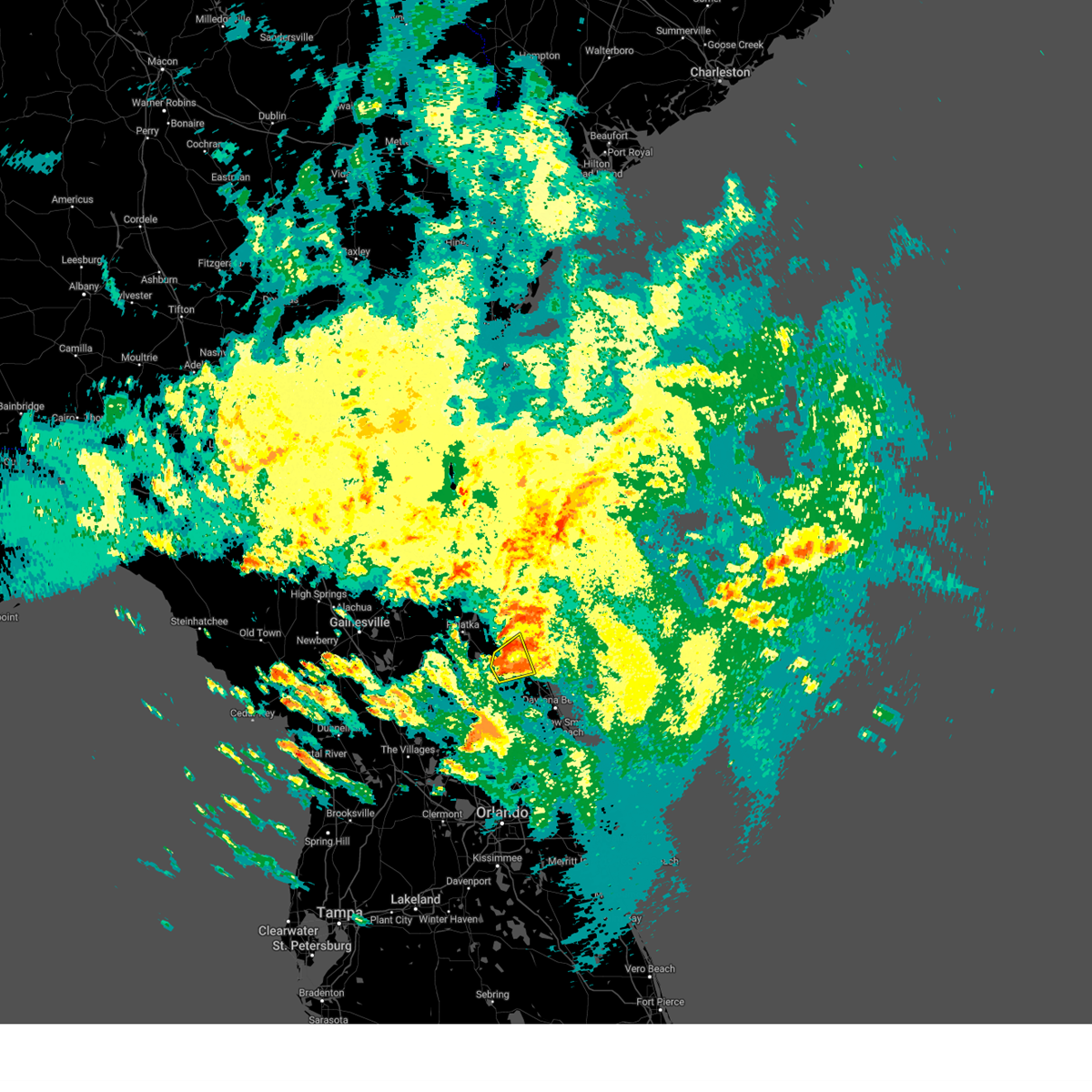 At 431 am edt, a severe thunderstorm was located near andalusia, moving northeast at 30 mph (radar indicated). Hazards include 60 mph wind gusts. Expect damage to roofs, siding, and trees. Locations impacted include, palm coast, bunnell, and espanola. At 431 am edt, a severe thunderstorm was located near andalusia, moving northeast at 30 mph (radar indicated). Hazards include 60 mph wind gusts. Expect damage to roofs, siding, and trees. Locations impacted include, palm coast, bunnell, and espanola.
|
| 10/12/2023 4:20 AM EDT |
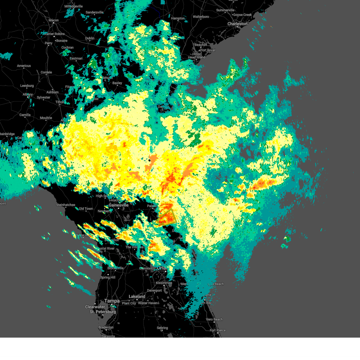 At 420 am edt, a severe thunderstorm was located near crescent city, moving northeast at 30 mph (radar indicated). Hazards include 60 mph wind gusts. expect damage to roofs, siding, and trees At 420 am edt, a severe thunderstorm was located near crescent city, moving northeast at 30 mph (radar indicated). Hazards include 60 mph wind gusts. expect damage to roofs, siding, and trees
|
| 9/11/2023 7:34 PM EDT |
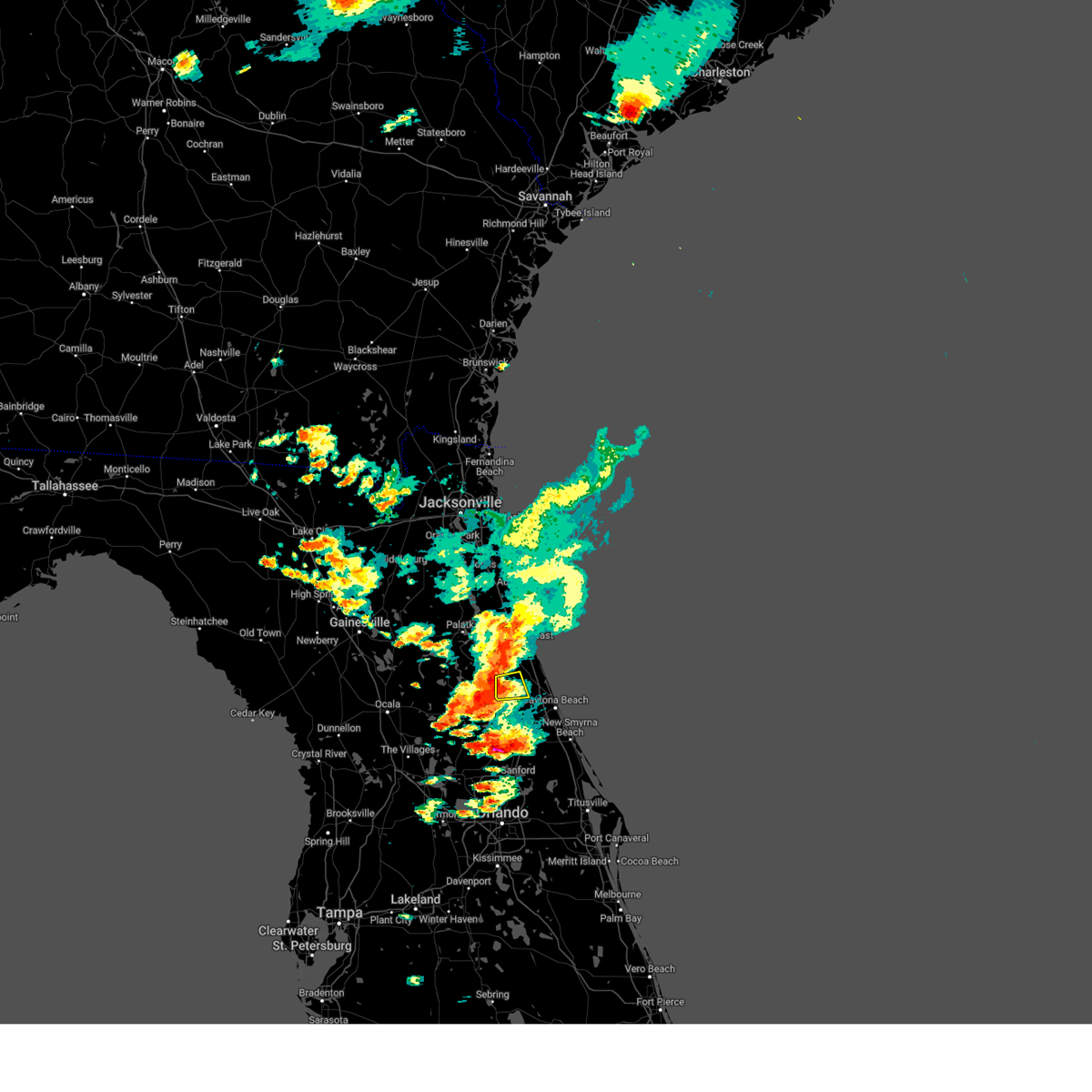 At 734 pm edt, a severe thunderstorm was located near pierson, moving northeast at 15 mph (radar indicated). Hazards include 60 mph wind gusts. Expect damage to roofs, siding, and trees. This severe thunderstorm will remain over mainly rural areas of south central flagler county. At 734 pm edt, a severe thunderstorm was located near pierson, moving northeast at 15 mph (radar indicated). Hazards include 60 mph wind gusts. Expect damage to roofs, siding, and trees. This severe thunderstorm will remain over mainly rural areas of south central flagler county.
|
| 9/11/2023 7:22 PM EDT |
 The severe thunderstorm warning for northwestern flagler, south central st. johns and southeastern putnam counties will expire at 730 pm edt, the storm which prompted the warning has weakened below severe limits, and no longer poses an immediate threat to life or property. therefore, the warning will be allowed to expire. however, gusty winds and heavy rain are still possible with this thunderstorm. The severe thunderstorm warning for northwestern flagler, south central st. johns and southeastern putnam counties will expire at 730 pm edt, the storm which prompted the warning has weakened below severe limits, and no longer poses an immediate threat to life or property. therefore, the warning will be allowed to expire. however, gusty winds and heavy rain are still possible with this thunderstorm.
|
| 9/11/2023 6:58 PM EDT |
 At 658 pm edt, a severe thunderstorm was located over pomona park, moving east at 20 mph (radar indicated). Hazards include 60 mph wind gusts and penny size hail. Expect damage to roofs, siding, and trees. locations impacted include, crescent city, pomona park, andalusia, fruitland, san mateo, satsuma, welaka, and lake como. hail threat, radar indicated max hail size, 0. 75 in wind threat, radar indicated max wind gust, 60 mph. At 658 pm edt, a severe thunderstorm was located over pomona park, moving east at 20 mph (radar indicated). Hazards include 60 mph wind gusts and penny size hail. Expect damage to roofs, siding, and trees. locations impacted include, crescent city, pomona park, andalusia, fruitland, san mateo, satsuma, welaka, and lake como. hail threat, radar indicated max hail size, 0. 75 in wind threat, radar indicated max wind gust, 60 mph.
|
| 9/11/2023 6:44 PM EDT |
 At 644 pm edt, a severe thunderstorm was located near satsuma, or near pomona park, moving northeast at 15 mph (radar indicated). Hazards include 60 mph wind gusts. expect damage to roofs, siding, and trees At 644 pm edt, a severe thunderstorm was located near satsuma, or near pomona park, moving northeast at 15 mph (radar indicated). Hazards include 60 mph wind gusts. expect damage to roofs, siding, and trees
|
| 9/8/2023 12:50 PM EDT | Several large trees down along the area of walnut ave and bayberry street west of bunnell... fl in western flagler county. time estimated from rada in flagler county FL, 6.4 miles E of Bunnell, FL |
| 9/8/2023 12:37 PM EDT |
 At 1236 pm edt, a severe thunderstorm was located near palm coast, moving northeast at 15 mph (radar indicated). Hazards include 60 mph wind gusts and quarter size hail. Hail damage to vehicles is expected. expect wind damage to roofs, siding, and trees. locations impacted include, palm coast, bunnell, marineland, beverly beach, and espanola. hail threat, radar indicated max hail size, 1. 00 in wind threat, radar indicated max wind gust, 60 mph. At 1236 pm edt, a severe thunderstorm was located near palm coast, moving northeast at 15 mph (radar indicated). Hazards include 60 mph wind gusts and quarter size hail. Hail damage to vehicles is expected. expect wind damage to roofs, siding, and trees. locations impacted include, palm coast, bunnell, marineland, beverly beach, and espanola. hail threat, radar indicated max hail size, 1. 00 in wind threat, radar indicated max wind gust, 60 mph.
|
| 9/8/2023 12:24 PM EDT |
 At 1224 pm edt, a severe thunderstorm was located near andalusia, moving northeast at 10 mph (radar indicated). Hazards include 60 mph wind gusts and quarter size hail. Hail damage to vehicles is expected. Expect wind damage to roofs, siding, and trees. At 1224 pm edt, a severe thunderstorm was located near andalusia, moving northeast at 10 mph (radar indicated). Hazards include 60 mph wind gusts and quarter size hail. Hail damage to vehicles is expected. Expect wind damage to roofs, siding, and trees.
|
| 9/8/2023 12:06 PM EDT |
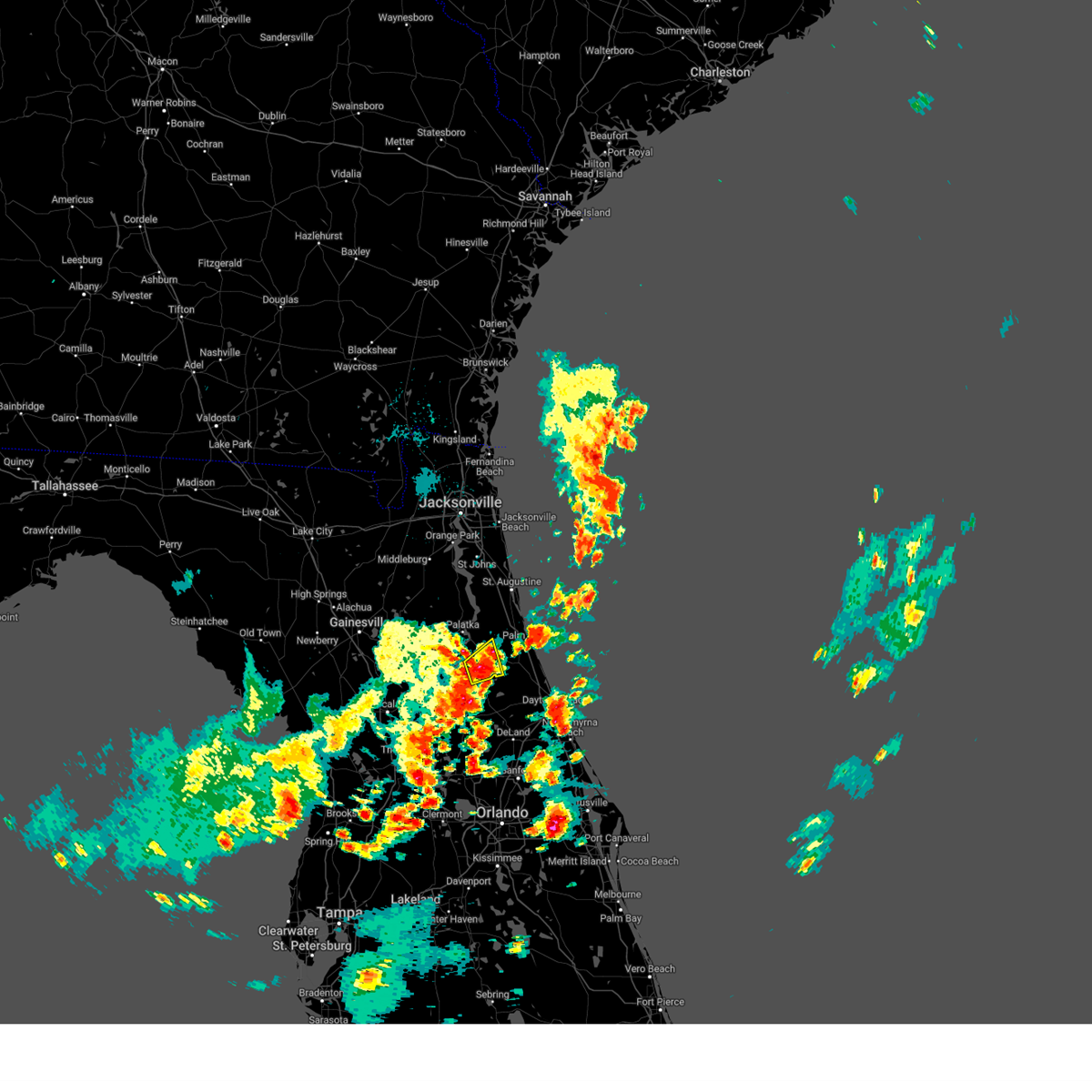 At 1206 pm edt, a severe thunderstorm was located near andalusia, moving northeast at 20 mph (law enforcement reported quarter sized hail near crescent city). Hazards include 60 mph wind gusts and quarter size hail. Hail damage to vehicles is expected. expect wind damage to roofs, siding, and trees. locations impacted include, crescent city, pomona park, andalusia, and lake como. hail threat, observed max hail size, 1. 00 in wind threat, radar indicated max wind gust, 60 mph. At 1206 pm edt, a severe thunderstorm was located near andalusia, moving northeast at 20 mph (law enforcement reported quarter sized hail near crescent city). Hazards include 60 mph wind gusts and quarter size hail. Hail damage to vehicles is expected. expect wind damage to roofs, siding, and trees. locations impacted include, crescent city, pomona park, andalusia, and lake como. hail threat, observed max hail size, 1. 00 in wind threat, radar indicated max wind gust, 60 mph.
|
| 9/8/2023 11:47 AM EDT |
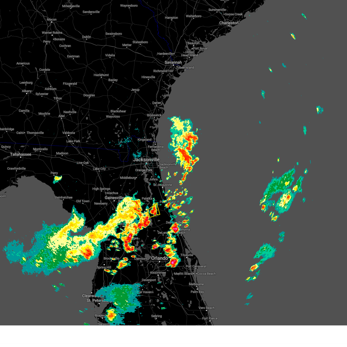 At 1146 am edt, a severe thunderstorm was located over crescent city, moving northeast at 20 mph (radar indicated). Hazards include 60 mph wind gusts and quarter size hail. Hail damage to vehicles is expected. Expect wind damage to roofs, siding, and trees. At 1146 am edt, a severe thunderstorm was located over crescent city, moving northeast at 20 mph (radar indicated). Hazards include 60 mph wind gusts and quarter size hail. Hail damage to vehicles is expected. Expect wind damage to roofs, siding, and trees.
|
| 8/29/2023 7:53 PM EDT |
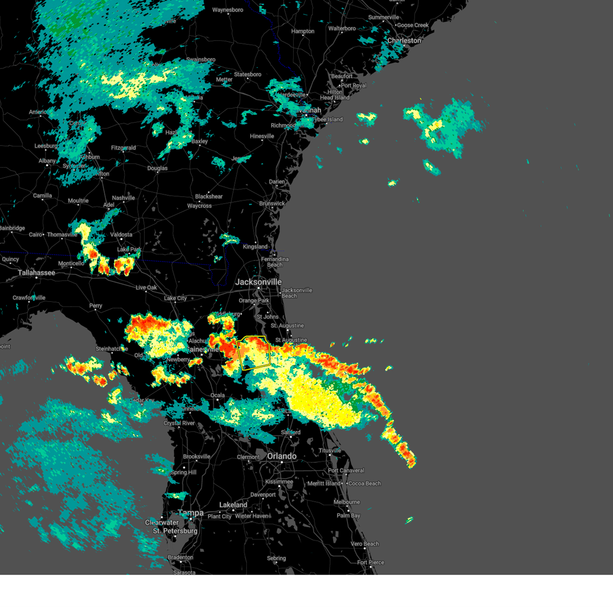 The severe thunderstorm warning for northeastern putnam county will expire at 800 pm edt, the storm which prompted the warning has moved out of the area. therefore, the warning will be allowed to expire. The severe thunderstorm warning for northeastern putnam county will expire at 800 pm edt, the storm which prompted the warning has moved out of the area. therefore, the warning will be allowed to expire.
|
| 8/29/2023 7:32 PM EDT |
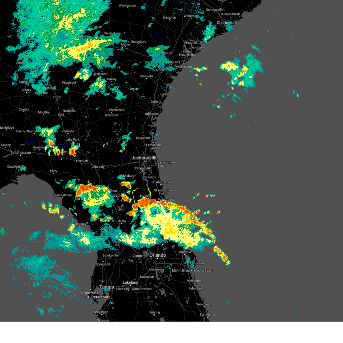 At 731 pm edt, a severe thunderstorm was located near palatka, moving north at 35 mph (radar indicated). Hazards include 60 mph wind gusts. Expect damage to roofs, siding, and trees. locations impacted include, palatka, east palatka, george`s lake, florahome, bostwick, federal point, orange mills, bardin, hollister, and san mateo. hail threat, radar indicated max hail size, <. 75 in wind threat, radar indicated max wind gust, 60 mph. At 731 pm edt, a severe thunderstorm was located near palatka, moving north at 35 mph (radar indicated). Hazards include 60 mph wind gusts. Expect damage to roofs, siding, and trees. locations impacted include, palatka, east palatka, george`s lake, florahome, bostwick, federal point, orange mills, bardin, hollister, and san mateo. hail threat, radar indicated max hail size, <. 75 in wind threat, radar indicated max wind gust, 60 mph.
|
| 8/29/2023 7:21 PM EDT |
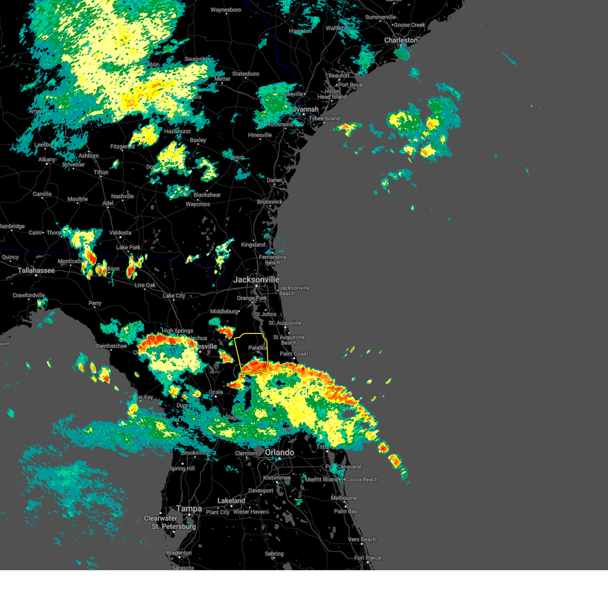 At 720 pm edt, a severe thunderstorm was located over satsuma, or near pomona park, moving north at 35 mph (radar indicated). Hazards include 60 mph wind gusts. expect damage to roofs, siding, and trees At 720 pm edt, a severe thunderstorm was located over satsuma, or near pomona park, moving north at 35 mph (radar indicated). Hazards include 60 mph wind gusts. expect damage to roofs, siding, and trees
|
| 7/30/2023 7:14 PM EDT |
 At 714 pm edt, severe thunderstorms were located along a line extending from saint augustine to near lake geneva, moving southeast at 25 mph (radar indicated). Hazards include 60 mph wind gusts and penny size hail. expect damage to roofs, siding, and trees At 714 pm edt, severe thunderstorms were located along a line extending from saint augustine to near lake geneva, moving southeast at 25 mph (radar indicated). Hazards include 60 mph wind gusts and penny size hail. expect damage to roofs, siding, and trees
|
| 7/30/2023 5:49 PM EDT |
 At 549 pm edt, a severe thunderstorm was located near ormond-by-the-sea, and is nearly stationary (radar indicated). Hazards include 60 mph wind gusts and quarter size hail. Hail damage to vehicles is expected. Expect wind damage to roofs, siding, and trees. At 549 pm edt, a severe thunderstorm was located near ormond-by-the-sea, and is nearly stationary (radar indicated). Hazards include 60 mph wind gusts and quarter size hail. Hail damage to vehicles is expected. Expect wind damage to roofs, siding, and trees.
|
| 7/29/2023 7:11 PM EDT |
 The severe thunderstorm warning for southeastern flagler county will expire at 715 pm edt, the storm which prompted the warning has weakened below severe limits, and no longer poses an immediate threat to life or property. therefore, the warning will be allowed to expire. however gusty winds and heavy rain are still possible with this thunderstorm. The severe thunderstorm warning for southeastern flagler county will expire at 715 pm edt, the storm which prompted the warning has weakened below severe limits, and no longer poses an immediate threat to life or property. therefore, the warning will be allowed to expire. however gusty winds and heavy rain are still possible with this thunderstorm.
|
| 7/29/2023 7:01 PM EDT |
 At 701 pm edt, a severe thunderstorm was located 7 miles south of bunnell, moving south at 20 mph (radar indicated). Hazards include 60 mph wind gusts and penny size hail. Expect damage to roofs, siding, and trees. locations impacted include, flagler beach, bunnell and beverly beach. hail threat, radar indicated max hail size, 0. 75 in wind threat, radar indicated max wind gust, 60 mph. At 701 pm edt, a severe thunderstorm was located 7 miles south of bunnell, moving south at 20 mph (radar indicated). Hazards include 60 mph wind gusts and penny size hail. Expect damage to roofs, siding, and trees. locations impacted include, flagler beach, bunnell and beverly beach. hail threat, radar indicated max hail size, 0. 75 in wind threat, radar indicated max wind gust, 60 mph.
|
| 7/29/2023 6:51 PM EDT |
 At 651 pm edt, a severe thunderstorm was located near bunnell, moving south at 20 mph (radar indicated). Hazards include 60 mph wind gusts and penny size hail. expect damage to roofs, siding, and trees At 651 pm edt, a severe thunderstorm was located near bunnell, moving south at 20 mph (radar indicated). Hazards include 60 mph wind gusts and penny size hail. expect damage to roofs, siding, and trees
|
| 7/29/2023 6:31 PM EDT |
 At 631 pm edt, a severe thunderstorm was located near marineland, or near palm coast, moving southeast at 15 mph (radar indicated). Hazards include 60 mph wind gusts and penny size hail. expect damage to roofs, siding, and trees At 631 pm edt, a severe thunderstorm was located near marineland, or near palm coast, moving southeast at 15 mph (radar indicated). Hazards include 60 mph wind gusts and penny size hail. expect damage to roofs, siding, and trees
|
| 7/9/2023 1:43 PM EDT |
 At 143 pm edt, a severe thunderstorm was located near marineland, or near palm coast, moving east at 40 mph (radar indicated). Hazards include 60 mph wind gusts. expect damage to roofs, siding, and trees At 143 pm edt, a severe thunderstorm was located near marineland, or near palm coast, moving east at 40 mph (radar indicated). Hazards include 60 mph wind gusts. expect damage to roofs, siding, and trees
|
| 7/9/2023 1:34 PM EDT |
 At 134 pm edt, severe thunderstorms were located along a line extending from near saint augustine to 6 miles northwest of bunnell, moving southeast at 40 mph (radar indicated). Hazards include 60 mph wind gusts. Expect damage to roofs, siding, and trees. locations impacted include, palm coast, saint augustine, bunnell, saint augustine beach, marineland, crescent beach, saint augustine shores, butler beach, saint augustine south and vilano beach. hail threat, radar indicated max hail size, <. 75 in wind threat, radar indicated max wind gust, 60 mph. At 134 pm edt, severe thunderstorms were located along a line extending from near saint augustine to 6 miles northwest of bunnell, moving southeast at 40 mph (radar indicated). Hazards include 60 mph wind gusts. Expect damage to roofs, siding, and trees. locations impacted include, palm coast, saint augustine, bunnell, saint augustine beach, marineland, crescent beach, saint augustine shores, butler beach, saint augustine south and vilano beach. hail threat, radar indicated max hail size, <. 75 in wind threat, radar indicated max wind gust, 60 mph.
|
| 7/9/2023 1:13 PM EDT |
 At 112 pm edt, severe thunderstorms were located along a line extending from near nocatee to near pomona park, moving east at 35 mph (radar indicated). Hazards include 60 mph wind gusts. expect damage to roofs, siding, and trees At 112 pm edt, severe thunderstorms were located along a line extending from near nocatee to near pomona park, moving east at 35 mph (radar indicated). Hazards include 60 mph wind gusts. expect damage to roofs, siding, and trees
|
| 7/7/2023 6:27 PM EDT |
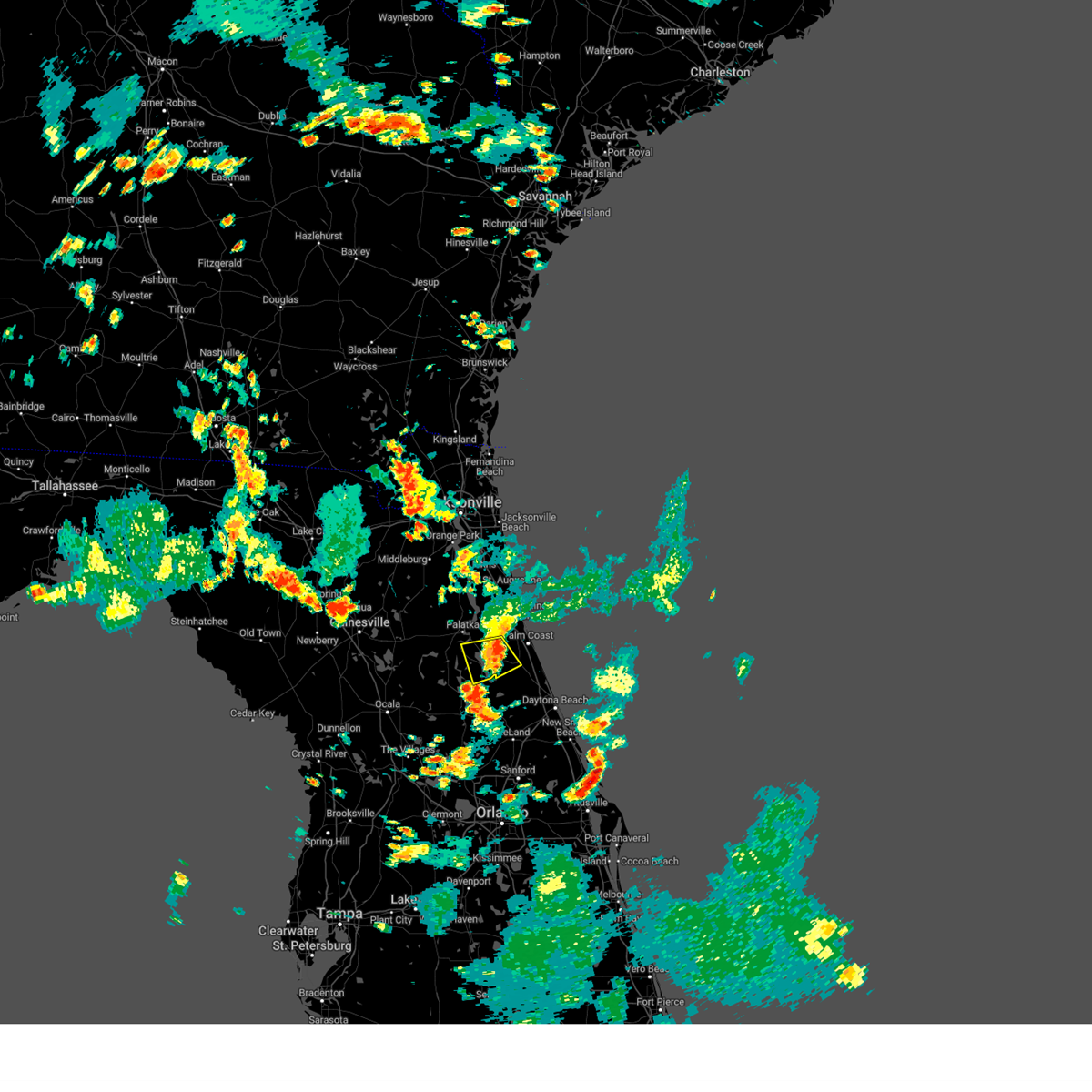 The severe thunderstorm warning for northwestern flagler and southeastern putnam counties will expire at 630 pm edt, the storm which prompted the warning has weakened below severe limits, and no longer poses an immediate threat to life or property. therefore, the warning will be allowed to expire. however gusty winds are still possible with this thunderstorm. The severe thunderstorm warning for northwestern flagler and southeastern putnam counties will expire at 630 pm edt, the storm which prompted the warning has weakened below severe limits, and no longer poses an immediate threat to life or property. therefore, the warning will be allowed to expire. however gusty winds are still possible with this thunderstorm.
|
| 7/7/2023 6:13 PM EDT |
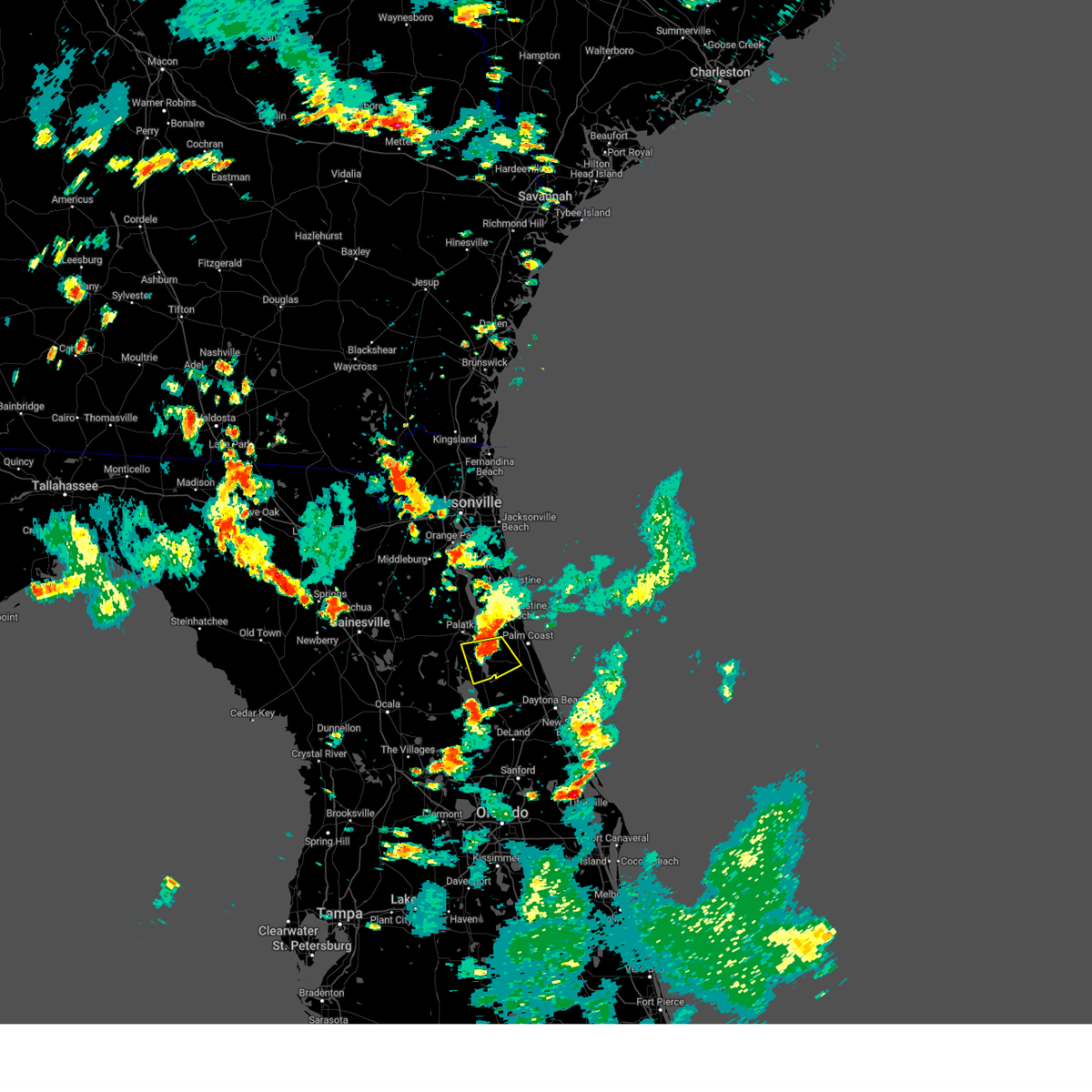 At 612 pm edt, a severe thunderstorm was located near andalusia, moving southeast at 20 mph (radar indicated). Hazards include 60 mph wind gusts and penny size hail. Expect damage to roofs, siding, and trees. locations impacted include, bunnell, crescent city, pomona park, andalusia, espanola and lake como. hail threat, radar indicated max hail size, 0. 75 in wind threat, radar indicated max wind gust, 60 mph. At 612 pm edt, a severe thunderstorm was located near andalusia, moving southeast at 20 mph (radar indicated). Hazards include 60 mph wind gusts and penny size hail. Expect damage to roofs, siding, and trees. locations impacted include, bunnell, crescent city, pomona park, andalusia, espanola and lake como. hail threat, radar indicated max hail size, 0. 75 in wind threat, radar indicated max wind gust, 60 mph.
|
| 7/7/2023 5:59 PM EDT |
 At 559 pm edt, a severe thunderstorm was located near san mateo, or near east palatka, moving southeast at 20 mph (radar indicated). Hazards include 60 mph wind gusts and penny size hail. expect damage to roofs, siding, and trees At 559 pm edt, a severe thunderstorm was located near san mateo, or near east palatka, moving southeast at 20 mph (radar indicated). Hazards include 60 mph wind gusts and penny size hail. expect damage to roofs, siding, and trees
|
| 7/7/2023 5:52 PM EDT |
 At 552 pm edt, a severe thunderstorm was located near andalusia, moving south at 30 mph (radar indicated). Hazards include 60 mph wind gusts and penny size hail. Expect damage to roofs, siding, and trees. Locations impacted include, palatka, pomona park, hastings, east palatka, andalusia, orange mills, san mateo, spuds, lake como and elkton. At 552 pm edt, a severe thunderstorm was located near andalusia, moving south at 30 mph (radar indicated). Hazards include 60 mph wind gusts and penny size hail. Expect damage to roofs, siding, and trees. Locations impacted include, palatka, pomona park, hastings, east palatka, andalusia, orange mills, san mateo, spuds, lake como and elkton.
|
| 7/7/2023 5:32 PM EDT |
 At 532 pm edt, a severe thunderstorm was located over orange mills, or over hastings, moving south at 30 mph (radar indicated). Hazards include 60 mph wind gusts and penny size hail. expect damage to roofs, siding, and trees At 532 pm edt, a severe thunderstorm was located over orange mills, or over hastings, moving south at 30 mph (radar indicated). Hazards include 60 mph wind gusts and penny size hail. expect damage to roofs, siding, and trees
|
| 6/23/2023 7:45 PM EDT | Tree down on county road 305 near canal ave. time estimated by rada in flagler county FL, 4 miles SE of Bunnell, FL |
| 6/22/2023 2:55 PM EDT | Emergency manager relayed report of trees down on us 1 near cr 30 in flagler county FL, 5.2 miles W of Bunnell, FL |
| 6/22/2023 2:22 PM EDT |
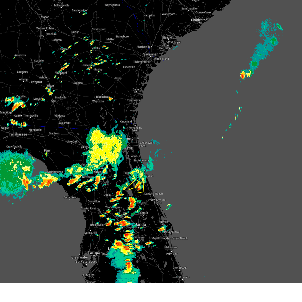 The severe thunderstorm warning for southwestern flagler and southeastern putnam counties will expire at 230 pm edt, the storm which prompted the warning has weakened below severe limits, and no longer poses an immediate threat to life or property. therefore, the warning will be allowed to expire. however gusty winds are still possible with this thunderstorm. The severe thunderstorm warning for southwestern flagler and southeastern putnam counties will expire at 230 pm edt, the storm which prompted the warning has weakened below severe limits, and no longer poses an immediate threat to life or property. therefore, the warning will be allowed to expire. however gusty winds are still possible with this thunderstorm.
|
| 6/22/2023 1:51 PM EDT |
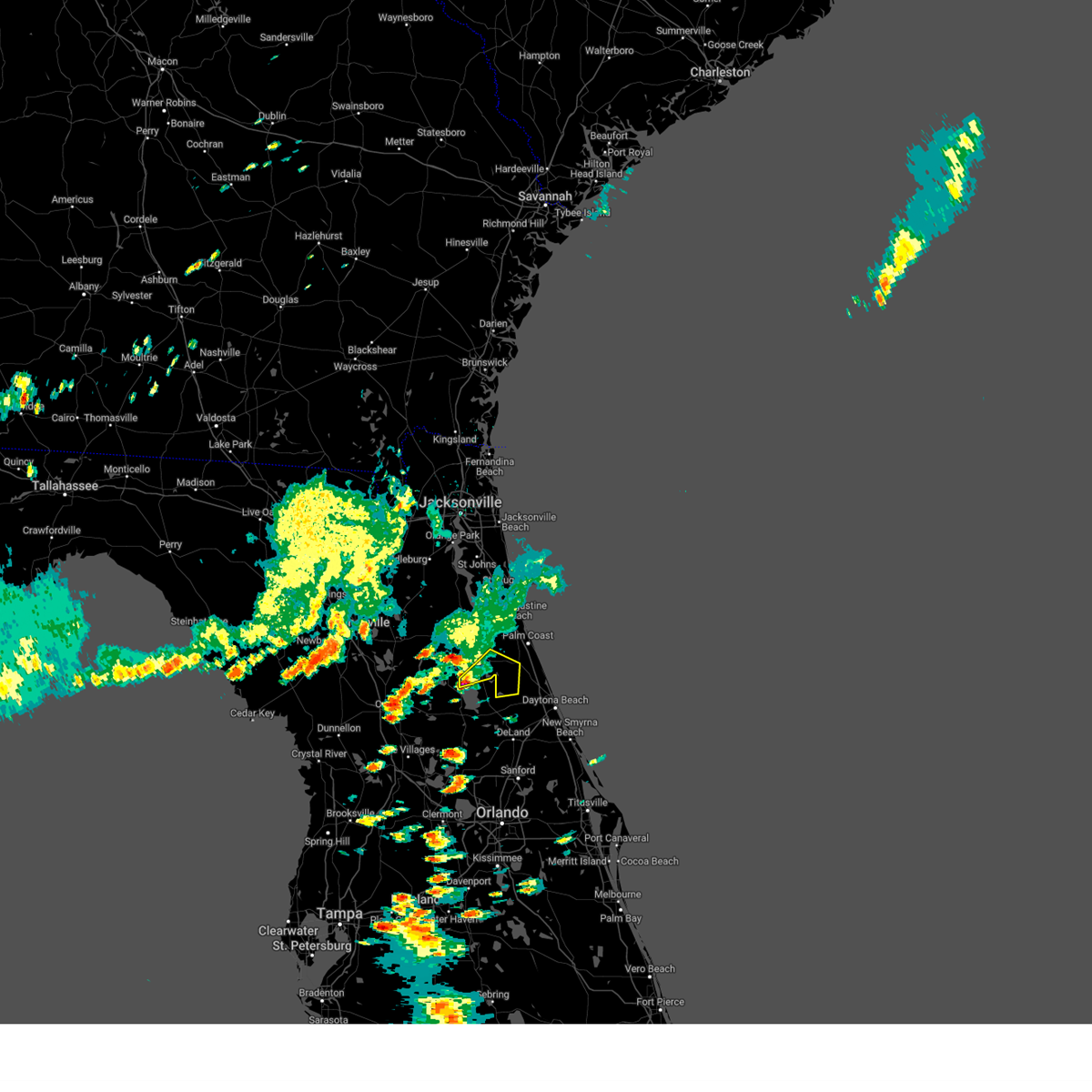 At 151 pm edt, a severe thunderstorm was located near lake george, or 7 miles east of salt springs, moving northeast at 10 mph (radar indicated). Hazards include 60 mph wind gusts and penny size hail. expect damage to roofs, siding, and trees At 151 pm edt, a severe thunderstorm was located near lake george, or 7 miles east of salt springs, moving northeast at 10 mph (radar indicated). Hazards include 60 mph wind gusts and penny size hail. expect damage to roofs, siding, and trees
|
| 6/19/2023 7:40 PM EDT |
 The severe thunderstorm warning for northeastern flagler county will expire at 745 pm edt, the storm which prompted the warning has weakened below severe limits, and no longer poses an immediate threat to life or property. therefore, the warning will be allowed to expire. however small hail, gusty winds and heavy rain are still possible with this thunderstorm. to report severe weather, contact your nearest law enforcement agency. they will relay your report to the national weather service jacksonville. The severe thunderstorm warning for northeastern flagler county will expire at 745 pm edt, the storm which prompted the warning has weakened below severe limits, and no longer poses an immediate threat to life or property. therefore, the warning will be allowed to expire. however small hail, gusty winds and heavy rain are still possible with this thunderstorm. to report severe weather, contact your nearest law enforcement agency. they will relay your report to the national weather service jacksonville.
|
| 6/19/2023 7:28 PM EDT |
 At 728 pm edt, a severe thunderstorm was located near flagler beach, moving east at 25 mph (radar indicated). Hazards include 60 mph wind gusts and nickel size hail. Expect damage to roofs, siding, and trees. locations impacted include, palm coast, flagler beach, bunnell, beverly beach and espanola. hail threat, radar indicated max hail size, 0. 88 in wind threat, radar indicated max wind gust, 60 mph. At 728 pm edt, a severe thunderstorm was located near flagler beach, moving east at 25 mph (radar indicated). Hazards include 60 mph wind gusts and nickel size hail. Expect damage to roofs, siding, and trees. locations impacted include, palm coast, flagler beach, bunnell, beverly beach and espanola. hail threat, radar indicated max hail size, 0. 88 in wind threat, radar indicated max wind gust, 60 mph.
|
| 6/19/2023 7:05 PM EDT |
 At 705 pm edt, a severe thunderstorm was located near bunnell, moving east at 25 mph (radar indicated). Hazards include 60 mph wind gusts and quarter size hail. Hail damage to vehicles is expected. Expect wind damage to roofs, siding, and trees. At 705 pm edt, a severe thunderstorm was located near bunnell, moving east at 25 mph (radar indicated). Hazards include 60 mph wind gusts and quarter size hail. Hail damage to vehicles is expected. Expect wind damage to roofs, siding, and trees.
|
| 6/16/2023 4:12 PM EDT |
 The severe thunderstorm warning for north central volusia county will expire at 415 pm edt, the storm which prompted the warning has moved out of the area. therefore, the warning will be allowed to expire. The severe thunderstorm warning for north central volusia county will expire at 415 pm edt, the storm which prompted the warning has moved out of the area. therefore, the warning will be allowed to expire.
|
| 6/16/2023 4:01 PM EDT |
 At 401 pm edt, a severe thunderstorm was located over ormond-by-the-sea, moving east at 40 mph (radar indicated). Hazards include 60 mph wind gusts. Expect damage to roofs, siding, and trees. locations impacted include, daytona beach, ormond beach, south daytona, holly hill and ormond-by-the-sea. hail threat, radar indicated max hail size, <. 75 in wind threat, radar indicated max wind gust, 60 mph. At 401 pm edt, a severe thunderstorm was located over ormond-by-the-sea, moving east at 40 mph (radar indicated). Hazards include 60 mph wind gusts. Expect damage to roofs, siding, and trees. locations impacted include, daytona beach, ormond beach, south daytona, holly hill and ormond-by-the-sea. hail threat, radar indicated max hail size, <. 75 in wind threat, radar indicated max wind gust, 60 mph.
|
| 6/16/2023 3:47 PM EDT |
 At 347 pm edt, a severe thunderstorm was located 9 miles west of ormond-by-the-sea, moving east at 40 mph (radar indicated). Hazards include 60 mph wind gusts and penny size hail. expect damage to roofs, siding, and trees At 347 pm edt, a severe thunderstorm was located 9 miles west of ormond-by-the-sea, moving east at 40 mph (radar indicated). Hazards include 60 mph wind gusts and penny size hail. expect damage to roofs, siding, and trees
|
| 6/16/2023 3:45 PM EDT | Tree down across sr 100 blocking traffic about 10 miles west of bunnel in flagler county FL, 7 miles ESE of Bunnell, FL |
| 6/16/2023 3:39 PM EDT |
 At 339 pm edt, a severe thunderstorm was located 7 miles south of bunnell, moving east at 45 mph (radar indicated). Hazards include 60 mph wind gusts and quarter size hail. Hail damage to vehicles is expected. expect wind damage to roofs, siding, and trees. this severe thunderstorm will remain over mainly rural areas of southeastern flagler county. hail threat, radar indicated max hail size, 1. 00 in wind threat, radar indicated max wind gust, 60 mph. At 339 pm edt, a severe thunderstorm was located 7 miles south of bunnell, moving east at 45 mph (radar indicated). Hazards include 60 mph wind gusts and quarter size hail. Hail damage to vehicles is expected. expect wind damage to roofs, siding, and trees. this severe thunderstorm will remain over mainly rural areas of southeastern flagler county. hail threat, radar indicated max hail size, 1. 00 in wind threat, radar indicated max wind gust, 60 mph.
|
| 5/18/2023 4:57 PM EDT |
 The severe thunderstorm warning for flagler and southeastern st. johns counties will expire at 500 pm edt, the storms which prompted the warning have weakened below severe limits, and no longer pose an immediate threat to life or property. therefore, the warning will be allowed to expire. however gusty winds and heavy rain are still possible with these thunderstorms. The severe thunderstorm warning for flagler and southeastern st. johns counties will expire at 500 pm edt, the storms which prompted the warning have weakened below severe limits, and no longer pose an immediate threat to life or property. therefore, the warning will be allowed to expire. however gusty winds and heavy rain are still possible with these thunderstorms.
|
| 5/18/2023 4:45 PM EDT | Tree fell into electric wires... blocking roadway near 901 east lambert st. time estimated by rada in flagler county FL, 4.5 miles WSW of Bunnell, FL |
| 5/18/2023 4:38 PM EDT |
 At 437 pm edt, severe thunderstorms were located along a line extending from near crescent beach to 11 miles south of bunnell, moving east at 15 mph (radar indicated). Hazards include 60 mph wind gusts and penny size hail. Expect damage to roofs, siding, and trees. locations impacted include, palm coast, flagler beach, bunnell, marineland, crescent beach, butler beach, beverly beach, espanola and dupont center. hail threat, radar indicated max hail size, 0. 75 in wind threat, radar indicated max wind gust, 60 mph. At 437 pm edt, severe thunderstorms were located along a line extending from near crescent beach to 11 miles south of bunnell, moving east at 15 mph (radar indicated). Hazards include 60 mph wind gusts and penny size hail. Expect damage to roofs, siding, and trees. locations impacted include, palm coast, flagler beach, bunnell, marineland, crescent beach, butler beach, beverly beach, espanola and dupont center. hail threat, radar indicated max hail size, 0. 75 in wind threat, radar indicated max wind gust, 60 mph.
|
| 5/18/2023 4:21 PM EDT |
 At 421 pm edt, severe thunderstorms were located along a line extending from near crescent beach to 9 miles northeast of pierson, moving east at 15 mph (radar indicated). Hazards include 60 mph wind gusts and penny size hail. Expect damage to roofs, siding, and trees. locations impacted include, palm coast, flagler beach, bunnell, marineland, crescent beach, butler beach, beverly beach, espanola and dupont center. hail threat, radar indicated max hail size, 0. 75 in wind threat, radar indicated max wind gust, 60 mph. At 421 pm edt, severe thunderstorms were located along a line extending from near crescent beach to 9 miles northeast of pierson, moving east at 15 mph (radar indicated). Hazards include 60 mph wind gusts and penny size hail. Expect damage to roofs, siding, and trees. locations impacted include, palm coast, flagler beach, bunnell, marineland, crescent beach, butler beach, beverly beach, espanola and dupont center. hail threat, radar indicated max hail size, 0. 75 in wind threat, radar indicated max wind gust, 60 mph.
|
| 5/18/2023 4:11 PM EDT |
 At 411 pm edt, severe thunderstorms were located along a line extending from 7 miles west of crescent beach to 7 miles northeast of pierson, moving east at 15 mph (radar indicated). Hazards include 60 mph wind gusts and penny size hail. expect damage to roofs, siding, and trees At 411 pm edt, severe thunderstorms were located along a line extending from 7 miles west of crescent beach to 7 miles northeast of pierson, moving east at 15 mph (radar indicated). Hazards include 60 mph wind gusts and penny size hail. expect damage to roofs, siding, and trees
|
| 5/18/2023 4:01 PM EDT |
 At 401 pm edt, a severe thunderstorm was located near andalusia, moving northeast at 10 mph (radar indicated). Hazards include 60 mph wind gusts and penny size hail. Expect damage to roofs, siding, and trees. locations impacted include, bunnell, andalusia and espanola. hail threat, radar indicated max hail size, 0. 75 in wind threat, radar indicated max wind gust, 60 mph. At 401 pm edt, a severe thunderstorm was located near andalusia, moving northeast at 10 mph (radar indicated). Hazards include 60 mph wind gusts and penny size hail. Expect damage to roofs, siding, and trees. locations impacted include, bunnell, andalusia and espanola. hail threat, radar indicated max hail size, 0. 75 in wind threat, radar indicated max wind gust, 60 mph.
|
| 5/18/2023 3:52 PM EDT |
 At 351 pm edt, a severe thunderstorm was located over andalusia, moving northeast at 10 mph (radar indicated). Hazards include 60 mph wind gusts and penny size hail. expect damage to roofs, siding, and trees At 351 pm edt, a severe thunderstorm was located over andalusia, moving northeast at 10 mph (radar indicated). Hazards include 60 mph wind gusts and penny size hail. expect damage to roofs, siding, and trees
|
| 4/13/2023 5:30 PM EDT | Tree down... reported by fire rescue... relayed by emergency manage in flagler county FL, 4 miles SW of Bunnell, FL |
| 4/13/2023 4:51 PM EDT |
 At 451 pm edt, a severe thunderstorm was located over bunnell, moving northeast at 25 mph (radar indicated). Hazards include 60 mph wind gusts and quarter size hail. Hail damage to vehicles is expected. Expect wind damage to roofs, siding, and trees. At 451 pm edt, a severe thunderstorm was located over bunnell, moving northeast at 25 mph (radar indicated). Hazards include 60 mph wind gusts and quarter size hail. Hail damage to vehicles is expected. Expect wind damage to roofs, siding, and trees.
|
| 8/19/2022 6:06 PM EDT |
 The severe thunderstorm warning for west central flagler county will expire at 615 pm edt, the storm which prompted the warning has weakened below severe limits, and no longer poses an immediate threat to life or property. therefore, the warning will be allowed to expire. however heavy rain is still possible with this thunderstorm. The severe thunderstorm warning for west central flagler county will expire at 615 pm edt, the storm which prompted the warning has weakened below severe limits, and no longer poses an immediate threat to life or property. therefore, the warning will be allowed to expire. however heavy rain is still possible with this thunderstorm.
|
| 8/19/2022 6:02 PM EDT |
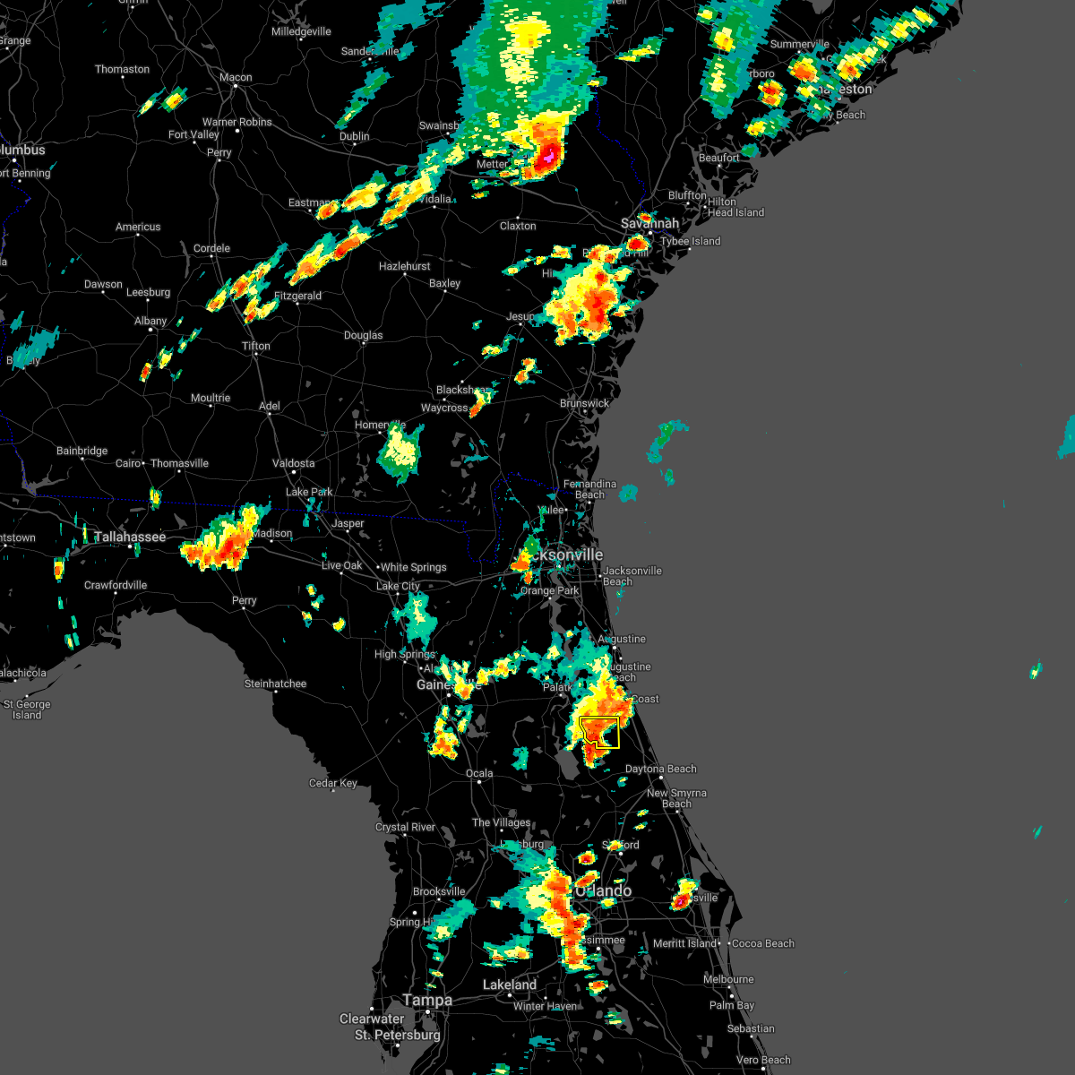 At 602 pm edt, a severe thunderstorm was located near crescent city, moving east at 10 mph (radar indicated). Hazards include 60 mph wind gusts and quarter size hail. Hail damage to vehicles is expected. expect wind damage to roofs, siding, and trees. locations impacted include, andalusia and espanola. hail threat, radar indicated max hail size, 1. 00 in wind threat, radar indicated max wind gust, 60 mph. At 602 pm edt, a severe thunderstorm was located near crescent city, moving east at 10 mph (radar indicated). Hazards include 60 mph wind gusts and quarter size hail. Hail damage to vehicles is expected. expect wind damage to roofs, siding, and trees. locations impacted include, andalusia and espanola. hail threat, radar indicated max hail size, 1. 00 in wind threat, radar indicated max wind gust, 60 mph.
|
| 8/19/2022 5:57 PM EDT |
 At 557 pm edt, a severe thunderstorm was located near crescent city, moving east at 10 mph (radar indicated). Hazards include 60 mph wind gusts and quarter size hail. Hail damage to vehicles is expected. expect wind damage to roofs, siding, and trees. locations impacted include, crescent city, andalusia and espanola. hail threat, radar indicated max hail size, 1. 00 in wind threat, radar indicated max wind gust, 60 mph. At 557 pm edt, a severe thunderstorm was located near crescent city, moving east at 10 mph (radar indicated). Hazards include 60 mph wind gusts and quarter size hail. Hail damage to vehicles is expected. expect wind damage to roofs, siding, and trees. locations impacted include, crescent city, andalusia and espanola. hail threat, radar indicated max hail size, 1. 00 in wind threat, radar indicated max wind gust, 60 mph.
|
| 8/19/2022 5:50 PM EDT | Florida power and light reported fallen trees damage utility equipment on the south side of daytona north. the time of damage was based on rada in flagler county FL, 6.3 miles E of Bunnell, FL |
| 8/19/2022 5:48 PM EDT |
 At 548 pm edt, a severe thunderstorm was located near crescent city, moving south at 10 mph (radar indicated). Hazards include 60 mph wind gusts and quarter size hail. Hail damage to vehicles is expected. expect wind damage to roofs, siding, and trees. locations impacted include, crescent city, andalusia and espanola. hail threat, radar indicated max hail size, 1. 00 in wind threat, radar indicated max wind gust, 60 mph. At 548 pm edt, a severe thunderstorm was located near crescent city, moving south at 10 mph (radar indicated). Hazards include 60 mph wind gusts and quarter size hail. Hail damage to vehicles is expected. expect wind damage to roofs, siding, and trees. locations impacted include, crescent city, andalusia and espanola. hail threat, radar indicated max hail size, 1. 00 in wind threat, radar indicated max wind gust, 60 mph.
|
| 8/19/2022 5:40 PM EDT |
 At 540 pm edt, a severe thunderstorm was located near andalusia, moving east at 10 mph (radar indicated). Hazards include 60 mph wind gusts and quarter size hail. Hail damage to vehicles is expected. Expect wind damage to roofs, siding, and trees. At 540 pm edt, a severe thunderstorm was located near andalusia, moving east at 10 mph (radar indicated). Hazards include 60 mph wind gusts and quarter size hail. Hail damage to vehicles is expected. Expect wind damage to roofs, siding, and trees.
|
| 8/2/2022 11:13 PM EDT |
 The severe thunderstorm warning for east central flagler county will expire at 1115 pm edt, the storm which prompted the warning has weakened below severe limits, and no longer poses an immediate threat to life or property. therefore, the warning will be allowed to expire. however heavy rain is expected with this thunderstorm. to report severe weather, contact your nearest law enforcement agency. they will relay your report to the national weather service jacksonville. The severe thunderstorm warning for east central flagler county will expire at 1115 pm edt, the storm which prompted the warning has weakened below severe limits, and no longer poses an immediate threat to life or property. therefore, the warning will be allowed to expire. however heavy rain is expected with this thunderstorm. to report severe weather, contact your nearest law enforcement agency. they will relay your report to the national weather service jacksonville.
|
| 8/2/2022 10:56 PM EDT |
 At 1055 pm edt, a severe thunderstorm was located just north of flagler beach, moving south at 10 mph (radar indicated). Hazards include 60 mph wind gusts. Expect damage to roofs, siding, and trees. locations impacted include, palm coast, flagler beach, bunnell and beverly beach. hail threat, radar indicated max hail size, <. 75 in wind threat, radar indicated max wind gust, 60 mph. At 1055 pm edt, a severe thunderstorm was located just north of flagler beach, moving south at 10 mph (radar indicated). Hazards include 60 mph wind gusts. Expect damage to roofs, siding, and trees. locations impacted include, palm coast, flagler beach, bunnell and beverly beach. hail threat, radar indicated max hail size, <. 75 in wind threat, radar indicated max wind gust, 60 mph.
|
| 8/2/2022 10:35 PM EDT |
 At 1035 pm edt, a severe thunderstorm was located near palm coast, moving south at 15 mph (radar indicated). Hazards include 60 mph wind gusts. expect damage to roofs, siding, and trees At 1035 pm edt, a severe thunderstorm was located near palm coast, moving south at 15 mph (radar indicated). Hazards include 60 mph wind gusts. expect damage to roofs, siding, and trees
|
| 7/20/2022 3:35 PM EDT | Power lines down as a result of a tree fallin in flagler county FL, 5.6 miles ESE of Bunnell, FL |
| 7/19/2022 3:21 PM EDT |
 The severe thunderstorm warning for southeastern flagler county will expire at 330 pm edt, the storm which prompted the warning has weakened below severe limits, and has exited the warned area. therefore, the warning will be allowed to expire. however heavy rain is still possible with this thunderstorm. The severe thunderstorm warning for southeastern flagler county will expire at 330 pm edt, the storm which prompted the warning has weakened below severe limits, and has exited the warned area. therefore, the warning will be allowed to expire. however heavy rain is still possible with this thunderstorm.
|
| 7/19/2022 3:07 PM EDT |
 At 306 pm edt, a severe thunderstorm was located 10 miles west of ormond beach, moving east at 10 mph (radar indicated). Hazards include 60 mph wind gusts. Expect damage to roofs, siding, and trees. this severe thunderstorm will remain over mainly rural areas of southeastern flagler county. hail threat, radar indicated max hail size, <. 75 in wind threat, radar indicated max wind gust, 60 mph. At 306 pm edt, a severe thunderstorm was located 10 miles west of ormond beach, moving east at 10 mph (radar indicated). Hazards include 60 mph wind gusts. Expect damage to roofs, siding, and trees. this severe thunderstorm will remain over mainly rural areas of southeastern flagler county. hail threat, radar indicated max hail size, <. 75 in wind threat, radar indicated max wind gust, 60 mph.
|
| 7/19/2022 2:55 PM EDT |
 At 255 pm edt, a severe thunderstorm was located 9 miles northeast of pierson, moving east at 10 mph (radar indicated). Hazards include 60 mph wind gusts. Expect damage to roofs, siding, and trees. this severe thunderstorm will remain over mainly rural areas of southeastern flagler county. hail threat, radar indicated max hail size, <. 75 in wind threat, radar indicated max wind gust, 60 mph. At 255 pm edt, a severe thunderstorm was located 9 miles northeast of pierson, moving east at 10 mph (radar indicated). Hazards include 60 mph wind gusts. Expect damage to roofs, siding, and trees. this severe thunderstorm will remain over mainly rural areas of southeastern flagler county. hail threat, radar indicated max hail size, <. 75 in wind threat, radar indicated max wind gust, 60 mph.
|
| 7/19/2022 2:40 PM EDT |
 At 239 pm edt, a severe thunderstorm was located near pierson, moving east at 10 mph (radar indicated). Hazards include 60 mph wind gusts. Expect damage to roofs, siding, and trees. this severe thunderstorm will remain over mainly rural areas of southeastern flagler county. hail threat, radar indicated max hail size, <. 75 in wind threat, radar indicated max wind gust, 60 mph. At 239 pm edt, a severe thunderstorm was located near pierson, moving east at 10 mph (radar indicated). Hazards include 60 mph wind gusts. Expect damage to roofs, siding, and trees. this severe thunderstorm will remain over mainly rural areas of southeastern flagler county. hail threat, radar indicated max hail size, <. 75 in wind threat, radar indicated max wind gust, 60 mph.
|
| 7/9/2022 5:50 PM EDT | Large tree down on sr 11 in the 1900 block... roadway obstructe in flagler county FL, 2.9 miles WSW of Bunnell, FL |
| 7/3/2022 3:27 PM EDT |
 The severe thunderstorm warning for central flagler county will expire at 330 pm edt, the storm which prompted the warning has weakened below severe limits, and no longer poses an immediate threat to life or property. therefore, the warning will be allowed to expire. however gusty winds and heavy rain are still possible with this thunderstorm. The severe thunderstorm warning for central flagler county will expire at 330 pm edt, the storm which prompted the warning has weakened below severe limits, and no longer poses an immediate threat to life or property. therefore, the warning will be allowed to expire. however gusty winds and heavy rain are still possible with this thunderstorm.
|
| 7/3/2022 3:18 PM EDT |
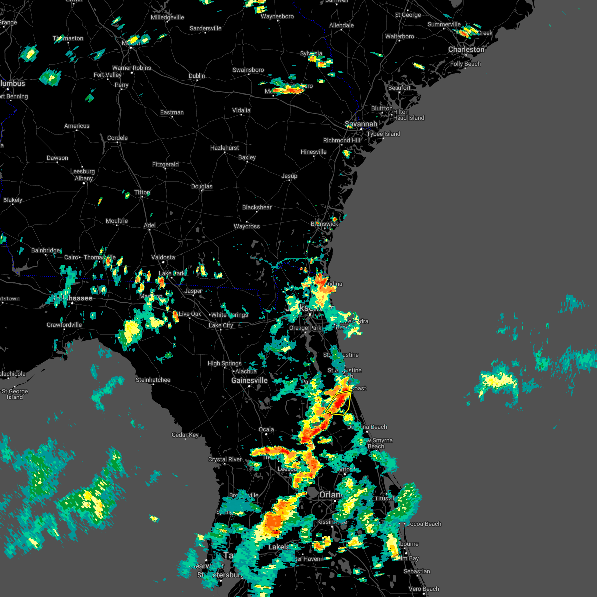 At 317 pm edt, a severe thunderstorm was located near bunnell, moving south at 10 mph (radar indicated). Hazards include 60 mph wind gusts. Expect damage to roofs, siding, and trees. locations impacted include, palm coast, bunnell and espanola. hail threat, radar indicated max hail size, <. 75 in wind threat, radar indicated max wind gust, 60 mph. At 317 pm edt, a severe thunderstorm was located near bunnell, moving south at 10 mph (radar indicated). Hazards include 60 mph wind gusts. Expect damage to roofs, siding, and trees. locations impacted include, palm coast, bunnell and espanola. hail threat, radar indicated max hail size, <. 75 in wind threat, radar indicated max wind gust, 60 mph.
|
| 7/3/2022 2:59 PM EDT |
 At 258 pm edt, a severe thunderstorm was located near palm coast, moving south at 10 mph (radar indicated). Hazards include 60 mph wind gusts. expect damage to roofs, siding, and trees At 258 pm edt, a severe thunderstorm was located near palm coast, moving south at 10 mph (radar indicated). Hazards include 60 mph wind gusts. expect damage to roofs, siding, and trees
|
| 7/1/2022 5:25 PM EDT |
 The severe thunderstorm warning for southwestern flagler and southeastern putnam counties will expire at 530 pm edt, the storm which prompted the warning has weakened below severe limits, and no longer poses an immediate threat to life or property. therefore, the warning will be allowed to expire. however gusty winds and heavy rain are still possible with this thunderstorm. The severe thunderstorm warning for southwestern flagler and southeastern putnam counties will expire at 530 pm edt, the storm which prompted the warning has weakened below severe limits, and no longer poses an immediate threat to life or property. therefore, the warning will be allowed to expire. however gusty winds and heavy rain are still possible with this thunderstorm.
|
| 7/1/2022 5:06 PM EDT |
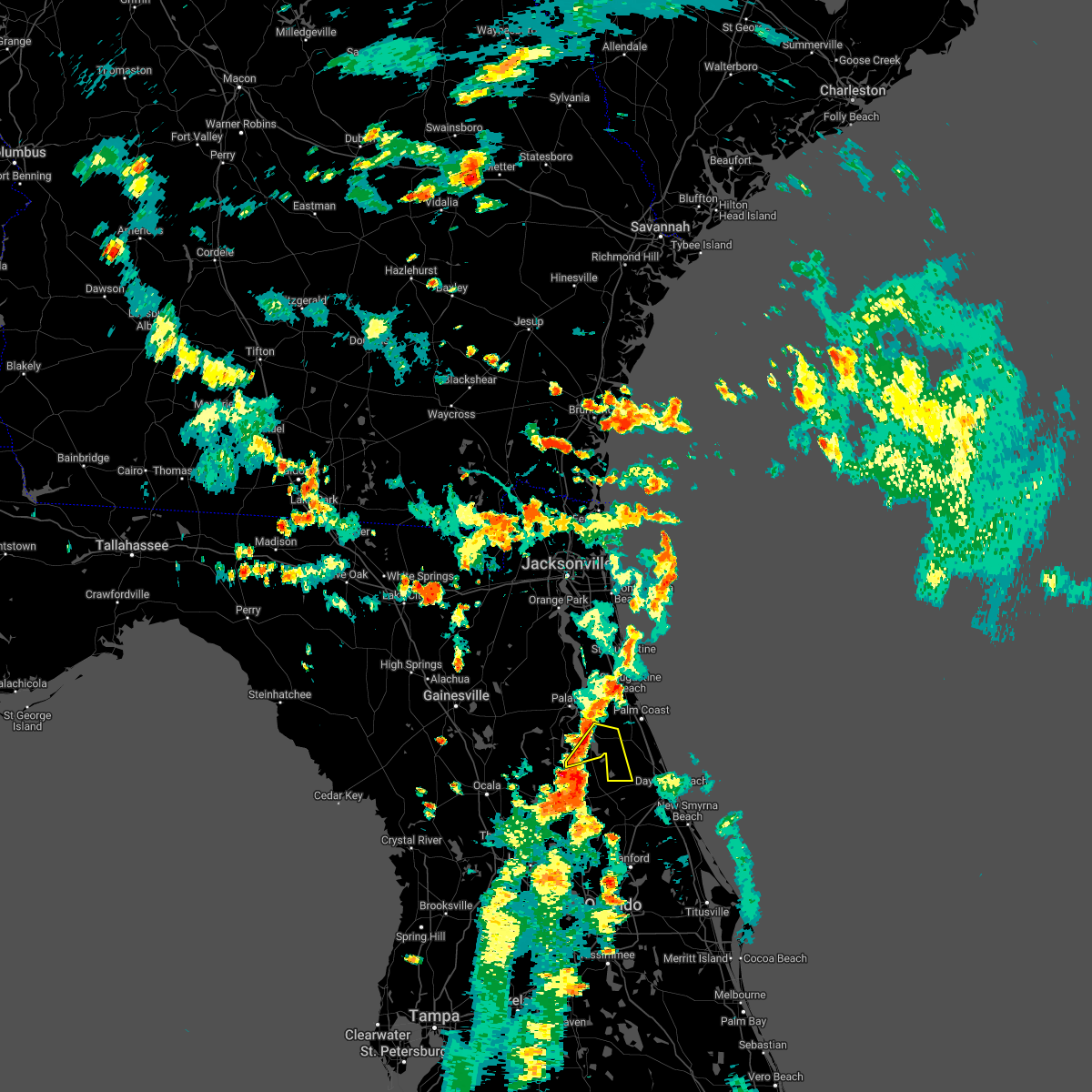 At 506 pm edt, a severe thunderstorm was located near lake george, or 7 miles northwest of pierson, moving northeast at 15 mph (radar indicated). Hazards include 60 mph wind gusts. expect damage to roofs, siding, and trees At 506 pm edt, a severe thunderstorm was located near lake george, or 7 miles northwest of pierson, moving northeast at 15 mph (radar indicated). Hazards include 60 mph wind gusts. expect damage to roofs, siding, and trees
|
| 6/24/2022 2:04 PM EDT |
 At 203 pm edt, a severe thunderstorm was located over crescent city, moving southwest at 10 mph (radar indicated). Hazards include 70 mph wind gusts and quarter size hail. Hail damage to vehicles is expected. expect considerable tree damage. wind damage is also likely to mobile homes, roofs, and outbuildings. locations impacted include, palatka, bunnell, crescent city, interlachen, pomona park, east palatka, andalusia, lake delancy, fruitland and melrose landing. thunderstorm damage threat, considerable hail threat, radar indicated max hail size, 1. 00 in wind threat, radar indicated max wind gust, 70 mph. At 203 pm edt, a severe thunderstorm was located over crescent city, moving southwest at 10 mph (radar indicated). Hazards include 70 mph wind gusts and quarter size hail. Hail damage to vehicles is expected. expect considerable tree damage. wind damage is also likely to mobile homes, roofs, and outbuildings. locations impacted include, palatka, bunnell, crescent city, interlachen, pomona park, east palatka, andalusia, lake delancy, fruitland and melrose landing. thunderstorm damage threat, considerable hail threat, radar indicated max hail size, 1. 00 in wind threat, radar indicated max wind gust, 70 mph.
|
| 6/24/2022 1:55 PM EDT |
 At 155 pm edt, a severe thunderstorm was located near andalusia, moving south at 15 mph (radar indicated). Hazards include 70 mph wind gusts and quarter size hail. Hail damage to vehicles is expected. expect considerable tree damage. wind damage is also likely to mobile homes, roofs, and outbuildings. locations impacted include, palatka, bunnell, crescent city, interlachen, pomona park, east palatka, andalusia, lake delancy, fruitland and melrose landing. thunderstorm damage threat, considerable hail threat, radar indicated max hail size, 1. 00 in wind threat, radar indicated max wind gust, 70 mph. At 155 pm edt, a severe thunderstorm was located near andalusia, moving south at 15 mph (radar indicated). Hazards include 70 mph wind gusts and quarter size hail. Hail damage to vehicles is expected. expect considerable tree damage. wind damage is also likely to mobile homes, roofs, and outbuildings. locations impacted include, palatka, bunnell, crescent city, interlachen, pomona park, east palatka, andalusia, lake delancy, fruitland and melrose landing. thunderstorm damage threat, considerable hail threat, radar indicated max hail size, 1. 00 in wind threat, radar indicated max wind gust, 70 mph.
|
| 6/24/2022 1:45 PM EDT | Em reports tree down halfway across sr 100 at bertha road. relayed for fsco/dispatc in flagler county FL, 5.4 miles ESE of Bunnell, FL |
| 6/24/2022 1:40 PM EDT |
 At 139 pm edt, a severe thunderstorm was located near san mateo, or near andalusia, moving southwest at 10 mph (radar indicated). Hazards include 60 mph wind gusts. expect damage to roofs, siding, and trees At 139 pm edt, a severe thunderstorm was located near san mateo, or near andalusia, moving southwest at 10 mph (radar indicated). Hazards include 60 mph wind gusts. expect damage to roofs, siding, and trees
|
| 6/6/2022 2:35 PM EDT |
 The severe thunderstorm warning for north central volusia county will expire at 245 pm edt, the storm which prompted the warning has weakened below severe limits, and has exited the warned area. therefore, the warning will be allowed to expire. however small hail, gusty winds and heavy rain are still possible with this thunderstorm. The severe thunderstorm warning for north central volusia county will expire at 245 pm edt, the storm which prompted the warning has weakened below severe limits, and has exited the warned area. therefore, the warning will be allowed to expire. however small hail, gusty winds and heavy rain are still possible with this thunderstorm.
|
| 6/6/2022 2:20 PM EDT |
 At 219 pm edt, a severe thunderstorm was located 10 miles northeast of deleon springs, moving north at 5 to 10 mph (radar indicated). Hazards include 60 mph wind gusts and quarter size hail. Hail damage to vehicles is expected. expect wind damage to roofs, siding, and trees. locations impacted include, daytona beach, deland and deleon springs. hail threat, radar indicated max hail size, 1. 00 in wind threat, radar indicated max wind gust, 60 mph. At 219 pm edt, a severe thunderstorm was located 10 miles northeast of deleon springs, moving north at 5 to 10 mph (radar indicated). Hazards include 60 mph wind gusts and quarter size hail. Hail damage to vehicles is expected. expect wind damage to roofs, siding, and trees. locations impacted include, daytona beach, deland and deleon springs. hail threat, radar indicated max hail size, 1. 00 in wind threat, radar indicated max wind gust, 60 mph.
|
| 6/6/2022 2:03 PM EDT |
 At 202 pm edt, a severe thunderstorm was located 7 miles northeast of deleon springs, and is nearly stationary (radar indicated). Hazards include 60 mph wind gusts and quarter size hail. Hail damage to vehicles is expected. Expect wind damage to roofs, siding, and trees. At 202 pm edt, a severe thunderstorm was located 7 miles northeast of deleon springs, and is nearly stationary (radar indicated). Hazards include 60 mph wind gusts and quarter size hail. Hail damage to vehicles is expected. Expect wind damage to roofs, siding, and trees.
|
| 5/21/2022 7:45 PM EDT | Tree and power line down near east woodland ave and sr 100. time estimated by rada in flagler county FL, 4 miles SW of Bunnell, FL |
| 5/21/2022 7:27 PM EDT |
 At 727 pm edt, a severe thunderstorm was located 9 miles southwest of bunnell, moving northeast at 15 mph (radar indicated). Hazards include 60 mph wind gusts and quarter size hail. Hail damage to vehicles is expected. expect wind damage to roofs, siding, and trees. locations impacted include, palm coast, flagler beach, bunnell and beverly beach. hail threat, radar indicated max hail size, 1. 00 in wind threat, radar indicated max wind gust, 60 mph. At 727 pm edt, a severe thunderstorm was located 9 miles southwest of bunnell, moving northeast at 15 mph (radar indicated). Hazards include 60 mph wind gusts and quarter size hail. Hail damage to vehicles is expected. expect wind damage to roofs, siding, and trees. locations impacted include, palm coast, flagler beach, bunnell and beverly beach. hail threat, radar indicated max hail size, 1. 00 in wind threat, radar indicated max wind gust, 60 mph.
|
| 5/21/2022 7:11 PM EDT |
 At 711 pm edt, a severe thunderstorm was located 9 miles northeast of pierson, moving northeast at 15 mph (radar indicated). Hazards include 60 mph wind gusts and quarter size hail. Hail damage to vehicles is expected. Expect wind damage to roofs, siding, and trees. At 711 pm edt, a severe thunderstorm was located 9 miles northeast of pierson, moving northeast at 15 mph (radar indicated). Hazards include 60 mph wind gusts and quarter size hail. Hail damage to vehicles is expected. Expect wind damage to roofs, siding, and trees.
|
| 5/21/2022 7:09 PM EDT |
 The severe thunderstorm warning for north central volusia county will expire at 715 pm edt, the storm which prompted the warning has weakened below severe limits, and no longer poses an immediate threat to life or property. therefore, the warning will be allowed to expire. however small hail, gusty winds and heavy rain are still possible with this thunderstorm. to report severe weather, contact your nearest law enforcement agency. they will relay your report to the national weather service melbourne. The severe thunderstorm warning for north central volusia county will expire at 715 pm edt, the storm which prompted the warning has weakened below severe limits, and no longer poses an immediate threat to life or property. therefore, the warning will be allowed to expire. however small hail, gusty winds and heavy rain are still possible with this thunderstorm. to report severe weather, contact your nearest law enforcement agency. they will relay your report to the national weather service melbourne.
|
| 5/21/2022 7:01 PM EDT |
 At 700 pm edt, a severe thunderstorm was located near deleon springs, moving north at 25 mph (radar indicated). Hazards include 60 mph wind gusts and quarter size hail. Hail damage to vehicles is expected. expect wind damage to roofs, siding, and trees. locations impacted include, daytona beach, deland, deleon springs, deland airport and glenwood. hail threat, radar indicated max hail size, 1. 00 in wind threat, radar indicated max wind gust, 60 mph. At 700 pm edt, a severe thunderstorm was located near deleon springs, moving north at 25 mph (radar indicated). Hazards include 60 mph wind gusts and quarter size hail. Hail damage to vehicles is expected. expect wind damage to roofs, siding, and trees. locations impacted include, daytona beach, deland, deleon springs, deland airport and glenwood. hail threat, radar indicated max hail size, 1. 00 in wind threat, radar indicated max wind gust, 60 mph.
|
| 5/21/2022 6:37 PM EDT |
 At 636 pm edt, a severe thunderstorm was located over deland, moving north at 25 mph (radar indicated). Hazards include 60 mph wind gusts and quarter size hail. Hail damage to vehicles is expected. Expect wind damage to roofs, siding, and trees. At 636 pm edt, a severe thunderstorm was located over deland, moving north at 25 mph (radar indicated). Hazards include 60 mph wind gusts and quarter size hail. Hail damage to vehicles is expected. Expect wind damage to roofs, siding, and trees.
|
| 4/17/2022 5:11 PM EDT |
 At 510 pm edt, severe thunderstorms were located along a line extending from near saint augustine south to near flagler beach, moving east at 10 mph (radar indicated). Hazards include two inch hail and 60 mph wind gusts. People and animals outdoors will be injured. expect hail damage to roofs, siding, windows, and vehicles. expect wind damage to roofs, siding, and trees. locations impacted include, palm coast, saint augustine, flagler beach, bunnell, saint augustine beach, marineland, crescent beach, saint augustine shores, butler beach and saint augustine south. thunderstorm damage threat, considerable hail threat, radar indicated max hail size, 2. 00 in wind threat, radar indicated max wind gust, 60 mph. At 510 pm edt, severe thunderstorms were located along a line extending from near saint augustine south to near flagler beach, moving east at 10 mph (radar indicated). Hazards include two inch hail and 60 mph wind gusts. People and animals outdoors will be injured. expect hail damage to roofs, siding, windows, and vehicles. expect wind damage to roofs, siding, and trees. locations impacted include, palm coast, saint augustine, flagler beach, bunnell, saint augustine beach, marineland, crescent beach, saint augustine shores, butler beach and saint augustine south. thunderstorm damage threat, considerable hail threat, radar indicated max hail size, 2. 00 in wind threat, radar indicated max wind gust, 60 mph.
|
| 4/17/2022 5:07 PM EDT |
 At 506 pm edt, severe thunderstorms were located along a line extending from near saint augustine shores to near bunnell, moving east at 10 mph (radar indicated). Hazards include two inch hail and 60 mph wind gusts. People and animals outdoors will be injured. expect hail damage to roofs, siding, windows, and vehicles. expect wind damage to roofs, siding, and trees. locations impacted include, palm coast, saint augustine, flagler beach, bunnell, saint augustine beach, marineland, crescent beach, saint augustine shores, butler beach and saint augustine south. thunderstorm damage threat, considerable hail threat, radar indicated max hail size, 2. 00 in wind threat, radar indicated max wind gust, 60 mph. At 506 pm edt, severe thunderstorms were located along a line extending from near saint augustine shores to near bunnell, moving east at 10 mph (radar indicated). Hazards include two inch hail and 60 mph wind gusts. People and animals outdoors will be injured. expect hail damage to roofs, siding, windows, and vehicles. expect wind damage to roofs, siding, and trees. locations impacted include, palm coast, saint augustine, flagler beach, bunnell, saint augustine beach, marineland, crescent beach, saint augustine shores, butler beach and saint augustine south. thunderstorm damage threat, considerable hail threat, radar indicated max hail size, 2. 00 in wind threat, radar indicated max wind gust, 60 mph.
|
| 4/17/2022 4:58 PM EDT |
 At 458 pm edt, severe thunderstorms were located along a line extending from near saint augustine shores to near flagler beach, moving east at 15 mph (radar indicated). Hazards include two inch hail and 60 mph wind gusts. People and animals outdoors will be injured. expect hail damage to roofs, siding, windows, and vehicles. Expect wind damage to roofs, siding, and trees. At 458 pm edt, severe thunderstorms were located along a line extending from near saint augustine shores to near flagler beach, moving east at 15 mph (radar indicated). Hazards include two inch hail and 60 mph wind gusts. People and animals outdoors will be injured. expect hail damage to roofs, siding, windows, and vehicles. Expect wind damage to roofs, siding, and trees.
|
| 4/7/2022 10:33 AM EDT |
 At 1033 am edt, a severe thunderstorm capable of producing a tornado was located over palm coast, moving east at 35 mph (radar indicated rotation). Hazards include tornado. Flying debris will be dangerous to those caught without shelter. mobile homes will be damaged or destroyed. damage to roofs, windows, and vehicles will occur. tree damage is likely. This tornadic thunderstorm will remain over mainly rural areas of northeastern flagler county, including the following locations, beverly beach and espanola. At 1033 am edt, a severe thunderstorm capable of producing a tornado was located over palm coast, moving east at 35 mph (radar indicated rotation). Hazards include tornado. Flying debris will be dangerous to those caught without shelter. mobile homes will be damaged or destroyed. damage to roofs, windows, and vehicles will occur. tree damage is likely. This tornadic thunderstorm will remain over mainly rural areas of northeastern flagler county, including the following locations, beverly beach and espanola.
|
| 4/7/2022 10:20 AM EDT |
 At 1019 am edt, a severe thunderstorm capable of producing a tornado was located near bunnell, moving east at 40 mph (radar indicated rotation). Hazards include tornado. Flying debris will be dangerous to those caught without shelter. mobile homes will be damaged or destroyed. damage to roofs, windows, and vehicles will occur. tree damage is likely. this dangerous storm will be near, palm coast around 1025 am edt. flagler beach around 1035 am edt. Other locations impacted by this tornadic thunderstorm include beverly beach and espanola. At 1019 am edt, a severe thunderstorm capable of producing a tornado was located near bunnell, moving east at 40 mph (radar indicated rotation). Hazards include tornado. Flying debris will be dangerous to those caught without shelter. mobile homes will be damaged or destroyed. damage to roofs, windows, and vehicles will occur. tree damage is likely. this dangerous storm will be near, palm coast around 1025 am edt. flagler beach around 1035 am edt. Other locations impacted by this tornadic thunderstorm include beverly beach and espanola.
|
| 4/7/2022 10:15 AM EDT |
 At 1014 am edt, a severe thunderstorm was located near andalusia, moving east at 30 mph (radar indicated). Hazards include 60 mph wind gusts and penny size hail. expect damage to roofs, siding, and trees At 1014 am edt, a severe thunderstorm was located near andalusia, moving east at 30 mph (radar indicated). Hazards include 60 mph wind gusts and penny size hail. expect damage to roofs, siding, and trees
|
| 4/7/2022 10:00 AM EDT |
 At 1000 am edt, a severe thunderstorm capable of producing a tornado was located over andalusia, moving east at 40 mph (radar indicated rotation). Hazards include tornado. Flying debris will be dangerous to those caught without shelter. mobile homes will be damaged or destroyed. damage to roofs, windows, and vehicles will occur. tree damage is likely. this dangerous storm will be near, palm coast and bunnell around 1025 am edt. Other locations impacted by this tornadic thunderstorm include espanola. At 1000 am edt, a severe thunderstorm capable of producing a tornado was located over andalusia, moving east at 40 mph (radar indicated rotation). Hazards include tornado. Flying debris will be dangerous to those caught without shelter. mobile homes will be damaged or destroyed. damage to roofs, windows, and vehicles will occur. tree damage is likely. this dangerous storm will be near, palm coast and bunnell around 1025 am edt. Other locations impacted by this tornadic thunderstorm include espanola.
|
| 4/7/2022 9:53 AM EDT |
 At 953 am edt, a severe thunderstorm capable of producing a tornado was located over crescent city, moving east at 40 mph (radar indicated rotation). Hazards include tornado. Flying debris will be dangerous to those caught without shelter. mobile homes will be damaged or destroyed. damage to roofs, windows, and vehicles will occur. tree damage is likely. this dangerous storm will be near, palm coast and bunnell around 1020 am edt. Other locations impacted by this tornadic thunderstorm include lake como and espanola. At 953 am edt, a severe thunderstorm capable of producing a tornado was located over crescent city, moving east at 40 mph (radar indicated rotation). Hazards include tornado. Flying debris will be dangerous to those caught without shelter. mobile homes will be damaged or destroyed. damage to roofs, windows, and vehicles will occur. tree damage is likely. this dangerous storm will be near, palm coast and bunnell around 1020 am edt. Other locations impacted by this tornadic thunderstorm include lake como and espanola.
|
| 4/7/2022 9:42 AM EDT |
 At 942 am edt, a severe thunderstorm capable of producing a tornado was located over fruitland, or near pomona park, moving east at 45 mph (radar indicated rotation). Hazards include tornado. Flying debris will be dangerous to those caught without shelter. mobile homes will be damaged or destroyed. damage to roofs, windows, and vehicles will occur. tree damage is likely. this dangerous storm will be near, pomona park around 945 am edt. crescent city around 950 am edt. andalusia around 955 am edt. palm coast and bunnell around 1015 am edt. Other locations impacted by this tornadic thunderstorm include espanola, lake como, welaka and georgetown. At 942 am edt, a severe thunderstorm capable of producing a tornado was located over fruitland, or near pomona park, moving east at 45 mph (radar indicated rotation). Hazards include tornado. Flying debris will be dangerous to those caught without shelter. mobile homes will be damaged or destroyed. damage to roofs, windows, and vehicles will occur. tree damage is likely. this dangerous storm will be near, pomona park around 945 am edt. crescent city around 950 am edt. andalusia around 955 am edt. palm coast and bunnell around 1015 am edt. Other locations impacted by this tornadic thunderstorm include espanola, lake como, welaka and georgetown.
|
| 4/7/2022 9:38 AM EDT |
 At 938 am edt, a severe thunderstorm was located over fruitland, or near pomona park, moving east at 50 mph (radar indicated). Hazards include 60 mph wind gusts and nickel size hail. Expect damage to roofs, siding, and trees. Locations impacted include, crescent city, pomona park, salt springs, andalusia, lake delancy, fruitland, satsuma, welaka, espanola and lake como. At 938 am edt, a severe thunderstorm was located over fruitland, or near pomona park, moving east at 50 mph (radar indicated). Hazards include 60 mph wind gusts and nickel size hail. Expect damage to roofs, siding, and trees. Locations impacted include, crescent city, pomona park, salt springs, andalusia, lake delancy, fruitland, satsuma, welaka, espanola and lake como.
|
| 4/7/2022 9:22 AM EDT |
 At 922 am edt, a severe thunderstorm was located near lake delancy, or near salt springs, moving east at 55 mph (radar indicated). Hazards include 60 mph wind gusts and nickel size hail. expect damage to roofs, siding, and trees At 922 am edt, a severe thunderstorm was located near lake delancy, or near salt springs, moving east at 55 mph (radar indicated). Hazards include 60 mph wind gusts and nickel size hail. expect damage to roofs, siding, and trees
|
| 4/6/2022 2:09 PM EDT |
 At 208 pm edt, severe thunderstorms were located along a line extending from 7 miles west of marineland to near bunnell, moving northeast at 35 mph (radar indicated). Hazards include 60 mph wind gusts and quarter size hail. Hail damage to vehicles is expected. expect wind damage to roofs, siding, and trees. locations impacted include, palm coast, flagler beach, bunnell, marineland, crescent beach, beverly beach, espanola and dupont center. hail threat, radar indicated max hail size, 1. 00 in wind threat, radar indicated max wind gust, 60 mph. At 208 pm edt, severe thunderstorms were located along a line extending from 7 miles west of marineland to near bunnell, moving northeast at 35 mph (radar indicated). Hazards include 60 mph wind gusts and quarter size hail. Hail damage to vehicles is expected. expect wind damage to roofs, siding, and trees. locations impacted include, palm coast, flagler beach, bunnell, marineland, crescent beach, beverly beach, espanola and dupont center. hail threat, radar indicated max hail size, 1. 00 in wind threat, radar indicated max wind gust, 60 mph.
|
| 4/6/2022 1:52 PM EDT |
 At 152 pm edt, severe thunderstorms were located along a line extending from near andalusia to 9 miles southeast of crescent city, moving northeast at 40 mph (radar indicated). Hazards include 60 mph wind gusts and quarter size hail. Hail damage to vehicles is expected. expect wind damage to roofs, siding, and trees. locations impacted include, palm coast, flagler beach, bunnell, crescent city, pomona park, andalusia, marineland, crescent beach, beverly beach and espanola. hail threat, radar indicated max hail size, 1. 00 in wind threat, radar indicated max wind gust, 60 mph. At 152 pm edt, severe thunderstorms were located along a line extending from near andalusia to 9 miles southeast of crescent city, moving northeast at 40 mph (radar indicated). Hazards include 60 mph wind gusts and quarter size hail. Hail damage to vehicles is expected. expect wind damage to roofs, siding, and trees. locations impacted include, palm coast, flagler beach, bunnell, crescent city, pomona park, andalusia, marineland, crescent beach, beverly beach and espanola. hail threat, radar indicated max hail size, 1. 00 in wind threat, radar indicated max wind gust, 60 mph.
|
| 4/6/2022 1:38 PM EDT |
 At 138 pm edt, severe thunderstorms were located along a line extending from near pomona park to near lake george, moving northeast at 35 mph (radar indicated). Hazards include 60 mph wind gusts and quarter size hail. Hail damage to vehicles is expected. Expect wind damage to roofs, siding, and trees. At 138 pm edt, severe thunderstorms were located along a line extending from near pomona park to near lake george, moving northeast at 35 mph (radar indicated). Hazards include 60 mph wind gusts and quarter size hail. Hail damage to vehicles is expected. Expect wind damage to roofs, siding, and trees.
|
| 4/2/2022 2:41 PM EDT |
 At 240 pm edt, severe thunderstorms were located along a line extending from 10 miles northeast of deleon springs to near deland airport to near deland, moving east at 30 mph (radar indicated). Hazards include 60 mph wind gusts and penny size hail. Expect damage to roofs, siding, and trees. locations impacted include, daytona beach, port orange, ormond beach, deland and new smyrna beach. hail threat, radar indicated max hail size, 0. 75 in wind threat, radar indicated max wind gust, 60 mph. At 240 pm edt, severe thunderstorms were located along a line extending from 10 miles northeast of deleon springs to near deland airport to near deland, moving east at 30 mph (radar indicated). Hazards include 60 mph wind gusts and penny size hail. Expect damage to roofs, siding, and trees. locations impacted include, daytona beach, port orange, ormond beach, deland and new smyrna beach. hail threat, radar indicated max hail size, 0. 75 in wind threat, radar indicated max wind gust, 60 mph.
|
| 4/2/2022 2:30 PM EDT |
 At 229 pm edt, severe thunderstorms were located along a line extending from near barberville to near deland airport to 6 miles west of orange city, moving east at 25 mph (radar indicated). Hazards include 60 mph wind gusts and penny size hail. expect damage to roofs, siding, and trees At 229 pm edt, severe thunderstorms were located along a line extending from near barberville to near deland airport to 6 miles west of orange city, moving east at 25 mph (radar indicated). Hazards include 60 mph wind gusts and penny size hail. expect damage to roofs, siding, and trees
|
| 4/2/2022 2:28 PM EDT |
 At 228 pm edt, severe thunderstorms were located along a line extending from crescent beach to 9 miles south of bunnell, moving east at 35 mph (radar indicated). Hazards include 60 mph wind gusts and quarter size hail. Hail damage to vehicles is expected. expect wind damage to roofs, siding, and trees. Locations impacted include, palm coast, flagler beach, bunnell, saint augustine beach, marineland, crescent beach, butler beach, beverly beach, espanola and dupont center. At 228 pm edt, severe thunderstorms were located along a line extending from crescent beach to 9 miles south of bunnell, moving east at 35 mph (radar indicated). Hazards include 60 mph wind gusts and quarter size hail. Hail damage to vehicles is expected. expect wind damage to roofs, siding, and trees. Locations impacted include, palm coast, flagler beach, bunnell, saint augustine beach, marineland, crescent beach, butler beach, beverly beach, espanola and dupont center.
|
| 4/2/2022 2:10 PM EDT |
 At 210 pm edt, severe thunderstorms were located along a line extending from 6 miles southwest of saint augustine shores to near pierson, moving east at 35 mph (radar indicated). Hazards include 60 mph wind gusts and quarter size hail. Hail damage to vehicles is expected. Expect wind damage to roofs, siding, and trees. At 210 pm edt, severe thunderstorms were located along a line extending from 6 miles southwest of saint augustine shores to near pierson, moving east at 35 mph (radar indicated). Hazards include 60 mph wind gusts and quarter size hail. Hail damage to vehicles is expected. Expect wind damage to roofs, siding, and trees.
|
| 4/2/2022 2:00 PM EDT |
 At 200 pm edt, a severe thunderstorm was located 7 miles northwest of bunnell, moving east at 45 mph (radar indicated). Hazards include 60 mph wind gusts and quarter size hail. Hail damage to vehicles is expected. expect wind damage to roofs, siding, and trees. locations impacted include, palm coast, flagler beach, bunnell, crescent city, pomona park, andalusia, marineland, crescent beach, san mateo and beverly beach. hail threat, radar indicated max hail size, 1. 00 in wind threat, radar indicated max wind gust, 60 mph. At 200 pm edt, a severe thunderstorm was located 7 miles northwest of bunnell, moving east at 45 mph (radar indicated). Hazards include 60 mph wind gusts and quarter size hail. Hail damage to vehicles is expected. expect wind damage to roofs, siding, and trees. locations impacted include, palm coast, flagler beach, bunnell, crescent city, pomona park, andalusia, marineland, crescent beach, san mateo and beverly beach. hail threat, radar indicated max hail size, 1. 00 in wind threat, radar indicated max wind gust, 60 mph.
|
| 4/2/2022 1:44 PM EDT |
 At 144 pm edt, a severe thunderstorm was located over pomona park, moving east at 45 mph (radar indicated). Hazards include 60 mph wind gusts and quarter size hail. Hail damage to vehicles is expected. Expect wind damage to roofs, siding, and trees. At 144 pm edt, a severe thunderstorm was located over pomona park, moving east at 45 mph (radar indicated). Hazards include 60 mph wind gusts and quarter size hail. Hail damage to vehicles is expected. Expect wind damage to roofs, siding, and trees.
|
| 3/12/2022 9:30 AM EST |
 At 930 am est, severe thunderstorms were located along a line extending from 6 miles northeast of ormond-by-the-sea to near ocoee to 9 miles southwest of lake louisa, moving east at 60 mph (radar indicated). Hazards include 60 mph wind gusts and penny size hail. expect damage to roofs, siding, and trees At 930 am est, severe thunderstorms were located along a line extending from 6 miles northeast of ormond-by-the-sea to near ocoee to 9 miles southwest of lake louisa, moving east at 60 mph (radar indicated). Hazards include 60 mph wind gusts and penny size hail. expect damage to roofs, siding, and trees
|
| 3/12/2022 9:23 AM EST |
 The severe thunderstorm warning for flagler county will expire at 930 am est, the storm which prompted the warning has moved out of the area. therefore, the warning will be allowed to expire. however gusty winds and heavy rain are still possible with this thunderstorm. a tornado watch remains in effect until 1100 am est for northeastern florida. to report severe weather, contact your nearest law enforcement agency. they will relay your report to the national weather service jacksonville. The severe thunderstorm warning for flagler county will expire at 930 am est, the storm which prompted the warning has moved out of the area. therefore, the warning will be allowed to expire. however gusty winds and heavy rain are still possible with this thunderstorm. a tornado watch remains in effect until 1100 am est for northeastern florida. to report severe weather, contact your nearest law enforcement agency. they will relay your report to the national weather service jacksonville.
|
| 3/12/2022 9:10 AM EST |
 At 910 am est, a severe thunderstorm was located over bunnell, moving east at 45 mph (radar indicated). Hazards include 60 mph wind gusts. Expect damage to roofs, siding, and trees. Locations impacted include, palm coast, flagler beach, bunnell, beverly beach and espanola. At 910 am est, a severe thunderstorm was located over bunnell, moving east at 45 mph (radar indicated). Hazards include 60 mph wind gusts. Expect damage to roofs, siding, and trees. Locations impacted include, palm coast, flagler beach, bunnell, beverly beach and espanola.
|
| 3/12/2022 9:07 AM EST |
 At 907 am est, a severe thunderstorm was located near bunnell, moving east at 45 mph (radar indicated). Hazards include 60 mph wind gusts. Expect damage to roofs, siding, and trees. locations impacted include, palm coast, flagler beach, bunnell, andalusia, beverly beach and espanola. hail threat, radar indicated max hail size, <. 75 in wind threat, radar indicated max wind gust, 60 mph. At 907 am est, a severe thunderstorm was located near bunnell, moving east at 45 mph (radar indicated). Hazards include 60 mph wind gusts. Expect damage to roofs, siding, and trees. locations impacted include, palm coast, flagler beach, bunnell, andalusia, beverly beach and espanola. hail threat, radar indicated max hail size, <. 75 in wind threat, radar indicated max wind gust, 60 mph.
|
| 3/12/2022 8:52 AM EST |
 At 852 am est, a severe thunderstorm was located over crescent city, moving east at 55 mph (radar indicated). Hazards include 60 mph wind gusts. expect damage to roofs, siding, and trees At 852 am est, a severe thunderstorm was located over crescent city, moving east at 55 mph (radar indicated). Hazards include 60 mph wind gusts. expect damage to roofs, siding, and trees
|
| 3/12/2022 8:43 AM EST |
 At 842 am est, severe thunderstorms were located along a line extending from near lake george to near lady lake and into sumter county, moving east at 55 mph (radar indicated). Hazards include 60 mph wind gusts and penny size hail. expect damage to roofs, siding, and trees At 842 am est, severe thunderstorms were located along a line extending from near lake george to near lady lake and into sumter county, moving east at 55 mph (radar indicated). Hazards include 60 mph wind gusts and penny size hail. expect damage to roofs, siding, and trees
|
| 10/28/2021 2:28 PM EDT |
 The severe thunderstorm warning for flagler county will expire at 230 pm edt, the storm which prompted the warning has weakened below severe limits, and no longer poses an immediate threat to life or property. therefore, the warning will be allowed to expire. however gusty winds and heavy rain are still possible with this thunderstorm. a tornado watch remains in effect until 500 pm edt for northeastern florida. The severe thunderstorm warning for flagler county will expire at 230 pm edt, the storm which prompted the warning has weakened below severe limits, and no longer poses an immediate threat to life or property. therefore, the warning will be allowed to expire. however gusty winds and heavy rain are still possible with this thunderstorm. a tornado watch remains in effect until 500 pm edt for northeastern florida.
|
| 10/28/2021 2:14 PM EDT |
 At 214 pm edt, a severe thunderstorm was located 7 miles southeast of andalusia, moving northeast at 40 mph (radar indicated). Hazards include 60 mph wind gusts. Expect damage to roofs, siding, and trees. Locations impacted include, palm coast, flagler beach, bunnell, andalusia, marineland, beverly beach and espanola. At 214 pm edt, a severe thunderstorm was located 7 miles southeast of andalusia, moving northeast at 40 mph (radar indicated). Hazards include 60 mph wind gusts. Expect damage to roofs, siding, and trees. Locations impacted include, palm coast, flagler beach, bunnell, andalusia, marineland, beverly beach and espanola.
|
| 10/28/2021 1:56 PM EDT |
 At 156 pm edt, severe thunderstorms were located along a line extending from near andalusia to 7 miles northwest of pittman, moving east at 30 mph (radar indicated). Hazards include 60 mph wind gusts. Expect damage to roofs, siding, and trees. Locations impacted include, palm coast, flagler beach, bunnell, crescent city, andalusia, juniper springs, marineland, weirsdale, moss bluff and crescent beach. At 156 pm edt, severe thunderstorms were located along a line extending from near andalusia to 7 miles northwest of pittman, moving east at 30 mph (radar indicated). Hazards include 60 mph wind gusts. Expect damage to roofs, siding, and trees. Locations impacted include, palm coast, flagler beach, bunnell, crescent city, andalusia, juniper springs, marineland, weirsdale, moss bluff and crescent beach.
|
| 10/28/2021 1:25 PM EDT |
 At 125 pm edt, severe thunderstorms were located along a line extending from near pomona park to ocklawaha, moving east at 30 mph (radar indicated). Hazards include 60 mph wind gusts. expect damage to roofs, siding, and trees At 125 pm edt, severe thunderstorms were located along a line extending from near pomona park to ocklawaha, moving east at 30 mph (radar indicated). Hazards include 60 mph wind gusts. expect damage to roofs, siding, and trees
|
| 10/28/2021 1:20 PM EDT |
 The severe thunderstorm warning for northern flagler, st. johns and northeastern putnam counties will expire at 130 pm edt, the storms which prompted the warning have weakened below severe limits, and no longer pose an immediate threat to life or property. therefore, the warning will be allowed to expire. however gusty winds and heavy rain are still possible with these thunderstorms. a tornado watch remains in effect until 500 pm edt for northeastern florida. The severe thunderstorm warning for northern flagler, st. johns and northeastern putnam counties will expire at 130 pm edt, the storms which prompted the warning have weakened below severe limits, and no longer pose an immediate threat to life or property. therefore, the warning will be allowed to expire. however gusty winds and heavy rain are still possible with these thunderstorms. a tornado watch remains in effect until 500 pm edt for northeastern florida.
|
| 10/28/2021 12:58 PM EDT |
 At 1258 pm edt, severe thunderstorms were located along a line extending from near world golf village to palatka, moving northeast at 45 mph (radar indicated). Hazards include 60 mph wind gusts. Expect damage to roofs, siding, and trees. Locations impacted include, saint augustine, palatka, hastings, east palatka, world golf village, saint augustine beach, marineland, vilano beach, federal point and south ponte vedra. At 1258 pm edt, severe thunderstorms were located along a line extending from near world golf village to palatka, moving northeast at 45 mph (radar indicated). Hazards include 60 mph wind gusts. Expect damage to roofs, siding, and trees. Locations impacted include, saint augustine, palatka, hastings, east palatka, world golf village, saint augustine beach, marineland, vilano beach, federal point and south ponte vedra.
|
| 10/28/2021 12:33 PM EDT |
 At 1233 pm edt, severe thunderstorms were located along a line extending from 6 miles northeast of george`s lake to near orange springs, moving east at 35 mph (radar indicated). Hazards include 60 mph wind gusts. expect damage to roofs, siding, and trees At 1233 pm edt, severe thunderstorms were located along a line extending from 6 miles northeast of george`s lake to near orange springs, moving east at 35 mph (radar indicated). Hazards include 60 mph wind gusts. expect damage to roofs, siding, and trees
|
| 10/8/2021 3:13 PM EDT | Emergency management reported down tree across the road at state road 100 and county road 205 in flagler county. the tree is across the west bound lane on state road 10 in flagler county FL, 3.6 miles SE of Bunnell, FL |
| 10/8/2021 3:10 PM EDT |
 The severe thunderstorm warning for northwestern flagler, south central st. johns and east central putnam counties will expire at 315 pm edt, the storm which prompted the warning has weakened below severe limits, and no longer poses an immediate threat to life or property. therefore, the warning will be allowed to expire. however gusty winds are still possible with this thunderstorm. The severe thunderstorm warning for northwestern flagler, south central st. johns and east central putnam counties will expire at 315 pm edt, the storm which prompted the warning has weakened below severe limits, and no longer poses an immediate threat to life or property. therefore, the warning will be allowed to expire. however gusty winds are still possible with this thunderstorm.
|
| 10/8/2021 3:02 PM EDT |
 At 302 pm edt, a severe thunderstorm was located over satsuma, or near pomona park, moving east at 35 mph (radar indicated). Hazards include 60 mph wind gusts and penny size hail. Expect damage to roofs, siding, and trees. locations impacted include, palatka, crescent city, pomona park, east palatka, andalusia, san mateo, satsuma, welaka and lake como. hail threat, radar indicated max hail size, 0. 75 in wind threat, radar indicated max wind gust, 60 mph. At 302 pm edt, a severe thunderstorm was located over satsuma, or near pomona park, moving east at 35 mph (radar indicated). Hazards include 60 mph wind gusts and penny size hail. Expect damage to roofs, siding, and trees. locations impacted include, palatka, crescent city, pomona park, east palatka, andalusia, san mateo, satsuma, welaka and lake como. hail threat, radar indicated max hail size, 0. 75 in wind threat, radar indicated max wind gust, 60 mph.
|
| 10/8/2021 2:47 PM EDT |
 At 247 pm edt, a severe thunderstorm was located near palatka, moving east at 40 mph (radar indicated). Hazards include 60 mph wind gusts and penny size hail. expect damage to roofs, siding, and trees At 247 pm edt, a severe thunderstorm was located near palatka, moving east at 40 mph (radar indicated). Hazards include 60 mph wind gusts and penny size hail. expect damage to roofs, siding, and trees
|
| 7/22/2021 7:11 PM EDT |
 The severe thunderstorm warning for northwestern flagler county will expire at 715 pm edt, the storm which prompted the warning has weakened below severe limits, and no longer poses an immediate threat to life or property. therefore, the warning will be allowed to expire. however gusty winds and heavy rain are still possible with this thunderstorm. The severe thunderstorm warning for northwestern flagler county will expire at 715 pm edt, the storm which prompted the warning has weakened below severe limits, and no longer poses an immediate threat to life or property. therefore, the warning will be allowed to expire. however gusty winds and heavy rain are still possible with this thunderstorm.
|
| 7/22/2021 7:03 PM EDT |
 At 703 pm edt, a severe thunderstorm was located 8 miles southeast of hastings, moving southeast at 10 mph (radar indicated). Hazards include 60 mph wind gusts. Expect damage to roofs, siding, and trees. Locations impacted include, andalusia. At 703 pm edt, a severe thunderstorm was located 8 miles southeast of hastings, moving southeast at 10 mph (radar indicated). Hazards include 60 mph wind gusts. Expect damage to roofs, siding, and trees. Locations impacted include, andalusia.
|
| 7/22/2021 6:47 PM EDT |
 At 646 pm edt, a severe thunderstorm was located near hastings, moving southeast at 10 mph (radar indicated). Hazards include 60 mph wind gusts. expect damage to roofs, siding, and trees At 646 pm edt, a severe thunderstorm was located near hastings, moving southeast at 10 mph (radar indicated). Hazards include 60 mph wind gusts. expect damage to roofs, siding, and trees
|
| 7/20/2021 7:02 PM EDT |
 At 702 pm edt, severe thunderstorms were located along a line extending from near marineland to 7 miles west of ormond-by-the-sea, moving northeast at 15 mph (radar indicated). Hazards include 60 mph wind gusts and quarter size hail. Hail damage to vehicles is expected. expect wind damage to roofs, siding, and trees. Locations impacted include, palm coast, flagler beach, bunnell, marineland and beverly beach. At 702 pm edt, severe thunderstorms were located along a line extending from near marineland to 7 miles west of ormond-by-the-sea, moving northeast at 15 mph (radar indicated). Hazards include 60 mph wind gusts and quarter size hail. Hail damage to vehicles is expected. expect wind damage to roofs, siding, and trees. Locations impacted include, palm coast, flagler beach, bunnell, marineland and beverly beach.
|
| 7/20/2021 6:44 PM EDT |
 At 643 pm edt, severe thunderstorms were located along a line extending from 6 miles northwest of palm coast to 10 miles south of bunnell, moving northeast at 15 mph (radar indicated). Hazards include 60 mph wind gusts and quarter size hail. Hail damage to vehicles is expected. expect wind damage to roofs, siding, and trees. Locations impacted include, palm coast, flagler beach, bunnell, marineland, beverly beach and espanola. At 643 pm edt, severe thunderstorms were located along a line extending from 6 miles northwest of palm coast to 10 miles south of bunnell, moving northeast at 15 mph (radar indicated). Hazards include 60 mph wind gusts and quarter size hail. Hail damage to vehicles is expected. expect wind damage to roofs, siding, and trees. Locations impacted include, palm coast, flagler beach, bunnell, marineland, beverly beach and espanola.
|
| 7/20/2021 6:30 PM EDT | Tree down across state road 11 in the 4000 block in codys corner. radar estimated tim in flagler county FL, 6.7 miles N of Bunnell, FL |
| 7/20/2021 6:23 PM EDT |
 At 623 pm edt, severe thunderstorms were located along a line extending from near andalusia to 8 miles northeast of pierson, moving northeast at 10 mph (radar indicated). Hazards include 60 mph wind gusts and quarter size hail. Hail damage to vehicles is expected. Expect wind damage to roofs, siding, and trees. At 623 pm edt, severe thunderstorms were located along a line extending from near andalusia to 8 miles northeast of pierson, moving northeast at 10 mph (radar indicated). Hazards include 60 mph wind gusts and quarter size hail. Hail damage to vehicles is expected. Expect wind damage to roofs, siding, and trees.
|
| 7/12/2021 1:40 PM EDT |
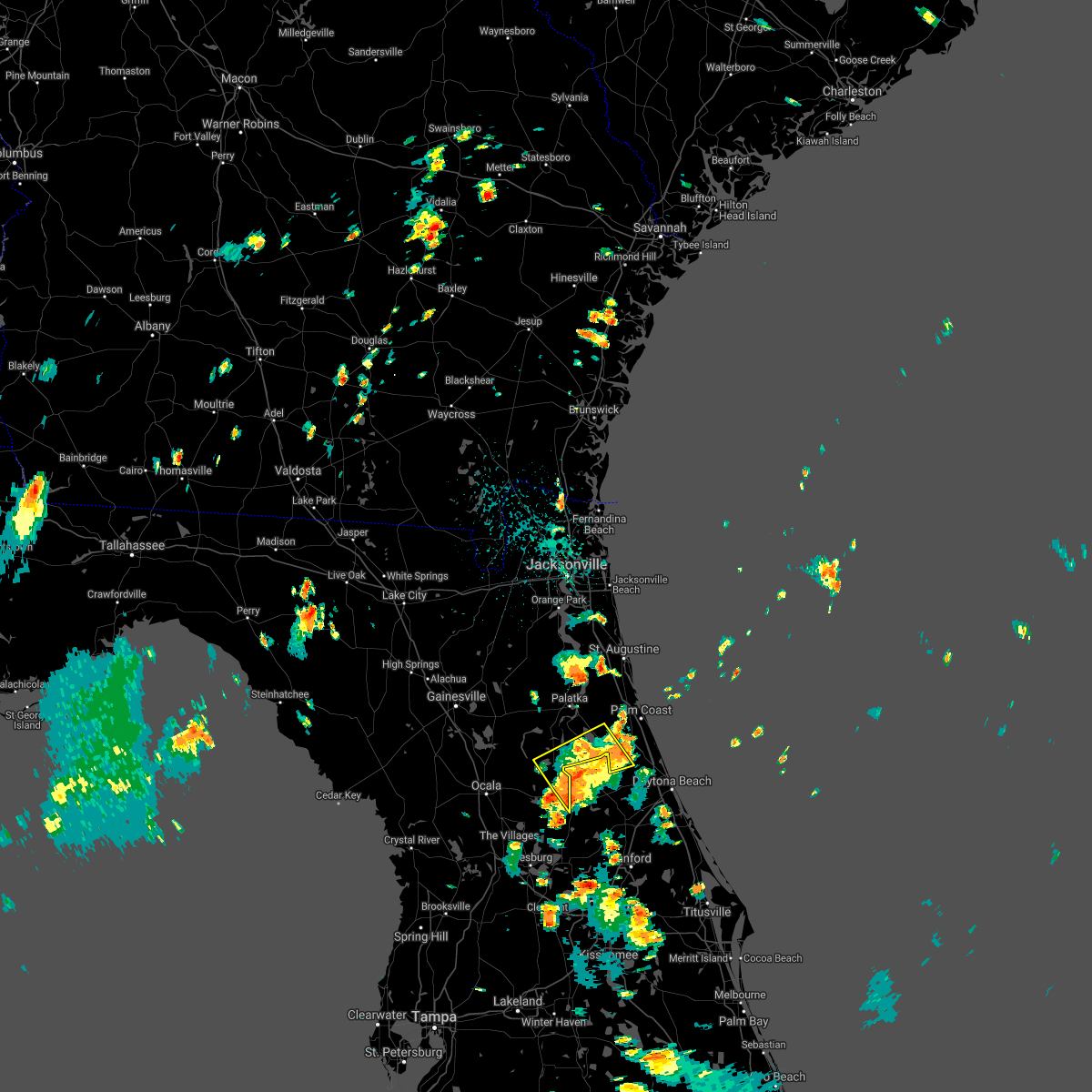 The severe thunderstorm warning for southwestern flagler, east central marion and southeastern putnam counties will expire at 145 pm edt, the storms which prompted the warning have weakened below severe limits, and no longer pose an immediate threat to life or property. therefore, the warning will be allowed to expire. however heavy rain is still possible with these thunderstorms. The severe thunderstorm warning for southwestern flagler, east central marion and southeastern putnam counties will expire at 145 pm edt, the storms which prompted the warning have weakened below severe limits, and no longer pose an immediate threat to life or property. therefore, the warning will be allowed to expire. however heavy rain is still possible with these thunderstorms.
|
| 7/12/2021 1:29 PM EDT |
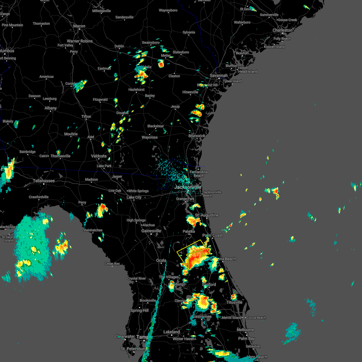 At 129 pm edt, severe thunderstorms were located along a line extending from near juniper springs to near fruitland to near bunnell, moving northwest at 20 mph (radar indicated). Hazards include 60 mph wind gusts and penny size hail. Expect damage to roofs, siding, and trees. Locations impacted include, crescent city, salt springs, andalusia, fruitland, lake como and georgetown. At 129 pm edt, severe thunderstorms were located along a line extending from near juniper springs to near fruitland to near bunnell, moving northwest at 20 mph (radar indicated). Hazards include 60 mph wind gusts and penny size hail. Expect damage to roofs, siding, and trees. Locations impacted include, crescent city, salt springs, andalusia, fruitland, lake como and georgetown.
|
| 7/12/2021 1:08 PM EDT |
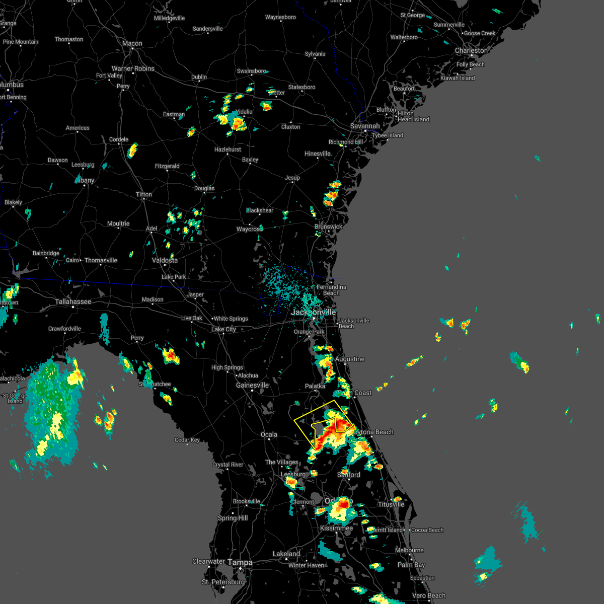 At 108 pm edt, a severe thunderstorm was located 7 miles southeast of crescent city, moving northwest at 15 mph (radar indicated). Hazards include 60 mph wind gusts and penny size hail. expect damage to roofs, siding, and trees At 108 pm edt, a severe thunderstorm was located 7 miles southeast of crescent city, moving northwest at 15 mph (radar indicated). Hazards include 60 mph wind gusts and penny size hail. expect damage to roofs, siding, and trees
|
| 6/15/2021 5:46 PM EDT |
 At 546 pm edt, a severe thunderstorm was located over east palatka, moving east at 25 mph (radar indicated). Hazards include 60 mph wind gusts and quarter size hail. Hail damage to vehicles is expected. Expect wind damage to roofs, siding, and trees. At 546 pm edt, a severe thunderstorm was located over east palatka, moving east at 25 mph (radar indicated). Hazards include 60 mph wind gusts and quarter size hail. Hail damage to vehicles is expected. Expect wind damage to roofs, siding, and trees.
|
| 6/14/2021 3:37 PM EDT | Emergency manager reported multiple trees down on 1800 block of old haw creek road near bunnel in flagler county FL, 3.4 miles W of Bunnell, FL |
| 6/14/2021 3:36 PM EDT |
 The severe thunderstorm warning for southeastern flagler county will expire at 345 pm edt, the storm which prompted the warning has weakened below severe limits, and has exited the warned area. therefore, the warning will be allowed to expire. however heavy rain is still possible with this thunderstorm. The severe thunderstorm warning for southeastern flagler county will expire at 345 pm edt, the storm which prompted the warning has weakened below severe limits, and has exited the warned area. therefore, the warning will be allowed to expire. however heavy rain is still possible with this thunderstorm.
|
| 6/14/2021 3:26 PM EDT |
 At 325 pm edt, a severe thunderstorm was located over palm coast, and is nearly stationary (radar indicated). Hazards include 60 mph wind gusts and penny size hail. Expect damage to roofs, siding, and trees. Locations impacted include, palm coast, flagler beach, bunnell and beverly beach. At 325 pm edt, a severe thunderstorm was located over palm coast, and is nearly stationary (radar indicated). Hazards include 60 mph wind gusts and penny size hail. Expect damage to roofs, siding, and trees. Locations impacted include, palm coast, flagler beach, bunnell and beverly beach.
|
| 6/14/2021 3:07 PM EDT |
 At 307 pm edt, a severe thunderstorm was located over palm coast, and is nearly stationary (radar indicated). Hazards include 60 mph wind gusts and penny size hail. expect damage to roofs, siding, and trees At 307 pm edt, a severe thunderstorm was located over palm coast, and is nearly stationary (radar indicated). Hazards include 60 mph wind gusts and penny size hail. expect damage to roofs, siding, and trees
|
| 6/13/2021 3:43 PM EDT |
 At 343 pm edt, a severe thunderstorm capable of producing a tornado was located over bunnell, moving southeast at 15 mph (radar indicated rotation). Hazards include tornado and half dollar size hail. Flying debris will be dangerous to those caught without shelter. mobile homes will be damaged or destroyed. damage to roofs, windows, and vehicles will occur. tree damage is likely. this dangerous storm will be near, flagler beach around 355 pm edt. Other locations impacted by this tornadic thunderstorm include beverly beach. At 343 pm edt, a severe thunderstorm capable of producing a tornado was located over bunnell, moving southeast at 15 mph (radar indicated rotation). Hazards include tornado and half dollar size hail. Flying debris will be dangerous to those caught without shelter. mobile homes will be damaged or destroyed. damage to roofs, windows, and vehicles will occur. tree damage is likely. this dangerous storm will be near, flagler beach around 355 pm edt. Other locations impacted by this tornadic thunderstorm include beverly beach.
|
| 6/13/2021 3:36 PM EDT | Quarter sized hail reported 4 miles SW of Bunnell, FL, ham radio operator passed along a report from a trained spotter of quarter size hail falling at us-1 in bunnell. |
| 6/13/2021 3:32 PM EDT |
 At 332 pm edt, a severe thunderstorm was located over palm coast, moving southeast at 10 mph (radar indicated). Hazards include 60 mph wind gusts and half dollar size hail. Hail damage to vehicles is expected. expect wind damage to roofs, siding, and trees. Locations impacted include, palm coast, flagler beach, bunnell, beverly beach and espanola. At 332 pm edt, a severe thunderstorm was located over palm coast, moving southeast at 10 mph (radar indicated). Hazards include 60 mph wind gusts and half dollar size hail. Hail damage to vehicles is expected. expect wind damage to roofs, siding, and trees. Locations impacted include, palm coast, flagler beach, bunnell, beverly beach and espanola.
|
| 6/13/2021 3:23 PM EDT |
 At 322 pm edt, a severe thunderstorm was located over palm coast, moving south at 10 mph (radar indicated). Hazards include 60 mph wind gusts and quarter size hail. Hail damage to vehicles is expected. expect wind damage to roofs, siding, and trees. Locations impacted include, palm coast, flagler beach, bunnell, beverly beach and espanola. At 322 pm edt, a severe thunderstorm was located over palm coast, moving south at 10 mph (radar indicated). Hazards include 60 mph wind gusts and quarter size hail. Hail damage to vehicles is expected. expect wind damage to roofs, siding, and trees. Locations impacted include, palm coast, flagler beach, bunnell, beverly beach and espanola.
|
| 6/13/2021 3:10 PM EDT |
 At 310 pm edt, a severe thunderstorm was located near palm coast, moving southeast at 10 mph (radar indicated). Hazards include 60 mph wind gusts and quarter size hail. Hail damage to vehicles is expected. Expect wind damage to roofs, siding, and trees. At 310 pm edt, a severe thunderstorm was located near palm coast, moving southeast at 10 mph (radar indicated). Hazards include 60 mph wind gusts and quarter size hail. Hail damage to vehicles is expected. Expect wind damage to roofs, siding, and trees.
|
| 6/3/2021 4:30 PM EDT |
 At 429 pm edt, a severe thunderstorm was located near hastings, moving northeast at 10 mph (radar indicated). Hazards include 60 mph wind gusts and half dollar size hail. Hail damage to vehicles is expected. Expect wind damage to roofs, siding, and trees. At 429 pm edt, a severe thunderstorm was located near hastings, moving northeast at 10 mph (radar indicated). Hazards include 60 mph wind gusts and half dollar size hail. Hail damage to vehicles is expected. Expect wind damage to roofs, siding, and trees.
|
| 5/6/2021 1:56 PM EDT |
 The severe thunderstorm warning for southeastern flagler county will expire at 200 pm edt, the storm which prompted the warning has moved out of the area. therefore, the warning will be allowed to expire. to report severe weather, contact your nearest law enforcement agency. they will relay your report to the national weather service jacksonville. The severe thunderstorm warning for southeastern flagler county will expire at 200 pm edt, the storm which prompted the warning has moved out of the area. therefore, the warning will be allowed to expire. to report severe weather, contact your nearest law enforcement agency. they will relay your report to the national weather service jacksonville.
|
| 5/6/2021 1:44 PM EDT |
 At 144 pm edt, a severe thunderstorm was located 7 miles west of ormond-by-the-sea, moving east at 40 mph (radar indicated). Hazards include 60 mph wind gusts and quarter size hail. Hail damage to vehicles is expected. expect wind damage to roofs, siding, and trees. Locations impacted include, flagler beach and bunnell. At 144 pm edt, a severe thunderstorm was located 7 miles west of ormond-by-the-sea, moving east at 40 mph (radar indicated). Hazards include 60 mph wind gusts and quarter size hail. Hail damage to vehicles is expected. expect wind damage to roofs, siding, and trees. Locations impacted include, flagler beach and bunnell.
|
| 5/6/2021 1:39 PM EDT |
 At 138 pm edt, a severe thunderstorm was located near bunnell, moving east at 40 mph (radar indicated). Hazards include 60 mph wind gusts and quarter size hail. Hail damage to vehicles is expected. expect wind damage to roofs, siding, and trees. Locations impacted include, daytona beach, ormond beach, holly hill, ormond-by-the-sea and ormond beach airport. At 138 pm edt, a severe thunderstorm was located near bunnell, moving east at 40 mph (radar indicated). Hazards include 60 mph wind gusts and quarter size hail. Hail damage to vehicles is expected. expect wind damage to roofs, siding, and trees. Locations impacted include, daytona beach, ormond beach, holly hill, ormond-by-the-sea and ormond beach airport.
|
| 5/6/2021 1:38 PM EDT |
 At 138 pm edt, a severe thunderstorm was located near bunnell, moving east at 40 mph (radar indicated). Hazards include 60 mph wind gusts and penny size hail. Expect damage to roofs, siding, and trees. Locations impacted include, flagler beach and bunnell. At 138 pm edt, a severe thunderstorm was located near bunnell, moving east at 40 mph (radar indicated). Hazards include 60 mph wind gusts and penny size hail. Expect damage to roofs, siding, and trees. Locations impacted include, flagler beach and bunnell.
|
| 5/6/2021 1:29 PM EDT |
 At 129 pm edt, a severe thunderstorm was located 9 miles southwest of bunnell, moving east at 45 mph (radar indicated). Hazards include 60 mph wind gusts and quarter size hail. Hail damage to vehicles is expected. expect wind damage to roofs, siding, and trees. Locations impacted include, flagler beach and bunnell. At 129 pm edt, a severe thunderstorm was located 9 miles southwest of bunnell, moving east at 45 mph (radar indicated). Hazards include 60 mph wind gusts and quarter size hail. Hail damage to vehicles is expected. expect wind damage to roofs, siding, and trees. Locations impacted include, flagler beach and bunnell.
|
| 5/6/2021 1:20 PM EDT |
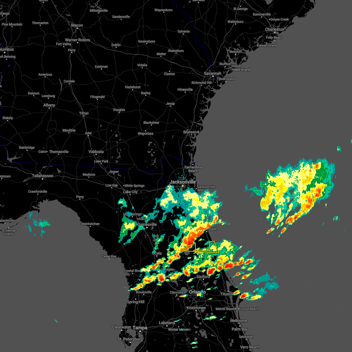 At 120 pm edt, a severe thunderstorm was located near crescent city, moving east at 45 mph (radar indicated). Hazards include 60 mph wind gusts and quarter size hail. Hail damage to vehicles is expected. Expect wind damage to roofs, siding, and trees. At 120 pm edt, a severe thunderstorm was located near crescent city, moving east at 45 mph (radar indicated). Hazards include 60 mph wind gusts and quarter size hail. Hail damage to vehicles is expected. Expect wind damage to roofs, siding, and trees.
|
| 5/6/2021 1:19 PM EDT |
 At 118 pm edt, a severe thunderstorm was located near crescent city, moving east at 40 mph (radar indicated). Hazards include 60 mph wind gusts and quarter size hail. Hail damage to vehicles is expected. Expect wind damage to roofs, siding, and trees. At 118 pm edt, a severe thunderstorm was located near crescent city, moving east at 40 mph (radar indicated). Hazards include 60 mph wind gusts and quarter size hail. Hail damage to vehicles is expected. Expect wind damage to roofs, siding, and trees.
|
| 4/18/2021 10:44 AM EDT |
 At 1043 am edt, a severe thunderstorm was located near flagler beach, moving east at 45 mph (radar indicated. locations impacted include, flagler beach and beverly beach. 0.75in <50mph). Hazards include penny size hail is possible. At 1043 am edt, a severe thunderstorm was located near flagler beach, moving east at 45 mph (radar indicated. locations impacted include, flagler beach and beverly beach. 0.75in <50mph). Hazards include penny size hail is possible.
|
| 4/18/2021 10:35 AM EDT | Flagler county fire rescue reported mutliple trees down along state road 11 for a stretch of 4 miles... from 1 mile south of bunnell to 5 miles south of bunnel in flagler county FL, 3.5 miles WNW of Bunnell, FL |
| 4/18/2021 10:25 AM EDT |
 At 1025 am edt, a severe thunderstorm was located near bunnell, moving east at 45 mph (radar indicated). Hazards include 60 mph wind gusts and penny size hail. expect damage to roofs, siding, and trees At 1025 am edt, a severe thunderstorm was located near bunnell, moving east at 45 mph (radar indicated). Hazards include 60 mph wind gusts and penny size hail. expect damage to roofs, siding, and trees
|
| 4/17/2021 8:53 PM EDT |
 At 853 pm edt, a severe thunderstorm was located over bunnell, moving east at 25 mph (radar indicated). Hazards include 70 mph wind gusts and nickel size hail. Expect considerable tree damage. damage is likely to mobile homes, roofs, and outbuildings. Locations impacted include, palm coast, flagler beach, bunnell, beverly beach and espanola. At 853 pm edt, a severe thunderstorm was located over bunnell, moving east at 25 mph (radar indicated). Hazards include 70 mph wind gusts and nickel size hail. Expect considerable tree damage. damage is likely to mobile homes, roofs, and outbuildings. Locations impacted include, palm coast, flagler beach, bunnell, beverly beach and espanola.
|
| 4/17/2021 8:48 PM EDT |
 At 848 pm edt, a severe thunderstorm was located near palm coast, moving east at 35 mph (radar indicated). Hazards include 70 mph wind gusts and nickel size hail. Expect considerable tree damage. damage is likely to mobile homes, roofs, and outbuildings. Locations impacted include, palm coast, flagler beach, bunnell, beverly beach and espanola. At 848 pm edt, a severe thunderstorm was located near palm coast, moving east at 35 mph (radar indicated). Hazards include 70 mph wind gusts and nickel size hail. Expect considerable tree damage. damage is likely to mobile homes, roofs, and outbuildings. Locations impacted include, palm coast, flagler beach, bunnell, beverly beach and espanola.
|
| 4/17/2021 8:40 PM EDT |
 At 840 pm edt, a severe thunderstorm was located over palm coast, moving east at 30 mph (radar indicated). Hazards include 70 mph wind gusts and nickel size hail. Expect considerable tree damage. damage is likely to mobile homes, roofs, and outbuildings. Locations impacted include, palm coast, flagler beach, bunnell, marineland, beverly beach and espanola. At 840 pm edt, a severe thunderstorm was located over palm coast, moving east at 30 mph (radar indicated). Hazards include 70 mph wind gusts and nickel size hail. Expect considerable tree damage. damage is likely to mobile homes, roofs, and outbuildings. Locations impacted include, palm coast, flagler beach, bunnell, marineland, beverly beach and espanola.
|
| 4/17/2021 8:25 PM EDT |
 At 825 pm edt, a severe thunderstorm was located near andalusia, moving east at 30 mph (radar indicated). Hazards include 60 mph wind gusts. expect damage to roofs, siding, and trees At 825 pm edt, a severe thunderstorm was located near andalusia, moving east at 30 mph (radar indicated). Hazards include 60 mph wind gusts. expect damage to roofs, siding, and trees
|
| 4/10/2021 5:36 PM EDT | A large tree was blown down along the 8600 block of state road 1 in flagler county FL, 6 miles N of Bunnell, FL |
| 2/6/2021 8:52 PM EST |
 At 852 pm est, severe thunderstorms were located along a line extending from near marineland to near palm coast to near bunnell, moving east at 55 mph (radar indicated). Hazards include 60 mph wind gusts. Expect damage to roofs, siding, and trees. Locations impacted include, palm coast, flagler beach, bunnell, marineland and beverly beach. At 852 pm est, severe thunderstorms were located along a line extending from near marineland to near palm coast to near bunnell, moving east at 55 mph (radar indicated). Hazards include 60 mph wind gusts. Expect damage to roofs, siding, and trees. Locations impacted include, palm coast, flagler beach, bunnell, marineland and beverly beach.
|
| 2/6/2021 8:44 PM EST |
 At 844 pm est, severe thunderstorms were located along a line extending from 9 miles southeast of hastings to 6 miles west of palm coast to near bunnell, moving northeast at 50 mph (radar indicated). Hazards include 60 mph wind gusts. Expect damage to roofs, siding, and trees. Locations impacted include, palm coast, flagler beach, bunnell, marineland, beverly beach and espanola. At 844 pm est, severe thunderstorms were located along a line extending from 9 miles southeast of hastings to 6 miles west of palm coast to near bunnell, moving northeast at 50 mph (radar indicated). Hazards include 60 mph wind gusts. Expect damage to roofs, siding, and trees. Locations impacted include, palm coast, flagler beach, bunnell, marineland, beverly beach and espanola.
|
| 2/6/2021 8:39 PM EST |
 At 839 pm est, severe thunderstorms were located along a line extending from 8 miles east of san mateo to 6 miles east of andalusia to 8 miles southwest of bunnell, moving east at 55 mph (radar indicated). Hazards include 60 mph wind gusts. expect damage to roofs, siding, and trees At 839 pm est, severe thunderstorms were located along a line extending from 8 miles east of san mateo to 6 miles east of andalusia to 8 miles southwest of bunnell, moving east at 55 mph (radar indicated). Hazards include 60 mph wind gusts. expect damage to roofs, siding, and trees
|
| 2/6/2021 8:35 PM EST | Emergency manager reported wires down near the intersection of sr100 and betra rd and sr 100 and water oak rd in the neighborhood of daytona nort in flagler county FL, 7 miles ESE of Bunnell, FL |
| 2/6/2021 6:28 PM EST |
 The severe thunderstorm warning for northeastern flagler and southeastern st. johns counties will expire at 630 pm est, the storm which prompted the warning has moved out of the area. therefore, the warning will be allowed to expire. however heavy rain is still possible with this thunderstorm. a tornado watch remains in effect until midnight est for northeastern florida. The severe thunderstorm warning for northeastern flagler and southeastern st. johns counties will expire at 630 pm est, the storm which prompted the warning has moved out of the area. therefore, the warning will be allowed to expire. however heavy rain is still possible with this thunderstorm. a tornado watch remains in effect until midnight est for northeastern florida.
|
| 2/6/2021 6:08 PM EST |
 At 555 pm est, a severe thunderstorm capable of producing a tornado was located over andalusia, moving northeast at 30 mph (radar indicated rotation). Hazards include tornado. Flying debris will be dangerous to those caught without shelter. mobile homes will be damaged or destroyed. damage to roofs, windows, and vehicles will occur. tree damage is likely. this dangerous storm will be near, bunnell around 620 pm est. Other locations impacted by this tornadic thunderstorm include espanola. At 555 pm est, a severe thunderstorm capable of producing a tornado was located over andalusia, moving northeast at 30 mph (radar indicated rotation). Hazards include tornado. Flying debris will be dangerous to those caught without shelter. mobile homes will be damaged or destroyed. damage to roofs, windows, and vehicles will occur. tree damage is likely. this dangerous storm will be near, bunnell around 620 pm est. Other locations impacted by this tornadic thunderstorm include espanola.
|
| 2/6/2021 6:07 PM EST |
 At 607 pm est, a severe thunderstorm was located near bunnell, moving northeast at 40 mph (radar indicated). Hazards include 60 mph wind gusts and penny size hail. expect damage to roofs, siding, and trees At 607 pm est, a severe thunderstorm was located near bunnell, moving northeast at 40 mph (radar indicated). Hazards include 60 mph wind gusts and penny size hail. expect damage to roofs, siding, and trees
|
| 2/6/2021 5:56 PM EST |
 At 555 pm est, a severe thunderstorm capable of producing a tornado was located over andalusia, moving northeast at 30 mph (radar indicated rotation). Hazards include tornado. Flying debris will be dangerous to those caught without shelter. mobile homes will be damaged or destroyed. damage to roofs, windows, and vehicles will occur. tree damage is likely. this dangerous storm will be near, bunnell around 620 pm est. Other locations impacted by this tornadic thunderstorm include espanola. At 555 pm est, a severe thunderstorm capable of producing a tornado was located over andalusia, moving northeast at 30 mph (radar indicated rotation). Hazards include tornado. Flying debris will be dangerous to those caught without shelter. mobile homes will be damaged or destroyed. damage to roofs, windows, and vehicles will occur. tree damage is likely. this dangerous storm will be near, bunnell around 620 pm est. Other locations impacted by this tornadic thunderstorm include espanola.
|
| 2/6/2021 5:49 PM EST |
 At 549 pm est, a severe thunderstorm capable of producing a tornado was located over andalusia, moving northeast at 30 mph (radar indicated rotation). Hazards include tornado. Flying debris will be dangerous to those caught without shelter. mobile homes will be damaged or destroyed. damage to roofs, windows, and vehicles will occur. tree damage is likely. this dangerous storm will be near, bunnell around 615 pm est. Other locations impacted by this tornadic thunderstorm include lake como and espanola. At 549 pm est, a severe thunderstorm capable of producing a tornado was located over andalusia, moving northeast at 30 mph (radar indicated rotation). Hazards include tornado. Flying debris will be dangerous to those caught without shelter. mobile homes will be damaged or destroyed. damage to roofs, windows, and vehicles will occur. tree damage is likely. this dangerous storm will be near, bunnell around 615 pm est. Other locations impacted by this tornadic thunderstorm include lake como and espanola.
|
| 2/6/2021 5:41 PM EST |
 At 541 pm est, a severe thunderstorm capable of producing a tornado was located near crescent city, moving northeast at 25 mph (radar indicated rotation). Hazards include tornado. Flying debris will be dangerous to those caught without shelter. mobile homes will be damaged or destroyed. damage to roofs, windows, and vehicles will occur. tree damage is likely. this dangerous storm will be near, crescent city around 550 pm est. andalusia around 600 pm est. Other locations impacted by this tornadic thunderstorm include lake como, espanola and georgetown. At 541 pm est, a severe thunderstorm capable of producing a tornado was located near crescent city, moving northeast at 25 mph (radar indicated rotation). Hazards include tornado. Flying debris will be dangerous to those caught without shelter. mobile homes will be damaged or destroyed. damage to roofs, windows, and vehicles will occur. tree damage is likely. this dangerous storm will be near, crescent city around 550 pm est. andalusia around 600 pm est. Other locations impacted by this tornadic thunderstorm include lake como, espanola and georgetown.
|
| 8/20/2020 6:52 PM EDT |
 At 652 pm edt, a severe thunderstorm was located near deland airport, or near deleon springs, moving north at 20 mph (radar indicated). Hazards include 60 mph wind gusts. Expect damage to roofs, siding, and trees. Locations impacted include, daytona beach, deleon springs and ormond beach airport. At 652 pm edt, a severe thunderstorm was located near deland airport, or near deleon springs, moving north at 20 mph (radar indicated). Hazards include 60 mph wind gusts. Expect damage to roofs, siding, and trees. Locations impacted include, daytona beach, deleon springs and ormond beach airport.
|
| 8/20/2020 6:44 PM EDT |
 At 644 pm edt, a severe thunderstorm was located over deland airport, or near deland, moving north at 20 mph (radar indicated). Hazards include 60 mph wind gusts. expect damage to roofs, siding, and trees At 644 pm edt, a severe thunderstorm was located over deland airport, or near deland, moving north at 20 mph (radar indicated). Hazards include 60 mph wind gusts. expect damage to roofs, siding, and trees
|
| 8/17/2020 5:37 PM EDT |
 The severe thunderstorm warning for eastern flagler county will expire at 545 pm edt, the storm which prompted the warning has weakened below severe limits, and no longer poses an immediate threat to life or property. therefore, the warning will be allowed to expire. The severe thunderstorm warning for eastern flagler county will expire at 545 pm edt, the storm which prompted the warning has weakened below severe limits, and no longer poses an immediate threat to life or property. therefore, the warning will be allowed to expire.
|
| 8/17/2020 5:20 PM EDT |
 At 520 pm edt, a severe thunderstorm was located near flagler beach, moving northeast at 10 mph (radar indicated). Hazards include 60 mph wind gusts and quarter size hail. Hail damage to vehicles is expected. expect wind damage to roofs, siding, and trees. Locations impacted include, palm coast, flagler beach, bunnell and beverly beach. At 520 pm edt, a severe thunderstorm was located near flagler beach, moving northeast at 10 mph (radar indicated). Hazards include 60 mph wind gusts and quarter size hail. Hail damage to vehicles is expected. expect wind damage to roofs, siding, and trees. Locations impacted include, palm coast, flagler beach, bunnell and beverly beach.
|
| 8/17/2020 5:05 PM EDT |
 At 505 pm edt, a severe thunderstorm was located near bunnell, moving northeast at 10 mph (radar indicated). Hazards include 60 mph wind gusts and nickel size hail. expect damage to roofs, siding, and trees At 505 pm edt, a severe thunderstorm was located near bunnell, moving northeast at 10 mph (radar indicated). Hazards include 60 mph wind gusts and nickel size hail. expect damage to roofs, siding, and trees
|
| 8/16/2020 5:53 PM EDT |
 At 553 pm edt, a severe thunderstorm was located near andalusia, moving east at 10 mph (radar indicated). Hazards include 60 mph wind gusts and nickel size hail. expect damage to roofs, siding, and trees At 553 pm edt, a severe thunderstorm was located near andalusia, moving east at 10 mph (radar indicated). Hazards include 60 mph wind gusts and nickel size hail. expect damage to roofs, siding, and trees
|
| 7/14/2020 6:43 PM EDT |
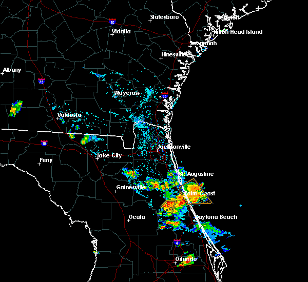 At 641 pm edt, a severe thunderstorm was located near crescent city, moving south at 5 mph (radar indicated). Hazards include 60 mph wind gusts. Expect damage to roofs, siding, and trees. Locations impacted include, crescent city and andalusia. At 641 pm edt, a severe thunderstorm was located near crescent city, moving south at 5 mph (radar indicated). Hazards include 60 mph wind gusts. Expect damage to roofs, siding, and trees. Locations impacted include, crescent city and andalusia.
|
| 7/14/2020 6:25 PM EDT |
 At 625 pm edt, a severe thunderstorm was located over crescent city, moving south at 5 mph (radar indicated). Hazards include 60 mph wind gusts and penny size hail. expect damage to roofs, siding, and trees At 625 pm edt, a severe thunderstorm was located over crescent city, moving south at 5 mph (radar indicated). Hazards include 60 mph wind gusts and penny size hail. expect damage to roofs, siding, and trees
|
| 6/30/2020 4:09 PM EDT |
 The severe thunderstorm warning for east central flagler county will expire at 415 pm edt, the storm which prompted the warning has weakened below severe limits, and has exited the warned area. therefore, the warning will be allowed to expire. however small hail, gusty winds and heavy rain are still possible with this thunderstorm. The severe thunderstorm warning for east central flagler county will expire at 415 pm edt, the storm which prompted the warning has weakened below severe limits, and has exited the warned area. therefore, the warning will be allowed to expire. however small hail, gusty winds and heavy rain are still possible with this thunderstorm.
|
| 6/30/2020 3:48 PM EDT |
 At 348 pm edt, a severe thunderstorm was located near palm coast, moving southeast at 15 mph (radar indicated). Hazards include 60 mph wind gusts and quarter size hail. Hail damage to vehicles is expected. Expect wind damage to roofs, siding, and trees. At 348 pm edt, a severe thunderstorm was located near palm coast, moving southeast at 15 mph (radar indicated). Hazards include 60 mph wind gusts and quarter size hail. Hail damage to vehicles is expected. Expect wind damage to roofs, siding, and trees.
|
| 6/28/2020 6:11 PM EDT |
 The severe thunderstorm warning for southeastern putnam county will expire at 615 pm edt, the storm which prompted the warning has weakened below severe limits, and no longer poses an immediate threat to life or property. therefore, the warning will be allowed to expire. however small hail, gusty winds and heavy rain are still possible with this thunderstorm. The severe thunderstorm warning for southeastern putnam county will expire at 615 pm edt, the storm which prompted the warning has weakened below severe limits, and no longer poses an immediate threat to life or property. therefore, the warning will be allowed to expire. however small hail, gusty winds and heavy rain are still possible with this thunderstorm.
|
| 6/28/2020 6:02 PM EDT |
 At 602 pm edt, a severe thunderstorm was located near lake george, or near salt springs, moving northeast at 20 mph (radar indicated). Hazards include ping pong ball size hail and 60 mph wind gusts. People and animals outdoors will be injured. expect hail damage to roofs, siding, windows, and vehicles. expect wind damage to roofs, siding, and trees. Locations impacted include, crescent city, pomona park, fruitland, welaka, lake como and georgetown. At 602 pm edt, a severe thunderstorm was located near lake george, or near salt springs, moving northeast at 20 mph (radar indicated). Hazards include ping pong ball size hail and 60 mph wind gusts. People and animals outdoors will be injured. expect hail damage to roofs, siding, windows, and vehicles. expect wind damage to roofs, siding, and trees. Locations impacted include, crescent city, pomona park, fruitland, welaka, lake como and georgetown.
|
| 6/28/2020 5:35 PM EDT |
 At 535 pm edt, a severe thunderstorm was located near juniper springs, moving northeast at 20 mph (radar indicated). Hazards include ping pong ball size hail and 60 mph wind gusts. People and animals outdoors will be injured. expect hail damage to roofs, siding, windows, and vehicles. Expect wind damage to roofs, siding, and trees. At 535 pm edt, a severe thunderstorm was located near juniper springs, moving northeast at 20 mph (radar indicated). Hazards include ping pong ball size hail and 60 mph wind gusts. People and animals outdoors will be injured. expect hail damage to roofs, siding, windows, and vehicles. Expect wind damage to roofs, siding, and trees.
|
| 6/24/2020 7:20 PM EDT |
 At 719 pm edt, a severe thunderstorm was located over palm coast, moving southeast at 10 mph (radar indicated). Hazards include 60 mph wind gusts. expect damage to roofs, siding, and trees At 719 pm edt, a severe thunderstorm was located over palm coast, moving southeast at 10 mph (radar indicated). Hazards include 60 mph wind gusts. expect damage to roofs, siding, and trees
|
| 6/23/2020 3:05 PM EDT | A few trees reported down by a storm spotter in downtown bunnell was relayed from an emergency manager. winds were estimated near 50 mp in flagler county FL, 4 miles SW of Bunnell, FL |
| 6/23/2020 3:04 PM EDT | Emergency manager reported multiple small trees down throughout the bunnell area along with power outages. time estimate based on rada in flagler county FL, 4 miles SW of Bunnell, FL |
| 6/10/2020 3:45 PM EDT | Emergency manager relayed a report from a ham radio opertator of a wires down near mahogany blvd and evergreen ave with power outages near the area. time based on radar in flagler county FL, 4 miles ESE of Bunnell, FL |
| 6/6/2020 9:35 PM EDT |
 At 934 pm edt, a severe thunderstorm was located near palm coast, moving north at 25 mph (radar indicated). Hazards include 60 mph wind gusts. Expect damage to roofs, siding, and trees. Locations impacted include, palm coast, bunnell, saint augustine shores, espanola and dupont center. At 934 pm edt, a severe thunderstorm was located near palm coast, moving north at 25 mph (radar indicated). Hazards include 60 mph wind gusts. Expect damage to roofs, siding, and trees. Locations impacted include, palm coast, bunnell, saint augustine shores, espanola and dupont center.
|
| 6/6/2020 9:16 PM EDT |
 At 916 pm edt, a severe thunderstorm was located near bunnell, moving north at 20 mph (radar indicated). Hazards include 60 mph wind gusts. expect damage to roofs, siding, and trees At 916 pm edt, a severe thunderstorm was located near bunnell, moving north at 20 mph (radar indicated). Hazards include 60 mph wind gusts. expect damage to roofs, siding, and trees
|
| 5/30/2020 7:39 PM EDT |
 The severe thunderstorm warning for southeastern flagler county will expire at 745 pm edt, the storm which prompted the warning has weakened below severe limits, and no longer poses an immediate threat to life or property. therefore, the warning will be allowed to expire. however heavy rain is still possible with this thunderstorm. The severe thunderstorm warning for southeastern flagler county will expire at 745 pm edt, the storm which prompted the warning has weakened below severe limits, and no longer poses an immediate threat to life or property. therefore, the warning will be allowed to expire. however heavy rain is still possible with this thunderstorm.
|
| 5/30/2020 7:36 PM EDT |
 At 736 pm edt, a severe thunderstorm was located 11 miles west of ormond-by-the-sea, moving southeast at 10 mph (radar indicated). Hazards include 60 mph wind gusts. Expect damage to roofs, siding, and trees. This severe thunderstorm will remain over mainly rural areas of southeastern flagler county. At 736 pm edt, a severe thunderstorm was located 11 miles west of ormond-by-the-sea, moving southeast at 10 mph (radar indicated). Hazards include 60 mph wind gusts. Expect damage to roofs, siding, and trees. This severe thunderstorm will remain over mainly rural areas of southeastern flagler county.
|
| 5/30/2020 7:26 PM EDT |
 At 726 pm edt, a severe thunderstorm was located 10 miles south of bunnell, moving southeast at 10 mph (radar indicated). Hazards include 60 mph wind gusts. Expect damage to roofs, siding, and trees. This severe thunderstorm will remain over mainly rural areas of southeastern flagler county. At 726 pm edt, a severe thunderstorm was located 10 miles south of bunnell, moving southeast at 10 mph (radar indicated). Hazards include 60 mph wind gusts. Expect damage to roofs, siding, and trees. This severe thunderstorm will remain over mainly rural areas of southeastern flagler county.
|
| 5/30/2020 7:16 PM EDT |
 At 715 pm edt, a severe thunderstorm was located 8 miles south of bunnell, moving southeast at 10 mph (radar indicated). Hazards include 60 mph wind gusts and penny size hail. Expect damage to roofs, siding, and trees. This severe thunderstorm will remain over mainly rural areas of southeastern flagler county. At 715 pm edt, a severe thunderstorm was located 8 miles south of bunnell, moving southeast at 10 mph (radar indicated). Hazards include 60 mph wind gusts and penny size hail. Expect damage to roofs, siding, and trees. This severe thunderstorm will remain over mainly rural areas of southeastern flagler county.
|
| 5/30/2020 6:58 PM EDT |
 At 657 pm edt, a severe thunderstorm was located 7 miles southwest of bunnell, moving southeast at 10 mph (radar indicated). Hazards include 60 mph wind gusts and penny size hail. Expect damage to roofs, siding, and trees. This severe thunderstorm will remain over mainly rural areas of southern flagler county. At 657 pm edt, a severe thunderstorm was located 7 miles southwest of bunnell, moving southeast at 10 mph (radar indicated). Hazards include 60 mph wind gusts and penny size hail. Expect damage to roofs, siding, and trees. This severe thunderstorm will remain over mainly rural areas of southern flagler county.
|
| 4/24/2020 6:25 AM EDT |
 The severe thunderstorm warning for lake and northwestern volusia counties will expire at 630 am edt, the storms which prompted the warning have weakened below severe limits, and are exiting the warned area. therefore, the warning will be allowed to expire. however gusty winds and heavy rain are still possible with these thunderstorms. a tornado watch remains in effect until 1100 am edt for east central florida. to report severe weather, contact your nearest law enforcement agency. they will relay your report to the national weather service melbourne. The severe thunderstorm warning for lake and northwestern volusia counties will expire at 630 am edt, the storms which prompted the warning have weakened below severe limits, and are exiting the warned area. therefore, the warning will be allowed to expire. however gusty winds and heavy rain are still possible with these thunderstorms. a tornado watch remains in effect until 1100 am edt for east central florida. to report severe weather, contact your nearest law enforcement agency. they will relay your report to the national weather service melbourne.
|
| 4/24/2020 5:59 AM EDT |
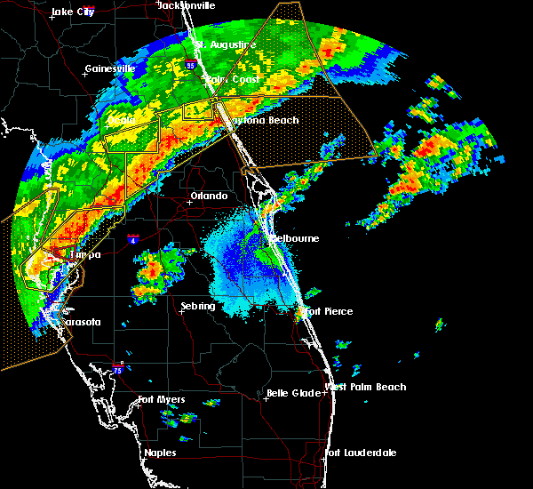 At 559 am edt, severe thunderstorms were located along a line extending from near daytona international speedway to paisley to near mascotte, moving northeast at 45 mph (radar indicated). Hazards include 60 mph wind gusts. Expect damage to roofs, siding, and trees. Locations impacted include, daytona beach, port orange, ormond beach, deland and leesburg. At 559 am edt, severe thunderstorms were located along a line extending from near daytona international speedway to paisley to near mascotte, moving northeast at 45 mph (radar indicated). Hazards include 60 mph wind gusts. Expect damage to roofs, siding, and trees. Locations impacted include, daytona beach, port orange, ormond beach, deland and leesburg.
|
| 4/24/2020 5:35 AM EDT |
 At 535 am edt, severe thunderstorms were located along a line extending from 8 miles west of ormond beach to near pittman to near bushnell, moving east at 35 mph (radar indicated). Hazards include 60 mph wind gusts. expect damage to roofs, siding, and trees At 535 am edt, severe thunderstorms were located along a line extending from 8 miles west of ormond beach to near pittman to near bushnell, moving east at 35 mph (radar indicated). Hazards include 60 mph wind gusts. expect damage to roofs, siding, and trees
|
| 4/24/2020 5:19 AM EDT |
 The national weather service in jacksonville has issued a * severe thunderstorm warning for. southeastern flagler county in northeastern florida. until 600 am edt. At 519 am edt, a severe thunderstorm was located near pierson, moving east at 35 mph. The national weather service in jacksonville has issued a * severe thunderstorm warning for. southeastern flagler county in northeastern florida. until 600 am edt. At 519 am edt, a severe thunderstorm was located near pierson, moving east at 35 mph.
|
| 4/24/2020 4:29 AM EDT |
 At 429 am edt, a severe thunderstorm was located over crescent city, moving east at 45 mph (radar indicated). Hazards include 60 mph wind gusts. expect damage to roofs, siding, and trees At 429 am edt, a severe thunderstorm was located over crescent city, moving east at 45 mph (radar indicated). Hazards include 60 mph wind gusts. expect damage to roofs, siding, and trees
|
| 4/20/2020 10:44 AM EDT |
 At 1044 am edt, a severe thunderstorm was located over deleon springs, moving east at 50 mph (radar indicated). Hazards include 60 mph wind gusts and quarter size hail. Hail damage to vehicles is expected. expect wind damage to roofs, siding, and trees. Locations impacted include, daytona beach, port orange, ormond beach, deland and new smyrna beach. At 1044 am edt, a severe thunderstorm was located over deleon springs, moving east at 50 mph (radar indicated). Hazards include 60 mph wind gusts and quarter size hail. Hail damage to vehicles is expected. expect wind damage to roofs, siding, and trees. Locations impacted include, daytona beach, port orange, ormond beach, deland and new smyrna beach.
|
| 4/20/2020 10:12 AM EDT |
 At 1011 am edt, a severe thunderstorm was located over moss bluff, or 8 miles south of lynne, moving east at 40 to 45 mph (radar indicated). Hazards include 60 mph wind gusts and quarter size hail. Hail damage to vehicles is expected. Expect wind damage to roofs, siding, and trees. At 1011 am edt, a severe thunderstorm was located over moss bluff, or 8 miles south of lynne, moving east at 40 to 45 mph (radar indicated). Hazards include 60 mph wind gusts and quarter size hail. Hail damage to vehicles is expected. Expect wind damage to roofs, siding, and trees.
|
| 4/15/2020 1:39 PM EDT |
 The severe thunderstorm warning for northern flagler, st. johns and putnam counties will expire at 145 pm edt, the storm which prompted the warning has weakened below severe limits, and has exited the warned area. therefore, the warning will be allowed to expire. however gusty winds and heavy rain are still possible with this thunderstorm. The severe thunderstorm warning for northern flagler, st. johns and putnam counties will expire at 145 pm edt, the storm which prompted the warning has weakened below severe limits, and has exited the warned area. therefore, the warning will be allowed to expire. however gusty winds and heavy rain are still possible with this thunderstorm.
|
| 4/15/2020 1:14 PM EDT |
 At 114 pm edt, a severe thunderstorm was located over florahome, or near interlachen, moving east at 35 mph (radar indicated). Hazards include 60 mph wind gusts. Expect damage to roofs, siding, and trees. Locations impacted include, palm coast, saint augustine, palatka, interlachen, hastings, melrose, east palatka, world golf village, saint augustine beach and marineland. At 114 pm edt, a severe thunderstorm was located over florahome, or near interlachen, moving east at 35 mph (radar indicated). Hazards include 60 mph wind gusts. Expect damage to roofs, siding, and trees. Locations impacted include, palm coast, saint augustine, palatka, interlachen, hastings, melrose, east palatka, world golf village, saint augustine beach and marineland.
|
| 4/15/2020 1:02 PM EDT |
 At 101 pm edt, a severe thunderstorm was located over melrose landing, or near melrose, moving east at 35 mph (radar indicated). Hazards include 60 mph wind gusts. Expect damage to roofs, siding, and trees. Locations impacted include, palm coast, saint augustine, palatka, interlachen, keystone heights, hastings, melrose, east palatka, world golf village and saint augustine beach. At 101 pm edt, a severe thunderstorm was located over melrose landing, or near melrose, moving east at 35 mph (radar indicated). Hazards include 60 mph wind gusts. Expect damage to roofs, siding, and trees. Locations impacted include, palm coast, saint augustine, palatka, interlachen, keystone heights, hastings, melrose, east palatka, world golf village and saint augustine beach.
|
| 4/15/2020 12:45 PM EDT |
 At 1244 pm edt, a severe thunderstorm was located near orange heights, or 7 miles southwest of melrose, moving east at 35 mph (radar indicated). Hazards include 60 mph wind gusts. expect damage to roofs, siding, and trees At 1244 pm edt, a severe thunderstorm was located near orange heights, or 7 miles southwest of melrose, moving east at 35 mph (radar indicated). Hazards include 60 mph wind gusts. expect damage to roofs, siding, and trees
|
| 4/14/2020 4:15 PM EDT |
 At 415 pm edt, a severe thunderstorm was located over san mateo, or near east palatka, moving east at 25 mph (radar indicated). Hazards include 60 mph wind gusts. Expect damage to roofs, siding, and trees. Locations impacted include, east palatka and san mateo. At 415 pm edt, a severe thunderstorm was located over san mateo, or near east palatka, moving east at 25 mph (radar indicated). Hazards include 60 mph wind gusts. Expect damage to roofs, siding, and trees. Locations impacted include, east palatka and san mateo.
|
| 4/14/2020 4:06 PM EDT |
 At 405 pm edt, a severe thunderstorm was located over san mateo, or near east palatka, moving east at 25 mph (radar indicated). Hazards include 60 mph wind gusts. Expect damage to roofs, siding, and trees. Locations impacted include, palatka, east palatka, san mateo and satsuma. At 405 pm edt, a severe thunderstorm was located over san mateo, or near east palatka, moving east at 25 mph (radar indicated). Hazards include 60 mph wind gusts. Expect damage to roofs, siding, and trees. Locations impacted include, palatka, east palatka, san mateo and satsuma.
|
| 4/14/2020 3:58 PM EDT |
 At 357 pm edt, a severe thunderstorm was located over satsuma, or near palatka, moving east at 25 mph (radar indicated). Hazards include 60 mph wind gusts. expect damage to roofs, siding, and trees At 357 pm edt, a severe thunderstorm was located over satsuma, or near palatka, moving east at 25 mph (radar indicated). Hazards include 60 mph wind gusts. expect damage to roofs, siding, and trees
|
| 2/7/2020 12:00 AM EST |
 At 1157 pm est, severe thunderstorms were located along a line extending from 9 miles northeast of deleon springs to near debary to near lake apopka to near four corners, moving east at 55 mph. severe storms will cross the attractions area shortly, and are expected to produce damaging wind gusts!! take shelter in a sturdy building now!! (radar indicated). Hazards include 70 mph wind gusts. Expect considerable tree damage. damage is likely to mobile homes, roofs, and outbuildings. Locations impacted include, orlando, deltona, daytona beach, sanford and apopka. At 1157 pm est, severe thunderstorms were located along a line extending from 9 miles northeast of deleon springs to near debary to near lake apopka to near four corners, moving east at 55 mph. severe storms will cross the attractions area shortly, and are expected to produce damaging wind gusts!! take shelter in a sturdy building now!! (radar indicated). Hazards include 70 mph wind gusts. Expect considerable tree damage. damage is likely to mobile homes, roofs, and outbuildings. Locations impacted include, orlando, deltona, daytona beach, sanford and apopka.
|
| 2/6/2020 11:59 PM EST |
 At 1159 pm est, a severe thunderstorm was located 7 miles southwest of flagler beach, moving northeast at 55 mph (radar indicated). Hazards include 60 mph wind gusts. expect damage to roofs, siding, and trees At 1159 pm est, a severe thunderstorm was located 7 miles southwest of flagler beach, moving northeast at 55 mph (radar indicated). Hazards include 60 mph wind gusts. expect damage to roofs, siding, and trees
|
| 2/6/2020 11:46 PM EST |
 At 1146 pm est, severe thunderstorms were located along a line extending from 6 miles northeast of barberville to 10 miles southwest of lake louisa, moving east at 50 mph (radar indicated). Hazards include 70 mph wind gusts. Expect considerable tree damage. damage is likely to mobile homes, roofs, and outbuildings. Locations impacted include, orlando, deltona, daytona beach, sanford and apopka. At 1146 pm est, severe thunderstorms were located along a line extending from 6 miles northeast of barberville to 10 miles southwest of lake louisa, moving east at 50 mph (radar indicated). Hazards include 70 mph wind gusts. Expect considerable tree damage. damage is likely to mobile homes, roofs, and outbuildings. Locations impacted include, orlando, deltona, daytona beach, sanford and apopka.
|
| 2/6/2020 11:42 PM EST |
 At 1141 pm est, severe thunderstorms were located along a line extending from near marineland to near pierson, moving northeast at 90 mph (radar indicated). Hazards include 60 to 70 mph wind gusts. Expect damage to roofs, siding, and trees. Locations impacted include, palm coast, flagler beach, bunnell, marineland, beverly beach and espanola. At 1141 pm est, severe thunderstorms were located along a line extending from near marineland to near pierson, moving northeast at 90 mph (radar indicated). Hazards include 60 to 70 mph wind gusts. Expect damage to roofs, siding, and trees. Locations impacted include, palm coast, flagler beach, bunnell, marineland, beverly beach and espanola.
|
| 2/6/2020 11:31 PM EST | Tree reported down on a house patio on edison lane in palm coas in flagler county FL, 5.3 miles SW of Bunnell, FL |
| 2/6/2020 11:25 PM EST |
 At 1125 pm est, severe thunderstorms were located along a line extending from 6 miles southwest of crescent beach to near emeralda, moving east at 35 mph (radar indicated). Hazards include 60 mph wind gusts. Expect damage to roofs, siding, and trees. Locations impacted include, palm coast, flagler beach, bunnell, crescent city, pomona park, andalusia, juniper springs, marineland, fruitland and beverly beach. At 1125 pm est, severe thunderstorms were located along a line extending from 6 miles southwest of crescent beach to near emeralda, moving east at 35 mph (radar indicated). Hazards include 60 mph wind gusts. Expect damage to roofs, siding, and trees. Locations impacted include, palm coast, flagler beach, bunnell, crescent city, pomona park, andalusia, juniper springs, marineland, fruitland and beverly beach.
|
| 2/6/2020 11:18 PM EST |
 At 1117 pm est, severe thunderstorms were located along a line extending from near pierson to 9 miles west of four corners, moving east at 50 mph (radar indicated). Hazards include 70 mph wind gusts. Expect considerable tree damage. Damage is likely to mobile homes, roofs, and outbuildings. At 1117 pm est, severe thunderstorms were located along a line extending from near pierson to 9 miles west of four corners, moving east at 50 mph (radar indicated). Hazards include 70 mph wind gusts. Expect considerable tree damage. Damage is likely to mobile homes, roofs, and outbuildings.
|
| 2/6/2020 10:57 PM EST |
 At 1056 pm est, severe thunderstorms were located along a line extending from near satsuma to near the villages, moving east at 45 mph (radar indicated). Hazards include 60 to 70 mph wind gusts. Expect considerable tree damage. Damage is likely to mobile homes, roofs, and outbuildings. At 1056 pm est, severe thunderstorms were located along a line extending from near satsuma to near the villages, moving east at 45 mph (radar indicated). Hazards include 60 to 70 mph wind gusts. Expect considerable tree damage. Damage is likely to mobile homes, roofs, and outbuildings.
|
| 12/14/2019 5:35 AM EST |
 At 535 am est, a severe thunderstorm capable of producing a tornado was located near flagler beach, moving east at 40 mph (radar indicated rotation). Hazards include tornado. Flying debris will be dangerous to those caught without shelter. mobile homes will be damaged or destroyed. damage to roofs, windows, and vehicles will occur. tree damage is likely. This dangerous storm will be near, flagler beach around 540 am est. At 535 am est, a severe thunderstorm capable of producing a tornado was located near flagler beach, moving east at 40 mph (radar indicated rotation). Hazards include tornado. Flying debris will be dangerous to those caught without shelter. mobile homes will be damaged or destroyed. damage to roofs, windows, and vehicles will occur. tree damage is likely. This dangerous storm will be near, flagler beach around 540 am est.
|
| 12/14/2019 5:32 AM EST | Possible tornado damage. several structures with damage in korona behind the white eagle loung in flagler county FL, 7.2 miles WNW of Bunnell, FL |
| 12/14/2019 5:26 AM EST |
 At 526 am est, a severe thunderstorm capable of producing a tornado was located near bunnell, moving east at 40 mph (radar indicated rotation). Hazards include tornado. Flying debris will be dangerous to those caught without shelter. mobile homes will be damaged or destroyed. damage to roofs, windows, and vehicles will occur. tree damage is likely. this dangerous storm will be near, palm coast around 530 am est. flagler beach around 540 am est. Other locations impacted by this tornadic thunderstorm include beverly beach. At 526 am est, a severe thunderstorm capable of producing a tornado was located near bunnell, moving east at 40 mph (radar indicated rotation). Hazards include tornado. Flying debris will be dangerous to those caught without shelter. mobile homes will be damaged or destroyed. damage to roofs, windows, and vehicles will occur. tree damage is likely. this dangerous storm will be near, palm coast around 530 am est. flagler beach around 540 am est. Other locations impacted by this tornadic thunderstorm include beverly beach.
|
| 12/14/2019 5:17 AM EST |
 At 516 am est, a severe thunderstorm capable of producing a tornado was located 8 miles southeast of crescent city, moving east at 40 mph (radar indicated rotation). Hazards include tornado. Flying debris will be dangerous to those caught without shelter. mobile homes will be damaged or destroyed. damage to roofs, windows, and vehicles will occur. tree damage is likely. this dangerous storm will be near, palm coast and bunnell around 535 am est. flagler beach around 540 am est. Other locations impacted by this tornadic thunderstorm include beverly beach. At 516 am est, a severe thunderstorm capable of producing a tornado was located 8 miles southeast of crescent city, moving east at 40 mph (radar indicated rotation). Hazards include tornado. Flying debris will be dangerous to those caught without shelter. mobile homes will be damaged or destroyed. damage to roofs, windows, and vehicles will occur. tree damage is likely. this dangerous storm will be near, palm coast and bunnell around 535 am est. flagler beach around 540 am est. Other locations impacted by this tornadic thunderstorm include beverly beach.
|
| 12/14/2019 5:12 AM EST |
 At 510 am est, a severe thunderstorm was located near crescent city, moving east at 55 mph (radar indicated). Hazards include 60 mph wind gusts. expect damage to roofs, siding, and trees At 510 am est, a severe thunderstorm was located near crescent city, moving east at 55 mph (radar indicated). Hazards include 60 mph wind gusts. expect damage to roofs, siding, and trees
|
| 12/14/2019 5:08 AM EST |
 At 508 am est, a severe thunderstorm was located near crescent city, moving east at 50 mph (radar indicated). Hazards include 60 mph wind gusts. Expect damage to roofs, siding, and trees. Locations impacted include, palm coast, flagler beach, bunnell, crescent city, marineland, beverly beach and espanola. At 508 am est, a severe thunderstorm was located near crescent city, moving east at 50 mph (radar indicated). Hazards include 60 mph wind gusts. Expect damage to roofs, siding, and trees. Locations impacted include, palm coast, flagler beach, bunnell, crescent city, marineland, beverly beach and espanola.
|
| 12/14/2019 4:57 AM EST |
 The national weather service in jacksonville has issued a * severe thunderstorm warning for. flagler county in northeastern florida. east central marion county in northern florida. southeastern putnam county in northeastern florida. Until 545 am est. The national weather service in jacksonville has issued a * severe thunderstorm warning for. flagler county in northeastern florida. east central marion county in northern florida. southeastern putnam county in northeastern florida. Until 545 am est.
|
| 6/12/2019 12:40 PM EDT | Tree down on powerlines on us 1 in bunnel in flagler county FL, 4 miles SW of Bunnell, FL |
| 6/9/2019 12:20 PM EDT | Tree down in power lines near main st and otis stone hunter r in flagler county FL, 5 miles S of Bunnell, FL |
| 5/5/2019 2:49 PM EDT |
 At 248 pm edt, a line of severe thunderstorm were located from deland to deltona, moving northeast at 50 mph (radar indicated). Hazards include 60 mph wind gusts and nickel size hail. Expect damage to roofs, siding, and trees. Locations impacted include, deltona, daytona beach, port orange, sanford and ormond beach. At 248 pm edt, a line of severe thunderstorm were located from deland to deltona, moving northeast at 50 mph (radar indicated). Hazards include 60 mph wind gusts and nickel size hail. Expect damage to roofs, siding, and trees. Locations impacted include, deltona, daytona beach, port orange, sanford and ormond beach.
|
| 5/5/2019 2:33 PM EDT |
 At 232 pm edt, a line of severe thunderstorm was located from lake george south to sanford, also near deltona, moving northeast at 50 mph (radar indicated). Hazards include 60 mph wind gusts and nickel size hail. expect damage to roofs, siding, and trees At 232 pm edt, a line of severe thunderstorm was located from lake george south to sanford, also near deltona, moving northeast at 50 mph (radar indicated). Hazards include 60 mph wind gusts and nickel size hail. expect damage to roofs, siding, and trees
|
| 5/5/2019 1:05 PM EDT |
 The severe thunderstorm warning for central flagler and southeastern st. johns counties will expire at 115 pm edt, the storms which prompted the warning have moved out of the area. therefore, the warning will be allowed to expire. however gusty winds and heavy rain are still possible with these thunderstorms. to report severe weather, contact your nearest law enforcement agency. they will relay your report to the national weather service jacksonville. The severe thunderstorm warning for central flagler and southeastern st. johns counties will expire at 115 pm edt, the storms which prompted the warning have moved out of the area. therefore, the warning will be allowed to expire. however gusty winds and heavy rain are still possible with these thunderstorms. to report severe weather, contact your nearest law enforcement agency. they will relay your report to the national weather service jacksonville.
|
| 5/5/2019 12:53 PM EDT |
 At 1252 pm edt, severe thunderstorms were located along a line extending from 6 miles west of saint augustine to saint augustine shores to near bunnell, moving northeast at 60 mph. weak rotation was evident east of bakersville (radar indicated). Hazards include 60 mph wind gusts. Expect damage to roofs, siding, and trees. Locations impacted include, palm coast, saint augustine, flagler beach, bunnell, world golf village, saint augustine beach, marineland, vilano beach, south ponte vedra and crescent beach. At 1252 pm edt, severe thunderstorms were located along a line extending from 6 miles west of saint augustine to saint augustine shores to near bunnell, moving northeast at 60 mph. weak rotation was evident east of bakersville (radar indicated). Hazards include 60 mph wind gusts. Expect damage to roofs, siding, and trees. Locations impacted include, palm coast, saint augustine, flagler beach, bunnell, world golf village, saint augustine beach, marineland, vilano beach, south ponte vedra and crescent beach.
|
| 5/5/2019 12:44 PM EDT |
 At 1244 pm edt, severe thunderstorms were located along a line extending from 7 miles east of picolata to near saint augustine shores to near bunnell, moving northeast at 50 mph (radar indicated). Hazards include 60 mph wind gusts. Expect damage to roofs, siding, and trees. Locations impacted include, palm coast, saint augustine, flagler beach, bunnell, world golf village, saint augustine beach, marineland, vilano beach, picolata and south ponte vedra. At 1244 pm edt, severe thunderstorms were located along a line extending from 7 miles east of picolata to near saint augustine shores to near bunnell, moving northeast at 50 mph (radar indicated). Hazards include 60 mph wind gusts. Expect damage to roofs, siding, and trees. Locations impacted include, palm coast, saint augustine, flagler beach, bunnell, world golf village, saint augustine beach, marineland, vilano beach, picolata and south ponte vedra.
|
| 5/5/2019 12:25 PM EDT |
 At 1224 pm edt, severe thunderstorms were located along a line extending from near bostwick to near orange mills to near crescent city, moving northeast at 45 mph (radar indicated). Hazards include 60 mph wind gusts. expect damage to roofs, siding, and trees At 1224 pm edt, severe thunderstorms were located along a line extending from near bostwick to near orange mills to near crescent city, moving northeast at 45 mph (radar indicated). Hazards include 60 mph wind gusts. expect damage to roofs, siding, and trees
|
| 4/19/2019 2:52 PM EDT |
 The severe thunderstorm warning for southeastern flagler county will expire at 300 pm edt, the storm which prompted the warning has weakened below severe limits, and no longer poses an immediate threat to life or property. therefore, the warning will be allowed to expire. however gusty winds between 30 and 40 mph are still possible with this thunderstorm. a tornado watch remains in effect until 400 pm edt for northeastern florida. The severe thunderstorm warning for southeastern flagler county will expire at 300 pm edt, the storm which prompted the warning has weakened below severe limits, and no longer poses an immediate threat to life or property. therefore, the warning will be allowed to expire. however gusty winds between 30 and 40 mph are still possible with this thunderstorm. a tornado watch remains in effect until 400 pm edt for northeastern florida.
|
| 4/19/2019 2:44 PM EDT |
 At 244 pm edt, a severe thunderstorm was located over flagler beach, moving northeast at 45 mph (radar indicated). Hazards include 60 mph wind gusts. Expect damage to roofs, siding, and trees. Locations impacted include, flagler beach, bunnell and beverly beach. At 244 pm edt, a severe thunderstorm was located over flagler beach, moving northeast at 45 mph (radar indicated). Hazards include 60 mph wind gusts. Expect damage to roofs, siding, and trees. Locations impacted include, flagler beach, bunnell and beverly beach.
|
| 4/19/2019 2:27 PM EDT |
 At 226 pm edt, a severe thunderstorm was located 7 miles south of bunnell, moving northeast at 40 mph (radar indicated). Hazards include 60 mph wind gusts. expect damage to roofs, siding, and trees At 226 pm edt, a severe thunderstorm was located 7 miles south of bunnell, moving northeast at 40 mph (radar indicated). Hazards include 60 mph wind gusts. expect damage to roofs, siding, and trees
|
| 4/19/2019 2:08 PM EDT |
 At 208 pm edt, severe thunderstorms were located along a line extending from 27 miles east of sawgrass to 6 miles northeast of pittman, moving east at 40 mph (radar indicated). Hazards include 60 mph wind gusts. Expect damage to roofs, siding, and trees. Locations impacted include, palm coast, saint augustine, flagler beach, bunnell, andalusia, saint augustine beach, marineland, crescent beach, saint augustine shores and butler beach. At 208 pm edt, severe thunderstorms were located along a line extending from 27 miles east of sawgrass to 6 miles northeast of pittman, moving east at 40 mph (radar indicated). Hazards include 60 mph wind gusts. Expect damage to roofs, siding, and trees. Locations impacted include, palm coast, saint augustine, flagler beach, bunnell, andalusia, saint augustine beach, marineland, crescent beach, saint augustine shores and butler beach.
|
| 4/19/2019 2:03 PM EDT |
 At 203 pm edt, severe thunderstorms were located along a line extending from 24 miles east of sawgrass to near pittman, moving east at 40 mph (radar indicated). Hazards include 60 mph wind gusts. Expect damage to roofs, siding, and trees. Locations impacted include, palm coast, saint augustine, flagler beach, bunnell, crescent city, pomona park, andalusia, saint augustine beach, marineland and fruitland. At 203 pm edt, severe thunderstorms were located along a line extending from 24 miles east of sawgrass to near pittman, moving east at 40 mph (radar indicated). Hazards include 60 mph wind gusts. Expect damage to roofs, siding, and trees. Locations impacted include, palm coast, saint augustine, flagler beach, bunnell, crescent city, pomona park, andalusia, saint augustine beach, marineland and fruitland.
|
| 4/19/2019 1:56 PM EDT |
 At 156 pm edt, severe thunderstorms were located along a line extending from 20 miles east of sawgrass to near pittman, moving east at 40 mph (radar indicated). Hazards include 60 mph wind gusts. Expect damage to roofs, siding, and trees. Locations impacted include, palm coast, saint augustine, flagler beach, bunnell, crescent city, pomona park, hastings, salt springs, andalusia and juniper springs. At 156 pm edt, severe thunderstorms were located along a line extending from 20 miles east of sawgrass to near pittman, moving east at 40 mph (radar indicated). Hazards include 60 mph wind gusts. Expect damage to roofs, siding, and trees. Locations impacted include, palm coast, saint augustine, flagler beach, bunnell, crescent city, pomona park, hastings, salt springs, andalusia and juniper springs.
|
| 4/19/2019 1:25 PM EDT |
 At 125 pm edt, severe thunderstorms were located along a line extending from sawgrass to near lake weir, moving east at 40 mph (radar indicated). Hazards include 60 mph wind gusts. expect damage to roofs, siding, and trees At 125 pm edt, severe thunderstorms were located along a line extending from sawgrass to near lake weir, moving east at 40 mph (radar indicated). Hazards include 60 mph wind gusts. expect damage to roofs, siding, and trees
|
| 4/19/2019 12:45 PM EDT |
 At 1244 pm edt, severe thunderstorms were located along a line extending from near green cove springs to 10 miles northeast of inverness highlands north, moving east at 50 mph (radar indicated). Hazards include 60 mph wind gusts. expect damage to roofs, siding, and trees At 1244 pm edt, severe thunderstorms were located along a line extending from near green cove springs to 10 miles northeast of inverness highlands north, moving east at 50 mph (radar indicated). Hazards include 60 mph wind gusts. expect damage to roofs, siding, and trees
|
| 4/14/2019 4:53 PM EDT | Emergency manager reported trees down along walnut avenue in daytona north subdivision. time based on rada in flagler county FL, 5.2 miles E of Bunnell, FL |
| 4/6/2019 5:54 PM EDT |
 At 554 pm edt, severe thunderstorms were located along a line extending from near crescent city to 6 miles southwest of bunnell, and are nearly stationary (radar indicated). Hazards include 60 mph wind gusts and half dollar size hail. Hail damage to vehicles is expected. expect wind damage to roofs, siding, and trees. Locations impacted include, bunnell. At 554 pm edt, severe thunderstorms were located along a line extending from near crescent city to 6 miles southwest of bunnell, and are nearly stationary (radar indicated). Hazards include 60 mph wind gusts and half dollar size hail. Hail damage to vehicles is expected. expect wind damage to roofs, siding, and trees. Locations impacted include, bunnell.
|
| 4/6/2019 5:39 PM EDT | Golf Ball sized hail reported 6.7 miles N of Bunnell, FL, emergency manager reported golf ball size hail observed in codys corner about. |
| 4/6/2019 5:30 PM EDT |
 At 530 pm edt, severe thunderstorms were located along a line extending from bunnell to 12 miles southwest of flagler beach, moving east at 10 mph (radar indicated). Hazards include 60 mph wind gusts and quarter size hail. Hail damage to vehicles is expected. Expect wind damage to roofs, siding, and trees. At 530 pm edt, severe thunderstorms were located along a line extending from bunnell to 12 miles southwest of flagler beach, moving east at 10 mph (radar indicated). Hazards include 60 mph wind gusts and quarter size hail. Hail damage to vehicles is expected. Expect wind damage to roofs, siding, and trees.
|
| 3/2/2019 5:12 PM EST | Trees down on state road 11 west of bunnel in flagler county FL, 2.9 miles WSW of Bunnell, FL |
| 3/2/2019 5:05 PM EST |
 At 504 pm est, a severe thunderstorm was located near bunnell, moving east near 30 mph (radar indicated). Hazards include 60 mph wind gusts and penny size hail. Expect damage to roofs, siding, and trees. Locations impacted include, bunnell, andalusia and espanola. At 504 pm est, a severe thunderstorm was located near bunnell, moving east near 30 mph (radar indicated). Hazards include 60 mph wind gusts and penny size hail. Expect damage to roofs, siding, and trees. Locations impacted include, bunnell, andalusia and espanola.
|
| 3/2/2019 4:52 PM EST |
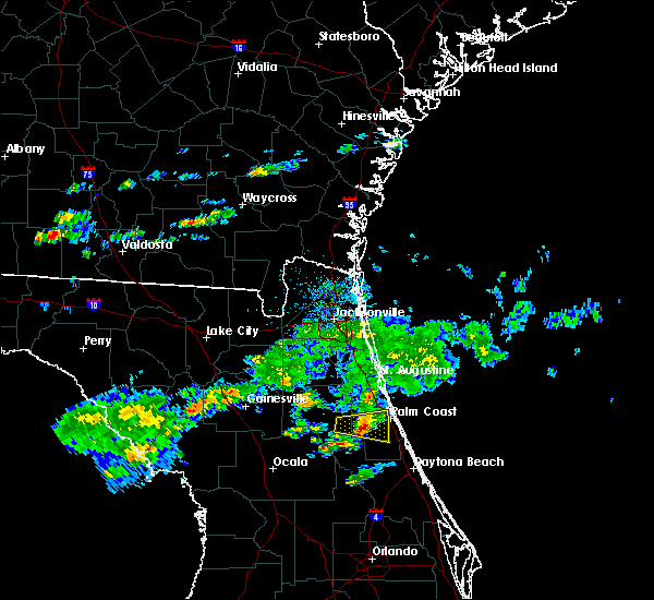 At 451 pm est, a severe thunderstorm was located over andalusia, moving east at 20 mph (radar indicated). Hazards include 60 mph wind gusts and penny size hail. Expect damage to roofs, siding, and trees. Locations impacted include, bunnell, andalusia and espanola. At 451 pm est, a severe thunderstorm was located over andalusia, moving east at 20 mph (radar indicated). Hazards include 60 mph wind gusts and penny size hail. Expect damage to roofs, siding, and trees. Locations impacted include, bunnell, andalusia and espanola.
|
| 3/2/2019 4:30 PM EST |
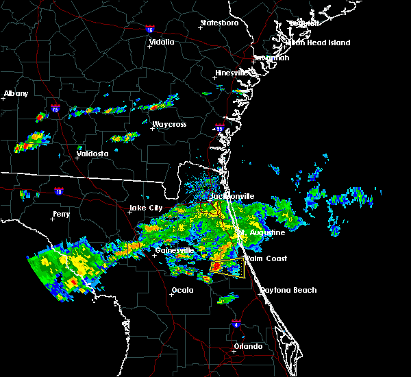 At 429 pm est, a severe thunderstorm was located over pomona park, moving east at 30 mph (radar indicated). Hazards include 60 mph wind gusts and penny size hail. expect damage to roofs, siding, and trees At 429 pm est, a severe thunderstorm was located over pomona park, moving east at 30 mph (radar indicated). Hazards include 60 mph wind gusts and penny size hail. expect damage to roofs, siding, and trees
|
| 3/1/2019 4:41 PM EST |
 At 440 pm est, a severe thunderstorm was located near palm coast, moving east at 40 mph (radar indicated). Hazards include 60 mph wind gusts and penny size hail. Expect damage to roofs, siding, and trees. Locations impacted include, palm coast, flagler beach, bunnell, beverly beach and espanola. At 440 pm est, a severe thunderstorm was located near palm coast, moving east at 40 mph (radar indicated). Hazards include 60 mph wind gusts and penny size hail. Expect damage to roofs, siding, and trees. Locations impacted include, palm coast, flagler beach, bunnell, beverly beach and espanola.
|
| 3/1/2019 4:35 PM EST |
 At 435 pm est, a severe thunderstorm was located near bunnell, moving east at 40 mph (radar indicated). Hazards include 60 mph wind gusts and penny size hail. Expect damage to roofs, siding, and trees. Locations impacted include, palm coast, flagler beach, bunnell, marineland, beverly beach and espanola. At 435 pm est, a severe thunderstorm was located near bunnell, moving east at 40 mph (radar indicated). Hazards include 60 mph wind gusts and penny size hail. Expect damage to roofs, siding, and trees. Locations impacted include, palm coast, flagler beach, bunnell, marineland, beverly beach and espanola.
|
| 3/1/2019 4:23 PM EST |
 At 422 pm est, a severe thunderstorm was located near andalusia, moving east at 30 mph (radar indicated). Hazards include 60 mph wind gusts and penny size hail. expect damage to roofs, siding, and trees At 422 pm est, a severe thunderstorm was located near andalusia, moving east at 30 mph (radar indicated). Hazards include 60 mph wind gusts and penny size hail. expect damage to roofs, siding, and trees
|
| 1/24/2019 5:53 AM EST |
 At 552 am est, a severe thunderstorm was located 7 miles west of palm coast, moving northeast at 55 mph (radar indicated). Hazards include 60 mph wind gusts. expect damage to roofs, siding, and trees At 552 am est, a severe thunderstorm was located 7 miles west of palm coast, moving northeast at 55 mph (radar indicated). Hazards include 60 mph wind gusts. expect damage to roofs, siding, and trees
|
| 12/20/2018 10:10 AM EST | Flagler county 911/dispatch reports a tree downed across county road 304 in the st. johns park are in flagler county FL, 6.8 miles N of Bunnell, FL |
| 7/27/2018 5:24 PM EDT |
 At 523 pm edt, a severe thunderstorm was located over bunnell, moving east at 15 mph (radar indicated). Hazards include 60 mph wind gusts and penny size hail. expect damage to roofs, siding, and trees At 523 pm edt, a severe thunderstorm was located over bunnell, moving east at 15 mph (radar indicated). Hazards include 60 mph wind gusts and penny size hail. expect damage to roofs, siding, and trees
|
| 7/22/2018 2:10 PM EDT |
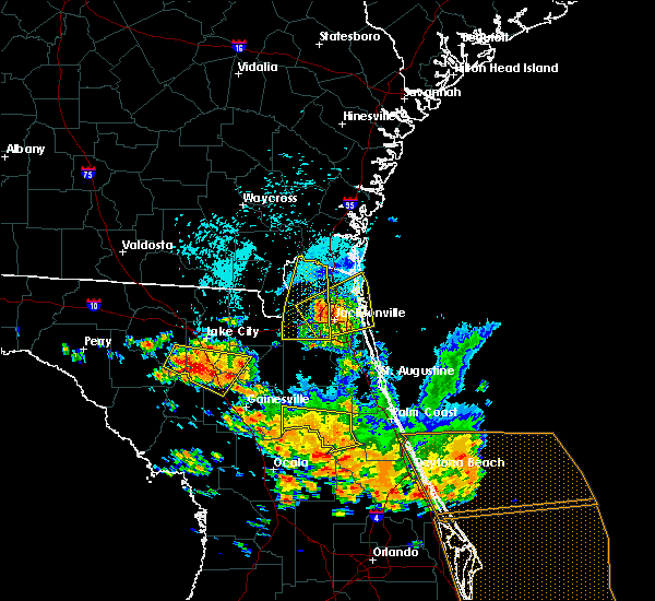 The severe thunderstorm warning for central putnam county will expire at 215 pm edt, the storm which prompted the warning has weakened below severe limits, and no longer poses an immediate threat to life or property. therefore, the warning will be allowed to expire. however small hail, gusty winds and heavy rain are still possible with this thunderstorm. a severe thunderstorm watch remains in effect until 800 pm edt for northern and northeastern florida. The severe thunderstorm warning for central putnam county will expire at 215 pm edt, the storm which prompted the warning has weakened below severe limits, and no longer poses an immediate threat to life or property. therefore, the warning will be allowed to expire. however small hail, gusty winds and heavy rain are still possible with this thunderstorm. a severe thunderstorm watch remains in effect until 800 pm edt for northern and northeastern florida.
|
| 7/22/2018 1:58 PM EDT |
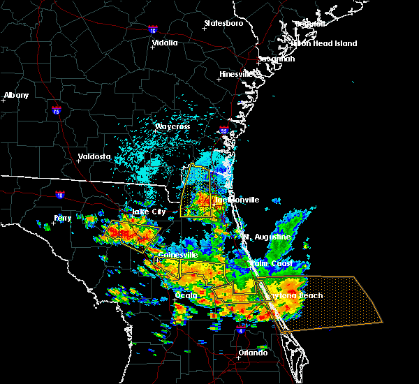 At 158 pm edt, a severe thunderstorm was located over satsuma, or near pomona park, moving southeast at 35 mph (radar indicated). Hazards include 70 mph wind gusts and quarter size hail. Hail damage to vehicles is expected. expect considerable tree damage. wind damage is also likely to mobile homes, roofs, and outbuildings. Locations impacted include, crescent city, interlachen, pomona park, fruitland, melrose landing, hollister, san mateo, satsuma, welaka and johnson. At 158 pm edt, a severe thunderstorm was located over satsuma, or near pomona park, moving southeast at 35 mph (radar indicated). Hazards include 70 mph wind gusts and quarter size hail. Hail damage to vehicles is expected. expect considerable tree damage. wind damage is also likely to mobile homes, roofs, and outbuildings. Locations impacted include, crescent city, interlachen, pomona park, fruitland, melrose landing, hollister, san mateo, satsuma, welaka and johnson.
|
| 7/22/2018 1:56 PM EDT |
 The severe thunderstorm warning for northwestern volusia county will expire at 200 pm edt, the storm which prompted the warning has weakened below severe limits, and has exited the warned area. therefore, the warning will be allowed to expire. a severe thunderstorm watch remains in effect until 800 pm edt for east central florida. to report severe weather, contact your nearest law enforcement agency. they will relay your report to the national weather service melbourne. The severe thunderstorm warning for northwestern volusia county will expire at 200 pm edt, the storm which prompted the warning has weakened below severe limits, and has exited the warned area. therefore, the warning will be allowed to expire. a severe thunderstorm watch remains in effect until 800 pm edt for east central florida. to report severe weather, contact your nearest law enforcement agency. they will relay your report to the national weather service melbourne.
|
| 7/22/2018 1:40 PM EDT |
 At 138 pm edt, a line of severe thunderstorms is located from lake george to ormond-by-the-sea, and is nearly stationary (radar indicated). Hazards include 60 mph wind gusts and quarter size hail. Hail damage to vehicles is expected. expect wind damage to roofs, siding, and trees. Locations impacted include, daytona beach, ormond beach, south daytona, holly hill and pierson. At 138 pm edt, a line of severe thunderstorms is located from lake george to ormond-by-the-sea, and is nearly stationary (radar indicated). Hazards include 60 mph wind gusts and quarter size hail. Hail damage to vehicles is expected. expect wind damage to roofs, siding, and trees. Locations impacted include, daytona beach, ormond beach, south daytona, holly hill and pierson.
|
| 7/22/2018 1:19 PM EDT |
 At 118 pm edt, severe thunderstorms were located along a line extending from near palm coast to 8 miles southeast of crescent city, moving east at 50 mph (radar indicated). Hazards include 70 mph wind gusts and quarter size hail. Hail damage to vehicles is expected. expect considerable tree damage. wind damage is also likely to mobile homes, roofs, and outbuildings. Locations impacted include, palm coast, bunnell, andalusia, beverly beach and espanola. At 118 pm edt, severe thunderstorms were located along a line extending from near palm coast to 8 miles southeast of crescent city, moving east at 50 mph (radar indicated). Hazards include 70 mph wind gusts and quarter size hail. Hail damage to vehicles is expected. expect considerable tree damage. wind damage is also likely to mobile homes, roofs, and outbuildings. Locations impacted include, palm coast, bunnell, andalusia, beverly beach and espanola.
|
| 7/22/2018 1:18 PM EDT |
 The national weather service in melbourne has issued a * severe thunderstorm warning for. northwestern volusia county in east central florida. until 200 pm edt. At 118 pm edt, a severe thunderstorm was located near ormond-by-the-sea, moving east at 35 mph. The national weather service in melbourne has issued a * severe thunderstorm warning for. northwestern volusia county in east central florida. until 200 pm edt. At 118 pm edt, a severe thunderstorm was located near ormond-by-the-sea, moving east at 35 mph.
|
| 7/22/2018 1:10 PM EDT | Wires down along hardy street in bunnell in flagler county FL, 3.5 miles SW of Bunnell, FL |
| 7/22/2018 1:09 PM EDT |
 At 109 pm edt, severe thunderstorms were located along a line extending from near palm coast to 7 miles southeast of crescent city, moving east at 50 mph (radar indicated). Hazards include 70 mph wind gusts and quarter size hail. Hail damage to vehicles is expected. expect considerable tree damage. wind damage is also likely to mobile homes, roofs, and outbuildings. Locations impacted include, palm coast, bunnell, crescent city, andalusia, beverly beach and espanola. At 109 pm edt, severe thunderstorms were located along a line extending from near palm coast to 7 miles southeast of crescent city, moving east at 50 mph (radar indicated). Hazards include 70 mph wind gusts and quarter size hail. Hail damage to vehicles is expected. expect considerable tree damage. wind damage is also likely to mobile homes, roofs, and outbuildings. Locations impacted include, palm coast, bunnell, crescent city, andalusia, beverly beach and espanola.
|
| 7/22/2018 1:03 PM EDT |
 At 103 pm edt, severe thunderstorms were located along a line extending from palm coast to 9 miles northeast of pierson, moving southeast at 35 mph (radar indicated). Hazards include 60 mph wind gusts and quarter size hail. Hail damage to vehicles is expected. expect wind damage to roofs, siding, and trees. Locations impacted include, palm coast, flagler beach, bunnell, crescent city, andalusia, marineland, beverly beach and espanola. At 103 pm edt, severe thunderstorms were located along a line extending from palm coast to 9 miles northeast of pierson, moving southeast at 35 mph (radar indicated). Hazards include 60 mph wind gusts and quarter size hail. Hail damage to vehicles is expected. expect wind damage to roofs, siding, and trees. Locations impacted include, palm coast, flagler beach, bunnell, crescent city, andalusia, marineland, beverly beach and espanola.
|
| 7/22/2018 12:59 PM EDT |
 At 1259 pm edt, severe thunderstorms were located along a line extending from satsuma to sparr, moving southeast at 20 mph (radar indicated). Hazards include 70 mph wind gusts and quarter size hail. Hail damage to vehicles is expected. expect considerable tree damage. wind damage is also likely to mobile homes, roofs, and outbuildings. Locations impacted include, palatka, crescent city, interlachen, pomona park, fort mccoy, citra, east palatka, lake delancy, sparr and anthony. At 1259 pm edt, severe thunderstorms were located along a line extending from satsuma to sparr, moving southeast at 20 mph (radar indicated). Hazards include 70 mph wind gusts and quarter size hail. Hail damage to vehicles is expected. expect considerable tree damage. wind damage is also likely to mobile homes, roofs, and outbuildings. Locations impacted include, palatka, crescent city, interlachen, pomona park, fort mccoy, citra, east palatka, lake delancy, sparr and anthony.
|
| 7/22/2018 12:58 PM EDT | Tree down in codys corner in flagler county FL, 6.7 miles N of Bunnell, FL |
| 7/22/2018 12:48 PM EDT |
 At 1247 pm edt, severe thunderstorms were located along a line extending from near butler beach to near fruitland, moving east at 50 mph (radar indicated). Hazards include 60 mph wind gusts and quarter size hail. Hail damage to vehicles is expected. Expect wind damage to roofs, siding, and trees. At 1247 pm edt, severe thunderstorms were located along a line extending from near butler beach to near fruitland, moving east at 50 mph (radar indicated). Hazards include 60 mph wind gusts and quarter size hail. Hail damage to vehicles is expected. Expect wind damage to roofs, siding, and trees.
|
| 7/22/2018 12:34 PM EDT |
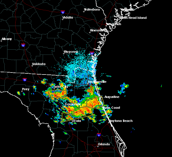 At 1233 pm edt, severe thunderstorms were located along a line extending from palatka to 6 miles southeast of williston, moving south at 20 mph (radar indicated). Hazards include 70 mph wind gusts and quarter size hail. Hail damage to vehicles is expected. expect considerable tree damage. Wind damage is also likely to mobile homes, roofs, and outbuildings. At 1233 pm edt, severe thunderstorms were located along a line extending from palatka to 6 miles southeast of williston, moving south at 20 mph (radar indicated). Hazards include 70 mph wind gusts and quarter size hail. Hail damage to vehicles is expected. expect considerable tree damage. Wind damage is also likely to mobile homes, roofs, and outbuildings.
|
| 7/22/2018 12:01 PM EDT |
 At 1145 am edt, a severe thunderstorm was located 7 miles east of andalusia, moving southeast at 20 mph (radar indicated). Hazards include 70 mph wind gusts and quarter size hail. Hail damage to vehicles is expected. expect considerable tree damage. Wind damage is also likely to mobile homes, roofs, and outbuildings. At 1145 am edt, a severe thunderstorm was located 7 miles east of andalusia, moving southeast at 20 mph (radar indicated). Hazards include 70 mph wind gusts and quarter size hail. Hail damage to vehicles is expected. expect considerable tree damage. Wind damage is also likely to mobile homes, roofs, and outbuildings.
|
| 7/22/2018 11:46 AM EDT |
 At 1145 am edt, a severe thunderstorm was located 7 miles east of andalusia, moving southeast at 20 mph (radar indicated). Hazards include 70 mph wind gusts and quarter size hail. Hail damage to vehicles is expected. expect considerable tree damage. Wind damage is also likely to mobile homes, roofs, and outbuildings. At 1145 am edt, a severe thunderstorm was located 7 miles east of andalusia, moving southeast at 20 mph (radar indicated). Hazards include 70 mph wind gusts and quarter size hail. Hail damage to vehicles is expected. expect considerable tree damage. Wind damage is also likely to mobile homes, roofs, and outbuildings.
|
| 7/16/2018 5:33 PM EDT |
 At 533 pm edt, a severe thunderstorm was located 8 miles south of bunnell, moving northeast at 15 mph (radar indicated). Hazards include 60 mph wind gusts and nickel size hail. Expect damage to roofs, siding, and trees. Locations impacted include, palm coast, flagler beach, bunnell and beverly beach. At 533 pm edt, a severe thunderstorm was located 8 miles south of bunnell, moving northeast at 15 mph (radar indicated). Hazards include 60 mph wind gusts and nickel size hail. Expect damage to roofs, siding, and trees. Locations impacted include, palm coast, flagler beach, bunnell and beverly beach.
|
| 7/16/2018 5:22 PM EDT |
 At 522 pm edt, a severe thunderstorm was located 11 miles northeast of pierson, moving northeast at 15 mph (radar indicated). Hazards include 60 mph wind gusts and nickel size hail. expect damage to roofs, siding, and trees At 522 pm edt, a severe thunderstorm was located 11 miles northeast of pierson, moving northeast at 15 mph (radar indicated). Hazards include 60 mph wind gusts and nickel size hail. expect damage to roofs, siding, and trees
|
| 6/28/2018 3:46 PM EDT |
 At 346 pm edt, a severe thunderstorm was located over bunnell, moving southeast at 10 mph (radar indicated). Hazards include 60 mph wind gusts. expect damage to roofs, siding, and trees At 346 pm edt, a severe thunderstorm was located over bunnell, moving southeast at 10 mph (radar indicated). Hazards include 60 mph wind gusts. expect damage to roofs, siding, and trees
|
| 6/28/2018 3:37 PM EDT |
 At 337 pm edt, a severe thunderstorm was located over bunnell, moving southeast at 20 mph (radar indicated). Hazards include 60 mph wind gusts and penny size hail. Expect damage to roofs, siding, and trees. Locations impacted include, flagler beach, bunnell, beverly beach and espanola. At 337 pm edt, a severe thunderstorm was located over bunnell, moving southeast at 20 mph (radar indicated). Hazards include 60 mph wind gusts and penny size hail. Expect damage to roofs, siding, and trees. Locations impacted include, flagler beach, bunnell, beverly beach and espanola.
|
| 6/28/2018 3:21 PM EDT |
 At 321 pm edt, a severe thunderstorm was located near bunnell, moving southeast at 10 mph (radar indicated). Hazards include 60 mph wind gusts and penny size hail. expect damage to roofs, siding, and trees At 321 pm edt, a severe thunderstorm was located near bunnell, moving southeast at 10 mph (radar indicated). Hazards include 60 mph wind gusts and penny size hail. expect damage to roofs, siding, and trees
|
| 6/20/2018 5:17 PM EDT | Quarter sized hail reported 10.3 miles NNE of Bunnell, FL, trained spotter reported hail quarter size hail in the vicinity of lake disston... southwest flagler county. |
| 6/2/2018 7:26 PM EDT |
 The severe thunderstorm warning for northeastern flagler county will expire at 730 pm edt, the storm which prompted the warning has weakened below severe limits, and has exited the warned area. therefore, the warning will be allowed to expire. The severe thunderstorm warning for northeastern flagler county will expire at 730 pm edt, the storm which prompted the warning has weakened below severe limits, and has exited the warned area. therefore, the warning will be allowed to expire.
|
| 6/2/2018 7:20 PM EDT |
 At 720 pm edt, a severe thunderstorm was located just north of palm coast, moving east at 20 mph (radar indicated). Hazards include 60 mph wind gusts. Expect damage to roofs, siding, and trees. Locations impacted include, palm coast, flagler beach and beverly beach. At 720 pm edt, a severe thunderstorm was located just north of palm coast, moving east at 20 mph (radar indicated). Hazards include 60 mph wind gusts. Expect damage to roofs, siding, and trees. Locations impacted include, palm coast, flagler beach and beverly beach.
|
| 6/2/2018 7:09 PM EDT |
 At 709 pm edt, a severe thunderstorm was located near bunnell, moving east at 30 mph (radar indicated). Hazards include 60 mph wind gusts. Expect damage to roofs, siding, and trees. Locations impacted include, palm coast, flagler beach, bunnell and beverly beach. At 709 pm edt, a severe thunderstorm was located near bunnell, moving east at 30 mph (radar indicated). Hazards include 60 mph wind gusts. Expect damage to roofs, siding, and trees. Locations impacted include, palm coast, flagler beach, bunnell and beverly beach.
|
| 6/2/2018 6:45 PM EDT |
 At 645 pm edt, a severe thunderstorm was located over andalusia, moving east at 25 mph (radar indicated). Hazards include 60 mph wind gusts. expect damage to roofs, siding, and trees At 645 pm edt, a severe thunderstorm was located over andalusia, moving east at 25 mph (radar indicated). Hazards include 60 mph wind gusts. expect damage to roofs, siding, and trees
|
| 5/16/2018 5:43 PM EDT |
 At 543 pm edt, a severe thunderstorm was located over bunnell, moving northeast at 45 mph (radar indicated). Hazards include 60 mph wind gusts. expect damage to roofs, siding, and trees At 543 pm edt, a severe thunderstorm was located over bunnell, moving northeast at 45 mph (radar indicated). Hazards include 60 mph wind gusts. expect damage to roofs, siding, and trees
|
| 5/16/2018 5:30 PM EDT | Ema relayed report from citizen of downburst straight line winds producing multiple downed tree limbs and tore section of metal roof with parts of rafters attached from in flagler county FL, 6.7 miles N of Bunnell, FL |
| 5/16/2018 5:25 PM EDT | Emergency manager relayed report from southern flagler county relay wildlife management area trained spotter estimated winds of 55 mph and multiple tree limbs downe in flagler county FL, 9.2 miles NNW of Bunnell, FL |
| 5/16/2018 5:19 PM EDT |
 At 518 pm edt, a severe thunderstorm was located 7 miles east of pierson, moving north at 45 mph (radar indicated). Hazards include 60 mph wind gusts. expect damage to roofs, siding, and trees At 518 pm edt, a severe thunderstorm was located 7 miles east of pierson, moving north at 45 mph (radar indicated). Hazards include 60 mph wind gusts. expect damage to roofs, siding, and trees
|
| 5/16/2018 5:14 PM EDT |
 At 513 pm edt, a severe thunderstorm was located near deleon springs, moving northeast at 30 mph (radar indicated). Hazards include 60 mph wind gusts. expect damage to roofs, siding, and trees At 513 pm edt, a severe thunderstorm was located near deleon springs, moving northeast at 30 mph (radar indicated). Hazards include 60 mph wind gusts. expect damage to roofs, siding, and trees
|
| 4/15/2018 3:50 PM EDT |
 At 350 pm edt, severe thunderstorms were located along a line extending from near fernandina beach to near palm valley to 7 miles south of bunnell, moving northeast at 50 mph (radar indicated). Hazards include 60 mph wind gusts. Expect damage to roofs, siding, and trees. locations impacted include, palm coast, saint augustine, fernandina beach, flagler beach, bunnell, ponte vedra beach, neptune beach, saint augustine beach, marineland and sawgrass. A tornado watch remains in effect until 600 pm edt for northeastern florida. At 350 pm edt, severe thunderstorms were located along a line extending from near fernandina beach to near palm valley to 7 miles south of bunnell, moving northeast at 50 mph (radar indicated). Hazards include 60 mph wind gusts. Expect damage to roofs, siding, and trees. locations impacted include, palm coast, saint augustine, fernandina beach, flagler beach, bunnell, ponte vedra beach, neptune beach, saint augustine beach, marineland and sawgrass. A tornado watch remains in effect until 600 pm edt for northeastern florida.
|
| 4/15/2018 3:43 PM EDT |
 At 341 pm edt, severe thunderstorms were located along a line extending from near andalusia to deland airport, moving northeast at 45 mph (radar indicated). Hazards include 70 mph wind gusts. Expect considerable tree damage. damage is likely to mobile homes, roofs, and outbuildings. Locations impacted include, deleon springs, barberville, deland, daytona beach, ormond beach, holly hill and orange city. At 341 pm edt, severe thunderstorms were located along a line extending from near andalusia to deland airport, moving northeast at 45 mph (radar indicated). Hazards include 70 mph wind gusts. Expect considerable tree damage. damage is likely to mobile homes, roofs, and outbuildings. Locations impacted include, deleon springs, barberville, deland, daytona beach, ormond beach, holly hill and orange city.
|
| 4/15/2018 3:35 PM EDT |
 At 334 pm edt, severe thunderstorms were located along a line extending from near fernandina beach to near world golf village to near pierson, moving northeast at 40 mph (radar indicated). Hazards include 60 mph wind gusts. Expect damage to roofs, siding, and trees. locations impacted include, palm coast, saint augustine, fernandina beach, flagler beach, bunnell, hastings, unf, fruit cove, arlington and andalusia. A tornado watch remains in effect until 600 pm edt for northeastern florida. At 334 pm edt, severe thunderstorms were located along a line extending from near fernandina beach to near world golf village to near pierson, moving northeast at 40 mph (radar indicated). Hazards include 60 mph wind gusts. Expect damage to roofs, siding, and trees. locations impacted include, palm coast, saint augustine, fernandina beach, flagler beach, bunnell, hastings, unf, fruit cove, arlington and andalusia. A tornado watch remains in effect until 600 pm edt for northeastern florida.
|
| 4/15/2018 3:33 PM EDT | Estimated wind gust of 60 mph at st johns par in flagler county FL, 9 miles ESE of Bunnell, FL |
| 4/15/2018 3:22 PM EDT |
 At 321 pm edt, severe thunderstorms were located along a line extending from near baymeadows to near crescent city, moving northeast at 40 mph (radar indicated). Hazards include 60 mph wind gusts. expect damage to roofs, siding, and trees At 321 pm edt, severe thunderstorms were located along a line extending from near baymeadows to near crescent city, moving northeast at 40 mph (radar indicated). Hazards include 60 mph wind gusts. expect damage to roofs, siding, and trees
|
| 4/15/2018 3:20 PM EDT |
 At 320 pm edt, severe thunderstorms were located along a line extending from near lake george to near cassia, moving northeast at 45 mph (radar indicated). Hazards include 60 mph wind gusts. expect damage to roofs, siding, and trees At 320 pm edt, severe thunderstorms were located along a line extending from near lake george to near cassia, moving northeast at 45 mph (radar indicated). Hazards include 60 mph wind gusts. expect damage to roofs, siding, and trees
|
| 3/20/2018 4:53 PM EDT |
 At 452 pm edt, a severe thunderstorm was located over crescent beach, or 9 miles north of palm coast, moving northeast at 60 mph (radar indicated). Hazards include 60 mph wind gusts and quarter size hail. Hail damage to vehicles is expected. expect wind damage to roofs, siding, and trees. locations impacted include, palm coast, saint augustine beach, marineland, crescent beach, saint augustine shores, butler beach and dupont center. A tornado watch remains in effect until 700 pm edt for northeastern florida. At 452 pm edt, a severe thunderstorm was located over crescent beach, or 9 miles north of palm coast, moving northeast at 60 mph (radar indicated). Hazards include 60 mph wind gusts and quarter size hail. Hail damage to vehicles is expected. expect wind damage to roofs, siding, and trees. locations impacted include, palm coast, saint augustine beach, marineland, crescent beach, saint augustine shores, butler beach and dupont center. A tornado watch remains in effect until 700 pm edt for northeastern florida.
|
| 3/20/2018 4:40 PM EDT |
 At 440 pm edt, a severe thunderstorm was located 9 miles southeast of hastings, moving northeast at 60 mph (radar indicated). Hazards include 60 mph wind gusts and quarter size hail. Hail damage to vehicles is expected. Expect wind damage to roofs, siding, and trees. At 440 pm edt, a severe thunderstorm was located 9 miles southeast of hastings, moving northeast at 60 mph (radar indicated). Hazards include 60 mph wind gusts and quarter size hail. Hail damage to vehicles is expected. Expect wind damage to roofs, siding, and trees.
|
| 9/10/2017 8:18 PM EDT |
 At 817 pm edt, a severe thunderstorm capable of producing a tornado just west of marineland, or just north of palm coast, moving west at 50 mph (radar indicated rotation). Hazards include tornado. Flying debris will be dangerous to those caught without shelter. mobile homes will be damaged or destroyed. damage to roofs, windows, and vehicles will occur. tree damage is likely. this tornadic thunderstorm will remain over mainly rural areas of northwestern flagler and southeastern st. Johns counties. At 817 pm edt, a severe thunderstorm capable of producing a tornado just west of marineland, or just north of palm coast, moving west at 50 mph (radar indicated rotation). Hazards include tornado. Flying debris will be dangerous to those caught without shelter. mobile homes will be damaged or destroyed. damage to roofs, windows, and vehicles will occur. tree damage is likely. this tornadic thunderstorm will remain over mainly rural areas of northwestern flagler and southeastern st. Johns counties.
|
| 9/10/2017 8:10 PM EDT |
 At 810 pm edt, a severe thunderstorm capable of producing a tornado was located near marineland, or near palm coast, moving west at 45 mph (radar indicated rotation). Hazards include tornado. Flying debris will be dangerous to those caught without shelter. mobile homes will be damaged or destroyed. damage to roofs, windows, and vehicles will occur. tree damage is likely. This dangerous storm will be near, marineland around 815 pm edt. At 810 pm edt, a severe thunderstorm capable of producing a tornado was located near marineland, or near palm coast, moving west at 45 mph (radar indicated rotation). Hazards include tornado. Flying debris will be dangerous to those caught without shelter. mobile homes will be damaged or destroyed. damage to roofs, windows, and vehicles will occur. tree damage is likely. This dangerous storm will be near, marineland around 815 pm edt.
|
| 9/10/2017 7:55 PM EDT |
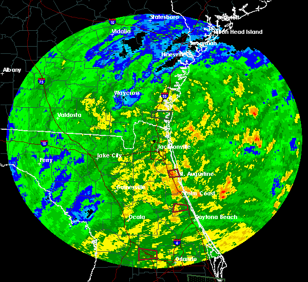 The tornado warning for southeastern flagler county will expire at 800 pm edt, the storm which prompted the warning has weakened below severe limits, and no longer appears capable of producing a tornado. therefore the warning will be allowed to expire. a tornado watch remains in effect until midnight edt for northeastern florida. The tornado warning for southeastern flagler county will expire at 800 pm edt, the storm which prompted the warning has weakened below severe limits, and no longer appears capable of producing a tornado. therefore the warning will be allowed to expire. a tornado watch remains in effect until midnight edt for northeastern florida.
|
| 9/10/2017 7:36 PM EDT |
 At 735 pm edt, a severe thunderstorm capable of producing a tornado was located near bunnell, moving west at 35 mph (radar indicated rotation). Hazards include tornado. Flying debris will be dangerous to those caught without shelter. mobile homes will be damaged or destroyed. damage to roofs, windows, and vehicles will occur. tree damage is likely. This dangerous storm will be near, bunnell around 740 pm edt. At 735 pm edt, a severe thunderstorm capable of producing a tornado was located near bunnell, moving west at 35 mph (radar indicated rotation). Hazards include tornado. Flying debris will be dangerous to those caught without shelter. mobile homes will be damaged or destroyed. damage to roofs, windows, and vehicles will occur. tree damage is likely. This dangerous storm will be near, bunnell around 740 pm edt.
|
| 9/10/2017 1:40 PM EDT |
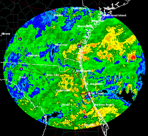 At 140 pm edt, a severe thunderstorm capable of producing a tornado was located 7 miles west of palm coast, moving west at 30 mph (radar indicated rotation). Hazards include tornado. Flying debris will be dangerous to those caught without shelter. mobile homes will be damaged or destroyed. damage to roofs, windows, and vehicles will occur. tree damage is likely. This tornadic thunderstorm will remain over mainly rural areas of northwestern flagler county. At 140 pm edt, a severe thunderstorm capable of producing a tornado was located 7 miles west of palm coast, moving west at 30 mph (radar indicated rotation). Hazards include tornado. Flying debris will be dangerous to those caught without shelter. mobile homes will be damaged or destroyed. damage to roofs, windows, and vehicles will occur. tree damage is likely. This tornadic thunderstorm will remain over mainly rural areas of northwestern flagler county.
|
| 9/10/2017 1:28 PM EDT |
 At 128 pm edt, a severe thunderstorm capable of producing a tornado was located over palm coast, moving west at 30 mph (radar indicated rotation). Hazards include tornado. Flying debris will be dangerous to those caught without shelter. mobile homes will be damaged or destroyed. damage to roofs, windows, and vehicles will occur. tree damage is likely. This tornadic thunderstorm will remain over mainly rural areas of northern flagler county, including the following locations: espanola and beverly beach. At 128 pm edt, a severe thunderstorm capable of producing a tornado was located over palm coast, moving west at 30 mph (radar indicated rotation). Hazards include tornado. Flying debris will be dangerous to those caught without shelter. mobile homes will be damaged or destroyed. damage to roofs, windows, and vehicles will occur. tree damage is likely. This tornadic thunderstorm will remain over mainly rural areas of northern flagler county, including the following locations: espanola and beverly beach.
|
| 9/1/2017 4:11 PM EDT |
 At 411 pm edt, a severe thunderstorm was located near fruitland, or near salt springs, moving northeast at 15 mph (radar indicated). Hazards include 60 mph wind gusts and quarter size hail. Hail damage to vehicles is expected. Expect wind damage to roofs, siding, and trees. At 411 pm edt, a severe thunderstorm was located near fruitland, or near salt springs, moving northeast at 15 mph (radar indicated). Hazards include 60 mph wind gusts and quarter size hail. Hail damage to vehicles is expected. Expect wind damage to roofs, siding, and trees.
|
| 8/8/2017 8:55 PM EDT |
 At 855 pm edt, a severe thunderstorm was located near lake delancy, or near salt springs, moving northeast at 15 mph (radar indicated). Hazards include 60 mph wind gusts and nickel size hail. expect damage to roofs, siding, and trees At 855 pm edt, a severe thunderstorm was located near lake delancy, or near salt springs, moving northeast at 15 mph (radar indicated). Hazards include 60 mph wind gusts and nickel size hail. expect damage to roofs, siding, and trees
|
| 7/29/2017 5:36 PM EDT |
 The severe thunderstorm warning for northeastern flagler county will expire at 545 pm edt, the storm which prompted the warning has weakened below severe limits, and has exited the warned area. therefore, the warning will be allowed to expire. The severe thunderstorm warning for northeastern flagler county will expire at 545 pm edt, the storm which prompted the warning has weakened below severe limits, and has exited the warned area. therefore, the warning will be allowed to expire.
|
| 7/29/2017 5:22 PM EDT |
 At 522 pm edt, a severe thunderstorm was located near bunnell, moving east at 25 mph (radar indicated). Hazards include 60 mph wind gusts. Expect damage to roofs, siding, and trees. Locations impacted include, palm coast, flagler beach, bunnell, marineland, beverly beach and espanola. At 522 pm edt, a severe thunderstorm was located near bunnell, moving east at 25 mph (radar indicated). Hazards include 60 mph wind gusts. Expect damage to roofs, siding, and trees. Locations impacted include, palm coast, flagler beach, bunnell, marineland, beverly beach and espanola.
|
| 7/29/2017 5:08 PM EDT |
 At 508 pm edt, a severe thunderstorm was located near bunnell, moving east at 25 mph (radar indicated). Hazards include 60 mph wind gusts. Expect damage to roofs, siding, and trees. Locations impacted include, palm coast, flagler beach, bunnell, marineland, beverly beach and espanola. At 508 pm edt, a severe thunderstorm was located near bunnell, moving east at 25 mph (radar indicated). Hazards include 60 mph wind gusts. Expect damage to roofs, siding, and trees. Locations impacted include, palm coast, flagler beach, bunnell, marineland, beverly beach and espanola.
|
| 7/29/2017 4:55 PM EDT |
 At 455 pm edt, a severe thunderstorm was located near andalusia, moving east at 25 mph (radar indicated). Hazards include 60 mph wind gusts. expect damage to roofs, siding, and trees At 455 pm edt, a severe thunderstorm was located near andalusia, moving east at 25 mph (radar indicated). Hazards include 60 mph wind gusts. expect damage to roofs, siding, and trees
|
| 7/18/2017 5:07 PM EDT |
 The severe thunderstorm warning for northwestern flagler, south central st. johns and east central putnam counties will expire at 515 pm edt, the storm which prompted the warning has weakened below severe limits, and no longer poses an immediate threat to life or property. therefore the warning will be allowed to expire. however gusty winds are still possible with this thunderstorm. The severe thunderstorm warning for northwestern flagler, south central st. johns and east central putnam counties will expire at 515 pm edt, the storm which prompted the warning has weakened below severe limits, and no longer poses an immediate threat to life or property. therefore the warning will be allowed to expire. however gusty winds are still possible with this thunderstorm.
|
| 7/18/2017 4:35 PM EDT |
 At 435 pm edt, a severe thunderstorm was located near andalusia, moving northwest at 5 mph (radar indicated). Hazards include 60 mph wind gusts and quarter size hail. Hail damage to vehicles is expected. Expect wind damage to roofs, siding, and trees. At 435 pm edt, a severe thunderstorm was located near andalusia, moving northwest at 5 mph (radar indicated). Hazards include 60 mph wind gusts and quarter size hail. Hail damage to vehicles is expected. Expect wind damage to roofs, siding, and trees.
|
| 7/17/2017 5:24 PM EDT |
 The severe thunderstorm warning for southeastern flagler county will expire at 530 pm edt, the storm which prompted the warning has weakened below severe limits, and no longer poses an immediate threat to life or property. therefore the warning will be allowed to expire. The severe thunderstorm warning for southeastern flagler county will expire at 530 pm edt, the storm which prompted the warning has weakened below severe limits, and no longer poses an immediate threat to life or property. therefore the warning will be allowed to expire.
|
| 7/17/2017 5:07 PM EDT |
 At 507 pm edt, a severe thunderstorm was located 11 miles south of bunnell, moving east at 10 mph (radar indicated). Hazards include 60 mph wind gusts and penny size hail. Expect damage to roofs, siding, and trees. This severe thunderstorm will remain over mainly rural areas of southeastern flagler county. At 507 pm edt, a severe thunderstorm was located 11 miles south of bunnell, moving east at 10 mph (radar indicated). Hazards include 60 mph wind gusts and penny size hail. Expect damage to roofs, siding, and trees. This severe thunderstorm will remain over mainly rural areas of southeastern flagler county.
|
| 7/17/2017 4:51 PM EDT |
 At 451 pm edt, a severe thunderstorm was located 9 miles northeast of pierson, moving northeast at 20 mph (radar indicated). Hazards include 60 mph wind gusts and penny size hail. expect damage to roofs, siding, and trees At 451 pm edt, a severe thunderstorm was located 9 miles northeast of pierson, moving northeast at 20 mph (radar indicated). Hazards include 60 mph wind gusts and penny size hail. expect damage to roofs, siding, and trees
|
| 7/17/2017 3:45 PM EDT |
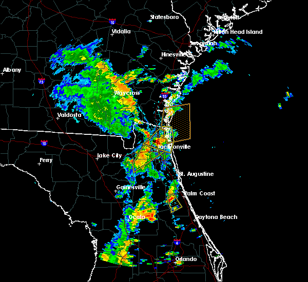 At 345 pm edt, a severe thunderstorm was located near andalusia, moving east at 5 mph (radar indicated). Hazards include 60 mph wind gusts and penny size hail. Expect damage to roofs, siding, and trees. This severe thunderstorm will remain over mainly rural areas of western flagler county. At 345 pm edt, a severe thunderstorm was located near andalusia, moving east at 5 mph (radar indicated). Hazards include 60 mph wind gusts and penny size hail. Expect damage to roofs, siding, and trees. This severe thunderstorm will remain over mainly rural areas of western flagler county.
|
| 7/17/2017 3:35 PM EDT |
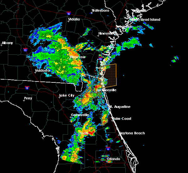 At 335 pm edt, a severe thunderstorm was located near andalusia, and is nearly stationary (radar indicated). Hazards include 60 mph wind gusts and penny size hail. Expect damage to roofs, siding, and trees. Locations impacted include, andalusia. At 335 pm edt, a severe thunderstorm was located near andalusia, and is nearly stationary (radar indicated). Hazards include 60 mph wind gusts and penny size hail. Expect damage to roofs, siding, and trees. Locations impacted include, andalusia.
|
| 7/17/2017 3:18 PM EDT |
 At 318 pm edt, a severe thunderstorm was located near hastings, moving southeast at 5 mph (radar indicated). Hazards include 60 mph wind gusts and penny size hail. expect damage to roofs, siding, and trees At 318 pm edt, a severe thunderstorm was located near hastings, moving southeast at 5 mph (radar indicated). Hazards include 60 mph wind gusts and penny size hail. expect damage to roofs, siding, and trees
|
| 7/10/2017 5:37 PM EDT |
 At 537 pm edt, a severe thunderstorm was located over palatka, moving north at 15 mph (radar indicated). Hazards include 60 mph wind gusts and quarter size hail. Hail damage to vehicles is expected. expect wind damage to roofs, siding, and trees. Locations impacted include, palatka, hastings, east palatka, bostwick, federal point, orange mills, san mateo and spuds. At 537 pm edt, a severe thunderstorm was located over palatka, moving north at 15 mph (radar indicated). Hazards include 60 mph wind gusts and quarter size hail. Hail damage to vehicles is expected. expect wind damage to roofs, siding, and trees. Locations impacted include, palatka, hastings, east palatka, bostwick, federal point, orange mills, san mateo and spuds.
|
| 7/10/2017 5:30 PM EDT |
 At 530 pm edt, a severe thunderstorm was located over palatka, moving north at 20 mph (radar indicated). Hazards include 60 mph wind gusts and quarter size hail. Hail damage to vehicles is expected. Expect wind damage to roofs, siding, and trees. At 530 pm edt, a severe thunderstorm was located over palatka, moving north at 20 mph (radar indicated). Hazards include 60 mph wind gusts and quarter size hail. Hail damage to vehicles is expected. Expect wind damage to roofs, siding, and trees.
|
| 6/26/2017 6:07 PM EDT |
 At 606 pm edt, severe thunderstorms were located along a line extending from near guana river state park to near george`s lake, moving south at 10 mph (radar indicated). Hazards include 60 mph wind gusts and penny size hail. Expect damage to roofs, siding, and trees. Locations impacted include, saint augustine, palatka, interlachen, hastings, east palatka, world golf village, saint augustine beach, marineland, vilano beach and florahome. At 606 pm edt, severe thunderstorms were located along a line extending from near guana river state park to near george`s lake, moving south at 10 mph (radar indicated). Hazards include 60 mph wind gusts and penny size hail. Expect damage to roofs, siding, and trees. Locations impacted include, saint augustine, palatka, interlachen, hastings, east palatka, world golf village, saint augustine beach, marineland, vilano beach and florahome.
|
| 6/26/2017 5:31 PM EDT |
 At 530 pm edt, severe thunderstorms were located along a line extending from near palm valley to near george`s lake, moving south at 20 mph (radar indicated). Hazards include 60 mph wind gusts and penny size hail. expect damage to roofs, siding, and trees At 530 pm edt, severe thunderstorms were located along a line extending from near palm valley to near george`s lake, moving south at 20 mph (radar indicated). Hazards include 60 mph wind gusts and penny size hail. expect damage to roofs, siding, and trees
|
| 6/14/2017 5:40 PM EDT |
 The severe thunderstorm warning for northwestern flagler, south central st. johns and northeastern putnam counties will expire at 545 pm edt, the storm which prompted the warning has weakened below severe limits, and no longer poses an immediate threat to life or property. therefore the warning will be allowed to expire. however gusty winds and heavy rain are still possible with this thunderstorm. The severe thunderstorm warning for northwestern flagler, south central st. johns and northeastern putnam counties will expire at 545 pm edt, the storm which prompted the warning has weakened below severe limits, and no longer poses an immediate threat to life or property. therefore the warning will be allowed to expire. however gusty winds and heavy rain are still possible with this thunderstorm.
|
| 6/14/2017 5:13 PM EDT |
 At 513 pm edt, a severe thunderstorm was located near federal point, or near hastings, moving south at 20 mph (radar indicated). Hazards include 60 mph wind gusts and nickel size hail. Expect damage to roofs, siding, and trees. Locations impacted include, hastings, federal point, spuds and elkton. At 513 pm edt, a severe thunderstorm was located near federal point, or near hastings, moving south at 20 mph (radar indicated). Hazards include 60 mph wind gusts and nickel size hail. Expect damage to roofs, siding, and trees. Locations impacted include, hastings, federal point, spuds and elkton.
|
| 6/14/2017 4:55 PM EDT |
 At 455 pm edt, a severe thunderstorm was located 7 miles northeast of federal point, or 7 miles northeast of hastings, moving south at 20 mph (radar indicated). Hazards include 60 mph wind gusts and nickel size hail. expect damage to roofs, siding, and trees At 455 pm edt, a severe thunderstorm was located 7 miles northeast of federal point, or 7 miles northeast of hastings, moving south at 20 mph (radar indicated). Hazards include 60 mph wind gusts and nickel size hail. expect damage to roofs, siding, and trees
|
| 5/30/2017 5:11 PM EDT |
 At 501 pm edt, a severe thunderstorm was located over andalusia, moving north at 15 mph (radar indicated). Hazards include 60 mph wind gusts and quarter size hail. Hail damage to vehicles is expected. expect wind damage to roofs, siding, and trees. Locations impacted include, palm coast, bunnell, andalusia, marineland and espanola. At 501 pm edt, a severe thunderstorm was located over andalusia, moving north at 15 mph (radar indicated). Hazards include 60 mph wind gusts and quarter size hail. Hail damage to vehicles is expected. expect wind damage to roofs, siding, and trees. Locations impacted include, palm coast, bunnell, andalusia, marineland and espanola.
|
| 5/30/2017 5:01 PM EDT |
 At 435 pm edt, a severe thunderstorm was located 7 miles east of crescent city, moving north at 20 mph (radar indicated). Hazards include 60 mph wind gusts and quarter size hail. Hail damage to vehicles is expected. Expect wind damage to roofs, siding, and trees. At 435 pm edt, a severe thunderstorm was located 7 miles east of crescent city, moving north at 20 mph (radar indicated). Hazards include 60 mph wind gusts and quarter size hail. Hail damage to vehicles is expected. Expect wind damage to roofs, siding, and trees.
|
| 5/30/2017 5:00 PM EDT | Quarter sized hail reported 3.3 miles E of Bunnell, FL, flagler county fire rescue reported quarter sized hail near county road 305 and county road 2006. |
| 5/30/2017 5:00 PM EDT | Flagler county fire rescue reported wind damage to roofs of outbuildings and a few downed trees near county road 305 and county road 200 in flagler county FL, 3.5 miles ENE of Bunnell, FL |
| 5/30/2017 4:47 PM EDT | Quarter sized hail reported 3.3 miles E of Bunnell, FL, flagler county fire rescue reported quarter sized hail near county road 305 and county road 2006. |
| 5/30/2017 4:47 PM EDT | Flagler county fire rescue reported wind damage to roofs of outbuildings and a few downed trees near county road 305 and county road 200 in flagler county FL, 3.5 miles ENE of Bunnell, FL |
| 5/30/2017 4:35 PM EDT |
 At 435 pm edt, a severe thunderstorm was located 7 miles east of crescent city, moving north at 20 mph (radar indicated). Hazards include 60 mph wind gusts and quarter size hail. Hail damage to vehicles is expected. Expect wind damage to roofs, siding, and trees. At 435 pm edt, a severe thunderstorm was located 7 miles east of crescent city, moving north at 20 mph (radar indicated). Hazards include 60 mph wind gusts and quarter size hail. Hail damage to vehicles is expected. Expect wind damage to roofs, siding, and trees.
|
| 5/4/2017 6:51 PM EDT |
 The severe thunderstorm warning for eastern flagler county will expire at 700 pm edt, the storm which prompted the warning has weakened below severe limits, and no longer poses an immediate threat to life or property. therefore the warning will be allowed to expire. however heavy rain is still possible with this thunderstorm. The severe thunderstorm warning for eastern flagler county will expire at 700 pm edt, the storm which prompted the warning has weakened below severe limits, and no longer poses an immediate threat to life or property. therefore the warning will be allowed to expire. however heavy rain is still possible with this thunderstorm.
|
| 5/4/2017 6:34 PM EDT |
 At 634 pm edt, a severe thunderstorm was located 9 miles south of bunnell, moving northeast at 30 mph (radar indicated). Hazards include 60 mph wind gusts and quarter size hail. Hail damage to vehicles is expected. expect wind damage to roofs, siding, and trees. this severe thunderstorm will be near, palm coast and bunnell around 650 pm edt. flagler beach around 655 pm edt. Other locations impacted by this severe thunderstorm include beverly beach. At 634 pm edt, a severe thunderstorm was located 9 miles south of bunnell, moving northeast at 30 mph (radar indicated). Hazards include 60 mph wind gusts and quarter size hail. Hail damage to vehicles is expected. expect wind damage to roofs, siding, and trees. this severe thunderstorm will be near, palm coast and bunnell around 650 pm edt. flagler beach around 655 pm edt. Other locations impacted by this severe thunderstorm include beverly beach.
|
| 1/22/2017 7:56 PM EST |
 The severe thunderstorm warning for eastern st. johns and northwestern flagler counties will expire at 800 pm est, the storms which prompted the warning have weakened below severe limits, and have exited the warned area. therefore the warning will be allowed to expire. however gusty winds are still possible with these thunderstorms. The severe thunderstorm warning for eastern st. johns and northwestern flagler counties will expire at 800 pm est, the storms which prompted the warning have weakened below severe limits, and have exited the warned area. therefore the warning will be allowed to expire. however gusty winds are still possible with these thunderstorms.
|
| 1/22/2017 7:55 PM EST |
 The severe thunderstorm warning for southeastern putnam, southeastern marion and flagler counties will expire at 800 pm est, the storms which prompted the warning have weakened below severe limits, and have exited the warned area. therefore the warning will be allowed to expire. however gusty winds are still possible with these thunderstorms. The severe thunderstorm warning for southeastern putnam, southeastern marion and flagler counties will expire at 800 pm est, the storms which prompted the warning have weakened below severe limits, and have exited the warned area. therefore the warning will be allowed to expire. however gusty winds are still possible with these thunderstorms.
|
| 1/22/2017 7:53 PM EST |
 At 752 pm est, a line of severe thunderstorms was located from pierson to eustis, moving northeast at 65 mph (radar indicated). Hazards include 60 mph wind gusts and quarter size hail. Hail damage to vehicles is expected. Expect wind damage to roofs, siding, and trees. At 752 pm est, a line of severe thunderstorms was located from pierson to eustis, moving northeast at 65 mph (radar indicated). Hazards include 60 mph wind gusts and quarter size hail. Hail damage to vehicles is expected. Expect wind damage to roofs, siding, and trees.
|
| 1/22/2017 7:47 PM EST |
 At 747 pm est, severe thunderstorms were located along a line extending from 8 miles west of palm coast to near pittman, moving northeast at 50 mph (radar indicated). Hazards include 60 mph wind gusts and quarter size hail. Hail damage to vehicles is expected. expect wind damage to roofs, siding, and trees. Locations impacted include, palm coast, flagler beach, bunnell, crescent city, juniper springs, andalusia, fruitland, beverly beach, lake como and georgetown. At 747 pm est, severe thunderstorms were located along a line extending from 8 miles west of palm coast to near pittman, moving northeast at 50 mph (radar indicated). Hazards include 60 mph wind gusts and quarter size hail. Hail damage to vehicles is expected. expect wind damage to roofs, siding, and trees. Locations impacted include, palm coast, flagler beach, bunnell, crescent city, juniper springs, andalusia, fruitland, beverly beach, lake como and georgetown.
|
| 1/22/2017 7:45 PM EST |
 At 744 pm est, severe thunderstorms were located along a line extending from near guana river state park to 8 miles west of palm coast, moving east at 45 mph (radar indicated). Hazards include 60 mph wind gusts and penny size hail. Expect damage to roofs, siding, and trees. Locations impacted include, saint augustine, saint augustine beach, marineland, vilano beach, saint augustine shores, saint augustine south, south ponte vedra, butler beach, crescent beach and guana river state park. At 744 pm est, severe thunderstorms were located along a line extending from near guana river state park to 8 miles west of palm coast, moving east at 45 mph (radar indicated). Hazards include 60 mph wind gusts and penny size hail. Expect damage to roofs, siding, and trees. Locations impacted include, saint augustine, saint augustine beach, marineland, vilano beach, saint augustine shores, saint augustine south, south ponte vedra, butler beach, crescent beach and guana river state park.
|
| 1/22/2017 7:31 PM EST |
 At 731 pm est, severe thunderstorms were located along a line extending from near andalusia to near emeralda, moving east at 35 mph (radar indicated). Hazards include 60 mph wind gusts and quarter size hail. Hail damage to vehicles is expected. expect wind damage to roofs, siding, and trees. locations impacted include, palm coast, flagler beach, bunnell, crescent city, pomona park, andalusia, juniper springs, salt springs, moss bluff and fruitland. A tornado watch remains in effect until 800 pm est for northern and northeastern florida. At 731 pm est, severe thunderstorms were located along a line extending from near andalusia to near emeralda, moving east at 35 mph (radar indicated). Hazards include 60 mph wind gusts and quarter size hail. Hail damage to vehicles is expected. expect wind damage to roofs, siding, and trees. locations impacted include, palm coast, flagler beach, bunnell, crescent city, pomona park, andalusia, juniper springs, salt springs, moss bluff and fruitland. A tornado watch remains in effect until 800 pm est for northern and northeastern florida.
|
| 1/22/2017 7:30 PM EST |
 At 728 pm est, severe thunderstorms were located along a line extending from 10 miles northeast of kings bay base to 6 miles northeast of federal point, moving east at 145 mph (radar indicated). Hazards include 60 mph wind gusts and quarter size hail. Hail damage to vehicles is expected. expect wind damage to roofs, siding, and trees. locations impacted include, saint augustine, fernandina beach, palatka, hastings, ponte vedra beach, unf, fruit cove, east palatka, neptune beach and world golf village. a tornado watch remains in effect until 800 pm est for northeastern florida, and southeastern georgia. Time, mot, loc 0028z 249deg 125kt 3090 8138 2980 8146. At 728 pm est, severe thunderstorms were located along a line extending from 10 miles northeast of kings bay base to 6 miles northeast of federal point, moving east at 145 mph (radar indicated). Hazards include 60 mph wind gusts and quarter size hail. Hail damage to vehicles is expected. expect wind damage to roofs, siding, and trees. locations impacted include, saint augustine, fernandina beach, palatka, hastings, ponte vedra beach, unf, fruit cove, east palatka, neptune beach and world golf village. a tornado watch remains in effect until 800 pm est for northeastern florida, and southeastern georgia. Time, mot, loc 0028z 249deg 125kt 3090 8138 2980 8146.
|
| 1/22/2017 7:25 PM EST |
 At 725 pm est, a severe thunderstorm capable of producing a tornado was located near bunnell, moving northeast at 60 mph (radar indicated rotation). Hazards include tornado and quarter size hail. Flying debris will be dangerous to those caught without shelter. mobile homes will be damaged or destroyed. damage to roofs, windows, and vehicles will occur. Tree damage is likely. At 725 pm est, a severe thunderstorm capable of producing a tornado was located near bunnell, moving northeast at 60 mph (radar indicated rotation). Hazards include tornado and quarter size hail. Flying debris will be dangerous to those caught without shelter. mobile homes will be damaged or destroyed. damage to roofs, windows, and vehicles will occur. Tree damage is likely.
|
| 1/22/2017 7:16 PM EST |
 At 716 pm est, a severe thunderstorm capable of producing a tornado was located near andalusia, moving northeast at 55 mph (radar indicated rotation). Hazards include tornado and quarter size hail. Flying debris will be dangerous to those caught without shelter. mobile homes will be damaged or destroyed. damage to roofs, windows, and vehicles will occur. tree damage is likely. Locations impacted include, palm coast, flagler beach, bunnell, beverly beach and espanola. At 716 pm est, a severe thunderstorm capable of producing a tornado was located near andalusia, moving northeast at 55 mph (radar indicated rotation). Hazards include tornado and quarter size hail. Flying debris will be dangerous to those caught without shelter. mobile homes will be damaged or destroyed. damage to roofs, windows, and vehicles will occur. tree damage is likely. Locations impacted include, palm coast, flagler beach, bunnell, beverly beach and espanola.
|
| 1/22/2017 7:15 PM EST |
 At 714 pm est, severe thunderstorms were located along a line extending from 6 miles northeast of kings bay base to near bostwick, moving northeast at 95 mph (radar indicated). Hazards include 60 mph wind gusts and quarter size hail. Hail damage to vehicles is expected. Expect wind damage to roofs, siding, and trees. At 714 pm est, severe thunderstorms were located along a line extending from 6 miles northeast of kings bay base to near bostwick, moving northeast at 95 mph (radar indicated). Hazards include 60 mph wind gusts and quarter size hail. Hail damage to vehicles is expected. Expect wind damage to roofs, siding, and trees.
|
| 1/22/2017 7:02 PM EST |
 At 702 pm est, severe thunderstorms were located along a line extending from lake delancy to near wildwood, moving northeast at 75 mph (radar indicated). Hazards include 60 mph wind gusts and quarter size hail. Hail damage to vehicles is expected. expect wind damage to roofs, siding, and trees. locations impacted include, palm coast, flagler beach, bunnell, crescent city, pomona park, fort mccoy, andalusia, juniper springs, salt springs and lynne. A tornado watch remains in effect until 800 pm est for northern and northeastern florida. At 702 pm est, severe thunderstorms were located along a line extending from lake delancy to near wildwood, moving northeast at 75 mph (radar indicated). Hazards include 60 mph wind gusts and quarter size hail. Hail damage to vehicles is expected. expect wind damage to roofs, siding, and trees. locations impacted include, palm coast, flagler beach, bunnell, crescent city, pomona park, fort mccoy, andalusia, juniper springs, salt springs and lynne. A tornado watch remains in effect until 800 pm est for northern and northeastern florida.
|
| 1/22/2017 7:01 PM EST |
 At 701 pm est, severe thunderstorms were located along a line extending from near kings bay base to near bostwick, moving northeast at 70 mph (radar indicated). Hazards include 60 mph wind gusts and quarter size hail. Hail damage to vehicles is expected. expect wind damage to roofs, siding, and trees. locations impacted include, jacksonville, saint augustine, fernandina beach, palatka, orange park, green cove springs, interlachen, callahan, hastings and jacksonville international arpt. A tornado watch remains in effect until 800 pm est for northern and northeastern florida. At 701 pm est, severe thunderstorms were located along a line extending from near kings bay base to near bostwick, moving northeast at 70 mph (radar indicated). Hazards include 60 mph wind gusts and quarter size hail. Hail damage to vehicles is expected. expect wind damage to roofs, siding, and trees. locations impacted include, jacksonville, saint augustine, fernandina beach, palatka, orange park, green cove springs, interlachen, callahan, hastings and jacksonville international arpt. A tornado watch remains in effect until 800 pm est for northern and northeastern florida.
|
| 1/22/2017 6:56 PM EST |
 At 656 pm est, a severe thunderstorm capable of producing a tornado was located near lake george, or near salt springs, moving northeast at 55 mph (radar indicated rotation). Hazards include tornado and quarter size hail. Flying debris will be dangerous to those caught without shelter. mobile homes will be damaged or destroyed. damage to roofs, windows, and vehicles will occur. Tree damage is likely. At 656 pm est, a severe thunderstorm capable of producing a tornado was located near lake george, or near salt springs, moving northeast at 55 mph (radar indicated rotation). Hazards include tornado and quarter size hail. Flying debris will be dangerous to those caught without shelter. mobile homes will be damaged or destroyed. damage to roofs, windows, and vehicles will occur. Tree damage is likely.
|
| 1/22/2017 6:55 PM EST |
 At 654 pm est, severe thunderstorms were located along a line extending from st. marys to near bardin, moving northeast at 70 mph (radar indicated). Hazards include 60 mph wind gusts and quarter size hail. Hail damage to vehicles is expected. expect wind damage to roofs, siding, and trees. locations impacted include, jacksonville, saint augustine, fernandina beach, palatka, orange park, green cove springs, interlachen, keystone heights, callahan and hastings. A tornado watch remains in effect until 800 pm est for northeastern and northern florida, and southeastern georgia. At 654 pm est, severe thunderstorms were located along a line extending from st. marys to near bardin, moving northeast at 70 mph (radar indicated). Hazards include 60 mph wind gusts and quarter size hail. Hail damage to vehicles is expected. expect wind damage to roofs, siding, and trees. locations impacted include, jacksonville, saint augustine, fernandina beach, palatka, orange park, green cove springs, interlachen, keystone heights, callahan and hastings. A tornado watch remains in effect until 800 pm est for northeastern and northern florida, and southeastern georgia.
|
| 1/22/2017 6:47 PM EST |
 At 647 pm est, severe thunderstorms were located along a line extending from near anthony to inverness highlands south, moving northeast at 75 mph (radar indicated). Hazards include 60 mph wind gusts and quarter size hail. Hail damage to vehicles is expected. expect wind damage to roofs, siding, and trees. locations impacted include, palm coast, ocala, flagler beach, bunnell, crescent city, pomona park, fort mccoy, andalusia, juniper springs and salt springs. A tornado watch remains in effect until 800 pm est for northern and northeastern florida. At 647 pm est, severe thunderstorms were located along a line extending from near anthony to inverness highlands south, moving northeast at 75 mph (radar indicated). Hazards include 60 mph wind gusts and quarter size hail. Hail damage to vehicles is expected. expect wind damage to roofs, siding, and trees. locations impacted include, palm coast, ocala, flagler beach, bunnell, crescent city, pomona park, fort mccoy, andalusia, juniper springs and salt springs. A tornado watch remains in effect until 800 pm est for northern and northeastern florida.
|
| 1/22/2017 6:46 PM EST |
 At 646 pm est, severe thunderstorms were located along a line extending from near yulee to interlachen, moving northeast at 70 mph (radar indicated). Hazards include 60 mph wind gusts and quarter size hail. Hail damage to vehicles is expected. expect wind damage to roofs, siding, and trees. locations impacted include, jacksonville, saint augustine, fernandina beach, palatka, orange park, green cove springs, starke, interlachen, keystone heights and callahan. A tornado watch remains in effect until 800 pm est for northeastern and northern florida, and southeastern georgia. At 646 pm est, severe thunderstorms were located along a line extending from near yulee to interlachen, moving northeast at 70 mph (radar indicated). Hazards include 60 mph wind gusts and quarter size hail. Hail damage to vehicles is expected. expect wind damage to roofs, siding, and trees. locations impacted include, jacksonville, saint augustine, fernandina beach, palatka, orange park, green cove springs, starke, interlachen, keystone heights and callahan. A tornado watch remains in effect until 800 pm est for northeastern and northern florida, and southeastern georgia.
|
| 1/22/2017 6:40 PM EST |
 At 640 pm est, severe thunderstorms were located along a line extending from near anthony to 6 miles southwest of inverness highlands south, moving northeast at 75 mph (radar indicated). Hazards include 60 mph wind gusts and quarter size hail. Hail damage to vehicles is expected. Expect wind damage to roofs, siding, and trees. At 640 pm est, severe thunderstorms were located along a line extending from near anthony to 6 miles southwest of inverness highlands south, moving northeast at 75 mph (radar indicated). Hazards include 60 mph wind gusts and quarter size hail. Hail damage to vehicles is expected. Expect wind damage to roofs, siding, and trees.
|
| 1/22/2017 6:32 PM EST |
 At 631 pm est, severe thunderstorms were located along a line extending from 6 miles west of ratliff to cross creek, moving northeast at 70 mph (radar indicated). Hazards include 60 mph wind gusts and quarter size hail. Hail damage to vehicles is expected. expect wind damage to roofs, siding, and trees. locations impacted include, jacksonville, gainesville, saint augustine, fernandina beach, palatka, orange park, green cove springs, starke, lake butler and interlachen. A tornado watch remains in effect until 800 pm est for northeastern and northern florida, and southeastern georgia. At 631 pm est, severe thunderstorms were located along a line extending from 6 miles west of ratliff to cross creek, moving northeast at 70 mph (radar indicated). Hazards include 60 mph wind gusts and quarter size hail. Hail damage to vehicles is expected. expect wind damage to roofs, siding, and trees. locations impacted include, jacksonville, gainesville, saint augustine, fernandina beach, palatka, orange park, green cove springs, starke, lake butler and interlachen. A tornado watch remains in effect until 800 pm est for northeastern and northern florida, and southeastern georgia.
|
| 1/22/2017 6:17 PM EST |
 At 617 pm est, severe thunderstorms were located along a line extending from 8 miles north of macclenny to near williston, moving northeast at 70 mph (radar indicated). Hazards include 60 mph wind gusts and quarter size hail. Hail damage to vehicles is expected. expect wind damage to roofs, siding, and trees. locations impacted include, jacksonville, gainesville, saint augustine, fernandina beach, palatka, orange park, green cove springs, starke, lake butler and interlachen. A tornado watch remains in effect until 800 pm est for northeastern and northern florida, and southeastern georgia. At 617 pm est, severe thunderstorms were located along a line extending from 8 miles north of macclenny to near williston, moving northeast at 70 mph (radar indicated). Hazards include 60 mph wind gusts and quarter size hail. Hail damage to vehicles is expected. expect wind damage to roofs, siding, and trees. locations impacted include, jacksonville, gainesville, saint augustine, fernandina beach, palatka, orange park, green cove springs, starke, lake butler and interlachen. A tornado watch remains in effect until 800 pm est for northeastern and northern florida, and southeastern georgia.
|
| 1/22/2017 6:06 PM EST |
 At 605 pm est, severe thunderstorms were located along a line extending from near sanderson to near williston highlands, moving northeast at 70 mph (radar indicated). Hazards include 60 mph wind gusts and quarter size hail. Hail damage to vehicles is expected. Expect wind damage to roofs, siding, and trees. At 605 pm est, severe thunderstorms were located along a line extending from near sanderson to near williston highlands, moving northeast at 70 mph (radar indicated). Hazards include 60 mph wind gusts and quarter size hail. Hail damage to vehicles is expected. Expect wind damage to roofs, siding, and trees.
|
| 1/22/2017 4:20 PM EST |
 At 420 pm est, a severe thunderstorm was located 8 miles northeast of andalusia, moving northeast at 60 mph (radar indicated). Hazards include 60 mph wind gusts and quarter size hail. Hail damage to vehicles is expected. Expect wind damage to roofs, siding, and trees. At 420 pm est, a severe thunderstorm was located 8 miles northeast of andalusia, moving northeast at 60 mph (radar indicated). Hazards include 60 mph wind gusts and quarter size hail. Hail damage to vehicles is expected. Expect wind damage to roofs, siding, and trees.
|
| 8/1/2016 6:40 PM EDT | Spotter reported oak tree 12 inches in diameter fell on car. time estimated based on rada in putnam county FL, 17.2 miles SE of Bunnell, FL |
| 7/14/2016 6:45 PM EDT |
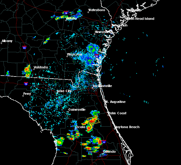 At 645 pm edt, a severe thunderstorm was located over fruitland, or near salt springs, and is nearly stationary (radar indicated). Hazards include 60 mph wind gusts and quarter size hail. Hail damage to vehicles is expected. Expect wind damage to roofs, siding, and trees. At 645 pm edt, a severe thunderstorm was located over fruitland, or near salt springs, and is nearly stationary (radar indicated). Hazards include 60 mph wind gusts and quarter size hail. Hail damage to vehicles is expected. Expect wind damage to roofs, siding, and trees.
|
| 7/14/2016 5:47 PM EDT |
 At 547 pm edt, a severe thunderstorm was located near hastings, moving south at 10 mph (radar indicated). Hazards include 60 mph wind gusts and quarter size hail. Hail damage to vehicles is expected. Expect wind damage to roofs, siding, and trees. At 547 pm edt, a severe thunderstorm was located near hastings, moving south at 10 mph (radar indicated). Hazards include 60 mph wind gusts and quarter size hail. Hail damage to vehicles is expected. Expect wind damage to roofs, siding, and trees.
|
| 7/7/2016 6:20 PM EDT |
 At 619 pm edt, a severe thunderstorm was located over palm coast, moving northeast at 15 mph (radar indicated). Hazards include 60 mph wind gusts and small hail. Expect damage to roofs. siding. and trees. Locations impacted include, palm coast, bunnell, marineland, crescent beach and espanola. At 619 pm edt, a severe thunderstorm was located over palm coast, moving northeast at 15 mph (radar indicated). Hazards include 60 mph wind gusts and small hail. Expect damage to roofs. siding. and trees. Locations impacted include, palm coast, bunnell, marineland, crescent beach and espanola.
|
| 7/7/2016 6:00 PM EDT |
 At 600 pm edt, a severe thunderstorm was located near andalusia, moving northeast at 20 mph (radar indicated). Hazards include 60 mph wind gusts. Expect damage to roofs. siding. And trees. At 600 pm edt, a severe thunderstorm was located near andalusia, moving northeast at 20 mph (radar indicated). Hazards include 60 mph wind gusts. Expect damage to roofs. siding. And trees.
|
| 6/6/2016 5:09 PM EDT |
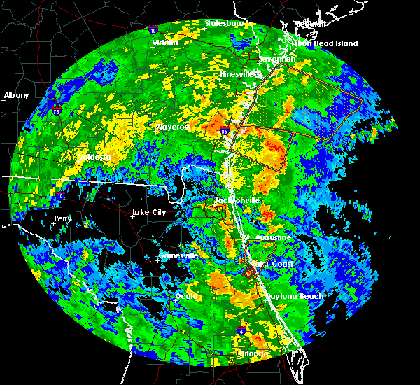 At 508 pm edt, a severe thunderstorm capable of producing a tornado was located near bunnell, moving northeast at 30 mph. a wall cloud was reported near bunnell (radar indicated rotation). Hazards include tornado. Flying debris will be dangerous to those caught without shelter. mobile homes will be damaged or destroyed. damage to roofs, windows, and vehicles will occur. tree damage is likely. This dangerous storm will be near, palm coast around 515 pm edt. At 508 pm edt, a severe thunderstorm capable of producing a tornado was located near bunnell, moving northeast at 30 mph. a wall cloud was reported near bunnell (radar indicated rotation). Hazards include tornado. Flying debris will be dangerous to those caught without shelter. mobile homes will be damaged or destroyed. damage to roofs, windows, and vehicles will occur. tree damage is likely. This dangerous storm will be near, palm coast around 515 pm edt.
|
| 6/6/2016 4:57 PM EDT |
 At 457 pm edt, a severe thunderstorm capable of producing a tornado was located over bunnell, moving northeast at 30 mph (radar indicated rotation). Hazards include tornado. Flying debris will be dangerous to those caught without shelter. mobile homes will be damaged or destroyed. damage to roofs, windows, and vehicles will occur. tree damage is likely. This dangerous storm will be near, palm coast and bunnell around 505 pm edt. At 457 pm edt, a severe thunderstorm capable of producing a tornado was located over bunnell, moving northeast at 30 mph (radar indicated rotation). Hazards include tornado. Flying debris will be dangerous to those caught without shelter. mobile homes will be damaged or destroyed. damage to roofs, windows, and vehicles will occur. tree damage is likely. This dangerous storm will be near, palm coast and bunnell around 505 pm edt.
|
| 6/5/2016 6:33 PM EDT |
 At 633 pm edt, a severe thunderstorm was located over palatka, moving northeast at 20 mph (radar indicated). Hazards include 60 mph wind gusts. Expect damage to roofs. siding. And trees. At 633 pm edt, a severe thunderstorm was located over palatka, moving northeast at 20 mph (radar indicated). Hazards include 60 mph wind gusts. Expect damage to roofs. siding. And trees.
|
| 5/31/2016 7:52 PM EDT |
 At 752 pm edt, a severe thunderstorm was located over andalusia, moving south at 10 mph (radar indicated). Hazards include 60 mph wind gusts and penny size hail. Expect damage to roofs. siding. and trees. Locations impacted include, crescent city, pomona park, andalusia and lake como. At 752 pm edt, a severe thunderstorm was located over andalusia, moving south at 10 mph (radar indicated). Hazards include 60 mph wind gusts and penny size hail. Expect damage to roofs. siding. and trees. Locations impacted include, crescent city, pomona park, andalusia and lake como.
|
| 5/31/2016 7:29 PM EDT |
 At 729 pm edt, a severe thunderstorm was located near andalusia, moving south at 10 mph (radar indicated). Hazards include 60 mph wind gusts and penny size hail. Expect damage to roofs. siding. And trees. At 729 pm edt, a severe thunderstorm was located near andalusia, moving south at 10 mph (radar indicated). Hazards include 60 mph wind gusts and penny size hail. Expect damage to roofs. siding. And trees.
|
| 5/19/2016 6:24 PM EDT | The national weather service in jacksonville has issued a * severe thunderstorm warning for. southeastern st. johns county in northeastern florida. northern flagler county in northeastern florida. until 715 pm edt * at 624 pm edt. A severe thunderstorm was located 7 miles northeast. |
| 5/13/2016 6:58 PM EDT |
 At 658 pm edt, a severe thunderstorm was located near hastings, moving east at 25 mph (radar indicated). Hazards include 60 mph wind gusts and penny size hail. Expect damage to roofs. siding. And trees. At 658 pm edt, a severe thunderstorm was located near hastings, moving east at 25 mph (radar indicated). Hazards include 60 mph wind gusts and penny size hail. Expect damage to roofs. siding. And trees.
|
| 5/4/2016 8:32 AM EDT |
 At 832 am edt, a severe thunderstorm was located near flagler beach, moving east at 30 mph (radar indicated). Hazards include ping pong ball size hail and 60 mph wind gusts. People and animals outdoors will be injured. expect hail damage to roofs, siding, windows, and vehicles. expect wind damage to roofs, siding, and trees. Locations impacted include, palm coast, flagler beach, bunnell and beverly beach. At 832 am edt, a severe thunderstorm was located near flagler beach, moving east at 30 mph (radar indicated). Hazards include ping pong ball size hail and 60 mph wind gusts. People and animals outdoors will be injured. expect hail damage to roofs, siding, windows, and vehicles. expect wind damage to roofs, siding, and trees. Locations impacted include, palm coast, flagler beach, bunnell and beverly beach.
|
| 5/4/2016 8:22 AM EDT | Quarter sized hail reported 5.1 miles WSW of Bunnell, FL, multiple reports of hail up to quarter size - via emergency manager. |
| 5/4/2016 8:20 AM EDT | Quarter sized hail reported 3.3 miles SSW of Bunnell, FL, trained spotter reports quarter-sized hail currently falling at time of report. corrected for location. |
| 5/4/2016 8:14 AM EDT |
 At 814 am edt, a severe thunderstorm was located near bunnell, moving east at 40 mph (radar indicated). Hazards include 60 mph wind gusts and quarter size hail. Hail damage to vehicles is expected. Expect wind damage to roofs, siding, and trees. At 814 am edt, a severe thunderstorm was located near bunnell, moving east at 40 mph (radar indicated). Hazards include 60 mph wind gusts and quarter size hail. Hail damage to vehicles is expected. Expect wind damage to roofs, siding, and trees.
|
| 5/4/2016 8:10 AM EDT | Quarter sized hail reported 3.4 miles ESE of Bunnell, FL, emergency manager relays report of quarter size hail in daytona north by off duty fire rescue captain. |
| 1/22/2016 10:52 AM EST | At 1051 am est, a severe thunderstorm was located near flagler beach, moving east at 25 to 30 mph (radar indicated). Hazards include 60 mph wind gusts. Expect damage to roofs. siding and trees. Locations impacted include, palm coast, flagler beach and beverly beach. |
| 1/22/2016 10:37 AM EST | At 1036 am est, a severe thunderstorm was located near bunnell, moving east at 35 mph (radar indicated). Hazards include 60 mph wind gusts and penny size hail. Expect damage to roofs. Siding and trees. |
| 8/29/2015 11:52 PM EDT | Tree down on anderson street in bunnell in flagler county FL, 4 miles SW of Bunnell, FL |
| 8/13/2015 2:11 PM EDT |
 At 210 pm edt, doppler radar indicated a severe thunderstorm capable of producing damaging winds in excess of 60 mph. this storm was located 9 miles southeast of hastings, moving west at 15 mph. locations impacted include, palm coast, pomona park, hastings, east palatka, marineland, san mateo, crescent beach, orange mills and spuds. At 210 pm edt, doppler radar indicated a severe thunderstorm capable of producing damaging winds in excess of 60 mph. this storm was located 9 miles southeast of hastings, moving west at 15 mph. locations impacted include, palm coast, pomona park, hastings, east palatka, marineland, san mateo, crescent beach, orange mills and spuds.
|
| 8/13/2015 1:58 PM EDT |
 At 157 pm edt, doppler radar indicated a severe thunderstorm capable of producing damaging winds in excess of 60 mph. this storm was located 7 miles west of marineland, or 8 miles northwest of palm coast, and moving west at 10 mph. At 157 pm edt, doppler radar indicated a severe thunderstorm capable of producing damaging winds in excess of 60 mph. this storm was located 7 miles west of marineland, or 8 miles northwest of palm coast, and moving west at 10 mph.
|
| 7/6/2015 4:37 PM EDT |
 At 436 pm edt, doppler radar indicated a severe thunderstorm capable of producing quarter size hail and damaging winds in excess of 60 mph. this storm was located near pierson, and moving northeast at 15 mph. At 436 pm edt, doppler radar indicated a severe thunderstorm capable of producing quarter size hail and damaging winds in excess of 60 mph. this storm was located near pierson, and moving northeast at 15 mph.
|
| 7/6/2015 4:18 PM EDT |
 At 417 pm edt, doppler radar indicated a severe thunderstorm capable of producing quarter size hail and damaging winds in excess of 60 mph. this storm was located over barberville, and moving east to northeast at 10 mph. At 417 pm edt, doppler radar indicated a severe thunderstorm capable of producing quarter size hail and damaging winds in excess of 60 mph. this storm was located over barberville, and moving east to northeast at 10 mph.
|
| 6/24/2015 6:58 PM EDT | The severe thunderstorm warning for western flagler and south central st. johns counties will expire at 700 pm edt, the storms which prompted the warning have weakened below severe limits, and no longer poses an immediate threat to life or property. therefore the warning will be allowed to expire. however small. |
| 6/24/2015 6:52 PM EDT |
 A severe thunderstorm warning remains in effect until 700 pm edt for western flagler and south central st. johns counties. at 652 pm edt. doppler radar indicated a line of severe thunderstorms capable of producing quarter size hail and damaging winds in excess of 60 mph. these storms were located along a line extending from near bayard to near pierson. Moving east at 15 mph. A severe thunderstorm warning remains in effect until 700 pm edt for western flagler and south central st. johns counties. at 652 pm edt. doppler radar indicated a line of severe thunderstorms capable of producing quarter size hail and damaging winds in excess of 60 mph. these storms were located along a line extending from near bayard to near pierson. Moving east at 15 mph.
|
| 6/24/2015 6:46 PM EDT |
 At 646 pm edt, doppler radar indicated a line of severe thunderstorms capable of producing quarter size hail and damaging winds in excess of 60 mph. these storms were located along a line extending from near bayard to near pierson, moving east at 15 mph. locations impacted include, hastings, andalusia, world golf village, durbin, elkton, bakersville and spuds. At 646 pm edt, doppler radar indicated a line of severe thunderstorms capable of producing quarter size hail and damaging winds in excess of 60 mph. these storms were located along a line extending from near bayard to near pierson, moving east at 15 mph. locations impacted include, hastings, andalusia, world golf village, durbin, elkton, bakersville and spuds.
|
| 6/24/2015 6:42 PM EDT |
 At 641 pm edt, doppler radar indicated a line of severe thunderstorms capable of producing quarter size hail and damaging winds in excess of 60 mph. these storms were located along a line extending from near bayard to near pierson. these storms were nearly stationary. locations impacted include, green cove springs, crescent city, hastings, andalusia, fruit cove, world golf village, durbin, switzerland, federal point, picolata, orange mills, spuds, elkton and bakersville. At 641 pm edt, doppler radar indicated a line of severe thunderstorms capable of producing quarter size hail and damaging winds in excess of 60 mph. these storms were located along a line extending from near bayard to near pierson. these storms were nearly stationary. locations impacted include, green cove springs, crescent city, hastings, andalusia, fruit cove, world golf village, durbin, switzerland, federal point, picolata, orange mills, spuds, elkton and bakersville.
|
| 6/24/2015 6:29 PM EDT |
 At 629 pm edt, doppler radar indicated a line of severe thunderstorms capable of producing quarter size hail and damaging winds in excess of 60 mph. these storms were located along a line extending from near bayard to near pierson, and moving east at 15 mph. At 629 pm edt, doppler radar indicated a line of severe thunderstorms capable of producing quarter size hail and damaging winds in excess of 60 mph. these storms were located along a line extending from near bayard to near pierson, and moving east at 15 mph.
|
| 6/23/2015 4:50 PM EDT |
 At 449 pm edt, doppler radar indicated a line of severe thunderstorms capable of producing damaging winds in excess of 60 mph. these storms were located along a line extending from near hastings to near barberville, and moving east at 10 mph. nickel size hail may also accompany the damaging winds. At 449 pm edt, doppler radar indicated a line of severe thunderstorms capable of producing damaging winds in excess of 60 mph. these storms were located along a line extending from near hastings to near barberville, and moving east at 10 mph. nickel size hail may also accompany the damaging winds.
|
| 6/19/2015 7:00 PM EDT | Emergency management reported powerlines down in daytona north at avacado boulevard and ironwood avenu in flagler county FL, 7.3 miles ESE of Bunnell, FL |
| 6/19/2015 6:51 PM EDT |
 At 650 pm edt, doppler radar indicated severe thunderstorms capable of producing quarter size hail and damaging winds in excess of 60 mph located 7 miles southeast of crescent city, and over san mateo, moving north at 10 mph. locations impacted include, crescent city, pomona park, andalusia, east palatka, san mateo and orange mills. At 650 pm edt, doppler radar indicated severe thunderstorms capable of producing quarter size hail and damaging winds in excess of 60 mph located 7 miles southeast of crescent city, and over san mateo, moving north at 10 mph. locations impacted include, crescent city, pomona park, andalusia, east palatka, san mateo and orange mills.
|
| 6/19/2015 6:45 PM EDT | Emergency management reported trees and powerlines down across the mondex are in flagler county FL, 7.3 miles ESE of Bunnell, FL |
| 6/19/2015 6:45 PM EDT | Large trees down in flagler county FL, 2.7 miles SSE of Bunnell, FL |
| 6/19/2015 6:36 PM EDT |
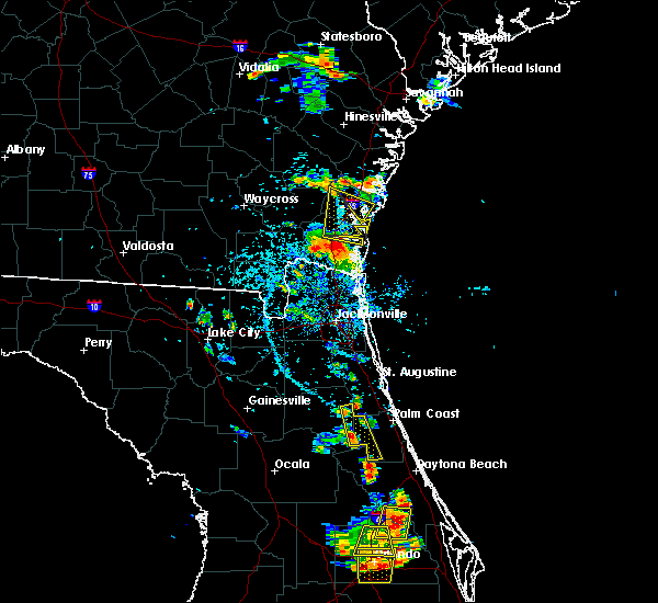 At 636 pm edt, doppler radar indicated a severe thunderstorm capable of producing quarter size hail and damaging winds in excess of 60 mph. this storm was located 8 miles southeast of crescent city, and moving north at 15 mph. At 636 pm edt, doppler radar indicated a severe thunderstorm capable of producing quarter size hail and damaging winds in excess of 60 mph. this storm was located 8 miles southeast of crescent city, and moving north at 15 mph.
|
| 6/12/2015 4:54 PM EDT |
 At 454 pm edt, doppler radar indicated a severe thunderstorm capable of producing damaging winds in excess of 60 mph. this storm was located over fruitland, or near salt springs, and moving north at 15 mph. penny size hail may also accompany the damaging winds. At 454 pm edt, doppler radar indicated a severe thunderstorm capable of producing damaging winds in excess of 60 mph. this storm was located over fruitland, or near salt springs, and moving north at 15 mph. penny size hail may also accompany the damaging winds.
|
| 6/10/2015 3:12 PM EDT |
 At 311 pm edt, local law enforcement reported a line of severe thunderstorms producing damaging winds in excess of 60 mph. these storms were located along a line extending from near saint augustine to 9 miles northeast of deleon springs, and moving east at 20 mph. nickel size hail may also accompany the damaging winds. At 311 pm edt, local law enforcement reported a line of severe thunderstorms producing damaging winds in excess of 60 mph. these storms were located along a line extending from near saint augustine to 9 miles northeast of deleon springs, and moving east at 20 mph. nickel size hail may also accompany the damaging winds.
|
| 6/10/2015 2:46 PM EDT |
 At 245 pm edt, doppler radar indicated a line of severe thunderstorms capable of producing quarter size hail and damaging winds in excess of 60 mph. the strongest of the winds and hail will impact the greater st. augustine area. these storms were located along a line extending from bayard to 7 miles southeast of crescent city. these storms were nearly stationary. locations impacted include, palm coast, saint augustine, flagler beach, bunnell, crescent city, hastings, andalusia, world golf village, saint augustine beach, marineland, vilano beach, saint augustine shores, saint augustine south, federal point, south ponte vedra, butler beach, crescent beach, beverly beach, dupont center and anastasia. At 245 pm edt, doppler radar indicated a line of severe thunderstorms capable of producing quarter size hail and damaging winds in excess of 60 mph. the strongest of the winds and hail will impact the greater st. augustine area. these storms were located along a line extending from bayard to 7 miles southeast of crescent city. these storms were nearly stationary. locations impacted include, palm coast, saint augustine, flagler beach, bunnell, crescent city, hastings, andalusia, world golf village, saint augustine beach, marineland, vilano beach, saint augustine shores, saint augustine south, federal point, south ponte vedra, butler beach, crescent beach, beverly beach, dupont center and anastasia.
|
| 6/10/2015 2:28 PM EDT |
 At 228 pm edt, doppler radar indicated a line of severe thunderstorms capable of producing quarter size hail and damaging winds in excess of 60 mph. these storms were located along a line extending from bayard to 7 miles southeast of crescent city, and moving east at 25 mph. At 228 pm edt, doppler radar indicated a line of severe thunderstorms capable of producing quarter size hail and damaging winds in excess of 60 mph. these storms were located along a line extending from bayard to 7 miles southeast of crescent city, and moving east at 25 mph.
|
| 6/9/2015 3:50 PM EDT |
 The national weather service in jacksonville has issued a * severe thunderstorm warning for. northeastern flagler county in northeastern florida. until 415 pm edt * at 350 pm edt. Doppler radar indicated a severe thunderstorm capable of producing quarter size hail and damaging winds in excess. The national weather service in jacksonville has issued a * severe thunderstorm warning for. northeastern flagler county in northeastern florida. until 415 pm edt * at 350 pm edt. Doppler radar indicated a severe thunderstorm capable of producing quarter size hail and damaging winds in excess.
|
| 6/1/2015 3:01 PM EDT | At 300 pm edt, doppler radar indicated a severe thunderstorm capable of producing quarter size hail and damaging winds in excess of 60 mph. this storm was located near andalusia, and moving east at 10 mph. |
| 6/1/2015 3:00 PM EDT | Quarter sized hail reported 5.4 miles NNE of Bunnell, FL |
| 6/1/2015 2:51 PM EDT | At 250 pm edt, doppler radar indicated a severe thunderstorm capable of producing a tornado. this dangerous storm was located near andalusia, moving east at 10 mph. locations impacted include, palm coast. |
| 6/1/2015 2:41 PM EDT | At 241 pm edt, doppler radar indicated a severe thunderstorm capable of producing quarter size hail and damaging winds in excess of 60 mph. this storm was located 8 miles southwest of bunnell, moving east at 10 mph. locations impacted include, palm coast, bunnell, andalusia and espanola. |
| 6/1/2015 2:38 PM EDT | At 237 pm edt, doppler radar indicated a severe thunderstorm capable of producing a tornado. this dangerous storm was located 7 miles east of san mateo, or 7 miles southeast of hastings, and moving east at 10 mph. |
| 6/1/2015 2:27 PM EDT | At 227 pm edt, doppler radar indicated a severe thunderstorm capable of producing quarter size hail and damaging winds in excess of 60 mph. this storm was located 9 miles southwest of bunnell, and moving east at 10 mph. |
| 5/20/2015 5:17 PM EDT | At 516 pm edt, doppler radar indicated a line of severe thunderstorms capable of producing quarter size hail and damaging winds in excess of 60 mph. these storms were located along a line extending from near world golf village to 8 miles west of ormond beach, moving east at 35 mph. locations impacted include, palm coast, saint augustine, green cove springs, flagler beach, bunnell, hastings, fruit cove, world golf village, marineland, saint augustine shores, nocatee, durbin, saint augustine south, switzerland, orange mills, guana river state park, bayard, federal point, south ponte vedra and butler beach. |
| 5/20/2015 5:05 PM EDT | At 504 pm edt, doppler radar indicated a line of severe thunderstorms capable of producing quarter size hail and damaging winds in excess of 60 mph. these storms were located along a line extending from near switzerland to 9 miles northeast of barberville, and moving east at 35 mph. |
| 5/20/2015 4:31 PM EDT | At 430 pm edt, doppler radar indicated a severe thunderstorm capable of producing quarter size hail and damaging winds in excess of 60 mph. this storm was located over fruitland, or near salt springs, moving east at 10 mph. locations impacted include, crescent city, pomona park, andalusia, fruitland, welaka, lake como and georgetown. |
| 5/20/2015 4:08 PM EDT | At 408 pm edt, doppler radar indicated a severe thunderstorm capable of producing quarter size hail and damaging winds in excess of 60 mph. this storm was located over fruitland, or near salt springs, and moving east at 15 mph. |
| 4/20/2015 4:36 PM EDT | The severe thunderstorm warning for flagler and southeastern st. johns counties will expire at 445 pm edt, the storms which prompted the warning have moved out of the area. therefore the warning will be allowed to expire. however gusty winds and heavy rain are still possible with remaining thunderstorm activity. to report severe weather, contact your nearest law enforcement agency. they will relay your report to the national weather service jacksonville. |
| 4/20/2015 4:26 PM EDT | At 425 pm edt, trained weather spotters reported a line of severe thunderstorms producing quarter size hail and destructive winds in excess of 70 mph. these storms were located along a line extending from near saint augustine shores to near flagler beach, moving east at 45 mph. locations impacted include, palm coast, saint augustine, flagler beach, bunnell, saint augustine beach, marineland, saint augustine shores, saint augustine south, butler beach, crescent beach, vilano beach, beverly beach, dupont center, anastasia, elkton and espanola. |
| 4/20/2015 4:20 PM EDT | At 419 pm edt, doppler radar indicated a line of severe thunderstorms capable of producing quarter size hail and damaging winds in excess of 60 mph. these storms were located along a line extending from near saint augustine beach to near bunnell, moving east at 45 mph. locations impacted include, palm coast, saint augustine, flagler beach, bunnell, hastings, andalusia, saint augustine beach, marineland, saint augustine shores, saint augustine south, butler beach, crescent beach, vilano beach, beverly beach, dupont center, anastasia, spuds, elkton and espanola. |
| 4/20/2015 4:15 PM EDT | Em reported a tree and power lines downed off of west moody blv in flagler county FL, 3.7 miles WSW of Bunnell, FL |
| 4/20/2015 4:15 PM EDT | Em reported tree downed in roadwa in flagler county FL, 5.3 miles ESE of Bunnell, FL |
| 4/20/2015 4:03 PM EDT | At 402 pm edt, doppler radar indicated a line of severe thunderstorms capable of producing quarter size hail and damaging winds in excess of 60 mph. these storms were located along a line extending from 7 miles west of saint augustine south to near crescent city, moving east at 50 mph. locations impacted include, palm coast, saint augustine, flagler beach, bunnell, hastings, andalusia, saint augustine beach, marineland, saint augustine shores, saint augustine south, butler beach, crescent beach, vilano beach, beverly beach, dupont center, anastasia, spuds, elkton and espanola. |
| 4/20/2015 3:43 PM EDT | The national weather service in jacksonville has issued a * severe thunderstorm warning for. flagler county in northeastern florida. southern st. johns county in northeastern florida. until 445 pm edt * at 343 pm edt. Doppler radar indicated a line of severe. |
| 4/19/2015 4:47 PM EDT | At 444 pm edt, doppler radar indicated a severe thunderstorm capable of producing quarter size hail and damaging winds in excess of 60 mph. this storm was located near salt springs, moving northeast at 20 mph. locations impacted include, crescent city, pomona park, andalusia, salt springs, fruitland, san mateo, satsuma, lake delancy, welaka, lake como and georgetown. |
| 4/19/2015 4:40 PM EDT | this alert has expired |
| 3/19/2015 5:28 PM EDT | The national weather service in jacksonville has issued a * severe thunderstorm warning for. northeastern putnam county in northeastern florida. northwestern flagler county in northeastern florida. south central st. johns county in northeastern florida. Until 600 pm edt. |
| 3/11/2015 6:00 PM EST | Emergency management relayed a report of a tree down and some power outages in the lake disston are in flagler county FL, 10.7 miles NNE of Bunnell, FL |
| 7/20/2014 6:07 PM EDT | Tree fell on shed on hardy st. in bunnel in flagler county FL, 4 miles SW of Bunnell, FL |
| 7/14/2014 5:15 PM EDT | Flagler county emergency management relayed a report of tree downed by thunderstorm wind gusts that toppled powerlines near the intersection of state road 100 and woodl in flagler county FL, 4 miles SW of Bunnell, FL |
| 6/26/2014 6:00 PM EDT | Skywarn spotter reported power lines and tree down near intersection of hound run rd. and clifton rd. in deleon spring in volusia county FL, 16.4 miles N of Bunnell, FL |
| 2/23/2014 2:45 PM EST | Quarter sized hail reported 6.7 miles N of Bunnell, FL, social media reported quarter size hail at codys corner in southwest flagler county. |
| 9/6/2013 1:59 PM EDT | A powerline reported down near hardy street and 2nd stree in flagler county FL, 4 miles SW of Bunnell, FL |
| 8/14/2013 6:52 PM EDT | Tree down across state road 100 in andalusi in flagler county FL, 10 miles ESE of Bunnell, FL |
| 8/14/2013 6:44 PM EDT | Flagler county dispatch reports a tree down across sawgrass road near bunnel in flagler county FL, 4.2 miles SSW of Bunnell, FL |
| 8/14/2013 6:15 PM EDT | Emergency manager reports 2 or 3 trees blown into power lines at black point road and state road 100 west of bunnel in flagler county FL, 2.7 miles SW of Bunnell, FL |
| 8/3/2013 5:55 PM EDT | Flagler county emergency management relayed a public report of trees downed by thunderstorm wind gusts along state road 11 near the flagler/volusia county line. time of in flagler county FL, 11.6 miles N of Bunnell, FL |
| 6/30/2013 1:30 PM EDT | Emergency manager reports wires down at 66 hibiscus street west of bunnel in flagler county FL, 6.3 miles E of Bunnell, FL |
| 6/30/2013 1:25 PM EDT | Emergency manager reports tree down across road at 6514 tangerine road in mondex...about 10 miles west of bunnel in flagler county FL, 6.3 miles E of Bunnell, FL |
| 8/27/2012 8:17 AM EDT | Flagler county public works reports that a tree was blown down by strong wind gusts across shell bluff road in andalusia. report relayed by flagler county emergency man in flagler county FL, 10.8 miles ESE of Bunnell, FL |
| 8/15/2012 6:56 PM EDT | Flagler county emergency management reports a tree blown down across state road 11...approximately 2 miles north of the volusia county lin in flagler county FL, 6.7 miles N of Bunnell, FL |
| 8/15/2012 6:20 PM EDT | Spotter reported pine trees down on state road 11. some tree limbs thrown into the ground like spears. time estimated by rada in flagler county FL, 11 miles N of Bunnell, FL |
| 7/10/2012 4:25 PM EDT | Emergency management reported a tree down blocking state route 100 in andalusi in flagler county FL, 10.8 miles ESE of Bunnell, FL |
| 6/13/2012 9:00 PM EDT | A small tree was reported down at walnut avenue and forest park street west of bunnel in flagler county FL, 4 miles ESE of Bunnell, FL |
| 6/13/2012 7:55 PM EDT | Large tree limb fell on a house and a small fiberglass boat was overturned by winds estimated at 40 to 50 mph by two spotters in the st johns park are in flagler county FL, 7.3 miles ESE of Bunnell, FL |
| 6/10/2012 7:05 PM EDT | Emergency management relayed report of a tree down on powerlines in east bunnell. time is estimated from rada in flagler county FL, 5.4 miles WSW of Bunnell, FL |
| 6/10/2012 7:00 PM EDT | Emergency management relayed a report of a tree blocking state route 11 south of bunnell. time is estimated from rada in flagler county FL, 1.5 miles NW of Bunnell, FL |
| 3/4/2012 5:15 AM EST | Tree on house and car on south moore st. in bunnel in flagler county FL, 5.1 miles WSW of Bunnell, FL |
| 1/1/0001 12:00 AM | A tree was reported down across martin luther king stree in flagler county FL, 4 miles SW of Bunnell, FL |
| 1/1/0001 12:00 AM | Power wires reported down at 208 north state stree in flagler county FL, 4 miles SW of Bunnell, FL |
Hail Maps for Bunnell, FL


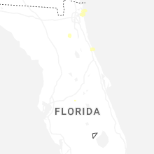
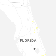


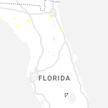


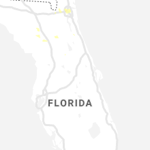


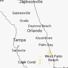


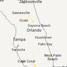

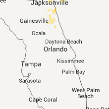


Connect with Interactive Hail Maps