

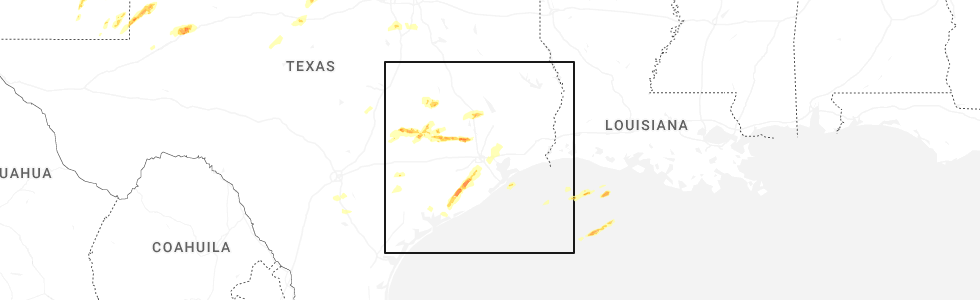
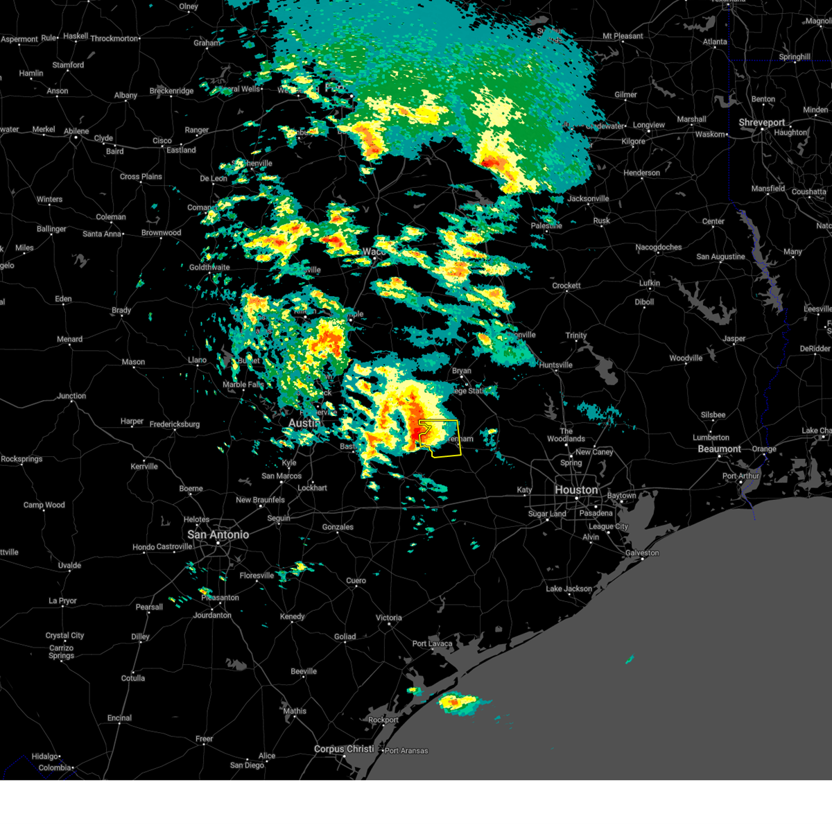
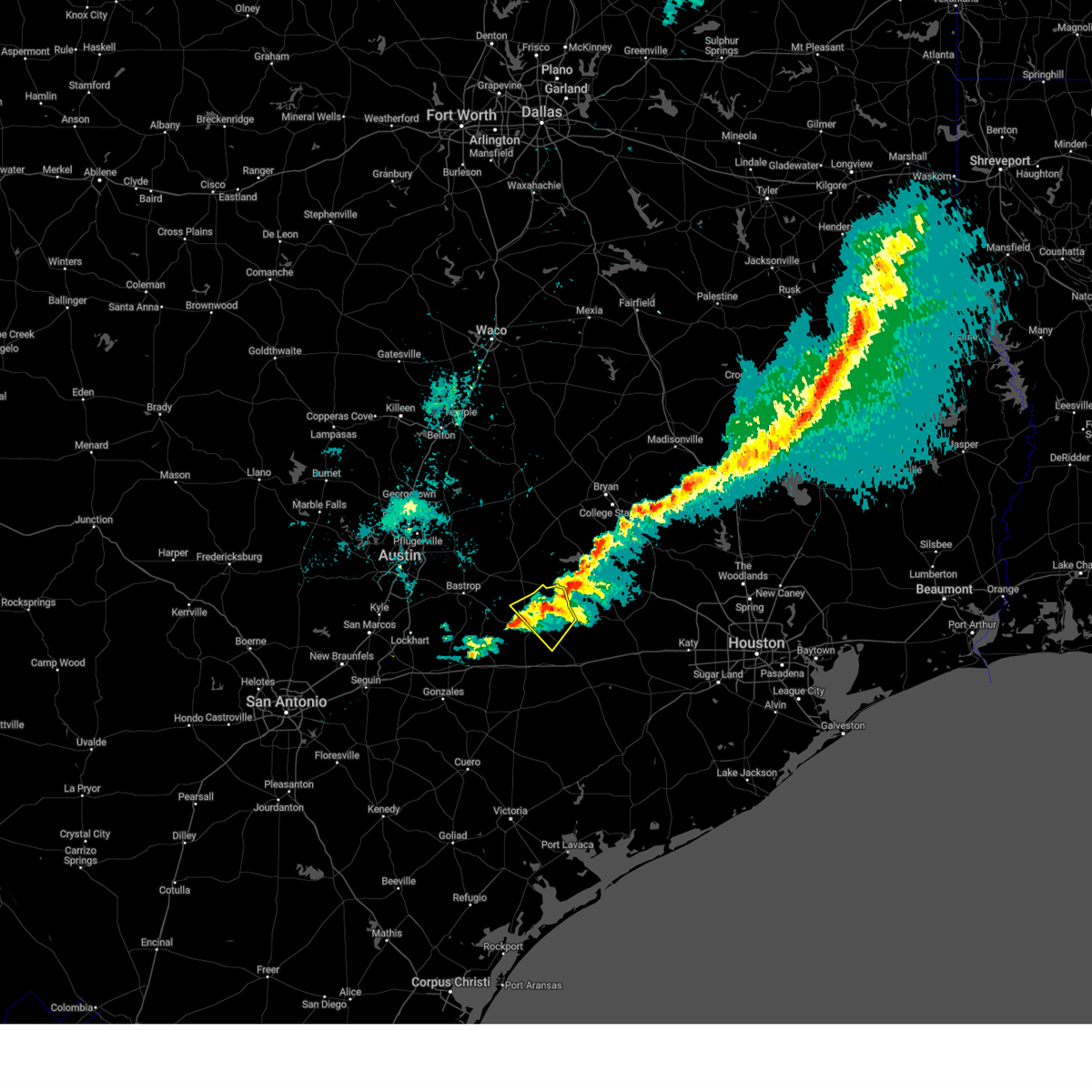
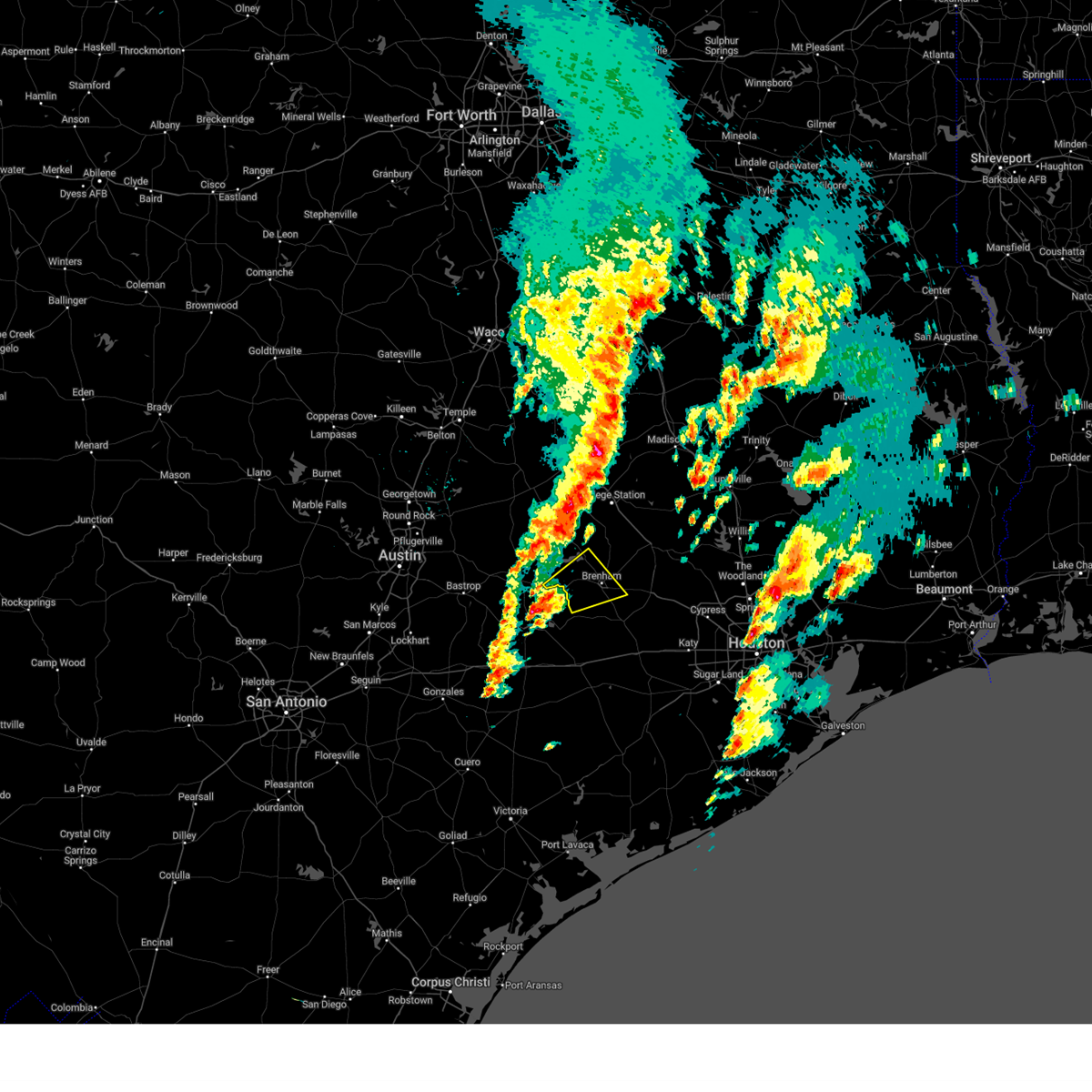
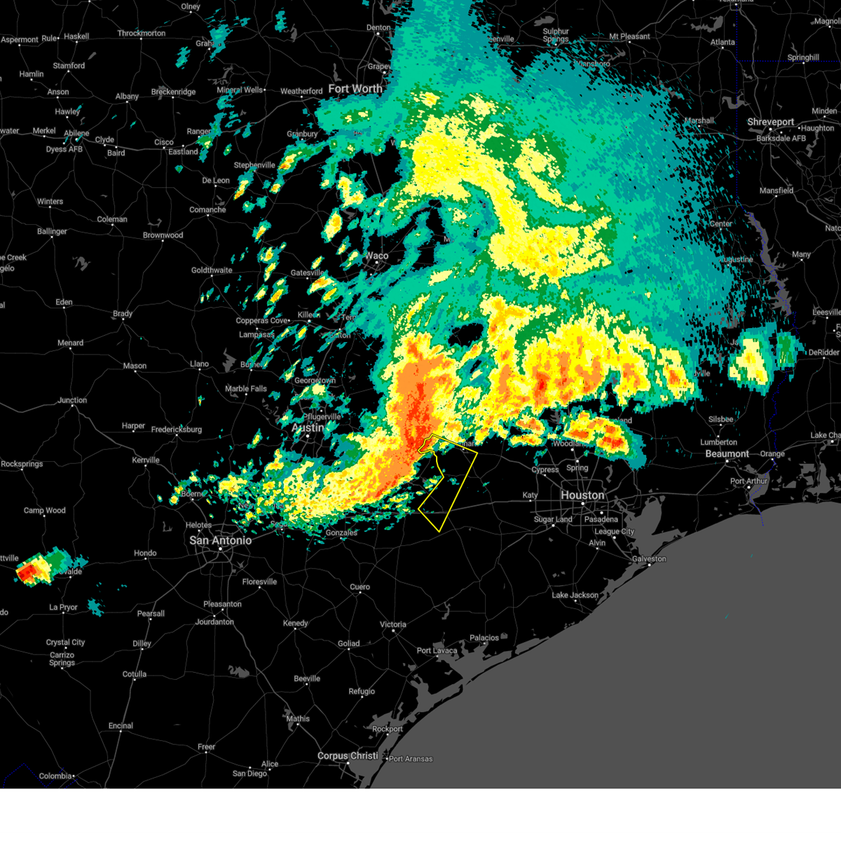
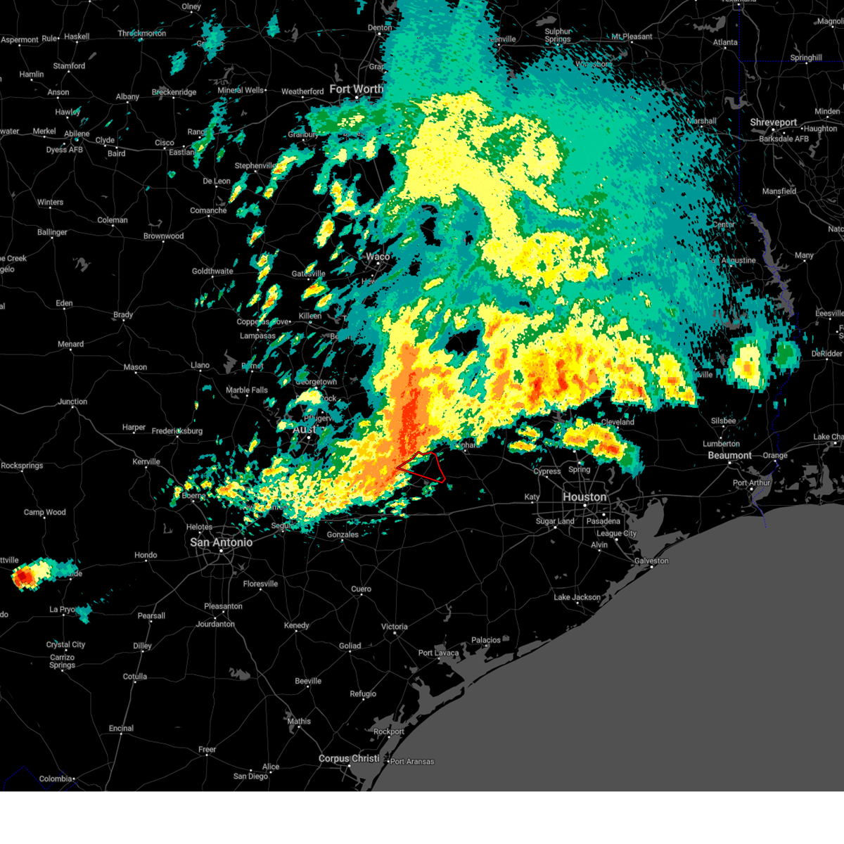
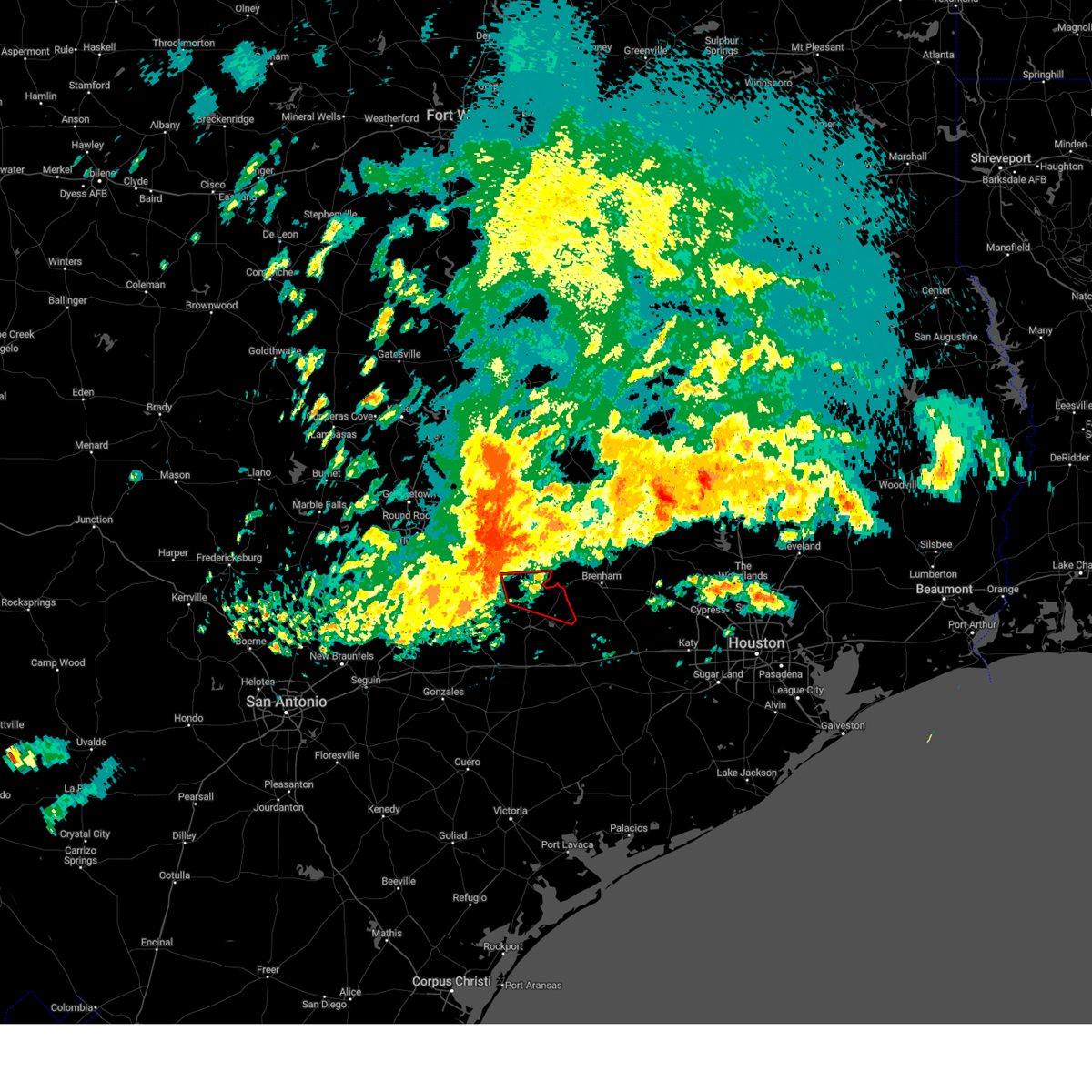
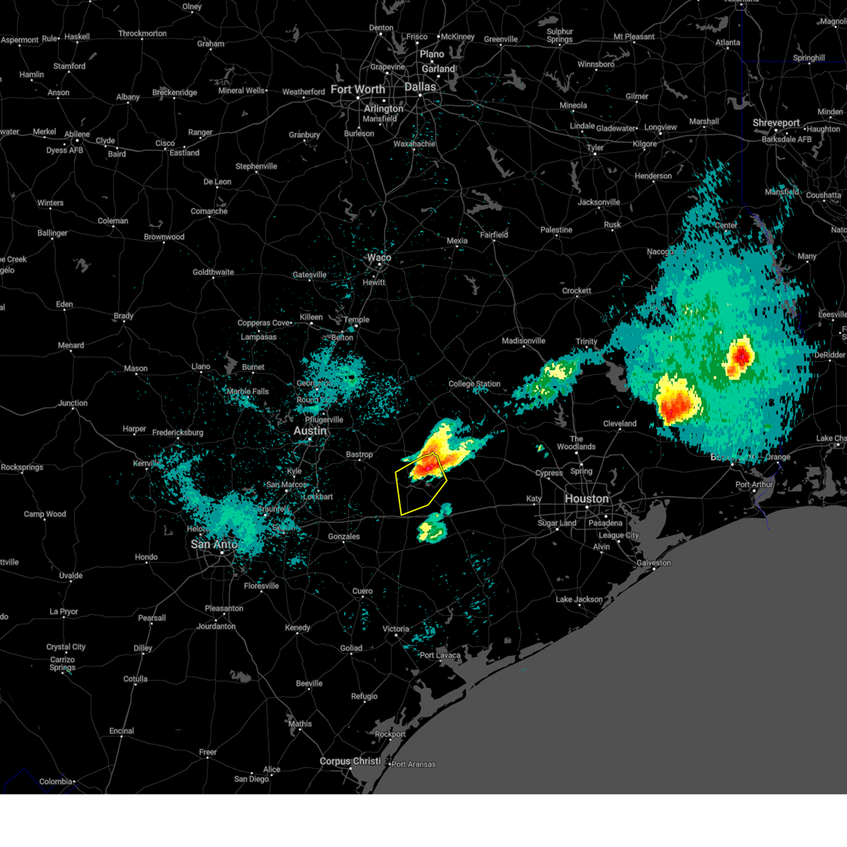
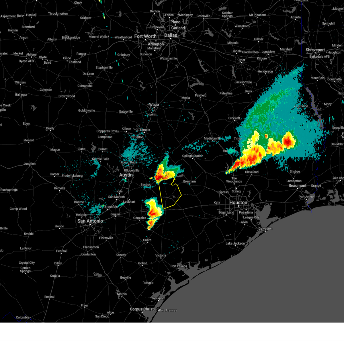
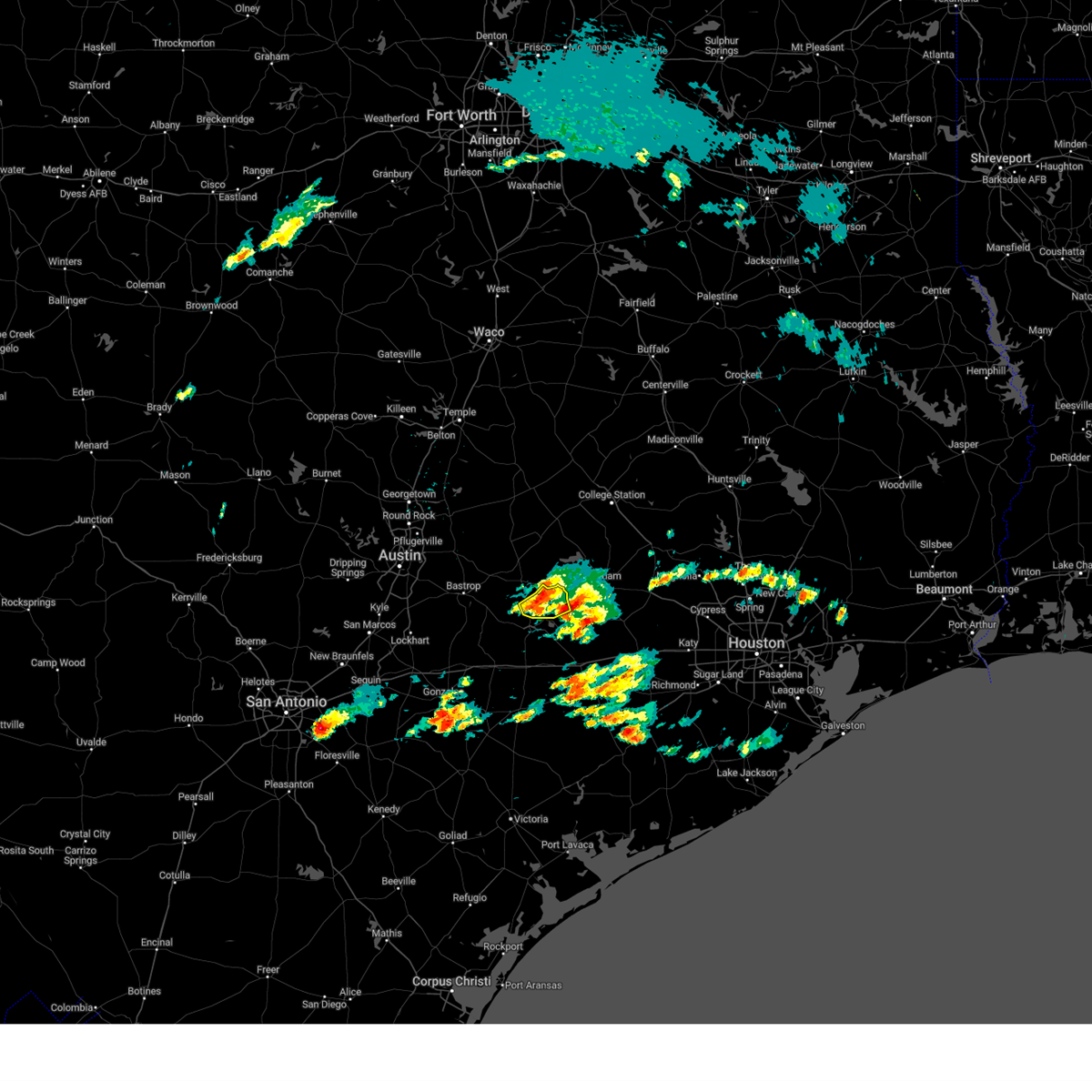
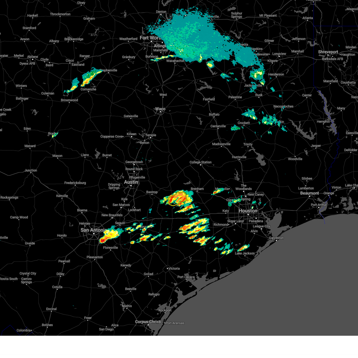
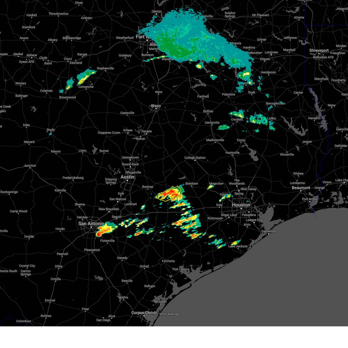
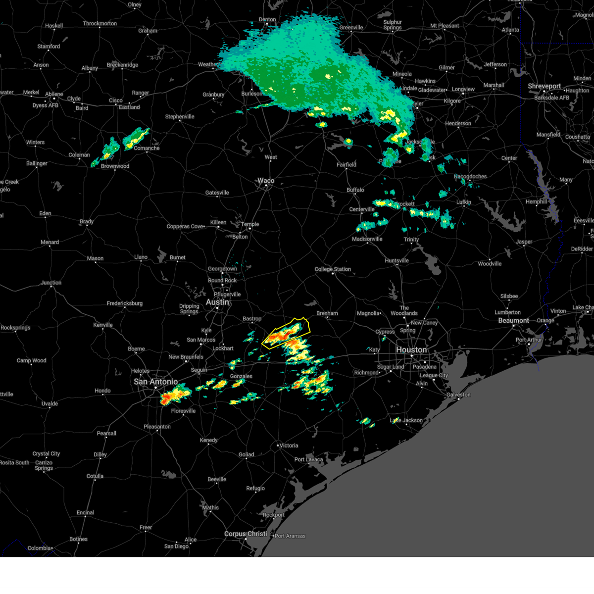
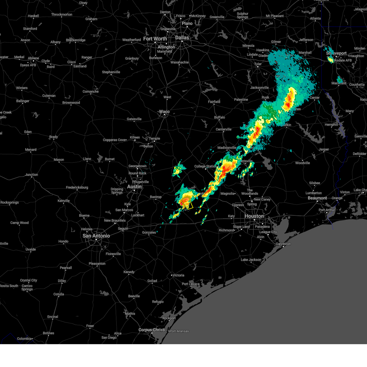
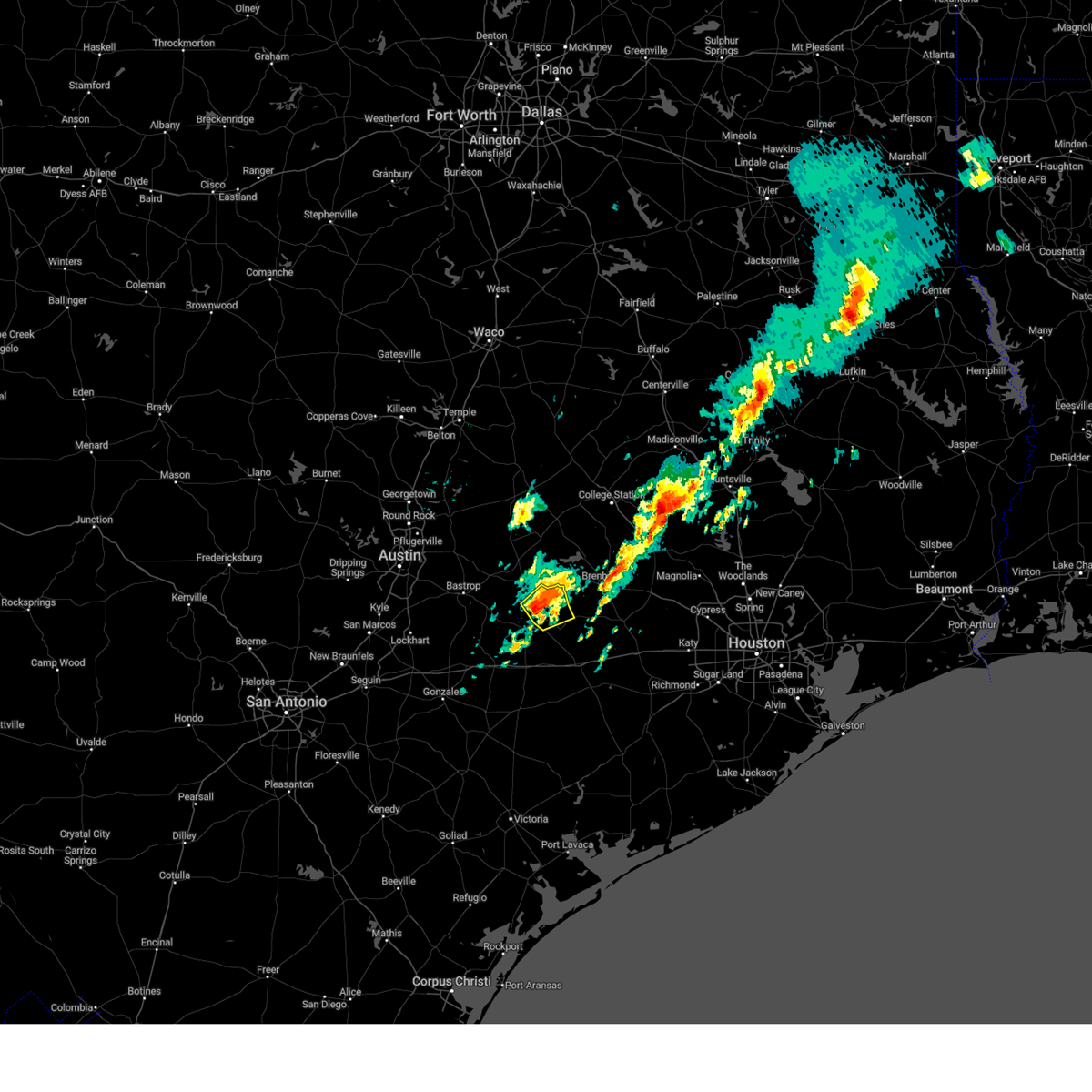
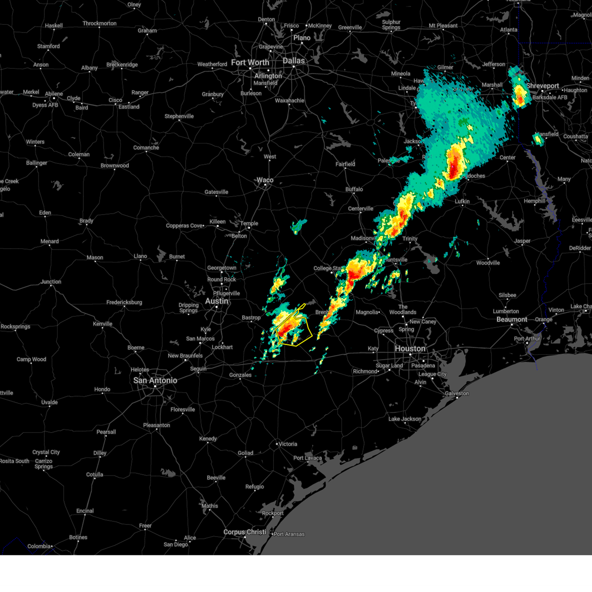
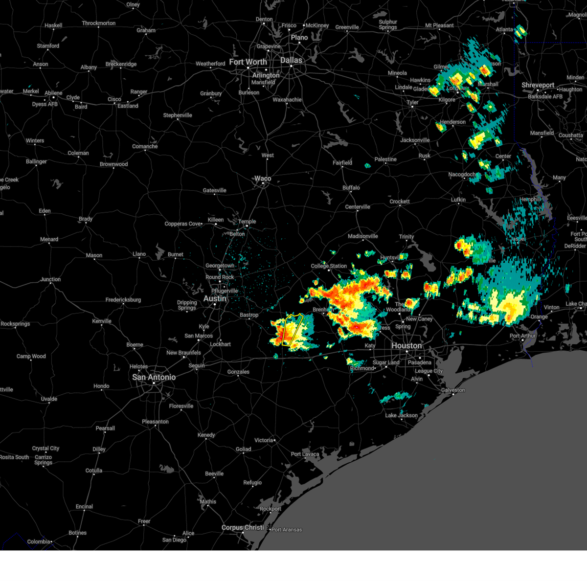
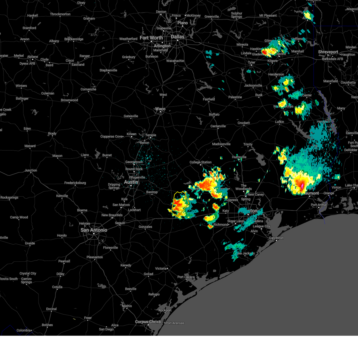
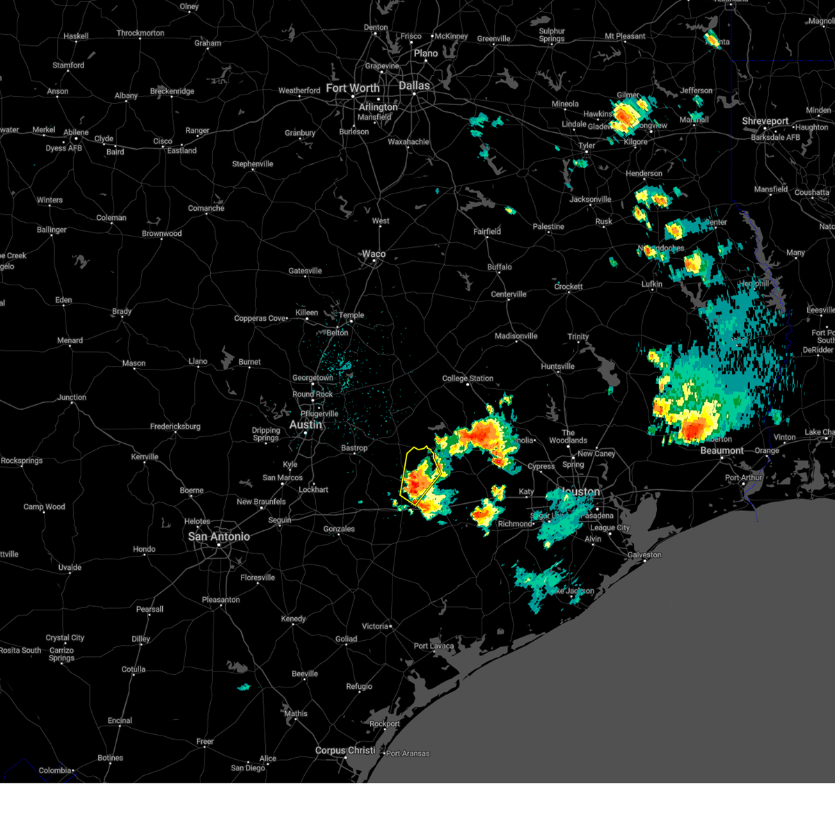
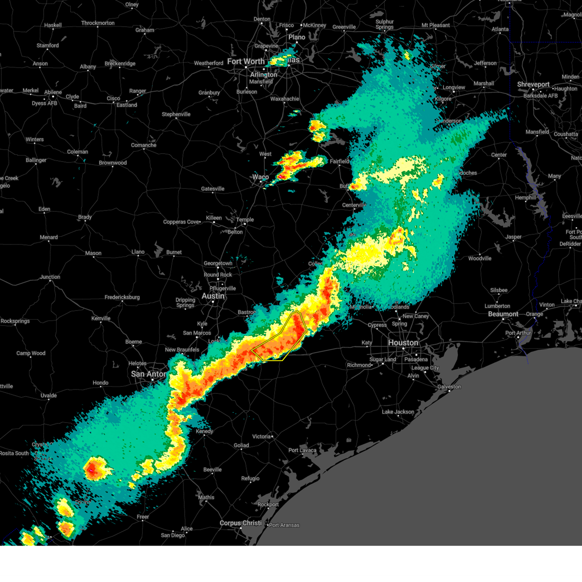
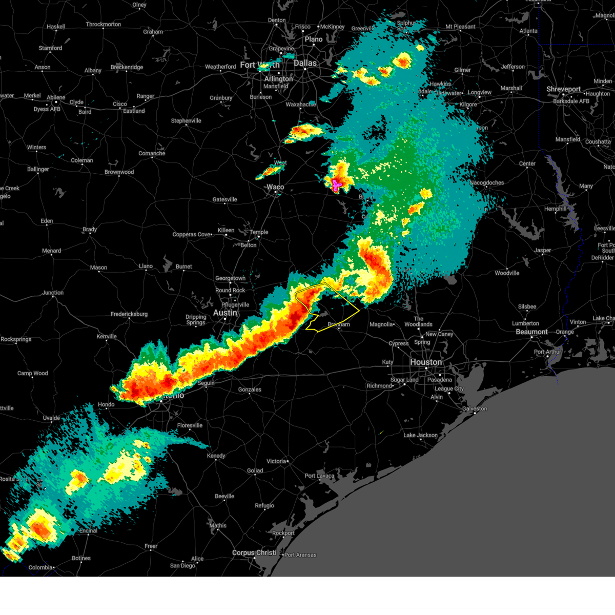
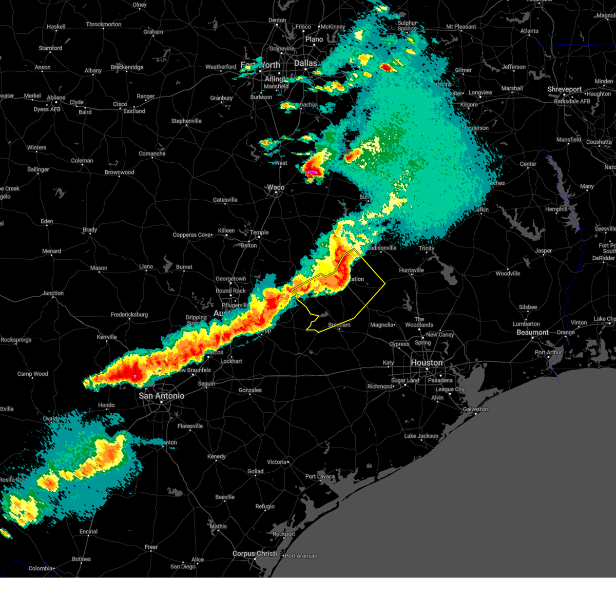
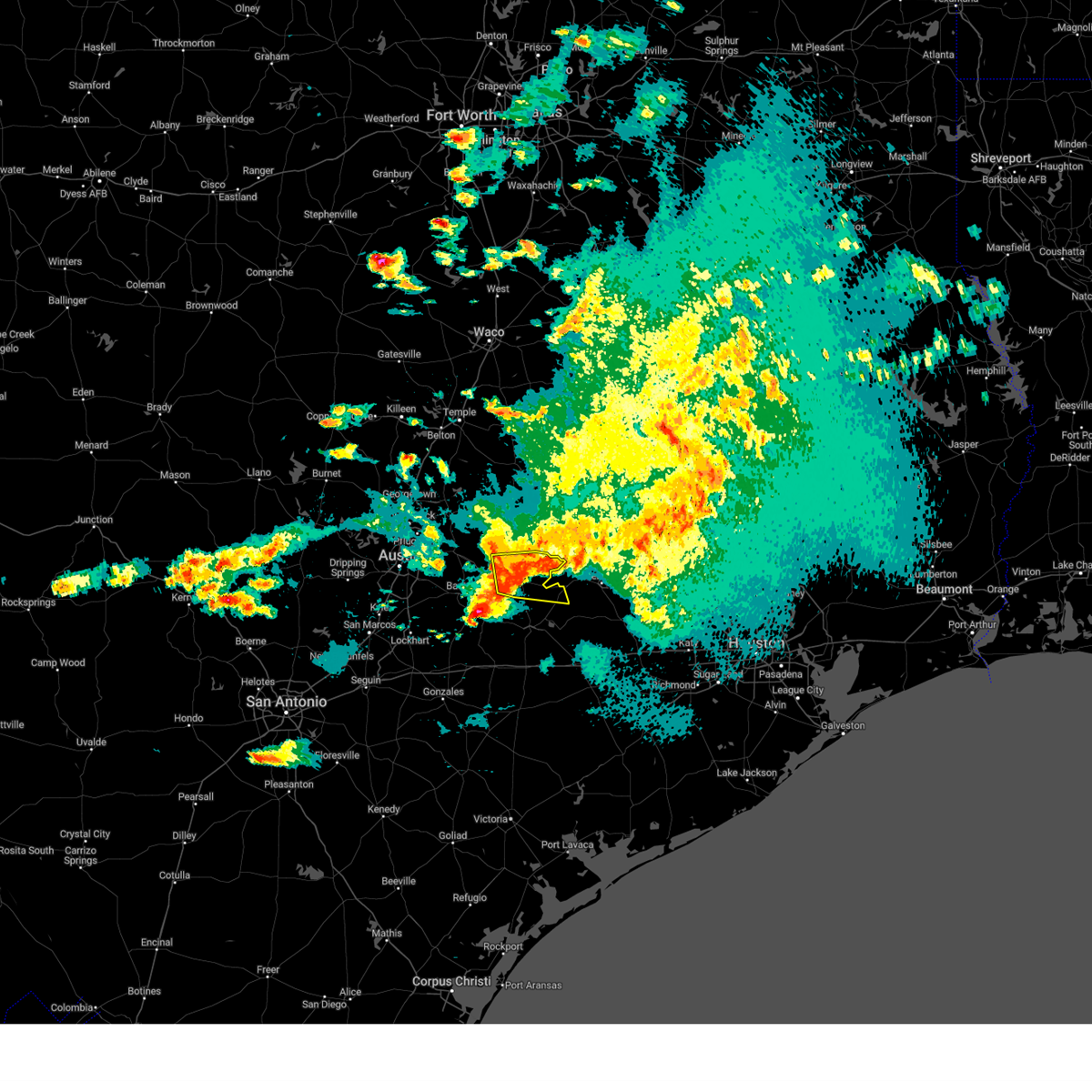
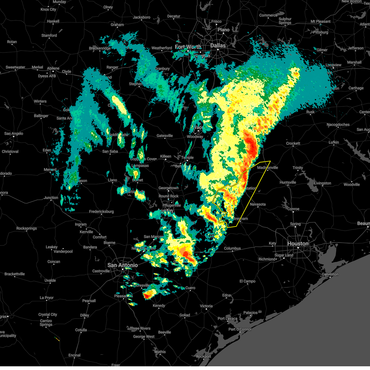
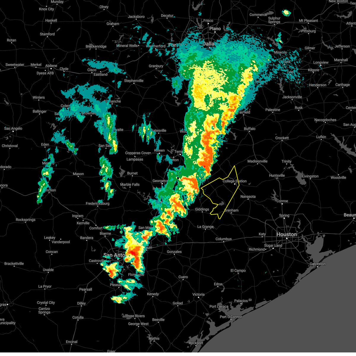
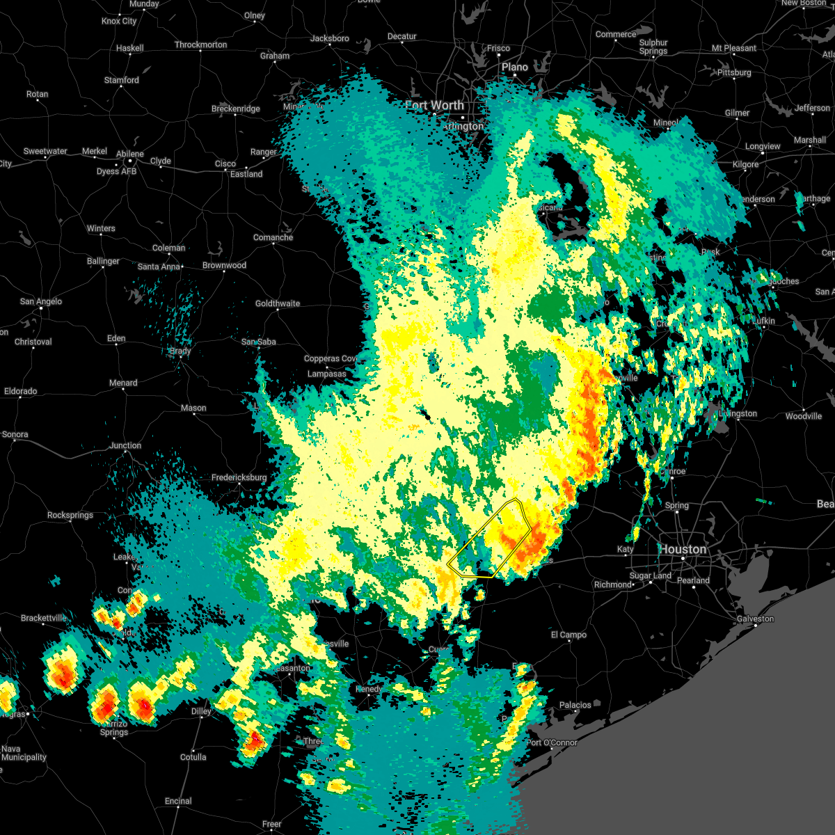
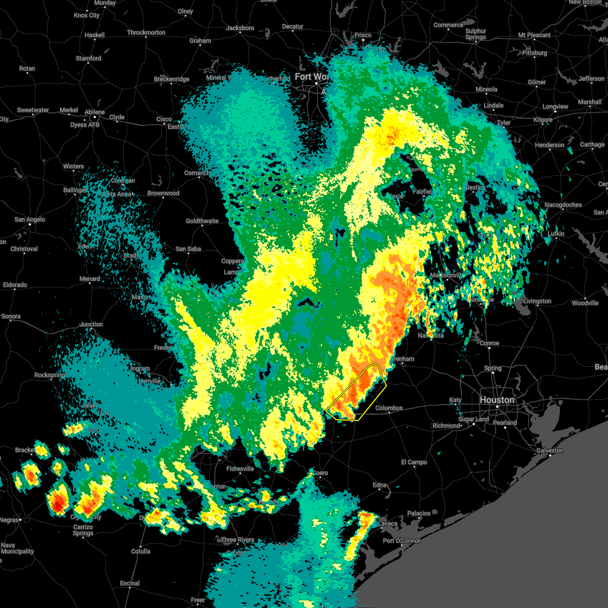
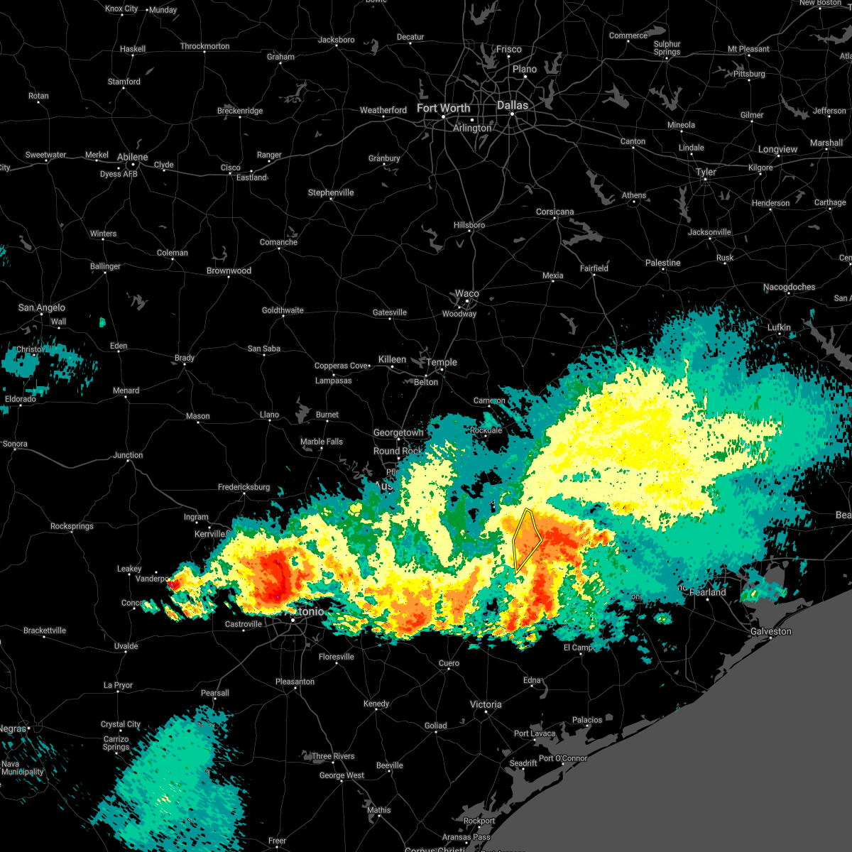
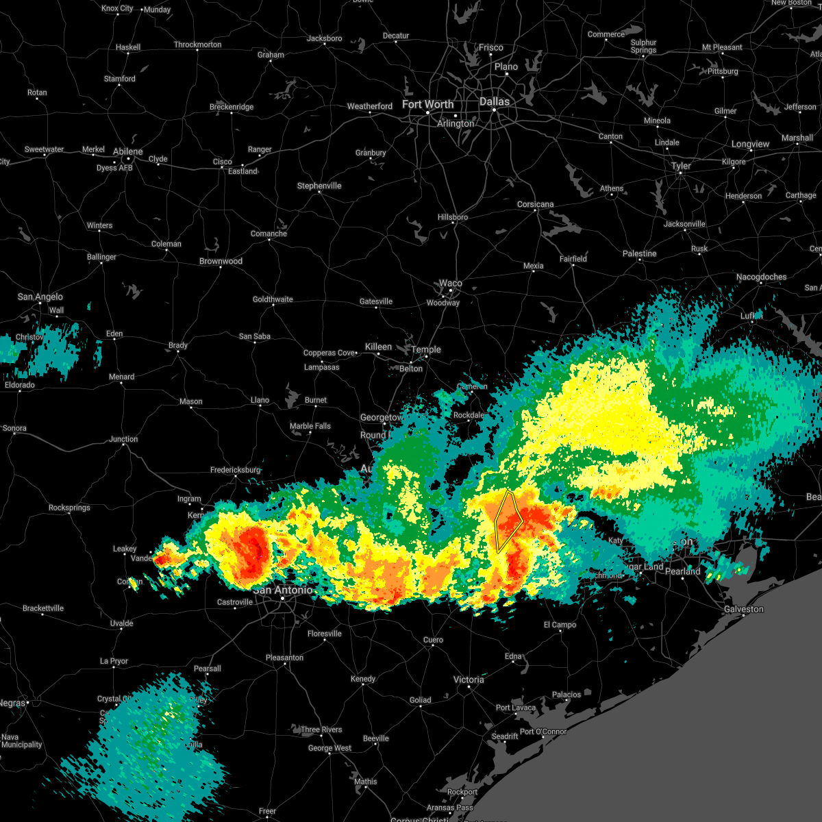
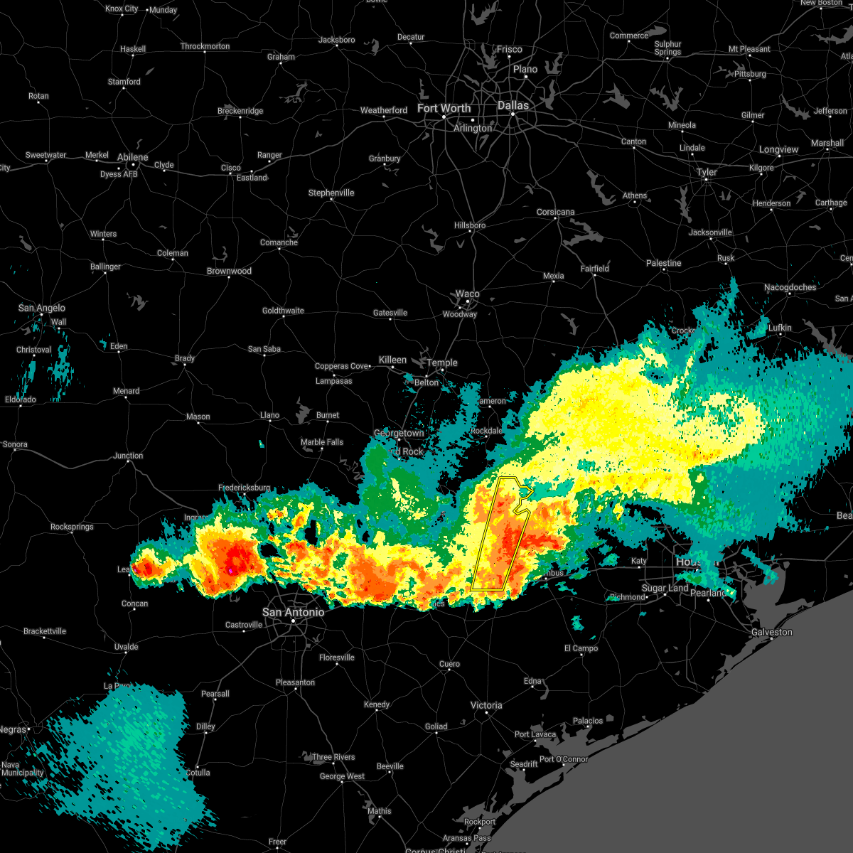
Hail Map for Carmine, TX
The Carmine, TX area has had 2 reports of on-the-ground hail by trained spotters, and has been under severe weather warnings 18 times during the past 12 months. Doppler radar has detected hail at or near Carmine, TX on 30 occasions, including 6 occasions during the past year.
| Name: | Carmine, TX |
| Where Located: | 83.5 miles WNW of Houston, TX |
| Map: | Google Map for Carmine, TX |
| Population: | 250 |
| Housing Units: | 151 |
| More Info: | Search Google for Carmine, TX |
3
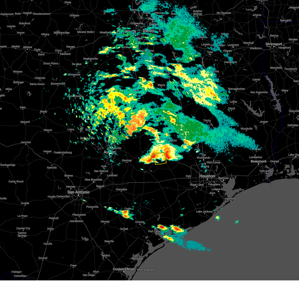
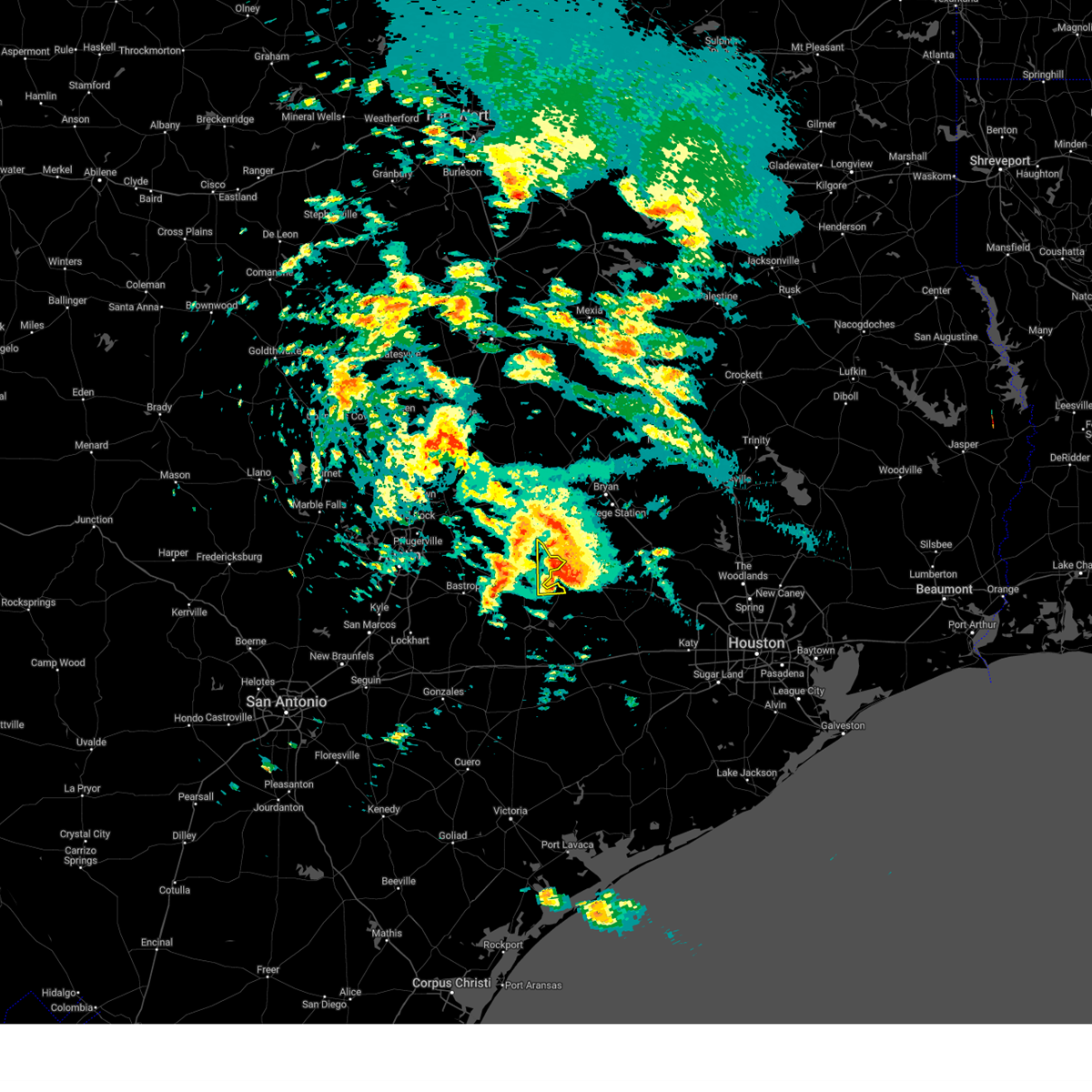
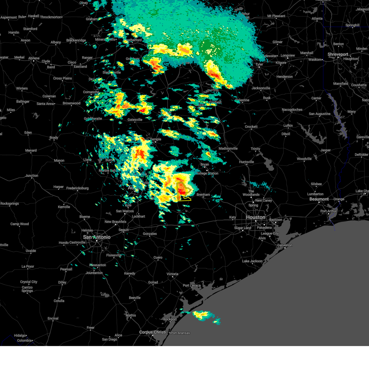
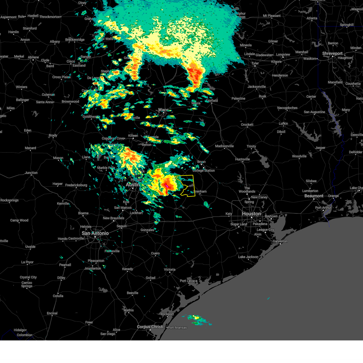
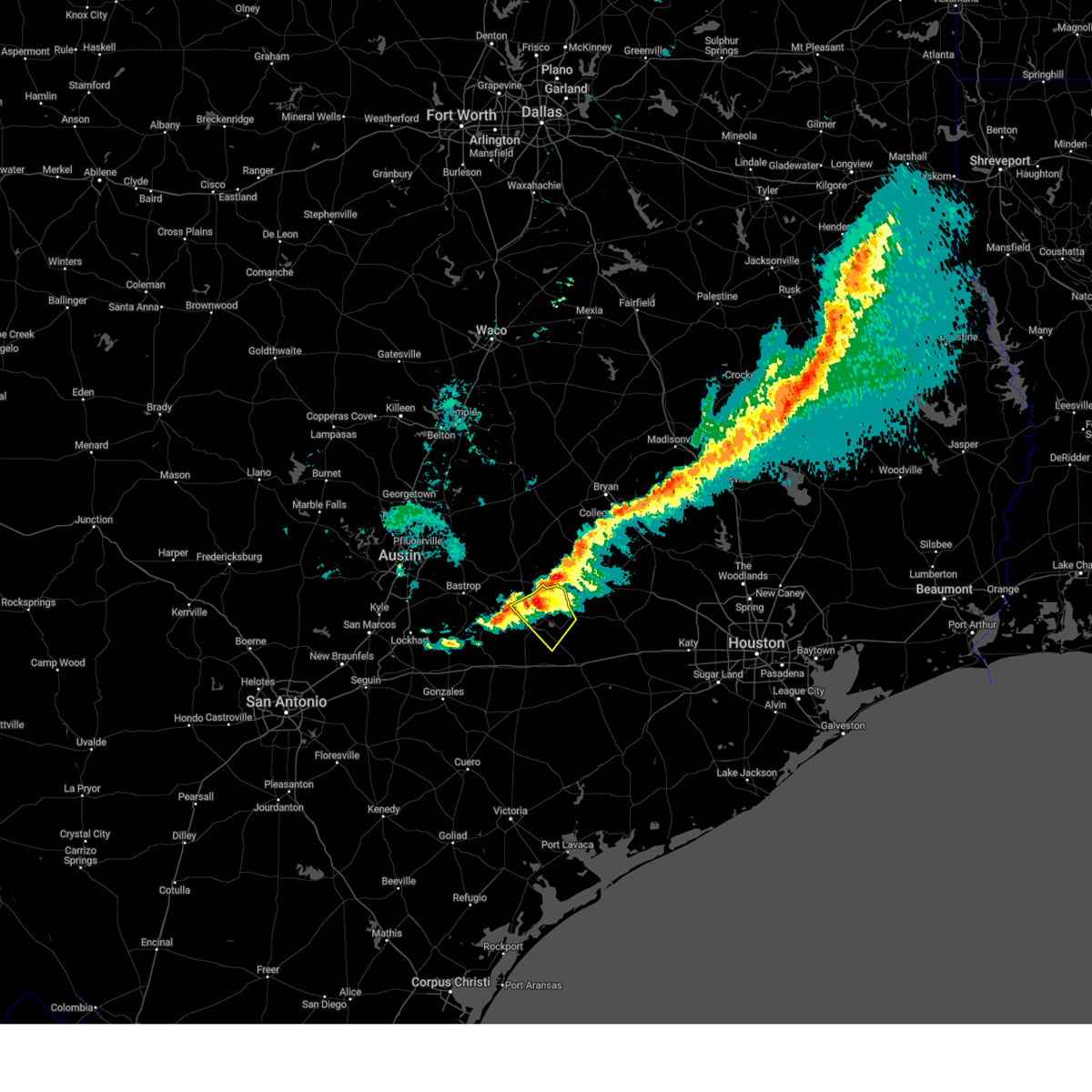
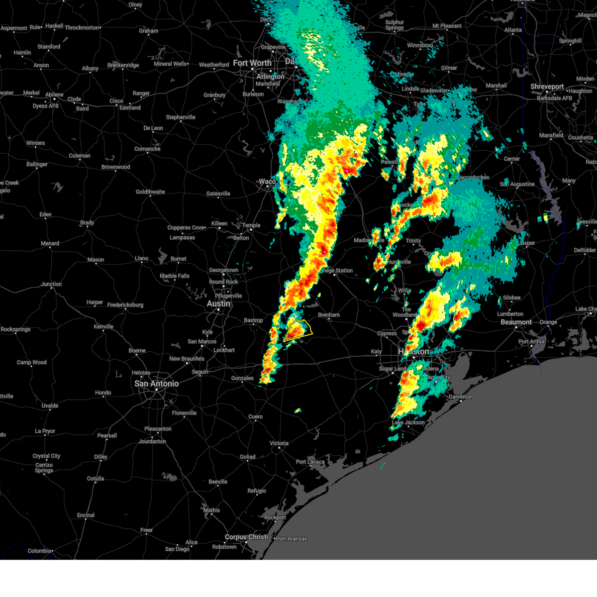
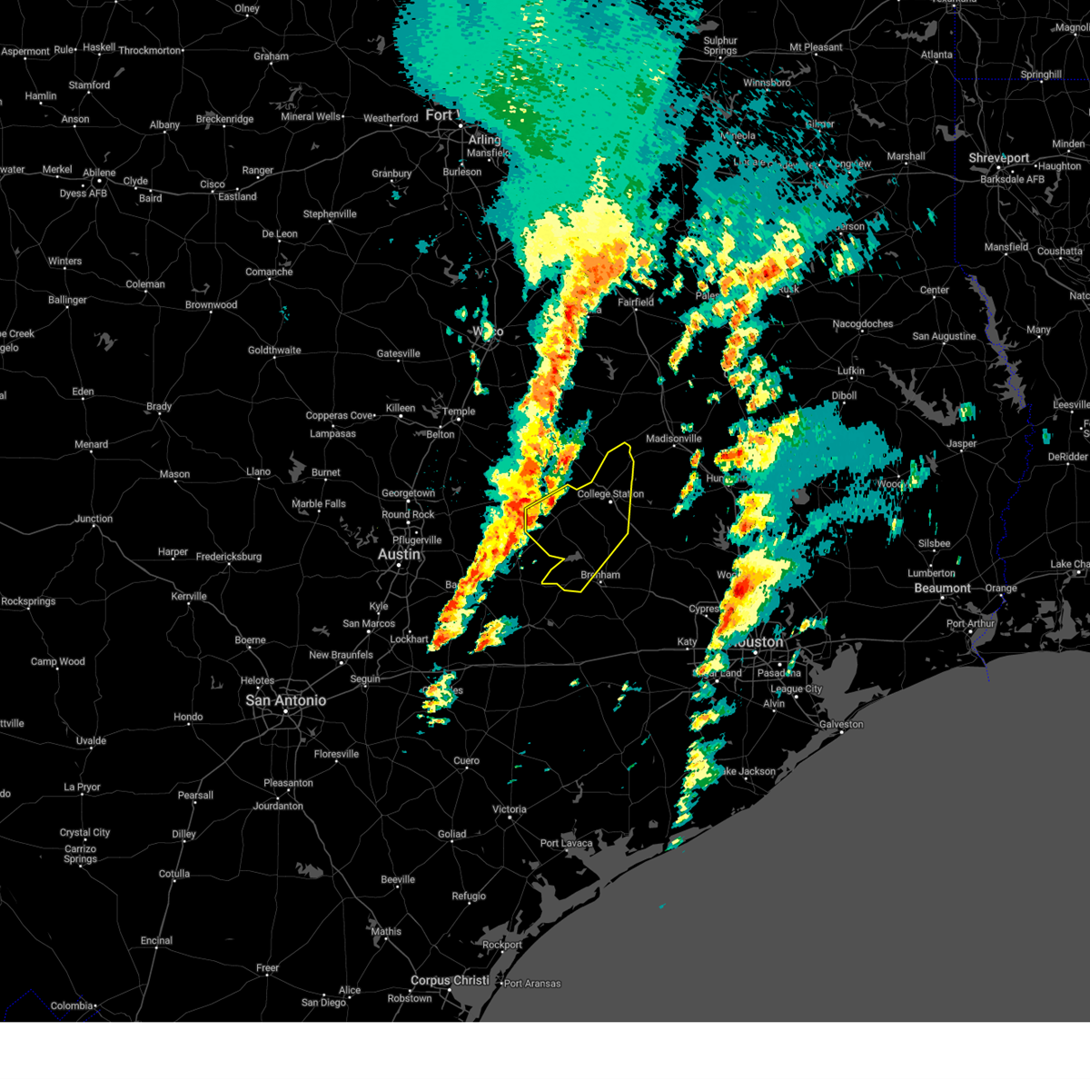
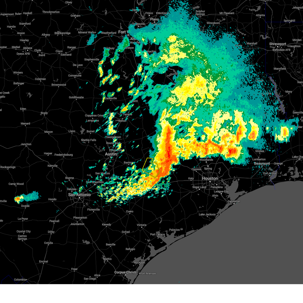
The Top Recent Hail Date for Carmine, TX is Monday, May 5, 2025 (2nd out of 30)
Hail and Wind Damage Spotted near Carmine, TX
| Date / Time | Report Details |
|---|---|
| 5/6/2025 4:01 PM CDT | Svrewx the national weather service in austin san antonio has issued a * severe thunderstorm warning for, northeastern fayette county in south central texas, * until 500 pm cdt. * at 401 pm cdt, a severe thunderstorm was located 7 miles northeast of muldoon, or 8 miles west of la grange, moving east at 25 mph (radar indicated). Hazards include 60 mph wind gusts and quarter size hail. Hail damage to vehicles is expected. Expect wind damage to roofs, siding, and trees. |
| 5/5/2025 5:59 PM CDT |
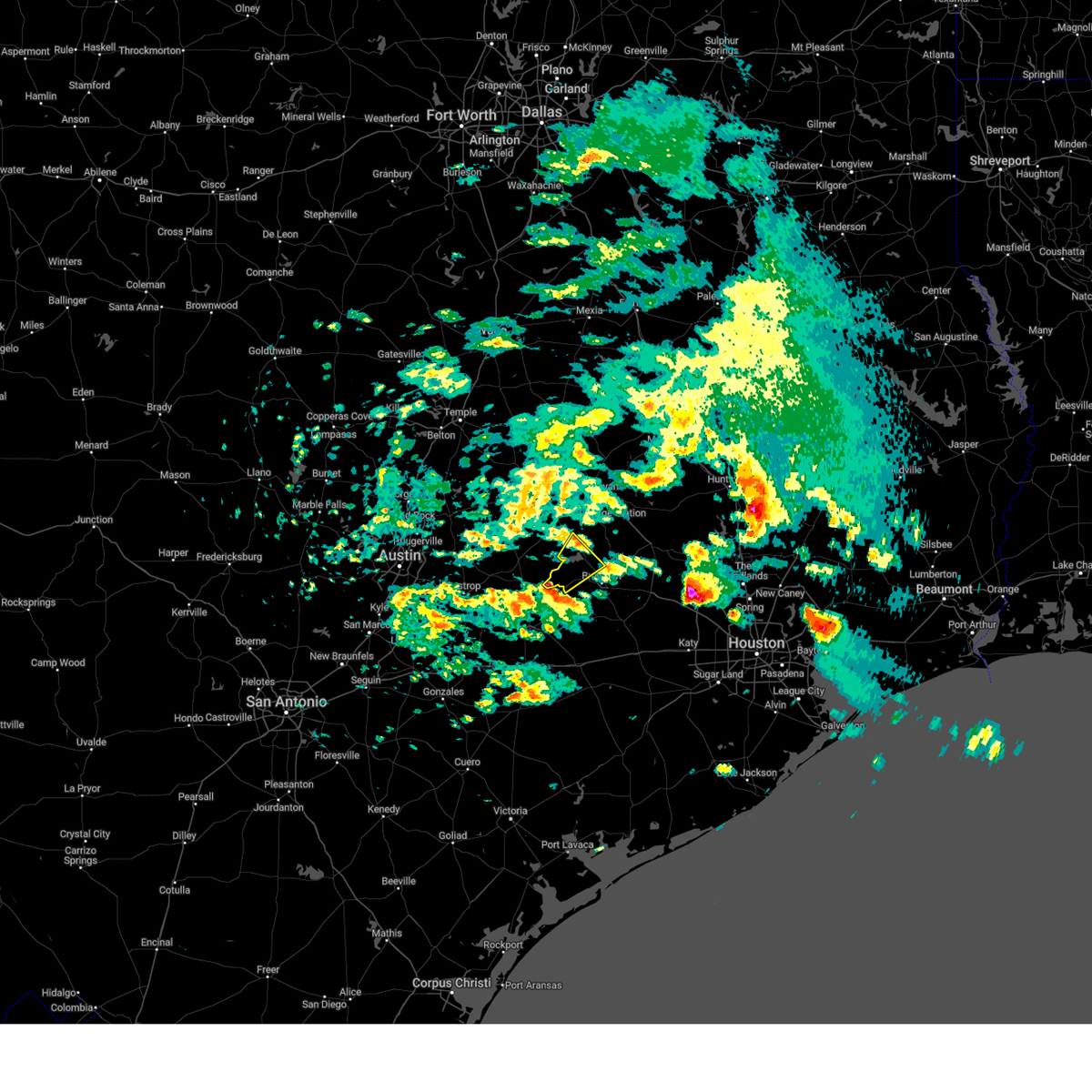 Svrhgx the national weather service in league city has issued a * severe thunderstorm warning for, south central burleson county in southeastern texas, western washington county in southeastern texas, * until 630 pm cdt. * at 559 pm cdt, a severe thunderstorm was located near burton, or 15 miles east of giddings, moving northeast at 35 mph (radar indicated). Hazards include quarter size hail. damage to vehicles is expected Svrhgx the national weather service in league city has issued a * severe thunderstorm warning for, south central burleson county in southeastern texas, western washington county in southeastern texas, * until 630 pm cdt. * at 559 pm cdt, a severe thunderstorm was located near burton, or 15 miles east of giddings, moving northeast at 35 mph (radar indicated). Hazards include quarter size hail. damage to vehicles is expected
|
| 5/5/2025 3:20 PM CDT |
 Svrhgx the national weather service in league city has issued a * severe thunderstorm warning for, western washington county in southeastern texas, * until 400 pm cdt. * at 320 pm cdt, a severe thunderstorm was located over burton, or 14 miles west of brenham, moving east at 30 mph (radar indicated). Hazards include 60 mph wind gusts and quarter size hail. Hail damage to vehicles is expected. Expect wind damage to roofs, siding, and trees. Svrhgx the national weather service in league city has issued a * severe thunderstorm warning for, western washington county in southeastern texas, * until 400 pm cdt. * at 320 pm cdt, a severe thunderstorm was located over burton, or 14 miles west of brenham, moving east at 30 mph (radar indicated). Hazards include 60 mph wind gusts and quarter size hail. Hail damage to vehicles is expected. Expect wind damage to roofs, siding, and trees.
|
| 5/5/2025 2:20 PM CDT |
 The storm which prompted the warning has moved out of the area. therefore, the warning will be allowed to expire. The storm which prompted the warning has moved out of the area. therefore, the warning will be allowed to expire.
|
| 5/5/2025 2:09 PM CDT |
 At 209 pm cdt, a severe thunderstorm was located near lake somerville state park & trailway, or 13 miles northeast of giddings, moving east at 25 mph (radar indicated). Hazards include 60 mph wind gusts and half dollar size hail. Hail damage to vehicles is expected. expect wind damage to roofs, siding, and trees. Locations impacted include, dime box, lake somerville state park & trailway, carmine, and ledbetter. At 209 pm cdt, a severe thunderstorm was located near lake somerville state park & trailway, or 13 miles northeast of giddings, moving east at 25 mph (radar indicated). Hazards include 60 mph wind gusts and half dollar size hail. Hail damage to vehicles is expected. expect wind damage to roofs, siding, and trees. Locations impacted include, dime box, lake somerville state park & trailway, carmine, and ledbetter.
|
| 5/5/2025 2:08 PM CDT |
 Svrhgx the national weather service in league city has issued a * severe thunderstorm warning for, south central burleson county in southeastern texas, western washington county in southeastern texas, * until 245 pm cdt. * at 208 pm cdt, a severe thunderstorm was located near lake somerville dam, or 11 miles northwest of brenham, moving east at 30 mph (radar indicated). Hazards include 60 mph wind gusts and quarter size hail. Hail damage to vehicles is expected. Expect wind damage to roofs, siding, and trees. Svrhgx the national weather service in league city has issued a * severe thunderstorm warning for, south central burleson county in southeastern texas, western washington county in southeastern texas, * until 245 pm cdt. * at 208 pm cdt, a severe thunderstorm was located near lake somerville dam, or 11 miles northwest of brenham, moving east at 30 mph (radar indicated). Hazards include 60 mph wind gusts and quarter size hail. Hail damage to vehicles is expected. Expect wind damage to roofs, siding, and trees.
|
| 5/5/2025 1:57 PM CDT |
 Svrewx the national weather service in austin san antonio has issued a * severe thunderstorm warning for, southeastern lee county in south central texas, northeastern fayette county in south central texas, * until 230 pm cdt. * at 157 pm cdt, a severe thunderstorm was located near dime box, or 9 miles northeast of giddings, moving east at 25 mph (radar indicated). Hazards include 60 mph wind gusts and half dollar size hail. Hail damage to vehicles is expected. Expect wind damage to roofs, siding, and trees. Svrewx the national weather service in austin san antonio has issued a * severe thunderstorm warning for, southeastern lee county in south central texas, northeastern fayette county in south central texas, * until 230 pm cdt. * at 157 pm cdt, a severe thunderstorm was located near dime box, or 9 miles northeast of giddings, moving east at 25 mph (radar indicated). Hazards include 60 mph wind gusts and half dollar size hail. Hail damage to vehicles is expected. Expect wind damage to roofs, siding, and trees.
|
| 5/5/2025 1:29 PM CDT |
 Svrhgx the national weather service in league city has issued a * severe thunderstorm warning for, southwestern burleson county in southeastern texas, western washington county in southeastern texas, * until 215 pm cdt. * at 129 pm cdt, a severe thunderstorm was located near giddings, moving east at 30 mph (radar indicated). Hazards include 60 mph wind gusts and quarter size hail. Hail damage to vehicles is expected. Expect wind damage to roofs, siding, and trees. Svrhgx the national weather service in league city has issued a * severe thunderstorm warning for, southwestern burleson county in southeastern texas, western washington county in southeastern texas, * until 215 pm cdt. * at 129 pm cdt, a severe thunderstorm was located near giddings, moving east at 30 mph (radar indicated). Hazards include 60 mph wind gusts and quarter size hail. Hail damage to vehicles is expected. Expect wind damage to roofs, siding, and trees.
|
| 5/2/2025 3:25 PM CDT |
 Svrewx the national weather service in austin san antonio has issued a * severe thunderstorm warning for, southeastern bastrop county in south central texas, south central lee county in south central texas, central fayette county in south central texas, * until 430 pm cdt. * at 325 pm cdt, a severe thunderstorm was located near smithville, moving east at 20 mph (radar indicated). Hazards include 60 mph wind gusts and quarter size hail. Hail damage to vehicles is expected. Expect wind damage to roofs, siding, and trees. Svrewx the national weather service in austin san antonio has issued a * severe thunderstorm warning for, southeastern bastrop county in south central texas, south central lee county in south central texas, central fayette county in south central texas, * until 430 pm cdt. * at 325 pm cdt, a severe thunderstorm was located near smithville, moving east at 20 mph (radar indicated). Hazards include 60 mph wind gusts and quarter size hail. Hail damage to vehicles is expected. Expect wind damage to roofs, siding, and trees.
|
| 3/12/2025 8:20 PM CDT |
 the severe thunderstorm warning has been cancelled and is no longer in effect the severe thunderstorm warning has been cancelled and is no longer in effect
|
| 3/12/2025 8:07 PM CDT |
 At 806 pm cdt, a severe thunderstorm was located near round top, or 9 miles northeast of la grange, moving southeast at 30 mph (radar indicated). Hazards include 60 mph wind gusts and quarter size hail. Hail damage to vehicles is expected. expect wind damage to roofs, siding, and trees. Locations impacted include, la grange, fayetteville, round top, carmine, rutersville, warrenton, ledbetter, waldeck, rabbs prairie, ellinger, warda, walhalla, willow springs, winedale, rek hill, and nechanitz. At 806 pm cdt, a severe thunderstorm was located near round top, or 9 miles northeast of la grange, moving southeast at 30 mph (radar indicated). Hazards include 60 mph wind gusts and quarter size hail. Hail damage to vehicles is expected. expect wind damage to roofs, siding, and trees. Locations impacted include, la grange, fayetteville, round top, carmine, rutersville, warrenton, ledbetter, waldeck, rabbs prairie, ellinger, warda, walhalla, willow springs, winedale, rek hill, and nechanitz.
|
| 3/12/2025 8:07 PM CDT |
 the severe thunderstorm warning has been cancelled and is no longer in effect the severe thunderstorm warning has been cancelled and is no longer in effect
|
| 3/12/2025 7:50 PM CDT |
 Svrewx the national weather service in austin san antonio has issued a * severe thunderstorm warning for, southeastern lee county in south central texas, northeastern fayette county in south central texas, * until 830 pm cdt. * at 750 pm cdt, a severe thunderstorm was located near giddings, moving southeast at 40 mph (radar indicated). Hazards include 60 mph wind gusts and quarter size hail. Hail damage to vehicles is expected. Expect wind damage to roofs, siding, and trees. Svrewx the national weather service in austin san antonio has issued a * severe thunderstorm warning for, southeastern lee county in south central texas, northeastern fayette county in south central texas, * until 830 pm cdt. * at 750 pm cdt, a severe thunderstorm was located near giddings, moving southeast at 40 mph (radar indicated). Hazards include 60 mph wind gusts and quarter size hail. Hail damage to vehicles is expected. Expect wind damage to roofs, siding, and trees.
|
| 12/28/2024 12:40 PM CST |
 At 1239 pm cst, a severe thunderstorm was located over round top, or 14 miles northeast of la grange, moving northeast at 40 mph (radar indicated). Hazards include 60 mph wind gusts and quarter size hail. Hail damage to vehicles is expected. expect wind damage to roofs, siding, and trees. Locations impacted include, round top, carmine, winedale, walhalla, and warrenton. At 1239 pm cst, a severe thunderstorm was located over round top, or 14 miles northeast of la grange, moving northeast at 40 mph (radar indicated). Hazards include 60 mph wind gusts and quarter size hail. Hail damage to vehicles is expected. expect wind damage to roofs, siding, and trees. Locations impacted include, round top, carmine, winedale, walhalla, and warrenton.
|
| 12/28/2024 12:27 PM CST |
 Svrhgx the national weather service in league city has issued a * severe thunderstorm warning for, northwestern austin county in southeastern texas, south central burleson county in southeastern texas, central washington county in southeastern texas, * until 115 pm cst. * at 1227 pm cst, a severe thunderstorm was located 7 miles north of la grange, moving northeast at 35 mph (radar indicated). Hazards include 60 mph wind gusts and quarter size hail. Hail damage to vehicles is expected. Expect wind damage to roofs, siding, and trees. Svrhgx the national weather service in league city has issued a * severe thunderstorm warning for, northwestern austin county in southeastern texas, south central burleson county in southeastern texas, central washington county in southeastern texas, * until 115 pm cst. * at 1227 pm cst, a severe thunderstorm was located 7 miles north of la grange, moving northeast at 35 mph (radar indicated). Hazards include 60 mph wind gusts and quarter size hail. Hail damage to vehicles is expected. Expect wind damage to roofs, siding, and trees.
|
| 12/28/2024 12:26 PM CST |
 At 1224 pm cst, a severe thunderstorm was located 5 miles north of la grange, moving northeast at 40 mph (radar indicated). Hazards include 60 mph wind gusts and quarter size hail. Hail damage to vehicles is expected. expect wind damage to roofs, siding, and trees. Locations impacted include, round top, carmine, rabbs prairie, walhalla, warrenton, winedale, ledbetter, nechanitz, and waldeck. At 1224 pm cst, a severe thunderstorm was located 5 miles north of la grange, moving northeast at 40 mph (radar indicated). Hazards include 60 mph wind gusts and quarter size hail. Hail damage to vehicles is expected. expect wind damage to roofs, siding, and trees. Locations impacted include, round top, carmine, rabbs prairie, walhalla, warrenton, winedale, ledbetter, nechanitz, and waldeck.
|
| 12/28/2024 12:16 PM CST |
 Svrewx the national weather service in austin san antonio has issued a * severe thunderstorm warning for, northeastern fayette county in south central texas, * until 100 pm cst. * at 1215 pm cst, a severe thunderstorm was located near la grange, moving northeast at 40 mph (radar indicated). Hazards include 60 mph wind gusts and quarter size hail. Hail damage to vehicles is expected. Expect wind damage to roofs, siding, and trees. Svrewx the national weather service in austin san antonio has issued a * severe thunderstorm warning for, northeastern fayette county in south central texas, * until 100 pm cst. * at 1215 pm cst, a severe thunderstorm was located near la grange, moving northeast at 40 mph (radar indicated). Hazards include 60 mph wind gusts and quarter size hail. Hail damage to vehicles is expected. Expect wind damage to roofs, siding, and trees.
|
| 12/28/2024 11:46 AM CST |
 Svrhgx the national weather service in league city has issued a * severe thunderstorm warning for, northwestern grimes county in southeastern texas, burleson county in southeastern texas, brazos county in southeastern texas, western washington county in southeastern texas, * until 1245 pm cst. * at 1145 am cst, severe thunderstorms were located along a line extending from 10 miles east of cameron to 7 miles west of caldwell to near lexington, moving east at 25 mph (radar indicated). Hazards include 60 mph wind gusts. expect damage to roofs, siding, and trees Svrhgx the national weather service in league city has issued a * severe thunderstorm warning for, northwestern grimes county in southeastern texas, burleson county in southeastern texas, brazos county in southeastern texas, western washington county in southeastern texas, * until 1245 pm cst. * at 1145 am cst, severe thunderstorms were located along a line extending from 10 miles east of cameron to 7 miles west of caldwell to near lexington, moving east at 25 mph (radar indicated). Hazards include 60 mph wind gusts. expect damage to roofs, siding, and trees
|
| 5/31/2024 5:03 AM CDT |
 At 501 am cdt, severe thunderstorms were located along a line extending from 10 miles southeast of fort boggy state park to 8 miles north of lake somerville state park & trailway, moving southeast at around 45 mph (radar indicated). Hazards include 60 mph wind gusts and penny size hail. Expect damage to roofs, siding, and trees. Locations impacted include, college station, bryan, huntsville, brenham, navasota, madisonville, caldwell, austonio, washington, trinity, somerville, lovelady, snook, riverside, bedias, kurten, burton, wixon valley, millican, and anderson. At 501 am cdt, severe thunderstorms were located along a line extending from 10 miles southeast of fort boggy state park to 8 miles north of lake somerville state park & trailway, moving southeast at around 45 mph (radar indicated). Hazards include 60 mph wind gusts and penny size hail. Expect damage to roofs, siding, and trees. Locations impacted include, college station, bryan, huntsville, brenham, navasota, madisonville, caldwell, austonio, washington, trinity, somerville, lovelady, snook, riverside, bedias, kurten, burton, wixon valley, millican, and anderson.
|
| 5/31/2024 4:36 AM CDT |
 Svrhgx the national weather service in league city has issued a * severe thunderstorm warning for, west central trinity county in southeastern texas, grimes county in southeastern texas, burleson county in southeastern texas, brazos county in southeastern texas, washington county in southeastern texas, northwestern montgomery county in southeastern texas, southwestern houston county in southeastern texas, madison county in southeastern texas, walker county in southeastern texas, * until 530 am cdt. * at 435 am cdt, severe thunderstorms were located along a line extending from 9 miles west of fort boggy state park to near tanglewood, moving southeast at around 50 mph (radar indicated). Hazards include 60 mph wind gusts and penny size hail. expect damage to roofs, siding, and trees Svrhgx the national weather service in league city has issued a * severe thunderstorm warning for, west central trinity county in southeastern texas, grimes county in southeastern texas, burleson county in southeastern texas, brazos county in southeastern texas, washington county in southeastern texas, northwestern montgomery county in southeastern texas, southwestern houston county in southeastern texas, madison county in southeastern texas, walker county in southeastern texas, * until 530 am cdt. * at 435 am cdt, severe thunderstorms were located along a line extending from 9 miles west of fort boggy state park to near tanglewood, moving southeast at around 50 mph (radar indicated). Hazards include 60 mph wind gusts and penny size hail. expect damage to roofs, siding, and trees
|
| 5/16/2024 5:23 PM CDT |
 The storm which prompted the warning has weakened below severe limits, and has exited the warned area. therefore, the warning will be allowed to expire. however gusty winds remain possible behind this thunderstorm. The storm which prompted the warning has weakened below severe limits, and has exited the warned area. therefore, the warning will be allowed to expire. however gusty winds remain possible behind this thunderstorm.
|
| 5/16/2024 5:03 PM CDT |
 the tornado warning has been cancelled and is no longer in effect the tornado warning has been cancelled and is no longer in effect
|
| 5/16/2024 5:00 PM CDT | Report from mping trees uprooted or snapped; roof blown of in fayette county TX, 4.1 miles ENE of Carmine, TX |
| 5/16/2024 4:56 PM CDT |
 Svrhgx the national weather service in league city has issued a * severe thunderstorm warning for, northwestern colorado county in southeastern texas, northwestern austin county in southeastern texas, southwestern washington county in southeastern texas, * until 530 pm cdt. * at 455 pm cdt, a severe thunderstorm was located near la grange, moving southeast at 35 mph (radar indicated). Hazards include 60 mph wind gusts and quarter size hail. Hail damage to vehicles is expected. Expect wind damage to roofs, siding, and trees. Svrhgx the national weather service in league city has issued a * severe thunderstorm warning for, northwestern colorado county in southeastern texas, northwestern austin county in southeastern texas, southwestern washington county in southeastern texas, * until 530 pm cdt. * at 455 pm cdt, a severe thunderstorm was located near la grange, moving southeast at 35 mph (radar indicated). Hazards include 60 mph wind gusts and quarter size hail. Hail damage to vehicles is expected. Expect wind damage to roofs, siding, and trees.
|
| 5/16/2024 4:52 PM CDT |
 At 451 pm cdt, a severe thunderstorm was located 7 miles southeast of giddings, moving east at 50 mph (radar indicated). Hazards include 60 mph wind gusts. Expect damage to roofs, siding, and trees. Locations impacted include, giddings, la grange, fayetteville, round top, carmine, rutersville, warrenton, ledbetter, waldeck, rabbs prairie, warda, walhalla, willow springs, winedale, rek hill, and nechanitz. At 451 pm cdt, a severe thunderstorm was located 7 miles southeast of giddings, moving east at 50 mph (radar indicated). Hazards include 60 mph wind gusts. Expect damage to roofs, siding, and trees. Locations impacted include, giddings, la grange, fayetteville, round top, carmine, rutersville, warrenton, ledbetter, waldeck, rabbs prairie, warda, walhalla, willow springs, winedale, rek hill, and nechanitz.
|
| 5/16/2024 4:52 PM CDT |
 the severe thunderstorm warning has been cancelled and is no longer in effect the severe thunderstorm warning has been cancelled and is no longer in effect
|
| 5/16/2024 4:50 PM CDT |
 the tornado warning has been cancelled and is no longer in effect the tornado warning has been cancelled and is no longer in effect
|
| 5/16/2024 4:50 PM CDT |
 At 450 pm cdt, a severe thunderstorm capable of producing a tornado was located 8 miles southeast of giddings, moving southeast at 60 mph (radar indicated rotation). Hazards include tornado. Flying debris will be dangerous to those caught without shelter. mobile homes will be damaged or destroyed. damage to roofs, windows, and vehicles will occur. tree damage is likely. Locations impacted include, round top, carmine, warda, walhalla, willow springs, warrenton, winedale, ledbetter, nechanitz, and waldeck. At 450 pm cdt, a severe thunderstorm capable of producing a tornado was located 8 miles southeast of giddings, moving southeast at 60 mph (radar indicated rotation). Hazards include tornado. Flying debris will be dangerous to those caught without shelter. mobile homes will be damaged or destroyed. damage to roofs, windows, and vehicles will occur. tree damage is likely. Locations impacted include, round top, carmine, warda, walhalla, willow springs, warrenton, winedale, ledbetter, nechanitz, and waldeck.
|
| 5/16/2024 4:38 PM CDT |
 Torewx the national weather service in austin san antonio has issued a * tornado warning for, southeastern lee county in south central texas, northeastern fayette county in south central texas, * until 515 pm cdt. * at 438 pm cdt, a severe thunderstorm capable of producing a tornado was located near giddings, moving east at 35 mph (radar indicated rotation). Hazards include tornado. Flying debris will be dangerous to those caught without shelter. mobile homes will be damaged or destroyed. damage to roofs, windows, and vehicles will occur. Tree damage is likely. Torewx the national weather service in austin san antonio has issued a * tornado warning for, southeastern lee county in south central texas, northeastern fayette county in south central texas, * until 515 pm cdt. * at 438 pm cdt, a severe thunderstorm capable of producing a tornado was located near giddings, moving east at 35 mph (radar indicated rotation). Hazards include tornado. Flying debris will be dangerous to those caught without shelter. mobile homes will be damaged or destroyed. damage to roofs, windows, and vehicles will occur. Tree damage is likely.
|
| 5/16/2024 4:35 PM CDT |
 Svrewx the national weather service in austin san antonio has issued a * severe thunderstorm warning for, east central bastrop county in south central texas, southeastern lee county in south central texas, northeastern fayette county in south central texas, * until 530 pm cdt. * at 435 pm cdt, a severe thunderstorm was located near paige, or 9 miles west of giddings, moving east at 50 mph (radar indicated). Hazards include 60 mph wind gusts. expect damage to roofs, siding, and trees Svrewx the national weather service in austin san antonio has issued a * severe thunderstorm warning for, east central bastrop county in south central texas, southeastern lee county in south central texas, northeastern fayette county in south central texas, * until 530 pm cdt. * at 435 pm cdt, a severe thunderstorm was located near paige, or 9 miles west of giddings, moving east at 50 mph (radar indicated). Hazards include 60 mph wind gusts. expect damage to roofs, siding, and trees
|
| 5/9/2024 10:38 PM CDT |
 At 1036 pm cdt, a severe thunderstorm was located over round top, or 14 miles northeast of la grange, moving southeast at 30 mph (radar indicated). Hazards include two inch hail and 60 mph wind gusts. People and animals outdoors will be injured. expect hail damage to roofs, siding, windows, and vehicles. expect wind damage to roofs, siding, and trees. Locations impacted include, la grange, fayetteville, round top, carmine, swiss alp, freyburg, rutersville, warrenton, high hill, waldeck, rabbs prairie, ellinger, warda, plum, walhalla, willow springs, ammannsville, winedale, rek hill, and mullins prairie. At 1036 pm cdt, a severe thunderstorm was located over round top, or 14 miles northeast of la grange, moving southeast at 30 mph (radar indicated). Hazards include two inch hail and 60 mph wind gusts. People and animals outdoors will be injured. expect hail damage to roofs, siding, windows, and vehicles. expect wind damage to roofs, siding, and trees. Locations impacted include, la grange, fayetteville, round top, carmine, swiss alp, freyburg, rutersville, warrenton, high hill, waldeck, rabbs prairie, ellinger, warda, plum, walhalla, willow springs, ammannsville, winedale, rek hill, and mullins prairie.
|
| 5/9/2024 10:38 PM CDT |
 the severe thunderstorm warning has been cancelled and is no longer in effect the severe thunderstorm warning has been cancelled and is no longer in effect
|
| 5/9/2024 10:04 PM CDT |
 Svrewx the national weather service in austin san antonio has issued a * severe thunderstorm warning for, southeastern lee county in south central texas, eastern fayette county in south central texas, * until 1100 pm cdt. * at 1003 pm cdt, a severe thunderstorm was located over giddings, moving southeast at 35 mph (radar indicated). Hazards include two inch hail and 60 mph wind gusts. People and animals outdoors will be injured. expect hail damage to roofs, siding, windows, and vehicles. Expect wind damage to roofs, siding, and trees. Svrewx the national weather service in austin san antonio has issued a * severe thunderstorm warning for, southeastern lee county in south central texas, eastern fayette county in south central texas, * until 1100 pm cdt. * at 1003 pm cdt, a severe thunderstorm was located over giddings, moving southeast at 35 mph (radar indicated). Hazards include two inch hail and 60 mph wind gusts. People and animals outdoors will be injured. expect hail damage to roofs, siding, windows, and vehicles. Expect wind damage to roofs, siding, and trees.
|
| 4/9/2024 10:11 PM CDT |
 Svrhgx the national weather service in league city has issued a * severe thunderstorm warning for, burleson county in southeastern texas, west central brazos county in southeastern texas, western washington county in southeastern texas, * until 1045 pm cdt. * at 1008 pm cdt, severe thunderstorms were located along a line extending from near alcoa lake to near lexington to near giddings to 7 miles northeast of smithville, moving east at 40 mph (radar indicated). Hazards include 60 mph wind gusts and quarter size hail. Hail damage to vehicles is expected. Expect wind damage to roofs, siding, and trees. Svrhgx the national weather service in league city has issued a * severe thunderstorm warning for, burleson county in southeastern texas, west central brazos county in southeastern texas, western washington county in southeastern texas, * until 1045 pm cdt. * at 1008 pm cdt, severe thunderstorms were located along a line extending from near alcoa lake to near lexington to near giddings to 7 miles northeast of smithville, moving east at 40 mph (radar indicated). Hazards include 60 mph wind gusts and quarter size hail. Hail damage to vehicles is expected. Expect wind damage to roofs, siding, and trees.
|
| 4/9/2024 10:07 PM CDT |
 the severe thunderstorm warning has been cancelled and is no longer in effect the severe thunderstorm warning has been cancelled and is no longer in effect
|
| 4/9/2024 10:07 PM CDT |
 At 1007 pm cdt, a severe thunderstorm was located near paige, or 8 miles west of giddings, moving east at 50 mph (radar indicated). Hazards include 70 mph wind gusts and half dollar size hail. Hail damage to vehicles is expected. expect considerable tree damage. wind damage is also likely to mobile homes, roofs, and outbuildings. Locations impacted include, bastrop, giddings, lexington, dime box, fedor, paige, tanglewood, circle d-kc estates, lake somerville state park & trailway, camp swift, carmine, knobb springs, bastrop state park, northrup, ledbetter, loebau, buescher state park, hills, lincoln, and manheim. At 1007 pm cdt, a severe thunderstorm was located near paige, or 8 miles west of giddings, moving east at 50 mph (radar indicated). Hazards include 70 mph wind gusts and half dollar size hail. Hail damage to vehicles is expected. expect considerable tree damage. wind damage is also likely to mobile homes, roofs, and outbuildings. Locations impacted include, bastrop, giddings, lexington, dime box, fedor, paige, tanglewood, circle d-kc estates, lake somerville state park & trailway, camp swift, carmine, knobb springs, bastrop state park, northrup, ledbetter, loebau, buescher state park, hills, lincoln, and manheim.
|
| 4/9/2024 9:57 PM CDT |
 At 956 pm cdt, a severe thunderstorm was located over circle d-kc estates, or near bastrop, moving east at 50 mph. this is a destructive storm for eastern bastrop county (radar indicated). Hazards include baseball size hail and 60 mph wind gusts. People and animals outdoors will be severely injured. expect shattered windows, extensive damage to roofs, siding, and vehicles. Locations impacted include, elgin, bastrop, giddings, lexington, dime box, fedor, paige, tanglewood, camp swift, circle d-kc estates, lake somerville state park & trailway, wyldwood, carmine, phelan, knobb springs, bastrop state park, hills prairie, northrup, ledbetter, and cedar hills. At 956 pm cdt, a severe thunderstorm was located over circle d-kc estates, or near bastrop, moving east at 50 mph. this is a destructive storm for eastern bastrop county (radar indicated). Hazards include baseball size hail and 60 mph wind gusts. People and animals outdoors will be severely injured. expect shattered windows, extensive damage to roofs, siding, and vehicles. Locations impacted include, elgin, bastrop, giddings, lexington, dime box, fedor, paige, tanglewood, camp swift, circle d-kc estates, lake somerville state park & trailway, wyldwood, carmine, phelan, knobb springs, bastrop state park, hills prairie, northrup, ledbetter, and cedar hills.
|
| 4/9/2024 9:53 PM CDT |
 the severe thunderstorm warning has been cancelled and is no longer in effect the severe thunderstorm warning has been cancelled and is no longer in effect
|
| 4/9/2024 9:53 PM CDT |
 At 952 pm cdt, a severe thunderstorm was located over bastrop, moving east at 30 mph. this is a destructive storm for the city of bastrop (radar indicated). Hazards include baseball size hail and 60 mph wind gusts. People and animals outdoors will be severely injured. expect shattered windows, extensive damage to roofs, siding, and vehicles. Locations impacted include, elgin, bastrop, giddings, lexington, dime box, fedor, paige, tanglewood, camp swift, circle d-kc estates, lake somerville state park & trailway, wyldwood, carmine, phelan, knobb springs, bastrop state park, hills prairie, northrup, ledbetter, and cedar hills. At 952 pm cdt, a severe thunderstorm was located over bastrop, moving east at 30 mph. this is a destructive storm for the city of bastrop (radar indicated). Hazards include baseball size hail and 60 mph wind gusts. People and animals outdoors will be severely injured. expect shattered windows, extensive damage to roofs, siding, and vehicles. Locations impacted include, elgin, bastrop, giddings, lexington, dime box, fedor, paige, tanglewood, camp swift, circle d-kc estates, lake somerville state park & trailway, wyldwood, carmine, phelan, knobb springs, bastrop state park, hills prairie, northrup, ledbetter, and cedar hills.
|
| 4/9/2024 9:42 PM CDT |
 At 942 pm cdt, a severe thunderstorm was located near camp swift, or 8 miles southeast of elgin, moving east at 50 mph (radar indicated). Hazards include two inch hail and 60 mph wind gusts. People and animals outdoors will be injured. expect hail damage to roofs, siding, windows, and vehicles. expect wind damage to roofs, siding, and trees. Locations impacted include, elgin, bastrop, giddings, lexington, manor, dime box, fedor, paige, tanglewood, camp swift, circle d-kc estates, cedar creek, lake somerville state park & trailway, wyldwood, coupland, webberville, carmine, phelan, knobb springs, and bastrop state park. At 942 pm cdt, a severe thunderstorm was located near camp swift, or 8 miles southeast of elgin, moving east at 50 mph (radar indicated). Hazards include two inch hail and 60 mph wind gusts. People and animals outdoors will be injured. expect hail damage to roofs, siding, windows, and vehicles. expect wind damage to roofs, siding, and trees. Locations impacted include, elgin, bastrop, giddings, lexington, manor, dime box, fedor, paige, tanglewood, camp swift, circle d-kc estates, cedar creek, lake somerville state park & trailway, wyldwood, coupland, webberville, carmine, phelan, knobb springs, and bastrop state park.
|
| 4/9/2024 9:32 PM CDT |
 At 932 pm cdt, a severe thunderstorm was located near wyldwood, or 10 miles southwest of elgin, moving east at 50 mph (radar indicated). Hazards include two inch hail and 60 mph wind gusts. People and animals outdoors will be injured. expect hail damage to roofs, siding, windows, and vehicles. expect wind damage to roofs, siding, and trees. Locations impacted include, austin, elgin, bastrop, giddings, lexington, austin bergstrom int airport, manor, dime box, fedor, paige, tanglewood, camp swift, circle d-kc estates, cedar creek, lake somerville state park & trailway, wyldwood, coupland, hornsby bend, webberville, and carmine. At 932 pm cdt, a severe thunderstorm was located near wyldwood, or 10 miles southwest of elgin, moving east at 50 mph (radar indicated). Hazards include two inch hail and 60 mph wind gusts. People and animals outdoors will be injured. expect hail damage to roofs, siding, windows, and vehicles. expect wind damage to roofs, siding, and trees. Locations impacted include, austin, elgin, bastrop, giddings, lexington, austin bergstrom int airport, manor, dime box, fedor, paige, tanglewood, camp swift, circle d-kc estates, cedar creek, lake somerville state park & trailway, wyldwood, coupland, hornsby bend, webberville, and carmine.
|
| 4/9/2024 9:28 PM CDT |
 Svrewx the national weather service in austin san antonio has issued a * severe thunderstorm warning for, southeastern williamson county in south central texas, southeastern travis county in south central texas, bastrop county in south central texas, lee county in south central texas, northeastern fayette county in south central texas, * until 1030 pm cdt. * at 927 pm cdt, a severe thunderstorm was located near wyldwood, or 7 miles east of austin bergstrom int airport, moving east at 50 mph (radar indicated). Hazards include ping pong ball size hail and 60 mph wind gusts. People and animals outdoors will be injured. expect hail damage to roofs, siding, windows, and vehicles. Expect wind damage to roofs, siding, and trees. Svrewx the national weather service in austin san antonio has issued a * severe thunderstorm warning for, southeastern williamson county in south central texas, southeastern travis county in south central texas, bastrop county in south central texas, lee county in south central texas, northeastern fayette county in south central texas, * until 1030 pm cdt. * at 927 pm cdt, a severe thunderstorm was located near wyldwood, or 7 miles east of austin bergstrom int airport, moving east at 50 mph (radar indicated). Hazards include ping pong ball size hail and 60 mph wind gusts. People and animals outdoors will be injured. expect hail damage to roofs, siding, windows, and vehicles. Expect wind damage to roofs, siding, and trees.
|
| 3/15/2024 2:58 PM CDT |
 The storm which prompted the warning has moved out of the area. therefore, the warning will be allowed to expire. a severe thunderstorm watch remains in effect until 800 pm cdt for south central texas. The storm which prompted the warning has moved out of the area. therefore, the warning will be allowed to expire. a severe thunderstorm watch remains in effect until 800 pm cdt for south central texas.
|
| 3/15/2024 2:45 PM CDT |
 At 245 pm cdt, a severe thunderstorm was located over round top, or 15 miles northeast of la grange, moving east at 30 mph (radar indicated). Hazards include 60 mph wind gusts and quarter size hail. Hail damage to vehicles is expected. expect wind damage to roofs, siding, and trees. Locations impacted include, round top, carmine, walhalla, warrenton, winedale, ledbetter, and waldeck. At 245 pm cdt, a severe thunderstorm was located over round top, or 15 miles northeast of la grange, moving east at 30 mph (radar indicated). Hazards include 60 mph wind gusts and quarter size hail. Hail damage to vehicles is expected. expect wind damage to roofs, siding, and trees. Locations impacted include, round top, carmine, walhalla, warrenton, winedale, ledbetter, and waldeck.
|
| 3/15/2024 2:34 PM CDT |
 At 234 pm cdt, a severe thunderstorm was located near round top, or 11 miles southeast of giddings, moving northeast at 25 mph (radar indicated). Hazards include 60 mph wind gusts and quarter size hail. Hail damage to vehicles is expected. expect wind damage to roofs, siding, and trees. Locations impacted include, round top, carmine, warda, walhalla, warrenton, winedale, ledbetter, nechanitz, and waldeck. At 234 pm cdt, a severe thunderstorm was located near round top, or 11 miles southeast of giddings, moving northeast at 25 mph (radar indicated). Hazards include 60 mph wind gusts and quarter size hail. Hail damage to vehicles is expected. expect wind damage to roofs, siding, and trees. Locations impacted include, round top, carmine, warda, walhalla, warrenton, winedale, ledbetter, nechanitz, and waldeck.
|
| 3/15/2024 2:19 PM CDT |
 At 219 pm cdt, a severe thunderstorm was located 8 miles north of la grange, moving northeast at 25 mph (radar indicated). Hazards include 60 mph wind gusts and half dollar size hail. Hail damage to vehicles is expected. expect wind damage to roofs, siding, and trees. Locations impacted include, la grange, round top, carmine, rabbs prairie, warda, walhalla, rutersville, warrenton, winedale, ledbetter, nechanitz, and waldeck. At 219 pm cdt, a severe thunderstorm was located 8 miles north of la grange, moving northeast at 25 mph (radar indicated). Hazards include 60 mph wind gusts and half dollar size hail. Hail damage to vehicles is expected. expect wind damage to roofs, siding, and trees. Locations impacted include, la grange, round top, carmine, rabbs prairie, warda, walhalla, rutersville, warrenton, winedale, ledbetter, nechanitz, and waldeck.
|
| 3/15/2024 2:10 PM CDT |
 At 210 pm cdt, a severe thunderstorm was located 8 miles north of la grange, moving northeast at 30 mph (radar indicated). Hazards include 60 mph wind gusts and quarter size hail. Hail damage to vehicles is expected. expect wind damage to roofs, siding, and trees. Locations impacted include, la grange, round top, carmine, rutersville, warrenton, ledbetter, waldeck, rabbs prairie, warda, plum, walhalla, winedale, west point, winchester, kirtley, and nechanitz. At 210 pm cdt, a severe thunderstorm was located 8 miles north of la grange, moving northeast at 30 mph (radar indicated). Hazards include 60 mph wind gusts and quarter size hail. Hail damage to vehicles is expected. expect wind damage to roofs, siding, and trees. Locations impacted include, la grange, round top, carmine, rutersville, warrenton, ledbetter, waldeck, rabbs prairie, warda, plum, walhalla, winedale, west point, winchester, kirtley, and nechanitz.
|
| 3/15/2024 1:55 PM CDT |
 Svrewx the national weather service in austin san antonio has issued a * severe thunderstorm warning for, northern fayette county in south central texas, * until 300 pm cdt. * at 155 pm cdt, a severe thunderstorm was located near la grange, moving northeast at 15 mph (radar indicated). Hazards include 60 mph wind gusts and quarter size hail. Hail damage to vehicles is expected. Expect wind damage to roofs, siding, and trees. Svrewx the national weather service in austin san antonio has issued a * severe thunderstorm warning for, northern fayette county in south central texas, * until 300 pm cdt. * at 155 pm cdt, a severe thunderstorm was located near la grange, moving northeast at 15 mph (radar indicated). Hazards include 60 mph wind gusts and quarter size hail. Hail damage to vehicles is expected. Expect wind damage to roofs, siding, and trees.
|
| 2/11/2024 9:03 AM CST |
 At 903 am cst, a severe thunderstorm was located near burton, or 14 miles west of brenham, moving east at 40 mph (radar indicated). Hazards include quarter size hail. Damage to vehicles is expected. Locations impacted include, round top, carmine, walhalla, willow springs, warrenton, winedale, and waldeck. At 903 am cst, a severe thunderstorm was located near burton, or 14 miles west of brenham, moving east at 40 mph (radar indicated). Hazards include quarter size hail. Damage to vehicles is expected. Locations impacted include, round top, carmine, walhalla, willow springs, warrenton, winedale, and waldeck.
|
| 2/11/2024 8:55 AM CST |
 At 854 am cst, a severe thunderstorm was located over round top, or 13 miles southeast of giddings, moving east at 40 mph (radar indicated). Hazards include ping pong ball size hail. People and animals outdoors will be injured. expect damage to roofs, siding, windows, and vehicles. Locations impacted include, round top, carmine, warda, walhalla, willow springs, rutersville, warrenton, winedale, ledbetter, nechanitz, and waldeck. At 854 am cst, a severe thunderstorm was located over round top, or 13 miles southeast of giddings, moving east at 40 mph (radar indicated). Hazards include ping pong ball size hail. People and animals outdoors will be injured. expect damage to roofs, siding, windows, and vehicles. Locations impacted include, round top, carmine, warda, walhalla, willow springs, rutersville, warrenton, winedale, ledbetter, nechanitz, and waldeck.
|
| 2/11/2024 8:43 AM CST |
 At 842 am cst, a severe thunderstorm was located 7 miles north of la grange, moving east at 40 mph (radar indicated). Hazards include ping pong ball size hail. People and animals outdoors will be injured. expect damage to roofs, siding, windows, and vehicles. Locations impacted include, la grange, fayetteville, round top, lake somerville state park & trailway, carmine, rutersville, warrenton, ledbetter, waldeck, rabbs prairie, warda, plum, walhalla, willow springs, winedale, rek hill, and nechanitz. At 842 am cst, a severe thunderstorm was located 7 miles north of la grange, moving east at 40 mph (radar indicated). Hazards include ping pong ball size hail. People and animals outdoors will be injured. expect damage to roofs, siding, windows, and vehicles. Locations impacted include, la grange, fayetteville, round top, lake somerville state park & trailway, carmine, rutersville, warrenton, ledbetter, waldeck, rabbs prairie, warda, plum, walhalla, willow springs, winedale, rek hill, and nechanitz.
|
| 2/11/2024 8:30 AM CST |
 At 830 am cst, a severe thunderstorm was located 8 miles east of smithville, moving east at 40 mph (radar indicated). Hazards include ping pong ball size hail. People and animals outdoors will be injured. expect damage to roofs, siding, windows, and vehicles. Locations impacted include, giddings, la grange, smithville, fayetteville, round top, muldoon, lake somerville state park & trailway, carmine, swiss alp, northrup, rutersville, warrenton, ledbetter, waldeck, plum, ammannsville, mullins prairie, nechanitz, serbin, and o`quinn. At 830 am cst, a severe thunderstorm was located 8 miles east of smithville, moving east at 40 mph (radar indicated). Hazards include ping pong ball size hail. People and animals outdoors will be injured. expect damage to roofs, siding, windows, and vehicles. Locations impacted include, giddings, la grange, smithville, fayetteville, round top, muldoon, lake somerville state park & trailway, carmine, swiss alp, northrup, rutersville, warrenton, ledbetter, waldeck, plum, ammannsville, mullins prairie, nechanitz, serbin, and o`quinn.
|
| 2/11/2024 8:19 AM CST |
 At 819 am cst, a severe thunderstorm was located near smithville, moving east at 40 mph (radar indicated). Hazards include half dollar size hail. Damage to vehicles is expected. locations impacted include, giddings, la grange, smithville, fayetteville, round top, muldoon, cistern, lake somerville state park & trailway, carmine, swiss alp, northrup, rutersville, warrenton, ledbetter, waldeck, plum, ammannsville, mullins prairie, nechanitz, and serbin. hail threat, radar indicated max hail size, 1. 25 in wind threat, radar indicated max wind gust, <50 mph. At 819 am cst, a severe thunderstorm was located near smithville, moving east at 40 mph (radar indicated). Hazards include half dollar size hail. Damage to vehicles is expected. locations impacted include, giddings, la grange, smithville, fayetteville, round top, muldoon, cistern, lake somerville state park & trailway, carmine, swiss alp, northrup, rutersville, warrenton, ledbetter, waldeck, plum, ammannsville, mullins prairie, nechanitz, and serbin. hail threat, radar indicated max hail size, 1. 25 in wind threat, radar indicated max wind gust, <50 mph.
|
| 2/11/2024 8:09 AM CST |
 At 809 am cst, a severe thunderstorm was located near rosanky, or 9 miles southwest of smithville, moving east at 40 mph (radar indicated). Hazards include quarter size hail. damage to vehicles is expected At 809 am cst, a severe thunderstorm was located near rosanky, or 9 miles southwest of smithville, moving east at 40 mph (radar indicated). Hazards include quarter size hail. damage to vehicles is expected
|
| 5/8/2023 3:42 PM CDT |
 At 341 pm cdt, a severe thunderstorm was located over la grange, moving north at 15 mph (radar indicated). Hazards include 60 mph wind gusts and quarter size hail. Hail damage to vehicles is expected. expect wind damage to roofs, siding, and trees. locations impacted include, la grange, round top, carmine, walhalla, rutersville, warrenton, ledbetter, mullins prairie, nechanitz and waldeck. hail threat, radar indicated max hail size, 1. 00 in wind threat, radar indicated max wind gust, 60 mph. At 341 pm cdt, a severe thunderstorm was located over la grange, moving north at 15 mph (radar indicated). Hazards include 60 mph wind gusts and quarter size hail. Hail damage to vehicles is expected. expect wind damage to roofs, siding, and trees. locations impacted include, la grange, round top, carmine, walhalla, rutersville, warrenton, ledbetter, mullins prairie, nechanitz and waldeck. hail threat, radar indicated max hail size, 1. 00 in wind threat, radar indicated max wind gust, 60 mph.
|
| 5/8/2023 3:13 PM CDT |
 At 313 pm cdt, a severe thunderstorm was located near fayetteville, or near la grange, moving north at 20 mph (radar indicated). Hazards include 60 mph wind gusts and quarter size hail. Hail damage to vehicles is expected. expect wind damage to roofs, siding, and trees. locations impacted include, la grange, fayetteville, round top, carmine, rutersville, warrenton, ledbetter, waldeck, ellinger, walhalla, willow springs, ammannsville, winedale, rek hill, mullins prairie, nechanitz and holman. hail threat, radar indicated max hail size, 1. 00 in wind threat, radar indicated max wind gust, 60 mph. At 313 pm cdt, a severe thunderstorm was located near fayetteville, or near la grange, moving north at 20 mph (radar indicated). Hazards include 60 mph wind gusts and quarter size hail. Hail damage to vehicles is expected. expect wind damage to roofs, siding, and trees. locations impacted include, la grange, fayetteville, round top, carmine, rutersville, warrenton, ledbetter, waldeck, ellinger, walhalla, willow springs, ammannsville, winedale, rek hill, mullins prairie, nechanitz and holman. hail threat, radar indicated max hail size, 1. 00 in wind threat, radar indicated max wind gust, 60 mph.
|
| 5/8/2023 2:59 PM CDT |
 At 259 pm cdt, a severe thunderstorm was located near la grange, moving north at 20 mph (radar indicated). Hazards include 60 mph wind gusts and quarter size hail. Hail damage to vehicles is expected. Expect wind damage to roofs, siding, and trees. At 259 pm cdt, a severe thunderstorm was located near la grange, moving north at 20 mph (radar indicated). Hazards include 60 mph wind gusts and quarter size hail. Hail damage to vehicles is expected. Expect wind damage to roofs, siding, and trees.
|
| 4/28/2023 7:25 PM CDT |
 At 725 pm cdt, a severe thunderstorm was located near fayetteville, or 11 miles north of columbus, moving east at 40 mph (radar indicated). Hazards include 60 mph wind gusts and quarter size hail. Hail damage to vehicles is expected. expect wind damage to roofs, siding, and trees. locations impacted include, la grange, schulenburg, flatonia, fayetteville, round top, muldoon, carmine, swiss alp, dubina, rutersville, warrenton, engle, waldeck, ammannsville, mullins prairie, freyburg, high hill, elm grove, o`quinn and floy. hail threat, radar indicated max hail size, 1. 00 in wind threat, radar indicated max wind gust, 60 mph. At 725 pm cdt, a severe thunderstorm was located near fayetteville, or 11 miles north of columbus, moving east at 40 mph (radar indicated). Hazards include 60 mph wind gusts and quarter size hail. Hail damage to vehicles is expected. expect wind damage to roofs, siding, and trees. locations impacted include, la grange, schulenburg, flatonia, fayetteville, round top, muldoon, carmine, swiss alp, dubina, rutersville, warrenton, engle, waldeck, ammannsville, mullins prairie, freyburg, high hill, elm grove, o`quinn and floy. hail threat, radar indicated max hail size, 1. 00 in wind threat, radar indicated max wind gust, 60 mph.
|
| 4/28/2023 7:16 PM CDT |
 At 715 pm cdt, severe thunderstorms were located along a line extending from near washington to near brenham to 6 miles northeast of industry, moving southeast at 40 mph (radar indicated). Hazards include 60 mph wind gusts and quarter size hail. Hail damage to vehicles is expected. expect wind damage to roofs, siding, and trees. locations impacted include, brenham, navasota, washington, shelby, somerville, snook, industry, burton, lake somerville dam, lake somerville state park & trailway, carmine, lyons, independence, new ulm, quarry and frelsburg. hail threat, radar indicated max hail size, 1. 00 in wind threat, radar indicated max wind gust, 60 mph. At 715 pm cdt, severe thunderstorms were located along a line extending from near washington to near brenham to 6 miles northeast of industry, moving southeast at 40 mph (radar indicated). Hazards include 60 mph wind gusts and quarter size hail. Hail damage to vehicles is expected. expect wind damage to roofs, siding, and trees. locations impacted include, brenham, navasota, washington, shelby, somerville, snook, industry, burton, lake somerville dam, lake somerville state park & trailway, carmine, lyons, independence, new ulm, quarry and frelsburg. hail threat, radar indicated max hail size, 1. 00 in wind threat, radar indicated max wind gust, 60 mph.
|
| 4/28/2023 7:08 PM CDT |
 At 708 pm cdt, a severe thunderstorm was located near la grange, moving east at 40 mph (radar indicated). Hazards include 60 mph wind gusts and quarter size hail. Hail damage to vehicles is expected. Expect wind damage to roofs, siding, and trees. At 708 pm cdt, a severe thunderstorm was located near la grange, moving east at 40 mph (radar indicated). Hazards include 60 mph wind gusts and quarter size hail. Hail damage to vehicles is expected. Expect wind damage to roofs, siding, and trees.
|
| 4/28/2023 6:58 PM CDT |
 At 657 pm cdt, severe thunderstorms were located along a line extending from near lake somerville dam to near muldoon, moving east at 35 mph (radar indicated). Hazards include 60 mph wind gusts and quarter size hail. Hail damage to vehicles is expected. expect wind damage to roofs, siding, and trees. locations impacted include, giddings, la grange, smithville, schulenburg, flatonia, fayetteville, dime box, round top, rosanky, muldoon, cistern, lake somerville state park & trailway, upton, carmine, swiss alp, northrup, rutersville, ledbetter, waldeck and plum. hail threat, radar indicated max hail size, 1. 00 in wind threat, radar indicated max wind gust, 60 mph. At 657 pm cdt, severe thunderstorms were located along a line extending from near lake somerville dam to near muldoon, moving east at 35 mph (radar indicated). Hazards include 60 mph wind gusts and quarter size hail. Hail damage to vehicles is expected. expect wind damage to roofs, siding, and trees. locations impacted include, giddings, la grange, smithville, schulenburg, flatonia, fayetteville, dime box, round top, rosanky, muldoon, cistern, lake somerville state park & trailway, upton, carmine, swiss alp, northrup, rutersville, ledbetter, waldeck and plum. hail threat, radar indicated max hail size, 1. 00 in wind threat, radar indicated max wind gust, 60 mph.
|
| 4/28/2023 6:44 PM CDT |
 At 644 pm cdt, severe thunderstorms were located along a line extending from near snook to near lake somerville state park & trailway to 8 miles west of burton, moving southeast at 40 mph (radar indicated). Hazards include 60 mph wind gusts and quarter size hail. Hail damage to vehicles is expected. Expect wind damage to roofs, siding, and trees. At 644 pm cdt, severe thunderstorms were located along a line extending from near snook to near lake somerville state park & trailway to 8 miles west of burton, moving southeast at 40 mph (radar indicated). Hazards include 60 mph wind gusts and quarter size hail. Hail damage to vehicles is expected. Expect wind damage to roofs, siding, and trees.
|
| 4/28/2023 6:36 PM CDT |
 At 636 pm cdt, severe thunderstorms were located along a line extending from near lake somerville state park & trailway to near rosanky, moving east at 35 mph (radar indicated). Hazards include 60 mph wind gusts and quarter size hail. Hail damage to vehicles is expected. expect wind damage to roofs, siding, and trees. locations impacted include, bastrop, giddings, la grange, smithville, schulenburg, flatonia, lexington, shelby, fayetteville, dime box, round top, fedor, camp swift, circle d-kc estates, cedar creek, rosanky, paige, muldoon, cistern and lake somerville state park & trailway. hail threat, radar indicated max hail size, 1. 00 in wind threat, radar indicated max wind gust, 60 mph. At 636 pm cdt, severe thunderstorms were located along a line extending from near lake somerville state park & trailway to near rosanky, moving east at 35 mph (radar indicated). Hazards include 60 mph wind gusts and quarter size hail. Hail damage to vehicles is expected. expect wind damage to roofs, siding, and trees. locations impacted include, bastrop, giddings, la grange, smithville, schulenburg, flatonia, lexington, shelby, fayetteville, dime box, round top, fedor, camp swift, circle d-kc estates, cedar creek, rosanky, paige, muldoon, cistern and lake somerville state park & trailway. hail threat, radar indicated max hail size, 1. 00 in wind threat, radar indicated max wind gust, 60 mph.
|
| 4/28/2023 6:34 PM CDT |
 At 634 pm cdt, severe thunderstorms were located along a line extending from 10 miles southwest of bedias to 8 miles west of washington to near burton, moving east at 30 mph (radar indicated). Hazards include 60 mph wind gusts and nickel size hail. Expect damage to roofs, siding, and trees. locations impacted include, caldwell, somerville, snook, burton, lake somerville dam, lake somerville state park & trailway, carmine, lyons, deanville, independence and quarry. hail threat, radar indicated max hail size, 0. 88 in wind threat, radar indicated max wind gust, 60 mph. At 634 pm cdt, severe thunderstorms were located along a line extending from 10 miles southwest of bedias to 8 miles west of washington to near burton, moving east at 30 mph (radar indicated). Hazards include 60 mph wind gusts and nickel size hail. Expect damage to roofs, siding, and trees. locations impacted include, caldwell, somerville, snook, burton, lake somerville dam, lake somerville state park & trailway, carmine, lyons, deanville, independence and quarry. hail threat, radar indicated max hail size, 0. 88 in wind threat, radar indicated max wind gust, 60 mph.
|
| 4/28/2023 6:25 PM CDT |
 At 624 pm cdt, severe thunderstorms were located along a line extending from near lake somerville state park & trailway to near rosanky, moving east at 35 mph (radar indicated). Hazards include 60 mph wind gusts and quarter size hail. Hail damage to vehicles is expected. Expect wind damage to roofs, siding, and trees. At 624 pm cdt, severe thunderstorms were located along a line extending from near lake somerville state park & trailway to near rosanky, moving east at 35 mph (radar indicated). Hazards include 60 mph wind gusts and quarter size hail. Hail damage to vehicles is expected. Expect wind damage to roofs, siding, and trees.
|
| 4/28/2023 6:12 PM CDT |
 At 611 pm cdt, severe thunderstorms were located along a line extending from 6 miles east of kurten to near snook to near dime box, moving southeast at 40 mph (radar indicated. broadcast media reported power lines and trees down in northern brazos county due to the strong winds). Hazards include 60 mph wind gusts and nickel size hail. Expect damage to roofs, siding, and trees. Locations impacted include, college station, bryan, navasota, caldwell, somerville, snook, kurten, burton, wixon valley, millican, lake somerville dam, lake somerville state park & trailway, kyle field, bryan utilities lake, iola, carmine, lyons, deanville, independence and quarry. At 611 pm cdt, severe thunderstorms were located along a line extending from 6 miles east of kurten to near snook to near dime box, moving southeast at 40 mph (radar indicated. broadcast media reported power lines and trees down in northern brazos county due to the strong winds). Hazards include 60 mph wind gusts and nickel size hail. Expect damage to roofs, siding, and trees. Locations impacted include, college station, bryan, navasota, caldwell, somerville, snook, kurten, burton, wixon valley, millican, lake somerville dam, lake somerville state park & trailway, kyle field, bryan utilities lake, iola, carmine, lyons, deanville, independence and quarry.
|
| 4/28/2023 5:59 PM CDT |
 At 559 pm cdt, severe thunderstorms were located along a line extending from near kurten to near snook to near dime box, moving southeast at 40 mph (radar indicated). Hazards include 60 mph wind gusts and nickel size hail. expect damage to roofs, siding, and trees At 559 pm cdt, severe thunderstorms were located along a line extending from near kurten to near snook to near dime box, moving southeast at 40 mph (radar indicated). Hazards include 60 mph wind gusts and nickel size hail. expect damage to roofs, siding, and trees
|
| 4/20/2023 9:22 PM CDT |
 At 922 pm cdt, a severe thunderstorm was located near giddings, moving east at 35 mph (radar indicated). Hazards include 60 mph wind gusts and quarter size hail. Hail damage to vehicles is expected. expect wind damage to roofs, siding, and trees. locations impacted include, giddings, dime box, round top, fedor, lake somerville state park & trailway, carmine, serbin, northrup, ledbetter, loebau, hills, winedale, lincoln and manheim. hail threat, radar indicated max hail size, 1. 00 in wind threat, radar indicated max wind gust, 60 mph. At 922 pm cdt, a severe thunderstorm was located near giddings, moving east at 35 mph (radar indicated). Hazards include 60 mph wind gusts and quarter size hail. Hail damage to vehicles is expected. expect wind damage to roofs, siding, and trees. locations impacted include, giddings, dime box, round top, fedor, lake somerville state park & trailway, carmine, serbin, northrup, ledbetter, loebau, hills, winedale, lincoln and manheim. hail threat, radar indicated max hail size, 1. 00 in wind threat, radar indicated max wind gust, 60 mph.
|
| 4/20/2023 8:59 PM CDT |
 At 859 pm cdt, a severe thunderstorm was located near paige, or 11 miles northeast of bastrop, moving east at 30 mph (radar indicated). Hazards include 60 mph wind gusts and quarter size hail. Hail damage to vehicles is expected. expect wind damage to roofs, siding, and trees. locations impacted include, giddings, round top, fedor, paige, circle d-kc estates, lake somerville state park & trailway, camp swift, carmine, knobb springs, serbin, northrup, mcdade, ledbetter, waldeck, loebau, hills, winedale, lincoln, butler and manheim. hail threat, radar indicated max hail size, 1. 00 in wind threat, radar indicated max wind gust, 60 mph. At 859 pm cdt, a severe thunderstorm was located near paige, or 11 miles northeast of bastrop, moving east at 30 mph (radar indicated). Hazards include 60 mph wind gusts and quarter size hail. Hail damage to vehicles is expected. expect wind damage to roofs, siding, and trees. locations impacted include, giddings, round top, fedor, paige, circle d-kc estates, lake somerville state park & trailway, camp swift, carmine, knobb springs, serbin, northrup, mcdade, ledbetter, waldeck, loebau, hills, winedale, lincoln, butler and manheim. hail threat, radar indicated max hail size, 1. 00 in wind threat, radar indicated max wind gust, 60 mph.
|
| 4/20/2023 8:40 PM CDT |
 At 840 pm cdt, a severe thunderstorm was located near camp swift, or 8 miles south of elgin, moving east at 35 mph (radar indicated). Hazards include 60 mph wind gusts and quarter size hail. Hail damage to vehicles is expected. Expect wind damage to roofs, siding, and trees. At 840 pm cdt, a severe thunderstorm was located near camp swift, or 8 miles south of elgin, moving east at 35 mph (radar indicated). Hazards include 60 mph wind gusts and quarter size hail. Hail damage to vehicles is expected. Expect wind damage to roofs, siding, and trees.
|
| 3/2/2023 9:11 PM CST |
 At 909 pm cst, severe thunderstorms were located along a line extending from near buffalo to near centerville to near lake somerville dam, moving east at 50 mph (radar indicated). Hazards include 60 mph wind gusts. Expect damage to roofs, siding, and trees. locations impacted include, college station, bryan, caldwell, somerville, snook, kurten, burton, wixon valley, lake somerville dam, lake somerville state park & trailway, kyle field, bryan utilities lake, normangee, iola, carmine, lyons, deanville, independence, chriesman and quarry. hail threat, radar indicated max hail size, <. 75 in wind threat, radar indicated max wind gust, 60 mph. At 909 pm cst, severe thunderstorms were located along a line extending from near buffalo to near centerville to near lake somerville dam, moving east at 50 mph (radar indicated). Hazards include 60 mph wind gusts. Expect damage to roofs, siding, and trees. locations impacted include, college station, bryan, caldwell, somerville, snook, kurten, burton, wixon valley, lake somerville dam, lake somerville state park & trailway, kyle field, bryan utilities lake, normangee, iola, carmine, lyons, deanville, independence, chriesman and quarry. hail threat, radar indicated max hail size, <. 75 in wind threat, radar indicated max wind gust, 60 mph.
|
| 3/2/2023 8:42 PM CST |
 At 842 pm cst, severe thunderstorms were located along a line extending from 11 miles southwest of lake limestone to near twin oak reservoir to 7 miles east of fedor, moving east at 50 mph (radar indicated). Hazards include 60 mph wind gusts. expect damage to roofs, siding, and trees At 842 pm cst, severe thunderstorms were located along a line extending from 11 miles southwest of lake limestone to near twin oak reservoir to 7 miles east of fedor, moving east at 50 mph (radar indicated). Hazards include 60 mph wind gusts. expect damage to roofs, siding, and trees
|
| 3/2/2023 8:26 PM CST |
 At 825 pm cst, severe thunderstorms were located along a line extending from 6 miles southwest of hearne to 8 miles northwest of caldwell to near lexington, moving east at 40 mph (radar indicated). Hazards include 60 mph wind gusts and penny size hail. Expect damage to roofs, siding, and trees. locations impacted include, college station, bryan, caldwell, somerville, snook, burton, wixon valley, lake somerville dam, lake somerville state park & trailway, kyle field, bryan utilities lake, carmine, lyons, deanville, chriesman, quarry and wellborn. hail threat, radar indicated max hail size, 0. 75 in wind threat, radar indicated max wind gust, 60 mph. At 825 pm cst, severe thunderstorms were located along a line extending from 6 miles southwest of hearne to 8 miles northwest of caldwell to near lexington, moving east at 40 mph (radar indicated). Hazards include 60 mph wind gusts and penny size hail. Expect damage to roofs, siding, and trees. locations impacted include, college station, bryan, caldwell, somerville, snook, burton, wixon valley, lake somerville dam, lake somerville state park & trailway, kyle field, bryan utilities lake, carmine, lyons, deanville, chriesman, quarry and wellborn. hail threat, radar indicated max hail size, 0. 75 in wind threat, radar indicated max wind gust, 60 mph.
|
| 3/2/2023 8:05 PM CST |
 At 803 pm cst, severe thunderstorms were located along a line extending from near buckholts to rockdale to 11 miles west of lexington, moving east at 45 mph (radar indicated). Hazards include 60 mph wind gusts and penny size hail. expect damage to roofs, siding, and trees At 803 pm cst, severe thunderstorms were located along a line extending from near buckholts to rockdale to 11 miles west of lexington, moving east at 45 mph (radar indicated). Hazards include 60 mph wind gusts and penny size hail. expect damage to roofs, siding, and trees
|
| 10/24/2022 10:28 PM CDT |
 At 1027 pm cdt, severe thunderstorms were located along a line extending from near dime box to near bastrop to fentress to cibolo, moving east at 30 mph (radar indicated). Hazards include 60 mph wind gusts and nickel size hail. Expect damage to roofs, siding, and trees. locations impacted include, new braunfels, schertz, seguin, cibolo, lockhart, bastrop, gonzales, luling, giddings, la grange, smithville, flatonia, mcqueeney, martindale, waelder, marion, kingsbury, santa clara, new berlin and staples. hail threat, radar indicated max hail size, 0. 88 in wind threat, radar indicated max wind gust, 60 mph. At 1027 pm cdt, severe thunderstorms were located along a line extending from near dime box to near bastrop to fentress to cibolo, moving east at 30 mph (radar indicated). Hazards include 60 mph wind gusts and nickel size hail. Expect damage to roofs, siding, and trees. locations impacted include, new braunfels, schertz, seguin, cibolo, lockhart, bastrop, gonzales, luling, giddings, la grange, smithville, flatonia, mcqueeney, martindale, waelder, marion, kingsbury, santa clara, new berlin and staples. hail threat, radar indicated max hail size, 0. 88 in wind threat, radar indicated max wind gust, 60 mph.
|
| 10/24/2022 10:08 PM CDT |
 At 1008 pm cdt, severe thunderstorms were located along a line extending from near tanglewood to cedar creek to near zorn to live oak, moving east at 30 mph (radar indicated). Hazards include 60 mph wind gusts and nickel size hail. expect damage to roofs, siding, and trees At 1008 pm cdt, severe thunderstorms were located along a line extending from near tanglewood to cedar creek to near zorn to live oak, moving east at 30 mph (radar indicated). Hazards include 60 mph wind gusts and nickel size hail. expect damage to roofs, siding, and trees
|
| 5/25/2022 1:28 AM CDT |
 The severe thunderstorm warning for fayette county will expire at 130 am cdt, the storms which prompted the warning have weakened below severe limits, and have exited the warned area. therefore, the warning will be allowed to expire. however gusty winds and heavy rain are still possible with these thunderstorms. a severe thunderstorm watch remains in effect until 500 am cdt for south central texas. The severe thunderstorm warning for fayette county will expire at 130 am cdt, the storms which prompted the warning have weakened below severe limits, and have exited the warned area. therefore, the warning will be allowed to expire. however gusty winds and heavy rain are still possible with these thunderstorms. a severe thunderstorm watch remains in effect until 500 am cdt for south central texas.
|
| 5/25/2022 1:06 AM CDT |
 At 106 am cdt, severe thunderstorms were located along a line extending from near burton to 6 miles northeast of la grange to near schulenburg, moving southeast at 35 mph (radar indicated). Hazards include 60 mph wind gusts and penny size hail. Expect damage to roofs, siding, and trees. locations impacted include, la grange, schulenburg, flatonia, fayetteville, round top, muldoon, carmine, swiss alp, dubina, rutersville, warrenton, engle, waldeck, plum, ammannsville, mullins prairie, nechanitz, freyburg, high hill and o`quinn. hail threat, radar indicated max hail size, 0. 75 in wind threat, radar indicated max wind gust, 60 mph. At 106 am cdt, severe thunderstorms were located along a line extending from near burton to 6 miles northeast of la grange to near schulenburg, moving southeast at 35 mph (radar indicated). Hazards include 60 mph wind gusts and penny size hail. Expect damage to roofs, siding, and trees. locations impacted include, la grange, schulenburg, flatonia, fayetteville, round top, muldoon, carmine, swiss alp, dubina, rutersville, warrenton, engle, waldeck, plum, ammannsville, mullins prairie, nechanitz, freyburg, high hill and o`quinn. hail threat, radar indicated max hail size, 0. 75 in wind threat, radar indicated max wind gust, 60 mph.
|
| 5/25/2022 12:43 AM CDT |
 At 1242 am cdt, severe thunderstorms were located along a line extending from 7 miles southeast of hearne to 9 miles northeast of caldwell to 6 miles north of lake somerville state park & trailway to 6 miles northwest of round top to near cistern, moving east at 45 mph (radar indicated). Hazards include 70 mph wind gusts and penny size hail. Expect considerable tree damage. Damage is likely to mobile homes, roofs, and outbuildings. At 1242 am cdt, severe thunderstorms were located along a line extending from 7 miles southeast of hearne to 9 miles northeast of caldwell to 6 miles north of lake somerville state park & trailway to 6 miles northwest of round top to near cistern, moving east at 45 mph (radar indicated). Hazards include 70 mph wind gusts and penny size hail. Expect considerable tree damage. Damage is likely to mobile homes, roofs, and outbuildings.
|
| 5/25/2022 12:39 AM CDT |
 At 1239 am cdt, severe thunderstorms were located along a line extending from near caldwell to near giddings to near muldoon, moving east at 45 mph (radar indicated). Hazards include 60 mph wind gusts and penny size hail. Expect damage to roofs, siding, and trees. locations impacted include, bastrop, giddings, la grange, smithville, schulenburg, flatonia, lexington, fayetteville, dime box, round top, fedor, camp swift, circle d-kc estates, rosanky, paige, muldoon, tanglewood, cistern, lake somerville state park & trailway and upton. hail threat, radar indicated max hail size, 0. 75 in wind threat, radar indicated max wind gust, 60 mph. At 1239 am cdt, severe thunderstorms were located along a line extending from near caldwell to near giddings to near muldoon, moving east at 45 mph (radar indicated). Hazards include 60 mph wind gusts and penny size hail. Expect damage to roofs, siding, and trees. locations impacted include, bastrop, giddings, la grange, smithville, schulenburg, flatonia, lexington, fayetteville, dime box, round top, fedor, camp swift, circle d-kc estates, rosanky, paige, muldoon, tanglewood, cistern, lake somerville state park & trailway and upton. hail threat, radar indicated max hail size, 0. 75 in wind threat, radar indicated max wind gust, 60 mph.
|
| 5/25/2022 12:26 AM CDT |
 At 1226 am cdt, severe thunderstorms were located along a line extending from 7 miles east of tanglewood to near giddings to cistern, moving east at 45 mph (radar indicated). Hazards include 60 mph wind gusts and penny size hail. expect damage to roofs, siding, and trees At 1226 am cdt, severe thunderstorms were located along a line extending from 7 miles east of tanglewood to near giddings to cistern, moving east at 45 mph (radar indicated). Hazards include 60 mph wind gusts and penny size hail. expect damage to roofs, siding, and trees
|
| 5/25/2022 12:20 AM CDT |
 At 1219 am cdt, severe thunderstorms were located along a line extending from 8 miles southeast of cameron to near lexington to 7 miles southwest of giddings to near rosanky, moving east at 30 mph (radar indicated). Hazards include 70 mph wind gusts. Expect considerable tree damage. Damage is likely to mobile homes, roofs, and outbuildings. At 1219 am cdt, severe thunderstorms were located along a line extending from 8 miles southeast of cameron to near lexington to 7 miles southwest of giddings to near rosanky, moving east at 30 mph (radar indicated). Hazards include 70 mph wind gusts. Expect considerable tree damage. Damage is likely to mobile homes, roofs, and outbuildings.
|
| 5/28/2021 9:27 PM CDT |
 The severe thunderstorm warning for eastern fayette county will expire at 930 pm cdt, the storms which prompted the warning have weakened below severe limits, and have exited the warned area. therefore, the warning will be allowed to expire. however gusty winds and heavy rain are still possible with these thunderstorms. a severe thunderstorm watch remains in effect until 200 am cdt for south central texas. The severe thunderstorm warning for eastern fayette county will expire at 930 pm cdt, the storms which prompted the warning have weakened below severe limits, and have exited the warned area. therefore, the warning will be allowed to expire. however gusty winds and heavy rain are still possible with these thunderstorms. a severe thunderstorm watch remains in effect until 200 am cdt for south central texas.
|
| 5/28/2021 9:15 PM CDT |
 At 914 pm cdt, severe thunderstorms were located along a line extending from near burton to 11 miles south of columbus, moving southeast at 30 mph (radar indicated). Hazards include 60 mph wind gusts and penny size hail. Expect damage to roofs, siding, and trees. Locations impacted include, fayetteville, round top, carmine, ellinger, walhalla, willow springs, warrenton, winedale and rek hill. At 914 pm cdt, severe thunderstorms were located along a line extending from near burton to 11 miles south of columbus, moving southeast at 30 mph (radar indicated). Hazards include 60 mph wind gusts and penny size hail. Expect damage to roofs, siding, and trees. Locations impacted include, fayetteville, round top, carmine, ellinger, walhalla, willow springs, warrenton, winedale and rek hill.
|
| 5/28/2021 8:53 PM CDT |
 At 853 pm cdt, severe thunderstorms were located along a line extending from near giddings to near la grange to 6 miles southeast of muldoon to near flatonia, moving east at 30 mph (radar indicated). Hazards include 60 mph wind gusts and quarter size hail. Hail damage to vehicles is expected. expect wind damage to roofs, siding, and trees. Locations impacted include, giddings, la grange, schulenburg, flatonia, dime box, round top, muldoon, lake somerville state park & trailway, carmine, swiss alp, northrup, rutersville, warrenton, engle, ledbetter, waldeck, loebau, plum, ammannsville and mullins prairie. At 853 pm cdt, severe thunderstorms were located along a line extending from near giddings to near la grange to 6 miles southeast of muldoon to near flatonia, moving east at 30 mph (radar indicated). Hazards include 60 mph wind gusts and quarter size hail. Hail damage to vehicles is expected. expect wind damage to roofs, siding, and trees. Locations impacted include, giddings, la grange, schulenburg, flatonia, dime box, round top, muldoon, lake somerville state park & trailway, carmine, swiss alp, northrup, rutersville, warrenton, engle, ledbetter, waldeck, loebau, plum, ammannsville and mullins prairie.
|
| 5/28/2021 8:38 PM CDT |
 At 838 pm cdt, severe thunderstorms were located along a line extending from near lake somerville state park & trailway to near schulenburg, moving east at 40 mph (radar indicated). Hazards include 60 mph wind gusts and quarter size hail. Hail damage to vehicles is expected. Expect wind damage to roofs, siding, and trees. At 838 pm cdt, severe thunderstorms were located along a line extending from near lake somerville state park & trailway to near schulenburg, moving east at 40 mph (radar indicated). Hazards include 60 mph wind gusts and quarter size hail. Hail damage to vehicles is expected. Expect wind damage to roofs, siding, and trees.
|
| 5/28/2021 8:21 PM CDT |
 At 820 pm cdt, severe thunderstorms were located along a line extending from near fedor to 7 miles east of smithville to near cistern to 7 miles northwest of waelder, moving southeast at 30 mph (radar indicated). Hazards include 60 mph wind gusts and quarter size hail. Hail damage to vehicles is expected. expect wind damage to roofs, siding, and trees. Locations impacted include, bastrop, giddings, la grange, smithville, schulenburg, flatonia, waelder, dime box, round top, fedor, camp swift, circle d-kc estates, rosanky, paige, muldoon, cistern, lake somerville state park & trailway, upton, carmine and swiss alp. At 820 pm cdt, severe thunderstorms were located along a line extending from near fedor to 7 miles east of smithville to near cistern to 7 miles northwest of waelder, moving southeast at 30 mph (radar indicated). Hazards include 60 mph wind gusts and quarter size hail. Hail damage to vehicles is expected. expect wind damage to roofs, siding, and trees. Locations impacted include, bastrop, giddings, la grange, smithville, schulenburg, flatonia, waelder, dime box, round top, fedor, camp swift, circle d-kc estates, rosanky, paige, muldoon, cistern, lake somerville state park & trailway, upton, carmine and swiss alp.
|
| 5/28/2021 7:56 PM CDT |
 At 756 pm cdt, severe thunderstorms were located along a line extending from 10 miles west of fedor to near rosanky to 10 miles southeast of lockhart, moving east at 30 mph (radar indicated). Hazards include ping pong ball size hail and 60 mph wind gusts. People and animals outdoors will be injured. expect hail damage to roofs, siding, windows, and vehicles. Expect wind damage to roofs, siding, and trees. At 756 pm cdt, severe thunderstorms were located along a line extending from 10 miles west of fedor to near rosanky to 10 miles southeast of lockhart, moving east at 30 mph (radar indicated). Hazards include ping pong ball size hail and 60 mph wind gusts. People and animals outdoors will be injured. expect hail damage to roofs, siding, windows, and vehicles. Expect wind damage to roofs, siding, and trees.
|
| 5/4/2021 8:26 AM CDT |
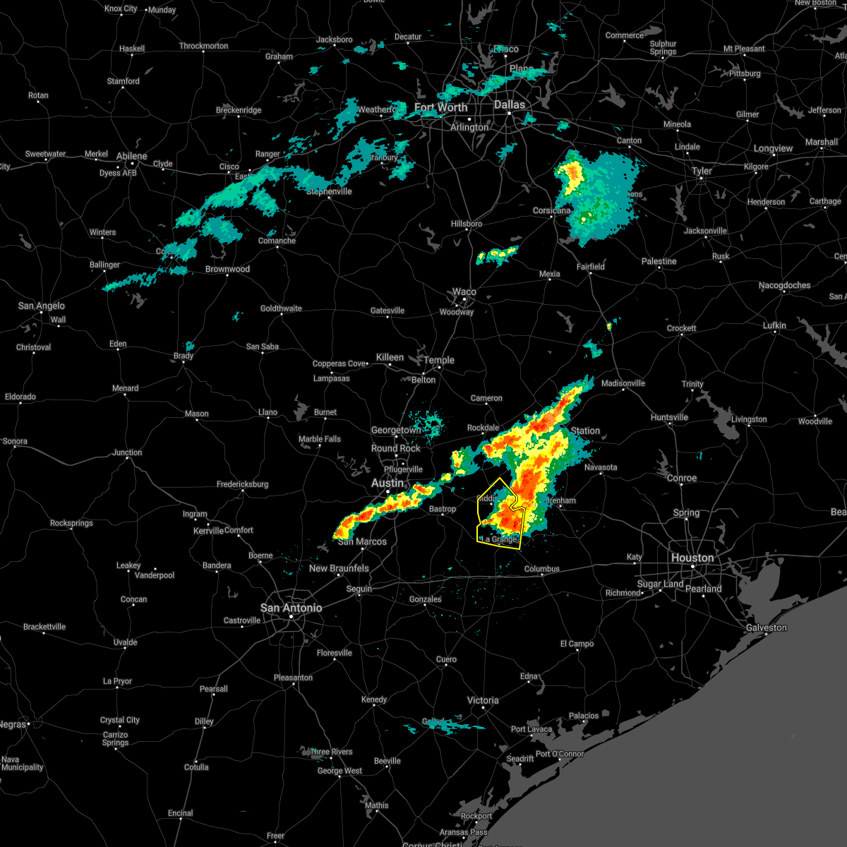 The severe thunderstorm warning for southeastern lee and northeastern fayette counties will expire at 830 am cdt, the storm which prompted the warning has weakened below severe limits, and no longer poses an immediate threat to life or property. therefore, the warning will be allowed to expire. however small hail, gusty winds and heavy rain are still possible with this thunderstorm. The severe thunderstorm warning for southeastern lee and northeastern fayette counties will expire at 830 am cdt, the storm which prompted the warning has weakened below severe limits, and no longer poses an immediate threat to life or property. therefore, the warning will be allowed to expire. however small hail, gusty winds and heavy rain are still possible with this thunderstorm.
|
| 5/4/2021 8:11 AM CDT |
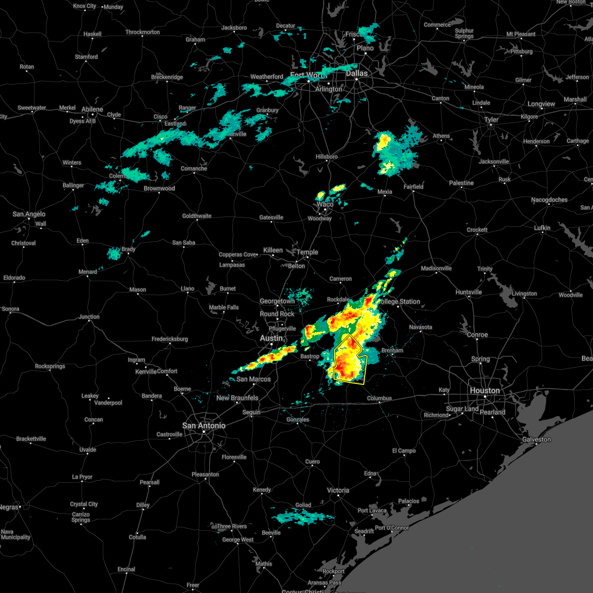 At 811 am cdt, a severe thunderstorm was located 10 miles south of giddings, moving east at 35 mph (radar indicated). Hazards include quarter size hail. Damage to vehicles is expected. Locations impacted include, giddings, la grange, round top, carmine, serbin, northrup, rutersville, warrenton, ledbetter, waldeck, loebau, rabbs prairie, plum, warda, walhalla, west point, winchester, nechanitz, lincoln and old dime box. At 811 am cdt, a severe thunderstorm was located 10 miles south of giddings, moving east at 35 mph (radar indicated). Hazards include quarter size hail. Damage to vehicles is expected. Locations impacted include, giddings, la grange, round top, carmine, serbin, northrup, rutersville, warrenton, ledbetter, waldeck, loebau, rabbs prairie, plum, warda, walhalla, west point, winchester, nechanitz, lincoln and old dime box.
|
| 5/4/2021 7:54 AM CDT |
 At 754 am cdt, a severe thunderstorm was located near smithville, moving east at 30 mph (radar indicated). Hazards include quarter size hail. Damage to vehicles is expected. Locations impacted include, giddings, la grange, smithville, round top, paige, circle d-kc estates, carmine, bastrop state park, northrup, rutersville, warrenton, ledbetter, waldeck, loebau, plum, buescher state park, hills, lincoln, nechanitz and manheim. At 754 am cdt, a severe thunderstorm was located near smithville, moving east at 30 mph (radar indicated). Hazards include quarter size hail. Damage to vehicles is expected. Locations impacted include, giddings, la grange, smithville, round top, paige, circle d-kc estates, carmine, bastrop state park, northrup, rutersville, warrenton, ledbetter, waldeck, loebau, plum, buescher state park, hills, lincoln, nechanitz and manheim.
|
| 5/4/2021 7:47 AM CDT |
 At 747 am cdt, a severe thunderstorm was located near smithville, moving east at 30 mph (radar indicated). Hazards include quarter size hail. Damage to vehicles is expected. Locations impacted include, bastrop, giddings, la grange, smithville, round top, fedor, paige, camp swift, circle d-kc estates, cedar creek, rosanky, wyldwood, upton, carmine, phelan, bastrop state park, hills prairie, northrup, rutersville and rockne. At 747 am cdt, a severe thunderstorm was located near smithville, moving east at 30 mph (radar indicated). Hazards include quarter size hail. Damage to vehicles is expected. Locations impacted include, bastrop, giddings, la grange, smithville, round top, fedor, paige, camp swift, circle d-kc estates, cedar creek, rosanky, wyldwood, upton, carmine, phelan, bastrop state park, hills prairie, northrup, rutersville and rockne.
|
| 5/4/2021 7:37 AM CDT |
 At 736 am cdt, a severe thunderstorm was located near rosanky, or near bastrop, moving east at 30 mph (radar indicated). Hazards include half dollar size hail. damage to vehicles is expected At 736 am cdt, a severe thunderstorm was located near rosanky, or near bastrop, moving east at 30 mph (radar indicated). Hazards include half dollar size hail. damage to vehicles is expected
|
| 4/15/2021 5:33 PM CDT |
 At 532 pm cdt, severe thunderstorms were located along a line extending from dime box to near giddings, moving southeast at 40 mph (radar indicated). Hazards include quarter size hail. Damage to vehicles is expected. Locations impacted include, giddings, fayetteville, dime box, round top, lake somerville state park & trailway, carmine, serbin, northrup, warrenton, old dime box, ledbetter, waldeck, loebau, warda, walhalla, willow springs, winedale, rek hill, lincoln and nechanitz. At 532 pm cdt, severe thunderstorms were located along a line extending from dime box to near giddings, moving southeast at 40 mph (radar indicated). Hazards include quarter size hail. Damage to vehicles is expected. Locations impacted include, giddings, fayetteville, dime box, round top, lake somerville state park & trailway, carmine, serbin, northrup, warrenton, old dime box, ledbetter, waldeck, loebau, warda, walhalla, willow springs, winedale, rek hill, lincoln and nechanitz.
|
| 4/15/2021 5:30 PM CDT |
 At 529 pm cdt, a severe thunderstorm was located over dime box, or 11 miles northeast of giddings, moving southeast at 45 mph (radar indicated). Hazards include 60 mph wind gusts and quarter size hail. Hail damage to vehicles is expected. Expect wind damage to roofs, siding, and trees. At 529 pm cdt, a severe thunderstorm was located over dime box, or 11 miles northeast of giddings, moving southeast at 45 mph (radar indicated). Hazards include 60 mph wind gusts and quarter size hail. Hail damage to vehicles is expected. Expect wind damage to roofs, siding, and trees.
|
| 4/15/2021 5:22 PM CDT |
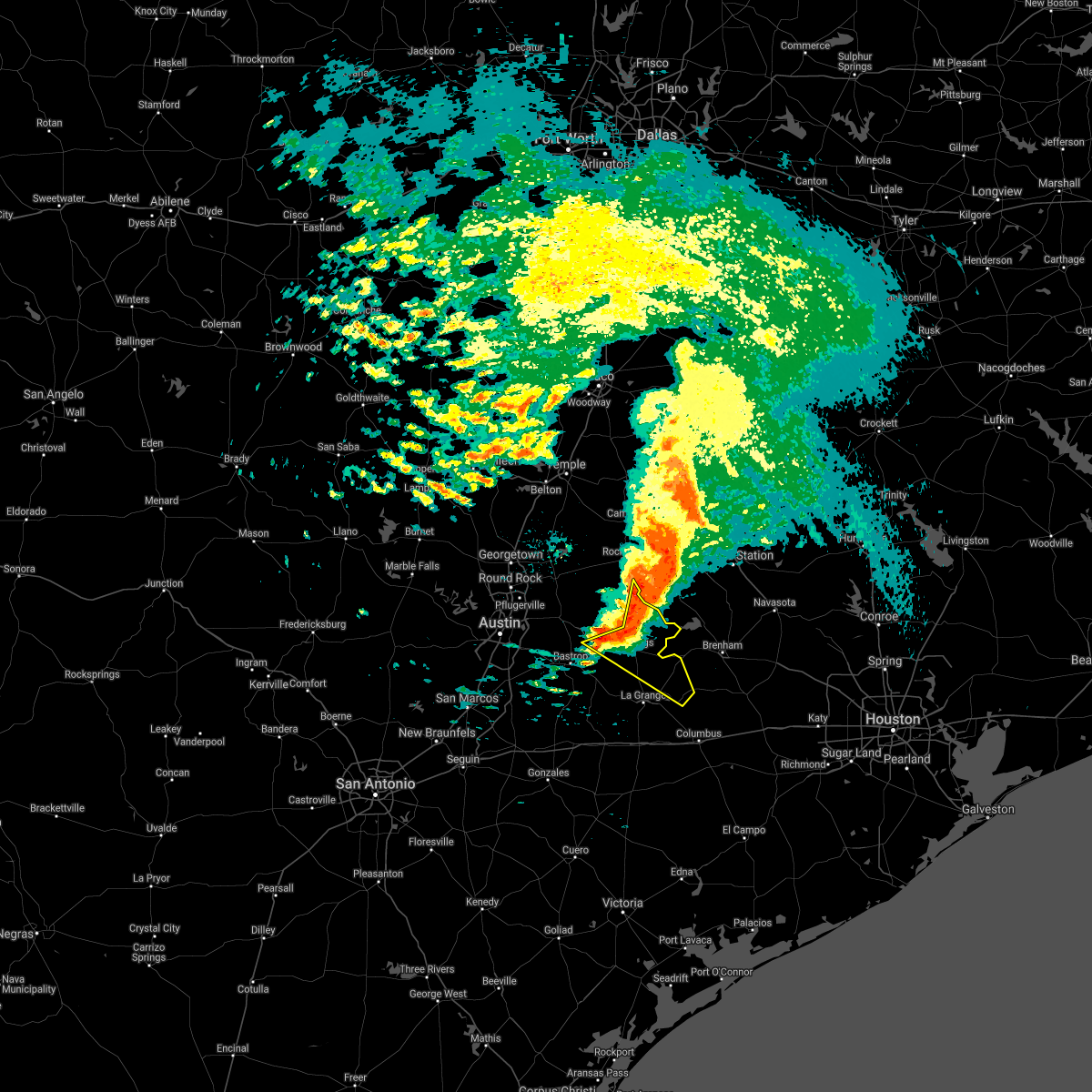 At 522 pm cdt, severe thunderstorms were located along a line extending from near dime box to 6 miles east of fedor to paige, moving southeast at 40 mph (radar indicated). Hazards include quarter size hail. damage to vehicles is expected At 522 pm cdt, severe thunderstorms were located along a line extending from near dime box to 6 miles east of fedor to paige, moving southeast at 40 mph (radar indicated). Hazards include quarter size hail. damage to vehicles is expected
|
| 5/24/2020 6:41 PM CDT |
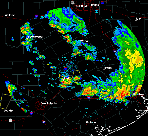 The severe thunderstorm warning for northeastern fayette county will expire at 645 pm cdt, the storms which prompted the warning have weakened below severe limits, and no longer pose an immediate threat to life or property. therefore, the warning will be allowed to expire. The severe thunderstorm warning for northeastern fayette county will expire at 645 pm cdt, the storms which prompted the warning have weakened below severe limits, and no longer pose an immediate threat to life or property. therefore, the warning will be allowed to expire.
|
| 5/24/2020 6:28 PM CDT |
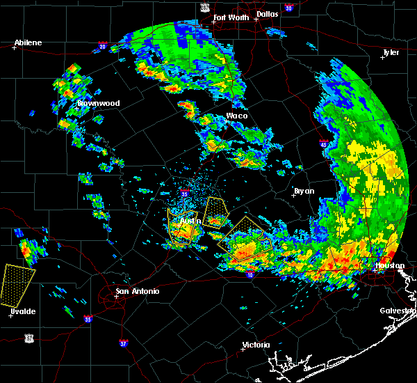 At 627 pm cdt, severe thunderstorms were located along a line extending from giddings to 6 miles west of round top, moving northeast at 25 mph (radar indicated). Hazards include quarter size hail. Damage to vehicles is expected. Locations impacted include, round top, carmine, warrenton, ledbetter, waldeck, rabbs prairie, warda, plum, walhalla, winedale, west point, winchester, kirtley and nechanitz. At 627 pm cdt, severe thunderstorms were located along a line extending from giddings to 6 miles west of round top, moving northeast at 25 mph (radar indicated). Hazards include quarter size hail. Damage to vehicles is expected. Locations impacted include, round top, carmine, warrenton, ledbetter, waldeck, rabbs prairie, warda, plum, walhalla, winedale, west point, winchester, kirtley and nechanitz.
|
| 5/24/2020 5:48 PM CDT |
 At 548 pm cdt, severe thunderstorms were located along a line extending from near smithville to 9 miles northwest of la grange, moving northeast at 25 mph (radar indicated). Hazards include quarter size hail. damage to vehicles is expected At 548 pm cdt, severe thunderstorms were located along a line extending from near smithville to 9 miles northwest of la grange, moving northeast at 25 mph (radar indicated). Hazards include quarter size hail. damage to vehicles is expected
|
| 4/29/2020 5:28 AM CDT |
 The severe thunderstorm warning for williamson, central caldwell, central hays, travis, blanco, northeastern gillespie, llano, bastrop, lee, central fayette and burnet counties will expire at 530 am cdt, the storms which prompted the warning have weakened below severe limits, and no longer pose an immediate threat to life or property. therefore, the warning will be allowed to expire. however small hail, gusty winds and heavy rain are still possible with these thunderstorms. a severe thunderstorm watch remains in effect until 900 am cdt for south central texas. to report severe weather, contact your nearest law enforcement agency. they will relay your report to the national weather service austin san antonio. The severe thunderstorm warning for williamson, central caldwell, central hays, travis, blanco, northeastern gillespie, llano, bastrop, lee, central fayette and burnet counties will expire at 530 am cdt, the storms which prompted the warning have weakened below severe limits, and no longer pose an immediate threat to life or property. therefore, the warning will be allowed to expire. however small hail, gusty winds and heavy rain are still possible with these thunderstorms. a severe thunderstorm watch remains in effect until 900 am cdt for south central texas. to report severe weather, contact your nearest law enforcement agency. they will relay your report to the national weather service austin san antonio.
|
| 4/29/2020 5:12 AM CDT |
 At 512 am cdt, a severe thunderstorm was located over burton, or 13 miles west of brenham, moving southeast at 35 mph (radar indicated). Hazards include 60 mph wind gusts and nickel size hail. expect damage to roofs, siding, and trees At 512 am cdt, a severe thunderstorm was located over burton, or 13 miles west of brenham, moving southeast at 35 mph (radar indicated). Hazards include 60 mph wind gusts and nickel size hail. expect damage to roofs, siding, and trees
|
| 4/29/2020 5:05 AM CDT |
 At 505 am cdt, severe thunderstorms were located along a line extending from near field creek to near horseshoe bay to near austin bergstrom int airport to bastrop to 8 miles south of lake somerville state park & trailway, moving south at 40 mph (radar indicated). Hazards include 60 mph wind gusts and nickel size hail. Expect damage to roofs, siding, and trees. Locations impacted include, austin, round rock, cedar park, georgetown, pflugerville, kyle, taylor, buda, lockhart, elgin, bastrop, burnet, marble falls, kingsland, giddings, la grange, smithville, llano, dripping springs and granger. At 505 am cdt, severe thunderstorms were located along a line extending from near field creek to near horseshoe bay to near austin bergstrom int airport to bastrop to 8 miles south of lake somerville state park & trailway, moving south at 40 mph (radar indicated). Hazards include 60 mph wind gusts and nickel size hail. Expect damage to roofs, siding, and trees. Locations impacted include, austin, round rock, cedar park, georgetown, pflugerville, kyle, taylor, buda, lockhart, elgin, bastrop, burnet, marble falls, kingsland, giddings, la grange, smithville, llano, dripping springs and granger.
|
| 4/29/2020 4:35 AM CDT |
 At 435 am cdt, severe thunderstorms were located along a line extending from tow to pflugerville to near elgin to near caldwell, moving south at 40 mph (radar indicated). Hazards include 60 mph wind gusts and quarter size hail. Hail damage to vehicles is expected. Expect wind damage to roofs, siding, and trees. At 435 am cdt, severe thunderstorms were located along a line extending from tow to pflugerville to near elgin to near caldwell, moving south at 40 mph (radar indicated). Hazards include 60 mph wind gusts and quarter size hail. Hail damage to vehicles is expected. Expect wind damage to roofs, siding, and trees.
|
| 4/9/2020 3:44 PM CDT |
 At 344 pm cdt, a severe thunderstorm was located near caldwell, moving southeast at 60 mph (radar indicated). Hazards include 70 mph wind gusts and quarter size hail. Hail damage to vehicles is expected. expect considerable tree damage. wind damage is also likely to mobile homes, roofs, and outbuildings. Locations impacted include, brenham, caldwell, somerville, snook, burton, lake somerville dam, lake somerville state park & trailway, carmine, lyons, deanville, independence, quarry and chriesman. At 344 pm cdt, a severe thunderstorm was located near caldwell, moving southeast at 60 mph (radar indicated). Hazards include 70 mph wind gusts and quarter size hail. Hail damage to vehicles is expected. expect considerable tree damage. wind damage is also likely to mobile homes, roofs, and outbuildings. Locations impacted include, brenham, caldwell, somerville, snook, burton, lake somerville dam, lake somerville state park & trailway, carmine, lyons, deanville, independence, quarry and chriesman.
|
| 4/9/2020 3:33 PM CDT |
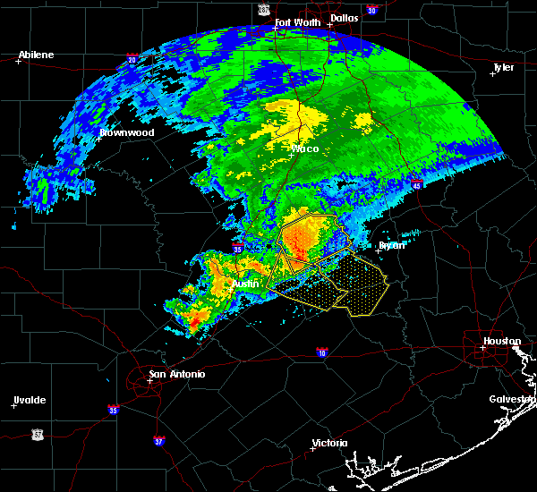 At 333 pm cdt, a severe thunderstorm was located near tanglewood, or near rockdale, moving southeast at 60 mph (radar indicated). Hazards include 70 mph wind gusts and penny size hail. Expect considerable tree damage. Damage is likely to mobile homes, roofs, and outbuildings. At 333 pm cdt, a severe thunderstorm was located near tanglewood, or near rockdale, moving southeast at 60 mph (radar indicated). Hazards include 70 mph wind gusts and penny size hail. Expect considerable tree damage. Damage is likely to mobile homes, roofs, and outbuildings.
|
| 1/10/2020 9:40 PM CST |
 At 940 pm cst, severe thunderstorms were located along a line extending from 7 miles southwest of hearne to 6 miles west of fayetteville, moving northeast at 60 mph. the most severe part of the line of storms is near caldwell (radar indicated). Hazards include 70 mph wind gusts. Expect considerable tree damage. damage is likely to mobile homes, roofs, and outbuildings. Locations impacted include, college station, bryan, brenham, navasota, caldwell, washington, shelby, somerville, snook, kurten, burton, wixon valley, millican, lake somerville dam, kyle field, lake somerville state park & trailway, iola, carmine, lyons and north zulch. At 940 pm cst, severe thunderstorms were located along a line extending from 7 miles southwest of hearne to 6 miles west of fayetteville, moving northeast at 60 mph. the most severe part of the line of storms is near caldwell (radar indicated). Hazards include 70 mph wind gusts. Expect considerable tree damage. damage is likely to mobile homes, roofs, and outbuildings. Locations impacted include, college station, bryan, brenham, navasota, caldwell, washington, shelby, somerville, snook, kurten, burton, wixon valley, millican, lake somerville dam, kyle field, lake somerville state park & trailway, iola, carmine, lyons and north zulch.
|
| 1/10/2020 9:25 PM CST |
 At 924 pm cst, severe thunderstorms were located along a line extending from 8 miles east of rockdale to near muldoon, moving northeast at 55 mph (radar indicated). Hazards include 60 mph wind gusts. expect damage to roofs, siding, and trees At 924 pm cst, severe thunderstorms were located along a line extending from 8 miles east of rockdale to near muldoon, moving northeast at 55 mph (radar indicated). Hazards include 60 mph wind gusts. expect damage to roofs, siding, and trees
|
| 1/10/2020 9:01 PM CST |
 At 900 pm cst, severe thunderstorms were located along a line extending from near rockdale to near westhoff, moving east at 50 mph (radar indicated). Hazards include 60 mph wind gusts. expect damage to roofs, siding, and trees At 900 pm cst, severe thunderstorms were located along a line extending from near rockdale to near westhoff, moving east at 50 mph (radar indicated). Hazards include 60 mph wind gusts. expect damage to roofs, siding, and trees
|
| 10/20/2019 9:11 PM CDT |
 At 911 pm cdt, a severe thunderstorm was located near giddings, moving northeast at 25 mph (radar indicated). Hazards include 60 mph wind gusts and quarter size hail. Hail damage to vehicles is expected. Expect wind damage to roofs, siding, and trees. At 911 pm cdt, a severe thunderstorm was located near giddings, moving northeast at 25 mph (radar indicated). Hazards include 60 mph wind gusts and quarter size hail. Hail damage to vehicles is expected. Expect wind damage to roofs, siding, and trees.
|
| 10/20/2019 9:09 PM CDT |
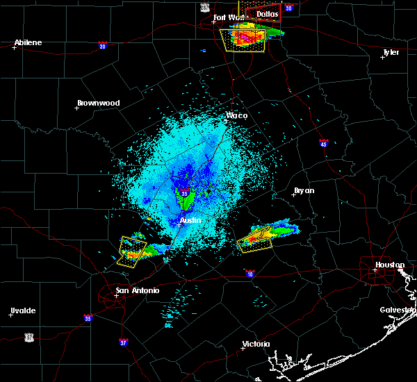 At 909 pm cdt, a severe thunderstorm was located 7 miles southeast of giddings, moving east at 25 mph (radar indicated). Hazards include 60 mph wind gusts and quarter size hail. Hail damage to vehicles is expected. Expect wind damage to roofs, siding, and trees. At 909 pm cdt, a severe thunderstorm was located 7 miles southeast of giddings, moving east at 25 mph (radar indicated). Hazards include 60 mph wind gusts and quarter size hail. Hail damage to vehicles is expected. Expect wind damage to roofs, siding, and trees.
|
| 10/20/2019 8:59 PM CDT |
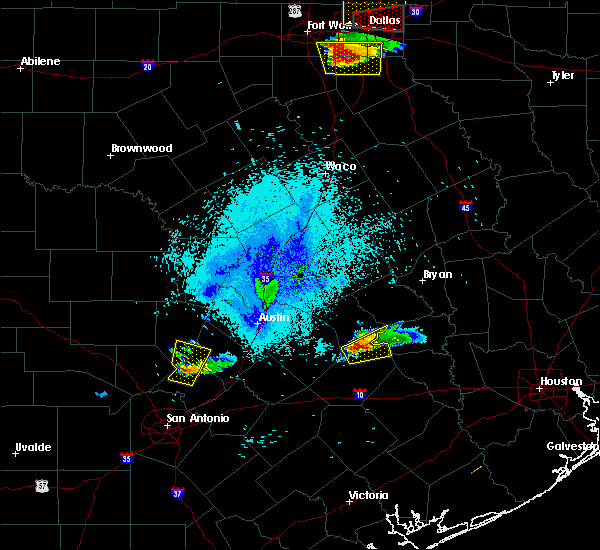 A severe thunderstorm warning remains in effect until 915 pm cdt for southeastern lee and northeastern fayette counties. at 858 pm cdt, a severe thunderstorm was located 7 miles south of giddings, moving east at 40 mph. hazard. 60 mph wind gusts and quarter size hail. source. Radar indicated. A severe thunderstorm warning remains in effect until 915 pm cdt for southeastern lee and northeastern fayette counties. at 858 pm cdt, a severe thunderstorm was located 7 miles south of giddings, moving east at 40 mph. hazard. 60 mph wind gusts and quarter size hail. source. Radar indicated.
|
| 10/20/2019 8:26 PM CDT |
 At 826 pm cdt, a severe thunderstorm was located near smithville, moving east at 30 mph (radar indicated). Hazards include 60 mph wind gusts and quarter size hail. Hail damage to vehicles is expected. expect wind damage to roofs, siding, and trees. Locations impacted include, giddings, la grange, smithville, round top, lake somerville state park & trailway, carmine, serbin, northrup, togo, warrenton, ledbetter, waldeck, rabbs prairie, plum, warda, walhalla, buescher state park, winedale, west point, and winchester. At 826 pm cdt, a severe thunderstorm was located near smithville, moving east at 30 mph (radar indicated). Hazards include 60 mph wind gusts and quarter size hail. Hail damage to vehicles is expected. expect wind damage to roofs, siding, and trees. Locations impacted include, giddings, la grange, smithville, round top, lake somerville state park & trailway, carmine, serbin, northrup, togo, warrenton, ledbetter, waldeck, rabbs prairie, plum, warda, walhalla, buescher state park, winedale, west point, and winchester.
|
| 10/20/2019 8:15 PM CDT |
 At 814 pm cdt, a severe thunderstorm was located near smithville, moving east at 55 mph (radar indicated). Hazards include 60 mph wind gusts and quarter size hail. Hail damage to vehicles is expected. Expect wind damage to roofs, siding, and trees. At 814 pm cdt, a severe thunderstorm was located near smithville, moving east at 55 mph (radar indicated). Hazards include 60 mph wind gusts and quarter size hail. Hail damage to vehicles is expected. Expect wind damage to roofs, siding, and trees.
|
| 6/6/2019 4:23 PM CDT |
 At 423 pm cdt, a severe thunderstorm was located over smithville, moving east at 15 mph (radar indicated). Hazards include golf ball size hail and 60 mph wind gusts. People and animals outdoors will be injured. expect hail damage to roofs, siding, windows, and vehicles. expect wind damage to roofs, siding, and trees. Locations impacted include, bastrop, la grange, smithville, fayetteville, round top, upton, carmine, bastrop state park, hills prairie, rutersville, northrup, warrenton, ledbetter, waldeck, plum, buescher state park, mullins prairie, nechanitz, serbin and togo. At 423 pm cdt, a severe thunderstorm was located over smithville, moving east at 15 mph (radar indicated). Hazards include golf ball size hail and 60 mph wind gusts. People and animals outdoors will be injured. expect hail damage to roofs, siding, windows, and vehicles. expect wind damage to roofs, siding, and trees. Locations impacted include, bastrop, la grange, smithville, fayetteville, round top, upton, carmine, bastrop state park, hills prairie, rutersville, northrup, warrenton, ledbetter, waldeck, plum, buescher state park, mullins prairie, nechanitz, serbin and togo.
|
| 6/6/2019 4:11 PM CDT |
 At 411 pm cdt, a severe thunderstorm was located near smithville, moving east at 15 mph (radar indicated). Hazards include 60 mph wind gusts and quarter size hail. Hail damage to vehicles is expected. Expect wind damage to roofs, siding, and trees. At 411 pm cdt, a severe thunderstorm was located near smithville, moving east at 15 mph (radar indicated). Hazards include 60 mph wind gusts and quarter size hail. Hail damage to vehicles is expected. Expect wind damage to roofs, siding, and trees.
|
| 4/18/2019 1:46 AM CDT |
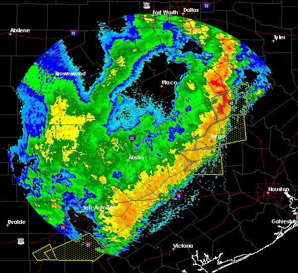 At 145 am cdt, severe thunderstorms were located along a line extending from near snook to near burton, moving east at 45 mph (radar indicated). Hazards include 60 mph wind gusts. Expect damage to roofs, siding, and trees. Locations impacted include, brenham, somerville, snook, burton, millican, lake somerville dam, lake somerville state park & trailway, carmine, lyons, deanville, independence and quarry. At 145 am cdt, severe thunderstorms were located along a line extending from near snook to near burton, moving east at 45 mph (radar indicated). Hazards include 60 mph wind gusts. Expect damage to roofs, siding, and trees. Locations impacted include, brenham, somerville, snook, burton, millican, lake somerville dam, lake somerville state park & trailway, carmine, lyons, deanville, independence and quarry.
|
| 4/18/2019 1:25 AM CDT |
 At 124 am cdt, severe thunderstorms were located along a line extending from 7 miles southeast of caldwell to 7 miles southeast of giddings, moving east at 45 mph (radar indicated). Hazards include 60 mph wind gusts. expect damage to roofs, siding, and trees At 124 am cdt, severe thunderstorms were located along a line extending from 7 miles southeast of caldwell to 7 miles southeast of giddings, moving east at 45 mph (radar indicated). Hazards include 60 mph wind gusts. expect damage to roofs, siding, and trees
|
| 4/7/2019 12:15 AM CDT |
 At 1215 am cdt, a severe thunderstorm was located near giddings, moving east at 25 mph (radar indicated). Hazards include 60 mph wind gusts and quarter size hail. Hail damage to vehicles is expected. expect wind damage to roofs, siding, and trees. Locations impacted include, giddings, round top, lake somerville state park & trailway, carmine, serbin, warda, northrup, winedale, ledbetter, nechanitz and waldeck. At 1215 am cdt, a severe thunderstorm was located near giddings, moving east at 25 mph (radar indicated). Hazards include 60 mph wind gusts and quarter size hail. Hail damage to vehicles is expected. expect wind damage to roofs, siding, and trees. Locations impacted include, giddings, round top, lake somerville state park & trailway, carmine, serbin, warda, northrup, winedale, ledbetter, nechanitz and waldeck.
|
| 4/6/2019 11:42 PM CDT |
 At 1141 pm cdt, a severe thunderstorm was located near smithville, moving east at 25 mph (radar indicated). Hazards include 60 mph wind gusts and half dollar size hail. Hail damage to vehicles is expected. Expect wind damage to roofs, siding, and trees. At 1141 pm cdt, a severe thunderstorm was located near smithville, moving east at 25 mph (radar indicated). Hazards include 60 mph wind gusts and half dollar size hail. Hail damage to vehicles is expected. Expect wind damage to roofs, siding, and trees.
|
| 10/31/2018 6:04 PM CDT |
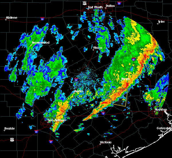 At 603 pm cdt, a severe thunderstorm was located over brenham, moving east at 30 mph (radar indicated). Hazards include 60 mph wind gusts. expect damage to roofs, siding, and trees At 603 pm cdt, a severe thunderstorm was located over brenham, moving east at 30 mph (radar indicated). Hazards include 60 mph wind gusts. expect damage to roofs, siding, and trees
|
| 4/13/2018 11:26 PM CDT |
 At 1126 pm cdt, severe thunderstorms were located along a line extending from near round top to near smithville, moving southeast at 30 mph (radar indicated). Hazards include 60 mph wind gusts and penny size hail. Expect damage to roofs, siding, and trees. Locations impacted include, bastrop, giddings, la grange, smithville, lexington, dime box, round top, fedor, paige, muldoon, tanglewood, camp swift, circle d-kc estates, lake somerville state park & trailway, carmine, knobb springs, phelan, bastrop state park, rutersville and northrup. At 1126 pm cdt, severe thunderstorms were located along a line extending from near round top to near smithville, moving southeast at 30 mph (radar indicated). Hazards include 60 mph wind gusts and penny size hail. Expect damage to roofs, siding, and trees. Locations impacted include, bastrop, giddings, la grange, smithville, lexington, dime box, round top, fedor, paige, muldoon, tanglewood, camp swift, circle d-kc estates, lake somerville state park & trailway, carmine, knobb springs, phelan, bastrop state park, rutersville and northrup.
|
| 4/13/2018 10:55 PM CDT |
 The national weather service in austin san antonio has issued a * severe thunderstorm warning for. eastern bastrop county in south central texas. lee county in south central texas. central fayette county in south central texas. Until 1145 pm cdt. The national weather service in austin san antonio has issued a * severe thunderstorm warning for. eastern bastrop county in south central texas. lee county in south central texas. central fayette county in south central texas. Until 1145 pm cdt.
|
| 5/23/2017 6:38 PM CDT |
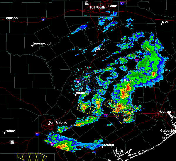 The severe thunderstorm warning for northeastern fayette county will expire at 645 pm cdt, the storm which prompted the warning has moved out of the area. therefore the warning will be allowed to expire. a severe thunderstorm watch remains in effect until 1100 pm cdt for south central texas. The severe thunderstorm warning for northeastern fayette county will expire at 645 pm cdt, the storm which prompted the warning has moved out of the area. therefore the warning will be allowed to expire. a severe thunderstorm watch remains in effect until 1100 pm cdt for south central texas.
|
| 5/23/2017 6:21 PM CDT |
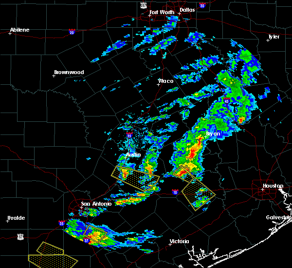 At 620 pm cdt, a severe thunderstorm was located near round top, or 11 miles northeast of la grange, moving southeast at 50 mph (radar indicated). Hazards include 70 mph wind gusts and quarter size hail. Hail damage to vehicles is expected. expect considerable tree damage. wind damage is also likely to mobile homes, roofs, and outbuildings. Locations impacted include, fayetteville, round top, carmine, walhalla, willow springs, warrenton, winedale, rek hill, ledbetter, nechanitz and waldeck. At 620 pm cdt, a severe thunderstorm was located near round top, or 11 miles northeast of la grange, moving southeast at 50 mph (radar indicated). Hazards include 70 mph wind gusts and quarter size hail. Hail damage to vehicles is expected. expect considerable tree damage. wind damage is also likely to mobile homes, roofs, and outbuildings. Locations impacted include, fayetteville, round top, carmine, walhalla, willow springs, warrenton, winedale, rek hill, ledbetter, nechanitz and waldeck.
|
| 5/23/2017 6:09 PM CDT |
 At 609 pm cdt, a severe thunderstorm was located 8 miles west of round top, or 8 miles southeast of giddings, moving southeast at 60 mph (radar indicated). Hazards include 70 mph wind gusts and quarter size hail. Hail damage to vehicles is expected. expect considerable tree damage. wind damage is also likely to mobile homes, roofs, and outbuildings. Locations impacted include, giddings, fayetteville, round top, carmine, serbin, northrup, warrenton, ledbetter, waldeck, warda, walhalla, willow springs, winedale, rek hill, nechanitz and loebau. At 609 pm cdt, a severe thunderstorm was located 8 miles west of round top, or 8 miles southeast of giddings, moving southeast at 60 mph (radar indicated). Hazards include 70 mph wind gusts and quarter size hail. Hail damage to vehicles is expected. expect considerable tree damage. wind damage is also likely to mobile homes, roofs, and outbuildings. Locations impacted include, giddings, fayetteville, round top, carmine, serbin, northrup, warrenton, ledbetter, waldeck, warda, walhalla, willow springs, winedale, rek hill, nechanitz and loebau.
|
| 5/23/2017 6:00 PM CDT |
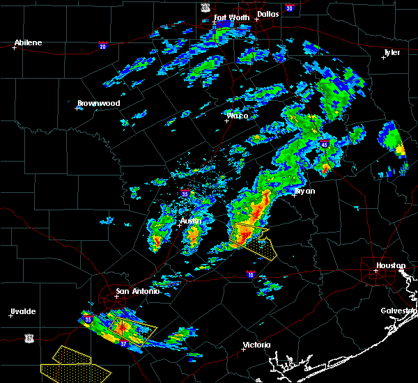 At 600 pm cdt, a severe thunderstorm was located over giddings, moving southeast at 60 mph (radar indicated). Hazards include 70 mph wind gusts and quarter size hail. Hail damage to vehicles is expected. expect considerable tree damage. wind damage is also likely to mobile homes, roofs, and outbuildings. Locations impacted include, giddings, fayetteville, round top, fedor, carmine, serbin, northrup, warrenton, ledbetter, waldeck, loebau, warda, walhalla, willow springs, hills, winedale, rek hill, lincoln, nechanitz and manheim. At 600 pm cdt, a severe thunderstorm was located over giddings, moving southeast at 60 mph (radar indicated). Hazards include 70 mph wind gusts and quarter size hail. Hail damage to vehicles is expected. expect considerable tree damage. wind damage is also likely to mobile homes, roofs, and outbuildings. Locations impacted include, giddings, fayetteville, round top, fedor, carmine, serbin, northrup, warrenton, ledbetter, waldeck, loebau, warda, walhalla, willow springs, hills, winedale, rek hill, lincoln, nechanitz and manheim.
|
| 5/23/2017 5:52 PM CDT |
 At 551 pm cdt, a severe thunderstorm was located near paige, or 8 miles northwest of giddings, moving southeast at 65 mph (radar indicated). Hazards include golf ball size hail and 70 mph wind gusts. People and animals outdoors will be injured. expect hail damage to roofs, siding, windows, and vehicles. expect considerable tree damage. Wind damage is also likely to mobile homes, roofs, and outbuildings. At 551 pm cdt, a severe thunderstorm was located near paige, or 8 miles northwest of giddings, moving southeast at 65 mph (radar indicated). Hazards include golf ball size hail and 70 mph wind gusts. People and animals outdoors will be injured. expect hail damage to roofs, siding, windows, and vehicles. expect considerable tree damage. Wind damage is also likely to mobile homes, roofs, and outbuildings.
|
| 5/3/2017 7:43 PM CDT |
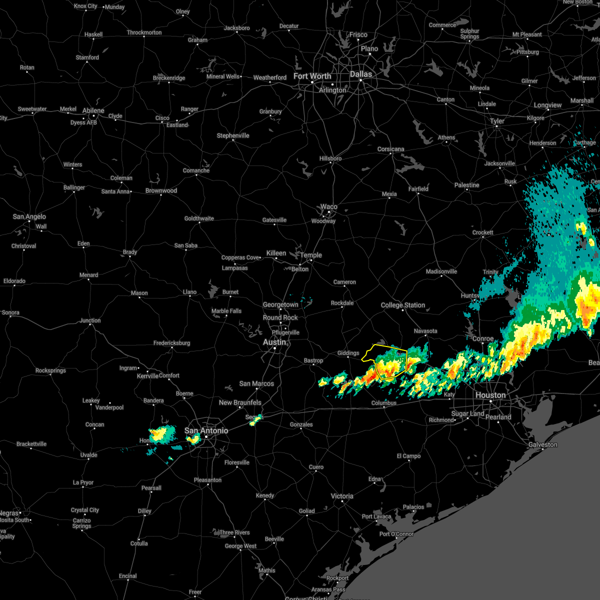 The severe thunderstorm warning for northwestern austin. southern burleson and southwestern washington counties will expire at 745 pm cdt. the storm which prompted the warning has weakened below severe limits, and no longer poses an immediate threat to life or property. therefore the warning will be allowed to expire. However, small. The severe thunderstorm warning for northwestern austin. southern burleson and southwestern washington counties will expire at 745 pm cdt. the storm which prompted the warning has weakened below severe limits, and no longer poses an immediate threat to life or property. therefore the warning will be allowed to expire. However, small.
|
| 5/3/2017 7:28 PM CDT |
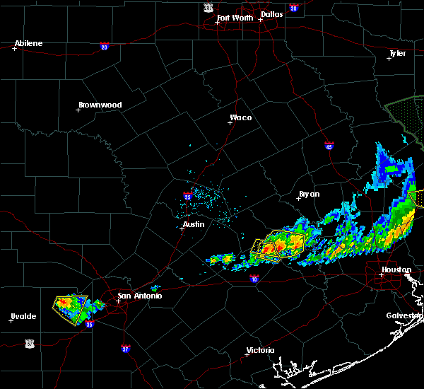 At 728 pm cdt, a severe thunderstorm was located near round top, or 13 miles northeast of la grange, moving east at 35 mph (radar indicated). Hazards include 60 mph wind gusts and quarter size hail. Hail damage to vehicles is expected. Expect wind damage to roofs, siding, and trees. At 728 pm cdt, a severe thunderstorm was located near round top, or 13 miles northeast of la grange, moving east at 35 mph (radar indicated). Hazards include 60 mph wind gusts and quarter size hail. Hail damage to vehicles is expected. Expect wind damage to roofs, siding, and trees.
|
| 5/3/2017 7:19 PM CDT |
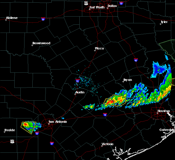 At 719 pm cdt, a severe thunderstorm was located near burton, or 11 miles west of brenham, moving east at 35 mph (radar indicated). Hazards include 60 mph wind gusts and half dollar size hail. Hail damage to vehicles is expected. expect wind damage to roofs, siding, and trees. Locations impacted include, round top, carmine, warda, walhalla, warrenton, winedale, ledbetter, nechanitz and waldeck. At 719 pm cdt, a severe thunderstorm was located near burton, or 11 miles west of brenham, moving east at 35 mph (radar indicated). Hazards include 60 mph wind gusts and half dollar size hail. Hail damage to vehicles is expected. expect wind damage to roofs, siding, and trees. Locations impacted include, round top, carmine, warda, walhalla, warrenton, winedale, ledbetter, nechanitz and waldeck.
|
| 5/3/2017 7:05 PM CDT |
 At 703 pm cdt, a severe thunderstorm was located 5 miles northwest of burton, or 15 miles northwest of brenham, moving southeast at 25 mph (radar indicated). Hazards include quarter size hail. damage to vehicles is possible At 703 pm cdt, a severe thunderstorm was located 5 miles northwest of burton, or 15 miles northwest of brenham, moving southeast at 25 mph (radar indicated). Hazards include quarter size hail. damage to vehicles is possible
|
| 5/3/2017 7:04 PM CDT | Quarter sized hail reported 6 miles E of Carmine, TX, pictures of quarter sized hail posted on social media. |
| 5/3/2017 6:53 PM CDT |
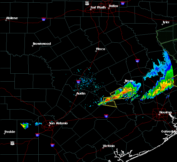 At 652 pm cdt, a severe thunderstorm was located near giddings, moving east at 35 mph (radar indicated). Hazards include 60 mph wind gusts and quarter size hail. Hail damage to vehicles is expected. Expect wind damage to roofs, siding, and trees. At 652 pm cdt, a severe thunderstorm was located near giddings, moving east at 35 mph (radar indicated). Hazards include 60 mph wind gusts and quarter size hail. Hail damage to vehicles is expected. Expect wind damage to roofs, siding, and trees.
|
| 4/2/2017 11:55 AM CDT |
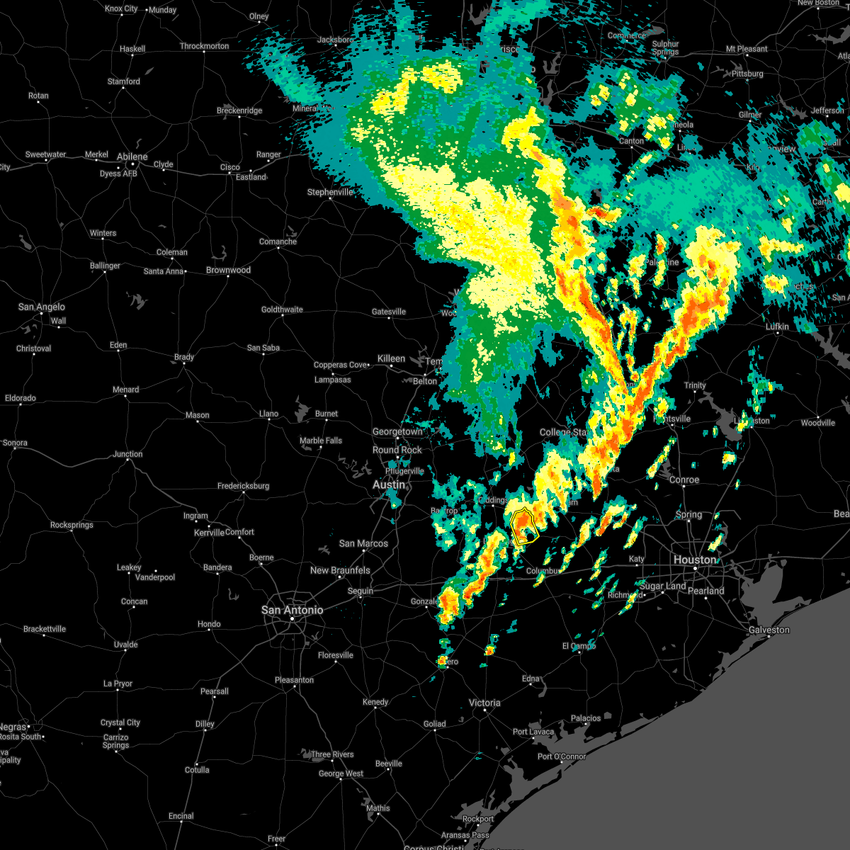 At 1155 am cdt, a severe thunderstorm was located near round top, or 12 miles northeast of la grange, moving northeast at 30 mph (radar indicated). Hazards include 60 mph wind gusts and quarter size hail. Hail damage to vehicles is expected. expect wind damage to roofs, siding, and trees. locations impacted include, round top, carmine, walhalla, willow springs, warrenton, winedale and waldeck. A tornado watch remains in effect until 100 pm cdt for south central texas. At 1155 am cdt, a severe thunderstorm was located near round top, or 12 miles northeast of la grange, moving northeast at 30 mph (radar indicated). Hazards include 60 mph wind gusts and quarter size hail. Hail damage to vehicles is expected. expect wind damage to roofs, siding, and trees. locations impacted include, round top, carmine, walhalla, willow springs, warrenton, winedale and waldeck. A tornado watch remains in effect until 100 pm cdt for south central texas.
|
| 4/2/2017 11:32 AM CDT | At 1132 am cdt, a severe thunderstorm was located over la grange, moving northeast at 40 mph (radar indicated). Hazards include 60 mph wind gusts and quarter size hail. Hail damage to vehicles is expected. Expect wind damage to roofs, siding, and trees. |
| 1/2/2017 6:06 AM CST |
 At 606 am cst, severe thunderstorms were located along a line extending from 6 miles northeast of tanglewood to near caldwell to 7 miles east of dime box to 7 miles west of burton to near round top, moving northeast at 40 mph (radar indicated). Hazards include 60 mph wind gusts. expect damage to roofs, siding, and trees At 606 am cst, severe thunderstorms were located along a line extending from 6 miles northeast of tanglewood to near caldwell to 7 miles east of dime box to 7 miles west of burton to near round top, moving northeast at 40 mph (radar indicated). Hazards include 60 mph wind gusts. expect damage to roofs, siding, and trees
|
| 5/27/2016 3:08 AM CDT |
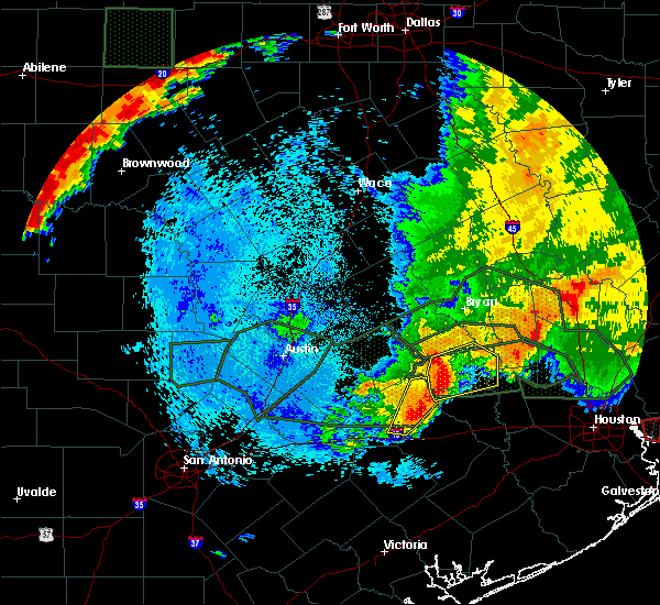 At 308 am cdt, severe thunderstorms were located along a line extending from near burton to 7 miles north of weimar, moving east at 35 mph (radar indicated). Hazards include 60 mph wind gusts and nickel size hail. Expect damage to roofs. siding. and trees. Locations impacted include, la grange, fayetteville, round top, carmine, holman, walhalla, swiss alp, warrenton, winedale, dubina, ellinger, rek hill, waldeck, ammannsville, willow springs, rutersville and mullins prairie. At 308 am cdt, severe thunderstorms were located along a line extending from near burton to 7 miles north of weimar, moving east at 35 mph (radar indicated). Hazards include 60 mph wind gusts and nickel size hail. Expect damage to roofs. siding. and trees. Locations impacted include, la grange, fayetteville, round top, carmine, holman, walhalla, swiss alp, warrenton, winedale, dubina, ellinger, rek hill, waldeck, ammannsville, willow springs, rutersville and mullins prairie.
|
| 5/27/2016 2:42 AM CDT |
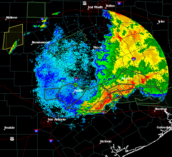 At 242 am cdt, severe thunderstorms were located along a line extending from 7 miles northwest of round top to near muldoon, moving northeast at 40 mph (radar indicated). Hazards include 60 mph wind gusts and nickel size hail. Expect damage to roofs. siding. And trees. At 242 am cdt, severe thunderstorms were located along a line extending from 7 miles northwest of round top to near muldoon, moving northeast at 40 mph (radar indicated). Hazards include 60 mph wind gusts and nickel size hail. Expect damage to roofs. siding. And trees.
|
| 5/27/2016 2:36 AM CDT |
 At 236 am cdt, a severe thunderstorm capable of producing a tornado was located over burton, or 13 miles west of brenham, moving northeast at 30 mph (radar indicated rotation). Hazards include tornado. Flying debris will be dangerous to those caught without shelter. mobile homes will be damaged or destroyed. damage to roofs, windows, and vehicles will occur. Tree damage is likely. At 236 am cdt, a severe thunderstorm capable of producing a tornado was located over burton, or 13 miles west of brenham, moving northeast at 30 mph (radar indicated rotation). Hazards include tornado. Flying debris will be dangerous to those caught without shelter. mobile homes will be damaged or destroyed. damage to roofs, windows, and vehicles will occur. Tree damage is likely.
|
| 5/27/2016 2:33 AM CDT |
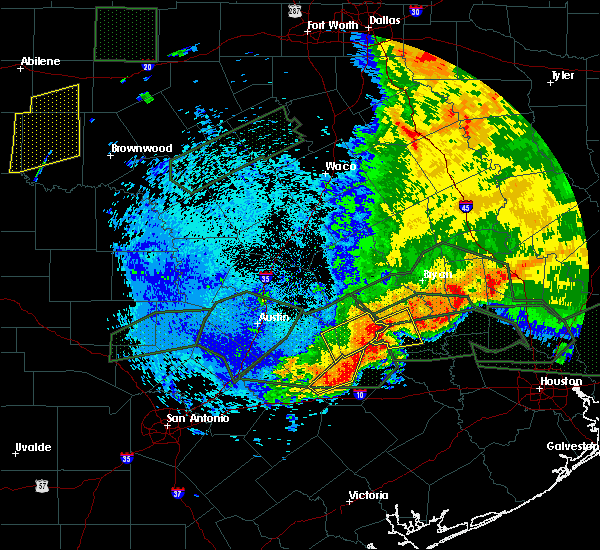 At 232 am cdt, a severe thunderstorm was located near burton, or 14 miles east of giddings, moving east at 30 mph. the storm was intensifying and hail and damaging wind threat is increasing (radar indicated). Hazards include 70 mph wind gusts and quarter size hail. Hail damage to vehicles is expected. expect considerable tree damage. wind damage is also likely to mobile homes, roofs, and outbuildings. Locations impacted include, brenham, somerville, burton, lake somerville dam, quarry and lyons. At 232 am cdt, a severe thunderstorm was located near burton, or 14 miles east of giddings, moving east at 30 mph. the storm was intensifying and hail and damaging wind threat is increasing (radar indicated). Hazards include 70 mph wind gusts and quarter size hail. Hail damage to vehicles is expected. expect considerable tree damage. wind damage is also likely to mobile homes, roofs, and outbuildings. Locations impacted include, brenham, somerville, burton, lake somerville dam, quarry and lyons.
|
| 5/27/2016 2:07 AM CDT |
 At 205 am cdt, a severe thunderstorm was located near giddings, moving east at 20 mph (radar indicated). Hazards include 60 mph wind gusts and quarter size hail. the strong winds combined with the saturated soil will be capable of knocking down trees. Hail damage to vehicles is expected. Expect wind damage to roofs, siding, and trees. At 205 am cdt, a severe thunderstorm was located near giddings, moving east at 20 mph (radar indicated). Hazards include 60 mph wind gusts and quarter size hail. the strong winds combined with the saturated soil will be capable of knocking down trees. Hail damage to vehicles is expected. Expect wind damage to roofs, siding, and trees.
|
| 5/26/2016 9:14 PM CDT |
 At 913 pm cdt, a severe thunderstorm was located near la grange, moving east at 20 mph. another severe thunderstorm was located just east of round top, moving east at 15 mph (radar indicated). Hazards include 60 mph wind gusts and quarter size hail. Hail damage to vehicles is expected. expect wind damage to roofs, siding, and trees. Locations impacted include, la grange, round top, carmine, nechanitz, walhalla, plum, warrenton, winedale, rek hill, warda, waldeck, willow springs, ledbetter, rutersville and rabbs prairie. At 913 pm cdt, a severe thunderstorm was located near la grange, moving east at 20 mph. another severe thunderstorm was located just east of round top, moving east at 15 mph (radar indicated). Hazards include 60 mph wind gusts and quarter size hail. Hail damage to vehicles is expected. expect wind damage to roofs, siding, and trees. Locations impacted include, la grange, round top, carmine, nechanitz, walhalla, plum, warrenton, winedale, rek hill, warda, waldeck, willow springs, ledbetter, rutersville and rabbs prairie.
|
| 5/26/2016 8:48 PM CDT |
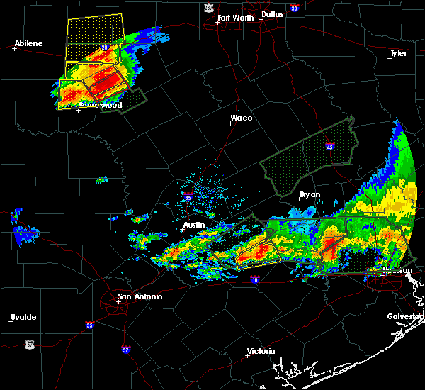 At 847 pm cdt, a severe thunderstorm was located 7 miles southeast of smithville, moving east at 20 mph. another severe thunderstorm with strong wind gusts to 60 mph was moving into round top (radar indicated). Hazards include 60 mph wind gusts and quarter size hail. Hail damage to vehicles is expected. Expect wind damage to roofs, siding, and trees. At 847 pm cdt, a severe thunderstorm was located 7 miles southeast of smithville, moving east at 20 mph. another severe thunderstorm with strong wind gusts to 60 mph was moving into round top (radar indicated). Hazards include 60 mph wind gusts and quarter size hail. Hail damage to vehicles is expected. Expect wind damage to roofs, siding, and trees.
|
| 5/26/2016 8:12 PM CDT | The severe thunderstorm warning for southern washington. northwestern waller and northern austin counties will expire at 815 pm cdt. the severe thunderstorm which prompted the warning will continue to weaken and move east therefore the warning will be allowed to expire. However gusty winds and heavy rain are still possible with. |
| 5/26/2016 7:09 PM CDT |
 At 709 pm cdt, a severe thunderstorm was located 7 miles southwest of brenham, moving east at 15 mph (radar indicated). Hazards include 60 mph wind gusts and quarter size hail. Hail damage to vehicles is expected. Expect wind damage to roofs, siding, and trees. At 709 pm cdt, a severe thunderstorm was located 7 miles southwest of brenham, moving east at 15 mph (radar indicated). Hazards include 60 mph wind gusts and quarter size hail. Hail damage to vehicles is expected. Expect wind damage to roofs, siding, and trees.
|
| 5/26/2016 6:41 PM CDT |
 At 640 pm cdt, a severe thunderstorm was located near round top, or 14 miles west of brenham, moving east at 15 mph. this storm has intensified and recently and a similar storm of this intensity produced hail nearly the size of golf balls (radar indicated). Hazards include 60 mph wind gusts and half dollar size hail. Hail damage to vehicles is expected. expect wind damage to roofs, siding, and trees. Locations impacted include, shelby and burton. At 640 pm cdt, a severe thunderstorm was located near round top, or 14 miles west of brenham, moving east at 15 mph. this storm has intensified and recently and a similar storm of this intensity produced hail nearly the size of golf balls (radar indicated). Hazards include 60 mph wind gusts and half dollar size hail. Hail damage to vehicles is expected. expect wind damage to roofs, siding, and trees. Locations impacted include, shelby and burton.
|
| 5/26/2016 6:34 PM CDT | Golf Ball sized hail reported 0.1 miles SSE of Carmine, TX |
| 5/26/2016 6:25 PM CDT |
 At 625 pm cdt, a severe thunderstorm was located over round top, or 14 miles southeast of giddings, moving east at 15 mph (radar indicated). Hazards include 60 mph wind gusts and quarter size hail. Hail damage to vehicles is expected. Expect wind damage to roofs, siding, and trees. At 625 pm cdt, a severe thunderstorm was located over round top, or 14 miles southeast of giddings, moving east at 15 mph (radar indicated). Hazards include 60 mph wind gusts and quarter size hail. Hail damage to vehicles is expected. Expect wind damage to roofs, siding, and trees.
|
| 5/26/2016 6:20 PM CDT |
 At 620 pm cdt, a severe thunderstorm was located near round top, or 14 miles east of giddings, moving east at 25 mph (radar indicated). Hazards include 60 mph wind gusts and quarter size hail. Hail damage to vehicles is expected. expect wind damage to roofs, siding, and trees. Locations impacted include, round top, carmine, nechanitz, ledbetter, waldeck and winedale. At 620 pm cdt, a severe thunderstorm was located near round top, or 14 miles east of giddings, moving east at 25 mph (radar indicated). Hazards include 60 mph wind gusts and quarter size hail. Hail damage to vehicles is expected. expect wind damage to roofs, siding, and trees. Locations impacted include, round top, carmine, nechanitz, ledbetter, waldeck and winedale.
|
| 5/26/2016 5:58 PM CDT |
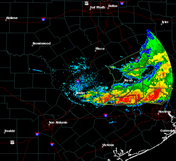 At 557 pm cdt, a severe thunderstorm was located near giddings, moving east at 25 mph (radar indicated). Hazards include 60 mph wind gusts and quarter size hail. Hail damage to vehicles is expected. Expect wind damage to roofs, siding, and trees. At 557 pm cdt, a severe thunderstorm was located near giddings, moving east at 25 mph (radar indicated). Hazards include 60 mph wind gusts and quarter size hail. Hail damage to vehicles is expected. Expect wind damage to roofs, siding, and trees.
|
| 5/26/2016 5:25 PM CDT | The severe thunderstorm warning for northeastern fayette county will expire at 530 pm cdt, the storm which prompted the warning has moved out of the area. therefore the warning will be allowed to expire. |
| 5/26/2016 5:24 PM CDT |
 The tornado warning for northeastern fayette county will expire at 530 pm cdt, the storm which prompted the warning has weakened, and no longer appears capable of producing a tornado. therefore the warning will be allowed to expire. to report severe weather, contact your nearest law enforcement agency. they will relay your report to the national weather service austin san antonio. The tornado warning for northeastern fayette county will expire at 530 pm cdt, the storm which prompted the warning has weakened, and no longer appears capable of producing a tornado. therefore the warning will be allowed to expire. to report severe weather, contact your nearest law enforcement agency. they will relay your report to the national weather service austin san antonio.
|
| 5/26/2016 5:19 PM CDT |
 At 518 pm cdt, a severe thunderstorm was located over burton, or 14 miles west of brenham, moving east at 25 mph (radar indicated). Hazards include 60 mph wind gusts and quarter size hail. Hail damage to vehicles is expected. Expect wind damage to roofs, siding, and trees. At 518 pm cdt, a severe thunderstorm was located over burton, or 14 miles west of brenham, moving east at 25 mph (radar indicated). Hazards include 60 mph wind gusts and quarter size hail. Hail damage to vehicles is expected. Expect wind damage to roofs, siding, and trees.
|
| 5/26/2016 5:15 PM CDT |
 At 515 pm cdt, a severe thunderstorm capable of producing a tornado was located near round top, or 16 miles west of brenham, moving east at 25 mph (radar indicated rotation). Hazards include tornado and quarter size hail. Flying debris will be dangerous to those caught without shelter. mobile homes will be damaged or destroyed. damage to roofs, windows, and vehicles will occur. tree damage is likely. Locations impacted include, round top, carmine and winedale. At 515 pm cdt, a severe thunderstorm capable of producing a tornado was located near round top, or 16 miles west of brenham, moving east at 25 mph (radar indicated rotation). Hazards include tornado and quarter size hail. Flying debris will be dangerous to those caught without shelter. mobile homes will be damaged or destroyed. damage to roofs, windows, and vehicles will occur. tree damage is likely. Locations impacted include, round top, carmine and winedale.
|
| 5/26/2016 5:14 PM CDT |
 At 514 pm cdt, a severe thunderstorm was located near round top, or 13 miles east of giddings, moving east at 20 mph (radar indicated). Hazards include 60 mph wind gusts and quarter size hail. Hail damage to vehicles is expected. expect wind damage to roofs, siding, and trees. Locations impacted include, round top, carmine, winedale and ledbetter. At 514 pm cdt, a severe thunderstorm was located near round top, or 13 miles east of giddings, moving east at 20 mph (radar indicated). Hazards include 60 mph wind gusts and quarter size hail. Hail damage to vehicles is expected. expect wind damage to roofs, siding, and trees. Locations impacted include, round top, carmine, winedale and ledbetter.
|
| 5/26/2016 4:58 PM CDT |
 At 458 pm cdt, a severe thunderstorm capable of producing a tornado was located near round top, or 10 miles southeast of giddings, moving east at 25 mph (radar indicated rotation). Hazards include tornado. Flying debris will be dangerous to those caught without shelter. mobile homes will be damaged or destroyed. damage to roofs, windows, and vehicles will occur. Tree damage is likely. At 458 pm cdt, a severe thunderstorm capable of producing a tornado was located near round top, or 10 miles southeast of giddings, moving east at 25 mph (radar indicated rotation). Hazards include tornado. Flying debris will be dangerous to those caught without shelter. mobile homes will be damaged or destroyed. damage to roofs, windows, and vehicles will occur. Tree damage is likely.
|
| 5/26/2016 4:57 PM CDT |
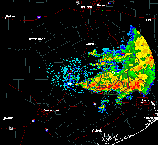 At 457 pm cdt, a severe thunderstorm was located 7 miles southeast of giddings, moving east at 20 mph (radar indicated). Hazards include 60 mph wind gusts and penny size hail. Expect damage to roofs. siding. And trees. At 457 pm cdt, a severe thunderstorm was located 7 miles southeast of giddings, moving east at 20 mph (radar indicated). Hazards include 60 mph wind gusts and penny size hail. Expect damage to roofs. siding. And trees.
|
| 5/26/2016 4:35 PM CDT |
 At 435 pm cdt, a severe thunderstorm was located over lake somerville dam, or 12 miles northwest of brenham, moving east at 30 mph (radar indicated). Hazards include 60 mph wind gusts and quarter size hail. Hail damage to vehicles is expected. expect wind damage to roofs, siding, and trees. Locations impacted include, somerville, burton, lake somerville dam, quarry, lyons and independence. At 435 pm cdt, a severe thunderstorm was located over lake somerville dam, or 12 miles northwest of brenham, moving east at 30 mph (radar indicated). Hazards include 60 mph wind gusts and quarter size hail. Hail damage to vehicles is expected. expect wind damage to roofs, siding, and trees. Locations impacted include, somerville, burton, lake somerville dam, quarry, lyons and independence.
|
| 5/26/2016 4:09 PM CDT |
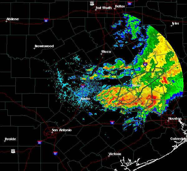 At 409 pm cdt, a severe thunderstorm was located 8 miles southeast of dime box, or 14 miles northeast of giddings, moving northeast at 30 mph (radar indicated). Hazards include 60 mph wind gusts and quarter size hail. Hail damage to vehicles is expected. Expect wind damage to roofs, siding, and trees. At 409 pm cdt, a severe thunderstorm was located 8 miles southeast of dime box, or 14 miles northeast of giddings, moving northeast at 30 mph (radar indicated). Hazards include 60 mph wind gusts and quarter size hail. Hail damage to vehicles is expected. Expect wind damage to roofs, siding, and trees.
|
| 4/30/2016 6:23 AM CDT |
 At 622 am cdt, severe thunderstorms were located along a line extending from snook to industry to 7 miles northeast of sublime, moving east at 40 mph (radar indicated). Hazards include 60 mph wind gusts and quarter size hail. Downed trees. trees can topple at winds speeds under 60 mph due to saturated grounds. possible home damage from both hail and wind. Locations impacted include, college station, bryan, brenham, navasota, sealy, hempstead, prairie view, caldwell, bellville, columbus, eagle lake, washington, weimar, somerville, wallis, pine island, san felipe, snook, pattison and kurten. At 622 am cdt, severe thunderstorms were located along a line extending from snook to industry to 7 miles northeast of sublime, moving east at 40 mph (radar indicated). Hazards include 60 mph wind gusts and quarter size hail. Downed trees. trees can topple at winds speeds under 60 mph due to saturated grounds. possible home damage from both hail and wind. Locations impacted include, college station, bryan, brenham, navasota, sealy, hempstead, prairie view, caldwell, bellville, columbus, eagle lake, washington, weimar, somerville, wallis, pine island, san felipe, snook, pattison and kurten.
|
| 4/30/2016 5:51 AM CDT |
 At 548 am cdt, severe thunderstorms were located along a line extending from 7 miles east of tanglewood to near la grange to near moulton, moving east at 45 mph (radar indicated). Hazards include 60 mph wind gusts and quarter size hail. Expect possible wind damage to homes and downed trees. trees will topple more easily due to the saturated grounds. Hail damage to vehicles may occur. At 548 am cdt, severe thunderstorms were located along a line extending from 7 miles east of tanglewood to near la grange to near moulton, moving east at 45 mph (radar indicated). Hazards include 60 mph wind gusts and quarter size hail. Expect possible wind damage to homes and downed trees. trees will topple more easily due to the saturated grounds. Hail damage to vehicles may occur.
|
| 4/30/2016 5:36 AM CDT |
 At 535 am cdt, severe thunderstorms were located along a line extending from 8 miles west of lexington to giddings to near muldoon, moving east at 45 mph (law enforcement). Hazards include 70 mph wind gusts and nickel size hail. Expect considerable tree damage. Damage is likely to mobile homes, roofs, and outbuildings. At 535 am cdt, severe thunderstorms were located along a line extending from 8 miles west of lexington to giddings to near muldoon, moving east at 45 mph (law enforcement). Hazards include 70 mph wind gusts and nickel size hail. Expect considerable tree damage. Damage is likely to mobile homes, roofs, and outbuildings.
|
| 4/13/2016 12:21 AM CDT |
 At 1220 am cdt, severe thunderstorms were located along a line extending from near fedor to 7 miles east of giddings to near fayetteville, moving northeast at 60 mph (radar indicated). Hazards include 60 mph wind gusts and penny size hail. Expect damage to roofs. siding. and trees. Locations impacted include, giddings, la grange, schulenburg, lexington, shelby, fayetteville, round top, fedor, dime box, carmine, manheim, dubina, ellinger, rek hill, warda, waldeck, ammannsville, lincoln, willow springs and rabbs prairie. At 1220 am cdt, severe thunderstorms were located along a line extending from near fedor to 7 miles east of giddings to near fayetteville, moving northeast at 60 mph (radar indicated). Hazards include 60 mph wind gusts and penny size hail. Expect damage to roofs. siding. and trees. Locations impacted include, giddings, la grange, schulenburg, lexington, shelby, fayetteville, round top, fedor, dime box, carmine, manheim, dubina, ellinger, rek hill, warda, waldeck, ammannsville, lincoln, willow springs and rabbs prairie.
|
| 4/13/2016 12:06 AM CDT |
 At 1205 am cdt, severe thunderstorms were located along a line extending from near fedor to 8 miles west of round top to 6 miles southeast of la grange to near weimar to near sublime, moving east at 40 mph (radar indicated). Hazards include 60 mph wind gusts and nickel size hail. Expect damage to roofs. siding. and trees. Locations impacted include, bastrop, giddings, la grange, smithville, schulenburg, lexington, shelby, fayetteville, round top, sublime, fedor, paige, circle d-kc estate, circle d-kc estates, camp swift, dime box, carmine, ellinger, rek hill and willow springs. At 1205 am cdt, severe thunderstorms were located along a line extending from near fedor to 8 miles west of round top to 6 miles southeast of la grange to near weimar to near sublime, moving east at 40 mph (radar indicated). Hazards include 60 mph wind gusts and nickel size hail. Expect damage to roofs. siding. and trees. Locations impacted include, bastrop, giddings, la grange, smithville, schulenburg, lexington, shelby, fayetteville, round top, sublime, fedor, paige, circle d-kc estate, circle d-kc estates, camp swift, dime box, carmine, ellinger, rek hill and willow springs.
|
| 4/12/2016 11:45 PM CDT |
 At 1145 pm cdt, severe thunderstorms were located along a line extending from 7 miles north of camp swift to 8 miles east of smithville to near muldoon to 6 miles northwest of schulenburg to near shiner, moving east at 65 mph (radar indicated). Hazards include 70 mph wind gusts and quarter size hail. Hail damage to vehicles is expected. expect considerable tree damage. Wind damage is also likely to mobile homes, roofs, and outbuildings. At 1145 pm cdt, severe thunderstorms were located along a line extending from 7 miles north of camp swift to 8 miles east of smithville to near muldoon to 6 miles northwest of schulenburg to near shiner, moving east at 65 mph (radar indicated). Hazards include 70 mph wind gusts and quarter size hail. Hail damage to vehicles is expected. expect considerable tree damage. Wind damage is also likely to mobile homes, roofs, and outbuildings.
|
| 5/25/2015 7:11 PM CDT | At 711 pm cdt, doppler radar indicated a severe thunderstorm capable of producing quarter size hail and damaging winds in excess of 60 mph. this storm was located near industry, or 10 miles southwest of brenham, and moving east at 25 mph. |
| 5/25/2015 7:05 PM CDT | The tornado warning for northeastern fayette county will expire at 715 pm cdt, the storm which prompted the warning has moved out of the county. therefore the warning will be allowed to expire. a tornado watch remains in effect until 1000 pm cdt for south central texas. |
| 5/25/2015 6:57 PM CDT | At 657 pm cdt, a severe thunderstorm capable of producing a tornado was located near round top, or 15 miles northeast of la grange, moving northeast at 25 mph (radar indicated rotation). Hazards include tornado. Flying debris will be dangerous to those caught without shelter. mobile homes will be damaged or destroyed. damage to roofs, windows and vehicles will occur. tree damage is likely. This tornadic thunderstorm will remain over mainly rural areas of northeastern fayette county, including the following locations, willow springs, winedale, warrenton and carmine. |
| 5/25/2015 6:47 PM CDT | At 647 pm cdt, a severe thunderstorm capable of producing a tornado was located near fayetteville, or 10 miles east of la grange, moving northeast at 20 mph (radar indicated rotation). Hazards include tornado. Flying debris will be dangerous to those caught without shelter. mobile homes will be damaged or destroyed. damage to roofs, windows and vehicles will occur. tree damage is likely. this dangerous storm will be near, fayetteville around 655 pm cdt. round top around 715 pm cdt. Other locations impacted by this tornadic thunderstorm include willow springs, rek hill, winedale, warrenton and carmine. |
| 5/25/2015 6:06 PM CDT | At 605 pm cdt, doppler radar indicated a severe thunderstorm capable of producing damaging winds in excess of 60 mph. this storm was located 7 miles west of somerville, or 13 miles south of caldwell, and moving east at 50 mph. |
| 5/25/2015 6:00 PM CDT | At 600 pm cdt, severe thunderstorms were located along a line extending from 6 miles north of dime box to smithville to 6 miles southeast of kingsbury to near la vernia, moving southeast at 15 mph (radar indicated). Hazards include 60 mph wind gusts. Expect damage to roofs. Siding and trees. |
| 4/27/2015 3:04 AM CDT | At 303 am cdt, severe thunderstorms were located along a line extending from near dime box to near la grange to near schulenburg, moving east at 50 mph (radar indicated). Hazards include 60 mph wind gusts. Expect damage to roofs. siding and trees. locations impacted include, giddings, la grange, smithville, schulenburg, flatonia, lexington, shelby, fayetteville, round top, fedor, paige, muldoon, circle d-kc estate, tanglewood, dime box, circle d-kc estates, carmine, wicchester, blue and ellinger. a tornado watch remains in effect until 900 am cdt for south central texas. 75in. |
| 4/27/2015 2:43 AM CDT | At 242 am cdt, severe thunderstorms were located along a line extending from lexington to near smithville to near shiner, moving east at 60 mph (radar indicated). Hazards include 60 mph wind gusts. Expect damage to roofs. siding and trees. locations impacted include, elgin, bastrop, giddings, la grange, smithville, schulenburg, flatonia, lexington, moulton, shelby, waelder, fayetteville, round top, fedor, rosanky, paige, cedar creek, muldoon, circle d-kc estate and wyldwood. a tornado watch remains in effect until 900 am cdt for south central texas. 75in. |
| 4/27/2015 2:30 AM CDT | At 230 am cdt, severe thunderstorms were located along a line extending from 8 miles northwest of fedor to rosanky to 8 miles east of gonzales, moving east at 50 mph (radar indicated). Hazards include 60 mph wind gusts. Expect damage to roofs. Siding and trees. |
| 4/16/2015 6:53 PM CDT | At 652 pm cdt, a severe thunderstorm was located over muldoon, or near flatonia, moving northeast at 30 mph (radar indicated). Hazards include 60 mph wind gusts and quarter size hail. Hail damage to vehicles is expected. Expect wind damage to roofs, siding and trees. |
Hail Maps for Carmine, TX

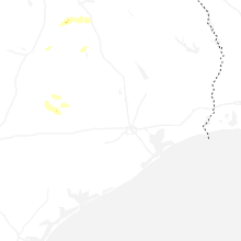


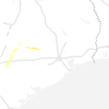


Connect with Interactive Hail Maps