

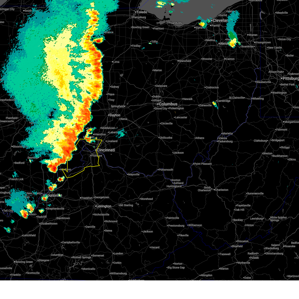
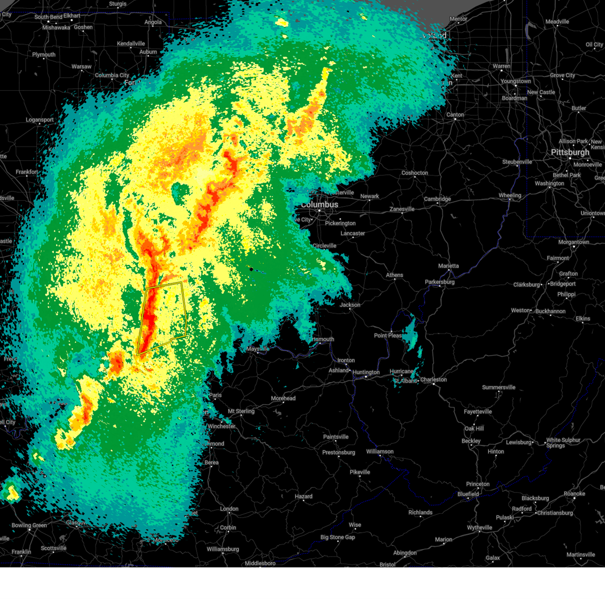
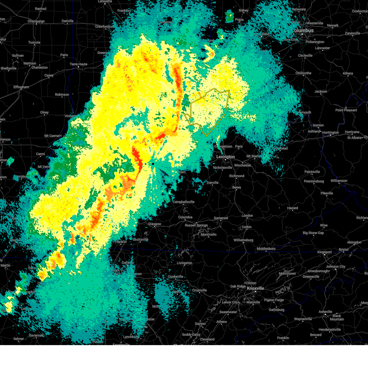
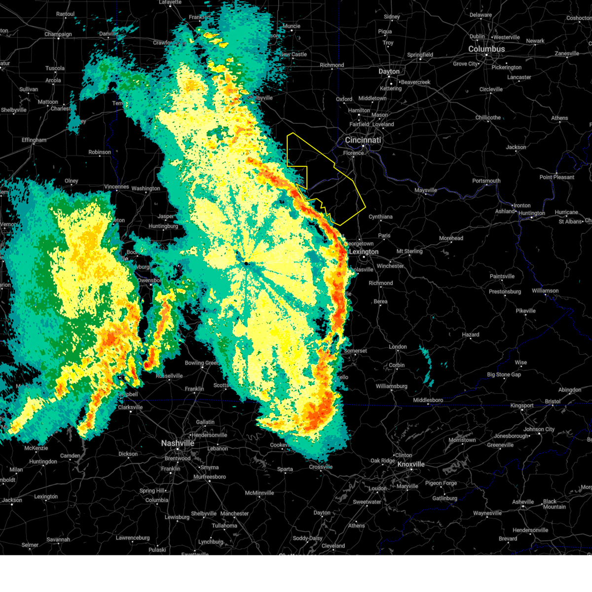
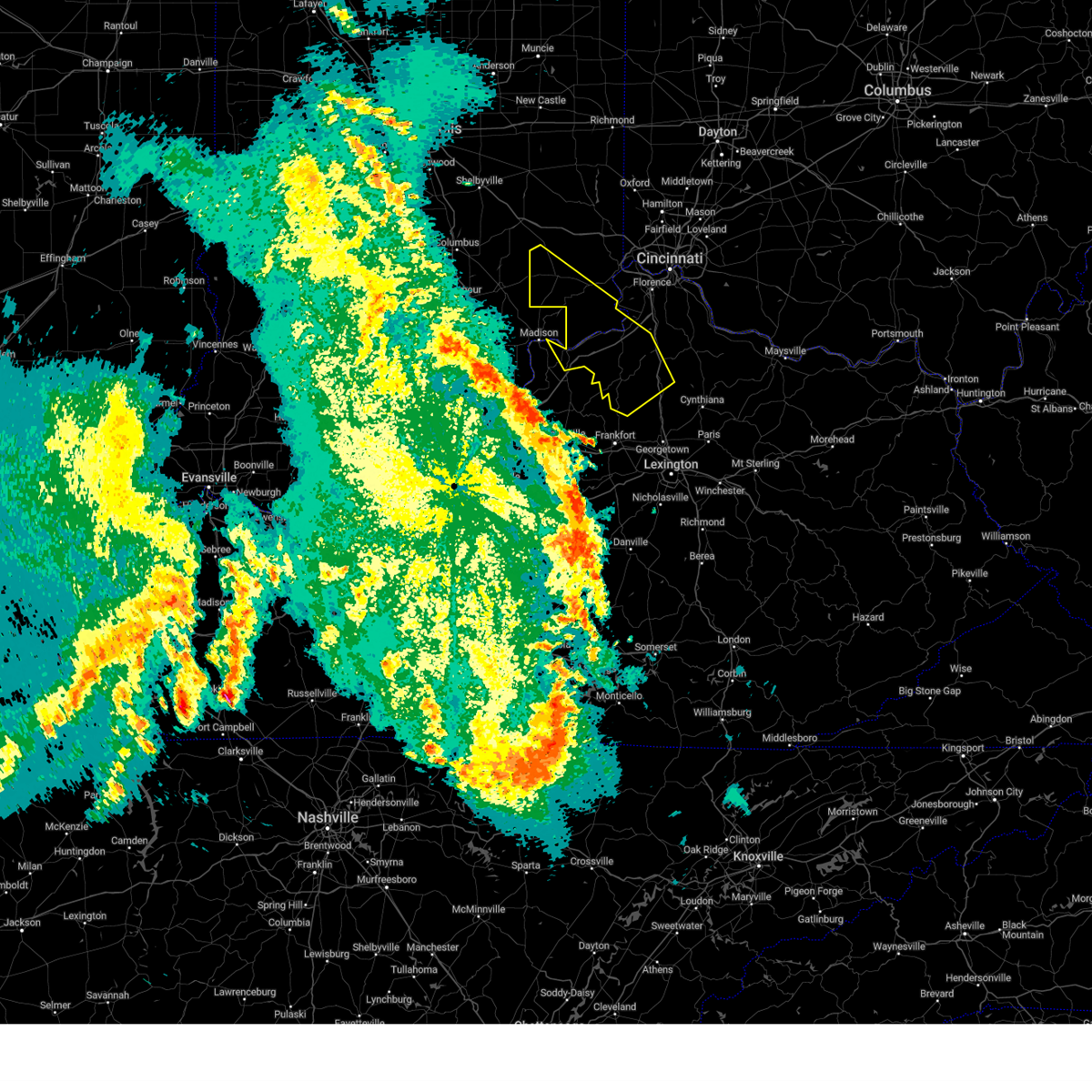
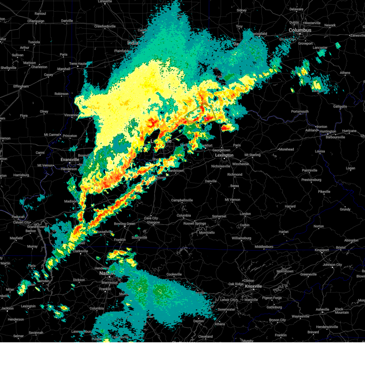
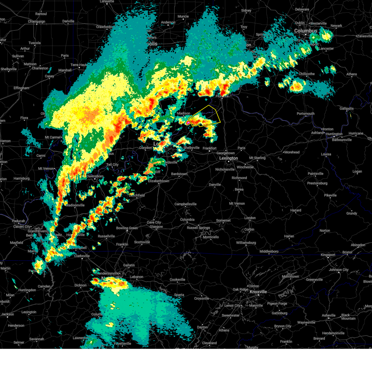
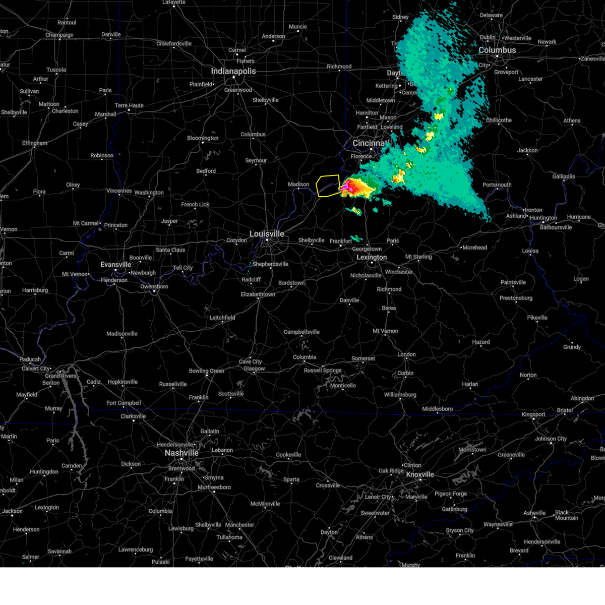
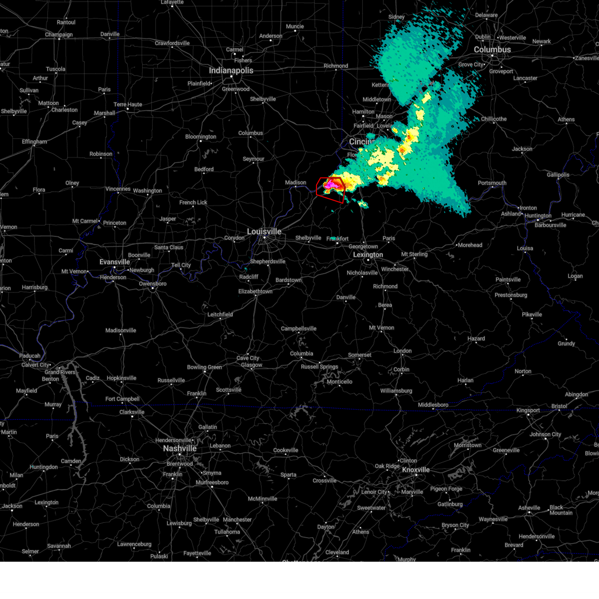
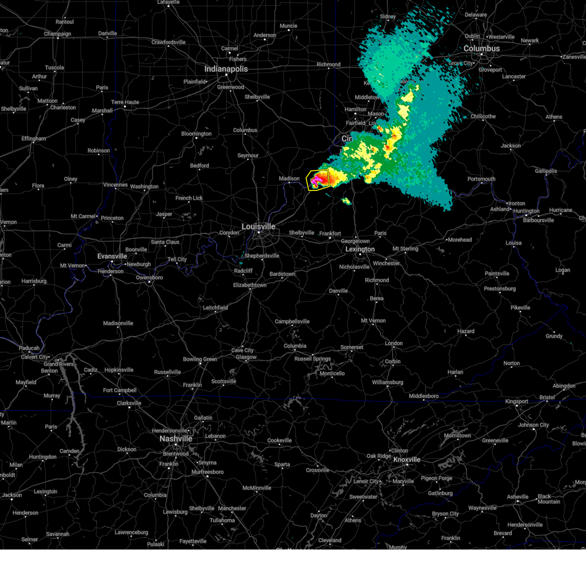
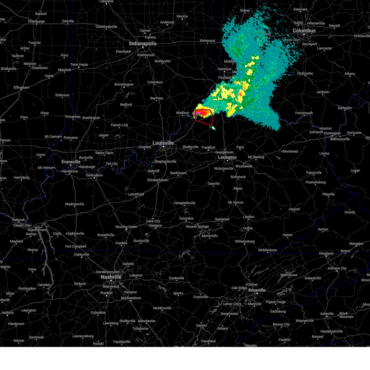
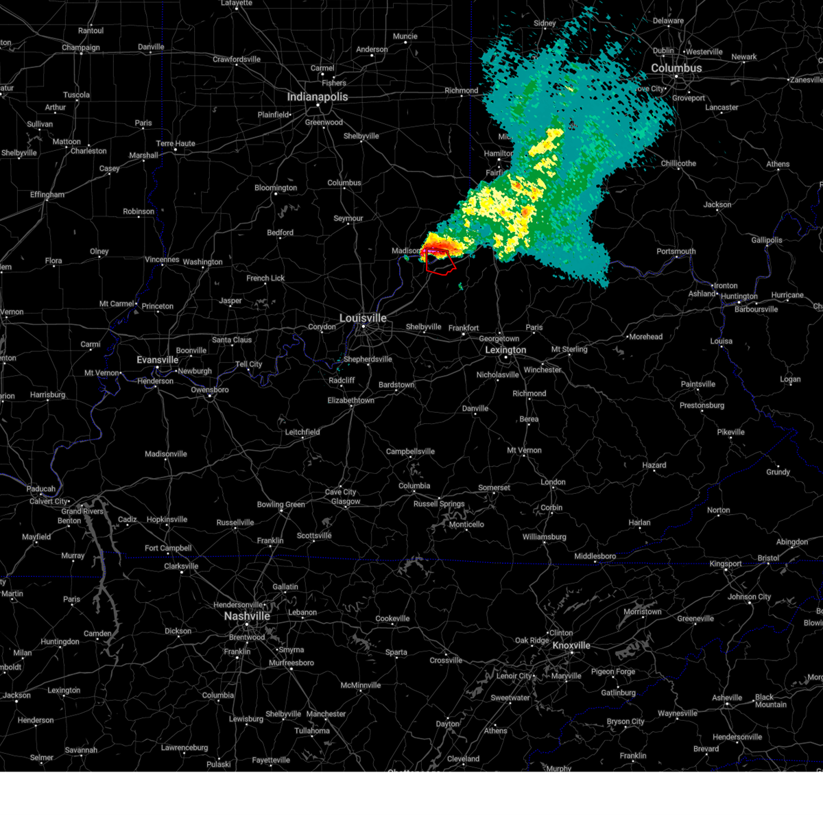
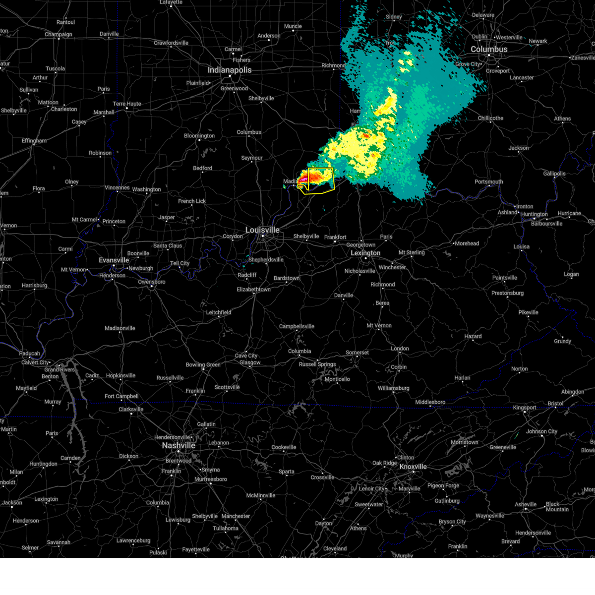
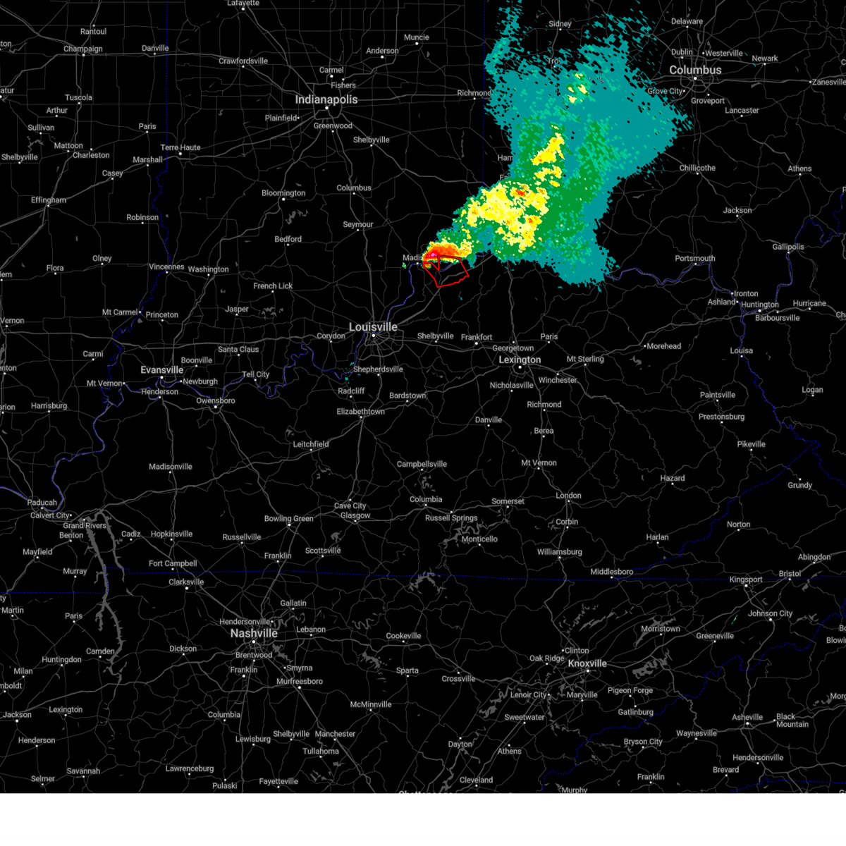
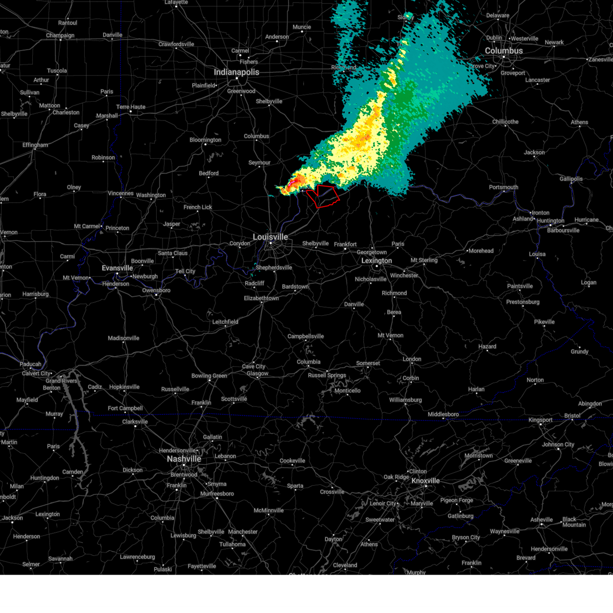
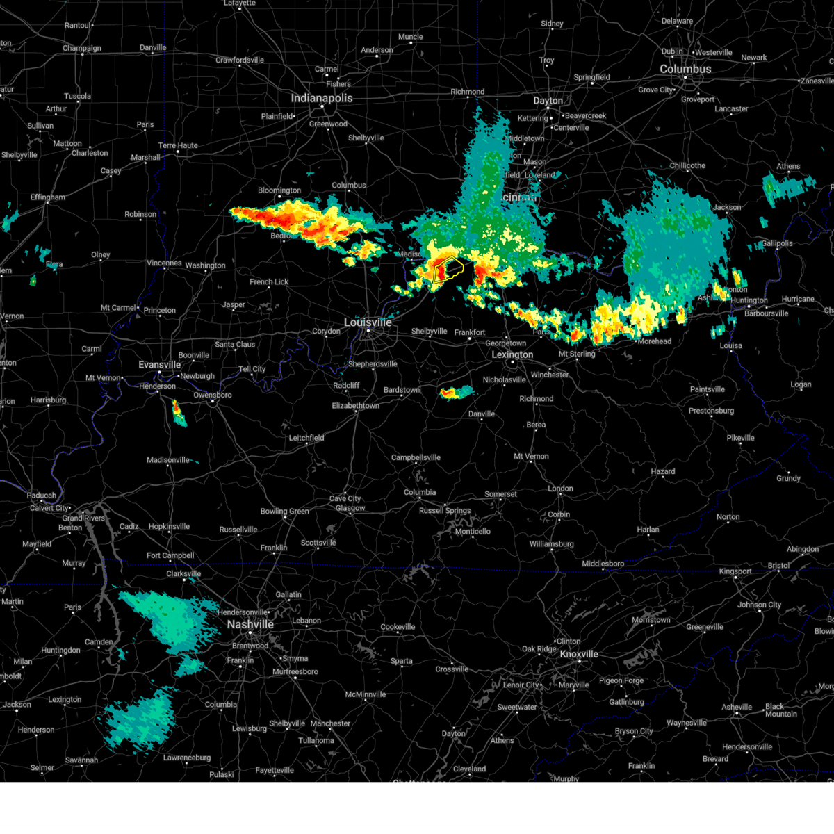
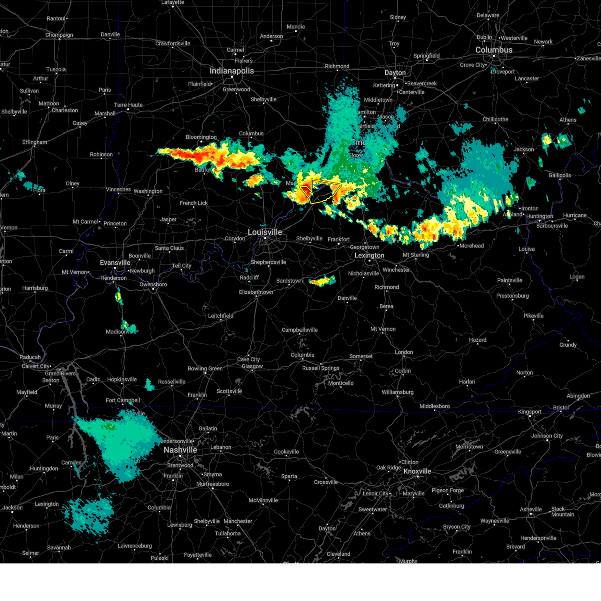
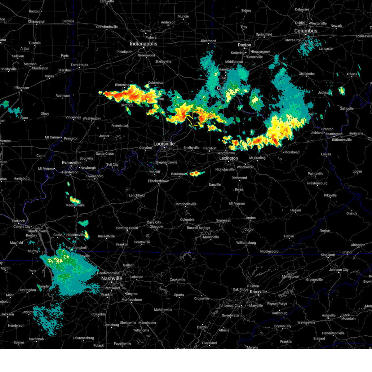
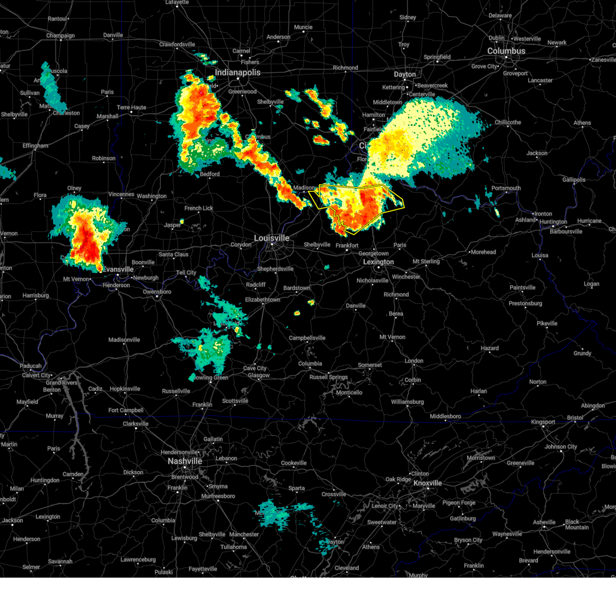
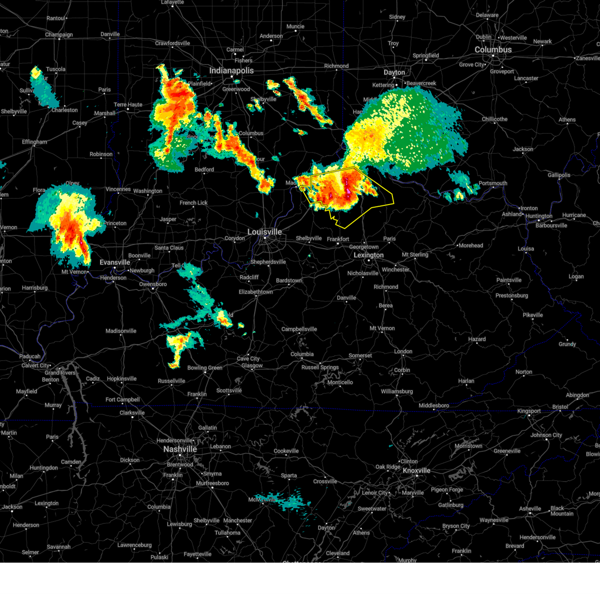
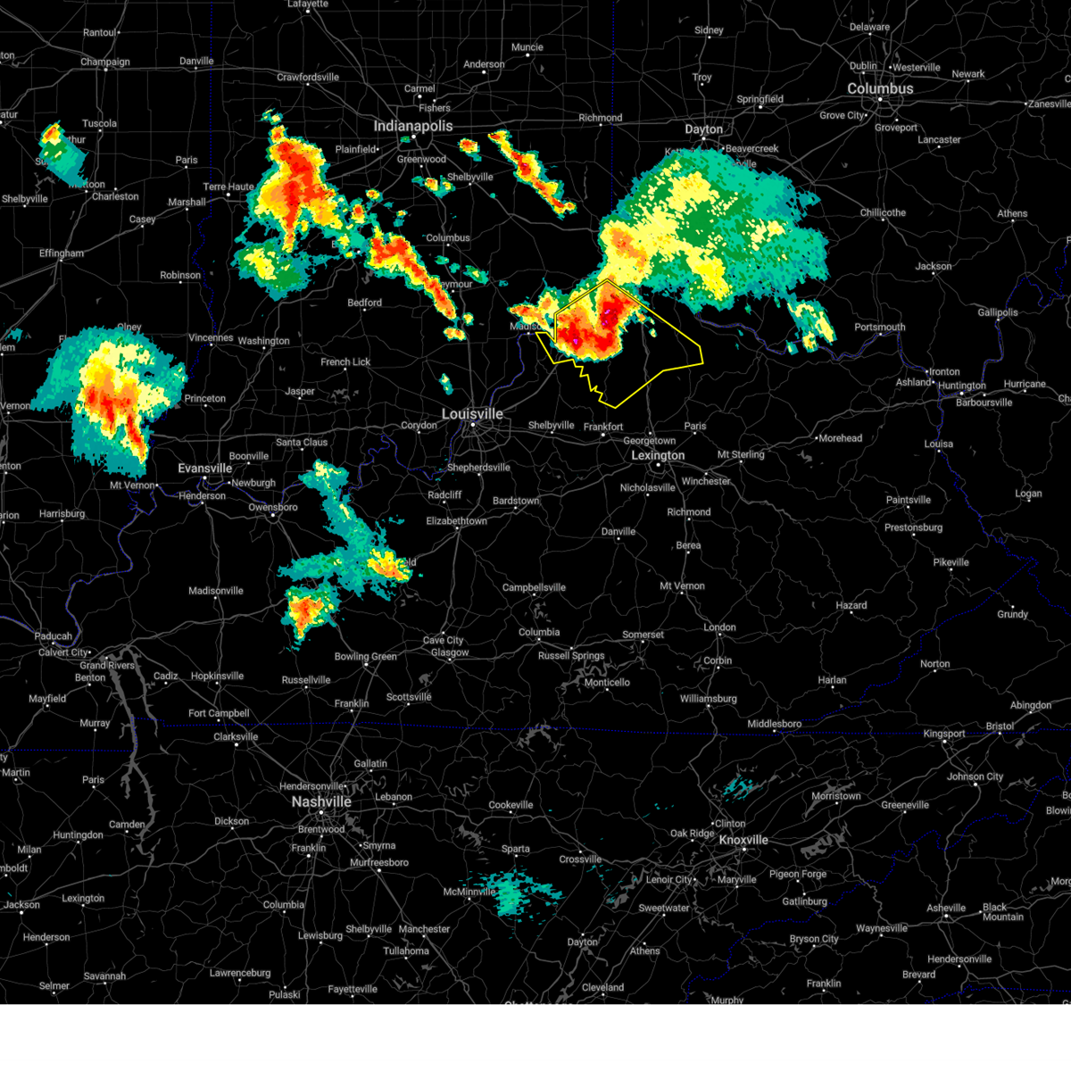
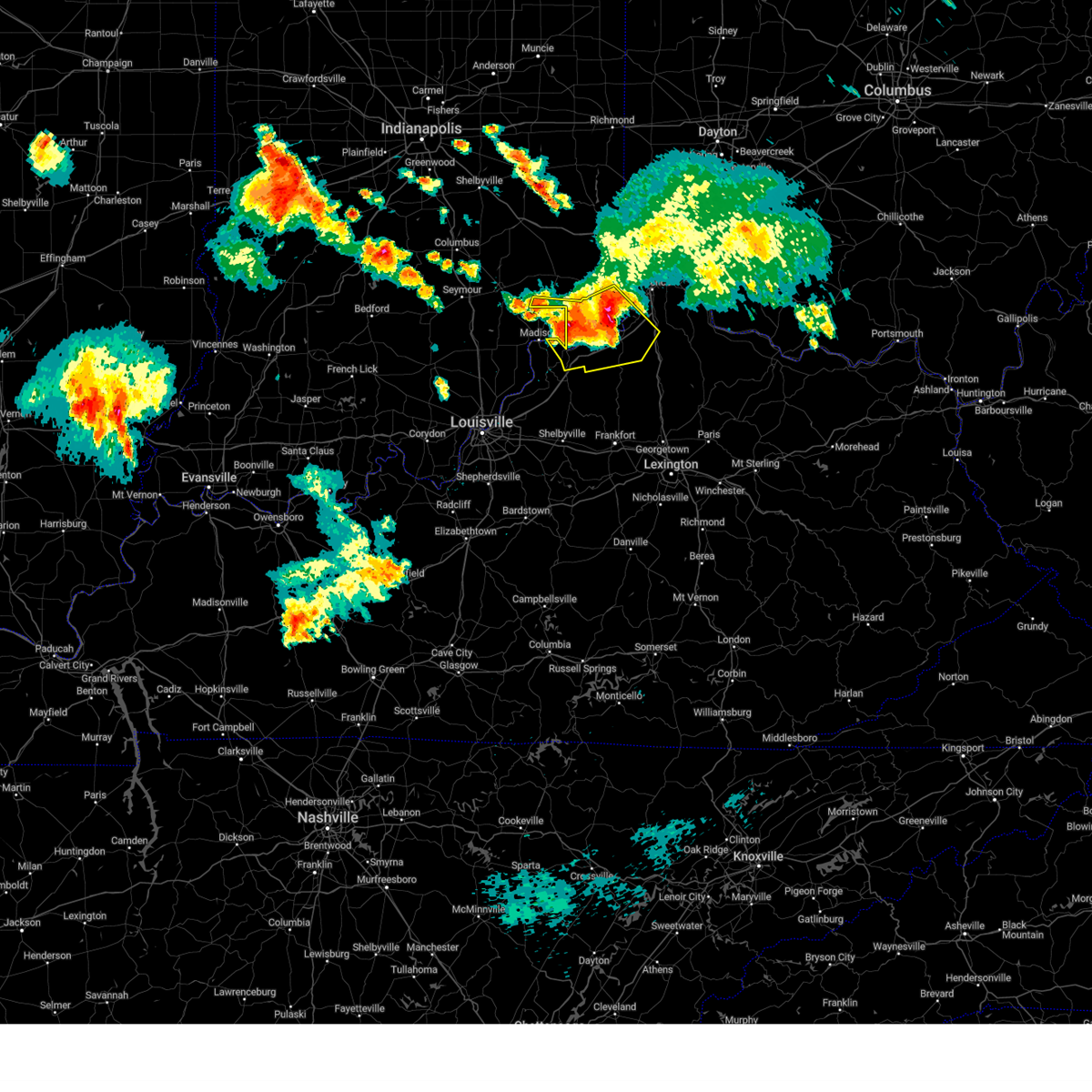
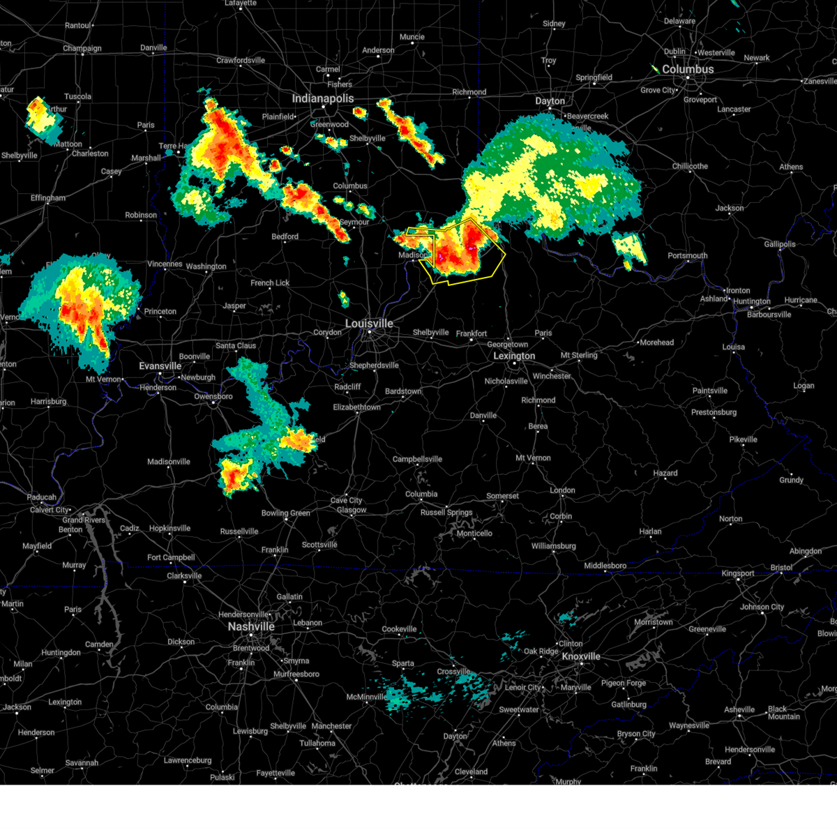
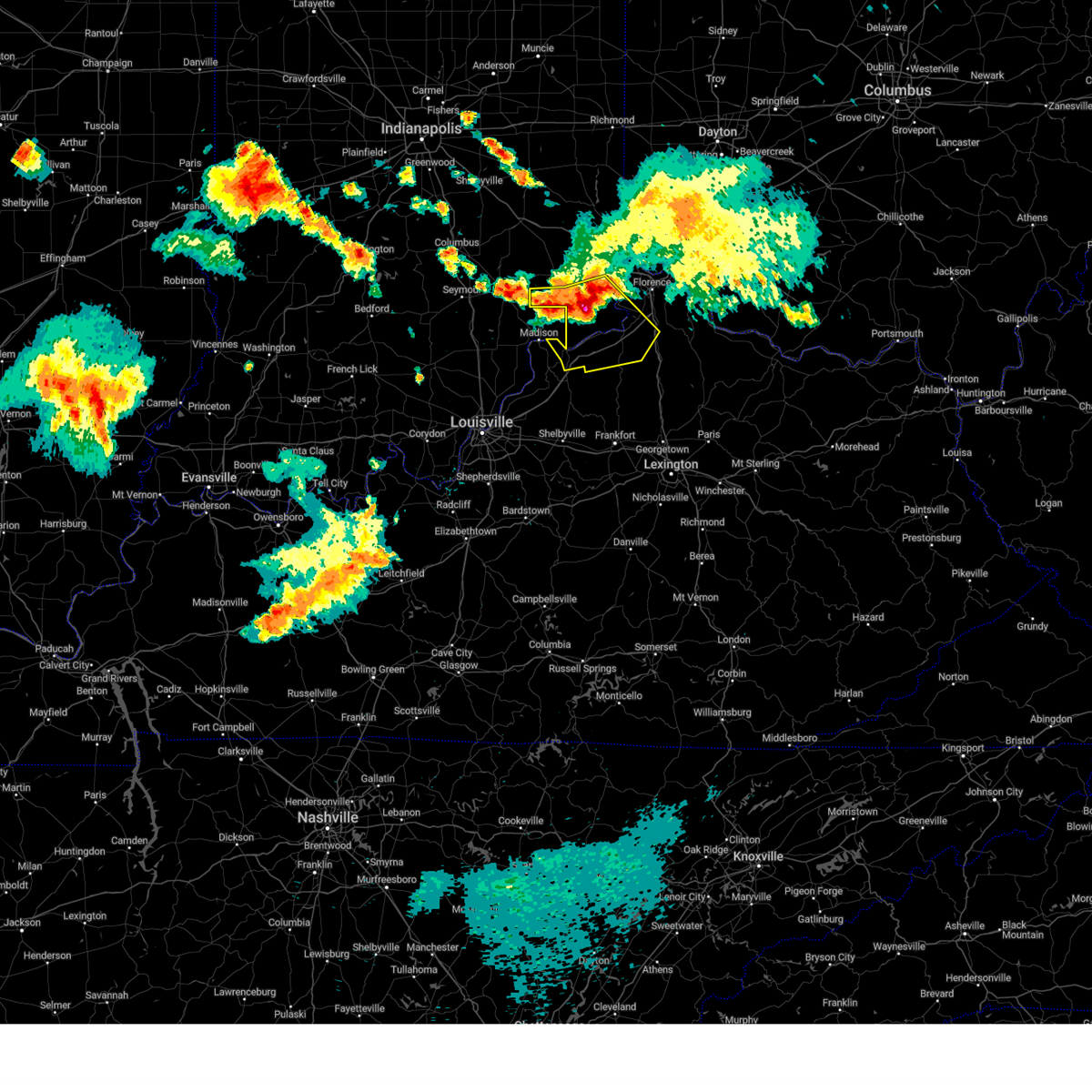
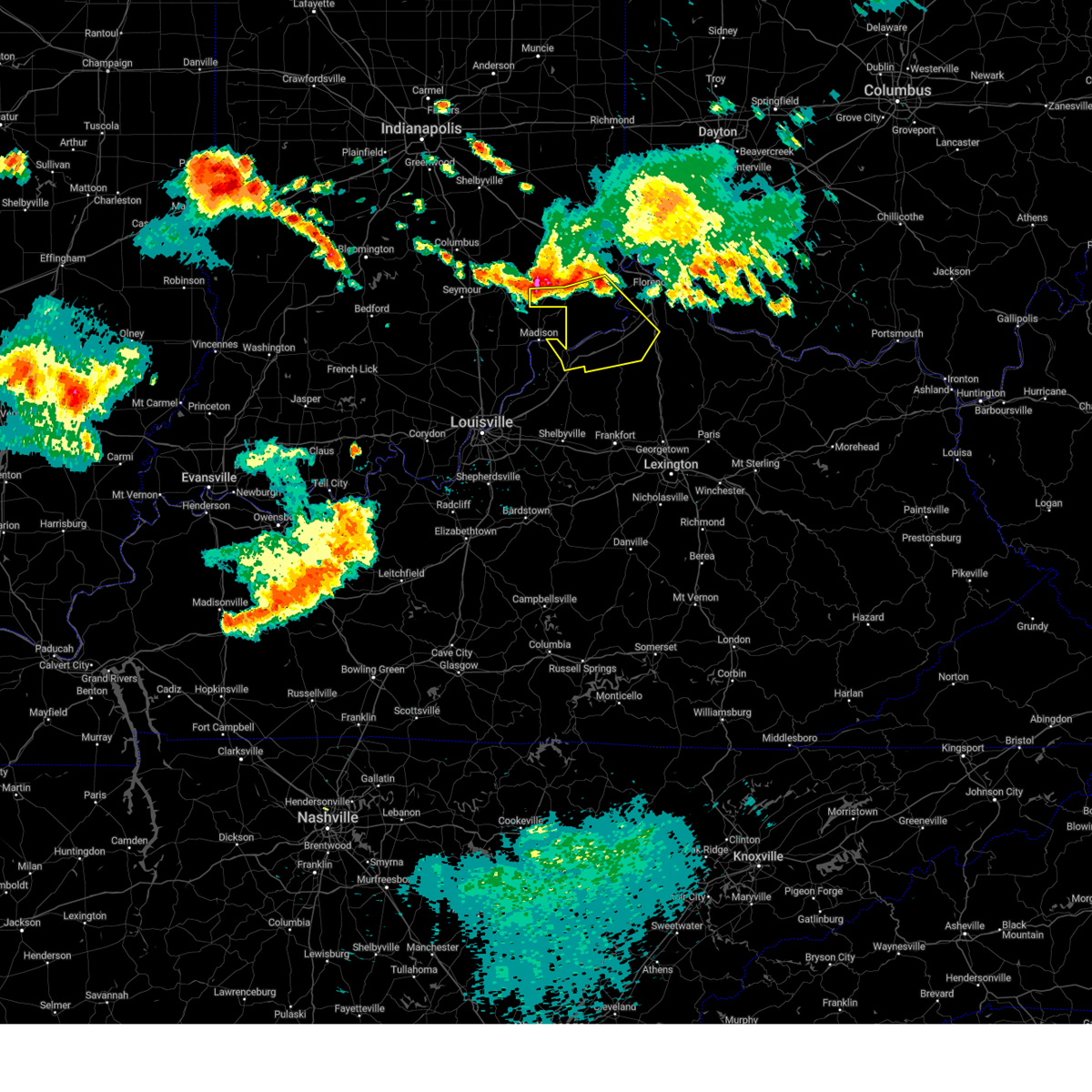
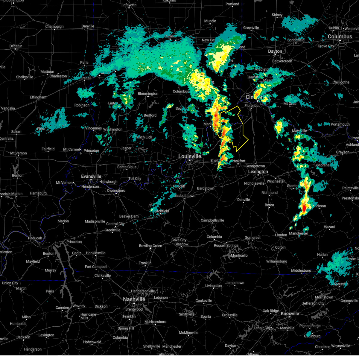
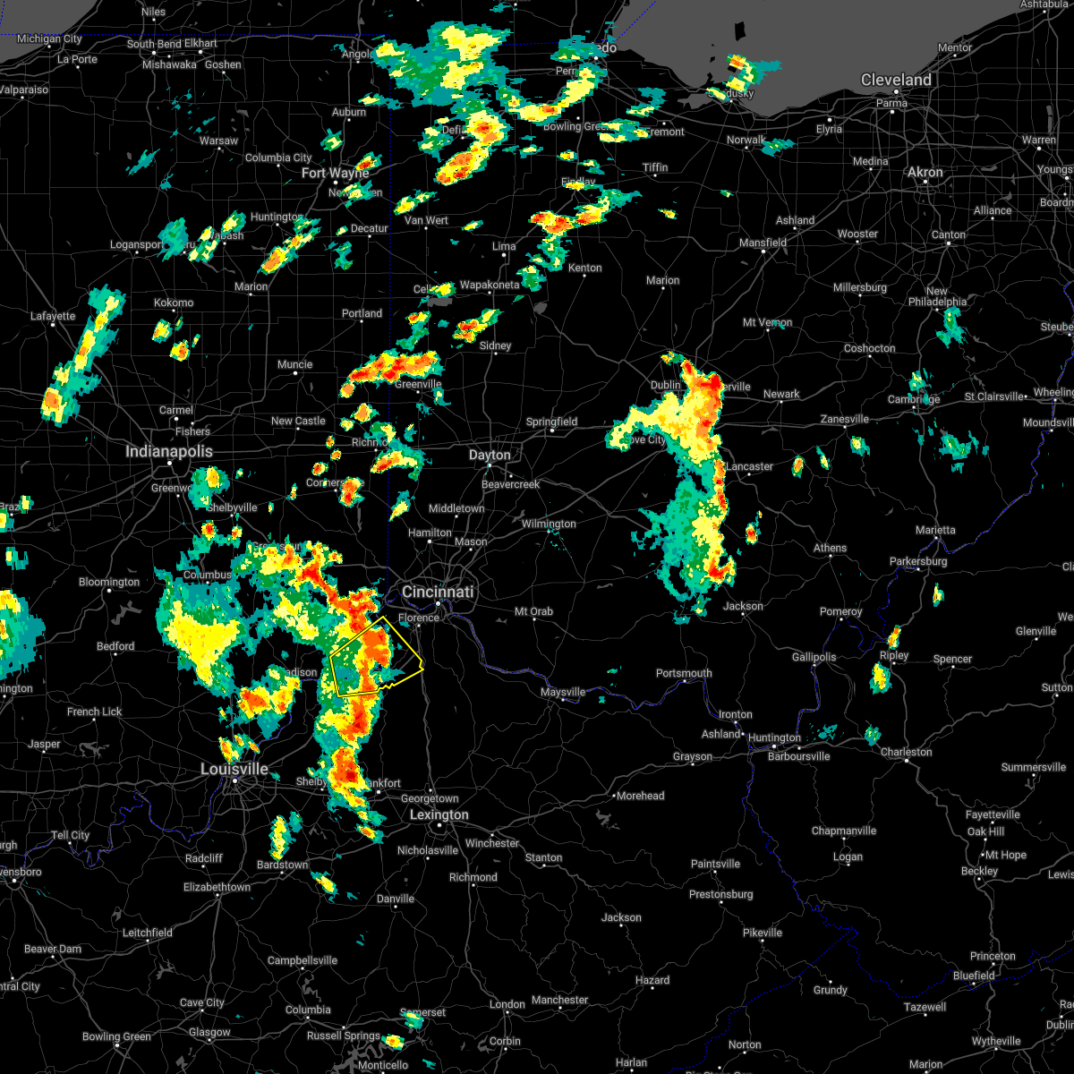
Hail Map for Carrollton, KY
The Carrollton, KY area has had 5 reports of on-the-ground hail by trained spotters, and has been under severe weather warnings 8 times during the past 12 months. Doppler radar has detected hail at or near Carrollton, KY on 48 occasions, including 3 occasions during the past year.
| Name: | Carrollton, KY |
| Where Located: | 46.2 miles SW of Cincinnati, OH |
| Map: | Google Map for Carrollton, KY |
| Population: | 3938 |
| Housing Units: | 1736 |
| More Info: | Search Google for Carrollton, KY |
1
The Top Recent Hail Date for Carrollton, KY is Friday, May 16, 2025 (17th out of 48)

Hail and Wind Damage Spotted near Carrollton, KY
| Date / Time | Report Details |
|---|---|
| 6/18/2025 7:52 PM EDT | Large tree on a house. trees and power lines blown down across the count in carroll county KY, 0.2 miles SW of Carrollton, KY |
| 6/18/2025 6:53 PM EDT | At 652 pm edt, severe thunderstorms were located along a line extending from harrison to vevay, moving east at 35 mph (radar indicated). Hazards include 60 mph wind gusts and quarter size hail. Minor hail damage to vehicles is possible. expect wind damage to trees and power lines. locations impacted include, cincinnati, covington, florence, independence, norwood, forest park, erlanger, newport, sharonville, blue ash, springdale, reading, harrison, north college hill, edgewood, elsmere, wyoming, cheviot, fort mitchell, and villa hills. this includes the following interstates, i-71 in kentucky between mile markers 39 and 77. i-71 in ohio between mile markers 0 and 5. i-74 in indiana near mile marker 171. i-74 in ohio between mile markers 0 and 19. i-75 in kentucky between mile markers 167 and 191. I-75 in ohio between mile markers 0 and 17. |
| 6/18/2025 6:52 PM EDT | Corrects time of previous tstm wnd dmg report from carrollton. large tree on a house. trees and power lines blown down across the count in carroll county KY, 0.2 miles SW of Carrollton, KY |
| 6/18/2025 6:47 PM EDT | Large tree fell onto and damage the roof of a house and a ca in carroll county KY, 0.4 miles ESE of Carrollton, KY |
| 6/18/2025 6:32 PM EDT |
 Svriln the national weather service in wilmington has issued a * severe thunderstorm warning for, ohio county in southeastern indiana, dearborn county in southeastern indiana, switzerland county in southeastern indiana, carroll county in northern kentucky, kenton county in northern kentucky, campbell county in northern kentucky, boone county in northern kentucky, gallatin county in northern kentucky, hamilton county in southwestern ohio, * until 730 pm edt. * at 631 pm edt, severe thunderstorms were located along a line extending from 6 miles west of bright to 9 miles southwest of dillsboro, moving east at 40 mph (radar indicated). Hazards include 60 mph wind gusts and quarter size hail. Minor hail damage to vehicles is possible. Expect wind damage to trees and power lines. Svriln the national weather service in wilmington has issued a * severe thunderstorm warning for, ohio county in southeastern indiana, dearborn county in southeastern indiana, switzerland county in southeastern indiana, carroll county in northern kentucky, kenton county in northern kentucky, campbell county in northern kentucky, boone county in northern kentucky, gallatin county in northern kentucky, hamilton county in southwestern ohio, * until 730 pm edt. * at 631 pm edt, severe thunderstorms were located along a line extending from 6 miles west of bright to 9 miles southwest of dillsboro, moving east at 40 mph (radar indicated). Hazards include 60 mph wind gusts and quarter size hail. Minor hail damage to vehicles is possible. Expect wind damage to trees and power lines.
|
| 5/16/2025 8:01 AM EDT | Svriln the national weather service in wilmington has issued a * severe thunderstorm warning for, switzerland county in southeastern indiana, carroll county in northern kentucky, southern boone county in northern kentucky, gallatin county in northern kentucky, * until 830 am edt. * at 801 am edt, a severe thunderstorm was located near carrollton, moving northeast at 60 mph (radar indicated). Hazards include quarter size hail. minor damage to vehicles is possible |
| 5/2/2025 5:10 PM EDT | At 510 pm edt, a severe thunderstorm was located 8 miles east of new castle, moving northeast at 25 mph (radar indicated). Hazards include 60 mph wind gusts and quarter size hail. Minor hail damage to vehicles is possible. expect wind damage to trees and power lines. locations impacted include, gratz, owenton, carrollton, worthville, interstate 71 at mile marker 52, interstate 71 at state route 227, interstate 71 at mile marker 40, sanders, long ridge, wheatley, langstaff, locust, new liberty, english, squiresville, eagle station, easterday, elmer davis lake, general butler state park, and prestonville. This includes i-71 in kentucky between mile markers 39 and 56. |
| 5/2/2025 4:52 PM EDT | Svriln the national weather service in wilmington has issued a * severe thunderstorm warning for, carroll county in northern kentucky, western owen county in northern kentucky, western gallatin county in northern kentucky, * until 530 pm edt. * at 451 pm edt, a severe thunderstorm was located 7 miles southeast of new castle, moving northeast at 25 mph (radar indicated). Hazards include 60 mph wind gusts and quarter size hail. Minor hail damage to vehicles is possible. Expect wind damage to trees and power lines. |
| 4/3/2025 12:27 AM EDT | At 1226 am edt, a severe thunderstorm was located over rising sun, moving northeast at 70 mph (radar indicated). Hazards include 70 mph wind gusts and penny size hail. Expect considerable tree damage. damage is likely to mobile homes, roofs, and outbuildings. locations impacted include, carrollton, atwood, florence, ryle, northcutt, big bone lick, wheatley, bracht, covington, moorefield, villa hills, crescent park, ricedale, vevay, crestview hills, fort thomas, quercus grove, southgate, edgewood, and ethridge. this includes the following interstates, i-71 in kentucky between mile markers 39 and 77. I-75 in kentucky between mile markers 158 and 191. |
| 4/3/2025 12:16 AM EDT |
 Svriln the national weather service in wilmington has issued a * severe thunderstorm warning for, ohio county in southeastern indiana, dearborn county in southeastern indiana, switzerland county in southeastern indiana, central carroll county in northern kentucky, central kenton county in northern kentucky, boone county in northern kentucky, gallatin county in northern kentucky, western hamilton county in southwestern ohio, * until 100 am edt. * at 1216 am edt, a severe thunderstorm was located 9 miles north of vevay, moving northeast at 70 mph. this is a destructive storm for southeast indiana, southwestern ohio, and far northern kentucky (radar indicated). Hazards include 80 mph wind gusts and penny size hail. Flying debris will be dangerous to those caught without shelter. mobile homes will be heavily damaged. expect considerable damage to roofs, windows, and vehicles. Extensive tree damage and power outages are likely. Svriln the national weather service in wilmington has issued a * severe thunderstorm warning for, ohio county in southeastern indiana, dearborn county in southeastern indiana, switzerland county in southeastern indiana, central carroll county in northern kentucky, central kenton county in northern kentucky, boone county in northern kentucky, gallatin county in northern kentucky, western hamilton county in southwestern ohio, * until 100 am edt. * at 1216 am edt, a severe thunderstorm was located 9 miles north of vevay, moving northeast at 70 mph. this is a destructive storm for southeast indiana, southwestern ohio, and far northern kentucky (radar indicated). Hazards include 80 mph wind gusts and penny size hail. Flying debris will be dangerous to those caught without shelter. mobile homes will be heavily damaged. expect considerable damage to roofs, windows, and vehicles. Extensive tree damage and power outages are likely.
|
| 4/3/2025 12:01 AM EDT |
 Svriln the national weather service in wilmington has issued a * severe thunderstorm warning for, ohio county in southeastern indiana, southeastern dearborn county in southeastern indiana, switzerland county in southeastern indiana, carroll county in northern kentucky, kenton county in northern kentucky, northern campbell county in northern kentucky, boone county in northern kentucky, northern grant county in northern kentucky, central owen county in northern kentucky, gallatin county in northern kentucky, * until 100 am edt. * at 1200 am edt, a severe thunderstorm was located over madison, moving east at 70 mph (radar indicated). Hazards include 70 mph wind gusts and penny size hail. Expect considerable tree damage. Damage is likely to mobile homes, roofs, and outbuildings. Svriln the national weather service in wilmington has issued a * severe thunderstorm warning for, ohio county in southeastern indiana, southeastern dearborn county in southeastern indiana, switzerland county in southeastern indiana, carroll county in northern kentucky, kenton county in northern kentucky, northern campbell county in northern kentucky, boone county in northern kentucky, northern grant county in northern kentucky, central owen county in northern kentucky, gallatin county in northern kentucky, * until 100 am edt. * at 1200 am edt, a severe thunderstorm was located over madison, moving east at 70 mph (radar indicated). Hazards include 70 mph wind gusts and penny size hail. Expect considerable tree damage. Damage is likely to mobile homes, roofs, and outbuildings.
|
| 7/31/2024 4:42 PM EDT | Tree down on 55 and tree down on martin road. time estimated from rada in carroll county KY, 0.2 miles SW of Carrollton, KY |
| 6/25/2024 5:55 PM EDT | Large tree limbs dow in carroll county KY, 0.4 miles ESE of Carrollton, KY |
| 5/26/2024 12:53 PM EDT | Numerous trees dow in carroll county KY, 0.2 miles SW of Carrollton, KY |
| 5/26/2024 12:46 PM EDT |
 At 1246 pm edt, severe thunderstorms were located along a line extending from 6 miles northeast of seymour to 6 miles northeast of frankfort, moving northeast at 45 mph (radar indicated). Hazards include 70 mph wind gusts and nickel size hail. Expect considerable tree damage. damage is likely to mobile homes, roofs, and outbuildings. locations impacted include, carrollton, williamstown, dry ridge, versailles, vevay, osgood, warsaw, dillsboro, owenton, florence, kentucky speedway, pleasant, hartford, holton, glencoe, fairview, ghent, sanders, napoleon, and corinth. this includes the following interstates, i-71 in kentucky between mile markers 39 and 70. I-75 in kentucky between mile markers 143 and 160. At 1246 pm edt, severe thunderstorms were located along a line extending from 6 miles northeast of seymour to 6 miles northeast of frankfort, moving northeast at 45 mph (radar indicated). Hazards include 70 mph wind gusts and nickel size hail. Expect considerable tree damage. damage is likely to mobile homes, roofs, and outbuildings. locations impacted include, carrollton, williamstown, dry ridge, versailles, vevay, osgood, warsaw, dillsboro, owenton, florence, kentucky speedway, pleasant, hartford, holton, glencoe, fairview, ghent, sanders, napoleon, and corinth. this includes the following interstates, i-71 in kentucky between mile markers 39 and 70. I-75 in kentucky between mile markers 143 and 160.
|
| 5/26/2024 12:26 PM EDT |
 Svriln the national weather service in wilmington has issued a * severe thunderstorm warning for, ohio county in southeastern indiana, ripley county in southeastern indiana, southwestern dearborn county in southeastern indiana, switzerland county in southeastern indiana, carroll county in northern kentucky, grant county in northern kentucky, owen county in northern kentucky, gallatin county in northern kentucky, * until 145 pm edt. * at 1226 pm edt, severe thunderstorms were located along a line extending from near salem to 7 miles east of taylorsville, moving north at 45 mph (radar indicated). Hazards include 70 mph wind gusts and nickel size hail. Expect considerable tree damage. Damage is likely to mobile homes, roofs, and outbuildings. Svriln the national weather service in wilmington has issued a * severe thunderstorm warning for, ohio county in southeastern indiana, ripley county in southeastern indiana, southwestern dearborn county in southeastern indiana, switzerland county in southeastern indiana, carroll county in northern kentucky, grant county in northern kentucky, owen county in northern kentucky, gallatin county in northern kentucky, * until 145 pm edt. * at 1226 pm edt, severe thunderstorms were located along a line extending from near salem to 7 miles east of taylorsville, moving north at 45 mph (radar indicated). Hazards include 70 mph wind gusts and nickel size hail. Expect considerable tree damage. Damage is likely to mobile homes, roofs, and outbuildings.
|
| 3/14/2024 11:30 PM EDT |
 The storm which prompted the warning has weakened below severe limits and no longer poses an immediate threat to life or property. therefore, the warning will be allowed to expire. a tornado watch remains in effect until 400 am edt for southeastern indiana, and northern kentucky. please report previous wind damage or hail to the national weather service by going to our website at weather.gov/iln and submitting your report via social media. The storm which prompted the warning has weakened below severe limits and no longer poses an immediate threat to life or property. therefore, the warning will be allowed to expire. a tornado watch remains in effect until 400 am edt for southeastern indiana, and northern kentucky. please report previous wind damage or hail to the national weather service by going to our website at weather.gov/iln and submitting your report via social media.
|
| 3/14/2024 11:02 PM EDT |
 At 1101 pm edt, a severe thunderstorm was located over carrollton, moving east at 35 mph (radar indicated). Hazards include 60 mph wind gusts and quarter size hail. Minor hail damage to vehicles is possible. expect wind damage to trees and power lines. locations impacted include, carrollton, vevay, warsaw, florence, kentucky speedway, glencoe, ghent, sanders, sparta, patriot, worthville, prestonville, braytown, interstate 71 at mile marker 52, interstate 71 at us route 127, wheatley, steele bottom, langstaff, locust, and markland. This includes i-71 in kentucky between mile markers 39 and 68. At 1101 pm edt, a severe thunderstorm was located over carrollton, moving east at 35 mph (radar indicated). Hazards include 60 mph wind gusts and quarter size hail. Minor hail damage to vehicles is possible. expect wind damage to trees and power lines. locations impacted include, carrollton, vevay, warsaw, florence, kentucky speedway, glencoe, ghent, sanders, sparta, patriot, worthville, prestonville, braytown, interstate 71 at mile marker 52, interstate 71 at us route 127, wheatley, steele bottom, langstaff, locust, and markland. This includes i-71 in kentucky between mile markers 39 and 68.
|
| 3/14/2024 10:47 PM EDT |
 Svriln the national weather service in wilmington has issued a * severe thunderstorm warning for, central switzerland county in southeastern indiana, carroll county in northern kentucky, northwestern grant county in northern kentucky, northwestern owen county in northern kentucky, gallatin county in northern kentucky, * until 1130 pm edt. * at 1047 pm edt, a severe thunderstorm was located over bedford, moving east at 35 mph (radar indicated). Hazards include 60 mph wind gusts and quarter size hail. Minor hail damage to vehicles is possible. Expect wind damage to trees and power lines. Svriln the national weather service in wilmington has issued a * severe thunderstorm warning for, central switzerland county in southeastern indiana, carroll county in northern kentucky, northwestern grant county in northern kentucky, northwestern owen county in northern kentucky, gallatin county in northern kentucky, * until 1130 pm edt. * at 1047 pm edt, a severe thunderstorm was located over bedford, moving east at 35 mph (radar indicated). Hazards include 60 mph wind gusts and quarter size hail. Minor hail damage to vehicles is possible. Expect wind damage to trees and power lines.
|
| 3/14/2024 2:43 PM EDT |
 The storm which prompted the warning has moved out of the area. therefore, the warning will be allowed to expire. a severe thunderstorm watch remains in effect until 400 pm edt for southeastern indiana, and northern kentucky. please report previous wind damage or hail to the national weather service by going to our website at weather.gov/iln and submitting your report via social media. remember, a tornado warning still remains in effect for eastern gallatin county. The storm which prompted the warning has moved out of the area. therefore, the warning will be allowed to expire. a severe thunderstorm watch remains in effect until 400 pm edt for southeastern indiana, and northern kentucky. please report previous wind damage or hail to the national weather service by going to our website at weather.gov/iln and submitting your report via social media. remember, a tornado warning still remains in effect for eastern gallatin county.
|
| 3/14/2024 2:31 PM EDT |
 At 231 pm edt, a severe thunderstorm capable of producing a tornado was located near vevay, moving east at 45 mph (radar indicated rotation). Hazards include tornado and tennis ball size hail. Flying debris will be dangerous to those caught without shelter. mobile homes will be damaged or destroyed. damage to roofs, windows, and vehicles will occur. tree damage is likely. locations impacted include, carrollton, vevay, warsaw, florence, kentucky speedway, glencoe, ghent, sanders, sparta, ethridge, interstate 71 at mile marker 52, interstate 71 at us route 127, long ridge, markland, new liberty, eagle hill, eagle station, easterday, mount sterling, and egypt bottom. This includes i-71 in kentucky between mile markers 46 and 64. At 231 pm edt, a severe thunderstorm capable of producing a tornado was located near vevay, moving east at 45 mph (radar indicated rotation). Hazards include tornado and tennis ball size hail. Flying debris will be dangerous to those caught without shelter. mobile homes will be damaged or destroyed. damage to roofs, windows, and vehicles will occur. tree damage is likely. locations impacted include, carrollton, vevay, warsaw, florence, kentucky speedway, glencoe, ghent, sanders, sparta, ethridge, interstate 71 at mile marker 52, interstate 71 at us route 127, long ridge, markland, new liberty, eagle hill, eagle station, easterday, mount sterling, and egypt bottom. This includes i-71 in kentucky between mile markers 46 and 64.
|
| 3/14/2024 2:29 PM EDT |
 At 228 pm edt, a severe thunderstorm was located near vevay, moving east at 45 mph (radar indicated). Hazards include two inch hail and 60 mph wind gusts. People and animals outdoors will be injured. expect hail damage to roofs, siding, windows, and vehicles. expect wind damage to trees and power lines. locations impacted include, carrollton, vevay, warsaw, florence, kentucky speedway, ghent, sparta, ethridge, center square, interstate 71 at mile marker 52, markland, easterday, quercus grove, mount sterling, jacksonville, us route 42 at state route 184, carson, and braytown. This includes i-71 in kentucky between mile markers 49 and 58. At 228 pm edt, a severe thunderstorm was located near vevay, moving east at 45 mph (radar indicated). Hazards include two inch hail and 60 mph wind gusts. People and animals outdoors will be injured. expect hail damage to roofs, siding, windows, and vehicles. expect wind damage to trees and power lines. locations impacted include, carrollton, vevay, warsaw, florence, kentucky speedway, ghent, sparta, ethridge, center square, interstate 71 at mile marker 52, markland, easterday, quercus grove, mount sterling, jacksonville, us route 42 at state route 184, carson, and braytown. This includes i-71 in kentucky between mile markers 49 and 58.
|
| 3/14/2024 2:25 PM EDT | Storm damage reported in carroll county KY, 1.5 miles SW of Carrollton, KY |
| 3/14/2024 2:24 PM EDT |
 Toriln the national weather service in wilmington has issued a * tornado warning for, central switzerland county in southeastern indiana, eastern carroll county in northern kentucky, northwestern owen county in northern kentucky, gallatin county in northern kentucky, * until 300 pm edt. * at 224 pm edt, a severe thunderstorm capable of producing a tornado was located over carrollton, moving east at 45 mph (radar indicated rotation). Hazards include tornado and hail up to two inches in diameter. Flying debris will be dangerous to those caught without shelter. mobile homes will be damaged or destroyed. damage to roofs, windows, and vehicles will occur. Tree damage is likely. Toriln the national weather service in wilmington has issued a * tornado warning for, central switzerland county in southeastern indiana, eastern carroll county in northern kentucky, northwestern owen county in northern kentucky, gallatin county in northern kentucky, * until 300 pm edt. * at 224 pm edt, a severe thunderstorm capable of producing a tornado was located over carrollton, moving east at 45 mph (radar indicated rotation). Hazards include tornado and hail up to two inches in diameter. Flying debris will be dangerous to those caught without shelter. mobile homes will be damaged or destroyed. damage to roofs, windows, and vehicles will occur. Tree damage is likely.
|
| 3/14/2024 2:20 PM EDT |
 At 220 pm edt, a radar confirmed tornado was located near carrollton, moving east at 45 mph (radar confirmed tornado. radar shows tornado debris in the air). Hazards include damaging tornado and golf ball size hail. Flying debris will be dangerous to those caught without shelter. mobile homes will be damaged or destroyed. damage to roofs, windows, and vehicles will occur. tree damage is likely. locations impacted include, carrollton, vevay, ghent, sanders, worthville, prestonville, braytown, interstate 71 at mile marker 52, interstate 71 at state route 227, langstaff, english, eagle station, easterday, general butler state park, and carson. This includes i-71 in kentucky between mile markers 43 and 53. At 220 pm edt, a radar confirmed tornado was located near carrollton, moving east at 45 mph (radar confirmed tornado. radar shows tornado debris in the air). Hazards include damaging tornado and golf ball size hail. Flying debris will be dangerous to those caught without shelter. mobile homes will be damaged or destroyed. damage to roofs, windows, and vehicles will occur. tree damage is likely. locations impacted include, carrollton, vevay, ghent, sanders, worthville, prestonville, braytown, interstate 71 at mile marker 52, interstate 71 at state route 227, langstaff, english, eagle station, easterday, general butler state park, and carson. This includes i-71 in kentucky between mile markers 43 and 53.
|
| 3/14/2024 2:13 PM EDT |
 At 212 pm edt, a severe thunderstorm was located near carrollton, moving east at 45 mph (radar indicated). Hazards include golf ball size hail and 60 mph wind gusts. People and animals outdoors will be injured. expect hail damage to roofs, siding, windows, and vehicles. expect wind damage to trees and power lines. locations impacted include, carrollton, vevay, warsaw, florence, kentucky speedway, pleasant, fairview, ghent, sparta, prestonville, brooksburg, center square, braytown, interstate 71 at mile marker 52, locust, markland, moorefield, avonburg, quercus grove, and mount sterling. This includes i-71 in kentucky between mile markers 49 and 58. At 212 pm edt, a severe thunderstorm was located near carrollton, moving east at 45 mph (radar indicated). Hazards include golf ball size hail and 60 mph wind gusts. People and animals outdoors will be injured. expect hail damage to roofs, siding, windows, and vehicles. expect wind damage to trees and power lines. locations impacted include, carrollton, vevay, warsaw, florence, kentucky speedway, pleasant, fairview, ghent, sparta, prestonville, brooksburg, center square, braytown, interstate 71 at mile marker 52, locust, markland, moorefield, avonburg, quercus grove, and mount sterling. This includes i-71 in kentucky between mile markers 49 and 58.
|
| 3/14/2024 2:12 PM EDT |
 At 212 pm edt, a radar confirmed tornado was located near carrollton, moving east at 45 mph (radar confirmed tornado. radar shows tornado debris in the air). Hazards include damaging tornado and golf ball size hail. Flying debris will be dangerous to those caught without shelter. mobile homes will be damaged or destroyed. damage to roofs, windows, and vehicles will occur. tree damage is likely. locations impacted include, carrollton, vevay, ghent, sanders, worthville, prestonville, braytown, interstate 71 at mile marker 52, interstate 71 at state route 227, interstate 71 at mile marker 40, langstaff, locust, english, eagle station, easterday, general butler state park, and carson. This includes i-71 in kentucky between mile markers 39 and 53. At 212 pm edt, a radar confirmed tornado was located near carrollton, moving east at 45 mph (radar confirmed tornado. radar shows tornado debris in the air). Hazards include damaging tornado and golf ball size hail. Flying debris will be dangerous to those caught without shelter. mobile homes will be damaged or destroyed. damage to roofs, windows, and vehicles will occur. tree damage is likely. locations impacted include, carrollton, vevay, ghent, sanders, worthville, prestonville, braytown, interstate 71 at mile marker 52, interstate 71 at state route 227, interstate 71 at mile marker 40, langstaff, locust, english, eagle station, easterday, general butler state park, and carson. This includes i-71 in kentucky between mile markers 39 and 53.
|
| 3/14/2024 2:05 PM EDT |
 Toriln the national weather service in wilmington has issued a * tornado warning for, southwestern switzerland county in southeastern indiana, carroll county in northern kentucky, * until 230 pm edt. * at 205 pm edt, a severe thunderstorm capable of producing a tornado was located over madison, moving east at 45 mph (radar indicated rotation). Hazards include tornado. Flying debris will be dangerous to those caught without shelter. mobile homes will be damaged or destroyed. damage to roofs, windows, and vehicles will occur. Tree damage is likely. Toriln the national weather service in wilmington has issued a * tornado warning for, southwestern switzerland county in southeastern indiana, carroll county in northern kentucky, * until 230 pm edt. * at 205 pm edt, a severe thunderstorm capable of producing a tornado was located over madison, moving east at 45 mph (radar indicated rotation). Hazards include tornado. Flying debris will be dangerous to those caught without shelter. mobile homes will be damaged or destroyed. damage to roofs, windows, and vehicles will occur. Tree damage is likely.
|
| 3/14/2024 2:00 PM EDT |
 Svriln the national weather service in wilmington has issued a * severe thunderstorm warning for, switzerland county in southeastern indiana, central carroll county in northern kentucky, western gallatin county in northern kentucky, * until 245 pm edt. * at 159 pm edt, a severe thunderstorm was located near madison, moving east at 40 mph (radar indicated). Hazards include golf ball size hail and 60 mph wind gusts. People and animals outdoors will be injured. expect hail damage to roofs, siding, windows, and vehicles. Expect wind damage to trees and power lines. Svriln the national weather service in wilmington has issued a * severe thunderstorm warning for, switzerland county in southeastern indiana, central carroll county in northern kentucky, western gallatin county in northern kentucky, * until 245 pm edt. * at 159 pm edt, a severe thunderstorm was located near madison, moving east at 40 mph (radar indicated). Hazards include golf ball size hail and 60 mph wind gusts. People and animals outdoors will be injured. expect hail damage to roofs, siding, windows, and vehicles. Expect wind damage to trees and power lines.
|
| 7/17/2023 11:39 PM EDT |
 At 1139 pm edt, a severe thunderstorm was located near carrollton, moving southeast at 30 mph (radar indicated). Hazards include 60 mph wind gusts and quarter size hail. Minor hail damage to vehicles is possible. expect wind damage to trees and power lines. locations impacted include, carrollton, ghent, sanders, sparta, worthville, interstate 71 at mile marker 52, interstate 71 at mile marker 40, interstate 71 at state route 227, langstaff, english, eagle station, easterday, general butler state park and carson. this includes i-71 in kentucky between mile markers 39 and 55. hail threat, radar indicated max hail size, 1. 00 in wind threat, radar indicated max wind gust, 60 mph. At 1139 pm edt, a severe thunderstorm was located near carrollton, moving southeast at 30 mph (radar indicated). Hazards include 60 mph wind gusts and quarter size hail. Minor hail damage to vehicles is possible. expect wind damage to trees and power lines. locations impacted include, carrollton, ghent, sanders, sparta, worthville, interstate 71 at mile marker 52, interstate 71 at mile marker 40, interstate 71 at state route 227, langstaff, english, eagle station, easterday, general butler state park and carson. this includes i-71 in kentucky between mile markers 39 and 55. hail threat, radar indicated max hail size, 1. 00 in wind threat, radar indicated max wind gust, 60 mph.
|
| 7/17/2023 11:23 PM EDT |
 At 1123 pm edt, a severe thunderstorm was located near madison, moving southeast at 30 mph (radar indicated). Hazards include 60 mph wind gusts and quarter size hail. Minor hail damage to vehicles is possible. expect wind damage to trees and power lines. locations impacted include, carrollton, vevay, warsaw, kentucky speedway, ghent, sanders, sparta, worthville, prestonville, ethridge, braytown, interstate 71 at mile marker 52, interstate 71 at mile marker 40, interstate 71 at state route 227, langstaff, locust, moorefield, english, eagle station and easterday. this includes i-71 in kentucky between mile markers 39 and 58. hail threat, radar indicated max hail size, 1. 00 in wind threat, radar indicated max wind gust, 60 mph. At 1123 pm edt, a severe thunderstorm was located near madison, moving southeast at 30 mph (radar indicated). Hazards include 60 mph wind gusts and quarter size hail. Minor hail damage to vehicles is possible. expect wind damage to trees and power lines. locations impacted include, carrollton, vevay, warsaw, kentucky speedway, ghent, sanders, sparta, worthville, prestonville, ethridge, braytown, interstate 71 at mile marker 52, interstate 71 at mile marker 40, interstate 71 at state route 227, langstaff, locust, moorefield, english, eagle station and easterday. this includes i-71 in kentucky between mile markers 39 and 58. hail threat, radar indicated max hail size, 1. 00 in wind threat, radar indicated max wind gust, 60 mph.
|
| 7/17/2023 11:12 PM EDT |
 At 1112 pm edt, a severe thunderstorm was located near madison, moving southeast at 30 mph (radar indicated). Hazards include 60 mph wind gusts and quarter size hail. Minor hail damage to vehicles is possible. Expect wind damage to trees and power lines. At 1112 pm edt, a severe thunderstorm was located near madison, moving southeast at 30 mph (radar indicated). Hazards include 60 mph wind gusts and quarter size hail. Minor hail damage to vehicles is possible. Expect wind damage to trees and power lines.
|
| 7/1/2023 2:08 AM EDT |
 At 207 am edt, severe thunderstorms were located along a line extending from falmouth to 9 miles west of cynthiana to 9 miles south of owenton, moving southeast at 50 mph (emergency management has reported trees down with the storm). Hazards include 70 mph wind gusts and quarter size hail. Minor hail damage to vehicles is possible. expect considerable tree damage. wind damage is also likely to mobile homes, roofs, and outbuildings. locations impacted include, carrollton, williamstown, falmouth, crittenden, dry ridge, vevay, warsaw, owenton, kentucky speedway, florence, morgan, glencoe, ghent, sanders, corinth, sparta, worthville, prestonville, monterey and gratz. this includes the following interstates, i-71 in kentucky between mile markers 39 and 65. i-75 in kentucky between mile markers 144 and 165. thunderstorm damage threat, considerable hail threat, radar indicated max hail size, 1. 00 in wind threat, observed max wind gust, 70 mph. At 207 am edt, severe thunderstorms were located along a line extending from falmouth to 9 miles west of cynthiana to 9 miles south of owenton, moving southeast at 50 mph (emergency management has reported trees down with the storm). Hazards include 70 mph wind gusts and quarter size hail. Minor hail damage to vehicles is possible. expect considerable tree damage. wind damage is also likely to mobile homes, roofs, and outbuildings. locations impacted include, carrollton, williamstown, falmouth, crittenden, dry ridge, vevay, warsaw, owenton, kentucky speedway, florence, morgan, glencoe, ghent, sanders, corinth, sparta, worthville, prestonville, monterey and gratz. this includes the following interstates, i-71 in kentucky between mile markers 39 and 65. i-75 in kentucky between mile markers 144 and 165. thunderstorm damage threat, considerable hail threat, radar indicated max hail size, 1. 00 in wind threat, observed max wind gust, 70 mph.
|
| 7/1/2023 1:54 AM EDT |
 At 154 am edt, severe thunderstorms were located along a line extending from near crittenden to 8 miles south of williamstown to 9 miles southwest of owenton, moving southeast at 50 mph (radar indicated). Hazards include 70 mph wind gusts and half dollar size hail. Minor hail damage to vehicles is possible. expect considerable tree damage. wind damage is also likely to mobile homes, roofs, and outbuildings. locations impacted include, carrollton, williamstown, walton, falmouth, crittenden, dry ridge, vevay, warsaw, owenton, florence, kentucky speedway, morgan, glencoe, ghent, sanders, corinth, sparta, patriot, worthville and prestonville. this includes the following interstates, i-71 in kentucky between mile markers 39 and 77. I-75 in kentucky between mile markers 144 and 173. At 154 am edt, severe thunderstorms were located along a line extending from near crittenden to 8 miles south of williamstown to 9 miles southwest of owenton, moving southeast at 50 mph (radar indicated). Hazards include 70 mph wind gusts and half dollar size hail. Minor hail damage to vehicles is possible. expect considerable tree damage. wind damage is also likely to mobile homes, roofs, and outbuildings. locations impacted include, carrollton, williamstown, walton, falmouth, crittenden, dry ridge, vevay, warsaw, owenton, florence, kentucky speedway, morgan, glencoe, ghent, sanders, corinth, sparta, patriot, worthville and prestonville. this includes the following interstates, i-71 in kentucky between mile markers 39 and 77. I-75 in kentucky between mile markers 144 and 173.
|
| 7/1/2023 1:41 AM EDT |
 At 140 am edt, severe thunderstorms were located along a line extending from walton to 7 miles northeast of owenton to 6 miles south of carrollton, moving southeast at 50 mph (emergency management). Hazards include 70 mph wind gusts and half dollar size hail. Minor hail damage to vehicles is possible. expect considerable tree damage. Wind damage is also likely to mobile homes, roofs, and outbuildings. At 140 am edt, severe thunderstorms were located along a line extending from walton to 7 miles northeast of owenton to 6 miles south of carrollton, moving southeast at 50 mph (emergency management). Hazards include 70 mph wind gusts and half dollar size hail. Minor hail damage to vehicles is possible. expect considerable tree damage. Wind damage is also likely to mobile homes, roofs, and outbuildings.
|
| 7/1/2023 1:35 AM EDT |
 At 134 am edt, severe thunderstorms were located along a line extending from near walton to near warsaw to near vevay, moving southeast at 40 mph (emergency management reported trees down). Hazards include 60 mph wind gusts and half dollar size hail. Minor hail damage to vehicles is possible. expect wind damage to trees and power lines. locations impacted include, carrollton, rising sun, crittenden, vevay, warsaw, florence, kentucky speedway, pleasant, hartford, glencoe, fairview, ghent, sanders, sparta, patriot, worthville, prestonville, aberdeen, rexville and ryle. this includes the following interstates, i-71 in kentucky between mile markers 39 and 73. I-75 in kentucky between mile markers 164 and 166. At 134 am edt, severe thunderstorms were located along a line extending from near walton to near warsaw to near vevay, moving southeast at 40 mph (emergency management reported trees down). Hazards include 60 mph wind gusts and half dollar size hail. Minor hail damage to vehicles is possible. expect wind damage to trees and power lines. locations impacted include, carrollton, rising sun, crittenden, vevay, warsaw, florence, kentucky speedway, pleasant, hartford, glencoe, fairview, ghent, sanders, sparta, patriot, worthville, prestonville, aberdeen, rexville and ryle. this includes the following interstates, i-71 in kentucky between mile markers 39 and 73. I-75 in kentucky between mile markers 164 and 166.
|
| 7/1/2023 1:15 AM EDT |
 At 114 am edt, severe thunderstorms were located along a line extending from rising sun to 8 miles northwest of florence to 11 miles northeast of madison, moving southeast at 40 mph (radar indicated). Hazards include 60 mph wind gusts and quarter size hail. Minor hail damage to vehicles is possible. expect wind damage to trees and power lines. locations impacted include, carrollton, aurora, rising sun, crittenden, vevay, warsaw, dillsboro, florence, kentucky speedway, wilmington, pleasant, french, hartford, glencoe, fairview, ghent, sanders, sparta, patriot and worthville. this includes the following interstates, i-71 in kentucky between mile markers 39 and 73. I-75 in kentucky between mile markers 164 and 166. At 114 am edt, severe thunderstorms were located along a line extending from rising sun to 8 miles northwest of florence to 11 miles northeast of madison, moving southeast at 40 mph (radar indicated). Hazards include 60 mph wind gusts and quarter size hail. Minor hail damage to vehicles is possible. expect wind damage to trees and power lines. locations impacted include, carrollton, aurora, rising sun, crittenden, vevay, warsaw, dillsboro, florence, kentucky speedway, wilmington, pleasant, french, hartford, glencoe, fairview, ghent, sanders, sparta, patriot and worthville. this includes the following interstates, i-71 in kentucky between mile markers 39 and 73. I-75 in kentucky between mile markers 164 and 166.
|
| 7/1/2023 1:01 AM EDT |
 At 101 am edt, severe thunderstorms were located along a line extending from near aurora to 6 miles southwest of dillsboro to 10 miles southwest of versailles, moving southeast at 40 mph (radar indicated). Hazards include 60 mph wind gusts and quarter size hail. Minor hail damage to vehicles is possible. Expect wind damage to trees and power lines. At 101 am edt, severe thunderstorms were located along a line extending from near aurora to 6 miles southwest of dillsboro to 10 miles southwest of versailles, moving southeast at 40 mph (radar indicated). Hazards include 60 mph wind gusts and quarter size hail. Minor hail damage to vehicles is possible. Expect wind damage to trees and power lines.
|
| 6/25/2023 6:49 PM EDT |
 At 649 pm edt, a severe thunderstorm was located near carrollton, moving southeast at 30 mph (radar indicated). Hazards include 60 mph wind gusts and quarter size hail. Minor hail damage to vehicles is possible. expect wind damage to trees and power lines. locations impacted include, carrollton, prestonville, english, easterday, general butler state park, interstate 71 at mile marker 40, interstate 71 at state route 227 and langstaff. this includes i-71 in kentucky between mile markers 39 and 47. hail threat, radar indicated max hail size, 1. 00 in wind threat, radar indicated max wind gust, 60 mph. At 649 pm edt, a severe thunderstorm was located near carrollton, moving southeast at 30 mph (radar indicated). Hazards include 60 mph wind gusts and quarter size hail. Minor hail damage to vehicles is possible. expect wind damage to trees and power lines. locations impacted include, carrollton, prestonville, english, easterday, general butler state park, interstate 71 at mile marker 40, interstate 71 at state route 227 and langstaff. this includes i-71 in kentucky between mile markers 39 and 47. hail threat, radar indicated max hail size, 1. 00 in wind threat, radar indicated max wind gust, 60 mph.
|
| 6/25/2023 6:30 PM EDT |
 At 630 pm edt, a severe thunderstorm was located near madison, moving southeast at 25 mph (radar indicated). Hazards include 60 mph wind gusts and half dollar size hail. Minor hail damage to vehicles is possible. expect wind damage to trees and power lines. locations impacted include, carrollton, vevay, ghent, prestonville, brooksburg, braytown, interstate 71 at mile marker 40, interstate 71 at state route 227, langstaff, locust, moorefield, english, easterday, general butler state park, mount sterling and jacksonville. this includes i-71 in kentucky between mile markers 39 and 47. hail threat, radar indicated max hail size, 1. 25 in wind threat, radar indicated max wind gust, 60 mph. At 630 pm edt, a severe thunderstorm was located near madison, moving southeast at 25 mph (radar indicated). Hazards include 60 mph wind gusts and half dollar size hail. Minor hail damage to vehicles is possible. expect wind damage to trees and power lines. locations impacted include, carrollton, vevay, ghent, prestonville, brooksburg, braytown, interstate 71 at mile marker 40, interstate 71 at state route 227, langstaff, locust, moorefield, english, easterday, general butler state park, mount sterling and jacksonville. this includes i-71 in kentucky between mile markers 39 and 47. hail threat, radar indicated max hail size, 1. 25 in wind threat, radar indicated max wind gust, 60 mph.
|
| 6/25/2023 6:13 PM EDT |
 At 613 pm edt, a severe thunderstorm was located over madison, moving southeast at 30 mph (radar indicated). Hazards include ping pong ball size hail and 60 mph wind gusts. People and animals outdoors will be injured. expect hail damage to roofs, siding, windows, and vehicles. Expect wind damage to trees and power lines. At 613 pm edt, a severe thunderstorm was located over madison, moving southeast at 30 mph (radar indicated). Hazards include ping pong ball size hail and 60 mph wind gusts. People and animals outdoors will be injured. expect hail damage to roofs, siding, windows, and vehicles. Expect wind damage to trees and power lines.
|
| 3/3/2023 3:58 PM EST |
 At 358 pm est, severe thunderstorms were located along a line extending from 7 miles northwest of vevay to 6 miles south of new castle, moving northeast at 65 mph (radar indicated). Hazards include 60 mph wind gusts. Expect damage to trees and power lines. locations impacted include, carrollton, rising sun, vevay, warsaw, owenton, florence, kentucky speedway, patriot, pleasant, french, hartford, glencoe, fairview, ghent, sanders, sparta, worthville, prestonville, monterey and gratz. this includes i-71 in kentucky between mile markers 39 and 65. hail threat, radar indicated max hail size, <. 75 in wind threat, radar indicated max wind gust, 60 mph. At 358 pm est, severe thunderstorms were located along a line extending from 7 miles northwest of vevay to 6 miles south of new castle, moving northeast at 65 mph (radar indicated). Hazards include 60 mph wind gusts. Expect damage to trees and power lines. locations impacted include, carrollton, rising sun, vevay, warsaw, owenton, florence, kentucky speedway, patriot, pleasant, french, hartford, glencoe, fairview, ghent, sanders, sparta, worthville, prestonville, monterey and gratz. this includes i-71 in kentucky between mile markers 39 and 65. hail threat, radar indicated max hail size, <. 75 in wind threat, radar indicated max wind gust, 60 mph.
|
| 3/3/2023 3:43 PM EST |
 At 342 pm est, severe thunderstorms were located along a line extending from 11 miles north of madison to near la grange, moving northeast at 60 mph (radar indicated). Hazards include 60 mph wind gusts. expect damage to trees and power lines At 342 pm est, severe thunderstorms were located along a line extending from 11 miles north of madison to near la grange, moving northeast at 60 mph (radar indicated). Hazards include 60 mph wind gusts. expect damage to trees and power lines
|
| 3/1/2023 7:35 PM EST |
 The severe thunderstorm warning for switzerland, eastern carroll and western gallatin counties will expire at 745 pm est, the storm which prompted the warning has moved out of the area. therefore, the warning will be allowed to expire. please report previous wind damage or hail to the national weather service by going to our website at weather.gov/iln and submitting your report via social media. The severe thunderstorm warning for switzerland, eastern carroll and western gallatin counties will expire at 745 pm est, the storm which prompted the warning has moved out of the area. therefore, the warning will be allowed to expire. please report previous wind damage or hail to the national weather service by going to our website at weather.gov/iln and submitting your report via social media.
|
| 3/1/2023 7:25 PM EST |
 At 725 pm est, a severe thunderstorm was located over vevay, moving east at 45 mph (radar indicated). Hazards include 60 mph wind gusts and quarter size hail. Minor hail damage to vehicles is possible. expect wind damage to trees and power lines. locations impacted include, vevay, warsaw, florence, kentucky speedway, glencoe, fairview, ghent, sparta, patriot, ethridge, center square, interstate 71 at us route 127, steele bottom, markland, east enterprise, allensville, easterday, quercus grove, mount sterling and jacksonville. this includes i-71 in kentucky between mile markers 60 and 64. hail threat, radar indicated max hail size, 1. 00 in wind threat, radar indicated max wind gust, 60 mph. At 725 pm est, a severe thunderstorm was located over vevay, moving east at 45 mph (radar indicated). Hazards include 60 mph wind gusts and quarter size hail. Minor hail damage to vehicles is possible. expect wind damage to trees and power lines. locations impacted include, vevay, warsaw, florence, kentucky speedway, glencoe, fairview, ghent, sparta, patriot, ethridge, center square, interstate 71 at us route 127, steele bottom, markland, east enterprise, allensville, easterday, quercus grove, mount sterling and jacksonville. this includes i-71 in kentucky between mile markers 60 and 64. hail threat, radar indicated max hail size, 1. 00 in wind threat, radar indicated max wind gust, 60 mph.
|
| 3/1/2023 7:15 PM EST |
 At 715 pm est, a severe thunderstorm was located near carrollton, moving east at 45 mph (radar indicated). Hazards include 60 mph wind gusts and quarter size hail. Minor hail damage to vehicles is possible. expect wind damage to trees and power lines. locations impacted include, carrollton, vevay, warsaw, florence, kentucky speedway, glencoe, fairview, ghent, sparta, patriot, prestonville, brooksburg, center square, braytown, interstate 71 at us route 127, steele bottom, locust, markland, moorefield and quercus grove. this includes i-71 in kentucky near mile marker 45, and between mile markers 60 and 64. hail threat, radar indicated max hail size, 1. 00 in wind threat, radar indicated max wind gust, 60 mph. At 715 pm est, a severe thunderstorm was located near carrollton, moving east at 45 mph (radar indicated). Hazards include 60 mph wind gusts and quarter size hail. Minor hail damage to vehicles is possible. expect wind damage to trees and power lines. locations impacted include, carrollton, vevay, warsaw, florence, kentucky speedway, glencoe, fairview, ghent, sparta, patriot, prestonville, brooksburg, center square, braytown, interstate 71 at us route 127, steele bottom, locust, markland, moorefield and quercus grove. this includes i-71 in kentucky near mile marker 45, and between mile markers 60 and 64. hail threat, radar indicated max hail size, 1. 00 in wind threat, radar indicated max wind gust, 60 mph.
|
| 3/1/2023 7:00 PM EST |
 At 659 pm est, a severe thunderstorm was located near madison, moving east at 45 mph (radar indicated). Hazards include 60 mph wind gusts and quarter size hail. Minor hail damage to vehicles is possible. Expect wind damage to trees and power lines. At 659 pm est, a severe thunderstorm was located near madison, moving east at 45 mph (radar indicated). Hazards include 60 mph wind gusts and quarter size hail. Minor hail damage to vehicles is possible. Expect wind damage to trees and power lines.
|
| 6/22/2022 4:21 PM EDT | Two trees down... one on a house and another on a car in carroll county KY, 0.2 miles SW of Carrollton, KY |
| 6/6/2022 3:26 PM EDT |
 The severe thunderstorm warning for ohio, switzerland, eastern carroll, southern boone, northwestern grant and gallatin counties will expire at 330 pm edt, the severe thunderstorm which prompted the warning has moved out of the warned area. therefore, the warning will be allowed to expire. please report previous wind damage or hail to the national weather service by going to our website at weather.gov/iln and submitting your report via social media. The severe thunderstorm warning for ohio, switzerland, eastern carroll, southern boone, northwestern grant and gallatin counties will expire at 330 pm edt, the severe thunderstorm which prompted the warning has moved out of the warned area. therefore, the warning will be allowed to expire. please report previous wind damage or hail to the national weather service by going to our website at weather.gov/iln and submitting your report via social media.
|
| 6/6/2022 3:11 PM EDT |
 At 311 pm edt, a severe thunderstorm was located over florence, moving northeast at 50 mph (radar indicated). Hazards include 60 mph wind gusts. Expect damage to trees and power lines. locations impacted include, carrollton, rising sun, crittenden, vevay, warsaw, florence, kentucky speedway, glencoe, fairview, ghent, sparta, patriot, center square, aberdeen, ryle, interstate 71 at mile marker 52, big bone lick, interstate 71 at us route 127, waterloo and steele bottom. this includes the following interstates, i-71 in kentucky between mile markers 51 and 75. i-75 in kentucky near mile marker 166. hail threat, radar indicated max hail size, <. 75 in wind threat, radar indicated max wind gust, 60 mph. At 311 pm edt, a severe thunderstorm was located over florence, moving northeast at 50 mph (radar indicated). Hazards include 60 mph wind gusts. Expect damage to trees and power lines. locations impacted include, carrollton, rising sun, crittenden, vevay, warsaw, florence, kentucky speedway, glencoe, fairview, ghent, sparta, patriot, center square, aberdeen, ryle, interstate 71 at mile marker 52, big bone lick, interstate 71 at us route 127, waterloo and steele bottom. this includes the following interstates, i-71 in kentucky between mile markers 51 and 75. i-75 in kentucky near mile marker 166. hail threat, radar indicated max hail size, <. 75 in wind threat, radar indicated max wind gust, 60 mph.
|
| 6/6/2022 3:02 PM EDT |
 At 301 pm edt, a severe thunderstorm was located over vevay, moving northeast at 55 mph (radar indicated). Hazards include 60 mph wind gusts. Expect damage to trees and power lines. locations impacted include, carrollton, williamstown, rising sun, crittenden, dry ridge, vevay, warsaw, florence, kentucky speedway, french, glencoe, fairview, ghent, sanders, sparta, patriot, worthville, prestonville, aberdeen and ryle. this includes the following interstates, i-71 in kentucky between mile markers 43 and 75. i-75 in kentucky between mile markers 158 and 166. hail threat, radar indicated max hail size, <. 75 in wind threat, radar indicated max wind gust, 60 mph. At 301 pm edt, a severe thunderstorm was located over vevay, moving northeast at 55 mph (radar indicated). Hazards include 60 mph wind gusts. Expect damage to trees and power lines. locations impacted include, carrollton, williamstown, rising sun, crittenden, dry ridge, vevay, warsaw, florence, kentucky speedway, french, glencoe, fairview, ghent, sanders, sparta, patriot, worthville, prestonville, aberdeen and ryle. this includes the following interstates, i-71 in kentucky between mile markers 43 and 75. i-75 in kentucky between mile markers 158 and 166. hail threat, radar indicated max hail size, <. 75 in wind threat, radar indicated max wind gust, 60 mph.
|
| 6/6/2022 2:57 PM EDT | Power poles down 1200 block of highland. time estimated from rada in carroll county KY, 0.4 miles ESE of Carrollton, KY |
| 6/6/2022 2:42 PM EDT |
 At 241 pm edt, a severe thunderstorm was located near bedford, moving northeast at 50 mph (radar indicated). Hazards include 60 mph wind gusts. expect damage to trees and power lines At 241 pm edt, a severe thunderstorm was located near bedford, moving northeast at 50 mph (radar indicated). Hazards include 60 mph wind gusts. expect damage to trees and power lines
|
| 5/19/2022 9:47 PM EDT |
 At 946 pm edt, a severe thunderstorm was located near carrollton, moving northeast at 35 mph (radar indicated). Hazards include 60 mph wind gusts. Expect damage to trees and power lines. locations impacted include, carrollton, vevay, warsaw, florence, ghent, prestonville, ethridge, center square, braytown, interstate 71 at mile marker 52, locust, markland, moorefield, east enterprise, easterday, general butler state park, quercus grove, mount sterling, jacksonville and us route 42 at state route 184. this includes i-71 in kentucky near mile marker 45, and mile marker 51 and near mile marker 53. hail threat, radar indicated max hail size, <. 75 in wind threat, radar indicated max wind gust, 60 mph. At 946 pm edt, a severe thunderstorm was located near carrollton, moving northeast at 35 mph (radar indicated). Hazards include 60 mph wind gusts. Expect damage to trees and power lines. locations impacted include, carrollton, vevay, warsaw, florence, ghent, prestonville, ethridge, center square, braytown, interstate 71 at mile marker 52, locust, markland, moorefield, east enterprise, easterday, general butler state park, quercus grove, mount sterling, jacksonville and us route 42 at state route 184. this includes i-71 in kentucky near mile marker 45, and mile marker 51 and near mile marker 53. hail threat, radar indicated max hail size, <. 75 in wind threat, radar indicated max wind gust, 60 mph.
|
| 5/19/2022 9:30 PM EDT |
 At 929 pm edt, radar showed that the storms that initially prompted the warning had weakened. however, additional storms moving northeast at 40 mph into the warned area were strengthening (radar indicated). Hazards include 60 mph wind gusts. Expect damage to trees and power lines. locations impacted include, carrollton, vevay, warsaw, florence, kentucky speedway, ghent, sanders, sparta, worthville, prestonville, center square, braytown, interstate 71 at mile marker 52, langstaff, wheatley, locust, markland, moorefield, new liberty and quercus grove. this includes i-71 in kentucky between mile markers 39 and 59. hail threat, radar indicated max hail size, <. 75 in wind threat, radar indicated max wind gust, 60 mph. At 929 pm edt, radar showed that the storms that initially prompted the warning had weakened. however, additional storms moving northeast at 40 mph into the warned area were strengthening (radar indicated). Hazards include 60 mph wind gusts. Expect damage to trees and power lines. locations impacted include, carrollton, vevay, warsaw, florence, kentucky speedway, ghent, sanders, sparta, worthville, prestonville, center square, braytown, interstate 71 at mile marker 52, langstaff, wheatley, locust, markland, moorefield, new liberty and quercus grove. this includes i-71 in kentucky between mile markers 39 and 59. hail threat, radar indicated max hail size, <. 75 in wind threat, radar indicated max wind gust, 60 mph.
|
| 5/19/2022 9:30 PM EDT |
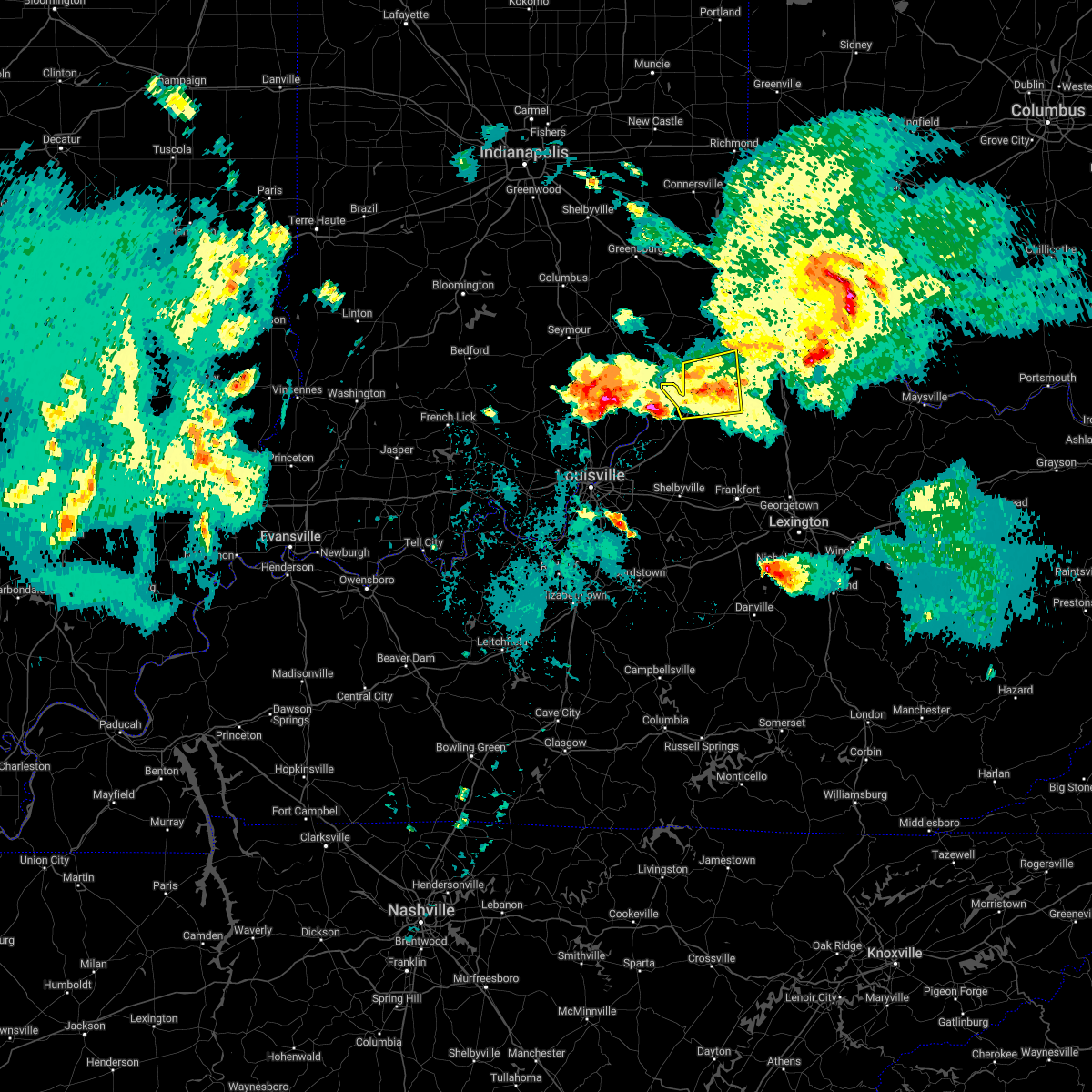 At 929 pm edt, radar showed that the storms that initially prompted the warning had weakened. however, additional storms moving northeast at 40 mph into the warned area were strengthening (radar indicated). Hazards include 60 mph wind gusts. Expect damage to trees and power lines. locations impacted include, carrollton, vevay, warsaw, florence, kentucky speedway, ghent, sanders, sparta, worthville, prestonville, center square, braytown, interstate 71 at mile marker 52, langstaff, wheatley, locust, markland, moorefield, new liberty and quercus grove. this includes i-71 in kentucky between mile markers 39 and 59. hail threat, radar indicated max hail size, <. 75 in wind threat, radar indicated max wind gust, 60 mph. At 929 pm edt, radar showed that the storms that initially prompted the warning had weakened. however, additional storms moving northeast at 40 mph into the warned area were strengthening (radar indicated). Hazards include 60 mph wind gusts. Expect damage to trees and power lines. locations impacted include, carrollton, vevay, warsaw, florence, kentucky speedway, ghent, sanders, sparta, worthville, prestonville, center square, braytown, interstate 71 at mile marker 52, langstaff, wheatley, locust, markland, moorefield, new liberty and quercus grove. this includes i-71 in kentucky between mile markers 39 and 59. hail threat, radar indicated max hail size, <. 75 in wind threat, radar indicated max wind gust, 60 mph.
|
| 5/19/2022 9:08 PM EDT |
 At 907 pm edt, a severe thunderstorm was located over madison, moving east at 30 mph (radar indicated). Hazards include 60 mph wind gusts and penny size hail. expect damage to trees and power lines At 907 pm edt, a severe thunderstorm was located over madison, moving east at 30 mph (radar indicated). Hazards include 60 mph wind gusts and penny size hail. expect damage to trees and power lines
|
| 8/30/2021 9:50 AM EDT | Tree reported down on sycamore and 7th. time estimated from rada in carroll county KY, 0.9 miles E of Carrollton, KY |
| 7/8/2021 5:45 PM EDT | Tree blew down on ky-36. time estimated from rada in carroll county KY, 4.7 miles ESE of Carrollton, KY |
| 7/8/2021 5:33 PM EDT |
 At 532 pm edt, a severe thunderstorm was located 7 miles northeast of madison, moving east at 30 mph (radar indicated). Hazards include 60 mph wind gusts. expect damage to trees and power lines At 532 pm edt, a severe thunderstorm was located 7 miles northeast of madison, moving east at 30 mph (radar indicated). Hazards include 60 mph wind gusts. expect damage to trees and power lines
|
| 7/8/2021 5:33 PM EDT |
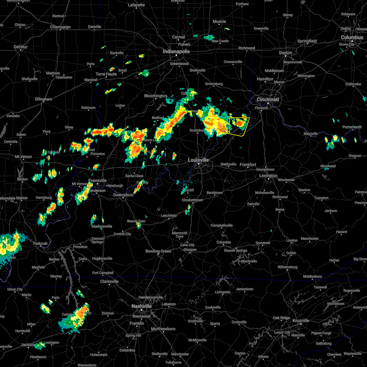 At 532 pm edt, a severe thunderstorm was located 7 miles northeast of madison, moving east at 30 mph (radar indicated). Hazards include 60 mph wind gusts. expect damage to trees and power lines At 532 pm edt, a severe thunderstorm was located 7 miles northeast of madison, moving east at 30 mph (radar indicated). Hazards include 60 mph wind gusts. expect damage to trees and power lines
|
| 3/25/2021 11:53 PM EDT |
 At 1152 pm edt, severe thunderstorms were located along a line extending from moores hill to vevay, moving northeast at 50 mph (radar indicated). Hazards include 60 mph wind gusts. Expect damage to trees and power lines. Locations impacted include, lawrenceburg, greendale, carrollton, aurora, rising sun, hidden valley, vevay, dillsboro, shawnee, moores hill, florence, guilford, wilmington, pleasant, manchester, french, hartford, fairview, ghent and patriot. At 1152 pm edt, severe thunderstorms were located along a line extending from moores hill to vevay, moving northeast at 50 mph (radar indicated). Hazards include 60 mph wind gusts. Expect damage to trees and power lines. Locations impacted include, lawrenceburg, greendale, carrollton, aurora, rising sun, hidden valley, vevay, dillsboro, shawnee, moores hill, florence, guilford, wilmington, pleasant, manchester, french, hartford, fairview, ghent and patriot.
|
| 3/25/2021 11:53 PM EDT |
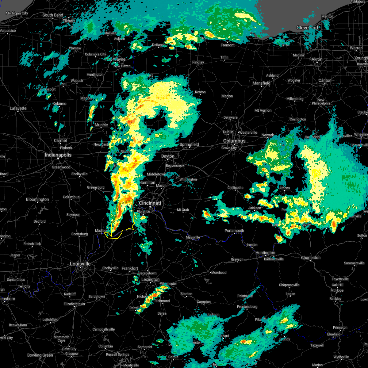 At 1152 pm edt, severe thunderstorms were located along a line extending from moores hill to vevay, moving northeast at 50 mph (radar indicated). Hazards include 60 mph wind gusts. Expect damage to trees and power lines. Locations impacted include, lawrenceburg, greendale, carrollton, aurora, rising sun, hidden valley, vevay, dillsboro, shawnee, moores hill, florence, guilford, wilmington, pleasant, manchester, french, hartford, fairview, ghent and patriot. At 1152 pm edt, severe thunderstorms were located along a line extending from moores hill to vevay, moving northeast at 50 mph (radar indicated). Hazards include 60 mph wind gusts. Expect damage to trees and power lines. Locations impacted include, lawrenceburg, greendale, carrollton, aurora, rising sun, hidden valley, vevay, dillsboro, shawnee, moores hill, florence, guilford, wilmington, pleasant, manchester, french, hartford, fairview, ghent and patriot.
|
| 3/25/2021 11:41 PM EDT |
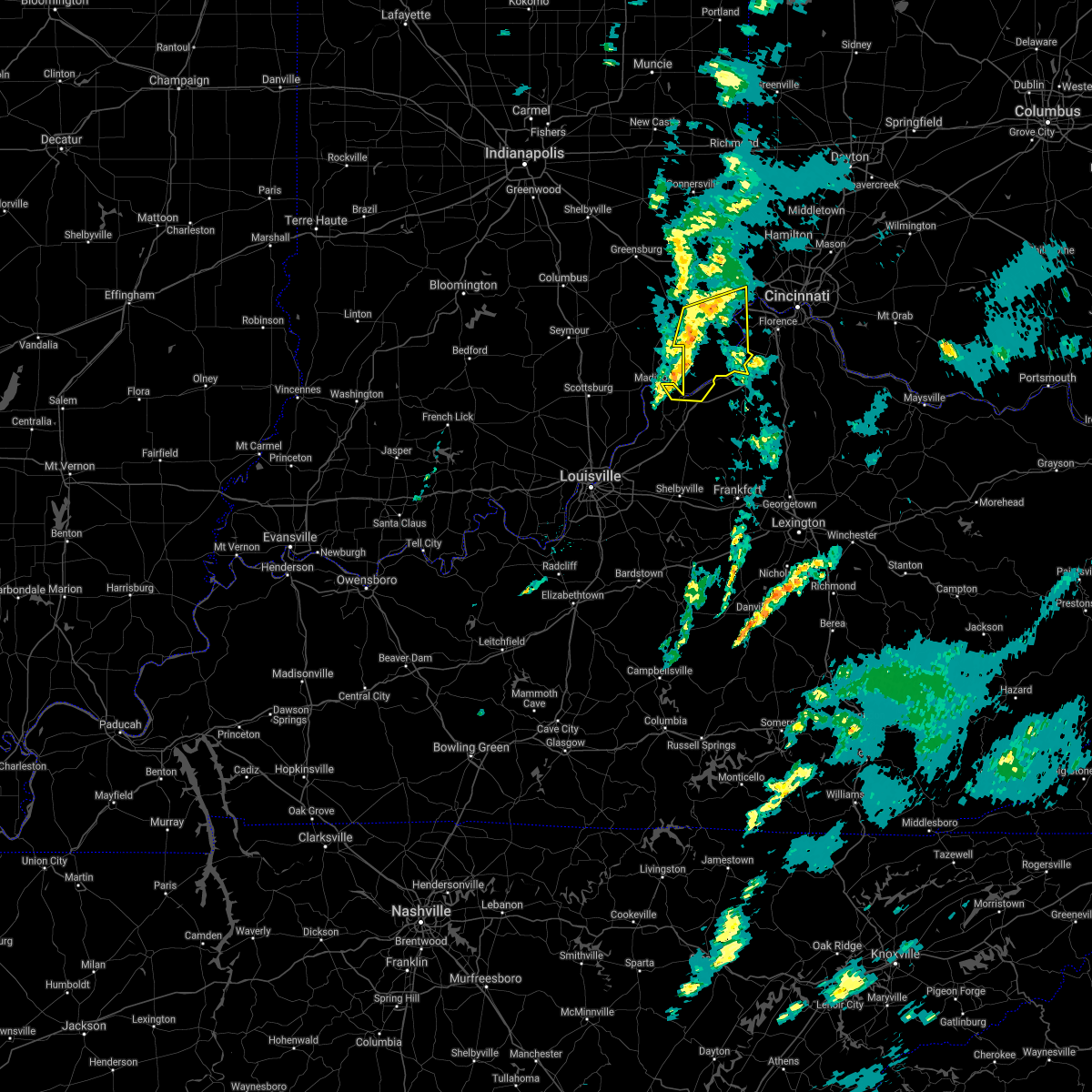 The national weather service in wilmington has issued a * severe thunderstorm warning for. ohio county in southeastern indiana. southeastern ripley county in southeastern indiana. southern dearborn county in southeastern indiana. Switzerland county in southeastern indiana. The national weather service in wilmington has issued a * severe thunderstorm warning for. ohio county in southeastern indiana. southeastern ripley county in southeastern indiana. southern dearborn county in southeastern indiana. Switzerland county in southeastern indiana.
|
| 3/25/2021 11:41 PM EDT |
 At 1140 pm edt, severe thunderstorms were located along a line extending from near versailles to near carrollton, moving northeast at 55 mph (radar indicated). Hazards include 60 mph wind gusts. expect damage to trees and power lines At 1140 pm edt, severe thunderstorms were located along a line extending from near versailles to near carrollton, moving northeast at 55 mph (radar indicated). Hazards include 60 mph wind gusts. expect damage to trees and power lines
|
| 3/25/2021 8:05 PM EDT |
 At 804 pm edt, a severe thunderstorm was located near new castle, moving northeast at 65 mph (radar indicated). Hazards include quarter size hail. minor damage to vehicles is possible At 804 pm edt, a severe thunderstorm was located near new castle, moving northeast at 65 mph (radar indicated). Hazards include quarter size hail. minor damage to vehicles is possible
|
| 3/25/2021 8:05 PM EDT |
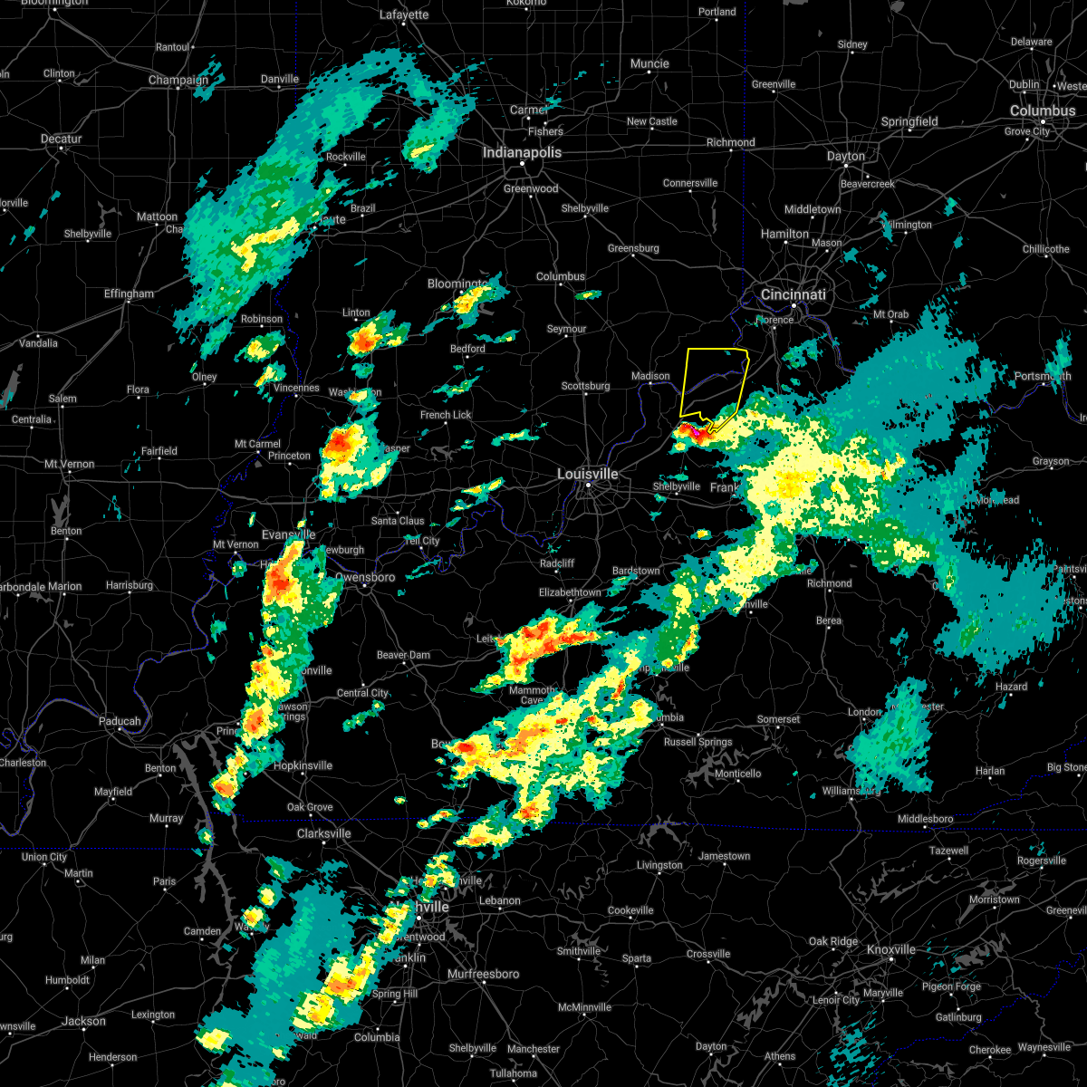 At 804 pm edt, a severe thunderstorm was located near new castle, moving northeast at 65 mph (radar indicated). Hazards include quarter size hail. minor damage to vehicles is possible At 804 pm edt, a severe thunderstorm was located near new castle, moving northeast at 65 mph (radar indicated). Hazards include quarter size hail. minor damage to vehicles is possible
|
| 4/8/2020 10:23 PM EDT |
 At 1023 pm edt, a severe thunderstorm was located near florence, moving southeast at 45 mph (radar indicated). Hazards include 60 mph wind gusts and penny size hail. expect damage to trees and power lines At 1023 pm edt, a severe thunderstorm was located near florence, moving southeast at 45 mph (radar indicated). Hazards include 60 mph wind gusts and penny size hail. expect damage to trees and power lines
|
| 3/28/2020 11:46 PM EDT |
 At 1146 pm edt, a severe thunderstorm was located near kentucky speedway, moving northeast at 55 mph (radar indicated). Hazards include 60 mph wind gusts and penny size hail. Expect damage to trees and power lines. locations impacted include, carrollton, williamstown, crittenden, dry ridge, vevay, warsaw, owenton, florence, kentucky speedway, glencoe, ghent, sanders, sparta, patriot, worthville, prestonville, gratz, stewartsville, ryle and wheatley. this includes the following interstates, i-71 in kentucky between mile markers 41 and 69. I-75 in kentucky between mile markers 153 and 163. At 1146 pm edt, a severe thunderstorm was located near kentucky speedway, moving northeast at 55 mph (radar indicated). Hazards include 60 mph wind gusts and penny size hail. Expect damage to trees and power lines. locations impacted include, carrollton, williamstown, crittenden, dry ridge, vevay, warsaw, owenton, florence, kentucky speedway, glencoe, ghent, sanders, sparta, patriot, worthville, prestonville, gratz, stewartsville, ryle and wheatley. this includes the following interstates, i-71 in kentucky between mile markers 41 and 69. I-75 in kentucky between mile markers 153 and 163.
|
| 3/28/2020 11:46 PM EDT |
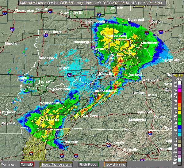 At 1146 pm edt, a severe thunderstorm was located near kentucky speedway, moving northeast at 55 mph (radar indicated). Hazards include 60 mph wind gusts and penny size hail. Expect damage to trees and power lines. locations impacted include, carrollton, williamstown, crittenden, dry ridge, vevay, warsaw, owenton, florence, kentucky speedway, glencoe, ghent, sanders, sparta, patriot, worthville, prestonville, gratz, stewartsville, ryle and wheatley. this includes the following interstates, i-71 in kentucky between mile markers 41 and 69. I-75 in kentucky between mile markers 153 and 163. At 1146 pm edt, a severe thunderstorm was located near kentucky speedway, moving northeast at 55 mph (radar indicated). Hazards include 60 mph wind gusts and penny size hail. Expect damage to trees and power lines. locations impacted include, carrollton, williamstown, crittenden, dry ridge, vevay, warsaw, owenton, florence, kentucky speedway, glencoe, ghent, sanders, sparta, patriot, worthville, prestonville, gratz, stewartsville, ryle and wheatley. this includes the following interstates, i-71 in kentucky between mile markers 41 and 69. I-75 in kentucky between mile markers 153 and 163.
|
| 3/28/2020 11:38 PM EDT |
 At 1138 pm edt, a severe thunderstorm was located 7 miles south of carrollton, moving northeast at 50 mph (radar indicated). Hazards include 60 mph wind gusts. expect damage to trees and power lines At 1138 pm edt, a severe thunderstorm was located 7 miles south of carrollton, moving northeast at 50 mph (radar indicated). Hazards include 60 mph wind gusts. expect damage to trees and power lines
|
| 3/28/2020 11:38 PM EDT |
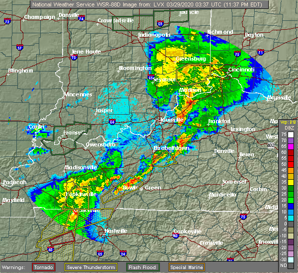 At 1138 pm edt, a severe thunderstorm was located 7 miles south of carrollton, moving northeast at 50 mph (radar indicated). Hazards include 60 mph wind gusts. expect damage to trees and power lines At 1138 pm edt, a severe thunderstorm was located 7 miles south of carrollton, moving northeast at 50 mph (radar indicated). Hazards include 60 mph wind gusts. expect damage to trees and power lines
|
| 1/11/2020 11:40 AM EST |
 At 1140 am est, severe thunderstorms were located along a line extending from 6 miles south of carrollton to 8 miles west of frankfort, moving northeast at 70 mph (radar indicated). Hazards include 60 mph wind gusts. expect damage to trees and power lines At 1140 am est, severe thunderstorms were located along a line extending from 6 miles south of carrollton to 8 miles west of frankfort, moving northeast at 70 mph (radar indicated). Hazards include 60 mph wind gusts. expect damage to trees and power lines
|
| 7/3/2019 2:19 PM EDT |
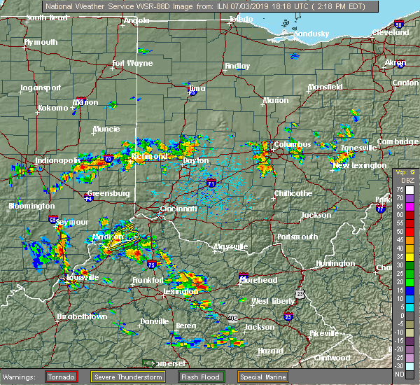 At 219 pm edt, a severe thunderstorm was located near vevay, moving northeast at 15 mph (radar indicated). Hazards include 60 mph wind gusts and penny size hail. Expect damage to trees and power lines. Locations impacted include, carrollton, rising sun, vevay, warsaw, florence, fairview, ghent, patriot, center square, aberdeen, steele bottom, markland, quercus grove, mount sterling, north landing, jacksonville, egypt bottom, us route 42 at state route 184, ethridge and us routes 42 and 127 at state route 562. At 219 pm edt, a severe thunderstorm was located near vevay, moving northeast at 15 mph (radar indicated). Hazards include 60 mph wind gusts and penny size hail. Expect damage to trees and power lines. Locations impacted include, carrollton, rising sun, vevay, warsaw, florence, fairview, ghent, patriot, center square, aberdeen, steele bottom, markland, quercus grove, mount sterling, north landing, jacksonville, egypt bottom, us route 42 at state route 184, ethridge and us routes 42 and 127 at state route 562.
|
| 7/3/2019 2:19 PM EDT |
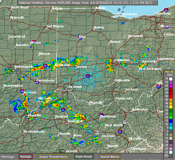 At 219 pm edt, a severe thunderstorm was located near vevay, moving northeast at 15 mph (radar indicated). Hazards include 60 mph wind gusts and penny size hail. Expect damage to trees and power lines. Locations impacted include, carrollton, rising sun, vevay, warsaw, florence, fairview, ghent, patriot, center square, aberdeen, steele bottom, markland, quercus grove, mount sterling, north landing, jacksonville, egypt bottom, us route 42 at state route 184, ethridge and us routes 42 and 127 at state route 562. At 219 pm edt, a severe thunderstorm was located near vevay, moving northeast at 15 mph (radar indicated). Hazards include 60 mph wind gusts and penny size hail. Expect damage to trees and power lines. Locations impacted include, carrollton, rising sun, vevay, warsaw, florence, fairview, ghent, patriot, center square, aberdeen, steele bottom, markland, quercus grove, mount sterling, north landing, jacksonville, egypt bottom, us route 42 at state route 184, ethridge and us routes 42 and 127 at state route 562.
|
| 7/3/2019 2:06 PM EDT |
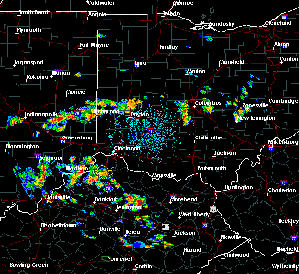 At 206 pm edt, a severe thunderstorm was located over vevay, moving northeast at 15 mph (radar indicated). Hazards include 60 mph wind gusts and penny size hail. expect damage to trees and power lines At 206 pm edt, a severe thunderstorm was located over vevay, moving northeast at 15 mph (radar indicated). Hazards include 60 mph wind gusts and penny size hail. expect damage to trees and power lines
|
| 6/17/2019 7:00 PM EDT |
 At 659 pm edt, a severe thunderstorm was located over carrollton, moving northeast at 30 mph (radar indicated). Hazards include 60 mph wind gusts. Expect damage to trees and power lines. locations impacted include, carrollton, vevay, ghent, sanders, prestonville, braytown, interstate 71 at mile marker 52, interstate 71 at state route 227, langstaff, english, easterday, general butler state park and mount sterling. This includes i-71 in kentucky between mile markers 41 and 53. At 659 pm edt, a severe thunderstorm was located over carrollton, moving northeast at 30 mph (radar indicated). Hazards include 60 mph wind gusts. Expect damage to trees and power lines. locations impacted include, carrollton, vevay, ghent, sanders, prestonville, braytown, interstate 71 at mile marker 52, interstate 71 at state route 227, langstaff, english, easterday, general butler state park and mount sterling. This includes i-71 in kentucky between mile markers 41 and 53.
|
| 6/17/2019 7:00 PM EDT |
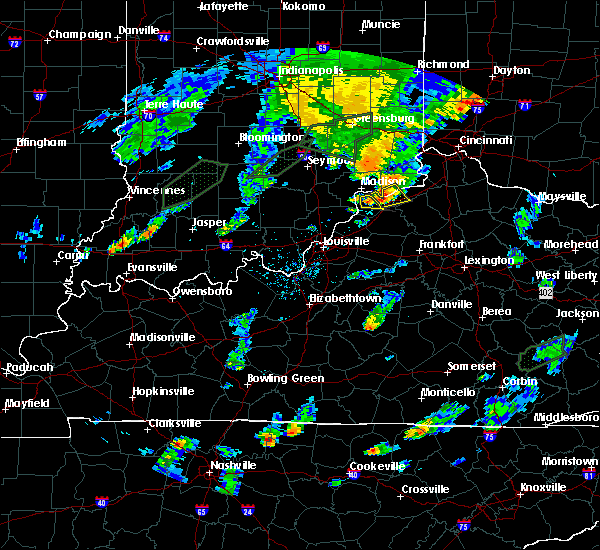 At 659 pm edt, a severe thunderstorm was located over carrollton, moving northeast at 30 mph (radar indicated). Hazards include 60 mph wind gusts. Expect damage to trees and power lines. locations impacted include, carrollton, vevay, ghent, sanders, prestonville, braytown, interstate 71 at mile marker 52, interstate 71 at state route 227, langstaff, english, easterday, general butler state park and mount sterling. This includes i-71 in kentucky between mile markers 41 and 53. At 659 pm edt, a severe thunderstorm was located over carrollton, moving northeast at 30 mph (radar indicated). Hazards include 60 mph wind gusts. Expect damage to trees and power lines. locations impacted include, carrollton, vevay, ghent, sanders, prestonville, braytown, interstate 71 at mile marker 52, interstate 71 at state route 227, langstaff, english, easterday, general butler state park and mount sterling. This includes i-71 in kentucky between mile markers 41 and 53.
|
| 6/17/2019 6:58 PM EDT | Three large trees snapped on 6th street and village lane in carroll county KY, 0.2 miles SW of Carrollton, KY |
| 6/17/2019 6:46 PM EDT |
 At 645 pm edt, a severe thunderstorm was located near bedford, moving northeast at 20 mph (radar indicated). Hazards include 60 mph wind gusts and penny size hail. expect damage to trees and power lines At 645 pm edt, a severe thunderstorm was located near bedford, moving northeast at 20 mph (radar indicated). Hazards include 60 mph wind gusts and penny size hail. expect damage to trees and power lines
|
| 6/5/2019 6:45 PM EDT |
 At 644 pm edt, a severe thunderstorm was located over vevay, moving east at 35 mph (radar indicated). Hazards include 60 mph wind gusts. expect damage to trees and power lines At 644 pm edt, a severe thunderstorm was located over vevay, moving east at 35 mph (radar indicated). Hazards include 60 mph wind gusts. expect damage to trees and power lines
|
| 6/5/2019 6:36 PM EDT |
 At 636 pm edt, a severe thunderstorm was located near kentucky speedway, moving southeast at 35 mph (radar indicated). Hazards include 60 mph wind gusts. Expect damage to trees and power lines. locations impacted include, carrollton, vevay, warsaw, florence, kentucky speedway, glencoe, ghent, sparta, worthville, ethridge, center square, braytown, interstate 71 at mile marker 52, interstate 71 at us route 127, markland, napoleon, eagle station, easterday, mount sterling and jacksonville. This includes i-71 in kentucky between mile markers 45 and 66. At 636 pm edt, a severe thunderstorm was located near kentucky speedway, moving southeast at 35 mph (radar indicated). Hazards include 60 mph wind gusts. Expect damage to trees and power lines. locations impacted include, carrollton, vevay, warsaw, florence, kentucky speedway, glencoe, ghent, sparta, worthville, ethridge, center square, braytown, interstate 71 at mile marker 52, interstate 71 at us route 127, markland, napoleon, eagle station, easterday, mount sterling and jacksonville. This includes i-71 in kentucky between mile markers 45 and 66.
|
| 6/5/2019 6:06 PM EDT |
 At 605 pm edt, a severe thunderstorm was located near carrollton, moving southeast at 35 mph (radar indicated). Hazards include 60 mph wind gusts. expect damage to trees and power lines At 605 pm edt, a severe thunderstorm was located near carrollton, moving southeast at 35 mph (radar indicated). Hazards include 60 mph wind gusts. expect damage to trees and power lines
|
| 4/25/2019 7:55 PM EDT |
 The severe thunderstorm warning for ohio, switzerland, eastern carroll, western owen and gallatin counties will expire at 800 pm edt, the storms which prompted the warning have weakened below severe limits, and no longer pose an immediate threat to life or property. therefore, the warning will be allowed to expire. please report previous wind damage or hail to the national weather service by going to our website at weather.gov/iln and submitting your report via social media. The severe thunderstorm warning for ohio, switzerland, eastern carroll, western owen and gallatin counties will expire at 800 pm edt, the storms which prompted the warning have weakened below severe limits, and no longer pose an immediate threat to life or property. therefore, the warning will be allowed to expire. please report previous wind damage or hail to the national weather service by going to our website at weather.gov/iln and submitting your report via social media.
|
| 4/25/2019 7:55 PM EDT |
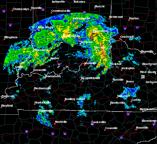 The severe thunderstorm warning for ohio, switzerland, eastern carroll, western owen and gallatin counties will expire at 800 pm edt, the storms which prompted the warning have weakened below severe limits, and no longer pose an immediate threat to life or property. therefore, the warning will be allowed to expire. please report previous wind damage or hail to the national weather service by going to our website at weather.gov/iln and submitting your report via social media. The severe thunderstorm warning for ohio, switzerland, eastern carroll, western owen and gallatin counties will expire at 800 pm edt, the storms which prompted the warning have weakened below severe limits, and no longer pose an immediate threat to life or property. therefore, the warning will be allowed to expire. please report previous wind damage or hail to the national weather service by going to our website at weather.gov/iln and submitting your report via social media.
|
| 4/25/2019 7:48 PM EDT |
 At 748 pm edt, severe thunderstorms were located along a line extending from 8 miles northwest of vevay to near carrollton to near new castle, moving northeast at 60 mph (radar indicated). Hazards include 60 mph wind gusts. Expect damage to trees and power lines. locations impacted include, vevay, warsaw, owenton, florence, kentucky speedway, hartford, glencoe, fairview, ghent, sanders, sparta, worthville, monterey, gratz, center square, aberdeen, interstate 71 at mile marker 52, interstate 71 at us route 127, wheatley and markland. This includes i-71 in kentucky between mile markers 46 and 62. At 748 pm edt, severe thunderstorms were located along a line extending from 8 miles northwest of vevay to near carrollton to near new castle, moving northeast at 60 mph (radar indicated). Hazards include 60 mph wind gusts. Expect damage to trees and power lines. locations impacted include, vevay, warsaw, owenton, florence, kentucky speedway, hartford, glencoe, fairview, ghent, sanders, sparta, worthville, monterey, gratz, center square, aberdeen, interstate 71 at mile marker 52, interstate 71 at us route 127, wheatley and markland. This includes i-71 in kentucky between mile markers 46 and 62.
|
| 4/25/2019 7:36 PM EDT |
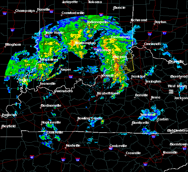 At 735 pm edt, severe thunderstorms were located along a line extending from near madison to near bedford to near new castle, moving northeast at 60 mph (radar indicated). Hazards include 60 mph wind gusts. expect damage to trees and power lines At 735 pm edt, severe thunderstorms were located along a line extending from near madison to near bedford to near new castle, moving northeast at 60 mph (radar indicated). Hazards include 60 mph wind gusts. expect damage to trees and power lines
|
| 4/12/2019 7:20 AM EDT |
 At 719 am edt, a severe thunderstorm was located 7 miles south of vevay, moving northeast at 55 mph (radar indicated). Hazards include 60 mph wind gusts and nickel size hail. expect damage to trees and power lines At 719 am edt, a severe thunderstorm was located 7 miles south of vevay, moving northeast at 55 mph (radar indicated). Hazards include 60 mph wind gusts and nickel size hail. expect damage to trees and power lines
|
| 3/14/2019 4:31 PM EDT |
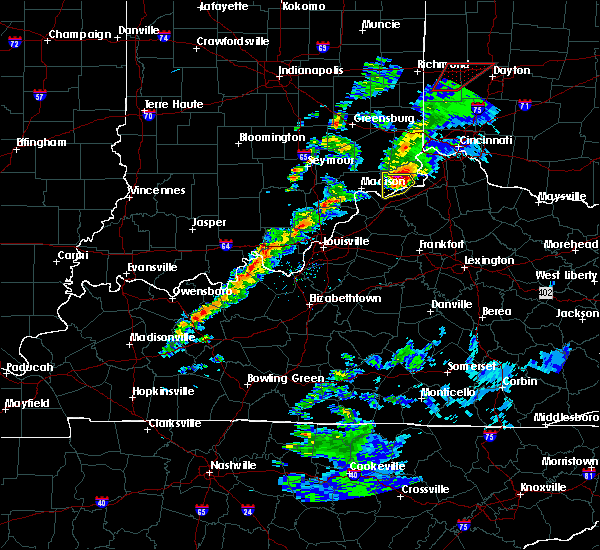 At 431 pm edt, a severe thunderstorm was located near vevay, moving northeast at 55 mph (radar indicated). Hazards include 70 mph wind gusts and half dollar size hail. Minor hail damage to vehicles is possible. expect considerable tree damage. wind damage is also likely to mobile homes, roofs, and outbuildings. locations impacted include, carrollton, vevay, pleasant, fairview, ghent, center square, braytown, markland, avonburg, moorefield, east enterprise, allensville, quercus grove, mount sterling, jacksonville, us route 42 at state route 184 and ethridge. A tornado watch remains in effect until 500 pm edt for southeastern indiana, and northern kentucky. At 431 pm edt, a severe thunderstorm was located near vevay, moving northeast at 55 mph (radar indicated). Hazards include 70 mph wind gusts and half dollar size hail. Minor hail damage to vehicles is possible. expect considerable tree damage. wind damage is also likely to mobile homes, roofs, and outbuildings. locations impacted include, carrollton, vevay, pleasant, fairview, ghent, center square, braytown, markland, avonburg, moorefield, east enterprise, allensville, quercus grove, mount sterling, jacksonville, us route 42 at state route 184 and ethridge. A tornado watch remains in effect until 500 pm edt for southeastern indiana, and northern kentucky.
|
| 3/14/2019 4:21 PM EDT |
 At 420 pm edt, a severe thunderstorm was located near madison, moving northeast at 50 mph (radar indicated). Hazards include 60 mph wind gusts and penny size hail. expect damage to trees and power lines At 420 pm edt, a severe thunderstorm was located near madison, moving northeast at 50 mph (radar indicated). Hazards include 60 mph wind gusts and penny size hail. expect damage to trees and power lines
|
| 3/14/2019 4:21 PM EDT |
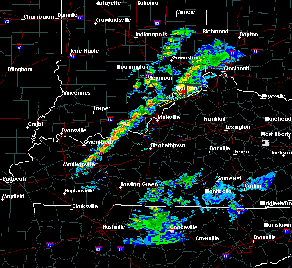 At 420 pm edt, a severe thunderstorm was located near madison, moving northeast at 50 mph (radar indicated). Hazards include 60 mph wind gusts and penny size hail. expect damage to trees and power lines At 420 pm edt, a severe thunderstorm was located near madison, moving northeast at 50 mph (radar indicated). Hazards include 60 mph wind gusts and penny size hail. expect damage to trees and power lines
|
| 7/20/2018 7:36 PM EDT |
 At 736 pm edt, a severe thunderstorm was located near vevay, moving southeast at 40 mph (radar indicated). Hazards include 60 mph wind gusts. Expect damage to trees and power lines. locations impacted include, carrollton, vevay, ghent, sanders, sparta, prestonville, braytown, interstate 71 at mile marker 52, interstate 71 at mile marker 40, interstate 71 at state route 227, langstaff, locust, english, eagle station, easterday, general butler state park and carson. this includes i-71 in kentucky between mile markers 39 and 55. A tornado watch remains in effect until 900 pm edt for southeastern indiana, and northern kentucky. At 736 pm edt, a severe thunderstorm was located near vevay, moving southeast at 40 mph (radar indicated). Hazards include 60 mph wind gusts. Expect damage to trees and power lines. locations impacted include, carrollton, vevay, ghent, sanders, sparta, prestonville, braytown, interstate 71 at mile marker 52, interstate 71 at mile marker 40, interstate 71 at state route 227, langstaff, locust, english, eagle station, easterday, general butler state park and carson. this includes i-71 in kentucky between mile markers 39 and 55. A tornado watch remains in effect until 900 pm edt for southeastern indiana, and northern kentucky.
|
| 7/20/2018 7:10 PM EDT |
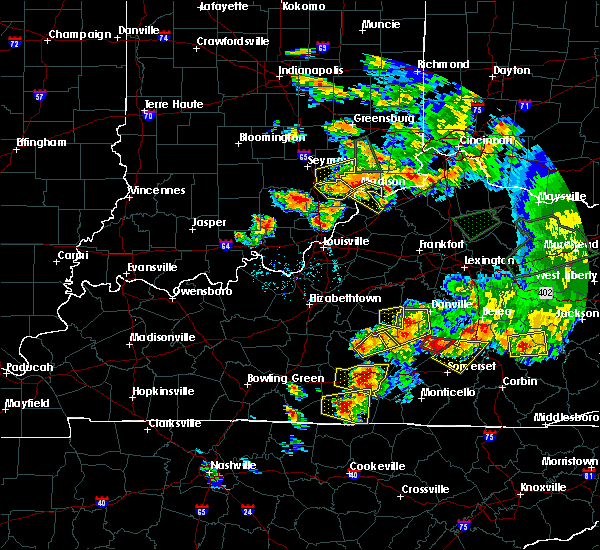 The national weather service in wilmington has issued a * severe thunderstorm warning for. southwestern switzerland county in southeastern indiana. carroll county in northern kentucky. western gallatin county in northern kentucky. Until 745 pm edt. The national weather service in wilmington has issued a * severe thunderstorm warning for. southwestern switzerland county in southeastern indiana. carroll county in northern kentucky. western gallatin county in northern kentucky. Until 745 pm edt.
|
| 7/20/2018 3:05 PM EDT |
 At 304 pm edt, a severe thunderstorm was located near vevay, moving northeast at 20 mph (radar indicated). Hazards include 60 mph wind gusts and quarter size hail. Minor hail damage to vehicles is possible. expect wind damage to trees and power lines. locations impacted include, covington, florence, independence, erlanger, alexandria, elsmere, carrollton, walton, rising sun, claryville, oakbrook, union, crittenden, vevay, warsaw, ryland heights, fairview, ghent, patriot and prestonville. this includes the following interstates, i-71 in kentucky between mile markers 66 and 77. i-75 in kentucky between mile markers 167 and 180. A tornado watch remains in effect until 900 pm edt for southeastern indiana, and northern kentucky. At 304 pm edt, a severe thunderstorm was located near vevay, moving northeast at 20 mph (radar indicated). Hazards include 60 mph wind gusts and quarter size hail. Minor hail damage to vehicles is possible. expect wind damage to trees and power lines. locations impacted include, covington, florence, independence, erlanger, alexandria, elsmere, carrollton, walton, rising sun, claryville, oakbrook, union, crittenden, vevay, warsaw, ryland heights, fairview, ghent, patriot and prestonville. this includes the following interstates, i-71 in kentucky between mile markers 66 and 77. i-75 in kentucky between mile markers 167 and 180. A tornado watch remains in effect until 900 pm edt for southeastern indiana, and northern kentucky.
|
| 7/20/2018 2:49 PM EDT |
 At 248 pm edt, a severe thunderstorm was located 7 miles east of madison, moving northeast at 20 mph. this storm has a history of large hail and funnel clouds. other severe thunderstorms with damaging wind gusts will move southeast and merge with this storm, increasing the potential for wind damage (radar indicated). Hazards include 70 mph wind gusts and ping pong ball size hail. People and animals outdoors will be injured. expect hail damage to roofs, siding, windows, and vehicles. expect considerable tree damage. Wind damage is also likely to mobile homes, roofs, and outbuildings. At 248 pm edt, a severe thunderstorm was located 7 miles east of madison, moving northeast at 20 mph. this storm has a history of large hail and funnel clouds. other severe thunderstorms with damaging wind gusts will move southeast and merge with this storm, increasing the potential for wind damage (radar indicated). Hazards include 70 mph wind gusts and ping pong ball size hail. People and animals outdoors will be injured. expect hail damage to roofs, siding, windows, and vehicles. expect considerable tree damage. Wind damage is also likely to mobile homes, roofs, and outbuildings.
|
| 6/26/2018 2:39 PM EDT |
 At 226 pm edt, a severe thunderstorm was located over vevay, moving northeast at 25 mph (radar indicated). Hazards include 60 mph wind gusts. expect damage to trees and power lines At 226 pm edt, a severe thunderstorm was located over vevay, moving northeast at 25 mph (radar indicated). Hazards include 60 mph wind gusts. expect damage to trees and power lines
|
| 6/26/2018 2:39 PM EDT |
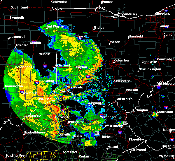 At 238 pm edt, a severe thunderstorm was located near florence, moving northeast at 30 mph (radar indicated). Hazards include 60 mph wind gusts. Expect damage to trees and power lines. locations impacted include, carrollton, rising sun, vevay, warsaw, florence, kentucky speedway, pleasant, hartford, glencoe, fairview, ghent, sparta, patriot, worthville, center square, braytown, aberdeen, ryle, interstate 71 at mile marker 52 and big bone lick. This includes i-71 in kentucky between mile markers 46 and 72. At 238 pm edt, a severe thunderstorm was located near florence, moving northeast at 30 mph (radar indicated). Hazards include 60 mph wind gusts. Expect damage to trees and power lines. locations impacted include, carrollton, rising sun, vevay, warsaw, florence, kentucky speedway, pleasant, hartford, glencoe, fairview, ghent, sparta, patriot, worthville, center square, braytown, aberdeen, ryle, interstate 71 at mile marker 52 and big bone lick. This includes i-71 in kentucky between mile markers 46 and 72.
|
| 6/26/2018 2:27 PM EDT |
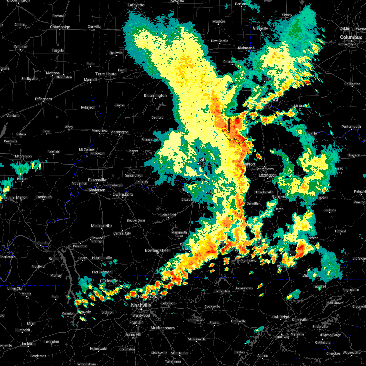 The severe thunderstorm warning for switzerland, carroll, northwestern owen and western gallatin counties will expire at 230 pm edt, this warning has been replaced with new severe thunderstorm warnings for the affected area. The severe thunderstorm warning for switzerland, carroll, northwestern owen and western gallatin counties will expire at 230 pm edt, this warning has been replaced with new severe thunderstorm warnings for the affected area.
|
| 6/26/2018 2:26 PM EDT |
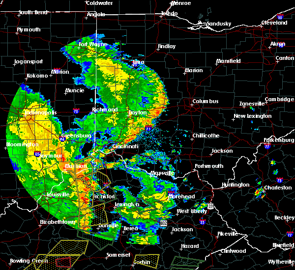 At 226 pm edt, a severe thunderstorm was located over vevay, moving northeast at 25 mph (radar indicated). Hazards include 60 mph wind gusts. expect damage to trees and power lines At 226 pm edt, a severe thunderstorm was located over vevay, moving northeast at 25 mph (radar indicated). Hazards include 60 mph wind gusts. expect damage to trees and power lines
|
| 6/26/2018 2:19 PM EDT |
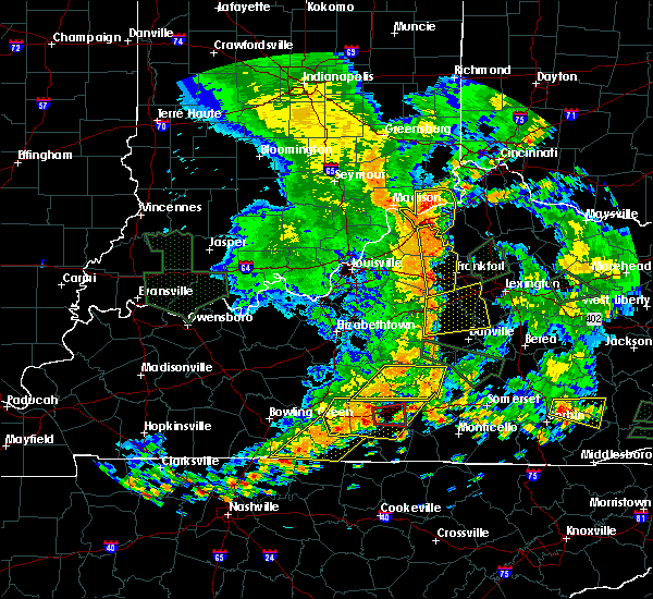 At 219 pm edt, a severe thunderstorm was located near carrollton, moving northeast at 20 mph (radar indicated). Hazards include 60 mph wind gusts. Expect damage to trees and power lines. locations impacted include, carrollton, vevay, warsaw, florence, kentucky speedway, pleasant, fairview, ghent, sanders, sparta, worthville, prestonville, center square, braytown, interstate 71 at mile marker 52, langstaff, wheatley, locust, markland and moorefield. This includes i-71 in kentucky between mile markers 39 and 59. At 219 pm edt, a severe thunderstorm was located near carrollton, moving northeast at 20 mph (radar indicated). Hazards include 60 mph wind gusts. Expect damage to trees and power lines. locations impacted include, carrollton, vevay, warsaw, florence, kentucky speedway, pleasant, fairview, ghent, sanders, sparta, worthville, prestonville, center square, braytown, interstate 71 at mile marker 52, langstaff, wheatley, locust, markland and moorefield. This includes i-71 in kentucky between mile markers 39 and 59.
|
| 6/26/2018 2:02 PM EDT |
 At 201 pm edt, a severe thunderstorm was located over carrollton, moving east at 30 mph (radar indicated). Hazards include 60 mph wind gusts. Expect damage to trees and power lines. locations impacted include, carrollton, vevay, warsaw, florence, kentucky speedway, pleasant, fairview, ghent, sanders, sparta, worthville, prestonville, center square, braytown, interstate 71 at mile marker 52, langstaff, wheatley, locust, markland and moorefield. This includes i-71 in kentucky between mile markers 39 and 59. At 201 pm edt, a severe thunderstorm was located over carrollton, moving east at 30 mph (radar indicated). Hazards include 60 mph wind gusts. Expect damage to trees and power lines. locations impacted include, carrollton, vevay, warsaw, florence, kentucky speedway, pleasant, fairview, ghent, sanders, sparta, worthville, prestonville, center square, braytown, interstate 71 at mile marker 52, langstaff, wheatley, locust, markland and moorefield. This includes i-71 in kentucky between mile markers 39 and 59.
|
| 6/26/2018 2:02 PM EDT |
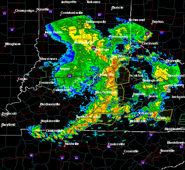 At 201 pm edt, a severe thunderstorm was located over carrollton, moving east at 30 mph (radar indicated). Hazards include 60 mph wind gusts. Expect damage to trees and power lines. locations impacted include, carrollton, vevay, warsaw, florence, kentucky speedway, pleasant, fairview, ghent, sanders, sparta, worthville, prestonville, center square, braytown, interstate 71 at mile marker 52, langstaff, wheatley, locust, markland and moorefield. This includes i-71 in kentucky between mile markers 39 and 59. At 201 pm edt, a severe thunderstorm was located over carrollton, moving east at 30 mph (radar indicated). Hazards include 60 mph wind gusts. Expect damage to trees and power lines. locations impacted include, carrollton, vevay, warsaw, florence, kentucky speedway, pleasant, fairview, ghent, sanders, sparta, worthville, prestonville, center square, braytown, interstate 71 at mile marker 52, langstaff, wheatley, locust, markland and moorefield. This includes i-71 in kentucky between mile markers 39 and 59.
|
| 6/26/2018 1:46 PM EDT |
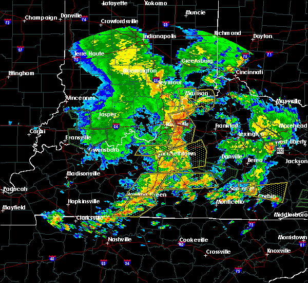 At 145 pm edt, a severe thunderstorm was located near madison, moving east at 25 mph (radar indicated). Hazards include 60 mph wind gusts. expect damage to trees and power lines At 145 pm edt, a severe thunderstorm was located near madison, moving east at 25 mph (radar indicated). Hazards include 60 mph wind gusts. expect damage to trees and power lines
|
| 5/31/2018 3:13 PM EDT |
 At 313 pm edt, severe thunderstorms were located along a line extending from near batesville to near dillsboro to near vevay, moving northeast at 45 mph (radar indicated). Hazards include 70 mph wind gusts. Expect considerable tree damage. Damage is likely to mobile homes, roofs, and outbuildings. At 313 pm edt, severe thunderstorms were located along a line extending from near batesville to near dillsboro to near vevay, moving northeast at 45 mph (radar indicated). Hazards include 70 mph wind gusts. Expect considerable tree damage. Damage is likely to mobile homes, roofs, and outbuildings.
|
| 5/31/2018 3:13 PM EDT |
 The national weather service in wilmington has issued a * severe thunderstorm warning for. ohio county in southeastern indiana. franklin county in southeastern indiana. ripley county in southeastern indiana. Dearborn county in southeastern indiana. The national weather service in wilmington has issued a * severe thunderstorm warning for. ohio county in southeastern indiana. franklin county in southeastern indiana. ripley county in southeastern indiana. Dearborn county in southeastern indiana.
|
| 5/31/2018 3:13 PM EDT |
 At 313 pm edt, severe thunderstorms were located along a line extending from near batesville to near dillsboro to near vevay, moving northeast at 45 mph (radar indicated). Hazards include 70 mph wind gusts. Expect considerable tree damage. Damage is likely to mobile homes, roofs, and outbuildings. At 313 pm edt, severe thunderstorms were located along a line extending from near batesville to near dillsboro to near vevay, moving northeast at 45 mph (radar indicated). Hazards include 70 mph wind gusts. Expect considerable tree damage. Damage is likely to mobile homes, roofs, and outbuildings.
|
| 5/31/2018 2:42 PM EDT |
 At 242 pm edt, severe thunderstorms were located along a line extending from 8 miles north of north vernon to 10 miles southeast of vernon to 12 miles west of bedford, moving east at 45 mph (radar indicated). Hazards include 70 mph wind gusts. Expect considerable tree damage. Damage is likely to mobile homes, roofs, and outbuildings. At 242 pm edt, severe thunderstorms were located along a line extending from 8 miles north of north vernon to 10 miles southeast of vernon to 12 miles west of bedford, moving east at 45 mph (radar indicated). Hazards include 70 mph wind gusts. Expect considerable tree damage. Damage is likely to mobile homes, roofs, and outbuildings.
|
| 4/3/2018 5:03 PM EDT |
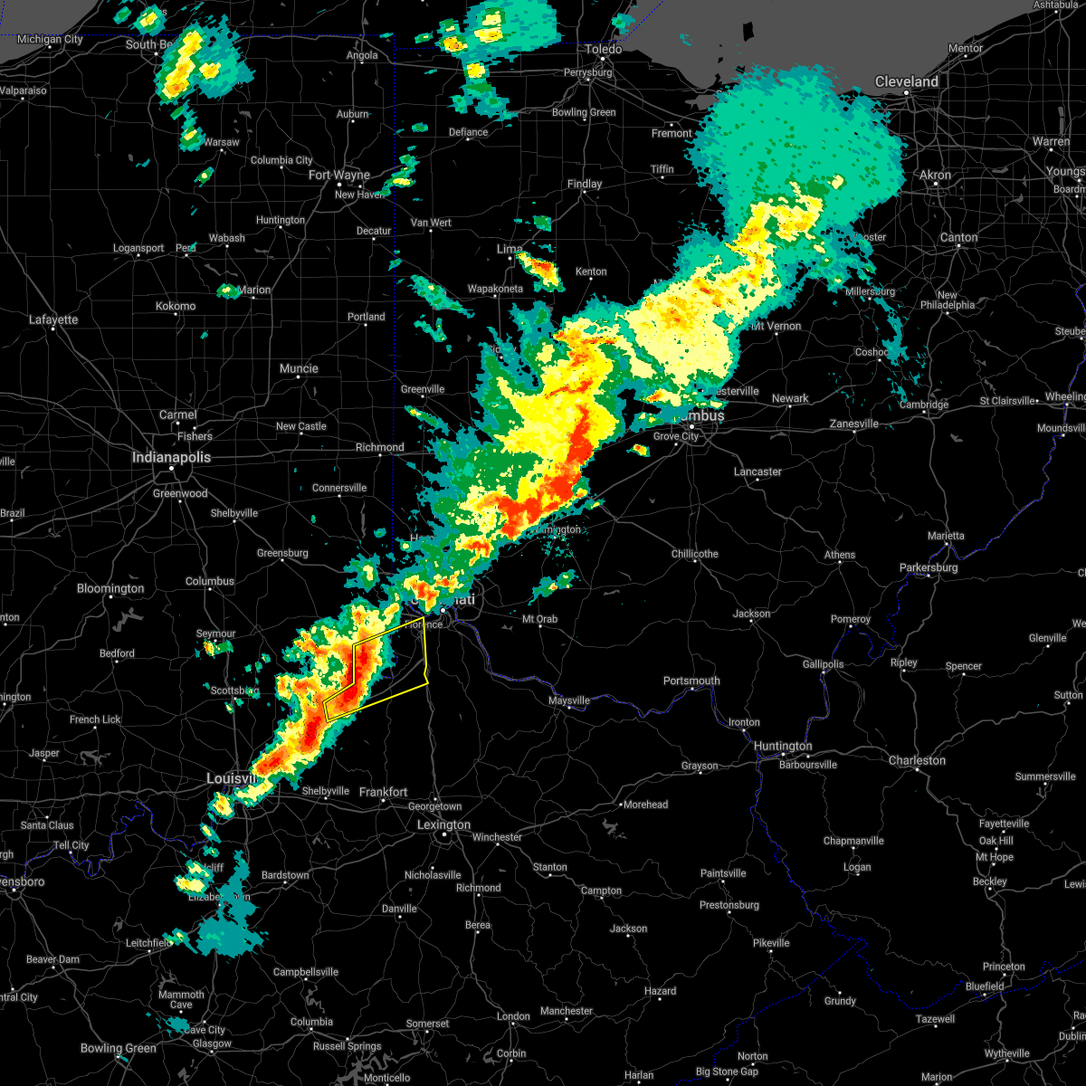 At 502 pm edt, a severe thunderstorm was located over florence, moving east at 50 mph (radar indicated). Hazards include 60 mph wind gusts and quarter size hail. Minor hail damage to vehicles is possible. expect wind damage to trees and power lines. locations impacted include, carrollton, walton, rising sun, oakbrook, burlington, union, crittenden, vevay, warsaw, florence, kentucky speedway, glencoe, ghent, sanders, sparta, patriot, prestonville, aberdeen, ryle and big bone lick. this includes the following interstates, i-71 in kentucky between mile markers 40 and 77. i-75 in kentucky between mile markers 164 and 165, and between mile markers 170 and 182. A tornado watch remains in effect until 800 pm edt for southeastern indiana, and northern kentucky. At 502 pm edt, a severe thunderstorm was located over florence, moving east at 50 mph (radar indicated). Hazards include 60 mph wind gusts and quarter size hail. Minor hail damage to vehicles is possible. expect wind damage to trees and power lines. locations impacted include, carrollton, walton, rising sun, oakbrook, burlington, union, crittenden, vevay, warsaw, florence, kentucky speedway, glencoe, ghent, sanders, sparta, patriot, prestonville, aberdeen, ryle and big bone lick. this includes the following interstates, i-71 in kentucky between mile markers 40 and 77. i-75 in kentucky between mile markers 164 and 165, and between mile markers 170 and 182. A tornado watch remains in effect until 800 pm edt for southeastern indiana, and northern kentucky.
|
| 4/3/2018 4:49 PM EDT |
 At 449 pm edt, a severe thunderstorm was located over carrollton, moving east at 55 mph (radar indicated). Hazards include 70 mph wind gusts and quarter size hail. Minor hail damage to vehicles is possible. expect considerable tree damage. wind damage is also likely to mobile homes, roofs, and outbuildings. locations impacted include, carrollton, walton, rising sun, oakbrook, burlington, union, crittenden, vevay, warsaw, florence, kentucky speedway, pleasant, glencoe, fairview, ghent, sanders, sparta, patriot, prestonville and aberdeen. this includes the following interstates, i-71 in kentucky between mile markers 40 and 77. i-75 in kentucky between mile markers 164 and 165, and between mile markers 170 and 182. A tornado watch remains in effect until 800 pm edt for southeastern indiana, and northern kentucky. At 449 pm edt, a severe thunderstorm was located over carrollton, moving east at 55 mph (radar indicated). Hazards include 70 mph wind gusts and quarter size hail. Minor hail damage to vehicles is possible. expect considerable tree damage. wind damage is also likely to mobile homes, roofs, and outbuildings. locations impacted include, carrollton, walton, rising sun, oakbrook, burlington, union, crittenden, vevay, warsaw, florence, kentucky speedway, pleasant, glencoe, fairview, ghent, sanders, sparta, patriot, prestonville and aberdeen. this includes the following interstates, i-71 in kentucky between mile markers 40 and 77. i-75 in kentucky between mile markers 164 and 165, and between mile markers 170 and 182. A tornado watch remains in effect until 800 pm edt for southeastern indiana, and northern kentucky.
|
| 4/3/2018 4:49 PM EDT |
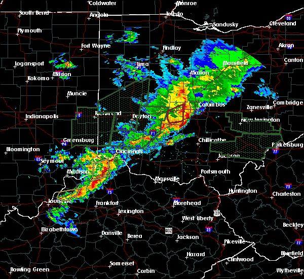 At 449 pm edt, a severe thunderstorm was located over carrollton, moving east at 55 mph (radar indicated). Hazards include 70 mph wind gusts and quarter size hail. Minor hail damage to vehicles is possible. expect considerable tree damage. wind damage is also likely to mobile homes, roofs, and outbuildings. locations impacted include, carrollton, walton, rising sun, oakbrook, burlington, union, crittenden, vevay, warsaw, florence, kentucky speedway, pleasant, glencoe, fairview, ghent, sanders, sparta, patriot, prestonville and aberdeen. this includes the following interstates, i-71 in kentucky between mile markers 40 and 77. i-75 in kentucky between mile markers 164 and 165, and between mile markers 170 and 182. A tornado watch remains in effect until 800 pm edt for southeastern indiana, and northern kentucky. At 449 pm edt, a severe thunderstorm was located over carrollton, moving east at 55 mph (radar indicated). Hazards include 70 mph wind gusts and quarter size hail. Minor hail damage to vehicles is possible. expect considerable tree damage. wind damage is also likely to mobile homes, roofs, and outbuildings. locations impacted include, carrollton, walton, rising sun, oakbrook, burlington, union, crittenden, vevay, warsaw, florence, kentucky speedway, pleasant, glencoe, fairview, ghent, sanders, sparta, patriot, prestonville and aberdeen. this includes the following interstates, i-71 in kentucky between mile markers 40 and 77. i-75 in kentucky between mile markers 164 and 165, and between mile markers 170 and 182. A tornado watch remains in effect until 800 pm edt for southeastern indiana, and northern kentucky.
|
| 4/3/2018 4:42 PM EDT |
 At 442 pm edt, a severe thunderstorm was located near madison, moving east at 50 mph (radar indicated). Hazards include 60 mph wind gusts and quarter size hail. Minor hail damage to vehicles is possible. Expect wind damage to trees and power lines. At 442 pm edt, a severe thunderstorm was located near madison, moving east at 50 mph (radar indicated). Hazards include 60 mph wind gusts and quarter size hail. Minor hail damage to vehicles is possible. Expect wind damage to trees and power lines.
|
| 5/20/2017 7:19 PM EDT |
 At 719 pm edt, a severe thunderstorm was located near madison, moving northeast at 30 mph (radar indicated). Hazards include 60 mph wind gusts and quarter size hail. Hail damage to vehicles is expected. expect wind damage to roofs, siding, and trees. Locations impacted include, carrollton, pleasant, prestonville, braytown, cross plains, rexville, benham, locust, olean, avonburg, moorefield and new marion. At 719 pm edt, a severe thunderstorm was located near madison, moving northeast at 30 mph (radar indicated). Hazards include 60 mph wind gusts and quarter size hail. Hail damage to vehicles is expected. expect wind damage to roofs, siding, and trees. Locations impacted include, carrollton, pleasant, prestonville, braytown, cross plains, rexville, benham, locust, olean, avonburg, moorefield and new marion.
|
| 5/20/2017 7:07 PM EDT |
 At 707 pm edt, a severe thunderstorm was located near madison, moving northeast at 25 mph (radar indicated). Hazards include 60 mph wind gusts and quarter size hail. Hail damage to vehicles is expected. Expect wind damage to roofs, siding, and trees. At 707 pm edt, a severe thunderstorm was located near madison, moving northeast at 25 mph (radar indicated). Hazards include 60 mph wind gusts and quarter size hail. Hail damage to vehicles is expected. Expect wind damage to roofs, siding, and trees.
|
| 4/29/2017 8:42 AM EDT |
 The severe thunderstorm warning for ohio, southeastern ripley, southwestern dearborn, switzerland, carroll, southern boone, northwestern grant, northwestern owen and gallatin counties will expire at 845 am edt, the storm which prompted the warning has moved out of the area. therefore, the warning will be allowed to expire. however gusty winds and heavy rain are still possible with this thunderstorm. please report previous wind damage or hail to the national weather service by going to our website at weather.gov/iln and submitting your report via social media. The severe thunderstorm warning for ohio, southeastern ripley, southwestern dearborn, switzerland, carroll, southern boone, northwestern grant, northwestern owen and gallatin counties will expire at 845 am edt, the storm which prompted the warning has moved out of the area. therefore, the warning will be allowed to expire. however gusty winds and heavy rain are still possible with this thunderstorm. please report previous wind damage or hail to the national weather service by going to our website at weather.gov/iln and submitting your report via social media.
|
| 4/29/2017 8:42 AM EDT |
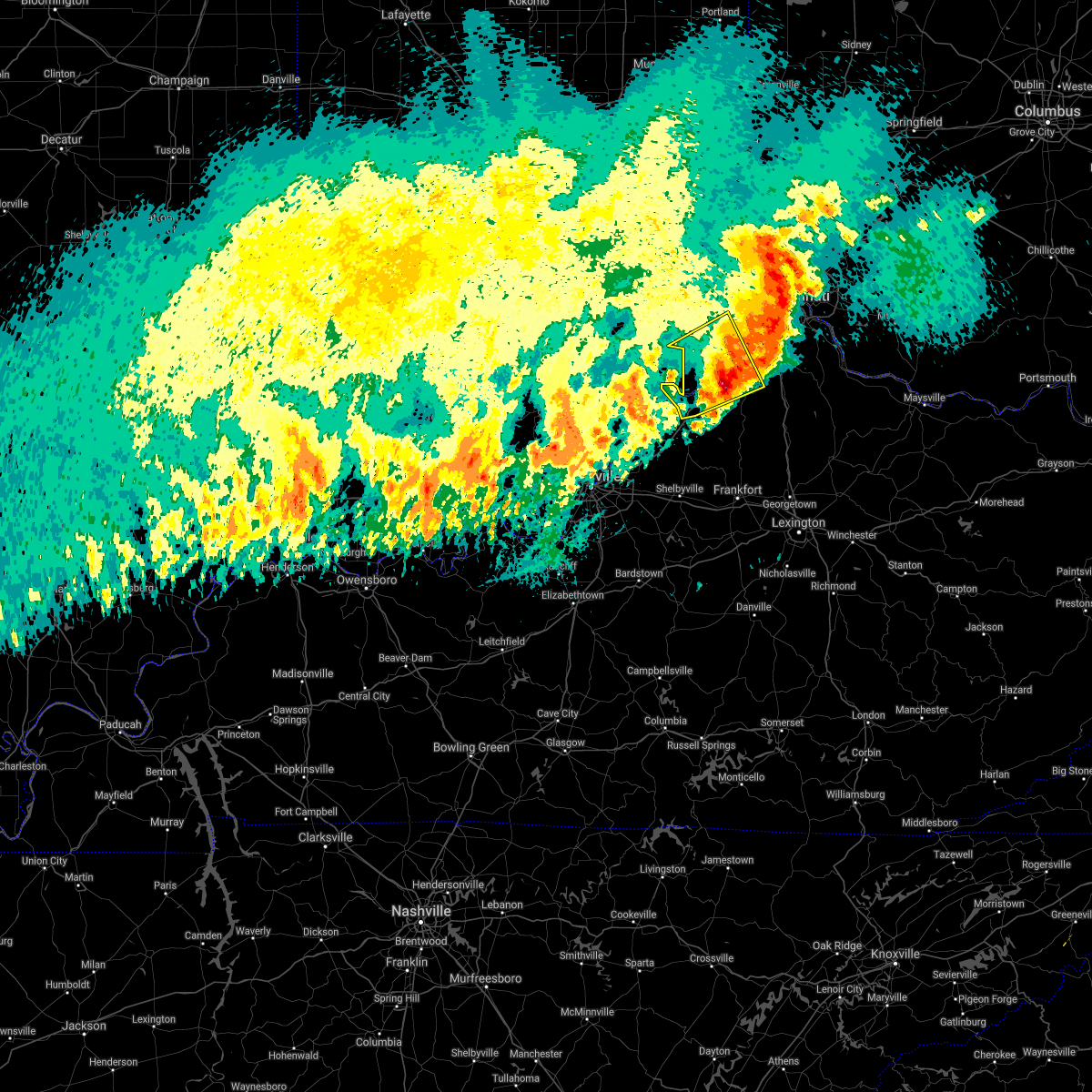 The severe thunderstorm warning for ohio, southeastern ripley, southwestern dearborn, switzerland, carroll, southern boone, northwestern grant, northwestern owen and gallatin counties will expire at 845 am edt, the storm which prompted the warning has moved out of the area. therefore, the warning will be allowed to expire. however gusty winds and heavy rain are still possible with this thunderstorm. please report previous wind damage or hail to the national weather service by going to our website at weather.gov/iln and submitting your report via social media. The severe thunderstorm warning for ohio, southeastern ripley, southwestern dearborn, switzerland, carroll, southern boone, northwestern grant, northwestern owen and gallatin counties will expire at 845 am edt, the storm which prompted the warning has moved out of the area. therefore, the warning will be allowed to expire. however gusty winds and heavy rain are still possible with this thunderstorm. please report previous wind damage or hail to the national weather service by going to our website at weather.gov/iln and submitting your report via social media.
|
| 4/29/2017 8:15 AM EDT |
 At 814 am edt, a severe thunderstorm was located near vevay, moving northeast at 50 mph (radar indicated). Hazards include 60 mph wind gusts and quarter size hail. Hail damage to vehicles is expected. expect wind damage to roofs, siding, and trees. locations impacted include, carrollton, aurora, rising sun, vevay, warsaw, dillsboro, florence, kentucky speedway, wilmington, pleasant, hartford, glencoe, fairview, ghent, sanders, sparta, patriot, worthville, prestonville and brooksburg. This includes i-71 in kentucky between mile markers 39 and 67. At 814 am edt, a severe thunderstorm was located near vevay, moving northeast at 50 mph (radar indicated). Hazards include 60 mph wind gusts and quarter size hail. Hail damage to vehicles is expected. expect wind damage to roofs, siding, and trees. locations impacted include, carrollton, aurora, rising sun, vevay, warsaw, dillsboro, florence, kentucky speedway, wilmington, pleasant, hartford, glencoe, fairview, ghent, sanders, sparta, patriot, worthville, prestonville and brooksburg. This includes i-71 in kentucky between mile markers 39 and 67.
|
| 4/29/2017 8:15 AM EDT |
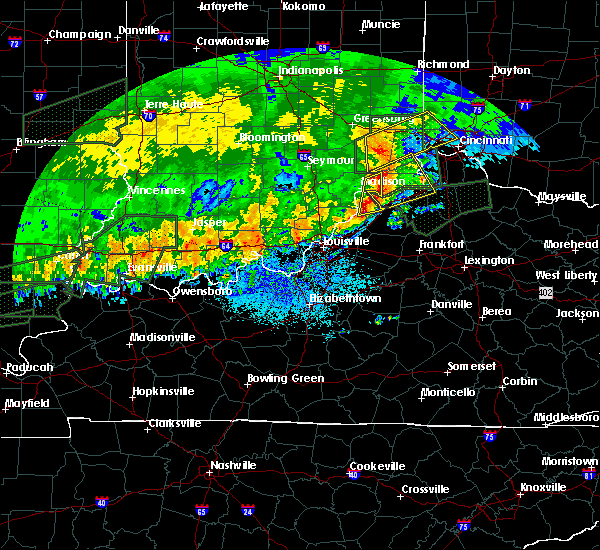 At 814 am edt, a severe thunderstorm was located near vevay, moving northeast at 50 mph (radar indicated). Hazards include 60 mph wind gusts and quarter size hail. Hail damage to vehicles is expected. expect wind damage to roofs, siding, and trees. locations impacted include, carrollton, aurora, rising sun, vevay, warsaw, dillsboro, florence, kentucky speedway, wilmington, pleasant, hartford, glencoe, fairview, ghent, sanders, sparta, patriot, worthville, prestonville and brooksburg. This includes i-71 in kentucky between mile markers 39 and 67. At 814 am edt, a severe thunderstorm was located near vevay, moving northeast at 50 mph (radar indicated). Hazards include 60 mph wind gusts and quarter size hail. Hail damage to vehicles is expected. expect wind damage to roofs, siding, and trees. locations impacted include, carrollton, aurora, rising sun, vevay, warsaw, dillsboro, florence, kentucky speedway, wilmington, pleasant, hartford, glencoe, fairview, ghent, sanders, sparta, patriot, worthville, prestonville and brooksburg. This includes i-71 in kentucky between mile markers 39 and 67.
|
| 4/29/2017 7:53 AM EDT |
 At 752 am edt, a severe thunderstorm was located near madison, moving northeast at 50 mph (radar indicated). Hazards include 60 mph wind gusts and quarter size hail. Hail damage to vehicles is expected. Expect wind damage to roofs, siding, and trees. At 752 am edt, a severe thunderstorm was located near madison, moving northeast at 50 mph (radar indicated). Hazards include 60 mph wind gusts and quarter size hail. Hail damage to vehicles is expected. Expect wind damage to roofs, siding, and trees.
|
| 4/29/2017 7:53 AM EDT |
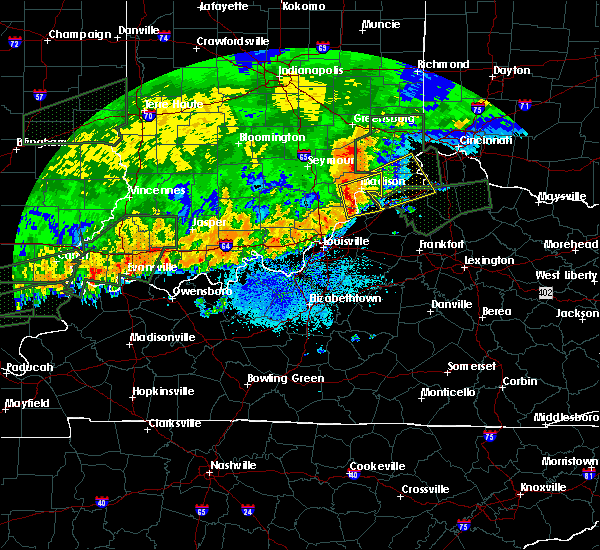 At 752 am edt, a severe thunderstorm was located near madison, moving northeast at 50 mph (radar indicated). Hazards include 60 mph wind gusts and quarter size hail. Hail damage to vehicles is expected. Expect wind damage to roofs, siding, and trees. At 752 am edt, a severe thunderstorm was located near madison, moving northeast at 50 mph (radar indicated). Hazards include 60 mph wind gusts and quarter size hail. Hail damage to vehicles is expected. Expect wind damage to roofs, siding, and trees.
|
| 3/1/2017 6:39 AM EST |
 At 639 am est, severe thunderstorms were located along a line extending from hidden valley to near carrollton, moving east at 55 mph (radar indicated). Hazards include 60 mph wind gusts and penny size hail. expect damage to roofs, siding, and trees At 639 am est, severe thunderstorms were located along a line extending from hidden valley to near carrollton, moving east at 55 mph (radar indicated). Hazards include 60 mph wind gusts and penny size hail. expect damage to roofs, siding, and trees
|
| 3/1/2017 6:35 AM EST | Storm damage reported in carroll county KY, 1.5 miles SW of Carrollton, KY |
| 3/1/2017 6:35 AM EST |
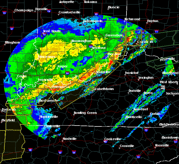 At 634 am est, a severe thunderstorm was located 8 miles northwest of florence, moving east at 60 mph (radar indicated). Hazards include 60 mph wind gusts and penny size hail. Expect damage to roofs, siding, and trees. locations impacted include, lawrenceburg, greendale, carrollton, aurora, rising sun, hidden valley, vevay, warsaw, dillsboro, florence, wilmington, pleasant, french, hartford, fairview, ghent, sanders, sparta, prestonville and braytown. this includes i-71 in kentucky between mile markers 45 and 55. A tornado watch remains in effect until 1100 am est for southeastern indiana, northern kentucky, and southwestern ohio. At 634 am est, a severe thunderstorm was located 8 miles northwest of florence, moving east at 60 mph (radar indicated). Hazards include 60 mph wind gusts and penny size hail. Expect damage to roofs, siding, and trees. locations impacted include, lawrenceburg, greendale, carrollton, aurora, rising sun, hidden valley, vevay, warsaw, dillsboro, florence, wilmington, pleasant, french, hartford, fairview, ghent, sanders, sparta, prestonville and braytown. this includes i-71 in kentucky between mile markers 45 and 55. A tornado watch remains in effect until 1100 am est for southeastern indiana, northern kentucky, and southwestern ohio.
|
| 3/1/2017 6:15 AM EST |
 At 615 am est, a severe thunderstorm was located 11 miles north of madison, moving east at 65 mph (radar indicated). Hazards include 60 mph wind gusts and penny size hail. expect damage to roofs, siding, and trees At 615 am est, a severe thunderstorm was located 11 miles north of madison, moving east at 65 mph (radar indicated). Hazards include 60 mph wind gusts and penny size hail. expect damage to roofs, siding, and trees
|
| 3/1/2017 6:15 AM EST |
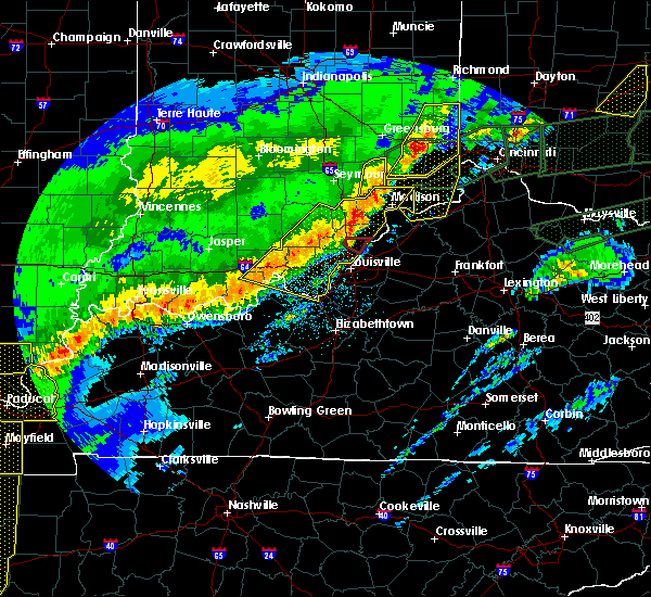 At 615 am est, a severe thunderstorm was located 11 miles north of madison, moving east at 65 mph (radar indicated). Hazards include 60 mph wind gusts and penny size hail. expect damage to roofs, siding, and trees At 615 am est, a severe thunderstorm was located 11 miles north of madison, moving east at 65 mph (radar indicated). Hazards include 60 mph wind gusts and penny size hail. expect damage to roofs, siding, and trees
|
| 9/10/2016 3:47 PM EDT | Tree down on mound hill rd. time estimated by rada in carroll county KY, 2.8 miles NE of Carrollton, KY |
| 7/8/2016 11:30 AM EDT |
 At 1128 am edt, severe thunderstorms were located along a line extending from 5 miles northwest of carrollton to worthville, moving east at 50 mph (radar indicated). Hazards include 60 mph wind gusts. Expect damage to roofs. siding. and trees. locations impacted include, kentucky speedway, carrollton, vevay, warsaw, pleasant, hartford, glencoe, fairview, ghent, sanders, sparta, patriot, worthville, prestonville, bear branch, markland, braytown, aberdeen, pate and avonburg. those attending events at the kentucky speedway are in the path of these storms and should prepare for imminent dangerous weather conditions. Seek shelter now!. At 1128 am edt, severe thunderstorms were located along a line extending from 5 miles northwest of carrollton to worthville, moving east at 50 mph (radar indicated). Hazards include 60 mph wind gusts. Expect damage to roofs. siding. and trees. locations impacted include, kentucky speedway, carrollton, vevay, warsaw, pleasant, hartford, glencoe, fairview, ghent, sanders, sparta, patriot, worthville, prestonville, bear branch, markland, braytown, aberdeen, pate and avonburg. those attending events at the kentucky speedway are in the path of these storms and should prepare for imminent dangerous weather conditions. Seek shelter now!.
|
| 7/8/2016 11:30 AM EDT |
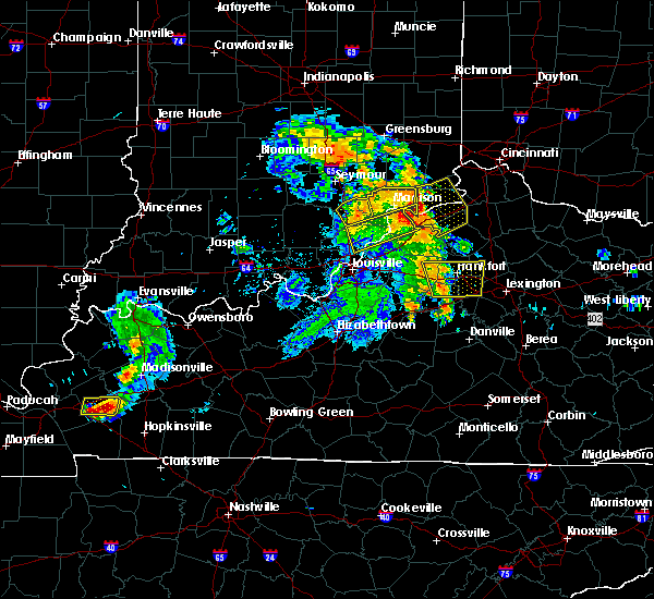 At 1128 am edt, severe thunderstorms were located along a line extending from 5 miles northwest of carrollton to worthville, moving east at 50 mph (radar indicated). Hazards include 60 mph wind gusts. Expect damage to roofs. siding. and trees. locations impacted include, kentucky speedway, carrollton, vevay, warsaw, pleasant, hartford, glencoe, fairview, ghent, sanders, sparta, patriot, worthville, prestonville, bear branch, markland, braytown, aberdeen, pate and avonburg. those attending events at the kentucky speedway are in the path of these storms and should prepare for imminent dangerous weather conditions. Seek shelter now!. At 1128 am edt, severe thunderstorms were located along a line extending from 5 miles northwest of carrollton to worthville, moving east at 50 mph (radar indicated). Hazards include 60 mph wind gusts. Expect damage to roofs. siding. and trees. locations impacted include, kentucky speedway, carrollton, vevay, warsaw, pleasant, hartford, glencoe, fairview, ghent, sanders, sparta, patriot, worthville, prestonville, bear branch, markland, braytown, aberdeen, pate and avonburg. those attending events at the kentucky speedway are in the path of these storms and should prepare for imminent dangerous weather conditions. Seek shelter now!.
|
| 7/8/2016 11:28 AM EDT | Large limb down across mound hill road near hwy 55. a few large branches down in carrollton as wel in carroll county KY, 2.1 miles ENE of Carrollton, KY |
| 7/8/2016 11:27 AM EDT | Large tree fell through shed. time estimated by rada in carroll county KY, 0.2 miles SW of Carrollton, KY |
| 7/8/2016 11:13 AM EDT |
 At 1112 am edt, severe thunderstorms were located along a line extending from near madison to near new castle, moving northeast at 55 mph (radar indicated). Hazards include 60 mph wind gusts. Expect damage to roofs. siding. And trees. At 1112 am edt, severe thunderstorms were located along a line extending from near madison to near new castle, moving northeast at 55 mph (radar indicated). Hazards include 60 mph wind gusts. Expect damage to roofs. siding. And trees.
|
| 7/8/2016 11:13 AM EDT |
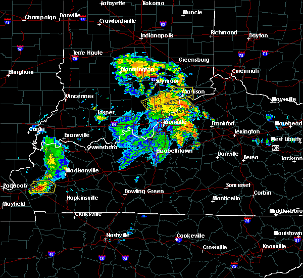 At 1112 am edt, severe thunderstorms were located along a line extending from near madison to near new castle, moving northeast at 55 mph (radar indicated). Hazards include 60 mph wind gusts. Expect damage to roofs. siding. And trees. At 1112 am edt, severe thunderstorms were located along a line extending from near madison to near new castle, moving northeast at 55 mph (radar indicated). Hazards include 60 mph wind gusts. Expect damage to roofs. siding. And trees.
|
| 5/10/2016 3:11 PM EDT |
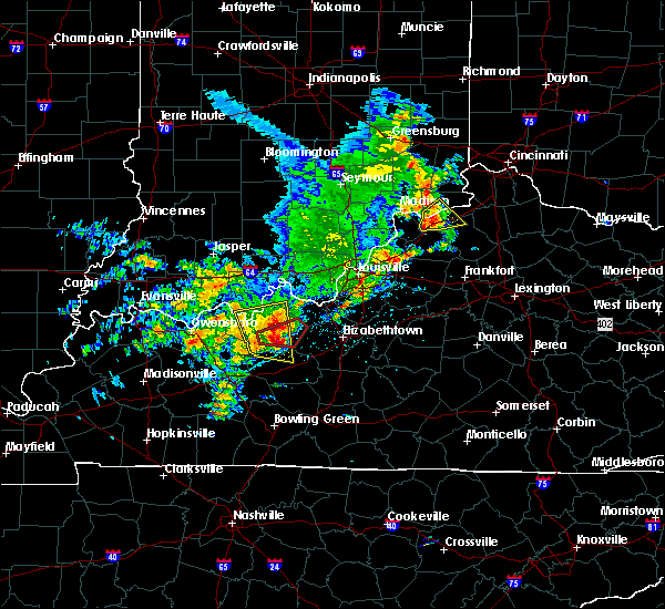 At 311 pm edt, a severe thunderstorm was located over vevay, moving northeast at 35 mph (radar indicated). Hazards include 60 mph wind gusts and quarter size hail. Hail damage to vehicles is expected. expect wind damage to roofs, siding, and trees. Locations impacted include, carrollton, vevay, kentucky speedway, ghent, sanders, sparta, worthville, prestonville, interstate 71 at mile marker 40, braytown, mount sterling, interstate 71 at mile marker 52, jacksonville, interstate 71 at state route 227 and us route 42 at state route 184. At 311 pm edt, a severe thunderstorm was located over vevay, moving northeast at 35 mph (radar indicated). Hazards include 60 mph wind gusts and quarter size hail. Hail damage to vehicles is expected. expect wind damage to roofs, siding, and trees. Locations impacted include, carrollton, vevay, kentucky speedway, ghent, sanders, sparta, worthville, prestonville, interstate 71 at mile marker 40, braytown, mount sterling, interstate 71 at mile marker 52, jacksonville, interstate 71 at state route 227 and us route 42 at state route 184.
|
| 5/10/2016 3:07 PM EDT | A couple of trees down on 8th street. time estimated based on rada in carroll county KY, 0.7 miles NE of Carrollton, KY |
| 5/10/2016 3:06 PM EDT | 1 tree down partially blocking a stree in carroll county KY, 0.2 miles SW of Carrollton, KY |
| 5/10/2016 3:01 PM EDT |
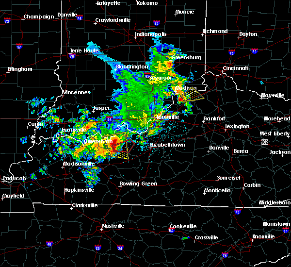 At 300 pm edt, a severe thunderstorm was located over carrollton, moving northeast at 35 mph (radar indicated). Hazards include 60 mph wind gusts and quarter size hail. Hail damage to vehicles is expected. Expect wind damage to roofs, siding, and trees. At 300 pm edt, a severe thunderstorm was located over carrollton, moving northeast at 35 mph (radar indicated). Hazards include 60 mph wind gusts and quarter size hail. Hail damage to vehicles is expected. Expect wind damage to roofs, siding, and trees.
|
| 3/31/2016 4:59 PM EDT |
 At 458 pm edt, radar indicated severe thunderstorms located along a line extending from 11 miles north of prospect to 7 miles northwest of taylorsville, moving east at 60 mph. storm hazards include, winds to 60 mph, penny size hail,. At 458 pm edt, radar indicated severe thunderstorms located along a line extending from 11 miles north of prospect to 7 miles northwest of taylorsville, moving east at 60 mph. storm hazards include, winds to 60 mph, penny size hail,.
|
| 12/23/2015 7:33 PM EST | At 732 pm est, radar indicated a severe thunderstorm located 7 miles southeast of carrollton, moving east at 55 mph. storm hazards include, winds to 60 mph, penny size hail, frequent cloud to ground lightning, locations impacted include, carrollton, williamstown, vevay, warsaw, owenton, kentucky speedway, glencoe, ghent, sanders, corinth, sparta, worthville, monterey, gratz and egypt bottom. this includes the following interstates, i-71 in kentucky between mile markers 39 and 68. i-75 in kentucky between mile markers 144 and 152. |
| 12/23/2015 7:33 PM EST | At 732 pm est, radar indicated a severe thunderstorm located 7 miles southeast of carrollton, moving east at 55 mph. storm hazards include, winds to 60 mph, penny size hail, frequent cloud to ground lightning, locations impacted include, carrollton, williamstown, vevay, warsaw, owenton, kentucky speedway, glencoe, ghent, sanders, corinth, sparta, worthville, monterey, gratz and egypt bottom. this includes the following interstates, i-71 in kentucky between mile markers 39 and 68. i-75 in kentucky between mile markers 144 and 152. |
| 12/23/2015 7:15 PM EST | The national weather service in wilmington has issued a * severe thunderstorm warning for. southern switzerland county in southeastern indiana. southwestern grant county in northern kentucky. gallatin county in northern kentucky. Owen county in northern kentucky. |
| 12/23/2015 7:15 PM EST | At 715 pm est, radar indicated a severe thunderstorm located near bedford, moving northeast at 65 mph. storm hazards include, winds to 60 mph, quarter size hail, frequent cloud to ground lightning, very heavy rain which may cause minor flooding,. |
| 12/23/2015 4:40 PM EST | At 437 pm est, radar indicated severe thunderstorms located along a line extending from 11 miles southwest of versailles to 13 miles northwest of la grange, moving east at 50 mph. storm hazards include, winds to 60 mph, very heavy rain which may cause minor flooding,. |
| 12/23/2015 4:40 PM EST | At 437 pm est, radar indicated severe thunderstorms located along a line extending from 11 miles southwest of versailles to 13 miles northwest of la grange, moving east at 50 mph. storm hazards include, winds to 60 mph, very heavy rain which may cause minor flooding,. |
| 7/13/2015 2:15 PM EDT |
 At 215 pm edt, radar indicated severe thunderstorms located along a line extending from near felicity to near bedford, moving south at 40 mph. storm hazards include, winds to 60 mph, penny size hail, frequent cloud to ground lightning, very heavy rain which may cause minor flooding, locations impacted include, independence, alexandria, carrollton, walton, claryville, amelia, crittenden, mount orab, bethel, new richmond, williamsburg, vevay, warsaw, sardinia, kentucky speedway, ryland heights, hamersville, mowrystown, glencoe and ghent. At 215 pm edt, radar indicated severe thunderstorms located along a line extending from near felicity to near bedford, moving south at 40 mph. storm hazards include, winds to 60 mph, penny size hail, frequent cloud to ground lightning, very heavy rain which may cause minor flooding, locations impacted include, independence, alexandria, carrollton, walton, claryville, amelia, crittenden, mount orab, bethel, new richmond, williamsburg, vevay, warsaw, sardinia, kentucky speedway, ryland heights, hamersville, mowrystown, glencoe and ghent.
|
| 7/13/2015 2:02 PM EDT | Several large limbs down on house and power lines. time estimated from rada in carroll county KY, 0.2 miles SW of Carrollton, KY |
| 7/13/2015 1:34 PM EDT |
 At 132 pm edt, radar indicated severe thunderstorms located along a line extending from montgomery to 11 miles east of vernon, moving south at 40 mph. storm hazards include, winds to 60 mph, penny size hail, frequent cloud to ground lightning, very heavy rain which may cause minor flooding,. At 132 pm edt, radar indicated severe thunderstorms located along a line extending from montgomery to 11 miles east of vernon, moving south at 40 mph. storm hazards include, winds to 60 mph, penny size hail, frequent cloud to ground lightning, very heavy rain which may cause minor flooding,.
|
| 6/26/2015 6:45 PM EDT | At 644 pm edt, radar continued to indicate a severe thunderstorm located near long ridge, moving northeast at 25 mph. storm hazards include, damaging winds to 70 mph, quarter size hail, frequent cloud to ground lightning, very heavy rain which may cause minor flooding, locations impacted include, williamstown, dry ridge and crittenden. in addition, us route 42 at state route 184, new columbus, ethridge, needmore, holbrook, glencoe, keefer and lawrenceville are near the path of this storm. this includes the following interstates, i-71 between mile markers 40 and 70, i-75 between mile markers 145 and 166,. |
| 6/26/2015 6:28 PM EDT | At 626 pm edt, radar indicated that the severe thunderstorm had strengthened. this storm was located near squiresville, moving northeast at 25 mph. storm hazards include, damaging winds to 70 mph, quarter size hail, frequent cloud to ground lightning, very heavy rain which may cause minor flooding, locations impacted include, owenton, kentucky speedway, williamstown, dry ridge and crittenden. in addition, eagle station, wheatley, beechwood, ghent, new liberty, sanders, carson and elk lake are near the path of this storm. this includes the following interstates, i-71 between mile markers 40 and 70, i-75 between mile markers 145 and 166,. |
| 6/26/2015 6:19 PM EDT | At 616 pm edt, radar indicated a severe thunderstorm located near gratz, moving northeast at 25 mph. storm hazards include, winds to 60 mph, quarter size hail, frequent cloud to ground lightning, very heavy rain which may cause minor flooding,. |
| 4/8/2015 7:11 PM EDT | A severe thunderstorm warning remains in effect until 730 pm edt for gallatin. carroll. boone and switzerland counties. at 710 pm edt. radar continued to indicate a severe thunderstorm located near markland. moving east at 30 mph. storm hazards include. Winds to 60 mph. |
| 4/8/2015 7:11 PM EDT | A severe thunderstorm warning remains in effect until 730 pm edt for gallatin. carroll. boone and switzerland counties. at 710 pm edt. radar continued to indicate a severe thunderstorm located near markland. moving east at 30 mph. storm hazards include. Winds to 60 mph. |
| 4/8/2015 6:52 PM EDT | The national weather service in wilmington has issued a * severe thunderstorm warning for. gallatin county in northern kentucky. carroll county in northern kentucky. boone county in northern kentucky. Switzerland county in southeast indiana. |
| 4/8/2015 6:52 PM EDT | The national weather service in wilmington has issued a * severe thunderstorm warning for. gallatin county in northern kentucky. carroll county in northern kentucky. boone county in northern kentucky. Switzerland county in southeast indiana. |
| 4/8/2015 11:21 AM EDT | The national weather service in wilmington has issued a * severe thunderstorm warning for. grant county in northern kentucky. gallatin county in northern kentucky. carroll county in northern kentucky. Southern pendleton county in northern kentucky. |
| 4/8/2015 11:21 AM EDT | The national weather service in wilmington has issued a * severe thunderstorm warning for. grant county in northern kentucky. gallatin county in northern kentucky. carroll county in northern kentucky. Southern pendleton county in northern kentucky. |
| 5/21/2014 7:04 PM EDT | Half Dollar sized hail reported 0.2 miles SW of Carrollton, KY |
| 5/21/2014 7:04 PM EDT | 3 large limbs dow in carroll county KY, 0.2 miles SW of Carrollton, KY |
| 5/21/2014 7:02 PM EDT | Quarter sized hail reported 2 miles E of Carrollton, KY, via media |
| 12/21/2013 10:53 PM EST | Couple of large trees down in carroll county KY, 0.2 miles SW of Carrollton, KY |
| 9/5/2012 4:05 PM EDT | One tree down. time estimate in carroll county KY, 0.2 miles SW of Carrollton, KY |
| 7/27/2012 6:22 PM EDT | Storm damage reported in carroll county KY, 0.2 miles SW of Carrollton, KY |
| 7/19/2012 6:05 PM EDT | Quarter sized hail reported 4.8 miles NNW of Carrollton, KY, time estimated from radar. |
| 7/1/2012 7:39 PM EDT | Tree limbs down in city. several other trees down across the county. time estimated from rada in carroll county KY, 0.2 miles SW of Carrollton, KY |
| 3/23/2012 4:58 PM EDT | Numerous large tree limbs around 8 to 12 inches in diameter reported down within the state park. time estimated from rada in carroll county KY, 0.9 miles NW of Carrollton, KY |
| 3/2/2012 4:04 PM EST | Golf Ball sized hail reported 1.2 miles N of Carrollton, KY, at the intersection of hwy 55 and hwy 389 - relayed from wfo louisville |
| 1/1/0001 12:00 AM | Half Dollar sized hail reported 0.2 miles SW of Carrollton, KY |
| 1/1/0001 12:00 AM | Storm damage reported in carroll county KY, 0.2 miles SW of Carrollton, KY |
| 1/1/0001 12:00 AM | Storm damage reported in carroll county KY, 0.2 miles SW of Carrollton, KY |
| 1/1/0001 12:00 AM | Large tree limbs down in carroll county KY, 0.2 miles SW of Carrollton, KY |
Hail Maps for Carrollton, KY


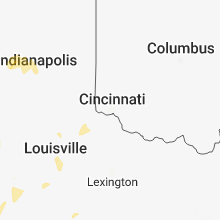


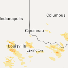


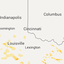

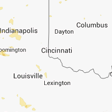


Connect with Interactive Hail Maps