

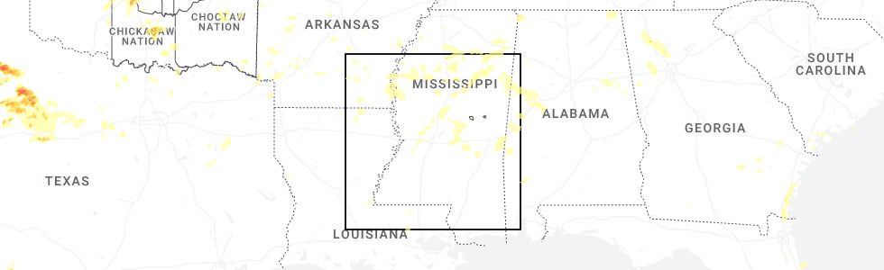
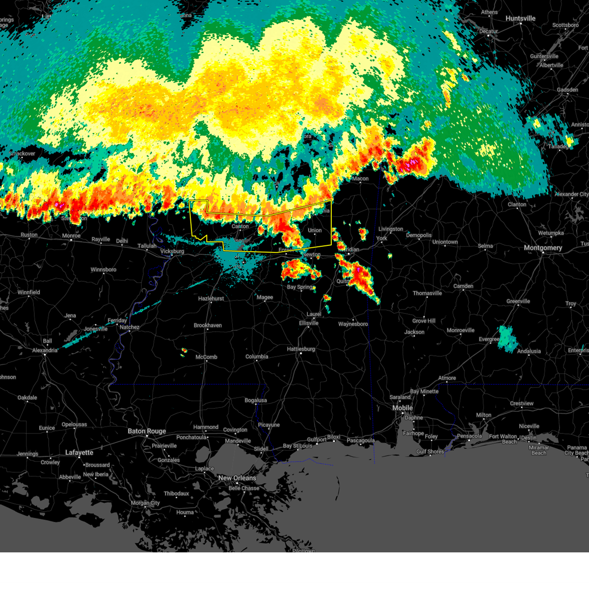
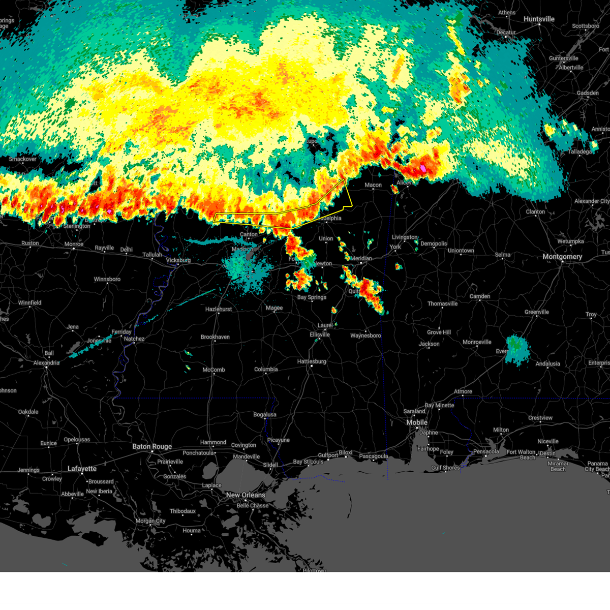
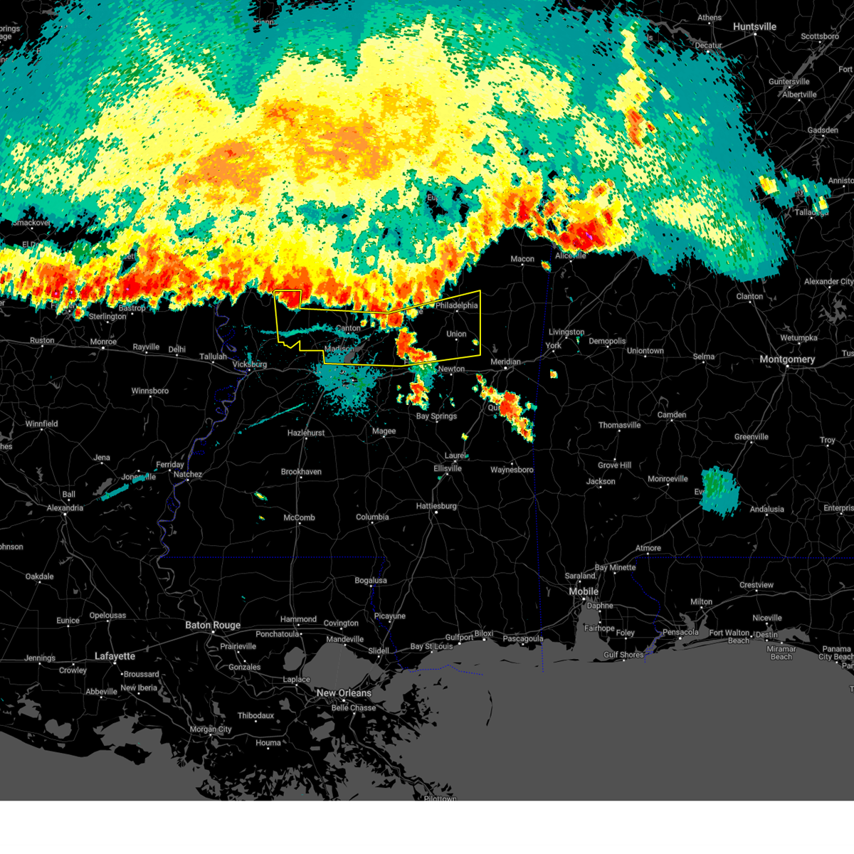
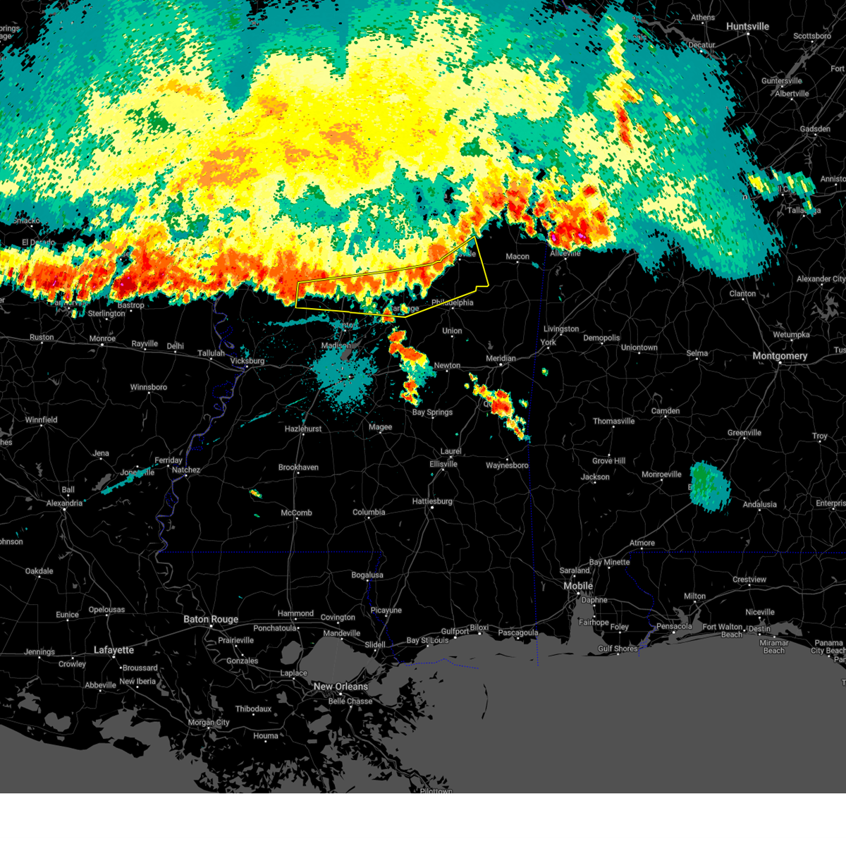
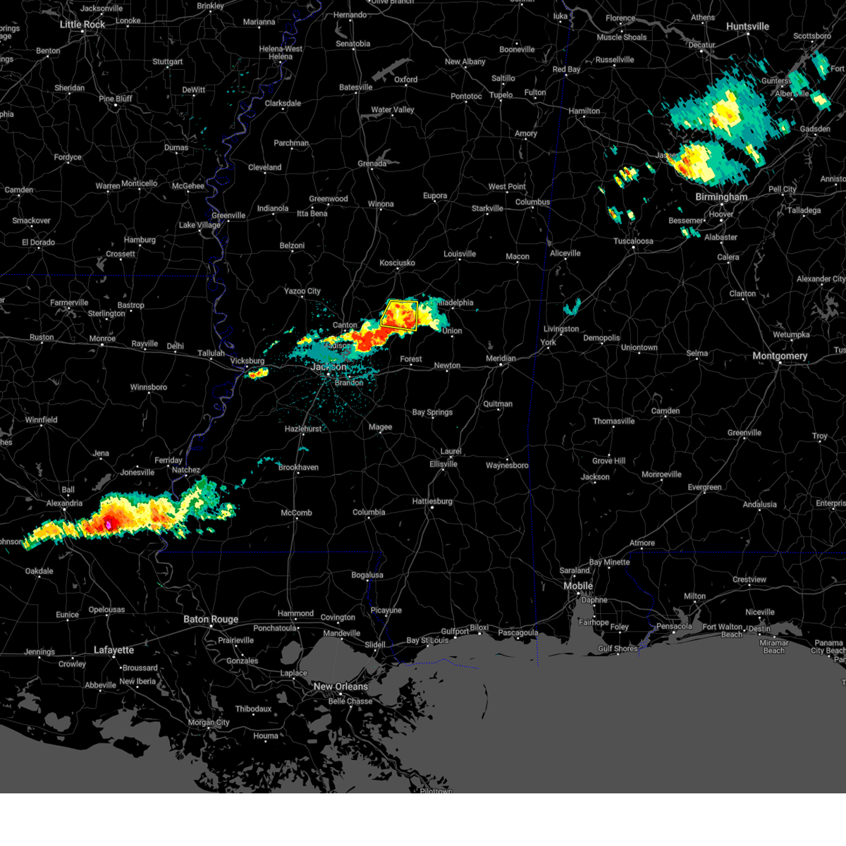
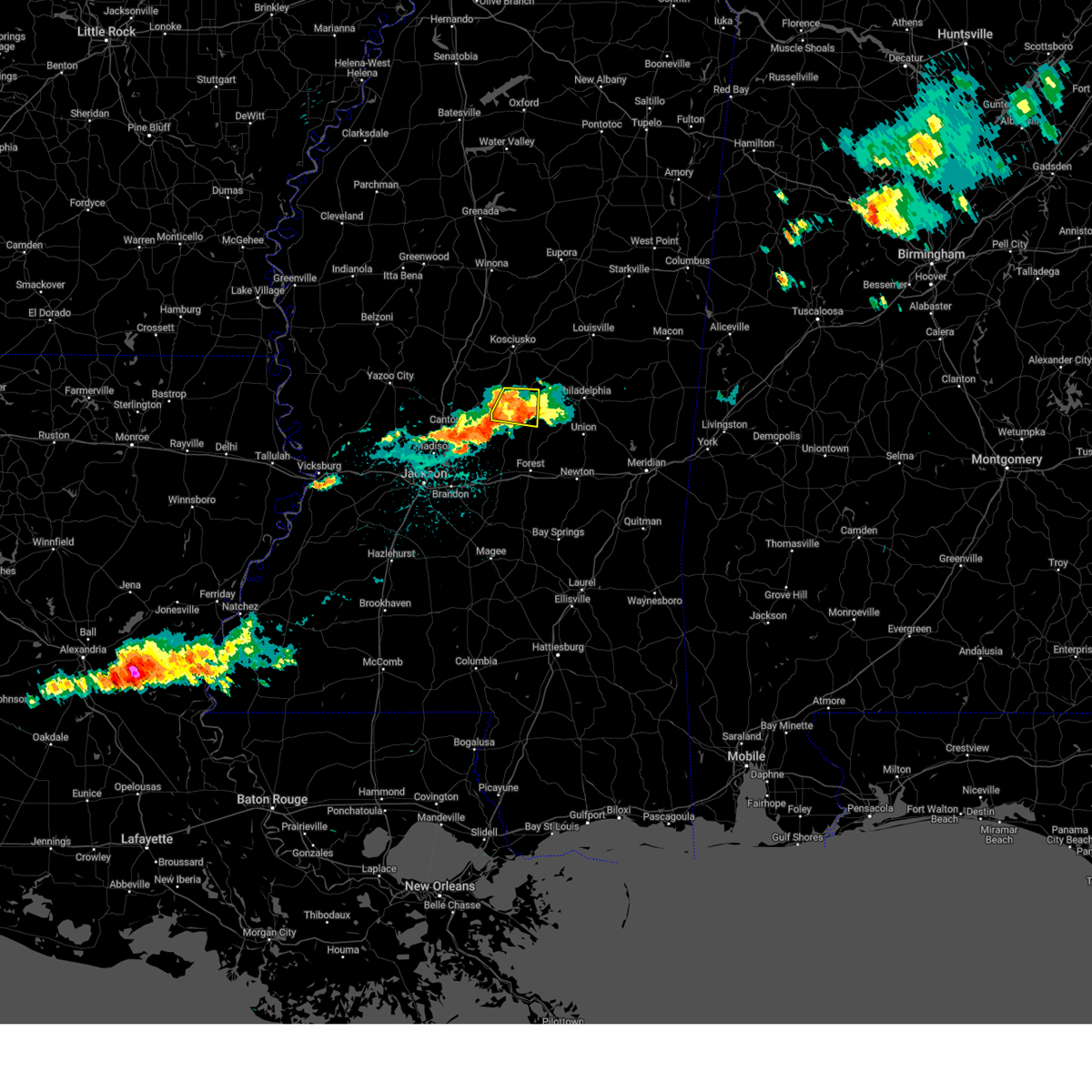
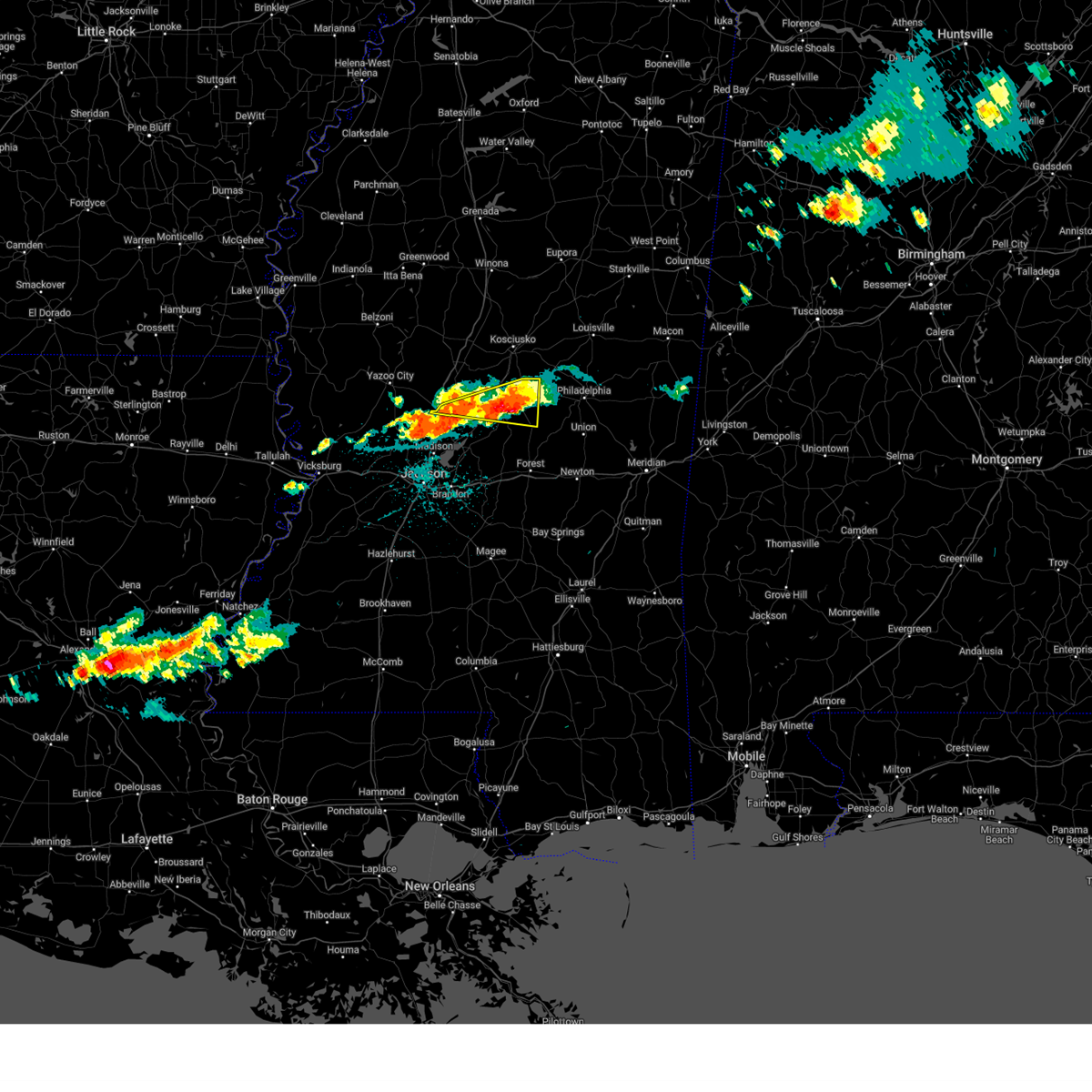
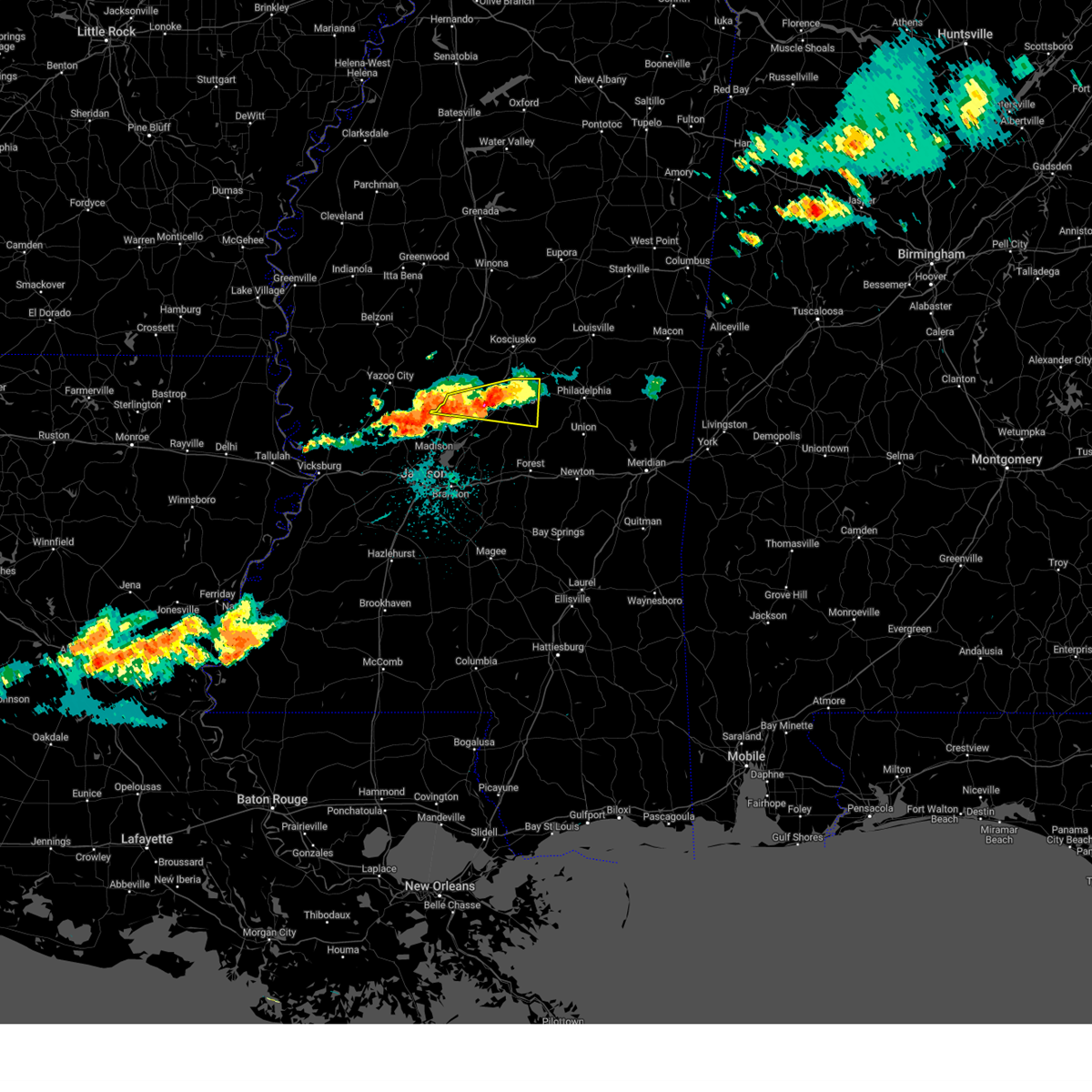
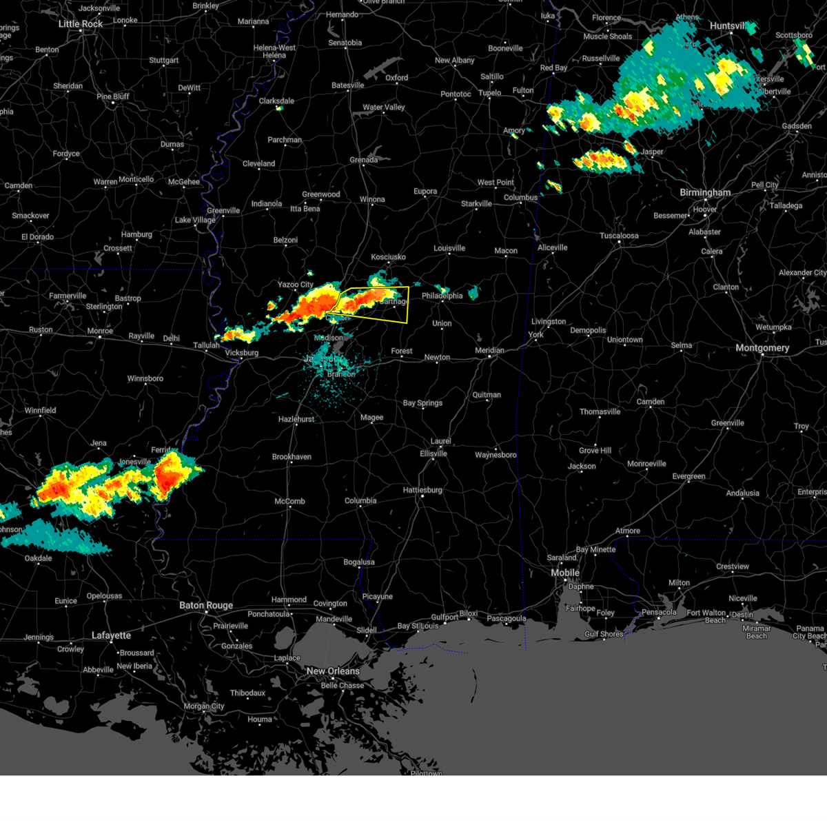
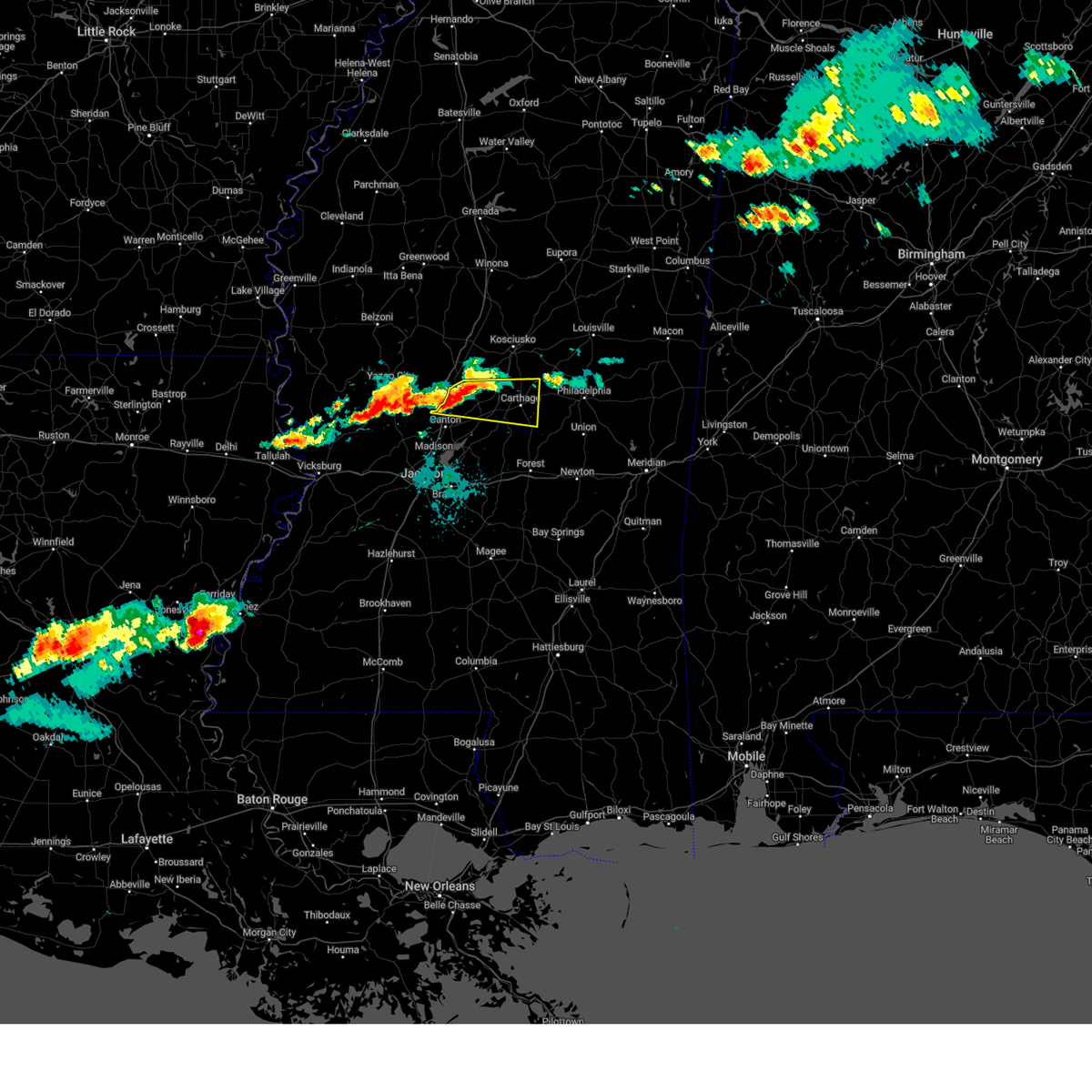
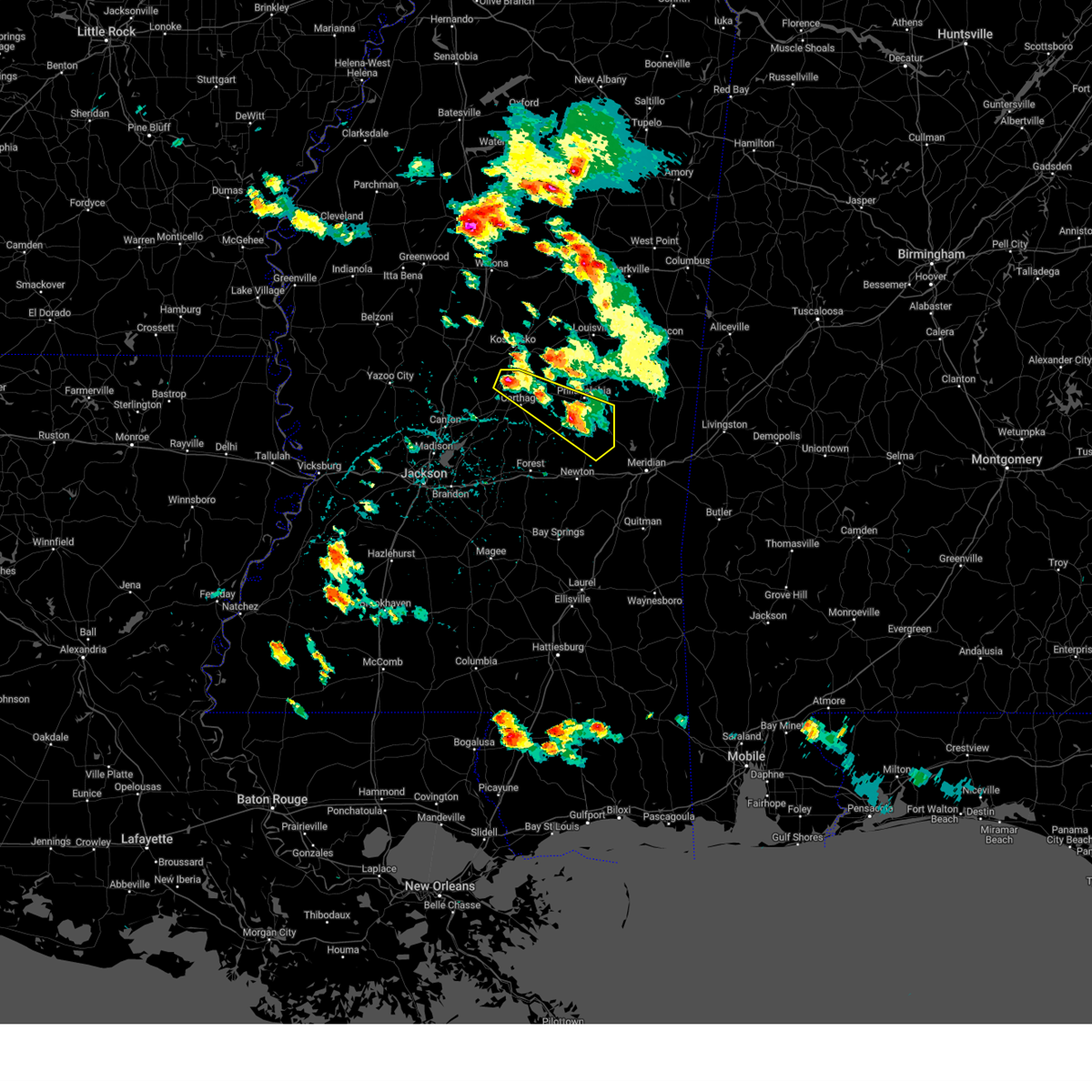
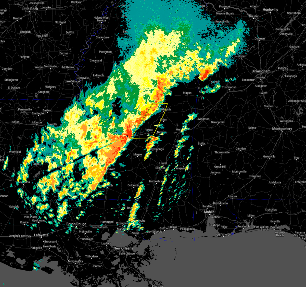
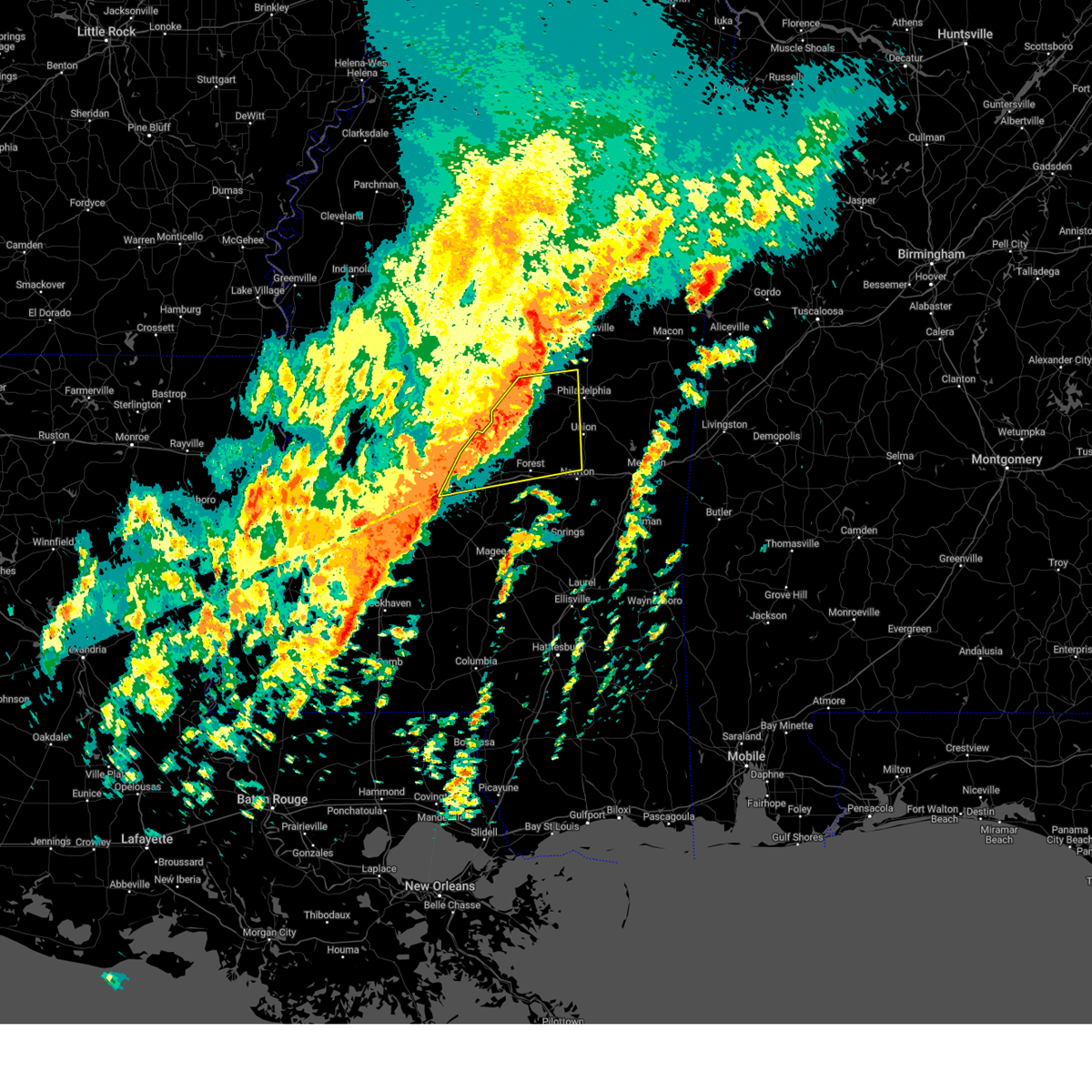
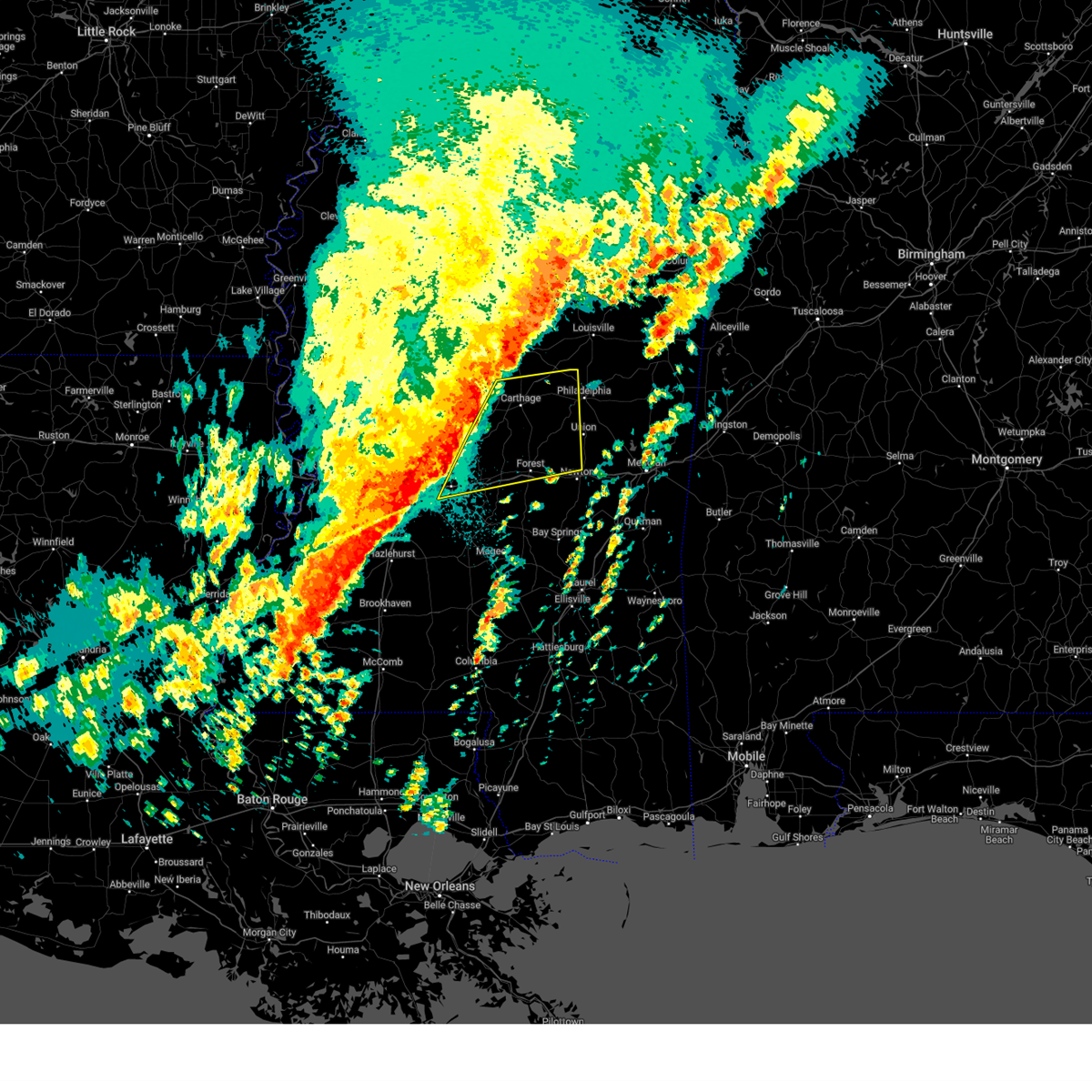
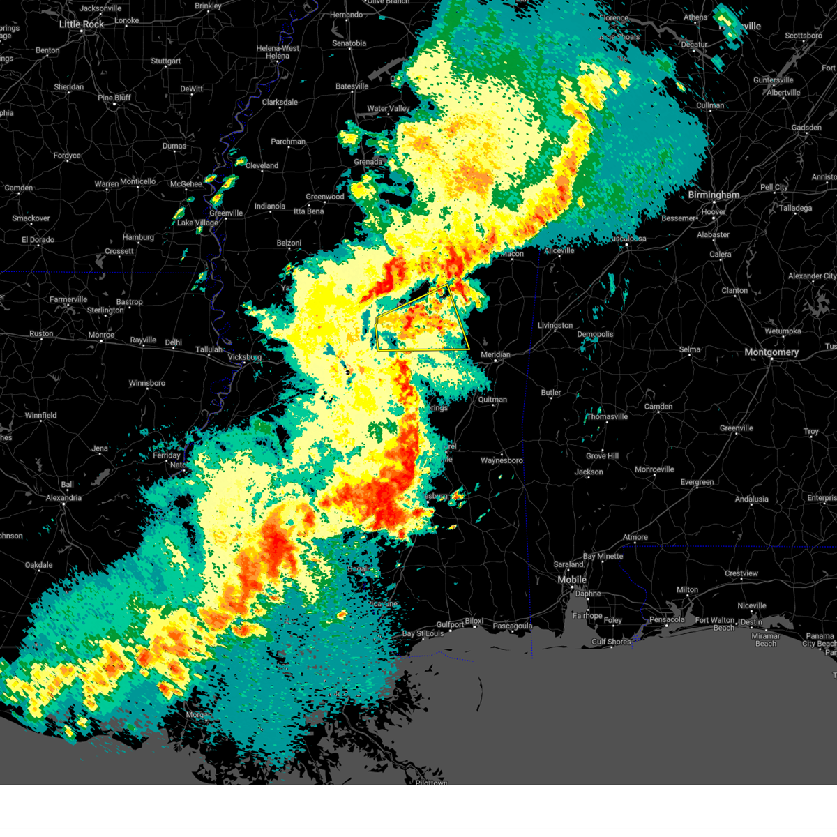
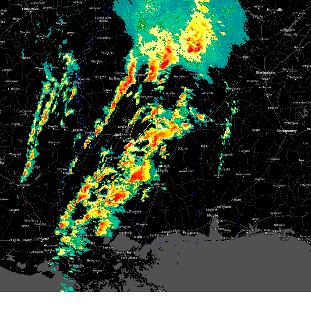
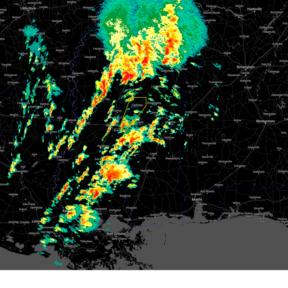
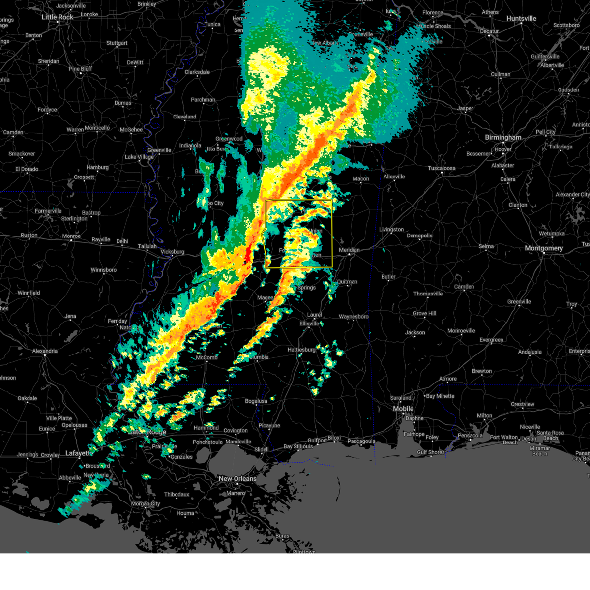
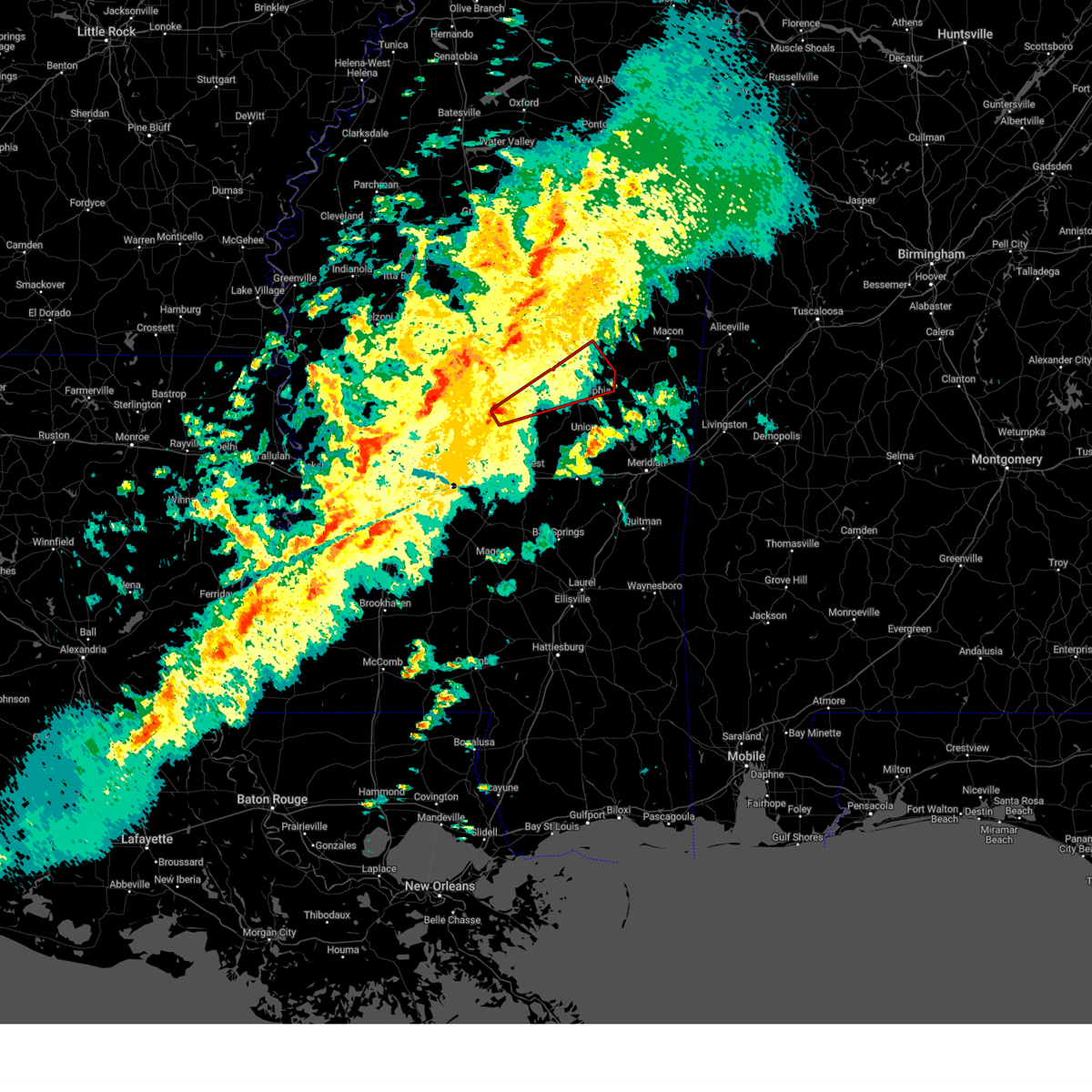
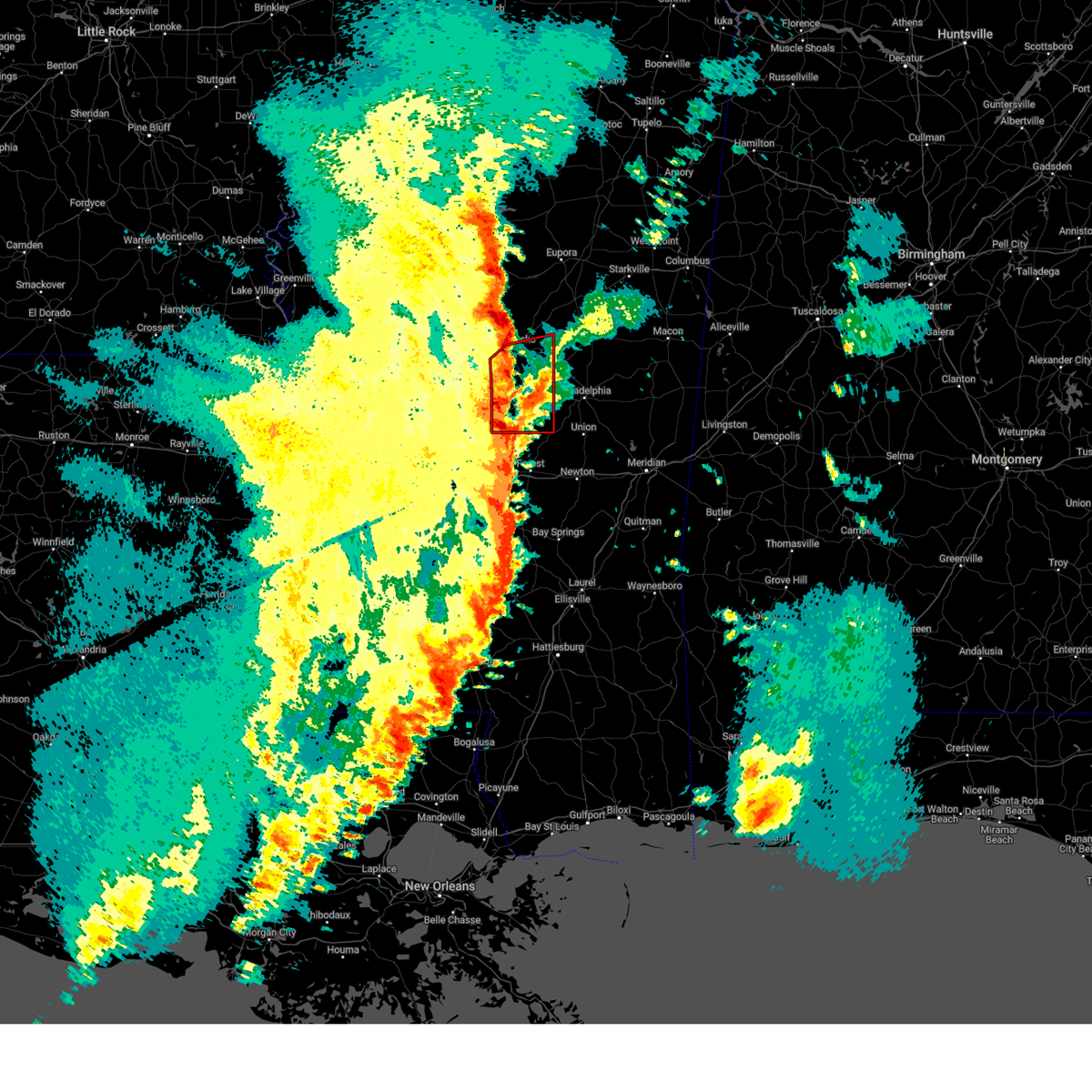
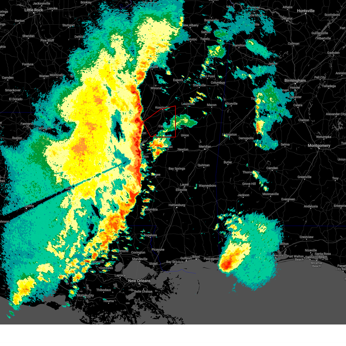
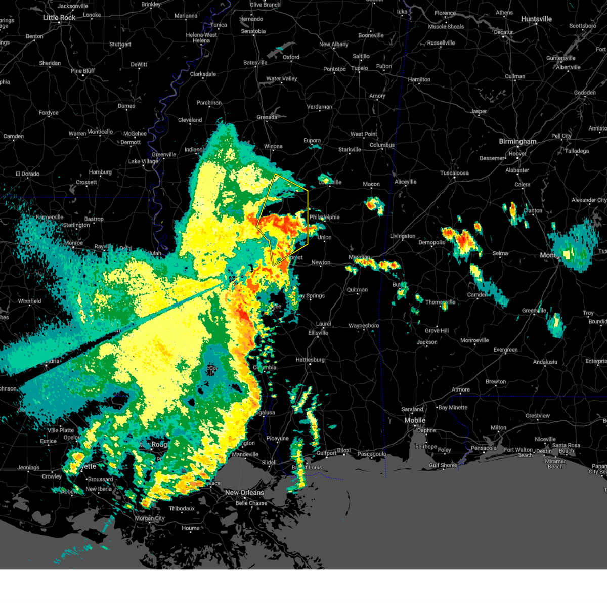
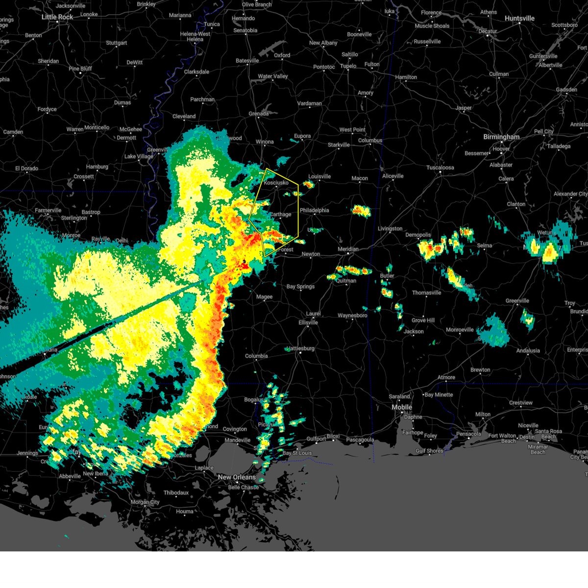
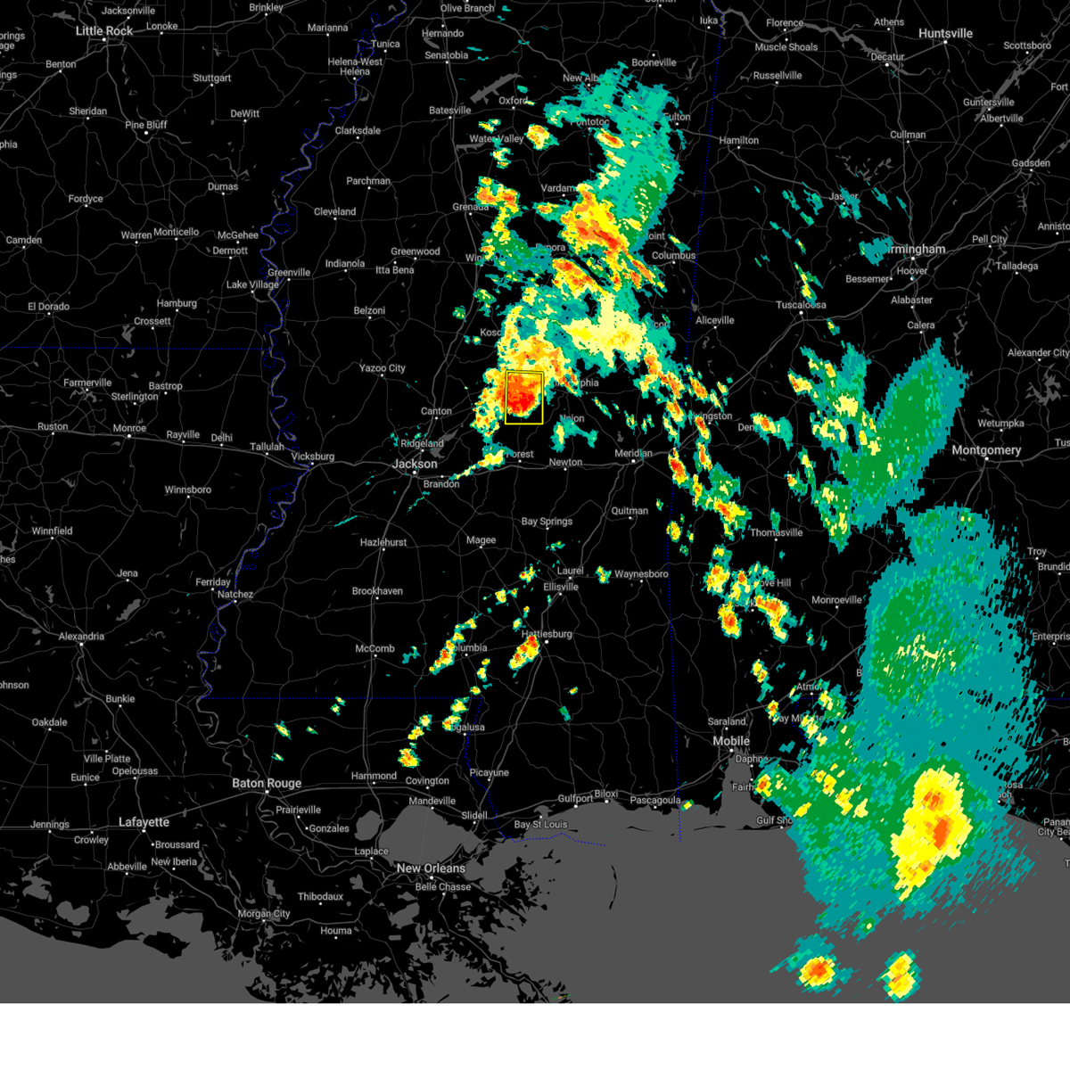
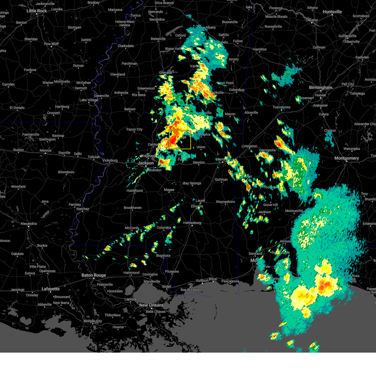
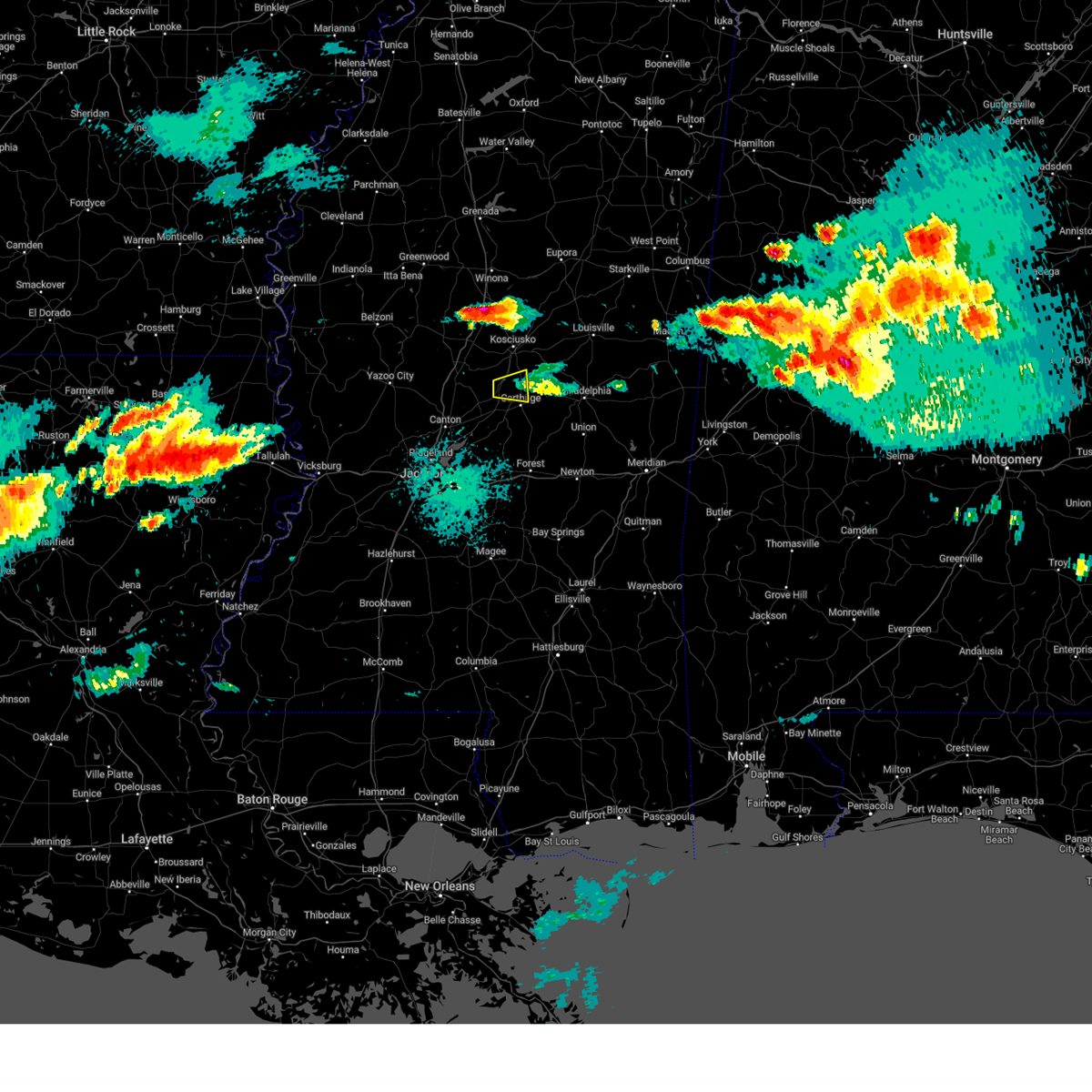
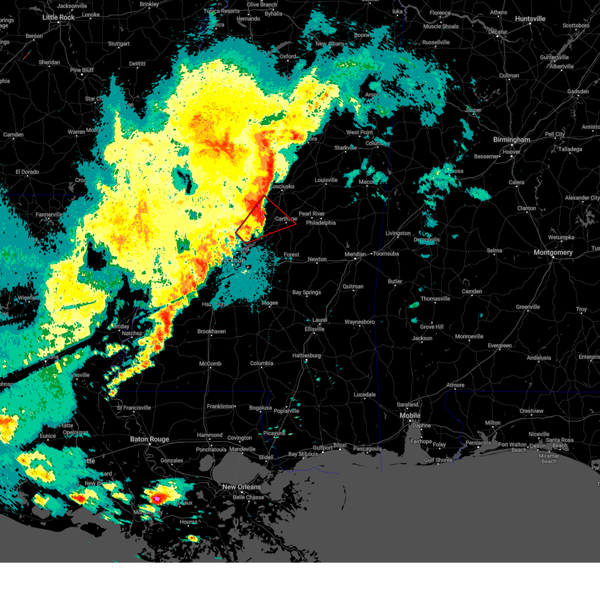
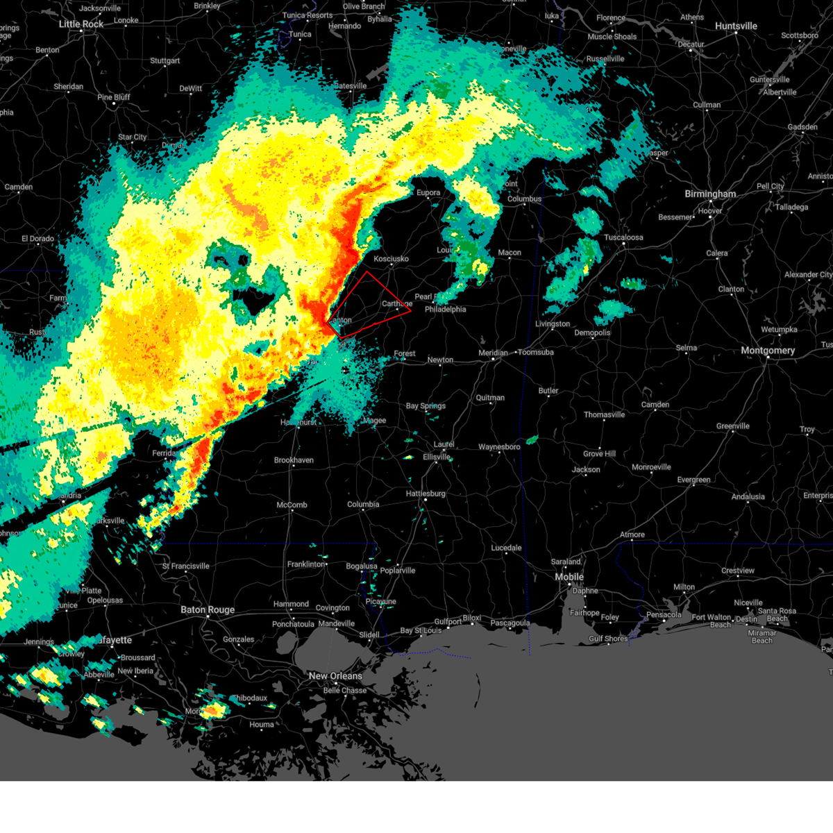
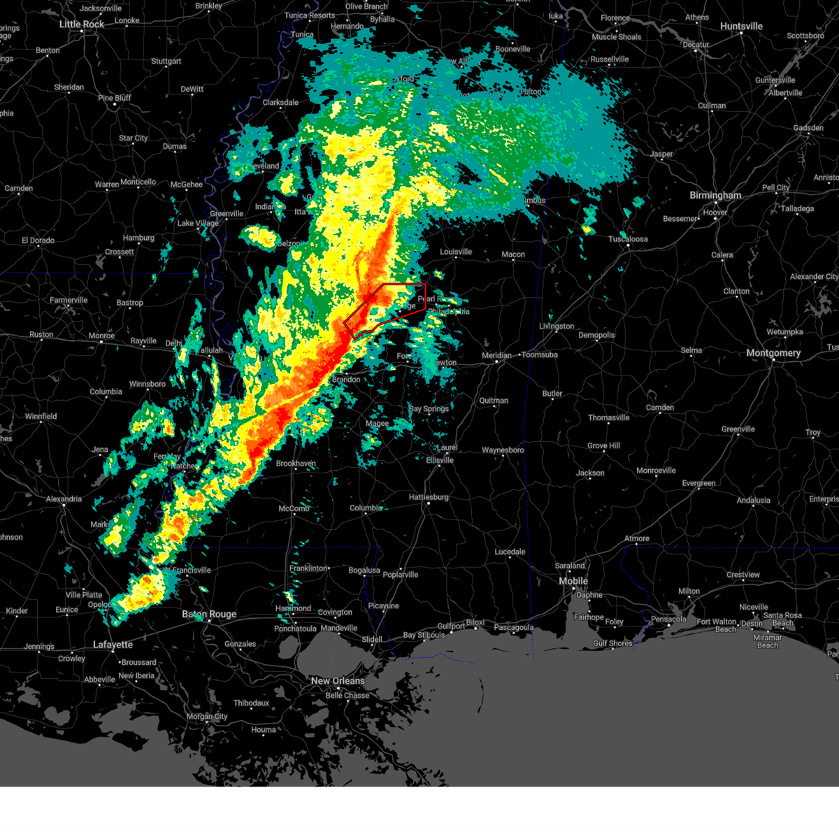
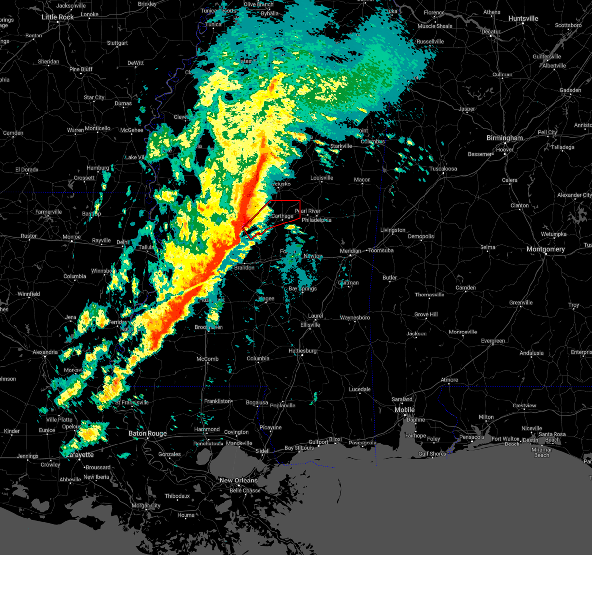
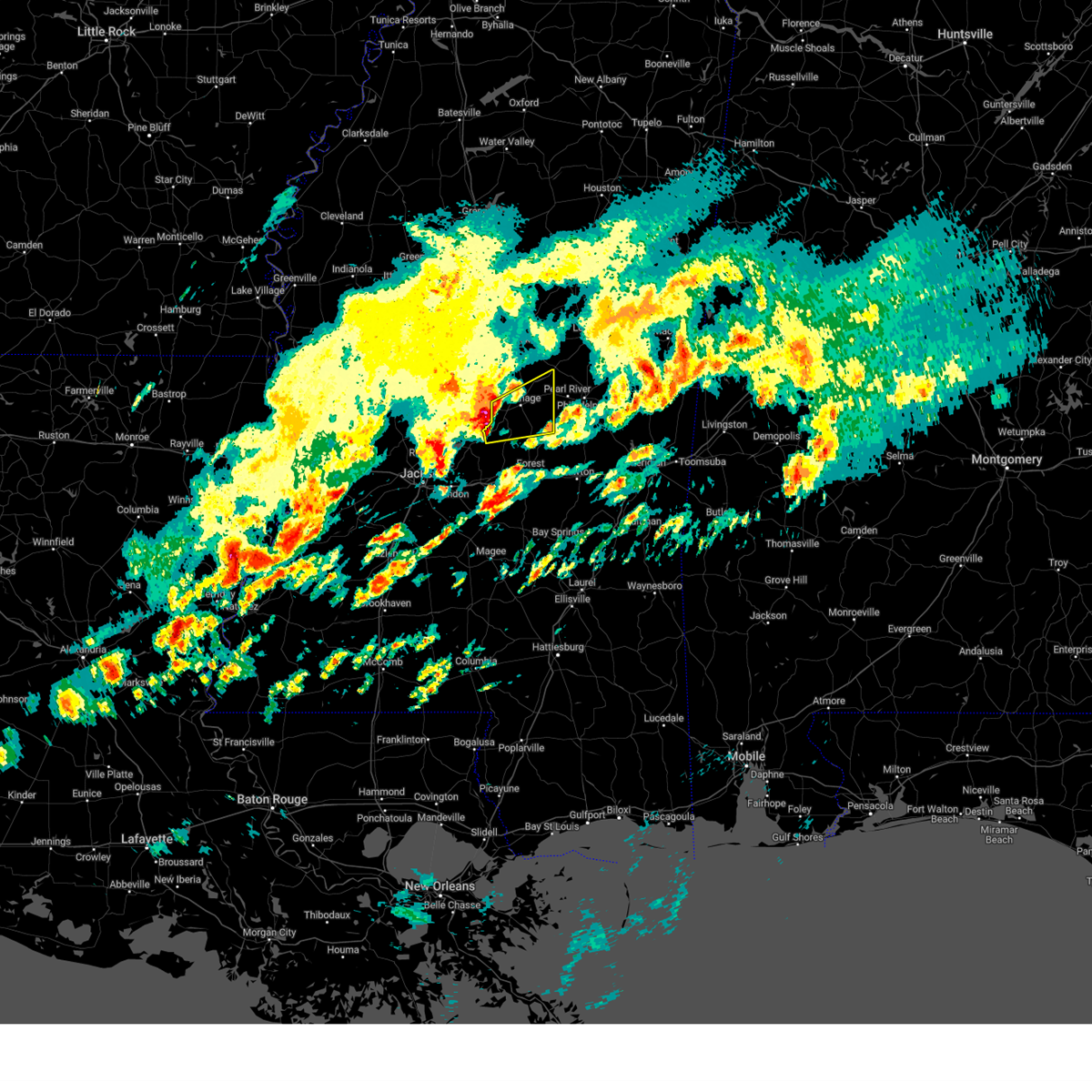
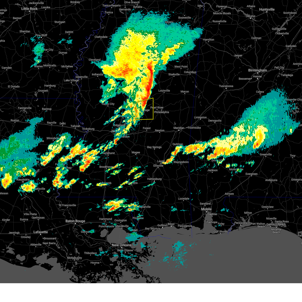
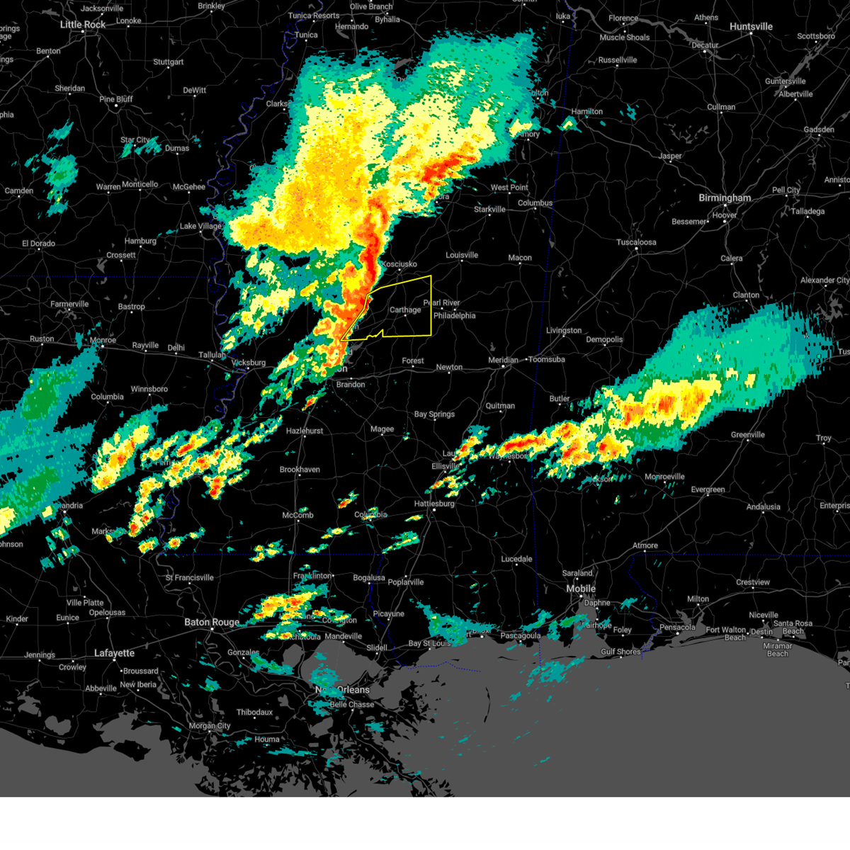
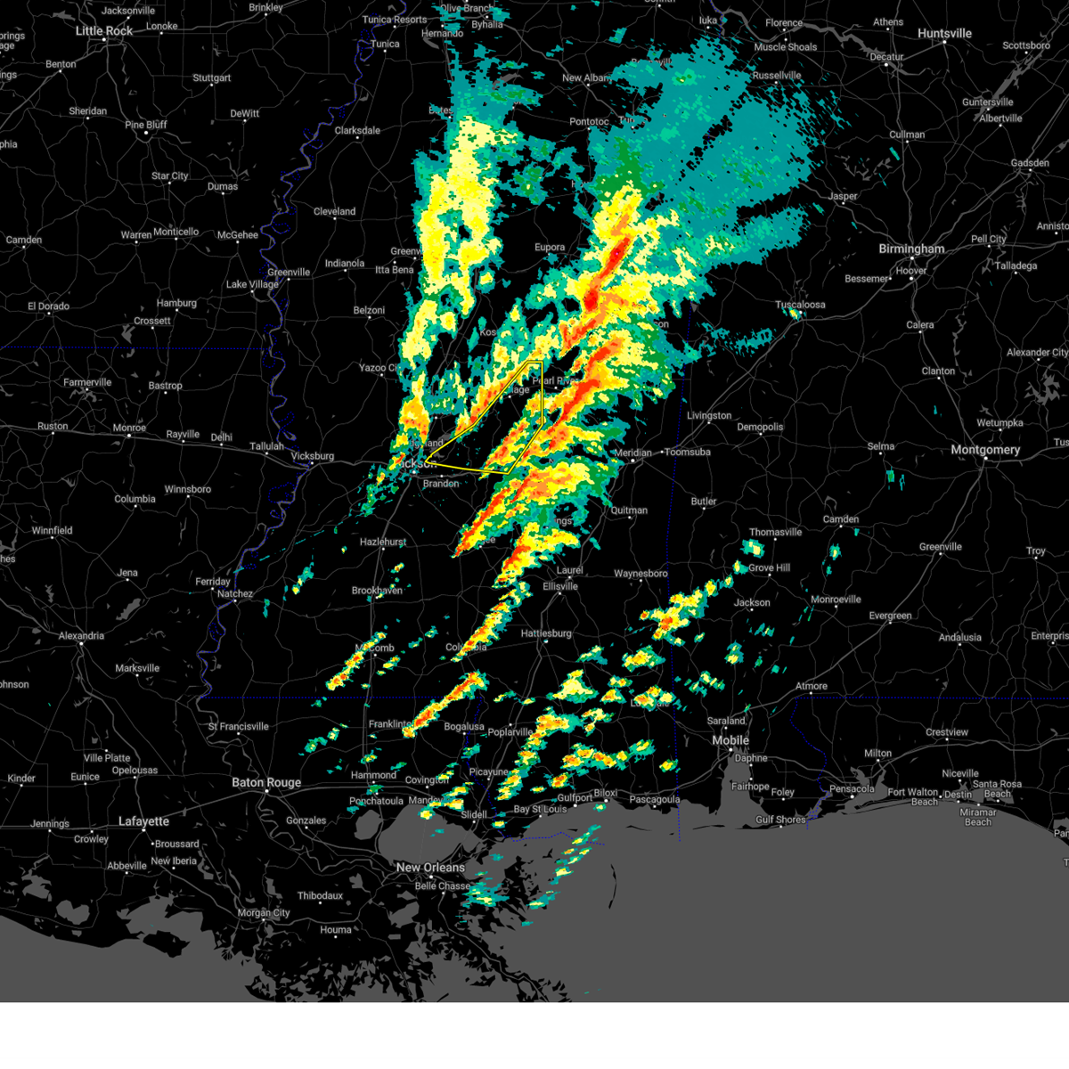
Hail Map for Carthage, MS
The Carthage, MS area has had 18 reports of on-the-ground hail by trained spotters, and has been under severe weather warnings 38 times during the past 12 months. Doppler radar has detected hail at or near Carthage, MS on 74 occasions, including 7 occasions during the past year.
| Name: | Carthage, MS |
| Where Located: | 49.2 miles NE of Jackson, MS |
| Map: | Google Map for Carthage, MS |
| Population: | 5075 |
| Housing Units: | 1799 |
| More Info: | Search Google for Carthage, MS |
1
The Top Recent Hail Date for Carthage, MS is Sunday, May 25, 2025 (14th out of 74)
Hail and Wind Damage Spotted near Carthage, MS
| Date / Time | Report Details |
|---|---|
| 6/16/2025 3:44 PM CDT | the severe thunderstorm warning has been cancelled and is no longer in effect |
| 6/16/2025 3:15 PM CDT |
 the severe thunderstorm warning has been cancelled and is no longer in effect the severe thunderstorm warning has been cancelled and is no longer in effect
|
| 6/16/2025 3:15 PM CDT |
 At 315 pm cdt, a severe thunderstorm was located near tuscola, or near carthage, moving northeast at 30 mph (radar indicated). Hazards include 60 mph wind gusts. Expect damage to roofs, siding, and trees. this severe storm will be near, carthage, redwater, and standing pine around 320 pm cdt. Edinburg and renfroe around 330 pm cdt. At 315 pm cdt, a severe thunderstorm was located near tuscola, or near carthage, moving northeast at 30 mph (radar indicated). Hazards include 60 mph wind gusts. Expect damage to roofs, siding, and trees. this severe storm will be near, carthage, redwater, and standing pine around 320 pm cdt. Edinburg and renfroe around 330 pm cdt.
|
| 6/16/2025 3:05 PM CDT |
 At 305 pm cdt, a severe thunderstorm was located over lena, or 9 miles south of carthage, moving northeast at 30 mph (radar indicated). Hazards include 60 mph wind gusts. Expect damage to roofs, siding, and trees. this severe storm will be near, carthage, walnut grove, standing pine, and tuscola around 310 pm cdt. redwater around 315 pm cdt. renfroe around 330 pm cdt. Edinburg around 335 pm cdt. At 305 pm cdt, a severe thunderstorm was located over lena, or 9 miles south of carthage, moving northeast at 30 mph (radar indicated). Hazards include 60 mph wind gusts. Expect damage to roofs, siding, and trees. this severe storm will be near, carthage, walnut grove, standing pine, and tuscola around 310 pm cdt. redwater around 315 pm cdt. renfroe around 330 pm cdt. Edinburg around 335 pm cdt.
|
| 6/16/2025 2:57 PM CDT |
 Svrjan the national weather service in jackson has issued a * severe thunderstorm warning for, leake county in central mississippi, northern scott county in central mississippi, * until 400 pm cdt. * at 257 pm cdt, a severe thunderstorm was located over lena, or 13 miles southwest of carthage, moving northeast at 25 mph (radar indicated). Hazards include 60 mph wind gusts. Expect damage to roofs, siding, and trees. this severe thunderstorm will be near, lena and tuscola around 300 pm cdt. carthage and walnut grove around 305 pm cdt. standing pine around 310 pm cdt. redwater around 315 pm cdt. renfroe around 330 pm cdt. Edinburg around 335 pm cdt. Svrjan the national weather service in jackson has issued a * severe thunderstorm warning for, leake county in central mississippi, northern scott county in central mississippi, * until 400 pm cdt. * at 257 pm cdt, a severe thunderstorm was located over lena, or 13 miles southwest of carthage, moving northeast at 25 mph (radar indicated). Hazards include 60 mph wind gusts. Expect damage to roofs, siding, and trees. this severe thunderstorm will be near, lena and tuscola around 300 pm cdt. carthage and walnut grove around 305 pm cdt. standing pine around 310 pm cdt. redwater around 315 pm cdt. renfroe around 330 pm cdt. Edinburg around 335 pm cdt.
|
| 5/25/2025 9:14 PM CDT |
 At 914 pm cdt, severe thunderstorms were located along a line extending from pocahontas to near hillsboro to near herbert springs, moving south at 40 mph (radar indicated). Hazards include 60 mph wind gusts. Expect damage to roofs, siding, and trees. these severe storms will be near, jackson, madison, ridgeland, union, conehatta, hillsboro, stratton, herbert springs, little rock, and fannin around 920 pm cdt. Decatur and duffee around 925 pm cdt. At 914 pm cdt, severe thunderstorms were located along a line extending from pocahontas to near hillsboro to near herbert springs, moving south at 40 mph (radar indicated). Hazards include 60 mph wind gusts. Expect damage to roofs, siding, and trees. these severe storms will be near, jackson, madison, ridgeland, union, conehatta, hillsboro, stratton, herbert springs, little rock, and fannin around 920 pm cdt. Decatur and duffee around 925 pm cdt.
|
| 5/25/2025 9:00 PM CDT |
 the severe thunderstorm warning has been cancelled and is no longer in effect the severe thunderstorm warning has been cancelled and is no longer in effect
|
| 5/25/2025 9:00 PM CDT |
 At 859 pm cdt, severe thunderstorms were located along a line extending from nanih waiya to tuscola to near canton, moving southeast at 40 mph (radar indicated). Hazards include 60 mph wind gusts. Expect damage to roofs, siding, and trees. Locations impacted include, yazoo city, carthage, redwater, noxapater, benton, camden, nanih waiya, edinburg, millcreek, vaughan, renfroe, cameron, burnside, singleton, thomastown, and stallo. At 859 pm cdt, severe thunderstorms were located along a line extending from nanih waiya to tuscola to near canton, moving southeast at 40 mph (radar indicated). Hazards include 60 mph wind gusts. Expect damage to roofs, siding, and trees. Locations impacted include, yazoo city, carthage, redwater, noxapater, benton, camden, nanih waiya, edinburg, millcreek, vaughan, renfroe, cameron, burnside, singleton, thomastown, and stallo.
|
| 5/25/2025 8:52 PM CDT |
 At 852 pm cdt, severe thunderstorms were located along a line extending from near little yazoo to 8 miles northeast of farmhaven to near burnside, moving south at 40 mph (radar indicated). Hazards include 60 mph wind gusts. Expect damage to roofs, siding, and trees. these severe storms will be near, jackson, canton, philadelphia, walnut grove, flora, tucker, standing pine, bentonia, lena, and tuscola around 900 pm cdt. gluckstadt, sebastopol, bethsaida, neshoba, and annandale around 905 pm cdt. madison, union, harperville, house, prospect, leesburg, steele, forkville, pisgah, and goshen springs around 910 pm cdt. ridgeland, hillsboro, herbert springs, fannin, and branch around 915 pm cdt. conehatta, stratton, and little rock around 920 pm cdt. Decatur and duffee around 925 pm cdt. At 852 pm cdt, severe thunderstorms were located along a line extending from near little yazoo to 8 miles northeast of farmhaven to near burnside, moving south at 40 mph (radar indicated). Hazards include 60 mph wind gusts. Expect damage to roofs, siding, and trees. these severe storms will be near, jackson, canton, philadelphia, walnut grove, flora, tucker, standing pine, bentonia, lena, and tuscola around 900 pm cdt. gluckstadt, sebastopol, bethsaida, neshoba, and annandale around 905 pm cdt. madison, union, harperville, house, prospect, leesburg, steele, forkville, pisgah, and goshen springs around 910 pm cdt. ridgeland, hillsboro, herbert springs, fannin, and branch around 915 pm cdt. conehatta, stratton, and little rock around 920 pm cdt. Decatur and duffee around 925 pm cdt.
|
| 5/25/2025 8:49 PM CDT |
 At 849 pm cdt, severe thunderstorms were located along a line extending from 6 miles northeast of noxapater to near redwater to near vaughan, moving southeast at 45 mph (radar indicated). Hazards include 60 mph wind gusts. Expect damage to roofs, siding, and trees. Locations impacted include, yazoo city, kosciusko, louisville, carthage, goodman, pickens, redwater, noxapater, benton, sallis, newport, mcmillan, millcreek, renfroe, cameron, burnside, thomastown, smyrna, stallo, and camden. At 849 pm cdt, severe thunderstorms were located along a line extending from 6 miles northeast of noxapater to near redwater to near vaughan, moving southeast at 45 mph (radar indicated). Hazards include 60 mph wind gusts. Expect damage to roofs, siding, and trees. Locations impacted include, yazoo city, kosciusko, louisville, carthage, goodman, pickens, redwater, noxapater, benton, sallis, newport, mcmillan, millcreek, renfroe, cameron, burnside, thomastown, smyrna, stallo, and camden.
|
| 5/25/2025 8:49 PM CDT |
 the severe thunderstorm warning has been cancelled and is no longer in effect the severe thunderstorm warning has been cancelled and is no longer in effect
|
| 5/25/2025 8:45 PM CDT | Multiple trees and powerlines downed across leake count in leake county MS, 1.3 miles NNE of Carthage, MS |
| 5/25/2025 8:45 PM CDT | Svrjan the national weather service in jackson has issued a * severe thunderstorm warning for, leake county in central mississippi, northern newton county in east central mississippi, northeastern rankin county in central mississippi, central scott county in central mississippi, central yazoo county in central mississippi, neshoba county in east central mississippi, madison county in central mississippi, * until 945 pm cdt. * at 845 pm cdt, severe thunderstorms were located along a line extending from near yazoo city to near camden to near noxapater, moving south at 35 mph (radar indicated). Hazards include 60 mph wind gusts. Expect damage to roofs, siding, and trees. severe thunderstorms will be near, carthage, redwater, burnside, edinburg, myrleville, way, little yazoo, and tinsley around 850 pm cdt. canton, philadelphia, pearl river, bentonia, farmhaven, and sharon around 855 pm cdt. standing pine around 900 pm cdt. jackson, lena, tuscola, madden, ludlow, and dowdville around 905 pm cdt. gluckstadt, walnut grove, flora, tucker, bethsaida, dixon, and annandale around 910 pm cdt. sebastopol, neshoba, pisgah, and goshen springs around 915 pm cdt. madison, ridgeland, union, hillsboro, harperville, house, branch, prospect, leesburg, and steele around 920 pm cdt. Herbert springs and fannin around 925 pm cdt. |
| 5/25/2025 7:57 PM CDT | Svrjan the national weather service in jackson has issued a * severe thunderstorm warning for, northern leake county in central mississippi, southeastern choctaw county in central mississippi, southern holmes county in central mississippi, western oktibbeha county in northeastern mississippi, attala county in central mississippi, winston county in east central mississippi, northeastern yazoo county in central mississippi, northern neshoba county in east central mississippi, northeastern madison county in central mississippi, * until 915 pm cdt. * at 757 pm cdt, severe thunderstorms were located along a line extending from 8 miles east of kilmichael to near lexington to near belzoni, moving southeast at 45 mph (radar indicated). Hazards include 60 mph wind gusts and penny size hail. expect damage to roofs, siding, and trees |
| 5/20/2025 9:36 PM CDT |
 The storm which prompted the warning has weakened below severe limits, and has exited the warned area. therefore, the warning will be allowed to expire. however, small hail and gusty winds are still possible with this thunderstorm. a tornado watch remains in effect until midnight cdt for central mississippi. The storm which prompted the warning has weakened below severe limits, and has exited the warned area. therefore, the warning will be allowed to expire. however, small hail and gusty winds are still possible with this thunderstorm. a tornado watch remains in effect until midnight cdt for central mississippi.
|
| 5/20/2025 9:31 PM CDT |
 the severe thunderstorm warning has been cancelled and is no longer in effect the severe thunderstorm warning has been cancelled and is no longer in effect
|
| 5/20/2025 9:31 PM CDT |
 At 931 pm cdt, a severe thunderstorm was located over standing pine, or 8 miles southeast of carthage, moving east at 30 mph (radar indicated). Hazards include 60 mph wind gusts and penny size hail. Expect damage to roofs, siding, and trees. This severe thunderstorm will remain over mainly rural areas of central leake county. At 931 pm cdt, a severe thunderstorm was located over standing pine, or 8 miles southeast of carthage, moving east at 30 mph (radar indicated). Hazards include 60 mph wind gusts and penny size hail. Expect damage to roofs, siding, and trees. This severe thunderstorm will remain over mainly rural areas of central leake county.
|
| 5/20/2025 9:07 PM CDT |
 At 907 pm cdt, a severe thunderstorm was located over carthage, moving east at 50 mph (radar indicated). Hazards include 60 mph wind gusts and quarter size hail. Hail damage to vehicles is expected. expect wind damage to roofs, siding, and trees. This severe storm will be near, standing pine around 915 pm cdt. At 907 pm cdt, a severe thunderstorm was located over carthage, moving east at 50 mph (radar indicated). Hazards include 60 mph wind gusts and quarter size hail. Hail damage to vehicles is expected. expect wind damage to roofs, siding, and trees. This severe storm will be near, standing pine around 915 pm cdt.
|
| 5/20/2025 9:03 PM CDT |
 At 903 pm cdt, a severe thunderstorm was located 7 miles west of carthage, moving east at 30 mph (radar indicated). Hazards include golf ball size hail and 60 mph wind gusts. People and animals outdoors will be injured. expect hail damage to roofs, siding, windows, and vehicles. expect wind damage to roofs, siding, and trees. This severe storm will be near, carthage, redwater, and standing pine around 910 pm cdt. At 903 pm cdt, a severe thunderstorm was located 7 miles west of carthage, moving east at 30 mph (radar indicated). Hazards include golf ball size hail and 60 mph wind gusts. People and animals outdoors will be injured. expect hail damage to roofs, siding, windows, and vehicles. expect wind damage to roofs, siding, and trees. This severe storm will be near, carthage, redwater, and standing pine around 910 pm cdt.
|
| 5/20/2025 8:48 PM CDT |
 At 848 pm cdt, a severe thunderstorm was located near camden, or 13 miles west of carthage, moving east at 30 mph (radar indicated). Hazards include golf ball size hail and 60 mph wind gusts. People and animals outdoors will be injured. expect hail damage to roofs, siding, windows, and vehicles. expect wind damage to roofs, siding, and trees. this severe storm will be near, carthage, redwater, and thomastown around 855 pm cdt. Standing pine and renfroe around 915 pm cdt. At 848 pm cdt, a severe thunderstorm was located near camden, or 13 miles west of carthage, moving east at 30 mph (radar indicated). Hazards include golf ball size hail and 60 mph wind gusts. People and animals outdoors will be injured. expect hail damage to roofs, siding, windows, and vehicles. expect wind damage to roofs, siding, and trees. this severe storm will be near, carthage, redwater, and thomastown around 855 pm cdt. Standing pine and renfroe around 915 pm cdt.
|
| 5/20/2025 8:38 PM CDT |
 Svrjan the national weather service in jackson has issued a * severe thunderstorm warning for, central leake county in central mississippi, northeastern madison county in central mississippi, * until 945 pm cdt. * at 837 pm cdt, a severe thunderstorm was located over camden, or 16 miles northeast of canton, moving east at 30 mph (radar indicated). Hazards include 60 mph wind gusts and quarter size hail. Hail damage to vehicles is expected. expect wind damage to roofs, siding, and trees. this severe thunderstorm will be near, thomastown around 850 pm cdt. carthage and redwater around 900 pm cdt. standing pine around 915 pm cdt. Renfroe around 920 pm cdt. Svrjan the national weather service in jackson has issued a * severe thunderstorm warning for, central leake county in central mississippi, northeastern madison county in central mississippi, * until 945 pm cdt. * at 837 pm cdt, a severe thunderstorm was located over camden, or 16 miles northeast of canton, moving east at 30 mph (radar indicated). Hazards include 60 mph wind gusts and quarter size hail. Hail damage to vehicles is expected. expect wind damage to roofs, siding, and trees. this severe thunderstorm will be near, thomastown around 850 pm cdt. carthage and redwater around 900 pm cdt. standing pine around 915 pm cdt. Renfroe around 920 pm cdt.
|
| 5/2/2025 3:12 PM CDT | Quarter sized hail reported 16.4 miles WSW of Carthage, MS, hail lasted for 10 min. |
| 4/27/2025 5:53 PM CDT |
 Svrjan the national weather service in jackson has issued a * severe thunderstorm warning for, central leake county in central mississippi, northeastern newton county in east central mississippi, neshoba county in east central mississippi, * until 645 pm cdt. * at 552 pm cdt, a cluster of severe thunderstorms were located along a line from near thomastown to about 5 miles south of philadelphia, moving southeast at 20 mph (radar indicated). Hazards include 60 mph wind gusts and quarter size hail. Hail damage to vehicles is expected. expect wind damage to roofs, siding, and trees. this severe thunderstorm will be near, singleton, carthage, renfroe, and redwater around 555 pm cdt. edinburg around 620 pm cdt. Standing pine around 630 pm cdt. Svrjan the national weather service in jackson has issued a * severe thunderstorm warning for, central leake county in central mississippi, northeastern newton county in east central mississippi, neshoba county in east central mississippi, * until 645 pm cdt. * at 552 pm cdt, a cluster of severe thunderstorms were located along a line from near thomastown to about 5 miles south of philadelphia, moving southeast at 20 mph (radar indicated). Hazards include 60 mph wind gusts and quarter size hail. Hail damage to vehicles is expected. expect wind damage to roofs, siding, and trees. this severe thunderstorm will be near, singleton, carthage, renfroe, and redwater around 555 pm cdt. edinburg around 620 pm cdt. Standing pine around 630 pm cdt.
|
| 4/6/2025 2:14 AM CDT |
 Svrjan the national weather service in jackson has issued a * severe thunderstorm warning for, eastern leake county in central mississippi, northwestern newton county in east central mississippi, east central rankin county in central mississippi, scott county in central mississippi, western neshoba county in east central mississippi, * until 315 am cdt. * at 214 am cdt, severe thunderstorms were located along a line extending from near edinburg to tuscola to pelahatchie, moving northeast at 30 mph (radar indicated). Hazards include 60 mph wind gusts. Expect damage to roofs, siding, and trees. severe thunderstorms will be near, walnut grove, tuscola, edinburg, madden, branch, morton, pearl river, harperville, hillsboro, and standing pine around 220 am cdt. dowdville around 225 am cdt. steele and stallo around 230 am cdt. burnside and sebastopol around 235 am cdt. dixon and forest around 240 am cdt. Prospect around 255 am cdt. Svrjan the national weather service in jackson has issued a * severe thunderstorm warning for, eastern leake county in central mississippi, northwestern newton county in east central mississippi, east central rankin county in central mississippi, scott county in central mississippi, western neshoba county in east central mississippi, * until 315 am cdt. * at 214 am cdt, severe thunderstorms were located along a line extending from near edinburg to tuscola to pelahatchie, moving northeast at 30 mph (radar indicated). Hazards include 60 mph wind gusts. Expect damage to roofs, siding, and trees. severe thunderstorms will be near, walnut grove, tuscola, edinburg, madden, branch, morton, pearl river, harperville, hillsboro, and standing pine around 220 am cdt. dowdville around 225 am cdt. steele and stallo around 230 am cdt. burnside and sebastopol around 235 am cdt. dixon and forest around 240 am cdt. Prospect around 255 am cdt.
|
| 4/6/2025 1:49 AM CDT |
 the severe thunderstorm warning has been cancelled and is no longer in effect the severe thunderstorm warning has been cancelled and is no longer in effect
|
| 4/6/2025 1:49 AM CDT |
 At 149 am cdt, severe thunderstorms were located along a line extending from near mcmillan to edinburg to near hillsboro, moving northeast at 50 mph (radar indicated). Hazards include 60 mph wind gusts. Expect damage to roofs, siding, and trees. these severe storms will be near, walnut grove, edinburg, madden, pearl river, harperville, steele, standing pine, philadelphia, and dowdville around 155 am cdt. sebastopol around 200 am cdt. Dixon around 205 am cdt. At 149 am cdt, severe thunderstorms were located along a line extending from near mcmillan to edinburg to near hillsboro, moving northeast at 50 mph (radar indicated). Hazards include 60 mph wind gusts. Expect damage to roofs, siding, and trees. these severe storms will be near, walnut grove, edinburg, madden, pearl river, harperville, steele, standing pine, philadelphia, and dowdville around 155 am cdt. sebastopol around 200 am cdt. Dixon around 205 am cdt.
|
| 4/6/2025 1:12 AM CDT |
 Svrjan the national weather service in jackson has issued a * severe thunderstorm warning for, leake county in central mississippi, northwestern newton county in east central mississippi, northeastern rankin county in central mississippi, scott county in central mississippi, western neshoba county in east central mississippi, east central madison county in central mississippi, * until 215 am cdt. * at 112 am cdt, severe thunderstorms were located along a line extending from near singleton to ludlow to brandon, moving northeast at 50 mph (radar indicated). Hazards include 60 mph wind gusts. Expect damage to roofs, siding, and trees. severe thunderstorms will be near, jackson, leesburg, ludlow, pisgah, singleton, carthage, and redwater around 115 am cdt. pelahatchie, branch, lena, and renfroe around 120 am cdt. tuscola and forkville around 125 am cdt. standing pine around 130 am cdt. walnut grove and edinburg around 135 am cdt. madden around 140 am cdt. pearl river, harperville, hillsboro, philadelphia, and dowdville around 145 am cdt. Steele and sebastopol around 155 am cdt. Svrjan the national weather service in jackson has issued a * severe thunderstorm warning for, leake county in central mississippi, northwestern newton county in east central mississippi, northeastern rankin county in central mississippi, scott county in central mississippi, western neshoba county in east central mississippi, east central madison county in central mississippi, * until 215 am cdt. * at 112 am cdt, severe thunderstorms were located along a line extending from near singleton to ludlow to brandon, moving northeast at 50 mph (radar indicated). Hazards include 60 mph wind gusts. Expect damage to roofs, siding, and trees. severe thunderstorms will be near, jackson, leesburg, ludlow, pisgah, singleton, carthage, and redwater around 115 am cdt. pelahatchie, branch, lena, and renfroe around 120 am cdt. tuscola and forkville around 125 am cdt. standing pine around 130 am cdt. walnut grove and edinburg around 135 am cdt. madden around 140 am cdt. pearl river, harperville, hillsboro, philadelphia, and dowdville around 145 am cdt. Steele and sebastopol around 155 am cdt.
|
| 3/31/2025 6:33 AM CDT |
 the severe thunderstorm warning has been cancelled and is no longer in effect the severe thunderstorm warning has been cancelled and is no longer in effect
|
| 3/31/2025 6:33 AM CDT |
 At 633 am cdt, a severe thunderstorm was located over tuscola, or near carthage, moving northeast at 45 mph (radar indicated). Hazards include 60 mph wind gusts. Expect damage to roofs, siding, and trees. this severe storm will be near, madden, standing pine, and dowdville around 640 am cdt. edinburg, pearl river, and philadelphia around 645 am cdt. dixon around 650 am cdt. burnside around 700 am cdt. Tucker around 705 am cdt. At 633 am cdt, a severe thunderstorm was located over tuscola, or near carthage, moving northeast at 45 mph (radar indicated). Hazards include 60 mph wind gusts. Expect damage to roofs, siding, and trees. this severe storm will be near, madden, standing pine, and dowdville around 640 am cdt. edinburg, pearl river, and philadelphia around 645 am cdt. dixon around 650 am cdt. burnside around 700 am cdt. Tucker around 705 am cdt.
|
| 3/31/2025 6:17 AM CDT | Svrjan the national weather service in jackson has issued a * severe thunderstorm warning for, southern leake county in central mississippi, northern newton county in east central mississippi, northeastern rankin county in central mississippi, northern scott county in central mississippi, western neshoba county in east central mississippi, east central madison county in central mississippi, * until 715 am cdt. * at 616 am cdt, a severe thunderstorm was located over ludlow, or 16 miles southwest of carthage, moving east at 45 mph (radar indicated). Hazards include 60 mph wind gusts. Expect damage to roofs, siding, and trees. this severe thunderstorm will be near, tuscola, lena, and ludlow around 620 am cdt. carthage around 625 am cdt. walnut grove and standing pine around 630 am cdt. madden around 635 am cdt. dowdville around 640 am cdt. edinburg around 645 am cdt. dixon, pearl river, and philadelphia around 650 am cdt. Burnside around 700 am cdt. |
| 3/15/2025 1:19 PM CDT |
 the severe thunderstorm warning has been cancelled and is no longer in effect the severe thunderstorm warning has been cancelled and is no longer in effect
|
| 3/15/2025 12:52 PM CDT |
 Svrjan the national weather service in jackson has issued a * severe thunderstorm warning for, leake county in central mississippi, northeastern rankin county in central mississippi, northwestern scott county in central mississippi, east central madison county in central mississippi, * until 145 pm cdt. * at 1252 pm cdt, a severe thunderstorm was located near pelahatchie, or 10 miles northeast of brandon, moving northeast at 60 mph (radar indicated). Hazards include 60 mph wind gusts and quarter size hail. Hail damage to vehicles is expected. expect wind damage to roofs, siding, and trees. this severe thunderstorm will be near, branch, leesburg, and pisgah around 1255 pm cdt. ludlow and forkville around 100 pm cdt. lena around 105 pm cdt. tuscola around 110 pm cdt. carthage around 115 pm cdt. standing pine and redwater around 120 pm cdt. renfroe around 125 pm cdt. Edinburg and singleton around 130 pm cdt. Svrjan the national weather service in jackson has issued a * severe thunderstorm warning for, leake county in central mississippi, northeastern rankin county in central mississippi, northwestern scott county in central mississippi, east central madison county in central mississippi, * until 145 pm cdt. * at 1252 pm cdt, a severe thunderstorm was located near pelahatchie, or 10 miles northeast of brandon, moving northeast at 60 mph (radar indicated). Hazards include 60 mph wind gusts and quarter size hail. Hail damage to vehicles is expected. expect wind damage to roofs, siding, and trees. this severe thunderstorm will be near, branch, leesburg, and pisgah around 1255 pm cdt. ludlow and forkville around 100 pm cdt. lena around 105 pm cdt. tuscola around 110 pm cdt. carthage around 115 pm cdt. standing pine and redwater around 120 pm cdt. renfroe around 125 pm cdt. Edinburg and singleton around 130 pm cdt.
|
| 3/4/2025 4:20 PM CST |
 The storms which prompted the warning have weakened below severe limits, and no longer pose an immediate threat to life or property. therefore, the warning will be allowed to expire. however, gusty winds are still possible with these thunderstorms. a tornado watch remains in effect until 700 pm cst for central and east central mississippi. The storms which prompted the warning have weakened below severe limits, and no longer pose an immediate threat to life or property. therefore, the warning will be allowed to expire. however, gusty winds are still possible with these thunderstorms. a tornado watch remains in effect until 700 pm cst for central and east central mississippi.
|
| 3/4/2025 3:55 PM CST |
 At 355 pm cst, severe thunderstorms were located along a line extending from near edinburg to near white oak, moving east at 30 mph (radar indicated). Hazards include 60 mph wind gusts. Expect damage to roofs, siding, and trees. these severe storms will be near, homewood, edinburg, madden, burns, steele, forest, and sebastopol around 400 pm cst. Lake and pineville around 410 pm cst. At 355 pm cst, severe thunderstorms were located along a line extending from near edinburg to near white oak, moving east at 30 mph (radar indicated). Hazards include 60 mph wind gusts. Expect damage to roofs, siding, and trees. these severe storms will be near, homewood, edinburg, madden, burns, steele, forest, and sebastopol around 400 pm cst. Lake and pineville around 410 pm cst.
|
| 3/4/2025 3:21 PM CST |
 Svrjan the national weather service in jackson has issued a * severe thunderstorm warning for, leake county in central mississippi, northern smith county in central mississippi, scott county in central mississippi, * until 430 pm cst. * at 321 pm cst, severe thunderstorms were located along a line extending from thomastown to near braxton, moving east at 30 mph (radar indicated). Hazards include 60 mph wind gusts. Expect damage to roofs, siding, and trees. severe thunderstorms will be near, branch, ludlow, and carthage around 325 pm cst. morton, lena, forkville, singleton, and redwater around 330 pm cst. polkville around 335 pm cst. tuscola, white oak, and renfroe around 340 pm cst. pulaski, hillsboro, and standing pine around 345 pm cst. walnut grove and harperville around 350 pm cst. edinburg, burns, steele, and forest around 355 pm cst. Homewood and madden around 400 pm cst. Svrjan the national weather service in jackson has issued a * severe thunderstorm warning for, leake county in central mississippi, northern smith county in central mississippi, scott county in central mississippi, * until 430 pm cst. * at 321 pm cst, severe thunderstorms were located along a line extending from thomastown to near braxton, moving east at 30 mph (radar indicated). Hazards include 60 mph wind gusts. Expect damage to roofs, siding, and trees. severe thunderstorms will be near, branch, ludlow, and carthage around 325 pm cst. morton, lena, forkville, singleton, and redwater around 330 pm cst. polkville around 335 pm cst. tuscola, white oak, and renfroe around 340 pm cst. pulaski, hillsboro, and standing pine around 345 pm cst. walnut grove and harperville around 350 pm cst. edinburg, burns, steele, and forest around 355 pm cst. Homewood and madden around 400 pm cst.
|
| 2/15/2025 10:54 PM CST | Emergency management reported a tree down on hwy 16 w near walmart in carthage and a tree on a house on william st in carthag in leake county MS, 6.9 miles WSW of Carthage, MS |
| 2/15/2025 10:33 PM CST |
 Svrjan the national weather service in jackson has issued a * severe thunderstorm warning for, leake county in central mississippi, newton county in east central mississippi, scott county in central mississippi, neshoba county in east central mississippi, * until midnight cst. * at 1033 pm cst, severe thunderstorms were located along a line extending from near thomastown to near star, moving east at 50 mph (radar indicated). Hazards include 60 mph wind gusts and penny size hail. Expect damage to roofs, siding, and trees. severe thunderstorms will be near, ludlow and thomastown around 1040 pm cst. branch, lena, forkville, singleton, carthage, and redwater around 1045 pm cst. tuscola, morton, and renfroe around 1050 pm cst. walnut grove, pulaski, harperville, hillsboro, and standing pine around 1055 pm cst. edinburg, madden, steele, and forest around 1100 pm cst. homewood, pearl river, philadelphia, dowdville, and sebastopol around 1105 pm cst. dixon and prospect around 1110 pm cst. Conehatta, burnside, lake, and stallo around 1115 pm cst. Svrjan the national weather service in jackson has issued a * severe thunderstorm warning for, leake county in central mississippi, newton county in east central mississippi, scott county in central mississippi, neshoba county in east central mississippi, * until midnight cst. * at 1033 pm cst, severe thunderstorms were located along a line extending from near thomastown to near star, moving east at 50 mph (radar indicated). Hazards include 60 mph wind gusts and penny size hail. Expect damage to roofs, siding, and trees. severe thunderstorms will be near, ludlow and thomastown around 1040 pm cst. branch, lena, forkville, singleton, carthage, and redwater around 1045 pm cst. tuscola, morton, and renfroe around 1050 pm cst. walnut grove, pulaski, harperville, hillsboro, and standing pine around 1055 pm cst. edinburg, madden, steele, and forest around 1100 pm cst. homewood, pearl river, philadelphia, dowdville, and sebastopol around 1105 pm cst. dixon and prospect around 1110 pm cst. Conehatta, burnside, lake, and stallo around 1115 pm cst.
|
| 1/5/2025 6:22 PM CST |
 Torjan the national weather service in jackson has issued a * tornado warning for, central leake county in central mississippi, southwestern winston county in east central mississippi, northern neshoba county in east central mississippi, * until 730 pm cst. * at 622 pm cst, a severe thunderstorm capable of producing a tornado was located near lena, or 8 miles southwest of carthage, moving northeast at 50 mph (radar indicated rotation). Hazards include tornado. Flying debris will be dangerous to those caught without shelter. mobile homes will be damaged or destroyed. damage to roofs, windows, and vehicles will occur. tree damage is likely. this dangerous storm will be near, carthage and redwater around 630 pm cst. edinburg and renfroe around 635 pm cst. pearl river and philadelphia around 645 pm cst. burnside and stallo around 655 pm cst. noxapater around 700 pm cst. Nanih waiya around 705 pm cst. Torjan the national weather service in jackson has issued a * tornado warning for, central leake county in central mississippi, southwestern winston county in east central mississippi, northern neshoba county in east central mississippi, * until 730 pm cst. * at 622 pm cst, a severe thunderstorm capable of producing a tornado was located near lena, or 8 miles southwest of carthage, moving northeast at 50 mph (radar indicated rotation). Hazards include tornado. Flying debris will be dangerous to those caught without shelter. mobile homes will be damaged or destroyed. damage to roofs, windows, and vehicles will occur. tree damage is likely. this dangerous storm will be near, carthage and redwater around 630 pm cst. edinburg and renfroe around 635 pm cst. pearl river and philadelphia around 645 pm cst. burnside and stallo around 655 pm cst. noxapater around 700 pm cst. Nanih waiya around 705 pm cst.
|
| 12/28/2024 7:47 PM CST | Tree damage along cr 1101 and cr 1102 in the southern part of the county. treetops blown off... some twiste in attala county MS, 12 miles S of Carthage, MS |
| 12/28/2024 7:44 PM CST |
 At 744 pm cst, a severe thunderstorm capable of producing a tornado was located over mcadams, or near kosciusko, moving northeast at 40 mph (radar indicated rotation). Hazards include tornado. Flying debris will be dangerous to those caught without shelter. mobile homes will be damaged or destroyed. damage to roofs, windows, and vehicles will occur. tree damage is likely. This dangerous storm will be near, kosciusko around 750 pm cst. At 744 pm cst, a severe thunderstorm capable of producing a tornado was located over mcadams, or near kosciusko, moving northeast at 40 mph (radar indicated rotation). Hazards include tornado. Flying debris will be dangerous to those caught without shelter. mobile homes will be damaged or destroyed. damage to roofs, windows, and vehicles will occur. tree damage is likely. This dangerous storm will be near, kosciusko around 750 pm cst.
|
| 12/28/2024 7:44 PM CST |
 the tornado warning has been cancelled and is no longer in effect the tornado warning has been cancelled and is no longer in effect
|
| 12/28/2024 7:08 PM CST |
 Torjan the national weather service in jackson has issued a * tornado warning for, leake county in central mississippi, southeastern attala county in central mississippi, northeastern madison county in central mississippi, * until 815 pm cst. * at 708 pm cst, a severe thunderstorm capable of producing a tornado was located near vaughan, or 15 miles north of canton, moving northeast at 40 mph (radar indicated rotation). Hazards include tornado. Flying debris will be dangerous to those caught without shelter. mobile homes will be damaged or destroyed. damage to roofs, windows, and vehicles will occur. tree damage is likely. this dangerous storm will be near, cameron and camden around 715 pm cst. newport around 720 pm cst. mcadams around 730 pm cst. Kosciusko around 735 pm cst. Torjan the national weather service in jackson has issued a * tornado warning for, leake county in central mississippi, southeastern attala county in central mississippi, northeastern madison county in central mississippi, * until 815 pm cst. * at 708 pm cst, a severe thunderstorm capable of producing a tornado was located near vaughan, or 15 miles north of canton, moving northeast at 40 mph (radar indicated rotation). Hazards include tornado. Flying debris will be dangerous to those caught without shelter. mobile homes will be damaged or destroyed. damage to roofs, windows, and vehicles will occur. tree damage is likely. this dangerous storm will be near, cameron and camden around 715 pm cst. newport around 720 pm cst. mcadams around 730 pm cst. Kosciusko around 735 pm cst.
|
| 6/4/2024 6:00 PM CDT |
 At 559 pm cdt, a severe thunderstorm was located near thomastown, or 7 miles northwest of carthage, moving northeast at 40 mph (emergency management). Hazards include 60 mph wind gusts and quarter size hail. Hail damage to vehicles is expected. expect wind damage to roofs, siding, and trees. this severe storm will be near, smyrna, singleton, and renfroe around 605 pm cdt. kosciusko around 610 pm cdt. Ethel and zama around 615 pm cdt. At 559 pm cdt, a severe thunderstorm was located near thomastown, or 7 miles northwest of carthage, moving northeast at 40 mph (emergency management). Hazards include 60 mph wind gusts and quarter size hail. Hail damage to vehicles is expected. expect wind damage to roofs, siding, and trees. this severe storm will be near, smyrna, singleton, and renfroe around 605 pm cdt. kosciusko around 610 pm cdt. Ethel and zama around 615 pm cdt.
|
| 6/4/2024 5:52 PM CDT | Several trees reported down across the county just to the west and north of carthag in leake county MS, 3.9 miles SE of Carthage, MS |
| 6/4/2024 5:47 PM CDT | Trees down on the natchez trace parkway near mile marker 13 in leake county MS, 10.9 miles ENE of Carthage, MS |
| 6/4/2024 5:32 PM CDT |
 Svrjan the national weather service in jackson has issued a * severe thunderstorm warning for, leake county in central mississippi, attala county in central mississippi, northern scott county in central mississippi, northeastern madison county in central mississippi, * until 630 pm cdt. * at 531 pm cdt, a severe thunderstorm was located near farmhaven, or 15 miles east of canton, moving northeast at 50 mph (emergency management). Hazards include 70 mph wind gusts and quarter size hail. Hail damage to vehicles is expected. expect considerable tree damage. wind damage is also likely to mobile homes, roofs, and outbuildings. this severe thunderstorm will be near, farmhaven and ludlow around 535 pm cdt. carthage, redwater, and thomastown around 545 pm cdt. singleton around 550 pm cdt. smyrna and renfroe around 600 pm cdt. kosciusko around 605 pm cdt. Ethel and zama around 610 pm cdt. Svrjan the national weather service in jackson has issued a * severe thunderstorm warning for, leake county in central mississippi, attala county in central mississippi, northern scott county in central mississippi, northeastern madison county in central mississippi, * until 630 pm cdt. * at 531 pm cdt, a severe thunderstorm was located near farmhaven, or 15 miles east of canton, moving northeast at 50 mph (emergency management). Hazards include 70 mph wind gusts and quarter size hail. Hail damage to vehicles is expected. expect considerable tree damage. wind damage is also likely to mobile homes, roofs, and outbuildings. this severe thunderstorm will be near, farmhaven and ludlow around 535 pm cdt. carthage, redwater, and thomastown around 545 pm cdt. singleton around 550 pm cdt. smyrna and renfroe around 600 pm cdt. kosciusko around 605 pm cdt. Ethel and zama around 610 pm cdt.
|
| 6/3/2024 11:57 PM CDT |
 The storms which prompted the warning have moved out of the area. therefore, the warning will be allowed to expire. however, gusty winds are still possible with these thunderstorms. a severe thunderstorm watch remains in effect until 200 am cdt for central, southeastern and east central mississippi. The storms which prompted the warning have moved out of the area. therefore, the warning will be allowed to expire. however, gusty winds are still possible with these thunderstorms. a severe thunderstorm watch remains in effect until 200 am cdt for central, southeastern and east central mississippi.
|
| 6/3/2024 11:36 PM CDT |
 the severe thunderstorm warning has been cancelled and is no longer in effect the severe thunderstorm warning has been cancelled and is no longer in effect
|
| 6/3/2024 11:36 PM CDT |
 At 1136 pm cdt, severe thunderstorms were located along a line extending from near renfroe to near forest to near mount olive, moving east at 50 mph (radar indicated). Hazards include 60 mph wind gusts. Expect damage to roofs, siding, and trees. these severe storms will be near, raleigh, mize, lake, sebastopol, edinburg, madden, center ridge, and pineville around 1140 pm cdt. sylvarena around 1145 pm cdt. Taylorsville around 1150 pm cdt. At 1136 pm cdt, severe thunderstorms were located along a line extending from near renfroe to near forest to near mount olive, moving east at 50 mph (radar indicated). Hazards include 60 mph wind gusts. Expect damage to roofs, siding, and trees. these severe storms will be near, raleigh, mize, lake, sebastopol, edinburg, madden, center ridge, and pineville around 1140 pm cdt. sylvarena around 1145 pm cdt. Taylorsville around 1150 pm cdt.
|
| 6/3/2024 11:02 PM CDT |
 At 1102 pm cdt, severe thunderstorms were located along a line extending from thomastown to near pelahatchie to near harrisville, moving east at 50 mph (radar indicated). Hazards include 60 mph wind gusts. Expect damage to roofs, siding, and trees. these severe storms will be near, carthage, pelahatchie, d'lo, braxton, johns, branch, cato, leesburg, ludlow, and forkville around 1105 pm cdt. morton, mendenhall, redwater, puckett, and lena around 1110 pm cdt. polkville, standing pine, pulaski, tuscola, white oak, martinville, and renfroe around 1115 pm cdt. forest, walnut grove, hillsboro, and harperville around 1120 pm cdt. homewood, edinburg, madden, burns, and steele around 1125 pm cdt. raleigh and sebastopol around 1130 pm cdt. lake and pineville around 1135 pm cdt. Sylvarena and center ridge around 1140 pm cdt. At 1102 pm cdt, severe thunderstorms were located along a line extending from thomastown to near pelahatchie to near harrisville, moving east at 50 mph (radar indicated). Hazards include 60 mph wind gusts. Expect damage to roofs, siding, and trees. these severe storms will be near, carthage, pelahatchie, d'lo, braxton, johns, branch, cato, leesburg, ludlow, and forkville around 1105 pm cdt. morton, mendenhall, redwater, puckett, and lena around 1110 pm cdt. polkville, standing pine, pulaski, tuscola, white oak, martinville, and renfroe around 1115 pm cdt. forest, walnut grove, hillsboro, and harperville around 1120 pm cdt. homewood, edinburg, madden, burns, and steele around 1125 pm cdt. raleigh and sebastopol around 1130 pm cdt. lake and pineville around 1135 pm cdt. Sylvarena and center ridge around 1140 pm cdt.
|
| 6/3/2024 10:46 PM CDT |
 Svrjan the national weather service in jackson has issued a * severe thunderstorm warning for, leake county in central mississippi, eastern rankin county in central mississippi, simpson county in central mississippi, smith county in central mississippi, scott county in central mississippi, * until midnight cdt. * at 1045 pm cdt, severe thunderstorms were located along a line extending from near cameron to flowood to near hopewell, moving east at 50 mph (radar indicated). Hazards include 70 mph wind gusts. Expect considerable tree damage. damage is likely to mobile homes, roofs, and outbuildings. severe thunderstorms will be near, harrisville and thomastown around 1050 pm cdt. braxton and ludlow around 1055 pm cdt. carthage, pelahatchie, cato, leesburg around 1100 pm cdt. morton, mendenhall, d'lo, lena, and renfroe around 1105 pm cdt. polkville, puckett around 1110 pm cdt. walnut grove, standing pine, pulaski, edinburg, white oak, and martinville around 1115 pm cdt. forest, madden, and steele around 1120 pm cdt. Sebastopol, homewood, and burns around 1125 pm cdt. Svrjan the national weather service in jackson has issued a * severe thunderstorm warning for, leake county in central mississippi, eastern rankin county in central mississippi, simpson county in central mississippi, smith county in central mississippi, scott county in central mississippi, * until midnight cdt. * at 1045 pm cdt, severe thunderstorms were located along a line extending from near cameron to flowood to near hopewell, moving east at 50 mph (radar indicated). Hazards include 70 mph wind gusts. Expect considerable tree damage. damage is likely to mobile homes, roofs, and outbuildings. severe thunderstorms will be near, harrisville and thomastown around 1050 pm cdt. braxton and ludlow around 1055 pm cdt. carthage, pelahatchie, cato, leesburg around 1100 pm cdt. morton, mendenhall, d'lo, lena, and renfroe around 1105 pm cdt. polkville, puckett around 1110 pm cdt. walnut grove, standing pine, pulaski, edinburg, white oak, and martinville around 1115 pm cdt. forest, madden, and steele around 1120 pm cdt. Sebastopol, homewood, and burns around 1125 pm cdt.
|
| 6/1/2024 7:21 AM CDT |
 At 721 am cdt, severe thunderstorms were located along a line extending from near edinburg to madden to near walnut grove, moving east at 25 mph (radar indicated). Hazards include 60 mph wind gusts. Expect damage to roofs, siding, and trees. These severe storms will be near, madden around 725 am cdt. At 721 am cdt, severe thunderstorms were located along a line extending from near edinburg to madden to near walnut grove, moving east at 25 mph (radar indicated). Hazards include 60 mph wind gusts. Expect damage to roofs, siding, and trees. These severe storms will be near, madden around 725 am cdt.
|
| 6/1/2024 6:43 AM CDT |
 Svrjan the national weather service in jackson has issued a * severe thunderstorm warning for, leake county in central mississippi, * until 730 am cdt. * at 642 am cdt, severe thunderstorms were located along a line extending from near redwater to near carthage to near ludlow, moving east at 25 mph (radar indicated). Hazards include 60 mph wind gusts. Expect damage to roofs, siding, and trees. severe thunderstorms will be near, carthage, lena, tuscola, and renfroe around 650 am cdt. standing pine around 655 am cdt. walnut grove around 700 am cdt. edinburg around 705 am cdt. Madden around 710 am cdt. Svrjan the national weather service in jackson has issued a * severe thunderstorm warning for, leake county in central mississippi, * until 730 am cdt. * at 642 am cdt, severe thunderstorms were located along a line extending from near redwater to near carthage to near ludlow, moving east at 25 mph (radar indicated). Hazards include 60 mph wind gusts. Expect damage to roofs, siding, and trees. severe thunderstorms will be near, carthage, lena, tuscola, and renfroe around 650 am cdt. standing pine around 655 am cdt. walnut grove around 700 am cdt. edinburg around 705 am cdt. Madden around 710 am cdt.
|
| 5/27/2024 3:16 AM CDT |
 Svrjan the national weather service in jackson has issued a * severe thunderstorm warning for, southern leake county in central mississippi, newton county in east central mississippi, scott county in central mississippi, southern neshoba county in east central mississippi, * until 415 am cdt. * at 315 am cdt, severe thunderstorms were located along a line extending from near carthage to pulaski, moving east at 45 mph (radar indicated). Hazards include 60 mph wind gusts and quarter size hail. Hail damage to vehicles is expected. expect wind damage to roofs, siding, and trees. severe thunderstorms will be near, forest, carthage, walnut grove, hillsboro, standing pine, harperville, homewood, and tuscola around 320 am cdt. steele around 325 am cdt. lake, sebastopol, madden, and dowdville around 330 am cdt. conehatta and prospect around 335 am cdt. dixon, lawrence, and roberts around 340 am cdt. newton, union, stratton, and neshoba around 345 am cdt. decatur around 350 am cdt. Hickory, house, bethsaida, and little rock around 355 am cdt. Svrjan the national weather service in jackson has issued a * severe thunderstorm warning for, southern leake county in central mississippi, newton county in east central mississippi, scott county in central mississippi, southern neshoba county in east central mississippi, * until 415 am cdt. * at 315 am cdt, severe thunderstorms were located along a line extending from near carthage to pulaski, moving east at 45 mph (radar indicated). Hazards include 60 mph wind gusts and quarter size hail. Hail damage to vehicles is expected. expect wind damage to roofs, siding, and trees. severe thunderstorms will be near, forest, carthage, walnut grove, hillsboro, standing pine, harperville, homewood, and tuscola around 320 am cdt. steele around 325 am cdt. lake, sebastopol, madden, and dowdville around 330 am cdt. conehatta and prospect around 335 am cdt. dixon, lawrence, and roberts around 340 am cdt. newton, union, stratton, and neshoba around 345 am cdt. decatur around 350 am cdt. Hickory, house, bethsaida, and little rock around 355 am cdt.
|
| 5/9/2024 8:13 PM CDT |
 the severe thunderstorm warning has been cancelled and is no longer in effect the severe thunderstorm warning has been cancelled and is no longer in effect
|
| 5/9/2024 7:59 PM CDT |
 the severe thunderstorm warning has been cancelled and is no longer in effect the severe thunderstorm warning has been cancelled and is no longer in effect
|
| 5/9/2024 7:59 PM CDT |
 At 758 pm cdt, a severe thunderstorm was located near thomastown, or 7 miles northwest of carthage, moving east at 30 mph (radar indicated). Hazards include 60 mph wind gusts and half dollar size hail. Hail damage to vehicles is expected. expect wind damage to roofs, siding, and trees. This severe storm will be near, carthage, redwater, and singleton around 805 pm cdt. At 758 pm cdt, a severe thunderstorm was located near thomastown, or 7 miles northwest of carthage, moving east at 30 mph (radar indicated). Hazards include 60 mph wind gusts and half dollar size hail. Hail damage to vehicles is expected. expect wind damage to roofs, siding, and trees. This severe storm will be near, carthage, redwater, and singleton around 805 pm cdt.
|
| 5/9/2024 7:30 PM CDT |
 Svrjan the national weather service in jackson has issued a * severe thunderstorm warning for, northwestern leake county in central mississippi, southwestern attala county in central mississippi, northeastern madison county in central mississippi, * until 830 pm cdt. * at 729 pm cdt, a severe thunderstorm was located over cameron, or 17 miles south of durant, moving east at 30 mph (radar indicated). Hazards include 60 mph wind gusts and half dollar size hail. Hail damage to vehicles is expected. expect wind damage to roofs, siding, and trees. this severe thunderstorm will be near, newport and camden around 735 pm cdt. thomastown around 740 pm cdt. carthage and redwater around 750 pm cdt. Singleton around 755 pm cdt. Svrjan the national weather service in jackson has issued a * severe thunderstorm warning for, northwestern leake county in central mississippi, southwestern attala county in central mississippi, northeastern madison county in central mississippi, * until 830 pm cdt. * at 729 pm cdt, a severe thunderstorm was located over cameron, or 17 miles south of durant, moving east at 30 mph (radar indicated). Hazards include 60 mph wind gusts and half dollar size hail. Hail damage to vehicles is expected. expect wind damage to roofs, siding, and trees. this severe thunderstorm will be near, newport and camden around 735 pm cdt. thomastown around 740 pm cdt. carthage and redwater around 750 pm cdt. Singleton around 755 pm cdt.
|
| 4/10/2024 5:25 AM CDT |
 the tornado warning has been cancelled and is no longer in effect the tornado warning has been cancelled and is no longer in effect
|
| 4/10/2024 4:53 AM CDT |
 Torjan the national weather service in jackson has issued a * tornado warning for, western leake county in central mississippi, southwestern attala county in central mississippi, northeastern madison county in central mississippi, * until 600 am cdt. * at 453 am cdt, a severe thunderstorm capable of producing a tornado was located over canton, moving northeast at 35 mph (radar indicated rotation). Hazards include tornado and quarter size hail. Flying debris will be dangerous to those caught without shelter. mobile homes will be damaged or destroyed. damage to roofs, windows, and vehicles will occur. tree damage is likely. this dangerous storm will be near, canton and sharon around 500 am cdt. farmhaven around 505 am cdt. camden around 510 am cdt. carthage and redwater around 530 am cdt. Thomastown around 535 am cdt. Torjan the national weather service in jackson has issued a * tornado warning for, western leake county in central mississippi, southwestern attala county in central mississippi, northeastern madison county in central mississippi, * until 600 am cdt. * at 453 am cdt, a severe thunderstorm capable of producing a tornado was located over canton, moving northeast at 35 mph (radar indicated rotation). Hazards include tornado and quarter size hail. Flying debris will be dangerous to those caught without shelter. mobile homes will be damaged or destroyed. damage to roofs, windows, and vehicles will occur. tree damage is likely. this dangerous storm will be near, canton and sharon around 500 am cdt. farmhaven around 505 am cdt. camden around 510 am cdt. carthage and redwater around 530 am cdt. Thomastown around 535 am cdt.
|
| 4/9/2024 9:47 PM CDT |
 Svrjan the national weather service in jackson has issued a * severe thunderstorm warning for, leake county in central mississippi, southern attala county in central mississippi, northeastern scott county in central mississippi, * until 1030 pm cdt. * at 947 pm cdt, severe thunderstorms were located along a line extending from newport to 6 miles northwest of lena to near branch, moving east at 35 mph (radar indicated). Hazards include 60 mph wind gusts and half dollar size hail. Hail damage to vehicles is expected. expect wind damage to roofs, siding, and trees. severe thunderstorms will be near, carthage, hillsboro, redwater, harperville, lena, tuscola, and thomastown around 955 pm cdt. forest, walnut grove, standing pine, and singleton around 1000 pm cdt. smyrna, steele, and renfroe around 1005 pm cdt. sebastopol, edinburg, and madden around 1010 pm cdt. Zama around 1015 pm cdt. Svrjan the national weather service in jackson has issued a * severe thunderstorm warning for, leake county in central mississippi, southern attala county in central mississippi, northeastern scott county in central mississippi, * until 1030 pm cdt. * at 947 pm cdt, severe thunderstorms were located along a line extending from newport to 6 miles northwest of lena to near branch, moving east at 35 mph (radar indicated). Hazards include 60 mph wind gusts and half dollar size hail. Hail damage to vehicles is expected. expect wind damage to roofs, siding, and trees. severe thunderstorms will be near, carthage, hillsboro, redwater, harperville, lena, tuscola, and thomastown around 955 pm cdt. forest, walnut grove, standing pine, and singleton around 1000 pm cdt. smyrna, steele, and renfroe around 1005 pm cdt. sebastopol, edinburg, and madden around 1010 pm cdt. Zama around 1015 pm cdt.
|
| 3/25/2024 10:06 PM CDT | A couple trees down along pleasant grove r in leake county MS, 8.2 miles SSE of Carthage, MS |
| 3/25/2024 10:03 PM CDT |
 the tornado warning has been cancelled and is no longer in effect the tornado warning has been cancelled and is no longer in effect
|
| 3/25/2024 9:40 PM CDT |
 Torjan the national weather service in jackson has issued a * tornado warning for, leake county in central mississippi, northeastern madison county in central mississippi, * until 1045 pm cdt. * at 940 pm cdt, a severe thunderstorm capable of producing a tornado was located near canton, moving northeast at 45 mph (radar indicated rotation). Hazards include tornado. Flying debris will be dangerous to those caught without shelter. mobile homes will be damaged or destroyed. damage to roofs, windows, and vehicles will occur. tree damage is likely. this dangerous storm will be near, farmhaven and sharon around 945 pm cdt. camden around 955 pm cdt. carthage, redwater, and thomastown around 1010 pm cdt. singleton around 1015 pm cdt. renfroe around 1020 pm cdt. Edinburg around 1030 pm cdt. Torjan the national weather service in jackson has issued a * tornado warning for, leake county in central mississippi, northeastern madison county in central mississippi, * until 1045 pm cdt. * at 940 pm cdt, a severe thunderstorm capable of producing a tornado was located near canton, moving northeast at 45 mph (radar indicated rotation). Hazards include tornado. Flying debris will be dangerous to those caught without shelter. mobile homes will be damaged or destroyed. damage to roofs, windows, and vehicles will occur. tree damage is likely. this dangerous storm will be near, farmhaven and sharon around 945 pm cdt. camden around 955 pm cdt. carthage, redwater, and thomastown around 1010 pm cdt. singleton around 1015 pm cdt. renfroe around 1020 pm cdt. Edinburg around 1030 pm cdt.
|
| 3/15/2024 5:33 AM CDT |
 At 533 am cdt, severe thunderstorms were located along a line extending from near zama to near renfroe, moving east at 30 mph (radar indicated). Hazards include 60 mph wind gusts and quarter size hail. Hail damage to vehicles is expected. expect wind damage to roofs, siding, and trees. these severe storms will be near, stallo around 555 am cdt. philadelphia, noxapater, and burnside around 600 am cdt. louisville around 605 am cdt. Nanih waiya around 615 am cdt. At 533 am cdt, severe thunderstorms were located along a line extending from near zama to near renfroe, moving east at 30 mph (radar indicated). Hazards include 60 mph wind gusts and quarter size hail. Hail damage to vehicles is expected. expect wind damage to roofs, siding, and trees. these severe storms will be near, stallo around 555 am cdt. philadelphia, noxapater, and burnside around 600 am cdt. louisville around 605 am cdt. Nanih waiya around 615 am cdt.
|
| 3/15/2024 5:29 AM CDT |
 Svrjan the national weather service in jackson has issued a * severe thunderstorm warning for, south central choctaw county in central mississippi, northeastern leake county in central mississippi, southwestern noxubee county in east central mississippi, northwestern kemper county in east central mississippi, southeastern attala county in central mississippi, winston county in east central mississippi, neshoba county in east central mississippi, * until 630 am cdt. * at 524 am cdt, severe thunderstorms were located along a line extending from near smyrna to renfroe, moving east at 30 mph (radar indicated). Hazards include 60 mph wind gusts and quarter size hail. Hail damage to vehicles is expected. expect wind damage to roofs, siding, and trees. severe thunderstorms will be near, zama around 530 am cdt. edinburg around 535 am cdt. burnside and stallo around 555 am cdt. philadelphia and noxapater around 600 am cdt. louisville around 605 am cdt. Nanih waiya around 615 am cdt. Svrjan the national weather service in jackson has issued a * severe thunderstorm warning for, south central choctaw county in central mississippi, northeastern leake county in central mississippi, southwestern noxubee county in east central mississippi, northwestern kemper county in east central mississippi, southeastern attala county in central mississippi, winston county in east central mississippi, neshoba county in east central mississippi, * until 630 am cdt. * at 524 am cdt, severe thunderstorms were located along a line extending from near smyrna to renfroe, moving east at 30 mph (radar indicated). Hazards include 60 mph wind gusts and quarter size hail. Hail damage to vehicles is expected. expect wind damage to roofs, siding, and trees. severe thunderstorms will be near, zama around 530 am cdt. edinburg around 535 am cdt. burnside and stallo around 555 am cdt. philadelphia and noxapater around 600 am cdt. louisville around 605 am cdt. Nanih waiya around 615 am cdt.
|
| 3/15/2024 5:09 AM CDT |
 the severe thunderstorm warning has been cancelled and is no longer in effect the severe thunderstorm warning has been cancelled and is no longer in effect
|
| 3/15/2024 5:09 AM CDT |
 At 508 am cdt, a severe thunderstorm was located near ethel, or 12 miles east of kosciusko, moving east at 50 mph (radar indicated). Hazards include 60 mph wind gusts and penny size hail. Expect damage to roofs, siding, and trees. This severe thunderstorm will remain over mainly rural areas of leake, attala and northeastern madison counties. At 508 am cdt, a severe thunderstorm was located near ethel, or 12 miles east of kosciusko, moving east at 50 mph (radar indicated). Hazards include 60 mph wind gusts and penny size hail. Expect damage to roofs, siding, and trees. This severe thunderstorm will remain over mainly rural areas of leake, attala and northeastern madison counties.
|
| 3/15/2024 4:49 AM CDT |
 At 449 am cdt, a severe thunderstorm was located near kosciusko, moving east at 50 mph (radar indicated). Hazards include 60 mph wind gusts and quarter size hail. Hail damage to vehicles is expected. expect wind damage to roofs, siding, and trees. This severe storm will be near, kosciusko and ethel around 455 am cdt. At 449 am cdt, a severe thunderstorm was located near kosciusko, moving east at 50 mph (radar indicated). Hazards include 60 mph wind gusts and quarter size hail. Hail damage to vehicles is expected. expect wind damage to roofs, siding, and trees. This severe storm will be near, kosciusko and ethel around 455 am cdt.
|
| 3/15/2024 4:26 AM CDT |
 Svrjan the national weather service in jackson has issued a * severe thunderstorm warning for, leake county in central mississippi, southern holmes county in central mississippi, attala county in central mississippi, central yazoo county in central mississippi, northeastern madison county in central mississippi, * until 530 am cdt. * at 425 am cdt, a severe thunderstorm was located over franklin, or near lexington, moving east at 50 mph (radar indicated). Hazards include 60 mph wind gusts and quarter size hail. Hail damage to vehicles is expected. expect wind damage to roofs, siding, and trees. this severe thunderstorm will be near, durant, goodman, and sallis around 430 am cdt. possumneck around 435 am cdt. kosciusko and mcadams around 440 am cdt. Ethel around 455 am cdt. Svrjan the national weather service in jackson has issued a * severe thunderstorm warning for, leake county in central mississippi, southern holmes county in central mississippi, attala county in central mississippi, central yazoo county in central mississippi, northeastern madison county in central mississippi, * until 530 am cdt. * at 425 am cdt, a severe thunderstorm was located over franklin, or near lexington, moving east at 50 mph (radar indicated). Hazards include 60 mph wind gusts and quarter size hail. Hail damage to vehicles is expected. expect wind damage to roofs, siding, and trees. this severe thunderstorm will be near, durant, goodman, and sallis around 430 am cdt. possumneck around 435 am cdt. kosciusko and mcadams around 440 am cdt. Ethel around 455 am cdt.
|
| 2/11/2024 6:21 PM CST |
 At 620 pm cst, a severe thunderstorm was located near farmhaven, or 14 miles southwest of carthage, moving east at 55 mph (radar indicated). Hazards include 60 mph wind gusts and half dollar size hail. Hail damage to vehicles is expected. expect wind damage to roofs, siding, and trees. this severe thunderstorm will be near, carthage, lena, and tuscola around 625 pm cst. redwater and standing pine around 630 pm cst. edinburg and madden around 640 pm cst. hail threat, radar indicated max hail size, 1. 25 in wind threat, radar indicated max wind gust, 60 mph. At 620 pm cst, a severe thunderstorm was located near farmhaven, or 14 miles southwest of carthage, moving east at 55 mph (radar indicated). Hazards include 60 mph wind gusts and half dollar size hail. Hail damage to vehicles is expected. expect wind damage to roofs, siding, and trees. this severe thunderstorm will be near, carthage, lena, and tuscola around 625 pm cst. redwater and standing pine around 630 pm cst. edinburg and madden around 640 pm cst. hail threat, radar indicated max hail size, 1. 25 in wind threat, radar indicated max wind gust, 60 mph.
|
| 2/11/2024 3:03 PM CST |
 At 303 pm cst, severe thunderstorms were located along a line extending from near weir to 8 miles northeast of zama to near renfroe, moving northeast at 60 mph (radar indicated). Hazards include 60 mph wind gusts and quarter size hail. Hail damage to vehicles is expected. expect wind damage to roofs, siding, and trees. these severe thunderstorms will remain over mainly rural areas of leake and southeastern attala counties. hail threat, radar indicated max hail size, 1. 00 in wind threat, radar indicated max wind gust, 60 mph. At 303 pm cst, severe thunderstorms were located along a line extending from near weir to 8 miles northeast of zama to near renfroe, moving northeast at 60 mph (radar indicated). Hazards include 60 mph wind gusts and quarter size hail. Hail damage to vehicles is expected. expect wind damage to roofs, siding, and trees. these severe thunderstorms will remain over mainly rural areas of leake and southeastern attala counties. hail threat, radar indicated max hail size, 1. 00 in wind threat, radar indicated max wind gust, 60 mph.
|
| 2/11/2024 2:28 PM CST |
 At 228 pm cst, severe thunderstorms were located along a line extending from near newport to near camden to sharon, moving northeast at 50 mph (radar indicated). Hazards include 60 mph wind gusts and quarter size hail. Hail damage to vehicles is expected. expect wind damage to roofs, siding, and trees. severe thunderstorms will be near, farmhaven, camden, and thomastown around 235 pm cst. singleton around 240 pm cst. carthage, redwater, zama, and renfroe around 250 pm cst. hail threat, radar indicated max hail size, 1. 00 in wind threat, radar indicated max wind gust, 60 mph. At 228 pm cst, severe thunderstorms were located along a line extending from near newport to near camden to sharon, moving northeast at 50 mph (radar indicated). Hazards include 60 mph wind gusts and quarter size hail. Hail damage to vehicles is expected. expect wind damage to roofs, siding, and trees. severe thunderstorms will be near, farmhaven, camden, and thomastown around 235 pm cst. singleton around 240 pm cst. carthage, redwater, zama, and renfroe around 250 pm cst. hail threat, radar indicated max hail size, 1. 00 in wind threat, radar indicated max wind gust, 60 mph.
|
| 1/12/2024 9:16 AM CST |
 At 916 am cst, severe thunderstorms were located along a line extending from ludlow to edinburg, moving east at 60 mph (radar indicated). Hazards include 60 mph wind gusts. Expect damage to roofs, siding, and trees. these severe storms will be near, carthage, standing pine, lena, tuscola, edinburg, madden, and ludlow around 920 am cst. walnut grove around 925 am cst. sebastopol around 935 am cst. hail threat, radar indicated max hail size, <. 75 in wind threat, radar indicated max wind gust, 60 mph. At 916 am cst, severe thunderstorms were located along a line extending from ludlow to edinburg, moving east at 60 mph (radar indicated). Hazards include 60 mph wind gusts. Expect damage to roofs, siding, and trees. these severe storms will be near, carthage, standing pine, lena, tuscola, edinburg, madden, and ludlow around 920 am cst. walnut grove around 925 am cst. sebastopol around 935 am cst. hail threat, radar indicated max hail size, <. 75 in wind threat, radar indicated max wind gust, 60 mph.
|
| 1/12/2024 8:53 AM CST |
 At 853 am cst, a severe thunderstorm was located near walnut grove, or 13 miles southeast of carthage, moving northeast at 55 mph (radar indicated). Hazards include 60 mph wind gusts. Expect damage to roofs, siding, and trees. this severe storm will be near, madden around 900 am cst. hail threat, radar indicated max hail size, <. 75 in wind threat, radar indicated max wind gust, 60 mph. At 853 am cst, a severe thunderstorm was located near walnut grove, or 13 miles southeast of carthage, moving northeast at 55 mph (radar indicated). Hazards include 60 mph wind gusts. Expect damage to roofs, siding, and trees. this severe storm will be near, madden around 900 am cst. hail threat, radar indicated max hail size, <. 75 in wind threat, radar indicated max wind gust, 60 mph.
|
| 1/12/2024 8:26 AM CST |
 At 826 am cst, a severe thunderstorm was located over pelahatchie, or 9 miles west of morton, moving northeast at 50 mph (radar indicated). Hazards include 60 mph wind gusts. Expect damage to roofs, siding, and trees. this severe thunderstorm will be near, morton, branch, leesburg, and forkville around 830 am cst. hillsboro and ludlow around 840 am cst. harperville and lena around 845 am cst. walnut grove, tuscola, and steele around 850 am cst. standing pine around 855 am cst. sebastopol and madden around 900 am cst. edinburg around 910 am cst. hail threat, radar indicated max hail size, <. 75 in wind threat, radar indicated max wind gust, 60 mph. At 826 am cst, a severe thunderstorm was located over pelahatchie, or 9 miles west of morton, moving northeast at 50 mph (radar indicated). Hazards include 60 mph wind gusts. Expect damage to roofs, siding, and trees. this severe thunderstorm will be near, morton, branch, leesburg, and forkville around 830 am cst. hillsboro and ludlow around 840 am cst. harperville and lena around 845 am cst. walnut grove, tuscola, and steele around 850 am cst. standing pine around 855 am cst. sebastopol and madden around 900 am cst. edinburg around 910 am cst. hail threat, radar indicated max hail size, <. 75 in wind threat, radar indicated max wind gust, 60 mph.
|
| 11/20/2023 6:39 PM CST |
 At 639 pm cst, a severe thunderstorm capable of producing a tornado was located 7 miles west of carthage, moving east at 30 mph (radar indicated rotation). Hazards include tornado. Flying debris will be dangerous to those caught without shelter. mobile homes will be damaged or destroyed. damage to roofs, windows, and vehicles will occur. tree damage is likely. this dangerous storm will be near, carthage and redwater around 645 pm cst. renfroe around 655 pm cst. edinburg around 700 pm cst. Philadelphia and pearl river around 715 pm cst. At 639 pm cst, a severe thunderstorm capable of producing a tornado was located 7 miles west of carthage, moving east at 30 mph (radar indicated rotation). Hazards include tornado. Flying debris will be dangerous to those caught without shelter. mobile homes will be damaged or destroyed. damage to roofs, windows, and vehicles will occur. tree damage is likely. this dangerous storm will be near, carthage and redwater around 645 pm cst. renfroe around 655 pm cst. edinburg around 700 pm cst. Philadelphia and pearl river around 715 pm cst.
|
| 11/20/2023 6:36 PM CST |
 At 636 pm cst, a tornado producing storm was located near carthage, moving east at 30 mph (radar confirmed tornado). Hazards include damaging tornado. Flying debris will be dangerous to those caught without shelter. mobile homes will be damaged or destroyed. damage to roofs, windows, and vehicles will occur. tree damage is likely. this tornadic storm will be near, carthage and redwater around 640 pm cst. renfroe around 655 pm cst. edinburg around 700 pm cst. Philadelphia and pearl river around 710 pm cst. At 636 pm cst, a tornado producing storm was located near carthage, moving east at 30 mph (radar confirmed tornado). Hazards include damaging tornado. Flying debris will be dangerous to those caught without shelter. mobile homes will be damaged or destroyed. damage to roofs, windows, and vehicles will occur. tree damage is likely. this tornadic storm will be near, carthage and redwater around 640 pm cst. renfroe around 655 pm cst. edinburg around 700 pm cst. Philadelphia and pearl river around 710 pm cst.
|
| 11/20/2023 6:18 PM CST |
 At 617 pm cst, a severe thunderstorm was located near farmhaven, or 12 miles west of carthage, moving east at 40 mph (radar indicated). Hazards include 60 mph wind gusts and quarter size hail. Hail damage to vehicles is expected. expect wind damage to roofs, siding, and trees. this severe thunderstorm will be near, carthage and redwater around 625 pm cst. standing pine and renfroe around 635 pm cst. Edinburg around 640 pm cst. At 617 pm cst, a severe thunderstorm was located near farmhaven, or 12 miles west of carthage, moving east at 40 mph (radar indicated). Hazards include 60 mph wind gusts and quarter size hail. Hail damage to vehicles is expected. expect wind damage to roofs, siding, and trees. this severe thunderstorm will be near, carthage and redwater around 625 pm cst. standing pine and renfroe around 635 pm cst. Edinburg around 640 pm cst.
|
| 6/25/2023 11:23 PM CDT |
 At 1123 pm cdt, severe thunderstorms were located along a line extending from near farmhaven to near pelahatchie to near johns to near whites, moving southeast at 45 mph (observed. a wind gust of 76 mph was observed reported at the jackson medgar evers wiley international airport). Hazards include 80 mph wind gusts and quarter size hail. Flying debris will be dangerous to those caught without shelter. mobile homes will be heavily damaged. expect considerable damage to roofs, windows, and vehicles. extensive tree damage and power outages are likely. these severe storms will be near, polkville and pulaski around 1130 pm cdt. georgetown, burns, harrisville, white oak, martinville and forkville around 1140 pm cdt. harperville and union around 1145 pm cdt. magee, raleigh, hillsboro, pinola and steele around 1150 pm cdt. forest and shivers around 1155 pm cdt. mize, sylvarena and center ridge around 1200 am cdt. taylorsville and lake around 1205 am cdt. thunderstorm damage threat, destructive hail threat, radar indicated max hail size, 1. 00 in wind threat, observed max wind gust, 80 mph. At 1123 pm cdt, severe thunderstorms were located along a line extending from near farmhaven to near pelahatchie to near johns to near whites, moving southeast at 45 mph (observed. a wind gust of 76 mph was observed reported at the jackson medgar evers wiley international airport). Hazards include 80 mph wind gusts and quarter size hail. Flying debris will be dangerous to those caught without shelter. mobile homes will be heavily damaged. expect considerable damage to roofs, windows, and vehicles. extensive tree damage and power outages are likely. these severe storms will be near, polkville and pulaski around 1130 pm cdt. georgetown, burns, harrisville, white oak, martinville and forkville around 1140 pm cdt. harperville and union around 1145 pm cdt. magee, raleigh, hillsboro, pinola and steele around 1150 pm cdt. forest and shivers around 1155 pm cdt. mize, sylvarena and center ridge around 1200 am cdt. taylorsville and lake around 1205 am cdt. thunderstorm damage threat, destructive hail threat, radar indicated max hail size, 1. 00 in wind threat, observed max wind gust, 80 mph.
|
| 6/25/2023 11:13 PM CDT |
 At 1112 pm cdt, severe thunderstorms were located along a line extending from near camden to near brandon to near byram, moving southeast at 60 mph (observed. a wind gust of 76 mph was observed reported at the jackson medgar evers wiley international airport). Hazards include 80 mph wind gusts and quarter size hail. Flying debris will be dangerous to those caught without shelter. mobile homes will be heavily damaged. expect considerable damage to roofs, windows, and vehicles. extensive tree damage and power outages are likely. these severe storms will be near, ludlow around 1125 pm cdt. lena, hopewell and tuscola around 1130 pm cdt. walnut grove, georgetown, harrisville, white oak, martinville and forkville around 1135 pm cdt. hillsboro, harperville, union and steele around 1140 pm cdt. shivers, pinola and center ridge around 1145 pm cdt. forest and mize around 1150 pm cdt. taylorsville and lake around 1155 pm cdt. thunderstorm damage threat, destructive hail threat, radar indicated max hail size, 1. 00 in wind threat, observed max wind gust, 80 mph. At 1112 pm cdt, severe thunderstorms were located along a line extending from near camden to near brandon to near byram, moving southeast at 60 mph (observed. a wind gust of 76 mph was observed reported at the jackson medgar evers wiley international airport). Hazards include 80 mph wind gusts and quarter size hail. Flying debris will be dangerous to those caught without shelter. mobile homes will be heavily damaged. expect considerable damage to roofs, windows, and vehicles. extensive tree damage and power outages are likely. these severe storms will be near, ludlow around 1125 pm cdt. lena, hopewell and tuscola around 1130 pm cdt. walnut grove, georgetown, harrisville, white oak, martinville and forkville around 1135 pm cdt. hillsboro, harperville, union and steele around 1140 pm cdt. shivers, pinola and center ridge around 1145 pm cdt. forest and mize around 1150 pm cdt. taylorsville and lake around 1155 pm cdt. thunderstorm damage threat, destructive hail threat, radar indicated max hail size, 1. 00 in wind threat, observed max wind gust, 80 mph.
|
| 6/25/2023 10:55 PM CDT |
 At 1055 pm cdt, severe thunderstorms were located along a line extending from near pickens to near ridgeland to near bolton, moving southeast at 60 mph (radar indicated). Hazards include 80 mph wind gusts and quarter size hail. Flying debris will be dangerous to those caught without shelter. mobile homes will be heavily damaged. expect considerable damage to roofs, windows, and vehicles. extensive tree damage and power outages are likely. severe thunderstorms will be near, ludlow around 1120 pm cdt. lena, hopewell and tuscola around 1125 pm cdt. georgetown, harrisville, martinville, white oak and forkville around 1130 pm cdt. hillsboro, harperville, union and steele around 1135 pm cdt. magee, shivers and pinola around 1140 pm cdt. forest and mize around 1145 pm cdt. taylorsville and lake around 1150 pm cdt. thunderstorm damage threat, destructive hail threat, radar indicated max hail size, 1. 00 in wind threat, radar indicated max wind gust, 80 mph. At 1055 pm cdt, severe thunderstorms were located along a line extending from near pickens to near ridgeland to near bolton, moving southeast at 60 mph (radar indicated). Hazards include 80 mph wind gusts and quarter size hail. Flying debris will be dangerous to those caught without shelter. mobile homes will be heavily damaged. expect considerable damage to roofs, windows, and vehicles. extensive tree damage and power outages are likely. severe thunderstorms will be near, ludlow around 1120 pm cdt. lena, hopewell and tuscola around 1125 pm cdt. georgetown, harrisville, martinville, white oak and forkville around 1130 pm cdt. hillsboro, harperville, union and steele around 1135 pm cdt. magee, shivers and pinola around 1140 pm cdt. forest and mize around 1145 pm cdt. taylorsville and lake around 1150 pm cdt. thunderstorm damage threat, destructive hail threat, radar indicated max hail size, 1. 00 in wind threat, radar indicated max wind gust, 80 mph.
|
| 6/25/2023 10:23 PM CDT |
 At 1023 pm cdt, severe thunderstorms were located along a line extending from near tchula to benton to near phoenix, moving southeast at 45 mph (radar indicated). Hazards include 70 mph wind gusts. Expect considerable tree damage. damage is likely to mobile homes, roofs, and outbuildings. these severe storms will be near, benton around 1030 pm cdt. vaughan around 1040 pm cdt. way around 1045 pm cdt. canton around 1050 pm cdt. sharon around 1055 pm cdt. farmhaven around 1100 pm cdt. thomastown around 1120 pm cdt. singleton around 1130 pm cdt. thunderstorm damage threat, considerable hail threat, radar indicated max hail size, <. 75 in wind threat, radar indicated max wind gust, 70 mph. At 1023 pm cdt, severe thunderstorms were located along a line extending from near tchula to benton to near phoenix, moving southeast at 45 mph (radar indicated). Hazards include 70 mph wind gusts. Expect considerable tree damage. damage is likely to mobile homes, roofs, and outbuildings. these severe storms will be near, benton around 1030 pm cdt. vaughan around 1040 pm cdt. way around 1045 pm cdt. canton around 1050 pm cdt. sharon around 1055 pm cdt. farmhaven around 1100 pm cdt. thomastown around 1120 pm cdt. singleton around 1130 pm cdt. thunderstorm damage threat, considerable hail threat, radar indicated max hail size, <. 75 in wind threat, radar indicated max wind gust, 70 mph.
|
| 6/25/2023 10:00 PM CDT |
 At 1000 pm cdt, severe thunderstorms were located along a line extending from near renfroe to near camden to near benton, moving south at 40 mph (radar indicated). Hazards include 60 mph wind gusts. Expect damage to roofs, siding, and trees. these severe storms will be near, renfroe and singleton around 1005 pm cdt. farmhaven, edinburg and sharon around 1010 pm cdt. standing pine around 1020 pm cdt. madden around 1025 pm cdt. walnut grove around 1030 pm cdt. canton around 1035 pm cdt. hail threat, radar indicated max hail size, <. 75 in wind threat, radar indicated max wind gust, 60 mph. At 1000 pm cdt, severe thunderstorms were located along a line extending from near renfroe to near camden to near benton, moving south at 40 mph (radar indicated). Hazards include 60 mph wind gusts. Expect damage to roofs, siding, and trees. these severe storms will be near, renfroe and singleton around 1005 pm cdt. farmhaven, edinburg and sharon around 1010 pm cdt. standing pine around 1020 pm cdt. madden around 1025 pm cdt. walnut grove around 1030 pm cdt. canton around 1035 pm cdt. hail threat, radar indicated max hail size, <. 75 in wind threat, radar indicated max wind gust, 60 mph.
|
| 6/25/2023 9:22 PM CDT |
 At 922 pm cdt, severe thunderstorms were located along a line extending from near kosciusko to goodman to near tolarville, moving south at 50 mph (radar indicated). Hazards include 70 mph wind gusts and penny size hail. Expect considerable tree damage. damage is likely to mobile homes, roofs, and outbuildings. severe thunderstorms will be near, cameron around 935 pm cdt. camden and singleton around 940 pm cdt. redwater, benton and renfroe around 945 pm cdt. farmhaven, vaughan and edinburg around 950 pm cdt. way around 955 pm cdt. standing pine and madden around 1000 pm cdt. walnut grove and sharon around 1005 pm cdt. canton around 1010 pm cdt. thunderstorm damage threat, considerable hail threat, radar indicated max hail size, 0. 75 in wind threat, radar indicated max wind gust, 70 mph. At 922 pm cdt, severe thunderstorms were located along a line extending from near kosciusko to goodman to near tolarville, moving south at 50 mph (radar indicated). Hazards include 70 mph wind gusts and penny size hail. Expect considerable tree damage. damage is likely to mobile homes, roofs, and outbuildings. severe thunderstorms will be near, cameron around 935 pm cdt. camden and singleton around 940 pm cdt. redwater, benton and renfroe around 945 pm cdt. farmhaven, vaughan and edinburg around 950 pm cdt. way around 955 pm cdt. standing pine and madden around 1000 pm cdt. walnut grove and sharon around 1005 pm cdt. canton around 1010 pm cdt. thunderstorm damage threat, considerable hail threat, radar indicated max hail size, 0. 75 in wind threat, radar indicated max wind gust, 70 mph.
|
| 6/18/2023 10:36 PM CDT |
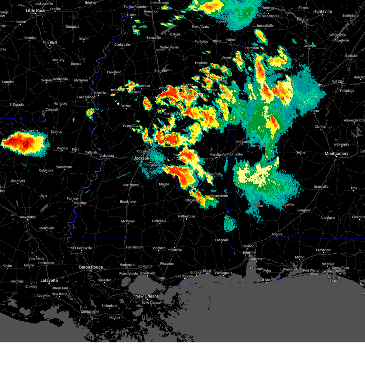 At 1036 pm cdt, a severe thunderstorm was located near lena, or 11 miles southwest of carthage, moving east at 30 mph (radar indicated). Hazards include 60 mph wind gusts and penny size hail. Expect damage to roofs, siding, and trees. this severe storm will be near, lena around 1045 pm cdt. Tuscola around 1050 pm cdt. At 1036 pm cdt, a severe thunderstorm was located near lena, or 11 miles southwest of carthage, moving east at 30 mph (radar indicated). Hazards include 60 mph wind gusts and penny size hail. Expect damage to roofs, siding, and trees. this severe storm will be near, lena around 1045 pm cdt. Tuscola around 1050 pm cdt.
|
| 6/18/2023 10:34 PM CDT |
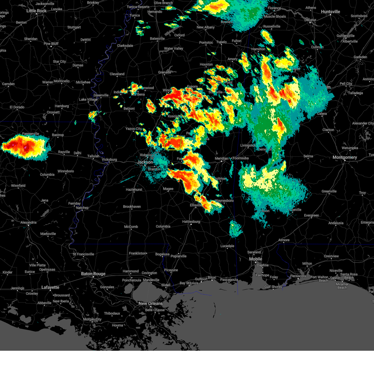 At 1034 pm cdt, a severe thunderstorm was located near ludlow, or 12 miles southwest of carthage, moving east at 30 mph (radar indicated). Hazards include 60 mph wind gusts and penny size hail. Expect damage to roofs, siding, and trees. this severe storm will be near, lena around 1045 pm cdt. Tuscola around 1050 pm cdt. At 1034 pm cdt, a severe thunderstorm was located near ludlow, or 12 miles southwest of carthage, moving east at 30 mph (radar indicated). Hazards include 60 mph wind gusts and penny size hail. Expect damage to roofs, siding, and trees. this severe storm will be near, lena around 1045 pm cdt. Tuscola around 1050 pm cdt.
|
| 6/18/2023 10:16 PM CDT |
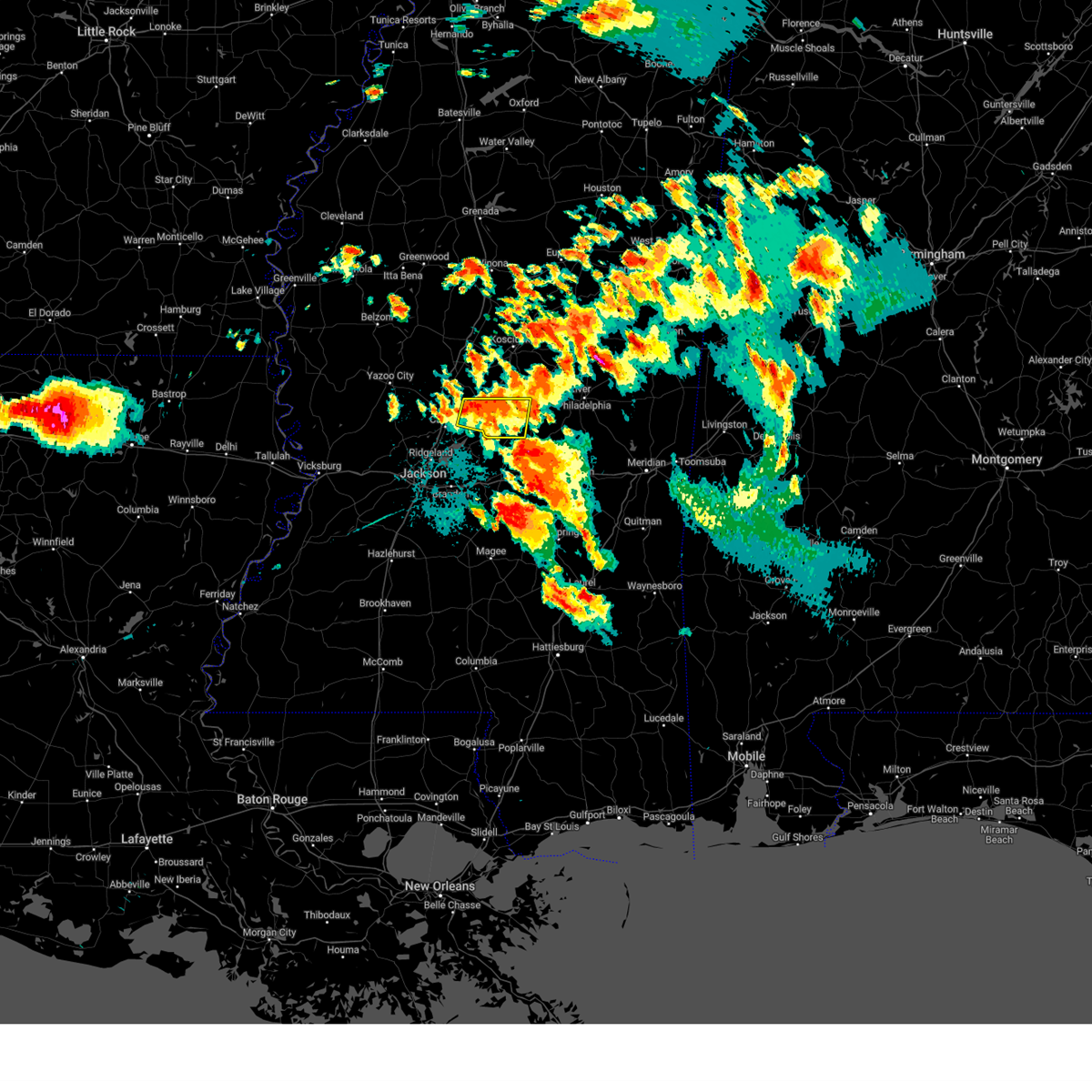 At 1016 pm cdt, a severe thunderstorm was located over farmhaven, or 14 miles northeast of canton, moving east at 25 mph (radar indicated). Hazards include 60 mph wind gusts and nickel size hail. Expect damage to roofs, siding, and trees. this severe storm will be near, ludlow around 1035 pm cdt. carthage and lena around 1050 pm cdt. Tuscola around 1100 pm cdt. At 1016 pm cdt, a severe thunderstorm was located over farmhaven, or 14 miles northeast of canton, moving east at 25 mph (radar indicated). Hazards include 60 mph wind gusts and nickel size hail. Expect damage to roofs, siding, and trees. this severe storm will be near, ludlow around 1035 pm cdt. carthage and lena around 1050 pm cdt. Tuscola around 1100 pm cdt.
|
| 6/18/2023 9:59 PM CDT |
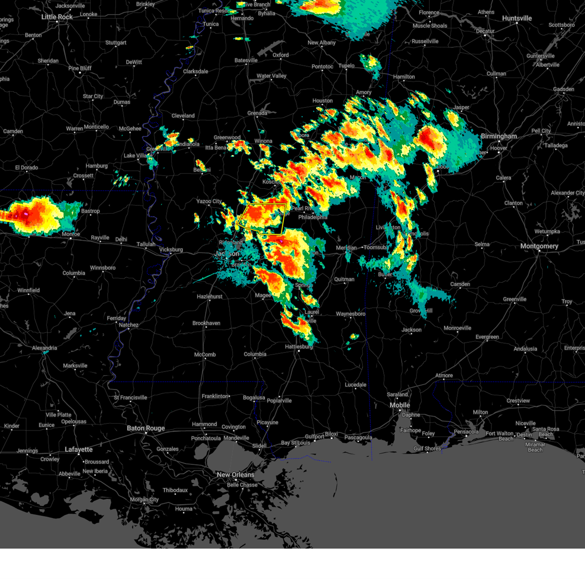 At 959 pm cdt, a severe thunderstorm was located near camden, or 13 miles northeast of canton, moving east at 30 mph (radar indicated). Hazards include 60 mph wind gusts and penny size hail. Expect damage to roofs, siding, and trees. this severe storm will be near, camden around 1005 pm cdt. farmhaven around 1010 pm cdt. carthage and redwater around 1040 pm cdt. tuscola around 1045 pm cdt. hail threat, radar indicated max hail size, 0. 75 in wind threat, radar indicated max wind gust, 60 mph. At 959 pm cdt, a severe thunderstorm was located near camden, or 13 miles northeast of canton, moving east at 30 mph (radar indicated). Hazards include 60 mph wind gusts and penny size hail. Expect damage to roofs, siding, and trees. this severe storm will be near, camden around 1005 pm cdt. farmhaven around 1010 pm cdt. carthage and redwater around 1040 pm cdt. tuscola around 1045 pm cdt. hail threat, radar indicated max hail size, 0. 75 in wind threat, radar indicated max wind gust, 60 mph.
|
| 6/18/2023 9:43 PM CDT |
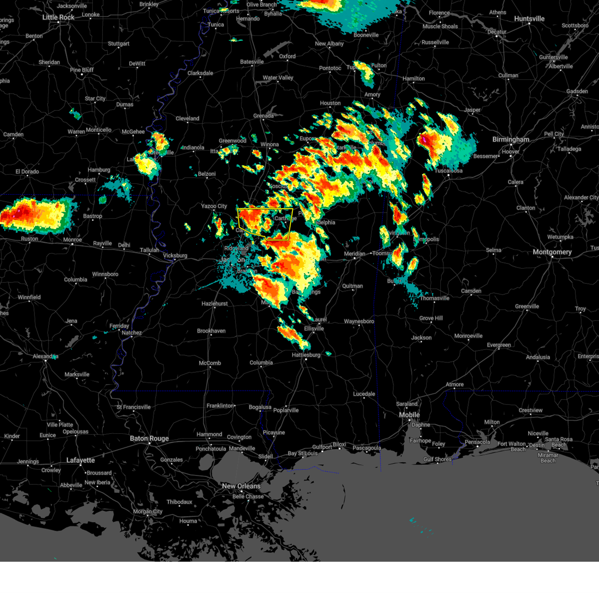 At 943 pm cdt, a severe thunderstorm was located over way, or 12 miles north of canton, moving east at 30 mph (radar indicated). Hazards include 60 mph wind gusts and half dollar size hail. Hail damage to vehicles is expected. expect wind damage to roofs, siding, and trees. this severe thunderstorm will be near, sharon around 955 pm cdt. cameron around 1000 pm cdt. camden around 1005 pm cdt. farmhaven around 1010 pm cdt. carthage and redwater around 1040 pm cdt. tuscola around 1045 pm cdt. hail threat, radar indicated max hail size, 1. 25 in wind threat, radar indicated max wind gust, 60 mph. At 943 pm cdt, a severe thunderstorm was located over way, or 12 miles north of canton, moving east at 30 mph (radar indicated). Hazards include 60 mph wind gusts and half dollar size hail. Hail damage to vehicles is expected. expect wind damage to roofs, siding, and trees. this severe thunderstorm will be near, sharon around 955 pm cdt. cameron around 1000 pm cdt. camden around 1005 pm cdt. farmhaven around 1010 pm cdt. carthage and redwater around 1040 pm cdt. tuscola around 1045 pm cdt. hail threat, radar indicated max hail size, 1. 25 in wind threat, radar indicated max wind gust, 60 mph.
|
| 6/18/2023 9:08 PM CDT |
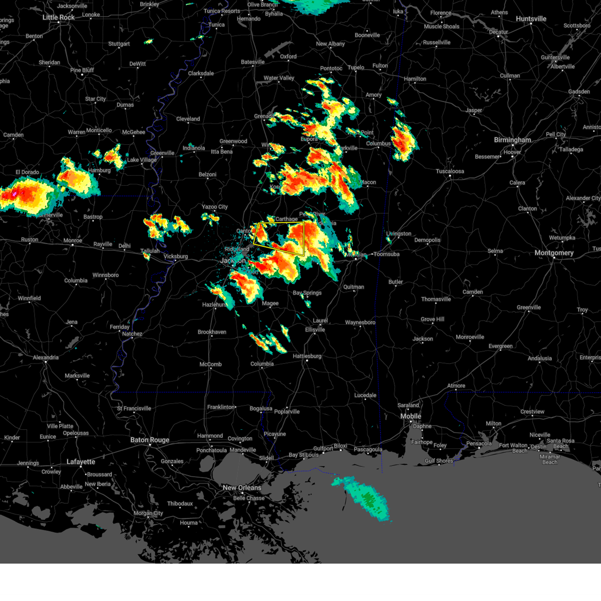 At 908 pm cdt, a severe thunderstorm was located near farmhaven, or 15 miles east of canton, moving east at 35 mph (radar indicated). Hazards include two inch hail and 60 mph wind gusts. People and animals outdoors will be injured. expect hail damage to roofs, siding, windows, and vehicles. expect wind damage to roofs, siding, and trees. this severe storm will be near, ludlow around 915 pm cdt. lena around 925 pm cdt. tuscola around 935 pm cdt. walnut grove, standing pine and harperville around 940 pm cdt. steele around 945 pm cdt. madden around 950 pm cdt. sebastopol around 955 pm cdt. thunderstorm damage threat, considerable hail threat, radar indicated max hail size, 2. 00 in wind threat, radar indicated max wind gust, 60 mph. At 908 pm cdt, a severe thunderstorm was located near farmhaven, or 15 miles east of canton, moving east at 35 mph (radar indicated). Hazards include two inch hail and 60 mph wind gusts. People and animals outdoors will be injured. expect hail damage to roofs, siding, windows, and vehicles. expect wind damage to roofs, siding, and trees. this severe storm will be near, ludlow around 915 pm cdt. lena around 925 pm cdt. tuscola around 935 pm cdt. walnut grove, standing pine and harperville around 940 pm cdt. steele around 945 pm cdt. madden around 950 pm cdt. sebastopol around 955 pm cdt. thunderstorm damage threat, considerable hail threat, radar indicated max hail size, 2. 00 in wind threat, radar indicated max wind gust, 60 mph.
|
| 6/18/2023 8:56 PM CDT |
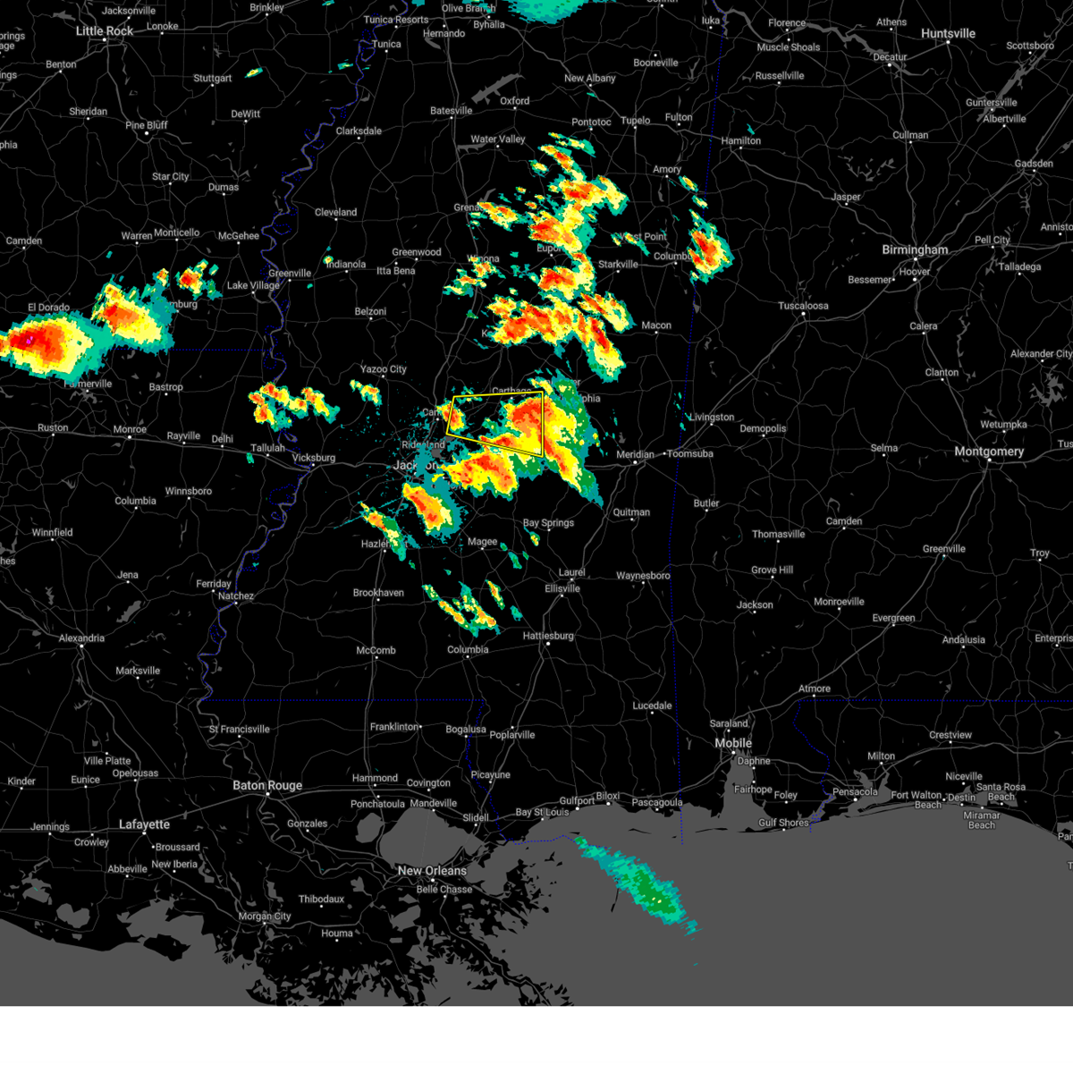 At 856 pm cdt, a severe thunderstorm was located near sharon, or 9 miles east of canton, moving east at 35 mph (radar indicated). Hazards include 60 mph wind gusts and quarter size hail. Hail damage to vehicles is expected. expect wind damage to roofs, siding, and trees. this severe thunderstorm will be near, farmhaven around 905 pm cdt. ludlow around 915 pm cdt. lena around 925 pm cdt. tuscola around 935 pm cdt. walnut grove and standing pine around 940 pm cdt. madden around 950 pm cdt. sebastopol around 955 pm cdt. hail threat, radar indicated max hail size, 1. 00 in wind threat, radar indicated max wind gust, 60 mph. At 856 pm cdt, a severe thunderstorm was located near sharon, or 9 miles east of canton, moving east at 35 mph (radar indicated). Hazards include 60 mph wind gusts and quarter size hail. Hail damage to vehicles is expected. expect wind damage to roofs, siding, and trees. this severe thunderstorm will be near, farmhaven around 905 pm cdt. ludlow around 915 pm cdt. lena around 925 pm cdt. tuscola around 935 pm cdt. walnut grove and standing pine around 940 pm cdt. madden around 950 pm cdt. sebastopol around 955 pm cdt. hail threat, radar indicated max hail size, 1. 00 in wind threat, radar indicated max wind gust, 60 mph.
|
| 6/18/2023 8:10 PM CDT |
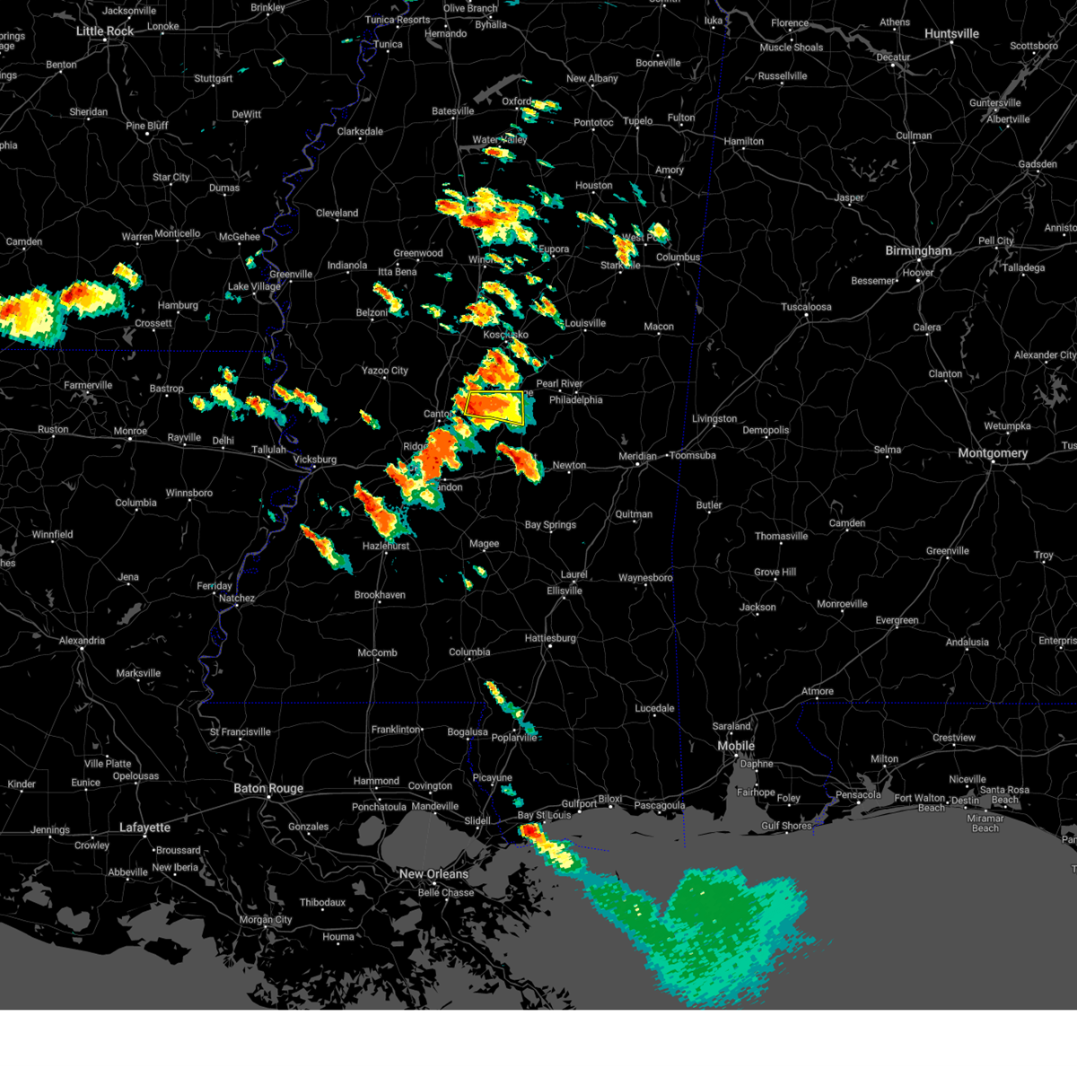 At 810 pm cdt, a severe thunderstorm was located near farmhaven, or 11 miles southwest of carthage, moving east at 25 mph (radar indicated). Hazards include 60 mph wind gusts and half dollar size hail. Hail damage to vehicles is expected. expect wind damage to roofs, siding, and trees. this severe storm will be near, carthage around 830 pm cdt. Tuscola around 835 pm cdt. At 810 pm cdt, a severe thunderstorm was located near farmhaven, or 11 miles southwest of carthage, moving east at 25 mph (radar indicated). Hazards include 60 mph wind gusts and half dollar size hail. Hail damage to vehicles is expected. expect wind damage to roofs, siding, and trees. this severe storm will be near, carthage around 830 pm cdt. Tuscola around 835 pm cdt.
|
| 6/18/2023 7:55 PM CDT |
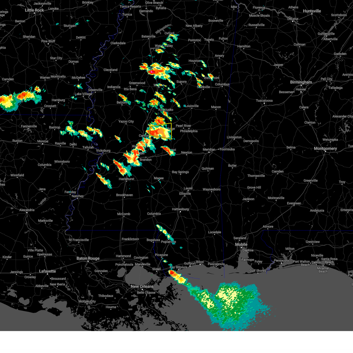 At 755 pm cdt, a severe thunderstorm was located over farmhaven, or 14 miles northeast of canton, moving east at 25 mph (radar indicated). Hazards include two inch hail and 60 mph wind gusts. People and animals outdoors will be injured. expect hail damage to roofs, siding, windows, and vehicles. expect wind damage to roofs, siding, and trees. This severe storm will be near, tuscola around 840 pm cdt. At 755 pm cdt, a severe thunderstorm was located over farmhaven, or 14 miles northeast of canton, moving east at 25 mph (radar indicated). Hazards include two inch hail and 60 mph wind gusts. People and animals outdoors will be injured. expect hail damage to roofs, siding, windows, and vehicles. expect wind damage to roofs, siding, and trees. This severe storm will be near, tuscola around 840 pm cdt.
|
| 6/18/2023 7:37 PM CDT |
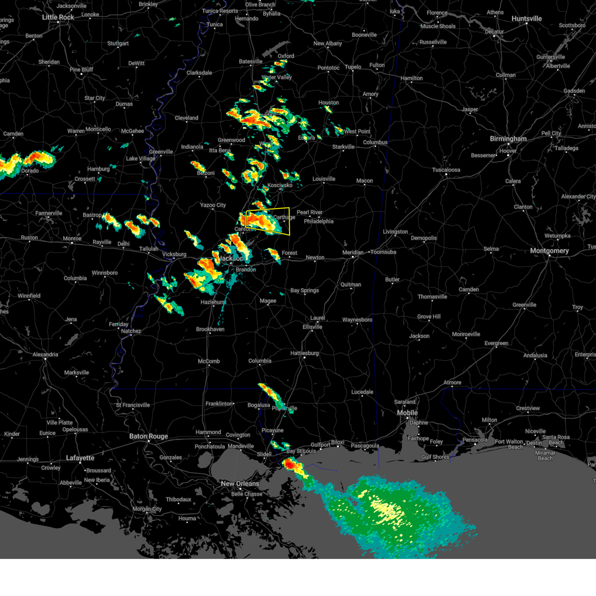 At 737 pm cdt, a severe thunderstorm was located near sharon, or 10 miles northeast of canton, moving east at 20 mph (radar indicated). Hazards include ping pong ball size hail and 60 mph wind gusts. People and animals outdoors will be injured. expect hail damage to roofs, siding, windows, and vehicles. expect wind damage to roofs, siding, and trees. this severe storm will be near, camden around 755 pm cdt. farmhaven around 800 pm cdt. carthage and redwater around 840 pm cdt. Tuscola around 845 pm cdt. At 737 pm cdt, a severe thunderstorm was located near sharon, or 10 miles northeast of canton, moving east at 20 mph (radar indicated). Hazards include ping pong ball size hail and 60 mph wind gusts. People and animals outdoors will be injured. expect hail damage to roofs, siding, windows, and vehicles. expect wind damage to roofs, siding, and trees. this severe storm will be near, camden around 755 pm cdt. farmhaven around 800 pm cdt. carthage and redwater around 840 pm cdt. Tuscola around 845 pm cdt.
|
| 6/18/2023 7:27 PM CDT |
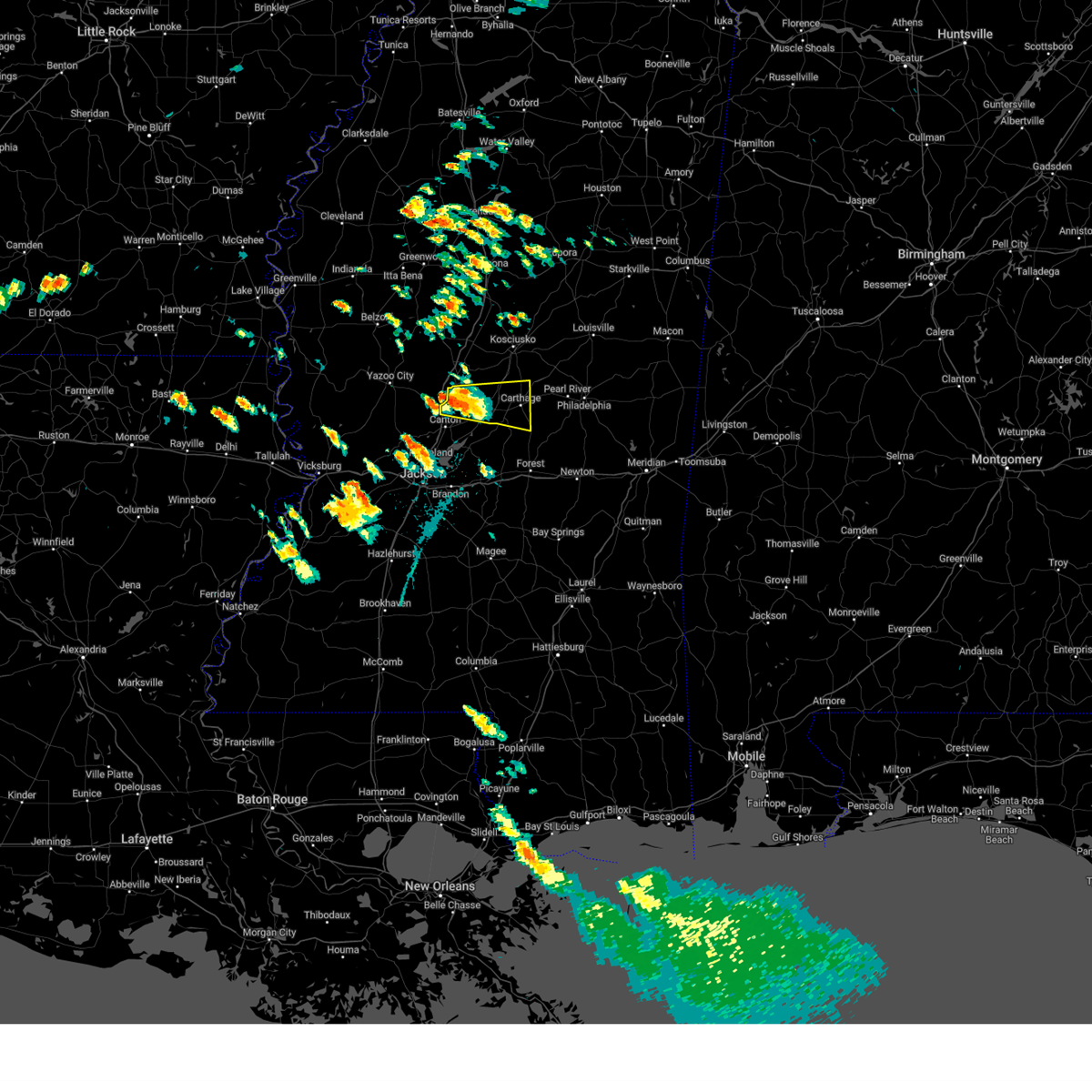 At 727 pm cdt, a severe thunderstorm was located near way, or 11 miles northeast of canton, moving east at 25 mph (radar indicated). Hazards include ping pong ball size hail and 60 mph wind gusts. People and animals outdoors will be injured. expect hail damage to roofs, siding, windows, and vehicles. expect wind damage to roofs, siding, and trees. this severe thunderstorm will be near, cameron around 740 pm cdt. camden around 745 pm cdt. farmhaven around 750 pm cdt. carthage and redwater around 825 pm cdt. hail threat, radar indicated max hail size, 1. 50 in wind threat, radar indicated max wind gust, 60 mph. At 727 pm cdt, a severe thunderstorm was located near way, or 11 miles northeast of canton, moving east at 25 mph (radar indicated). Hazards include ping pong ball size hail and 60 mph wind gusts. People and animals outdoors will be injured. expect hail damage to roofs, siding, windows, and vehicles. expect wind damage to roofs, siding, and trees. this severe thunderstorm will be near, cameron around 740 pm cdt. camden around 745 pm cdt. farmhaven around 750 pm cdt. carthage and redwater around 825 pm cdt. hail threat, radar indicated max hail size, 1. 50 in wind threat, radar indicated max wind gust, 60 mph.
|
| 6/18/2023 5:53 AM CDT |
 At 553 am cdt, a severe thunderstorm was located 7 miles northeast of zama, or 15 miles west of louisville, moving east at 50 mph (radar indicated). Hazards include 60 mph wind gusts and quarter size hail. Hail damage to vehicles is expected. expect wind damage to roofs, siding, and trees. this severe thunderstorm will be near, louisville and mcmillan around 610 am cdt. betheden and millcreek around 620 am cdt. hail threat, radar indicated max hail size, 1. 00 in wind threat, radar indicated max wind gust, 60 mph. At 553 am cdt, a severe thunderstorm was located 7 miles northeast of zama, or 15 miles west of louisville, moving east at 50 mph (radar indicated). Hazards include 60 mph wind gusts and quarter size hail. Hail damage to vehicles is expected. expect wind damage to roofs, siding, and trees. this severe thunderstorm will be near, louisville and mcmillan around 610 am cdt. betheden and millcreek around 620 am cdt. hail threat, radar indicated max hail size, 1. 00 in wind threat, radar indicated max wind gust, 60 mph.
|
| 6/16/2023 6:22 AM CDT |
 At 621 am cdt, severe thunderstorms were located along a line extending from near dowdville to near decatur to near montrose, moving east at 65 mph. these are destructive storms for newton and jasper counties (radar indicated). Hazards include 80 mph wind gusts and quarter size hail. Flying debris will be dangerous to those caught without shelter. mobile homes will be heavily damaged. expect considerable damage to roofs, windows, and vehicles. extensive tree damage and power outages are likely. these severe storms will be near, decatur and garlandville around 625 am cdt. hickory, rose hill and neshoba around 630 am cdt. tucker, chunky, orange, bethsaida, duffee and house around 635 am cdt. thunderstorm damage threat, destructive hail threat, radar indicated max hail size, 1. 00 in wind threat, radar indicated max wind gust, 80 mph. At 621 am cdt, severe thunderstorms were located along a line extending from near dowdville to near decatur to near montrose, moving east at 65 mph. these are destructive storms for newton and jasper counties (radar indicated). Hazards include 80 mph wind gusts and quarter size hail. Flying debris will be dangerous to those caught without shelter. mobile homes will be heavily damaged. expect considerable damage to roofs, windows, and vehicles. extensive tree damage and power outages are likely. these severe storms will be near, decatur and garlandville around 625 am cdt. hickory, rose hill and neshoba around 630 am cdt. tucker, chunky, orange, bethsaida, duffee and house around 635 am cdt. thunderstorm damage threat, destructive hail threat, radar indicated max hail size, 1. 00 in wind threat, radar indicated max wind gust, 80 mph.
|
| 6/16/2023 6:02 AM CDT |
 At 600 am cdt, severe thunderstorms were located along a line extending from near lena to forest to near raleigh, moving east at 65 mph. these are destructive storms for scott and smith counties (radar indicated). Hazards include 80 mph wind gusts and quarter size hail. Flying debris will be dangerous to those caught without shelter. mobile homes will be heavily damaged. expect considerable damage to roofs, windows, and vehicles. extensive tree damage and power outages are likely. these severe storms will be near, pineville and steele around 605 am cdt. lake around 610 am cdt. conehatta, louin, sebastopol, montrose, madden, dowdville and lawrence around 615 am cdt. newton, decatur, dixon and prospect around 620 am cdt. union, hickory and neshoba around 625 am cdt. tucker, chunky, bethsaida, orange and rose hill around 630 am cdt. house around 635 am cdt. herbert springs around 640 am cdt. thunderstorm damage threat, destructive hail threat, radar indicated max hail size, 1. 00 in wind threat, radar indicated max wind gust, 80 mph. At 600 am cdt, severe thunderstorms were located along a line extending from near lena to forest to near raleigh, moving east at 65 mph. these are destructive storms for scott and smith counties (radar indicated). Hazards include 80 mph wind gusts and quarter size hail. Flying debris will be dangerous to those caught without shelter. mobile homes will be heavily damaged. expect considerable damage to roofs, windows, and vehicles. extensive tree damage and power outages are likely. these severe storms will be near, pineville and steele around 605 am cdt. lake around 610 am cdt. conehatta, louin, sebastopol, montrose, madden, dowdville and lawrence around 615 am cdt. newton, decatur, dixon and prospect around 620 am cdt. union, hickory and neshoba around 625 am cdt. tucker, chunky, bethsaida, orange and rose hill around 630 am cdt. house around 635 am cdt. herbert springs around 640 am cdt. thunderstorm damage threat, destructive hail threat, radar indicated max hail size, 1. 00 in wind threat, radar indicated max wind gust, 80 mph.
|
| 6/16/2023 5:27 AM CDT |
 At 526 am cdt, severe thunderstorms were located along a line extending from 6 miles north of annandale to flowood to star, moving east at 65 mph. these are destructive storms for a good portion of central mississippi and the i-20 corridor (radar indicated). Hazards include 80 mph wind gusts and quarter size hail. Flying debris will be dangerous to those caught without shelter. mobile homes will be heavily damaged. expect considerable damage to roofs, windows, and vehicles. extensive tree damage and power outages are likely. severe thunderstorms will be near, morton, polkville, farmhaven, branch, forkville, white oak and camden around 550 am cdt. burns, pulaski and ludlow around 555 am cdt. forest, hillsboro, harperville, lena and homewood around 600 am cdt. carthage, redwater, steele, pineville and tuscola around 605 am cdt. standing pine and lake around 610 am cdt. conehatta, montrose, roberts, madden, edinburg, prospect and lawrence around 615 am cdt. pearl river, newton, union, decatur, garlandville, stratton, dowdville and dixon around 620 am cdt. philadelphia, hickory, little rock and rose hill around 625 am cdt. thunderstorm damage threat, destructive hail threat, radar indicated max hail size, 1. 00 in wind threat, radar indicated max wind gust, 80 mph. At 526 am cdt, severe thunderstorms were located along a line extending from 6 miles north of annandale to flowood to star, moving east at 65 mph. these are destructive storms for a good portion of central mississippi and the i-20 corridor (radar indicated). Hazards include 80 mph wind gusts and quarter size hail. Flying debris will be dangerous to those caught without shelter. mobile homes will be heavily damaged. expect considerable damage to roofs, windows, and vehicles. extensive tree damage and power outages are likely. severe thunderstorms will be near, morton, polkville, farmhaven, branch, forkville, white oak and camden around 550 am cdt. burns, pulaski and ludlow around 555 am cdt. forest, hillsboro, harperville, lena and homewood around 600 am cdt. carthage, redwater, steele, pineville and tuscola around 605 am cdt. standing pine and lake around 610 am cdt. conehatta, montrose, roberts, madden, edinburg, prospect and lawrence around 615 am cdt. pearl river, newton, union, decatur, garlandville, stratton, dowdville and dixon around 620 am cdt. philadelphia, hickory, little rock and rose hill around 625 am cdt. thunderstorm damage threat, destructive hail threat, radar indicated max hail size, 1. 00 in wind threat, radar indicated max wind gust, 80 mph.
|
| 6/15/2023 7:21 AM CDT |
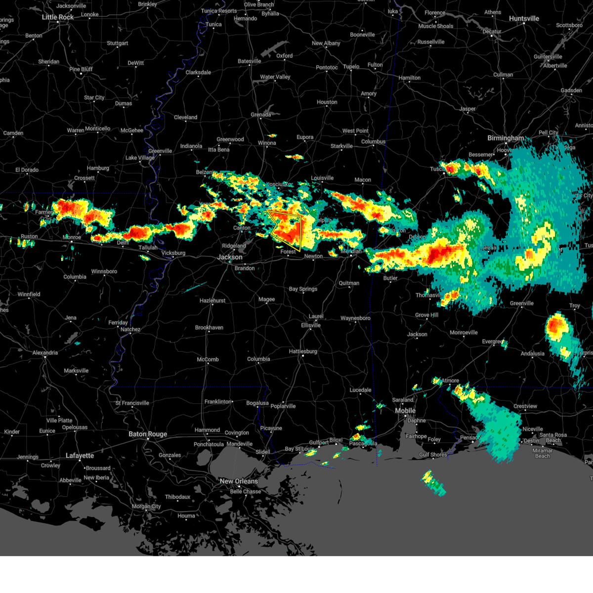 At 721 am cdt, a severe thunderstorm was located over sebastopol, or 11 miles west of union, moving east at 45 mph (radar indicated). Hazards include 60 mph wind gusts and half dollar size hail. Hail damage to vehicles is expected. expect wind damage to roofs, siding, and trees. this severe thunderstorm will remain over mainly rural areas of southern leake and northeastern scott counties. hail threat, radar indicated max hail size, 1. 25 in wind threat, radar indicated max wind gust, 60 mph. At 721 am cdt, a severe thunderstorm was located over sebastopol, or 11 miles west of union, moving east at 45 mph (radar indicated). Hazards include 60 mph wind gusts and half dollar size hail. Hail damage to vehicles is expected. expect wind damage to roofs, siding, and trees. this severe thunderstorm will remain over mainly rural areas of southern leake and northeastern scott counties. hail threat, radar indicated max hail size, 1. 25 in wind threat, radar indicated max wind gust, 60 mph.
|
| 6/15/2023 7:01 AM CDT | At 701 am cdt, a severe thunderstorm was located over tuscola, or 7 miles south of carthage, moving east at 30 mph (radar indicated). Hazards include ping pong ball size hail and 60 mph wind gusts. People and animals outdoors will be injured. expect hail damage to roofs, siding, windows, and vehicles. expect wind damage to roofs, siding, and trees. this severe storm will be near, standing pine around 710 am cdt. walnut grove around 715 am cdt. madden and steele around 720 am cdt. sebastopol around 730 am cdt. hail threat, radar indicated max hail size, 1. 50 in wind threat, radar indicated max wind gust, 60 mph. |
| 6/15/2023 6:30 AM CDT |
 At 630 am cdt, a severe thunderstorm was located near farmhaven, or 15 miles west of carthage, moving southeast at 25 mph (radar indicated). Hazards include golf ball size hail and 70 mph wind gusts. People and animals outdoors will be injured. expect hail damage to roofs, siding, windows, and vehicles. expect considerable tree damage. wind damage is also likely to mobile homes, roofs, and outbuildings. this severe thunderstorm will be near, ludlow around 650 am cdt. lena around 705 am cdt. tuscola around 710 am cdt. standing pine around 715 am cdt. walnut grove and harperville around 720 am cdt. steele around 730 am cdt. sebastopol around 735 am cdt. thunderstorm damage threat, considerable hail threat, radar indicated max hail size, 1. 75 in wind threat, radar indicated max wind gust, 70 mph. At 630 am cdt, a severe thunderstorm was located near farmhaven, or 15 miles west of carthage, moving southeast at 25 mph (radar indicated). Hazards include golf ball size hail and 70 mph wind gusts. People and animals outdoors will be injured. expect hail damage to roofs, siding, windows, and vehicles. expect considerable tree damage. wind damage is also likely to mobile homes, roofs, and outbuildings. this severe thunderstorm will be near, ludlow around 650 am cdt. lena around 705 am cdt. tuscola around 710 am cdt. standing pine around 715 am cdt. walnut grove and harperville around 720 am cdt. steele around 730 am cdt. sebastopol around 735 am cdt. thunderstorm damage threat, considerable hail threat, radar indicated max hail size, 1. 75 in wind threat, radar indicated max wind gust, 70 mph.
|
| 6/15/2023 4:40 AM CDT |
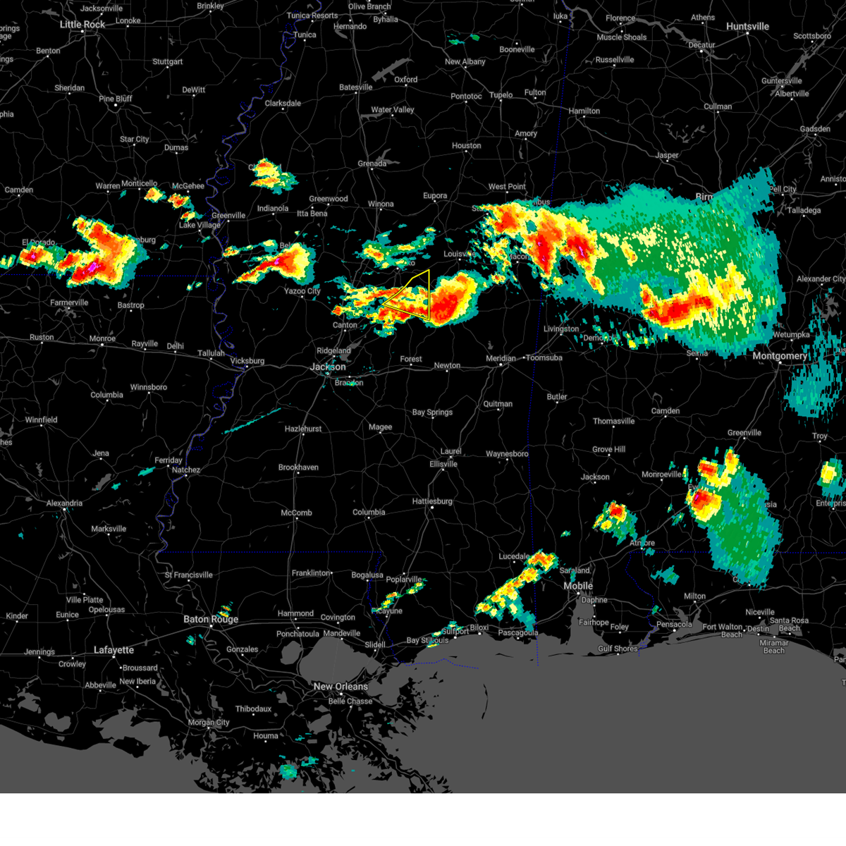 The severe thunderstorm warning for northern leake and southeastern attala counties will expire at 445 am cdt, the storm which prompted the warning has moved out of the area. therefore, the warning will be allowed to expire. however, gusty winds are still possible with this thunderstorm. The severe thunderstorm warning for northern leake and southeastern attala counties will expire at 445 am cdt, the storm which prompted the warning has moved out of the area. therefore, the warning will be allowed to expire. however, gusty winds are still possible with this thunderstorm.
|
| 6/15/2023 4:17 AM CDT |
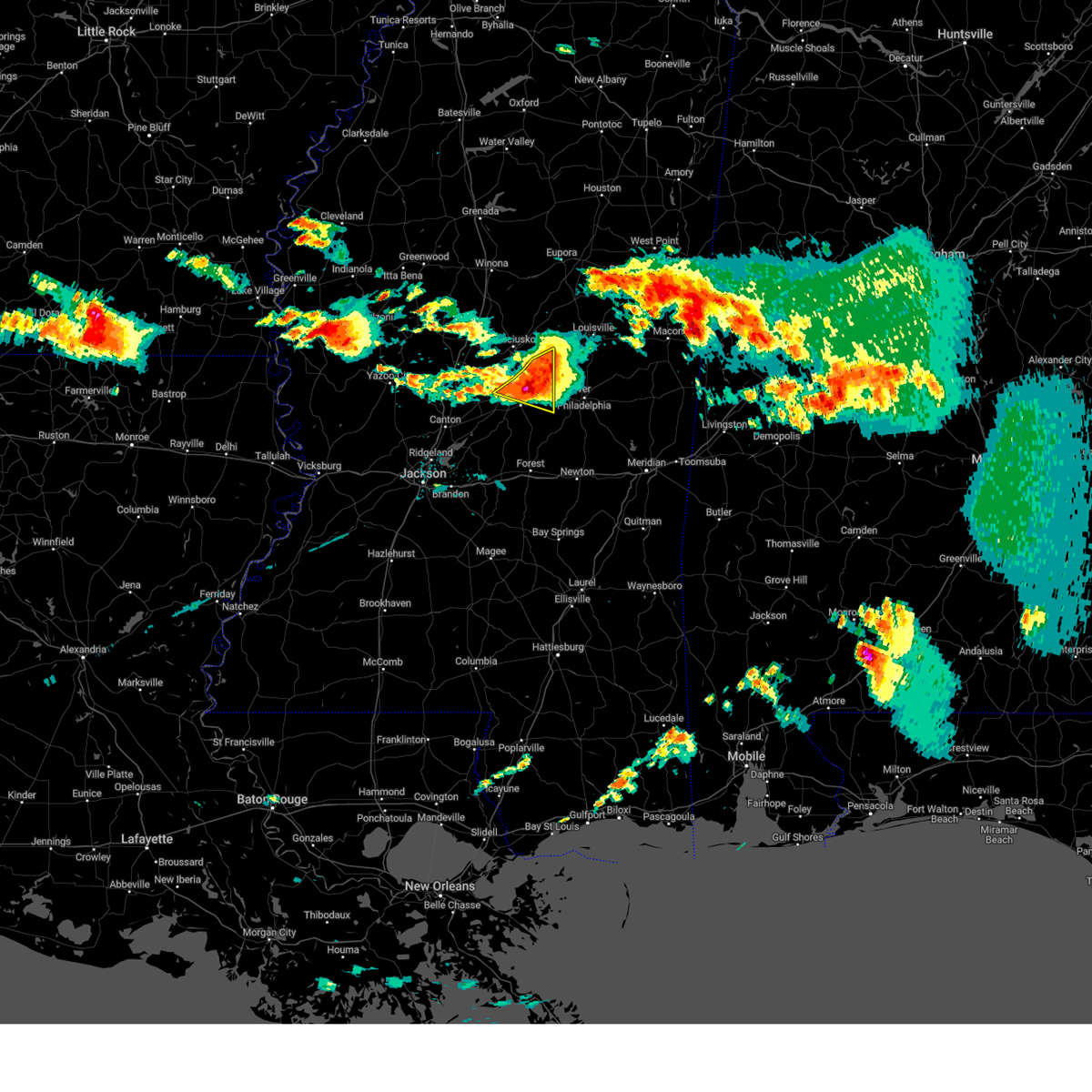 At 417 am cdt, a severe thunderstorm was located near edinburg, or near pearl river, moving east at 35 mph (radar indicated). Hazards include 70 mph wind gusts and quarter size hail. Hail damage to vehicles is expected. expect considerable tree damage. wind damage is also likely to mobile homes, roofs, and outbuildings. this severe thunderstorm will remain over mainly rural areas of northern leake and southeastern attala counties. thunderstorm damage threat, considerable hail threat, radar indicated max hail size, 1. 00 in wind threat, radar indicated max wind gust, 70 mph. At 417 am cdt, a severe thunderstorm was located near edinburg, or near pearl river, moving east at 35 mph (radar indicated). Hazards include 70 mph wind gusts and quarter size hail. Hail damage to vehicles is expected. expect considerable tree damage. wind damage is also likely to mobile homes, roofs, and outbuildings. this severe thunderstorm will remain over mainly rural areas of northern leake and southeastern attala counties. thunderstorm damage threat, considerable hail threat, radar indicated max hail size, 1. 00 in wind threat, radar indicated max wind gust, 70 mph.
|
| 6/15/2023 3:56 AM CDT |
 At 356 am cdt, a severe thunderstorm was located over singleton, or 9 miles south of kosciusko, moving east at 45 mph (radar indicated). Hazards include 70 mph wind gusts and quarter size hail. Hail damage to vehicles is expected. expect considerable tree damage. wind damage is also likely to mobile homes, roofs, and outbuildings. this severe storm will be near, renfroe and zama around 405 am cdt. edinburg around 415 am cdt. thunderstorm damage threat, considerable hail threat, radar indicated max hail size, 1. 00 in wind threat, radar indicated max wind gust, 70 mph. At 356 am cdt, a severe thunderstorm was located over singleton, or 9 miles south of kosciusko, moving east at 45 mph (radar indicated). Hazards include 70 mph wind gusts and quarter size hail. Hail damage to vehicles is expected. expect considerable tree damage. wind damage is also likely to mobile homes, roofs, and outbuildings. this severe storm will be near, renfroe and zama around 405 am cdt. edinburg around 415 am cdt. thunderstorm damage threat, considerable hail threat, radar indicated max hail size, 1. 00 in wind threat, radar indicated max wind gust, 70 mph.
|
| 6/15/2023 3:46 AM CDT |
 At 346 am cdt, a severe thunderstorm was located near newport, or 9 miles southwest of kosciusko, moving east at 35 mph (radar indicated). Hazards include 70 mph wind gusts and quarter size hail. Hail damage to vehicles is expected. expect considerable tree damage. wind damage is also likely to mobile homes, roofs, and outbuildings. this severe storm will be near, kosciusko and thomastown around 350 am cdt. singleton around 400 am cdt. smyrna around 405 am cdt. renfroe around 410 am cdt. zama around 415 am cdt. edinburg around 425 am cdt. thunderstorm damage threat, considerable hail threat, radar indicated max hail size, 1. 00 in wind threat, radar indicated max wind gust, 70 mph. At 346 am cdt, a severe thunderstorm was located near newport, or 9 miles southwest of kosciusko, moving east at 35 mph (radar indicated). Hazards include 70 mph wind gusts and quarter size hail. Hail damage to vehicles is expected. expect considerable tree damage. wind damage is also likely to mobile homes, roofs, and outbuildings. this severe storm will be near, kosciusko and thomastown around 350 am cdt. singleton around 400 am cdt. smyrna around 405 am cdt. renfroe around 410 am cdt. zama around 415 am cdt. edinburg around 425 am cdt. thunderstorm damage threat, considerable hail threat, radar indicated max hail size, 1. 00 in wind threat, radar indicated max wind gust, 70 mph.
|
| 6/15/2023 3:35 AM CDT |
 At 335 am cdt, a severe thunderstorm was located near sallis, or near durant, moving east at 30 mph (radar indicated). Hazards include 70 mph wind gusts and quarter size hail. Hail damage to vehicles is expected. expect considerable tree damage. wind damage is also likely to mobile homes, roofs, and outbuildings. this severe storm will be near, sallis around 340 am cdt. newport around 345 am cdt. mcadams around 350 am cdt. thomastown around 355 am cdt. kosciusko around 400 am cdt. singleton and smyrna around 410 am cdt. renfroe around 420 am cdt. zama around 425 am cdt. thunderstorm damage threat, considerable hail threat, radar indicated max hail size, 1. 00 in wind threat, radar indicated max wind gust, 70 mph. At 335 am cdt, a severe thunderstorm was located near sallis, or near durant, moving east at 30 mph (radar indicated). Hazards include 70 mph wind gusts and quarter size hail. Hail damage to vehicles is expected. expect considerable tree damage. wind damage is also likely to mobile homes, roofs, and outbuildings. this severe storm will be near, sallis around 340 am cdt. newport around 345 am cdt. mcadams around 350 am cdt. thomastown around 355 am cdt. kosciusko around 400 am cdt. singleton and smyrna around 410 am cdt. renfroe around 420 am cdt. zama around 425 am cdt. thunderstorm damage threat, considerable hail threat, radar indicated max hail size, 1. 00 in wind threat, radar indicated max wind gust, 70 mph.
|
| 6/15/2023 3:15 AM CDT |
 At 314 am cdt, a severe thunderstorm was located over franklin, or near lexington, moving east at 25 mph (radar indicated). Hazards include 60 mph wind gusts and quarter size hail. Hail damage to vehicles is expected. expect wind damage to roofs, siding, and trees. this severe thunderstorm will be near, durant and goodman around 335 am cdt. sallis around 350 am cdt. newport around 355 am cdt. mcadams around 400 am cdt. kosciusko around 410 am cdt. singleton around 425 am cdt. smyrna around 430 am cdt. renfroe around 440 am cdt. hail threat, radar indicated max hail size, 1. 00 in wind threat, radar indicated max wind gust, 60 mph. At 314 am cdt, a severe thunderstorm was located over franklin, or near lexington, moving east at 25 mph (radar indicated). Hazards include 60 mph wind gusts and quarter size hail. Hail damage to vehicles is expected. expect wind damage to roofs, siding, and trees. this severe thunderstorm will be near, durant and goodman around 335 am cdt. sallis around 350 am cdt. newport around 355 am cdt. mcadams around 400 am cdt. kosciusko around 410 am cdt. singleton around 425 am cdt. smyrna around 430 am cdt. renfroe around 440 am cdt. hail threat, radar indicated max hail size, 1. 00 in wind threat, radar indicated max wind gust, 60 mph.
|
| 6/15/2023 1:18 AM CDT |
 At 118 am cdt, a severe thunderstorm was located near farmhaven, or 13 miles west of carthage, moving east at 40 mph (radar indicated). Hazards include ping pong ball size hail and 60 mph wind gusts. People and animals outdoors will be injured. expect hail damage to roofs, siding, windows, and vehicles. expect wind damage to roofs, siding, and trees. this severe thunderstorm will be near, carthage and redwater around 135 am cdt. tuscola around 140 am cdt. walnut grove and standing pine around 145 am cdt. madden and dowdville around 155 am cdt. prospect around 200 am cdt. dixon around 205 am cdt. union and neshoba around 210 am cdt. tucker around 215 am cdt. hail threat, radar indicated max hail size, 1. 50 in wind threat, radar indicated max wind gust, 60 mph. At 118 am cdt, a severe thunderstorm was located near farmhaven, or 13 miles west of carthage, moving east at 40 mph (radar indicated). Hazards include ping pong ball size hail and 60 mph wind gusts. People and animals outdoors will be injured. expect hail damage to roofs, siding, windows, and vehicles. expect wind damage to roofs, siding, and trees. this severe thunderstorm will be near, carthage and redwater around 135 am cdt. tuscola around 140 am cdt. walnut grove and standing pine around 145 am cdt. madden and dowdville around 155 am cdt. prospect around 200 am cdt. dixon around 205 am cdt. union and neshoba around 210 am cdt. tucker around 215 am cdt. hail threat, radar indicated max hail size, 1. 50 in wind threat, radar indicated max wind gust, 60 mph.
|
| 6/15/2023 12:07 AM CDT |
 At 1207 am cdt, a severe thunderstorm was located over meridian, moving east at 45 mph (radar indicated). Hazards include two inch hail and 60 mph wind gusts. People and animals outdoors will be injured. expect hail damage to roofs, siding, windows, and vehicles. expect wind damage to roofs, siding, and trees. this severe storm will be near, zero around 1210 am cdt. toomsuba around 1220 am cdt. alamucha and kewanee around 1225 am cdt. thunderstorm damage threat, considerable hail threat, radar indicated max hail size, 2. 00 in wind threat, radar indicated max wind gust, 60 mph. At 1207 am cdt, a severe thunderstorm was located over meridian, moving east at 45 mph (radar indicated). Hazards include two inch hail and 60 mph wind gusts. People and animals outdoors will be injured. expect hail damage to roofs, siding, windows, and vehicles. expect wind damage to roofs, siding, and trees. this severe storm will be near, zero around 1210 am cdt. toomsuba around 1220 am cdt. alamucha and kewanee around 1225 am cdt. thunderstorm damage threat, considerable hail threat, radar indicated max hail size, 2. 00 in wind threat, radar indicated max wind gust, 60 mph.
|
| 6/14/2023 11:54 PM CDT |
 At 1154 pm cdt, a severe thunderstorm was located over suqualena, or 10 miles west of meridian, moving east at 45 mph (radar indicated). Hazards include ping pong ball size hail and 60 mph wind gusts. People and animals outdoors will be injured. expect hail damage to roofs, siding, windows, and vehicles. expect wind damage to roofs, siding, and trees. this severe storm will be near, nellieburg around 1200 am cdt. meridian around 1205 am cdt. marion around 1210 am cdt. zero around 1215 am cdt. toomsuba and alamucha around 1225 am cdt. kewanee around 1230 am cdt. hail threat, radar indicated max hail size, 1. 50 in wind threat, radar indicated max wind gust, 60 mph. At 1154 pm cdt, a severe thunderstorm was located over suqualena, or 10 miles west of meridian, moving east at 45 mph (radar indicated). Hazards include ping pong ball size hail and 60 mph wind gusts. People and animals outdoors will be injured. expect hail damage to roofs, siding, windows, and vehicles. expect wind damage to roofs, siding, and trees. this severe storm will be near, nellieburg around 1200 am cdt. meridian around 1205 am cdt. marion around 1210 am cdt. zero around 1215 am cdt. toomsuba and alamucha around 1225 am cdt. kewanee around 1230 am cdt. hail threat, radar indicated max hail size, 1. 50 in wind threat, radar indicated max wind gust, 60 mph.
|
| 6/14/2023 11:48 PM CDT |
 At 1148 pm cdt, a severe thunderstorm was located near duffee, or 12 miles west of meridian, moving east at 45 mph (radar indicated). Hazards include tennis ball size hail and 60 mph wind gusts. People and animals outdoors will be injured. expect hail damage to roofs, siding, windows, and vehicles. expect wind damage to roofs, siding, and trees. this severe storm will be near, meridian and nellieburg around 1200 am cdt. marion around 1205 am cdt. zero around 1210 am cdt. toomsuba and alamucha around 1220 am cdt. kewanee around 1225 am cdt. thunderstorm damage threat, considerable hail threat, radar indicated max hail size, 2. 50 in wind threat, radar indicated max wind gust, 60 mph. At 1148 pm cdt, a severe thunderstorm was located near duffee, or 12 miles west of meridian, moving east at 45 mph (radar indicated). Hazards include tennis ball size hail and 60 mph wind gusts. People and animals outdoors will be injured. expect hail damage to roofs, siding, windows, and vehicles. expect wind damage to roofs, siding, and trees. this severe storm will be near, meridian and nellieburg around 1200 am cdt. marion around 1205 am cdt. zero around 1210 am cdt. toomsuba and alamucha around 1220 am cdt. kewanee around 1225 am cdt. thunderstorm damage threat, considerable hail threat, radar indicated max hail size, 2. 50 in wind threat, radar indicated max wind gust, 60 mph.
|
| 6/14/2023 11:24 PM CDT |
 At 1123 pm cdt, a severe thunderstorm was located over stratton, or near decatur, moving east at 50 mph. this is a destructive storm for decatur and surrounding areas (radar indicated). Hazards include baseball size hail and 60 mph wind gusts. People and animals outdoors will be severely injured. expect shattered windows, extensive damage to roofs, siding, and vehicles. this severe storm will be near, little rock around 1135 pm cdt. collinsville and duffee around 1140 pm cdt. martin around 1145 pm cdt. meridian, nellieburg and suqualena around 1150 pm cdt. marion around 1200 am cdt. toomsuba around 1210 am cdt. alamucha and kewanee around 1215 am cdt. thunderstorm damage threat, destructive hail threat, radar indicated max hail size, 2. 75 in wind threat, radar indicated max wind gust, 60 mph. At 1123 pm cdt, a severe thunderstorm was located over stratton, or near decatur, moving east at 50 mph. this is a destructive storm for decatur and surrounding areas (radar indicated). Hazards include baseball size hail and 60 mph wind gusts. People and animals outdoors will be severely injured. expect shattered windows, extensive damage to roofs, siding, and vehicles. this severe storm will be near, little rock around 1135 pm cdt. collinsville and duffee around 1140 pm cdt. martin around 1145 pm cdt. meridian, nellieburg and suqualena around 1150 pm cdt. marion around 1200 am cdt. toomsuba around 1210 am cdt. alamucha and kewanee around 1215 am cdt. thunderstorm damage threat, destructive hail threat, radar indicated max hail size, 2. 75 in wind threat, radar indicated max wind gust, 60 mph.
|
| 6/14/2023 11:17 PM CDT |
 At 1117 pm cdt, a severe thunderstorm was located near prospect, or near union, moving east at 55 mph (radar indicated). Hazards include 60 mph wind gusts and half dollar size hail. Hail damage to vehicles is expected. expect wind damage to roofs, siding, and trees. this severe thunderstorm will be near, union and neshoba around 1120 pm cdt. decatur and stratton around 1125 pm cdt. little rock and house around 1130 pm cdt. duffee and herbert springs around 1135 pm cdt. collinsville, martin and suqualena around 1140 pm cdt. meridian and prismatic around 1145 pm cdt. daleville around 1150 pm cdt. marion and meridian station around 1155 pm cdt. hail threat, radar indicated max hail size, 1. 25 in wind threat, radar indicated max wind gust, 60 mph. At 1117 pm cdt, a severe thunderstorm was located near prospect, or near union, moving east at 55 mph (radar indicated). Hazards include 60 mph wind gusts and half dollar size hail. Hail damage to vehicles is expected. expect wind damage to roofs, siding, and trees. this severe thunderstorm will be near, union and neshoba around 1120 pm cdt. decatur and stratton around 1125 pm cdt. little rock and house around 1130 pm cdt. duffee and herbert springs around 1135 pm cdt. collinsville, martin and suqualena around 1140 pm cdt. meridian and prismatic around 1145 pm cdt. daleville around 1150 pm cdt. marion and meridian station around 1155 pm cdt. hail threat, radar indicated max hail size, 1. 25 in wind threat, radar indicated max wind gust, 60 mph.
|
| 6/14/2023 10:37 PM CDT |
 At 1037 pm cdt, a severe thunderstorm was located over ludlow, or 16 miles southwest of carthage, moving east at 45 mph (radar indicated). Hazards include golf ball size hail and 60 mph wind gusts. People and animals outdoors will be injured. expect hail damage to roofs, siding, windows, and vehicles. expect wind damage to roofs, siding, and trees. this severe thunderstorm will be near, ludlow around 1040 pm cdt. lena around 1050 pm cdt. tuscola around 1055 pm cdt. walnut grove, standing pine and harperville around 1100 pm cdt. steele and madden around 1105 pm cdt. sebastopol around 1110 pm cdt. thunderstorm damage threat, considerable hail threat, radar indicated max hail size, 1. 75 in wind threat, radar indicated max wind gust, 60 mph. At 1037 pm cdt, a severe thunderstorm was located over ludlow, or 16 miles southwest of carthage, moving east at 45 mph (radar indicated). Hazards include golf ball size hail and 60 mph wind gusts. People and animals outdoors will be injured. expect hail damage to roofs, siding, windows, and vehicles. expect wind damage to roofs, siding, and trees. this severe thunderstorm will be near, ludlow around 1040 pm cdt. lena around 1050 pm cdt. tuscola around 1055 pm cdt. walnut grove, standing pine and harperville around 1100 pm cdt. steele and madden around 1105 pm cdt. sebastopol around 1110 pm cdt. thunderstorm damage threat, considerable hail threat, radar indicated max hail size, 1. 75 in wind threat, radar indicated max wind gust, 60 mph.
|
| 6/14/2023 3:35 PM CDT | Numerous trees down along hwy 16... road is blocke in leake county MS, 6.3 miles WSW of Carthage, MS |
| 6/14/2023 3:33 PM CDT |
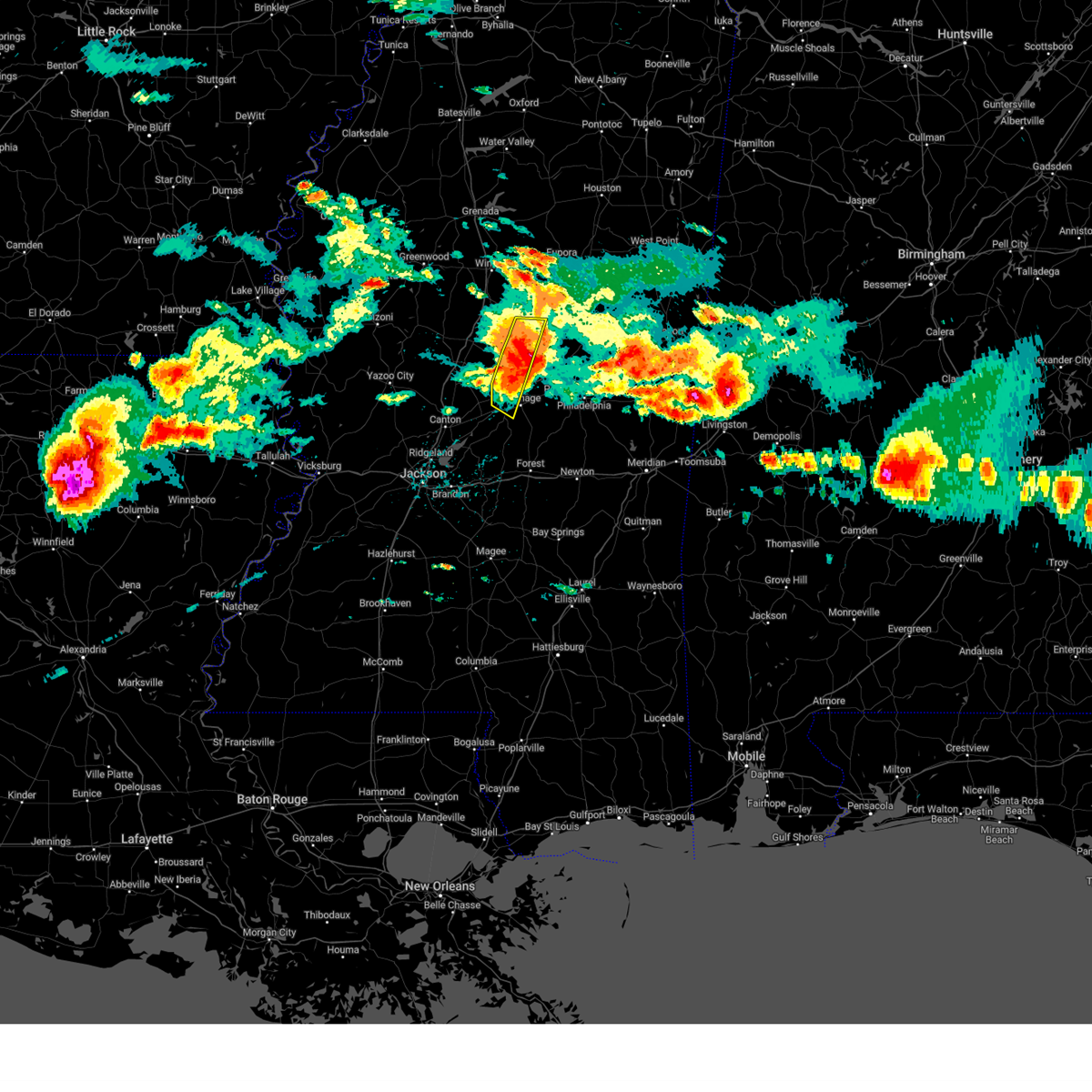 At 333 pm cdt, a severe thunderstorm was located near smyrna, or 10 miles southeast of kosciusko, moving east at 60 mph (radar indicated). Hazards include 80 mph wind gusts and ping pong ball size hail. Flying debris will be dangerous to those caught without shelter. mobile homes will be heavily damaged. expect considerable damage to roofs, windows, and vehicles. extensive tree damage and power outages are likely. this severe thunderstorm will remain over mainly rural areas of northwestern leake and eastern attala counties. thunderstorm damage threat, destructive hail threat, radar indicated max hail size, 1. 50 in wind threat, radar indicated max wind gust, 80 mph. At 333 pm cdt, a severe thunderstorm was located near smyrna, or 10 miles southeast of kosciusko, moving east at 60 mph (radar indicated). Hazards include 80 mph wind gusts and ping pong ball size hail. Flying debris will be dangerous to those caught without shelter. mobile homes will be heavily damaged. expect considerable damage to roofs, windows, and vehicles. extensive tree damage and power outages are likely. this severe thunderstorm will remain over mainly rural areas of northwestern leake and eastern attala counties. thunderstorm damage threat, destructive hail threat, radar indicated max hail size, 1. 50 in wind threat, radar indicated max wind gust, 80 mph.
|
| 6/14/2023 3:23 PM CDT |
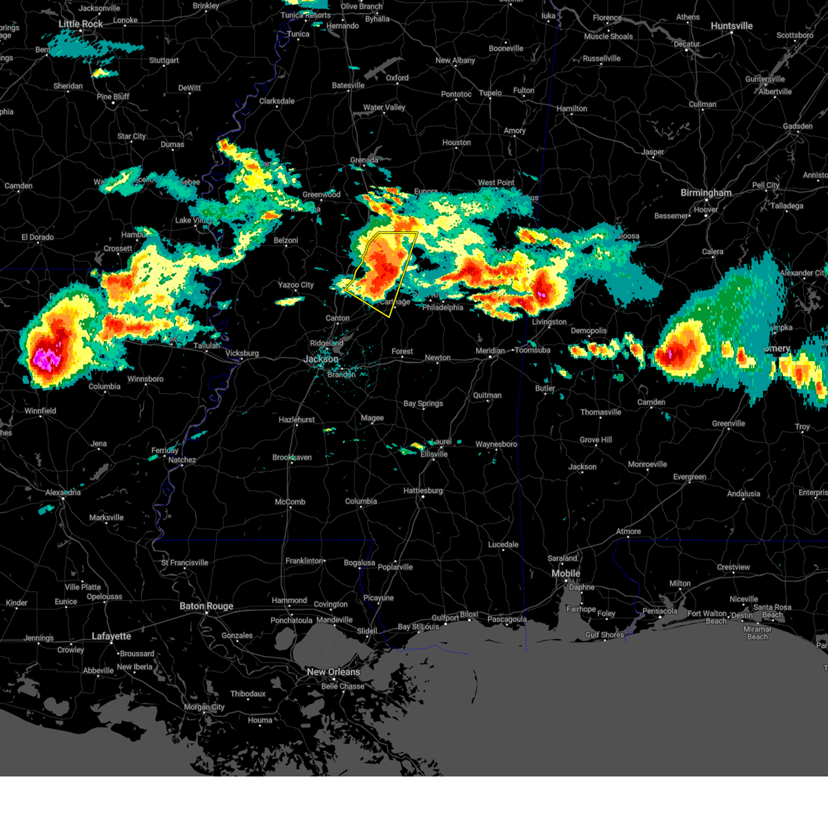 At 319 pm cdt, a severe thunderstorm was located over mcadams, or near kosciusko, moving east at 60 mph. this is a destructive storm for kosciusko, thomastown, ethel and areas in the vicinity (radar indicated). Hazards include 80 mph wind gusts and ping pong ball size hail. Flying debris will be dangerous to those caught without shelter. mobile homes will be heavily damaged. expect considerable damage to roofs, windows, and vehicles. extensive tree damage and power outages are likely. This severe storm will be near, smyrna and singleton around 330 pm cdt. At 319 pm cdt, a severe thunderstorm was located over mcadams, or near kosciusko, moving east at 60 mph. this is a destructive storm for kosciusko, thomastown, ethel and areas in the vicinity (radar indicated). Hazards include 80 mph wind gusts and ping pong ball size hail. Flying debris will be dangerous to those caught without shelter. mobile homes will be heavily damaged. expect considerable damage to roofs, windows, and vehicles. extensive tree damage and power outages are likely. This severe storm will be near, smyrna and singleton around 330 pm cdt.
|
| 6/14/2023 3:22 PM CDT |
 At 321 pm cdt, a severe thunderstorm was located near kosciusko, moving east at 70 mph. this is a destructive storm for kosciusko, philadelphia, noxapater, and surrounding areas (radar indicated). Hazards include 80 mph wind gusts and ping pong ball size hail. Flying debris will be dangerous to those caught without shelter. mobile homes will be heavily damaged. expect considerable damage to roofs, windows, and vehicles. extensive tree damage and power outages are likely. this severe thunderstorm will be near, smyrna and singleton around 325 pm cdt. zama and renfroe around 330 pm cdt. stallo around 345 pm cdt. burnside around 350 pm cdt. forestdale and nanih waiya around 355 pm cdt. preston around 400 pm cdt. bluff springs around 405 pm cdt. De kalb around 410 pm cdt. At 321 pm cdt, a severe thunderstorm was located near kosciusko, moving east at 70 mph. this is a destructive storm for kosciusko, philadelphia, noxapater, and surrounding areas (radar indicated). Hazards include 80 mph wind gusts and ping pong ball size hail. Flying debris will be dangerous to those caught without shelter. mobile homes will be heavily damaged. expect considerable damage to roofs, windows, and vehicles. extensive tree damage and power outages are likely. this severe thunderstorm will be near, smyrna and singleton around 325 pm cdt. zama and renfroe around 330 pm cdt. stallo around 345 pm cdt. burnside around 350 pm cdt. forestdale and nanih waiya around 355 pm cdt. preston around 400 pm cdt. bluff springs around 405 pm cdt. De kalb around 410 pm cdt.
|
| 6/14/2023 3:08 PM CDT |
 At 307 pm cdt, a severe thunderstorm was located over durant, moving east at 60 mph. this is a destructive storm for goodman, durant, sallis, kosciusko and areas in the vicinity (radar indicated). Hazards include 80 mph wind gusts and ping pong ball size hail. Flying debris will be dangerous to those caught without shelter. mobile homes will be heavily damaged. expect considerable damage to roofs, windows, and vehicles. extensive tree damage and power outages are likely. this severe storm will be near, sallis and newport around 315 pm cdt. mcadams around 320 pm cdt. kosciusko around 325 pm cdt. Smyrna and singleton around 330 pm cdt. At 307 pm cdt, a severe thunderstorm was located over durant, moving east at 60 mph. this is a destructive storm for goodman, durant, sallis, kosciusko and areas in the vicinity (radar indicated). Hazards include 80 mph wind gusts and ping pong ball size hail. Flying debris will be dangerous to those caught without shelter. mobile homes will be heavily damaged. expect considerable damage to roofs, windows, and vehicles. extensive tree damage and power outages are likely. this severe storm will be near, sallis and newport around 315 pm cdt. mcadams around 320 pm cdt. kosciusko around 325 pm cdt. Smyrna and singleton around 330 pm cdt.
|
| 6/14/2023 2:54 PM CDT |
 At 251 pm cdt, a severe thunderstorm was located near howard, or near lexington, moving east at 60 mph. this is a destructive storm for lexington, ebenezer, goodman, durant, and areas in the vicinity (radar indicated). Hazards include 80 mph wind gusts and ping pong ball size hail. Flying debris will be dangerous to those caught without shelter. mobile homes will be heavily damaged. expect considerable damage to roofs, windows, and vehicles. extensive tree damage and power outages are likely. this severe thunderstorm will be near, franklin around 300 pm cdt. goodman and bowling green around 305 pm cdt. durant around 310 pm cdt. sallis and newport around 315 pm cdt. mcadams around 320 pm cdt. kosciusko around 325 pm cdt. Smyrna and singleton around 330 pm cdt. At 251 pm cdt, a severe thunderstorm was located near howard, or near lexington, moving east at 60 mph. this is a destructive storm for lexington, ebenezer, goodman, durant, and areas in the vicinity (radar indicated). Hazards include 80 mph wind gusts and ping pong ball size hail. Flying debris will be dangerous to those caught without shelter. mobile homes will be heavily damaged. expect considerable damage to roofs, windows, and vehicles. extensive tree damage and power outages are likely. this severe thunderstorm will be near, franklin around 300 pm cdt. goodman and bowling green around 305 pm cdt. durant around 310 pm cdt. sallis and newport around 315 pm cdt. mcadams around 320 pm cdt. kosciusko around 325 pm cdt. Smyrna and singleton around 330 pm cdt.
|
| 5/12/2023 3:14 PM CDT |
 At 314 pm cdt, a severe thunderstorm was located over harperville, or 9 miles north of forest, moving northeast at 15 mph (radar indicated). Hazards include 60 mph wind gusts and quarter size hail. Hail damage to vehicles is expected. Expect wind damage to roofs, siding, and trees. At 314 pm cdt, a severe thunderstorm was located over harperville, or 9 miles north of forest, moving northeast at 15 mph (radar indicated). Hazards include 60 mph wind gusts and quarter size hail. Hail damage to vehicles is expected. Expect wind damage to roofs, siding, and trees.
|
| 5/11/2023 3:31 PM CDT |
 At 330 pm cdt, severe thunderstorms were located along a line extending from edinburg to near sebastopol to burns, moving northeast at 35 mph (radar indicated). Hazards include 60 mph wind gusts. Expect damage to roofs, siding, and trees. these severe storms will be near, sebastopol and edinburg around 335 pm cdt. lake around 400 pm cdt. hail threat, radar indicated max hail size, <. 75 in wind threat, radar indicated max wind gust, 60 mph. At 330 pm cdt, severe thunderstorms were located along a line extending from edinburg to near sebastopol to burns, moving northeast at 35 mph (radar indicated). Hazards include 60 mph wind gusts. Expect damage to roofs, siding, and trees. these severe storms will be near, sebastopol and edinburg around 335 pm cdt. lake around 400 pm cdt. hail threat, radar indicated max hail size, <. 75 in wind threat, radar indicated max wind gust, 60 mph.
|
| 5/11/2023 2:57 PM CDT | Tree down on highway 16 in leake county MS, 11.5 miles ENE of Carthage, MS |
| 5/11/2023 2:43 PM CDT |
 At 242 pm cdt, severe thunderstorms were located along a line extending from farmhaven to near pelahatchie to near star, moving east at 50 mph (radar indicated). Hazards include 60 mph wind gusts. Expect damage to roofs, siding, and trees. severe thunderstorms will be near, branch, leesburg and ludlow around 250 pm cdt. morton, lena and forkville around 255 pm cdt. carthage and tuscola around 300 pm cdt. forest, walnut grove, hillsboro, standing pine and puckett around 305 pm cdt. lake, sebastopol and madden around 315 pm cdt. burns around 320 pm cdt. hail threat, radar indicated max hail size, <. 75 in wind threat, radar indicated max wind gust, 60 mph. At 242 pm cdt, severe thunderstorms were located along a line extending from farmhaven to near pelahatchie to near star, moving east at 50 mph (radar indicated). Hazards include 60 mph wind gusts. Expect damage to roofs, siding, and trees. severe thunderstorms will be near, branch, leesburg and ludlow around 250 pm cdt. morton, lena and forkville around 255 pm cdt. carthage and tuscola around 300 pm cdt. forest, walnut grove, hillsboro, standing pine and puckett around 305 pm cdt. lake, sebastopol and madden around 315 pm cdt. burns around 320 pm cdt. hail threat, radar indicated max hail size, <. 75 in wind threat, radar indicated max wind gust, 60 mph.
|
| 3/26/2023 3:39 AM CDT |
 The severe thunderstorm warning for western leake, northeastern rankin and northern scott counties will expire at 345 am cdt, the storm which prompted the warning has weakened below severe limits, and no longer poses an immediate threat to life or property. therefore, the warning will be allowed to expire. a severe thunderstorm watch remains in effect until 800 am cdt for central mississippi. The severe thunderstorm warning for western leake, northeastern rankin and northern scott counties will expire at 345 am cdt, the storm which prompted the warning has weakened below severe limits, and no longer poses an immediate threat to life or property. therefore, the warning will be allowed to expire. a severe thunderstorm watch remains in effect until 800 am cdt for central mississippi.
|
| 3/26/2023 3:24 AM CDT |
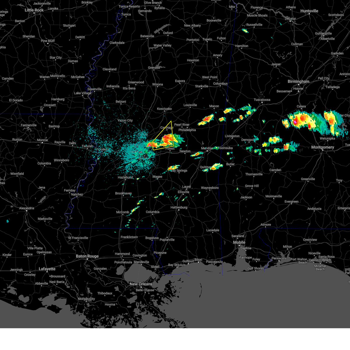 At 324 am cdt, a severe thunderstorm was located over tuscola, or 8 miles northwest of harperville, moving northeast at 35 mph (radar indicated). Hazards include half dollar size hail. Damage to vehicles is expected. this severe thunderstorm will remain over mainly rural areas of western leake, northeastern rankin and northern scott counties, including the following locations, lena, walnut grove, redwater and standing pine. hail threat, radar indicated max hail size, 1. 25 in wind threat, radar indicated max wind gust, <50 mph. At 324 am cdt, a severe thunderstorm was located over tuscola, or 8 miles northwest of harperville, moving northeast at 35 mph (radar indicated). Hazards include half dollar size hail. Damage to vehicles is expected. this severe thunderstorm will remain over mainly rural areas of western leake, northeastern rankin and northern scott counties, including the following locations, lena, walnut grove, redwater and standing pine. hail threat, radar indicated max hail size, 1. 25 in wind threat, radar indicated max wind gust, <50 mph.
|
| 3/26/2023 3:02 AM CDT |
 At 302 am cdt, a severe thunderstorm was located over leesburg, or 10 miles northwest of morton, moving northeast at 35 mph (radar indicated). Hazards include half dollar size hail. Damage to vehicles is expected. this severe thunderstorm will be near, ludlow around 310 am cdt. tuscola around 330 am cdt. other locations impacted by this severe thunderstorm include lena, walnut grove, redwater and standing pine. hail threat, radar indicated max hail size, 1. 25 in wind threat, radar indicated max wind gust, <50 mph. At 302 am cdt, a severe thunderstorm was located over leesburg, or 10 miles northwest of morton, moving northeast at 35 mph (radar indicated). Hazards include half dollar size hail. Damage to vehicles is expected. this severe thunderstorm will be near, ludlow around 310 am cdt. tuscola around 330 am cdt. other locations impacted by this severe thunderstorm include lena, walnut grove, redwater and standing pine. hail threat, radar indicated max hail size, 1. 25 in wind threat, radar indicated max wind gust, <50 mph.
|
| 3/12/2023 4:04 AM CDT |
 At 404 am cdt, severe thunderstorms were located along a line extending from nanih waiya to near dixon to near steele, moving east at 60 mph (radar indicated). Hazards include 60 mph wind gusts and nickel size hail. Expect damage to roofs, siding, and trees. these severe storms will be near, preston, nanih waiya and bethsaida around 410 am cdt. gholson and house around 415 am cdt. decatur, stratton and forestdale around 420 am cdt. damascus and bluff springs around 425 am cdt. liberty and little rock around 430 am cdt. de kalb, duffee, herbert springs and blackwater around 435 am cdt. martin and suqualena around 440 am cdt. porterville, prismatic and electric mills around 445 am cdt. other locations impacted by these severe thunderstorms include noxapater, tucker, walnut grove, sebastopol, standing pine, scooba, lena and shuqualak. hail threat, radar indicated max hail size, 0. 88 in wind threat, radar indicated max wind gust, 60 mph. At 404 am cdt, severe thunderstorms were located along a line extending from nanih waiya to near dixon to near steele, moving east at 60 mph (radar indicated). Hazards include 60 mph wind gusts and nickel size hail. Expect damage to roofs, siding, and trees. these severe storms will be near, preston, nanih waiya and bethsaida around 410 am cdt. gholson and house around 415 am cdt. decatur, stratton and forestdale around 420 am cdt. damascus and bluff springs around 425 am cdt. liberty and little rock around 430 am cdt. de kalb, duffee, herbert springs and blackwater around 435 am cdt. martin and suqualena around 440 am cdt. porterville, prismatic and electric mills around 445 am cdt. other locations impacted by these severe thunderstorms include noxapater, tucker, walnut grove, sebastopol, standing pine, scooba, lena and shuqualak. hail threat, radar indicated max hail size, 0. 88 in wind threat, radar indicated max wind gust, 60 mph.
|
| 3/12/2023 3:43 AM CDT |
 At 343 am cdt, severe thunderstorms were located along a line extending from 8 miles northwest of stallo to near edinburg to near ludlow, moving east at 55 mph (radar indicated). Hazards include 60 mph wind gusts and quarter size hail. Hail damage to vehicles is expected. expect wind damage to roofs, siding, and trees. severe thunderstorms will be near, dowdville, stallo and madden around 350 am cdt. philadelphia, pearl river and dixon around 355 am cdt. nanih waiya and steele around 400 am cdt. prospect and neshoba around 405 am cdt. preston, house, bethsaida, conehatta, gholson and bluff springs around 410 am cdt. herbert springs and stratton around 415 am cdt. decatur, de kalb, damascus, martin and little rock around 420 am cdt. liberty and prismatic around 425 am cdt. other locations impacted by these severe thunderstorms include noxapater, tucker, walnut grove, sebastopol, standing pine, scooba, lena, shuqualak and chunky. hail threat, radar indicated max hail size, 1. 00 in wind threat, radar indicated max wind gust, 60 mph. At 343 am cdt, severe thunderstorms were located along a line extending from 8 miles northwest of stallo to near edinburg to near ludlow, moving east at 55 mph (radar indicated). Hazards include 60 mph wind gusts and quarter size hail. Hail damage to vehicles is expected. expect wind damage to roofs, siding, and trees. severe thunderstorms will be near, dowdville, stallo and madden around 350 am cdt. philadelphia, pearl river and dixon around 355 am cdt. nanih waiya and steele around 400 am cdt. prospect and neshoba around 405 am cdt. preston, house, bethsaida, conehatta, gholson and bluff springs around 410 am cdt. herbert springs and stratton around 415 am cdt. decatur, de kalb, damascus, martin and little rock around 420 am cdt. liberty and prismatic around 425 am cdt. other locations impacted by these severe thunderstorms include noxapater, tucker, walnut grove, sebastopol, standing pine, scooba, lena, shuqualak and chunky. hail threat, radar indicated max hail size, 1. 00 in wind threat, radar indicated max wind gust, 60 mph.
|
| 3/12/2023 3:24 AM CDT |
 At 324 am cdt, severe thunderstorms were located along a line extending from near hesterville to near newport to near tinsley, moving east at 50 mph (radar indicated). Hazards include 60 mph wind gusts and half dollar size hail. Hail damage to vehicles is expected. expect wind damage to roofs, siding, and trees. these severe storms will be near, kosciusko, newport and hesterville around 330 am cdt. thomastown around 335 am cdt. carthage and singleton around 340 am cdt. canton and renfroe around 350 am cdt. edinburg, way and zama around 355 am cdt. sharon around 400 am cdt. farmhaven around 410 am cdt. ludlow around 415 am cdt. other locations impacted by these severe thunderstorms include lena, walnut grove, mccool, ethel, redwater and standing pine. hail threat, radar indicated max hail size, 1. 25 in wind threat, radar indicated max wind gust, 60 mph. At 324 am cdt, severe thunderstorms were located along a line extending from near hesterville to near newport to near tinsley, moving east at 50 mph (radar indicated). Hazards include 60 mph wind gusts and half dollar size hail. Hail damage to vehicles is expected. expect wind damage to roofs, siding, and trees. these severe storms will be near, kosciusko, newport and hesterville around 330 am cdt. thomastown around 335 am cdt. carthage and singleton around 340 am cdt. canton and renfroe around 350 am cdt. edinburg, way and zama around 355 am cdt. sharon around 400 am cdt. farmhaven around 410 am cdt. ludlow around 415 am cdt. other locations impacted by these severe thunderstorms include lena, walnut grove, mccool, ethel, redwater and standing pine. hail threat, radar indicated max hail size, 1. 25 in wind threat, radar indicated max wind gust, 60 mph.
|
| 3/12/2023 3:13 AM CDT |
 At 312 am cdt, severe thunderstorms were located along a line extending from near possumneck to pickens to 6 miles north of phoenix, moving east at 50 mph (radar indicated). Hazards include 60 mph wind gusts and quarter size hail. Hail damage to vehicles is expected. expect wind damage to roofs, siding, and trees. these severe storms will be near, pickens, cameron, hesterville, possumneck and mcadams around 320 am cdt. kosciusko, camden and newport around 325 am cdt. thomastown around 330 am cdt. smyrna around 335 am cdt. carthage and singleton around 340 am cdt. zama and renfroe around 345 am cdt. canton around 350 am cdt. edinburg and madden around 355 am cdt. other locations impacted by these severe thunderstorms include walnut grove, ethel, sallis, redwater, standing pine, west, lena and mccool. hail threat, radar indicated max hail size, 1. 00 in wind threat, radar indicated max wind gust, 60 mph. At 312 am cdt, severe thunderstorms were located along a line extending from near possumneck to pickens to 6 miles north of phoenix, moving east at 50 mph (radar indicated). Hazards include 60 mph wind gusts and quarter size hail. Hail damage to vehicles is expected. expect wind damage to roofs, siding, and trees. these severe storms will be near, pickens, cameron, hesterville, possumneck and mcadams around 320 am cdt. kosciusko, camden and newport around 325 am cdt. thomastown around 330 am cdt. smyrna around 335 am cdt. carthage and singleton around 340 am cdt. zama and renfroe around 345 am cdt. canton around 350 am cdt. edinburg and madden around 355 am cdt. other locations impacted by these severe thunderstorms include walnut grove, ethel, sallis, redwater, standing pine, west, lena and mccool. hail threat, radar indicated max hail size, 1. 00 in wind threat, radar indicated max wind gust, 60 mph.
|
| 3/12/2023 3:00 AM CDT |
 At 159 am cst, severe thunderstorms were located along a line extending from near bowling green to near ebenezer to 7 miles southwest of holly bluff, moving east at 50 mph (radar indicated). Hazards include 60 mph wind gusts and quarter size hail. Hail damage to vehicles is expected. expect wind damage to roofs, siding, and trees. severe thunderstorms will be near, bowling green, ebenezer and emory around 305 am cdt. durant, goodman, pickens and vaughan around 310 am cdt. possumneck around 315 am cdt. cameron, hesterville, camden, mcadams, tinsley and newport around 320 am cdt. kosciusko and little yazoo around 325 am cdt. thomastown around 330 am cdt. smyrna around 335 am cdt. carthage and zama around 340 am cdt. other locations impacted by these severe thunderstorms include walnut grove, ethel, sallis, redwater, standing pine, west, lena, satartia, mccool and bentonia. hail threat, radar indicated max hail size, 1. 00 in wind threat, radar indicated max wind gust, 60 mph. At 159 am cst, severe thunderstorms were located along a line extending from near bowling green to near ebenezer to 7 miles southwest of holly bluff, moving east at 50 mph (radar indicated). Hazards include 60 mph wind gusts and quarter size hail. Hail damage to vehicles is expected. expect wind damage to roofs, siding, and trees. severe thunderstorms will be near, bowling green, ebenezer and emory around 305 am cdt. durant, goodman, pickens and vaughan around 310 am cdt. possumneck around 315 am cdt. cameron, hesterville, camden, mcadams, tinsley and newport around 320 am cdt. kosciusko and little yazoo around 325 am cdt. thomastown around 330 am cdt. smyrna around 335 am cdt. carthage and zama around 340 am cdt. other locations impacted by these severe thunderstorms include walnut grove, ethel, sallis, redwater, standing pine, west, lena, satartia, mccool and bentonia. hail threat, radar indicated max hail size, 1. 00 in wind threat, radar indicated max wind gust, 60 mph.
|
| 3/3/2023 8:58 AM CST |
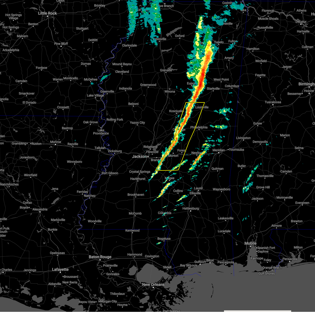 At 858 am cst, severe thunderstorms were located along a line extending from 8 miles west of mcmillan to tuscola to near pelahatchie, moving east at 50 mph (radar indicated). Hazards include 60 mph wind gusts. Expect damage to roofs, siding, and trees. locations impacted include, philadelphia, louisville, forest, carthage, morton, edinburg, harperville, pearl river, pelahatchie, mcmillan, homewood, renfroe, pulaski, piney woods, forkville, branch, white oak, smyrna, tuscola and cato. hail threat, radar indicated max hail size, <. 75 in wind threat, observed max wind gust, 60 mph. At 858 am cst, severe thunderstorms were located along a line extending from 8 miles west of mcmillan to tuscola to near pelahatchie, moving east at 50 mph (radar indicated). Hazards include 60 mph wind gusts. Expect damage to roofs, siding, and trees. locations impacted include, philadelphia, louisville, forest, carthage, morton, edinburg, harperville, pearl river, pelahatchie, mcmillan, homewood, renfroe, pulaski, piney woods, forkville, branch, white oak, smyrna, tuscola and cato. hail threat, radar indicated max hail size, <. 75 in wind threat, observed max wind gust, 60 mph.
|
| 3/3/2023 8:26 AM CST |
 At 825 am cst, severe thunderstorms were located along a line extending from near kosciusko to near goshen springs to near whites, moving northeast at 55 mph (radar indicated. at 823 am cst, wind gusts of 60 mph were reported at the jackson-evers international airport). Hazards include 60 mph wind gusts. expect damage to roofs, siding, and trees At 825 am cst, severe thunderstorms were located along a line extending from near kosciusko to near goshen springs to near whites, moving northeast at 55 mph (radar indicated. at 823 am cst, wind gusts of 60 mph were reported at the jackson-evers international airport). Hazards include 60 mph wind gusts. expect damage to roofs, siding, and trees
|
| 1/12/2023 7:29 AM CST | Trees down on highway 488 near standing pin in leake county MS, 6.4 miles NW of Carthage, MS |
| 1/12/2023 7:27 AM CST | Trees down on robinson roa in leake county MS, 7.1 miles SSW of Carthage, MS |
| 1/12/2023 7:19 AM CST |
 At 719 am cst, a severe thunderstorm was located near carthage, moving east at 55 mph (radar indicated). Hazards include 60 mph wind gusts and penny size hail. Expect damage to roofs, siding, and trees. this severe thunderstorm will be near, renfroe around 730 am cst. edinburg around 740 am cst. philadelphia and pearl river around 745 am cst. burnside and stallo around 755 am cst. nanih waiya around 805 am cst. preston around 810 am cst. other locations impacted by this severe thunderstorm include noxapater, standing pine and redwater. hail threat, radar indicated max hail size, 0. 75 in wind threat, radar indicated max wind gust, 60 mph. At 719 am cst, a severe thunderstorm was located near carthage, moving east at 55 mph (radar indicated). Hazards include 60 mph wind gusts and penny size hail. Expect damage to roofs, siding, and trees. this severe thunderstorm will be near, renfroe around 730 am cst. edinburg around 740 am cst. philadelphia and pearl river around 745 am cst. burnside and stallo around 755 am cst. nanih waiya around 805 am cst. preston around 810 am cst. other locations impacted by this severe thunderstorm include noxapater, standing pine and redwater. hail threat, radar indicated max hail size, 0. 75 in wind threat, radar indicated max wind gust, 60 mph.
|
| 1/3/2023 9:27 PM CST |
 At 927 pm cst, a severe thunderstorm was located near thomastown, or 7 miles west of carthage, moving northeast at 40 mph (radar indicated). Hazards include ping pong ball size hail and 60 mph wind gusts. People and animals outdoors will be injured. expect hail damage to roofs, siding, windows, and vehicles. expect wind damage to roofs, siding, and trees. this severe thunderstorm will be near, thomastown around 930 pm cst. carthage around 935 pm cst. singleton around 945 pm cst. renfroe around 950 pm cst. edinburg around 955 pm cst. zama around 1000 pm cst. other locations impacted by this severe thunderstorm include redwater. hail threat, radar indicated max hail size, 1. 50 in wind threat, radar indicated max wind gust, 60 mph. At 927 pm cst, a severe thunderstorm was located near thomastown, or 7 miles west of carthage, moving northeast at 40 mph (radar indicated). Hazards include ping pong ball size hail and 60 mph wind gusts. People and animals outdoors will be injured. expect hail damage to roofs, siding, windows, and vehicles. expect wind damage to roofs, siding, and trees. this severe thunderstorm will be near, thomastown around 930 pm cst. carthage around 935 pm cst. singleton around 945 pm cst. renfroe around 950 pm cst. edinburg around 955 pm cst. zama around 1000 pm cst. other locations impacted by this severe thunderstorm include redwater. hail threat, radar indicated max hail size, 1. 50 in wind threat, radar indicated max wind gust, 60 mph.
|
| 1/3/2023 6:15 PM CST | Half Dollar sized hail reported 7.9 miles NNW of Carthage, MS, hail reported just near walnut grove. |
| 1/3/2023 6:07 PM CST |
 At 606 pm cst, a severe thunderstorm was located near tuscola, or 9 miles southwest of carthage, moving northeast at 30 mph (radar indicated). Hazards include ping pong ball size hail and 60 mph wind gusts. People and animals outdoors will be injured. expect hail damage to roofs, siding, windows, and vehicles. expect wind damage to roofs, siding, and trees. this severe storm will be near, tuscola around 615 pm cst. carthage around 620 pm cst. madden around 635 pm cst. edinburg around 645 pm cst. pearl river around 650 pm cst. philadelphia around 655 pm cst. burnside around 700 pm cst. other locations impacted by this severe thunderstorm include lena, standing pine and walnut grove. hail threat, radar indicated max hail size, 1. 50 in wind threat, radar indicated max wind gust, 60 mph. At 606 pm cst, a severe thunderstorm was located near tuscola, or 9 miles southwest of carthage, moving northeast at 30 mph (radar indicated). Hazards include ping pong ball size hail and 60 mph wind gusts. People and animals outdoors will be injured. expect hail damage to roofs, siding, windows, and vehicles. expect wind damage to roofs, siding, and trees. this severe storm will be near, tuscola around 615 pm cst. carthage around 620 pm cst. madden around 635 pm cst. edinburg around 645 pm cst. pearl river around 650 pm cst. philadelphia around 655 pm cst. burnside around 700 pm cst. other locations impacted by this severe thunderstorm include lena, standing pine and walnut grove. hail threat, radar indicated max hail size, 1. 50 in wind threat, radar indicated max wind gust, 60 mph.
|
| 1/3/2023 6:01 PM CST |
 At 601 pm cst, a severe thunderstorm was located near ludlow, or 10 miles southwest of carthage, moving northeast at 45 mph (radar indicated). Hazards include 60 mph wind gusts and quarter size hail. Hail damage to vehicles is expected. expect wind damage to roofs, siding, and trees. this severe thunderstorm will be near, tuscola around 610 pm cst. carthage around 615 pm cst. madden around 625 pm cst. edinburg around 630 pm cst. philadelphia and pearl river around 635 pm cst. burnside around 645 pm cst. stallo around 650 pm cst. nanih waiya around 700 pm cst. other locations impacted by this severe thunderstorm include lena, standing pine and walnut grove. hail threat, radar indicated max hail size, 1. 00 in wind threat, radar indicated max wind gust, 60 mph. At 601 pm cst, a severe thunderstorm was located near ludlow, or 10 miles southwest of carthage, moving northeast at 45 mph (radar indicated). Hazards include 60 mph wind gusts and quarter size hail. Hail damage to vehicles is expected. expect wind damage to roofs, siding, and trees. this severe thunderstorm will be near, tuscola around 610 pm cst. carthage around 615 pm cst. madden around 625 pm cst. edinburg around 630 pm cst. philadelphia and pearl river around 635 pm cst. burnside around 645 pm cst. stallo around 650 pm cst. nanih waiya around 700 pm cst. other locations impacted by this severe thunderstorm include lena, standing pine and walnut grove. hail threat, radar indicated max hail size, 1. 00 in wind threat, radar indicated max wind gust, 60 mph.
|
| 11/29/2022 7:20 PM CST |
 At 720 pm cst, a severe thunderstorm was located over dowdville, or near edinburg, moving northeast at 55 mph (radar indicated). Hazards include ping pong ball size hail and 60 mph wind gusts. People and animals outdoors will be injured. expect hail damage to roofs, siding, windows, and vehicles. expect wind damage to roofs, siding, and trees. this severe storm will be near, pearl river around 725 pm cst. philadelphia around 730 pm cst. Other locations impacted by this severe thunderstorm include lena, walnut grove, sebastopol and standing pine. At 720 pm cst, a severe thunderstorm was located over dowdville, or near edinburg, moving northeast at 55 mph (radar indicated). Hazards include ping pong ball size hail and 60 mph wind gusts. People and animals outdoors will be injured. expect hail damage to roofs, siding, windows, and vehicles. expect wind damage to roofs, siding, and trees. this severe storm will be near, pearl river around 725 pm cst. philadelphia around 730 pm cst. Other locations impacted by this severe thunderstorm include lena, walnut grove, sebastopol and standing pine.
|
| 11/29/2022 6:40 PM CST |
 At 640 pm cst, a severe thunderstorm was located over goshen springs, or 11 miles southeast of canton, moving east at 55 mph (radar indicated). Hazards include ping pong ball size hail and 60 mph wind gusts. People and animals outdoors will be injured. expect hail damage to roofs, siding, windows, and vehicles. expect wind damage to roofs, siding, and trees. this severe thunderstorm will be near, leesburg and farmhaven around 650 pm cst. ludlow and forkville around 655 pm cst. tuscola around 705 pm cst. edinburg, dowdville and madden around 720 pm cst. pearl river and dixon around 725 pm cst. philadelphia around 730 pm cst. Other locations impacted by this severe thunderstorm include lena, walnut grove, sebastopol and standing pine. At 640 pm cst, a severe thunderstorm was located over goshen springs, or 11 miles southeast of canton, moving east at 55 mph (radar indicated). Hazards include ping pong ball size hail and 60 mph wind gusts. People and animals outdoors will be injured. expect hail damage to roofs, siding, windows, and vehicles. expect wind damage to roofs, siding, and trees. this severe thunderstorm will be near, leesburg and farmhaven around 650 pm cst. ludlow and forkville around 655 pm cst. tuscola around 705 pm cst. edinburg, dowdville and madden around 720 pm cst. pearl river and dixon around 725 pm cst. philadelphia around 730 pm cst. Other locations impacted by this severe thunderstorm include lena, walnut grove, sebastopol and standing pine.
|
| 8/16/2022 3:55 PM CDT |
 The severe thunderstorm warning for southern leake, northwestern newton, northeastern scott and southwestern neshoba counties will expire at 400 pm cdt, the storms which prompted the warning have weakened below severe limits, and no longer pose an immediate threat to life or property. therefore, the warning will be allowed to expire. to report severe weather, contact your nearest law enforcement agency. they will relay your report to the national weather service jackson. The severe thunderstorm warning for southern leake, northwestern newton, northeastern scott and southwestern neshoba counties will expire at 400 pm cdt, the storms which prompted the warning have weakened below severe limits, and no longer pose an immediate threat to life or property. therefore, the warning will be allowed to expire. to report severe weather, contact your nearest law enforcement agency. they will relay your report to the national weather service jackson.
|
| 8/16/2022 3:40 PM CDT |
 At 339 pm cdt, severe thunderstorms were located along a line extending from 6 miles west of carthage to near dixon, moving southeast at 15 mph (radar indicated). Hazards include 60 mph wind gusts and nickel size hail. Expect damage to roofs, siding, and trees. locations impacted include, carthage, prospect, dowdville, tuscola, madden, dixon, walnut grove, sebastopol, lena and standing pine. hail threat, radar indicated max hail size, 0. 88 in wind threat, radar indicated max wind gust, 60 mph. At 339 pm cdt, severe thunderstorms were located along a line extending from 6 miles west of carthage to near dixon, moving southeast at 15 mph (radar indicated). Hazards include 60 mph wind gusts and nickel size hail. Expect damage to roofs, siding, and trees. locations impacted include, carthage, prospect, dowdville, tuscola, madden, dixon, walnut grove, sebastopol, lena and standing pine. hail threat, radar indicated max hail size, 0. 88 in wind threat, radar indicated max wind gust, 60 mph.
|
| 8/16/2022 3:21 PM CDT |
 At 321 pm cdt, severe thunderstorms were located along a line extending from near thomastown to dowdville, moving southeast at 15 mph (radar indicated). Hazards include 60 mph wind gusts and nickel size hail. expect damage to roofs, siding, and trees At 321 pm cdt, severe thunderstorms were located along a line extending from near thomastown to dowdville, moving southeast at 15 mph (radar indicated). Hazards include 60 mph wind gusts and nickel size hail. expect damage to roofs, siding, and trees
|
| 7/21/2022 8:23 PM CDT |
 At 823 pm cdt, a severe thunderstorm was located near edinburg, moving southeast at 15 mph (radar indicated). Hazards include 60 mph wind gusts. Expect damage to roofs, siding, and trees. locations impacted include, philadelphia, edinburg, pearl river, renfroe and burnside. hail threat, radar indicated max hail size, <. 75 in wind threat, radar indicated max wind gust, 60 mph. At 823 pm cdt, a severe thunderstorm was located near edinburg, moving southeast at 15 mph (radar indicated). Hazards include 60 mph wind gusts. Expect damage to roofs, siding, and trees. locations impacted include, philadelphia, edinburg, pearl river, renfroe and burnside. hail threat, radar indicated max hail size, <. 75 in wind threat, radar indicated max wind gust, 60 mph.
|
| 7/21/2022 7:56 PM CDT |
 At 755 pm cdt, a severe thunderstorm was located near zama, or 9 miles north of edinburg, moving southeast at 15 mph (radar indicated). Hazards include 60 mph wind gusts and quarter size hail. Hail damage to vehicles is expected. expect wind damage to roofs, siding, and trees. this severe storm will be near, edinburg around 825 pm cdt. pearl river around 845 pm cdt. philadelphia around 855 pm cdt. burnside around 900 pm cdt. other locations impacted by this severe thunderstorm include redwater. hail threat, radar indicated max hail size, 1. 00 in wind threat, radar indicated max wind gust, 60 mph. At 755 pm cdt, a severe thunderstorm was located near zama, or 9 miles north of edinburg, moving southeast at 15 mph (radar indicated). Hazards include 60 mph wind gusts and quarter size hail. Hail damage to vehicles is expected. expect wind damage to roofs, siding, and trees. this severe storm will be near, edinburg around 825 pm cdt. pearl river around 845 pm cdt. philadelphia around 855 pm cdt. burnside around 900 pm cdt. other locations impacted by this severe thunderstorm include redwater. hail threat, radar indicated max hail size, 1. 00 in wind threat, radar indicated max wind gust, 60 mph.
|
| 7/21/2022 7:41 PM CDT |
 At 741 pm cdt, a severe thunderstorm was located over smyrna, or 10 miles southeast of kosciusko, moving east at 15 mph (radar indicated). Hazards include 60 mph wind gusts and quarter size hail. Hail damage to vehicles is expected. expect wind damage to roofs, siding, and trees. this severe thunderstorm will be near, renfroe around 750 pm cdt. edinburg around 820 pm cdt. pearl river around 840 pm cdt. philadelphia and burnside around 845 pm cdt. other locations impacted by this severe thunderstorm include redwater. hail threat, radar indicated max hail size, 1. 00 in wind threat, radar indicated max wind gust, 60 mph. At 741 pm cdt, a severe thunderstorm was located over smyrna, or 10 miles southeast of kosciusko, moving east at 15 mph (radar indicated). Hazards include 60 mph wind gusts and quarter size hail. Hail damage to vehicles is expected. expect wind damage to roofs, siding, and trees. this severe thunderstorm will be near, renfroe around 750 pm cdt. edinburg around 820 pm cdt. pearl river around 840 pm cdt. philadelphia and burnside around 845 pm cdt. other locations impacted by this severe thunderstorm include redwater. hail threat, radar indicated max hail size, 1. 00 in wind threat, radar indicated max wind gust, 60 mph.
|
| 7/13/2022 3:43 PM CDT |
 At 343 pm cdt, a severe thunderstorm was located near carthage, moving south at 25 mph (radar indicated). Hazards include 60 mph wind gusts. Expect damage to roofs, siding, and trees. this severe storm will be near, tuscola around 355 pm cdt. other locations impacted by this severe thunderstorm include lena, walnut grove, redwater and standing pine. hail threat, radar indicated max hail size, <. 75 in wind threat, radar indicated max wind gust, 60 mph. At 343 pm cdt, a severe thunderstorm was located near carthage, moving south at 25 mph (radar indicated). Hazards include 60 mph wind gusts. Expect damage to roofs, siding, and trees. this severe storm will be near, tuscola around 355 pm cdt. other locations impacted by this severe thunderstorm include lena, walnut grove, redwater and standing pine. hail threat, radar indicated max hail size, <. 75 in wind threat, radar indicated max wind gust, 60 mph.
|
| 7/13/2022 3:21 PM CDT | Power lines downed on mars hill r in leake county MS, 11.9 miles WSW of Carthage, MS |
| 7/13/2022 3:00 PM CDT |
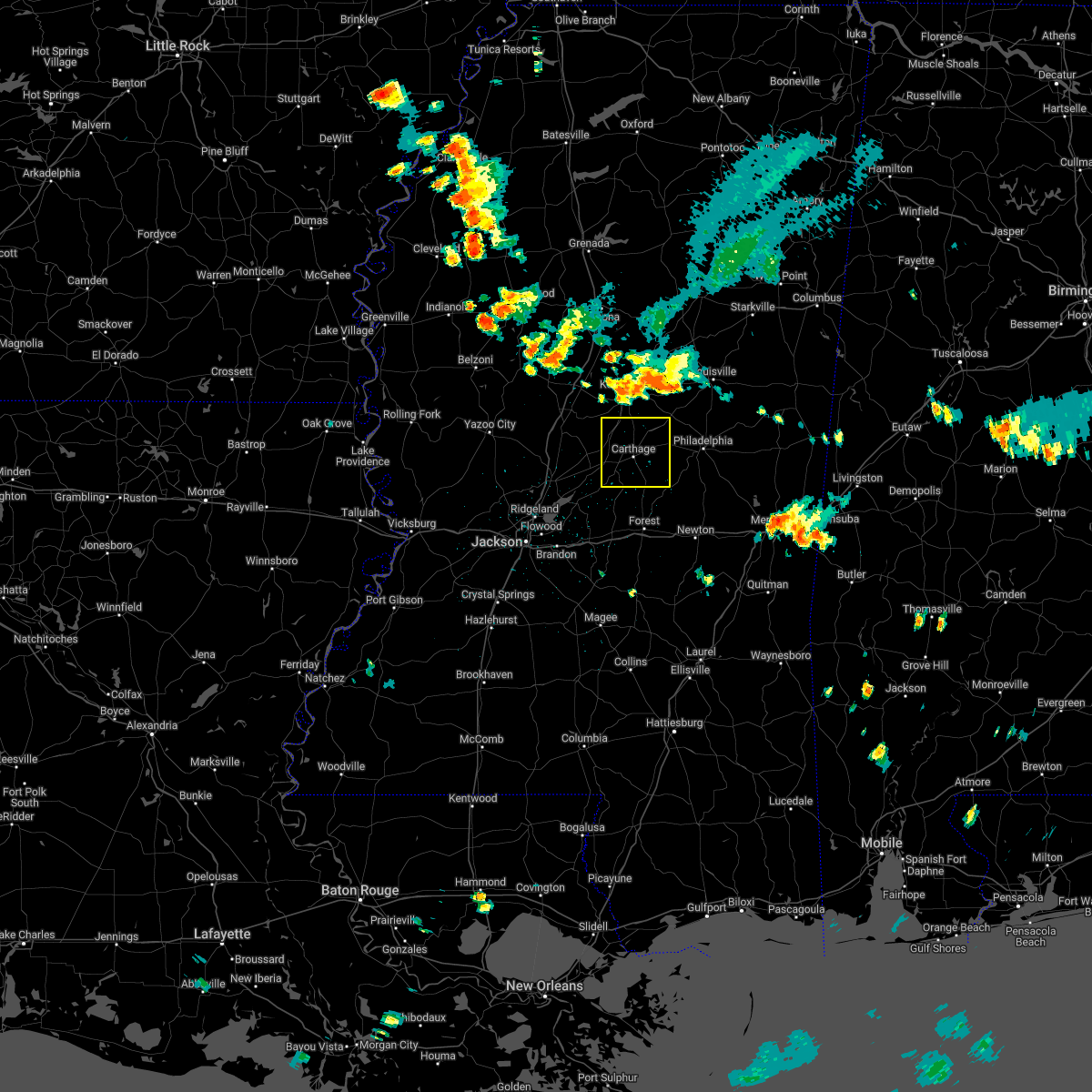 At 259 pm cdt, a severe thunderstorm was located near smyrna, or 7 miles south of kosciusko, moving south at 25 mph (radar indicated). Hazards include 60 mph wind gusts. Expect damage to roofs, siding, and trees. this severe thunderstorm will be near, singleton and thomastown around 310 pm cdt. renfroe around 320 pm cdt. carthage around 330 pm cdt. tuscola around 355 pm cdt. other locations impacted by this severe thunderstorm include lena, walnut grove, redwater and standing pine. hail threat, radar indicated max hail size, <. 75 in wind threat, radar indicated max wind gust, 60 mph. At 259 pm cdt, a severe thunderstorm was located near smyrna, or 7 miles south of kosciusko, moving south at 25 mph (radar indicated). Hazards include 60 mph wind gusts. Expect damage to roofs, siding, and trees. this severe thunderstorm will be near, singleton and thomastown around 310 pm cdt. renfroe around 320 pm cdt. carthage around 330 pm cdt. tuscola around 355 pm cdt. other locations impacted by this severe thunderstorm include lena, walnut grove, redwater and standing pine. hail threat, radar indicated max hail size, <. 75 in wind threat, radar indicated max wind gust, 60 mph.
|
| 7/9/2022 8:03 PM CDT |
 At 802 pm cdt, a severe thunderstorm was located over smyrna, or near kosciusko, moving southeast at 30 mph (radar indicated). Hazards include 60 mph wind gusts. Expect damage to roofs, siding, and trees. this severe thunderstorm will remain over mainly rural areas of northwestern leake, southern attala and northeastern madison counties, including the following locations, sallis and redwater. hail threat, radar indicated max hail size, <. 75 in wind threat, radar indicated max wind gust, 60 mph. At 802 pm cdt, a severe thunderstorm was located over smyrna, or near kosciusko, moving southeast at 30 mph (radar indicated). Hazards include 60 mph wind gusts. Expect damage to roofs, siding, and trees. this severe thunderstorm will remain over mainly rural areas of northwestern leake, southern attala and northeastern madison counties, including the following locations, sallis and redwater. hail threat, radar indicated max hail size, <. 75 in wind threat, radar indicated max wind gust, 60 mph.
|
| 7/9/2022 8:02 PM CDT | A tree was blown down on red dog roa in leake county MS, 3.3 miles ESE of Carthage, MS |
| 7/9/2022 7:19 PM CDT |
 At 718 pm cdt, a severe thunderstorm was located near durant, moving southeast at 30 mph (radar indicated). Hazards include 60 mph wind gusts. Expect damage to roofs, siding, and trees. this severe thunderstorm will be near, possumneck around 725 pm cdt. hesterville around 735 pm cdt. mcadams around 740 pm cdt. kosciusko around 750 pm cdt. smyrna around 805 pm cdt. zama and renfroe around 815 pm cdt. other locations impacted by this severe thunderstorm include mccool, ethel, sallis, redwater and west. hail threat, radar indicated max hail size, <. 75 in wind threat, radar indicated max wind gust, 60 mph. At 718 pm cdt, a severe thunderstorm was located near durant, moving southeast at 30 mph (radar indicated). Hazards include 60 mph wind gusts. Expect damage to roofs, siding, and trees. this severe thunderstorm will be near, possumneck around 725 pm cdt. hesterville around 735 pm cdt. mcadams around 740 pm cdt. kosciusko around 750 pm cdt. smyrna around 805 pm cdt. zama and renfroe around 815 pm cdt. other locations impacted by this severe thunderstorm include mccool, ethel, sallis, redwater and west. hail threat, radar indicated max hail size, <. 75 in wind threat, radar indicated max wind gust, 60 mph.
|
| 6/10/2022 12:37 PM CDT |
 At 1237 pm cdt, severe thunderstorms were located along a line extending from near farmhaven to near leesburg, moving east at 25 mph (radar indicated). Hazards include 60 mph wind gusts. Expect damage to roofs, siding, and trees. locations impacted include, forest, carthage, morton, edinburg, harperville, homewood, tuscola, ludlow, pulaski, hillsboro, pisgah, forkville, branch, walnut grove, lena and standing pine. hail threat, radar indicated max hail size, <. 75 in wind threat, radar indicated max wind gust, 60 mph. At 1237 pm cdt, severe thunderstorms were located along a line extending from near farmhaven to near leesburg, moving east at 25 mph (radar indicated). Hazards include 60 mph wind gusts. Expect damage to roofs, siding, and trees. locations impacted include, forest, carthage, morton, edinburg, harperville, homewood, tuscola, ludlow, pulaski, hillsboro, pisgah, forkville, branch, walnut grove, lena and standing pine. hail threat, radar indicated max hail size, <. 75 in wind threat, radar indicated max wind gust, 60 mph.
|
| 6/10/2022 12:24 PM CDT |
 At 1224 pm cdt, severe thunderstorms were located along a line extending from farmhaven to near pisgah, moving southeast at 30 mph (radar indicated). Hazards include 60 mph wind gusts. Expect damage to roofs, siding, and trees. locations impacted include, forest, carthage, morton, edinburg, harperville, homewood, farmhaven, tuscola, goshen springs, ludlow, pulaski, hillsboro, pisgah, forkville, branch, walnut grove, lena and standing pine. hail threat, radar indicated max hail size, <. 75 in wind threat, radar indicated max wind gust, 60 mph. At 1224 pm cdt, severe thunderstorms were located along a line extending from farmhaven to near pisgah, moving southeast at 30 mph (radar indicated). Hazards include 60 mph wind gusts. Expect damage to roofs, siding, and trees. locations impacted include, forest, carthage, morton, edinburg, harperville, homewood, farmhaven, tuscola, goshen springs, ludlow, pulaski, hillsboro, pisgah, forkville, branch, walnut grove, lena and standing pine. hail threat, radar indicated max hail size, <. 75 in wind threat, radar indicated max wind gust, 60 mph.
|
| 6/10/2022 12:09 PM CDT |
 At 1209 pm cdt, severe thunderstorms were located along a line extending from near camden to near sharon, moving east at 25 mph (radar indicated). Hazards include 60 mph wind gusts. expect damage to roofs, siding, and trees At 1209 pm cdt, severe thunderstorms were located along a line extending from near camden to near sharon, moving east at 25 mph (radar indicated). Hazards include 60 mph wind gusts. expect damage to roofs, siding, and trees
|
| 5/25/2022 12:58 PM CDT |
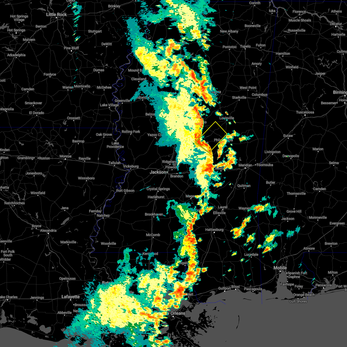 At 1258 pm cdt, a severe thunderstorm was located near carthage, moving northeast at 45 mph (radar indicated). Hazards include 60 mph wind gusts. Expect damage to roofs, siding, and trees. this severe storm will be near, renfroe around 105 pm cdt. edinburg around 110 pm cdt. zama around 120 pm cdt. Other locations impacted by this severe thunderstorm include standing pine and redwater. At 1258 pm cdt, a severe thunderstorm was located near carthage, moving northeast at 45 mph (radar indicated). Hazards include 60 mph wind gusts. Expect damage to roofs, siding, and trees. this severe storm will be near, renfroe around 105 pm cdt. edinburg around 110 pm cdt. zama around 120 pm cdt. Other locations impacted by this severe thunderstorm include standing pine and redwater.
|
| 5/25/2022 12:55 PM CDT | Social media report and picture of trees and large limbs blown down in carthage. possible tornad in leake county MS, 0.3 miles ESE of Carthage, MS |
| 5/25/2022 12:55 PM CDT |
 At 1255 pm cdt, a severe thunderstorm capable of producing a tornado was located over carthage, moving northeast at 45 mph (radar indicated rotation). Hazards include tornado. Flying debris will be dangerous to those caught without shelter. mobile homes will be damaged or destroyed. damage to roofs, windows, and vehicles will occur. tree damage is likely. this dangerous storm will be near, renfroe around 105 pm cdt. edinburg around 110 pm cdt. zama around 120 pm cdt. Other locations impacted by this tornadic thunderstorm include noxapater and redwater. At 1255 pm cdt, a severe thunderstorm capable of producing a tornado was located over carthage, moving northeast at 45 mph (radar indicated rotation). Hazards include tornado. Flying debris will be dangerous to those caught without shelter. mobile homes will be damaged or destroyed. damage to roofs, windows, and vehicles will occur. tree damage is likely. this dangerous storm will be near, renfroe around 105 pm cdt. edinburg around 110 pm cdt. zama around 120 pm cdt. Other locations impacted by this tornadic thunderstorm include noxapater and redwater.
|
| 5/25/2022 12:40 PM CDT |
 At 1239 pm cdt, a severe thunderstorm was located near ludlow, or 9 miles southwest of carthage, moving northeast at 40 mph (radar indicated). Hazards include 60 mph wind gusts. Expect damage to roofs, siding, and trees. this severe thunderstorm will be near, tuscola around 1245 pm cdt. carthage around 1255 pm cdt. renfroe around 105 pm cdt. edinburg around 110 pm cdt. zama around 120 pm cdt. stallo around 130 pm cdt. other locations impacted by this severe thunderstorm include lena, walnut grove, redwater and standing pine. hail threat, radar indicated max hail size, <. 75 in wind threat, radar indicated max wind gust, 60 mph. At 1239 pm cdt, a severe thunderstorm was located near ludlow, or 9 miles southwest of carthage, moving northeast at 40 mph (radar indicated). Hazards include 60 mph wind gusts. Expect damage to roofs, siding, and trees. this severe thunderstorm will be near, tuscola around 1245 pm cdt. carthage around 1255 pm cdt. renfroe around 105 pm cdt. edinburg around 110 pm cdt. zama around 120 pm cdt. stallo around 130 pm cdt. other locations impacted by this severe thunderstorm include lena, walnut grove, redwater and standing pine. hail threat, radar indicated max hail size, <. 75 in wind threat, radar indicated max wind gust, 60 mph.
|
| 5/5/2022 7:47 PM CDT | Tree down on hwy 488 in madden near dr. brantley r in leake county MS, 12.1 miles WNW of Carthage, MS |
| 5/5/2022 7:25 PM CDT | Tree down on highway 488 near galilee roa in leake county MS, 6.5 miles WNW of Carthage, MS |
| 5/5/2022 7:22 PM CDT |
 At 722 pm cdt, a severe thunderstorm was located near carthage, moving northeast at 30 mph (radar indicated). Hazards include 60 mph wind gusts and quarter size hail. Hail damage to vehicles is expected. expect wind damage to roofs, siding, and trees. this severe thunderstorm will be near, edinburg and dowdville around 735 pm cdt. pearl river around 745 pm cdt. philadelphia around 750 pm cdt. other locations impacted by this severe thunderstorm include standing pine and redwater. hail threat, radar indicated max hail size, 1. 00 in wind threat, radar indicated max wind gust, 60 mph. At 722 pm cdt, a severe thunderstorm was located near carthage, moving northeast at 30 mph (radar indicated). Hazards include 60 mph wind gusts and quarter size hail. Hail damage to vehicles is expected. expect wind damage to roofs, siding, and trees. this severe thunderstorm will be near, edinburg and dowdville around 735 pm cdt. pearl river around 745 pm cdt. philadelphia around 750 pm cdt. other locations impacted by this severe thunderstorm include standing pine and redwater. hail threat, radar indicated max hail size, 1. 00 in wind threat, radar indicated max wind gust, 60 mph.
|
| 4/17/2022 6:21 PM CDT |
 At 620 pm cdt, severe thunderstorms were located along a line extending from near kosciusko to near canton, moving southeast at 25 mph (radar indicated). Hazards include 60 mph wind gusts and quarter size hail. Hail damage to vehicles is expected. expect wind damage to roofs, siding, and trees. these severe storms will be near, kosciusko and mcadams around 625 pm cdt. smyrna around 645 pm cdt. goshen springs around 650 pm cdt. pisgah around 655 pm cdt. zama around 700 pm cdt. leesburg around 715 pm cdt. Other locations impacted by these severe thunderstorms include redwater. At 620 pm cdt, severe thunderstorms were located along a line extending from near kosciusko to near canton, moving southeast at 25 mph (radar indicated). Hazards include 60 mph wind gusts and quarter size hail. Hail damage to vehicles is expected. expect wind damage to roofs, siding, and trees. these severe storms will be near, kosciusko and mcadams around 625 pm cdt. smyrna around 645 pm cdt. goshen springs around 650 pm cdt. pisgah around 655 pm cdt. zama around 700 pm cdt. leesburg around 715 pm cdt. Other locations impacted by these severe thunderstorms include redwater.
|
| 4/17/2022 5:55 PM CDT |
 At 555 pm cdt, severe thunderstorms were located along a line extending from possumneck to 7 miles north of annandale, moving southeast at 25 mph (radar indicated). Hazards include 60 mph wind gusts and quarter size hail. Hail damage to vehicles is expected. expect wind damage to roofs, siding, and trees. severe thunderstorms will be near, possumneck around 600 pm cdt. hesterville around 605 pm cdt. mcadams around 610 pm cdt. canton around 615 pm cdt. kosciusko and gluckstadt around 620 pm cdt. smyrna around 640 pm cdt. goshen springs, pisgah and zama around 645 pm cdt. Other locations impacted by these severe thunderstorms include sallis and redwater. At 555 pm cdt, severe thunderstorms were located along a line extending from possumneck to 7 miles north of annandale, moving southeast at 25 mph (radar indicated). Hazards include 60 mph wind gusts and quarter size hail. Hail damage to vehicles is expected. expect wind damage to roofs, siding, and trees. severe thunderstorms will be near, possumneck around 600 pm cdt. hesterville around 605 pm cdt. mcadams around 610 pm cdt. canton around 615 pm cdt. kosciusko and gluckstadt around 620 pm cdt. smyrna around 640 pm cdt. goshen springs, pisgah and zama around 645 pm cdt. Other locations impacted by these severe thunderstorms include sallis and redwater.
|
| 4/17/2022 8:44 AM CDT |
 At 843 am cdt, a severe thunderstorm was located over dowdville, or near edinburg, moving east at 40 mph (radar indicated). Hazards include ping pong ball size hail and 60 mph wind gusts. People and animals outdoors will be injured. expect hail damage to roofs, siding, windows, and vehicles. expect wind damage to roofs, siding, and trees. this severe storm will be near, philadelphia around 850 am cdt. dixon around 855 am cdt. neshoba around 905 am cdt. bethsaida around 910 am cdt. house around 915 am cdt. herbert springs around 920 am cdt. other locations impacted by this severe thunderstorm include tucker and standing pine. hail threat, radar indicated max hail size, 1. 50 in wind threat, radar indicated max wind gust, 60 mph. At 843 am cdt, a severe thunderstorm was located over dowdville, or near edinburg, moving east at 40 mph (radar indicated). Hazards include ping pong ball size hail and 60 mph wind gusts. People and animals outdoors will be injured. expect hail damage to roofs, siding, windows, and vehicles. expect wind damage to roofs, siding, and trees. this severe storm will be near, philadelphia around 850 am cdt. dixon around 855 am cdt. neshoba around 905 am cdt. bethsaida around 910 am cdt. house around 915 am cdt. herbert springs around 920 am cdt. other locations impacted by this severe thunderstorm include tucker and standing pine. hail threat, radar indicated max hail size, 1. 50 in wind threat, radar indicated max wind gust, 60 mph.
|
| 4/17/2022 8:27 AM CDT |
 At 826 am cdt, a severe thunderstorm was located near carthage, moving east at 40 mph (radar indicated). Hazards include 60 mph wind gusts and half dollar size hail. Hail damage to vehicles is expected. expect wind damage to roofs, siding, and trees. this severe thunderstorm will be near, edinburg and madden around 840 am cdt. pearl river and dowdville around 845 am cdt. philadelphia around 850 am cdt. dixon around 855 am cdt. neshoba around 905 am cdt. bethsaida around 910 am cdt. house around 915 am cdt. herbert springs around 920 am cdt. other locations impacted by this severe thunderstorm include tucker, standing pine and redwater. hail threat, radar indicated max hail size, 1. 25 in wind threat, radar indicated max wind gust, 60 mph. At 826 am cdt, a severe thunderstorm was located near carthage, moving east at 40 mph (radar indicated). Hazards include 60 mph wind gusts and half dollar size hail. Hail damage to vehicles is expected. expect wind damage to roofs, siding, and trees. this severe thunderstorm will be near, edinburg and madden around 840 am cdt. pearl river and dowdville around 845 am cdt. philadelphia around 850 am cdt. dixon around 855 am cdt. neshoba around 905 am cdt. bethsaida around 910 am cdt. house around 915 am cdt. herbert springs around 920 am cdt. other locations impacted by this severe thunderstorm include tucker, standing pine and redwater. hail threat, radar indicated max hail size, 1. 25 in wind threat, radar indicated max wind gust, 60 mph.
|
| 4/17/2022 7:58 AM CDT |
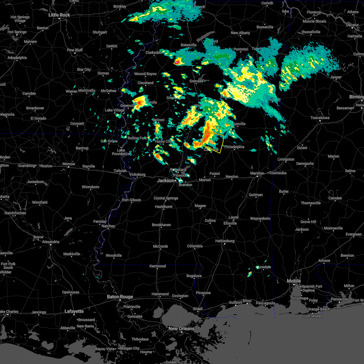 At 757 am cdt, a severe thunderstorm was located near singleton, or 10 miles south of kosciusko, moving east at 30 mph (radar indicated). Hazards include 60 mph wind gusts and quarter size hail. Hail damage to vehicles is expected. expect wind damage to roofs, siding, and trees. this severe storm will be near, smyrna around 805 am cdt. renfroe around 815 am cdt. zama around 820 am cdt. hail threat, radar indicated max hail size, 1. 00 in wind threat, radar indicated max wind gust, 60 mph. At 757 am cdt, a severe thunderstorm was located near singleton, or 10 miles south of kosciusko, moving east at 30 mph (radar indicated). Hazards include 60 mph wind gusts and quarter size hail. Hail damage to vehicles is expected. expect wind damage to roofs, siding, and trees. this severe storm will be near, smyrna around 805 am cdt. renfroe around 815 am cdt. zama around 820 am cdt. hail threat, radar indicated max hail size, 1. 00 in wind threat, radar indicated max wind gust, 60 mph.
|
| 4/13/2022 8:11 PM CDT |
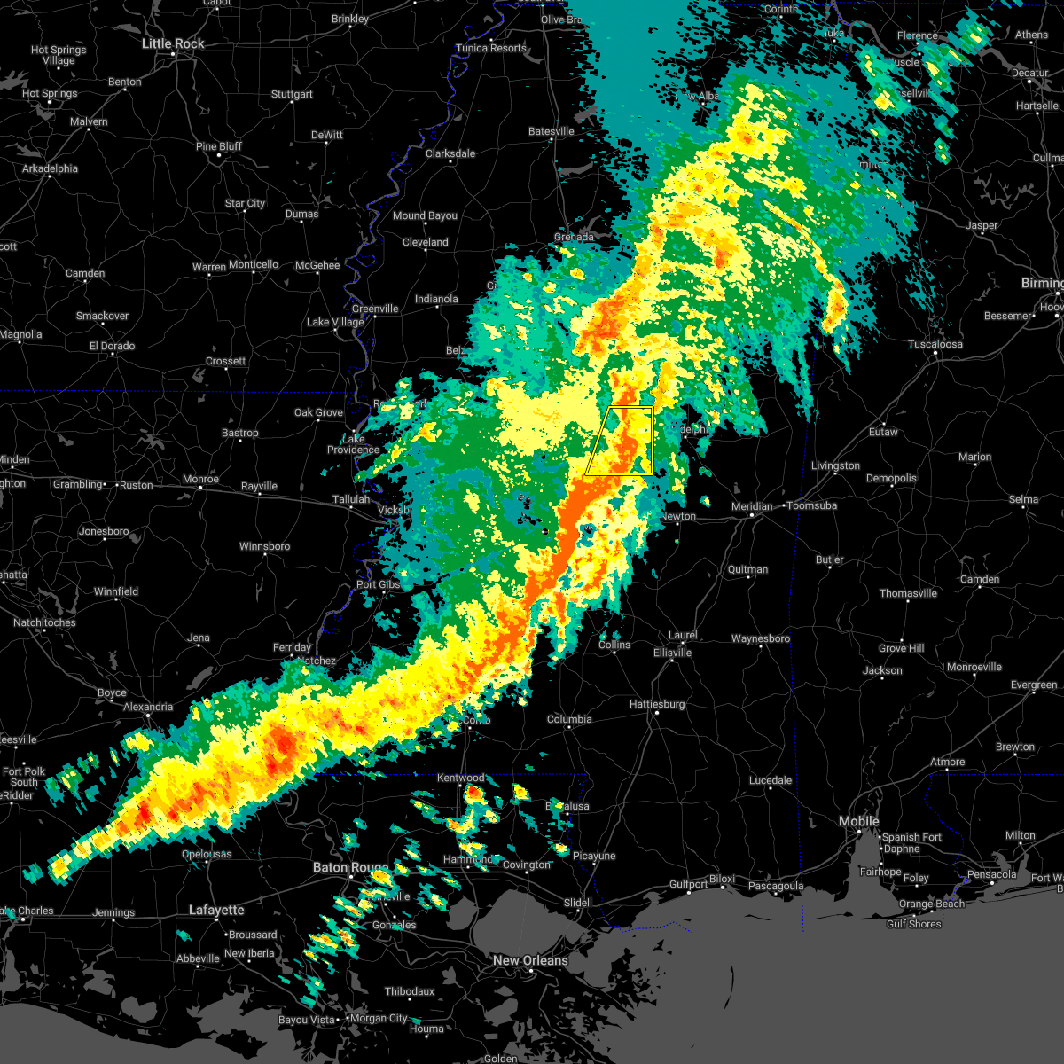 The severe thunderstorm warning for leake county will expire at 815 pm cdt, the storms which prompted the warning have moved out of the area. therefore, the warning will be allowed to expire. a tornado watch remains in effect until 1000 pm cdt for central mississippi. The severe thunderstorm warning for leake county will expire at 815 pm cdt, the storms which prompted the warning have moved out of the area. therefore, the warning will be allowed to expire. a tornado watch remains in effect until 1000 pm cdt for central mississippi.
|
| 4/13/2022 8:00 PM CDT | Numerous trees down in the county... at least 2 homes with trees on the in leake county MS, 7.9 miles W of Carthage, MS |
| 4/13/2022 7:55 PM CDT |
 At 755 pm cdt, a severe thunderstorm capable of producing a tornado was located near carthage, moving east at 65 mph (radar indicated rotation). Hazards include tornado. Flying debris will be dangerous to those caught without shelter. mobile homes will be damaged or destroyed. damage to roofs, windows, and vehicles will occur. tree damage is likely. this dangerous storm will be near, edinburg and dowdville around 800 pm cdt. pearl river around 805 pm cdt. philadelphia around 810 pm cdt. burnside and stallo around 815 pm cdt. forestdale around 820 pm cdt. Other locations impacted by this tornadic thunderstorm include standing pine. At 755 pm cdt, a severe thunderstorm capable of producing a tornado was located near carthage, moving east at 65 mph (radar indicated rotation). Hazards include tornado. Flying debris will be dangerous to those caught without shelter. mobile homes will be damaged or destroyed. damage to roofs, windows, and vehicles will occur. tree damage is likely. this dangerous storm will be near, edinburg and dowdville around 800 pm cdt. pearl river around 805 pm cdt. philadelphia around 810 pm cdt. burnside and stallo around 815 pm cdt. forestdale around 820 pm cdt. Other locations impacted by this tornadic thunderstorm include standing pine.
|
| 4/13/2022 7:51 PM CDT |
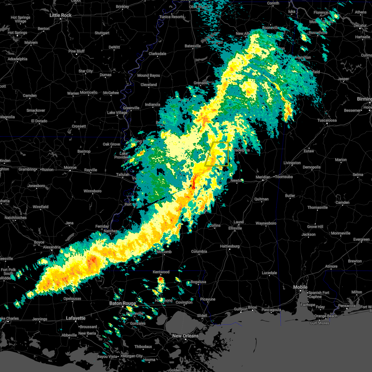 At 751 pm cdt, severe thunderstorms were located along a line extending from near smyrna to near tuscola, moving east at 65 mph (radar indicated). Hazards include 60 mph wind gusts. Expect damage to roofs, siding, and trees. these severe storms will be near, renfroe around 755 pm cdt. madden around 800 pm cdt. other locations impacted by these severe thunderstorms include lena, walnut grove, redwater and standing pine. hail threat, radar indicated max hail size, <. 75 in wind threat, radar indicated max wind gust, 60 mph. At 751 pm cdt, severe thunderstorms were located along a line extending from near smyrna to near tuscola, moving east at 65 mph (radar indicated). Hazards include 60 mph wind gusts. Expect damage to roofs, siding, and trees. these severe storms will be near, renfroe around 755 pm cdt. madden around 800 pm cdt. other locations impacted by these severe thunderstorms include lena, walnut grove, redwater and standing pine. hail threat, radar indicated max hail size, <. 75 in wind threat, radar indicated max wind gust, 60 mph.
|
| 4/13/2022 7:25 PM CDT |
 At 725 pm cdt, severe thunderstorms were located along a line extending from pickens to near goshen springs, moving east at 65 mph (radar indicated). Hazards include 60 mph wind gusts. Expect damage to roofs, siding, and trees. severe thunderstorms will be near, newport around 735 pm cdt. thomastown around 740 pm cdt. smyrna, singleton, tuscola and renfroe around 750 pm cdt. zama around 755 pm cdt. madden around 800 pm cdt. other locations impacted by these severe thunderstorms include lena, walnut grove, redwater and standing pine. hail threat, radar indicated max hail size, <. 75 in wind threat, radar indicated max wind gust, 60 mph. At 725 pm cdt, severe thunderstorms were located along a line extending from pickens to near goshen springs, moving east at 65 mph (radar indicated). Hazards include 60 mph wind gusts. Expect damage to roofs, siding, and trees. severe thunderstorms will be near, newport around 735 pm cdt. thomastown around 740 pm cdt. smyrna, singleton, tuscola and renfroe around 750 pm cdt. zama around 755 pm cdt. madden around 800 pm cdt. other locations impacted by these severe thunderstorms include lena, walnut grove, redwater and standing pine. hail threat, radar indicated max hail size, <. 75 in wind threat, radar indicated max wind gust, 60 mph.
|
| 4/13/2022 7:22 PM CDT |
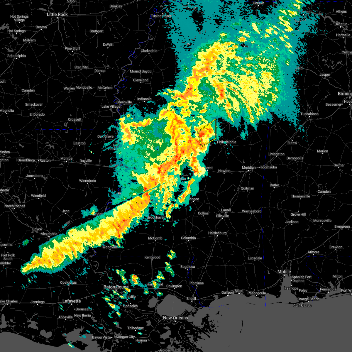 At 722 pm cdt, a severe thunderstorm was located over singleton, or 9 miles north of carthage, moving northeast at 45 mph (radar indicated). Hazards include 60 mph wind gusts. Expect damage to roofs, siding, and trees. this severe storm will be near, singleton around 725 pm cdt. renfroe around 730 pm cdt. smyrna around 735 pm cdt. zama around 740 pm cdt. other locations impacted by this severe thunderstorm include redwater. hail threat, radar indicated max hail size, <. 75 in wind threat, radar indicated max wind gust, 60 mph. At 722 pm cdt, a severe thunderstorm was located over singleton, or 9 miles north of carthage, moving northeast at 45 mph (radar indicated). Hazards include 60 mph wind gusts. Expect damage to roofs, siding, and trees. this severe storm will be near, singleton around 725 pm cdt. renfroe around 730 pm cdt. smyrna around 735 pm cdt. zama around 740 pm cdt. other locations impacted by this severe thunderstorm include redwater. hail threat, radar indicated max hail size, <. 75 in wind threat, radar indicated max wind gust, 60 mph.
|
| 4/13/2022 7:06 PM CDT |
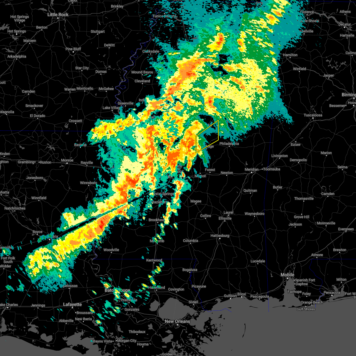 At 706 pm cdt, a severe thunderstorm was located near camden, or 11 miles west of carthage, moving northeast at 45 mph (radar indicated). Hazards include 60 mph wind gusts. Expect damage to roofs, siding, and trees. this severe thunderstorm will be near, carthage and thomastown around 715 pm cdt. singleton around 725 pm cdt. renfroe around 730 pm cdt. smyrna around 735 pm cdt. zama around 740 pm cdt. other locations impacted by this severe thunderstorm include redwater. hail threat, radar indicated max hail size, <. 75 in wind threat, radar indicated max wind gust, 60 mph. At 706 pm cdt, a severe thunderstorm was located near camden, or 11 miles west of carthage, moving northeast at 45 mph (radar indicated). Hazards include 60 mph wind gusts. Expect damage to roofs, siding, and trees. this severe thunderstorm will be near, carthage and thomastown around 715 pm cdt. singleton around 725 pm cdt. renfroe around 730 pm cdt. smyrna around 735 pm cdt. zama around 740 pm cdt. other locations impacted by this severe thunderstorm include redwater. hail threat, radar indicated max hail size, <. 75 in wind threat, radar indicated max wind gust, 60 mph.
|
| 4/5/2022 3:46 AM CDT |
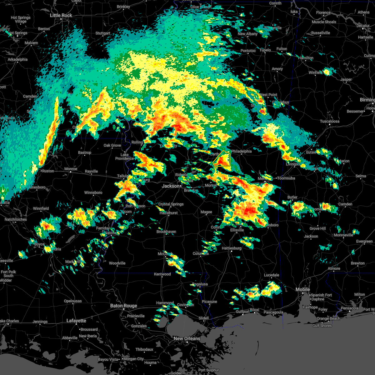 At 346 am cdt, a severe thunderstorm was located near madden, or near carthage, moving northeast at 50 mph (radar indicated). Hazards include 60 mph wind gusts and half dollar size hail. Hail damage to vehicles is expected. expect wind damage to roofs, siding, and trees. this severe storm will be near, madden around 350 am cdt. other locations impacted by this severe thunderstorm include standing pine, walnut grove and lena. hail threat, radar indicated max hail size, 1. 25 in wind threat, radar indicated max wind gust, 60 mph. At 346 am cdt, a severe thunderstorm was located near madden, or near carthage, moving northeast at 50 mph (radar indicated). Hazards include 60 mph wind gusts and half dollar size hail. Hail damage to vehicles is expected. expect wind damage to roofs, siding, and trees. this severe storm will be near, madden around 350 am cdt. other locations impacted by this severe thunderstorm include standing pine, walnut grove and lena. hail threat, radar indicated max hail size, 1. 25 in wind threat, radar indicated max wind gust, 60 mph.
|
| 4/5/2022 3:37 AM CDT |
 At 337 am cdt, a severe thunderstorm was located over tuscola, or 7 miles south of carthage, moving northeast at 50 mph (radar indicated). Hazards include ping pong ball size hail and 60 mph wind gusts. People and animals outdoors will be injured. expect hail damage to roofs, siding, windows, and vehicles. expect wind damage to roofs, siding, and trees. this severe storm will be near, madden around 350 am cdt. other locations impacted by this severe thunderstorm include lena, walnut grove, sebastopol and standing pine. hail threat, radar indicated max hail size, 1. 50 in wind threat, radar indicated max wind gust, 60 mph. At 337 am cdt, a severe thunderstorm was located over tuscola, or 7 miles south of carthage, moving northeast at 50 mph (radar indicated). Hazards include ping pong ball size hail and 60 mph wind gusts. People and animals outdoors will be injured. expect hail damage to roofs, siding, windows, and vehicles. expect wind damage to roofs, siding, and trees. this severe storm will be near, madden around 350 am cdt. other locations impacted by this severe thunderstorm include lena, walnut grove, sebastopol and standing pine. hail threat, radar indicated max hail size, 1. 50 in wind threat, radar indicated max wind gust, 60 mph.
|
| 4/5/2022 3:30 AM CDT |
 At 329 am cdt, a severe thunderstorm was located near ludlow, or 10 miles northwest of harperville, moving northeast at 55 mph (radar indicated). Hazards include tennis ball size hail and 60 mph wind gusts. People and animals outdoors will be injured. expect hail damage to roofs, siding, windows, and vehicles. expect wind damage to roofs, siding, and trees. this severe storm will be near, tuscola around 335 am cdt. madden around 350 am cdt. other locations impacted by this severe thunderstorm include lena, walnut grove, redwater, sebastopol and standing pine. thunderstorm damage threat, considerable hail threat, radar indicated max hail size, 2. 50 in wind threat, radar indicated max wind gust, 60 mph. At 329 am cdt, a severe thunderstorm was located near ludlow, or 10 miles northwest of harperville, moving northeast at 55 mph (radar indicated). Hazards include tennis ball size hail and 60 mph wind gusts. People and animals outdoors will be injured. expect hail damage to roofs, siding, windows, and vehicles. expect wind damage to roofs, siding, and trees. this severe storm will be near, tuscola around 335 am cdt. madden around 350 am cdt. other locations impacted by this severe thunderstorm include lena, walnut grove, redwater, sebastopol and standing pine. thunderstorm damage threat, considerable hail threat, radar indicated max hail size, 2. 50 in wind threat, radar indicated max wind gust, 60 mph.
|
| 4/5/2022 3:18 AM CDT |
 At 318 am cdt, a severe thunderstorm was located near leesburg, or 12 miles northwest of morton, moving northeast at 50 mph (radar indicated). Hazards include tennis ball size hail and 60 mph wind gusts. People and animals outdoors will be injured. expect hail damage to roofs, siding, windows, and vehicles. expect wind damage to roofs, siding, and trees. this severe storm will be near, tuscola around 335 am cdt. madden around 350 am cdt. other locations impacted by this severe thunderstorm include lena, walnut grove, redwater, sebastopol and standing pine. thunderstorm damage threat, considerable hail threat, radar indicated max hail size, 2. 50 in wind threat, radar indicated max wind gust, 60 mph. At 318 am cdt, a severe thunderstorm was located near leesburg, or 12 miles northwest of morton, moving northeast at 50 mph (radar indicated). Hazards include tennis ball size hail and 60 mph wind gusts. People and animals outdoors will be injured. expect hail damage to roofs, siding, windows, and vehicles. expect wind damage to roofs, siding, and trees. this severe storm will be near, tuscola around 335 am cdt. madden around 350 am cdt. other locations impacted by this severe thunderstorm include lena, walnut grove, redwater, sebastopol and standing pine. thunderstorm damage threat, considerable hail threat, radar indicated max hail size, 2. 50 in wind threat, radar indicated max wind gust, 60 mph.
|
| 4/5/2022 3:12 AM CDT |
 At 311 am cdt, a severe thunderstorm was located over pisgah, or 13 miles northwest of morton, moving northeast at 55 mph (radar indicated). Hazards include 60 mph wind gusts and half dollar size hail. Hail damage to vehicles is expected. expect wind damage to roofs, siding, and trees. this severe thunderstorm will be near, leesburg and branch around 315 am cdt. forkville around 320 am cdt. ludlow around 325 am cdt. tuscola around 335 am cdt. madden around 345 am cdt. other locations impacted by this severe thunderstorm include lena, walnut grove, redwater, sebastopol and standing pine. hail threat, radar indicated max hail size, 1. 25 in wind threat, radar indicated max wind gust, 60 mph. At 311 am cdt, a severe thunderstorm was located over pisgah, or 13 miles northwest of morton, moving northeast at 55 mph (radar indicated). Hazards include 60 mph wind gusts and half dollar size hail. Hail damage to vehicles is expected. expect wind damage to roofs, siding, and trees. this severe thunderstorm will be near, leesburg and branch around 315 am cdt. forkville around 320 am cdt. ludlow around 325 am cdt. tuscola around 335 am cdt. madden around 345 am cdt. other locations impacted by this severe thunderstorm include lena, walnut grove, redwater, sebastopol and standing pine. hail threat, radar indicated max hail size, 1. 25 in wind threat, radar indicated max wind gust, 60 mph.
|
| 3/30/2022 5:10 PM CDT |
 At 510 pm cdt, a severe thunderstorm capable of producing a tornado was located near farmhaven, or 12 miles east of canton, moving east at 40 mph (radar indicated rotation). Hazards include tornado. Flying debris will be dangerous to those caught without shelter. mobile homes will be damaged or destroyed. damage to roofs, windows, and vehicles will occur. tree damage is likely. this dangerous storm will be near, ludlow around 520 pm cdt. tuscola around 535 pm cdt. Other locations impacted by this tornadic thunderstorm include lena, walnut grove, redwater and standing pine. At 510 pm cdt, a severe thunderstorm capable of producing a tornado was located near farmhaven, or 12 miles east of canton, moving east at 40 mph (radar indicated rotation). Hazards include tornado. Flying debris will be dangerous to those caught without shelter. mobile homes will be damaged or destroyed. damage to roofs, windows, and vehicles will occur. tree damage is likely. this dangerous storm will be near, ludlow around 520 pm cdt. tuscola around 535 pm cdt. Other locations impacted by this tornadic thunderstorm include lena, walnut grove, redwater and standing pine.
|
| 3/30/2022 4:58 PM CDT |
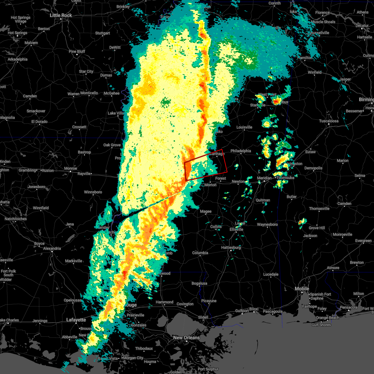 At 458 pm cdt, a severe thunderstorm capable of producing a tornado was located near canton, moving east at 30 mph (radar indicated rotation). Hazards include tornado. Flying debris will be dangerous to those caught without shelter. mobile homes will be damaged or destroyed. damage to roofs, windows, and vehicles will occur. tree damage is likely. this dangerous storm will be near, sharon and pisgah around 510 pm cdt. farmhaven around 520 pm cdt. ludlow around 530 pm cdt. carthage and tuscola around 550 pm cdt. Other locations impacted by this tornadic thunderstorm include lena, walnut grove, redwater and standing pine. At 458 pm cdt, a severe thunderstorm capable of producing a tornado was located near canton, moving east at 30 mph (radar indicated rotation). Hazards include tornado. Flying debris will be dangerous to those caught without shelter. mobile homes will be damaged or destroyed. damage to roofs, windows, and vehicles will occur. tree damage is likely. this dangerous storm will be near, sharon and pisgah around 510 pm cdt. farmhaven around 520 pm cdt. ludlow around 530 pm cdt. carthage and tuscola around 550 pm cdt. Other locations impacted by this tornadic thunderstorm include lena, walnut grove, redwater and standing pine.
|
| 3/22/2022 2:04 PM CDT | A couple trees were downed across eastern portions of the count in leake county MS, 11.9 miles SW of Carthage, MS |
| 3/22/2022 1:39 PM CDT |
 At 139 pm cdt, severe thunderstorms were located along a line extending from near singleton to near ludlow, moving east at 30 mph (radar indicated). Hazards include 60 mph wind gusts. Expect damage to roofs, siding, and trees. severe thunderstorms will be near, singleton and renfroe around 145 pm cdt. madden around 215 pm cdt. dowdville around 220 pm cdt. stallo around 225 pm cdt. dixon around 230 pm cdt. neshoba around 240 pm cdt. bethsaida around 250 pm cdt. house around 255 pm cdt. Other locations impacted by these severe thunderstorms include noxapater, lena, tucker, walnut grove, redwater and standing pine. At 139 pm cdt, severe thunderstorms were located along a line extending from near singleton to near ludlow, moving east at 30 mph (radar indicated). Hazards include 60 mph wind gusts. Expect damage to roofs, siding, and trees. severe thunderstorms will be near, singleton and renfroe around 145 pm cdt. madden around 215 pm cdt. dowdville around 220 pm cdt. stallo around 225 pm cdt. dixon around 230 pm cdt. neshoba around 240 pm cdt. bethsaida around 250 pm cdt. house around 255 pm cdt. Other locations impacted by these severe thunderstorms include noxapater, lena, tucker, walnut grove, redwater and standing pine.
|
| 3/22/2022 1:26 PM CDT |
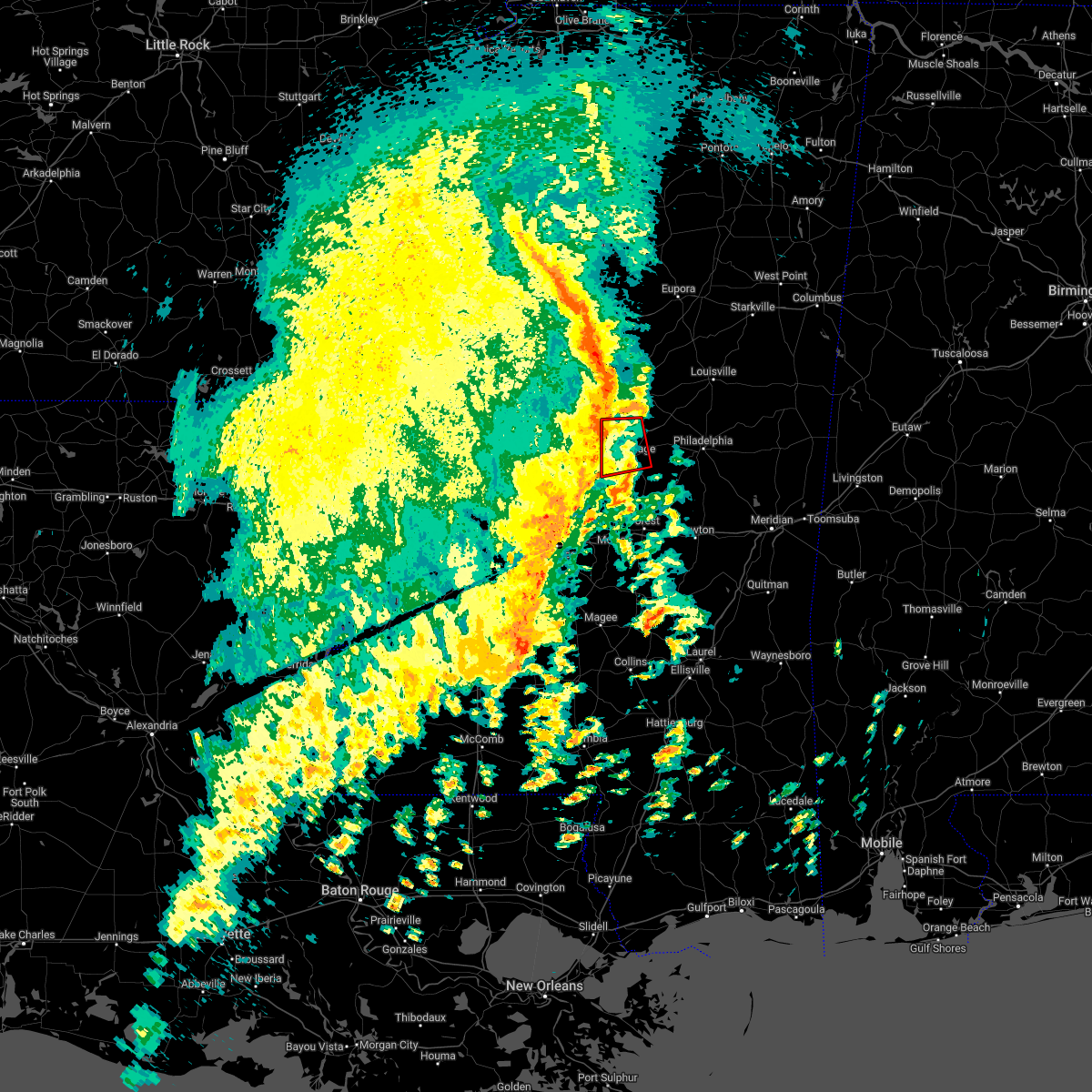 At 126 pm cdt, tornado producing storms were located along a line extending from near thomastown to near ludlow, moving east at 40 mph (radar confirmed tornado). Hazards include damaging tornado. Flying debris will be dangerous to those caught without shelter. mobile homes will be damaged or destroyed. damage to roofs, windows, and vehicles will occur. tree damage is likely. these tornadic storms will be near, singleton around 135 pm cdt. carthage around 145 pm cdt. Other locations impacted by these tornadic storms include redwater. At 126 pm cdt, tornado producing storms were located along a line extending from near thomastown to near ludlow, moving east at 40 mph (radar confirmed tornado). Hazards include damaging tornado. Flying debris will be dangerous to those caught without shelter. mobile homes will be damaged or destroyed. damage to roofs, windows, and vehicles will occur. tree damage is likely. these tornadic storms will be near, singleton around 135 pm cdt. carthage around 145 pm cdt. Other locations impacted by these tornadic storms include redwater.
|
| 3/22/2022 12:46 PM CDT |
 At 1246 pm cdt, tornado producing storms were located along a line extending from near way to near gluckstadt, moving northeast at 55 mph (radar confirmed tornado). Hazards include damaging tornado. Flying debris will be dangerous to those caught without shelter. mobile homes will be damaged or destroyed. damage to roofs, windows, and vehicles will occur. tree damage is likely. these tornadic storms will be near, way around 1250 pm cdt. sharon and cameron around 100 pm cdt. farmhaven and camden around 105 pm cdt. thomastown around 115 pm cdt. carthage and singleton around 125 pm cdt. Other locations impacted by these tornadic storms include redwater. At 1246 pm cdt, tornado producing storms were located along a line extending from near way to near gluckstadt, moving northeast at 55 mph (radar confirmed tornado). Hazards include damaging tornado. Flying debris will be dangerous to those caught without shelter. mobile homes will be damaged or destroyed. damage to roofs, windows, and vehicles will occur. tree damage is likely. these tornadic storms will be near, way around 1250 pm cdt. sharon and cameron around 100 pm cdt. farmhaven and camden around 105 pm cdt. thomastown around 115 pm cdt. carthage and singleton around 125 pm cdt. Other locations impacted by these tornadic storms include redwater.
|
| 9/1/2021 5:34 PM CDT |
 At 534 pm cdt, severe thunderstorms were located along a line extending from near meridian station to thomastown, moving southeast at 30 mph (radar indicated). Hazards include 60 mph wind gusts and nickel size hail. Expect damage to roofs, siding, and trees. severe thunderstorms will be near, meridian station, daleville and blackwater around 540 pm cdt. tamola around 545 pm cdt. lauderdale around 550 pm cdt. kewanee around 605 pm cdt. tuscola around 615 pm cdt. other locations impacted by these severe thunderstorms include tucker, standing pine and redwater. hail threat, radar indicated max hail size, 0. 88 in wind threat, radar indicated max wind gust, 60 mph. At 534 pm cdt, severe thunderstorms were located along a line extending from near meridian station to thomastown, moving southeast at 30 mph (radar indicated). Hazards include 60 mph wind gusts and nickel size hail. Expect damage to roofs, siding, and trees. severe thunderstorms will be near, meridian station, daleville and blackwater around 540 pm cdt. tamola around 545 pm cdt. lauderdale around 550 pm cdt. kewanee around 605 pm cdt. tuscola around 615 pm cdt. other locations impacted by these severe thunderstorms include tucker, standing pine and redwater. hail threat, radar indicated max hail size, 0. 88 in wind threat, radar indicated max wind gust, 60 mph.
|
| 9/1/2021 5:28 PM CDT | Multiple trees down scattered across leake c in leake county MS, 1.3 miles NNE of Carthage, MS |
| 9/1/2021 5:24 PM CDT |
 At 524 pm cdt, severe thunderstorms were located along a line extending from near tamola to renfroe, moving southeast at 35 mph (radar indicated). Hazards include 60 mph wind gusts and nickel size hail. Expect damage to roofs, siding, and trees. these severe storms will be near, meridian station and tamola around 530 pm cdt. lauderdale around 535 pm cdt. madden, kewanee and dowdville around 550 pm cdt. dixon around 600 pm cdt. other locations impacted by these severe thunderstorms include tucker, standing pine and redwater. hail threat, radar indicated max hail size, 0. 88 in wind threat, radar indicated max wind gust, 60 mph. At 524 pm cdt, severe thunderstorms were located along a line extending from near tamola to renfroe, moving southeast at 35 mph (radar indicated). Hazards include 60 mph wind gusts and nickel size hail. Expect damage to roofs, siding, and trees. these severe storms will be near, meridian station and tamola around 530 pm cdt. lauderdale around 535 pm cdt. madden, kewanee and dowdville around 550 pm cdt. dixon around 600 pm cdt. other locations impacted by these severe thunderstorms include tucker, standing pine and redwater. hail threat, radar indicated max hail size, 0. 88 in wind threat, radar indicated max wind gust, 60 mph.
|
| 9/1/2021 4:42 PM CDT |
 At 442 pm cdt, severe thunderstorms were located along a line extending from near gholson to near hesterville, moving southeast at 35 mph (radar indicated). Hazards include 60 mph wind gusts and nickel size hail. Expect damage to roofs, siding, and trees. severe thunderstorms will be near, de kalb around 455 pm cdt. smyrna around 505 pm cdt. singleton and blackwater around 510 pm cdt. meridian station and renfroe around 520 pm cdt. carthage and tamola around 525 pm cdt. lauderdale, edinburg, madden and kewanee around 530 pm cdt. other locations impacted by these severe thunderstorms include tucker, standing pine and redwater. hail threat, radar indicated max hail size, 0. 88 in wind threat, radar indicated max wind gust, 60 mph. At 442 pm cdt, severe thunderstorms were located along a line extending from near gholson to near hesterville, moving southeast at 35 mph (radar indicated). Hazards include 60 mph wind gusts and nickel size hail. Expect damage to roofs, siding, and trees. severe thunderstorms will be near, de kalb around 455 pm cdt. smyrna around 505 pm cdt. singleton and blackwater around 510 pm cdt. meridian station and renfroe around 520 pm cdt. carthage and tamola around 525 pm cdt. lauderdale, edinburg, madden and kewanee around 530 pm cdt. other locations impacted by these severe thunderstorms include tucker, standing pine and redwater. hail threat, radar indicated max hail size, 0. 88 in wind threat, radar indicated max wind gust, 60 mph.
|
| 6/13/2021 3:55 PM CDT |
 At 355 pm cdt, severe thunderstorms were located along a line extending from edinburg to near prospect to near garlandville, moving southwest at 35 mph (radar indicated). Hazards include 60 mph wind gusts. expect damage to roofs, siding, and trees At 355 pm cdt, severe thunderstorms were located along a line extending from edinburg to near prospect to near garlandville, moving southwest at 35 mph (radar indicated). Hazards include 60 mph wind gusts. expect damage to roofs, siding, and trees
|
| 6/10/2021 7:05 AM CDT | A few trees down... one across a roa in leake county MS, 7.7 miles SSW of Carthage, MS |
| 6/10/2021 6:49 AM CDT |
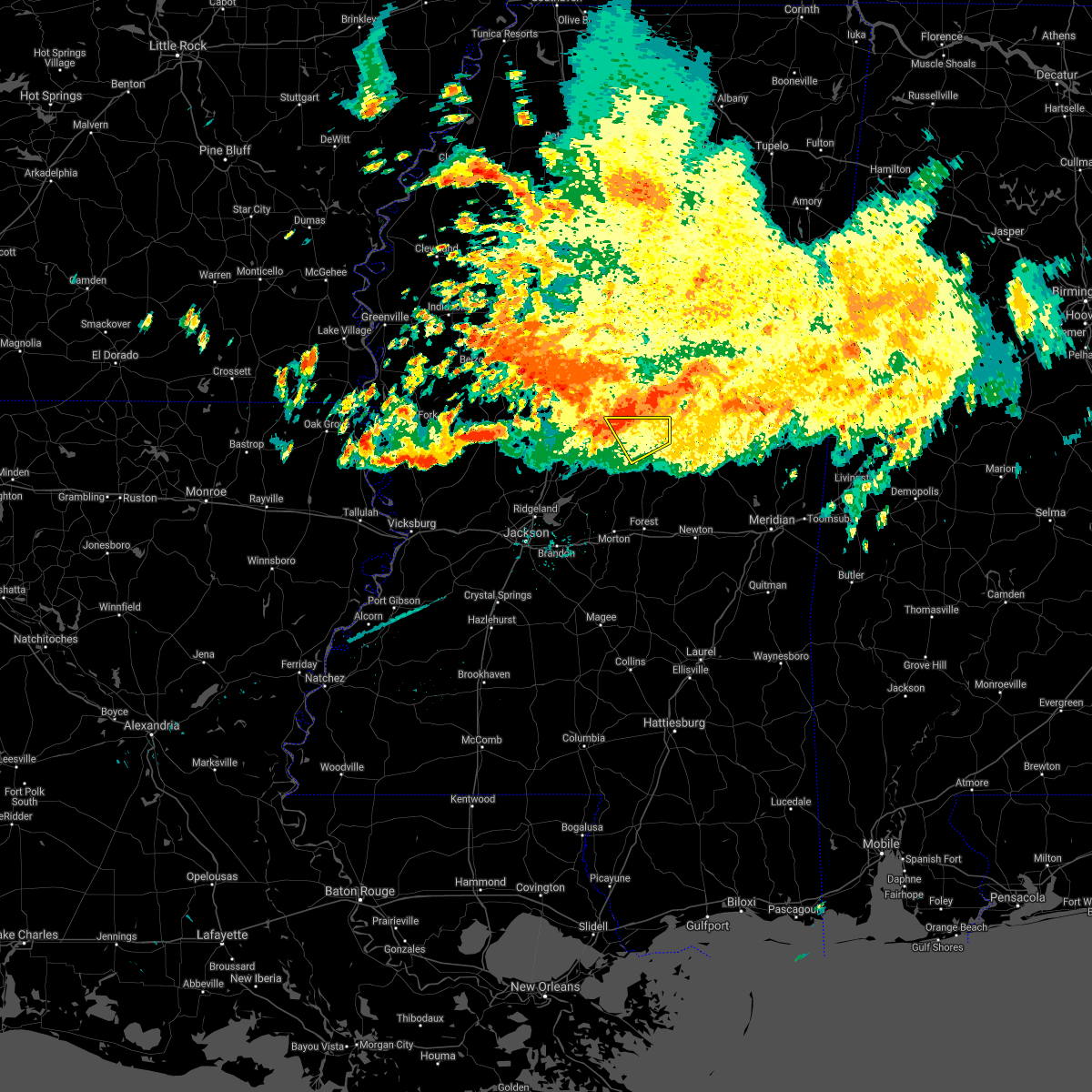 At 648 am cdt, a severe thunderstorm was located over singleton, or 10 miles south of kosciusko, moving southeast at 20 mph (radar indicated). Hazards include 60 mph wind gusts. Expect damage to roofs, siding, and trees. this severe storm will be near, carthage and renfroe around 710 am cdt. edinburg around 730 am cdt. Other locations impacted by this severe thunderstorm include redwater. At 648 am cdt, a severe thunderstorm was located over singleton, or 10 miles south of kosciusko, moving southeast at 20 mph (radar indicated). Hazards include 60 mph wind gusts. Expect damage to roofs, siding, and trees. this severe storm will be near, carthage and renfroe around 710 am cdt. edinburg around 730 am cdt. Other locations impacted by this severe thunderstorm include redwater.
|
| 6/10/2021 6:31 AM CDT |
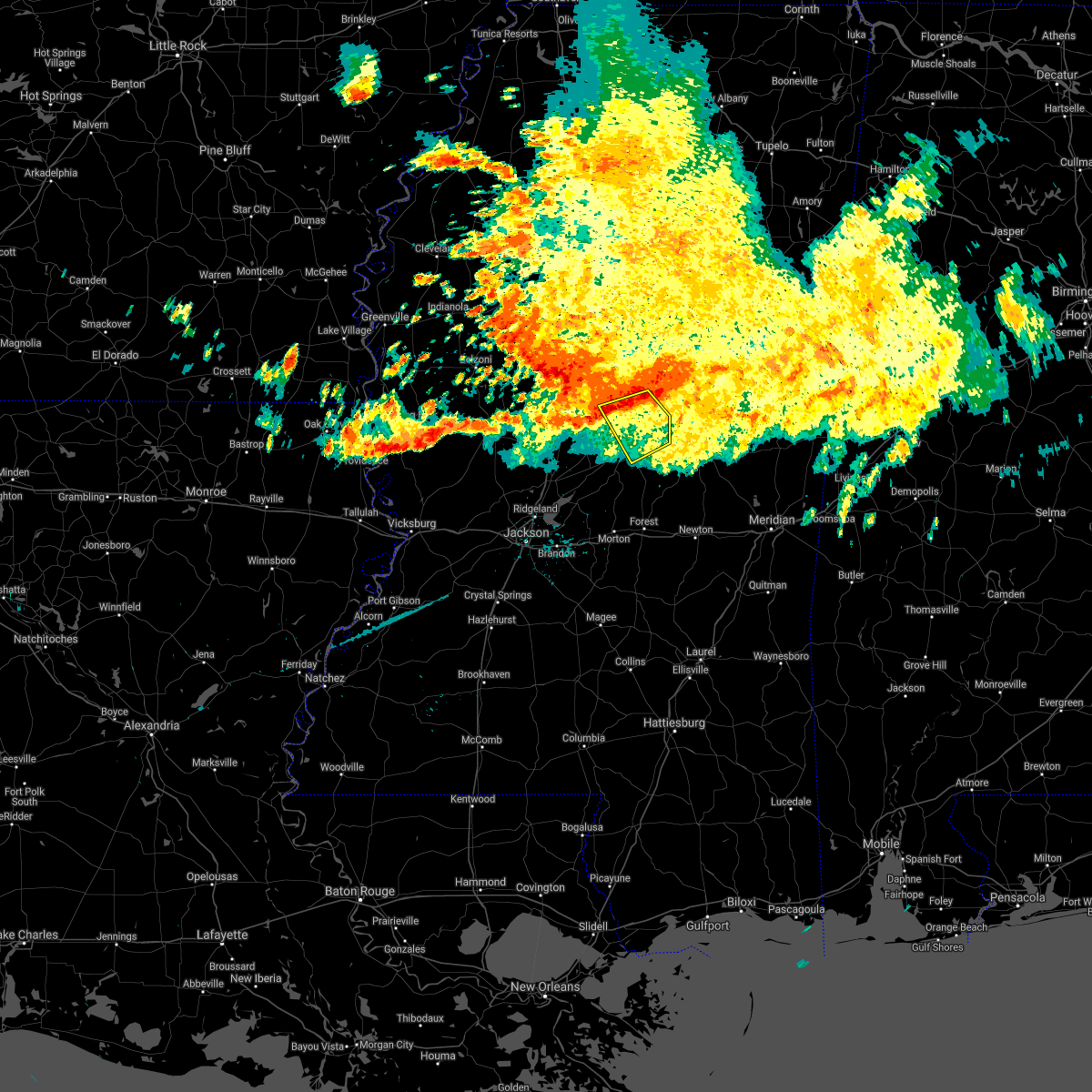 At 631 am cdt, a severe thunderstorm was located near kosciusko, moving southeast at 20 mph (radar indicated). Hazards include 60 mph wind gusts. Expect damage to roofs, siding, and trees. this severe thunderstorm will be near, smyrna around 640 am cdt. singleton around 650 am cdt. renfroe around 705 am cdt. edinburg around 730 am cdt. Other locations impacted by this severe thunderstorm include redwater. At 631 am cdt, a severe thunderstorm was located near kosciusko, moving southeast at 20 mph (radar indicated). Hazards include 60 mph wind gusts. Expect damage to roofs, siding, and trees. this severe thunderstorm will be near, smyrna around 640 am cdt. singleton around 650 am cdt. renfroe around 705 am cdt. edinburg around 730 am cdt. Other locations impacted by this severe thunderstorm include redwater.
|
| 6/9/2021 3:29 PM CDT |
 At 328 pm cdt, severe thunderstorms were located along a line extending from near zama to near singleton to newport, moving southeast at 25 mph (radar indicated). Hazards include 60 mph wind gusts. Expect damage to roofs, siding, and trees. these severe storms will be near, zama and smyrna around 335 pm cdt. singleton around 340 pm cdt. renfroe around 350 pm cdt. carthage around 410 pm cdt. philadelphia, edinburg, pearl river, burnside, stallo, dowdville and madden around 415 pm cdt. Other locations impacted by these severe thunderstorms include noxapater, ethel, sallis, redwater and standing pine. At 328 pm cdt, severe thunderstorms were located along a line extending from near zama to near singleton to newport, moving southeast at 25 mph (radar indicated). Hazards include 60 mph wind gusts. Expect damage to roofs, siding, and trees. these severe storms will be near, zama and smyrna around 335 pm cdt. singleton around 340 pm cdt. renfroe around 350 pm cdt. carthage around 410 pm cdt. philadelphia, edinburg, pearl river, burnside, stallo, dowdville and madden around 415 pm cdt. Other locations impacted by these severe thunderstorms include noxapater, ethel, sallis, redwater and standing pine.
|
| 6/9/2021 3:05 PM CDT |
 At 304 pm cdt, severe thunderstorms were located along a line extending from 6 miles north of smyrna to mcadams to near durant, moving southeast at 40 mph (radar indicated). Hazards include 60 mph wind gusts and penny size hail. Expect damage to roofs, siding, and trees. severe thunderstorms will be near, zama and smyrna around 320 pm cdt. thomastown and renfroe around 330 pm cdt. singleton around 335 pm cdt. carthage around 340 pm cdt. philadelphia, edinburg, pearl river, burnside and stallo around 345 pm cdt. Other locations impacted by these severe thunderstorms include noxapater, ethel, sallis, redwater and standing pine. At 304 pm cdt, severe thunderstorms were located along a line extending from 6 miles north of smyrna to mcadams to near durant, moving southeast at 40 mph (radar indicated). Hazards include 60 mph wind gusts and penny size hail. Expect damage to roofs, siding, and trees. severe thunderstorms will be near, zama and smyrna around 320 pm cdt. thomastown and renfroe around 330 pm cdt. singleton around 335 pm cdt. carthage around 340 pm cdt. philadelphia, edinburg, pearl river, burnside and stallo around 345 pm cdt. Other locations impacted by these severe thunderstorms include noxapater, ethel, sallis, redwater and standing pine.
|
| 6/2/2021 5:38 PM CDT |
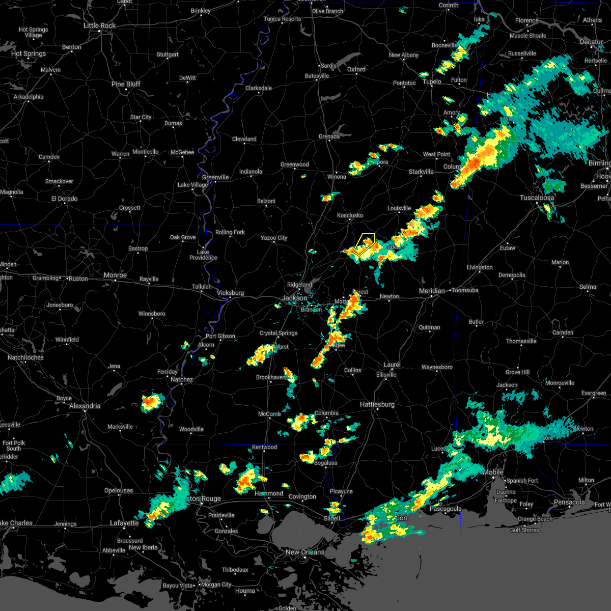 At 538 pm cdt, a severe thunderstorm was located near renfroe, or near edinburg, moving northeast at 20 mph (radar indicated). Hazards include 60 mph wind gusts. Expect damage to roofs, siding, and trees. This severe thunderstorm will remain over mainly rural areas of northeastern leake county. At 538 pm cdt, a severe thunderstorm was located near renfroe, or near edinburg, moving northeast at 20 mph (radar indicated). Hazards include 60 mph wind gusts. Expect damage to roofs, siding, and trees. This severe thunderstorm will remain over mainly rural areas of northeastern leake county.
|
| 6/2/2021 5:24 PM CDT |
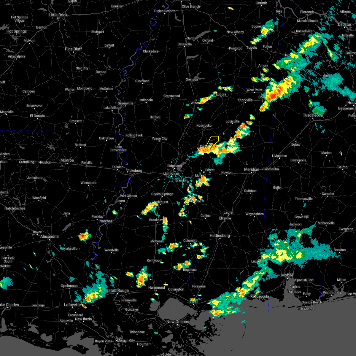 At 523 pm cdt, a severe thunderstorm was located near renfroe, or near carthage, moving northeast at 25 mph (radar indicated). Hazards include 60 mph wind gusts. Expect damage to roofs, siding, and trees. This severe thunderstorm will be near, renfroe around 530 pm cdt. At 523 pm cdt, a severe thunderstorm was located near renfroe, or near carthage, moving northeast at 25 mph (radar indicated). Hazards include 60 mph wind gusts. Expect damage to roofs, siding, and trees. This severe thunderstorm will be near, renfroe around 530 pm cdt.
|
| 5/4/2021 3:12 PM CDT | Tree downed on ms highway 35 north of carthag in leake county MS, 2.9 miles S of Carthage, MS |
| 5/4/2021 2:56 PM CDT |
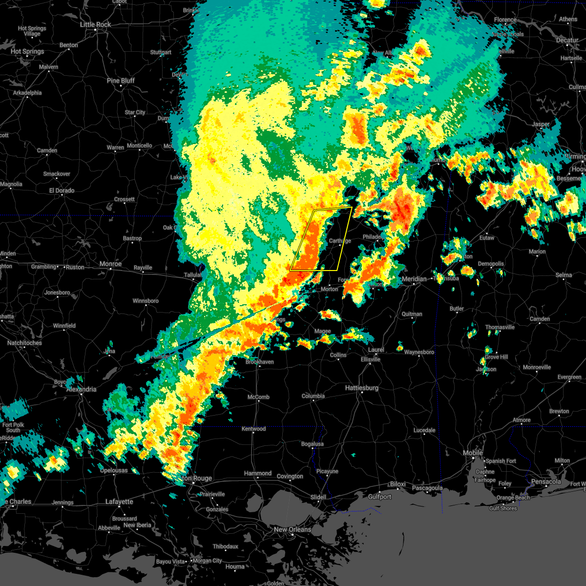 At 256 pm cdt, severe thunderstorms were located along a line extending from near newport to near farmhaven, moving east at 70 mph. these are very dangerous storms (radar indicated). Hazards include 80 mph wind gusts. Flying debris will be dangerous to those caught without shelter. mobile homes will be heavily damaged. expect considerable damage to roofs, windows, and vehicles. extensive tree damage and power outages are likely. these severe storms will be near, kosciusko, thomastown and mcadams around 300 pm cdt. smyrna and singleton around 305 pm cdt. other locations impacted by these severe thunderstorms include lena, sallis and redwater. A tornado watch remains in effect until 400 pm cdt for central mississippi. At 256 pm cdt, severe thunderstorms were located along a line extending from near newport to near farmhaven, moving east at 70 mph. these are very dangerous storms (radar indicated). Hazards include 80 mph wind gusts. Flying debris will be dangerous to those caught without shelter. mobile homes will be heavily damaged. expect considerable damage to roofs, windows, and vehicles. extensive tree damage and power outages are likely. these severe storms will be near, kosciusko, thomastown and mcadams around 300 pm cdt. smyrna and singleton around 305 pm cdt. other locations impacted by these severe thunderstorms include lena, sallis and redwater. A tornado watch remains in effect until 400 pm cdt for central mississippi.
|
| 5/4/2021 2:44 PM CDT |
 At 244 pm cdt, severe thunderstorms were located along a line extending from near goodman to near canton, moving east at 65 mph. these are very dangerous storms (radar indicated). Hazards include 80 mph wind gusts. Flying debris will be dangerous to those caught without shelter. mobile homes will be heavily damaged. expect considerable damage to roofs, windows, and vehicles. extensive tree damage and power outages are likely. these severe storms will be near, newport and cameron around 250 pm cdt. thomastown and mcadams around 255 pm cdt. kosciusko and farmhaven around 300 pm cdt. ludlow and singleton around 305 pm cdt. smyrna around 310 pm cdt. other locations impacted by these severe thunderstorms include lena, sallis, redwater and bentonia. A tornado watch remains in effect until 400 pm cdt for central mississippi. At 244 pm cdt, severe thunderstorms were located along a line extending from near goodman to near canton, moving east at 65 mph. these are very dangerous storms (radar indicated). Hazards include 80 mph wind gusts. Flying debris will be dangerous to those caught without shelter. mobile homes will be heavily damaged. expect considerable damage to roofs, windows, and vehicles. extensive tree damage and power outages are likely. these severe storms will be near, newport and cameron around 250 pm cdt. thomastown and mcadams around 255 pm cdt. kosciusko and farmhaven around 300 pm cdt. ludlow and singleton around 305 pm cdt. smyrna around 310 pm cdt. other locations impacted by these severe thunderstorms include lena, sallis, redwater and bentonia. A tornado watch remains in effect until 400 pm cdt for central mississippi.
|
| 5/4/2021 2:09 PM CDT |
 At 209 pm cdt, severe thunderstorms were located along a line extending from near yazoo city to near phoenix, moving east at 70 mph. these are very dangerous storms (radar indicated). Hazards include 80 mph wind gusts and penny size hail. Flying debris will be dangerous to those caught without shelter. mobile homes will be heavily damaged. expect considerable damage to roofs, windows, and vehicles. extensive tree damage and power outages are likely. severe thunderstorms will be near, benton around 220 pm cdt. flora and coxburg around 225 pm cdt. ebenezer and annandale around 230 pm cdt. franklin, pickens and gluckstadt around 235 pm cdt. canton, goodman and cameron around 240 pm cdt. newport and sharon around 245 pm cdt. farmhaven, mcadams and thomastown around 250 pm cdt. kosciusko, ludlow and singleton around 255 pm cdt. other locations impacted by these severe thunderstorms include lena, sallis, redwater and bentonia. A tornado watch remains in effect until 400 pm cdt for central mississippi. At 209 pm cdt, severe thunderstorms were located along a line extending from near yazoo city to near phoenix, moving east at 70 mph. these are very dangerous storms (radar indicated). Hazards include 80 mph wind gusts and penny size hail. Flying debris will be dangerous to those caught without shelter. mobile homes will be heavily damaged. expect considerable damage to roofs, windows, and vehicles. extensive tree damage and power outages are likely. severe thunderstorms will be near, benton around 220 pm cdt. flora and coxburg around 225 pm cdt. ebenezer and annandale around 230 pm cdt. franklin, pickens and gluckstadt around 235 pm cdt. canton, goodman and cameron around 240 pm cdt. newport and sharon around 245 pm cdt. farmhaven, mcadams and thomastown around 250 pm cdt. kosciusko, ludlow and singleton around 255 pm cdt. other locations impacted by these severe thunderstorms include lena, sallis, redwater and bentonia. A tornado watch remains in effect until 400 pm cdt for central mississippi.
|
| 5/4/2021 1:10 PM CDT |
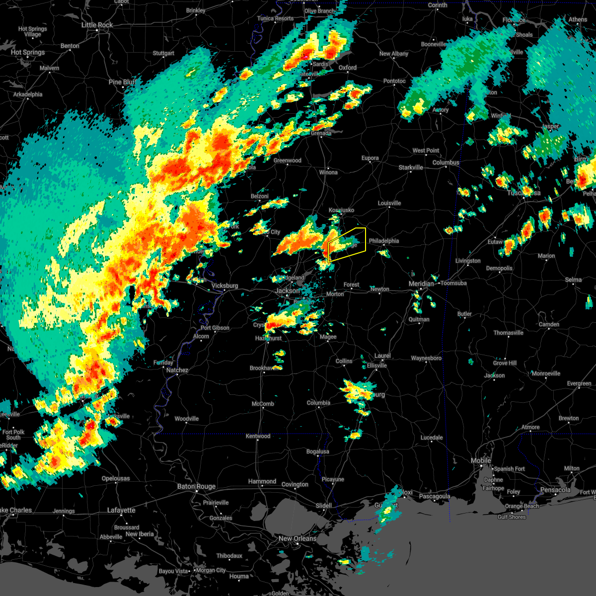 At 110 pm cdt, a severe thunderstorm was located 7 miles east of farmhaven, or 10 miles southwest of carthage, moving northeast at 35 mph (radar indicated). Hazards include 60 mph wind gusts and quarter size hail. Hail damage to vehicles is expected. expect wind damage to roofs, siding, and trees. this severe thunderstorm will be near, carthage around 125 pm cdt. renfroe around 140 pm cdt. edinburg around 150 pm cdt. other locations impacted by this severe thunderstorm include redwater. A tornado watch remains in effect until 400 pm cdt for central mississippi. At 110 pm cdt, a severe thunderstorm was located 7 miles east of farmhaven, or 10 miles southwest of carthage, moving northeast at 35 mph (radar indicated). Hazards include 60 mph wind gusts and quarter size hail. Hail damage to vehicles is expected. expect wind damage to roofs, siding, and trees. this severe thunderstorm will be near, carthage around 125 pm cdt. renfroe around 140 pm cdt. edinburg around 150 pm cdt. other locations impacted by this severe thunderstorm include redwater. A tornado watch remains in effect until 400 pm cdt for central mississippi.
|
| 4/9/2021 9:06 PM CDT |
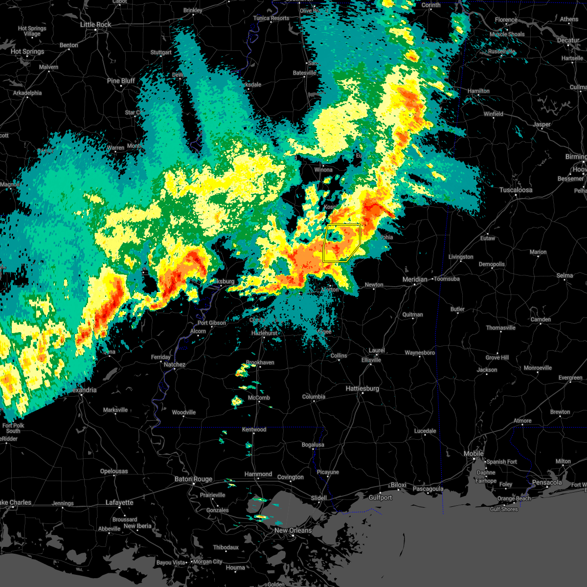 At 906 pm cdt, a severe thunderstorm was located over carthage, moving northeast at 10 mph (radar indicated). Hazards include 60 mph wind gusts and quarter size hail. Hail damage to vehicles is expected. expect wind damage to roofs, siding, and trees. this severe storm will be near, carthage around 925 pm cdt. renfroe and singleton around 1015 pm cdt. Other locations impacted by this severe thunderstorm include lena, walnut grove, redwater and standing pine. At 906 pm cdt, a severe thunderstorm was located over carthage, moving northeast at 10 mph (radar indicated). Hazards include 60 mph wind gusts and quarter size hail. Hail damage to vehicles is expected. expect wind damage to roofs, siding, and trees. this severe storm will be near, carthage around 925 pm cdt. renfroe and singleton around 1015 pm cdt. Other locations impacted by this severe thunderstorm include lena, walnut grove, redwater and standing pine.
|
| 4/9/2021 8:29 PM CDT |
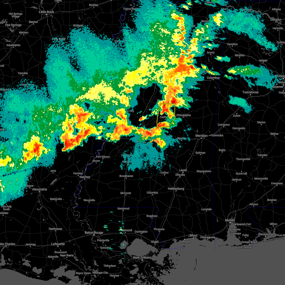 At 829 pm cdt, a severe thunderstorm was located near ludlow, or 11 miles southwest of carthage, moving northeast at 10 mph (radar indicated). Hazards include 60 mph wind gusts and quarter size hail. Hail damage to vehicles is expected. expect wind damage to roofs, siding, and trees. this severe thunderstorm will be near, tuscola around 850 pm cdt. carthage around 930 pm cdt. Other locations impacted by this severe thunderstorm include lena, walnut grove, redwater and standing pine. At 829 pm cdt, a severe thunderstorm was located near ludlow, or 11 miles southwest of carthage, moving northeast at 10 mph (radar indicated). Hazards include 60 mph wind gusts and quarter size hail. Hail damage to vehicles is expected. expect wind damage to roofs, siding, and trees. this severe thunderstorm will be near, tuscola around 850 pm cdt. carthage around 930 pm cdt. Other locations impacted by this severe thunderstorm include lena, walnut grove, redwater and standing pine.
|
| 4/9/2021 8:11 PM CDT |
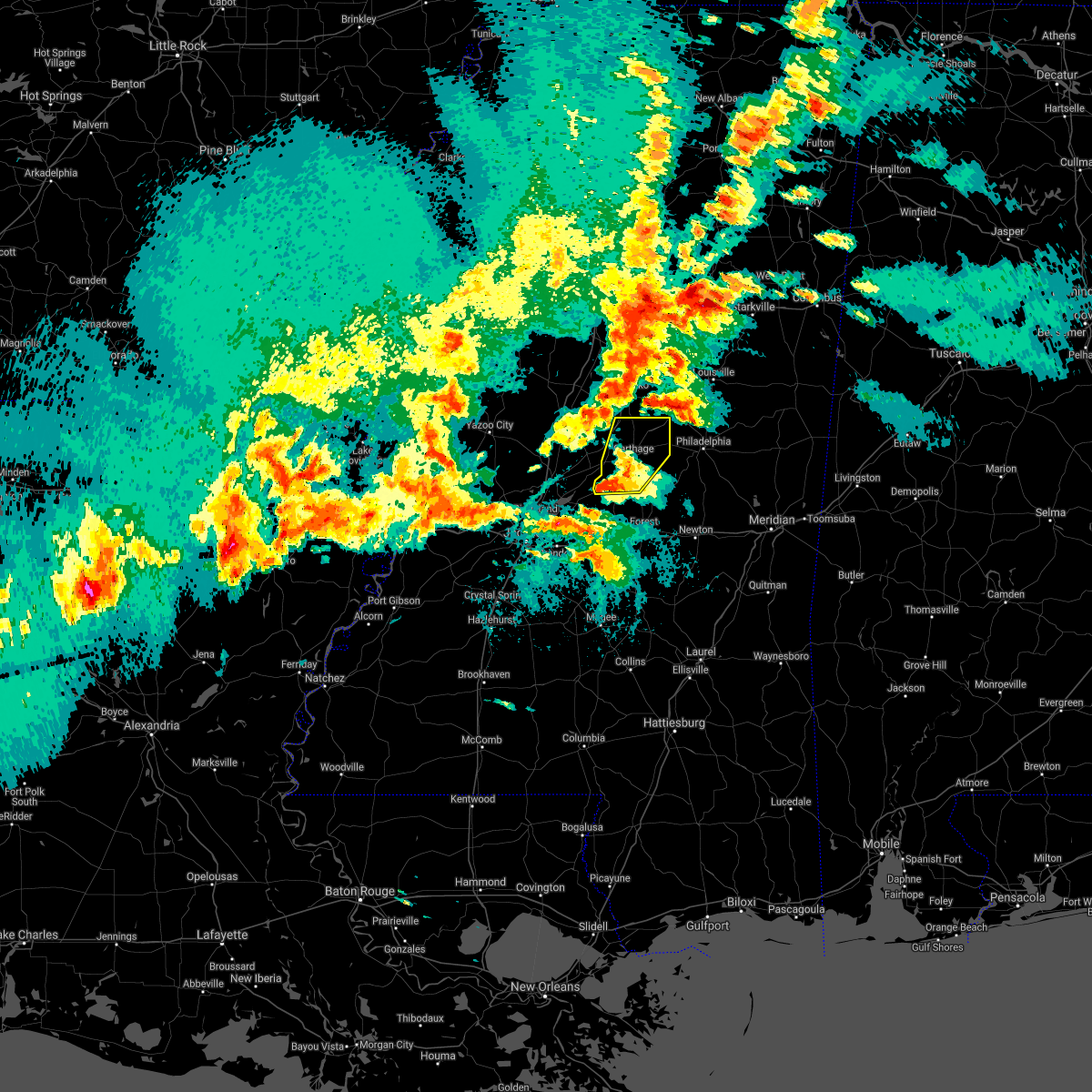 At 739 pm cdt, a severe thunderstorm was located near forkville, or 11 miles north of morton, moving northeast at 30 mph (radar indicated). Hazards include 60 mph wind gusts and quarter size hail. Hail damage to vehicles is expected. expect wind damage to roofs, siding, and trees. this severe storm will be near, tuscola around 800 pm cdt. carthage around 820 pm cdt. singleton around 835 pm cdt. renfroe around 840 pm cdt. Other locations impacted by this severe thunderstorm include lena, walnut grove, redwater and standing pine. At 739 pm cdt, a severe thunderstorm was located near forkville, or 11 miles north of morton, moving northeast at 30 mph (radar indicated). Hazards include 60 mph wind gusts and quarter size hail. Hail damage to vehicles is expected. expect wind damage to roofs, siding, and trees. this severe storm will be near, tuscola around 800 pm cdt. carthage around 820 pm cdt. singleton around 835 pm cdt. renfroe around 840 pm cdt. Other locations impacted by this severe thunderstorm include lena, walnut grove, redwater and standing pine.
|
| 4/9/2021 7:39 PM CDT |
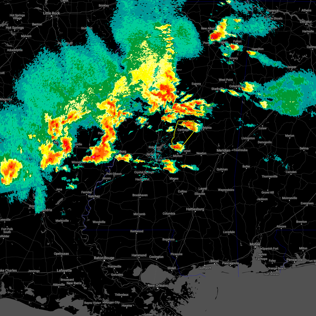 At 739 pm cdt, a severe thunderstorm was located near forkville, or 11 miles north of morton, moving northeast at 30 mph (radar indicated). Hazards include 60 mph wind gusts and quarter size hail. Hail damage to vehicles is expected. expect wind damage to roofs, siding, and trees. this severe storm will be near, tuscola around 800 pm cdt. carthage around 820 pm cdt. singleton around 835 pm cdt. renfroe around 840 pm cdt. Other locations impacted by this severe thunderstorm include lena, walnut grove, redwater and standing pine. At 739 pm cdt, a severe thunderstorm was located near forkville, or 11 miles north of morton, moving northeast at 30 mph (radar indicated). Hazards include 60 mph wind gusts and quarter size hail. Hail damage to vehicles is expected. expect wind damage to roofs, siding, and trees. this severe storm will be near, tuscola around 800 pm cdt. carthage around 820 pm cdt. singleton around 835 pm cdt. renfroe around 840 pm cdt. Other locations impacted by this severe thunderstorm include lena, walnut grove, redwater and standing pine.
|
| 4/9/2021 7:29 PM CDT |
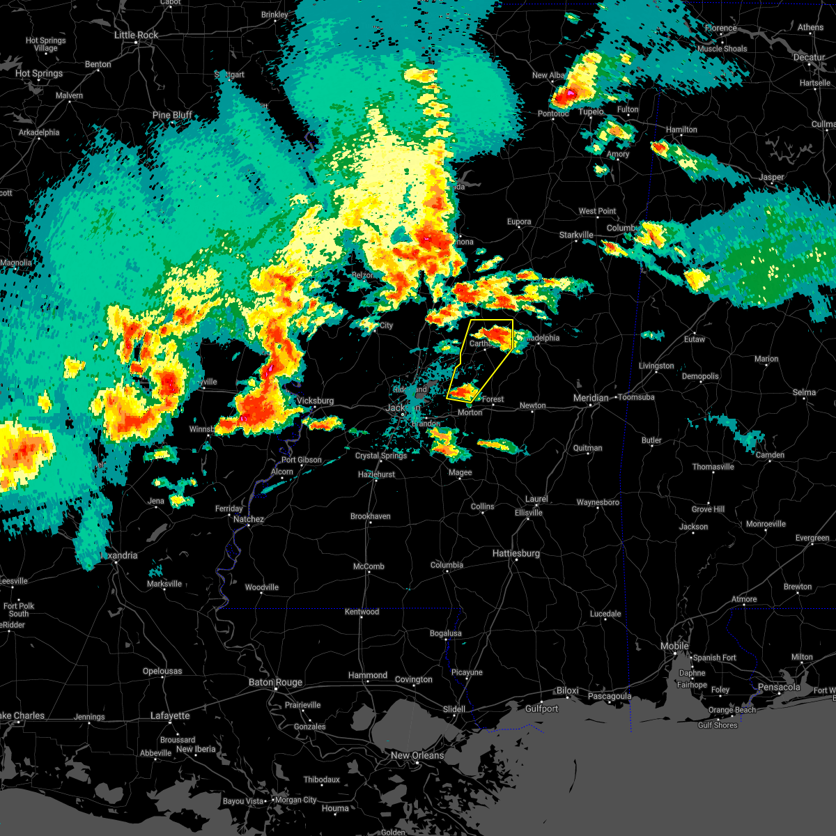 At 728 pm cdt, a severe thunderstorm was located over forkville, or 8 miles north of morton, moving northeast at 45 mph (radar indicated). Hazards include ping pong ball size hail and 60 mph wind gusts. People and animals outdoors will be injured. expect hail damage to roofs, siding, windows, and vehicles. expect wind damage to roofs, siding, and trees. this severe thunderstorm will be near, ludlow around 735 pm cdt. tuscola around 745 pm cdt. carthage around 755 pm cdt. renfroe and singleton around 805 pm cdt. Other locations impacted by this severe thunderstorm include lena, walnut grove, redwater and standing pine. At 728 pm cdt, a severe thunderstorm was located over forkville, or 8 miles north of morton, moving northeast at 45 mph (radar indicated). Hazards include ping pong ball size hail and 60 mph wind gusts. People and animals outdoors will be injured. expect hail damage to roofs, siding, windows, and vehicles. expect wind damage to roofs, siding, and trees. this severe thunderstorm will be near, ludlow around 735 pm cdt. tuscola around 745 pm cdt. carthage around 755 pm cdt. renfroe and singleton around 805 pm cdt. Other locations impacted by this severe thunderstorm include lena, walnut grove, redwater and standing pine.
|
| 3/25/2021 1:10 PM CDT | Report of tree dow in leake county MS, 4.5 miles NNW of Carthage, MS |
| 3/25/2021 1:10 PM CDT | Golf Ball sized hail reported 12.1 miles WNW of Carthage, MS, social media post. |
| 3/25/2021 1:01 PM CDT | Siding blown off a house between standing pine and madde in leake county MS, 10.4 miles NW of Carthage, MS |
| 3/25/2021 1:00 PM CDT | Severeal trees down reported on social medi in leake county MS, 7.3 miles NW of Carthage, MS |
| 3/25/2021 12:47 PM CDT |
 At 1247 pm cdt, a severe thunderstorm was located over harperville, moving northeast at 55 mph (radar indicated). Hazards include golf ball size hail and 60 mph wind gusts. People and animals outdoors will be injured. expect hail damage to roofs, siding, windows, and vehicles. expect wind damage to roofs, siding, and trees. this severe storm will be near, madden and dowdville around 105 pm cdt. philadelphia, edinburg and pearl river around 115 pm cdt. stallo around 130 pm cdt. other locations impacted by this severe thunderstorm include lena, walnut grove, redwater, sebastopol and standing pine. A tornado watch remains in effect until 800 pm cdt for central and east central mississippi. At 1247 pm cdt, a severe thunderstorm was located over harperville, moving northeast at 55 mph (radar indicated). Hazards include golf ball size hail and 60 mph wind gusts. People and animals outdoors will be injured. expect hail damage to roofs, siding, windows, and vehicles. expect wind damage to roofs, siding, and trees. this severe storm will be near, madden and dowdville around 105 pm cdt. philadelphia, edinburg and pearl river around 115 pm cdt. stallo around 130 pm cdt. other locations impacted by this severe thunderstorm include lena, walnut grove, redwater, sebastopol and standing pine. A tornado watch remains in effect until 800 pm cdt for central and east central mississippi.
|
| 3/25/2021 12:40 PM CDT |
 At 1240 pm cdt, a severe thunderstorm was located near forkville, or near morton, moving northeast at 55 mph (radar indicated). Hazards include golf ball size hail and 60 mph wind gusts. People and animals outdoors will be injured. expect hail damage to roofs, siding, windows, and vehicles. expect wind damage to roofs, siding, and trees. this severe storm will be near, hillsboro around 1245 pm cdt. harperville and steele around 1250 pm cdt. tuscola around 1255 pm cdt. madden around 105 pm cdt. dowdville around 110 pm cdt. edinburg and pearl river around 115 pm cdt. stallo around 130 pm cdt. other locations impacted by this severe thunderstorm include lena, walnut grove, redwater, sebastopol and standing pine. A tornado watch remains in effect until 800 pm cdt for central and east central mississippi. At 1240 pm cdt, a severe thunderstorm was located near forkville, or near morton, moving northeast at 55 mph (radar indicated). Hazards include golf ball size hail and 60 mph wind gusts. People and animals outdoors will be injured. expect hail damage to roofs, siding, windows, and vehicles. expect wind damage to roofs, siding, and trees. this severe storm will be near, hillsboro around 1245 pm cdt. harperville and steele around 1250 pm cdt. tuscola around 1255 pm cdt. madden around 105 pm cdt. dowdville around 110 pm cdt. edinburg and pearl river around 115 pm cdt. stallo around 130 pm cdt. other locations impacted by this severe thunderstorm include lena, walnut grove, redwater, sebastopol and standing pine. A tornado watch remains in effect until 800 pm cdt for central and east central mississippi.
|
| 3/25/2021 12:38 PM CDT |
 At 1237 pm cdt, a severe thunderstorm was located over morton, moving northeast at 55 mph (radar indicated). Hazards include 60 mph wind gusts and half dollar size hail. Hail damage to vehicles is expected. expect wind damage to roofs, siding, and trees. this severe thunderstorm will be near, hillsboro around 1245 pm cdt. harperville and steele around 1250 pm cdt. tuscola around 1255 pm cdt. madden around 105 pm cdt. dowdville around 110 pm cdt. edinburg, pearl river and renfroe around 115 pm cdt. stallo around 130 pm cdt. other locations impacted by this severe thunderstorm include lena, walnut grove, redwater, sebastopol and standing pine. A tornado watch remains in effect until 800 pm cdt for central and east central mississippi. At 1237 pm cdt, a severe thunderstorm was located over morton, moving northeast at 55 mph (radar indicated). Hazards include 60 mph wind gusts and half dollar size hail. Hail damage to vehicles is expected. expect wind damage to roofs, siding, and trees. this severe thunderstorm will be near, hillsboro around 1245 pm cdt. harperville and steele around 1250 pm cdt. tuscola around 1255 pm cdt. madden around 105 pm cdt. dowdville around 110 pm cdt. edinburg, pearl river and renfroe around 115 pm cdt. stallo around 130 pm cdt. other locations impacted by this severe thunderstorm include lena, walnut grove, redwater, sebastopol and standing pine. A tornado watch remains in effect until 800 pm cdt for central and east central mississippi.
|
| 3/17/2021 6:23 PM CDT | Trees downed across leake count in leake county MS, 7.9 miles NNW of Carthage, MS |
| 3/17/2021 6:18 PM CDT | Several trees and limbs downed on roads across leake count in leake county MS, 1.3 miles NNE of Carthage, MS |
| 3/17/2021 6:14 PM CDT |
 At 614 pm cdt, severe thunderstorms were located along a line extending from near possumneck to near kosciusko to near carthage, moving northeast at 65 mph (radar indicated). Hazards include 60 mph wind gusts. Expect damage to roofs, siding, and trees. these severe storms will be near, smyrna around 620 pm cdt. edinburg around 625 pm cdt. poplar creek and zama around 630 pm cdt. stallo and mcmillan around 640 pm cdt. ackerman and chester around 645 pm cdt. louisville around 650 pm cdt. other locations impacted by these severe thunderstorms include noxapater, mccool, ethel, redwater, french camp and weir. a tornado watch remains in effect until 700 pm cdt for central, northeastern and east central mississippi. A tornado watch also remains in effect until 700 pm cdt for central and north central mississippi. At 614 pm cdt, severe thunderstorms were located along a line extending from near possumneck to near kosciusko to near carthage, moving northeast at 65 mph (radar indicated). Hazards include 60 mph wind gusts. Expect damage to roofs, siding, and trees. these severe storms will be near, smyrna around 620 pm cdt. edinburg around 625 pm cdt. poplar creek and zama around 630 pm cdt. stallo and mcmillan around 640 pm cdt. ackerman and chester around 645 pm cdt. louisville around 650 pm cdt. other locations impacted by these severe thunderstorms include noxapater, mccool, ethel, redwater, french camp and weir. a tornado watch remains in effect until 700 pm cdt for central, northeastern and east central mississippi. A tornado watch also remains in effect until 700 pm cdt for central and north central mississippi.
|
| 3/17/2021 5:55 PM CDT |
 At 555 pm cdt, severe thunderstorms were located along a line extending from near franklin to cameron to 6 miles southwest of farmhaven, moving northeast at 65 mph (radar indicated). Hazards include 60 mph wind gusts. Expect damage to roofs, siding, and trees. severe thunderstorms will be near, durant, newport and thomastown around 605 pm cdt. mcadams around 610 pm cdt. kosciusko, carthage, possumneck and singleton around 615 pm cdt. smyrna and hesterville around 620 pm cdt. renfroe and zama around 625 pm cdt. edinburg, pearl river and poplar creek around 630 pm cdt. burnside around 640 pm cdt. louisville, ackerman, stallo, mcmillan and chester around 645 pm cdt. other locations impacted by these severe thunderstorms include noxapater, ethel, sallis, redwater, french camp, west, mccool and weir. a tornado watch remains in effect until 700 pm cdt for central, northeastern and east central mississippi. A tornado watch also remains in effect until 700 pm cdt for central and north central mississippi. At 555 pm cdt, severe thunderstorms were located along a line extending from near franklin to cameron to 6 miles southwest of farmhaven, moving northeast at 65 mph (radar indicated). Hazards include 60 mph wind gusts. Expect damage to roofs, siding, and trees. severe thunderstorms will be near, durant, newport and thomastown around 605 pm cdt. mcadams around 610 pm cdt. kosciusko, carthage, possumneck and singleton around 615 pm cdt. smyrna and hesterville around 620 pm cdt. renfroe and zama around 625 pm cdt. edinburg, pearl river and poplar creek around 630 pm cdt. burnside around 640 pm cdt. louisville, ackerman, stallo, mcmillan and chester around 645 pm cdt. other locations impacted by these severe thunderstorms include noxapater, ethel, sallis, redwater, french camp, west, mccool and weir. a tornado watch remains in effect until 700 pm cdt for central, northeastern and east central mississippi. A tornado watch also remains in effect until 700 pm cdt for central and north central mississippi.
|
| 12/13/2020 9:39 PM CST |
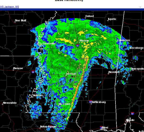 The severe thunderstorm warning for western leake county will expire at 945 pm cst, the storms which prompted the warning have weakened below severe limits, and have exited the warned area. therefore, the warning will be allowed to expire. The severe thunderstorm warning for western leake county will expire at 945 pm cst, the storms which prompted the warning have weakened below severe limits, and have exited the warned area. therefore, the warning will be allowed to expire.
|
| 12/13/2020 9:20 PM CST |
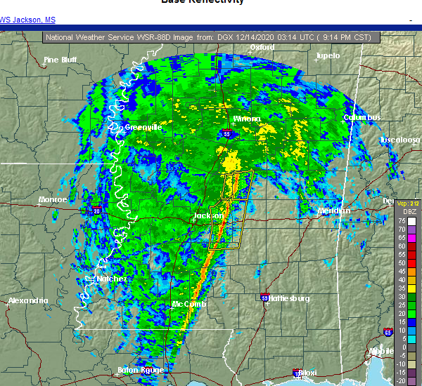 At 919 pm cst, severe thunderstorms were located along a line extending from near thomastown to 8 miles west of carthage to near ludlow, moving east at 40 mph (radar indicated). Hazards include 60 mph wind gusts. Expect damage to roofs, siding, and trees. these severe storms will be near, carthage and singleton around 930 pm cst. Other locations impacted by these severe thunderstorms include lena and redwater. At 919 pm cst, severe thunderstorms were located along a line extending from near thomastown to 8 miles west of carthage to near ludlow, moving east at 40 mph (radar indicated). Hazards include 60 mph wind gusts. Expect damage to roofs, siding, and trees. these severe storms will be near, carthage and singleton around 930 pm cst. Other locations impacted by these severe thunderstorms include lena and redwater.
|
| 12/13/2020 9:06 PM CST |
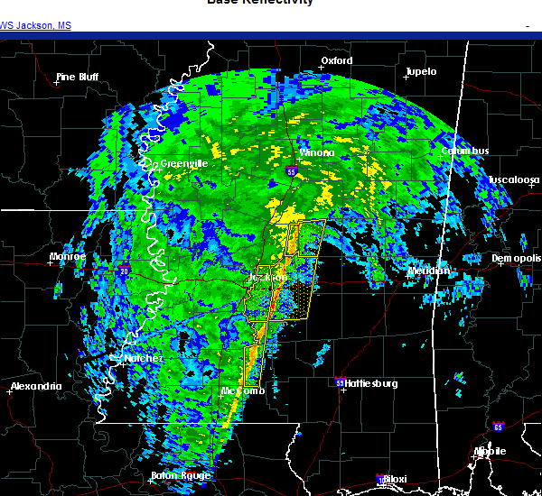 At 905 pm cst, severe thunderstorms were located along a line extending from near newport to near camden to near farmhaven, moving east at 30 mph (radar indicated). Hazards include 60 mph wind gusts. Expect damage to roofs, siding, and trees. these severe storms will be near, thomastown around 920 pm cst. carthage and singleton around 935 pm cst. Other locations impacted by these severe thunderstorms include lena and redwater. At 905 pm cst, severe thunderstorms were located along a line extending from near newport to near camden to near farmhaven, moving east at 30 mph (radar indicated). Hazards include 60 mph wind gusts. Expect damage to roofs, siding, and trees. these severe storms will be near, thomastown around 920 pm cst. carthage and singleton around 935 pm cst. Other locations impacted by these severe thunderstorms include lena and redwater.
|
| 12/13/2020 8:45 PM CST |
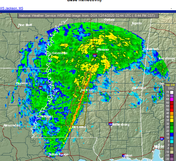 At 844 pm cst, severe thunderstorms were located along a line extending from near pickens to near sharon to near gluckstadt, moving east at 35 mph (radar indicated). Hazards include 60 mph wind gusts. Expect damage to roofs, siding, and trees. severe thunderstorms will be near, sharon around 850 pm cst. cameron around 855 pm cst. farmhaven and camden around 900 pm cst. thomastown around 915 pm cst. carthage and singleton around 930 pm cst. Other locations impacted by these severe thunderstorms include lena and redwater. At 844 pm cst, severe thunderstorms were located along a line extending from near pickens to near sharon to near gluckstadt, moving east at 35 mph (radar indicated). Hazards include 60 mph wind gusts. Expect damage to roofs, siding, and trees. severe thunderstorms will be near, sharon around 850 pm cst. cameron around 855 pm cst. farmhaven and camden around 900 pm cst. thomastown around 915 pm cst. carthage and singleton around 930 pm cst. Other locations impacted by these severe thunderstorms include lena and redwater.
|
| 10/23/2020 9:23 PM CDT |
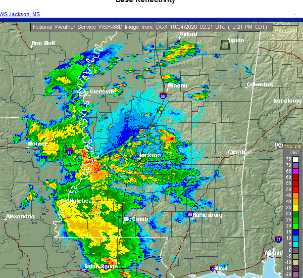 At 923 pm cdt, a severe thunderstorm was located near tuscola, or 8 miles southwest of carthage, moving northeast at 20 mph (radar indicated). Hazards include 60 mph wind gusts and quarter size hail. Hail damage to vehicles is expected. expect wind damage to roofs, siding, and trees. this severe thunderstorm will be near, carthage around 945 pm cdt. singleton around 1005 pm cdt. renfroe around 1010 pm cdt. edinburg around 1015 pm cdt. Other locations impacted by this severe thunderstorm include lena, standing pine and redwater. At 923 pm cdt, a severe thunderstorm was located near tuscola, or 8 miles southwest of carthage, moving northeast at 20 mph (radar indicated). Hazards include 60 mph wind gusts and quarter size hail. Hail damage to vehicles is expected. expect wind damage to roofs, siding, and trees. this severe thunderstorm will be near, carthage around 945 pm cdt. singleton around 1005 pm cdt. renfroe around 1010 pm cdt. edinburg around 1015 pm cdt. Other locations impacted by this severe thunderstorm include lena, standing pine and redwater.
|
| 8/21/2020 2:35 PM CDT |
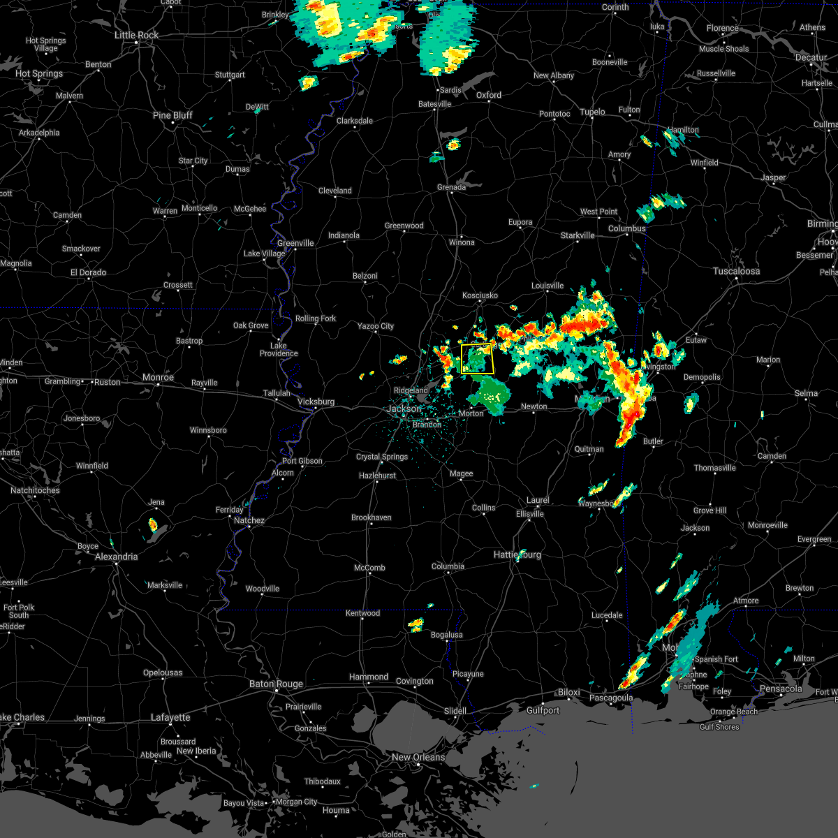 The severe thunderstorm warning for southwestern leake county will expire at 245 pm cdt, the storm which prompted the warning has weakened below severe limits, and no longer poses an immediate threat to life or property. therefore, the warning will be allowed to expire. to report severe weather, contact your nearest law enforcement agency. they will relay your report to the national weather service jackson. The severe thunderstorm warning for southwestern leake county will expire at 245 pm cdt, the storm which prompted the warning has weakened below severe limits, and no longer poses an immediate threat to life or property. therefore, the warning will be allowed to expire. to report severe weather, contact your nearest law enforcement agency. they will relay your report to the national weather service jackson.
|
| 8/21/2020 2:00 PM CDT |
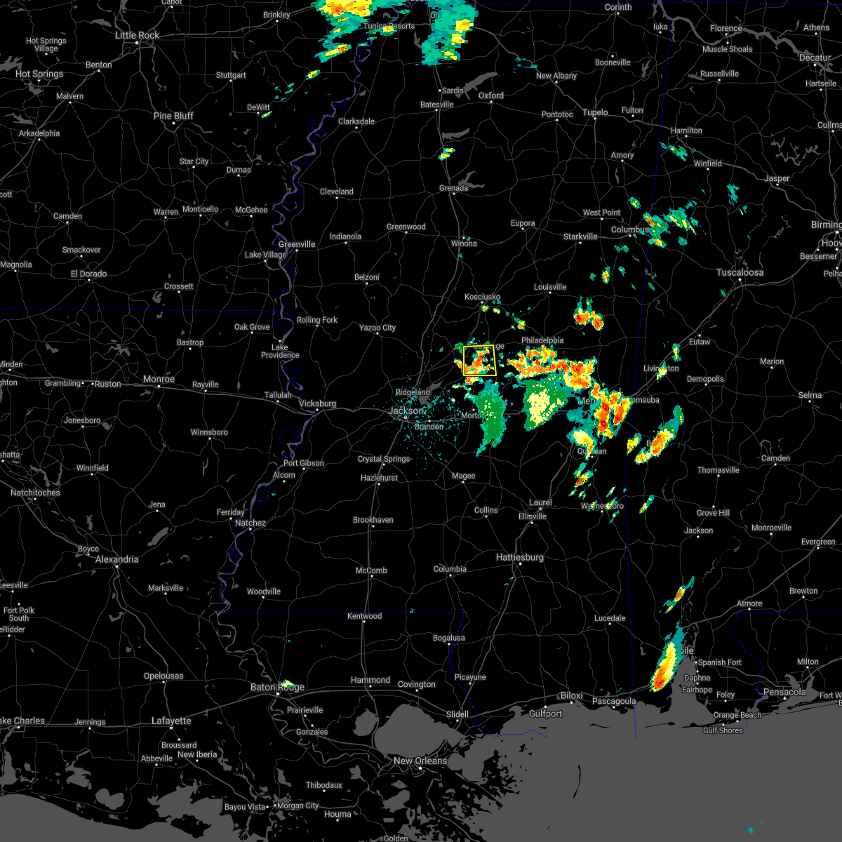 At 200 pm cdt, a severe thunderstorm was located near tuscola, or near carthage, moving east at 5 mph (radar indicated). Hazards include 60 mph wind gusts and quarter size hail. Hail damage to vehicles is expected. expect wind damage to roofs, siding, and trees. this severe thunderstorm will be near, carthage around 205 pm cdt. tuscola around 220 pm cdt. Other locations impacted by this severe thunderstorm include lena. At 200 pm cdt, a severe thunderstorm was located near tuscola, or near carthage, moving east at 5 mph (radar indicated). Hazards include 60 mph wind gusts and quarter size hail. Hail damage to vehicles is expected. expect wind damage to roofs, siding, and trees. this severe thunderstorm will be near, carthage around 205 pm cdt. tuscola around 220 pm cdt. Other locations impacted by this severe thunderstorm include lena.
|
| 8/16/2020 4:51 PM CDT |
 At 451 pm cdt, severe thunderstorms were located along a line extending from near renfroe to near possumneck, moving south at 20 mph (radar indicated). Hazards include 70 mph wind gusts and quarter size hail. Hail damage to vehicles is expected. expect considerable tree damage. Wind damage is also likely to mobile homes, roofs, and outbuildings. At 451 pm cdt, severe thunderstorms were located along a line extending from near renfroe to near possumneck, moving south at 20 mph (radar indicated). Hazards include 70 mph wind gusts and quarter size hail. Hail damage to vehicles is expected. expect considerable tree damage. Wind damage is also likely to mobile homes, roofs, and outbuildings.
|
| 8/16/2020 4:37 PM CDT | Several trees down in the renfroe are in leake county MS, 8.6 miles SW of Carthage, MS |
| 7/1/2020 7:45 PM CDT | Two trees down in leake count in leake county MS, 9.9 miles S of Carthage, MS |
| 7/1/2020 7:31 PM CDT |
 The national weather service in jackson has issued a * severe thunderstorm warning for. leake county in central mississippi. southeastern holmes county in central mississippi. southern attala county in central mississippi. East central yazoo county in central mississippi. The national weather service in jackson has issued a * severe thunderstorm warning for. leake county in central mississippi. southeastern holmes county in central mississippi. southern attala county in central mississippi. East central yazoo county in central mississippi.
|
| 6/25/2020 6:31 PM CDT |
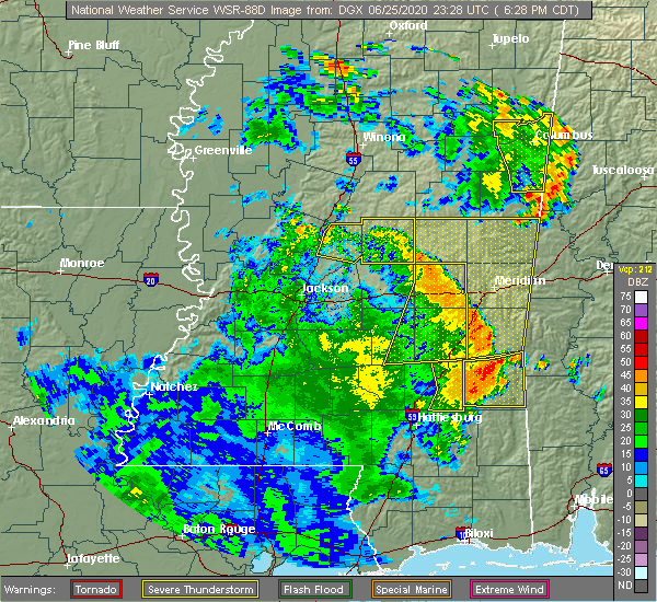 At 631 pm cdt, severe thunderstorms were located along a line extending from near thomastown to near singleton to renfroe to near edinburg to near dowdville, moving northeast at 45 mph (radar indicated). Hazards include 60 mph wind gusts. Expect damage to roofs, siding, and trees. these severe storms will be near, edinburg and renfroe around 635 pm cdt. Other locations impacted by these severe thunderstorms include lena, walnut grove, redwater and standing pine. At 631 pm cdt, severe thunderstorms were located along a line extending from near thomastown to near singleton to renfroe to near edinburg to near dowdville, moving northeast at 45 mph (radar indicated). Hazards include 60 mph wind gusts. Expect damage to roofs, siding, and trees. these severe storms will be near, edinburg and renfroe around 635 pm cdt. Other locations impacted by these severe thunderstorms include lena, walnut grove, redwater and standing pine.
|
| 6/25/2020 6:16 PM CDT |
 At 616 pm cdt, severe thunderstorms were located along a line extending from near farmhaven to 7 miles south of thomastown to carthage to near tuscola to near prospect, moving northeast at 35 mph (radar indicated). Hazards include 60 mph wind gusts. Expect damage to roofs, siding, and trees. these severe storms will be near, carthage around 620 pm cdt. madden around 625 pm cdt. cameron around 630 pm cdt. edinburg and renfroe around 635 pm cdt. singleton around 640 pm cdt. thomastown around 645 pm cdt. Other locations impacted by these severe thunderstorms include lena, walnut grove, redwater and standing pine. At 616 pm cdt, severe thunderstorms were located along a line extending from near farmhaven to 7 miles south of thomastown to carthage to near tuscola to near prospect, moving northeast at 35 mph (radar indicated). Hazards include 60 mph wind gusts. Expect damage to roofs, siding, and trees. these severe storms will be near, carthage around 620 pm cdt. madden around 625 pm cdt. cameron around 630 pm cdt. edinburg and renfroe around 635 pm cdt. singleton around 640 pm cdt. thomastown around 645 pm cdt. Other locations impacted by these severe thunderstorms include lena, walnut grove, redwater and standing pine.
|
| 6/25/2020 5:43 PM CDT |
 At 543 pm cdt, severe thunderstorms were located along a line extending from near phoenix to near jackson to near ludlow to forest, moving northeast at 45 mph (radar indicated). Hazards include 60 mph wind gusts. Expect damage to roofs, siding, and trees. severe thunderstorms will be near, tuscola around 600 pm cdt. canton around 605 pm cdt. carthage around 610 pm cdt. madden around 615 pm cdt. singleton and sharon around 620 pm cdt. renfroe and way around 625 pm cdt. cameron and camden around 635 pm cdt. Other locations impacted by these severe thunderstorms include lena, walnut grove, redwater and standing pine. At 543 pm cdt, severe thunderstorms were located along a line extending from near phoenix to near jackson to near ludlow to forest, moving northeast at 45 mph (radar indicated). Hazards include 60 mph wind gusts. Expect damage to roofs, siding, and trees. severe thunderstorms will be near, tuscola around 600 pm cdt. canton around 605 pm cdt. carthage around 610 pm cdt. madden around 615 pm cdt. singleton and sharon around 620 pm cdt. renfroe and way around 625 pm cdt. cameron and camden around 635 pm cdt. Other locations impacted by these severe thunderstorms include lena, walnut grove, redwater and standing pine.
|
| 6/21/2020 7:33 PM CDT |
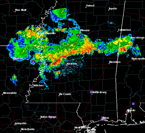 At 733 pm cdt, a severe thunderstorm was located over carthage, moving southeast at 20 mph (radar indicated). Hazards include 60 mph wind gusts and quarter size hail. Hail damage to vehicles is expected. expect wind damage to roofs, siding, and trees. this severe thunderstorm will be near, carthage around 740 pm cdt. tuscola around 755 pm cdt. madden around 810 pm cdt. Other locations impacted by this severe thunderstorm include lena, walnut grove, redwater and standing pine. At 733 pm cdt, a severe thunderstorm was located over carthage, moving southeast at 20 mph (radar indicated). Hazards include 60 mph wind gusts and quarter size hail. Hail damage to vehicles is expected. expect wind damage to roofs, siding, and trees. this severe thunderstorm will be near, carthage around 740 pm cdt. tuscola around 755 pm cdt. madden around 810 pm cdt. Other locations impacted by this severe thunderstorm include lena, walnut grove, redwater and standing pine.
|
| 6/5/2020 6:59 PM CDT | A few trees down in the thomastown area...reported by the leake county s in leake county MS, 10.1 miles SE of Carthage, MS |
| 6/5/2020 5:49 PM CDT | Mping report of trees uproote in leake county MS, 11.4 miles W of Carthage, MS |
| 6/5/2020 5:41 PM CDT |
 At 541 pm cdt, severe thunderstorms were located along a line extending from benton to near farmhaven to carthage, moving south at 35 mph (radar indicated). Hazards include 60 mph wind gusts. Expect damage to roofs, siding, and trees. these severe storms will be near, farmhaven around 550 pm cdt. tuscola, myrleville and little yazoo around 555 pm cdt. flora and annandale around 615 pm cdt. jackson around 650 pm cdt. Other locations impacted by these severe thunderstorms include lena, walnut grove, satartia, redwater, standing pine and bentonia. At 541 pm cdt, severe thunderstorms were located along a line extending from benton to near farmhaven to carthage, moving south at 35 mph (radar indicated). Hazards include 60 mph wind gusts. Expect damage to roofs, siding, and trees. these severe storms will be near, farmhaven around 550 pm cdt. tuscola, myrleville and little yazoo around 555 pm cdt. flora and annandale around 615 pm cdt. jackson around 650 pm cdt. Other locations impacted by these severe thunderstorms include lena, walnut grove, satartia, redwater, standing pine and bentonia.
|
| 6/5/2020 5:08 PM CDT |
 At 508 pm cdt, severe thunderstorms were located along a line extending from near brozville to near kosciusko, moving south at 35 mph (radar indicated). Hazards include 60 mph wind gusts. Expect damage to roofs, siding, and trees. severe thunderstorms will be near, singleton around 520 pm cdt. thomastown around 525 pm cdt. carthage, benton and vaughan around 535 pm cdt. myrleville around 550 pm cdt. tuscola around 555 pm cdt. canton around 605 pm cdt. flora, annandale and gluckstadt around 610 pm cdt. Other locations impacted by these severe thunderstorms include walnut grove, redwater, standing pine, eden, lena, satartia and bentonia. At 508 pm cdt, severe thunderstorms were located along a line extending from near brozville to near kosciusko, moving south at 35 mph (radar indicated). Hazards include 60 mph wind gusts. Expect damage to roofs, siding, and trees. severe thunderstorms will be near, singleton around 520 pm cdt. thomastown around 525 pm cdt. carthage, benton and vaughan around 535 pm cdt. myrleville around 550 pm cdt. tuscola around 555 pm cdt. canton around 605 pm cdt. flora, annandale and gluckstadt around 610 pm cdt. Other locations impacted by these severe thunderstorms include walnut grove, redwater, standing pine, eden, lena, satartia and bentonia.
|
| 5/27/2020 5:15 PM CDT | Quarter sized hail reported 2.7 miles WNW of Carthage, MS, social media report of quarter size hail on the east side of carthage. |
| 5/27/2020 5:15 PM CDT |
 At 515 pm cdt, a severe thunderstorm was located over edinburg, moving northeast at 25 mph (radar indicated). Hazards include 60 mph wind gusts and half dollar size hail. Hail damage to vehicles is expected. expect wind damage to roofs, siding, and trees. This severe thunderstorm will remain over mainly rural areas of eastern leake and southwestern neshoba counties, including the following locations, standing pine. At 515 pm cdt, a severe thunderstorm was located over edinburg, moving northeast at 25 mph (radar indicated). Hazards include 60 mph wind gusts and half dollar size hail. Hail damage to vehicles is expected. expect wind damage to roofs, siding, and trees. This severe thunderstorm will remain over mainly rural areas of eastern leake and southwestern neshoba counties, including the following locations, standing pine.
|
| 5/27/2020 4:28 PM CDT |
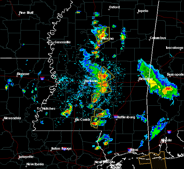 At 427 pm cdt, a severe thunderstorm was located near tuscola, or near harperville, moving northeast at 25 mph (radar indicated). Hazards include 60 mph wind gusts and quarter size hail. Hail damage to vehicles is expected. expect wind damage to roofs, siding, and trees. this severe thunderstorm will be near, madden around 505 pm cdt. dowdville around 510 pm cdt. edinburg around 520 pm cdt. Other locations impacted by this severe thunderstorm include walnut grove, redwater, sebastopol and standing pine. At 427 pm cdt, a severe thunderstorm was located near tuscola, or near harperville, moving northeast at 25 mph (radar indicated). Hazards include 60 mph wind gusts and quarter size hail. Hail damage to vehicles is expected. expect wind damage to roofs, siding, and trees. this severe thunderstorm will be near, madden around 505 pm cdt. dowdville around 510 pm cdt. edinburg around 520 pm cdt. Other locations impacted by this severe thunderstorm include walnut grove, redwater, sebastopol and standing pine.
|
| 5/23/2020 2:43 PM CDT | Tree downed on utility equipment along harkins r in leake county MS, 4.7 miles SE of Carthage, MS |
| 5/23/2020 2:40 PM CDT |
 A severe thunderstorm warning remains in effect until 330 pm cdt for leake county. at 240 pm cdt, a severe thunderstorm was located near carthage, moving northeast at 25 mph. hazard. 60 mph wind gusts and nickel size hail. source. Radar indicated. A severe thunderstorm warning remains in effect until 330 pm cdt for leake county. at 240 pm cdt, a severe thunderstorm was located near carthage, moving northeast at 25 mph. hazard. 60 mph wind gusts and nickel size hail. source. Radar indicated.
|
| 5/23/2020 2:29 PM CDT |
 At 229 pm cdt, a severe thunderstorm was located 8 miles west of carthage, moving northeast at 25 mph (radar indicated). Hazards include 60 mph wind gusts and quarter size hail. Hail damage to vehicles is expected. expect wind damage to roofs, siding, and trees. this severe thunderstorm will be near, carthage and thomastown around 245 pm cdt. singleton around 300 pm cdt. renfroe around 305 pm cdt. Other locations impacted by this severe thunderstorm include redwater. At 229 pm cdt, a severe thunderstorm was located 8 miles west of carthage, moving northeast at 25 mph (radar indicated). Hazards include 60 mph wind gusts and quarter size hail. Hail damage to vehicles is expected. expect wind damage to roofs, siding, and trees. this severe thunderstorm will be near, carthage and thomastown around 245 pm cdt. singleton around 300 pm cdt. renfroe around 305 pm cdt. Other locations impacted by this severe thunderstorm include redwater.
|
| 4/19/2020 3:02 AM CDT |
 At 302 am cdt, a severe thunderstorm was located near singleton, or 8 miles northwest of carthage, moving east at 55 mph (radar indicated). Hazards include ping pong ball size hail and 60 mph wind gusts. People and animals outdoors will be injured. expect hail damage to roofs, siding, windows, and vehicles. expect wind damage to roofs, siding, and trees. this severe thunderstorm will be near, carthage and singleton around 305 am cdt. renfroe around 310 am cdt. edinburg and zama around 315 am cdt. pearl river around 325 am cdt. burnside around 330 am cdt. stallo around 335 am cdt. nanih waiya around 340 am cdt. Other locations impacted by this severe thunderstorm include noxapater and redwater. At 302 am cdt, a severe thunderstorm was located near singleton, or 8 miles northwest of carthage, moving east at 55 mph (radar indicated). Hazards include ping pong ball size hail and 60 mph wind gusts. People and animals outdoors will be injured. expect hail damage to roofs, siding, windows, and vehicles. expect wind damage to roofs, siding, and trees. this severe thunderstorm will be near, carthage and singleton around 305 am cdt. renfroe around 310 am cdt. edinburg and zama around 315 am cdt. pearl river around 325 am cdt. burnside around 330 am cdt. stallo around 335 am cdt. nanih waiya around 340 am cdt. Other locations impacted by this severe thunderstorm include noxapater and redwater.
|
| 4/12/2020 11:22 PM CDT |
 The severe thunderstorm warning for eastern leake county will expire at 1130 pm cdt, the storms which prompted the warning have moved out of the area. therefore, the warning will be allowed to expire. The severe thunderstorm warning for eastern leake county will expire at 1130 pm cdt, the storms which prompted the warning have moved out of the area. therefore, the warning will be allowed to expire.
|
| 4/12/2020 11:14 PM CDT |
 At 1114 pm cdt, severe thunderstorms were located along a line extending from 7 miles north of pearl river to near tuscola, moving east at 50 mph (radar indicated). Hazards include 60 mph wind gusts. Expect damage to roofs, siding, and trees. These severe thunderstorms will remain over mainly rural areas of eastern leake county, including the following locations, lena, standing pine and walnut grove. At 1114 pm cdt, severe thunderstorms were located along a line extending from 7 miles north of pearl river to near tuscola, moving east at 50 mph (radar indicated). Hazards include 60 mph wind gusts. Expect damage to roofs, siding, and trees. These severe thunderstorms will remain over mainly rural areas of eastern leake county, including the following locations, lena, standing pine and walnut grove.
|
| 4/12/2020 11:08 PM CDT |
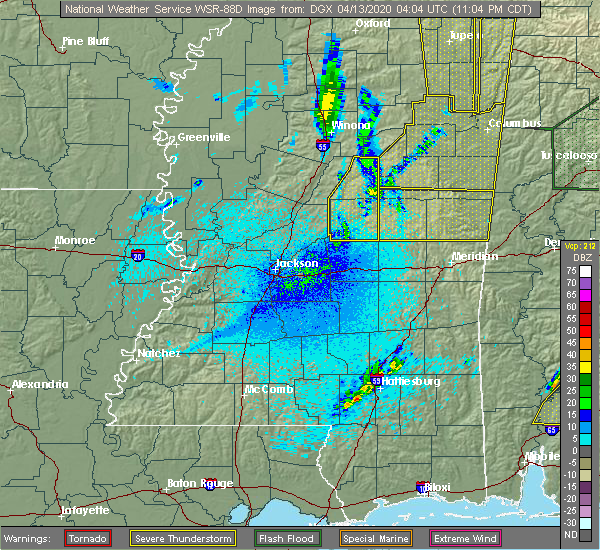 At 1108 pm cdt, severe thunderstorms were located along a line extending from 6 miles north of edinburg to tuscola, moving east at 30 mph (radar indicated). Hazards include 60 mph wind gusts. Expect damage to roofs, siding, and trees. these severe storms will be near, edinburg around 1115 pm cdt. madden around 1130 pm cdt. Other locations impacted by these severe thunderstorms include lena, walnut grove, mccool, redwater and standing pine. At 1108 pm cdt, severe thunderstorms were located along a line extending from 6 miles north of edinburg to tuscola, moving east at 30 mph (radar indicated). Hazards include 60 mph wind gusts. Expect damage to roofs, siding, and trees. these severe storms will be near, edinburg around 1115 pm cdt. madden around 1130 pm cdt. Other locations impacted by these severe thunderstorms include lena, walnut grove, mccool, redwater and standing pine.
|
| 4/12/2020 10:59 PM CDT |
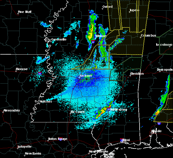 At 1058 pm cdt, severe thunderstorms were located along a line extending from 9 miles southwest of ackerman to near singleton to near ludlow, moving east at 60 mph (radar indicated). Hazards include 60 mph wind gusts. Expect damage to roofs, siding, and trees. these severe storms will be near, edinburg around 1110 pm cdt. madden around 1120 pm cdt. Other locations impacted by these severe thunderstorms include lena, walnut grove, mccool, ethel, redwater and standing pine. At 1058 pm cdt, severe thunderstorms were located along a line extending from 9 miles southwest of ackerman to near singleton to near ludlow, moving east at 60 mph (radar indicated). Hazards include 60 mph wind gusts. Expect damage to roofs, siding, and trees. these severe storms will be near, edinburg around 1110 pm cdt. madden around 1120 pm cdt. Other locations impacted by these severe thunderstorms include lena, walnut grove, mccool, ethel, redwater and standing pine.
|
| 4/12/2020 10:27 PM CDT |
 At 1027 pm cdt, severe thunderstorms were located along a line extending from near emory to near pickens to 7 miles southeast of myrleville, moving east at 50 mph (radar indicated). Hazards include 60 mph wind gusts. Expect damage to roofs, siding, and trees. severe thunderstorms will be near, cameron and possumneck around 1035 pm cdt. hesterville around 1040 pm cdt. newport around 1045 pm cdt. farmhaven, thomastown and mcadams around 1050 pm cdt. singleton and smyrna around 1100 pm cdt. renfroe around 1105 pm cdt. carthage, tuscola and zama around 1110 pm cdt. edinburg around 1115 pm cdt. Other locations impacted by these severe thunderstorms include walnut grove, ethel, sallis, redwater, standing pine, lena and mccool. At 1027 pm cdt, severe thunderstorms were located along a line extending from near emory to near pickens to 7 miles southeast of myrleville, moving east at 50 mph (radar indicated). Hazards include 60 mph wind gusts. Expect damage to roofs, siding, and trees. severe thunderstorms will be near, cameron and possumneck around 1035 pm cdt. hesterville around 1040 pm cdt. newport around 1045 pm cdt. farmhaven, thomastown and mcadams around 1050 pm cdt. singleton and smyrna around 1100 pm cdt. renfroe around 1105 pm cdt. carthage, tuscola and zama around 1110 pm cdt. edinburg around 1115 pm cdt. Other locations impacted by these severe thunderstorms include walnut grove, ethel, sallis, redwater, standing pine, lena and mccool.
|
| 4/12/2020 5:04 PM CDT |
 At 504 pm cdt, a severe thunderstorm was located near edinburg, moving northeast at 70 mph (radar indicated). Hazards include 60 mph wind gusts and quarter size hail. Hail damage to vehicles is expected. expect wind damage to roofs, siding, and trees. this severe thunderstorm will be near, burnside and stallo around 510 pm cdt. nanih waiya around 515 pm cdt. other locations impacted by this severe thunderstorm include noxapater, lena, tucker, walnut grove and standing pine. A tornado watch remains in effect until 800 pm cdt for central and east central mississippi. At 504 pm cdt, a severe thunderstorm was located near edinburg, moving northeast at 70 mph (radar indicated). Hazards include 60 mph wind gusts and quarter size hail. Hail damage to vehicles is expected. expect wind damage to roofs, siding, and trees. this severe thunderstorm will be near, burnside and stallo around 510 pm cdt. nanih waiya around 515 pm cdt. other locations impacted by this severe thunderstorm include noxapater, lena, tucker, walnut grove and standing pine. A tornado watch remains in effect until 800 pm cdt for central and east central mississippi.
|
| 4/12/2020 3:10 PM CDT |
 At 310 pm cdt, a severe thunderstorm was located 8 miles west of carthage, moving northeast at 50 mph (radar indicated). Hazards include quarter size hail. Damage to vehicles is expected. this severe storm will be near, carthage around 320 pm cdt. singleton around 325 pm cdt. renfroe around 330 pm cdt. edinburg around 335 pm cdt. other locations impacted by this severe thunderstorm include standing pine and redwater. A tornado watch remains in effect until 800 pm cdt for central mississippi. At 310 pm cdt, a severe thunderstorm was located 8 miles west of carthage, moving northeast at 50 mph (radar indicated). Hazards include quarter size hail. Damage to vehicles is expected. this severe storm will be near, carthage around 320 pm cdt. singleton around 325 pm cdt. renfroe around 330 pm cdt. edinburg around 335 pm cdt. other locations impacted by this severe thunderstorm include standing pine and redwater. A tornado watch remains in effect until 800 pm cdt for central mississippi.
|
| 4/12/2020 2:54 PM CDT |
 At 254 pm cdt, a severe thunderstorm was located near sharon, or near canton, moving northeast at 50 mph (radar indicated). Hazards include quarter size hail. Damage to vehicles is expected. this severe thunderstorm will be near, farmhaven around 305 pm cdt. carthage around 325 pm cdt. singleton around 330 pm cdt. renfroe around 335 pm cdt. edinburg around 340 pm cdt. other locations impacted by this severe thunderstorm include standing pine and redwater. A tornado watch remains in effect until 800 pm cdt for central mississippi. At 254 pm cdt, a severe thunderstorm was located near sharon, or near canton, moving northeast at 50 mph (radar indicated). Hazards include quarter size hail. Damage to vehicles is expected. this severe thunderstorm will be near, farmhaven around 305 pm cdt. carthage around 325 pm cdt. singleton around 330 pm cdt. renfroe around 335 pm cdt. edinburg around 340 pm cdt. other locations impacted by this severe thunderstorm include standing pine and redwater. A tornado watch remains in effect until 800 pm cdt for central mississippi.
|
| 4/12/2020 1:22 PM CDT | Quarter sized hail reported 1.3 miles NNW of Carthage, MS, picture of quarter size hail covering the ground in carthage. |
| 4/12/2020 1:20 PM CDT | Multiple trees down around renfro in leake county MS, 8.6 miles SW of Carthage, MS |
| 4/12/2020 1:10 PM CDT |
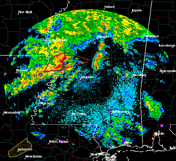 At 109 pm cdt, a severe thunderstorm was located near ludlow, or 9 miles southwest of carthage, moving northeast at 80 mph (radar indicated). Hazards include 60 mph wind gusts and quarter size hail. Hail damage to vehicles is expected. expect wind damage to roofs, siding, and trees. this severe storm will be near, carthage around 115 pm cdt. edinburg and renfroe around 125 pm cdt. pearl river around 130 pm cdt. stallo around 140 pm cdt. other locations impacted by this severe thunderstorm include noxapater, standing pine and redwater. A tornado watch remains in effect until 800 pm cdt for central and east central mississippi. At 109 pm cdt, a severe thunderstorm was located near ludlow, or 9 miles southwest of carthage, moving northeast at 80 mph (radar indicated). Hazards include 60 mph wind gusts and quarter size hail. Hail damage to vehicles is expected. expect wind damage to roofs, siding, and trees. this severe storm will be near, carthage around 115 pm cdt. edinburg and renfroe around 125 pm cdt. pearl river around 130 pm cdt. stallo around 140 pm cdt. other locations impacted by this severe thunderstorm include noxapater, standing pine and redwater. A tornado watch remains in effect until 800 pm cdt for central and east central mississippi.
|
| 4/12/2020 1:06 PM CDT |
 At 106 pm cdt, a severe thunderstorm was located near ludlow, or 14 miles southwest of carthage, moving northeast at 80 mph (radar indicated). Hazards include 60 mph wind gusts and quarter size hail. Hail damage to vehicles is expected. expect wind damage to roofs, siding, and trees. this severe thunderstorm will be near, carthage around 115 pm cdt. edinburg and renfroe around 125 pm cdt. pearl river around 130 pm cdt. burnside around 135 pm cdt. stallo around 140 pm cdt. other locations impacted by this severe thunderstorm include noxapater, standing pine and redwater. A tornado watch remains in effect until 800 pm cdt for central and east central mississippi. At 106 pm cdt, a severe thunderstorm was located near ludlow, or 14 miles southwest of carthage, moving northeast at 80 mph (radar indicated). Hazards include 60 mph wind gusts and quarter size hail. Hail damage to vehicles is expected. expect wind damage to roofs, siding, and trees. this severe thunderstorm will be near, carthage around 115 pm cdt. edinburg and renfroe around 125 pm cdt. pearl river around 130 pm cdt. burnside around 135 pm cdt. stallo around 140 pm cdt. other locations impacted by this severe thunderstorm include noxapater, standing pine and redwater. A tornado watch remains in effect until 800 pm cdt for central and east central mississippi.
|
| 3/29/2020 1:23 AM CDT |
 At 121 am cdt, a severe thunderstorm was located near tuscola, or near harperville, moving northeast at 60 mph (radar indicated). Hazards include ping pong ball size hail and 60 mph wind gusts. People and animals outdoors will be injured. expect hail damage to roofs, siding, windows, and vehicles. expect wind damage to roofs, siding, and trees. this severe storm will be near, tuscola around 125 am cdt. other locations impacted by this severe thunderstorm include lena, walnut grove, sebastopol and standing pine. A tornado watch remains in effect until 400 am cdt for central and east central mississippi. At 121 am cdt, a severe thunderstorm was located near tuscola, or near harperville, moving northeast at 60 mph (radar indicated). Hazards include ping pong ball size hail and 60 mph wind gusts. People and animals outdoors will be injured. expect hail damage to roofs, siding, windows, and vehicles. expect wind damage to roofs, siding, and trees. this severe storm will be near, tuscola around 125 am cdt. other locations impacted by this severe thunderstorm include lena, walnut grove, sebastopol and standing pine. A tornado watch remains in effect until 400 am cdt for central and east central mississippi.
|
| 3/29/2020 1:11 AM CDT |
 At 111 am cdt, a severe thunderstorm was located over leesburg, or 7 miles northwest of morton, moving northeast at 45 mph (radar indicated). Hazards include 60 mph wind gusts and quarter size hail. Hail damage to vehicles is expected. expect wind damage to roofs, siding, and trees. this severe thunderstorm will be near, forkville and ludlow around 120 am cdt. harperville and hillsboro around 130 am cdt. steele and tuscola around 135 am cdt. other locations impacted by this severe thunderstorm include lena, walnut grove, sebastopol and standing pine. A tornado watch remains in effect until 400 am cdt for central and east central mississippi. At 111 am cdt, a severe thunderstorm was located over leesburg, or 7 miles northwest of morton, moving northeast at 45 mph (radar indicated). Hazards include 60 mph wind gusts and quarter size hail. Hail damage to vehicles is expected. expect wind damage to roofs, siding, and trees. this severe thunderstorm will be near, forkville and ludlow around 120 am cdt. harperville and hillsboro around 130 am cdt. steele and tuscola around 135 am cdt. other locations impacted by this severe thunderstorm include lena, walnut grove, sebastopol and standing pine. A tornado watch remains in effect until 400 am cdt for central and east central mississippi.
|
| 2/10/2020 1:40 PM CST |
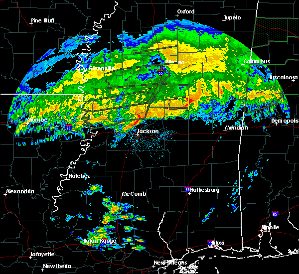 The severe thunderstorm warning for northern leake and southeastern attala counties will expire at 145 pm cst, the storm which prompted the warning has weakened below severe limits, and no longer poses an immediate threat to life or property. therefore, the warning will be allowed to expire. however heavy rain is still possible with thunderstorms in this area. to report severe weather, contact your nearest law enforcement agency. they will relay your report to the national weather service jackson. The severe thunderstorm warning for northern leake and southeastern attala counties will expire at 145 pm cst, the storm which prompted the warning has weakened below severe limits, and no longer poses an immediate threat to life or property. therefore, the warning will be allowed to expire. however heavy rain is still possible with thunderstorms in this area. to report severe weather, contact your nearest law enforcement agency. they will relay your report to the national weather service jackson.
|
| 2/10/2020 1:18 PM CST |
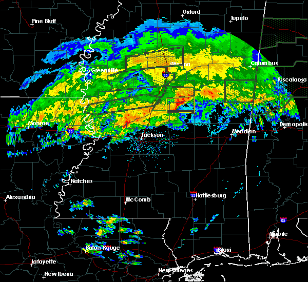 At 117 pm cst, a severe thunderstorm was located over singleton, or 9 miles north of carthage, moving east at 40 mph (radar indicated). Hazards include 60 mph wind gusts and quarter size hail. Hail damage to vehicles is expected. expect wind damage to roofs, siding, and trees. this severe storm will be near, renfroe around 130 pm cst. edinburg around 135 pm cst. Other locations impacted by this severe thunderstorm include redwater. At 117 pm cst, a severe thunderstorm was located over singleton, or 9 miles north of carthage, moving east at 40 mph (radar indicated). Hazards include 60 mph wind gusts and quarter size hail. Hail damage to vehicles is expected. expect wind damage to roofs, siding, and trees. this severe storm will be near, renfroe around 130 pm cst. edinburg around 135 pm cst. Other locations impacted by this severe thunderstorm include redwater.
|
| 2/10/2020 1:00 PM CST |
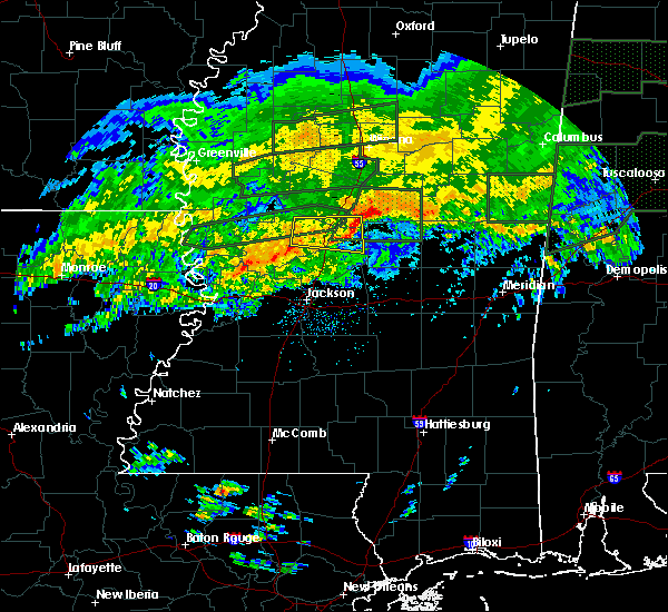 At 100 pm cst, a severe thunderstorm was located near newport, or 14 miles south of durant, moving east at 45 mph (radar indicated). Hazards include 60 mph wind gusts and quarter size hail. Hail damage to vehicles is expected. expect wind damage to roofs, siding, and trees. this severe thunderstorm will be near, thomastown around 110 pm cst. singleton around 120 pm cst. renfroe and smyrna around 125 pm cst. zama around 130 pm cst. edinburg around 135 pm cst. Other locations impacted by this severe thunderstorm include redwater. At 100 pm cst, a severe thunderstorm was located near newport, or 14 miles south of durant, moving east at 45 mph (radar indicated). Hazards include 60 mph wind gusts and quarter size hail. Hail damage to vehicles is expected. expect wind damage to roofs, siding, and trees. this severe thunderstorm will be near, thomastown around 110 pm cst. singleton around 120 pm cst. renfroe and smyrna around 125 pm cst. zama around 130 pm cst. edinburg around 135 pm cst. Other locations impacted by this severe thunderstorm include redwater.
|
| 2/5/2020 5:45 PM CST |
 At 545 pm cst, a confirmed tornado was located near carthage, moving east at 40 mph (radar confirmed tornado). Hazards include damaging tornado. Flying debris will be dangerous to those caught without shelter. mobile homes will be damaged or destroyed. damage to roofs, windows, and vehicles will occur. tree damage is likely. this tornado will be near, madden around 600 pm cst. edinburg and dowdville around 605 pm cst. philadelphia and pearl river around 615 pm cst. Other locations impacted by this tornadic thunderstorm include tucker, standing pine and redwater. At 545 pm cst, a confirmed tornado was located near carthage, moving east at 40 mph (radar confirmed tornado). Hazards include damaging tornado. Flying debris will be dangerous to those caught without shelter. mobile homes will be damaged or destroyed. damage to roofs, windows, and vehicles will occur. tree damage is likely. this tornado will be near, madden around 600 pm cst. edinburg and dowdville around 605 pm cst. philadelphia and pearl river around 615 pm cst. Other locations impacted by this tornadic thunderstorm include tucker, standing pine and redwater.
|
| 2/5/2020 5:38 PM CST | Tree down across a drivewa in leake county MS, 0.6 miles NNW of Carthage, MS |
| 2/5/2020 5:36 PM CST |
 At 536 pm cst, a confirmed tornado was located near tuscola, or near carthage, moving east at 45 mph (radar confirmed tornado). Hazards include damaging tornado. Flying debris will be dangerous to those caught without shelter. mobile homes will be damaged or destroyed. damage to roofs, windows, and vehicles will occur. tree damage is likely. this tornado will be near, tuscola around 540 pm cst. carthage around 545 pm cst. madden around 555 pm cst. edinburg, pearl river and dowdville around 600 pm cst. Other locations impacted by this tornadic thunderstorm include tucker, standing pine and redwater. At 536 pm cst, a confirmed tornado was located near tuscola, or near carthage, moving east at 45 mph (radar confirmed tornado). Hazards include damaging tornado. Flying debris will be dangerous to those caught without shelter. mobile homes will be damaged or destroyed. damage to roofs, windows, and vehicles will occur. tree damage is likely. this tornado will be near, tuscola around 540 pm cst. carthage around 545 pm cst. madden around 555 pm cst. edinburg, pearl river and dowdville around 600 pm cst. Other locations impacted by this tornadic thunderstorm include tucker, standing pine and redwater.
|
| 2/5/2020 5:34 PM CST |
 At 534 pm cst, a severe thunderstorm capable of producing a tornado was located 7 miles northwest of tuscola, or 7 miles southwest of carthage, moving east at 50 mph (radar indicated rotation). Hazards include tornado. Flying debris will be dangerous to those caught without shelter. mobile homes will be damaged or destroyed. damage to roofs, windows, and vehicles will occur. tree damage is likely. this dangerous storm will be near, tuscola around 540 pm cst. carthage around 545 pm cst. madden around 555 pm cst. edinburg and dowdville around 600 pm cst. pearl river around 605 pm cst. philadelphia around 610 pm cst. burnside around 615 pm cst. stallo around 620 pm cst. Other locations impacted by this tornadic thunderstorm include tucker, standing pine and redwater. At 534 pm cst, a severe thunderstorm capable of producing a tornado was located 7 miles northwest of tuscola, or 7 miles southwest of carthage, moving east at 50 mph (radar indicated rotation). Hazards include tornado. Flying debris will be dangerous to those caught without shelter. mobile homes will be damaged or destroyed. damage to roofs, windows, and vehicles will occur. tree damage is likely. this dangerous storm will be near, tuscola around 540 pm cst. carthage around 545 pm cst. madden around 555 pm cst. edinburg and dowdville around 600 pm cst. pearl river around 605 pm cst. philadelphia around 610 pm cst. burnside around 615 pm cst. stallo around 620 pm cst. Other locations impacted by this tornadic thunderstorm include tucker, standing pine and redwater.
|
| 2/5/2020 5:31 PM CST |
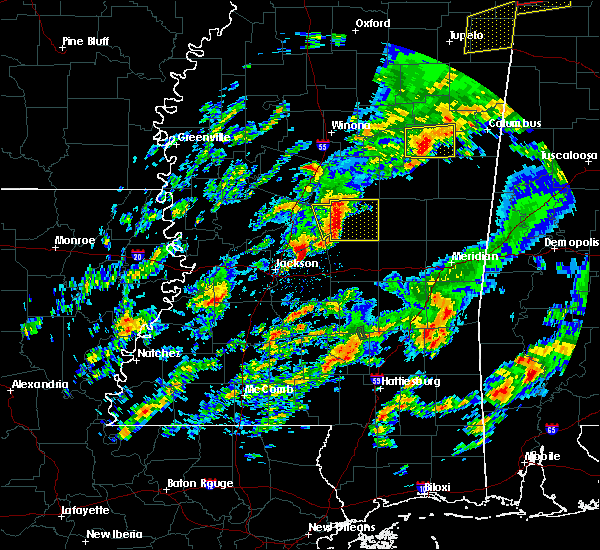 At 531 pm cst, a severe thunderstorm was located near ludlow, or 10 miles southwest of carthage, moving east at 45 mph (radar indicated). Hazards include 60 mph wind gusts and quarter size hail. Hail damage to vehicles is expected. expect wind damage to roofs, siding, and trees. this severe storm will be near, tuscola around 540 pm cst. carthage around 545 pm cst. madden and renfroe around 555 pm cst. edinburg around 600 pm cst. other locations impacted by this severe thunderstorm include lena, walnut grove, redwater and standing pine. A tornado watch remains in effect until 600 pm cst for central mississippi. At 531 pm cst, a severe thunderstorm was located near ludlow, or 10 miles southwest of carthage, moving east at 45 mph (radar indicated). Hazards include 60 mph wind gusts and quarter size hail. Hail damage to vehicles is expected. expect wind damage to roofs, siding, and trees. this severe storm will be near, tuscola around 540 pm cst. carthage around 545 pm cst. madden and renfroe around 555 pm cst. edinburg around 600 pm cst. other locations impacted by this severe thunderstorm include lena, walnut grove, redwater and standing pine. A tornado watch remains in effect until 600 pm cst for central mississippi.
|
| 2/5/2020 5:16 PM CST |
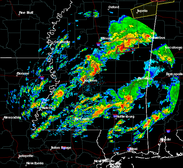 At 516 pm cst, a severe thunderstorm was located over farmhaven, or 11 miles east of canton, moving east at 55 mph (radar indicated). Hazards include 60 mph wind gusts and quarter size hail. Hail damage to vehicles is expected. expect wind damage to roofs, siding, and trees. this severe thunderstorm will be near, tuscola around 535 pm cst. carthage around 540 pm cst. renfroe around 545 pm cst. edinburg and madden around 550 pm cst. other locations impacted by this severe thunderstorm include lena, walnut grove, redwater and standing pine. A tornado watch remains in effect until 600 pm cst for central mississippi. At 516 pm cst, a severe thunderstorm was located over farmhaven, or 11 miles east of canton, moving east at 55 mph (radar indicated). Hazards include 60 mph wind gusts and quarter size hail. Hail damage to vehicles is expected. expect wind damage to roofs, siding, and trees. this severe thunderstorm will be near, tuscola around 535 pm cst. carthage around 540 pm cst. renfroe around 545 pm cst. edinburg and madden around 550 pm cst. other locations impacted by this severe thunderstorm include lena, walnut grove, redwater and standing pine. A tornado watch remains in effect until 600 pm cst for central mississippi.
|
| 2/5/2020 5:00 AM CST |
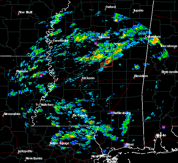 At 500 am cst, a severe thunderstorm capable of producing a tornado was located near renfroe, or near carthage, moving northeast at 30 mph (radar indicated rotation). Hazards include tornado and quarter size hail. Flying debris will be dangerous to those caught without shelter. mobile homes will be damaged or destroyed. damage to roofs, windows, and vehicles will occur. tree damage is likely. this dangerous storm will be near, renfroe around 505 am cst. Edinburg around 515 am cst. At 500 am cst, a severe thunderstorm capable of producing a tornado was located near renfroe, or near carthage, moving northeast at 30 mph (radar indicated rotation). Hazards include tornado and quarter size hail. Flying debris will be dangerous to those caught without shelter. mobile homes will be damaged or destroyed. damage to roofs, windows, and vehicles will occur. tree damage is likely. this dangerous storm will be near, renfroe around 505 am cst. Edinburg around 515 am cst.
|
| 2/5/2020 4:52 AM CST |
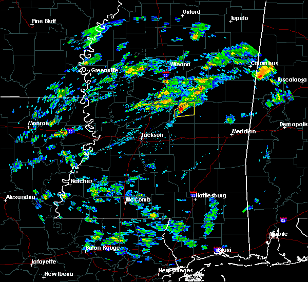 At 452 am cst, a severe thunderstorm capable of producing a tornado was located over carthage, moving northeast at 25 mph (radar indicated rotation). Hazards include tornado and quarter size hail. Flying debris will be dangerous to those caught without shelter. mobile homes will be damaged or destroyed. damage to roofs, windows, and vehicles will occur. tree damage is likely. this dangerous storm will be near, renfroe around 510 am cst. edinburg around 515 am cst. Other locations impacted by this tornadic thunderstorm include redwater. At 452 am cst, a severe thunderstorm capable of producing a tornado was located over carthage, moving northeast at 25 mph (radar indicated rotation). Hazards include tornado and quarter size hail. Flying debris will be dangerous to those caught without shelter. mobile homes will be damaged or destroyed. damage to roofs, windows, and vehicles will occur. tree damage is likely. this dangerous storm will be near, renfroe around 510 am cst. edinburg around 515 am cst. Other locations impacted by this tornadic thunderstorm include redwater.
|
| 2/5/2020 4:49 AM CST |
 At 448 am cst, a severe thunderstorm was located over carthage, moving northeast at 35 mph (radar indicated). Hazards include 60 mph wind gusts and quarter size hail. Hail damage to vehicles is expected. expect wind damage to roofs, siding, and trees. this severe storm will be near, renfroe around 505 am cst. edinburg around 510 am cst. Other locations impacted by this severe thunderstorm include redwater. At 448 am cst, a severe thunderstorm was located over carthage, moving northeast at 35 mph (radar indicated). Hazards include 60 mph wind gusts and quarter size hail. Hail damage to vehicles is expected. expect wind damage to roofs, siding, and trees. this severe storm will be near, renfroe around 505 am cst. edinburg around 510 am cst. Other locations impacted by this severe thunderstorm include redwater.
|
| 2/5/2020 4:39 AM CST |
 At 439 am cst, a severe thunderstorm was located 7 miles west of carthage, moving northeast at 35 mph (radar indicated). Hazards include 60 mph wind gusts. Expect damage to roofs, siding, and trees. this severe storm will be near, carthage around 450 am cst. renfroe around 505 am cst. edinburg around 515 am cst. Other locations impacted by this severe thunderstorm include redwater. At 439 am cst, a severe thunderstorm was located 7 miles west of carthage, moving northeast at 35 mph (radar indicated). Hazards include 60 mph wind gusts. Expect damage to roofs, siding, and trees. this severe storm will be near, carthage around 450 am cst. renfroe around 505 am cst. edinburg around 515 am cst. Other locations impacted by this severe thunderstorm include redwater.
|
| 2/5/2020 4:29 AM CST |
 At 429 am cst, a severe thunderstorm was located near farmhaven, or 12 miles southwest of carthage, moving northeast at 35 mph (radar indicated). Hazards include 60 mph wind gusts. Expect damage to roofs, siding, and trees. this severe thunderstorm will be near, carthage around 450 am cst. renfroe around 500 am cst. edinburg around 510 am cst. Other locations impacted by this severe thunderstorm include standing pine and redwater. At 429 am cst, a severe thunderstorm was located near farmhaven, or 12 miles southwest of carthage, moving northeast at 35 mph (radar indicated). Hazards include 60 mph wind gusts. Expect damage to roofs, siding, and trees. this severe thunderstorm will be near, carthage around 450 am cst. renfroe around 500 am cst. edinburg around 510 am cst. Other locations impacted by this severe thunderstorm include standing pine and redwater.
|
| 1/11/2020 9:29 AM CST |
 At 928 am cst, a severe thunderstorm was located over harperville, moving east at 40 mph (radar indicated). Hazards include 60 mph wind gusts and penny size hail. Expect damage to roofs, siding, and trees. this severe thunderstorm will be near, conehatta around 945 am cst. prospect and dowdville around 950 am cst. dixon and stratton around 955 am cst. neshoba around 1000 am cst. bethsaida around 1010 am cst. house around 1015 am cst. herbert springs around 1020 am cst. forestdale around 1025 am cst. other locations impacted by this severe thunderstorm include lena, tucker, walnut grove, lake, sebastopol and standing pine. a tornado watch remains in effect until 1100 am cst for central mississippi. A tornado watch also remains in effect until 400 pm cst for central and east central mississippi. At 928 am cst, a severe thunderstorm was located over harperville, moving east at 40 mph (radar indicated). Hazards include 60 mph wind gusts and penny size hail. Expect damage to roofs, siding, and trees. this severe thunderstorm will be near, conehatta around 945 am cst. prospect and dowdville around 950 am cst. dixon and stratton around 955 am cst. neshoba around 1000 am cst. bethsaida around 1010 am cst. house around 1015 am cst. herbert springs around 1020 am cst. forestdale around 1025 am cst. other locations impacted by this severe thunderstorm include lena, tucker, walnut grove, lake, sebastopol and standing pine. a tornado watch remains in effect until 1100 am cst for central mississippi. A tornado watch also remains in effect until 400 pm cst for central and east central mississippi.
|
| 1/11/2020 9:08 AM CST |
 At 907 am cst, severe thunderstorms were located along a line extending from near renfroe to near ludlow to near johns, moving northeast at 40 mph (radar indicated). Hazards include 60 mph wind gusts. Expect damage to roofs, siding, and trees. these severe storms will be near, harperville and renfroe around 915 am cst. tuscola around 920 am cst. madden and stallo around 935 am cst. dowdville and pulaski around 940 am cst. philadelphia, forest, pearl river, neshoba, dixon and homewood around 945 am cst. other locations impacted by these severe thunderstorms include walnut grove, redwater, sebastopol, standing pine, puckett, polkville and lena. a tornado watch remains in effect until 1100 am cst for central mississippi. A tornado watch also remains in effect until 400 pm cst for central and east central mississippi. At 907 am cst, severe thunderstorms were located along a line extending from near renfroe to near ludlow to near johns, moving northeast at 40 mph (radar indicated). Hazards include 60 mph wind gusts. Expect damage to roofs, siding, and trees. these severe storms will be near, harperville and renfroe around 915 am cst. tuscola around 920 am cst. madden and stallo around 935 am cst. dowdville and pulaski around 940 am cst. philadelphia, forest, pearl river, neshoba, dixon and homewood around 945 am cst. other locations impacted by these severe thunderstorms include walnut grove, redwater, sebastopol, standing pine, puckett, polkville and lena. a tornado watch remains in effect until 1100 am cst for central mississippi. A tornado watch also remains in effect until 400 pm cst for central and east central mississippi.
|
| 1/11/2020 8:43 AM CST |
 At 843 am cst, severe thunderstorms were located along a line extending from near thomastown to near pisgah to near star, moving east at 30 mph (radar indicated). Hazards include 60 mph wind gusts. Expect damage to roofs, siding, and trees. these severe storms will be near, carthage, leesburg, thomastown and branch around 850 am cst. singleton and ludlow around 855 am cst. renfroe and forkville around 900 am cst. cato around 905 am cst. edinburg around 910 am cst. harperville, johns and tuscola around 915 am cst. other locations impacted by these severe thunderstorms include walnut grove, redwater, sebastopol, standing pine, puckett, polkville and lena. a tornado watch remains in effect until 900 am cst for central mississippi. A tornado watch also remains in effect until 400 pm cst for central and east central mississippi. At 843 am cst, severe thunderstorms were located along a line extending from near thomastown to near pisgah to near star, moving east at 30 mph (radar indicated). Hazards include 60 mph wind gusts. Expect damage to roofs, siding, and trees. these severe storms will be near, carthage, leesburg, thomastown and branch around 850 am cst. singleton and ludlow around 855 am cst. renfroe and forkville around 900 am cst. cato around 905 am cst. edinburg around 910 am cst. harperville, johns and tuscola around 915 am cst. other locations impacted by these severe thunderstorms include walnut grove, redwater, sebastopol, standing pine, puckett, polkville and lena. a tornado watch remains in effect until 900 am cst for central mississippi. A tornado watch also remains in effect until 400 pm cst for central and east central mississippi.
|
| 1/11/2020 8:37 AM CST | Tree across natchez trace pkw in leake county MS, 9.1 miles E of Carthage, MS |
| 1/11/2020 8:14 AM CST |
 At 814 am cst, severe thunderstorms were located along a line extending from near kosciusko to near goshen springs to whites, moving east at 40 mph (radar indicated). Hazards include 60 mph wind gusts. Expect damage to roofs, siding, and trees. severe thunderstorms will be near, piney woods and farmhaven around 830 am cst. ludlow and forkville around 835 am cst. cato around 840 am cst. johns around 845 am cst. tuscola around 850 am cst. pelahatchie around 855 am cst. morton, pulaski, dowdville and madden around 910 am cst. philadelphia, forest, edinburg, pearl river, dixon and homewood around 915 am cst. other locations impacted by these severe thunderstorms include walnut grove, redwater, sebastopol, standing pine, puckett, polkville and lena. a tornado watch remains in effect until 900 am cst for central mississippi. A tornado watch also remains in effect until 400 pm cst for central and east central mississippi. At 814 am cst, severe thunderstorms were located along a line extending from near kosciusko to near goshen springs to whites, moving east at 40 mph (radar indicated). Hazards include 60 mph wind gusts. Expect damage to roofs, siding, and trees. severe thunderstorms will be near, piney woods and farmhaven around 830 am cst. ludlow and forkville around 835 am cst. cato around 840 am cst. johns around 845 am cst. tuscola around 850 am cst. pelahatchie around 855 am cst. morton, pulaski, dowdville and madden around 910 am cst. philadelphia, forest, edinburg, pearl river, dixon and homewood around 915 am cst. other locations impacted by these severe thunderstorms include walnut grove, redwater, sebastopol, standing pine, puckett, polkville and lena. a tornado watch remains in effect until 900 am cst for central mississippi. A tornado watch also remains in effect until 400 pm cst for central and east central mississippi.
|
| 1/11/2020 7:58 AM CST |
 At 758 am cst, severe thunderstorms were located along a line extending from near camden to terry, moving east at 35 mph (radar indicated). Hazards include 60 mph wind gusts. Expect damage to roofs, siding, and trees. these severe storms will be near, thomastown around 810 am cst. richland around 815 am cst. star, monterey and singleton around 820 am cst. piney woods around 825 am cst. brandon around 830 am cst. other locations impacted by these severe thunderstorms include redwater. a tornado watch remains in effect until 900 am cst for central mississippi. A tornado watch also remains in effect until 400 pm cst for central mississippi. At 758 am cst, severe thunderstorms were located along a line extending from near camden to terry, moving east at 35 mph (radar indicated). Hazards include 60 mph wind gusts. Expect damage to roofs, siding, and trees. these severe storms will be near, thomastown around 810 am cst. richland around 815 am cst. star, monterey and singleton around 820 am cst. piney woods around 825 am cst. brandon around 830 am cst. other locations impacted by these severe thunderstorms include redwater. a tornado watch remains in effect until 900 am cst for central mississippi. A tornado watch also remains in effect until 400 pm cst for central mississippi.
|
| 1/11/2020 7:16 AM CST |
 At 716 am cst, severe thunderstorms were located along a line extending from 6 miles west of way to near carpenter, moving east at 35 mph (radar indicated). Hazards include 60 mph wind gusts. Expect damage to roofs, siding, and trees. severe thunderstorms will be near, way around 725 am cst. dry grove around 740 am cst. cameron and camden around 745 am cst. terry around 755 am cst. byram around 800 am cst. thomastown and whites around 805 am cst. richland and florence around 810 am cst. star, singleton, monterey and piney woods around 815 am cst. other locations impacted by these severe thunderstorms include learned and redwater. A tornado watch remains in effect until 900 am cst for central mississippi. At 716 am cst, severe thunderstorms were located along a line extending from 6 miles west of way to near carpenter, moving east at 35 mph (radar indicated). Hazards include 60 mph wind gusts. Expect damage to roofs, siding, and trees. severe thunderstorms will be near, way around 725 am cst. dry grove around 740 am cst. cameron and camden around 745 am cst. terry around 755 am cst. byram around 800 am cst. thomastown and whites around 805 am cst. richland and florence around 810 am cst. star, singleton, monterey and piney woods around 815 am cst. other locations impacted by these severe thunderstorms include learned and redwater. A tornado watch remains in effect until 900 am cst for central mississippi.
|
| 12/29/2019 4:04 PM CST |
 At 404 pm cst, severe thunderstorms were located along a line extending from near smyrna to near ludlow, moving northeast at 50 mph (radar indicated). Hazards include 60 mph wind gusts and quarter size hail. Hail damage to vehicles is expected. expect wind damage to roofs, siding, and trees. these severe storms will be near, smyrna around 410 pm cst. carthage around 420 pm cst. other locations impacted by these severe thunderstorms include lena, sallis and redwater. A tornado watch remains in effect until 900 pm cst for central mississippi. At 404 pm cst, severe thunderstorms were located along a line extending from near smyrna to near ludlow, moving northeast at 50 mph (radar indicated). Hazards include 60 mph wind gusts and quarter size hail. Hail damage to vehicles is expected. expect wind damage to roofs, siding, and trees. these severe storms will be near, smyrna around 410 pm cst. carthage around 420 pm cst. other locations impacted by these severe thunderstorms include lena, sallis and redwater. A tornado watch remains in effect until 900 pm cst for central mississippi.
|
| 12/29/2019 3:52 PM CST |
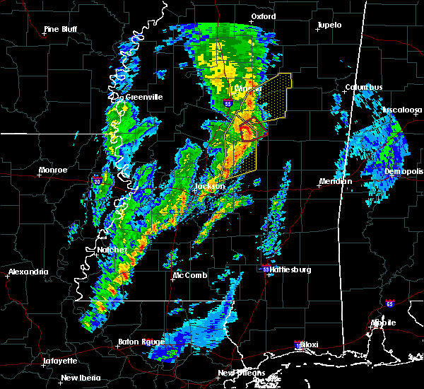 At 352 pm cst, severe thunderstorms were located along a line extending from near hesterville to near thomastown to near pisgah, moving northeast at 55 mph (radar indicated). Hazards include 60 mph wind gusts and quarter size hail. Hail damage to vehicles is expected. expect wind damage to roofs, siding, and trees. these severe storms will be near, kosciusko, carthage, hesterville, thomastown and possumneck around 355 pm cst. singleton and farmhaven around 400 pm cst. smyrna around 405 pm cst. tuscola around 415 pm cst. other locations impacted by these severe thunderstorms include lena, sallis and redwater. A tornado watch remains in effect until 900 pm cst for central mississippi. At 352 pm cst, severe thunderstorms were located along a line extending from near hesterville to near thomastown to near pisgah, moving northeast at 55 mph (radar indicated). Hazards include 60 mph wind gusts and quarter size hail. Hail damage to vehicles is expected. expect wind damage to roofs, siding, and trees. these severe storms will be near, kosciusko, carthage, hesterville, thomastown and possumneck around 355 pm cst. singleton and farmhaven around 400 pm cst. smyrna around 405 pm cst. tuscola around 415 pm cst. other locations impacted by these severe thunderstorms include lena, sallis and redwater. A tornado watch remains in effect until 900 pm cst for central mississippi.
|
| 12/29/2019 3:35 PM CST |
 At 334 pm cst, severe thunderstorms were located along a line extending from near newport to near farmhaven to near goshen springs, moving northeast at 60 mph (radar indicated). Hazards include 60 mph wind gusts. Expect damage to roofs, siding, and trees. these severe storms will be near, newport around 340 pm cst. mcadams around 345 pm cst. kosciusko, carthage, ludlow and thomastown around 350 pm cst. singleton and smyrna around 355 pm cst. tuscola around 400 pm cst. other locations impacted by these severe thunderstorms include lena, sallis and redwater. A tornado watch remains in effect until 900 pm cst for central mississippi. At 334 pm cst, severe thunderstorms were located along a line extending from near newport to near farmhaven to near goshen springs, moving northeast at 60 mph (radar indicated). Hazards include 60 mph wind gusts. Expect damage to roofs, siding, and trees. these severe storms will be near, newport around 340 pm cst. mcadams around 345 pm cst. kosciusko, carthage, ludlow and thomastown around 350 pm cst. singleton and smyrna around 355 pm cst. tuscola around 400 pm cst. other locations impacted by these severe thunderstorms include lena, sallis and redwater. A tornado watch remains in effect until 900 pm cst for central mississippi.
|
| 12/29/2019 3:26 PM CST |
 At 326 pm cst, severe thunderstorms were located along a line extending from near vaughan to near sharon to near madison, moving northeast at 60 mph (radar indicated). Hazards include 60 mph wind gusts and quarter size hail. Hail damage to vehicles is expected. expect wind damage to roofs, siding, and trees. these severe storms will be near, pickens and sharon around 330 pm cst. goodman, farmhaven and cameron around 335 pm cst. pisgah and camden around 340 pm cst. newport around 345 pm cst. mcadams, ludlow and thomastown around 350 pm cst. kosciusko and carthage around 355 pm cst. singleton, tuscola and smyrna around 400 pm cst. Other locations impacted by these severe thunderstorms include lena, sallis and redwater. At 326 pm cst, severe thunderstorms were located along a line extending from near vaughan to near sharon to near madison, moving northeast at 60 mph (radar indicated). Hazards include 60 mph wind gusts and quarter size hail. Hail damage to vehicles is expected. expect wind damage to roofs, siding, and trees. these severe storms will be near, pickens and sharon around 330 pm cst. goodman, farmhaven and cameron around 335 pm cst. pisgah and camden around 340 pm cst. newport around 345 pm cst. mcadams, ludlow and thomastown around 350 pm cst. kosciusko and carthage around 355 pm cst. singleton, tuscola and smyrna around 400 pm cst. Other locations impacted by these severe thunderstorms include lena, sallis and redwater.
|
| 12/29/2019 3:11 PM CST |
 At 311 pm cst, severe thunderstorms were located along a line extending from near myrleville to near annandale, moving northeast at 60 mph (radar indicated). Hazards include 60 mph wind gusts and quarter size hail. Hail damage to vehicles is expected. expect wind damage to roofs, siding, and trees. severe thunderstorms will be near, canton and way around 320 pm cst. vaughan around 325 pm cst. pickens, sharon and cameron around 330 pm cst. goodman and farmhaven around 335 pm cst. camden and newport around 340 pm cst. durant around 345 pm cst. kosciusko, thomastown, mcadams and possumneck around 350 pm cst. hesterville around 355 pm cst. other locations impacted by these severe thunderstorms include lena, sallis and redwater. A tornado watch remains in effect until 900 pm cst for central mississippi. At 311 pm cst, severe thunderstorms were located along a line extending from near myrleville to near annandale, moving northeast at 60 mph (radar indicated). Hazards include 60 mph wind gusts and quarter size hail. Hail damage to vehicles is expected. expect wind damage to roofs, siding, and trees. severe thunderstorms will be near, canton and way around 320 pm cst. vaughan around 325 pm cst. pickens, sharon and cameron around 330 pm cst. goodman and farmhaven around 335 pm cst. camden and newport around 340 pm cst. durant around 345 pm cst. kosciusko, thomastown, mcadams and possumneck around 350 pm cst. hesterville around 355 pm cst. other locations impacted by these severe thunderstorms include lena, sallis and redwater. A tornado watch remains in effect until 900 pm cst for central mississippi.
|
| 11/30/2019 7:19 PM CST | Tree downed on ms hwy 3 in leake county MS, 4.9 miles S of Carthage, MS |
| 11/30/2019 7:16 PM CST |
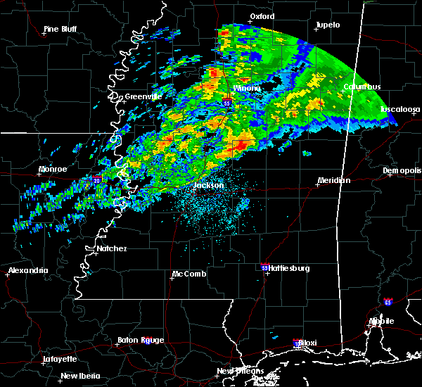 At 716 pm cst, a severe thunderstorm was located near singleton, or near carthage, moving northeast at 55 mph (radar indicated). Hazards include 60 mph wind gusts and quarter size hail. Hail damage to vehicles is expected. expect wind damage to roofs, siding, and trees. this severe thunderstorm will be near, renfroe and smyrna around 725 pm cst. zama around 730 pm cst. stallo around 745 pm cst. other locations impacted by this severe thunderstorm include noxapater and redwater. A tornado watch remains in effect until 1100 pm cst for central and east central mississippi. At 716 pm cst, a severe thunderstorm was located near singleton, or near carthage, moving northeast at 55 mph (radar indicated). Hazards include 60 mph wind gusts and quarter size hail. Hail damage to vehicles is expected. expect wind damage to roofs, siding, and trees. this severe thunderstorm will be near, renfroe and smyrna around 725 pm cst. zama around 730 pm cst. stallo around 745 pm cst. other locations impacted by this severe thunderstorm include noxapater and redwater. A tornado watch remains in effect until 1100 pm cst for central and east central mississippi.
|
| 7/15/2019 5:13 PM CDT |
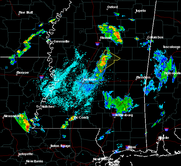 At 513 pm cdt, a severe thunderstorm was located near singleton, or near carthage, moving northeast at 35 mph (radar indicated). Hazards include 60 mph wind gusts. Expect damage to roofs, siding, and trees. this severe storm will be near, renfroe around 525 pm cdt. smyrna around 530 pm cdt. zama around 535 pm cdt. Other locations impacted by this severe thunderstorm include ethel and redwater. At 513 pm cdt, a severe thunderstorm was located near singleton, or near carthage, moving northeast at 35 mph (radar indicated). Hazards include 60 mph wind gusts. Expect damage to roofs, siding, and trees. this severe storm will be near, renfroe around 525 pm cdt. smyrna around 530 pm cdt. zama around 535 pm cdt. Other locations impacted by this severe thunderstorm include ethel and redwater.
|
| 7/15/2019 5:00 PM CDT |
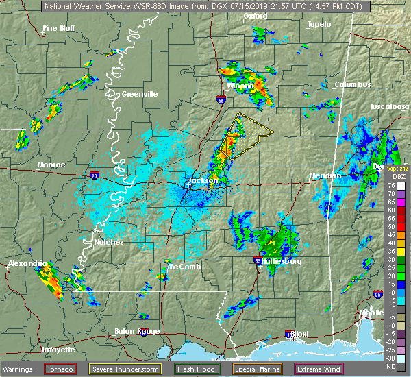 At 500 pm cdt, a severe thunderstorm was located 7 miles south of thomastown, or 8 miles west of carthage, moving northeast at 35 mph (radar indicated). Hazards include 60 mph wind gusts. Expect damage to roofs, siding, and trees. this severe thunderstorm will be near, carthage and thomastown around 510 pm cdt. singleton around 520 pm cdt. renfroe around 525 pm cdt. smyrna around 530 pm cdt. zama around 535 pm cdt. Other locations impacted by this severe thunderstorm include ethel and redwater. At 500 pm cdt, a severe thunderstorm was located 7 miles south of thomastown, or 8 miles west of carthage, moving northeast at 35 mph (radar indicated). Hazards include 60 mph wind gusts. Expect damage to roofs, siding, and trees. this severe thunderstorm will be near, carthage and thomastown around 510 pm cdt. singleton around 520 pm cdt. renfroe around 525 pm cdt. smyrna around 530 pm cdt. zama around 535 pm cdt. Other locations impacted by this severe thunderstorm include ethel and redwater.
|
| 6/20/2019 12:50 AM CDT | Tree downed on turtleneck road near madde in leake county MS, 12.6 miles WNW of Carthage, MS |
| 6/20/2019 12:30 AM CDT | Tree and powerline downed on highway 35 in between the tyson chicken plant and singleto in leake county MS, 4.9 miles S of Carthage, MS |
| 6/17/2019 3:11 PM CDT |
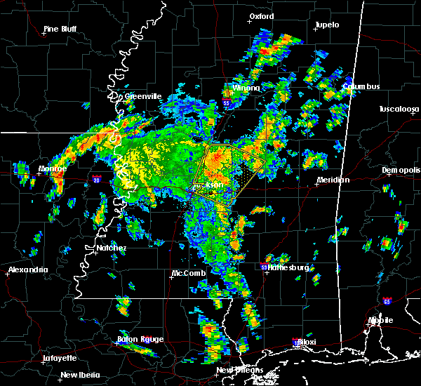 At 311 pm cdt, a severe thunderstorm was located near farmhaven, or 11 miles northeast of canton, moving north at 30 mph (radar indicated). Hazards include 60 mph wind gusts and quarter size hail. Hail damage to vehicles is expected. expect wind damage to roofs, siding, and trees. this severe storm will be near, camden around 325 pm cdt. cameron around 330 pm cdt. Other locations impacted by this severe thunderstorm include lena. At 311 pm cdt, a severe thunderstorm was located near farmhaven, or 11 miles northeast of canton, moving north at 30 mph (radar indicated). Hazards include 60 mph wind gusts and quarter size hail. Hail damage to vehicles is expected. expect wind damage to roofs, siding, and trees. this severe storm will be near, camden around 325 pm cdt. cameron around 330 pm cdt. Other locations impacted by this severe thunderstorm include lena.
|
| 6/17/2019 2:40 PM CDT |
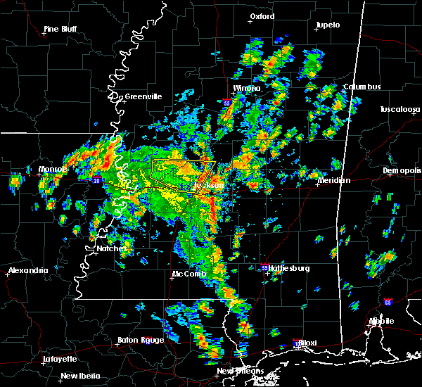 At 240 pm cdt, a severe thunderstorm was located over goshen springs, or 11 miles east of madison, moving north at 30 mph (radar indicated). Hazards include 60 mph wind gusts and quarter size hail. Hail damage to vehicles is expected. expect wind damage to roofs, siding, and trees. this severe thunderstorm will be near, sharon around 305 pm cdt. farmhaven around 310 pm cdt. camden around 325 pm cdt. cameron around 330 pm cdt. Other locations impacted by this severe thunderstorm include lena, standing pine and walnut grove. At 240 pm cdt, a severe thunderstorm was located over goshen springs, or 11 miles east of madison, moving north at 30 mph (radar indicated). Hazards include 60 mph wind gusts and quarter size hail. Hail damage to vehicles is expected. expect wind damage to roofs, siding, and trees. this severe thunderstorm will be near, sharon around 305 pm cdt. farmhaven around 310 pm cdt. camden around 325 pm cdt. cameron around 330 pm cdt. Other locations impacted by this severe thunderstorm include lena, standing pine and walnut grove.
|
| 6/7/2019 3:06 PM CDT |
 The severe thunderstorm warning for central leake county will expire at 315 pm cdt, the storm which prompted the warning has moved out of the area. therefore, the warning will be allowed to expire. The severe thunderstorm warning for central leake county will expire at 315 pm cdt, the storm which prompted the warning has moved out of the area. therefore, the warning will be allowed to expire.
|
| 6/7/2019 2:49 PM CDT |
 At 249 pm cdt, a severe thunderstorm was located over carthage, moving northeast at 15 mph (radar indicated). Hazards include ping pong ball size hail and 60 mph wind gusts. People and animals outdoors will be injured. expect hail damage to roofs, siding, windows, and vehicles. expect wind damage to roofs, siding, and trees. this severe storm will be near, carthage around 255 pm cdt. singleton around 310 pm cdt. renfroe around 315 pm cdt. Other locations impacted by this severe thunderstorm include redwater. At 249 pm cdt, a severe thunderstorm was located over carthage, moving northeast at 15 mph (radar indicated). Hazards include ping pong ball size hail and 60 mph wind gusts. People and animals outdoors will be injured. expect hail damage to roofs, siding, windows, and vehicles. expect wind damage to roofs, siding, and trees. this severe storm will be near, carthage around 255 pm cdt. singleton around 310 pm cdt. renfroe around 315 pm cdt. Other locations impacted by this severe thunderstorm include redwater.
|
| 6/7/2019 2:29 PM CDT |
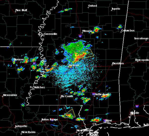 At 228 pm cdt, a severe thunderstorm was located 8 miles west of carthage, moving northeast at 15 mph (radar indicated). Hazards include two inch hail and 60 mph wind gusts. People and animals outdoors will be injured. expect hail damage to roofs, siding, windows, and vehicles. expect wind damage to roofs, siding, and trees. this severe storm will be near, carthage around 255 pm cdt. singleton around 310 pm cdt. renfroe around 315 pm cdt. Other locations impacted by this severe thunderstorm include standing pine and redwater. At 228 pm cdt, a severe thunderstorm was located 8 miles west of carthage, moving northeast at 15 mph (radar indicated). Hazards include two inch hail and 60 mph wind gusts. People and animals outdoors will be injured. expect hail damage to roofs, siding, windows, and vehicles. expect wind damage to roofs, siding, and trees. this severe storm will be near, carthage around 255 pm cdt. singleton around 310 pm cdt. renfroe around 315 pm cdt. Other locations impacted by this severe thunderstorm include standing pine and redwater.
|
| 6/7/2019 2:25 PM CDT |
 At 225 pm cdt, a severe thunderstorm was located 8 miles northeast of farmhaven, or 9 miles west of carthage, moving northeast at 15 mph (radar indicated). Hazards include ping pong ball size hail and 60 mph wind gusts. People and animals outdoors will be injured. expect hail damage to roofs, siding, windows, and vehicles. expect wind damage to roofs, siding, and trees. this severe thunderstorm will be near, carthage around 255 pm cdt. renfroe and singleton around 315 pm cdt. Other locations impacted by this severe thunderstorm include standing pine and redwater. At 225 pm cdt, a severe thunderstorm was located 8 miles northeast of farmhaven, or 9 miles west of carthage, moving northeast at 15 mph (radar indicated). Hazards include ping pong ball size hail and 60 mph wind gusts. People and animals outdoors will be injured. expect hail damage to roofs, siding, windows, and vehicles. expect wind damage to roofs, siding, and trees. this severe thunderstorm will be near, carthage around 255 pm cdt. renfroe and singleton around 315 pm cdt. Other locations impacted by this severe thunderstorm include standing pine and redwater.
|
| 6/7/2019 2:24 PM CDT | Trees down on forest grove rd and greenwood chapel r in leake county MS, 10.4 miles E of Carthage, MS |
| 5/9/2019 9:04 AM CDT |
 At 903 am cdt, severe thunderstorms were located along a line extending from 6 miles northeast of farmhaven to near pisgah to pearl, moving east at 40 mph (radar indicated). Hazards include 60 mph wind gusts and quarter size hail. Hail damage to vehicles is expected. expect wind damage to roofs, siding, and trees. severe thunderstorms will be near, leesburg around 910 am cdt. branch and ludlow around 915 am cdt. carthage and forkville around 920 am cdt. tuscola around 925 am cdt. pelahatchie and hillsboro around 930 am cdt. harperville around 935 am cdt. morton, steele and madden around 940 am cdt. pulaski around 945 am cdt. Other locations impacted by these severe thunderstorms include polkville, lena, walnut grove, sebastopol and standing pine. At 903 am cdt, severe thunderstorms were located along a line extending from 6 miles northeast of farmhaven to near pisgah to pearl, moving east at 40 mph (radar indicated). Hazards include 60 mph wind gusts and quarter size hail. Hail damage to vehicles is expected. expect wind damage to roofs, siding, and trees. severe thunderstorms will be near, leesburg around 910 am cdt. branch and ludlow around 915 am cdt. carthage and forkville around 920 am cdt. tuscola around 925 am cdt. pelahatchie and hillsboro around 930 am cdt. harperville around 935 am cdt. morton, steele and madden around 940 am cdt. pulaski around 945 am cdt. Other locations impacted by these severe thunderstorms include polkville, lena, walnut grove, sebastopol and standing pine.
|
| 5/9/2019 8:40 AM CDT | Tree down on hwy 35 s. of carthage... m in leake county MS, 2.7 miles N of Carthage, MS |
| 5/9/2019 8:25 AM CDT | Tree down on natchez trace parkway thomastown... m in leake county MS, 10.1 miles SE of Carthage, MS |
| 5/9/2019 8:05 AM CDT |
 At 805 am cdt, severe thunderstorms were located along a line extending from near newport to near farmhaven to near annandale, moving east at 50 mph (radar indicated). Hazards include 60 mph wind gusts. Expect damage to roofs, siding, and trees. severe thunderstorms will be near, farmhaven and thomastown around 810 am cdt. goshen springs and singleton around 820 am cdt. carthage, pisgah and renfroe around 825 am cdt. edinburg, leesburg and tuscola around 830 am cdt. branch and ludlow around 835 am cdt. madden and forkville around 840 am cdt. pearl river, dowdville and burnside around 845 am cdt. philadelphia, harperville, dixon, stallo and hillsboro around 850 am cdt. Other locations impacted by these severe thunderstorms include lena, tucker, walnut grove, redwater, sebastopol and standing pine. At 805 am cdt, severe thunderstorms were located along a line extending from near newport to near farmhaven to near annandale, moving east at 50 mph (radar indicated). Hazards include 60 mph wind gusts. Expect damage to roofs, siding, and trees. severe thunderstorms will be near, farmhaven and thomastown around 810 am cdt. goshen springs and singleton around 820 am cdt. carthage, pisgah and renfroe around 825 am cdt. edinburg, leesburg and tuscola around 830 am cdt. branch and ludlow around 835 am cdt. madden and forkville around 840 am cdt. pearl river, dowdville and burnside around 845 am cdt. philadelphia, harperville, dixon, stallo and hillsboro around 850 am cdt. Other locations impacted by these severe thunderstorms include lena, tucker, walnut grove, redwater, sebastopol and standing pine.
|
| 5/8/2019 10:45 PM CDT |
 At 1045 pm cdt, severe thunderstorms were located along a line extending from 13 miles north of zama to near smyrna to near edinburg, moving northeast at 20 mph (radar indicated). Hazards include 60 mph wind gusts. Expect damage to roofs, siding, and trees. these severe thunderstorms will remain over mainly rural areas of northeastern leake and eastern attala counties, including the following locations, mccool, ethel and redwater. A tornado watch remains in effect until midnight cdt for central and north central mississippi. At 1045 pm cdt, severe thunderstorms were located along a line extending from 13 miles north of zama to near smyrna to near edinburg, moving northeast at 20 mph (radar indicated). Hazards include 60 mph wind gusts. Expect damage to roofs, siding, and trees. these severe thunderstorms will remain over mainly rural areas of northeastern leake and eastern attala counties, including the following locations, mccool, ethel and redwater. A tornado watch remains in effect until midnight cdt for central and north central mississippi.
|
| 5/8/2019 10:13 PM CDT |
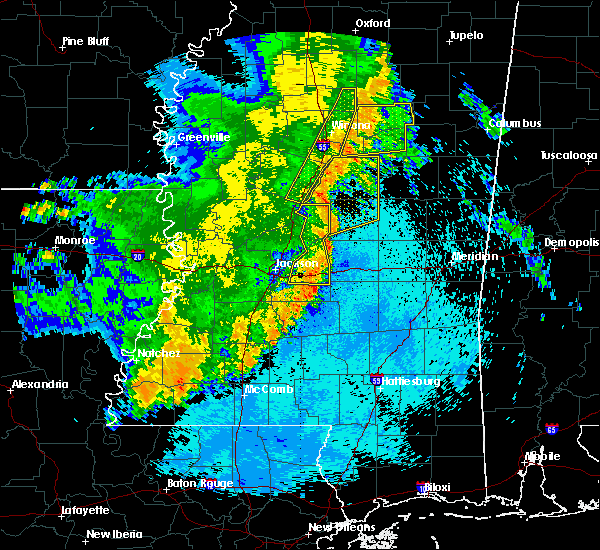 At 1013 pm cdt, severe thunderstorms were located along a line extending from 7 miles south of poplar creek, to newport, to 7 miles north of ludlow, moving east at 35 mph (radar indicated). Hazards include 60 mph wind gusts. Expect damage to roofs, siding, and trees. these severe storms will be near, carthage around 1025 pm cdt. kosciusko around 1030 pm cdt. singleton around 1035 pm cdt. smyrna around 1040 pm cdt. renfroe around 1045 pm cdt. zama around 1050 pm cdt. other locations impacted by these severe thunderstorms include mccool, ethel, sallis and redwater. A tornado watch remains in effect until midnight cdt for central and north central mississippi. At 1013 pm cdt, severe thunderstorms were located along a line extending from 7 miles south of poplar creek, to newport, to 7 miles north of ludlow, moving east at 35 mph (radar indicated). Hazards include 60 mph wind gusts. Expect damage to roofs, siding, and trees. these severe storms will be near, carthage around 1025 pm cdt. kosciusko around 1030 pm cdt. singleton around 1035 pm cdt. smyrna around 1040 pm cdt. renfroe around 1045 pm cdt. zama around 1050 pm cdt. other locations impacted by these severe thunderstorms include mccool, ethel, sallis and redwater. A tornado watch remains in effect until midnight cdt for central and north central mississippi.
|
| 5/8/2019 9:55 PM CDT |
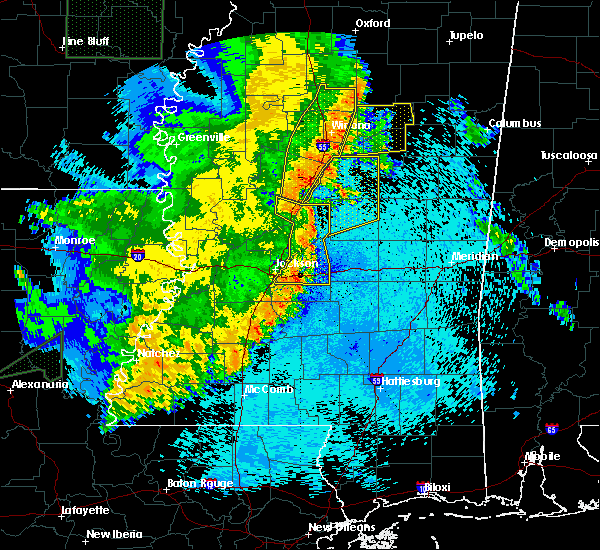 At 955 pm cdt, severe thunderstorms were located along a line extending from near pickens to cameron to farmhaven, moving northeast at 35 mph (radar indicated). Hazards include 60 mph wind gusts. Expect damage to roofs, siding, and trees. severe thunderstorms will be near, newport around 1010 pm cdt. thomastown around 1015 pm cdt. mcadams around 1025 pm cdt. kosciusko, carthage and possumneck around 1030 pm cdt. hesterville around 1035 pm cdt. smyrna and singleton around 1040 pm cdt. renfroe around 1045 pm cdt. edinburg around 1050 pm cdt. other locations impacted by these severe thunderstorms include mccool, ethel, sallis and redwater. A tornado watch remains in effect until midnight cdt for central and north central mississippi. At 955 pm cdt, severe thunderstorms were located along a line extending from near pickens to cameron to farmhaven, moving northeast at 35 mph (radar indicated). Hazards include 60 mph wind gusts. Expect damage to roofs, siding, and trees. severe thunderstorms will be near, newport around 1010 pm cdt. thomastown around 1015 pm cdt. mcadams around 1025 pm cdt. kosciusko, carthage and possumneck around 1030 pm cdt. hesterville around 1035 pm cdt. smyrna and singleton around 1040 pm cdt. renfroe around 1045 pm cdt. edinburg around 1050 pm cdt. other locations impacted by these severe thunderstorms include mccool, ethel, sallis and redwater. A tornado watch remains in effect until midnight cdt for central and north central mississippi.
|
| 4/25/2019 6:37 PM CDT | Part of a roof blown off a retirement home and several trees down. possible tornad in leake county MS, 12.1 miles WNW of Carthage, MS |
| 4/18/2019 4:21 PM CDT |
 At 420 pm cdt, severe thunderstorms were located along a line extending from near singleton to madden, moving northeast at 35 mph. in addition, a tornado warning remains in effect for leake and neshoba counties (radar indicated). Hazards include 60 mph wind gusts. Expect damage to roofs, siding, and trees. locations impacted include, philadelphia, carthage, nanih waiya, edinburg, pearl river, neshoba, herbert springs, bethsaida, house, renfroe, dowdville, burnside, madden, singleton, forestdale, dixon, stallo and tucker. A tornado watch remains in effect until 900 pm cdt for central and east central mississippi. At 420 pm cdt, severe thunderstorms were located along a line extending from near singleton to madden, moving northeast at 35 mph. in addition, a tornado warning remains in effect for leake and neshoba counties (radar indicated). Hazards include 60 mph wind gusts. Expect damage to roofs, siding, and trees. locations impacted include, philadelphia, carthage, nanih waiya, edinburg, pearl river, neshoba, herbert springs, bethsaida, house, renfroe, dowdville, burnside, madden, singleton, forestdale, dixon, stallo and tucker. A tornado watch remains in effect until 900 pm cdt for central and east central mississippi.
|
| 4/18/2019 4:20 PM CDT |
 At 420 pm cdt, a severe thunderstorm capable of producing a tornado was located over madden, or 8 miles south of edinburg, moving east at 30 mph (radar indicated rotation). Hazards include tornado. Flying debris will be dangerous to those caught without shelter. mobile homes will be damaged or destroyed. damage to roofs, windows, and vehicles will occur. tree damage is likely. this dangerous storm will be near, dixon around 430 pm cdt. pearl river around 435 pm cdt. philadelphia and neshoba around 440 pm cdt. bethsaida around 445 pm cdt. Other locations impacted by this tornadic thunderstorm include tucker. At 420 pm cdt, a severe thunderstorm capable of producing a tornado was located over madden, or 8 miles south of edinburg, moving east at 30 mph (radar indicated rotation). Hazards include tornado. Flying debris will be dangerous to those caught without shelter. mobile homes will be damaged or destroyed. damage to roofs, windows, and vehicles will occur. tree damage is likely. this dangerous storm will be near, dixon around 430 pm cdt. pearl river around 435 pm cdt. philadelphia and neshoba around 440 pm cdt. bethsaida around 445 pm cdt. Other locations impacted by this tornadic thunderstorm include tucker.
|
| 4/18/2019 4:19 PM CDT |
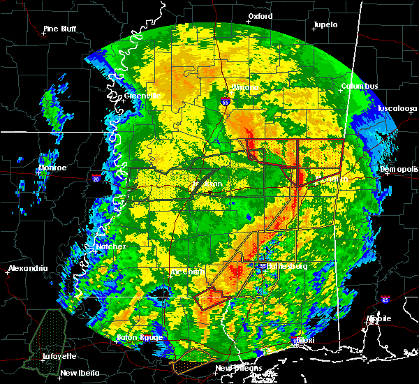 At 419 pm cdt, a severe thunderstorm capable of producing a tornado was located near renfroe, or near carthage, moving northeast at 35 mph (radar indicated rotation). Hazards include tornado. Flying debris will be dangerous to those caught without shelter. mobile homes will be damaged or destroyed. damage to roofs, windows, and vehicles will occur. tree damage is likely. Locations impacted include, carthage. At 419 pm cdt, a severe thunderstorm capable of producing a tornado was located near renfroe, or near carthage, moving northeast at 35 mph (radar indicated rotation). Hazards include tornado. Flying debris will be dangerous to those caught without shelter. mobile homes will be damaged or destroyed. damage to roofs, windows, and vehicles will occur. tree damage is likely. Locations impacted include, carthage.
|
| 4/18/2019 4:15 PM CDT |
 At 415 pm cdt, a confirmed tornado was located near madden, or 7 miles southeast of carthage, moving east at 35 mph (radar confirmed tornado). Hazards include damaging tornado. Flying debris will be dangerous to those caught without shelter. mobile homes will be damaged or destroyed. damage to roofs, windows, and vehicles will occur. tree damage is likely. this tornado will be near, madden around 420 pm cdt. edinburg and dowdville around 425 pm cdt. pearl river and dixon around 435 pm cdt. philadelphia around 440 pm cdt. burnside around 445 pm cdt. Other locations impacted by this tornadic thunderstorm include tucker, standing pine and walnut grove. At 415 pm cdt, a confirmed tornado was located near madden, or 7 miles southeast of carthage, moving east at 35 mph (radar confirmed tornado). Hazards include damaging tornado. Flying debris will be dangerous to those caught without shelter. mobile homes will be damaged or destroyed. damage to roofs, windows, and vehicles will occur. tree damage is likely. this tornado will be near, madden around 420 pm cdt. edinburg and dowdville around 425 pm cdt. pearl river and dixon around 435 pm cdt. philadelphia around 440 pm cdt. burnside around 445 pm cdt. Other locations impacted by this tornadic thunderstorm include tucker, standing pine and walnut grove.
|
| 4/18/2019 4:13 PM CDT | House heavily damaged... tornado debris signature noted on radar at the time of repor in leake county MS, 7.3 miles NW of Carthage, MS |
| 4/18/2019 4:08 PM CDT |
 At 408 pm cdt, a severe thunderstorm capable of producing a tornado was located near madden, or 8 miles southeast of carthage, moving northeast at 30 mph (radar indicated rotation). Hazards include tornado. Flying debris will be dangerous to those caught without shelter. mobile homes will be damaged or destroyed. damage to roofs, windows, and vehicles will occur. tree damage is likely. this dangerous storm will be near, madden around 415 pm cdt. dowdville around 420 pm cdt. edinburg and dixon around 425 pm cdt. pearl river around 435 pm cdt. philadelphia around 440 pm cdt. burnside and stallo around 445 pm cdt. Other locations impacted by this tornadic thunderstorm include tucker, standing pine and walnut grove. At 408 pm cdt, a severe thunderstorm capable of producing a tornado was located near madden, or 8 miles southeast of carthage, moving northeast at 30 mph (radar indicated rotation). Hazards include tornado. Flying debris will be dangerous to those caught without shelter. mobile homes will be damaged or destroyed. damage to roofs, windows, and vehicles will occur. tree damage is likely. this dangerous storm will be near, madden around 415 pm cdt. dowdville around 420 pm cdt. edinburg and dixon around 425 pm cdt. pearl river around 435 pm cdt. philadelphia around 440 pm cdt. burnside and stallo around 445 pm cdt. Other locations impacted by this tornadic thunderstorm include tucker, standing pine and walnut grove.
|
| 4/18/2019 4:06 PM CDT |
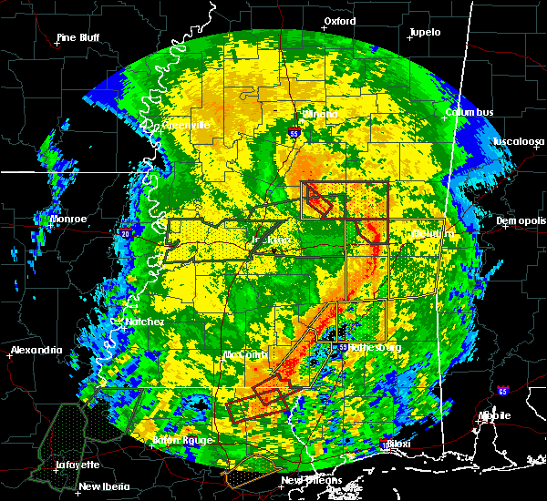 At 406 pm cdt, a severe thunderstorm capable of producing a tornado was located over carthage, moving northeast at 40 mph (radar indicated rotation). Hazards include tornado. Flying debris will be dangerous to those caught without shelter. mobile homes will be damaged or destroyed. damage to roofs, windows, and vehicles will occur. tree damage is likely. This tornadic thunderstorm will remain over mainly rural areas of central leake county, including the following locations, redwater. At 406 pm cdt, a severe thunderstorm capable of producing a tornado was located over carthage, moving northeast at 40 mph (radar indicated rotation). Hazards include tornado. Flying debris will be dangerous to those caught without shelter. mobile homes will be damaged or destroyed. damage to roofs, windows, and vehicles will occur. tree damage is likely. This tornadic thunderstorm will remain over mainly rural areas of central leake county, including the following locations, redwater.
|
| 4/18/2019 4:04 PM CDT | Multiple trees and power lines down across leake count in leake county MS, 0.6 miles NNE of Carthage, MS |
| 4/18/2019 4:00 PM CDT |
 At 400 pm cdt, severe thunderstorms were located along a line extending from near thomastown to near prospect, moving northeast at 40 mph. a tornado warning remains in effect for much of the severe thunderstorm warning area (radar indicated). Hazards include 60 mph wind gusts. Expect damage to roofs, siding, and trees. these severe storms will be near, neshoba and dixon around 415 pm cdt. singleton and renfroe around 420 pm cdt. bethsaida and house around 425 pm cdt. forestdale around 440 pm cdt. other locations impacted by these severe thunderstorms include lena, tucker, walnut grove, redwater and standing pine. a tornado watch remains in effect until 700 pm cdt for central mississippi. A tornado watch also remains in effect until 900 pm cdt for central and east central mississippi. At 400 pm cdt, severe thunderstorms were located along a line extending from near thomastown to near prospect, moving northeast at 40 mph. a tornado warning remains in effect for much of the severe thunderstorm warning area (radar indicated). Hazards include 60 mph wind gusts. Expect damage to roofs, siding, and trees. these severe storms will be near, neshoba and dixon around 415 pm cdt. singleton and renfroe around 420 pm cdt. bethsaida and house around 425 pm cdt. forestdale around 440 pm cdt. other locations impacted by these severe thunderstorms include lena, tucker, walnut grove, redwater and standing pine. a tornado watch remains in effect until 700 pm cdt for central mississippi. A tornado watch also remains in effect until 900 pm cdt for central and east central mississippi.
|
| 4/18/2019 3:57 PM CDT |
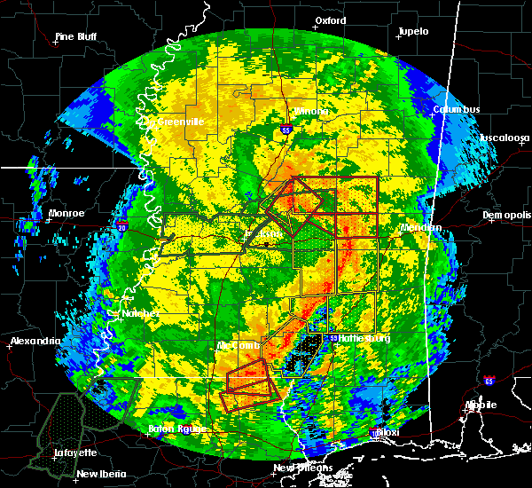 At 357 pm cdt, a severe thunderstorm capable of producing a tornado was located 7 miles northeast of ludlow, or 9 miles southwest of carthage, moving northeast at 35 mph (radar indicated rotation). Hazards include tornado. Flying debris will be dangerous to those caught without shelter. mobile homes will be damaged or destroyed. damage to roofs, windows, and vehicles will occur. tree damage is likely. this dangerous storm will be near, tuscola around 400 pm cdt. carthage around 410 pm cdt. Other locations impacted by this tornadic thunderstorm include lena and redwater. At 357 pm cdt, a severe thunderstorm capable of producing a tornado was located 7 miles northeast of ludlow, or 9 miles southwest of carthage, moving northeast at 35 mph (radar indicated rotation). Hazards include tornado. Flying debris will be dangerous to those caught without shelter. mobile homes will be damaged or destroyed. damage to roofs, windows, and vehicles will occur. tree damage is likely. this dangerous storm will be near, tuscola around 400 pm cdt. carthage around 410 pm cdt. Other locations impacted by this tornadic thunderstorm include lena and redwater.
|
| 4/18/2019 3:50 PM CDT |
 At 349 pm cdt, a severe thunderstorm capable of producing a tornado was located over harperville, moving northeast at 40 mph (radar indicated rotation). Hazards include tornado. Flying debris will be dangerous to those caught without shelter. mobile homes will be damaged or destroyed. damage to roofs, windows, and vehicles will occur. tree damage is likely. this dangerous storm will be near, madden and dowdville around 415 pm cdt. dixon around 420 pm cdt. edinburg around 425 pm cdt. philadelphia and pearl river around 430 pm cdt. burnside around 440 pm cdt. stallo around 445 pm cdt. Other locations impacted by this tornadic thunderstorm include tucker, standing pine and walnut grove. At 349 pm cdt, a severe thunderstorm capable of producing a tornado was located over harperville, moving northeast at 40 mph (radar indicated rotation). Hazards include tornado. Flying debris will be dangerous to those caught without shelter. mobile homes will be damaged or destroyed. damage to roofs, windows, and vehicles will occur. tree damage is likely. this dangerous storm will be near, madden and dowdville around 415 pm cdt. dixon around 420 pm cdt. edinburg around 425 pm cdt. philadelphia and pearl river around 430 pm cdt. burnside around 440 pm cdt. stallo around 445 pm cdt. Other locations impacted by this tornadic thunderstorm include tucker, standing pine and walnut grove.
|
| 4/18/2019 3:29 PM CDT |
 At 329 pm cdt, a severe thunderstorm capable of producing a tornado was located over pisgah, or 12 miles southeast of canton, moving northeast at 35 mph (radar indicated rotation). Hazards include tornado. Flying debris will be dangerous to those caught without shelter. mobile homes will be damaged or destroyed. damage to roofs, windows, and vehicles will occur. tree damage is likely. this dangerous storm will be near, ludlow and farmhaven around 345 pm cdt. tuscola around 400 pm cdt. carthage around 410 pm cdt. Other locations impacted by this tornadic thunderstorm include lena and redwater. At 329 pm cdt, a severe thunderstorm capable of producing a tornado was located over pisgah, or 12 miles southeast of canton, moving northeast at 35 mph (radar indicated rotation). Hazards include tornado. Flying debris will be dangerous to those caught without shelter. mobile homes will be damaged or destroyed. damage to roofs, windows, and vehicles will occur. tree damage is likely. this dangerous storm will be near, ludlow and farmhaven around 345 pm cdt. tuscola around 400 pm cdt. carthage around 410 pm cdt. Other locations impacted by this tornadic thunderstorm include lena and redwater.
|
| 4/18/2019 3:28 PM CDT |
 At 327 pm cdt, severe thunderstorms were located along a line extending from near canton to near pulaski, moving northeast at 40 mph. a tornado warning remains in effect for much of northeastern rankin, northeastern madison, and leake counties (radar indicated). Hazards include 60 mph wind gusts. Expect damage to roofs, siding, and trees. severe thunderstorms will be near, farmhaven around 345 pm cdt. camden around 350 pm cdt. carthage and thomastown around 410 pm cdt. neshoba and dixon around 415 pm cdt. singleton and renfroe around 420 pm cdt. bethsaida and house around 425 pm cdt. forestdale around 435 pm cdt. other locations impacted by these severe thunderstorms include lena, tucker, walnut grove, redwater and standing pine. a tornado watch remains in effect until 700 pm cdt for central mississippi. A tornado watch also remains in effect until 900 pm cdt for central and east central mississippi. At 327 pm cdt, severe thunderstorms were located along a line extending from near canton to near pulaski, moving northeast at 40 mph. a tornado warning remains in effect for much of northeastern rankin, northeastern madison, and leake counties (radar indicated). Hazards include 60 mph wind gusts. Expect damage to roofs, siding, and trees. severe thunderstorms will be near, farmhaven around 345 pm cdt. camden around 350 pm cdt. carthage and thomastown around 410 pm cdt. neshoba and dixon around 415 pm cdt. singleton and renfroe around 420 pm cdt. bethsaida and house around 425 pm cdt. forestdale around 435 pm cdt. other locations impacted by these severe thunderstorms include lena, tucker, walnut grove, redwater and standing pine. a tornado watch remains in effect until 700 pm cdt for central mississippi. A tornado watch also remains in effect until 900 pm cdt for central and east central mississippi.
|
| 4/18/2019 3:26 PM CDT |
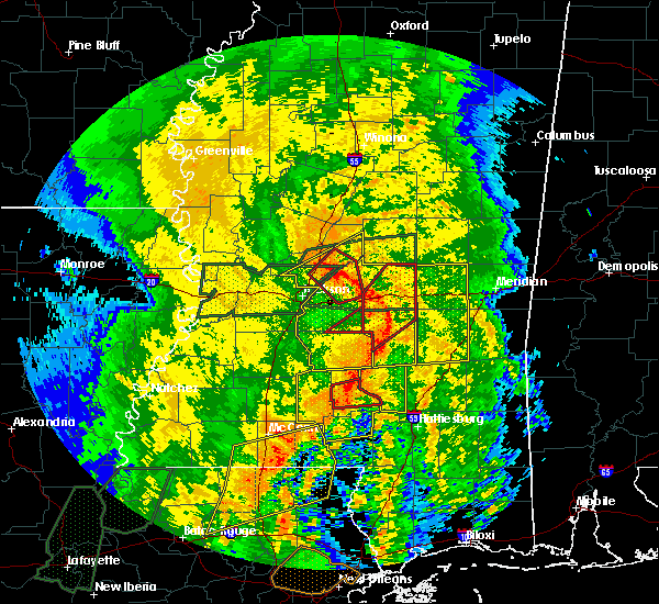 At 324 pm cdt, a tornado producing storm was located over goshen springs, or 11 miles east of madison, moving northeast at 35 mph (radar confirmed tornado). Hazards include damaging tornado. Flying debris will be dangerous to those caught without shelter. mobile homes will be damaged or destroyed. damage to roofs, windows, and vehicles will occur. tree damage is likely. this tornadic storm will be near, leesburg around 335 pm cdt. ludlow and farmhaven around 345 pm cdt. tuscola around 405 pm cdt. carthage around 415 pm cdt. Other locations impacted by this tornadic thunderstorm include lena and redwater. At 324 pm cdt, a tornado producing storm was located over goshen springs, or 11 miles east of madison, moving northeast at 35 mph (radar confirmed tornado). Hazards include damaging tornado. Flying debris will be dangerous to those caught without shelter. mobile homes will be damaged or destroyed. damage to roofs, windows, and vehicles will occur. tree damage is likely. this tornadic storm will be near, leesburg around 335 pm cdt. ludlow and farmhaven around 345 pm cdt. tuscola around 405 pm cdt. carthage around 415 pm cdt. Other locations impacted by this tornadic thunderstorm include lena and redwater.
|
| 4/13/2019 7:32 PM CDT |
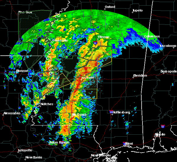 At 732 pm cdt, a severe thunderstorm was located near thomastown, or 10 miles northwest of carthage, moving northeast at 40 mph (radar indicated). Hazards include 60 mph wind gusts and quarter size hail. Hail damage to vehicles is expected. expect wind damage to roofs, siding, and trees. this severe storm will be near, thomastown around 735 pm cdt. carthage around 740 pm cdt. singleton around 745 pm cdt. renfroe around 750 pm cdt. smyrna around 755 pm cdt. zama around 800 pm cdt. other locations impacted by this severe thunderstorm include redwater. A tornado watch remains in effect until 900 pm cdt for central mississippi. At 732 pm cdt, a severe thunderstorm was located near thomastown, or 10 miles northwest of carthage, moving northeast at 40 mph (radar indicated). Hazards include 60 mph wind gusts and quarter size hail. Hail damage to vehicles is expected. expect wind damage to roofs, siding, and trees. this severe storm will be near, thomastown around 735 pm cdt. carthage around 740 pm cdt. singleton around 745 pm cdt. renfroe around 750 pm cdt. smyrna around 755 pm cdt. zama around 800 pm cdt. other locations impacted by this severe thunderstorm include redwater. A tornado watch remains in effect until 900 pm cdt for central mississippi.
|
| 4/13/2019 7:13 PM CDT |
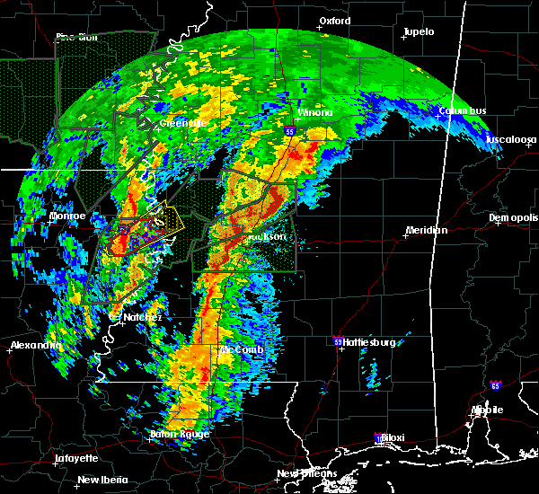 At 713 pm cdt, a severe thunderstorm was located near camden, or 14 miles northeast of canton, moving northeast at 50 mph (radar indicated). Hazards include 60 mph wind gusts and quarter size hail. Hail damage to vehicles is expected. expect wind damage to roofs, siding, and trees. this severe thunderstorm will be near, carthage and thomastown around 730 pm cdt. singleton around 740 pm cdt. smyrna and renfroe around 745 pm cdt. zama around 755 pm cdt. other locations impacted by this severe thunderstorm include redwater. A tornado watch remains in effect until 900 pm cdt for central mississippi. At 713 pm cdt, a severe thunderstorm was located near camden, or 14 miles northeast of canton, moving northeast at 50 mph (radar indicated). Hazards include 60 mph wind gusts and quarter size hail. Hail damage to vehicles is expected. expect wind damage to roofs, siding, and trees. this severe thunderstorm will be near, carthage and thomastown around 730 pm cdt. singleton around 740 pm cdt. smyrna and renfroe around 745 pm cdt. zama around 755 pm cdt. other locations impacted by this severe thunderstorm include redwater. A tornado watch remains in effect until 900 pm cdt for central mississippi.
|
| 4/13/2019 6:25 PM CDT |
 At 625 pm cdt, severe thunderstorms were located along a line extending from near vaughan to near sharon, moving northeast at 45 mph (radar indicated). Hazards include golf ball size hail and 70 mph wind gusts. People and animals outdoors will be injured. expect hail damage to roofs, siding, windows, and vehicles. expect considerable tree damage. wind damage is also likely to mobile homes, roofs, and outbuildings. severe thunderstorms will be near, pickens and ebenezer around 635 pm cdt. camden and cameron around 640 pm cdt. franklin and goodman around 645 pm cdt. durant, newport, thomastown and bowling green around 655 pm cdt. possumneck and mcadams around 705 pm cdt. kosciusko around 710 pm cdt. other locations impacted by these severe thunderstorms include west, sallis and redwater. A tornado watch remains in effect until 900 pm cdt for central and north central mississippi. At 625 pm cdt, severe thunderstorms were located along a line extending from near vaughan to near sharon, moving northeast at 45 mph (radar indicated). Hazards include golf ball size hail and 70 mph wind gusts. People and animals outdoors will be injured. expect hail damage to roofs, siding, windows, and vehicles. expect considerable tree damage. wind damage is also likely to mobile homes, roofs, and outbuildings. severe thunderstorms will be near, pickens and ebenezer around 635 pm cdt. camden and cameron around 640 pm cdt. franklin and goodman around 645 pm cdt. durant, newport, thomastown and bowling green around 655 pm cdt. possumneck and mcadams around 705 pm cdt. kosciusko around 710 pm cdt. other locations impacted by these severe thunderstorms include west, sallis and redwater. A tornado watch remains in effect until 900 pm cdt for central and north central mississippi.
|
| 2/23/2019 5:40 PM CST | Trees down along hwy 488 and gunter r in leake county MS, 10.9 miles NW of Carthage, MS |
| 2/23/2019 4:45 PM CST | Corrects time of previous tstm wnd dmg report from 1 nne rosebud. trees down along hwy 488 and gunter r in leake county MS, 10.9 miles NW of Carthage, MS |
| 2/23/2019 4:18 PM CST |
 At 418 pm cst, a severe thunderstorm was located over pearl river, or near philadelphia, moving northeast at 40 mph (radar indicated). Hazards include 60 mph wind gusts and half dollar size hail. Hail damage to vehicles is expected. expect wind damage to roofs, siding, and trees. this severe storm will be near, philadelphia around 425 pm cst. burnside around 430 pm cst. stallo around 435 pm cst. forestdale around 440 pm cst. nanih waiya around 445 pm cst. other locations impacted by this severe thunderstorm include lena, standing pine and walnut grove. A tornado watch remains in effect until 800 pm cst for central and east central mississippi. At 418 pm cst, a severe thunderstorm was located over pearl river, or near philadelphia, moving northeast at 40 mph (radar indicated). Hazards include 60 mph wind gusts and half dollar size hail. Hail damage to vehicles is expected. expect wind damage to roofs, siding, and trees. this severe storm will be near, philadelphia around 425 pm cst. burnside around 430 pm cst. stallo around 435 pm cst. forestdale around 440 pm cst. nanih waiya around 445 pm cst. other locations impacted by this severe thunderstorm include lena, standing pine and walnut grove. A tornado watch remains in effect until 800 pm cst for central and east central mississippi.
|
| 2/23/2019 4:03 PM CST | Two trees down on laurel hill r in leake county MS, 10.5 miles WNW of Carthage, MS |
| 2/23/2019 3:50 PM CST |
 At 349 pm cst, a severe thunderstorm was located over tuscola, or 8 miles north of harperville, moving northeast at 50 mph (radar indicated). Hazards include 60 mph wind gusts and quarter size hail. Hail damage to vehicles is expected. expect wind damage to roofs, siding, and trees. this severe thunderstorm will be near, madden around 400 pm cst. edinburg, dowdville and dixon around 405 pm cst. pearl river around 410 pm cst. philadelphia around 415 pm cst. burnside around 420 pm cst. stallo around 425 pm cst. nanih waiya around 435 pm cst. other locations impacted by this severe thunderstorm include lena, walnut grove, redwater and standing pine. A tornado watch remains in effect until 800 pm cst for central and east central mississippi. At 349 pm cst, a severe thunderstorm was located over tuscola, or 8 miles north of harperville, moving northeast at 50 mph (radar indicated). Hazards include 60 mph wind gusts and quarter size hail. Hail damage to vehicles is expected. expect wind damage to roofs, siding, and trees. this severe thunderstorm will be near, madden around 400 pm cst. edinburg, dowdville and dixon around 405 pm cst. pearl river around 410 pm cst. philadelphia around 415 pm cst. burnside around 420 pm cst. stallo around 425 pm cst. nanih waiya around 435 pm cst. other locations impacted by this severe thunderstorm include lena, walnut grove, redwater and standing pine. A tornado watch remains in effect until 800 pm cst for central and east central mississippi.
|
| 2/12/2019 5:07 AM CST |
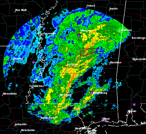 At 506 am cst, a severe thunderstorm capable of producing a tornado was located near carthage, moving east at 45 mph (radar indicated rotation). Hazards include tornado. Flying debris will be dangerous to those caught without shelter. mobile homes will be damaged or destroyed. damage to roofs, windows, and vehicles will occur. tree damage is likely. this dangerous storm will be near, renfroe around 515 am cst. edinburg around 520 am cst. Other locations impacted by this tornadic thunderstorm include redwater. At 506 am cst, a severe thunderstorm capable of producing a tornado was located near carthage, moving east at 45 mph (radar indicated rotation). Hazards include tornado. Flying debris will be dangerous to those caught without shelter. mobile homes will be damaged or destroyed. damage to roofs, windows, and vehicles will occur. tree damage is likely. this dangerous storm will be near, renfroe around 515 am cst. edinburg around 520 am cst. Other locations impacted by this tornadic thunderstorm include redwater.
|
| 2/12/2019 4:55 AM CST |
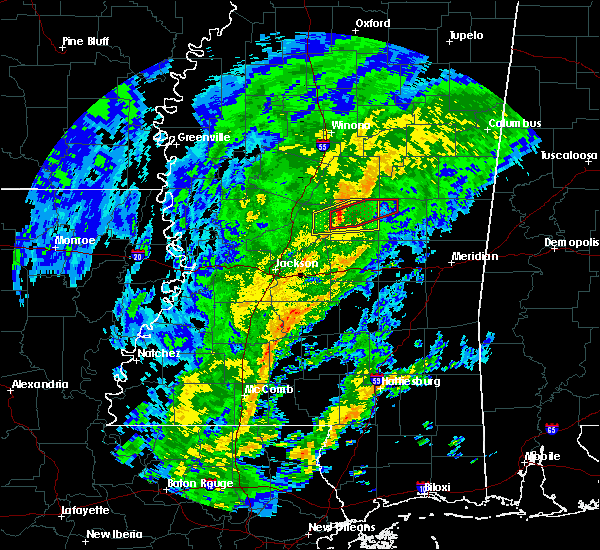 At 455 am cst, a severe thunderstorm capable of producing a tornado was located 7 miles south of thomastown, or 8 miles west of carthage, moving east at 45 mph (radar indicated rotation). Hazards include tornado. Flying debris will be dangerous to those caught without shelter. mobile homes will be damaged or destroyed. damage to roofs, windows, and vehicles will occur. tree damage is likely. this dangerous storm will be near, carthage around 505 am cst. singleton around 510 am cst. renfroe around 515 am cst. edinburg around 520 am cst. Other locations impacted by this tornadic thunderstorm include redwater. At 455 am cst, a severe thunderstorm capable of producing a tornado was located 7 miles south of thomastown, or 8 miles west of carthage, moving east at 45 mph (radar indicated rotation). Hazards include tornado. Flying debris will be dangerous to those caught without shelter. mobile homes will be damaged or destroyed. damage to roofs, windows, and vehicles will occur. tree damage is likely. this dangerous storm will be near, carthage around 505 am cst. singleton around 510 am cst. renfroe around 515 am cst. edinburg around 520 am cst. Other locations impacted by this tornadic thunderstorm include redwater.
|
| 2/12/2019 4:47 AM CST |
 At 446 am cst, a severe thunderstorm was located near farmhaven, or 14 miles west of carthage, moving east at 50 mph (radar indicated). Hazards include 60 mph wind gusts. Expect damage to roofs, siding, and trees. this severe thunderstorm will be near, thomastown around 500 am cst. carthage around 505 am cst. singleton around 510 am cst. renfroe around 515 am cst. edinburg around 520 am cst. Other locations impacted by this severe thunderstorm include standing pine and redwater. At 446 am cst, a severe thunderstorm was located near farmhaven, or 14 miles west of carthage, moving east at 50 mph (radar indicated). Hazards include 60 mph wind gusts. Expect damage to roofs, siding, and trees. this severe thunderstorm will be near, thomastown around 500 am cst. carthage around 505 am cst. singleton around 510 am cst. renfroe around 515 am cst. edinburg around 520 am cst. Other locations impacted by this severe thunderstorm include standing pine and redwater.
|
| 1/19/2019 8:11 AM CST |
 At 811 am cst, severe thunderstorms were located along a line extending from carthage to near morton, moving northeast at 55 mph (radar indicated). Hazards include 60 mph wind gusts. Expect damage to roofs, siding, and trees. these severe storms will be near, carthage around 815 am cst. renfroe around 820 am cst. edinburg, pearl river and steele around 825 am cst. conehatta around 830 am cst. prospect and burnside around 835 am cst. stallo and dixon around 840 am cst. neshoba around 845 am cst. other locations impacted by these severe thunderstorms include lena, walnut grove, lake, redwater, sebastopol and standing pine. A tornado watch remains in effect until 100 pm cst for central and east central mississippi. At 811 am cst, severe thunderstorms were located along a line extending from carthage to near morton, moving northeast at 55 mph (radar indicated). Hazards include 60 mph wind gusts. Expect damage to roofs, siding, and trees. these severe storms will be near, carthage around 815 am cst. renfroe around 820 am cst. edinburg, pearl river and steele around 825 am cst. conehatta around 830 am cst. prospect and burnside around 835 am cst. stallo and dixon around 840 am cst. neshoba around 845 am cst. other locations impacted by these severe thunderstorms include lena, walnut grove, lake, redwater, sebastopol and standing pine. A tornado watch remains in effect until 100 pm cst for central and east central mississippi.
|
| 1/19/2019 7:59 AM CST |
 At 759 am cst, severe thunderstorms were located along a line extending from near carthage to pelahatchie, moving northeast at 45 mph (radar indicated). Hazards include 60 mph wind gusts. Expect damage to roofs, siding, and trees. severe thunderstorms will be near, carthage around 805 am cst. pulaski and singleton around 810 am cst. renfroe and forkville around 815 am cst. edinburg around 820 am cst. forest and hillsboro around 825 am cst. philadelphia, harperville and pearl river around 830 am cst. steele around 835 am cst. burnside around 840 am cst. other locations impacted by these severe thunderstorms include lena, walnut grove, lake, redwater, sebastopol and standing pine. A tornado watch remains in effect until 100 pm cst for central and east central mississippi. At 759 am cst, severe thunderstorms were located along a line extending from near carthage to pelahatchie, moving northeast at 45 mph (radar indicated). Hazards include 60 mph wind gusts. Expect damage to roofs, siding, and trees. severe thunderstorms will be near, carthage around 805 am cst. pulaski and singleton around 810 am cst. renfroe and forkville around 815 am cst. edinburg around 820 am cst. forest and hillsboro around 825 am cst. philadelphia, harperville and pearl river around 830 am cst. steele around 835 am cst. burnside around 840 am cst. other locations impacted by these severe thunderstorms include lena, walnut grove, lake, redwater, sebastopol and standing pine. A tornado watch remains in effect until 100 pm cst for central and east central mississippi.
|
| 1/19/2019 7:47 AM CST |
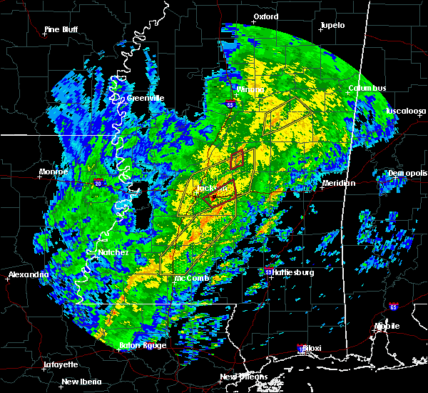 At 747 am cst, a severe thunderstorm was located near carthage, moving northeast at 45 mph (radar indicated). Hazards include 60 mph wind gusts. Expect damage to roofs, siding, and trees. this severe thunderstorm will remain over mainly rural areas of western leake, eastern rankin, western scott and east central madison counties, including the following locations, lena and redwater. A tornado watch remains in effect until 100 pm cst for central mississippi. At 747 am cst, a severe thunderstorm was located near carthage, moving northeast at 45 mph (radar indicated). Hazards include 60 mph wind gusts. Expect damage to roofs, siding, and trees. this severe thunderstorm will remain over mainly rural areas of western leake, eastern rankin, western scott and east central madison counties, including the following locations, lena and redwater. A tornado watch remains in effect until 100 pm cst for central mississippi.
|
| 1/19/2019 7:07 AM CST |
 At 707 am cst, a severe thunderstorm was located over gluckstadt, or near canton, moving northeast at 40 mph (radar indicated). Hazards include 60 mph wind gusts. Expect damage to roofs, siding, and trees. this severe thunderstorm will be near, canton around 710 am cst. goshen springs around 715 am cst. sharon around 720 am cst. farmhaven around 730 am cst. ludlow around 735 am cst. tuscola around 750 am cst. carthage around 755 am cst. other locations impacted by this severe thunderstorm include lena and redwater. A tornado watch remains in effect until 100 pm cst for central mississippi. At 707 am cst, a severe thunderstorm was located over gluckstadt, or near canton, moving northeast at 40 mph (radar indicated). Hazards include 60 mph wind gusts. Expect damage to roofs, siding, and trees. this severe thunderstorm will be near, canton around 710 am cst. goshen springs around 715 am cst. sharon around 720 am cst. farmhaven around 730 am cst. ludlow around 735 am cst. tuscola around 750 am cst. carthage around 755 am cst. other locations impacted by this severe thunderstorm include lena and redwater. A tornado watch remains in effect until 100 pm cst for central mississippi.
|
| 1/19/2019 6:40 AM CST | Trees downed... damage to a home and chicken houses in the singleton area. possible tornad in leake county MS, 8.4 miles S of Carthage, MS |
| 1/19/2019 6:26 AM CST |
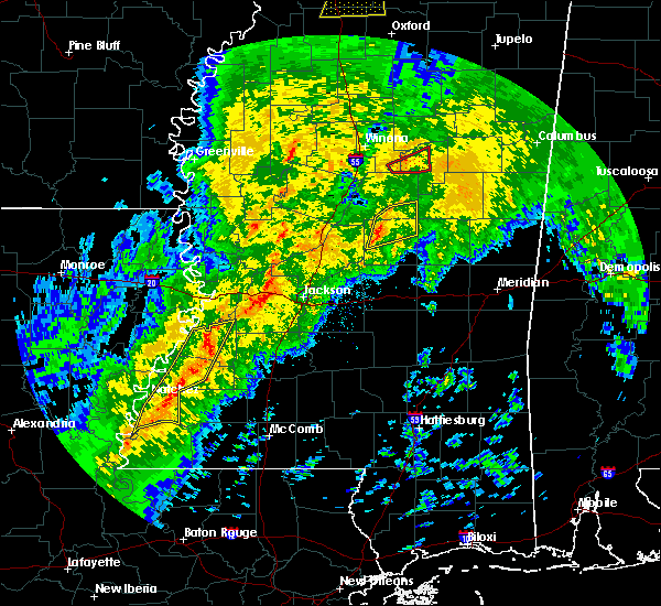 At 626 am cst, a severe thunderstorm was located 7 miles south of thomastown, or 7 miles west of carthage, moving northeast at 35 mph (radar indicated). Hazards include 60 mph wind gusts. Expect damage to roofs, siding, and trees. this severe storm will be near, carthage around 635 am cst. renfroe and singleton around 645 am cst. other locations impacted by this severe thunderstorm include redwater. A tornado watch remains in effect until 100 pm cst for central mississippi. At 626 am cst, a severe thunderstorm was located 7 miles south of thomastown, or 7 miles west of carthage, moving northeast at 35 mph (radar indicated). Hazards include 60 mph wind gusts. Expect damage to roofs, siding, and trees. this severe storm will be near, carthage around 635 am cst. renfroe and singleton around 645 am cst. other locations impacted by this severe thunderstorm include redwater. A tornado watch remains in effect until 100 pm cst for central mississippi.
|
| 1/19/2019 6:11 AM CST |
 At 611 am cst, a severe thunderstorm was located near farmhaven, or 13 miles west of carthage, moving northeast at 40 mph (radar indicated). Hazards include 60 mph wind gusts and quarter size hail. Hail damage to vehicles is expected. expect wind damage to roofs, siding, and trees. this severe storm will be near, thomastown around 625 am cst. carthage around 630 am cst. singleton around 635 am cst. renfroe around 640 am cst. edinburg around 645 am cst. other locations impacted by this severe thunderstorm include redwater. A tornado watch remains in effect until 100 pm cst for central mississippi. At 611 am cst, a severe thunderstorm was located near farmhaven, or 13 miles west of carthage, moving northeast at 40 mph (radar indicated). Hazards include 60 mph wind gusts and quarter size hail. Hail damage to vehicles is expected. expect wind damage to roofs, siding, and trees. this severe storm will be near, thomastown around 625 am cst. carthage around 630 am cst. singleton around 635 am cst. renfroe around 640 am cst. edinburg around 645 am cst. other locations impacted by this severe thunderstorm include redwater. A tornado watch remains in effect until 100 pm cst for central mississippi.
|
| 1/19/2019 6:03 AM CST |
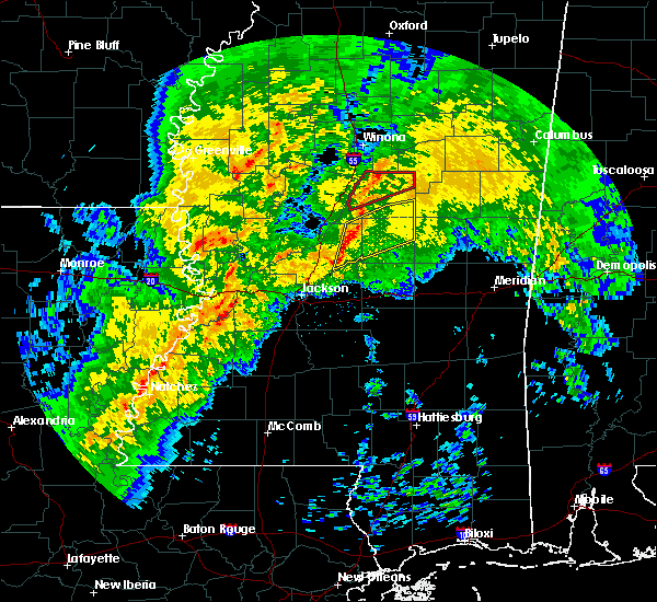 At 603 am cst, a severe thunderstorm was located near farmhaven, or 12 miles northeast of canton, moving northeast at 50 mph (radar indicated). Hazards include 60 mph wind gusts and nickel size hail. Expect damage to roofs, siding, and trees. this severe storm will be near, thomastown around 620 am cst. carthage around 625 am cst. singleton around 630 am cst. renfroe around 635 am cst. edinburg around 640 am cst. zama around 645 am cst. other locations impacted by this severe thunderstorm include redwater. A tornado watch remains in effect until 100 pm cst for central mississippi. At 603 am cst, a severe thunderstorm was located near farmhaven, or 12 miles northeast of canton, moving northeast at 50 mph (radar indicated). Hazards include 60 mph wind gusts and nickel size hail. Expect damage to roofs, siding, and trees. this severe storm will be near, thomastown around 620 am cst. carthage around 625 am cst. singleton around 630 am cst. renfroe around 635 am cst. edinburg around 640 am cst. zama around 645 am cst. other locations impacted by this severe thunderstorm include redwater. A tornado watch remains in effect until 100 pm cst for central mississippi.
|
| 1/19/2019 5:48 AM CST |
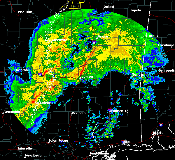 At 548 am cst, a severe thunderstorm was located over canton, moving northeast at 50 mph (radar indicated). Hazards include 60 mph wind gusts and nickel size hail. Expect damage to roofs, siding, and trees. this severe thunderstorm will be near, sharon around 555 am cst. farmhaven and camden around 605 am cst. thomastown around 620 am cst. carthage around 625 am cst. singleton around 630 am cst. renfroe around 635 am cst. edinburg and zama around 640 am cst. other locations impacted by this severe thunderstorm include redwater. A tornado watch remains in effect until 100 pm cst for central mississippi. At 548 am cst, a severe thunderstorm was located over canton, moving northeast at 50 mph (radar indicated). Hazards include 60 mph wind gusts and nickel size hail. Expect damage to roofs, siding, and trees. this severe thunderstorm will be near, sharon around 555 am cst. farmhaven and camden around 605 am cst. thomastown around 620 am cst. carthage around 625 am cst. singleton around 630 am cst. renfroe around 635 am cst. edinburg and zama around 640 am cst. other locations impacted by this severe thunderstorm include redwater. A tornado watch remains in effect until 100 pm cst for central mississippi.
|
| 12/27/2018 11:59 AM CST |
 At 1159 am cst, severe thunderstorms were located along a line extending from smyrna to carthage to near tuscola, moving northeast at 45 mph (radar indicated). Hazards include 60 mph wind gusts. Expect damage to roofs, siding, and trees. these severe storms will be near, smyrna and zama around 1205 pm cst. renfroe around 1210 pm cst. edinburg around 1215 pm cst. madden around 1220 pm cst. other locations impacted by these severe thunderstorms include lena, walnut grove, redwater and standing pine. A tornado watch remains in effect until 600 pm cst for central mississippi. At 1159 am cst, severe thunderstorms were located along a line extending from smyrna to carthage to near tuscola, moving northeast at 45 mph (radar indicated). Hazards include 60 mph wind gusts. Expect damage to roofs, siding, and trees. these severe storms will be near, smyrna and zama around 1205 pm cst. renfroe around 1210 pm cst. edinburg around 1215 pm cst. madden around 1220 pm cst. other locations impacted by these severe thunderstorms include lena, walnut grove, redwater and standing pine. A tornado watch remains in effect until 600 pm cst for central mississippi.
|
| 12/27/2018 11:53 AM CST |
 At 1153 am cst, severe thunderstorms were located along a line extending from near smyrna to near carthage to near ludlow, moving northeast at 45 mph (radar indicated). Hazards include 60 mph wind gusts. Expect damage to roofs, siding, and trees. severe thunderstorms will be near, smyrna around 1200 pm cst. zama and singleton around 1205 pm cst. renfroe around 1210 pm cst. edinburg around 1215 pm cst. madden around 1220 pm cst. other locations impacted by these severe thunderstorms include lena, walnut grove, redwater and standing pine. A tornado watch remains in effect until 600 pm cst for central mississippi. At 1153 am cst, severe thunderstorms were located along a line extending from near smyrna to near carthage to near ludlow, moving northeast at 45 mph (radar indicated). Hazards include 60 mph wind gusts. Expect damage to roofs, siding, and trees. severe thunderstorms will be near, smyrna around 1200 pm cst. zama and singleton around 1205 pm cst. renfroe around 1210 pm cst. edinburg around 1215 pm cst. madden around 1220 pm cst. other locations impacted by these severe thunderstorms include lena, walnut grove, redwater and standing pine. A tornado watch remains in effect until 600 pm cst for central mississippi.
|
| 11/1/2018 4:57 AM CDT |
 At 457 am cdt, severe thunderstorms were located along a line extending from near stallo to taylorsville, moving east at 40 mph (radar indicated). Hazards include 60 mph wind gusts. Expect damage to roofs, siding, and trees. locations impacted include, forest, edinburg, harperville, raleigh, taylorsville, homewood, tuscola, renfroe, steele, hillsboro, madden, pineville, burns, walnut grove, mize, lake, sebastopol, sylvarena and standing pine. A tornado watch remains in effect until 700 am cdt for central, southeastern and east central mississippi. At 457 am cdt, severe thunderstorms were located along a line extending from near stallo to taylorsville, moving east at 40 mph (radar indicated). Hazards include 60 mph wind gusts. Expect damage to roofs, siding, and trees. locations impacted include, forest, edinburg, harperville, raleigh, taylorsville, homewood, tuscola, renfroe, steele, hillsboro, madden, pineville, burns, walnut grove, mize, lake, sebastopol, sylvarena and standing pine. A tornado watch remains in effect until 700 am cdt for central, southeastern and east central mississippi.
|
| 11/1/2018 3:53 AM CDT |
 At 353 am cdt, severe thunderstorms were located along a line extending from near newport to near rockport, moving east at 40 mph (radar indicated). Hazards include 60 mph wind gusts. expect damage to roofs, siding, and trees At 353 am cdt, severe thunderstorms were located along a line extending from near newport to near rockport, moving east at 40 mph (radar indicated). Hazards include 60 mph wind gusts. expect damage to roofs, siding, and trees
|
| 7/21/2018 6:04 AM CDT |
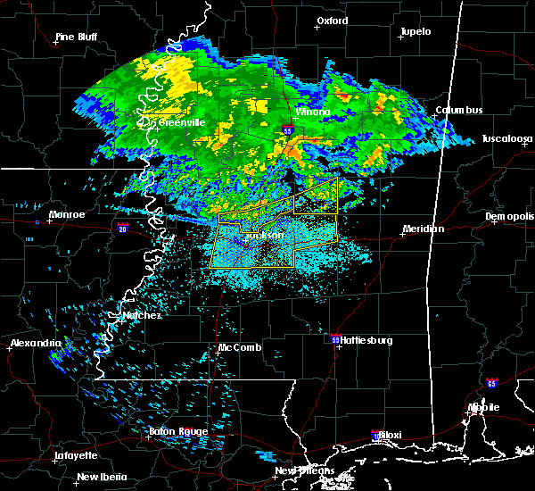 A severe thunderstorm warning remains in effect until 630 am cdt for leake county. at 604 am cdt, severe thunderstorms were located along a line extending from near edinburg to near ludlow, moving southeast at 60 mph. hazard. 60 mph wind gusts. A severe thunderstorm warning remains in effect until 630 am cdt for leake county. at 604 am cdt, severe thunderstorms were located along a line extending from near edinburg to near ludlow, moving southeast at 60 mph. hazard. 60 mph wind gusts.
|
| 7/21/2018 5:52 AM CDT |
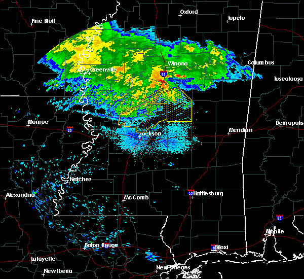 At 552 am cdt, severe thunderstorms were located along a line extending from near singleton to camden, moving southeast at 60 mph (radar indicated). Hazards include 60 mph wind gusts. Expect damage to roofs, siding, and trees. these severe storms will be near, singleton around 555 am cdt. carthage and renfroe around 600 am cdt. edinburg around 605 am cdt. madden around 615 am cdt. Other locations impacted by these severe thunderstorms include lena, walnut grove, sallis, redwater and standing pine. At 552 am cdt, severe thunderstorms were located along a line extending from near singleton to camden, moving southeast at 60 mph (radar indicated). Hazards include 60 mph wind gusts. Expect damage to roofs, siding, and trees. these severe storms will be near, singleton around 555 am cdt. carthage and renfroe around 600 am cdt. edinburg around 605 am cdt. madden around 615 am cdt. Other locations impacted by these severe thunderstorms include lena, walnut grove, sallis, redwater and standing pine.
|
| 7/21/2018 5:43 AM CDT |
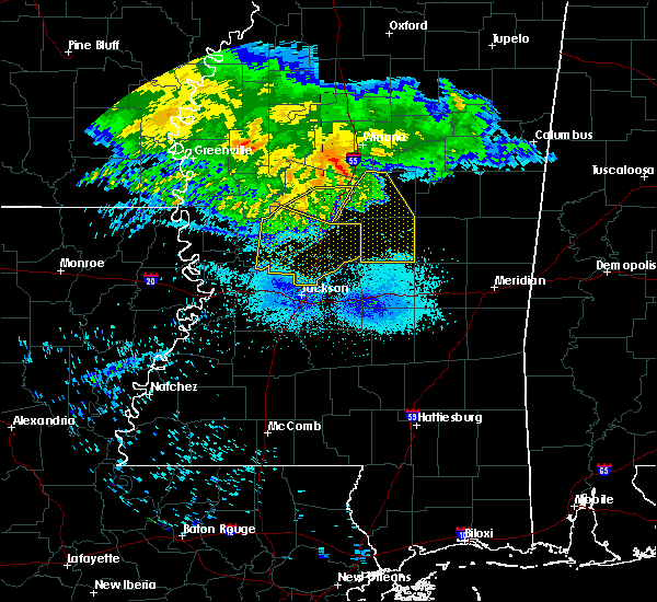 At 530 am cdt, severe thunderstorms were located along a line extending from near possumneck to near coxburg, moving southeast at 70 mph (radar indicated). Hazards include 60 mph wind gusts. Expect damage to roofs, siding, and trees. severe thunderstorms will be near, possumneck and hesterville around 535 am cdt. kosciusko and mcadams around 540 am cdt. singleton and smyrna around 550 am cdt. renfroe and zama around 555 am cdt. edinburg around 600 am cdt. madden around 605 am cdt. tuscola around 610 am cdt. Other locations impacted by these severe thunderstorms include lena, walnut grove, ethel, sallis, redwater and standing pine. At 530 am cdt, severe thunderstorms were located along a line extending from near possumneck to near coxburg, moving southeast at 70 mph (radar indicated). Hazards include 60 mph wind gusts. Expect damage to roofs, siding, and trees. severe thunderstorms will be near, possumneck and hesterville around 535 am cdt. kosciusko and mcadams around 540 am cdt. singleton and smyrna around 550 am cdt. renfroe and zama around 555 am cdt. edinburg around 600 am cdt. madden around 605 am cdt. tuscola around 610 am cdt. Other locations impacted by these severe thunderstorms include lena, walnut grove, ethel, sallis, redwater and standing pine.
|
| 7/21/2018 5:30 AM CDT |
 At 530 am cdt, severe thunderstorms were located along a line extending from near possumneck to near coxburg, moving southeast at 70 mph (radar indicated). Hazards include 60 mph wind gusts. Expect damage to roofs, siding, and trees. severe thunderstorms will be near, possumneck and hesterville around 535 am cdt. kosciusko and mcadams around 540 am cdt. singleton and smyrna around 550 am cdt. renfroe and zama around 555 am cdt. edinburg around 600 am cdt. madden around 605 am cdt. tuscola around 610 am cdt. Other locations impacted by these severe thunderstorms include lena, walnut grove, ethel, sallis, redwater and standing pine. At 530 am cdt, severe thunderstorms were located along a line extending from near possumneck to near coxburg, moving southeast at 70 mph (radar indicated). Hazards include 60 mph wind gusts. Expect damage to roofs, siding, and trees. severe thunderstorms will be near, possumneck and hesterville around 535 am cdt. kosciusko and mcadams around 540 am cdt. singleton and smyrna around 550 am cdt. renfroe and zama around 555 am cdt. edinburg around 600 am cdt. madden around 605 am cdt. tuscola around 610 am cdt. Other locations impacted by these severe thunderstorms include lena, walnut grove, ethel, sallis, redwater and standing pine.
|
| 7/18/2018 5:51 PM CDT |
 The severe thunderstorm warning for southern leake county will expire at 600 pm cdt, the storm which prompted the warning has weakened below severe limits, and has exited the warned area. therefore, the warning will be allowed to expire. The severe thunderstorm warning for southern leake county will expire at 600 pm cdt, the storm which prompted the warning has weakened below severe limits, and has exited the warned area. therefore, the warning will be allowed to expire.
|
| 7/18/2018 5:35 PM CDT | One tree down across highway 487 southeast of carthage. time estimated by rada in leake county MS, 9.1 miles NW of Carthage, MS |
| 7/18/2018 5:31 PM CDT |
 At 531 pm cdt, a severe thunderstorm was located over carthage, moving southeast at 15 mph (radar indicated). Hazards include 60 mph wind gusts. Expect damage to roofs, siding, and trees. this severe thunderstorm will be near, tuscola around 555 pm cdt. madden around 600 pm cdt. Other locations impacted by this severe thunderstorm include lena, walnut grove, redwater and standing pine. At 531 pm cdt, a severe thunderstorm was located over carthage, moving southeast at 15 mph (radar indicated). Hazards include 60 mph wind gusts. Expect damage to roofs, siding, and trees. this severe thunderstorm will be near, tuscola around 555 pm cdt. madden around 600 pm cdt. Other locations impacted by this severe thunderstorm include lena, walnut grove, redwater and standing pine.
|
| 6/13/2018 1:44 PM CDT |
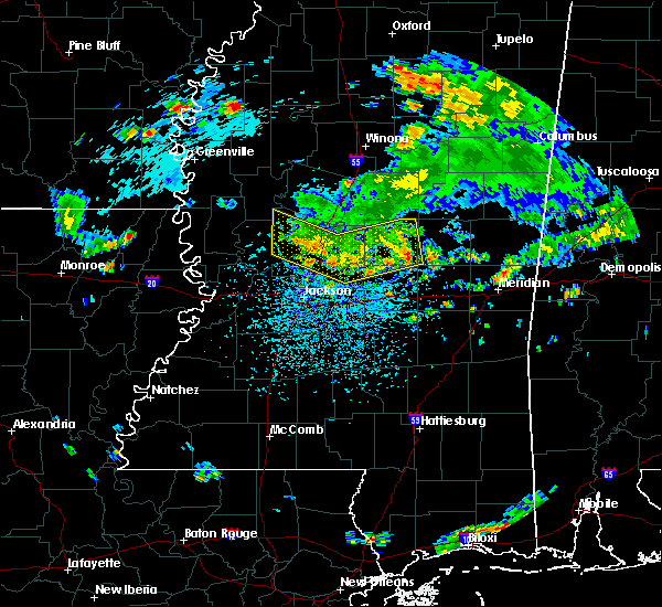 At 143 pm cdt, severe thunderstorms were located along a line extending from zama to near cameron to near thornton, moving south at 20 mph (radar indicated). Hazards include 60 mph wind gusts and nickel size hail. Expect damage to roofs, siding, and trees. these severe storms will be near, vaughan around 150 pm cdt. camden around 155 pm cdt. way around 200 pm cdt. renfroe around 205 pm cdt. edinburg, benton, sharon and farmhaven around 215 pm cdt. Other locations impacted by these severe thunderstorms include lena, walnut grove, redwater, standing pine, bentonia and sebastopol. At 143 pm cdt, severe thunderstorms were located along a line extending from zama to near cameron to near thornton, moving south at 20 mph (radar indicated). Hazards include 60 mph wind gusts and nickel size hail. Expect damage to roofs, siding, and trees. these severe storms will be near, vaughan around 150 pm cdt. camden around 155 pm cdt. way around 200 pm cdt. renfroe around 205 pm cdt. edinburg, benton, sharon and farmhaven around 215 pm cdt. Other locations impacted by these severe thunderstorms include lena, walnut grove, redwater, standing pine, bentonia and sebastopol.
|
| 6/13/2018 1:11 PM CDT |
 At 110 pm cdt, severe thunderstorms were located along a line extending from near renfroe to near sharon to near yazoo city, moving south at 20 mph (radar indicated). Hazards include 60 mph wind gusts and nickel size hail. Expect damage to roofs, siding, and trees. severe thunderstorms will be near, way around 115 pm cdt. edinburg and sharon around 120 pm cdt. farmhaven around 125 pm cdt. madden and dowdville around 140 pm cdt. little yazoo and myrleville around 145 pm cdt. goshen springs and pisgah around 155 pm cdt. Other locations impacted by these severe thunderstorms include walnut grove, redwater, sebastopol, standing pine, eden, lena and bentonia. At 110 pm cdt, severe thunderstorms were located along a line extending from near renfroe to near sharon to near yazoo city, moving south at 20 mph (radar indicated). Hazards include 60 mph wind gusts and nickel size hail. Expect damage to roofs, siding, and trees. severe thunderstorms will be near, way around 115 pm cdt. edinburg and sharon around 120 pm cdt. farmhaven around 125 pm cdt. madden and dowdville around 140 pm cdt. little yazoo and myrleville around 145 pm cdt. goshen springs and pisgah around 155 pm cdt. Other locations impacted by these severe thunderstorms include walnut grove, redwater, sebastopol, standing pine, eden, lena and bentonia.
|
| 5/26/2018 4:45 PM CDT | Tree down across natchez trace parkway. wind gust estimated at 50 mp in leake county MS, 10.9 miles ENE of Carthage, MS |
| 4/14/2018 9:01 AM CDT |
 At 900 am cdt, severe thunderstorms were located along a line extending from near edinburg to near homewood, moving northeast at 30 mph (radar indicated). Hazards include 60 mph wind gusts. Expect damage to roofs, siding, and trees. these severe storms will be near, edinburg around 905 am cdt. forest around 915 am cdt. other locations impacted by these severe thunderstorms include polkville, walnut grove, lake, sebastopol and standing pine. A tornado watch remains in effect until 200 pm cdt for central and east central mississippi. At 900 am cdt, severe thunderstorms were located along a line extending from near edinburg to near homewood, moving northeast at 30 mph (radar indicated). Hazards include 60 mph wind gusts. Expect damage to roofs, siding, and trees. these severe storms will be near, edinburg around 905 am cdt. forest around 915 am cdt. other locations impacted by these severe thunderstorms include polkville, walnut grove, lake, sebastopol and standing pine. A tornado watch remains in effect until 200 pm cdt for central and east central mississippi.
|
| 4/14/2018 8:57 AM CDT | Tree down along ms highway 42 in leake county MS, 12.5 miles W of Carthage, MS |
| 4/14/2018 8:35 AM CDT | Tree downed along red water r in leake county MS, 0.9 miles SSE of Carthage, MS |
| 4/14/2018 8:28 AM CDT |
 At 827 am cdt, severe thunderstorms were located along a line extending from near singleton to near pelahatchie, moving east at 40 mph (radar indicated). Hazards include 60 mph wind gusts. Expect damage to roofs, siding, and trees. severe thunderstorms will be near, singleton around 835 am cdt. renfroe around 840 am cdt. homewood around 855 am cdt. forest around 900 am cdt. other locations impacted by these severe thunderstorms include walnut grove, redwater, sebastopol, standing pine, polkville, lena and lake. A tornado watch remains in effect until 200 pm cdt for central and east central mississippi. At 827 am cdt, severe thunderstorms were located along a line extending from near singleton to near pelahatchie, moving east at 40 mph (radar indicated). Hazards include 60 mph wind gusts. Expect damage to roofs, siding, and trees. severe thunderstorms will be near, singleton around 835 am cdt. renfroe around 840 am cdt. homewood around 855 am cdt. forest around 900 am cdt. other locations impacted by these severe thunderstorms include walnut grove, redwater, sebastopol, standing pine, polkville, lena and lake. A tornado watch remains in effect until 200 pm cdt for central and east central mississippi.
|
| 4/6/2018 4:58 PM CDT |
 At 458 pm cdt, a severe thunderstorm was located near ludlow, or 11 miles southwest of carthage, moving east at 40 mph (radar indicated). Hazards include 60 mph wind gusts. Expect damage to roofs, siding, and trees. this severe thunderstorm will be near, tuscola around 510 pm cdt. harperville around 515 pm cdt. steele around 520 pm cdt. madden around 525 pm cdt. dowdville around 530 pm cdt. prospect around 535 pm cdt. dixon around 540 pm cdt. other locations impacted by this severe thunderstorm include lena, walnut grove, sebastopol and standing pine. A tornado watch remains in effect until 1100 pm cdt for central and east central mississippi. At 458 pm cdt, a severe thunderstorm was located near ludlow, or 11 miles southwest of carthage, moving east at 40 mph (radar indicated). Hazards include 60 mph wind gusts. Expect damage to roofs, siding, and trees. this severe thunderstorm will be near, tuscola around 510 pm cdt. harperville around 515 pm cdt. steele around 520 pm cdt. madden around 525 pm cdt. dowdville around 530 pm cdt. prospect around 535 pm cdt. dixon around 540 pm cdt. other locations impacted by this severe thunderstorm include lena, walnut grove, sebastopol and standing pine. A tornado watch remains in effect until 1100 pm cdt for central and east central mississippi.
|
| 4/6/2018 4:56 PM CDT | Tree down off of 427 near edinbur in leake county MS, 11.7 miles WSW of Carthage, MS |
| 4/6/2018 4:34 PM CDT | Tree down across hwy 42 in leake county MS, 7.9 miles SE of Carthage, MS |
| 4/6/2018 4:23 PM CDT |
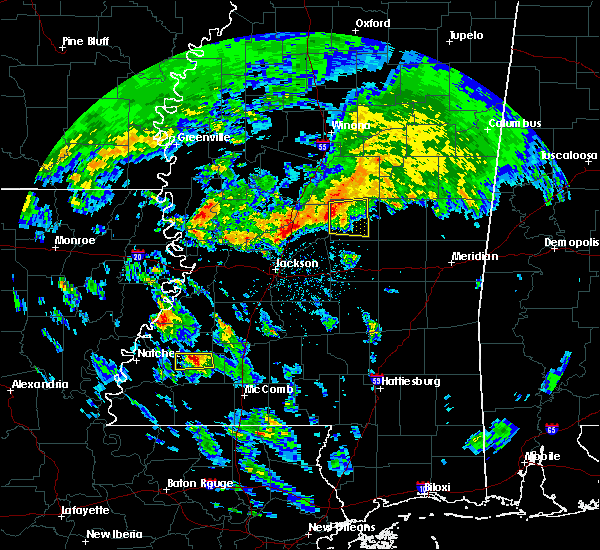 At 423 pm cdt, a severe thunderstorm was located near thomastown, or 10 miles west of carthage, moving east at 40 mph (radar indicated). Hazards include 60 mph wind gusts. Expect damage to roofs, siding, and trees. this severe storm will be near, carthage around 435 pm cdt. singleton around 440 pm cdt. renfroe around 445 pm cdt. other locations impacted by this severe thunderstorm include standing pine and redwater. A tornado watch remains in effect until 1100 pm cdt for central mississippi. At 423 pm cdt, a severe thunderstorm was located near thomastown, or 10 miles west of carthage, moving east at 40 mph (radar indicated). Hazards include 60 mph wind gusts. Expect damage to roofs, siding, and trees. this severe storm will be near, carthage around 435 pm cdt. singleton around 440 pm cdt. renfroe around 445 pm cdt. other locations impacted by this severe thunderstorm include standing pine and redwater. A tornado watch remains in effect until 1100 pm cdt for central mississippi.
|
| 4/6/2018 3:55 PM CDT |
 At 355 pm cdt, a severe thunderstorm was located over way, or 11 miles north of canton, moving east at 40 mph (radar indicated). Hazards include 60 mph wind gusts. Expect damage to roofs, siding, and trees. this severe thunderstorm will be near, camden and cameron around 410 pm cdt. thomastown around 430 pm cdt. carthage around 435 pm cdt. singleton around 440 pm cdt. renfroe around 450 pm cdt. other locations impacted by this severe thunderstorm include standing pine and redwater. A tornado watch remains in effect until 1100 pm cdt for central mississippi. At 355 pm cdt, a severe thunderstorm was located over way, or 11 miles north of canton, moving east at 40 mph (radar indicated). Hazards include 60 mph wind gusts. Expect damage to roofs, siding, and trees. this severe thunderstorm will be near, camden and cameron around 410 pm cdt. thomastown around 430 pm cdt. carthage around 435 pm cdt. singleton around 440 pm cdt. renfroe around 450 pm cdt. other locations impacted by this severe thunderstorm include standing pine and redwater. A tornado watch remains in effect until 1100 pm cdt for central mississippi.
|
| 4/3/2018 9:15 PM CDT |
 At 915 pm cdt, severe thunderstorms were located along a line extending from near renfroe to near tuscola to near morton, moving east at 35 mph (radar indicated). Hazards include 60 mph wind gusts. Expect damage to roofs, siding, and trees. these severe storms will be near, edinburg, madden and steele around 920 pm cdt. dowdville around 925 pm cdt. forest and pearl river around 930 pm cdt. philadelphia, prospect and dixon around 935 pm cdt. burnside and stallo around 940 pm cdt. neshoba, lawrence, stratton and roberts around 945 pm cdt. Other locations impacted by these severe thunderstorms include walnut grove, lake, sebastopol and standing pine. At 915 pm cdt, severe thunderstorms were located along a line extending from near renfroe to near tuscola to near morton, moving east at 35 mph (radar indicated). Hazards include 60 mph wind gusts. Expect damage to roofs, siding, and trees. these severe storms will be near, edinburg, madden and steele around 920 pm cdt. dowdville around 925 pm cdt. forest and pearl river around 930 pm cdt. philadelphia, prospect and dixon around 935 pm cdt. burnside and stallo around 940 pm cdt. neshoba, lawrence, stratton and roberts around 945 pm cdt. Other locations impacted by these severe thunderstorms include walnut grove, lake, sebastopol and standing pine.
|
| 4/3/2018 9:12 PM CDT | Numerous trees down across multiple county roads in the north and east portion of the count in leake county MS, 12.2 miles WSW of Carthage, MS |
| 4/3/2018 8:53 PM CDT |
 At 852 pm cdt, severe thunderstorms were located along a line extending from near singleton to 6 miles west of tuscola to near pelahatchie, moving east at 45 mph (emergency management). Hazards include 60 mph wind gusts. Expect damage to roofs, siding, and trees. severe thunderstorms will be near, tuscola and renfroe around 900 pm cdt. harperville around 905 pm cdt. edinburg, pulaski and steele around 910 pm cdt. madden and dowdville around 915 pm cdt. forest, prospect, pearl river and homewood around 920 pm cdt. philadelphia, stallo, conehatta and dixon around 925 pm cdt. neshoba and burnside around 930 pm cdt. decatur and stratton around 935 pm cdt. Other locations impacted by these severe thunderstorms include lena, walnut grove, lake, redwater, sebastopol and standing pine. At 852 pm cdt, severe thunderstorms were located along a line extending from near singleton to 6 miles west of tuscola to near pelahatchie, moving east at 45 mph (emergency management). Hazards include 60 mph wind gusts. Expect damage to roofs, siding, and trees. severe thunderstorms will be near, tuscola and renfroe around 900 pm cdt. harperville around 905 pm cdt. edinburg, pulaski and steele around 910 pm cdt. madden and dowdville around 915 pm cdt. forest, prospect, pearl river and homewood around 920 pm cdt. philadelphia, stallo, conehatta and dixon around 925 pm cdt. neshoba and burnside around 930 pm cdt. decatur and stratton around 935 pm cdt. Other locations impacted by these severe thunderstorms include lena, walnut grove, lake, redwater, sebastopol and standing pine.
|
| 4/3/2018 5:52 PM CDT | Trees down along county road 42 in leake county MS, 6.1 miles SE of Carthage, MS |
| 3/11/2018 1:02 AM CDT |
 At 1202 am cst, a severe thunderstorm was located over pickens, or 16 miles south of durant, moving east at 25 mph (radar indicated). Hazards include 60 mph wind gusts and quarter size hail. Hail damage to vehicles is expected. expect wind damage to roofs, siding, and trees. this severe thunderstorm will be near, cameron around 1210 am cst. camden around 1220 am cst. thomastown around 1240 am cst. carthage around 1255 am cst. singleton around 100 am cst. Other locations impacted by this severe thunderstorm include redwater. At 1202 am cst, a severe thunderstorm was located over pickens, or 16 miles south of durant, moving east at 25 mph (radar indicated). Hazards include 60 mph wind gusts and quarter size hail. Hail damage to vehicles is expected. expect wind damage to roofs, siding, and trees. this severe thunderstorm will be near, cameron around 1210 am cst. camden around 1220 am cst. thomastown around 1240 am cst. carthage around 1255 am cst. singleton around 100 am cst. Other locations impacted by this severe thunderstorm include redwater.
|
| 2/7/2018 1:34 AM CST |
 At 134 am cst, severe thunderstorms were located along a line extending from 10 miles northeast of smyrna to near zama to near carthage, moving east at 60 mph (radar indicated). Hazards include 60 mph wind gusts. Expect damage to roofs, siding, and trees. severe thunderstorms will be near, philadelphia, louisville, pearl river, stallo and mcmillan around 150 am cst. millcreek and burnside around 155 am cst. betheden around 200 am cst. nanih waiya around 205 am cst. Other locations impacted by these severe thunderstorms include noxapater. At 134 am cst, severe thunderstorms were located along a line extending from 10 miles northeast of smyrna to near zama to near carthage, moving east at 60 mph (radar indicated). Hazards include 60 mph wind gusts. Expect damage to roofs, siding, and trees. severe thunderstorms will be near, philadelphia, louisville, pearl river, stallo and mcmillan around 150 am cst. millcreek and burnside around 155 am cst. betheden around 200 am cst. nanih waiya around 205 am cst. Other locations impacted by these severe thunderstorms include noxapater.
|
| 2/7/2018 1:21 AM CST |
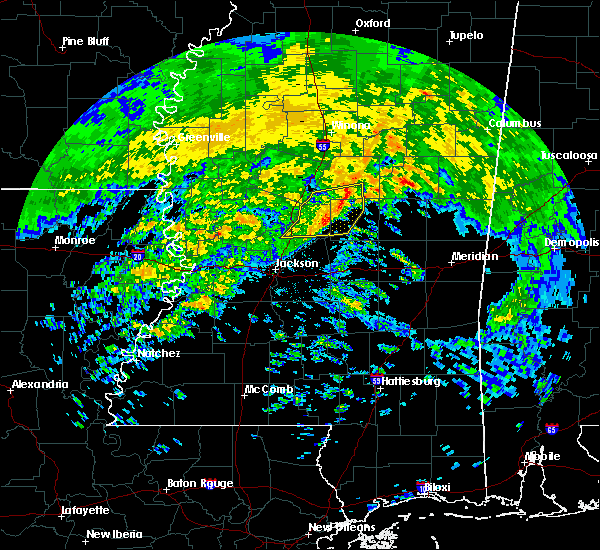 At 120 am cst, severe thunderstorms were located along a line extending from near mcadams to near thomastown to near farmhaven, moving east at 55 mph (radar indicated). Hazards include 60 mph wind gusts. Expect damage to roofs, siding, and trees. these severe storms will be near, carthage around 125 am cst. smyrna and singleton around 130 am cst. renfroe around 135 am cst. Other locations impacted by these severe thunderstorms include redwater. At 120 am cst, severe thunderstorms were located along a line extending from near mcadams to near thomastown to near farmhaven, moving east at 55 mph (radar indicated). Hazards include 60 mph wind gusts. Expect damage to roofs, siding, and trees. these severe storms will be near, carthage around 125 am cst. smyrna and singleton around 130 am cst. renfroe around 135 am cst. Other locations impacted by these severe thunderstorms include redwater.
|
| 2/7/2018 1:01 AM CST |
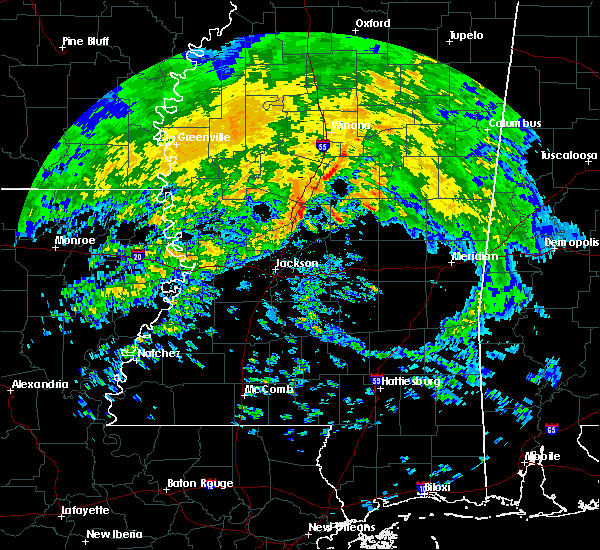 At 101 am cst, severe thunderstorms were located along a line extending from near pickens to near way to near canton, moving east at 50 mph (radar indicated). Hazards include 60 mph wind gusts. Expect damage to roofs, siding, and trees. severe thunderstorms will be near, cameron around 105 am cst. newport and camden around 110 am cst. farmhaven and thomastown around 120 am cst. smyrna and singleton around 130 am cst. carthage and renfroe around 135 am cst. Other locations impacted by these severe thunderstorms include redwater. At 101 am cst, severe thunderstorms were located along a line extending from near pickens to near way to near canton, moving east at 50 mph (radar indicated). Hazards include 60 mph wind gusts. Expect damage to roofs, siding, and trees. severe thunderstorms will be near, cameron around 105 am cst. newport and camden around 110 am cst. farmhaven and thomastown around 120 am cst. smyrna and singleton around 130 am cst. carthage and renfroe around 135 am cst. Other locations impacted by these severe thunderstorms include redwater.
|
| 5/12/2017 6:16 PM CDT | Quarter sized hail reported 9.8 miles SW of Carthage, MS, enough quarter sized and smaller hailstones fell to cover the ground. |
| 5/12/2017 5:58 PM CDT |
 At 558 pm cdt, a severe thunderstorm was located near renfroe, or near edinburg, moving northeast at 35 mph (radar indicated). Hazards include ping pong ball size hail and 60 mph wind gusts. People and animals outdoors will be injured. expect hail damage to roofs, siding, windows, and vehicles. expect wind damage to roofs, siding, and trees. This severe thunderstorm will remain over mainly rural areas of eastern leake and northwestern neshoba counties, including the following locations: standing pine. At 558 pm cdt, a severe thunderstorm was located near renfroe, or near edinburg, moving northeast at 35 mph (radar indicated). Hazards include ping pong ball size hail and 60 mph wind gusts. People and animals outdoors will be injured. expect hail damage to roofs, siding, windows, and vehicles. expect wind damage to roofs, siding, and trees. This severe thunderstorm will remain over mainly rural areas of eastern leake and northwestern neshoba counties, including the following locations: standing pine.
|
| 5/12/2017 5:48 PM CDT | Quarter sized hail reported 0.6 miles NNW of Carthage, MS, hail to the size of quarters fell in carthage. |
| 5/12/2017 5:44 PM CDT |
 At 544 pm cdt, a severe thunderstorm was located over carthage, moving northeast at 35 mph (radar indicated). Hazards include ping pong ball size hail and 60 mph wind gusts. People and animals outdoors will be injured. expect hail damage to roofs, siding, windows, and vehicles. expect wind damage to roofs, siding, and trees. this severe storm will be near, edinburg, renfroe and singleton around 600 pm cdt. Other locations impacted by this severe thunderstorm include lena, walnut grove, redwater and standing pine. At 544 pm cdt, a severe thunderstorm was located over carthage, moving northeast at 35 mph (radar indicated). Hazards include ping pong ball size hail and 60 mph wind gusts. People and animals outdoors will be injured. expect hail damage to roofs, siding, windows, and vehicles. expect wind damage to roofs, siding, and trees. this severe storm will be near, edinburg, renfroe and singleton around 600 pm cdt. Other locations impacted by this severe thunderstorm include lena, walnut grove, redwater and standing pine.
|
| 5/12/2017 5:31 PM CDT |
 At 531 pm cdt, a severe thunderstorm was located near tuscola, or 8 miles southwest of carthage, moving northeast at 35 mph (radar indicated). Hazards include ping pong ball size hail and 60 mph wind gusts. People and animals outdoors will be injured. expect hail damage to roofs, siding, windows, and vehicles. expect wind damage to roofs, siding, and trees. this severe storm will be near, carthage around 545 pm cdt. edinburg, renfroe and singleton around 600 pm cdt. Other locations impacted by this severe thunderstorm include lena, walnut grove, redwater and standing pine. At 531 pm cdt, a severe thunderstorm was located near tuscola, or 8 miles southwest of carthage, moving northeast at 35 mph (radar indicated). Hazards include ping pong ball size hail and 60 mph wind gusts. People and animals outdoors will be injured. expect hail damage to roofs, siding, windows, and vehicles. expect wind damage to roofs, siding, and trees. this severe storm will be near, carthage around 545 pm cdt. edinburg, renfroe and singleton around 600 pm cdt. Other locations impacted by this severe thunderstorm include lena, walnut grove, redwater and standing pine.
|
| 5/12/2017 5:25 PM CDT |
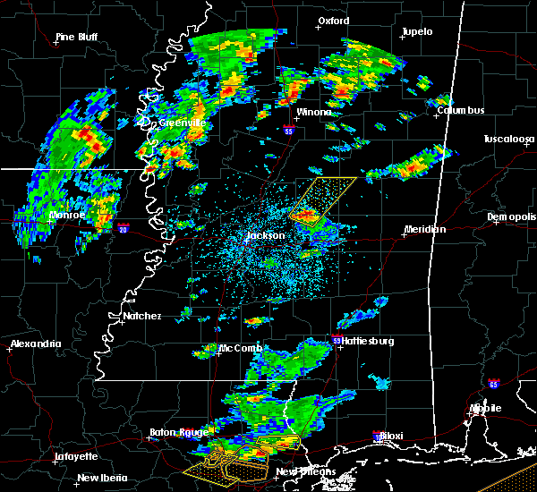 At 525 pm cdt, a severe thunderstorm was located near ludlow, or 10 miles northwest of harperville, moving northeast at 35 mph (radar indicated). Hazards include 60 mph wind gusts and quarter size hail. Hail damage to vehicles is expected. expect wind damage to roofs, siding, and trees. this severe thunderstorm will be near, tuscola around 535 pm cdt. carthage around 545 pm cdt. renfroe and singleton around 600 pm cdt. edinburg around 605 pm cdt. Other locations impacted by this severe thunderstorm include lena, walnut grove, redwater and standing pine. At 525 pm cdt, a severe thunderstorm was located near ludlow, or 10 miles northwest of harperville, moving northeast at 35 mph (radar indicated). Hazards include 60 mph wind gusts and quarter size hail. Hail damage to vehicles is expected. expect wind damage to roofs, siding, and trees. this severe thunderstorm will be near, tuscola around 535 pm cdt. carthage around 545 pm cdt. renfroe and singleton around 600 pm cdt. edinburg around 605 pm cdt. Other locations impacted by this severe thunderstorm include lena, walnut grove, redwater and standing pine.
|
| 4/26/2017 10:15 PM CDT | Numerous trees were blown down across the county and some blocked road in leake county MS, 7.3 miles W of Carthage, MS |
| 4/26/2017 10:13 PM CDT |
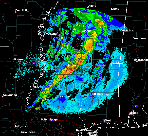 At 1013 pm cdt, a severe thunderstorm was located over pisgah, or 12 miles northwest of morton, moving east at 40 mph (radar indicated). Hazards include 70 mph wind gusts and ping pong ball size hail. People and animals outdoors will be injured. expect hail damage to roofs, siding, windows, and vehicles. expect considerable tree damage. wind damage is also likely to mobile homes, roofs, and outbuildings. this severe storm will be near, branch and ludlow around 1025 pm cdt. forkville around 1030 pm cdt. Other locations impacted by this severe thunderstorm include lena, standing pine and walnut grove. At 1013 pm cdt, a severe thunderstorm was located over pisgah, or 12 miles northwest of morton, moving east at 40 mph (radar indicated). Hazards include 70 mph wind gusts and ping pong ball size hail. People and animals outdoors will be injured. expect hail damage to roofs, siding, windows, and vehicles. expect considerable tree damage. wind damage is also likely to mobile homes, roofs, and outbuildings. this severe storm will be near, branch and ludlow around 1025 pm cdt. forkville around 1030 pm cdt. Other locations impacted by this severe thunderstorm include lena, standing pine and walnut grove.
|
| 4/26/2017 9:51 PM CDT |
 At 951 pm cdt, a severe thunderstorm was located over kosciusko, moving northeast at 45 mph (radar indicated). Hazards include 60 mph wind gusts and quarter size hail. Hail damage to vehicles is expected. expect wind damage to roofs, siding, and trees. This severe thunderstorm will remain over mainly rural areas of northern leake, attala and northeastern madison counties, including the following locations: mccool, ethel and redwater. At 951 pm cdt, a severe thunderstorm was located over kosciusko, moving northeast at 45 mph (radar indicated). Hazards include 60 mph wind gusts and quarter size hail. Hail damage to vehicles is expected. expect wind damage to roofs, siding, and trees. This severe thunderstorm will remain over mainly rural areas of northern leake, attala and northeastern madison counties, including the following locations: mccool, ethel and redwater.
|
| 4/26/2017 9:37 PM CDT |
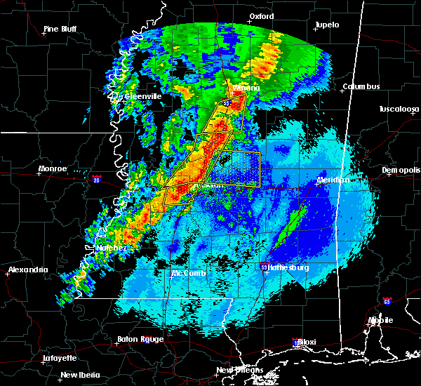 At 937 pm cdt, a severe thunderstorm was located near canton, moving east at 40 mph (radar indicated). Hazards include 60 mph wind gusts and quarter size hail. Hail damage to vehicles is expected. expect wind damage to roofs, siding, and trees. this severe thunderstorm will be near, sharon around 945 pm cdt. pisgah and goshen springs around 950 pm cdt. farmhaven around 955 pm cdt. leesburg around 1000 pm cdt. ludlow and branch around 1005 pm cdt. forkville around 1010 pm cdt. tuscola around 1020 pm cdt. harperville and hillsboro around 1025 pm cdt. Other locations impacted by this severe thunderstorm include lena, standing pine and walnut grove. At 937 pm cdt, a severe thunderstorm was located near canton, moving east at 40 mph (radar indicated). Hazards include 60 mph wind gusts and quarter size hail. Hail damage to vehicles is expected. expect wind damage to roofs, siding, and trees. this severe thunderstorm will be near, sharon around 945 pm cdt. pisgah and goshen springs around 950 pm cdt. farmhaven around 955 pm cdt. leesburg around 1000 pm cdt. ludlow and branch around 1005 pm cdt. forkville around 1010 pm cdt. tuscola around 1020 pm cdt. harperville and hillsboro around 1025 pm cdt. Other locations impacted by this severe thunderstorm include lena, standing pine and walnut grove.
|
| 4/22/2017 3:55 PM CDT |
 At 354 pm cdt, a severe thunderstorm was located near carthage, moving east at 35 mph (radar indicated). Hazards include 60 mph wind gusts and quarter size hail. Hail damage to vehicles is expected. expect wind damage to roofs, siding, and trees. this severe thunderstorm will be near, carthage around 400 pm cdt. renfroe around 405 pm cdt. edinburg and madden around 420 pm cdt. dowdville around 425 pm cdt. pearl river around 430 pm cdt. philadelphia and dixon around 435 pm cdt. Other locations impacted by this severe thunderstorm include standing pine and redwater. At 354 pm cdt, a severe thunderstorm was located near carthage, moving east at 35 mph (radar indicated). Hazards include 60 mph wind gusts and quarter size hail. Hail damage to vehicles is expected. expect wind damage to roofs, siding, and trees. this severe thunderstorm will be near, carthage around 400 pm cdt. renfroe around 405 pm cdt. edinburg and madden around 420 pm cdt. dowdville around 425 pm cdt. pearl river around 430 pm cdt. philadelphia and dixon around 435 pm cdt. Other locations impacted by this severe thunderstorm include standing pine and redwater.
|
| 4/2/2017 9:12 PM CDT |
 At 911 pm cdt, severe thunderstorms were located along a line extending from singleton to near harperville, moving east at 40 mph (radar indicated). Hazards include 60 mph wind gusts. Expect damage to roofs, siding, and trees. locations impacted include, philadelphia in the next few minutes. A tornado watch remains in effect until 200 am cdt for central and east central mississippi. At 911 pm cdt, severe thunderstorms were located along a line extending from singleton to near harperville, moving east at 40 mph (radar indicated). Hazards include 60 mph wind gusts. Expect damage to roofs, siding, and trees. locations impacted include, philadelphia in the next few minutes. A tornado watch remains in effect until 200 am cdt for central and east central mississippi.
|
| 4/2/2017 8:45 PM CDT |
 At 844 pm cdt, severe thunderstorms were located along a line extending from near newport to near leesburg, moving east at 30 mph (radar indicated). Hazards include 60 mph wind gusts. Expect damage to roofs, siding, and trees. severe thunderstorms will be near, thomastown around 850 pm cdt. singleton around 910 pm cdt. harperville, tuscola and renfroe around 915 pm cdt. steele around 920 pm cdt. madden around 930 pm cdt. other locations impacted by these severe thunderstorms include lena, walnut grove, redwater, sebastopol and standing pine. A tornado watch remains in effect until 200 am cdt for central and east central mississippi. At 844 pm cdt, severe thunderstorms were located along a line extending from near newport to near leesburg, moving east at 30 mph (radar indicated). Hazards include 60 mph wind gusts. Expect damage to roofs, siding, and trees. severe thunderstorms will be near, thomastown around 850 pm cdt. singleton around 910 pm cdt. harperville, tuscola and renfroe around 915 pm cdt. steele around 920 pm cdt. madden around 930 pm cdt. other locations impacted by these severe thunderstorms include lena, walnut grove, redwater, sebastopol and standing pine. A tornado watch remains in effect until 200 am cdt for central and east central mississippi.
|
| 3/27/2017 8:21 PM CDT |
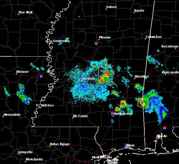 The severe thunderstorm warning for southwestern leake and scott counties will expire at 830 pm cdt, the storm which prompted the warning has weakened below severe limits, and no longer poses an immediate threat to life or property. therefore the warning will be allowed to expire. a severe thunderstorm watch remains in effect until 900 pm cdt for central mississippi. The severe thunderstorm warning for southwestern leake and scott counties will expire at 830 pm cdt, the storm which prompted the warning has weakened below severe limits, and no longer poses an immediate threat to life or property. therefore the warning will be allowed to expire. a severe thunderstorm watch remains in effect until 900 pm cdt for central mississippi.
|
| 3/27/2017 8:09 PM CDT |
 At 808 pm cdt, a severe thunderstorm was located near hillsboro, or near harperville, moving northeast at 50 mph (radar indicated). Hazards include 60 mph wind gusts and quarter size hail. Hail damage to vehicles is expected. expect wind damage to roofs, siding, and trees. this severe storm will be near, tuscola around 815 pm cdt. Other locations impacted by this severe thunderstorm include lena, walnut grove and redwater. At 808 pm cdt, a severe thunderstorm was located near hillsboro, or near harperville, moving northeast at 50 mph (radar indicated). Hazards include 60 mph wind gusts and quarter size hail. Hail damage to vehicles is expected. expect wind damage to roofs, siding, and trees. this severe storm will be near, tuscola around 815 pm cdt. Other locations impacted by this severe thunderstorm include lena, walnut grove and redwater.
|
| 3/27/2017 7:48 PM CDT |
 At 748 pm cdt, a severe thunderstorm was located near pelahatchie, or 10 miles northeast of brandon, moving east at 50 mph (radar indicated). Hazards include 60 mph wind gusts and quarter size hail. Hail damage to vehicles is expected. expect wind damage to roofs, siding, and trees. this severe storm will be near, leesburg around 755 pm cdt. morton and branch around 800 pm cdt. forkville around 805 pm cdt. forest, harperville and hillsboro around 815 pm cdt. Other locations impacted by this severe thunderstorm include lena, walnut grove and redwater. At 748 pm cdt, a severe thunderstorm was located near pelahatchie, or 10 miles northeast of brandon, moving east at 50 mph (radar indicated). Hazards include 60 mph wind gusts and quarter size hail. Hail damage to vehicles is expected. expect wind damage to roofs, siding, and trees. this severe storm will be near, leesburg around 755 pm cdt. morton and branch around 800 pm cdt. forkville around 805 pm cdt. forest, harperville and hillsboro around 815 pm cdt. Other locations impacted by this severe thunderstorm include lena, walnut grove and redwater.
|
| 3/27/2017 7:25 PM CDT |
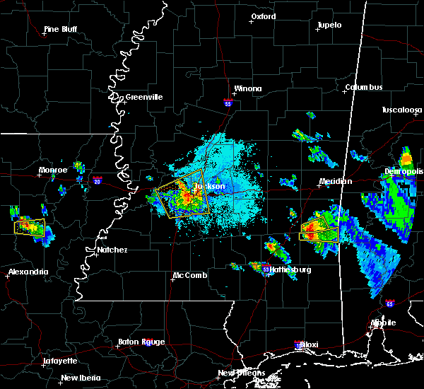 At 725 pm cdt, a severe thunderstorm was located near richland, moving east at 50 mph (radar indicated). Hazards include golf ball size hail and 70 mph wind gusts. People and animals outdoors will be injured. expect hail damage to roofs, siding, windows, and vehicles. expect considerable tree damage. wind damage is also likely to mobile homes, roofs, and outbuildings. this severe thunderstorm will be near, brandon around 735 pm cdt. fannin around 740 pm cdt. pelahatchie around 750 pm cdt. leesburg around 755 pm cdt. morton and branch around 800 pm cdt. pulaski and forkville around 805 pm cdt. forest, harperville and hillsboro around 815 pm cdt. Other locations impacted by this severe thunderstorm include polkville, lena, walnut grove and redwater. At 725 pm cdt, a severe thunderstorm was located near richland, moving east at 50 mph (radar indicated). Hazards include golf ball size hail and 70 mph wind gusts. People and animals outdoors will be injured. expect hail damage to roofs, siding, windows, and vehicles. expect considerable tree damage. wind damage is also likely to mobile homes, roofs, and outbuildings. this severe thunderstorm will be near, brandon around 735 pm cdt. fannin around 740 pm cdt. pelahatchie around 750 pm cdt. leesburg around 755 pm cdt. morton and branch around 800 pm cdt. pulaski and forkville around 805 pm cdt. forest, harperville and hillsboro around 815 pm cdt. Other locations impacted by this severe thunderstorm include polkville, lena, walnut grove and redwater.
|
| 3/27/2017 3:53 PM CDT | Quarter sized hail reported 8.2 miles NW of Carthage, MS, . |
| 3/27/2017 3:51 PM CDT |
 At 351 pm cdt, a severe thunderstorm was located near tuscola, or near carthage, moving northeast at 30 mph (radar indicated). Hazards include 60 mph wind gusts and half dollar size hail. Hail damage to vehicles is expected. expect wind damage to roofs, siding, and trees. this severe thunderstorm will be near, madden around 405 pm cdt. edinburg and dowdville around 410 pm cdt. dixon around 415 pm cdt. pearl river around 420 pm cdt. philadelphia around 425 pm cdt. burnside around 435 pm cdt. forestdale around 450 pm cdt. Other locations impacted by this severe thunderstorm include tucker, standing pine and walnut grove. At 351 pm cdt, a severe thunderstorm was located near tuscola, or near carthage, moving northeast at 30 mph (radar indicated). Hazards include 60 mph wind gusts and half dollar size hail. Hail damage to vehicles is expected. expect wind damage to roofs, siding, and trees. this severe thunderstorm will be near, madden around 405 pm cdt. edinburg and dowdville around 410 pm cdt. dixon around 415 pm cdt. pearl river around 420 pm cdt. philadelphia around 425 pm cdt. burnside around 435 pm cdt. forestdale around 450 pm cdt. Other locations impacted by this severe thunderstorm include tucker, standing pine and walnut grove.
|
| 3/25/2017 4:26 PM CDT |
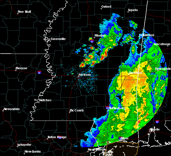 At 426 pm cdt, a severe thunderstorm was located near farmhaven, or 12 miles west of carthage, moving northeast at 20 mph (radar indicated). Hazards include 60 mph wind gusts and quarter size hail. Hail damage to vehicles is expected. expect wind damage to roofs, siding, and trees. this severe thunderstorm will be near, thomastown around 455 pm cdt. carthage around 500 pm cdt. Other locations impacted by this severe thunderstorm include standing pine and redwater. At 426 pm cdt, a severe thunderstorm was located near farmhaven, or 12 miles west of carthage, moving northeast at 20 mph (radar indicated). Hazards include 60 mph wind gusts and quarter size hail. Hail damage to vehicles is expected. expect wind damage to roofs, siding, and trees. this severe thunderstorm will be near, thomastown around 455 pm cdt. carthage around 500 pm cdt. Other locations impacted by this severe thunderstorm include standing pine and redwater.
|
| 2/7/2017 4:15 PM CST | Quarter sized hail reported 15.3 miles WSW of Carthage, MS, quarter sized hail reported by the emergency manager four mile northeast of edinburg. |
| 2/7/2017 3:45 PM CST | Ping Pong Ball sized hail reported 10.3 miles SSW of Carthage, MS, public reported ping pong ball sized hail 2 miles north of renfroe. |
| 2/7/2017 3:37 PM CST | Golf Ball sized hail reported 10.5 miles S of Carthage, MS |
| 1/19/2017 5:11 PM CST |
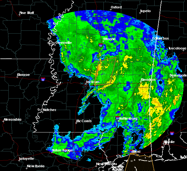 At 510 pm cst, severe thunderstorms were located along a line extending from near newport to near brandon, moving east at 35 mph (radar indicated). Hazards include 60 mph wind gusts. Expect damage to roofs, siding, and trees. these severe storms will be near, newport around 515 pm cst. thomastown around 525 pm cst. leesburg around 535 pm cst. morton, singleton and branch around 540 pm cst. smyrna, renfroe and forkville around 545 pm cst. Other locations impacted by these severe thunderstorms include redwater and lena. At 510 pm cst, severe thunderstorms were located along a line extending from near newport to near brandon, moving east at 35 mph (radar indicated). Hazards include 60 mph wind gusts. Expect damage to roofs, siding, and trees. these severe storms will be near, newport around 515 pm cst. thomastown around 525 pm cst. leesburg around 535 pm cst. morton, singleton and branch around 540 pm cst. smyrna, renfroe and forkville around 545 pm cst. Other locations impacted by these severe thunderstorms include redwater and lena.
|
| 1/19/2017 4:51 PM CST |
 At 450 pm cst, severe thunderstorms were located along a line extending from near pickens to near florence, moving east at 40 mph (radar indicated). Hazards include 60 mph wind gusts. Expect damage to roofs, siding, and trees. severe thunderstorms will be near, pickens and cameron around 455 pm cst. camden around 500 pm cst. newport around 510 pm cst. thomastown around 515 pm cst. pelahatchie around 520 pm cst. singleton around 525 pm cst. morton, smyrna and renfroe around 535 pm cst. pulaski around 540 pm cst. Other locations impacted by these severe thunderstorms include redwater and lena. At 450 pm cst, severe thunderstorms were located along a line extending from near pickens to near florence, moving east at 40 mph (radar indicated). Hazards include 60 mph wind gusts. Expect damage to roofs, siding, and trees. severe thunderstorms will be near, pickens and cameron around 455 pm cst. camden around 500 pm cst. newport around 510 pm cst. thomastown around 515 pm cst. pelahatchie around 520 pm cst. singleton around 525 pm cst. morton, smyrna and renfroe around 535 pm cst. pulaski around 540 pm cst. Other locations impacted by these severe thunderstorms include redwater and lena.
|
| 1/2/2017 3:16 PM CST |
 At 315 pm cst, severe thunderstorms were located along a line extending from kosciusko to near madden, moving northeast at 70 mph (radar indicated). Hazards include 60 mph wind gusts. Expect damage to roofs, siding, and trees. these severe storms will be near, smyrna around 320 pm cst. other locations impacted by these severe thunderstorms include standing pine, redwater, walnut grove, mccool and ethel. A tornado watch remains in effect until 800 pm cst for central mississippi. At 315 pm cst, severe thunderstorms were located along a line extending from kosciusko to near madden, moving northeast at 70 mph (radar indicated). Hazards include 60 mph wind gusts. Expect damage to roofs, siding, and trees. these severe storms will be near, smyrna around 320 pm cst. other locations impacted by these severe thunderstorms include standing pine, redwater, walnut grove, mccool and ethel. A tornado watch remains in effect until 800 pm cst for central mississippi.
|
| 1/2/2017 3:02 PM CST |
 At 302 pm cst, severe thunderstorms were located along a line extending from newport to near ludlow, moving northeast at 55 mph (radar indicated). Hazards include 60 mph wind gusts. Expect damage to roofs, siding, and trees. these severe storms will be near, newport and thomastown around 305 pm cst. mcadams around 310 pm cst. kosciusko and carthage around 315 pm cst. hesterville around 320 pm cst. edinburg and renfroe around 325 pm cst. zama around 335 pm cst. other locations impacted by these severe thunderstorms include redwater, standing pine, walnut grove, sallis, lena, ethel and mccool. A tornado watch remains in effect until 800 pm cst for central mississippi. At 302 pm cst, severe thunderstorms were located along a line extending from newport to near ludlow, moving northeast at 55 mph (radar indicated). Hazards include 60 mph wind gusts. Expect damage to roofs, siding, and trees. these severe storms will be near, newport and thomastown around 305 pm cst. mcadams around 310 pm cst. kosciusko and carthage around 315 pm cst. hesterville around 320 pm cst. edinburg and renfroe around 325 pm cst. zama around 335 pm cst. other locations impacted by these severe thunderstorms include redwater, standing pine, walnut grove, sallis, lena, ethel and mccool. A tornado watch remains in effect until 800 pm cst for central mississippi.
|
| 1/2/2017 2:43 PM CST |
 At 243 pm cst, severe thunderstorms were located along a line extending from near cameron to near leesburg, moving northeast at 70 mph (radar indicated). Hazards include 60 mph wind gusts. Expect damage to roofs, siding, and trees. severe thunderstorms will be near, cameron and camden around 250 pm cst. newport and thomastown around 255 pm cst. mcadams and tuscola around 300 pm cst. kosciusko, carthage and hesterville around 305 pm cst. madden around 310 pm cst. edinburg and renfroe around 315 pm cst. zama around 325 pm cst. other locations impacted by these severe thunderstorms include redwater, standing pine, walnut grove, sallis, lena, ethel and mccool. A tornado watch remains in effect until 800 pm cst for central mississippi. At 243 pm cst, severe thunderstorms were located along a line extending from near cameron to near leesburg, moving northeast at 70 mph (radar indicated). Hazards include 60 mph wind gusts. Expect damage to roofs, siding, and trees. severe thunderstorms will be near, cameron and camden around 250 pm cst. newport and thomastown around 255 pm cst. mcadams and tuscola around 300 pm cst. kosciusko, carthage and hesterville around 305 pm cst. madden around 310 pm cst. edinburg and renfroe around 315 pm cst. zama around 325 pm cst. other locations impacted by these severe thunderstorms include redwater, standing pine, walnut grove, sallis, lena, ethel and mccool. A tornado watch remains in effect until 800 pm cst for central mississippi.
|
| 11/29/2016 11:08 PM CST |
 At 1108 pm cst, a severe thunderstorm was located near carthage, moving northeast at 45 mph (radar indicated). Hazards include 60 mph wind gusts and half dollar size hail. Hail damage to vehicles is expected. expect wind damage to roofs, siding, and trees. locations impacted include, philadelphia, carthage, edinburg, pearl river and standing pine. A tornado watch remains in effect until 500 am cst for east central and central mississippi. At 1108 pm cst, a severe thunderstorm was located near carthage, moving northeast at 45 mph (radar indicated). Hazards include 60 mph wind gusts and half dollar size hail. Hail damage to vehicles is expected. expect wind damage to roofs, siding, and trees. locations impacted include, philadelphia, carthage, edinburg, pearl river and standing pine. A tornado watch remains in effect until 500 am cst for east central and central mississippi.
|
| 11/29/2016 10:56 PM CST |
 At 1056 pm cst, a severe thunderstorm was located near tuscola, or 8 miles southwest of carthage, moving northeast at 50 mph (radar indicated). Hazards include 60 mph wind gusts and half dollar size hail. Hail damage to vehicles is expected. Expect wind damage to roofs, siding, and trees. At 1056 pm cst, a severe thunderstorm was located near tuscola, or 8 miles southwest of carthage, moving northeast at 50 mph (radar indicated). Hazards include 60 mph wind gusts and half dollar size hail. Hail damage to vehicles is expected. Expect wind damage to roofs, siding, and trees.
|
| 11/29/2016 4:41 PM CST | Hen Egg sized hail reported 10.5 miles WNW of Carthage, MS |
| 11/29/2016 4:20 PM CST |
 At 420 pm cst, a confirmed tornado was located near harperville, moving northeast at 40 mph (law enforcement confirmed tornado). Hazards include damaging tornado. Flying debris will be dangerous to those caught without shelter. mobile homes will be damaged or destroyed. damage to roofs, windows, and vehicles will occur. tree damage is likely. the tornado will be near, tuscola around 430 pm cst. Other locations impacted by this tornadic thunderstorm include standing pine, lena and walnut grove. At 420 pm cst, a confirmed tornado was located near harperville, moving northeast at 40 mph (law enforcement confirmed tornado). Hazards include damaging tornado. Flying debris will be dangerous to those caught without shelter. mobile homes will be damaged or destroyed. damage to roofs, windows, and vehicles will occur. tree damage is likely. the tornado will be near, tuscola around 430 pm cst. Other locations impacted by this tornadic thunderstorm include standing pine, lena and walnut grove.
|
| 11/28/2016 4:46 PM CST | Trees down across hwy 427 near leake/neshoba county line in neshoba county MS, 12.5 miles W of Carthage, MS |
| 11/28/2016 4:45 PM CST | Trees and line down across the ne portion of the count in leake county MS, 11.7 miles WSW of Carthage, MS |
| 11/28/2016 4:28 PM CST |
 At 428 pm cst, severe thunderstorms were located along a line extending from longview to 7 miles northwest of tuscola, moving east at 60 mph (radar indicated). Hazards include 60 mph wind gusts. Expect damage to roofs. siding. and trees. severe thunderstorms will be near, edinburg, madden and dowdville around 445 pm cst. pearl river around 450 pm cst. philadelphia around 455 pm cst. burnside around 500 pm cst. stallo around 505 pm cst. nanih waiya around 510 pm cst. other locations impacted by these severe thunderstorms include standing pine, noxapater, walnut grove and lena. A tornado watch remains in effect until 900 pm cst for northeastern, east central and central mississippi. At 428 pm cst, severe thunderstorms were located along a line extending from longview to 7 miles northwest of tuscola, moving east at 60 mph (radar indicated). Hazards include 60 mph wind gusts. Expect damage to roofs. siding. and trees. severe thunderstorms will be near, edinburg, madden and dowdville around 445 pm cst. pearl river around 450 pm cst. philadelphia around 455 pm cst. burnside around 500 pm cst. stallo around 505 pm cst. nanih waiya around 510 pm cst. other locations impacted by these severe thunderstorms include standing pine, noxapater, walnut grove and lena. A tornado watch remains in effect until 900 pm cst for northeastern, east central and central mississippi.
|
| 11/28/2016 3:49 PM CST |
 At 349 pm cst, severe thunderstorms were located along a line extending from near cameron to near pocahontas, moving east at 55 mph (radar indicated). Hazards include 60 mph wind gusts. Expect damage to roofs. siding. and trees. severe thunderstorms will be near, thomastown around 400 pm cst. sharon, singleton and goshen springs around 410 pm cst. farmhaven around 420 pm cst. ludlow around 425 pm cst. carthage around 440 pm cst. other locations impacted by these severe thunderstorms include redwater, lena and standing pine. A tornado watch remains in effect until 900 pm cst for central mississippi. At 349 pm cst, severe thunderstorms were located along a line extending from near cameron to near pocahontas, moving east at 55 mph (radar indicated). Hazards include 60 mph wind gusts. Expect damage to roofs. siding. and trees. severe thunderstorms will be near, thomastown around 400 pm cst. sharon, singleton and goshen springs around 410 pm cst. farmhaven around 420 pm cst. ludlow around 425 pm cst. carthage around 440 pm cst. other locations impacted by these severe thunderstorms include redwater, lena and standing pine. A tornado watch remains in effect until 900 pm cst for central mississippi.
|
| 7/10/2016 12:09 PM CDT |
 At 1208 pm cdt, a severe thunderstorm was located near madden, or near carthage, moving east at 25 mph (radar indicated). Hazards include 60 mph wind gusts and quarter size hail. Hail damage to vehicles is expected. expect wind damage to roofs, siding, and trees. this severe thunderstorm will be near, madden around 1220 pm cdt. dowdville around 1230 pm cdt. pearl river around 1235 pm cdt. dixon around 1240 pm cdt. philadelphia around 1245 pm cdt. neshoba around 1250 pm cdt. Other locations impacted by this severe thunderstorm include standing pine, walnut grove, lena and sebastopol. At 1208 pm cdt, a severe thunderstorm was located near madden, or near carthage, moving east at 25 mph (radar indicated). Hazards include 60 mph wind gusts and quarter size hail. Hail damage to vehicles is expected. expect wind damage to roofs, siding, and trees. this severe thunderstorm will be near, madden around 1220 pm cdt. dowdville around 1230 pm cdt. pearl river around 1235 pm cdt. dixon around 1240 pm cdt. philadelphia around 1245 pm cdt. neshoba around 1250 pm cdt. Other locations impacted by this severe thunderstorm include standing pine, walnut grove, lena and sebastopol.
|
| 6/17/2016 5:30 PM CDT |
 At 529 pm cdt, severe thunderstorms were located along a line extending from near roberts to near forkville, moving southwest at 25 mph (radar indicated). Hazards include 60 mph wind gusts. Expect damage to roofs. siding. and trees. these severe storms will be near, branch around 540 pm cdt. Other locations impacted by these severe thunderstorms include redwater, standing pine, walnut grove, lake and lena. At 529 pm cdt, severe thunderstorms were located along a line extending from near roberts to near forkville, moving southwest at 25 mph (radar indicated). Hazards include 60 mph wind gusts. Expect damage to roofs. siding. and trees. these severe storms will be near, branch around 540 pm cdt. Other locations impacted by these severe thunderstorms include redwater, standing pine, walnut grove, lake and lena.
|
| 6/17/2016 4:47 PM CDT |
 At 447 pm cdt, severe thunderstorms were located along a line extending from near meehan to near prospect to near thomastown, moving south at 35 mph (radar indicated). Hazards include 60 mph wind gusts. Expect damage to roofs. siding. and trees. these severe storms will be near, steele and conehatta around 500 pm cdt. harperville around 505 pm cdt. hillsboro and garlandville around 510 pm cdt. forest around 520 pm cdt. ludlow around 525 pm cdt. Other locations impacted by these severe thunderstorms include redwater, standing pine, tucker, chunky, walnut grove, lena, sebastopol, hickory and lake. At 447 pm cdt, severe thunderstorms were located along a line extending from near meehan to near prospect to near thomastown, moving south at 35 mph (radar indicated). Hazards include 60 mph wind gusts. Expect damage to roofs. siding. and trees. these severe storms will be near, steele and conehatta around 500 pm cdt. harperville around 505 pm cdt. hillsboro and garlandville around 510 pm cdt. forest around 520 pm cdt. ludlow around 525 pm cdt. Other locations impacted by these severe thunderstorms include redwater, standing pine, tucker, chunky, walnut grove, lena, sebastopol, hickory and lake.
|
| 6/17/2016 4:27 PM CDT |
 At 427 pm cdt, severe thunderstorms were located along a line extending from herbert springs to near thomastown, moving southwest at 30 mph (radar indicated). Hazards include 60 mph wind gusts. Expect damage to roofs. siding. and trees. severe thunderstorms will be near, thomastown around 430 pm cdt. duffee and little rock around 440 pm cdt. decatur around 455 pm cdt. newton around 505 pm cdt. garlandville around 520 pm cdt. roberts around 525 pm cdt. Other locations impacted by these severe thunderstorms include redwater, standing pine, tucker, chunky, walnut grove, lena, sebastopol, hickory and lake. At 427 pm cdt, severe thunderstorms were located along a line extending from herbert springs to near thomastown, moving southwest at 30 mph (radar indicated). Hazards include 60 mph wind gusts. Expect damage to roofs. siding. and trees. severe thunderstorms will be near, thomastown around 430 pm cdt. duffee and little rock around 440 pm cdt. decatur around 455 pm cdt. newton around 505 pm cdt. garlandville around 520 pm cdt. roberts around 525 pm cdt. Other locations impacted by these severe thunderstorms include redwater, standing pine, tucker, chunky, walnut grove, lena, sebastopol, hickory and lake.
|
| 5/1/2016 11:15 AM CDT |
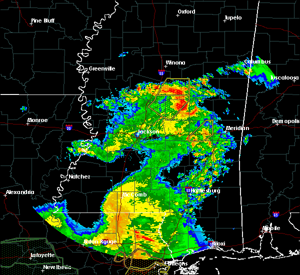 At 1115 am cdt, severe thunderstorms were located along a line extending from near smyrna to near renfroe, moving northeast at 30 mph (radar indicated). Hazards include 60 mph wind gusts. Expect damage to roofs. siding. and trees. these severe storms will be near, zama around 1130 am cdt. Other locations impacted by these severe thunderstorms include redwater. At 1115 am cdt, severe thunderstorms were located along a line extending from near smyrna to near renfroe, moving northeast at 30 mph (radar indicated). Hazards include 60 mph wind gusts. Expect damage to roofs. siding. and trees. these severe storms will be near, zama around 1130 am cdt. Other locations impacted by these severe thunderstorms include redwater.
|
| 5/1/2016 10:46 AM CDT |
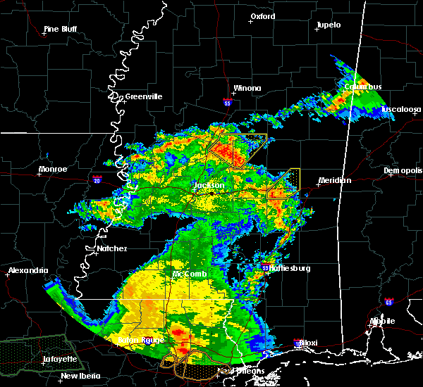 At 1045 am cdt, severe thunderstorms were located along a line extending from near goodman to near thomastown to near tuscola, moving northeast at 35 mph (radar indicated). Hazards include 60 mph wind gusts. Expect damage to roofs. siding. and trees. these severe storms will be near, thomastown around 1050 am cdt. newport around 1055 am cdt. carthage and singleton around 1100 am cdt. smyrna and renfroe around 1115 am cdt. zama around 1130 am cdt. Other locations impacted by these severe thunderstorms include redwater. At 1045 am cdt, severe thunderstorms were located along a line extending from near goodman to near thomastown to near tuscola, moving northeast at 35 mph (radar indicated). Hazards include 60 mph wind gusts. Expect damage to roofs. siding. and trees. these severe storms will be near, thomastown around 1050 am cdt. newport around 1055 am cdt. carthage and singleton around 1100 am cdt. smyrna and renfroe around 1115 am cdt. zama around 1130 am cdt. Other locations impacted by these severe thunderstorms include redwater.
|
| 5/1/2016 10:35 AM CDT |
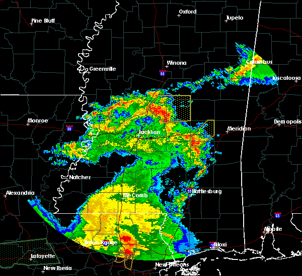 At 1035 am cdt, severe thunderstorms were located along a line extending from near cameron to 7 miles south of thomastown to near ludlow, moving northeast at 40 mph (radar indicated). Hazards include 60 mph wind gusts. Expect damage to roofs. siding. and trees. severe thunderstorms will be near, thomastown around 1040 am cdt. newport around 1045 am cdt. carthage and singleton around 1050 am cdt. edinburg, smyrna and renfroe around 1055 am cdt. zama around 1105 am cdt. Other locations impacted by these severe thunderstorms include redwater, standing pine, walnut grove, lena and sebastopol. At 1035 am cdt, severe thunderstorms were located along a line extending from near cameron to 7 miles south of thomastown to near ludlow, moving northeast at 40 mph (radar indicated). Hazards include 60 mph wind gusts. Expect damage to roofs. siding. and trees. severe thunderstorms will be near, thomastown around 1040 am cdt. newport around 1045 am cdt. carthage and singleton around 1050 am cdt. edinburg, smyrna and renfroe around 1055 am cdt. zama around 1105 am cdt. Other locations impacted by these severe thunderstorms include redwater, standing pine, walnut grove, lena and sebastopol.
|
| 4/11/2016 5:12 PM CDT | Tree down in town in leake county MS, 1.3 miles NNW of Carthage, MS |
| 4/11/2016 5:10 PM CDT | Tree down on hwy 16 w near madison co lin in leake county MS, 11.5 miles ENE of Carthage, MS |
| 4/11/2016 5:09 PM CDT | A tree fell through a house in leake county MS, 1.3 miles NNW of Carthage, MS |
| 4/11/2016 5:07 PM CDT |
 At 507 pm cdt, severe thunderstorms were located along a line extending from near thomastown to near bolton, moving east at 55 mph (radar indicated). Hazards include 60 mph wind gusts and quarter size hail. Hail damage to vehicles is expected. expect wind damage to roofs, siding, and trees. severe thunderstorms will be near, carthage around 515 pm cdt. pearl, flowood and madden around 530 pm cdt. brandon around 535 pm cdt. fannin around 540 pm cdt. pelahatchie and leesburg around 550 pm cdt. morton and branch around 555 pm cdt. pulaski around 600 pm cdt. forest and homewood around 610 pm cdt. Other locations impacted by these severe thunderstorms include redwater, standing pine, walnut grove, lake, lena and sebastopol. At 507 pm cdt, severe thunderstorms were located along a line extending from near thomastown to near bolton, moving east at 55 mph (radar indicated). Hazards include 60 mph wind gusts and quarter size hail. Hail damage to vehicles is expected. expect wind damage to roofs, siding, and trees. severe thunderstorms will be near, carthage around 515 pm cdt. pearl, flowood and madden around 530 pm cdt. brandon around 535 pm cdt. fannin around 540 pm cdt. pelahatchie and leesburg around 550 pm cdt. morton and branch around 555 pm cdt. pulaski around 600 pm cdt. forest and homewood around 610 pm cdt. Other locations impacted by these severe thunderstorms include redwater, standing pine, walnut grove, lake, lena and sebastopol.
|
| 3/31/2016 5:28 PM CDT |
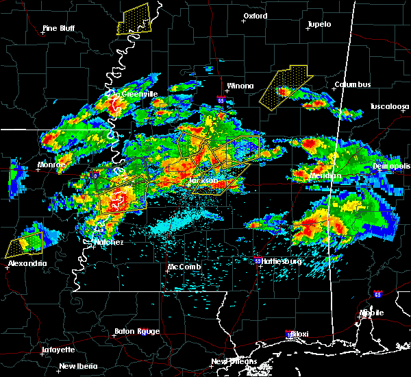 At 528 pm cdt, a severe thunderstorm was located over farmhaven, or 13 miles east of canton, moving northeast at 65 mph (radar indicated). Hazards include golf ball size hail and 60 mph wind gusts. People and animals outdoors will be injured. expect hail damage to roofs, siding, windows and vehicles. expect wind damage to roofs, siding and trees. this severe thunderstorm will be near, tuscola around 540 pm cdt. carthage around 545 pm cdt. renfroe around 550 pm cdt. edinburg around 555 pm cdt. other locations impacted by this severe thunderstorm include standing pine, redwater and lena. A tornado watch remains in effect until 1000 pm cdt for central mississippi. At 528 pm cdt, a severe thunderstorm was located over farmhaven, or 13 miles east of canton, moving northeast at 65 mph (radar indicated). Hazards include golf ball size hail and 60 mph wind gusts. People and animals outdoors will be injured. expect hail damage to roofs, siding, windows and vehicles. expect wind damage to roofs, siding and trees. this severe thunderstorm will be near, tuscola around 540 pm cdt. carthage around 545 pm cdt. renfroe around 550 pm cdt. edinburg around 555 pm cdt. other locations impacted by this severe thunderstorm include standing pine, redwater and lena. A tornado watch remains in effect until 1000 pm cdt for central mississippi.
|
| 2/23/2016 9:50 PM CST | Trees downed in the singleton area in leake county MS, 9.1 miles S of Carthage, MS |
| 2/15/2016 12:31 PM CST |
 At 1231 pm cst, severe thunderstorms were located along a line extending from near zama to near carthage to near harperville to near branch, moving east at 35 mph (radar indicated). Hazards include 60 mph wind gusts. Expect damage to roofs. siding and trees. these severe storms will be near, renfroe around 1235 pm cst. edinburg around 1245 pm cst. madden around 1250 pm cst. steele around 100 pm cst. other locations impacted by these severe thunderstorms include standing pine, redwater, walnut grove, lena and sebastopol. A tornado watch remains in effect until 600 pm cst for east central mississippi. At 1231 pm cst, severe thunderstorms were located along a line extending from near zama to near carthage to near harperville to near branch, moving east at 35 mph (radar indicated). Hazards include 60 mph wind gusts. Expect damage to roofs. siding and trees. these severe storms will be near, renfroe around 1235 pm cst. edinburg around 1245 pm cst. madden around 1250 pm cst. steele around 100 pm cst. other locations impacted by these severe thunderstorms include standing pine, redwater, walnut grove, lena and sebastopol. A tornado watch remains in effect until 600 pm cst for east central mississippi.
|
| 2/15/2016 12:09 PM CST |
 At 1209 pm cst, severe thunderstorms were located along a line extending from near thomastown to 8 miles west of carthage to near forkville to near fannin, moving northeast at 30 mph (radar indicated). Hazards include 60 mph wind gusts. Expect damage to roofs. siding and trees. these severe storms will be near, thomastown around 1215 pm cst. singleton around 1220 pm cst. carthage around 1225 pm cst. midway around 1230 pm cst. tuscola around 1235 pm cst. renfroe around 1240 pm cst. edinburg around 1250 pm cst. harperville and hillsboro around 1255 pm cst. other locations impacted by these severe thunderstorms include redwater, standing pine, walnut grove, lena and sebastopol. A tornado watch remains in effect until 600 pm cst for east central mississippi. At 1209 pm cst, severe thunderstorms were located along a line extending from near thomastown to 8 miles west of carthage to near forkville to near fannin, moving northeast at 30 mph (radar indicated). Hazards include 60 mph wind gusts. Expect damage to roofs. siding and trees. these severe storms will be near, thomastown around 1215 pm cst. singleton around 1220 pm cst. carthage around 1225 pm cst. midway around 1230 pm cst. tuscola around 1235 pm cst. renfroe around 1240 pm cst. edinburg around 1250 pm cst. harperville and hillsboro around 1255 pm cst. other locations impacted by these severe thunderstorms include redwater, standing pine, walnut grove, lena and sebastopol. A tornado watch remains in effect until 600 pm cst for east central mississippi.
|
| 2/15/2016 12:07 PM CST |
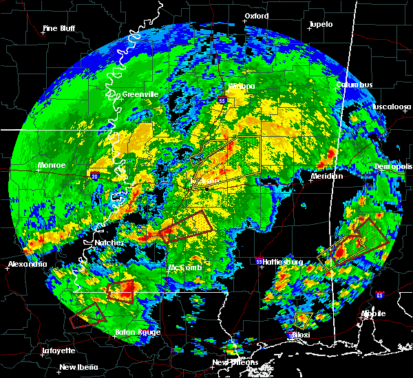 At 1206 pm cst, a severe thunderstorm capable of producing a tornado was located near thomastown, or 8 miles west of carthage, moving northeast at 45 mph (radar indicated rotation). Hazards include tornado. Flying debris will be dangerous to those caught without shelter. mobile homes will be damaged or destroyed. damage to roofs, windows and vehicles will occur. tree damage is likely. this dangerous storm will be near, carthage and thomastown around 1215 pm cst. singleton around 1220 pm cst. renfroe around 1225 pm cst. Other locations impacted by this tornadic thunderstorm include redwater. At 1206 pm cst, a severe thunderstorm capable of producing a tornado was located near thomastown, or 8 miles west of carthage, moving northeast at 45 mph (radar indicated rotation). Hazards include tornado. Flying debris will be dangerous to those caught without shelter. mobile homes will be damaged or destroyed. damage to roofs, windows and vehicles will occur. tree damage is likely. this dangerous storm will be near, carthage and thomastown around 1215 pm cst. singleton around 1220 pm cst. renfroe around 1225 pm cst. Other locations impacted by this tornadic thunderstorm include redwater.
|
| 2/15/2016 11:38 AM CST |
 At 1138 am cst, severe thunderstorms were located along a line extending from near sharon to near canton to near flowood, moving east at 35 mph (radar indicated). Hazards include 60 mph wind gusts. Expect damage to roofs. siding and trees. severe thunderstorms will be near, farmhaven and sharon around 1145 am cst. ludlow and pisgah around 1205 pm cst. carthage around 1210 pm cst. branch and leesburg around 1215 pm cst. forkville, tuscola and renfroe around 1225 pm cst. edinburg around 1235 pm cst. harperville, madden, hillsboro and midway around 1240 pm cst. steele around 1245 pm cst. other locations impacted by these severe thunderstorms include redwater, standing pine, walnut grove, lena and sebastopol. A tornado watch remains in effect until 600 pm cst for east central mississippi. At 1138 am cst, severe thunderstorms were located along a line extending from near sharon to near canton to near flowood, moving east at 35 mph (radar indicated). Hazards include 60 mph wind gusts. Expect damage to roofs. siding and trees. severe thunderstorms will be near, farmhaven and sharon around 1145 am cst. ludlow and pisgah around 1205 pm cst. carthage around 1210 pm cst. branch and leesburg around 1215 pm cst. forkville, tuscola and renfroe around 1225 pm cst. edinburg around 1235 pm cst. harperville, madden, hillsboro and midway around 1240 pm cst. steele around 1245 pm cst. other locations impacted by these severe thunderstorms include redwater, standing pine, walnut grove, lena and sebastopol. A tornado watch remains in effect until 600 pm cst for east central mississippi.
|
| 2/2/2016 1:21 PM CST |
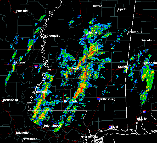 At 121 pm cst, a severe thunderstorm was located over singleton, or 8 miles north of carthage, moving northeast at 40 mph (radar indicated). Hazards include 60 mph wind gusts and quarter size hail. Hail damage to vehicles is expected. expect wind damage to roofs, siding and trees. this severe storm will be near, smyrna around 135 pm cst. zama around 140 pm cst. other locations impacted by this severe thunderstorm include redwater and mccool. a tornado watch remains in effect until 700 pm cst for central mississippi. A tornado watch also remains in effect until 700 pm cst for central mississippi. At 121 pm cst, a severe thunderstorm was located over singleton, or 8 miles north of carthage, moving northeast at 40 mph (radar indicated). Hazards include 60 mph wind gusts and quarter size hail. Hail damage to vehicles is expected. expect wind damage to roofs, siding and trees. this severe storm will be near, smyrna around 135 pm cst. zama around 140 pm cst. other locations impacted by this severe thunderstorm include redwater and mccool. a tornado watch remains in effect until 700 pm cst for central mississippi. A tornado watch also remains in effect until 700 pm cst for central mississippi.
|
| 2/2/2016 1:08 PM CST |
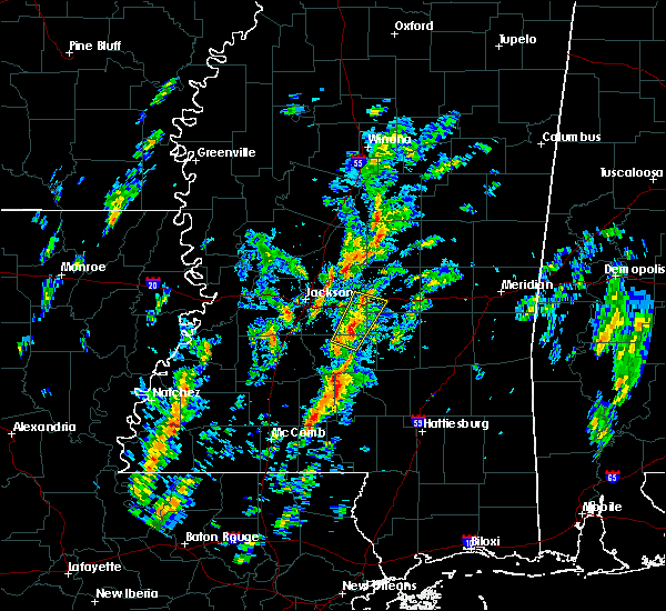 At 107 pm cst, a severe thunderstorm was located near carthage, moving northeast at 35 mph (radar indicated). Hazards include 60 mph wind gusts and quarter size hail. Hail damage to vehicles is expected. expect wind damage to roofs, siding and trees. this severe thunderstorm will be near, singleton and renfroe around 125 pm cst. smyrna around 135 pm cst. zama around 140 pm cst. other locations impacted by this severe thunderstorm include redwater and mccool. A tornado watch remains in effect until 700 pm cst for central mississippi. At 107 pm cst, a severe thunderstorm was located near carthage, moving northeast at 35 mph (radar indicated). Hazards include 60 mph wind gusts and quarter size hail. Hail damage to vehicles is expected. expect wind damage to roofs, siding and trees. this severe thunderstorm will be near, singleton and renfroe around 125 pm cst. smyrna around 135 pm cst. zama around 140 pm cst. other locations impacted by this severe thunderstorm include redwater and mccool. A tornado watch remains in effect until 700 pm cst for central mississippi.
|
| 12/28/2015 5:33 AM CST |
 At 533 am cst, severe thunderstorms were located along a line extending from 6 miles north of pisgah to near mount olive, moving northeast at 35 mph (radar indicated). Hazards include 60 mph wind gusts. Expect damage to roofs. siding and trees. severe thunderstorms will be near, ludlow around 545 am cst. taylorsville around 600 am cst. tuscola and center ridge around 605 am cst. carthage around 610 am cst. madden around 625 am cst. edinburg around 630 am cst. other locations impacted by these severe thunderstorms include redwater, standing pine, mize, sylvarena, walnut grove, lena, sebastopol, polkville and lake. A tornado watch remains in effect until 800 am cst for southeastern mississippi. At 533 am cst, severe thunderstorms were located along a line extending from 6 miles north of pisgah to near mount olive, moving northeast at 35 mph (radar indicated). Hazards include 60 mph wind gusts. Expect damage to roofs. siding and trees. severe thunderstorms will be near, ludlow around 545 am cst. taylorsville around 600 am cst. tuscola and center ridge around 605 am cst. carthage around 610 am cst. madden around 625 am cst. edinburg around 630 am cst. other locations impacted by these severe thunderstorms include redwater, standing pine, mize, sylvarena, walnut grove, lena, sebastopol, polkville and lake. A tornado watch remains in effect until 800 am cst for southeastern mississippi.
|
| 11/18/2015 12:12 AM CST |
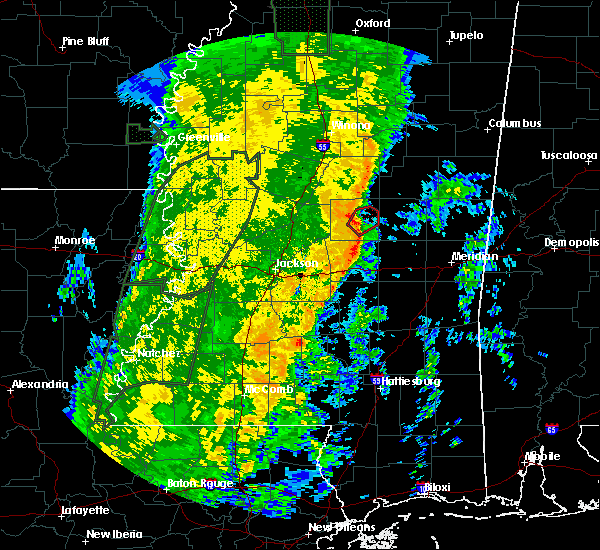 At 1212 am cst, a confirmed tornado was located near carthage, moving northeast at 50 mph (radar confirmed tornado). Hazards include damaging tornado. Flying debris will be dangerous to those caught without shelter. mobile homes will be damaged or destroyed. damage to roofs, windows and vehicles will occur. tree damage is likely. this tornado will be near, edinburg around 1220 am cst. Other locations impacted by this tornadic thunderstorm include standing pine. At 1212 am cst, a confirmed tornado was located near carthage, moving northeast at 50 mph (radar confirmed tornado). Hazards include damaging tornado. Flying debris will be dangerous to those caught without shelter. mobile homes will be damaged or destroyed. damage to roofs, windows and vehicles will occur. tree damage is likely. this tornado will be near, edinburg around 1220 am cst. Other locations impacted by this tornadic thunderstorm include standing pine.
|
| 11/18/2015 12:08 AM CST |
 At 1207 am cst, a severe thunderstorm capable of producing a tornado was located over carthage, moving northeast at 55 mph (radar indicated rotation). Hazards include tornado. Flying debris will be dangerous to those caught without shelter. mobile homes will be damaged or destroyed. damage to roofs, windows and vehicles will occur. tree damage is likely. this dangerous storm will be near, edinburg around 1220 am cst. Other locations impacted by this tornadic thunderstorm include standing pine. At 1207 am cst, a severe thunderstorm capable of producing a tornado was located over carthage, moving northeast at 55 mph (radar indicated rotation). Hazards include tornado. Flying debris will be dangerous to those caught without shelter. mobile homes will be damaged or destroyed. damage to roofs, windows and vehicles will occur. tree damage is likely. this dangerous storm will be near, edinburg around 1220 am cst. Other locations impacted by this tornadic thunderstorm include standing pine.
|
| 11/17/2015 11:58 PM CST |
 At 1158 pm cst, a severe thunderstorm capable of producing a tornado was located near tuscola, or 7 miles northwest of harperville, moving northeast at 50 mph (radar indicated rotation). Hazards include tornado. Flying debris will be dangerous to those caught without shelter. mobile homes will be damaged or destroyed. damage to roofs, windows and vehicles will occur. tree damage is likely. this dangerous storm will be near, madden around 1215 am cst. edinburg around 1225 am cst. Other locations impacted by this tornadic thunderstorm include standing pine, lena and walnut grove. At 1158 pm cst, a severe thunderstorm capable of producing a tornado was located near tuscola, or 7 miles northwest of harperville, moving northeast at 50 mph (radar indicated rotation). Hazards include tornado. Flying debris will be dangerous to those caught without shelter. mobile homes will be damaged or destroyed. damage to roofs, windows and vehicles will occur. tree damage is likely. this dangerous storm will be near, madden around 1215 am cst. edinburg around 1225 am cst. Other locations impacted by this tornadic thunderstorm include standing pine, lena and walnut grove.
|
| 6/10/2015 6:25 PM CDT |
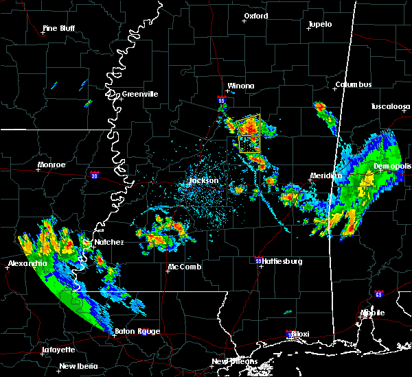 At 624 pm cdt, a severe thunderstorm was located near renfroe, or 7 miles northwest of edinburg, moving south at 15 mph (radar indicated). Hazards include 60 mph wind gusts and quarter size hail. Hail damage to vehicles is expected. expect wind damage to roofs, siding and trees. this severe thunderstorm will be near, renfroe around 635 pm cdt. edinburg around 655 pm cdt. Other locations impacted by this severe thunderstorm include redwater. At 624 pm cdt, a severe thunderstorm was located near renfroe, or 7 miles northwest of edinburg, moving south at 15 mph (radar indicated). Hazards include 60 mph wind gusts and quarter size hail. Hail damage to vehicles is expected. expect wind damage to roofs, siding and trees. this severe thunderstorm will be near, renfroe around 635 pm cdt. edinburg around 655 pm cdt. Other locations impacted by this severe thunderstorm include redwater.
|
| 6/9/2015 3:20 AM CDT | Multiple trees and power lines downed. a tree fell on a house. a horse barn was damaged at the coliseum. small hail also reporte in leake county MS, 1.3 miles NNW of Carthage, MS |
| 5/30/2015 4:38 PM CDT | At 438 pm cdt, a severe thunderstorm was located near farmhaven, or 11 miles northeast of canton, moving northeast at 35 mph (radar indicated). Hazards include 60 mph wind gusts and half dollar size hail. Hail damage to vehicles is expected. expect wind damage to roofs, siding and trees. this severe thunderstorm will be near, carthage and thomastown around 505 pm cdt. Other locations impacted by this severe thunderstorm include redwater. |
| 4/25/2015 2:35 AM CDT | At 234 am cdt, a severe thunderstorm capable of producing a tornado was located near madden, or 7 miles southeast of carthage, moving east at 55 mph (radar indicated rotation). Hazards include tornado. Flying debris will be dangerous to those caught without shelter. mobile homes will be damaged or destroyed. damage to roofs, windows and vehicles will occur. tree damage is likely. this dangerous storm will be near, dowdville around 240 am cdt. pearl river and dixon around 245 am cdt. philadelphia and neshoba around 250 am cdt. bethsaida and house around 300 am cdt. forestdale and herbert springs around 305 am cdt. other locations impacted by this tornadic thunderstorm include redwater, standing pine, tucker, walnut grove and sebastopol. Radar indicated. |
| 4/25/2015 2:28 AM CDT | Tree downed across ms hwy 35 near twin city in leake county MS, 4.9 miles NNW of Carthage, MS |
| 4/25/2015 2:23 AM CDT | At 222 am cdt, a severe thunderstorm capable of producing a tornado was located over tuscola, or 8 miles northwest of harperville, moving east at 50 mph (radar indicated rotation). Hazards include tornado. Flying debris will be dangerous to those caught without shelter. mobile homes will be damaged or destroyed. damage to roofs, windows and vehicles will occur. tree damage is likely. this dangerous storm will be near, madden and dowdville around 240 am cdt. prospect and dixon around 245 am cdt. neshoba around 255 am cdt. bethsaida around 300 am cdt. house around 305 am cdt. herbert springs and forestdale around 310 am cdt. other locations impacted by this tornadic thunderstorm include redwater, standing pine, tucker, walnut grove and sebastopol. Radar indicated. |
| 4/25/2015 2:16 AM CDT | At 215 am cdt, a severe thunderstorm capable of producing a tornado was located near ludlow, or 12 miles southwest of carthage, moving east at 35 mph (radar indicated rotation). Hazards include tornado. Flying debris will be dangerous to those caught without shelter. mobile homes will be damaged or destroyed. damage to roofs, windows and vehicles will occur. tree damage is likely. this dangerous storm will be near, carthage around 235 am cdt. other locations impacted by this tornadic thunderstorm include redwater and lena. Radar indicated. |
| 4/25/2015 2:11 AM CDT | At 211 am cdt, severe thunderstorms were located along a line extending from 12 miles north of zama to thomastown, moving southeast at 50 mph (radar indicated). Hazards include 60 mph wind gusts and quarter size hail. Hail damage to vehicles is expected. expect wind damage to roofs, siding and trees. these severe storms will be near, singleton around 220 am cdt. carthage around 225 am cdt. tuscola around 235 am cdt. madden around 240 am cdt. other locations impacted by these severe thunderstorms include redwater, standing pine, mccool, walnut grove and lena. a tornado watch remains in effect until 800 am cdt for central mississippi. 1. 00in. |
| 4/25/2015 2:09 AM CDT | At 209 am cdt, a severe thunderstorm capable of producing a tornado was located near farmhaven, or 15 miles southwest of carthage, moving east at 50 mph (radar indicated rotation). Hazards include tornado. Flying debris will be dangerous to those caught without shelter. mobile homes will be damaged or destroyed. damage to roofs, windows and vehicles will occur. tree damage is likely. this dangerous storm will be near, carthage around 225 am cdt. other locations impacted by this tornadic thunderstorm include redwater and lena. Radar indicated. |
| 4/25/2015 2:01 AM CDT | At 201 am cdt, a severe thunderstorm capable of producing a tornado was located over sharon, or 7 miles east of canton, moving east at 50 mph (radar indicated rotation). Hazards include tornado. Flying debris will be dangerous to those caught without shelter. mobile homes will be damaged or destroyed. damage to roofs, windows and vehicles will occur. tree damage is likely. this dangerous storm will be near, farmhaven around 210 am cdt. ludlow around 215 am cdt. carthage around 230 am cdt. other locations impacted by this tornadic thunderstorm include redwater and lena. Radar indicated. |
| 4/25/2015 1:44 AM CDT | At 144 am cdt, severe thunderstorms were located along a line extending from near possumneck to near pickens, moving southeast at 60 mph (radar indicated). Hazards include 60 mph wind gusts and quarter size hail. Hail damage to vehicles is expected. expect wind damage to roofs, siding and trees. severe thunderstorms will be near, possumneck around 150 am cdt. hesterville and mcadams around 155 am cdt. kosciusko around 200 am cdt. smyrna around 210 am cdt. zama around 215 am cdt. tuscola around 220 am cdt. other locations impacted by these severe thunderstorms include redwater, standing pine, walnut grove, sallis, lena, ethel and mccool. a tornado watch remains in effect until 800 am cdt for north central mississippi. 1. 00in. |
| 8/4/2014 3:17 PM CDT | A few trees were down along hwy 16 in leake county MS, 4.6 miles NE of Carthage, MS |
| 6/9/2014 6:15 PM CDT | Downed trees scattered across the county in leake county MS, 1.3 miles NNW of Carthage, MS |
| 6/9/2014 1:30 AM CDT | Trees down along hwy 48 in leake county MS, 3.9 miles NNW of Carthage, MS |
| 6/28/2013 9:10 PM CDT | Large limbs and branches were down across leake county. in addition to widespread power outages. reported by emergency manager in leake county MS, 1.3 miles NNW of Carthage, MS |
| 6/2/2013 12:40 AM CDT | Several trees down across the county...including scotts crossing rd...ebenezer rd and highway 487 east and west. power outages occurred in tuscola as wel in leake county MS, 1.3 miles NNW of Carthage, MS |
| 5/22/2013 12:20 AM CDT | Reports of trees and powerlines down in carthage along highway 3 in leake county MS, 1.3 miles NNW of Carthage, MS |
| 1/30/2013 3:48 AM CST | 2 rvs damaged at the carthage coliseu in leake county MS, 2.4 miles WNW of Carthage, MS |
| 1/30/2013 3:48 AM CST | 2 rvs destroyed at the carthage coliseum. carthage inn in leake county MS, 2.4 miles WNW of Carthage, MS |
| 12/20/2012 5:55 AM CST | At least 8 trees down county wid in leake county MS, 1.3 miles NNW of Carthage, MS |
| 10/18/2012 1:52 AM CDT | One house was destroyed. ten homes had wind damage and some of them had trees on them. approximately six poultry houses were damaged. a number of trees and utility line in leake county MS, 2.4 miles WNW of Carthage, MS |
| 10/18/2012 12:32 AM CDT | Two homes damaged and trees down along e frankling st. a couple chicken houses were damaged along hwy 16 e and a tree was down on a house. possible tornad in leake county MS, 1.9 miles NW of Carthage, MS |
| 5/31/2012 4:00 PM CDT | Numerous trees down across leake county in leake county MS, 1.3 miles NNW of Carthage, MS |
| 5/21/2012 6:04 PM CDT | Quarter sized hail reported 11.3 miles WNW of Carthage, MS, several gardens were damaged |
| 5/21/2012 5:41 PM CDT | Quarter sized hail reported 8.9 miles SSW of Carthage, MS, damaged a garden and downed several large limbs |
| 5/21/2012 5:31 PM CDT | Quarter sized hail reported 11.6 miles SSW of Carthage, MS, covered the ground |
| 4/2/2012 5:30 PM CDT | Numerous trees downed across leake county in leake county MS, 1.3 miles NNW of Carthage, MS |
| 1/1/0001 12:00 AM | Trees down on red dog rd between highways 25 and 3 in leake county MS, 1.3 miles NNW of Carthage, MS |
| 1/1/0001 12:00 AM | Quarter sized hail reported 6 miles NW of Carthage, MS |
| 1/1/0001 12:00 AM | Half Dollar sized hail reported 11.7 miles WSW of Carthage, MS |
| 1/1/0001 12:00 AM | Ping Pong Ball sized hail reported 12.1 miles WNW of Carthage, MS |
| 1/1/0001 12:00 AM | A tree fell on a house in carthage. trees down countywide. power outages around the county als in leake county MS, 1.3 miles NNW of Carthage, MS |
| 1/1/0001 12:00 AM | 3 businesses in carthage with roof damage...2 houses in the city with trees on them. power was out in the city for a short tim in leake county MS, 1.3 miles NNW of Carthage, MS |
Hail Maps for Carthage, MS

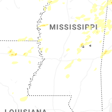
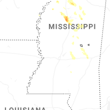
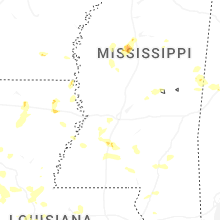


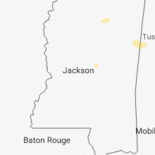
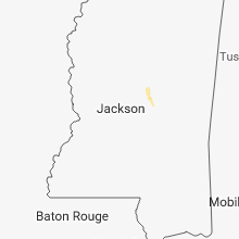


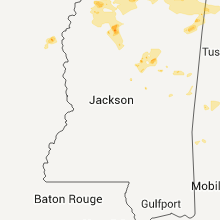


Connect with Interactive Hail Maps