

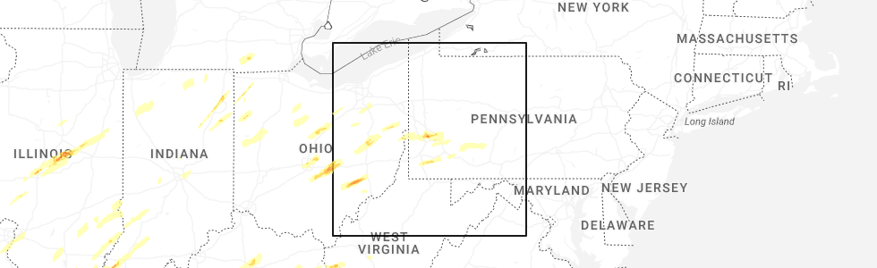
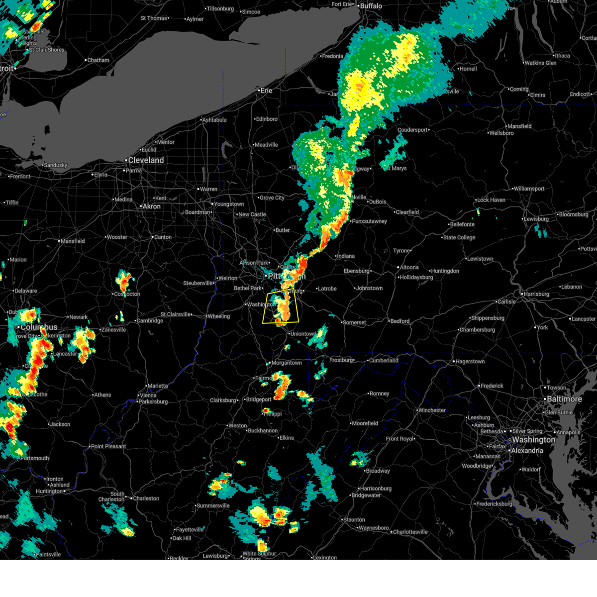
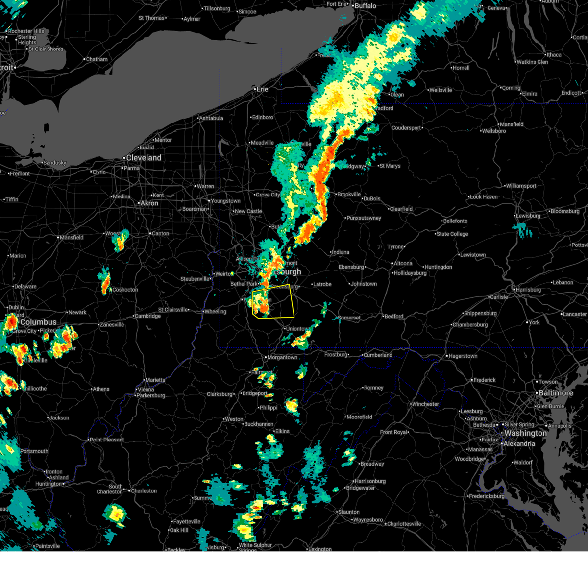
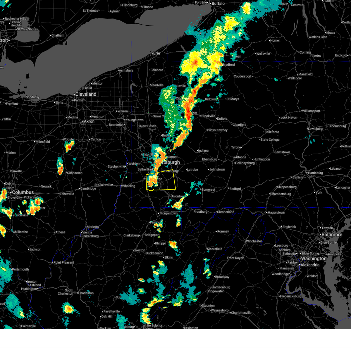
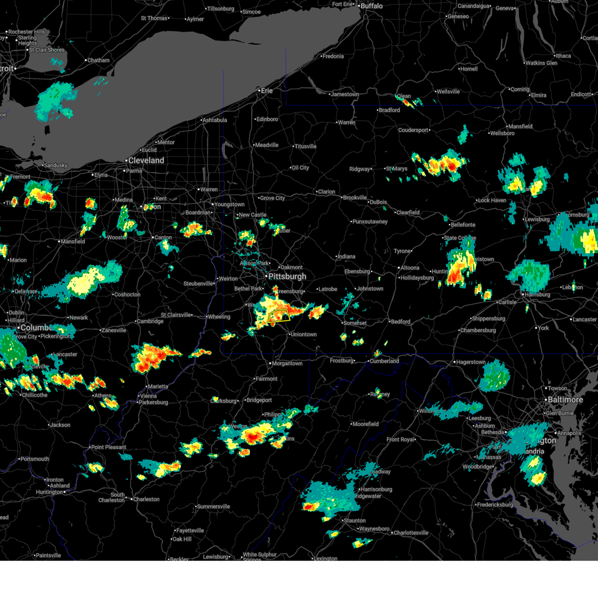
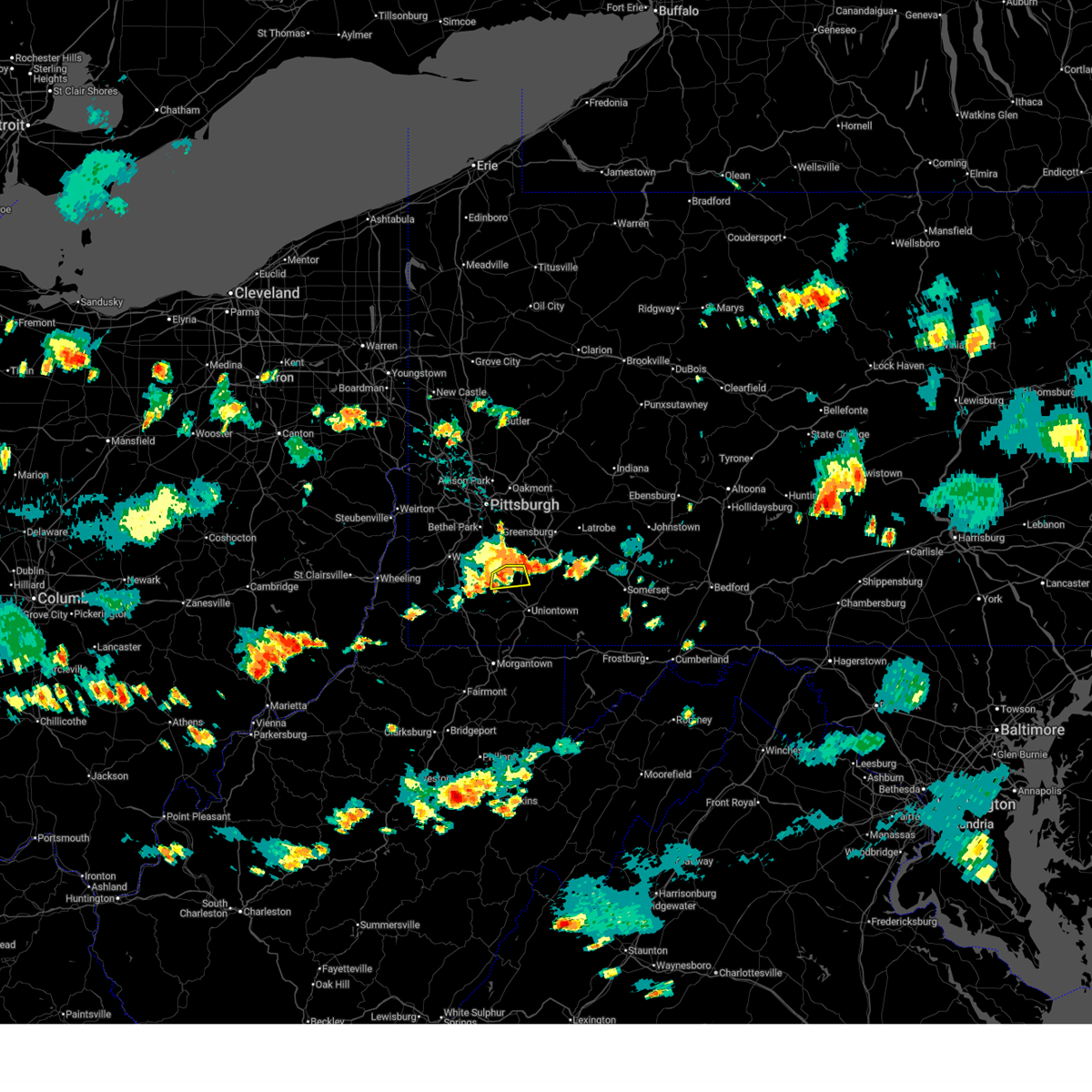
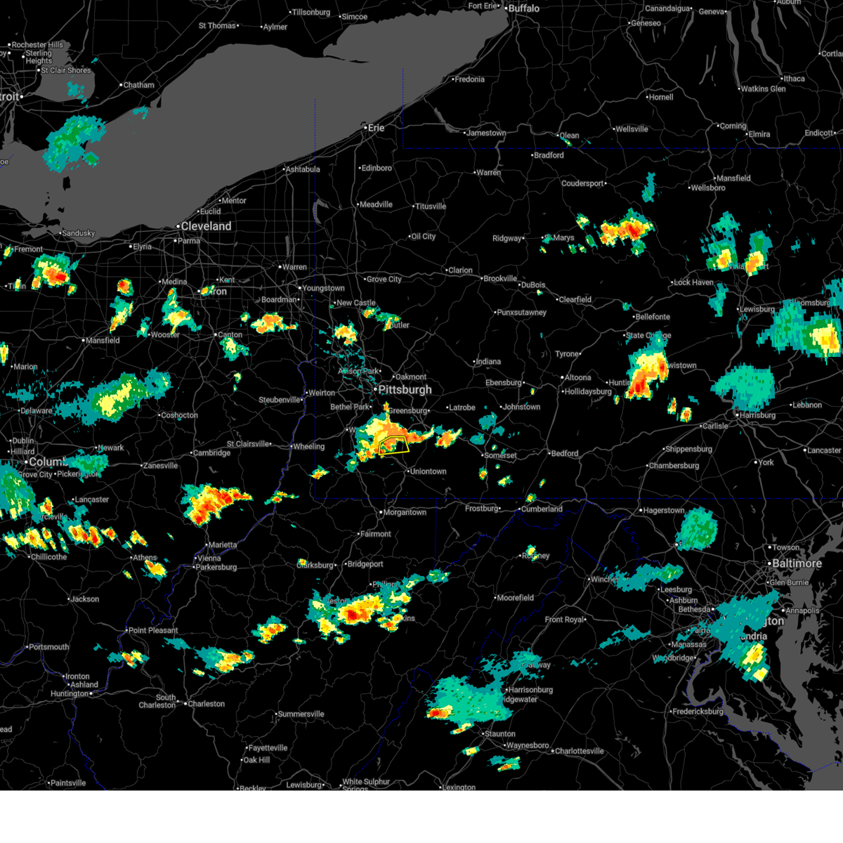
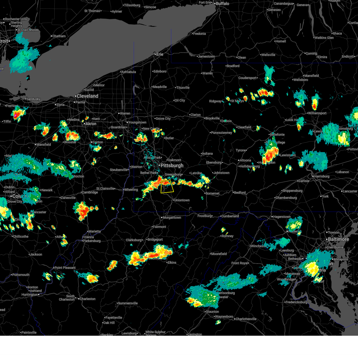
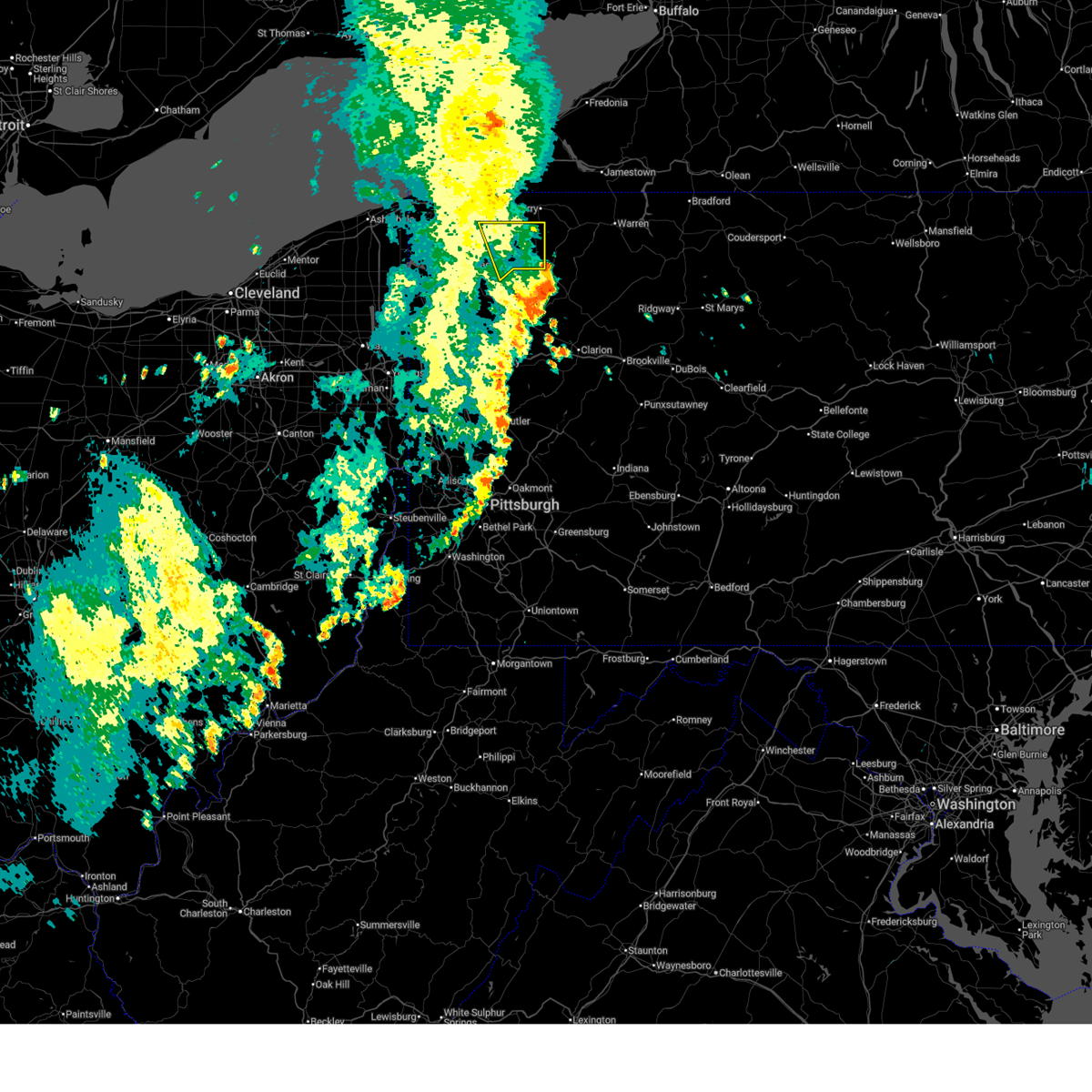
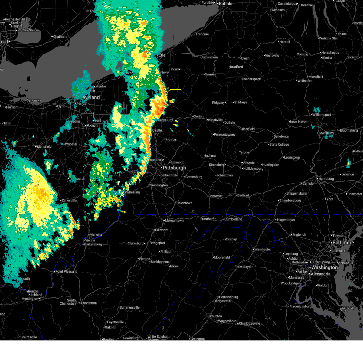
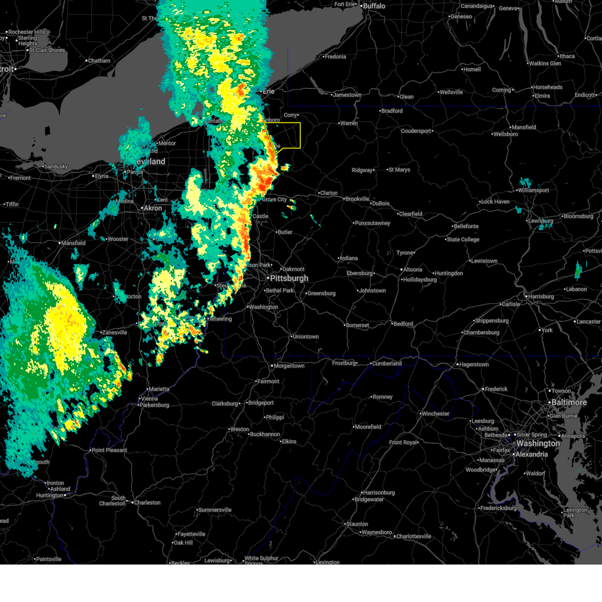
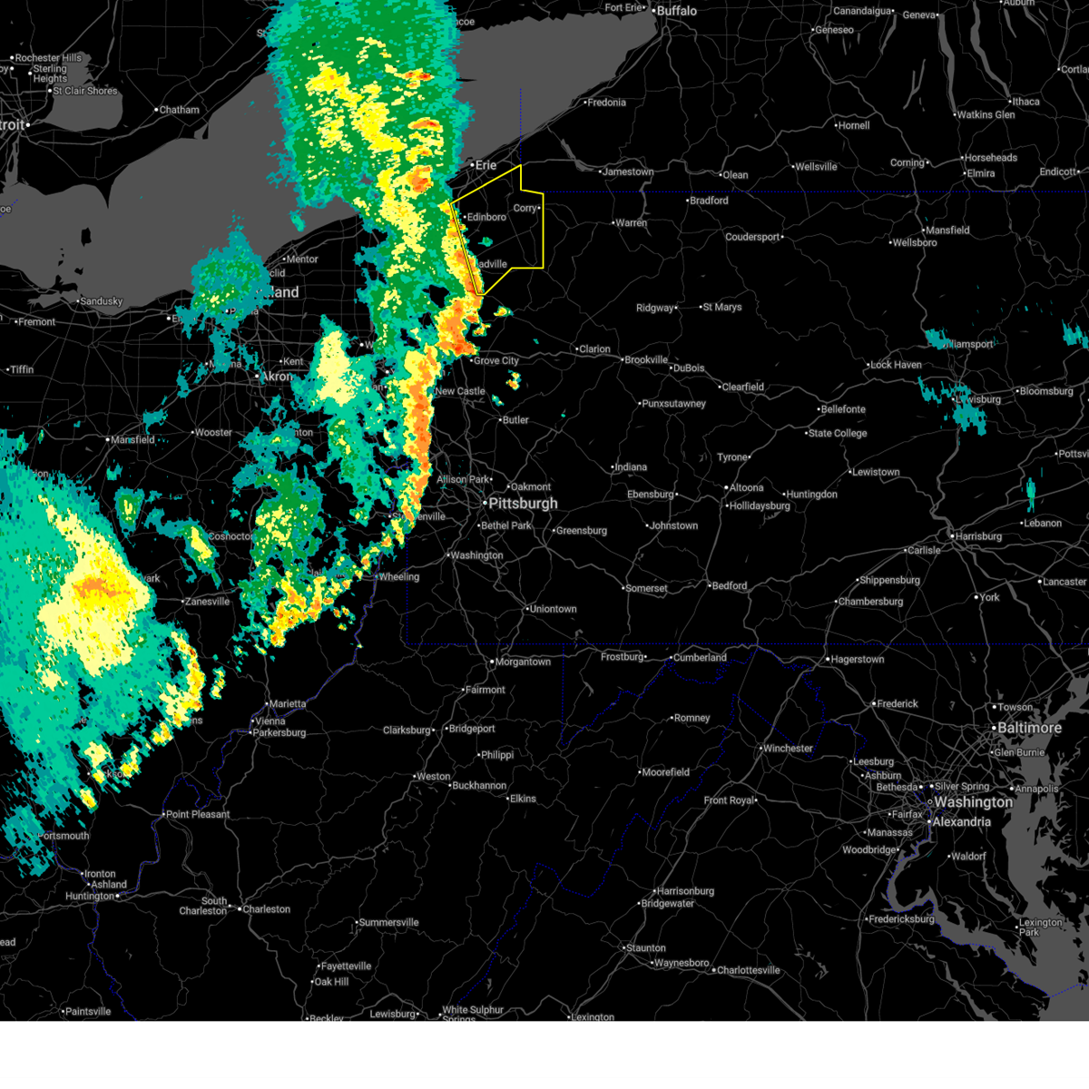
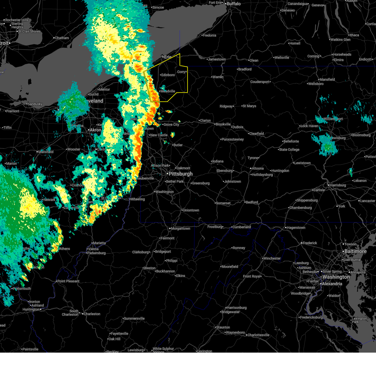
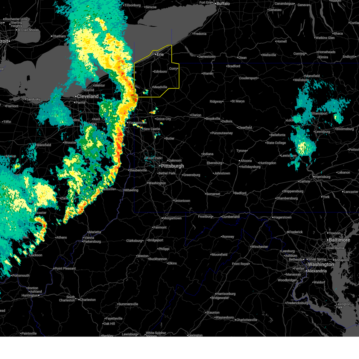
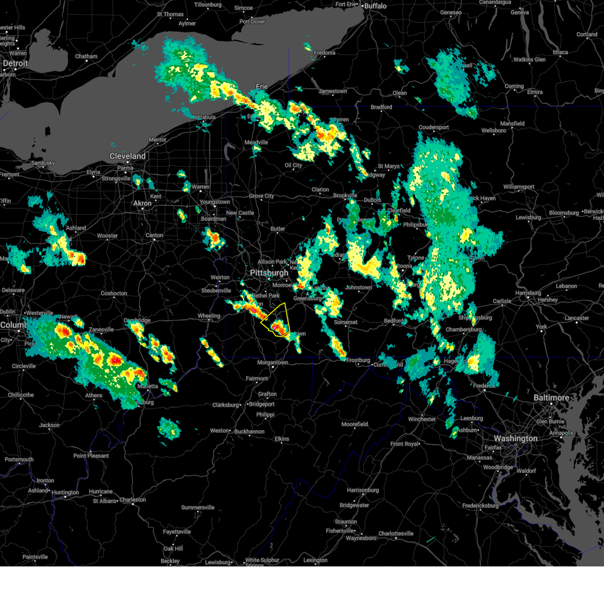
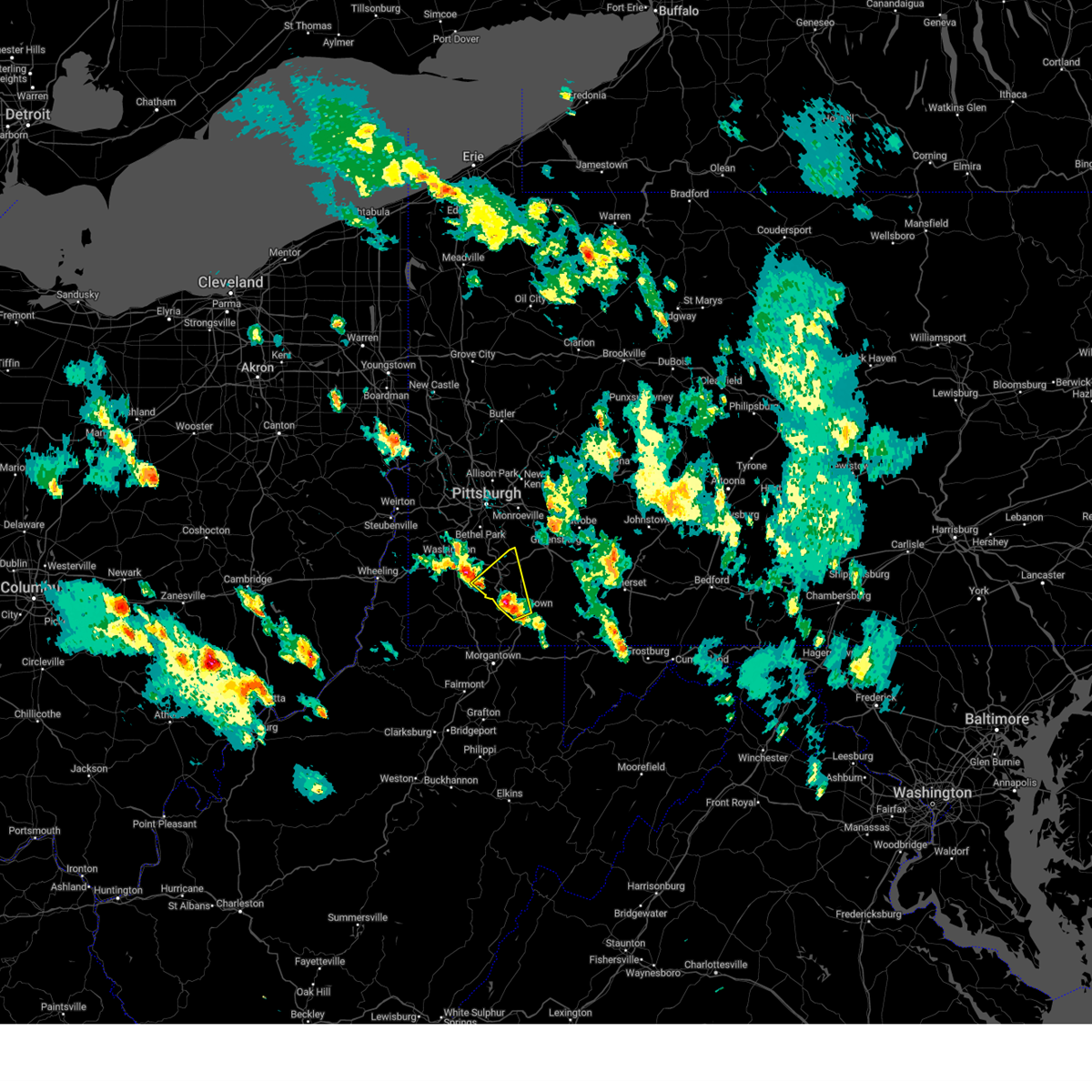
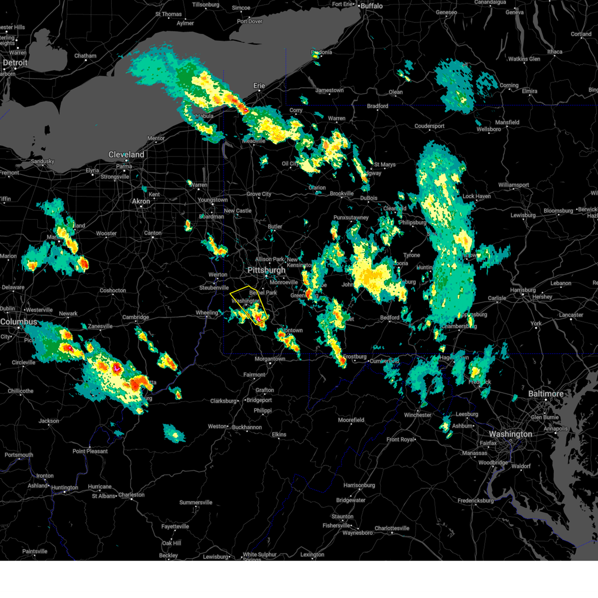
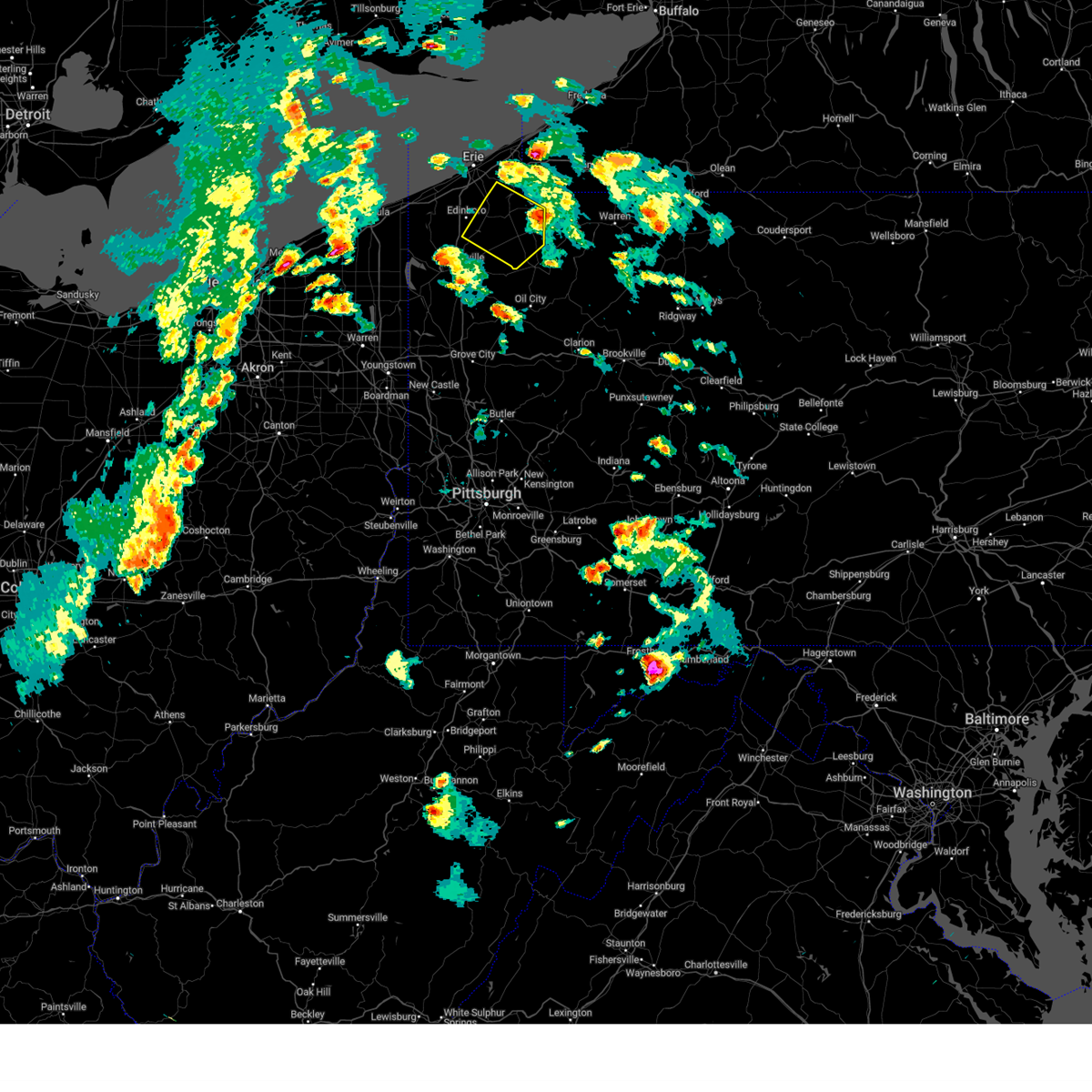
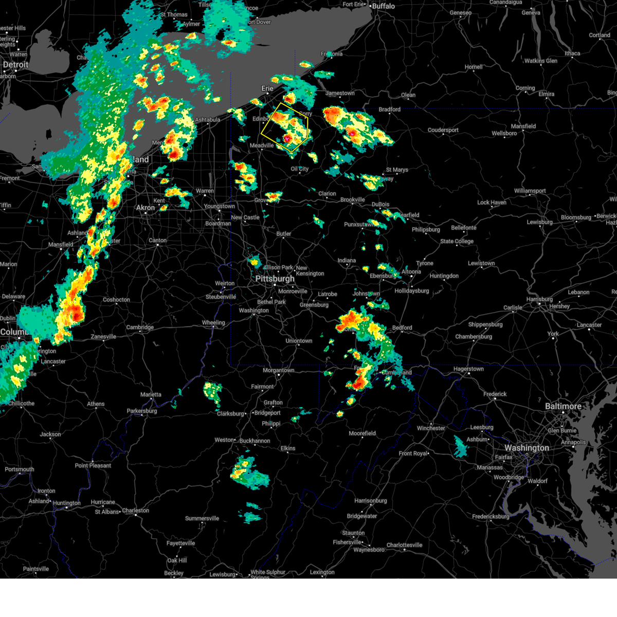
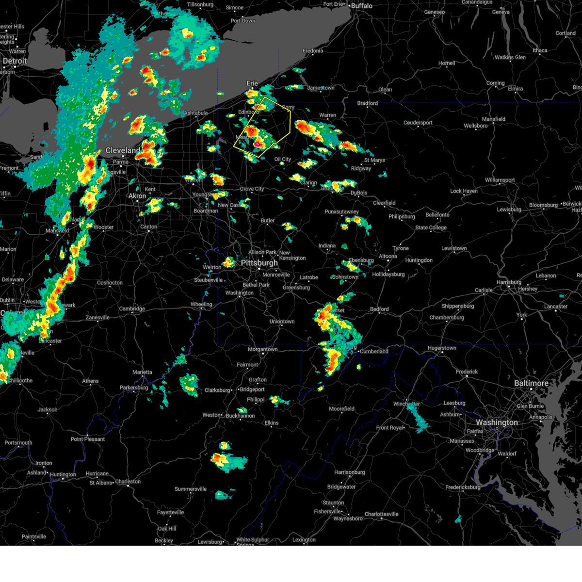
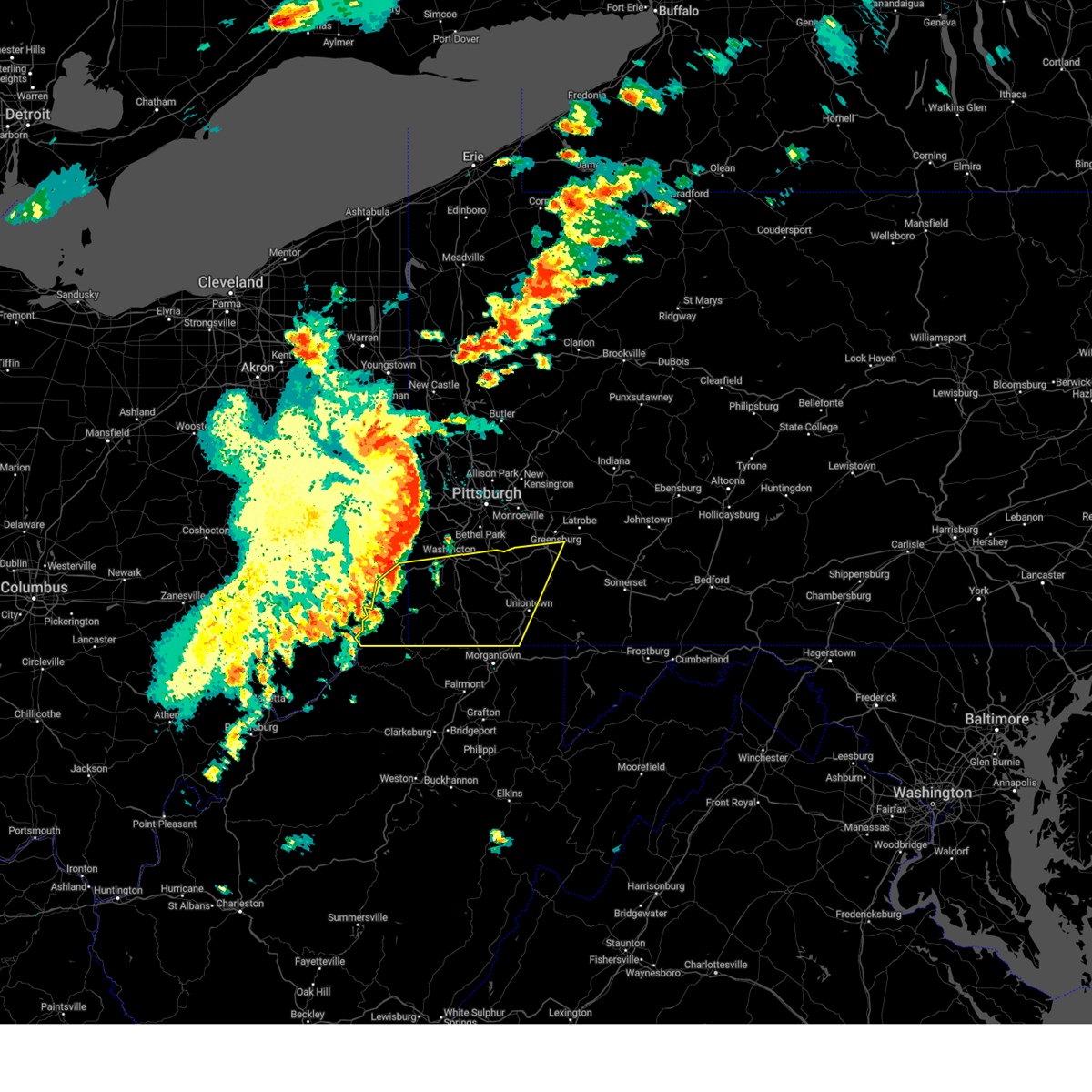
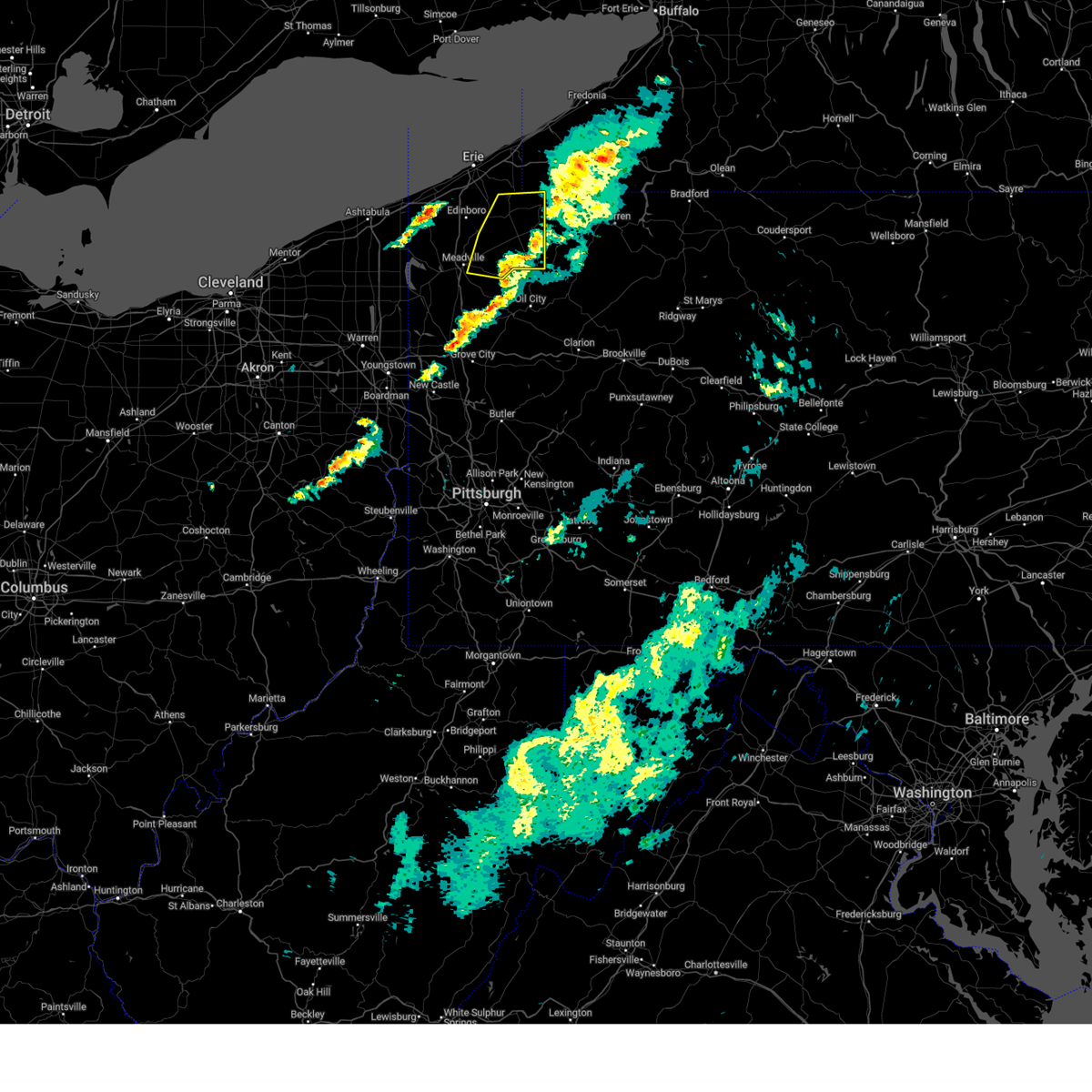
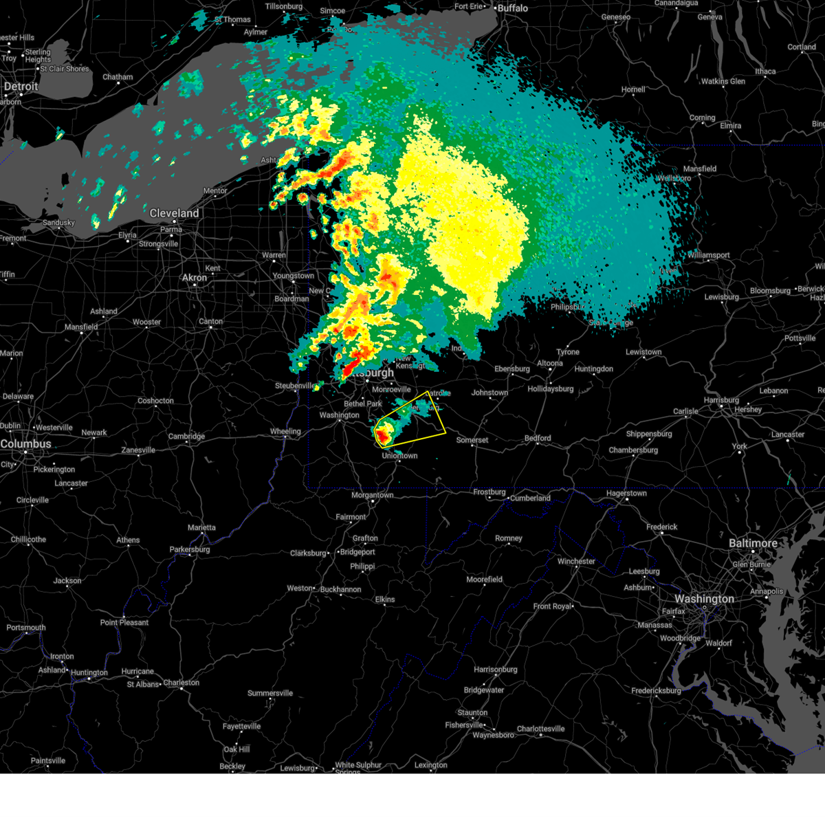
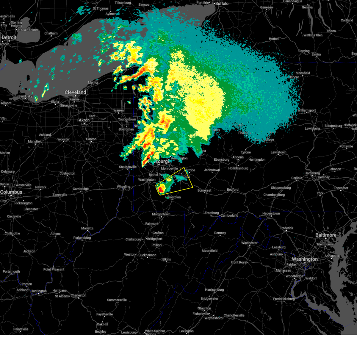
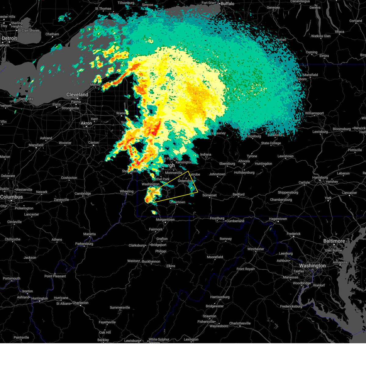
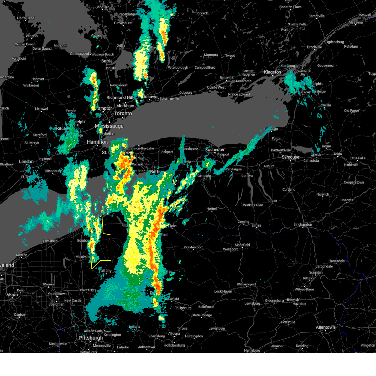
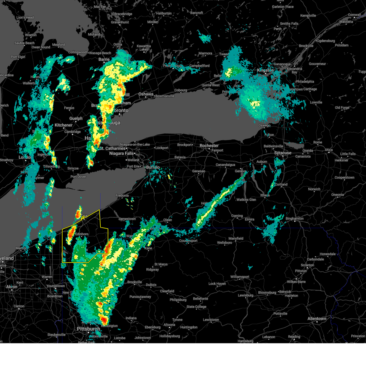
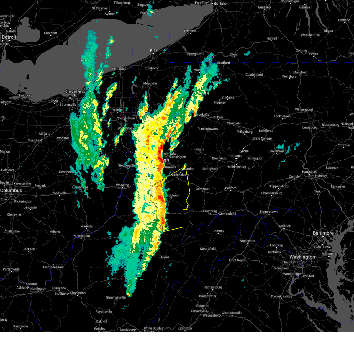
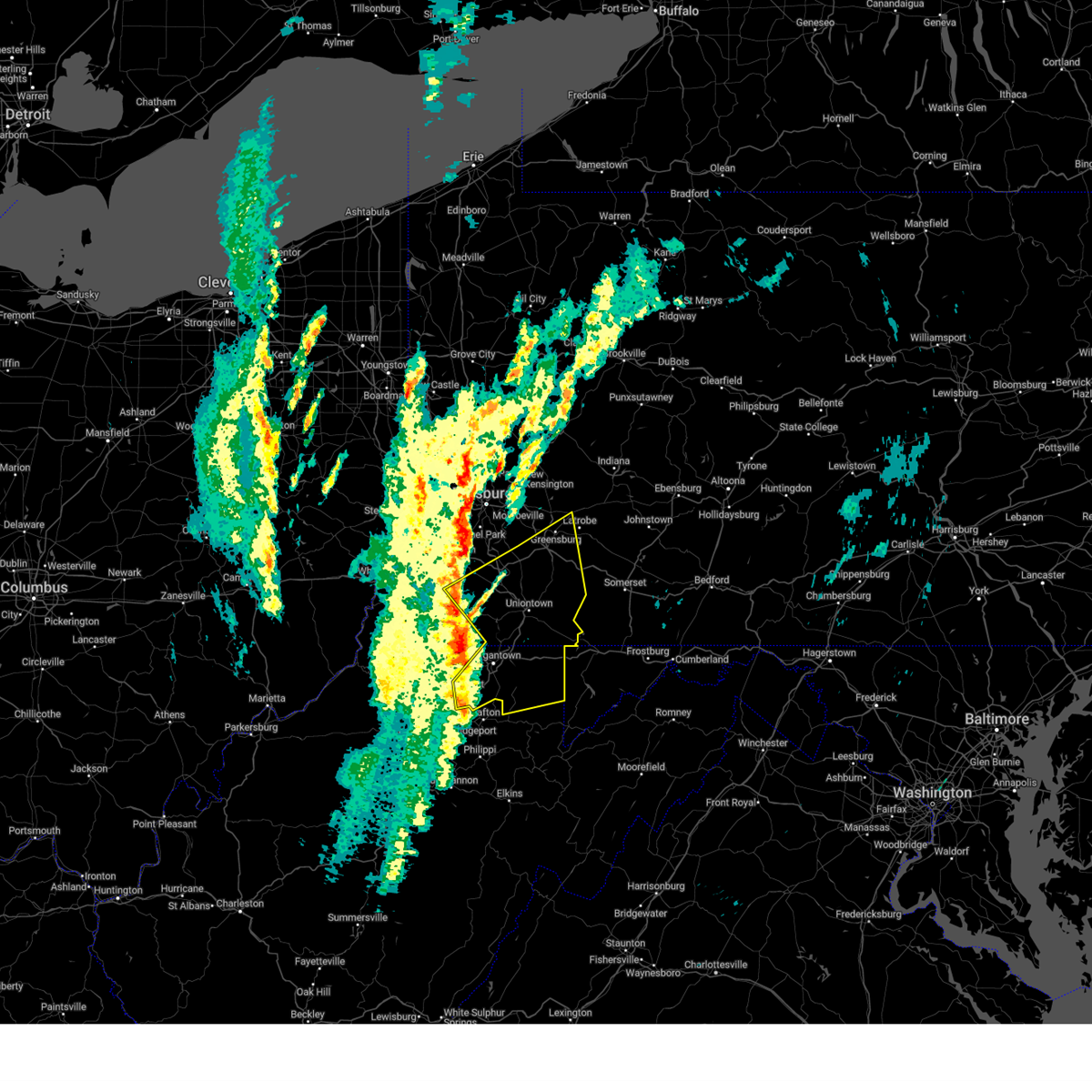
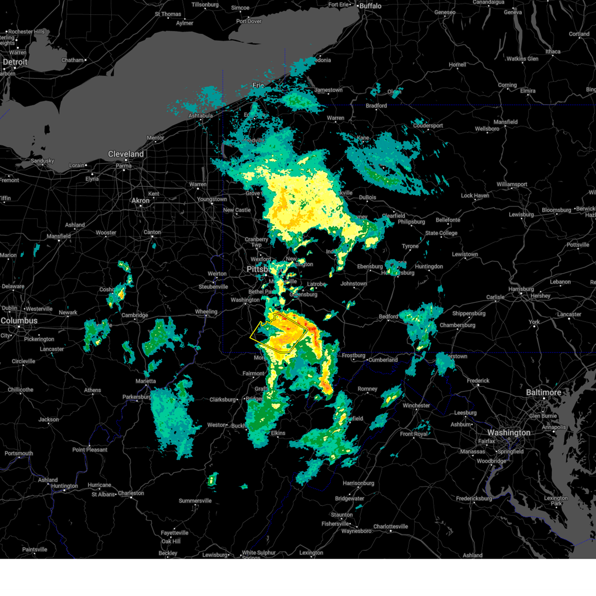
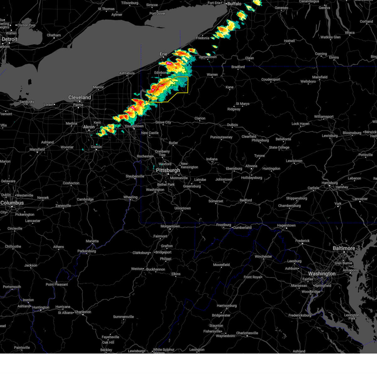
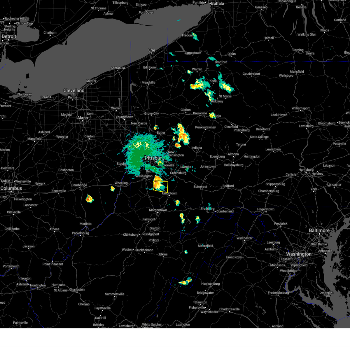
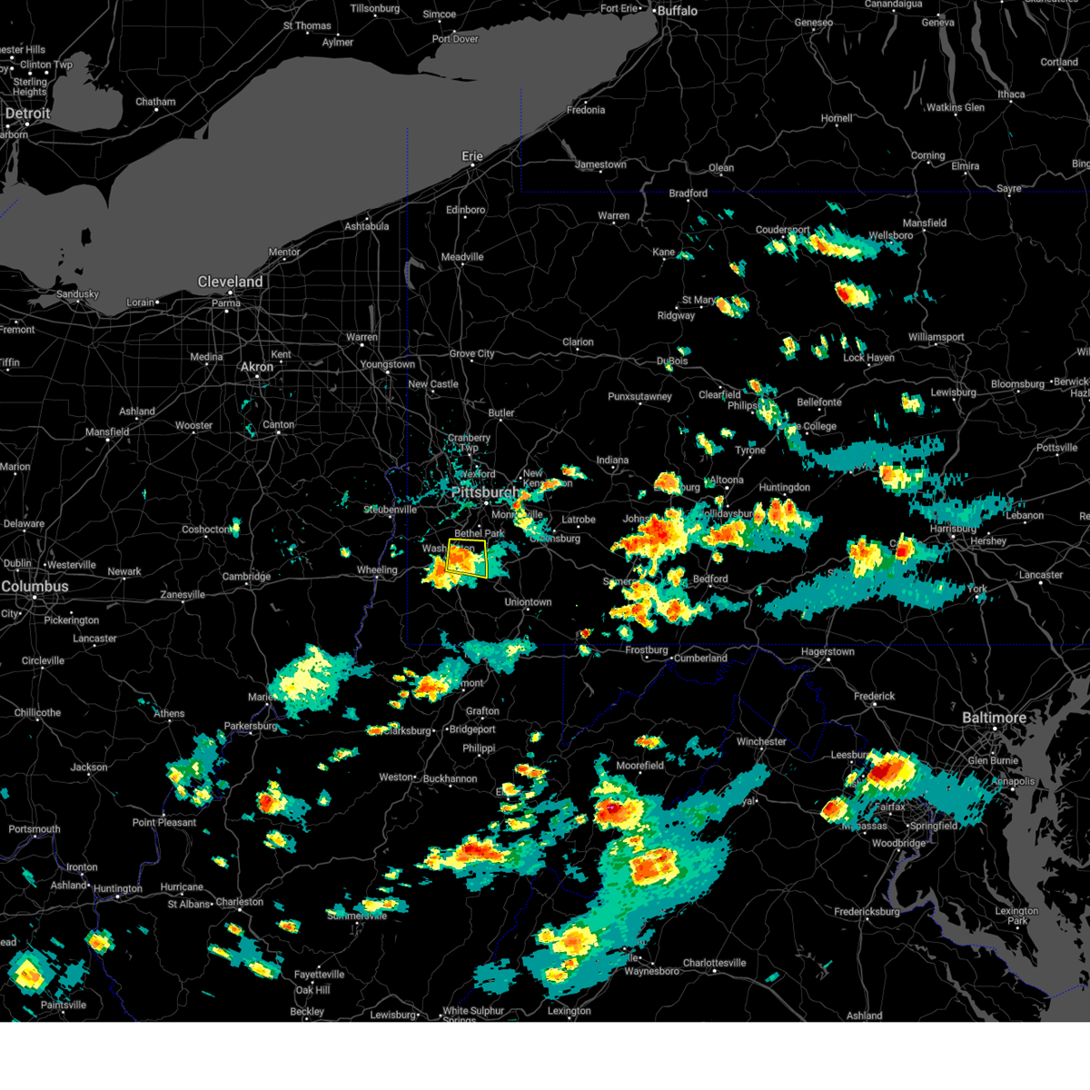
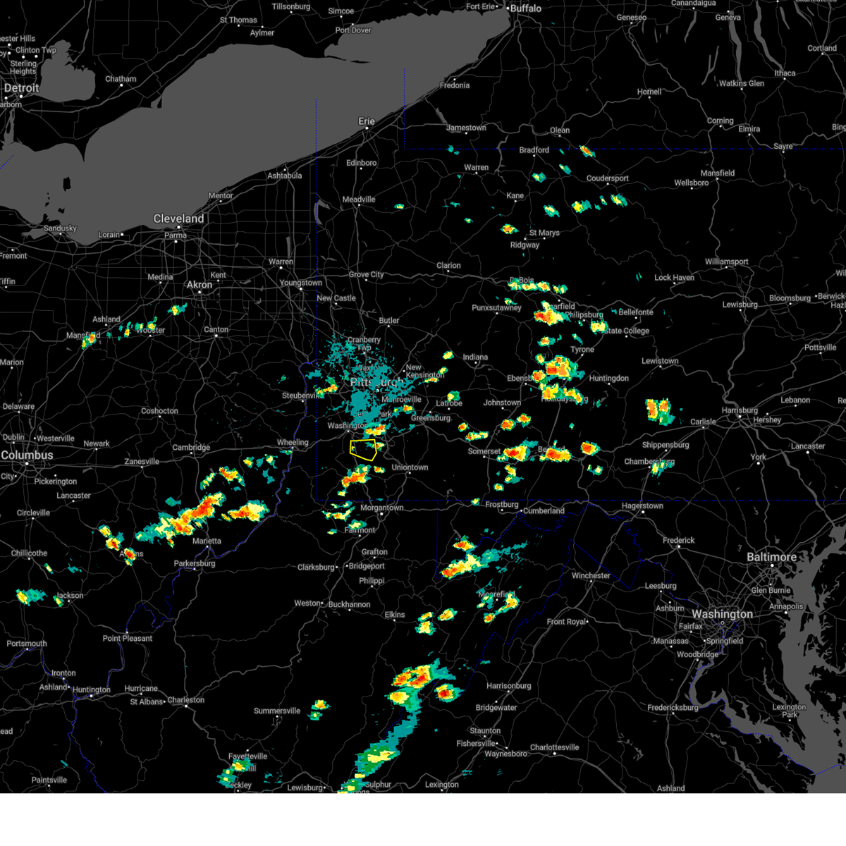
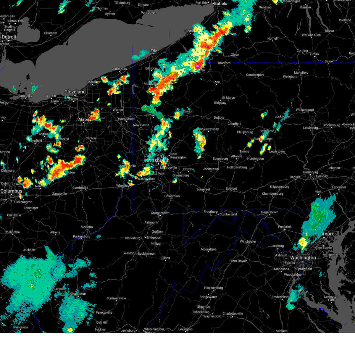
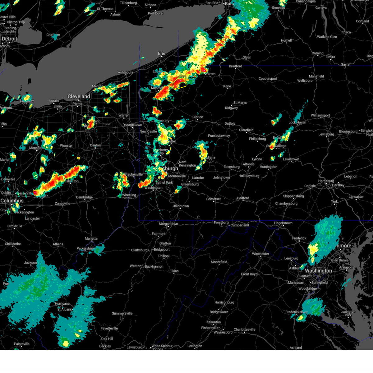
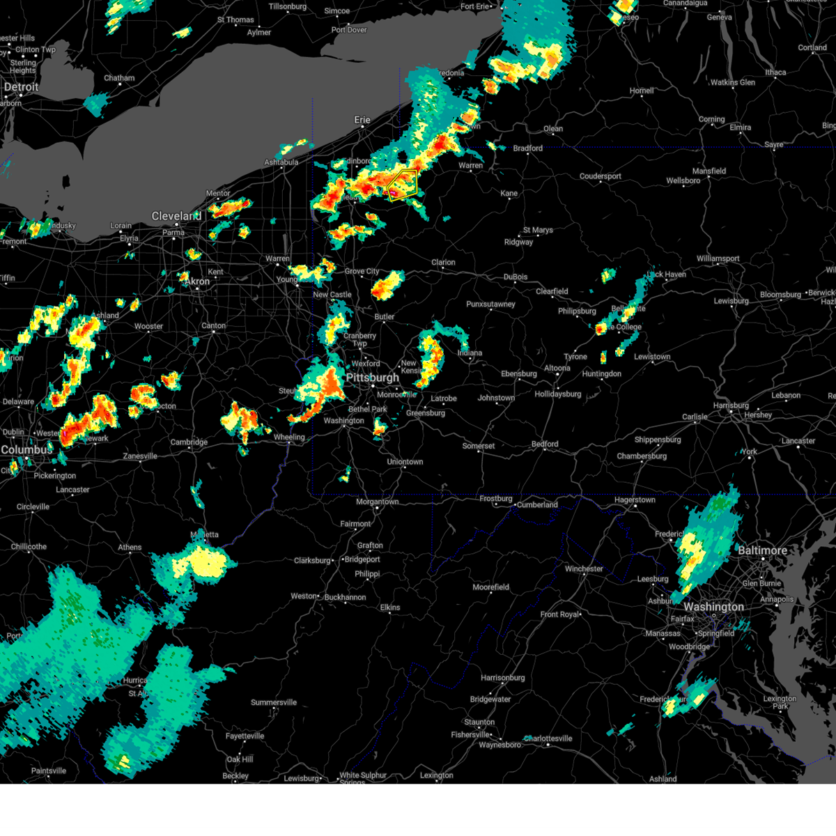
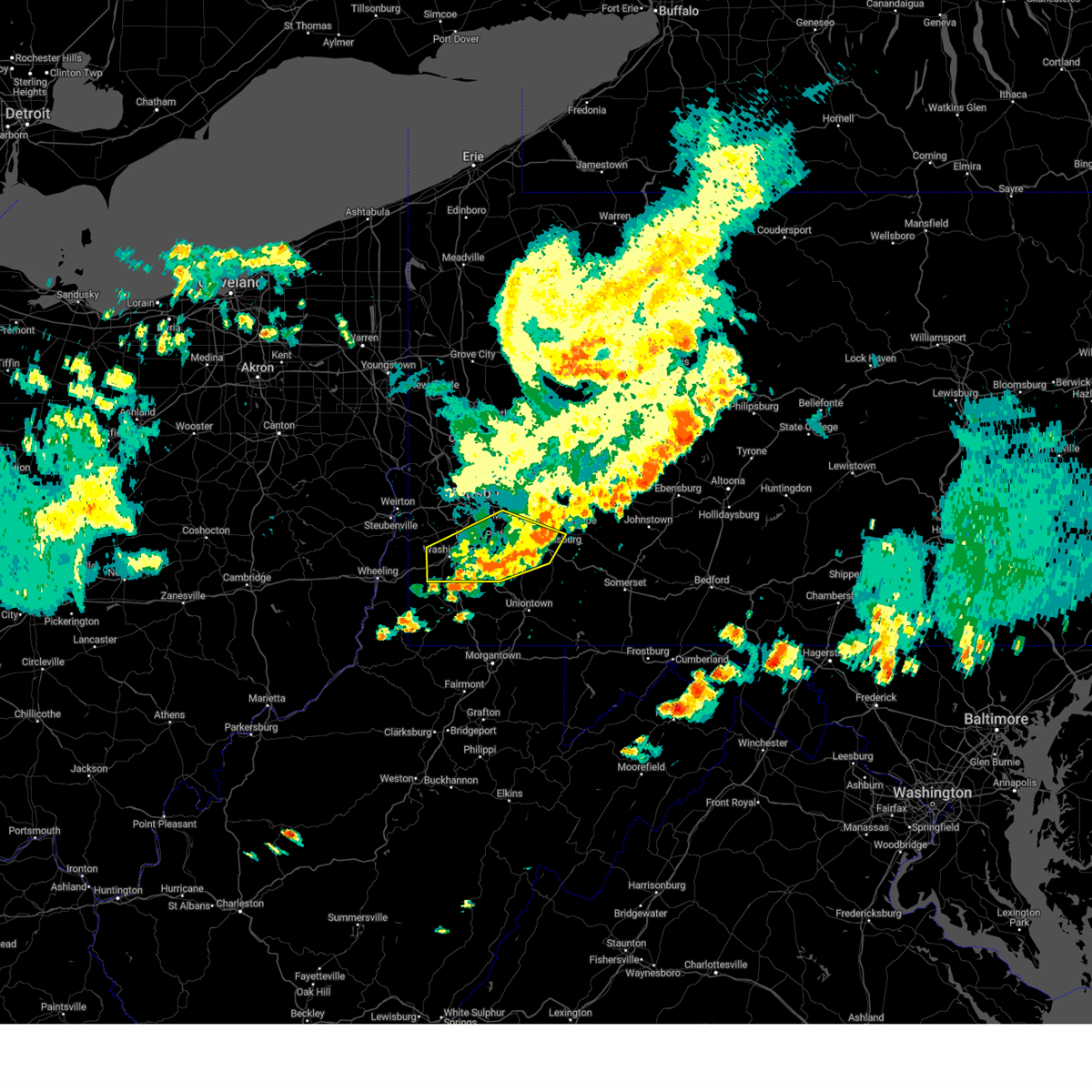
Hail Map for Centerville, PA
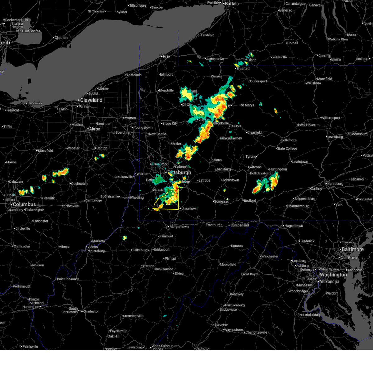
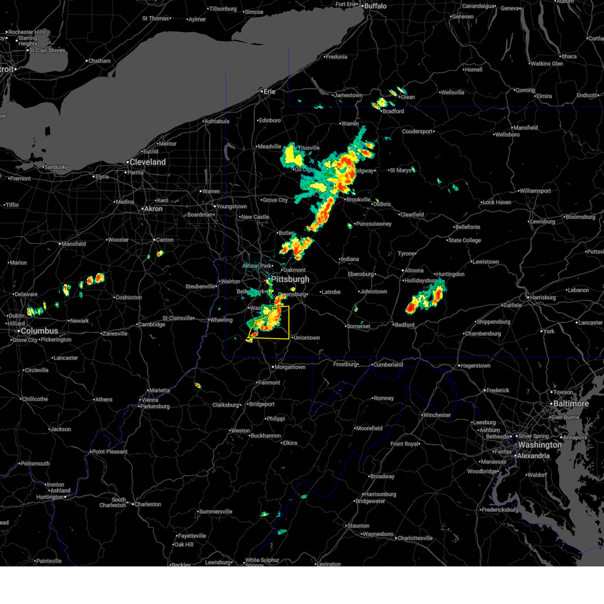
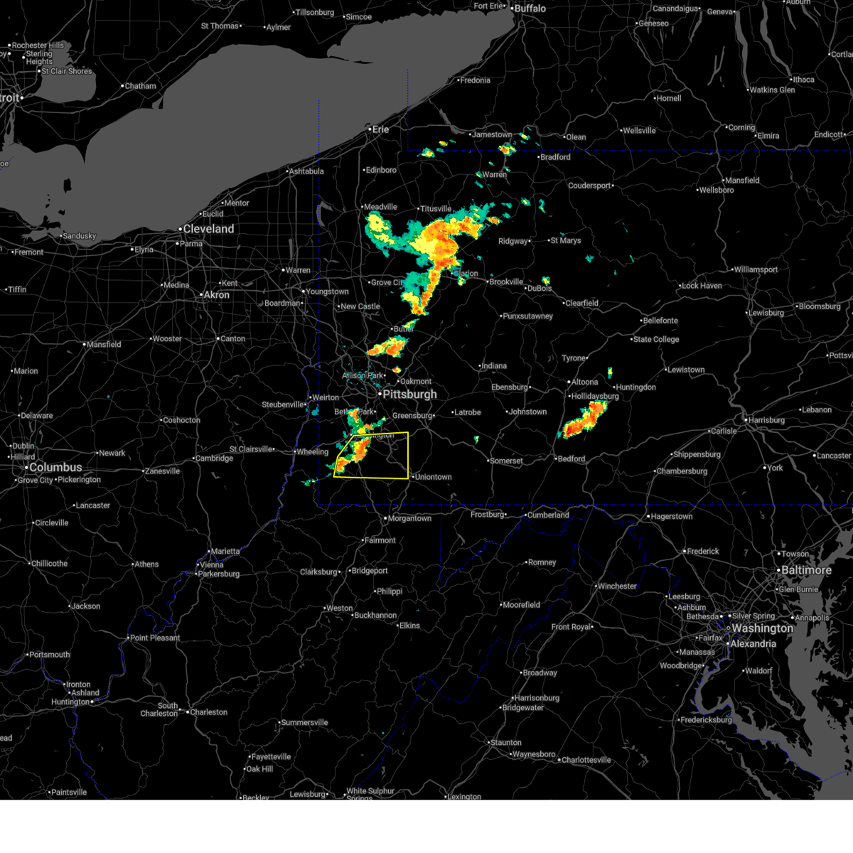
The Centerville, PA area has had 0 reports of on-the-ground hail by trained spotters, and has been under severe weather warnings 114 times during the past 12 months. Doppler radar has detected hail at or near Centerville, PA on 64 occasions, including 6 occasions during the past year.
| Name: | Centerville, PA |
| Where Located: | 28 miles S of Pittsburgh, PA |
| Map: | Google Map for Centerville, PA |
| Population: | 3263 |
| Housing Units: | 1467 |
| More Info: | Search Google for Centerville, PA |
4
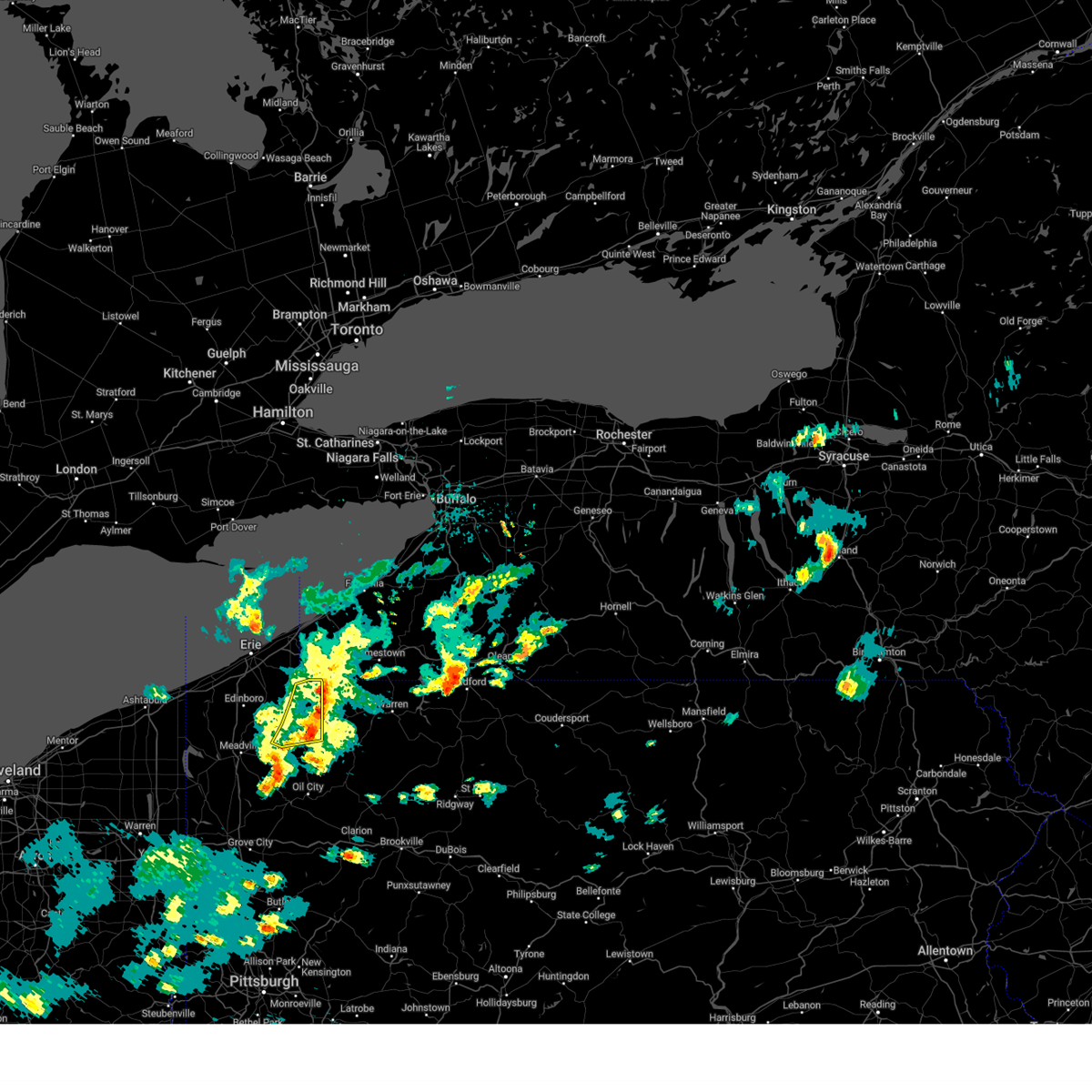
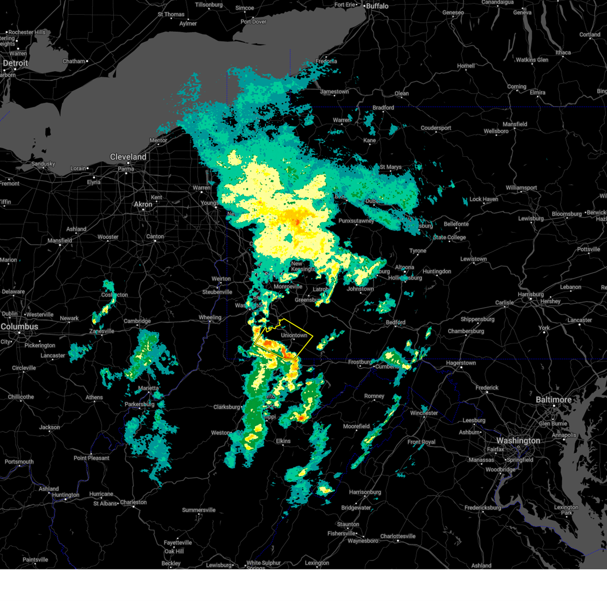
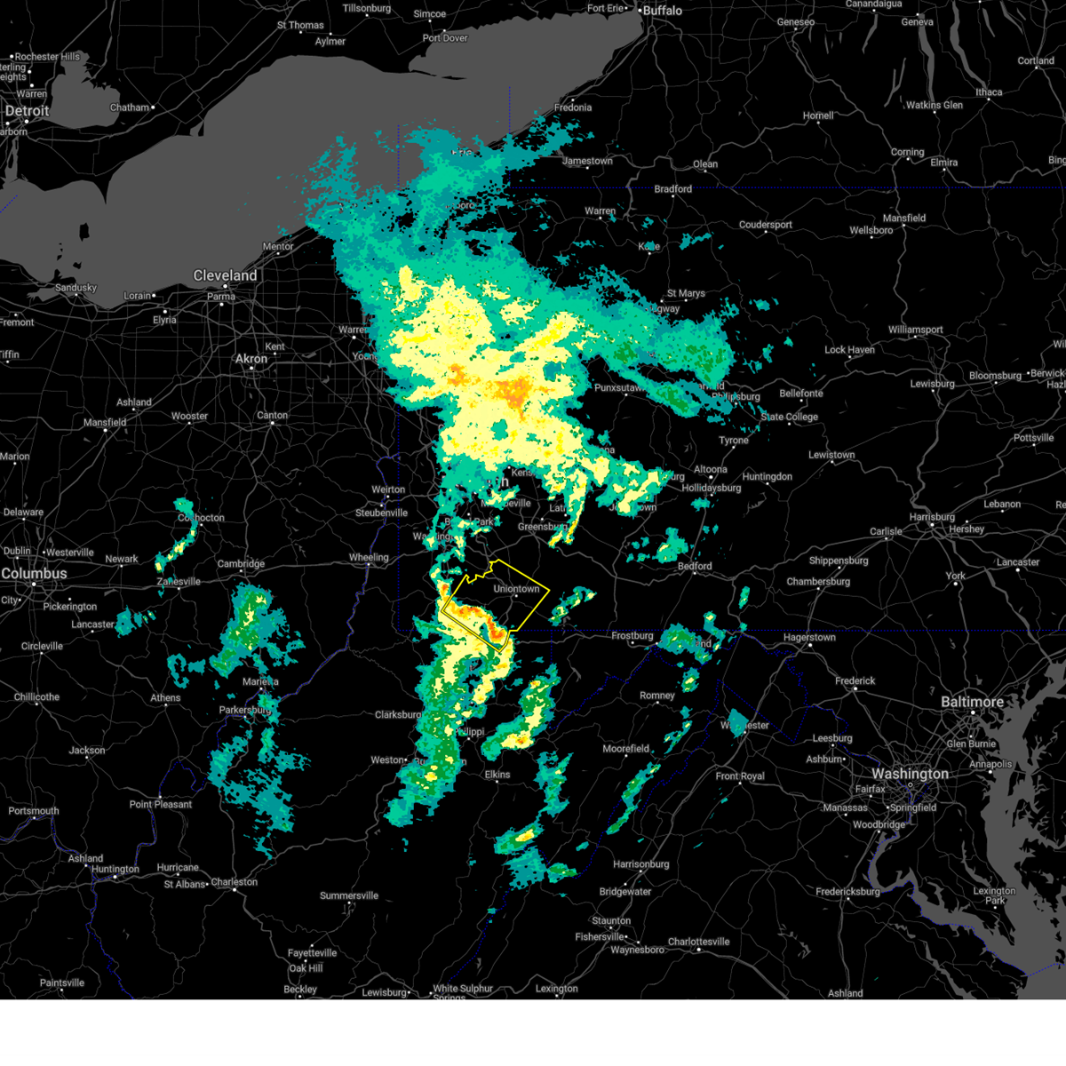
The Top Recent Hail Date for Centerville, PA is Wednesday, April 2, 2025 (2nd out of 64)
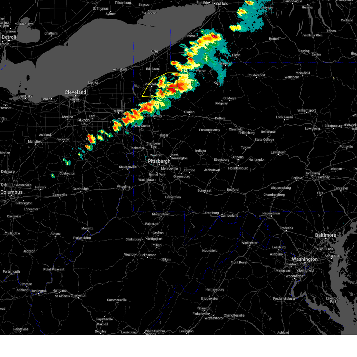
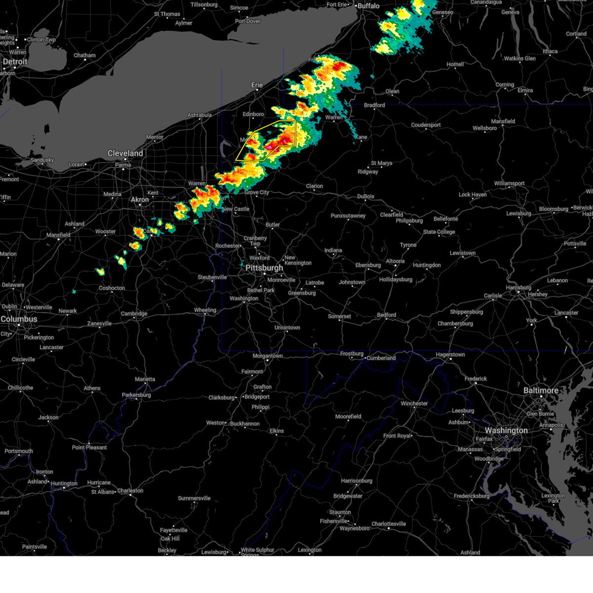
Hail and Wind Damage Spotted near Centerville, PA
| Date / Time | Report Details |
|---|---|
| 6/28/2025 12:58 PM EDT |
 The storm which prompted the warning has moved out of the area. therefore, the warning will be allowed to expire. however, gusty winds are still possible with this thunderstorm. to report severe weather, contact your nearest law enforcement agency. they will send your report to the national weather service office. a severe thunderstorm watch remains in effect until 800 pm edt saturday for a portion of southwest pennsylvania. The storm which prompted the warning has moved out of the area. therefore, the warning will be allowed to expire. however, gusty winds are still possible with this thunderstorm. to report severe weather, contact your nearest law enforcement agency. they will send your report to the national weather service office. a severe thunderstorm watch remains in effect until 800 pm edt saturday for a portion of southwest pennsylvania.
|
| 6/28/2025 12:45 PM EDT |
 At 1245 pm edt, a severe thunderstorm was located over california, or 15 miles northwest of uniontown, moving east at 25 mph (radar indicated). Hazards include 60 mph wind gusts. Expect damage to roofs, siding, and trees. Locations impacted include, waynesburg, monessen, california, donora, monongahela, charleroi, bentleyville, brownsville, fredericktown-millsboro, perryopolis, fairdale, jefferson boro, north belle vernon, wickerham manor-fisher, baidland, north charleroi, speers, isabella, belle vernon and lynnwood-pricedale. At 1245 pm edt, a severe thunderstorm was located over california, or 15 miles northwest of uniontown, moving east at 25 mph (radar indicated). Hazards include 60 mph wind gusts. Expect damage to roofs, siding, and trees. Locations impacted include, waynesburg, monessen, california, donora, monongahela, charleroi, bentleyville, brownsville, fredericktown-millsboro, perryopolis, fairdale, jefferson boro, north belle vernon, wickerham manor-fisher, baidland, north charleroi, speers, isabella, belle vernon and lynnwood-pricedale.
|
| 6/28/2025 12:18 PM EDT |
 Svrpbz the national weather service in pittsburgh has issued a * severe thunderstorm warning for, northwestern fayette county in southwestern pennsylvania, northern greene county in southwestern pennsylvania, southeastern washington county in southwestern pennsylvania, southwestern westmoreland county in southwestern pennsylvania, * until 100 pm edt. * at 1218 pm edt, a severe thunderstorm was located 7 miles southwest of bentleyville, or 11 miles southeast of washington, moving east at 25 mph (radar indicated). Hazards include 60 mph wind gusts. expect damage to roofs, siding, and trees Svrpbz the national weather service in pittsburgh has issued a * severe thunderstorm warning for, northwestern fayette county in southwestern pennsylvania, northern greene county in southwestern pennsylvania, southeastern washington county in southwestern pennsylvania, southwestern westmoreland county in southwestern pennsylvania, * until 100 pm edt. * at 1218 pm edt, a severe thunderstorm was located 7 miles southwest of bentleyville, or 11 miles southeast of washington, moving east at 25 mph (radar indicated). Hazards include 60 mph wind gusts. expect damage to roofs, siding, and trees
|
| 6/27/2025 6:39 PM EDT |
 The storm which prompted the warning has weakened below severe limits, and no longer poses an immediate threat to life or property. therefore, the warning will be allowed to expire. however, gusty winds and heavy rain are still possible with this thunderstorm. The storm which prompted the warning has weakened below severe limits, and no longer poses an immediate threat to life or property. therefore, the warning will be allowed to expire. however, gusty winds and heavy rain are still possible with this thunderstorm.
|
| 6/27/2025 6:14 PM EDT |
 At 614 pm edt, a severe thunderstorm was located near perryopolis, or 13 miles west of connellsville, moving east at 20 mph (radar indicated). Hazards include 60 mph wind gusts. Expect damage to roofs, siding, and trees. Locations impacted include, connellsville, south park township, jefferson hills, monessen, clairton, california, donora, monongahela, charleroi, irwin, west newton, bentleyville, brownsville, fredericktown-millsboro, perryopolis, new eagle, north belle vernon, wickerham manor-fisher, baidland and elizabeth. At 614 pm edt, a severe thunderstorm was located near perryopolis, or 13 miles west of connellsville, moving east at 20 mph (radar indicated). Hazards include 60 mph wind gusts. Expect damage to roofs, siding, and trees. Locations impacted include, connellsville, south park township, jefferson hills, monessen, clairton, california, donora, monongahela, charleroi, irwin, west newton, bentleyville, brownsville, fredericktown-millsboro, perryopolis, new eagle, north belle vernon, wickerham manor-fisher, baidland and elizabeth.
|
| 6/27/2025 6:04 PM EDT |
 At 604 pm edt, a severe thunderstorm was located over california, or 14 miles southeast of gastonville, moving east at 20 mph (radar indicated). Hazards include 60 mph wind gusts. Expect damage to roofs, siding, and trees. Locations impacted include, connellsville, gastonville, south park township, jefferson hills, monessen, clairton, california, donora, monongahela, charleroi, irwin, west newton, bentleyville, brownsville, fredericktown-millsboro, perryopolis, new eagle, north belle vernon, wickerham manor-fisher and baidland. At 604 pm edt, a severe thunderstorm was located over california, or 14 miles southeast of gastonville, moving east at 20 mph (radar indicated). Hazards include 60 mph wind gusts. Expect damage to roofs, siding, and trees. Locations impacted include, connellsville, gastonville, south park township, jefferson hills, monessen, clairton, california, donora, monongahela, charleroi, irwin, west newton, bentleyville, brownsville, fredericktown-millsboro, perryopolis, new eagle, north belle vernon, wickerham manor-fisher and baidland.
|
| 6/27/2025 5:54 PM EDT |
 Svrpbz the national weather service in pittsburgh has issued a * severe thunderstorm warning for, southeastern allegheny county in southwestern pennsylvania, northwestern fayette county in southwestern pennsylvania, southeastern washington county in southwestern pennsylvania, southwestern westmoreland county in southwestern pennsylvania, * until 645 pm edt. * at 554 pm edt, a severe thunderstorm was located near bentleyville, or 14 miles south of gastonville, moving east at 20 mph (radar indicated). Hazards include 60 mph wind gusts. expect damage to roofs, siding, and trees Svrpbz the national weather service in pittsburgh has issued a * severe thunderstorm warning for, southeastern allegheny county in southwestern pennsylvania, northwestern fayette county in southwestern pennsylvania, southeastern washington county in southwestern pennsylvania, southwestern westmoreland county in southwestern pennsylvania, * until 645 pm edt. * at 554 pm edt, a severe thunderstorm was located near bentleyville, or 14 miles south of gastonville, moving east at 20 mph (radar indicated). Hazards include 60 mph wind gusts. expect damage to roofs, siding, and trees
|
| 6/25/2025 5:36 PM EDT |
 The storm which prompted the warning has weakened below severe limits, and no longer poses an immediate threat to life or property. therefore, the warning will be allowed to expire. however, gusty winds and heavy rain are still possible with this thunderstorm. The storm which prompted the warning has weakened below severe limits, and no longer poses an immediate threat to life or property. therefore, the warning will be allowed to expire. however, gusty winds and heavy rain are still possible with this thunderstorm.
|
| 6/25/2025 5:29 PM EDT |
 the severe thunderstorm warning has been cancelled and is no longer in effect the severe thunderstorm warning has been cancelled and is no longer in effect
|
| 6/25/2025 5:29 PM EDT |
 At 529 pm edt, a severe thunderstorm was located near monessen, or 15 miles southeast of gastonville, moving south at 10 mph (radar indicated). Hazards include 60 mph wind gusts. Expect damage to roofs, siding, and trees. Locations impacted include, california, brownsville, perryopolis, north belle vernon, speers, belle vernon, lynnwood-pricedale, west brownsville, roscoe, fayette city, newell, allenport, stockdale, long branch, dunlevy, elco, grindstone, twilight, centerville and coal center. At 529 pm edt, a severe thunderstorm was located near monessen, or 15 miles southeast of gastonville, moving south at 10 mph (radar indicated). Hazards include 60 mph wind gusts. Expect damage to roofs, siding, and trees. Locations impacted include, california, brownsville, perryopolis, north belle vernon, speers, belle vernon, lynnwood-pricedale, west brownsville, roscoe, fayette city, newell, allenport, stockdale, long branch, dunlevy, elco, grindstone, twilight, centerville and coal center.
|
| 6/25/2025 5:07 PM EDT |
 At 507 pm edt, a severe thunderstorm was located over monessen, or 12 miles southeast of gastonville, moving south at 10 mph (radar indicated). Hazards include 60 mph wind gusts and small hail. Expect damage to roofs, siding, and trees. Locations impacted include, monessen, california, donora, monongahela, charleroi, west newton, brownsville, perryopolis, north belle vernon, wickerham manor-fisher, baidland, north charleroi, speers, belle vernon, lynnwood-pricedale, west brownsville, roscoe, fayette city, newell and allenport. At 507 pm edt, a severe thunderstorm was located over monessen, or 12 miles southeast of gastonville, moving south at 10 mph (radar indicated). Hazards include 60 mph wind gusts and small hail. Expect damage to roofs, siding, and trees. Locations impacted include, monessen, california, donora, monongahela, charleroi, west newton, brownsville, perryopolis, north belle vernon, wickerham manor-fisher, baidland, north charleroi, speers, belle vernon, lynnwood-pricedale, west brownsville, roscoe, fayette city, newell and allenport.
|
| 6/25/2025 4:56 PM EDT | Svrpbz the national weather service in pittsburgh has issued a * severe thunderstorm warning for, northwestern fayette county in southwestern pennsylvania, southeastern washington county in southwestern pennsylvania, southwestern westmoreland county in southwestern pennsylvania, * until 545 pm edt. * at 456 pm edt, a severe thunderstorm was located over monessen, or 11 miles southeast of gastonville, moving south at 10 mph (radar indicated). Hazards include 60 mph wind gusts. expect damage to roofs, siding, and trees |
| 6/18/2025 11:47 PM EDT |
 The storms which prompted the warning have weakened below severe limits, and no longer pose an immediate threat to life or property. therefore, the warning has been allowed to expire. a severe thunderstorm watch remains in effect until 300 am edt for northwestern pennsylvania. The storms which prompted the warning have weakened below severe limits, and no longer pose an immediate threat to life or property. therefore, the warning has been allowed to expire. a severe thunderstorm watch remains in effect until 300 am edt for northwestern pennsylvania.
|
| 6/18/2025 11:23 PM EDT |
 At 1123 pm edt, severe thunderstorms were located along a line extending from near cambridge springs to sugarcreek, moving east at 45 mph (radar indicated). Hazards include 60 mph wind gusts. Expect damage to trees and power lines. Locations impacted include, titusville, riceville, canadohta lake, lincolnville, hydetown, townville, and spartansburg. At 1123 pm edt, severe thunderstorms were located along a line extending from near cambridge springs to sugarcreek, moving east at 45 mph (radar indicated). Hazards include 60 mph wind gusts. Expect damage to trees and power lines. Locations impacted include, titusville, riceville, canadohta lake, lincolnville, hydetown, townville, and spartansburg.
|
| 6/18/2025 11:23 PM EDT |
 the severe thunderstorm warning has been cancelled and is no longer in effect the severe thunderstorm warning has been cancelled and is no longer in effect
|
| 6/18/2025 11:14 PM EDT |
 At 1114 pm edt, severe thunderstorms were located along a line extending from near edinboro to near franklin, moving east at 45 mph (radar indicated). Hazards include 60 mph wind gusts. Expect damage to trees and power lines. Locations impacted include, corry, edinboro, titusville, union city, cambridge springs, waterford, wattsburg, riceville, lincolnville, canadohta lake, guys mills, cochranton, saegertown, hydetown, mill village, blooming valley, townville, spartansburg, venango, and elgin. At 1114 pm edt, severe thunderstorms were located along a line extending from near edinboro to near franklin, moving east at 45 mph (radar indicated). Hazards include 60 mph wind gusts. Expect damage to trees and power lines. Locations impacted include, corry, edinboro, titusville, union city, cambridge springs, waterford, wattsburg, riceville, lincolnville, canadohta lake, guys mills, cochranton, saegertown, hydetown, mill village, blooming valley, townville, spartansburg, venango, and elgin.
|
| 6/18/2025 10:56 PM EDT |
 the severe thunderstorm warning has been cancelled and is no longer in effect the severe thunderstorm warning has been cancelled and is no longer in effect
|
| 6/18/2025 10:56 PM EDT |
 At 1055 pm edt, severe thunderstorms were located along a line extending from albion to 13 miles north of grove city, moving northeast at 40 mph (radar indicated). Hazards include 60 mph wind gusts. Expect damage to trees and power lines. Locations impacted include, meadville, corry, edinboro, titusville, union city, cambridge springs, waterford, albion, wattsburg, canadohta lake, riceville, harmonsburg, lincolnville, guys mills, cochranton, saegertown, conneautville, conneaut lake, cranesville, and hydetown. At 1055 pm edt, severe thunderstorms were located along a line extending from albion to 13 miles north of grove city, moving northeast at 40 mph (radar indicated). Hazards include 60 mph wind gusts. Expect damage to trees and power lines. Locations impacted include, meadville, corry, edinboro, titusville, union city, cambridge springs, waterford, albion, wattsburg, canadohta lake, riceville, harmonsburg, lincolnville, guys mills, cochranton, saegertown, conneautville, conneaut lake, cranesville, and hydetown.
|
| 6/18/2025 10:36 PM EDT |
 Svrcle the national weather service in cleveland has issued a * severe thunderstorm warning for, northeastern trumbull county in northeastern ohio, erie county in northwestern pennsylvania, crawford county in northwestern pennsylvania, * until 1145 pm edt. * at 1036 pm edt, severe thunderstorms were located along a line extending from near north kingsville to near greenville, moving east at 45 mph (radar indicated). Hazards include 60 mph wind gusts and quarter size hail. Minor damage to vehicles is possible. Expect damage to trees and power lines. Svrcle the national weather service in cleveland has issued a * severe thunderstorm warning for, northeastern trumbull county in northeastern ohio, erie county in northwestern pennsylvania, crawford county in northwestern pennsylvania, * until 1145 pm edt. * at 1036 pm edt, severe thunderstorms were located along a line extending from near north kingsville to near greenville, moving east at 45 mph (radar indicated). Hazards include 60 mph wind gusts and quarter size hail. Minor damage to vehicles is possible. Expect damage to trees and power lines.
|
| 6/9/2025 3:45 PM EDT | County public safety scanner reported a tree down on wires on lake road. time estimated via rada in crawford county PA, 5.7 miles SE of Centerville, PA |
| 6/9/2025 3:30 PM EDT | Svrcle the national weather service in cleveland has issued a * severe thunderstorm warning for, southeastern erie county in northwestern pennsylvania, northeastern crawford county in northwestern pennsylvania, * until 430 pm edt. * at 330 pm edt, a severe thunderstorm was located near cambridge springs, or 12 miles northeast of meadville, moving northeast at 30 mph (radar indicated). Hazards include 60 mph wind gusts and penny size hail. expect damage to trees and power lines |
| 5/17/2025 1:30 AM EDT |
 the severe thunderstorm warning has been cancelled and is no longer in effect the severe thunderstorm warning has been cancelled and is no longer in effect
|
| 5/17/2025 1:30 AM EDT |
 At 130 am edt, a severe thunderstorm was located 5 miles southwest of uniontown, moving east at 50 mph (radar indicated). Hazards include 60 mph wind gusts and small hail. Expect damage to roofs, siding, and trees. Locations impacted include, uniontown, connellsville, masontown, brownsville, south connellsville, farmington, point marion, fairchance, isabella, dunbar, smithfield, republic, nemacolin, vanderbilt, new salem, grindstone, greensboro, centerville, brandonville and chalkhill. At 130 am edt, a severe thunderstorm was located 5 miles southwest of uniontown, moving east at 50 mph (radar indicated). Hazards include 60 mph wind gusts and small hail. Expect damage to roofs, siding, and trees. Locations impacted include, uniontown, connellsville, masontown, brownsville, south connellsville, farmington, point marion, fairchance, isabella, dunbar, smithfield, republic, nemacolin, vanderbilt, new salem, grindstone, greensboro, centerville, brandonville and chalkhill.
|
| 5/17/2025 1:17 AM EDT |
 At 117 am edt, a severe thunderstorm was located near masontown, or 10 miles north of star city, moving east at 50 mph (radar indicated). Hazards include 60 mph wind gusts and small hail. Expect damage to roofs, siding, and trees. Locations impacted include, morgantown, uniontown, connellsville, waynesburg, masontown, brownsville, fredericktown-millsboro, south connellsville, farmington, fairdale, jefferson boro, point marion, fairchance, isabella, dunbar, rogersville, smithfield, deemston, nemacolin and republic. At 117 am edt, a severe thunderstorm was located near masontown, or 10 miles north of star city, moving east at 50 mph (radar indicated). Hazards include 60 mph wind gusts and small hail. Expect damage to roofs, siding, and trees. Locations impacted include, morgantown, uniontown, connellsville, waynesburg, masontown, brownsville, fredericktown-millsboro, south connellsville, farmington, fairdale, jefferson boro, point marion, fairchance, isabella, dunbar, rogersville, smithfield, deemston, nemacolin and republic.
|
| 5/17/2025 1:07 AM EDT | Svrpbz the national weather service in pittsburgh has issued a * severe thunderstorm warning for, fayette county in southwestern pennsylvania, greene county in southwestern pennsylvania, northeastern preston county in northeastern west virginia, northeastern monongalia county in northern west virginia, * until 200 am edt. * at 107 am edt, a severe thunderstorm was located 8 miles north of cassville, or 9 miles southeast of waynesburg, moving east at 50 mph (radar indicated). Hazards include 60 mph wind gusts and small hail. expect damage to roofs, siding, and trees |
| 5/16/2025 7:50 PM EDT |
 The storm which prompted the warning has moved out of the area. therefore, the warning will be allowed to expire. The storm which prompted the warning has moved out of the area. therefore, the warning will be allowed to expire.
|
| 5/16/2025 7:36 PM EDT |
 At 736 pm edt, a severe thunderstorm was located near titusville, or 17 miles north of oil city, moving east at 25 mph (radar indicated). Hazards include 60 mph wind gusts and quarter size hail. Minor damage to vehicles is possible. expect damage to trees and power lines. Locations impacted include, titusville and hydetown. At 736 pm edt, a severe thunderstorm was located near titusville, or 17 miles north of oil city, moving east at 25 mph (radar indicated). Hazards include 60 mph wind gusts and quarter size hail. Minor damage to vehicles is possible. expect damage to trees and power lines. Locations impacted include, titusville and hydetown.
|
| 5/16/2025 7:22 PM EDT |
 At 721 pm edt, a severe thunderstorm was located 3 miles east of guys mills, or 12 miles east of meadville, moving northeast at 25 mph (radar indicated). Hazards include 60 mph wind gusts and quarter size hail. Minor damage to vehicles is possible. expect damage to trees and power lines. Locations impacted include, titusville, hydetown, townville, and spartansburg. At 721 pm edt, a severe thunderstorm was located 3 miles east of guys mills, or 12 miles east of meadville, moving northeast at 25 mph (radar indicated). Hazards include 60 mph wind gusts and quarter size hail. Minor damage to vehicles is possible. expect damage to trees and power lines. Locations impacted include, titusville, hydetown, townville, and spartansburg.
|
| 5/16/2025 7:08 PM EDT | Svrcle the national weather service in cleveland has issued a * severe thunderstorm warning for, eastern crawford county in northwestern pennsylvania, * until 800 pm edt. * at 708 pm edt, a severe thunderstorm was located near guys mills, or 4 miles east of meadville, moving east at 30 mph (radar indicated). Hazards include 60 mph wind gusts and quarter size hail. Minor damage to vehicles is possible. Expect damage to trees and power lines. |
| 5/5/2025 4:51 PM EDT | the severe thunderstorm warning has been cancelled and is no longer in effect |
| 5/5/2025 4:50 PM EDT | At 450 pm edt, a severe thunderstorm was located over california, or 15 miles south of gastonville, moving northwest at 30 mph (radar indicated). Hazards include quarter size hail. Damage to vehicles is expected. Locations impacted include, monessen, california, donora, charleroi, bentleyville, brownsville, fredericktown-millsboro, north belle vernon, wickerham manor-fisher, north charleroi, speers, belle vernon, ellsworth, lynnwood-pricedale, west brownsville, roscoe, deemston, fayette city, newell and allenport. |
| 5/5/2025 4:42 PM EDT |
 At 442 pm edt, a severe thunderstorm was located over brownsville, or 14 miles northwest of uniontown, moving northwest at 30 mph (radar indicated). Hazards include half dollar size hail. Damage to vehicles is expected. Locations impacted include, monessen, california, donora, charleroi, bentleyville, brownsville, fredericktown-millsboro, north belle vernon, wickerham manor-fisher, north charleroi, speers, isabella, belle vernon, ellsworth, lynnwood-pricedale, west brownsville, roscoe, deemston, fayette city and newell. At 442 pm edt, a severe thunderstorm was located over brownsville, or 14 miles northwest of uniontown, moving northwest at 30 mph (radar indicated). Hazards include half dollar size hail. Damage to vehicles is expected. Locations impacted include, monessen, california, donora, charleroi, bentleyville, brownsville, fredericktown-millsboro, north belle vernon, wickerham manor-fisher, north charleroi, speers, isabella, belle vernon, ellsworth, lynnwood-pricedale, west brownsville, roscoe, deemston, fayette city and newell.
|
| 5/5/2025 4:34 PM EDT |
 Svrpbz the national weather service in pittsburgh has issued a * severe thunderstorm warning for, northwestern fayette county in southwestern pennsylvania, southeastern washington county in southwestern pennsylvania, western westmoreland county in southwestern pennsylvania, * until 500 pm edt. * at 434 pm edt, a severe thunderstorm was located near brownsville, or 10 miles northwest of uniontown, moving northwest at 30 mph (radar indicated). Hazards include half dollar size hail. damage to vehicles is expected Svrpbz the national weather service in pittsburgh has issued a * severe thunderstorm warning for, northwestern fayette county in southwestern pennsylvania, southeastern washington county in southwestern pennsylvania, western westmoreland county in southwestern pennsylvania, * until 500 pm edt. * at 434 pm edt, a severe thunderstorm was located near brownsville, or 10 miles northwest of uniontown, moving northwest at 30 mph (radar indicated). Hazards include half dollar size hail. damage to vehicles is expected
|
| 5/5/2025 4:25 PM EDT |
 Svrpbz the national weather service in pittsburgh has issued a * severe thunderstorm warning for, central washington county in southwestern pennsylvania, * until 515 pm edt. * at 425 pm edt, a severe thunderstorm was located 6 miles southwest of bentleyville, or 11 miles southeast of washington, moving northwest at 20 mph (radar indicated). Hazards include 60 mph wind gusts and quarter size hail. Hail damage to vehicles is expected. Expect wind damage to roofs, siding, and trees. Svrpbz the national weather service in pittsburgh has issued a * severe thunderstorm warning for, central washington county in southwestern pennsylvania, * until 515 pm edt. * at 425 pm edt, a severe thunderstorm was located 6 miles southwest of bentleyville, or 11 miles southeast of washington, moving northwest at 20 mph (radar indicated). Hazards include 60 mph wind gusts and quarter size hail. Hail damage to vehicles is expected. Expect wind damage to roofs, siding, and trees.
|
| 5/2/2025 4:44 PM EDT |
 The storms which prompted the warning are moving out of the area. therefore, the warning will be allowed to expire. a severe thunderstorm watch remains in effect until 700 pm edt for northwestern pennsylvania. The storms which prompted the warning are moving out of the area. therefore, the warning will be allowed to expire. a severe thunderstorm watch remains in effect until 700 pm edt for northwestern pennsylvania.
|
| 5/2/2025 4:31 PM EDT | At 431 pm edt, severe thunderstorms were located along a line extending from near union city to canadohta lake to near lincolnville, moving east at 55 mph (radar indicated). Hazards include quarter size hail. Minor damage to vehicles is possible. Locations impacted include, corry, riceville, canadohta lake, lincolnville, townville, spartansburg, and elgin. |
| 5/2/2025 4:18 PM EDT | At 418 pm edt, severe thunderstorms were located along a line extending from near cambridge springs to near meadville, moving east at 45 mph (radar indicated). Hazards include quarter size hail. Minor damage to vehicles is possible. Locations impacted include, corry, union city, waterford, riceville, lincolnville, canadohta lake, guys mills, hydetown, mill village, blooming valley, townville, spartansburg, and elgin. |
| 5/2/2025 4:07 PM EDT | Svrcle the national weather service in cleveland has issued a * severe thunderstorm warning for, southeastern erie county in northwestern pennsylvania, northeastern crawford county in northwestern pennsylvania, * until 445 pm edt. * at 407 pm edt, severe thunderstorms were located along a line extending from near cambridge springs to near meadville, moving east at 45 mph (radar indicated). Hazards include quarter size hail. minor damage to vehicles is possible |
| 5/1/2025 4:08 PM EDT |
 The storm which prompted the warning has moved out of the area. therefore, the warning will be allowed to expire. a severe thunderstorm watch remains in effect until 700 pm edt for northwestern pennsylvania. The storm which prompted the warning has moved out of the area. therefore, the warning will be allowed to expire. a severe thunderstorm watch remains in effect until 700 pm edt for northwestern pennsylvania.
|
| 5/1/2025 3:50 PM EDT | Crawford county pa ema reports trees and wires down in athens and sparta townships. time estimated via rada in crawford county PA, 2.6 miles SSE of Centerville, PA |
| 5/1/2025 3:47 PM EDT |
 At 347 pm edt, a severe thunderstorm was located over riceville, or 17 miles northeast of meadville, moving northeast at 45 mph (radar indicated). Hazards include 60 mph wind gusts and quarter size hail. Minor damage to vehicles is possible. expect damage to trees and power lines. Locations impacted include, corry, union city, cambridge springs, waterford, wattsburg, riceville, lincolnville, canadohta lake, mill village, townville, spartansburg, venango, elgin, and woodcock. At 347 pm edt, a severe thunderstorm was located over riceville, or 17 miles northeast of meadville, moving northeast at 45 mph (radar indicated). Hazards include 60 mph wind gusts and quarter size hail. Minor damage to vehicles is possible. expect damage to trees and power lines. Locations impacted include, corry, union city, cambridge springs, waterford, wattsburg, riceville, lincolnville, canadohta lake, mill village, townville, spartansburg, venango, elgin, and woodcock.
|
| 5/1/2025 3:27 PM EDT |
 Svrcle the national weather service in cleveland has issued a * severe thunderstorm warning for, southeastern erie county in northwestern pennsylvania, central crawford county in northwestern pennsylvania, * until 415 pm edt. * at 327 pm edt, a severe thunderstorm was located over guys mills, or 7 miles east of meadville, moving northeast at 40 mph (radar indicated). Hazards include 60 mph wind gusts and quarter size hail. Minor damage to vehicles is possible. Expect damage to trees and power lines. Svrcle the national weather service in cleveland has issued a * severe thunderstorm warning for, southeastern erie county in northwestern pennsylvania, central crawford county in northwestern pennsylvania, * until 415 pm edt. * at 327 pm edt, a severe thunderstorm was located over guys mills, or 7 miles east of meadville, moving northeast at 40 mph (radar indicated). Hazards include 60 mph wind gusts and quarter size hail. Minor damage to vehicles is possible. Expect damage to trees and power lines.
|
| 4/29/2025 5:29 PM EDT | The storms which prompted the warning have moved out of the area. therefore, the warning will be allowed to expire. however, gusty winds are still possible with these thunderstorms. a severe thunderstorm watch remains in effect until 700 pm edt for northern west virginia. a severe thunderstorm watch also remains in effect until 1000 pm edt for southwestern pennsylvania, and northern west virginia. remember, a severe thunderstorm warning still remains in effect for fayette and westmoreland counties. |
| 4/29/2025 5:24 PM EDT | Svrpbz the national weather service in pittsburgh has issued a * severe thunderstorm warning for, southeastern washington county in southwestern pennsylvania, southern allegheny county in southwestern pennsylvania, southern westmoreland county in southwestern pennsylvania, eastern greene county in southwestern pennsylvania, fayette county in southwestern pennsylvania, * until 630 pm edt. * at 524 pm edt, severe thunderstorms were located along a line extending from near donora to 7 miles east of hundred, moving east at 65 mph (radar indicated). Hazards include 70 mph wind gusts. Trees snapped and uprooted. Power outages can be expected. |
| 4/29/2025 5:12 PM EDT | At 511 pm edt, severe thunderstorms were located along a line extending from near east washington to 6 miles southeast of cameron, moving east at 55 mph (radar indicated). Hazards include 70 mph wind gusts. Trees snapped and uprooted. power outages can be expected. Locations impacted include, washington, uniontown, waynesburg, monessen, california, donora, mount pleasant, scottdale, monongahela, charleroi, masontown, youngwood, west newton, bentleyville, brownsville, east washington, new stanton, fredericktown-millsboro, perryopolis, and fairdale. |
| 4/29/2025 5:12 PM EDT | the severe thunderstorm warning has been cancelled and is no longer in effect |
| 4/29/2025 4:50 PM EDT |
 Svrpbz the national weather service in pittsburgh has issued a * severe thunderstorm warning for, southern washington county in southwestern pennsylvania, southwestern westmoreland county in southwestern pennsylvania, greene county in southwestern pennsylvania, western fayette county in southwestern pennsylvania, ohio county in northern west virginia, marshall county in northern west virginia, * until 530 pm edt. * at 450 pm edt, severe thunderstorms were located along a line extending from near west liberty to 6 miles south of powhatan point, moving east at 55 mph (radar indicated). Hazards include 70 mph wind gusts. Trees snapped and uprooted. Power outages can be expected. Svrpbz the national weather service in pittsburgh has issued a * severe thunderstorm warning for, southern washington county in southwestern pennsylvania, southwestern westmoreland county in southwestern pennsylvania, greene county in southwestern pennsylvania, western fayette county in southwestern pennsylvania, ohio county in northern west virginia, marshall county in northern west virginia, * until 530 pm edt. * at 450 pm edt, severe thunderstorms were located along a line extending from near west liberty to 6 miles south of powhatan point, moving east at 55 mph (radar indicated). Hazards include 70 mph wind gusts. Trees snapped and uprooted. Power outages can be expected.
|
| 4/21/2025 6:12 PM EDT |
 the severe thunderstorm warning has been cancelled and is no longer in effect the severe thunderstorm warning has been cancelled and is no longer in effect
|
| 4/21/2025 5:46 PM EDT |
 At 544 pm edt, a severe thunderstorm was located over canadohta lake, or 22 miles northeast of meadville, moving northeast at 50 mph (radar indicated). Hazards include 60 mph wind gusts and penny size hail. Expect damage to trees and power lines. Locations impacted include, corry, titusville, union city, riceville, lincolnville, canadohta lake, guys mills, hydetown, mill village, blooming valley, townville, spartansburg, and elgin. At 544 pm edt, a severe thunderstorm was located over canadohta lake, or 22 miles northeast of meadville, moving northeast at 50 mph (radar indicated). Hazards include 60 mph wind gusts and penny size hail. Expect damage to trees and power lines. Locations impacted include, corry, titusville, union city, riceville, lincolnville, canadohta lake, guys mills, hydetown, mill village, blooming valley, townville, spartansburg, and elgin.
|
| 4/21/2025 5:46 PM EDT |
 At 545 pm edt, a severe thunderstorm was located near union city, or 22 miles northeast of meadville, moving northeast at 50 mph (radar indicated). Hazards include 60 mph wind gusts and penny size hail. Expect damage to trees and power lines. Locations impacted include, corry, titusville, union city, riceville, lincolnville, canadohta lake, guys mills, hydetown, mill village, blooming valley, townville, spartansburg, and elgin. At 545 pm edt, a severe thunderstorm was located near union city, or 22 miles northeast of meadville, moving northeast at 50 mph (radar indicated). Hazards include 60 mph wind gusts and penny size hail. Expect damage to trees and power lines. Locations impacted include, corry, titusville, union city, riceville, lincolnville, canadohta lake, guys mills, hydetown, mill village, blooming valley, townville, spartansburg, and elgin.
|
| 4/21/2025 5:28 PM EDT |
 Svrcle the national weather service in cleveland has issued a * severe thunderstorm warning for, southeastern erie county in northwestern pennsylvania, crawford county in northwestern pennsylvania, * until 630 pm edt. * at 528 pm edt, a severe thunderstorm was located near meadville, moving east at 50 mph (radar indicated). Hazards include 60 mph wind gusts and penny size hail. expect damage to trees and power lines Svrcle the national weather service in cleveland has issued a * severe thunderstorm warning for, southeastern erie county in northwestern pennsylvania, crawford county in northwestern pennsylvania, * until 630 pm edt. * at 528 pm edt, a severe thunderstorm was located near meadville, moving east at 50 mph (radar indicated). Hazards include 60 mph wind gusts and penny size hail. expect damage to trees and power lines
|
| 4/3/2025 5:02 AM EDT |
 At 502 am edt, severe thunderstorms were located along a line from over jeannette to 7 miles north of fairview, or along a line from over jeannette to 12 miles north of mannington, moving east at 60 mph (radar indicated). Hazards include 60 mph wind gusts. Expect damage to roofs, siding, and trees. Locations impacted include, morgantown, fairmont, uniontown, connellsville, westover, kingwood, mannington, star city, terra alta, rowlesburg, california, mount pleasant, scottdale, masontown, pleasant valley, youngwood, brownsville, winfield, new stanton and south connellsville. At 502 am edt, severe thunderstorms were located along a line from over jeannette to 7 miles north of fairview, or along a line from over jeannette to 12 miles north of mannington, moving east at 60 mph (radar indicated). Hazards include 60 mph wind gusts. Expect damage to roofs, siding, and trees. Locations impacted include, morgantown, fairmont, uniontown, connellsville, westover, kingwood, mannington, star city, terra alta, rowlesburg, california, mount pleasant, scottdale, masontown, pleasant valley, youngwood, brownsville, winfield, new stanton and south connellsville.
|
| 4/3/2025 5:02 AM EDT |
 the severe thunderstorm warning has been cancelled and is no longer in effect the severe thunderstorm warning has been cancelled and is no longer in effect
|
| 4/3/2025 4:53 AM EDT | the severe thunderstorm warning has been cancelled and is no longer in effect |
| 4/3/2025 4:53 AM EDT | At 453 am edt, severe thunderstorms were located along a line from over white oak to near hundred, or along a line from near mckeesport to 10 miles northwest of mannington, moving east at 60 mph (radar indicated). Hazards include 60 mph wind gusts. Expect damage to roofs, siding, and trees. Locations impacted include, morgantown, fairmont, uniontown, connellsville, waynesburg, westover, kingwood, mannington, star city, terra alta, rowlesburg, monessen, california, donora, mount pleasant, scottdale, charleroi, masontown, pleasant valley and youngwood. |
| 4/3/2025 4:44 AM EDT | At 444 am edt, severe thunderstorms were located along a line from over jefferson hills to 6 miles northeast of jacksonburg, or along a line from over gastonville to 14 miles northwest of mannington, moving east at 60 mph (radar indicated). Hazards include 60 mph wind gusts. Expect damage to roofs, siding, and trees. Locations impacted include, morgantown, fairmont, uniontown, connellsville, waynesburg, westover, kingwood, mannington, star city, terra alta, rowlesburg, monessen, california, donora, mount pleasant, scottdale, monongahela, charleroi, masontown and pleasant valley. |
| 4/3/2025 4:28 AM EDT | Svrpbz the national weather service in pittsburgh has issued a * severe thunderstorm warning for, fayette county in southwestern pennsylvania, greene county in southwestern pennsylvania, southern washington county in southwestern pennsylvania, southwestern westmoreland county in southwestern pennsylvania, preston county in northeastern west virginia, marion county in northern west virginia, marshall county in northern west virginia, monongalia county in northern west virginia, wetzel county in northern west virginia, * until 530 am edt. * at 428 am edt, severe thunderstorms were located along a line from over washington to 10 miles south of new martinsville, moving east at 60 mph (radar indicated). Hazards include 60 mph wind gusts. expect damage to roofs, siding, and trees |
| 4/2/2025 2:20 PM EDT |
 the severe thunderstorm warning has been cancelled and is no longer in effect the severe thunderstorm warning has been cancelled and is no longer in effect
|
| 4/2/2025 2:20 PM EDT |
 At 220 pm edt, a severe thunderstorm was located over california, or 14 miles southeast of gastonville, moving east at 55 mph (radar indicated). Hazards include half dollar size hail. Damage to vehicles is expected. Locations impacted include, greensburg, monessen, california, donora, mount pleasant, scottdale, charleroi, youngwood, west newton, brownsville, new stanton, perryopolis, north belle vernon, wickerham manor-fisher, calumet-norvelt, north charleroi, speers, belle vernon, lynnwood-pricedale and west brownsville. At 220 pm edt, a severe thunderstorm was located over california, or 14 miles southeast of gastonville, moving east at 55 mph (radar indicated). Hazards include half dollar size hail. Damage to vehicles is expected. Locations impacted include, greensburg, monessen, california, donora, mount pleasant, scottdale, charleroi, youngwood, west newton, brownsville, new stanton, perryopolis, north belle vernon, wickerham manor-fisher, calumet-norvelt, north charleroi, speers, belle vernon, lynnwood-pricedale and west brownsville.
|
| 4/2/2025 2:14 PM EDT |
 the severe thunderstorm warning has been cancelled and is no longer in effect the severe thunderstorm warning has been cancelled and is no longer in effect
|
| 4/2/2025 2:14 PM EDT |
 At 214 pm edt, a severe thunderstorm was located over california, or 14 miles south of gastonville, moving east at 55 mph (radar indicated). Hazards include 60 mph wind gusts and quarter size hail. Hail damage to vehicles is expected. expect wind damage to roofs, siding, and trees. Locations impacted include, greensburg, jeannette, monessen, california, donora, mount pleasant, scottdale, monongahela, charleroi, youngwood, west newton, bentleyville, brownsville, new stanton, fredericktown-millsboro, perryopolis, north belle vernon, wickerham manor-fisher, baidland and calumet-norvelt. At 214 pm edt, a severe thunderstorm was located over california, or 14 miles south of gastonville, moving east at 55 mph (radar indicated). Hazards include 60 mph wind gusts and quarter size hail. Hail damage to vehicles is expected. expect wind damage to roofs, siding, and trees. Locations impacted include, greensburg, jeannette, monessen, california, donora, mount pleasant, scottdale, monongahela, charleroi, youngwood, west newton, bentleyville, brownsville, new stanton, fredericktown-millsboro, perryopolis, north belle vernon, wickerham manor-fisher, baidland and calumet-norvelt.
|
| 4/2/2025 2:02 PM EDT |
 Svrpbz the national weather service in pittsburgh has issued a * severe thunderstorm warning for, southeastern allegheny county in southwestern pennsylvania, northern fayette county in southwestern pennsylvania, northeastern greene county in southwestern pennsylvania, southeastern washington county in southwestern pennsylvania, southwestern westmoreland county in southwestern pennsylvania, * until 245 pm edt. * at 202 pm edt, a severe thunderstorm was located 7 miles northwest of jefferson boro, or 8 miles north of waynesburg, moving east at 55 mph (radar indicated). Hazards include 60 mph wind gusts and quarter size hail. Hail damage to vehicles is expected. Expect wind damage to roofs, siding, and trees. Svrpbz the national weather service in pittsburgh has issued a * severe thunderstorm warning for, southeastern allegheny county in southwestern pennsylvania, northern fayette county in southwestern pennsylvania, northeastern greene county in southwestern pennsylvania, southeastern washington county in southwestern pennsylvania, southwestern westmoreland county in southwestern pennsylvania, * until 245 pm edt. * at 202 pm edt, a severe thunderstorm was located 7 miles northwest of jefferson boro, or 8 miles north of waynesburg, moving east at 55 mph (radar indicated). Hazards include 60 mph wind gusts and quarter size hail. Hail damage to vehicles is expected. Expect wind damage to roofs, siding, and trees.
|
| 3/16/2025 2:20 PM EDT |
 The storms which prompted the warning have moved out of the area. therefore, the warning will be allowed to expire. a tornado watch remains in effect until 400 pm edt for northwestern pennsylvania. The storms which prompted the warning have moved out of the area. therefore, the warning will be allowed to expire. a tornado watch remains in effect until 400 pm edt for northwestern pennsylvania.
|
| 3/16/2025 2:09 PM EDT |
 At 209 pm edt, severe thunderstorms were located along a line extending from near northwest harborcreek to near union city to near guys mills, moving northeast at 65 mph (radar indicated). Hazards include 60 mph wind gusts. Expect damage to trees and power lines. Locations impacted include, erie, corry, titusville, north east, union city, waterford, wattsburg, riceville, northwest harborcreek, lincolnville, canadohta lake, guys mills, harborcreek, lawrence park, wesleyville, hydetown, mill village, townville, spartansburg, and elgin. At 209 pm edt, severe thunderstorms were located along a line extending from near northwest harborcreek to near union city to near guys mills, moving northeast at 65 mph (radar indicated). Hazards include 60 mph wind gusts. Expect damage to trees and power lines. Locations impacted include, erie, corry, titusville, north east, union city, waterford, wattsburg, riceville, northwest harborcreek, lincolnville, canadohta lake, guys mills, harborcreek, lawrence park, wesleyville, hydetown, mill village, townville, spartansburg, and elgin.
|
| 3/16/2025 1:54 PM EDT |
 At 153 pm edt, severe thunderstorms were located along a line extending from near edinboro to meadville, moving northeast at 65 mph (radar indicated). Hazards include 60 mph wind gusts. Expect damage to trees and power lines. Locations impacted include, erie, meadville, corry, edinboro, titusville, north east, union city, girard, cambridge springs, waterford, wattsburg, canadohta lake, riceville, northwest harborcreek, lincolnville, guys mills, harborcreek, lawrence park, wesleyville, and cochranton. At 153 pm edt, severe thunderstorms were located along a line extending from near edinboro to meadville, moving northeast at 65 mph (radar indicated). Hazards include 60 mph wind gusts. Expect damage to trees and power lines. Locations impacted include, erie, meadville, corry, edinboro, titusville, north east, union city, girard, cambridge springs, waterford, wattsburg, canadohta lake, riceville, northwest harborcreek, lincolnville, guys mills, harborcreek, lawrence park, wesleyville, and cochranton.
|
| 3/16/2025 1:29 PM EDT |
 At 128 pm edt, severe thunderstorms were located along a line extending from near north kingsville to andover to sharon, moving northeast at 60 mph (radar indicated. at 118 pm edt, a 63 mph wind gust was reported at youngstown-warren airport. at 119 pm edt, a 55 mph wind gust was reported at ashtabula county airport). Hazards include 70 mph wind gusts. Expect considerable tree damage. damage is likely to mobile homes, roofs, and outbuildings. Locations impacted include, erie, meadville, corry, edinboro, titusville, north east, union city, girard, cambridge springs, waterford, albion, linesville, wattsburg, adamsville, pymatuning central, riceville, harmonsburg, guys mills, pymatuning north, and atlantic. At 128 pm edt, severe thunderstorms were located along a line extending from near north kingsville to andover to sharon, moving northeast at 60 mph (radar indicated. at 118 pm edt, a 63 mph wind gust was reported at youngstown-warren airport. at 119 pm edt, a 55 mph wind gust was reported at ashtabula county airport). Hazards include 70 mph wind gusts. Expect considerable tree damage. damage is likely to mobile homes, roofs, and outbuildings. Locations impacted include, erie, meadville, corry, edinboro, titusville, north east, union city, girard, cambridge springs, waterford, albion, linesville, wattsburg, adamsville, pymatuning central, riceville, harmonsburg, guys mills, pymatuning north, and atlantic.
|
| 3/16/2025 1:06 PM EDT |
 The severe thunderstorm warning that was previously in effect has been reissued for preston, fayette, and westmoreland counties and is in effect until 200 pm edt. please refer to that bulletin for the latest severe weather information. to report severe weather, contact your nearest law enforcement agency. they will send your report to the national weather service office. The severe thunderstorm warning that was previously in effect has been reissued for preston, fayette, and westmoreland counties and is in effect until 200 pm edt. please refer to that bulletin for the latest severe weather information. to report severe weather, contact your nearest law enforcement agency. they will send your report to the national weather service office.
|
| 3/16/2025 12:59 PM EDT |
 Svrcle the national weather service in cleveland has issued a * severe thunderstorm warning for, erie county in northwestern pennsylvania, crawford county in northwestern pennsylvania, * until 230 pm edt. * at 1259 pm edt, severe thunderstorms were located along a line extending from albion to 6 miles northeast of atlantic, moving northeast at 45 mph (radar indicated). Hazards include 60 mph wind gusts and nickel size hail. expect damage to trees and power lines Svrcle the national weather service in cleveland has issued a * severe thunderstorm warning for, erie county in northwestern pennsylvania, crawford county in northwestern pennsylvania, * until 230 pm edt. * at 1259 pm edt, severe thunderstorms were located along a line extending from albion to 6 miles northeast of atlantic, moving northeast at 45 mph (radar indicated). Hazards include 60 mph wind gusts and nickel size hail. expect damage to trees and power lines
|
| 3/16/2025 12:41 PM EDT |
 the severe thunderstorm warning has been cancelled and is no longer in effect the severe thunderstorm warning has been cancelled and is no longer in effect
|
| 3/16/2025 12:41 PM EDT |
 At 1241 pm edt, severe thunderstorms were located along a line from over monongahela to 9 miles south of newburg, or along a line from 6 miles southeast of gastonville to 14 miles southwest of rowlesburg, moving northeast at 60 mph (radar indicated). Hazards include 70 mph wind gusts. Expect considerable tree damage. damage is likely to mobile homes, roofs, and outbuildings. Locations impacted include, morgantown, greensburg, uniontown, jeannette, connellsville, westover, kingwood, star city, terra alta, monessen, california, donora, mount pleasant, scottdale, monongahela, charleroi, masontown, youngwood, west newton and bentleyville. At 1241 pm edt, severe thunderstorms were located along a line from over monongahela to 9 miles south of newburg, or along a line from 6 miles southeast of gastonville to 14 miles southwest of rowlesburg, moving northeast at 60 mph (radar indicated). Hazards include 70 mph wind gusts. Expect considerable tree damage. damage is likely to mobile homes, roofs, and outbuildings. Locations impacted include, morgantown, greensburg, uniontown, jeannette, connellsville, westover, kingwood, star city, terra alta, monessen, california, donora, mount pleasant, scottdale, monongahela, charleroi, masontown, youngwood, west newton and bentleyville.
|
| 3/16/2025 12:26 PM EDT |
 Svrpbz the national weather service in pittsburgh has issued a * severe thunderstorm warning for, fayette county in southwestern pennsylvania, eastern greene county in southwestern pennsylvania, southeastern washington county in southwestern pennsylvania, southwestern westmoreland county in southwestern pennsylvania, preston county in northeastern west virginia, eastern marion county in northern west virginia, monongalia county in northern west virginia, * until 115 pm edt. * at 1226 pm edt, severe thunderstorms were located along a line from 7 miles northwest of fredericktown-millsboro to 24 miles south of pleasant valley, or along a line from 10 miles north of waynesburg to 23 miles west of parsons, moving northeast at 60 mph (radar indicated). Hazards include 60 mph wind gusts. expect damage to roofs, siding, and trees Svrpbz the national weather service in pittsburgh has issued a * severe thunderstorm warning for, fayette county in southwestern pennsylvania, eastern greene county in southwestern pennsylvania, southeastern washington county in southwestern pennsylvania, southwestern westmoreland county in southwestern pennsylvania, preston county in northeastern west virginia, eastern marion county in northern west virginia, monongalia county in northern west virginia, * until 115 pm edt. * at 1226 pm edt, severe thunderstorms were located along a line from 7 miles northwest of fredericktown-millsboro to 24 miles south of pleasant valley, or along a line from 10 miles north of waynesburg to 23 miles west of parsons, moving northeast at 60 mph (radar indicated). Hazards include 60 mph wind gusts. expect damage to roofs, siding, and trees
|
| 12/31/2024 2:48 PM EST |
 the severe thunderstorm warning has been cancelled and is no longer in effect the severe thunderstorm warning has been cancelled and is no longer in effect
|
| 12/31/2024 2:24 PM EST |
 the severe thunderstorm warning has been cancelled and is no longer in effect the severe thunderstorm warning has been cancelled and is no longer in effect
|
| 12/31/2024 2:24 PM EST |
 At 224 pm est, a severe thunderstorm was located over fairdale, or 11 miles east of waynesburg, moving northeast at 40 mph (radar indicated). Hazards include 60 mph wind gusts and small hail. Expect damage to roofs, siding, and trees. Locations impacted include, uniontown, california, masontown, brownsville, fredericktown-millsboro, fairdale, jefferson boro, fairchance, isabella, dunbar, west brownsville, smithfield, roscoe, deemston, newell, allenport, stockdale, republic, nemacolin and carmichaels. At 224 pm est, a severe thunderstorm was located over fairdale, or 11 miles east of waynesburg, moving northeast at 40 mph (radar indicated). Hazards include 60 mph wind gusts and small hail. Expect damage to roofs, siding, and trees. Locations impacted include, uniontown, california, masontown, brownsville, fredericktown-millsboro, fairdale, jefferson boro, fairchance, isabella, dunbar, west brownsville, smithfield, roscoe, deemston, newell, allenport, stockdale, republic, nemacolin and carmichaels.
|
| 12/31/2024 2:12 PM EST |
 Svrpbz the national weather service in pittsburgh has issued a * severe thunderstorm warning for, western fayette county in southwestern pennsylvania, eastern greene county in southwestern pennsylvania, northeastern monongalia county in northern west virginia, * until 300 pm est. * at 212 pm est, a severe thunderstorm was located 9 miles south of jefferson boro, or 9 miles southeast of waynesburg, moving northeast at 40 mph (radar indicated). Hazards include 60 mph wind gusts and small hail. expect damage to roofs, siding, and trees Svrpbz the national weather service in pittsburgh has issued a * severe thunderstorm warning for, western fayette county in southwestern pennsylvania, eastern greene county in southwestern pennsylvania, northeastern monongalia county in northern west virginia, * until 300 pm est. * at 212 pm est, a severe thunderstorm was located 9 miles south of jefferson boro, or 9 miles southeast of waynesburg, moving northeast at 40 mph (radar indicated). Hazards include 60 mph wind gusts and small hail. expect damage to roofs, siding, and trees
|
| 10/6/2024 6:08 PM EDT |
 The storm which prompted the warning has moved out of the area. therefore, the warning will be allowed to expire. a severe thunderstorm watch remains in effect until 1100 pm edt for northwestern pennsylvania. The storm which prompted the warning has moved out of the area. therefore, the warning will be allowed to expire. a severe thunderstorm watch remains in effect until 1100 pm edt for northwestern pennsylvania.
|
| 10/6/2024 5:57 PM EDT |
 At 556 pm edt, a severe thunderstorm was located near titusville, or 13 miles north of oil city, moving east at 45 mph (trained weather spotters). Hazards include golf ball size hail and 70 mph wind gusts. People and animals outdoors will be injured. expect hail damage to roofs, siding, windows, and vehicles. expect considerable tree damage. wind damage is also likely to mobile homes, roofs, and outbuildings. Locations impacted include, meadville, titusville, riceville, lincolnville, canadohta lake, guys mills, atlantic, cochranton, saegertown, hydetown, blooming valley, townville, spartansburg, woodcock, and geneva. At 556 pm edt, a severe thunderstorm was located near titusville, or 13 miles north of oil city, moving east at 45 mph (trained weather spotters). Hazards include golf ball size hail and 70 mph wind gusts. People and animals outdoors will be injured. expect hail damage to roofs, siding, windows, and vehicles. expect considerable tree damage. wind damage is also likely to mobile homes, roofs, and outbuildings. Locations impacted include, meadville, titusville, riceville, lincolnville, canadohta lake, guys mills, atlantic, cochranton, saegertown, hydetown, blooming valley, townville, spartansburg, woodcock, and geneva.
|
| 10/6/2024 5:27 PM EDT |
 Svrcle the national weather service in cleveland has issued a * severe thunderstorm warning for, central crawford county in northwestern pennsylvania, * until 615 pm edt. * at 527 pm edt, a severe thunderstorm was located near meadville, moving east at 50 mph (radar indicated). Hazards include 60 mph wind gusts and quarter size hail. Minor damage to vehicles is possible. Expect damage to trees and power lines. Svrcle the national weather service in cleveland has issued a * severe thunderstorm warning for, central crawford county in northwestern pennsylvania, * until 615 pm edt. * at 527 pm edt, a severe thunderstorm was located near meadville, moving east at 50 mph (radar indicated). Hazards include 60 mph wind gusts and quarter size hail. Minor damage to vehicles is possible. Expect damage to trees and power lines.
|
| 10/6/2024 5:22 PM EDT |
 Torcle the national weather service in cleveland has issued a * tornado warning for, northern crawford county in northwestern pennsylvania, * until 600 pm edt. * at 522 pm edt, a severe thunderstorm capable of producing a tornado was located near meadville, moving east at 40 mph (radar indicated rotation). Hazards include tornado and quarter size hail. Flying debris will be dangerous to those caught without shelter. mobile homes will be damaged or destroyed. damage to roofs, windows, and vehicles will occur. tree damage is likely. this dangerous storm will be near, meadville around 525 pm edt. guys mills around 535 pm edt. Other locations impacted by this tornadic thunderstorm include townville, woodcock, saegertown, blooming valley, and hydetown. Torcle the national weather service in cleveland has issued a * tornado warning for, northern crawford county in northwestern pennsylvania, * until 600 pm edt. * at 522 pm edt, a severe thunderstorm capable of producing a tornado was located near meadville, moving east at 40 mph (radar indicated rotation). Hazards include tornado and quarter size hail. Flying debris will be dangerous to those caught without shelter. mobile homes will be damaged or destroyed. damage to roofs, windows, and vehicles will occur. tree damage is likely. this dangerous storm will be near, meadville around 525 pm edt. guys mills around 535 pm edt. Other locations impacted by this tornadic thunderstorm include townville, woodcock, saegertown, blooming valley, and hydetown.
|
| 9/21/2024 1:55 PM EDT |
 The storm which prompted the warning has weakened below severe limits, and no longer poses an immediate threat to life or property. therefore, the warning will be allowed to expire. to report severe weather, contact your nearest law enforcement agency. they will send your report to the national weather service office. The storm which prompted the warning has weakened below severe limits, and no longer poses an immediate threat to life or property. therefore, the warning will be allowed to expire. to report severe weather, contact your nearest law enforcement agency. they will send your report to the national weather service office.
|
| 9/21/2024 1:39 PM EDT |
 At 139 pm edt, a severe thunderstorm was located over california, or 15 miles northwest of uniontown, moving east at 20 mph (law enforcement reported). Hazards include 60 mph wind gusts and small hail. Expect damage to roofs, siding, and trees. Locations impacted include, california, charleroi, brownsville, perryopolis, north belle vernon, speers, belle vernon, lynnwood-pricedale, west brownsville, roscoe, fayette city, newell, allenport, stockdale, republic, long branch, dunlevy, elco, grindstone and twilight. At 139 pm edt, a severe thunderstorm was located over california, or 15 miles northwest of uniontown, moving east at 20 mph (law enforcement reported). Hazards include 60 mph wind gusts and small hail. Expect damage to roofs, siding, and trees. Locations impacted include, california, charleroi, brownsville, perryopolis, north belle vernon, speers, belle vernon, lynnwood-pricedale, west brownsville, roscoe, fayette city, newell, allenport, stockdale, republic, long branch, dunlevy, elco, grindstone and twilight.
|
| 9/21/2024 1:31 PM EDT |
 At 131 pm edt, a severe thunderstorm was located over california, or 15 miles south of gastonville, moving east at 20 mph (radar indicated). Hazards include 60 mph wind gusts and small hail. Expect damage to roofs, siding, and trees. Locations impacted include, california, charleroi, bentleyville, brownsville, perryopolis, north belle vernon, speers, belle vernon, lynnwood-pricedale, west brownsville, roscoe, deemston, fayette city, newell, allenport, stockdale, republic, long branch, dunlevy and elco. At 131 pm edt, a severe thunderstorm was located over california, or 15 miles south of gastonville, moving east at 20 mph (radar indicated). Hazards include 60 mph wind gusts and small hail. Expect damage to roofs, siding, and trees. Locations impacted include, california, charleroi, bentleyville, brownsville, perryopolis, north belle vernon, speers, belle vernon, lynnwood-pricedale, west brownsville, roscoe, deemston, fayette city, newell, allenport, stockdale, republic, long branch, dunlevy and elco.
|
| 9/21/2024 1:22 PM EDT |
 Svrpbz the national weather service in pittsburgh has issued a * severe thunderstorm warning for, northwestern fayette county in southwestern pennsylvania, southeastern washington county in southwestern pennsylvania, * until 200 pm edt. * at 122 pm edt, a severe thunderstorm was located near fredericktown-millsboro, or 15 miles south of gastonville, moving east at 20 mph (radar indicated). Hazards include 60 mph wind gusts and small hail. expect damage to roofs, siding, and trees Svrpbz the national weather service in pittsburgh has issued a * severe thunderstorm warning for, northwestern fayette county in southwestern pennsylvania, southeastern washington county in southwestern pennsylvania, * until 200 pm edt. * at 122 pm edt, a severe thunderstorm was located near fredericktown-millsboro, or 15 miles south of gastonville, moving east at 20 mph (radar indicated). Hazards include 60 mph wind gusts and small hail. expect damage to roofs, siding, and trees
|
| 8/31/2024 2:39 PM EDT |
 At 239 pm edt, a severe thunderstorm was located near uniontown, moving east at 30 mph (radar indicated). Hazards include 60 mph wind gusts and nickel size hail. Expect damage to trees and power lines, resulting in some power outages. Locations impacted include, uniontown, masontown, brownsville, farmington, point marion, fairchance, dunbar, west brownsville, smithfield, republic, nemacolin, grindstone, new salem, greensboro, chalkhill, and cheat lake. At 239 pm edt, a severe thunderstorm was located near uniontown, moving east at 30 mph (radar indicated). Hazards include 60 mph wind gusts and nickel size hail. Expect damage to trees and power lines, resulting in some power outages. Locations impacted include, uniontown, masontown, brownsville, farmington, point marion, fairchance, dunbar, west brownsville, smithfield, republic, nemacolin, grindstone, new salem, greensboro, chalkhill, and cheat lake.
|
| 8/31/2024 2:39 PM EDT |
 the severe thunderstorm warning has been cancelled and is no longer in effect the severe thunderstorm warning has been cancelled and is no longer in effect
|
| 8/31/2024 2:29 PM EDT |
 At 229 pm edt, a severe thunderstorm was located near uniontown, moving east at 30 mph (radar indicated). Hazards include 60 mph wind gusts and quarter size hail. Minor hail damage to vehicles is possible. expect wind damage to trees and power lines, resulting in some power outages. Locations impacted include, uniontown, masontown, brownsville, fredericktown-millsboro, farmington, fairdale, jefferson boro, point marion, fairchance, isabella, dunbar, west brownsville, smithfield, deemston, bobtown, republic, nemacolin, carmichaels, rices landing, and new salem. At 229 pm edt, a severe thunderstorm was located near uniontown, moving east at 30 mph (radar indicated). Hazards include 60 mph wind gusts and quarter size hail. Minor hail damage to vehicles is possible. expect wind damage to trees and power lines, resulting in some power outages. Locations impacted include, uniontown, masontown, brownsville, fredericktown-millsboro, farmington, fairdale, jefferson boro, point marion, fairchance, isabella, dunbar, west brownsville, smithfield, deemston, bobtown, republic, nemacolin, carmichaels, rices landing, and new salem.
|
| 8/31/2024 2:29 PM EDT |
 the severe thunderstorm warning has been cancelled and is no longer in effect the severe thunderstorm warning has been cancelled and is no longer in effect
|
| 8/31/2024 2:02 PM EDT |
 Svrpbz the national weather service in pittsburgh has issued a * severe thunderstorm warning for, southeastern washington county in southwestern pennsylvania, eastern greene county in southwestern pennsylvania, southwestern fayette county in southwestern pennsylvania, northeastern monongalia county in northern west virginia, north central preston county in northeastern west virginia, * until 245 pm edt. * at 202 pm edt, a severe thunderstorm was located over jefferson boro, or near waynesburg, moving east at 30 mph (radar indicated). Hazards include 60 mph wind gusts and quarter size hail. Minor hail damage to vehicles is possible. Expect wind damage to trees and power lines, resulting in some power outages. Svrpbz the national weather service in pittsburgh has issued a * severe thunderstorm warning for, southeastern washington county in southwestern pennsylvania, eastern greene county in southwestern pennsylvania, southwestern fayette county in southwestern pennsylvania, northeastern monongalia county in northern west virginia, north central preston county in northeastern west virginia, * until 245 pm edt. * at 202 pm edt, a severe thunderstorm was located over jefferson boro, or near waynesburg, moving east at 30 mph (radar indicated). Hazards include 60 mph wind gusts and quarter size hail. Minor hail damage to vehicles is possible. Expect wind damage to trees and power lines, resulting in some power outages.
|
| 8/29/2024 4:58 PM EDT |
 The storm which prompted the warning has weakened below severe limits, and no longer poses an immediate threat to life or property. therefore, the warning will be allowed to expire. however, heavy rain is still possible with this thunderstorm. The storm which prompted the warning has weakened below severe limits, and no longer poses an immediate threat to life or property. therefore, the warning will be allowed to expire. however, heavy rain is still possible with this thunderstorm.
|
| 8/29/2024 4:46 PM EDT |
 At 446 pm edt, a severe thunderstorm was located 5 miles northwest of bentleyville, or 8 miles south of mcmurray, moving east at 10 mph (radar indicated). Hazards include 60 mph wind gusts. Expect damage to roofs, siding, and trees. Locations impacted include, washington, canonsburg, gastonville, mcgovern, bentleyville, east washington, houston, ellsworth, eighty four, cokeburg, beallsville, centerville, scenery hill and meadow lands. At 446 pm edt, a severe thunderstorm was located 5 miles northwest of bentleyville, or 8 miles south of mcmurray, moving east at 10 mph (radar indicated). Hazards include 60 mph wind gusts. Expect damage to roofs, siding, and trees. Locations impacted include, washington, canonsburg, gastonville, mcgovern, bentleyville, east washington, houston, ellsworth, eighty four, cokeburg, beallsville, centerville, scenery hill and meadow lands.
|
| 8/29/2024 4:46 PM EDT |
 the severe thunderstorm warning has been cancelled and is no longer in effect the severe thunderstorm warning has been cancelled and is no longer in effect
|
| 8/29/2024 3:40 PM EDT |
 The storm which prompted the warning has weakened below severe limits, and no longer poses an immediate threat to life or property. therefore, the warning will be allowed to expire. The storm which prompted the warning has weakened below severe limits, and no longer poses an immediate threat to life or property. therefore, the warning will be allowed to expire.
|
| 8/29/2024 3:21 PM EDT |
 At 321 pm edt, a severe thunderstorm was located 8 miles northwest of fredericktown-millsboro, or 10 miles southeast of washington, moving east at 10 mph (radar indicated). Hazards include 60 mph wind gusts and small hail. Expect damage to roofs, siding, and trees. Locations impacted include, fredericktown-millsboro, ellsworth, deemston, cokeburg, marianna, beallsville, centerville, scenery hill and amity. At 321 pm edt, a severe thunderstorm was located 8 miles northwest of fredericktown-millsboro, or 10 miles southeast of washington, moving east at 10 mph (radar indicated). Hazards include 60 mph wind gusts and small hail. Expect damage to roofs, siding, and trees. Locations impacted include, fredericktown-millsboro, ellsworth, deemston, cokeburg, marianna, beallsville, centerville, scenery hill and amity.
|
| 8/29/2024 3:03 PM EDT |
 At 303 pm edt, a severe thunderstorm was located 8 miles south of east washington, or 9 miles southeast of washington, moving east at 10 mph (radar indicated). Hazards include 60 mph wind gusts and small hail. Expect damage to roofs, siding, and trees. Locations impacted include, fredericktown-millsboro, ellsworth, deemston, cokeburg, marianna, beallsville, centerville, scenery hill and amity. At 303 pm edt, a severe thunderstorm was located 8 miles south of east washington, or 9 miles southeast of washington, moving east at 10 mph (radar indicated). Hazards include 60 mph wind gusts and small hail. Expect damage to roofs, siding, and trees. Locations impacted include, fredericktown-millsboro, ellsworth, deemston, cokeburg, marianna, beallsville, centerville, scenery hill and amity.
|
| 8/29/2024 2:59 PM EDT |
 Svrpbz the national weather service in pittsburgh has issued a * severe thunderstorm warning for, northeastern greene county in southwestern pennsylvania, south central washington county in southwestern pennsylvania, * until 345 pm edt. * at 259 pm edt, a severe thunderstorm was located 8 miles south of east washington, or 8 miles south of washington, moving east at 10 mph (radar indicated). Hazards include 60 mph wind gusts and small hail. expect damage to roofs, siding, and trees Svrpbz the national weather service in pittsburgh has issued a * severe thunderstorm warning for, northeastern greene county in southwestern pennsylvania, south central washington county in southwestern pennsylvania, * until 345 pm edt. * at 259 pm edt, a severe thunderstorm was located 8 miles south of east washington, or 8 miles south of washington, moving east at 10 mph (radar indicated). Hazards include 60 mph wind gusts and small hail. expect damage to roofs, siding, and trees
|
| 8/17/2024 5:51 PM EDT |
 The storm which prompted the warning has weakened below severe limits, and no longer poses an immediate threat to life or property. therefore, the warning will be allowed to expire. however, gusty winds and heavy rain are still possible with this thunderstorm. The storm which prompted the warning has weakened below severe limits, and no longer poses an immediate threat to life or property. therefore, the warning will be allowed to expire. however, gusty winds and heavy rain are still possible with this thunderstorm.
|
| 8/17/2024 5:36 PM EDT |
 At 535 pm edt, a severe thunderstorm was located near riceville, or 23 miles east of meadville, moving northeast at 15 mph (radar indicated). Hazards include 60 mph wind gusts and quarter size hail. Minor damage to vehicles is possible. expect damage to trees and power lines. Locations impacted include, riceville and spartansburg. At 535 pm edt, a severe thunderstorm was located near riceville, or 23 miles east of meadville, moving northeast at 15 mph (radar indicated). Hazards include 60 mph wind gusts and quarter size hail. Minor damage to vehicles is possible. expect damage to trees and power lines. Locations impacted include, riceville and spartansburg.
|
| 8/17/2024 5:09 PM EDT |
 Svrcle the national weather service in cleveland has issued a * severe thunderstorm warning for, northeastern crawford county in northwestern pennsylvania, * until 600 pm edt. * at 509 pm edt, a severe thunderstorm was located near riceville, or 17 miles east of meadville, moving northeast at 15 mph (radar indicated). Hazards include 60 mph wind gusts and quarter size hail. Minor damage to vehicles is possible. Expect damage to trees and power lines. Svrcle the national weather service in cleveland has issued a * severe thunderstorm warning for, northeastern crawford county in northwestern pennsylvania, * until 600 pm edt. * at 509 pm edt, a severe thunderstorm was located near riceville, or 17 miles east of meadville, moving northeast at 15 mph (radar indicated). Hazards include 60 mph wind gusts and quarter size hail. Minor damage to vehicles is possible. Expect damage to trees and power lines.
|
| 8/6/2024 8:11 PM EDT |
 At 810 pm edt, severe thunderstorms were located along a line extending from 6 miles east of ligonier to near seven springs to near south connellsville, moving southeast at 45 mph (law enforcement reported trees and wires down across westmoreland county). Hazards include 60 mph wind gusts. Expect damage to trees and power lines, resulting in some power outages. Locations impacted include, latrobe, connellsville, california, mount pleasant, scottdale, mcchesneytown-loyalhanna, blairsville, derry, lawson heights, brownsville, new stanton, south connellsville, perryopolis, ligonier, black lick, seven springs, calumet-norvelt, dunbar, west brownsville, and everson. At 810 pm edt, severe thunderstorms were located along a line extending from 6 miles east of ligonier to near seven springs to near south connellsville, moving southeast at 45 mph (law enforcement reported trees and wires down across westmoreland county). Hazards include 60 mph wind gusts. Expect damage to trees and power lines, resulting in some power outages. Locations impacted include, latrobe, connellsville, california, mount pleasant, scottdale, mcchesneytown-loyalhanna, blairsville, derry, lawson heights, brownsville, new stanton, south connellsville, perryopolis, ligonier, black lick, seven springs, calumet-norvelt, dunbar, west brownsville, and everson.
|
| 8/6/2024 7:57 PM EDT |
 the severe thunderstorm warning has been cancelled and is no longer in effect the severe thunderstorm warning has been cancelled and is no longer in effect
|
| 8/6/2024 7:57 PM EDT |
 At 756 pm edt, severe thunderstorms were located along a line extending from near derry to near mount pleasant to near uniontown, moving southeast at 45 mph (law enforcement reported trees and wires down across westmoreland county). Hazards include 60 mph wind gusts. Expect damage to trees and power lines, resulting in some power outages. Locations impacted include, greensburg, jeannette, latrobe, connellsville, monessen, california, mount pleasant, scottdale, charleroi, mcchesneytown-loyalhanna, blairsville, youngwood, derry, delmont, west newton, lawson heights, brownsville, new stanton, south connellsville, and perryopolis. At 756 pm edt, severe thunderstorms were located along a line extending from near derry to near mount pleasant to near uniontown, moving southeast at 45 mph (law enforcement reported trees and wires down across westmoreland county). Hazards include 60 mph wind gusts. Expect damage to trees and power lines, resulting in some power outages. Locations impacted include, greensburg, jeannette, latrobe, connellsville, monessen, california, mount pleasant, scottdale, charleroi, mcchesneytown-loyalhanna, blairsville, youngwood, derry, delmont, west newton, lawson heights, brownsville, new stanton, south connellsville, and perryopolis.
|
| 8/6/2024 7:43 PM EDT |
 The storms which prompted the warning have moved out of the area. therefore, the warning will be allowed to expire. to report severe weather, contact your nearest law enforcement agency. they will relay your report to the national weather service pittsburgh. remember, a severe thunderstorm warning still remains in effect for washington, fayette, and westmoreland counties until 8:30 pm edt. The storms which prompted the warning have moved out of the area. therefore, the warning will be allowed to expire. to report severe weather, contact your nearest law enforcement agency. they will relay your report to the national weather service pittsburgh. remember, a severe thunderstorm warning still remains in effect for washington, fayette, and westmoreland counties until 8:30 pm edt.
|
| 8/6/2024 7:42 PM EDT |
 Svrpbz the national weather service in pittsburgh has issued a * severe thunderstorm warning for, southeastern washington county in southwestern pennsylvania, southwestern indiana county in west central pennsylvania, southeastern allegheny county in southwestern pennsylvania, westmoreland county in southwestern pennsylvania, northern fayette county in southwestern pennsylvania, * until 830 pm edt. * at 742 pm edt, severe thunderstorms were located along a line extending from near latrobe to near new stanton to brownsville, moving southeast at 45 mph (radar indicated). Hazards include 60 mph wind gusts. expect damage to trees and power lines, resulting in some power outages Svrpbz the national weather service in pittsburgh has issued a * severe thunderstorm warning for, southeastern washington county in southwestern pennsylvania, southwestern indiana county in west central pennsylvania, southeastern allegheny county in southwestern pennsylvania, westmoreland county in southwestern pennsylvania, northern fayette county in southwestern pennsylvania, * until 830 pm edt. * at 742 pm edt, severe thunderstorms were located along a line extending from near latrobe to near new stanton to brownsville, moving southeast at 45 mph (radar indicated). Hazards include 60 mph wind gusts. expect damage to trees and power lines, resulting in some power outages
|
| 8/6/2024 7:32 PM EDT |
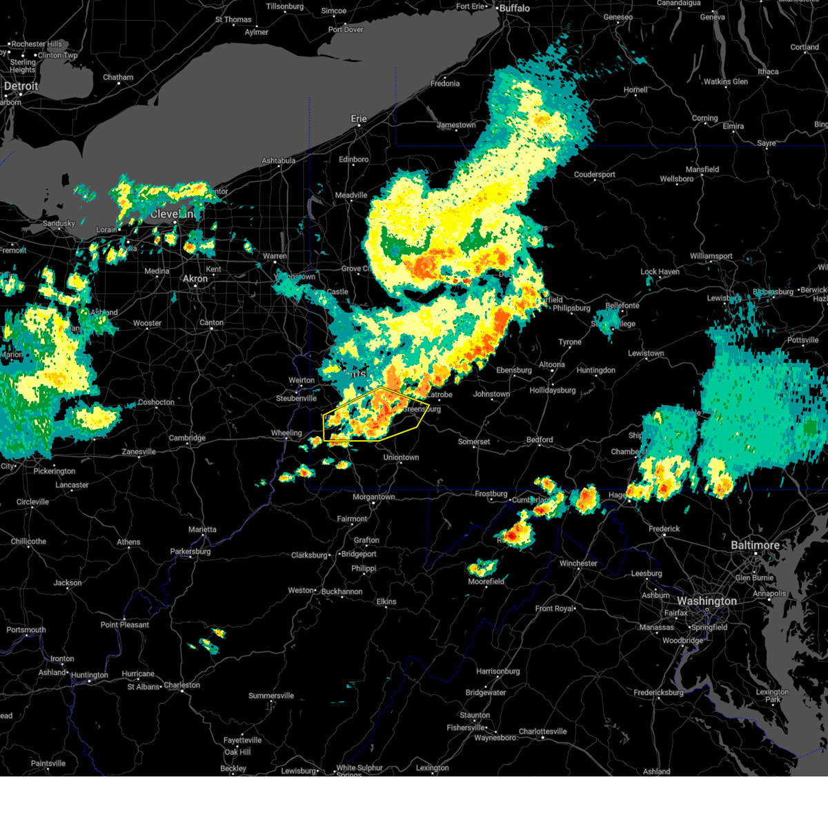 At 732 pm edt, severe thunderstorms were located along a line extending from jeannette to west newton to near east washington, moving east at 50 mph (law enforcement reported wind damage in washington). Hazards include 60 mph wind gusts. Expect damage to trees and power lines, resulting in some power outages. locations impacted include, pittsburgh, bethel park, mcmurray, greensburg, mckeesport, washington, jeannette, canonsburg, gastonville, west mifflin, baldwin, upper st. Clair, whitehall, south park township, munhall, jefferson hills, north versailles, brentwood, castle shannon, and pleasant hills. At 732 pm edt, severe thunderstorms were located along a line extending from jeannette to west newton to near east washington, moving east at 50 mph (law enforcement reported wind damage in washington). Hazards include 60 mph wind gusts. Expect damage to trees and power lines, resulting in some power outages. locations impacted include, pittsburgh, bethel park, mcmurray, greensburg, mckeesport, washington, jeannette, canonsburg, gastonville, west mifflin, baldwin, upper st. Clair, whitehall, south park township, munhall, jefferson hills, north versailles, brentwood, castle shannon, and pleasant hills.
|
| 8/6/2024 7:21 PM EDT |
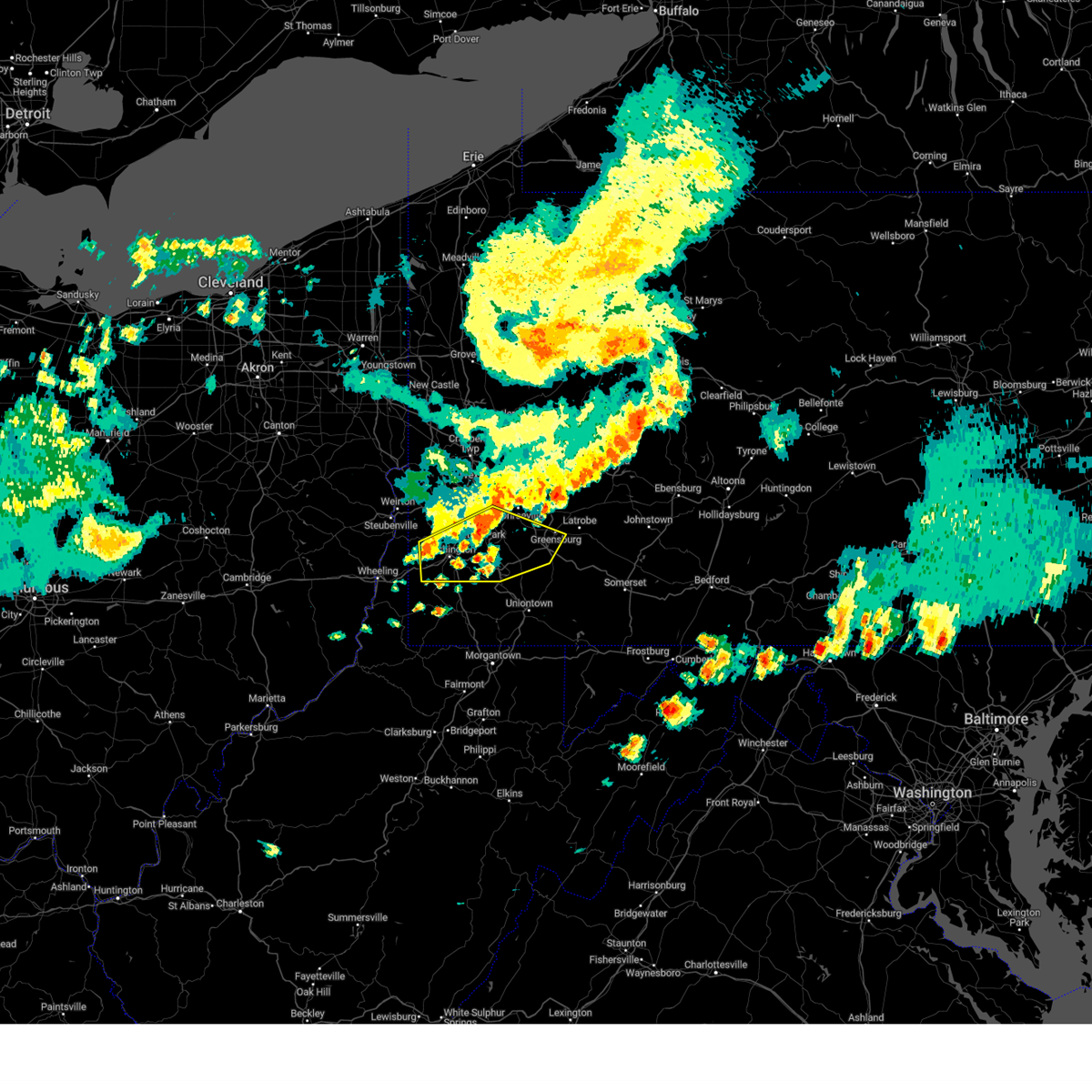 the severe thunderstorm warning has been cancelled and is no longer in effect the severe thunderstorm warning has been cancelled and is no longer in effect
|
| 8/6/2024 7:21 PM EDT |
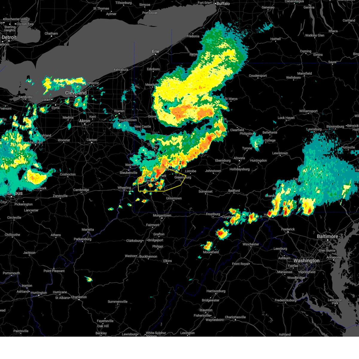 At 721 pm edt, severe thunderstorms were located along a line extending from white oak to near jefferson hills to wolfdale, moving east at 50 mph (radar indicated). Hazards include 60 mph wind gusts. Expect damage to trees and power lines, resulting in some power outages. locations impacted include, pittsburgh, mount lebanon, bethel park, mcmurray, greensburg, mckeesport, washington, jeannette, canonsburg, gastonville, west mifflin, baldwin, upper st. Clair, scott township, whitehall, south park township, munhall, cecil-bishop, jefferson hills, and north versailles. At 721 pm edt, severe thunderstorms were located along a line extending from white oak to near jefferson hills to wolfdale, moving east at 50 mph (radar indicated). Hazards include 60 mph wind gusts. Expect damage to trees and power lines, resulting in some power outages. locations impacted include, pittsburgh, mount lebanon, bethel park, mcmurray, greensburg, mckeesport, washington, jeannette, canonsburg, gastonville, west mifflin, baldwin, upper st. Clair, scott township, whitehall, south park township, munhall, cecil-bishop, jefferson hills, and north versailles.
|
| 8/6/2024 7:06 PM EDT |
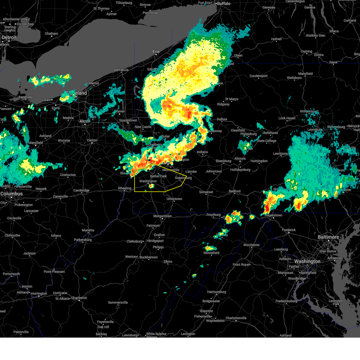 Svrpbz the national weather service in pittsburgh has issued a * severe thunderstorm warning for, washington county in southwestern pennsylvania, southern allegheny county in southwestern pennsylvania, southwestern westmoreland county in southwestern pennsylvania, northwestern fayette county in southwestern pennsylvania, ohio county in northern west virginia, * until 745 pm edt. * at 706 pm edt, severe thunderstorms were located along a line extending from mount oliver to near cecil-bishop to near avella, moving east at 50 mph (radar indicated). Hazards include 60 mph wind gusts. expect damage to trees and power lines, resulting in some power outages Svrpbz the national weather service in pittsburgh has issued a * severe thunderstorm warning for, washington county in southwestern pennsylvania, southern allegheny county in southwestern pennsylvania, southwestern westmoreland county in southwestern pennsylvania, northwestern fayette county in southwestern pennsylvania, ohio county in northern west virginia, * until 745 pm edt. * at 706 pm edt, severe thunderstorms were located along a line extending from mount oliver to near cecil-bishop to near avella, moving east at 50 mph (radar indicated). Hazards include 60 mph wind gusts. expect damage to trees and power lines, resulting in some power outages
|
| 8/6/2024 6:29 PM EDT |
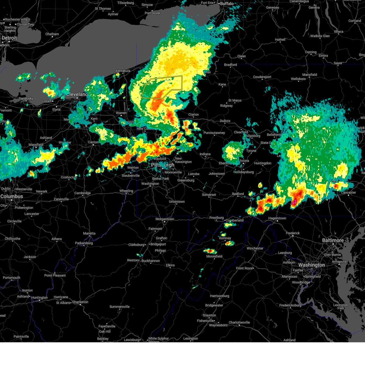 The storms which prompted the warning have weakened below severe limits, and no longer pose an immediate threat to life or property. therefore, the warning will be allowed to expire. however, gusty winds and heavy rain are still possible with these thunderstorms. a severe thunderstorm watch remains in effect until 700 pm edt for northwestern pennsylvania. The storms which prompted the warning have weakened below severe limits, and no longer pose an immediate threat to life or property. therefore, the warning will be allowed to expire. however, gusty winds and heavy rain are still possible with these thunderstorms. a severe thunderstorm watch remains in effect until 700 pm edt for northwestern pennsylvania.
|
| 8/6/2024 6:04 PM EDT |
 At 604 pm edt, severe thunderstorms were located along a line extending from near meadville to near atlantic, moving east at 45 mph (radar indicated). Hazards include 60 mph wind gusts. Expect damage to trees and power lines. Locations impacted include, meadville, titusville, riceville, harmonsburg, adamsville, lincolnville, guys mills, atlantic, canadohta lake, cochranton, saegertown, conneaut lake, hydetown, blooming valley, townville, spartansburg, venango, woodcock, conneaut lakeshore, and geneva. At 604 pm edt, severe thunderstorms were located along a line extending from near meadville to near atlantic, moving east at 45 mph (radar indicated). Hazards include 60 mph wind gusts. Expect damage to trees and power lines. Locations impacted include, meadville, titusville, riceville, harmonsburg, adamsville, lincolnville, guys mills, atlantic, canadohta lake, cochranton, saegertown, conneaut lake, hydetown, blooming valley, townville, spartansburg, venango, woodcock, conneaut lakeshore, and geneva.
|
| 8/6/2024 6:04 PM EDT |
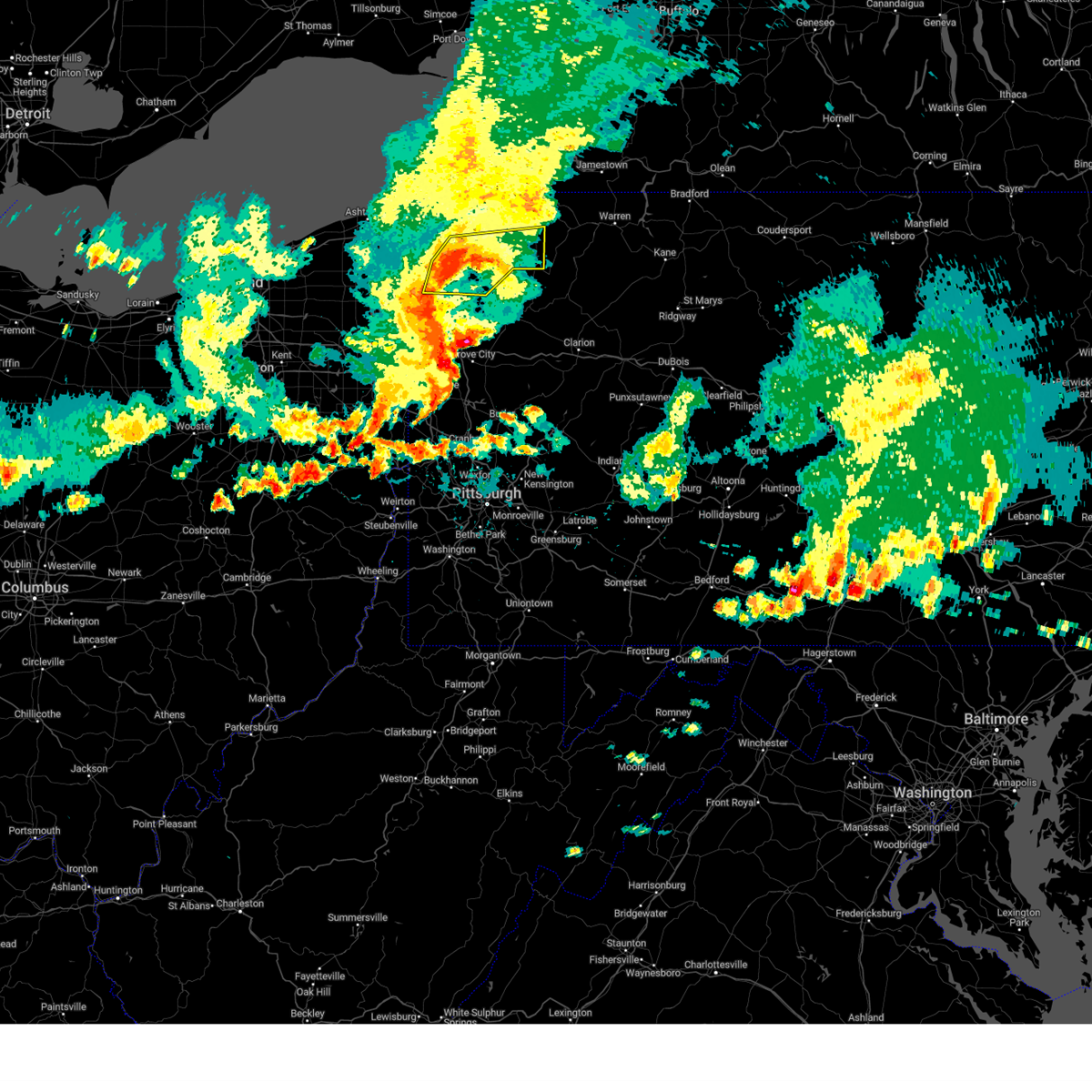 the severe thunderstorm warning has been cancelled and is no longer in effect the severe thunderstorm warning has been cancelled and is no longer in effect
|
| 8/6/2024 5:46 PM EDT |
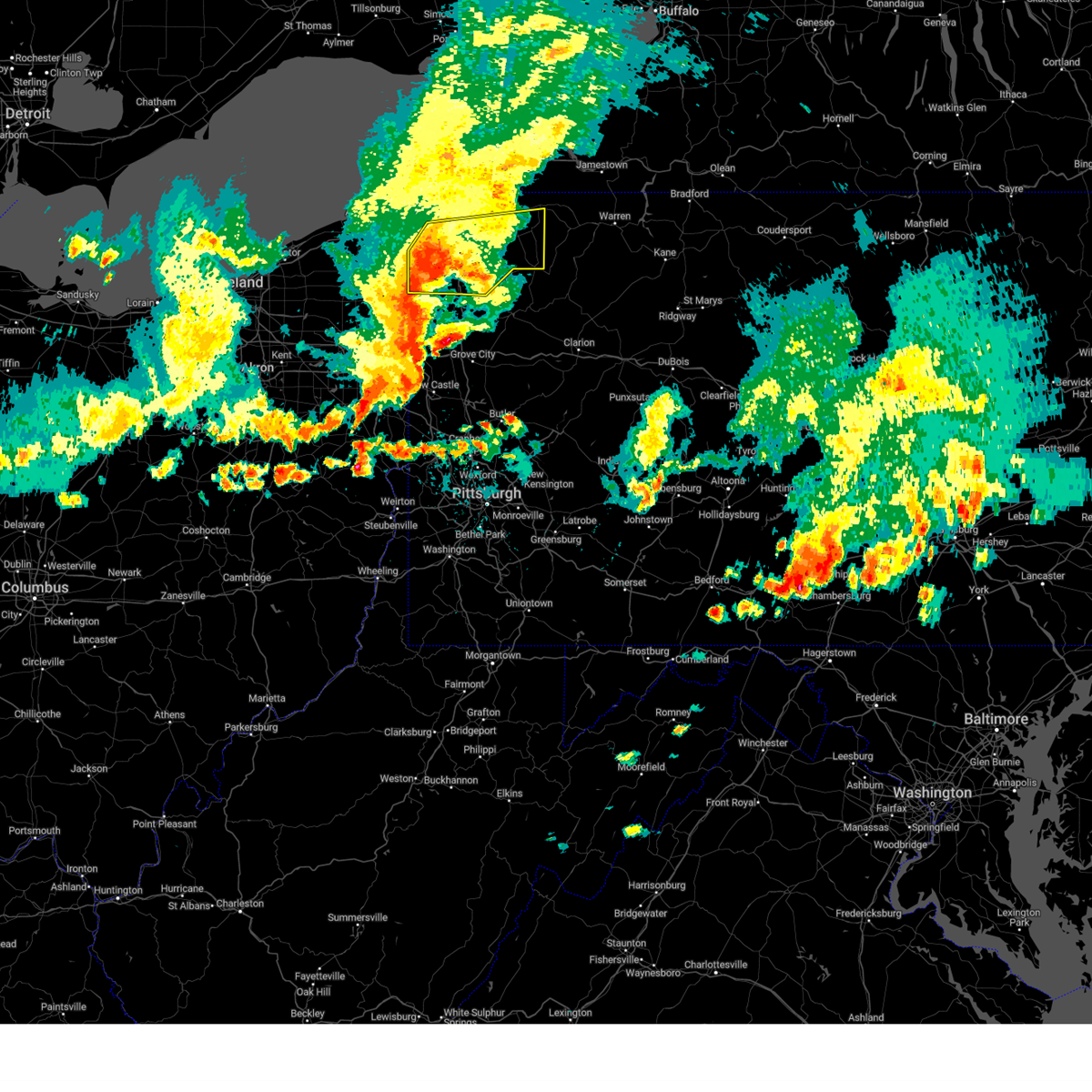 At 545 pm edt, severe thunderstorms were located along a line extending from near albion to near kinsman, moving east at 35 mph (radar indicated). Hazards include 70 mph wind gusts. Expect considerable tree damage. damage is likely to mobile homes, roofs, and outbuildings. Locations impacted include, meadville, corry, edinboro, titusville, union city, cambridge springs, linesville, adamsville, canadohta lake, pymatuning central, riceville, harmonsburg, lincolnville, guys mills, pymatuning north, atlantic, cochranton, saegertown, conneautville, and conneaut lake. At 545 pm edt, severe thunderstorms were located along a line extending from near albion to near kinsman, moving east at 35 mph (radar indicated). Hazards include 70 mph wind gusts. Expect considerable tree damage. damage is likely to mobile homes, roofs, and outbuildings. Locations impacted include, meadville, corry, edinboro, titusville, union city, cambridge springs, linesville, adamsville, canadohta lake, pymatuning central, riceville, harmonsburg, lincolnville, guys mills, pymatuning north, atlantic, cochranton, saegertown, conneautville, and conneaut lake.
|
| 8/6/2024 5:46 PM EDT |
 the severe thunderstorm warning has been cancelled and is no longer in effect the severe thunderstorm warning has been cancelled and is no longer in effect
|
| 8/6/2024 5:13 PM EDT |
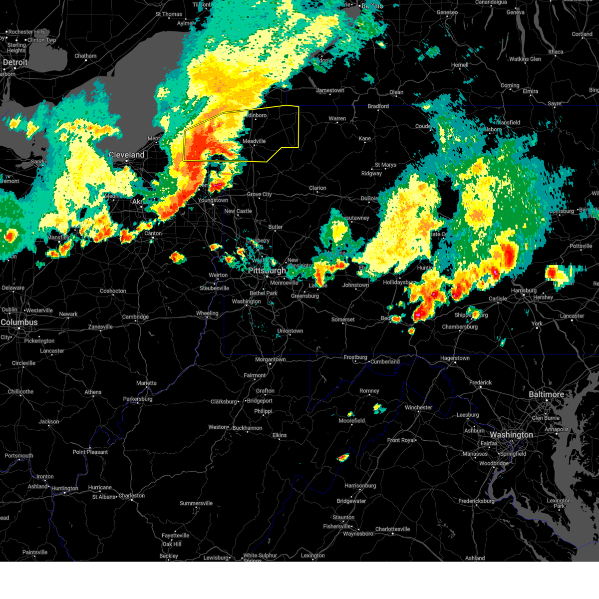 Svrcle the national weather service in cleveland has issued a * severe thunderstorm warning for, ashtabula county in northeastern ohio, southern erie county in northwestern pennsylvania, crawford county in northwestern pennsylvania, * until 630 pm edt. * at 513 pm edt, severe thunderstorms were located along a line extending from near north kingsville to near orwell, moving east at 65 mph (trained weather spotters). Hazards include 70 mph wind gusts and quarter size hail. Minor damage to vehicles is possible. expect considerable tree damage. Wind damage is also likely to mobile homes, roofs, and outbuildings. Svrcle the national weather service in cleveland has issued a * severe thunderstorm warning for, ashtabula county in northeastern ohio, southern erie county in northwestern pennsylvania, crawford county in northwestern pennsylvania, * until 630 pm edt. * at 513 pm edt, severe thunderstorms were located along a line extending from near north kingsville to near orwell, moving east at 65 mph (trained weather spotters). Hazards include 70 mph wind gusts and quarter size hail. Minor damage to vehicles is possible. expect considerable tree damage. Wind damage is also likely to mobile homes, roofs, and outbuildings.
|
| 7/10/2024 1:56 PM EDT |
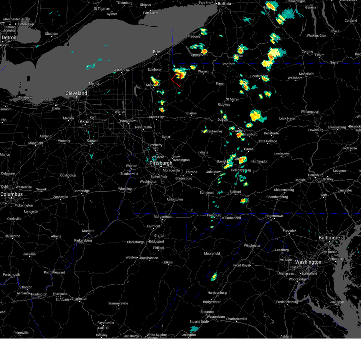 The storm which prompted the warning has moved out of the area. therefore, the warning will be allowed to expire. The storm which prompted the warning has moved out of the area. therefore, the warning will be allowed to expire.
|
| 7/10/2024 1:47 PM EDT |
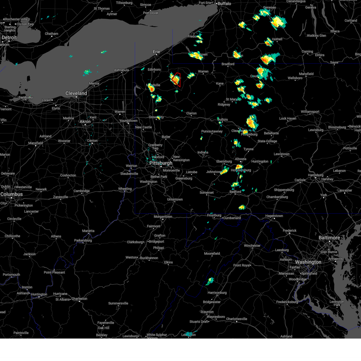 At 147 pm edt, a severe thunderstorm capable of producing a tornado was located near grand valley, or 23 miles north of oil city, moving northeast at 50 mph (radar indicated rotation). Hazards include tornado. Flying debris will be dangerous to those caught without shelter. mobile homes will be damaged or destroyed. damage to roofs, windows, and vehicles will occur. tree damage is likely. Locations impacted include, spartansburg. At 147 pm edt, a severe thunderstorm capable of producing a tornado was located near grand valley, or 23 miles north of oil city, moving northeast at 50 mph (radar indicated rotation). Hazards include tornado. Flying debris will be dangerous to those caught without shelter. mobile homes will be damaged or destroyed. damage to roofs, windows, and vehicles will occur. tree damage is likely. Locations impacted include, spartansburg.
|
| 7/10/2024 1:39 PM EDT |
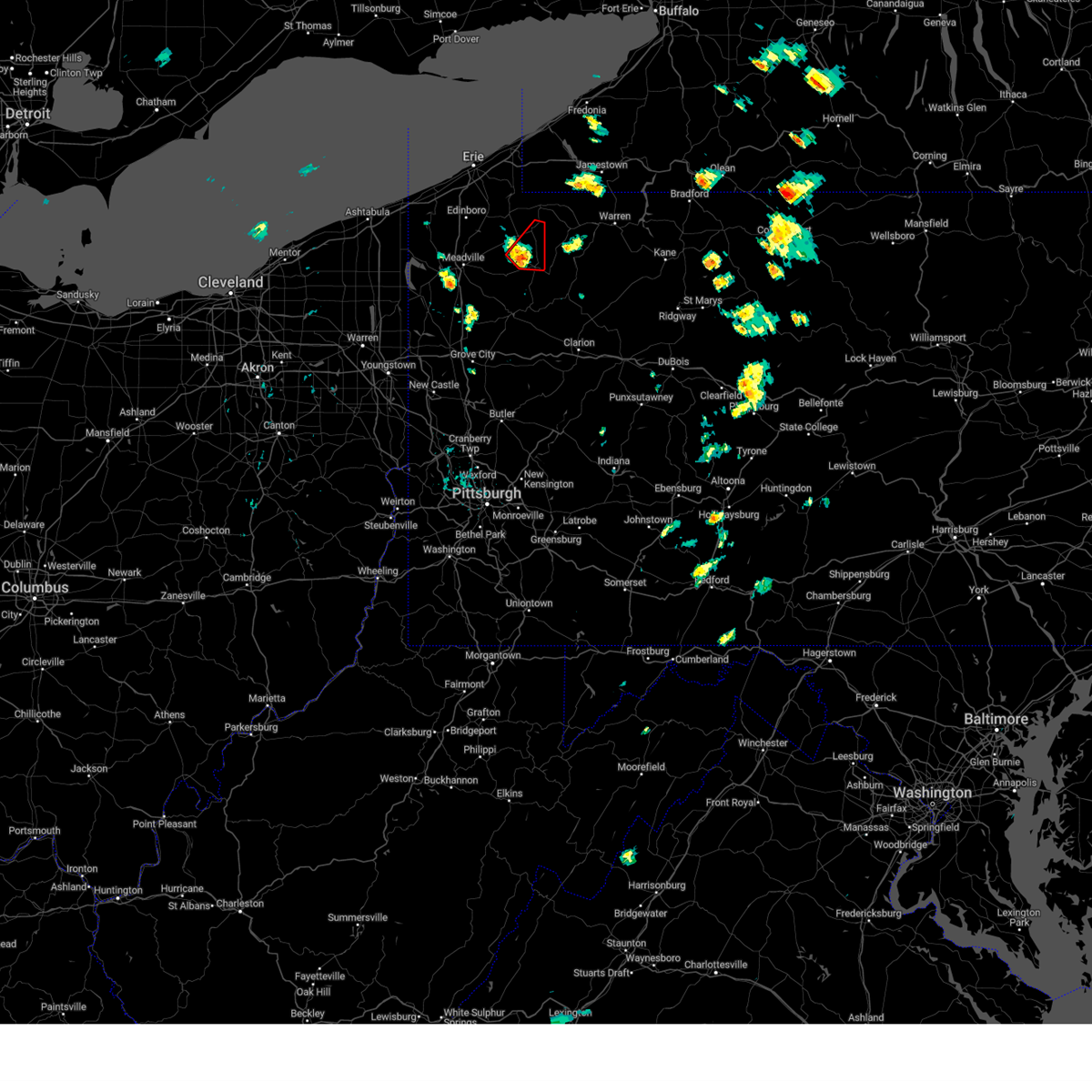 Torcle the national weather service in cleveland has issued a * tornado warning for, northeastern crawford county in northwestern pennsylvania, * until 200 pm edt. * at 138 pm edt, a severe thunderstorm capable of producing a tornado was located near titusville, or 17 miles north of oil city, moving northeast at 45 mph (radar indicated rotation). Hazards include tornado. Flying debris will be dangerous to those caught without shelter. mobile homes will be damaged or destroyed. damage to roofs, windows, and vehicles will occur. tree damage is likely. This tornadic thunderstorm will remain over mainly rural areas of northeastern crawford county, including the following locations, hydetown and spartansburg. Torcle the national weather service in cleveland has issued a * tornado warning for, northeastern crawford county in northwestern pennsylvania, * until 200 pm edt. * at 138 pm edt, a severe thunderstorm capable of producing a tornado was located near titusville, or 17 miles north of oil city, moving northeast at 45 mph (radar indicated rotation). Hazards include tornado. Flying debris will be dangerous to those caught without shelter. mobile homes will be damaged or destroyed. damage to roofs, windows, and vehicles will occur. tree damage is likely. This tornadic thunderstorm will remain over mainly rural areas of northeastern crawford county, including the following locations, hydetown and spartansburg.
|
| 6/29/2024 2:05 PM EDT |
 The storm which prompted the warning has weakened below severe limits, and no longer poses an immediate threat to life or property. therefore, the warning will be allowed to expire. however, heavy rain is still possible with this thunderstorm. a tornado watch remains in effect until 800 pm edt for northwestern pennsylvania. The storm which prompted the warning has weakened below severe limits, and no longer poses an immediate threat to life or property. therefore, the warning will be allowed to expire. however, heavy rain is still possible with this thunderstorm. a tornado watch remains in effect until 800 pm edt for northwestern pennsylvania.
|
| 6/29/2024 1:55 PM EDT |
 At 155 pm edt, a severe thunderstorm was located 3 miles east of meadville, moving east at 30 mph (radar indicated). Hazards include 60 mph wind gusts. Expect damage to trees and power lines. Locations impacted include, meadville, titusville, cambridge springs, riceville, lincolnville, canadohta lake, guys mills, saegertown, hydetown, blooming valley, townville, spartansburg, venango, and woodcock. At 155 pm edt, a severe thunderstorm was located 3 miles east of meadville, moving east at 30 mph (radar indicated). Hazards include 60 mph wind gusts. Expect damage to trees and power lines. Locations impacted include, meadville, titusville, cambridge springs, riceville, lincolnville, canadohta lake, guys mills, saegertown, hydetown, blooming valley, townville, spartansburg, venango, and woodcock.
|
| 6/29/2024 1:41 PM EDT |
 the severe thunderstorm warning has been cancelled and is no longer in effect the severe thunderstorm warning has been cancelled and is no longer in effect
|
| 6/29/2024 1:41 PM EDT |
 At 140 pm edt, severe thunderstorms were located along a line extending from cambridge springs to near meadville to near atlantic, moving east at 45 mph (radar indicated). Hazards include 60 mph wind gusts. Expect damage to trees and power lines. Locations impacted include, meadville, titusville, cambridge springs, riceville, harmonsburg, adamsville, lincolnville, canadohta lake, guys mills, atlantic, cochranton, saegertown, conneaut lake, hydetown, blooming valley, townville, spartansburg, venango, woodcock, and conneaut lakeshore. At 140 pm edt, severe thunderstorms were located along a line extending from cambridge springs to near meadville to near atlantic, moving east at 45 mph (radar indicated). Hazards include 60 mph wind gusts. Expect damage to trees and power lines. Locations impacted include, meadville, titusville, cambridge springs, riceville, harmonsburg, adamsville, lincolnville, canadohta lake, guys mills, atlantic, cochranton, saegertown, conneaut lake, hydetown, blooming valley, townville, spartansburg, venango, woodcock, and conneaut lakeshore.
|
| 6/29/2024 1:30 PM EDT |
 At 130 pm edt, severe thunderstorms were located along a line extending from near edinboro to near harmonsburg to near pymatuning central, moving east at 45 mph (radar indicated). Hazards include 60 mph wind gusts. Expect damage to trees and power lines. Locations impacted include, meadville, corry, edinboro, titusville, union city, cambridge springs, waterford, linesville, adamsville, canadohta lake, pymatuning central, riceville, harmonsburg, lincolnville, guys mills, atlantic, cochranton, saegertown, conneaut lake, and jamestown. At 130 pm edt, severe thunderstorms were located along a line extending from near edinboro to near harmonsburg to near pymatuning central, moving east at 45 mph (radar indicated). Hazards include 60 mph wind gusts. Expect damage to trees and power lines. Locations impacted include, meadville, corry, edinboro, titusville, union city, cambridge springs, waterford, linesville, adamsville, canadohta lake, pymatuning central, riceville, harmonsburg, lincolnville, guys mills, atlantic, cochranton, saegertown, conneaut lake, and jamestown.
|
| 6/29/2024 1:19 PM EDT |
 At 118 pm edt, severe thunderstorms were located along a line extending from near albion to linesville, moving east at 55 mph (radar indicated). Hazards include 60 mph wind gusts. Expect damage to trees and power lines. Locations impacted include, erie, meadville, corry, edinboro, titusville, north east, union city, girard, cambridge springs, waterford, albion, linesville, wattsburg, adamsville, pymatuning central, riceville, harmonsburg, guys mills, pymatuning north, and atlantic. At 118 pm edt, severe thunderstorms were located along a line extending from near albion to linesville, moving east at 55 mph (radar indicated). Hazards include 60 mph wind gusts. Expect damage to trees and power lines. Locations impacted include, erie, meadville, corry, edinboro, titusville, north east, union city, girard, cambridge springs, waterford, albion, linesville, wattsburg, adamsville, pymatuning central, riceville, harmonsburg, guys mills, pymatuning north, and atlantic.
|
| 6/29/2024 1:05 PM EDT |
 Svrcle the national weather service in cleveland has issued a * severe thunderstorm warning for, erie county in northwestern pennsylvania, crawford county in northwestern pennsylvania, * until 215 pm edt. * at 105 pm edt, severe thunderstorms were located along a line extending from near north kingsville to near andover, moving east at 55 mph (radar indicated). Hazards include 60 mph wind gusts. expect damage to trees and power lines Svrcle the national weather service in cleveland has issued a * severe thunderstorm warning for, erie county in northwestern pennsylvania, crawford county in northwestern pennsylvania, * until 215 pm edt. * at 105 pm edt, severe thunderstorms were located along a line extending from near north kingsville to near andover, moving east at 55 mph (radar indicated). Hazards include 60 mph wind gusts. expect damage to trees and power lines
|
| 6/23/2024 8:20 PM EDT |
 Svrpbz the national weather service in pittsburgh has issued a * severe thunderstorm warning for, southeastern washington county in southwestern pennsylvania, southwestern westmoreland county in southwestern pennsylvania, northern fayette county in southwestern pennsylvania, * until 915 pm edt. * at 820 pm edt, a severe thunderstorm was located over monessen, or 10 miles southeast of gastonville, moving east at 40 mph (radar indicated). Hazards include 60 mph wind gusts. expect damage to trees and power lines, resulting in some power outages Svrpbz the national weather service in pittsburgh has issued a * severe thunderstorm warning for, southeastern washington county in southwestern pennsylvania, southwestern westmoreland county in southwestern pennsylvania, northern fayette county in southwestern pennsylvania, * until 915 pm edt. * at 820 pm edt, a severe thunderstorm was located over monessen, or 10 miles southeast of gastonville, moving east at 40 mph (radar indicated). Hazards include 60 mph wind gusts. expect damage to trees and power lines, resulting in some power outages
|
| 6/23/2024 5:09 PM EDT |
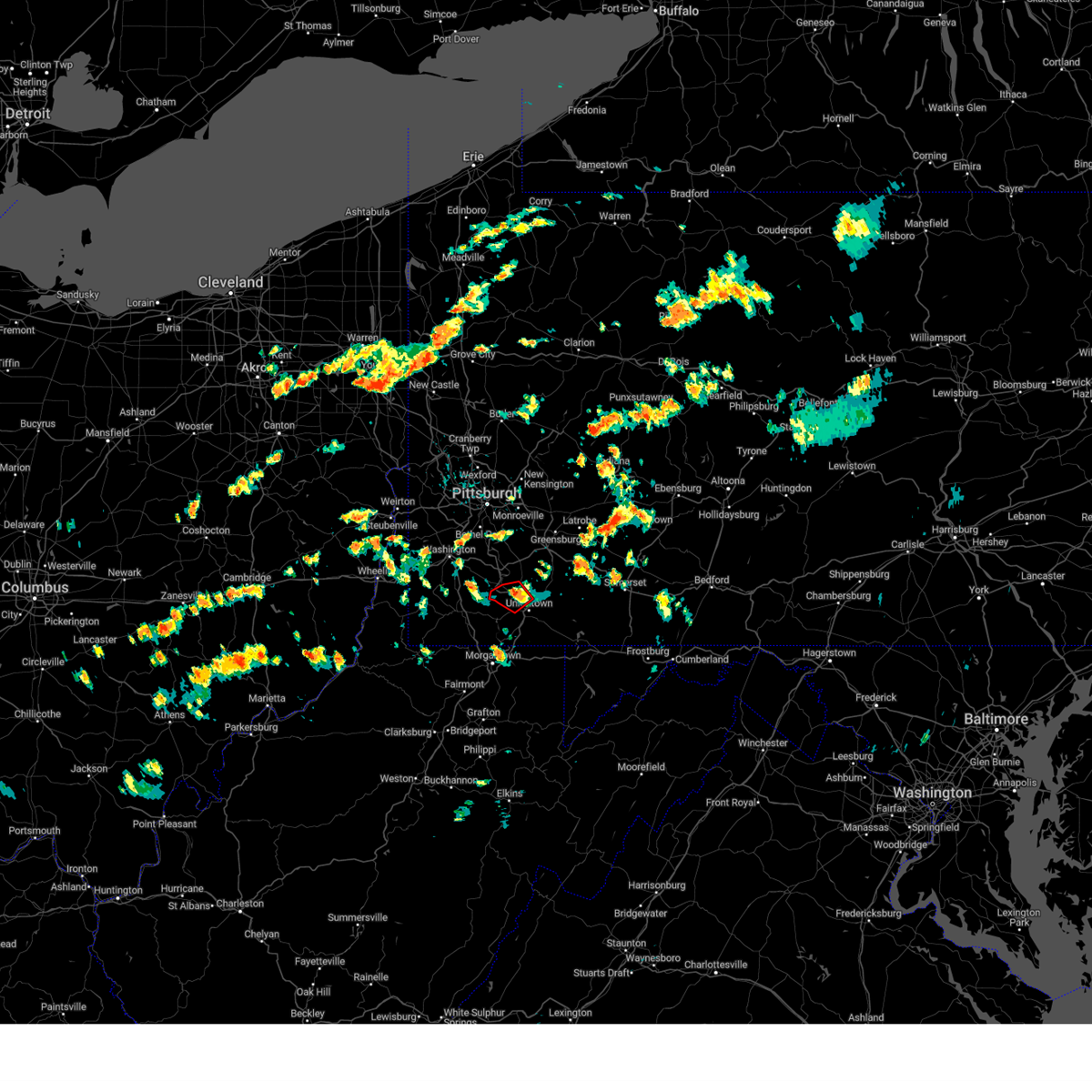 The storm which prompted the warning has weakened below severe limits, and no longer appears capable of producing a tornado. therefore, the warning will be allowed to expire. however, gusty winds and heavy rain are still possible with this thunderstorm. a severe thunderstorm watch remains in effect until 1000 pm edt for southwestern pennsylvania. The storm which prompted the warning has weakened below severe limits, and no longer appears capable of producing a tornado. therefore, the warning will be allowed to expire. however, gusty winds and heavy rain are still possible with this thunderstorm. a severe thunderstorm watch remains in effect until 1000 pm edt for southwestern pennsylvania.
|
| 6/23/2024 5:08 PM EDT |
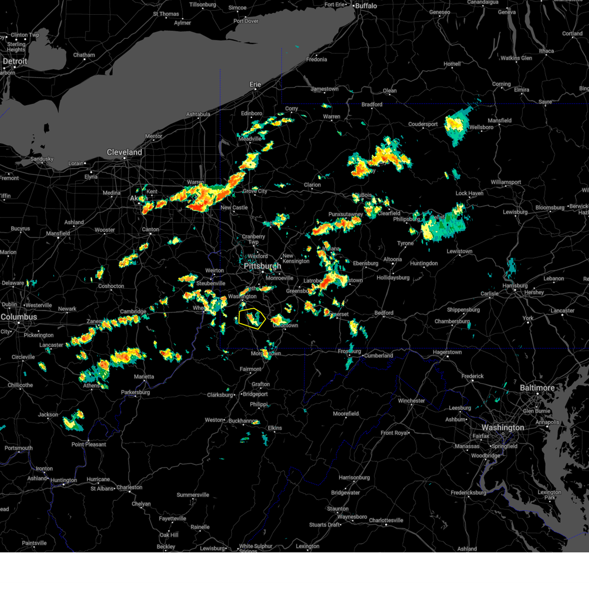 The storm which prompted the warning has weakened below severe limits, and no longer poses an immediate threat to life or property. therefore, the warning will be allowed to expire. however, gusty winds and heavy rain are still possible with this thunderstorm. a severe thunderstorm watch remains in effect until 1000 pm edt for southwestern pennsylvania. The storm which prompted the warning has weakened below severe limits, and no longer poses an immediate threat to life or property. therefore, the warning will be allowed to expire. however, gusty winds and heavy rain are still possible with this thunderstorm. a severe thunderstorm watch remains in effect until 1000 pm edt for southwestern pennsylvania.
|
| 6/23/2024 5:01 PM EDT |
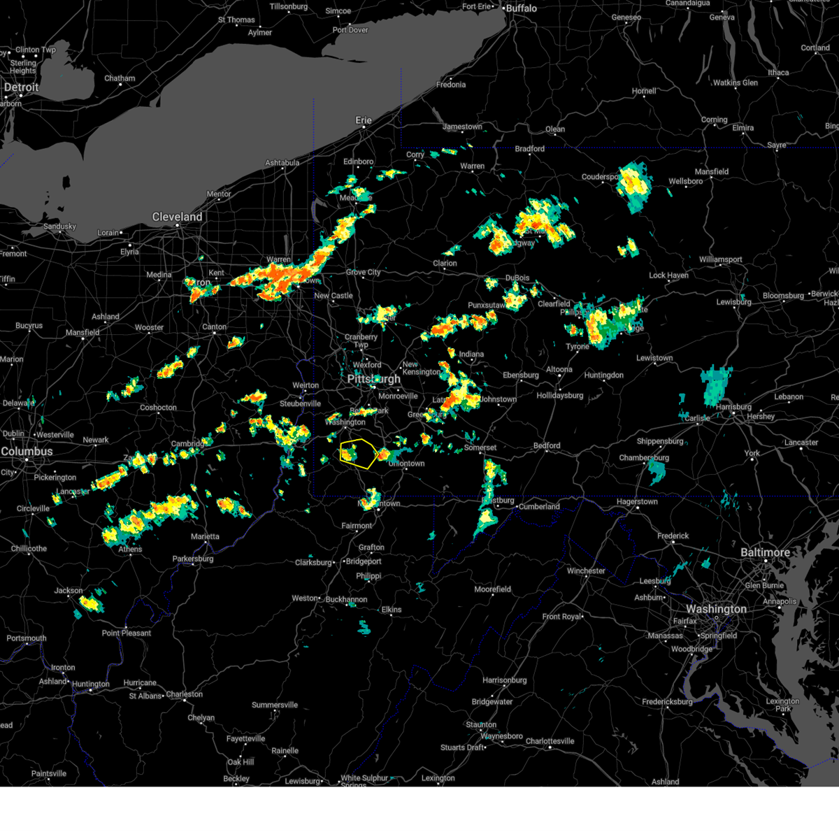 At 501 pm edt, a severe thunderstorm was located near waynesburg, moving east at 35 mph (radar indicated). Hazards include 60 mph wind gusts. Expect damage to trees and power lines, resulting in some power outages. Locations impacted include, fredericktown-millsboro, jefferson boro, deemston, marianna, beallsville, rices landing, clarksville, centerville, scenery hill, and amity. At 501 pm edt, a severe thunderstorm was located near waynesburg, moving east at 35 mph (radar indicated). Hazards include 60 mph wind gusts. Expect damage to trees and power lines, resulting in some power outages. Locations impacted include, fredericktown-millsboro, jefferson boro, deemston, marianna, beallsville, rices landing, clarksville, centerville, scenery hill, and amity.
|
| 6/23/2024 5:00 PM EDT |
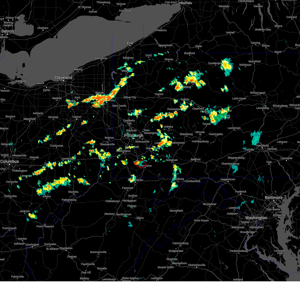 the tornado warning has been cancelled and is no longer in effect the tornado warning has been cancelled and is no longer in effect
|
| 6/23/2024 5:00 PM EDT |
 At 500 pm edt, a severe thunderstorm capable of producing a tornado was located near brownsville, or 12 miles northwest of uniontown, moving east at 30 mph (radar indicated rotation). Hazards include tornado. Flying debris will be dangerous to those caught without shelter. mobile homes will be damaged or destroyed. damage to roofs, windows, and vehicles will occur. tree damage is likely. this dangerous storm will be near, brownsville around 505 pm edt. Other locations impacted by this tornadic thunderstorm include grindstone, new salem, republic, west brownsville, isabella, and centerville. At 500 pm edt, a severe thunderstorm capable of producing a tornado was located near brownsville, or 12 miles northwest of uniontown, moving east at 30 mph (radar indicated rotation). Hazards include tornado. Flying debris will be dangerous to those caught without shelter. mobile homes will be damaged or destroyed. damage to roofs, windows, and vehicles will occur. tree damage is likely. this dangerous storm will be near, brownsville around 505 pm edt. Other locations impacted by this tornadic thunderstorm include grindstone, new salem, republic, west brownsville, isabella, and centerville.
|
| 6/23/2024 4:51 PM EDT |
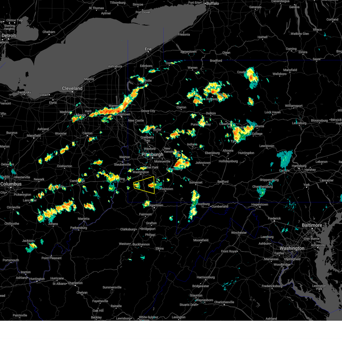 Svrpbz the national weather service in pittsburgh has issued a * severe thunderstorm warning for, southeastern washington county in southwestern pennsylvania, northeastern greene county in southwestern pennsylvania, western fayette county in southwestern pennsylvania, * until 515 pm edt. * at 451 pm edt, a severe thunderstorm was located 9 miles northwest of waynesburg, moving east at 35 mph (radar indicated). Hazards include 60 mph wind gusts. expect damage to trees and power lines, resulting in some power outages Svrpbz the national weather service in pittsburgh has issued a * severe thunderstorm warning for, southeastern washington county in southwestern pennsylvania, northeastern greene county in southwestern pennsylvania, western fayette county in southwestern pennsylvania, * until 515 pm edt. * at 451 pm edt, a severe thunderstorm was located 9 miles northwest of waynesburg, moving east at 35 mph (radar indicated). Hazards include 60 mph wind gusts. expect damage to trees and power lines, resulting in some power outages
|
| 6/23/2024 4:50 PM EDT |
 At 450 pm edt, a severe thunderstorm capable of producing a tornado was located over fredericktown-millsboro, or 12 miles northeast of waynesburg, moving east at 30 mph (radar indicated rotation). Hazards include tornado. Flying debris will be dangerous to those caught without shelter. mobile homes will be damaged or destroyed. damage to roofs, windows, and vehicles will occur. tree damage is likely. this dangerous storm will be near, california and brownsville around 455 pm edt. Other locations impacted by this tornadic thunderstorm include grindstone, west brownsville, clarksville, new salem, isabella, deemston, rices landing, republic, centerville, and beallsville. At 450 pm edt, a severe thunderstorm capable of producing a tornado was located over fredericktown-millsboro, or 12 miles northeast of waynesburg, moving east at 30 mph (radar indicated rotation). Hazards include tornado. Flying debris will be dangerous to those caught without shelter. mobile homes will be damaged or destroyed. damage to roofs, windows, and vehicles will occur. tree damage is likely. this dangerous storm will be near, california and brownsville around 455 pm edt. Other locations impacted by this tornadic thunderstorm include grindstone, west brownsville, clarksville, new salem, isabella, deemston, rices landing, republic, centerville, and beallsville.
|
| 6/23/2024 4:38 PM EDT |
 Torpbz the national weather service in pittsburgh has issued a * tornado warning for, southeastern washington county in southwestern pennsylvania, northeastern greene county in southwestern pennsylvania, northwestern fayette county in southwestern pennsylvania, * until 515 pm edt. * at 438 pm edt, a severe thunderstorm capable of producing a tornado was located near jefferson boro, or 7 miles northeast of waynesburg, moving east at 30 mph (radar indicated rotation). Hazards include tornado. Flying debris will be dangerous to those caught without shelter. mobile homes will be damaged or destroyed. damage to roofs, windows, and vehicles will occur. tree damage is likely. this dangerous storm will be near, fredericktown-millsboro and jefferson boro around 445 pm edt. california and brownsville around 455 pm edt. Other locations impacted by this tornadic thunderstorm include grindstone, west brownsville, clarksville, new salem, isabella, deemston, rices landing, republic, marianna, and centerville. Torpbz the national weather service in pittsburgh has issued a * tornado warning for, southeastern washington county in southwestern pennsylvania, northeastern greene county in southwestern pennsylvania, northwestern fayette county in southwestern pennsylvania, * until 515 pm edt. * at 438 pm edt, a severe thunderstorm capable of producing a tornado was located near jefferson boro, or 7 miles northeast of waynesburg, moving east at 30 mph (radar indicated rotation). Hazards include tornado. Flying debris will be dangerous to those caught without shelter. mobile homes will be damaged or destroyed. damage to roofs, windows, and vehicles will occur. tree damage is likely. this dangerous storm will be near, fredericktown-millsboro and jefferson boro around 445 pm edt. california and brownsville around 455 pm edt. Other locations impacted by this tornadic thunderstorm include grindstone, west brownsville, clarksville, new salem, isabella, deemston, rices landing, republic, marianna, and centerville.
|
| 6/18/2024 7:20 PM EDT |
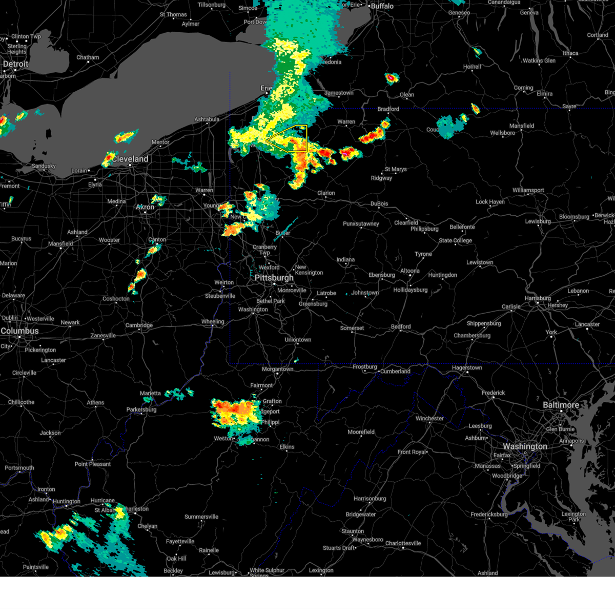 The storms which prompted the warning have weakened below severe limits, and no longer pose an immediate threat to life or property. therefore, the warning will be allowed to expire. The storms which prompted the warning have weakened below severe limits, and no longer pose an immediate threat to life or property. therefore, the warning will be allowed to expire.
|
| 6/18/2024 7:00 PM EDT |
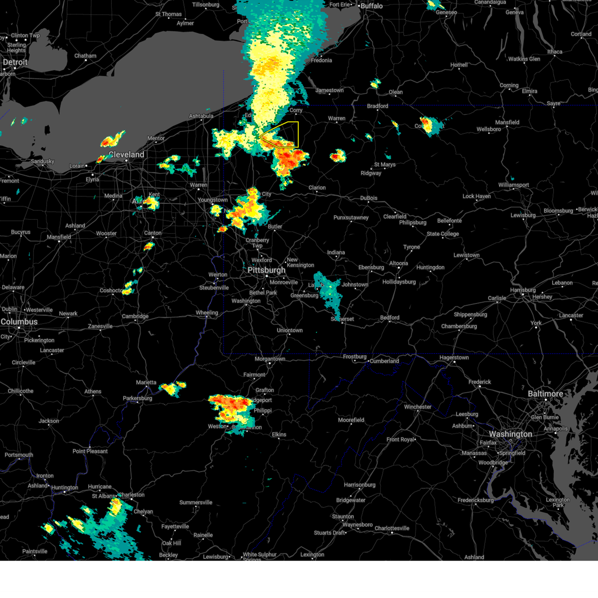 At 700 pm edt, severe thunderstorms were located along a line extending from near guys mills to near titusville, moving east at 20 mph (radar indicated). Hazards include 60 mph wind gusts. Expect damage to trees and power lines. Locations impacted include, titusville, riceville, lincolnville, canadohta lake, hydetown, blooming valley, townville, and spartansburg. At 700 pm edt, severe thunderstorms were located along a line extending from near guys mills to near titusville, moving east at 20 mph (radar indicated). Hazards include 60 mph wind gusts. Expect damage to trees and power lines. Locations impacted include, titusville, riceville, lincolnville, canadohta lake, hydetown, blooming valley, townville, and spartansburg.
|
| 6/18/2024 6:35 PM EDT |
 Svrcle the national weather service in cleveland has issued a * severe thunderstorm warning for, eastern crawford county in northwestern pennsylvania, * until 730 pm edt. * at 635 pm edt, severe thunderstorms were located along a line extending from near meadville to near sugarcreek, moving northeast at 25 mph (radar indicated). Hazards include 60 mph wind gusts and penny size hail. expect damage to trees and power lines Svrcle the national weather service in cleveland has issued a * severe thunderstorm warning for, eastern crawford county in northwestern pennsylvania, * until 730 pm edt. * at 635 pm edt, severe thunderstorms were located along a line extending from near meadville to near sugarcreek, moving northeast at 25 mph (radar indicated). Hazards include 60 mph wind gusts and penny size hail. expect damage to trees and power lines
|
| 6/18/2024 4:26 PM EDT |
 At 426 pm edt, a severe thunderstorm was located over california, or 14 miles southeast of gastonville, moving northwest at 10 mph (radar indicated). Hazards include 70 mph wind gusts and half dollar size hail. Hail damage to vehicles is expected. expect considerable tree damage. wind damage is also likely to mobile homes, roofs, and outbuildings. Locations impacted include, monessen, california, donora, charleroi, bentleyville, brownsville, fredericktown-millsboro, perryopolis, north belle vernon, wickerham manor-fisher, north charleroi, speers, belle vernon, ellsworth, lynnwood-pricedale, west brownsville, roscoe, deemston, fayette city and newell. At 426 pm edt, a severe thunderstorm was located over california, or 14 miles southeast of gastonville, moving northwest at 10 mph (radar indicated). Hazards include 70 mph wind gusts and half dollar size hail. Hail damage to vehicles is expected. expect considerable tree damage. wind damage is also likely to mobile homes, roofs, and outbuildings. Locations impacted include, monessen, california, donora, charleroi, bentleyville, brownsville, fredericktown-millsboro, perryopolis, north belle vernon, wickerham manor-fisher, north charleroi, speers, belle vernon, ellsworth, lynnwood-pricedale, west brownsville, roscoe, deemston, fayette city and newell.
|
| 6/18/2024 4:13 PM EDT |
 Svrpbz the national weather service in pittsburgh has issued a * severe thunderstorm warning for, northwestern fayette county in southwestern pennsylvania, southeastern washington county in southwestern pennsylvania, southwestern westmoreland county in southwestern pennsylvania, * until 500 pm edt. * at 413 pm edt, a severe thunderstorm was located near brownsville, or 14 miles northwest of uniontown, moving northwest at 5 mph (radar indicated). Hazards include 60 mph wind gusts and small hail. expect damage to roofs, siding, and trees Svrpbz the national weather service in pittsburgh has issued a * severe thunderstorm warning for, northwestern fayette county in southwestern pennsylvania, southeastern washington county in southwestern pennsylvania, southwestern westmoreland county in southwestern pennsylvania, * until 500 pm edt. * at 413 pm edt, a severe thunderstorm was located near brownsville, or 14 miles northwest of uniontown, moving northwest at 5 mph (radar indicated). Hazards include 60 mph wind gusts and small hail. expect damage to roofs, siding, and trees
|
| 5/26/2024 7:50 PM EDT |
 At 750 pm edt, severe thunderstorms were located along a line extending from south park township to 7 miles east of point marion, moving northeast at 40 mph (radar indicated). Hazards include 60 mph wind gusts. Expect damage to trees and power lines, resulting in some power outages. Locations impacted include, bethel park, monroeville, mcmurray, greensburg, mckeesport, uniontown, jeannette, latrobe, connellsville, gastonville, plum, west mifflin, murrysville, south park township, jefferson hills, north versailles, pleasant hills, white oak, monessen, and clairton. At 750 pm edt, severe thunderstorms were located along a line extending from south park township to 7 miles east of point marion, moving northeast at 40 mph (radar indicated). Hazards include 60 mph wind gusts. Expect damage to trees and power lines, resulting in some power outages. Locations impacted include, bethel park, monroeville, mcmurray, greensburg, mckeesport, uniontown, jeannette, latrobe, connellsville, gastonville, plum, west mifflin, murrysville, south park township, jefferson hills, north versailles, pleasant hills, white oak, monessen, and clairton.
|
| 5/26/2024 7:29 PM EDT |
 Svrpbz the national weather service in pittsburgh has issued a * severe thunderstorm warning for, southeastern washington county in southwestern pennsylvania, southeastern allegheny county in southwestern pennsylvania, westmoreland county in southwestern pennsylvania, eastern greene county in southwestern pennsylvania, fayette county in southwestern pennsylvania, northern monongalia county in northern west virginia, northern preston county in northeastern west virginia, * until 830 pm edt. * at 729 pm edt, severe thunderstorms were located along a line extending from canonsburg to near cassville, moving northeast at 40 mph (radar indicated). Hazards include 60 mph wind gusts. expect damage to trees and power lines, resulting in some power outages Svrpbz the national weather service in pittsburgh has issued a * severe thunderstorm warning for, southeastern washington county in southwestern pennsylvania, southeastern allegheny county in southwestern pennsylvania, westmoreland county in southwestern pennsylvania, eastern greene county in southwestern pennsylvania, fayette county in southwestern pennsylvania, northern monongalia county in northern west virginia, northern preston county in northeastern west virginia, * until 830 pm edt. * at 729 pm edt, severe thunderstorms were located along a line extending from canonsburg to near cassville, moving northeast at 40 mph (radar indicated). Hazards include 60 mph wind gusts. expect damage to trees and power lines, resulting in some power outages
|
| 5/25/2024 4:54 PM EDT |
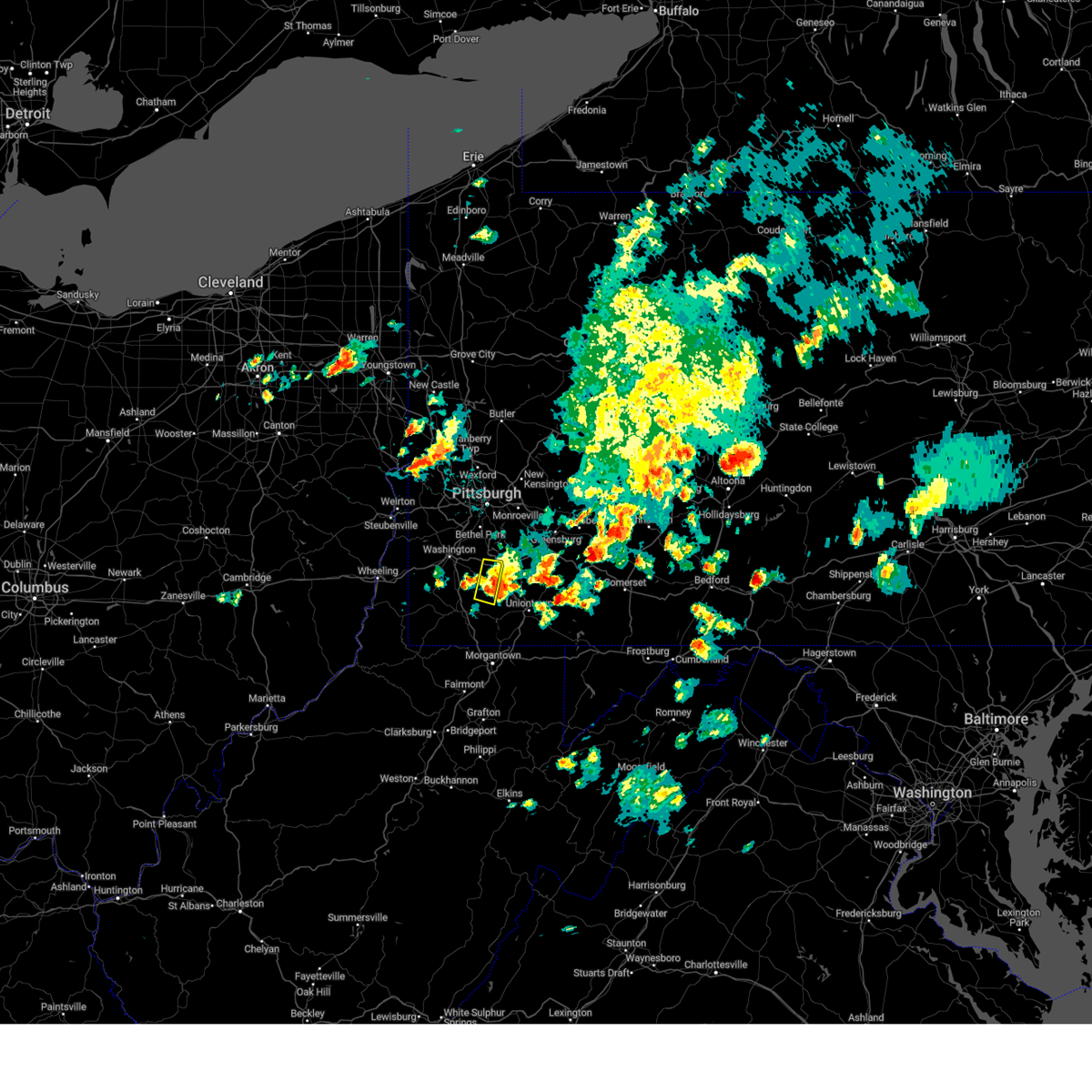 The storm which prompted the warning has moved out of the area. therefore, the warning will be allowed to expire. to report severe weather, contact your nearest law enforcement agency. they will relay your report to the national weather service pittsburgh. remember, a severe thunderstorm warning still remains in effect for washington, greene, and fayette counties unti 5:30 pm edt. The storm which prompted the warning has moved out of the area. therefore, the warning will be allowed to expire. to report severe weather, contact your nearest law enforcement agency. they will relay your report to the national weather service pittsburgh. remember, a severe thunderstorm warning still remains in effect for washington, greene, and fayette counties unti 5:30 pm edt.
|
| 5/25/2024 4:51 PM EDT |
 Svrpbz the national weather service in pittsburgh has issued a * severe thunderstorm warning for, southeastern washington county in southwestern pennsylvania, east central greene county in southwestern pennsylvania, northwestern fayette county in southwestern pennsylvania, * until 530 pm edt. * at 451 pm edt, a severe thunderstorm was located near brownsville, or 10 miles northwest of uniontown, moving east at 25 mph (radar indicated). Hazards include 60 mph wind gusts. expect damage to trees and power lines, resulting in some power outages Svrpbz the national weather service in pittsburgh has issued a * severe thunderstorm warning for, southeastern washington county in southwestern pennsylvania, east central greene county in southwestern pennsylvania, northwestern fayette county in southwestern pennsylvania, * until 530 pm edt. * at 451 pm edt, a severe thunderstorm was located near brownsville, or 10 miles northwest of uniontown, moving east at 25 mph (radar indicated). Hazards include 60 mph wind gusts. expect damage to trees and power lines, resulting in some power outages
|
| 5/25/2024 4:43 PM EDT |
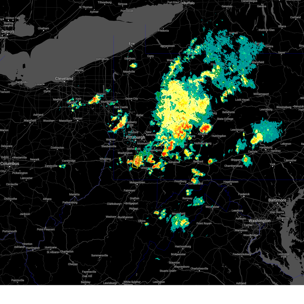 At 443 pm edt, a severe thunderstorm was located near fredericktown-millsboro, or 13 miles northeast of waynesburg, moving east at 20 mph (radar indicated). Hazards include 60 mph wind gusts and penny size hail. Expect damage to trees and power lines, resulting in some power outages. Locations impacted include, california, charleroi, bentleyville, fredericktown-millsboro, north charleroi, speers, ellsworth, deemston, beallsville, rices landing, long branch, twilight, clarksville, and centerville. At 443 pm edt, a severe thunderstorm was located near fredericktown-millsboro, or 13 miles northeast of waynesburg, moving east at 20 mph (radar indicated). Hazards include 60 mph wind gusts and penny size hail. Expect damage to trees and power lines, resulting in some power outages. Locations impacted include, california, charleroi, bentleyville, fredericktown-millsboro, north charleroi, speers, ellsworth, deemston, beallsville, rices landing, long branch, twilight, clarksville, and centerville.
|
| 5/25/2024 4:29 PM EDT |
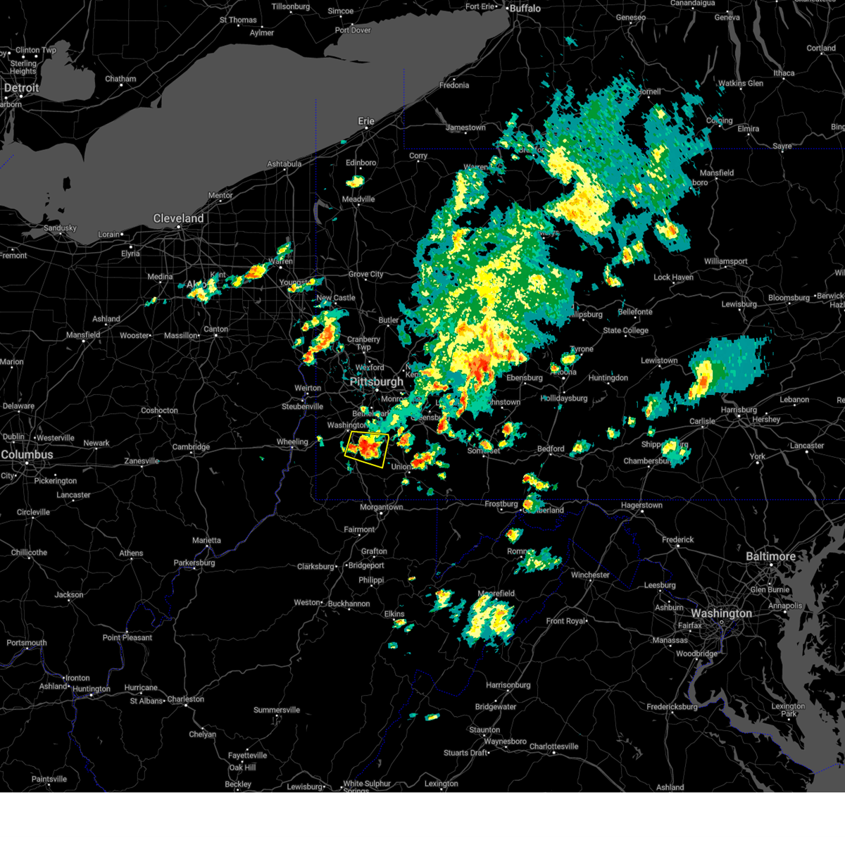 At 428 pm edt, a severe thunderstorm was located 7 miles southwest of bentleyville, or 9 miles southeast of washington, moving east at 20 mph (radar indicated). Hazards include 60 mph wind gusts and penny size hail. Expect damage to trees and power lines, resulting in some power outages. Locations impacted include, california, charleroi, bentleyville, fredericktown-millsboro, north charleroi, speers, ellsworth, deemston, eighty four, cokeburg, marianna, beallsville, rices landing, long branch, twilight, clarksville, centerville, scenery hill, and amity. At 428 pm edt, a severe thunderstorm was located 7 miles southwest of bentleyville, or 9 miles southeast of washington, moving east at 20 mph (radar indicated). Hazards include 60 mph wind gusts and penny size hail. Expect damage to trees and power lines, resulting in some power outages. Locations impacted include, california, charleroi, bentleyville, fredericktown-millsboro, north charleroi, speers, ellsworth, deemston, eighty four, cokeburg, marianna, beallsville, rices landing, long branch, twilight, clarksville, centerville, scenery hill, and amity.
|
| 5/25/2024 4:14 PM EDT |
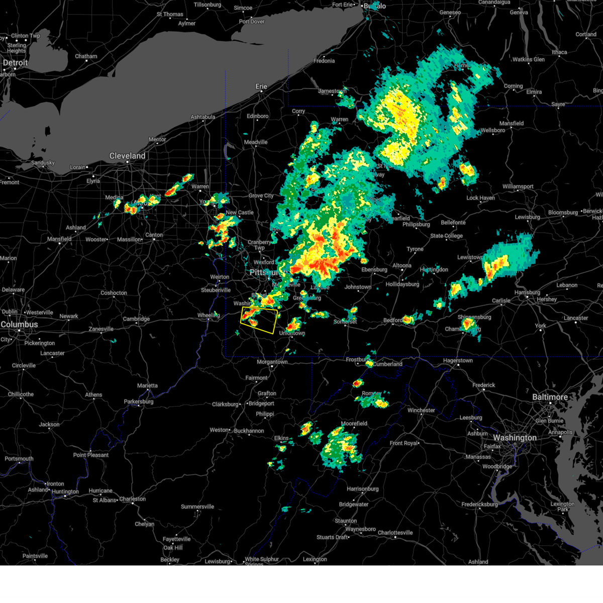 Svrpbz the national weather service in pittsburgh has issued a * severe thunderstorm warning for, southeastern washington county in southwestern pennsylvania, northeastern greene county in southwestern pennsylvania, western fayette county in southwestern pennsylvania, * until 500 pm edt. * at 413 pm edt, a severe thunderstorm was located near washington, moving east at 20 mph (radar indicated). Hazards include 60 mph wind gusts. expect damage to trees and power lines, resulting in some power outages Svrpbz the national weather service in pittsburgh has issued a * severe thunderstorm warning for, southeastern washington county in southwestern pennsylvania, northeastern greene county in southwestern pennsylvania, western fayette county in southwestern pennsylvania, * until 500 pm edt. * at 413 pm edt, a severe thunderstorm was located near washington, moving east at 20 mph (radar indicated). Hazards include 60 mph wind gusts. expect damage to trees and power lines, resulting in some power outages
|
| 5/22/2024 12:58 PM EDT |
 the severe thunderstorm warning has been cancelled and is no longer in effect the severe thunderstorm warning has been cancelled and is no longer in effect
|
| 5/22/2024 12:43 PM EDT |
 At 1243 pm edt, severe thunderstorms were located along a line extending from near northwest harborcreek to near wattsburg to near titusville, moving northeast at 35 mph (radar indicated). Hazards include 60 mph wind gusts and quarter size hail. Minor damage to vehicles is possible. expect damage to trees and power lines. Locations impacted include, erie, corry, titusville, north east, union city, wattsburg, riceville, northwest harborcreek, lincolnville, canadohta lake, harborcreek, lawrence park, wesleyville, hydetown, spartansburg, elgin, and northwest harborcr. At 1243 pm edt, severe thunderstorms were located along a line extending from near northwest harborcreek to near wattsburg to near titusville, moving northeast at 35 mph (radar indicated). Hazards include 60 mph wind gusts and quarter size hail. Minor damage to vehicles is possible. expect damage to trees and power lines. Locations impacted include, erie, corry, titusville, north east, union city, wattsburg, riceville, northwest harborcreek, lincolnville, canadohta lake, harborcreek, lawrence park, wesleyville, hydetown, spartansburg, elgin, and northwest harborcr.
|
| 5/22/2024 12:29 PM EDT |
 The severe thunderstorm which prompted the warning has moved out of the warned area. therefore, the warning will be allowed to expire. to report severe weather, contact your nearest law enforcement agency. they will relay your report to the national weather service cleveland. remember, a severe thunderstorm warning still remains in effect for portions of erie and crawford counties. The severe thunderstorm which prompted the warning has moved out of the warned area. therefore, the warning will be allowed to expire. to report severe weather, contact your nearest law enforcement agency. they will relay your report to the national weather service cleveland. remember, a severe thunderstorm warning still remains in effect for portions of erie and crawford counties.
|
| 5/22/2024 12:27 PM EDT |
 Svrcle the national weather service in cleveland has issued a * severe thunderstorm warning for, erie county in northwestern pennsylvania, eastern crawford county in northwestern pennsylvania, * until 115 pm edt. * at 1227 pm edt, severe thunderstorms were located along a line extending from near girard to near waterford to 7 miles east of guys mills, moving northeast at 45 mph (radar indicated). Hazards include 60 mph wind gusts and quarter size hail. Minor damage to vehicles is possible. Expect damage to trees and power lines. Svrcle the national weather service in cleveland has issued a * severe thunderstorm warning for, erie county in northwestern pennsylvania, eastern crawford county in northwestern pennsylvania, * until 115 pm edt. * at 1227 pm edt, severe thunderstorms were located along a line extending from near girard to near waterford to 7 miles east of guys mills, moving northeast at 45 mph (radar indicated). Hazards include 60 mph wind gusts and quarter size hail. Minor damage to vehicles is possible. Expect damage to trees and power lines.
|
| 5/22/2024 12:19 PM EDT |
 At 1219 pm edt, a severe thunderstorm was located near lincolnville, or 14 miles northeast of meadville, moving east at 45 mph (radar indicated). Hazards include 60 mph wind gusts and quarter size hail. Minor damage to vehicles is possible. expect damage to trees and power lines. Locations impacted include, meadville, corry, edinboro, titusville, union city, cambridge springs, waterford, wattsburg, riceville, lincolnville, canadohta lake, guys mills, cochranton, saegertown, hydetown, mill village, blooming valley, townville, spartansburg, and venango. At 1219 pm edt, a severe thunderstorm was located near lincolnville, or 14 miles northeast of meadville, moving east at 45 mph (radar indicated). Hazards include 60 mph wind gusts and quarter size hail. Minor damage to vehicles is possible. expect damage to trees and power lines. Locations impacted include, meadville, corry, edinboro, titusville, union city, cambridge springs, waterford, wattsburg, riceville, lincolnville, canadohta lake, guys mills, cochranton, saegertown, hydetown, mill village, blooming valley, townville, spartansburg, and venango.
|
| 5/22/2024 11:51 AM EDT |
 Svrcle the national weather service in cleveland has issued a * severe thunderstorm warning for, southeastern erie county in northwestern pennsylvania, crawford county in northwestern pennsylvania, * until 1230 pm edt. * at 1151 am edt, a severe thunderstorm was located over harmonsburg, or 7 miles west of meadville, moving east at 45 mph (radar indicated). Hazards include 60 mph wind gusts and quarter size hail. Minor damage to vehicles is possible. Expect damage to trees and power lines. Svrcle the national weather service in cleveland has issued a * severe thunderstorm warning for, southeastern erie county in northwestern pennsylvania, crawford county in northwestern pennsylvania, * until 1230 pm edt. * at 1151 am edt, a severe thunderstorm was located over harmonsburg, or 7 miles west of meadville, moving east at 45 mph (radar indicated). Hazards include 60 mph wind gusts and quarter size hail. Minor damage to vehicles is possible. Expect damage to trees and power lines.
|
| 5/11/2024 7:00 PM EDT |
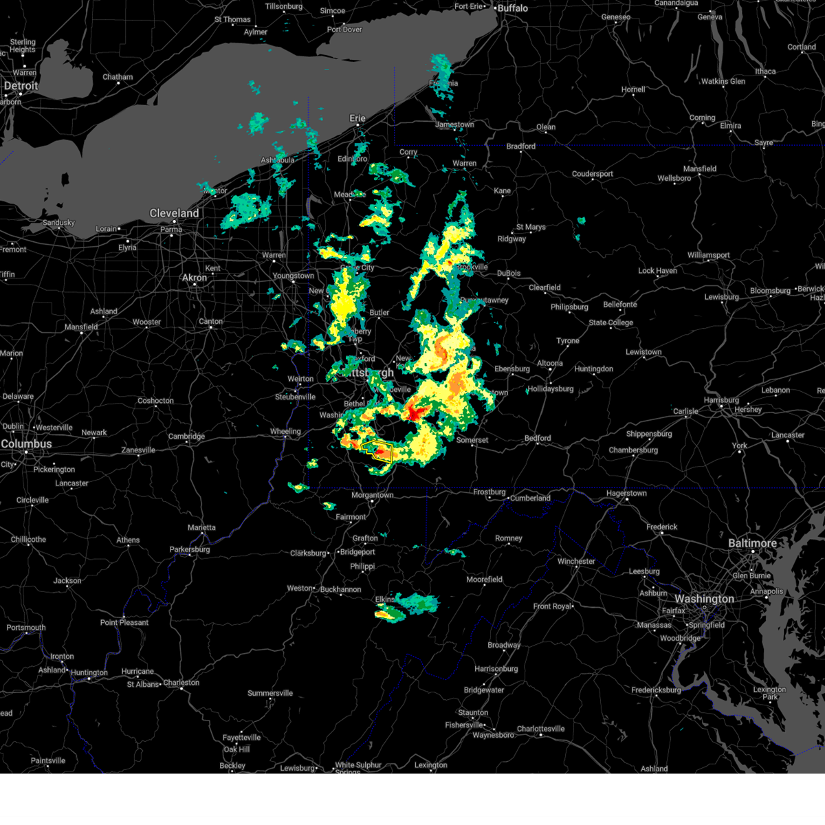 The storm which prompted the warning has been replaced with another warning. hail and winds are still a threat. The storm which prompted the warning has been replaced with another warning. hail and winds are still a threat.
|
| 5/11/2024 6:58 PM EDT |
 Svrpbz the national weather service in pittsburgh has issued a * severe thunderstorm warning for, southeastern washington county in southwestern pennsylvania, northeastern greene county in southwestern pennsylvania, central fayette county in southwestern pennsylvania, * until 800 pm edt. * at 657 pm edt, a severe thunderstorm was located near brownsville, or 10 miles northwest of uniontown, moving east at 30 mph (radar indicated). Hazards include 60 mph wind gusts and half dollar size hail. Minor hail damage to vehicles is possible. Expect wind damage to trees and power lines, resulting in some power outages. Svrpbz the national weather service in pittsburgh has issued a * severe thunderstorm warning for, southeastern washington county in southwestern pennsylvania, northeastern greene county in southwestern pennsylvania, central fayette county in southwestern pennsylvania, * until 800 pm edt. * at 657 pm edt, a severe thunderstorm was located near brownsville, or 10 miles northwest of uniontown, moving east at 30 mph (radar indicated). Hazards include 60 mph wind gusts and half dollar size hail. Minor hail damage to vehicles is possible. Expect wind damage to trees and power lines, resulting in some power outages.
|
| 5/11/2024 6:48 PM EDT |
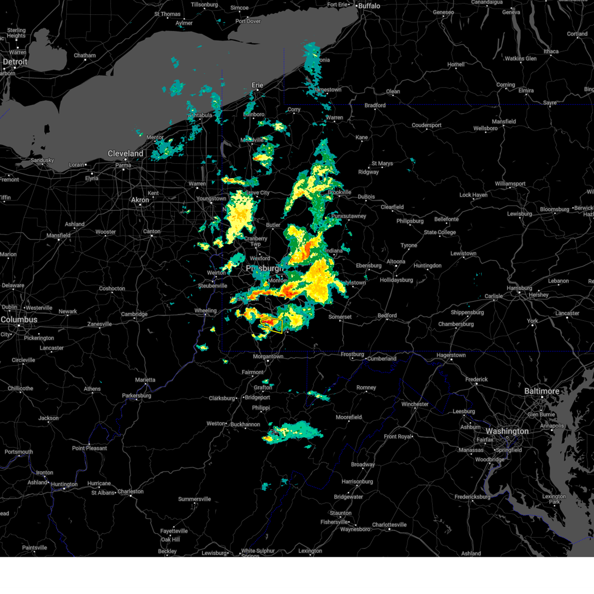 At 648 pm edt, a severe thunderstorm was located over brownsville, or 12 miles northwest of uniontown, moving east at 30 mph (radar indicated). Hazards include 60 mph wind gusts and half dollar size hail. Minor hail damage to vehicles is possible. expect wind damage to trees and power lines, resulting in some power outages. Locations impacted include, california, brownsville, fredericktown-millsboro, isabella, west brownsville, deemston, republic, rices landing, grindstone, new salem, and centerville. At 648 pm edt, a severe thunderstorm was located over brownsville, or 12 miles northwest of uniontown, moving east at 30 mph (radar indicated). Hazards include 60 mph wind gusts and half dollar size hail. Minor hail damage to vehicles is possible. expect wind damage to trees and power lines, resulting in some power outages. Locations impacted include, california, brownsville, fredericktown-millsboro, isabella, west brownsville, deemston, republic, rices landing, grindstone, new salem, and centerville.
|
| 5/11/2024 6:41 PM EDT |
 At 641 pm edt, a severe thunderstorm was located over fredericktown-millsboro, or 12 miles northeast of waynesburg, moving east at 30 mph (radar indicated). Hazards include ping pong ball size hail and 60 mph wind gusts. People and animals outdoors will be injured. expect hail damage to roofs, siding, windows, and vehicles. expect wind damage to trees and power lines, resulting in some power outages. Locations impacted include, california, charleroi, bentleyville, brownsville, fredericktown-millsboro, north belle vernon, north charleroi, speers, isabella, belle vernon, ellsworth, lynnwood-pricedale, west brownsville, roscoe, deemston, cokeburg, fayette city, newell, allenport, and stockdale. At 641 pm edt, a severe thunderstorm was located over fredericktown-millsboro, or 12 miles northeast of waynesburg, moving east at 30 mph (radar indicated). Hazards include ping pong ball size hail and 60 mph wind gusts. People and animals outdoors will be injured. expect hail damage to roofs, siding, windows, and vehicles. expect wind damage to trees and power lines, resulting in some power outages. Locations impacted include, california, charleroi, bentleyville, brownsville, fredericktown-millsboro, north belle vernon, north charleroi, speers, isabella, belle vernon, ellsworth, lynnwood-pricedale, west brownsville, roscoe, deemston, cokeburg, fayette city, newell, allenport, and stockdale.
|
| 5/11/2024 6:22 PM EDT |
 At 621 pm edt, a severe thunderstorm was located 7 miles south of east washington, or 8 miles south of washington, moving southeast at 30 mph (radar indicated). Hazards include golf ball size hail and 60 mph wind gusts. People and animals outdoors will be injured. expect hail damage to roofs, siding, windows, and vehicles. expect wind damage to trees and power lines, resulting in some power outages. Locations impacted include, california, charleroi, bentleyville, brownsville, fredericktown-millsboro, north belle vernon, north charleroi, speers, isabella, belle vernon, ellsworth, lynnwood-pricedale, west brownsville, roscoe, deemston, eighty four, cokeburg, fayette city, newell, and allenport. At 621 pm edt, a severe thunderstorm was located 7 miles south of east washington, or 8 miles south of washington, moving southeast at 30 mph (radar indicated). Hazards include golf ball size hail and 60 mph wind gusts. People and animals outdoors will be injured. expect hail damage to roofs, siding, windows, and vehicles. expect wind damage to trees and power lines, resulting in some power outages. Locations impacted include, california, charleroi, bentleyville, brownsville, fredericktown-millsboro, north belle vernon, north charleroi, speers, isabella, belle vernon, ellsworth, lynnwood-pricedale, west brownsville, roscoe, deemston, eighty four, cokeburg, fayette city, newell, and allenport.
|
| 5/11/2024 6:14 PM EDT |
 At 613 pm edt, a severe thunderstorm was located near east washington, or near washington, moving east at 30 mph (radar indicated). Hazards include 60 mph wind gusts and quarter size hail. Minor hail damage to vehicles is possible. expect wind damage to trees and power lines, resulting in some power outages. Locations impacted include, washington, california, charleroi, wolfdale, bentleyville, brownsville, east washington, fredericktown-millsboro, north belle vernon, north charleroi, speers, isabella, belle vernon, ellsworth, lynnwood-pricedale, west brownsville, roscoe, deemston, eighty four, and cokeburg. At 613 pm edt, a severe thunderstorm was located near east washington, or near washington, moving east at 30 mph (radar indicated). Hazards include 60 mph wind gusts and quarter size hail. Minor hail damage to vehicles is possible. expect wind damage to trees and power lines, resulting in some power outages. Locations impacted include, washington, california, charleroi, wolfdale, bentleyville, brownsville, east washington, fredericktown-millsboro, north belle vernon, north charleroi, speers, isabella, belle vernon, ellsworth, lynnwood-pricedale, west brownsville, roscoe, deemston, eighty four, and cokeburg.
|
| 5/11/2024 6:09 PM EDT |
 Svrpbz the national weather service in pittsburgh has issued a * severe thunderstorm warning for, southern washington county in southwestern pennsylvania, northwestern fayette county in southwestern pennsylvania, * until 700 pm edt. * at 608 pm edt, a severe thunderstorm was located near washington, moving east at 30 mph (radar indicated). Hazards include 60 mph wind gusts and quarter size hail. Minor hail damage to vehicles is possible. Expect wind damage to trees and power lines, resulting in some power outages. Svrpbz the national weather service in pittsburgh has issued a * severe thunderstorm warning for, southern washington county in southwestern pennsylvania, northwestern fayette county in southwestern pennsylvania, * until 700 pm edt. * at 608 pm edt, a severe thunderstorm was located near washington, moving east at 30 mph (radar indicated). Hazards include 60 mph wind gusts and quarter size hail. Minor hail damage to vehicles is possible. Expect wind damage to trees and power lines, resulting in some power outages.
|
| 2/28/2024 8:55 AM EST |
 The storm which prompted the warning has weakened below severe limits, and has exited the warned area. therefore, the warning will be allowed to expire. however, gusty winds are still possible with this thunderstorm. The storm which prompted the warning has weakened below severe limits, and has exited the warned area. therefore, the warning will be allowed to expire. however, gusty winds are still possible with this thunderstorm.
|
| 2/28/2024 8:40 AM EST |
 At 840 am est, a severe thunderstorm was located near uniontown, moving east at 60 mph (radar indicated). Hazards include 60 mph wind gusts. Expect damage to trees and power lines, resulting in some power outages. Locations impacted include, uniontown, connellsville, masontown, brownsville, south connellsville, farmington, point marion, seven springs, fairchance, isabella, dunbar, smithfield, republic, nemacolin, grindstone, new salem, markleysburg, greensboro, chalkhill, and ohiopyle. At 840 am est, a severe thunderstorm was located near uniontown, moving east at 60 mph (radar indicated). Hazards include 60 mph wind gusts. Expect damage to trees and power lines, resulting in some power outages. Locations impacted include, uniontown, connellsville, masontown, brownsville, south connellsville, farmington, point marion, seven springs, fairchance, isabella, dunbar, smithfield, republic, nemacolin, grindstone, new salem, markleysburg, greensboro, chalkhill, and ohiopyle.
|
| 2/28/2024 8:25 AM EST |
 Svrpbz the national weather service in pittsburgh has issued a * severe thunderstorm warning for, eastern greene county in southwestern pennsylvania, fayette county in southwestern pennsylvania, * until 900 am est. * at 824 am est, a severe thunderstorm was located near fairdale, or 9 miles southeast of waynesburg, moving east at 60 mph (radar indicated). Hazards include 60 mph wind gusts. expect damage to trees and power lines, resulting in some power outages Svrpbz the national weather service in pittsburgh has issued a * severe thunderstorm warning for, eastern greene county in southwestern pennsylvania, fayette county in southwestern pennsylvania, * until 900 am est. * at 824 am est, a severe thunderstorm was located near fairdale, or 9 miles southeast of waynesburg, moving east at 60 mph (radar indicated). Hazards include 60 mph wind gusts. expect damage to trees and power lines, resulting in some power outages
|
| 2/28/2024 2:13 AM EST |
 Svrcle the national weather service in cleveland has issued a * severe thunderstorm warning for, northeastern ashtabula county in northeastern ohio, erie county in northwestern pennsylvania, crawford county in northwestern pennsylvania, * until 315 am est. * at 213 am est, severe thunderstorms were located along a line extending from conneaut to near harmonsburg, moving east at 60 mph (radar indicated). Hazards include quarter size hail. minor damage to vehicles is possible Svrcle the national weather service in cleveland has issued a * severe thunderstorm warning for, northeastern ashtabula county in northeastern ohio, erie county in northwestern pennsylvania, crawford county in northwestern pennsylvania, * until 315 am est. * at 213 am est, severe thunderstorms were located along a line extending from conneaut to near harmonsburg, moving east at 60 mph (radar indicated). Hazards include quarter size hail. minor damage to vehicles is possible
|
| 8/25/2023 2:24 AM EDT |
 The severe thunderstorm warning for southeastern jefferson, washington, southern allegheny, northwestern westmoreland, northwestern greene, northwestern fayette, ohio and brooke counties will expire at 230 am edt, the storms which prompted the warning have moved out of the area. therefore, the warning will be allowed to expire. The severe thunderstorm warning for southeastern jefferson, washington, southern allegheny, northwestern westmoreland, northwestern greene, northwestern fayette, ohio and brooke counties will expire at 230 am edt, the storms which prompted the warning have moved out of the area. therefore, the warning will be allowed to expire.
|
| 8/25/2023 2:09 AM EDT |
 At 209 am edt, severe thunderstorms were located along a line extending from 7 miles east of delmont to near monessen to 9 miles northwest of waynesburg, moving southeast at 45 mph (radar indicated). Hazards include 60 mph wind gusts. Expect damage to trees and power lines, resulting in some power outages. locations impacted include, pittsburgh, penn hills, mount lebanon, bethel park, monroeville, mcmurray, greensburg, mckeesport, washington, jeannette, canonsburg, wellsburg, west liberty, avella, valley grove, gastonville, shaler township, plum, west mifflin, and north side pittsburgh. hail threat, radar indicated max hail size, <. 75 in wind threat, radar indicated max wind gust, 60 mph. At 209 am edt, severe thunderstorms were located along a line extending from 7 miles east of delmont to near monessen to 9 miles northwest of waynesburg, moving southeast at 45 mph (radar indicated). Hazards include 60 mph wind gusts. Expect damage to trees and power lines, resulting in some power outages. locations impacted include, pittsburgh, penn hills, mount lebanon, bethel park, monroeville, mcmurray, greensburg, mckeesport, washington, jeannette, canonsburg, wellsburg, west liberty, avella, valley grove, gastonville, shaler township, plum, west mifflin, and north side pittsburgh. hail threat, radar indicated max hail size, <. 75 in wind threat, radar indicated max wind gust, 60 mph.
|
| 8/25/2023 1:51 AM EDT |
 At 151 am edt, severe thunderstorms were located along a line extending from near harrison township to upper st. clair to near west liberty, moving southeast at 75 mph (radar indicated). Hazards include 60 mph wind gusts. Expect damage to trees and power lines, resulting in some power outages. locations impacted include, pittsburgh, penn hills, mount lebanon, bethel park, ross township, mccandless township, monroeville, mcmurray, greensburg, weirton, mckeesport, steubenville, washington, franklin park, jeannette, canonsburg, wellsburg, west liberty, avella, and valley grove. hail threat, radar indicated max hail size, <. 75 in wind threat, radar indicated max wind gust, 60 mph. At 151 am edt, severe thunderstorms were located along a line extending from near harrison township to upper st. clair to near west liberty, moving southeast at 75 mph (radar indicated). Hazards include 60 mph wind gusts. Expect damage to trees and power lines, resulting in some power outages. locations impacted include, pittsburgh, penn hills, mount lebanon, bethel park, ross township, mccandless township, monroeville, mcmurray, greensburg, weirton, mckeesport, steubenville, washington, franklin park, jeannette, canonsburg, wellsburg, west liberty, avella, and valley grove. hail threat, radar indicated max hail size, <. 75 in wind threat, radar indicated max wind gust, 60 mph.
|
| 8/25/2023 1:38 AM EDT |
 At 137 am edt, severe thunderstorms were located along a line extending from near oak hills to near imperial to 7 miles west of wintersville, moving southeast at 55 mph (radar indicated). Hazards include 60 mph wind gusts. expect damage to trees and power lines, resulting in some power outages At 137 am edt, severe thunderstorms were located along a line extending from near oak hills to near imperial to 7 miles west of wintersville, moving southeast at 55 mph (radar indicated). Hazards include 60 mph wind gusts. expect damage to trees and power lines, resulting in some power outages
|
| 8/25/2023 12:47 AM EDT |
 At 1247 am edt, severe thunderstorms were located along a line extending from 8 miles southeast of geneva to near cortland to newton falls, moving east at 35 mph (radar indicated). Hazards include 70 mph wind gusts. Expect considerable tree damage. damage is likely to mobile homes, roofs, and outbuildings. Locations impacted include, youngstown, warren, meadville, boardman, niles, campbell, hubbard, cortland, titusville, newton falls, lordstown, cambridge springs, kinsman, andover, linesville, vienna center, adamsville, pymatuning central, riceville and harmonsburg. At 1247 am edt, severe thunderstorms were located along a line extending from 8 miles southeast of geneva to near cortland to newton falls, moving east at 35 mph (radar indicated). Hazards include 70 mph wind gusts. Expect considerable tree damage. damage is likely to mobile homes, roofs, and outbuildings. Locations impacted include, youngstown, warren, meadville, boardman, niles, campbell, hubbard, cortland, titusville, newton falls, lordstown, cambridge springs, kinsman, andover, linesville, vienna center, adamsville, pymatuning central, riceville and harmonsburg.
|
| 8/25/2023 12:29 AM EDT |
 At 1229 am edt, severe thunderstorms were located along a line extending from near madison to near north bloomfield to near ravenna, moving east at 35 mph (radar indicated). Hazards include 70 mph wind gusts. Expect considerable tree damage. damage is likely to mobile homes, roofs, and outbuildings. Locations impacted include, youngstown, warren, ashtabula, meadville, conneaut, boardman, niles, campbell, hubbard, cortland, edinboro, titusville, newton falls, lordstown, north kingsville, middlefield, cambridge springs, garrettsville, kinsman and north bloomfield. At 1229 am edt, severe thunderstorms were located along a line extending from near madison to near north bloomfield to near ravenna, moving east at 35 mph (radar indicated). Hazards include 70 mph wind gusts. Expect considerable tree damage. damage is likely to mobile homes, roofs, and outbuildings. Locations impacted include, youngstown, warren, ashtabula, meadville, conneaut, boardman, niles, campbell, hubbard, cortland, edinboro, titusville, newton falls, lordstown, north kingsville, middlefield, cambridge springs, garrettsville, kinsman and north bloomfield.
|
| 8/25/2023 12:26 AM EDT |
 At 1226 am edt, severe thunderstorms were located along a line extending from near madison to near west farmington to near ravenna, moving east at 35 mph (radar indicated). Hazards include 60 mph wind gusts. expect damage to trees and power lines At 1226 am edt, severe thunderstorms were located along a line extending from near madison to near west farmington to near ravenna, moving east at 35 mph (radar indicated). Hazards include 60 mph wind gusts. expect damage to trees and power lines
|
| 8/25/2023 12:00 AM EDT |
 At 1200 am edt, severe thunderstorms were located along a line extending from 13 miles north of falconer to near wattsburg to near albion, moving east at 40 mph (radar indicated). Hazards include 60 mph wind gusts. Expect damage to trees and power lines. locations impacted include, corry, titusville, north east, union city, waterford, wattsburg, riceville, lincolnville, canadohta lake, guys mills, harborcreek, hydetown, mill village, townville, spartansburg and elgin. hail threat, radar indicated max hail size, <. 75 in wind threat, radar indicated max wind gust, 60 mph. At 1200 am edt, severe thunderstorms were located along a line extending from 13 miles north of falconer to near wattsburg to near albion, moving east at 40 mph (radar indicated). Hazards include 60 mph wind gusts. Expect damage to trees and power lines. locations impacted include, corry, titusville, north east, union city, waterford, wattsburg, riceville, lincolnville, canadohta lake, guys mills, harborcreek, hydetown, mill village, townville, spartansburg and elgin. hail threat, radar indicated max hail size, <. 75 in wind threat, radar indicated max wind gust, 60 mph.
|
| 8/24/2023 11:20 PM EDT |
 At 1119 pm edt, severe thunderstorms were located along a line extending from 9 miles northwest of lake erie state park to 8 miles northwest of erie to 15 miles north of north kingsville, moving southeast at 40 mph (radar indicated). Hazards include 60 mph wind gusts and quarter size hail. Minor damage to vehicles is possible. Expect damage to trees and power lines. At 1119 pm edt, severe thunderstorms were located along a line extending from 9 miles northwest of lake erie state park to 8 miles northwest of erie to 15 miles north of north kingsville, moving southeast at 40 mph (radar indicated). Hazards include 60 mph wind gusts and quarter size hail. Minor damage to vehicles is possible. Expect damage to trees and power lines.
|
| 8/15/2023 6:50 PM EDT |
 At 649 pm edt, a severe thunderstorm was located over meadville, moving east at 20 mph (radar indicated). Hazards include 60 mph wind gusts and quarter size hail. Minor damage to vehicles is possible. Expect damage to trees and power lines. At 649 pm edt, a severe thunderstorm was located over meadville, moving east at 20 mph (radar indicated). Hazards include 60 mph wind gusts and quarter size hail. Minor damage to vehicles is possible. Expect damage to trees and power lines.
|
| 8/12/2023 9:08 PM EDT |
 At 908 pm edt, a severe thunderstorm capable of producing a tornado was located near fredericktown-millsboro, or 12 miles east of waynesburg, moving east at 35 mph (radar indicated rotation). Hazards include tornado. Flying debris will be dangerous to those caught without shelter. mobile homes will be damaged or destroyed. damage to roofs, windows, and vehicles will occur. tree damage is likely. this dangerous storm will be near, uniontown around 920 pm edt. Other locations impacted by this tornadic thunderstorm include fairchance, new salem, isabella, rices landing, republic, nemacolin, and centerville. At 908 pm edt, a severe thunderstorm capable of producing a tornado was located near fredericktown-millsboro, or 12 miles east of waynesburg, moving east at 35 mph (radar indicated rotation). Hazards include tornado. Flying debris will be dangerous to those caught without shelter. mobile homes will be damaged or destroyed. damage to roofs, windows, and vehicles will occur. tree damage is likely. this dangerous storm will be near, uniontown around 920 pm edt. Other locations impacted by this tornadic thunderstorm include fairchance, new salem, isabella, rices landing, republic, nemacolin, and centerville.
|
| 8/12/2023 9:07 PM EDT |
 At 907 pm edt, a severe thunderstorm was located over brownsville, or 12 miles northwest of uniontown, moving east at 30 mph (radar indicated). Hazards include 60 mph wind gusts and quarter size hail. Minor hail damage to vehicles is possible. expect wind damage to trees and power lines, resulting in some power outages. Locations impacted include, uniontown, california, bentleyville, brownsville, fredericktown-millsboro, perryopolis, speers, isabella, belle vernon, ellsworth, lynnwood-pricedale, west brownsville, roscoe, deemston, cokeburg, fayette city, newell, allenport, stockdale, and republic. At 907 pm edt, a severe thunderstorm was located over brownsville, or 12 miles northwest of uniontown, moving east at 30 mph (radar indicated). Hazards include 60 mph wind gusts and quarter size hail. Minor hail damage to vehicles is possible. expect wind damage to trees and power lines, resulting in some power outages. Locations impacted include, uniontown, california, bentleyville, brownsville, fredericktown-millsboro, perryopolis, speers, isabella, belle vernon, ellsworth, lynnwood-pricedale, west brownsville, roscoe, deemston, cokeburg, fayette city, newell, allenport, stockdale, and republic.
|
| 8/12/2023 9:06 PM EDT |
 At 906 pm edt, a severe thunderstorm was located over brownsville, or 13 miles northwest of uniontown, moving east at 30 mph (radar indicated). Hazards include 60 mph wind gusts and quarter size hail. Minor hail damage to vehicles is possible. expect wind damage to trees and power lines, resulting in some power outages. locations impacted include, uniontown, california, bentleyville, brownsville, fredericktown-millsboro, perryopolis, speers, isabella, belle vernon, ellsworth, lynnwood-pricedale, west brownsville, roscoe, deemston, cokeburg, fayette city, newell, allenport, stockdale, and republic. hail threat, radar indicated max hail size, 1. 00 in wind threat, radar indicated max wind gust, 60 mph. At 906 pm edt, a severe thunderstorm was located over brownsville, or 13 miles northwest of uniontown, moving east at 30 mph (radar indicated). Hazards include 60 mph wind gusts and quarter size hail. Minor hail damage to vehicles is possible. expect wind damage to trees and power lines, resulting in some power outages. locations impacted include, uniontown, california, bentleyville, brownsville, fredericktown-millsboro, perryopolis, speers, isabella, belle vernon, ellsworth, lynnwood-pricedale, west brownsville, roscoe, deemston, cokeburg, fayette city, newell, allenport, stockdale, and republic. hail threat, radar indicated max hail size, 1. 00 in wind threat, radar indicated max wind gust, 60 mph.
|
| 8/12/2023 8:53 PM EDT |
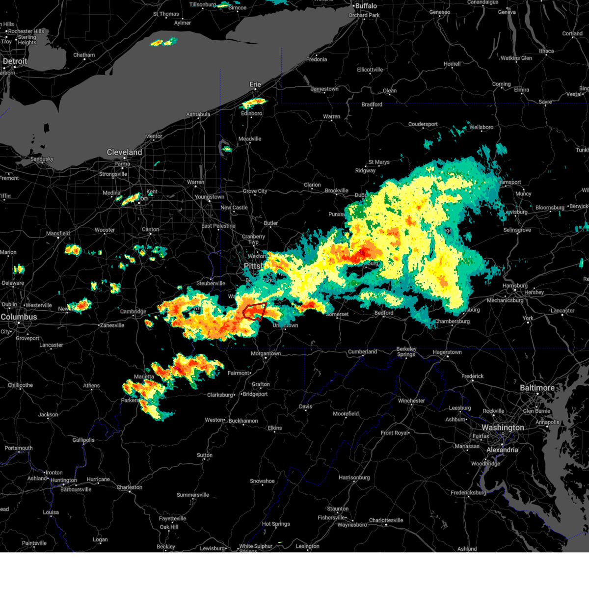 The tornado warning for southeastern washington county will expire at 900 pm edt, the tornado threat has diminished and the tornado warning has been cancelled. however, large hail and damaging winds remain likely and a severe thunderstorm warning remains in effect for the area. a severe thunderstorm watch remains in effect until 200 am edt for southwestern pennsylvania. The tornado warning for southeastern washington county will expire at 900 pm edt, the tornado threat has diminished and the tornado warning has been cancelled. however, large hail and damaging winds remain likely and a severe thunderstorm warning remains in effect for the area. a severe thunderstorm watch remains in effect until 200 am edt for southwestern pennsylvania.
|
| 8/12/2023 8:52 PM EDT |
 At 851 pm edt, a severe thunderstorm was located near fredericktown-millsboro, or 12 miles northeast of waynesburg, moving east at 30 mph (radar indicated). Hazards include 60 mph wind gusts and half dollar size hail. Minor hail damage to vehicles is possible. Expect wind damage to trees and power lines, resulting in some power outages. At 851 pm edt, a severe thunderstorm was located near fredericktown-millsboro, or 12 miles northeast of waynesburg, moving east at 30 mph (radar indicated). Hazards include 60 mph wind gusts and half dollar size hail. Minor hail damage to vehicles is possible. Expect wind damage to trees and power lines, resulting in some power outages.
|
| 8/12/2023 8:46 PM EDT |
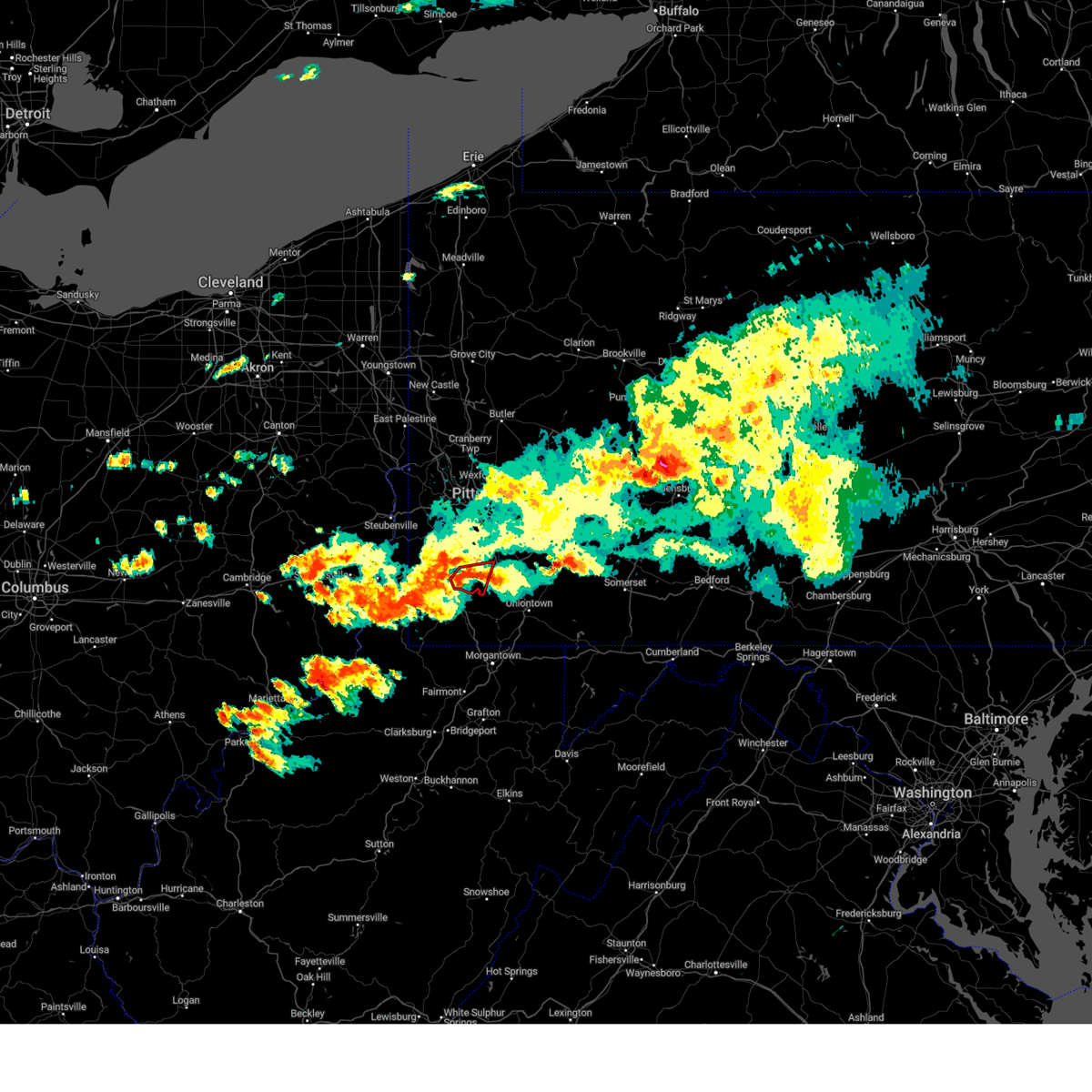 At 846 pm edt, a severe thunderstorm capable of producing a tornado was located near fredericktown-millsboro, or 11 miles northeast of waynesburg, moving east at 30 mph (radar indicated rotation). Hazards include tornado and golf ball size hail. Flying debris will be dangerous to those caught without shelter. mobile homes will be damaged or destroyed. damage to roofs, windows, and vehicles will occur. tree damage is likely. this dangerous storm will be near, fredericktown-millsboro around 850 pm edt. Other locations impacted by this tornadic thunderstorm include ellsworth, amity, beallsville, cokeburg, scenery hill, deemston, marianna, and centerville. At 846 pm edt, a severe thunderstorm capable of producing a tornado was located near fredericktown-millsboro, or 11 miles northeast of waynesburg, moving east at 30 mph (radar indicated rotation). Hazards include tornado and golf ball size hail. Flying debris will be dangerous to those caught without shelter. mobile homes will be damaged or destroyed. damage to roofs, windows, and vehicles will occur. tree damage is likely. this dangerous storm will be near, fredericktown-millsboro around 850 pm edt. Other locations impacted by this tornadic thunderstorm include ellsworth, amity, beallsville, cokeburg, scenery hill, deemston, marianna, and centerville.
|
| 8/12/2023 8:37 PM EDT |
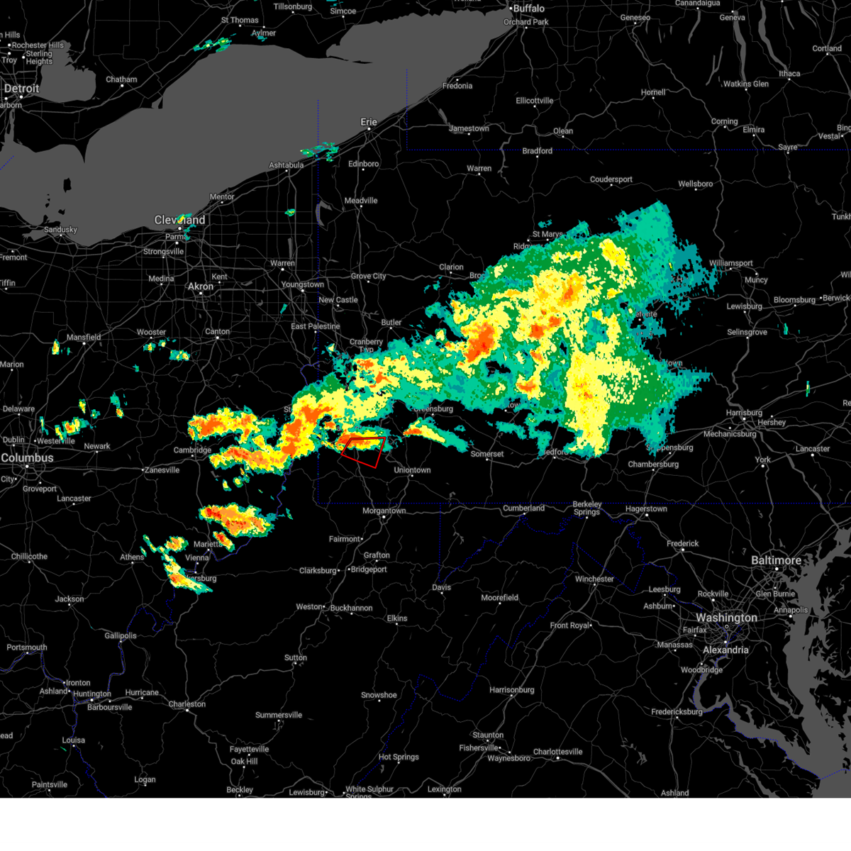 At 837 pm edt, a severe thunderstorm capable of producing a tornado was located 8 miles southeast of east washington, or 9 miles southeast of washington, moving east at 25 mph (radar indicated rotation). Hazards include tornado and golf ball size hail. Flying debris will be dangerous to those caught without shelter. mobile homes will be damaged or destroyed. damage to roofs, windows, and vehicles will occur. tree damage is likely. this dangerous storm will be near, fredericktown-millsboro around 850 pm edt. Other locations impacted by this tornadic thunderstorm include ellsworth, clarksville, amity, beallsville, cokeburg, scenery hill, deemston, marianna, and centerville. At 837 pm edt, a severe thunderstorm capable of producing a tornado was located 8 miles southeast of east washington, or 9 miles southeast of washington, moving east at 25 mph (radar indicated rotation). Hazards include tornado and golf ball size hail. Flying debris will be dangerous to those caught without shelter. mobile homes will be damaged or destroyed. damage to roofs, windows, and vehicles will occur. tree damage is likely. this dangerous storm will be near, fredericktown-millsboro around 850 pm edt. Other locations impacted by this tornadic thunderstorm include ellsworth, clarksville, amity, beallsville, cokeburg, scenery hill, deemston, marianna, and centerville.
|
| 8/12/2023 8:24 PM EDT |
 At 824 pm edt, a tornado producing storm was located 7 miles south of washington, moving southeast at 25 mph (radar confirmed tornado). Hazards include damaging tornado and ping pong ball size hail. Flying debris will be dangerous to those caught without shelter. mobile homes will be damaged or destroyed. damage to roofs, windows, and vehicles will occur. tree damage is likely. this tornadic storm will be near, fredericktown-millsboro around 845 pm edt. jefferson boro around 855 pm edt. Other locations impacted by this tornadic thunderstorm include ellsworth, clarksville, amity, beallsville, cokeburg, scenery hill, deemston, green hills, marianna, and centerville. At 824 pm edt, a tornado producing storm was located 7 miles south of washington, moving southeast at 25 mph (radar confirmed tornado). Hazards include damaging tornado and ping pong ball size hail. Flying debris will be dangerous to those caught without shelter. mobile homes will be damaged or destroyed. damage to roofs, windows, and vehicles will occur. tree damage is likely. this tornadic storm will be near, fredericktown-millsboro around 845 pm edt. jefferson boro around 855 pm edt. Other locations impacted by this tornadic thunderstorm include ellsworth, clarksville, amity, beallsville, cokeburg, scenery hill, deemston, green hills, marianna, and centerville.
|
| 8/12/2023 3:06 PM EDT |
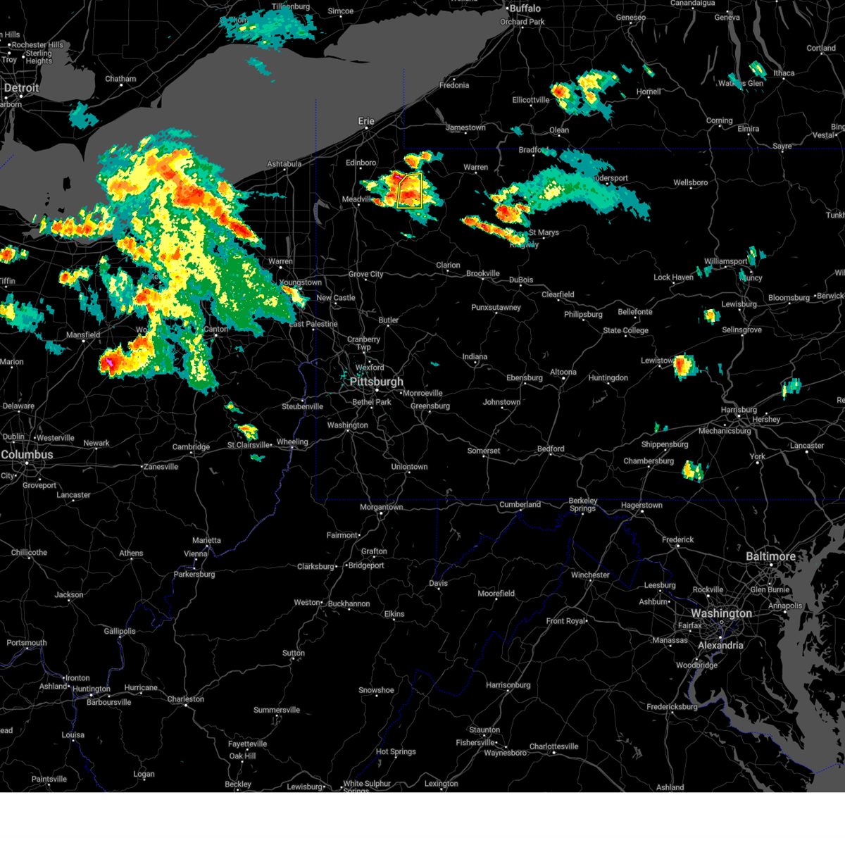 At 306 pm edt, a severe thunderstorm was located 7 miles south of corry, or 26 miles west of warren, moving east at 35 mph (radar indicated). Hazards include 60 mph wind gusts and quarter size hail. Minor damage to vehicles is possible. expect damage to trees and power lines. locations impacted include, titusville, riceville, hydetown and spartansburg. hail threat, radar indicated max hail size, 1. 00 in wind threat, radar indicated max wind gust, 60 mph. At 306 pm edt, a severe thunderstorm was located 7 miles south of corry, or 26 miles west of warren, moving east at 35 mph (radar indicated). Hazards include 60 mph wind gusts and quarter size hail. Minor damage to vehicles is possible. expect damage to trees and power lines. locations impacted include, titusville, riceville, hydetown and spartansburg. hail threat, radar indicated max hail size, 1. 00 in wind threat, radar indicated max wind gust, 60 mph.
|
| 8/12/2023 2:46 PM EDT |
 At 243 pm edt, a severe thunderstorm was located near lincolnville, or 12 miles northeast of meadville, moving east at 45 mph. additional thunderstorsm in teh warning area may intensify (radar indicated). Hazards include 60 mph wind gusts and quarter size hail. Minor damage to vehicles is possible. expect damage to trees and power lines. locations impacted include, titusville, cambridge springs, riceville, lincolnville, canadohta lake, guys mills, saegertown, hydetown, blooming valley, townville, spartansburg, venango and woodcock. hail threat, radar indicated max hail size, 1. 00 in wind threat, radar indicated max wind gust, 60 mph. At 243 pm edt, a severe thunderstorm was located near lincolnville, or 12 miles northeast of meadville, moving east at 45 mph. additional thunderstorsm in teh warning area may intensify (radar indicated). Hazards include 60 mph wind gusts and quarter size hail. Minor damage to vehicles is possible. expect damage to trees and power lines. locations impacted include, titusville, cambridge springs, riceville, lincolnville, canadohta lake, guys mills, saegertown, hydetown, blooming valley, townville, spartansburg, venango and woodcock. hail threat, radar indicated max hail size, 1. 00 in wind threat, radar indicated max wind gust, 60 mph.
|
| 8/12/2023 2:25 PM EDT |
 At 225 pm edt, a severe thunderstorm was located near harmonsburg, or near meadville, moving east at 30 mph (radar indicated). Hazards include 60 mph wind gusts and quarter size hail. Minor damage to vehicles is possible. expect damage to trees and power lines. locations impacted include, meadville, titusville, cambridge springs, riceville, harmonsburg, lincolnville, canadohta lake, guys mills, saegertown, conneautville, hydetown, blooming valley, townville, spartansburg, venango and woodcock. hail threat, radar indicated max hail size, 1. 00 in wind threat, radar indicated max wind gust, 60 mph. At 225 pm edt, a severe thunderstorm was located near harmonsburg, or near meadville, moving east at 30 mph (radar indicated). Hazards include 60 mph wind gusts and quarter size hail. Minor damage to vehicles is possible. expect damage to trees and power lines. locations impacted include, meadville, titusville, cambridge springs, riceville, harmonsburg, lincolnville, canadohta lake, guys mills, saegertown, conneautville, hydetown, blooming valley, townville, spartansburg, venango and woodcock. hail threat, radar indicated max hail size, 1. 00 in wind threat, radar indicated max wind gust, 60 mph.
|
| 8/12/2023 2:13 PM EDT |
 At 212 pm edt, a severe thunderstorm was located over linesville, or 14 miles west of meadville, moving east at 30 mph (radar indicated). Hazards include 70 mph wind gusts and ping pong ball size hail. People and animals outdoors will be injured. expect hail damage to roofs, siding, windows, and vehicles. expect considerable tree damage. Wind damage is also likely to mobile homes, roofs, and outbuildings. At 212 pm edt, a severe thunderstorm was located over linesville, or 14 miles west of meadville, moving east at 30 mph (radar indicated). Hazards include 70 mph wind gusts and ping pong ball size hail. People and animals outdoors will be injured. expect hail damage to roofs, siding, windows, and vehicles. expect considerable tree damage. Wind damage is also likely to mobile homes, roofs, and outbuildings.
|
| 7/28/2023 6:44 PM EDT |
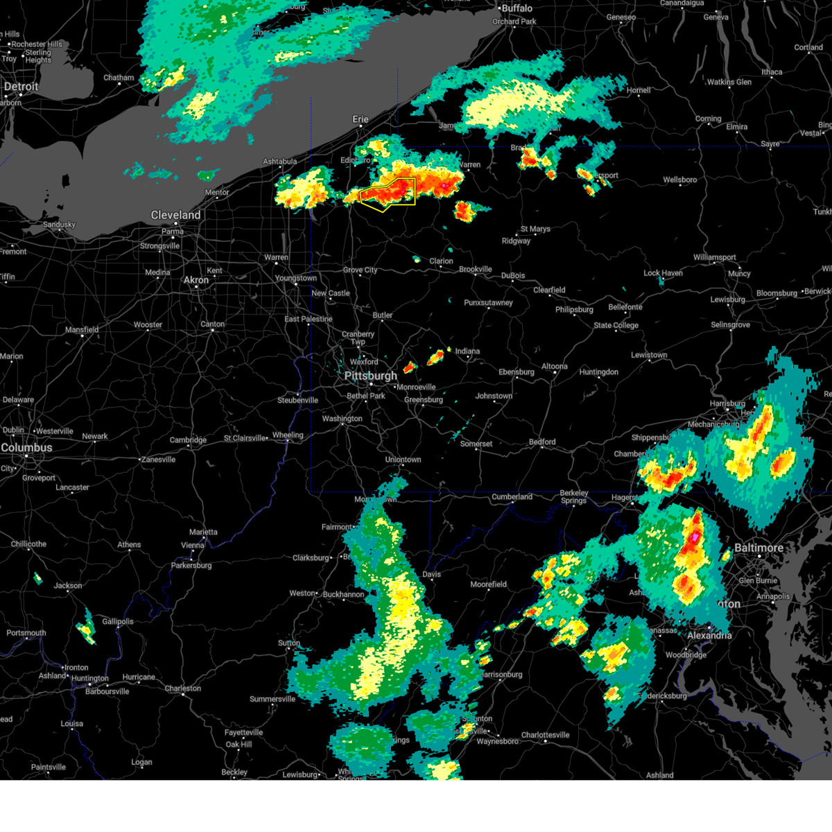 At 643 pm edt, severe thunderstorms were located along a line extending from 6 miles east of riceville to near titusville to 6 miles east of guys mills, moving east at 20 mph (radar indicated). Hazards include 60 mph wind gusts and quarter size hail. Minor damage to vehicles is possible. expect damage to trees and power lines. locations impacted include, titusville, guys mills, hydetown, blooming valley and townville. hail threat, radar indicated max hail size, 1. 00 in wind threat, radar indicated max wind gust, 60 mph. At 643 pm edt, severe thunderstorms were located along a line extending from 6 miles east of riceville to near titusville to 6 miles east of guys mills, moving east at 20 mph (radar indicated). Hazards include 60 mph wind gusts and quarter size hail. Minor damage to vehicles is possible. expect damage to trees and power lines. locations impacted include, titusville, guys mills, hydetown, blooming valley and townville. hail threat, radar indicated max hail size, 1. 00 in wind threat, radar indicated max wind gust, 60 mph.
|
| 7/28/2023 6:21 PM EDT |
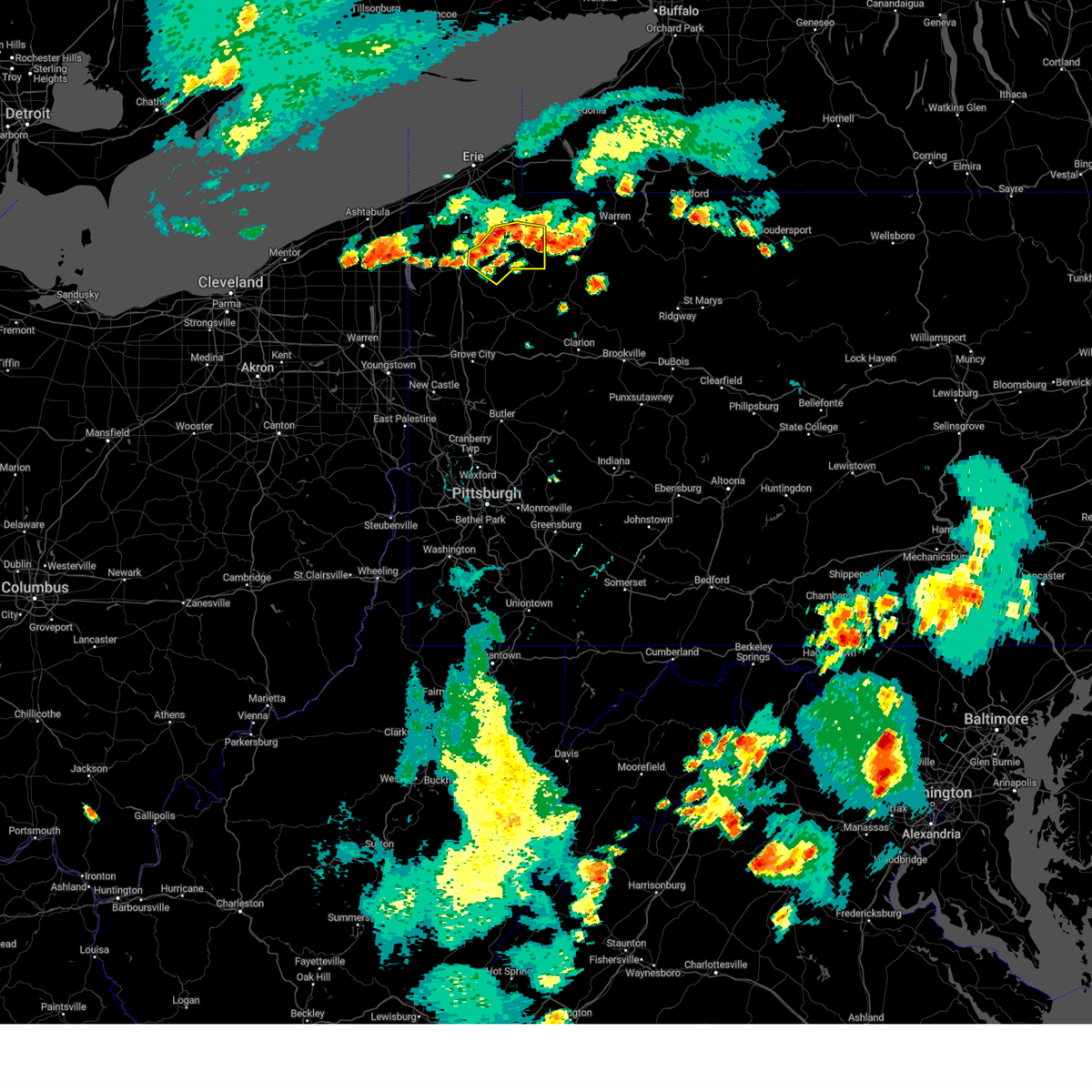 At 620 pm edt, severe thunderstorms were located along a line extending from canadohta lake to near lincolnville to near guys mills, moving east at 20 mph (law enforcement. there have been a few reports of tree and power-line damage from these thunderstorms). Hazards include 60 mph winicevid gusts. expect damage to trees and power lines At 620 pm edt, severe thunderstorms were located along a line extending from canadohta lake to near lincolnville to near guys mills, moving east at 20 mph (law enforcement. there have been a few reports of tree and power-line damage from these thunderstorms). Hazards include 60 mph winicevid gusts. expect damage to trees and power lines
|
| 7/27/2023 3:51 PM EDT | Trees down on rush run roa in fayette county PA, 3.8 miles NNW of Centerville, PA |
| 7/26/2023 7:19 PM EDT |
 At 718 pm edt, severe thunderstorms were located along a line extending from near north east to near union city to near greenville, moving east at 55 mph (radar indicated). Hazards include 60 mph wind gusts and quarter size hail. Minor damage to vehicles is possible. expect damage to trees and power lines. locations impacted include, meadville, corry, edinboro, union city, cambridge springs, waterford, linesville, adamsville, canadohta lake, pymatuning central, riceville, harmonsburg, lincolnville, guys mills, atlantic, pymatuning north, cochranton, saegertown, conneaut lake and mill village. hail threat, radar indicated max hail size, 1. 00 in wind threat, radar indicated max wind gust, 60 mph. At 718 pm edt, severe thunderstorms were located along a line extending from near north east to near union city to near greenville, moving east at 55 mph (radar indicated). Hazards include 60 mph wind gusts and quarter size hail. Minor damage to vehicles is possible. expect damage to trees and power lines. locations impacted include, meadville, corry, edinboro, union city, cambridge springs, waterford, linesville, adamsville, canadohta lake, pymatuning central, riceville, harmonsburg, lincolnville, guys mills, atlantic, pymatuning north, cochranton, saegertown, conneaut lake and mill village. hail threat, radar indicated max hail size, 1. 00 in wind threat, radar indicated max wind gust, 60 mph.
|
| 7/26/2023 6:37 PM EDT |
 At 636 pm edt, severe thunderstorms were located along a line extending from near albion to near andover to near orwell, moving northeast at 55 mph (radar indicated). Hazards include 60 mph wind gusts and quarter size hail. Minor damage to vehicles is possible. Expect damage to trees and power lines. At 636 pm edt, severe thunderstorms were located along a line extending from near albion to near andover to near orwell, moving northeast at 55 mph (radar indicated). Hazards include 60 mph wind gusts and quarter size hail. Minor damage to vehicles is possible. Expect damage to trees and power lines.
|
| 7/20/2023 7:36 PM EDT |
 At 735 pm edt, severe thunderstorms were located along a line extending from near long point state park to 7 miles south of guys mills to cortland, moving southeast at 35 mph (radar indicated). Hazards include 60 mph wind gusts and quarter size hail. Minor damage to vehicles is possible. expect damage to trees and power lines. locations impacted include, warren, meadville, niles, hubbard, cortland, titusville, newton falls, lordstown, kinsman, north bloomfield, orwell, west farmington, vienna center, adamsville, pymatuning central, riceville, guys mills, leavittsburg, atlantic and hilltop. hail threat, radar indicated max hail size, 1. 00 in wind threat, radar indicated max wind gust, 60 mph. At 735 pm edt, severe thunderstorms were located along a line extending from near long point state park to 7 miles south of guys mills to cortland, moving southeast at 35 mph (radar indicated). Hazards include 60 mph wind gusts and quarter size hail. Minor damage to vehicles is possible. expect damage to trees and power lines. locations impacted include, warren, meadville, niles, hubbard, cortland, titusville, newton falls, lordstown, kinsman, north bloomfield, orwell, west farmington, vienna center, adamsville, pymatuning central, riceville, guys mills, leavittsburg, atlantic and hilltop. hail threat, radar indicated max hail size, 1. 00 in wind threat, radar indicated max wind gust, 60 mph.
|
| 7/20/2023 6:59 PM EDT |
 At 658 pm edt, severe thunderstorms were located along a line extending from 8 miles west of westfield to 7 miles north of harmonsburg to 7 miles west of orwell, moving southeast at 35 mph (radar indicated). Hazards include 70 mph wind gusts and quarter size hail. Minor damage to vehicles is possible. expect considerable tree damage. Wind damage is also likely to mobile homes, roofs, and outbuildings. At 658 pm edt, severe thunderstorms were located along a line extending from 8 miles west of westfield to 7 miles north of harmonsburg to 7 miles west of orwell, moving southeast at 35 mph (radar indicated). Hazards include 70 mph wind gusts and quarter size hail. Minor damage to vehicles is possible. expect considerable tree damage. Wind damage is also likely to mobile homes, roofs, and outbuildings.
|
| 7/6/2023 5:13 PM EDT |
 The severe thunderstorm warning for crawford county will expire at 515 pm edt, the storms which prompted the warning have weakened below severe limits, and no longer pose an immediate threat to life or property. therefore, the warning will be allowed to expire. however gusty winds and heavy rain are still possible with these thunderstorms. The severe thunderstorm warning for crawford county will expire at 515 pm edt, the storms which prompted the warning have weakened below severe limits, and no longer pose an immediate threat to life or property. therefore, the warning will be allowed to expire. however gusty winds and heavy rain are still possible with these thunderstorms.
|
| 7/6/2023 4:55 PM EDT |
 At 455 pm edt, severe thunderstorms were located along a line extending from 6 miles southwest of cambridge springs to 8 miles south of meadville, moving northeast at 15 mph (radar indicated). Hazards include 60 mph wind gusts and penny size hail. Expect damage to trees and power lines. locations impacted include, meadville, titusville, cambridge springs, riceville, lincolnville, canadohta lake, guys mills, cochranton, saegertown, hydetown, blooming valley, townville, spartansburg, venango, woodcock and geneva. hail threat, radar indicated max hail size, 0. 75 in wind threat, radar indicated max wind gust, 60 mph. At 455 pm edt, severe thunderstorms were located along a line extending from 6 miles southwest of cambridge springs to 8 miles south of meadville, moving northeast at 15 mph (radar indicated). Hazards include 60 mph wind gusts and penny size hail. Expect damage to trees and power lines. locations impacted include, meadville, titusville, cambridge springs, riceville, lincolnville, canadohta lake, guys mills, cochranton, saegertown, hydetown, blooming valley, townville, spartansburg, venango, woodcock and geneva. hail threat, radar indicated max hail size, 0. 75 in wind threat, radar indicated max wind gust, 60 mph.
|
| 7/6/2023 4:35 PM EDT |
 At 434 pm edt, severe thunderstorms were located along a line extending from near harmonsburg to near atlantic, moving northeast at 10 mph (radar indicated). Hazards include 60 mph wind gusts and penny size hail. expect damage to trees and power lines At 434 pm edt, severe thunderstorms were located along a line extending from near harmonsburg to near atlantic, moving northeast at 10 mph (radar indicated). Hazards include 60 mph wind gusts and penny size hail. expect damage to trees and power lines
|
| 4/5/2023 8:13 PM EDT |
 At 813 pm edt, severe thunderstorms were located along a line extending from near imperial to near cameron, moving east at 45 mph (radar indicated). Hazards include 60 mph wind gusts. Expect damage to trees and power lines, resulting in some power outages. locations impacted include, pittsburgh, penn hills, mount lebanon, bethel park, mcmurray, mckeesport, washington, canonsburg, waynesburg, gastonville, west mifflin, and north side pittsburgh. hail threat, radar indicated max hail size, <. 75 in wind threat, radar indicated max wind gust, 60 mph. At 813 pm edt, severe thunderstorms were located along a line extending from near imperial to near cameron, moving east at 45 mph (radar indicated). Hazards include 60 mph wind gusts. Expect damage to trees and power lines, resulting in some power outages. locations impacted include, pittsburgh, penn hills, mount lebanon, bethel park, mcmurray, mckeesport, washington, canonsburg, waynesburg, gastonville, west mifflin, and north side pittsburgh. hail threat, radar indicated max hail size, <. 75 in wind threat, radar indicated max wind gust, 60 mph.
|
| 4/5/2023 7:59 PM EDT |
 At 759 pm edt, severe thunderstorms were located along a line extending from 6 miles west of imperial to 7 miles southeast of powhatan point, moving east at 45 mph (radar indicated). Hazards include 60 mph wind gusts. expect damage to trees and power lines, resulting in some power outages At 759 pm edt, severe thunderstorms were located along a line extending from 6 miles west of imperial to 7 miles southeast of powhatan point, moving east at 45 mph (radar indicated). Hazards include 60 mph wind gusts. expect damage to trees and power lines, resulting in some power outages
|
| 4/1/2023 2:58 PM EDT |
 At 257 pm edt, a severe thunderstorm was located over california, or 15 miles south of gastonville, moving east at 65 mph (radar indicated). Hazards include 60 mph wind gusts and penny size hail. Expect damage to trees and power lines, resulting in some power outages. locations impacted include, latrobe, connellsville, monessen, california, donora, mount pleasant, scottdale, monongahela, charleroi, mcchesneytown-loyalhanna, youngwood, and west newton. hail threat, radar indicated max hail size, 0. 75 in wind threat, radar indicated max wind gust, 60 mph. At 257 pm edt, a severe thunderstorm was located over california, or 15 miles south of gastonville, moving east at 65 mph (radar indicated). Hazards include 60 mph wind gusts and penny size hail. Expect damage to trees and power lines, resulting in some power outages. locations impacted include, latrobe, connellsville, monessen, california, donora, mount pleasant, scottdale, monongahela, charleroi, mcchesneytown-loyalhanna, youngwood, and west newton. hail threat, radar indicated max hail size, 0. 75 in wind threat, radar indicated max wind gust, 60 mph.
|
| 4/1/2023 2:45 PM EDT |
 At 245 pm edt, a severe thunderstorm was located 7 miles north of waynesburg, moving east at 65 mph (radar indicated). Hazards include 60 mph wind gusts. Expect damage to trees and power lines, resulting in some power outages. Ith these thunderstorms. At 245 pm edt, a severe thunderstorm was located 7 miles north of waynesburg, moving east at 65 mph (radar indicated). Hazards include 60 mph wind gusts. Expect damage to trees and power lines, resulting in some power outages. Ith these thunderstorms.
|
| 4/1/2023 2:22 PM EDT |
 The severe thunderstorm warning for erie and eastern crawford counties will expire at 230 pm edt, the storms which prompted the warning have moved out of the area. therefore, the warning will be allowed to expire. wind gusts in excess of 50 mph will continue for the next several hours and a wind advisory remains in effect until 800 pm edt. The severe thunderstorm warning for erie and eastern crawford counties will expire at 230 pm edt, the storms which prompted the warning have moved out of the area. therefore, the warning will be allowed to expire. wind gusts in excess of 50 mph will continue for the next several hours and a wind advisory remains in effect until 800 pm edt.
|
| 4/1/2023 2:06 PM EDT |
 At 205 pm edt, severe thunderstorms were located along a line extending from near lottsville to enterprise, moving east at 65 mph. an area of stronger winds east of i-79 may still be capable of producing gusts to 60 mph behind this leading line of storms (radar indicated). Hazards include 60 mph wind gusts. Expect damage to trees and power lines. locations impacted include, erie, corry, edinboro, titusville, north east, union city, cambridge springs, waterford, wattsburg, canadohta lake, riceville, northwest harborcreek, lincolnville, guys mills, harborcreek, lawrence park, wesleyville, hydetown, mill village and mckean. hail threat, radar indicated max hail size, <. 75 in wind threat, radar indicated max wind gust, 60 mph. At 205 pm edt, severe thunderstorms were located along a line extending from near lottsville to enterprise, moving east at 65 mph. an area of stronger winds east of i-79 may still be capable of producing gusts to 60 mph behind this leading line of storms (radar indicated). Hazards include 60 mph wind gusts. Expect damage to trees and power lines. locations impacted include, erie, corry, edinboro, titusville, north east, union city, cambridge springs, waterford, wattsburg, canadohta lake, riceville, northwest harborcreek, lincolnville, guys mills, harborcreek, lawrence park, wesleyville, hydetown, mill village and mckean. hail threat, radar indicated max hail size, <. 75 in wind threat, radar indicated max wind gust, 60 mph.
|
| 4/1/2023 1:40 PM EDT |
 At 139 pm edt, severe thunderstorms were located along a line extending from near north east to 6 miles southeast of meadville, moving east at 75 mph. another area of damaging winds is moving out of ashtabula county behind the leading line of thunderstorms (law enforcement. tree damage was recently reported near girard. a 62 mph wind gust was recently measured in ashtabula county ohio). Hazards include 70 mph wind gusts and penny size hail. Expect considerable tree damage. damage is likely to mobile homes, roofs, and outbuildings. locations impacted include, erie, meadville, conneaut, corry, edinboro, titusville, north east, union city, girard, cambridge springs, waterford, albion, linesville, wattsburg, adamsville, pymatuning central, riceville, harmonsburg, guys mills and pymatuning north. thunderstorm damage threat, considerable hail threat, radar indicated max hail size, 0. 75 in wind threat, observed max wind gust, 70 mph. At 139 pm edt, severe thunderstorms were located along a line extending from near north east to 6 miles southeast of meadville, moving east at 75 mph. another area of damaging winds is moving out of ashtabula county behind the leading line of thunderstorms (law enforcement. tree damage was recently reported near girard. a 62 mph wind gust was recently measured in ashtabula county ohio). Hazards include 70 mph wind gusts and penny size hail. Expect considerable tree damage. damage is likely to mobile homes, roofs, and outbuildings. locations impacted include, erie, meadville, conneaut, corry, edinboro, titusville, north east, union city, girard, cambridge springs, waterford, albion, linesville, wattsburg, adamsville, pymatuning central, riceville, harmonsburg, guys mills and pymatuning north. thunderstorm damage threat, considerable hail threat, radar indicated max hail size, 0. 75 in wind threat, observed max wind gust, 70 mph.
|
| 4/1/2023 12:54 PM EDT |
 At 1253 pm edt, severe thunderstorms were located along a line extending from north kingsville to 6 miles northeast of middlefield, moving east at 60 mph (trained weather spotters. there have been numerous reports of tree and power-line damage and measured gusts in excess of 60 mph in ohio with these storms). Hazards include 70 mph wind gusts and penny size hail. Expect considerable tree damage. Damage is likely to mobile homes, roofs, and outbuildings. At 1253 pm edt, severe thunderstorms were located along a line extending from north kingsville to 6 miles northeast of middlefield, moving east at 60 mph (trained weather spotters. there have been numerous reports of tree and power-line damage and measured gusts in excess of 60 mph in ohio with these storms). Hazards include 70 mph wind gusts and penny size hail. Expect considerable tree damage. Damage is likely to mobile homes, roofs, and outbuildings.
|
| 3/25/2023 3:50 PM EDT |
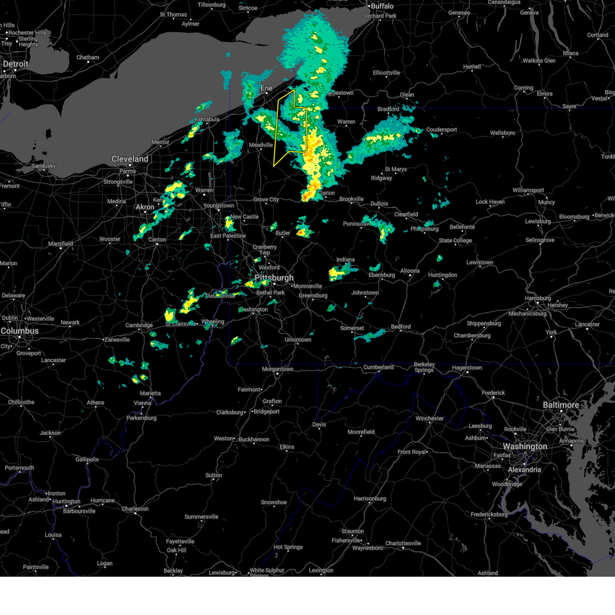 The severe thunderstorm warning for southeastern erie and eastern crawford counties will expire at 400 pm edt, the storms which prompted the warning have weakened below severe limits, and have exited the warned area. therefore, the warning will be allowed to expire. however gusty winds are still possible with these thunderstorms. a severe thunderstorm watch remains in effect until 800 pm edt for northwestern pennsylvania. The severe thunderstorm warning for southeastern erie and eastern crawford counties will expire at 400 pm edt, the storms which prompted the warning have weakened below severe limits, and have exited the warned area. therefore, the warning will be allowed to expire. however gusty winds are still possible with these thunderstorms. a severe thunderstorm watch remains in effect until 800 pm edt for northwestern pennsylvania.
|
| 3/25/2023 3:38 PM EDT |
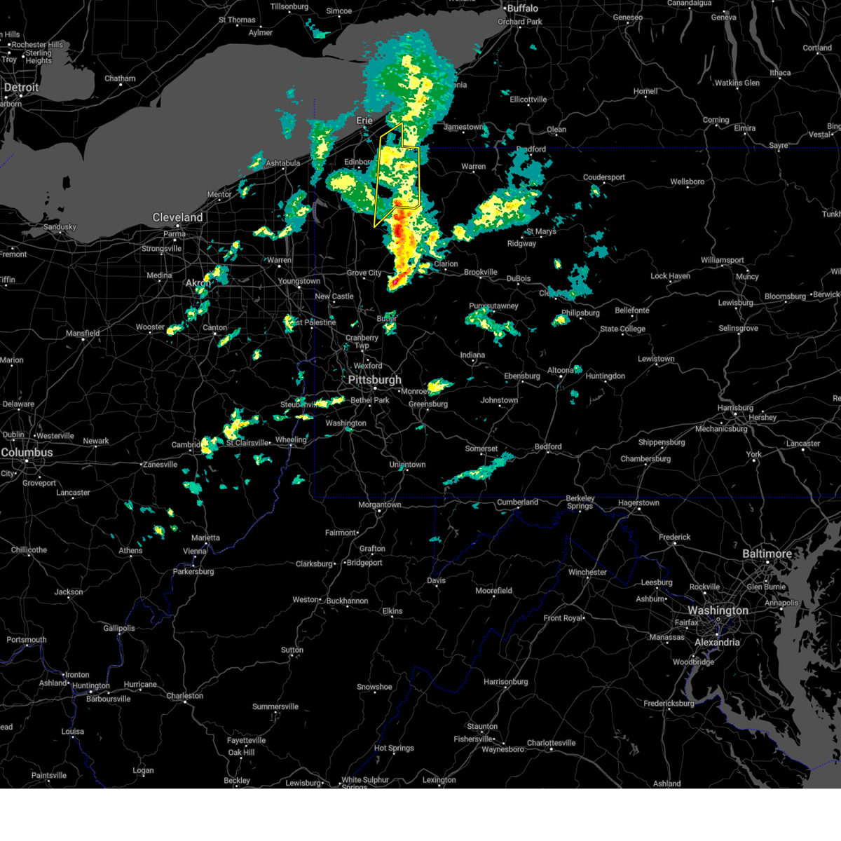 At 338 pm edt, severe thunderstorms were located along a line extending from 8 miles north of westfield to near chautauqua institution to 6 miles northwest of grand valley, moving northeast at 65 mph (radar indicated). Hazards include 60 mph wind gusts. Expect damage to trees and power lines. locations impacted include, corry, titusville, union city, wattsburg, riceville, lincolnville, canadohta lake, guys mills, hydetown, mill village, townville, spartansburg and elgin. hail threat, radar indicated max hail size, <. 75 in wind threat, radar indicated max wind gust, 60 mph. At 338 pm edt, severe thunderstorms were located along a line extending from 8 miles north of westfield to near chautauqua institution to 6 miles northwest of grand valley, moving northeast at 65 mph (radar indicated). Hazards include 60 mph wind gusts. Expect damage to trees and power lines. locations impacted include, corry, titusville, union city, wattsburg, riceville, lincolnville, canadohta lake, guys mills, hydetown, mill village, townville, spartansburg and elgin. hail threat, radar indicated max hail size, <. 75 in wind threat, radar indicated max wind gust, 60 mph.
|
| 3/25/2023 3:23 PM EDT |
 At 323 pm edt, severe thunderstorms were located along a line extending from 7 miles north of north east to wattsburg to near guys mills, moving northeast at 65 mph (radar indicated). Hazards include 60 mph wind gusts. Expect damage to trees and power lines. locations impacted include, erie, meadville, corry, edinboro, titusville, north east, union city, cambridge springs, waterford, wattsburg, canadohta lake, riceville, northwest harborcreek, lincolnville, guys mills, harborcreek, lawrence park, wesleyville, cochranton and saegertown. hail threat, radar indicated max hail size, <. 75 in wind threat, radar indicated max wind gust, 60 mph. At 323 pm edt, severe thunderstorms were located along a line extending from 7 miles north of north east to wattsburg to near guys mills, moving northeast at 65 mph (radar indicated). Hazards include 60 mph wind gusts. Expect damage to trees and power lines. locations impacted include, erie, meadville, corry, edinboro, titusville, north east, union city, cambridge springs, waterford, wattsburg, canadohta lake, riceville, northwest harborcreek, lincolnville, guys mills, harborcreek, lawrence park, wesleyville, cochranton and saegertown. hail threat, radar indicated max hail size, <. 75 in wind threat, radar indicated max wind gust, 60 mph.
|
| 3/25/2023 3:14 PM EDT |
 At 313 pm edt, severe thunderstorms were located along a line extending from 6 miles north of northwest harborcreek to waterford to near guys mills, moving northeast at 65 mph (radar indicated). Hazards include 60 mph wind gusts. expect damage to trees and power lines At 313 pm edt, severe thunderstorms were located along a line extending from 6 miles north of northwest harborcreek to waterford to near guys mills, moving northeast at 65 mph (radar indicated). Hazards include 60 mph wind gusts. expect damage to trees and power lines
|
| 3/25/2023 2:35 PM EDT |
 At 234 pm edt, severe thunderstorms were located along a line extending from near north kingsville to 7 miles northwest of andover to near west farmington, moving northeast at 70 mph (radar indicated). Hazards include 70 mph wind gusts. Expect considerable tree damage. Damage is likely to mobile homes, roofs, and outbuildings. At 234 pm edt, severe thunderstorms were located along a line extending from near north kingsville to 7 miles northwest of andover to near west farmington, moving northeast at 70 mph (radar indicated). Hazards include 70 mph wind gusts. Expect considerable tree damage. Damage is likely to mobile homes, roofs, and outbuildings.
|
| 11/27/2022 2:35 PM EST |
 At 234 pm est, a severe thunderstorm was located over california, or 15 miles south of gastonville, moving northeast at 60 mph (radar indicated). Hazards include ping pong ball size hail and 60 mph wind gusts. People and animals outdoors will be injured. expect hail damage to roofs, siding, windows, and vehicles. expect wind damage to trees and power lines, resulting in some power outages. locations impacted include, greensburg, jeannette, latrobe, monessen, california, donora, mount pleasant, scottdale, monongahela, charleroi, mcchesneytown-loyalhanna, and blairsville. hail threat, radar indicated max hail size, 1. 50 in wind threat, radar indicated max wind gust, 60 mph. At 234 pm est, a severe thunderstorm was located over california, or 15 miles south of gastonville, moving northeast at 60 mph (radar indicated). Hazards include ping pong ball size hail and 60 mph wind gusts. People and animals outdoors will be injured. expect hail damage to roofs, siding, windows, and vehicles. expect wind damage to trees and power lines, resulting in some power outages. locations impacted include, greensburg, jeannette, latrobe, monessen, california, donora, mount pleasant, scottdale, monongahela, charleroi, mcchesneytown-loyalhanna, and blairsville. hail threat, radar indicated max hail size, 1. 50 in wind threat, radar indicated max wind gust, 60 mph.
|
| 11/27/2022 2:29 PM EST |
 At 228 pm est, a severe thunderstorm was located over fredericktown-millsboro, or 10 miles northeast of waynesburg, moving northeast at 60 mph (radar indicated). Hazards include 60 mph wind gusts and quarter size hail. Minor hail damage to vehicles is possible. Expect wind damage to trees and power lines, resulting in some power outages. At 228 pm est, a severe thunderstorm was located over fredericktown-millsboro, or 10 miles northeast of waynesburg, moving northeast at 60 mph (radar indicated). Hazards include 60 mph wind gusts and quarter size hail. Minor hail damage to vehicles is possible. Expect wind damage to trees and power lines, resulting in some power outages.
|
| 11/27/2022 2:14 PM EST |
 At 213 pm est, severe thunderstorms were located along a line extending from 10 miles northwest of waynesburg to near hundred, moving northeast at 50 mph (radar indicated). Hazards include 60 mph wind gusts. Expect damage to trees and power lines, resulting in some power outages. locations impacted include, waynesburg, california, monongahela, bentleyville, fredericktown-millsboro, jefferson boro, new eagle, wickerham manor-fisher, baidland, north charleroi, ellsworth, and rogersville. hail threat, radar indicated max hail size, <. 75 in wind threat, radar indicated max wind gust, 60 mph. At 213 pm est, severe thunderstorms were located along a line extending from 10 miles northwest of waynesburg to near hundred, moving northeast at 50 mph (radar indicated). Hazards include 60 mph wind gusts. Expect damage to trees and power lines, resulting in some power outages. locations impacted include, waynesburg, california, monongahela, bentleyville, fredericktown-millsboro, jefferson boro, new eagle, wickerham manor-fisher, baidland, north charleroi, ellsworth, and rogersville. hail threat, radar indicated max hail size, <. 75 in wind threat, radar indicated max wind gust, 60 mph.
|
| 11/27/2022 2:14 PM EST |
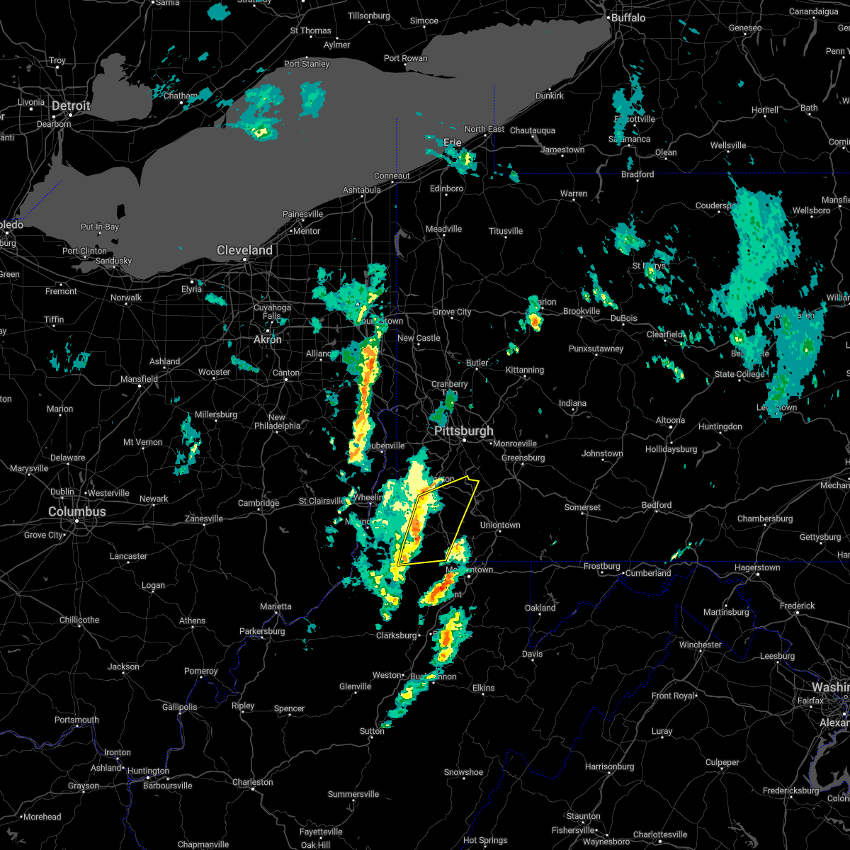 At 213 pm est, severe thunderstorms were located along a line extending from 10 miles northwest of waynesburg to near hundred, moving northeast at 50 mph (radar indicated). Hazards include 60 mph wind gusts. Expect damage to trees and power lines, resulting in some power outages. locations impacted include, waynesburg, california, monongahela, bentleyville, fredericktown-millsboro, jefferson boro, new eagle, wickerham manor-fisher, baidland, north charleroi, ellsworth, and rogersville. hail threat, radar indicated max hail size, <. 75 in wind threat, radar indicated max wind gust, 60 mph. At 213 pm est, severe thunderstorms were located along a line extending from 10 miles northwest of waynesburg to near hundred, moving northeast at 50 mph (radar indicated). Hazards include 60 mph wind gusts. Expect damage to trees and power lines, resulting in some power outages. locations impacted include, waynesburg, california, monongahela, bentleyville, fredericktown-millsboro, jefferson boro, new eagle, wickerham manor-fisher, baidland, north charleroi, ellsworth, and rogersville. hail threat, radar indicated max hail size, <. 75 in wind threat, radar indicated max wind gust, 60 mph.
|
| 11/27/2022 2:02 PM EST |
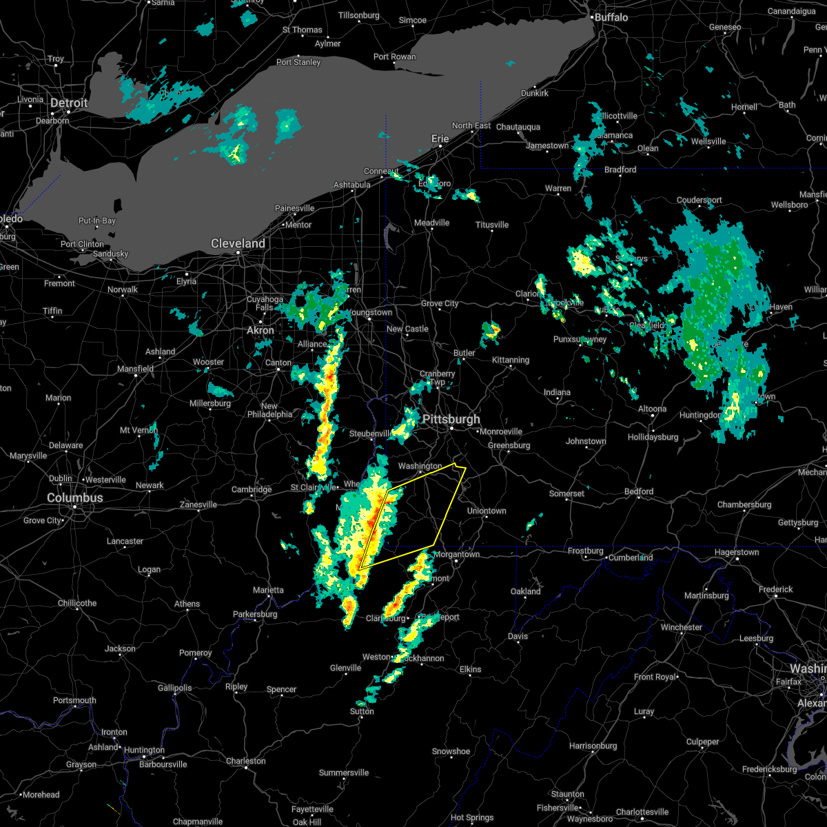 At 201 pm est, severe thunderstorms were located along a line extending from 9 miles southeast of triadelphia to 8 miles north of pine grove, moving northeast at 50 mph (radar indicated). Hazards include 60 mph wind gusts. Expect damage to trees and power lines, resulting in some power outages. locations impacted include, waynesburg, california, monongahela, bentleyville, fredericktown-millsboro, jefferson boro, cameron, hundred, new eagle, wickerham manor-fisher, baidland, and north charleroi. hail threat, radar indicated max hail size, <. 75 in wind threat, observed max wind gust, 60 mph. At 201 pm est, severe thunderstorms were located along a line extending from 9 miles southeast of triadelphia to 8 miles north of pine grove, moving northeast at 50 mph (radar indicated). Hazards include 60 mph wind gusts. Expect damage to trees and power lines, resulting in some power outages. locations impacted include, waynesburg, california, monongahela, bentleyville, fredericktown-millsboro, jefferson boro, cameron, hundred, new eagle, wickerham manor-fisher, baidland, and north charleroi. hail threat, radar indicated max hail size, <. 75 in wind threat, observed max wind gust, 60 mph.
|
| 11/27/2022 1:45 PM EST |
 At 144 pm est, severe thunderstorms were located along a line extending from near moundsville to near paden city, moving northeast at 50 mph (radar indicated). Hazards include 60 mph wind gusts. expect damage to trees and power lines, resulting in some power outages At 144 pm est, severe thunderstorms were located along a line extending from near moundsville to near paden city, moving northeast at 50 mph (radar indicated). Hazards include 60 mph wind gusts. expect damage to trees and power lines, resulting in some power outages
|
| 8/1/2022 7:16 PM EDT |
 At 715 pm edt, a severe thunderstorm was located near brownsville, or 11 miles northwest of uniontown, moving east at 10 mph (radar indicated). Hazards include 60 mph wind gusts and quarter size hail. Hail damage to vehicles is expected. Expect wind damage to roofs, siding, and trees. At 715 pm edt, a severe thunderstorm was located near brownsville, or 11 miles northwest of uniontown, moving east at 10 mph (radar indicated). Hazards include 60 mph wind gusts and quarter size hail. Hail damage to vehicles is expected. Expect wind damage to roofs, siding, and trees.
|
| 8/1/2022 7:06 PM EDT |
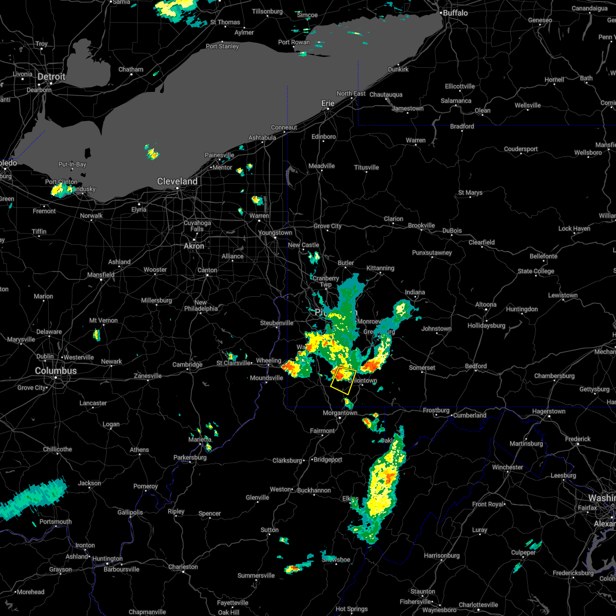 At 706 pm edt, a severe thunderstorm was located near fairdale, or 11 miles west of uniontown, moving east at 35 mph (radar indicated). Hazards include quarter size hail. Damage to vehicles is expected. locations impacted include, california, masontown, brownsville, fredericktown-millsboro, fairdale, isabella, west brownsville, republic, nemacolin, carmichaels, rices landing, and grindstone. hail threat, radar indicated max hail size, 1. 00 in wind threat, radar indicated max wind gust, <50 mph. At 706 pm edt, a severe thunderstorm was located near fairdale, or 11 miles west of uniontown, moving east at 35 mph (radar indicated). Hazards include quarter size hail. Damage to vehicles is expected. locations impacted include, california, masontown, brownsville, fredericktown-millsboro, fairdale, isabella, west brownsville, republic, nemacolin, carmichaels, rices landing, and grindstone. hail threat, radar indicated max hail size, 1. 00 in wind threat, radar indicated max wind gust, <50 mph.
|
| 8/1/2022 6:48 PM EDT |
 At 648 pm edt, a severe thunderstorm was located near fredericktown-millsboro, or 9 miles north of waynesburg, moving east at 20 mph (radar indicated). Hazards include quarter size hail. damage to vehicles is expected At 648 pm edt, a severe thunderstorm was located near fredericktown-millsboro, or 9 miles north of waynesburg, moving east at 20 mph (radar indicated). Hazards include quarter size hail. damage to vehicles is expected
|
| 8/1/2022 6:24 PM EDT |
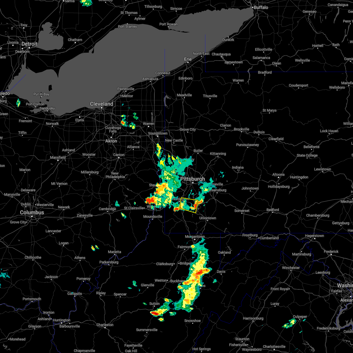 The severe thunderstorm warning for southeastern washington county will expire at 630 pm edt, the storm which prompted the warning has weakened below severe limits, and no longer poses an immediate threat to life or property. therefore, the warning will be allowed to expire. however gusty winds are still possible with this thunderstorm. The severe thunderstorm warning for southeastern washington county will expire at 630 pm edt, the storm which prompted the warning has weakened below severe limits, and no longer poses an immediate threat to life or property. therefore, the warning will be allowed to expire. however gusty winds are still possible with this thunderstorm.
|
| 8/1/2022 6:23 PM EDT |
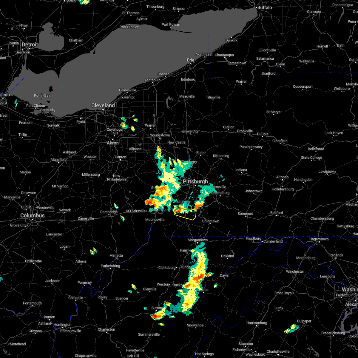 At 623 pm edt, a severe thunderstorm was located 7 miles south of washington, moving east at 35 mph (radar indicated). Hazards include 60 mph wind gusts and quarter size hail. Minor hail damage to vehicles is possible. expect wind damage to trees and power lines, resulting in some power outages. Locations impacted include, bentleyville, fredericktown-millsboro, ellsworth, deemston, cokeburg, marianna, beallsville, clarksville, centerville, scenery hill, amity, and green hills. At 623 pm edt, a severe thunderstorm was located 7 miles south of washington, moving east at 35 mph (radar indicated). Hazards include 60 mph wind gusts and quarter size hail. Minor hail damage to vehicles is possible. expect wind damage to trees and power lines, resulting in some power outages. Locations impacted include, bentleyville, fredericktown-millsboro, ellsworth, deemston, cokeburg, marianna, beallsville, clarksville, centerville, scenery hill, amity, and green hills.
|
| 8/1/2022 6:09 PM EDT |
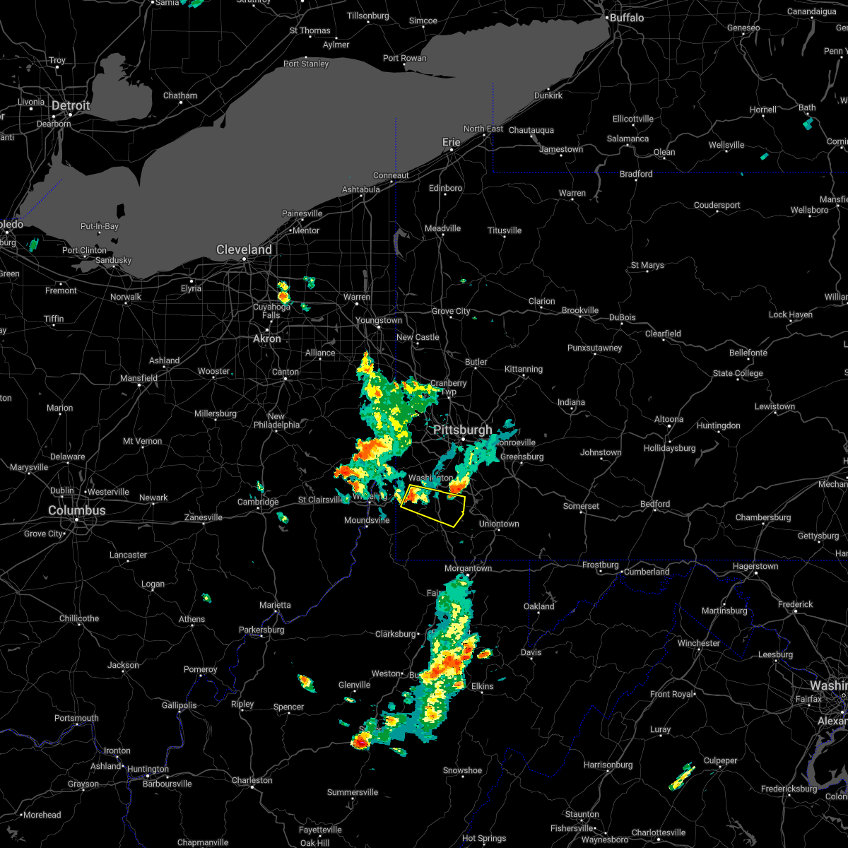 At 609 pm edt, a severe thunderstorm was located 8 miles southwest of wolfdale, or 8 miles southwest of washington, moving east at 35 mph (radar indicated). Hazards include 60 mph wind gusts and quarter size hail. Minor hail damage to vehicles is possible. Expect wind damage to trees and power lines, resulting in some power outages. At 609 pm edt, a severe thunderstorm was located 8 miles southwest of wolfdale, or 8 miles southwest of washington, moving east at 35 mph (radar indicated). Hazards include 60 mph wind gusts and quarter size hail. Minor hail damage to vehicles is possible. Expect wind damage to trees and power lines, resulting in some power outages.
|
| 8/1/2022 5:59 PM EDT |
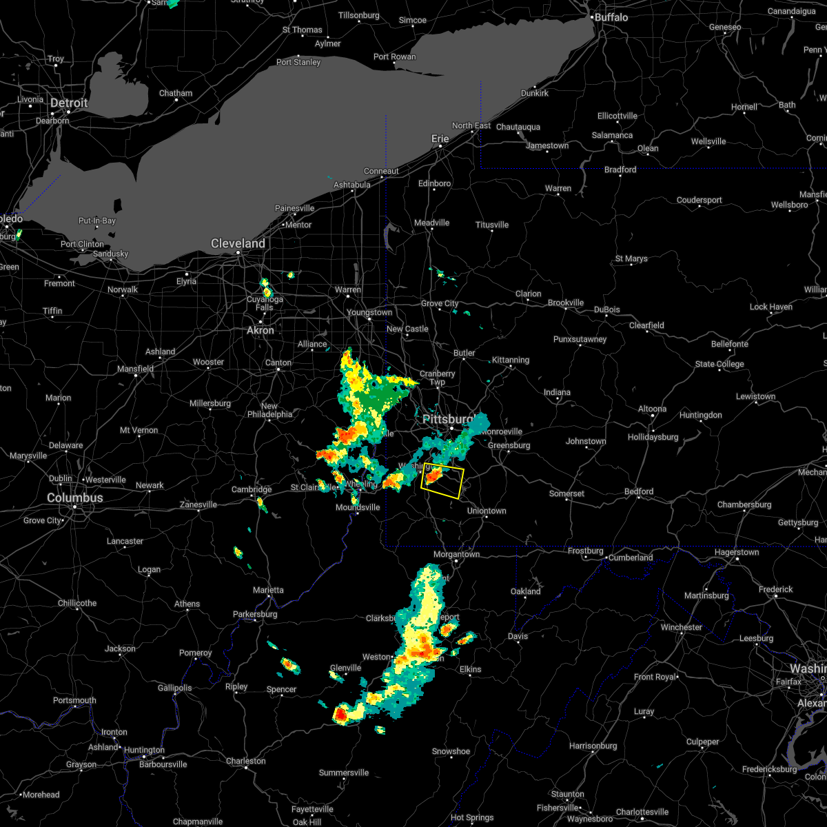 At 558 pm edt, a severe thunderstorm was located near east washington, or near washington, moving east at 25 mph (radar indicated). Hazards include 60 mph wind gusts and quarter size hail. Minor hail damage to vehicles is possible. expect wind damage to trees and power lines, resulting in some power outages. locations impacted include, washington, california, monongahela, bentleyville, wickerham manor-fisher, baidland, north charleroi, ellsworth, deemston, eighty four, cokeburg, and beallsville. hail threat, radar indicated max hail size, 1. 00 in wind threat, radar indicated max wind gust, 60 mph. At 558 pm edt, a severe thunderstorm was located near east washington, or near washington, moving east at 25 mph (radar indicated). Hazards include 60 mph wind gusts and quarter size hail. Minor hail damage to vehicles is possible. expect wind damage to trees and power lines, resulting in some power outages. locations impacted include, washington, california, monongahela, bentleyville, wickerham manor-fisher, baidland, north charleroi, ellsworth, deemston, eighty four, cokeburg, and beallsville. hail threat, radar indicated max hail size, 1. 00 in wind threat, radar indicated max wind gust, 60 mph.
|
| 8/1/2022 5:48 PM EDT |
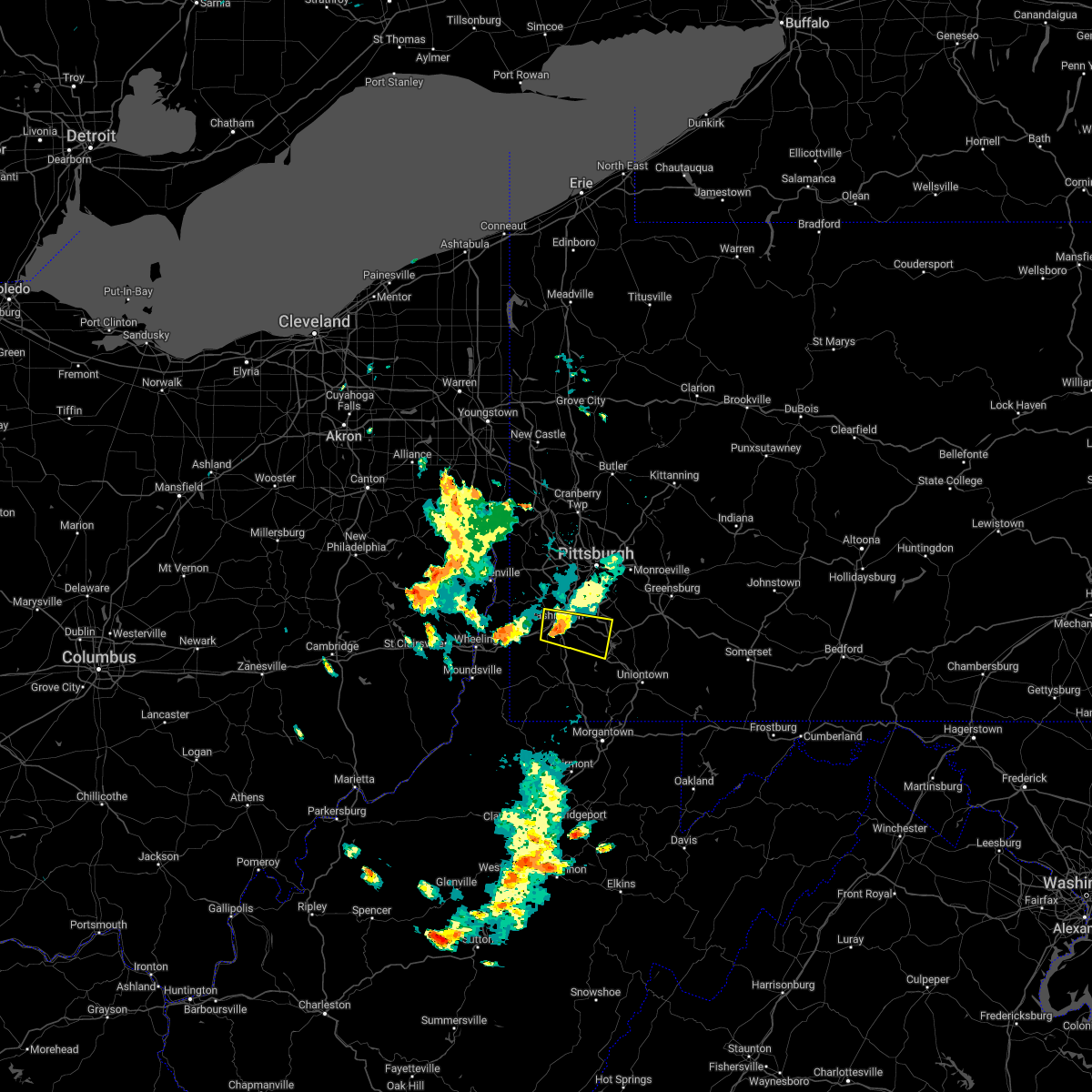 At 548 pm edt, a severe thunderstorm was located over east washington, or over washington, moving east at 25 mph (radar indicated). Hazards include 60 mph wind gusts and quarter size hail. Minor hail damage to vehicles is possible. Expect wind damage to trees and power lines, resulting in some power outages. At 548 pm edt, a severe thunderstorm was located over east washington, or over washington, moving east at 25 mph (radar indicated). Hazards include 60 mph wind gusts and quarter size hail. Minor hail damage to vehicles is possible. Expect wind damage to trees and power lines, resulting in some power outages.
|
| 7/25/2022 1:40 AM EDT |
 The severe thunderstorm warning for southern crawford county will expire at 145 am edt, the storms which prompted the warning have moved out of the area. therefore, the warning will be allowed to expire. The severe thunderstorm warning for southern crawford county will expire at 145 am edt, the storms which prompted the warning have moved out of the area. therefore, the warning will be allowed to expire.
|
| 7/25/2022 1:31 AM EDT |
 At 131 am edt, severe thunderstorms were located along a line extending from grand valley to near greenville, moving east at 35 mph (radar indicated). Hazards include 60 mph wind gusts. Expect damage to trees and power lines. locations impacted include, titusville, guys mills, adamsville, atlantic, cochranton, jamestown, hydetown and townville. hail threat, radar indicated max hail size, <. 75 in wind threat, radar indicated max wind gust, 60 mph. At 131 am edt, severe thunderstorms were located along a line extending from grand valley to near greenville, moving east at 35 mph (radar indicated). Hazards include 60 mph wind gusts. Expect damage to trees and power lines. locations impacted include, titusville, guys mills, adamsville, atlantic, cochranton, jamestown, hydetown and townville. hail threat, radar indicated max hail size, <. 75 in wind threat, radar indicated max wind gust, 60 mph.
|
| 7/25/2022 1:20 AM EDT |
 At 119 am edt, a severe thunderstorm capable of producing a tornado was located near grand valley, or 21 miles north of oil city, moving east at 40 mph (radar indicated rotation). Hazards include tornado. Flying debris will be dangerous to those caught without shelter. mobile homes will be damaged or destroyed. damage to roofs, windows, and vehicles will occur. tree damage is likely. This tornadic thunderstorm will remain over mainly rural areas of northeastern crawford county, including the following locations, hydetown. At 119 am edt, a severe thunderstorm capable of producing a tornado was located near grand valley, or 21 miles north of oil city, moving east at 40 mph (radar indicated rotation). Hazards include tornado. Flying debris will be dangerous to those caught without shelter. mobile homes will be damaged or destroyed. damage to roofs, windows, and vehicles will occur. tree damage is likely. This tornadic thunderstorm will remain over mainly rural areas of northeastern crawford county, including the following locations, hydetown.
|
| 7/25/2022 1:15 AM EDT |
 At 115 am edt, severe thunderstorms were located along a line extending from 8 miles south of corry to adamsville, moving east at 45 mph (radar indicated). Hazards include 60 mph wind gusts. Expect damage to trees and power lines. locations impacted include, meadville, titusville, adamsville, guys mills, atlantic, pymatuning central, cochranton, jamestown, hydetown, blooming valley, townville, geneva and hartstown. hail threat, radar indicated max hail size, <. 75 in wind threat, radar indicated max wind gust, 60 mph. At 115 am edt, severe thunderstorms were located along a line extending from 8 miles south of corry to adamsville, moving east at 45 mph (radar indicated). Hazards include 60 mph wind gusts. Expect damage to trees and power lines. locations impacted include, meadville, titusville, adamsville, guys mills, atlantic, pymatuning central, cochranton, jamestown, hydetown, blooming valley, townville, geneva and hartstown. hail threat, radar indicated max hail size, <. 75 in wind threat, radar indicated max wind gust, 60 mph.
|
| 7/25/2022 1:11 AM EDT |
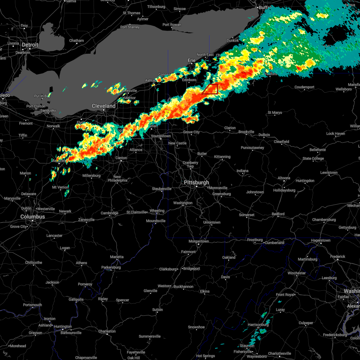 The tornado warning for northeastern crawford county will expire at 115 am edt, the storm which prompted the warning has moved out of the area. therefore, the warning will be allowed to expire. The tornado warning for northeastern crawford county will expire at 115 am edt, the storm which prompted the warning has moved out of the area. therefore, the warning will be allowed to expire.
|
| 7/25/2022 1:03 AM EDT |
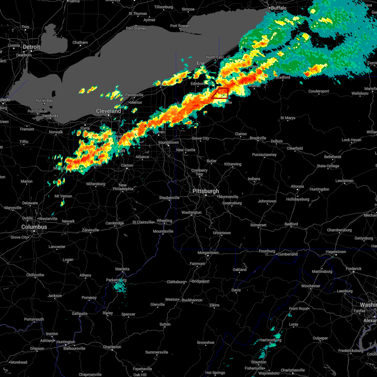 At 103 am edt, a severe thunderstorm capable of producing a tornado was located near riceville, or 24 miles northeast of meadville, moving east at 35 mph (radar indicated rotation). Hazards include tornado. Flying debris will be dangerous to those caught without shelter. mobile homes will be damaged or destroyed. damage to roofs, windows, and vehicles will occur. tree damage is likely. Locations impacted include, riceville and spartansburg. At 103 am edt, a severe thunderstorm capable of producing a tornado was located near riceville, or 24 miles northeast of meadville, moving east at 35 mph (radar indicated rotation). Hazards include tornado. Flying debris will be dangerous to those caught without shelter. mobile homes will be damaged or destroyed. damage to roofs, windows, and vehicles will occur. tree damage is likely. Locations impacted include, riceville and spartansburg.
|
| 7/25/2022 12:53 AM EDT |
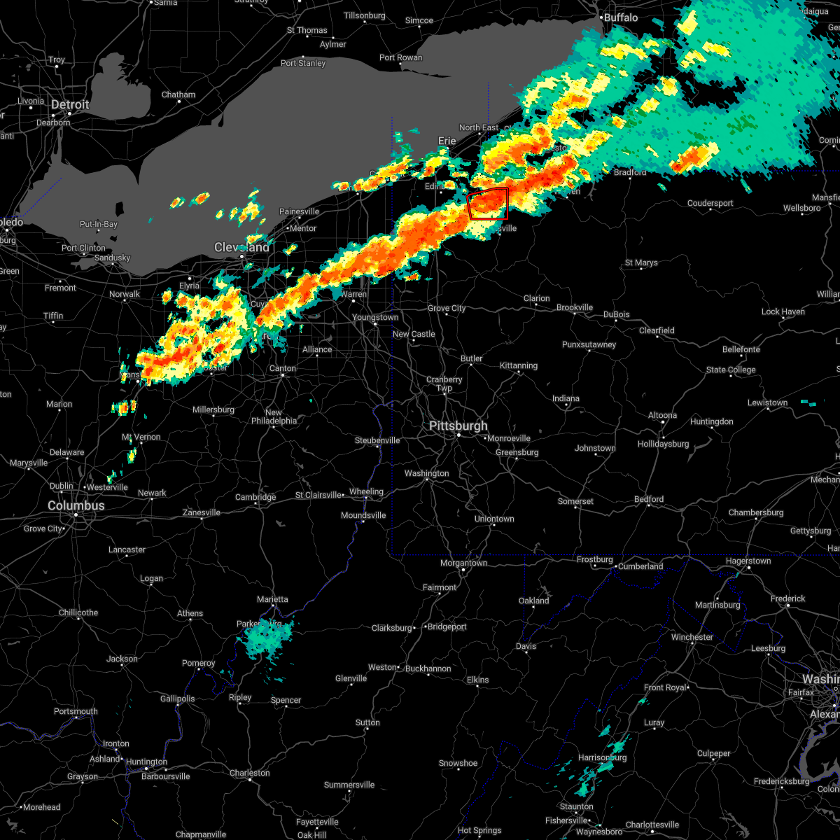 At 1253 am edt, a severe thunderstorm capable of producing a tornado was located near corry, or 25 miles west of warren, moving east at 40 mph (radar indicated rotation). Hazards include tornado. Flying debris will be dangerous to those caught without shelter. mobile homes will be damaged or destroyed. damage to roofs, windows, and vehicles will occur. tree damage is likely. Locations impacted include, riceville, canadohta lake, lincolnville and spartansburg. At 1253 am edt, a severe thunderstorm capable of producing a tornado was located near corry, or 25 miles west of warren, moving east at 40 mph (radar indicated rotation). Hazards include tornado. Flying debris will be dangerous to those caught without shelter. mobile homes will be damaged or destroyed. damage to roofs, windows, and vehicles will occur. tree damage is likely. Locations impacted include, riceville, canadohta lake, lincolnville and spartansburg.
|
| 7/25/2022 12:44 AM EDT |
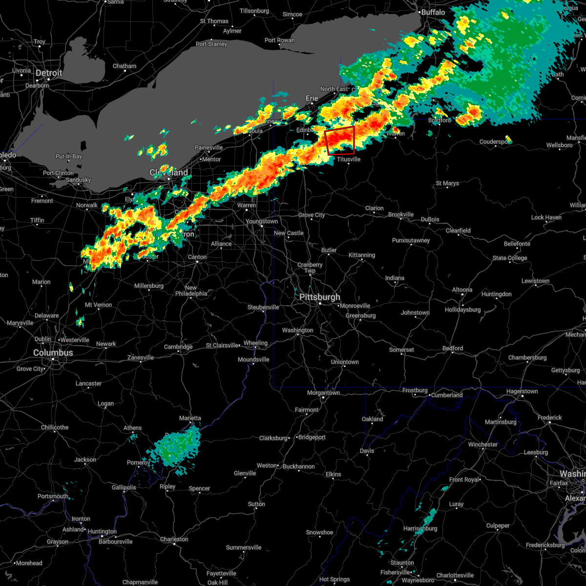 At 1243 am edt, a severe thunderstorm capable of producing a tornado was located near corry, or 25 miles west of warren, moving east at 45 mph (radar indicated rotation). Hazards include tornado. Flying debris will be dangerous to those caught without shelter. mobile homes will be damaged or destroyed. damage to roofs, windows, and vehicles will occur. tree damage is likely. This tornadic thunderstorm will remain over mainly rural areas of southeastern erie and northeastern crawford counties, including the following locations, spartansburg and elgin. At 1243 am edt, a severe thunderstorm capable of producing a tornado was located near corry, or 25 miles west of warren, moving east at 45 mph (radar indicated rotation). Hazards include tornado. Flying debris will be dangerous to those caught without shelter. mobile homes will be damaged or destroyed. damage to roofs, windows, and vehicles will occur. tree damage is likely. This tornadic thunderstorm will remain over mainly rural areas of southeastern erie and northeastern crawford counties, including the following locations, spartansburg and elgin.
|
| 7/25/2022 12:36 AM EDT |
 At 1235 am edt, severe thunderstorms were located along a line extending from near linesville to 6 miles northwest of kinsman, moving east at 50 mph (radar indicated). Hazards include 60 mph wind gusts. expect damage to trees and power lines At 1235 am edt, severe thunderstorms were located along a line extending from near linesville to 6 miles northwest of kinsman, moving east at 50 mph (radar indicated). Hazards include 60 mph wind gusts. expect damage to trees and power lines
|
| 7/25/2022 12:33 AM EDT |
 At 1233 am edt, a severe thunderstorm was located near canadohta lake, or 18 miles northeast of meadville, moving east at 40 mph (radar indicated). Hazards include 60 mph wind gusts. Expect damage to trees and power lines. locations impacted include, corry, edinboro, union city, cambridge springs, riceville, lincolnville, canadohta lake, saegertown, hydetown, mill village, blooming valley, townville, spartansburg, venango, elgin and woodcock. hail threat, radar indicated max hail size, <. 75 in wind threat, radar indicated max wind gust, 60 mph. At 1233 am edt, a severe thunderstorm was located near canadohta lake, or 18 miles northeast of meadville, moving east at 40 mph (radar indicated). Hazards include 60 mph wind gusts. Expect damage to trees and power lines. locations impacted include, corry, edinboro, union city, cambridge springs, riceville, lincolnville, canadohta lake, saegertown, hydetown, mill village, blooming valley, townville, spartansburg, venango, elgin and woodcock. hail threat, radar indicated max hail size, <. 75 in wind threat, radar indicated max wind gust, 60 mph.
|
| 7/25/2022 12:12 AM EDT |
 At 1212 am edt, a severe thunderstorm was located near cambridge springs, or 10 miles north of meadville, moving east at 40 mph (radar indicated). Hazards include 60 mph wind gusts. expect damage to trees and power lines At 1212 am edt, a severe thunderstorm was located near cambridge springs, or 10 miles north of meadville, moving east at 40 mph (radar indicated). Hazards include 60 mph wind gusts. expect damage to trees and power lines
|
| 7/24/2022 7:52 AM EDT |
 At 752 am edt, a severe thunderstorm was located over fredericktown-millsboro, or 11 miles northeast of waynesburg, moving east at 35 mph (radar indicated). Hazards include 60 mph wind gusts and penny size hail. Expect damage to trees and power lines, resulting in some power outages. locations impacted include, waynesburg, california, masontown, bentleyville, brownsville, fredericktown-millsboro, fairdale, jefferson boro, isabella, ellsworth, rogersville, and west brownsville. hail threat, radar indicated max hail size, 0. 75 in wind threat, radar indicated max wind gust, 60 mph. At 752 am edt, a severe thunderstorm was located over fredericktown-millsboro, or 11 miles northeast of waynesburg, moving east at 35 mph (radar indicated). Hazards include 60 mph wind gusts and penny size hail. Expect damage to trees and power lines, resulting in some power outages. locations impacted include, waynesburg, california, masontown, bentleyville, brownsville, fredericktown-millsboro, fairdale, jefferson boro, isabella, ellsworth, rogersville, and west brownsville. hail threat, radar indicated max hail size, 0. 75 in wind threat, radar indicated max wind gust, 60 mph.
|
| 7/24/2022 7:35 AM EDT |
 At 735 am edt, a severe thunderstorm was located near waynesburg, moving east at 30 mph (radar indicated). Hazards include 60 mph wind gusts and penny size hail. expect damage to trees and power lines, resulting in some power outages At 735 am edt, a severe thunderstorm was located near waynesburg, moving east at 30 mph (radar indicated). Hazards include 60 mph wind gusts and penny size hail. expect damage to trees and power lines, resulting in some power outages
|
| 7/23/2022 3:30 PM EDT |
 At 330 pm edt, a severe thunderstorm was located near delmont, or 8 miles north of greensburg, moving east at 40 mph (radar indicated). Hazards include 60 mph wind gusts and quarter size hail. Minor hail damage to vehicles is possible. expect wind damage to trees and power lines, resulting in some power outages. locations impacted include, pittsburgh, penn hills, monroeville, greensburg, mckeesport, uniontown, jeannette, connellsville, vandergrift, waynesburg, apollo, and plum. hail threat, radar indicated max hail size, 1. 00 in wind threat, radar indicated max wind gust, 60 mph. At 330 pm edt, a severe thunderstorm was located near delmont, or 8 miles north of greensburg, moving east at 40 mph (radar indicated). Hazards include 60 mph wind gusts and quarter size hail. Minor hail damage to vehicles is possible. expect wind damage to trees and power lines, resulting in some power outages. locations impacted include, pittsburgh, penn hills, monroeville, greensburg, mckeesport, uniontown, jeannette, connellsville, vandergrift, waynesburg, apollo, and plum. hail threat, radar indicated max hail size, 1. 00 in wind threat, radar indicated max wind gust, 60 mph.
|
| 7/23/2022 3:04 PM EDT |
 At 303 pm edt, a severe thunderstorm was located over forest hills, or near penn hills, moving east at 40 mph (radar indicated). Hazards include 60 mph wind gusts and quarter size hail. Minor hail damage to vehicles is possible. expect wind damage to trees and power lines, resulting in some power outages. locations impacted include, pittsburgh, penn hills, mount lebanon, bethel park, ross township, mccandless township, monroeville, moon township, mcmurray, mckeesport, washington, and franklin park. hail threat, radar indicated max hail size, 1. 00 in wind threat, observed max wind gust, 60 mph. At 303 pm edt, a severe thunderstorm was located over forest hills, or near penn hills, moving east at 40 mph (radar indicated). Hazards include 60 mph wind gusts and quarter size hail. Minor hail damage to vehicles is possible. expect wind damage to trees and power lines, resulting in some power outages. locations impacted include, pittsburgh, penn hills, mount lebanon, bethel park, ross township, mccandless township, monroeville, moon township, mcmurray, mckeesport, washington, and franklin park. hail threat, radar indicated max hail size, 1. 00 in wind threat, observed max wind gust, 60 mph.
|
| 7/23/2022 3:02 PM EDT |
 At 302 pm edt, a severe thunderstorm was located over north braddock, or near mckeesport, moving east at 40 mph (radar indicated). Hazards include 70 mph wind gusts and quarter size hail. Minor hail damage to vehicles is possible. trees snapped and uprooted. Power outages can be expected. At 302 pm edt, a severe thunderstorm was located over north braddock, or near mckeesport, moving east at 40 mph (radar indicated). Hazards include 70 mph wind gusts and quarter size hail. Minor hail damage to vehicles is possible. trees snapped and uprooted. Power outages can be expected.
|
| 7/23/2022 2:58 PM EDT |
 At 258 pm edt, a severe thunderstorm was located over homestead, or near pittsburgh, moving east at 40 mph (radar indicated). Hazards include 60 mph wind gusts and quarter size hail. Minor hail damage to vehicles is possible. expect wind damage to trees and power lines, resulting in some power outages. locations impacted include, pittsburgh, penn hills, mount lebanon, bethel park, ross township, mccandless township, monroeville, cranberry, moon township, mcmurray, mckeesport, and washington. hail threat, radar indicated max hail size, 1. 00 in wind threat, observed max wind gust, 60 mph. At 258 pm edt, a severe thunderstorm was located over homestead, or near pittsburgh, moving east at 40 mph (radar indicated). Hazards include 60 mph wind gusts and quarter size hail. Minor hail damage to vehicles is possible. expect wind damage to trees and power lines, resulting in some power outages. locations impacted include, pittsburgh, penn hills, mount lebanon, bethel park, ross township, mccandless township, monroeville, cranberry, moon township, mcmurray, mckeesport, and washington. hail threat, radar indicated max hail size, 1. 00 in wind threat, observed max wind gust, 60 mph.
|
| 7/23/2022 2:33 PM EDT |
 At 232 pm edt, a severe thunderstorm was located over mcdonald, or 8 miles northwest of canonsburg, moving east at 40 mph (radar indicated). Hazards include 70 mph wind gusts and quarter size hail. Minor hail damage to vehicles is possible. trees snapped and uprooted. power outages can be expected. locations impacted include, pittsburgh, penn hills, mount lebanon, bethel park, ross township, wheeling, mccandless township, monroeville, cranberry, moon township, mcmurray, and weirton. thunderstorm damage threat, considerable hail threat, radar indicated max hail size, 1. 00 in wind threat, observed max wind gust, 70 mph. At 232 pm edt, a severe thunderstorm was located over mcdonald, or 8 miles northwest of canonsburg, moving east at 40 mph (radar indicated). Hazards include 70 mph wind gusts and quarter size hail. Minor hail damage to vehicles is possible. trees snapped and uprooted. power outages can be expected. locations impacted include, pittsburgh, penn hills, mount lebanon, bethel park, ross township, wheeling, mccandless township, monroeville, cranberry, moon township, mcmurray, and weirton. thunderstorm damage threat, considerable hail threat, radar indicated max hail size, 1. 00 in wind threat, observed max wind gust, 70 mph.
|
| 7/23/2022 2:26 PM EDT |
 At 225 pm edt, a severe thunderstorm was located near mcdonald, or 8 miles northeast of avella, moving east at 40 mph (radar indicated). Hazards include 60 mph wind gusts and quarter size hail. Minor hail damage to vehicles is possible. Expect wind damage to trees and power lines, resulting in some power outages. At 225 pm edt, a severe thunderstorm was located near mcdonald, or 8 miles northeast of avella, moving east at 40 mph (radar indicated). Hazards include 60 mph wind gusts and quarter size hail. Minor hail damage to vehicles is possible. Expect wind damage to trees and power lines, resulting in some power outages.
|
| 6/22/2022 6:02 PM EDT |
 At 602 pm edt, a cluster of severe thunderstorms were located over fredericktown-millsboro, or 11 miles east of waynesburg, moving southeast at 30 mph (radar indicated). Hazards include 60 mph wind gusts. Expect damage to trees and power lines, resulting in some power outages. locations impacted include, morgantown, uniontown, waynesburg, california, masontown, brownsville, fredericktown-millsboro, farmington, fairdale, jefferson boro, point marion, and brookhaven. hail threat, radar indicated max hail size, <. 75 in wind threat, radar indicated max wind gust, 60 mph. At 602 pm edt, a cluster of severe thunderstorms were located over fredericktown-millsboro, or 11 miles east of waynesburg, moving southeast at 30 mph (radar indicated). Hazards include 60 mph wind gusts. Expect damage to trees and power lines, resulting in some power outages. locations impacted include, morgantown, uniontown, waynesburg, california, masontown, brownsville, fredericktown-millsboro, farmington, fairdale, jefferson boro, point marion, and brookhaven. hail threat, radar indicated max hail size, <. 75 in wind threat, radar indicated max wind gust, 60 mph.
|
| 6/22/2022 5:53 PM EDT |
 At 552 pm edt, a cluster of severe thunderstorms was centered over fredericktown-millsboro, or 9 miles northeast of waynesburg, moving southeast at 30 mph (radar indicated). Hazards include 60 mph wind gusts. expect damage to trees and power lines, resulting in some power outages At 552 pm edt, a cluster of severe thunderstorms was centered over fredericktown-millsboro, or 9 miles northeast of waynesburg, moving southeast at 30 mph (radar indicated). Hazards include 60 mph wind gusts. expect damage to trees and power lines, resulting in some power outages
|
| 6/16/2022 4:01 PM EDT |
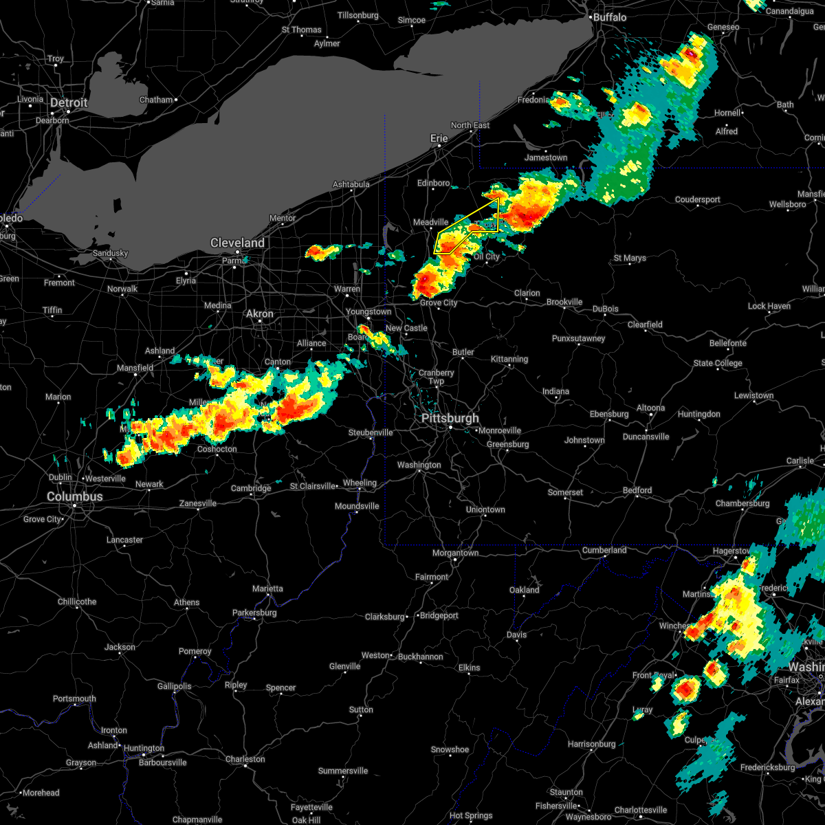 At 401 pm edt, a severe thunderstorm was located near titusville, or 18 miles north of oil city, moving east at 45 mph (radar indicated). Hazards include ping pong ball size hail and 60 mph wind gusts. People and animals outdoors will be injured. expect hail damage to roofs, siding, windows, and vehicles. expect damage to trees and power lines. locations impacted include, titusville, guys mills, cochranton, hydetown and townville. hail threat, radar indicated max hail size, 1. 50 in wind threat, radar indicated max wind gust, 60 mph. At 401 pm edt, a severe thunderstorm was located near titusville, or 18 miles north of oil city, moving east at 45 mph (radar indicated). Hazards include ping pong ball size hail and 60 mph wind gusts. People and animals outdoors will be injured. expect hail damage to roofs, siding, windows, and vehicles. expect damage to trees and power lines. locations impacted include, titusville, guys mills, cochranton, hydetown and townville. hail threat, radar indicated max hail size, 1. 50 in wind threat, radar indicated max wind gust, 60 mph.
|
| 6/16/2022 3:50 PM EDT |
 At 350 pm edt, a severe thunderstorm was located near riceville, or 17 miles east of meadville, moving east at 45 mph (radar indicated). Hazards include ping pong ball size hail and 60 mph wind gusts. People and animals outdoors will be injured. expect hail damage to roofs, siding, windows, and vehicles. expect damage to trees and power lines. locations impacted include, meadville, titusville, riceville, guys mills, lincolnville, cochranton, hydetown, blooming valley and townville. hail threat, radar indicated max hail size, 1. 50 in wind threat, radar indicated max wind gust, 60 mph. At 350 pm edt, a severe thunderstorm was located near riceville, or 17 miles east of meadville, moving east at 45 mph (radar indicated). Hazards include ping pong ball size hail and 60 mph wind gusts. People and animals outdoors will be injured. expect hail damage to roofs, siding, windows, and vehicles. expect damage to trees and power lines. locations impacted include, meadville, titusville, riceville, guys mills, lincolnville, cochranton, hydetown, blooming valley and townville. hail threat, radar indicated max hail size, 1. 50 in wind threat, radar indicated max wind gust, 60 mph.
|
| 6/16/2022 3:35 PM EDT |
 At 335 pm edt, a severe thunderstorm was located near russell, or 8 miles south of jamestown, moving east at 45 mph (radar indicated). Hazards include ping pong ball size hail and 60 mph wind gusts. People and animals outdoors will be injured. expect hail damage to roofs, siding, windows, and vehicles. expect damage to trees and power lines. locations impacted include, cambridge springs, riceville, canadohta lake, lincolnville, spartansburg and woodcock. hail threat, radar indicated max hail size, 1. 50 in wind threat, radar indicated max wind gust, 60 mph. At 335 pm edt, a severe thunderstorm was located near russell, or 8 miles south of jamestown, moving east at 45 mph (radar indicated). Hazards include ping pong ball size hail and 60 mph wind gusts. People and animals outdoors will be injured. expect hail damage to roofs, siding, windows, and vehicles. expect damage to trees and power lines. locations impacted include, cambridge springs, riceville, canadohta lake, lincolnville, spartansburg and woodcock. hail threat, radar indicated max hail size, 1. 50 in wind threat, radar indicated max wind gust, 60 mph.
|
| 6/16/2022 3:22 PM EDT |
 At 322 pm edt, a severe thunderstorm was located over lottsville, or 13 miles southwest of jamestown, moving east at 45 mph (radar indicated). Hazards include 60 mph wind gusts and half dollar size hail. People and animals outdoors will be injured. expect hail damage to roofs, siding, windows, and vehicles. expect damage to trees and power lines. locations impacted include, corry, edinboro, union city, cambridge springs, riceville, lincolnville, canadohta lake, saegertown, conneautville, mill village, spartansburg, venango, elgin and woodcock. hail threat, radar indicated max hail size, 1. 25 in wind threat, radar indicated max wind gust, 60 mph. At 322 pm edt, a severe thunderstorm was located over lottsville, or 13 miles southwest of jamestown, moving east at 45 mph (radar indicated). Hazards include 60 mph wind gusts and half dollar size hail. People and animals outdoors will be injured. expect hail damage to roofs, siding, windows, and vehicles. expect damage to trees and power lines. locations impacted include, corry, edinboro, union city, cambridge springs, riceville, lincolnville, canadohta lake, saegertown, conneautville, mill village, spartansburg, venango, elgin and woodcock. hail threat, radar indicated max hail size, 1. 25 in wind threat, radar indicated max wind gust, 60 mph.
|
| 6/16/2022 3:15 PM EDT |
 At 315 pm edt, a severe thunderstorm was located near columbus, or 18 miles southwest of jamestown, moving east at 45 mph (radar indicated). Hazards include 60 mph wind gusts and half dollar size hail. People and animals outdoors will be injured. expect hail damage to roofs, siding, windows, and vehicles. expect damage to trees and power lines. locations impacted include, corry, edinboro, north east, union city, cambridge springs, waterford, wattsburg, riceville, lincolnville, canadohta lake, saegertown, conneautville, mill village, spartansburg, venango, elgin and woodcock. hail threat, radar indicated max hail size, 1. 25 in wind threat, radar indicated max wind gust, 60 mph. At 315 pm edt, a severe thunderstorm was located near columbus, or 18 miles southwest of jamestown, moving east at 45 mph (radar indicated). Hazards include 60 mph wind gusts and half dollar size hail. People and animals outdoors will be injured. expect hail damage to roofs, siding, windows, and vehicles. expect damage to trees and power lines. locations impacted include, corry, edinboro, north east, union city, cambridge springs, waterford, wattsburg, riceville, lincolnville, canadohta lake, saegertown, conneautville, mill village, spartansburg, venango, elgin and woodcock. hail threat, radar indicated max hail size, 1. 25 in wind threat, radar indicated max wind gust, 60 mph.
|
| 6/16/2022 3:14 PM EDT |
 At 314 pm edt, a severe thunderstorm was located over harmonsburg, or 9 miles west of meadville, moving east at 45 mph (radar indicated). Hazards include ping pong ball size hail and 60 mph wind gusts. People and animals outdoors will be injured. expect hail damage to roofs, siding, windows, and vehicles. Expect damage to trees and power lines. At 314 pm edt, a severe thunderstorm was located over harmonsburg, or 9 miles west of meadville, moving east at 45 mph (radar indicated). Hazards include ping pong ball size hail and 60 mph wind gusts. People and animals outdoors will be injured. expect hail damage to roofs, siding, windows, and vehicles. Expect damage to trees and power lines.
|
| 6/16/2022 3:03 PM EDT |
 At 303 pm edt, a severe thunderstorm was located near corry, or 23 miles southeast of erie, moving east at 45 mph (radar indicated). Hazards include 60 mph wind gusts and half dollar size hail. People and animals outdoors will be injured. expect hail damage to roofs, siding, windows, and vehicles. expect damage to trees and power lines. locations impacted include, erie, corry, edinboro, north east, union city, cambridge springs, waterford, albion, wattsburg, canadohta lake, riceville, northwest harborcreek, lincolnville, pymatuning north, harborcreek, lawrence park, wesleyville, saegertown, conneautville and cranesville. hail threat, radar indicated max hail size, 1. 25 in wind threat, radar indicated max wind gust, 60 mph. At 303 pm edt, a severe thunderstorm was located near corry, or 23 miles southeast of erie, moving east at 45 mph (radar indicated). Hazards include 60 mph wind gusts and half dollar size hail. People and animals outdoors will be injured. expect hail damage to roofs, siding, windows, and vehicles. expect damage to trees and power lines. locations impacted include, erie, corry, edinboro, north east, union city, cambridge springs, waterford, albion, wattsburg, canadohta lake, riceville, northwest harborcreek, lincolnville, pymatuning north, harborcreek, lawrence park, wesleyville, saegertown, conneautville and cranesville. hail threat, radar indicated max hail size, 1. 25 in wind threat, radar indicated max wind gust, 60 mph.
|
| 6/16/2022 2:41 PM EDT |
 At 241 pm edt, a severe thunderstorm was located near waterford, or 15 miles south of erie, moving east at 45 mph (radar indicated). Hazards include 60 mph wind gusts and half dollar size hail. People and animals outdoors will be injured. expect hail damage to roofs, siding, windows, and vehicles. expect damage to trees and power lines. locations impacted include, erie, corry, edinboro, north east, union city, girard, cambridge springs, waterford, albion, wattsburg, canadohta lake, riceville, northwest harborcreek, lincolnville, pymatuning north, harborcreek, lawrence park, wesleyville, lake city and saegertown. hail threat, radar indicated max hail size, 1. 25 in wind threat, radar indicated max wind gust, 60 mph. At 241 pm edt, a severe thunderstorm was located near waterford, or 15 miles south of erie, moving east at 45 mph (radar indicated). Hazards include 60 mph wind gusts and half dollar size hail. People and animals outdoors will be injured. expect hail damage to roofs, siding, windows, and vehicles. expect damage to trees and power lines. locations impacted include, erie, corry, edinboro, north east, union city, girard, cambridge springs, waterford, albion, wattsburg, canadohta lake, riceville, northwest harborcreek, lincolnville, pymatuning north, harborcreek, lawrence park, wesleyville, lake city and saegertown. hail threat, radar indicated max hail size, 1. 25 in wind threat, radar indicated max wind gust, 60 mph.
|
| 6/16/2022 2:28 PM EDT |
 At 228 pm edt, a severe thunderstorm was located near edinboro, or 17 miles north of meadville, moving east at 45 mph (radar indicated). Hazards include 60 mph wind gusts and quarter size hail. Minor damage to vehicles is possible. expect damage to trees and power lines. locations impacted include, erie, conneaut, corry, edinboro, north east, union city, girard, cambridge springs, waterford, albion, wattsburg, canadohta lake, riceville, northwest harborcreek, lincolnville, pymatuning north, harborcreek, lawrence park, wesleyville and lake city. hail threat, radar indicated max hail size, 1. 00 in wind threat, radar indicated max wind gust, 60 mph. At 228 pm edt, a severe thunderstorm was located near edinboro, or 17 miles north of meadville, moving east at 45 mph (radar indicated). Hazards include 60 mph wind gusts and quarter size hail. Minor damage to vehicles is possible. expect damage to trees and power lines. locations impacted include, erie, conneaut, corry, edinboro, north east, union city, girard, cambridge springs, waterford, albion, wattsburg, canadohta lake, riceville, northwest harborcreek, lincolnville, pymatuning north, harborcreek, lawrence park, wesleyville and lake city. hail threat, radar indicated max hail size, 1. 00 in wind threat, radar indicated max wind gust, 60 mph.
|
| 6/16/2022 2:10 PM EDT |
 At 210 pm edt, a severe thunderstorm was located near conneaut, moving east at 45 mph (radar indicated). Hazards include 60 mph wind gusts and quarter size hail. Minor damage to vehicles is possible. Expect damage to trees and power lines. At 210 pm edt, a severe thunderstorm was located near conneaut, moving east at 45 mph (radar indicated). Hazards include 60 mph wind gusts and quarter size hail. Minor damage to vehicles is possible. Expect damage to trees and power lines.
|
| 6/1/2022 7:25 PM EDT |
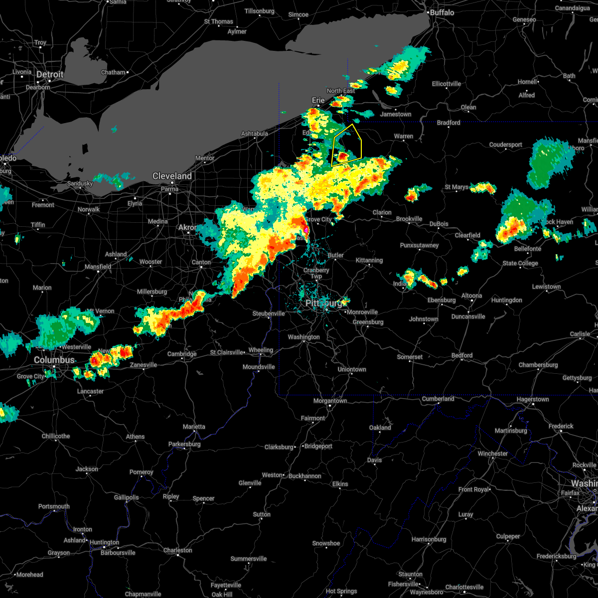 The severe thunderstorm warning for southeastern erie and northeastern crawford counties will expire at 730 pm edt, the storm which prompted the warning has weakened below severe limits, and no longer poses an immediate threat to life or property. therefore, the warning will be allowed to expire. however heavy rain is still possible with this thunderstorm. a severe thunderstorm watch remains in effect until 1000 pm edt for northwestern pennsylvania. The severe thunderstorm warning for southeastern erie and northeastern crawford counties will expire at 730 pm edt, the storm which prompted the warning has weakened below severe limits, and no longer poses an immediate threat to life or property. therefore, the warning will be allowed to expire. however heavy rain is still possible with this thunderstorm. a severe thunderstorm watch remains in effect until 1000 pm edt for northwestern pennsylvania.
|
| 6/1/2022 7:19 PM EDT |
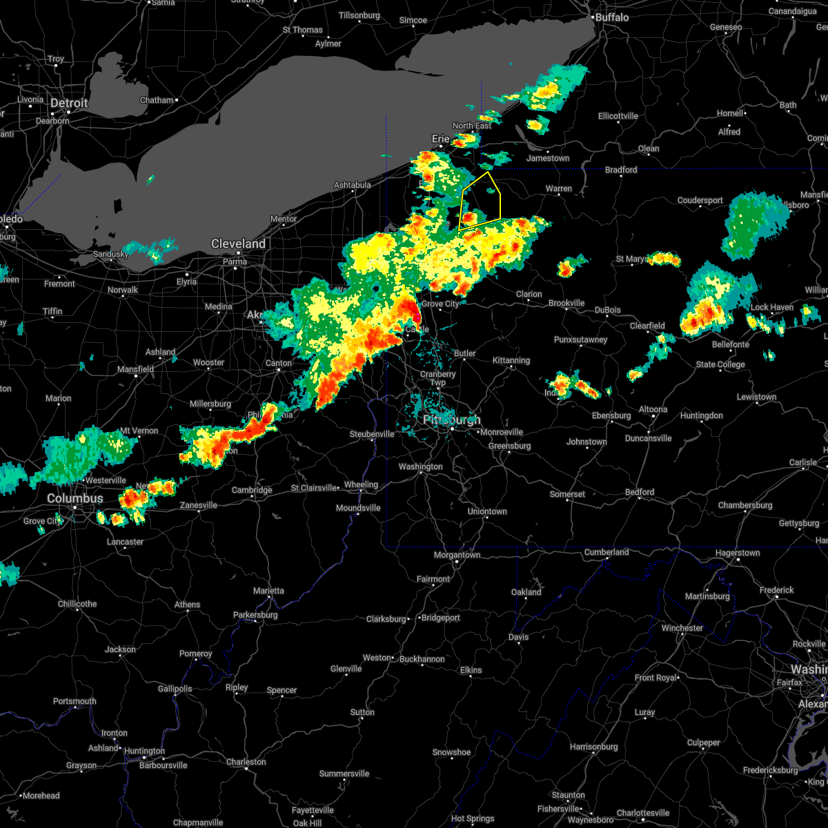 At 719 pm edt, a severe thunderstorm was located over riceville, or 21 miles northeast of meadville, moving northeast at 35 mph (radar indicated). Hazards include 60 mph wind gusts and quarter size hail. Minor damage to vehicles is possible. expect damage to trees and power lines. locations impacted include, union city, riceville, canadohta lake, lincolnville, townville, spartansburg and elgin. hail threat, radar indicated max hail size, 1. 00 in wind threat, radar indicated max wind gust, 60 mph. At 719 pm edt, a severe thunderstorm was located over riceville, or 21 miles northeast of meadville, moving northeast at 35 mph (radar indicated). Hazards include 60 mph wind gusts and quarter size hail. Minor damage to vehicles is possible. expect damage to trees and power lines. locations impacted include, union city, riceville, canadohta lake, lincolnville, townville, spartansburg and elgin. hail threat, radar indicated max hail size, 1. 00 in wind threat, radar indicated max wind gust, 60 mph.
|
| 6/1/2022 6:52 PM EDT |
 At 652 pm edt, a severe thunderstorm was located near meadville, moving northeast at 35 mph (radar indicated). Hazards include 60 mph wind gusts and quarter size hail. Minor damage to vehicles is possible. Expect damage to trees and power lines. At 652 pm edt, a severe thunderstorm was located near meadville, moving northeast at 35 mph (radar indicated). Hazards include 60 mph wind gusts and quarter size hail. Minor damage to vehicles is possible. Expect damage to trees and power lines.
|
| 5/21/2022 8:31 PM EDT |
 At 831 pm edt, a severe thunderstorm was located near guys mills, or 12 miles east of meadville, moving northeast at 40 mph (radar indicated). Hazards include 60 mph wind gusts. Expect damage to trees and power lines. locations impacted include, titusville, riceville, guys mills, lincolnville, canadohta lake, hydetown, townville and spartansburg. hail threat, radar indicated max hail size, <. 75 in wind threat, radar indicated max wind gust, 60 mph. At 831 pm edt, a severe thunderstorm was located near guys mills, or 12 miles east of meadville, moving northeast at 40 mph (radar indicated). Hazards include 60 mph wind gusts. Expect damage to trees and power lines. locations impacted include, titusville, riceville, guys mills, lincolnville, canadohta lake, hydetown, townville and spartansburg. hail threat, radar indicated max hail size, <. 75 in wind threat, radar indicated max wind gust, 60 mph.
|
| 5/21/2022 8:16 PM EDT |
 At 816 pm edt, a severe thunderstorm was located near meadville, moving northeast at 40 mph (radar indicated). Hazards include 60 mph wind gusts and penny size hail. Expect damage to trees and power lines. locations impacted include, meadville, titusville, riceville, lincolnville, guys mills, canadohta lake, cochranton, saegertown, hydetown, blooming valley, townville, spartansburg, woodcock and geneva. hail threat, radar indicated max hail size, 0. 75 in wind threat, radar indicated max wind gust, 60 mph. At 816 pm edt, a severe thunderstorm was located near meadville, moving northeast at 40 mph (radar indicated). Hazards include 60 mph wind gusts and penny size hail. Expect damage to trees and power lines. locations impacted include, meadville, titusville, riceville, lincolnville, guys mills, canadohta lake, cochranton, saegertown, hydetown, blooming valley, townville, spartansburg, woodcock and geneva. hail threat, radar indicated max hail size, 0. 75 in wind threat, radar indicated max wind gust, 60 mph.
|
| 5/21/2022 8:08 PM EDT |
 At 808 pm edt, a severe thunderstorm was located 7 miles south of meadville, moving northeast at 40 mph (radar indicated). Hazards include 60 mph wind gusts and quarter size hail. Minor damage to vehicles is possible. Expect damage to trees and power lines. At 808 pm edt, a severe thunderstorm was located 7 miles south of meadville, moving northeast at 40 mph (radar indicated). Hazards include 60 mph wind gusts and quarter size hail. Minor damage to vehicles is possible. Expect damage to trees and power lines.
|
| 5/3/2022 6:11 PM EDT |
 At 610 pm edt, severe thunderstorms were located along a line extending from scott township to 8 miles south of east washington, moving northeast at 40 mph (radar indicated). Hazards include 60 mph wind gusts. expect damage to trees and power lines, resulting in some power outages At 610 pm edt, severe thunderstorms were located along a line extending from scott township to 8 miles south of east washington, moving northeast at 40 mph (radar indicated). Hazards include 60 mph wind gusts. expect damage to trees and power lines, resulting in some power outages
|
| 3/7/2022 4:28 PM EST |
 At 428 pm est, severe rated winds were located along a line extending from near leechburg to fredericktown-millsboro, moving east at 55 mph (radar indicated). Hazards include 60 mph wind gusts. expect damage to trees and power lines, resulting in some power outages At 428 pm est, severe rated winds were located along a line extending from near leechburg to fredericktown-millsboro, moving east at 55 mph (radar indicated). Hazards include 60 mph wind gusts. expect damage to trees and power lines, resulting in some power outages
|
| 10/21/2021 7:25 PM EDT |
 At 725 pm edt, a severe thunderstorm was located near guys mills, or 13 miles north of franklin, moving east at 50 mph (radar indicated). Hazards include 60 mph wind gusts and penny size hail. Expect damage to trees and power lines. Locations impacted include, titusville, guys mills, hydetown and townville. At 725 pm edt, a severe thunderstorm was located near guys mills, or 13 miles north of franklin, moving east at 50 mph (radar indicated). Hazards include 60 mph wind gusts and penny size hail. Expect damage to trees and power lines. Locations impacted include, titusville, guys mills, hydetown and townville.
|
| 10/21/2021 7:13 PM EDT |
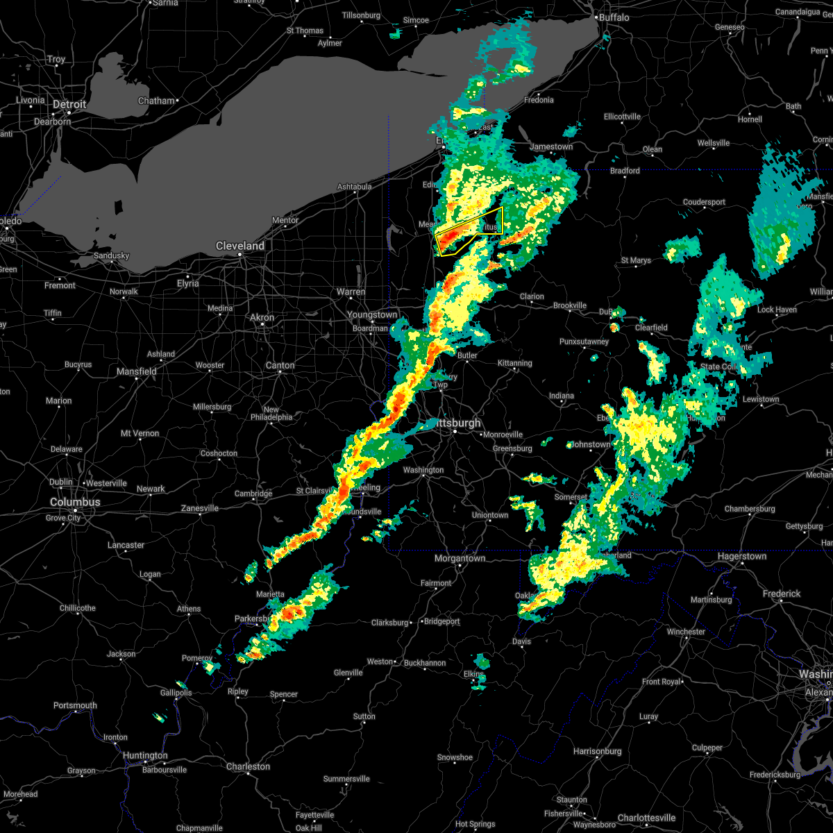 At 712 pm edt, a severe thunderstorm was located 7 miles southwest of guys mills, or 8 miles southeast of meadville, moving east at 40 mph (radar indicated). Hazards include 60 mph wind gusts and penny size hail. expect damage to trees and power lines At 712 pm edt, a severe thunderstorm was located 7 miles southwest of guys mills, or 8 miles southeast of meadville, moving east at 40 mph (radar indicated). Hazards include 60 mph wind gusts and penny size hail. expect damage to trees and power lines
|
| 10/15/2021 3:15 PM EDT |
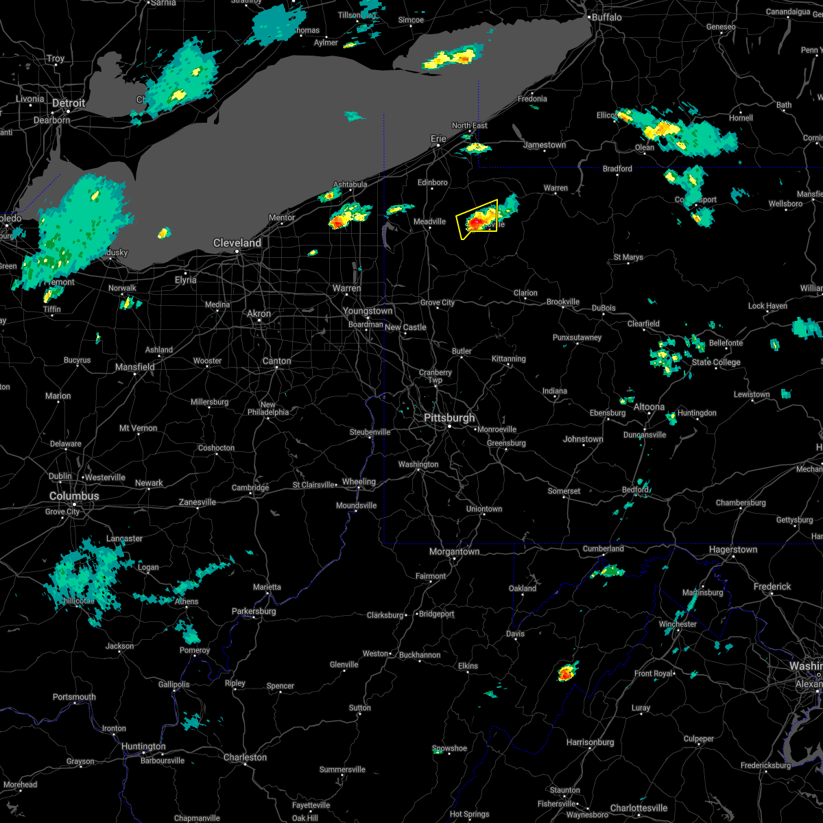 At 313 pm edt, a severe thunderstorm was located near titusville, or 16 miles north of oil city, moving east at 20 mph. a tornado warning is also in effect for this storm (radar indicated). Hazards include 60 mph wind gusts and quarter size hail. Minor damage to vehicles is possible. expect damage to trees and power lines. Locations impacted include, titusville, hydetown and townville. At 313 pm edt, a severe thunderstorm was located near titusville, or 16 miles north of oil city, moving east at 20 mph. a tornado warning is also in effect for this storm (radar indicated). Hazards include 60 mph wind gusts and quarter size hail. Minor damage to vehicles is possible. expect damage to trees and power lines. Locations impacted include, titusville, hydetown and townville.
|
| 10/15/2021 3:10 PM EDT |
 At 310 pm edt, a severe thunderstorm capable of producing a tornado was located 7 miles west of titusville, or 16 miles north of oil city, moving east at 25 mph (radar indicated rotation). Hazards include tornado and quarter size hail. Flying debris will be dangerous to those caught without shelter. mobile homes will be damaged or destroyed. damage to roofs, windows, and vehicles will occur. tree damage is likely. this dangerous storm will be near, titusville around 325 pm edt. Other locations impacted by this tornadic thunderstorm include hydetown and townville. At 310 pm edt, a severe thunderstorm capable of producing a tornado was located 7 miles west of titusville, or 16 miles north of oil city, moving east at 25 mph (radar indicated rotation). Hazards include tornado and quarter size hail. Flying debris will be dangerous to those caught without shelter. mobile homes will be damaged or destroyed. damage to roofs, windows, and vehicles will occur. tree damage is likely. this dangerous storm will be near, titusville around 325 pm edt. Other locations impacted by this tornadic thunderstorm include hydetown and townville.
|
| 10/15/2021 2:55 PM EDT |
 At 254 pm edt, a severe thunderstorm capable of producing a tornado was located over guys mills, or 11 miles east of meadville, moving east at 25 mph (radar indicated rotation). Hazards include tornado and quarter size hail. Flying debris will be dangerous to those caught without shelter. mobile homes will be damaged or destroyed. damage to roofs, windows, and vehicles will occur. tree damage is likely. this dangerous storm will be near, titusville around 330 pm edt. Other locations impacted by this tornadic thunderstorm include hydetown, townville and blooming valley. At 254 pm edt, a severe thunderstorm capable of producing a tornado was located over guys mills, or 11 miles east of meadville, moving east at 25 mph (radar indicated rotation). Hazards include tornado and quarter size hail. Flying debris will be dangerous to those caught without shelter. mobile homes will be damaged or destroyed. damage to roofs, windows, and vehicles will occur. tree damage is likely. this dangerous storm will be near, titusville around 330 pm edt. Other locations impacted by this tornadic thunderstorm include hydetown, townville and blooming valley.
|
| 10/15/2021 2:43 PM EDT |
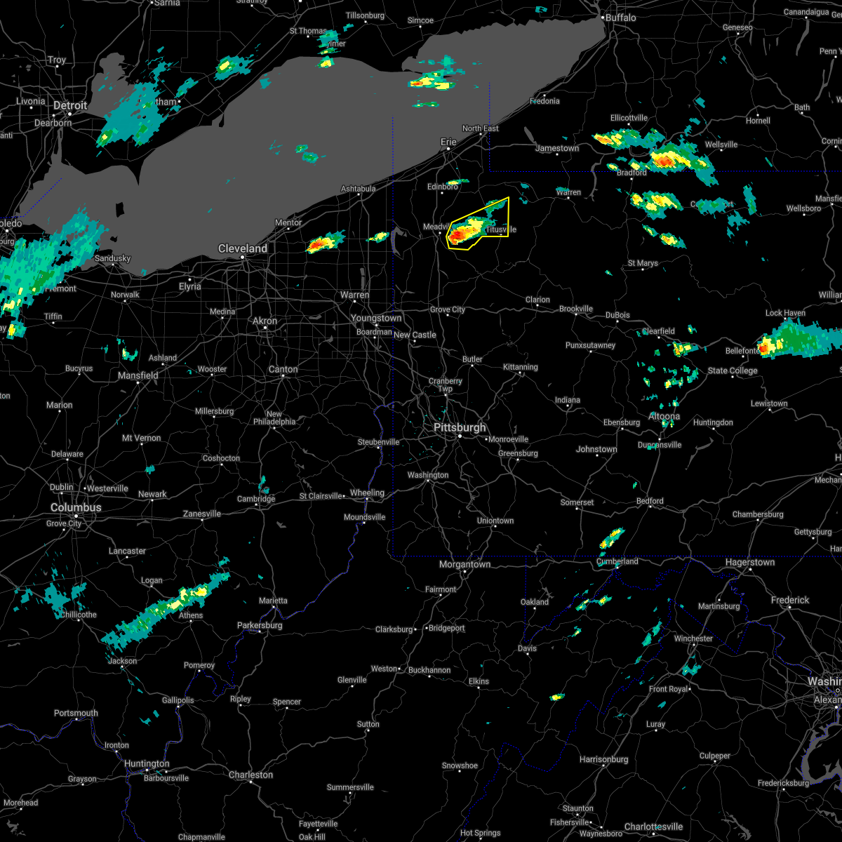 At 242 pm edt, a severe thunderstorm was located near guys mills, or near meadville, moving east at 30 mph (radar indicated). Hazards include 60 mph wind gusts and quarter size hail. Minor damage to vehicles is possible. Expect damage to trees and power lines. At 242 pm edt, a severe thunderstorm was located near guys mills, or near meadville, moving east at 30 mph (radar indicated). Hazards include 60 mph wind gusts and quarter size hail. Minor damage to vehicles is possible. Expect damage to trees and power lines.
|
| 8/13/2021 7:57 PM EDT | Tree down. time estimated from rada in crawford county PA, 5.8 miles ESE of Centerville, PA |
| 8/12/2021 5:36 PM EDT |
 At 536 pm edt, severe thunderstorms were located along a line extending from near cambridge springs to near kinsman, moving east at 35 mph (radar indicated). Hazards include 60 mph wind gusts and quarter size hail. Minor damage to vehicles is possible. Expect damage to trees and power lines. At 536 pm edt, severe thunderstorms were located along a line extending from near cambridge springs to near kinsman, moving east at 35 mph (radar indicated). Hazards include 60 mph wind gusts and quarter size hail. Minor damage to vehicles is possible. Expect damage to trees and power lines.
|
| 8/12/2021 5:06 PM EDT |
 At 506 pm edt, a severe thunderstorm was located near harmonsburg, or 11 miles west of meadville, moving east at 25 mph (radar indicated). Hazards include 60 mph wind gusts and quarter size hail. Minor damage to vehicles is possible. Expect damage to trees and power lines. At 506 pm edt, a severe thunderstorm was located near harmonsburg, or 11 miles west of meadville, moving east at 25 mph (radar indicated). Hazards include 60 mph wind gusts and quarter size hail. Minor damage to vehicles is possible. Expect damage to trees and power lines.
|
| 8/12/2021 4:58 PM EDT |
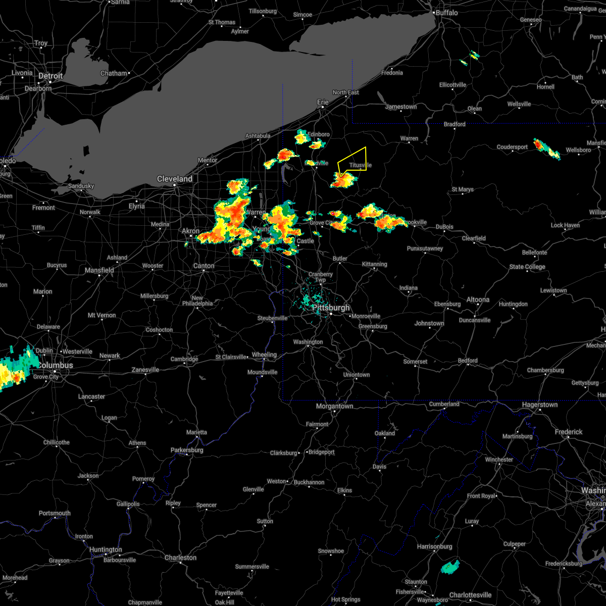 At 458 pm edt, a severe thunderstorm was located 7 miles east of guys mills, or 14 miles northwest of oil city, moving northeast at 25 mph (radar indicated). Hazards include 60 mph wind gusts and quarter size hail. Minor damage to vehicles is possible. Expect damage to trees and power lines. At 458 pm edt, a severe thunderstorm was located 7 miles east of guys mills, or 14 miles northwest of oil city, moving northeast at 25 mph (radar indicated). Hazards include 60 mph wind gusts and quarter size hail. Minor damage to vehicles is possible. Expect damage to trees and power lines.
|
| 8/11/2021 7:04 PM EDT |
 At 704 pm edt, severe thunderstorms were located along a line extending from near findley lake to 6 miles east of guys mills to 6 miles northwest of grove city, moving east at 55 mph (radar indicated). Hazards include 60 mph wind gusts. Expect damage to trees and power lines. locations impacted include, meadville, corry, titusville, north east, union city, cambridge springs, waterford, wattsburg, riceville, lincolnville, canadohta lake, guys mills, cochranton, hydetown, mill village, blooming valley, townville, spartansburg, elgin and woodcock. hail threat, radar indicated max hail size, <. 75 in wind threat, radar indicated max wind gust, 60 mph. At 704 pm edt, severe thunderstorms were located along a line extending from near findley lake to 6 miles east of guys mills to 6 miles northwest of grove city, moving east at 55 mph (radar indicated). Hazards include 60 mph wind gusts. Expect damage to trees and power lines. locations impacted include, meadville, corry, titusville, north east, union city, cambridge springs, waterford, wattsburg, riceville, lincolnville, canadohta lake, guys mills, cochranton, hydetown, mill village, blooming valley, townville, spartansburg, elgin and woodcock. hail threat, radar indicated max hail size, <. 75 in wind threat, radar indicated max wind gust, 60 mph.
|
| 8/11/2021 6:09 PM EDT |
 At 608 pm edt, severe thunderstorms were located along a line extending from 6 miles west of girard to near bristolville, moving east at 45 mph (radar indicated). Hazards include 70 mph wind gusts and penny size hail. Expect considerable tree damage. Damage is likely to mobile homes, roofs, and outbuildings. At 608 pm edt, severe thunderstorms were located along a line extending from 6 miles west of girard to near bristolville, moving east at 45 mph (radar indicated). Hazards include 70 mph wind gusts and penny size hail. Expect considerable tree damage. Damage is likely to mobile homes, roofs, and outbuildings.
|
| 8/11/2021 3:54 PM EDT |
 The severe thunderstorm warning for southeastern washington, south central allegheny, southwestern westmoreland and northwestern fayette counties will expire at 400 pm edt, the storm which prompted the warning has weakened below severe limits, and no longer poses an immediate threat to life or property. therefore, the warning will be allowed to expire. however, gusty winds and heavy rain are still possible with this thunderstorm. The severe thunderstorm warning for southeastern washington, south central allegheny, southwestern westmoreland and northwestern fayette counties will expire at 400 pm edt, the storm which prompted the warning has weakened below severe limits, and no longer poses an immediate threat to life or property. therefore, the warning will be allowed to expire. however, gusty winds and heavy rain are still possible with this thunderstorm.
|
| 8/11/2021 3:39 PM EDT |
 At 339 pm edt, a severe thunderstorm was located over monongahela, or 8 miles southeast of gastonville, moving northeast at 35 mph (radar indicated). Hazards include 60 mph wind gusts. Expect damage to trees and power lines, resulting in some power outages. locations impacted include, bethel park, gastonville, south park township, jefferson hills, monessen, california, donora, monongahela, charleroi, west newton, bentleyville, and perryopolis. hail threat, radar indicated max hail size, <. 75 in wind threat, radar indicated max wind gust, 60 mph. At 339 pm edt, a severe thunderstorm was located over monongahela, or 8 miles southeast of gastonville, moving northeast at 35 mph (radar indicated). Hazards include 60 mph wind gusts. Expect damage to trees and power lines, resulting in some power outages. locations impacted include, bethel park, gastonville, south park township, jefferson hills, monessen, california, donora, monongahela, charleroi, west newton, bentleyville, and perryopolis. hail threat, radar indicated max hail size, <. 75 in wind threat, radar indicated max wind gust, 60 mph.
|
| 8/11/2021 3:25 PM EDT |
 At 325 pm edt, a severe thunderstorm was located near bentleyville, or 9 miles southeast of washington, moving northeast at 35 mph (radar indicated). Hazards include 60 mph wind gusts. expect damage to trees and power lines, resulting in some power outages At 325 pm edt, a severe thunderstorm was located near bentleyville, or 9 miles southeast of washington, moving northeast at 35 mph (radar indicated). Hazards include 60 mph wind gusts. expect damage to trees and power lines, resulting in some power outages
|
| 7/29/2021 6:08 PM EDT |
 At 607 pm edt, a severe thunderstorm was located near fairdale, or 12 miles west of uniontown, moving east at 20 mph (radar). Hazards include wind gusts to 60 mph and quarter-size hail. Minor hail damage to vehicles is possible. Expect wind damage to trees and power lines, resulting in some power outages. At 607 pm edt, a severe thunderstorm was located near fairdale, or 12 miles west of uniontown, moving east at 20 mph (radar). Hazards include wind gusts to 60 mph and quarter-size hail. Minor hail damage to vehicles is possible. Expect wind damage to trees and power lines, resulting in some power outages.
|
| 7/29/2021 10:50 AM EDT |
 At 1050 am edt, severe thunderstorms were located along a line extending from near findley lake to near sugarcreek, moving east at 40 mph (radar indicated). Hazards include 60 mph wind gusts. Expect damage to trees and power lines. Locations impacted include, corry, titusville, union city, wattsburg, riceville, lincolnville, canadohta lake, guys mills, cochranton, hydetown, mill village, blooming valley, townville, spartansburg and elgin. At 1050 am edt, severe thunderstorms were located along a line extending from near findley lake to near sugarcreek, moving east at 40 mph (radar indicated). Hazards include 60 mph wind gusts. Expect damage to trees and power lines. Locations impacted include, corry, titusville, union city, wattsburg, riceville, lincolnville, canadohta lake, guys mills, cochranton, hydetown, mill village, blooming valley, townville, spartansburg and elgin.
|
| 7/29/2021 10:21 AM EDT |
 At 1021 am edt, severe thunderstorms were located along a line extending from near northwest harborcreek to 9 miles east of atlantic, moving east at 40 mph (radar indicated). Hazards include 60 mph wind gusts. expect damage to trees and power lines At 1021 am edt, severe thunderstorms were located along a line extending from near northwest harborcreek to 9 miles east of atlantic, moving east at 40 mph (radar indicated). Hazards include 60 mph wind gusts. expect damage to trees and power lines
|
| 7/20/2021 7:12 PM EDT |
 The severe thunderstorm warning for east central crawford county will expire at 715 pm edt, the storm which prompted the warning is moving out of the warned area. therefore, the warning will be allowed to expire. The severe thunderstorm warning for east central crawford county will expire at 715 pm edt, the storm which prompted the warning is moving out of the warned area. therefore, the warning will be allowed to expire.
|
| 7/20/2021 6:55 PM EDT |
 At 654 pm edt, a severe thunderstorm was located over hydetown, moving southeast at 15 mph (radar indicated). Hazards include 60 mph wind gusts and quarter size hail. Minor damage to vehicles is possible. expect damage to trees and power lines. Locations impacted include, titusville, hydetown and townville. At 654 pm edt, a severe thunderstorm was located over hydetown, moving southeast at 15 mph (radar indicated). Hazards include 60 mph wind gusts and quarter size hail. Minor damage to vehicles is possible. expect damage to trees and power lines. Locations impacted include, titusville, hydetown and townville.
|
| 7/20/2021 6:45 PM EDT |
 At 645 pm edt, a severe thunderstorm was located near titusville, moving southeast at 15 mph (radar indicated). Hazards include 60 mph wind gusts and quarter size hail. Minor damage to vehicles is possible. expect damage to trees and power lines. Locations impacted include, titusville, hydetown and townville. At 645 pm edt, a severe thunderstorm was located near titusville, moving southeast at 15 mph (radar indicated). Hazards include 60 mph wind gusts and quarter size hail. Minor damage to vehicles is possible. expect damage to trees and power lines. Locations impacted include, titusville, hydetown and townville.
|
| 7/20/2021 6:36 PM EDT |
 At 636 pm edt, a severe thunderstorm was located near titusville, moving southeast at 20 mph (radar indicated). Hazards include 60 mph wind gusts and quarter size hail. Minor damage to vehicles is possible. Expect damage to trees and power lines. At 636 pm edt, a severe thunderstorm was located near titusville, moving southeast at 20 mph (radar indicated). Hazards include 60 mph wind gusts and quarter size hail. Minor damage to vehicles is possible. Expect damage to trees and power lines.
|
| 7/20/2021 6:20 PM EDT | Tree down on white rd and buells corners rd. time estimated via rada in crawford county PA, 1.4 miles WSW of Centerville, PA |
| 7/13/2021 6:05 PM EDT |
 At 605 pm edt, a severe thunderstorm was located over monessen, or 12 miles southeast of gastonville, moving northeast at 40 mph (radar). Hazards include wind gusts to 60 mph and quarter-size hail. Minor hail damage to vehicles is possible. expect wind damage to trees and power lines, resulting in some power outages. Locations impacted include, jefferson hills, monessen, california, donora, monongahela, charleroi, west newton, bentleyville, brownsville, perryopolis, new eagle, north belle vernon, this includes interstate 70 in pennsylvania between mile markers 34 and 51. At 605 pm edt, a severe thunderstorm was located over monessen, or 12 miles southeast of gastonville, moving northeast at 40 mph (radar). Hazards include wind gusts to 60 mph and quarter-size hail. Minor hail damage to vehicles is possible. expect wind damage to trees and power lines, resulting in some power outages. Locations impacted include, jefferson hills, monessen, california, donora, monongahela, charleroi, west newton, bentleyville, brownsville, perryopolis, new eagle, north belle vernon, this includes interstate 70 in pennsylvania between mile markers 34 and 51.
|
| 7/13/2021 5:57 PM EDT |
 At 557 pm edt, a severe thunderstorm was located over california, or 13 miles southeast of gastonville, moving northeast at 40 mph (radar). Hazards include wind gusts to 60 mph and quarter-size hail. Minor hail damage to vehicles is possible. expect wind damage to trees and power lines, resulting in some power outages. Locations impacted include, jefferson hills, monessen, california, donora, monongahela, charleroi, west newton, bentleyville, brownsville, fredericktown-millsboro, perryopolis, new eagle, this includes interstate 70 in pennsylvania between mile markers 33 and 51. At 557 pm edt, a severe thunderstorm was located over california, or 13 miles southeast of gastonville, moving northeast at 40 mph (radar). Hazards include wind gusts to 60 mph and quarter-size hail. Minor hail damage to vehicles is possible. expect wind damage to trees and power lines, resulting in some power outages. Locations impacted include, jefferson hills, monessen, california, donora, monongahela, charleroi, west newton, bentleyville, brownsville, fredericktown-millsboro, perryopolis, new eagle, this includes interstate 70 in pennsylvania between mile markers 33 and 51.
|
| 7/13/2021 5:47 PM EDT |
 At 547 pm edt, a severe thunderstorm was located over fredericktown-millsboro, or 13 miles northeast of waynesburg, moving northeast at 40 mph (radar). Hazards include wind gusts to 60 mph. expect damage to trees and power lines, resulting in some power outages At 547 pm edt, a severe thunderstorm was located over fredericktown-millsboro, or 13 miles northeast of waynesburg, moving northeast at 40 mph (radar). Hazards include wind gusts to 60 mph. expect damage to trees and power lines, resulting in some power outages
|
| 7/13/2021 4:52 PM EDT |
 At 451 pm edt, severe thunderstorms were located along a line extending from 7 miles northwest of northwest harborcreek to near corry to 6 miles northwest of grand valley to near tionesta, moving northeast at 40 mph. numerous trees and power lines have been reported down in erie and crawford counties (radar indicated). Hazards include 60 mph wind gusts. Expect damage to trees and power lines. Locations impacted include, erie, corry, titusville, north east, union city, wattsburg, riceville, northwest harborcreek, lincolnville, canadohta lake, harborcreek, lawrence park, wesleyville, hydetown, spartansburg, elgin and northwest harborcr. At 451 pm edt, severe thunderstorms were located along a line extending from 7 miles northwest of northwest harborcreek to near corry to 6 miles northwest of grand valley to near tionesta, moving northeast at 40 mph. numerous trees and power lines have been reported down in erie and crawford counties (radar indicated). Hazards include 60 mph wind gusts. Expect damage to trees and power lines. Locations impacted include, erie, corry, titusville, north east, union city, wattsburg, riceville, northwest harborcreek, lincolnville, canadohta lake, harborcreek, lawrence park, wesleyville, hydetown, spartansburg, elgin and northwest harborcr.
|
| 7/13/2021 4:25 PM EDT |
 At 423 pm edt, severe thunderstorms were located along a line extending from near girard to cambridge springs to near guys mills to near oil city, moving northeast at 45 mph (radar indicated). Hazards include 60 mph wind gusts. expect damage to trees and power lines At 423 pm edt, severe thunderstorms were located along a line extending from near girard to cambridge springs to near guys mills to near oil city, moving northeast at 45 mph (radar indicated). Hazards include 60 mph wind gusts. expect damage to trees and power lines
|
| 7/13/2021 4:20 PM EDT |
 At 419 pm edt, severe thunderstorms were located along a line extending from near girard to cambridge springs to near guys mills to near sugarcreek, moving northeast at 45 mph (radar indicated). Hazards include 60 mph wind gusts. Expect damage to trees and power lines. Locations impacted include, erie, meadville, edinboro, union city, girard, cambridge springs, waterford, albion, wattsburg, canadohta lake, riceville, northwest harborcreek, lincolnville, guys mills, harborcreek, lawrence park, wesleyville, lake city, saegertown and cranesville. At 419 pm edt, severe thunderstorms were located along a line extending from near girard to cambridge springs to near guys mills to near sugarcreek, moving northeast at 45 mph (radar indicated). Hazards include 60 mph wind gusts. Expect damage to trees and power lines. Locations impacted include, erie, meadville, edinboro, union city, girard, cambridge springs, waterford, albion, wattsburg, canadohta lake, riceville, northwest harborcreek, lincolnville, guys mills, harborcreek, lawrence park, wesleyville, lake city, saegertown and cranesville.
|
| 7/13/2021 3:51 PM EDT |
 At 350 pm edt, severe thunderstorms were located along a line extending from near linesville to 11 miles southeast of greenville, moving northeast at 35 mph (radar indicated). Hazards include 60 mph wind gusts. expect damage to trees and power lines At 350 pm edt, severe thunderstorms were located along a line extending from near linesville to 11 miles southeast of greenville, moving northeast at 35 mph (radar indicated). Hazards include 60 mph wind gusts. expect damage to trees and power lines
|
| 7/7/2021 7:31 PM EDT |
 At 731 pm edt, a severe thunderstorm was located over fairdale, or 11 miles east of waynesburg, moving northeast at 20 mph (radar). Hazards include wind gusts to 60 mph. Expect damage to trees and power lines, resulting in some power outages. Locations impacted include, uniontown, california, masontown, brownsville, fairdale, isabella, west brownsville, bobtown, republic, nemacolin, carmichaels, rices landing, this includes interstate 79 in pennsylvania between mile markers 5 and 8. At 731 pm edt, a severe thunderstorm was located over fairdale, or 11 miles east of waynesburg, moving northeast at 20 mph (radar). Hazards include wind gusts to 60 mph. Expect damage to trees and power lines, resulting in some power outages. Locations impacted include, uniontown, california, masontown, brownsville, fairdale, isabella, west brownsville, bobtown, republic, nemacolin, carmichaels, rices landing, this includes interstate 79 in pennsylvania between mile markers 5 and 8.
|
| 7/7/2021 7:22 PM EDT |
 At 722 pm edt, a severe thunderstorm was located near fairdale, or 10 miles southeast of waynesburg, moving northeast at 20 mph (radar). Hazards include wind gusts to 60 mph and quarter-size hail. Minor hail damage to vehicles is possible. Expect wind damage to trees and power lines, resulting in some power outages. At 722 pm edt, a severe thunderstorm was located near fairdale, or 10 miles southeast of waynesburg, moving northeast at 20 mph (radar). Hazards include wind gusts to 60 mph and quarter-size hail. Minor hail damage to vehicles is possible. Expect wind damage to trees and power lines, resulting in some power outages.
|
| 7/7/2021 5:51 PM EDT | Tree dow in crawford county PA, 1 miles NNW of Centerville, PA |
| 7/7/2021 5:50 PM EDT | Tree dow in crawford county PA, 2.9 miles E of Centerville, PA |
| 7/7/2021 5:50 PM EDT |
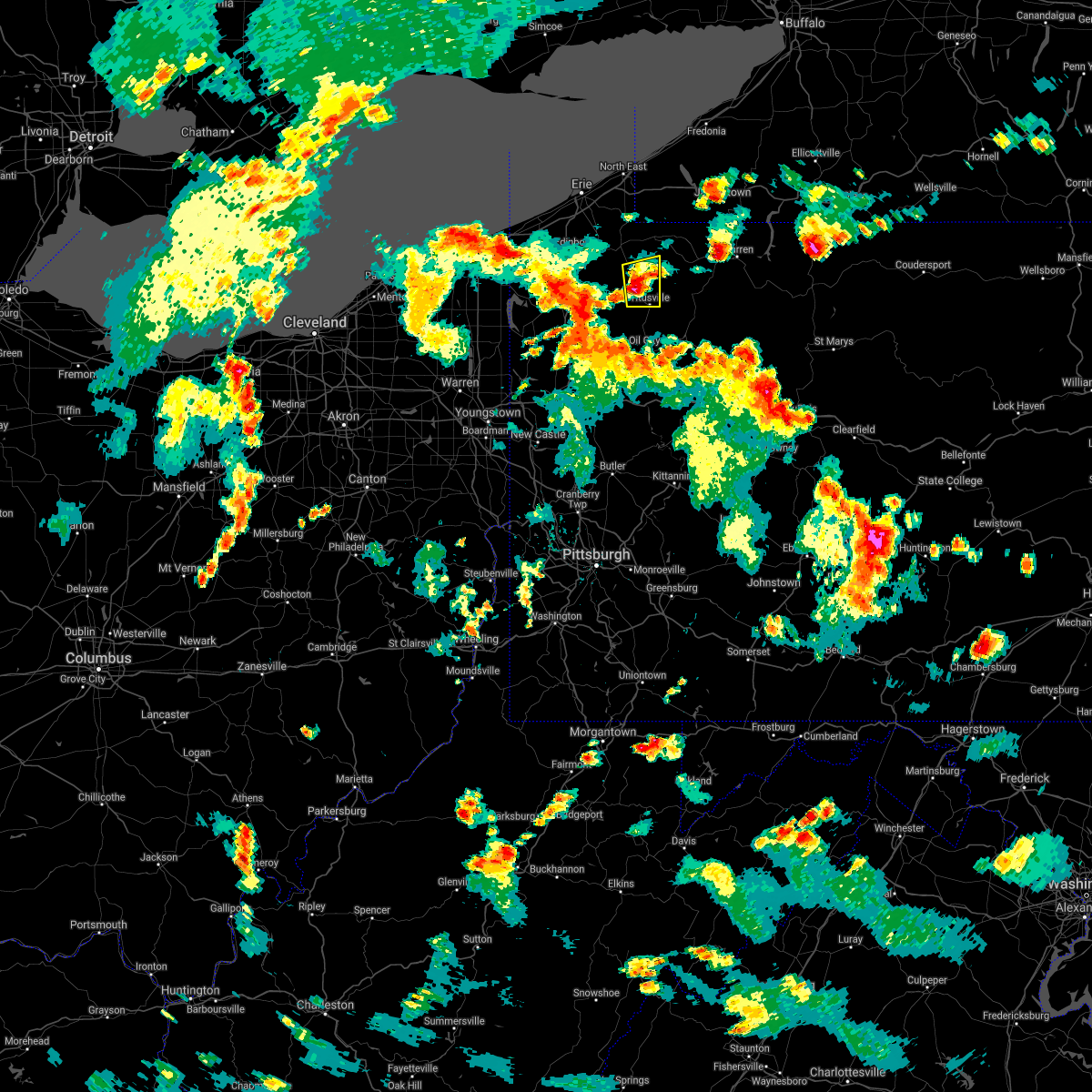 At 550 pm edt, a severe thunderstorm was located near riceville, or 19 miles north of oil city, moving east at 25 mph (radar indicated). Hazards include 60 mph wind gusts and quarter size hail. Minor damage to vehicles is possible. Expect damage to trees and power lines. At 550 pm edt, a severe thunderstorm was located near riceville, or 19 miles north of oil city, moving east at 25 mph (radar indicated). Hazards include 60 mph wind gusts and quarter size hail. Minor damage to vehicles is possible. Expect damage to trees and power lines.
|
| 6/21/2021 4:41 PM EDT |
 At 441 pm edt, severe thunderstorms were located along a line extending from near west newton to brownsville, moving east at 45 mph (radar). Hazards include wind gusts to 60 mph. expect damage to trees and power lines, resulting in some power outages At 441 pm edt, severe thunderstorms were located along a line extending from near west newton to brownsville, moving east at 45 mph (radar). Hazards include wind gusts to 60 mph. expect damage to trees and power lines, resulting in some power outages
|
| 6/21/2021 4:33 PM EDT |
 At 433 pm edt, severe thunderstorms were located along a line extending from near lawson heights to jefferson boro, moving east at 45 mph (radar). Hazards include wind gusts to 60 mph. Expect damage to trees and power lines, resulting in some power outages. locations impacted include, monessen, california, charleroi, bentleyville, brownsville, fredericktown-millsboro, perryopolis, fairdale, jefferson boro, north belle vernon, north charleroi, speers, this includes the following highways, interstate 70 in pennsylvania between mile markers 35 and 43. Interstate 79 in pennsylvania between mile markers 16 and 24. At 433 pm edt, severe thunderstorms were located along a line extending from near lawson heights to jefferson boro, moving east at 45 mph (radar). Hazards include wind gusts to 60 mph. Expect damage to trees and power lines, resulting in some power outages. locations impacted include, monessen, california, charleroi, bentleyville, brownsville, fredericktown-millsboro, perryopolis, fairdale, jefferson boro, north belle vernon, north charleroi, speers, this includes the following highways, interstate 70 in pennsylvania between mile markers 35 and 43. Interstate 79 in pennsylvania between mile markers 16 and 24.
|
| 6/21/2021 4:20 PM EDT |
 At 420 pm edt, a severe thunderstorm was located over bentleyville, or 11 miles south of gastonville, moving east at 60 mph (radar). Hazards include wind gusts to 60 mph. Expect damage to trees and power lines, resulting in some power outages. locations impacted include, jefferson hills, monessen, california, donora, monongahela, charleroi, bentleyville, new eagle, north belle vernon, wickerham manor-fisher, baidland, north charleroi, this includes the following highways, interstate 70 in pennsylvania near mile marker 25, and between mile markers 27 and 44. Interstate 79 in pennsylvania between mile markers 22 and 30. At 420 pm edt, a severe thunderstorm was located over bentleyville, or 11 miles south of gastonville, moving east at 60 mph (radar). Hazards include wind gusts to 60 mph. Expect damage to trees and power lines, resulting in some power outages. locations impacted include, jefferson hills, monessen, california, donora, monongahela, charleroi, bentleyville, new eagle, north belle vernon, wickerham manor-fisher, baidland, north charleroi, this includes the following highways, interstate 70 in pennsylvania near mile marker 25, and between mile markers 27 and 44. Interstate 79 in pennsylvania between mile markers 22 and 30.
|
| 6/21/2021 4:18 PM EDT |
 At 418 pm edt, severe thunderstorms were located along a line extending from near youngwood to 6 miles northwest of waynesburg, moving east at 40 mph (radar). Hazards include wind gusts to 60 mph. expect damage to trees and power lines, resulting in some power outages At 418 pm edt, severe thunderstorms were located along a line extending from near youngwood to 6 miles northwest of waynesburg, moving east at 40 mph (radar). Hazards include wind gusts to 60 mph. expect damage to trees and power lines, resulting in some power outages
|
| 6/21/2021 4:10 PM EDT |
 At 410 pm edt, a severe thunderstorm was located over bentleyville, or 7 miles south of gastonville, moving east at 90 mph (radar). Hazards include wind gusts to 60 mph. Expect damage to trees and power lines, resulting in some power outages. locations impacted include, washington, jefferson hills, monessen, california, donora, monongahela, charleroi, wolfdale, bentleyville, brownsville, east washington, perryopolis, this includes the following highways, interstate 70 in west virginia between mile markers 13 and 14. interstate 70 in pennsylvania between mile markers 0 and 44. Interstate 79 in pennsylvania between mile markers 22 and 41. At 410 pm edt, a severe thunderstorm was located over bentleyville, or 7 miles south of gastonville, moving east at 90 mph (radar). Hazards include wind gusts to 60 mph. Expect damage to trees and power lines, resulting in some power outages. locations impacted include, washington, jefferson hills, monessen, california, donora, monongahela, charleroi, wolfdale, bentleyville, brownsville, east washington, perryopolis, this includes the following highways, interstate 70 in west virginia between mile markers 13 and 14. interstate 70 in pennsylvania between mile markers 0 and 44. Interstate 79 in pennsylvania between mile markers 22 and 41.
|
| 6/21/2021 3:53 PM EDT |
 At 353 pm edt, a severe thunderstorm was located near valley grove, moving east at 90 mph (radar). Hazards include wind gusts to 60 mph. expect damage to trees and power lines, resulting in some power outages At 353 pm edt, a severe thunderstorm was located near valley grove, moving east at 90 mph (radar). Hazards include wind gusts to 60 mph. expect damage to trees and power lines, resulting in some power outages
|
| 6/14/2021 3:52 PM EDT |
 At 352 pm edt, a severe thunderstorm was located over bentleyville, or 11 miles southeast of washington, moving southeast at 20 mph (radar). Hazards include wind gusts to 60 mph and quarter-size hail. Minor hail damage to vehicles is possible. Expect wind damage to trees and power lines, resulting in some power outages. At 352 pm edt, a severe thunderstorm was located over bentleyville, or 11 miles southeast of washington, moving southeast at 20 mph (radar). Hazards include wind gusts to 60 mph and quarter-size hail. Minor hail damage to vehicles is possible. Expect wind damage to trees and power lines, resulting in some power outages.
|
| 11/15/2020 3:16 PM EST |
 At 315 pm est, severe thunderstorms were located along a line extending from near masontown to near bridgeport, moving east at 55 mph (radar). Hazards include wind gusts to 60 mph. expect damage to trees and power lines, resulting in some power outages At 315 pm est, severe thunderstorms were located along a line extending from near masontown to near bridgeport, moving east at 55 mph (radar). Hazards include wind gusts to 60 mph. expect damage to trees and power lines, resulting in some power outages
|
| 11/15/2020 3:08 PM EST |
 At 308 pm est, severe thunderstorms were located along a line extending from near leechburg to near point marion, moving east at 50 mph (law enforcement). Hazards include wind gusts to 60 mph. Expect damage to trees and power lines, resulting in some power outages. locations impacted include, pittsburgh, penn hills, bethel park, monroeville, mckeesport, gastonville, shaler township, plum, west mifflin, baldwin, murrysville, hampton township, this includes the following highways, interstate 70 in pennsylvania between mile markers 29 and 48. pennsylvania turnpike between mile markers 40 and 60. interstate 79 in pennsylvania between mile markers 8 and 14. Interstate 376 in pennsylvania between mile markers 72 and 84. At 308 pm est, severe thunderstorms were located along a line extending from near leechburg to near point marion, moving east at 50 mph (law enforcement). Hazards include wind gusts to 60 mph. Expect damage to trees and power lines, resulting in some power outages. locations impacted include, pittsburgh, penn hills, bethel park, monroeville, mckeesport, gastonville, shaler township, plum, west mifflin, baldwin, murrysville, hampton township, this includes the following highways, interstate 70 in pennsylvania between mile markers 29 and 48. pennsylvania turnpike between mile markers 40 and 60. interstate 79 in pennsylvania between mile markers 8 and 14. Interstate 376 in pennsylvania between mile markers 72 and 84.
|
| 11/15/2020 3:02 PM EST |
 At 302 pm est, severe thunderstorms were located along a line extending from near west kittanning to near uniontown, moving east at 65 mph (radar). Hazards include wind gusts to 70 mph. Trees snapped and uprooted. Power outages can be expected. At 302 pm est, severe thunderstorms were located along a line extending from near west kittanning to near uniontown, moving east at 65 mph (radar). Hazards include wind gusts to 70 mph. Trees snapped and uprooted. Power outages can be expected.
|
| 11/15/2020 2:51 PM EST |
 At 251 pm est, severe thunderstorms were located along a line extending from near sarver to 6 miles north of cassville, moving east at 50 mph (law enforcement). Hazards include wind gusts to 60 mph. Expect damage to trees and power lines, resulting in some power outages. locations impacted include, pittsburgh, penn hills, mount lebanon, bethel park, ross township, mccandless township, monroeville, cranberry, moon township, mcmurray, mckeesport, washington, this includes the following highways, interstate 70 in pennsylvania between mile markers 8 and 48. pennsylvania turnpike between mile markers 23 and 60. interstate 79 in pennsylvania between mile markers 8 and 86. Interstate 376 in pennsylvania between mile markers 54 and 84. At 251 pm est, severe thunderstorms were located along a line extending from near sarver to 6 miles north of cassville, moving east at 50 mph (law enforcement). Hazards include wind gusts to 60 mph. Expect damage to trees and power lines, resulting in some power outages. locations impacted include, pittsburgh, penn hills, mount lebanon, bethel park, ross township, mccandless township, monroeville, cranberry, moon township, mcmurray, mckeesport, washington, this includes the following highways, interstate 70 in pennsylvania between mile markers 8 and 48. pennsylvania turnpike between mile markers 23 and 60. interstate 79 in pennsylvania between mile markers 8 and 86. Interstate 376 in pennsylvania between mile markers 54 and 84.
|
| 11/15/2020 2:41 PM EST |
 At 241 pm est, severe thunderstorms were located along a line extending from near erie to near oakwood, moving northeast at 60 mph (radar indicated). Hazards include 60 mph wind gusts. Expect damage to trees and power lines. Locations impacted include, meadville, corry, titusville, north east, union city, cambridge springs, waterford, wattsburg, riceville, lincolnville, canadohta lake, guys mills, northwest harborcreek, harborcreek, cochranton, saegertown, hydetown, mill village, blooming valley and townville. At 241 pm est, severe thunderstorms were located along a line extending from near erie to near oakwood, moving northeast at 60 mph (radar indicated). Hazards include 60 mph wind gusts. Expect damage to trees and power lines. Locations impacted include, meadville, corry, titusville, north east, union city, cambridge springs, waterford, wattsburg, riceville, lincolnville, canadohta lake, guys mills, northwest harborcreek, harborcreek, cochranton, saegertown, hydetown, mill village, blooming valley and townville.
|
| 11/15/2020 2:36 PM EST |
 At 236 pm est, severe thunderstorms were located along a line extending from mars to 9 miles southwest of waynesburg, moving east at 50 mph (law enforcement). Hazards include wind gusts to 60 mph. expect damage to trees and power lines, resulting in some power outages At 236 pm est, severe thunderstorms were located along a line extending from mars to 9 miles southwest of waynesburg, moving east at 50 mph (law enforcement). Hazards include wind gusts to 60 mph. expect damage to trees and power lines, resulting in some power outages
|
| 11/15/2020 2:29 PM EST |
 At 229 pm est, severe thunderstorms were located along a line extending from near girard to near boardman, moving east at 60 mph (radar indicated). Hazards include 60 mph wind gusts. Expect damage to trees and power lines. Locations impacted include, erie, meadville, corry, edinboro, titusville, north east, union city, cambridge springs, waterford, wattsburg, canadohta lake, riceville, northwest harborcreek, lincolnville, guys mills, harmonsburg, harborcreek, lawrence park, wesleyville and cochranton. At 229 pm est, severe thunderstorms were located along a line extending from near girard to near boardman, moving east at 60 mph (radar indicated). Hazards include 60 mph wind gusts. Expect damage to trees and power lines. Locations impacted include, erie, meadville, corry, edinboro, titusville, north east, union city, cambridge springs, waterford, wattsburg, canadohta lake, riceville, northwest harborcreek, lincolnville, guys mills, harmonsburg, harborcreek, lawrence park, wesleyville and cochranton.
|
| 11/15/2020 2:19 PM EST |
 At 219 pm est, severe thunderstorms were located along a line extending from near conneaut to near leetonia, moving east at 60 mph (radar indicated). Hazards include 60 mph wind gusts. Expect damage to trees and power lines. Locations impacted include, erie, meadville, corry, edinboro, titusville, north east, union city, girard, cambridge springs, waterford, albion, linesville, wattsburg, adamsville, pymatuning central, riceville, harmonsburg, guys mills, pymatuning north and atlantic. At 219 pm est, severe thunderstorms were located along a line extending from near conneaut to near leetonia, moving east at 60 mph (radar indicated). Hazards include 60 mph wind gusts. Expect damage to trees and power lines. Locations impacted include, erie, meadville, corry, edinboro, titusville, north east, union city, girard, cambridge springs, waterford, albion, linesville, wattsburg, adamsville, pymatuning central, riceville, harmonsburg, guys mills, pymatuning north and atlantic.
|
| 11/15/2020 2:03 PM EST |
 At 203 pm est, severe thunderstorms were located along a line extending from near ashtabula to near sebring, moving northeast at 60 mph (radar indicated). Hazards include 70 mph wind gusts. Expect considerable tree damage. damage is likely to mobile homes, roofs, and outbuildings. Locations impacted include, erie, youngstown, warren, meadville, conneaut, salem, columbiana, boardman, niles, campbell, hubbard, canfield, cortland, corry, edinboro, titusville, north east, lordstown, union city and north kingsville. At 203 pm est, severe thunderstorms were located along a line extending from near ashtabula to near sebring, moving northeast at 60 mph (radar indicated). Hazards include 70 mph wind gusts. Expect considerable tree damage. damage is likely to mobile homes, roofs, and outbuildings. Locations impacted include, erie, youngstown, warren, meadville, conneaut, salem, columbiana, boardman, niles, campbell, hubbard, canfield, cortland, corry, edinboro, titusville, north east, lordstown, union city and north kingsville.
|
| 11/15/2020 1:50 PM EST |
 At 150 pm est, severe thunderstorms were located along a line extending from geneva-on-the-lake to near louisville, moving east at 60 mph (radar indicated). Hazards include 70 mph wind gusts. Expect considerable tree damage. damage is likely to mobile homes, roofs, and outbuildings. Locations impacted include, erie, youngstown, warren, ashtabula, meadville, conneaut, salem, columbiana, geneva-on-the-lake, boardman, niles, campbell, hubbard, canfield, cortland, corry, edinboro, titusville, newton falls and sebring. At 150 pm est, severe thunderstorms were located along a line extending from geneva-on-the-lake to near louisville, moving east at 60 mph (radar indicated). Hazards include 70 mph wind gusts. Expect considerable tree damage. damage is likely to mobile homes, roofs, and outbuildings. Locations impacted include, erie, youngstown, warren, ashtabula, meadville, conneaut, salem, columbiana, geneva-on-the-lake, boardman, niles, campbell, hubbard, canfield, cortland, corry, edinboro, titusville, newton falls and sebring.
|
| 11/15/2020 1:32 PM EST |
 At 132 pm est, severe thunderstorms were located along a line extending from painesville to near strasburg, moving northeast at 60 mph (radar indicated). Hazards include 70 mph wind gusts. Expect considerable tree damage. Damage is likely to mobile homes, roofs, and outbuildings. At 132 pm est, severe thunderstorms were located along a line extending from painesville to near strasburg, moving northeast at 60 mph (radar indicated). Hazards include 70 mph wind gusts. Expect considerable tree damage. Damage is likely to mobile homes, roofs, and outbuildings.
|
| 8/27/2020 8:13 PM EDT |
 At 813 pm edt, severe thunderstorms were located along a line extending from near new centerville to near ursina to near fredericktown-millsboro to 11 miles northeast of cameron, moving southeast at 30 mph (radar). Hazards include wind gusts to 60 mph. Expect damage to trees and power lines, resulting in some power outages. locations impacted include, morgantown, uniontown, connellsville, waynesburg, westover, star city, valley grove, bittinger, california, masontown, bentleyville, brownsville, this includes the following highways, interstate 68 in maryland between mile markers 1 and 30. interstate 68 in west virginia between mile markers 4 and 32. interstate 70 in west virginia between mile markers 11 and 14. interstate 70 in pennsylvania between mile markers 0 and 2, and between mile markers 37 and 39. interstate 79 in pennsylvania between mile markers 0 and 28. Interstate 79 in west virginia between mile markers 152 and 160. At 813 pm edt, severe thunderstorms were located along a line extending from near new centerville to near ursina to near fredericktown-millsboro to 11 miles northeast of cameron, moving southeast at 30 mph (radar). Hazards include wind gusts to 60 mph. Expect damage to trees and power lines, resulting in some power outages. locations impacted include, morgantown, uniontown, connellsville, waynesburg, westover, star city, valley grove, bittinger, california, masontown, bentleyville, brownsville, this includes the following highways, interstate 68 in maryland between mile markers 1 and 30. interstate 68 in west virginia between mile markers 4 and 32. interstate 70 in west virginia between mile markers 11 and 14. interstate 70 in pennsylvania between mile markers 0 and 2, and between mile markers 37 and 39. interstate 79 in pennsylvania between mile markers 0 and 28. Interstate 79 in west virginia between mile markers 152 and 160.
|
| 8/27/2020 7:40 PM EDT |
 At 739 pm edt, severe thunderstorms were located along a line extending from 6 miles northeast of seven springs to near connellsville to near east washington to near west liberty, moving southeast at 30 mph (radar). Hazards include wind gusts to 60 mph. expect damage to trees and power lines, resulting in some power outages At 739 pm edt, severe thunderstorms were located along a line extending from 6 miles northeast of seven springs to near connellsville to near east washington to near west liberty, moving southeast at 30 mph (radar). Hazards include wind gusts to 60 mph. expect damage to trees and power lines, resulting in some power outages
|
| 8/27/2020 7:37 PM EDT |
 At 736 pm edt, severe thunderstorms were located along a line extending from near mount pleasant to near scottdale to near california, moving southeast at 45 mph (law enforcement). Hazards include wind gusts to 60 mph. Expect damage to trees and power lines, resulting in some power outages. locations impacted include, uniontown, connellsville, monessen, california, donora, mount pleasant, scottdale, monongahela, charleroi, bentleyville, brownsville, south connellsville, this includes the following highways, interstate 70 in pennsylvania between mile markers 29 and 51. Pennsylvania turnpike between mile markers 79 and 96. At 736 pm edt, severe thunderstorms were located along a line extending from near mount pleasant to near scottdale to near california, moving southeast at 45 mph (law enforcement). Hazards include wind gusts to 60 mph. Expect damage to trees and power lines, resulting in some power outages. locations impacted include, uniontown, connellsville, monessen, california, donora, mount pleasant, scottdale, monongahela, charleroi, bentleyville, brownsville, south connellsville, this includes the following highways, interstate 70 in pennsylvania between mile markers 29 and 51. Pennsylvania turnpike between mile markers 79 and 96.
|
| 8/27/2020 7:13 PM EDT |
 At 712 pm edt, severe thunderstorms were located along a line extending from near irwin to near clairton to near gastonville, moving southeast at 40 mph (law enforcement). Hazards include wind gusts to 60 mph. Expect damage to trees and power lines, resulting in some power outages. locations impacted include, bethel park, monroeville, mcmurray, greensburg, mckeesport, uniontown, jeannette, latrobe, connellsville, gastonville, west mifflin, baldwin, this includes the following highways, interstate 70 in pennsylvania between mile markers 29 and 57. Pennsylvania turnpike between mile markers 57 and 95. At 712 pm edt, severe thunderstorms were located along a line extending from near irwin to near clairton to near gastonville, moving southeast at 40 mph (law enforcement). Hazards include wind gusts to 60 mph. Expect damage to trees and power lines, resulting in some power outages. locations impacted include, bethel park, monroeville, mcmurray, greensburg, mckeesport, uniontown, jeannette, latrobe, connellsville, gastonville, west mifflin, baldwin, this includes the following highways, interstate 70 in pennsylvania between mile markers 29 and 57. Pennsylvania turnpike between mile markers 57 and 95.
|
| 8/27/2020 6:41 PM EDT |
 At 641 pm edt, severe thunderstorms were located along a line extending from bellevue to near sturgeon-noblestown to 6 miles west of mcdonald, moving southeast at 45 mph (radar). Hazards include wind gusts to 60 mph. expect damage to trees and power lines, resulting in some power outages At 641 pm edt, severe thunderstorms were located along a line extending from bellevue to near sturgeon-noblestown to 6 miles west of mcdonald, moving southeast at 45 mph (radar). Hazards include wind gusts to 60 mph. expect damage to trees and power lines, resulting in some power outages
|
| 7/19/2020 6:58 PM EDT |
 The severe thunderstorm warning for northeastern crawford county will expire at 700 pm edt, the storms which prompted the warning have moved out of the area. therefore, the warning will be allowed to expire. a severe thunderstorm watch remains in effect until 1100 pm edt for northwestern pennsylvania. to report severe weather, contact your nearest law enforcement agency. they will relay your report to the national weather service cleveland. The severe thunderstorm warning for northeastern crawford county will expire at 700 pm edt, the storms which prompted the warning have moved out of the area. therefore, the warning will be allowed to expire. a severe thunderstorm watch remains in effect until 1100 pm edt for northwestern pennsylvania. to report severe weather, contact your nearest law enforcement agency. they will relay your report to the national weather service cleveland.
|
| 7/19/2020 6:42 PM EDT |
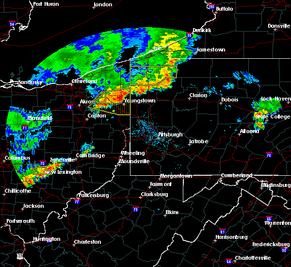 At 641 pm edt, severe thunderstorms were located along a line extending from lincolnville to 7 miles southwest of titusville, moving east at 40 mph (radar indicated). Hazards include 60 mph wind gusts. Expect damage to trees and power lines. Locations impacted include, titusville, riceville, canadohta lake, lincolnville, hydetown, townville and spartansburg. At 641 pm edt, severe thunderstorms were located along a line extending from lincolnville to 7 miles southwest of titusville, moving east at 40 mph (radar indicated). Hazards include 60 mph wind gusts. Expect damage to trees and power lines. Locations impacted include, titusville, riceville, canadohta lake, lincolnville, hydetown, townville and spartansburg.
|
| 7/19/2020 5:55 PM EDT |
 At 555 pm edt, severe thunderstorms were located along a line extending from 6 miles northwest of harmonsburg to near andover, moving east at 35 mph (radar indicated). Hazards include 60 mph wind gusts. expect damage to trees and power lines At 555 pm edt, severe thunderstorms were located along a line extending from 6 miles northwest of harmonsburg to near andover, moving east at 35 mph (radar indicated). Hazards include 60 mph wind gusts. expect damage to trees and power lines
|
| 7/10/2020 6:12 PM EDT |
 At 612 pm edt, severe thunderstorms were located along a line extending from donora to 6 miles south of perryopolis, moving east at 30 mph (radar). Hazards include wind gusts to 60 mph. expect damage to trees and power lines, resulting in some power outages At 612 pm edt, severe thunderstorms were located along a line extending from donora to 6 miles south of perryopolis, moving east at 30 mph (radar). Hazards include wind gusts to 60 mph. expect damage to trees and power lines, resulting in some power outages
|
| 6/10/2020 11:10 PM EDT |
 The severe thunderstorm warning for erie and eastern crawford counties will expire at 1115 pm edt, the storms which prompted the warning have weakened below severe limits, and have exited the warned area. therefore, the warning will be allowed to expire. however heavy rain is still possible with these thunderstorms. a severe thunderstorm watch remains in effect until 100 am edt for northwestern pennsylvania. The severe thunderstorm warning for erie and eastern crawford counties will expire at 1115 pm edt, the storms which prompted the warning have weakened below severe limits, and have exited the warned area. therefore, the warning will be allowed to expire. however heavy rain is still possible with these thunderstorms. a severe thunderstorm watch remains in effect until 100 am edt for northwestern pennsylvania.
|
| 6/10/2020 10:41 PM EDT |
 At 1041 pm edt, severe thunderstorms were located along a line extending from near northwest harborcreek to near union city to near riceville, moving northeast at 45 mph (radar indicated). Hazards include 60 mph wind gusts and penny size hail. Expect damage to trees and power lines. Locations impacted include, erie, corry, titusville, north east, union city, waterford, wattsburg, riceville, northwest harborcreek, lincolnville, canadohta lake, guys mills, harborcreek, lawrence park, wesleyville, cochranton, hydetown, mill village, blooming valley and townville. At 1041 pm edt, severe thunderstorms were located along a line extending from near northwest harborcreek to near union city to near riceville, moving northeast at 45 mph (radar indicated). Hazards include 60 mph wind gusts and penny size hail. Expect damage to trees and power lines. Locations impacted include, erie, corry, titusville, north east, union city, waterford, wattsburg, riceville, northwest harborcreek, lincolnville, canadohta lake, guys mills, harborcreek, lawrence park, wesleyville, cochranton, hydetown, mill village, blooming valley and townville.
|
| 6/10/2020 10:25 PM EDT |
 At 1024 pm edt, severe thunderstorms were located along a line extending from erie to near cambridge springs to guys mills, moving northeast at 65 mph (radar indicated). Hazards include 60 mph wind gusts and penny size hail. Expect damage to trees and power lines. Locations impacted include, erie, meadville, corry, edinboro, titusville, north east, union city, girard, cambridge springs, waterford, wattsburg, canadohta lake, riceville, northwest harborcreek, lincolnville, guys mills, harborcreek, lawrence park, wesleyville and lake city. At 1024 pm edt, severe thunderstorms were located along a line extending from erie to near cambridge springs to guys mills, moving northeast at 65 mph (radar indicated). Hazards include 60 mph wind gusts and penny size hail. Expect damage to trees and power lines. Locations impacted include, erie, meadville, corry, edinboro, titusville, north east, union city, girard, cambridge springs, waterford, wattsburg, canadohta lake, riceville, northwest harborcreek, lincolnville, guys mills, harborcreek, lawrence park, wesleyville and lake city.
|
| 6/10/2020 10:03 PM EDT |
 At 1002 pm edt, severe thunderstorms were located along a line extending from near girard to near harmonsburg, moving northeast at 35 mph (radar indicated). Hazards include 60 mph wind gusts and penny size hail. Expect damage to trees and power lines. Locations impacted include, erie, meadville, conneaut, corry, edinboro, titusville, north east, union city, girard, cambridge springs, waterford, albion, linesville, wattsburg, adamsville, pymatuning central, riceville, harmonsburg, guys mills and pymatuning north. At 1002 pm edt, severe thunderstorms were located along a line extending from near girard to near harmonsburg, moving northeast at 35 mph (radar indicated). Hazards include 60 mph wind gusts and penny size hail. Expect damage to trees and power lines. Locations impacted include, erie, meadville, conneaut, corry, edinboro, titusville, north east, union city, girard, cambridge springs, waterford, albion, linesville, wattsburg, adamsville, pymatuning central, riceville, harmonsburg, guys mills and pymatuning north.
|
| 6/10/2020 9:44 PM EDT |
 At 944 pm edt, severe thunderstorms were located along a line extending from near andover to near greenville, moving northeast at 35 mph (radar indicated). Hazards include 60 mph wind gusts and penny size hail. expect damage to trees and power lines At 944 pm edt, severe thunderstorms were located along a line extending from near andover to near greenville, moving northeast at 35 mph (radar indicated). Hazards include 60 mph wind gusts and penny size hail. expect damage to trees and power lines
|
| 6/4/2020 5:14 PM EDT |
 At 514 pm edt, severe thunderstorms were located along a line extending from near mars to etna to near east washington, moving east at 30 mph (radar). Hazards include wind gusts to 60 mph. Expect damage to trees and power lines, resulting in some power outages. locations impacted include, pittsburgh, penn hills, mount lebanon, bethel park, monroeville, mcmurray, greensburg, mckeesport, indiana, jeannette, latrobe, connellsville, this includes the following highways, interstate 70 in pennsylvania between mile markers 20 and 57. pennsylvania turnpike between mile markers 41 and 99. interstate 79 in pennsylvania between mile markers 29 and 35. Interstate 376 in pennsylvania between mile markers 73 and 84. At 514 pm edt, severe thunderstorms were located along a line extending from near mars to etna to near east washington, moving east at 30 mph (radar). Hazards include wind gusts to 60 mph. Expect damage to trees and power lines, resulting in some power outages. locations impacted include, pittsburgh, penn hills, mount lebanon, bethel park, monroeville, mcmurray, greensburg, mckeesport, indiana, jeannette, latrobe, connellsville, this includes the following highways, interstate 70 in pennsylvania between mile markers 20 and 57. pennsylvania turnpike between mile markers 41 and 99. interstate 79 in pennsylvania between mile markers 29 and 35. Interstate 376 in pennsylvania between mile markers 73 and 84.
|
| 6/4/2020 4:43 PM EDT |
 At 442 pm edt, severe thunderstorms were located along a line extending from near rochester to moon township to 6 miles west of wolfdale, moving east at 30 mph (radar). Hazards include wind gusts to 60 mph. expect damage to trees and power lines, resulting in some power outages At 442 pm edt, severe thunderstorms were located along a line extending from near rochester to moon township to 6 miles west of wolfdale, moving east at 30 mph (radar). Hazards include wind gusts to 60 mph. expect damage to trees and power lines, resulting in some power outages
|
| 5/29/2020 12:41 PM EDT |
 At 1241 pm edt, a severe thunderstorm was located near titusville, or 17 miles north of oil city, moving northeast at 45 mph (radar indicated). Hazards include 60 mph wind gusts and quarter size hail. Minor damage to vehicles is possible. expect damage to trees and power lines. Locations impacted include, titusville, riceville, lincolnville, hydetown, townville and spartansburg. At 1241 pm edt, a severe thunderstorm was located near titusville, or 17 miles north of oil city, moving northeast at 45 mph (radar indicated). Hazards include 60 mph wind gusts and quarter size hail. Minor damage to vehicles is possible. expect damage to trees and power lines. Locations impacted include, titusville, riceville, lincolnville, hydetown, townville and spartansburg.
|
| 5/29/2020 12:24 PM EDT |
 At 1224 pm edt, a severe thunderstorm was located near guys mills, or 9 miles southeast of meadville, moving east at 50 mph (radar indicated). Hazards include 60 mph wind gusts and quarter size hail. Minor damage to vehicles is possible. Expect damage to trees and power lines. At 1224 pm edt, a severe thunderstorm was located near guys mills, or 9 miles southeast of meadville, moving east at 50 mph (radar indicated). Hazards include 60 mph wind gusts and quarter size hail. Minor damage to vehicles is possible. Expect damage to trees and power lines.
|
| 4/7/2020 10:47 PM EDT |
 At 1047 pm edt, a severe thunderstorm was located near cambridge springs, or 10 miles northeast of meadville, moving east at 45 mph (radar indicated). Hazards include 60 mph wind gusts and quarter size hail. Minor damage to vehicles is possible. expect damage to trees and power lines. Locations impacted include, titusville, cambridge springs, riceville, canadohta lake, lincolnville, saegertown, hydetown, blooming valley, townville, spartansburg, venango and woodcock. At 1047 pm edt, a severe thunderstorm was located near cambridge springs, or 10 miles northeast of meadville, moving east at 45 mph (radar indicated). Hazards include 60 mph wind gusts and quarter size hail. Minor damage to vehicles is possible. expect damage to trees and power lines. Locations impacted include, titusville, cambridge springs, riceville, canadohta lake, lincolnville, saegertown, hydetown, blooming valley, townville, spartansburg, venango and woodcock.
|
| 4/7/2020 10:21 PM EDT |
 At 1021 pm edt, a severe thunderstorm was located 7 miles southeast of albion, or 12 miles northwest of meadville, moving east at 40 mph (radar indicated). Hazards include 60 mph wind gusts and quarter size hail. Minor damage to vehicles is possible. Expect damage to trees and power lines. At 1021 pm edt, a severe thunderstorm was located 7 miles southeast of albion, or 12 miles northwest of meadville, moving east at 40 mph (radar indicated). Hazards include 60 mph wind gusts and quarter size hail. Minor damage to vehicles is possible. Expect damage to trees and power lines.
|
| 3/28/2020 5:40 PM EDT |
 At 540 pm edt, a severe thunderstorm was located over south connellsville, or over connellsville, moving east at 45 mph (radar). Hazards include wind gusts to 60 mph and quarter-size hail. Minor hail damage to vehicles is possible. expect wind damage to trees and power lines, resulting in some power outages. Locations impacted include, uniontown, connellsville, california, scottdale, brownsville, fredericktown-millsboro, south connellsville, farmington, perryopolis, seven springs, isabella, dunbar,. At 540 pm edt, a severe thunderstorm was located over south connellsville, or over connellsville, moving east at 45 mph (radar). Hazards include wind gusts to 60 mph and quarter-size hail. Minor hail damage to vehicles is possible. expect wind damage to trees and power lines, resulting in some power outages. Locations impacted include, uniontown, connellsville, california, scottdale, brownsville, fredericktown-millsboro, south connellsville, farmington, perryopolis, seven springs, isabella, dunbar,.
|
| 3/28/2020 5:38 PM EDT |
 At 538 pm edt, a severe thunderstorm was located near connellsville, moving east at 45 mph (radar). Hazards include wind gusts to 60 mph and quarter-size hail. Minor hail damage to vehicles is possible. Expect wind damage to trees and power lines, resulting in some power outages. At 538 pm edt, a severe thunderstorm was located near connellsville, moving east at 45 mph (radar). Hazards include wind gusts to 60 mph and quarter-size hail. Minor hail damage to vehicles is possible. Expect wind damage to trees and power lines, resulting in some power outages.
|
| 3/28/2020 5:33 PM EDT |
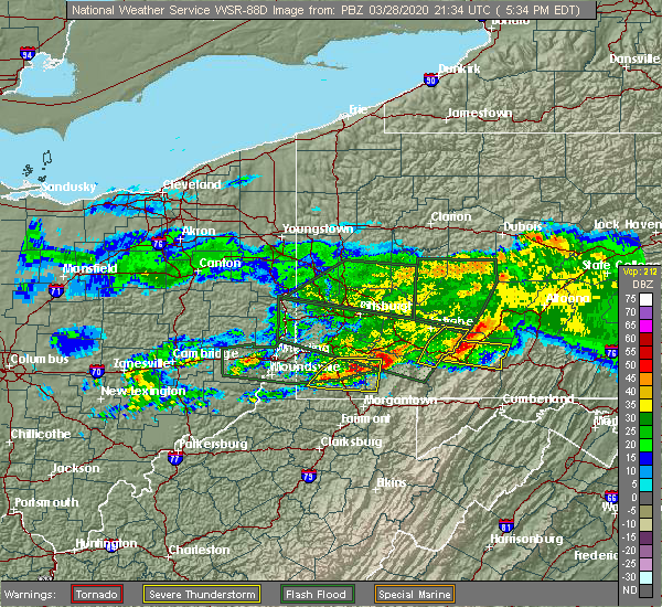 At 532 pm edt, a severe thunderstorm was located near waynesburg, moving east at 45 mph (radar). Hazards include wind gusts to 60 mph and quarter-size hail. Minor hail damage to vehicles is possible. expect wind damage to trees and power lines, resulting in some power outages. Locations impacted include, waynesburg, california, masontown, brownsville, fredericktown-millsboro, fairdale, jefferson boro, isabella, rogersville, west brownsville, deemston, republic, this includes interstate 79 in pennsylvania between mile markers 6 and 26. At 532 pm edt, a severe thunderstorm was located near waynesburg, moving east at 45 mph (radar). Hazards include wind gusts to 60 mph and quarter-size hail. Minor hail damage to vehicles is possible. expect wind damage to trees and power lines, resulting in some power outages. Locations impacted include, waynesburg, california, masontown, brownsville, fredericktown-millsboro, fairdale, jefferson boro, isabella, rogersville, west brownsville, deemston, republic, this includes interstate 79 in pennsylvania between mile markers 6 and 26.
|
| 3/28/2020 5:04 PM EDT |
 At 504 pm edt, a severe thunderstorm was located near triadelphia, moving east at 40 mph (radar). Hazards include wind gusts to 60 mph and quarter-size hail. Minor hail damage to vehicles is possible. Expect wind damage to trees and power lines, resulting in some power outages. At 504 pm edt, a severe thunderstorm was located near triadelphia, moving east at 40 mph (radar). Hazards include wind gusts to 60 mph and quarter-size hail. Minor hail damage to vehicles is possible. Expect wind damage to trees and power lines, resulting in some power outages.
|
| 3/28/2020 5:04 PM EDT |
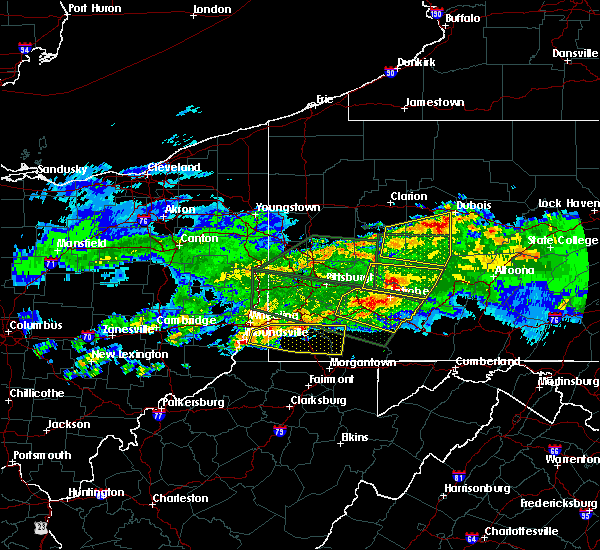 At 504 pm edt, a severe thunderstorm was located near triadelphia, moving east at 40 mph (radar). Hazards include wind gusts to 60 mph and quarter-size hail. Minor hail damage to vehicles is possible. Expect wind damage to trees and power lines, resulting in some power outages. At 504 pm edt, a severe thunderstorm was located near triadelphia, moving east at 40 mph (radar). Hazards include wind gusts to 60 mph and quarter-size hail. Minor hail damage to vehicles is possible. Expect wind damage to trees and power lines, resulting in some power outages.
|
| 9/28/2019 7:12 PM EDT |
 The severe thunderstorm warning for southeastern washington, northern greene and northwestern fayette counties will expire at 715 pm edt, the storm that prompted the warning has weakened below severe limits. therefore, the warning will be allowed to expire. The severe thunderstorm warning for southeastern washington, northern greene and northwestern fayette counties will expire at 715 pm edt, the storm that prompted the warning has weakened below severe limits. therefore, the warning will be allowed to expire.
|
| 9/28/2019 6:53 PM EDT |
 At 653 pm edt, a severe thunderstorm was located 9 miles northwest of waynesburg, moving east at 20 mph (radar). Hazards include wind gusts to 60 mph and quarter-size hail. Minor hail damage to vehicles is possible. expect wind damage to trees and power lines, resulting in some power outages. Locations impacted include, waynesburg, california, masontown, brownsville, fredericktown-millsboro, fairdale, jefferson boro, isabella, west brownsville, roscoe, deemston, newell, this includes interstate 79 in pennsylvania between mile markers 12 and 28. At 653 pm edt, a severe thunderstorm was located 9 miles northwest of waynesburg, moving east at 20 mph (radar). Hazards include wind gusts to 60 mph and quarter-size hail. Minor hail damage to vehicles is possible. expect wind damage to trees and power lines, resulting in some power outages. Locations impacted include, waynesburg, california, masontown, brownsville, fredericktown-millsboro, fairdale, jefferson boro, isabella, west brownsville, roscoe, deemston, newell, this includes interstate 79 in pennsylvania between mile markers 12 and 28.
|
| 9/28/2019 6:32 PM EDT |
 At 632 pm edt, a severe thunderstorm was located 11 miles east of valley grove, moving east at 25 mph (radar). Hazards include wind gusts to 60 mph and quarter-size hail. Minor hail damage to vehicles is possible. Expect wind damage to trees and power lines, resulting in some power outages. At 632 pm edt, a severe thunderstorm was located 11 miles east of valley grove, moving east at 25 mph (radar). Hazards include wind gusts to 60 mph and quarter-size hail. Minor hail damage to vehicles is possible. Expect wind damage to trees and power lines, resulting in some power outages.
|
| 9/11/2019 5:41 PM EDT |
 At 523 pm edt, a severe thunderstorm was located over cambridge springs, or 10 miles northeast of meadville, moving east at 25 mph (radar indicated). Hazards include 60 mph wind gusts and quarter size hail. Minor damage to vehicles is possible. expect damage to trees and power lines. Locations impacted include, meadville, edinboro, titusville, union city, cambridge springs, waterford, riceville, lincolnville, canadohta lake, saegertown, hydetown, mill village, blooming valley, townville, venango, elgin and woodcock. At 523 pm edt, a severe thunderstorm was located over cambridge springs, or 10 miles northeast of meadville, moving east at 25 mph (radar indicated). Hazards include 60 mph wind gusts and quarter size hail. Minor damage to vehicles is possible. expect damage to trees and power lines. Locations impacted include, meadville, edinboro, titusville, union city, cambridge springs, waterford, riceville, lincolnville, canadohta lake, saegertown, hydetown, mill village, blooming valley, townville, venango, elgin and woodcock.
|
| 9/11/2019 5:24 PM EDT |
 At 523 pm edt, a severe thunderstorm was located over cambridge springs, or 10 miles northeast of meadville, moving east at 25 mph (radar indicated). Hazards include 60 mph wind gusts and quarter size hail. Minor damage to vehicles is possible. expect damage to trees and power lines. Locations impacted include, meadville, edinboro, titusville, union city, cambridge springs, waterford, riceville, lincolnville, canadohta lake, saegertown, hydetown, mill village, blooming valley, townville, venango, elgin and woodcock. At 523 pm edt, a severe thunderstorm was located over cambridge springs, or 10 miles northeast of meadville, moving east at 25 mph (radar indicated). Hazards include 60 mph wind gusts and quarter size hail. Minor damage to vehicles is possible. expect damage to trees and power lines. Locations impacted include, meadville, edinboro, titusville, union city, cambridge springs, waterford, riceville, lincolnville, canadohta lake, saegertown, hydetown, mill village, blooming valley, townville, venango, elgin and woodcock.
|
| 9/11/2019 5:14 PM EDT |
 At 513 pm edt, a severe thunderstorm was located near cambridge springs, or 8 miles north of meadville, moving east at 30 mph (quarter size hail was recently reported in the conneautville area). Hazards include 60 mph wind gusts and quarter size hail. Minor damage to vehicles is possible. Expect damage to trees and power lines. At 513 pm edt, a severe thunderstorm was located near cambridge springs, or 8 miles north of meadville, moving east at 30 mph (quarter size hail was recently reported in the conneautville area). Hazards include 60 mph wind gusts and quarter size hail. Minor damage to vehicles is possible. Expect damage to trees and power lines.
|
| 9/4/2019 3:55 AM EDT |
 At 354 am edt, severe thunderstorms were located along a line extending from 9 miles northwest of girard to albion to 6 miles north of linesville, moving northeast at 65 mph (radar indicated). Hazards include 60 mph wind gusts. Expect damage to trees and power lines. Locations impacted include, erie, corry, edinboro, north east, union city, girard, cambridge springs, waterford, albion, wattsburg, canadohta lake, riceville, northwest harborcreek, lincolnville, harborcreek, lawrence park, wesleyville, lake city, saegertown and conneautville. At 354 am edt, severe thunderstorms were located along a line extending from 9 miles northwest of girard to albion to 6 miles north of linesville, moving northeast at 65 mph (radar indicated). Hazards include 60 mph wind gusts. Expect damage to trees and power lines. Locations impacted include, erie, corry, edinboro, north east, union city, girard, cambridge springs, waterford, albion, wattsburg, canadohta lake, riceville, northwest harborcreek, lincolnville, harborcreek, lawrence park, wesleyville, lake city, saegertown and conneautville.
|
| 9/4/2019 3:46 AM EDT |
 At 328 am edt, severe thunderstorms were located along a line extending from near geneva-on-the-lake to 7 miles southeast of geneva to 7 miles northwest of orwell, moving east at 55 mph (radar indicated). Hazards include 60 mph wind gusts and nickel size hail. expect damage to trees and power lines At 328 am edt, severe thunderstorms were located along a line extending from near geneva-on-the-lake to 7 miles southeast of geneva to 7 miles northwest of orwell, moving east at 55 mph (radar indicated). Hazards include 60 mph wind gusts and nickel size hail. expect damage to trees and power lines
|
| 9/4/2019 3:46 AM EDT |
 At 345 am edt, severe thunderstorms were located along a line extending from near conneaut to 8 miles southwest of albion to 6 miles northwest of pymatuning north, moving east at 55 mph (radar indicated). Hazards include 60 mph wind gusts. Expect damage to trees and power lines. Locations impacted include, erie, meadville, conneaut, corry, edinboro, titusville, north east, union city, girard, north kingsville, cambridge springs, waterford, albion, linesville, wattsburg, canadohta lake, riceville, harmonsburg, northwest harborcreek and lincolnville. At 345 am edt, severe thunderstorms were located along a line extending from near conneaut to 8 miles southwest of albion to 6 miles northwest of pymatuning north, moving east at 55 mph (radar indicated). Hazards include 60 mph wind gusts. Expect damage to trees and power lines. Locations impacted include, erie, meadville, conneaut, corry, edinboro, titusville, north east, union city, girard, north kingsville, cambridge springs, waterford, albion, linesville, wattsburg, canadohta lake, riceville, harmonsburg, northwest harborcreek and lincolnville.
|
| 9/4/2019 3:29 AM EDT |
 At 328 am edt, severe thunderstorms were located along a line extending from near geneva-on-the-lake to 7 miles southeast of geneva to 7 miles northwest of orwell, moving east at 55 mph (radar indicated). Hazards include 60 mph wind gusts and nickel size hail. expect damage to trees and power lines At 328 am edt, severe thunderstorms were located along a line extending from near geneva-on-the-lake to 7 miles southeast of geneva to 7 miles northwest of orwell, moving east at 55 mph (radar indicated). Hazards include 60 mph wind gusts and nickel size hail. expect damage to trees and power lines
|
| 9/1/2019 5:54 PM EDT |
 The severe thunderstorm warning for western fayette county will expire at 600 pm edt, the storm that prompted the warning has weakened below severe limits and has exited the warned area. therefore, the warning will be allowed to expire. however small hail, gusty winds and heavy rain are still possible with this thunderstorm. The severe thunderstorm warning for western fayette county will expire at 600 pm edt, the storm that prompted the warning has weakened below severe limits and has exited the warned area. therefore, the warning will be allowed to expire. however small hail, gusty winds and heavy rain are still possible with this thunderstorm.
|
| 9/1/2019 5:35 PM EDT |
 At 534 pm edt, a severe thunderstorm was located near uniontown, moving northeast at 25 mph (radar). Hazards include wind gusts to 60 mph and quarter-size hail. Minor hail damage to vehicles is possible. expect wind damage to trees and power lines, resulting in some power outages. Locations impacted include, uniontown, california, masontown, brownsville, perryopolis, point marion, fairchance, isabella, west brownsville, smithfield, roscoe, fayette city,. At 534 pm edt, a severe thunderstorm was located near uniontown, moving northeast at 25 mph (radar). Hazards include wind gusts to 60 mph and quarter-size hail. Minor hail damage to vehicles is possible. expect wind damage to trees and power lines, resulting in some power outages. Locations impacted include, uniontown, california, masontown, brownsville, perryopolis, point marion, fairchance, isabella, west brownsville, smithfield, roscoe, fayette city,.
|
| 9/1/2019 5:26 PM EDT |
 At 526 pm edt, a severe thunderstorm was located near masontown, or near uniontown, moving north at 20 mph (radar). Hazards include wind gusts to 60 mph and quarter-size hail. Minor hail damage to vehicles is possible. expect wind damage to trees and power lines, resulting in some power outages. Locations impacted include, uniontown, california, masontown, brownsville, perryopolis, point marion, fairchance, isabella, west brownsville, smithfield, roscoe, fayette city,. At 526 pm edt, a severe thunderstorm was located near masontown, or near uniontown, moving north at 20 mph (radar). Hazards include wind gusts to 60 mph and quarter-size hail. Minor hail damage to vehicles is possible. expect wind damage to trees and power lines, resulting in some power outages. Locations impacted include, uniontown, california, masontown, brownsville, perryopolis, point marion, fairchance, isabella, west brownsville, smithfield, roscoe, fayette city,.
|
| 9/1/2019 5:17 PM EDT |
 At 517 pm edt, a severe thunderstorm was located near masontown, or 9 miles southwest of uniontown, moving north at 20 mph (radar). Hazards include wind gusts to 60 mph and quarter-size hail. Minor hail damage to vehicles is possible. Expect wind damage to trees and power lines, resulting in some power outages. At 517 pm edt, a severe thunderstorm was located near masontown, or 9 miles southwest of uniontown, moving north at 20 mph (radar). Hazards include wind gusts to 60 mph and quarter-size hail. Minor hail damage to vehicles is possible. Expect wind damage to trees and power lines, resulting in some power outages.
|
| 8/18/2019 5:56 PM EDT |
 At 556 pm edt, a severe thunderstorm was located over canadohta lake, or 19 miles northeast of meadville, moving east at 45 mph (radar indicated). Hazards include 60 mph wind gusts and quarter size hail. Minor damage to vehicles is possible. expect damage to trees and power lines. Locations impacted include, corry, union city, cambridge springs, waterford, riceville, lincolnville, canadohta lake, hydetown, mill village, townville, spartansburg, venango, elgin and woodcock. At 556 pm edt, a severe thunderstorm was located over canadohta lake, or 19 miles northeast of meadville, moving east at 45 mph (radar indicated). Hazards include 60 mph wind gusts and quarter size hail. Minor damage to vehicles is possible. expect damage to trees and power lines. Locations impacted include, corry, union city, cambridge springs, waterford, riceville, lincolnville, canadohta lake, hydetown, mill village, townville, spartansburg, venango, elgin and woodcock.
|
| 8/18/2019 5:34 PM EDT |
 At 534 pm edt, severe thunderstorms were located along a line extending from near edinboro to near harmonsburg, moving east at 45 mph (radar indicated). Hazards include 60 mph wind gusts and quarter size hail. Minor damage to vehicles is possible. Expect damage to trees and power lines. At 534 pm edt, severe thunderstorms were located along a line extending from near edinboro to near harmonsburg, moving east at 45 mph (radar indicated). Hazards include 60 mph wind gusts and quarter size hail. Minor damage to vehicles is possible. Expect damage to trees and power lines.
|
| 8/18/2019 3:38 PM EDT |
 The national weather service in pittsburgh has issued a * severe thunderstorm warning for. southeastern washington county in southwestern pennsylvania. southwestern westmoreland county in southwestern pennsylvania. northwestern fayette county in southwestern pennsylvania. Until 430 pm edt. The national weather service in pittsburgh has issued a * severe thunderstorm warning for. southeastern washington county in southwestern pennsylvania. southwestern westmoreland county in southwestern pennsylvania. northwestern fayette county in southwestern pennsylvania. Until 430 pm edt.
|
| 8/18/2019 2:02 PM EDT |
 The national weather service in pittsburgh has issued a * severe thunderstorm warning for. southeastern washington county in southwestern pennsylvania. southeastern allegheny county in southwestern pennsylvania. southwestern westmoreland county in southwestern pennsylvania. Northwestern fayette county in southwestern pennsylvania. The national weather service in pittsburgh has issued a * severe thunderstorm warning for. southeastern washington county in southwestern pennsylvania. southeastern allegheny county in southwestern pennsylvania. southwestern westmoreland county in southwestern pennsylvania. Northwestern fayette county in southwestern pennsylvania.
|
| 8/15/2019 7:50 PM EDT |
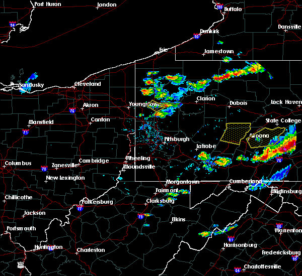 At 749 pm edt, a severe thunderstorm was located near guys mills, or 14 miles east of meadville, moving northeast at 25 mph (radar indicated. reports of multiple trees down have been received at the national weather service in cleveland). Hazards include 70 mph wind gusts and quarter size hail. Minor damage to vehicles is possible. expect considerable tree damage. wind damage is also likely to mobile homes, roofs, and outbuildings. Locations impacted include, titusville, riceville, canadohta lake, guys mills, lincolnville, hydetown, townville and spartansburg. At 749 pm edt, a severe thunderstorm was located near guys mills, or 14 miles east of meadville, moving northeast at 25 mph (radar indicated. reports of multiple trees down have been received at the national weather service in cleveland). Hazards include 70 mph wind gusts and quarter size hail. Minor damage to vehicles is possible. expect considerable tree damage. wind damage is also likely to mobile homes, roofs, and outbuildings. Locations impacted include, titusville, riceville, canadohta lake, guys mills, lincolnville, hydetown, townville and spartansburg.
|
| 8/15/2019 7:22 PM EDT |
 At 722 pm edt, a severe thunderstorm was located near guys mills, or 8 miles southeast of meadville, moving northeast at 25 mph (radar indicated). Hazards include 70 mph wind gusts and quarter size hail. Minor damage to vehicles is possible. expect considerable tree damage. Wind damage is also likely to mobile homes, roofs, and outbuildings. At 722 pm edt, a severe thunderstorm was located near guys mills, or 8 miles southeast of meadville, moving northeast at 25 mph (radar indicated). Hazards include 70 mph wind gusts and quarter size hail. Minor damage to vehicles is possible. expect considerable tree damage. Wind damage is also likely to mobile homes, roofs, and outbuildings.
|
| 8/8/2019 6:02 PM EDT |
 At 602 pm edt, a severe thunderstorm was located over washington, moving east at 35 mph (radar). Hazards include wind gusts to 60 mph. Expect damage to trees and power lines, resulting in some power outages. locations impacted include, washington, canonsburg, gastonville, jefferson hills, monessen, california, donora, monongahela, charleroi, wolfdale, mcgovern, bentleyville, this includes the following highways, interstate 70 in pennsylvania between mile markers 11 and 43. Interstate 79 in pennsylvania between mile markers 24 and 44. At 602 pm edt, a severe thunderstorm was located over washington, moving east at 35 mph (radar). Hazards include wind gusts to 60 mph. Expect damage to trees and power lines, resulting in some power outages. locations impacted include, washington, canonsburg, gastonville, jefferson hills, monessen, california, donora, monongahela, charleroi, wolfdale, mcgovern, bentleyville, this includes the following highways, interstate 70 in pennsylvania between mile markers 11 and 43. Interstate 79 in pennsylvania between mile markers 24 and 44.
|
| 8/8/2019 5:46 PM EDT |
 At 546 pm edt, a severe thunderstorm was located 7 miles southwest of wolfdale, or 8 miles northeast of valley grove, moving east at 35 mph (radar). Hazards include wind gusts to 60 mph and quarter-size hail. Minor hail damage to vehicles is possible. Expect wind damage to trees and power lines, resulting in some power outages. At 546 pm edt, a severe thunderstorm was located 7 miles southwest of wolfdale, or 8 miles northeast of valley grove, moving east at 35 mph (radar). Hazards include wind gusts to 60 mph and quarter-size hail. Minor hail damage to vehicles is possible. Expect wind damage to trees and power lines, resulting in some power outages.
|
| 7/19/2019 7:20 PM EDT |
 At 719 pm edt, a severe thunderstorm was located near guys mills, or 12 miles east of meadville, moving southeast at 20 mph (radar indicated). Hazards include 60 mph wind gusts and penny size hail. expect damage to trees and power lines At 719 pm edt, a severe thunderstorm was located near guys mills, or 12 miles east of meadville, moving southeast at 20 mph (radar indicated). Hazards include 60 mph wind gusts and penny size hail. expect damage to trees and power lines
|
| 7/19/2019 7:05 PM EDT | Crawford county sheriff dispatch reports multiple trees down in the vicinity of sr 408 from townville to hydetow in crawford county PA, 5.8 miles N of Centerville, PA |
| 7/6/2019 5:41 PM EDT |
 At 541 pm edt, a severe thunderstorm was located over waynesburg, moving southeast at 45 mph (radar). Hazards include wind gusts to 60 mph. Expect damage to trees and power lines, resulting in some power outages. locations impacted include, waynesburg, fredericktown-millsboro, jefferson boro, cameron, rogersville, west finley, deemston, marianna, beallsville, rices landing, aleppo, clarksville, this includes the following highways, interstate 70 in pennsylvania between mile markers 8 and 11. Interstate 79 in pennsylvania between mile markers 9 and 28. At 541 pm edt, a severe thunderstorm was located over waynesburg, moving southeast at 45 mph (radar). Hazards include wind gusts to 60 mph. Expect damage to trees and power lines, resulting in some power outages. locations impacted include, waynesburg, fredericktown-millsboro, jefferson boro, cameron, rogersville, west finley, deemston, marianna, beallsville, rices landing, aleppo, clarksville, this includes the following highways, interstate 70 in pennsylvania between mile markers 8 and 11. Interstate 79 in pennsylvania between mile markers 9 and 28.
|
| 7/6/2019 5:41 PM EDT |
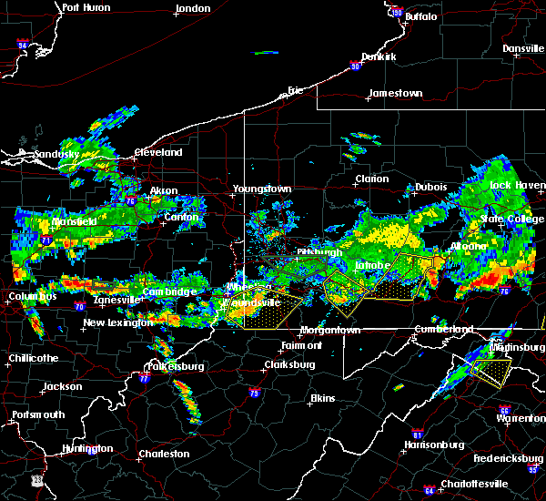 At 541 pm edt, a severe thunderstorm was located over waynesburg, moving southeast at 45 mph (radar). Hazards include wind gusts to 60 mph. Expect damage to trees and power lines, resulting in some power outages. locations impacted include, waynesburg, fredericktown-millsboro, jefferson boro, cameron, rogersville, west finley, deemston, marianna, beallsville, rices landing, aleppo, clarksville, this includes the following highways, interstate 70 in pennsylvania between mile markers 8 and 11. Interstate 79 in pennsylvania between mile markers 9 and 28. At 541 pm edt, a severe thunderstorm was located over waynesburg, moving southeast at 45 mph (radar). Hazards include wind gusts to 60 mph. Expect damage to trees and power lines, resulting in some power outages. locations impacted include, waynesburg, fredericktown-millsboro, jefferson boro, cameron, rogersville, west finley, deemston, marianna, beallsville, rices landing, aleppo, clarksville, this includes the following highways, interstate 70 in pennsylvania between mile markers 8 and 11. Interstate 79 in pennsylvania between mile markers 9 and 28.
|
| 7/6/2019 5:35 PM EDT |
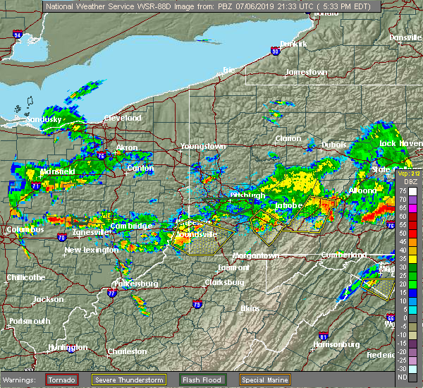 At 535 pm edt, a severe thunderstorm was located near waynesburg, moving southeast at 45 mph (radar). Hazards include wind gusts to 60 mph. Expect damage to trees and power lines, resulting in some power outages. locations impacted include, waynesburg, triadelphia, valley grove, fredericktown-millsboro, jefferson boro, cameron, rogersville, west finley, claysville, deemston, marianna, beallsville, this includes the following highways, interstate 70 in west virginia between mile markers 6 and 14. interstate 70 in pennsylvania between mile markers 0 and 12. Interstate 79 in pennsylvania between mile markers 9 and 29. At 535 pm edt, a severe thunderstorm was located near waynesburg, moving southeast at 45 mph (radar). Hazards include wind gusts to 60 mph. Expect damage to trees and power lines, resulting in some power outages. locations impacted include, waynesburg, triadelphia, valley grove, fredericktown-millsboro, jefferson boro, cameron, rogersville, west finley, claysville, deemston, marianna, beallsville, this includes the following highways, interstate 70 in west virginia between mile markers 6 and 14. interstate 70 in pennsylvania between mile markers 0 and 12. Interstate 79 in pennsylvania between mile markers 9 and 29.
|
| 7/6/2019 5:30 PM EDT |
 At 530 pm edt, a severe thunderstorm was located 10 miles northwest of waynesburg, moving east at 45 mph (radar). Hazards include wind gusts to 60 mph. Expect damage to trees and power lines, resulting in some power outages. locations impacted include, wheeling, moundsville, waynesburg, bethlehem, west liberty, triadelphia, valley grove, fredericktown-millsboro, jefferson boro, cameron, rogersville, west finley, this includes the following highways, interstate 70 in west virginia between mile markers 3 and 14. interstate 70 in pennsylvania between mile markers 0 and 12. Interstate 79 in pennsylvania between mile markers 9 and 29. At 530 pm edt, a severe thunderstorm was located 10 miles northwest of waynesburg, moving east at 45 mph (radar). Hazards include wind gusts to 60 mph. Expect damage to trees and power lines, resulting in some power outages. locations impacted include, wheeling, moundsville, waynesburg, bethlehem, west liberty, triadelphia, valley grove, fredericktown-millsboro, jefferson boro, cameron, rogersville, west finley, this includes the following highways, interstate 70 in west virginia between mile markers 3 and 14. interstate 70 in pennsylvania between mile markers 0 and 12. Interstate 79 in pennsylvania between mile markers 9 and 29.
|
| 7/6/2019 5:18 PM EDT |
 At 517 pm edt, a severe thunderstorm was located near valley grove, moving southeast at 45 mph (radar). Hazards include wind gusts to 60 mph. expect damage to trees and power lines, resulting in some power outages At 517 pm edt, a severe thunderstorm was located near valley grove, moving southeast at 45 mph (radar). Hazards include wind gusts to 60 mph. expect damage to trees and power lines, resulting in some power outages
|
| 7/2/2019 9:12 PM EDT |
 The severe thunderstorm warning for central fayette county will expire at 915 pm edt. the storm that prompted the warning is weakening so the warning will be allowed to expire. However gusty winds are still possible with this thunderstorm. The severe thunderstorm warning for central fayette county will expire at 915 pm edt. the storm that prompted the warning is weakening so the warning will be allowed to expire. However gusty winds are still possible with this thunderstorm.
|
| 7/2/2019 8:55 PM EDT |
 At 854 pm edt, a severe thunderstorm was located near perryopolis, or 7 miles west of connellsville, moving southeast at 30 mph (radar). Hazards include wind gusts to 60 mph. reports of down power lines have been received. Expect damage to trees and power lines, resulting in some power outages. Locations impacted include, uniontown, connellsville, scottdale, brownsville, south connellsville, perryopolis, seven springs, dunbar, west brownsville, roscoe, everson, fayette city,. At 854 pm edt, a severe thunderstorm was located near perryopolis, or 7 miles west of connellsville, moving southeast at 30 mph (radar). Hazards include wind gusts to 60 mph. reports of down power lines have been received. Expect damage to trees and power lines, resulting in some power outages. Locations impacted include, uniontown, connellsville, scottdale, brownsville, south connellsville, perryopolis, seven springs, dunbar, west brownsville, roscoe, everson, fayette city,.
|
| 7/2/2019 8:48 PM EDT |
 At 848 pm edt, a severe thunderstorm was located over perryopolis, or 10 miles west of connellsville, moving southeast at 30 mph (radar). Hazards include wind gusts to 60 mph. expect damage to trees and power lines, resulting in some power outages At 848 pm edt, a severe thunderstorm was located over perryopolis, or 10 miles west of connellsville, moving southeast at 30 mph (radar). Hazards include wind gusts to 60 mph. expect damage to trees and power lines, resulting in some power outages
|
| 6/29/2019 9:50 PM EDT |
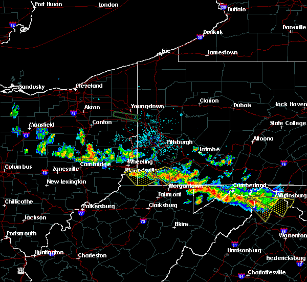 The severe thunderstorm warning for southeastern washington, eastern greene and west central fayette counties will expire at 1000 pm edt, the storm that prompted the warning has weakened below severe limits and no longer pose an immediate threat to life and property. therefore, the warning will be allowed to expire. however gusty winds and heavy rain are still possible with this thunderstorm. The severe thunderstorm warning for southeastern washington, eastern greene and west central fayette counties will expire at 1000 pm edt, the storm that prompted the warning has weakened below severe limits and no longer pose an immediate threat to life and property. therefore, the warning will be allowed to expire. however gusty winds and heavy rain are still possible with this thunderstorm.
|
| 6/29/2019 9:44 PM EDT |
 At 944 pm edt, a severe thunderstorm was located over fairdale, or 10 miles east of waynesburg, moving southeast at 30 mph (radar). Hazards include wind gusts to 60 mph and quarter-size hail. Minor hail damage to vehicles is possible. expect wind damage to trees and power lines, resulting in some power outages. Locations impacted include, waynesburg, masontown, brownsville, fredericktown-millsboro, fairdale, jefferson boro, isabella, deemston, bobtown, republic, nemacolin, marianna,. At 944 pm edt, a severe thunderstorm was located over fairdale, or 10 miles east of waynesburg, moving southeast at 30 mph (radar). Hazards include wind gusts to 60 mph and quarter-size hail. Minor hail damage to vehicles is possible. expect wind damage to trees and power lines, resulting in some power outages. Locations impacted include, waynesburg, masontown, brownsville, fredericktown-millsboro, fairdale, jefferson boro, isabella, deemston, bobtown, republic, nemacolin, marianna,.
|
| 6/29/2019 9:32 PM EDT | Trees and power lines down in fayette county PA, 2.3 miles N of Centerville, PA |
| 6/29/2019 9:30 PM EDT |
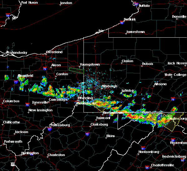 At 930 pm edt, a severe thunderstorm was located over jefferson boro, or 7 miles northeast of waynesburg, moving southeast at 30 mph (radar). Hazards include wind gusts to 60 mph and quarter-size hail. Minor hail damage to vehicles is possible. expect wind damage to trees and power lines, resulting in some power outages. Locations impacted include, waynesburg, masontown, brownsville, fredericktown-millsboro, fairdale, jefferson boro, isabella, west brownsville, deemston, bobtown, republic, nemacolin,. At 930 pm edt, a severe thunderstorm was located over jefferson boro, or 7 miles northeast of waynesburg, moving southeast at 30 mph (radar). Hazards include wind gusts to 60 mph and quarter-size hail. Minor hail damage to vehicles is possible. expect wind damage to trees and power lines, resulting in some power outages. Locations impacted include, waynesburg, masontown, brownsville, fredericktown-millsboro, fairdale, jefferson boro, isabella, west brownsville, deemston, bobtown, republic, nemacolin,.
|
| 6/29/2019 9:17 PM EDT |
 At 917 pm edt, a severe thunderstorm was located 8 miles northwest of jefferson boro, or 8 miles north of waynesburg, moving southeast at 30 mph (radar). Hazards include wind gusts to 60 mph and quarter-size hail. Minor hail damage to vehicles is possible. Expect wind damage to trees and power lines, resulting in some power outages. At 917 pm edt, a severe thunderstorm was located 8 miles northwest of jefferson boro, or 8 miles north of waynesburg, moving southeast at 30 mph (radar). Hazards include wind gusts to 60 mph and quarter-size hail. Minor hail damage to vehicles is possible. Expect wind damage to trees and power lines, resulting in some power outages.
|
| 6/29/2019 2:49 AM EDT |
 At 229 am edt, severe thunderstorms were located along a line extending from near harmonsburg to pymatuning central, moving east at 30 mph (radar indicated). Hazards include 60 mph wind gusts and penny size hail. expect damage to trees and power lines At 229 am edt, severe thunderstorms were located along a line extending from near harmonsburg to pymatuning central, moving east at 30 mph (radar indicated). Hazards include 60 mph wind gusts and penny size hail. expect damage to trees and power lines
|
| 6/29/2019 2:29 AM EDT |
 At 229 am edt, severe thunderstorms were located along a line extending from near harmonsburg to pymatuning central, moving east at 30 mph (radar indicated). Hazards include 60 mph wind gusts and penny size hail. expect damage to trees and power lines At 229 am edt, severe thunderstorms were located along a line extending from near harmonsburg to pymatuning central, moving east at 30 mph (radar indicated). Hazards include 60 mph wind gusts and penny size hail. expect damage to trees and power lines
|
| 6/1/2019 6:27 PM EDT |
 The severe thunderstorm warning for southeastern ashtabula, southeastern erie and crawford counties will expire at 630 pm edt, the storms which prompted the warning have weakened below severe limits, and have exited the warned area. therefore, the warning will be allowed to expire. a severe thunderstorm watch remains in effect until 1000 pm edt for northeastern ohio, and northwestern pennsylvania. The severe thunderstorm warning for southeastern ashtabula, southeastern erie and crawford counties will expire at 630 pm edt, the storms which prompted the warning have weakened below severe limits, and have exited the warned area. therefore, the warning will be allowed to expire. a severe thunderstorm watch remains in effect until 1000 pm edt for northeastern ohio, and northwestern pennsylvania.
|
| 6/1/2019 6:18 PM EDT |
 At 618 pm edt, severe thunderstorms were located along a line extending from near riceville to near adamsville, moving southeast at 55 mph (radar indicated). Hazards include 60 mph wind gusts and quarter size hail. Minor damage to vehicles is possible. expect damage to trees and power lines. Locations impacted include, meadville, edinboro, titusville, union city, cambridge springs, orwell, waterford, andover, linesville, adamsville, canadohta lake, pymatuning central, riceville, harmonsburg, lincolnville, guys mills, pymatuning north, atlantic, cochranton and saegertown. At 618 pm edt, severe thunderstorms were located along a line extending from near riceville to near adamsville, moving southeast at 55 mph (radar indicated). Hazards include 60 mph wind gusts and quarter size hail. Minor damage to vehicles is possible. expect damage to trees and power lines. Locations impacted include, meadville, edinboro, titusville, union city, cambridge springs, orwell, waterford, andover, linesville, adamsville, canadohta lake, pymatuning central, riceville, harmonsburg, lincolnville, guys mills, pymatuning north, atlantic, cochranton and saegertown.
|
| 6/1/2019 6:02 PM EDT |
 At 602 pm edt, severe thunderstorms were located along a line extending from waterford to near andover, moving southeast at 55 mph (radar indicated). Hazards include 60 mph wind gusts and quarter size hail. Minor damage to vehicles is possible. expect damage to trees and power lines. Locations impacted include, erie, meadville, edinboro, titusville, north east, union city, cambridge springs, orwell, waterford, albion, andover, linesville, wattsburg, adamsville, pymatuning central, riceville, harmonsburg, guys mills, pymatuning north and atlantic. At 602 pm edt, severe thunderstorms were located along a line extending from waterford to near andover, moving southeast at 55 mph (radar indicated). Hazards include 60 mph wind gusts and quarter size hail. Minor damage to vehicles is possible. expect damage to trees and power lines. Locations impacted include, erie, meadville, edinboro, titusville, north east, union city, cambridge springs, orwell, waterford, albion, andover, linesville, wattsburg, adamsville, pymatuning central, riceville, harmonsburg, guys mills, pymatuning north and atlantic.
|
| 6/1/2019 5:49 PM EDT |
 At 548 pm edt, severe thunderstorms were located along a line extending from 7 miles northwest of waterford to 10 miles southeast of geneva, moving southeast at 55 mph (radar indicated). Hazards include 60 mph wind gusts and quarter size hail. Minor damage to vehicles is possible. expect damage to trees and power lines. Locations impacted include, erie, ashtabula, meadville, conneaut, geneva-on-the-lake, edinboro, geneva, titusville, north east, union city, girard, north kingsville, cambridge springs, orwell, waterford, albion, andover, linesville, wattsburg and adamsville. At 548 pm edt, severe thunderstorms were located along a line extending from 7 miles northwest of waterford to 10 miles southeast of geneva, moving southeast at 55 mph (radar indicated). Hazards include 60 mph wind gusts and quarter size hail. Minor damage to vehicles is possible. expect damage to trees and power lines. Locations impacted include, erie, ashtabula, meadville, conneaut, geneva-on-the-lake, edinboro, geneva, titusville, north east, union city, girard, north kingsville, cambridge springs, orwell, waterford, albion, andover, linesville, wattsburg and adamsville.
|
| 6/1/2019 5:24 PM EDT |
 At 524 pm edt, severe thunderstorms were located along a line extending from 12 miles northwest of girard to near perry, moving southeast at 55 mph (radar indicated). Hazards include 60 mph wind gusts and quarter size hail. Minor damage to vehicles is possible. Expect damage to trees and power lines. At 524 pm edt, severe thunderstorms were located along a line extending from 12 miles northwest of girard to near perry, moving southeast at 55 mph (radar indicated). Hazards include 60 mph wind gusts and quarter size hail. Minor damage to vehicles is possible. Expect damage to trees and power lines.
|
| 5/25/2019 6:20 PM EDT |
 At 618 pm edt, severe thunderstorms were located along a line extending from meadville to wattsburg, moving east at 45 mph. these storms have a history of producing damaging winds capable of downing trees (law enforcement). Hazards include 60 mph wind gusts and penny size hail. Expect damage to trees and power lines. Locations impacted include, meadville, edinboro, titusville, union city, cambridge springs, waterford, linesville, wattsburg, adamsville, canadohta lake, pymatuning central, riceville, harmonsburg, lincolnville, guys mills, pymatuning north, atlantic, cochranton, saegertown and conneautville. At 618 pm edt, severe thunderstorms were located along a line extending from meadville to wattsburg, moving east at 45 mph. these storms have a history of producing damaging winds capable of downing trees (law enforcement). Hazards include 60 mph wind gusts and penny size hail. Expect damage to trees and power lines. Locations impacted include, meadville, edinboro, titusville, union city, cambridge springs, waterford, linesville, wattsburg, adamsville, canadohta lake, pymatuning central, riceville, harmonsburg, lincolnville, guys mills, pymatuning north, atlantic, cochranton, saegertown and conneautville.
|
| 5/25/2019 6:06 PM EDT |
 At 605 pm edt, severe thunderstorms were located along a line extending from pymatuning lake to wattsburg, moving east at 45 mph (radar indicated). Hazards include 60 mph wind gusts and penny size hail. expect damage to trees and power lines At 605 pm edt, severe thunderstorms were located along a line extending from pymatuning lake to wattsburg, moving east at 45 mph (radar indicated). Hazards include 60 mph wind gusts and penny size hail. expect damage to trees and power lines
|
| 5/23/2019 9:48 AM EDT |
 At 948 am edt, severe thunderstorms were located along a line extending from near waterford to near meadville, moving east at 60 mph (radar indicated). Hazards include 60 mph wind gusts. Expect damage to trees and power lines. Locations impacted include, meadville, titusville, north east, union city, cambridge springs, waterford, wattsburg, riceville, lincolnville, canadohta lake, guys mills, cochranton, saegertown, hydetown, mill village, blooming valley, townville, spartansburg, venango and elgin. At 948 am edt, severe thunderstorms were located along a line extending from near waterford to near meadville, moving east at 60 mph (radar indicated). Hazards include 60 mph wind gusts. Expect damage to trees and power lines. Locations impacted include, meadville, titusville, north east, union city, cambridge springs, waterford, wattsburg, riceville, lincolnville, canadohta lake, guys mills, cochranton, saegertown, hydetown, mill village, blooming valley, townville, spartansburg, venango and elgin.
|
| 5/23/2019 9:35 AM EDT |
 At 935 am edt, severe thunderstorms were located along a line extending from near edinboro to near meadville, moving east at 50 mph (radar indicated). Hazards include 60 mph wind gusts and quarter size hail. Minor damage to vehicles is possible. expect damage to trees and power lines. Locations impacted include, erie, meadville, edinboro, titusville, north east, union city, cambridge springs, waterford, linesville, wattsburg, adamsville, canadohta lake, pymatuning central, riceville, harmonsburg, northwest harborcreek, lincolnville, guys mills, atlantic and pymatuning north. At 935 am edt, severe thunderstorms were located along a line extending from near edinboro to near meadville, moving east at 50 mph (radar indicated). Hazards include 60 mph wind gusts and quarter size hail. Minor damage to vehicles is possible. expect damage to trees and power lines. Locations impacted include, erie, meadville, edinboro, titusville, north east, union city, cambridge springs, waterford, linesville, wattsburg, adamsville, canadohta lake, pymatuning central, riceville, harmonsburg, northwest harborcreek, lincolnville, guys mills, atlantic and pymatuning north.
|
| 5/23/2019 9:15 AM EDT |
 At 915 am edt, severe thunderstorms were located along a line extending from near conneaut to near andover, moving east at 50 mph (radar indicated). Hazards include 60 mph wind gusts and quarter size hail. Minor damage to vehicles is possible. Expect damage to trees and power lines. At 915 am edt, severe thunderstorms were located along a line extending from near conneaut to near andover, moving east at 50 mph (radar indicated). Hazards include 60 mph wind gusts and quarter size hail. Minor damage to vehicles is possible. Expect damage to trees and power lines.
|
| 4/14/2019 7:34 PM EDT |
 At 734 pm edt, severe thunderstorms were located along a line extending from 16 miles northwest of westfield to 6 miles south of north east, moving northeast at 60 mph (radar indicated). Hazards include 70 mph wind gusts and ping pong ball size hail. People and animals outdoors will be injured. expect hail damage to roofs, siding, windows, and vehicles. expect considerable tree damage. wind damage is also likely to mobile homes, roofs, and outbuildings. Locations impacted include, erie, meadville, edinboro, titusville, north east, union city, cambridge springs, waterford, wattsburg, canadohta lake, riceville, northwest harborcreek, lincolnville, guys mills, harborcreek, lawrence park, wesleyville, cochranton, saegertown and hydetown. At 734 pm edt, severe thunderstorms were located along a line extending from 16 miles northwest of westfield to 6 miles south of north east, moving northeast at 60 mph (radar indicated). Hazards include 70 mph wind gusts and ping pong ball size hail. People and animals outdoors will be injured. expect hail damage to roofs, siding, windows, and vehicles. expect considerable tree damage. wind damage is also likely to mobile homes, roofs, and outbuildings. Locations impacted include, erie, meadville, edinboro, titusville, north east, union city, cambridge springs, waterford, wattsburg, canadohta lake, riceville, northwest harborcreek, lincolnville, guys mills, harborcreek, lawrence park, wesleyville, cochranton, saegertown and hydetown.
|
| 4/14/2019 7:12 PM EDT |
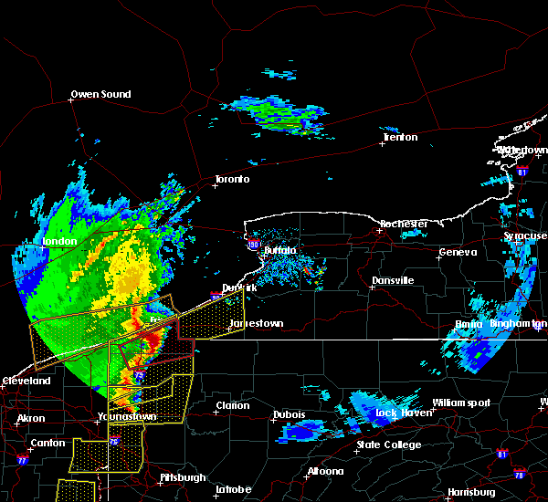 At 711 pm edt, severe thunderstorms were located along a line extending from near erie to edinboro, moving northeast at 60 mph. at 711 pm, public reports ping pong ball size hail near edinboro (trained weather spotters). Hazards include 70 mph wind gusts and ping pong ball size hail. People and animals outdoors will be injured. expect hail damage to roofs, siding, windows, and vehicles. expect considerable tree damage. wind damage is also likely to mobile homes, roofs, and outbuildings. Locations impacted include, erie, meadville, edinboro, titusville, north east, union city, girard, cambridge springs, waterford, albion, linesville, wattsburg, adamsville, canadohta lake, pymatuning central, riceville, harmonsburg, northwest harborcreek, lincolnville and guys mills. At 711 pm edt, severe thunderstorms were located along a line extending from near erie to edinboro, moving northeast at 60 mph. at 711 pm, public reports ping pong ball size hail near edinboro (trained weather spotters). Hazards include 70 mph wind gusts and ping pong ball size hail. People and animals outdoors will be injured. expect hail damage to roofs, siding, windows, and vehicles. expect considerable tree damage. wind damage is also likely to mobile homes, roofs, and outbuildings. Locations impacted include, erie, meadville, edinboro, titusville, north east, union city, girard, cambridge springs, waterford, albion, linesville, wattsburg, adamsville, canadohta lake, pymatuning central, riceville, harmonsburg, northwest harborcreek, lincolnville and guys mills.
|
| 4/14/2019 7:05 PM EDT |
 At 703 pm edt, severe thunderstorms were located along a line extending from near erie to 7 miles southwest of edinboro, moving northeast at 60 mph. at 703 pm, trained spotter reports quarter- sized hail 5 miles east of conneautville (trained weather spotters). Hazards include 70 mph wind gusts and ping pong ball size hail. People and animals outdoors will be injured. expect hail damage to roofs, siding, windows, and vehicles. expect considerable tree damage. wind damage is also likely to mobile homes, roofs, and outbuildings. Locations impacted include, erie, meadville, edinboro, titusville, north east, union city, girard, cambridge springs, waterford, albion, linesville, wattsburg, adamsville, canadohta lake, pymatuning central, riceville, harmonsburg, northwest harborcreek, lincolnville and guys mills. At 703 pm edt, severe thunderstorms were located along a line extending from near erie to 7 miles southwest of edinboro, moving northeast at 60 mph. at 703 pm, trained spotter reports quarter- sized hail 5 miles east of conneautville (trained weather spotters). Hazards include 70 mph wind gusts and ping pong ball size hail. People and animals outdoors will be injured. expect hail damage to roofs, siding, windows, and vehicles. expect considerable tree damage. wind damage is also likely to mobile homes, roofs, and outbuildings. Locations impacted include, erie, meadville, edinboro, titusville, north east, union city, girard, cambridge springs, waterford, albion, linesville, wattsburg, adamsville, canadohta lake, pymatuning central, riceville, harmonsburg, northwest harborcreek, lincolnville and guys mills.
|
| 4/14/2019 6:46 PM EDT |
 At 646 pm edt, severe thunderstorms were located along a line extending from near girard to near linesville, moving northeast at 60 mph (radar indicated). Hazards include 70 mph wind gusts and ping pong ball size hail. People and animals outdoors will be injured. expect hail damage to roofs, siding, windows, and vehicles. expect considerable tree damage. wind damage is also likely to mobile homes, roofs, and outbuildings. Locations impacted include, erie, meadville, conneaut, edinboro, titusville, north east, union city, girard, north kingsville, cambridge springs, waterford, albion, andover, linesville, wattsburg, adamsville, pymatuning central, riceville, harmonsburg and guys mills. At 646 pm edt, severe thunderstorms were located along a line extending from near girard to near linesville, moving northeast at 60 mph (radar indicated). Hazards include 70 mph wind gusts and ping pong ball size hail. People and animals outdoors will be injured. expect hail damage to roofs, siding, windows, and vehicles. expect considerable tree damage. wind damage is also likely to mobile homes, roofs, and outbuildings. Locations impacted include, erie, meadville, conneaut, edinboro, titusville, north east, union city, girard, north kingsville, cambridge springs, waterford, albion, andover, linesville, wattsburg, adamsville, pymatuning central, riceville, harmonsburg and guys mills.
|
| 4/14/2019 6:42 PM EDT |
 At 642 pm edt, severe thunderstorms were located along a line extending from near albion to pymatuning central, moving northeast at 60 mph (radar indicated). Hazards include 60 mph wind gusts and quarter size hail. Minor damage to vehicles is possible. Expect damage to trees and power lines. At 642 pm edt, severe thunderstorms were located along a line extending from near albion to pymatuning central, moving northeast at 60 mph (radar indicated). Hazards include 60 mph wind gusts and quarter size hail. Minor damage to vehicles is possible. Expect damage to trees and power lines.
|
| 1/8/2019 4:54 PM EST |
 The severe thunderstorm warning for northeastern crawford county will expire at 500 pm est, the storm which prompted the warning has moved out of the area. therefore, the warning will be allowed to expire. to report severe weather, contact your nearest law enforcement agency. they will relay your report to the national weather service cleveland. The severe thunderstorm warning for northeastern crawford county will expire at 500 pm est, the storm which prompted the warning has moved out of the area. therefore, the warning will be allowed to expire. to report severe weather, contact your nearest law enforcement agency. they will relay your report to the national weather service cleveland.
|
| 1/8/2019 4:37 PM EST |
 At 436 pm est, a severe thunderstorm was located near cambridge springs, or 13 miles northeast of meadville, moving east at 35 mph (radar indicated). Hazards include 60 mph wind gusts and quarter size hail. Minor damage to vehicles is possible. expect damage to trees and power lines. Locations impacted include, cambridge springs, riceville, canadohta lake, lincolnville, spartansburg, venango and woodcock. At 436 pm est, a severe thunderstorm was located near cambridge springs, or 13 miles northeast of meadville, moving east at 35 mph (radar indicated). Hazards include 60 mph wind gusts and quarter size hail. Minor damage to vehicles is possible. expect damage to trees and power lines. Locations impacted include, cambridge springs, riceville, canadohta lake, lincolnville, spartansburg, venango and woodcock.
|
| 1/8/2019 4:12 PM EST |
 At 412 pm est, a severe thunderstorm was located near cambridge springs, or 8 miles north of meadville, moving east at 50 mph (radar indicated). Hazards include 60 mph wind gusts and quarter size hail. Minor damage to vehicles is possible. Expect damage to trees and power lines. At 412 pm est, a severe thunderstorm was located near cambridge springs, or 8 miles north of meadville, moving east at 50 mph (radar indicated). Hazards include 60 mph wind gusts and quarter size hail. Minor damage to vehicles is possible. Expect damage to trees and power lines.
|
| 10/2/2018 5:28 PM EDT |
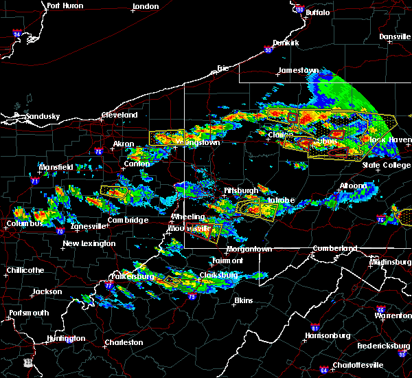 At 528 pm edt, a severe thunderstorm was located 7 miles northwest of waynesburg, moving east at 30 mph (radar). Hazards include wind gusts to 60 mph. Expect damage to trees and power lines, resulting in some power outages. locations impacted include, waynesburg, fredericktown-millsboro, jefferson boro, rogersville, deemston, marianna, clarksville, centerville, amity, this includes interstate 79 in pennsylvania between mile markers 5 and 25. A tornado watch remains in effect until 1100 pm edt for southwestern pennsylvania. At 528 pm edt, a severe thunderstorm was located 7 miles northwest of waynesburg, moving east at 30 mph (radar). Hazards include wind gusts to 60 mph. Expect damage to trees and power lines, resulting in some power outages. locations impacted include, waynesburg, fredericktown-millsboro, jefferson boro, rogersville, deemston, marianna, clarksville, centerville, amity, this includes interstate 79 in pennsylvania between mile markers 5 and 25. A tornado watch remains in effect until 1100 pm edt for southwestern pennsylvania.
|
| 10/2/2018 5:07 PM EDT |
 At 507 pm edt, a severe thunderstorm was located 7 miles southeast of triadelphia, moving east at 30 mph (radar). Hazards include wind gusts to 60 mph. expect damage to trees and power lines, resulting in some power outages At 507 pm edt, a severe thunderstorm was located 7 miles southeast of triadelphia, moving east at 30 mph (radar). Hazards include wind gusts to 60 mph. expect damage to trees and power lines, resulting in some power outages
|
| 10/2/2018 4:27 PM EDT |
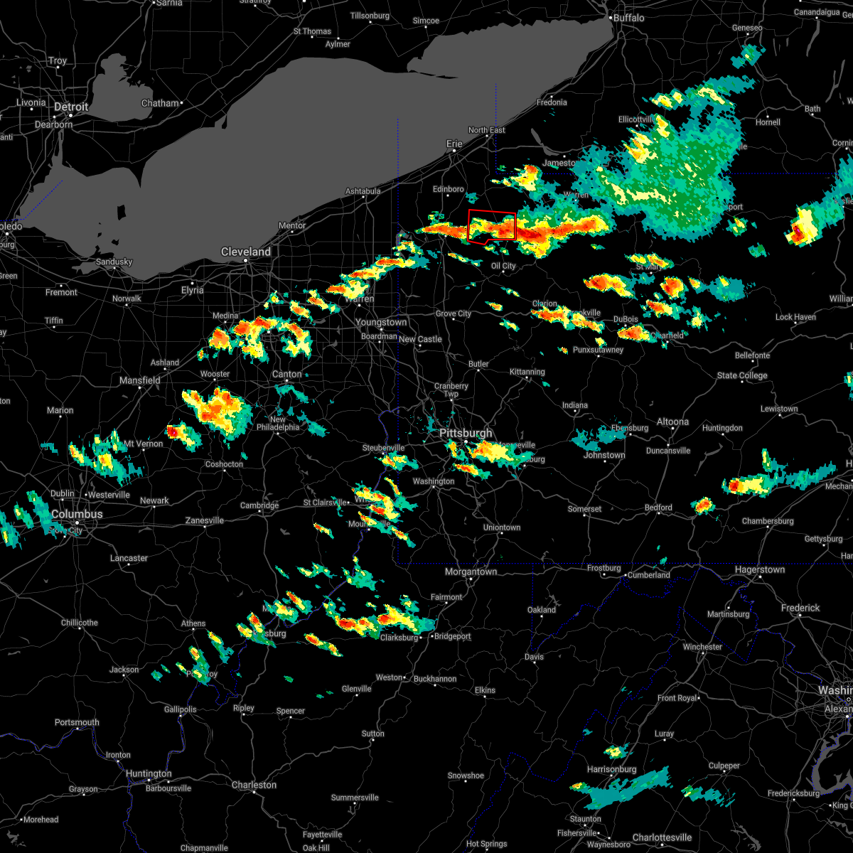 The tornado warning for northeastern crawford county will expire at 430 pm edt, the storm which prompted the warning has moved out of the area. therefore, the warning will be allowed to expire. a tornado watch remains in effect until 1100 pm edt for northwestern pennsylvania. to report severe weather, contact your nearest law enforcement agency. they will relay your report to the national weather service cleveland. The tornado warning for northeastern crawford county will expire at 430 pm edt, the storm which prompted the warning has moved out of the area. therefore, the warning will be allowed to expire. a tornado watch remains in effect until 1100 pm edt for northwestern pennsylvania. to report severe weather, contact your nearest law enforcement agency. they will relay your report to the national weather service cleveland.
|
| 10/2/2018 4:08 PM EDT |
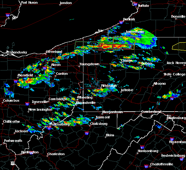 At 407 pm edt, a severe thunderstorm capable of producing a tornado was located 7 miles west of titusville, or 16 miles north of oil city, moving east at 35 mph (radar indicated rotation). Hazards include tornado and quarter size hail. Flying debris will be dangerous to those caught without shelter. mobile homes will be damaged or destroyed. damage to roofs, windows, and vehicles will occur. tree damage is likely. this dangerous storm will be near, titusville around 420 pm edt. Other locations impacted by this tornadic thunderstorm include hydetown, townville and blooming valley. At 407 pm edt, a severe thunderstorm capable of producing a tornado was located 7 miles west of titusville, or 16 miles north of oil city, moving east at 35 mph (radar indicated rotation). Hazards include tornado and quarter size hail. Flying debris will be dangerous to those caught without shelter. mobile homes will be damaged or destroyed. damage to roofs, windows, and vehicles will occur. tree damage is likely. this dangerous storm will be near, titusville around 420 pm edt. Other locations impacted by this tornadic thunderstorm include hydetown, townville and blooming valley.
|
| 10/2/2018 3:51 PM EDT |
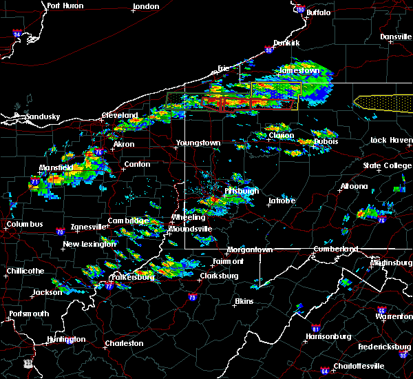 At 351 pm edt, a large and extremely dangerous tornado was located near guys mills, or 7 miles east of meadville, moving east at 45 mph. this is a particularly dangerous situation. take cover now! (radar indicated rotation). Hazards include damaging tornado. You are in a life-threatening situation. flying debris may be deadly to those caught without shelter. mobile homes will be destroyed. considerable damage to homes#commaorellipsis()businesses#commaorellipsis()and vehicles is likely and complete destruction is possible. the tornado will be near, titusville around 415 pm edt. Other locations impacted by this tornadic thunderstorm include hydetown, townville and blooming valley. At 351 pm edt, a large and extremely dangerous tornado was located near guys mills, or 7 miles east of meadville, moving east at 45 mph. this is a particularly dangerous situation. take cover now! (radar indicated rotation). Hazards include damaging tornado. You are in a life-threatening situation. flying debris may be deadly to those caught without shelter. mobile homes will be destroyed. considerable damage to homes#commaorellipsis()businesses#commaorellipsis()and vehicles is likely and complete destruction is possible. the tornado will be near, titusville around 415 pm edt. Other locations impacted by this tornadic thunderstorm include hydetown, townville and blooming valley.
|
| 10/2/2018 3:43 PM EDT |
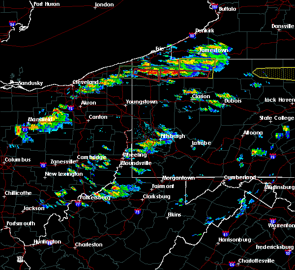 At 343 pm edt, a severe thunderstorm capable of producing a tornado was located near riceville, or 17 miles east of meadville, moving east at 35 mph (radar indicated rotation). Hazards include tornado and quarter size hail. Flying debris will be dangerous to those caught without shelter. mobile homes will be damaged or destroyed. damage to roofs, windows, and vehicles will occur. tree damage is likely. this dangerous storm will be near, titusville around 400 pm edt. Other locations impacted by this tornadic thunderstorm include hydetown and townville. At 343 pm edt, a severe thunderstorm capable of producing a tornado was located near riceville, or 17 miles east of meadville, moving east at 35 mph (radar indicated rotation). Hazards include tornado and quarter size hail. Flying debris will be dangerous to those caught without shelter. mobile homes will be damaged or destroyed. damage to roofs, windows, and vehicles will occur. tree damage is likely. this dangerous storm will be near, titusville around 400 pm edt. Other locations impacted by this tornadic thunderstorm include hydetown and townville.
|
| 10/2/2018 3:40 PM EDT |
 The tornado warning for northeastern crawford county will expire at 345 pm edt, the tornado warning that was previously in effect has been reissued for crawford county. please refer to that bulletin for the latest severe weather information. a tornado watch remains in effect until 1100 pm edt for northwestern pennsylvania. to report severe weather, contact your nearest law enforcement agency. they will relay your report to the national weather service cleveland. The tornado warning for northeastern crawford county will expire at 345 pm edt, the tornado warning that was previously in effect has been reissued for crawford county. please refer to that bulletin for the latest severe weather information. a tornado watch remains in effect until 1100 pm edt for northwestern pennsylvania. to report severe weather, contact your nearest law enforcement agency. they will relay your report to the national weather service cleveland.
|
| 10/2/2018 3:26 PM EDT |
 At 324 pm edt, a severe thunderstorm capable of producing a tornado was located near riceville, or 17 miles east of meadville, moving east at 35 mph. there is a second severe thunderstorm capable of producing a tornado near venango, moving east at 35 mph (radar indicated rotation. this storm has had a history of damaging tornadoes in crawford county). Hazards include tornado and quarter size hail. Flying debris will be dangerous to those caught without shelter. mobile homes will be damaged or destroyed. damage to roofs, windows, and vehicles will occur. tree damage is likely. this dangerous storm will be near, titusville around 340 pm edt. Other locations impacted by this tornadic thunderstorm include townville, woodcock, saegertown, hydetown, spartansburg, venango and blooming valley. At 324 pm edt, a severe thunderstorm capable of producing a tornado was located near riceville, or 17 miles east of meadville, moving east at 35 mph. there is a second severe thunderstorm capable of producing a tornado near venango, moving east at 35 mph (radar indicated rotation. this storm has had a history of damaging tornadoes in crawford county). Hazards include tornado and quarter size hail. Flying debris will be dangerous to those caught without shelter. mobile homes will be damaged or destroyed. damage to roofs, windows, and vehicles will occur. tree damage is likely. this dangerous storm will be near, titusville around 340 pm edt. Other locations impacted by this tornadic thunderstorm include townville, woodcock, saegertown, hydetown, spartansburg, venango and blooming valley.
|
| 10/2/2018 3:14 PM EDT |
 At 314 pm edt, a confirmed large and extremely dangerous tornado was located near cambridge springs, or 11 miles northeast of meadville, moving east at 35 mph. this is a particularly dangerous situation. take cover now! (emergency management confirmed tornado. this storm has had a history a of damaging tornado across crawford county). Hazards include damaging tornado. You are in a life-threatening situation. flying debris may be deadly to those caught without shelter. mobile homes will be destroyed. considerable damage to homes#commaorellipsis()businesses#commaorellipsis()and vehicles is likely and complete destruction is possible. the tornado will be near, lincolnville and canadohta lake around 325 pm edt. riceville around 330 pm edt. titusville around 340 pm edt. Other locations impacted by this tornadic thunderstorm include townville, woodcock, saegertown, hydetown, spartansburg, venango and blooming valley. At 314 pm edt, a confirmed large and extremely dangerous tornado was located near cambridge springs, or 11 miles northeast of meadville, moving east at 35 mph. this is a particularly dangerous situation. take cover now! (emergency management confirmed tornado. this storm has had a history a of damaging tornado across crawford county). Hazards include damaging tornado. You are in a life-threatening situation. flying debris may be deadly to those caught without shelter. mobile homes will be destroyed. considerable damage to homes#commaorellipsis()businesses#commaorellipsis()and vehicles is likely and complete destruction is possible. the tornado will be near, lincolnville and canadohta lake around 325 pm edt. riceville around 330 pm edt. titusville around 340 pm edt. Other locations impacted by this tornadic thunderstorm include townville, woodcock, saegertown, hydetown, spartansburg, venango and blooming valley.
|
| 10/2/2018 3:05 PM EDT |
 At 305 pm edt, a confirmed tornado was located near cambridge springs, or 8 miles northeast of meadville, moving east at 35 mph (emergency management confirmed tornado). Hazards include damaging tornado and golf ball size hail. Flying debris will be dangerous to those caught without shelter. mobile homes will be damaged or destroyed. damage to roofs, windows, and vehicles will occur. tree damage is likely. this tornado will be near, lincolnville and canadohta lake around 325 pm edt. riceville around 330 pm edt. titusville around 345 pm edt. Other locations impacted by this tornadic thunderstorm include townville, woodcock, saegertown, hydetown, spartansburg, venango and blooming valley. At 305 pm edt, a confirmed tornado was located near cambridge springs, or 8 miles northeast of meadville, moving east at 35 mph (emergency management confirmed tornado). Hazards include damaging tornado and golf ball size hail. Flying debris will be dangerous to those caught without shelter. mobile homes will be damaged or destroyed. damage to roofs, windows, and vehicles will occur. tree damage is likely. this tornado will be near, lincolnville and canadohta lake around 325 pm edt. riceville around 330 pm edt. titusville around 345 pm edt. Other locations impacted by this tornadic thunderstorm include townville, woodcock, saegertown, hydetown, spartansburg, venango and blooming valley.
|
| 10/2/2018 2:53 PM EDT |
 At 253 pm edt, a confirmed tornado was located near cambridge springs, or 7 miles north of meadville, moving east at 35 mph (emergency management confirmed tornado). Hazards include damaging tornado and quarter size hail. Flying debris will be dangerous to those caught without shelter. mobile homes will be damaged or destroyed. damage to roofs, windows, and vehicles will occur. tree damage is likely. the tornado will be near, cambridge springs around 305 pm edt. guys mills around 315 pm edt. lincolnville and canadohta lake around 325 pm edt. riceville around 330 pm edt. titusville around 340 pm edt. Other locations impacted by this tornadic thunderstorm include townville, woodcock, saegertown, hydetown, spartansburg, venango and blooming valley. At 253 pm edt, a confirmed tornado was located near cambridge springs, or 7 miles north of meadville, moving east at 35 mph (emergency management confirmed tornado). Hazards include damaging tornado and quarter size hail. Flying debris will be dangerous to those caught without shelter. mobile homes will be damaged or destroyed. damage to roofs, windows, and vehicles will occur. tree damage is likely. the tornado will be near, cambridge springs around 305 pm edt. guys mills around 315 pm edt. lincolnville and canadohta lake around 325 pm edt. riceville around 330 pm edt. titusville around 340 pm edt. Other locations impacted by this tornadic thunderstorm include townville, woodcock, saegertown, hydetown, spartansburg, venango and blooming valley.
|
| 8/7/2018 12:58 PM EDT |
 At 1258 pm edt, severe thunderstorms were located along a line extending from near perryopolis to brownsville, moving east at 10 mph (radar). Hazards include wind gusts to 60 mph. expect damage to trees and power lines, resulting in some power outages At 1258 pm edt, severe thunderstorms were located along a line extending from near perryopolis to brownsville, moving east at 10 mph (radar). Hazards include wind gusts to 60 mph. expect damage to trees and power lines, resulting in some power outages
|
| 7/31/2018 3:11 PM EDT |
 The severe thunderstorm warning for southeastern washington, southwestern westmoreland, eastern greene and northwestern fayette counties will expire at 315 pm edt, the storm that prompted the warning has weakened. no severe reports have been received and the warning will be allowed to expire. The severe thunderstorm warning for southeastern washington, southwestern westmoreland, eastern greene and northwestern fayette counties will expire at 315 pm edt, the storm that prompted the warning has weakened. no severe reports have been received and the warning will be allowed to expire.
|
| 7/31/2018 3:02 PM EDT |
 At 248 pm edt, a severe thunderstorm was located over jefferson boro, or near waynesburg, moving northeast at 25 mph (radar). Hazards include wind gusts to 60 mph. Expect damage to trees and power lines, resulting in some power outages. locations impacted include, waynesburg, monessen, california, charleroi, bentleyville, brownsville, fredericktown-millsboro, perryopolis, fairdale, jefferson boro, north belle vernon, wickerham manor-fisher, this includes the following highways, interstate 70 in pennsylvania between mile markers 27 and 41. Interstate 79 in pennsylvania between mile markers 3 and 25. At 248 pm edt, a severe thunderstorm was located over jefferson boro, or near waynesburg, moving northeast at 25 mph (radar). Hazards include wind gusts to 60 mph. Expect damage to trees and power lines, resulting in some power outages. locations impacted include, waynesburg, monessen, california, charleroi, bentleyville, brownsville, fredericktown-millsboro, perryopolis, fairdale, jefferson boro, north belle vernon, wickerham manor-fisher, this includes the following highways, interstate 70 in pennsylvania between mile markers 27 and 41. Interstate 79 in pennsylvania between mile markers 3 and 25.
|
| 7/31/2018 2:48 PM EDT |
 At 248 pm edt, a severe thunderstorm was located over jefferson boro, or near waynesburg, moving northeast at 25 mph (radar). Hazards include wind gusts to 60 mph. Expect damage to trees and power lines, resulting in some power outages. locations impacted include, waynesburg, monessen, california, charleroi, bentleyville, brownsville, fredericktown-millsboro, perryopolis, fairdale, jefferson boro, north belle vernon, wickerham manor-fisher, this includes the following highways, interstate 70 in pennsylvania between mile markers 27 and 41. Interstate 79 in pennsylvania between mile markers 3 and 25. At 248 pm edt, a severe thunderstorm was located over jefferson boro, or near waynesburg, moving northeast at 25 mph (radar). Hazards include wind gusts to 60 mph. Expect damage to trees and power lines, resulting in some power outages. locations impacted include, waynesburg, monessen, california, charleroi, bentleyville, brownsville, fredericktown-millsboro, perryopolis, fairdale, jefferson boro, north belle vernon, wickerham manor-fisher, this includes the following highways, interstate 70 in pennsylvania between mile markers 27 and 41. Interstate 79 in pennsylvania between mile markers 3 and 25.
|
| 7/31/2018 2:34 PM EDT |
 At 233 pm edt, a severe thunderstorm was located near waynesburg, moving northeast at 25 mph (radar). Hazards include wind gusts to 60 mph and quarter-size hail. Minor hail damage to vehicles is possible. Expect wind damage to trees and power lines, resulting in some power outages. At 233 pm edt, a severe thunderstorm was located near waynesburg, moving northeast at 25 mph (radar). Hazards include wind gusts to 60 mph and quarter-size hail. Minor hail damage to vehicles is possible. Expect wind damage to trees and power lines, resulting in some power outages.
|
| 7/26/2018 6:36 PM EDT |
 At 636 pm edt, a severe thunderstorm was located 8 miles south of conneaut, moving east at 40 mph (radar indicated). Hazards include 60 mph wind gusts and quarter size hail. Minor damage to vehicles is possible. Expect damage to trees and power lines. At 636 pm edt, a severe thunderstorm was located 8 miles south of conneaut, moving east at 40 mph (radar indicated). Hazards include 60 mph wind gusts and quarter size hail. Minor damage to vehicles is possible. Expect damage to trees and power lines.
|
| 5/22/2018 7:26 PM EDT |
 At 725 pm edt, a severe thunderstorm was located over mcmurray, moving southeast at 30 mph (radar). Hazards include wind gusts to 70 mph and quarter-size hail. Hail damage to vehicles. trees snapped and uprooted. Power outages. At 725 pm edt, a severe thunderstorm was located over mcmurray, moving southeast at 30 mph (radar). Hazards include wind gusts to 70 mph and quarter-size hail. Hail damage to vehicles. trees snapped and uprooted. Power outages.
|
| 5/14/2018 2:14 PM EDT |
 At 213 pm edt, a severe thunderstorm was located near fredericktown-millsboro, or 8 miles northeast of waynesburg, moving southeast at 35 mph (radar indicated). Hazards include 60 mph wind gusts and quarter size hail. Minor hail damage to vehicles is possible. expect wind damage to trees and power lines, resulting in some power outages. Locations impacted include, brownsville, fredericktown-millsboro, jefferson boro, fairdale, isabella, deemston, republic, nemacolin, marianna, carmichaels, beallsville and rices landing. At 213 pm edt, a severe thunderstorm was located near fredericktown-millsboro, or 8 miles northeast of waynesburg, moving southeast at 35 mph (radar indicated). Hazards include 60 mph wind gusts and quarter size hail. Minor hail damage to vehicles is possible. expect wind damage to trees and power lines, resulting in some power outages. Locations impacted include, brownsville, fredericktown-millsboro, jefferson boro, fairdale, isabella, deemston, republic, nemacolin, marianna, carmichaels, beallsville and rices landing.
|
| 5/14/2018 2:03 PM EDT |
 At 203 pm edt, a severe thunderstorm was located near jefferson boro, or 7 miles northeast of waynesburg, moving southeast at 40 mph (radar indicated). Hazards include 60 mph wind gusts and quarter size hail. Minor hail damage to vehicles is possible. expect wind damage to trees and power lines, resulting in some power outages. Locations impacted include, california, brownsville, fredericktown-millsboro, jefferson boro, fairdale, isabella, west brownsville, deemston, republic, nemacolin, marianna and carmichaels. At 203 pm edt, a severe thunderstorm was located near jefferson boro, or 7 miles northeast of waynesburg, moving southeast at 40 mph (radar indicated). Hazards include 60 mph wind gusts and quarter size hail. Minor hail damage to vehicles is possible. expect wind damage to trees and power lines, resulting in some power outages. Locations impacted include, california, brownsville, fredericktown-millsboro, jefferson boro, fairdale, isabella, west brownsville, deemston, republic, nemacolin, marianna and carmichaels.
|
| 5/14/2018 1:50 PM EDT |
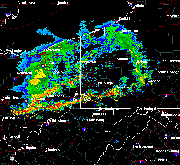 At 149 pm edt, a severe thunderstorm was located 7 miles southwest of washington, moving southeast at 30 mph (radar indicated). Hazards include ping pong ball size hail and 60 mph wind gusts. People and animals outdoors will be injured. expect hail damage to roofs, siding, windows, and vehicles. Expect wind damage to trees and power lines, resulting in some power outages. At 149 pm edt, a severe thunderstorm was located 7 miles southwest of washington, moving southeast at 30 mph (radar indicated). Hazards include ping pong ball size hail and 60 mph wind gusts. People and animals outdoors will be injured. expect hail damage to roofs, siding, windows, and vehicles. Expect wind damage to trees and power lines, resulting in some power outages.
|
| 5/13/2018 5:41 PM EDT |
 The severe thunderstorm warning for southeastern washington, east central greene and southwestern fayette counties will expire at 545 pm edt, the storm that prompted the warning has weakened below severe limits and no longer pose an immediate threat to life and property. therefore, the warning will be allowed to expire. a severe thunderstorm watch remains in effect until 1100 pm edt for southwestern pennsylvania. The severe thunderstorm warning for southeastern washington, east central greene and southwestern fayette counties will expire at 545 pm edt, the storm that prompted the warning has weakened below severe limits and no longer pose an immediate threat to life and property. therefore, the warning will be allowed to expire. a severe thunderstorm watch remains in effect until 1100 pm edt for southwestern pennsylvania.
|
| 5/13/2018 5:25 PM EDT |
 At 525 pm edt, a severe thunderstorm was located near brownsville, or 10 miles west of uniontown, moving east-southeast at 30 mph (radar). Hazards include wind gusts to 60 mph and quarter-size hail. Minor hail damage to vehicles is possible. expect wind damage to trees and power lines, resulting in some power outages. Locations impacted include, uniontown, california, brownsville, fairchance, isabella, dunbar, west brownsville, republic, nemacolin, grindstone, new salem, centerville,. At 525 pm edt, a severe thunderstorm was located near brownsville, or 10 miles west of uniontown, moving east-southeast at 30 mph (radar). Hazards include wind gusts to 60 mph and quarter-size hail. Minor hail damage to vehicles is possible. expect wind damage to trees and power lines, resulting in some power outages. Locations impacted include, uniontown, california, brownsville, fairchance, isabella, dunbar, west brownsville, republic, nemacolin, grindstone, new salem, centerville,.
|
| 5/13/2018 5:10 PM EDT |
 At 510 pm edt, a severe thunderstorm was located over fredericktown-millsboro, or 10 miles northeast of waynesburg, moving east-southeast at 35 mph (radar). Hazards include wind gusts to 60 mph and quarter-size hail. Minor hail damage to vehicles is possible. expect wind damage to trees and power lines, resulting in some power outages. Locations impacted include, uniontown, california, brownsville, fredericktown-millsboro, jefferson boro, fairdale, fairchance, isabella, dunbar, west brownsville, deemston, republic,. At 510 pm edt, a severe thunderstorm was located over fredericktown-millsboro, or 10 miles northeast of waynesburg, moving east-southeast at 35 mph (radar). Hazards include wind gusts to 60 mph and quarter-size hail. Minor hail damage to vehicles is possible. expect wind damage to trees and power lines, resulting in some power outages. Locations impacted include, uniontown, california, brownsville, fredericktown-millsboro, jefferson boro, fairdale, fairchance, isabella, dunbar, west brownsville, deemston, republic,.
|
| 5/13/2018 4:53 PM EDT |
 At 453 pm edt, a severe thunderstorm was located 8 miles west of fredericktown-millsboro, or 9 miles north of waynesburg, moving east at 40 mph (radar). Hazards include wind gusts to 60 mph and quarter-size hail. Minor hail damage to vehicles is possible. Expect wind damage to trees and power lines, resulting in some power outages. At 453 pm edt, a severe thunderstorm was located 8 miles west of fredericktown-millsboro, or 9 miles north of waynesburg, moving east at 40 mph (radar). Hazards include wind gusts to 60 mph and quarter-size hail. Minor hail damage to vehicles is possible. Expect wind damage to trees and power lines, resulting in some power outages.
|
| 5/12/2018 5:52 PM EDT |
 At 552 pm edt, a severe thunderstorm was located over donora, or 8 miles southeast of gastonville, moving southeast at 40 mph (radar). Hazards include quarter-size hail. Minor damage to vehicles is possible. locations impacted include, bethel park, mcmurray, mckeesport, jeannette, canonsburg, gastonville, west mifflin, south park township, jefferson hills, north versailles, pleasant hills, white oak, this includes the following highways, interstate 70 in pennsylvania between mile markers 25 and 57. Pennsylvania turnpike between mile markers 65 and 80. At 552 pm edt, a severe thunderstorm was located over donora, or 8 miles southeast of gastonville, moving southeast at 40 mph (radar). Hazards include quarter-size hail. Minor damage to vehicles is possible. locations impacted include, bethel park, mcmurray, mckeesport, jeannette, canonsburg, gastonville, west mifflin, south park township, jefferson hills, north versailles, pleasant hills, white oak, this includes the following highways, interstate 70 in pennsylvania between mile markers 25 and 57. Pennsylvania turnpike between mile markers 65 and 80.
|
| 5/12/2018 5:30 PM EDT |
 The national weather service in pittsburgh has issued a * severe thunderstorm warning for. southeastern washington county in southwestern pennsylvania. southeastern allegheny county in southwestern pennsylvania. southwestern westmoreland county in southwestern pennsylvania. Northeastern greene county in southwestern pennsylvania. The national weather service in pittsburgh has issued a * severe thunderstorm warning for. southeastern washington county in southwestern pennsylvania. southeastern allegheny county in southwestern pennsylvania. southwestern westmoreland county in southwestern pennsylvania. Northeastern greene county in southwestern pennsylvania.
|
| 5/12/2018 4:35 PM EDT |
 At 435 pm edt, a severe thunderstorm was located near east washington, or near washington, moving east at 50 mph (radar). Hazards include half dollar-size hail. Minor damage to vehicles is possible. Locations impacted include, washington, monessen, california, monongahela, charleroi, bentleyville, brownsville, east washington, new eagle, wickerham manor-fisher, baidland, north charleroi, this includes interstate 70 in pennsylvania between mile markers 17 and 39. At 435 pm edt, a severe thunderstorm was located near east washington, or near washington, moving east at 50 mph (radar). Hazards include half dollar-size hail. Minor damage to vehicles is possible. Locations impacted include, washington, monessen, california, monongahela, charleroi, bentleyville, brownsville, east washington, new eagle, wickerham manor-fisher, baidland, north charleroi, this includes interstate 70 in pennsylvania between mile markers 17 and 39.
|
| 5/12/2018 4:29 PM EDT |
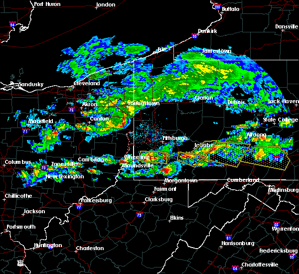 At 429 pm edt, a severe thunderstorm was located over washington, moving east at 50 mph (radar). Hazards include half dollar-size hail. Minor damage to vehicles is possible. Locations impacted include, washington, canonsburg, monessen, california, monongahela, charleroi, wolfdale, mcgovern, bentleyville, brownsville, east washington, new eagle, this includes interstate 70 in pennsylvania between mile markers 7 and 39. At 429 pm edt, a severe thunderstorm was located over washington, moving east at 50 mph (radar). Hazards include half dollar-size hail. Minor damage to vehicles is possible. Locations impacted include, washington, canonsburg, monessen, california, monongahela, charleroi, wolfdale, mcgovern, bentleyville, brownsville, east washington, new eagle, this includes interstate 70 in pennsylvania between mile markers 7 and 39.
|
| 5/12/2018 4:21 PM EDT |
 At 421 pm edt, a severe thunderstorm was located near wolfdale, or 7 miles west of washington, moving east at 50 mph (radar). Hazards include half dollar-size hail. Minor damage to vehicles is possible. locations impacted include, pittsburgh, mount lebanon, bethel park, mcmurray, washington, canonsburg, avella, gastonville, west mifflin, baldwin, upper st. clair, whitehall, this includes the following highways, interstate 70 in pennsylvania between mile markers 1 and 39. Interstate 79 in pennsylvania between mile markers 22 and 23. At 421 pm edt, a severe thunderstorm was located near wolfdale, or 7 miles west of washington, moving east at 50 mph (radar). Hazards include half dollar-size hail. Minor damage to vehicles is possible. locations impacted include, pittsburgh, mount lebanon, bethel park, mcmurray, washington, canonsburg, avella, gastonville, west mifflin, baldwin, upper st. clair, whitehall, this includes the following highways, interstate 70 in pennsylvania between mile markers 1 and 39. Interstate 79 in pennsylvania between mile markers 22 and 23.
|
| 5/12/2018 4:12 PM EDT |
 At 412 pm edt, a severe thunderstorm was located near west liberty, moving east at 35 mph (radar). Hazards include half dollar-size hail. Minor damage to vehicles is possible. locations impacted include, pittsburgh, mount lebanon, bethel park, mcmurray, washington, canonsburg, west liberty, avella, valley grove, gastonville, west mifflin, baldwin, this includes the following highways, interstate 70 in west virginia near mile marker 14. interstate 70 in pennsylvania between mile markers 0 and 39. Interstate 79 in pennsylvania between mile markers 22 and 23. At 412 pm edt, a severe thunderstorm was located near west liberty, moving east at 35 mph (radar). Hazards include half dollar-size hail. Minor damage to vehicles is possible. locations impacted include, pittsburgh, mount lebanon, bethel park, mcmurray, washington, canonsburg, west liberty, avella, valley grove, gastonville, west mifflin, baldwin, this includes the following highways, interstate 70 in west virginia near mile marker 14. interstate 70 in pennsylvania between mile markers 0 and 39. Interstate 79 in pennsylvania between mile markers 22 and 23.
|
| 5/12/2018 3:54 PM EDT |
 At 354 pm edt, a severe thunderstorm was located near tiltonsville, or near clearview, moving east at 50 mph (radar). Hazards include wind gusts to 60 mph and half dollar-size hail. Minor hail damage to vehicles is possible. Expect wind damage to trees and power lines, resulting in some power outages. At 354 pm edt, a severe thunderstorm was located near tiltonsville, or near clearview, moving east at 50 mph (radar). Hazards include wind gusts to 60 mph and half dollar-size hail. Minor hail damage to vehicles is possible. Expect wind damage to trees and power lines, resulting in some power outages.
|
| 4/3/2018 8:09 PM EDT |
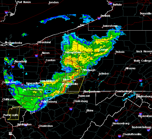 At 809 pm edt, severe thunderstorms were located along a line extending from near avella to near new martinsville, moving east at 50 mph (radar). Hazards include 60 mph wind gusts and quarter-size hail. Minor hail damage to vehicles is possible. Expect wind damage to trees and power lines, resulting in some power outages. At 809 pm edt, severe thunderstorms were located along a line extending from near avella to near new martinsville, moving east at 50 mph (radar). Hazards include 60 mph wind gusts and quarter-size hail. Minor hail damage to vehicles is possible. Expect wind damage to trees and power lines, resulting in some power outages.
|
| 11/5/2017 7:16 PM EST |
 At 715 pm est, severe thunderstorms were located along a line extending from edinboro to 9 miles east of atlantic, moving east at 65 mph (radar indicated). Hazards include 70 mph wind gusts and penny size hail. Expect considerable tree damage. damage is likely to mobile homes, roofs, and outbuildings. Locations impacted include, meadville, titusville, cambridge springs, riceville, lincolnville, canadohta lake, guys mills, cochranton, saegertown, hydetown, blooming valley, townville, spartansburg, venango, woodcock and geneva. At 715 pm est, severe thunderstorms were located along a line extending from edinboro to 9 miles east of atlantic, moving east at 65 mph (radar indicated). Hazards include 70 mph wind gusts and penny size hail. Expect considerable tree damage. damage is likely to mobile homes, roofs, and outbuildings. Locations impacted include, meadville, titusville, cambridge springs, riceville, lincolnville, canadohta lake, guys mills, cochranton, saegertown, hydetown, blooming valley, townville, spartansburg, venango, woodcock and geneva.
|
| 11/5/2017 7:46 PM EDT |
 At 646 pm est, severe thunderstorms were located along a line extending from near albion to near kinsman, moving east at 55 mph (radar indicated). Hazards include 70 mph wind gusts and penny size hail. Expect considerable tree damage. Damage is likely to mobile homes, roofs, and outbuildings. At 646 pm est, severe thunderstorms were located along a line extending from near albion to near kinsman, moving east at 55 mph (radar indicated). Hazards include 70 mph wind gusts and penny size hail. Expect considerable tree damage. Damage is likely to mobile homes, roofs, and outbuildings.
|
| 9/5/2017 12:17 AM EDT |
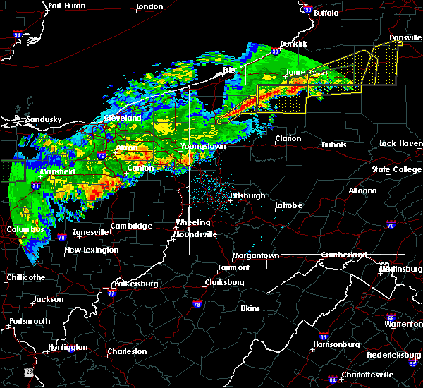 At 1217 am edt, severe thunderstorms were located along a line extending from near spring creek to 8 miles southwest of guys mills, moving southeast at 20 mph (radar indicated). Hazards include 60 mph wind gusts and quarter size hail. Minor damage to vehicles is possible. Expect damage to trees and power lines. At 1217 am edt, severe thunderstorms were located along a line extending from near spring creek to 8 miles southwest of guys mills, moving southeast at 20 mph (radar indicated). Hazards include 60 mph wind gusts and quarter size hail. Minor damage to vehicles is possible. Expect damage to trees and power lines.
|
| 9/4/2017 11:40 PM EDT |
 At 1140 pm edt, severe thunderstorms were located along a line extending from near corry to canadohta lake to near meadville, moving east at 55 mph (radar indicated). Hazards include 60 mph wind gusts and quarter size hail. Minor damage to vehicles is possible. Expect damage to trees and power lines. At 1140 pm edt, severe thunderstorms were located along a line extending from near corry to canadohta lake to near meadville, moving east at 55 mph (radar indicated). Hazards include 60 mph wind gusts and quarter size hail. Minor damage to vehicles is possible. Expect damage to trees and power lines.
|
| 8/22/2017 4:45 PM EDT |
 At 445 pm edt, severe thunderstorms were located along a line extending from near new stanton to near perryopolis to near brownsville, moving east at 40 mph (radar). Hazards include 70 mph wind gusts. Trees snapped and uprooted. power outages can be expected. locations impacted include, greensburg, jeannette, latrobe, connellsville, california, mount pleasant, scottdale, mcchesneytown-loyalhanna, youngwood, west newton, lawson heights, brownsville, this includes the following highways, interstate 70 in pennsylvania between mile markers 44 and 57. Pennsylvania turnpike between mile markers 67 and 86. At 445 pm edt, severe thunderstorms were located along a line extending from near new stanton to near perryopolis to near brownsville, moving east at 40 mph (radar). Hazards include 70 mph wind gusts. Trees snapped and uprooted. power outages can be expected. locations impacted include, greensburg, jeannette, latrobe, connellsville, california, mount pleasant, scottdale, mcchesneytown-loyalhanna, youngwood, west newton, lawson heights, brownsville, this includes the following highways, interstate 70 in pennsylvania between mile markers 44 and 57. Pennsylvania turnpike between mile markers 67 and 86.
|
| 8/22/2017 4:26 PM EDT |
 At 426 pm edt, severe thunderstorms were located along a line extending from near monongahela to near bentleyville to near jefferson boro, moving east at 40 mph (radar). Hazards include 60 mph wind gusts. expect damage to trees and power lines, resulting in some power outages At 426 pm edt, severe thunderstorms were located along a line extending from near monongahela to near bentleyville to near jefferson boro, moving east at 40 mph (radar). Hazards include 60 mph wind gusts. expect damage to trees and power lines, resulting in some power outages
|
| 8/22/2017 4:14 PM EDT |
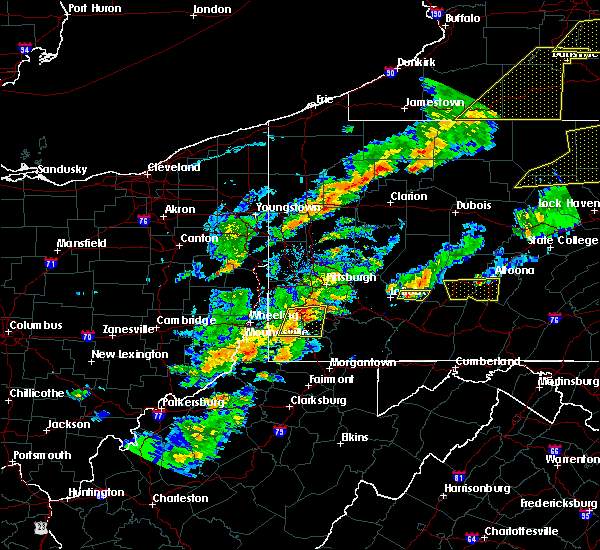 At 414 pm edt, severe thunderstorms were located along a line extending from east washington to 8 miles northwest of waynesburg, moving east at 40 mph (radar). Hazards include 60 mph wind gusts and quarter-size hail. Minor hail damage to vehicles is possible. expect wind damage to trees and power lines, resulting in some power outages. locations impacted include, washington, wolfdale, bentleyville, east washington, fredericktown-millsboro, ellsworth, deemston, eighty four, cokeburg, marianna, beallsville, rices landing, this includes the following highways, interstate 70 in pennsylvania between mile markers 10 and 33. Interstate 79 in pennsylvania between mile markers 19 and 21. At 414 pm edt, severe thunderstorms were located along a line extending from east washington to 8 miles northwest of waynesburg, moving east at 40 mph (radar). Hazards include 60 mph wind gusts and quarter-size hail. Minor hail damage to vehicles is possible. expect wind damage to trees and power lines, resulting in some power outages. locations impacted include, washington, wolfdale, bentleyville, east washington, fredericktown-millsboro, ellsworth, deemston, eighty four, cokeburg, marianna, beallsville, rices landing, this includes the following highways, interstate 70 in pennsylvania between mile markers 10 and 33. Interstate 79 in pennsylvania between mile markers 19 and 21.
|
| 8/22/2017 3:55 PM EDT |
 At 355 pm edt, severe thunderstorms were located along a line extending from near west liberty to near triadelphia, moving east at 40 mph (radar). Hazards include 60 mph wind gusts. expect damage to trees and power lines, resulting in some power outages At 355 pm edt, severe thunderstorms were located along a line extending from near west liberty to near triadelphia, moving east at 40 mph (radar). Hazards include 60 mph wind gusts. expect damage to trees and power lines, resulting in some power outages
|
| 8/19/2017 5:50 PM EDT |
 At 550 pm edt, a severe thunderstorm was located over south connellsville, or near connellsville, moving southeast at 30 mph (radar). Hazards include 60 mph wind gusts. Expect damage to trees and power lines, resulting in some power outages. Locations impacted include, uniontown, connellsville, monessen, donora, brownsville, fredericktown-millsboro, south connellsville, farmington, perryopolis, north belle vernon, speers, isabella, this includes interstate 70 in pennsylvania between mile markers 41 and 46. At 550 pm edt, a severe thunderstorm was located over south connellsville, or near connellsville, moving southeast at 30 mph (radar). Hazards include 60 mph wind gusts. Expect damage to trees and power lines, resulting in some power outages. Locations impacted include, uniontown, connellsville, monessen, donora, brownsville, fredericktown-millsboro, south connellsville, farmington, perryopolis, north belle vernon, speers, isabella, this includes interstate 70 in pennsylvania between mile markers 41 and 46.
|
| 8/19/2017 5:16 PM EDT |
 At 516 pm edt, a severe thunderstorm was located near california, or 13 miles west of connellsville, moving southeast at 40 mph (radar). Hazards include 60 mph wind gusts and quarter-size hail. Minor hail damage to vehicles is possible. Expect wind damage to trees and power lines, resulting in some power outages. At 516 pm edt, a severe thunderstorm was located near california, or 13 miles west of connellsville, moving southeast at 40 mph (radar). Hazards include 60 mph wind gusts and quarter-size hail. Minor hail damage to vehicles is possible. Expect wind damage to trees and power lines, resulting in some power outages.
|
| 8/4/2017 4:12 PM EDT |
 At 412 pm edt, a severe thunderstorm was located 8 miles south of albion, or 14 miles southeast of conneaut, moving northeast at 50 mph (radar indicated). Hazards include 60 mph wind gusts. expect damage to trees and power lines At 412 pm edt, a severe thunderstorm was located 8 miles south of albion, or 14 miles southeast of conneaut, moving northeast at 50 mph (radar indicated). Hazards include 60 mph wind gusts. expect damage to trees and power lines
|
| 8/4/2017 3:42 PM EDT |
 At 341 pm edt, severe thunderstorms were located along a line extending from near newton falls to near bristolville moving northeast at 30 mph. this is a secondary line of storms about to move into the area (radar indicated). Hazards include 60 mph wind gusts. Expect damage to trees and power lines. Locations impacted include, meadville, corry, edinboro, titusville, union city, cambridge springs, waterford, albion, andover, linesville, wattsburg, adamsville, canadohta lake, riceville, harmonsburg, lincolnville, guys mills, atlantic, pierpont and cochranton. At 341 pm edt, severe thunderstorms were located along a line extending from near newton falls to near bristolville moving northeast at 30 mph. this is a secondary line of storms about to move into the area (radar indicated). Hazards include 60 mph wind gusts. Expect damage to trees and power lines. Locations impacted include, meadville, corry, edinboro, titusville, union city, cambridge springs, waterford, albion, andover, linesville, wattsburg, adamsville, canadohta lake, riceville, harmonsburg, lincolnville, guys mills, atlantic, pierpont and cochranton.
|
| 8/4/2017 2:58 PM EDT |
 At 258 pm edt, a severe thunderstorm was located over andover, or 23 miles west of meadville, moving northeast at 45 mph (radar indicated). Hazards include 60 mph wind gusts. expect damage to trees and power lines At 258 pm edt, a severe thunderstorm was located over andover, or 23 miles west of meadville, moving northeast at 45 mph (radar indicated). Hazards include 60 mph wind gusts. expect damage to trees and power lines
|
| 8/4/2017 1:56 PM EDT |
 The severe thunderstorm warning for southeastern erie and northeastern crawford counties will expire at 200 pm edt, the storms which prompted the warning have moved out of the area. therefore the warning will be allowed to expire. a severe thunderstorm watch remains in effect until 900 pm edt for northwestern pennsylvania. The severe thunderstorm warning for southeastern erie and northeastern crawford counties will expire at 200 pm edt, the storms which prompted the warning have moved out of the area. therefore the warning will be allowed to expire. a severe thunderstorm watch remains in effect until 900 pm edt for northwestern pennsylvania.
|
| 8/4/2017 1:42 PM EDT |
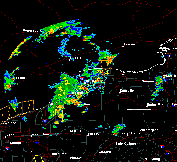 At 141 pm edt, severe thunderstorms were located along a line extending from near wattsburg to 7 miles northwest of grand valley, moving northeast at 35 mph (radar indicated). Hazards include 60 mph wind gusts. Expect damage to trees and power lines. Locations impacted include, corry, titusville, wattsburg, riceville, hydetown, spartansburg and elgin. At 141 pm edt, severe thunderstorms were located along a line extending from near wattsburg to 7 miles northwest of grand valley, moving northeast at 35 mph (radar indicated). Hazards include 60 mph wind gusts. Expect damage to trees and power lines. Locations impacted include, corry, titusville, wattsburg, riceville, hydetown, spartansburg and elgin.
|
| 8/4/2017 1:23 PM EDT |
 At 123 pm edt, severe thunderstorms were located along a line extending from near findley lake to near corry to near lincolnville to near guys mills, moving northeast at 30 mph (radar indicated). Hazards include 60 mph wind gusts and penny size hail. Expect damage to trees and power lines. Locations impacted include, corry, titusville, union city, cambridge springs, wattsburg, riceville, lincolnville, canadohta lake, guys mills, hydetown, mill village, blooming valley, townville, spartansburg, elgin and woodcock. At 123 pm edt, severe thunderstorms were located along a line extending from near findley lake to near corry to near lincolnville to near guys mills, moving northeast at 30 mph (radar indicated). Hazards include 60 mph wind gusts and penny size hail. Expect damage to trees and power lines. Locations impacted include, corry, titusville, union city, cambridge springs, wattsburg, riceville, lincolnville, canadohta lake, guys mills, hydetown, mill village, blooming valley, townville, spartansburg, elgin and woodcock.
|
| 8/4/2017 12:57 PM EDT |
 At 1257 pm edt, severe thunderstorms were located along a line extending from near waterford to 6 miles west of union city to near meadville to 6 miles east of atlantic, moving northeast at 30 mph (radar indicated). Hazards include 60 mph wind gusts and quarter size hail. Minor damage to vehicles is possible. Expect damage to trees and power lines. At 1257 pm edt, severe thunderstorms were located along a line extending from near waterford to 6 miles west of union city to near meadville to 6 miles east of atlantic, moving northeast at 30 mph (radar indicated). Hazards include 60 mph wind gusts and quarter size hail. Minor damage to vehicles is possible. Expect damage to trees and power lines.
|
| 6/23/2017 5:08 PM EDT |
 At 507 pm edt, severe thunderstorms were located along a line extending from near cameron to near hundred to jacksonburg, moving east at 55 mph (radar). Hazards include 60 mph wind gusts. Expect damage to trees and power lines, resulting in some power outages. locations impacted include, morgantown, fairmont, waynesburg, westover, mannington, star city, masontown, pleasant valley, winfield, fredericktown-millsboro, fairdale, jefferson boro, this includes the following highways, interstate 68 in west virginia near mile marker 1. interstate 79 in pennsylvania between mile markers 0 and 19. Interstate 79 in west virginia between mile markers 130 and 160. At 507 pm edt, severe thunderstorms were located along a line extending from near cameron to near hundred to jacksonburg, moving east at 55 mph (radar). Hazards include 60 mph wind gusts. Expect damage to trees and power lines, resulting in some power outages. locations impacted include, morgantown, fairmont, waynesburg, westover, mannington, star city, masontown, pleasant valley, winfield, fredericktown-millsboro, fairdale, jefferson boro, this includes the following highways, interstate 68 in west virginia near mile marker 1. interstate 79 in pennsylvania between mile markers 0 and 19. Interstate 79 in west virginia between mile markers 130 and 160.
|
| 6/23/2017 4:46 PM EDT |
 At 446 pm edt, severe thunderstorms were located along a line extending from near cameron to middlebourne, moving east at 45 mph (radar). Hazards include 60 mph wind gusts. expect damage to trees and power lines, resulting in some power outages At 446 pm edt, severe thunderstorms were located along a line extending from near cameron to middlebourne, moving east at 45 mph (radar). Hazards include 60 mph wind gusts. expect damage to trees and power lines, resulting in some power outages
|
| 6/23/2017 3:22 PM EDT |
 At 321 pm edt, a severe thunderstorm was located near east washington, or near washington, moving east at 45 mph (radar). Hazards include 60 mph wind gusts. Expect damage to trees and power lines, resulting in some power outages. Locations impacted include, washington, gastonville, south park township, jefferson hills, monessen, california, donora, monongahela, charleroi, mcgovern, bentleyville, brownsville, this includes interstate 70 in pennsylvania between mile markers 17 and 44. At 321 pm edt, a severe thunderstorm was located near east washington, or near washington, moving east at 45 mph (radar). Hazards include 60 mph wind gusts. Expect damage to trees and power lines, resulting in some power outages. Locations impacted include, washington, gastonville, south park township, jefferson hills, monessen, california, donora, monongahela, charleroi, mcgovern, bentleyville, brownsville, this includes interstate 70 in pennsylvania between mile markers 17 and 44.
|
| 6/23/2017 3:09 PM EDT |
 The national weather service in pittsburgh has issued a * severe thunderstorm warning for. southern washington county in southwestern pennsylvania. southeastern allegheny county in southwestern pennsylvania. western westmoreland county in southwestern pennsylvania. Northwestern fayette county in southwestern pennsylvania. The national weather service in pittsburgh has issued a * severe thunderstorm warning for. southern washington county in southwestern pennsylvania. southeastern allegheny county in southwestern pennsylvania. western westmoreland county in southwestern pennsylvania. Northwestern fayette county in southwestern pennsylvania.
|
| 6/18/2017 7:34 PM EDT |
 At 733 pm edt, severe thunderstorms were located along a line extending from near corry to near riceville to 7 miles east of guys mills to near cochranton, moving northeast at 50 mph (radar indicated). Hazards include 60 mph wind gusts. Expect damage to trees and power lines. Locations impacted include, meadville, corry, titusville, union city, riceville, lincolnville, canadohta lake, guys mills, cochranton, hydetown, mill village, blooming valley, townville, spartansburg, elgin and geneva. At 733 pm edt, severe thunderstorms were located along a line extending from near corry to near riceville to 7 miles east of guys mills to near cochranton, moving northeast at 50 mph (radar indicated). Hazards include 60 mph wind gusts. Expect damage to trees and power lines. Locations impacted include, meadville, corry, titusville, union city, riceville, lincolnville, canadohta lake, guys mills, cochranton, hydetown, mill village, blooming valley, townville, spartansburg, elgin and geneva.
|
| 6/18/2017 7:09 PM EDT |
 At 709 pm edt, severe thunderstorms were located along a line extending from near north east to wattsburg to near lincolnville to near meadville to 6 miles east of greenville, moving east at 40 mph (radar indicated). Hazards include 60 mph wind gusts. Expect damage to trees and power lines. Locations impacted include, meadville, corry, edinboro, titusville, north east, union city, cambridge springs, waterford, wattsburg, canadohta lake, riceville, lincolnville, guys mills, northwest harborcreek, harborcreek, cochranton, saegertown, hydetown, mill village and blooming valley. At 709 pm edt, severe thunderstorms were located along a line extending from near north east to wattsburg to near lincolnville to near meadville to 6 miles east of greenville, moving east at 40 mph (radar indicated). Hazards include 60 mph wind gusts. Expect damage to trees and power lines. Locations impacted include, meadville, corry, edinboro, titusville, north east, union city, cambridge springs, waterford, wattsburg, canadohta lake, riceville, lincolnville, guys mills, northwest harborcreek, harborcreek, cochranton, saegertown, hydetown, mill village and blooming valley.
|
| 6/18/2017 6:37 PM EDT |
 At 637 pm edt, severe thunderstorms were located along a line extending from near erie to harmonsburg to near cortland, moving east at 40 mph (radar indicated). Hazards include 60 mph wind gusts. expect damage to trees and power lines At 637 pm edt, severe thunderstorms were located along a line extending from near erie to harmonsburg to near cortland, moving east at 40 mph (radar indicated). Hazards include 60 mph wind gusts. expect damage to trees and power lines
|
| 6/18/2017 3:26 PM EDT |
 At 325 pm edt, a severe thunderstorm was located 7 miles east of guys mills, or 13 miles northwest of oil city. another strong storm was near spartansburg. the storms were moving northeast at 40 mph (radar indicated). Hazards include 60 mph wind gusts and quarter size hail. Minor damage to vehicles is possible. expect damage to trees and power lines. Locations impacted include, meadville, corry, titusville, union city, cambridge springs, wattsburg, riceville, lincolnville, canadohta lake, guys mills, cochranton, saegertown, hydetown, mill village, blooming valley, townville, spartansburg, venango, elgin and woodcock. At 325 pm edt, a severe thunderstorm was located 7 miles east of guys mills, or 13 miles northwest of oil city. another strong storm was near spartansburg. the storms were moving northeast at 40 mph (radar indicated). Hazards include 60 mph wind gusts and quarter size hail. Minor damage to vehicles is possible. expect damage to trees and power lines. Locations impacted include, meadville, corry, titusville, union city, cambridge springs, wattsburg, riceville, lincolnville, canadohta lake, guys mills, cochranton, saegertown, hydetown, mill village, blooming valley, townville, spartansburg, venango, elgin and woodcock.
|
| 6/18/2017 3:08 PM EDT |
 At 307 pm edt, a severe thunderstorm was located near riceville, or 16 miles southwest of corry, moving northeast at 30 mph (radar indicated). Hazards include 60 mph wind gusts and quarter size hail. Minor damage to vehicles is possible. expect damage to trees and power lines. Locations impacted include, meadville, corry, titusville, union city, cambridge springs, waterford, wattsburg, riceville, lincolnville, canadohta lake, guys mills, cochranton, saegertown, hydetown, mill village, blooming valley, townville, spartansburg, venango and elgin. At 307 pm edt, a severe thunderstorm was located near riceville, or 16 miles southwest of corry, moving northeast at 30 mph (radar indicated). Hazards include 60 mph wind gusts and quarter size hail. Minor damage to vehicles is possible. expect damage to trees and power lines. Locations impacted include, meadville, corry, titusville, union city, cambridge springs, waterford, wattsburg, riceville, lincolnville, canadohta lake, guys mills, cochranton, saegertown, hydetown, mill village, blooming valley, townville, spartansburg, venango and elgin.
|
| 6/18/2017 2:40 PM EDT |
 At 239 pm edt, a severe thunderstorm was located near guys mills, or near meadville, moving northeast at 35 mph (radar indicated). Hazards include 60 mph wind gusts and quarter size hail. Minor damage to vehicles is possible. Expect damage to trees and power lines. At 239 pm edt, a severe thunderstorm was located near guys mills, or near meadville, moving northeast at 35 mph (radar indicated). Hazards include 60 mph wind gusts and quarter size hail. Minor damage to vehicles is possible. Expect damage to trees and power lines.
|
| 5/1/2017 3:19 PM EDT |
 At 319 pm edt, severe thunderstorms were located along a line extending from white oak to near pleasant valley, moving east at 30 mph (radar). Hazards include 60 mph wind gusts. Expect damage to trees and power lines, resulting in some power outages. locations impacted include, morgantown, uniontown, connellsville, westover, star city, monessen, california, donora, mount pleasant, scottdale, charleroi, masontown, this includes the following highways, interstate 68 in west virginia between mile markers 1 and 14. interstate 70 in pennsylvania between mile markers 39 and 57. pennsylvania turnpike between mile markers 70 and 85. interstate 79 in pennsylvania between mile markers 0 and 2. interstate 79 in west virginia between mile markers 148 and 160. A tornado watch remains in effect until 700 pm edt for southwestern pennsylvania, and northern and northeastern west virginia. At 319 pm edt, severe thunderstorms were located along a line extending from white oak to near pleasant valley, moving east at 30 mph (radar). Hazards include 60 mph wind gusts. Expect damage to trees and power lines, resulting in some power outages. locations impacted include, morgantown, uniontown, connellsville, westover, star city, monessen, california, donora, mount pleasant, scottdale, charleroi, masontown, this includes the following highways, interstate 68 in west virginia between mile markers 1 and 14. interstate 70 in pennsylvania between mile markers 39 and 57. pennsylvania turnpike between mile markers 70 and 85. interstate 79 in pennsylvania between mile markers 0 and 2. interstate 79 in west virginia between mile markers 148 and 160. A tornado watch remains in effect until 700 pm edt for southwestern pennsylvania, and northern and northeastern west virginia.
|
| 5/1/2017 3:16 PM EDT |
 At 319 pm edt, severe thunderstorms were located along a line extending from white oak to near pleasant valley, moving east at 30 mph (radar). Hazards include 60 mph wind gusts. Expect damage to trees and power lines, resulting in some power outages. locations impacted include, morgantown, uniontown, connellsville, westover, star city, monessen, california, donora, mount pleasant, scottdale, charleroi, masontown, this includes the following highways, interstate 68 in west virginia between mile markers 1 and 14. interstate 70 in pennsylvania between mile markers 39 and 57. pennsylvania turnpike between mile markers 70 and 85. interstate 79 in pennsylvania between mile markers 0 and 2. interstate 79 in west virginia between mile markers 148 and 160. A tornado watch remains in effect until 700 pm edt for southwestern pennsylvania, and northern and northeastern west virginia. At 319 pm edt, severe thunderstorms were located along a line extending from white oak to near pleasant valley, moving east at 30 mph (radar). Hazards include 60 mph wind gusts. Expect damage to trees and power lines, resulting in some power outages. locations impacted include, morgantown, uniontown, connellsville, westover, star city, monessen, california, donora, mount pleasant, scottdale, charleroi, masontown, this includes the following highways, interstate 68 in west virginia between mile markers 1 and 14. interstate 70 in pennsylvania between mile markers 39 and 57. pennsylvania turnpike between mile markers 70 and 85. interstate 79 in pennsylvania between mile markers 0 and 2. interstate 79 in west virginia between mile markers 148 and 160. A tornado watch remains in effect until 700 pm edt for southwestern pennsylvania, and northern and northeastern west virginia.
|
| 5/1/2017 3:11 PM EDT |
 The severe thunderstorm warning for eastern erie and northeastern crawford counties will expire at 315 pm edt, the storms which prompted the warning have moved out of the area. therefore the warning will be allowed to expire. a tornado watch remains in effect until 700 pm edt for northwestern pennsylvania. The severe thunderstorm warning for eastern erie and northeastern crawford counties will expire at 315 pm edt, the storms which prompted the warning have moved out of the area. therefore the warning will be allowed to expire. a tornado watch remains in effect until 700 pm edt for northwestern pennsylvania.
|
| 5/1/2017 2:55 PM EDT |
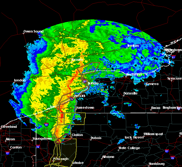 At 255 pm edt, severe thunderstorms were located along a line extending from near findley lake to near columbus to near riceville, moving east at 55 mph (radar indicated). Hazards include 60 mph wind gusts. Expect damage to roofs, siding, and trees. locations impacted include, titusville, north east, wattsburg, riceville, hydetown, spartansburg and elgin. A tornado watch remains in effect until 700 pm edt for northwestern pennsylvania. At 255 pm edt, severe thunderstorms were located along a line extending from near findley lake to near columbus to near riceville, moving east at 55 mph (radar indicated). Hazards include 60 mph wind gusts. Expect damage to roofs, siding, and trees. locations impacted include, titusville, north east, wattsburg, riceville, hydetown, spartansburg and elgin. A tornado watch remains in effect until 700 pm edt for northwestern pennsylvania.
|
| 5/1/2017 2:54 PM EDT |
 At 254 pm edt, severe thunderstorms were located along a line extending from castle shannon to near lumberport, moving east at 35 mph (radar). Hazards include 60 mph wind gusts. expect damage to trees and power lines, resulting in some power outages At 254 pm edt, severe thunderstorms were located along a line extending from castle shannon to near lumberport, moving east at 35 mph (radar). Hazards include 60 mph wind gusts. expect damage to trees and power lines, resulting in some power outages
|
| 5/1/2017 2:54 PM EDT |
 The national weather service in pittsburgh has issued a * severe thunderstorm warning for. southeastern washington county in southwestern pennsylvania. southeastern allegheny county in southwestern pennsylvania. southwestern westmoreland county in southwestern pennsylvania. Eastern greene county in southwestern pennsylvania. The national weather service in pittsburgh has issued a * severe thunderstorm warning for. southeastern washington county in southwestern pennsylvania. southeastern allegheny county in southwestern pennsylvania. southwestern westmoreland county in southwestern pennsylvania. Eastern greene county in southwestern pennsylvania.
|
| 5/1/2017 2:41 PM EDT |
 At 241 pm edt, severe thunderstorms were located along a line extending from near mcdonald to 10 miles southwest of waynesburg, moving northeast at 55 mph (radar). Hazards include 70 mph wind gusts. Trees snapped and uprooted. power outages can be expected. locations impacted include, bethel park, morgantown, mcmurray, mckeesport, washington, canonsburg, waynesburg, star city, gastonville, west mifflin, baldwin, upper st. clair, this includes the following highways, interstate 70 in pennsylvania between mile markers 17 and 40. interstate 79 in pennsylvania between mile markers 0 and 21. interstate 79 in west virginia between mile markers 154 and 160. A tornado watch remains in effect until 700 pm edt for southwestern pennsylvania, and northern west virginia. At 241 pm edt, severe thunderstorms were located along a line extending from near mcdonald to 10 miles southwest of waynesburg, moving northeast at 55 mph (radar). Hazards include 70 mph wind gusts. Trees snapped and uprooted. power outages can be expected. locations impacted include, bethel park, morgantown, mcmurray, mckeesport, washington, canonsburg, waynesburg, star city, gastonville, west mifflin, baldwin, upper st. clair, this includes the following highways, interstate 70 in pennsylvania between mile markers 17 and 40. interstate 79 in pennsylvania between mile markers 0 and 21. interstate 79 in west virginia between mile markers 154 and 160. A tornado watch remains in effect until 700 pm edt for southwestern pennsylvania, and northern west virginia.
|
| 5/1/2017 2:36 PM EDT |
 At 236 pm edt, severe thunderstorms were located along a line extending from near cecil-bishop to 7 miles northeast of hundred, moving northeast at 55 mph (radar). Hazards include 70 mph wind gusts. Trees snapped and uprooted. power outages can be expected. locations impacted include, bethel park, morgantown, mcmurray, mckeesport, washington, canonsburg, waynesburg, star city, gastonville, west mifflin, baldwin, upper st. clair, this includes the following highways, interstate 70 in pennsylvania between mile markers 11 and 40. interstate 79 in pennsylvania between mile markers 0 and 21. interstate 79 in west virginia between mile markers 154 and 160. A tornado watch remains in effect until 700 pm edt for southwestern pennsylvania, and northern west virginia. At 236 pm edt, severe thunderstorms were located along a line extending from near cecil-bishop to 7 miles northeast of hundred, moving northeast at 55 mph (radar). Hazards include 70 mph wind gusts. Trees snapped and uprooted. power outages can be expected. locations impacted include, bethel park, morgantown, mcmurray, mckeesport, washington, canonsburg, waynesburg, star city, gastonville, west mifflin, baldwin, upper st. clair, this includes the following highways, interstate 70 in pennsylvania between mile markers 11 and 40. interstate 79 in pennsylvania between mile markers 0 and 21. interstate 79 in west virginia between mile markers 154 and 160. A tornado watch remains in effect until 700 pm edt for southwestern pennsylvania, and northern west virginia.
|
| 5/1/2017 2:27 PM EDT |
 At 226 pm edt, severe thunderstorms were located along a line extending from near avella to near hundred, moving northeast at 55 mph (radar). Hazards include 70 mph wind gusts. Trees snapped and uprooted. power outages can be expected. locations impacted include, bethel park, morgantown, mcmurray, mckeesport, washington, canonsburg, waynesburg, star city, gastonville, west mifflin, baldwin, upper st. clair, this includes the following highways, interstate 70 in pennsylvania between mile markers 3 and 40. interstate 79 in pennsylvania between mile markers 0 and 21. interstate 79 in west virginia between mile markers 154 and 160. A tornado watch remains in effect until 700 pm edt for southwestern pennsylvania, and northern west virginia. At 226 pm edt, severe thunderstorms were located along a line extending from near avella to near hundred, moving northeast at 55 mph (radar). Hazards include 70 mph wind gusts. Trees snapped and uprooted. power outages can be expected. locations impacted include, bethel park, morgantown, mcmurray, mckeesport, washington, canonsburg, waynesburg, star city, gastonville, west mifflin, baldwin, upper st. clair, this includes the following highways, interstate 70 in pennsylvania between mile markers 3 and 40. interstate 79 in pennsylvania between mile markers 0 and 21. interstate 79 in west virginia between mile markers 154 and 160. A tornado watch remains in effect until 700 pm edt for southwestern pennsylvania, and northern west virginia.
|
| 5/1/2017 2:22 PM EDT |
 At 221 pm edt, severe thunderstorms were located along a line extending from 6 miles southeast of girard to 6 miles east of atlantic, moving northeast at 50 mph (radar indicated). Hazards include 60 mph wind gusts. expect damage to roofs, siding, and trees At 221 pm edt, severe thunderstorms were located along a line extending from 6 miles southeast of girard to 6 miles east of atlantic, moving northeast at 50 mph (radar indicated). Hazards include 60 mph wind gusts. expect damage to roofs, siding, and trees
|
| 5/1/2017 2:11 PM EDT |
 At 210 pm edt, severe thunderstorms were located along a line extending from near west liberty to near pine grove, moving northeast at 55 mph (radar). Hazards include 70 mph wind gusts. Trees snapped and uprooted. Power outages can be expected. At 210 pm edt, severe thunderstorms were located along a line extending from near west liberty to near pine grove, moving northeast at 55 mph (radar). Hazards include 70 mph wind gusts. Trees snapped and uprooted. Power outages can be expected.
|
| 4/30/2017 4:54 PM EDT |
 At 453 pm edt, a line of severe thunderstorms from union city south to townville are moving northeast at 45 mph (radar indicated). Hazards include 60 mph wind gusts. Expect damage to roofs, siding, and trees. Locations impacted include, titusville, union city, wattsburg, riceville, canadohta lake, lincolnville, hydetown, townville, spartansburg and elgin. At 453 pm edt, a line of severe thunderstorms from union city south to townville are moving northeast at 45 mph (radar indicated). Hazards include 60 mph wind gusts. Expect damage to roofs, siding, and trees. Locations impacted include, titusville, union city, wattsburg, riceville, canadohta lake, lincolnville, hydetown, townville, spartansburg and elgin.
|
| 4/30/2017 4:41 PM EDT |
 At 440 pm edt, a severe thunderstorm was located over guys mills, or 8 miles east of meadville, moving northeast at 40 mph (radar indicated). Hazards include 60 mph wind gusts. expect damage to roofs, siding, and trees At 440 pm edt, a severe thunderstorm was located over guys mills, or 8 miles east of meadville, moving northeast at 40 mph (radar indicated). Hazards include 60 mph wind gusts. expect damage to roofs, siding, and trees
|
| 4/16/2017 6:26 PM EDT |
 The severe thunderstorm warning for southwestern washington and northeastern greene counties will expire at 630 pm edt, the storm that prompted the warning has weakened below severe limits and no longer pose an immediate threat to life and property. therefore, the warning will be allowed to expire. The severe thunderstorm warning for southwestern washington and northeastern greene counties will expire at 630 pm edt, the storm that prompted the warning has weakened below severe limits and no longer pose an immediate threat to life and property. therefore, the warning will be allowed to expire.
|
| 4/16/2017 6:16 PM EDT |
 At 616 pm edt, a severe thunderstorm was located 8 miles southwest of washington, moving east at 35 mph (radar). Hazards include 60 mph wind gusts. Expect damage to trees and power lines, resulting in some power outages. Locations impacted include, jefferson boro, deemston, marianna, beallsville, clarksville, scenery hill, amity, this includes interstate 79 in pennsylvania between mile markers 19 and 21. At 616 pm edt, a severe thunderstorm was located 8 miles southwest of washington, moving east at 35 mph (radar). Hazards include 60 mph wind gusts. Expect damage to trees and power lines, resulting in some power outages. Locations impacted include, jefferson boro, deemston, marianna, beallsville, clarksville, scenery hill, amity, this includes interstate 79 in pennsylvania between mile markers 19 and 21.
|
| 4/16/2017 5:47 PM EDT |
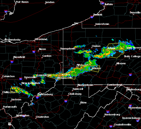 At 547 pm edt, a severe thunderstorm was located over valley grove, moving east at 30 mph (radar). Hazards include 60 mph wind gusts and quarter-size hail. Hail damage to vehicles is expected. Expect wind damage to trees and power lines, resulting in some power outages. At 547 pm edt, a severe thunderstorm was located over valley grove, moving east at 30 mph (radar). Hazards include 60 mph wind gusts and quarter-size hail. Hail damage to vehicles is expected. Expect wind damage to trees and power lines, resulting in some power outages.
|
| 3/1/2017 5:13 PM EST |
 At 512 pm est, severe thunderstorms were located along a line extending from near erie to near edinboro to near pymatuning north, moving east at 40 mph (radar indicated). Hazards include 60 mph wind gusts. Expect damage to roofs, siding, and trees. Locations impacted include, erie, meadville, corry, edinboro, titusville, north east, union city, girard, cambridge springs, waterford, albion, linesville, wattsburg, adamsville, pymatuning central, riceville, harmonsburg, guys mills, pymatuning north and atlantic. At 512 pm est, severe thunderstorms were located along a line extending from near erie to near edinboro to near pymatuning north, moving east at 40 mph (radar indicated). Hazards include 60 mph wind gusts. Expect damage to roofs, siding, and trees. Locations impacted include, erie, meadville, corry, edinboro, titusville, north east, union city, girard, cambridge springs, waterford, albion, linesville, wattsburg, adamsville, pymatuning central, riceville, harmonsburg, guys mills, pymatuning north and atlantic.
|
| 3/1/2017 4:49 PM EST |
 At 449 pm est, severe thunderstorms were located along a line extending from near girard to near albion to 7 miles northeast of orwell, moving east at 70 mph (radar indicated). Hazards include 60 mph wind gusts. expect damage to roofs, siding, and trees At 449 pm est, severe thunderstorms were located along a line extending from near girard to near albion to 7 miles northeast of orwell, moving east at 70 mph (radar indicated). Hazards include 60 mph wind gusts. expect damage to roofs, siding, and trees
|
| 3/1/2017 10:50 AM EST |
 At 1049 am est, severe thunderstorms were located along a line extending from 6 miles west of connellsville to 7 miles southwest of cassville, moving east at 50 mph (radar). Hazards include 60 mph wind gusts. Expect damage to trees and power lines, resulting in some power outages. locations impacted include, morgantown, uniontown, connellsville, westover, star city, california, scottdale, masontown, brownsville, south connellsville, perryopolis, fairdale, this includes the following highways, interstate 68 in west virginia between mile markers 3 and 11. interstate 79 in pennsylvania between mile markers 0 and 7. Interstate 79 in west virginia between mile markers 150 and 160. At 1049 am est, severe thunderstorms were located along a line extending from 6 miles west of connellsville to 7 miles southwest of cassville, moving east at 50 mph (radar). Hazards include 60 mph wind gusts. Expect damage to trees and power lines, resulting in some power outages. locations impacted include, morgantown, uniontown, connellsville, westover, star city, california, scottdale, masontown, brownsville, south connellsville, perryopolis, fairdale, this includes the following highways, interstate 68 in west virginia between mile markers 3 and 11. interstate 79 in pennsylvania between mile markers 0 and 7. Interstate 79 in west virginia between mile markers 150 and 160.
|
| 3/1/2017 10:40 AM EST |
 At 1039 am est, severe thunderstorms were located along a line extending from near brownsville to near mannington, moving east at 70 mph (radar). Hazards include 60 mph wind gusts. a brief tornado may be possible with individual cells embedded in the line. Expect damage to trees and power lines, resulting in some power outages. locations impacted include, morgantown, uniontown, connellsville, waynesburg, westover, star city, california, scottdale, masontown, brownsville, fredericktown-millsboro, south connellsville, this includes the following highways, interstate 68 in west virginia between mile markers 3 and 11. interstate 79 in pennsylvania between mile markers 0 and 21. Interstate 79 in west virginia between mile markers 150 and 160. At 1039 am est, severe thunderstorms were located along a line extending from near brownsville to near mannington, moving east at 70 mph (radar). Hazards include 60 mph wind gusts. a brief tornado may be possible with individual cells embedded in the line. Expect damage to trees and power lines, resulting in some power outages. locations impacted include, morgantown, uniontown, connellsville, waynesburg, westover, star city, california, scottdale, masontown, brownsville, fredericktown-millsboro, south connellsville, this includes the following highways, interstate 68 in west virginia between mile markers 3 and 11. interstate 79 in pennsylvania between mile markers 0 and 21. Interstate 79 in west virginia between mile markers 150 and 160.
|
| 3/1/2017 10:17 AM EST |
 At 1015 am est, severe thunderstorms were located along a line extending from 7 miles north of waynesburg to near pine grove, moving east at 50 mph (radar). Hazards include 60 mph wind gusts. a brief tornado may be possible with individual cells embedded in the line. expect damage to trees and power lines, resulting in some power outages At 1015 am est, severe thunderstorms were located along a line extending from 7 miles north of waynesburg to near pine grove, moving east at 50 mph (radar). Hazards include 60 mph wind gusts. a brief tornado may be possible with individual cells embedded in the line. expect damage to trees and power lines, resulting in some power outages
|
| 3/1/2017 8:32 AM EST |
 At 832 am est, a severe thunderstorm was located over bethlehem, moving east at 45 mph (radar). Hazards include 60 mph wind gusts. Expect damage to trees and power lines, resulting in some power outages. locations impacted include, bethel park, wheeling, mcmurray, washington, moundsville, canonsburg, martins ferry, st. clairsville, bellaire, warwood, bethlehem, west liberty, this includes the following highways, interstate 70 in ohio between mile markers 217 and 225. interstate 70 in west virginia between mile markers 0 and 14. interstate 70 in pennsylvania between mile markers 0 and 42. Interstate 79 in pennsylvania between mile markers 16 and 21. At 832 am est, a severe thunderstorm was located over bethlehem, moving east at 45 mph (radar). Hazards include 60 mph wind gusts. Expect damage to trees and power lines, resulting in some power outages. locations impacted include, bethel park, wheeling, mcmurray, washington, moundsville, canonsburg, martins ferry, st. clairsville, bellaire, warwood, bethlehem, west liberty, this includes the following highways, interstate 70 in ohio between mile markers 217 and 225. interstate 70 in west virginia between mile markers 0 and 14. interstate 70 in pennsylvania between mile markers 0 and 42. Interstate 79 in pennsylvania between mile markers 16 and 21.
|
| 3/1/2017 8:15 AM EST |
 At 814 am est, a severe thunderstorm was located over wheeling, moving east at 85 mph (radar). Hazards include 60 mph wind gusts. expect damage to trees and power lines, resulting in some power outages At 814 am est, a severe thunderstorm was located over wheeling, moving east at 85 mph (radar). Hazards include 60 mph wind gusts. expect damage to trees and power lines, resulting in some power outages
|
| 3/1/2017 6:47 AM EST |
 At 646 am est, severe thunderstorms were located along a line extending from 10 miles northwest of lake erie state park to near union city to near atlantic, moving east at 55 mph (radar indicated). Hazards include 60 mph wind gusts. Expect damage to roofs, siding, and trees. Locations impacted include, meadville, corry, edinboro, titusville, north east, union city, cambridge springs, waterford, wattsburg, adamsville, riceville, guys mills, atlantic, canadohta lake, lincolnville, harmonsburg, cochranton, saegertown, conneaut lake and hydetown. At 646 am est, severe thunderstorms were located along a line extending from 10 miles northwest of lake erie state park to near union city to near atlantic, moving east at 55 mph (radar indicated). Hazards include 60 mph wind gusts. Expect damage to roofs, siding, and trees. Locations impacted include, meadville, corry, edinboro, titusville, north east, union city, cambridge springs, waterford, wattsburg, adamsville, riceville, guys mills, atlantic, canadohta lake, lincolnville, harmonsburg, cochranton, saegertown, conneaut lake and hydetown.
|
| 3/1/2017 6:17 AM EST |
 At 617 am est, severe thunderstorms were located along a line extending from 21 miles northwest of north east to albion to 6 miles east of orwell, moving east at 40 mph (radar indicated). Hazards include 60 mph wind gusts and quarter size hail. Hail damage to vehicles is expected. expect wind damage to roofs, siding, and trees. Locations impacted include, erie, meadville, corry, edinboro, titusville, north east, union city, girard, cambridge springs, waterford, albion, andover, linesville, wattsburg, adamsville, pymatuning central, riceville, harmonsburg, guys mills and pymatuning north. At 617 am est, severe thunderstorms were located along a line extending from 21 miles northwest of north east to albion to 6 miles east of orwell, moving east at 40 mph (radar indicated). Hazards include 60 mph wind gusts and quarter size hail. Hail damage to vehicles is expected. expect wind damage to roofs, siding, and trees. Locations impacted include, erie, meadville, corry, edinboro, titusville, north east, union city, girard, cambridge springs, waterford, albion, andover, linesville, wattsburg, adamsville, pymatuning central, riceville, harmonsburg, guys mills and pymatuning north.
|
| 3/1/2017 5:45 AM EST |
 At 545 am est, severe thunderstorms were located along a line extending from 31 miles north of conneaut to 6 miles southeast of madison, moving east at 55 mph (radar indicated). Hazards include 60 mph wind gusts and quarter size hail. Hail damage to vehicles is expected. Expect wind damage to roofs, siding, and trees. At 545 am est, severe thunderstorms were located along a line extending from 31 miles north of conneaut to 6 miles southeast of madison, moving east at 55 mph (radar indicated). Hazards include 60 mph wind gusts and quarter size hail. Hail damage to vehicles is expected. Expect wind damage to roofs, siding, and trees.
|
| 3/1/2017 3:28 AM EST |
 The severe thunderstorm warning for erie and crawford counties will expire at 330 am est, the storms which prompted the warning have moved out of the area. therefore the warning will be allowed to expire. however gusty winds are still possible with these thunderstorms. The severe thunderstorm warning for erie and crawford counties will expire at 330 am est, the storms which prompted the warning have moved out of the area. therefore the warning will be allowed to expire. however gusty winds are still possible with these thunderstorms.
|
| 3/1/2017 2:59 AM EST |
 At 259 am est, severe thunderstorms were located along a line extending from 6 miles southeast of albion to 9 miles east of greenville, moving northeast at 65 mph (radar indicated). Hazards include 70 mph wind gusts. Expect considerable tree damage. damage is likely to mobile homes, roofs, and outbuildings. Locations impacted include, erie, meadville, corry, edinboro, titusville, union city, girard, cambridge springs, waterford, albion, linesville, wattsburg, adamsville, pymatuning central, riceville, harmonsburg, guys mills, pymatuning north, atlantic and canadohta lake. At 259 am est, severe thunderstorms were located along a line extending from 6 miles southeast of albion to 9 miles east of greenville, moving northeast at 65 mph (radar indicated). Hazards include 70 mph wind gusts. Expect considerable tree damage. damage is likely to mobile homes, roofs, and outbuildings. Locations impacted include, erie, meadville, corry, edinboro, titusville, union city, girard, cambridge springs, waterford, albion, linesville, wattsburg, adamsville, pymatuning central, riceville, harmonsburg, guys mills, pymatuning north, atlantic and canadohta lake.
|
| 3/1/2017 2:10 AM EST |
 At 209 am est, severe thunderstorms were located along a line extending from near cleveland heights to near middlefield to near newton falls, moving east at 80 mph (radar indicated). Hazards include 70 mph wind gusts. Expect considerable tree damage. Damage is likely to mobile homes, roofs, and outbuildings. At 209 am est, severe thunderstorms were located along a line extending from near cleveland heights to near middlefield to near newton falls, moving east at 80 mph (radar indicated). Hazards include 70 mph wind gusts. Expect considerable tree damage. Damage is likely to mobile homes, roofs, and outbuildings.
|
| 2/12/2017 8:32 PM EST |
 At 831 pm est, severe thunderstorms were located along a line extending from east conemaugh to near jefferson boro, moving east at 45 mph (public). Hazards include 60 mph wind gusts. Expect damage to trees and power lines, resulting in some power outages. locations impacted include, uniontown, latrobe, connellsville, waynesburg, california, mount pleasant, scottdale, masontown, mcchesneytown-loyalhanna, youngwood, derry, lawson heights, this includes the following highways, interstate 70 in pennsylvania between mile markers 46 and 52, and between mile markers 55 and 57. pennsylvania turnpike between mile markers 75 and 100. Interstate 79 in pennsylvania between mile markers 10 and 20. At 831 pm est, severe thunderstorms were located along a line extending from east conemaugh to near jefferson boro, moving east at 45 mph (public). Hazards include 60 mph wind gusts. Expect damage to trees and power lines, resulting in some power outages. locations impacted include, uniontown, latrobe, connellsville, waynesburg, california, mount pleasant, scottdale, masontown, mcchesneytown-loyalhanna, youngwood, derry, lawson heights, this includes the following highways, interstate 70 in pennsylvania between mile markers 46 and 52, and between mile markers 55 and 57. pennsylvania turnpike between mile markers 75 and 100. Interstate 79 in pennsylvania between mile markers 10 and 20.
|
| 2/12/2017 8:18 PM EST |
 At 817 pm est, severe thunderstorms were located along a line extending from 7 miles northwest of westmont to near waynesburg, moving east at 45 mph (public, law enforcement, and automated weather sensors). Hazards include 60 mph wind gusts. Expect damage to trees and power lines, resulting in some power outages. locations impacted include, greensburg, uniontown, jeannette, latrobe, connellsville, waynesburg, homer city, gastonville, murrysville, jefferson hills, monessen, california, this includes the following highways, interstate 70 in pennsylvania between mile markers 23 and 57. pennsylvania turnpike between mile markers 62 and 100. Interstate 79 in pennsylvania between mile markers 10 and 21, and between mile markers 155 and 166. At 817 pm est, severe thunderstorms were located along a line extending from 7 miles northwest of westmont to near waynesburg, moving east at 45 mph (public, law enforcement, and automated weather sensors). Hazards include 60 mph wind gusts. Expect damage to trees and power lines, resulting in some power outages. locations impacted include, greensburg, uniontown, jeannette, latrobe, connellsville, waynesburg, homer city, gastonville, murrysville, jefferson hills, monessen, california, this includes the following highways, interstate 70 in pennsylvania between mile markers 23 and 57. pennsylvania turnpike between mile markers 62 and 100. Interstate 79 in pennsylvania between mile markers 10 and 21, and between mile markers 155 and 166.
|
| 2/12/2017 7:59 PM EST |
 At 758 pm est, severe thunderstorms were located along a line extending from near blairsville to 7 miles southeast of valley grove, moving east at 45 mph (radar). Hazards include 60 mph wind gusts. expect damage to trees and power lines, resulting in some power outages At 758 pm est, severe thunderstorms were located along a line extending from near blairsville to 7 miles southeast of valley grove, moving east at 45 mph (radar). Hazards include 60 mph wind gusts. expect damage to trees and power lines, resulting in some power outages
|
| 10/20/2016 5:27 PM EDT |
 At 527 pm edt, a severe thunderstorm was located 8 miles southwest of waynesburg, moving northeast at 45 mph (radar indicated). Hazards include 60 mph wind gusts and quarter size hail. Hail damage to vehicles is expected. Expect wind damage to trees and power lines, resulting in some power outages. At 527 pm edt, a severe thunderstorm was located 8 miles southwest of waynesburg, moving northeast at 45 mph (radar indicated). Hazards include 60 mph wind gusts and quarter size hail. Hail damage to vehicles is expected. Expect wind damage to trees and power lines, resulting in some power outages.
|
| 9/17/2016 5:53 PM EDT |
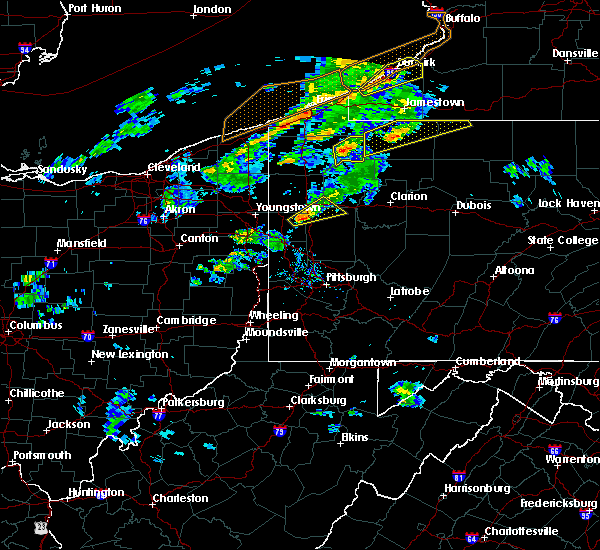 At 553 pm edt, a severe thunderstorm was located 7 miles south of riceville, or 17 miles north of oil city, moving northeast at 30 mph (radar indicated). Hazards include 60 mph wind gusts and quarter size hail. Hail damage to vehicles is expected. expect wind damage to roofs, siding and trees. Locations impacted include, titusville, riceville, lincolnville, hydetown, townville, spartansburg and centerville. At 553 pm edt, a severe thunderstorm was located 7 miles south of riceville, or 17 miles north of oil city, moving northeast at 30 mph (radar indicated). Hazards include 60 mph wind gusts and quarter size hail. Hail damage to vehicles is expected. expect wind damage to roofs, siding and trees. Locations impacted include, titusville, riceville, lincolnville, hydetown, townville, spartansburg and centerville.
|
| 9/17/2016 5:37 PM EDT |
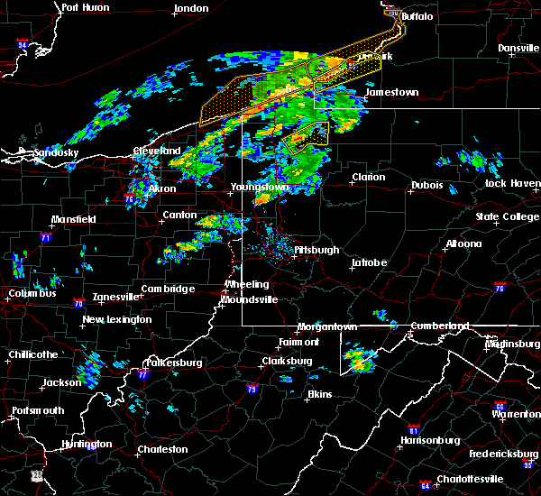 At 537 pm edt, a severe thunderstorm was located over guys mills, or 10 miles east of meadville, moving northeast at 30 mph (radar indicated). Hazards include 60 mph wind gusts and quarter size hail. Hail damage to vehicles is expected. Expect wind damage to roofs, siding and trees. At 537 pm edt, a severe thunderstorm was located over guys mills, or 10 miles east of meadville, moving northeast at 30 mph (radar indicated). Hazards include 60 mph wind gusts and quarter size hail. Hail damage to vehicles is expected. Expect wind damage to roofs, siding and trees.
|
| 9/17/2016 4:45 PM EDT |
 At 445 pm edt, a severe thunderstorm was located over meadville, moving northeast at 40 mph (radar indicated). Hazards include 60 mph wind gusts and quarter size hail. Hail damage to vehicles is expected. expect wind damage to roofs, siding and trees. Locations impacted include, meadville, titusville, riceville, lincolnville, guys mills, canadohta lake, hydetown, blooming valley, townville, spartansburg and centerville. At 445 pm edt, a severe thunderstorm was located over meadville, moving northeast at 40 mph (radar indicated). Hazards include 60 mph wind gusts and quarter size hail. Hail damage to vehicles is expected. expect wind damage to roofs, siding and trees. Locations impacted include, meadville, titusville, riceville, lincolnville, guys mills, canadohta lake, hydetown, blooming valley, townville, spartansburg and centerville.
|
| 9/17/2016 4:30 PM EDT |
 At 430 pm edt, a severe thunderstorm was located near atlantic, or 8 miles southwest of meadville, moving northeast at 40 mph (radar indicated). Hazards include 60 mph wind gusts and quarter size hail. Hail damage to vehicles is expected. Expect wind damage to roofs, siding and trees. At 430 pm edt, a severe thunderstorm was located near atlantic, or 8 miles southwest of meadville, moving northeast at 40 mph (radar indicated). Hazards include 60 mph wind gusts and quarter size hail. Hail damage to vehicles is expected. Expect wind damage to roofs, siding and trees.
|
| 9/10/2016 8:13 PM EDT |
 At 813 pm edt, severe thunderstorms were located along a line extending from near riceville to oil city, moving northeast at 50 mph (radar indicated). Hazards include 60 mph wind gusts and nickel size hail. Expect damage to roofs. Siding and trees. At 813 pm edt, severe thunderstorms were located along a line extending from near riceville to oil city, moving northeast at 50 mph (radar indicated). Hazards include 60 mph wind gusts and nickel size hail. Expect damage to roofs. Siding and trees.
|
| 9/10/2016 7:24 PM EDT |
 At 723 pm edt, severe thunderstorms were located along a line extending from near north east to near guys mills, moving northeast at 45 mph (radar indicated). Hazards include 60 mph wind gusts and nickel size hail. Expect damage to roofs. Siding and trees. At 723 pm edt, severe thunderstorms were located along a line extending from near north east to near guys mills, moving northeast at 45 mph (radar indicated). Hazards include 60 mph wind gusts and nickel size hail. Expect damage to roofs. Siding and trees.
|
| 9/8/2016 5:11 PM EDT |
 The severe thunderstorm warning for crawford county will expire at 515 pm edt, the storms which prompted the warning have weakened below severe limits, and no longer pose an immediate threat to life or property. therefore the warning will be allowed to expire. to report severe weather, contact your nearest law enforcement agency. they will relay your report to the national weather service cleveland. The severe thunderstorm warning for crawford county will expire at 515 pm edt, the storms which prompted the warning have weakened below severe limits, and no longer pose an immediate threat to life or property. therefore the warning will be allowed to expire. to report severe weather, contact your nearest law enforcement agency. they will relay your report to the national weather service cleveland.
|
| 9/8/2016 4:59 PM EDT |
 At 458 pm edt, severe thunderstorms were located along a line extending from near guys mills to 9 miles northwest of sugarcreek, moving east at 35 mph (radar indicated). Hazards include 60 mph wind gusts. Expect damage to roofs. siding and trees. Locations impacted include, meadville, titusville, riceville, lincolnville, adamsville, canadohta lake, atlantic, guys mills, cochranton, saegertown, conneaut lake, hydetown, blooming valley, townville, spartansburg, centerville, woodcock, conneaut lakeshore, geneva and hartstown. At 458 pm edt, severe thunderstorms were located along a line extending from near guys mills to 9 miles northwest of sugarcreek, moving east at 35 mph (radar indicated). Hazards include 60 mph wind gusts. Expect damage to roofs. siding and trees. Locations impacted include, meadville, titusville, riceville, lincolnville, adamsville, canadohta lake, atlantic, guys mills, cochranton, saegertown, conneaut lake, hydetown, blooming valley, townville, spartansburg, centerville, woodcock, conneaut lakeshore, geneva and hartstown.
|
| 9/8/2016 4:39 PM EDT |
 At 438 pm edt, severe thunderstorms were located along a line extending from near corry to near riceville to near atlantic, moving east at 45 mph (radar indicated). Hazards include 60 mph wind gusts. Expect damage to roofs. siding and trees. Locations impacted include, meadville, corry, titusville, union city, cambridge springs, wattsburg, riceville, lincolnville, adamsville, pymatuning central, canadohta lake, atlantic, guys mills, harmonsburg, cochranton, saegertown, conneaut lake, jamestown, hydetown and mill village. At 438 pm edt, severe thunderstorms were located along a line extending from near corry to near riceville to near atlantic, moving east at 45 mph (radar indicated). Hazards include 60 mph wind gusts. Expect damage to roofs. siding and trees. Locations impacted include, meadville, corry, titusville, union city, cambridge springs, wattsburg, riceville, lincolnville, adamsville, pymatuning central, canadohta lake, atlantic, guys mills, harmonsburg, cochranton, saegertown, conneaut lake, jamestown, hydetown and mill village.
|
| 9/8/2016 4:16 PM EDT |
 At 416 pm edt, severe thunderstorms were located along a line extending from waterford to near cambridge springs to near kinsman, moving east at 40 mph (radar indicated). Hazards include 60 mph wind gusts. Expect damage to roofs. Siding and trees. At 416 pm edt, severe thunderstorms were located along a line extending from waterford to near cambridge springs to near kinsman, moving east at 40 mph (radar indicated). Hazards include 60 mph wind gusts. Expect damage to roofs. Siding and trees.
|
| 8/25/2016 6:39 PM EDT |
 At 638 pm edt, a severe thunderstorm was located near guys mills, or 15 miles east of meadville, moving east at 30 mph (radar indicated). Hazards include 60 mph wind gusts and quarter size hail. Hail damage to vehicles is expected. expect wind damage to roofs, siding and trees. Locations impacted include, titusville, guys mills, hydetown, townville and centerville. At 638 pm edt, a severe thunderstorm was located near guys mills, or 15 miles east of meadville, moving east at 30 mph (radar indicated). Hazards include 60 mph wind gusts and quarter size hail. Hail damage to vehicles is expected. expect wind damage to roofs, siding and trees. Locations impacted include, titusville, guys mills, hydetown, townville and centerville.
|
| 8/25/2016 6:19 PM EDT |
 At 619 pm edt, a severe thunderstorm was located near guys mills, or near meadville, moving east at 30 mph (radar indicated). Hazards include 60 mph wind gusts and quarter size hail. Hail damage to vehicles is expected. expect wind damage to roofs, siding and trees. Locations impacted include, meadville, titusville, riceville, lincolnville, guys mills, canadohta lake, saegertown, hydetown, blooming valley, townville, spartansburg, venango, centerville and woodcock. At 619 pm edt, a severe thunderstorm was located near guys mills, or near meadville, moving east at 30 mph (radar indicated). Hazards include 60 mph wind gusts and quarter size hail. Hail damage to vehicles is expected. expect wind damage to roofs, siding and trees. Locations impacted include, meadville, titusville, riceville, lincolnville, guys mills, canadohta lake, saegertown, hydetown, blooming valley, townville, spartansburg, venango, centerville and woodcock.
|
| 8/25/2016 5:54 PM EDT |
 At 554 pm edt, a severe thunderstorm was located over harmonsburg, or 8 miles northwest of meadville, moving east at 25 mph (radar indicated). Hazards include 60 mph wind gusts and quarter size hail. Hail damage to vehicles is expected. Expect wind damage to roofs, siding and trees. At 554 pm edt, a severe thunderstorm was located over harmonsburg, or 8 miles northwest of meadville, moving east at 25 mph (radar indicated). Hazards include 60 mph wind gusts and quarter size hail. Hail damage to vehicles is expected. Expect wind damage to roofs, siding and trees.
|
| 7/25/2016 4:39 PM EDT |
 At 439 pm edt, a severe thunderstorm was located near south connellsville, or near connellsville, moving southeast at 35 mph (radar indicated). Hazards include 60 mph wind gusts. Expect damage to trees and power lines. resulting in some power outages. locations impacted include, connellsville, brownsville, south connellsville, perryopolis, dunbar, west brownsville, everson, vanderbilt, dawson, grindstone, centerville, ohiopyle, indian head, mill run and normalville. Please report severe weather by calling 4 1 2, 2 6 2, 1 9 8 8, posting to the nws pittsburgh facebook page, or using twitter @nwspittsburgh. At 439 pm edt, a severe thunderstorm was located near south connellsville, or near connellsville, moving southeast at 35 mph (radar indicated). Hazards include 60 mph wind gusts. Expect damage to trees and power lines. resulting in some power outages. locations impacted include, connellsville, brownsville, south connellsville, perryopolis, dunbar, west brownsville, everson, vanderbilt, dawson, grindstone, centerville, ohiopyle, indian head, mill run and normalville. Please report severe weather by calling 4 1 2, 2 6 2, 1 9 8 8, posting to the nws pittsburgh facebook page, or using twitter @nwspittsburgh.
|
| 7/25/2016 4:23 PM EDT |
 At 423 pm edt, a severe thunderstorm was located near perryopolis, or 9 miles west of connellsville, moving southeast at 35 mph (radar indicated). Hazards include 60 mph wind gusts. Expect damage to trees and power lines. Resulting in some power outages. At 423 pm edt, a severe thunderstorm was located near perryopolis, or 9 miles west of connellsville, moving southeast at 35 mph (radar indicated). Hazards include 60 mph wind gusts. Expect damage to trees and power lines. Resulting in some power outages.
|
| 7/23/2016 6:21 PM EDT |
 At 621 pm edt, a severe thunderstorm was located over fredericktown- millsboro, or 12 miles northeast of waynesburg, moving southeast at 5 mph (radar indicated). Hazards include 60 mph wind gusts. Expect damage to trees and power lines. resulting in some power outages. locations impacted include, brownsville, isabella and republic. Please report severe weather by calling 4 1 2, 2 6 2, 1 9 8 8, posting to the nws pittsburgh facebook page, or using twitter @nwspittsburgh. At 621 pm edt, a severe thunderstorm was located over fredericktown- millsboro, or 12 miles northeast of waynesburg, moving southeast at 5 mph (radar indicated). Hazards include 60 mph wind gusts. Expect damage to trees and power lines. resulting in some power outages. locations impacted include, brownsville, isabella and republic. Please report severe weather by calling 4 1 2, 2 6 2, 1 9 8 8, posting to the nws pittsburgh facebook page, or using twitter @nwspittsburgh.
|
| 7/23/2016 6:11 PM EDT |
 At 611 pm edt, a severe thunderstorm was located over fredericktown- millsboro, or 12 miles northeast of waynesburg, moving southeast at 5 mph (radar indicated). Hazards include 60 mph wind gusts. Expect damage to trees and power lines. resulting in some power outages. locations impacted include, california, brownsville, fredericktown-millsboro, fairdale, isabella, west brownsville, deemston, republic, carmichaels, rices landing, new salem and centerville. Please report severe weather by calling 4 1 2, 2 6 2, 1 9 8 8, posting to the nws pittsburgh facebook page, or using twitter @nwspittsburgh. At 611 pm edt, a severe thunderstorm was located over fredericktown- millsboro, or 12 miles northeast of waynesburg, moving southeast at 5 mph (radar indicated). Hazards include 60 mph wind gusts. Expect damage to trees and power lines. resulting in some power outages. locations impacted include, california, brownsville, fredericktown-millsboro, fairdale, isabella, west brownsville, deemston, republic, carmichaels, rices landing, new salem and centerville. Please report severe weather by calling 4 1 2, 2 6 2, 1 9 8 8, posting to the nws pittsburgh facebook page, or using twitter @nwspittsburgh.
|
| 7/23/2016 5:53 PM EDT |
 At 553 pm edt, a severe thunderstorm was located near fredericktown- millsboro, or 13 miles northeast of waynesburg, moving southeast at 5 mph (radar indicated). Hazards include 60 mph wind gusts and quarter size hail. Hail damage to vehicles is expected. expect wind damage to trees and power lines, resulting in some power outages. locations impacted include, brownsville, fredericktown-millsboro, fairdale, isabella, deemston, republic, carmichaels, beallsville, rices landing, new salem, clarksville and centerville. Please report severe weather by calling 4 1 2, 2 6 2, 1 9 8 8, posting to the nws pittsburgh facebook page, or using twitter @nwspittsburgh. At 553 pm edt, a severe thunderstorm was located near fredericktown- millsboro, or 13 miles northeast of waynesburg, moving southeast at 5 mph (radar indicated). Hazards include 60 mph wind gusts and quarter size hail. Hail damage to vehicles is expected. expect wind damage to trees and power lines, resulting in some power outages. locations impacted include, brownsville, fredericktown-millsboro, fairdale, isabella, deemston, republic, carmichaels, beallsville, rices landing, new salem, clarksville and centerville. Please report severe weather by calling 4 1 2, 2 6 2, 1 9 8 8, posting to the nws pittsburgh facebook page, or using twitter @nwspittsburgh.
|
| 7/23/2016 5:48 PM EDT |
 At 548 pm edt, a severe thunderstorm was located near bentleyville, or 12 miles southeast of washington, moving southeast at 5 mph (radar indicated). Hazards include 60 mph wind gusts and quarter size hail. Hail damage to vehicles is expected. Expect wind damage to trees and power lines, resulting in some power outages. At 548 pm edt, a severe thunderstorm was located near bentleyville, or 12 miles southeast of washington, moving southeast at 5 mph (radar indicated). Hazards include 60 mph wind gusts and quarter size hail. Hail damage to vehicles is expected. Expect wind damage to trees and power lines, resulting in some power outages.
|
| 7/23/2016 4:59 PM EDT |
 At 459 pm edt, a severe thunderstorm was located near monongahela, or 7 miles south of gastonville, moving southeast at 10 mph (radar indicated). Hazards include 60 mph wind gusts and penny size hail. Expect damage to trees and power lines. resulting in some power outages. locations impacted include, california, charleroi, bentleyville, north belle vernon, speers, belle vernon, lynnwood-pricedale, roscoe, fayette city, newell, allenport, stockdale, long branch, dunlevy, elco, twilight, centerville and coal center. this includes interstate 70 in pennsylvania between mile markers 35 and 40. Please report severe weather by calling 4 1 2, 2 6 2, 1 9 8 8, posting to the nws pittsburgh facebook page, or using twitter @nwspittsburgh. At 459 pm edt, a severe thunderstorm was located near monongahela, or 7 miles south of gastonville, moving southeast at 10 mph (radar indicated). Hazards include 60 mph wind gusts and penny size hail. Expect damage to trees and power lines. resulting in some power outages. locations impacted include, california, charleroi, bentleyville, north belle vernon, speers, belle vernon, lynnwood-pricedale, roscoe, fayette city, newell, allenport, stockdale, long branch, dunlevy, elco, twilight, centerville and coal center. this includes interstate 70 in pennsylvania between mile markers 35 and 40. Please report severe weather by calling 4 1 2, 2 6 2, 1 9 8 8, posting to the nws pittsburgh facebook page, or using twitter @nwspittsburgh.
|
| 7/23/2016 4:48 PM EDT |
 At 448 pm edt, a severe thunderstorm was located near monongahela, or near gastonville, moving southeast at 10 mph (radar indicated). Hazards include 60 mph wind gusts and penny size hail. Expect damage to trees and power lines. resulting in some power outages. locations impacted include, monessen, california, donora, monongahela, charleroi, bentleyville, perryopolis, new eagle, north belle vernon, wickerham manor-fisher, baidland, north charleroi, speers, belle vernon, lynnwood-pricedale, west brownsville, roscoe, fayette city, newell and allenport. this includes interstate 70 in pennsylvania between mile markers 33 and 43. Please report severe weather by calling 4 1 2, 2 6 2, 1 9 8 8, posting to the nws pittsburgh facebook page, or using twitter @nwspittsburgh. At 448 pm edt, a severe thunderstorm was located near monongahela, or near gastonville, moving southeast at 10 mph (radar indicated). Hazards include 60 mph wind gusts and penny size hail. Expect damage to trees and power lines. resulting in some power outages. locations impacted include, monessen, california, donora, monongahela, charleroi, bentleyville, perryopolis, new eagle, north belle vernon, wickerham manor-fisher, baidland, north charleroi, speers, belle vernon, lynnwood-pricedale, west brownsville, roscoe, fayette city, newell and allenport. this includes interstate 70 in pennsylvania between mile markers 33 and 43. Please report severe weather by calling 4 1 2, 2 6 2, 1 9 8 8, posting to the nws pittsburgh facebook page, or using twitter @nwspittsburgh.
|
| 7/23/2016 4:33 PM EDT |
 At 433 pm edt, a severe thunderstorm was located near gastonville, moving southeast at 10 mph (radar indicated). Hazards include 60 mph wind gusts and quarter size hail. Hail damage to vehicles is expected. Expect wind damage to trees and power lines, resulting in some power outages. At 433 pm edt, a severe thunderstorm was located near gastonville, moving southeast at 10 mph (radar indicated). Hazards include 60 mph wind gusts and quarter size hail. Hail damage to vehicles is expected. Expect wind damage to trees and power lines, resulting in some power outages.
|
| 7/14/2016 9:14 PM EDT |
 At 913 pm edt, a severe thunderstorm was located near masontown, or 9 miles west of uniontown, moving east at 30 mph (radar indicated). Hazards include 60 mph wind gusts. Expect damage to trees and power lines. resulting in some power outages. locations impacted include, uniontown, masontown, brownsville, fredericktown-millsboro, fairdale, fairchance, isabella, smithfield, nemacolin, republic, carmichaels, rices landing, new salem, grindstone and centerville. Please report severe weather by calling 4 1 2, 2 6 2, 1 9 8 8, posting to the nws pittsburgh facebook page, or using twitter @nwspittsburgh. At 913 pm edt, a severe thunderstorm was located near masontown, or 9 miles west of uniontown, moving east at 30 mph (radar indicated). Hazards include 60 mph wind gusts. Expect damage to trees and power lines. resulting in some power outages. locations impacted include, uniontown, masontown, brownsville, fredericktown-millsboro, fairdale, fairchance, isabella, smithfield, nemacolin, republic, carmichaels, rices landing, new salem, grindstone and centerville. Please report severe weather by calling 4 1 2, 2 6 2, 1 9 8 8, posting to the nws pittsburgh facebook page, or using twitter @nwspittsburgh.
|
| 7/14/2016 8:58 PM EDT |
 At 857 pm edt, a severe thunderstorm was located over jefferson boro, or 8 miles east of waynesburg, moving east at 25 mph (radar indicated). Hazards include 60 mph wind gusts. Expect damage to trees and power lines. Resulting in some power outages. At 857 pm edt, a severe thunderstorm was located over jefferson boro, or 8 miles east of waynesburg, moving east at 25 mph (radar indicated). Hazards include 60 mph wind gusts. Expect damage to trees and power lines. Resulting in some power outages.
|
| 7/13/2016 11:59 PM EDT |
 At 1158 pm edt, severe thunderstorms were located along a line extending from near girard to 7 miles southwest of meadville, moving east at 30 mph (radar indicated). Hazards include 60 mph wind gusts. Expect damage to roofs. siding and trees. Locations impacted include, erie, ashtabula, meadville, conneaut, corry, edinboro, titusville, north east, union city, girard, north kingsville, cambridge springs, waterford, wattsburg, lincolnville, canadohta lake, guys mills, riceville, northwest harborcreek and harborcreek. At 1158 pm edt, severe thunderstorms were located along a line extending from near girard to 7 miles southwest of meadville, moving east at 30 mph (radar indicated). Hazards include 60 mph wind gusts. Expect damage to roofs. siding and trees. Locations impacted include, erie, ashtabula, meadville, conneaut, corry, edinboro, titusville, north east, union city, girard, north kingsville, cambridge springs, waterford, wattsburg, lincolnville, canadohta lake, guys mills, riceville, northwest harborcreek and harborcreek.
|
| 7/13/2016 11:13 PM EDT |
 At 1112 pm edt, severe thunderstorms were located along a line extending from near geneva-on-the-lake to near north bloomfield, moving east at 50 mph (radar indicated). Hazards include 60 mph wind gusts. Hail damage to vehicles is expected. Expect wind damage to roofs, siding and trees. At 1112 pm edt, severe thunderstorms were located along a line extending from near geneva-on-the-lake to near north bloomfield, moving east at 50 mph (radar indicated). Hazards include 60 mph wind gusts. Hail damage to vehicles is expected. Expect wind damage to roofs, siding and trees.
|
| 6/16/2016 4:28 PM EDT |
 At 428 pm edt, severe thunderstorms were located along a line extending from swissvale to near gastonville, moving east at 30 mph (law enforcement). Hazards include 60 mph wind gusts and quarter size hail. Hail damage to vehicles is expected. expect wind damage to trees and power lines, resulting in some power outages. locations impacted include, pittsburgh, penn hills, mount lebanon, bethel park, monroeville, mcmurray, mckeesport, gastonville, plum, west mifflin, north side pittsburgh, baldwin, upper st. clair, scott township, wilkinsburg, whitehall, south park township, robinson township, munhall and jefferson hills. this includes the following highways, interstate 70 in pennsylvania between mile markers 24 and 40. pennsylvania turnpike between mile markers 55 and 57. interstate 79 in pennsylvania between mile markers 54 and 56. interstate 279 in pennsylvania between mile markers 1 and 2. interstate 376 in pennsylvania between mile markers 64 and 84. Please report severe weather by calling 4 1 2, 2 6 2, 1 9 8 8, posting to the nws pittsburgh facebook page, or using twitter @nwspittsburgh. At 428 pm edt, severe thunderstorms were located along a line extending from swissvale to near gastonville, moving east at 30 mph (law enforcement). Hazards include 60 mph wind gusts and quarter size hail. Hail damage to vehicles is expected. expect wind damage to trees and power lines, resulting in some power outages. locations impacted include, pittsburgh, penn hills, mount lebanon, bethel park, monroeville, mcmurray, mckeesport, gastonville, plum, west mifflin, north side pittsburgh, baldwin, upper st. clair, scott township, wilkinsburg, whitehall, south park township, robinson township, munhall and jefferson hills. this includes the following highways, interstate 70 in pennsylvania between mile markers 24 and 40. pennsylvania turnpike between mile markers 55 and 57. interstate 79 in pennsylvania between mile markers 54 and 56. interstate 279 in pennsylvania between mile markers 1 and 2. interstate 376 in pennsylvania between mile markers 64 and 84. Please report severe weather by calling 4 1 2, 2 6 2, 1 9 8 8, posting to the nws pittsburgh facebook page, or using twitter @nwspittsburgh.
|
| 6/16/2016 4:16 PM EDT |
 At 416 pm edt, severe thunderstorms were located along a line extending from 6 miles west of bentleyville to near waynesburg, moving east at 40 mph (radar indicated). Hazards include 60 mph wind gusts and nickel size hail. Expect damage to trees and power lines. Resulting in some power outages. At 416 pm edt, severe thunderstorms were located along a line extending from 6 miles west of bentleyville to near waynesburg, moving east at 40 mph (radar indicated). Hazards include 60 mph wind gusts and nickel size hail. Expect damage to trees and power lines. Resulting in some power outages.
|
| 6/16/2016 3:57 PM EDT |
 At 355 pm edt, severe thunderstorms were located along a line extending from near sturgeon-noblestown to near wolfdale, moving east at 30 mph (radar indicated). Hazards include 60 mph wind gusts and quarter size hail. Hail damage to vehicles is expected. expect wind damage to trees and power lines, resulting in some power outages. locations impacted include, pittsburgh, penn hills, mount lebanon, bethel park, monroeville, mcmurray, mckeesport, washington, canonsburg, gastonville, plum, west mifflin, north side pittsburgh, baldwin, upper st. clair, scott township, wilkinsburg, whitehall, south park township and robinson township. this includes the following highways, interstate 70 in pennsylvania between mile markers 10 and 40. pennsylvania turnpike between mile markers 55 and 57. interstate 79 in pennsylvania between mile markers 50 and 61, and between mile markers 29 and 49. interstate 279 in pennsylvania between mile markers 1 and 2. interstate 376 in pennsylvania between mile markers 55 and 84. Please report severe weather by calling 4 1 2, 2 6 2, 1 9 8 8, posting to the nws pittsburgh facebook page, or using twitter @nwspittsburgh. At 355 pm edt, severe thunderstorms were located along a line extending from near sturgeon-noblestown to near wolfdale, moving east at 30 mph (radar indicated). Hazards include 60 mph wind gusts and quarter size hail. Hail damage to vehicles is expected. expect wind damage to trees and power lines, resulting in some power outages. locations impacted include, pittsburgh, penn hills, mount lebanon, bethel park, monroeville, mcmurray, mckeesport, washington, canonsburg, gastonville, plum, west mifflin, north side pittsburgh, baldwin, upper st. clair, scott township, wilkinsburg, whitehall, south park township and robinson township. this includes the following highways, interstate 70 in pennsylvania between mile markers 10 and 40. pennsylvania turnpike between mile markers 55 and 57. interstate 79 in pennsylvania between mile markers 50 and 61, and between mile markers 29 and 49. interstate 279 in pennsylvania between mile markers 1 and 2. interstate 376 in pennsylvania between mile markers 55 and 84. Please report severe weather by calling 4 1 2, 2 6 2, 1 9 8 8, posting to the nws pittsburgh facebook page, or using twitter @nwspittsburgh.
|
| 6/16/2016 3:43 PM EDT |
 At 342 pm edt, severe thunderstorms were located along a line extending from near imperial to near west liberty, moving east at 30 mph (radar indicated). Hazards include 60 mph wind gusts and quarter size hail. Hail damage to vehicles is expected. Expect wind damage to trees and power lines, resulting in some power outages. At 342 pm edt, severe thunderstorms were located along a line extending from near imperial to near west liberty, moving east at 30 mph (radar indicated). Hazards include 60 mph wind gusts and quarter size hail. Hail damage to vehicles is expected. Expect wind damage to trees and power lines, resulting in some power outages.
|
| 6/6/2016 10:33 PM EDT |
 At 1032 pm edt, a severe thunderstorm was located over bentleyville, or 11 miles south of gastonville, moving east at 30 mph (radar indicated). Hazards include 60 mph wind gusts and nickel size hail. Expect damage to trees and power lines. Resulting in some power outages. At 1032 pm edt, a severe thunderstorm was located over bentleyville, or 11 miles south of gastonville, moving east at 30 mph (radar indicated). Hazards include 60 mph wind gusts and nickel size hail. Expect damage to trees and power lines. Resulting in some power outages.
|
| 6/5/2016 5:00 PM EDT |
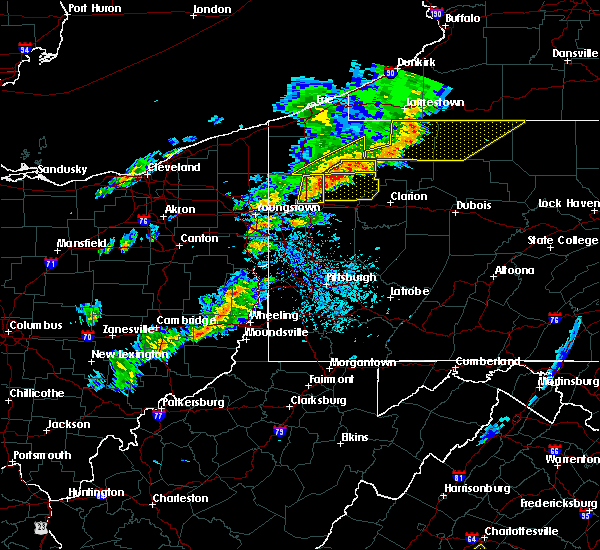 At 459 pm edt, severe thunderstorms were located along a line extending from near guys mills to 13 miles north of grove city, moving east at 50 mph (radar indicated). Hazards include 60 mph wind gusts and quarter size hail. Hail damage to vehicles is expected. expect wind damage to roofs, siding and trees. Locations impacted include, titusville, guys mills, cochranton, hydetown, townville and centerville. At 459 pm edt, severe thunderstorms were located along a line extending from near guys mills to 13 miles north of grove city, moving east at 50 mph (radar indicated). Hazards include 60 mph wind gusts and quarter size hail. Hail damage to vehicles is expected. expect wind damage to roofs, siding and trees. Locations impacted include, titusville, guys mills, cochranton, hydetown, townville and centerville.
|
| 6/5/2016 4:40 PM EDT |
 At 440 pm edt, severe thunderstorms were located along a line extending from near meadville to near greenville, moving northeast at 40 mph (radar indicated). Hazards include 60 mph wind gusts and quarter size hail. Hail damage to vehicles is expected. Expect wind damage to roofs, siding and trees. At 440 pm edt, severe thunderstorms were located along a line extending from near meadville to near greenville, moving northeast at 40 mph (radar indicated). Hazards include 60 mph wind gusts and quarter size hail. Hail damage to vehicles is expected. Expect wind damage to roofs, siding and trees.
|
| 6/5/2016 4:37 PM EDT |
 The tornado warning for northeastern crawford and southeastern erie counties will expire at 445 pm edt, the storm which prompted the warning has weakened below severe limits and exited the warned area. therefore the warning will be allowed to expire. a severe thunderstorm watch remains in effect until 900 pm edt for northwestern pennsylvania. remember, a severe thunderstorm warning still remains in effect for crawford county. The tornado warning for northeastern crawford and southeastern erie counties will expire at 445 pm edt, the storm which prompted the warning has weakened below severe limits and exited the warned area. therefore the warning will be allowed to expire. a severe thunderstorm watch remains in effect until 900 pm edt for northwestern pennsylvania. remember, a severe thunderstorm warning still remains in effect for crawford county.
|
| 6/5/2016 4:21 PM EDT |
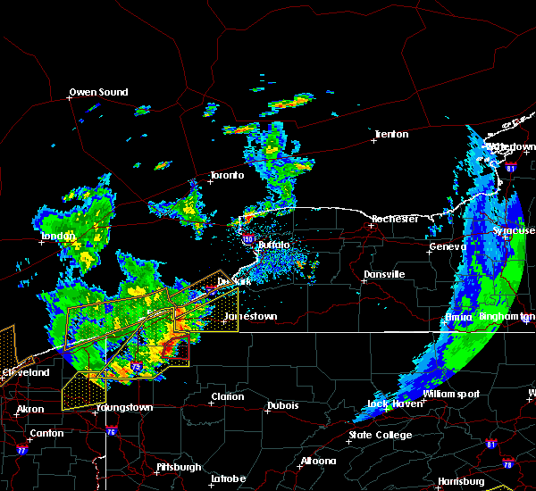 At 420 pm edt, a severe thunderstorm capable of producing a tornado was located near canadohta lake, or 23 miles northeast of meadville, moving east at 45 mph (radar indicated rotation). Hazards include tornado and quarter size hail. Flying debris will be dangerous to those caught without shelter. mobile homes will be damaged or destroyed. damage to roofs, windows and vehicles will occur. tree damage is likely. this dangerous storm will be near, corry around 430 pm edt. Other locations impacted by this tornadic thunderstorm include spartansburg, elgin and centerville. At 420 pm edt, a severe thunderstorm capable of producing a tornado was located near canadohta lake, or 23 miles northeast of meadville, moving east at 45 mph (radar indicated rotation). Hazards include tornado and quarter size hail. Flying debris will be dangerous to those caught without shelter. mobile homes will be damaged or destroyed. damage to roofs, windows and vehicles will occur. tree damage is likely. this dangerous storm will be near, corry around 430 pm edt. Other locations impacted by this tornadic thunderstorm include spartansburg, elgin and centerville.
|
| 6/5/2016 4:16 PM EDT |
 At 415 pm edt, severe thunderstorms were located along a line extending from near findley lake to near union city to near pymatuning central, moving east at 40 mph. trained weather spotters reported some trees down in the cranesville area earlier and law enforcementreported some trees down as well in the northwest portion ofcrawford county (trained weather spotters and law enforcement). Hazards include 60 mph wind gusts and quarter size hail. Hail damage to vehicles is expected. expect wind damage to roofs, siding and trees. Locations impacted include, erie, meadville, corry, edinboro, titusville, north east, union city, cambridge springs, waterford, linesville, wattsburg, lincolnville, pymatuning central, canadohta lake, guys mills, harmonsburg, riceville, adamsville, pymatuning north and atlantic. At 415 pm edt, severe thunderstorms were located along a line extending from near findley lake to near union city to near pymatuning central, moving east at 40 mph. trained weather spotters reported some trees down in the cranesville area earlier and law enforcementreported some trees down as well in the northwest portion ofcrawford county (trained weather spotters and law enforcement). Hazards include 60 mph wind gusts and quarter size hail. Hail damage to vehicles is expected. expect wind damage to roofs, siding and trees. Locations impacted include, erie, meadville, corry, edinboro, titusville, north east, union city, cambridge springs, waterford, linesville, wattsburg, lincolnville, pymatuning central, canadohta lake, guys mills, harmonsburg, riceville, adamsville, pymatuning north and atlantic.
|
| 6/5/2016 4:04 PM EDT |
 At 403 pm edt, a severe thunderstorm capable of producing a tornado was located over cambridge springs, or 12 miles northeast of meadville, moving east at 35 mph (radar indicated rotation). Hazards include tornado and quarter size hail. Flying debris will be dangerous to those caught without shelter. mobile homes will be damaged or destroyed. damage to roofs, windows and vehicles will occur. tree damage is likely. this dangerous storm will be near, canadohta lake and lincolnville around 415 pm edt. union city and riceville around 420 pm edt. corry around 435 pm edt. Other locations impacted by this tornadic thunderstorm include spartansburg, elgin, mill village, centerville, woodcock and blooming valley. At 403 pm edt, a severe thunderstorm capable of producing a tornado was located over cambridge springs, or 12 miles northeast of meadville, moving east at 35 mph (radar indicated rotation). Hazards include tornado and quarter size hail. Flying debris will be dangerous to those caught without shelter. mobile homes will be damaged or destroyed. damage to roofs, windows and vehicles will occur. tree damage is likely. this dangerous storm will be near, canadohta lake and lincolnville around 415 pm edt. union city and riceville around 420 pm edt. corry around 435 pm edt. Other locations impacted by this tornadic thunderstorm include spartansburg, elgin, mill village, centerville, woodcock and blooming valley.
|
| 6/5/2016 3:42 PM EDT |
 At 342 pm edt, severe thunderstorms were located along a line extending from near girard to near andover, moving northeast at 40 mph (radar indicated). Hazards include 60 mph wind gusts and quarter size hail. Hail damage to vehicles is expected. Expect wind damage to roofs, siding and trees. At 342 pm edt, severe thunderstorms were located along a line extending from near girard to near andover, moving northeast at 40 mph (radar indicated). Hazards include 60 mph wind gusts and quarter size hail. Hail damage to vehicles is expected. Expect wind damage to roofs, siding and trees.
|
| 9/3/2015 3:57 PM EDT |
 At 356 pm edt, severe thunderstorms were located along a line extending from near edinboro to near guys mills, and are nearly stationary (radar indicated). Hazards include 60 mph wind gusts and quarter size hail. Hail damage to vehicles is expected. Expect wind damage to roofs, siding and trees. At 356 pm edt, severe thunderstorms were located along a line extending from near edinboro to near guys mills, and are nearly stationary (radar indicated). Hazards include 60 mph wind gusts and quarter size hail. Hail damage to vehicles is expected. Expect wind damage to roofs, siding and trees.
|
| 8/3/2015 6:52 PM EDT |
 At 651 pm edt, a severe thunderstorm was located over fredericktown-millsboro, or 13 miles northeast of waynesburg, moving southeast at 30 mph (radar indicated). Hazards include 60 mph wind gusts and quarter size hail. Hail damage to vehicles is expected. Expect wind damage to trees and some power outages. At 651 pm edt, a severe thunderstorm was located over fredericktown-millsboro, or 13 miles northeast of waynesburg, moving southeast at 30 mph (radar indicated). Hazards include 60 mph wind gusts and quarter size hail. Hail damage to vehicles is expected. Expect wind damage to trees and some power outages.
|
| 8/3/2015 6:31 PM EDT |
 At 631 pm edt, a severe thunderstorm was located near east washington, or near washington, moving east at 30 mph (radar indicated). Hazards include 60 mph wind gusts and quarter size hail. Hail damage to vehicles is expected. expect wind damage to trees and some power outages. Locations impacted include, washington, monessen, california, charleroi, bentleyville, east washington, fredericktown-millsboro, jefferson boro, wickerham manor-fisher, north charleroi, ellsworth, deemston, eighty four, cokeburg, marianna, beallsville, rices landing, clarksville, centerville and scenery hill. At 631 pm edt, a severe thunderstorm was located near east washington, or near washington, moving east at 30 mph (radar indicated). Hazards include 60 mph wind gusts and quarter size hail. Hail damage to vehicles is expected. expect wind damage to trees and some power outages. Locations impacted include, washington, monessen, california, charleroi, bentleyville, east washington, fredericktown-millsboro, jefferson boro, wickerham manor-fisher, north charleroi, ellsworth, deemston, eighty four, cokeburg, marianna, beallsville, rices landing, clarksville, centerville and scenery hill.
|
| 8/3/2015 6:08 PM EDT |
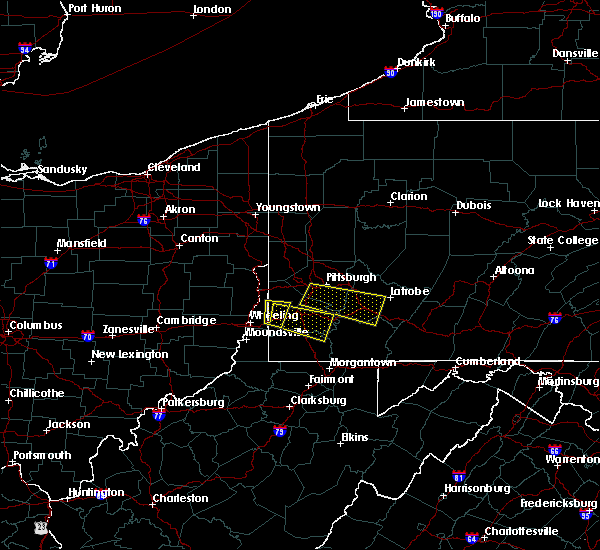 At 607 pm edt, a severe thunderstorm was located 7 miles southwest of wolfdale, or 8 miles northeast of valley grove, moving east at 25 mph (radar indicated). Hazards include 60 mph wind gusts and quarter size hail. Hail damage to vehicles is expected. Expect wind damage to trees and some power outages. At 607 pm edt, a severe thunderstorm was located 7 miles southwest of wolfdale, or 8 miles northeast of valley grove, moving east at 25 mph (radar indicated). Hazards include 60 mph wind gusts and quarter size hail. Hail damage to vehicles is expected. Expect wind damage to trees and some power outages.
|
| 7/19/2015 6:27 PM EDT | The severe thunderstorm warning for southeastern erie and crawford counties will expire at 630 pm edt. the storm which prompted the warning has weakened below severe limits. and no longer pose an immediate threat to life or property. therefore the warning will be allowed to expire. however gusty winds to 50 mph are still possible with this thunderstorm. A new. |
| 7/19/2015 6:14 PM EDT |
 At 612 pm edt, a severe thunderstorm was located over riceville, or 20 miles east of meadville, moving east at 25 mph. an additional storm was located just east of meadville and was also moving east at 25 mph. trees and power lines were reported down a couple miles east of cambridge springs from these storms (public). Hazards include 60 mph wind gusts and nickel size hail. Expect damage to roofs. siding and trees. Locations impacted include, meadville, corry, titusville, union city, cambridge springs, riceville, lincolnville, canadohta lake, guys mills, cochranton, saegertown, hydetown, mill village, blooming valley, townville, spartansburg, venango, elgin, centerville and woodcock. At 612 pm edt, a severe thunderstorm was located over riceville, or 20 miles east of meadville, moving east at 25 mph. an additional storm was located just east of meadville and was also moving east at 25 mph. trees and power lines were reported down a couple miles east of cambridge springs from these storms (public). Hazards include 60 mph wind gusts and nickel size hail. Expect damage to roofs. siding and trees. Locations impacted include, meadville, corry, titusville, union city, cambridge springs, riceville, lincolnville, canadohta lake, guys mills, cochranton, saegertown, hydetown, mill village, blooming valley, townville, spartansburg, venango, elgin, centerville and woodcock.
|
| 7/19/2015 5:50 PM EDT |
 At 550 pm edt, a severe thunderstorm was located near lincolnville, or 16 miles northeast of meadville, moving east at 30 mph (radar indicated). Hazards include 60 mph wind gusts and nickel size hail. Expect damage to roofs. Siding and trees. At 550 pm edt, a severe thunderstorm was located near lincolnville, or 16 miles northeast of meadville, moving east at 30 mph (radar indicated). Hazards include 60 mph wind gusts and nickel size hail. Expect damage to roofs. Siding and trees.
|
| 7/9/2015 1:44 PM EDT |
 At 143 pm edt, severe thunderstorms were located along a line extending from 6 miles west of fredericktown-millsboro to near fairdale to monongah to near salem, moving east at 45 mph (radar indicated). Hazards include 60 mph wind gusts. expect damage to trees and some power outages At 143 pm edt, severe thunderstorms were located along a line extending from 6 miles west of fredericktown-millsboro to near fairdale to monongah to near salem, moving east at 45 mph (radar indicated). Hazards include 60 mph wind gusts. expect damage to trees and some power outages
|
| 7/9/2015 1:31 PM EDT |
 At 130 pm edt, a severe thunderstorm was located 7 miles southwest of waynesburg, moving east at 40 mph (radar indicated). Hazards include 60 mph wind gusts. Expect damage to trees and some power outages locations impacted include, waynesburg, masontown, brownsville, fredericktown-millsboro, jefferson boro, fairdale, point marion, isabella, rogersville, nemacolin, bobtown, carmichaels, rices landing, greensboro, clarksville, centerville, blacksville, mount morris, spraggs and pentress. A tornado watch remains in effect until 900 pm edt for southwestern pennsylvania and northern west virginia. At 130 pm edt, a severe thunderstorm was located 7 miles southwest of waynesburg, moving east at 40 mph (radar indicated). Hazards include 60 mph wind gusts. Expect damage to trees and some power outages locations impacted include, waynesburg, masontown, brownsville, fredericktown-millsboro, jefferson boro, fairdale, point marion, isabella, rogersville, nemacolin, bobtown, carmichaels, rices landing, greensboro, clarksville, centerville, blacksville, mount morris, spraggs and pentress. A tornado watch remains in effect until 900 pm edt for southwestern pennsylvania and northern west virginia.
|
| 7/9/2015 1:31 PM EDT |
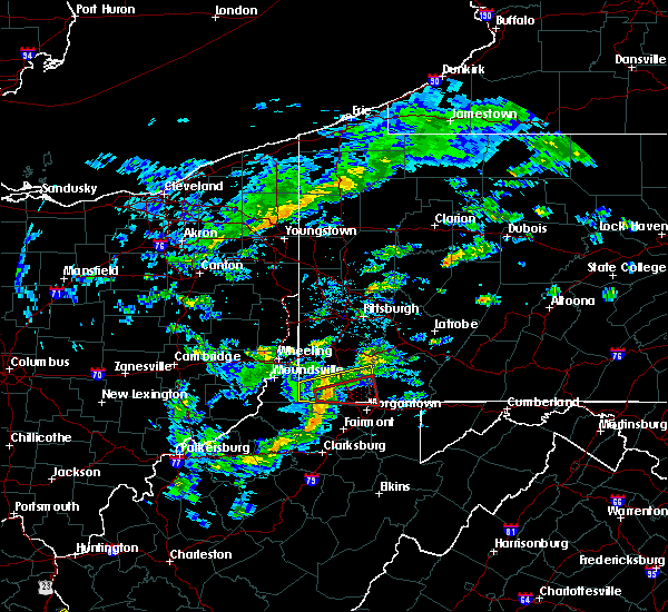 At 130 pm edt, a severe thunderstorm was located 7 miles southwest of waynesburg, moving east at 40 mph (radar indicated). Hazards include 60 mph wind gusts. Expect damage to trees and some power outages locations impacted include, waynesburg, masontown, brownsville, fredericktown-millsboro, jefferson boro, fairdale, point marion, isabella, rogersville, nemacolin, bobtown, carmichaels, rices landing, greensboro, clarksville, centerville, blacksville, mount morris, spraggs and pentress. A tornado watch remains in effect until 900 pm edt for southwestern pennsylvania and northern west virginia. At 130 pm edt, a severe thunderstorm was located 7 miles southwest of waynesburg, moving east at 40 mph (radar indicated). Hazards include 60 mph wind gusts. Expect damage to trees and some power outages locations impacted include, waynesburg, masontown, brownsville, fredericktown-millsboro, jefferson boro, fairdale, point marion, isabella, rogersville, nemacolin, bobtown, carmichaels, rices landing, greensboro, clarksville, centerville, blacksville, mount morris, spraggs and pentress. A tornado watch remains in effect until 900 pm edt for southwestern pennsylvania and northern west virginia.
|
| 7/9/2015 1:25 PM EDT |
 At 124 pm edt, a severe thunderstorm was located 9 miles northeast of hundred, or 11 miles southwest of waynesburg, moving east at 40 mph (radar indicated). Hazards include 60 mph wind gusts. expect damage to trees and some power outages locations impacted include, waynesburg, masontown, brownsville, fredericktown-millsboro, jefferson boro, fairdale, point marion, isabella, rogersville, nemacolin, bobtown, carmichaels, rices landing, aleppo, greensboro, clarksville, centerville, blacksville, mount morris and new freeport At 124 pm edt, a severe thunderstorm was located 9 miles northeast of hundred, or 11 miles southwest of waynesburg, moving east at 40 mph (radar indicated). Hazards include 60 mph wind gusts. expect damage to trees and some power outages locations impacted include, waynesburg, masontown, brownsville, fredericktown-millsboro, jefferson boro, fairdale, point marion, isabella, rogersville, nemacolin, bobtown, carmichaels, rices landing, aleppo, greensboro, clarksville, centerville, blacksville, mount morris and new freeport
|
| 7/9/2015 1:25 PM EDT |
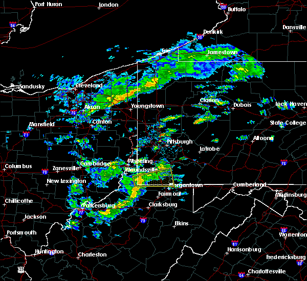 At 124 pm edt, a severe thunderstorm was located 9 miles northeast of hundred, or 11 miles southwest of waynesburg, moving east at 40 mph (radar indicated). Hazards include 60 mph wind gusts. expect damage to trees and some power outages locations impacted include, waynesburg, masontown, brownsville, fredericktown-millsboro, jefferson boro, fairdale, point marion, isabella, rogersville, nemacolin, bobtown, carmichaels, rices landing, aleppo, greensboro, clarksville, centerville, blacksville, mount morris and new freeport At 124 pm edt, a severe thunderstorm was located 9 miles northeast of hundred, or 11 miles southwest of waynesburg, moving east at 40 mph (radar indicated). Hazards include 60 mph wind gusts. expect damage to trees and some power outages locations impacted include, waynesburg, masontown, brownsville, fredericktown-millsboro, jefferson boro, fairdale, point marion, isabella, rogersville, nemacolin, bobtown, carmichaels, rices landing, aleppo, greensboro, clarksville, centerville, blacksville, mount morris and new freeport
|
| 7/9/2015 1:12 PM EDT |
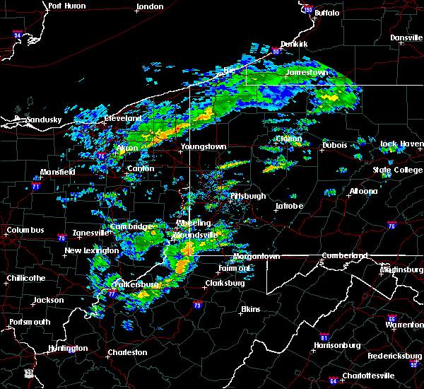 At 112 pm edt, a severe thunderstorm was located near hundred, or 17 miles northwest of mannington, moving east at 40 mph (radar indicated). Hazards include 60 mph wind gusts. expect damage to trees and some power outages At 112 pm edt, a severe thunderstorm was located near hundred, or 17 miles northwest of mannington, moving east at 40 mph (radar indicated). Hazards include 60 mph wind gusts. expect damage to trees and some power outages
|
| 7/7/2015 7:19 PM EDT |
 At 718 pm edt, severe thunderstorms were located along a line extending from near avella to 7 miles north of waynesburg, moving northeast at 40 mph (radar indicated). Hazards include 60 mph wind gusts. Expect damage to trees and some power outages locations impacted include, moon township, mcmurray, washington, canonsburg, avella, upper st. Clair, robinson township, cecil-bishop, california, bridgeville, wolfdale, mcgovern, bentleyville, imperial, brownsville, east washington, mcdonald, fredericktown-millsboro, sturgeon-noblestown and oakdale. At 718 pm edt, severe thunderstorms were located along a line extending from near avella to 7 miles north of waynesburg, moving northeast at 40 mph (radar indicated). Hazards include 60 mph wind gusts. Expect damage to trees and some power outages locations impacted include, moon township, mcmurray, washington, canonsburg, avella, upper st. Clair, robinson township, cecil-bishop, california, bridgeville, wolfdale, mcgovern, bentleyville, imperial, brownsville, east washington, mcdonald, fredericktown-millsboro, sturgeon-noblestown and oakdale.
|
| 7/7/2015 6:59 PM EDT |
 At 658 pm edt, severe thunderstorms were located along a line extending from near west liberty to 9 miles northeast of cameron, moving northeast at 40 mph (radar indicated). Hazards include 60 mph wind gusts. expect damage to trees and some power outages At 658 pm edt, severe thunderstorms were located along a line extending from near west liberty to 9 miles northeast of cameron, moving northeast at 40 mph (radar indicated). Hazards include 60 mph wind gusts. expect damage to trees and some power outages
|
| 6/23/2015 4:44 AM EDT |
 At 443 am edt, severe thunderstorms were located along a line extending from 8 miles north of northwest harborcreek to near waterford to near andover, moving east at 50 mph. this line has weakened but is still capable of producing 60 mph wind gusts (radar indicated). Hazards include 60 mph wind gusts. Expect damage to roofs. siding and trees. Locations impacted include, erie, meadville, edinboro, titusville, north east, union city, girard, cambridge springs, waterford, albion, linesville, wattsburg, northwest harborcreek, harborcreek, lawrence park, wesleyville, lake city, cochranton, saegertown and conneautville. At 443 am edt, severe thunderstorms were located along a line extending from 8 miles north of northwest harborcreek to near waterford to near andover, moving east at 50 mph. this line has weakened but is still capable of producing 60 mph wind gusts (radar indicated). Hazards include 60 mph wind gusts. Expect damage to roofs. siding and trees. Locations impacted include, erie, meadville, edinboro, titusville, north east, union city, girard, cambridge springs, waterford, albion, linesville, wattsburg, northwest harborcreek, harborcreek, lawrence park, wesleyville, lake city, cochranton, saegertown and conneautville.
|
| 6/23/2015 4:05 AM EDT |
 At 404 am edt, severe thunderstorms were located along a line extending from 24 miles northwest of conneaut to north kingsville to near chardon, moving east at 60 mph. these are very dangerous storms (radar indicated). Hazards include 80 mph wind gusts. Flying debris will be dangerous to those caught without shelter. mobile homes will be heavily damaged. expect considerable damage to roofs, windows and vehicles. Extensive tree damage and power outages are likely. At 404 am edt, severe thunderstorms were located along a line extending from 24 miles northwest of conneaut to north kingsville to near chardon, moving east at 60 mph. these are very dangerous storms (radar indicated). Hazards include 80 mph wind gusts. Flying debris will be dangerous to those caught without shelter. mobile homes will be heavily damaged. expect considerable damage to roofs, windows and vehicles. Extensive tree damage and power outages are likely.
|
| 6/14/2015 10:49 PM EDT |
 At 1048 pm edt, a severe thunderstorm was located near brownsville, or 11 miles northwest of uniontown, moving southeast at 40 mph (radar indicated). Hazards include 60 mph wind gusts. Expect damage to roofs. Siding and trees. At 1048 pm edt, a severe thunderstorm was located near brownsville, or 11 miles northwest of uniontown, moving southeast at 40 mph (radar indicated). Hazards include 60 mph wind gusts. Expect damage to roofs. Siding and trees.
|
| 6/14/2015 7:36 PM EDT |
 At 731 pm edt, severe thunderstorms were located along a line extending from near spring creek to 8 miles west of titusville, moving east at 60 mph (radar indicated). Hazards include 60 mph wind gusts. Expect damage to roofs. siding and trees. Locations impacted include, titusville, hydetown, townville and centerville. At 731 pm edt, severe thunderstorms were located along a line extending from near spring creek to 8 miles west of titusville, moving east at 60 mph (radar indicated). Hazards include 60 mph wind gusts. Expect damage to roofs. siding and trees. Locations impacted include, titusville, hydetown, townville and centerville.
|
| 6/14/2015 7:13 PM EDT |
 At 712 pm edt, severe thunderstorms were located along a line extending from near northwest harborcreek to near wattsburg to near union city to near meadville, moving east at 45 mph (radar indicated). Hazards include 60 mph wind gusts. Expect damage to roofs. siding and trees. Locations impacted include, erie, meadville, edinboro, titusville, north east, union city, cambridge springs, waterford, wattsburg, northwest harborcreek, harborcreek, lawrence park, wesleyville, cochranton, saegertown, hydetown, mill village, blooming valley, townville and spartansburg. At 712 pm edt, severe thunderstorms were located along a line extending from near northwest harborcreek to near wattsburg to near union city to near meadville, moving east at 45 mph (radar indicated). Hazards include 60 mph wind gusts. Expect damage to roofs. siding and trees. Locations impacted include, erie, meadville, edinboro, titusville, north east, union city, cambridge springs, waterford, wattsburg, northwest harborcreek, harborcreek, lawrence park, wesleyville, cochranton, saegertown, hydetown, mill village, blooming valley, townville and spartansburg.
|
| 6/14/2015 6:41 PM EDT |
 At 640 pm edt, severe thunderstorms were located along a line extending from near girard to 7 miles north of andover, moving east at 45 mph (radar indicated). Hazards include 60 mph wind gusts. Expect damage to roofs. Siding and trees. At 640 pm edt, severe thunderstorms were located along a line extending from near girard to 7 miles north of andover, moving east at 45 mph (radar indicated). Hazards include 60 mph wind gusts. Expect damage to roofs. Siding and trees.
|
| 6/12/2015 7:23 PM EDT |
 At 723 pm edt, severe thunderstorms were located along a line extending from near new stanton to near brownsville, moving east at 35 mph (radar indicated). Hazards include 60 mph wind gusts. Expect damage to roofs. Siding and trees. At 723 pm edt, severe thunderstorms were located along a line extending from near new stanton to near brownsville, moving east at 35 mph (radar indicated). Hazards include 60 mph wind gusts. Expect damage to roofs. Siding and trees.
|
| 6/12/2015 4:28 PM EDT |
 At 427 pm edt, severe thunderstorms were located along a line extending from 6 miles east of union city to 10 miles south of meadville, moving east at 50 mph (radar indicated). Hazards include 60 mph wind gusts. Expect damage to roofs. siding and trees. Locations impacted include, meadville, titusville, cochranton, saegertown, hydetown, blooming valley, townville, spartansburg, elgin and centerville. At 427 pm edt, severe thunderstorms were located along a line extending from 6 miles east of union city to 10 miles south of meadville, moving east at 50 mph (radar indicated). Hazards include 60 mph wind gusts. Expect damage to roofs. siding and trees. Locations impacted include, meadville, titusville, cochranton, saegertown, hydetown, blooming valley, townville, spartansburg, elgin and centerville.
|
| 6/12/2015 4:10 PM EDT |
 At 410 pm edt, severe thunderstorms were located along a line extending from near waterford to near greenville, moving east at 50 mph (radar indicated). Hazards include 60 mph wind gusts. Expect damage to roofs. Siding and trees. At 410 pm edt, severe thunderstorms were located along a line extending from near waterford to near greenville, moving east at 50 mph (radar indicated). Hazards include 60 mph wind gusts. Expect damage to roofs. Siding and trees.
|
| 5/31/2015 5:41 PM EDT | At 540 pm edt, a severe thunderstorm was located 7 miles west of waynesburg, moving northeast at 40 mph (radar indicated). Hazards include 60 mph wind gusts. Expect damage to roofs. Siding and trees. |
| 5/11/2015 8:59 PM EDT | At 855 pm edt, severe thunderstorms were located along a line extending from edinboro to 10 miles west of titusville, and moving northeast at 50 mph (radar indicated). Hazards include 60 mph wind gusts and penny size hail. Expect damage to roofs. Siding and trees. |
| 5/11/2015 8:39 PM EDT | At 837 pm edt, a severe thunderstorm was located near linesville, and moving northeast at 45 mph (radar indicated). Hazards include 60 mph wind gusts and quarter size hail. Hail damage to vehicles is expected. expect wind damage to roofs, siding and trees. locations impacted include, meadville, cambridge springs, spartansburg and titusville. 1. 00in. |
| 5/11/2015 8:01 PM EDT | At 757 pm edt, a severe thunderstorm was located 8 miles north of andover, and moving northeast at 45 mph. in addition there are other severe thunderstorms over trumbull county ohio from cortland to girard which will move into crawford county before 9 pm (radar indicated). Hazards include 60 mph wind gusts and quarter size hail. Hail damage to vehicles is expected. Expect wind damage to roofs, siding and trees. |
| 4/9/2015 6:37 PM EDT | A severe thunderstorm warning remains in effect until 645 pm edt for northwestern fayette. northeastern greene. southwestern armstrong. southeastern butler. southeastern washington. western westmoreland and eastern allegheny counties. at 637 pm edt. Severe thunderstorms were located along a line extending from 6 miles west of west hills to saltsburg to new stanton. |
| 4/9/2015 6:17 PM EDT | The national weather service in pittsburgh has issued a * severe thunderstorm warning for. northwestern fayette county in southwestern pennsylvania. central greene county in southwestern pennsylvania. southwestern armstrong county in west central pennsylvania. Southern butler county in west central pennsylvania. |
| 6/11/2014 6:05 PM EDT | Live wires down on ridge road in washington county PA, 1.6 miles N of Centerville, PA |
| 1/30/2013 10:23 AM EST | Trees down in washington county PA, 2.2 miles SSE of Centerville, PA |
| 1/1/0001 12:00 AM | Multiple trees down on driftwood road in washington county PA, 1 miles NNW of Centerville, PA |
| 1/1/0001 12:00 AM | Multiple trees down on driftwood road in fayette county PA, 2.2 miles NW of Centerville, PA |
Hail Maps for Centerville, PA
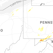


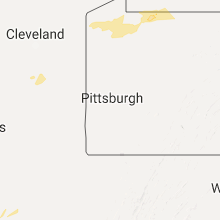
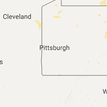


Connect with Interactive Hail Maps