

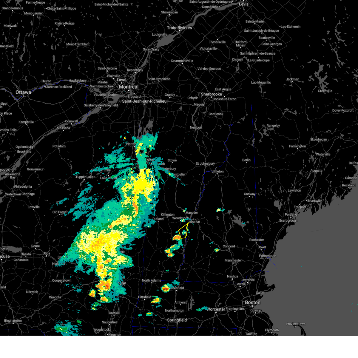
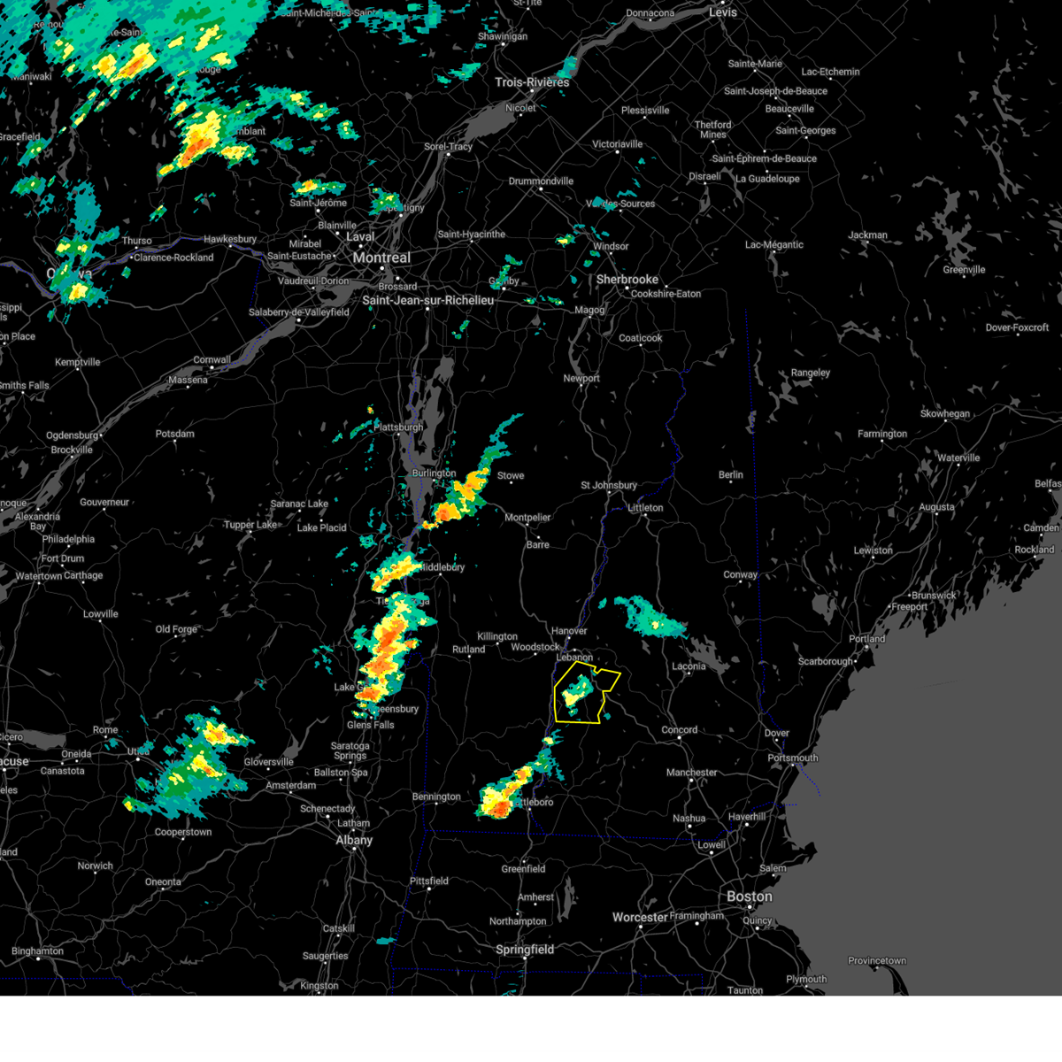
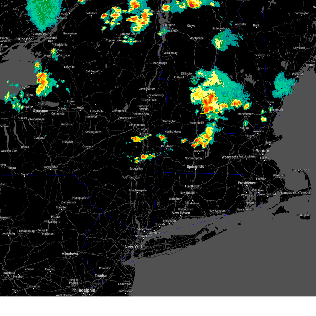
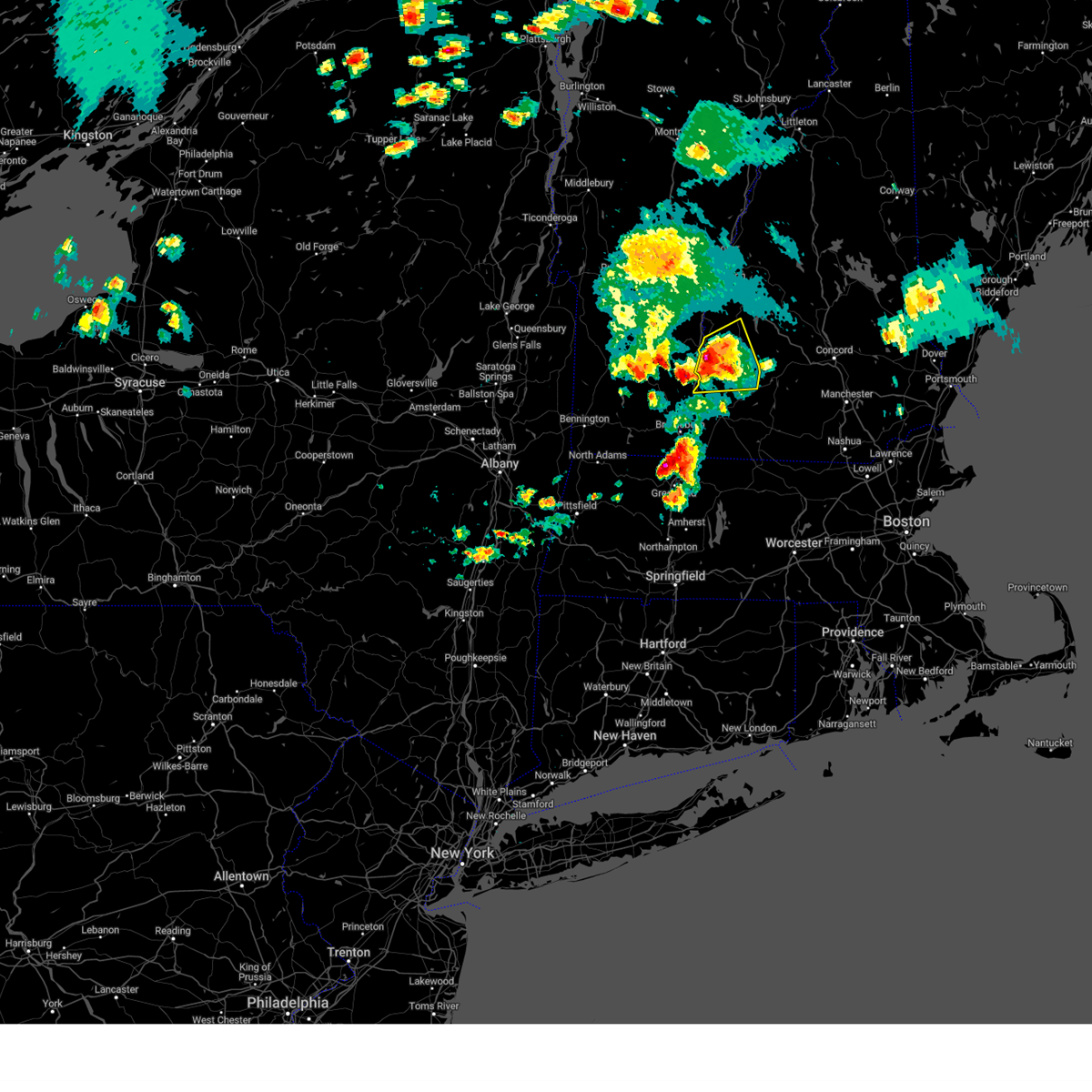
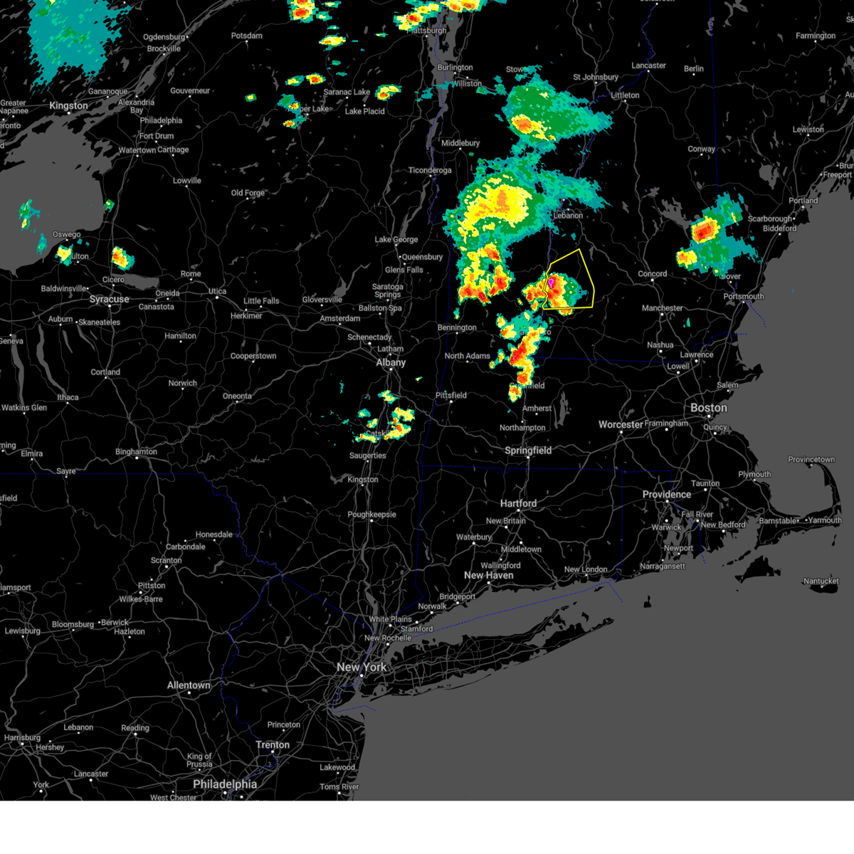
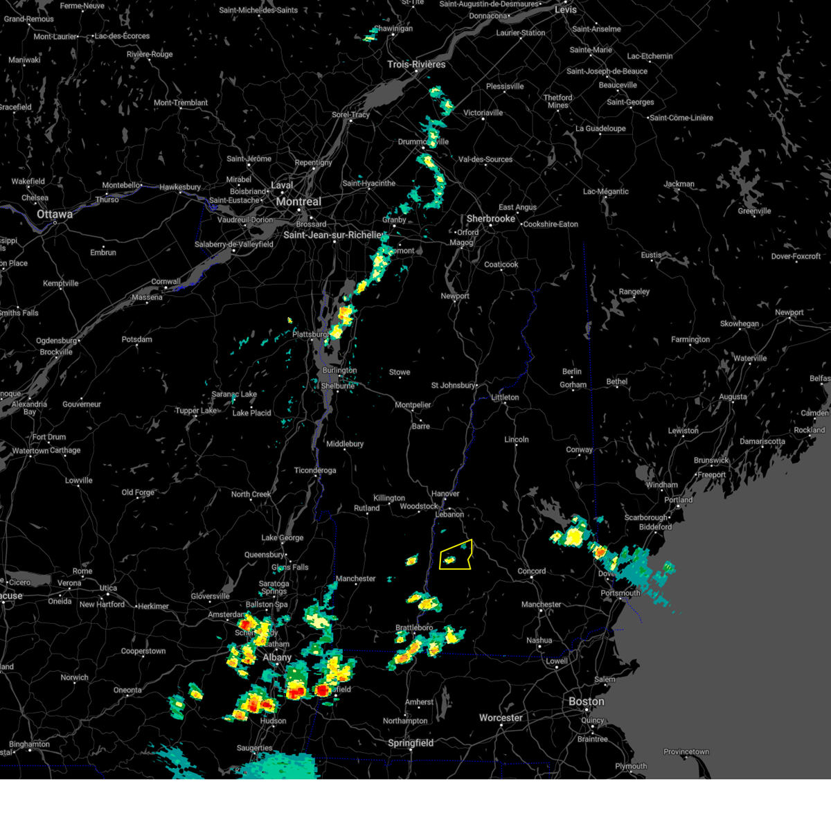
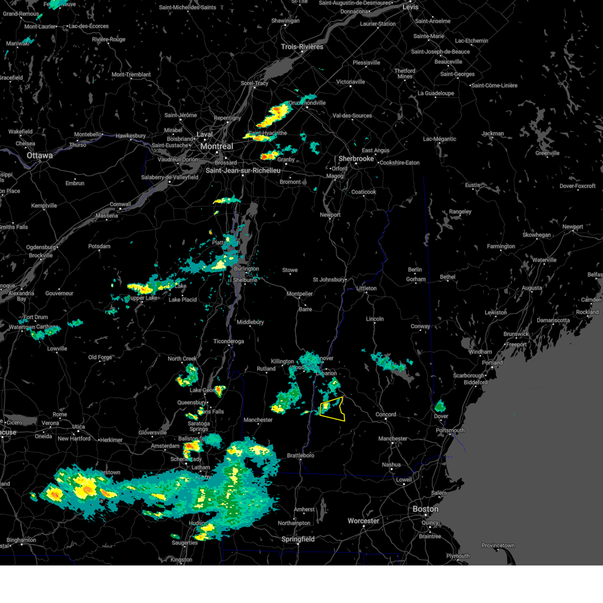
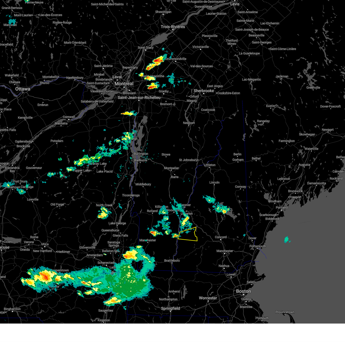
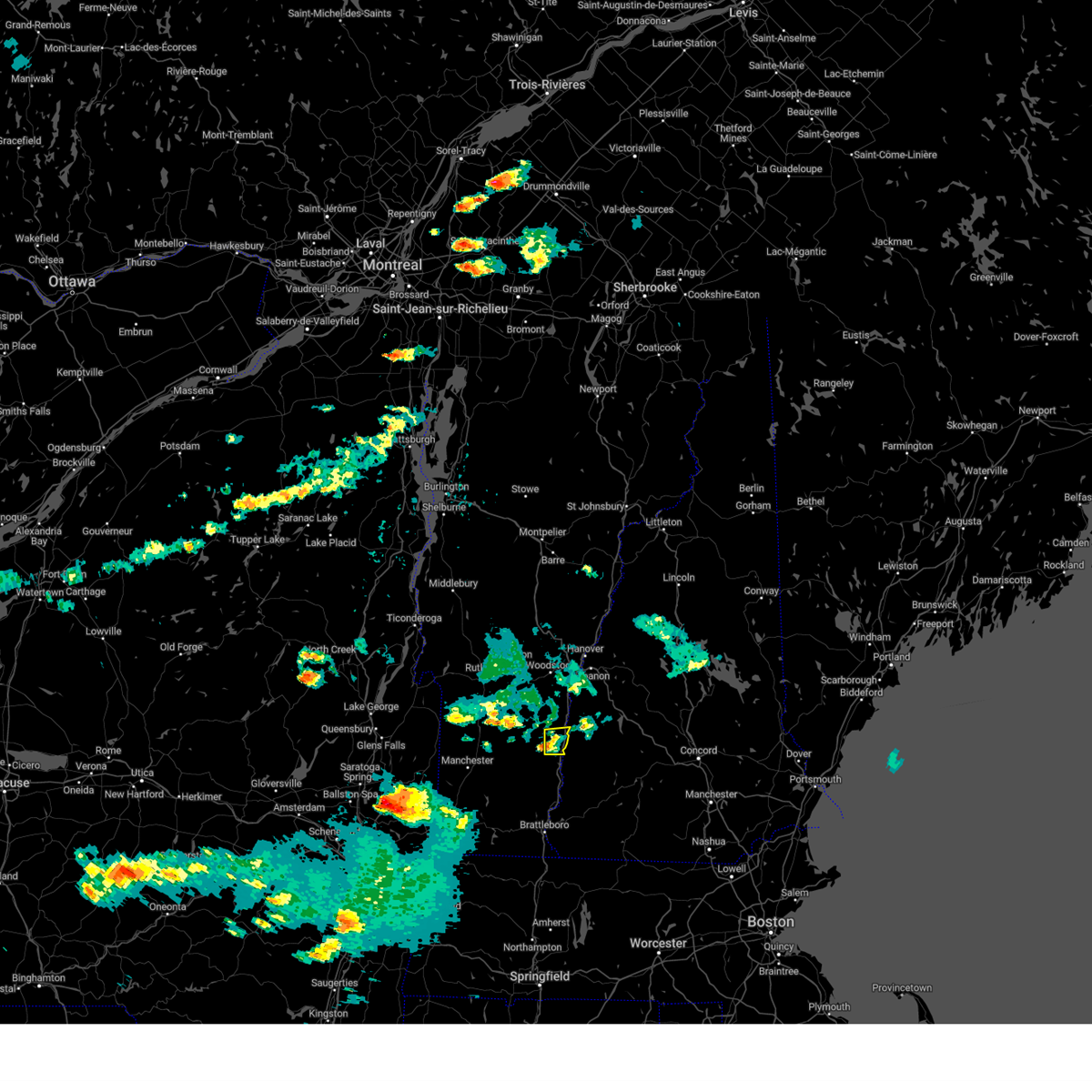
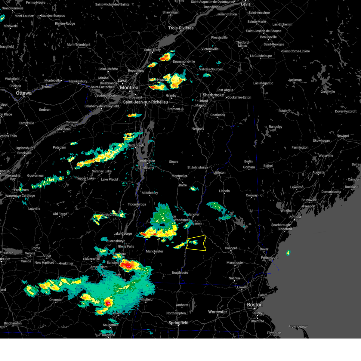
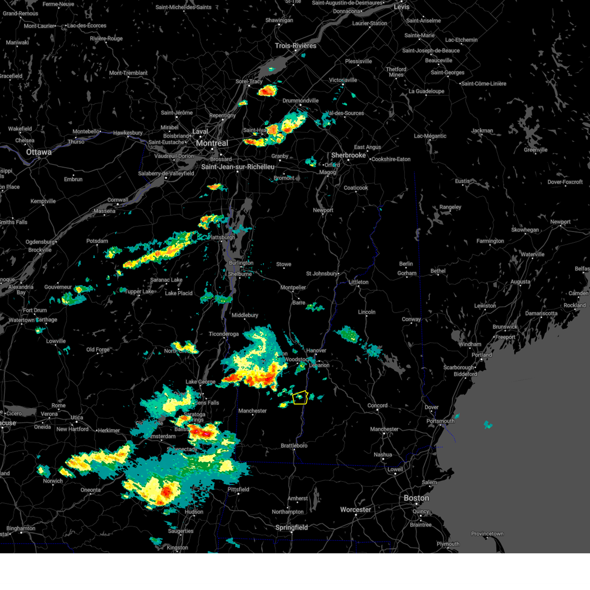
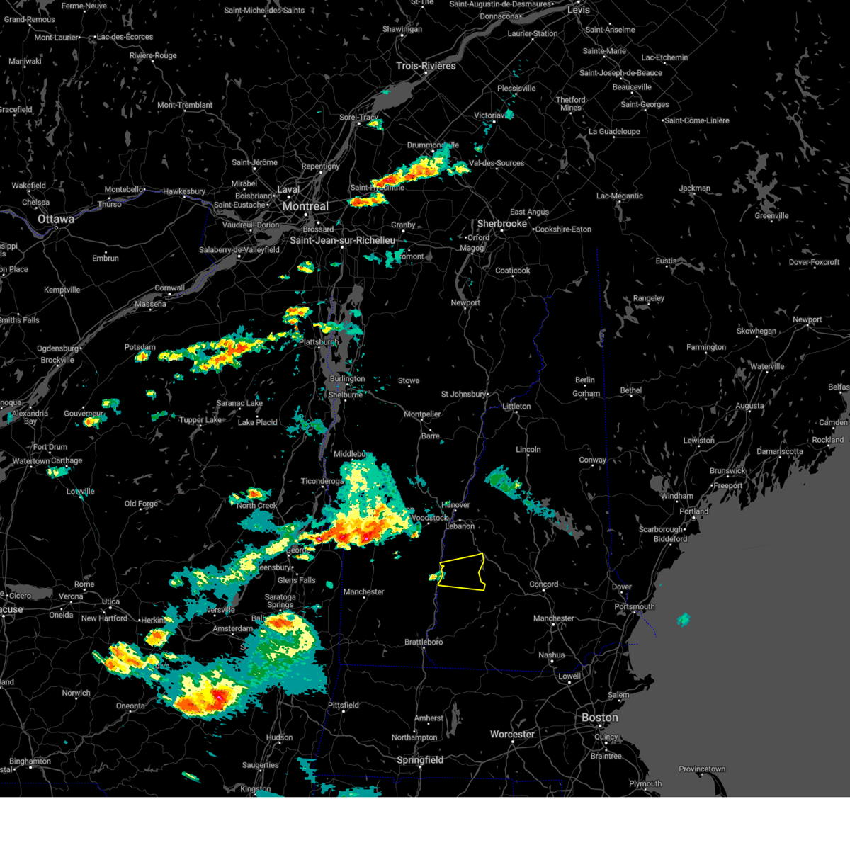
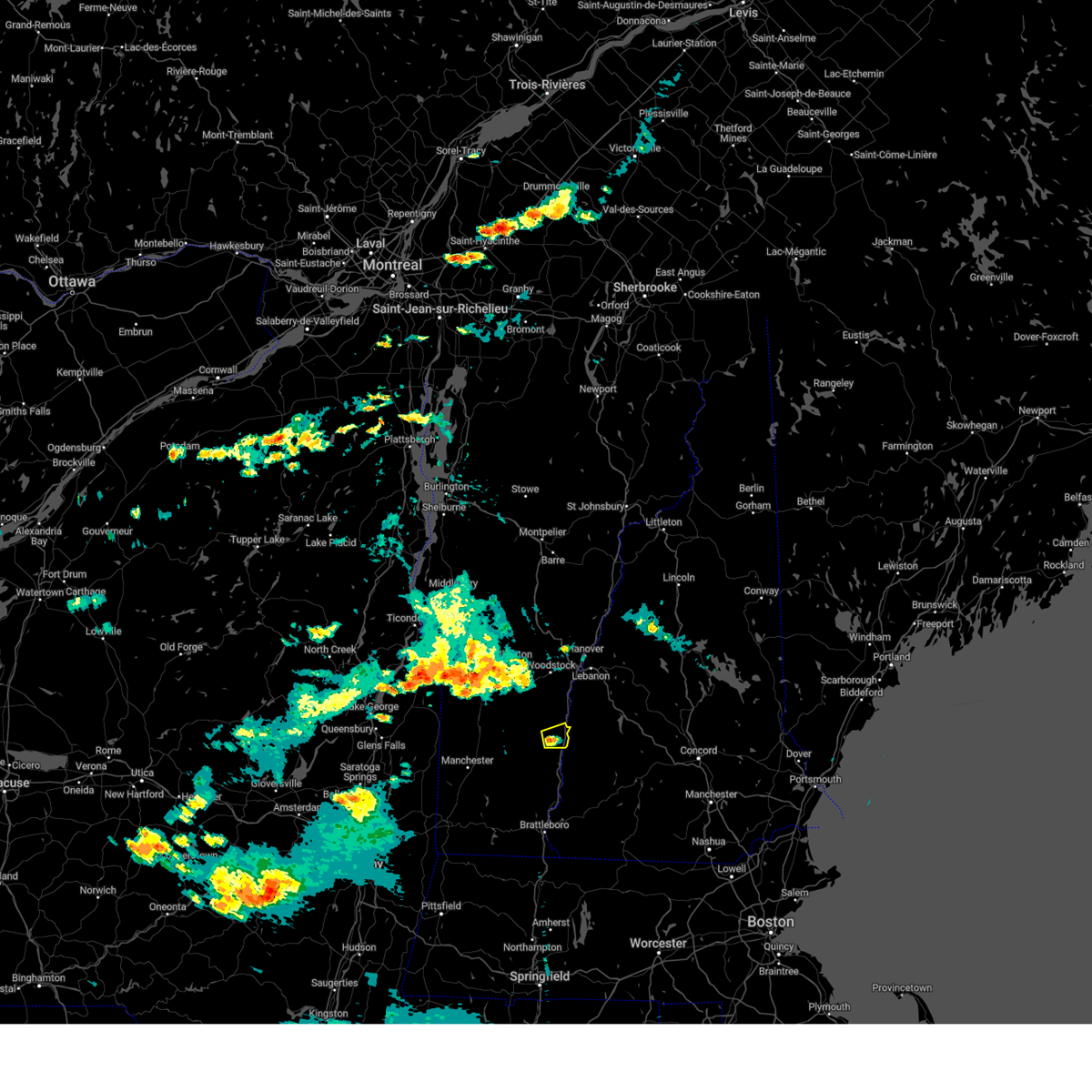
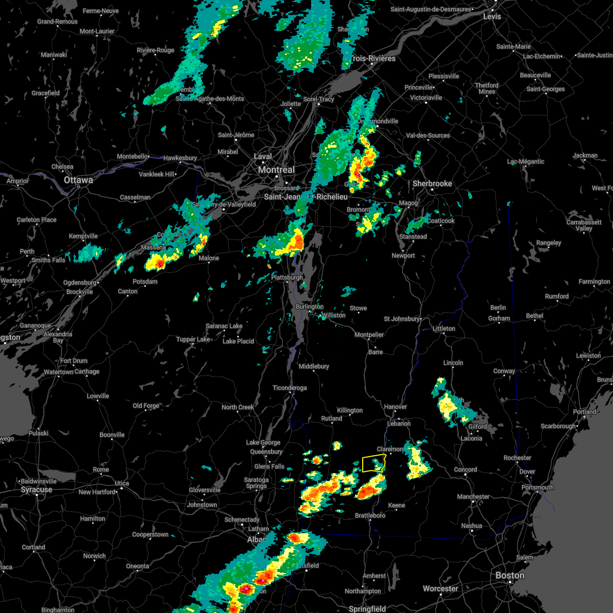
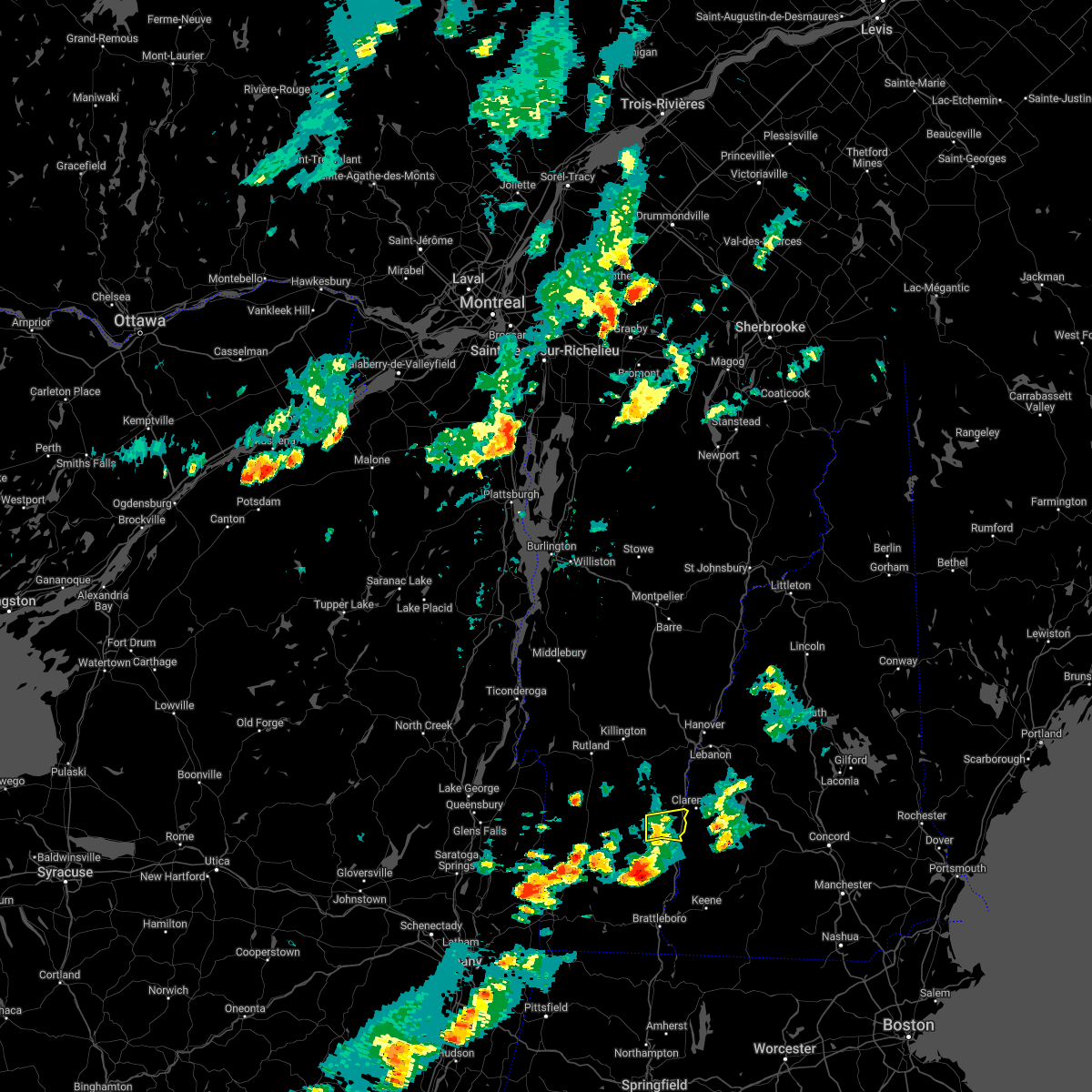
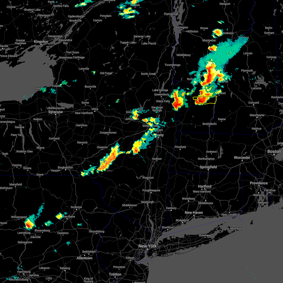
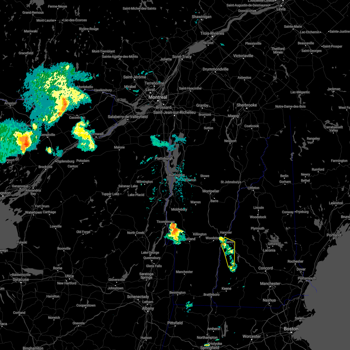
Hail Map for Claremont, NH
The Claremont, NH area has had 10 reports of on-the-ground hail by trained spotters, and has been under severe weather warnings 8 times during the past 12 months. Doppler radar has detected hail at or near Claremont, NH on 17 occasions.
| Name: | Claremont, NH |
| Where Located: | 86.6 miles SSE of Burlington, VT |
| Map: | Google Map for Claremont, NH |
| Population: | 13355 |
| Housing Units: | 6293 |
| More Info: | Search Google for Claremont, NH |
2
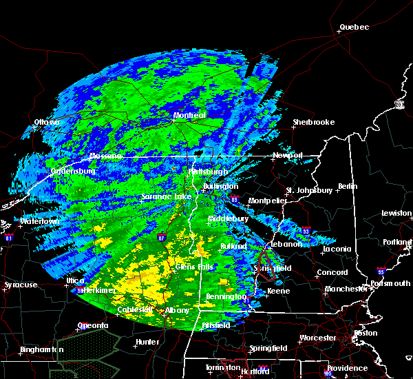
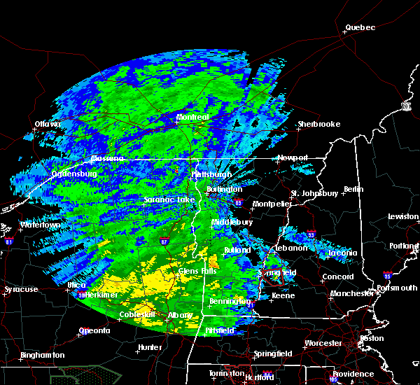
The Top Recent Hail Date for Claremont, NH is Friday, August 4, 2023 (2nd out of 17)

Hail and Wind Damage Spotted near Claremont, NH
| Date / Time | Report Details |
|---|---|
| 6/6/2025 3:42 PM EDT | The storm which prompted the warning has weakened below severe limits, and no longer poses an immediate threat to life or property. therefore, the warning will be allowed to expire. however, heavy rain is still possible with this thunderstorm. |
| 6/6/2025 3:26 PM EDT | The storm which prompted the warning will continue to move out of the area. therefore, the warning will be allowed to expire. however, heavy rain is still possible with this thunderstorm. |
| 6/6/2025 3:09 PM EDT |
 Svrbtv the national weather service in burlington has issued a * severe thunderstorm warning for, southeastern windsor county in southern vermont, * until 330 pm edt. * at 309 pm edt, a severe thunderstorm was located over ascutney state park, moving east at 15 mph (radar indicated). Hazards include 60 mph wind gusts and quarter size hail. Minor hail damage to vehicles is possible. Expect wind damage to trees and powerlines. Svrbtv the national weather service in burlington has issued a * severe thunderstorm warning for, southeastern windsor county in southern vermont, * until 330 pm edt. * at 309 pm edt, a severe thunderstorm was located over ascutney state park, moving east at 15 mph (radar indicated). Hazards include 60 mph wind gusts and quarter size hail. Minor hail damage to vehicles is possible. Expect wind damage to trees and powerlines.
|
| 6/6/2025 3:05 PM EDT |
 Svrgyx the national weather service in gray maine has issued a * severe thunderstorm warning for, northern sullivan county in central new hampshire, southwestern grafton county in northern new hampshire, * until 345 pm edt. * at 305 pm edt, a severe thunderstorm was located near claremont, moving northeast at 15 mph (radar indicated). Hazards include 60 mph wind gusts and quarter size hail. Hail damage to vehicles is expected. Expect wind damage to roofs, siding, and trees. Svrgyx the national weather service in gray maine has issued a * severe thunderstorm warning for, northern sullivan county in central new hampshire, southwestern grafton county in northern new hampshire, * until 345 pm edt. * at 305 pm edt, a severe thunderstorm was located near claremont, moving northeast at 15 mph (radar indicated). Hazards include 60 mph wind gusts and quarter size hail. Hail damage to vehicles is expected. Expect wind damage to roofs, siding, and trees.
|
| 7/17/2024 2:28 PM EDT | Multiple trees blocking grissom lane... trees were around 16 inches in diamete in sullivan county NH, 2.6 miles N of Claremont, NH |
| 7/17/2024 2:28 PM EDT | A few trees were blown down onto the parking lot at the bowling alley off of maple ave. time estimated by rada in sullivan county NH, 0.9 miles NW of Claremont, NH |
| 7/16/2024 6:50 PM EDT |
 The storms which prompted the warning have moved out of the area. therefore, the warning will be allowed to expire. The storms which prompted the warning have moved out of the area. therefore, the warning will be allowed to expire.
|
| 7/16/2024 6:44 PM EDT | Numerous reports of trees and wires down in claremon in sullivan county NH, 1.8 miles WNW of Claremont, NH |
| 7/16/2024 6:38 PM EDT |
 At 638 pm edt, severe thunderstorms were located along a line extending from 9 miles southwest of lebanon to near claremont to charlestown to 11 miles west of westmoreland, moving east at 50 mph (radar indicated). Hazards include 70 mph wind gusts. Expect considerable tree damage. damage is likely to mobile homes, roofs, and outbuildings. locations impacted include, claremont, lebanon, henniker, new london, grafton, hanover, charlestown, enfield, canaan, bradford, danbury, groton, newport, gilsum, walpole, warner, alstead, marlow, stoddard, and surry. this also includes, mount kearsage and mount sunapee. This includes interstate 89 between mile markers 16 and 60. At 638 pm edt, severe thunderstorms were located along a line extending from 9 miles southwest of lebanon to near claremont to charlestown to 11 miles west of westmoreland, moving east at 50 mph (radar indicated). Hazards include 70 mph wind gusts. Expect considerable tree damage. damage is likely to mobile homes, roofs, and outbuildings. locations impacted include, claremont, lebanon, henniker, new london, grafton, hanover, charlestown, enfield, canaan, bradford, danbury, groton, newport, gilsum, walpole, warner, alstead, marlow, stoddard, and surry. this also includes, mount kearsage and mount sunapee. This includes interstate 89 between mile markers 16 and 60.
|
| 7/16/2024 6:25 PM EDT |
 Svrgyx the national weather service in gray maine has issued a * severe thunderstorm warning for, sullivan county in central new hampshire, southwestern grafton county in northern new hampshire, northwestern cheshire county in southern new hampshire, northwestern merrimack county in central new hampshire, * until 715 pm edt. * at 624 pm edt, severe thunderstorms were located along a line extending from 18 miles southwest of lebanon to 6 miles west of claremont to 7 miles southwest of charlestown to 20 miles west of chesterfield, moving east at 55 mph (radar indicated). Hazards include 70 mph wind gusts. Expect considerable tree damage. Damage is likely to mobile homes, roofs, and outbuildings. Svrgyx the national weather service in gray maine has issued a * severe thunderstorm warning for, sullivan county in central new hampshire, southwestern grafton county in northern new hampshire, northwestern cheshire county in southern new hampshire, northwestern merrimack county in central new hampshire, * until 715 pm edt. * at 624 pm edt, severe thunderstorms were located along a line extending from 18 miles southwest of lebanon to 6 miles west of claremont to 7 miles southwest of charlestown to 20 miles west of chesterfield, moving east at 55 mph (radar indicated). Hazards include 70 mph wind gusts. Expect considerable tree damage. Damage is likely to mobile homes, roofs, and outbuildings.
|
| 7/16/2024 6:23 PM EDT |
 Svrbtv the national weather service in burlington has issued a * severe thunderstorm warning for, southeastern windsor county in southern vermont, * until 700 pm edt. * at 622 pm edt, severe thunderstorms were located along a line extending from reading to perkinsville village to near north chester, moving east at 50 mph (radar indicated). Hazards include 60 mph wind gusts. expect damage to trees and powerlines Svrbtv the national weather service in burlington has issued a * severe thunderstorm warning for, southeastern windsor county in southern vermont, * until 700 pm edt. * at 622 pm edt, severe thunderstorms were located along a line extending from reading to perkinsville village to near north chester, moving east at 50 mph (radar indicated). Hazards include 60 mph wind gusts. expect damage to trees and powerlines
|
| 6/23/2024 4:36 PM EDT |
 The storm which prompted the warning has moved out of the area. therefore, the warning will be allowed to expire. a tornado watch remains in effect until 800 pm edt for northern and central new hampshire. The storm which prompted the warning has moved out of the area. therefore, the warning will be allowed to expire. a tornado watch remains in effect until 800 pm edt for northern and central new hampshire.
|
| 6/23/2024 4:12 PM EDT |
 At 412 pm edt, a severe thunderstorm was located near newport, or near claremont, moving northeast at 50 mph (radar indicated). Hazards include 60 mph wind gusts and penny size hail. Expect damage to roofs, siding, and trees. locations impacted include, claremont, grafton, charlestown, enfield, newport, grantham, cornish, goshen, croydon, plainfield, sunapee, unity, and springfield. This includes interstate 89 between mile markers 37 and 48. At 412 pm edt, a severe thunderstorm was located near newport, or near claremont, moving northeast at 50 mph (radar indicated). Hazards include 60 mph wind gusts and penny size hail. Expect damage to roofs, siding, and trees. locations impacted include, claremont, grafton, charlestown, enfield, newport, grantham, cornish, goshen, croydon, plainfield, sunapee, unity, and springfield. This includes interstate 89 between mile markers 37 and 48.
|
| 6/23/2024 4:10 PM EDT | Reported by weather spotter... delayed report. trees down on plains rd in west claremont. time estimated by rada in sullivan county NH, 0.9 miles SSE of Claremont, NH |
| 6/23/2024 3:45 PM EDT |
 At 345 pm edt, a severe thunderstorm was located over weston, moving east at 45 mph (law enforcement). Hazards include 60 mph wind gusts. Expect damage to trees and powerlines. locations impacted include, chester, cavendish, ludlow village, perkinsville village, wallingford, mt. holly, mt. Tabor, windsor, pawlet, mount holly, ludlow, mount tabor, andover, weston, danby, baltimore, springfield, weathersfield, west windsor, and reading. At 345 pm edt, a severe thunderstorm was located over weston, moving east at 45 mph (law enforcement). Hazards include 60 mph wind gusts. Expect damage to trees and powerlines. locations impacted include, chester, cavendish, ludlow village, perkinsville village, wallingford, mt. holly, mt. Tabor, windsor, pawlet, mount holly, ludlow, mount tabor, andover, weston, danby, baltimore, springfield, weathersfield, west windsor, and reading.
|
| 6/23/2024 3:45 PM EDT |
 Svrgyx the national weather service in gray maine has issued a * severe thunderstorm warning for, sullivan county in central new hampshire, * until 445 pm edt. * at 343 pm edt, a severe thunderstorm was located 13 miles west of claremont, moving east at 50 mph (radar indicated). Hazards include 60 mph wind gusts and penny size hail. expect damage to roofs, siding, and trees Svrgyx the national weather service in gray maine has issued a * severe thunderstorm warning for, sullivan county in central new hampshire, * until 445 pm edt. * at 343 pm edt, a severe thunderstorm was located 13 miles west of claremont, moving east at 50 mph (radar indicated). Hazards include 60 mph wind gusts and penny size hail. expect damage to roofs, siding, and trees
|
| 6/23/2024 3:00 PM EDT |
 Svrbtv the national weather service in burlington has issued a * severe thunderstorm warning for, southeastern rutland county in southern vermont, southwestern windsor county in southern vermont, * until 400 pm edt. * at 259 pm edt, a severe thunderstorm was located 13 miles southwest of west pawlet, moving east at 40 mph (radar indicated). Hazards include 60 mph wind gusts and penny size hail. expect damage to trees and powerlines Svrbtv the national weather service in burlington has issued a * severe thunderstorm warning for, southeastern rutland county in southern vermont, southwestern windsor county in southern vermont, * until 400 pm edt. * at 259 pm edt, a severe thunderstorm was located 13 miles southwest of west pawlet, moving east at 40 mph (radar indicated). Hazards include 60 mph wind gusts and penny size hail. expect damage to trees and powerlines
|
| 6/19/2024 3:30 PM EDT | Chaser reports trees down and some siding blown around near cornish. time estimated by rada in sullivan county NH, 7.2 miles SSW of Claremont, NH |
| 6/19/2024 3:20 PM EDT |
 Svrgyx the national weather service in gray maine has issued a * severe thunderstorm warning for, northern sullivan county in central new hampshire, southwestern grafton county in northern new hampshire, northwestern merrimack county in central new hampshire, * until 400 pm edt. * at 319 pm edt, a severe thunderstorm was located 7 miles south of lebanon, moving east at 15 mph (radar indicated). Hazards include 60 mph wind gusts and quarter size hail. Hail damage to vehicles is expected. Expect wind damage to roofs, siding, and trees. Svrgyx the national weather service in gray maine has issued a * severe thunderstorm warning for, northern sullivan county in central new hampshire, southwestern grafton county in northern new hampshire, northwestern merrimack county in central new hampshire, * until 400 pm edt. * at 319 pm edt, a severe thunderstorm was located 7 miles south of lebanon, moving east at 15 mph (radar indicated). Hazards include 60 mph wind gusts and quarter size hail. Hail damage to vehicles is expected. Expect wind damage to roofs, siding, and trees.
|
| 6/19/2024 3:08 PM EDT |
 Svrgyx the national weather service in gray maine has issued a * severe thunderstorm warning for, southern sullivan county in central new hampshire, northern cheshire county in southern new hampshire, northwestern hillsborough county in southern new hampshire, southwestern merrimack county in central new hampshire, * until 400 pm edt. * at 307 pm edt, a severe thunderstorm was located over alstead, or 12 miles north of keene, moving east at 25 mph (radar indicated). Hazards include 60 mph wind gusts and quarter size hail. Hail damage to vehicles is expected. Expect wind damage to roofs, siding, and trees. Svrgyx the national weather service in gray maine has issued a * severe thunderstorm warning for, southern sullivan county in central new hampshire, northern cheshire county in southern new hampshire, northwestern hillsborough county in southern new hampshire, southwestern merrimack county in central new hampshire, * until 400 pm edt. * at 307 pm edt, a severe thunderstorm was located over alstead, or 12 miles north of keene, moving east at 25 mph (radar indicated). Hazards include 60 mph wind gusts and quarter size hail. Hail damage to vehicles is expected. Expect wind damage to roofs, siding, and trees.
|
| 5/21/2024 5:29 PM EDT |
 The storm which prompted the warning has weakened below severe limits, and no longer poses an immediate threat to life or property. therefore, the warning will be allowed to expire. however, small hail, gusty winds and heavy rain are still possible with this thunderstorm. The storm which prompted the warning has weakened below severe limits, and no longer poses an immediate threat to life or property. therefore, the warning will be allowed to expire. however, small hail, gusty winds and heavy rain are still possible with this thunderstorm.
|
| 5/21/2024 4:59 PM EDT |
 At 458 pm edt, a severe thunderstorm was located near charlestown, or 11 miles south of claremont, moving northeast at 10 mph (trained weather spotters). Hazards include 60 mph wind gusts and quarter size hail. Hail damage to vehicles is expected. expect wind damage to roofs, siding, and trees. Locations impacted include, claremont, charlestown, newport, marlow, stoddard, walpole, alstead, gilsum, windsor, surry, lempster, acworth, goshen, langdon, washington, and unity. At 458 pm edt, a severe thunderstorm was located near charlestown, or 11 miles south of claremont, moving northeast at 10 mph (trained weather spotters). Hazards include 60 mph wind gusts and quarter size hail. Hail damage to vehicles is expected. expect wind damage to roofs, siding, and trees. Locations impacted include, claremont, charlestown, newport, marlow, stoddard, walpole, alstead, gilsum, windsor, surry, lempster, acworth, goshen, langdon, washington, and unity.
|
| 5/21/2024 4:35 PM EDT |
 Svrgyx the national weather service in gray maine has issued a * severe thunderstorm warning for, southwestern sullivan county in central new hampshire, northern cheshire county in southern new hampshire, * until 530 pm edt. * at 435 pm edt, a severe thunderstorm was located near charlestown, or 13 miles south of claremont, moving northeast at 10 mph (radar indicated). Hazards include 60 mph wind gusts and quarter size hail. Hail damage to vehicles is expected. Expect wind damage to roofs, siding, and trees. Svrgyx the national weather service in gray maine has issued a * severe thunderstorm warning for, southwestern sullivan county in central new hampshire, northern cheshire county in southern new hampshire, * until 530 pm edt. * at 435 pm edt, a severe thunderstorm was located near charlestown, or 13 miles south of claremont, moving northeast at 10 mph (radar indicated). Hazards include 60 mph wind gusts and quarter size hail. Hail damage to vehicles is expected. Expect wind damage to roofs, siding, and trees.
|
| 9/8/2023 5:50 PM EDT |
 The severe thunderstorm warning for sullivan county will expire at 600 pm edt, the storms which prompted the warning have moved out of the area. therefore, the warning will be allowed to expire. a severe thunderstorm watch remains in effect until 1100 pm edt for central new hampshire. The severe thunderstorm warning for sullivan county will expire at 600 pm edt, the storms which prompted the warning have moved out of the area. therefore, the warning will be allowed to expire. a severe thunderstorm watch remains in effect until 1100 pm edt for central new hampshire.
|
| 9/8/2023 5:10 PM EDT |
 At 509 pm edt, severe thunderstorms were located along a line extending from 9 miles west of charlestown to near newport, moving east at 15 mph (radar indicated). Hazards include 60 mph wind gusts and quarter size hail. Hail damage to vehicles is expected. Expect wind damage to roofs, siding, and trees. At 509 pm edt, severe thunderstorms were located along a line extending from 9 miles west of charlestown to near newport, moving east at 15 mph (radar indicated). Hazards include 60 mph wind gusts and quarter size hail. Hail damage to vehicles is expected. Expect wind damage to roofs, siding, and trees.
|
| 9/8/2023 4:57 PM EDT | Numerous reports of trees and wires down reported to claremont dispatch. time estimated by rada in sullivan county NH, 3.5 miles WNW of Claremont, NH |
| 9/8/2023 4:24 PM EDT |
 At 424 pm edt, a severe thunderstorm was located near newport, or near claremont, moving east at 15 mph (radar indicated). Hazards include 60 mph wind gusts and quarter size hail. Hail damage to vehicles is expected. Expect wind damage to roofs, siding, and trees. At 424 pm edt, a severe thunderstorm was located near newport, or near claremont, moving east at 15 mph (radar indicated). Hazards include 60 mph wind gusts and quarter size hail. Hail damage to vehicles is expected. Expect wind damage to roofs, siding, and trees.
|
| 9/7/2023 10:30 PM EDT | Half Dollar sized hail reported 1.7 miles SSE of Claremont, NH, delayed report. |
| 9/7/2023 10:18 PM EDT |
 At 1018 pm edt, severe thunderstorms were located along a line extending from 17 miles northwest of hanover to near charlestown, moving north at 85 mph (radar indicated). Hazards include 60 mph wind gusts and quarter size hail. Expect wind damage to trees and power lines. Minor hail damage to vehicles is possible. At 1018 pm edt, severe thunderstorms were located along a line extending from 17 miles northwest of hanover to near charlestown, moving north at 85 mph (radar indicated). Hazards include 60 mph wind gusts and quarter size hail. Expect wind damage to trees and power lines. Minor hail damage to vehicles is possible.
|
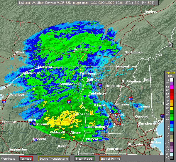
| 8/4/2023 6:05 PM EDT |
 At 604 pm edt, a severe thunderstorm was located near newport, or 8 miles southeast of claremont, moving east at 20 mph (radar indicated). Hazards include 60 mph wind gusts and quarter size hail. Hail damage to vehicles is expected. expect wind damage to roofs, siding, and trees. locations impacted include, claremont, bradford, newport, lempster, acworth, goshen, sunapee, unity, and washington. hail threat, radar indicated max hail size, 1. 00 in wind threat, radar indicated max wind gust, 60 mph. At 604 pm edt, a severe thunderstorm was located near newport, or 8 miles southeast of claremont, moving east at 20 mph (radar indicated). Hazards include 60 mph wind gusts and quarter size hail. Hail damage to vehicles is expected. expect wind damage to roofs, siding, and trees. locations impacted include, claremont, bradford, newport, lempster, acworth, goshen, sunapee, unity, and washington. hail threat, radar indicated max hail size, 1. 00 in wind threat, radar indicated max wind gust, 60 mph.
|
| 8/4/2023 5:56 PM EDT |
 The severe thunderstorm warning for southern windsor county will expire at 600 pm edt, the storm which prompted the warning has moved out of the area. therefore, the warning will be allowed to expire. a severe thunderstorm watch remains in effect until 800 pm edt for southern vermont. to report severe weather, contact your nearest law enforcement agency. they will relay your report to the national weather service burlington. The severe thunderstorm warning for southern windsor county will expire at 600 pm edt, the storm which prompted the warning has moved out of the area. therefore, the warning will be allowed to expire. a severe thunderstorm watch remains in effect until 800 pm edt for southern vermont. to report severe weather, contact your nearest law enforcement agency. they will relay your report to the national weather service burlington.
|
| 8/4/2023 5:42 PM EDT |
 At 542 pm edt, a severe thunderstorm was located over charlestown, or 7 miles south of claremont, moving east at 20 mph (radar indicated). Hazards include 60 mph wind gusts and quarter size hail. Hail damage to vehicles is expected. Expect wind damage to roofs, siding, and trees. At 542 pm edt, a severe thunderstorm was located over charlestown, or 7 miles south of claremont, moving east at 20 mph (radar indicated). Hazards include 60 mph wind gusts and quarter size hail. Hail damage to vehicles is expected. Expect wind damage to roofs, siding, and trees.
|
| 8/4/2023 5:40 PM EDT | Quarter sized hail reported 0.9 miles SSE of Claremont, NH, time estimated by radar. |
| 8/4/2023 5:33 PM EDT |
 At 533 pm edt, a severe thunderstorm was located over springfield, moving east at 25 mph (radar indicated). Hazards include half dollar size hail. minor damage to vehicles is possible At 533 pm edt, a severe thunderstorm was located over springfield, moving east at 25 mph (radar indicated). Hazards include half dollar size hail. minor damage to vehicles is possible
|
| 8/4/2023 5:24 PM EDT | Quarter sized hail reported 3 miles WNW of Claremont, NH, reported by weather spotter. |
| 8/4/2023 5:22 PM EDT | Half Dollar sized hail reported 2.3 miles WNW of Claremont, NH, reported by weather spotter. |
| 8/4/2023 5:12 PM EDT | Delayed report: public reported tree and wires down on twistback road. time estimated by rada in sullivan county NH, 0.7 miles WSW of Claremont, NH |
| 8/4/2023 5:08 PM EDT |
 The severe thunderstorm warning for central sullivan county will expire at 515 pm edt, the storm which prompted the warning has weakened below severe limits, and no longer poses an immediate threat to life or property. therefore, the warning will be allowed to expire. however, torrential downpours are still occurring with this storm and a flood advisory is currently in effect for the area. a severe thunderstorm watch remains in effect until 800 pm edt for central new hampshire. The severe thunderstorm warning for central sullivan county will expire at 515 pm edt, the storm which prompted the warning has weakened below severe limits, and no longer poses an immediate threat to life or property. therefore, the warning will be allowed to expire. however, torrential downpours are still occurring with this storm and a flood advisory is currently in effect for the area. a severe thunderstorm watch remains in effect until 800 pm edt for central new hampshire.
|
| 8/4/2023 4:56 PM EDT |
 The severe thunderstorm warning for southeastern windsor county will expire at 500 pm edt, the storm which prompted the warning has moved out of the area. therefore, the warning will be allowed to expire. a severe thunderstorm watch remains in effect until 800 pm edt for southern vermont. to report severe weather, contact your nearest law enforcement agency. they will relay your report to the national weather service burlington. The severe thunderstorm warning for southeastern windsor county will expire at 500 pm edt, the storm which prompted the warning has moved out of the area. therefore, the warning will be allowed to expire. a severe thunderstorm watch remains in effect until 800 pm edt for southern vermont. to report severe weather, contact your nearest law enforcement agency. they will relay your report to the national weather service burlington.
|
| 8/4/2023 4:35 PM EDT |
 At 435 pm edt, a severe thunderstorm was located near charlestown, or near claremont, moving east at 15 mph (radar indicated). Hazards include 60 mph wind gusts and half dollar size hail. Hail damage to vehicles is expected. expect wind damage to roofs, siding, and trees. Locations impacted include, claremont, charlestown, newport, lempster, acworth, goshen, croydon, sunapee, unity, and washington. At 435 pm edt, a severe thunderstorm was located near charlestown, or near claremont, moving east at 15 mph (radar indicated). Hazards include 60 mph wind gusts and half dollar size hail. Hail damage to vehicles is expected. expect wind damage to roofs, siding, and trees. Locations impacted include, claremont, charlestown, newport, lempster, acworth, goshen, croydon, sunapee, unity, and washington.
|
| 8/4/2023 4:24 PM EDT |
 At 424 pm edt, a severe thunderstorm was located over west springfield, moving east at 10 mph (radar indicated). Hazards include 60 mph wind gusts and half dollar size hail. Minor hail damage to vehicles is possible. Expect wind damage to trees and powerlines. At 424 pm edt, a severe thunderstorm was located over west springfield, moving east at 10 mph (radar indicated). Hazards include 60 mph wind gusts and half dollar size hail. Minor hail damage to vehicles is possible. Expect wind damage to trees and powerlines.
|
| 8/4/2023 4:21 PM EDT |
 At 421 pm edt, a severe thunderstorm was located near charlestown, or 8 miles southwest of claremont, moving east at 15 mph (radar indicated). Hazards include 60 mph wind gusts and half dollar size hail. Hail damage to vehicles is expected. Expect wind damage to roofs, siding, and trees. At 421 pm edt, a severe thunderstorm was located near charlestown, or 8 miles southwest of claremont, moving east at 15 mph (radar indicated). Hazards include 60 mph wind gusts and half dollar size hail. Hail damage to vehicles is expected. Expect wind damage to roofs, siding, and trees.
|
| 1/1/0001 12:00 AM | Trees down on jarvis hill r in sullivan county NH, 0.8 miles ESE of Claremont, NH |
| 7/13/2023 8:03 PM EDT |
 At 803 pm edt, a severe thunderstorm was located over cavendish, moving east at 50 mph (radar indicated). Hazards include 60 mph wind gusts and penny size hail. expect damage to trees and powerlines At 803 pm edt, a severe thunderstorm was located over cavendish, moving east at 50 mph (radar indicated). Hazards include 60 mph wind gusts and penny size hail. expect damage to trees and powerlines
|
| 7/13/2023 7:37 PM EDT |
 The severe thunderstorm warning for orange, south central caledonia, east central rutland, windsor and southeastern washington counties will expire at 745 pm edt, the storms which prompted the warning have weakened. therefore, the warning will be allowed to expire. a severe thunderstorm watch remains in effect until 1000 pm edt for central, southern and northeastern vermont. The severe thunderstorm warning for orange, south central caledonia, east central rutland, windsor and southeastern washington counties will expire at 745 pm edt, the storms which prompted the warning have weakened. therefore, the warning will be allowed to expire. a severe thunderstorm watch remains in effect until 1000 pm edt for central, southern and northeastern vermont.
|
| 7/13/2023 6:57 PM EDT |
 At 657 pm edt, severe thunderstorms were located along a line extending from near irasville to near south wallingford, moving east at 55 mph (radar indicated). Hazards include 60 mph wind gusts and quarter size hail. Minor hail damage to vehicles is possible. Expect wind damage to trees and powerlines. At 657 pm edt, severe thunderstorms were located along a line extending from near irasville to near south wallingford, moving east at 55 mph (radar indicated). Hazards include 60 mph wind gusts and quarter size hail. Minor hail damage to vehicles is possible. Expect wind damage to trees and powerlines.
|
| 7/4/2023 8:51 PM EDT |
 The severe thunderstorm warning for south central windsor county will expire at 900 pm edt, the storm which prompted the warning has weakened below severe limits, and has exited the warned area. therefore, the warning will be allowed to expire. The severe thunderstorm warning for south central windsor county will expire at 900 pm edt, the storm which prompted the warning has weakened below severe limits, and has exited the warned area. therefore, the warning will be allowed to expire.
|
| 7/4/2023 8:35 PM EDT | Quarter sized hail reported 1.6 miles S of Claremont, NH, reported by weather spotter. |
| 7/4/2023 8:34 PM EDT |
 At 834 pm edt, a severe thunderstorm was located over north hartland, moving southeast at 20 mph (radar indicated). Hazards include 60 mph wind gusts and quarter size hail. Minor hail damage to vehicles is possible. expect wind damage to trees and powerlines. locations impacted include, windsor, weathersfield, west windsor, ascutney, springfield, hartland, ascutney state park, amsden, brownsville, and wilgus state park. hail threat, radar indicated max hail size, 1. 00 in wind threat, radar indicated max wind gust, 60 mph. At 834 pm edt, a severe thunderstorm was located over north hartland, moving southeast at 20 mph (radar indicated). Hazards include 60 mph wind gusts and quarter size hail. Minor hail damage to vehicles is possible. expect wind damage to trees and powerlines. locations impacted include, windsor, weathersfield, west windsor, ascutney, springfield, hartland, ascutney state park, amsden, brownsville, and wilgus state park. hail threat, radar indicated max hail size, 1. 00 in wind threat, radar indicated max wind gust, 60 mph.
|
| 7/4/2023 8:20 PM EDT |
 At 819 pm edt, a severe thunderstorm was located over queechee state park, moving southeast at 20 mph (radar indicated). Hazards include 60 mph wind gusts and quarter size hail. Minor hail damage to vehicles is possible. expect wind damage to trees and powerlines. locations impacted include, white river junction, woodstock, hartland four corners, windsor, woodstock village, hartland, weathersfield, west windsor, hartford, quechee, ascutney, springfield, reading, pomfret, queechee state park, taftsville, amsden, brownsville, north hartland dam recreation area, and west woodstock. hail threat, radar indicated max hail size, 1. 00 in wind threat, radar indicated max wind gust, 60 mph. At 819 pm edt, a severe thunderstorm was located over queechee state park, moving southeast at 20 mph (radar indicated). Hazards include 60 mph wind gusts and quarter size hail. Minor hail damage to vehicles is possible. expect wind damage to trees and powerlines. locations impacted include, white river junction, woodstock, hartland four corners, windsor, woodstock village, hartland, weathersfield, west windsor, hartford, quechee, ascutney, springfield, reading, pomfret, queechee state park, taftsville, amsden, brownsville, north hartland dam recreation area, and west woodstock. hail threat, radar indicated max hail size, 1. 00 in wind threat, radar indicated max wind gust, 60 mph.
|
| 7/4/2023 8:10 PM EDT |
 At 810 pm edt, a severe thunderstorm was located over quechee, moving southeast at 20 mph (radar indicated). Hazards include 60 mph wind gusts and quarter size hail. Minor hail damage to vehicles is possible. Expect wind damage to trees and powerlines. At 810 pm edt, a severe thunderstorm was located over quechee, moving southeast at 20 mph (radar indicated). Hazards include 60 mph wind gusts and quarter size hail. Minor hail damage to vehicles is possible. Expect wind damage to trees and powerlines.
|
| 8/26/2022 3:06 PM EDT | The severe thunderstorm warning for northern sullivan, south central grafton, northwestern belknap and northwestern merrimack counties will expire at 315 pm edt, the storms which prompted the warning have weakened below severe limits, and no longer pose an immediate threat to life or property. therefore, the warning will be allowed to expire. however heavy rain is still possible with these thunderstorms. a severe thunderstorm watch remains in effect until 800 pm edt for central and northern new hampshire. |
| 8/26/2022 2:27 PM EDT | At 227 pm edt, severe thunderstorms were located along a line extending from 6 miles northeast of claremont to near new london to bradford, moving northeast at 60 mph (radar indicated). Hazards include 60 mph wind gusts and nickel size hail. expect damage to roofs, siding, and trees |
| 8/26/2022 2:08 PM EDT | Tree and wires down. time estimated by rada in sullivan county NH, 9.7 miles NNW of Claremont, NH |
| 8/26/2022 1:52 PM EDT | At 152 pm edt, severe thunderstorms were located along a line extending from 12 miles northwest of charlestown to near westmoreland to 12 miles west of chesterfield, moving east at 25 mph (radar indicated). Hazards include 60 mph wind gusts and quarter size hail. Hail damage to vehicles is expected. Expect wind damage to roofs, siding, and trees. |
| 8/4/2022 7:10 PM EDT | Quarter sized hail reported 0.9 miles SSE of Claremont, NH, measured 1 inch hail in west claremont. |
| 8/4/2022 7:10 PM EDT | Quarter sized hail reported 2.7 miles NNE of Claremont, NH, multiple social media reports of quarter-sized hail on nh hwy 12a. time estimated by radar. |
| 8/4/2022 7:10 PM EDT |
 At 710 pm edt, severe thunderstorms were located along a line extending from 6 miles southwest of lebanon to 8 miles northeast of claremont to newport to marlow, moving east at 30 mph (radar indicated). Hazards include 60 mph wind gusts. Expect damage to roofs, siding, and trees. locations impacted include, claremont, new london, grafton, charlestown, enfield, bradford, danbury, newport, warner, grantham, andover, cornish, lempster, hill, acworth, goshen, croydon, plainfield, newbury and wilmot. this includes interstate 89 between mile markers 20 and 48. hail threat, radar indicated max hail size, <. 75 in wind threat, radar indicated max wind gust, 60 mph. At 710 pm edt, severe thunderstorms were located along a line extending from 6 miles southwest of lebanon to 8 miles northeast of claremont to newport to marlow, moving east at 30 mph (radar indicated). Hazards include 60 mph wind gusts. Expect damage to roofs, siding, and trees. locations impacted include, claremont, new london, grafton, charlestown, enfield, bradford, danbury, newport, warner, grantham, andover, cornish, lempster, hill, acworth, goshen, croydon, plainfield, newbury and wilmot. this includes interstate 89 between mile markers 20 and 48. hail threat, radar indicated max hail size, <. 75 in wind threat, radar indicated max wind gust, 60 mph.
|
| 8/4/2022 6:56 PM EDT |
 At 656 pm edt, severe thunderstorms were located along a line extending from 13 miles southwest of lebanon to 10 miles northwest of newport to near claremont to 6 miles north of alstead to near walpole, moving east at 30 mph (radar indicated). Hazards include 60 mph wind gusts. Expect damage to roofs, siding, and trees. locations impacted include, claremont, henniker, new london, grafton, charlestown, enfield, bradford, danbury, newport, warner, marlow, alstead, hillsborough, grantham, andover, cornish, lempster, hill, acworth and goshen. this includes interstate 89 between mile markers 18 and 48. hail threat, radar indicated max hail size, <. 75 in wind threat, radar indicated max wind gust, 60 mph. At 656 pm edt, severe thunderstorms were located along a line extending from 13 miles southwest of lebanon to 10 miles northwest of newport to near claremont to 6 miles north of alstead to near walpole, moving east at 30 mph (radar indicated). Hazards include 60 mph wind gusts. Expect damage to roofs, siding, and trees. locations impacted include, claremont, henniker, new london, grafton, charlestown, enfield, bradford, danbury, newport, warner, marlow, alstead, hillsborough, grantham, andover, cornish, lempster, hill, acworth and goshen. this includes interstate 89 between mile markers 18 and 48. hail threat, radar indicated max hail size, <. 75 in wind threat, radar indicated max wind gust, 60 mph.
|
| 8/4/2022 6:47 PM EDT | Downed tree damaged outhouse. time estimated by rada in sullivan county NH, 2.7 miles NNE of Claremont, NH |
| 8/4/2022 6:29 PM EDT |
 At 629 pm edt, severe thunderstorms were located along a line extending from 26 miles west of lebanon to 13 miles west of claremont to 8 miles northwest of charlestown to 8 miles northwest of walpole to 9 miles northwest of westmoreland, moving east at 30 mph (radar indicated). Hazards include 60 mph wind gusts. expect damage to roofs, siding, and trees At 629 pm edt, severe thunderstorms were located along a line extending from 26 miles west of lebanon to 13 miles west of claremont to 8 miles northwest of charlestown to 8 miles northwest of walpole to 9 miles northwest of westmoreland, moving east at 30 mph (radar indicated). Hazards include 60 mph wind gusts. expect damage to roofs, siding, and trees
|
| 8/4/2022 6:11 PM EDT |
 At 611 pm edt, severe thunderstorms were located along a line extending from near south wallingford to 9 miles southwest of weston, moving northeast at 25 mph (radar indicated). Hazards include 60 mph wind gusts and quarter size hail. Minor hail damage to vehicles is possible. Expect wind damage to trees and powerlines. At 611 pm edt, severe thunderstorms were located along a line extending from near south wallingford to 9 miles southwest of weston, moving northeast at 25 mph (radar indicated). Hazards include 60 mph wind gusts and quarter size hail. Minor hail damage to vehicles is possible. Expect wind damage to trees and powerlines.
|
| 7/28/2022 5:51 PM EDT |
 At 551 pm edt, a severe thunderstorm was located over baltimore, moving east at 25 mph (radar indicated). Hazards include 60 mph wind gusts and quarter size hail. Minor hail damage to vehicles is possible. Expect wind damage to trees and powerlines. At 551 pm edt, a severe thunderstorm was located over baltimore, moving east at 25 mph (radar indicated). Hazards include 60 mph wind gusts and quarter size hail. Minor hail damage to vehicles is possible. Expect wind damage to trees and powerlines.
|
| 7/21/2022 2:15 PM EDT |
 At 214 pm edt, severe thunderstorms were located along a line extending from grafton to near newport, moving northeast at 25 mph (radar indicated). Hazards include golf ball size hail and 60 mph wind gusts. People and animals outdoors will be injured. expect hail damage to roofs, siding, windows, and vehicles. expect wind damage to roofs, siding, and trees. locations impacted include, claremont, franklin, new london, plymouth, grafton, enfield, canaan, danbury, groton, newport, bristol, grantham, andover, cornish, hill, croydon, hebron, orange, wilmot and sunapee. This includes interstate 89 between mile markers 31 and 50. At 214 pm edt, severe thunderstorms were located along a line extending from grafton to near newport, moving northeast at 25 mph (radar indicated). Hazards include golf ball size hail and 60 mph wind gusts. People and animals outdoors will be injured. expect hail damage to roofs, siding, windows, and vehicles. expect wind damage to roofs, siding, and trees. locations impacted include, claremont, franklin, new london, plymouth, grafton, enfield, canaan, danbury, groton, newport, bristol, grantham, andover, cornish, hill, croydon, hebron, orange, wilmot and sunapee. This includes interstate 89 between mile markers 31 and 50.
|
| 7/21/2022 2:11 PM EDT |
 At 211 pm edt, severe thunderstorms were located along a line extending from near grafton to near newport, moving northeast at 20 mph (radar indicated). Hazards include 60 mph wind gusts and half dollar size hail. Hail damage to vehicles is expected. expect wind damage to roofs, siding, and trees. locations impacted include, claremont, franklin, new london, plymouth, grafton, enfield, canaan, danbury, groton, newport, bristol, grantham, andover, cornish, hill, croydon, hebron, orange, wilmot and sunapee. This includes interstate 89 between mile markers 31 and 50. At 211 pm edt, severe thunderstorms were located along a line extending from near grafton to near newport, moving northeast at 20 mph (radar indicated). Hazards include 60 mph wind gusts and half dollar size hail. Hail damage to vehicles is expected. expect wind damage to roofs, siding, and trees. locations impacted include, claremont, franklin, new london, plymouth, grafton, enfield, canaan, danbury, groton, newport, bristol, grantham, andover, cornish, hill, croydon, hebron, orange, wilmot and sunapee. This includes interstate 89 between mile markers 31 and 50.
|
| 7/21/2022 1:50 PM EDT | Ping Pong Ball sized hail reported 1.7 miles SSE of Claremont, NH, reported by weather spotter: observed hail between 1.25 inches and 1.5 inches; in w. claremont. occurred at approx 1:50pm. |
| 7/21/2022 1:42 PM EDT |
 At 141 pm edt, a severe thunderstorm capable of producing a tornado was located near newport, or 8 miles northeast of claremont, moving east at 30 mph (radar indicated rotation). Hazards include tornado and quarter size hail. Flying debris will be dangerous to those caught without shelter. mobile homes will be damaged or destroyed. damage to roofs, windows, and vehicles will occur. tree damage is likely. this dangerous storm will be near, enfield around 210 pm edt. grafton around 215 pm edt. other locations impacted by this tornadic thunderstorm include croydon, springfield, wilmot, grantham, orange, sunapee, cornish and plainfield. This includes interstate 89 between mile markers 34 and 47. At 141 pm edt, a severe thunderstorm capable of producing a tornado was located near newport, or 8 miles northeast of claremont, moving east at 30 mph (radar indicated rotation). Hazards include tornado and quarter size hail. Flying debris will be dangerous to those caught without shelter. mobile homes will be damaged or destroyed. damage to roofs, windows, and vehicles will occur. tree damage is likely. this dangerous storm will be near, enfield around 210 pm edt. grafton around 215 pm edt. other locations impacted by this tornadic thunderstorm include croydon, springfield, wilmot, grantham, orange, sunapee, cornish and plainfield. This includes interstate 89 between mile markers 34 and 47.
|
| 7/21/2022 1:37 PM EDT |
 At 137 pm edt, a severe thunderstorm was located 8 miles north of newport, or 10 miles northwest of new london, moving east at 30 mph (radar indicated). Hazards include 60 mph wind gusts and quarter size hail. Hail damage to vehicles is expected. expect wind damage to roofs, siding, and trees. locations impacted include, claremont, lebanon, franklin, new london, plymouth, grafton, enfield, canaan, danbury, groton, newport, bristol, grantham, andover, cornish, hill, croydon, hebron, plainfield and orange. This includes interstate 89 between mile markers 31 and 51. At 137 pm edt, a severe thunderstorm was located 8 miles north of newport, or 10 miles northwest of new london, moving east at 30 mph (radar indicated). Hazards include 60 mph wind gusts and quarter size hail. Hail damage to vehicles is expected. expect wind damage to roofs, siding, and trees. locations impacted include, claremont, lebanon, franklin, new london, plymouth, grafton, enfield, canaan, danbury, groton, newport, bristol, grantham, andover, cornish, hill, croydon, hebron, plainfield and orange. This includes interstate 89 between mile markers 31 and 51.
|
| 7/21/2022 1:33 PM EDT |
 At 132 pm edt, a severe thunderstorm was located 7 miles north of newport, or 8 miles northeast of claremont, moving east at 30 mph (radar indicated). Hazards include 60 mph wind gusts and quarter size hail. Hail damage to vehicles is expected. Expect wind damage to roofs, siding, and trees. At 132 pm edt, a severe thunderstorm was located 7 miles north of newport, or 8 miles northeast of claremont, moving east at 30 mph (radar indicated). Hazards include 60 mph wind gusts and quarter size hail. Hail damage to vehicles is expected. Expect wind damage to roofs, siding, and trees.
|
| 7/12/2022 4:26 PM EDT |
 The severe thunderstorm warning for south central windsor county will expire at 430 pm edt, the storm which prompted the warning has weakened below severe limits, and has exited the warned area. therefore, the warning will be allowed to expire. a severe thunderstorm watch remains in effect until 700 pm edt for southern vermont. The severe thunderstorm warning for south central windsor county will expire at 430 pm edt, the storm which prompted the warning has weakened below severe limits, and has exited the warned area. therefore, the warning will be allowed to expire. a severe thunderstorm watch remains in effect until 700 pm edt for southern vermont.
|
| 7/12/2022 4:18 PM EDT |
 At 418 pm edt, a severe thunderstorm was located over springfield, moving east at 40 mph (radar indicated). Hazards include 60 mph wind gusts and quarter size hail. Minor hail damage to vehicles is possible. expect wind damage to trees and powerlines. Locations impacted include, chester, springfield, baltimore, weathersfield, north chester, north springfield lake recreation area, north springfield, weathersfield bow, west springfield and gassetts. At 418 pm edt, a severe thunderstorm was located over springfield, moving east at 40 mph (radar indicated). Hazards include 60 mph wind gusts and quarter size hail. Minor hail damage to vehicles is possible. expect wind damage to trees and powerlines. Locations impacted include, chester, springfield, baltimore, weathersfield, north chester, north springfield lake recreation area, north springfield, weathersfield bow, west springfield and gassetts.
|
| 7/12/2022 4:09 PM EDT |
 At 409 pm edt, severe thunderstorms were located along a line extending from 10 miles northwest of groton to near marlow, moving east at 40 mph (radar indicated). Hazards include 60 mph wind gusts and quarter size hail. Hail damage to vehicles is expected. expect wind damage to roofs, siding, and trees. locations impacted include, claremont, henniker, new london, plymouth, grafton, hanover, charlestown, enfield, canaan, holderness, ashland, bradford, danbury, groton, newport, warner, marlow, alstead, woodstock and hillsborough. this includes the following highways, interstate 89 between mile markers 19 and 49. interstate 93 between mile markers 78 and 93. hail threat, radar indicated max hail size, 1. 00 in wind threat, radar indicated max wind gust, 60 mph. At 409 pm edt, severe thunderstorms were located along a line extending from 10 miles northwest of groton to near marlow, moving east at 40 mph (radar indicated). Hazards include 60 mph wind gusts and quarter size hail. Hail damage to vehicles is expected. expect wind damage to roofs, siding, and trees. locations impacted include, claremont, henniker, new london, plymouth, grafton, hanover, charlestown, enfield, canaan, holderness, ashland, bradford, danbury, groton, newport, warner, marlow, alstead, woodstock and hillsborough. this includes the following highways, interstate 89 between mile markers 19 and 49. interstate 93 between mile markers 78 and 93. hail threat, radar indicated max hail size, 1. 00 in wind threat, radar indicated max wind gust, 60 mph.
|
| 7/12/2022 4:06 PM EDT | Limbs and wires down. time estimated by rada in sullivan county NH, 2 miles NNW of Claremont, NH |
| 7/12/2022 4:06 PM EDT | Wires down. time estimated by rada in sullivan county NH, 1.7 miles NW of Claremont, NH |
| 7/12/2022 4:05 PM EDT | Trees down... local fire department on scene. time estimated by rada in sullivan county NH, 1.7 miles SSW of Claremont, NH |
| 7/12/2022 4:04 PM EDT | Pole and wires down. time estimated by rada in sullivan county NH, 1.2 miles N of Claremont, NH |
| 7/12/2022 4:04 PM EDT | Wires down. time estimated by rada in sullivan county NH, 2 miles NNW of Claremont, NH |
| 7/12/2022 4:04 PM EDT | Wires down. time estimated by rada in sullivan county NH, 2 miles NNW of Claremont, NH |
| 7/12/2022 3:46 PM EDT |
 At 345 pm edt, severe thunderstorms were located along a line extending from 10 miles southwest of piermont to near charlestown, moving east at 40 mph (radar indicated). Hazards include 60 mph wind gusts and quarter size hail. Hail damage to vehicles is expected. expect wind damage to roofs, siding, and trees. locations impacted include, claremont, lebanon, henniker, new london, plymouth, grafton, hanover, charlestown, enfield, canaan, holderness, ashland, bradford, danbury, groton, newport, warner, marlow, piermont and alstead. this includes the following highways, interstate 89 between mile markers 19 and 60. interstate 93 between mile markers 78 and 93. hail threat, radar indicated max hail size, 1. 00 in wind threat, radar indicated max wind gust, 60 mph. At 345 pm edt, severe thunderstorms were located along a line extending from 10 miles southwest of piermont to near charlestown, moving east at 40 mph (radar indicated). Hazards include 60 mph wind gusts and quarter size hail. Hail damage to vehicles is expected. expect wind damage to roofs, siding, and trees. locations impacted include, claremont, lebanon, henniker, new london, plymouth, grafton, hanover, charlestown, enfield, canaan, holderness, ashland, bradford, danbury, groton, newport, warner, marlow, piermont and alstead. this includes the following highways, interstate 89 between mile markers 19 and 60. interstate 93 between mile markers 78 and 93. hail threat, radar indicated max hail size, 1. 00 in wind threat, radar indicated max wind gust, 60 mph.
|
| 7/12/2022 3:41 PM EDT |
 At 341 pm edt, a severe thunderstorm was located 8 miles south of mt. tabor, moving east at 45 mph (radar indicated). Hazards include 60 mph wind gusts and quarter size hail. Minor hail damage to vehicles is possible. expect wind damage to trees and powerlines. Locations impacted include, chester, baltimore, weston, andover, springfield, perkinsville village, weathersfield, ascutney, mount tabor, cavendish, ludlow, danby, pawlet, perkinsville, weathersfield bow, west springfield, north chester, north springfield lake recreation area, north springfield and simonsville. At 341 pm edt, a severe thunderstorm was located 8 miles south of mt. tabor, moving east at 45 mph (radar indicated). Hazards include 60 mph wind gusts and quarter size hail. Minor hail damage to vehicles is possible. expect wind damage to trees and powerlines. Locations impacted include, chester, baltimore, weston, andover, springfield, perkinsville village, weathersfield, ascutney, mount tabor, cavendish, ludlow, danby, pawlet, perkinsville, weathersfield bow, west springfield, north chester, north springfield lake recreation area, north springfield and simonsville.
|
| 7/12/2022 3:32 PM EDT |
 At 331 pm edt, severe thunderstorms were located along a line extending from 13 miles northwest of hanover to 11 miles west of charlestown, moving east at 40 mph (radar indicated). Hazards include 60 mph wind gusts and nickel size hail. expect damage to roofs, siding, and trees At 331 pm edt, severe thunderstorms were located along a line extending from 13 miles northwest of hanover to 11 miles west of charlestown, moving east at 40 mph (radar indicated). Hazards include 60 mph wind gusts and nickel size hail. expect damage to roofs, siding, and trees
|
| 7/12/2022 3:28 PM EDT |
 At 328 pm edt, a severe thunderstorm was located over simonsville, moving east at 40 mph (radar indicated). Hazards include 60 mph wind gusts and quarter size hail. Minor hail damage to vehicles is possible. Expect wind damage to trees and powerlines. At 328 pm edt, a severe thunderstorm was located over simonsville, moving east at 40 mph (radar indicated). Hazards include 60 mph wind gusts and quarter size hail. Minor hail damage to vehicles is possible. Expect wind damage to trees and powerlines.
|
| 7/12/2022 3:26 PM EDT |
 At 326 pm edt, a severe thunderstorm was located 9 miles south of west pawlet, moving east at 45 mph (radar indicated). Hazards include 60 mph wind gusts and quarter size hail. Minor hail damage to vehicles is possible. Expect wind damage to trees and powerlines. At 326 pm edt, a severe thunderstorm was located 9 miles south of west pawlet, moving east at 45 mph (radar indicated). Hazards include 60 mph wind gusts and quarter size hail. Minor hail damage to vehicles is possible. Expect wind damage to trees and powerlines.
|
| 5/16/2022 6:50 PM EDT |
 At 649 pm edt, a severe thunderstorm was located 7 miles south of lebanon, moving northeast at 35 mph (radar indicated). Hazards include 60 mph wind gusts and penny size hail. Expect damage to roofs, siding, and trees. locations impacted include, claremont, lebanon, new london, grafton, hanover, enfield, canaan, danbury, newport, grantham, andover, cornish, croydon, dorchester, plainfield, wilmot, orange, sunapee, springfield and sulton. This includes interstate 89 between mile markers 30 and 60. At 649 pm edt, a severe thunderstorm was located 7 miles south of lebanon, moving northeast at 35 mph (radar indicated). Hazards include 60 mph wind gusts and penny size hail. Expect damage to roofs, siding, and trees. locations impacted include, claremont, lebanon, new london, grafton, hanover, enfield, canaan, danbury, newport, grantham, andover, cornish, croydon, dorchester, plainfield, wilmot, orange, sunapee, springfield and sulton. This includes interstate 89 between mile markers 30 and 60.
|
| 5/16/2022 6:45 PM EDT | Trees down in north claremon in sullivan county NH, 2.3 miles SW of Claremont, NH |
| 5/16/2022 6:39 PM EDT | Several trees down around town in claremon in sullivan county NH, 1.2 miles W of Claremont, NH |
| 5/16/2022 6:36 PM EDT |
 At 636 pm edt, a severe thunderstorm was located over claremont, moving northeast at 30 mph (radar indicated). Hazards include 60 mph wind gusts and penny size hail. expect damage to roofs, siding, and trees At 636 pm edt, a severe thunderstorm was located over claremont, moving northeast at 30 mph (radar indicated). Hazards include 60 mph wind gusts and penny size hail. expect damage to roofs, siding, and trees
|
| 5/16/2022 6:20 PM EDT |
 At 619 pm edt, severe thunderstorms were located along a line extending from 6 miles southwest of charlestown to near chesterfield to 23 miles south of hinsdale, moving east at 35 mph (radar indicated). Hazards include 60 mph wind gusts and nickel size hail. Expect damage to roofs, siding, and trees. locations impacted include, keene, claremont, jaffrey, henniker, peterborough, hopkinton, new boston, charlestown, winchester, antrim, mont vernon, greenfield, lyndeborough, bradford, dublin, francestown, bennington, richmond, harrisville and nelson. this includes interstate 89 between mile markers 18 and 30. hail threat, radar indicated max hail size, 0. 88 in wind threat, radar indicated max wind gust, 60 mph. At 619 pm edt, severe thunderstorms were located along a line extending from 6 miles southwest of charlestown to near chesterfield to 23 miles south of hinsdale, moving east at 35 mph (radar indicated). Hazards include 60 mph wind gusts and nickel size hail. Expect damage to roofs, siding, and trees. locations impacted include, keene, claremont, jaffrey, henniker, peterborough, hopkinton, new boston, charlestown, winchester, antrim, mont vernon, greenfield, lyndeborough, bradford, dublin, francestown, bennington, richmond, harrisville and nelson. this includes interstate 89 between mile markers 18 and 30. hail threat, radar indicated max hail size, 0. 88 in wind threat, radar indicated max wind gust, 60 mph.
|
| 5/16/2022 5:43 PM EDT |
 At 543 pm edt, severe thunderstorms were located along a line extending from 22 miles west of westmoreland to 14 miles west of hinsdale to 41 miles southwest of winchester, moving east at 35 mph (radar indicated). Hazards include 60 mph wind gusts and nickel size hail. expect damage to roofs, siding, and trees At 543 pm edt, severe thunderstorms were located along a line extending from 22 miles west of westmoreland to 14 miles west of hinsdale to 41 miles southwest of winchester, moving east at 35 mph (radar indicated). Hazards include 60 mph wind gusts and nickel size hail. expect damage to roofs, siding, and trees
|
| 9/15/2021 4:10 PM EDT | Trees down across claremont. time estimated based on rada in sullivan county NH, 1.2 miles W of Claremont, NH |
| 9/15/2021 4:07 PM EDT |
 At 407 pm edt, a severe thunderstorm was located 7 miles north of marlow, or 11 miles southeast of claremont, moving east at 40 mph (radar indicated). Hazards include 60 mph wind gusts and quarter size hail. Hail damage to vehicles is expected. Expect wind damage to roofs, siding, and trees. At 407 pm edt, a severe thunderstorm was located 7 miles north of marlow, or 11 miles southeast of claremont, moving east at 40 mph (radar indicated). Hazards include 60 mph wind gusts and quarter size hail. Hail damage to vehicles is expected. Expect wind damage to roofs, siding, and trees.
|
| 9/15/2021 3:35 PM EDT |
 At 334 pm edt, a severe thunderstorm was located over new london, moving east at 45 mph (radar indicated). Hazards include 60 mph wind gusts and quarter size hail. Hail damage to vehicles is expected. expect wind damage to roofs, siding, and trees. locations impacted include, claremont, franklin, new london, grafton, enfield, danbury, newport, warner, bristol, grantham, andover, cornish, hill, croydon, wilmot, sunapee, springfield, salisbury, new hampton and sulton. hail threat, radar indicated max hail size, 1. 00 in wind threat, radar indicated max wind gust, 60 mph. At 334 pm edt, a severe thunderstorm was located over new london, moving east at 45 mph (radar indicated). Hazards include 60 mph wind gusts and quarter size hail. Hail damage to vehicles is expected. expect wind damage to roofs, siding, and trees. locations impacted include, claremont, franklin, new london, grafton, enfield, danbury, newport, warner, bristol, grantham, andover, cornish, hill, croydon, wilmot, sunapee, springfield, salisbury, new hampton and sulton. hail threat, radar indicated max hail size, 1. 00 in wind threat, radar indicated max wind gust, 60 mph.
|
| 9/15/2021 3:21 PM EDT |
 The severe thunderstorm warning for south central windsor county will expire at 330 pm edt, the storm which prompted the warning has moved out of the area. therefore, the warning will be allowed to expire. a severe thunderstorm watch remains in effect until 800 pm edt for southern vermont. The severe thunderstorm warning for south central windsor county will expire at 330 pm edt, the storm which prompted the warning has moved out of the area. therefore, the warning will be allowed to expire. a severe thunderstorm watch remains in effect until 800 pm edt for southern vermont.
|
| 9/15/2021 3:02 PM EDT |
 At 302 pm edt, a severe thunderstorm was located over weathersfield, moving east at 40 mph (radar indicated). Hazards include ping pong ball size hail and 60 mph wind gusts. People and animals outdoors will be injured. expect hail damage to roofs, siding, windows, and vehicles. Expect wind damage to trees and powerlines. At 302 pm edt, a severe thunderstorm was located over weathersfield, moving east at 40 mph (radar indicated). Hazards include ping pong ball size hail and 60 mph wind gusts. People and animals outdoors will be injured. expect hail damage to roofs, siding, windows, and vehicles. Expect wind damage to trees and powerlines.
|
| 7/27/2021 4:59 PM EDT |
 At 459 pm edt, a severe thunderstorm was located near charlestown, or 10 miles south of claremont, moving southeast at 35 mph (radar indicated). Hazards include 60 mph wind gusts and penny size hail. Expect damage to roofs, siding, and trees. Locations impacted include, claremont, charlestown, antrim, bradford, harrisville, nelson, newport, gilsum, marlow, walpole, sullivan, alstead, surry, windsor, lempster, acworth, goshen, langdon, washington and unity. At 459 pm edt, a severe thunderstorm was located near charlestown, or 10 miles south of claremont, moving southeast at 35 mph (radar indicated). Hazards include 60 mph wind gusts and penny size hail. Expect damage to roofs, siding, and trees. Locations impacted include, claremont, charlestown, antrim, bradford, harrisville, nelson, newport, gilsum, marlow, walpole, sullivan, alstead, surry, windsor, lempster, acworth, goshen, langdon, washington and unity.
|
| 7/27/2021 4:30 PM EDT |
 At 429 pm edt, a severe thunderstorm was located 11 miles northwest of charlestown, or 11 miles west of claremont, moving southeast at 45 mph (radar indicated). Hazards include 60 mph wind gusts and penny size hail. expect damage to roofs, siding, and trees At 429 pm edt, a severe thunderstorm was located 11 miles northwest of charlestown, or 11 miles west of claremont, moving southeast at 45 mph (radar indicated). Hazards include 60 mph wind gusts and penny size hail. expect damage to roofs, siding, and trees
|
| 7/20/2021 9:31 PM EDT |
 At 929 pm edt, a line of severe thunderstorms was over portions of rutland and windsor counties in vermont generally located along a line extending from near white river junction to felchville to 6 miles south of danby, moving southeast at 30 mph (radar indicated). Hazards include 60 mph wind gusts and quarter size hail. Expect wind damage to trees and powerlines. minor hail damage to vehicles is possible. locations impacted include, woodstock, chester, hartland four corners, cavendish, ludlow village, perkinsville village, wallingford, mt. holly, mt. Tabor, pomfret, plymouth, hartland, windsor, woodstock village, pawlet, mount holly, ludlow, sharon, andover and mount tabor. At 929 pm edt, a line of severe thunderstorms was over portions of rutland and windsor counties in vermont generally located along a line extending from near white river junction to felchville to 6 miles south of danby, moving southeast at 30 mph (radar indicated). Hazards include 60 mph wind gusts and quarter size hail. Expect wind damage to trees and powerlines. minor hail damage to vehicles is possible. locations impacted include, woodstock, chester, hartland four corners, cavendish, ludlow village, perkinsville village, wallingford, mt. holly, mt. Tabor, pomfret, plymouth, hartland, windsor, woodstock village, pawlet, mount holly, ludlow, sharon, andover and mount tabor.
|
| 7/20/2021 8:54 PM EDT |
 At 852 pm edt, a line of severe thunderstorms over south central vermont was located along a line extending from near south strafford to west bridgewater to near north pawlet, moving southeast at 30 mph (radar indicated). Hazards include 60 mph wind gusts and quarter size hail. Expect wind damage to trees and powerlines. Minor hail damage to vehicles is possible. At 852 pm edt, a line of severe thunderstorms over south central vermont was located along a line extending from near south strafford to west bridgewater to near north pawlet, moving southeast at 30 mph (radar indicated). Hazards include 60 mph wind gusts and quarter size hail. Expect wind damage to trees and powerlines. Minor hail damage to vehicles is possible.
|
| 6/21/2021 7:07 PM EDT |
 At 707 pm edt, severe thunderstorms were located along a line extending from thetford to hartland four corners, moving east at 20 mph (radar indicated). Hazards include 60 mph wind gusts and quarter size hail. Minor hail damage to vehicles is possible. expect wind damage to trees and powerlines. Locations impacted include, woodstock, hartland four corners, windsor, thetford hill state park, thetford center, quechee, ascutney, strafford, norwich, thetford, hartland, hartford, west windsor, sharon, reading, fairlee, pomfret, west fairlee, weathersfield and queechee state park. At 707 pm edt, severe thunderstorms were located along a line extending from thetford to hartland four corners, moving east at 20 mph (radar indicated). Hazards include 60 mph wind gusts and quarter size hail. Minor hail damage to vehicles is possible. expect wind damage to trees and powerlines. Locations impacted include, woodstock, hartland four corners, windsor, thetford hill state park, thetford center, quechee, ascutney, strafford, norwich, thetford, hartland, hartford, west windsor, sharon, reading, fairlee, pomfret, west fairlee, weathersfield and queechee state park.
|
| 6/21/2021 6:47 PM EDT |
 At 647 pm edt, severe thunderstorms were located along a line extending from near strafford to south woodstock, moving east at 20 mph (radar indicated). Hazards include 60 mph wind gusts and quarter size hail. Minor hail damage to vehicles is possible. Expect wind damage to trees and powerlines. At 647 pm edt, severe thunderstorms were located along a line extending from near strafford to south woodstock, moving east at 20 mph (radar indicated). Hazards include 60 mph wind gusts and quarter size hail. Minor hail damage to vehicles is possible. Expect wind damage to trees and powerlines.
|
| 5/26/2021 5:48 PM EDT | Several trees and power lines dow in sullivan county NH, 2.3 miles WNW of Claremont, NH |
| 5/26/2021 5:36 PM EDT |
 At 536 pm edt, a severe thunderstorm was located near grafton, or 8 miles north of new london, moving east at 45 mph (radar indicated). Hazards include 60 mph wind gusts. Expect damage to roofs, siding, and trees. locations impacted include, claremont, lebanon, franklin, new london, plymouth, grafton, hanover, charlestown, enfield, canaan, holderness, ashland, danbury, groton, newport, warner, bristol, grantham, andover and cornish. this also includes, mount kearsage. this includes the following highways, interstate 89 between mile markers 26 and 59. Interstate 93 between mile markers 73 and 83. At 536 pm edt, a severe thunderstorm was located near grafton, or 8 miles north of new london, moving east at 45 mph (radar indicated). Hazards include 60 mph wind gusts. Expect damage to roofs, siding, and trees. locations impacted include, claremont, lebanon, franklin, new london, plymouth, grafton, hanover, charlestown, enfield, canaan, holderness, ashland, danbury, groton, newport, warner, bristol, grantham, andover and cornish. this also includes, mount kearsage. this includes the following highways, interstate 89 between mile markers 26 and 59. Interstate 93 between mile markers 73 and 83.
|
| 5/26/2021 5:07 PM EDT |
 At 507 pm edt, severe thunderstorms were located along a line extending from near hanover to 6 miles west of claremont, moving east at 50 mph (radar indicated). Hazards include 60 mph wind gusts. expect damage to roofs, siding, and trees At 507 pm edt, severe thunderstorms were located along a line extending from near hanover to 6 miles west of claremont, moving east at 50 mph (radar indicated). Hazards include 60 mph wind gusts. expect damage to roofs, siding, and trees
|
| 8/23/2020 9:18 PM EDT |
 At 918 pm edt, severe thunderstorms were located along a line extending from near hanover to 9 miles south of lebanon to near newport, moving northeast at 25 mph (radar indicated). Hazards include 60 mph wind gusts and penny size hail. Expect damage to roofs, siding, and trees. locations impacted include, claremont, lebanon, enfield, newport, grantham, cornish, lempster, goshen, croydon, plainfield and unity. This includes interstate 89 between mile markers 43 and 60. At 918 pm edt, severe thunderstorms were located along a line extending from near hanover to 9 miles south of lebanon to near newport, moving northeast at 25 mph (radar indicated). Hazards include 60 mph wind gusts and penny size hail. Expect damage to roofs, siding, and trees. locations impacted include, claremont, lebanon, enfield, newport, grantham, cornish, lempster, goshen, croydon, plainfield and unity. This includes interstate 89 between mile markers 43 and 60.
|
| 8/23/2020 9:00 PM EDT | Tree down across the roa in sullivan county NH, 2.7 miles NNE of Claremont, NH |
| 8/23/2020 8:40 PM EDT |
 At 840 pm edt, severe thunderstorms were located along a line extending from 17 miles southwest of lebanon to 6 miles west of claremont to near charlestown, moving northeast at 25 mph (radar indicated). Hazards include 60 mph wind gusts and penny size hail. expect damage to roofs, siding, and trees At 840 pm edt, severe thunderstorms were located along a line extending from 17 miles southwest of lebanon to 6 miles west of claremont to near charlestown, moving northeast at 25 mph (radar indicated). Hazards include 60 mph wind gusts and penny size hail. expect damage to roofs, siding, and trees
|
| 8/23/2020 8:30 PM EDT |
 At 829 pm edt, severe thunderstorms were located along a line extending from bridgewater corners to near north chester, moving east at 30 mph (radar indicated). Hazards include 60 mph wind gusts and quarter size hail. Minor hail damage to vehicles is possible. Expect wind damage to trees and powerlines. At 829 pm edt, severe thunderstorms were located along a line extending from bridgewater corners to near north chester, moving east at 30 mph (radar indicated). Hazards include 60 mph wind gusts and quarter size hail. Minor hail damage to vehicles is possible. Expect wind damage to trees and powerlines.
|
| 8/21/2020 4:57 PM EDT |
 The severe thunderstorm warning for southeastern rutland and southwestern windsor counties will expire at 500 pm edt, the storm which prompted the warning has weakened below severe limits, and has exited the warned area. therefore, the warning will be allowed to expire. however gusty winds and heavy rain are still possible with this thunderstorm. The severe thunderstorm warning for southeastern rutland and southwestern windsor counties will expire at 500 pm edt, the storm which prompted the warning has weakened below severe limits, and has exited the warned area. therefore, the warning will be allowed to expire. however gusty winds and heavy rain are still possible with this thunderstorm.
|
| 8/21/2020 4:32 PM EDT |
 At 430 pm edt, a severe thunderstorm was located over andover, moving east at 45 mph (law enforcement). Hazards include 60 mph wind gusts and quarter size hail. Trees and powerlines down throughout wells and middletown springs, vermont. minor hail damage to vehicles is possible. expect wind damage to trees and powerlines. locations impacted include, chester, cavendish, ludlow village, perkinsville village, wallingford, mt. holly, mt. Tabor, rutland - southern vermont airport, clarendon, windsor, mount holly, ludlow, andover, mount tabor, weston, danby, reading, baltimore, springfield and weathersfield. At 430 pm edt, a severe thunderstorm was located over andover, moving east at 45 mph (law enforcement). Hazards include 60 mph wind gusts and quarter size hail. Trees and powerlines down throughout wells and middletown springs, vermont. minor hail damage to vehicles is possible. expect wind damage to trees and powerlines. locations impacted include, chester, cavendish, ludlow village, perkinsville village, wallingford, mt. holly, mt. Tabor, rutland - southern vermont airport, clarendon, windsor, mount holly, ludlow, andover, mount tabor, weston, danby, reading, baltimore, springfield and weathersfield.
|
| 8/21/2020 4:01 PM EDT |
 At 401 pm edt, a severe thunderstorm was located over east wells, moving east at 45 mph (radar indicated). Hazards include 60 mph wind gusts and quarter size hail. Minor hail damage to vehicles is possible. Expect wind damage to trees and powerlines. At 401 pm edt, a severe thunderstorm was located over east wells, moving east at 45 mph (radar indicated). Hazards include 60 mph wind gusts and quarter size hail. Minor hail damage to vehicles is possible. Expect wind damage to trees and powerlines.
|
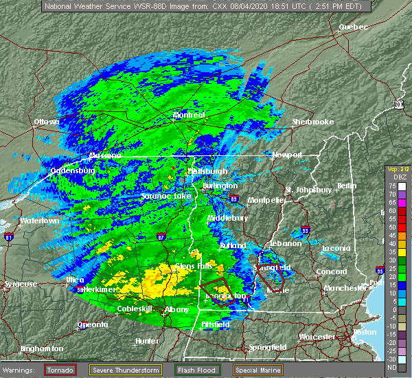
| 8/4/2020 3:23 PM EDT |
 At 323 pm edt, a severe thunderstorm capable of producing a tornado was located over claremont, moving northwest at 35 mph (radar indicated rotation). Hazards include tornado. Flying debris will be dangerous to those caught without shelter. mobile homes will be damaged or destroyed. damage to roofs, windows, and vehicles will occur. tree damage is likely. This tornadic thunderstorm will remain over mainly rural areas of northwestern sullivan county, including the following locations, plainfield and cornish. At 323 pm edt, a severe thunderstorm capable of producing a tornado was located over claremont, moving northwest at 35 mph (radar indicated rotation). Hazards include tornado. Flying debris will be dangerous to those caught without shelter. mobile homes will be damaged or destroyed. damage to roofs, windows, and vehicles will occur. tree damage is likely. This tornadic thunderstorm will remain over mainly rural areas of northwestern sullivan county, including the following locations, plainfield and cornish.
|
| 8/4/2020 3:11 PM EDT |
 At 311 pm edt, a severe thunderstorm capable of producing a tornado was located 7 miles southwest of newport, or 8 miles southeast of claremont, moving northwest at 35 mph (radar indicated rotation). Hazards include tornado. Flying debris will be dangerous to those caught without shelter. mobile homes will be damaged or destroyed. damage to roofs, windows, and vehicles will occur. tree damage is likely. this dangerous storm will be near, charlestown around 315 pm edt. claremont around 330 pm edt. Other locations impacted by this tornadic thunderstorm include acworth, cornish, unity, lempster, plainfield and croydon. At 311 pm edt, a severe thunderstorm capable of producing a tornado was located 7 miles southwest of newport, or 8 miles southeast of claremont, moving northwest at 35 mph (radar indicated rotation). Hazards include tornado. Flying debris will be dangerous to those caught without shelter. mobile homes will be damaged or destroyed. damage to roofs, windows, and vehicles will occur. tree damage is likely. this dangerous storm will be near, charlestown around 315 pm edt. claremont around 330 pm edt. Other locations impacted by this tornadic thunderstorm include acworth, cornish, unity, lempster, plainfield and croydon.
|
| 8/4/2020 3:03 PM EDT |
 At 302 pm edt, a severe thunderstorm capable of producing a tornado was located near marlow, or 13 miles southeast of claremont, moving northwest at 35 mph (radar indicated rotation). Hazards include tornado. Flying debris will be dangerous to those caught without shelter. mobile homes will be damaged or destroyed. damage to roofs, windows, and vehicles will occur. tree damage is likely. this dangerous storm will be near, charlestown around 315 pm edt. claremont around 330 pm edt. Other locations impacted by this tornadic thunderstorm include acworth, unity, goshen, lempster, washington and croydon. At 302 pm edt, a severe thunderstorm capable of producing a tornado was located near marlow, or 13 miles southeast of claremont, moving northwest at 35 mph (radar indicated rotation). Hazards include tornado. Flying debris will be dangerous to those caught without shelter. mobile homes will be damaged or destroyed. damage to roofs, windows, and vehicles will occur. tree damage is likely. this dangerous storm will be near, charlestown around 315 pm edt. claremont around 330 pm edt. Other locations impacted by this tornadic thunderstorm include acworth, unity, goshen, lempster, washington and croydon.
|
| 8/4/2020 2:49 PM EDT |
 At 249 pm edt, a severe thunderstorm capable of producing a tornado was located near marlow, or 13 miles northeast of keene, moving north at 50 mph (radar indicated rotation). Hazards include tornado. Flying debris will be dangerous to those caught without shelter. mobile homes will be damaged or destroyed. damage to roofs, windows, and vehicles will occur. tree damage is likely. this dangerous storm will be near, alstead around 255 pm edt. charlestown around 310 pm edt. claremont and newport around 315 pm edt. Other locations impacted by this tornadic thunderstorm include unity, lempster, acworth, goshen, washington, sunapee, croydon and newbury. At 249 pm edt, a severe thunderstorm capable of producing a tornado was located near marlow, or 13 miles northeast of keene, moving north at 50 mph (radar indicated rotation). Hazards include tornado. Flying debris will be dangerous to those caught without shelter. mobile homes will be damaged or destroyed. damage to roofs, windows, and vehicles will occur. tree damage is likely. this dangerous storm will be near, alstead around 255 pm edt. charlestown around 310 pm edt. claremont and newport around 315 pm edt. Other locations impacted by this tornadic thunderstorm include unity, lempster, acworth, goshen, washington, sunapee, croydon and newbury.
|
| 6/20/2020 3:38 PM EDT |
 At 338 pm edt, a severe thunderstorm was located near newport, or near claremont, and is nearly stationary (radar indicated). Hazards include 60 mph wind gusts and quarter size hail. Hail damage to vehicles is expected. Expect wind damage to roofs, siding, and trees. At 338 pm edt, a severe thunderstorm was located near newport, or near claremont, and is nearly stationary (radar indicated). Hazards include 60 mph wind gusts and quarter size hail. Hail damage to vehicles is expected. Expect wind damage to roofs, siding, and trees.
|
| 5/15/2020 7:56 PM EDT |
 The severe thunderstorm warning for sullivan, southern grafton and northwestern merrimack counties will expire at 800 pm edt, the storms which prompted the warning have moved out of the area. therefore, the warning will be allowed to expire. however gusty winds and heavy rain are still possible with these thunderstorms. a tornado watch remains in effect until 1000 pm edt for central and northern new hampshire. The severe thunderstorm warning for sullivan, southern grafton and northwestern merrimack counties will expire at 800 pm edt, the storms which prompted the warning have moved out of the area. therefore, the warning will be allowed to expire. however gusty winds and heavy rain are still possible with these thunderstorms. a tornado watch remains in effect until 1000 pm edt for central and northern new hampshire.
|
| 5/15/2020 7:25 PM EDT | Trees on wire in sullivan county NH, 2.8 miles W of Claremont, NH |
| 5/15/2020 7:16 PM EDT |
 At 715 pm edt, severe thunderstorms were located along a line extending from 9 miles northeast of hanover to 10 miles northwest of claremont, moving east at 50 mph (radar indicated). Hazards include 60 mph wind gusts and penny size hail. expect damage to roofs, siding, and trees At 715 pm edt, severe thunderstorms were located along a line extending from 9 miles northeast of hanover to 10 miles northwest of claremont, moving east at 50 mph (radar indicated). Hazards include 60 mph wind gusts and penny size hail. expect damage to roofs, siding, and trees
|
| 8/17/2019 7:43 PM EDT |
 The severe thunderstorm warning for southeastern orange and eastern windsor counties will expire at 745 pm edt, the storms which prompted the warning have moved out of the warned area. therefore, the warning will be allowed to expire. The severe thunderstorm warning for southeastern orange and eastern windsor counties will expire at 745 pm edt, the storms which prompted the warning have moved out of the warned area. therefore, the warning will be allowed to expire.
|
| 8/17/2019 7:36 PM EDT | Large limbs on wire in sullivan county NH, 1.2 miles W of Claremont, NH |
| 8/17/2019 7:31 PM EDT |
 At 731 pm edt, severe thunderstorms were located along a line extending from west norwich to near springfield, moving east at 40 mph (radar indicated). Hazards include 60 mph wind gusts. Expect damage to trees and powerlines. Locations impacted include, woodstock, chester, hartland four corners, windsor, sharon, thetford hill state park, perkinsville village, thetford center, quechee, strafford, norwich, thetford, hartland, springfield, weathersfield, hartford, west windsor, pomfret, baltimore and fairlee. At 731 pm edt, severe thunderstorms were located along a line extending from west norwich to near springfield, moving east at 40 mph (radar indicated). Hazards include 60 mph wind gusts. Expect damage to trees and powerlines. Locations impacted include, woodstock, chester, hartland four corners, windsor, sharon, thetford hill state park, perkinsville village, thetford center, quechee, strafford, norwich, thetford, hartland, springfield, weathersfield, hartford, west windsor, pomfret, baltimore and fairlee.
|
| 8/17/2019 7:26 PM EDT |
 At 726 pm edt, severe thunderstorms were located along a line extending from 10 miles southwest of piermont to near hanover to 8 miles north of claremont to charlestown, moving northeast at 45 mph (radar indicated). Hazards include 60 mph wind gusts. expect damage to roofs, siding, and trees At 726 pm edt, severe thunderstorms were located along a line extending from 10 miles southwest of piermont to near hanover to 8 miles north of claremont to charlestown, moving northeast at 45 mph (radar indicated). Hazards include 60 mph wind gusts. expect damage to roofs, siding, and trees
|
| 8/17/2019 7:16 PM EDT |
 The national weather service in burlington has issued a * severe thunderstorm warning for. southeastern orange county in central vermont. eastern windsor county in southern vermont. until 745 pm edt. At 716 pm edt, severe thunderstorms were located along a line. The national weather service in burlington has issued a * severe thunderstorm warning for. southeastern orange county in central vermont. eastern windsor county in southern vermont. until 745 pm edt. At 716 pm edt, severe thunderstorms were located along a line.
|
| 6/20/2019 2:51 PM EDT |
 The severe thunderstorm warning for southeastern orange, southeastern rutland and windsor counties will expire at 300 pm edt, the storm which prompted the warning has weakened below severe limits, and no longer poses an immediate threat to life or property. therefore, the warning will be allowed to expire. however heavy rain is still possible with this thunderstorm. The severe thunderstorm warning for southeastern orange, southeastern rutland and windsor counties will expire at 300 pm edt, the storm which prompted the warning has weakened below severe limits, and no longer poses an immediate threat to life or property. therefore, the warning will be allowed to expire. however heavy rain is still possible with this thunderstorm.
|
| 6/20/2019 2:27 PM EDT |
 At 224 pm edt, a severe thunderstorm was located over west hartford, moving east at 45 mph (trees down and power outages were reported in the rutland area around 145 pm). Hazards include 60 mph wind gusts. Expect damage to trees and powerlines. Locations impacted include, rutland, woodstock, chester, killington, ludlow village, rutland city, wallingford, rutland - southern vermont airport, pomfret, plymouth, hartland, mount holly, sharon, shrewsbury, bridgewater, baltimore, west windsor, hartland four corners, cavendish and perkinsville village. At 224 pm edt, a severe thunderstorm was located over west hartford, moving east at 45 mph (trees down and power outages were reported in the rutland area around 145 pm). Hazards include 60 mph wind gusts. Expect damage to trees and powerlines. Locations impacted include, rutland, woodstock, chester, killington, ludlow village, rutland city, wallingford, rutland - southern vermont airport, pomfret, plymouth, hartland, mount holly, sharon, shrewsbury, bridgewater, baltimore, west windsor, hartland four corners, cavendish and perkinsville village.
|
| 6/20/2019 1:54 PM EDT |
 At 153 pm edt, a severe thunderstorm was located near north clarendon, moving east at 50 mph (radar indicated). Hazards include 60 mph wind gusts. expect damage to trees and powerlines At 153 pm edt, a severe thunderstorm was located near north clarendon, moving east at 50 mph (radar indicated). Hazards include 60 mph wind gusts. expect damage to trees and powerlines
|
| 6/20/2019 1:37 PM EDT |
 At 137 pm edt, a severe thunderstorm was located over ira, moving east at 45 mph (radar indicated). Hazards include 60 mph wind gusts. expect damage to trees and powerlines At 137 pm edt, a severe thunderstorm was located over ira, moving east at 45 mph (radar indicated). Hazards include 60 mph wind gusts. expect damage to trees and powerlines
|
| 9/6/2018 12:42 PM EDT |
 At 1222 pm edt, a severe thunderstorm was located over calvin coolidge state park, moving east at 40 mph (radar indicated). Hazards include 60 mph wind gusts and quarter size hail. Minor hail damage to vehicles is possible. expect wind damage to trees and powerlines. locations impacted include, woodstock, rutland, chester, hartland four corners, cavendish, killington, ludlow village, rutland city, perkinsville village, mt. Holly, rutland - southern vermont airport, plymouth, hartland, clarendon, west rutland, ira, windsor, woodstock village, mount holly and ludlow. At 1222 pm edt, a severe thunderstorm was located over calvin coolidge state park, moving east at 40 mph (radar indicated). Hazards include 60 mph wind gusts and quarter size hail. Minor hail damage to vehicles is possible. expect wind damage to trees and powerlines. locations impacted include, woodstock, rutland, chester, hartland four corners, cavendish, killington, ludlow village, rutland city, perkinsville village, mt. Holly, rutland - southern vermont airport, plymouth, hartland, clarendon, west rutland, ira, windsor, woodstock village, mount holly and ludlow.
|
| 9/6/2018 12:22 PM EDT |
 At 1222 pm edt, a severe thunderstorm was located over calvin coolidge state park, moving east at 40 mph (radar indicated). Hazards include 60 mph wind gusts and quarter size hail. Minor hail damage to vehicles is possible. expect wind damage to trees and powerlines. locations impacted include, woodstock, rutland, chester, hartland four corners, cavendish, killington, ludlow village, rutland city, perkinsville village, mt. Holly, rutland - southern vermont airport, plymouth, hartland, clarendon, west rutland, ira, windsor, woodstock village, mount holly and ludlow. At 1222 pm edt, a severe thunderstorm was located over calvin coolidge state park, moving east at 40 mph (radar indicated). Hazards include 60 mph wind gusts and quarter size hail. Minor hail damage to vehicles is possible. expect wind damage to trees and powerlines. locations impacted include, woodstock, rutland, chester, hartland four corners, cavendish, killington, ludlow village, rutland city, perkinsville village, mt. Holly, rutland - southern vermont airport, plymouth, hartland, clarendon, west rutland, ira, windsor, woodstock village, mount holly and ludlow.
|
| 9/6/2018 11:44 AM EDT |
 At 1144 am edt, a severe thunderstorm was located over bomoseen, moving east at 40 mph (radar indicated). Hazards include 60 mph wind gusts and quarter size hail. Minor hail damage to vehicles is possible. Expect wind damage to trees and powerlines. At 1144 am edt, a severe thunderstorm was located over bomoseen, moving east at 40 mph (radar indicated). Hazards include 60 mph wind gusts and quarter size hail. Minor hail damage to vehicles is possible. Expect wind damage to trees and powerlines.
|
| 7/27/2018 4:06 PM EDT |
 The severe thunderstorm warning for south central windsor county will expire at 415 pm edt, the storm which prompted the warning has weakened below severe limits, and has exited the warned area. therefore, the warning will be allowed to expire. however heavy rain is still possible with this thunderstorm. a severe thunderstorm watch remains in effect until 1000 pm edt for southern vermont. The severe thunderstorm warning for south central windsor county will expire at 415 pm edt, the storm which prompted the warning has weakened below severe limits, and has exited the warned area. therefore, the warning will be allowed to expire. however heavy rain is still possible with this thunderstorm. a severe thunderstorm watch remains in effect until 1000 pm edt for southern vermont.
|
| 7/27/2018 3:46 PM EDT |
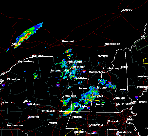 At 346 pm edt, severe thunderstorms were located along a line extending from near claremont to near charlestown to 7 miles northwest of walpole, moving east at 25 mph (radar indicated). Hazards include 60 mph wind gusts and quarter size hail. Hail damage to vehicles is expected. expect wind damage to roofs, siding, and trees. Locations impacted include, claremont, charlestown, newport, lempster, acworth, goshen, croydon, langdon and unity. At 346 pm edt, severe thunderstorms were located along a line extending from near claremont to near charlestown to 7 miles northwest of walpole, moving east at 25 mph (radar indicated). Hazards include 60 mph wind gusts and quarter size hail. Hail damage to vehicles is expected. expect wind damage to roofs, siding, and trees. Locations impacted include, claremont, charlestown, newport, lempster, acworth, goshen, croydon, langdon and unity.
|
| 7/27/2018 3:43 PM EDT |
 At 341 pm edt, a severe thunderstorm was located over weathersfield bow, moving northeast at 10 mph. this storm is also producing very heavy rainfall and could cause minor flooding (radar indicated). Hazards include 60 mph wind gusts and quarter size hail. Minor hail damage to vehicles is possible. expect wind damage to trees and powerlines. Locations impacted include, chester, springfield, weathersfield, ascutney, perkinsville village, andover, north chester, north springfield lake recreation area, north springfield, weathersfield bow, west springfield and wilgus state park. At 341 pm edt, a severe thunderstorm was located over weathersfield bow, moving northeast at 10 mph. this storm is also producing very heavy rainfall and could cause minor flooding (radar indicated). Hazards include 60 mph wind gusts and quarter size hail. Minor hail damage to vehicles is possible. expect wind damage to trees and powerlines. Locations impacted include, chester, springfield, weathersfield, ascutney, perkinsville village, andover, north chester, north springfield lake recreation area, north springfield, weathersfield bow, west springfield and wilgus state park.
|
| 7/27/2018 3:36 PM EDT |
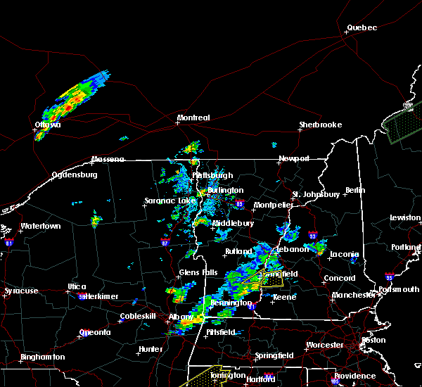 At 336 pm edt, a severe thunderstorm was located over charlestown, or 8 miles southwest of claremont, moving east at 20 mph (radar indicated). Hazards include 60 mph wind gusts and quarter size hail. Hail damage to vehicles is expected. Expect wind damage to roofs, siding, and trees. At 336 pm edt, a severe thunderstorm was located over charlestown, or 8 miles southwest of claremont, moving east at 20 mph (radar indicated). Hazards include 60 mph wind gusts and quarter size hail. Hail damage to vehicles is expected. Expect wind damage to roofs, siding, and trees.
|
| 7/27/2018 3:18 PM EDT |
 At 317 pm edt, a severe thunderstorm was located over west springfield, moving northeast at 10 mph (radar indicated). Hazards include 60 mph wind gusts and quarter size hail. Minor hail damage to vehicles is possible. Expect wind damage to trees and powerlines. At 317 pm edt, a severe thunderstorm was located over west springfield, moving northeast at 10 mph (radar indicated). Hazards include 60 mph wind gusts and quarter size hail. Minor hail damage to vehicles is possible. Expect wind damage to trees and powerlines.
|
| 7/27/2018 3:08 PM EDT |
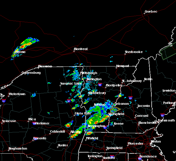 At 308 pm edt, a severe thunderstorm was located 9 miles north of claremont, moving northeast at 25 mph (radar indicated). Hazards include 60 mph wind gusts and quarter size hail. Hail damage to vehicles is expected. expect wind damage to roofs, siding, and trees. locations impacted include, claremont, enfield, grantham, cornish, croydon, plainfield and springfield. This includes interstate 89 between mile markers 42 and 48. At 308 pm edt, a severe thunderstorm was located 9 miles north of claremont, moving northeast at 25 mph (radar indicated). Hazards include 60 mph wind gusts and quarter size hail. Hail damage to vehicles is expected. expect wind damage to roofs, siding, and trees. locations impacted include, claremont, enfield, grantham, cornish, croydon, plainfield and springfield. This includes interstate 89 between mile markers 42 and 48.
|
| 7/27/2018 2:41 PM EDT |
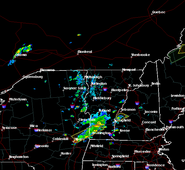 At 241 pm edt, a severe thunderstorm was located near claremont, moving northeast at 10 mph (radar indicated). Hazards include 60 mph wind gusts and quarter size hail. Hail damage to vehicles is expected. Expect wind damage to roofs, siding, and trees. At 241 pm edt, a severe thunderstorm was located near claremont, moving northeast at 10 mph (radar indicated). Hazards include 60 mph wind gusts and quarter size hail. Hail damage to vehicles is expected. Expect wind damage to roofs, siding, and trees.
|
| 7/17/2018 10:14 AM EDT |
 At 1014 am edt, a severe thunderstorm was located near bradford, or 11 miles south of new london, moving east at 40 mph (radar indicated). Hazards include 60 mph wind gusts. expect damage to roofs, siding, and trees At 1014 am edt, a severe thunderstorm was located near bradford, or 11 miles south of new london, moving east at 40 mph (radar indicated). Hazards include 60 mph wind gusts. expect damage to roofs, siding, and trees
|
| 6/18/2018 4:47 PM EDT |
 At 447 pm edt, severe thunderstorms were located along a line extending from 20 miles west of charlestown to 12 miles west of westmoreland to 24 miles southwest of hinsdale, moving east at 50 mph (radar indicated). Hazards include 60 mph wind gusts. expect damage to roofs, siding, and trees At 447 pm edt, severe thunderstorms were located along a line extending from 20 miles west of charlestown to 12 miles west of westmoreland to 24 miles southwest of hinsdale, moving east at 50 mph (radar indicated). Hazards include 60 mph wind gusts. expect damage to roofs, siding, and trees
|
| 5/4/2018 9:09 PM EDT |
 At 908 pm edt, severe thunderstorms were located along a line extending from 17 miles west of hanover to 8 miles northwest of charlestown to 7 miles west of westmoreland to 8 miles west of hinsdale, moving east at 55 mph (radar indicated). Hazards include 60 mph wind gusts. expect damage to roofs, siding, and trees At 908 pm edt, severe thunderstorms were located along a line extending from 17 miles west of hanover to 8 miles northwest of charlestown to 7 miles west of westmoreland to 8 miles west of hinsdale, moving east at 55 mph (radar indicated). Hazards include 60 mph wind gusts. expect damage to roofs, siding, and trees
|
| 5/4/2018 9:08 PM EDT |
 A severe thunderstorm warning remains in effect until 930 pm edt for south central windsor county. at 908 pm edt, severe thunderstorms were located along a line extending from near reading to near chester, moving east at 45 mph. hazard. 60 mph wind gusts and quarter size hail. source. Radar indicated. A severe thunderstorm warning remains in effect until 930 pm edt for south central windsor county. at 908 pm edt, severe thunderstorms were located along a line extending from near reading to near chester, moving east at 45 mph. hazard. 60 mph wind gusts and quarter size hail. source. Radar indicated.
|
| 5/4/2018 8:36 PM EDT |
 At 836 pm edt, a severe thunderstorm was located over tinmouth, moving east at 50 mph (radar indicated). Hazards include 60 mph wind gusts and quarter size hail. Minor hail damage to vehicles is possible. Expect wind damage to trees and powerlines. At 836 pm edt, a severe thunderstorm was located over tinmouth, moving east at 50 mph (radar indicated). Hazards include 60 mph wind gusts and quarter size hail. Minor hail damage to vehicles is possible. Expect wind damage to trees and powerlines.
|
| 9/5/2017 4:27 PM EDT |
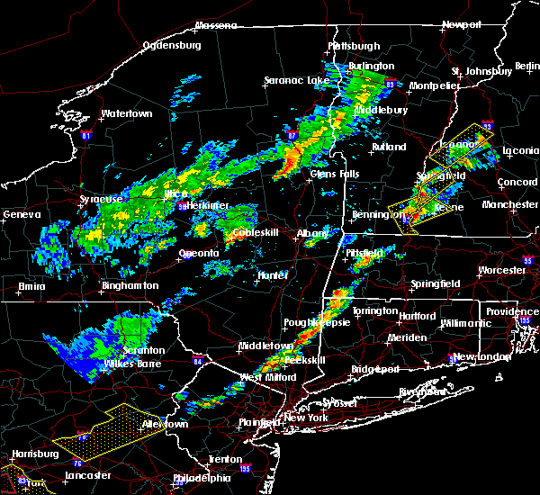 At 426 pm edt, a severe thunderstorm was located near walpole, or 14 miles northwest of keene, moving northeast at 35 mph (radar indicated). Hazards include 60 mph wind gusts and nickel size hail. expect damage to trees, and power lines At 426 pm edt, a severe thunderstorm was located near walpole, or 14 miles northwest of keene, moving northeast at 35 mph (radar indicated). Hazards include 60 mph wind gusts and nickel size hail. expect damage to trees, and power lines
|
| 8/22/2017 9:51 PM EDT |
 The severe thunderstorm warning for southeastern rutland and southwestern windsor counties will expire at 1000 pm edt, the storm which prompted the warning has moved out of the area. therefore the warning will be allowed to expire. a severe thunderstorm watch remains in effect until midnight edt for southern vermont. The severe thunderstorm warning for southeastern rutland and southwestern windsor counties will expire at 1000 pm edt, the storm which prompted the warning has moved out of the area. therefore the warning will be allowed to expire. a severe thunderstorm watch remains in effect until midnight edt for southern vermont.
|
| 8/22/2017 9:33 PM EDT | Trees down on elm st in claremont in sullivan county NH, 1.2 miles W of Claremont, NH |
| 8/22/2017 9:20 PM EDT |
 At 920 pm edt, severe thunderstorms were located along a line extending from 10 miles west of hanover to 6 miles west of claremont to 17 miles west of hinsdale, moving east at 45 mph (radar indicated). Hazards include 60 mph wind gusts. expect damage to trees, and power lines At 920 pm edt, severe thunderstorms were located along a line extending from 10 miles west of hanover to 6 miles west of claremont to 17 miles west of hinsdale, moving east at 45 mph (radar indicated). Hazards include 60 mph wind gusts. expect damage to trees, and power lines
|
| 8/22/2017 9:06 PM EDT |
 At 906 pm edt, a severe thunderstorm was located over andover, moving east at 45 mph (radar indicated). Hazards include 60 mph wind gusts. expect damage to trees and powerlines At 906 pm edt, a severe thunderstorm was located over andover, moving east at 45 mph (radar indicated). Hazards include 60 mph wind gusts. expect damage to trees and powerlines
|
| 7/17/2017 7:10 PM EDT |
 The severe thunderstorm warning for south central windsor county will expire at 715 pm edt, the storm which prompted the warning has weakened below severe limits, and have exited the warned area. therefore the warning will be allowed to expire. The severe thunderstorm warning for south central windsor county will expire at 715 pm edt, the storm which prompted the warning has weakened below severe limits, and have exited the warned area. therefore the warning will be allowed to expire.
|
| 7/17/2017 6:35 PM EDT |
 At 635 pm edt, a severe thunderstorm was located over brownsville, moving northeast at 20 mph (public). Hazards include 60 mph wind gusts and quarter size hail. Minor hail damage to vehicles is possible. expect wind damage to trees and powerlines. Locations impacted include, chester, windsor, cavendish, perkinsville village, ascutney, baltimore, weathersfield, west windsor, andover, springfield, ludlow, hartland, reading, perkinsville, felchville, brownsville, north chester, ascutney state park, north springfield lake recreation area and proctorsville. At 635 pm edt, a severe thunderstorm was located over brownsville, moving northeast at 20 mph (public). Hazards include 60 mph wind gusts and quarter size hail. Minor hail damage to vehicles is possible. expect wind damage to trees and powerlines. Locations impacted include, chester, windsor, cavendish, perkinsville village, ascutney, baltimore, weathersfield, west windsor, andover, springfield, ludlow, hartland, reading, perkinsville, felchville, brownsville, north chester, ascutney state park, north springfield lake recreation area and proctorsville.
|
| 7/17/2017 6:13 PM EDT |
 At 612 pm edt, a severe thunderstorm was located over whitesville, moving northeast at 20 mph (trained weather spotters). Hazards include 60 mph wind gusts and quarter size hail. Minor hail damage to vehicles is possible. Expect wind damage to trees and powerlines. At 612 pm edt, a severe thunderstorm was located over whitesville, moving northeast at 20 mph (trained weather spotters). Hazards include 60 mph wind gusts and quarter size hail. Minor hail damage to vehicles is possible. Expect wind damage to trees and powerlines.
|
| 7/1/2017 7:43 PM EDT |
 At 743 pm edt, severe thunderstorms were located along a line extending from 8 miles north of claremont to 8 miles north of marlow to near westmoreland, moving east at 35 mph (radar indicated). Hazards include 60 mph wind gusts. Expect damage to trees, and power lines. locations impacted include, claremont, lebanon, henniker, new london, grafton, enfield, canaan, antrim, bradford, bennington, nelson, newport, gilsum, windsor, warner, hillsborough, alstead, marlow, sullivan and surry. this also includes, mount kearsage and mount sunapee. This includes interstate 89 between mile markers 17 and 55. At 743 pm edt, severe thunderstorms were located along a line extending from 8 miles north of claremont to 8 miles north of marlow to near westmoreland, moving east at 35 mph (radar indicated). Hazards include 60 mph wind gusts. Expect damage to trees, and power lines. locations impacted include, claremont, lebanon, henniker, new london, grafton, enfield, canaan, antrim, bradford, bennington, nelson, newport, gilsum, windsor, warner, hillsborough, alstead, marlow, sullivan and surry. this also includes, mount kearsage and mount sunapee. This includes interstate 89 between mile markers 17 and 55.
|
| 7/1/2017 7:16 PM EDT |
 At 716 pm edt, severe thunderstorms were located along a line extending from 15 miles west of claremont to near charlestown to 9 miles west of chesterfield, moving east at 35 mph (radar indicated). Hazards include 60 mph wind gusts. expect damage to trees, and power lines At 716 pm edt, severe thunderstorms were located along a line extending from 15 miles west of claremont to near charlestown to 9 miles west of chesterfield, moving east at 35 mph (radar indicated). Hazards include 60 mph wind gusts. expect damage to trees, and power lines
|
| 7/1/2017 5:37 PM EDT |
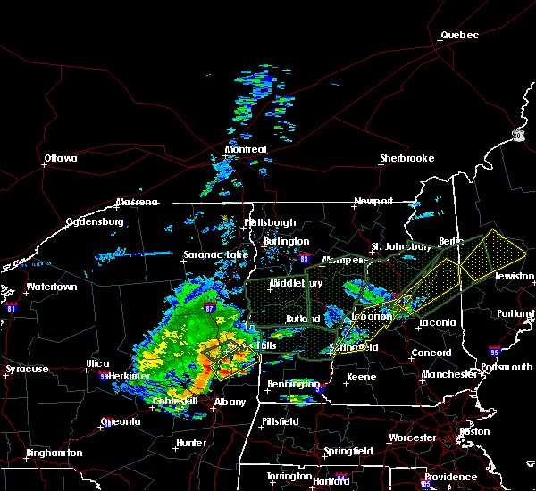 At 536 pm edt, severe thunderstorms were located along a line extending from 8 miles north of groton to near newport, moving east at 35 mph (radar indicated). Hazards include 60 mph wind gusts and penny size hail. Expect damage to trees, and power lines. locations impacted include, claremont, lebanon, plymouth, new london, grafton, hanover, charlestown, enfield, canaan, danbury, groton, newport, grantham, lyme, cornish, goshen, croydon, hebron, dorchester and ellsworth. this also includes, rumney rocks, stinson mountain, welch mountain, and dickey mountain. this includes the following highways, interstate 89 between mile markers 37 and 52. Interstate 93 between mile markers 81 and 91. At 536 pm edt, severe thunderstorms were located along a line extending from 8 miles north of groton to near newport, moving east at 35 mph (radar indicated). Hazards include 60 mph wind gusts and penny size hail. Expect damage to trees, and power lines. locations impacted include, claremont, lebanon, plymouth, new london, grafton, hanover, charlestown, enfield, canaan, danbury, groton, newport, grantham, lyme, cornish, goshen, croydon, hebron, dorchester and ellsworth. this also includes, rumney rocks, stinson mountain, welch mountain, and dickey mountain. this includes the following highways, interstate 89 between mile markers 37 and 52. Interstate 93 between mile markers 81 and 91.
|
| 7/1/2017 5:04 PM EDT |
 At 504 pm edt, severe thunderstorms were located along a line extending from near hanover to 7 miles northwest of charlestown, moving east at 35 mph (radar indicated). Hazards include 60 mph wind gusts and penny size hail. expect damage to trees, and power lines At 504 pm edt, severe thunderstorms were located along a line extending from near hanover to 7 miles northwest of charlestown, moving east at 35 mph (radar indicated). Hazards include 60 mph wind gusts and penny size hail. expect damage to trees, and power lines
|
| 7/1/2017 4:56 PM EDT |
 At 456 pm edt, severe thunderstorms were located along a line extending from near south woodstock to near mt. tabor, moving southeast at 20 mph (radar indicated). Hazards include 60 mph wind gusts and nickel size hail. Expect damage to trees and powerlines. locations impacted include, woodstock, chester, hartland four corners, windsor, woodstock village, mount holly, ludlow, cavendish, andover, weston, ludlow village, perkinsville village, mt. Holly, hartland, reading, baltimore, springfield, weathersfield, west windsor and plymouth. At 456 pm edt, severe thunderstorms were located along a line extending from near south woodstock to near mt. tabor, moving southeast at 20 mph (radar indicated). Hazards include 60 mph wind gusts and nickel size hail. Expect damage to trees and powerlines. locations impacted include, woodstock, chester, hartland four corners, windsor, woodstock village, mount holly, ludlow, cavendish, andover, weston, ludlow village, perkinsville village, mt. Holly, hartland, reading, baltimore, springfield, weathersfield, west windsor and plymouth.
|
| 7/1/2017 4:13 PM EDT |
 At 413 pm edt, a severe thunderstorm was located over south wallingford, moving northeast at 35 mph (radar indicated). Hazards include 60 mph wind gusts and nickel size hail. expect damage to trees and powerlines At 413 pm edt, a severe thunderstorm was located over south wallingford, moving northeast at 35 mph (radar indicated). Hazards include 60 mph wind gusts and nickel size hail. expect damage to trees and powerlines
|
| 5/18/2017 9:25 PM EDT |
 At 925 pm edt, severe thunderstorms were located along a line extending from 6 miles northeast of claremont to near marlow to marlborough to 9 miles south of winchester, moving east at 50 mph (radar indicated). Hazards include 60 mph wind gusts. Expect damage to trees, and power lines. locations impacted include, keene, claremont, jaffrey, henniker, new london, swanzey, peterborough, charlestown, winchester, antrim, greenfield, lyndeborough, bradford, dublin, francestown, bennington, danbury, richmond, harrisville and nelson. This includes interstate 89 between mile markers 19 and 40. At 925 pm edt, severe thunderstorms were located along a line extending from 6 miles northeast of claremont to near marlow to marlborough to 9 miles south of winchester, moving east at 50 mph (radar indicated). Hazards include 60 mph wind gusts. Expect damage to trees, and power lines. locations impacted include, keene, claremont, jaffrey, henniker, new london, swanzey, peterborough, charlestown, winchester, antrim, greenfield, lyndeborough, bradford, dublin, francestown, bennington, danbury, richmond, harrisville and nelson. This includes interstate 89 between mile markers 19 and 40.
|
| 5/18/2017 8:42 PM EDT |
 At 841 pm edt, severe thunderstorms were located along a line extending from 24 miles west of charlestown to 13 miles west of westmoreland to 13 miles west of hinsdale to 36 miles southwest of winchester, moving east at 50 mph (radar indicated). Hazards include 60 mph wind gusts. expect damage to trees, and power lines At 841 pm edt, severe thunderstorms were located along a line extending from 24 miles west of charlestown to 13 miles west of westmoreland to 13 miles west of hinsdale to 36 miles southwest of winchester, moving east at 50 mph (radar indicated). Hazards include 60 mph wind gusts. expect damage to trees, and power lines
|
| 9/11/2016 8:52 AM EDT | Trees down in sullivan county NH, 1.2 miles W of Claremont, NH |
| 9/11/2016 8:25 AM EDT | Trees down in sullivan county NH, 1.2 miles W of Claremont, NH |
| 9/11/2016 8:23 AM EDT |
 At 822 am edt, severe thunderstorms were located along a line extending from 6 miles southwest of enfield to 6 miles southwest of hinsdale, moving east at 35 mph. this line of storms has the history of producing wind damage (radar indicated). Hazards include 60 mph wind gusts. Expect damage to roofs. siding. And trees. At 822 am edt, severe thunderstorms were located along a line extending from 6 miles southwest of enfield to 6 miles southwest of hinsdale, moving east at 35 mph. this line of storms has the history of producing wind damage (radar indicated). Hazards include 60 mph wind gusts. Expect damage to roofs. siding. And trees.
|
| 8/13/2016 8:13 PM EDT |
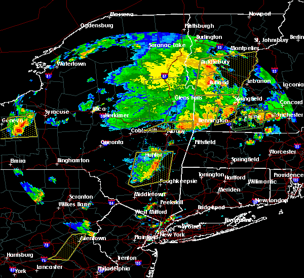 At 813 pm edt, severe thunderstorms were located along a line extending from near charlestown to near bellows falls to newfane, moving east at 30 mph (radar indicated). Hazards include 60 mph wind gusts and penny size hail. Expect damage to roofs. siding. And trees. At 813 pm edt, severe thunderstorms were located along a line extending from near charlestown to near bellows falls to newfane, moving east at 30 mph (radar indicated). Hazards include 60 mph wind gusts and penny size hail. Expect damage to roofs. siding. And trees.
|
| 7/23/2016 5:43 PM EDT |
 The severe thunderstorm warning for southwestern windsor and southeastern rutland counties will expire at 545 pm edt, the storms which prompted the warning have moved out of the area. therefore the warning will be allowed to expire. however small hail and gusty winds are still possible with these thunderstorms. a severe thunderstorm watch remains in effect until 800 pm edt for southern vermont. The severe thunderstorm warning for southwestern windsor and southeastern rutland counties will expire at 545 pm edt, the storms which prompted the warning have moved out of the area. therefore the warning will be allowed to expire. however small hail and gusty winds are still possible with these thunderstorms. a severe thunderstorm watch remains in effect until 800 pm edt for southern vermont.
|
| 7/23/2016 5:21 PM EDT |
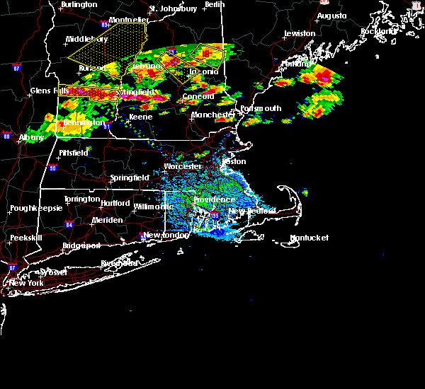 At 521 pm edt, severe thunderstorms were located along a line extending from 9 miles southwest of ascutney to warner, moving east at 45 mph (radar indicated). Hazards include 60 mph wind gusts and quarter size hail. Hail damage to vehicles is expected. Expect wind damage to roofs, siding, and trees. At 521 pm edt, severe thunderstorms were located along a line extending from 9 miles southwest of ascutney to warner, moving east at 45 mph (radar indicated). Hazards include 60 mph wind gusts and quarter size hail. Hail damage to vehicles is expected. Expect wind damage to roofs, siding, and trees.
|
| 7/23/2016 5:19 PM EDT |
 At 519 pm edt, severe thunderstorms were located along a line extending from south granville to near charlestown, moving south at 15 mph (radar indicated). Hazards include 60 mph wind gusts and quarter size hail. Hail damage to vehicles is expected. Expect wind damage to roofs, siding, and trees. At 519 pm edt, severe thunderstorms were located along a line extending from south granville to near charlestown, moving south at 15 mph (radar indicated). Hazards include 60 mph wind gusts and quarter size hail. Hail damage to vehicles is expected. Expect wind damage to roofs, siding, and trees.
|
| 7/1/2016 7:55 PM EDT |
 At 755 pm edt, severe thunderstorms were located along a line extending from near enfield to near newport to near westminster, moving east at 15 mph (radar indicated). Hazards include 60 mph wind gusts. Expect damage to roofs. siding. and trees. Locations impacted include, claremont, lebanon, new london, plymouth, grafton, hanover, charlestown, enfield, canaan, bradford, danbury, groton, newport, marlow, warner, bristol, grantham, andover, lyme and cornish. At 755 pm edt, severe thunderstorms were located along a line extending from near enfield to near newport to near westminster, moving east at 15 mph (radar indicated). Hazards include 60 mph wind gusts. Expect damage to roofs. siding. and trees. Locations impacted include, claremont, lebanon, new london, plymouth, grafton, hanover, charlestown, enfield, canaan, bradford, danbury, groton, newport, marlow, warner, bristol, grantham, andover, lyme and cornish.
|
| 7/1/2016 7:26 PM EDT |
 At 726 pm edt, severe thunderstorms were located along a line extending from hanover to near claremont to near townshend, moving east at 15 mph (radar indicated). Hazards include 60 mph wind gusts. Expect damage to roofs. siding. And trees. At 726 pm edt, severe thunderstorms were located along a line extending from hanover to near claremont to near townshend, moving east at 15 mph (radar indicated). Hazards include 60 mph wind gusts. Expect damage to roofs. siding. And trees.
|
| 7/1/2016 6:29 PM EDT |
 At 628 pm edt, a severe thunderstorm was located over andover, moving northeast at 40 mph (radar indicated). Hazards include 60 mph wind gusts and penny size hail. Expect damage to roofs. siding. And trees. At 628 pm edt, a severe thunderstorm was located over andover, moving northeast at 40 mph (radar indicated). Hazards include 60 mph wind gusts and penny size hail. Expect damage to roofs. siding. And trees.
|
| 8/4/2015 6:07 PM EDT |
 At 607 pm edt, doppler radar indicated a severe thunderstorm capable of producing quarter size hail and damaging winds in excess of 60 mph. this storm was located near mount sunapee state park, or 11 miles southeast of claremont, and moving east at 30 mph. At 607 pm edt, doppler radar indicated a severe thunderstorm capable of producing quarter size hail and damaging winds in excess of 60 mph. this storm was located near mount sunapee state park, or 11 miles southeast of claremont, and moving east at 30 mph.
|
| 8/3/2015 5:29 PM EDT |
 At 528 pm edt, doppler radar indicated a line of severe thunderstorms capable of producing damaging winds in excess of 60 mph. these storms were located along a line extending from lebanon to 8 miles north of newport to near claremont to westminster to near guilford center, moving northeast at 35 mph. locations impacted include, keene, claremont, southwestern lebanon, jaffrey, new london, swanzey, charlestown, enfield, winchester, hinsdale, chesterfield, antrim, marlborough, fitzwilliam, troy, westmoreland, bradford, dublin, danbury and richmond. At 528 pm edt, doppler radar indicated a line of severe thunderstorms capable of producing damaging winds in excess of 60 mph. these storms were located along a line extending from lebanon to 8 miles north of newport to near claremont to westminster to near guilford center, moving northeast at 35 mph. locations impacted include, keene, claremont, southwestern lebanon, jaffrey, new london, swanzey, charlestown, enfield, winchester, hinsdale, chesterfield, antrim, marlborough, fitzwilliam, troy, westmoreland, bradford, dublin, danbury and richmond.
|
| 8/3/2015 5:08 PM EDT |
 At 508 pm edt, doppler radar indicated a line of severe thunderstorms capable of producing damaging winds in excess of 60 mph. these storms were located along a line extending from near hartland to near claremont to near charlestown to near putney to near heath, and moving northeast at 35 mph. At 508 pm edt, doppler radar indicated a line of severe thunderstorms capable of producing damaging winds in excess of 60 mph. these storms were located along a line extending from near hartland to near claremont to near charlestown to near putney to near heath, and moving northeast at 35 mph.
|
| 7/19/2015 7:47 PM EDT |
 At 747 pm edt, doppler radar indicated a severe thunderstorm capable of producing quarter size hail and damaging winds in excess of 60 mph. this storm was located near john hay national wildlife refuge, or 7 miles southwest of new london, moving east at 30 mph. locations impacted include, claremont, new london, bradford, danbury, newport, mount sunapee state park, john hay national wildlife refuge, wadleigh state park, warner, grantham, western andover, cornish, lempster, goshen, croydon, springfield, wilmot, newbury, sunapee and sulton. At 747 pm edt, doppler radar indicated a severe thunderstorm capable of producing quarter size hail and damaging winds in excess of 60 mph. this storm was located near john hay national wildlife refuge, or 7 miles southwest of new london, moving east at 30 mph. locations impacted include, claremont, new london, bradford, danbury, newport, mount sunapee state park, john hay national wildlife refuge, wadleigh state park, warner, grantham, western andover, cornish, lempster, goshen, croydon, springfield, wilmot, newbury, sunapee and sulton.
|
| 7/19/2015 7:30 PM EDT | Trees down on sugar river dr in sullivan county NH, 1.2 miles W of Claremont, NH |
| 7/19/2015 7:17 PM EDT |
 At 717 pm edt, doppler radar indicated a severe thunderstorm capable of producing quarter size hail and damaging winds in excess of 60 mph. this storm was located near springfield, and moving east at 45 mph. At 717 pm edt, doppler radar indicated a severe thunderstorm capable of producing quarter size hail and damaging winds in excess of 60 mph. this storm was located near springfield, and moving east at 45 mph.
|
| 6/9/2015 5:21 PM EDT |
 At 520 pm edt, doppler radar indicated a severe thunderstorm capable of producing damaging winds in excess of 60 mph. this storm was located near newport, or 8 miles northeast of claremont, and moving northeast at 45 mph. At 520 pm edt, doppler radar indicated a severe thunderstorm capable of producing damaging winds in excess of 60 mph. this storm was located near newport, or 8 miles northeast of claremont, and moving northeast at 45 mph.
|
| 5/27/2015 5:17 PM EDT | At 516 pm edt, doppler radar indicated a line of severe thunderstorms capable of producing damaging winds in excess of 60 mph. these storms were located along a line extending from lebanon to 6 miles southeast of hartland, and moving east at 55 mph. |
| 8/7/2014 4:25 PM EDT | Quarter sized hail reported 5.1 miles SSW of Claremont, NH |
| 7/3/2014 8:00 PM EDT | Claremont police report numerous trees and power lines dow in sullivan county NH, 1.2 miles W of Claremont, NH |
| 10/7/2013 4:55 PM EDT | Numerous trees and wires down across claremont in sullivan county NH, 1.2 miles W of Claremont, NH |
| 7/19/2013 11:20 PM EDT | Trees and power lines down in sullivan county NH, 1.2 miles W of Claremont, NH |
| 7/19/2013 11:15 PM EDT | Trees down on wire in sullivan county NH, 8.3 miles NW of Claremont, NH |
| 7/19/2013 10:20 PM EDT | Trees and power lines down in sullivan county NH, 1.2 miles W of Claremont, NH |
| 5/29/2012 4:55 PM EDT | Half Dollar sized hail reported 2.4 miles SSW of Claremont, NH, half dollar and lots of quarter size hail off hewitt road |
| 1/1/0001 12:00 AM | Multiple trees down suspected microburst no hail in sullivan county NH, 1.2 miles W of Claremont, NH |
| 1/1/0001 12:00 AM | Tree down on house. lightning hit another tree and started a fir in sullivan county NH, 1.2 miles W of Claremont, NH |
Hail Maps for Claremont, NH


Connect with Interactive Hail Maps