

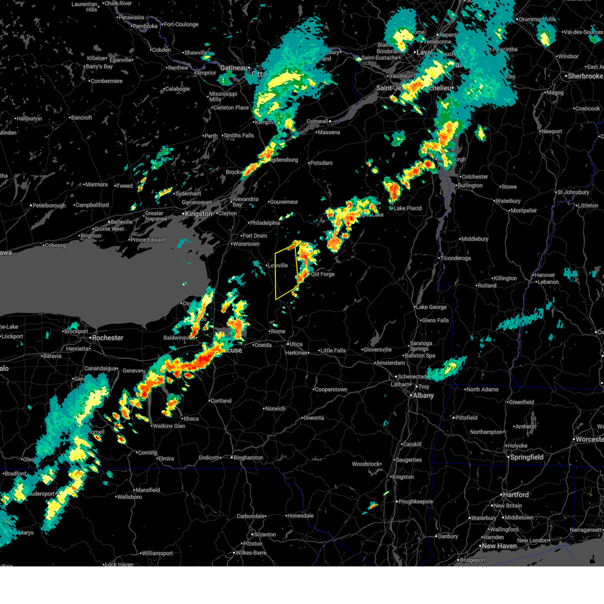
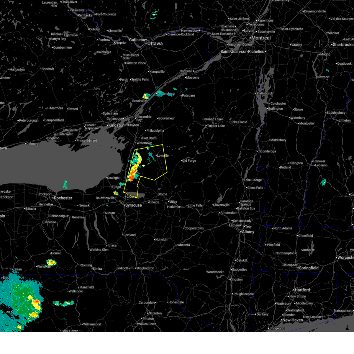
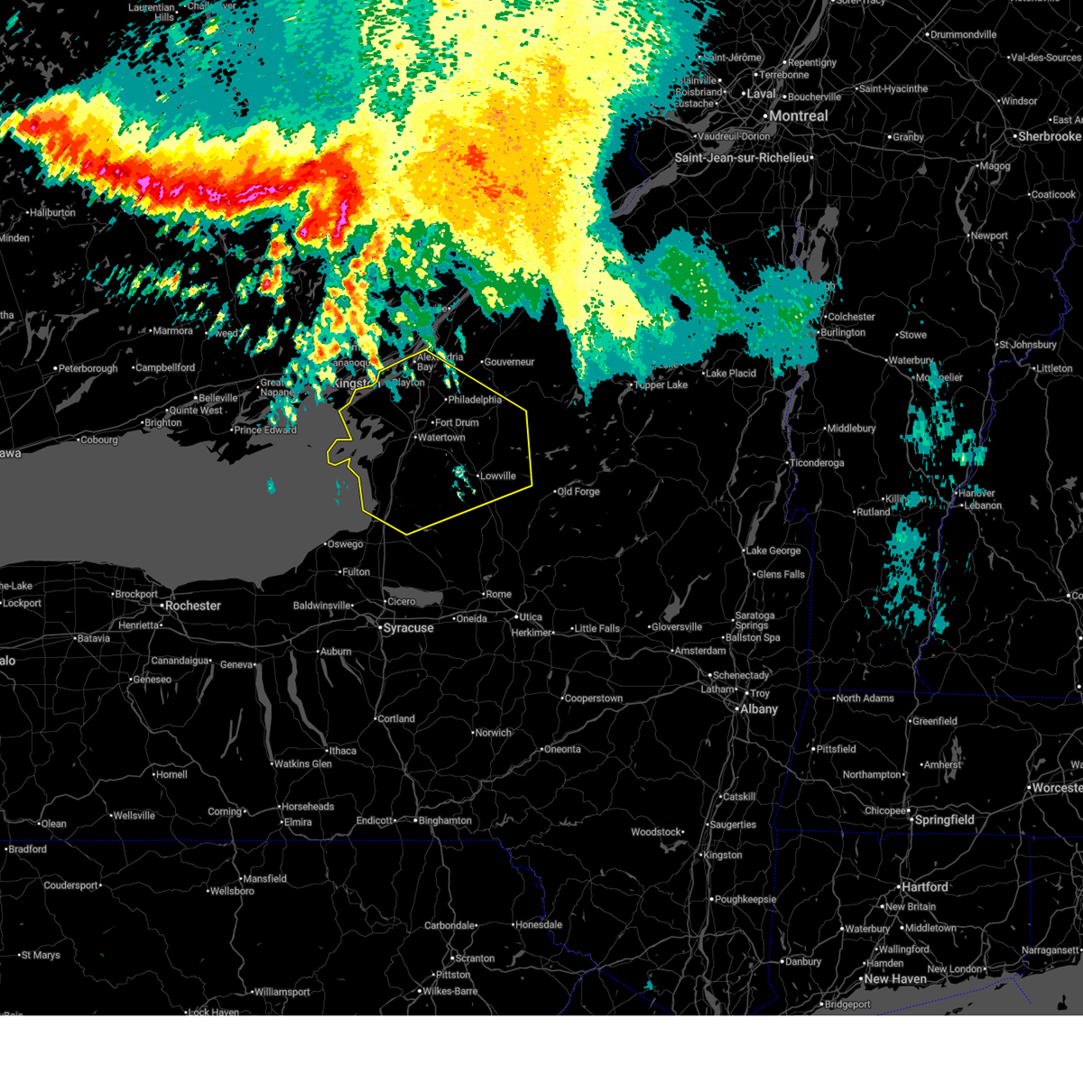
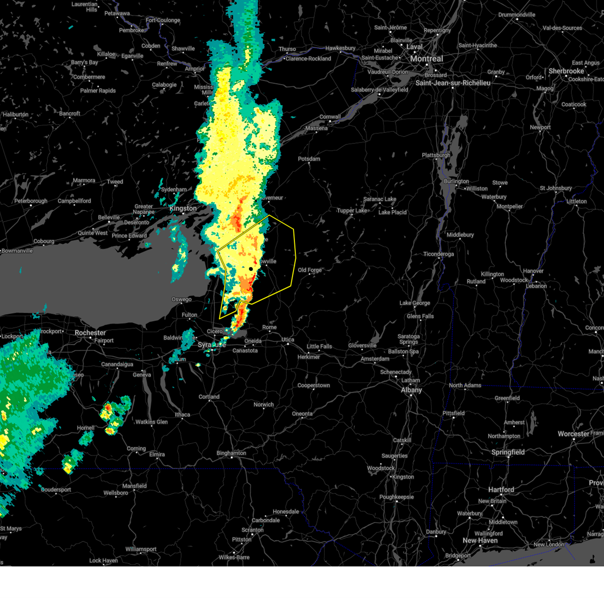
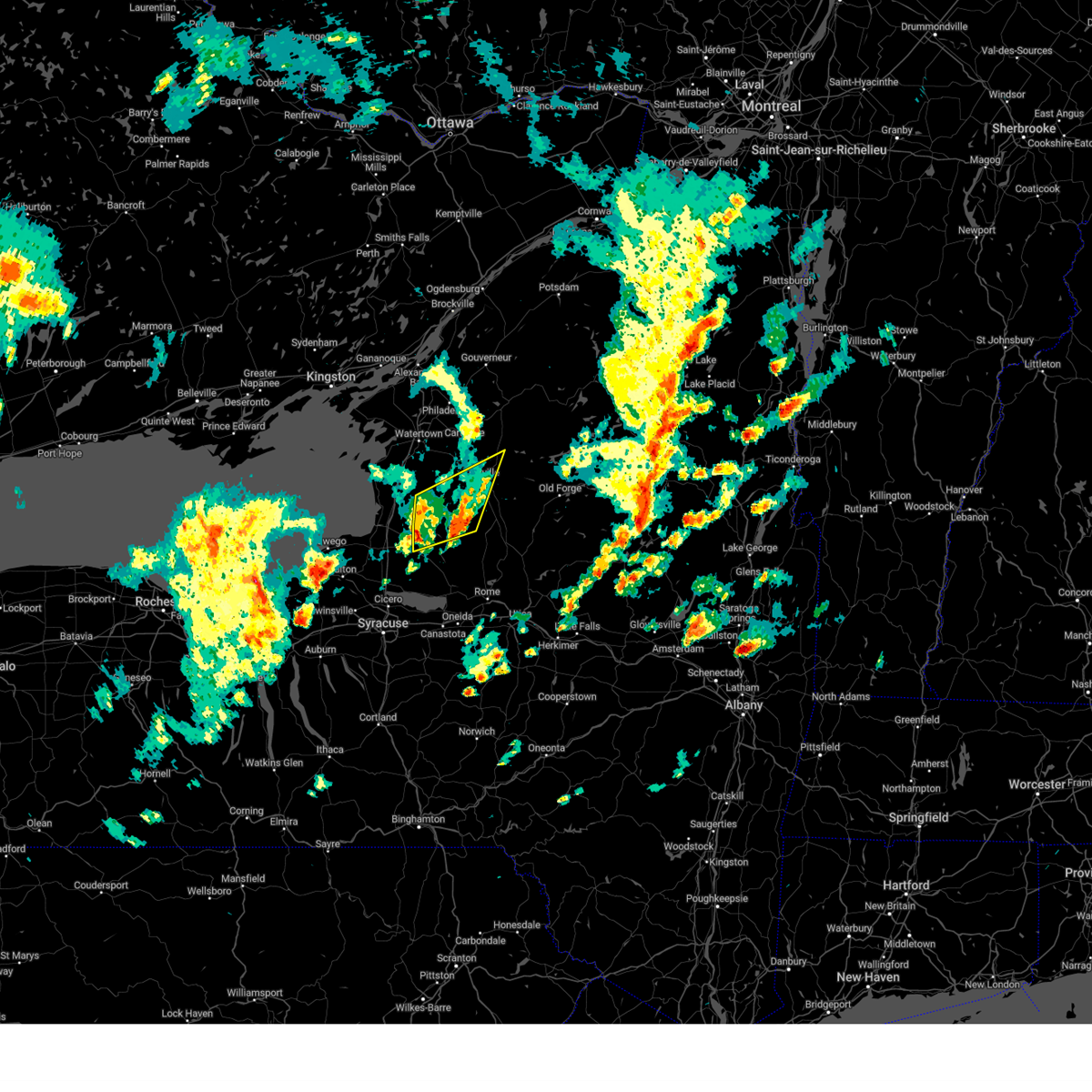
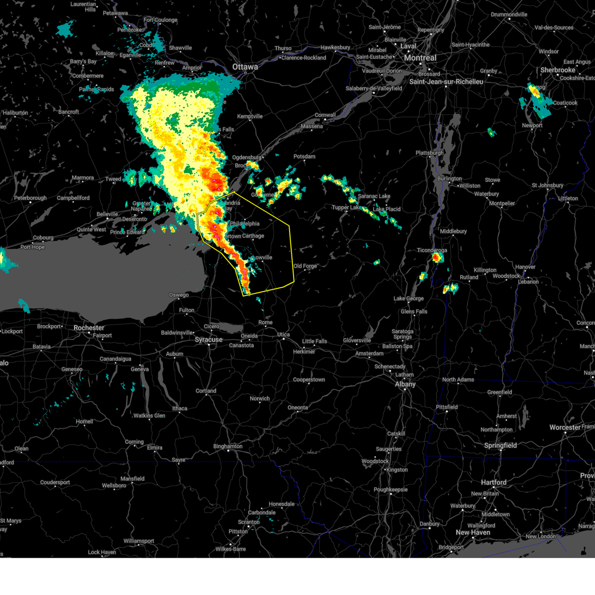
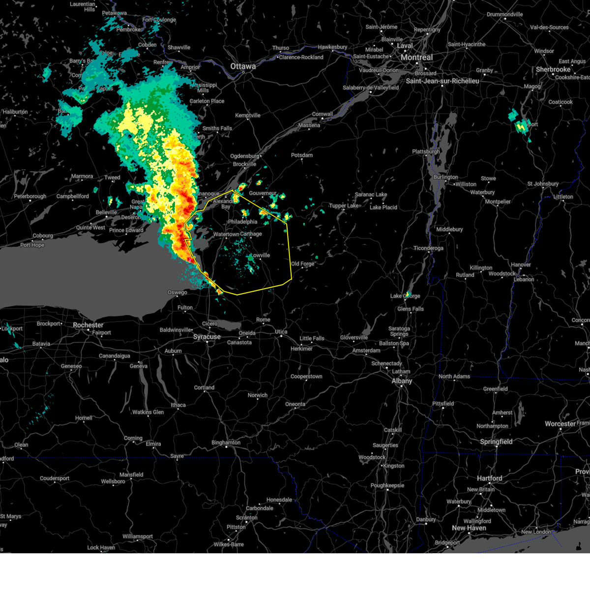
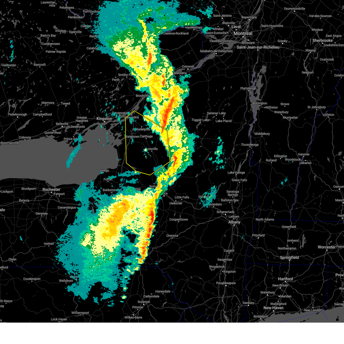
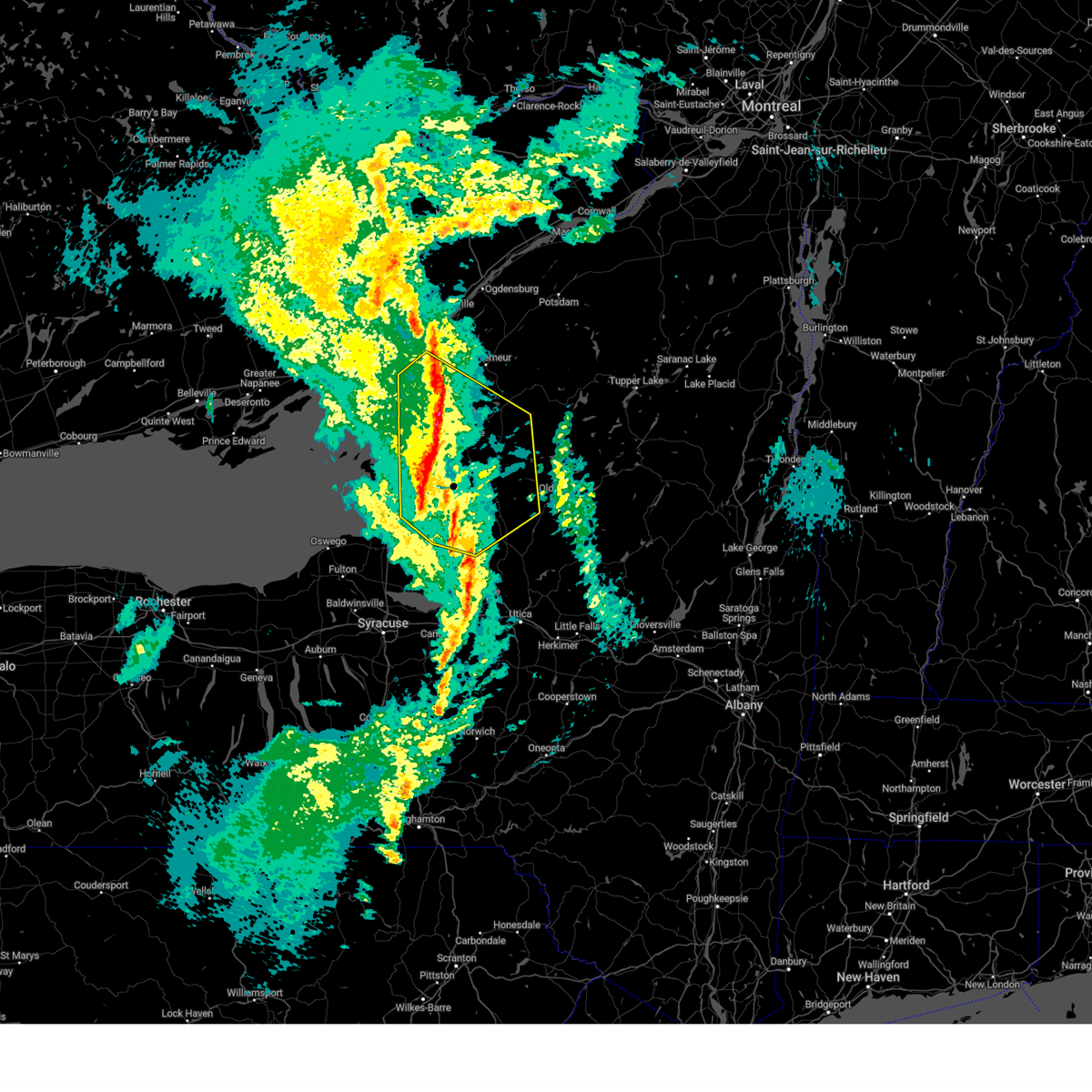
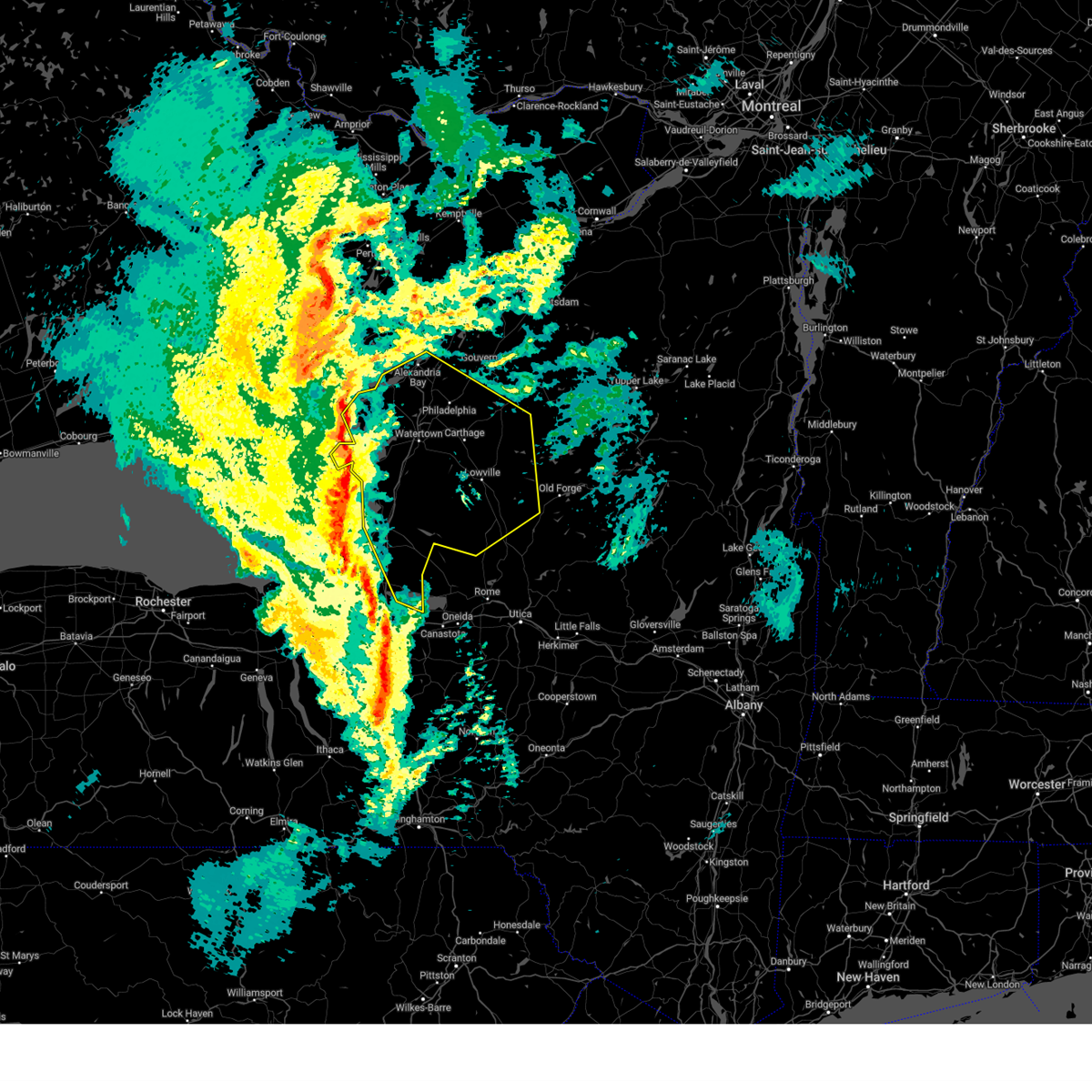
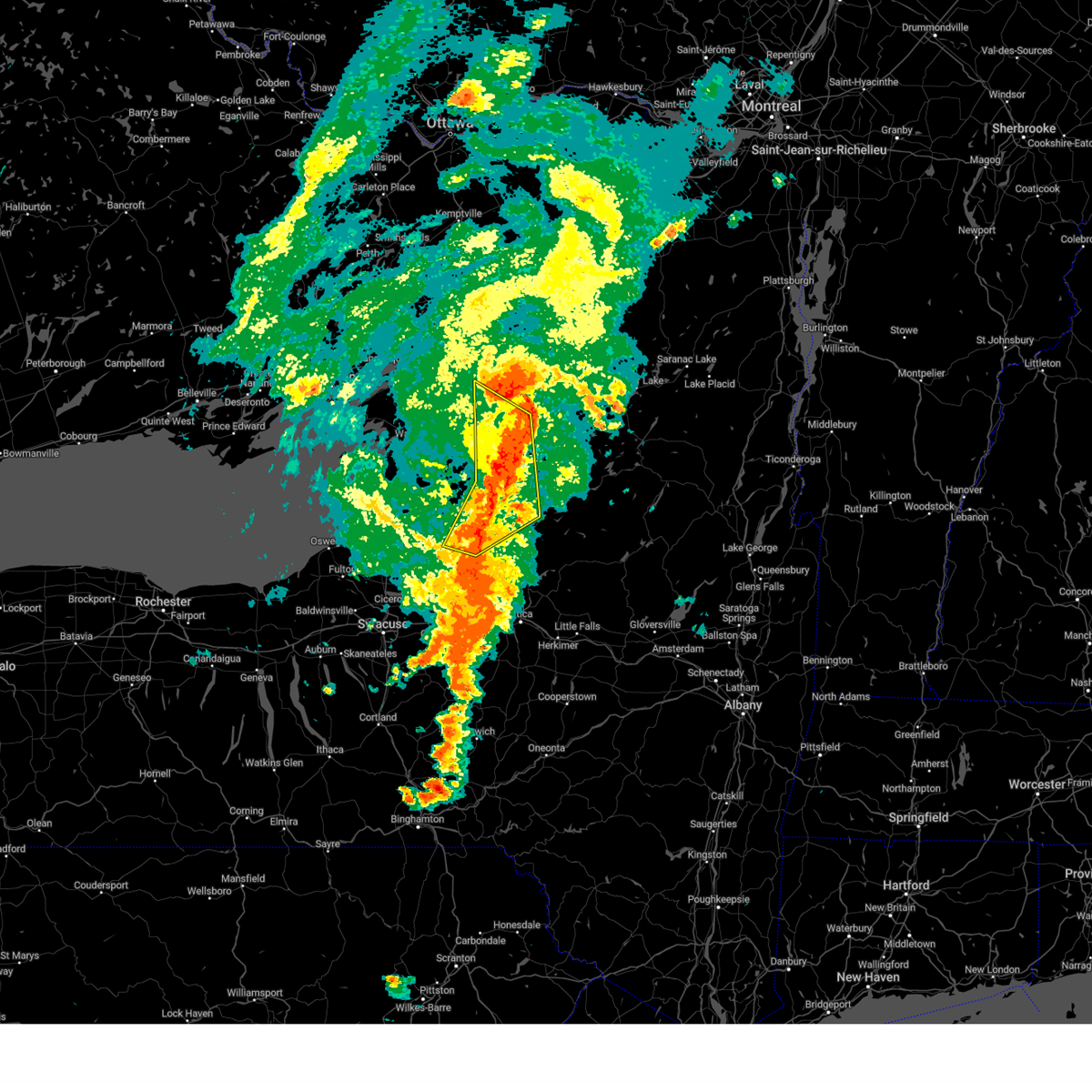
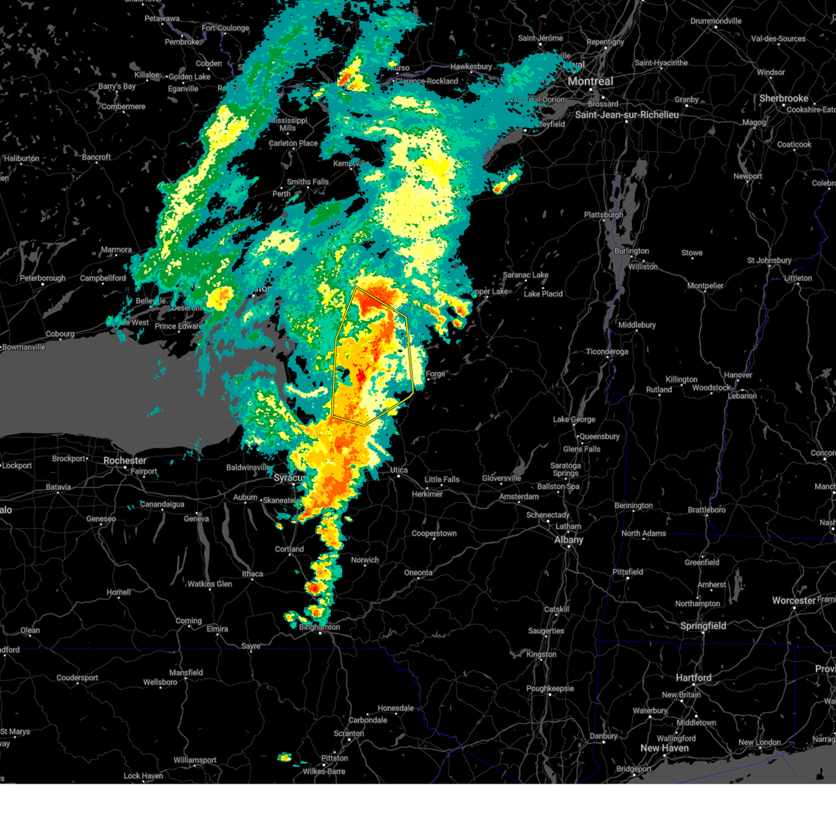
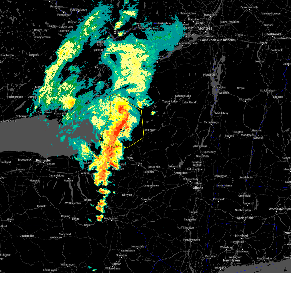
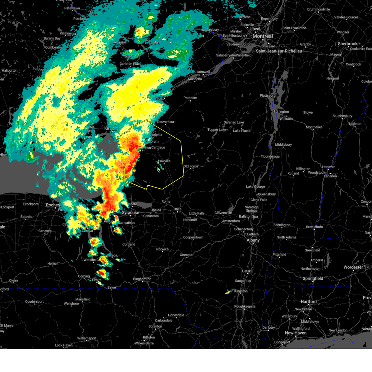
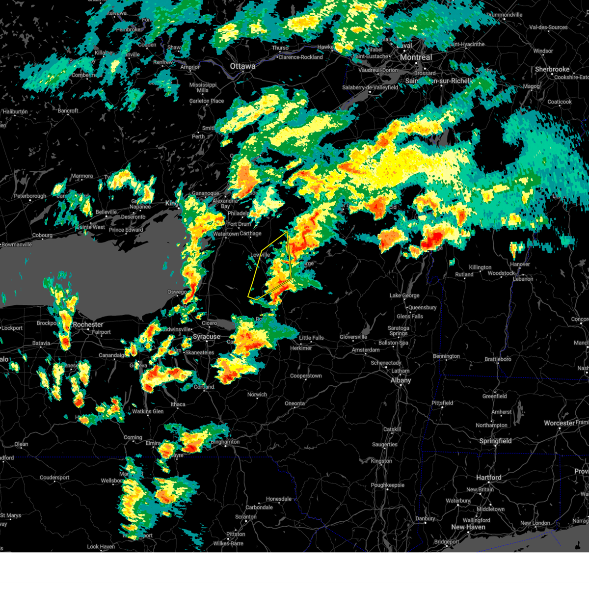
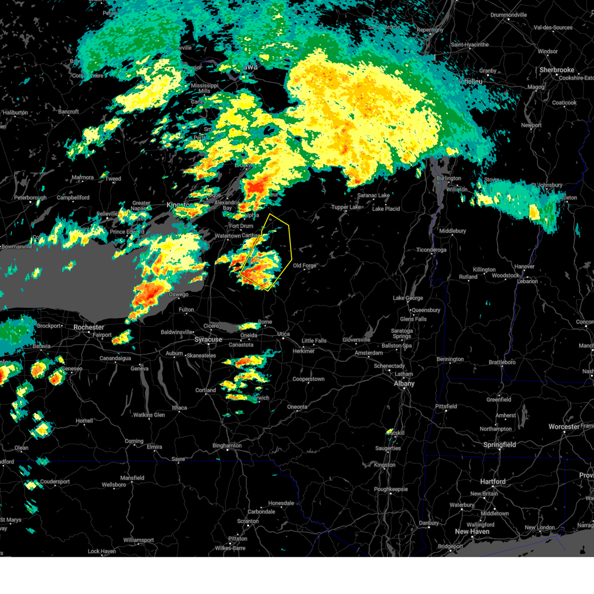
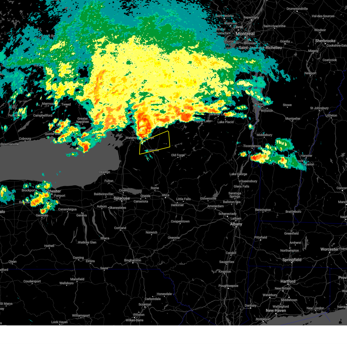
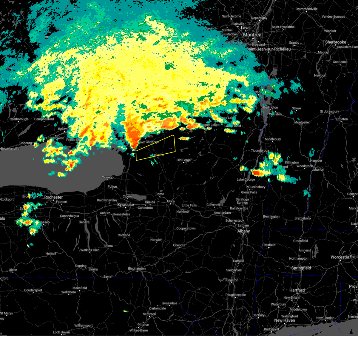
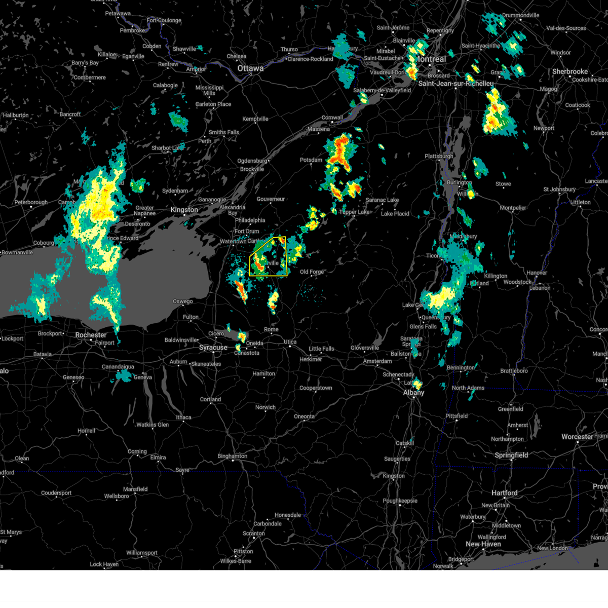
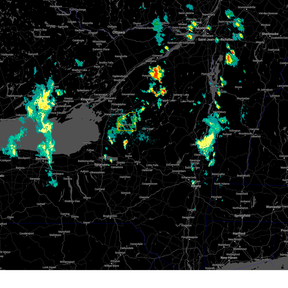
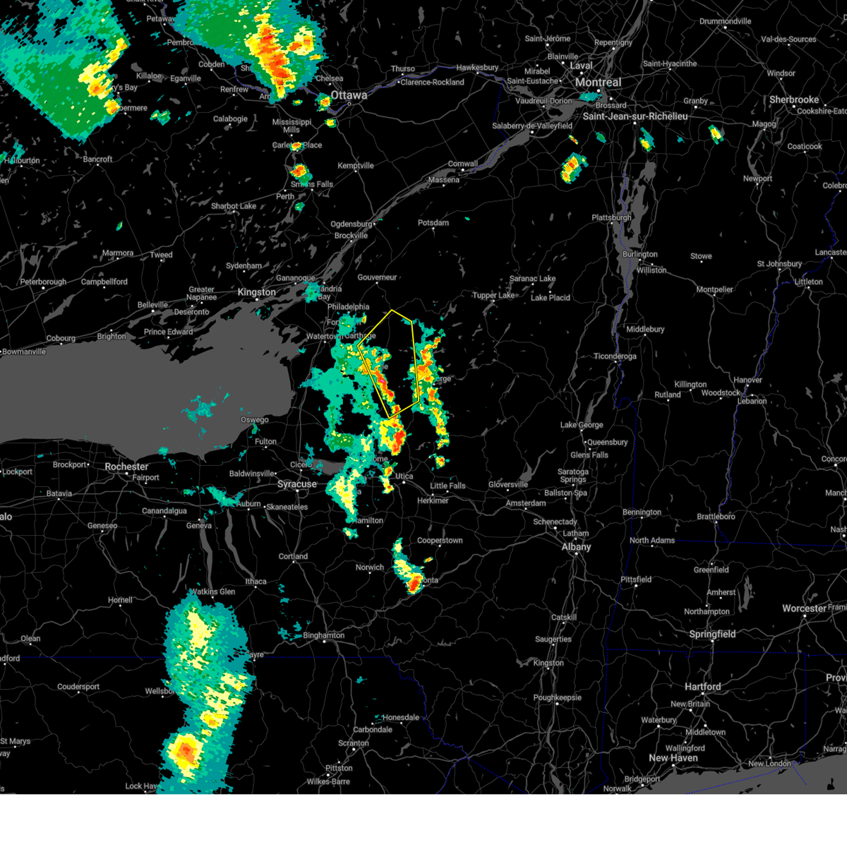
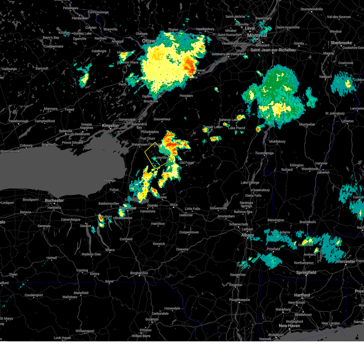
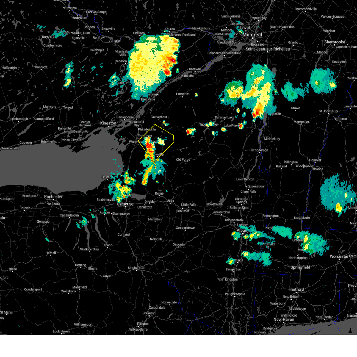
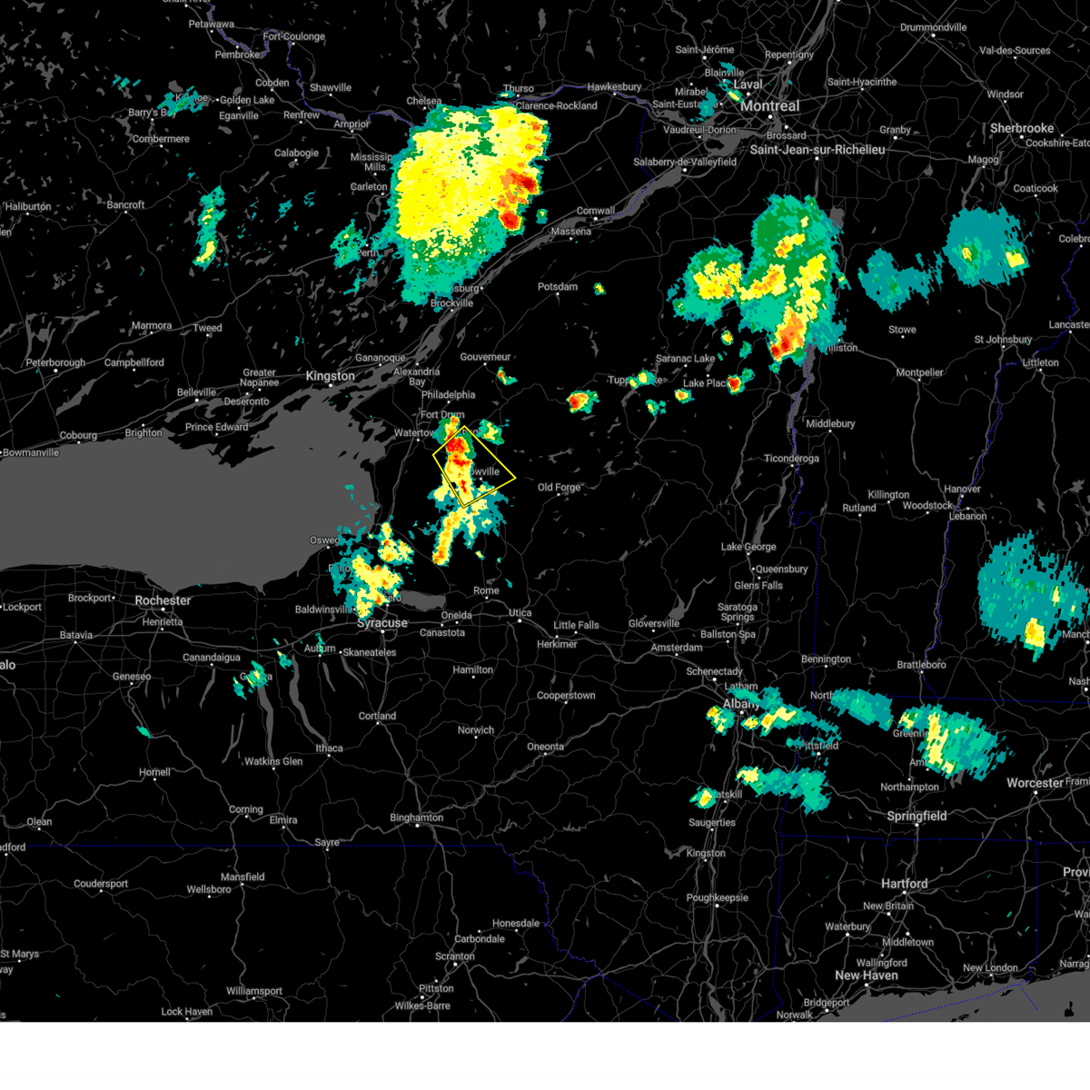
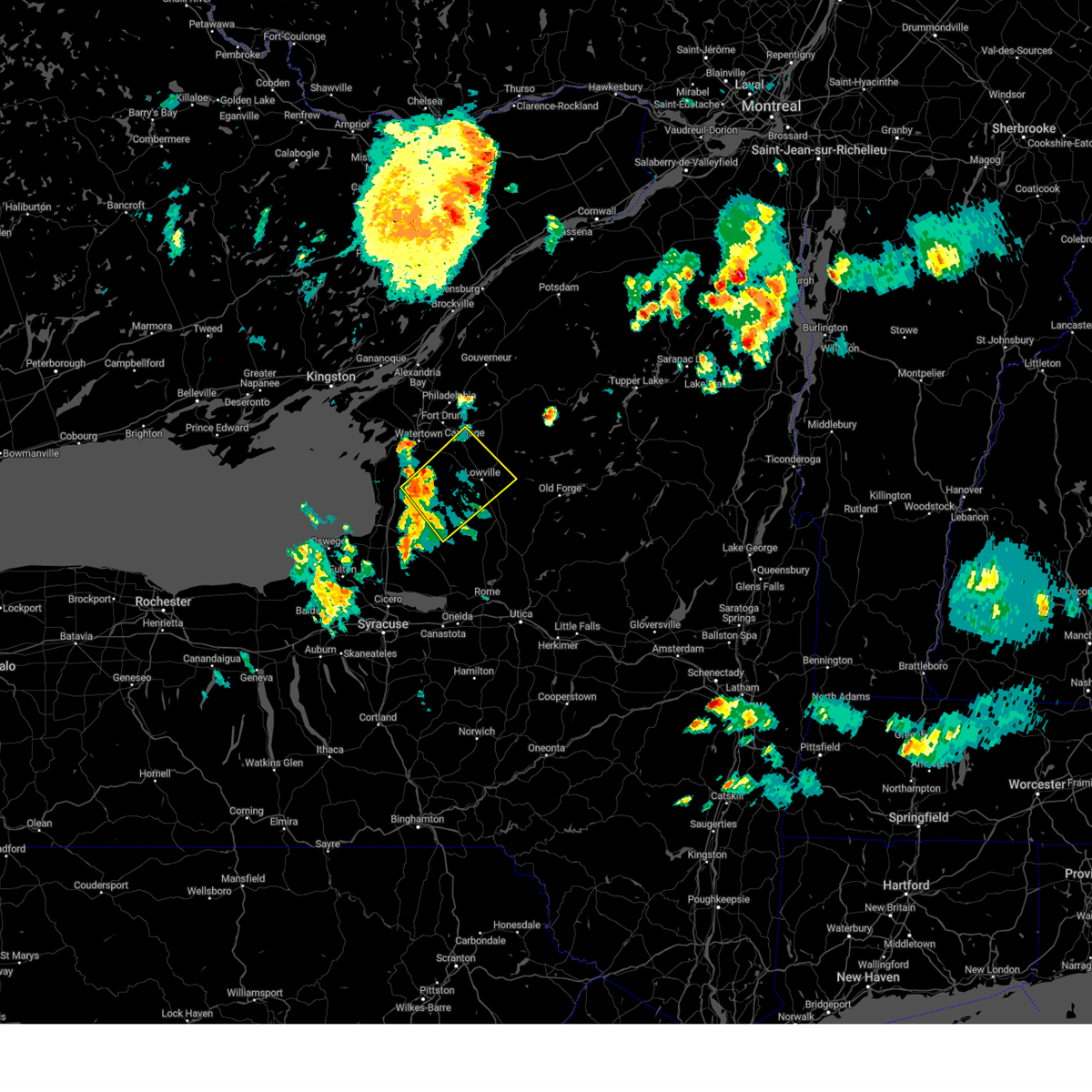
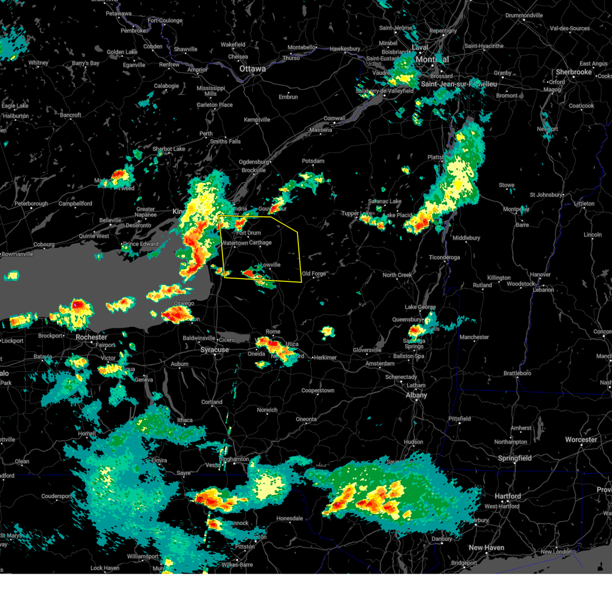
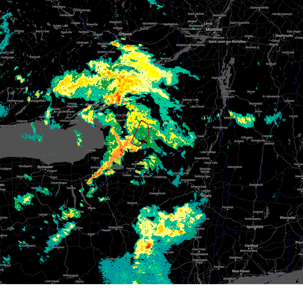
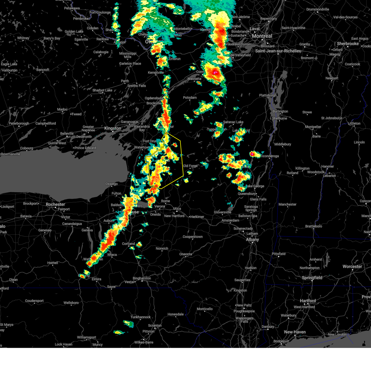
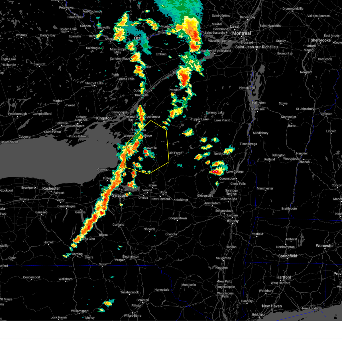
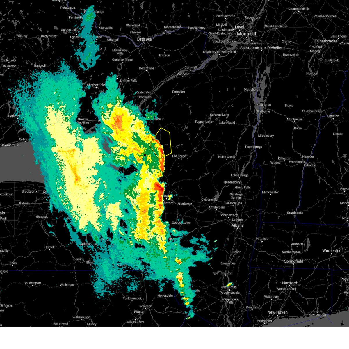
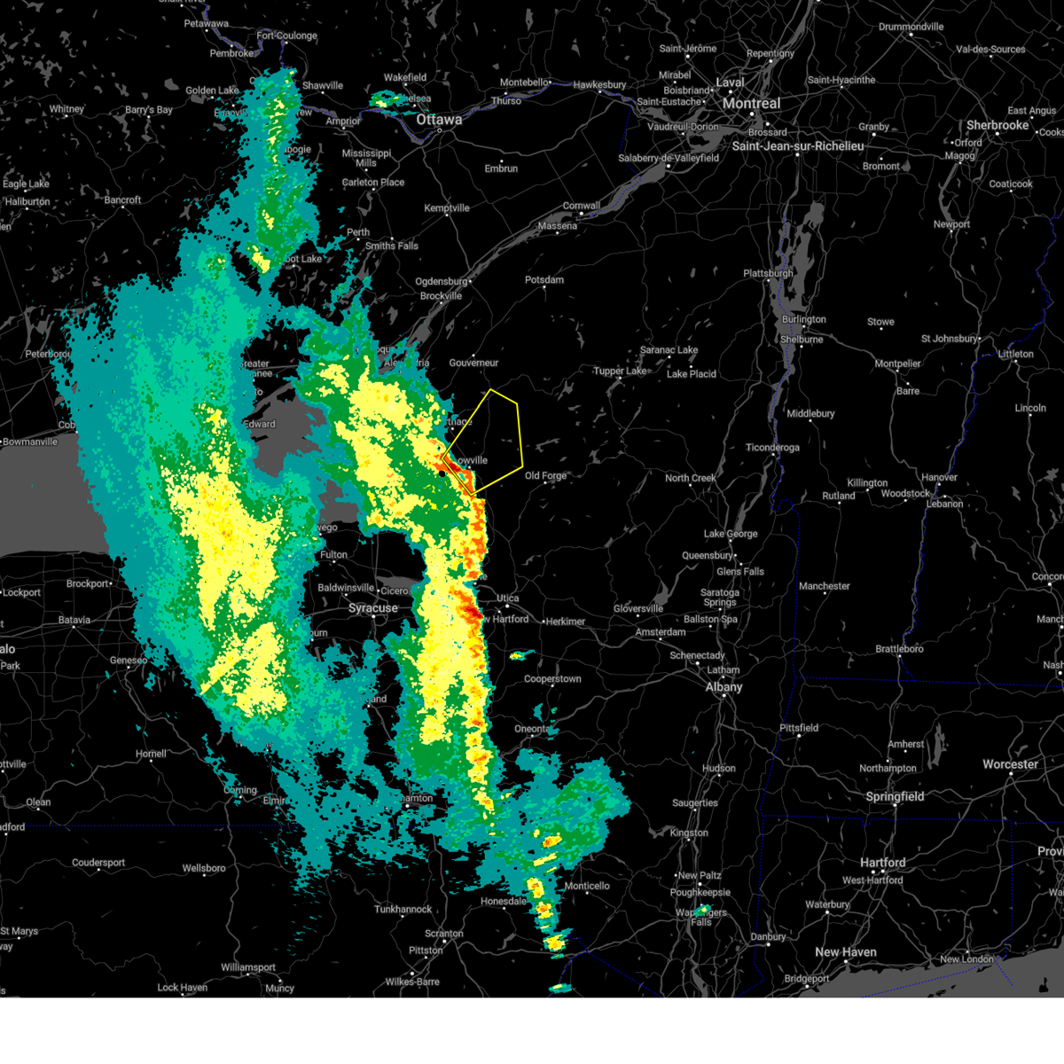
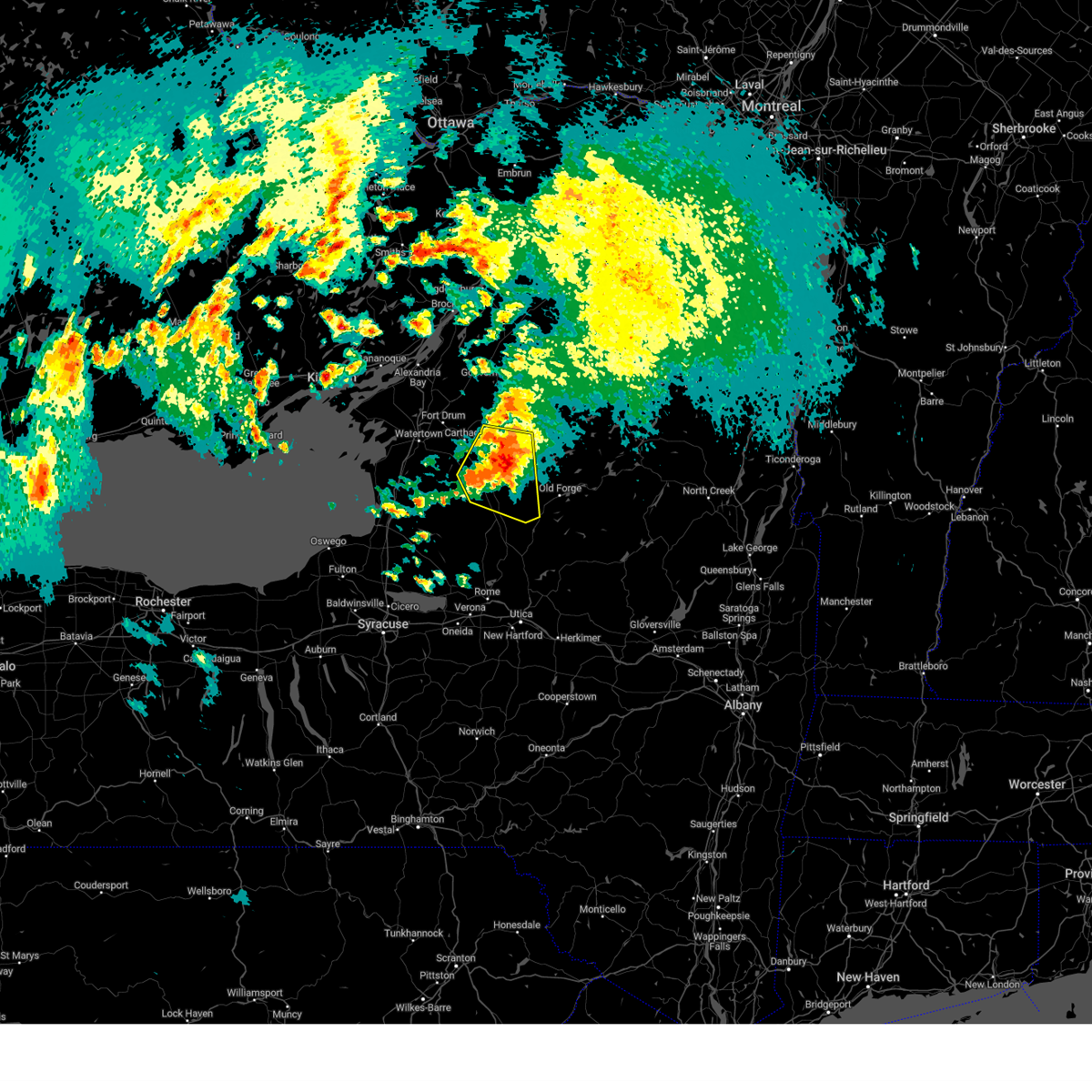
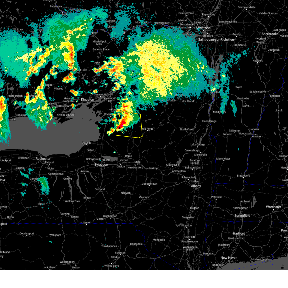
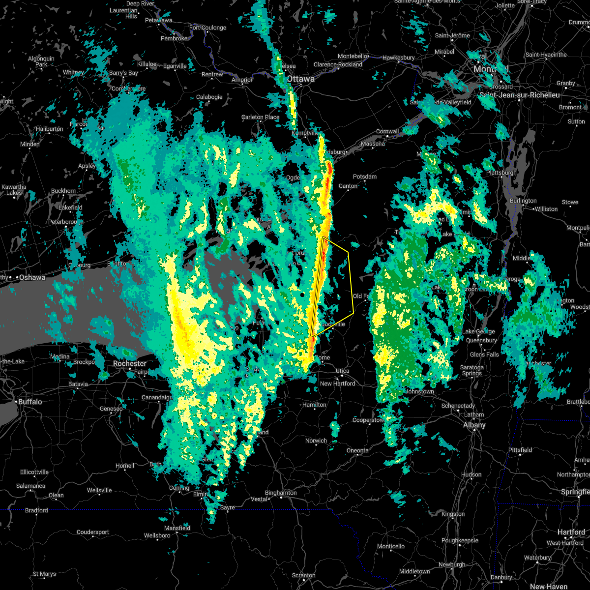
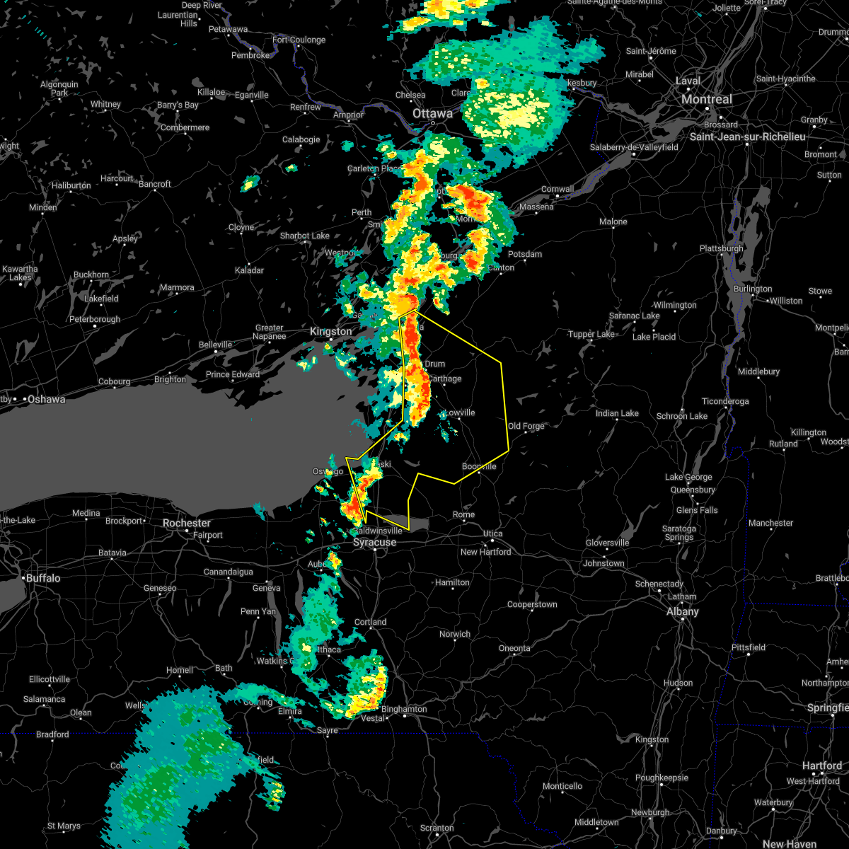
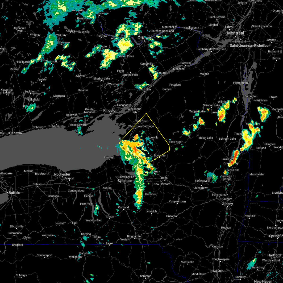
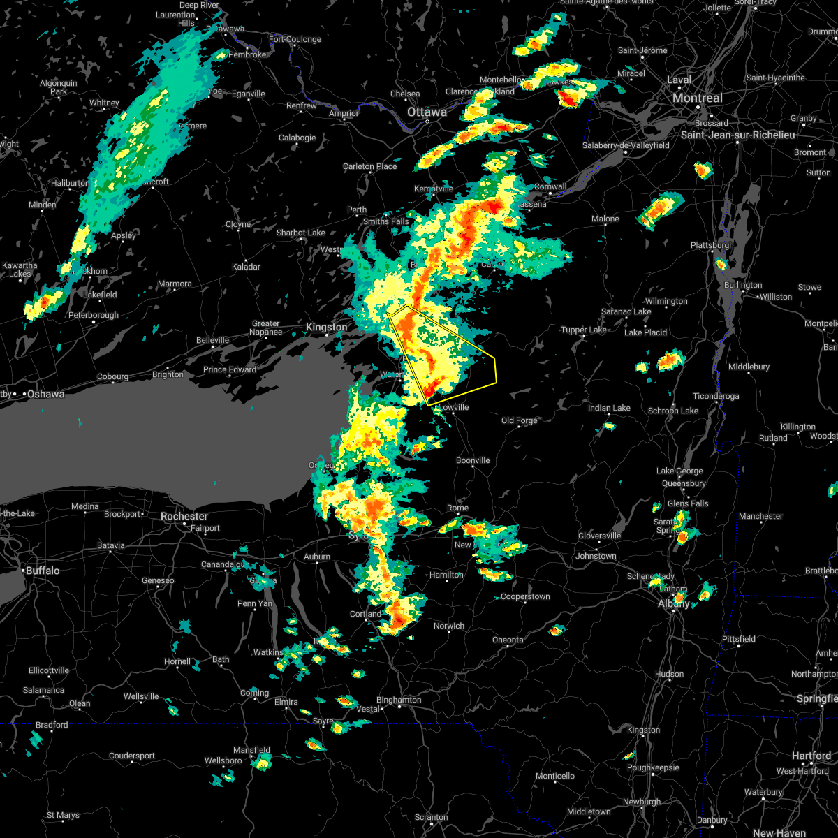
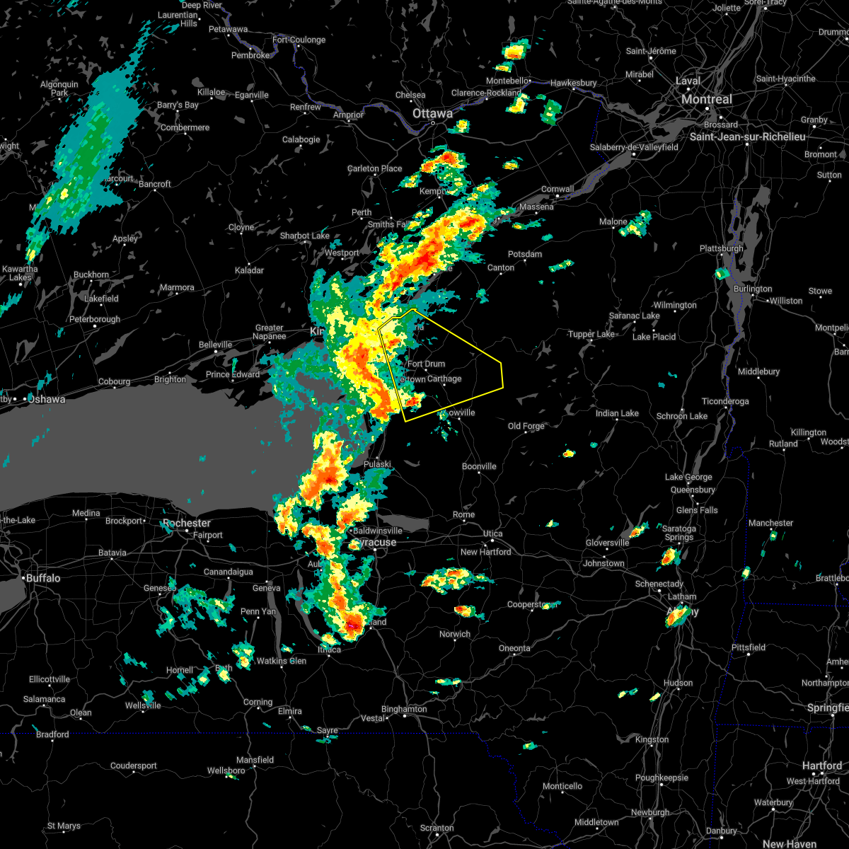
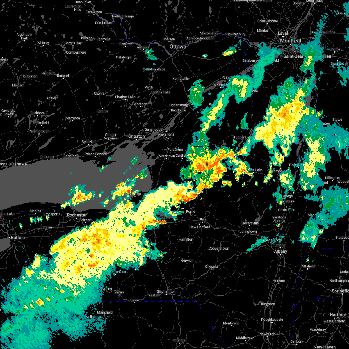
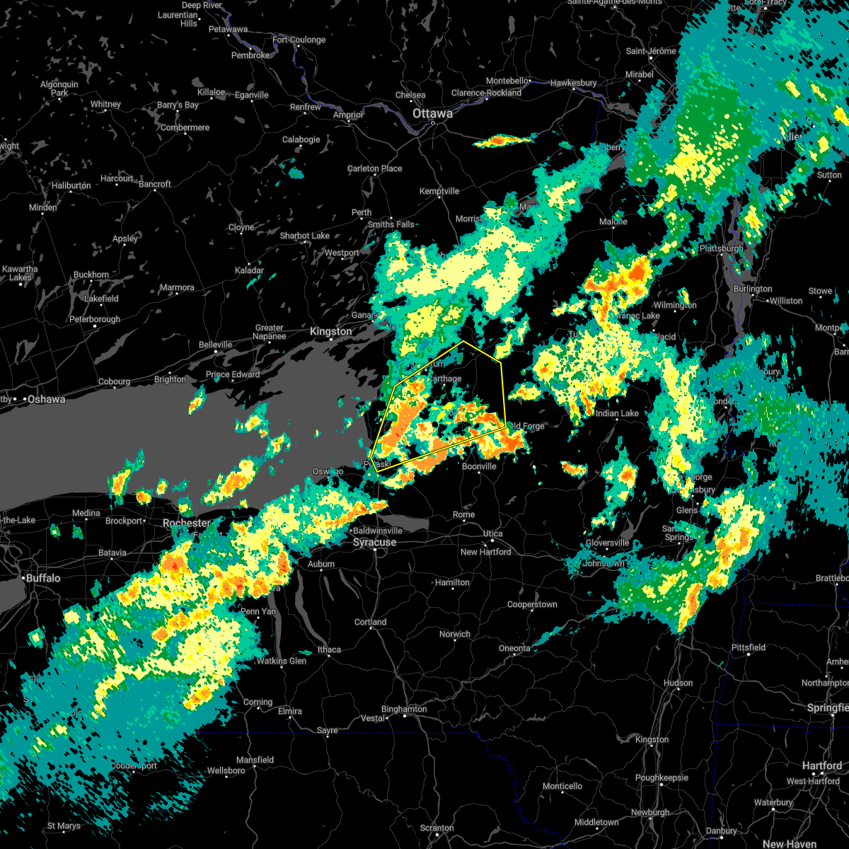
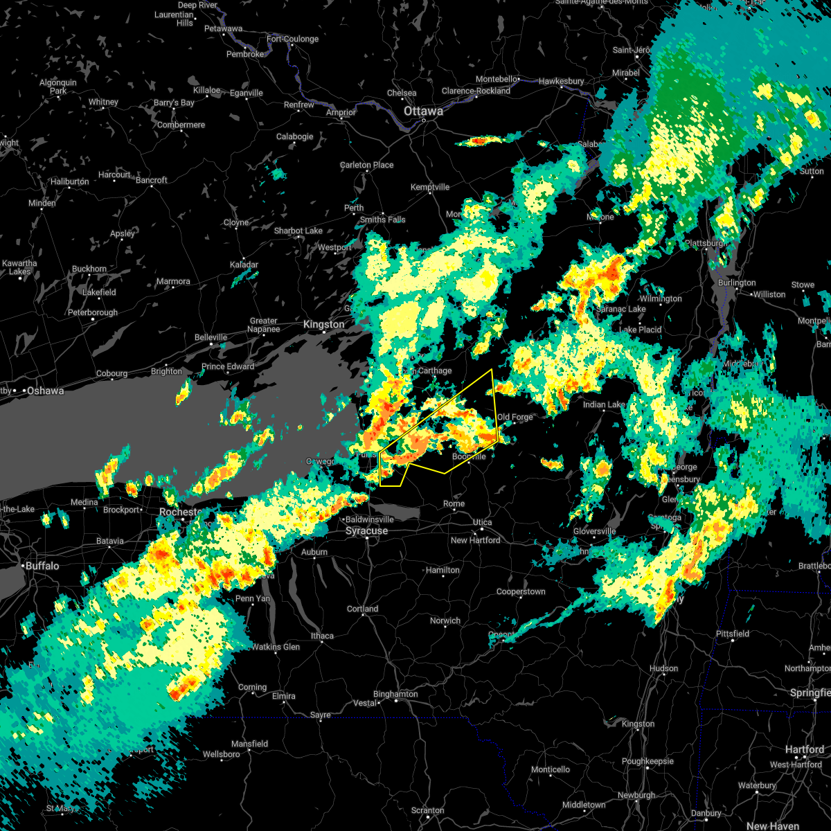
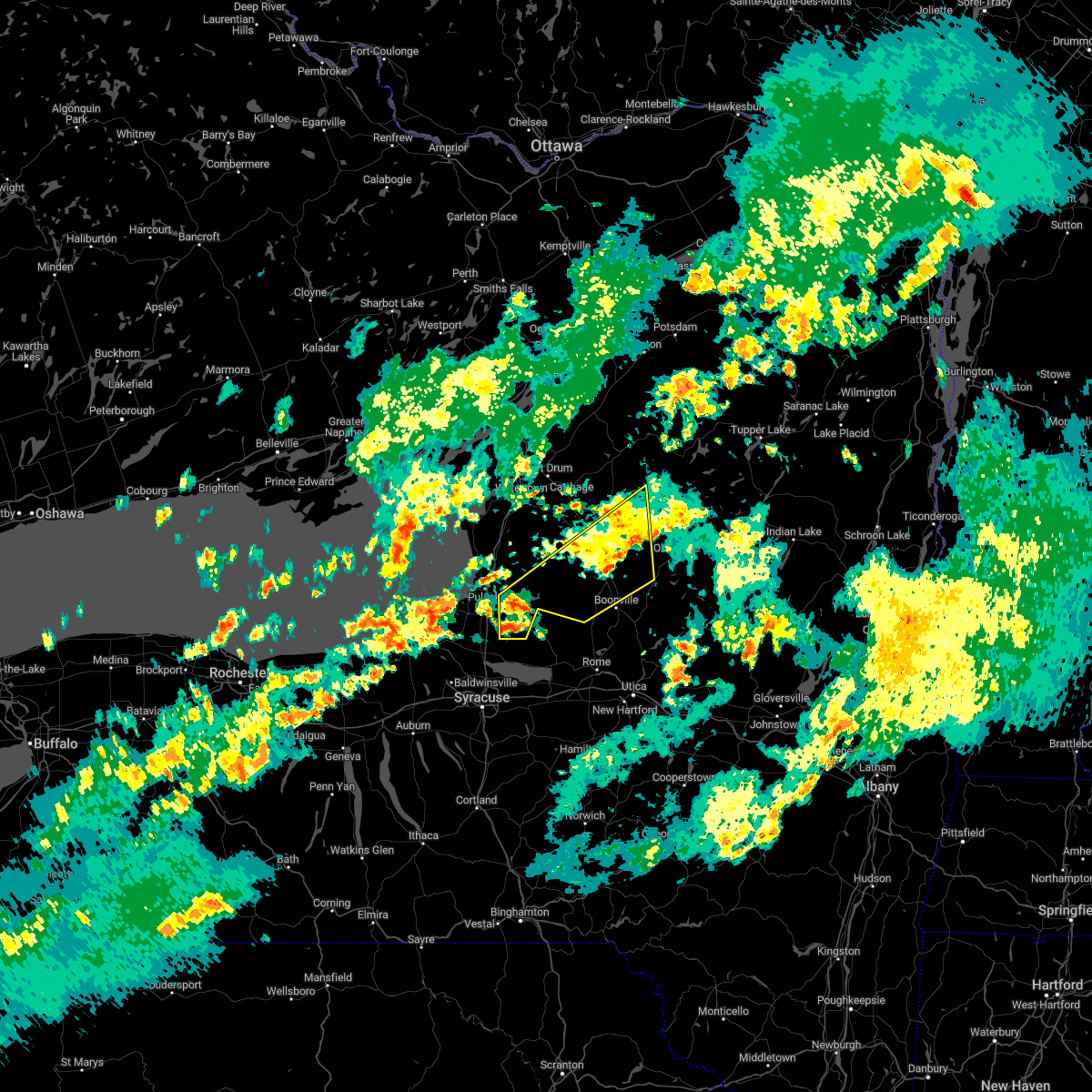
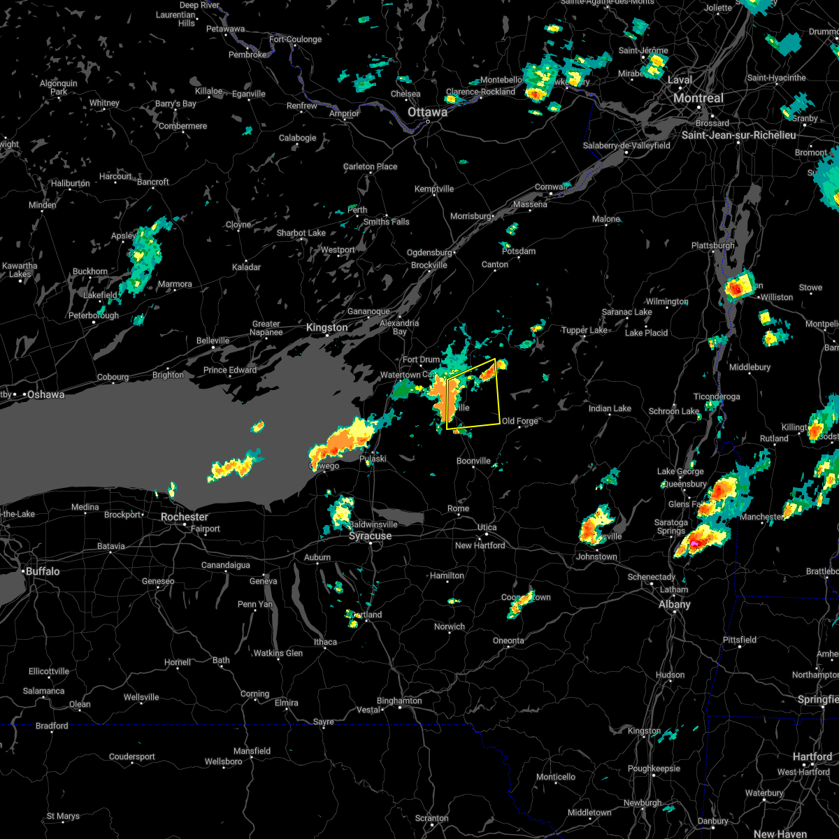
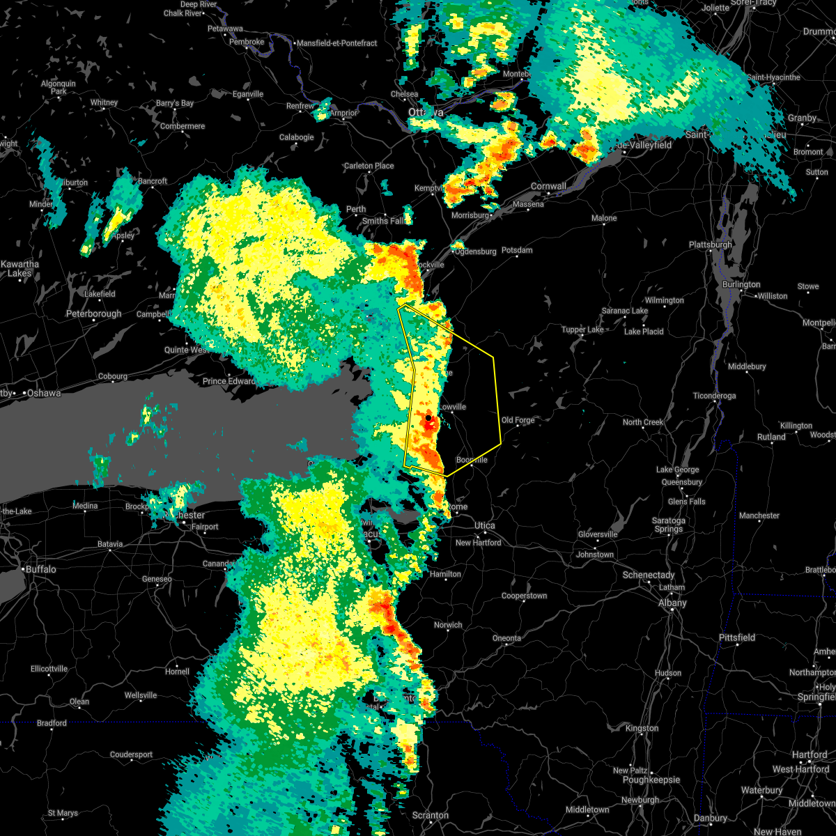
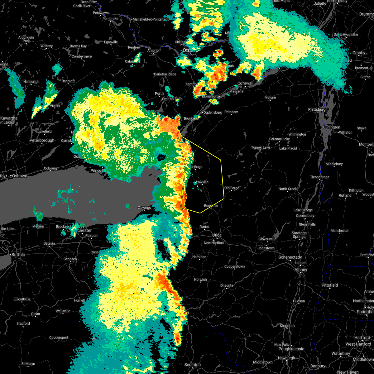
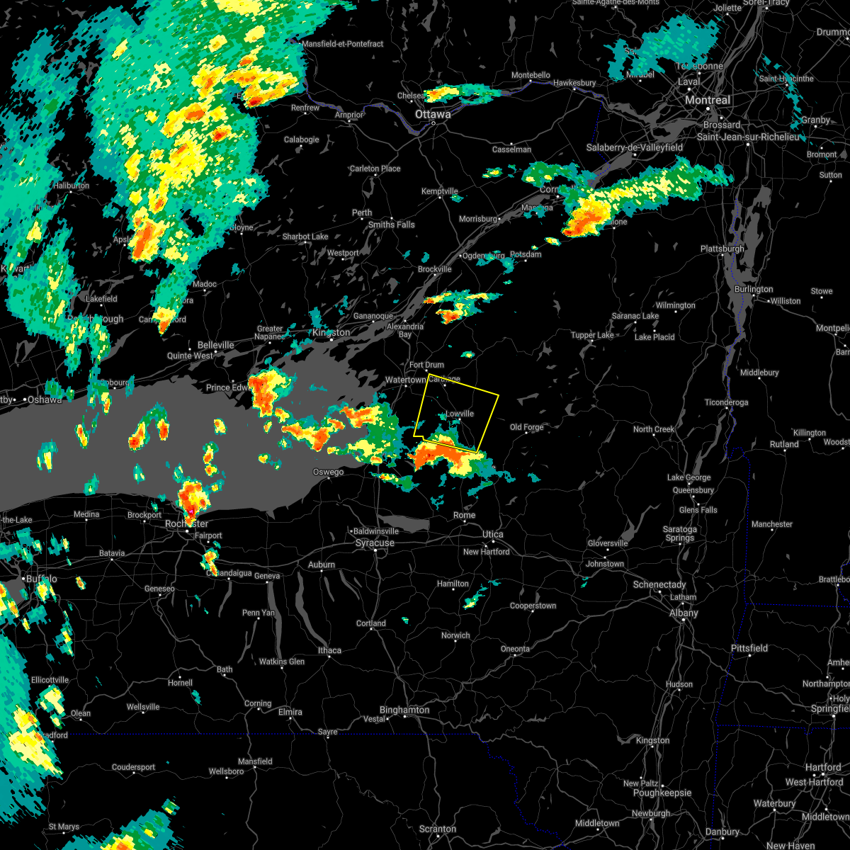
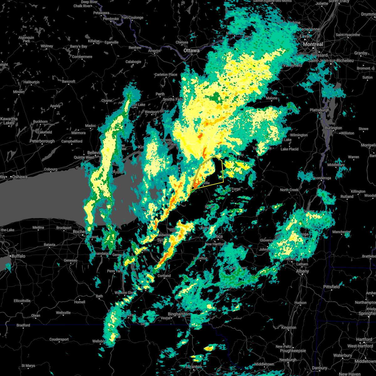
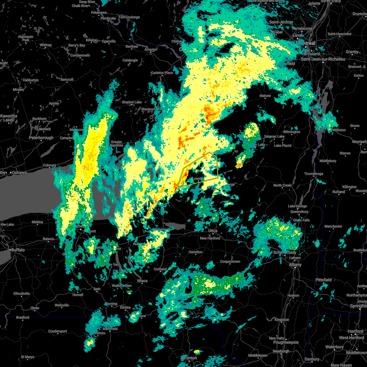
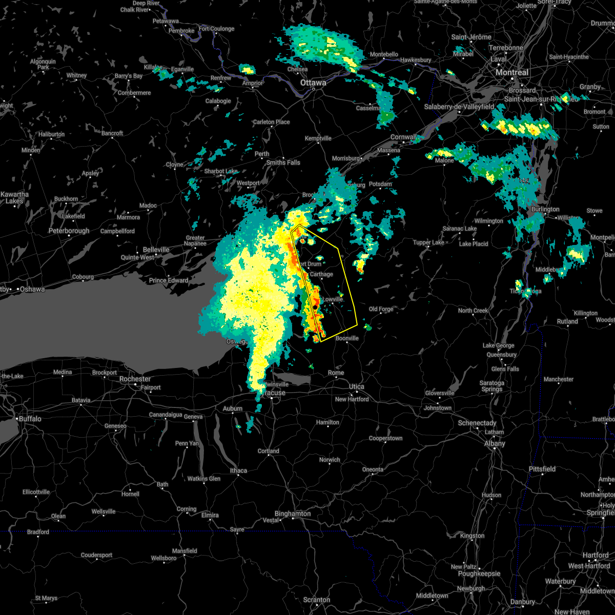
Hail Map for Croghan, NY
The Croghan, NY area has had 1 report of on-the-ground hail by trained spotters, and has been under severe weather warnings 29 times during the past 12 months. Doppler radar has detected hail at or near Croghan, NY on 9 occasions.
| Name: | Croghan, NY |
| Where Located: | 55.5 miles S of Ogdensburg, NY |
| Map: | Google Map for Croghan, NY |
| Population: | 618 |
| Housing Units: | 317 |
| More Info: | Search Google for Croghan, NY |
0
The Top Recent Hail Date for Croghan, NY is Thursday, July 13, 2023 (6th out of 9)

Hail and Wind Damage Spotted near Croghan, NY
| Date / Time | Report Details |
|---|---|
| 7/7/2025 4:16 PM EDT |
 the severe thunderstorm warning has been cancelled and is no longer in effect the severe thunderstorm warning has been cancelled and is no longer in effect
|
| 7/7/2025 3:53 PM EDT | At 353 pm edt, a severe thunderstorm was located 9 miles northwest of mckeever, or 13 miles west of old forge, moving east at 25 mph (radar indicated). Hazards include 60 mph wind gusts. Expect damage to roofs, siding, and trees. Locations impacted include, lyonsdale, greig, port leyden, croghan, lyons falls, soft maple reservoir, kirschnerville, talcottville, brantingham, and sperryville. |
| 6/28/2025 2:09 PM EDT |
 Svrbuf the national weather service in buffalo has issued a * severe thunderstorm warning for, south central jefferson county in central new york, southwestern lewis county in central new york, eastern oswego county in central new york, * until 315 pm edt. * at 208 pm edt, a severe thunderstorm was located over redfield, or 16 miles north of camden, moving east at 30 mph (radar indicated). Hazards include 60 mph wind gusts and quarter size hail. Hail damage to vehicles is expected. Expect wind damage to roofs, siding, and trees. Svrbuf the national weather service in buffalo has issued a * severe thunderstorm warning for, south central jefferson county in central new york, southwestern lewis county in central new york, eastern oswego county in central new york, * until 315 pm edt. * at 208 pm edt, a severe thunderstorm was located over redfield, or 16 miles north of camden, moving east at 30 mph (radar indicated). Hazards include 60 mph wind gusts and quarter size hail. Hail damage to vehicles is expected. Expect wind damage to roofs, siding, and trees.
|
| 6/22/2025 2:50 AM EDT |
 At 250 am edt, severe thunderstorms were located along a line extending from near old forge to 7 miles west of boonville to 27 miles west of stony point, moving east at 55 mph (radar indicated). Hazards include 60 mph wind gusts and penny size hail. Expect damage to roofs, siding, and trees. locations impacted include, watertown, sandy island beach state park, fort drum, stony point, carthage, lowville, pulaski, west carthage, adams, and redfield. This includes interstate 81 between exits 33 and 44. At 250 am edt, severe thunderstorms were located along a line extending from near old forge to 7 miles west of boonville to 27 miles west of stony point, moving east at 55 mph (radar indicated). Hazards include 60 mph wind gusts and penny size hail. Expect damage to roofs, siding, and trees. locations impacted include, watertown, sandy island beach state park, fort drum, stony point, carthage, lowville, pulaski, west carthage, adams, and redfield. This includes interstate 81 between exits 33 and 44.
|
| 6/22/2025 2:24 AM EDT |
 Svrbuf the national weather service in buffalo has issued a * severe thunderstorm warning for, southern jefferson county in central new york, lewis county in central new york, northern oswego county in central new york, * until 330 am edt. * at 223 am edt, severe thunderstorms were located along a line extending from 13 miles south of pitcairn to 7 miles south of barnes corners to 45 miles west of stony point, moving southeast at 55 mph (radar indicated). Hazards include 60 mph wind gusts and quarter size hail. Hail damage to vehicles is expected. Expect wind damage to roofs, siding, and trees. Svrbuf the national weather service in buffalo has issued a * severe thunderstorm warning for, southern jefferson county in central new york, lewis county in central new york, northern oswego county in central new york, * until 330 am edt. * at 223 am edt, severe thunderstorms were located along a line extending from 13 miles south of pitcairn to 7 miles south of barnes corners to 45 miles west of stony point, moving southeast at 55 mph (radar indicated). Hazards include 60 mph wind gusts and quarter size hail. Hail damage to vehicles is expected. Expect wind damage to roofs, siding, and trees.
|
| 6/22/2025 2:06 AM EDT |
 At 205 am edt, severe thunderstorms were located along a line extending from near pitcairn to near henderson harbor, moving east at 70 mph (radar indicated). Hazards include 60 mph wind gusts and quarter size hail. Hail damage to vehicles is expected. expect wind damage to roofs, siding, and trees. locations impacted include, watertown, sandy island beach state park, fort drum, stony point, carthage, lowville, pulaski, west carthage, clayton, and adams. This includes interstate 81 between exits 36 and 52. At 205 am edt, severe thunderstorms were located along a line extending from near pitcairn to near henderson harbor, moving east at 70 mph (radar indicated). Hazards include 60 mph wind gusts and quarter size hail. Hail damage to vehicles is expected. expect wind damage to roofs, siding, and trees. locations impacted include, watertown, sandy island beach state park, fort drum, stony point, carthage, lowville, pulaski, west carthage, clayton, and adams. This includes interstate 81 between exits 36 and 52.
|
| 6/22/2025 1:30 AM EDT |
 Svrbuf the national weather service in buffalo has issued a * severe thunderstorm warning for, jefferson county in central new york, lewis county in central new york, northeastern oswego county in central new york, * until 230 am edt. * at 130 am edt, severe thunderstorms were located along a line extending from near morristown village to 25 miles northwest of cedar point state park, moving southeast at 70 mph (radar indicated). Hazards include 60 mph wind gusts and quarter size hail. Hail damage to vehicles is expected. Expect wind damage to roofs, siding, and trees. Svrbuf the national weather service in buffalo has issued a * severe thunderstorm warning for, jefferson county in central new york, lewis county in central new york, northeastern oswego county in central new york, * until 230 am edt. * at 130 am edt, severe thunderstorms were located along a line extending from near morristown village to 25 miles northwest of cedar point state park, moving southeast at 70 mph (radar indicated). Hazards include 60 mph wind gusts and quarter size hail. Hail damage to vehicles is expected. Expect wind damage to roofs, siding, and trees.
|
| 6/9/2025 5:26 PM EDT |
 the severe thunderstorm warning has been cancelled and is no longer in effect the severe thunderstorm warning has been cancelled and is no longer in effect
|
| 6/9/2025 4:55 PM EDT | Svrbuf the national weather service in buffalo has issued a * severe thunderstorm warning for, southeastern jefferson county in central new york, lewis county in central new york, northeastern oswego county in central new york, * until 600 pm edt. * at 455 pm edt, severe thunderstorms were located along a line extending from adams center to near barnes corners to 8 miles northwest of redfield to 12 miles southeast of pulaski, moving northeast at 35 mph (radar indicated). Hazards include 60 mph wind gusts and quarter size hail. Hail damage to vehicles is expected. Expect wind damage to roofs, siding, and trees. |
| 5/17/2025 2:04 PM EDT |
 At 203 pm edt, a severe thunderstorm was located over redfield, or 14 miles north of camden, moving east at 35 mph (radar indicated). Hazards include 60 mph wind gusts and nickel size hail. Expect damage to roofs, siding, and trees. Locations impacted include, redfield, martinsburg, bellwood, new bremen, watson, salmon river reservoir, rector, kasoag, whetstone gulf state park, and osceola. At 203 pm edt, a severe thunderstorm was located over redfield, or 14 miles north of camden, moving east at 35 mph (radar indicated). Hazards include 60 mph wind gusts and nickel size hail. Expect damage to roofs, siding, and trees. Locations impacted include, redfield, martinsburg, bellwood, new bremen, watson, salmon river reservoir, rector, kasoag, whetstone gulf state park, and osceola.
|
| 5/17/2025 1:44 PM EDT |
 At 144 pm edt, severe thunderstorms were located along a line extending from near herrings to near pulaski, moving east at 40 mph (radar indicated). Hazards include 60 mph wind gusts and quarter size hail. Hail damage to vehicles is expected. expect wind damage to roofs, siding, and trees. locations impacted include, redfield, lacona, smartville, martinsburg, altmar, howardville, bellwood, new bremen, watson, and salmon river reservoir. This includes interstate 81 between exits 33 and 36. At 144 pm edt, severe thunderstorms were located along a line extending from near herrings to near pulaski, moving east at 40 mph (radar indicated). Hazards include 60 mph wind gusts and quarter size hail. Hail damage to vehicles is expected. expect wind damage to roofs, siding, and trees. locations impacted include, redfield, lacona, smartville, martinsburg, altmar, howardville, bellwood, new bremen, watson, and salmon river reservoir. This includes interstate 81 between exits 33 and 36.
|
| 5/17/2025 1:20 PM EDT |
 Svrbuf the national weather service in buffalo has issued a * severe thunderstorm warning for, central jefferson county in central new york, western lewis county in central new york, northern oswego county in central new york, * until 215 pm edt. * at 118 pm edt, severe thunderstorms were located along a line extending from near adams center to near mexico, moving northeast at 40 mph (radar indicated). Hazards include 60 mph wind gusts and quarter size hail. Hail damage to vehicles is expected. Expect wind damage to roofs, siding, and trees. Svrbuf the national weather service in buffalo has issued a * severe thunderstorm warning for, central jefferson county in central new york, western lewis county in central new york, northern oswego county in central new york, * until 215 pm edt. * at 118 pm edt, severe thunderstorms were located along a line extending from near adams center to near mexico, moving northeast at 40 mph (radar indicated). Hazards include 60 mph wind gusts and quarter size hail. Hail damage to vehicles is expected. Expect wind damage to roofs, siding, and trees.
|
| 5/17/2025 8:01 AM EDT |
 The storms which prompted the warning have weakened below severe limits, and no longer pose an immediate threat to life or property. therefore, the warning has been allowed to expire. this line of storms will continue to produce gusty winds, small hail, and frequent lightning. The storms which prompted the warning have weakened below severe limits, and no longer pose an immediate threat to life or property. therefore, the warning has been allowed to expire. this line of storms will continue to produce gusty winds, small hail, and frequent lightning.
|
| 5/17/2025 7:44 AM EDT |
 the severe thunderstorm warning has been cancelled and is no longer in effect the severe thunderstorm warning has been cancelled and is no longer in effect
|
| 5/17/2025 7:44 AM EDT |
 At 744 am edt, severe thunderstorms were located along a line extending from near redwood to whetstone gulf state park, moving east at 50 mph (radar indicated). Hazards include 60 mph wind gusts and penny size hail. Expect damage to roofs, siding, and trees. locations impacted include, turin, la fargeville, new bremen, watson, carthage, copenhagen, great bend, black river, kring point state park, and lyonsdale. This includes interstate 81 between exits 49 and 52. At 744 am edt, severe thunderstorms were located along a line extending from near redwood to whetstone gulf state park, moving east at 50 mph (radar indicated). Hazards include 60 mph wind gusts and penny size hail. Expect damage to roofs, siding, and trees. locations impacted include, turin, la fargeville, new bremen, watson, carthage, copenhagen, great bend, black river, kring point state park, and lyonsdale. This includes interstate 81 between exits 49 and 52.
|
| 5/17/2025 7:25 AM EDT |
 At 724 am edt, severe thunderstorms were located along a line extending from near cedar point state park to near redfield, moving northeast at 40 mph (radar indicated). Hazards include 60 mph wind gusts and nickel size hail. Expect damage to roofs, siding, and trees. locations impacted include, three mile bay, millen bay, turin, la fargeville, east rodman, bellwood, new bremen, brownville, watson, and glen park. This includes interstate 81 between exits 43 and 52. At 724 am edt, severe thunderstorms were located along a line extending from near cedar point state park to near redfield, moving northeast at 40 mph (radar indicated). Hazards include 60 mph wind gusts and nickel size hail. Expect damage to roofs, siding, and trees. locations impacted include, three mile bay, millen bay, turin, la fargeville, east rodman, bellwood, new bremen, brownville, watson, and glen park. This includes interstate 81 between exits 43 and 52.
|
| 5/17/2025 6:58 AM EDT |
 Svrbuf the national weather service in buffalo has issued a * severe thunderstorm warning for, jefferson county in central new york, lewis county in central new york, northeastern oswego county in central new york, * until 800 am edt. * at 658 am edt, severe thunderstorms were located along a line extending from 13 miles north of stony point to near pulaski, moving east at 50 mph (radar indicated). Hazards include 60 mph wind gusts and quarter size hail. Hail damage to vehicles is expected. Expect wind damage to roofs, siding, and trees. Svrbuf the national weather service in buffalo has issued a * severe thunderstorm warning for, jefferson county in central new york, lewis county in central new york, northeastern oswego county in central new york, * until 800 am edt. * at 658 am edt, severe thunderstorms were located along a line extending from 13 miles north of stony point to near pulaski, moving east at 50 mph (radar indicated). Hazards include 60 mph wind gusts and quarter size hail. Hail damage to vehicles is expected. Expect wind damage to roofs, siding, and trees.
|
| 3/16/2025 6:12 PM EDT |
 The storm which prompted the warning has moved out of the area. therefore, the warning will be allowed to expire. a severe thunderstorm watch remains in effect until 700 pm edt for central new york. The storm which prompted the warning has moved out of the area. therefore, the warning will be allowed to expire. a severe thunderstorm watch remains in effect until 700 pm edt for central new york.
|
| 3/16/2025 5:32 PM EDT |
 At 532 pm edt, a severe thunderstorm was located near barnes corners, or 9 miles south of watertown, moving east at 45 mph (radar indicated). Hazards include 60 mph wind gusts. Expect damage to roofs, siding, and trees. locations impacted include, turin, east rodman, bellwood, new bremen, la fargeville, brownville, watson, worth, glen park, and copenhagen. This includes interstate 81 between exits 41 and 51. At 532 pm edt, a severe thunderstorm was located near barnes corners, or 9 miles south of watertown, moving east at 45 mph (radar indicated). Hazards include 60 mph wind gusts. Expect damage to roofs, siding, and trees. locations impacted include, turin, east rodman, bellwood, new bremen, la fargeville, brownville, watson, worth, glen park, and copenhagen. This includes interstate 81 between exits 41 and 51.
|
| 3/16/2025 4:54 PM EDT |
 Svrbuf the national weather service in buffalo has issued a * severe thunderstorm warning for, jefferson county in central new york, lewis county in central new york, eastern oswego county in central new york, * until 615 pm edt. * at 453 pm edt, a line of severe thunderstorms was located 12 miles southwest of stony point, or 12 miles west of sandy island beach state park, moving east at 45 mph (radar indicated). Hazards include 60 mph wind gusts. expect damage to roofs, siding, and trees Svrbuf the national weather service in buffalo has issued a * severe thunderstorm warning for, jefferson county in central new york, lewis county in central new york, eastern oswego county in central new york, * until 615 pm edt. * at 453 pm edt, a line of severe thunderstorms was located 12 miles southwest of stony point, or 12 miles west of sandy island beach state park, moving east at 45 mph (radar indicated). Hazards include 60 mph wind gusts. expect damage to roofs, siding, and trees
|
| 8/9/2024 5:14 PM EDT |
 The storms which prompted the warning have weakened below severe limits, and have exited the warned area. therefore, the warning will be allowed to expire. The storms which prompted the warning have weakened below severe limits, and have exited the warned area. therefore, the warning will be allowed to expire.
|
| 8/9/2024 4:23 PM EDT |
 At 422 pm edt, severe thunderstorms were located along a line extending from 9 miles south of fowler to 6 miles east of highmarket, moving east at 20 mph (radar indicated). Hazards include 60 mph wind gusts. Expect damage to roofs, siding, and trees. Locations impacted include, new bremen, watson, lyonsdale, greig, port leyden, harrisville, croghan, lyons falls, constableville, and turin. At 422 pm edt, severe thunderstorms were located along a line extending from 9 miles south of fowler to 6 miles east of highmarket, moving east at 20 mph (radar indicated). Hazards include 60 mph wind gusts. Expect damage to roofs, siding, and trees. Locations impacted include, new bremen, watson, lyonsdale, greig, port leyden, harrisville, croghan, lyons falls, constableville, and turin.
|
| 8/9/2024 4:23 PM EDT |
 the severe thunderstorm warning has been cancelled and is no longer in effect the severe thunderstorm warning has been cancelled and is no longer in effect
|
| 8/9/2024 4:15 PM EDT | A few trees down in croghan. time estimated by rada in lewis county NY, 0.4 miles S of Croghan, NY |
| 8/9/2024 3:50 PM EDT |
 Svrbuf the national weather service in buffalo has issued a * severe thunderstorm warning for, northeastern jefferson county in central new york, lewis county in central new york, east central oswego county in central new york, * until 515 pm edt. * at 350 pm edt, severe thunderstorms were located along a line extending from 6 miles southwest of gouverneur to near redfield, moving east at 20 mph (radar indicated). Hazards include 60 mph wind gusts. expect damage to roofs, siding, and trees Svrbuf the national weather service in buffalo has issued a * severe thunderstorm warning for, northeastern jefferson county in central new york, lewis county in central new york, east central oswego county in central new york, * until 515 pm edt. * at 350 pm edt, severe thunderstorms were located along a line extending from 6 miles southwest of gouverneur to near redfield, moving east at 20 mph (radar indicated). Hazards include 60 mph wind gusts. expect damage to roofs, siding, and trees
|
| 7/16/2024 4:04 PM EDT |
 the severe thunderstorm warning has been cancelled and is no longer in effect the severe thunderstorm warning has been cancelled and is no longer in effect
|
| 7/16/2024 3:27 PM EDT |
 Svrbuf the national weather service in buffalo has issued a * severe thunderstorm warning for, east central jefferson county in central new york, lewis county in central new york, * until 415 pm edt. * at 326 pm edt, severe thunderstorms were located along a line extending from 11 miles southwest of oswegatchie to 6 miles northeast of taberg, moving east at 30 mph (radar indicated). Hazards include 60 mph wind gusts and quarter size hail. Hail damage to vehicles is expected. Expect wind damage to roofs, siding, and trees. Svrbuf the national weather service in buffalo has issued a * severe thunderstorm warning for, east central jefferson county in central new york, lewis county in central new york, * until 415 pm edt. * at 326 pm edt, severe thunderstorms were located along a line extending from 11 miles southwest of oswegatchie to 6 miles northeast of taberg, moving east at 30 mph (radar indicated). Hazards include 60 mph wind gusts and quarter size hail. Hail damage to vehicles is expected. Expect wind damage to roofs, siding, and trees.
|
| 7/16/2024 3:19 PM EDT |
 At 318 pm edt, severe thunderstorms were located along a line extending from 6 miles south of fowler to 12 miles east of carthage to highmarket, moving east at 40 mph (radar indicated). Hazards include 70 mph wind gusts and quarter size hail. Hail damage to vehicles is expected. expect considerable tree damage. wind damage is also likely to mobile homes, roofs, and outbuildings. Locations impacted include, fort drum, carthage, lowville, west carthage, herrings, highmarket, whetstone gulf state park, denmark, new bremen, and watson. At 318 pm edt, severe thunderstorms were located along a line extending from 6 miles south of fowler to 12 miles east of carthage to highmarket, moving east at 40 mph (radar indicated). Hazards include 70 mph wind gusts and quarter size hail. Hail damage to vehicles is expected. expect considerable tree damage. wind damage is also likely to mobile homes, roofs, and outbuildings. Locations impacted include, fort drum, carthage, lowville, west carthage, herrings, highmarket, whetstone gulf state park, denmark, new bremen, and watson.
|
| 7/16/2024 2:52 PM EDT |
 At 251 pm edt, severe thunderstorms were located along a line extending from 8 miles east of redwood to near carthage to 8 miles north of redfield, moving east at 35 mph (radar indicated). Hazards include 70 mph wind gusts and half dollar size hail. Hail damage to vehicles is expected. expect considerable tree damage. wind damage is also likely to mobile homes, roofs, and outbuildings. locations impacted include, watertown, fort drum, carthage, lowville, pulaski, west carthage, adams, redfield, glen park, and herrings. This includes interstate 81 between exits 36 and 49. At 251 pm edt, severe thunderstorms were located along a line extending from 8 miles east of redwood to near carthage to 8 miles north of redfield, moving east at 35 mph (radar indicated). Hazards include 70 mph wind gusts and half dollar size hail. Hail damage to vehicles is expected. expect considerable tree damage. wind damage is also likely to mobile homes, roofs, and outbuildings. locations impacted include, watertown, fort drum, carthage, lowville, pulaski, west carthage, adams, redfield, glen park, and herrings. This includes interstate 81 between exits 36 and 49.
|
| 7/16/2024 2:12 PM EDT |
 Svrbuf the national weather service in buffalo has issued a * severe thunderstorm warning for, jefferson county in central new york, lewis county in central new york, northeastern oswego county in central new york, * until 330 pm edt. * at 212 pm edt, severe thunderstorms were located along a line extending from near clayton to glen park to near sandy island beach state park, moving east at 40 mph (radar indicated). Hazards include 70 mph wind gusts and ping pong ball size hail. People and animals outdoors will be injured. expect hail damage to roofs, siding, windows, and vehicles. expect considerable tree damage. Wind damage is also likely to mobile homes, roofs, and outbuildings. Svrbuf the national weather service in buffalo has issued a * severe thunderstorm warning for, jefferson county in central new york, lewis county in central new york, northeastern oswego county in central new york, * until 330 pm edt. * at 212 pm edt, severe thunderstorms were located along a line extending from near clayton to glen park to near sandy island beach state park, moving east at 40 mph (radar indicated). Hazards include 70 mph wind gusts and ping pong ball size hail. People and animals outdoors will be injured. expect hail damage to roofs, siding, windows, and vehicles. expect considerable tree damage. Wind damage is also likely to mobile homes, roofs, and outbuildings.
|
| 7/10/2024 5:51 PM EDT |
 The storm which prompted the warning has moved out of the area. therefore, the warning will be allowed to expire. a tornado watch remains in effect until 900 pm edt for central new york. The storm which prompted the warning has moved out of the area. therefore, the warning will be allowed to expire. a tornado watch remains in effect until 900 pm edt for central new york.
|
| 7/10/2024 5:23 PM EDT |
 At 522 pm edt, a severe thunderstorm was located 8 miles east of lowville, or 18 miles west of old forge, moving northeast at 40 mph (radar indicated). Hazards include 60 mph wind gusts and quarter size hail. Hail damage to vehicles is expected. expect wind damage to roofs, siding, and trees. Locations impacted include, lowville, whetstone gulf state park, highmarket, new bremen, watson, martinsburg, lyonsdale, greig, port leyden, and croghan. At 522 pm edt, a severe thunderstorm was located 8 miles east of lowville, or 18 miles west of old forge, moving northeast at 40 mph (radar indicated). Hazards include 60 mph wind gusts and quarter size hail. Hail damage to vehicles is expected. expect wind damage to roofs, siding, and trees. Locations impacted include, lowville, whetstone gulf state park, highmarket, new bremen, watson, martinsburg, lyonsdale, greig, port leyden, and croghan.
|
| 7/10/2024 5:04 PM EDT |
 Svrbuf the national weather service in buffalo has issued a * severe thunderstorm warning for, lewis county in central new york, * until 600 pm edt. * at 504 pm edt, a severe thunderstorm was located over whetstone gulf state park, or 18 miles northwest of boonville, moving northeast at 40 mph (radar indicated). Hazards include 60 mph wind gusts and quarter size hail. Hail damage to vehicles is expected. Expect wind damage to roofs, siding, and trees. Svrbuf the national weather service in buffalo has issued a * severe thunderstorm warning for, lewis county in central new york, * until 600 pm edt. * at 504 pm edt, a severe thunderstorm was located over whetstone gulf state park, or 18 miles northwest of boonville, moving northeast at 40 mph (radar indicated). Hazards include 60 mph wind gusts and quarter size hail. Hail damage to vehicles is expected. Expect wind damage to roofs, siding, and trees.
|
| 7/10/2024 1:32 PM EDT |
 At 132 pm edt, a severe thunderstorm was located near whetstone gulf state park, or 15 miles north of boonville, moving northeast at 40 mph (radar indicated). Hazards include 70 mph wind gusts and penny size hail. Expect considerable tree damage. damage is likely to mobile homes, roofs, and outbuildings. Locations impacted include, lowville, denmark, new bremen, watson, martinsburg, greig, harrisville, croghan, castorland, and belfort. At 132 pm edt, a severe thunderstorm was located near whetstone gulf state park, or 15 miles north of boonville, moving northeast at 40 mph (radar indicated). Hazards include 70 mph wind gusts and penny size hail. Expect considerable tree damage. damage is likely to mobile homes, roofs, and outbuildings. Locations impacted include, lowville, denmark, new bremen, watson, martinsburg, greig, harrisville, croghan, castorland, and belfort.
|
| 7/10/2024 12:57 PM EDT |
 Svrbuf the national weather service in buffalo has issued a * severe thunderstorm warning for, lewis county in central new york, * until 145 pm edt. * at 1257 pm edt, a severe thunderstorm was located near highmarket, or 19 miles northwest of boonville, moving northeast at 50 mph (radar indicated). Hazards include 60 mph wind gusts and quarter size hail. Hail damage to vehicles is expected. Expect wind damage to roofs, siding, and trees. Svrbuf the national weather service in buffalo has issued a * severe thunderstorm warning for, lewis county in central new york, * until 145 pm edt. * at 1257 pm edt, a severe thunderstorm was located near highmarket, or 19 miles northwest of boonville, moving northeast at 50 mph (radar indicated). Hazards include 60 mph wind gusts and quarter size hail. Hail damage to vehicles is expected. Expect wind damage to roofs, siding, and trees.
|
| 7/10/2024 11:20 AM EDT |
 At 1120 am edt, a severe thunderstorm was located near west carthage, or 12 miles southeast of fort drum, moving east at 30 mph (radar indicated). Hazards include 60 mph wind gusts. Expect damage to roofs, siding, and trees. Locations impacted include, carthage, west carthage, denmark, new bremen, copenhagen, croghan, castorland, belfort, soft maple reservoir, and bellwood. At 1120 am edt, a severe thunderstorm was located near west carthage, or 12 miles southeast of fort drum, moving east at 30 mph (radar indicated). Hazards include 60 mph wind gusts. Expect damage to roofs, siding, and trees. Locations impacted include, carthage, west carthage, denmark, new bremen, copenhagen, croghan, castorland, belfort, soft maple reservoir, and bellwood.
|
| 7/10/2024 11:01 AM EDT |
 Svrbuf the national weather service in buffalo has issued a * severe thunderstorm warning for, southeastern jefferson county in central new york, central lewis county in central new york, * until noon edt. * at 1101 am edt, a severe thunderstorm was located near barnes corners, or 7 miles southeast of watertown, moving east at 40 mph (radar indicated). Hazards include 60 mph wind gusts. expect damage to roofs, siding, and trees Svrbuf the national weather service in buffalo has issued a * severe thunderstorm warning for, southeastern jefferson county in central new york, central lewis county in central new york, * until noon edt. * at 1101 am edt, a severe thunderstorm was located near barnes corners, or 7 miles southeast of watertown, moving east at 40 mph (radar indicated). Hazards include 60 mph wind gusts. expect damage to roofs, siding, and trees
|
| 5/23/2024 3:36 AM EDT |
 The storm which prompted the warning has weakened below severe limits, and no longer poses an immediate threat to life or property. therefore, the warning has been allowed to expire. The storm which prompted the warning has weakened below severe limits, and no longer poses an immediate threat to life or property. therefore, the warning has been allowed to expire.
|
| 5/23/2024 3:23 AM EDT |
 the severe thunderstorm warning has been cancelled and is no longer in effect the severe thunderstorm warning has been cancelled and is no longer in effect
|
| 5/23/2024 3:23 AM EDT |
 At 322 am edt, a severe thunderstorm was located 7 miles southeast of barnes corners, or 18 miles southeast of watertown, moving northeast at 30 mph (radar indicated). Hazards include 60 mph wind gusts. Expect damage to roofs, siding, and trees. Locations impacted include, lowville, denmark, new bremen, watson, martinsburg, copenhagen, croghan, castorland, belfort, and bellwood. At 322 am edt, a severe thunderstorm was located 7 miles southeast of barnes corners, or 18 miles southeast of watertown, moving northeast at 30 mph (radar indicated). Hazards include 60 mph wind gusts. Expect damage to roofs, siding, and trees. Locations impacted include, lowville, denmark, new bremen, watson, martinsburg, copenhagen, croghan, castorland, belfort, and bellwood.
|
| 5/23/2024 2:50 AM EDT |
 Svrbuf the national weather service in buffalo has issued a * severe thunderstorm warning for, southeastern jefferson county in central new york, central lewis county in central new york, * until 330 am edt. * at 250 am edt, a severe thunderstorm was located near adams center, or 10 miles south of watertown, moving northeast at 55 mph (radar indicated). Hazards include 60 mph wind gusts. expect damage to roofs, siding, and trees Svrbuf the national weather service in buffalo has issued a * severe thunderstorm warning for, southeastern jefferson county in central new york, central lewis county in central new york, * until 330 am edt. * at 250 am edt, a severe thunderstorm was located near adams center, or 10 miles south of watertown, moving northeast at 55 mph (radar indicated). Hazards include 60 mph wind gusts. expect damage to roofs, siding, and trees
|
| 5/22/2024 7:06 PM EDT |
 the severe thunderstorm warning has been cancelled and is no longer in effect the severe thunderstorm warning has been cancelled and is no longer in effect
|
| 5/22/2024 6:50 PM EDT |
 At 649 pm edt, severe thunderstorms were located along a line extending from 8 miles southeast of fowler to near mckeever, moving northeast at 40 mph (radar indicated). Hazards include 60 mph wind gusts and penny size hail. Expect damage to roofs, siding, and trees. Locations impacted include, harrisville, croghan, belfort, soft maple reservoir, lake bonaparte, kirschnerville, indian river, brantingham, and sperryville. At 649 pm edt, severe thunderstorms were located along a line extending from 8 miles southeast of fowler to near mckeever, moving northeast at 40 mph (radar indicated). Hazards include 60 mph wind gusts and penny size hail. Expect damage to roofs, siding, and trees. Locations impacted include, harrisville, croghan, belfort, soft maple reservoir, lake bonaparte, kirschnerville, indian river, brantingham, and sperryville.
|
| 5/22/2024 6:50 PM EDT |
 the severe thunderstorm warning has been cancelled and is no longer in effect the severe thunderstorm warning has been cancelled and is no longer in effect
|
| 5/22/2024 6:28 PM EDT |
 Svrbuf the national weather service in buffalo has issued a * severe thunderstorm warning for, east central jefferson county in central new york, eastern lewis county in central new york, * until 730 pm edt. * at 628 pm edt, severe thunderstorms were located along a line extending from near west carthage to near forestport, moving east at 35 mph (radar indicated). Hazards include 60 mph wind gusts and penny size hail. expect damage to roofs, siding, and trees Svrbuf the national weather service in buffalo has issued a * severe thunderstorm warning for, east central jefferson county in central new york, eastern lewis county in central new york, * until 730 pm edt. * at 628 pm edt, severe thunderstorms were located along a line extending from near west carthage to near forestport, moving east at 35 mph (radar indicated). Hazards include 60 mph wind gusts and penny size hail. expect damage to roofs, siding, and trees
|
| 5/21/2024 6:50 PM EDT |
 The storm which prompted the warning has moved out of the area. therefore, the warning has been allowed to expire. however, gusty winds are still possible with this thunderstorm. remember, a severe thunderstorm warning still remains in effect for eastern jefferson and northeastern lewis county. The storm which prompted the warning has moved out of the area. therefore, the warning has been allowed to expire. however, gusty winds are still possible with this thunderstorm. remember, a severe thunderstorm warning still remains in effect for eastern jefferson and northeastern lewis county.
|
| 5/21/2024 6:35 PM EDT | Multiple reports of trees and wires dow in lewis county NY, 0.4 miles S of Croghan, NY |
| 5/21/2024 6:21 PM EDT |
 Svrbuf the national weather service in buffalo has issued a * severe thunderstorm warning for, east central jefferson county in central new york, northern lewis county in central new york, * until 700 pm edt. * at 620 pm edt, a severe thunderstorm was located over west carthage, or 11 miles southeast of fort drum, moving northeast at 40 mph (radar indicated). Hazards include 60 mph wind gusts and nickel size hail. expect damage to roofs, siding, and trees Svrbuf the national weather service in buffalo has issued a * severe thunderstorm warning for, east central jefferson county in central new york, northern lewis county in central new york, * until 700 pm edt. * at 620 pm edt, a severe thunderstorm was located over west carthage, or 11 miles southeast of fort drum, moving northeast at 40 mph (radar indicated). Hazards include 60 mph wind gusts and nickel size hail. expect damage to roofs, siding, and trees
|
| 5/21/2024 6:17 PM EDT |
 the severe thunderstorm warning has been cancelled and is no longer in effect the severe thunderstorm warning has been cancelled and is no longer in effect
|
| 5/21/2024 6:17 PM EDT |
 At 616 pm edt, a severe thunderstorm was located near west carthage, or 12 miles southeast of fort drum, moving northeast at 35 mph (radar indicated). Hazards include 60 mph wind gusts and penny size hail. Expect damage to roofs, siding, and trees. Locations impacted include, carthage, lowville, west carthage, whetstone gulf state park, denmark, new bremen, watson, martinsburg, copenhagen, and croghan. At 616 pm edt, a severe thunderstorm was located near west carthage, or 12 miles southeast of fort drum, moving northeast at 35 mph (radar indicated). Hazards include 60 mph wind gusts and penny size hail. Expect damage to roofs, siding, and trees. Locations impacted include, carthage, lowville, west carthage, whetstone gulf state park, denmark, new bremen, watson, martinsburg, copenhagen, and croghan.
|
| 5/21/2024 5:53 PM EDT |
 Svrbuf the national weather service in buffalo has issued a * severe thunderstorm warning for, southeastern jefferson county in central new york, southern lewis county in central new york, northeastern oswego county in central new york, * until 645 pm edt. * at 553 pm edt, a severe thunderstorm was located near redfield, or 18 miles north of camden, moving northeast at 25 mph (radar indicated). Hazards include 60 mph wind gusts and penny size hail. expect damage to roofs, siding, and trees Svrbuf the national weather service in buffalo has issued a * severe thunderstorm warning for, southeastern jefferson county in central new york, southern lewis county in central new york, northeastern oswego county in central new york, * until 645 pm edt. * at 553 pm edt, a severe thunderstorm was located near redfield, or 18 miles north of camden, moving northeast at 25 mph (radar indicated). Hazards include 60 mph wind gusts and penny size hail. expect damage to roofs, siding, and trees
|
| 8/12/2023 8:25 PM EDT |
 The severe thunderstorm warning for southeastern jefferson and lewis counties will expire at 830 pm edt, the storm which prompted the warning has moved out of the area. therefore, the warning will be allowed to expire. a tornado watch remains in effect until 900 pm edt for central new york. The severe thunderstorm warning for southeastern jefferson and lewis counties will expire at 830 pm edt, the storm which prompted the warning has moved out of the area. therefore, the warning will be allowed to expire. a tornado watch remains in effect until 900 pm edt for central new york.
|
| 8/12/2023 8:15 PM EDT |
 At 815 pm edt, a severe thunderstorm was located 10 miles northeast of lowville, or 20 miles southeast of fort drum, moving east at 40 mph (radar indicated). Hazards include 60 mph wind gusts and quarter size hail. Hail damage to vehicles is expected. expect wind damage to roofs, siding, and trees. locations impacted include, fort drum, carthage, lowville, west carthage, herrings, whetstone gulf state park, denmark, new bremen, watson, and martinsburg. hail threat, radar indicated max hail size, 1. 00 in wind threat, radar indicated max wind gust, 60 mph. At 815 pm edt, a severe thunderstorm was located 10 miles northeast of lowville, or 20 miles southeast of fort drum, moving east at 40 mph (radar indicated). Hazards include 60 mph wind gusts and quarter size hail. Hail damage to vehicles is expected. expect wind damage to roofs, siding, and trees. locations impacted include, fort drum, carthage, lowville, west carthage, herrings, whetstone gulf state park, denmark, new bremen, watson, and martinsburg. hail threat, radar indicated max hail size, 1. 00 in wind threat, radar indicated max wind gust, 60 mph.
|
| 8/12/2023 8:01 PM EDT |
 At 801 pm edt, a severe thunderstorm was located near west carthage, or 13 miles southeast of fort drum, moving east at 40 mph (radar indicated). Hazards include 60 mph wind gusts and quarter size hail. Hail damage to vehicles is expected. expect wind damage to roofs, siding, and trees. locations impacted include, fort drum, carthage, lowville, west carthage, herrings, barnes corners, whetstone gulf state park, denmark, new bremen, and watson. hail threat, radar indicated max hail size, 1. 00 in wind threat, radar indicated max wind gust, 60 mph. At 801 pm edt, a severe thunderstorm was located near west carthage, or 13 miles southeast of fort drum, moving east at 40 mph (radar indicated). Hazards include 60 mph wind gusts and quarter size hail. Hail damage to vehicles is expected. expect wind damage to roofs, siding, and trees. locations impacted include, fort drum, carthage, lowville, west carthage, herrings, barnes corners, whetstone gulf state park, denmark, new bremen, and watson. hail threat, radar indicated max hail size, 1. 00 in wind threat, radar indicated max wind gust, 60 mph.
|
| 8/12/2023 7:23 PM EDT |
 At 722 pm edt, a severe thunderstorm was located near adams center, or 11 miles southwest of watertown, moving east at 40 mph (radar indicated). Hazards include 60 mph wind gusts and quarter size hail. Hail damage to vehicles is expected. Expect wind damage to roofs, siding, and trees. At 722 pm edt, a severe thunderstorm was located near adams center, or 11 miles southwest of watertown, moving east at 40 mph (radar indicated). Hazards include 60 mph wind gusts and quarter size hail. Hail damage to vehicles is expected. Expect wind damage to roofs, siding, and trees.
|
| 8/12/2023 2:08 PM EDT |
 At 208 pm edt, a severe thunderstorm was located near whetstone gulf state park, or 13 miles north of boonville, moving northeast at 40 mph (radar indicated). Hazards include 60 mph wind gusts and penny size hail. Expect damage to roofs, siding, and trees. locations impacted include, lowville, whetstone gulf state park, highmarket, new bremen, watson, martinsburg, lyonsdale, greig, port leyden, and croghan. hail threat, radar indicated max hail size, 0. 75 in wind threat, radar indicated max wind gust, 60 mph. At 208 pm edt, a severe thunderstorm was located near whetstone gulf state park, or 13 miles north of boonville, moving northeast at 40 mph (radar indicated). Hazards include 60 mph wind gusts and penny size hail. Expect damage to roofs, siding, and trees. locations impacted include, lowville, whetstone gulf state park, highmarket, new bremen, watson, martinsburg, lyonsdale, greig, port leyden, and croghan. hail threat, radar indicated max hail size, 0. 75 in wind threat, radar indicated max wind gust, 60 mph.
|
| 8/12/2023 1:41 PM EDT |
 At 140 pm edt, a severe thunderstorm was located 9 miles northeast of camden, moving northeast at 40 mph (radar indicated). Hazards include 60 mph wind gusts and penny size hail. expect damage to roofs, siding, and trees At 140 pm edt, a severe thunderstorm was located 9 miles northeast of camden, moving northeast at 40 mph (radar indicated). Hazards include 60 mph wind gusts and penny size hail. expect damage to roofs, siding, and trees
|
| 8/7/2023 8:20 PM EDT |
 At 819 pm edt, a confirmed tornado was located near whetstone gulf state park, or 14 miles north of boonville, moving northeast at 30 mph (radar confirmed tornado). Hazards include damaging tornado. Flying debris will be dangerous to those caught without shelter. mobile homes will be damaged or destroyed. damage to roofs, windows, and vehicles will occur. tree damage is likely. Locations impacted include, whetstone gulf state park, watson, martinsburg, lyonsdale, greig, port leyden, croghan, lyons falls, constableville, and turin. At 819 pm edt, a confirmed tornado was located near whetstone gulf state park, or 14 miles north of boonville, moving northeast at 30 mph (radar confirmed tornado). Hazards include damaging tornado. Flying debris will be dangerous to those caught without shelter. mobile homes will be damaged or destroyed. damage to roofs, windows, and vehicles will occur. tree damage is likely. Locations impacted include, whetstone gulf state park, watson, martinsburg, lyonsdale, greig, port leyden, croghan, lyons falls, constableville, and turin.
|
| 8/7/2023 8:07 PM EDT |
 At 807 pm edt, a severe thunderstorm capable of producing a tornado was located near whetstone gulf state park, or 10 miles northwest of boonville, moving northeast at 30 mph (radar indicated rotation). Hazards include tornado. Flying debris will be dangerous to those caught without shelter. mobile homes will be damaged or destroyed. damage to roofs, windows, and vehicles will occur. Tree damage is likely. At 807 pm edt, a severe thunderstorm capable of producing a tornado was located near whetstone gulf state park, or 10 miles northwest of boonville, moving northeast at 30 mph (radar indicated rotation). Hazards include tornado. Flying debris will be dangerous to those caught without shelter. mobile homes will be damaged or destroyed. damage to roofs, windows, and vehicles will occur. Tree damage is likely.
|
| 7/13/2023 3:04 PM EDT |
 At 302 pm edt, severe thunderstorms were located along a line extending from 13 miles east of carthage to highmarket, moving northeast at 45 mph (radar indicated). Hazards include 60 mph wind gusts and quarter size hail. Minor damage to vehicles is possible. expect wind damage to trees and power lines. locations impacted include, carthage, lowville, highmarket, barnes corners, whetstone gulf state park, denmark, new bremen, watson, martinsburg, and lyonsdale. hail threat, radar indicated max hail size, 1. 00 in wind threat, radar indicated max wind gust, 60 mph. At 302 pm edt, severe thunderstorms were located along a line extending from 13 miles east of carthage to highmarket, moving northeast at 45 mph (radar indicated). Hazards include 60 mph wind gusts and quarter size hail. Minor damage to vehicles is possible. expect wind damage to trees and power lines. locations impacted include, carthage, lowville, highmarket, barnes corners, whetstone gulf state park, denmark, new bremen, watson, martinsburg, and lyonsdale. hail threat, radar indicated max hail size, 1. 00 in wind threat, radar indicated max wind gust, 60 mph.
|
| 7/13/2023 2:33 PM EDT |
 At 233 pm edt, severe thunderstorms were located along a line extending from near herrings to redfield, moving northeast at 50 mph (radar indicated). Hazards include 60 mph wind gusts and quarter size hail. Minor damage to vehicles is possible. Expect wind damage to trees and power lines. At 233 pm edt, severe thunderstorms were located along a line extending from near herrings to redfield, moving northeast at 50 mph (radar indicated). Hazards include 60 mph wind gusts and quarter size hail. Minor damage to vehicles is possible. Expect wind damage to trees and power lines.
|
| 4/22/2023 7:16 PM EDT |
 At 715 pm edt, a severe thunderstorm was located 12 miles northeast of lowville, or 18 miles northwest of old forge, moving northeast at 40 mph (radar indicated). Hazards include 60 mph wind gusts. Expect damage to trees and power lines. locations impacted include, new bremen, watson, harrisville, croghan, castorland, belfort, soft maple reservoir, lake bonaparte, kirschnerville and beaver falls. hail threat, radar indicated max hail size, <. 75 in wind threat, radar indicated max wind gust, 60 mph. At 715 pm edt, a severe thunderstorm was located 12 miles northeast of lowville, or 18 miles northwest of old forge, moving northeast at 40 mph (radar indicated). Hazards include 60 mph wind gusts. Expect damage to trees and power lines. locations impacted include, new bremen, watson, harrisville, croghan, castorland, belfort, soft maple reservoir, lake bonaparte, kirschnerville and beaver falls. hail threat, radar indicated max hail size, <. 75 in wind threat, radar indicated max wind gust, 60 mph.
|
| 4/22/2023 6:57 PM EDT |
 At 657 pm edt, a severe thunderstorm was located over lowville, or 21 miles north of boonville, moving northeast at 40 mph (radar indicated). Hazards include 60 mph wind gusts. expect damage to trees and power lines At 657 pm edt, a severe thunderstorm was located over lowville, or 21 miles north of boonville, moving northeast at 40 mph (radar indicated). Hazards include 60 mph wind gusts. expect damage to trees and power lines
|
| 4/5/2023 12:30 PM EDT |
 At 1229 pm edt, a severe thunderstorm was located near lowville, or 21 miles west of old forge, moving east at 35 mph (radar indicated). Hazards include 60 mph wind gusts and penny size hail. Expect damage to trees and power lines. locations impacted include, lowville, whetstone gulf state park, denmark, new bremen, watson, martinsburg, lyonsdale, greig, croghan and lyons falls. hail threat, radar indicated max hail size, 0. 75 in wind threat, radar indicated max wind gust, 60 mph. At 1229 pm edt, a severe thunderstorm was located near lowville, or 21 miles west of old forge, moving east at 35 mph (radar indicated). Hazards include 60 mph wind gusts and penny size hail. Expect damage to trees and power lines. locations impacted include, lowville, whetstone gulf state park, denmark, new bremen, watson, martinsburg, lyonsdale, greig, croghan and lyons falls. hail threat, radar indicated max hail size, 0. 75 in wind threat, radar indicated max wind gust, 60 mph.
|
| 4/5/2023 12:11 PM EDT |
 At 1210 pm edt, a severe thunderstorm was located near lowville, or 20 miles southeast of watertown, moving east at 30 mph (radar indicated). Hazards include 60 mph wind gusts and penny size hail. expect damage to trees and power lines At 1210 pm edt, a severe thunderstorm was located near lowville, or 20 miles southeast of watertown, moving east at 30 mph (radar indicated). Hazards include 60 mph wind gusts and penny size hail. expect damage to trees and power lines
|
| 10/13/2022 2:22 PM EDT |
 At 222 pm edt, a severe thunderstorm was located over whetstone gulf state park, or 15 miles northwest of boonville, moving northeast at 35 mph (radar indicated). Hazards include 60 mph wind gusts. expect damage to trees and power lines At 222 pm edt, a severe thunderstorm was located over whetstone gulf state park, or 15 miles northwest of boonville, moving northeast at 35 mph (radar indicated). Hazards include 60 mph wind gusts. expect damage to trees and power lines
|
| 8/29/2022 7:11 PM EDT |
 At 710 pm edt, severe thunderstorms were located along a line extending from near kring point state park to near barnes corners, moving northeast at 45 mph. additional storms were over southern oswego county. these storms were showing some strengthening (radar indicated). Hazards include 60 mph wind gusts. Expect damage to trees and power lines. locations impacted include, watertown, fort drum, carthage, lowville, pulaski, west carthage, central square, redfield, herrings and selkirk shores state park. this includes interstate 81 between exits 32 and 38, and between exits 47 and 49. hail threat, radar indicated max hail size, <. 75 in wind threat, radar indicated max wind gust, 60 mph. At 710 pm edt, severe thunderstorms were located along a line extending from near kring point state park to near barnes corners, moving northeast at 45 mph. additional storms were over southern oswego county. these storms were showing some strengthening (radar indicated). Hazards include 60 mph wind gusts. Expect damage to trees and power lines. locations impacted include, watertown, fort drum, carthage, lowville, pulaski, west carthage, central square, redfield, herrings and selkirk shores state park. this includes interstate 81 between exits 32 and 38, and between exits 47 and 49. hail threat, radar indicated max hail size, <. 75 in wind threat, radar indicated max wind gust, 60 mph.
|
| 8/29/2022 6:39 PM EDT |
 At 639 pm edt, severe thunderstorms were located along a line extending from cedar point state park to near sandy island beach state park, moving northeast at 45 mph (radar indicated). Hazards include 60 mph wind gusts. Expect damage to trees and power lines. locations impacted include, watertown, fort drum, sandy island beach state park, stony point, carthage, lowville, pulaski, west carthage, clayton and central square. this includes interstate 81 between exits 32 and 51. hail threat, radar indicated max hail size, <. 75 in wind threat, radar indicated max wind gust, 60 mph. At 639 pm edt, severe thunderstorms were located along a line extending from cedar point state park to near sandy island beach state park, moving northeast at 45 mph (radar indicated). Hazards include 60 mph wind gusts. Expect damage to trees and power lines. locations impacted include, watertown, fort drum, sandy island beach state park, stony point, carthage, lowville, pulaski, west carthage, clayton and central square. this includes interstate 81 between exits 32 and 51. hail threat, radar indicated max hail size, <. 75 in wind threat, radar indicated max wind gust, 60 mph.
|
| 8/29/2022 6:06 PM EDT |
 At 606 pm edt, severe thunderstorms were located along a line extending from 20 miles west of cedar point state park to 9 miles north of fair haven beach state park, moving northeast at 40 mph (radar indicated). Hazards include 60 mph wind gusts. expect damage to trees and power lines At 606 pm edt, severe thunderstorms were located along a line extending from 20 miles west of cedar point state park to 9 miles north of fair haven beach state park, moving northeast at 40 mph (radar indicated). Hazards include 60 mph wind gusts. expect damage to trees and power lines
|
| 8/8/2022 4:19 PM EDT |
 At 418 pm edt, severe thunderstorms were located along a line extending from 6 miles northwest of lowville to 7 miles east of whetstone gulf state park, moving northeast at 40 mph (radar indicated). Hazards include 60 mph wind gusts. Expect damage to trees and power lines. locations impacted include, carthage, lowville, west carthage, whetstone gulf state park, denmark, new bremen, watson, martinsburg, lyonsdale and greig. hail threat, radar indicated max hail size, <. 75 in wind threat, radar indicated max wind gust, 60 mph. At 418 pm edt, severe thunderstorms were located along a line extending from 6 miles northwest of lowville to 7 miles east of whetstone gulf state park, moving northeast at 40 mph (radar indicated). Hazards include 60 mph wind gusts. Expect damage to trees and power lines. locations impacted include, carthage, lowville, west carthage, whetstone gulf state park, denmark, new bremen, watson, martinsburg, lyonsdale and greig. hail threat, radar indicated max hail size, <. 75 in wind threat, radar indicated max wind gust, 60 mph.
|
| 8/8/2022 3:41 PM EDT |
 At 340 pm edt, severe thunderstorms were located along a line extending from near adams to redfield, moving northeast at 40 mph (radar indicated). Hazards include 70 mph wind gusts. Expect considerable tree damage. damage is likely to mobile homes, roofs, and outbuildings. locations impacted include, watertown, fort drum, carthage, lowville, west carthage, adams, redfield, glen park, herrings and highmarket. This includes interstate 81 between exits 37 and 47. At 340 pm edt, severe thunderstorms were located along a line extending from near adams to redfield, moving northeast at 40 mph (radar indicated). Hazards include 70 mph wind gusts. Expect considerable tree damage. damage is likely to mobile homes, roofs, and outbuildings. locations impacted include, watertown, fort drum, carthage, lowville, west carthage, adams, redfield, glen park, herrings and highmarket. This includes interstate 81 between exits 37 and 47.
|
| 8/8/2022 3:28 PM EDT |
 At 327 pm edt, severe thunderstorms were located along a line extending from 7 miles east of sandy island beach state park to 9 miles southwest of redfield, moving northeast at 40 mph (radar indicated). Hazards include 60 mph wind gusts. expect damage to trees and power lines At 327 pm edt, severe thunderstorms were located along a line extending from 7 miles east of sandy island beach state park to 9 miles southwest of redfield, moving northeast at 40 mph (radar indicated). Hazards include 60 mph wind gusts. expect damage to trees and power lines
|
| 7/28/2022 1:59 PM EDT |
 At 158 pm edt, severe thunderstorms were located along a line extending from redwood to near copenhagen, moving northeast at 40 mph (radar indicated). Hazards include 60 mph wind gusts and penny size hail. Expect damage to trees and power lines. locations impacted include, fort drum, carthage, west carthage, herrings, redwood, kring point state park, wellesley island state park, denmark, black river, copenhagen, and philadelphia. this includes interstate 81 between exits 49 and 50, and near exit 52. hail threat, radar indicated max hail size, 0. 75 in wind threat, radar indicated max wind gust, 60 mph. At 158 pm edt, severe thunderstorms were located along a line extending from redwood to near copenhagen, moving northeast at 40 mph (radar indicated). Hazards include 60 mph wind gusts and penny size hail. Expect damage to trees and power lines. locations impacted include, fort drum, carthage, west carthage, herrings, redwood, kring point state park, wellesley island state park, denmark, black river, copenhagen, and philadelphia. this includes interstate 81 between exits 49 and 50, and near exit 52. hail threat, radar indicated max hail size, 0. 75 in wind threat, radar indicated max wind gust, 60 mph.
|
| 7/28/2022 1:26 PM EDT |
 At 125 pm edt, severe thunderstorms were located along a line extending from near cedar point state park to adams, moving northeast at 45 mph (radar indicated). Hazards include 60 mph wind gusts and penny size hail. expect damage to trees and power lines At 125 pm edt, severe thunderstorms were located along a line extending from near cedar point state park to adams, moving northeast at 45 mph (radar indicated). Hazards include 60 mph wind gusts and penny size hail. expect damage to trees and power lines
|
| 7/25/2022 2:36 AM EDT |
 At 235 am edt, a severe thunderstorm was located 13 miles northeast of lowville, or 17 miles northwest of old forge, moving east at 55 mph (radar indicated). Hazards include 60 mph wind gusts. Expect damage to trees and power lines. locations impacted include, whetstone gulf state park, new bremen, watson, greig, croghan, belfort, soft maple reservoir, kirschnerville, beaver falls and indian river. hail threat, radar indicated max hail size, <. 75 in wind threat, radar indicated max wind gust, 60 mph. At 235 am edt, a severe thunderstorm was located 13 miles northeast of lowville, or 17 miles northwest of old forge, moving east at 55 mph (radar indicated). Hazards include 60 mph wind gusts. Expect damage to trees and power lines. locations impacted include, whetstone gulf state park, new bremen, watson, greig, croghan, belfort, soft maple reservoir, kirschnerville, beaver falls and indian river. hail threat, radar indicated max hail size, <. 75 in wind threat, radar indicated max wind gust, 60 mph.
|
| 7/25/2022 2:01 AM EDT |
 At 200 am edt, severe thunderstorms were located along a line extending from near rutland center to near pulaski, moving east at 55 mph (radar indicated). Hazards include 60 mph wind gusts. expect damage to trees and power lines At 200 am edt, severe thunderstorms were located along a line extending from near rutland center to near pulaski, moving east at 55 mph (radar indicated). Hazards include 60 mph wind gusts. expect damage to trees and power lines
|
| 7/25/2022 1:54 AM EDT |
 At 153 am edt, a severe thunderstorm was located near redfield, or 11 miles northwest of camden, moving east at 45 mph. a strong to severe thunderstorm was also located near turin (radar indicated). Hazards include 60 mph wind gusts. Expect damage to trees and power lines. locations impacted include, lowville, redfield, highmarket, whetstone gulf state park, new bremen, watson, martinsburg, williamstown, lyonsdale and greig. hail threat, radar indicated max hail size, <. 75 in wind threat, radar indicated max wind gust, 60 mph. At 153 am edt, a severe thunderstorm was located near redfield, or 11 miles northwest of camden, moving east at 45 mph. a strong to severe thunderstorm was also located near turin (radar indicated). Hazards include 60 mph wind gusts. Expect damage to trees and power lines. locations impacted include, lowville, redfield, highmarket, whetstone gulf state park, new bremen, watson, martinsburg, williamstown, lyonsdale and greig. hail threat, radar indicated max hail size, <. 75 in wind threat, radar indicated max wind gust, 60 mph.
|
| 7/25/2022 1:17 AM EDT |
 At 116 am edt, a severe thunderstorm was located 7 miles southwest of redfield, or 12 miles northwest of camden, moving east at 55 mph (radar indicated). Hazards include 60 mph wind gusts. expect damage to trees and power lines At 116 am edt, a severe thunderstorm was located 7 miles southwest of redfield, or 12 miles northwest of camden, moving east at 55 mph (radar indicated). Hazards include 60 mph wind gusts. expect damage to trees and power lines
|
| 7/21/2022 12:57 PM EDT |
 At 1257 pm edt, a severe thunderstorm was 5 miles north of lowville, or 20 miles southeast of fort drum, moving east at 40 mph (radar indicated). Hazards include 60 mph wind gusts. expect damage to trees and power lines At 1257 pm edt, a severe thunderstorm was 5 miles north of lowville, or 20 miles southeast of fort drum, moving east at 40 mph (radar indicated). Hazards include 60 mph wind gusts. expect damage to trees and power lines
|
| 6/26/2022 7:39 PM EDT |
 The severe thunderstorm warning for northeastern lewis county will expire at 745 pm edt, the storm which prompted the warning has weakened below severe limits, and has exited the warned area. therefore, the warning will be allowed to expire. however heavy rain is still possible with this thunderstorm. The severe thunderstorm warning for northeastern lewis county will expire at 745 pm edt, the storm which prompted the warning has weakened below severe limits, and has exited the warned area. therefore, the warning will be allowed to expire. however heavy rain is still possible with this thunderstorm.
|
| 6/26/2022 7:13 PM EDT |
 At 713 pm edt, a severe thunderstorm was located 11 miles northeast of lowville, or 18 miles northwest of old forge, moving northeast at 35 mph (radar indicated). Hazards include 60 mph wind gusts. Expect damage to trees and power lines. Locations impacted include, new bremen, watson, greig, croghan, castorland, belfort, soft maple reservoir, kirschnerville, beaver falls and indian river. At 713 pm edt, a severe thunderstorm was located 11 miles northeast of lowville, or 18 miles northwest of old forge, moving northeast at 35 mph (radar indicated). Hazards include 60 mph wind gusts. Expect damage to trees and power lines. Locations impacted include, new bremen, watson, greig, croghan, castorland, belfort, soft maple reservoir, kirschnerville, beaver falls and indian river.
|
| 6/26/2022 6:51 PM EDT |
 At 651 pm edt, a severe thunderstorm was located over lowville, or 22 miles southeast of fort drum, moving northeast at 30 mph (radar indicated). Hazards include 60 mph wind gusts. expect damage to trees and power lines At 651 pm edt, a severe thunderstorm was located over lowville, or 22 miles southeast of fort drum, moving northeast at 30 mph (radar indicated). Hazards include 60 mph wind gusts. expect damage to trees and power lines
|
| 6/16/2022 4:50 PM EDT |
 At 450 pm edt, a severe thunderstorm was located near west carthage, or 12 miles southeast of fort drum, moving east at 30 mph (radar indicated). Hazards include 60 mph wind gusts and quarter size hail. Minor damage to vehicles is possible. Expect wind damage to trees and power lines. At 450 pm edt, a severe thunderstorm was located near west carthage, or 12 miles southeast of fort drum, moving east at 30 mph (radar indicated). Hazards include 60 mph wind gusts and quarter size hail. Minor damage to vehicles is possible. Expect wind damage to trees and power lines.
|
| 5/21/2022 3:50 PM EDT |
 At 350 pm edt, a severe thunderstorm was located over west carthage, or 10 miles southeast of fort drum, moving east at 25 mph (radar indicated). Hazards include 60 mph wind gusts and quarter size hail. Minor damage to vehicles is possible. Expect wind damage to trees and power lines. At 350 pm edt, a severe thunderstorm was located over west carthage, or 10 miles southeast of fort drum, moving east at 25 mph (radar indicated). Hazards include 60 mph wind gusts and quarter size hail. Minor damage to vehicles is possible. Expect wind damage to trees and power lines.
|
| 5/16/2022 2:52 PM EDT |
 At 252 pm edt, a severe thunderstorm capable of producing a tornado was located near whetstone gulf state park, or 16 miles north of boonville, moving northeast at 40 mph (radar indicated rotation). Hazards include tornado. Flying debris will be dangerous to those caught without shelter. mobile homes will be damaged or destroyed. damage to roofs, windows, and vehicles will occur. Tree damage is likely. At 252 pm edt, a severe thunderstorm capable of producing a tornado was located near whetstone gulf state park, or 16 miles north of boonville, moving northeast at 40 mph (radar indicated rotation). Hazards include tornado. Flying debris will be dangerous to those caught without shelter. mobile homes will be damaged or destroyed. damage to roofs, windows, and vehicles will occur. Tree damage is likely.
|
| 7/20/2021 6:07 PM EDT |
 At 606 pm edt, severe thunderstorms were located along a line extending from 8 miles south of star lake to 6 miles west of oswego, moving east at 30 mph (radar indicated). Hazards include 60 mph wind gusts and quarter size hail. Minor damage to vehicles is possible. Expect wind damage to roofs, siding, and trees. At 606 pm edt, severe thunderstorms were located along a line extending from 8 miles south of star lake to 6 miles west of oswego, moving east at 30 mph (radar indicated). Hazards include 60 mph wind gusts and quarter size hail. Minor damage to vehicles is possible. Expect wind damage to roofs, siding, and trees.
|
| 7/20/2021 5:50 PM EDT |
 At 550 pm edt, severe thunderstorms were located along a line extending from 7 miles southwest of oswegatchie to near sandy island beach state park, moving east at 35 mph (radar indicated). Hazards include 60 mph wind gusts and penny size hail. Expect damage to roofs, siding, and trees. locations impacted include, watertown, sandy island beach state park, carthage, lowville, pulaski, west carthage, adams, redfield, herrings and selkirk shores state park. This includes interstate 81 between exits 34 and 44. At 550 pm edt, severe thunderstorms were located along a line extending from 7 miles southwest of oswegatchie to near sandy island beach state park, moving east at 35 mph (radar indicated). Hazards include 60 mph wind gusts and penny size hail. Expect damage to roofs, siding, and trees. locations impacted include, watertown, sandy island beach state park, carthage, lowville, pulaski, west carthage, adams, redfield, herrings and selkirk shores state park. This includes interstate 81 between exits 34 and 44.
|
| 7/20/2021 5:13 PM EDT |
 At 512 pm edt, severe thunderstorms were located along a line extending from 6 miles southwest of fowler to 13 miles west of stony point, moving east at 35 mph (radar indicated). Hazards include 60 mph wind gusts and penny size hail. expect damage to roofs, siding, and trees At 512 pm edt, severe thunderstorms were located along a line extending from 6 miles southwest of fowler to 13 miles west of stony point, moving east at 35 mph (radar indicated). Hazards include 60 mph wind gusts and penny size hail. expect damage to roofs, siding, and trees
|
| 7/13/2021 11:23 PM EDT |
 The severe thunderstorm warning for eastern jefferson, lewis and northeastern oswego counties will expire at 1130 pm edt, the storms which prompted the warning have moved out of the area. therefore, the warning will be allowed to expire. a severe thunderstorm watch remains in effect until midnight edt for central new york. The severe thunderstorm warning for eastern jefferson, lewis and northeastern oswego counties will expire at 1130 pm edt, the storms which prompted the warning have moved out of the area. therefore, the warning will be allowed to expire. a severe thunderstorm watch remains in effect until midnight edt for central new york.
|
| 7/13/2021 11:04 PM EDT | Trees and wires down on long pond r in lewis county NY, 7.5 miles SW of Croghan, NY |
| 7/13/2021 10:17 PM EDT |
 At 1016 pm edt, severe thunderstorms were located along a line extending from near kring point state park to near fort drum to near redfield to 7 miles southwest of camden, moving northeast at 40 mph (radar indicated). Hazards include 60 mph wind gusts and penny size hail. expect damage to roofs, siding, and trees At 1016 pm edt, severe thunderstorms were located along a line extending from near kring point state park to near fort drum to near redfield to 7 miles southwest of camden, moving northeast at 40 mph (radar indicated). Hazards include 60 mph wind gusts and penny size hail. expect damage to roofs, siding, and trees
|
| 7/13/2021 6:09 PM EDT |
 At 608 pm edt, a severe thunderstorm was located near whetstone gulf state park, or 19 miles northwest of boonville, moving north at 25 mph (radar indicated). Hazards include 70 mph wind gusts. Expect considerable tree damage. Damage is likely to mobile homes, roofs, and outbuildings. At 608 pm edt, a severe thunderstorm was located near whetstone gulf state park, or 19 miles northwest of boonville, moving north at 25 mph (radar indicated). Hazards include 70 mph wind gusts. Expect considerable tree damage. Damage is likely to mobile homes, roofs, and outbuildings.
|
| 7/8/2021 6:53 PM EDT |
 At 652 pm edt, a severe thunderstorm was located 12 miles east of carthage, or 20 miles east of fort drum, moving northeast at 35 mph (radar indicated). Hazards include 60 mph wind gusts. Expect damage to roofs, siding, and trees. Locations impacted include, lowville, new bremen, watson, harrisville, croghan, castorland, belfort, soft maple reservoir, kirschnerville and beaver falls. At 652 pm edt, a severe thunderstorm was located 12 miles east of carthage, or 20 miles east of fort drum, moving northeast at 35 mph (radar indicated). Hazards include 60 mph wind gusts. Expect damage to roofs, siding, and trees. Locations impacted include, lowville, new bremen, watson, harrisville, croghan, castorland, belfort, soft maple reservoir, kirschnerville and beaver falls.
|
| 7/8/2021 6:43 PM EDT |
 At 642 pm edt, a severe thunderstorm was located 7 miles east of carthage, or 16 miles east of fort drum, moving northeast at 35 mph (radar indicated). Hazards include 60 mph wind gusts. Expect damage to roofs, siding, and trees. Locations impacted include, lowville, denmark, new bremen, harrisville, croghan, castorland, belfort, soft maple reservoir, kirschnerville and rector. At 642 pm edt, a severe thunderstorm was located 7 miles east of carthage, or 16 miles east of fort drum, moving northeast at 35 mph (radar indicated). Hazards include 60 mph wind gusts. Expect damage to roofs, siding, and trees. Locations impacted include, lowville, denmark, new bremen, harrisville, croghan, castorland, belfort, soft maple reservoir, kirschnerville and rector.
|
| 7/8/2021 6:15 PM EDT |
 At 615 pm edt, a severe thunderstorm was located near barnes corners, or 12 miles southeast of watertown, moving northeast at 35 mph (radar indicated). Hazards include 60 mph wind gusts. expect damage to roofs, siding, and trees At 615 pm edt, a severe thunderstorm was located near barnes corners, or 12 miles southeast of watertown, moving northeast at 35 mph (radar indicated). Hazards include 60 mph wind gusts. expect damage to roofs, siding, and trees
|
| 6/21/2021 6:36 PM EDT |
 At 636 pm edt, a severe thunderstorm was located 15 miles northwest of big moose, or 18 miles northwest of old forge, moving northeast at 55 mph (radar indicated). Hazards include 60 mph wind gusts and penny size hail. Expect damage to roofs, siding, and trees. Locations impacted include, croghan, kirschnerville, belfort, sperryville and soft maple reservoir. At 636 pm edt, a severe thunderstorm was located 15 miles northwest of big moose, or 18 miles northwest of old forge, moving northeast at 55 mph (radar indicated). Hazards include 60 mph wind gusts and penny size hail. Expect damage to roofs, siding, and trees. Locations impacted include, croghan, kirschnerville, belfort, sperryville and soft maple reservoir.
|
| 6/21/2021 6:21 PM EDT |
 At 620 pm edt, a severe thunderstorm was located 9 miles east of lowville, or 17 miles west of old forge, moving northeast at 45 mph (radar indicated). Hazards include 70 mph wind gusts and penny size hail. Expect considerable tree damage. Damage is likely to mobile homes, roofs, and outbuildings. At 620 pm edt, a severe thunderstorm was located 9 miles east of lowville, or 17 miles west of old forge, moving northeast at 45 mph (radar indicated). Hazards include 70 mph wind gusts and penny size hail. Expect considerable tree damage. Damage is likely to mobile homes, roofs, and outbuildings.
|
| 6/21/2021 6:09 PM EDT |
 At 608 pm edt, severe thunderstorms were located along a line extending from 6 miles northwest of lowville to near boonville, moving northeast at 45 mph (radar indicated). Hazards include 70 mph wind gusts and quarter size hail. Minor damage to vehicles is possible. expect considerable tree damage. wind damage is also likely to mobile homes, roofs, and outbuildings. Locations impacted include, lowville, whetstone gulf state park, highmarket, new bremen, watson, martinsburg, lyonsdale, greig, port leyden and croghan. At 608 pm edt, severe thunderstorms were located along a line extending from 6 miles northwest of lowville to near boonville, moving northeast at 45 mph (radar indicated). Hazards include 70 mph wind gusts and quarter size hail. Minor damage to vehicles is possible. expect considerable tree damage. wind damage is also likely to mobile homes, roofs, and outbuildings. Locations impacted include, lowville, whetstone gulf state park, highmarket, new bremen, watson, martinsburg, lyonsdale, greig, port leyden and croghan.
|
| 6/21/2021 5:26 PM EDT |
 At 525 pm edt, severe thunderstorms were located along a line extending from near southwick beach state park to near bridgeport, moving northeast at 50 mph (radar indicated). Hazards include 60 mph wind gusts and quarter size hail. Minor damage to vehicles is possible. Expect wind damage to roofs, siding, and trees. At 525 pm edt, severe thunderstorms were located along a line extending from near southwick beach state park to near bridgeport, moving northeast at 50 mph (radar indicated). Hazards include 60 mph wind gusts and quarter size hail. Minor damage to vehicles is possible. Expect wind damage to roofs, siding, and trees.
|
| 6/21/2021 2:56 PM EDT |
 The severe thunderstorm warning for northeastern lewis county will expire at 300 pm edt, the storm which prompted the warning has moved out of the area. therefore, the warning will be allowed to expire. a severe thunderstorm watch remains in effect until 800 pm edt for central new york. The severe thunderstorm warning for northeastern lewis county will expire at 300 pm edt, the storm which prompted the warning has moved out of the area. therefore, the warning will be allowed to expire. a severe thunderstorm watch remains in effect until 800 pm edt for central new york.
|
| 6/21/2021 2:27 PM EDT |
 At 227 pm edt, a severe thunderstorm was located 10 miles east of carthage, or 19 miles southeast of fort drum, moving northeast at 40 mph (radar indicated). Hazards include 60 mph wind gusts and quarter size hail. Minor damage to vehicles is possible. expect wind damage to roofs, siding, and trees. Locations impacted include, new bremen, harrisville, croghan, belfort, soft maple reservoir, kirschnerville, beaver falls, indian river and diana center. At 227 pm edt, a severe thunderstorm was located 10 miles east of carthage, or 19 miles southeast of fort drum, moving northeast at 40 mph (radar indicated). Hazards include 60 mph wind gusts and quarter size hail. Minor damage to vehicles is possible. expect wind damage to roofs, siding, and trees. Locations impacted include, new bremen, harrisville, croghan, belfort, soft maple reservoir, kirschnerville, beaver falls, indian river and diana center.
|
| 6/21/2021 1:53 PM EDT |
 At 153 pm edt, a severe thunderstorm was located over barnes corners, or 13 miles south of watertown, moving northeast at 40 mph (radar indicated). Hazards include 60 mph wind gusts and quarter size hail. Minor damage to vehicles is possible. Expect wind damage to roofs, siding, and trees. At 153 pm edt, a severe thunderstorm was located over barnes corners, or 13 miles south of watertown, moving northeast at 40 mph (radar indicated). Hazards include 60 mph wind gusts and quarter size hail. Minor damage to vehicles is possible. Expect wind damage to roofs, siding, and trees.
|
| 6/21/2021 8:02 AM EDT |
 At 801 am edt, severe thunderstorms were located along a line extending from near redwood to highmarket, moving east at 60 mph (radar indicated). Hazards include 60 mph wind gusts and penny size hail. Expect damage to roofs, siding, and trees. locations impacted include, fort drum, carthage, lowville, west carthage, herrings, redwood, kring point state park, highmarket, whetstone gulf state park and denmark. This includes interstate 81 near exit 49. At 801 am edt, severe thunderstorms were located along a line extending from near redwood to highmarket, moving east at 60 mph (radar indicated). Hazards include 60 mph wind gusts and penny size hail. Expect damage to roofs, siding, and trees. locations impacted include, fort drum, carthage, lowville, west carthage, herrings, redwood, kring point state park, highmarket, whetstone gulf state park and denmark. This includes interstate 81 near exit 49.
|
| 6/21/2021 7:48 AM EDT |
 At 748 am edt, severe thunderstorms were located along a line extending from near clayton to near redfield, moving east at 60 mph (radar indicated). Hazards include 60 mph wind gusts and penny size hail. Expect damage to roofs, siding, and trees. locations impacted include, watertown, fort drum, carthage, lowville, west carthage, clayton, dexter, redfield, glen park and herrings. This includes interstate 81 between exits 42 and 51. At 748 am edt, severe thunderstorms were located along a line extending from near clayton to near redfield, moving east at 60 mph (radar indicated). Hazards include 60 mph wind gusts and penny size hail. Expect damage to roofs, siding, and trees. locations impacted include, watertown, fort drum, carthage, lowville, west carthage, clayton, dexter, redfield, glen park and herrings. This includes interstate 81 between exits 42 and 51.
|
| 6/21/2021 7:25 AM EDT |
 At 725 am edt, severe thunderstorms were located along a line extending from 15 miles southwest of cedar point state park to 8 miles south of pulaski, moving northeast at 65 mph (radar indicated). Hazards include 60 mph wind gusts and penny size hail. expect damage to roofs, siding, and trees At 725 am edt, severe thunderstorms were located along a line extending from 15 miles southwest of cedar point state park to 8 miles south of pulaski, moving northeast at 65 mph (radar indicated). Hazards include 60 mph wind gusts and penny size hail. expect damage to roofs, siding, and trees
|
| 6/14/2021 12:29 AM EDT |
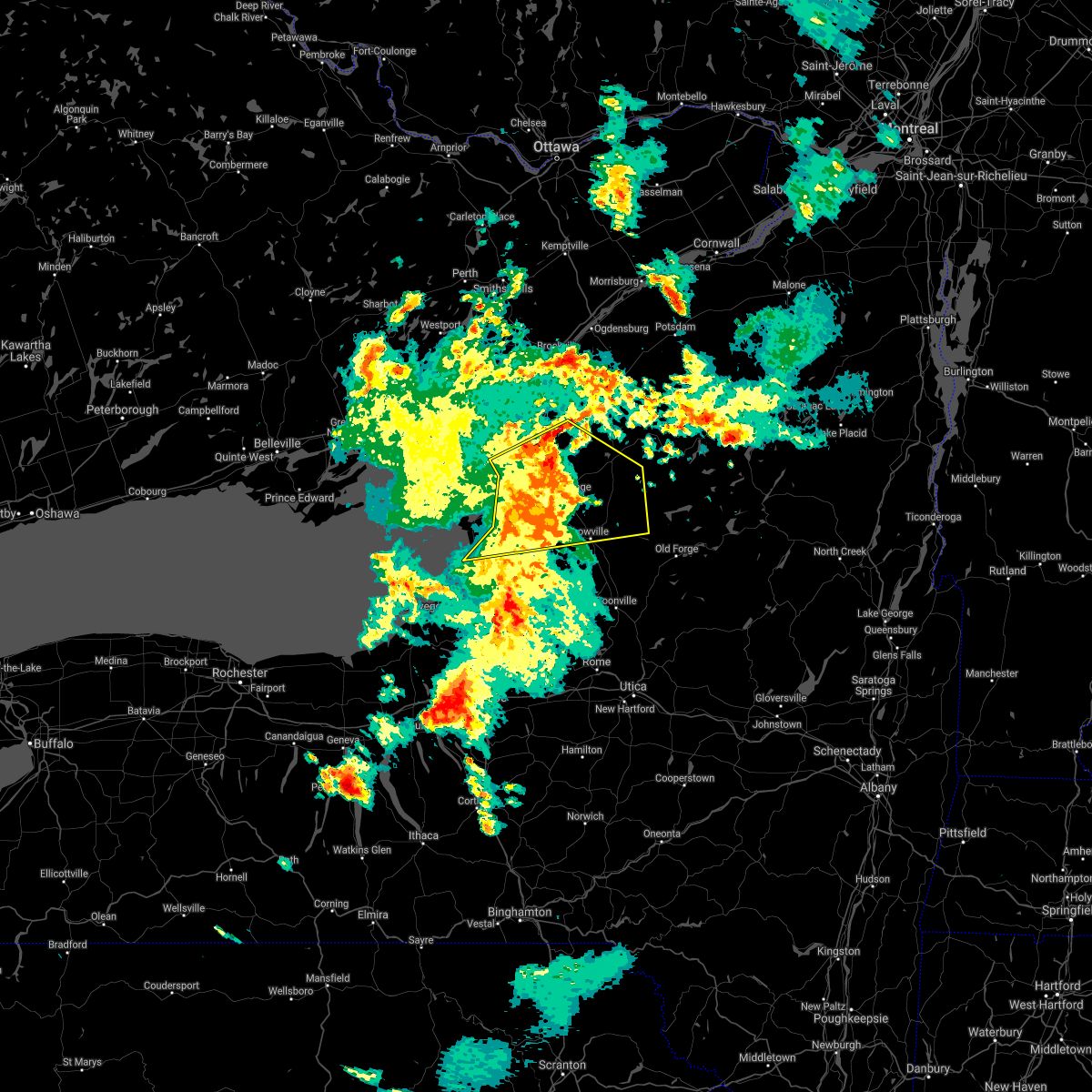 At 1228 am edt, severe thunderstorms were located along a line extending from 7 miles northeast of fort drum to near west carthage, moving east at 40 mph (radar indicated). Hazards include 60 mph wind gusts and quarter size hail. Minor damage to vehicles is possible. expect wind damage to roofs, siding, and trees. locations impacted include, watertown, fort drum, carthage, lowville, west carthage, adams, dexter, glen park, herrings and adams center. This includes interstate 81 between exits 39 and 49. At 1228 am edt, severe thunderstorms were located along a line extending from 7 miles northeast of fort drum to near west carthage, moving east at 40 mph (radar indicated). Hazards include 60 mph wind gusts and quarter size hail. Minor damage to vehicles is possible. expect wind damage to roofs, siding, and trees. locations impacted include, watertown, fort drum, carthage, lowville, west carthage, adams, dexter, glen park, herrings and adams center. This includes interstate 81 between exits 39 and 49.
|
| 6/14/2021 12:04 AM EDT |
 At 1203 am edt, severe thunderstorms were located along a line extending from near dexter to near adams, moving east at 40 mph (radar indicated). Hazards include 60 mph wind gusts and quarter size hail. Minor damage to vehicles is possible. Expect wind damage to roofs, siding, and trees. At 1203 am edt, severe thunderstorms were located along a line extending from near dexter to near adams, moving east at 40 mph (radar indicated). Hazards include 60 mph wind gusts and quarter size hail. Minor damage to vehicles is possible. Expect wind damage to roofs, siding, and trees.
|
| 3/26/2021 11:25 AM EDT |
 At 1125 am edt, severe thunderstorms were located along a line extending from 13 miles east of carthage to near whetstone gulf state park, moving east at 45 mph (radar indicated). Hazards include 60 mph wind gusts and penny size hail. Expect damage to roofs, siding, and trees. Locations impacted include, lyonsdale, greig, port leyden, croghan, lyons falls, turin, belfort, soft maple reservoir, kirschnerville and indian river. At 1125 am edt, severe thunderstorms were located along a line extending from 13 miles east of carthage to near whetstone gulf state park, moving east at 45 mph (radar indicated). Hazards include 60 mph wind gusts and penny size hail. Expect damage to roofs, siding, and trees. Locations impacted include, lyonsdale, greig, port leyden, croghan, lyons falls, turin, belfort, soft maple reservoir, kirschnerville and indian river.
|
| 3/26/2021 11:17 AM EDT | Numerous trees and powerlines down in crogha in lewis county NY, 0.4 miles S of Croghan, NY |
| 3/26/2021 11:15 AM EDT |
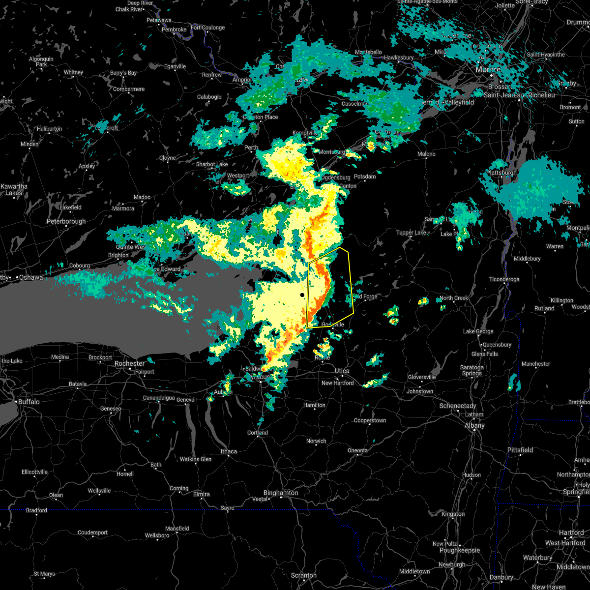 At 1115 am edt, severe thunderstorms were located along a line extending from 8 miles southeast of carthage to near highmarket, moving east at 50 mph (radar indicated). Hazards include 60 mph wind gusts. Expect damage to roofs, siding, and trees. Locations impacted include, carthage, lowville, west carthage, highmarket, whetstone gulf state park, denmark, new bremen, watson, martinsburg and lyonsdale. At 1115 am edt, severe thunderstorms were located along a line extending from 8 miles southeast of carthage to near highmarket, moving east at 50 mph (radar indicated). Hazards include 60 mph wind gusts. Expect damage to roofs, siding, and trees. Locations impacted include, carthage, lowville, west carthage, highmarket, whetstone gulf state park, denmark, new bremen, watson, martinsburg and lyonsdale.
|
| 3/26/2021 11:08 AM EDT |
 At 1107 am edt, severe thunderstorms were located along a line extending from 6 miles north of lowville to 7 miles east of redfield, moving east at 45 mph (radar indicated). Hazards include 60 mph wind gusts. Expect damage to roofs, siding, and trees. Locations impacted include, carthage, lowville, west carthage, highmarket, whetstone gulf state park, denmark, new bremen, watson, martinsburg and lyonsdale. At 1107 am edt, severe thunderstorms were located along a line extending from 6 miles north of lowville to 7 miles east of redfield, moving east at 45 mph (radar indicated). Hazards include 60 mph wind gusts. Expect damage to roofs, siding, and trees. Locations impacted include, carthage, lowville, west carthage, highmarket, whetstone gulf state park, denmark, new bremen, watson, martinsburg and lyonsdale.
|
| 3/26/2021 10:44 AM EDT |
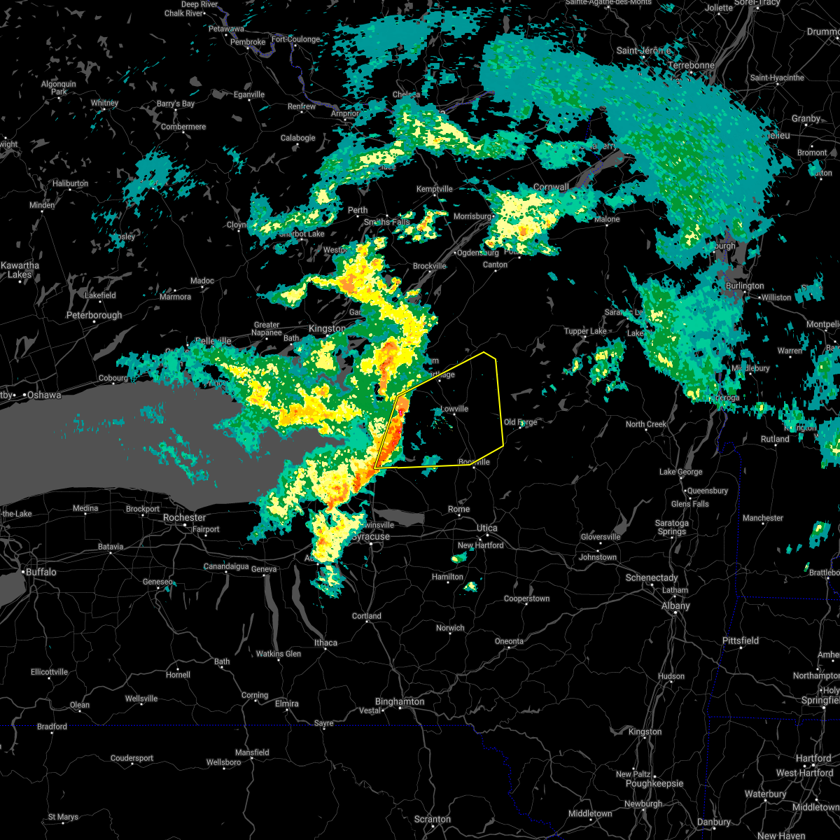 At 1044 am edt, severe thunderstorms were located along a line extending from near barnes corners to near pulaski, moving east at 45 mph (radar indicated). Hazards include 60 mph wind gusts. expect damage to roofs, siding, and trees At 1044 am edt, severe thunderstorms were located along a line extending from near barnes corners to near pulaski, moving east at 45 mph (radar indicated). Hazards include 60 mph wind gusts. expect damage to roofs, siding, and trees
|
| 11/15/2020 6:40 PM EST |
 At 639 pm est, severe thunderstorms were located along a line extending from 8 miles south of fowler to 8 miles southwest of highmarket, moving east at 45 mph (radar indicated). Hazards include 70 mph wind gusts. Expect considerable tree damage. damage is likely to mobile homes, roofs, and outbuildings. Locations impacted include, lowville, highmarket, whetstone gulf state park, new bremen, watson, martinsburg, lyonsdale, greig, port leyden and harrisville. At 639 pm est, severe thunderstorms were located along a line extending from 8 miles south of fowler to 8 miles southwest of highmarket, moving east at 45 mph (radar indicated). Hazards include 70 mph wind gusts. Expect considerable tree damage. damage is likely to mobile homes, roofs, and outbuildings. Locations impacted include, lowville, highmarket, whetstone gulf state park, new bremen, watson, martinsburg, lyonsdale, greig, port leyden and harrisville.
|
| 11/15/2020 6:04 PM EST |
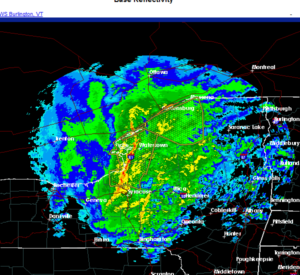 At 603 pm est, severe thunderstorms were located along a line extending from 8 miles northwest of fort drum to pulaski, moving east at 50 mph (radar indicated). Hazards include 70 mph wind gusts. Expect considerable tree damage. Damage is likely to mobile homes, roofs, and outbuildings. At 603 pm est, severe thunderstorms were located along a line extending from 8 miles northwest of fort drum to pulaski, moving east at 50 mph (radar indicated). Hazards include 70 mph wind gusts. Expect considerable tree damage. Damage is likely to mobile homes, roofs, and outbuildings.
|
| 7/19/2020 6:32 PM EDT |
 At 631 pm edt, a severe thunderstorm was located 10 miles northeast of lowville, or 20 miles northwest of old forge, moving east at 45 mph (radar indicated). Hazards include 60 mph wind gusts and penny size hail. Expect damage to roofs, siding, and trees. Locations impacted include, lowville, whetstone gulf state park, new bremen, watson, martinsburg, lyonsdale, greig, croghan, lyons falls and turin. At 631 pm edt, a severe thunderstorm was located 10 miles northeast of lowville, or 20 miles northwest of old forge, moving east at 45 mph (radar indicated). Hazards include 60 mph wind gusts and penny size hail. Expect damage to roofs, siding, and trees. Locations impacted include, lowville, whetstone gulf state park, new bremen, watson, martinsburg, lyonsdale, greig, croghan, lyons falls and turin.
|
| 7/19/2020 6:03 PM EDT |
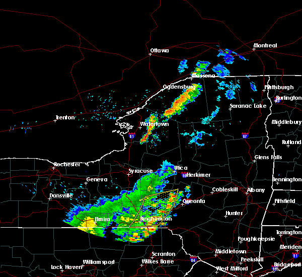 At 603 pm edt, a severe thunderstorm was located near barnes corners, or 15 miles southeast of watertown, moving east at 35 mph (radar indicated). Hazards include 60 mph wind gusts and penny size hail. expect damage to roofs, siding, and trees At 603 pm edt, a severe thunderstorm was located near barnes corners, or 15 miles southeast of watertown, moving east at 35 mph (radar indicated). Hazards include 60 mph wind gusts and penny size hail. expect damage to roofs, siding, and trees
|
| 7/13/2020 6:00 PM EDT |
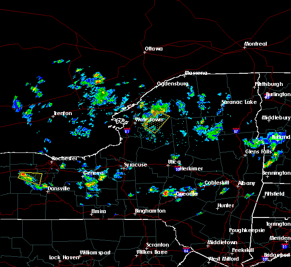 At 559 pm edt, severe thunderstorms were located along a line extending from 6 miles south of fowler to near west carthage, moving southeast at 15 mph (radar indicated). Hazards include 60 mph wind gusts and quarter size hail. Minor damage to vehicles is possible. Expect wind damage to roofs, siding, and trees. At 559 pm edt, severe thunderstorms were located along a line extending from 6 miles south of fowler to near west carthage, moving southeast at 15 mph (radar indicated). Hazards include 60 mph wind gusts and quarter size hail. Minor damage to vehicles is possible. Expect wind damage to roofs, siding, and trees.
|
| 7/11/2020 6:27 PM EDT |
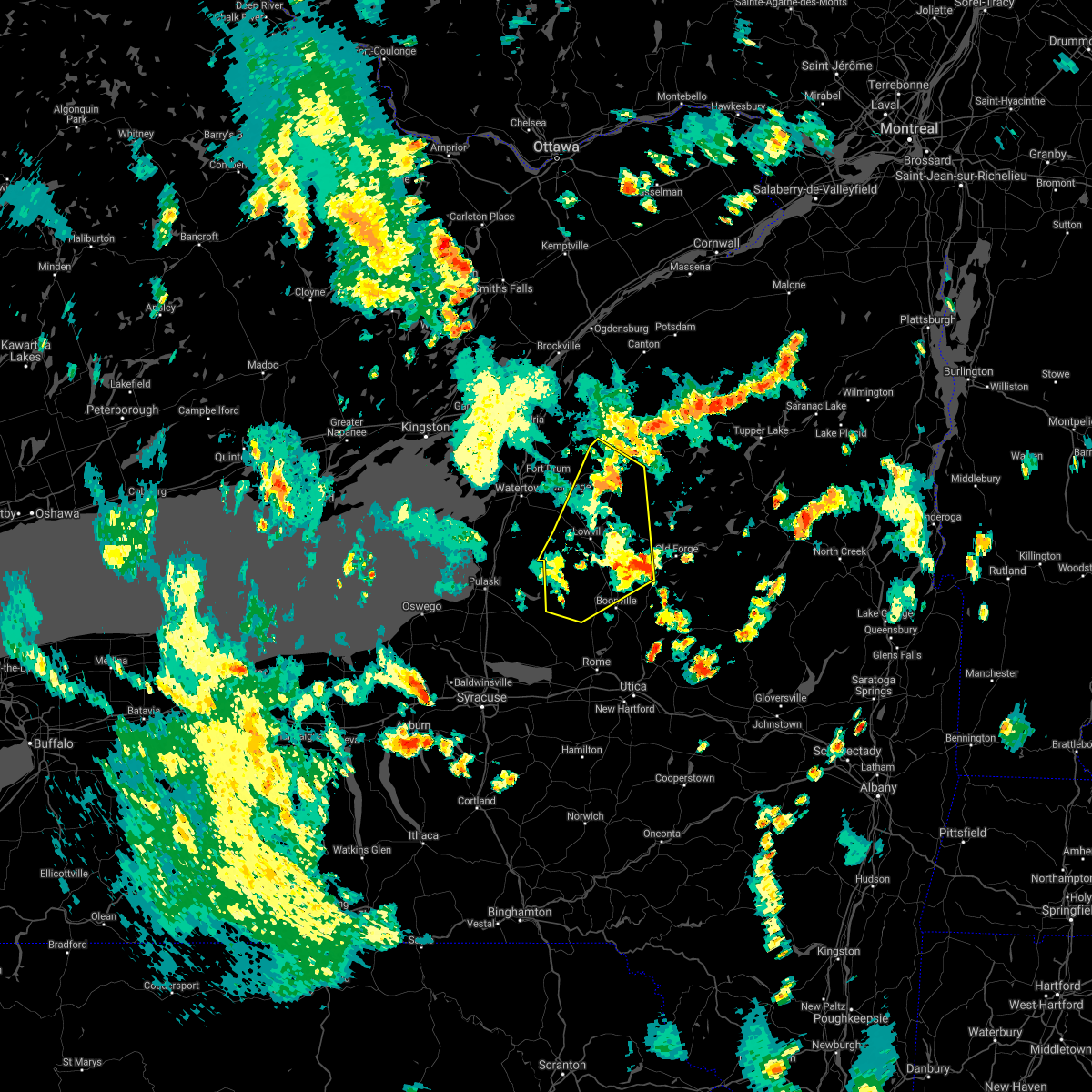 The severe thunderstorm warning for southeastern jefferson and lewis counties will expire at 630 pm edt, the storms which prompted the warning have weakened below severe limits, and no longer pose an immediate threat to life or property. therefore, the warning will be allowed to expire. however gusty winds are still possible with these thunderstorms. The severe thunderstorm warning for southeastern jefferson and lewis counties will expire at 630 pm edt, the storms which prompted the warning have weakened below severe limits, and no longer pose an immediate threat to life or property. therefore, the warning will be allowed to expire. however gusty winds are still possible with these thunderstorms.
|
| 7/11/2020 6:06 PM EDT |
 At 605 pm edt, severe thunderstorms were located along a line extending from 9 miles northeast of herrings to near lowville to near boonville, moving northwest at 10 mph (radar indicated). Hazards include 60 mph wind gusts. Expect damage to roofs, siding, and trees. Locations impacted include, carthage, lowville, west carthage, highmarket, whetstone gulf state park, denmark, new bremen, watson, martinsburg and lyonsdale. At 605 pm edt, severe thunderstorms were located along a line extending from 9 miles northeast of herrings to near lowville to near boonville, moving northwest at 10 mph (radar indicated). Hazards include 60 mph wind gusts. Expect damage to roofs, siding, and trees. Locations impacted include, carthage, lowville, west carthage, highmarket, whetstone gulf state park, denmark, new bremen, watson, martinsburg and lyonsdale.
|
| 7/11/2020 5:26 PM EDT |
 At 525 pm edt, severe thunderstorms were located along a line extending from near barnes corners to 9 miles west of lowville to near boonville, moving northeast at 30 mph (radar indicated). Hazards include 60 mph wind gusts. expect damage to roofs, siding, and trees At 525 pm edt, severe thunderstorms were located along a line extending from near barnes corners to 9 miles west of lowville to near boonville, moving northeast at 30 mph (radar indicated). Hazards include 60 mph wind gusts. expect damage to roofs, siding, and trees
|
| 7/11/2020 5:11 PM EDT |
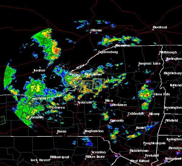 At 511 pm edt, a severe thunderstorm was located near highmarket, or 14 miles north of camden, moving northeast at 20 mph (radar indicated). Hazards include 60 mph wind gusts. Expect damage to roofs, siding, and trees. Locations impacted include, lowville, whetstone gulf state park, highmarket, denmark, new bremen, watson, martinsburg, greig, port leyden and croghan. At 511 pm edt, a severe thunderstorm was located near highmarket, or 14 miles north of camden, moving northeast at 20 mph (radar indicated). Hazards include 60 mph wind gusts. Expect damage to roofs, siding, and trees. Locations impacted include, lowville, whetstone gulf state park, highmarket, denmark, new bremen, watson, martinsburg, greig, port leyden and croghan.
|
| 7/11/2020 4:23 PM EDT |
 At 422 pm edt, a severe thunderstorm was located near highmarket, or 8 miles west of boonville, moving north at 35 mph (radar indicated). Hazards include 60 mph wind gusts. expect damage to roofs, siding, and trees At 422 pm edt, a severe thunderstorm was located near highmarket, or 8 miles west of boonville, moving north at 35 mph (radar indicated). Hazards include 60 mph wind gusts. expect damage to roofs, siding, and trees
|
| 5/29/2020 3:40 PM EDT |
 At 340 pm edt, a severe thunderstorm was located over barnes corners, or 12 miles southeast of watertown, moving northeast at 50 mph (radar indicated). Hazards include 60 mph wind gusts and quarter size hail. Minor damage to vehicles is possible. expect wind damage to roofs, siding, and trees. Locations impacted include, carthage, west carthage, adams, herrings, barnes corners, adams center, denmark, new bremen, rodman and copenhagen. At 340 pm edt, a severe thunderstorm was located over barnes corners, or 12 miles southeast of watertown, moving northeast at 50 mph (radar indicated). Hazards include 60 mph wind gusts and quarter size hail. Minor damage to vehicles is possible. expect wind damage to roofs, siding, and trees. Locations impacted include, carthage, west carthage, adams, herrings, barnes corners, adams center, denmark, new bremen, rodman and copenhagen.
|
| 5/29/2020 3:23 PM EDT |
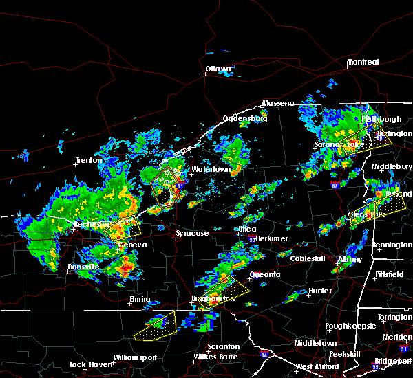 At 323 pm edt, a severe thunderstorm was located near adams, or 9 miles northeast of sandy island beach state park, moving northeast at 40 mph (radar indicated). Hazards include 60 mph wind gusts and quarter size hail. Minor damage to vehicles is possible. Expect wind damage to roofs, siding, and trees. At 323 pm edt, a severe thunderstorm was located near adams, or 9 miles northeast of sandy island beach state park, moving northeast at 40 mph (radar indicated). Hazards include 60 mph wind gusts and quarter size hail. Minor damage to vehicles is possible. Expect wind damage to roofs, siding, and trees.
|
| 10/31/2019 6:47 PM EDT |
 At 646 pm edt, a severe thunderstorm was located near highmarket, or 12 miles west of boonville, moving northeast at 35 mph (radar indicated). Hazards include 60 mph wind gusts. Expect damage to roofs, siding, and trees. Locations impacted include, lowville, whetstone gulf state park, highmarket, new bremen, watson, martinsburg, lyonsdale, greig, port leyden and croghan. At 646 pm edt, a severe thunderstorm was located near highmarket, or 12 miles west of boonville, moving northeast at 35 mph (radar indicated). Hazards include 60 mph wind gusts. Expect damage to roofs, siding, and trees. Locations impacted include, lowville, whetstone gulf state park, highmarket, new bremen, watson, martinsburg, lyonsdale, greig, port leyden and croghan.
|
| 10/31/2019 6:15 PM EDT |
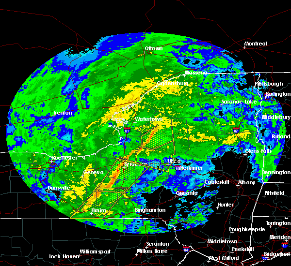 At 614 pm edt, a severe thunderstorm was located near redfield, or 13 miles north of camden, moving northeast at 45 mph (radar indicated). Hazards include 60 mph wind gusts. expect damage to roofs, siding, and trees At 614 pm edt, a severe thunderstorm was located near redfield, or 13 miles north of camden, moving northeast at 45 mph (radar indicated). Hazards include 60 mph wind gusts. expect damage to roofs, siding, and trees
|
| 8/21/2019 7:42 AM EDT |
 A severe thunderstorm warning remains in effect until 815 am edt for jefferson and northern lewis counties. at 741 am edt, a severe thunderstorm was located near watertown, moving north at 40 mph. hazard. 60 mph wind gusts. source. Radar indicated. A severe thunderstorm warning remains in effect until 815 am edt for jefferson and northern lewis counties. at 741 am edt, a severe thunderstorm was located near watertown, moving north at 40 mph. hazard. 60 mph wind gusts. source. Radar indicated.
|
| 8/21/2019 6:58 AM EDT |
 At 657 am edt, a severe thunderstorm was located over sandy island beach state park, moving northeast at 45 mph (radar indicated). Hazards include 60 mph wind gusts. expect damage to roofs, siding, and trees At 657 am edt, a severe thunderstorm was located over sandy island beach state park, moving northeast at 45 mph (radar indicated). Hazards include 60 mph wind gusts. expect damage to roofs, siding, and trees
|
| 8/18/2019 5:41 PM EDT |
 At 511 pm edt, a severe thunderstorm was located near worth, or 16 miles southeast of watertown, moving northeast at 15 mph (radar indicated). Hazards include 60 mph wind gusts and quarter size hail. Minor damage to vehicles is possible. expect wind damage to roofs, siding, and trees. Locations impacted include, carthage, lowville, west carthage, adams, barnes corners, denmark, new bremen, rodman, lorraine and copenhagen. At 511 pm edt, a severe thunderstorm was located near worth, or 16 miles southeast of watertown, moving northeast at 15 mph (radar indicated). Hazards include 60 mph wind gusts and quarter size hail. Minor damage to vehicles is possible. expect wind damage to roofs, siding, and trees. Locations impacted include, carthage, lowville, west carthage, adams, barnes corners, denmark, new bremen, rodman, lorraine and copenhagen.
|
| 8/18/2019 5:13 PM EDT |
 At 511 pm edt, a severe thunderstorm was located near worth, or 16 miles southeast of watertown, moving northeast at 15 mph (radar indicated). Hazards include 60 mph wind gusts and quarter size hail. Minor damage to vehicles is possible. expect wind damage to roofs, siding, and trees. Locations impacted include, carthage, lowville, west carthage, adams, barnes corners, denmark, new bremen, rodman, lorraine and copenhagen. At 511 pm edt, a severe thunderstorm was located near worth, or 16 miles southeast of watertown, moving northeast at 15 mph (radar indicated). Hazards include 60 mph wind gusts and quarter size hail. Minor damage to vehicles is possible. expect wind damage to roofs, siding, and trees. Locations impacted include, carthage, lowville, west carthage, adams, barnes corners, denmark, new bremen, rodman, lorraine and copenhagen.
|
| 8/18/2019 4:43 PM EDT |
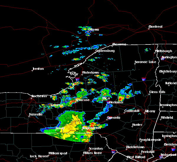 The national weather service in buffalo has issued a * severe thunderstorm warning for. southeastern jefferson county in central new york. central lewis county in central new york. northeastern oswego county in central new york. Until 545 pm edt. The national weather service in buffalo has issued a * severe thunderstorm warning for. southeastern jefferson county in central new york. central lewis county in central new york. northeastern oswego county in central new york. Until 545 pm edt.
|
| 7/30/2019 2:24 PM EDT |
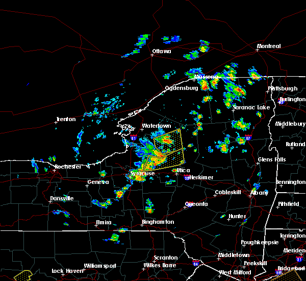 At 224 pm edt, a severe thunderstorm was located 10 miles east of lowville, or 15 miles west of old forge, moving northeast at 40 mph (radar indicated). Hazards include 70 mph wind gusts. Expect considerable tree damage. damage is likely to mobile homes, roofs, and outbuildings. Locations impacted include, lowville, whetstone gulf state park, new bremen, watson, martinsburg, lyonsdale, greig, croghan, soft maple reservoir and kirschnerville. At 224 pm edt, a severe thunderstorm was located 10 miles east of lowville, or 15 miles west of old forge, moving northeast at 40 mph (radar indicated). Hazards include 70 mph wind gusts. Expect considerable tree damage. damage is likely to mobile homes, roofs, and outbuildings. Locations impacted include, lowville, whetstone gulf state park, new bremen, watson, martinsburg, lyonsdale, greig, croghan, soft maple reservoir and kirschnerville.
|
| 7/30/2019 2:12 PM EDT |
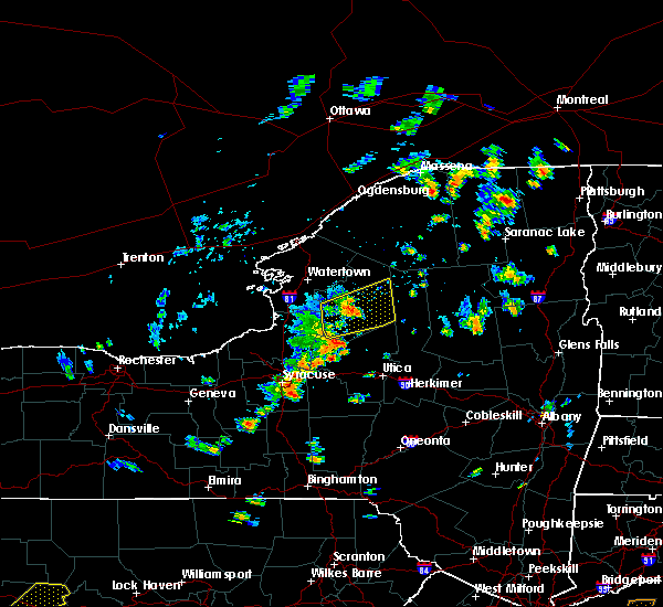 At 211 pm edt, a severe thunderstorm was located near highmarket, or 16 miles northwest of boonville, moving northeast at 40 mph (radar indicated). Hazards include 60 mph wind gusts. Expect damage to roofs, siding, and trees. Locations impacted include, lowville, whetstone gulf state park, highmarket, new bremen, watson, martinsburg, lyonsdale, greig, port leyden and croghan. At 211 pm edt, a severe thunderstorm was located near highmarket, or 16 miles northwest of boonville, moving northeast at 40 mph (radar indicated). Hazards include 60 mph wind gusts. Expect damage to roofs, siding, and trees. Locations impacted include, lowville, whetstone gulf state park, highmarket, new bremen, watson, martinsburg, lyonsdale, greig, port leyden and croghan.
|
| 7/30/2019 1:50 PM EDT |
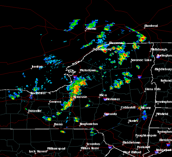 At 150 pm edt, a severe thunderstorm was located near highmarket, or 18 miles northwest of boonville, moving northeast at 35 mph (radar indicated). Hazards include 60 mph wind gusts. expect damage to roofs, siding, and trees At 150 pm edt, a severe thunderstorm was located near highmarket, or 18 miles northwest of boonville, moving northeast at 35 mph (radar indicated). Hazards include 60 mph wind gusts. expect damage to roofs, siding, and trees
|
| 6/29/2019 9:20 PM EDT |
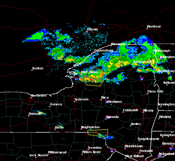 At 920 pm edt, severe thunderstorms were located along a line extending from 9 miles southwest of star lake to 6 miles north of lowville, moving southeast at 40 mph (radar indicated). Hazards include 60 mph wind gusts and penny size hail. Expect damage to roofs, siding, and trees. Locations impacted include, denmark, new bremen, copenhagen, croghan, castorland, belfort, soft maple reservoir, kirschnerville, beaver falls and indian river. At 920 pm edt, severe thunderstorms were located along a line extending from 9 miles southwest of star lake to 6 miles north of lowville, moving southeast at 40 mph (radar indicated). Hazards include 60 mph wind gusts and penny size hail. Expect damage to roofs, siding, and trees. Locations impacted include, denmark, new bremen, copenhagen, croghan, castorland, belfort, soft maple reservoir, kirschnerville, beaver falls and indian river.
|
| 6/29/2019 8:40 PM EDT |
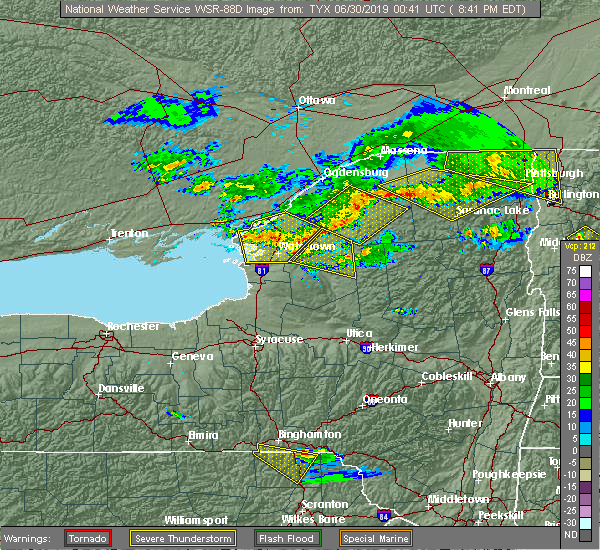 At 839 pm edt, severe thunderstorms were located along a line extending from near fowler to near fort drum, moving north at 80 mph (radar indicated). Hazards include 60 mph wind gusts and penny size hail. expect damage to roofs, siding, and trees At 839 pm edt, severe thunderstorms were located along a line extending from near fowler to near fort drum, moving north at 80 mph (radar indicated). Hazards include 60 mph wind gusts and penny size hail. expect damage to roofs, siding, and trees
|
| 6/29/2019 7:13 PM EDT |
 At 713 pm edt, a severe thunderstorm was located 7 miles southwest of gouverneur, moving southeast at 30 mph (radar indicated). Hazards include 60 mph wind gusts and nickel size hail. expect damage to roofs, siding, and trees At 713 pm edt, a severe thunderstorm was located 7 miles southwest of gouverneur, moving southeast at 30 mph (radar indicated). Hazards include 60 mph wind gusts and nickel size hail. expect damage to roofs, siding, and trees
|
| 5/19/2019 3:10 PM EDT |
 The severe thunderstorm warning for southern jefferson and central lewis counties will expire at 315 pm edt, the storm which prompted the warning has weakened below severe limits, and no longer poses an immediate threat to life or property. therefore, the warning will be allowed to expire. a severe thunderstorm watch remains in effect until 900 pm edt for central new york. to report severe weather, contact your nearest law enforcement agency. they will relay your report to the national weather service buffalo. The severe thunderstorm warning for southern jefferson and central lewis counties will expire at 315 pm edt, the storm which prompted the warning has weakened below severe limits, and no longer poses an immediate threat to life or property. therefore, the warning will be allowed to expire. a severe thunderstorm watch remains in effect until 900 pm edt for central new york. to report severe weather, contact your nearest law enforcement agency. they will relay your report to the national weather service buffalo.
|
| 5/19/2019 2:55 PM EDT | Half Dollar sized hail reported 0.4 miles S of Croghan, NY |
| 5/19/2019 2:48 PM EDT |
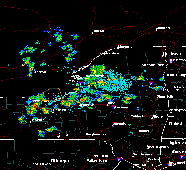 At 247 pm edt, a severe thunderstorm was located near lowville, or 21 miles southeast of fort drum, moving northeast at 40 mph (radar indicated). Hazards include 60 mph wind gusts and quarter size hail. Minor damage to vehicles is possible. expect wind damage to roofs, siding, and trees. Locations impacted include, lowville, denmark, new bremen, watson, croghan, castorland, belfort, soft maple reservoir, bellwood and kirschnerville. At 247 pm edt, a severe thunderstorm was located near lowville, or 21 miles southeast of fort drum, moving northeast at 40 mph (radar indicated). Hazards include 60 mph wind gusts and quarter size hail. Minor damage to vehicles is possible. expect wind damage to roofs, siding, and trees. Locations impacted include, lowville, denmark, new bremen, watson, croghan, castorland, belfort, soft maple reservoir, bellwood and kirschnerville.
|
| 5/19/2019 2:20 PM EDT |
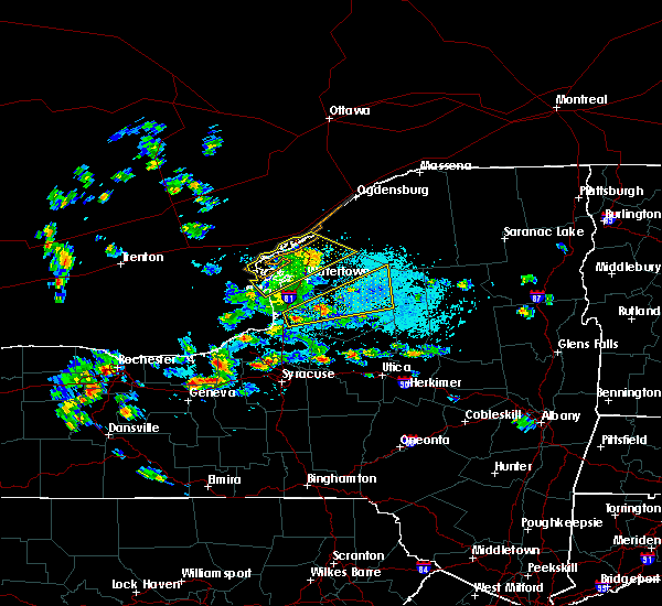 At 219 pm edt, a severe thunderstorm was located 8 miles southeast of barnes corners, or 20 miles southeast of watertown, moving northeast at 40 mph. a second severe thunderstorm was located 4 miles east of sandy creek (radar indicated). Hazards include 60 mph wind gusts and quarter size hail. Minor damage to vehicles is possible. Expect wind damage to roofs, siding, and trees. At 219 pm edt, a severe thunderstorm was located 8 miles southeast of barnes corners, or 20 miles southeast of watertown, moving northeast at 40 mph. a second severe thunderstorm was located 4 miles east of sandy creek (radar indicated). Hazards include 60 mph wind gusts and quarter size hail. Minor damage to vehicles is possible. Expect wind damage to roofs, siding, and trees.
|
| 7/2/2018 4:30 PM EDT | Tree down on soft maple rd in town of crogan in lewis county NY, 7.7 miles WSW of Croghan, NY |
| 7/2/2018 4:24 PM EDT |
 At 422 pm edt, a severe thunderstorm was located 7 miles northeast of lowville, or 21 miles southeast of fort drum, moving northeast at 30 mph (new york mesonet station near harrisburg reported gust to 57 mph). Hazards include 60 mph wind gusts. Expect damage to roofs, siding, and trees. Locations impacted include, lowville, whetstone gulf state park, new bremen, watson, martinsburg, croghan, castorland and belfort. At 422 pm edt, a severe thunderstorm was located 7 miles northeast of lowville, or 21 miles southeast of fort drum, moving northeast at 30 mph (new york mesonet station near harrisburg reported gust to 57 mph). Hazards include 60 mph wind gusts. Expect damage to roofs, siding, and trees. Locations impacted include, lowville, whetstone gulf state park, new bremen, watson, martinsburg, croghan, castorland and belfort.
|
| 7/2/2018 3:55 PM EDT |
 At 355 pm edt, a severe thunderstorm was located 7 miles west of lowville, or 19 miles southeast of watertown, moving northeast at 30 mph (radar indicated). Hazards include 60 mph wind gusts. expect damage to roofs, siding, and trees At 355 pm edt, a severe thunderstorm was located 7 miles west of lowville, or 19 miles southeast of watertown, moving northeast at 30 mph (radar indicated). Hazards include 60 mph wind gusts. expect damage to roofs, siding, and trees
|
| 6/18/2018 2:23 PM EDT |
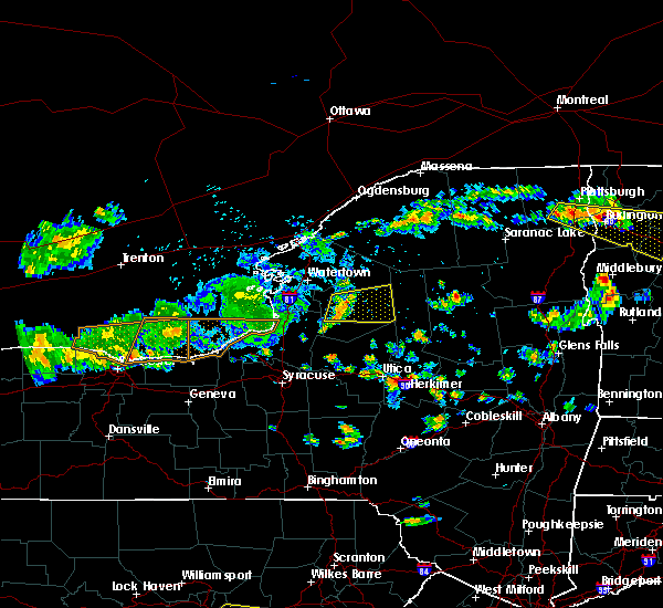 At 221 pm edt, a severe thunderstorm was located near lowville, or 21 miles northwest of boonville, moving east at 45 mph (radar indicated). Hazards include 60 mph wind gusts. Expect damage to roofs, siding, and trees. Locations impacted include, lowville, whetstone gulf state park, new bremen, watson, martinsburg, lyonsdale, greig and lyons falls. At 221 pm edt, a severe thunderstorm was located near lowville, or 21 miles northwest of boonville, moving east at 45 mph (radar indicated). Hazards include 60 mph wind gusts. Expect damage to roofs, siding, and trees. Locations impacted include, lowville, whetstone gulf state park, new bremen, watson, martinsburg, lyonsdale, greig and lyons falls.
|
| 6/18/2018 2:14 PM EDT |
 At 213 pm edt, a severe thunderstorm was located 8 miles southeast of barnes corners, or 19 miles southeast of watertown, moving east at 45 mph (radar indicated). Hazards include 60 mph wind gusts. expect damage to roofs, siding, and trees At 213 pm edt, a severe thunderstorm was located 8 miles southeast of barnes corners, or 19 miles southeast of watertown, moving east at 45 mph (radar indicated). Hazards include 60 mph wind gusts. expect damage to roofs, siding, and trees
|
| 6/13/2018 7:43 PM EDT |
 The national weather service in buffalo has issued a * severe thunderstorm warning for. southeastern jefferson county in ce0ntral new york. lewis county in central new york. northeastern oswego county in central new york. Until 845 pm edt. The national weather service in buffalo has issued a * severe thunderstorm warning for. southeastern jefferson county in ce0ntral new york. lewis county in central new york. northeastern oswego county in central new york. Until 845 pm edt.
|
| 6/13/2018 6:51 PM EDT |
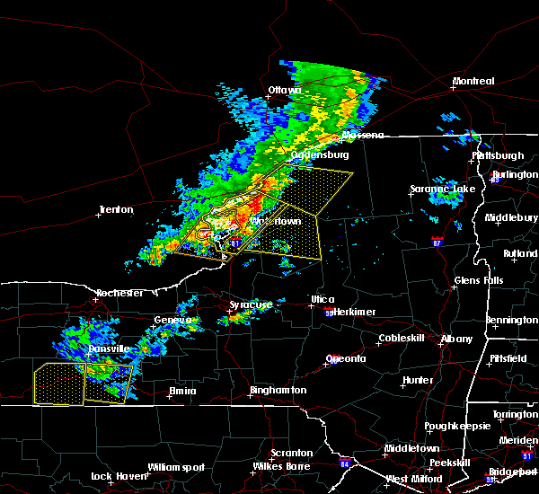 The national weather service in buffalo has issued a * severe thunderstorm warning for. southeastern jefferson county in central new york. lewis county in central new york. until 745 pm edt. At 651 pm edt, severe thunderstorms were located along a line. The national weather service in buffalo has issued a * severe thunderstorm warning for. southeastern jefferson county in central new york. lewis county in central new york. until 745 pm edt. At 651 pm edt, severe thunderstorms were located along a line.
|
| 5/4/2018 6:25 PM EDT |
 The severe thunderstorm warning for northeastern jefferson and northeastern lewis counties will expire at 630 pm edt, the storm which prompted the warning has moved out of the area. therefore the warning will be allowed to expire. remember, a severe thunderstorm warning still remains in effect for southern and central lewis county. a severe thunderstorm watch remains in effect until 900 pm edt for central new york. The severe thunderstorm warning for northeastern jefferson and northeastern lewis counties will expire at 630 pm edt, the storm which prompted the warning has moved out of the area. therefore the warning will be allowed to expire. remember, a severe thunderstorm warning still remains in effect for southern and central lewis county. a severe thunderstorm watch remains in effect until 900 pm edt for central new york.
|
| 5/4/2018 6:18 PM EDT |
 At 617 pm edt, a severe thunderstorm was located 11 miles west of star lake, or 26 miles east of fort drum, moving northeast at 70 mph (radar indicated). Hazards include 60 mph wind gusts. Expect wind damage to trees and power lines. Locations impacted include, new bremen, harrisville, croghan, castorland, belfort, lake bonaparte, kirschnerville and beaver falls. At 617 pm edt, a severe thunderstorm was located 11 miles west of star lake, or 26 miles east of fort drum, moving northeast at 70 mph (radar indicated). Hazards include 60 mph wind gusts. Expect wind damage to trees and power lines. Locations impacted include, new bremen, harrisville, croghan, castorland, belfort, lake bonaparte, kirschnerville and beaver falls.
|
| 5/4/2018 6:02 PM EDT |
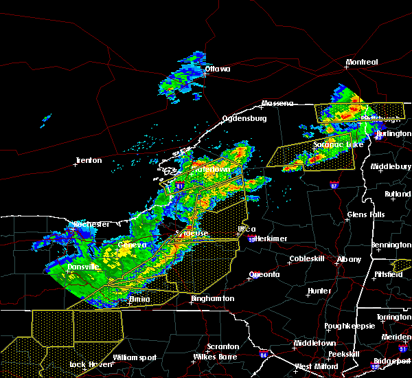 At 602 pm edt, a severe thunderstorm was located over carthage, or 12 miles southeast of fort drum, moving northeast at 70 mph (radar indicated). Hazards include 70 mph wind gusts. Expect considerable tree damage. damage is likely to mobile homes, roofs, and outbuildings. locations impacted include, watertown, fort drum, carthage, west carthage, glen park, herrings, denmark and new bremen. This includes interstate 81 between exits 45 and 47. At 602 pm edt, a severe thunderstorm was located over carthage, or 12 miles southeast of fort drum, moving northeast at 70 mph (radar indicated). Hazards include 70 mph wind gusts. Expect considerable tree damage. damage is likely to mobile homes, roofs, and outbuildings. locations impacted include, watertown, fort drum, carthage, west carthage, glen park, herrings, denmark and new bremen. This includes interstate 81 between exits 45 and 47.
|
| 5/4/2018 5:32 PM EDT |
 At 531 pm edt, a severe thunderstorm was located near sandy island beach state park, moving northeast at 70 mph (radar indicated). Hazards include 70 mph wind gusts. Expect considerable tree damage. Damage is likely to mobile homes, roofs, and outbuildings. At 531 pm edt, a severe thunderstorm was located near sandy island beach state park, moving northeast at 70 mph (radar indicated). Hazards include 70 mph wind gusts. Expect considerable tree damage. Damage is likely to mobile homes, roofs, and outbuildings.
|
| 5/4/2018 4:50 PM EDT |
 The national weather service in buffalo has issued a * severe thunderstorm warning for. east central lewis county in central new york. until 530 pm edt. At 449 pm edt, a severe thunderstorm was located over lowville, or 21 miles southeast of fort drum, moving northeast at 55 mph. The national weather service in buffalo has issued a * severe thunderstorm warning for. east central lewis county in central new york. until 530 pm edt. At 449 pm edt, a severe thunderstorm was located over lowville, or 21 miles southeast of fort drum, moving northeast at 55 mph.
|
| 5/4/2018 4:42 PM EDT |
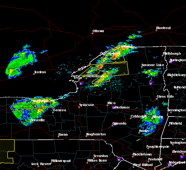 At 442 pm edt, a severe thunderstorm was located 9 miles northeast of lowville, or 21 miles southeast of fort drum, moving northeast at 50 mph (radar indicated). Hazards include 60 mph wind gusts and quarter size hail. Minor damage to vehicles is possible. expect wind damage to trees and power lines. Locations impacted include, new bremen, harrisville, croghan, castorland, belfort, soft maple reservoir, kirschnerville and beaver falls. At 442 pm edt, a severe thunderstorm was located 9 miles northeast of lowville, or 21 miles southeast of fort drum, moving northeast at 50 mph (radar indicated). Hazards include 60 mph wind gusts and quarter size hail. Minor damage to vehicles is possible. expect wind damage to trees and power lines. Locations impacted include, new bremen, harrisville, croghan, castorland, belfort, soft maple reservoir, kirschnerville and beaver falls.
|
| 5/4/2018 4:27 PM EDT |
 At 427 pm edt, a severe thunderstorm was located near lowville, or 17 miles southeast of fort drum, moving east at 60 mph (radar indicated). Hazards include 60 mph wind gusts and quarter size hail. Minor damage to vehicles is possible. Expect wind damage to trees and power lines. At 427 pm edt, a severe thunderstorm was located near lowville, or 17 miles southeast of fort drum, moving east at 60 mph (radar indicated). Hazards include 60 mph wind gusts and quarter size hail. Minor damage to vehicles is possible. Expect wind damage to trees and power lines.
|
| 1/23/2018 2:58 PM EST |
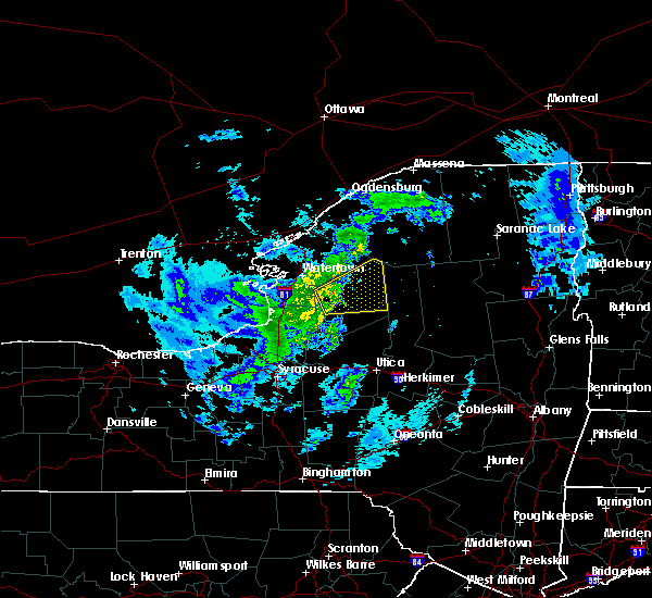 At 255 pm est, a severe thunderstorm was located 7 miles west of lowville, or 18 miles southeast of watertown, moving northeast at 40 mph (radar indicated). Hazards include 60 mph wind gusts and small hail. Expect wind damage to trees and power lines. Locations impacted include, lowville, whetstone gulf state park, denmark, new bremen, watson, martinsburg, greig and copenhagen. At 255 pm est, a severe thunderstorm was located 7 miles west of lowville, or 18 miles southeast of watertown, moving northeast at 40 mph (radar indicated). Hazards include 60 mph wind gusts and small hail. Expect wind damage to trees and power lines. Locations impacted include, lowville, whetstone gulf state park, denmark, new bremen, watson, martinsburg, greig and copenhagen.
|
| 1/23/2018 2:35 PM EST |
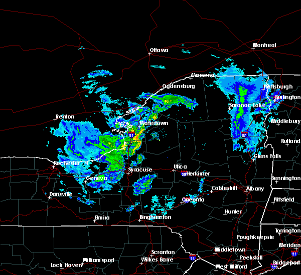 At 234 pm est, a severe thunderstorm was located 9 miles south of barnes corners, or 16 miles east of sandy island beach state park, moving northeast at 40 mph (radar indicated). Hazards include 60 mph wind gusts. expect wind damage to trees and power lines At 234 pm est, a severe thunderstorm was located 9 miles south of barnes corners, or 16 miles east of sandy island beach state park, moving northeast at 40 mph (radar indicated). Hazards include 60 mph wind gusts. expect wind damage to trees and power lines
|
| 10/15/2017 6:55 PM EDT |
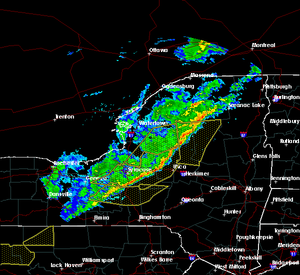 The severe thunderstorm warning for south central jefferson, lewis and eastern oswego counties will expire at 700 pm edt, the storms which prompted the warning have moved out of the area. therefore the warning will be allowed to expire. The severe thunderstorm warning for south central jefferson, lewis and eastern oswego counties will expire at 700 pm edt, the storms which prompted the warning have moved out of the area. therefore the warning will be allowed to expire.
|
| 10/15/2017 6:17 PM EDT |
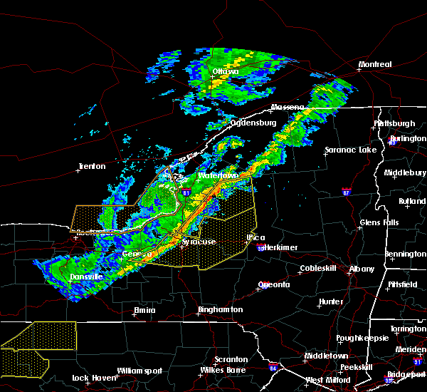 At 616 pm edt, severe thunderstorms were located along a line extending from 6 miles northwest of lowville to redfield to near new york state fairgrounds, moving east at 55 mph (radar indicated). Hazards include 70 mph wind gusts. Expect considerable tree damage. damage is likely to mobile homes, roofs, and outbuildings. locations impacted include, lowville, central square, redfield, highmarket, whetstone gulf state park, constantia, west monroe and denmark. This includes interstate 81 near exit 32. At 616 pm edt, severe thunderstorms were located along a line extending from 6 miles northwest of lowville to redfield to near new york state fairgrounds, moving east at 55 mph (radar indicated). Hazards include 70 mph wind gusts. Expect considerable tree damage. damage is likely to mobile homes, roofs, and outbuildings. locations impacted include, lowville, central square, redfield, highmarket, whetstone gulf state park, constantia, west monroe and denmark. This includes interstate 81 near exit 32.
|
| 10/15/2017 5:56 PM EDT |
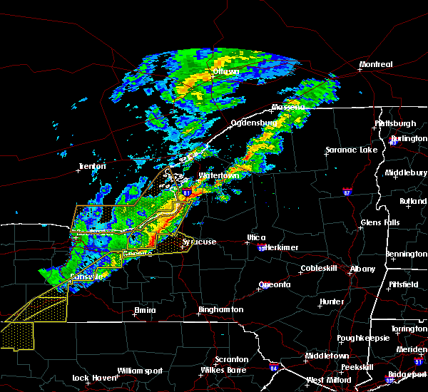 At 556 pm edt, severe thunderstorms were located along a line extending from near adams center to pulaski to near weedsport, moving east at 55 mph (radar indicated). Hazards include 60 mph wind gusts. expect wind damage to trees and power lines At 556 pm edt, severe thunderstorms were located along a line extending from near adams center to pulaski to near weedsport, moving east at 55 mph (radar indicated). Hazards include 60 mph wind gusts. expect wind damage to trees and power lines
|
| 8/22/2017 6:22 PM EDT |
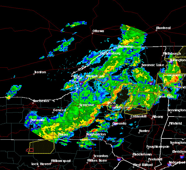 The severe thunderstorm warning for northeastern lewis county will expire at 630 pm edt, the storms which prompted the warning have weakened below severe limits, and will exit the warned area. therefore the warning will be allowed to expire. a tornado watch remains in effect until 900 pm edt for central new york. The severe thunderstorm warning for northeastern lewis county will expire at 630 pm edt, the storms which prompted the warning have weakened below severe limits, and will exit the warned area. therefore the warning will be allowed to expire. a tornado watch remains in effect until 900 pm edt for central new york.
|
| 8/22/2017 6:15 PM EDT |
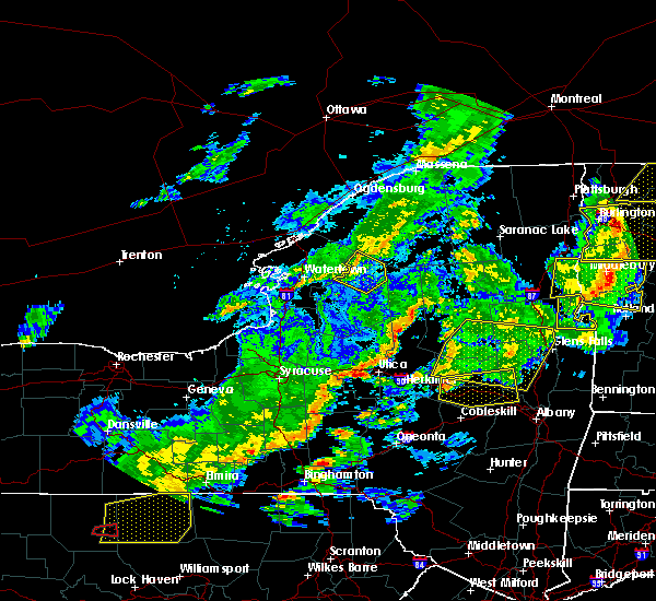 At 615 pm edt, severe thunderstorms were located along a line extending from near colton to 13 miles northeast of carthage to near barnes corners, moving east at 40 mph (radar indicated). Hazards include 60 mph wind gusts. Expect wind damage to trees and power lines. locations impacted include, carthage, harrisville, croghan, belfort, soft maple reservoir, lake bonaparte, kirschnerville and beaver falls. A tornado watch remains in effect until 900 pm edt for central new york. At 615 pm edt, severe thunderstorms were located along a line extending from near colton to 13 miles northeast of carthage to near barnes corners, moving east at 40 mph (radar indicated). Hazards include 60 mph wind gusts. Expect wind damage to trees and power lines. locations impacted include, carthage, harrisville, croghan, belfort, soft maple reservoir, lake bonaparte, kirschnerville and beaver falls. A tornado watch remains in effect until 900 pm edt for central new york.
|
| 8/22/2017 5:53 PM EDT |
 At 552 pm edt, severe thunderstorms were located along a line extending from near de kalb to near herrings to near henderson harbor, moving east at 40 mph (radar indicated). Hazards include 60 mph wind gusts. Expect wind damage to trees and power lines. locations impacted include, watertown, fort drum, carthage, lowville, west carthage, herrings, denmark and new bremen. this includes interstate 81 between exits 44 and 45, and near exit 47. A tornado watch remains in effect until 900 pm edt for central new york. At 552 pm edt, severe thunderstorms were located along a line extending from near de kalb to near herrings to near henderson harbor, moving east at 40 mph (radar indicated). Hazards include 60 mph wind gusts. Expect wind damage to trees and power lines. locations impacted include, watertown, fort drum, carthage, lowville, west carthage, herrings, denmark and new bremen. this includes interstate 81 between exits 44 and 45, and near exit 47. A tornado watch remains in effect until 900 pm edt for central new york.
|
| 8/22/2017 5:29 PM EDT |
 At 528 pm edt, severe thunderstorms were located along a line extending from near edwardsville to near glen park to 7 miles west of stony point, moving east at 40 mph (radar indicated). Hazards include 60 mph wind gusts. expect wind damage to trees and power lines At 528 pm edt, severe thunderstorms were located along a line extending from near edwardsville to near glen park to 7 miles west of stony point, moving east at 40 mph (radar indicated). Hazards include 60 mph wind gusts. expect wind damage to trees and power lines
|
| 8/22/2017 3:28 PM EDT |
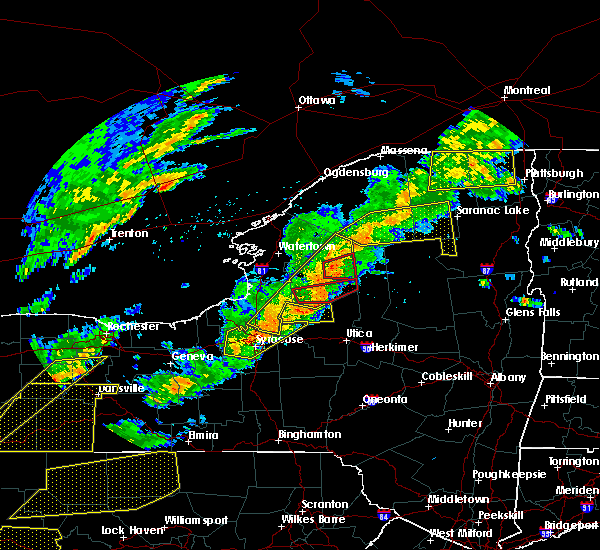 At 327 pm edt, a severe thunderstorm capable of producing a tornado was located 7 miles east of lowville, or 19 miles west of old forge, moving east at 35 mph (radar indicated rotation). Hazards include tornado. Flying debris will be dangerous to those caught without shelter. mobile homes will be damaged or destroyed. damage to roofs, windows, and vehicles will occur. tree damage is likely. Locations impacted include, new bremen, watson, croghan, soft maple reservoir, kirschnerville, beaver falls and sperryville. At 327 pm edt, a severe thunderstorm capable of producing a tornado was located 7 miles east of lowville, or 19 miles west of old forge, moving east at 35 mph (radar indicated rotation). Hazards include tornado. Flying debris will be dangerous to those caught without shelter. mobile homes will be damaged or destroyed. damage to roofs, windows, and vehicles will occur. tree damage is likely. Locations impacted include, new bremen, watson, croghan, soft maple reservoir, kirschnerville, beaver falls and sperryville.
|
| 8/22/2017 3:18 PM EDT |
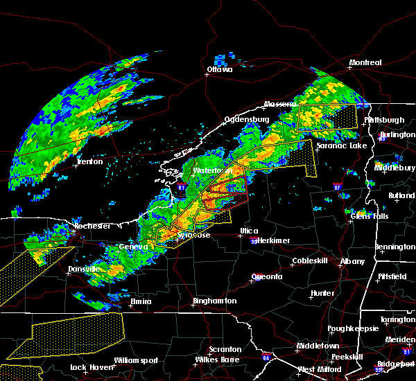 At 318 pm edt, severe thunderstorms were located along a line extending from near star lake to 8 miles west of camden, moving east at 40 mph (radar indicated). Hazards include 70 mph wind gusts. Expect considerable tree damage. damage is likely to mobile homes, roofs, and outbuildings. locations impacted include, lowville, central square, redfield, highmarket, whetstone gulf state park, constantia, west monroe and denmark. this includes interstate 81 near exit 32. A tornado watch remains in effect until 900 pm edt for central new york. At 318 pm edt, severe thunderstorms were located along a line extending from near star lake to 8 miles west of camden, moving east at 40 mph (radar indicated). Hazards include 70 mph wind gusts. Expect considerable tree damage. damage is likely to mobile homes, roofs, and outbuildings. locations impacted include, lowville, central square, redfield, highmarket, whetstone gulf state park, constantia, west monroe and denmark. this includes interstate 81 near exit 32. A tornado watch remains in effect until 900 pm edt for central new york.
|
| 8/22/2017 3:11 PM EDT |
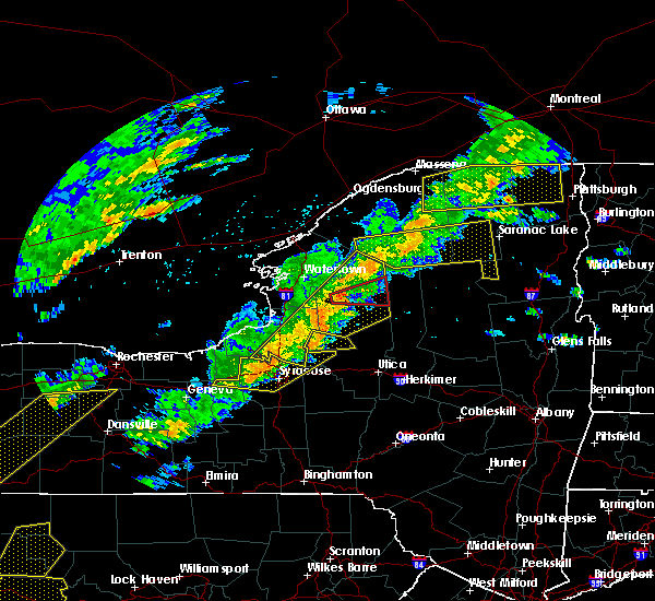 At 310 pm edt, a severe thunderstorm capable of producing a tornado was located near lowville, or 21 miles southeast of fort drum, moving east at 35 mph (radar indicated rotation). Hazards include tornado. Flying debris will be dangerous to those caught without shelter. mobile homes will be damaged or destroyed. damage to roofs, windows, and vehicles will occur. Tree damage is likely. At 310 pm edt, a severe thunderstorm capable of producing a tornado was located near lowville, or 21 miles southeast of fort drum, moving east at 35 mph (radar indicated rotation). Hazards include tornado. Flying debris will be dangerous to those caught without shelter. mobile homes will be damaged or destroyed. damage to roofs, windows, and vehicles will occur. Tree damage is likely.
|
| 8/22/2017 2:47 PM EDT |
 At 246 pm edt, severe thunderstorms were located along a line extending from 7 miles south of fowler to 6 miles southeast of fulton, moving east at 45 mph (radar indicated). Hazards include 70 mph wind gusts. Expect considerable tree damage. Damage is likely to mobile homes, roofs, and outbuildings. At 246 pm edt, severe thunderstorms were located along a line extending from 7 miles south of fowler to 6 miles southeast of fulton, moving east at 45 mph (radar indicated). Hazards include 70 mph wind gusts. Expect considerable tree damage. Damage is likely to mobile homes, roofs, and outbuildings.
|
| 8/4/2017 7:51 PM EDT |
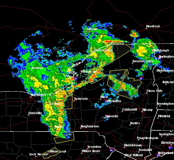 At 751 pm edt, a severe thunderstorm was located near lowville, or 20 miles southeast of fort drum, moving northeast at 40 mph (radar indicated). Hazards include 60 mph wind gusts and quarter size hail. Minor damage to vehicles is possible. expect wind damage to trees and power lines. Locations impacted include, carthage, lowville, whetstone gulf state park, denmark, new bremen, watson, martinsburg and harrisville. At 751 pm edt, a severe thunderstorm was located near lowville, or 20 miles southeast of fort drum, moving northeast at 40 mph (radar indicated). Hazards include 60 mph wind gusts and quarter size hail. Minor damage to vehicles is possible. expect wind damage to trees and power lines. Locations impacted include, carthage, lowville, whetstone gulf state park, denmark, new bremen, watson, martinsburg and harrisville.
|
| 8/4/2017 7:09 PM EDT |
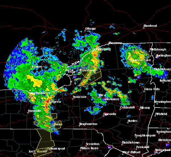 At 708 pm edt, a severe thunderstorm was located near redfield, or 16 miles north of camden, moving northeast at 45 mph (radar indicated). Hazards include 60 mph wind gusts and quarter size hail. Minor damage to vehicles is possible. Expect wind damage to trees and power lines. At 708 pm edt, a severe thunderstorm was located near redfield, or 16 miles north of camden, moving northeast at 45 mph (radar indicated). Hazards include 60 mph wind gusts and quarter size hail. Minor damage to vehicles is possible. Expect wind damage to trees and power lines.
|
| 6/18/2017 8:41 PM EDT |
 The severe thunderstorm warning for lewis county will expire at 845 pm edt, the storms which prompted the warning have moved out of the area. therefore the warning will be allowed to expire. The severe thunderstorm warning for lewis county will expire at 845 pm edt, the storms which prompted the warning have moved out of the area. therefore the warning will be allowed to expire.
|
| 6/18/2017 8:13 PM EDT |
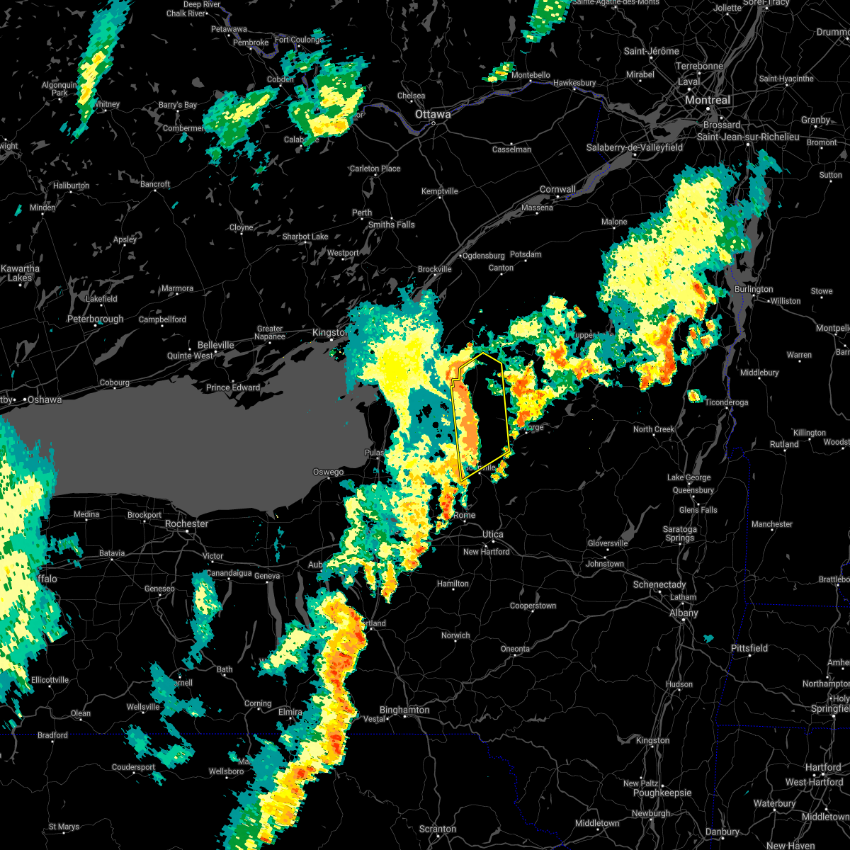 At 813 pm edt, severe thunderstorms were located along a line extending from near carthage to near boonville, moving northeast at 50 mph (radar indicated). Hazards include 60 mph wind gusts. expect wind damage to trees and power lines At 813 pm edt, severe thunderstorms were located along a line extending from near carthage to near boonville, moving northeast at 50 mph (radar indicated). Hazards include 60 mph wind gusts. expect wind damage to trees and power lines
|
| 6/18/2017 8:02 PM EDT |
 A severe thunderstorm warning remains in effect until 815 pm edt for lewis county. at 801 pm edt, severe thunderstorms were located along a line extending from near west carthage to near highmarket, moving east at 60 mph. hazard. 60 mph wind gusts. A severe thunderstorm warning remains in effect until 815 pm edt for lewis county. at 801 pm edt, severe thunderstorms were located along a line extending from near west carthage to near highmarket, moving east at 60 mph. hazard. 60 mph wind gusts.
|
| 6/18/2017 7:43 PM EDT |
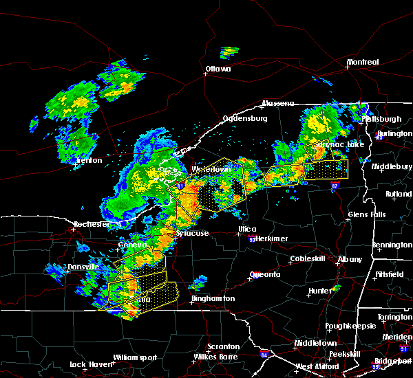 At 743 pm edt, severe thunderstorms were located along a line extending from near barnes corners to 7 miles northwest of camden, moving northeast at 50 mph (radar indicated). Hazards include 60 mph wind gusts. Expect wind damage to trees and power lines. locations impacted include, fort drum, carthage, lowville, west carthage, adams, redfield, herrings and highmarket. This includes interstate 81 between exits 37 and 43. At 743 pm edt, severe thunderstorms were located along a line extending from near barnes corners to 7 miles northwest of camden, moving northeast at 50 mph (radar indicated). Hazards include 60 mph wind gusts. Expect wind damage to trees and power lines. locations impacted include, fort drum, carthage, lowville, west carthage, adams, redfield, herrings and highmarket. This includes interstate 81 between exits 37 and 43.
|
| 6/18/2017 7:13 PM EDT |
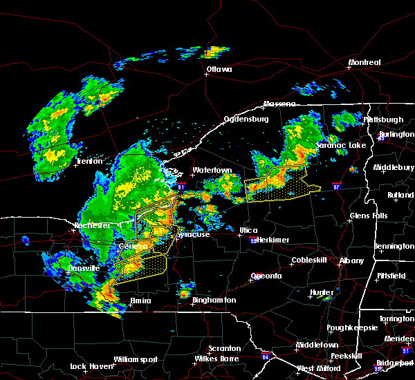 At 713 pm edt, severe thunderstorms were located along a line extending from near nine mile point to near wedgewood, moving northeast at 60 mph (radar indicated). Hazards include 60 mph wind gusts. expect wind damage to trees and power lines At 713 pm edt, severe thunderstorms were located along a line extending from near nine mile point to near wedgewood, moving northeast at 60 mph (radar indicated). Hazards include 60 mph wind gusts. expect wind damage to trees and power lines
|
| 6/18/2017 5:42 PM EDT |
 At 542 pm edt, a severe thunderstorm was located near lowville, or 22 miles northwest of old forge, moving northeast at 35 mph (radar indicated). Hazards include 60 mph wind gusts and quarter size hail. Minor damage to vehicles is possible. expect wind damage to trees and power lines. Locations impacted include, lowville, whetstone gulf state park, new bremen, watson, martinsburg, croghan, belfort and soft maple reservoir. At 542 pm edt, a severe thunderstorm was located near lowville, or 22 miles northwest of old forge, moving northeast at 35 mph (radar indicated). Hazards include 60 mph wind gusts and quarter size hail. Minor damage to vehicles is possible. expect wind damage to trees and power lines. Locations impacted include, lowville, whetstone gulf state park, new bremen, watson, martinsburg, croghan, belfort and soft maple reservoir.
|
| 6/18/2017 5:40 PM EDT | Tree and phone line down on george street in lewis county NY, 0.2 miles N of Croghan, NY |
| 6/18/2017 5:16 PM EDT |
 At 516 pm edt, a severe thunderstorm was located 7 miles east of redfield, or 16 miles north of camden, moving northeast at 35 mph (radar indicated). Hazards include 60 mph wind gusts and quarter size hail. Minor damage to vehicles is possible. Expect wind damage to trees and power lines. At 516 pm edt, a severe thunderstorm was located 7 miles east of redfield, or 16 miles north of camden, moving northeast at 35 mph (radar indicated). Hazards include 60 mph wind gusts and quarter size hail. Minor damage to vehicles is possible. Expect wind damage to trees and power lines.
|
| 5/18/2017 5:53 PM EDT |
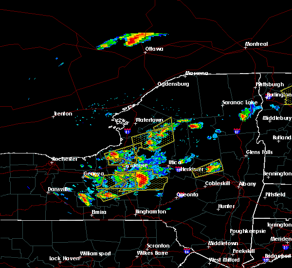 At 551 pm edt, a severe thunderstorm was located 10 miles east of carthage, or 20 miles east of fort drum, moving northeast at 55 mph (radar indicated). Hazards include 60 mph wind gusts and half dollar size hail. Minor damage to vehicles is possible. expect wind damage to trees and power lines. Locations impacted include, new bremen, croghan, castorland, belfort, soft maple reservoir, kirschnerville, beaver falls and indian river. At 551 pm edt, a severe thunderstorm was located 10 miles east of carthage, or 20 miles east of fort drum, moving northeast at 55 mph (radar indicated). Hazards include 60 mph wind gusts and half dollar size hail. Minor damage to vehicles is possible. expect wind damage to trees and power lines. Locations impacted include, new bremen, croghan, castorland, belfort, soft maple reservoir, kirschnerville, beaver falls and indian river.
|
| 5/18/2017 5:44 PM EDT | Trees down in lewis county NY, 0.4 miles S of Croghan, NY |
| 5/18/2017 5:28 PM EDT |
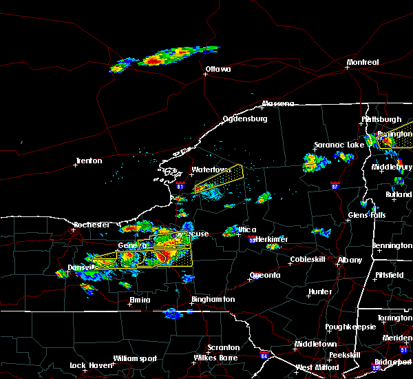 At 527 pm edt, a severe thunderstorm was located over barnes corners, or 14 miles southeast of watertown, moving northeast at 55 mph (radar indicated). Hazards include 60 mph wind gusts and half dollar size hail. Minor damage to vehicles is possible. Expect wind damage to trees and power lines. At 527 pm edt, a severe thunderstorm was located over barnes corners, or 14 miles southeast of watertown, moving northeast at 55 mph (radar indicated). Hazards include 60 mph wind gusts and half dollar size hail. Minor damage to vehicles is possible. Expect wind damage to trees and power lines.
|
| 5/1/2017 6:58 PM EDT |
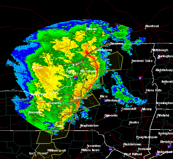 At 658 pm edt, severe thunderstorms were located along a line extending from 7 miles southeast of edwardsville to 12 miles northeast of carthage to near whetstone gulf state park, moving northeast at 50 mph (radar indicated). Hazards include 60 mph wind gusts. Expect damage to roofs, siding, and trees. locations impacted include, lowville, highmarket, whetstone gulf state park, new bremen, watson, martinsburg, lyonsdale and greig. A tornado watch remains in effect until 1000 pm edt for central new york. At 658 pm edt, severe thunderstorms were located along a line extending from 7 miles southeast of edwardsville to 12 miles northeast of carthage to near whetstone gulf state park, moving northeast at 50 mph (radar indicated). Hazards include 60 mph wind gusts. Expect damage to roofs, siding, and trees. locations impacted include, lowville, highmarket, whetstone gulf state park, new bremen, watson, martinsburg, lyonsdale and greig. A tornado watch remains in effect until 1000 pm edt for central new york.
|
| 5/1/2017 6:47 PM EDT |
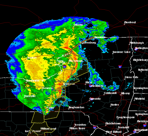 At 647 pm edt, severe thunderstorms were located along a line extending from 6 miles northeast of redwood to near carthage to near highmarket, moving northeast at 50 mph (radar indicated). Hazards include 60 mph wind gusts. Expect damage to roofs, siding, and trees. locations impacted include, fort drum, carthage, lowville, west carthage, herrings, kring point state park, highmarket and redwood. A tornado watch remains in effect until 1000 pm edt for central new york. At 647 pm edt, severe thunderstorms were located along a line extending from 6 miles northeast of redwood to near carthage to near highmarket, moving northeast at 50 mph (radar indicated). Hazards include 60 mph wind gusts. Expect damage to roofs, siding, and trees. locations impacted include, fort drum, carthage, lowville, west carthage, herrings, kring point state park, highmarket and redwood. A tornado watch remains in effect until 1000 pm edt for central new york.
|
| 5/1/2017 6:23 PM EDT |
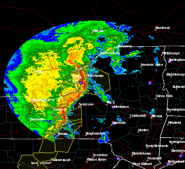 At 622 pm edt, severe thunderstorms were located along a line extending from near wellesley island state park to near glen park to 6 miles east of pulaski, moving northeast at 50 mph (radar indicated). Hazards include 70 mph wind gusts. Expect considerable tree damage. damage is likely to mobile homes, roofs, and outbuildings. while not immediately threatening, a tornado is possible with these storms. locations impacted include, watertown, fort drum, carthage, lowville, west carthage, redfield, herrings and kring point state park. this includes interstate 81 between exits 49 and 52. A tornado watch remains in effect until 1000 pm edt for central new york. At 622 pm edt, severe thunderstorms were located along a line extending from near wellesley island state park to near glen park to 6 miles east of pulaski, moving northeast at 50 mph (radar indicated). Hazards include 70 mph wind gusts. Expect considerable tree damage. damage is likely to mobile homes, roofs, and outbuildings. while not immediately threatening, a tornado is possible with these storms. locations impacted include, watertown, fort drum, carthage, lowville, west carthage, redfield, herrings and kring point state park. this includes interstate 81 between exits 49 and 52. A tornado watch remains in effect until 1000 pm edt for central new york.
|
| 5/1/2017 6:09 PM EDT |
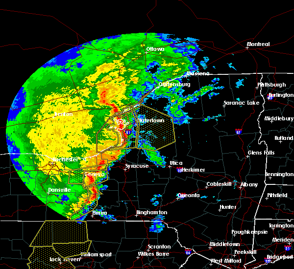 At 608 pm edt, severe thunderstorms were located along a line extending from 7 miles northwest of cedar point state park to near henderson harbor to near selkirk shores state park, moving northeast at 50 mph (radar indicated). Hazards include 70 mph wind gusts. Expect considerable tree damage. Damage is likely to mobile homes, roofs, and outbuildings. At 608 pm edt, severe thunderstorms were located along a line extending from 7 miles northwest of cedar point state park to near henderson harbor to near selkirk shores state park, moving northeast at 50 mph (radar indicated). Hazards include 70 mph wind gusts. Expect considerable tree damage. Damage is likely to mobile homes, roofs, and outbuildings.
|
| 2/25/2017 12:23 PM EST |
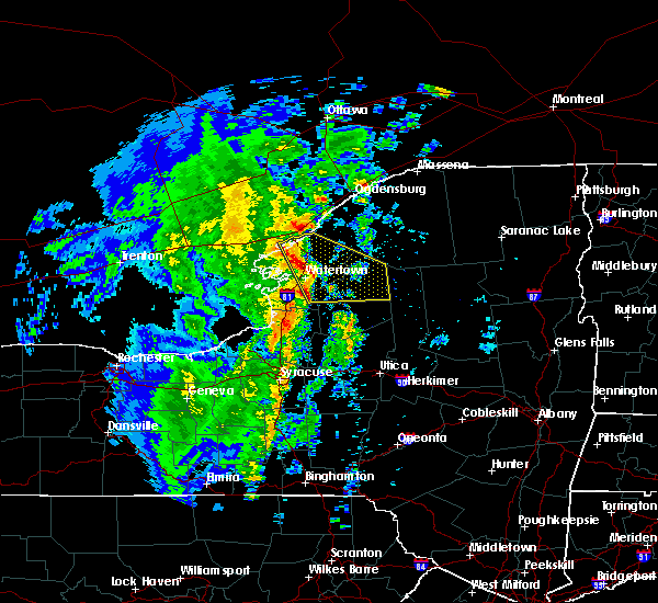 At 1222 pm est, a line of severe thunderstorms were located along a line extending from near clayton to near barnes corners, moving east at 75 mph (radar indicated). Hazards include 60 mph wind gusts. expect damage to roofs, siding, and trees At 1222 pm est, a line of severe thunderstorms were located along a line extending from near clayton to near barnes corners, moving east at 75 mph (radar indicated). Hazards include 60 mph wind gusts. expect damage to roofs, siding, and trees
|
| 9/11/2016 1:00 AM EDT |
 At 100 am edt, severe thunderstorms were located along a line extending from 8 miles northwest of star lake to 9 miles east of whetstone gulf state park, moving northeast at 35 mph (radar indicated). Hazards include 60 mph wind gusts. Expect damage to roofs. siding. And trees. At 100 am edt, severe thunderstorms were located along a line extending from 8 miles northwest of star lake to 9 miles east of whetstone gulf state park, moving northeast at 35 mph (radar indicated). Hazards include 60 mph wind gusts. Expect damage to roofs. siding. And trees.
|
| 9/11/2016 12:23 AM EDT |
 At 1223 am edt, a severe thunderstorm was located 9 miles northeast of redfield, or 22 miles north of camden, moving northeast at 40 mph (radar indicated). Hazards include 60 mph wind gusts. Expect damage to roofs. siding. And trees. At 1223 am edt, a severe thunderstorm was located 9 miles northeast of redfield, or 22 miles north of camden, moving northeast at 40 mph (radar indicated). Hazards include 60 mph wind gusts. Expect damage to roofs. siding. And trees.
|
| 8/13/2016 3:56 PM EDT |
 At 356 pm edt, a severe thunderstorm was located near redfield, or 15 miles east of sandy island beach state park, moving east at 35 mph (radar indicated). Hazards include 70 mph wind gusts. Expect considerable tree damage. damage is likely to mobile homes, roofs, and outbuildings. Locations impacted include, lowville, redfield, highmarket, whetstone gulf state park, richland, new bremen, watson and martinsburg. At 356 pm edt, a severe thunderstorm was located near redfield, or 15 miles east of sandy island beach state park, moving east at 35 mph (radar indicated). Hazards include 70 mph wind gusts. Expect considerable tree damage. damage is likely to mobile homes, roofs, and outbuildings. Locations impacted include, lowville, redfield, highmarket, whetstone gulf state park, richland, new bremen, watson and martinsburg.
|
| 8/13/2016 3:23 PM EDT |
 At 323 pm edt, a severe thunderstorm was located near mexico point state park, or 10 miles east of oswego, moving northeast at 45 mph (radar indicated). Hazards include 70 mph wind gusts. Expect considerable tree damage. Damage is likely to mobile homes, roofs, and outbuildings. At 323 pm edt, a severe thunderstorm was located near mexico point state park, or 10 miles east of oswego, moving northeast at 45 mph (radar indicated). Hazards include 70 mph wind gusts. Expect considerable tree damage. Damage is likely to mobile homes, roofs, and outbuildings.
|
| 6/20/2016 10:49 PM EDT |
 At 1048 pm edt, a severe thunderstorm was located over lowville, or 20 miles north of boonville, moving east at 45 mph (radar indicated). Hazards include 60 mph wind gusts. Expect damage to roofs. siding. and trees. Locations impacted include, lowville, whetstone gulf state park, new bremen, watson, martinsburg, lyonsdale, greig and port leyden. At 1048 pm edt, a severe thunderstorm was located over lowville, or 20 miles north of boonville, moving east at 45 mph (radar indicated). Hazards include 60 mph wind gusts. Expect damage to roofs. siding. and trees. Locations impacted include, lowville, whetstone gulf state park, new bremen, watson, martinsburg, lyonsdale, greig and port leyden.
|
| 6/20/2016 10:26 PM EDT |
 At 1025 pm edt, a severe thunderstorm was located over barnes corners, or 12 miles southeast of watertown, moving southeast at 35 mph (radar indicated). Hazards include 60 mph wind gusts. Expect damage to roofs. siding. And trees. At 1025 pm edt, a severe thunderstorm was located over barnes corners, or 12 miles southeast of watertown, moving southeast at 35 mph (radar indicated). Hazards include 60 mph wind gusts. Expect damage to roofs. siding. And trees.
|
| 6/20/2016 10:12 PM EDT |
 At 1012 pm edt, severe thunderstorms were located along a line extending from 10 miles southwest of star lake to near west carthage, moving southeast at 25 mph (radar indicated). Hazards include 60 mph wind gusts. Expect damage to roofs. siding. and trees. Locations impacted include, fort drum, carthage, west carthage, herrings, black river, philadelphia, antwerp and harrisville. At 1012 pm edt, severe thunderstorms were located along a line extending from 10 miles southwest of star lake to near west carthage, moving southeast at 25 mph (radar indicated). Hazards include 60 mph wind gusts. Expect damage to roofs. siding. and trees. Locations impacted include, fort drum, carthage, west carthage, herrings, black river, philadelphia, antwerp and harrisville.
|
| 6/20/2016 9:43 PM EDT |
 At 943 pm edt, severe thunderstorms were located along a line extending from 9 miles west of fowler to near herrings, moving southeast at 50 mph (radar indicated). Hazards include 70 mph wind gusts and quarter size hail. Hail damage to vehicles is expected. expect considerable tree damage. Wind damage is also likely to mobile homes, roofs, and outbuildings. At 943 pm edt, severe thunderstorms were located along a line extending from 9 miles west of fowler to near herrings, moving southeast at 50 mph (radar indicated). Hazards include 70 mph wind gusts and quarter size hail. Hail damage to vehicles is expected. expect considerable tree damage. Wind damage is also likely to mobile homes, roofs, and outbuildings.
|
| 6/11/2016 9:11 AM EDT |
 At 909 am edt, severe thunderstorms were located along a line extending from 6 miles east of carthage to 7 miles south of west carthage to 6 miles south of adams, moving east at 50 mph (law enforcement). Hazards include 60 mph wind gusts. Expect damage to roofs. siding. and trees. Locations impacted include, watertown, fort drum, carthage, lowville, west carthage, adams, redfield and herrings. At 909 am edt, severe thunderstorms were located along a line extending from 6 miles east of carthage to 7 miles south of west carthage to 6 miles south of adams, moving east at 50 mph (law enforcement). Hazards include 60 mph wind gusts. Expect damage to roofs. siding. and trees. Locations impacted include, watertown, fort drum, carthage, lowville, west carthage, adams, redfield and herrings.
|
| 6/11/2016 8:34 AM EDT |
 At 833 am edt, severe thunderstorms were located along a line extending from 8 miles north of glen park to near dexter to 6 miles northwest of stony point, moving east at 60 mph (radar indicated). Hazards include 60 mph wind gusts. Expect damage to roofs. siding. And trees. At 833 am edt, severe thunderstorms were located along a line extending from 8 miles north of glen park to near dexter to 6 miles northwest of stony point, moving east at 60 mph (radar indicated). Hazards include 60 mph wind gusts. Expect damage to roofs. siding. And trees.
|
| 11/12/2015 5:15 PM EST |
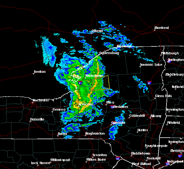 At 514 pm est, doppler radar indicated a line of severe thunderstorms capable of producing destructive winds in excess of 70 mph. these storms were located along a line extending from 7 miles south of west carthage to near lowville to 6 miles west of whetstone gulf state park, moving east at 45 mph. locations impacted include, lowville, highmarket, whetstone gulf state park, denmark, new bremen, watson, martinsburg and lyonsdale. At 514 pm est, doppler radar indicated a line of severe thunderstorms capable of producing destructive winds in excess of 70 mph. these storms were located along a line extending from 7 miles south of west carthage to near lowville to 6 miles west of whetstone gulf state park, moving east at 45 mph. locations impacted include, lowville, highmarket, whetstone gulf state park, denmark, new bremen, watson, martinsburg and lyonsdale.
|
| 11/12/2015 4:52 PM EST |
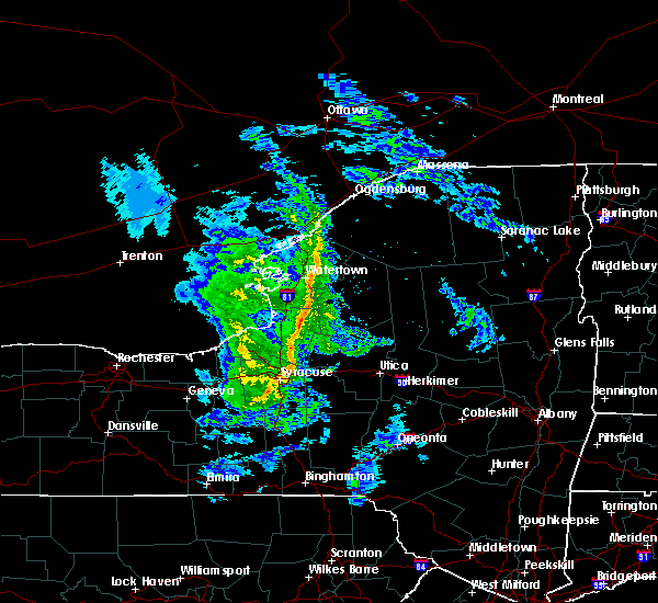 At 451 pm est, doppler radar indicated a line of severe thunderstorms capable of producing destructive winds in excess of 70 mph. these storms were located along a line extending from near barnes corners to 9 miles southeast of adams to 7 miles east of pulaski, and moving east at 45 mph. At 451 pm est, doppler radar indicated a line of severe thunderstorms capable of producing destructive winds in excess of 70 mph. these storms were located along a line extending from near barnes corners to 9 miles southeast of adams to 7 miles east of pulaski, and moving east at 45 mph.
|
| 8/1/2015 3:56 AM EDT |
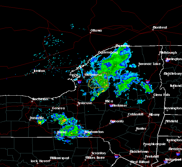 The severe thunderstorm warning for lewis county will expire at 400 am edt, the storm which prompted the warning has weakened below severe limits and exited the warned area. therefore the warning will be allowed to expire. The severe thunderstorm warning for lewis county will expire at 400 am edt, the storm which prompted the warning has weakened below severe limits and exited the warned area. therefore the warning will be allowed to expire.
|
| 8/1/2015 3:25 AM EDT |
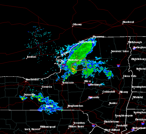 At 325 am edt, doppler radar indicated a severe thunderstorm capable of producing damaging winds in excess of 60 mph. this storm was located near whetstone gulf state park, or 21 miles northwest of boonville, moving northeast at 40 mph. locations impacted include, lowville, whetstone gulf state park, denmark, new bremen, watson, martinsburg, greig and copenhagen. At 325 am edt, doppler radar indicated a severe thunderstorm capable of producing damaging winds in excess of 60 mph. this storm was located near whetstone gulf state park, or 21 miles northwest of boonville, moving northeast at 40 mph. locations impacted include, lowville, whetstone gulf state park, denmark, new bremen, watson, martinsburg, greig and copenhagen.
|
| 8/1/2015 2:56 AM EDT |
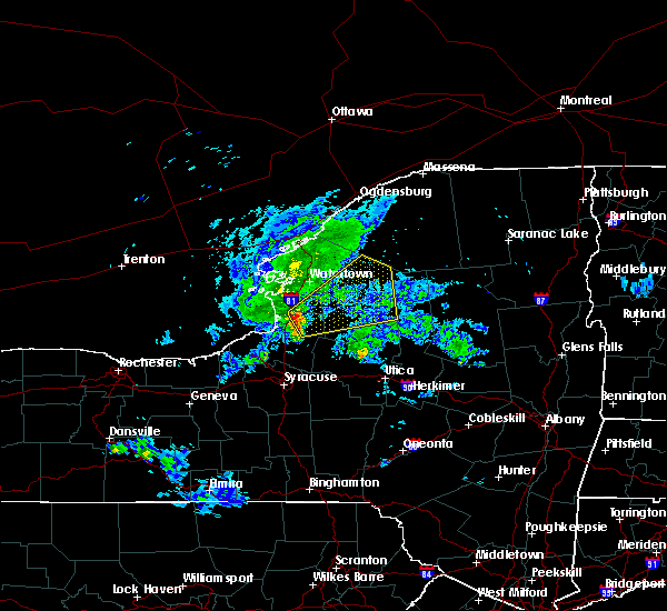 At 256 am edt, doppler radar indicated a severe thunderstorm capable of producing damaging winds in excess of 60 mph. this storm was located 9 miles northwest of redfield, moving northeast at 45 mph. At 256 am edt, doppler radar indicated a severe thunderstorm capable of producing damaging winds in excess of 60 mph. this storm was located 9 miles northwest of redfield, moving northeast at 45 mph.
|
| 6/10/2015 10:14 PM EDT |
 At 1013 pm edt, doppler radar indicated a line of severe thunderstorms capable of producing quarter size hail and damaging winds in excess of 60 mph. these storms were located along a line extending from near lowville to near cato, moving east at 45 mph. locations impacted include, lowville, pulaski, central square, redfield and cato. At 1013 pm edt, doppler radar indicated a line of severe thunderstorms capable of producing quarter size hail and damaging winds in excess of 60 mph. these storms were located along a line extending from near lowville to near cato, moving east at 45 mph. locations impacted include, lowville, pulaski, central square, redfield and cato.
|
| 6/10/2015 9:44 PM EDT |
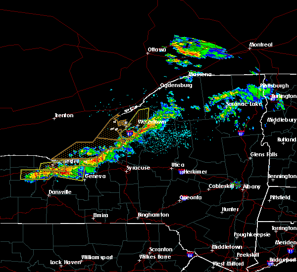 At 943 pm edt, doppler radar indicated a line of severe thunderstorms capable of producing quarter size hail and damaging winds in excess of 60 mph. these storms were located along a line extending from sandy island beach state park to near fair haven beach state park, and moving east at 55 mph. At 943 pm edt, doppler radar indicated a line of severe thunderstorms capable of producing quarter size hail and damaging winds in excess of 60 mph. these storms were located along a line extending from sandy island beach state park to near fair haven beach state park, and moving east at 55 mph.
|
| 5/30/2015 5:07 PM EDT | At 505 pm edt, doppler radar indicated a severe thunderstorm capable of producing damaging winds in excess of 60 mph. this storm was located 11 miles northeast of lowville, or 21 miles east of fort drum, moving northeast at 35 mph. up to half inch hail may also accompany the damaging winds. locations impacted include, croghan, indian river, kirschnerville, soft maple reservoir and belfort. |
| 5/30/2015 4:27 PM EDT | At 425 pm edt, doppler radar indicated a severe thunderstorm capable of producing damaging winds in excess of 60 mph. this storm was located 8 miles southeast of barnes corners, or 20 miles southeast of watertown, and moving northeast at 35 mph. hail up to a half inch in diameter may also accompany the damaging winds. |
| 7/8/2014 6:58 PM EDT | Trees and powerlines down in lewis county NY, 6.3 miles SSW of Croghan, NY |
| 7/8/2014 6:57 PM EDT | Barn blown apart...trees and powerlines down in lewis county NY, 2.2 miles ENE of Croghan, NY |
| 7/8/2014 6:57 PM EDT | Trees and powerlines down in lewis county NY, 0.4 miles S of Croghan, NY |
| 6/1/2013 8:12 PM EDT | Trees down on resha r in lewis county NY, 0.4 miles S of Croghan, NY |
| 6/1/2013 6:54 PM EDT | Trees down on resha r in lewis county NY, 0.4 miles S of Croghan, NY |
| 9/18/2012 1:56 PM EDT | Tree blocking roadway in lewis county NY, 0.4 miles S of Croghan, NY |
| 5/29/2012 3:00 PM EDT | Tree down in lewis county NY, 0.4 miles S of Croghan, NY |
| 1/1/0001 12:00 AM | Trees and lines down in lewis county NY, 0.4 miles S of Croghan, NY |
| 1/1/0001 12:00 AM | Trees and lines down in lewis county NY, 2.2 miles ENE of Croghan, NY |
| 1/1/0001 12:00 AM | Trees down in lewis county NY, 2.2 miles ENE of Croghan, NY |
| 1/1/0001 12:00 AM | Trees down in lewis county NY, 0.4 miles S of Croghan, NY |
| 1/1/0001 12:00 AM | Tree down in belfort just e of crogha in lewis county NY, 5 miles W of Croghan, NY |
Hail Maps for Croghan, NY


Connect with Interactive Hail Maps