

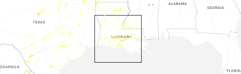
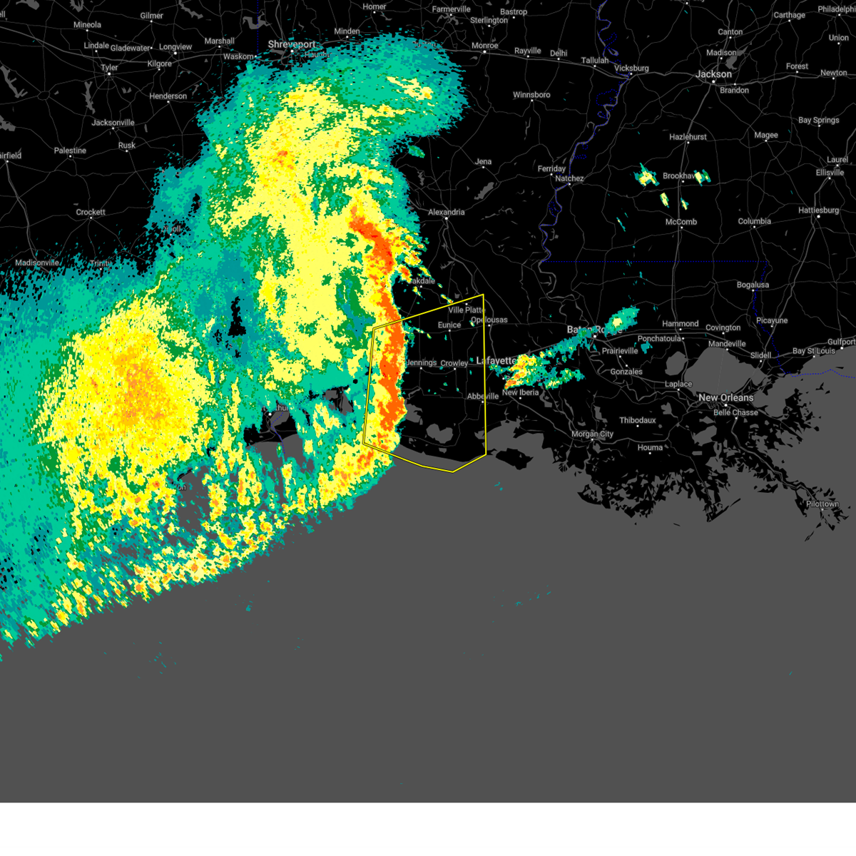
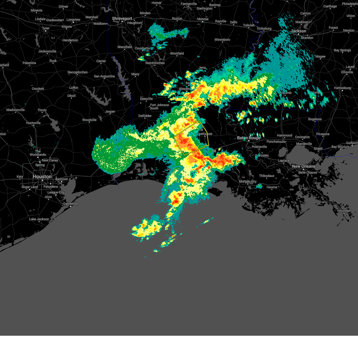
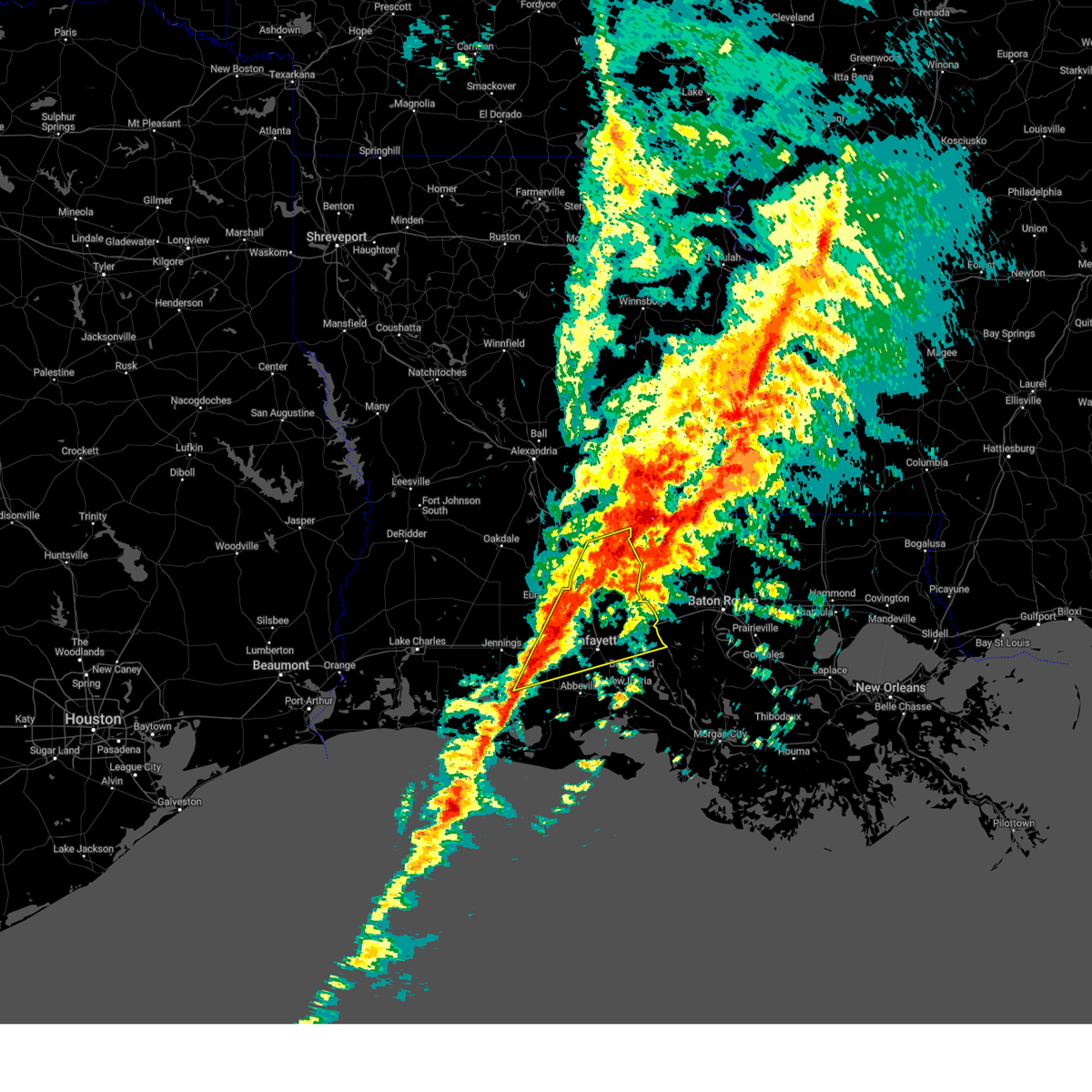
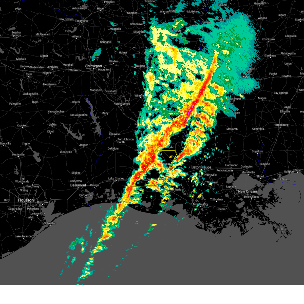
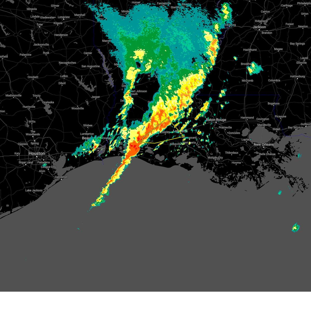
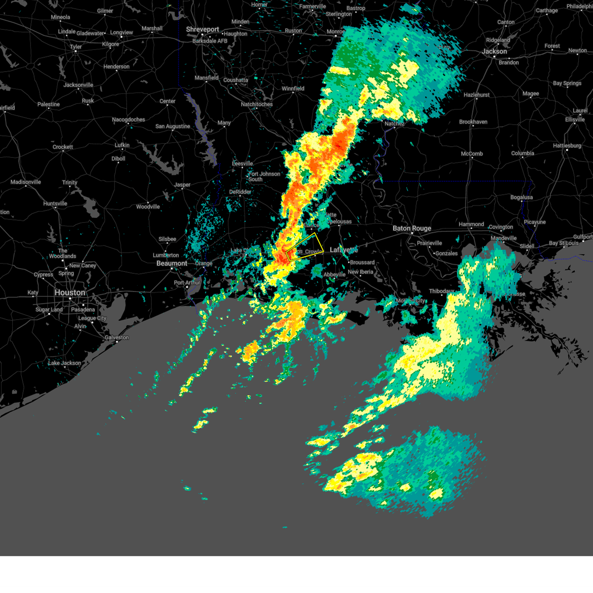
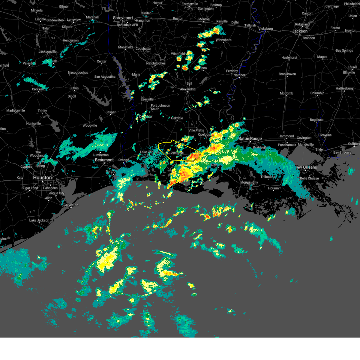
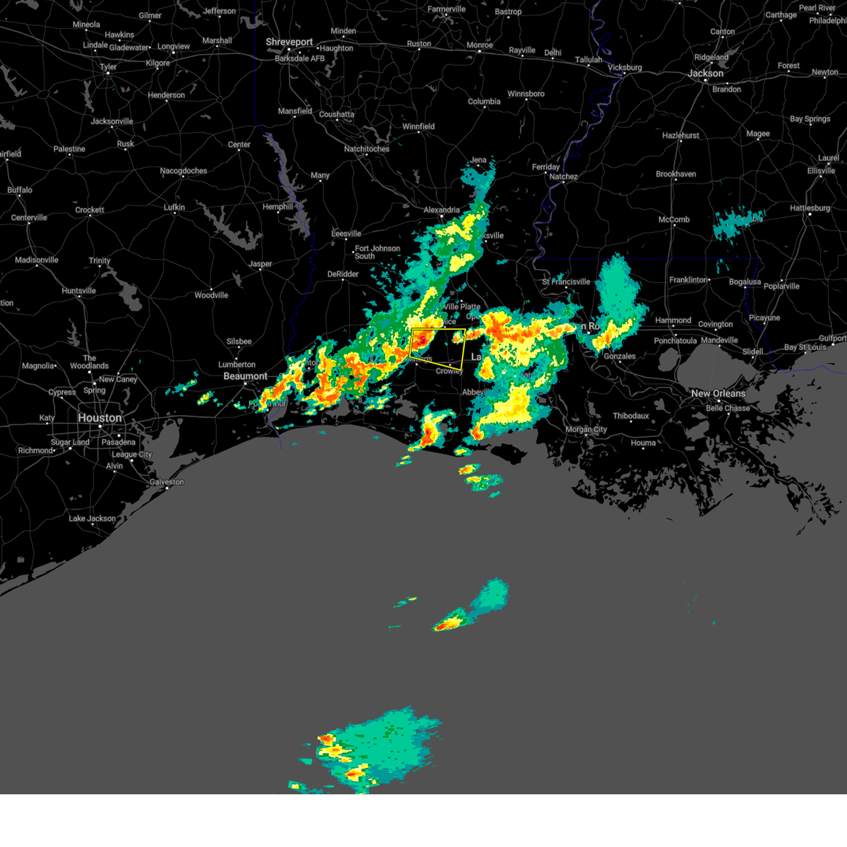
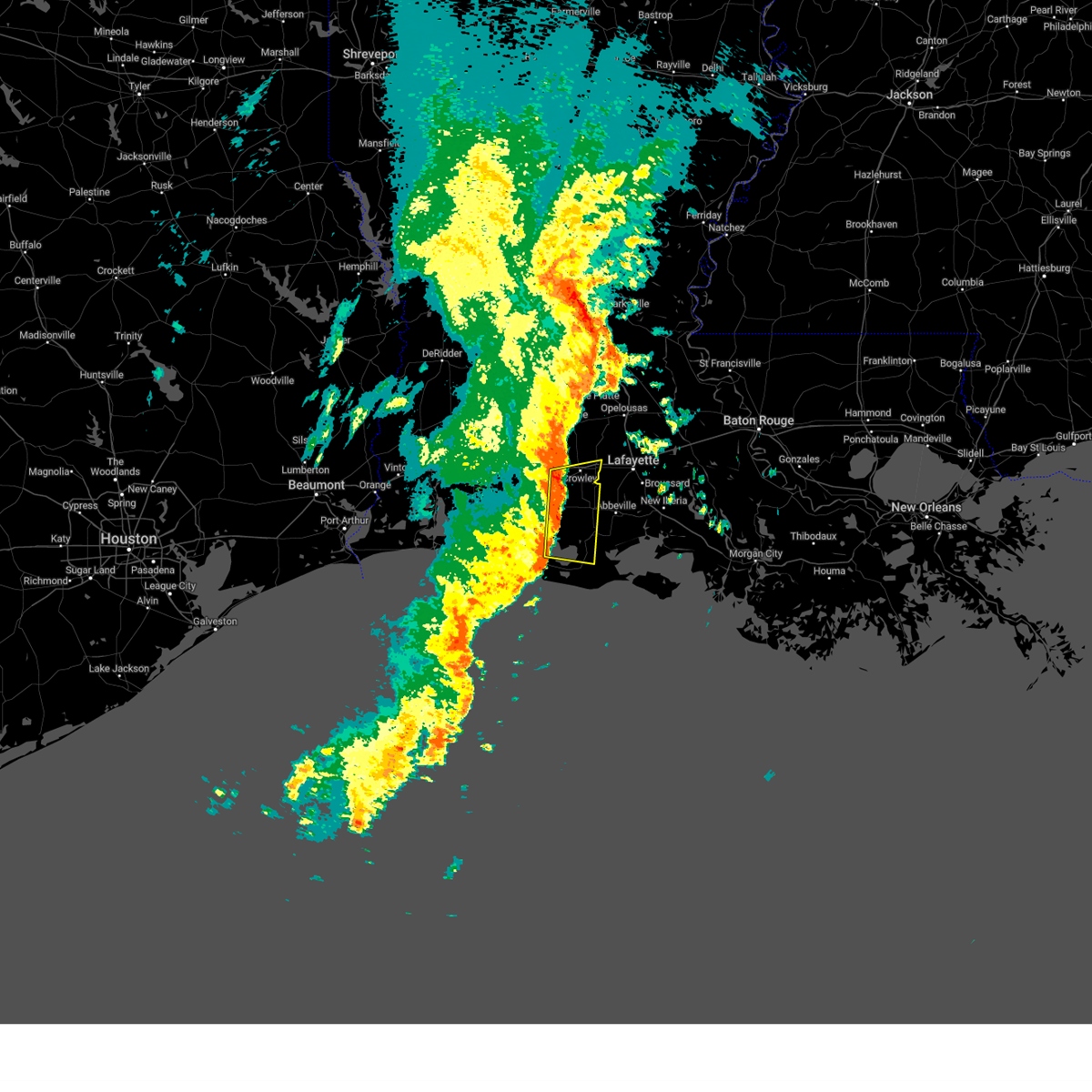
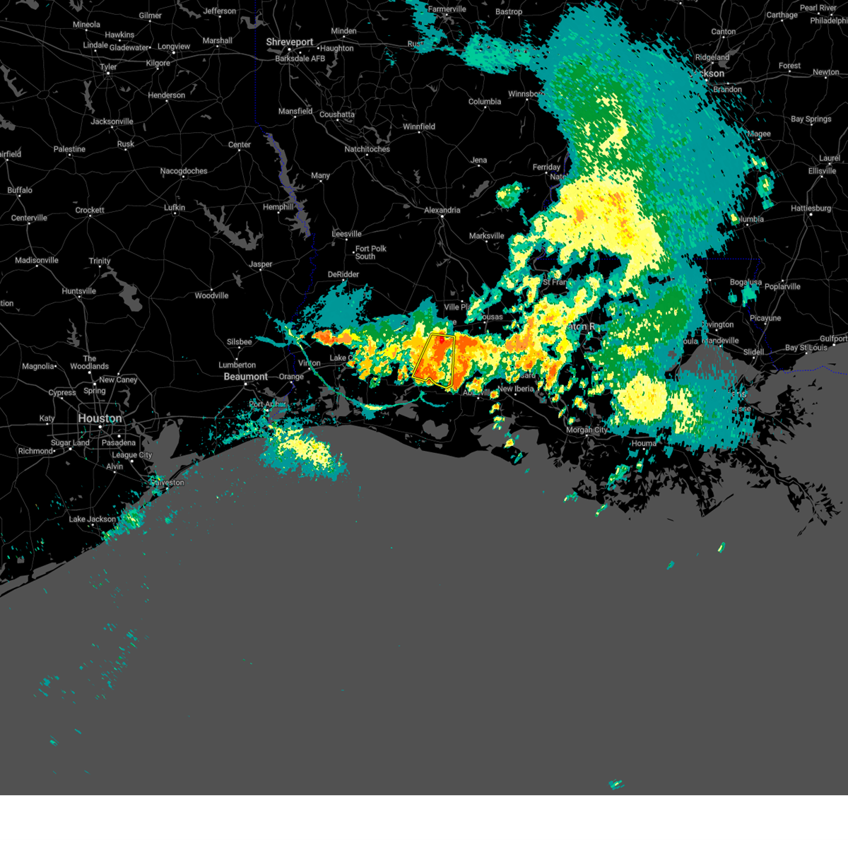
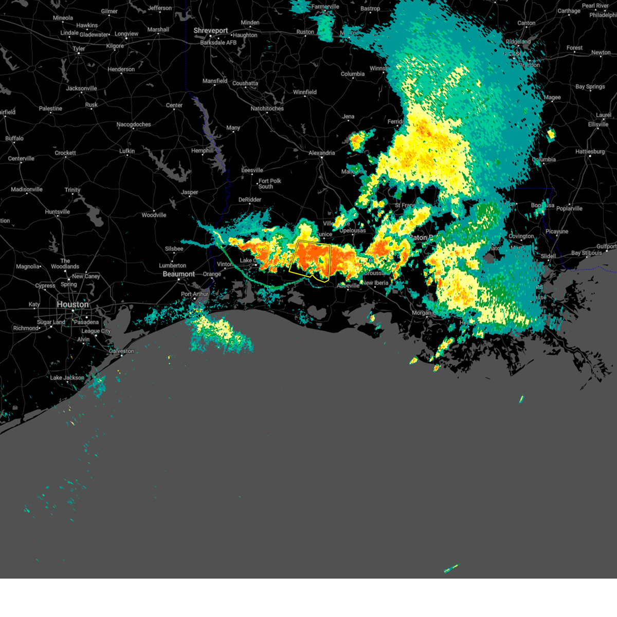
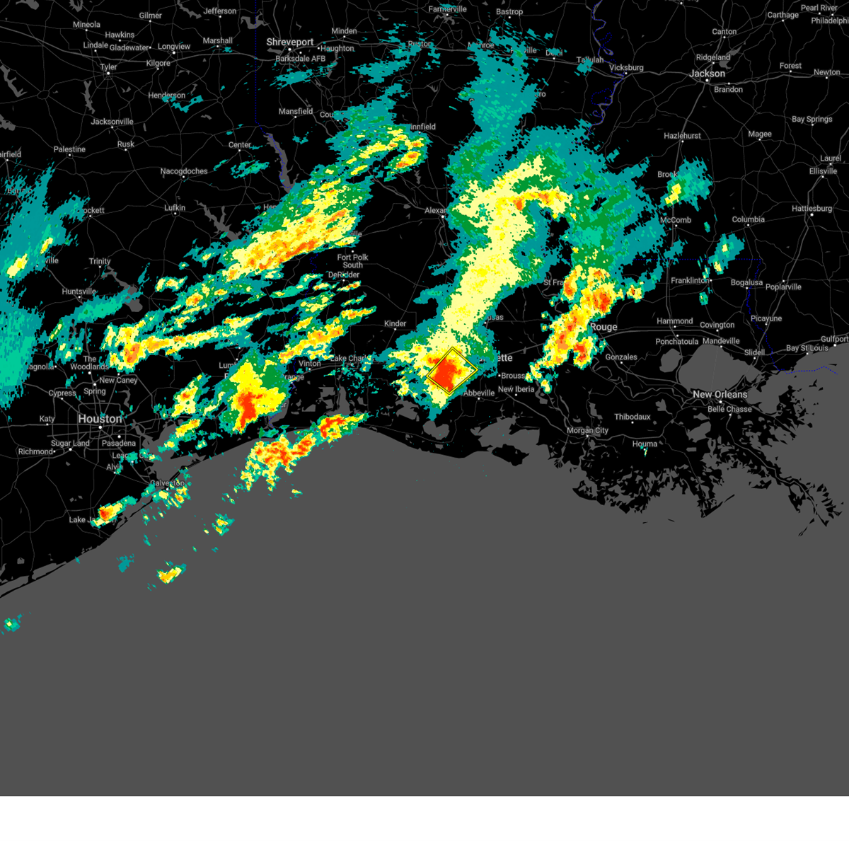
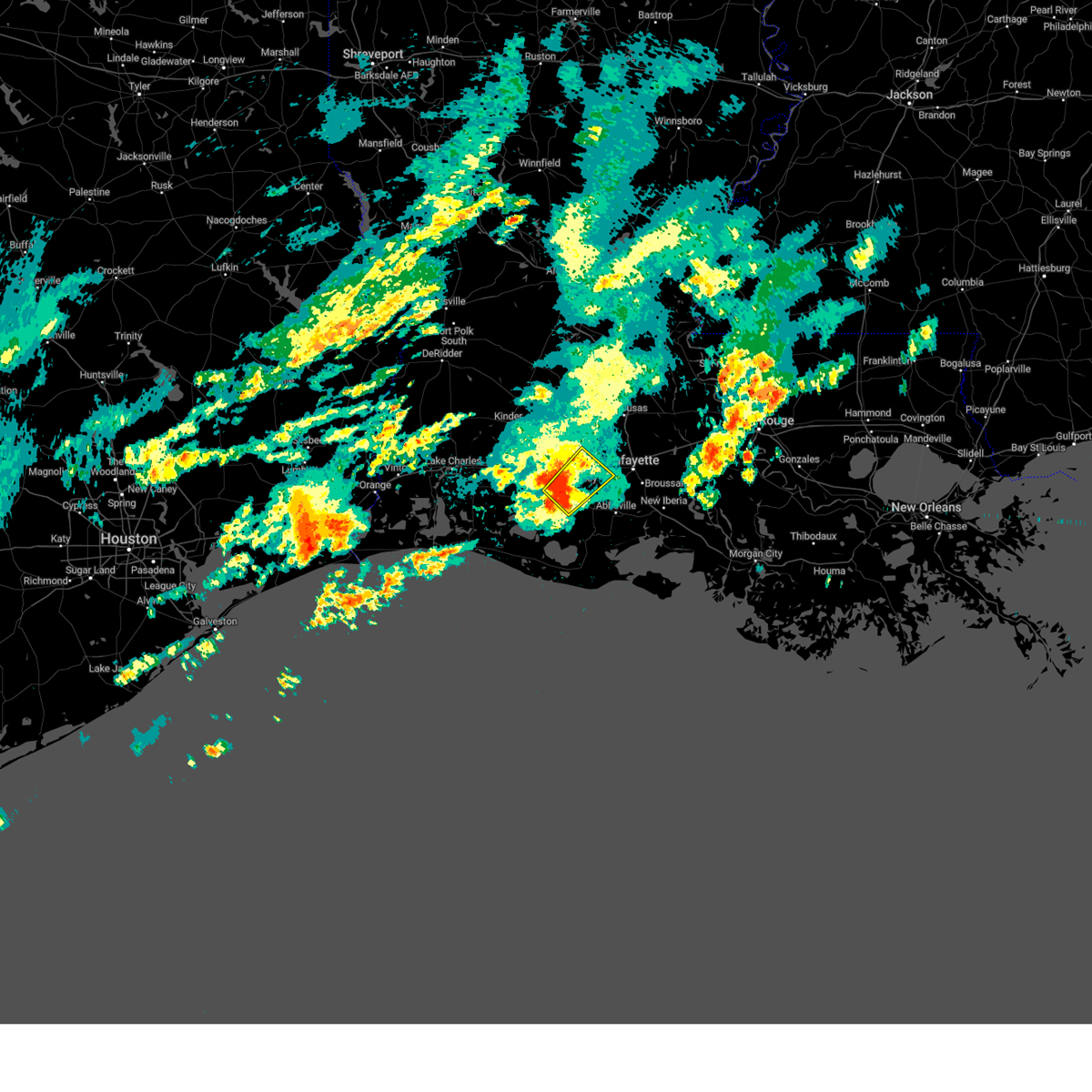
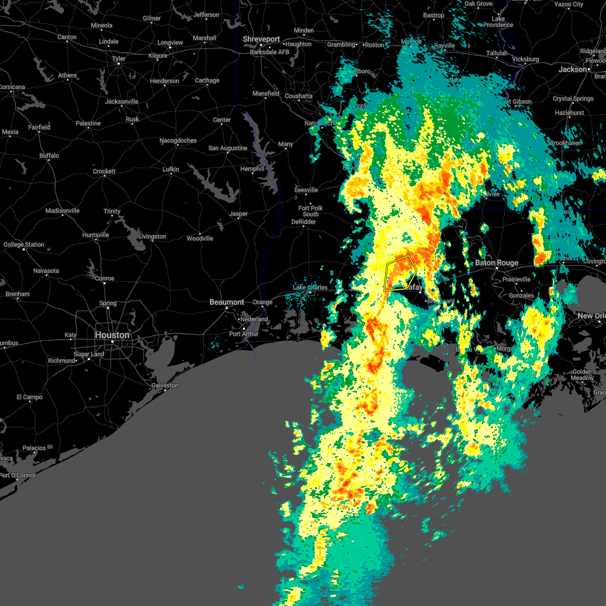
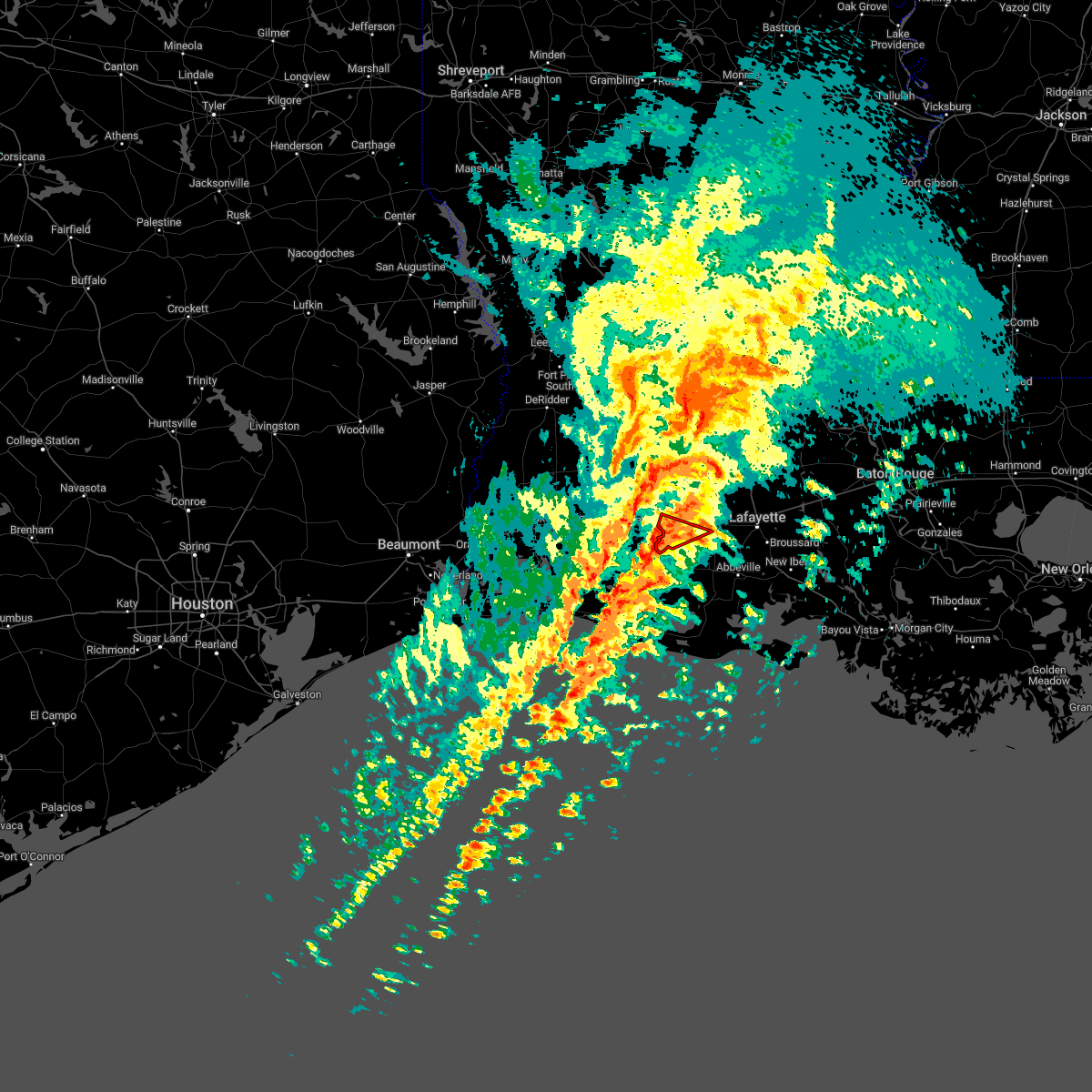
Hail Map for Crowley, LA
The Crowley, LA area has had 3 reports of on-the-ground hail by trained spotters, and has been under severe weather warnings 21 times during the past 12 months. Doppler radar has detected hail at or near Crowley, LA on 51 occasions, including 2 occasions during the past year.
| Name: | Crowley, LA |
| Where Located: | 21.4 miles W of Lafayette, LA |
| Map: | Google Map for Crowley, LA |
| Population: | 13265 |
| Housing Units: | 5852 |
| More Info: | Search Google for Crowley, LA |
1
The Top Recent Hail Date for Crowley, LA is Tuesday, May 6, 2025 (21st out of 51)
Hail and Wind Damage Spotted near Crowley, LA
| Date / Time | Report Details |
|---|---|
| 5/27/2025 5:06 AM CDT |
 the severe thunderstorm warning has been cancelled and is no longer in effect the severe thunderstorm warning has been cancelled and is no longer in effect
|
| 5/27/2025 5:06 AM CDT |
 At 505 am cdt, severe thunderstorms were located along a line extending from near morrow to near meaux, moving northeast at 35 mph (radar indicated). Hazards include 60 mph wind gusts and penny size hail. Expect damage to roofs, siding, and trees. Locations impacted include, lafayette, opelousas, crowley, eunice, scott, breaux bridge, rayne, carencro, ville platte, church point, mamou, krotz springs, leonville, arnaudville, melville, palmetto, bayou current, broussard, sunset, and port barre. At 505 am cdt, severe thunderstorms were located along a line extending from near morrow to near meaux, moving northeast at 35 mph (radar indicated). Hazards include 60 mph wind gusts and penny size hail. Expect damage to roofs, siding, and trees. Locations impacted include, lafayette, opelousas, crowley, eunice, scott, breaux bridge, rayne, carencro, ville platte, church point, mamou, krotz springs, leonville, arnaudville, melville, palmetto, bayou current, broussard, sunset, and port barre.
|
| 5/27/2025 4:45 AM CDT |
 Svrlch the national weather service in lake charles has issued a * severe thunderstorm warning for, northwestern iberia parish in south central louisiana, lafayette parish in south central louisiana, southeastern evangeline parish in central louisiana, acadia parish in southwestern louisiana, northeastern vermilion parish in southwestern louisiana, northwestern st. martin parish in south central louisiana, st. landry parish in central louisiana, * until 545 am cdt. * at 445 am cdt, severe thunderstorms were located along a line extending from chicot state park to near kaplan, moving northeast at 35 mph (radar indicated). Hazards include 60 mph wind gusts and penny size hail. expect damage to roofs, siding, and trees Svrlch the national weather service in lake charles has issued a * severe thunderstorm warning for, northwestern iberia parish in south central louisiana, lafayette parish in south central louisiana, southeastern evangeline parish in central louisiana, acadia parish in southwestern louisiana, northeastern vermilion parish in southwestern louisiana, northwestern st. martin parish in south central louisiana, st. landry parish in central louisiana, * until 545 am cdt. * at 445 am cdt, severe thunderstorms were located along a line extending from chicot state park to near kaplan, moving northeast at 35 mph (radar indicated). Hazards include 60 mph wind gusts and penny size hail. expect damage to roofs, siding, and trees
|
| 5/27/2025 4:20 AM CDT |
 At 420 am cdt, severe thunderstorms were located along a line extending from near richard to near forked island, moving east at 50 mph (radar indicated). Hazards include 70 mph wind gusts and penny size hail. Expect considerable tree damage. damage is likely to mobile homes, roofs, and outbuildings. Locations impacted include, crowley, abbeville, eunice, jennings, scott, rayne, ville platte, kaplan, church point, mamou, lake arthur, kinder, basile, oberlin, iota, gueydan, elton, mermentau, rockefeller wildlife range, and freshwater city. At 420 am cdt, severe thunderstorms were located along a line extending from near richard to near forked island, moving east at 50 mph (radar indicated). Hazards include 70 mph wind gusts and penny size hail. Expect considerable tree damage. damage is likely to mobile homes, roofs, and outbuildings. Locations impacted include, crowley, abbeville, eunice, jennings, scott, rayne, ville platte, kaplan, church point, mamou, lake arthur, kinder, basile, oberlin, iota, gueydan, elton, mermentau, rockefeller wildlife range, and freshwater city.
|
| 5/27/2025 4:20 AM CDT |
 the severe thunderstorm warning has been cancelled and is no longer in effect the severe thunderstorm warning has been cancelled and is no longer in effect
|
| 5/27/2025 3:45 AM CDT |
 Svrlch the national weather service in lake charles has issued a * severe thunderstorm warning for, eastern cameron parish in southwestern louisiana, northwestern lafayette parish in south central louisiana, jefferson davis parish in southwestern louisiana, southern evangeline parish in central louisiana, acadia parish in southwestern louisiana, southeastern calcasieu parish in southwestern louisiana, vermilion parish in southwestern louisiana, western st. landry parish in central louisiana, southern allen parish in southwestern louisiana, * until 445 am cdt. * at 344 am cdt, severe thunderstorms were located along a line extending from near pine island to 10 miles north of rockefeller wildlife range, moving east at 50 mph (radar indicated). Hazards include 70 mph wind gusts and penny size hail. Expect considerable tree damage. Damage is likely to mobile homes, roofs, and outbuildings. Svrlch the national weather service in lake charles has issued a * severe thunderstorm warning for, eastern cameron parish in southwestern louisiana, northwestern lafayette parish in south central louisiana, jefferson davis parish in southwestern louisiana, southern evangeline parish in central louisiana, acadia parish in southwestern louisiana, southeastern calcasieu parish in southwestern louisiana, vermilion parish in southwestern louisiana, western st. landry parish in central louisiana, southern allen parish in southwestern louisiana, * until 445 am cdt. * at 344 am cdt, severe thunderstorms were located along a line extending from near pine island to 10 miles north of rockefeller wildlife range, moving east at 50 mph (radar indicated). Hazards include 70 mph wind gusts and penny size hail. Expect considerable tree damage. Damage is likely to mobile homes, roofs, and outbuildings.
|
| 5/6/2025 11:13 AM CDT | Ping Pong Ball sized hail reported 4.1 miles WNW of Crowley, LA, photo received of quarter to ping pong ball size hail at crowley. |
| 5/6/2025 11:04 AM CDT |
 At 1103 am cdt, a severe thunderstorm was located near lyons point, or near crowley, moving northeast at 25 mph (radar indicated). Hazards include ping pong ball size hail and 60 mph wind gusts. People and animals outdoors will be injured. expect hail damage to roofs, siding, windows, and vehicles. expect wind damage to roofs, siding, and trees. Locations impacted include, rayne, lafayette, crowley, duson, branch, richard, mire, indian bayou, ridge, scott, estherwood, and church point. At 1103 am cdt, a severe thunderstorm was located near lyons point, or near crowley, moving northeast at 25 mph (radar indicated). Hazards include ping pong ball size hail and 60 mph wind gusts. People and animals outdoors will be injured. expect hail damage to roofs, siding, windows, and vehicles. expect wind damage to roofs, siding, and trees. Locations impacted include, rayne, lafayette, crowley, duson, branch, richard, mire, indian bayou, ridge, scott, estherwood, and church point.
|
| 5/6/2025 10:58 AM CDT |
 Svrlch the national weather service in lake charles has issued a * severe thunderstorm warning for, central lafayette parish in south central louisiana, central acadia parish in southwestern louisiana, north central vermilion parish in southwestern louisiana, * until 1130 am cdt. * at 1058 am cdt, a severe thunderstorm was located over lyons point, or near crowley, moving northeast at 25 mph (radar indicated). Hazards include 60 mph wind gusts and quarter size hail. Hail damage to vehicles is expected. Expect wind damage to roofs, siding, and trees. Svrlch the national weather service in lake charles has issued a * severe thunderstorm warning for, central lafayette parish in south central louisiana, central acadia parish in southwestern louisiana, north central vermilion parish in southwestern louisiana, * until 1130 am cdt. * at 1058 am cdt, a severe thunderstorm was located over lyons point, or near crowley, moving northeast at 25 mph (radar indicated). Hazards include 60 mph wind gusts and quarter size hail. Hail damage to vehicles is expected. Expect wind damage to roofs, siding, and trees.
|
| 5/1/2025 7:18 AM CDT |
 At 717 am cdt, a severe thunderstorm was located over egan, or near crowley, moving east at 35 mph (radar indicated). Hazards include quarter size hail. Damage to vehicles is expected. Locations impacted include, mermentau, evangeline, midland, crowley, estherwood, and egan. At 717 am cdt, a severe thunderstorm was located over egan, or near crowley, moving east at 35 mph (radar indicated). Hazards include quarter size hail. Damage to vehicles is expected. Locations impacted include, mermentau, evangeline, midland, crowley, estherwood, and egan.
|
| 5/1/2025 7:18 AM CDT |
 the severe thunderstorm warning has been cancelled and is no longer in effect the severe thunderstorm warning has been cancelled and is no longer in effect
|
| 3/24/2025 6:54 AM CDT |
 The storms which prompted the warning have moved out of the area. therefore, the warning will be allowed to expire. however heavy rain is still possible with these thunderstorms. The storms which prompted the warning have moved out of the area. therefore, the warning will be allowed to expire. however heavy rain is still possible with these thunderstorms.
|
| 3/24/2025 6:22 AM CDT |
 At 622 am cdt, severe thunderstorms were located along a line extending from near duralde to eunice to near mire, moving northeast at 45 mph (radar indicated). Hazards include 70 mph wind gusts. Expect considerable tree damage. damage is likely to mobile homes, roofs, and outbuildings. Locations impacted include, chataignier, mowata, opelousas, basile, prairie ronde, maxie, savoy, washington, duralde, egan, eunice, cankton, sunset, iota, lawtell, church point, swords, mamou, branch, and richard. At 622 am cdt, severe thunderstorms were located along a line extending from near duralde to eunice to near mire, moving northeast at 45 mph (radar indicated). Hazards include 70 mph wind gusts. Expect considerable tree damage. damage is likely to mobile homes, roofs, and outbuildings. Locations impacted include, chataignier, mowata, opelousas, basile, prairie ronde, maxie, savoy, washington, duralde, egan, eunice, cankton, sunset, iota, lawtell, church point, swords, mamou, branch, and richard.
|
| 3/24/2025 6:21 AM CDT |
 the severe thunderstorm warning has been cancelled and is no longer in effect the severe thunderstorm warning has been cancelled and is no longer in effect
|
| 3/24/2025 6:21 AM CDT |
 At 620 am cdt, severe thunderstorms were located along a line extending from near rayne to near esther to 8 miles southwest of intracoastal city, moving east at 60 mph (radar indicated). Hazards include 70 mph wind gusts. Expect considerable tree damage. damage is likely to mobile homes, roofs, and outbuildings. Locations impacted include, youngsville, lydia, acadiana regional airport, jefferson island, forked island, delcambre, crowley, carencro, coteau, kaplan, lyons point, jeanerette, intracoastal city, henry, meaux, weeks island, esther, new iberia, loreauville, and erath. At 620 am cdt, severe thunderstorms were located along a line extending from near rayne to near esther to 8 miles southwest of intracoastal city, moving east at 60 mph (radar indicated). Hazards include 70 mph wind gusts. Expect considerable tree damage. damage is likely to mobile homes, roofs, and outbuildings. Locations impacted include, youngsville, lydia, acadiana regional airport, jefferson island, forked island, delcambre, crowley, carencro, coteau, kaplan, lyons point, jeanerette, intracoastal city, henry, meaux, weeks island, esther, new iberia, loreauville, and erath.
|
| 3/24/2025 5:58 AM CDT |
 Svrlch the national weather service in lake charles has issued a * severe thunderstorm warning for, northeastern jefferson davis parish in southwestern louisiana, southern evangeline parish in central louisiana, acadia parish in southwestern louisiana, central st. landry parish in central louisiana, southeastern allen parish in southwestern louisiana, * until 645 am cdt. * at 558 am cdt, severe thunderstorms were located along a line extending from near elton to near evangeline to near mermentau, moving northeast at 60 mph (radar indicated). Hazards include 70 mph wind gusts. Expect considerable tree damage. Damage is likely to mobile homes, roofs, and outbuildings. Svrlch the national weather service in lake charles has issued a * severe thunderstorm warning for, northeastern jefferson davis parish in southwestern louisiana, southern evangeline parish in central louisiana, acadia parish in southwestern louisiana, central st. landry parish in central louisiana, southeastern allen parish in southwestern louisiana, * until 645 am cdt. * at 558 am cdt, severe thunderstorms were located along a line extending from near elton to near evangeline to near mermentau, moving northeast at 60 mph (radar indicated). Hazards include 70 mph wind gusts. Expect considerable tree damage. Damage is likely to mobile homes, roofs, and outbuildings.
|
| 3/24/2025 5:56 AM CDT |
 Svrlch the national weather service in lake charles has issued a * severe thunderstorm warning for, eastern cameron parish in southwestern louisiana, northwestern iberia parish in south central louisiana, lafayette parish in south central louisiana, southeastern jefferson davis parish in southwestern louisiana, southern acadia parish in southwestern louisiana, vermilion parish in southwestern louisiana, * until 700 am cdt. * at 555 am cdt, severe thunderstorms were located along a line extending from near lake arthur to 14 miles northwest of pecan island to 8 miles southeast of rockefeller wildlife range, moving east at 55 mph (radar indicated). Hazards include 70 mph wind gusts. Expect considerable tree damage. Damage is likely to mobile homes, roofs, and outbuildings. Svrlch the national weather service in lake charles has issued a * severe thunderstorm warning for, eastern cameron parish in southwestern louisiana, northwestern iberia parish in south central louisiana, lafayette parish in south central louisiana, southeastern jefferson davis parish in southwestern louisiana, southern acadia parish in southwestern louisiana, vermilion parish in southwestern louisiana, * until 700 am cdt. * at 555 am cdt, severe thunderstorms were located along a line extending from near lake arthur to 14 miles northwest of pecan island to 8 miles southeast of rockefeller wildlife range, moving east at 55 mph (radar indicated). Hazards include 70 mph wind gusts. Expect considerable tree damage. Damage is likely to mobile homes, roofs, and outbuildings.
|
| 3/4/2025 2:13 PM CST |
 Svrlch the national weather service in lake charles has issued a * severe thunderstorm warning for, lafayette parish in south central louisiana, central acadia parish in southwestern louisiana, northwestern vermilion parish in southwestern louisiana, south central avoyelles parish in central louisiana, northwestern st. martin parish in south central louisiana, st. landry parish in central louisiana, * until 300 pm cst. * at 212 pm cst, severe thunderstorms were located along a line extending from near bayou current to lyons point, moving northeast at 75 mph (radar indicated). Hazards include 60 mph wind gusts. expect damage to roofs, siding, and trees Svrlch the national weather service in lake charles has issued a * severe thunderstorm warning for, lafayette parish in south central louisiana, central acadia parish in southwestern louisiana, northwestern vermilion parish in southwestern louisiana, south central avoyelles parish in central louisiana, northwestern st. martin parish in south central louisiana, st. landry parish in central louisiana, * until 300 pm cst. * at 212 pm cst, severe thunderstorms were located along a line extending from near bayou current to lyons point, moving northeast at 75 mph (radar indicated). Hazards include 60 mph wind gusts. expect damage to roofs, siding, and trees
|
| 3/4/2025 1:31 PM CST |
 Svrlch the national weather service in lake charles has issued a * severe thunderstorm warning for, central lafayette parish in south central louisiana, southeastern jefferson davis parish in southwestern louisiana, southeastern evangeline parish in central louisiana, acadia parish in southwestern louisiana, st. landry parish in central louisiana, * until 215 pm cst. * at 131 pm cst, severe thunderstorms were located along a line extending from indian lake to near lake arthur, moving southeast at 45 mph (radar indicated). Hazards include 60 mph wind gusts. expect damage to roofs, siding, and trees Svrlch the national weather service in lake charles has issued a * severe thunderstorm warning for, central lafayette parish in south central louisiana, southeastern jefferson davis parish in southwestern louisiana, southeastern evangeline parish in central louisiana, acadia parish in southwestern louisiana, st. landry parish in central louisiana, * until 215 pm cst. * at 131 pm cst, severe thunderstorms were located along a line extending from indian lake to near lake arthur, moving southeast at 45 mph (radar indicated). Hazards include 60 mph wind gusts. expect damage to roofs, siding, and trees
|
| 12/28/2024 5:38 PM CST |
 Svrlch the national weather service in lake charles has issued a * severe thunderstorm warning for, central lafayette parish in south central louisiana, southeastern jefferson davis parish in southwestern louisiana, acadia parish in southwestern louisiana, northwestern vermilion parish in southwestern louisiana, southwestern st. landry parish in central louisiana, * until 630 pm cst. * at 538 pm cst, severe thunderstorms were located along a line extending from near richard to near hayes, moving southeast at 30 mph (radar indicated). Hazards include 60 mph wind gusts. expect damage to roofs, siding, and trees Svrlch the national weather service in lake charles has issued a * severe thunderstorm warning for, central lafayette parish in south central louisiana, southeastern jefferson davis parish in southwestern louisiana, acadia parish in southwestern louisiana, northwestern vermilion parish in southwestern louisiana, southwestern st. landry parish in central louisiana, * until 630 pm cst. * at 538 pm cst, severe thunderstorms were located along a line extending from near richard to near hayes, moving southeast at 30 mph (radar indicated). Hazards include 60 mph wind gusts. expect damage to roofs, siding, and trees
|
| 11/18/2024 11:07 PM CST |
 Svrlch the national weather service in lake charles has issued a * severe thunderstorm warning for, east central jefferson davis parish in southwestern louisiana, northwestern acadia parish in southwestern louisiana, * until 1145 pm cst. * at 1107 pm cst, a severe thunderstorm was located over jennings, moving northeast at 30 mph (radar indicated). Hazards include 60 mph wind gusts. expect damage to roofs, siding, and trees Svrlch the national weather service in lake charles has issued a * severe thunderstorm warning for, east central jefferson davis parish in southwestern louisiana, northwestern acadia parish in southwestern louisiana, * until 1145 pm cst. * at 1107 pm cst, a severe thunderstorm was located over jennings, moving northeast at 30 mph (radar indicated). Hazards include 60 mph wind gusts. expect damage to roofs, siding, and trees
|
| 9/4/2024 2:25 PM CDT |
 Svrlch the national weather service in lake charles has issued a * severe thunderstorm warning for, west central lafayette parish in south central louisiana, jefferson davis parish in southwestern louisiana, central acadia parish in southwestern louisiana, * until 300 pm cdt. * at 222 pm cdt, a severe thunderstorm was located near crowley, moving west at 45 mph (radar indicated). Hazards include 60 mph wind gusts. expect damage to roofs, siding, and trees Svrlch the national weather service in lake charles has issued a * severe thunderstorm warning for, west central lafayette parish in south central louisiana, jefferson davis parish in southwestern louisiana, central acadia parish in southwestern louisiana, * until 300 pm cdt. * at 222 pm cdt, a severe thunderstorm was located near crowley, moving west at 45 mph (radar indicated). Hazards include 60 mph wind gusts. expect damage to roofs, siding, and trees
|
| 6/4/2024 4:08 PM CDT |
 At 408 pm cdt, severe thunderstorms were located along a line extending from 7 miles west of wakefield to lawtell to near fenton, moving southeast at 30 mph (radar indicated). Hazards include 60 mph wind gusts and nickel size hail. Expect damage to roofs, siding, and trees. Locations impacted include, lafayette, opelousas, crowley, eunice, jennings, scott, breaux bridge, rayne, carencro, ville platte, church point, mamou, welsh, lake arthur, kinder, basile, oberlin, iota, krotz springs, and elton. At 408 pm cdt, severe thunderstorms were located along a line extending from 7 miles west of wakefield to lawtell to near fenton, moving southeast at 30 mph (radar indicated). Hazards include 60 mph wind gusts and nickel size hail. Expect damage to roofs, siding, and trees. Locations impacted include, lafayette, opelousas, crowley, eunice, jennings, scott, breaux bridge, rayne, carencro, ville platte, church point, mamou, welsh, lake arthur, kinder, basile, oberlin, iota, krotz springs, and elton.
|
| 6/4/2024 4:08 PM CDT |
 the severe thunderstorm warning has been cancelled and is no longer in effect the severe thunderstorm warning has been cancelled and is no longer in effect
|
| 6/4/2024 3:44 PM CDT |
 Svrlch the national weather service in lake charles has issued a * severe thunderstorm warning for, lafayette parish in south central louisiana, eastern jefferson davis parish in southwestern louisiana, evangeline parish in central louisiana, acadia parish in southwestern louisiana, northwestern vermilion parish in southwestern louisiana, avoyelles parish in central louisiana, northwestern st. martin parish in south central louisiana, st. landry parish in central louisiana, allen parish in southwestern louisiana, * until 445 pm cdt. * at 344 pm cdt, severe thunderstorms were located along a line extending from near fort adams to ville platte to near reeves, moving southeast at 35 mph (radar indicated). Hazards include 60 mph wind gusts and nickel size hail. expect damage to roofs, siding, and trees Svrlch the national weather service in lake charles has issued a * severe thunderstorm warning for, lafayette parish in south central louisiana, eastern jefferson davis parish in southwestern louisiana, evangeline parish in central louisiana, acadia parish in southwestern louisiana, northwestern vermilion parish in southwestern louisiana, avoyelles parish in central louisiana, northwestern st. martin parish in south central louisiana, st. landry parish in central louisiana, allen parish in southwestern louisiana, * until 445 pm cdt. * at 344 pm cdt, severe thunderstorms were located along a line extending from near fort adams to ville platte to near reeves, moving southeast at 35 mph (radar indicated). Hazards include 60 mph wind gusts and nickel size hail. expect damage to roofs, siding, and trees
|
| 5/28/2024 4:07 PM CDT |
 At 406 pm cdt, a severe thunderstorm was located over kaplan, moving east at 15 mph (radar indicated). Hazards include 60 mph wind gusts and nickel size hail. Expect damage to roofs, siding, and trees. Locations impacted include, lafayette, crowley, scott, rayne, duson, mowata, branch, richard, mire, indian bayou, ridge, and maxie. At 406 pm cdt, a severe thunderstorm was located over kaplan, moving east at 15 mph (radar indicated). Hazards include 60 mph wind gusts and nickel size hail. Expect damage to roofs, siding, and trees. Locations impacted include, lafayette, crowley, scott, rayne, duson, mowata, branch, richard, mire, indian bayou, ridge, and maxie.
|
| 5/28/2024 4:07 PM CDT |
 the severe thunderstorm warning has been cancelled and is no longer in effect the severe thunderstorm warning has been cancelled and is no longer in effect
|
| 5/28/2024 3:21 PM CDT |
 Svrlch the national weather service in lake charles has issued a * severe thunderstorm warning for, northwestern lafayette parish in south central louisiana, southeastern jefferson davis parish in southwestern louisiana, acadia parish in southwestern louisiana, northwestern vermilion parish in southwestern louisiana, * until 415 pm cdt. * at 321 pm cdt, a severe thunderstorm was located over gueydan, moving east at 15 mph (radar indicated). Hazards include 60 mph wind gusts and nickel size hail. expect damage to roofs, siding, and trees Svrlch the national weather service in lake charles has issued a * severe thunderstorm warning for, northwestern lafayette parish in south central louisiana, southeastern jefferson davis parish in southwestern louisiana, acadia parish in southwestern louisiana, northwestern vermilion parish in southwestern louisiana, * until 415 pm cdt. * at 321 pm cdt, a severe thunderstorm was located over gueydan, moving east at 15 mph (radar indicated). Hazards include 60 mph wind gusts and nickel size hail. expect damage to roofs, siding, and trees
|
| 5/16/2024 9:24 PM CDT |
 At 924 pm cdt, severe thunderstorms were located along a line extending from mire to near meaux to 9 miles south of wright, moving southeast at 45 mph (radar indicated). Hazards include 70 mph wind gusts and penny size hail. Expect considerable tree damage. damage is likely to mobile homes, roofs, and outbuildings. Locations impacted include, lafayette, crowley, abbeville, scott, breaux bridge, rayne, carencro, kaplan, church point, gueydan, arnaudville, forked island, broussard, youngsville, sunset, erath, delcambre, duson, maurice, and grand coteau. At 924 pm cdt, severe thunderstorms were located along a line extending from mire to near meaux to 9 miles south of wright, moving southeast at 45 mph (radar indicated). Hazards include 70 mph wind gusts and penny size hail. Expect considerable tree damage. damage is likely to mobile homes, roofs, and outbuildings. Locations impacted include, lafayette, crowley, abbeville, scott, breaux bridge, rayne, carencro, kaplan, church point, gueydan, arnaudville, forked island, broussard, youngsville, sunset, erath, delcambre, duson, maurice, and grand coteau.
|
| 5/16/2024 9:24 PM CDT |
 the severe thunderstorm warning has been cancelled and is no longer in effect the severe thunderstorm warning has been cancelled and is no longer in effect
|
| 5/16/2024 9:15 PM CDT | Mesonet station lsu03 crowle in acadia county LA, 2.5 miles SW of Crowley, LA |
| 5/16/2024 9:13 PM CDT |
 Svrlch the national weather service in lake charles has issued a * severe thunderstorm warning for, northeastern cameron parish in southwestern louisiana, northwestern iberia parish in south central louisiana, lafayette parish in south central louisiana, southeastern jefferson davis parish in southwestern louisiana, south central evangeline parish in central louisiana, acadia parish in southwestern louisiana, northern vermilion parish in southwestern louisiana, northwestern st. martin parish in south central louisiana, southwestern st. landry parish in central louisiana, * until 1000 pm cdt. * at 913 pm cdt, severe thunderstorms were located along a line extending from near maxie to lyons point to 7 miles south of klondike, moving east at 45 mph (radar indicated). Hazards include 70 mph wind gusts and penny size hail. Expect considerable tree damage. Damage is likely to mobile homes, roofs, and outbuildings. Svrlch the national weather service in lake charles has issued a * severe thunderstorm warning for, northeastern cameron parish in southwestern louisiana, northwestern iberia parish in south central louisiana, lafayette parish in south central louisiana, southeastern jefferson davis parish in southwestern louisiana, south central evangeline parish in central louisiana, acadia parish in southwestern louisiana, northern vermilion parish in southwestern louisiana, northwestern st. martin parish in south central louisiana, southwestern st. landry parish in central louisiana, * until 1000 pm cdt. * at 913 pm cdt, severe thunderstorms were located along a line extending from near maxie to lyons point to 7 miles south of klondike, moving east at 45 mph (radar indicated). Hazards include 70 mph wind gusts and penny size hail. Expect considerable tree damage. Damage is likely to mobile homes, roofs, and outbuildings.
|
| 5/13/2024 5:49 PM CDT | Several vehicles blown off the road due to wind in acadia county LA, 0.3 miles W of Crowley, LA |
| 5/13/2024 5:46 PM CDT |
 Svrlch the national weather service in lake charles has issued a * severe thunderstorm warning for, northwestern iberia parish in south central louisiana, lafayette parish in south central louisiana, acadia parish in southwestern louisiana, northern vermilion parish in southwestern louisiana, northwestern st. martin parish in south central louisiana, southeastern st. landry parish in central louisiana, * until 630 pm cdt. * at 544 pm cdt, severe thunderstorms were located along a line extending from iota to near lyons point to near wright, moving east at 50 mph. these are destructive storms for southern acadia, southern lafayette, northern vermilion (radar indicated). Hazards include 80 mph wind gusts and quarter size hail. Flying debris will be dangerous to those caught without shelter. mobile homes will be heavily damaged. expect considerable damage to roofs, windows, and vehicles. Extensive tree damage and power outages are likely. Svrlch the national weather service in lake charles has issued a * severe thunderstorm warning for, northwestern iberia parish in south central louisiana, lafayette parish in south central louisiana, acadia parish in southwestern louisiana, northern vermilion parish in southwestern louisiana, northwestern st. martin parish in south central louisiana, southeastern st. landry parish in central louisiana, * until 630 pm cdt. * at 544 pm cdt, severe thunderstorms were located along a line extending from iota to near lyons point to near wright, moving east at 50 mph. these are destructive storms for southern acadia, southern lafayette, northern vermilion (radar indicated). Hazards include 80 mph wind gusts and quarter size hail. Flying debris will be dangerous to those caught without shelter. mobile homes will be heavily damaged. expect considerable damage to roofs, windows, and vehicles. Extensive tree damage and power outages are likely.
|
| 5/13/2024 5:44 PM CDT |
 the tornado warning has been cancelled and is no longer in effect the tornado warning has been cancelled and is no longer in effect
|
| 5/13/2024 5:31 PM CDT |
 Torlch the national weather service in lake charles has issued a * tornado warning for, eastern jefferson davis parish in southwestern louisiana, western acadia parish in southwestern louisiana, * until 600 pm cdt. * at 531 pm cdt, a severe thunderstorm capable of producing a tornado was located near evangeline, or near jennings, moving east at 65 mph (radar indicated rotation). Hazards include tornado. Flying debris will be dangerous to those caught without shelter. mobile homes will be damaged or destroyed. damage to roofs, windows, and vehicles will occur. tree damage is likely. this dangerous storm will be near, jennings, iota, mermentau, evangeline, and egan around 535 pm cdt. crowley, maxie, and mowata around 540 pm cdt. other locations impacted by this tornadic thunderstorm include hathaway, midland, roanoke, and estherwood. This includes interstate 10 in louisiana between mile markers 58 and 84. Torlch the national weather service in lake charles has issued a * tornado warning for, eastern jefferson davis parish in southwestern louisiana, western acadia parish in southwestern louisiana, * until 600 pm cdt. * at 531 pm cdt, a severe thunderstorm capable of producing a tornado was located near evangeline, or near jennings, moving east at 65 mph (radar indicated rotation). Hazards include tornado. Flying debris will be dangerous to those caught without shelter. mobile homes will be damaged or destroyed. damage to roofs, windows, and vehicles will occur. tree damage is likely. this dangerous storm will be near, jennings, iota, mermentau, evangeline, and egan around 535 pm cdt. crowley, maxie, and mowata around 540 pm cdt. other locations impacted by this tornadic thunderstorm include hathaway, midland, roanoke, and estherwood. This includes interstate 10 in louisiana between mile markers 58 and 84.
|
| 5/13/2024 5:18 PM CDT |
 Svrlch the national weather service in lake charles has issued a * severe thunderstorm warning for, northeastern cameron parish in southwestern louisiana, southwestern lafayette parish in south central louisiana, jefferson davis parish in southwestern louisiana, acadia parish in southwestern louisiana, northern vermilion parish in southwestern louisiana, * until 600 pm cdt. * at 517 pm cdt, severe thunderstorms were located along a line extending from near welsh to near thornwell to near creole, moving east at 50 mph (radar indicated). Hazards include 70 mph wind gusts and quarter size hail. Hail damage to vehicles is expected. expect considerable tree damage. Wind damage is also likely to mobile homes, roofs, and outbuildings. Svrlch the national weather service in lake charles has issued a * severe thunderstorm warning for, northeastern cameron parish in southwestern louisiana, southwestern lafayette parish in south central louisiana, jefferson davis parish in southwestern louisiana, acadia parish in southwestern louisiana, northern vermilion parish in southwestern louisiana, * until 600 pm cdt. * at 517 pm cdt, severe thunderstorms were located along a line extending from near welsh to near thornwell to near creole, moving east at 50 mph (radar indicated). Hazards include 70 mph wind gusts and quarter size hail. Hail damage to vehicles is expected. expect considerable tree damage. Wind damage is also likely to mobile homes, roofs, and outbuildings.
|
| 5/12/2024 4:13 PM CDT |
 At 413 pm cdt, a severe thunderstorm was located over branch, or near church point, moving northeast at 30 mph (radar indicated). Hazards include tennis ball size hail and 60 mph wind gusts. People and animals outdoors will be injured. expect hail damage to roofs, siding, windows, and vehicles. expect wind damage to roofs, siding, and trees. Locations impacted include, opelousas, crowley, rayne, carencro, church point, iota, leonville, evangeline, sunset, port barre, duson, grand coteau, cankton, mowata, maxie, mire, egan, lawtell, swords, and branch. At 413 pm cdt, a severe thunderstorm was located over branch, or near church point, moving northeast at 30 mph (radar indicated). Hazards include tennis ball size hail and 60 mph wind gusts. People and animals outdoors will be injured. expect hail damage to roofs, siding, windows, and vehicles. expect wind damage to roofs, siding, and trees. Locations impacted include, opelousas, crowley, rayne, carencro, church point, iota, leonville, evangeline, sunset, port barre, duson, grand coteau, cankton, mowata, maxie, mire, egan, lawtell, swords, and branch.
|
| 5/12/2024 3:47 PM CDT |
 Svrlch the national weather service in lake charles has issued a * severe thunderstorm warning for, northwestern lafayette parish in south central louisiana, northern acadia parish in southwestern louisiana, southwestern st. landry parish in central louisiana, * until 445 pm cdt. * at 347 pm cdt, a severe thunderstorm was located over iota, moving northeast at 30 mph (radar indicated). Hazards include two inch hail and 60 mph wind gusts. People and animals outdoors will be injured. expect hail damage to roofs, siding, windows, and vehicles. Expect wind damage to roofs, siding, and trees. Svrlch the national weather service in lake charles has issued a * severe thunderstorm warning for, northwestern lafayette parish in south central louisiana, northern acadia parish in southwestern louisiana, southwestern st. landry parish in central louisiana, * until 445 pm cdt. * at 347 pm cdt, a severe thunderstorm was located over iota, moving northeast at 30 mph (radar indicated). Hazards include two inch hail and 60 mph wind gusts. People and animals outdoors will be injured. expect hail damage to roofs, siding, windows, and vehicles. Expect wind damage to roofs, siding, and trees.
|
| 4/10/2024 7:51 AM CDT |
 The storms which prompted the warning have moved out of the area. therefore, the warning will be allowed to expire. a tornado watch remains in effect until 900 am cdt for central, south central and southwestern louisiana. The storms which prompted the warning have moved out of the area. therefore, the warning will be allowed to expire. a tornado watch remains in effect until 900 am cdt for central, south central and southwestern louisiana.
|
| 4/10/2024 7:21 AM CDT | Live powerlines and power poles down on la 13 and schultz rd near iota. time estimated by rada in acadia county LA, 9 miles S of Crowley, LA |
| 4/10/2024 7:11 AM CDT |
 Torlch the national weather service in lake charles has issued a * tornado warning for, north central lafayette parish in south central louisiana, southern evangeline parish in central louisiana, northern acadia parish in southwestern louisiana, central st. landry parish in central louisiana, * until 800 am cdt. * at 710 am cdt, severe thunderstorms capable of producing a tornado were located along a line extending from near basile to iota, moving east at 70 mph (radar indicated rotation). Hazards include tornado. Flying debris will be dangerous to those caught without shelter. mobile homes will be damaged or destroyed. damage to roofs, windows, and vehicles will occur. tree damage is likely. these dangerous storms will be near, eunice, maxie, duralde, and mowata around 715 am cdt. mamou, chataignier, savoy, branch, and richard around 720 am cdt. church point, swords, and lawtell around 725 am cdt. opelousas, ville platte, sunset, grand coteau, cankton, and prairie ronde around 730 am cdt. washington and grand prairie around 735 am cdt. this includes the following highways, interstate 10 in louisiana between mile markers 72 and 78. Interstate 49 between mile markers 7 and 22, and between mile markers 36 and 41. Torlch the national weather service in lake charles has issued a * tornado warning for, north central lafayette parish in south central louisiana, southern evangeline parish in central louisiana, northern acadia parish in southwestern louisiana, central st. landry parish in central louisiana, * until 800 am cdt. * at 710 am cdt, severe thunderstorms capable of producing a tornado were located along a line extending from near basile to iota, moving east at 70 mph (radar indicated rotation). Hazards include tornado. Flying debris will be dangerous to those caught without shelter. mobile homes will be damaged or destroyed. damage to roofs, windows, and vehicles will occur. tree damage is likely. these dangerous storms will be near, eunice, maxie, duralde, and mowata around 715 am cdt. mamou, chataignier, savoy, branch, and richard around 720 am cdt. church point, swords, and lawtell around 725 am cdt. opelousas, ville platte, sunset, grand coteau, cankton, and prairie ronde around 730 am cdt. washington and grand prairie around 735 am cdt. this includes the following highways, interstate 10 in louisiana between mile markers 72 and 78. Interstate 49 between mile markers 7 and 22, and between mile markers 36 and 41.
|
| 4/10/2024 7:02 AM CDT |
 Svrlch the national weather service in lake charles has issued a * severe thunderstorm warning for, northeastern cameron parish in southwestern louisiana, northwestern iberia parish in south central louisiana, lafayette parish in south central louisiana, eastern jefferson davis parish in southwestern louisiana, southern evangeline parish in central louisiana, acadia parish in southwestern louisiana, northern vermilion parish in southwestern louisiana, northwestern st. martin parish in south central louisiana, st. landry parish in central louisiana, * until 800 am cdt. * at 702 am cdt, severe thunderstorms were located along a line extending from near elton to near jennings to 9 miles southeast of lacassine national wildlife refuge, moving northeast at 75 mph (radar indicated). Hazards include 70 mph wind gusts and nickel size hail. Expect considerable tree damage. Damage is likely to mobile homes, roofs, and outbuildings. Svrlch the national weather service in lake charles has issued a * severe thunderstorm warning for, northeastern cameron parish in southwestern louisiana, northwestern iberia parish in south central louisiana, lafayette parish in south central louisiana, eastern jefferson davis parish in southwestern louisiana, southern evangeline parish in central louisiana, acadia parish in southwestern louisiana, northern vermilion parish in southwestern louisiana, northwestern st. martin parish in south central louisiana, st. landry parish in central louisiana, * until 800 am cdt. * at 702 am cdt, severe thunderstorms were located along a line extending from near elton to near jennings to 9 miles southeast of lacassine national wildlife refuge, moving northeast at 75 mph (radar indicated). Hazards include 70 mph wind gusts and nickel size hail. Expect considerable tree damage. Damage is likely to mobile homes, roofs, and outbuildings.
|
| 3/5/2024 12:09 PM CST |
 The storm which prompted the warning has weakened below severe limits, and no longer poses an immediate threat to life or property. therefore, the warning will be allowed to expire. however small hail is still possible with this thunderstorm. The storm which prompted the warning has weakened below severe limits, and no longer poses an immediate threat to life or property. therefore, the warning will be allowed to expire. however small hail is still possible with this thunderstorm.
|
| 3/5/2024 11:57 AM CST |
 At 1157 am cst, a severe thunderstorm was located near mowata, or near iota, moving east at 45 mph (radar indicated). Hazards include 60 mph wind gusts and quarter size hail. Hail damage to vehicles is expected. expect wind damage to roofs, siding, and trees. Locations impacted include, crowley, eunice, rayne, iota, elton, evangeline, mowata, branch, richard, maxie, egan, and hathaway. At 1157 am cst, a severe thunderstorm was located near mowata, or near iota, moving east at 45 mph (radar indicated). Hazards include 60 mph wind gusts and quarter size hail. Hail damage to vehicles is expected. expect wind damage to roofs, siding, and trees. Locations impacted include, crowley, eunice, rayne, iota, elton, evangeline, mowata, branch, richard, maxie, egan, and hathaway.
|
| 3/5/2024 11:44 AM CST |
 Svrlch the national weather service in lake charles has issued a * severe thunderstorm warning for, northeastern jefferson davis parish in southwestern louisiana, acadia parish in southwestern louisiana, * until 1215 pm cst. * at 1144 am cst, a severe thunderstorm was located near elton, moving east at 45 mph (radar indicated). Hazards include 60 mph wind gusts and quarter size hail. Hail damage to vehicles is expected. Expect wind damage to roofs, siding, and trees. Svrlch the national weather service in lake charles has issued a * severe thunderstorm warning for, northeastern jefferson davis parish in southwestern louisiana, acadia parish in southwestern louisiana, * until 1215 pm cst. * at 1144 am cst, a severe thunderstorm was located near elton, moving east at 45 mph (radar indicated). Hazards include 60 mph wind gusts and quarter size hail. Hail damage to vehicles is expected. Expect wind damage to roofs, siding, and trees.
|
| 3/5/2024 10:40 AM CST |
 At 1040 am cst, a severe thunderstorm was located over iota, moving east at 30 mph (radar indicated). Hazards include 60 mph wind gusts and nickel size hail. Expect damage to roofs, siding, and trees. Locations impacted include, crowley, rayne, iota, mowata, maxie, and egan. At 1040 am cst, a severe thunderstorm was located over iota, moving east at 30 mph (radar indicated). Hazards include 60 mph wind gusts and nickel size hail. Expect damage to roofs, siding, and trees. Locations impacted include, crowley, rayne, iota, mowata, maxie, and egan.
|
| 3/5/2024 10:29 AM CST |
 Svrlch the national weather service in lake charles has issued a * severe thunderstorm warning for, east central jefferson davis parish in southwestern louisiana, northwestern acadia parish in southwestern louisiana, * until 1100 am cst. * at 1028 am cst, a severe thunderstorm was located over evangeline, or near jennings, moving east at 30 mph (radar indicated). Hazards include 60 mph wind gusts and quarter size hail. Hail damage to vehicles is expected. Expect wind damage to roofs, siding, and trees. Svrlch the national weather service in lake charles has issued a * severe thunderstorm warning for, east central jefferson davis parish in southwestern louisiana, northwestern acadia parish in southwestern louisiana, * until 1100 am cst. * at 1028 am cst, a severe thunderstorm was located over evangeline, or near jennings, moving east at 30 mph (radar indicated). Hazards include 60 mph wind gusts and quarter size hail. Hail damage to vehicles is expected. Expect wind damage to roofs, siding, and trees.
|
| 1/25/2024 6:44 AM CST |
 At 644 am cst, severe thunderstorms were located along a line extending from near rayne to 6 miles northwest of forked island, moving east at 45 mph (radar indicated). Hazards include 60 mph wind gusts and quarter size hail. Hail damage to vehicles is expected. Expect wind damage to roofs, siding, and trees. At 644 am cst, severe thunderstorms were located along a line extending from near rayne to 6 miles northwest of forked island, moving east at 45 mph (radar indicated). Hazards include 60 mph wind gusts and quarter size hail. Hail damage to vehicles is expected. Expect wind damage to roofs, siding, and trees.
|
| 1/25/2024 6:32 AM CST |
 At 632 am cst, severe thunderstorms were located along a line extending from morse to 13 miles southwest of wright, moving east at 45 mph (radar indicated). Hazards include 60 mph wind gusts. Expect damage to roofs, siding, and trees. Locations impacted include, crowley, rayne, kaplan, gueydan, mermentau, forked island, morse, riceville, wright, indian bayou, lyons point, estherwood, florence landing, and midland. At 632 am cst, severe thunderstorms were located along a line extending from morse to 13 miles southwest of wright, moving east at 45 mph (radar indicated). Hazards include 60 mph wind gusts. Expect damage to roofs, siding, and trees. Locations impacted include, crowley, rayne, kaplan, gueydan, mermentau, forked island, morse, riceville, wright, indian bayou, lyons point, estherwood, florence landing, and midland.
|
| 1/25/2024 6:11 AM CST |
 At 611 am cst, severe thunderstorms were located along a line extending from near thornwell to 9 miles north of rockefeller wildlife range, moving east at 35 mph (radar indicated). Hazards include 60 mph wind gusts. expect damage to roofs, siding, and trees At 611 am cst, severe thunderstorms were located along a line extending from near thornwell to 9 miles north of rockefeller wildlife range, moving east at 35 mph (radar indicated). Hazards include 60 mph wind gusts. expect damage to roofs, siding, and trees
|
| 9/8/2023 1:56 PM CDT | *** 1 inj *** corrects previous tstm wnd dmg report from 2 nnw crowley. large commercial sign in crowley blown down on top of car. one person was injured and trapped in in acadia county LA, 0.7 miles SSE of Crowley, LA |
| 9/8/2023 1:53 PM CDT | Measured wind from the lsu mesone in acadia county LA, 2.5 miles SW of Crowley, LA |
| 9/8/2023 1:53 PM CDT | Broadcast media reports roof damage at the healthworks gym in crowle in acadia county LA, 0.7 miles SSE of Crowley, LA |
| 9/8/2023 1:14 PM CDT |
 At 114 pm cdt, severe thunderstorms were located along a line extending from near bivens to 6 miles southwest of longville to near reeves to near oberlin to near basile to near eunice to near chataignier, moving south at 40 mph (radar indicated). Hazards include 60 mph wind gusts and penny size hail. expect damage to roofs, siding, and trees At 114 pm cdt, severe thunderstorms were located along a line extending from near bivens to 6 miles southwest of longville to near reeves to near oberlin to near basile to near eunice to near chataignier, moving south at 40 mph (radar indicated). Hazards include 60 mph wind gusts and penny size hail. expect damage to roofs, siding, and trees
|
| 7/22/2023 5:22 PM CDT |
 At 521 pm cdt, a severe thunderstorm was located over crowley, moving southeast at 20 mph (radar indicated). Hazards include 60 mph wind gusts and quarter size hail. Hail damage to vehicles is expected. Expect wind damage to roofs, siding, and trees. At 521 pm cdt, a severe thunderstorm was located over crowley, moving southeast at 20 mph (radar indicated). Hazards include 60 mph wind gusts and quarter size hail. Hail damage to vehicles is expected. Expect wind damage to roofs, siding, and trees.
|
| 7/16/2023 8:07 PM CDT |
 The severe thunderstorm warning for east central jefferson davis and western acadia parishes will expire at 815 pm cdt, the storms which prompted the warning have weakened below severe limits, and no longer pose an immediate threat to life or property. therefore, the warning will be allowed to expire. however gusty winds are still possible with these thunderstorms. The severe thunderstorm warning for east central jefferson davis and western acadia parishes will expire at 815 pm cdt, the storms which prompted the warning have weakened below severe limits, and no longer pose an immediate threat to life or property. therefore, the warning will be allowed to expire. however gusty winds are still possible with these thunderstorms.
|
| 7/16/2023 7:58 PM CDT |
 At 758 pm cdt, severe thunderstorms were located along a line extending from near mowata to near riceville, moving southeast at 25 mph (radar indicated). Hazards include 60 mph wind gusts. Expect damage to roofs, siding, and trees. locations impacted include, crowley, jennings, iota, mermentau, evangeline, morse, mowata, maxie, lyons point, egan, estherwood and midland. hail threat, radar indicated max hail size, <. 75 in wind threat, radar indicated max wind gust, 60 mph. At 758 pm cdt, severe thunderstorms were located along a line extending from near mowata to near riceville, moving southeast at 25 mph (radar indicated). Hazards include 60 mph wind gusts. Expect damage to roofs, siding, and trees. locations impacted include, crowley, jennings, iota, mermentau, evangeline, morse, mowata, maxie, lyons point, egan, estherwood and midland. hail threat, radar indicated max hail size, <. 75 in wind threat, radar indicated max wind gust, 60 mph.
|
| 7/16/2023 7:42 PM CDT |
 At 742 pm cdt, a severe thunderstorm was located near evangeline, or near jennings, moving southeast at 15 mph (radar indicated). Hazards include 60 mph wind gusts and penny size hail. expect damage to roofs, siding, and trees At 742 pm cdt, a severe thunderstorm was located near evangeline, or near jennings, moving southeast at 15 mph (radar indicated). Hazards include 60 mph wind gusts and penny size hail. expect damage to roofs, siding, and trees
|
| 4/6/2023 5:27 PM CDT |
 At 526 pm cdt, a severe thunderstorm was located over indian bayou, or near rayne, moving northeast at 30 mph (radar indicated). Hazards include 60 mph wind gusts and quarter size hail. Hail damage to vehicles is expected. Expect wind damage to roofs, siding, and trees. At 526 pm cdt, a severe thunderstorm was located over indian bayou, or near rayne, moving northeast at 30 mph (radar indicated). Hazards include 60 mph wind gusts and quarter size hail. Hail damage to vehicles is expected. Expect wind damage to roofs, siding, and trees.
|
| 4/6/2023 5:15 PM CDT |
 At 515 pm cdt, a severe thunderstorm was located over crowley, moving northeast at 30 mph (radar indicated). Hazards include 60 mph wind gusts and quarter size hail. Hail damage to vehicles is expected. expect wind damage to roofs, siding, and trees. locations impacted include, crowley, rayne, duson, morse, lyons point, indian bayou, estherwood and midland. hail threat, radar indicated max hail size, 1. 00 in wind threat, radar indicated max wind gust, 60 mph. At 515 pm cdt, a severe thunderstorm was located over crowley, moving northeast at 30 mph (radar indicated). Hazards include 60 mph wind gusts and quarter size hail. Hail damage to vehicles is expected. expect wind damage to roofs, siding, and trees. locations impacted include, crowley, rayne, duson, morse, lyons point, indian bayou, estherwood and midland. hail threat, radar indicated max hail size, 1. 00 in wind threat, radar indicated max wind gust, 60 mph.
|
| 4/6/2023 4:58 PM CDT |
 At 458 pm cdt, a severe thunderstorm was located over morse, or near gueydan, moving northeast at 30 mph (radar indicated). Hazards include 60 mph wind gusts and quarter size hail. Hail damage to vehicles is expected. Expect wind damage to roofs, siding, and trees. At 458 pm cdt, a severe thunderstorm was located over morse, or near gueydan, moving northeast at 30 mph (radar indicated). Hazards include 60 mph wind gusts and quarter size hail. Hail damage to vehicles is expected. Expect wind damage to roofs, siding, and trees.
|
| 2/8/2023 7:12 PM CST |
 The severe thunderstorm warning for northeastern acadia and southwestern st. landry parishes will expire at 715 pm cst, the storms which prompted the warning have weakened below severe limits, and no longer pose an immediate threat to life or property. therefore, the warning will be allowed to expire. however gusty winds are still possible with these thunderstorms. a tornado watch remains in effect until 1100 pm cst for south central, central and southwestern louisiana. The severe thunderstorm warning for northeastern acadia and southwestern st. landry parishes will expire at 715 pm cst, the storms which prompted the warning have weakened below severe limits, and no longer pose an immediate threat to life or property. therefore, the warning will be allowed to expire. however gusty winds are still possible with these thunderstorms. a tornado watch remains in effect until 1100 pm cst for south central, central and southwestern louisiana.
|
| 2/8/2023 6:53 PM CST |
 At 652 pm cst, severe thunderstorms were located along a line extending from near lawtell to branch to near crowley, moving northeast at 35 mph (radar indicated). Hazards include 60 mph wind gusts. Expect damage to roofs, siding, and trees. locations impacted include, rayne, church point, sunset, cankton, lawtell, swords, branch, richard, mire and savoy. hail threat, radar indicated max hail size, <. 75 in wind threat, radar indicated max wind gust, 60 mph. At 652 pm cst, severe thunderstorms were located along a line extending from near lawtell to branch to near crowley, moving northeast at 35 mph (radar indicated). Hazards include 60 mph wind gusts. Expect damage to roofs, siding, and trees. locations impacted include, rayne, church point, sunset, cankton, lawtell, swords, branch, richard, mire and savoy. hail threat, radar indicated max hail size, <. 75 in wind threat, radar indicated max wind gust, 60 mph.
|
| 2/8/2023 6:40 PM CST |
 At 640 pm cst, severe thunderstorms were located along a line extending from near richard to near maxie to near egan, moving northeast at 35 mph (radar indicated). Hazards include 60 mph wind gusts. expect damage to roofs, siding, and trees At 640 pm cst, severe thunderstorms were located along a line extending from near richard to near maxie to near egan, moving northeast at 35 mph (radar indicated). Hazards include 60 mph wind gusts. expect damage to roofs, siding, and trees
|
| 2/8/2023 6:32 PM CST |
 At 632 pm cst, severe thunderstorms were located along a line extending from near richard to near egan, moving northeast at 60 mph (radar indicated). Hazards include 70 mph wind gusts. Expect considerable tree damage. damage is likely to mobile homes, roofs, and outbuildings. locations impacted include, crowley, iota, mermentau, evangeline, maxie, egan, estherwood and midland. thunderstorm damage threat, considerable hail threat, radar indicated max hail size, <. 75 in wind threat, radar indicated max wind gust, 70 mph. At 632 pm cst, severe thunderstorms were located along a line extending from near richard to near egan, moving northeast at 60 mph (radar indicated). Hazards include 70 mph wind gusts. Expect considerable tree damage. damage is likely to mobile homes, roofs, and outbuildings. locations impacted include, crowley, iota, mermentau, evangeline, maxie, egan, estherwood and midland. thunderstorm damage threat, considerable hail threat, radar indicated max hail size, <. 75 in wind threat, radar indicated max wind gust, 70 mph.
|
| 2/8/2023 6:19 PM CST |
 At 619 pm cst, severe thunderstorms were located along a line extending from near iota to near mermentau, moving northeast at 45 mph (radar indicated). Hazards include 60 mph wind gusts. expect damage to roofs, siding, and trees At 619 pm cst, severe thunderstorms were located along a line extending from near iota to near mermentau, moving northeast at 45 mph (radar indicated). Hazards include 60 mph wind gusts. expect damage to roofs, siding, and trees
|
| 1/24/2023 6:27 PM CST |
 At 627 pm cst, a severe thunderstorm capable of producing a tornado was located over lyons point, or near kaplan, moving northeast at 65 mph (radar indicated rotation). Hazards include tornado. Flying debris will be dangerous to those caught without shelter. mobile homes will be damaged or destroyed. damage to roofs, windows, and vehicles will occur. tree damage is likely. this dangerous storm will be near, indian bayou around 635 pm cst. rayne, duson and ridge around 640 pm cst. Lafayette and scott around 645 pm cst. At 627 pm cst, a severe thunderstorm capable of producing a tornado was located over lyons point, or near kaplan, moving northeast at 65 mph (radar indicated rotation). Hazards include tornado. Flying debris will be dangerous to those caught without shelter. mobile homes will be damaged or destroyed. damage to roofs, windows, and vehicles will occur. tree damage is likely. this dangerous storm will be near, indian bayou around 635 pm cst. rayne, duson and ridge around 640 pm cst. Lafayette and scott around 645 pm cst.
|
| 1/24/2023 6:21 PM CST |
 At 620 pm cst, a severe thunderstorm capable of producing a tornado was located near wright, or near gueydan, moving northeast at 65 mph (radar indicated rotation). Hazards include tornado. Flying debris will be dangerous to those caught without shelter. mobile homes will be damaged or destroyed. damage to roofs, windows, and vehicles will occur. tree damage is likely. this dangerous storm will be near, lyons point around 630 pm cst. indian bayou around 635 pm cst. rayne and ridge around 640 pm cst. lafayette, scott and duson around 645 pm cst. This includes interstate 10 in louisiana between mile markers 84 and 94. At 620 pm cst, a severe thunderstorm capable of producing a tornado was located near wright, or near gueydan, moving northeast at 65 mph (radar indicated rotation). Hazards include tornado. Flying debris will be dangerous to those caught without shelter. mobile homes will be damaged or destroyed. damage to roofs, windows, and vehicles will occur. tree damage is likely. this dangerous storm will be near, lyons point around 630 pm cst. indian bayou around 635 pm cst. rayne and ridge around 640 pm cst. lafayette, scott and duson around 645 pm cst. This includes interstate 10 in louisiana between mile markers 84 and 94.
|
| 1/24/2023 6:19 PM CST |
 At 618 pm cst, a severe thunderstorm was located over mire, or near rayne, moving northeast at 55 mph (radar indicated). Hazards include 60 mph wind gusts and penny size hail. Expect damage to roofs, siding, and trees. Locations impacted include, crowley, scott, rayne, duson, morse, mire, lyons point, ridge, egan, estherwood and midland. At 618 pm cst, a severe thunderstorm was located over mire, or near rayne, moving northeast at 55 mph (radar indicated). Hazards include 60 mph wind gusts and penny size hail. Expect damage to roofs, siding, and trees. Locations impacted include, crowley, scott, rayne, duson, morse, mire, lyons point, ridge, egan, estherwood and midland.
|
| 1/24/2023 5:57 PM CST |
 At 557 pm cst, a severe thunderstorm was located over morse, or near mermentau, moving northeast at 55 mph (radar indicated). Hazards include 60 mph wind gusts and penny size hail. expect damage to roofs, siding, and trees At 557 pm cst, a severe thunderstorm was located over morse, or near mermentau, moving northeast at 55 mph (radar indicated). Hazards include 60 mph wind gusts and penny size hail. expect damage to roofs, siding, and trees
|
| 1/24/2023 5:53 PM CST |
 At 553 pm cst, a severe squall line capable of producing both tornadoes and extensive straight line wind damage was located near mermentau, moving northeast at 55 mph (radar indicated rotation). Hazards include tornado. Flying debris will be dangerous to those caught without shelter. mobile homes will be damaged or destroyed. damage to roofs, windows, and vehicles will occur. tree damage is likely. these dangerous storms will be near, egan around 600 pm cst. crowley around 605 pm cst. Other locations impacted by this tornadic thunderstorm include estherwood and midland. At 553 pm cst, a severe squall line capable of producing both tornadoes and extensive straight line wind damage was located near mermentau, moving northeast at 55 mph (radar indicated rotation). Hazards include tornado. Flying debris will be dangerous to those caught without shelter. mobile homes will be damaged or destroyed. damage to roofs, windows, and vehicles will occur. tree damage is likely. these dangerous storms will be near, egan around 600 pm cst. crowley around 605 pm cst. Other locations impacted by this tornadic thunderstorm include estherwood and midland.
|
| 1/24/2023 5:42 PM CST |
 At 541 pm cst, a severe thunderstorm capable of producing a tornado was located over lake arthur, moving northeast at 45 mph (radar indicated rotation). Hazards include tornado. Flying debris will be dangerous to those caught without shelter. mobile homes will be damaged or destroyed. damage to roofs, windows, and vehicles will occur. tree damage is likely. this dangerous storm will be near, jennings and mermentau around 555 pm cst. evangeline and morse around 600 pm cst. egan around 605 pm cst. crowley around 610 pm cst. Other locations impacted by this tornadic thunderstorm include estherwood and midland. At 541 pm cst, a severe thunderstorm capable of producing a tornado was located over lake arthur, moving northeast at 45 mph (radar indicated rotation). Hazards include tornado. Flying debris will be dangerous to those caught without shelter. mobile homes will be damaged or destroyed. damage to roofs, windows, and vehicles will occur. tree damage is likely. this dangerous storm will be near, jennings and mermentau around 555 pm cst. evangeline and morse around 600 pm cst. egan around 605 pm cst. crowley around 610 pm cst. Other locations impacted by this tornadic thunderstorm include estherwood and midland.
|
| 1/24/2023 5:34 PM CST |
 At 534 pm cst, a severe thunderstorm capable of producing a tornado was located over lowry, or near lake arthur, moving northeast at 45 mph (radar indicated rotation). Hazards include tornado. Flying debris will be dangerous to those caught without shelter. mobile homes will be damaged or destroyed. damage to roofs, windows, and vehicles will occur. tree damage is likely. this dangerous storm will be near, lake arthur and klondike around 545 pm cst. jennings, mermentau and morse around 555 pm cst. evangeline and egan around 600 pm cst. other locations impacted by this tornadic thunderstorm include estherwood and midland. This includes interstate 10 in louisiana between mile markers 66 and 79. At 534 pm cst, a severe thunderstorm capable of producing a tornado was located over lowry, or near lake arthur, moving northeast at 45 mph (radar indicated rotation). Hazards include tornado. Flying debris will be dangerous to those caught without shelter. mobile homes will be damaged or destroyed. damage to roofs, windows, and vehicles will occur. tree damage is likely. this dangerous storm will be near, lake arthur and klondike around 545 pm cst. jennings, mermentau and morse around 555 pm cst. evangeline and egan around 600 pm cst. other locations impacted by this tornadic thunderstorm include estherwood and midland. This includes interstate 10 in louisiana between mile markers 66 and 79.
|
| 3/30/2022 3:33 PM CDT |
 At 332 pm cdt, severe thunderstorms were located along a line extending from 6 miles northeast of port gibson to near kingston to near sunset, moving northeast at 45 mph (radar indicated). Hazards include 60 mph wind gusts. Expect damage to roofs, siding, and trees. Locations impacted include, lafayette, opelousas, scott, breaux bridge, rayne, carencro, church point, simmesport, krotz springs, leonville, arnaudville, melville, moreauville, palmetto, bordelonville, bayou current, morrow, sunset, port barre and duson. At 332 pm cdt, severe thunderstorms were located along a line extending from 6 miles northeast of port gibson to near kingston to near sunset, moving northeast at 45 mph (radar indicated). Hazards include 60 mph wind gusts. Expect damage to roofs, siding, and trees. Locations impacted include, lafayette, opelousas, scott, breaux bridge, rayne, carencro, church point, simmesport, krotz springs, leonville, arnaudville, melville, moreauville, palmetto, bordelonville, bayou current, morrow, sunset, port barre and duson.
|
| 3/30/2022 3:05 PM CDT |
 At 304 pm cdt, severe thunderstorms were located along a line extending from st. joseph to near slocum to near crowley, moving northeast at 45 mph (radar indicated). Hazards include 60 mph wind gusts. Expect damage to roofs, siding, and trees. Locations impacted include, lafayette, opelousas, crowley, eunice, scott, breaux bridge, rayne, carencro, ville platte, church point, simmesport, iota, krotz springs, leonville, arnaudville, melville, moreauville, palmetto, bordelonville and bayou current. At 304 pm cdt, severe thunderstorms were located along a line extending from st. joseph to near slocum to near crowley, moving northeast at 45 mph (radar indicated). Hazards include 60 mph wind gusts. Expect damage to roofs, siding, and trees. Locations impacted include, lafayette, opelousas, crowley, eunice, scott, breaux bridge, rayne, carencro, ville platte, church point, simmesport, iota, krotz springs, leonville, arnaudville, melville, moreauville, palmetto, bordelonville and bayou current.
|
| 3/30/2022 2:42 PM CDT |
 At 241 pm cdt, severe thunderstorms were located along a line extending from near lee bayou to lake ophelia national wildlife refuge to near jennings, moving east at 45 mph (radar indicated). Hazards include 60 mph wind gusts. expect damage to roofs, siding, and trees At 241 pm cdt, severe thunderstorms were located along a line extending from near lee bayou to lake ophelia national wildlife refuge to near jennings, moving east at 45 mph (radar indicated). Hazards include 60 mph wind gusts. expect damage to roofs, siding, and trees
|
| 10/27/2021 2:15 PM CDT |
 At 214 pm cdt, severe thunderstorms were located along a line extending from palmetto to lafayette to near pecan island, moving east at 30 mph (radar indicated). Hazards include 60 mph wind gusts and quarter size hail. Hail damage to vehicles is expected. expect wind damage to roofs, siding, and trees. locations impacted include, lafayette, new iberia, opelousas, crowley, abbeville, catahoula, scott, breaux bridge, rayne, carencro, st. Martinville, jeanerette, kaplan, church point, gueydan, krotz springs, leonville, arnaudville, melville and palmetto. At 214 pm cdt, severe thunderstorms were located along a line extending from palmetto to lafayette to near pecan island, moving east at 30 mph (radar indicated). Hazards include 60 mph wind gusts and quarter size hail. Hail damage to vehicles is expected. expect wind damage to roofs, siding, and trees. locations impacted include, lafayette, new iberia, opelousas, crowley, abbeville, catahoula, scott, breaux bridge, rayne, carencro, st. Martinville, jeanerette, kaplan, church point, gueydan, krotz springs, leonville, arnaudville, melville and palmetto.
|
| 10/27/2021 1:53 PM CDT |
 At 153 pm cdt, severe thunderstorms were located along a line extending from near grand prairie to duson to near rockefeller wildlife range, moving east at 40 mph (radar indicated). Hazards include 60 mph wind gusts and quarter size hail. Hail damage to vehicles is expected. expect wind damage to roofs, siding, and trees. locations impacted include, lafayette, new iberia, opelousas, crowley, abbeville, catahoula, scott, breaux bridge, rayne, carencro, ville platte, st. Martinville, jeanerette, kaplan, church point, gueydan, krotz springs, leonville, arnaudville and melville. At 153 pm cdt, severe thunderstorms were located along a line extending from near grand prairie to duson to near rockefeller wildlife range, moving east at 40 mph (radar indicated). Hazards include 60 mph wind gusts and quarter size hail. Hail damage to vehicles is expected. expect wind damage to roofs, siding, and trees. locations impacted include, lafayette, new iberia, opelousas, crowley, abbeville, catahoula, scott, breaux bridge, rayne, carencro, ville platte, st. Martinville, jeanerette, kaplan, church point, gueydan, krotz springs, leonville, arnaudville and melville.
|
| 10/27/2021 1:30 PM CDT |
 At 130 pm cdt, severe thunderstorms were located along a line extending from near reddell to near crowley to near rockefeller wildlife range, moving east at 45 mph (radar indicated). Hazards include 60 mph wind gusts and quarter size hail. Hail damage to vehicles is expected. Expect wind damage to roofs, siding, and trees. At 130 pm cdt, severe thunderstorms were located along a line extending from near reddell to near crowley to near rockefeller wildlife range, moving east at 45 mph (radar indicated). Hazards include 60 mph wind gusts and quarter size hail. Hail damage to vehicles is expected. Expect wind damage to roofs, siding, and trees.
|
| 10/27/2021 1:00 PM CDT |
 At 100 pm cdt, severe thunderstorms were located along a line extending from near oakdale to near jennings to near grand chenier, moving east at 45 mph (radar indicated). Hazards include 60 mph wind gusts. Expect damage to roofs, siding, and trees. Locations impacted include, lafayette, opelousas, crowley, abbeville, eunice, jennings, scott, rayne, carencro, ville platte, kaplan, church point, mamou, welsh, lake arthur, kinder, basile, oberlin, iota and gueydan. At 100 pm cdt, severe thunderstorms were located along a line extending from near oakdale to near jennings to near grand chenier, moving east at 45 mph (radar indicated). Hazards include 60 mph wind gusts. Expect damage to roofs, siding, and trees. Locations impacted include, lafayette, opelousas, crowley, abbeville, eunice, jennings, scott, rayne, carencro, ville platte, kaplan, church point, mamou, welsh, lake arthur, kinder, basile, oberlin, iota and gueydan.
|
| 10/27/2021 12:54 PM CDT |
 At 1254 pm cdt, severe thunderstorms were located along a line extending from near oakdale to near welsh to grand chenier, moving east at 45 mph (radar indicated). Hazards include 70 mph wind gusts. Expect considerable tree damage. damage is likely to mobile homes, roofs, and outbuildings. Locations impacted include, lafayette, opelousas, crowley, abbeville, eunice, jennings, scott, rayne, carencro, ville platte, kaplan, church point, mamou, welsh, lake arthur, kinder, basile, oberlin, iota and gueydan. At 1254 pm cdt, severe thunderstorms were located along a line extending from near oakdale to near welsh to grand chenier, moving east at 45 mph (radar indicated). Hazards include 70 mph wind gusts. Expect considerable tree damage. damage is likely to mobile homes, roofs, and outbuildings. Locations impacted include, lafayette, opelousas, crowley, abbeville, eunice, jennings, scott, rayne, carencro, ville platte, kaplan, church point, mamou, welsh, lake arthur, kinder, basile, oberlin, iota and gueydan.
|
| 10/27/2021 12:45 PM CDT |
 At 1244 pm cdt, severe thunderstorms were located along a line extending from near pitkin to near grand chenier, moving east at 45 mph (radar indicated). Hazards include 70 mph wind gusts. Expect considerable tree damage. damage is likely to mobile homes, roofs, and outbuildings. Locations impacted include, lafayette, opelousas, crowley, abbeville, eunice, jennings, scott, rayne, carencro, ville platte, kaplan, church point, mamou, welsh, iowa, lake arthur, kinder, basile, oberlin and iota. At 1244 pm cdt, severe thunderstorms were located along a line extending from near pitkin to near grand chenier, moving east at 45 mph (radar indicated). Hazards include 70 mph wind gusts. Expect considerable tree damage. damage is likely to mobile homes, roofs, and outbuildings. Locations impacted include, lafayette, opelousas, crowley, abbeville, eunice, jennings, scott, rayne, carencro, ville platte, kaplan, church point, mamou, welsh, iowa, lake arthur, kinder, basile, oberlin and iota.
|
| 10/27/2021 12:27 PM CDT |
 At 1227 pm cdt, severe thunderstorms were located along a line extending from near cravens to near creole, moving east at 60 mph (radar indicated). Hazards include 70 mph wind gusts. Expect considerable tree damage. Damage is likely to mobile homes, roofs, and outbuildings. At 1227 pm cdt, severe thunderstorms were located along a line extending from near cravens to near creole, moving east at 60 mph (radar indicated). Hazards include 70 mph wind gusts. Expect considerable tree damage. Damage is likely to mobile homes, roofs, and outbuildings.
|
| 10/27/2021 12:12 PM CDT |
 At 1212 pm cdt, severe thunderstorms were located along a line extending from 6 miles southeast of rosepine to near cameron, moving east at 45 mph (radar indicated). Hazards include 60 mph wind gusts. Expect damage to roofs, siding, and trees. Locations impacted include, lake charles, sulphur, crowley, eunice, jennings, ville platte, cameron, westlake, mamou, welsh, iowa, lake arthur, kinder, basile, oberlin, iota, gueydan, elton, mermentau and fenton. At 1212 pm cdt, severe thunderstorms were located along a line extending from 6 miles southeast of rosepine to near cameron, moving east at 45 mph (radar indicated). Hazards include 60 mph wind gusts. Expect damage to roofs, siding, and trees. Locations impacted include, lake charles, sulphur, crowley, eunice, jennings, ville platte, cameron, westlake, mamou, welsh, iowa, lake arthur, kinder, basile, oberlin, iota, gueydan, elton, mermentau and fenton.
|
| 10/27/2021 12:00 PM CDT |
 At 1200 pm cdt, severe thunderstorms were located along a line extending from near de ridder to 6 miles southeast of holly beach, moving east at 65 mph (radar indicated). Hazards include 60 mph wind gusts. Expect damage to roofs, siding, and trees. Locations impacted include, lake charles, sulphur, crowley, eunice, jennings, ville platte, cameron, westlake, mamou, welsh, iowa, lake arthur, kinder, basile, oberlin, iota, gueydan, elton, mermentau and fenton. At 1200 pm cdt, severe thunderstorms were located along a line extending from near de ridder to 6 miles southeast of holly beach, moving east at 65 mph (radar indicated). Hazards include 60 mph wind gusts. Expect damage to roofs, siding, and trees. Locations impacted include, lake charles, sulphur, crowley, eunice, jennings, ville platte, cameron, westlake, mamou, welsh, iowa, lake arthur, kinder, basile, oberlin, iota, gueydan, elton, mermentau and fenton.
|
| 10/27/2021 11:51 AM CDT |
 At 1150 am cdt, severe thunderstorms were located along a line extending from 7 miles southeast of junction to 9 miles southeast of johnsons bayou, moving northeast at 45 mph (radar indicated). Hazards include 60 mph wind gusts. Expect damage to roofs, siding, and trees. locations impacted include, lake charles, sulphur, crowley, eunice, jennings, ville platte, cameron, westlake, mamou, welsh, vinton, iowa, lake arthur, kinder, basile, oberlin, iota, gueydan, elton and mermentau. hail threat, radar indicated max hail size, <. 75 in wind threat, radar indicated max wind gust, 60 mph. At 1150 am cdt, severe thunderstorms were located along a line extending from 7 miles southeast of junction to 9 miles southeast of johnsons bayou, moving northeast at 45 mph (radar indicated). Hazards include 60 mph wind gusts. Expect damage to roofs, siding, and trees. locations impacted include, lake charles, sulphur, crowley, eunice, jennings, ville platte, cameron, westlake, mamou, welsh, vinton, iowa, lake arthur, kinder, basile, oberlin, iota, gueydan, elton and mermentau. hail threat, radar indicated max hail size, <. 75 in wind threat, radar indicated max wind gust, 60 mph.
|
| 10/27/2021 11:39 AM CDT |
 At 1138 am cdt, severe thunderstorms were located along a line extending from merryville to 11 miles south of johnsons bayou, moving northeast at 50 mph (radar indicated). Hazards include 70 mph wind gusts. Expect considerable tree damage. damage is likely to mobile homes, roofs, and outbuildings. locations impacted include, lake charles, sulphur, orange, crowley, eunice, jennings, ville platte, cameron, westlake, west orange, mamou, welsh, vinton, iowa, lake arthur, kinder, basile, oberlin, iota and gueydan. thunderstorm damage threat, considerable hail threat, radar indicated max hail size, <. 75 in wind threat, radar indicated max wind gust, 70 mph. At 1138 am cdt, severe thunderstorms were located along a line extending from merryville to 11 miles south of johnsons bayou, moving northeast at 50 mph (radar indicated). Hazards include 70 mph wind gusts. Expect considerable tree damage. damage is likely to mobile homes, roofs, and outbuildings. locations impacted include, lake charles, sulphur, orange, crowley, eunice, jennings, ville platte, cameron, westlake, west orange, mamou, welsh, vinton, iowa, lake arthur, kinder, basile, oberlin, iota and gueydan. thunderstorm damage threat, considerable hail threat, radar indicated max hail size, <. 75 in wind threat, radar indicated max wind gust, 70 mph.
|
| 10/27/2021 11:30 AM CDT |
 At 1129 am cdt, severe thunderstorms were located along a line extending from near bivens to 15 miles south of johnsons bayou, moving east at 75 mph (radar indicated). Hazards include 70 mph wind gusts. Expect considerable tree damage. Damage is likely to mobile homes, roofs, and outbuildings. At 1129 am cdt, severe thunderstorms were located along a line extending from near bivens to 15 miles south of johnsons bayou, moving east at 75 mph (radar indicated). Hazards include 70 mph wind gusts. Expect considerable tree damage. Damage is likely to mobile homes, roofs, and outbuildings.
|
| 5/17/2021 5:17 PM CDT |
 At 517 pm cdt, a severe thunderstorm was located near lyons point, or near crowley, moving northeast at 30 mph (radar indicated). Hazards include 60 mph wind gusts. Expect damage to roofs, siding, and trees. Locations impacted include, lafayette, crowley, scott, rayne, duson, maurice, mire, lyons point, indian bayou, ridge, estherwood and milton. At 517 pm cdt, a severe thunderstorm was located near lyons point, or near crowley, moving northeast at 30 mph (radar indicated). Hazards include 60 mph wind gusts. Expect damage to roofs, siding, and trees. Locations impacted include, lafayette, crowley, scott, rayne, duson, maurice, mire, lyons point, indian bayou, ridge, estherwood and milton.
|
| 5/17/2021 5:12 PM CDT |
 At 512 pm cdt, a severe thunderstorm was located over lyons point, or near crowley, moving northeast at 15 mph (radar indicated). Hazards include 60 mph wind gusts. expect damage to roofs, siding, and trees At 512 pm cdt, a severe thunderstorm was located over lyons point, or near crowley, moving northeast at 15 mph (radar indicated). Hazards include 60 mph wind gusts. expect damage to roofs, siding, and trees
|
| 5/17/2021 3:47 PM CDT |
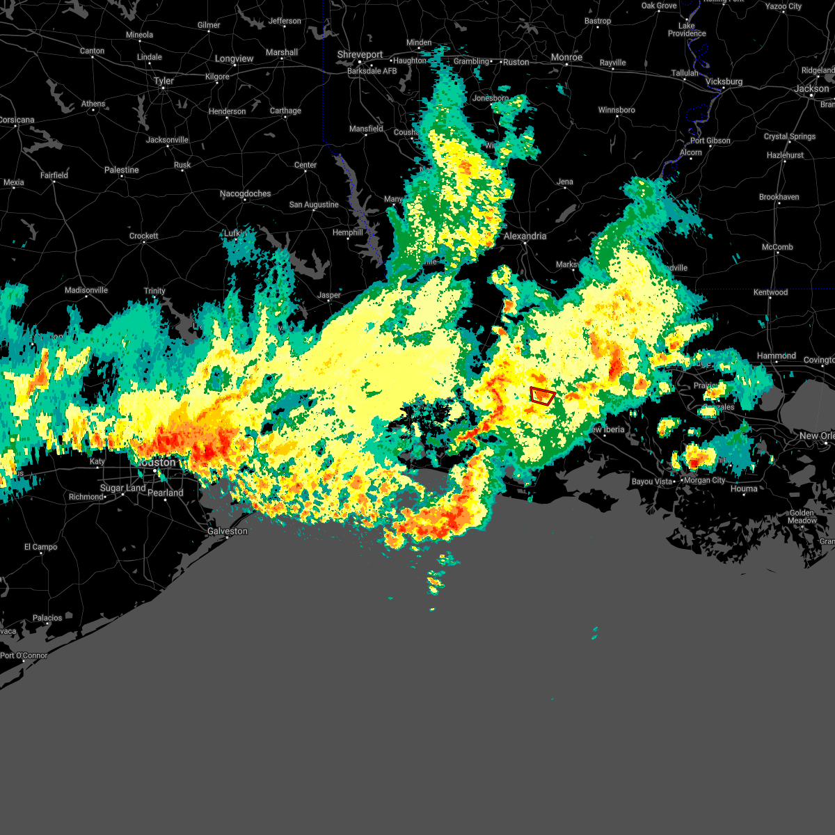 At 347 pm cdt, a severe thunderstorm capable of producing a tornado was located near crowley, moving north at 10 mph (radar indicated rotation). Hazards include tornado. Flying debris will be dangerous to those caught without shelter. mobile homes will be damaged or destroyed. damage to roofs, windows, and vehicles will occur. tree damage is likely. This tornadic thunderstorm will remain over mainly rural areas of central acadia parish. At 347 pm cdt, a severe thunderstorm capable of producing a tornado was located near crowley, moving north at 10 mph (radar indicated rotation). Hazards include tornado. Flying debris will be dangerous to those caught without shelter. mobile homes will be damaged or destroyed. damage to roofs, windows, and vehicles will occur. tree damage is likely. This tornadic thunderstorm will remain over mainly rural areas of central acadia parish.
|
| 5/17/2021 3:37 PM CDT |
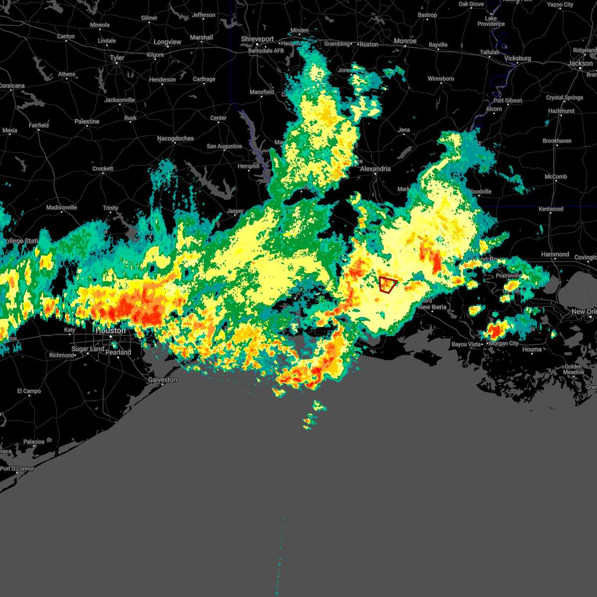 At 337 pm cdt, a severe thunderstorm capable of producing a tornado was located over crowley, moving north at 10 mph (radar indicated rotation). Hazards include tornado. Flying debris will be dangerous to those caught without shelter. mobile homes will be damaged or destroyed. damage to roofs, windows, and vehicles will occur. tree damage is likely. this dangerous storm will be near, rayne around 355 pm cdt. This includes interstate 10 in louisiana between mile markers 81 and 89. At 337 pm cdt, a severe thunderstorm capable of producing a tornado was located over crowley, moving north at 10 mph (radar indicated rotation). Hazards include tornado. Flying debris will be dangerous to those caught without shelter. mobile homes will be damaged or destroyed. damage to roofs, windows, and vehicles will occur. tree damage is likely. this dangerous storm will be near, rayne around 355 pm cdt. This includes interstate 10 in louisiana between mile markers 81 and 89.
|
| 5/17/2021 2:55 PM CDT |
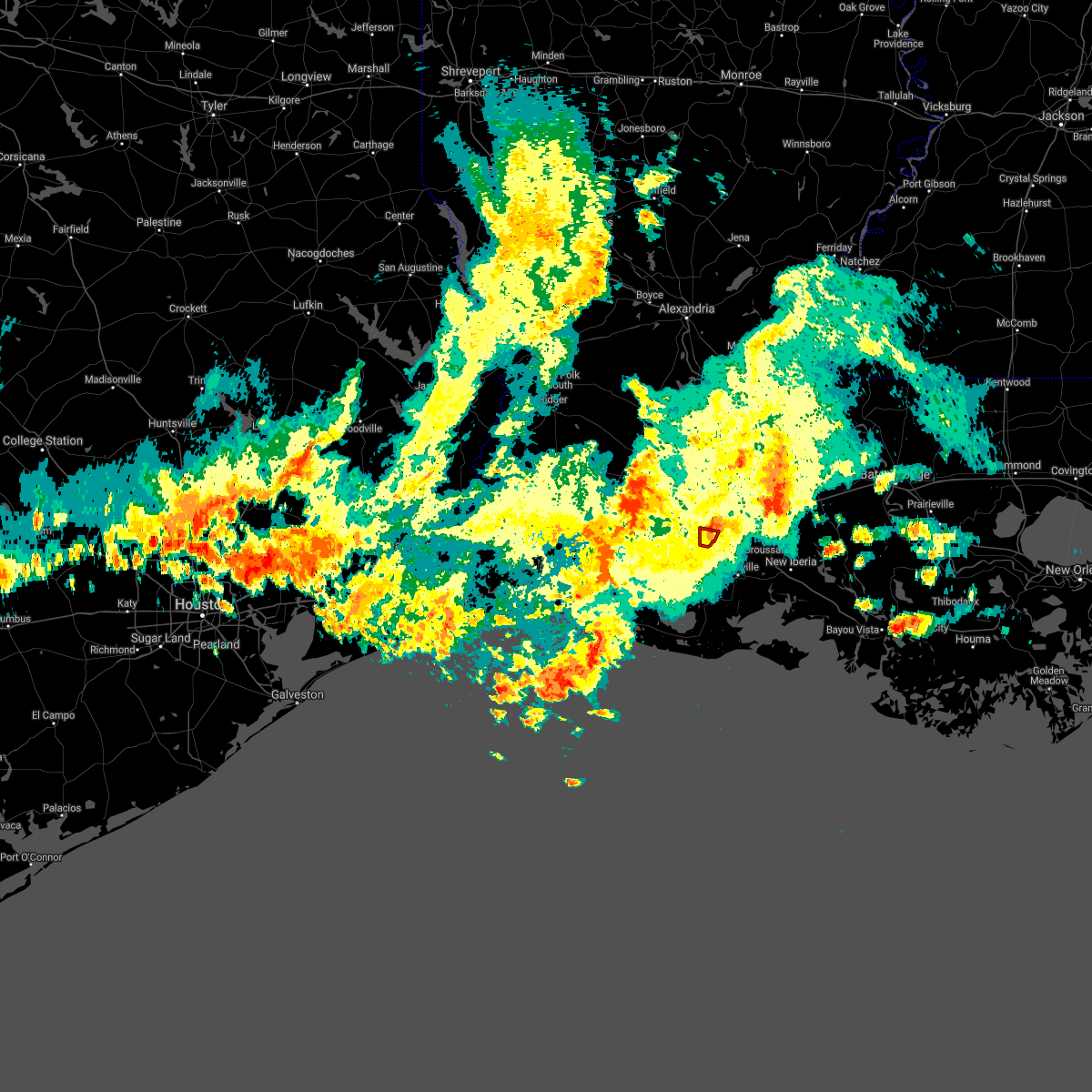 The tornado warning for southeastern acadia parish will expire at 300 pm cdt, the tornado warning that was previously in effect has been reissued for acadia and is in effect until 2030z. please refer to that bulletin for the latest severe weather information. The tornado warning for southeastern acadia parish will expire at 300 pm cdt, the tornado warning that was previously in effect has been reissued for acadia and is in effect until 2030z. please refer to that bulletin for the latest severe weather information.
|
| 5/17/2021 2:43 PM CDT |
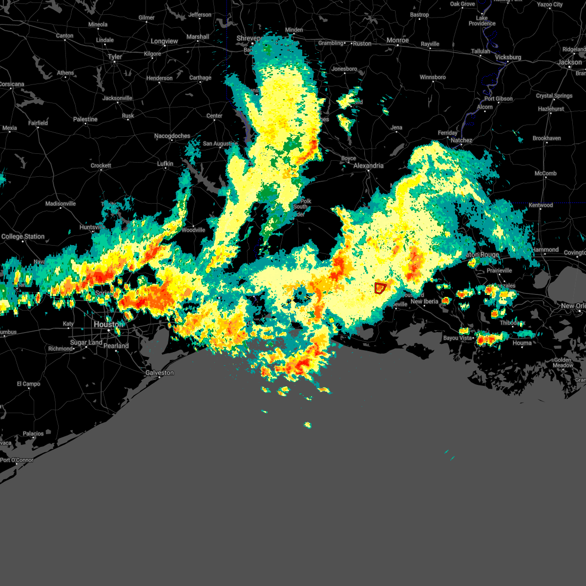 At 243 pm cdt, a confirmed tornado was located over crowley, moving north at 15 mph (public confirmed tornado). Hazards include damaging tornado. Flying debris will be dangerous to those caught without shelter. mobile homes will be damaged or destroyed. damage to roofs, windows, and vehicles will occur. tree damage is likely. This tornado will be near, crowley around 300 pm cdt. At 243 pm cdt, a confirmed tornado was located over crowley, moving north at 15 mph (public confirmed tornado). Hazards include damaging tornado. Flying debris will be dangerous to those caught without shelter. mobile homes will be damaged or destroyed. damage to roofs, windows, and vehicles will occur. tree damage is likely. This tornado will be near, crowley around 300 pm cdt.
|
| 5/17/2021 2:35 PM CDT |
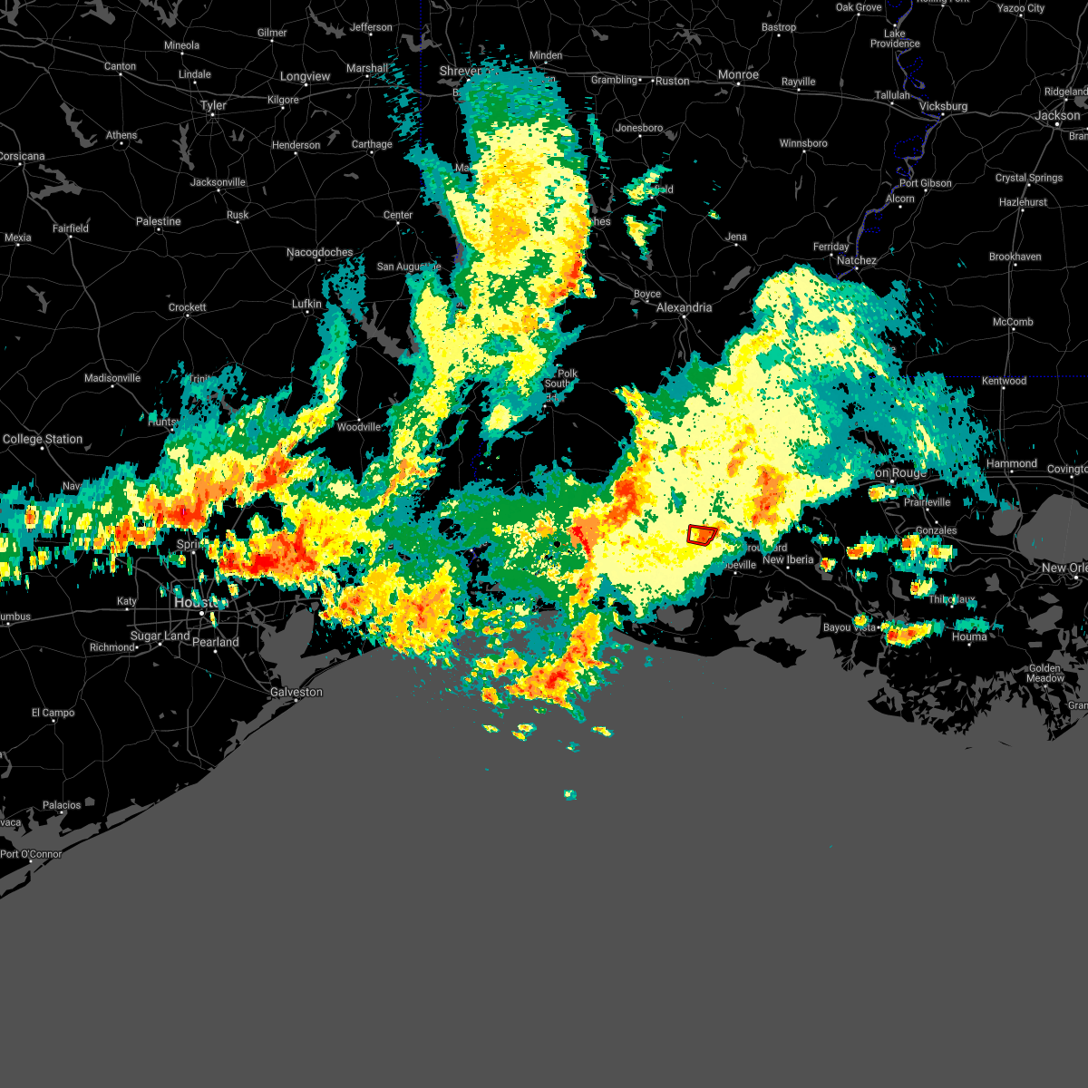 At 235 pm cdt, a confirmed tornado was located near crowley, moving north at 15 mph (public confirmed tornado). Hazards include damaging tornado. Flying debris will be dangerous to those caught without shelter. mobile homes will be damaged or destroyed. damage to roofs, windows, and vehicles will occur. tree damage is likely. This tornado will be near, crowley around 300 pm cdt. At 235 pm cdt, a confirmed tornado was located near crowley, moving north at 15 mph (public confirmed tornado). Hazards include damaging tornado. Flying debris will be dangerous to those caught without shelter. mobile homes will be damaged or destroyed. damage to roofs, windows, and vehicles will occur. tree damage is likely. This tornado will be near, crowley around 300 pm cdt.
|
| 5/17/2021 2:27 PM CDT |
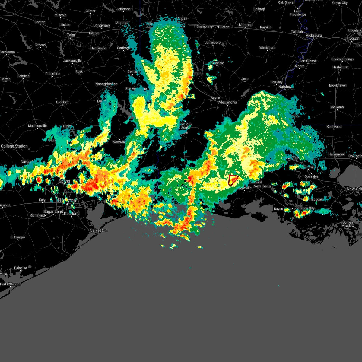 At 226 pm cdt, a confirmed tornado was located over lyons point, or near crowley, moving north at 10 mph (public confirmed tornado). Hazards include damaging tornado. Flying debris will be dangerous to those caught without shelter. mobile homes will be damaged or destroyed. damage to roofs, windows, and vehicles will occur. tree damage is likely. The tornado will be near, crowley around 300 pm cdt. At 226 pm cdt, a confirmed tornado was located over lyons point, or near crowley, moving north at 10 mph (public confirmed tornado). Hazards include damaging tornado. Flying debris will be dangerous to those caught without shelter. mobile homes will be damaged or destroyed. damage to roofs, windows, and vehicles will occur. tree damage is likely. The tornado will be near, crowley around 300 pm cdt.
|
| 5/17/2021 2:18 PM CDT |
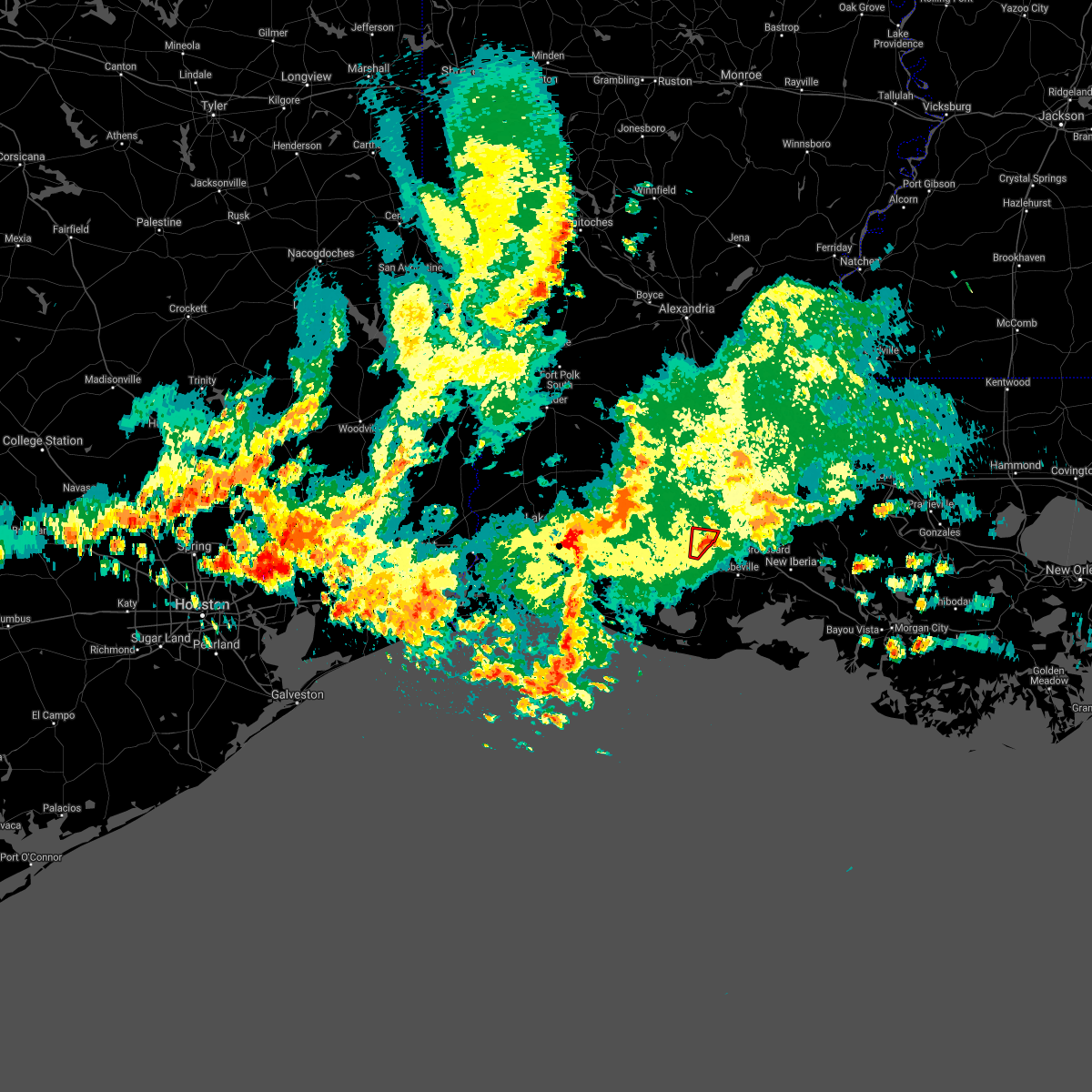 At 217 pm cdt, a severe thunderstorm capable of producing a tornado was located over lyons point, or 7 miles northwest of kaplan, moving north at 10 mph (radar indicated rotation). Hazards include tornado. Flying debris will be dangerous to those caught without shelter. mobile homes will be damaged or destroyed. damage to roofs, windows, and vehicles will occur. tree damage is likely. This dangerous storm will be near, crowley around 245 pm cdt. At 217 pm cdt, a severe thunderstorm capable of producing a tornado was located over lyons point, or 7 miles northwest of kaplan, moving north at 10 mph (radar indicated rotation). Hazards include tornado. Flying debris will be dangerous to those caught without shelter. mobile homes will be damaged or destroyed. damage to roofs, windows, and vehicles will occur. tree damage is likely. This dangerous storm will be near, crowley around 245 pm cdt.
|
| 5/17/2021 2:04 PM CDT |
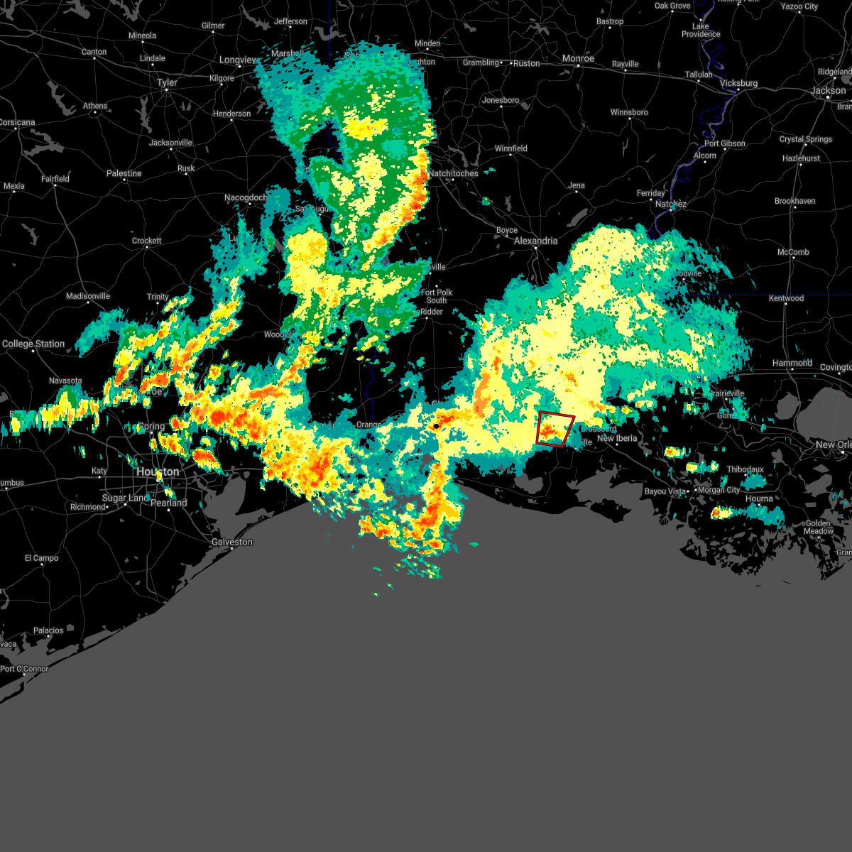 At 204 pm cdt, a severe thunderstorm capable of producing a tornado was located over lyons point, or near kaplan, moving north at 10 mph (radar indicated rotation). Hazards include tornado. Flying debris will be dangerous to those caught without shelter. mobile homes will be damaged or destroyed. damage to roofs, windows, and vehicles will occur. tree damage is likely. this dangerous storm will be near, lyons point around 220 pm cdt. Indian bayou around 230 pm cdt. At 204 pm cdt, a severe thunderstorm capable of producing a tornado was located over lyons point, or near kaplan, moving north at 10 mph (radar indicated rotation). Hazards include tornado. Flying debris will be dangerous to those caught without shelter. mobile homes will be damaged or destroyed. damage to roofs, windows, and vehicles will occur. tree damage is likely. this dangerous storm will be near, lyons point around 220 pm cdt. Indian bayou around 230 pm cdt.
|
| 4/16/2021 4:55 AM CDT |
 At 455 am cdt, severe thunderstorms were located along a line extending from near richard to near lyons point, moving east at 50 mph (radar indicated). Hazards include 60 mph wind gusts and nickel size hail. Expect damage to roofs, siding, and trees. locations impacted include, lafayette, opelousas, crowley, abbeville, scott, rayne, carencro, kaplan, church point, leonville, arnaudville, broussard, youngsville, sunset, erath, delcambre, duson, maurice, grand coteau and cankton. this includes the following highways, interstate 10 in louisiana between mile markers 82 and 107. Interstate 49 between mile markers 1 and 15. At 455 am cdt, severe thunderstorms were located along a line extending from near richard to near lyons point, moving east at 50 mph (radar indicated). Hazards include 60 mph wind gusts and nickel size hail. Expect damage to roofs, siding, and trees. locations impacted include, lafayette, opelousas, crowley, abbeville, scott, rayne, carencro, kaplan, church point, leonville, arnaudville, broussard, youngsville, sunset, erath, delcambre, duson, maurice, grand coteau and cankton. this includes the following highways, interstate 10 in louisiana between mile markers 82 and 107. Interstate 49 between mile markers 1 and 15.
|
| 4/16/2021 4:48 AM CDT |
 At 447 am cdt, severe thunderstorms were located along a line extending from mowata to near morse, moving east at 45 mph (radar indicated). Hazards include 60 mph wind gusts and nickel size hail. Expect damage to roofs, siding, and trees. locations impacted include, lafayette, opelousas, crowley, abbeville, eunice, scott, rayne, carencro, kaplan, church point, iota, gueydan, leonville, arnaudville, broussard, youngsville, sunset, erath, delcambre and duson. this includes the following highways, interstate 10 in louisiana between mile markers 74 and 107. Interstate 49 between mile markers 1 and 15. At 447 am cdt, severe thunderstorms were located along a line extending from mowata to near morse, moving east at 45 mph (radar indicated). Hazards include 60 mph wind gusts and nickel size hail. Expect damage to roofs, siding, and trees. locations impacted include, lafayette, opelousas, crowley, abbeville, eunice, scott, rayne, carencro, kaplan, church point, iota, gueydan, leonville, arnaudville, broussard, youngsville, sunset, erath, delcambre and duson. this includes the following highways, interstate 10 in louisiana between mile markers 74 and 107. Interstate 49 between mile markers 1 and 15.
|
| 4/16/2021 4:33 AM CDT |
 At 433 am cdt, severe thunderstorms were located along a line extending from near basile to near mermentau, moving east at 50 mph (radar indicated). Hazards include 60 mph wind gusts and nickel size hail. expect damage to roofs, siding, and trees At 433 am cdt, severe thunderstorms were located along a line extending from near basile to near mermentau, moving east at 50 mph (radar indicated). Hazards include 60 mph wind gusts and nickel size hail. expect damage to roofs, siding, and trees
|
| 3/17/2021 4:46 PM CDT |
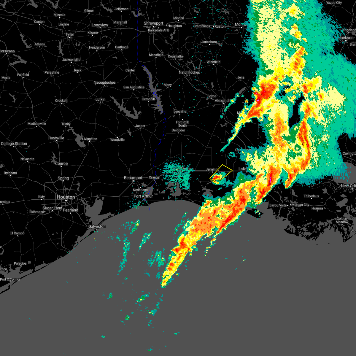 At 445 pm cdt, a severe thunderstorm was located near lake arthur, moving northeast at 50 mph (radar indicated). Hazards include 60 mph wind gusts and quarter size hail. Hail damage to vehicles is expected. expect wind damage to roofs, siding, and trees. Locations impacted include, crowley, lake arthur, iota, mermentau, morse, egan, estherwood and midland. At 445 pm cdt, a severe thunderstorm was located near lake arthur, moving northeast at 50 mph (radar indicated). Hazards include 60 mph wind gusts and quarter size hail. Hail damage to vehicles is expected. expect wind damage to roofs, siding, and trees. Locations impacted include, crowley, lake arthur, iota, mermentau, morse, egan, estherwood and midland.
|
| 3/17/2021 4:33 PM CDT |
 At 432 pm cdt, a severe thunderstorm was located over lowry, or 7 miles southwest of lake arthur, moving northeast at 50 mph (radar indicated). Hazards include 60 mph wind gusts and half dollar size hail. Hail damage to vehicles is expected. expect wind damage to roofs, siding, and trees. Locations impacted include, crowley, jennings, lake arthur, iota, mermentau, klondike, evangeline, morse, egan, thornwell, lowry, estherwood and midland. At 432 pm cdt, a severe thunderstorm was located over lowry, or 7 miles southwest of lake arthur, moving northeast at 50 mph (radar indicated). Hazards include 60 mph wind gusts and half dollar size hail. Hail damage to vehicles is expected. expect wind damage to roofs, siding, and trees. Locations impacted include, crowley, jennings, lake arthur, iota, mermentau, klondike, evangeline, morse, egan, thornwell, lowry, estherwood and midland.
|
| 3/17/2021 4:19 PM CDT |
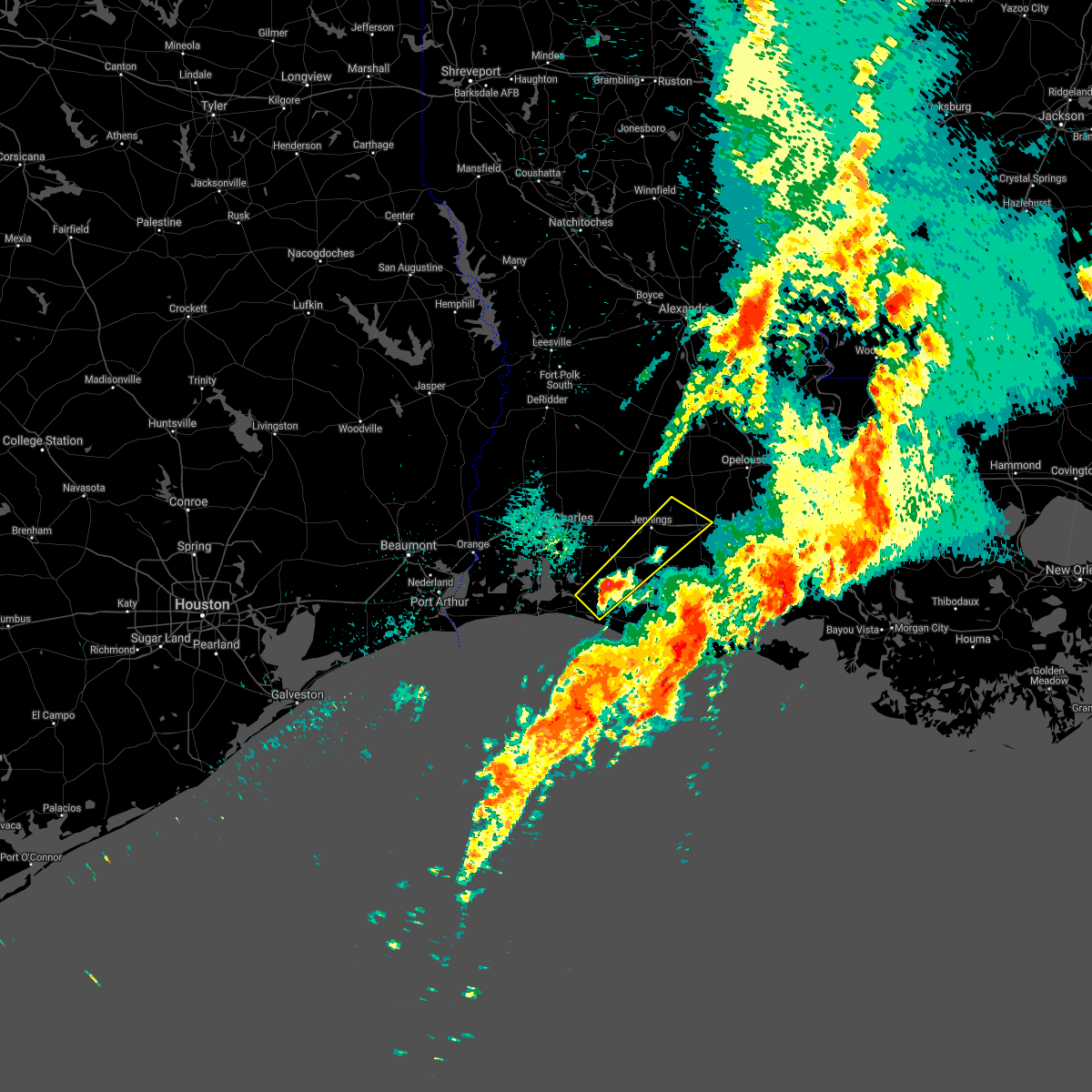 At 419 pm cdt, a severe thunderstorm was located near grand chenier, moving northeast at 45 mph (radar indicated). Hazards include 60 mph wind gusts and half dollar size hail. Hail damage to vehicles is expected. Expect wind damage to roofs, siding, and trees. At 419 pm cdt, a severe thunderstorm was located near grand chenier, moving northeast at 45 mph (radar indicated). Hazards include 60 mph wind gusts and half dollar size hail. Hail damage to vehicles is expected. Expect wind damage to roofs, siding, and trees.
|
| 12/13/2020 6:38 PM CST |
 At 638 pm cst, a severe thunderstorm capable of producing a tornado was located over egan, or near crowley, moving east at 40 mph (radar indicated rotation). Hazards include tornado. Flying debris will be dangerous to those caught without shelter. mobile homes will be damaged or destroyed. damage to roofs, windows, and vehicles will occur. tree damage is likely. this dangerous storm will be near, crowley around 645 pm cst. rayne around 655 pm cst. duson and indian bayou around 700 pm cst. ridge around 705 pm cst. lafayette and maurice around 710 pm cst. other locations impacted by this tornadic thunderstorm include estherwood and midland. This includes interstate 10 in louisiana between mile markers 70 and 100. At 638 pm cst, a severe thunderstorm capable of producing a tornado was located over egan, or near crowley, moving east at 40 mph (radar indicated rotation). Hazards include tornado. Flying debris will be dangerous to those caught without shelter. mobile homes will be damaged or destroyed. damage to roofs, windows, and vehicles will occur. tree damage is likely. this dangerous storm will be near, crowley around 645 pm cst. rayne around 655 pm cst. duson and indian bayou around 700 pm cst. ridge around 705 pm cst. lafayette and maurice around 710 pm cst. other locations impacted by this tornadic thunderstorm include estherwood and midland. This includes interstate 10 in louisiana between mile markers 70 and 100.
|
| 9/28/2020 12:03 PM CDT |
 At 1203 pm cdt, a severe thunderstorm was located over indian bayou, or 8 miles south of rayne, moving southeast at 30 mph (radar indicated). Hazards include 60 mph wind gusts. Expect damage to roofs, siding, and trees. locations impacted include, lafayette, crowley, abbeville, scott, rayne, kaplan, broussard, youngsville, duson, maurice, meaux, indian bayou, lyons point, ridge and milton. This includes interstate 10 in louisiana between mile markers 80 and 99. At 1203 pm cdt, a severe thunderstorm was located over indian bayou, or 8 miles south of rayne, moving southeast at 30 mph (radar indicated). Hazards include 60 mph wind gusts. Expect damage to roofs, siding, and trees. locations impacted include, lafayette, crowley, abbeville, scott, rayne, kaplan, broussard, youngsville, duson, maurice, meaux, indian bayou, lyons point, ridge and milton. This includes interstate 10 in louisiana between mile markers 80 and 99.
|
| 9/28/2020 11:44 AM CDT |
 At 1144 am cdt, a severe thunderstorm was located over crowley, moving southeast at 35 mph (radar indicated). Hazards include 60 mph wind gusts. expect damage to roofs, siding, and trees At 1144 am cdt, a severe thunderstorm was located over crowley, moving southeast at 35 mph (radar indicated). Hazards include 60 mph wind gusts. expect damage to roofs, siding, and trees
|
| 9/28/2020 11:30 AM CDT |
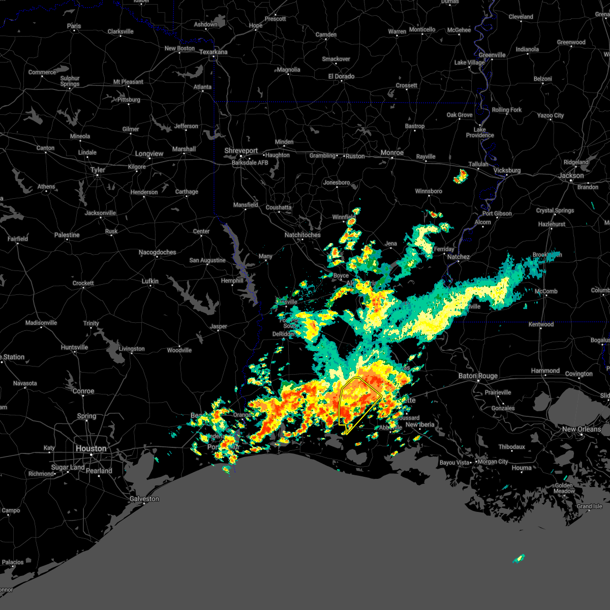 At 1130 am cdt, a severe thunderstorm was located near egan, or near crowley, moving southeast at 50 mph (radar indicated). Hazards include 60 mph wind gusts. Expect damage to roofs, siding, and trees. locations impacted include, crowley, jennings, lake arthur, iota, mermentau, evangeline, morse, riceville, mowata, maxie, egan, estherwood and midland. This includes interstate 10 in louisiana between mile markers 64 and 86. At 1130 am cdt, a severe thunderstorm was located near egan, or near crowley, moving southeast at 50 mph (radar indicated). Hazards include 60 mph wind gusts. Expect damage to roofs, siding, and trees. locations impacted include, crowley, jennings, lake arthur, iota, mermentau, evangeline, morse, riceville, mowata, maxie, egan, estherwood and midland. This includes interstate 10 in louisiana between mile markers 64 and 86.
|
| 9/28/2020 11:19 AM CDT |
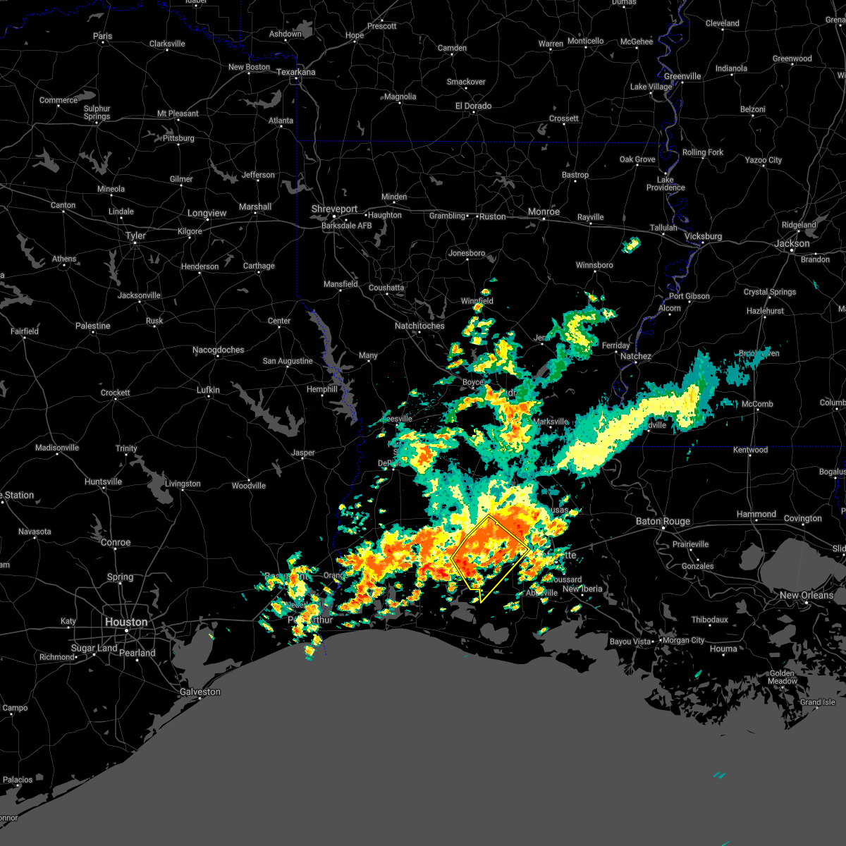 At 1119 am cdt, a severe thunderstorm was located over evangeline, or near jennings, moving southeast at 50 mph (radar indicated). Hazards include 60 mph wind gusts. expect damage to roofs, siding, and trees At 1119 am cdt, a severe thunderstorm was located over evangeline, or near jennings, moving southeast at 50 mph (radar indicated). Hazards include 60 mph wind gusts. expect damage to roofs, siding, and trees
|
| 8/27/2020 12:44 AM CDT |
 At 1243 am cdt, a several thunderstorms, each capable of producing tornados were centered over duson, or near rayne, moving northwest at 55 mph (radar indicated rotation). Hazards include tornado. Flying debris will be dangerous to those caught without shelter. mobile homes will be damaged or destroyed. damage to roofs, windows, and vehicles will occur. Tree damage is likely. At 1243 am cdt, a several thunderstorms, each capable of producing tornados were centered over duson, or near rayne, moving northwest at 55 mph (radar indicated rotation). Hazards include tornado. Flying debris will be dangerous to those caught without shelter. mobile homes will be damaged or destroyed. damage to roofs, windows, and vehicles will occur. Tree damage is likely.
|
| 8/27/2020 12:28 AM CDT |
 At 1227 am cdt, a cluster of severe thunderstorms capable of producing tornados was located near basile, moving northwest at 30 mph (radar indicated rotation). Hazards include tornado. Flying debris will be dangerous to those caught without shelter. mobile homes will be damaged or destroyed. damage to roofs, windows, and vehicles will occur. tree damage is likely. this dangerous storm will be near, basile around 1230 am cdt. duralde around 1235 am cdt. bond around 1245 am cdt. other locations impacted by this tornadic thunderstorm include hathaway, midland, roanoke and estherwood. This includes interstate 10 in louisiana between mile markers 53 and 94. At 1227 am cdt, a cluster of severe thunderstorms capable of producing tornados was located near basile, moving northwest at 30 mph (radar indicated rotation). Hazards include tornado. Flying debris will be dangerous to those caught without shelter. mobile homes will be damaged or destroyed. damage to roofs, windows, and vehicles will occur. tree damage is likely. this dangerous storm will be near, basile around 1230 am cdt. duralde around 1235 am cdt. bond around 1245 am cdt. other locations impacted by this tornadic thunderstorm include hathaway, midland, roanoke and estherwood. This includes interstate 10 in louisiana between mile markers 53 and 94.
|
| 8/27/2020 12:26 AM CDT |
 At 1222 am cdt, a cluster of thunderstorms capable of producing tornados, moving northwest at 30 mph (radar indicated rotation). Hazards include tornado. Flying debris will be dangerous to those caught without shelter. mobile homes will be damaged or destroyed. damage to roofs, windows, and vehicles will occur. tree damage is likely. this dangerous storm will be near, duralde around 1230 am cdt. oberlin and bond around 1250 am cdt. other locations impacted by this tornadic thunderstorm include hathaway, midland, roanoke and estherwood. This includes interstate 10 in louisiana between mile markers 53 and 94. At 1222 am cdt, a cluster of thunderstorms capable of producing tornados, moving northwest at 30 mph (radar indicated rotation). Hazards include tornado. Flying debris will be dangerous to those caught without shelter. mobile homes will be damaged or destroyed. damage to roofs, windows, and vehicles will occur. tree damage is likely. this dangerous storm will be near, duralde around 1230 am cdt. oberlin and bond around 1250 am cdt. other locations impacted by this tornadic thunderstorm include hathaway, midland, roanoke and estherwood. This includes interstate 10 in louisiana between mile markers 53 and 94.
|
| 8/27/2020 12:02 AM CDT |
 At 1200 am cdt, a clusters of thunderstorms capable of producing tornados were located over iota, moving northwest at 30 mph (radar indicated rotation). Hazards include tornado. Flying debris will be dangerous to those caught without shelter. mobile homes will be damaged or destroyed. damage to roofs, windows, and vehicles will occur. tree damage is likely. this dangerous storm will be near, mowata around 1210 am cdt. basile and duralde around 1230 am cdt. oberlin and bond around 1245 am cdt. other locations impacted by this tornadic thunderstorm include hathaway, midland, roanoke and estherwood. This includes interstate 10 in louisiana between mile markers 53 and 94. At 1200 am cdt, a clusters of thunderstorms capable of producing tornados were located over iota, moving northwest at 30 mph (radar indicated rotation). Hazards include tornado. Flying debris will be dangerous to those caught without shelter. mobile homes will be damaged or destroyed. damage to roofs, windows, and vehicles will occur. tree damage is likely. this dangerous storm will be near, mowata around 1210 am cdt. basile and duralde around 1230 am cdt. oberlin and bond around 1245 am cdt. other locations impacted by this tornadic thunderstorm include hathaway, midland, roanoke and estherwood. This includes interstate 10 in louisiana between mile markers 53 and 94.
|
| 8/26/2020 11:28 PM CDT |
 At 1128 pm cdt, a severe thunderstorm capable of producing a tornado was located near egan, or near crowley, moving northwest at 55 mph (radar indicated rotation). Hazards include tornado. Flying debris will be dangerous to those caught without shelter. mobile homes will be damaged or destroyed. damage to roofs, windows, and vehicles will occur. tree damage is likely. this dangerous storm will be near, iota and evangeline around 1135 pm cdt. basile around 1150 pm cdt. elton around 1155 pm cdt. other locations impacted by this tornadic thunderstorm include lacassine, hathaway, midland, roanoke and estherwood. This includes interstate 10 in louisiana between mile markers 44 and 88. At 1128 pm cdt, a severe thunderstorm capable of producing a tornado was located near egan, or near crowley, moving northwest at 55 mph (radar indicated rotation). Hazards include tornado. Flying debris will be dangerous to those caught without shelter. mobile homes will be damaged or destroyed. damage to roofs, windows, and vehicles will occur. tree damage is likely. this dangerous storm will be near, iota and evangeline around 1135 pm cdt. basile around 1150 pm cdt. elton around 1155 pm cdt. other locations impacted by this tornadic thunderstorm include lacassine, hathaway, midland, roanoke and estherwood. This includes interstate 10 in louisiana between mile markers 44 and 88.
|
| 8/26/2020 11:05 PM CDT |
 At 1104 pm cdt, a severe thunderstorm capable of producing a tornado was located near meaux, or near kaplan, moving northwest at 55 mph (radar indicated rotation). Hazards include tornado. Flying debris will be dangerous to those caught without shelter. mobile homes will be damaged or destroyed. damage to roofs, windows, and vehicles will occur. tree damage is likely. this dangerous storm will be near, indian bayou and wright around 1115 pm cdt. lyons point around 1120 pm cdt. crowley around 1125 pm cdt. other locations impacted by this tornadic thunderstorm include estherwood. This includes interstate 10 in louisiana between mile markers 77 and 86. At 1104 pm cdt, a severe thunderstorm capable of producing a tornado was located near meaux, or near kaplan, moving northwest at 55 mph (radar indicated rotation). Hazards include tornado. Flying debris will be dangerous to those caught without shelter. mobile homes will be damaged or destroyed. damage to roofs, windows, and vehicles will occur. tree damage is likely. this dangerous storm will be near, indian bayou and wright around 1115 pm cdt. lyons point around 1120 pm cdt. crowley around 1125 pm cdt. other locations impacted by this tornadic thunderstorm include estherwood. This includes interstate 10 in louisiana between mile markers 77 and 86.
|
| 8/26/2020 2:14 PM CDT |
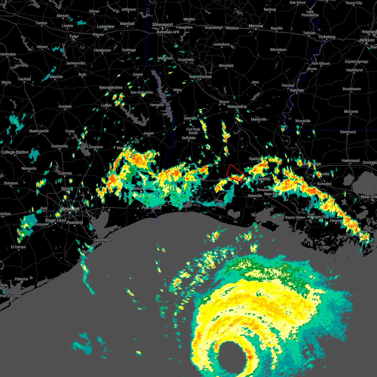 At 214 pm cdt, a severe thunderstorm capable of producing a tornado was located over maxie, or near crowley, moving northwest at 40 mph (radar indicated rotation). Hazards include tornado. Flying debris will be dangerous to those caught without shelter. mobile homes will be damaged or destroyed. damage to roofs, windows, and vehicles will occur. tree damage is likely. this dangerous storm will be near, mowata around 220 pm cdt. iota around 225 pm cdt. This includes interstate 10 in louisiana between mile markers 79 and 81. At 214 pm cdt, a severe thunderstorm capable of producing a tornado was located over maxie, or near crowley, moving northwest at 40 mph (radar indicated rotation). Hazards include tornado. Flying debris will be dangerous to those caught without shelter. mobile homes will be damaged or destroyed. damage to roofs, windows, and vehicles will occur. tree damage is likely. this dangerous storm will be near, mowata around 220 pm cdt. iota around 225 pm cdt. This includes interstate 10 in louisiana between mile markers 79 and 81.
|
| 8/26/2020 2:08 PM CDT |
 At 208 pm cdt, a severe thunderstorm capable of producing a tornado was located near crowley, moving northwest at 40 mph (radar indicated rotation). Hazards include tornado. Flying debris will be dangerous to those caught without shelter. mobile homes will be damaged or destroyed. damage to roofs, windows, and vehicles will occur. tree damage is likely. this dangerous storm will be near, maxie around 215 pm cdt. mowata around 220 pm cdt. iota around 225 pm cdt. This includes interstate 10 in louisiana between mile markers 79 and 88. At 208 pm cdt, a severe thunderstorm capable of producing a tornado was located near crowley, moving northwest at 40 mph (radar indicated rotation). Hazards include tornado. Flying debris will be dangerous to those caught without shelter. mobile homes will be damaged or destroyed. damage to roofs, windows, and vehicles will occur. tree damage is likely. this dangerous storm will be near, maxie around 215 pm cdt. mowata around 220 pm cdt. iota around 225 pm cdt. This includes interstate 10 in louisiana between mile markers 79 and 88.
|
| 5/5/2020 9:21 PM CDT |
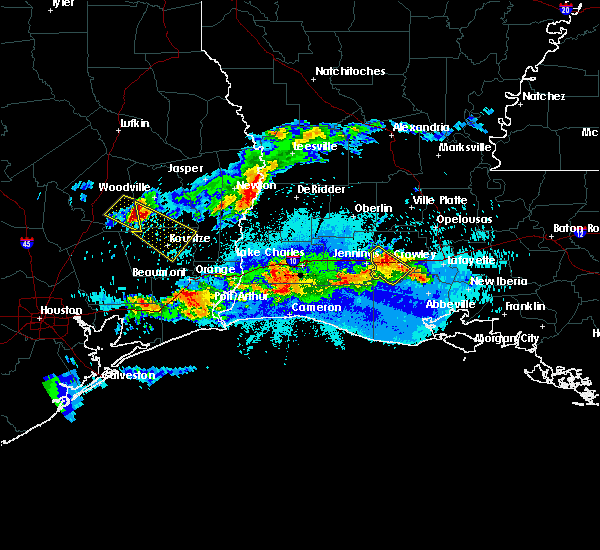 The severe thunderstorm warning for southwestern acadia parish will expire at 930 pm cdt, the storm which prompted the warning has weakened below severe limits, and no longer poses an immediate threat to life or property. therefore, the warning will be allowed to expire. however small hail and heavy rain are still possible with this thunderstorm. The severe thunderstorm warning for southwestern acadia parish will expire at 930 pm cdt, the storm which prompted the warning has weakened below severe limits, and no longer poses an immediate threat to life or property. therefore, the warning will be allowed to expire. however small hail and heavy rain are still possible with this thunderstorm.
|
| 5/5/2020 9:10 PM CDT |
 At 910 pm cdt, a severe thunderstorm was located over egan, or near mermentau, moving southeast at 10 mph (radar indicated). Hazards include quarter size hail. Damage to vehicles is expected. locations impacted include, crowley, iota, mermentau, evangeline, morse, egan, estherwood and midland. This includes interstate 10 in louisiana between mile markers 68 and 81. At 910 pm cdt, a severe thunderstorm was located over egan, or near mermentau, moving southeast at 10 mph (radar indicated). Hazards include quarter size hail. Damage to vehicles is expected. locations impacted include, crowley, iota, mermentau, evangeline, morse, egan, estherwood and midland. This includes interstate 10 in louisiana between mile markers 68 and 81.
|
| 5/5/2020 8:48 PM CDT |
 At 848 pm cdt, a severe thunderstorm was located over evangeline, or near jennings, moving southeast at 10 mph (radar indicated). Hazards include quarter size hail. damage to vehicles is expected At 848 pm cdt, a severe thunderstorm was located over evangeline, or near jennings, moving southeast at 10 mph (radar indicated). Hazards include quarter size hail. damage to vehicles is expected
|
| 1/11/2020 5:13 AM CST |
 At 513 am cst, severe thunderstorms were located along a line extending from 6 miles east of deville to near cheneyville to near branch to 6 miles northwest of forked island, moving east at 40 mph (radar indicated). Hazards include 60 mph wind gusts. expect damage to roofs, siding, and trees At 513 am cst, severe thunderstorms were located along a line extending from 6 miles east of deville to near cheneyville to near branch to 6 miles northwest of forked island, moving east at 40 mph (radar indicated). Hazards include 60 mph wind gusts. expect damage to roofs, siding, and trees
|
| 1/11/2020 4:57 AM CST |
 At 457 am cst, severe thunderstorms were located along a line extending from near esler regional airport to 14 miles northeast of rockefeller wildlife range, moving east at 40 mph (radar indicated). Hazards include 60 mph wind gusts. Expect damage to roofs, siding, and trees. Locations impacted include, lafayette, alexandria, opelousas, pineville, crowley, abbeville, eunice, jennings, scott, rayne, oakdale, carencro, ville platte, marksville, kaplan, church point, bunkie, mamou, lake arthur and basile. At 457 am cst, severe thunderstorms were located along a line extending from near esler regional airport to 14 miles northeast of rockefeller wildlife range, moving east at 40 mph (radar indicated). Hazards include 60 mph wind gusts. Expect damage to roofs, siding, and trees. Locations impacted include, lafayette, alexandria, opelousas, pineville, crowley, abbeville, eunice, jennings, scott, rayne, oakdale, carencro, ville platte, marksville, kaplan, church point, bunkie, mamou, lake arthur and basile.
|
| 1/11/2020 4:17 AM CST |
 At 416 am cst, severe thunderstorms were located along a line extending from near boyce to near grand chenier, moving east at 45 mph (radar indicated). Hazards include 60 mph wind gusts. expect damage to roofs, siding, and trees At 416 am cst, severe thunderstorms were located along a line extending from near boyce to near grand chenier, moving east at 45 mph (radar indicated). Hazards include 60 mph wind gusts. expect damage to roofs, siding, and trees
|
| 5/19/2019 6:41 AM CDT |
 The severe thunderstorm warning for central lafayette, east central jefferson davis and central acadia parishes will expire at 645 am cdt, the storms which prompted the warning have moved out of the area. therefore, the warning will be allowed to expire. a tornado watch remains in effect until 1000 am cdt for south central and southwestern louisiana. remember, a severe thunderstorm warning still remains in effect for lafayette parish until 730 am cdt. The severe thunderstorm warning for central lafayette, east central jefferson davis and central acadia parishes will expire at 645 am cdt, the storms which prompted the warning have moved out of the area. therefore, the warning will be allowed to expire. a tornado watch remains in effect until 1000 am cdt for south central and southwestern louisiana. remember, a severe thunderstorm warning still remains in effect for lafayette parish until 730 am cdt.
|
| 5/19/2019 6:32 AM CDT |
 At 631 am cdt, severe thunderstorms were located along a line extending from near arnaudville to indian bayou to gueydan, moving east at 30 mph (radar indicated). Hazards include 60 mph wind gusts. expect damage to roofs, siding, and trees At 631 am cdt, severe thunderstorms were located along a line extending from near arnaudville to indian bayou to gueydan, moving east at 30 mph (radar indicated). Hazards include 60 mph wind gusts. expect damage to roofs, siding, and trees
|
| 5/19/2019 6:17 AM CDT |
 At 617 am cdt, severe thunderstorms were located along a line extending from near branch to near evangeline, moving east at 45 mph (radar indicated). Hazards include 60 mph wind gusts. Expect damage to roofs, siding, and trees. Locations impacted include, lafayette, crowley, jennings, scott, rayne, iota, mermentau, evangeline, duson, maxie, mire, egan, estherwood and midland. At 617 am cdt, severe thunderstorms were located along a line extending from near branch to near evangeline, moving east at 45 mph (radar indicated). Hazards include 60 mph wind gusts. Expect damage to roofs, siding, and trees. Locations impacted include, lafayette, crowley, jennings, scott, rayne, iota, mermentau, evangeline, duson, maxie, mire, egan, estherwood and midland.
|
| 5/19/2019 5:58 AM CDT |
 At 558 am cdt, severe thunderstorms were located along a line extending from near iota to near welsh, moving east at 45 mph (radar indicated). Hazards include 60 mph wind gusts. expect damage to roofs, siding, and trees At 558 am cdt, severe thunderstorms were located along a line extending from near iota to near welsh, moving east at 45 mph (radar indicated). Hazards include 60 mph wind gusts. expect damage to roofs, siding, and trees
|
| 5/9/2019 6:03 PM CDT |
 At 603 pm cdt, a severe thunderstorm was located over iota, moving northeast at 35 mph (radar indicated). Hazards include 60 mph wind gusts and quarter size hail. Hail damage to vehicles is expected. Expect wind damage to roofs, siding, and trees. At 603 pm cdt, a severe thunderstorm was located over iota, moving northeast at 35 mph (radar indicated). Hazards include 60 mph wind gusts and quarter size hail. Hail damage to vehicles is expected. Expect wind damage to roofs, siding, and trees.
|
| 5/4/2019 2:26 AM CDT |
 The tornado warning for east central jefferson davis and southwestern acadia parishes will expire at 230 am cdt, the storm which prompted the warning has weakened below severe limits, and no longer appears capable of producing a tornado. therefore, the warning will be allowed to expire. however gusty winds and heavy rain are still possible with this thunderstorm. The tornado warning for east central jefferson davis and southwestern acadia parishes will expire at 230 am cdt, the storm which prompted the warning has weakened below severe limits, and no longer appears capable of producing a tornado. therefore, the warning will be allowed to expire. however gusty winds and heavy rain are still possible with this thunderstorm.
|
| 5/4/2019 2:11 AM CDT |
 At 210 am cdt, a severe thunderstorm capable of producing a tornado was located over mermentau, moving northeast at 15 mph (radar indicated rotation). Hazards include tornado. Flying debris will be dangerous to those caught without shelter. mobile homes will be damaged or destroyed. damage to roofs, windows, and vehicles will occur. tree damage is likely. this dangerous storm will be near, evangeline around 225 am cdt. crowley, iota and egan around 230 am cdt. Other locations impacted by this tornadic thunderstorm include estherwood and midland. At 210 am cdt, a severe thunderstorm capable of producing a tornado was located over mermentau, moving northeast at 15 mph (radar indicated rotation). Hazards include tornado. Flying debris will be dangerous to those caught without shelter. mobile homes will be damaged or destroyed. damage to roofs, windows, and vehicles will occur. tree damage is likely. this dangerous storm will be near, evangeline around 225 am cdt. crowley, iota and egan around 230 am cdt. Other locations impacted by this tornadic thunderstorm include estherwood and midland.
|
| 5/4/2019 1:58 AM CDT |
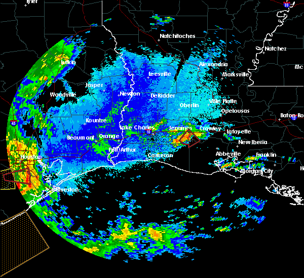 At 158 am cdt, a severe thunderstorm capable of producing a tornado was located near mermentau, moving northeast at 15 mph (radar indicated rotation). Hazards include tornado. Flying debris will be dangerous to those caught without shelter. mobile homes will be damaged or destroyed. damage to roofs, windows, and vehicles will occur. tree damage is likely. this dangerous storm will be near, mermentau around 210 am cdt. morse around 215 am cdt. evangeline around 225 am cdt. crowley and egan around 230 am cdt. Other locations impacted by this tornadic thunderstorm include estherwood and midland. At 158 am cdt, a severe thunderstorm capable of producing a tornado was located near mermentau, moving northeast at 15 mph (radar indicated rotation). Hazards include tornado. Flying debris will be dangerous to those caught without shelter. mobile homes will be damaged or destroyed. damage to roofs, windows, and vehicles will occur. tree damage is likely. this dangerous storm will be near, mermentau around 210 am cdt. morse around 215 am cdt. evangeline around 225 am cdt. crowley and egan around 230 am cdt. Other locations impacted by this tornadic thunderstorm include estherwood and midland.
|
| 4/18/2019 11:37 AM CDT |
 The severe thunderstorm warning for southeastern rapides, evangeline, acadia, western avoyelles and central st. landry parishes will expire at 1145 am cdt, the storms which prompted the warning have weakened below severe limits, and no longer pose an immediate threat to life or property. therefore, the warning will be allowed to expire. however gusty winds and heavy rain are still possible with these thunderstorms. a tornado watch remains in effect until 700 pm cdt for central and southwestern louisiana. The severe thunderstorm warning for southeastern rapides, evangeline, acadia, western avoyelles and central st. landry parishes will expire at 1145 am cdt, the storms which prompted the warning have weakened below severe limits, and no longer pose an immediate threat to life or property. therefore, the warning will be allowed to expire. however gusty winds and heavy rain are still possible with these thunderstorms. a tornado watch remains in effect until 700 pm cdt for central and southwestern louisiana.
|
| 4/18/2019 11:17 AM CDT |
 At 1116 am cdt, severe thunderstorms were located along a line extending from lecompte to near eunice, moving east at 40 mph (radar indicated). Hazards include 60 mph wind gusts. Expect damage to roofs, siding, and trees. Locations impacted include, opelousas, crowley, eunice, rayne, ville platte, marksville, church point, bunkie, mamou, basile, iota, cheneyville, turkey creek, morrow, effie, evangeline, sunset, pine prairie, lecompte and hessmer. At 1116 am cdt, severe thunderstorms were located along a line extending from lecompte to near eunice, moving east at 40 mph (radar indicated). Hazards include 60 mph wind gusts. Expect damage to roofs, siding, and trees. Locations impacted include, opelousas, crowley, eunice, rayne, ville platte, marksville, church point, bunkie, mamou, basile, iota, cheneyville, turkey creek, morrow, effie, evangeline, sunset, pine prairie, lecompte and hessmer.
|
| 4/18/2019 11:00 AM CDT |
 At 1059 am cdt, severe thunderstorms were located along a line extending from 6 miles north of glenmora to basile, moving east at 25 mph (radar indicated). Hazards include 60 mph wind gusts. expect damage to roofs, siding, and trees At 1059 am cdt, severe thunderstorms were located along a line extending from 6 miles north of glenmora to basile, moving east at 25 mph (radar indicated). Hazards include 60 mph wind gusts. expect damage to roofs, siding, and trees
|
| 12/27/2018 10:33 AM CST |
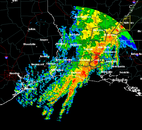 At 1032 am cst, a severe thunderstorm capable of producing a tornado was located near crowley, moving northeast at 35 mph (radar indicated rotation). Hazards include tornado. Flying debris will be dangerous to those caught without shelter. mobile homes will be damaged or destroyed. damage to roofs, windows, and vehicles will occur. tree damage is likely. This dangerous storm will be near, rayne and indian bayou around 1040 am cst. At 1032 am cst, a severe thunderstorm capable of producing a tornado was located near crowley, moving northeast at 35 mph (radar indicated rotation). Hazards include tornado. Flying debris will be dangerous to those caught without shelter. mobile homes will be damaged or destroyed. damage to roofs, windows, and vehicles will occur. tree damage is likely. This dangerous storm will be near, rayne and indian bayou around 1040 am cst.
|
| 12/27/2018 10:14 AM CST |
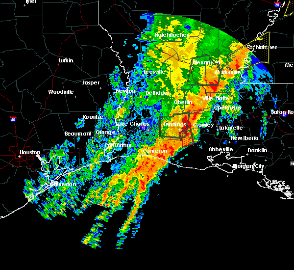 At 1014 am cst, a severe thunderstorm capable of producing a tornado was located over morse, or near mermentau, moving northeast at 35 mph (radar indicated rotation). Hazards include tornado. Flying debris will be dangerous to those caught without shelter. mobile homes will be damaged or destroyed. damage to roofs, windows, and vehicles will occur. tree damage is likely. this dangerous storm will be near, lyons point around 1025 am cst. crowley around 1030 am cst. rayne around 1040 am cst. branch around 1045 am cst. Other locations impacted by this tornadic thunderstorm include estherwood and midland. At 1014 am cst, a severe thunderstorm capable of producing a tornado was located over morse, or near mermentau, moving northeast at 35 mph (radar indicated rotation). Hazards include tornado. Flying debris will be dangerous to those caught without shelter. mobile homes will be damaged or destroyed. damage to roofs, windows, and vehicles will occur. tree damage is likely. this dangerous storm will be near, lyons point around 1025 am cst. crowley around 1030 am cst. rayne around 1040 am cst. branch around 1045 am cst. Other locations impacted by this tornadic thunderstorm include estherwood and midland.
|
| 11/1/2018 12:48 AM CDT |
 At 1247 am cdt, severe thunderstorms were located along a line extending from near duralde to near hayes, moving east at 45 mph (radar indicated). Hazards include 60 mph wind gusts. expect damage to roofs, siding, and trees At 1247 am cdt, severe thunderstorms were located along a line extending from near duralde to near hayes, moving east at 45 mph (radar indicated). Hazards include 60 mph wind gusts. expect damage to roofs, siding, and trees
|
| 4/7/2018 3:12 AM CDT |
 At 312 am cdt, severe thunderstorms were located along a line extending from whiteville to near opelousas to near carencro to near rayne, moving east at 55 mph (radar indicated). Hazards include 60 mph wind gusts and nickel size hail. expect damage to roofs, siding, and trees At 312 am cdt, severe thunderstorms were located along a line extending from whiteville to near opelousas to near carencro to near rayne, moving east at 55 mph (radar indicated). Hazards include 60 mph wind gusts and nickel size hail. expect damage to roofs, siding, and trees
|
| 4/7/2018 2:49 AM CDT |
 At 249 am cdt, severe thunderstorms were located along a line extending from chicot state park to near richard to jennings, moving east at 50 mph (radar indicated). Hazards include 60 mph wind gusts and nickel size hail. Expect damage to roofs, siding, and trees. Locations impacted include, opelousas, crowley, eunice, jennings, rayne, ville platte, church point, mamou, welsh, basile, iota, mermentau, turkey creek, palmetto, morrow, evangeline, sunset, port barre, pine prairie and washington. At 249 am cdt, severe thunderstorms were located along a line extending from chicot state park to near richard to jennings, moving east at 50 mph (radar indicated). Hazards include 60 mph wind gusts and nickel size hail. Expect damage to roofs, siding, and trees. Locations impacted include, opelousas, crowley, eunice, jennings, rayne, ville platte, church point, mamou, welsh, basile, iota, mermentau, turkey creek, palmetto, morrow, evangeline, sunset, port barre, pine prairie and washington.
|
| 4/7/2018 2:35 AM CDT |
 At 234 am cdt, severe thunderstorms were located along a line extending from near pine prairie to near basile to near welsh, moving east at 50 mph (radar indicated). Hazards include 60 mph wind gusts and nickel size hail. expect damage to roofs, siding, and trees At 234 am cdt, severe thunderstorms were located along a line extending from near pine prairie to near basile to near welsh, moving east at 50 mph (radar indicated). Hazards include 60 mph wind gusts and nickel size hail. expect damage to roofs, siding, and trees
|
| 8/29/2017 6:00 PM CDT |
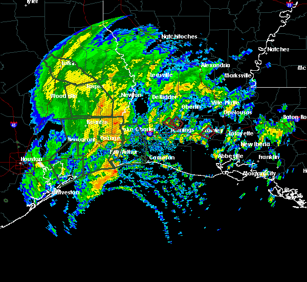 At 600 pm cdt, a severe thunderstorm capable of producing a tornado was located near crowley, moving northwest at 20 mph (radar indicated rotation). Hazards include tornado. Flying debris will be dangerous to those caught without shelter. mobile homes will be damaged or destroyed. damage to roofs, windows, and vehicles will occur. tree damage is likely. This tornadic thunderstorm will remain over mainly rural areas of central acadia parish. At 600 pm cdt, a severe thunderstorm capable of producing a tornado was located near crowley, moving northwest at 20 mph (radar indicated rotation). Hazards include tornado. Flying debris will be dangerous to those caught without shelter. mobile homes will be damaged or destroyed. damage to roofs, windows, and vehicles will occur. tree damage is likely. This tornadic thunderstorm will remain over mainly rural areas of central acadia parish.
|
| 8/29/2017 5:38 PM CDT |
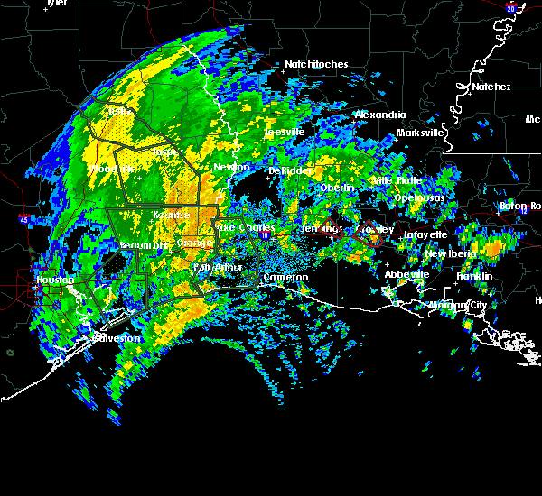 At 538 pm cdt, a severe thunderstorm capable of producing a tornado was located near indian bayou, or near rayne, moving northwest at 20 mph. a public report of a possible tornado was received with this storm (radar indicated rotation). Hazards include tornado. Flying debris will be dangerous to those caught without shelter. mobile homes will be damaged or destroyed. damage to roofs, windows, and vehicles will occur. tree damage is likely. this dangerous storm will be near, rayne around 545 pm cdt. Crowley around 600 pm cdt. At 538 pm cdt, a severe thunderstorm capable of producing a tornado was located near indian bayou, or near rayne, moving northwest at 20 mph. a public report of a possible tornado was received with this storm (radar indicated rotation). Hazards include tornado. Flying debris will be dangerous to those caught without shelter. mobile homes will be damaged or destroyed. damage to roofs, windows, and vehicles will occur. tree damage is likely. this dangerous storm will be near, rayne around 545 pm cdt. Crowley around 600 pm cdt.
|
| 5/3/2017 7:11 PM CDT |
 The severe thunderstorm warning for northern lafayette, central acadia, northwestern st. martin and st. landry parishes will expire at 715 pm cdt, the storms which prompted the warning have weakened below severe limits, and have exited the warned area. therefore the warning will be allowed to expire. a severe thunderstorm watch remains in effect until midnight cdt for southwestern louisiana. The severe thunderstorm warning for northern lafayette, central acadia, northwestern st. martin and st. landry parishes will expire at 715 pm cdt, the storms which prompted the warning have weakened below severe limits, and have exited the warned area. therefore the warning will be allowed to expire. a severe thunderstorm watch remains in effect until midnight cdt for southwestern louisiana.
|
| 5/3/2017 6:28 PM CDT |
 At 626 pm cdt, severe thunderstorms were located along a line extending from near palmetto to near grand coteau to near crowley, moving east at 50 mph (public reported 60 mph winds at eunice around 603 pm). Hazards include 60 mph wind gusts and penny size hail. Expect damage to roofs, siding, and trees. Locations impacted include, lafayette, opelousas, crowley, catahoula, scott, breaux bridge, rayne, carencro, church point, krotz springs, leonville, arnaudville, melville, palmetto, sunset, port barre, duson, henderson, washington and grand coteau. At 626 pm cdt, severe thunderstorms were located along a line extending from near palmetto to near grand coteau to near crowley, moving east at 50 mph (public reported 60 mph winds at eunice around 603 pm). Hazards include 60 mph wind gusts and penny size hail. Expect damage to roofs, siding, and trees. Locations impacted include, lafayette, opelousas, crowley, catahoula, scott, breaux bridge, rayne, carencro, church point, krotz springs, leonville, arnaudville, melville, palmetto, sunset, port barre, duson, henderson, washington and grand coteau.
|
| 5/3/2017 6:08 PM CDT |
 At 608 pm cdt, severe thunderstorms were located along a line extending from near grand prairie to branch to near evangeline, moving east at 50 mph (radar indicated). Hazards include 60 mph wind gusts and nickel size hail. expect damage to roofs, siding, and trees At 608 pm cdt, severe thunderstorms were located along a line extending from near grand prairie to branch to near evangeline, moving east at 50 mph (radar indicated). Hazards include 60 mph wind gusts and nickel size hail. expect damage to roofs, siding, and trees
|
| 5/3/2017 11:11 AM CDT |
 At 1111 am cdt, severe thunderstorms were located along a line extending from iota to near lowry, moving east at 40 mph (radar indicated). Hazards include 60 mph wind gusts and quarter size hail. Hail damage to vehicles is expected. Expect wind damage to roofs, siding, and trees. At 1111 am cdt, severe thunderstorms were located along a line extending from iota to near lowry, moving east at 40 mph (radar indicated). Hazards include 60 mph wind gusts and quarter size hail. Hail damage to vehicles is expected. Expect wind damage to roofs, siding, and trees.
|
| 4/30/2017 6:35 AM CDT |
 At 634 am cdt, scattered severe thunderstorms were scattered across the warned area, moving northeast at 45 mph (radar indicated). Hazards include 60 mph wind gusts and half dollar size hail. Hail damage to vehicles is expected. Expect wind damage to roofs, siding, and trees. At 634 am cdt, scattered severe thunderstorms were scattered across the warned area, moving northeast at 45 mph (radar indicated). Hazards include 60 mph wind gusts and half dollar size hail. Hail damage to vehicles is expected. Expect wind damage to roofs, siding, and trees.
|
| 4/30/2017 3:42 AM CDT |
 At 342 am cdt, severe thunderstorms were located along a line extending from evergreen to near iota, moving northeast at 45 mph (radar indicated). Hazards include 60 mph wind gusts and half dollar size hail. Hail damage to vehicles is expected. Expect wind damage to roofs, siding, and trees. At 342 am cdt, severe thunderstorms were located along a line extending from evergreen to near iota, moving northeast at 45 mph (radar indicated). Hazards include 60 mph wind gusts and half dollar size hail. Hail damage to vehicles is expected. Expect wind damage to roofs, siding, and trees.
|
| 4/30/2017 2:08 AM CDT |
 At 207 am cdt, severe thunderstorms were located along a line extending from 6 miles west of rosefield to near jena to holloway to iota, moving northeast at 45 mph (radar indicated). Hazards include 60 mph wind gusts and quarter size hail. Hail damage to vehicles is expected. expect wind damage to roofs, siding, and trees. locations impacted include, alexandria, opelousas, pineville, crowley, eunice, jennings, rayne, oakdale, ville platte, marksville, church point, bunkie, mamou, welsh, lake arthur, basile, iota, gueydan, glenmora and elton. A tornado watch remains in effect until 900 am cdt for central, south central and southwestern louisiana. At 207 am cdt, severe thunderstorms were located along a line extending from 6 miles west of rosefield to near jena to holloway to iota, moving northeast at 45 mph (radar indicated). Hazards include 60 mph wind gusts and quarter size hail. Hail damage to vehicles is expected. expect wind damage to roofs, siding, and trees. locations impacted include, alexandria, opelousas, pineville, crowley, eunice, jennings, rayne, oakdale, ville platte, marksville, church point, bunkie, mamou, welsh, lake arthur, basile, iota, gueydan, glenmora and elton. A tornado watch remains in effect until 900 am cdt for central, south central and southwestern louisiana.
|
| 4/30/2017 1:24 AM CDT |
 At 123 am cdt, severe thunderstorms were located along a line extending from near alexandria international airport to near glenmora to near duralde to 7 miles east of grand chenier, moving northeast at 45 mph (radar indicated). Hazards include 60 mph wind gusts and quarter size hail. Hail damage to vehicles is expected. Expect wind damage to roofs, siding, and trees. At 123 am cdt, severe thunderstorms were located along a line extending from near alexandria international airport to near glenmora to near duralde to 7 miles east of grand chenier, moving northeast at 45 mph (radar indicated). Hazards include 60 mph wind gusts and quarter size hail. Hail damage to vehicles is expected. Expect wind damage to roofs, siding, and trees.
|
| 4/2/2017 3:28 PM CDT |
 At 328 pm cdt, a severe thunderstorm was located over richard, or near church point, moving northeast at 40 mph (radar indicated). Hazards include 60 mph wind gusts. expect damage to roofs, siding, and trees At 328 pm cdt, a severe thunderstorm was located over richard, or near church point, moving northeast at 40 mph (radar indicated). Hazards include 60 mph wind gusts. expect damage to roofs, siding, and trees
|
| 4/2/2017 3:16 PM CDT |
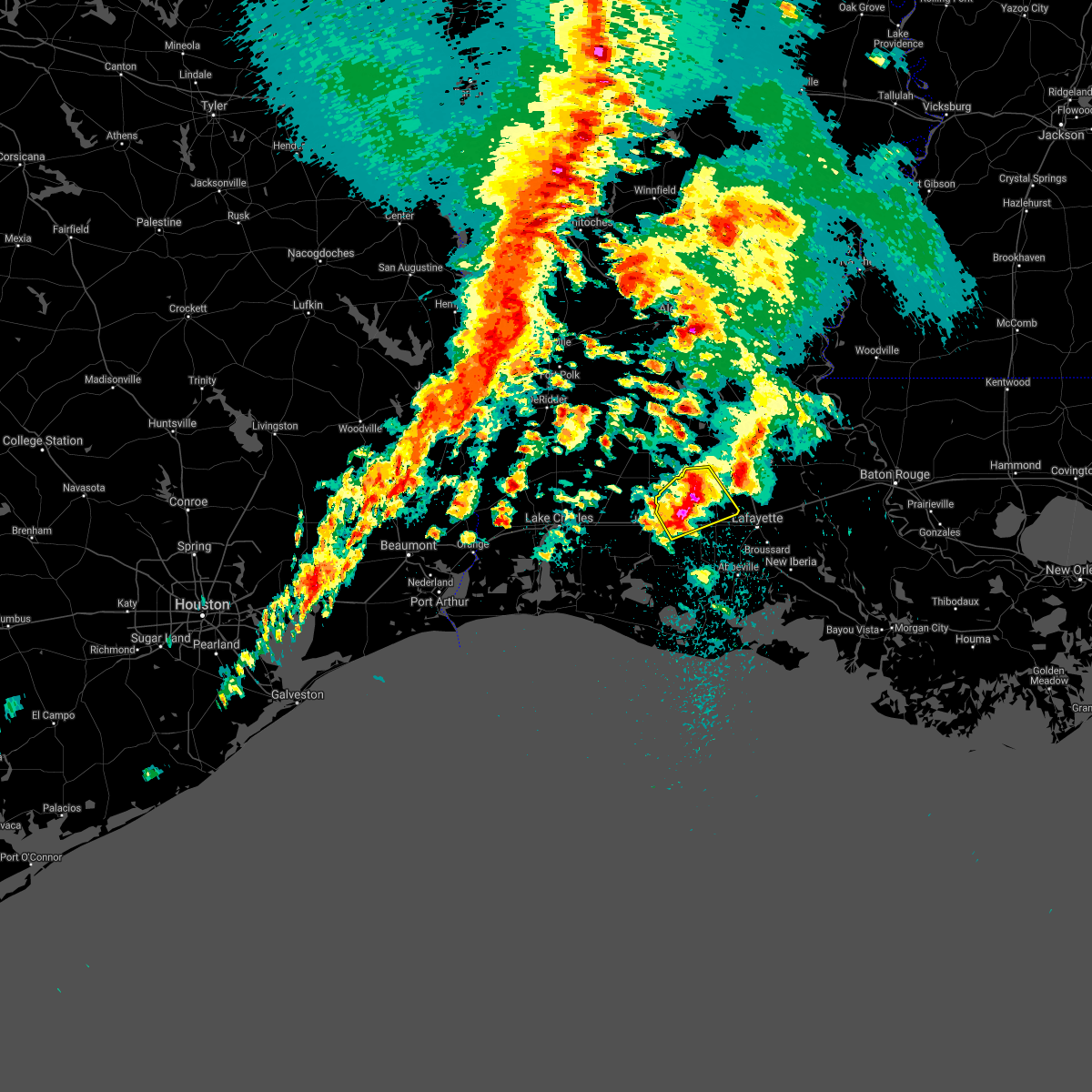 At 315 pm cdt, a severe thunderstorm was located over maxie, or near iota, moving northeast at 35 mph (radar indicated). Hazards include 60 mph wind gusts and quarter size hail. Hail damage to vehicles is expected. expect wind damage to roofs, siding, and trees. locations impacted include, crowley, eunice, rayne, church point, iota, evangeline, mowata, maxie, mire, savoy, egan, branch, richard and midland. A tornado watch remains in effect until 900 pm cdt for central, south central and southwestern louisiana. At 315 pm cdt, a severe thunderstorm was located over maxie, or near iota, moving northeast at 35 mph (radar indicated). Hazards include 60 mph wind gusts and quarter size hail. Hail damage to vehicles is expected. expect wind damage to roofs, siding, and trees. locations impacted include, crowley, eunice, rayne, church point, iota, evangeline, mowata, maxie, mire, savoy, egan, branch, richard and midland. A tornado watch remains in effect until 900 pm cdt for central, south central and southwestern louisiana.
|
| 4/2/2017 2:56 PM CDT |
 At 255 pm cdt, a severe thunderstorm was located over evangeline, or near jennings, moving northeast at 45 mph (radar indicated). Hazards include 60 mph wind gusts and quarter size hail. Hail damage to vehicles is expected. Expect wind damage to roofs, siding, and trees. At 255 pm cdt, a severe thunderstorm was located over evangeline, or near jennings, moving northeast at 45 mph (radar indicated). Hazards include 60 mph wind gusts and quarter size hail. Hail damage to vehicles is expected. Expect wind damage to roofs, siding, and trees.
|
| 4/2/2017 2:47 PM CDT | Quarter sized hail reported 0.8 miles NNE of Crowley, LA, public posted photo of quarter sized hail in crowley. |
| 4/2/2017 2:27 PM CDT |
 At 226 pm cdt, a severe thunderstorm was located over morse, or near gueydan, moving northeast at 35 mph (radar indicated). Hazards include 60 mph wind gusts and quarter size hail. Hail damage to vehicles is expected. Expect wind damage to roofs, siding, and trees. At 226 pm cdt, a severe thunderstorm was located over morse, or near gueydan, moving northeast at 35 mph (radar indicated). Hazards include 60 mph wind gusts and quarter size hail. Hail damage to vehicles is expected. Expect wind damage to roofs, siding, and trees.
|
| 4/2/2017 8:13 AM CDT |
 At 813 am cdt, a severe thunderstorm was located near indian bayou, or near rayne, moving northeast at 20 mph (radar indicated). Hazards include quarter size hail. damage to vehicles is expected At 813 am cdt, a severe thunderstorm was located near indian bayou, or near rayne, moving northeast at 20 mph (radar indicated). Hazards include quarter size hail. damage to vehicles is expected
|
| 4/2/2017 7:38 AM CDT |
 At 738 am cdt, a severe thunderstorm was located over morse, or 7 miles southeast of mermentau, moving northeast at 40 mph (radar indicated). Hazards include quarter size hail. damage to vehicles is expected At 738 am cdt, a severe thunderstorm was located over morse, or 7 miles southeast of mermentau, moving northeast at 40 mph (radar indicated). Hazards include quarter size hail. damage to vehicles is expected
|
| 1/21/2017 1:34 AM CST |
 At 134 am cst, a severe thunderstorm was located near cankton, or near church point, moving northeast at 55 mph (radar indicated). Hazards include 60 mph wind gusts and quarter size hail. Hail damage to vehicles is expected. Expect wind damage to roofs, siding, and trees. At 134 am cst, a severe thunderstorm was located near cankton, or near church point, moving northeast at 55 mph (radar indicated). Hazards include 60 mph wind gusts and quarter size hail. Hail damage to vehicles is expected. Expect wind damage to roofs, siding, and trees.
|
| 1/2/2017 12:10 PM CST |
 At 1210 pm cst, severe thunderstorms were located along a line extending from near acme to near palmetto to near egan, moving east at 80 mph (radar indicated). Hazards include 60 mph wind gusts. Expect damage to roofs, siding, and trees. locations impacted include, opelousas, crowley, eunice, jennings, rayne, ville platte, marksville, church point, bunkie, mamou, simmesport, iota, leonville, arnaudville, melville, moreauville, palmetto, morrow, bordelonville and bayou current. A tornado watch remains in effect until 700 pm cst for south central, central and southwestern louisiana. At 1210 pm cst, severe thunderstorms were located along a line extending from near acme to near palmetto to near egan, moving east at 80 mph (radar indicated). Hazards include 60 mph wind gusts. Expect damage to roofs, siding, and trees. locations impacted include, opelousas, crowley, eunice, jennings, rayne, ville platte, marksville, church point, bunkie, mamou, simmesport, iota, leonville, arnaudville, melville, moreauville, palmetto, morrow, bordelonville and bayou current. A tornado watch remains in effect until 700 pm cst for south central, central and southwestern louisiana.
|
| 1/2/2017 12:03 PM CST |
 At 1202 pm cst, severe thunderstorms were located along a line extending from new era to near crowley, moving east at 45 mph (radar indicated). Hazards include 60 mph wind gusts. Expect damage to roofs, siding, and trees. locations impacted include, opelousas, crowley, eunice, jennings, rayne, ville platte, marksville, church point, bunkie, mamou, simmesport, basile, iota, leonville, arnaudville, melville, moreauville, turkey creek, palmetto and morrow. A tornado watch remains in effect until 700 pm cst for south central, central and southwestern louisiana. At 1202 pm cst, severe thunderstorms were located along a line extending from new era to near crowley, moving east at 45 mph (radar indicated). Hazards include 60 mph wind gusts. Expect damage to roofs, siding, and trees. locations impacted include, opelousas, crowley, eunice, jennings, rayne, ville platte, marksville, church point, bunkie, mamou, simmesport, basile, iota, leonville, arnaudville, melville, moreauville, turkey creek, palmetto and morrow. A tornado watch remains in effect until 700 pm cst for south central, central and southwestern louisiana.
|
| 1/2/2017 11:48 AM CST |
 At 1148 am cst, severe thunderstorms were located along a line extending from near larto to near egan, moving east at 55 mph (radar indicated). Hazards include 60 mph wind gusts. Expect damage to roofs, siding, and trees. locations impacted include, opelousas, crowley, eunice, jennings, rayne, ville platte, marksville, church point, bunkie, mamou, simmesport, basile, iota, leonville, arnaudville, melville, moreauville, cheneyville, turkey creek and palmetto. A tornado watch remains in effect until 200 pm cst for south central, central and southwestern louisiana. At 1148 am cst, severe thunderstorms were located along a line extending from near larto to near egan, moving east at 55 mph (radar indicated). Hazards include 60 mph wind gusts. Expect damage to roofs, siding, and trees. locations impacted include, opelousas, crowley, eunice, jennings, rayne, ville platte, marksville, church point, bunkie, mamou, simmesport, basile, iota, leonville, arnaudville, melville, moreauville, cheneyville, turkey creek and palmetto. A tornado watch remains in effect until 200 pm cst for south central, central and southwestern louisiana.
|
| 1/2/2017 11:27 AM CST |
 At 1126 am cst, severe thunderstorms were located along a line extending from near esler regional airport to pine island, moving east at 45 mph (radar indicated). Hazards include 60 mph wind gusts. expect damage to roofs, siding, and trees At 1126 am cst, severe thunderstorms were located along a line extending from near esler regional airport to pine island, moving east at 45 mph (radar indicated). Hazards include 60 mph wind gusts. expect damage to roofs, siding, and trees
|
| 11/30/2016 2:46 AM CST |
 At 246 am cst, severe thunderstorms were located along a line extending from near rayne to near indian bayou, moving northeast at 40 mph (radar indicated). Hazards include 60 mph wind gusts and nickel size hail. Expect damage to roofs. siding. And trees. At 246 am cst, severe thunderstorms were located along a line extending from near rayne to near indian bayou, moving northeast at 40 mph (radar indicated). Hazards include 60 mph wind gusts and nickel size hail. Expect damage to roofs. siding. And trees.
|
| 11/28/2016 5:18 PM CST |
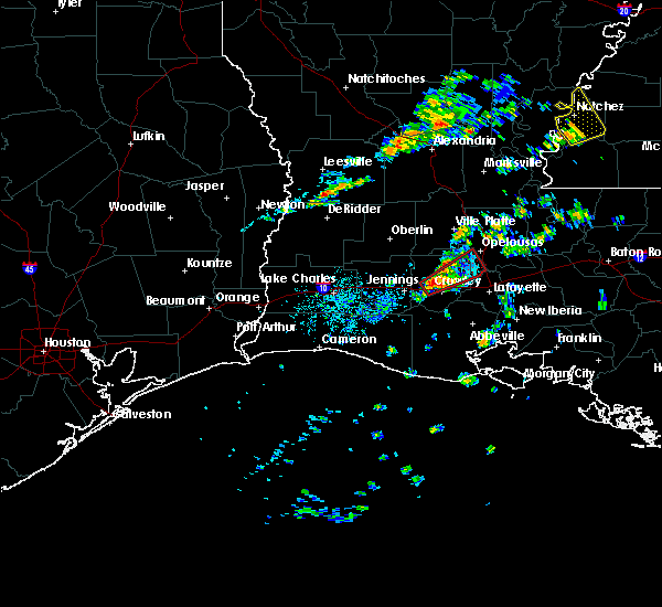 At 518 pm cst, a severe thunderstorm capable of producing a tornado was located near iota, moving northeast at 35 mph (radar indicated rotation). Hazards include tornado. Flying debris will be dangerous to those caught without shelter. mobile homes will be damaged or destroyed. damage to roofs, windows, and vehicles will occur. tree damage is likely. this dangerous storm will be near, maxie around 525 pm cst. branch, richard and mire around 540 pm cst. Church point and cankton around 545 pm cst. At 518 pm cst, a severe thunderstorm capable of producing a tornado was located near iota, moving northeast at 35 mph (radar indicated rotation). Hazards include tornado. Flying debris will be dangerous to those caught without shelter. mobile homes will be damaged or destroyed. damage to roofs, windows, and vehicles will occur. tree damage is likely. this dangerous storm will be near, maxie around 525 pm cst. branch, richard and mire around 540 pm cst. Church point and cankton around 545 pm cst.
|
| 8/12/2016 7:45 PM CDT |
 At 744 pm cdt, severe thunderstorms were located along a line extending from near thornwell to near klondike to near maurice to near breaux bridge, moving south at 35 mph (radar indicated). Hazards include 60 mph wind gusts. Expect damage to roofs. siding. and trees. locations impacted include, lafayette, new iberia, crowley, abbeville, jennings, scott, breaux bridge, rayne, carencro, st. Martinville, jeanerette, kaplan, lake arthur, gueydan, arnaudville, mermentau, forked island, pecan island, klondike and intracoastal city. At 744 pm cdt, severe thunderstorms were located along a line extending from near thornwell to near klondike to near maurice to near breaux bridge, moving south at 35 mph (radar indicated). Hazards include 60 mph wind gusts. Expect damage to roofs. siding. and trees. locations impacted include, lafayette, new iberia, crowley, abbeville, jennings, scott, breaux bridge, rayne, carencro, st. Martinville, jeanerette, kaplan, lake arthur, gueydan, arnaudville, mermentau, forked island, pecan island, klondike and intracoastal city.
|
| 8/12/2016 7:16 PM CDT |
 At 715 pm cdt, severe thunderstorms were located along a line extending from near pine island to near jennings to near mire to leonville, moving south at 35 mph (radar indicated). Hazards include 60 mph wind gusts. Expect damage to roofs. siding. And trees. At 715 pm cdt, severe thunderstorms were located along a line extending from near pine island to near jennings to near mire to leonville, moving south at 35 mph (radar indicated). Hazards include 60 mph wind gusts. Expect damage to roofs. siding. And trees.
|
| 8/12/2016 6:59 PM CDT |
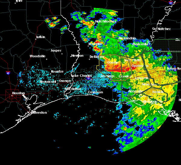 At 659 pm cdt, severe thunderstorms were located along a line extending from near kinder to mowata to near opelousas, moving south at 30 mph (radar indicated). Hazards include 60 mph wind gusts. Expect damage to roofs. siding. and trees. Locations impacted include, opelousas, crowley, eunice, jennings, rayne, church point, mamou, kinder, basile, oberlin, iota, elton, mermentau, evangeline, cankton, chataignier, branch, harmony, pine island and prairie ronde. At 659 pm cdt, severe thunderstorms were located along a line extending from near kinder to mowata to near opelousas, moving south at 30 mph (radar indicated). Hazards include 60 mph wind gusts. Expect damage to roofs. siding. and trees. Locations impacted include, opelousas, crowley, eunice, jennings, rayne, church point, mamou, kinder, basile, oberlin, iota, elton, mermentau, evangeline, cankton, chataignier, branch, harmony, pine island and prairie ronde.
|
| 8/12/2016 6:24 PM CDT |
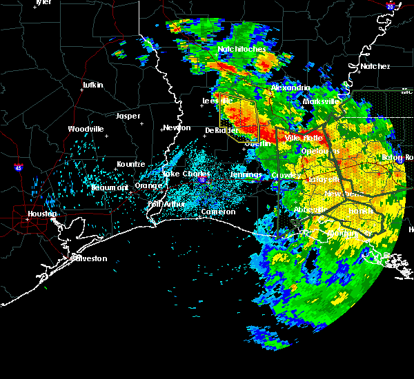 At 624 pm cdt, severe thunderstorms were located along a line extending from near pitkin to near allen parish airport to near ville platte, moving south at 30 mph (radar indicated). Hazards include 60 mph wind gusts. Expect damage to roofs. siding. And trees. At 624 pm cdt, severe thunderstorms were located along a line extending from near pitkin to near allen parish airport to near ville platte, moving south at 30 mph (radar indicated). Hazards include 60 mph wind gusts. Expect damage to roofs. siding. And trees.
|
| 5/1/2016 3:34 AM CDT |
 At 333 am cdt, a severe thunderstorm capable of producing a tornado was located over rayne, moving northeast at 10 mph (radar indicated rotation). Hazards include tornado and half dollar size hail. Flying debris will be dangerous to those caught without shelter. mobile homes will be damaged or destroyed. damage to roofs, windows, and vehicles will occur. tree damage is likely. this dangerous storm will be near, duson around 350 am cdt. Church point, mire and branch around 400 am cdt. At 333 am cdt, a severe thunderstorm capable of producing a tornado was located over rayne, moving northeast at 10 mph (radar indicated rotation). Hazards include tornado and half dollar size hail. Flying debris will be dangerous to those caught without shelter. mobile homes will be damaged or destroyed. damage to roofs, windows, and vehicles will occur. tree damage is likely. this dangerous storm will be near, duson around 350 am cdt. Church point, mire and branch around 400 am cdt.
|
| 5/1/2016 3:16 AM CDT |
 At 315 am cdt, a severe thunderstorm was located near rayne, moving northeast at 10 mph (radar indicated). Hazards include 60 mph wind gusts and half dollar size hail. Hail damage to vehicles is expected. Expect wind damage to roofs, siding, and trees. At 315 am cdt, a severe thunderstorm was located near rayne, moving northeast at 10 mph (radar indicated). Hazards include 60 mph wind gusts and half dollar size hail. Hail damage to vehicles is expected. Expect wind damage to roofs, siding, and trees.
|
| 4/30/2016 10:46 AM CDT |
 At 1046 am cdt, severe thunderstorms were located along a line extending from prairie ronde to near mire to near lyons point, moving northeast at 30 mph (radar indicated). Hazards include 60 mph wind gusts. Expect damage to roofs. siding. and trees. Locations impacted include, lafayette, opelousas, crowley, eunice, scott, rayne, carencro, church point, leonville, arnaudville, sunset, port barre, duson, washington, grand coteau, cankton, branch, swords, savoy and richard. At 1046 am cdt, severe thunderstorms were located along a line extending from prairie ronde to near mire to near lyons point, moving northeast at 30 mph (radar indicated). Hazards include 60 mph wind gusts. Expect damage to roofs. siding. and trees. Locations impacted include, lafayette, opelousas, crowley, eunice, scott, rayne, carencro, church point, leonville, arnaudville, sunset, port barre, duson, washington, grand coteau, cankton, branch, swords, savoy and richard.
|
| 4/30/2016 10:39 AM CDT |
 At 1039 am cdt, severe thunderstorms were located along a line extending from near swords to mire to riceville, moving northeast at 30 mph (radar indicated). Hazards include 60 mph wind gusts. Expect damage to roofs. siding. and trees. Locations impacted include, lafayette, opelousas, crowley, eunice, scott, rayne, carencro, kaplan, church point, gueydan, leonville, arnaudville, sunset, port barre, duson, washington, grand coteau, morse, cankton and branch. At 1039 am cdt, severe thunderstorms were located along a line extending from near swords to mire to riceville, moving northeast at 30 mph (radar indicated). Hazards include 60 mph wind gusts. Expect damage to roofs. siding. and trees. Locations impacted include, lafayette, opelousas, crowley, eunice, scott, rayne, carencro, kaplan, church point, gueydan, leonville, arnaudville, sunset, port barre, duson, washington, grand coteau, morse, cankton and branch.
|
| 4/30/2016 10:29 AM CDT |
 At 1028 am cdt, severe thunderstorms were located along a line extending from near richard to rayne to near klondike, moving northeast at 30 mph (radar indicated). Hazards include 60 mph wind gusts. Expect damage to roofs. siding. and trees. Locations impacted include, lafayette, opelousas, crowley, eunice, scott, rayne, carencro, kaplan, church point, gueydan, leonville, arnaudville, sunset, port barre, duson, washington, grand coteau, morse, cankton and branch. At 1028 am cdt, severe thunderstorms were located along a line extending from near richard to rayne to near klondike, moving northeast at 30 mph (radar indicated). Hazards include 60 mph wind gusts. Expect damage to roofs. siding. and trees. Locations impacted include, lafayette, opelousas, crowley, eunice, scott, rayne, carencro, kaplan, church point, gueydan, leonville, arnaudville, sunset, port barre, duson, washington, grand coteau, morse, cankton and branch.
|
| 4/30/2016 10:08 AM CDT |
 At 1007 am cdt, severe thunderstorms were located along a line extending from near mowata to near crowley to near lowry, moving east at 25 mph (radar indicated). Hazards include 60 mph wind gusts. Expect damage to roofs. siding. And trees. At 1007 am cdt, severe thunderstorms were located along a line extending from near mowata to near crowley to near lowry, moving east at 25 mph (radar indicated). Hazards include 60 mph wind gusts. Expect damage to roofs. siding. And trees.
|
| 4/27/2016 9:15 AM CDT |
 At 914 am cdt, severe thunderstorms were located along a line extending from wright to 6 miles southwest of pecan island, moving east at 30 mph (radar indicated). Hazards include 60 mph wind gusts and penny size hail. Expect damage to roofs. siding. and trees. Locations impacted include, lafayette, crowley, abbeville, scott, rayne, kaplan, gueydan, mermentau, forked island, intracoastal city, pecan island, freshwater city, broussard, youngsville, erath, delcambre, duson, maurice, morse and riceville. At 914 am cdt, severe thunderstorms were located along a line extending from wright to 6 miles southwest of pecan island, moving east at 30 mph (radar indicated). Hazards include 60 mph wind gusts and penny size hail. Expect damage to roofs. siding. and trees. Locations impacted include, lafayette, crowley, abbeville, scott, rayne, kaplan, gueydan, mermentau, forked island, intracoastal city, pecan island, freshwater city, broussard, youngsville, erath, delcambre, duson, maurice, morse and riceville.
|
| 4/27/2016 8:38 AM CDT |
 At 837 am cdt, severe thunderstorms were located along a line extending from lowry to 7 miles southwest of rockefeller wildlife range, moving east at 30 mph (radar indicated). Hazards include 60 mph wind gusts and penny size hail. Expect damage to roofs. siding. And trees. At 837 am cdt, severe thunderstorms were located along a line extending from lowry to 7 miles southwest of rockefeller wildlife range, moving east at 30 mph (radar indicated). Hazards include 60 mph wind gusts and penny size hail. Expect damage to roofs. siding. And trees.
|
| 3/18/2016 2:29 PM CDT |
 At 229 pm cdt, a severe thunderstorm was located near crowley, moving north at 20 mph (radar indicated). Hazards include quarter size hail. Damage to vehicles is expected. Locations impacted include, lafayette, crowley, rayne, duson, indian bayou, lyons point, mire and ridge. At 229 pm cdt, a severe thunderstorm was located near crowley, moving north at 20 mph (radar indicated). Hazards include quarter size hail. Damage to vehicles is expected. Locations impacted include, lafayette, crowley, rayne, duson, indian bayou, lyons point, mire and ridge.
|
| 3/18/2016 2:09 PM CDT |
 At 208 pm cdt, a severe thunderstorm was located over lyons point, or 7 miles northwest of kaplan, moving north at 20 mph (radar indicated). Hazards include quarter size hail. damage to vehicles is expected At 208 pm cdt, a severe thunderstorm was located over lyons point, or 7 miles northwest of kaplan, moving north at 20 mph (radar indicated). Hazards include quarter size hail. damage to vehicles is expected
|
| 2/15/2016 2:51 PM CST |
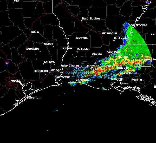 At 251 pm cst, a severe thunderstorm was located over morse, or near mermentau, moving east at 30 mph (radar indicated). Hazards include 60 mph wind gusts and quarter size hail. Hail damage to vehicles is expected. Expect wind damage to roofs, siding and trees. At 251 pm cst, a severe thunderstorm was located over morse, or near mermentau, moving east at 30 mph (radar indicated). Hazards include 60 mph wind gusts and quarter size hail. Hail damage to vehicles is expected. Expect wind damage to roofs, siding and trees.
|
| 2/15/2016 1:23 PM CST |
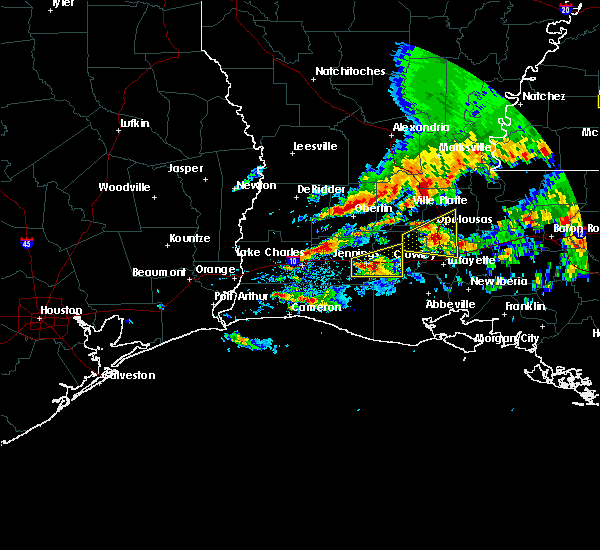 At 121 pm cst, a severe thunderstorm was located over jennings, moving east at 30 mph (radar indicated). Hazards include 60 mph wind gusts and quarter size hail. Hail damage to vehicles is expected. Expect wind damage to roofs, siding and trees. At 121 pm cst, a severe thunderstorm was located over jennings, moving east at 30 mph (radar indicated). Hazards include 60 mph wind gusts and quarter size hail. Hail damage to vehicles is expected. Expect wind damage to roofs, siding and trees.
|
| 1/8/2016 11:40 PM CST |
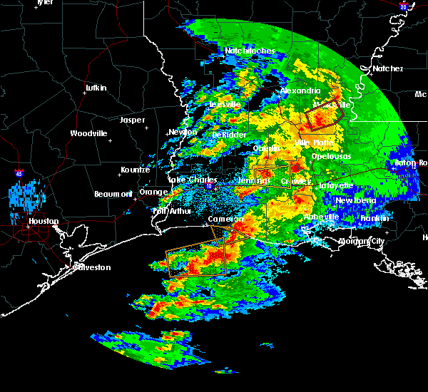 At 1140 pm cst, a severe thunderstorm was located 7 miles northwest of evangeline, or 8 miles north of jennings, moving east at 25 mph (radar indicated). Hazards include quarter size hail. damage to vehicles is expected At 1140 pm cst, a severe thunderstorm was located 7 miles northwest of evangeline, or 8 miles north of jennings, moving east at 25 mph (radar indicated). Hazards include quarter size hail. damage to vehicles is expected
|
| 5/27/2015 8:08 AM CDT | At 807 am cdt, doppler radar indicated a line of severe thunderstorms capable of producing quarter size hail and damaging winds in excess of 60 mph. these storms were located along a line extending from cheneyville to 12 miles southeast of cameron, moving southeast at 25 mph. locations impacted include, opelousas, crowley, eunice, jennings, rayne, ville platte, marksville, kaplan, church point, bunkie, mamou, lake arthur, simmesport, iota, gueydan, moreauville, mermentau, palmetto, morrow and bordelonville. |
| 5/27/2015 7:27 AM CDT | At 726 am cdt, doppler radar indicated a line of severe thunderstorms capable of producing quarter size hail and damaging winds in excess of 60 mph. these storms were located along a line extending from near poland to cameron, and moving southeast at 25 mph. |
| 5/26/2015 12:52 AM CDT | The severe thunderstorm warning for calcasieu, northwestern cameron, jefferson davis, southeastern beauregard, eastern rapides, central st. landry, evangeline, avoyelles, acadia and southeastern allen parishes, southeastern orange and southeastern jefferson counties will expire at 100 am cdt, the storms which prompted the warning have weakened below severe limits and exited the warned area. therefore the warning will be allowed to expire. however gusty winds are still possible with these thunderstorms. |
| 5/26/2015 12:52 AM CDT | The severe thunderstorm warning for calcasieu, northwestern cameron, jefferson davis, southeastern beauregard, eastern rapides, central st. landry, evangeline, avoyelles, acadia and southeastern allen parishes, southeastern orange and southeastern jefferson counties will expire at 100 am cdt, the storms which prompted the warning have weakened below severe limits and exited the warned area. therefore the warning will be allowed to expire. however gusty winds are still possible with these thunderstorms. |
| 5/25/2015 11:29 PM CDT | At 1128 pm cdt, doppler radar indicated a line of severe thunderstorms capable of producing quarter size hail and damaging winds in excess of 60 mph. these storms were located along a line extending from esler regional airport to near elton to near port arthur, and moving southeast at 15 mph. |
| 5/25/2015 11:29 PM CDT | At 1128 pm cdt, doppler radar indicated a line of severe thunderstorms capable of producing quarter size hail and damaging winds in excess of 60 mph. these storms were located along a line extending from esler regional airport to near elton to near port arthur, and moving southeast at 15 mph. |
| 4/27/2015 8:06 AM CDT | Report from lsu ag center crowle in acadia county LA, 0.8 miles NNE of Crowley, LA |
| 4/27/2015 8:03 AM CDT | Several trees reported down in the crowley are in acadia county LA, 0.8 miles NNE of Crowley, LA |
| 4/27/2015 8:01 AM CDT | At 801 am cdt, doppler radar indicated a line of severe thunderstorms capable of producing damaging winds in excess of 60 mph. these storms were located along a line extending from near alexandria international airport to near whiteville to near lyons point, and moving east at 55 mph. |
| 4/27/2015 7:39 AM CDT | At 737 am cdt, doppler radar indicated a line of severe thunderstorms capable of producing quarter size hail and damaging winds in excess of 60 mph. these storms were located along a line extending from near gardner to 6 miles northwest of turkey creek to near hayes, moving east at 55 mph. locations impacted include, alexandria, opelousas, pineville, crowley, eunice, jennings, rayne, oakdale, ville platte, marksville, church point, bunkie, mamou, welsh, iowa, lake arthur, kinder, basile, oberlin and iota. a tornado watch remains in effect until 100 pm cdt for southwestern louisiana. |
| 4/27/2015 7:20 AM CDT | At 719 am cdt, doppler radar indicated a line of severe thunderstorms capable of producing quarter size hail and damaging winds in excess of 60 mph. these storms were located along a line extending from near hutton to near elizabeth to near lake charles regional airport, and moving east at 55 mph. |
| 4/25/2015 10:42 AM CDT | At 1042 am cdt, doppler radar indicated a line of severe thunderstorms capable of producing quarter size hail and damaging winds in excess of 60 mph. these storms were located along a line extending from near grand coteau to near breaux bridge to wright, and moving east at 40 mph. |
| 4/25/2015 10:22 AM CDT | At 1021 am cdt, doppler radar indicated a line of severe thunderstorms capable of producing quarter size hail and damaging winds in excess of 60 mph. these storms were located along a line extending from near swords to near mire to near duson, moving northeast at 60 mph. locations impacted include, lafayette, opelousas, crowley, breaux bridge, rayne, carencro, church point, leonville, arnaudville, sunset, port barre, duson, grand coteau, cankton, cecilia, branch, richard, maxie, lawtell and mowata. |
| 4/25/2015 10:12 AM CDT | At 1011 am cdt, doppler radar indicated a severe thunderstorm capable of producing quarter size hail and damaging winds in excess of 60 mph. this storm was located near maxie, or near crowley. this storm was nearly stationary. locations impacted include, lafayette, opelousas, crowley, scott, breaux bridge, rayne, carencro, church point, iota, leonville, arnaudville, sunset, port barre, duson, grand coteau, cankton, cecilia, branch, richard and maxie. |
| 4/25/2015 10:04 AM CDT | At 1003 am cdt, doppler radar indicated a severe thunderstorm capable of producing quarter size hail and damaging winds in excess of 60 mph. this storm was located over egan, or near iota, moving east at 45 mph. locations impacted include, lafayette, opelousas, crowley, scott, breaux bridge, rayne, carencro, church point, iota, leonville, arnaudville, mermentau, evangeline, sunset, port barre, duson, washington, grand coteau, cankton and branch. |
| 4/25/2015 9:59 AM CDT | At 958 am cdt, doppler radar indicated a severe thunderstorm capable of producing quarter size hail and damaging winds in excess of 60 mph. this storm was located over egan, or near iota, and moving northeast at 55 mph. |
| 4/19/2015 11:52 PM CDT | At 1149 pm cdt, doppler radar indicated a large area of strong winds of 50 to 70 mph with light to moderate rain across eastern jeff davis and northern vermilion parishes. this area will continue to move east at 40 mph, and affect the remainder of south central louisiana for the next hour and a half. |
| 4/19/2015 11:52 PM CDT | At 1149 pm cdt, doppler radar indicated a large area of strong winds of 50 to 70 mph with light to moderate rain across eastern jeff davis and northern vermilion parishes. this area will continue to move east at 40 mph, and affect the remainder of south central louisiana for the next hour and a half. |
| 4/19/2015 11:52 PM CDT | At 1149 pm cdt, doppler radar indicated a large area of strong winds of 50 to 70 mph with light to moderate rain across eastern jeff davis and northern vermilion parishes. this area will continue to move east at 40 mph, and affect the remainder of south central louisiana for the next hour and a half. |
| 11/16/2014 12:24 PM CST | 911 reported branches and power lines down at morrow road and highway 1 in acadia county LA, 3.4 miles S of Crowley, LA |
| 10/13/2014 2:58 PM CDT | A tree is down across us 90 west of crowley in acadia county LA, 1.2 miles NE of Crowley, LA |
| 1/1/0001 12:00 AM | Golf Ball sized hail reported 10.4 miles S of Crowley, LA, quarter to golfball size hail |
| 1/1/0001 12:00 AM | *** 3 inj *** katc reports moderate building damage near a waffle house along hwy 100 and 13 just north of i-10. additional damage includes two ruptured gas lines. katc in acadia county LA, 0.7 miles SSE of Crowley, LA |
Hail Maps for Crowley, LA
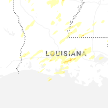
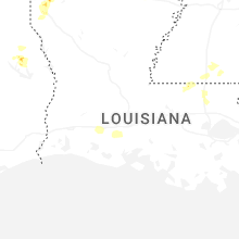


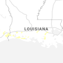


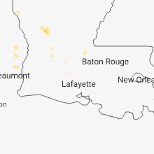

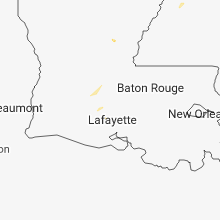

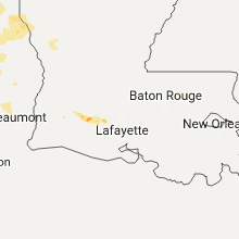


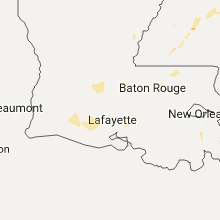
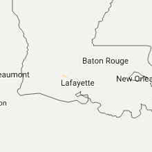


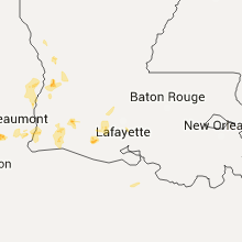


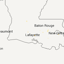


Connect with Interactive Hail Maps