

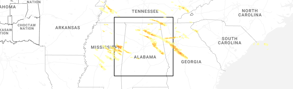
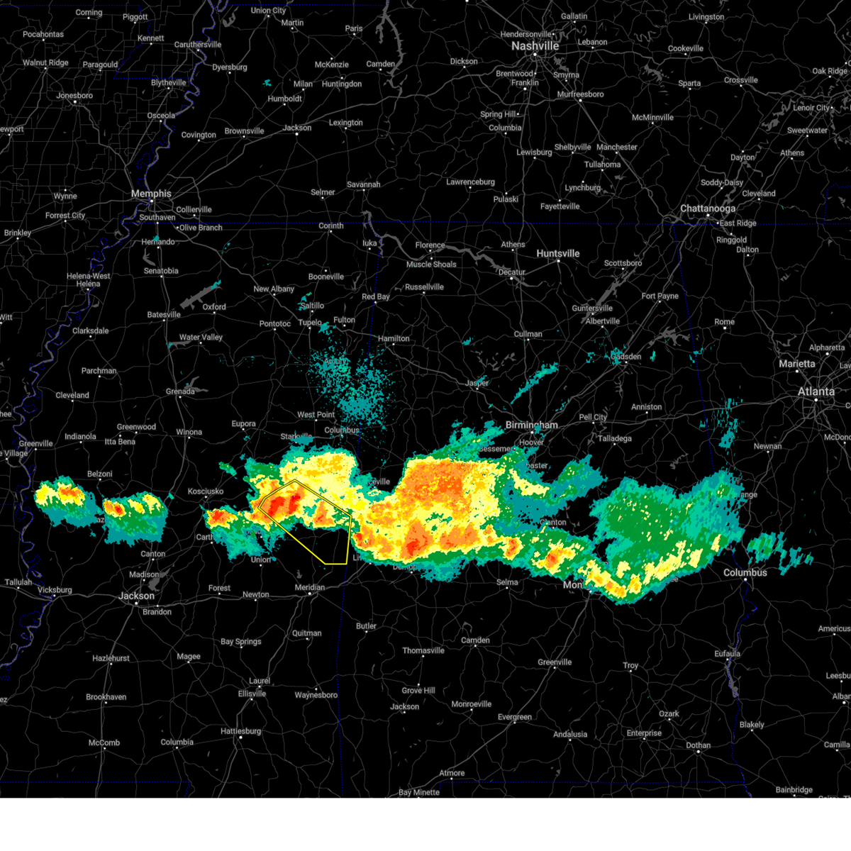
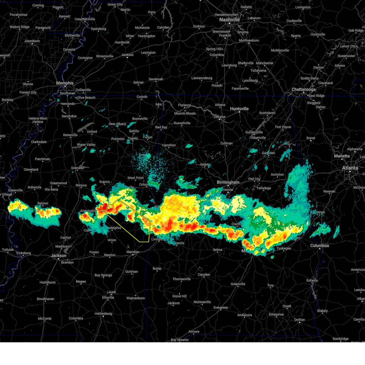
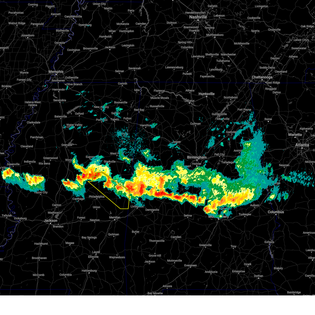
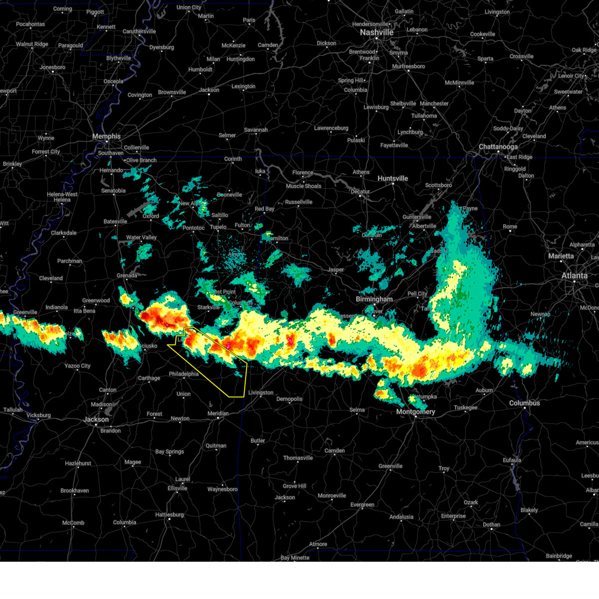
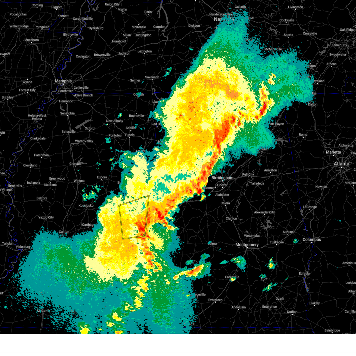
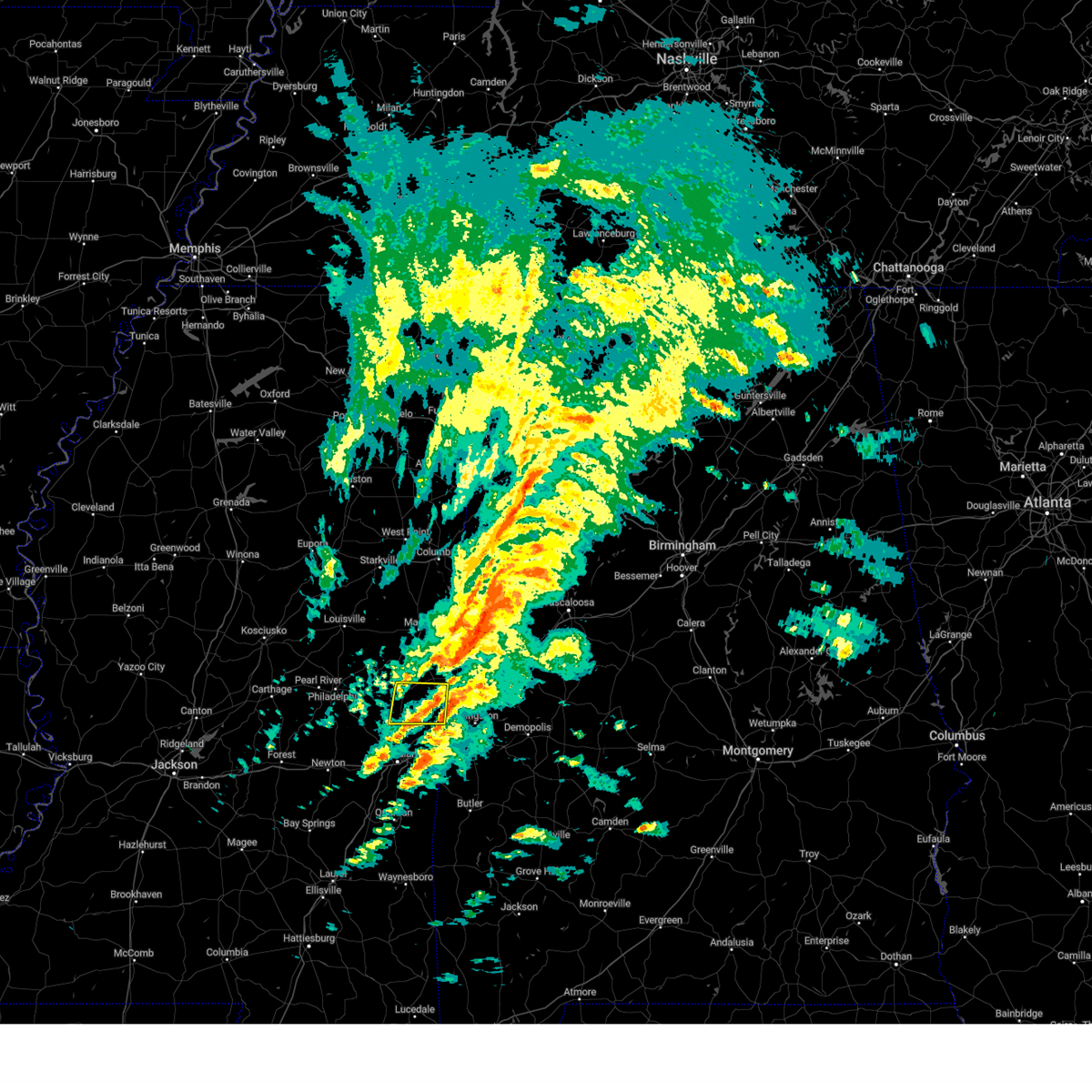
Hail Map for De Kalb, MS
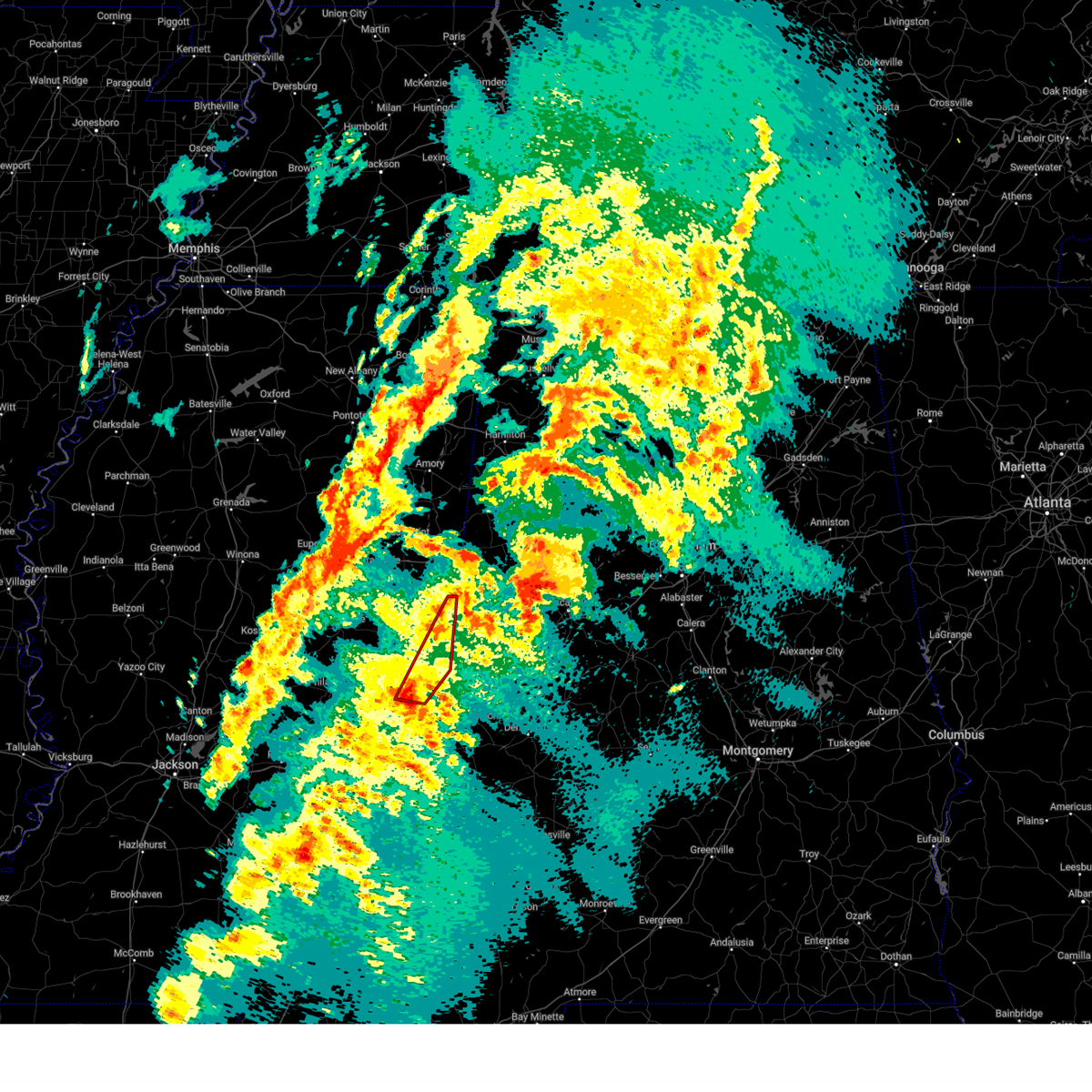
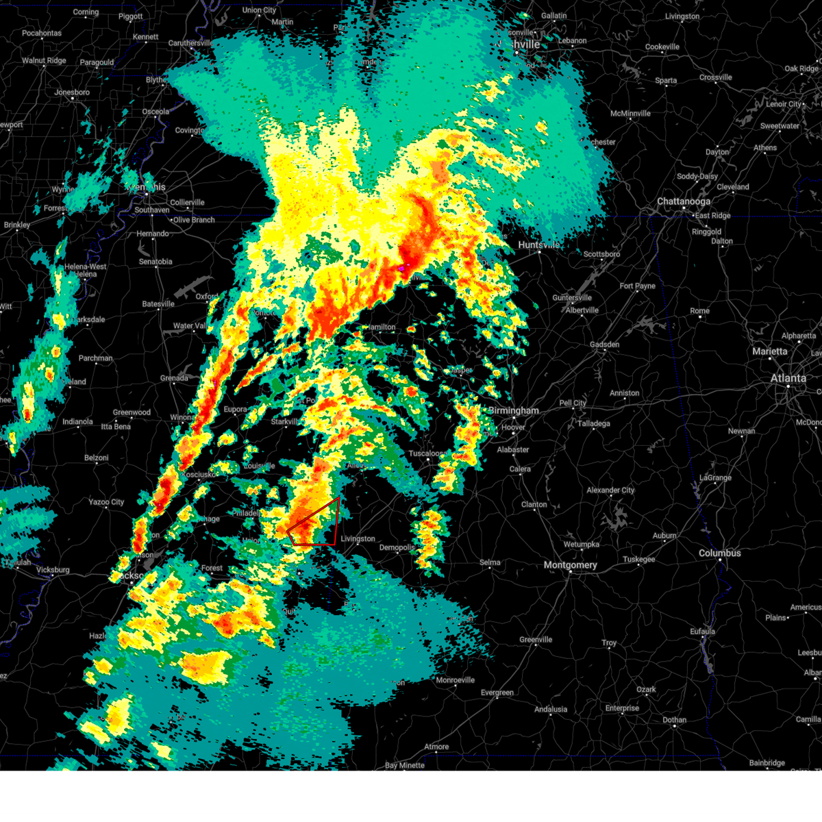
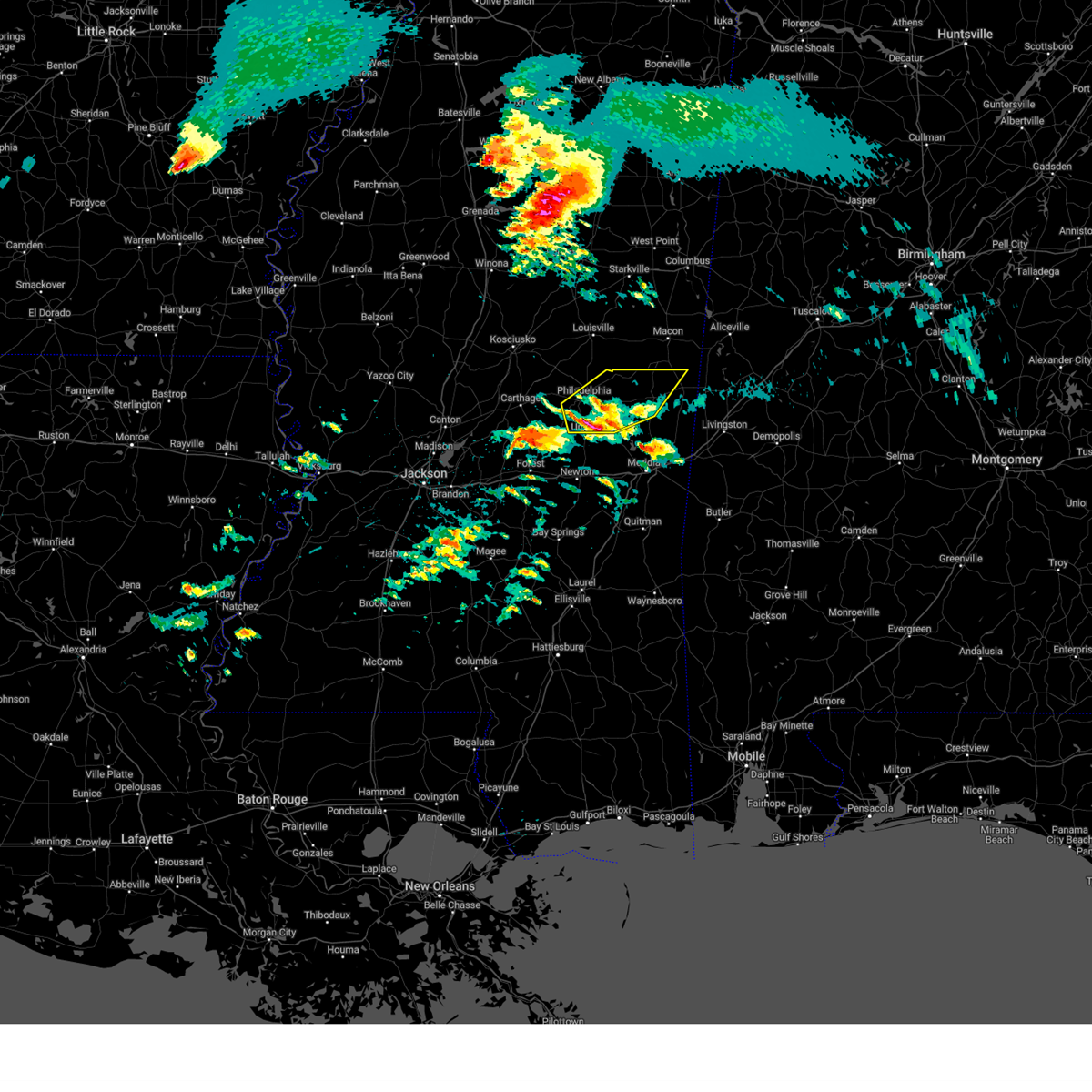
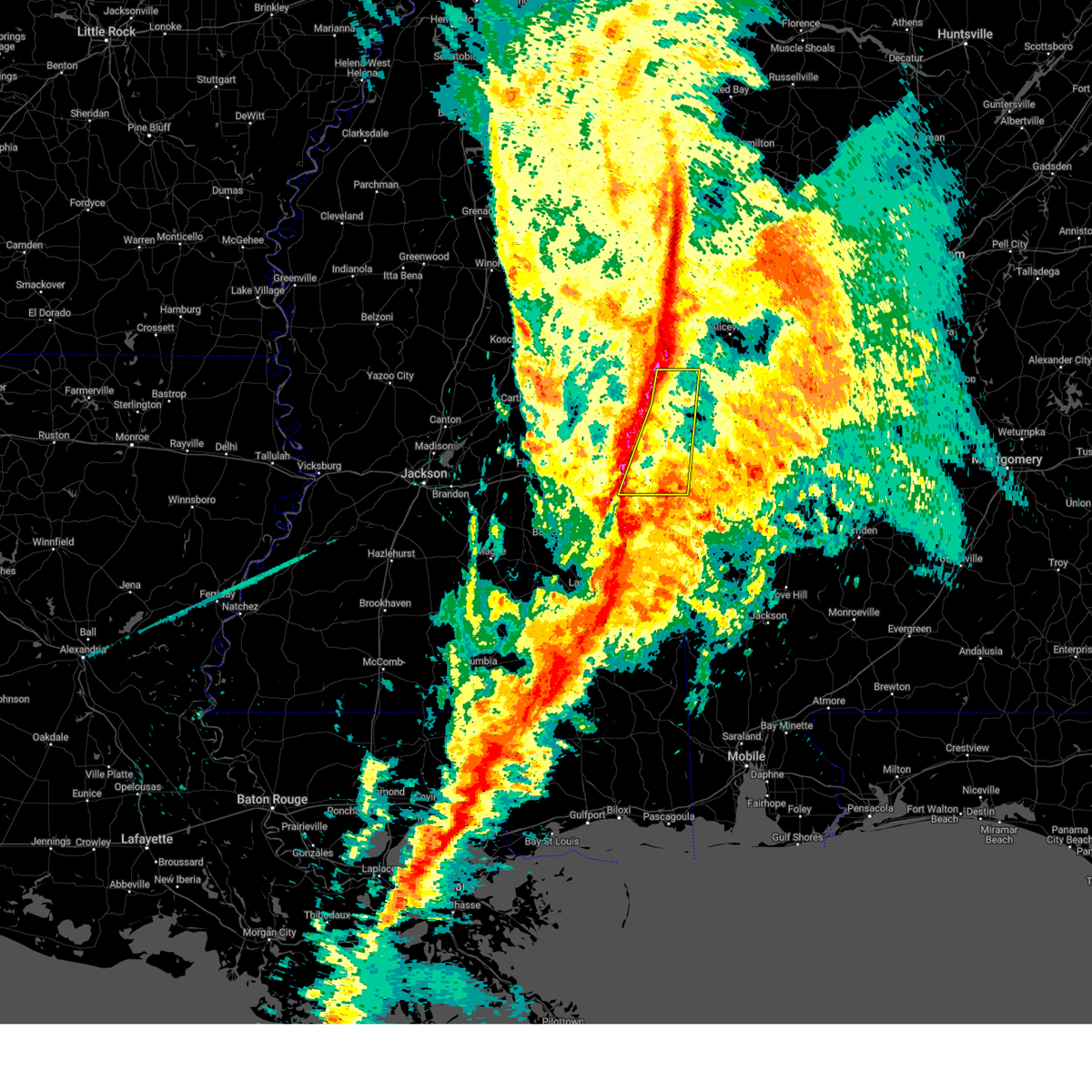
The De Kalb, MS area has had 6 reports of on-the-ground hail by trained spotters, and has been under severe weather warnings 31 times during the past 12 months. Doppler radar has detected hail at or near De Kalb, MS on 75 occasions, including 6 occasions during the past year.
| Name: | De Kalb, MS |
| Where Located: | 48.5 miles S of Starkville, MS |
| Map: | Google Map for De Kalb, MS |
| Population: | 1164 |
| Housing Units: | 521 |
| More Info: | Search Google for De Kalb, MS |
2
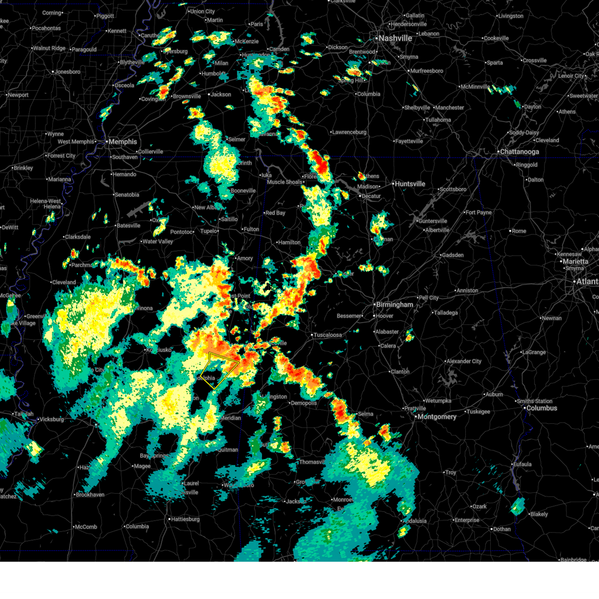
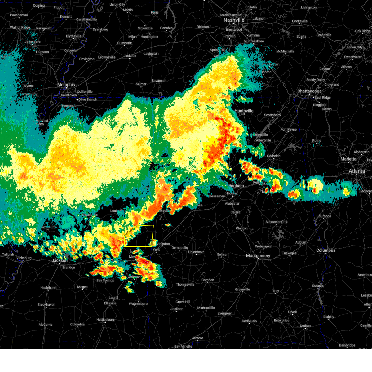
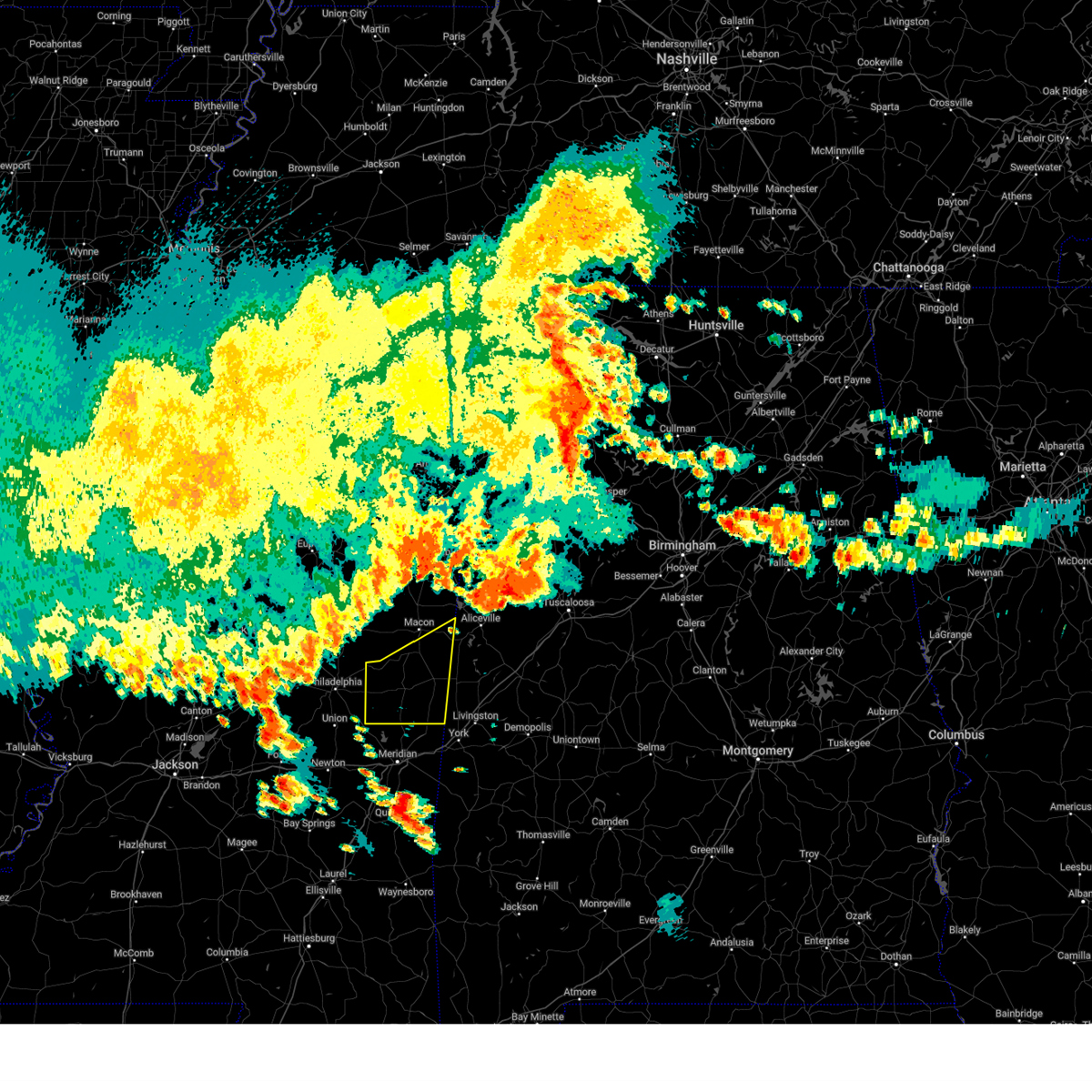
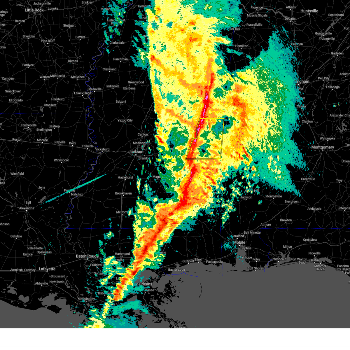
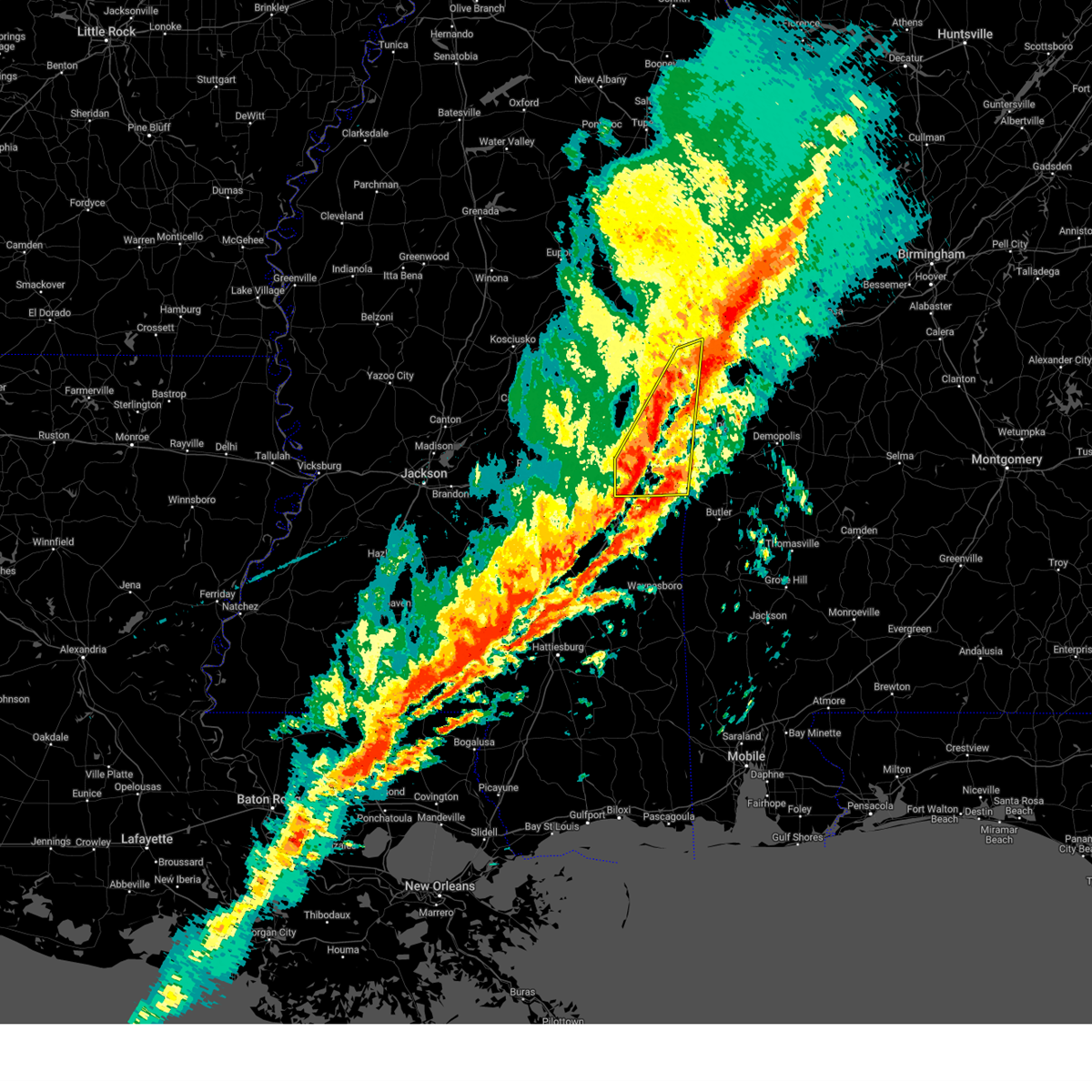
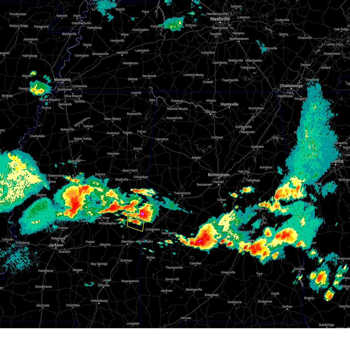
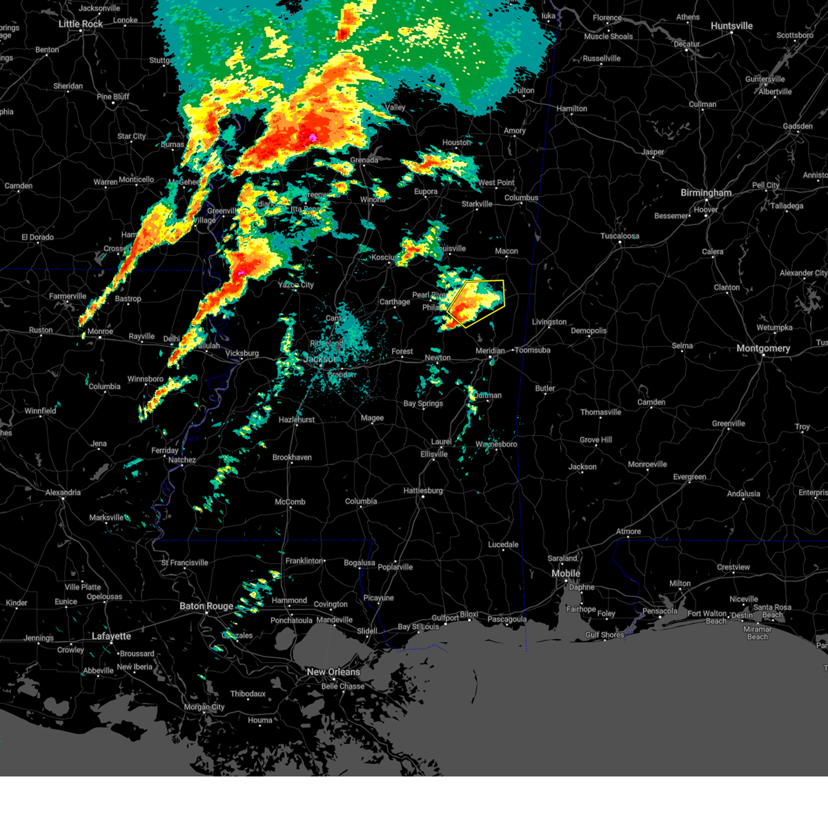
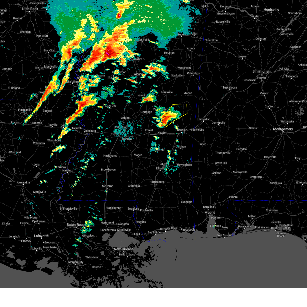
The Top Recent Hail Date for De Kalb, MS is Thursday, April 10, 2025 (7th out of 75)
Hail and Wind Damage Spotted near De Kalb, MS
| Date / Time | Report Details |
|---|---|
| 6/16/2025 4:24 PM CDT |
 the severe thunderstorm warning has been cancelled and is no longer in effect the severe thunderstorm warning has been cancelled and is no longer in effect
|
| 6/16/2025 4:00 PM CDT |
 At 400 pm cdt, a severe thunderstorm was located over bluff springs, or 7 miles west of de kalb, moving northeast at 30 mph (radar indicated). Hazards include 60 mph wind gusts. Expect damage to roofs, siding, and trees. This severe storm will be near, de kalb, gholson, and preston around 405 pm cdt. At 400 pm cdt, a severe thunderstorm was located over bluff springs, or 7 miles west of de kalb, moving northeast at 30 mph (radar indicated). Hazards include 60 mph wind gusts. Expect damage to roofs, siding, and trees. This severe storm will be near, de kalb, gholson, and preston around 405 pm cdt.
|
| 6/16/2025 3:44 PM CDT |
 Svrjan the national weather service in jackson has issued a * severe thunderstorm warning for, southwestern noxubee county in east central mississippi, western kemper county in east central mississippi, * until 445 pm cdt. * at 343 pm cdt, a severe thunderstorm was located over damascus, or 13 miles southwest of de kalb, moving northeast at 30 mph (radar indicated). Hazards include 60 mph wind gusts. Expect damage to roofs, siding, and trees. this severe thunderstorm will be near, liberty and bluff springs around 350 pm cdt. de kalb and preston around 400 pm cdt. Gholson around 410 pm cdt. Svrjan the national weather service in jackson has issued a * severe thunderstorm warning for, southwestern noxubee county in east central mississippi, western kemper county in east central mississippi, * until 445 pm cdt. * at 343 pm cdt, a severe thunderstorm was located over damascus, or 13 miles southwest of de kalb, moving northeast at 30 mph (radar indicated). Hazards include 60 mph wind gusts. Expect damage to roofs, siding, and trees. this severe thunderstorm will be near, liberty and bluff springs around 350 pm cdt. de kalb and preston around 400 pm cdt. Gholson around 410 pm cdt.
|
| 5/25/2025 9:36 PM CDT |
 the severe thunderstorm warning has been cancelled and is no longer in effect the severe thunderstorm warning has been cancelled and is no longer in effect
|
| 5/25/2025 9:36 PM CDT |
 At 936 pm cdt, severe thunderstorms were located along a line extending from near damascus to near scooba, moving southeast at 45 mph (radar indicated). Hazards include 60 mph wind gusts. Expect damage to roofs, siding, and trees. these severe storms will be near, de kalb, scooba, electric mills, blackwater, liberty, and prismatic around 940 pm cdt. porterville around 945 pm cdt. Tamola around 955 pm cdt. At 936 pm cdt, severe thunderstorms were located along a line extending from near damascus to near scooba, moving southeast at 45 mph (radar indicated). Hazards include 60 mph wind gusts. Expect damage to roofs, siding, and trees. these severe storms will be near, de kalb, scooba, electric mills, blackwater, liberty, and prismatic around 940 pm cdt. porterville around 945 pm cdt. Tamola around 955 pm cdt.
|
| 5/25/2025 9:15 PM CDT | At 915 pm cdt, severe thunderstorms were located along a line extending from near preston to near prairie point, moving southeast at 35 mph (radar indicated). Hazards include 60 mph wind gusts. Expect damage to roofs, siding, and trees. these severe storms will be near, shuqualak, gholson, and preston around 920 pm cdt. paulette around 925 pm cdt. cooksville around 930 pm cdt. de kalb around 935 pm cdt. scooba around 940 pm cdt. electric mills around 945 pm cdt. porterville around 955 pm cdt. Tamola around 1005 pm cdt. |
| 5/25/2025 8:58 PM CDT |
 Svrjan the national weather service in jackson has issued a * severe thunderstorm warning for, southern noxubee county in east central mississippi, kemper county in east central mississippi, * until 1015 pm cdt. * at 857 pm cdt, severe thunderstorms were located along a line extending from 6 miles southeast of millcreek to near deerbrook, moving southeast at 40 mph (radar indicated). Hazards include 60 mph wind gusts. Expect damage to roofs, siding, and trees. severe thunderstorms will be near, gholson around 910 pm cdt. shuqualak around 915 pm cdt. paulette around 920 pm cdt. cooksville around 925 pm cdt. scooba around 935 pm cdt. electric mills around 940 pm cdt. Porterville around 945 pm cdt. Svrjan the national weather service in jackson has issued a * severe thunderstorm warning for, southern noxubee county in east central mississippi, kemper county in east central mississippi, * until 1015 pm cdt. * at 857 pm cdt, severe thunderstorms were located along a line extending from 6 miles southeast of millcreek to near deerbrook, moving southeast at 40 mph (radar indicated). Hazards include 60 mph wind gusts. Expect damage to roofs, siding, and trees. severe thunderstorms will be near, gholson around 910 pm cdt. shuqualak around 915 pm cdt. paulette around 920 pm cdt. cooksville around 925 pm cdt. scooba around 935 pm cdt. electric mills around 940 pm cdt. Porterville around 945 pm cdt.
|
| 5/24/2025 4:28 PM CDT |
 At 428 pm cdt, severe thunderstorms were located along a line extending from shuqualak to de kalb, moving east at 40 mph (radar indicated). Hazards include 60 mph wind gusts and half dollar size hail. Hail damage to vehicles is expected. expect wind damage to roofs, siding, and trees. these severe storms will be near, scooba, electric mills, and paulette around 435 pm cdt. Porterville and cooksville around 440 pm cdt. At 428 pm cdt, severe thunderstorms were located along a line extending from shuqualak to de kalb, moving east at 40 mph (radar indicated). Hazards include 60 mph wind gusts and half dollar size hail. Hail damage to vehicles is expected. expect wind damage to roofs, siding, and trees. these severe storms will be near, scooba, electric mills, and paulette around 435 pm cdt. Porterville and cooksville around 440 pm cdt.
|
| 5/24/2025 4:06 PM CDT |
 Svrjan the national weather service in jackson has issued a * severe thunderstorm warning for, southern noxubee county in east central mississippi, kemper county in east central mississippi, southeastern winston county in east central mississippi, neshoba county in east central mississippi, * until 500 pm cdt. * at 405 pm cdt, severe thunderstorms were located along a line extending from near mashulaville to near bluff springs, moving east at 40 mph (radar indicated). Hazards include 60 mph wind gusts and half dollar size hail. Hail damage to vehicles is expected. expect wind damage to roofs, siding, and trees. severe thunderstorms will be near, gholson, preston, and bluff springs around 410 pm cdt. de kalb and shuqualak around 420 pm cdt. scooba around 430 pm cdt. porterville, electric mills, and paulette around 435 pm cdt. Cooksville around 440 pm cdt. Svrjan the national weather service in jackson has issued a * severe thunderstorm warning for, southern noxubee county in east central mississippi, kemper county in east central mississippi, southeastern winston county in east central mississippi, neshoba county in east central mississippi, * until 500 pm cdt. * at 405 pm cdt, severe thunderstorms were located along a line extending from near mashulaville to near bluff springs, moving east at 40 mph (radar indicated). Hazards include 60 mph wind gusts and half dollar size hail. Hail damage to vehicles is expected. expect wind damage to roofs, siding, and trees. severe thunderstorms will be near, gholson, preston, and bluff springs around 410 pm cdt. de kalb and shuqualak around 420 pm cdt. scooba around 430 pm cdt. porterville, electric mills, and paulette around 435 pm cdt. Cooksville around 440 pm cdt.
|
| 4/10/2025 10:50 PM CDT |
 The storm which prompted the warning has weakened below severe limits, and no longer poses an immediate threat to life or property. therefore, the warning will be allowed to expire. a severe thunderstorm watch remains in effect until 1100 pm cdt for east central mississippi. The storm which prompted the warning has weakened below severe limits, and no longer poses an immediate threat to life or property. therefore, the warning will be allowed to expire. a severe thunderstorm watch remains in effect until 1100 pm cdt for east central mississippi.
|
| 4/10/2025 10:40 PM CDT |
 At 1040 pm cdt, a severe thunderstorm was located near nanih waiya, or 11 miles southeast of louisville, moving southeast at 45 mph (radar indicated). Hazards include 60 mph wind gusts and quarter size hail. Hail damage to vehicles is expected. expect wind damage to roofs, siding, and trees. this severe storm will be near, nanih waiya and preston around 1045 pm cdt. gholson around 1050 pm cdt. bluff springs around 1055 pm cdt. de kalb around 1100 pm cdt. electric mills around 1115 pm cdt. scooba and porterville around 1120 pm cdt. Tamola around 1130 pm cdt. At 1040 pm cdt, a severe thunderstorm was located near nanih waiya, or 11 miles southeast of louisville, moving southeast at 45 mph (radar indicated). Hazards include 60 mph wind gusts and quarter size hail. Hail damage to vehicles is expected. expect wind damage to roofs, siding, and trees. this severe storm will be near, nanih waiya and preston around 1045 pm cdt. gholson around 1050 pm cdt. bluff springs around 1055 pm cdt. de kalb around 1100 pm cdt. electric mills around 1115 pm cdt. scooba and porterville around 1120 pm cdt. Tamola around 1130 pm cdt.
|
| 4/10/2025 10:29 PM CDT |
 At 1028 pm cdt, a severe thunderstorm was located near noxapater, or near louisville, moving southeast at 55 mph (radar indicated). Hazards include 60 mph wind gusts and quarter size hail. Hail damage to vehicles is expected. expect wind damage to roofs, siding, and trees. this severe storm will be near, noxapater and nanih waiya around 1035 pm cdt. preston around 1040 pm cdt. gholson around 1045 pm cdt. bluff springs around 1050 pm cdt. de kalb around 1055 pm cdt. electric mills around 1105 pm cdt. scooba and porterville around 1110 pm cdt. Tamola around 1115 pm cdt. At 1028 pm cdt, a severe thunderstorm was located near noxapater, or near louisville, moving southeast at 55 mph (radar indicated). Hazards include 60 mph wind gusts and quarter size hail. Hail damage to vehicles is expected. expect wind damage to roofs, siding, and trees. this severe storm will be near, noxapater and nanih waiya around 1035 pm cdt. preston around 1040 pm cdt. gholson around 1045 pm cdt. bluff springs around 1050 pm cdt. de kalb around 1055 pm cdt. electric mills around 1105 pm cdt. scooba and porterville around 1110 pm cdt. Tamola around 1115 pm cdt.
|
| 4/10/2025 10:14 PM CDT |
 At 1014 pm cdt, a severe thunderstorm was located over mcmillan, or near louisville, moving southeast at 50 mph (radar indicated). Hazards include 60 mph wind gusts and quarter size hail. Hail damage to vehicles is expected. expect wind damage to roofs, siding, and trees. this severe storm will be near, betheden, millcreek, and louisville around 1020 pm cdt. gholson, preston, and mashulaville around 1035 pm cdt. de kalb around 1050 pm cdt. scooba around 1055 pm cdt. electric mills around 1100 pm cdt. Porterville around 1105 pm cdt. At 1014 pm cdt, a severe thunderstorm was located over mcmillan, or near louisville, moving southeast at 50 mph (radar indicated). Hazards include 60 mph wind gusts and quarter size hail. Hail damage to vehicles is expected. expect wind damage to roofs, siding, and trees. this severe storm will be near, betheden, millcreek, and louisville around 1020 pm cdt. gholson, preston, and mashulaville around 1035 pm cdt. de kalb around 1050 pm cdt. scooba around 1055 pm cdt. electric mills around 1100 pm cdt. Porterville around 1105 pm cdt.
|
| 4/10/2025 10:01 PM CDT |
 Svrjan the national weather service in jackson has issued a * severe thunderstorm warning for, southwestern noxubee county in east central mississippi, kemper county in east central mississippi, winston county in east central mississippi, northeastern neshoba county in east central mississippi, * until 1100 pm cdt. * at 1001 pm cdt, a severe thunderstorm was located near millcreek, or near louisville, moving southeast at 45 mph (radar indicated). Hazards include 60 mph wind gusts and quarter size hail. Hail damage to vehicles is expected. expect wind damage to roofs, siding, and trees. this severe thunderstorm will be near, mashulaville around 1010 pm cdt. gholson around 1015 pm cdt. preston around 1025 pm cdt. shuqualak around 1030 pm cdt. scooba around 1040 pm cdt. electric mills around 1045 pm cdt. Porterville around 1055 pm cdt. Svrjan the national weather service in jackson has issued a * severe thunderstorm warning for, southwestern noxubee county in east central mississippi, kemper county in east central mississippi, winston county in east central mississippi, northeastern neshoba county in east central mississippi, * until 1100 pm cdt. * at 1001 pm cdt, a severe thunderstorm was located near millcreek, or near louisville, moving southeast at 45 mph (radar indicated). Hazards include 60 mph wind gusts and quarter size hail. Hail damage to vehicles is expected. expect wind damage to roofs, siding, and trees. this severe thunderstorm will be near, mashulaville around 1010 pm cdt. gholson around 1015 pm cdt. preston around 1025 pm cdt. shuqualak around 1030 pm cdt. scooba around 1040 pm cdt. electric mills around 1045 pm cdt. Porterville around 1055 pm cdt.
|
| 4/6/2025 3:33 AM CDT | Trees downed across ms hwy 49 in kemper county MS, 11.1 miles E of De Kalb, MS |
| 3/31/2025 7:55 AM CDT |
 The storm which prompted the warning has moved out of the area. therefore, the warning will be allowed to expire. a severe thunderstorm watch remains in effect until 800 am cdt for east central mississippi. The storm which prompted the warning has moved out of the area. therefore, the warning will be allowed to expire. a severe thunderstorm watch remains in effect until 800 am cdt for east central mississippi.
|
| 3/31/2025 7:25 AM CDT |
 the severe thunderstorm warning has been cancelled and is no longer in effect the severe thunderstorm warning has been cancelled and is no longer in effect
|
| 3/31/2025 7:25 AM CDT |
 At 724 am cdt, a severe thunderstorm was located over shuqualak, or 10 miles south of macon, moving east at 60 mph (radar indicated). Hazards include 60 mph wind gusts and quarter size hail. Hail damage to vehicles is expected. expect wind damage to roofs, siding, and trees. This severe storm will be near, cooksville and paulette around 730 am cdt. At 724 am cdt, a severe thunderstorm was located over shuqualak, or 10 miles south of macon, moving east at 60 mph (radar indicated). Hazards include 60 mph wind gusts and quarter size hail. Hail damage to vehicles is expected. expect wind damage to roofs, siding, and trees. This severe storm will be near, cooksville and paulette around 730 am cdt.
|
| 3/31/2025 6:59 AM CDT |
 At 659 am cdt, a severe thunderstorm was located over nanih waiya, or 12 miles northeast of philadelphia, moving east at 40 mph (radar indicated). Hazards include 60 mph wind gusts. Expect damage to roofs, siding, and trees. this severe storm will be near, preston around 705 am cdt. gholson around 710 am cdt. shuqualak around 725 am cdt. paulette around 735 am cdt. Cooksville around 745 am cdt. At 659 am cdt, a severe thunderstorm was located over nanih waiya, or 12 miles northeast of philadelphia, moving east at 40 mph (radar indicated). Hazards include 60 mph wind gusts. Expect damage to roofs, siding, and trees. this severe storm will be near, preston around 705 am cdt. gholson around 710 am cdt. shuqualak around 725 am cdt. paulette around 735 am cdt. Cooksville around 745 am cdt.
|
| 3/31/2025 6:53 AM CDT |
 Svrjan the national weather service in jackson has issued a * severe thunderstorm warning for, noxubee county in east central mississippi, northeastern newton county in east central mississippi, kemper county in east central mississippi, southeastern winston county in east central mississippi, eastern neshoba county in east central mississippi, northwestern lauderdale county in east central mississippi, * until 800 am cdt. * at 653 am cdt, a severe thunderstorm was located near stallo, or 9 miles northeast of philadelphia, moving east at 40 mph (radar indicated). Hazards include 60 mph wind gusts. Expect damage to roofs, siding, and trees. this severe thunderstorm will be near, nanih waiya and preston around 700 am cdt. gholson around 710 am cdt. shuqualak around 725 am cdt. paulette around 735 am cdt. Cooksville around 740 am cdt. Svrjan the national weather service in jackson has issued a * severe thunderstorm warning for, noxubee county in east central mississippi, northeastern newton county in east central mississippi, kemper county in east central mississippi, southeastern winston county in east central mississippi, eastern neshoba county in east central mississippi, northwestern lauderdale county in east central mississippi, * until 800 am cdt. * at 653 am cdt, a severe thunderstorm was located near stallo, or 9 miles northeast of philadelphia, moving east at 40 mph (radar indicated). Hazards include 60 mph wind gusts. Expect damage to roofs, siding, and trees. this severe thunderstorm will be near, nanih waiya and preston around 700 am cdt. gholson around 710 am cdt. shuqualak around 725 am cdt. paulette around 735 am cdt. Cooksville around 740 am cdt.
|
| 3/15/2025 3:43 PM CDT |
 Torjan the national weather service in jackson has issued a * tornado warning for, eastern noxubee county in east central mississippi, northeastern kemper county in east central mississippi, * until 430 pm cdt. * at 343 pm cdt, a severe thunderstorm capable of producing a tornado was located near de kalb, moving northeast at 55 mph (radar indicated rotation). Hazards include tornado. Flying debris will be dangerous to those caught without shelter. mobile homes will be damaged or destroyed. damage to roofs, windows, and vehicles will occur. tree damage is likely. this dangerous storm will be near, scooba and electric mills around 350 pm cdt. paulette around 355 pm cdt. cooksville around 400 pm cdt. prairie point around 410 pm cdt. Bigbee valley around 420 pm cdt. Torjan the national weather service in jackson has issued a * tornado warning for, eastern noxubee county in east central mississippi, northeastern kemper county in east central mississippi, * until 430 pm cdt. * at 343 pm cdt, a severe thunderstorm capable of producing a tornado was located near de kalb, moving northeast at 55 mph (radar indicated rotation). Hazards include tornado. Flying debris will be dangerous to those caught without shelter. mobile homes will be damaged or destroyed. damage to roofs, windows, and vehicles will occur. tree damage is likely. this dangerous storm will be near, scooba and electric mills around 350 pm cdt. paulette around 355 pm cdt. cooksville around 400 pm cdt. prairie point around 410 pm cdt. Bigbee valley around 420 pm cdt.
|
| 3/15/2025 2:16 PM CDT |
 Torjan the national weather service in jackson has issued a * tornado warning for, southeastern kemper county in east central mississippi, * until 300 pm cdt. * at 215 pm cdt, a severe thunderstorm capable of producing a tornado was located over blackwater, or 9 miles south of de kalb, moving northeast at 50 mph (radar indicated rotation). Hazards include tornado. Flying debris will be dangerous to those caught without shelter. mobile homes will be damaged or destroyed. damage to roofs, windows, and vehicles will occur. tree damage is likely. this dangerous storm will be near, porterville around 220 pm cdt. electric mills around 225 pm cdt. Scooba around 230 pm cdt. Torjan the national weather service in jackson has issued a * tornado warning for, southeastern kemper county in east central mississippi, * until 300 pm cdt. * at 215 pm cdt, a severe thunderstorm capable of producing a tornado was located over blackwater, or 9 miles south of de kalb, moving northeast at 50 mph (radar indicated rotation). Hazards include tornado. Flying debris will be dangerous to those caught without shelter. mobile homes will be damaged or destroyed. damage to roofs, windows, and vehicles will occur. tree damage is likely. this dangerous storm will be near, porterville around 220 pm cdt. electric mills around 225 pm cdt. Scooba around 230 pm cdt.
|
| 3/15/2025 2:05 AM CDT | The storm which prompted the warning has weakened below severe limits, and has exited the warned area. therefore, the warning will be allowed to expire. a tornado watch remains in effect until 500 am cdt for east central mississippi. |
| 3/15/2025 1:22 AM CDT |
 Svrjan the national weather service in jackson has issued a * severe thunderstorm warning for, western kemper county in east central mississippi, neshoba county in east central mississippi, * until 215 am cdt. * at 121 am cdt, a severe thunderstorm was located over bethsaida, or 7 miles northeast of union, moving northeast at 50 mph (radar indicated). Hazards include 60 mph wind gusts and half dollar size hail. Hail damage to vehicles is expected. expect wind damage to roofs, siding, and trees. this severe thunderstorm will be near, forestdale, damascus, herbert springs, and tucker around 125 am cdt. bluff springs around 130 am cdt. preston around 135 am cdt. De kalb around 145 am cdt. Svrjan the national weather service in jackson has issued a * severe thunderstorm warning for, western kemper county in east central mississippi, neshoba county in east central mississippi, * until 215 am cdt. * at 121 am cdt, a severe thunderstorm was located over bethsaida, or 7 miles northeast of union, moving northeast at 50 mph (radar indicated). Hazards include 60 mph wind gusts and half dollar size hail. Hail damage to vehicles is expected. expect wind damage to roofs, siding, and trees. this severe thunderstorm will be near, forestdale, damascus, herbert springs, and tucker around 125 am cdt. bluff springs around 130 am cdt. preston around 135 am cdt. De kalb around 145 am cdt.
|
| 3/4/2025 6:14 PM CST |
 At 614 pm cst, severe thunderstorms were located along a line extending from shuqualak to near savoy, moving east at 40 mph (radar indicated). Hazards include 60 mph wind gusts. Expect damage to roofs, siding, and trees. these severe storms will be near, meridian, marion, meridian station, zero, scooba, electric mills, and porterville around 620 pm cst. tamola and lauderdale around 625 pm cst. toomsuba around 630 pm cst. Alamucha and kewanee around 635 pm cst. At 614 pm cst, severe thunderstorms were located along a line extending from shuqualak to near savoy, moving east at 40 mph (radar indicated). Hazards include 60 mph wind gusts. Expect damage to roofs, siding, and trees. these severe storms will be near, meridian, marion, meridian station, zero, scooba, electric mills, and porterville around 620 pm cst. tamola and lauderdale around 625 pm cst. toomsuba around 630 pm cst. Alamucha and kewanee around 635 pm cst.
|
| 3/4/2025 6:14 PM CST |
 the severe thunderstorm warning has been cancelled and is no longer in effect the severe thunderstorm warning has been cancelled and is no longer in effect
|
| 3/4/2025 5:58 PM CST |
 Svrjan the national weather service in jackson has issued a * severe thunderstorm warning for, eastern newton county in east central mississippi, kemper county in east central mississippi, lauderdale county in east central mississippi, * until 715 pm cst. * at 558 pm cst, severe thunderstorms were located along a line extending from near gholson to near chunky, moving east at 40 mph (radar indicated). Hazards include 60 mph wind gusts. Expect damage to roofs, siding, and trees. severe thunderstorms will be near, collinsville, daleville, meehan, meridian, savoy, suqualena, blackwater, nellieburg, de kalb, and liberty around 605 pm cst. marion and meridian station around 610 pm cst. zero, scooba, and electric mills around 615 pm cst. tamola, porterville, and lauderdale around 620 pm cst. toomsuba around 625 pm cst. Alamucha and kewanee around 630 pm cst. Svrjan the national weather service in jackson has issued a * severe thunderstorm warning for, eastern newton county in east central mississippi, kemper county in east central mississippi, lauderdale county in east central mississippi, * until 715 pm cst. * at 558 pm cst, severe thunderstorms were located along a line extending from near gholson to near chunky, moving east at 40 mph (radar indicated). Hazards include 60 mph wind gusts. Expect damage to roofs, siding, and trees. severe thunderstorms will be near, collinsville, daleville, meehan, meridian, savoy, suqualena, blackwater, nellieburg, de kalb, and liberty around 605 pm cst. marion and meridian station around 610 pm cst. zero, scooba, and electric mills around 615 pm cst. tamola, porterville, and lauderdale around 620 pm cst. toomsuba around 625 pm cst. Alamucha and kewanee around 630 pm cst.
|
| 2/16/2025 12:21 AM CST | The storms which prompted the warning have moved out of the area. therefore, the warning will be allowed to expire. a tornado watch remains in effect until 400 am cst for east central mississippi. |
| 2/15/2025 11:53 PM CST |
 At 1153 pm cst, severe thunderstorms were located along a line extending from near scooba to near daleville to near savoy, moving east at 60 mph (radar indicated). Hazards include 60 mph wind gusts and nickel size hail. Expect damage to roofs, siding, and trees. these severe storms will be near, meridian, marion, tamola, zero, toomsuba, electric mills, cooksville, porterville, and lauderdale around 1200 am cst. Causeyville, alamucha, and kewanee around 1205 am cst. At 1153 pm cst, severe thunderstorms were located along a line extending from near scooba to near daleville to near savoy, moving east at 60 mph (radar indicated). Hazards include 60 mph wind gusts and nickel size hail. Expect damage to roofs, siding, and trees. these severe storms will be near, meridian, marion, tamola, zero, toomsuba, electric mills, cooksville, porterville, and lauderdale around 1200 am cst. Causeyville, alamucha, and kewanee around 1205 am cst.
|
| 2/15/2025 11:53 PM CST |
 the severe thunderstorm warning has been cancelled and is no longer in effect the severe thunderstorm warning has been cancelled and is no longer in effect
|
| 2/15/2025 11:28 PM CST |
 Svrjan the national weather service in jackson has issued a * severe thunderstorm warning for, noxubee county in east central mississippi, newton county in east central mississippi, kemper county in east central mississippi, southeastern neshoba county in east central mississippi, lauderdale county in east central mississippi, * until 1230 am cst. * at 1128 pm cst, severe thunderstorms were located along a line extending from near deerbrook to near bluff springs to near newton, moving east at 65 mph (radar indicated). Hazards include 60 mph wind gusts and nickel size hail. Expect damage to roofs, siding, and trees. severe thunderstorms will be near, collinsville, bigbee valley, prairie point, duffee, shuqualak, martin, damascus, herbert springs, de kalb, and chunky around 1135 pm cst. daleville, meehan, meridian, suqualena, blackwater, scooba, and cooksville around 1140 pm cst. meridian station, nellieburg, and electric mills around 1145 pm cst. marion and porterville around 1150 pm cst. tamola and lauderdale around 1155 pm cst. toomsuba around 1200 am cst. Kewanee around 1205 am cst. Svrjan the national weather service in jackson has issued a * severe thunderstorm warning for, noxubee county in east central mississippi, newton county in east central mississippi, kemper county in east central mississippi, southeastern neshoba county in east central mississippi, lauderdale county in east central mississippi, * until 1230 am cst. * at 1128 pm cst, severe thunderstorms were located along a line extending from near deerbrook to near bluff springs to near newton, moving east at 65 mph (radar indicated). Hazards include 60 mph wind gusts and nickel size hail. Expect damage to roofs, siding, and trees. severe thunderstorms will be near, collinsville, bigbee valley, prairie point, duffee, shuqualak, martin, damascus, herbert springs, de kalb, and chunky around 1135 pm cst. daleville, meehan, meridian, suqualena, blackwater, scooba, and cooksville around 1140 pm cst. meridian station, nellieburg, and electric mills around 1145 pm cst. marion and porterville around 1150 pm cst. tamola and lauderdale around 1155 pm cst. toomsuba around 1200 am cst. Kewanee around 1205 am cst.
|
| 12/28/2024 8:31 PM CST |
 Torjan the national weather service in jackson has issued a * tornado warning for, kemper county in east central mississippi, clarke county in east central mississippi, northeastern neshoba county in east central mississippi, lauderdale county in east central mississippi, * until 930 pm cst. * at 831 pm cst, severe thunderstorms capable of producing a tornado were located along a line extending from betheden to near heidelberg, moving northeast at 45 mph (radar indicated rotation). Hazards include tornado. Flying debris will be dangerous to those caught without shelter. mobile homes will be damaged or destroyed. damage to roofs, windows, and vehicles will occur. tree damage is likely. these dangerous storms will be near, collinsville, meehan, barnett, pachuta, martin, damascus, preston, and bluff springs around 835 pm cst. meridian, stonewall, suqualena, nellieburg, and enterprise around 840 pm cst. savoy, liberty, and prismatic around 845 pm cst. daleville, sable, quitman, blackwater, and de kalb around 850 pm cst. marion, meridian station, and zero around 855 pm cst. causeyville, middleton, and sykes around 900 pm cst. tamola, toomsuba, snell, scooba, porterville, and lauderdale around 905 pm cst. Electric mills, alamucha, and kewanee around 910 pm cst. Torjan the national weather service in jackson has issued a * tornado warning for, kemper county in east central mississippi, clarke county in east central mississippi, northeastern neshoba county in east central mississippi, lauderdale county in east central mississippi, * until 930 pm cst. * at 831 pm cst, severe thunderstorms capable of producing a tornado were located along a line extending from betheden to near heidelberg, moving northeast at 45 mph (radar indicated rotation). Hazards include tornado. Flying debris will be dangerous to those caught without shelter. mobile homes will be damaged or destroyed. damage to roofs, windows, and vehicles will occur. tree damage is likely. these dangerous storms will be near, collinsville, meehan, barnett, pachuta, martin, damascus, preston, and bluff springs around 835 pm cst. meridian, stonewall, suqualena, nellieburg, and enterprise around 840 pm cst. savoy, liberty, and prismatic around 845 pm cst. daleville, sable, quitman, blackwater, and de kalb around 850 pm cst. marion, meridian station, and zero around 855 pm cst. causeyville, middleton, and sykes around 900 pm cst. tamola, toomsuba, snell, scooba, porterville, and lauderdale around 905 pm cst. Electric mills, alamucha, and kewanee around 910 pm cst.
|
| 6/26/2024 3:47 PM CDT |
 At 347 pm cdt, severe thunderstorms were located along a line extending from near macon to 7 miles northeast of scooba to near porterville, moving northeast at 35 mph (radar indicated). Hazards include 60 mph wind gusts. Expect damage to roofs, siding, and trees. These severe storms will be near, porterville, prairie point, cooksville, electric mills, and paulette around 350 pm cdt. At 347 pm cdt, severe thunderstorms were located along a line extending from near macon to 7 miles northeast of scooba to near porterville, moving northeast at 35 mph (radar indicated). Hazards include 60 mph wind gusts. Expect damage to roofs, siding, and trees. These severe storms will be near, porterville, prairie point, cooksville, electric mills, and paulette around 350 pm cdt.
|
| 6/26/2024 3:47 PM CDT |
 the severe thunderstorm warning has been cancelled and is no longer in effect the severe thunderstorm warning has been cancelled and is no longer in effect
|
| 6/26/2024 3:08 PM CDT |
 Svrjan the national weather service in jackson has issued a * severe thunderstorm warning for, noxubee county in east central mississippi, kemper county in east central mississippi, southeastern winston county in east central mississippi, northern lauderdale county in east central mississippi, * until 400 pm cdt. * at 308 pm cdt, severe thunderstorms were located along a line extending from near preston to near de kalb to martin, moving northeast at 35 mph (radar indicated). Hazards include 60 mph wind gusts. Expect damage to roofs, siding, and trees. severe thunderstorms will be near, de kalb, daleville, gholson, blackwater, liberty, and prismatic around 315 pm cdt. scooba, meridian station, shuqualak, and electric mills around 325 pm cdt. porterville around 330 pm cdt. macon and paulette around 335 pm cdt. Cooksville around 340 pm cdt. Svrjan the national weather service in jackson has issued a * severe thunderstorm warning for, noxubee county in east central mississippi, kemper county in east central mississippi, southeastern winston county in east central mississippi, northern lauderdale county in east central mississippi, * until 400 pm cdt. * at 308 pm cdt, severe thunderstorms were located along a line extending from near preston to near de kalb to martin, moving northeast at 35 mph (radar indicated). Hazards include 60 mph wind gusts. Expect damage to roofs, siding, and trees. severe thunderstorms will be near, de kalb, daleville, gholson, blackwater, liberty, and prismatic around 315 pm cdt. scooba, meridian station, shuqualak, and electric mills around 325 pm cdt. porterville around 330 pm cdt. macon and paulette around 335 pm cdt. Cooksville around 340 pm cdt.
|
| 6/5/2024 6:14 PM CDT |
 the severe thunderstorm warning has been cancelled and is no longer in effect the severe thunderstorm warning has been cancelled and is no longer in effect
|
| 6/5/2024 6:14 PM CDT |
 At 613 pm cdt, a severe thunderstorm was located over boyd, or 8 miles northwest of york, moving northeast at 45 mph (radar indicated). Hazards include 60 mph wind gusts. Expect damage to roofs, siding, and trees. This severe thunderstorm will remain over mainly rural areas of noxubee, eastern kemper, southeastern oktibbeha and southern lowndes counties. At 613 pm cdt, a severe thunderstorm was located over boyd, or 8 miles northwest of york, moving northeast at 45 mph (radar indicated). Hazards include 60 mph wind gusts. Expect damage to roofs, siding, and trees. This severe thunderstorm will remain over mainly rural areas of noxubee, eastern kemper, southeastern oktibbeha and southern lowndes counties.
|
| 6/5/2024 5:45 PM CDT | A social media report of a tree down completely blocking highway 39 between daleville and dekalb was relaye in kemper county MS, 7.2 miles N of De Kalb, MS |
| 6/5/2024 5:45 PM CDT |
 Svrjan the national weather service in jackson has issued a * severe thunderstorm warning for, noxubee county in east central mississippi, kemper county in east central mississippi, southeastern oktibbeha county in northeastern mississippi, eastern clarke county in east central mississippi, lauderdale county in east central mississippi, southern lowndes county in northeastern mississippi, * until 630 pm cdt. * at 544 pm cdt, a severe thunderstorm was located near marion, or near meridian, moving northeast at 45 mph (radar indicated). Hazards include 60 mph wind gusts. Expect damage to roofs, siding, and trees. this severe thunderstorm will be near, meridian, meridian station, lauderdale, and daleville around 550 pm cdt. Tamola around 555 pm cdt. Svrjan the national weather service in jackson has issued a * severe thunderstorm warning for, noxubee county in east central mississippi, kemper county in east central mississippi, southeastern oktibbeha county in northeastern mississippi, eastern clarke county in east central mississippi, lauderdale county in east central mississippi, southern lowndes county in northeastern mississippi, * until 630 pm cdt. * at 544 pm cdt, a severe thunderstorm was located near marion, or near meridian, moving northeast at 45 mph (radar indicated). Hazards include 60 mph wind gusts. Expect damage to roofs, siding, and trees. this severe thunderstorm will be near, meridian, meridian station, lauderdale, and daleville around 550 pm cdt. Tamola around 555 pm cdt.
|
| 6/5/2024 4:54 PM CDT |
 Svrjan the national weather service in jackson has issued a * severe thunderstorm warning for, western noxubee county in east central mississippi, western kemper county in east central mississippi, winston county in east central mississippi, neshoba county in east central mississippi, * until 545 pm cdt. * at 454 pm cdt, a severe thunderstorm was located over burnside, or near philadelphia, moving east at 40 mph (radar indicated). Hazards include 60 mph wind gusts. Expect damage to roofs, siding, and trees. this severe thunderstorm will be near, forestdale and nanih waiya around 500 pm cdt. preston around 505 pm cdt. Gholson around 510 pm cdt. Svrjan the national weather service in jackson has issued a * severe thunderstorm warning for, western noxubee county in east central mississippi, western kemper county in east central mississippi, winston county in east central mississippi, neshoba county in east central mississippi, * until 545 pm cdt. * at 454 pm cdt, a severe thunderstorm was located over burnside, or near philadelphia, moving east at 40 mph (radar indicated). Hazards include 60 mph wind gusts. Expect damage to roofs, siding, and trees. this severe thunderstorm will be near, forestdale and nanih waiya around 500 pm cdt. preston around 505 pm cdt. Gholson around 510 pm cdt.
|
| 5/27/2024 3:45 AM CDT |
 Svrjan the national weather service in jackson has issued a * severe thunderstorm warning for, southwestern noxubee county in east central mississippi, eastern newton county in east central mississippi, kemper county in east central mississippi, eastern neshoba county in east central mississippi, lauderdale county in east central mississippi, * until 445 am cdt. * at 344 am cdt, severe thunderstorms were located along a line extending from near burnside to chunky, moving east at 55 mph (radar indicated). Hazards include 60 mph wind gusts and half dollar size hail. Hail damage to vehicles is expected. expect wind damage to roofs, siding, and trees. severe thunderstorms will be near, meridian, philadelphia, collinsville, nellieburg, tucker, house, meehan, burnside, duffee, and suqualena around 350 am cdt. savoy and damascus around 355 am cdt. marion, daleville, nanih waiya, zero, preston, liberty, prismatic, and bluff springs around 400 am cdt. meridian station and blackwater around 405 am cdt. de kalb, toomsuba, lauderdale, and alamucha around 410 am cdt. tamola and kewanee around 415 am cdt. porterville and electric mills around 420 am cdt. Scooba around 425 am cdt. Svrjan the national weather service in jackson has issued a * severe thunderstorm warning for, southwestern noxubee county in east central mississippi, eastern newton county in east central mississippi, kemper county in east central mississippi, eastern neshoba county in east central mississippi, lauderdale county in east central mississippi, * until 445 am cdt. * at 344 am cdt, severe thunderstorms were located along a line extending from near burnside to chunky, moving east at 55 mph (radar indicated). Hazards include 60 mph wind gusts and half dollar size hail. Hail damage to vehicles is expected. expect wind damage to roofs, siding, and trees. severe thunderstorms will be near, meridian, philadelphia, collinsville, nellieburg, tucker, house, meehan, burnside, duffee, and suqualena around 350 am cdt. savoy and damascus around 355 am cdt. marion, daleville, nanih waiya, zero, preston, liberty, prismatic, and bluff springs around 400 am cdt. meridian station and blackwater around 405 am cdt. de kalb, toomsuba, lauderdale, and alamucha around 410 am cdt. tamola and kewanee around 415 am cdt. porterville and electric mills around 420 am cdt. Scooba around 425 am cdt.
|
| 5/25/2024 5:03 PM CDT |
 Svrjan the national weather service in jackson has issued a * severe thunderstorm warning for, kemper county in east central mississippi, * until 600 pm cdt. * at 503 pm cdt, a severe thunderstorm was located near de kalb, moving east at 20 mph (radar indicated). Hazards include 60 mph wind gusts and quarter size hail. Hail damage to vehicles is expected. expect wind damage to roofs, siding, and trees. This severe thunderstorm will be near, scooba and electric mills around 510 pm cdt. Svrjan the national weather service in jackson has issued a * severe thunderstorm warning for, kemper county in east central mississippi, * until 600 pm cdt. * at 503 pm cdt, a severe thunderstorm was located near de kalb, moving east at 20 mph (radar indicated). Hazards include 60 mph wind gusts and quarter size hail. Hail damage to vehicles is expected. expect wind damage to roofs, siding, and trees. This severe thunderstorm will be near, scooba and electric mills around 510 pm cdt.
|
| 5/9/2024 6:34 PM CDT |
 Svrjan the national weather service in jackson has issued a * severe thunderstorm warning for, southern noxubee county in east central mississippi, northern kemper county in east central mississippi, * until 730 pm cdt. * at 634 pm cdt, a severe thunderstorm was located near preston, or 9 miles northwest of de kalb, moving east at 30 mph (radar indicated). Hazards include 60 mph wind gusts and quarter size hail. Hail damage to vehicles is expected. expect wind damage to roofs, siding, and trees. this severe thunderstorm will be near, gholson around 640 pm cdt. shuqualak around 650 pm cdt. scooba around 655 pm cdt. paulette around 710 pm cdt. Cooksville around 715 pm cdt. Svrjan the national weather service in jackson has issued a * severe thunderstorm warning for, southern noxubee county in east central mississippi, northern kemper county in east central mississippi, * until 730 pm cdt. * at 634 pm cdt, a severe thunderstorm was located near preston, or 9 miles northwest of de kalb, moving east at 30 mph (radar indicated). Hazards include 60 mph wind gusts and quarter size hail. Hail damage to vehicles is expected. expect wind damage to roofs, siding, and trees. this severe thunderstorm will be near, gholson around 640 pm cdt. shuqualak around 650 pm cdt. scooba around 655 pm cdt. paulette around 710 pm cdt. Cooksville around 715 pm cdt.
|
| 3/15/2024 8:26 AM CDT |
 the severe thunderstorm warning has been cancelled and is no longer in effect the severe thunderstorm warning has been cancelled and is no longer in effect
|
| 3/15/2024 7:59 AM CDT |
 Svrjan the national weather service in jackson has issued a * severe thunderstorm warning for, central kemper county in east central mississippi, * until 900 am cdt. * at 759 am cdt, a severe thunderstorm was located over bluff springs, or 7 miles west of de kalb, moving east at 35 mph (radar indicated). Hazards include 60 mph wind gusts. Expect damage to roofs, siding, and trees. this severe thunderstorm will be near, de kalb around 805 am cdt. scooba around 815 am cdt. Electric mills around 820 am cdt. Svrjan the national weather service in jackson has issued a * severe thunderstorm warning for, central kemper county in east central mississippi, * until 900 am cdt. * at 759 am cdt, a severe thunderstorm was located over bluff springs, or 7 miles west of de kalb, moving east at 35 mph (radar indicated). Hazards include 60 mph wind gusts. Expect damage to roofs, siding, and trees. this severe thunderstorm will be near, de kalb around 805 am cdt. scooba around 815 am cdt. Electric mills around 820 am cdt.
|
| 1/12/2024 10:19 AM CST |
 At 1018 am cst, severe thunderstorms were located along a line extending from near carrollton to near panola to 6 miles north of emelle, moving east at 50 mph (radar indicated). Hazards include 70 mph wind gusts. Expect considerable tree damage. damage is likely to mobile homes, roofs, and outbuildings. these severe thunderstorms will remain over mainly rural areas of southeastern kemper county. thunderstorm damage threat, considerable hail threat, radar indicated max hail size, <. 75 in wind threat, radar indicated max wind gust, 70 mph. At 1018 am cst, severe thunderstorms were located along a line extending from near carrollton to near panola to 6 miles north of emelle, moving east at 50 mph (radar indicated). Hazards include 70 mph wind gusts. Expect considerable tree damage. damage is likely to mobile homes, roofs, and outbuildings. these severe thunderstorms will remain over mainly rural areas of southeastern kemper county. thunderstorm damage threat, considerable hail threat, radar indicated max hail size, <. 75 in wind threat, radar indicated max wind gust, 70 mph.
|
| 1/12/2024 9:51 AM CST |
 At 951 am cst, severe thunderstorms were located along a line extending from near prairie point to near shuqualak to near de kalb, moving east at 50 mph (radar indicated). Hazards include 70 mph wind gusts. Expect considerable tree damage. damage is likely to mobile homes, roofs, and outbuildings. these severe storms will be near, de kalb, scooba, prairie point, and paulette around 955 am cst. cooksville and electric mills around 1000 am cst. thunderstorm damage threat, considerable hail threat, radar indicated max hail size, <. 75 in wind threat, radar indicated max wind gust, 70 mph. At 951 am cst, severe thunderstorms were located along a line extending from near prairie point to near shuqualak to near de kalb, moving east at 50 mph (radar indicated). Hazards include 70 mph wind gusts. Expect considerable tree damage. damage is likely to mobile homes, roofs, and outbuildings. these severe storms will be near, de kalb, scooba, prairie point, and paulette around 955 am cst. cooksville and electric mills around 1000 am cst. thunderstorm damage threat, considerable hail threat, radar indicated max hail size, <. 75 in wind threat, radar indicated max wind gust, 70 mph.
|
| 1/12/2024 9:30 AM CST |
 At 930 am cst, severe thunderstorms were located along a line extending from near mashulaville to near preston to near house, moving east at 50 mph (radar indicated). Hazards include 60 mph wind gusts. Expect damage to roofs, siding, and trees. severe thunderstorms will be near, macon around 935 am cst. de kalb, shuqualak, and liberty around 940 am cst. scooba, prairie point, and paulette around 950 am cst. cooksville around 955 am cst. electric mills around 1000 am cst. hail threat, radar indicated max hail size, <. 75 in wind threat, radar indicated max wind gust, 60 mph. At 930 am cst, severe thunderstorms were located along a line extending from near mashulaville to near preston to near house, moving east at 50 mph (radar indicated). Hazards include 60 mph wind gusts. Expect damage to roofs, siding, and trees. severe thunderstorms will be near, macon around 935 am cst. de kalb, shuqualak, and liberty around 940 am cst. scooba, prairie point, and paulette around 950 am cst. cooksville around 955 am cst. electric mills around 1000 am cst. hail threat, radar indicated max hail size, <. 75 in wind threat, radar indicated max wind gust, 60 mph.
|
| 9/6/2023 10:27 PM CDT |
 At 1026 pm cdt, a severe thunderstorm was located near burnside, or 8 miles northeast of philadelphia, moving southeast at 35 mph (radar indicated). Hazards include 60 mph wind gusts and nickel size hail. Expect damage to roofs, siding, and trees. this severe thunderstorm will be near, philadelphia, forestdale, and nanih waiya around 1030 pm cdt. bluff springs around 1040 pm cdt. damascus around 1050 pm cdt. liberty around 1055 pm cdt. herbert springs around 1100 pm cdt. hail threat, radar indicated max hail size, 0. 88 in wind threat, radar indicated max wind gust, 60 mph. At 1026 pm cdt, a severe thunderstorm was located near burnside, or 8 miles northeast of philadelphia, moving southeast at 35 mph (radar indicated). Hazards include 60 mph wind gusts and nickel size hail. Expect damage to roofs, siding, and trees. this severe thunderstorm will be near, philadelphia, forestdale, and nanih waiya around 1030 pm cdt. bluff springs around 1040 pm cdt. damascus around 1050 pm cdt. liberty around 1055 pm cdt. herbert springs around 1100 pm cdt. hail threat, radar indicated max hail size, 0. 88 in wind threat, radar indicated max wind gust, 60 mph.
|
| 6/18/2023 7:04 AM CDT |
 At 703 am cdt, severe thunderstorms were located along a line extending from near bent oak to near bigbee valley to near panola, moving northeast at 50 mph (radar indicated). Hazards include 60 mph wind gusts and penny size hail. Expect damage to roofs, siding, and trees. these severe storms will be near, columbus around 710 am cdt. hail threat, radar indicated max hail size, 0. 75 in wind threat, radar indicated max wind gust, 60 mph. At 703 am cdt, severe thunderstorms were located along a line extending from near bent oak to near bigbee valley to near panola, moving northeast at 50 mph (radar indicated). Hazards include 60 mph wind gusts and penny size hail. Expect damage to roofs, siding, and trees. these severe storms will be near, columbus around 710 am cdt. hail threat, radar indicated max hail size, 0. 75 in wind threat, radar indicated max wind gust, 60 mph.
|
| 6/18/2023 6:46 AM CDT |
 At 645 am cdt, severe thunderstorms were located along a line extending from near oktoc to near brooksville to near scooba, moving northeast at 50 mph (radar indicated). Hazards include 60 mph wind gusts and penny size hail. Expect damage to roofs, siding, and trees. these severe storms will be near, brooksville, crawford and sessums around 650 am cdt. artesia, deerbrook and cooksville around 655 am cdt. bent oak and tibbee around 700 am cdt. bigbee valley around 705 am cdt. columbus and waverly around 710 am cdt. columbus afb around 715 am cdt. steens and kolola springs around 720 am cdt. caledonia around 725 am cdt. hail threat, radar indicated max hail size, 0. 75 in wind threat, radar indicated max wind gust, 60 mph. At 645 am cdt, severe thunderstorms were located along a line extending from near oktoc to near brooksville to near scooba, moving northeast at 50 mph (radar indicated). Hazards include 60 mph wind gusts and penny size hail. Expect damage to roofs, siding, and trees. these severe storms will be near, brooksville, crawford and sessums around 650 am cdt. artesia, deerbrook and cooksville around 655 am cdt. bent oak and tibbee around 700 am cdt. bigbee valley around 705 am cdt. columbus and waverly around 710 am cdt. columbus afb around 715 am cdt. steens and kolola springs around 720 am cdt. caledonia around 725 am cdt. hail threat, radar indicated max hail size, 0. 75 in wind threat, radar indicated max wind gust, 60 mph.
|
| 6/18/2023 6:29 AM CDT |
 At 628 am cdt, severe thunderstorms were located along a line extending from betheden to near mashulaville to de kalb, moving northeast at 50 mph (radar indicated). Hazards include 60 mph wind gusts and quarter size hail. Hail damage to vehicles is expected. expect wind damage to roofs, siding, and trees. severe thunderstorms will be near, scooba and electric mills around 640 am cdt. macon and oktoc around 645 am cdt. brooksville, crawford, sessums and paulette around 650 am cdt. artesia, deerbrook and cooksville around 655 am cdt. bent oak and tibbee around 700 am cdt. bigbee valley around 705 am cdt. columbus and waverly around 710 am cdt. columbus afb around 715 am cdt. hail threat, radar indicated max hail size, 1. 00 in wind threat, radar indicated max wind gust, 60 mph. At 628 am cdt, severe thunderstorms were located along a line extending from betheden to near mashulaville to de kalb, moving northeast at 50 mph (radar indicated). Hazards include 60 mph wind gusts and quarter size hail. Hail damage to vehicles is expected. expect wind damage to roofs, siding, and trees. severe thunderstorms will be near, scooba and electric mills around 640 am cdt. macon and oktoc around 645 am cdt. brooksville, crawford, sessums and paulette around 650 am cdt. artesia, deerbrook and cooksville around 655 am cdt. bent oak and tibbee around 700 am cdt. bigbee valley around 705 am cdt. columbus and waverly around 710 am cdt. columbus afb around 715 am cdt. hail threat, radar indicated max hail size, 1. 00 in wind threat, radar indicated max wind gust, 60 mph.
|
| 6/16/2023 7:31 PM CDT |
 At 731 pm cdt, a severe thunderstorm was located over gholson, or 9 miles north of de kalb, moving southeast at 35 mph (radar indicated). Hazards include 60 mph wind gusts and half dollar size hail. Hail damage to vehicles is expected. expect wind damage to roofs, siding, and trees. this severe thunderstorm will be near, de kalb around 745 pm cdt. scooba around 755 pm cdt. electric mills around 800 pm cdt. porterville around 805 pm cdt. hail threat, radar indicated max hail size, 1. 25 in wind threat, radar indicated max wind gust, 60 mph. At 731 pm cdt, a severe thunderstorm was located over gholson, or 9 miles north of de kalb, moving southeast at 35 mph (radar indicated). Hazards include 60 mph wind gusts and half dollar size hail. Hail damage to vehicles is expected. expect wind damage to roofs, siding, and trees. this severe thunderstorm will be near, de kalb around 745 pm cdt. scooba around 755 pm cdt. electric mills around 800 pm cdt. porterville around 805 pm cdt. hail threat, radar indicated max hail size, 1. 25 in wind threat, radar indicated max wind gust, 60 mph.
|
| 6/16/2023 6:59 PM CDT |
 At 659 pm cdt, a severe thunderstorm was located near tamola, or 13 miles northwest of york, moving southeast at 25 mph. this is a destructive storm for porterville and tamola (radar indicated). Hazards include three inch hail and 60 mph wind gusts. People and animals outdoors will be severely injured. expect shattered windows, extensive damage to roofs, siding, and vehicles. locations impacted include, porterville, tamola and blackwater. thunderstorm damage threat, destructive hail threat, radar indicated max hail size, 3. 00 in wind threat, radar indicated max wind gust, 60 mph. At 659 pm cdt, a severe thunderstorm was located near tamola, or 13 miles northwest of york, moving southeast at 25 mph. this is a destructive storm for porterville and tamola (radar indicated). Hazards include three inch hail and 60 mph wind gusts. People and animals outdoors will be severely injured. expect shattered windows, extensive damage to roofs, siding, and vehicles. locations impacted include, porterville, tamola and blackwater. thunderstorm damage threat, destructive hail threat, radar indicated max hail size, 3. 00 in wind threat, radar indicated max wind gust, 60 mph.
|
| 6/16/2023 6:48 PM CDT |
 At 648 pm cdt, a severe thunderstorm was located near porterville, or 8 miles southeast of de kalb, moving east at 25 mph (radar indicated). Hazards include two inch hail and 60 mph wind gusts. People and animals outdoors will be injured. expect hail damage to roofs, siding, windows, and vehicles. expect wind damage to roofs, siding, and trees. this severe thunderstorm will be near, porterville around 700 pm cdt. tamola around 705 pm cdt. thunderstorm damage threat, considerable hail threat, radar indicated max hail size, 2. 00 in wind threat, radar indicated max wind gust, 60 mph. At 648 pm cdt, a severe thunderstorm was located near porterville, or 8 miles southeast of de kalb, moving east at 25 mph (radar indicated). Hazards include two inch hail and 60 mph wind gusts. People and animals outdoors will be injured. expect hail damage to roofs, siding, windows, and vehicles. expect wind damage to roofs, siding, and trees. this severe thunderstorm will be near, porterville around 700 pm cdt. tamola around 705 pm cdt. thunderstorm damage threat, considerable hail threat, radar indicated max hail size, 2. 00 in wind threat, radar indicated max wind gust, 60 mph.
|
| 6/15/2023 5:38 AM CDT |
 The severe thunderstorm warning for kemper, neshoba and northern lauderdale counties will expire at 545 am cdt, the storm which prompted the warning has weakened below severe limits, and no longer poses an immediate threat to life or property. therefore, the warning will be allowed to expire. however small hail and gusty winds are still possible with this thunderstorm. The severe thunderstorm warning for kemper, neshoba and northern lauderdale counties will expire at 545 am cdt, the storm which prompted the warning has weakened below severe limits, and no longer poses an immediate threat to life or property. therefore, the warning will be allowed to expire. however small hail and gusty winds are still possible with this thunderstorm.
|
| 6/15/2023 4:47 AM CDT |
 At 447 am cdt, a severe thunderstorm was located over forestdale, or 11 miles east of philadelphia, moving east at 55 mph (radar indicated). Hazards include 60 mph wind gusts and penny size hail. Expect damage to roofs, siding, and trees. this severe storm will be near, bluff springs and damascus around 455 am cdt. liberty around 500 am cdt. de kalb and blackwater around 505 am cdt. porterville and electric mills around 515 am cdt. tamola around 520 am cdt. hail threat, radar indicated max hail size, 0. 75 in wind threat, radar indicated max wind gust, 60 mph. At 447 am cdt, a severe thunderstorm was located over forestdale, or 11 miles east of philadelphia, moving east at 55 mph (radar indicated). Hazards include 60 mph wind gusts and penny size hail. Expect damage to roofs, siding, and trees. this severe storm will be near, bluff springs and damascus around 455 am cdt. liberty around 500 am cdt. de kalb and blackwater around 505 am cdt. porterville and electric mills around 515 am cdt. tamola around 520 am cdt. hail threat, radar indicated max hail size, 0. 75 in wind threat, radar indicated max wind gust, 60 mph.
|
| 6/15/2023 4:39 AM CDT |
 At 439 am cdt, a severe thunderstorm was located near philadelphia, moving east at 40 mph (radar indicated). Hazards include 60 mph wind gusts and penny size hail. Expect damage to roofs, siding, and trees. this severe storm will be near, forestdale around 450 am cdt. damascus and bluff springs around 500 am cdt. liberty around 505 am cdt. de kalb and prismatic around 510 am cdt. blackwater and daleville around 515 am cdt. meridian station around 525 am cdt. lauderdale and porterville around 530 am cdt. tamola around 535 am cdt. hail threat, radar indicated max hail size, 0. 75 in wind threat, radar indicated max wind gust, 60 mph. At 439 am cdt, a severe thunderstorm was located near philadelphia, moving east at 40 mph (radar indicated). Hazards include 60 mph wind gusts and penny size hail. Expect damage to roofs, siding, and trees. this severe storm will be near, forestdale around 450 am cdt. damascus and bluff springs around 500 am cdt. liberty around 505 am cdt. de kalb and prismatic around 510 am cdt. blackwater and daleville around 515 am cdt. meridian station around 525 am cdt. lauderdale and porterville around 530 am cdt. tamola around 535 am cdt. hail threat, radar indicated max hail size, 0. 75 in wind threat, radar indicated max wind gust, 60 mph.
|
| 6/15/2023 4:20 AM CDT |
 At 420 am cdt, a severe thunderstorm was located near pearl river, moving east at 45 mph (radar indicated). Hazards include 70 mph wind gusts and quarter size hail. Hail damage to vehicles is expected. expect considerable tree damage. wind damage is also likely to mobile homes, roofs, and outbuildings. this severe storm will be near, philadelphia around 425 am cdt. burnside and stallo around 430 am cdt. nanih waiya around 440 am cdt. forestdale around 445 am cdt. preston around 450 am cdt. bluff springs around 455 am cdt. liberty around 500 am cdt. de kalb around 505 am cdt. thunderstorm damage threat, considerable hail threat, radar indicated max hail size, 1. 00 in wind threat, radar indicated max wind gust, 70 mph. At 420 am cdt, a severe thunderstorm was located near pearl river, moving east at 45 mph (radar indicated). Hazards include 70 mph wind gusts and quarter size hail. Hail damage to vehicles is expected. expect considerable tree damage. wind damage is also likely to mobile homes, roofs, and outbuildings. this severe storm will be near, philadelphia around 425 am cdt. burnside and stallo around 430 am cdt. nanih waiya around 440 am cdt. forestdale around 445 am cdt. preston around 450 am cdt. bluff springs around 455 am cdt. liberty around 500 am cdt. de kalb around 505 am cdt. thunderstorm damage threat, considerable hail threat, radar indicated max hail size, 1. 00 in wind threat, radar indicated max wind gust, 70 mph.
|
| 6/15/2023 4:09 AM CDT |
 At 408 am cdt, a severe thunderstorm was located near edinburg, or 9 miles northwest of pearl river, moving east at 55 mph (radar indicated). Hazards include 70 mph wind gusts and quarter size hail. Hail damage to vehicles is expected. expect considerable tree damage. wind damage is also likely to mobile homes, roofs, and outbuildings. this severe thunderstorm will be near, pearl river around 415 am cdt. philadelphia around 420 am cdt. burnside and stallo around 425 am cdt. tucker around 430 am cdt. forestdale around 435 am cdt. preston around 440 am cdt. bluff springs around 445 am cdt. liberty around 450 am cdt. thunderstorm damage threat, considerable hail threat, radar indicated max hail size, 1. 00 in wind threat, radar indicated max wind gust, 70 mph. At 408 am cdt, a severe thunderstorm was located near edinburg, or 9 miles northwest of pearl river, moving east at 55 mph (radar indicated). Hazards include 70 mph wind gusts and quarter size hail. Hail damage to vehicles is expected. expect considerable tree damage. wind damage is also likely to mobile homes, roofs, and outbuildings. this severe thunderstorm will be near, pearl river around 415 am cdt. philadelphia around 420 am cdt. burnside and stallo around 425 am cdt. tucker around 430 am cdt. forestdale around 435 am cdt. preston around 440 am cdt. bluff springs around 445 am cdt. liberty around 450 am cdt. thunderstorm damage threat, considerable hail threat, radar indicated max hail size, 1. 00 in wind threat, radar indicated max wind gust, 70 mph.
|
| 6/14/2023 4:07 PM CDT | Tree fell on a residence in the area and other trees down around the count in kemper county MS, 0.7 miles WNW of De Kalb, MS |
| 6/14/2023 4:06 PM CDT |
 At 406 pm cdt, a severe thunderstorm was located near de kalb, moving east at 70 mph (radar indicated). Hazards include 70 mph wind gusts and quarter size hail. Hail damage to vehicles is expected. expect considerable tree damage. wind damage is also likely to mobile homes, roofs, and outbuildings. this severe thunderstorm will remain over mainly rural areas of southwestern noxubee and western kemper counties. thunderstorm damage threat, considerable hail threat, radar indicated max hail size, 1. 00 in wind threat, radar indicated max wind gust, 70 mph. At 406 pm cdt, a severe thunderstorm was located near de kalb, moving east at 70 mph (radar indicated). Hazards include 70 mph wind gusts and quarter size hail. Hail damage to vehicles is expected. expect considerable tree damage. wind damage is also likely to mobile homes, roofs, and outbuildings. this severe thunderstorm will remain over mainly rural areas of southwestern noxubee and western kemper counties. thunderstorm damage threat, considerable hail threat, radar indicated max hail size, 1. 00 in wind threat, radar indicated max wind gust, 70 mph.
|
| 6/14/2023 4:02 PM CDT |
 At 402 pm cdt, a severe thunderstorm was located near de kalb, moving east at 75 mph (radar indicated). Hazards include 70 mph wind gusts and half dollar size hail. Hail damage to vehicles is expected. expect considerable tree damage. wind damage is also likely to mobile homes, roofs, and outbuildings. this severe thunderstorm will be near, de kalb around 405 pm cdt. scooba, porterville and electric mills around 415 pm cdt. thunderstorm damage threat, considerable hail threat, radar indicated max hail size, 1. 25 in wind threat, radar indicated max wind gust, 70 mph. At 402 pm cdt, a severe thunderstorm was located near de kalb, moving east at 75 mph (radar indicated). Hazards include 70 mph wind gusts and half dollar size hail. Hail damage to vehicles is expected. expect considerable tree damage. wind damage is also likely to mobile homes, roofs, and outbuildings. this severe thunderstorm will be near, de kalb around 405 pm cdt. scooba, porterville and electric mills around 415 pm cdt. thunderstorm damage threat, considerable hail threat, radar indicated max hail size, 1. 25 in wind threat, radar indicated max wind gust, 70 mph.
|
| 6/14/2023 3:53 PM CDT |
 At 352 pm cdt, a severe thunderstorm was located near nanih waiya, or 9 miles northeast of philadelphia, moving east at 70 mph. this is a destructive storm for philadelphia, dekalb, and surrounding areas (radar indicated). Hazards include 80 mph wind gusts and ping pong ball size hail. Flying debris will be dangerous to those caught without shelter. mobile homes will be heavily damaged. expect considerable damage to roofs, windows, and vehicles. extensive tree damage and power outages are likely. this severe storm will be near, preston around 400 pm cdt. bluff springs around 405 pm cdt. De kalb around 410 pm cdt. At 352 pm cdt, a severe thunderstorm was located near nanih waiya, or 9 miles northeast of philadelphia, moving east at 70 mph. this is a destructive storm for philadelphia, dekalb, and surrounding areas (radar indicated). Hazards include 80 mph wind gusts and ping pong ball size hail. Flying debris will be dangerous to those caught without shelter. mobile homes will be heavily damaged. expect considerable damage to roofs, windows, and vehicles. extensive tree damage and power outages are likely. this severe storm will be near, preston around 400 pm cdt. bluff springs around 405 pm cdt. De kalb around 410 pm cdt.
|
| 6/14/2023 3:22 PM CDT |
 At 321 pm cdt, a severe thunderstorm was located near kosciusko, moving east at 70 mph. this is a destructive storm for kosciusko, philadelphia, noxapater, and surrounding areas (radar indicated). Hazards include 80 mph wind gusts and ping pong ball size hail. Flying debris will be dangerous to those caught without shelter. mobile homes will be heavily damaged. expect considerable damage to roofs, windows, and vehicles. extensive tree damage and power outages are likely. this severe thunderstorm will be near, smyrna and singleton around 325 pm cdt. zama and renfroe around 330 pm cdt. stallo around 345 pm cdt. burnside around 350 pm cdt. forestdale and nanih waiya around 355 pm cdt. preston around 400 pm cdt. bluff springs around 405 pm cdt. De kalb around 410 pm cdt. At 321 pm cdt, a severe thunderstorm was located near kosciusko, moving east at 70 mph. this is a destructive storm for kosciusko, philadelphia, noxapater, and surrounding areas (radar indicated). Hazards include 80 mph wind gusts and ping pong ball size hail. Flying debris will be dangerous to those caught without shelter. mobile homes will be heavily damaged. expect considerable damage to roofs, windows, and vehicles. extensive tree damage and power outages are likely. this severe thunderstorm will be near, smyrna and singleton around 325 pm cdt. zama and renfroe around 330 pm cdt. stallo around 345 pm cdt. burnside around 350 pm cdt. forestdale and nanih waiya around 355 pm cdt. preston around 400 pm cdt. bluff springs around 405 pm cdt. De kalb around 410 pm cdt.
|
| 6/14/2023 3:16 PM CDT |
 At 316 pm cdt, a severe thunderstorm was located near electric mills, or 8 miles east of de kalb, moving east at 35 mph (radar indicated). Hazards include 60 mph wind gusts and half dollar size hail. Hail damage to vehicles is expected. expect wind damage to roofs, siding, and trees. this severe thunderstorm will be near, porterville and electric mills around 320 pm cdt. hail threat, radar indicated max hail size, 1. 25 in wind threat, radar indicated max wind gust, 60 mph. At 316 pm cdt, a severe thunderstorm was located near electric mills, or 8 miles east of de kalb, moving east at 35 mph (radar indicated). Hazards include 60 mph wind gusts and half dollar size hail. Hail damage to vehicles is expected. expect wind damage to roofs, siding, and trees. this severe thunderstorm will be near, porterville and electric mills around 320 pm cdt. hail threat, radar indicated max hail size, 1. 25 in wind threat, radar indicated max wind gust, 60 mph.
|
| 5/11/2023 4:47 PM CDT |
 At 446 pm cdt, severe thunderstorms were located along a line extending from near paulette to near lauderdale to near zero, moving east at 40 mph (radar indicated). Hazards include 60 mph wind gusts. Expect damage to roofs, siding, and trees. these severe storms will be near, tamola around 450 pm cdt. alamucha around 510 pm cdt. hail threat, radar indicated max hail size, <. 75 in wind threat, radar indicated max wind gust, 60 mph. At 446 pm cdt, severe thunderstorms were located along a line extending from near paulette to near lauderdale to near zero, moving east at 40 mph (radar indicated). Hazards include 60 mph wind gusts. Expect damage to roofs, siding, and trees. these severe storms will be near, tamola around 450 pm cdt. alamucha around 510 pm cdt. hail threat, radar indicated max hail size, <. 75 in wind threat, radar indicated max wind gust, 60 mph.
|
| 5/11/2023 4:29 PM CDT |
 At 429 pm cdt, severe thunderstorms were located along a line extending from near gholson to near daleville to near meehan, moving east at 40 mph (radar indicated). Hazards include 60 mph wind gusts. Expect damage to roofs, siding, and trees. these severe storms will be near, marion and meridian station around 435 pm cdt. lauderdale around 445 pm cdt. zero and tamola around 450 pm cdt. causeyville around 500 pm cdt. alamucha around 510 pm cdt. hail threat, radar indicated max hail size, <. 75 in wind threat, radar indicated max wind gust, 60 mph. At 429 pm cdt, severe thunderstorms were located along a line extending from near gholson to near daleville to near meehan, moving east at 40 mph (radar indicated). Hazards include 60 mph wind gusts. Expect damage to roofs, siding, and trees. these severe storms will be near, marion and meridian station around 435 pm cdt. lauderdale around 445 pm cdt. zero and tamola around 450 pm cdt. causeyville around 500 pm cdt. alamucha around 510 pm cdt. hail threat, radar indicated max hail size, <. 75 in wind threat, radar indicated max wind gust, 60 mph.
|
| 5/11/2023 4:13 PM CDT |
 At 413 pm cdt, severe thunderstorms were located along a line extending from near preston to near collinsville to near hickory, moving east at 40 mph (radar indicated). Hazards include 60 mph wind gusts. Expect damage to roofs, siding, and trees. these severe storms will be near, preston around 420 pm cdt. prismatic around 425 pm cdt. daleville and blackwater around 430 pm cdt. nellieburg, meridian station and savoy around 435 pm cdt. meridian around 440 pm cdt. lauderdale around 445 pm cdt. marion, tamola and zero around 450 pm cdt. causeyville around 455 pm cdt. hail threat, radar indicated max hail size, <. 75 in wind threat, radar indicated max wind gust, 60 mph. At 413 pm cdt, severe thunderstorms were located along a line extending from near preston to near collinsville to near hickory, moving east at 40 mph (radar indicated). Hazards include 60 mph wind gusts. Expect damage to roofs, siding, and trees. these severe storms will be near, preston around 420 pm cdt. prismatic around 425 pm cdt. daleville and blackwater around 430 pm cdt. nellieburg, meridian station and savoy around 435 pm cdt. meridian around 440 pm cdt. lauderdale around 445 pm cdt. marion, tamola and zero around 450 pm cdt. causeyville around 455 pm cdt. hail threat, radar indicated max hail size, <. 75 in wind threat, radar indicated max wind gust, 60 mph.
|
| 5/11/2023 3:56 PM CDT |
 At 355 pm cdt, severe thunderstorms were located along a line extending from near nanih waiya to near little rock to near roberts, moving east at 40 mph (radar indicated). Hazards include 60 mph wind gusts. Expect damage to roofs, siding, and trees. severe thunderstorms will be near, collinsville and preston around 410 pm cdt. meehan and prismatic around 425 pm cdt. meridian, meridian station and savoy around 435 pm cdt. lauderdale around 440 pm cdt. tamola and zero around 445 pm cdt. marion around 450 pm cdt. hail threat, radar indicated max hail size, <. 75 in wind threat, radar indicated max wind gust, 60 mph. At 355 pm cdt, severe thunderstorms were located along a line extending from near nanih waiya to near little rock to near roberts, moving east at 40 mph (radar indicated). Hazards include 60 mph wind gusts. Expect damage to roofs, siding, and trees. severe thunderstorms will be near, collinsville and preston around 410 pm cdt. meehan and prismatic around 425 pm cdt. meridian, meridian station and savoy around 435 pm cdt. lauderdale around 440 pm cdt. tamola and zero around 445 pm cdt. marion around 450 pm cdt. hail threat, radar indicated max hail size, <. 75 in wind threat, radar indicated max wind gust, 60 mph.
|
| 3/24/2023 8:35 PM CDT |
 At 835 pm cdt, a severe thunderstorm was located near de kalb, or 11 miles east of preston, moving northeast at 50 mph (radar indicated). Hazards include 60 mph wind gusts. Expect damage to roofs, siding, and trees. this severe thunderstorm will remain over mainly rural areas of north central kemper county. hail threat, radar indicated max hail size, <. 75 in wind threat, radar indicated max wind gust, 60 mph. At 835 pm cdt, a severe thunderstorm was located near de kalb, or 11 miles east of preston, moving northeast at 50 mph (radar indicated). Hazards include 60 mph wind gusts. Expect damage to roofs, siding, and trees. this severe thunderstorm will remain over mainly rural areas of north central kemper county. hail threat, radar indicated max hail size, <. 75 in wind threat, radar indicated max wind gust, 60 mph.
|
| 3/24/2023 8:11 PM CDT |
 At 810 pm cdt, a severe thunderstorm was located near herbert springs, or 13 miles southeast of philadelphia, moving northeast at 50 mph (radar indicated). Hazards include 60 mph wind gusts. Expect damage to roofs, siding, and trees. this severe storm will be near, damascus and forestdale around 815 pm cdt. liberty around 820 pm cdt. bluff springs around 825 pm cdt. de kalb around 830 pm cdt. Other locations impacted by this severe thunderstorm include tucker. At 810 pm cdt, a severe thunderstorm was located near herbert springs, or 13 miles southeast of philadelphia, moving northeast at 50 mph (radar indicated). Hazards include 60 mph wind gusts. Expect damage to roofs, siding, and trees. this severe storm will be near, damascus and forestdale around 815 pm cdt. liberty around 820 pm cdt. bluff springs around 825 pm cdt. de kalb around 830 pm cdt. Other locations impacted by this severe thunderstorm include tucker.
|
| 3/24/2023 7:56 PM CDT |
 At 756 pm cdt, a severe thunderstorm was located near little rock, or 10 miles east of prospect, moving northeast at 50 mph (radar indicated). Hazards include 60 mph wind gusts. Expect damage to roofs, siding, and trees. this severe thunderstorm will be near, house and bethsaida around 805 pm cdt. herbert springs around 810 pm cdt. damascus around 815 pm cdt. liberty around 820 pm cdt. bluff springs around 825 pm cdt. de kalb around 830 pm cdt. Other locations impacted by this severe thunderstorm include tucker. At 756 pm cdt, a severe thunderstorm was located near little rock, or 10 miles east of prospect, moving northeast at 50 mph (radar indicated). Hazards include 60 mph wind gusts. Expect damage to roofs, siding, and trees. this severe thunderstorm will be near, house and bethsaida around 805 pm cdt. herbert springs around 810 pm cdt. damascus around 815 pm cdt. liberty around 820 pm cdt. bluff springs around 825 pm cdt. de kalb around 830 pm cdt. Other locations impacted by this severe thunderstorm include tucker.
|
| 3/12/2023 4:28 AM CDT |
 At 428 am cdt, severe thunderstorms were located along a line extending from near gholson to near house to near conehatta, moving east at 60 mph (radar indicated). Hazards include 60 mph wind gusts and penny size hail. Expect damage to roofs, siding, and trees. these severe storms will be near, damascus around 435 am cdt. liberty and prismatic around 440 am cdt. duffee, blackwater, daleville and electric mills around 445 am cdt. suqualena and martin around 450 am cdt. meridian and nellieburg around 455 am cdt. marion, porterville and tamola around 500 am cdt. meridian station around 505 am cdt. lauderdale and toomsuba around 510 am cdt. other locations impacted by these severe thunderstorms include scooba and sebastopol. hail threat, radar indicated max hail size, 0. 75 in wind threat, radar indicated max wind gust, 60 mph. At 428 am cdt, severe thunderstorms were located along a line extending from near gholson to near house to near conehatta, moving east at 60 mph (radar indicated). Hazards include 60 mph wind gusts and penny size hail. Expect damage to roofs, siding, and trees. these severe storms will be near, damascus around 435 am cdt. liberty and prismatic around 440 am cdt. duffee, blackwater, daleville and electric mills around 445 am cdt. suqualena and martin around 450 am cdt. meridian and nellieburg around 455 am cdt. marion, porterville and tamola around 500 am cdt. meridian station around 505 am cdt. lauderdale and toomsuba around 510 am cdt. other locations impacted by these severe thunderstorms include scooba and sebastopol. hail threat, radar indicated max hail size, 0. 75 in wind threat, radar indicated max wind gust, 60 mph.
|
| 3/12/2023 4:18 AM CDT |
 At 417 am cdt, severe thunderstorms were located along a line extending from preston to bethsaida to near conehatta, moving east at 60 mph (radar indicated). Hazards include 60 mph wind gusts and nickel size hail. Expect damage to roofs, siding, and trees. these severe storms will be near, preston and herbert springs around 425 am cdt. damascus around 430 am cdt. liberty, little rock, prismatic and bluff springs around 435 am cdt. de kalb, duffee and blackwater around 440 am cdt. martin and suqualena around 445 am cdt. meridian and nellieburg around 450 am cdt. marion, porterville, daleville, tamola and electric mills around 455 am cdt. meridian station around 500 am cdt. other locations impacted by these severe thunderstorms include tucker, walnut grove, sebastopol and scooba. hail threat, radar indicated max hail size, 0. 88 in wind threat, radar indicated max wind gust, 60 mph. At 417 am cdt, severe thunderstorms were located along a line extending from preston to bethsaida to near conehatta, moving east at 60 mph (radar indicated). Hazards include 60 mph wind gusts and nickel size hail. Expect damage to roofs, siding, and trees. these severe storms will be near, preston and herbert springs around 425 am cdt. damascus around 430 am cdt. liberty, little rock, prismatic and bluff springs around 435 am cdt. de kalb, duffee and blackwater around 440 am cdt. martin and suqualena around 445 am cdt. meridian and nellieburg around 450 am cdt. marion, porterville, daleville, tamola and electric mills around 455 am cdt. meridian station around 500 am cdt. other locations impacted by these severe thunderstorms include tucker, walnut grove, sebastopol and scooba. hail threat, radar indicated max hail size, 0. 88 in wind threat, radar indicated max wind gust, 60 mph.
|
| 3/12/2023 4:04 AM CDT |
 At 404 am cdt, severe thunderstorms were located along a line extending from nanih waiya to near dixon to near steele, moving east at 60 mph (radar indicated). Hazards include 60 mph wind gusts and nickel size hail. Expect damage to roofs, siding, and trees. these severe storms will be near, preston, nanih waiya and bethsaida around 410 am cdt. gholson and house around 415 am cdt. decatur, stratton and forestdale around 420 am cdt. damascus and bluff springs around 425 am cdt. liberty and little rock around 430 am cdt. de kalb, duffee, herbert springs and blackwater around 435 am cdt. martin and suqualena around 440 am cdt. porterville, prismatic and electric mills around 445 am cdt. other locations impacted by these severe thunderstorms include noxapater, tucker, walnut grove, sebastopol, standing pine, scooba, lena and shuqualak. hail threat, radar indicated max hail size, 0. 88 in wind threat, radar indicated max wind gust, 60 mph. At 404 am cdt, severe thunderstorms were located along a line extending from nanih waiya to near dixon to near steele, moving east at 60 mph (radar indicated). Hazards include 60 mph wind gusts and nickel size hail. Expect damage to roofs, siding, and trees. these severe storms will be near, preston, nanih waiya and bethsaida around 410 am cdt. gholson and house around 415 am cdt. decatur, stratton and forestdale around 420 am cdt. damascus and bluff springs around 425 am cdt. liberty and little rock around 430 am cdt. de kalb, duffee, herbert springs and blackwater around 435 am cdt. martin and suqualena around 440 am cdt. porterville, prismatic and electric mills around 445 am cdt. other locations impacted by these severe thunderstorms include noxapater, tucker, walnut grove, sebastopol, standing pine, scooba, lena and shuqualak. hail threat, radar indicated max hail size, 0. 88 in wind threat, radar indicated max wind gust, 60 mph.
|
| 3/12/2023 3:43 AM CDT |
 At 343 am cdt, severe thunderstorms were located along a line extending from 8 miles northwest of stallo to near edinburg to near ludlow, moving east at 55 mph (radar indicated). Hazards include 60 mph wind gusts and quarter size hail. Hail damage to vehicles is expected. expect wind damage to roofs, siding, and trees. severe thunderstorms will be near, dowdville, stallo and madden around 350 am cdt. philadelphia, pearl river and dixon around 355 am cdt. nanih waiya and steele around 400 am cdt. prospect and neshoba around 405 am cdt. preston, house, bethsaida, conehatta, gholson and bluff springs around 410 am cdt. herbert springs and stratton around 415 am cdt. decatur, de kalb, damascus, martin and little rock around 420 am cdt. liberty and prismatic around 425 am cdt. other locations impacted by these severe thunderstorms include noxapater, tucker, walnut grove, sebastopol, standing pine, scooba, lena, shuqualak and chunky. hail threat, radar indicated max hail size, 1. 00 in wind threat, radar indicated max wind gust, 60 mph. At 343 am cdt, severe thunderstorms were located along a line extending from 8 miles northwest of stallo to near edinburg to near ludlow, moving east at 55 mph (radar indicated). Hazards include 60 mph wind gusts and quarter size hail. Hail damage to vehicles is expected. expect wind damage to roofs, siding, and trees. severe thunderstorms will be near, dowdville, stallo and madden around 350 am cdt. philadelphia, pearl river and dixon around 355 am cdt. nanih waiya and steele around 400 am cdt. prospect and neshoba around 405 am cdt. preston, house, bethsaida, conehatta, gholson and bluff springs around 410 am cdt. herbert springs and stratton around 415 am cdt. decatur, de kalb, damascus, martin and little rock around 420 am cdt. liberty and prismatic around 425 am cdt. other locations impacted by these severe thunderstorms include noxapater, tucker, walnut grove, sebastopol, standing pine, scooba, lena, shuqualak and chunky. hail threat, radar indicated max hail size, 1. 00 in wind threat, radar indicated max wind gust, 60 mph.
|
| 3/3/2023 10:01 AM CST |
 At 1000 am cst, severe thunderstorms were located along a line extending from kolola springs to deerbrook to near bluff springs, moving east at 40 mph (radar indicated). Hazards include 60 mph wind gusts. Expect damage to roofs, siding, and trees. severe thunderstorms will be near, columbus afb, caledonia, deerbrook, kolola springs and steens around 1005 am cst. prairie point around 1010 am cst. bigbee valley around 1015 am cst. electric mills and porterville around 1025 am cst. other locations impacted by these severe thunderstorms include shuqualak and scooba. hail threat, radar indicated max hail size, <. 75 in wind threat, observed max wind gust, 60 mph. At 1000 am cst, severe thunderstorms were located along a line extending from kolola springs to deerbrook to near bluff springs, moving east at 40 mph (radar indicated). Hazards include 60 mph wind gusts. Expect damage to roofs, siding, and trees. severe thunderstorms will be near, columbus afb, caledonia, deerbrook, kolola springs and steens around 1005 am cst. prairie point around 1010 am cst. bigbee valley around 1015 am cst. electric mills and porterville around 1025 am cst. other locations impacted by these severe thunderstorms include shuqualak and scooba. hail threat, radar indicated max hail size, <. 75 in wind threat, observed max wind gust, 60 mph.
|
| 1/12/2023 9:06 AM CST |
 At 906 am cst, a severe thunderstorm capable of producing a tornado was located over liberty, or 10 miles northwest of meridian station, moving east at 30 mph (radar indicated rotation). Hazards include tornado. Flying debris will be dangerous to those caught without shelter. mobile homes will be damaged or destroyed. damage to roofs, windows, and vehicles will occur. tree damage is likely. this dangerous storm will be near, porterville around 935 am cst. Electric mills around 940 am cst. At 906 am cst, a severe thunderstorm capable of producing a tornado was located over liberty, or 10 miles northwest of meridian station, moving east at 30 mph (radar indicated rotation). Hazards include tornado. Flying debris will be dangerous to those caught without shelter. mobile homes will be damaged or destroyed. damage to roofs, windows, and vehicles will occur. tree damage is likely. this dangerous storm will be near, porterville around 935 am cst. Electric mills around 940 am cst.
|
| 1/12/2023 8:56 AM CST |
 At 856 am cst, a severe thunderstorm capable of producing a tornado was located over damascus, or 13 miles northwest of meridian station, moving east at 30 mph (radar indicated rotation). Hazards include tornado. Flying debris will be dangerous to those caught without shelter. mobile homes will be damaged or destroyed. damage to roofs, windows, and vehicles will occur. tree damage is likely. this dangerous storm will be near, liberty and prismatic around 905 am cst. blackwater around 910 am cst. de kalb around 920 am cst. porterville around 935 am cst. Electric mills around 940 am cst. At 856 am cst, a severe thunderstorm capable of producing a tornado was located over damascus, or 13 miles northwest of meridian station, moving east at 30 mph (radar indicated rotation). Hazards include tornado. Flying debris will be dangerous to those caught without shelter. mobile homes will be damaged or destroyed. damage to roofs, windows, and vehicles will occur. tree damage is likely. this dangerous storm will be near, liberty and prismatic around 905 am cst. blackwater around 910 am cst. de kalb around 920 am cst. porterville around 935 am cst. Electric mills around 940 am cst.
|
| 1/12/2023 8:43 AM CST |
 At 843 am cst, a severe thunderstorm capable of producing a tornado was located over herbert springs, or 15 miles southeast of philadelphia, moving east at 30 mph (radar indicated rotation). Hazards include tornado. Flying debris will be dangerous to those caught without shelter. mobile homes will be damaged or destroyed. damage to roofs, windows, and vehicles will occur. tree damage is likely. this dangerous storm will be near, martin around 850 am cst. damascus around 855 am cst. liberty and prismatic around 905 am cst. blackwater around 910 am cst. de kalb around 920 am cst. porterville around 935 am cst. Electric mills around 940 am cst. At 843 am cst, a severe thunderstorm capable of producing a tornado was located over herbert springs, or 15 miles southeast of philadelphia, moving east at 30 mph (radar indicated rotation). Hazards include tornado. Flying debris will be dangerous to those caught without shelter. mobile homes will be damaged or destroyed. damage to roofs, windows, and vehicles will occur. tree damage is likely. this dangerous storm will be near, martin around 850 am cst. damascus around 855 am cst. liberty and prismatic around 905 am cst. blackwater around 910 am cst. de kalb around 920 am cst. porterville around 935 am cst. Electric mills around 940 am cst.
|
| 1/12/2023 8:15 AM CST |
 At 815 am cst, a severe thunderstorm was located over dixon, or near philadelphia, moving east at 50 mph (radar indicated). Hazards include 60 mph wind gusts and penny size hail. Expect damage to roofs, siding, and trees. this severe thunderstorm will be near, philadelphia around 820 am cst. bethsaida around 825 am cst. forestdale around 835 am cst. bluff springs around 840 am cst. preston around 845 am cst. de kalb and gholson around 850 am cst. other locations impacted by this severe thunderstorm include shuqualak, tucker and scooba. hail threat, radar indicated max hail size, 0. 75 in wind threat, radar indicated max wind gust, 60 mph. At 815 am cst, a severe thunderstorm was located over dixon, or near philadelphia, moving east at 50 mph (radar indicated). Hazards include 60 mph wind gusts and penny size hail. Expect damage to roofs, siding, and trees. this severe thunderstorm will be near, philadelphia around 820 am cst. bethsaida around 825 am cst. forestdale around 835 am cst. bluff springs around 840 am cst. preston around 845 am cst. de kalb and gholson around 850 am cst. other locations impacted by this severe thunderstorm include shuqualak, tucker and scooba. hail threat, radar indicated max hail size, 0. 75 in wind threat, radar indicated max wind gust, 60 mph.
|
| 12/14/2022 1:38 PM CST |
 At 138 pm cst, a severe thunderstorm capable of producing a tornado was located over blackwater, or near meridian station, moving northeast at 40 mph (radar indicated rotation). Hazards include tornado. Flying debris will be dangerous to those caught without shelter. mobile homes will be damaged or destroyed. damage to roofs, windows, and vehicles will occur. tree damage is likely. this dangerous storm will be near, de kalb around 150 pm cst. porterville around 155 pm cst. electric mills around 200 pm cst. Other locations impacted by this tornadic thunderstorm include scooba. At 138 pm cst, a severe thunderstorm capable of producing a tornado was located over blackwater, or near meridian station, moving northeast at 40 mph (radar indicated rotation). Hazards include tornado. Flying debris will be dangerous to those caught without shelter. mobile homes will be damaged or destroyed. damage to roofs, windows, and vehicles will occur. tree damage is likely. this dangerous storm will be near, de kalb around 150 pm cst. porterville around 155 pm cst. electric mills around 200 pm cst. Other locations impacted by this tornadic thunderstorm include scooba.
|
| 12/14/2022 1:19 PM CST |
 At 119 pm cst, a severe thunderstorm capable of producing a tornado was located over prismatic, or 8 miles northwest of meridian station, moving northeast at 30 mph (radar indicated rotation). Hazards include tornado and quarter size hail. Flying debris will be dangerous to those caught without shelter. mobile homes will be damaged or destroyed. damage to roofs, windows, and vehicles will occur. tree damage is likely. This dangerous storm will be near, blackwater around 125 pm cst. At 119 pm cst, a severe thunderstorm capable of producing a tornado was located over prismatic, or 8 miles northwest of meridian station, moving northeast at 30 mph (radar indicated rotation). Hazards include tornado and quarter size hail. Flying debris will be dangerous to those caught without shelter. mobile homes will be damaged or destroyed. damage to roofs, windows, and vehicles will occur. tree damage is likely. This dangerous storm will be near, blackwater around 125 pm cst.
|
| 12/14/2022 1:02 PM CST |
 At 102 pm cst, a confirmed tornado was located near martin, or 12 miles northwest of meridian, moving northeast at 30 mph (radar confirmed tornado). Hazards include damaging tornado and quarter size hail. Flying debris will be dangerous to those caught without shelter. mobile homes will be damaged or destroyed. damage to roofs, windows, and vehicles will occur. tree damage is likely. this tornado will be near, prismatic and damascus around 120 pm cst. daleville around 125 pm cst. Liberty and blackwater around 130 pm cst. At 102 pm cst, a confirmed tornado was located near martin, or 12 miles northwest of meridian, moving northeast at 30 mph (radar confirmed tornado). Hazards include damaging tornado and quarter size hail. Flying debris will be dangerous to those caught without shelter. mobile homes will be damaged or destroyed. damage to roofs, windows, and vehicles will occur. tree damage is likely. this tornado will be near, prismatic and damascus around 120 pm cst. daleville around 125 pm cst. Liberty and blackwater around 130 pm cst.
|
| 12/14/2022 12:39 PM CST |
 At 1239 pm cst, a confirmed large and extremely dangerous tornado was located 7 miles west of meehan, or 10 miles east of newton, moving northeast at 30 mph. this is a particularly dangerous situation. take cover now! (radar confirmed tornado). Hazards include damaging tornado. You are in a life-threatening situation. flying debris may be deadly to those caught without shelter. mobile homes will be destroyed. considerable damage to homes, businesses, and vehicles is likely and complete destruction is possible. the tornado will be near, meehan around 1245 pm cst. nellieburg around 1255 pm cst. suqualena around 100 pm cst. martin around 105 pm cst. damascus around 115 pm cst. prismatic and daleville around 120 pm cst. Meridian station, liberty and blackwater around 125 pm cst. At 1239 pm cst, a confirmed large and extremely dangerous tornado was located 7 miles west of meehan, or 10 miles east of newton, moving northeast at 30 mph. this is a particularly dangerous situation. take cover now! (radar confirmed tornado). Hazards include damaging tornado. You are in a life-threatening situation. flying debris may be deadly to those caught without shelter. mobile homes will be destroyed. considerable damage to homes, businesses, and vehicles is likely and complete destruction is possible. the tornado will be near, meehan around 1245 pm cst. nellieburg around 1255 pm cst. suqualena around 100 pm cst. martin around 105 pm cst. damascus around 115 pm cst. prismatic and daleville around 120 pm cst. Meridian station, liberty and blackwater around 125 pm cst.
|
| 11/29/2022 9:47 PM CST |
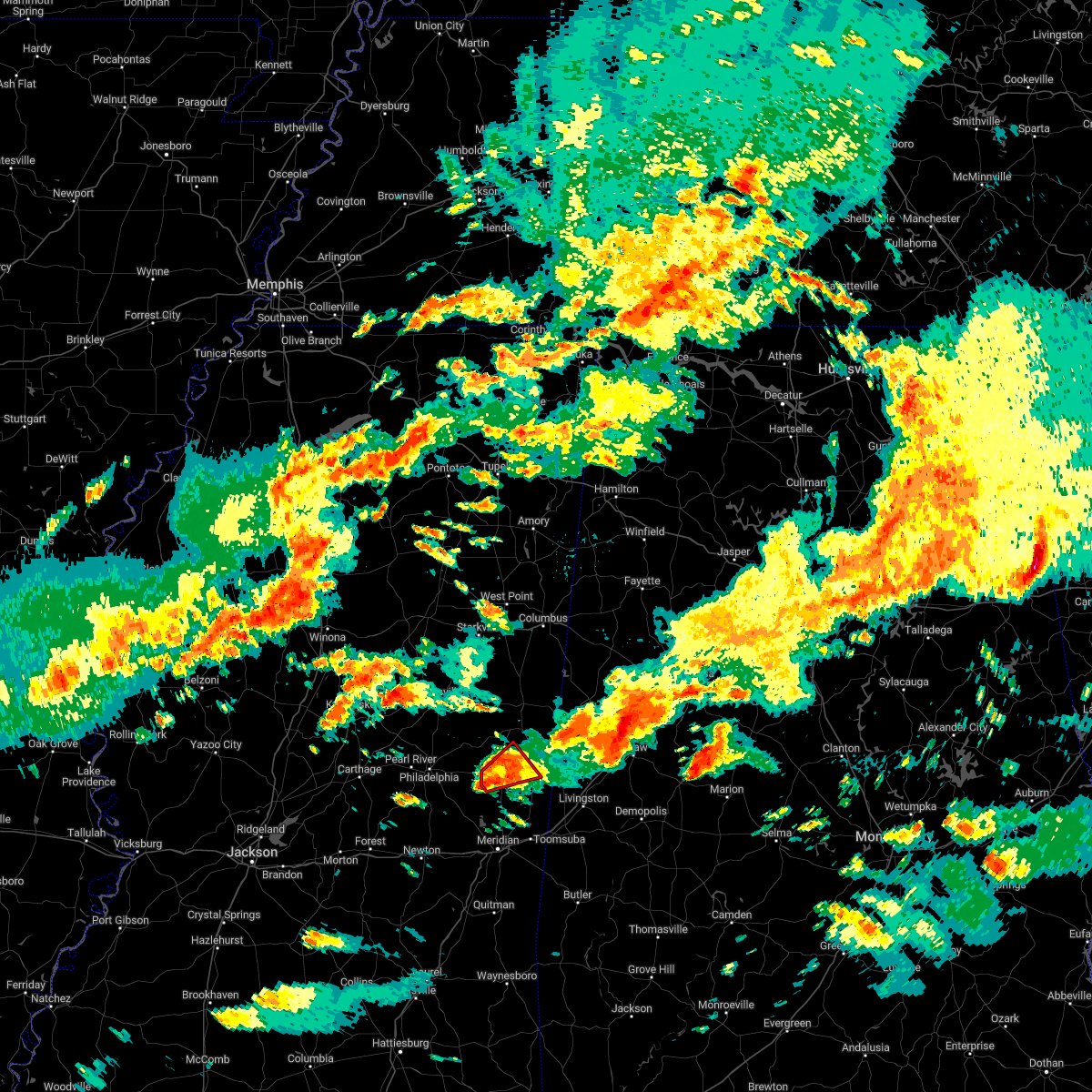 At 947 pm cst, a severe thunderstorm capable of producing a tornado was located over de kalb, or 13 miles north of meridian station, moving northeast at 50 mph (radar indicated rotation). Hazards include tornado. Flying debris will be dangerous to those caught without shelter. mobile homes will be damaged or destroyed. damage to roofs, windows, and vehicles will occur. tree damage is likely. This tornadic thunderstorm will remain over mainly rural areas of central kemper county. At 947 pm cst, a severe thunderstorm capable of producing a tornado was located over de kalb, or 13 miles north of meridian station, moving northeast at 50 mph (radar indicated rotation). Hazards include tornado. Flying debris will be dangerous to those caught without shelter. mobile homes will be damaged or destroyed. damage to roofs, windows, and vehicles will occur. tree damage is likely. This tornadic thunderstorm will remain over mainly rural areas of central kemper county.
|
| 11/29/2022 9:46 PM CST |
 At 946 pm cst, a severe thunderstorm was located over de kalb, or 10 miles southeast of preston, moving northeast at 45 mph (radar indicated). Hazards include 60 mph wind gusts and quarter size hail. Hail damage to vehicles is expected. expect wind damage to roofs, siding, and trees. this severe thunderstorm will remain over mainly rural areas of southwestern kemper county. hail threat, radar indicated max hail size, 1. 00 in wind threat, radar indicated max wind gust, 60 mph. At 946 pm cst, a severe thunderstorm was located over de kalb, or 10 miles southeast of preston, moving northeast at 45 mph (radar indicated). Hazards include 60 mph wind gusts and quarter size hail. Hail damage to vehicles is expected. expect wind damage to roofs, siding, and trees. this severe thunderstorm will remain over mainly rural areas of southwestern kemper county. hail threat, radar indicated max hail size, 1. 00 in wind threat, radar indicated max wind gust, 60 mph.
|
| 11/29/2022 9:28 PM CST |
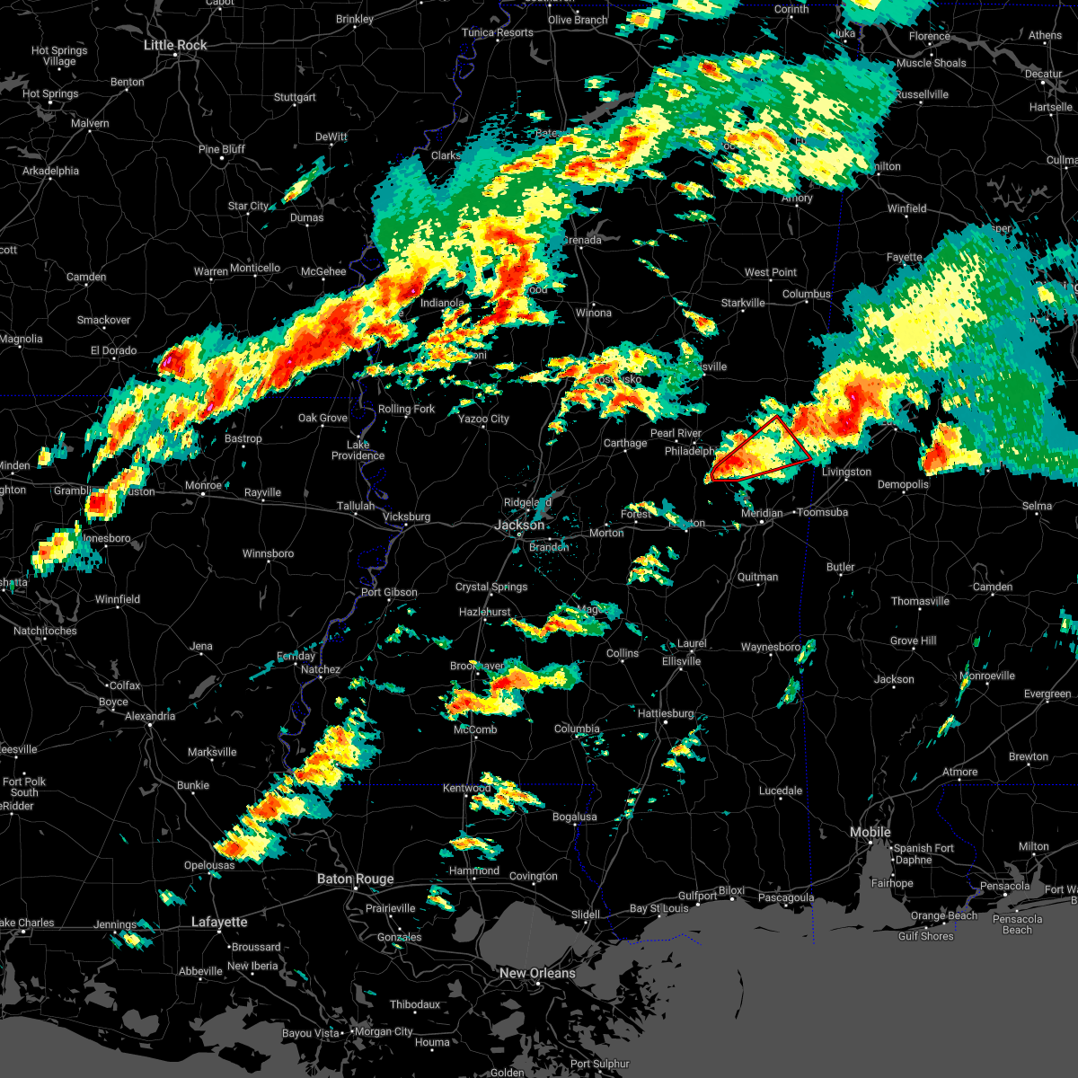 At 928 pm cst, a severe thunderstorm capable of producing a tornado was located near damascus, or 16 miles southeast of philadelphia, moving northeast at 50 mph (radar indicated rotation). Hazards include tornado. Flying debris will be dangerous to those caught without shelter. mobile homes will be damaged or destroyed. damage to roofs, windows, and vehicles will occur. tree damage is likely. this dangerous storm will be near, liberty around 935 pm cst. De kalb around 945 pm cst. At 928 pm cst, a severe thunderstorm capable of producing a tornado was located near damascus, or 16 miles southeast of philadelphia, moving northeast at 50 mph (radar indicated rotation). Hazards include tornado. Flying debris will be dangerous to those caught without shelter. mobile homes will be damaged or destroyed. damage to roofs, windows, and vehicles will occur. tree damage is likely. this dangerous storm will be near, liberty around 935 pm cst. De kalb around 945 pm cst.
|
| 11/29/2022 9:27 PM CST |
 At 927 pm cst, a severe thunderstorm was located near damascus, or 14 miles southeast of philadelphia, moving northeast at 45 mph (radar indicated). Hazards include 60 mph wind gusts and quarter size hail. Hail damage to vehicles is expected. expect wind damage to roofs, siding, and trees. this severe storm will be near, damascus around 930 pm cst. liberty around 935 pm cst. bluff springs around 940 pm cst. de kalb around 950 pm cst. hail threat, radar indicated max hail size, 1. 00 in wind threat, radar indicated max wind gust, 60 mph. At 927 pm cst, a severe thunderstorm was located near damascus, or 14 miles southeast of philadelphia, moving northeast at 45 mph (radar indicated). Hazards include 60 mph wind gusts and quarter size hail. Hail damage to vehicles is expected. expect wind damage to roofs, siding, and trees. this severe storm will be near, damascus around 930 pm cst. liberty around 935 pm cst. bluff springs around 940 pm cst. de kalb around 950 pm cst. hail threat, radar indicated max hail size, 1. 00 in wind threat, radar indicated max wind gust, 60 mph.
|
| 11/29/2022 9:07 PM CST |
 At 907 pm cst, a severe thunderstorm capable of producing a tornado was located over stratton, or 7 miles east of prospect, moving northeast at 50 mph (radar indicated rotation). Hazards include tornado. Flying debris will be dangerous to those caught without shelter. mobile homes will be damaged or destroyed. damage to roofs, windows, and vehicles will occur. tree damage is likely. this dangerous storm will be near, house around 920 pm cst. herbert springs around 925 pm cst. damascus around 930 pm cst. liberty and bluff springs around 935 pm cst. blackwater around 940 pm cst. De kalb around 945 pm cst. At 907 pm cst, a severe thunderstorm capable of producing a tornado was located over stratton, or 7 miles east of prospect, moving northeast at 50 mph (radar indicated rotation). Hazards include tornado. Flying debris will be dangerous to those caught without shelter. mobile homes will be damaged or destroyed. damage to roofs, windows, and vehicles will occur. tree damage is likely. this dangerous storm will be near, house around 920 pm cst. herbert springs around 925 pm cst. damascus around 930 pm cst. liberty and bluff springs around 935 pm cst. blackwater around 940 pm cst. De kalb around 945 pm cst.
|
| 11/29/2022 9:00 PM CST |
 At 900 pm cst, a severe thunderstorm was located near prospect, moving northeast at 45 mph (radar indicated). Hazards include 60 mph wind gusts and quarter size hail. Hail damage to vehicles is expected. expect wind damage to roofs, siding, and trees. this severe thunderstorm will be near, neshoba around 910 pm cst. little rock around 915 pm cst. house, herbert springs and bethsaida around 920 pm cst. damascus and forestdale around 930 pm cst. liberty around 935 pm cst. bluff springs around 940 pm cst. de kalb around 945 pm cst. other locations impacted by this severe thunderstorm include tucker. hail threat, radar indicated max hail size, 1. 00 in wind threat, radar indicated max wind gust, 60 mph. At 900 pm cst, a severe thunderstorm was located near prospect, moving northeast at 45 mph (radar indicated). Hazards include 60 mph wind gusts and quarter size hail. Hail damage to vehicles is expected. expect wind damage to roofs, siding, and trees. this severe thunderstorm will be near, neshoba around 910 pm cst. little rock around 915 pm cst. house, herbert springs and bethsaida around 920 pm cst. damascus and forestdale around 930 pm cst. liberty around 935 pm cst. bluff springs around 940 pm cst. de kalb around 945 pm cst. other locations impacted by this severe thunderstorm include tucker. hail threat, radar indicated max hail size, 1. 00 in wind threat, radar indicated max wind gust, 60 mph.
|
| 11/29/2022 8:38 PM CST |
 At 838 pm cst, a severe thunderstorm was located over de kalb, or 11 miles southeast of preston, moving northeast at 55 mph (radar indicated). Hazards include 60 mph wind gusts and quarter size hail. Hail damage to vehicles is expected. expect wind damage to roofs, siding, and trees. this severe thunderstorm will be near, paulette around 855 pm cst. cooksville around 900 pm cst. other locations impacted by this severe thunderstorm include shuqualak and scooba. hail threat, radar indicated max hail size, 1. 00 in wind threat, radar indicated max wind gust, 60 mph. At 838 pm cst, a severe thunderstorm was located over de kalb, or 11 miles southeast of preston, moving northeast at 55 mph (radar indicated). Hazards include 60 mph wind gusts and quarter size hail. Hail damage to vehicles is expected. expect wind damage to roofs, siding, and trees. this severe thunderstorm will be near, paulette around 855 pm cst. cooksville around 900 pm cst. other locations impacted by this severe thunderstorm include shuqualak and scooba. hail threat, radar indicated max hail size, 1. 00 in wind threat, radar indicated max wind gust, 60 mph.
|
| 7/21/2022 9:06 PM CDT |
 At 906 pm cdt, a severe thunderstorm was located over porterville, or 13 miles north of lauderdale, moving south at 25 mph (radar indicated). Hazards include 60 mph wind gusts. Expect damage to roofs, siding, and trees. locations impacted include, de kalb, porterville, electric mills and scooba. hail threat, radar indicated max hail size, <. 75 in wind threat, radar indicated max wind gust, 60 mph. At 906 pm cdt, a severe thunderstorm was located over porterville, or 13 miles north of lauderdale, moving south at 25 mph (radar indicated). Hazards include 60 mph wind gusts. Expect damage to roofs, siding, and trees. locations impacted include, de kalb, porterville, electric mills and scooba. hail threat, radar indicated max hail size, <. 75 in wind threat, radar indicated max wind gust, 60 mph.
|
| 7/21/2022 8:54 PM CDT |
 At 854 pm cdt, a severe thunderstorm was located near electric mills, or 22 miles northwest of livingston, moving southeast at 20 mph (radar indicated). Hazards include 60 mph wind gusts and penny size hail. Expect damage to roofs, siding, and trees. locations impacted include, de kalb, bluff springs, electric mills, cooksville, porterville, paulette, scooba and shuqualak. hail threat, radar indicated max hail size, 0. 75 in wind threat, radar indicated max wind gust, 60 mph. At 854 pm cdt, a severe thunderstorm was located near electric mills, or 22 miles northwest of livingston, moving southeast at 20 mph (radar indicated). Hazards include 60 mph wind gusts and penny size hail. Expect damage to roofs, siding, and trees. locations impacted include, de kalb, bluff springs, electric mills, cooksville, porterville, paulette, scooba and shuqualak. hail threat, radar indicated max hail size, 0. 75 in wind threat, radar indicated max wind gust, 60 mph.
|
| 7/21/2022 8:16 PM CDT |
 At 816 pm cdt, a severe thunderstorm was located 7 miles east of gholson, or 14 miles northeast of preston, moving southeast at 20 mph (radar indicated). Hazards include 60 mph wind gusts and penny size hail. Expect damage to roofs, siding, and trees. this severe thunderstorm will be near, paulette around 835 pm cdt. electric mills around 855 pm cdt. other locations impacted by this severe thunderstorm include shuqualak and scooba. hail threat, radar indicated max hail size, 0. 75 in wind threat, radar indicated max wind gust, 60 mph. At 816 pm cdt, a severe thunderstorm was located 7 miles east of gholson, or 14 miles northeast of preston, moving southeast at 20 mph (radar indicated). Hazards include 60 mph wind gusts and penny size hail. Expect damage to roofs, siding, and trees. this severe thunderstorm will be near, paulette around 835 pm cdt. electric mills around 855 pm cdt. other locations impacted by this severe thunderstorm include shuqualak and scooba. hail threat, radar indicated max hail size, 0. 75 in wind threat, radar indicated max wind gust, 60 mph.
|
| 5/5/2022 9:15 PM CDT |
 At 915 pm cdt, a severe thunderstorm was located near blackwater, or 8 miles north of meridian station, moving east at 30 mph (radar indicated). Hazards include 60 mph wind gusts and penny size hail. Expect damage to roofs, siding, and trees. this severe storm will be near, de kalb around 920 pm cdt. porterville and electric mills around 940 pm cdt. other locations impacted by this severe thunderstorm include scooba. hail threat, radar indicated max hail size, 0. 75 in wind threat, radar indicated max wind gust, 60 mph. At 915 pm cdt, a severe thunderstorm was located near blackwater, or 8 miles north of meridian station, moving east at 30 mph (radar indicated). Hazards include 60 mph wind gusts and penny size hail. Expect damage to roofs, siding, and trees. this severe storm will be near, de kalb around 920 pm cdt. porterville and electric mills around 940 pm cdt. other locations impacted by this severe thunderstorm include scooba. hail threat, radar indicated max hail size, 0. 75 in wind threat, radar indicated max wind gust, 60 mph.
|
| 5/5/2022 8:58 PM CDT |
 At 858 pm cdt, a severe thunderstorm was located over damascus, or 12 miles northwest of meridian station, moving east at 30 mph (radar indicated). Hazards include 60 mph wind gusts and penny size hail. Expect damage to roofs, siding, and trees. this severe storm will be near, liberty and prismatic around 905 pm cdt. daleville around 910 pm cdt. blackwater around 915 pm cdt. de kalb around 920 pm cdt. porterville and electric mills around 940 pm cdt. other locations impacted by this severe thunderstorm include scooba. hail threat, radar indicated max hail size, 0. 75 in wind threat, radar indicated max wind gust, 60 mph. At 858 pm cdt, a severe thunderstorm was located over damascus, or 12 miles northwest of meridian station, moving east at 30 mph (radar indicated). Hazards include 60 mph wind gusts and penny size hail. Expect damage to roofs, siding, and trees. this severe storm will be near, liberty and prismatic around 905 pm cdt. daleville around 910 pm cdt. blackwater around 915 pm cdt. de kalb around 920 pm cdt. porterville and electric mills around 940 pm cdt. other locations impacted by this severe thunderstorm include scooba. hail threat, radar indicated max hail size, 0. 75 in wind threat, radar indicated max wind gust, 60 mph.
|
| 5/5/2022 8:51 PM CDT |
 At 851 pm cdt, a severe thunderstorm was located over herbert springs, or 15 miles west of meridian station, moving east at 30 mph (radar indicated). Hazards include 60 mph wind gusts and penny size hail. Expect damage to roofs, siding, and trees. this severe thunderstorm will be near, damascus around 900 pm cdt. liberty and prismatic around 905 pm cdt. daleville around 910 pm cdt. blackwater around 915 pm cdt. de kalb around 925 pm cdt. porterville around 940 pm cdt. electric mills around 945 pm cdt. other locations impacted by this severe thunderstorm include scooba. hail threat, radar indicated max hail size, 0. 75 in wind threat, radar indicated max wind gust, 60 mph. At 851 pm cdt, a severe thunderstorm was located over herbert springs, or 15 miles west of meridian station, moving east at 30 mph (radar indicated). Hazards include 60 mph wind gusts and penny size hail. Expect damage to roofs, siding, and trees. this severe thunderstorm will be near, damascus around 900 pm cdt. liberty and prismatic around 905 pm cdt. daleville around 910 pm cdt. blackwater around 915 pm cdt. de kalb around 925 pm cdt. porterville around 940 pm cdt. electric mills around 945 pm cdt. other locations impacted by this severe thunderstorm include scooba. hail threat, radar indicated max hail size, 0. 75 in wind threat, radar indicated max wind gust, 60 mph.
|
| 4/13/2022 8:44 PM CDT |
 At 844 pm cdt, severe thunderstorms were located along a line extending from near martin to near rose hill, moving east at 60 mph (radar indicated). Hazards include 70 mph wind gusts. Expect considerable tree damage. damage is likely to mobile homes, roofs, and outbuildings. these severe storms will be near, liberty, prismatic and damascus around 850 pm cdt. blackwater and daleville around 855 pm cdt. meridian station and savoy around 900 pm cdt. lauderdale, tamola, zero and porterville around 905 pm cdt. increase around 910 pm cdt. Other locations impacted by these severe thunderstorms include chunky and hickory. At 844 pm cdt, severe thunderstorms were located along a line extending from near martin to near rose hill, moving east at 60 mph (radar indicated). Hazards include 70 mph wind gusts. Expect considerable tree damage. damage is likely to mobile homes, roofs, and outbuildings. these severe storms will be near, liberty, prismatic and damascus around 850 pm cdt. blackwater and daleville around 855 pm cdt. meridian station and savoy around 900 pm cdt. lauderdale, tamola, zero and porterville around 905 pm cdt. increase around 910 pm cdt. Other locations impacted by these severe thunderstorms include chunky and hickory.
|
| 4/13/2022 8:30 PM CDT |
 At 830 pm cdt, severe thunderstorms were located along a line extending from near craig springs to near preston to near forestdale, moving east at 65 mph (radar indicated). Hazards include 60 mph wind gusts. Expect damage to roofs, siding, and trees. severe thunderstorms will be near, gholson around 835 pm cdt. mashulaville around 840 pm cdt. de kalb around 845 pm cdt. macon and brooksville around 850 pm cdt. paulette around 855 pm cdt. cooksville around 900 pm cdt. other locations impacted by these severe thunderstorms include shuqualak and scooba. hail threat, radar indicated max hail size, <. 75 in wind threat, radar indicated max wind gust, 60 mph. At 830 pm cdt, severe thunderstorms were located along a line extending from near craig springs to near preston to near forestdale, moving east at 65 mph (radar indicated). Hazards include 60 mph wind gusts. Expect damage to roofs, siding, and trees. severe thunderstorms will be near, gholson around 835 pm cdt. mashulaville around 840 pm cdt. de kalb around 845 pm cdt. macon and brooksville around 850 pm cdt. paulette around 855 pm cdt. cooksville around 900 pm cdt. other locations impacted by these severe thunderstorms include shuqualak and scooba. hail threat, radar indicated max hail size, <. 75 in wind threat, radar indicated max wind gust, 60 mph.
|
| 4/13/2022 8:24 PM CDT |
 At 824 pm cdt, severe thunderstorms were located along a line extending from near prospect to near pineville, moving east at 60 mph (radar indicated). Hazards include 70 mph wind gusts. Expect considerable tree damage. damage is likely to mobile homes, roofs, and outbuildings. severe thunderstorms will be near, roberts and dixon around 830 pm cdt. neshoba and stratton around 835 pm cdt. bethsaida and little rock around 840 pm cdt. herbert springs and house around 845 pm cdt. martin around 850 pm cdt. liberty and damascus around 855 pm cdt. prismatic, blackwater, daleville and savoy around 900 pm cdt. meridian station around 905 pm cdt. Other locations impacted by these severe thunderstorms include tucker, chunky and hickory. At 824 pm cdt, severe thunderstorms were located along a line extending from near prospect to near pineville, moving east at 60 mph (radar indicated). Hazards include 70 mph wind gusts. Expect considerable tree damage. damage is likely to mobile homes, roofs, and outbuildings. severe thunderstorms will be near, roberts and dixon around 830 pm cdt. neshoba and stratton around 835 pm cdt. bethsaida and little rock around 840 pm cdt. herbert springs and house around 845 pm cdt. martin around 850 pm cdt. liberty and damascus around 855 pm cdt. prismatic, blackwater, daleville and savoy around 900 pm cdt. meridian station around 905 pm cdt. Other locations impacted by these severe thunderstorms include tucker, chunky and hickory.
|
| 3/30/2022 8:02 PM CDT |
 At 802 pm cdt, a severe thunderstorm was located near macon, or 14 miles southwest of pickensville, moving northeast at 70 mph (radar indicated). Hazards include 60 mph wind gusts. Expect damage to roofs, siding, and trees. this severe storm will be near, prairie point around 805 pm cdt. other locations impacted by this severe thunderstorm include shuqualak and scooba. hail threat, radar indicated max hail size, <. 75 in wind threat, radar indicated max wind gust, 60 mph. At 802 pm cdt, a severe thunderstorm was located near macon, or 14 miles southwest of pickensville, moving northeast at 70 mph (radar indicated). Hazards include 60 mph wind gusts. Expect damage to roofs, siding, and trees. this severe storm will be near, prairie point around 805 pm cdt. other locations impacted by this severe thunderstorm include shuqualak and scooba. hail threat, radar indicated max hail size, <. 75 in wind threat, radar indicated max wind gust, 60 mph.
|
| 3/30/2022 7:54 PM CDT |
 At 754 pm cdt, a severe thunderstorm was located near macon, or 16 miles northeast of preston, moving northeast at 70 mph (radar indicated). Hazards include 60 mph wind gusts. Expect damage to roofs, siding, and trees. this severe storm will be near, prairie point around 805 pm cdt. other locations impacted by this severe thunderstorm include shuqualak and scooba. hail threat, radar indicated max hail size, <. 75 in wind threat, radar indicated max wind gust, 60 mph. At 754 pm cdt, a severe thunderstorm was located near macon, or 16 miles northeast of preston, moving northeast at 70 mph (radar indicated). Hazards include 60 mph wind gusts. Expect damage to roofs, siding, and trees. this severe storm will be near, prairie point around 805 pm cdt. other locations impacted by this severe thunderstorm include shuqualak and scooba. hail threat, radar indicated max hail size, <. 75 in wind threat, radar indicated max wind gust, 60 mph.
|
| 3/30/2022 7:43 PM CDT |
 At 743 pm cdt, a severe thunderstorm was located near gholson, or near preston, moving northeast at 70 mph (radar indicated). Hazards include 70 mph wind gusts. Expect considerable tree damage. damage is likely to mobile homes, roofs, and outbuildings. this severe storm will be near, macon and paulette around 800 pm cdt. prairie point around 805 pm cdt. other locations impacted by this severe thunderstorm include shuqualak and scooba. thunderstorm damage threat, considerable hail threat, radar indicated max hail size, <. 75 in wind threat, radar indicated max wind gust, 70 mph. At 743 pm cdt, a severe thunderstorm was located near gholson, or near preston, moving northeast at 70 mph (radar indicated). Hazards include 70 mph wind gusts. Expect considerable tree damage. damage is likely to mobile homes, roofs, and outbuildings. this severe storm will be near, macon and paulette around 800 pm cdt. prairie point around 805 pm cdt. other locations impacted by this severe thunderstorm include shuqualak and scooba. thunderstorm damage threat, considerable hail threat, radar indicated max hail size, <. 75 in wind threat, radar indicated max wind gust, 70 mph.
|
| 3/30/2022 7:30 PM CDT |
 At 730 pm cdt, a severe thunderstorm was located near forestdale, or 11 miles east of philadelphia, moving northeast at 70 mph (radar indicated). Hazards include 60 mph wind gusts. Expect damage to roofs, siding, and trees. this severe thunderstorm will be near, bluff springs around 735 pm cdt. preston around 740 pm cdt. gholson around 745 pm cdt. macon and paulette around 800 pm cdt. prairie point around 810 pm cdt. other locations impacted by this severe thunderstorm include shuqualak and scooba. hail threat, radar indicated max hail size, <. 75 in wind threat, radar indicated max wind gust, 60 mph. At 730 pm cdt, a severe thunderstorm was located near forestdale, or 11 miles east of philadelphia, moving northeast at 70 mph (radar indicated). Hazards include 60 mph wind gusts. Expect damage to roofs, siding, and trees. this severe thunderstorm will be near, bluff springs around 735 pm cdt. preston around 740 pm cdt. gholson around 745 pm cdt. macon and paulette around 800 pm cdt. prairie point around 810 pm cdt. other locations impacted by this severe thunderstorm include shuqualak and scooba. hail threat, radar indicated max hail size, <. 75 in wind threat, radar indicated max wind gust, 60 mph.
|
| 3/22/2022 3:53 PM CDT |
 At 353 pm cdt, a severe thunderstorm capable of producing a tornado was located near electric mills, or 20 miles east of preston, moving northeast at 50 mph (radar indicated rotation). Hazards include tornado. Flying debris will be dangerous to those caught without shelter. mobile homes will be damaged or destroyed. damage to roofs, windows, and vehicles will occur. tree damage is likely. This tornadic thunderstorm will remain over mainly rural areas of eastern kemper county, including the following locations, scooba. At 353 pm cdt, a severe thunderstorm capable of producing a tornado was located near electric mills, or 20 miles east of preston, moving northeast at 50 mph (radar indicated rotation). Hazards include tornado. Flying debris will be dangerous to those caught without shelter. mobile homes will be damaged or destroyed. damage to roofs, windows, and vehicles will occur. tree damage is likely. This tornadic thunderstorm will remain over mainly rural areas of eastern kemper county, including the following locations, scooba.
|
| 3/22/2022 3:42 PM CDT |
 At 341 pm cdt, a severe thunderstorm capable of producing a tornado was located near de kalb, or 10 miles north of meridian station, moving northeast at 50 mph (radar indicated rotation). Hazards include tornado. Flying debris will be dangerous to those caught without shelter. mobile homes will be damaged or destroyed. damage to roofs, windows, and vehicles will occur. tree damage is likely. this dangerous storm will be near, porterville around 345 pm cdt. electric mills around 350 pm cdt. Other locations impacted by this tornadic thunderstorm include scooba. At 341 pm cdt, a severe thunderstorm capable of producing a tornado was located near de kalb, or 10 miles north of meridian station, moving northeast at 50 mph (radar indicated rotation). Hazards include tornado. Flying debris will be dangerous to those caught without shelter. mobile homes will be damaged or destroyed. damage to roofs, windows, and vehicles will occur. tree damage is likely. this dangerous storm will be near, porterville around 345 pm cdt. electric mills around 350 pm cdt. Other locations impacted by this tornadic thunderstorm include scooba.
|
| 3/22/2022 2:56 PM CDT |
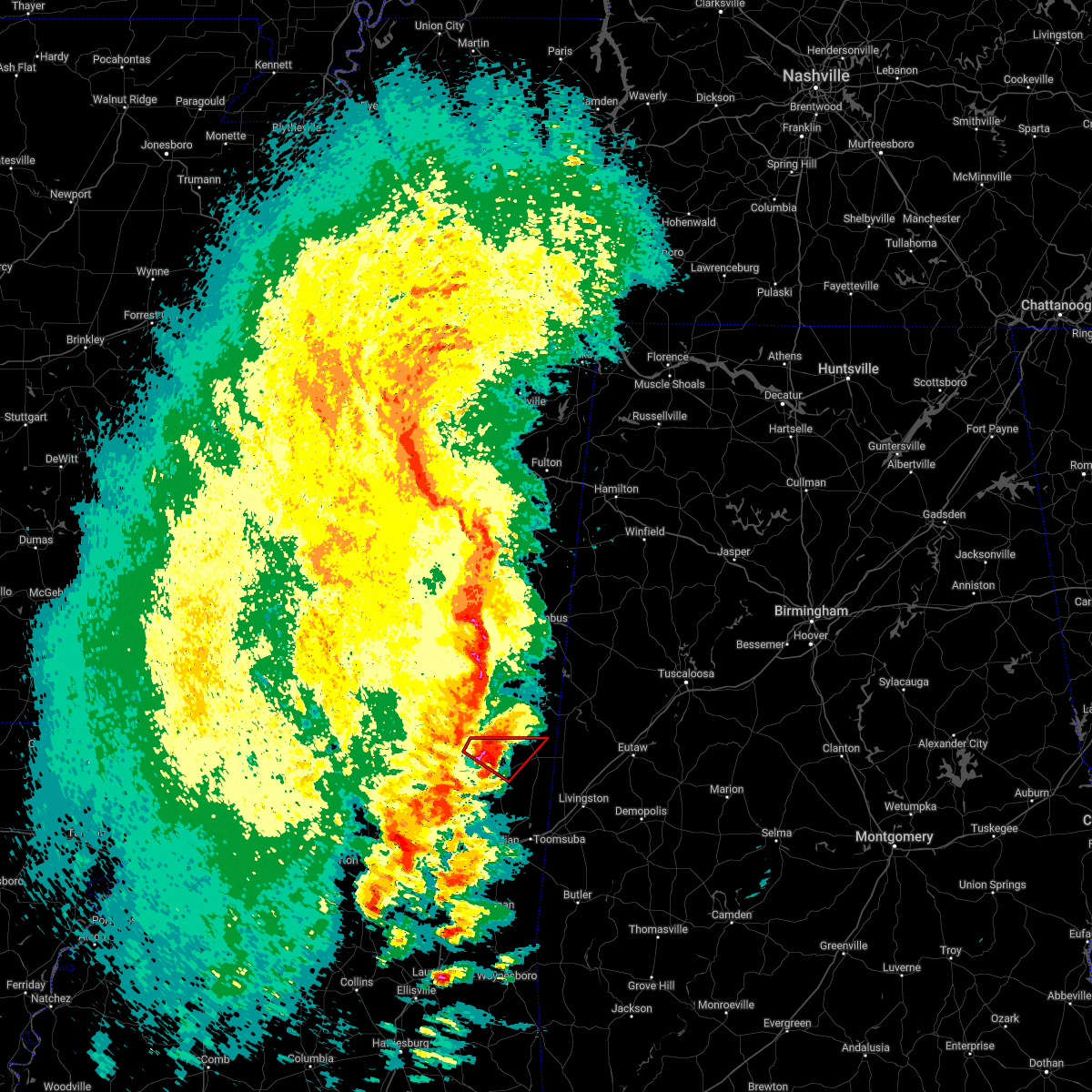 At 256 pm cdt, a severe thunderstorm capable of producing a tornado was located near de kalb, or 8 miles southeast of preston, moving northeast at 45 mph (radar indicated rotation). Hazards include tornado and quarter size hail. Flying debris will be dangerous to those caught without shelter. mobile homes will be damaged or destroyed. damage to roofs, windows, and vehicles will occur. tree damage is likely. This tornadic thunderstorm will remain over mainly rural areas of northwestern kemper county. At 256 pm cdt, a severe thunderstorm capable of producing a tornado was located near de kalb, or 8 miles southeast of preston, moving northeast at 45 mph (radar indicated rotation). Hazards include tornado and quarter size hail. Flying debris will be dangerous to those caught without shelter. mobile homes will be damaged or destroyed. damage to roofs, windows, and vehicles will occur. tree damage is likely. This tornadic thunderstorm will remain over mainly rural areas of northwestern kemper county.
|
| 3/22/2022 2:43 PM CDT |
 At 243 pm cdt, a confirmed tornado was located over damascus, or 13 miles south of preston, moving northeast at 45 mph (radar confirmed tornado). Hazards include damaging tornado and quarter size hail. Flying debris will be dangerous to those caught without shelter. mobile homes will be damaged or destroyed. damage to roofs, windows, and vehicles will occur. tree damage is likely. this tornado will be near, bluff springs around 250 pm cdt. De kalb around 255 pm cdt. At 243 pm cdt, a confirmed tornado was located over damascus, or 13 miles south of preston, moving northeast at 45 mph (radar confirmed tornado). Hazards include damaging tornado and quarter size hail. Flying debris will be dangerous to those caught without shelter. mobile homes will be damaged or destroyed. damage to roofs, windows, and vehicles will occur. tree damage is likely. this tornado will be near, bluff springs around 250 pm cdt. De kalb around 255 pm cdt.
|
| 3/22/2022 2:41 PM CDT |
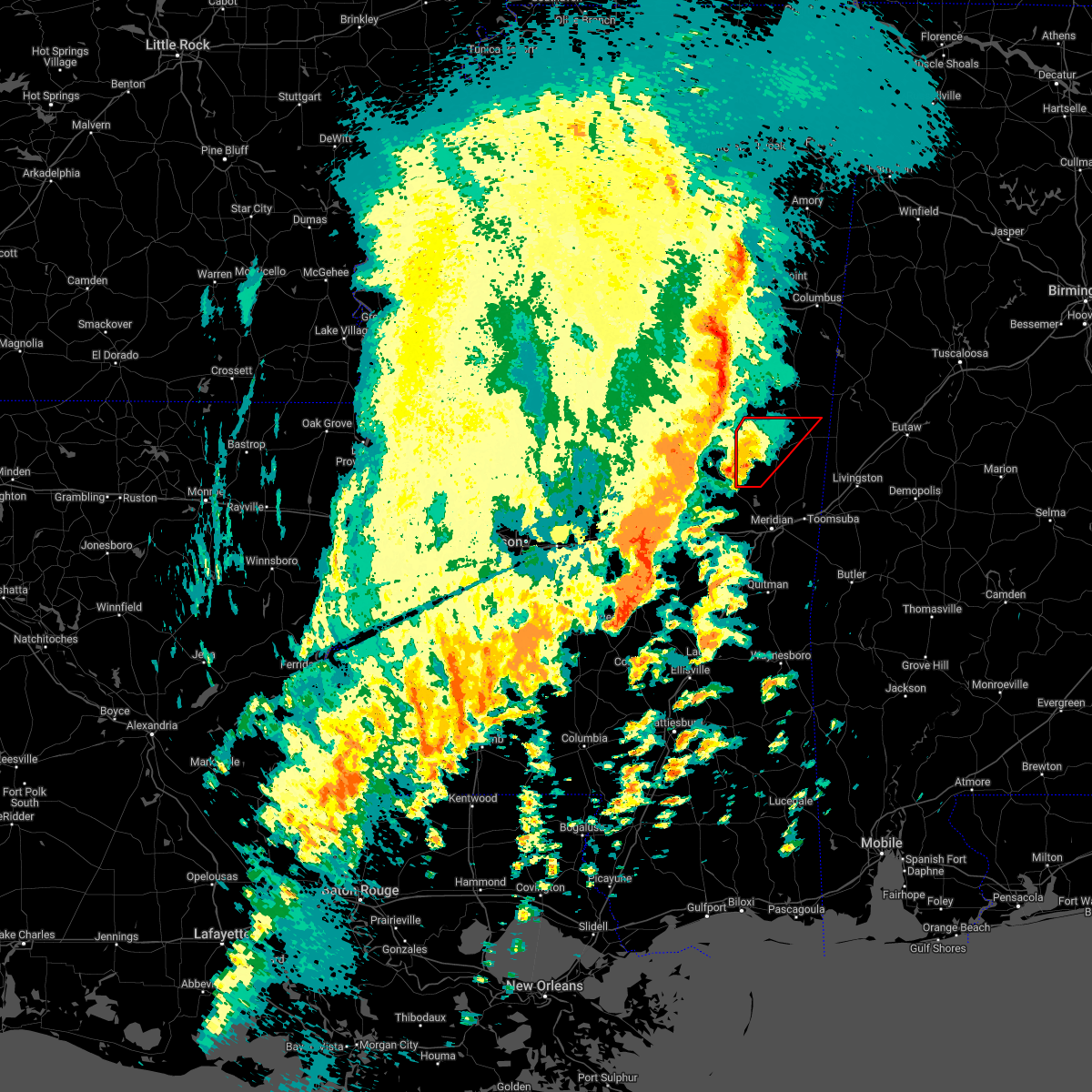 At 240 pm cdt, a severe thunderstorm capable of producing a tornado was located over damascus, or 15 miles northwest of meridian station, moving northeast at 45 mph (radar indicated rotation). Hazards include tornado. Flying debris will be dangerous to those caught without shelter. mobile homes will be damaged or destroyed. damage to roofs, windows, and vehicles will occur. tree damage is likely. this dangerous storm will be near, liberty around 245 pm cdt. bluff springs around 250 pm cdt. De kalb around 300 pm cdt. At 240 pm cdt, a severe thunderstorm capable of producing a tornado was located over damascus, or 15 miles northwest of meridian station, moving northeast at 45 mph (radar indicated rotation). Hazards include tornado. Flying debris will be dangerous to those caught without shelter. mobile homes will be damaged or destroyed. damage to roofs, windows, and vehicles will occur. tree damage is likely. this dangerous storm will be near, liberty around 245 pm cdt. bluff springs around 250 pm cdt. De kalb around 300 pm cdt.
|
| 3/22/2022 2:22 PM CDT |
 At 221 pm cdt, a severe thunderstorm capable of producing a tornado was located near little rock, or 13 miles northeast of newton, moving northeast at 45 mph (radar indicated rotation). Hazards include tornado. Flying debris will be dangerous to those caught without shelter. mobile homes will be damaged or destroyed. damage to roofs, windows, and vehicles will occur. tree damage is likely. this dangerous storm will be near, herbert springs and house around 235 pm cdt. liberty and damascus around 245 pm cdt. bluff springs around 250 pm cdt. De kalb around 300 pm cdt. At 221 pm cdt, a severe thunderstorm capable of producing a tornado was located near little rock, or 13 miles northeast of newton, moving northeast at 45 mph (radar indicated rotation). Hazards include tornado. Flying debris will be dangerous to those caught without shelter. mobile homes will be damaged or destroyed. damage to roofs, windows, and vehicles will occur. tree damage is likely. this dangerous storm will be near, herbert springs and house around 235 pm cdt. liberty and damascus around 245 pm cdt. bluff springs around 250 pm cdt. De kalb around 300 pm cdt.
|
| 2/17/2022 4:00 PM CST |
 At 400 pm cst, a severe thunderstorm was located near bluff springs, or 7 miles southeast of preston, moving northeast at 60 mph (radar indicated). Hazards include 60 mph wind gusts. Expect damage to roofs, siding, and trees. this severe storm will be near, de kalb around 405 pm cst. cooksville around 425 pm cst. Other locations impacted by this severe thunderstorm include shuqualak and scooba. At 400 pm cst, a severe thunderstorm was located near bluff springs, or 7 miles southeast of preston, moving northeast at 60 mph (radar indicated). Hazards include 60 mph wind gusts. Expect damage to roofs, siding, and trees. this severe storm will be near, de kalb around 405 pm cst. cooksville around 425 pm cst. Other locations impacted by this severe thunderstorm include shuqualak and scooba.
|
| 2/17/2022 3:48 PM CST |
 At 347 pm cst, a severe thunderstorm was located near bluff springs, or 10 miles south of preston, moving northeast at 65 mph (radar indicated). Hazards include 60 mph wind gusts. Expect damage to roofs, siding, and trees. this severe storm will be near, de kalb around 400 pm cst. paulette around 415 pm cst. cooksville around 420 pm cst. Other locations impacted by this severe thunderstorm include shuqualak and scooba. At 347 pm cst, a severe thunderstorm was located near bluff springs, or 10 miles south of preston, moving northeast at 65 mph (radar indicated). Hazards include 60 mph wind gusts. Expect damage to roofs, siding, and trees. this severe storm will be near, de kalb around 400 pm cst. paulette around 415 pm cst. cooksville around 420 pm cst. Other locations impacted by this severe thunderstorm include shuqualak and scooba.
|
| 2/17/2022 3:28 PM CST |
 At 327 pm cst, a severe thunderstorm was located over bethsaida, or near philadelphia, moving northeast at 65 mph (radar indicated). Hazards include 60 mph wind gusts. Expect damage to roofs, siding, and trees. this severe thunderstorm will be near, bluff springs around 340 pm cst. preston around 345 pm cst. de kalb and gholson around 350 pm cst. paulette around 405 pm cst. cooksville around 410 pm cst. Other locations impacted by this severe thunderstorm include shuqualak, tucker and scooba. At 327 pm cst, a severe thunderstorm was located over bethsaida, or near philadelphia, moving northeast at 65 mph (radar indicated). Hazards include 60 mph wind gusts. Expect damage to roofs, siding, and trees. this severe thunderstorm will be near, bluff springs around 340 pm cst. preston around 345 pm cst. de kalb and gholson around 350 pm cst. paulette around 405 pm cst. cooksville around 410 pm cst. Other locations impacted by this severe thunderstorm include shuqualak, tucker and scooba.
|
| 9/1/2021 5:24 PM CDT |
 At 524 pm cdt, severe thunderstorms were located along a line extending from near tamola to renfroe, moving southeast at 35 mph (radar indicated). Hazards include 60 mph wind gusts and nickel size hail. Expect damage to roofs, siding, and trees. these severe storms will be near, meridian station and tamola around 530 pm cdt. lauderdale around 535 pm cdt. madden, kewanee and dowdville around 550 pm cdt. dixon around 600 pm cdt. other locations impacted by these severe thunderstorms include tucker, standing pine and redwater. hail threat, radar indicated max hail size, 0. 88 in wind threat, radar indicated max wind gust, 60 mph. At 524 pm cdt, severe thunderstorms were located along a line extending from near tamola to renfroe, moving southeast at 35 mph (radar indicated). Hazards include 60 mph wind gusts and nickel size hail. Expect damage to roofs, siding, and trees. these severe storms will be near, meridian station and tamola around 530 pm cdt. lauderdale around 535 pm cdt. madden, kewanee and dowdville around 550 pm cdt. dixon around 600 pm cdt. other locations impacted by these severe thunderstorms include tucker, standing pine and redwater. hail threat, radar indicated max hail size, 0. 88 in wind threat, radar indicated max wind gust, 60 mph.
|
| 9/1/2021 4:42 PM CDT |
 At 442 pm cdt, severe thunderstorms were located along a line extending from near gholson to near hesterville, moving southeast at 35 mph (radar indicated). Hazards include 60 mph wind gusts and nickel size hail. Expect damage to roofs, siding, and trees. severe thunderstorms will be near, de kalb around 455 pm cdt. smyrna around 505 pm cdt. singleton and blackwater around 510 pm cdt. meridian station and renfroe around 520 pm cdt. carthage and tamola around 525 pm cdt. lauderdale, edinburg, madden and kewanee around 530 pm cdt. other locations impacted by these severe thunderstorms include tucker, standing pine and redwater. hail threat, radar indicated max hail size, 0. 88 in wind threat, radar indicated max wind gust, 60 mph. At 442 pm cdt, severe thunderstorms were located along a line extending from near gholson to near hesterville, moving southeast at 35 mph (radar indicated). Hazards include 60 mph wind gusts and nickel size hail. Expect damage to roofs, siding, and trees. severe thunderstorms will be near, de kalb around 455 pm cdt. smyrna around 505 pm cdt. singleton and blackwater around 510 pm cdt. meridian station and renfroe around 520 pm cdt. carthage and tamola around 525 pm cdt. lauderdale, edinburg, madden and kewanee around 530 pm cdt. other locations impacted by these severe thunderstorms include tucker, standing pine and redwater. hail threat, radar indicated max hail size, 0. 88 in wind threat, radar indicated max wind gust, 60 mph.
|
| 6/13/2021 2:54 PM CDT | Trees down on hwy 493 near libert in kemper county MS, 10 miles NNE of De Kalb, MS |
| 6/13/2021 2:52 PM CDT |
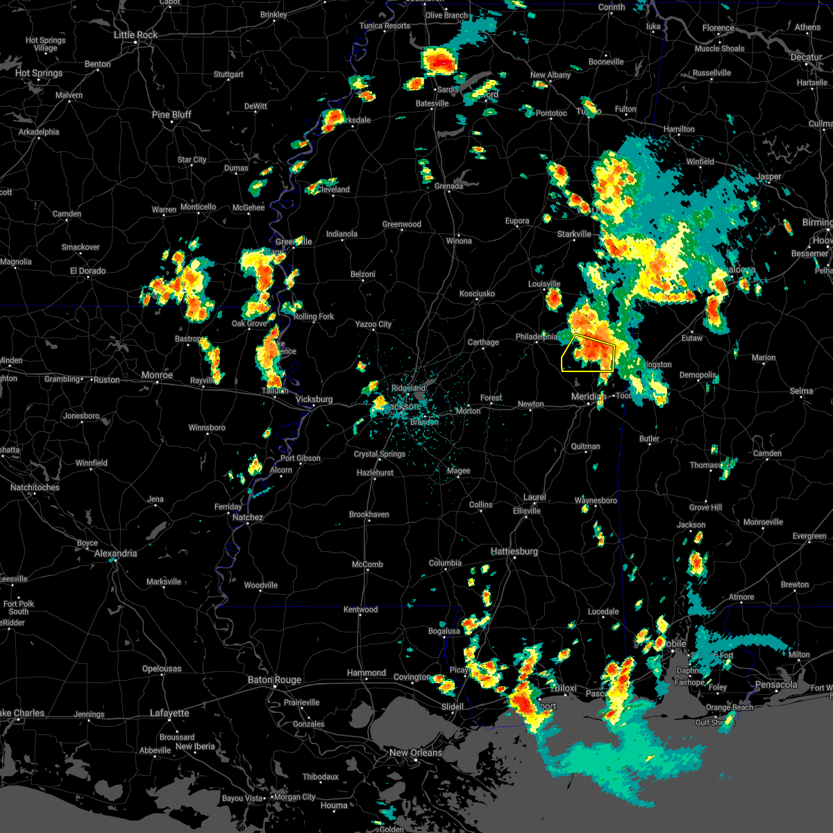 At 252 pm cdt, a severe thunderstorm was located over liberty, or 10 miles northwest of meridian station, moving south at 25 mph (radar indicated). Hazards include 60 mph wind gusts and penny size hail. Expect damage to roofs, siding, and trees. Locations impacted include, de kalb, liberty, blackwater, prismatic, damascus and bluff springs. At 252 pm cdt, a severe thunderstorm was located over liberty, or 10 miles northwest of meridian station, moving south at 25 mph (radar indicated). Hazards include 60 mph wind gusts and penny size hail. Expect damage to roofs, siding, and trees. Locations impacted include, de kalb, liberty, blackwater, prismatic, damascus and bluff springs.
|
| 6/13/2021 2:48 PM CDT | Mobile homes damaged... double wide with roof blown of in kemper county MS, 6.5 miles NE of De Kalb, MS |
| 6/13/2021 2:39 PM CDT |
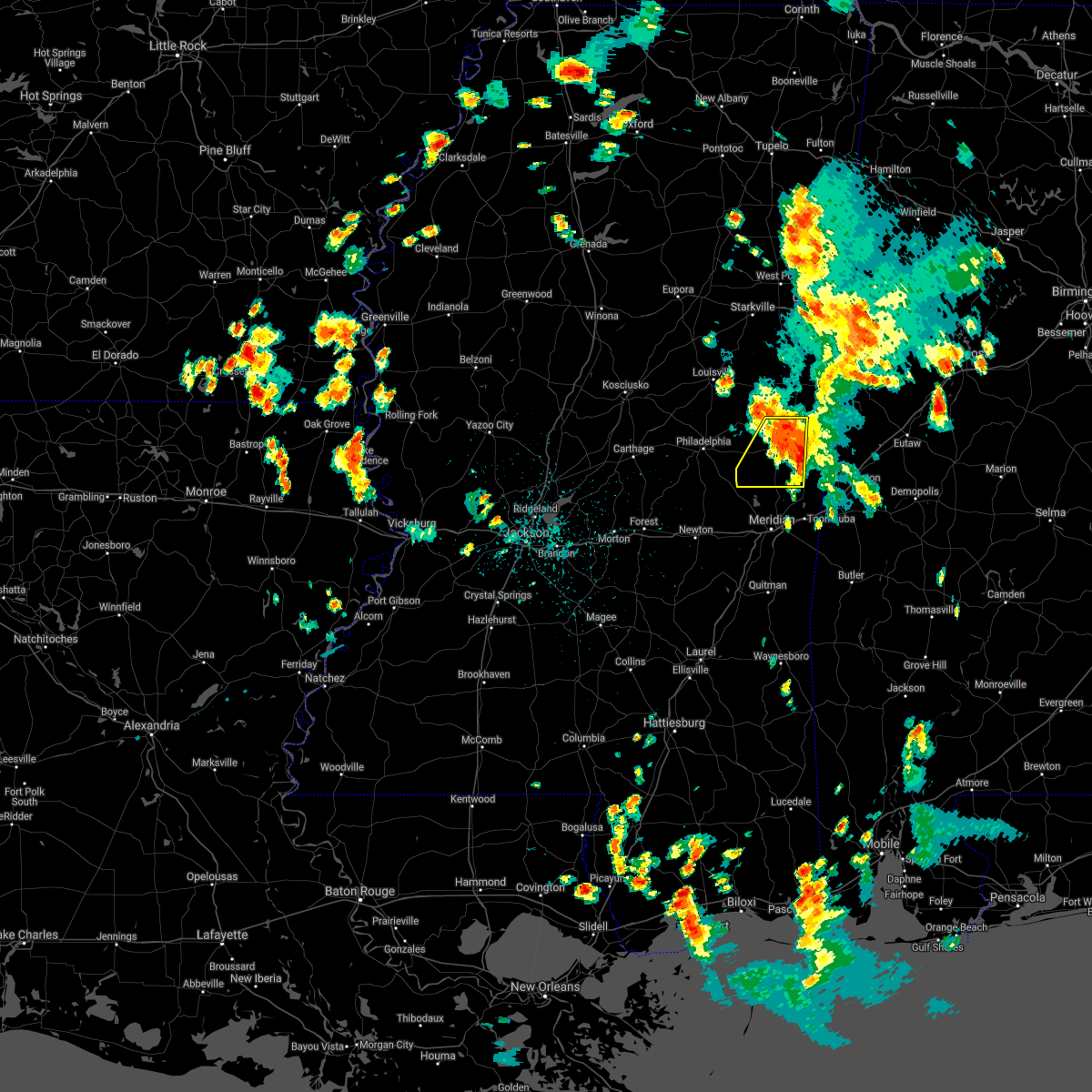 At 239 pm cdt, a severe thunderstorm was located near de kalb, or 10 miles southeast of preston, moving south at 15 mph (radar indicated). Hazards include 60 mph wind gusts and penny size hail. Expect damage to roofs, siding, and trees. this severe thunderstorm will be near, de kalb around 250 pm cdt. bluff springs around 255 pm cdt. liberty around 320 pm cdt. blackwater and damascus around 330 pm cdt. Prismatic around 340 pm cdt. At 239 pm cdt, a severe thunderstorm was located near de kalb, or 10 miles southeast of preston, moving south at 15 mph (radar indicated). Hazards include 60 mph wind gusts and penny size hail. Expect damage to roofs, siding, and trees. this severe thunderstorm will be near, de kalb around 250 pm cdt. bluff springs around 255 pm cdt. liberty around 320 pm cdt. blackwater and damascus around 330 pm cdt. Prismatic around 340 pm cdt.
|
| 5/4/2021 3:58 PM CDT |
 At 358 pm cdt, a severe thunderstorm was located over de kalb, or 13 miles southeast of preston, moving east at 70 mph (radar indicated). Hazards include 70 mph wind gusts. Expect considerable tree damage. damage is likely to mobile homes, roofs, and outbuildings. this severe thunderstorm will be near, electric mills and porterville around 405 pm cdt. other locations impacted by this severe thunderstorm include scooba. A tornado watch remains in effect until 1000 pm cdt for east central mississippi. At 358 pm cdt, a severe thunderstorm was located over de kalb, or 13 miles southeast of preston, moving east at 70 mph (radar indicated). Hazards include 70 mph wind gusts. Expect considerable tree damage. damage is likely to mobile homes, roofs, and outbuildings. this severe thunderstorm will be near, electric mills and porterville around 405 pm cdt. other locations impacted by this severe thunderstorm include scooba. A tornado watch remains in effect until 1000 pm cdt for east central mississippi.
|
| 5/4/2021 3:18 PM CDT |
 At 317 pm cdt, severe thunderstorms were located along a line extending from 8 miles east of gholson to near damascus, moving east at 35 mph (radar indicated). Hazards include 60 mph wind gusts and quarter size hail. Hail damage to vehicles is expected. expect wind damage to roofs, siding, and trees. severe thunderstorms will be near, paulette and blackwater around 335 pm cdt. de kalb and cooksville around 340 pm cdt. porterville and tamola around 355 pm cdt. electric mills around 400 pm cdt. other locations impacted by these severe thunderstorms include scooba. A tornado watch remains in effect until 400 pm cdt for east central mississippi. At 317 pm cdt, severe thunderstorms were located along a line extending from 8 miles east of gholson to near damascus, moving east at 35 mph (radar indicated). Hazards include 60 mph wind gusts and quarter size hail. Hail damage to vehicles is expected. expect wind damage to roofs, siding, and trees. severe thunderstorms will be near, paulette and blackwater around 335 pm cdt. de kalb and cooksville around 340 pm cdt. porterville and tamola around 355 pm cdt. electric mills around 400 pm cdt. other locations impacted by these severe thunderstorms include scooba. A tornado watch remains in effect until 400 pm cdt for east central mississippi.
|
| 5/4/2021 3:09 PM CDT | Tree downed on ms highway 16 just east of ms highway 49 in kemper county MS, 8.8 miles E of De Kalb, MS |
| 3/17/2021 7:43 PM CDT |
 At 743 pm cdt, a severe thunderstorm was located over blackwater, or near meridian station, moving northeast at 55 mph (radar indicated). Hazards include 60 mph wind gusts. Expect damage to roofs, siding, and trees. this severe thunderstorm will be near, porterville around 755 pm cdt. electric mills around 800 pm cdt. other locations impacted by this severe thunderstorm include scooba. A tornado watch remains in effect until 300 am cdt for east central mississippi. At 743 pm cdt, a severe thunderstorm was located over blackwater, or near meridian station, moving northeast at 55 mph (radar indicated). Hazards include 60 mph wind gusts. Expect damage to roofs, siding, and trees. this severe thunderstorm will be near, porterville around 755 pm cdt. electric mills around 800 pm cdt. other locations impacted by this severe thunderstorm include scooba. A tornado watch remains in effect until 300 am cdt for east central mississippi.
|
| 3/17/2021 1:17 PM CDT |
 At 116 pm cdt, a severe thunderstorm was located near cooksville, or 19 miles southwest of aliceville, moving north at 45 mph (radar indicated). Hazards include 60 mph wind gusts and nickel size hail. Expect damage to roofs, siding, and trees. this severe storm will be near, cooksville and paulette around 125 pm cdt. other locations impacted by this severe thunderstorm include scooba. A tornado watch remains in effect until 700 pm cdt for east central mississippi. At 116 pm cdt, a severe thunderstorm was located near cooksville, or 19 miles southwest of aliceville, moving north at 45 mph (radar indicated). Hazards include 60 mph wind gusts and nickel size hail. Expect damage to roofs, siding, and trees. this severe storm will be near, cooksville and paulette around 125 pm cdt. other locations impacted by this severe thunderstorm include scooba. A tornado watch remains in effect until 700 pm cdt for east central mississippi.
|
| 3/17/2021 1:00 PM CDT |
 At 100 pm cdt, a severe thunderstorm was located near porterville, or 14 miles north of lauderdale, moving north at 45 mph (radar indicated). Hazards include 60 mph wind gusts and nickel size hail. Expect damage to roofs, siding, and trees. this severe thunderstorm will be near, cooksville and paulette around 125 pm cdt. other locations impacted by this severe thunderstorm include scooba. A tornado watch remains in effect until 700 pm cdt for east central mississippi. At 100 pm cdt, a severe thunderstorm was located near porterville, or 14 miles north of lauderdale, moving north at 45 mph (radar indicated). Hazards include 60 mph wind gusts and nickel size hail. Expect damage to roofs, siding, and trees. this severe thunderstorm will be near, cooksville and paulette around 125 pm cdt. other locations impacted by this severe thunderstorm include scooba. A tornado watch remains in effect until 700 pm cdt for east central mississippi.
|
| 8/16/2020 3:21 PM CDT |
 At 321 pm cdt, severe thunderstorms were located along a line extending from 7 miles northeast of de kalb to near bluff springs to near burnside, moving south at 25 mph (radar indicated). Hazards include 60 mph wind gusts and penny size hail. Expect damage to roofs, siding, and trees. these severe storms will be near, forestdale around 325 pm cdt. bluff springs around 330 pm cdt. de kalb around 335 pm cdt. electric mills around 340 pm cdt. damascus around 350 pm cdt. liberty, porterville and dixon around 355 pm cdt. bethsaida around 400 pm cdt. Other locations impacted by these severe thunderstorms include tucker and scooba. At 321 pm cdt, severe thunderstorms were located along a line extending from 7 miles northeast of de kalb to near bluff springs to near burnside, moving south at 25 mph (radar indicated). Hazards include 60 mph wind gusts and penny size hail. Expect damage to roofs, siding, and trees. these severe storms will be near, forestdale around 325 pm cdt. bluff springs around 330 pm cdt. de kalb around 335 pm cdt. electric mills around 340 pm cdt. damascus around 350 pm cdt. liberty, porterville and dixon around 355 pm cdt. bethsaida around 400 pm cdt. Other locations impacted by these severe thunderstorms include tucker and scooba.
|
| 8/16/2020 2:41 PM CDT |
 At 239 pm cdt, severe thunderstorms were located along a line extending from near mashulaville to near vernon to 9 miles west of center ridge, moving south at 25 mph (law enforcement. at 120 pm cdt, a tree was reported blown down just east of maben). Hazards include 60 mph wind gusts and nickel size hail. Expect damage to roofs, siding, and trees. severe thunderstorms will be near, nanih waiya around 300 pm cdt. gholson around 305 pm cdt. preston and stallo around 310 pm cdt. burnside and forestdale around 325 pm cdt. pearl river and bluff springs around 330 pm cdt. philadelphia and de kalb around 335 pm cdt. electric mills around 340 pm cdt. liberty, damascus, dixon, porterville and bethsaida around 345 pm cdt. Other locations impacted by these severe thunderstorms include noxapater, tucker, shuqualak and scooba. At 239 pm cdt, severe thunderstorms were located along a line extending from near mashulaville to near vernon to 9 miles west of center ridge, moving south at 25 mph (law enforcement. at 120 pm cdt, a tree was reported blown down just east of maben). Hazards include 60 mph wind gusts and nickel size hail. Expect damage to roofs, siding, and trees. severe thunderstorms will be near, nanih waiya around 300 pm cdt. gholson around 305 pm cdt. preston and stallo around 310 pm cdt. burnside and forestdale around 325 pm cdt. pearl river and bluff springs around 330 pm cdt. philadelphia and de kalb around 335 pm cdt. electric mills around 340 pm cdt. liberty, damascus, dixon, porterville and bethsaida around 345 pm cdt. Other locations impacted by these severe thunderstorms include noxapater, tucker, shuqualak and scooba.
|
| 7/1/2020 7:33 PM CDT |
 At 732 pm cdt, severe thunderstorms were located along a line extending from near brooksville to near vernon to 8 miles southwest of center ridge, moving south at 35 mph (radar indicated). Hazards include 60 mph wind gusts and nickel size hail. Expect damage to roofs, siding, and trees. severe thunderstorms will be near, nanih waiya and macon around 745 pm cdt. stallo and gholson around 750 pm cdt. preston and burnside around 755 pm cdt. philadelphia, bluff springs and paulette around 805 pm cdt. forestdale around 810 pm cdt. de kalb and bethsaida around 815 pm cdt. Other locations impacted by these severe thunderstorms include noxapater, tucker, shuqualak and scooba. At 732 pm cdt, severe thunderstorms were located along a line extending from near brooksville to near vernon to 8 miles southwest of center ridge, moving south at 35 mph (radar indicated). Hazards include 60 mph wind gusts and nickel size hail. Expect damage to roofs, siding, and trees. severe thunderstorms will be near, nanih waiya and macon around 745 pm cdt. stallo and gholson around 750 pm cdt. preston and burnside around 755 pm cdt. philadelphia, bluff springs and paulette around 805 pm cdt. forestdale around 810 pm cdt. de kalb and bethsaida around 815 pm cdt. Other locations impacted by these severe thunderstorms include noxapater, tucker, shuqualak and scooba.
|
| 7/1/2020 7:15 PM CDT | Tree down on keytown r in kemper county MS, 8.2 miles NE of De Kalb, MS |
| 7/1/2020 6:30 PM CDT | Tree down on graham r in kemper county MS, 5.1 miles NW of De Kalb, MS |
| 7/1/2020 6:14 PM CDT |
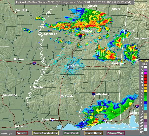 At 614 pm cdt, a severe thunderstorm was located near liberty, or 10 miles northwest of meridian station, moving east at 20 mph (radar indicated). Hazards include 60 mph wind gusts and nickel size hail. expect damage to roofs, siding, and trees At 614 pm cdt, a severe thunderstorm was located near liberty, or 10 miles northwest of meridian station, moving east at 20 mph (radar indicated). Hazards include 60 mph wind gusts and nickel size hail. expect damage to roofs, siding, and trees
|
| 6/25/2020 7:28 PM CDT |
 At 728 pm cdt, severe thunderstorms were located along a line extending from near gholson to near electric mills to near york, moving northeast at 40 mph (radar indicated). Hazards include 60 mph wind gusts. Expect damage to roofs, siding, and trees. These severe thunderstorms will remain over mainly rural areas of kemper and eastern lauderdale counties, including the following locations, scooba. At 728 pm cdt, severe thunderstorms were located along a line extending from near gholson to near electric mills to near york, moving northeast at 40 mph (radar indicated). Hazards include 60 mph wind gusts. Expect damage to roofs, siding, and trees. These severe thunderstorms will remain over mainly rural areas of kemper and eastern lauderdale counties, including the following locations, scooba.
|
| 6/25/2020 7:22 PM CDT |
 At 722 pm cdt, severe thunderstorms were located along a line extending from near preston to near gholson to near porterville to cuba, moving north at 45 mph (radar indicated). Hazards include 60 mph wind gusts. Expect damage to roofs, siding, and trees. these severe storms will be near, preston around 725 pm cdt. electric mills around 730 pm cdt. Other locations impacted by these severe thunderstorms include scooba. At 722 pm cdt, severe thunderstorms were located along a line extending from near preston to near gholson to near porterville to cuba, moving north at 45 mph (radar indicated). Hazards include 60 mph wind gusts. Expect damage to roofs, siding, and trees. these severe storms will be near, preston around 725 pm cdt. electric mills around 730 pm cdt. Other locations impacted by these severe thunderstorms include scooba.
|
| 6/25/2020 7:17 PM CDT |
 At 717 pm cdt, severe thunderstorms were located along a line extending from near nanih waiya to near de kalb to near tamola to near cuba, moving northeast at 35 mph (radar indicated). Hazards include 60 mph wind gusts. Expect damage to roofs, siding, and trees. these severe storms will be near, porterville around 725 pm cdt. electric mills around 735 pm cdt. Other locations impacted by these severe thunderstorms include tucker and scooba. At 717 pm cdt, severe thunderstorms were located along a line extending from near nanih waiya to near de kalb to near tamola to near cuba, moving northeast at 35 mph (radar indicated). Hazards include 60 mph wind gusts. Expect damage to roofs, siding, and trees. these severe storms will be near, porterville around 725 pm cdt. electric mills around 735 pm cdt. Other locations impacted by these severe thunderstorms include tucker and scooba.
|
| 6/25/2020 6:58 PM CDT |
 At 637 pm cdt, severe thunderstorms were located along a line extending from near dowdville to near neshoba to near meehan to near sable to near quitman, moving northeast at 40 mph (radar indicated). Hazards include 60 mph wind gusts. Expect damage to roofs, siding, and trees. these severe storms will be near, sable and savoy around 640 pm cdt. meridian, philadelphia, bethsaida, suqualena, sykes, nellieburg, house, middleton and crandall around 645 pm cdt. zero around 650 pm cdt. marion, burnside, increase and forestdale around 655 pm cdt. daleville, snell, stallo and prismatic around 700 pm cdt. meridian station, bluff springs and blackwater around 705 pm cdt. lauderdale, preston, alamucha and toomsuba around 710 pm cdt. nanih waiya, de kalb and kewanee around 715 pm cdt. Other locations impacted by these severe thunderstorms include pachuta, tucker, shubuta and scooba. At 637 pm cdt, severe thunderstorms were located along a line extending from near dowdville to near neshoba to near meehan to near sable to near quitman, moving northeast at 40 mph (radar indicated). Hazards include 60 mph wind gusts. Expect damage to roofs, siding, and trees. these severe storms will be near, sable and savoy around 640 pm cdt. meridian, philadelphia, bethsaida, suqualena, sykes, nellieburg, house, middleton and crandall around 645 pm cdt. zero around 650 pm cdt. marion, burnside, increase and forestdale around 655 pm cdt. daleville, snell, stallo and prismatic around 700 pm cdt. meridian station, bluff springs and blackwater around 705 pm cdt. lauderdale, preston, alamucha and toomsuba around 710 pm cdt. nanih waiya, de kalb and kewanee around 715 pm cdt. Other locations impacted by these severe thunderstorms include pachuta, tucker, shubuta and scooba.
|
| 6/25/2020 6:37 PM CDT |
 At 637 pm cdt, severe thunderstorms were located along a line extending from near dowdville to near neshoba to near meehan to near sable to near quitman, moving northeast at 40 mph (radar indicated). Hazards include 60 mph wind gusts. Expect damage to roofs, siding, and trees. these severe storms will be near, sable and savoy around 640 pm cdt. meridian, philadelphia, bethsaida, suqualena, sykes, nellieburg, house, middleton and crandall around 645 pm cdt. zero around 650 pm cdt. marion, burnside, increase and forestdale around 655 pm cdt. daleville, snell, stallo and prismatic around 700 pm cdt. meridian station, bluff springs and blackwater around 705 pm cdt. lauderdale, preston, alamucha and toomsuba around 710 pm cdt. nanih waiya, de kalb and kewanee around 715 pm cdt. Other locations impacted by these severe thunderstorms include pachuta, tucker, shubuta and scooba. At 637 pm cdt, severe thunderstorms were located along a line extending from near dowdville to near neshoba to near meehan to near sable to near quitman, moving northeast at 40 mph (radar indicated). Hazards include 60 mph wind gusts. Expect damage to roofs, siding, and trees. these severe storms will be near, sable and savoy around 640 pm cdt. meridian, philadelphia, bethsaida, suqualena, sykes, nellieburg, house, middleton and crandall around 645 pm cdt. zero around 650 pm cdt. marion, burnside, increase and forestdale around 655 pm cdt. daleville, snell, stallo and prismatic around 700 pm cdt. meridian station, bluff springs and blackwater around 705 pm cdt. lauderdale, preston, alamucha and toomsuba around 710 pm cdt. nanih waiya, de kalb and kewanee around 715 pm cdt. Other locations impacted by these severe thunderstorms include pachuta, tucker, shubuta and scooba.
|
| 6/25/2020 6:09 PM CDT |
 At 609 pm cdt, severe thunderstorms were located along a line extending from conehatta to stafford springs, moving northeast at 60 mph (radar indicated). Hazards include 60 mph wind gusts. Expect damage to roofs, siding, and trees. severe thunderstorms will be near, quitman and dixon around 620 pm cdt. neshoba, stonewall and house around 625 pm cdt. philadelphia, sable, bethsaida and middleton around 630 pm cdt. forestdale, savoy and burnside around 635 pm cdt. zero and increase around 640 pm cdt. nanih waiya, preston and marion around 645 pm cdt. toomsuba and alamucha around 650 pm cdt. lauderdale and kewanee around 655 pm cdt. Other locations impacted by these severe thunderstorms include pachuta, tucker, shubuta and scooba. At 609 pm cdt, severe thunderstorms were located along a line extending from conehatta to stafford springs, moving northeast at 60 mph (radar indicated). Hazards include 60 mph wind gusts. Expect damage to roofs, siding, and trees. severe thunderstorms will be near, quitman and dixon around 620 pm cdt. neshoba, stonewall and house around 625 pm cdt. philadelphia, sable, bethsaida and middleton around 630 pm cdt. forestdale, savoy and burnside around 635 pm cdt. zero and increase around 640 pm cdt. nanih waiya, preston and marion around 645 pm cdt. toomsuba and alamucha around 650 pm cdt. lauderdale and kewanee around 655 pm cdt. Other locations impacted by these severe thunderstorms include pachuta, tucker, shubuta and scooba.
|
| 6/5/2020 6:04 PM CDT |
 At 604 pm cdt, severe thunderstorms were located along a line extending from near panola to damascus to prospect, moving south at 40 mph (radar indicated). Hazards include 60 mph wind gusts. Expect damage to roofs, siding, and trees. these severe storms will be near, prismatic and herbert springs around 610 pm cdt. Other locations impacted by these severe thunderstorms include tucker and scooba. At 604 pm cdt, severe thunderstorms were located along a line extending from near panola to damascus to prospect, moving south at 40 mph (radar indicated). Hazards include 60 mph wind gusts. Expect damage to roofs, siding, and trees. these severe storms will be near, prismatic and herbert springs around 610 pm cdt. Other locations impacted by these severe thunderstorms include tucker and scooba.
|
| 6/5/2020 5:17 PM CDT |
 At 517 pm cdt, severe thunderstorms were located along a line extending from near pickensville to near mashulaville to near zama, moving south at 40 mph (radar indicated). Hazards include 60 mph wind gusts and quarter size hail. Hail damage to vehicles is expected. expect wind damage to roofs, siding, and trees. severe thunderstorms will be near, pearl river around 535 pm cdt. philadelphia and preston around 540 pm cdt. dowdville around 545 pm cdt. bluff springs and dixon around 550 pm cdt. liberty and damascus around 605 pm cdt. prismatic and blackwater around 610 pm cdt. Other locations impacted by these severe thunderstorms include tucker and scooba. At 517 pm cdt, severe thunderstorms were located along a line extending from near pickensville to near mashulaville to near zama, moving south at 40 mph (radar indicated). Hazards include 60 mph wind gusts and quarter size hail. Hail damage to vehicles is expected. expect wind damage to roofs, siding, and trees. severe thunderstorms will be near, pearl river around 535 pm cdt. philadelphia and preston around 540 pm cdt. dowdville around 545 pm cdt. bluff springs and dixon around 550 pm cdt. liberty and damascus around 605 pm cdt. prismatic and blackwater around 610 pm cdt. Other locations impacted by these severe thunderstorms include tucker and scooba.
|
| 5/27/2020 6:44 PM CDT |
 At 644 pm cdt, severe thunderstorms were located along a line extending from near betheden to near mashulaville to near gholson, moving northeast at 30 mph (radar indicated). Hazards include 60 mph wind gusts and nickel size hail. Expect damage to roofs, siding, and trees. these severe storms will be near, mashulaville around 650 pm cdt. macon around 715 pm cdt. Other locations impacted by these severe thunderstorms include shuqualak. At 644 pm cdt, severe thunderstorms were located along a line extending from near betheden to near mashulaville to near gholson, moving northeast at 30 mph (radar indicated). Hazards include 60 mph wind gusts and nickel size hail. Expect damage to roofs, siding, and trees. these severe storms will be near, mashulaville around 650 pm cdt. macon around 715 pm cdt. Other locations impacted by these severe thunderstorms include shuqualak.
|
| 5/27/2020 6:03 PM CDT |
 At 603 pm cdt, severe thunderstorms were located along a line extending from 8 miles northwest of stallo to near nanih waiya to near damascus, moving northeast at 25 mph (radar indicated). Hazards include 60 mph wind gusts and quarter size hail. Hail damage to vehicles is expected. expect wind damage to roofs, siding, and trees. severe thunderstorms will be near, bluff springs around 620 pm cdt. louisville around 630 pm cdt. preston around 635 pm cdt. millcreek around 640 pm cdt. gholson, mashulaville and betheden around 650 pm cdt. macon around 720 pm cdt. Other locations impacted by these severe thunderstorms include shuqualak. At 603 pm cdt, severe thunderstorms were located along a line extending from 8 miles northwest of stallo to near nanih waiya to near damascus, moving northeast at 25 mph (radar indicated). Hazards include 60 mph wind gusts and quarter size hail. Hail damage to vehicles is expected. expect wind damage to roofs, siding, and trees. severe thunderstorms will be near, bluff springs around 620 pm cdt. louisville around 630 pm cdt. preston around 635 pm cdt. millcreek around 640 pm cdt. gholson, mashulaville and betheden around 650 pm cdt. macon around 720 pm cdt. Other locations impacted by these severe thunderstorms include shuqualak.
|
| 5/23/2020 5:26 PM CDT |
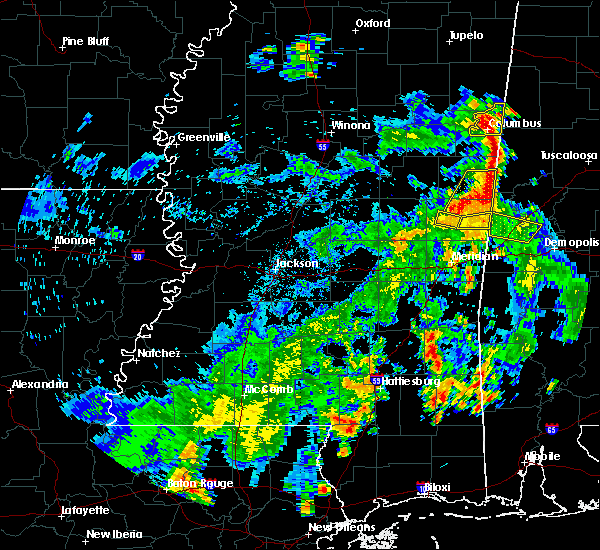 The severe thunderstorm warning for west central kemper county will expire at 530 pm cdt, the storm which prompted the warning has moved out of the area. therefore, the warning will be allowed to expire. The severe thunderstorm warning for west central kemper county will expire at 530 pm cdt, the storm which prompted the warning has moved out of the area. therefore, the warning will be allowed to expire.
|
| 5/23/2020 5:15 PM CDT |
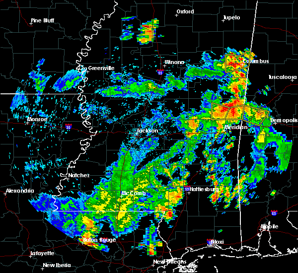 At 515 pm cdt, a severe thunderstorm was located over bluff springs, or near preston, moving north at 30 mph (radar indicated). Hazards include 60 mph wind gusts. Expect damage to roofs, siding, and trees. This severe thunderstorm will remain over mainly rural areas of west central kemper county. At 515 pm cdt, a severe thunderstorm was located over bluff springs, or near preston, moving north at 30 mph (radar indicated). Hazards include 60 mph wind gusts. Expect damage to roofs, siding, and trees. This severe thunderstorm will remain over mainly rural areas of west central kemper county.
|
| 5/23/2020 5:12 PM CDT | Trees down across central kemper count in kemper county MS, 0.7 miles WNW of De Kalb, MS |
| 5/23/2020 5:07 PM CDT | Trees down along townsend rd in the carter communit in kemper county MS, 6 miles W of De Kalb, MS |
| 5/23/2020 5:06 PM CDT |
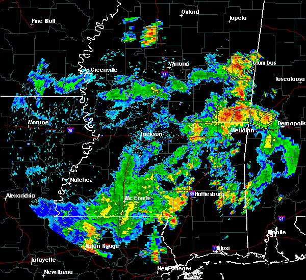 At 506 pm cdt, a severe thunderstorm was located near bluff springs, or 10 miles south of preston, moving north at 30 mph (radar indicated). Hazards include 60 mph wind gusts and penny size hail. Expect damage to roofs, siding, and trees. this severe storm will be near, bluff springs around 510 pm cdt. De kalb around 515 pm cdt. At 506 pm cdt, a severe thunderstorm was located near bluff springs, or 10 miles south of preston, moving north at 30 mph (radar indicated). Hazards include 60 mph wind gusts and penny size hail. Expect damage to roofs, siding, and trees. this severe storm will be near, bluff springs around 510 pm cdt. De kalb around 515 pm cdt.
|
| 5/23/2020 4:43 PM CDT |
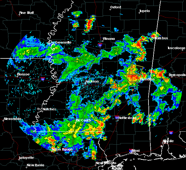 At 443 pm cdt, a severe thunderstorm was located over martin, or 15 miles west of meridian station, moving north at 30 mph (radar indicated). Hazards include 60 mph wind gusts and penny size hail. Expect damage to roofs, siding, and trees. this severe thunderstorm will be near, prismatic around 450 pm cdt. damascus around 455 pm cdt. liberty around 500 pm cdt. bluff springs around 510 pm cdt. De kalb around 515 pm cdt. At 443 pm cdt, a severe thunderstorm was located over martin, or 15 miles west of meridian station, moving north at 30 mph (radar indicated). Hazards include 60 mph wind gusts and penny size hail. Expect damage to roofs, siding, and trees. this severe thunderstorm will be near, prismatic around 450 pm cdt. damascus around 455 pm cdt. liberty around 500 pm cdt. bluff springs around 510 pm cdt. De kalb around 515 pm cdt.
|
| 4/12/2020 11:46 PM CDT |
 At 1145 pm cdt, severe thunderstorms were located along a line extending from near paulette to near martin, moving east at 70 mph (radar indicated). Hazards include 60 mph wind gusts. Expect damage to roofs, siding, and trees. these severe storms will be near, paulette around 1150 pm cdt. cooksville around 1155 pm cdt. tamola and porterville around 1205 am cdt. Other locations impacted by these severe thunderstorms include shuqualak and scooba. At 1145 pm cdt, severe thunderstorms were located along a line extending from near paulette to near martin, moving east at 70 mph (radar indicated). Hazards include 60 mph wind gusts. Expect damage to roofs, siding, and trees. these severe storms will be near, paulette around 1150 pm cdt. cooksville around 1155 pm cdt. tamola and porterville around 1205 am cdt. Other locations impacted by these severe thunderstorms include shuqualak and scooba.
|
| 4/12/2020 11:36 PM CDT |
 At 1136 pm cdt, severe thunderstorms were located along a line extending from near gholson to near house, moving east at 75 mph (radar indicated). Hazards include 60 mph wind gusts. Expect damage to roofs, siding, and trees. these severe storms will be near, liberty around 1145 pm cdt. cooksville, prismatic, paulette and blackwater around 1150 pm cdt. tamola around 1200 am cdt. Other locations impacted by these severe thunderstorms include shuqualak and scooba. At 1136 pm cdt, severe thunderstorms were located along a line extending from near gholson to near house, moving east at 75 mph (radar indicated). Hazards include 60 mph wind gusts. Expect damage to roofs, siding, and trees. these severe storms will be near, liberty around 1145 pm cdt. cooksville, prismatic, paulette and blackwater around 1150 pm cdt. tamola around 1200 am cdt. Other locations impacted by these severe thunderstorms include shuqualak and scooba.
|
| 4/12/2020 11:24 PM CDT |
 At 1124 pm cdt, severe thunderstorms were located along a line extending from vernon to near burnside to prospect, moving east at 80 mph (radar indicated). Hazards include 60 mph wind gusts. Expect damage to roofs, siding, and trees. these severe storms will be near, nanih waiya and forestdale around 1130 pm cdt. preston, bluff springs, gholson and house around 1135 pm cdt. de kalb and herbert springs around 1140 pm cdt. paulette around 1145 pm cdt. electric mills, cooksville, prismatic, porterville and blackwater around 1150 pm cdt. tamola around 1200 am cdt. Other locations impacted by these severe thunderstorms include noxapater, tucker, shuqualak and scooba. At 1124 pm cdt, severe thunderstorms were located along a line extending from vernon to near burnside to prospect, moving east at 80 mph (radar indicated). Hazards include 60 mph wind gusts. Expect damage to roofs, siding, and trees. these severe storms will be near, nanih waiya and forestdale around 1130 pm cdt. preston, bluff springs, gholson and house around 1135 pm cdt. de kalb and herbert springs around 1140 pm cdt. paulette around 1145 pm cdt. electric mills, cooksville, prismatic, porterville and blackwater around 1150 pm cdt. tamola around 1200 am cdt. Other locations impacted by these severe thunderstorms include noxapater, tucker, shuqualak and scooba.
|
| 4/12/2020 11:01 PM CDT |
 At 1101 pm cdt, severe thunderstorms were located along a line extending from 9 miles south of ackerman to renfroe to near ludlow, moving east at 60 mph (radar indicated). Hazards include 60 mph wind gusts. Expect damage to roofs, siding, and trees. severe thunderstorms will be near, philadelphia and pearl river around 1115 pm cdt. burnside and stallo around 1120 pm cdt. dixon around 1125 pm cdt. nanih waiya, neshoba and forestdale around 1130 pm cdt. preston around 1135 pm cdt. bluff springs and house around 1140 pm cdt. herbert springs around 1145 pm cdt. de kalb, paulette and cooksville around 1150 pm cdt. Other locations impacted by these severe thunderstorms include noxapater, tucker, shuqualak and scooba. At 1101 pm cdt, severe thunderstorms were located along a line extending from 9 miles south of ackerman to renfroe to near ludlow, moving east at 60 mph (radar indicated). Hazards include 60 mph wind gusts. Expect damage to roofs, siding, and trees. severe thunderstorms will be near, philadelphia and pearl river around 1115 pm cdt. burnside and stallo around 1120 pm cdt. dixon around 1125 pm cdt. nanih waiya, neshoba and forestdale around 1130 pm cdt. preston around 1135 pm cdt. bluff springs and house around 1140 pm cdt. herbert springs around 1145 pm cdt. de kalb, paulette and cooksville around 1150 pm cdt. Other locations impacted by these severe thunderstorms include noxapater, tucker, shuqualak and scooba.
|
| 3/4/2020 2:21 AM CST |
 At 221 am cst, a severe thunderstorm was located near liberty, or 10 miles northwest of meridian station, moving east at 55 mph (radar indicated). Hazards include 60 mph wind gusts and quarter size hail. Hail damage to vehicles is expected. expect wind damage to roofs, siding, and trees. this severe thunderstorm will be near, porterville, electric mills and tamola around 235 am cst. A tornado watch remains in effect until 1000 am cst for east central mississippi. At 221 am cst, a severe thunderstorm was located near liberty, or 10 miles northwest of meridian station, moving east at 55 mph (radar indicated). Hazards include 60 mph wind gusts and quarter size hail. Hail damage to vehicles is expected. expect wind damage to roofs, siding, and trees. this severe thunderstorm will be near, porterville, electric mills and tamola around 235 am cst. A tornado watch remains in effect until 1000 am cst for east central mississippi.
|
| 1/11/2020 11:06 AM CST |
 The severe thunderstorm warning for eastern noxubee and kemper counties will expire at 1115 am cst, the storms which prompted the warning have moved out of the area. therefore, the warning will be allowed to expire. a tornado watch remains in effect until 400 pm cst for northeastern and east central mississippi. The severe thunderstorm warning for eastern noxubee and kemper counties will expire at 1115 am cst, the storms which prompted the warning have moved out of the area. therefore, the warning will be allowed to expire. a tornado watch remains in effect until 400 pm cst for northeastern and east central mississippi.
|
| 1/11/2020 10:45 AM CST |
 At 1045 am cst, severe thunderstorms were located along a line extending from macon to 8 miles southwest of paulette, moving northeast at 60 mph (radar indicated). Hazards include 60 mph wind gusts. Expect damage to roofs, siding, and trees. these severe storms will be near, paulette, cooksville, prairie point and deerbrook around 1055 am cst. bigbee valley around 1100 am cst. other locations impacted by these severe thunderstorms include shuqualak and scooba. A tornado watch remains in effect until 400 pm cst for northeastern and east central mississippi. At 1045 am cst, severe thunderstorms were located along a line extending from macon to 8 miles southwest of paulette, moving northeast at 60 mph (radar indicated). Hazards include 60 mph wind gusts. Expect damage to roofs, siding, and trees. these severe storms will be near, paulette, cooksville, prairie point and deerbrook around 1055 am cst. bigbee valley around 1100 am cst. other locations impacted by these severe thunderstorms include shuqualak and scooba. A tornado watch remains in effect until 400 pm cst for northeastern and east central mississippi.
|
| 1/11/2020 10:14 AM CST |
 At 1014 am cst, severe thunderstorms were located along a line extending from near forestdale to herbert springs, moving northeast at 60 mph (radar indicated). Hazards include 60 mph wind gusts. Expect damage to roofs, siding, and trees. severe thunderstorms will be near, preston, liberty and bluff springs around 1025 am cst. gholson around 1030 am cst. de kalb around 1035 am cst. macon around 1045 am cst. paulette, cooksville, prairie point and deerbrook around 1055 am cst. bigbee valley around 1100 am cst. other locations impacted by these severe thunderstorms include shuqualak and scooba. A tornado watch remains in effect until 400 pm cst for northeastern and east central mississippi. At 1014 am cst, severe thunderstorms were located along a line extending from near forestdale to herbert springs, moving northeast at 60 mph (radar indicated). Hazards include 60 mph wind gusts. Expect damage to roofs, siding, and trees. severe thunderstorms will be near, preston, liberty and bluff springs around 1025 am cst. gholson around 1030 am cst. de kalb around 1035 am cst. macon around 1045 am cst. paulette, cooksville, prairie point and deerbrook around 1055 am cst. bigbee valley around 1100 am cst. other locations impacted by these severe thunderstorms include shuqualak and scooba. A tornado watch remains in effect until 400 pm cst for northeastern and east central mississippi.
|
| 12/29/2019 5:58 PM CST | Trees down on highway 397. possible tornado. reported by power compan in kemper county MS, 3.4 miles E of De Kalb, MS |
| 12/29/2019 5:47 PM CST |
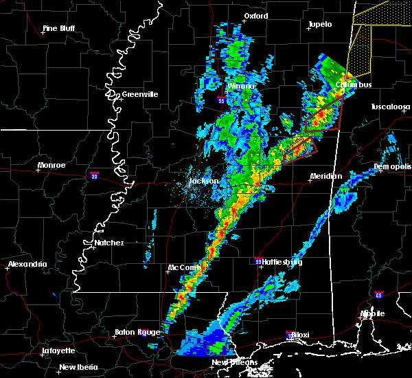 At 546 pm cst, a severe thunderstorm capable of producing a tornado was located near bluff springs, or 10 miles south of preston, moving northeast at 30 mph (radar indicated rotation). Hazards include tornado. Flying debris will be dangerous to those caught without shelter. mobile homes will be damaged or destroyed. damage to roofs, windows, and vehicles will occur. tree damage is likely. this dangerous storm will be near, bluff springs around 555 pm cst. De kalb around 610 pm cst. At 546 pm cst, a severe thunderstorm capable of producing a tornado was located near bluff springs, or 10 miles south of preston, moving northeast at 30 mph (radar indicated rotation). Hazards include tornado. Flying debris will be dangerous to those caught without shelter. mobile homes will be damaged or destroyed. damage to roofs, windows, and vehicles will occur. tree damage is likely. this dangerous storm will be near, bluff springs around 555 pm cst. De kalb around 610 pm cst.
|
| 12/29/2019 5:31 PM CST |
 At 530 pm cst, a severe thunderstorm capable of producing a tornado was located over house, or 11 miles southeast of philadelphia, moving northeast at 50 mph (radar indicated rotation). Hazards include tornado. Flying debris will be dangerous to those caught without shelter. mobile homes will be damaged or destroyed. damage to roofs, windows, and vehicles will occur. tree damage is likely. this dangerous storm will be near, bluff springs around 545 pm cst. De kalb around 555 pm cst. At 530 pm cst, a severe thunderstorm capable of producing a tornado was located over house, or 11 miles southeast of philadelphia, moving northeast at 50 mph (radar indicated rotation). Hazards include tornado. Flying debris will be dangerous to those caught without shelter. mobile homes will be damaged or destroyed. damage to roofs, windows, and vehicles will occur. tree damage is likely. this dangerous storm will be near, bluff springs around 545 pm cst. De kalb around 555 pm cst.
|
| 12/29/2019 5:26 PM CST |
 At 526 pm cst, a confirmed tornado was located near house, or 12 miles south of philadelphia, moving northeast at 35 mph (radar confirmed tornado). Hazards include damaging tornado and quarter size hail. Flying debris will be dangerous to those caught without shelter. mobile homes will be damaged or destroyed. damage to roofs, windows, and vehicles will occur. tree damage is likely. this tornado will be near, house, bethsaida and herbert springs around 535 pm cst. damascus around 550 pm cst. liberty around 555 pm cst. De kalb and bluff springs around 600 pm cst. At 526 pm cst, a confirmed tornado was located near house, or 12 miles south of philadelphia, moving northeast at 35 mph (radar confirmed tornado). Hazards include damaging tornado and quarter size hail. Flying debris will be dangerous to those caught without shelter. mobile homes will be damaged or destroyed. damage to roofs, windows, and vehicles will occur. tree damage is likely. this tornado will be near, house, bethsaida and herbert springs around 535 pm cst. damascus around 550 pm cst. liberty around 555 pm cst. De kalb and bluff springs around 600 pm cst.
|
| 12/29/2019 5:18 PM CST |
 At 517 pm cst, a confirmed tornado was located near neshoba, or 9 miles east of prospect, moving northeast at 45 mph (radar confirmed tornado). Hazards include damaging tornado. Flying debris will be dangerous to those caught without shelter. mobile homes will be damaged or destroyed. damage to roofs, windows, and vehicles will occur. tree damage is likely. this tornadic storm will be near, house, herbert springs and bethsaida around 530 pm cst. damascus around 540 pm cst. liberty around 545 pm cst. bluff springs around 550 pm cst. De kalb around 600 pm cst. At 517 pm cst, a confirmed tornado was located near neshoba, or 9 miles east of prospect, moving northeast at 45 mph (radar confirmed tornado). Hazards include damaging tornado. Flying debris will be dangerous to those caught without shelter. mobile homes will be damaged or destroyed. damage to roofs, windows, and vehicles will occur. tree damage is likely. this tornadic storm will be near, house, herbert springs and bethsaida around 530 pm cst. damascus around 540 pm cst. liberty around 545 pm cst. bluff springs around 550 pm cst. De kalb around 600 pm cst.
|
| 7/8/2019 4:50 PM CDT | Tree down on old jackson rd...reported by kemper em in kemper county MS, 1.9 miles ENE of De Kalb, MS |
| 7/8/2019 4:42 PM CDT |
 At 442 pm cdt, a severe thunderstorm was located over electric mills, or 15 miles north of lauderdale, moving southwest at 20 mph (radar indicated). Hazards include 60 mph wind gusts and quarter size hail. Hail damage to vehicles is expected. expect wind damage to roofs, siding, and trees. this severe storm will be near, porterville around 450 pm cdt. tamola around 510 pm cdt. blackwater around 515 pm cdt. Other locations impacted by this severe thunderstorm include scooba. At 442 pm cdt, a severe thunderstorm was located over electric mills, or 15 miles north of lauderdale, moving southwest at 20 mph (radar indicated). Hazards include 60 mph wind gusts and quarter size hail. Hail damage to vehicles is expected. expect wind damage to roofs, siding, and trees. this severe storm will be near, porterville around 450 pm cdt. tamola around 510 pm cdt. blackwater around 515 pm cdt. Other locations impacted by this severe thunderstorm include scooba.
|
| 7/8/2019 4:26 PM CDT |
 At 426 pm cdt, a severe thunderstorm was located near electric mills, or 19 miles northwest of livingston, moving southwest at 20 mph (radar indicated). Hazards include 60 mph wind gusts and quarter size hail. Hail damage to vehicles is expected. expect wind damage to roofs, siding, and trees. this severe thunderstorm will be near, electric mills around 435 pm cdt. porterville around 450 pm cdt. tamola around 510 pm cdt. blackwater around 515 pm cdt. Other locations impacted by this severe thunderstorm include scooba. At 426 pm cdt, a severe thunderstorm was located near electric mills, or 19 miles northwest of livingston, moving southwest at 20 mph (radar indicated). Hazards include 60 mph wind gusts and quarter size hail. Hail damage to vehicles is expected. expect wind damage to roofs, siding, and trees. this severe thunderstorm will be near, electric mills around 435 pm cdt. porterville around 450 pm cdt. tamola around 510 pm cdt. blackwater around 515 pm cdt. Other locations impacted by this severe thunderstorm include scooba.
|
| 6/20/2019 2:06 AM CDT |
 The severe thunderstorm warning for eastern kemper county will expire at 215 am cdt, the storms which prompted the warning have moved out of the area. therefore, the warning will be allowed to expire. a severe thunderstorm watch remains in effect until 600 am cdt for east central mississippi. The severe thunderstorm warning for eastern kemper county will expire at 215 am cdt, the storms which prompted the warning have moved out of the area. therefore, the warning will be allowed to expire. a severe thunderstorm watch remains in effect until 600 am cdt for east central mississippi.
|
| 6/20/2019 1:56 AM CDT |
 At 156 am cdt, severe thunderstorms were located along a line extending from near union to gainesville to near emelle, moving east at 65 mph (radar indicated). Hazards include 60 mph wind gusts and quarter size hail. Hail damage to vehicles is expected. expect wind damage to roofs, siding, and trees. These severe thunderstorms will remain over mainly rural areas of eastern kemper county, including the following locations, scooba. At 156 am cdt, severe thunderstorms were located along a line extending from near union to gainesville to near emelle, moving east at 65 mph (radar indicated). Hazards include 60 mph wind gusts and quarter size hail. Hail damage to vehicles is expected. expect wind damage to roofs, siding, and trees. These severe thunderstorms will remain over mainly rural areas of eastern kemper county, including the following locations, scooba.
|
| 6/20/2019 1:13 AM CDT |
 At 113 am cdt, severe thunderstorms were located along a line extending from near gholson to near forestdale to near philadelphia, moving east at 65 mph (radar indicated). Hazards include 60 mph wind gusts and quarter size hail. Hail damage to vehicles is expected. expect wind damage to roofs, siding, and trees. severe thunderstorms will be near, de kalb around 125 am cdt. damascus around 130 am cdt. liberty around 135 am cdt. electric mills around 140 am cdt. porterville around 150 am cdt. Other locations impacted by these severe thunderstorms include tucker and scooba. At 113 am cdt, severe thunderstorms were located along a line extending from near gholson to near forestdale to near philadelphia, moving east at 65 mph (radar indicated). Hazards include 60 mph wind gusts and quarter size hail. Hail damage to vehicles is expected. expect wind damage to roofs, siding, and trees. severe thunderstorms will be near, de kalb around 125 am cdt. damascus around 130 am cdt. liberty around 135 am cdt. electric mills around 140 am cdt. porterville around 150 am cdt. Other locations impacted by these severe thunderstorms include tucker and scooba.
|
| 6/7/2019 4:05 PM CDT |
 At 405 pm cdt, a severe thunderstorm was located over liberty, or 13 miles south of preston, moving east at 30 mph (radar indicated). Hazards include 60 mph wind gusts and quarter size hail. Hail damage to vehicles is expected. expect wind damage to roofs, siding, and trees. this severe storm will be near, prismatic around 415 pm cdt. De kalb and blackwater around 420 pm cdt. At 405 pm cdt, a severe thunderstorm was located over liberty, or 13 miles south of preston, moving east at 30 mph (radar indicated). Hazards include 60 mph wind gusts and quarter size hail. Hail damage to vehicles is expected. expect wind damage to roofs, siding, and trees. this severe storm will be near, prismatic around 415 pm cdt. De kalb and blackwater around 420 pm cdt.
|
| 6/7/2019 3:40 PM CDT |
 At 340 pm cdt, a severe thunderstorm was located over bethsaida, or 7 miles southeast of philadelphia, moving east at 30 mph (radar indicated). Hazards include 60 mph wind gusts and quarter size hail. Hail damage to vehicles is expected. expect wind damage to roofs, siding, and trees. this severe thunderstorm will be near, forestdale around 345 pm cdt. herbert springs around 350 pm cdt. damascus and bluff springs around 400 pm cdt. liberty and prismatic around 410 pm cdt. de kalb and blackwater around 420 pm cdt. Other locations impacted by this severe thunderstorm include tucker. At 340 pm cdt, a severe thunderstorm was located over bethsaida, or 7 miles southeast of philadelphia, moving east at 30 mph (radar indicated). Hazards include 60 mph wind gusts and quarter size hail. Hail damage to vehicles is expected. expect wind damage to roofs, siding, and trees. this severe thunderstorm will be near, forestdale around 345 pm cdt. herbert springs around 350 pm cdt. damascus and bluff springs around 400 pm cdt. liberty and prismatic around 410 pm cdt. de kalb and blackwater around 420 pm cdt. Other locations impacted by this severe thunderstorm include tucker.
|
| 4/18/2019 4:47 PM CDT |
 At 447 pm cdt, a severe thunderstorm capable of producing a tornado was located near de kalb, or 14 miles southeast of preston, moving northeast at 45 mph (radar indicated rotation). Hazards include tornado. Flying debris will be dangerous to those caught without shelter. mobile homes will be damaged or destroyed. damage to roofs, windows, and vehicles will occur. tree damage is likely. this dangerous storm will be near, electric mills around 455 pm cdt. Other locations impacted by this tornadic thunderstorm include scooba. At 447 pm cdt, a severe thunderstorm capable of producing a tornado was located near de kalb, or 14 miles southeast of preston, moving northeast at 45 mph (radar indicated rotation). Hazards include tornado. Flying debris will be dangerous to those caught without shelter. mobile homes will be damaged or destroyed. damage to roofs, windows, and vehicles will occur. tree damage is likely. this dangerous storm will be near, electric mills around 455 pm cdt. Other locations impacted by this tornadic thunderstorm include scooba.
|
| 4/18/2019 4:45 PM CDT | Roof off of a home... trees and power lines down... along with several other homes damaged south of tow in kemper county MS, 0.7 miles WNW of De Kalb, MS |
| 4/18/2019 4:35 PM CDT |
 At 435 pm cdt, a severe thunderstorm capable of producing a tornado was located near liberty, or 10 miles northwest of meridian station, moving northeast at 55 mph (radar indicated rotation). Hazards include tornado. Flying debris will be dangerous to those caught without shelter. mobile homes will be damaged or destroyed. damage to roofs, windows, and vehicles will occur. tree damage is likely. this dangerous storm will be near, de kalb around 440 pm cdt. electric mills around 450 pm cdt. Other locations impacted by this tornadic thunderstorm include scooba. At 435 pm cdt, a severe thunderstorm capable of producing a tornado was located near liberty, or 10 miles northwest of meridian station, moving northeast at 55 mph (radar indicated rotation). Hazards include tornado. Flying debris will be dangerous to those caught without shelter. mobile homes will be damaged or destroyed. damage to roofs, windows, and vehicles will occur. tree damage is likely. this dangerous storm will be near, de kalb around 440 pm cdt. electric mills around 450 pm cdt. Other locations impacted by this tornadic thunderstorm include scooba.
|
| 4/18/2019 4:21 PM CDT | Trees across hopewell r in kemper county MS, 13.5 miles E of De Kalb, MS |
| 4/18/2019 4:12 PM CDT |
 At 411 pm cdt, a severe thunderstorm capable of producing a tornado was located near little rock, or 17 miles east of prospect, moving northeast at 60 mph (radar indicated rotation). Hazards include tornado. Flying debris will be dangerous to those caught without shelter. mobile homes will be damaged or destroyed. damage to roofs, windows, and vehicles will occur. tree damage is likely. this dangerous storm will be near, martin around 415 pm cdt. liberty, damascus and prismatic around 425 pm cdt. bluff springs and blackwater around 430 pm cdt. de kalb around 435 pm cdt. electric mills around 445 pm cdt. Other locations impacted by this tornadic thunderstorm include scooba. At 411 pm cdt, a severe thunderstorm capable of producing a tornado was located near little rock, or 17 miles east of prospect, moving northeast at 60 mph (radar indicated rotation). Hazards include tornado. Flying debris will be dangerous to those caught without shelter. mobile homes will be damaged or destroyed. damage to roofs, windows, and vehicles will occur. tree damage is likely. this dangerous storm will be near, martin around 415 pm cdt. liberty, damascus and prismatic around 425 pm cdt. bluff springs and blackwater around 430 pm cdt. de kalb around 435 pm cdt. electric mills around 445 pm cdt. Other locations impacted by this tornadic thunderstorm include scooba.
|
| 4/18/2019 4:09 PM CDT |
 At 409 pm cdt, severe thunderstorms were located along a line extending from near neshoba to duffee to near meehan, moving east at 55 mph (radar indicated). Hazards include 60 mph wind gusts. Expect damage to roofs, siding, and trees. severe thunderstorms will be near, damascus around 420 pm cdt. liberty and prismatic around 425 pm cdt. blackwater around 430 pm cdt. preston and bluff springs around 435 pm cdt. de kalb and tamola around 440 pm cdt. porterville and electric mills around 445 pm cdt. other locations impacted by these severe thunderstorms include scooba. A tornado watch remains in effect until 900 pm cdt for east central mississippi. At 409 pm cdt, severe thunderstorms were located along a line extending from near neshoba to duffee to near meehan, moving east at 55 mph (radar indicated). Hazards include 60 mph wind gusts. Expect damage to roofs, siding, and trees. severe thunderstorms will be near, damascus around 420 pm cdt. liberty and prismatic around 425 pm cdt. blackwater around 430 pm cdt. preston and bluff springs around 435 pm cdt. de kalb and tamola around 440 pm cdt. porterville and electric mills around 445 pm cdt. other locations impacted by these severe thunderstorms include scooba. A tornado watch remains in effect until 900 pm cdt for east central mississippi.
|
| 4/6/2019 6:53 PM CDT |
 At 653 pm cdt, a severe thunderstorm was located near paulette, or 21 miles southwest of aliceville, moving northeast at 40 mph (radar indicated). Hazards include 60 mph wind gusts and penny size hail. Expect damage to roofs, siding, and trees. this severe storm will be near, cooksville around 700 pm cdt. Other locations impacted by this severe thunderstorm include shuqualak and scooba. At 653 pm cdt, a severe thunderstorm was located near paulette, or 21 miles southwest of aliceville, moving northeast at 40 mph (radar indicated). Hazards include 60 mph wind gusts and penny size hail. Expect damage to roofs, siding, and trees. this severe storm will be near, cooksville around 700 pm cdt. Other locations impacted by this severe thunderstorm include shuqualak and scooba.
|
| 4/6/2019 6:29 PM CDT |
 At 629 pm cdt, a severe thunderstorm was located near gholson, or 11 miles east of preston, moving northeast at 25 mph (radar indicated). Hazards include 60 mph wind gusts and quarter size hail. Hail damage to vehicles is expected. expect wind damage to roofs, siding, and trees. this severe thunderstorm will be near, paulette around 700 pm cdt. cooksville around 710 pm cdt. Other locations impacted by this severe thunderstorm include shuqualak and scooba. At 629 pm cdt, a severe thunderstorm was located near gholson, or 11 miles east of preston, moving northeast at 25 mph (radar indicated). Hazards include 60 mph wind gusts and quarter size hail. Hail damage to vehicles is expected. expect wind damage to roofs, siding, and trees. this severe thunderstorm will be near, paulette around 700 pm cdt. cooksville around 710 pm cdt. Other locations impacted by this severe thunderstorm include shuqualak and scooba.
|
| 4/6/2019 6:22 PM CDT |
 At 622 pm cdt, a severe thunderstorm was located near bluff springs, or 8 miles south of preston, moving east at 30 mph (radar indicated). Hazards include 60 mph wind gusts and penny size hail. Expect damage to roofs, siding, and trees. this severe storm will be near, preston and bluff springs around 630 pm cdt. de kalb around 645 pm cdt. Other locations impacted by this severe thunderstorm include tucker. At 622 pm cdt, a severe thunderstorm was located near bluff springs, or 8 miles south of preston, moving east at 30 mph (radar indicated). Hazards include 60 mph wind gusts and penny size hail. Expect damage to roofs, siding, and trees. this severe storm will be near, preston and bluff springs around 630 pm cdt. de kalb around 645 pm cdt. Other locations impacted by this severe thunderstorm include tucker.
|
| 4/6/2019 6:02 PM CDT |
 At 602 pm cdt, a severe thunderstorm was located near neshoba, or 7 miles south of philadelphia, moving northeast at 45 mph (radar indicated). Hazards include 60 mph wind gusts and quarter size hail. Hail damage to vehicles is expected. expect wind damage to roofs, siding, and trees. this severe thunderstorm will be near, bethsaida and house around 610 pm cdt. forestdale around 620 pm cdt. bluff springs around 625 pm cdt. preston around 630 pm cdt. de kalb around 635 pm cdt. Other locations impacted by this severe thunderstorm include tucker. At 602 pm cdt, a severe thunderstorm was located near neshoba, or 7 miles south of philadelphia, moving northeast at 45 mph (radar indicated). Hazards include 60 mph wind gusts and quarter size hail. Hail damage to vehicles is expected. expect wind damage to roofs, siding, and trees. this severe thunderstorm will be near, bethsaida and house around 610 pm cdt. forestdale around 620 pm cdt. bluff springs around 625 pm cdt. preston around 630 pm cdt. de kalb around 635 pm cdt. Other locations impacted by this severe thunderstorm include tucker.
|
| 3/25/2019 4:42 PM CDT |
 The severe thunderstorm warning for eastern kemper county will expire at 445 pm cdt, the storms which prompted the warning have weakened below severe limits, and have exited the warned area. therefore, the warning will be allowed to expire. to report severe weather, contact your nearest law enforcement agency. they will relay your report to the national weather service jackson. The severe thunderstorm warning for eastern kemper county will expire at 445 pm cdt, the storms which prompted the warning have weakened below severe limits, and have exited the warned area. therefore, the warning will be allowed to expire. to report severe weather, contact your nearest law enforcement agency. they will relay your report to the national weather service jackson.
|
| 3/25/2019 4:32 PM CDT |
 At 430 pm cdt, severe thunderstorms were located along a line extending from near electric mills to near de kalb, moving southeast at 35 mph (radar indicated). Hazards include quarter size hail. Damage to vehicles is expected. Other locations impacted by these severe thunderstorms include scooba and porterville. At 430 pm cdt, severe thunderstorms were located along a line extending from near electric mills to near de kalb, moving southeast at 35 mph (radar indicated). Hazards include quarter size hail. Damage to vehicles is expected. Other locations impacted by these severe thunderstorms include scooba and porterville.
|
| 3/25/2019 4:12 PM CDT |
 At 412 pm cdt, severe thunderstorms were located along a line extending from 8 miles northwest of electric mills to near de kalb, moving southeast at 30 mph (radar indicated). Hazards include quarter size hail. Damage to vehicles is expected. these severe storms will be near, electric mills around 440 pm cdt. porterville around 445 pm cdt. Other locations impacted by these severe thunderstorms include scooba. At 412 pm cdt, severe thunderstorms were located along a line extending from 8 miles northwest of electric mills to near de kalb, moving southeast at 30 mph (radar indicated). Hazards include quarter size hail. Damage to vehicles is expected. these severe storms will be near, electric mills around 440 pm cdt. porterville around 445 pm cdt. Other locations impacted by these severe thunderstorms include scooba.
|
| 3/25/2019 4:00 PM CDT |
 At 400 pm cdt, a severe thunderstorm was located near gholson, or 12 miles east of preston, moving southeast at 30 mph (radar indicated). Hazards include quarter size hail. Damage to vehicles is expected. this severe thunderstorm will be near, electric mills around 425 pm cdt. Other locations impacted by this severe thunderstorm include scooba. At 400 pm cdt, a severe thunderstorm was located near gholson, or 12 miles east of preston, moving southeast at 30 mph (radar indicated). Hazards include quarter size hail. Damage to vehicles is expected. this severe thunderstorm will be near, electric mills around 425 pm cdt. Other locations impacted by this severe thunderstorm include scooba.
|
| 3/14/2019 3:02 PM CDT | Quarter sized hail reported 5.2 miles S of De Kalb, MS, motorist traveling along hwy 39 reported nickel to quarter size hail north of de kalb. |
| 3/14/2019 2:53 PM CDT |
 At 253 pm cdt, a severe thunderstorm was located near bluff springs, or near preston, moving east at 50 mph (trained weather spotters). Hazards include ping pong ball size hail and 60 mph wind gusts. People and animals outdoors will be injured. expect hail damage to roofs, siding, windows, and vehicles. expect wind damage to roofs, siding, and trees. this severe thunderstorm will be near, de kalb around 300 pm cdt. paulette around 320 pm cdt. cooksville around 325 pm cdt. other locations impacted by this severe thunderstorm include shuqualak and scooba. A tornado watch remains in effect until 700 pm cdt for east central mississippi. At 253 pm cdt, a severe thunderstorm was located near bluff springs, or near preston, moving east at 50 mph (trained weather spotters). Hazards include ping pong ball size hail and 60 mph wind gusts. People and animals outdoors will be injured. expect hail damage to roofs, siding, windows, and vehicles. expect wind damage to roofs, siding, and trees. this severe thunderstorm will be near, de kalb around 300 pm cdt. paulette around 320 pm cdt. cooksville around 325 pm cdt. other locations impacted by this severe thunderstorm include shuqualak and scooba. A tornado watch remains in effect until 700 pm cdt for east central mississippi.
|
| 3/14/2019 2:48 PM CDT |
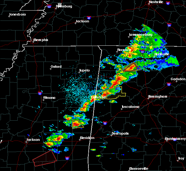 At 248 pm cdt, a severe thunderstorm was located over bluff springs, or near preston, moving northeast at 45 mph (radar indicated). Hazards include tennis ball size hail and 60 mph wind gusts. People and animals outdoors will be injured. expect hail damage to roofs, siding, windows, and vehicles. expect wind damage to roofs, siding, and trees. this severe storm will be near, de kalb around 255 pm cdt. A tornado watch remains in effect until 700 pm cdt for east central mississippi. At 248 pm cdt, a severe thunderstorm was located over bluff springs, or near preston, moving northeast at 45 mph (radar indicated). Hazards include tennis ball size hail and 60 mph wind gusts. People and animals outdoors will be injured. expect hail damage to roofs, siding, windows, and vehicles. expect wind damage to roofs, siding, and trees. this severe storm will be near, de kalb around 255 pm cdt. A tornado watch remains in effect until 700 pm cdt for east central mississippi.
|
| 3/14/2019 2:41 PM CDT |
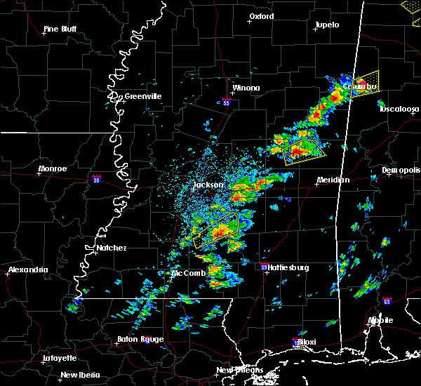 At 241 pm cdt, a severe thunderstorm was located over forestdale, or 8 miles southwest of preston, moving northeast at 45 mph (radar indicated). Hazards include tennis ball size hail and 60 mph wind gusts. People and animals outdoors will be injured. expect hail damage to roofs, siding, windows, and vehicles. expect wind damage to roofs, siding, and trees. this severe storm will be near, bluff springs around 245 pm cdt. preston around 250 pm cdt. de kalb around 300 pm cdt. A tornado watch remains in effect until 700 pm cdt for east central mississippi. At 241 pm cdt, a severe thunderstorm was located over forestdale, or 8 miles southwest of preston, moving northeast at 45 mph (radar indicated). Hazards include tennis ball size hail and 60 mph wind gusts. People and animals outdoors will be injured. expect hail damage to roofs, siding, windows, and vehicles. expect wind damage to roofs, siding, and trees. this severe storm will be near, bluff springs around 245 pm cdt. preston around 250 pm cdt. de kalb around 300 pm cdt. A tornado watch remains in effect until 700 pm cdt for east central mississippi.
|
| 3/14/2019 2:33 PM CDT |
 At 233 pm cdt, a severe thunderstorm was located near forestdale, or near philadelphia, moving northeast at 45 mph (radar indicated). Hazards include two inch hail and 60 mph wind gusts. People and animals outdoors will be injured. expect hail damage to roofs, siding, windows, and vehicles. expect wind damage to roofs, siding, and trees. this severe storm will be near, preston and bluff springs around 250 pm cdt. de kalb around 300 pm cdt. other locations impacted by this severe thunderstorm include tucker. A tornado watch remains in effect until 700 pm cdt for east central mississippi. At 233 pm cdt, a severe thunderstorm was located near forestdale, or near philadelphia, moving northeast at 45 mph (radar indicated). Hazards include two inch hail and 60 mph wind gusts. People and animals outdoors will be injured. expect hail damage to roofs, siding, windows, and vehicles. expect wind damage to roofs, siding, and trees. this severe storm will be near, preston and bluff springs around 250 pm cdt. de kalb around 300 pm cdt. other locations impacted by this severe thunderstorm include tucker. A tornado watch remains in effect until 700 pm cdt for east central mississippi.
|
| 3/14/2019 2:27 PM CDT |
 At 227 pm cdt, a severe thunderstorm was located near bethsaida, or near philadelphia, moving northeast at 45 mph (radar indicated). Hazards include golf ball size hail and 60 mph wind gusts. People and animals outdoors will be injured. expect hail damage to roofs, siding, windows, and vehicles. expect wind damage to roofs, siding, and trees. this severe storm will be near, forestdale around 240 pm cdt. preston and bluff springs around 250 pm cdt. de kalb around 300 pm cdt. other locations impacted by this severe thunderstorm include tucker. A tornado watch remains in effect until 700 pm cdt for east central mississippi. At 227 pm cdt, a severe thunderstorm was located near bethsaida, or near philadelphia, moving northeast at 45 mph (radar indicated). Hazards include golf ball size hail and 60 mph wind gusts. People and animals outdoors will be injured. expect hail damage to roofs, siding, windows, and vehicles. expect wind damage to roofs, siding, and trees. this severe storm will be near, forestdale around 240 pm cdt. preston and bluff springs around 250 pm cdt. de kalb around 300 pm cdt. other locations impacted by this severe thunderstorm include tucker. A tornado watch remains in effect until 700 pm cdt for east central mississippi.
|
| 3/14/2019 2:21 PM CDT |
 At 220 pm cdt, a severe thunderstorm was located near dixon, or 7 miles southwest of philadelphia, moving northeast at 45 mph (radar indicated). Hazards include 60 mph wind gusts and quarter size hail. Hail damage to vehicles is expected. expect wind damage to roofs, siding, and trees. this severe thunderstorm will be near, philadelphia around 225 pm cdt. bethsaida around 230 pm cdt. forestdale around 240 pm cdt. bluff springs around 250 pm cdt. preston around 255 pm cdt. de kalb around 300 pm cdt. other locations impacted by this severe thunderstorm include tucker. A tornado watch remains in effect until 700 pm cdt for east central mississippi. At 220 pm cdt, a severe thunderstorm was located near dixon, or 7 miles southwest of philadelphia, moving northeast at 45 mph (radar indicated). Hazards include 60 mph wind gusts and quarter size hail. Hail damage to vehicles is expected. expect wind damage to roofs, siding, and trees. this severe thunderstorm will be near, philadelphia around 225 pm cdt. bethsaida around 230 pm cdt. forestdale around 240 pm cdt. bluff springs around 250 pm cdt. preston around 255 pm cdt. de kalb around 300 pm cdt. other locations impacted by this severe thunderstorm include tucker. A tornado watch remains in effect until 700 pm cdt for east central mississippi.
|
| 2/23/2019 4:49 PM CST |
 At 448 pm cst, a severe thunderstorm capable of producing a tornado was located over bluff springs, or 7 miles south of preston, moving northeast at 40 mph (radar indicated rotation). Hazards include tornado. Flying debris will be dangerous to those caught without shelter. mobile homes will be damaged or destroyed. damage to roofs, windows, and vehicles will occur. tree damage is likely. This tornadic thunderstorm will remain over mainly rural areas of northern kemper county, including the following locations, scooba. At 448 pm cst, a severe thunderstorm capable of producing a tornado was located over bluff springs, or 7 miles south of preston, moving northeast at 40 mph (radar indicated rotation). Hazards include tornado. Flying debris will be dangerous to those caught without shelter. mobile homes will be damaged or destroyed. damage to roofs, windows, and vehicles will occur. tree damage is likely. This tornadic thunderstorm will remain over mainly rural areas of northern kemper county, including the following locations, scooba.
|
| 2/23/2019 4:24 PM CST |
 At 424 pm cst, a severe thunderstorm capable of producing a tornado was located near bethsaida, or 8 miles south of philadelphia, moving northeast at 40 mph (radar indicated rotation). Hazards include tornado. Flying debris will be dangerous to those caught without shelter. mobile homes will be damaged or destroyed. damage to roofs, windows, and vehicles will occur. tree damage is likely. this dangerous storm will be near, house around 430 pm cst. herbert springs around 435 pm cst. forestdale around 440 pm cst. damascus around 445 pm cst. liberty and bluff springs around 450 pm cst. de kalb around 505 pm cst. Other locations impacted by this tornadic thunderstorm include tucker and scooba. At 424 pm cst, a severe thunderstorm capable of producing a tornado was located near bethsaida, or 8 miles south of philadelphia, moving northeast at 40 mph (radar indicated rotation). Hazards include tornado. Flying debris will be dangerous to those caught without shelter. mobile homes will be damaged or destroyed. damage to roofs, windows, and vehicles will occur. tree damage is likely. this dangerous storm will be near, house around 430 pm cst. herbert springs around 435 pm cst. forestdale around 440 pm cst. damascus around 445 pm cst. liberty and bluff springs around 450 pm cst. de kalb around 505 pm cst. Other locations impacted by this tornadic thunderstorm include tucker and scooba.
|
| 1/19/2019 9:56 AM CST |
 At 955 am cst, a severe thunderstorm was located over suqualena, or 7 miles northwest of meridian, moving northeast at 35 mph (radar indicated). Hazards include 60 mph wind gusts and penny size hail. Expect damage to roofs, siding, and trees. this severe storm will be near, meridian around 1000 am cst. marion and prismatic around 1010 am cst. daleville around 1015 am cst. meridian station and blackwater around 1020 am cst. lauderdale around 1025 am cst. tamola around 1030 am cst. other locations impacted by this severe thunderstorm include scooba. A tornado watch remains in effect until 100 pm cst for east central mississippi. At 955 am cst, a severe thunderstorm was located over suqualena, or 7 miles northwest of meridian, moving northeast at 35 mph (radar indicated). Hazards include 60 mph wind gusts and penny size hail. Expect damage to roofs, siding, and trees. this severe storm will be near, meridian around 1000 am cst. marion and prismatic around 1010 am cst. daleville around 1015 am cst. meridian station and blackwater around 1020 am cst. lauderdale around 1025 am cst. tamola around 1030 am cst. other locations impacted by this severe thunderstorm include scooba. A tornado watch remains in effect until 100 pm cst for east central mississippi.
|
| 1/19/2019 9:47 AM CST |
 At 947 am cst, a severe thunderstorm was located over suqualena, or 10 miles northwest of meridian, moving northeast at 55 mph (radar indicated). Hazards include 60 mph wind gusts and penny size hail. Expect damage to roofs, siding, and trees. this severe thunderstorm will be near, meridian around 950 am cst. prismatic around 955 am cst. meridian station, daleville and blackwater around 1000 am cst. lauderdale around 1005 am cst. tamola around 1010 am cst. porterville around 1015 am cst. electric mills around 1020 am cst. other locations impacted by this severe thunderstorm include chunky and scooba. A tornado watch remains in effect until 100 pm cst for east central mississippi. At 947 am cst, a severe thunderstorm was located over suqualena, or 10 miles northwest of meridian, moving northeast at 55 mph (radar indicated). Hazards include 60 mph wind gusts and penny size hail. Expect damage to roofs, siding, and trees. this severe thunderstorm will be near, meridian around 950 am cst. prismatic around 955 am cst. meridian station, daleville and blackwater around 1000 am cst. lauderdale around 1005 am cst. tamola around 1010 am cst. porterville around 1015 am cst. electric mills around 1020 am cst. other locations impacted by this severe thunderstorm include chunky and scooba. A tornado watch remains in effect until 100 pm cst for east central mississippi.
|
| 1/19/2019 9:14 AM CST |
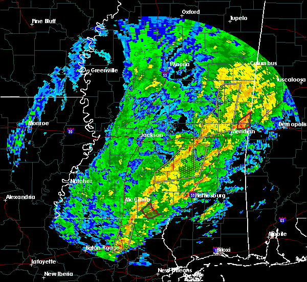 At 914 am cst, a severe thunderstorm was located over little rock, or 14 miles east of prospect, moving northeast at 60 mph (radar indicated). Hazards include 60 mph wind gusts. Expect damage to roofs, siding, and trees. locations impacted include, preston, macon, decatur, brooksville, de kalb, liberty, blackwater, herbert springs, damascus, house, martin, prismatic, gholson, daleville, bluff springs, duffee and little rock. A tornado watch remains in effect until 100 pm cst for east central mississippi. At 914 am cst, a severe thunderstorm was located over little rock, or 14 miles east of prospect, moving northeast at 60 mph (radar indicated). Hazards include 60 mph wind gusts. Expect damage to roofs, siding, and trees. locations impacted include, preston, macon, decatur, brooksville, de kalb, liberty, blackwater, herbert springs, damascus, house, martin, prismatic, gholson, daleville, bluff springs, duffee and little rock. A tornado watch remains in effect until 100 pm cst for east central mississippi.
|
| 1/19/2019 9:03 AM CST |
 At 903 am cst, severe thunderstorms were located along a line extending from near vernon to herbert springs, moving northeast at 60 mph (radar indicated). Hazards include 60 mph wind gusts. Expect damage to roofs, siding, and trees. locations impacted include, preston, neshoba, macon, decatur, brooksville, de kalb, liberty, blackwater, herbert springs, stratton, damascus, bethsaida, house, martin, prismatic, suqualena, mashulaville, gholson, daleville and bluff springs. A tornado watch remains in effect until 100 pm cst for east central mississippi. At 903 am cst, severe thunderstorms were located along a line extending from near vernon to herbert springs, moving northeast at 60 mph (radar indicated). Hazards include 60 mph wind gusts. Expect damage to roofs, siding, and trees. locations impacted include, preston, neshoba, macon, decatur, brooksville, de kalb, liberty, blackwater, herbert springs, stratton, damascus, bethsaida, house, martin, prismatic, suqualena, mashulaville, gholson, daleville and bluff springs. A tornado watch remains in effect until 100 pm cst for east central mississippi.
|
| 1/19/2019 8:41 AM CST |
 At 841 am cst, severe thunderstorms were located along a line extending from near burnside to near decatur, moving northeast at 60 mph (radar indicated). Hazards include 60 mph wind gusts. Expect damage to roofs, siding, and trees. severe thunderstorms will be near, burnside and stallo around 845 am cst. nanih waiya and duffee around 855 am cst. herbert springs, house and martin around 900 am cst. damascus around 905 am cst. liberty, mashulaville, prismatic and blackwater around 910 am cst. bluff springs around 915 am cst. macon and de kalb around 920 am cst. brooksville around 925 am cst. other locations impacted by these severe thunderstorms include noxapater and tucker. A tornado watch remains in effect until 100 pm cst for east central mississippi. At 841 am cst, severe thunderstorms were located along a line extending from near burnside to near decatur, moving northeast at 60 mph (radar indicated). Hazards include 60 mph wind gusts. Expect damage to roofs, siding, and trees. severe thunderstorms will be near, burnside and stallo around 845 am cst. nanih waiya and duffee around 855 am cst. herbert springs, house and martin around 900 am cst. damascus around 905 am cst. liberty, mashulaville, prismatic and blackwater around 910 am cst. bluff springs around 915 am cst. macon and de kalb around 920 am cst. brooksville around 925 am cst. other locations impacted by these severe thunderstorms include noxapater and tucker. A tornado watch remains in effect until 100 pm cst for east central mississippi.
|
| 11/1/2018 6:23 AM CDT |
 At 623 am cdt, severe thunderstorms were located along a line extending from 6 miles west of paulette to near increase, moving east at 30 mph (radar indicated). Hazards include 60 mph wind gusts. Expect damage to roofs, siding, and trees. these severe thunderstorms will remain over mainly rural areas of eastern kemper and eastern lauderdale counties, including the following locations, scooba. A tornado watch remains in effect until 900 am cdt for east central mississippi. At 623 am cdt, severe thunderstorms were located along a line extending from 6 miles west of paulette to near increase, moving east at 30 mph (radar indicated). Hazards include 60 mph wind gusts. Expect damage to roofs, siding, and trees. these severe thunderstorms will remain over mainly rural areas of eastern kemper and eastern lauderdale counties, including the following locations, scooba. A tornado watch remains in effect until 900 am cdt for east central mississippi.
|
| 11/1/2018 5:52 AM CDT |
 At 552 am cdt, severe thunderstorms were located along a line extending from near gholson to savoy, moving east at 25 mph (radar indicated). Hazards include 60 mph wind gusts. Expect damage to roofs, siding, and trees. severe thunderstorms will be near, zero around 610 am cdt. increase around 620 am cdt. alamucha and toomsuba around 635 am cdt. kewanee around 640 am cdt. other locations impacted by these severe thunderstorms include scooba. A tornado watch remains in effect until 900 am cdt for east central mississippi. At 552 am cdt, severe thunderstorms were located along a line extending from near gholson to savoy, moving east at 25 mph (radar indicated). Hazards include 60 mph wind gusts. Expect damage to roofs, siding, and trees. severe thunderstorms will be near, zero around 610 am cdt. increase around 620 am cdt. alamucha and toomsuba around 635 am cdt. kewanee around 640 am cdt. other locations impacted by these severe thunderstorms include scooba. A tornado watch remains in effect until 900 am cdt for east central mississippi.
|
| 11/1/2018 5:50 AM CDT |
 At 549 am cdt, severe thunderstorms were located along a line extending from 6 miles north of electric mills to lauderdale, moving east at 50 mph (radar indicated). Hazards include 60 mph wind gusts. Expect damage to roofs, siding, and trees. these severe thunderstorms will remain over mainly rural areas of northeastern newton, western kemper, eastern neshoba and western lauderdale counties, including the following locations, chunky. A tornado watch remains in effect until 900 am cdt for east central mississippi. At 549 am cdt, severe thunderstorms were located along a line extending from 6 miles north of electric mills to lauderdale, moving east at 50 mph (radar indicated). Hazards include 60 mph wind gusts. Expect damage to roofs, siding, and trees. these severe thunderstorms will remain over mainly rural areas of northeastern newton, western kemper, eastern neshoba and western lauderdale counties, including the following locations, chunky. A tornado watch remains in effect until 900 am cdt for east central mississippi.
|
| 11/1/2018 4:54 AM CDT |
 At 454 am cdt, severe thunderstorms were located along a line extending from 7 miles southeast of zama to near prospect, moving east at 50 mph (radar indicated). Hazards include 60 mph wind gusts. Expect damage to roofs, siding, and trees. severe thunderstorms will be near, neshoba, stallo, burnside and stratton around 505 am cdt. bethsaida around 510 am cdt. little rock, house and forestdale around 515 am cdt. herbert springs and duffee around 520 am cdt. preston, martin, damascus, bluff springs and suqualena around 525 am cdt. liberty and prismatic around 530 am cdt. blackwater around 535 am cdt. other locations impacted by these severe thunderstorms include tucker, chunky and hickory. A tornado watch remains in effect until 700 am cdt for central and east central mississippi. At 454 am cdt, severe thunderstorms were located along a line extending from 7 miles southeast of zama to near prospect, moving east at 50 mph (radar indicated). Hazards include 60 mph wind gusts. Expect damage to roofs, siding, and trees. severe thunderstorms will be near, neshoba, stallo, burnside and stratton around 505 am cdt. bethsaida around 510 am cdt. little rock, house and forestdale around 515 am cdt. herbert springs and duffee around 520 am cdt. preston, martin, damascus, bluff springs and suqualena around 525 am cdt. liberty and prismatic around 530 am cdt. blackwater around 535 am cdt. other locations impacted by these severe thunderstorms include tucker, chunky and hickory. A tornado watch remains in effect until 700 am cdt for central and east central mississippi.
|
| 8/16/2018 8:52 PM CDT |
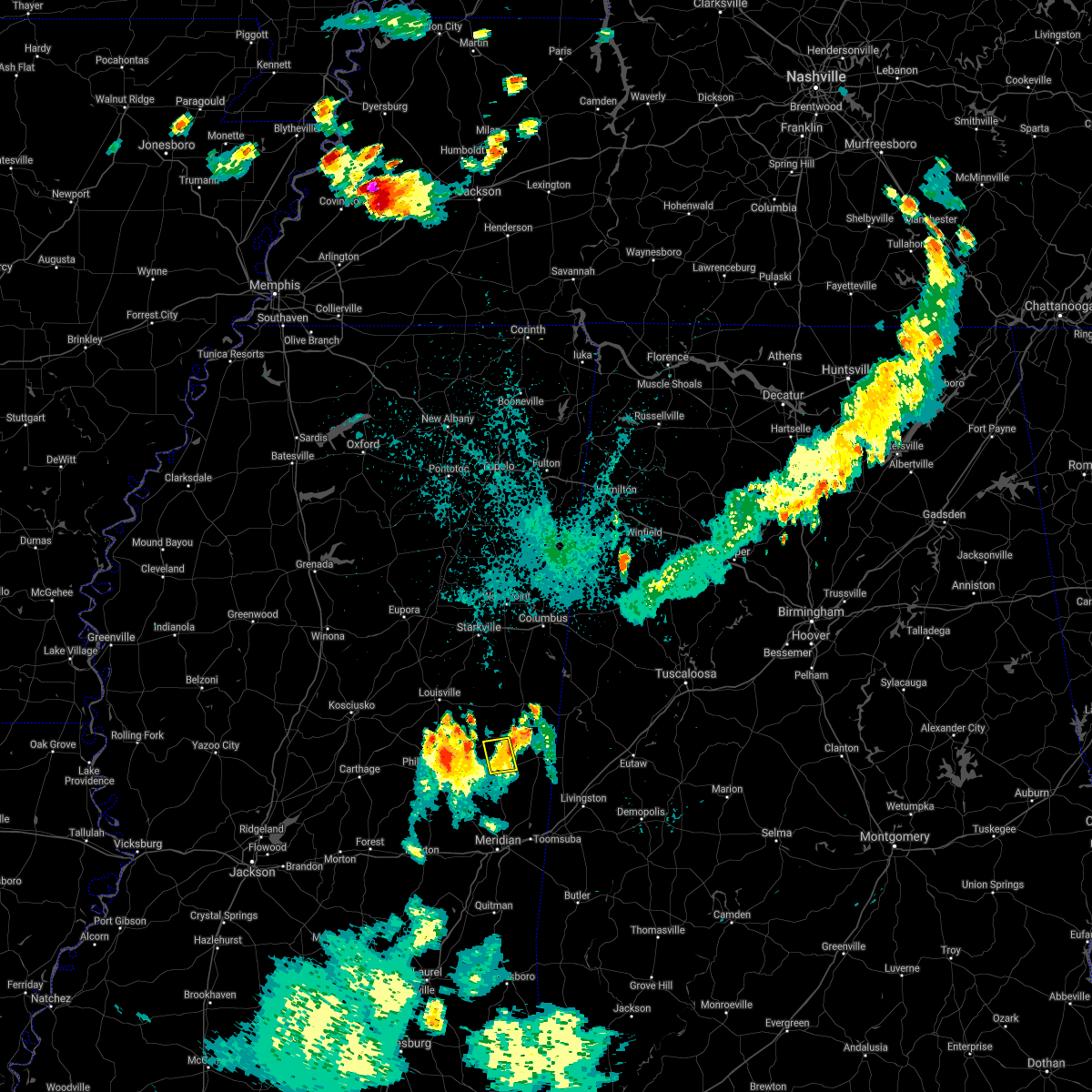 The severe thunderstorm warning for north central kemper county will expire at 900 pm cdt, the storm which prompted the warning has weakened below severe limits, and has exited the warned area. therefore, the warning will be allowed to expire. however gusty winds are still possible with this thunderstorm. The severe thunderstorm warning for north central kemper county will expire at 900 pm cdt, the storm which prompted the warning has weakened below severe limits, and has exited the warned area. therefore, the warning will be allowed to expire. however gusty winds are still possible with this thunderstorm.
|
| 8/16/2018 8:27 PM CDT |
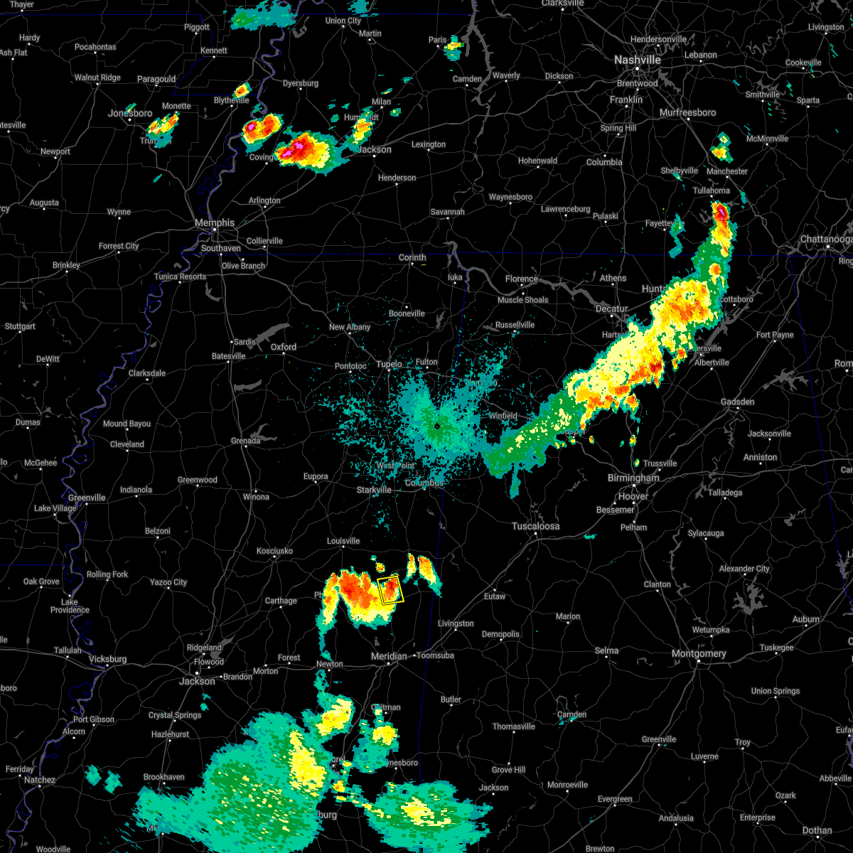 At 827 pm cdt, a severe thunderstorm was located near de kalb, or 9 miles east of preston, moving northeast at 10 mph (radar indicated). Hazards include 60 mph wind gusts and quarter size hail. Hail damage to vehicles is expected. expect wind damage to roofs, siding, and trees. This severe thunderstorm will remain over mainly rural areas of north central kemper county. At 827 pm cdt, a severe thunderstorm was located near de kalb, or 9 miles east of preston, moving northeast at 10 mph (radar indicated). Hazards include 60 mph wind gusts and quarter size hail. Hail damage to vehicles is expected. expect wind damage to roofs, siding, and trees. This severe thunderstorm will remain over mainly rural areas of north central kemper county.
|
| 8/16/2018 8:07 PM CDT |
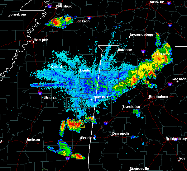 At 807 pm cdt, a severe thunderstorm was located near de kalb, or 7 miles southeast of preston, moving northeast at 10 mph (radar indicated). Hazards include 60 mph wind gusts and quarter size hail. Hail damage to vehicles is expected. expect wind damage to roofs, siding, and trees. This severe thunderstorm will be near, de kalb around 810 pm cdt. At 807 pm cdt, a severe thunderstorm was located near de kalb, or 7 miles southeast of preston, moving northeast at 10 mph (radar indicated). Hazards include 60 mph wind gusts and quarter size hail. Hail damage to vehicles is expected. expect wind damage to roofs, siding, and trees. This severe thunderstorm will be near, de kalb around 810 pm cdt.
|
| 5/17/2018 10:56 AM CDT |
 At 1055 am cdt, a severe thunderstorm was located near porterville, or 9 miles north of meridian station, moving east at 15 mph (radar indicated). Hazards include 60 mph wind gusts and quarter size hail. Hail damage to vehicles is expected. expect wind damage to roofs, siding, and trees. this severe thunderstorm will be near, porterville and tamola around 1115 am cdt. electric mills around 1120 am cdt. Other locations impacted by this severe thunderstorm include scooba. At 1055 am cdt, a severe thunderstorm was located near porterville, or 9 miles north of meridian station, moving east at 15 mph (radar indicated). Hazards include 60 mph wind gusts and quarter size hail. Hail damage to vehicles is expected. expect wind damage to roofs, siding, and trees. this severe thunderstorm will be near, porterville and tamola around 1115 am cdt. electric mills around 1120 am cdt. Other locations impacted by this severe thunderstorm include scooba.
|
| 4/14/2018 11:24 AM CDT |
 At 1123 am cdt, a severe thunderstorm was located near electric mills, or 14 miles north of meridian station, moving northeast at 35 mph (radar indicated). Hazards include 60 mph wind gusts. Expect damage to roofs, siding, and trees. this severe thunderstorm will be near, electric mills around 1130 am cdt. cooksville around 1155 am cdt. other locations impacted by this severe thunderstorm include scooba. A tornado watch remains in effect until 200 pm cdt for east central mississippi. At 1123 am cdt, a severe thunderstorm was located near electric mills, or 14 miles north of meridian station, moving northeast at 35 mph (radar indicated). Hazards include 60 mph wind gusts. Expect damage to roofs, siding, and trees. this severe thunderstorm will be near, electric mills around 1130 am cdt. cooksville around 1155 am cdt. other locations impacted by this severe thunderstorm include scooba. A tornado watch remains in effect until 200 pm cdt for east central mississippi.
|
| 4/14/2018 10:30 AM CDT |
 At 1029 am cdt, a severe thunderstorm was located over bluff springs, or 8 miles south of preston, moving northeast at 25 mph (radar indicated). Hazards include 60 mph wind gusts. Expect damage to roofs, siding, and trees. this severe storm will be near, de kalb around 1045 am cdt. other locations impacted by this severe thunderstorm include shuqualak. A tornado watch remains in effect until 200 pm cdt for east central mississippi. At 1029 am cdt, a severe thunderstorm was located over bluff springs, or 8 miles south of preston, moving northeast at 25 mph (radar indicated). Hazards include 60 mph wind gusts. Expect damage to roofs, siding, and trees. this severe storm will be near, de kalb around 1045 am cdt. other locations impacted by this severe thunderstorm include shuqualak. A tornado watch remains in effect until 200 pm cdt for east central mississippi.
|
| 4/14/2018 10:03 AM CDT |
 At 1002 am cdt, a severe thunderstorm was located over bethsaida, or 9 miles southeast of philadelphia, moving northeast at 40 mph (radar indicated). Hazards include 60 mph wind gusts. Expect damage to roofs, siding, and trees. this severe thunderstorm will be near, forestdale around 1010 am cdt. damascus around 1015 am cdt. liberty and bluff springs around 1020 am cdt. de kalb around 1030 am cdt. other locations impacted by this severe thunderstorm include shuqualak and tucker. A tornado watch remains in effect until 200 pm cdt for east central mississippi. At 1002 am cdt, a severe thunderstorm was located over bethsaida, or 9 miles southeast of philadelphia, moving northeast at 40 mph (radar indicated). Hazards include 60 mph wind gusts. Expect damage to roofs, siding, and trees. this severe thunderstorm will be near, forestdale around 1010 am cdt. damascus around 1015 am cdt. liberty and bluff springs around 1020 am cdt. de kalb around 1030 am cdt. other locations impacted by this severe thunderstorm include shuqualak and tucker. A tornado watch remains in effect until 200 pm cdt for east central mississippi.
|
| 4/6/2018 6:06 PM CDT |
 At 606 pm cdt, a severe thunderstorm was located over electric mills, or 18 miles north of lauderdale, moving east at 45 mph (radar indicated). Hazards include 60 mph wind gusts. Expect damage to roofs, siding, and trees. this severe thunderstorm will remain over mainly rural areas of kemper county, including the following locations: scooba. A tornado watch remains in effect until 1100 pm cdt for east central mississippi. At 606 pm cdt, a severe thunderstorm was located over electric mills, or 18 miles north of lauderdale, moving east at 45 mph (radar indicated). Hazards include 60 mph wind gusts. Expect damage to roofs, siding, and trees. this severe thunderstorm will remain over mainly rural areas of kemper county, including the following locations: scooba. A tornado watch remains in effect until 1100 pm cdt for east central mississippi.
|
| 4/6/2018 5:53 PM CDT |
 At 553 pm cdt, a severe thunderstorm was located over de kalb, or 14 miles southeast of preston, moving east at 50 mph (radar indicated). Hazards include 60 mph wind gusts. Expect damage to roofs, siding, and trees. this severe storm will be near, electric mills and porterville around 605 pm cdt. other locations impacted by this severe thunderstorm include scooba. A tornado watch remains in effect until 1100 pm cdt for east central mississippi. At 553 pm cdt, a severe thunderstorm was located over de kalb, or 14 miles southeast of preston, moving east at 50 mph (radar indicated). Hazards include 60 mph wind gusts. Expect damage to roofs, siding, and trees. this severe storm will be near, electric mills and porterville around 605 pm cdt. other locations impacted by this severe thunderstorm include scooba. A tornado watch remains in effect until 1100 pm cdt for east central mississippi.
|
| 4/6/2018 5:28 PM CDT |
 At 527 pm cdt, a severe thunderstorm was located near forestdale, or 7 miles southwest of preston, moving east at 45 mph (radar indicated). Hazards include 60 mph wind gusts and quarter size hail. Hail damage to vehicles is expected. expect wind damage to roofs, siding, and trees. this severe thunderstorm will be near, de kalb around 545 pm cdt. electric mills and porterville around 600 pm cdt. other locations impacted by this severe thunderstorm include tucker and scooba. A tornado watch remains in effect until 1100 pm cdt for east central mississippi. At 527 pm cdt, a severe thunderstorm was located near forestdale, or 7 miles southwest of preston, moving east at 45 mph (radar indicated). Hazards include 60 mph wind gusts and quarter size hail. Hail damage to vehicles is expected. expect wind damage to roofs, siding, and trees. this severe thunderstorm will be near, de kalb around 545 pm cdt. electric mills and porterville around 600 pm cdt. other locations impacted by this severe thunderstorm include tucker and scooba. A tornado watch remains in effect until 1100 pm cdt for east central mississippi.
|
| 4/3/2018 10:24 PM CDT |
 At 1024 pm cdt, severe thunderstorms were located along a line extending from 9 miles southwest of paulette to daleville to 7 miles southwest of meehan, moving east at 40 mph (radar indicated). Hazards include 60 mph wind gusts. Expect damage to roofs, siding, and trees. these severe storms will be near, meridian station around 1030 pm cdt. lauderdale, tamola and porterville around 1040 pm cdt. zero around 1050 pm cdt. increase around 1055 pm cdt. Other locations impacted by these severe thunderstorms include chunky, scooba and hickory. At 1024 pm cdt, severe thunderstorms were located along a line extending from 9 miles southwest of paulette to daleville to 7 miles southwest of meehan, moving east at 40 mph (radar indicated). Hazards include 60 mph wind gusts. Expect damage to roofs, siding, and trees. these severe storms will be near, meridian station around 1030 pm cdt. lauderdale, tamola and porterville around 1040 pm cdt. zero around 1050 pm cdt. increase around 1055 pm cdt. Other locations impacted by these severe thunderstorms include chunky, scooba and hickory.
|
| 4/3/2018 9:42 PM CDT |
 At 941 pm cdt, severe thunderstorms were located along a line extending from near burnside to near neshoba to near lawrence, moving east at 35 mph (radar indicated). Hazards include 60 mph wind gusts. Expect damage to roofs, siding, and trees. severe thunderstorms will be near, neshoba and stratton around 945 pm cdt. nanih waiya, house, little rock, bethsaida and forestdale around 955 pm cdt. newton, preston, herbert springs, bluff springs and duffee around 1005 pm cdt. martin around 1010 pm cdt. damascus around 1015 pm cdt. de kalb, liberty and prismatic around 1020 pm cdt. daleville, blackwater and meehan around 1030 pm cdt. meridian station, savoy and nellieburg around 1035 pm cdt. Other locations impacted by these severe thunderstorms include tucker, chunky, lake, scooba and hickory. At 941 pm cdt, severe thunderstorms were located along a line extending from near burnside to near neshoba to near lawrence, moving east at 35 mph (radar indicated). Hazards include 60 mph wind gusts. Expect damage to roofs, siding, and trees. severe thunderstorms will be near, neshoba and stratton around 945 pm cdt. nanih waiya, house, little rock, bethsaida and forestdale around 955 pm cdt. newton, preston, herbert springs, bluff springs and duffee around 1005 pm cdt. martin around 1010 pm cdt. damascus around 1015 pm cdt. de kalb, liberty and prismatic around 1020 pm cdt. daleville, blackwater and meehan around 1030 pm cdt. meridian station, savoy and nellieburg around 1035 pm cdt. Other locations impacted by these severe thunderstorms include tucker, chunky, lake, scooba and hickory.
|
| 6/16/2017 6:51 PM CDT |
 The severe thunderstorm warning for kemper county will expire at 700 pm cdt, the storms which prompted the warning have moved out of the area. therefore the warning will be allowed to expire. however gusty winds and heavy rain are still possible with these thunderstorms. a severe thunderstorm watch remains in effect until 900 pm cdt for east central mississippi. The severe thunderstorm warning for kemper county will expire at 700 pm cdt, the storms which prompted the warning have moved out of the area. therefore the warning will be allowed to expire. however gusty winds and heavy rain are still possible with these thunderstorms. a severe thunderstorm watch remains in effect until 900 pm cdt for east central mississippi.
|
| 6/16/2017 6:30 PM CDT |
 At 630 pm cdt, severe thunderstorms were located along a line extending from near panola to near porterville, moving southeast at 30 mph (radar indicated). Hazards include 60 mph wind gusts and quarter size hail. Hail damage to vehicles is expected. expect wind damage to roofs, siding, and trees. these severe storms will be near, tamola around 645 pm cdt. Other locations impacted by these severe thunderstorms include scooba. At 630 pm cdt, severe thunderstorms were located along a line extending from near panola to near porterville, moving southeast at 30 mph (radar indicated). Hazards include 60 mph wind gusts and quarter size hail. Hail damage to vehicles is expected. expect wind damage to roofs, siding, and trees. these severe storms will be near, tamola around 645 pm cdt. Other locations impacted by these severe thunderstorms include scooba.
|
| 6/16/2017 5:55 PM CDT |
 At 554 pm cdt, severe thunderstorms were located along a line extending from near bigbee valley to gholson, moving southeast at 30 mph (radar indicated). Hazards include 60 mph wind gusts and quarter size hail. Hail damage to vehicles is expected. expect wind damage to roofs, siding, and trees. severe thunderstorms will be near, gholson around 600 pm cdt. de kalb around 620 pm cdt. cooksville around 625 pm cdt. porterville around 640 pm cdt. tamola around 655 pm cdt. Other locations impacted by these severe thunderstorms include shuqualak and scooba. At 554 pm cdt, severe thunderstorms were located along a line extending from near bigbee valley to gholson, moving southeast at 30 mph (radar indicated). Hazards include 60 mph wind gusts and quarter size hail. Hail damage to vehicles is expected. expect wind damage to roofs, siding, and trees. severe thunderstorms will be near, gholson around 600 pm cdt. de kalb around 620 pm cdt. cooksville around 625 pm cdt. porterville around 640 pm cdt. tamola around 655 pm cdt. Other locations impacted by these severe thunderstorms include shuqualak and scooba.
|
| 4/30/2017 11:11 AM CDT |
 At 1110 am cdt, severe thunderstorms were located along a line extending from macon to 6 miles north of electric mills to marion, moving northeast at 40 mph (radar indicated). Hazards include 60 mph wind gusts. Expect damage to roofs, siding, and trees. locations impacted include, lauderdale, meridian, meridian station, marion, de kalb, prairie point, zero, blackwater, tamola, cooksville, increase, paulette, toomsuba, savoy, kewanee, nellieburg, bigbee valley, alamucha, daleville and electric mills. a tornado warning is also in effect for portions of kemper and noxubee counties. Take cover now! a tornado watch remains in effect until 300 pm cdt for northeastern and east central mississippi. At 1110 am cdt, severe thunderstorms were located along a line extending from macon to 6 miles north of electric mills to marion, moving northeast at 40 mph (radar indicated). Hazards include 60 mph wind gusts. Expect damage to roofs, siding, and trees. locations impacted include, lauderdale, meridian, meridian station, marion, de kalb, prairie point, zero, blackwater, tamola, cooksville, increase, paulette, toomsuba, savoy, kewanee, nellieburg, bigbee valley, alamucha, daleville and electric mills. a tornado warning is also in effect for portions of kemper and noxubee counties. Take cover now! a tornado watch remains in effect until 300 pm cdt for northeastern and east central mississippi.
|
| 4/30/2017 10:59 AM CDT |
 At 1059 am cdt, a severe thunderstorm capable of producing a tornado was located over de kalb, or 12 miles southeast of preston, moving northeast at 40 mph (radar indicated rotation). Hazards include tornado. Flying debris will be dangerous to those caught without shelter. mobile homes will be damaged or destroyed. damage to roofs, windows, and vehicles will occur. tree damage is likely. this dangerous storm will be near, cooksville and paulette around 1130 am cdt. Other locations impacted by this tornadic thunderstorm include shuqualak and scooba. At 1059 am cdt, a severe thunderstorm capable of producing a tornado was located over de kalb, or 12 miles southeast of preston, moving northeast at 40 mph (radar indicated rotation). Hazards include tornado. Flying debris will be dangerous to those caught without shelter. mobile homes will be damaged or destroyed. damage to roofs, windows, and vehicles will occur. tree damage is likely. this dangerous storm will be near, cooksville and paulette around 1130 am cdt. Other locations impacted by this tornadic thunderstorm include shuqualak and scooba.
|
| 4/30/2017 10:45 AM CDT |
 At 1045 am cdt, severe thunderstorms were located along a line extending from near oktoc to near gholson to near meehan, moving northeast at 40 mph (radar indicated). Hazards include 60 mph wind gusts. expect damage to roofs, siding, and trees At 1045 am cdt, severe thunderstorms were located along a line extending from near oktoc to near gholson to near meehan, moving northeast at 40 mph (radar indicated). Hazards include 60 mph wind gusts. expect damage to roofs, siding, and trees
|
| 4/30/2017 10:07 AM CDT |
 At 1006 am cdt, severe thunderstorms were located along a line extending from union to garlandville, moving northeast at 45 mph (radar indicated). Hazards include 60 mph wind gusts. expect damage to roofs, siding, and trees At 1006 am cdt, severe thunderstorms were located along a line extending from union to garlandville, moving northeast at 45 mph (radar indicated). Hazards include 60 mph wind gusts. expect damage to roofs, siding, and trees
|
| 4/26/2017 11:56 PM CDT |
 At 1156 pm cdt, a severe thunderstorm was located near liberty, or 11 miles northwest of meridian station, moving northeast at 60 mph (radar indicated). Hazards include golf ball size hail and 70 mph wind gusts. People and animals outdoors will be injured. expect hail damage to roofs, siding, windows, and vehicles. expect considerable tree damage. wind damage is also likely to mobile homes, roofs, and outbuildings. this severe storm will be near, de kalb around 1200 am cdt. electric mills and porterville around 1210 am cdt. Other locations impacted by this severe thunderstorm include shuqualak and scooba. At 1156 pm cdt, a severe thunderstorm was located near liberty, or 11 miles northwest of meridian station, moving northeast at 60 mph (radar indicated). Hazards include golf ball size hail and 70 mph wind gusts. People and animals outdoors will be injured. expect hail damage to roofs, siding, windows, and vehicles. expect considerable tree damage. wind damage is also likely to mobile homes, roofs, and outbuildings. this severe storm will be near, de kalb around 1200 am cdt. electric mills and porterville around 1210 am cdt. Other locations impacted by this severe thunderstorm include shuqualak and scooba.
|
| 4/26/2017 11:14 PM CDT |
 At 1113 pm cdt, a severe thunderstorm was located near forestdale, or near nanih waiya, moving northeast at 45 mph (radar indicated). Hazards include 60 mph wind gusts and quarter size hail. Hail damage to vehicles is expected. expect wind damage to roofs, siding, and trees. this severe storm will be near, preston around 1120 pm cdt. gholson around 1130 pm cdt. macon and paulette around 1150 pm cdt. prairie point around 1200 am cdt. bigbee valley around 1210 am cdt. Other locations impacted by this severe thunderstorm include shuqualak and scooba. At 1113 pm cdt, a severe thunderstorm was located near forestdale, or near nanih waiya, moving northeast at 45 mph (radar indicated). Hazards include 60 mph wind gusts and quarter size hail. Hail damage to vehicles is expected. expect wind damage to roofs, siding, and trees. this severe storm will be near, preston around 1120 pm cdt. gholson around 1130 pm cdt. macon and paulette around 1150 pm cdt. prairie point around 1200 am cdt. bigbee valley around 1210 am cdt. Other locations impacted by this severe thunderstorm include shuqualak and scooba.
|
| 4/26/2017 11:08 PM CDT |
 At 1108 pm cdt, severe thunderstorms were located along a line extending from 6 miles east of betheden to nanih waiya to bethsaida, moving northeast at 50 mph (radar indicated). Hazards include 60 mph wind gusts and quarter size hail. Hail damage to vehicles is expected. expect wind damage to roofs, siding, and trees. severe thunderstorms will be near, bluff springs around 1125 pm cdt. mashulaville around 1130 pm cdt. de kalb around 1135 pm cdt. macon and gholson around 1140 pm cdt. brooksville around 1145 pm cdt. deerbrook and prairie point around 1150 pm cdt. bigbee valley, paulette and cooksville around 1200 am cdt. Other locations impacted by these severe thunderstorms include shuqualak and scooba. At 1108 pm cdt, severe thunderstorms were located along a line extending from 6 miles east of betheden to nanih waiya to bethsaida, moving northeast at 50 mph (radar indicated). Hazards include 60 mph wind gusts and quarter size hail. Hail damage to vehicles is expected. expect wind damage to roofs, siding, and trees. severe thunderstorms will be near, bluff springs around 1125 pm cdt. mashulaville around 1130 pm cdt. de kalb around 1135 pm cdt. macon and gholson around 1140 pm cdt. brooksville around 1145 pm cdt. deerbrook and prairie point around 1150 pm cdt. bigbee valley, paulette and cooksville around 1200 am cdt. Other locations impacted by these severe thunderstorms include shuqualak and scooba.
|
| 3/27/2017 5:14 PM CDT | Quarter sized hail reported 1.2 miles ESE of De Kalb, MS, quarter size hail at the john c stennis memorial hospital. |
| 3/27/2017 5:07 PM CDT |
 At 507 pm cdt, a severe thunderstorm was located near de kalb, or 8 miles southeast of preston, moving east at 35 mph (radar indicated). Hazards include ping pong ball size hail and 60 mph wind gusts. People and animals outdoors will be injured. expect hail damage to roofs, siding, windows, and vehicles. expect wind damage to roofs, siding, and trees. this severe storm will be near, de kalb around 510 pm cdt. electric mills around 530 pm cdt. Other locations impacted by this severe thunderstorm include scooba. At 507 pm cdt, a severe thunderstorm was located near de kalb, or 8 miles southeast of preston, moving east at 35 mph (radar indicated). Hazards include ping pong ball size hail and 60 mph wind gusts. People and animals outdoors will be injured. expect hail damage to roofs, siding, windows, and vehicles. expect wind damage to roofs, siding, and trees. this severe storm will be near, de kalb around 510 pm cdt. electric mills around 530 pm cdt. Other locations impacted by this severe thunderstorm include scooba.
|
| 3/27/2017 4:53 PM CDT |
 The national weather service in jackson has issued a * severe thunderstorm warning for. southeastern noxubee county in east central mississippi. kemper county in east central mississippi. Until 600 pm cdt * at 453 pm cdt, a severe thunderstorm was located near bluff. The national weather service in jackson has issued a * severe thunderstorm warning for. southeastern noxubee county in east central mississippi. kemper county in east central mississippi. Until 600 pm cdt * at 453 pm cdt, a severe thunderstorm was located near bluff.
|
| 11/28/2016 6:31 PM CST |
 At 630 pm cst, severe thunderstorms were located along a line extending from near suqualena to meehan, moving east at 55 mph (radar indicated). Hazards include 70 mph wind gusts. Expect considerable tree damage. damage is likely to mobile homes, roofs, and outbuildings. locations impacted include, lauderdale, meridian, meridian station, marion, de kalb, liberty, blackwater, tamola, alamucha, porterville, kewanee, nellieburg, prismatic, martin, meehan, toomsuba, daleville, electric mills, suqualena and zero. A tornado watch remains in effect until 900 pm cst for east central mississippi. At 630 pm cst, severe thunderstorms were located along a line extending from near suqualena to meehan, moving east at 55 mph (radar indicated). Hazards include 70 mph wind gusts. Expect considerable tree damage. damage is likely to mobile homes, roofs, and outbuildings. locations impacted include, lauderdale, meridian, meridian station, marion, de kalb, liberty, blackwater, tamola, alamucha, porterville, kewanee, nellieburg, prismatic, martin, meehan, toomsuba, daleville, electric mills, suqualena and zero. A tornado watch remains in effect until 900 pm cst for east central mississippi.
|
| 11/28/2016 6:12 PM CST |
 At 612 pm cst, severe thunderstorms were located along a line extending from 7 miles northeast of electric mills to daleville, moving east at 65 mph (radar indicated). Hazards include 60 mph wind gusts. Expect damage to roofs. siding. and trees. these severe thunderstorms will remain over mainly rural areas of neshoba, lauderdale, newton and kemper counties, including the following locations: tucker, chunky, hickory and scooba. A tornado watch remains in effect until 900 pm cst for central and east central mississippi. At 612 pm cst, severe thunderstorms were located along a line extending from 7 miles northeast of electric mills to daleville, moving east at 65 mph (radar indicated). Hazards include 60 mph wind gusts. Expect damage to roofs. siding. and trees. these severe thunderstorms will remain over mainly rural areas of neshoba, lauderdale, newton and kemper counties, including the following locations: tucker, chunky, hickory and scooba. A tornado watch remains in effect until 900 pm cst for central and east central mississippi.
|
| 11/28/2016 5:54 PM CST |
 At 553 pm cst, severe thunderstorms were located along a line extending from near de kalb to near duffee, moving east at 65 mph (radar indicated). Hazards include 60 mph wind gusts. Expect damage to roofs. siding. and trees. severe thunderstorms will be near, de kalb around 600 pm cst. meridian, collinsville, electric mills and nellieburg around 605 pm cst. prismatic around 610 pm cst. meridian station, daleville and blackwater around 615 pm cst. lauderdale around 620 pm cst. tamola and porterville around 625 pm cst. other locations impacted by these severe thunderstorms include tucker, chunky, hickory, scooba, lake and sebastopol. A tornado watch remains in effect until 900 pm cst for central and east central mississippi. At 553 pm cst, severe thunderstorms were located along a line extending from near de kalb to near duffee, moving east at 65 mph (radar indicated). Hazards include 60 mph wind gusts. Expect damage to roofs. siding. and trees. severe thunderstorms will be near, de kalb around 600 pm cst. meridian, collinsville, electric mills and nellieburg around 605 pm cst. prismatic around 610 pm cst. meridian station, daleville and blackwater around 615 pm cst. lauderdale around 620 pm cst. tamola and porterville around 625 pm cst. other locations impacted by these severe thunderstorms include tucker, chunky, hickory, scooba, lake and sebastopol. A tornado watch remains in effect until 900 pm cst for central and east central mississippi.
|
| 11/28/2016 5:47 PM CST |
 At 546 pm cst, severe thunderstorms were located along a line extending from near bluff springs to little rock, moving northeast at 60 mph (radar indicated). Hazards include 60 mph wind gusts. Expect damage to roofs. siding. and trees. these severe storms will be near, preston and bluff springs around 550 pm cst. de kalb around 555 pm cst. liberty and damascus around 600 pm cst. other locations impacted by these severe thunderstorms include tucker, shuqualak, scooba and sebastopol. A tornado watch remains in effect until 900 pm cst for northeastern, central and east central mississippi. At 546 pm cst, severe thunderstorms were located along a line extending from near bluff springs to little rock, moving northeast at 60 mph (radar indicated). Hazards include 60 mph wind gusts. Expect damage to roofs. siding. and trees. these severe storms will be near, preston and bluff springs around 550 pm cst. de kalb around 555 pm cst. liberty and damascus around 600 pm cst. other locations impacted by these severe thunderstorms include tucker, shuqualak, scooba and sebastopol. A tornado watch remains in effect until 900 pm cst for northeastern, central and east central mississippi.
|
| 11/28/2016 5:11 PM CST |
 At 511 pm cst, severe thunderstorms were located along a line extending from 7 miles north of deerbrook to hillsboro, moving east at 50 mph (radar indicated). Hazards include 60 mph wind gusts. Expect damage to roofs. siding. and trees. these severe storms will be near, bigbee valley around 515 pm cst. prospect and conehatta around 525 pm cst. stratton and dixon around 530 pm cst. neshoba and little rock around 535 pm cst. house and bethsaida around 540 pm cst. herbert springs around 545 pm cst. damascus around 550 pm cst. liberty and bluff springs around 555 pm cst. other locations impacted by these severe thunderstorms include tucker, shuqualak, scooba and sebastopol. A tornado watch remains in effect until 900 pm cst for northeastern, central and east central mississippi. At 511 pm cst, severe thunderstorms were located along a line extending from 7 miles north of deerbrook to hillsboro, moving east at 50 mph (radar indicated). Hazards include 60 mph wind gusts. Expect damage to roofs. siding. and trees. these severe storms will be near, bigbee valley around 515 pm cst. prospect and conehatta around 525 pm cst. stratton and dixon around 530 pm cst. neshoba and little rock around 535 pm cst. house and bethsaida around 540 pm cst. herbert springs around 545 pm cst. damascus around 550 pm cst. liberty and bluff springs around 555 pm cst. other locations impacted by these severe thunderstorms include tucker, shuqualak, scooba and sebastopol. A tornado watch remains in effect until 900 pm cst for northeastern, central and east central mississippi.
|
| 11/28/2016 5:03 PM CST |
 At 502 pm cst, severe thunderstorms were located along a line extending from near crawford to near morton, moving northeast at 100 mph (radar indicated). Hazards include 60 mph wind gusts. Expect damage to roofs. siding. and trees. severe thunderstorms will be near, deerbrook around 510 pm cst. prospect and conehatta around 520 pm cst. neshoba and dixon around 525 pm cst. bethsaida, house and herbert springs around 530 pm cst. forestdale and damascus around 535 pm cst. preston and bluff springs around 540 pm cst. de kalb around 545 pm cst. paulette and cooksville around 555 pm cst. other locations impacted by these severe thunderstorms include tucker, shuqualak, scooba and sebastopol. A tornado watch remains in effect until 900 pm cst for northeastern, central and east central mississippi. At 502 pm cst, severe thunderstorms were located along a line extending from near crawford to near morton, moving northeast at 100 mph (radar indicated). Hazards include 60 mph wind gusts. Expect damage to roofs. siding. and trees. severe thunderstorms will be near, deerbrook around 510 pm cst. prospect and conehatta around 520 pm cst. neshoba and dixon around 525 pm cst. bethsaida, house and herbert springs around 530 pm cst. forestdale and damascus around 535 pm cst. preston and bluff springs around 540 pm cst. de kalb around 545 pm cst. paulette and cooksville around 555 pm cst. other locations impacted by these severe thunderstorms include tucker, shuqualak, scooba and sebastopol. A tornado watch remains in effect until 900 pm cst for northeastern, central and east central mississippi.
|
| 7/13/2016 5:38 PM CDT |
 At 537 pm cdt, a severe thunderstorm was located near electric mills, or 14 miles northeast of meridian station, moving north at 5 mph (radar indicated). Hazards include 60 mph wind gusts and quarter size hail. Hail damage to vehicles is expected. Expect wind damage to roofs, siding, and trees. At 537 pm cdt, a severe thunderstorm was located near electric mills, or 14 miles northeast of meridian station, moving north at 5 mph (radar indicated). Hazards include 60 mph wind gusts and quarter size hail. Hail damage to vehicles is expected. Expect wind damage to roofs, siding, and trees.
|
| 7/6/2016 6:02 PM CDT |
 At 602 pm cdt, severe thunderstorms were located along a line extending from near bluff springs to near liberty to blackwater to near marion, moving east at 25 mph (radar indicated). Hazards include 60 mph wind gusts and nickel size hail. Expect damage to roofs. siding. and trees. these severe storms will be near, meridian station around 610 pm cdt. lauderdale around 625 pm cdt. porterville and tamola around 635 pm cdt. electric mills around 650 pm cdt. Other locations impacted by these severe thunderstorms include scooba and i 20 welcome center at cuba. At 602 pm cdt, severe thunderstorms were located along a line extending from near bluff springs to near liberty to blackwater to near marion, moving east at 25 mph (radar indicated). Hazards include 60 mph wind gusts and nickel size hail. Expect damage to roofs. siding. and trees. these severe storms will be near, meridian station around 610 pm cdt. lauderdale around 625 pm cdt. porterville and tamola around 635 pm cdt. electric mills around 650 pm cdt. Other locations impacted by these severe thunderstorms include scooba and i 20 welcome center at cuba.
|
| 7/6/2016 5:52 PM CDT |
 At 552 pm cdt, severe thunderstorms were located along a line extending from bluff springs to near prismatic to near suqualena, moving east at 15 mph (radar indicated). Hazards include 60 mph wind gusts and nickel size hail. Expect damage to roofs. siding. and trees. severe thunderstorms will be near, meridian and prismatic around 600 pm cdt. blackwater and daleville around 615 pm cdt. meridian station around 625 pm cdt. de kalb around 630 pm cdt. lauderdale around 650 pm cdt. tamola around 700 pm cdt. porterville around 705 pm cdt. electric mills around 715 pm cdt. Other locations impacted by these severe thunderstorms include scooba and i 20 welcome center at cuba. At 552 pm cdt, severe thunderstorms were located along a line extending from bluff springs to near prismatic to near suqualena, moving east at 15 mph (radar indicated). Hazards include 60 mph wind gusts and nickel size hail. Expect damage to roofs. siding. and trees. severe thunderstorms will be near, meridian and prismatic around 600 pm cdt. blackwater and daleville around 615 pm cdt. meridian station around 625 pm cdt. de kalb around 630 pm cdt. lauderdale around 650 pm cdt. tamola around 700 pm cdt. porterville around 705 pm cdt. electric mills around 715 pm cdt. Other locations impacted by these severe thunderstorms include scooba and i 20 welcome center at cuba.
|
| 7/5/2016 4:46 PM CDT |
 At 445 pm cdt, a severe thunderstorm was located near bluff springs, or 10 miles south of preston, moving northeast at 15 mph (radar indicated). Hazards include 60 mph wind gusts and penny size hail. Expect damage to roofs. siding. and trees. this severe storm will be near, de kalb around 515 pm cdt. Other locations impacted by this severe thunderstorm include scooba. At 445 pm cdt, a severe thunderstorm was located near bluff springs, or 10 miles south of preston, moving northeast at 15 mph (radar indicated). Hazards include 60 mph wind gusts and penny size hail. Expect damage to roofs. siding. and trees. this severe storm will be near, de kalb around 515 pm cdt. Other locations impacted by this severe thunderstorm include scooba.
|
| 7/5/2016 4:36 PM CDT |
 At 435 pm cdt, a severe thunderstorm was located over damascus, or 13 miles south of preston, moving northeast at 30 mph (radar indicated). Hazards include 60 mph wind gusts and penny size hail. Expect damage to roofs. siding. and trees. this severe storm will be near, bluff springs around 445 pm cdt. de kalb around 455 pm cdt. Other locations impacted by this severe thunderstorm include scooba. At 435 pm cdt, a severe thunderstorm was located over damascus, or 13 miles south of preston, moving northeast at 30 mph (radar indicated). Hazards include 60 mph wind gusts and penny size hail. Expect damage to roofs. siding. and trees. this severe storm will be near, bluff springs around 445 pm cdt. de kalb around 455 pm cdt. Other locations impacted by this severe thunderstorm include scooba.
|
| 7/5/2016 4:27 PM CDT |
 At 427 pm cdt, a severe thunderstorm was located over damascus, or 15 miles southeast of philadelphia, moving northeast at 30 mph (radar indicated). Hazards include 60 mph wind gusts and penny size hail. Expect damage to roofs. siding. and trees. this severe thunderstorm will be near, liberty around 440 pm cdt. bluff springs around 445 pm cdt. de kalb around 500 pm cdt. Other locations impacted by this severe thunderstorm include scooba. At 427 pm cdt, a severe thunderstorm was located over damascus, or 15 miles southeast of philadelphia, moving northeast at 30 mph (radar indicated). Hazards include 60 mph wind gusts and penny size hail. Expect damage to roofs. siding. and trees. this severe thunderstorm will be near, liberty around 440 pm cdt. bluff springs around 445 pm cdt. de kalb around 500 pm cdt. Other locations impacted by this severe thunderstorm include scooba.
|
| 6/17/2016 3:55 PM CDT | Numerous trees down across the county in kemper county MS, 0.3 miles NNW of De Kalb, MS |
| 6/17/2016 3:28 PM CDT |
 At 328 pm cdt, a severe thunderstorm was located over paulette, or 19 miles southwest of aliceville, moving south at 60 mph (radar indicated). Hazards include 60 mph wind gusts and quarter size hail. Hail damage to vehicles is expected. expect wind damage to roofs, siding, and trees. this severe thunderstorm will be near, electric mills around 340 pm cdt. porterville around 345 pm cdt. Other locations impacted by this severe thunderstorm include scooba. At 328 pm cdt, a severe thunderstorm was located over paulette, or 19 miles southwest of aliceville, moving south at 60 mph (radar indicated). Hazards include 60 mph wind gusts and quarter size hail. Hail damage to vehicles is expected. expect wind damage to roofs, siding, and trees. this severe thunderstorm will be near, electric mills around 340 pm cdt. porterville around 345 pm cdt. Other locations impacted by this severe thunderstorm include scooba.
|
| 3/31/2016 7:24 PM CDT |
 The severe thunderstorm warning for kemper county will expire at 730 pm cdt, the storm which prompted the warning has weakened below severe limits, and no longer pose an immediate threat to life or property. therefore the warning will be allowed to expire. however gusty winds and heavy rain are still possible with this thunderstorm. a tornado watch remains in effect until 1000 pm cdt for east central mississippi. The severe thunderstorm warning for kemper county will expire at 730 pm cdt, the storm which prompted the warning has weakened below severe limits, and no longer pose an immediate threat to life or property. therefore the warning will be allowed to expire. however gusty winds and heavy rain are still possible with this thunderstorm. a tornado watch remains in effect until 1000 pm cdt for east central mississippi.
|
| 3/31/2016 7:08 PM CDT |
 At 708 pm cdt, a severe thunderstorm was located over damascus, or 13 miles south of preston, moving east at 45 mph (radar indicated). Hazards include 60 mph wind gusts. Expect damage to roofs. siding and trees. this severe storm will be near, de kalb around 725 pm cdt. electric mills around 730 pm cdt. other locations impacted by this severe thunderstorm include scooba. A tornado watch remains in effect until 1000 pm cdt for east central mississippi. At 708 pm cdt, a severe thunderstorm was located over damascus, or 13 miles south of preston, moving east at 45 mph (radar indicated). Hazards include 60 mph wind gusts. Expect damage to roofs. siding and trees. this severe storm will be near, de kalb around 725 pm cdt. electric mills around 730 pm cdt. other locations impacted by this severe thunderstorm include scooba. A tornado watch remains in effect until 1000 pm cdt for east central mississippi.
|
| 3/31/2016 6:35 PM CDT |
 At 634 pm cdt, a severe thunderstorm was located over house, or 12 miles southeast of philadelphia, moving northeast at 50 mph (radar indicated). Hazards include 60 mph wind gusts and quarter size hail. Hail damage to vehicles is expected. expect wind damage to roofs, siding and trees. this severe thunderstorm will be near, damascus around 640 pm cdt. liberty around 645 pm cdt. bluff springs around 650 pm cdt. de kalb around 700 pm cdt. other locations impacted by this severe thunderstorm include scooba. A tornado watch remains in effect until 1000 pm cdt for east central mississippi. At 634 pm cdt, a severe thunderstorm was located over house, or 12 miles southeast of philadelphia, moving northeast at 50 mph (radar indicated). Hazards include 60 mph wind gusts and quarter size hail. Hail damage to vehicles is expected. expect wind damage to roofs, siding and trees. this severe thunderstorm will be near, damascus around 640 pm cdt. liberty around 645 pm cdt. bluff springs around 650 pm cdt. de kalb around 700 pm cdt. other locations impacted by this severe thunderstorm include scooba. A tornado watch remains in effect until 1000 pm cdt for east central mississippi.
|
| 2/15/2016 3:29 PM CST |
 At 329 pm cst, a severe thunderstorm was located near porterville, or 10 miles northeast of meridian station, moving east at 40 mph (radar indicated). Hazards include 60 mph wind gusts. Expect damage to roofs. siding and trees. this severe storm will be near, porterville around 335 pm cst. electric mills around 340 pm cst. other locations impacted by this severe thunderstorm include scooba. A tornado watch remains in effect until 600 pm cst for east central mississippi. At 329 pm cst, a severe thunderstorm was located near porterville, or 10 miles northeast of meridian station, moving east at 40 mph (radar indicated). Hazards include 60 mph wind gusts. Expect damage to roofs. siding and trees. this severe storm will be near, porterville around 335 pm cst. electric mills around 340 pm cst. other locations impacted by this severe thunderstorm include scooba. A tornado watch remains in effect until 600 pm cst for east central mississippi.
|
| 2/15/2016 3:15 PM CST |
 At 314 pm cst, a severe thunderstorm was located over liberty, or 9 miles northwest of meridian station, moving east at 50 mph (radar indicated). Hazards include 60 mph wind gusts. Expect damage to roofs. siding and trees. this severe storm will be near, de kalb around 320 pm cst. porterville around 330 pm cst. electric mills around 335 pm cst. other locations impacted by this severe thunderstorm include scooba. A tornado watch remains in effect until 600 pm cst for east central mississippi. At 314 pm cst, a severe thunderstorm was located over liberty, or 9 miles northwest of meridian station, moving east at 50 mph (radar indicated). Hazards include 60 mph wind gusts. Expect damage to roofs. siding and trees. this severe storm will be near, de kalb around 320 pm cst. porterville around 330 pm cst. electric mills around 335 pm cst. other locations impacted by this severe thunderstorm include scooba. A tornado watch remains in effect until 600 pm cst for east central mississippi.
|
| 2/15/2016 3:02 PM CST |
 At 302 pm cst, a severe thunderstorm was located over herbert springs, or 15 miles southeast of philadelphia, moving east northeast at 45 mph (radar indicated). Hazards include 60 mph wind gusts. Expect damage to roofs. siding and trees. this severe thunderstorm will be near, damascus around 315 pm cst. liberty and prismatic around 320 pm cst. blackwater around 325 pm cst. de kalb around 330 pm cst. porterville around 340 pm cst. electric mills around 345 pm cst. other locations impacted by this severe thunderstorm include scooba. A tornado watch remains in effect until 600 pm cst for east central mississippi. At 302 pm cst, a severe thunderstorm was located over herbert springs, or 15 miles southeast of philadelphia, moving east northeast at 45 mph (radar indicated). Hazards include 60 mph wind gusts. Expect damage to roofs. siding and trees. this severe thunderstorm will be near, damascus around 315 pm cst. liberty and prismatic around 320 pm cst. blackwater around 325 pm cst. de kalb around 330 pm cst. porterville around 340 pm cst. electric mills around 345 pm cst. other locations impacted by this severe thunderstorm include scooba. A tornado watch remains in effect until 600 pm cst for east central mississippi.
|
| 2/2/2016 9:47 PM CST |
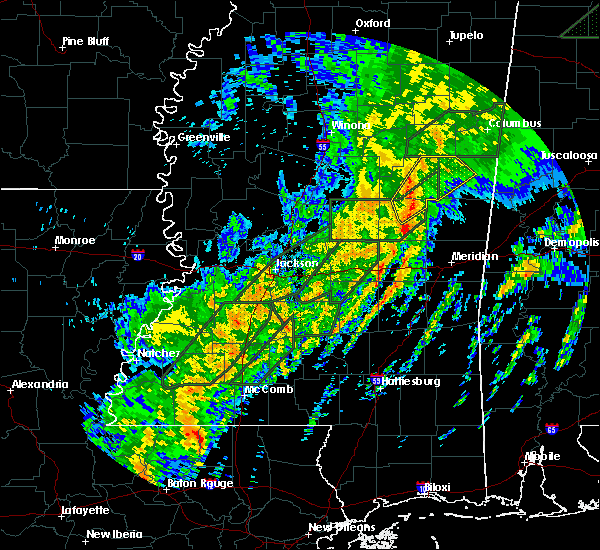 At 947 pm cst, a severe thunderstorm was located over bethsaida, or 8 miles south of philadelphia, moving northeast at 50 mph (radar indicated). Hazards include 60 mph wind gusts. Expect damage to roofs. Siding and trees. At 947 pm cst, a severe thunderstorm was located over bethsaida, or 8 miles south of philadelphia, moving northeast at 50 mph (radar indicated). Hazards include 60 mph wind gusts. Expect damage to roofs. Siding and trees.
|
| 2/2/2016 4:31 PM CST |
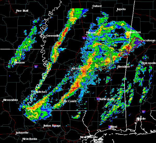 The national weather service in jackson has issued a * tornado warning for. southeastern neshoba county in east central mississippi. northeastern newton county in east central mississippi. western kemper county in east central mississippi. Until 530 pm cst. The national weather service in jackson has issued a * tornado warning for. southeastern neshoba county in east central mississippi. northeastern newton county in east central mississippi. western kemper county in east central mississippi. Until 530 pm cst.
|
| 2/2/2016 4:02 PM CST |
 At 402 pm cst, a severe thunderstorm capable of producing a tornado was located near electric mills, or 16 miles north of meridian station, moving northeast at 40 mph (radar indicated rotation). Hazards include tornado. Flying debris will be dangerous to those caught without shelter. mobile homes will be damaged or destroyed. damage to roofs, windows and vehicles will occur. tree damage is likely. this dangerous storm will be near, electric mills around 405 pm cst. Other locations impacted by this tornadic thunderstorm include scooba. At 402 pm cst, a severe thunderstorm capable of producing a tornado was located near electric mills, or 16 miles north of meridian station, moving northeast at 40 mph (radar indicated rotation). Hazards include tornado. Flying debris will be dangerous to those caught without shelter. mobile homes will be damaged or destroyed. damage to roofs, windows and vehicles will occur. tree damage is likely. this dangerous storm will be near, electric mills around 405 pm cst. Other locations impacted by this tornadic thunderstorm include scooba.
|
| 2/2/2016 4:00 PM CST | Trees down east of dekalb. possible tornad in kemper county MS, 6 miles W of De Kalb, MS |
| 2/2/2016 3:53 PM CST |
 At 352 pm cst, a severe thunderstorm capable of producing a tornado was located near de kalb, or 12 miles north of meridian station, moving northeast at 40 mph (radar indicated rotation). Hazards include tornado. Flying debris will be dangerous to those caught without shelter. mobile homes will be damaged or destroyed. damage to roofs, windows and vehicles will occur. tree damage is likely. this dangerous storm will be near, electric mills around 405 pm cst. Other locations impacted by this tornadic thunderstorm include scooba. At 352 pm cst, a severe thunderstorm capable of producing a tornado was located near de kalb, or 12 miles north of meridian station, moving northeast at 40 mph (radar indicated rotation). Hazards include tornado. Flying debris will be dangerous to those caught without shelter. mobile homes will be damaged or destroyed. damage to roofs, windows and vehicles will occur. tree damage is likely. this dangerous storm will be near, electric mills around 405 pm cst. Other locations impacted by this tornadic thunderstorm include scooba.
|
| 2/2/2016 3:45 PM CST |
 At 344 pm cst, a confirmed tornado was located near blackwater, or 9 miles northwest of meridian station, moving northeast at 40 mph (radar confirmed tornado). Hazards include damaging tornado. Flying debris will be dangerous to those caught without shelter. mobile homes will be damaged or destroyed. damage to roofs, windows and vehicles will occur. tree damage is likely. this tornado will be near, de kalb around 355 pm cst. electric mills around 405 pm cst. Other locations impacted by this tornadic thunderstorm include scooba. At 344 pm cst, a confirmed tornado was located near blackwater, or 9 miles northwest of meridian station, moving northeast at 40 mph (radar confirmed tornado). Hazards include damaging tornado. Flying debris will be dangerous to those caught without shelter. mobile homes will be damaged or destroyed. damage to roofs, windows and vehicles will occur. tree damage is likely. this tornado will be near, de kalb around 355 pm cst. electric mills around 405 pm cst. Other locations impacted by this tornadic thunderstorm include scooba.
|
| 2/2/2016 3:40 PM CST |
 At 339 pm cst, a severe thunderstorm capable of producing a tornado was located over blackwater, or 7 miles northwest of meridian station, moving northeast at 45 mph (radar indicated rotation). Hazards include tornado. Flying debris will be dangerous to those caught without shelter. mobile homes will be damaged or destroyed. damage to roofs, windows and vehicles will occur. tree damage is likely. this dangerous storm will be near, de kalb around 350 pm cst. porterville around 355 pm cst. electric mills around 400 pm cst. Other locations impacted by this tornadic thunderstorm include scooba. At 339 pm cst, a severe thunderstorm capable of producing a tornado was located over blackwater, or 7 miles northwest of meridian station, moving northeast at 45 mph (radar indicated rotation). Hazards include tornado. Flying debris will be dangerous to those caught without shelter. mobile homes will be damaged or destroyed. damage to roofs, windows and vehicles will occur. tree damage is likely. this dangerous storm will be near, de kalb around 350 pm cst. porterville around 355 pm cst. electric mills around 400 pm cst. Other locations impacted by this tornadic thunderstorm include scooba.
|
| 2/2/2016 3:25 PM CST |
 The national weather service in jackson has issued a * tornado warning for. northwestern lauderdale county in east central mississippi. kemper county in east central mississippi. until 430 pm cst * at 325 pm cst. a confirmed tornado was located over martin. Or 12. The national weather service in jackson has issued a * tornado warning for. northwestern lauderdale county in east central mississippi. kemper county in east central mississippi. until 430 pm cst * at 325 pm cst. a confirmed tornado was located over martin. Or 12.
|
| 8/5/2015 6:24 PM CDT |
 At 624 pm cdt, a severe thunderstorm was located near electric mills, or 16 miles east of preston, moving east at 25 mph (radar indicated). Hazards include 60 mph wind gusts and penny size hail. Expect damage to roofs. siding and trees. this severe thunderstorm will be near, electric mills around 640 pm cdt. Other locations impacted by this severe thunderstorm include scooba. At 624 pm cdt, a severe thunderstorm was located near electric mills, or 16 miles east of preston, moving east at 25 mph (radar indicated). Hazards include 60 mph wind gusts and penny size hail. Expect damage to roofs. siding and trees. this severe thunderstorm will be near, electric mills around 640 pm cdt. Other locations impacted by this severe thunderstorm include scooba.
|
| 7/29/2015 5:07 PM CDT |
 At 507 pm cdt, a severe thunderstorm was located over porterville, or 10 miles north of lauderdale, moving south at 15 mph (radar indicated). Hazards include 60 mph wind gusts. Expect damage to roofs. siding and trees. This severe storm will be near, tamola around 530 pm cdt. At 507 pm cdt, a severe thunderstorm was located over porterville, or 10 miles north of lauderdale, moving south at 15 mph (radar indicated). Hazards include 60 mph wind gusts. Expect damage to roofs. siding and trees. This severe storm will be near, tamola around 530 pm cdt.
|
| 7/29/2015 5:00 PM CDT | Several trees blown down in the southern portion of the county as storms passed through. time estimated by rada in kemper county MS, 0.3 miles NNW of De Kalb, MS |
| 7/29/2015 5:00 PM CDT |
 At 500 pm cdt, a severe thunderstorm was located over porterville, or 13 miles north of lauderdale, moving south at 25 mph (radar indicated). Hazards include 60 mph wind gusts. Expect damage to roofs. siding and trees. this severe storm will be near, tamola around 520 pm cdt. Other locations impacted by this severe thunderstorm include scooba. At 500 pm cdt, a severe thunderstorm was located over porterville, or 13 miles north of lauderdale, moving south at 25 mph (radar indicated). Hazards include 60 mph wind gusts. Expect damage to roofs. siding and trees. this severe storm will be near, tamola around 520 pm cdt. Other locations impacted by this severe thunderstorm include scooba.
|
| 7/29/2015 4:38 PM CDT |
 At 438 pm cdt, severe thunderstorms were located along a line extending from 7 miles north of de kalb to 7 miles northeast of electric mills, moving south at 15 mph (radar indicated). Hazards include 60 mph wind gusts. Expect damage to roofs. siding and trees. these severe storms will be near, de kalb and electric mills around 500 pm cdt. porterville around 520 pm cdt. blackwater and tamola around 530 pm cdt. Other locations impacted by these severe thunderstorms include scooba. At 438 pm cdt, severe thunderstorms were located along a line extending from 7 miles north of de kalb to 7 miles northeast of electric mills, moving south at 15 mph (radar indicated). Hazards include 60 mph wind gusts. Expect damage to roofs. siding and trees. these severe storms will be near, de kalb and electric mills around 500 pm cdt. porterville around 520 pm cdt. blackwater and tamola around 530 pm cdt. Other locations impacted by these severe thunderstorms include scooba.
|
| 7/29/2015 4:20 PM CDT |
 At 420 pm cdt, severe thunderstorms were located along a line extending from near mashulaville to 6 miles east of gholson to near cooksville, moving south at 15 mph (radar indicated). Hazards include 60 mph wind gusts. Expect damage to roofs. siding and trees. severe thunderstorms will be near, electric mills around 455 pm cdt. de kalb around 505 pm cdt. porterville around 525 pm cdt. blackwater and tamola around 530 pm cdt. Other locations impacted by these severe thunderstorms include scooba. At 420 pm cdt, severe thunderstorms were located along a line extending from near mashulaville to 6 miles east of gholson to near cooksville, moving south at 15 mph (radar indicated). Hazards include 60 mph wind gusts. Expect damage to roofs. siding and trees. severe thunderstorms will be near, electric mills around 455 pm cdt. de kalb around 505 pm cdt. porterville around 525 pm cdt. blackwater and tamola around 530 pm cdt. Other locations impacted by these severe thunderstorms include scooba.
|
| 6/24/2015 6:33 PM CDT |
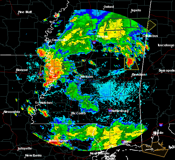 At 632 pm cdt, a severe thunderstorm was located near bluff springs, or 9 miles southeast of preston, moving south at 5 mph (radar indicated). Hazards include 60 mph wind gusts and quarter size hail. Hail damage to vehicles is expected. Expect wind damage to roofs, siding and trees. At 632 pm cdt, a severe thunderstorm was located near bluff springs, or 9 miles southeast of preston, moving south at 5 mph (radar indicated). Hazards include 60 mph wind gusts and quarter size hail. Hail damage to vehicles is expected. Expect wind damage to roofs, siding and trees.
|
| 6/24/2015 6:21 PM CDT |
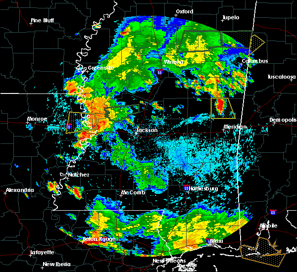 At 621 pm cdt, a severe thunderstorm was located near bluff springs, or 8 miles southeast of preston, and is nearly stationary (radar indicated). Hazards include 60 mph wind gusts and quarter size hail. Hail damage to vehicles is expected. expect wind damage to roofs, siding and trees. This severe thunderstorm will be near, liberty, bluff springs and damascus around 715 pm cdt. At 621 pm cdt, a severe thunderstorm was located near bluff springs, or 8 miles southeast of preston, and is nearly stationary (radar indicated). Hazards include 60 mph wind gusts and quarter size hail. Hail damage to vehicles is expected. expect wind damage to roofs, siding and trees. This severe thunderstorm will be near, liberty, bluff springs and damascus around 715 pm cdt.
|
| 4/25/2015 3:27 AM CDT | At 327 am cdt, a severe thunderstorm capable of producing a tornado was located near de kalb, or 12 miles north of meridian station, moving east at 55 mph (radar indicated rotation). Hazards include tornado. Flying debris will be dangerous to those caught without shelter. mobile homes will be damaged or destroyed. damage to roofs, windows and vehicles will occur. tree damage is likely. this dangerous storm will be near, electric mills and porterville around 335 am cdt. other locations impacted by this tornadic thunderstorm include scooba and i 20 welcome center at cuba. Radar indicated. |
| 4/25/2015 3:17 AM CDT | At 317 am cdt, a severe thunderstorm capable of producing a tornado was located near bluff springs, or 9 miles southeast of preston, moving east at 60 mph (radar indicated rotation). Hazards include tornado. Flying debris will be dangerous to those caught without shelter. mobile homes will be damaged or destroyed. damage to roofs, windows and vehicles will occur. tree damage is likely. this dangerous storm will be near, de kalb around 320 am cdt. electric mills around 335 am cdt. other locations impacted by this tornadic thunderstorm include scooba and i 20 welcome center at cuba. Radar indicated. |
| 4/25/2015 3:15 AM CDT | Scattered power lines down in kemper county MS, 10 miles NE of De Kalb, MS |
| 4/25/2015 3:11 AM CDT | At 311 am cdt, a severe thunderstorm capable of producing a tornado was located near bluff springs, or 10 miles south of preston, moving east at 50 mph (radar indicated rotation). Hazards include tornado. Flying debris will be dangerous to those caught without shelter. mobile homes will be damaged or destroyed. damage to roofs, windows and vehicles will occur. tree damage is likely. this dangerous storm will be near, liberty around 315 am cdt. de kalb around 325 am cdt. electric mills around 340 am cdt. other locations impacted by this tornadic thunderstorm include scooba and i 20 welcome center at cuba. Radar indicated. |
| 4/25/2015 2:54 AM CDT | At 253 am cdt, a severe thunderstorm capable of producing a tornado was located over bethsaida, or 8 miles south of philadelphia, moving east at 55 mph (radar indicated rotation). Hazards include tornado. Flying debris will be dangerous to those caught without shelter. mobile homes will be damaged or destroyed. damage to roofs, windows and vehicles will occur. tree damage is likely. this dangerous storm will be near, damascus around 305 am cdt. liberty and bluff springs around 310 am cdt. de kalb around 320 am cdt. electric mills around 330 am cdt. other locations impacted by this tornadic thunderstorm include scooba and i 20 welcome center at cuba. this storm has a history of brief tornadoes. Radar indicated. |
| 12/23/2014 12:10 PM CST | Large tree limbs and branches blown down. estimated wind gusts over 60 mp in kemper county MS, 0.3 miles NNW of De Kalb, MS |
| 12/23/2014 12:10 PM CST | Quarter sized hail reported 0.3 miles NNW of De Kalb, MS, report of dime to quarter size hail covering the ground from dekalb police. |
| 10/13/2014 4:02 PM CDT | Tree down in kemper county MS, 1.8 miles S of De Kalb, MS |
| 10/13/2014 3:58 PM CDT | Tree down in kemper county MS, 3 miles N of De Kalb, MS |
| 9/2/2013 1:40 PM CDT | Quarter sized hail reported 12.2 miles NNW of De Kalb, MS, reported along st johns rd |
| 3/23/2013 6:40 PM CDT | Quarter sized hail reported 12.6 miles NE of De Kalb, MS |
| 12/20/2012 6:55 AM CST | Reports of a tree down on old jackson road between new hope road and hwy 49 in kemper county MS, 5 miles NE of De Kalb, MS |
| 12/20/2012 6:55 AM CST | Reports of tree down on hwy 39 north past gholson roa in kemper county MS, 5.9 miles S of De Kalb, MS |
| 10/18/2012 1:42 AM CDT | Tree down across new hope rd in kemper county MS, 3.9 miles NNE of De Kalb, MS |
| 6/11/2012 7:55 PM CDT | Trees and power lines downed countywide. a utility pole fell on a vehicl in kemper county MS, 0.3 miles NNW of De Kalb, MS |
| 5/6/2012 3:58 PM CDT | A few trees were blown dow in kemper county MS, 2.5 miles SE of De Kalb, MS |
| 1/1/0001 12:00 AM | Several trees downed around kemper county in kemper county MS, 0.3 miles NNW of De Kalb, MS |
| 1/1/0001 12:00 AM | Trees downed along ms highway 39 in kemper county MS, 6.5 miles N of De Kalb, MS |
| 1/1/0001 12:00 AM | A few trees down with the top bown out of a tree. numerous large limbs down and blocking the road. a trampoline was also thrown across the yard into a garde in kemper county MS, 2.9 miles NE of De Kalb, MS |
| 1/1/0001 12:00 AM | Trees down on highway 39 south of dekalb in kemper county MS, 3 miles N of De Kalb, MS |
| 1/1/0001 12:00 AM | Hen Egg sized hail reported 1.6 miles NW of De Kalb, MS, hail just larger than hen egg...2.25 in |
| 1/1/0001 12:00 AM | Trees down blocking hwy 39 in kemper county MS, 7.2 miles N of De Kalb, MS |
| 1/1/0001 12:00 AM | 50-70 mph wind gust as well as pea size hail were reporte in kemper county MS, 2.8 miles E of De Kalb, MS |
| 1/1/0001 12:00 AM | Numerous trees down...one on a house in kemper county MS, 3.6 miles ESE of De Kalb, MS |
Hail Maps for De Kalb, MS
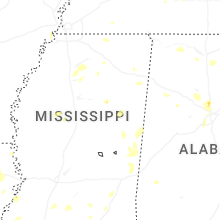


Connect with Interactive Hail Maps