

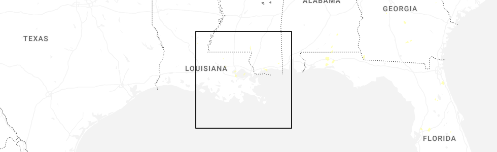
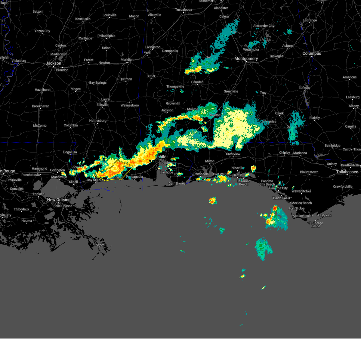
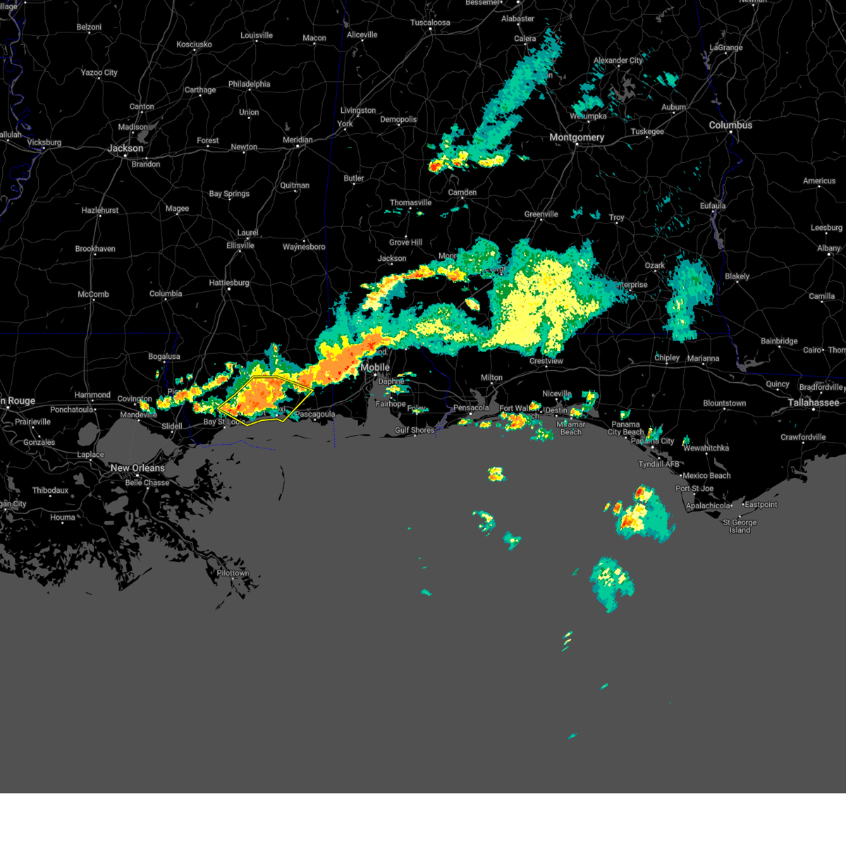
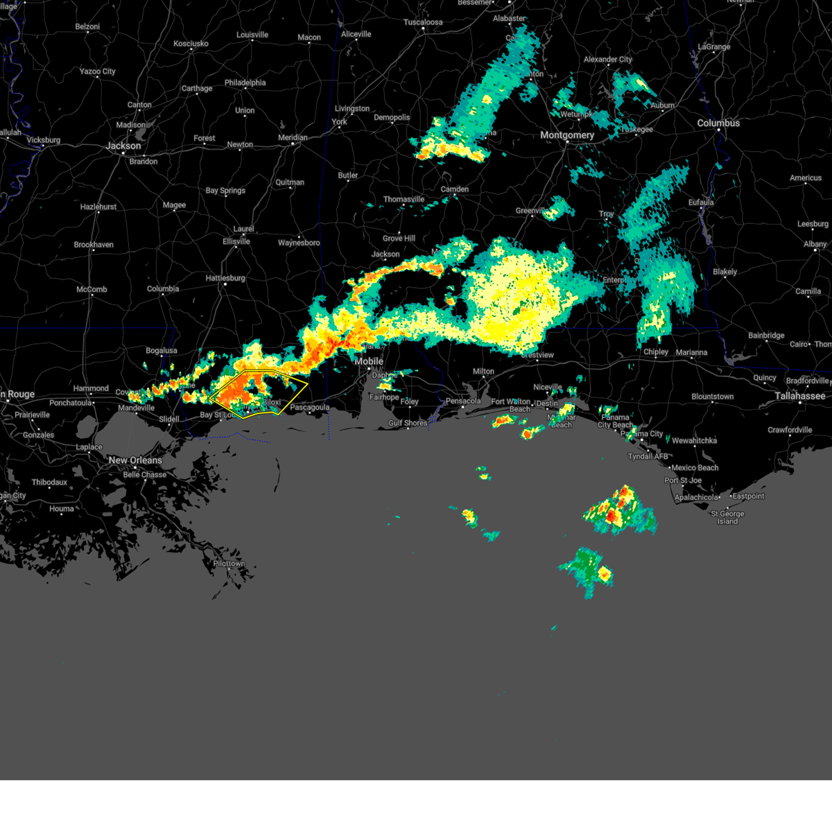
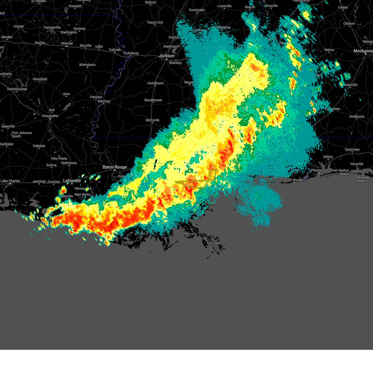
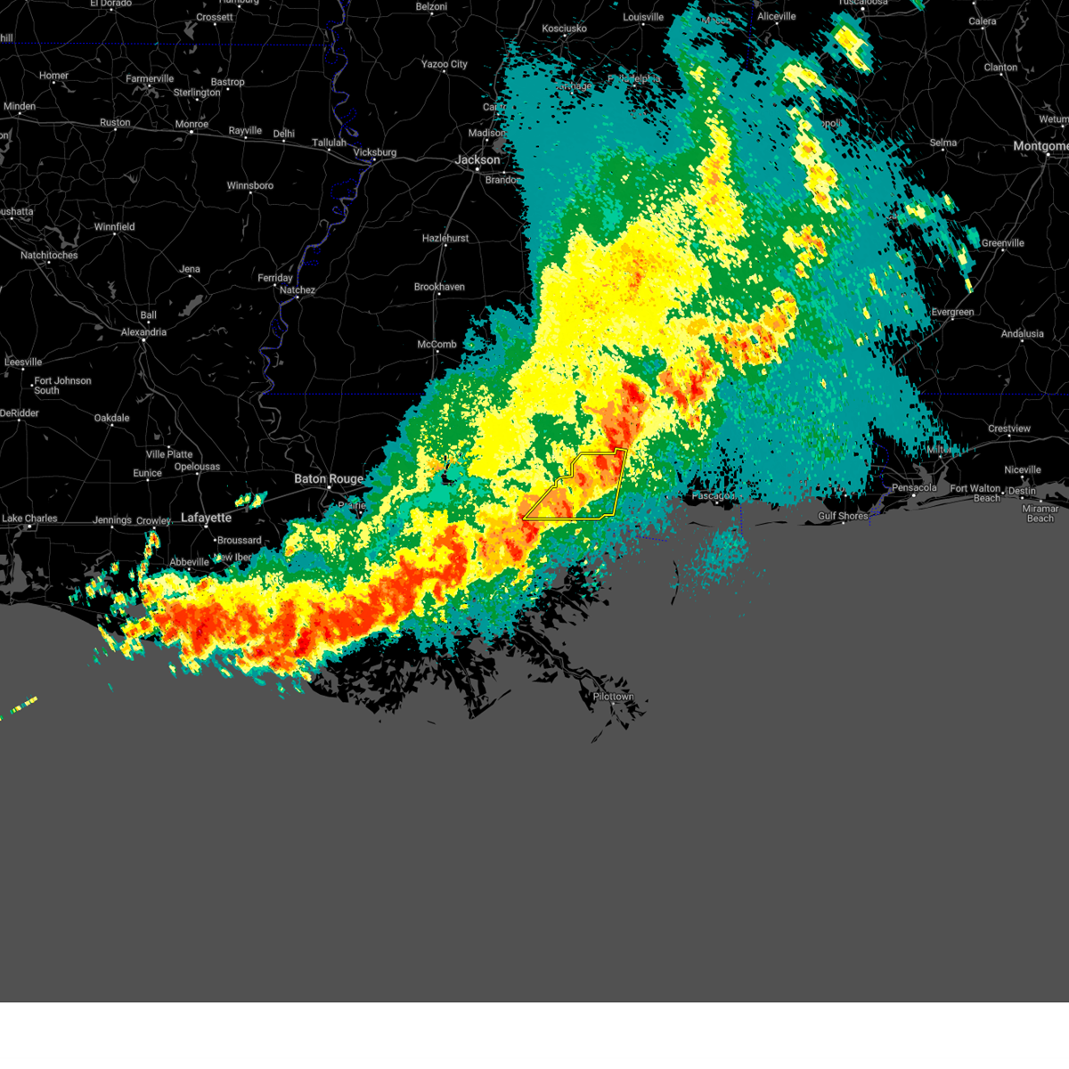
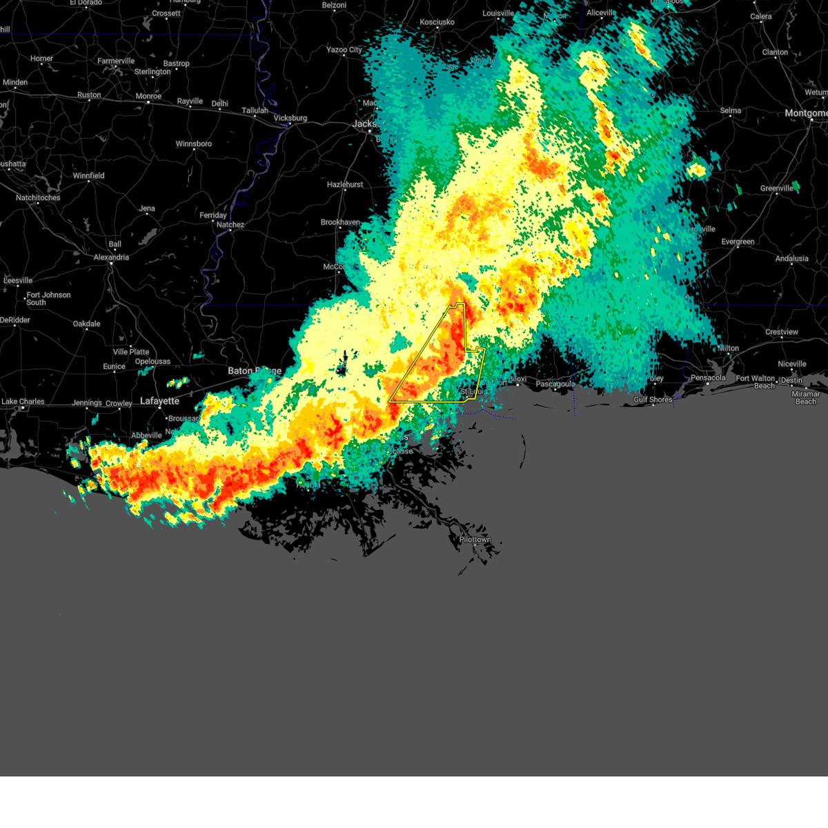
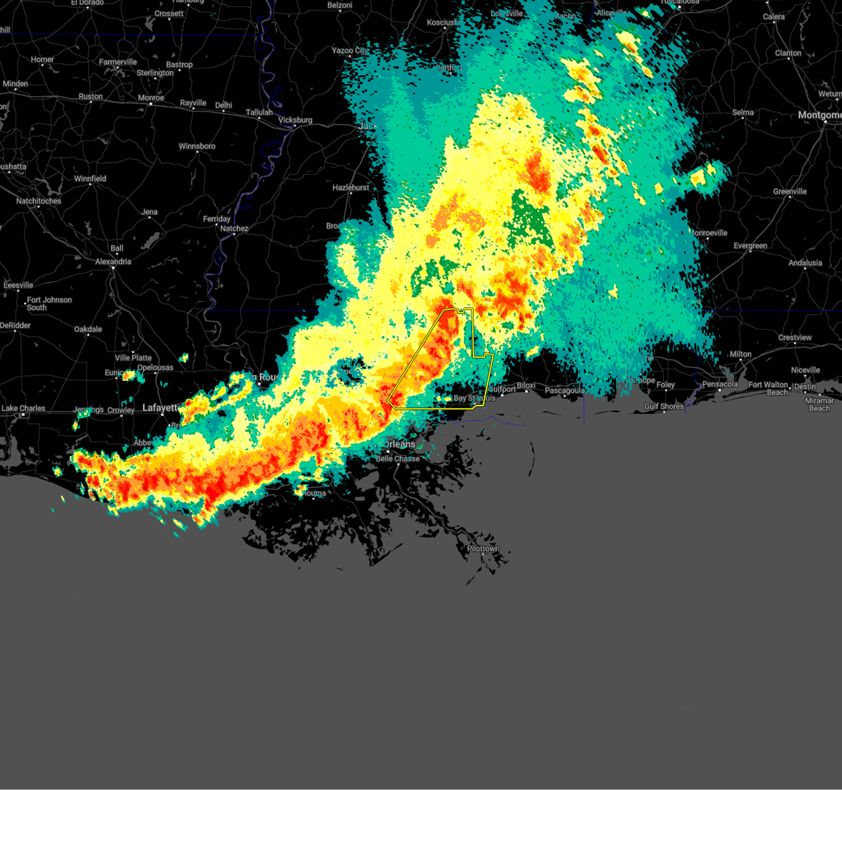
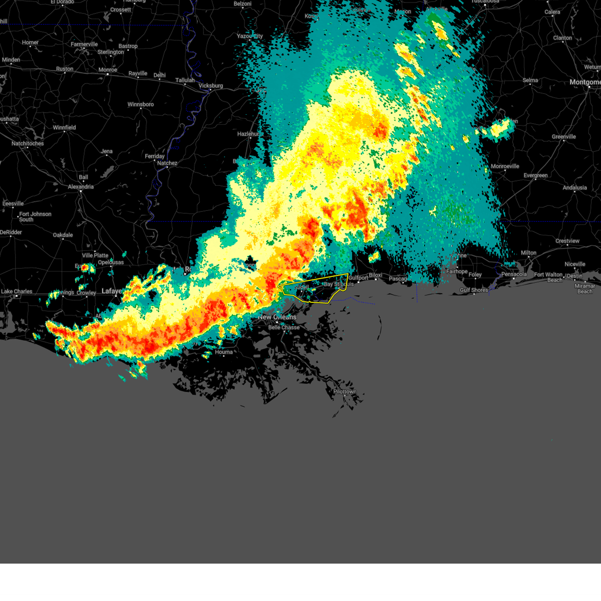
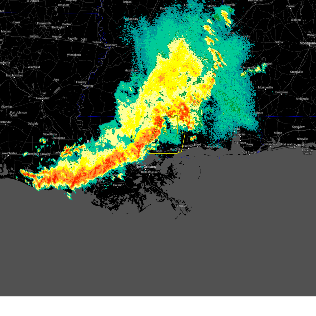
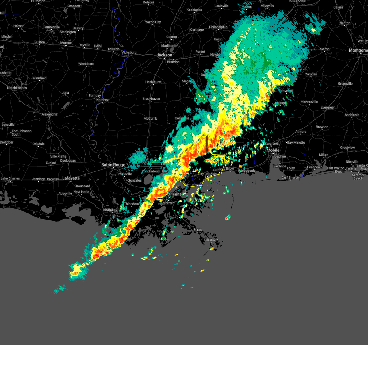
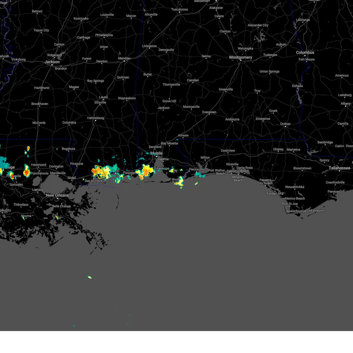
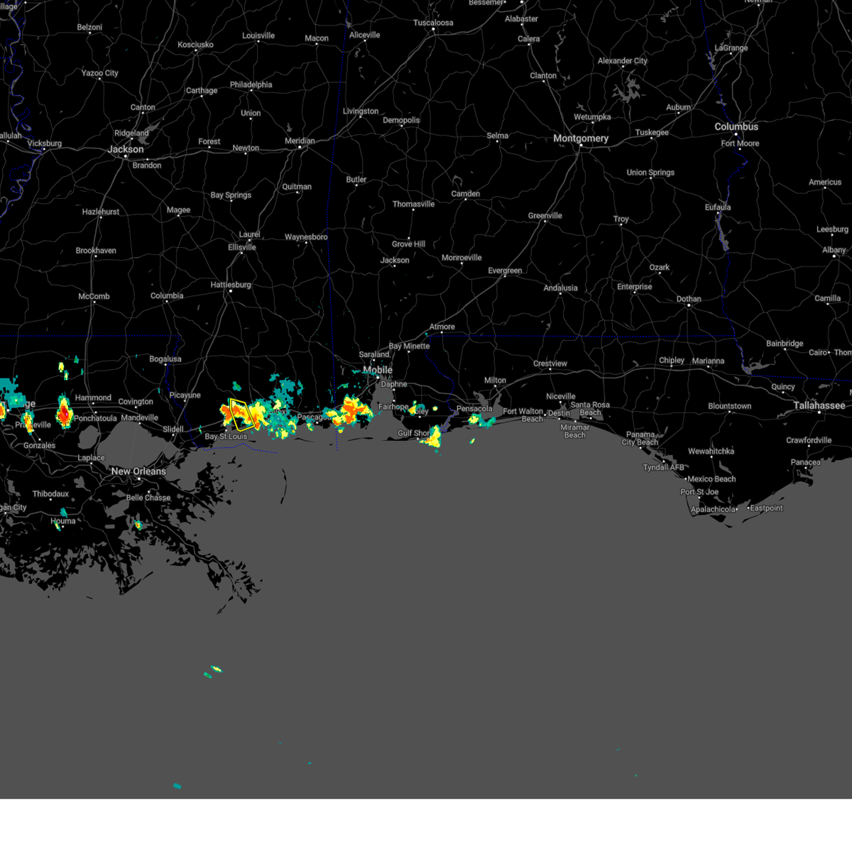
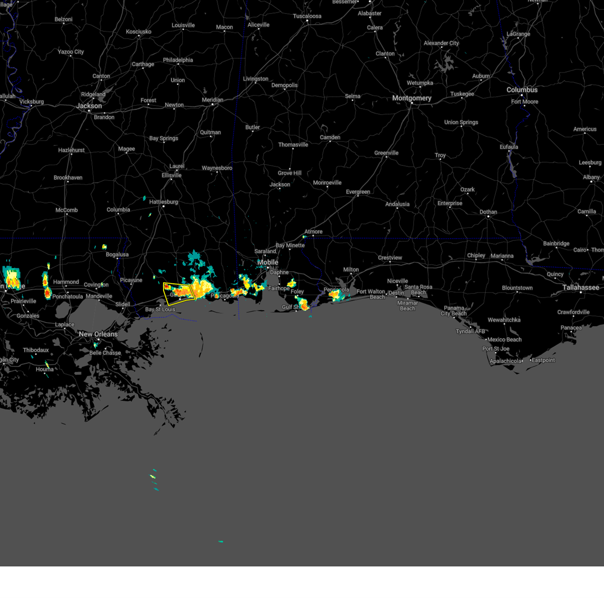
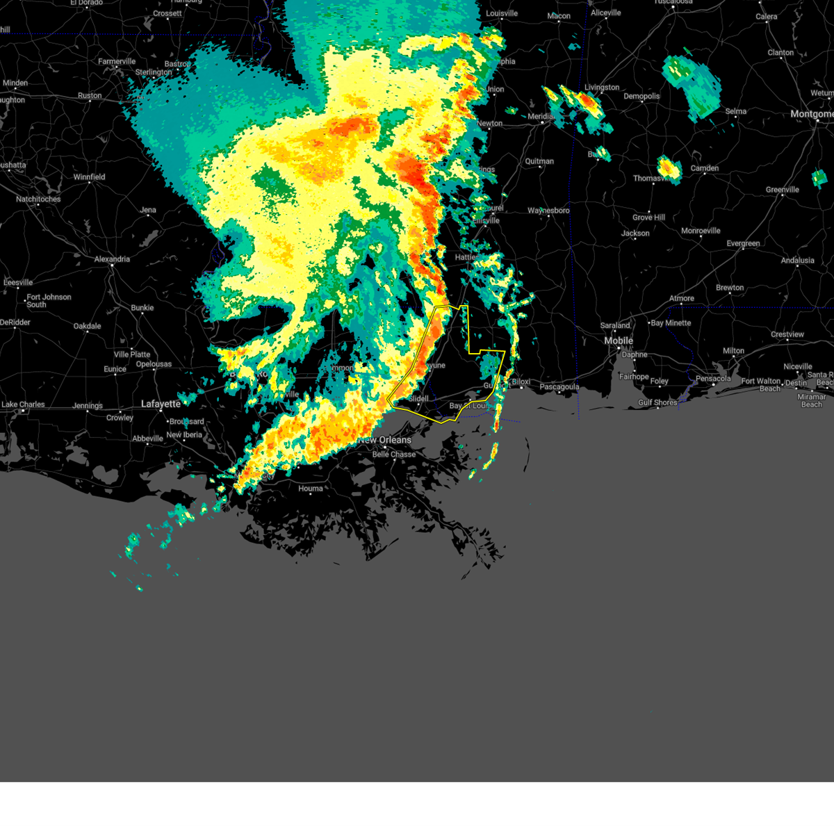
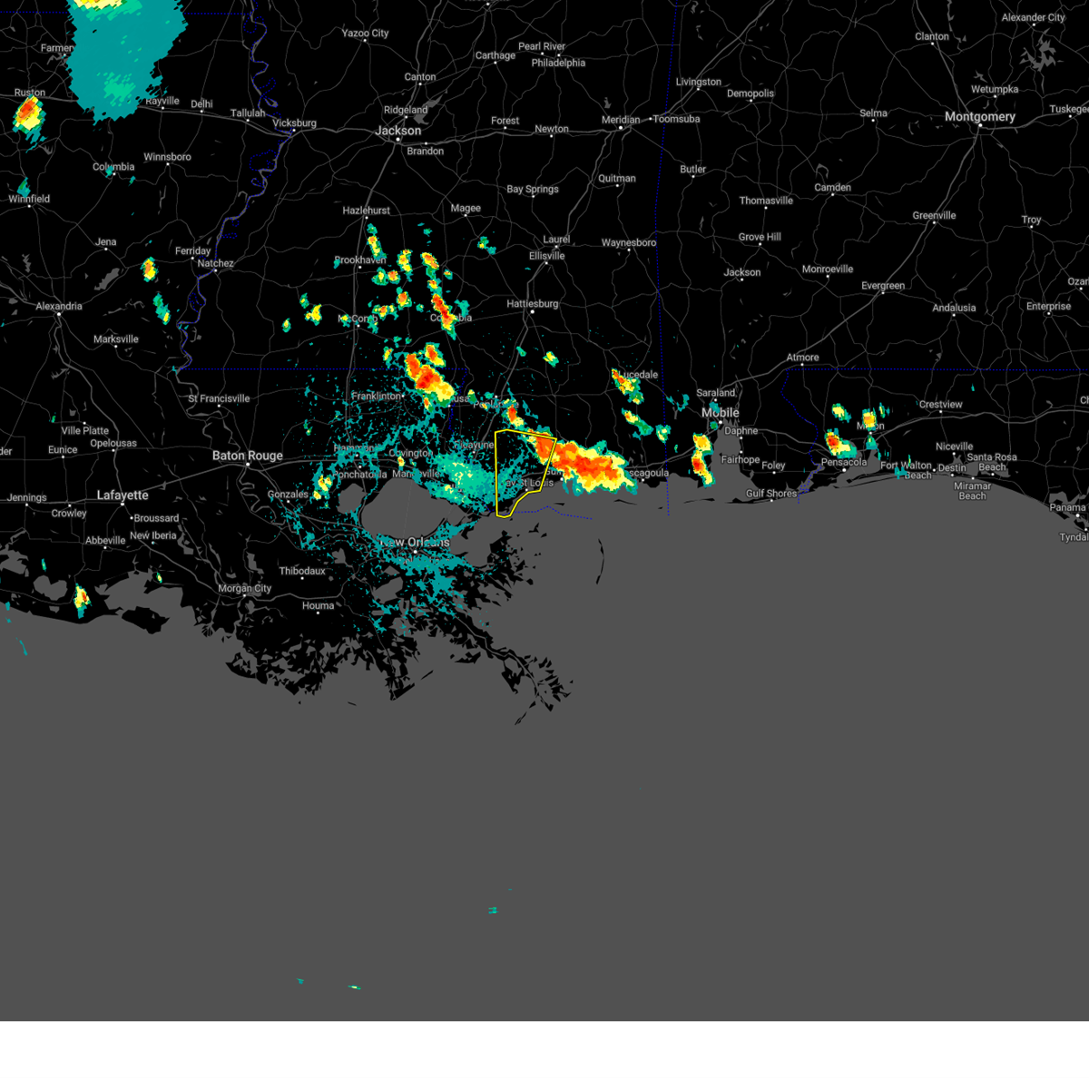
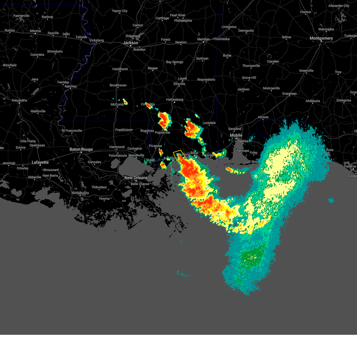
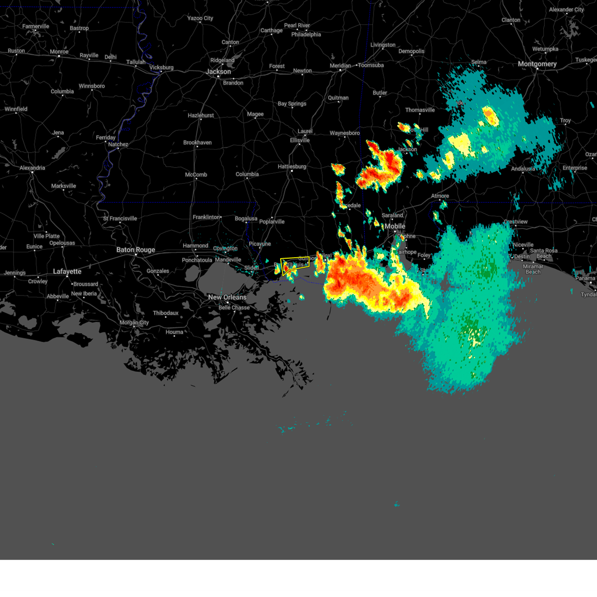
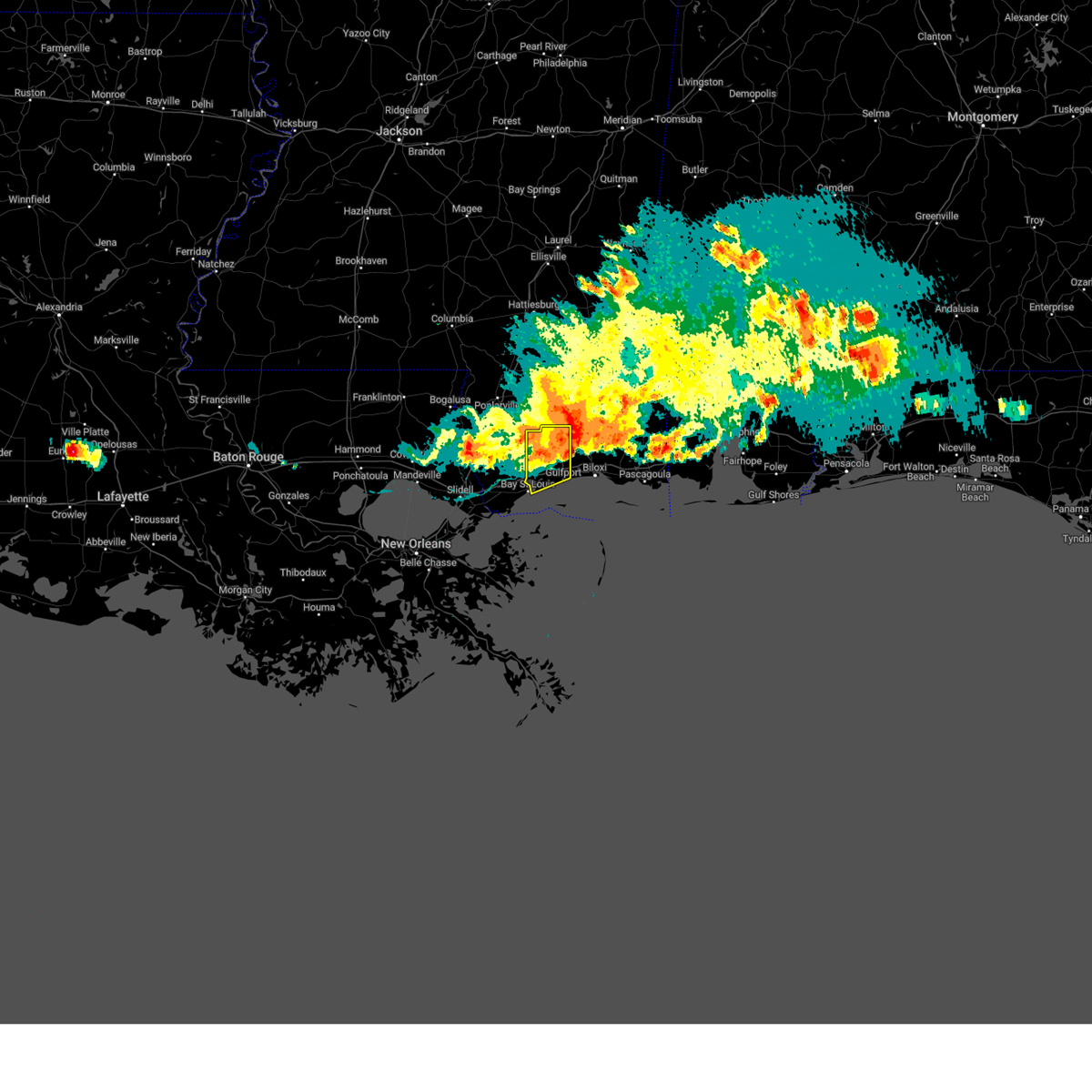
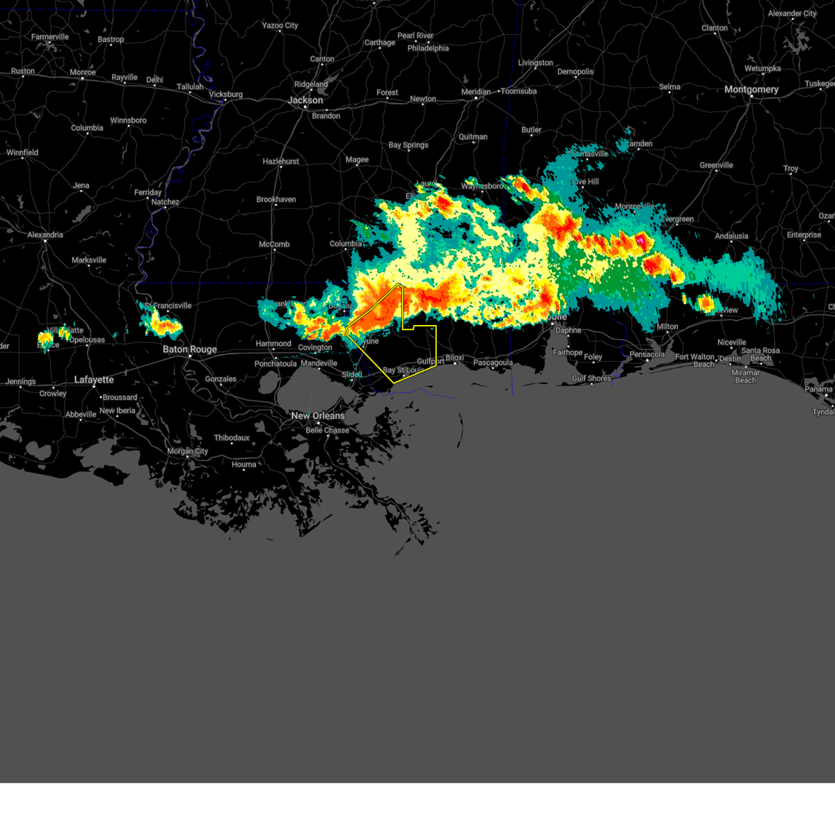
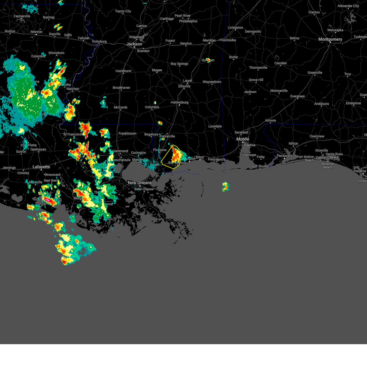
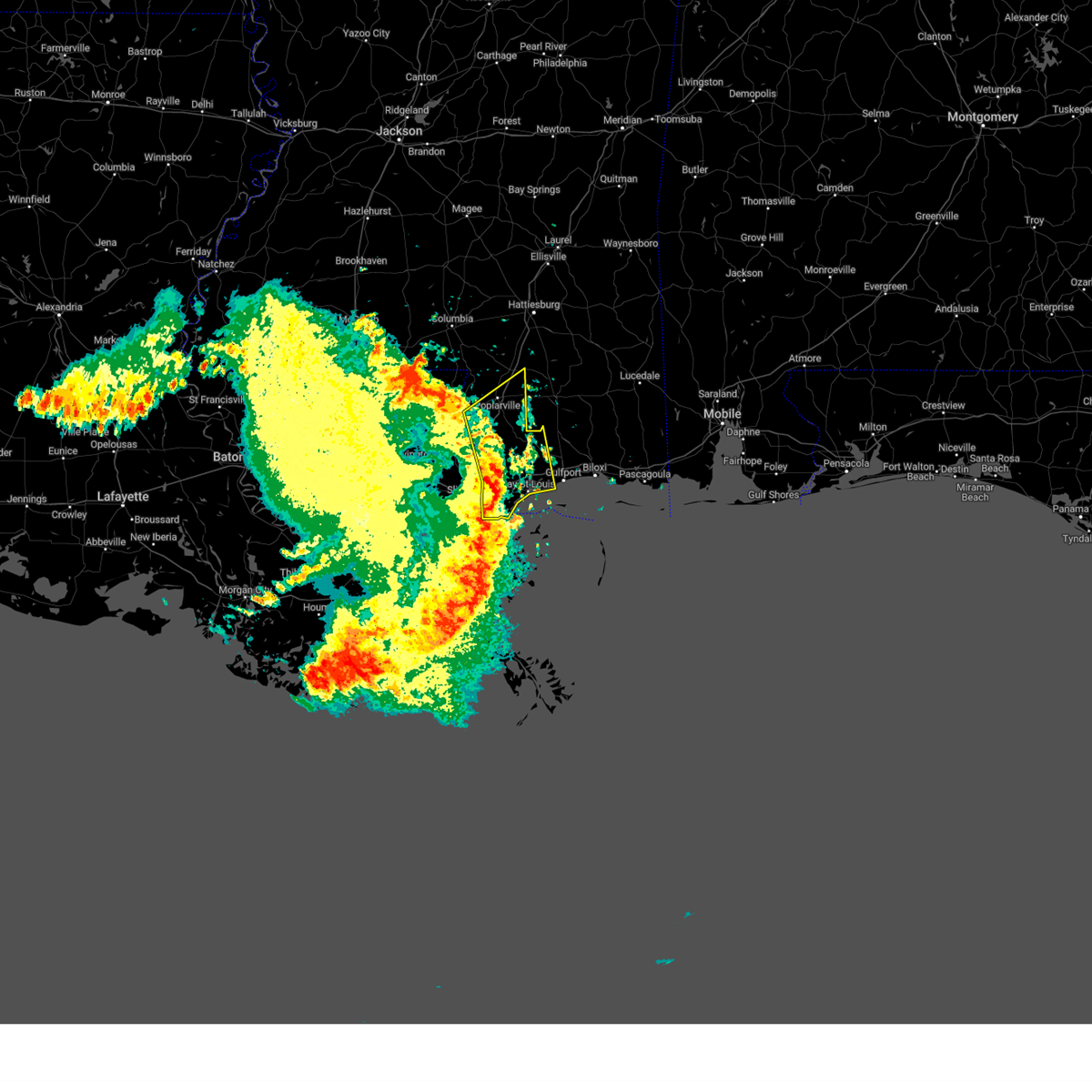
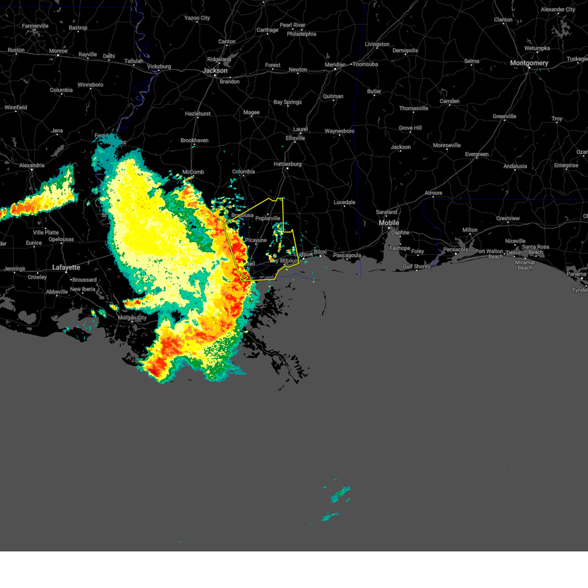
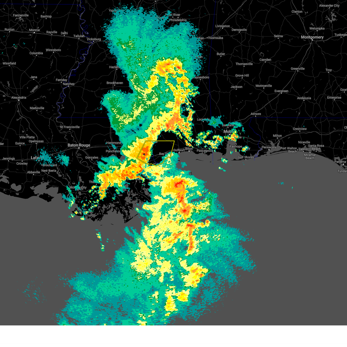
Hail Map for DeLisle, MS
The DeLisle, MS area has had 0 reports of on-the-ground hail by trained spotters, and has been under severe weather warnings 32 times during the past 12 months. Doppler radar has detected hail at or near DeLisle, MS on 43 occasions, including 2 occasions during the past year.
| Name: | DeLisle, MS |
| Where Located: | 56.4 miles ENE of New Orleans, LA |
| Map: | Google Map for DeLisle, MS |
| Population: | 1147 |
| Housing Units: | 474 |
| More Info: | Search Google for DeLisle, MS |
1
The Top Recent Hail Date for DeLisle, MS is Thursday, June 19, 2025 (13th out of 43)
Hail and Wind Damage Spotted near DeLisle, MS
| Date / Time | Report Details |
|---|---|
| 7/1/2025 5:49 PM CDT | the severe thunderstorm warning has been cancelled and is no longer in effect |
| 7/1/2025 5:41 PM CDT | At 541 pm cdt, a severe thunderstorm was located near lyman, or near gulfport, moving southeast at 10 mph (radar indicated). Hazards include 60 mph wind gusts and quarter size hail. Hail damage to vehicles is expected. expect wind damage to roofs, siding, and trees. Locations impacted include, gulfport and long beach. |
| 7/1/2025 5:20 PM CDT |
 Svrlix the national weather service in new orleans has issued a * severe thunderstorm warning for, southwestern harrison county in southern mississippi, * until 600 pm cdt. * at 520 pm cdt, a severe thunderstorm was located near lyman, or 7 miles northwest of gulfport, moving southeast at 10 mph (radar indicated). Hazards include 60 mph wind gusts and quarter size hail. Hail damage to vehicles is expected. Expect wind damage to roofs, siding, and trees. Svrlix the national weather service in new orleans has issued a * severe thunderstorm warning for, southwestern harrison county in southern mississippi, * until 600 pm cdt. * at 520 pm cdt, a severe thunderstorm was located near lyman, or 7 miles northwest of gulfport, moving southeast at 10 mph (radar indicated). Hazards include 60 mph wind gusts and quarter size hail. Hail damage to vehicles is expected. Expect wind damage to roofs, siding, and trees.
|
| 6/10/2025 5:51 PM CDT |
 The storms which prompted the warning have weakened below severe limits, and no longer pose an immediate threat to life or property. therefore, the warning will be allowed to expire. however, gusty winds and heavy rain are still possible with these thunderstorms. The storms which prompted the warning have weakened below severe limits, and no longer pose an immediate threat to life or property. therefore, the warning will be allowed to expire. however, gusty winds and heavy rain are still possible with these thunderstorms.
|
| 6/10/2025 5:48 PM CDT |
 At 548 pm cdt, severe thunderstorms were located along a line extending from 7 miles west of lyman to waveland, moving east at 25 mph (radar indicated). Hazards include 60 mph wind gusts and nickel size hail. Expect damage to roofs, siding, and trees. locations impacted include, bay st. louis, waveland, diamondhead, saucier, kiln, shoreline park, and lyman. This includes interstate 10 in mississippi between mile markers 10 and 28. At 548 pm cdt, severe thunderstorms were located along a line extending from 7 miles west of lyman to waveland, moving east at 25 mph (radar indicated). Hazards include 60 mph wind gusts and nickel size hail. Expect damage to roofs, siding, and trees. locations impacted include, bay st. louis, waveland, diamondhead, saucier, kiln, shoreline park, and lyman. This includes interstate 10 in mississippi between mile markers 10 and 28.
|
| 6/10/2025 5:48 PM CDT |
 the severe thunderstorm warning has been cancelled and is no longer in effect the severe thunderstorm warning has been cancelled and is no longer in effect
|
| 6/10/2025 5:17 PM CDT |
 Svrlix the national weather service in new orleans has issued a * severe thunderstorm warning for, southeastern st. tammany parish in southeastern louisiana, western harrison county in southern mississippi, hancock county in southern mississippi, * until 600 pm cdt. * at 516 pm cdt, severe thunderstorms were located along a line extending from 12 miles north of kiln to near pearlington, moving east at 30 mph (radar indicated). Hazards include 60 mph wind gusts and nickel size hail. expect damage to roofs, siding, and trees Svrlix the national weather service in new orleans has issued a * severe thunderstorm warning for, southeastern st. tammany parish in southeastern louisiana, western harrison county in southern mississippi, hancock county in southern mississippi, * until 600 pm cdt. * at 516 pm cdt, severe thunderstorms were located along a line extending from 12 miles north of kiln to near pearlington, moving east at 30 mph (radar indicated). Hazards include 60 mph wind gusts and nickel size hail. expect damage to roofs, siding, and trees
|
| 6/9/2025 9:16 PM CDT |
 the severe thunderstorm warning has been cancelled and is no longer in effect the severe thunderstorm warning has been cancelled and is no longer in effect
|
| 6/9/2025 9:16 PM CDT |
 At 915 pm cdt, severe thunderstorms were located along a line extending from 6 miles west of vancleave to near gulfport, moving east at 40 mph (radar indicated). Hazards include 60 mph wind gusts. Expect damage to roofs, siding, and trees. locations impacted include, gulfport, biloxi, ocean springs, long beach, st. martin, d'iberville, latimer, gulf hills, vancleave, lyman, and gulfport airport. this includes the following interstates, interstate 10 in mississippi between mile markers 22 and 57. Interstate 110 in mississippi between mile markers 1 and 4. At 915 pm cdt, severe thunderstorms were located along a line extending from 6 miles west of vancleave to near gulfport, moving east at 40 mph (radar indicated). Hazards include 60 mph wind gusts. Expect damage to roofs, siding, and trees. locations impacted include, gulfport, biloxi, ocean springs, long beach, st. martin, d'iberville, latimer, gulf hills, vancleave, lyman, and gulfport airport. this includes the following interstates, interstate 10 in mississippi between mile markers 22 and 57. Interstate 110 in mississippi between mile markers 1 and 4.
|
| 6/9/2025 9:04 PM CDT |
 At 903 pm cdt, severe thunderstorms were located along a line extending from 8 miles northwest of latimer to near long beach, moving east at 30 mph (radar indicated). Hazards include 60 mph wind gusts and quarter size hail. Hail damage to vehicles is expected. expect wind damage to roofs, siding, and trees. locations impacted include, gulfport, biloxi, ocean springs, long beach, st. martin, d'iberville, saucier, latimer, gulf hills, vancleave, lyman, and gulfport airport. this includes the following interstates, interstate 10 in mississippi between mile markers 21 and 57. Interstate 110 in mississippi between mile markers 1 and 4. At 903 pm cdt, severe thunderstorms were located along a line extending from 8 miles northwest of latimer to near long beach, moving east at 30 mph (radar indicated). Hazards include 60 mph wind gusts and quarter size hail. Hail damage to vehicles is expected. expect wind damage to roofs, siding, and trees. locations impacted include, gulfport, biloxi, ocean springs, long beach, st. martin, d'iberville, saucier, latimer, gulf hills, vancleave, lyman, and gulfport airport. this includes the following interstates, interstate 10 in mississippi between mile markers 21 and 57. Interstate 110 in mississippi between mile markers 1 and 4.
|
| 6/9/2025 9:02 PM CDT |
 At 901 pm cdt, severe thunderstorms were located along a line extending from 8 miles east of saucier to 6 miles northeast of diamondhead, moving east at 25 mph (radar indicated). Hazards include 60 mph wind gusts and quarter size hail. Hail damage to vehicles is expected. expect wind damage to roofs, siding, and trees. locations impacted include, gulfport, biloxi, ocean springs, long beach, st. martin, d'iberville, saucier, latimer, gulf hills, vancleave, lyman, and gulfport airport. this includes the following interstates, interstate 10 in mississippi between mile markers 22 and 57. Interstate 110 in mississippi between mile markers 1 and 4. At 901 pm cdt, severe thunderstorms were located along a line extending from 8 miles east of saucier to 6 miles northeast of diamondhead, moving east at 25 mph (radar indicated). Hazards include 60 mph wind gusts and quarter size hail. Hail damage to vehicles is expected. expect wind damage to roofs, siding, and trees. locations impacted include, gulfport, biloxi, ocean springs, long beach, st. martin, d'iberville, saucier, latimer, gulf hills, vancleave, lyman, and gulfport airport. this includes the following interstates, interstate 10 in mississippi between mile markers 22 and 57. Interstate 110 in mississippi between mile markers 1 and 4.
|
| 6/9/2025 8:54 PM CDT |
 Svrlix the national weather service in new orleans has issued a * severe thunderstorm warning for, harrison county in southern mississippi, east central hancock county in southern mississippi, southwestern jackson county in southern mississippi, * until 945 pm cdt. * at 854 pm cdt, severe thunderstorms were located along a line extending from near saucier to near diamondhead, moving east at 25 mph (radar indicated). Hazards include 60 mph wind gusts. expect damage to roofs, siding, and trees Svrlix the national weather service in new orleans has issued a * severe thunderstorm warning for, harrison county in southern mississippi, east central hancock county in southern mississippi, southwestern jackson county in southern mississippi, * until 945 pm cdt. * at 854 pm cdt, severe thunderstorms were located along a line extending from near saucier to near diamondhead, moving east at 25 mph (radar indicated). Hazards include 60 mph wind gusts. expect damage to roofs, siding, and trees
|
| 3/31/2025 8:39 AM CDT |
 The storm which prompted the warning has weakened below severe limits, and no longer poses an immediate threat to life or property. therefore, the warning will be allowed to expire. however, gusty winds are still possible with this thunderstorm. a severe thunderstorm watch remains in effect until 1100 am cdt for southeastern louisiana, and southern mississippi. The storm which prompted the warning has weakened below severe limits, and no longer poses an immediate threat to life or property. therefore, the warning will be allowed to expire. however, gusty winds are still possible with this thunderstorm. a severe thunderstorm watch remains in effect until 1100 am cdt for southeastern louisiana, and southern mississippi.
|
| 3/31/2025 8:26 AM CDT |
 At 826 am cdt, severe thunderstorms were located along a line extending from near wiggins to near shoreline park, moving east at 50 mph (radar indicated). Hazards include 60 mph wind gusts and quarter size hail. Hail damage to vehicles is expected. expect wind damage to roofs, siding, and trees. locations impacted include, bay st. louis, kiln, diamondhead, pearl river, waveland, slidell, shoreline park, stennis space center, and pearlington. this includes the following interstates, interstate 10 in louisiana between mile markers 266 and 273. interstate 10 in mississippi between mile markers 1 and 25. interstate 12 between mile markers 81 and 84. Interstate 59 in louisiana between mile markers 1 and 7. At 826 am cdt, severe thunderstorms were located along a line extending from near wiggins to near shoreline park, moving east at 50 mph (radar indicated). Hazards include 60 mph wind gusts and quarter size hail. Hail damage to vehicles is expected. expect wind damage to roofs, siding, and trees. locations impacted include, bay st. louis, kiln, diamondhead, pearl river, waveland, slidell, shoreline park, stennis space center, and pearlington. this includes the following interstates, interstate 10 in louisiana between mile markers 266 and 273. interstate 10 in mississippi between mile markers 1 and 25. interstate 12 between mile markers 81 and 84. Interstate 59 in louisiana between mile markers 1 and 7.
|
| 3/31/2025 8:26 AM CDT |
 the severe thunderstorm warning has been cancelled and is no longer in effect the severe thunderstorm warning has been cancelled and is no longer in effect
|
| 3/31/2025 8:16 AM CDT |
 At 816 am cdt, a severe thunderstorm was located near stennis space center, or 9 miles west of diamondhead, moving east at 45 mph (radar indicated). Hazards include 60 mph wind gusts and quarter size hail. Hail damage to vehicles is expected. expect wind damage to roofs, siding, and trees. locations impacted include, bay st. louis, pearlington, waveland, slidell, diamondhead, and lacombe. this includes the following interstates, interstate 10 in louisiana between mile markers 259 and 265. Interstate 10 in mississippi between mile markers 18 and 25. At 816 am cdt, a severe thunderstorm was located near stennis space center, or 9 miles west of diamondhead, moving east at 45 mph (radar indicated). Hazards include 60 mph wind gusts and quarter size hail. Hail damage to vehicles is expected. expect wind damage to roofs, siding, and trees. locations impacted include, bay st. louis, pearlington, waveland, slidell, diamondhead, and lacombe. this includes the following interstates, interstate 10 in louisiana between mile markers 259 and 265. Interstate 10 in mississippi between mile markers 18 and 25.
|
| 3/31/2025 8:13 AM CDT |
 At 813 am cdt, severe thunderstorms were located along a line extending from near rock hill to near pearl river, moving east at 45 mph (radar indicated). Hazards include 60 mph wind gusts and quarter size hail. Hail damage to vehicles is expected. expect wind damage to roofs, siding, and trees. locations impacted include, picayune, kiln, pearl river, waveland, lacombe, shoreline park, stennis space center, bay st. louis, slidell airport, poplarville, diamondhead, slidell, mcneil, and pearlington. this includes the following interstates, interstate 10 in louisiana between mile markers 266 and 273. interstate 10 in mississippi between mile markers 1 and 25. interstate 12 between mile markers 73 and 84. interstate 59 in louisiana between mile markers 1 and 11. Interstate 59 in mississippi between mile markers 1 and 42. At 813 am cdt, severe thunderstorms were located along a line extending from near rock hill to near pearl river, moving east at 45 mph (radar indicated). Hazards include 60 mph wind gusts and quarter size hail. Hail damage to vehicles is expected. expect wind damage to roofs, siding, and trees. locations impacted include, picayune, kiln, pearl river, waveland, lacombe, shoreline park, stennis space center, bay st. louis, slidell airport, poplarville, diamondhead, slidell, mcneil, and pearlington. this includes the following interstates, interstate 10 in louisiana between mile markers 266 and 273. interstate 10 in mississippi between mile markers 1 and 25. interstate 12 between mile markers 73 and 84. interstate 59 in louisiana between mile markers 1 and 11. Interstate 59 in mississippi between mile markers 1 and 42.
|
| 3/31/2025 8:04 AM CDT |
 At 804 am cdt, a severe thunderstorm was located near pearl river, or 9 miles northeast of slidell, moving east at 45 mph (radar indicated). Hazards include 70 mph wind gusts and quarter size hail. Hail damage to vehicles is expected. expect considerable tree damage. wind damage is also likely to mobile homes, roofs, and outbuildings. locations impacted include, bay st. louis, pearlington, waveland, slidell, diamondhead, and lacombe. this includes the following interstates, interstate 10 in louisiana between mile markers 259 and 265. Interstate 10 in mississippi between mile markers 18 and 25. At 804 am cdt, a severe thunderstorm was located near pearl river, or 9 miles northeast of slidell, moving east at 45 mph (radar indicated). Hazards include 70 mph wind gusts and quarter size hail. Hail damage to vehicles is expected. expect considerable tree damage. wind damage is also likely to mobile homes, roofs, and outbuildings. locations impacted include, bay st. louis, pearlington, waveland, slidell, diamondhead, and lacombe. this includes the following interstates, interstate 10 in louisiana between mile markers 259 and 265. Interstate 10 in mississippi between mile markers 18 and 25.
|
| 3/31/2025 7:57 AM CDT |
 the severe thunderstorm warning has been cancelled and is no longer in effect the severe thunderstorm warning has been cancelled and is no longer in effect
|
| 3/31/2025 7:57 AM CDT |
 At 756 am cdt, severe thunderstorms were located along a line extending from near lumberton to 6 miles north of lacombe, moving east at 45 mph (radar indicated). Hazards include 70 mph wind gusts and quarter size hail. Hail damage to vehicles is expected. expect considerable tree damage. wind damage is also likely to mobile homes, roofs, and outbuildings. locations impacted include, picayune, kiln, pearl river, waveland, lacombe, shoreline park, stennis space center, bay st. louis, slidell airport, poplarville, diamondhead, slidell, mcneil, and pearlington. this includes the following interstates, interstate 10 in louisiana between mile markers 266 and 273. interstate 10 in mississippi between mile markers 1 and 25. interstate 12 between mile markers 68 and 84. interstate 59 in louisiana between mile markers 1 and 11. Interstate 59 in mississippi between mile markers 1 and 42. At 756 am cdt, severe thunderstorms were located along a line extending from near lumberton to 6 miles north of lacombe, moving east at 45 mph (radar indicated). Hazards include 70 mph wind gusts and quarter size hail. Hail damage to vehicles is expected. expect considerable tree damage. wind damage is also likely to mobile homes, roofs, and outbuildings. locations impacted include, picayune, kiln, pearl river, waveland, lacombe, shoreline park, stennis space center, bay st. louis, slidell airport, poplarville, diamondhead, slidell, mcneil, and pearlington. this includes the following interstates, interstate 10 in louisiana between mile markers 266 and 273. interstate 10 in mississippi between mile markers 1 and 25. interstate 12 between mile markers 68 and 84. interstate 59 in louisiana between mile markers 1 and 11. Interstate 59 in mississippi between mile markers 1 and 42.
|
| 3/31/2025 7:53 AM CDT |
 Svrlix the national weather service in new orleans has issued a * severe thunderstorm warning for, southeastern st. tammany parish in southeastern louisiana, southwestern harrison county in southern mississippi, southern hancock county in southern mississippi, * until 845 am cdt. * at 752 am cdt, a severe thunderstorm was located near pearl river, or 9 miles north of slidell, moving east at 45 mph (radar indicated). Hazards include 70 mph wind gusts and quarter size hail. Hail damage to vehicles is expected. expect considerable tree damage. Wind damage is also likely to mobile homes, roofs, and outbuildings. Svrlix the national weather service in new orleans has issued a * severe thunderstorm warning for, southeastern st. tammany parish in southeastern louisiana, southwestern harrison county in southern mississippi, southern hancock county in southern mississippi, * until 845 am cdt. * at 752 am cdt, a severe thunderstorm was located near pearl river, or 9 miles north of slidell, moving east at 45 mph (radar indicated). Hazards include 70 mph wind gusts and quarter size hail. Hail damage to vehicles is expected. expect considerable tree damage. Wind damage is also likely to mobile homes, roofs, and outbuildings.
|
| 3/31/2025 7:46 AM CDT |
 Svrlix the national weather service in new orleans has issued a * severe thunderstorm warning for, central st. tammany parish in southeastern louisiana, southeastern washington parish in southeastern louisiana, western harrison county in southern mississippi, hancock county in southern mississippi, pearl river county in southern mississippi, * until 845 am cdt. * at 746 am cdt, severe thunderstorms were located along a line extending from 7 miles northwest of poplarville to near lacombe, moving east at 45 mph (radar indicated). Hazards include 70 mph wind gusts and quarter size hail. Hail damage to vehicles is expected. expect considerable tree damage. Wind damage is also likely to mobile homes, roofs, and outbuildings. Svrlix the national weather service in new orleans has issued a * severe thunderstorm warning for, central st. tammany parish in southeastern louisiana, southeastern washington parish in southeastern louisiana, western harrison county in southern mississippi, hancock county in southern mississippi, pearl river county in southern mississippi, * until 845 am cdt. * at 746 am cdt, severe thunderstorms were located along a line extending from 7 miles northwest of poplarville to near lacombe, moving east at 45 mph (radar indicated). Hazards include 70 mph wind gusts and quarter size hail. Hail damage to vehicles is expected. expect considerable tree damage. Wind damage is also likely to mobile homes, roofs, and outbuildings.
|
| 2/16/2025 2:13 AM CST |
 The storms which prompted the warning are moving out of the warned area. therefore, the warning will be allowed to expire. a tornado watch remains in effect until 600 am cst for southern mississippi. The storms which prompted the warning are moving out of the warned area. therefore, the warning will be allowed to expire. a tornado watch remains in effect until 600 am cst for southern mississippi.
|
| 2/16/2025 2:04 AM CST | At 203 am cst, severe thunderstorms were located along a line extending from near lucedale to 8 miles north of latimer to near lyman to near bay st. louis, moving east at 40 mph (radar indicated). Hazards include 60 mph wind gusts. Expect damage to roofs, siding, and trees. locations impacted include, gulfport, biloxi, long beach, saucier, lyman, and gulfport airport. This includes interstate 10 in mississippi between mile markers 19 and 38. |
| 2/16/2025 2:04 AM CST | the severe thunderstorm warning has been cancelled and is no longer in effect |
| 2/16/2025 1:52 AM CST |
 At 152 am cst, severe thunderstorms were located along a line extending from 9 miles southwest of lucedale to 10 miles east of saucier to 7 miles northeast of diamondhead to 6 miles south of pearlington, moving east at 45 mph (radar indicated). Hazards include 60 mph wind gusts. Expect damage to roofs, siding, and trees. locations impacted include, gulfport, biloxi, slidell, long beach, bay st. louis, waveland, diamondhead, kiln, pearlington, lyman, shoreline park, stennis space center, saucier, and gulfport airport. this includes the following interstates, interstate 10 in louisiana between mile markers 259 and 273. interstate 10 in mississippi between mile markers 1 and 38. interstate 12 between mile markers 83 and 84. Interstate 59 in louisiana near mile marker 1. At 152 am cst, severe thunderstorms were located along a line extending from 9 miles southwest of lucedale to 10 miles east of saucier to 7 miles northeast of diamondhead to 6 miles south of pearlington, moving east at 45 mph (radar indicated). Hazards include 60 mph wind gusts. Expect damage to roofs, siding, and trees. locations impacted include, gulfport, biloxi, slidell, long beach, bay st. louis, waveland, diamondhead, kiln, pearlington, lyman, shoreline park, stennis space center, saucier, and gulfport airport. this includes the following interstates, interstate 10 in louisiana between mile markers 259 and 273. interstate 10 in mississippi between mile markers 1 and 38. interstate 12 between mile markers 83 and 84. Interstate 59 in louisiana near mile marker 1.
|
| 2/16/2025 1:52 AM CST |
 the severe thunderstorm warning has been cancelled and is no longer in effect the severe thunderstorm warning has been cancelled and is no longer in effect
|
| 2/16/2025 1:40 AM CST |
 At 139 am cst, severe thunderstorms were located along a line extending from 13 miles east of wiggins to near saucier to 6 miles northwest of kiln to near lake catherine, moving east at 45 mph (radar indicated). Hazards include 60 mph wind gusts. Expect damage to roofs, siding, and trees. locations impacted include, gulfport, biloxi, slidell, long beach, picayune, bay st. louis, waveland, poplarville, diamondhead, pearl river, kiln, pearlington, lyman, shoreline park, stennis space center, saucier, and gulfport airport. this includes the following interstates, interstate 10 in louisiana between mile markers 259 and 273. interstate 10 in mississippi between mile markers 1 and 38. interstate 12 between mile markers 80 and 84. interstate 59 in louisiana between mile markers 1 and 11. Interstate 59 in mississippi between mile markers 1 and 30. At 139 am cst, severe thunderstorms were located along a line extending from 13 miles east of wiggins to near saucier to 6 miles northwest of kiln to near lake catherine, moving east at 45 mph (radar indicated). Hazards include 60 mph wind gusts. Expect damage to roofs, siding, and trees. locations impacted include, gulfport, biloxi, slidell, long beach, picayune, bay st. louis, waveland, poplarville, diamondhead, pearl river, kiln, pearlington, lyman, shoreline park, stennis space center, saucier, and gulfport airport. this includes the following interstates, interstate 10 in louisiana between mile markers 259 and 273. interstate 10 in mississippi between mile markers 1 and 38. interstate 12 between mile markers 80 and 84. interstate 59 in louisiana between mile markers 1 and 11. Interstate 59 in mississippi between mile markers 1 and 30.
|
| 2/16/2025 1:25 AM CST |
 Svrlix the national weather service in new orleans has issued a * severe thunderstorm warning for, northeastern orleans parish in southeastern louisiana, central st. tammany parish in southeastern louisiana, harrison county in southern mississippi, hancock county in southern mississippi, pearl river county in southern mississippi, * until 215 am cst. * at 125 am cst, severe thunderstorms were located along a line extending from 6 miles east of maxie to 10 miles west of mchenry to picayune to near slidell, moving east at 40 mph (radar indicated). Hazards include 60 mph wind gusts. expect damage to roofs, siding, and trees Svrlix the national weather service in new orleans has issued a * severe thunderstorm warning for, northeastern orleans parish in southeastern louisiana, central st. tammany parish in southeastern louisiana, harrison county in southern mississippi, hancock county in southern mississippi, pearl river county in southern mississippi, * until 215 am cst. * at 125 am cst, severe thunderstorms were located along a line extending from 6 miles east of maxie to 10 miles west of mchenry to picayune to near slidell, moving east at 40 mph (radar indicated). Hazards include 60 mph wind gusts. expect damage to roofs, siding, and trees
|
| 8/13/2024 4:29 PM CDT |
 the severe thunderstorm warning has been cancelled and is no longer in effect the severe thunderstorm warning has been cancelled and is no longer in effect
|
| 8/13/2024 4:24 PM CDT |
 At 424 pm cdt, a severe thunderstorm was located near gulfport, moving south at 10 mph (radar indicated). Hazards include 60 mph wind gusts. Expect damage to roofs, siding, and trees. locations impacted include, gulfport and long beach. This includes interstate 10 in mississippi between mile markers 24 and 31. At 424 pm cdt, a severe thunderstorm was located near gulfport, moving south at 10 mph (radar indicated). Hazards include 60 mph wind gusts. Expect damage to roofs, siding, and trees. locations impacted include, gulfport and long beach. This includes interstate 10 in mississippi between mile markers 24 and 31.
|
| 8/13/2024 4:02 PM CDT |
 Svrlix the national weather service in new orleans has issued a * severe thunderstorm warning for, southern harrison county in southern mississippi, * until 445 pm cdt. * at 402 pm cdt, a severe thunderstorm was located over gulfport, moving south at 10 mph (radar and kgpt asos measured peak gust of 61mpph). Hazards include 60 mph wind gusts. expect damage to roofs, siding, and trees Svrlix the national weather service in new orleans has issued a * severe thunderstorm warning for, southern harrison county in southern mississippi, * until 445 pm cdt. * at 402 pm cdt, a severe thunderstorm was located over gulfport, moving south at 10 mph (radar and kgpt asos measured peak gust of 61mpph). Hazards include 60 mph wind gusts. expect damage to roofs, siding, and trees
|
| 6/4/2024 7:13 PM CDT |
 Svrlix the national weather service in new orleans has issued a * severe thunderstorm warning for, harrison county in southern mississippi, jackson county in southern mississippi, * until 800 pm cdt. * at 712 pm cdt, severe thunderstorms were located along a line extending from near mchenry to 7 miles southeast of bay st. louis, moving east at 35 mph (radar indicated). Hazards include 60 mph wind gusts. expect damage to roofs, siding, and trees Svrlix the national weather service in new orleans has issued a * severe thunderstorm warning for, harrison county in southern mississippi, jackson county in southern mississippi, * until 800 pm cdt. * at 712 pm cdt, severe thunderstorms were located along a line extending from near mchenry to 7 miles southeast of bay st. louis, moving east at 35 mph (radar indicated). Hazards include 60 mph wind gusts. expect damage to roofs, siding, and trees
|
| 6/4/2024 6:30 PM CDT |
 At 630 pm cdt, severe thunderstorms were located along a line extending from lumberton to near picayune to slidell, moving east at 45 mph (radar indicated). Hazards include 60 mph wind gusts. Expect damage to roofs, siding, and trees. locations impacted include, gulfport, slidell, long beach, picayune, bay st. louis, waveland, poplarville, diamondhead, pearl river, kiln, pearlington, lacombe, lyman, shoreline park, stennis space center, saucier, mcneil, and slidell airport. this includes the following interstates, interstate 10 in louisiana between mile markers 260 and 273. interstate 10 in mississippi between mile markers 1 and 33. interstate 12 between mile markers 71 and 84. interstate 59 in louisiana between mile markers 1 and 11. Interstate 59 in mississippi between mile markers 1 and 42. At 630 pm cdt, severe thunderstorms were located along a line extending from lumberton to near picayune to slidell, moving east at 45 mph (radar indicated). Hazards include 60 mph wind gusts. Expect damage to roofs, siding, and trees. locations impacted include, gulfport, slidell, long beach, picayune, bay st. louis, waveland, poplarville, diamondhead, pearl river, kiln, pearlington, lacombe, lyman, shoreline park, stennis space center, saucier, mcneil, and slidell airport. this includes the following interstates, interstate 10 in louisiana between mile markers 260 and 273. interstate 10 in mississippi between mile markers 1 and 33. interstate 12 between mile markers 71 and 84. interstate 59 in louisiana between mile markers 1 and 11. Interstate 59 in mississippi between mile markers 1 and 42.
|
| 6/4/2024 6:30 PM CDT |
 The storms which prompted the warning have moved out of the warned area. therefore, the warning has been cancelled. a severe thunderstorm watch remains in effect until 800 pm cdt for southeastern louisiana, and southern mississippi. The storms which prompted the warning have moved out of the warned area. therefore, the warning has been cancelled. a severe thunderstorm watch remains in effect until 800 pm cdt for southeastern louisiana, and southern mississippi.
|
| 6/4/2024 6:27 PM CDT |
 At 625 pm cdt, severe thunderstorms were located along a line extending from near lumberton to near picayune to near slidell, moving east at 45 mph (radar indicated). Hazards include 60 mph wind gusts. Expect damage to roofs, siding, and trees. locations impacted include, gulfport, slidell, long beach, picayune, bay st. louis, waveland, poplarville, diamondhead, pearl river, kiln, pearlington, lacombe, lyman, shoreline park, stennis space center, saucier, mcneil, and slidell airport. this includes the following interstates, interstate 10 in louisiana between mile markers 260 and 273. interstate 10 in mississippi between mile markers 1 and 33. interstate 12 between mile markers 71 and 84. interstate 59 in louisiana between mile markers 1 and 11. Interstate 59 in mississippi between mile markers 1 and 42. At 625 pm cdt, severe thunderstorms were located along a line extending from near lumberton to near picayune to near slidell, moving east at 45 mph (radar indicated). Hazards include 60 mph wind gusts. Expect damage to roofs, siding, and trees. locations impacted include, gulfport, slidell, long beach, picayune, bay st. louis, waveland, poplarville, diamondhead, pearl river, kiln, pearlington, lacombe, lyman, shoreline park, stennis space center, saucier, mcneil, and slidell airport. this includes the following interstates, interstate 10 in louisiana between mile markers 260 and 273. interstate 10 in mississippi between mile markers 1 and 33. interstate 12 between mile markers 71 and 84. interstate 59 in louisiana between mile markers 1 and 11. Interstate 59 in mississippi between mile markers 1 and 42.
|
| 6/4/2024 6:27 PM CDT |
 the severe thunderstorm warning has been cancelled and is no longer in effect the severe thunderstorm warning has been cancelled and is no longer in effect
|
| 6/4/2024 6:11 PM CDT |
 Svrlix the national weather service in new orleans has issued a * severe thunderstorm warning for, st. tammany parish in southeastern louisiana, eastern washington parish in southeastern louisiana, western harrison county in southern mississippi, hancock county in southern mississippi, pearl river county in southern mississippi, * until 700 pm cdt. * at 610 pm cdt, severe thunderstorms were located along a line extending from 6 miles east of sandy hook to 8 miles south of bush to 6 miles west of lacombe, moving east at 45 mph (radar indicated). Hazards include 60 mph wind gusts. expect damage to roofs, siding, and trees Svrlix the national weather service in new orleans has issued a * severe thunderstorm warning for, st. tammany parish in southeastern louisiana, eastern washington parish in southeastern louisiana, western harrison county in southern mississippi, hancock county in southern mississippi, pearl river county in southern mississippi, * until 700 pm cdt. * at 610 pm cdt, severe thunderstorms were located along a line extending from 6 miles east of sandy hook to 8 miles south of bush to 6 miles west of lacombe, moving east at 45 mph (radar indicated). Hazards include 60 mph wind gusts. expect damage to roofs, siding, and trees
|
| 5/17/2024 12:54 AM CDT |
 At 1254 am cdt, severe thunderstorms were located along a line extending from 9 miles north of latimer to near biloxi, moving east at 50 mph (radar indicated). Hazards include 60 mph wind gusts and penny size hail. Expect damage to roofs, siding, and trees. locations impacted include, gulfport, biloxi, ocean springs, long beach, st. martin, d'iberville, saucier, lyman, latimer, and gulfport airport. this includes the following interstates, interstate 10 in mississippi between mile markers 19 and 47. Interstate 110 in mississippi between mile markers 1 and 4. At 1254 am cdt, severe thunderstorms were located along a line extending from 9 miles north of latimer to near biloxi, moving east at 50 mph (radar indicated). Hazards include 60 mph wind gusts and penny size hail. Expect damage to roofs, siding, and trees. locations impacted include, gulfport, biloxi, ocean springs, long beach, st. martin, d'iberville, saucier, lyman, latimer, and gulfport airport. this includes the following interstates, interstate 10 in mississippi between mile markers 19 and 47. Interstate 110 in mississippi between mile markers 1 and 4.
|
| 5/17/2024 12:54 AM CDT |
 the severe thunderstorm warning has been cancelled and is no longer in effect the severe thunderstorm warning has been cancelled and is no longer in effect
|
| 5/17/2024 12:37 AM CDT |
 At 1236 am cdt, severe thunderstorms were located along a line extending from near saucier to near long beach, moving east at 50 mph (radar indicated). Hazards include 70 mph wind gusts and penny size hail. Expect considerable tree damage. damage is likely to mobile homes, roofs, and outbuildings. locations impacted include, gulfport, biloxi, ocean springs, long beach, bay st. louis, waveland, diamondhead, st. martin, d'iberville, kiln, lyman, shoreline park, saucier, latimer, and gulfport airport. this includes the following interstates, interstate 10 in mississippi between mile markers 8 and 47. Interstate 110 in mississippi between mile markers 1 and 4. At 1236 am cdt, severe thunderstorms were located along a line extending from near saucier to near long beach, moving east at 50 mph (radar indicated). Hazards include 70 mph wind gusts and penny size hail. Expect considerable tree damage. damage is likely to mobile homes, roofs, and outbuildings. locations impacted include, gulfport, biloxi, ocean springs, long beach, bay st. louis, waveland, diamondhead, st. martin, d'iberville, kiln, lyman, shoreline park, saucier, latimer, and gulfport airport. this includes the following interstates, interstate 10 in mississippi between mile markers 8 and 47. Interstate 110 in mississippi between mile markers 1 and 4.
|
| 5/17/2024 12:37 AM CDT |
 the severe thunderstorm warning has been cancelled and is no longer in effect the severe thunderstorm warning has been cancelled and is no longer in effect
|
| 5/17/2024 12:05 AM CDT |
 Svrlix the national weather service in new orleans has issued a * severe thunderstorm warning for, northeastern orleans parish in southeastern louisiana, southeastern st. tammany parish in southeastern louisiana, harrison county in southern mississippi, hancock county in southern mississippi, southeastern pearl river county in southern mississippi, * until 100 am cdt. * at 1204 am cdt, severe thunderstorms were located along a line extending from near picayune to pearlington, moving east at 50 mph (radar indicated). Hazards include 70 mph wind gusts and penny size hail. Expect considerable tree damage. Damage is likely to mobile homes, roofs, and outbuildings. Svrlix the national weather service in new orleans has issued a * severe thunderstorm warning for, northeastern orleans parish in southeastern louisiana, southeastern st. tammany parish in southeastern louisiana, harrison county in southern mississippi, hancock county in southern mississippi, southeastern pearl river county in southern mississippi, * until 100 am cdt. * at 1204 am cdt, severe thunderstorms were located along a line extending from near picayune to pearlington, moving east at 50 mph (radar indicated). Hazards include 70 mph wind gusts and penny size hail. Expect considerable tree damage. Damage is likely to mobile homes, roofs, and outbuildings.
|
| 4/10/2024 11:02 AM CDT |
 At 1102 am cdt, severe thunderstorms were located along a line extending from 10 miles southwest of mclain to 12 miles east of mchenry to 3 miles north of gulfport to 5 miles east of bay st. louis, moving east at 55 mph (radar indicated). Hazards include 70 mph wind gusts. Expect considerable tree damage. damage is likely to mobile homes, roofs, and outbuildings. locations impacted include, gulfport, biloxi, ocean springs, long beach, bay st. louis, waveland, st. Martin, diamondhead, d'iberville, wade, latimer, lyman, shoreline park, saucier, gulf hills, vancleave, gulf park estates, hickory hills, hurley, and gulfport airport. At 1102 am cdt, severe thunderstorms were located along a line extending from 10 miles southwest of mclain to 12 miles east of mchenry to 3 miles north of gulfport to 5 miles east of bay st. louis, moving east at 55 mph (radar indicated). Hazards include 70 mph wind gusts. Expect considerable tree damage. damage is likely to mobile homes, roofs, and outbuildings. locations impacted include, gulfport, biloxi, ocean springs, long beach, bay st. louis, waveland, st. Martin, diamondhead, d'iberville, wade, latimer, lyman, shoreline park, saucier, gulf hills, vancleave, gulf park estates, hickory hills, hurley, and gulfport airport.
|
| 4/10/2024 11:02 AM CDT |
 the severe thunderstorm warning has been cancelled and is no longer in effect the severe thunderstorm warning has been cancelled and is no longer in effect
|
| 4/10/2024 10:53 AM CDT |
 The tornado threat has diminished and the tornado warning has been expired. however, large hail and damaging winds remain likely and a severe thunderstorm warning remains in effect for the area. however, gusty winds are still possible with this thunderstorm. a tornado watch remains in effect until 100 pm cdt for southern mississippi. remember, a severe thunderstorm warning still remains in effect for portions of hancock and harrison counties until 1130 cdt. The tornado threat has diminished and the tornado warning has been expired. however, large hail and damaging winds remain likely and a severe thunderstorm warning remains in effect for the area. however, gusty winds are still possible with this thunderstorm. a tornado watch remains in effect until 100 pm cdt for southern mississippi. remember, a severe thunderstorm warning still remains in effect for portions of hancock and harrison counties until 1130 cdt.
|
| 4/10/2024 10:48 AM CDT |
 the severe thunderstorm warning has been cancelled and is no longer in effect the severe thunderstorm warning has been cancelled and is no longer in effect
|
| 4/10/2024 10:48 AM CDT |
 At 1048 am cdt, severe thunderstorms were located along a line extending from 3 miles east of maxie to near saucier to 6 miles northwest of long beach to 3 miles southwest of waveland, moving east at 55 mph (radar indicated). Hazards include 70 mph wind gusts. Expect considerable tree damage. damage is likely to mobile homes, roofs, and outbuildings. locations impacted include, gulfport, biloxi, ocean springs, long beach, bay st. louis, waveland, st. Martin, diamondhead, d'iberville, wade, latimer, kiln, lyman, shoreline park, saucier, gulf hills, vancleave, gulf park estates, hickory hills, and hurley. At 1048 am cdt, severe thunderstorms were located along a line extending from 3 miles east of maxie to near saucier to 6 miles northwest of long beach to 3 miles southwest of waveland, moving east at 55 mph (radar indicated). Hazards include 70 mph wind gusts. Expect considerable tree damage. damage is likely to mobile homes, roofs, and outbuildings. locations impacted include, gulfport, biloxi, ocean springs, long beach, bay st. louis, waveland, st. Martin, diamondhead, d'iberville, wade, latimer, kiln, lyman, shoreline park, saucier, gulf hills, vancleave, gulf park estates, hickory hills, and hurley.
|
| 4/10/2024 10:41 AM CDT |
 At 1041 am cdt, a severe thunderstorm capable of producing a tornado was located 8 miles northeast of diamondhead, moving east at 65 mph (radar indicated rotation). Hazards include tornado and quarter size hail. Flying debris will be dangerous to those caught without shelter. mobile homes will be damaged or destroyed. damage to roofs, windows, and vehicles will occur. tree damage is likely. this dangerous storm will be near, gulfport and lyman around 1045 am cdt. Other locations impacted by this tornadic thunderstorm include gulfport airport. At 1041 am cdt, a severe thunderstorm capable of producing a tornado was located 8 miles northeast of diamondhead, moving east at 65 mph (radar indicated rotation). Hazards include tornado and quarter size hail. Flying debris will be dangerous to those caught without shelter. mobile homes will be damaged or destroyed. damage to roofs, windows, and vehicles will occur. tree damage is likely. this dangerous storm will be near, gulfport and lyman around 1045 am cdt. Other locations impacted by this tornadic thunderstorm include gulfport airport.
|
| 4/10/2024 10:31 AM CDT |
 Svrlix the national weather service in new orleans has issued a * severe thunderstorm warning for, northeastern orleans parish in southeastern louisiana, southeastern st. tammany parish in southeastern louisiana, harrison county in southern mississippi, hancock county in southern mississippi, western jackson county in southern mississippi, eastern pearl river county in southern mississippi, * until 1130 am cdt. * at 1031 am cdt, severe thunderstorms were located along a line extending from 9 miles southeast of lumberton to 12 miles northeast of kiln to 4 miles northwest of shoreline park to 5 miles southwest of pearlington, moving east at 55 mph (radar indicated). Hazards include 70 mph wind gusts. Expect considerable tree damage. Damage is likely to mobile homes, roofs, and outbuildings. Svrlix the national weather service in new orleans has issued a * severe thunderstorm warning for, northeastern orleans parish in southeastern louisiana, southeastern st. tammany parish in southeastern louisiana, harrison county in southern mississippi, hancock county in southern mississippi, western jackson county in southern mississippi, eastern pearl river county in southern mississippi, * until 1130 am cdt. * at 1031 am cdt, severe thunderstorms were located along a line extending from 9 miles southeast of lumberton to 12 miles northeast of kiln to 4 miles northwest of shoreline park to 5 miles southwest of pearlington, moving east at 55 mph (radar indicated). Hazards include 70 mph wind gusts. Expect considerable tree damage. Damage is likely to mobile homes, roofs, and outbuildings.
|
| 4/10/2024 10:26 AM CDT |
 At 1025 am cdt, a confirmed tornado was located near stennis space center, or 10 miles west of diamondhead, moving northeast at 40 mph (radar confirmed tornado). Hazards include damaging tornado and quarter size hail. Flying debris will be dangerous to those caught without shelter. mobile homes will be damaged or destroyed. damage to roofs, windows, and vehicles will occur. tree damage is likely. this tornado will be near, kiln around 1030 am cdt. diamondhead around 1035 am cdt. lyman around 1055 am cdt. gulfport around 1100 am cdt. Other locations impacted by this tornadic thunderstorm include gulfport airport. At 1025 am cdt, a confirmed tornado was located near stennis space center, or 10 miles west of diamondhead, moving northeast at 40 mph (radar confirmed tornado). Hazards include damaging tornado and quarter size hail. Flying debris will be dangerous to those caught without shelter. mobile homes will be damaged or destroyed. damage to roofs, windows, and vehicles will occur. tree damage is likely. this tornado will be near, kiln around 1030 am cdt. diamondhead around 1035 am cdt. lyman around 1055 am cdt. gulfport around 1100 am cdt. Other locations impacted by this tornadic thunderstorm include gulfport airport.
|
| 4/10/2024 10:26 AM CDT |
 the tornado warning has been cancelled and is no longer in effect the tornado warning has been cancelled and is no longer in effect
|
| 4/10/2024 10:08 AM CDT |
 Torlix the national weather service in new orleans has issued a * tornado warning for, southeastern st. tammany parish in southeastern louisiana, southwestern harrison county in southern mississippi, southern hancock county in southern mississippi, * until 1100 am cdt. * at 1008 am cdt, a severe thunderstorm capable of producing a tornado was located 4 miles east of slidell, moving east at 65 mph (radar indicated rotation). Hazards include tornado and quarter size hail. Flying debris will be dangerous to those caught without shelter. mobile homes will be damaged or destroyed. damage to roofs, windows, and vehicles will occur. tree damage is likely. this dangerous storm will be near, pearlington around 1015 am cdt. diamondhead, shoreline park, and kiln around 1020 am cdt. bay st. louis around 1025 am cdt. long beach around 1035 am cdt. gulfport and lyman around 1040 am cdt. Other locations impacted by this tornadic thunderstorm include gulfport airport. Torlix the national weather service in new orleans has issued a * tornado warning for, southeastern st. tammany parish in southeastern louisiana, southwestern harrison county in southern mississippi, southern hancock county in southern mississippi, * until 1100 am cdt. * at 1008 am cdt, a severe thunderstorm capable of producing a tornado was located 4 miles east of slidell, moving east at 65 mph (radar indicated rotation). Hazards include tornado and quarter size hail. Flying debris will be dangerous to those caught without shelter. mobile homes will be damaged or destroyed. damage to roofs, windows, and vehicles will occur. tree damage is likely. this dangerous storm will be near, pearlington around 1015 am cdt. diamondhead, shoreline park, and kiln around 1020 am cdt. bay st. louis around 1025 am cdt. long beach around 1035 am cdt. gulfport and lyman around 1040 am cdt. Other locations impacted by this tornadic thunderstorm include gulfport airport.
|
| 9/7/2023 3:24 PM CDT |
 At 324 pm cdt, a severe thunderstorm was located over diamondhead, moving southwest at 20 mph (radar indicated). Hazards include 60 mph wind gusts and penny size hail. Expect damage to roofs, siding, and trees. locations impacted include, bay st. louis, waveland, diamondhead, kiln, and shoreline park. this includes interstate 10 in mississippi between mile markers 7 and 28. hail threat, radar indicated max hail size, 0. 75 in wind threat, radar indicated max wind gust, 60 mph. At 324 pm cdt, a severe thunderstorm was located over diamondhead, moving southwest at 20 mph (radar indicated). Hazards include 60 mph wind gusts and penny size hail. Expect damage to roofs, siding, and trees. locations impacted include, bay st. louis, waveland, diamondhead, kiln, and shoreline park. this includes interstate 10 in mississippi between mile markers 7 and 28. hail threat, radar indicated max hail size, 0. 75 in wind threat, radar indicated max wind gust, 60 mph.
|
| 9/7/2023 3:07 PM CDT |
 At 307 pm cdt, a severe thunderstorm was located 7 miles southwest of saucier, or 14 miles northeast of diamondhead, moving south at 10 mph (radar indicated). Hazards include 60 mph wind gusts and penny size hail. expect damage to roofs, siding, and trees At 307 pm cdt, a severe thunderstorm was located 7 miles southwest of saucier, or 14 miles northeast of diamondhead, moving south at 10 mph (radar indicated). Hazards include 60 mph wind gusts and penny size hail. expect damage to roofs, siding, and trees
|
| 8/27/2023 5:11 PM CDT |
 At 511 pm cdt, severe thunderstorms were located along a line extending from near gulfport to diamondhead, moving south at 5 mph (radar indicated). Hazards include 60 mph wind gusts and half dollar size hail. Hail damage to vehicles is expected. expect wind damage to roofs, siding, and trees. locations impacted include, gulfport, long beach, bay st. louis, waveland, diamondhead, lyman, kiln, shoreline park, and gulfport airport. this includes interstate 10 in mississippi between mile markers 14 and 38. hail threat, radar indicated max hail size, 1. 25 in wind threat, radar indicated max wind gust, 60 mph. At 511 pm cdt, severe thunderstorms were located along a line extending from near gulfport to diamondhead, moving south at 5 mph (radar indicated). Hazards include 60 mph wind gusts and half dollar size hail. Hail damage to vehicles is expected. expect wind damage to roofs, siding, and trees. locations impacted include, gulfport, long beach, bay st. louis, waveland, diamondhead, lyman, kiln, shoreline park, and gulfport airport. this includes interstate 10 in mississippi between mile markers 14 and 38. hail threat, radar indicated max hail size, 1. 25 in wind threat, radar indicated max wind gust, 60 mph.
|
| 8/27/2023 4:52 PM CDT |
 At 452 pm cdt, severe thunderstorms were located along a line extending from near gulfport to near diamondhead, moving south at 5 mph (radar indicated). Hazards include 60 mph wind gusts and quarter size hail. Hail damage to vehicles is expected. Expect wind damage to roofs, siding, and trees. At 452 pm cdt, severe thunderstorms were located along a line extending from near gulfport to near diamondhead, moving south at 5 mph (radar indicated). Hazards include 60 mph wind gusts and quarter size hail. Hail damage to vehicles is expected. Expect wind damage to roofs, siding, and trees.
|
| 8/15/2023 4:37 PM CDT |
 At 437 pm cdt, a severe thunderstorm was located near saucier, or 11 miles northwest of gulfport, moving south at 15 mph (radar indicated). Hazards include 60 mph wind gusts. expect damage to roofs, siding, and trees At 437 pm cdt, a severe thunderstorm was located near saucier, or 11 miles northwest of gulfport, moving south at 15 mph (radar indicated). Hazards include 60 mph wind gusts. expect damage to roofs, siding, and trees
|
| 6/20/2023 1:43 PM CDT |
 At 142 pm cdt, severe thunderstorms were located along a line extending from 6 miles south of pearlington to 10 miles southeast of waveland, moving southeast at 20 mph (radar indicated). Hazards include 60 mph wind gusts and quarter size hail. Hail damage to vehicles is expected. Expect wind damage to roofs, siding, and trees. At 142 pm cdt, severe thunderstorms were located along a line extending from 6 miles south of pearlington to 10 miles southeast of waveland, moving southeast at 20 mph (radar indicated). Hazards include 60 mph wind gusts and quarter size hail. Hail damage to vehicles is expected. Expect wind damage to roofs, siding, and trees.
|
| 6/20/2023 1:18 PM CDT |
 At 117 pm cdt, a severe thunderstorm was located over bay st. louis, moving east at 45 mph (radar indicated). Hazards include 70 mph wind gusts and half dollar size hail. Hail damage to vehicles is expected. expect considerable tree damage. wind damage is also likely to mobile homes, roofs, and outbuildings. locations impacted include, gulfport, long beach, bay st. louis, waveland, diamondhead, kiln, shoreline park and lyman. this includes the following interstates, interstate 10 in mississippi between mile markers 6 and 32. interstate 59 in mississippi between mile markers 8 and 11. thunderstorm damage threat, considerable hail threat, radar indicated max hail size, 1. 25 in wind threat, radar indicated max wind gust, 70 mph. At 117 pm cdt, a severe thunderstorm was located over bay st. louis, moving east at 45 mph (radar indicated). Hazards include 70 mph wind gusts and half dollar size hail. Hail damage to vehicles is expected. expect considerable tree damage. wind damage is also likely to mobile homes, roofs, and outbuildings. locations impacted include, gulfport, long beach, bay st. louis, waveland, diamondhead, kiln, shoreline park and lyman. this includes the following interstates, interstate 10 in mississippi between mile markers 6 and 32. interstate 59 in mississippi between mile markers 8 and 11. thunderstorm damage threat, considerable hail threat, radar indicated max hail size, 1. 25 in wind threat, radar indicated max wind gust, 70 mph.
|
| 6/20/2023 1:03 PM CDT |
 At 103 pm cdt, a severe thunderstorm was located over diamondhead, moving southeast at 45 mph (radar indicated). Hazards include 70 mph wind gusts and quarter size hail. Hail damage to vehicles is expected. expect considerable tree damage. Wind damage is also likely to mobile homes, roofs, and outbuildings. At 103 pm cdt, a severe thunderstorm was located over diamondhead, moving southeast at 45 mph (radar indicated). Hazards include 70 mph wind gusts and quarter size hail. Hail damage to vehicles is expected. expect considerable tree damage. Wind damage is also likely to mobile homes, roofs, and outbuildings.
|
| 6/20/2023 12:57 PM CDT |
 At 1256 pm cdt, a severe thunderstorm was located over kiln, or near diamondhead, moving southeast at 45 mph (radar indicated). Hazards include 60 mph wind gusts and quarter size hail. Hail damage to vehicles is expected. Expect wind damage to roofs, siding, and trees. At 1256 pm cdt, a severe thunderstorm was located over kiln, or near diamondhead, moving southeast at 45 mph (radar indicated). Hazards include 60 mph wind gusts and quarter size hail. Hail damage to vehicles is expected. Expect wind damage to roofs, siding, and trees.
|
| 6/20/2023 12:23 PM CDT |
 At 1223 pm cdt, a severe thunderstorm was located 8 miles southwest of lyman, or 8 miles northeast of diamondhead, moving southeast at 25 mph (radar indicated). Hazards include 60 mph wind gusts and quarter size hail. Hail damage to vehicles is expected. Expect wind damage to roofs, siding, and trees. At 1223 pm cdt, a severe thunderstorm was located 8 miles southwest of lyman, or 8 miles northeast of diamondhead, moving southeast at 25 mph (radar indicated). Hazards include 60 mph wind gusts and quarter size hail. Hail damage to vehicles is expected. Expect wind damage to roofs, siding, and trees.
|
| 6/19/2023 7:11 PM CDT |
 At 710 pm cdt, a severe thunderstorm was located over long beach, moving southeast at 20 mph (radar indicated). Hazards include 60 mph wind gusts and quarter size hail. Hail damage to vehicles is expected. Expect wind damage to roofs, siding, and trees. At 710 pm cdt, a severe thunderstorm was located over long beach, moving southeast at 20 mph (radar indicated). Hazards include 60 mph wind gusts and quarter size hail. Hail damage to vehicles is expected. Expect wind damage to roofs, siding, and trees.
|
| 6/19/2023 6:37 PM CDT |
 At 636 pm cdt, a severe thunderstorm was located over gulfport, and is nearly stationary (radar indicated). Hazards include 60 mph wind gusts and quarter size hail. Hail damage to vehicles is expected. Expect wind damage to roofs, siding, and trees. At 636 pm cdt, a severe thunderstorm was located over gulfport, and is nearly stationary (radar indicated). Hazards include 60 mph wind gusts and quarter size hail. Hail damage to vehicles is expected. Expect wind damage to roofs, siding, and trees.
|
| 6/19/2023 6:00 PM CDT |
 At 600 pm cdt, a severe thunderstorm was located over gulfport, moving southeast at 30 mph (radar indicated). Hazards include 60 mph wind gusts and quarter size hail. Hail damage to vehicles is expected. Expect wind damage to roofs, siding, and trees. At 600 pm cdt, a severe thunderstorm was located over gulfport, moving southeast at 30 mph (radar indicated). Hazards include 60 mph wind gusts and quarter size hail. Hail damage to vehicles is expected. Expect wind damage to roofs, siding, and trees.
|
| 6/19/2023 5:05 PM CDT |
 The severe thunderstorm warning for southwestern harrison and southeastern hancock counties will expire at 515 pm cdt, the storm which prompted the warning has weakened below severe limits, and has exited the warned area. therefore, the warning will be allowed to expire. The severe thunderstorm warning for southwestern harrison and southeastern hancock counties will expire at 515 pm cdt, the storm which prompted the warning has weakened below severe limits, and has exited the warned area. therefore, the warning will be allowed to expire.
|
| 6/19/2023 4:26 PM CDT |
 At 426 pm cdt, a severe thunderstorm was located over bay st. louis, moving east at 25 mph (radar indicated). Hazards include 60 mph wind gusts and quarter size hail. Hail damage to vehicles is expected. Expect wind damage to roofs, siding, and trees. At 426 pm cdt, a severe thunderstorm was located over bay st. louis, moving east at 25 mph (radar indicated). Hazards include 60 mph wind gusts and quarter size hail. Hail damage to vehicles is expected. Expect wind damage to roofs, siding, and trees.
|
| 6/12/2023 6:48 PM CDT |
 At 648 pm cdt, severe thunderstorms were located along a line extending from mchenry to near lyman to near kiln, moving southeast at 40 mph (radar indicated). Hazards include 60 mph wind gusts. Expect damage to roofs, siding, and trees. locations impacted include, gulfport, long beach, saucier, lyman and gulfport airport. this includes interstate 10 in mississippi between mile markers 19 and 37. hail threat, radar indicated max hail size, <. 75 in wind threat, radar indicated max wind gust, 60 mph. At 648 pm cdt, severe thunderstorms were located along a line extending from mchenry to near lyman to near kiln, moving southeast at 40 mph (radar indicated). Hazards include 60 mph wind gusts. Expect damage to roofs, siding, and trees. locations impacted include, gulfport, long beach, saucier, lyman and gulfport airport. this includes interstate 10 in mississippi between mile markers 19 and 37. hail threat, radar indicated max hail size, <. 75 in wind threat, radar indicated max wind gust, 60 mph.
|
| 6/12/2023 6:21 PM CDT |
 At 620 pm cdt, severe thunderstorms were located along a line extending from 9 miles east of poplarville to 12 miles east of mcneil to near picayune, moving southeast at 40 mph (radar indicated). Hazards include 60 mph wind gusts. expect damage to roofs, siding, and trees At 620 pm cdt, severe thunderstorms were located along a line extending from 9 miles east of poplarville to 12 miles east of mcneil to near picayune, moving southeast at 40 mph (radar indicated). Hazards include 60 mph wind gusts. expect damage to roofs, siding, and trees
|
| 6/3/2023 9:24 PM CDT |
 The severe thunderstorm warning for southwestern harrison and hancock counties will expire at 930 pm cdt, the storm which prompted the warning has weakened below severe limits, and no longer poses an immediate threat to life or property. therefore, the warning will be allowed to expire. however small hail and gusty winds are still possible with this thunderstorm. to report severe weather, contact your nearest law enforcement agency. they will relay your report to the national weather service new orleans. The severe thunderstorm warning for southwestern harrison and hancock counties will expire at 930 pm cdt, the storm which prompted the warning has weakened below severe limits, and no longer poses an immediate threat to life or property. therefore, the warning will be allowed to expire. however small hail and gusty winds are still possible with this thunderstorm. to report severe weather, contact your nearest law enforcement agency. they will relay your report to the national weather service new orleans.
|
| 6/3/2023 9:13 PM CDT |
 At 912 pm cdt, a severe thunderstorm was located over kiln, or near diamondhead, moving southwest at 20 mph (radar indicated). Hazards include 60 mph wind gusts and nickel size hail. Expect damage to roofs, siding, and trees. locations impacted include, bay st. louis, waveland, diamondhead, kiln, shoreline park and stennis space center. this includes interstate 10 in mississippi between mile markers 3 and 23. hail threat, radar indicated max hail size, 0. 88 in wind threat, radar indicated max wind gust, 60 mph. At 912 pm cdt, a severe thunderstorm was located over kiln, or near diamondhead, moving southwest at 20 mph (radar indicated). Hazards include 60 mph wind gusts and nickel size hail. Expect damage to roofs, siding, and trees. locations impacted include, bay st. louis, waveland, diamondhead, kiln, shoreline park and stennis space center. this includes interstate 10 in mississippi between mile markers 3 and 23. hail threat, radar indicated max hail size, 0. 88 in wind threat, radar indicated max wind gust, 60 mph.
|
| 6/3/2023 8:51 PM CDT |
 At 850 pm cdt, a severe thunderstorm was located 7 miles northeast of kiln, or 8 miles north of diamondhead, moving southwest at 20 mph (radar indicated). Hazards include 60 mph wind gusts and nickel size hail. expect damage to roofs, siding, and trees At 850 pm cdt, a severe thunderstorm was located 7 miles northeast of kiln, or 8 miles north of diamondhead, moving southwest at 20 mph (radar indicated). Hazards include 60 mph wind gusts and nickel size hail. expect damage to roofs, siding, and trees
|
| 5/6/2023 10:56 AM CDT |
 The severe thunderstorm warning for harrison, northeastern hancock and western jackson counties will expire at 1100 am cdt, the storms which prompted the warning have weakened below severe limits, and have exited the warned area. therefore, the warning will be allowed to expire. however gusty winds are still possible with these thunderstorms. to report severe weather, contact your nearest law enforcement agency. they will relay your report to the national weather service new orleans. The severe thunderstorm warning for harrison, northeastern hancock and western jackson counties will expire at 1100 am cdt, the storms which prompted the warning have weakened below severe limits, and have exited the warned area. therefore, the warning will be allowed to expire. however gusty winds are still possible with these thunderstorms. to report severe weather, contact your nearest law enforcement agency. they will relay your report to the national weather service new orleans.
|
| 5/6/2023 10:13 AM CDT |
 At 1013 am cdt, severe thunderstorms were located along a line extending from 10 miles west of saucier to near bay st. louis, moving east at 35 mph (radar indicated). Hazards include 60 mph wind gusts. expect damage to roofs, siding, and trees At 1013 am cdt, severe thunderstorms were located along a line extending from 10 miles west of saucier to near bay st. louis, moving east at 35 mph (radar indicated). Hazards include 60 mph wind gusts. expect damage to roofs, siding, and trees
|
| 5/6/2023 10:02 AM CDT |
 At 1002 am cdt, severe thunderstorms were located along a line extending from near poplarville to near diamondhead, moving northeast at 45 mph (radar indicated). Hazards include 60 mph wind gusts and penny size hail. Expect damage to roofs, siding, and trees. locations impacted include, long beach, picayune, bay st. louis, waveland, poplarville, diamondhead, kiln, pearlington, mcneil, shoreline park and stennis space center. this includes the following interstates, interstate 10 in mississippi between mile markers 1 and 29. Interstate 59 in mississippi between mile markers 3 and 37. At 1002 am cdt, severe thunderstorms were located along a line extending from near poplarville to near diamondhead, moving northeast at 45 mph (radar indicated). Hazards include 60 mph wind gusts and penny size hail. Expect damage to roofs, siding, and trees. locations impacted include, long beach, picayune, bay st. louis, waveland, poplarville, diamondhead, kiln, pearlington, mcneil, shoreline park and stennis space center. this includes the following interstates, interstate 10 in mississippi between mile markers 1 and 29. Interstate 59 in mississippi between mile markers 3 and 37.
|
| 5/6/2023 9:27 AM CDT |
 At 927 am cdt, severe thunderstorms were located along a line extending from near sun to near slidell, moving northeast at 45 mph (radar indicated). Hazards include 70 mph wind gusts and penny size hail. Expect considerable tree damage. Damage is likely to mobile homes, roofs, and outbuildings. At 927 am cdt, severe thunderstorms were located along a line extending from near sun to near slidell, moving northeast at 45 mph (radar indicated). Hazards include 70 mph wind gusts and penny size hail. Expect considerable tree damage. Damage is likely to mobile homes, roofs, and outbuildings.
|
| 4/15/2023 1:55 PM CDT |
 At 155 pm cdt, severe thunderstorms were located along a line extending from 6 miles northwest of long beach to 10 miles southwest of waveland, moving east at 40 mph (radar indicated). Hazards include 60 mph wind gusts. Expect damage to roofs, siding, and trees. locations impacted include, gulfport, biloxi, long beach, bay st. louis, waveland, diamondhead, d`iberville, saucier, lyman, shoreline park, kiln and gulfport airport. this includes interstate 10 in mississippi between mile markers 12 and 46. hail threat, radar indicated max hail size, <. 75 in wind threat, radar indicated max wind gust, 60 mph. At 155 pm cdt, severe thunderstorms were located along a line extending from 6 miles northwest of long beach to 10 miles southwest of waveland, moving east at 40 mph (radar indicated). Hazards include 60 mph wind gusts. Expect damage to roofs, siding, and trees. locations impacted include, gulfport, biloxi, long beach, bay st. louis, waveland, diamondhead, d`iberville, saucier, lyman, shoreline park, kiln and gulfport airport. this includes interstate 10 in mississippi between mile markers 12 and 46. hail threat, radar indicated max hail size, <. 75 in wind threat, radar indicated max wind gust, 60 mph.
|
| 4/15/2023 1:48 PM CDT |
 At 147 pm cdt, severe thunderstorms were located along a line extending from 6 miles northeast of diamondhead to 7 miles southeast of pearlington, moving east at 40 mph (radar indicated). Hazards include 60 mph wind gusts. Expect damage to roofs, siding, and trees. locations impacted include, new orleans, gulfport, biloxi, long beach, bay st. louis, waveland, diamondhead, d`iberville, lake catherine, violet, kiln, pearlington, lyman, shoreline park, saucier and gulfport airport. this includes interstate 10 in mississippi between mile markers 6 and 46. hail threat, radar indicated max hail size, <. 75 in wind threat, radar indicated max wind gust, 60 mph. At 147 pm cdt, severe thunderstorms were located along a line extending from 6 miles northeast of diamondhead to 7 miles southeast of pearlington, moving east at 40 mph (radar indicated). Hazards include 60 mph wind gusts. Expect damage to roofs, siding, and trees. locations impacted include, new orleans, gulfport, biloxi, long beach, bay st. louis, waveland, diamondhead, d`iberville, lake catherine, violet, kiln, pearlington, lyman, shoreline park, saucier and gulfport airport. this includes interstate 10 in mississippi between mile markers 6 and 46. hail threat, radar indicated max hail size, <. 75 in wind threat, radar indicated max wind gust, 60 mph.
|
| 4/15/2023 1:38 PM CDT |
 At 133 pm cdt, severe thunderstorms were located along a line extending from near kiln to near lake catherine, moving east at 40 mph (radar indicated). Hazards include 60 mph wind gusts. expect damage to roofs, siding, and trees At 133 pm cdt, severe thunderstorms were located along a line extending from near kiln to near lake catherine, moving east at 40 mph (radar indicated). Hazards include 60 mph wind gusts. expect damage to roofs, siding, and trees
|
| 4/15/2023 1:20 PM CDT |
 At 120 pm cdt, a severe thunderstorm was located over pearl river, or near slidell, moving east at 45 mph (radar indicated). Hazards include 60 mph wind gusts. Expect damage to roofs, siding, and trees. locations impacted include, slidell, picayune, bay st. louis, waveland, diamondhead, pearl river, kiln, pearlington, lacombe, shoreline park, stennis space center and slidell airport. this includes the following interstates, interstate 10 in louisiana between mile markers 259 and 273. interstate 10 in mississippi between mile markers 1 and 24. interstate 12 between mile markers 74 and 84. interstate 59 in louisiana between mile markers 1 and 11. interstate 59 in mississippi between mile markers 1 and 9. hail threat, radar indicated max hail size, <. 75 in wind threat, radar indicated max wind gust, 60 mph. At 120 pm cdt, a severe thunderstorm was located over pearl river, or near slidell, moving east at 45 mph (radar indicated). Hazards include 60 mph wind gusts. Expect damage to roofs, siding, and trees. locations impacted include, slidell, picayune, bay st. louis, waveland, diamondhead, pearl river, kiln, pearlington, lacombe, shoreline park, stennis space center and slidell airport. this includes the following interstates, interstate 10 in louisiana between mile markers 259 and 273. interstate 10 in mississippi between mile markers 1 and 24. interstate 12 between mile markers 74 and 84. interstate 59 in louisiana between mile markers 1 and 11. interstate 59 in mississippi between mile markers 1 and 9. hail threat, radar indicated max hail size, <. 75 in wind threat, radar indicated max wind gust, 60 mph.
|
| 4/15/2023 1:07 PM CDT |
 At 106 pm cdt, a severe thunderstorm was located near lacombe, or 9 miles northwest of slidell, moving east at 45 mph (radar indicated). Hazards include 60 mph wind gusts. expect damage to roofs, siding, and trees At 106 pm cdt, a severe thunderstorm was located near lacombe, or 9 miles northwest of slidell, moving east at 45 mph (radar indicated). Hazards include 60 mph wind gusts. expect damage to roofs, siding, and trees
|
| 4/15/2023 1:07 PM CDT |
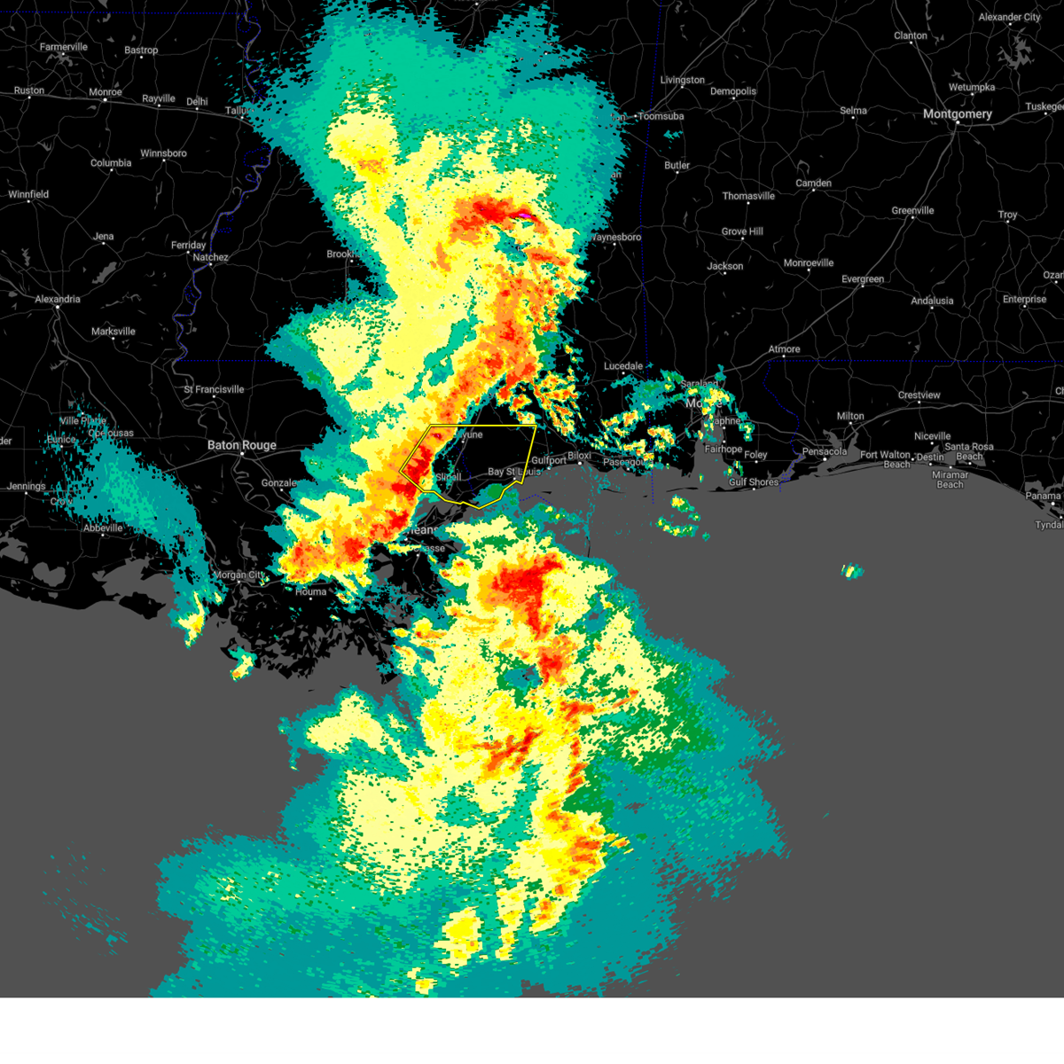 At 106 pm cdt, a severe thunderstorm was located near lacombe, or 9 miles northwest of slidell, moving east at 45 mph (radar indicated). Hazards include 60 mph wind gusts. expect damage to roofs, siding, and trees At 106 pm cdt, a severe thunderstorm was located near lacombe, or 9 miles northwest of slidell, moving east at 45 mph (radar indicated). Hazards include 60 mph wind gusts. expect damage to roofs, siding, and trees
|
| 3/12/2023 9:31 PM CDT |
 At 931 pm cdt, a severe thunderstorm was located near lyman, or 8 miles northwest of gulfport, moving east at 55 mph (radar indicated). Hazards include golf ball size hail. People and animals outdoors will be injured. expect damage to roofs, siding, windows, and vehicles. locations impacted include, gulfport, biloxi, ocean springs, long beach, st. martin, diamondhead, d`iberville, latimer, lyman, gulf hills, vancleave, hickory hills, saucier and gulfport airport. this includes the following interstates, interstate 10 in mississippi between mile markers 16 and 59. interstate 110 in mississippi between mile markers 2 and 4. thunderstorm damage threat, considerable hail threat, radar indicated max hail size, 1. 75 in wind threat, radar indicated max wind gust, <50 mph. At 931 pm cdt, a severe thunderstorm was located near lyman, or 8 miles northwest of gulfport, moving east at 55 mph (radar indicated). Hazards include golf ball size hail. People and animals outdoors will be injured. expect damage to roofs, siding, windows, and vehicles. locations impacted include, gulfport, biloxi, ocean springs, long beach, st. martin, diamondhead, d`iberville, latimer, lyman, gulf hills, vancleave, hickory hills, saucier and gulfport airport. this includes the following interstates, interstate 10 in mississippi between mile markers 16 and 59. interstate 110 in mississippi between mile markers 2 and 4. thunderstorm damage threat, considerable hail threat, radar indicated max hail size, 1. 75 in wind threat, radar indicated max wind gust, <50 mph.
|
| 3/12/2023 9:19 PM CDT |
 At 919 pm cdt, a severe thunderstorm was located near kiln, or near diamondhead, moving east at 55 mph (radar indicated). Hazards include quarter size hail. damage to vehicles is expected At 919 pm cdt, a severe thunderstorm was located near kiln, or near diamondhead, moving east at 55 mph (radar indicated). Hazards include quarter size hail. damage to vehicles is expected
|
| 1/25/2023 12:11 AM CST |
 At 1211 am cst, a severe thunderstorm was located near diamondhead, moving northeast at 35 mph (radar indicated). Hazards include 60 mph wind gusts and penny size hail. Expect damage to roofs, siding, and trees. locations impacted include, gulfport, biloxi, ocean springs, long beach, st. martin, d`iberville, latimer, gulf hills, lyman, gulf park estates and gulfport airport. this includes the following interstates, interstate 10 in mississippi between mile markers 19 and 54. Interstate 110 in mississippi between mile markers 1 and 4. At 1211 am cst, a severe thunderstorm was located near diamondhead, moving northeast at 35 mph (radar indicated). Hazards include 60 mph wind gusts and penny size hail. Expect damage to roofs, siding, and trees. locations impacted include, gulfport, biloxi, ocean springs, long beach, st. martin, d`iberville, latimer, gulf hills, lyman, gulf park estates and gulfport airport. this includes the following interstates, interstate 10 in mississippi between mile markers 19 and 54. Interstate 110 in mississippi between mile markers 1 and 4.
|
| 1/25/2023 12:06 AM CST |
 At 1206 am cst, a severe thunderstorm was located over diamondhead, moving northeast at 35 mph (radar indicated). Hazards include 60 mph wind gusts and penny size hail. expect damage to roofs, siding, and trees At 1206 am cst, a severe thunderstorm was located over diamondhead, moving northeast at 35 mph (radar indicated). Hazards include 60 mph wind gusts and penny size hail. expect damage to roofs, siding, and trees
|
| 12/30/2022 9:39 AM CST |
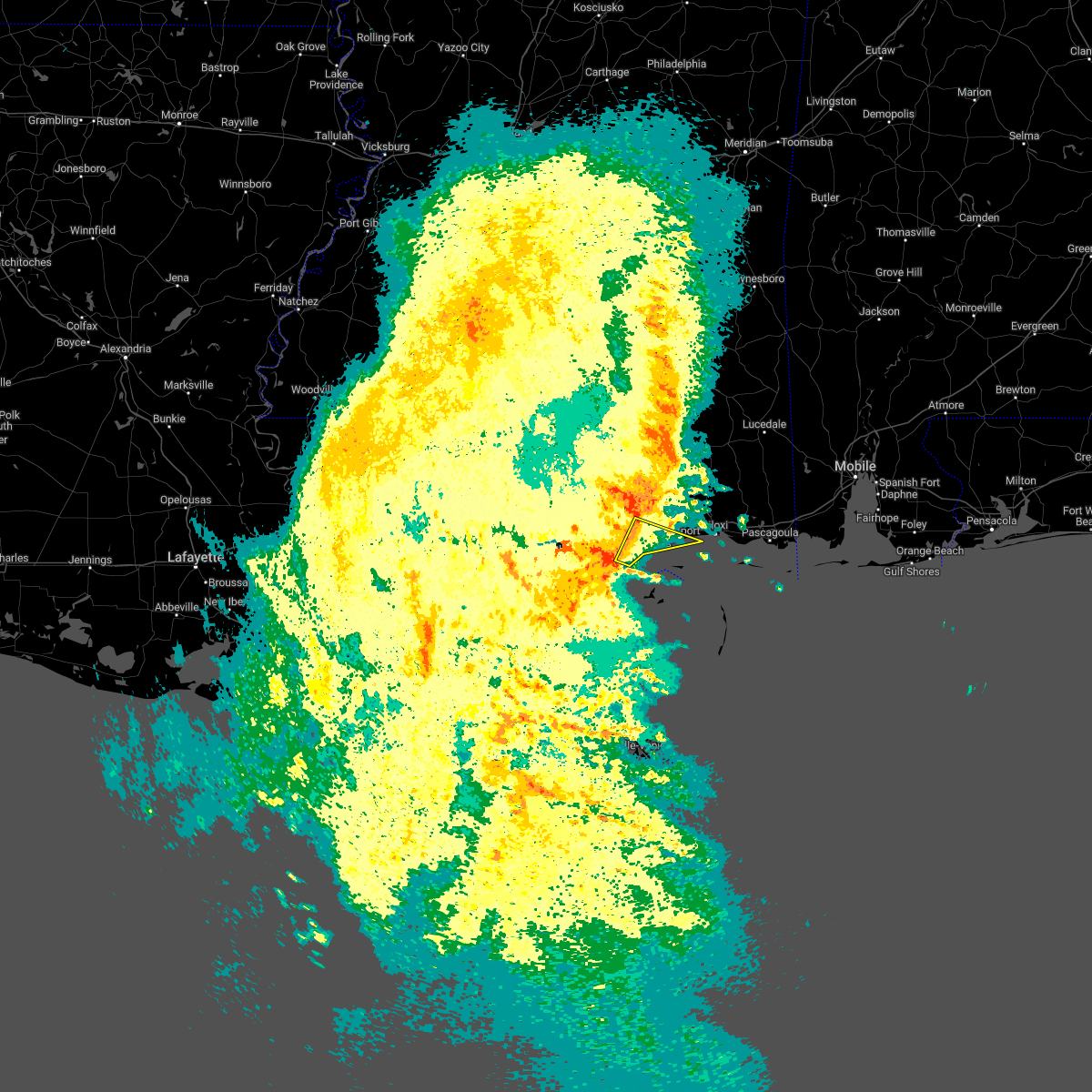 At 938 am cst, a severe thunderstorm was located over bay st. louis, moving southeast at 35 mph (radar indicated). Hazards include 60 mph wind gusts. Expect damage to roofs, siding, and trees. locations impacted include, gulfport, long beach, bay st. louis, waveland, diamondhead, shoreline park and kiln. this includes interstate 10 in mississippi between mile markers 12 and 29. hail threat, radar indicated max hail size, <. 75 in wind threat, radar indicated max wind gust, 60 mph. At 938 am cst, a severe thunderstorm was located over bay st. louis, moving southeast at 35 mph (radar indicated). Hazards include 60 mph wind gusts. Expect damage to roofs, siding, and trees. locations impacted include, gulfport, long beach, bay st. louis, waveland, diamondhead, shoreline park and kiln. this includes interstate 10 in mississippi between mile markers 12 and 29. hail threat, radar indicated max hail size, <. 75 in wind threat, radar indicated max wind gust, 60 mph.
|
| 12/30/2022 9:21 AM CST |
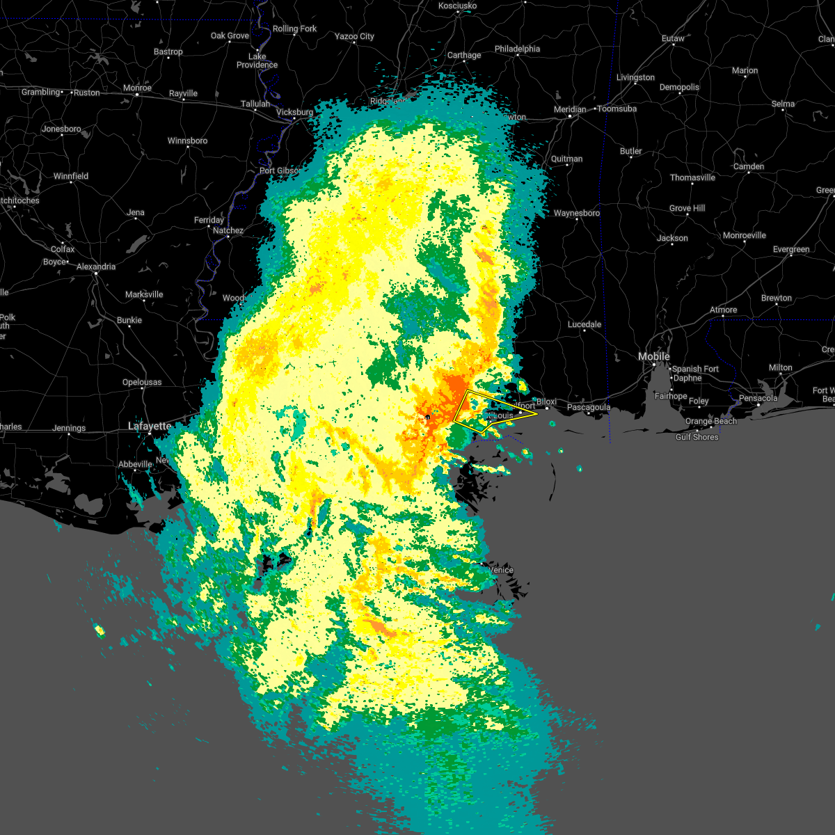 At 921 am cst, a severe thunderstorm was located over kiln, or near diamondhead, moving southeast at 35 mph (radar indicated). Hazards include 60 mph wind gusts. expect damage to roofs, siding, and trees At 921 am cst, a severe thunderstorm was located over kiln, or near diamondhead, moving southeast at 35 mph (radar indicated). Hazards include 60 mph wind gusts. expect damage to roofs, siding, and trees
|
| 12/14/2022 5:30 PM CST |
 At 530 pm cst, a severe thunderstorm was located near long beach, moving northeast at 40 mph (radar indicated). Hazards include 60 mph wind gusts. Expect damage to roofs, siding, and trees. locations impacted include, gulfport, biloxi, ocean springs, long beach, st. martin, d`iberville, lyman, saucier and gulfport airport. this includes the following interstates, interstate 10 in mississippi between mile markers 19 and 47. Interstate 110 in mississippi between mile markers 1 and 4. At 530 pm cst, a severe thunderstorm was located near long beach, moving northeast at 40 mph (radar indicated). Hazards include 60 mph wind gusts. Expect damage to roofs, siding, and trees. locations impacted include, gulfport, biloxi, ocean springs, long beach, st. martin, d`iberville, lyman, saucier and gulfport airport. this includes the following interstates, interstate 10 in mississippi between mile markers 19 and 47. Interstate 110 in mississippi between mile markers 1 and 4.
|
| 12/14/2022 5:24 PM CST |
 At 523 pm cst, a severe thunderstorm capable of producing a tornado was located 9 miles southeast of bay st. louis, moving northeast at 45 mph (radar indicated rotation). Hazards include tornado. Flying debris will be dangerous to those caught without shelter. mobile homes will be damaged or destroyed. damage to roofs, windows, and vehicles will occur. tree damage is likely. this dangerous storm will be near, long beach around 540 pm cst. gulfport and biloxi around 550 pm cst. d`iberville around 555 pm cst. other locations impacted by this tornadic thunderstorm include gulfport airport. this includes the following interstates, interstate 10 in mississippi between mile markers 26 and 46. Interstate 110 in mississippi between mile markers 1 and 3. At 523 pm cst, a severe thunderstorm capable of producing a tornado was located 9 miles southeast of bay st. louis, moving northeast at 45 mph (radar indicated rotation). Hazards include tornado. Flying debris will be dangerous to those caught without shelter. mobile homes will be damaged or destroyed. damage to roofs, windows, and vehicles will occur. tree damage is likely. this dangerous storm will be near, long beach around 540 pm cst. gulfport and biloxi around 550 pm cst. d`iberville around 555 pm cst. other locations impacted by this tornadic thunderstorm include gulfport airport. this includes the following interstates, interstate 10 in mississippi between mile markers 26 and 46. Interstate 110 in mississippi between mile markers 1 and 3.
|
| 12/14/2022 5:12 PM CST |
 At 511 pm cst, a severe thunderstorm capable of producing a tornado was located over waveland, moving northeast at 40 mph (radar indicated rotation). Hazards include tornado. Flying debris will be dangerous to those caught without shelter. mobile homes will be damaged or destroyed. damage to roofs, windows, and vehicles will occur. tree damage is likely. this dangerous storm will be near, bay st. louis around 515 pm cst. diamondhead around 520 pm cst. long beach around 535 pm cst. lyman around 540 pm cst. gulfport and biloxi around 545 pm cst. d`iberville around 555 pm cst. other locations impacted by this tornadic thunderstorm include gulfport airport. this includes the following interstates, interstate 10 in mississippi between mile markers 16 and 45. Interstate 110 in mississippi between mile markers 1 and 3. At 511 pm cst, a severe thunderstorm capable of producing a tornado was located over waveland, moving northeast at 40 mph (radar indicated rotation). Hazards include tornado. Flying debris will be dangerous to those caught without shelter. mobile homes will be damaged or destroyed. damage to roofs, windows, and vehicles will occur. tree damage is likely. this dangerous storm will be near, bay st. louis around 515 pm cst. diamondhead around 520 pm cst. long beach around 535 pm cst. lyman around 540 pm cst. gulfport and biloxi around 545 pm cst. d`iberville around 555 pm cst. other locations impacted by this tornadic thunderstorm include gulfport airport. this includes the following interstates, interstate 10 in mississippi between mile markers 16 and 45. Interstate 110 in mississippi between mile markers 1 and 3.
|
| 12/14/2022 5:00 PM CST |
 At 500 pm cst, a severe thunderstorm capable of producing a tornado was located 7 miles east of pearlington, or 7 miles southwest of waveland, moving northeast at 40 mph (radar indicated rotation). Hazards include tornado. Flying debris will be dangerous to those caught without shelter. mobile homes will be damaged or destroyed. damage to roofs, windows, and vehicles will occur. tree damage is likely. this dangerous storm will be near, waveland around 510 pm cst. bay st. louis and shoreline park around 515 pm cst. diamondhead around 520 pm cst. long beach around 535 pm cst. lyman around 540 pm cst. gulfport and biloxi around 545 pm cst. other locations impacted by this tornadic thunderstorm include gulfport airport. this includes the following interstates, interstate 10 in mississippi between mile markers 10 and 45. Interstate 110 in mississippi between mile markers 1 and 3. At 500 pm cst, a severe thunderstorm capable of producing a tornado was located 7 miles east of pearlington, or 7 miles southwest of waveland, moving northeast at 40 mph (radar indicated rotation). Hazards include tornado. Flying debris will be dangerous to those caught without shelter. mobile homes will be damaged or destroyed. damage to roofs, windows, and vehicles will occur. tree damage is likely. this dangerous storm will be near, waveland around 510 pm cst. bay st. louis and shoreline park around 515 pm cst. diamondhead around 520 pm cst. long beach around 535 pm cst. lyman around 540 pm cst. gulfport and biloxi around 545 pm cst. other locations impacted by this tornadic thunderstorm include gulfport airport. this includes the following interstates, interstate 10 in mississippi between mile markers 10 and 45. Interstate 110 in mississippi between mile markers 1 and 3.
|
| 12/14/2022 4:57 PM CST |
 At 457 pm cst, a severe thunderstorm was located near pearlington, or 9 miles southwest of waveland, moving northeast at 40 mph (radar indicated). Hazards include 60 mph wind gusts. expect damage to roofs, siding, and trees At 457 pm cst, a severe thunderstorm was located near pearlington, or 9 miles southwest of waveland, moving northeast at 40 mph (radar indicated). Hazards include 60 mph wind gusts. expect damage to roofs, siding, and trees
|
| 12/14/2022 4:22 PM CST |
 The severe thunderstorm warning for northwestern harrison and northeastern hancock counties will expire at 430 pm cst, the storm which prompted the warning has weakened below severe limits, and no longer poses an immediate threat to life or property. therefore, the warning will be allowed to expire. however heavy rain is still possible with this thunderstorm. a tornado watch remains in effect until 800 pm cst for southern mississippi. The severe thunderstorm warning for northwestern harrison and northeastern hancock counties will expire at 430 pm cst, the storm which prompted the warning has weakened below severe limits, and no longer poses an immediate threat to life or property. therefore, the warning will be allowed to expire. however heavy rain is still possible with this thunderstorm. a tornado watch remains in effect until 800 pm cst for southern mississippi.
|
| 12/14/2022 3:55 PM CST |
 At 354 pm cst, a severe thunderstorm was located near kiln, or 7 miles west of diamondhead, moving northeast at 35 mph (radar indicated). Hazards include 60 mph wind gusts. Expect damage to roofs, siding, and trees. locations impacted include, gulfport, diamondhead, lyman and kiln. This includes interstate 10 in mississippi between mile markers 15 and 34. At 354 pm cst, a severe thunderstorm was located near kiln, or 7 miles west of diamondhead, moving northeast at 35 mph (radar indicated). Hazards include 60 mph wind gusts. Expect damage to roofs, siding, and trees. locations impacted include, gulfport, diamondhead, lyman and kiln. This includes interstate 10 in mississippi between mile markers 15 and 34.
|
| 12/14/2022 3:38 PM CST |
 At 338 pm cst, a severe thunderstorm was located near stennis space center, or 8 miles northeast of slidell, moving northeast at 35 mph (radar indicated). Hazards include 60 mph wind gusts. expect damage to roofs, siding, and trees At 338 pm cst, a severe thunderstorm was located near stennis space center, or 8 miles northeast of slidell, moving northeast at 35 mph (radar indicated). Hazards include 60 mph wind gusts. expect damage to roofs, siding, and trees
|
| 11/5/2022 11:54 AM CDT |
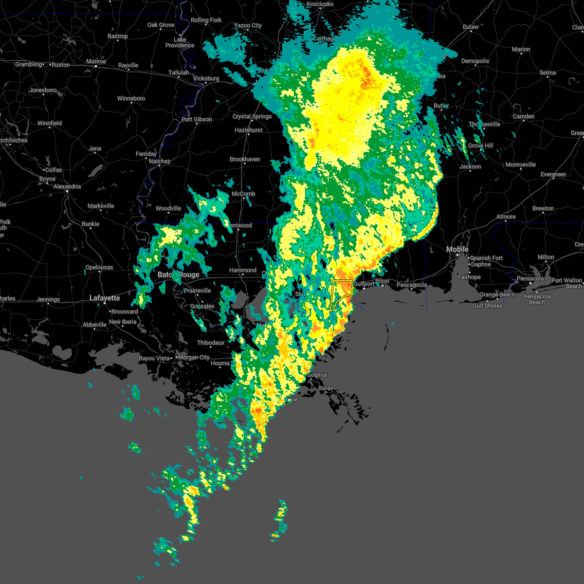 The severe thunderstorm warning for southwestern harrison and southeastern hancock counties will expire at noon cdt, the storm which prompted the warning has weakened below severe limits, and has exited the warned area. therefore, the warning will be allowed to expire. The severe thunderstorm warning for southwestern harrison and southeastern hancock counties will expire at noon cdt, the storm which prompted the warning has weakened below severe limits, and has exited the warned area. therefore, the warning will be allowed to expire.
|
| 11/5/2022 11:21 AM CDT |
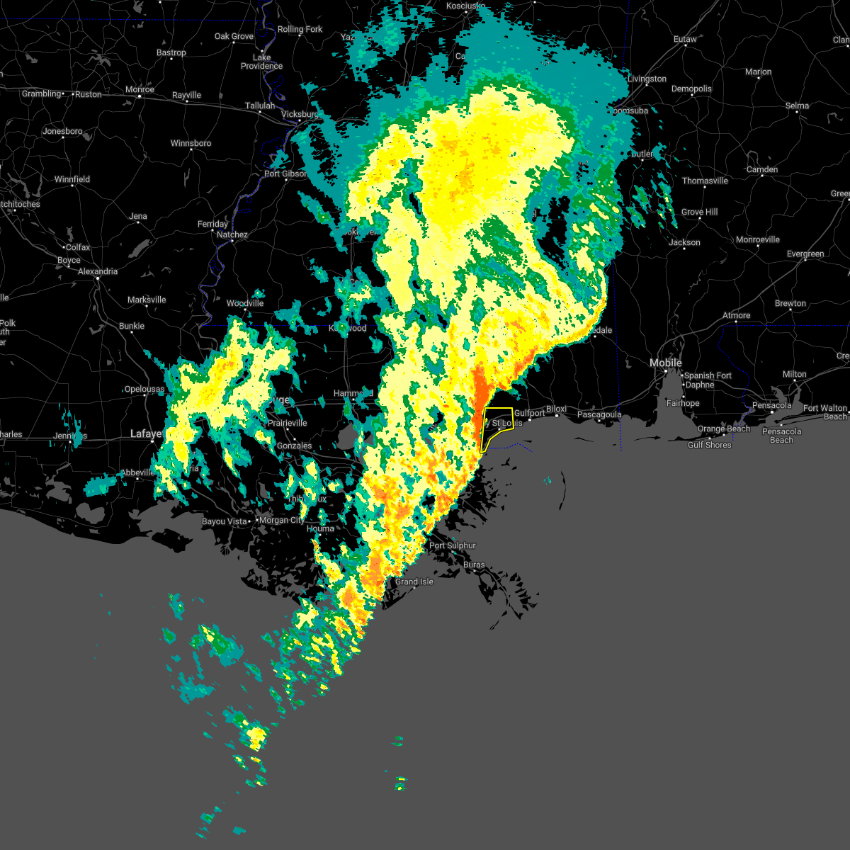 At 1120 am cdt, a severe thunderstorm was located over diamondhead, moving east at 25 mph (radar indicated). Hazards include 60 mph wind gusts. expect damage to roofs, siding, and trees At 1120 am cdt, a severe thunderstorm was located over diamondhead, moving east at 25 mph (radar indicated). Hazards include 60 mph wind gusts. expect damage to roofs, siding, and trees
|
| 5/14/2022 8:04 PM CDT |
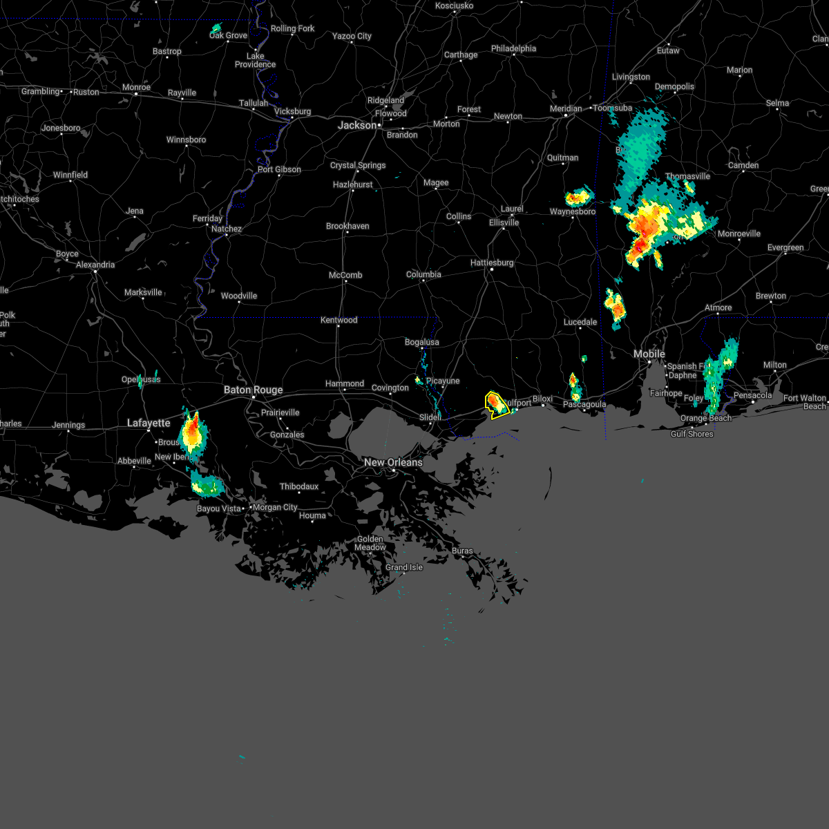 At 804 pm cdt, a severe thunderstorm was located near diamondhead, moving south at 10 mph (radar indicated). Hazards include 60 mph wind gusts and quarter size hail. Hail damage to vehicles is expected. expect wind damage to roofs, siding, and trees. locations impacted include, long beach. this includes interstate 10 in mississippi between mile markers 19 and 28. hail threat, radar indicated max hail size, 1. 00 in wind threat, radar indicated max wind gust, 60 mph. At 804 pm cdt, a severe thunderstorm was located near diamondhead, moving south at 10 mph (radar indicated). Hazards include 60 mph wind gusts and quarter size hail. Hail damage to vehicles is expected. expect wind damage to roofs, siding, and trees. locations impacted include, long beach. this includes interstate 10 in mississippi between mile markers 19 and 28. hail threat, radar indicated max hail size, 1. 00 in wind threat, radar indicated max wind gust, 60 mph.
|
| 5/14/2022 7:54 PM CDT |
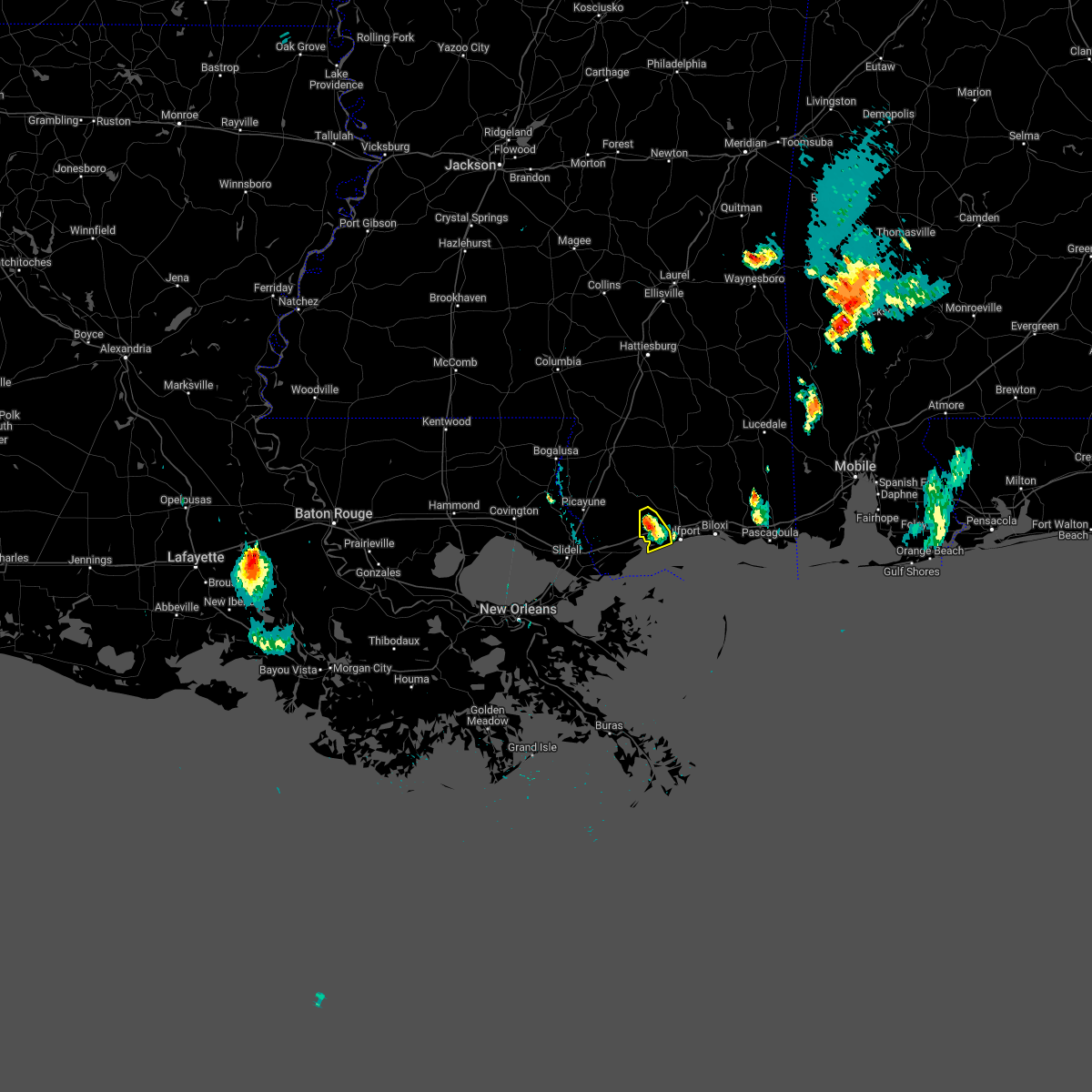 At 754 pm cdt, a severe thunderstorm was located near diamondhead, moving south at 10 mph (radar indicated). Hazards include ping pong ball size hail and 60 mph wind gusts. People and animals outdoors will be injured. expect hail damage to roofs, siding, windows, and vehicles. expect wind damage to roofs, siding, and trees. locations impacted include, long beach. this includes interstate 10 in mississippi between mile markers 19 and 29. hail threat, radar indicated max hail size, 1. 50 in wind threat, radar indicated max wind gust, 60 mph. At 754 pm cdt, a severe thunderstorm was located near diamondhead, moving south at 10 mph (radar indicated). Hazards include ping pong ball size hail and 60 mph wind gusts. People and animals outdoors will be injured. expect hail damage to roofs, siding, windows, and vehicles. expect wind damage to roofs, siding, and trees. locations impacted include, long beach. this includes interstate 10 in mississippi between mile markers 19 and 29. hail threat, radar indicated max hail size, 1. 50 in wind threat, radar indicated max wind gust, 60 mph.
|
| 5/14/2022 7:41 PM CDT |
 At 741 pm cdt, a severe thunderstorm was located 7 miles northeast of diamondhead, moving south at 10 mph (radar indicated). Hazards include ping pong ball size hail and 60 mph wind gusts. People and animals outdoors will be injured. expect hail damage to roofs, siding, windows, and vehicles. expect wind damage to roofs, siding, and trees. locations impacted include, gulfport and long beach. this includes interstate 10 in mississippi between mile markers 19 and 32. hail threat, radar indicated max hail size, 1. 50 in wind threat, radar indicated max wind gust, 60 mph. At 741 pm cdt, a severe thunderstorm was located 7 miles northeast of diamondhead, moving south at 10 mph (radar indicated). Hazards include ping pong ball size hail and 60 mph wind gusts. People and animals outdoors will be injured. expect hail damage to roofs, siding, windows, and vehicles. expect wind damage to roofs, siding, and trees. locations impacted include, gulfport and long beach. this includes interstate 10 in mississippi between mile markers 19 and 32. hail threat, radar indicated max hail size, 1. 50 in wind threat, radar indicated max wind gust, 60 mph.
|
| 5/14/2022 7:32 PM CDT |
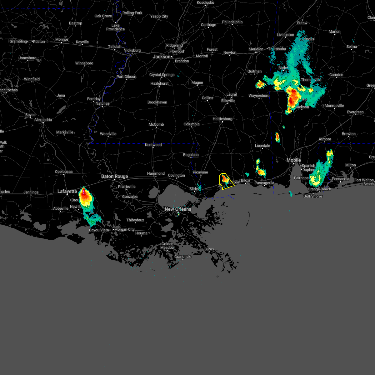 At 732 pm cdt, a severe thunderstorm was located 8 miles west of lyman, or 8 miles northeast of diamondhead, moving south at 10 mph (radar indicated). Hazards include 60 mph wind gusts and half dollar size hail. Hail damage to vehicles is expected. Expect wind damage to roofs, siding, and trees. At 732 pm cdt, a severe thunderstorm was located 8 miles west of lyman, or 8 miles northeast of diamondhead, moving south at 10 mph (radar indicated). Hazards include 60 mph wind gusts and half dollar size hail. Hail damage to vehicles is expected. Expect wind damage to roofs, siding, and trees.
|
| 4/17/2022 11:15 PM CDT |
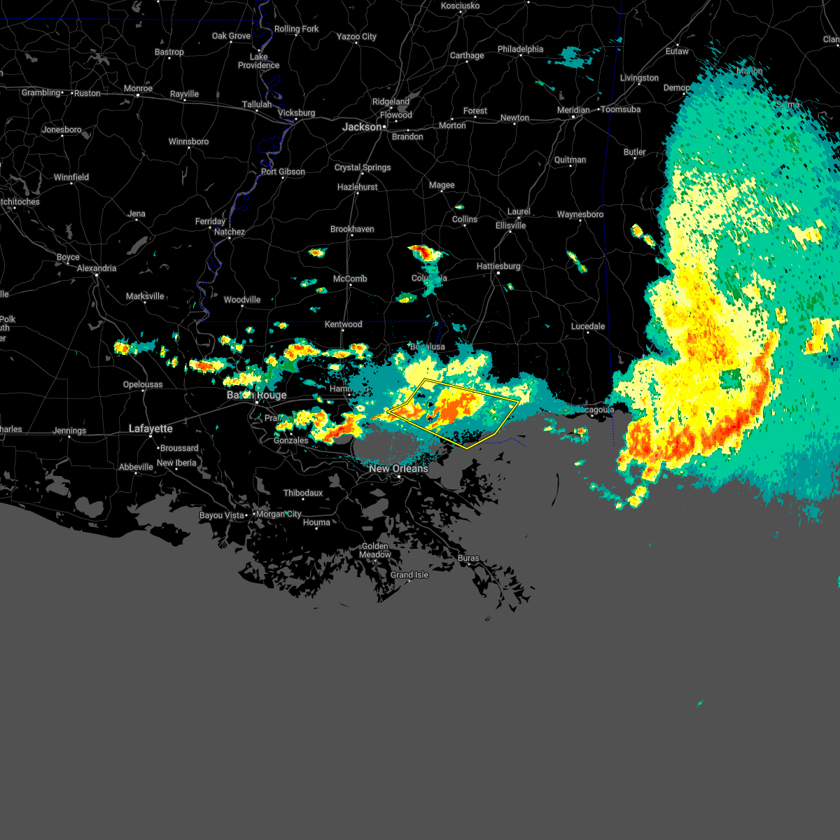 At 1114 pm cdt, severe thunderstorms were located along a line extending from near stennis space center to near pearlington to near slidell, moving southeast at 50 mph (radar indicated). Hazards include 60 mph wind gusts. Expect damage to roofs, siding, and trees. locations impacted include, slidell, picayune, bay st. louis, waveland, diamondhead, pearl river, madisonville, kiln, pearlington, lacombe, shoreline park, stennis space center and slidell airport. this includes the following interstates, interstate 10 in louisiana between mile markers 263 and 273. interstate 10 in mississippi between mile markers 1 and 29. interstate 12 between mile markers 65 and 84. interstate 59 in louisiana between mile markers 1 and 11. interstate 59 in mississippi between mile markers 1 and 8. hail threat, radar indicated max hail size, <. 75 in wind threat, radar indicated max wind gust, 60 mph. At 1114 pm cdt, severe thunderstorms were located along a line extending from near stennis space center to near pearlington to near slidell, moving southeast at 50 mph (radar indicated). Hazards include 60 mph wind gusts. Expect damage to roofs, siding, and trees. locations impacted include, slidell, picayune, bay st. louis, waveland, diamondhead, pearl river, madisonville, kiln, pearlington, lacombe, shoreline park, stennis space center and slidell airport. this includes the following interstates, interstate 10 in louisiana between mile markers 263 and 273. interstate 10 in mississippi between mile markers 1 and 29. interstate 12 between mile markers 65 and 84. interstate 59 in louisiana between mile markers 1 and 11. interstate 59 in mississippi between mile markers 1 and 8. hail threat, radar indicated max hail size, <. 75 in wind threat, radar indicated max wind gust, 60 mph.
|
| 3/30/2022 9:02 PM CDT |
 At 902 pm cdt, a severe thunderstorm was located near bay st. louis, moving east at 45 mph (radar indicated). Hazards include 60 mph wind gusts and nickel size hail. expect damage to roofs, siding, and trees At 902 pm cdt, a severe thunderstorm was located near bay st. louis, moving east at 45 mph (radar indicated). Hazards include 60 mph wind gusts and nickel size hail. expect damage to roofs, siding, and trees
|
| 8/29/2021 11:50 PM CDT |
 At 1150 pm cdt, a severe thunderstorm capable of producing a tornado was located 8 miles west of lyman, or 9 miles northeast of diamondhead, moving north at 65 mph (radar indicated rotation). Hazards include tornado. Flying debris will be dangerous to those caught without shelter. mobile homes will be damaged or destroyed. damage to roofs, windows, and vehicles will occur. tree damage is likely. this tornadic thunderstorm will remain over mainly rural areas of western harrison and northeastern hancock counties. This includes interstate 10 in mississippi between mile markers 17 and 32. At 1150 pm cdt, a severe thunderstorm capable of producing a tornado was located 8 miles west of lyman, or 9 miles northeast of diamondhead, moving north at 65 mph (radar indicated rotation). Hazards include tornado. Flying debris will be dangerous to those caught without shelter. mobile homes will be damaged or destroyed. damage to roofs, windows, and vehicles will occur. tree damage is likely. this tornadic thunderstorm will remain over mainly rural areas of western harrison and northeastern hancock counties. This includes interstate 10 in mississippi between mile markers 17 and 32.
|
| 8/29/2021 11:47 PM CDT |
 At 1146 pm cdt, a severe thunderstorm capable of producing a tornado was located 7 miles northeast of diamondhead, moving north at 55 mph (radar indicated rotation). Hazards include tornado. Flying debris will be dangerous to those caught without shelter. mobile homes will be damaged or destroyed. damage to roofs, windows, and vehicles will occur. tree damage is likely. this tornadic thunderstorm will remain over mainly rural areas of western harrison and northeastern hancock counties. This includes interstate 10 in mississippi between mile markers 17 and 32. At 1146 pm cdt, a severe thunderstorm capable of producing a tornado was located 7 miles northeast of diamondhead, moving north at 55 mph (radar indicated rotation). Hazards include tornado. Flying debris will be dangerous to those caught without shelter. mobile homes will be damaged or destroyed. damage to roofs, windows, and vehicles will occur. tree damage is likely. this tornadic thunderstorm will remain over mainly rural areas of western harrison and northeastern hancock counties. This includes interstate 10 in mississippi between mile markers 17 and 32.
|
| 8/29/2021 11:45 PM CDT |
 At 1145 pm cdt, a severe thunderstorm capable of producing a tornado was located near long beach, moving north at 45 mph (radar indicated rotation). Hazards include tornado. Flying debris will be dangerous to those caught without shelter. mobile homes will be damaged or destroyed. damage to roofs, windows, and vehicles will occur. tree damage is likely. this dangerous storm will be near, diamondhead around 1155 pm cdt. lyman around 1205 am cdt. This includes interstate 10 in mississippi between mile markers 17 and 32. At 1145 pm cdt, a severe thunderstorm capable of producing a tornado was located near long beach, moving north at 45 mph (radar indicated rotation). Hazards include tornado. Flying debris will be dangerous to those caught without shelter. mobile homes will be damaged or destroyed. damage to roofs, windows, and vehicles will occur. tree damage is likely. this dangerous storm will be near, diamondhead around 1155 pm cdt. lyman around 1205 am cdt. This includes interstate 10 in mississippi between mile markers 17 and 32.
|
| 8/29/2021 10:52 PM CDT |
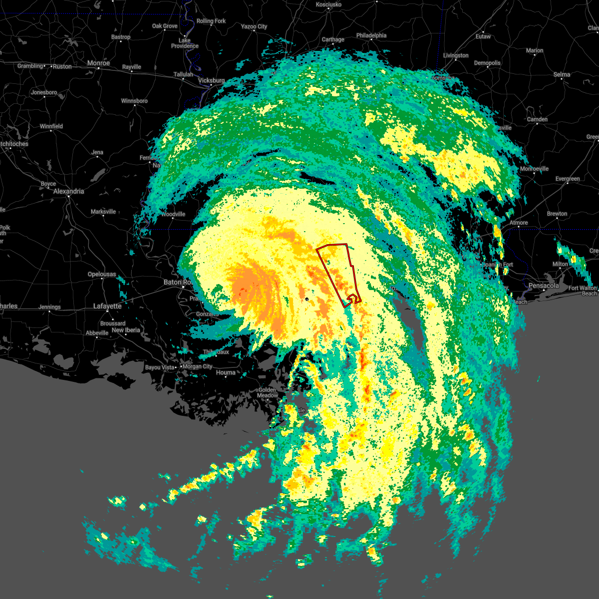 At 1052 pm cdt, a severe thunderstorm capable of producing a tornado was located over diamondhead, moving north at 50 mph (radar indicated rotation). Hazards include tornado. Flying debris will be dangerous to those caught without shelter. mobile homes will be damaged or destroyed. damage to roofs, windows, and vehicles will occur. tree damage is likely. locations impacted include, bay st. louis, waveland, poplarville, diamondhead, kiln, mcneil and shoreline park. this includes the following interstates, interstate 10 in mississippi between mile markers 11 and 23. Interstate 59 in mississippi between mile markers 13 and 30. At 1052 pm cdt, a severe thunderstorm capable of producing a tornado was located over diamondhead, moving north at 50 mph (radar indicated rotation). Hazards include tornado. Flying debris will be dangerous to those caught without shelter. mobile homes will be damaged or destroyed. damage to roofs, windows, and vehicles will occur. tree damage is likely. locations impacted include, bay st. louis, waveland, poplarville, diamondhead, kiln, mcneil and shoreline park. this includes the following interstates, interstate 10 in mississippi between mile markers 11 and 23. Interstate 59 in mississippi between mile markers 13 and 30.
|
| 8/29/2021 10:34 PM CDT |
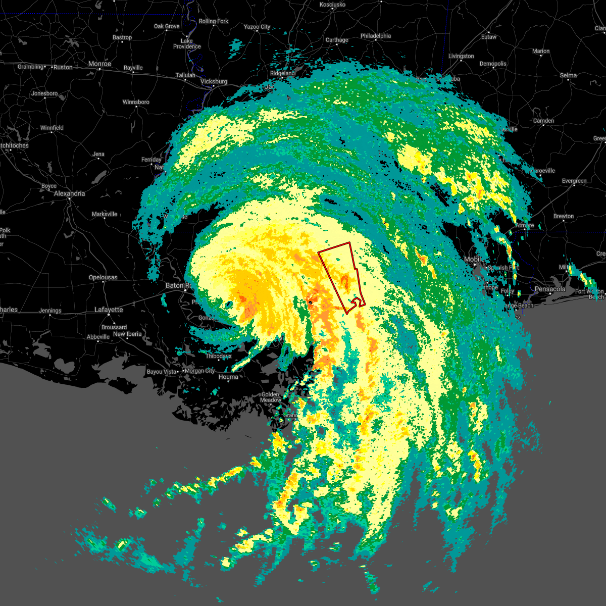 At 1033 pm cdt, severe storms capable of producing a tornado were located along a line extending from near kiln to 17 miles southeast of waveland, moving north at 70 mph (radar indicated rotation). Hazards include tornado. Flying debris will be dangerous to those caught without shelter. mobile homes will be damaged or destroyed. damage to roofs, windows, and vehicles will occur. tree damage is likely. these dangerous storms will be near, waveland around 1045 pm cdt. bay st. louis, diamondhead and shoreline park around 1050 pm cdt. poplarville and kiln around 1055 pm cdt. mcneil around 1110 pm cdt. this includes the following interstates, interstate 10 in mississippi between mile markers 9 and 23. Interstate 59 in mississippi between mile markers 11 and 31. At 1033 pm cdt, severe storms capable of producing a tornado were located along a line extending from near kiln to 17 miles southeast of waveland, moving north at 70 mph (radar indicated rotation). Hazards include tornado. Flying debris will be dangerous to those caught without shelter. mobile homes will be damaged or destroyed. damage to roofs, windows, and vehicles will occur. tree damage is likely. these dangerous storms will be near, waveland around 1045 pm cdt. bay st. louis, diamondhead and shoreline park around 1050 pm cdt. poplarville and kiln around 1055 pm cdt. mcneil around 1110 pm cdt. this includes the following interstates, interstate 10 in mississippi between mile markers 9 and 23. Interstate 59 in mississippi between mile markers 11 and 31.
|
| 8/29/2021 10:01 PM CDT |
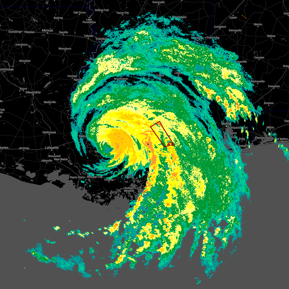 At 1001 pm cdt, a severe thunderstorm capable of producing a tornado was located over kiln, or near diamondhead, moving northwest at 45 mph (radar indicated rotation). Hazards include tornado. Flying debris will be dangerous to those caught without shelter. mobile homes will be damaged or destroyed. damage to roofs, windows, and vehicles will occur. tree damage is likely. this tornadic thunderstorm will remain over mainly rural areas of southwestern harrison, central hancock and southwestern pearl river counties. this includes the following interstates, interstate 10 in mississippi between mile markers 9 and 21. Interstate 59 in mississippi between mile markers 7 and 21. At 1001 pm cdt, a severe thunderstorm capable of producing a tornado was located over kiln, or near diamondhead, moving northwest at 45 mph (radar indicated rotation). Hazards include tornado. Flying debris will be dangerous to those caught without shelter. mobile homes will be damaged or destroyed. damage to roofs, windows, and vehicles will occur. tree damage is likely. this tornadic thunderstorm will remain over mainly rural areas of southwestern harrison, central hancock and southwestern pearl river counties. this includes the following interstates, interstate 10 in mississippi between mile markers 9 and 21. Interstate 59 in mississippi between mile markers 7 and 21.
|
| 8/29/2021 9:36 PM CDT |
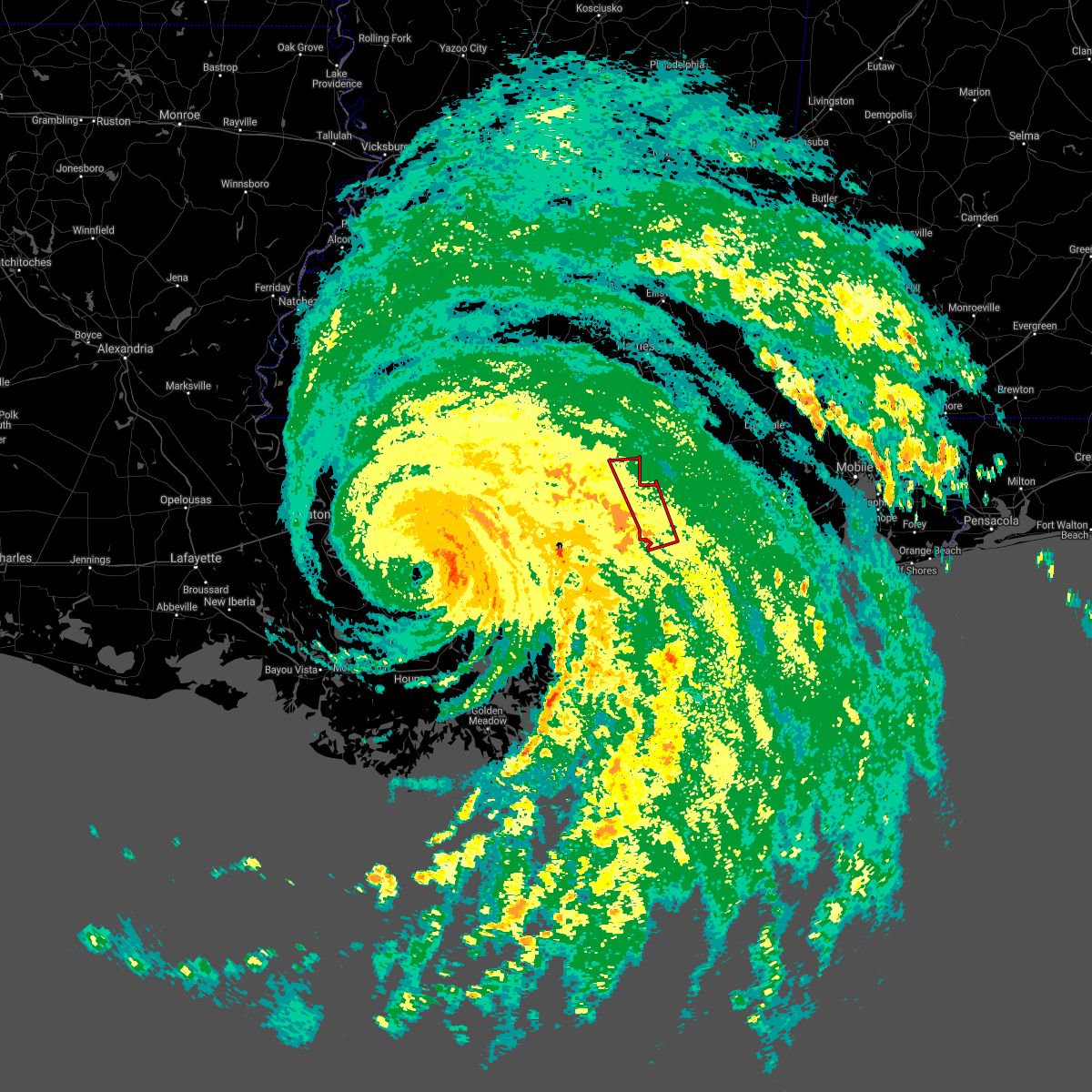 At 936 pm cdt, a severe thunderstorm capable of producing a tornado was located near bay st. louis, moving northwest at 40 mph (radar indicated rotation). Hazards include tornado. Flying debris will be dangerous to those caught without shelter. mobile homes will be damaged or destroyed. damage to roofs, windows, and vehicles will occur. tree damage is likely. this tornadic thunderstorm will remain over mainly rural areas of western harrison, northeastern hancock and east central pearl river counties. this includes the following interstates, interstate 10 in mississippi between mile markers 19 and 31. Interstate 59 in mississippi near mile marker 24. At 936 pm cdt, a severe thunderstorm capable of producing a tornado was located near bay st. louis, moving northwest at 40 mph (radar indicated rotation). Hazards include tornado. Flying debris will be dangerous to those caught without shelter. mobile homes will be damaged or destroyed. damage to roofs, windows, and vehicles will occur. tree damage is likely. this tornadic thunderstorm will remain over mainly rural areas of western harrison, northeastern hancock and east central pearl river counties. this includes the following interstates, interstate 10 in mississippi between mile markers 19 and 31. Interstate 59 in mississippi near mile marker 24.
|
| 8/29/2021 9:04 PM CDT |
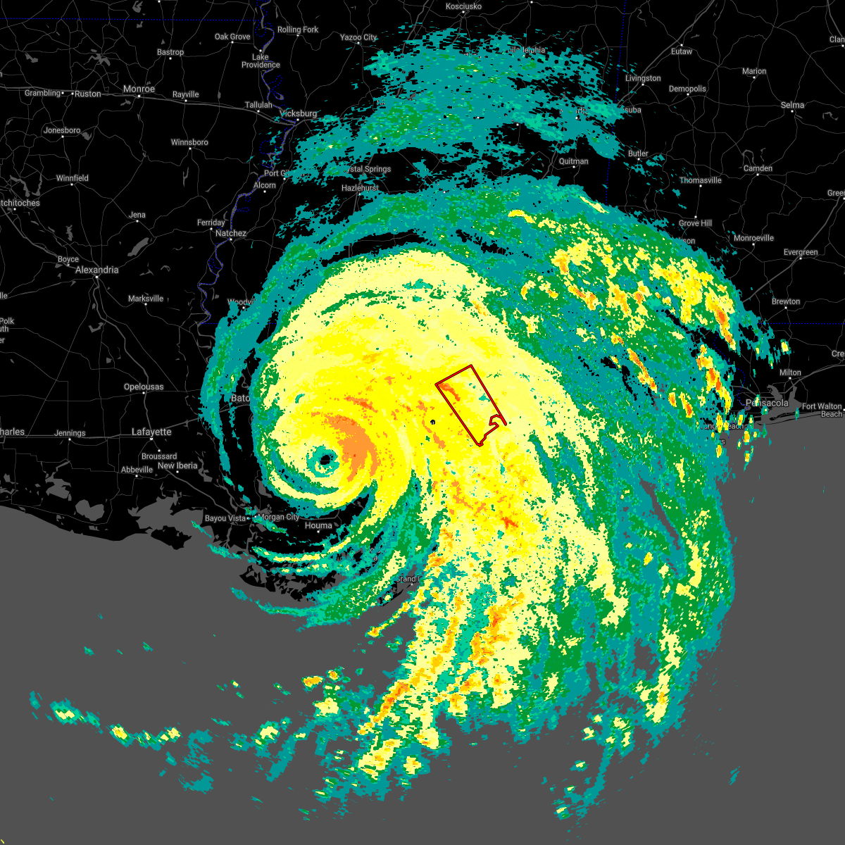 At 904 pm cdt, a severe thunderstorm capable of producing a tornado was located near waveland, moving northwest at 65 mph (radar indicated rotation). Hazards include tornado. Flying debris will be dangerous to those caught without shelter. mobile homes will be damaged or destroyed. damage to roofs, windows, and vehicles will occur. tree damage is likely. this dangerous storm will be near, waveland around 910 pm cdt. bay st. louis and shoreline park around 915 pm cdt. kiln and stennis space center around 920 pm cdt. picayune around 930 pm cdt. this includes the following interstates, interstate 10 in mississippi between mile markers 5 and 20. Interstate 59 in mississippi between mile markers 1 and 18. At 904 pm cdt, a severe thunderstorm capable of producing a tornado was located near waveland, moving northwest at 65 mph (radar indicated rotation). Hazards include tornado. Flying debris will be dangerous to those caught without shelter. mobile homes will be damaged or destroyed. damage to roofs, windows, and vehicles will occur. tree damage is likely. this dangerous storm will be near, waveland around 910 pm cdt. bay st. louis and shoreline park around 915 pm cdt. kiln and stennis space center around 920 pm cdt. picayune around 930 pm cdt. this includes the following interstates, interstate 10 in mississippi between mile markers 5 and 20. Interstate 59 in mississippi between mile markers 1 and 18.
|
| 8/29/2021 6:39 AM CDT |
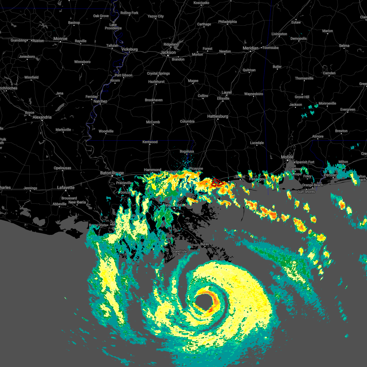 The tornado warning for southwestern harrison and east central hancock counties will expire at 645 am cdt, the storm which prompted the warning has moved out of the area. therefore, the warning will be allowed to expire. a tornado watch remains in effect until 700 pm cdt for southern mississippi. The tornado warning for southwestern harrison and east central hancock counties will expire at 645 am cdt, the storm which prompted the warning has moved out of the area. therefore, the warning will be allowed to expire. a tornado watch remains in effect until 700 pm cdt for southern mississippi.
|
| 8/29/2021 6:21 AM CDT |
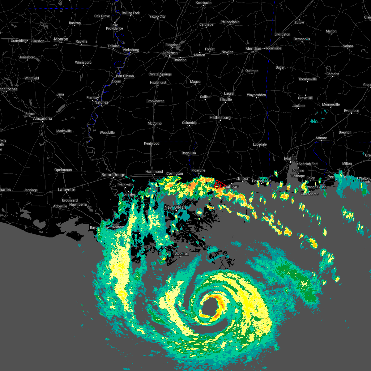 At 621 am cdt, a severe thunderstorm capable of producing a tornado was located near long beach, moving northwest at 35 mph (radar indicated rotation). Hazards include tornado. Flying debris will be dangerous to those caught without shelter. mobile homes will be damaged or destroyed. damage to roofs, windows, and vehicles will occur. tree damage is likely. this dangerous storm will be near, bay st. louis, waveland, diamondhead and shoreline park around 635 am cdt. This includes interstate 10 in mississippi between mile markers 17 and 20. At 621 am cdt, a severe thunderstorm capable of producing a tornado was located near long beach, moving northwest at 35 mph (radar indicated rotation). Hazards include tornado. Flying debris will be dangerous to those caught without shelter. mobile homes will be damaged or destroyed. damage to roofs, windows, and vehicles will occur. tree damage is likely. this dangerous storm will be near, bay st. louis, waveland, diamondhead and shoreline park around 635 am cdt. This includes interstate 10 in mississippi between mile markers 17 and 20.
|
| 6/19/2021 12:50 AM CDT |
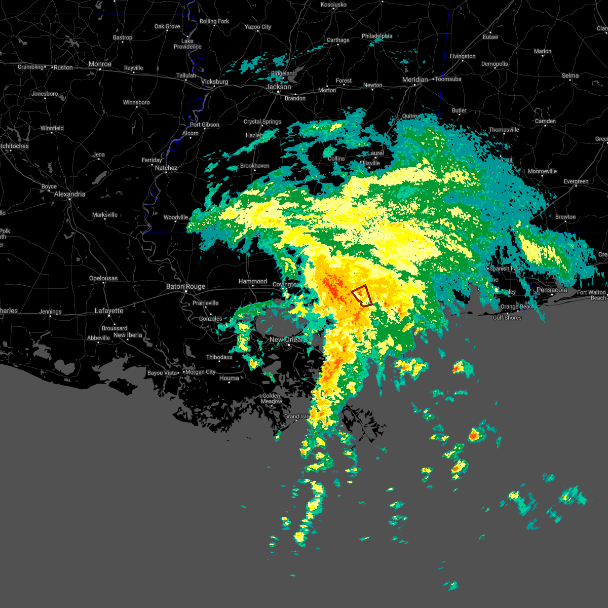 The tornado warning for southwestern harrison and east central hancock counties will expire at 100 am cdt, the storm which prompted the warning has weakened below severe limits, and no longer appears capable of producing a tornado. therefore, the warning will be allowed to expire. The tornado warning for southwestern harrison and east central hancock counties will expire at 100 am cdt, the storm which prompted the warning has weakened below severe limits, and no longer appears capable of producing a tornado. therefore, the warning will be allowed to expire.
|
| 6/19/2021 12:37 AM CDT |
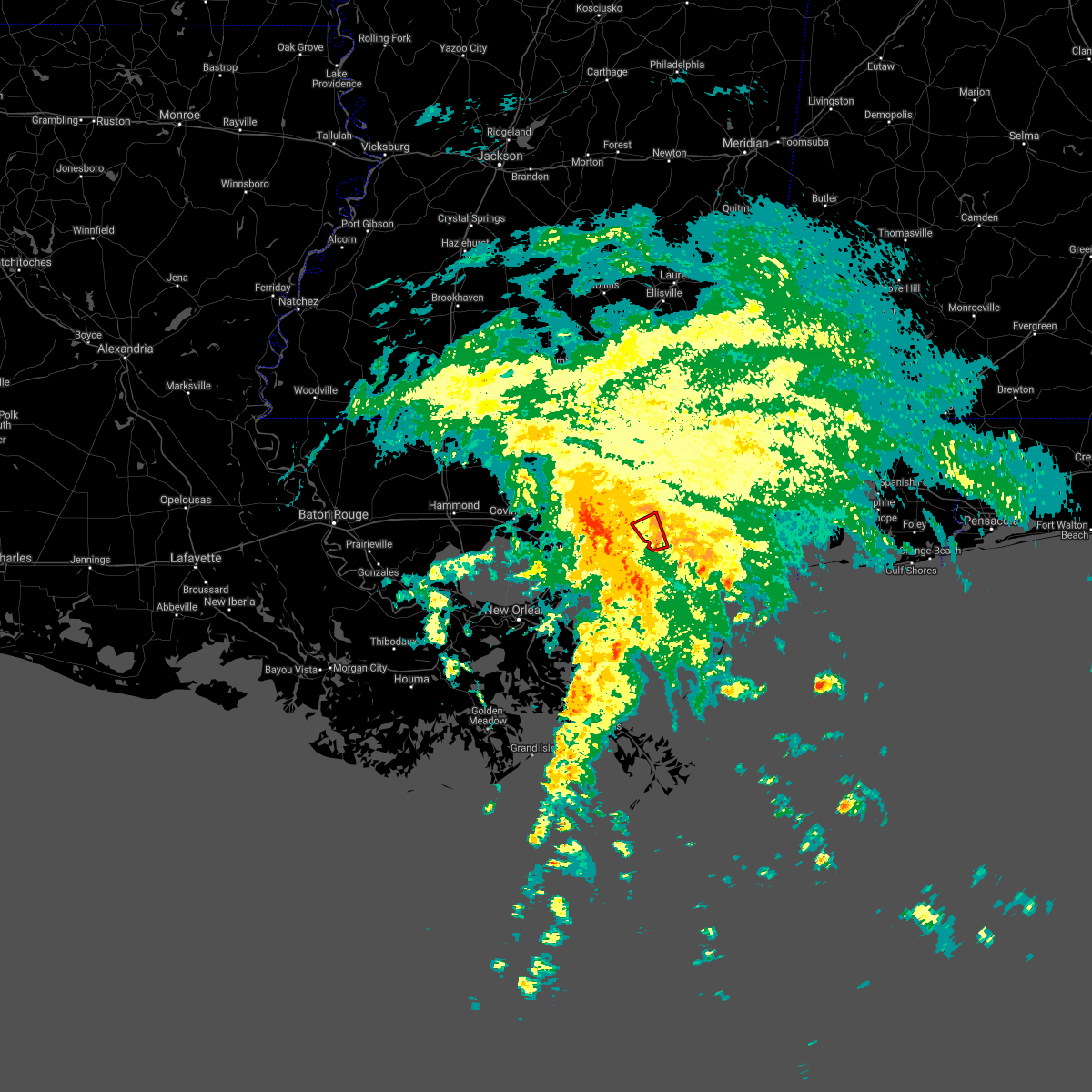 At 1237 am cdt, a severe thunderstorm capable of producing a tornado was located near long beach, moving northwest at 45 mph (radar indicated rotation). Hazards include tornado. Flying debris will be dangerous to those caught without shelter. mobile homes will be damaged or destroyed. damage to roofs, windows, and vehicles will occur. tree damage is likely. this dangerous storm will be near, diamondhead around 1250 am cdt. This includes interstate 10 in mississippi between mile markers 19 and 27. At 1237 am cdt, a severe thunderstorm capable of producing a tornado was located near long beach, moving northwest at 45 mph (radar indicated rotation). Hazards include tornado. Flying debris will be dangerous to those caught without shelter. mobile homes will be damaged or destroyed. damage to roofs, windows, and vehicles will occur. tree damage is likely. this dangerous storm will be near, diamondhead around 1250 am cdt. This includes interstate 10 in mississippi between mile markers 19 and 27.
|
| 6/18/2021 11:23 PM CDT |
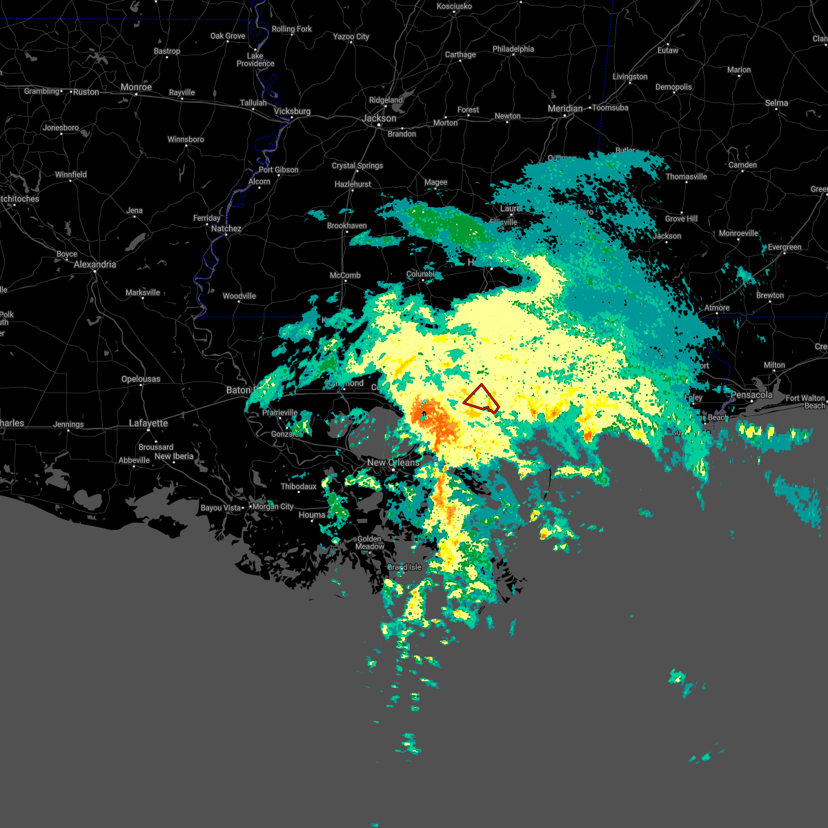 At 1123 pm cdt, a severe thunderstorm capable of producing a tornado was located near diamondhead, moving northwest at 35 mph (radar indicated rotation). Hazards include tornado. Flying debris will be dangerous to those caught without shelter. mobile homes will be damaged or destroyed. damage to roofs, windows, and vehicles will occur. tree damage is likely. this dangerous storm will be near, kiln around 1140 pm cdt. This includes interstate 10 in mississippi between mile markers 17 and 24. At 1123 pm cdt, a severe thunderstorm capable of producing a tornado was located near diamondhead, moving northwest at 35 mph (radar indicated rotation). Hazards include tornado. Flying debris will be dangerous to those caught without shelter. mobile homes will be damaged or destroyed. damage to roofs, windows, and vehicles will occur. tree damage is likely. this dangerous storm will be near, kiln around 1140 pm cdt. This includes interstate 10 in mississippi between mile markers 17 and 24.
|
| 6/15/2021 4:55 PM CDT |
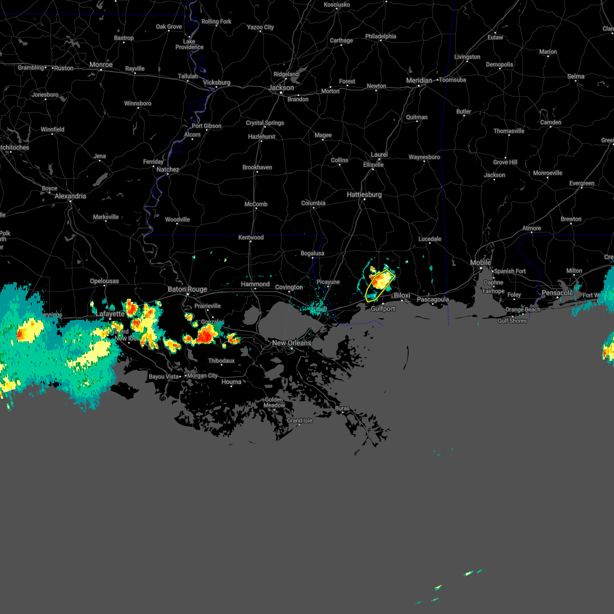 The severe thunderstorm warning for central harrison county will expire at 500 pm cdt, the storm which prompted the warning has weakened below severe limits, and no longer poses an immediate threat to life or property. therefore, the warning will be allowed to expire. however gusty winds, cloud to ground lightning, and heavy rain are still possible with this thunderstorm. to report severe weather, contact your nearest law enforcement agency. they will relay your report to the national weather service new orleans. The severe thunderstorm warning for central harrison county will expire at 500 pm cdt, the storm which prompted the warning has weakened below severe limits, and no longer poses an immediate threat to life or property. therefore, the warning will be allowed to expire. however gusty winds, cloud to ground lightning, and heavy rain are still possible with this thunderstorm. to report severe weather, contact your nearest law enforcement agency. they will relay your report to the national weather service new orleans.
|
| 6/15/2021 4:39 PM CDT |
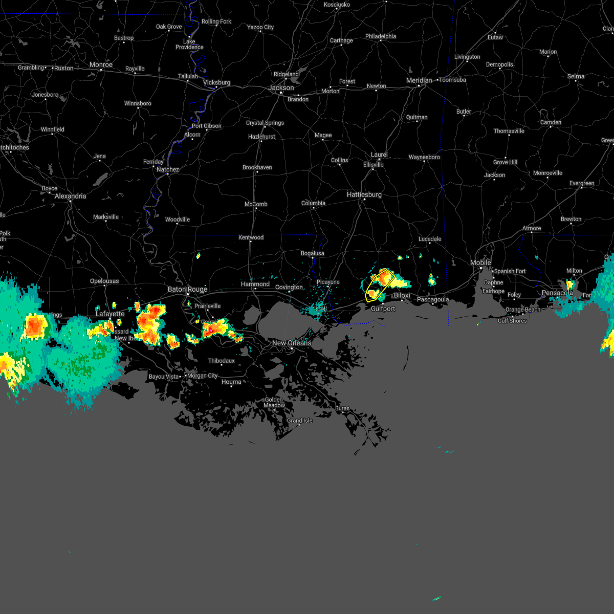 At 439 pm cdt, a severe thunderstorm was located over saucier, or 12 miles north of gulfport, moving southwest at 15 mph (radar indicated). Hazards include 60 mph wind gusts. Expect damage to roofs, siding, and trees. locations impacted include, gulfport, saucier and lyman. This includes interstate 10 in mississippi between mile markers 24 and 30. At 439 pm cdt, a severe thunderstorm was located over saucier, or 12 miles north of gulfport, moving southwest at 15 mph (radar indicated). Hazards include 60 mph wind gusts. Expect damage to roofs, siding, and trees. locations impacted include, gulfport, saucier and lyman. This includes interstate 10 in mississippi between mile markers 24 and 30.
|
| 6/15/2021 4:25 PM CDT |
 At 425 pm cdt, a severe thunderstorm was located 9 miles northwest of latimer, or 11 miles north of biloxi, moving south at 10 mph (radar indicated). Hazards include 60 mph wind gusts and penny size hail. Expect damage to roofs, siding, and trees. locations impacted include, gulfport, biloxi, long beach, st. martin, d`iberville, saucier, latimer, lyman, gulf hills and gulfport airport. this includes the following interstates, interstate 10 in mississippi between mile markers 24 and 51. Interstate 110 in mississippi between mile markers 3 and 4. At 425 pm cdt, a severe thunderstorm was located 9 miles northwest of latimer, or 11 miles north of biloxi, moving south at 10 mph (radar indicated). Hazards include 60 mph wind gusts and penny size hail. Expect damage to roofs, siding, and trees. locations impacted include, gulfport, biloxi, long beach, st. martin, d`iberville, saucier, latimer, lyman, gulf hills and gulfport airport. this includes the following interstates, interstate 10 in mississippi between mile markers 24 and 51. Interstate 110 in mississippi between mile markers 3 and 4.
|
| 6/15/2021 4:08 PM CDT |
 At 408 pm cdt, a severe thunderstorm was located 10 miles north of latimer, or 14 miles north of biloxi, moving south at 10 mph (radar indicated). Hazards include 60 mph wind gusts and nickel size hail. expect damage to roofs, siding, and trees At 408 pm cdt, a severe thunderstorm was located 10 miles north of latimer, or 14 miles north of biloxi, moving south at 10 mph (radar indicated). Hazards include 60 mph wind gusts and nickel size hail. expect damage to roofs, siding, and trees
|
| 6/13/2021 6:35 PM CDT |
 At 633 pm cdt, a severe thunderstorm was located 11 miles east of mcneil, or 12 miles southeast of poplarville, moving south at 40 mph. this is a very dangerous storm (radar indicated). Hazards include 80 mph wind gusts and quarter size hail. Flying debris will be dangerous to those caught without shelter. mobile homes will be heavily damaged. expect considerable damage to roofs, windows, and vehicles. Extensive tree damage and power outages are likely. At 633 pm cdt, a severe thunderstorm was located 11 miles east of mcneil, or 12 miles southeast of poplarville, moving south at 40 mph. this is a very dangerous storm (radar indicated). Hazards include 80 mph wind gusts and quarter size hail. Flying debris will be dangerous to those caught without shelter. mobile homes will be heavily damaged. expect considerable damage to roofs, windows, and vehicles. Extensive tree damage and power outages are likely.
|
| 6/13/2021 2:56 PM CDT |
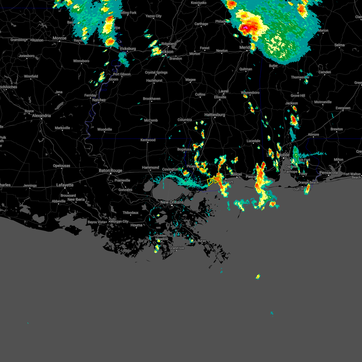 At 256 pm cdt, a severe thunderstorm was located near long beach, moving west at 5 mph (radar indicated). Hazards include 60 mph wind gusts and penny size hail. expect damage to roofs, siding, and trees At 256 pm cdt, a severe thunderstorm was located near long beach, moving west at 5 mph (radar indicated). Hazards include 60 mph wind gusts and penny size hail. expect damage to roofs, siding, and trees
|
| 3/23/2021 12:32 PM CDT |
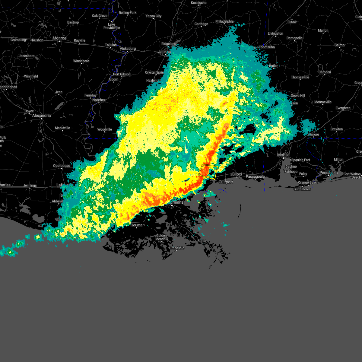 At 1232 pm cdt, a severe thunderstorm was located near kiln, or near diamondhead, moving east at 40 mph (radar indicated). Hazards include 60 mph wind gusts. Expect damage to roofs, siding, and trees. Locations impacted include, diamondhead and kiln. At 1232 pm cdt, a severe thunderstorm was located near kiln, or near diamondhead, moving east at 40 mph (radar indicated). Hazards include 60 mph wind gusts. Expect damage to roofs, siding, and trees. Locations impacted include, diamondhead and kiln.
|
| 3/23/2021 12:11 PM CDT |
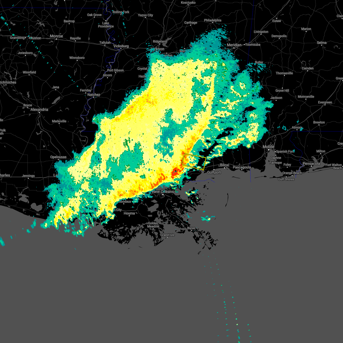 At 1211 pm cdt, a severe thunderstorm was located near picayune, moving east at 40 mph (radar indicated). Hazards include 60 mph wind gusts. expect damage to roofs, siding, and trees At 1211 pm cdt, a severe thunderstorm was located near picayune, moving east at 40 mph (radar indicated). Hazards include 60 mph wind gusts. expect damage to roofs, siding, and trees
|
| 3/17/2021 9:54 PM CDT |
 At 954 pm cdt, a severe thunderstorm was located near long beach, moving northeast at 45 mph (radar indicated). Hazards include 60 mph wind gusts. expect damage to roofs, siding, and trees At 954 pm cdt, a severe thunderstorm was located near long beach, moving northeast at 45 mph (radar indicated). Hazards include 60 mph wind gusts. expect damage to roofs, siding, and trees
|
| 8/15/2020 1:20 PM CDT |
 At 120 pm cdt, a severe thunderstorm was located over long beach, moving southeast at 25 mph (radar indicated). Hazards include 60 mph wind gusts. Expect damage to roofs, siding, and trees. This severe storm will be near, long beach around 125 pm cdt. At 120 pm cdt, a severe thunderstorm was located over long beach, moving southeast at 25 mph (radar indicated). Hazards include 60 mph wind gusts. Expect damage to roofs, siding, and trees. This severe storm will be near, long beach around 125 pm cdt.
|
| 8/15/2020 12:57 PM CDT |
 The national weather service in new orleans has issued a * severe thunderstorm warning for. western harrison county in southeastern mississippi. east central hancock county in southern mississippi. until 130 pm cdt. At 1256 pm cdt, a severe thunderstorm was located 8 miles west of. The national weather service in new orleans has issued a * severe thunderstorm warning for. western harrison county in southeastern mississippi. east central hancock county in southern mississippi. until 130 pm cdt. At 1256 pm cdt, a severe thunderstorm was located 8 miles west of.
|
| 4/19/2020 10:54 PM CDT |
 At 1054 pm cdt, a severe thunderstorm was located over long beach, moving southeast at 30 mph (radar indicated). Hazards include 60 mph wind gusts. Expect damage to roofs, siding, and trees. locations impacted include, gulfport, biloxi, long beach, bay st. louis, waveland, diamondhead, st. Martin, d`iberville, shoreline park and gulfport airport. At 1054 pm cdt, a severe thunderstorm was located over long beach, moving southeast at 30 mph (radar indicated). Hazards include 60 mph wind gusts. Expect damage to roofs, siding, and trees. locations impacted include, gulfport, biloxi, long beach, bay st. louis, waveland, diamondhead, st. Martin, d`iberville, shoreline park and gulfport airport.
|
| 4/19/2020 10:41 PM CDT |
 At 1041 pm cdt, a severe thunderstorm was located near long beach, moving east at 40 mph (radar indicated). Hazards include 60 mph wind gusts. expect damage to roofs, siding, and trees At 1041 pm cdt, a severe thunderstorm was located near long beach, moving east at 40 mph (radar indicated). Hazards include 60 mph wind gusts. expect damage to roofs, siding, and trees
|
| 4/12/2020 9:08 PM CDT |
 At 908 pm cdt, a severe thunderstorm was located near kiln, or near diamondhead, moving northeast at 70 mph (radar indicated). Hazards include 60 mph wind gusts and quarter size hail. Hail damage to vehicles is expected. Expect wind damage to roofs, siding, and trees. At 908 pm cdt, a severe thunderstorm was located near kiln, or near diamondhead, moving northeast at 70 mph (radar indicated). Hazards include 60 mph wind gusts and quarter size hail. Hail damage to vehicles is expected. Expect wind damage to roofs, siding, and trees.
|
| 10/30/2019 12:47 AM CDT |
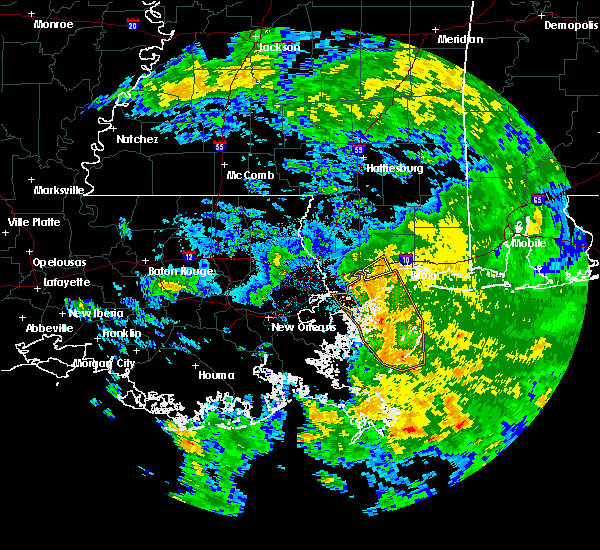 At 1246 am cdt, a severe thunderstorm was located near long beach, moving northwest at 10 mph (radar indicated). Hazards include 60 mph wind gusts. expect damage to roofs, siding, and trees At 1246 am cdt, a severe thunderstorm was located near long beach, moving northwest at 10 mph (radar indicated). Hazards include 60 mph wind gusts. expect damage to roofs, siding, and trees
|
| 6/18/2019 9:24 AM CDT |
 At 923 am cdt, severe thunderstorms were located along a line extending from 7 miles east of perkinston to gulfport, moving northeast at 30 mph (radar indicated). Hazards include 60 mph wind gusts. expect damage to roofs, siding, and trees At 923 am cdt, severe thunderstorms were located along a line extending from 7 miles east of perkinston to gulfport, moving northeast at 30 mph (radar indicated). Hazards include 60 mph wind gusts. expect damage to roofs, siding, and trees
|
| 4/25/2019 11:46 AM CDT |
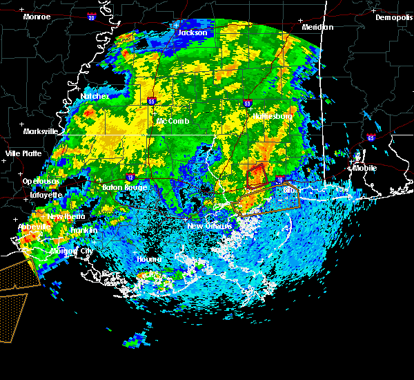 At 1145 am cdt, a severe thunderstorm capable of producing a tornado was located 8 miles west of lyman, or 10 miles northeast of diamondhead, moving northeast at 30 mph (radar indicated rotation). Hazards include tornado. Flying debris will be dangerous to those caught without shelter. mobile homes will be damaged or destroyed. damage to roofs, windows, and vehicles will occur. tree damage is likely. this dangerous storm will be near, lyman around 1155 am cdt. Saucier around 1200 pm cdt. At 1145 am cdt, a severe thunderstorm capable of producing a tornado was located 8 miles west of lyman, or 10 miles northeast of diamondhead, moving northeast at 30 mph (radar indicated rotation). Hazards include tornado. Flying debris will be dangerous to those caught without shelter. mobile homes will be damaged or destroyed. damage to roofs, windows, and vehicles will occur. tree damage is likely. this dangerous storm will be near, lyman around 1155 am cdt. Saucier around 1200 pm cdt.
|
| 4/25/2019 11:25 AM CDT |
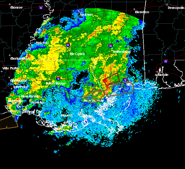 At 1125 am cdt, a severe thunderstorm capable of producing a tornado was located over kiln, or near diamondhead, moving northeast at 40 mph (radar indicated rotation). Hazards include tornado. Flying debris will be dangerous to those caught without shelter. mobile homes will be damaged or destroyed. damage to roofs, windows, and vehicles will occur. tree damage is likely. this dangerous storm will be near, lyman around 1150 am cdt. Gulfport and saucier around 1200 pm cdt. At 1125 am cdt, a severe thunderstorm capable of producing a tornado was located over kiln, or near diamondhead, moving northeast at 40 mph (radar indicated rotation). Hazards include tornado. Flying debris will be dangerous to those caught without shelter. mobile homes will be damaged or destroyed. damage to roofs, windows, and vehicles will occur. tree damage is likely. this dangerous storm will be near, lyman around 1150 am cdt. Gulfport and saucier around 1200 pm cdt.
|
| 11/7/2018 3:39 PM CST |
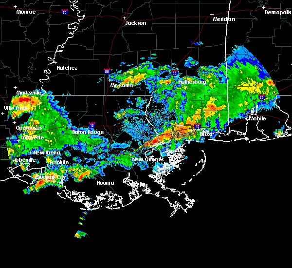 At 338 pm cst, a severe thunderstorm was located near diamondhead, moving east at 20 mph (radar indicated). Hazards include 60 mph wind gusts and half dollar size hail. Hail damage to vehicles is expected. expect wind damage to roofs, siding, and trees. locations impacted include, gulfport, long beach, bay st. Louis, waveland, diamondhead, lyman, shoreline park and gulfport airport. At 338 pm cst, a severe thunderstorm was located near diamondhead, moving east at 20 mph (radar indicated). Hazards include 60 mph wind gusts and half dollar size hail. Hail damage to vehicles is expected. expect wind damage to roofs, siding, and trees. locations impacted include, gulfport, long beach, bay st. Louis, waveland, diamondhead, lyman, shoreline park and gulfport airport.
|
| 11/7/2018 3:22 PM CST |
 At 322 pm cst, a severe thunderstorm was located over diamondhead, moving east at 20 mph (radar indicated). Hazards include 60 mph wind gusts and half dollar size hail. Hail damage to vehicles is expected. Expect wind damage to roofs, siding, and trees. At 322 pm cst, a severe thunderstorm was located over diamondhead, moving east at 20 mph (radar indicated). Hazards include 60 mph wind gusts and half dollar size hail. Hail damage to vehicles is expected. Expect wind damage to roofs, siding, and trees.
|
| 11/1/2018 5:45 AM CDT |
 At 545 am cdt, severe thunderstorms were located along a line extending from near saucier to near lyman to 6 miles east of diamondhead, moving east at 40 mph (radar indicated). Hazards include 60 mph wind gusts. expect damage to roofs, siding, and trees At 545 am cdt, severe thunderstorms were located along a line extending from near saucier to near lyman to 6 miles east of diamondhead, moving east at 40 mph (radar indicated). Hazards include 60 mph wind gusts. expect damage to roofs, siding, and trees
|
| 11/1/2018 5:28 AM CDT |
 At 527 am cdt, severe thunderstorms were located along a line extending from 13 miles west of saucier to 6 miles north of diamondhead to near kiln, moving east at 40 mph (radar indicated). Hazards include 60 mph wind gusts. expect damage to roofs, siding, and trees At 527 am cdt, severe thunderstorms were located along a line extending from 13 miles west of saucier to 6 miles north of diamondhead to near kiln, moving east at 40 mph (radar indicated). Hazards include 60 mph wind gusts. expect damage to roofs, siding, and trees
|
| 6/30/2018 5:02 PM CDT |
 At 501 pm cdt, a severe thunderstorm was located near biloxi, moving west at 10 mph (radar indicated). Hazards include 60 mph wind gusts and nickel size hail. expect damage to roofs, siding, and trees At 501 pm cdt, a severe thunderstorm was located near biloxi, moving west at 10 mph (radar indicated). Hazards include 60 mph wind gusts and nickel size hail. expect damage to roofs, siding, and trees
|
| 6/29/2018 3:23 PM CDT |
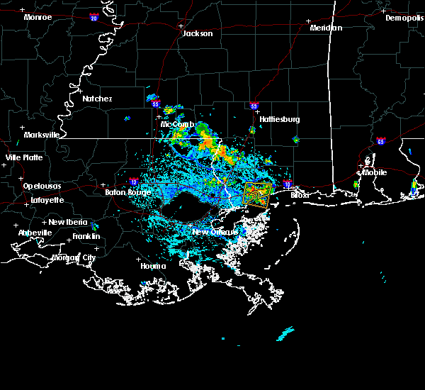 At 322 pm cdt, a severe thunderstorm was located over diamondhead, moving east at 10 mph (radar indicated). Hazards include 60 mph wind gusts and quarter size hail. Hail damage to vehicles is expected. Expect wind damage to roofs, siding, and trees. At 322 pm cdt, a severe thunderstorm was located over diamondhead, moving east at 10 mph (radar indicated). Hazards include 60 mph wind gusts and quarter size hail. Hail damage to vehicles is expected. Expect wind damage to roofs, siding, and trees.
|
| 5/18/2018 3:43 PM CDT |
 At 343 pm cdt, a severe thunderstorm was located over diamondhead, moving east at 25 mph (radar indicated). Hazards include 60 mph wind gusts and half dollar size hail. Hail damage to vehicles is expected. Expect wind damage to roofs, siding, and trees. At 343 pm cdt, a severe thunderstorm was located over diamondhead, moving east at 25 mph (radar indicated). Hazards include 60 mph wind gusts and half dollar size hail. Hail damage to vehicles is expected. Expect wind damage to roofs, siding, and trees.
|
| 10/22/2017 9:00 AM CDT |
 At 859 am cdt, a possible waterspout was moving onshore just east of long beach, moving north at 15 mph (radar indicated rotation). Hazards include tornado. Flying debris will be dangerous to those caught without shelter. mobile homes will be damaged or destroyed. damage to roofs, windows, and vehicles will occur. tree damage is likely. this dangerous storm will be near, gulfport, biloxi and lyman around 930 am cdt. Other locations impacted by this tornadic thunderstorm include gulfport airport. At 859 am cdt, a possible waterspout was moving onshore just east of long beach, moving north at 15 mph (radar indicated rotation). Hazards include tornado. Flying debris will be dangerous to those caught without shelter. mobile homes will be damaged or destroyed. damage to roofs, windows, and vehicles will occur. tree damage is likely. this dangerous storm will be near, gulfport, biloxi and lyman around 930 am cdt. Other locations impacted by this tornadic thunderstorm include gulfport airport.
|
| 10/22/2017 8:41 AM CDT |
 At 841 am cdt, a possible waterspout over mississippi sound, moving north at 15 mph (radar indicated rotation). Hazards include tornado. Flying debris will be dangerous to those caught without shelter. mobile homes will be damaged or destroyed. damage to roofs, windows, and vehicles will occur. tree damage is likely. this dangerous storm will be near, long beach around 910 am cdt. gulfport, biloxi and lyman around 930 am cdt. Other locations impacted by this tornadic thunderstorm include gulfport airport. At 841 am cdt, a possible waterspout over mississippi sound, moving north at 15 mph (radar indicated rotation). Hazards include tornado. Flying debris will be dangerous to those caught without shelter. mobile homes will be damaged or destroyed. damage to roofs, windows, and vehicles will occur. tree damage is likely. this dangerous storm will be near, long beach around 910 am cdt. gulfport, biloxi and lyman around 930 am cdt. Other locations impacted by this tornadic thunderstorm include gulfport airport.
|
| 6/21/2017 9:11 AM CDT |
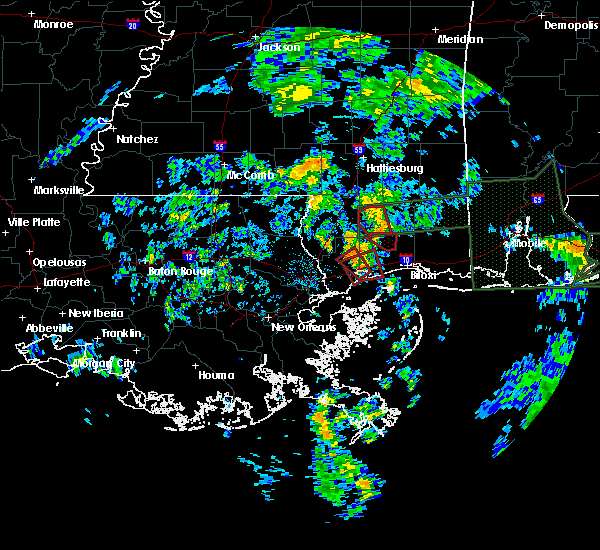 At 911 am cdt, a severe thunderstorm capable of producing a tornado was located over diamondhead, moving northwest at 30 mph (radar indicated rotation). Hazards include tornado. Flying debris will be dangerous to those caught without shelter. mobile homes will be damaged or destroyed. damage to roofs, windows, and vehicles will occur. tree damage is likely. this dangerous storm will be near, diamondhead around 920 am cdt. Kiln around 925 am cdt. At 911 am cdt, a severe thunderstorm capable of producing a tornado was located over diamondhead, moving northwest at 30 mph (radar indicated rotation). Hazards include tornado. Flying debris will be dangerous to those caught without shelter. mobile homes will be damaged or destroyed. damage to roofs, windows, and vehicles will occur. tree damage is likely. this dangerous storm will be near, diamondhead around 920 am cdt. Kiln around 925 am cdt.
|
| 6/21/2017 8:58 AM CDT |
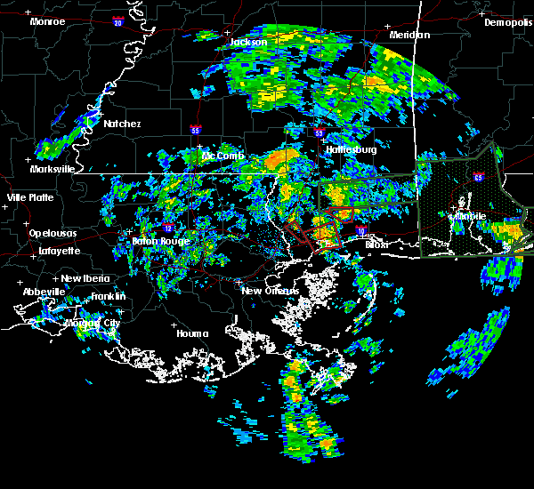 At 844 am cdt, a severe thunderstorm capable of producing a tornado was located 10 miles southeast of bay st. louis, moving north at 35 mph (radar indicated rotation). Hazards include tornado. Flying debris will be dangerous to those caught without shelter. mobile homes will be damaged or destroyed. damage to roofs, windows, and vehicles will occur. tree damage is likely. this dangerous storm will be near, waveland around 905 am cdt. bay st. louis and shoreline park around 910 am cdt. Diamondhead and kiln around 915 am cdt. At 844 am cdt, a severe thunderstorm capable of producing a tornado was located 10 miles southeast of bay st. louis, moving north at 35 mph (radar indicated rotation). Hazards include tornado. Flying debris will be dangerous to those caught without shelter. mobile homes will be damaged or destroyed. damage to roofs, windows, and vehicles will occur. tree damage is likely. this dangerous storm will be near, waveland around 905 am cdt. bay st. louis and shoreline park around 910 am cdt. Diamondhead and kiln around 915 am cdt.
|
| 6/21/2017 8:45 AM CDT |
 At 844 am cdt, a severe thunderstorm capable of producing a tornado was located 10 miles southeast of bay st. louis, moving north at 35 mph (radar indicated rotation). Hazards include tornado. Flying debris will be dangerous to those caught without shelter. mobile homes will be damaged or destroyed. damage to roofs, windows, and vehicles will occur. tree damage is likely. this dangerous storm will be near, waveland around 905 am cdt. bay st. louis and shoreline park around 910 am cdt. Diamondhead and kiln around 915 am cdt. At 844 am cdt, a severe thunderstorm capable of producing a tornado was located 10 miles southeast of bay st. louis, moving north at 35 mph (radar indicated rotation). Hazards include tornado. Flying debris will be dangerous to those caught without shelter. mobile homes will be damaged or destroyed. damage to roofs, windows, and vehicles will occur. tree damage is likely. this dangerous storm will be near, waveland around 905 am cdt. bay st. louis and shoreline park around 910 am cdt. Diamondhead and kiln around 915 am cdt.
|
| 6/21/2017 5:24 AM CDT |
 The tornado warning for southwestern harrison and northeastern hancock counties will expire at 530 am cdt, the storm which prompted the warning has weakened below severe limits, and no longer appears capable of producing a tornado. therefore the warning will be allowed to expire. a tornado watch remains in effect until 1000 am cdt for southern mississippi. The tornado warning for southwestern harrison and northeastern hancock counties will expire at 530 am cdt, the storm which prompted the warning has weakened below severe limits, and no longer appears capable of producing a tornado. therefore the warning will be allowed to expire. a tornado watch remains in effect until 1000 am cdt for southern mississippi.
|
| 6/21/2017 4:59 AM CDT |
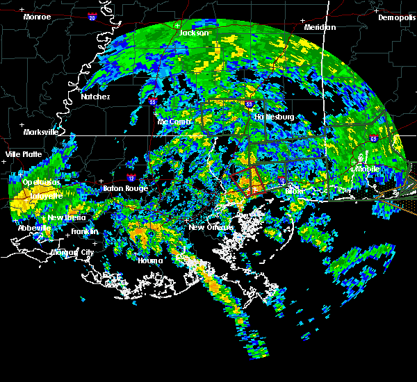 At 458 am cdt, a severe thunderstorm capable of producing a tornado was located near bay st. louis, moving northwest at 25 mph (radar indicated rotation). Hazards include tornado. Flying debris will be dangerous to those caught without shelter. mobile homes will be damaged or destroyed. damage to roofs, windows, and vehicles will occur. tree damage is likely. this dangerous storm will be near, shoreline park around 510 am cdt. diamondhead around 520 am cdt. Kiln around 525 am cdt. At 458 am cdt, a severe thunderstorm capable of producing a tornado was located near bay st. louis, moving northwest at 25 mph (radar indicated rotation). Hazards include tornado. Flying debris will be dangerous to those caught without shelter. mobile homes will be damaged or destroyed. damage to roofs, windows, and vehicles will occur. tree damage is likely. this dangerous storm will be near, shoreline park around 510 am cdt. diamondhead around 520 am cdt. Kiln around 525 am cdt.
|
| 4/3/2017 6:15 AM CDT |
 At 614 am cdt, severe thunderstorms were located along a line extending from 7 miles west of saucier to near waveland, moving east at 40 mph (radar indicated). Hazards include 60 mph wind gusts. expect damage to roofs, siding, and trees At 614 am cdt, severe thunderstorms were located along a line extending from 7 miles west of saucier to near waveland, moving east at 40 mph (radar indicated). Hazards include 60 mph wind gusts. expect damage to roofs, siding, and trees
|
| 4/3/2017 5:33 AM CDT |
 At 533 am cdt, severe thunderstorms were located along a line extending from 14 miles west of saucier to near pearlington, moving east at 35 mph (radar indicated). Hazards include 60 mph wind gusts. expect damage to roofs, siding, and trees At 533 am cdt, severe thunderstorms were located along a line extending from 14 miles west of saucier to near pearlington, moving east at 35 mph (radar indicated). Hazards include 60 mph wind gusts. expect damage to roofs, siding, and trees
|
| 3/30/2017 10:43 AM CDT |
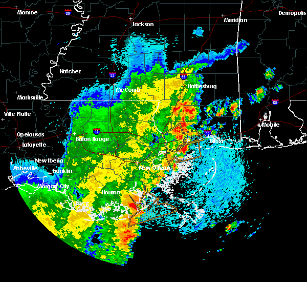 At 1043 am cdt, a severe thunderstorm was located over bay st. louis, moving northeast at 25 mph (radar indicated). Hazards include 60 mph wind gusts and quarter size hail. Hail damage to vehicles is expected. expect wind damage to roofs, siding, and trees. Locations impacted include, gulfport, long beach, lyman and gulfport airport. At 1043 am cdt, a severe thunderstorm was located over bay st. louis, moving northeast at 25 mph (radar indicated). Hazards include 60 mph wind gusts and quarter size hail. Hail damage to vehicles is expected. expect wind damage to roofs, siding, and trees. Locations impacted include, gulfport, long beach, lyman and gulfport airport.
|
| 3/30/2017 10:32 AM CDT |
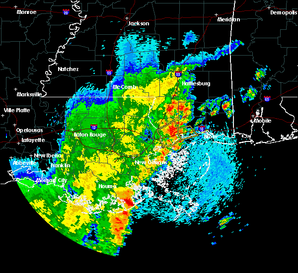 At 1032 am cdt, a severe thunderstorm was located over waveland, moving northeast at 25 mph (radar indicated). Hazards include 60 mph wind gusts and penny size hail. expect damage to roofs, siding, and trees At 1032 am cdt, a severe thunderstorm was located over waveland, moving northeast at 25 mph (radar indicated). Hazards include 60 mph wind gusts and penny size hail. expect damage to roofs, siding, and trees
|
| 2/7/2017 2:58 PM CST |
 At 257 pm cst, a severe thunderstorm was located near lyman, or near long beach, moving east at 55 mph (radar indicated). Hazards include quarter size hail. damage to vehicles is expected At 257 pm cst, a severe thunderstorm was located near lyman, or near long beach, moving east at 55 mph (radar indicated). Hazards include quarter size hail. damage to vehicles is expected
|
| 2/7/2017 2:27 PM CST |
 At 227 pm cst, a severe thunderstorm was located near picayune, moving east at 35 mph (emergency management). Hazards include quarter size hail. damage to vehicles is expected At 227 pm cst, a severe thunderstorm was located near picayune, moving east at 35 mph (emergency management). Hazards include quarter size hail. damage to vehicles is expected
|
| 12/13/2016 3:01 PM CST |
 At 301 pm cst, a severe thunderstorm capable of producing a tornado was located 8 miles northwest of kiln, or 9 miles east of picayune, moving east at 25 mph (radar indicated rotation). Hazards include tornado and quarter size hail. Flying debris will be dangerous to those caught without shelter. mobile homes will be damaged. damage to roofs, windows, and vehicles will occur. Tree damage is likely. At 301 pm cst, a severe thunderstorm capable of producing a tornado was located 8 miles northwest of kiln, or 9 miles east of picayune, moving east at 25 mph (radar indicated rotation). Hazards include tornado and quarter size hail. Flying debris will be dangerous to those caught without shelter. mobile homes will be damaged. damage to roofs, windows, and vehicles will occur. Tree damage is likely.
|
| 5/17/2016 2:44 PM CDT |
 At 243 pm cdt, a confirmed waterspout was located just offshore near long beach, moving north at 20 mph (emergency management reported a waterspout moving onshore). Hazards include tornado. Flying debris will be dangerous to those caught without shelter. mobile homes will be damaged or destroyed. damage to roofs, windows, and vehicles will occur. tree damage is likely. This tornado will be near, long beach around 300 pm cdt. At 243 pm cdt, a confirmed waterspout was located just offshore near long beach, moving north at 20 mph (emergency management reported a waterspout moving onshore). Hazards include tornado. Flying debris will be dangerous to those caught without shelter. mobile homes will be damaged or destroyed. damage to roofs, windows, and vehicles will occur. tree damage is likely. This tornado will be near, long beach around 300 pm cdt.
|
| 5/17/2016 1:27 PM CDT |
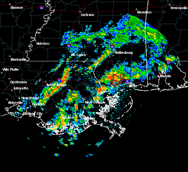 At 126 pm cdt, a severe thunderstorm capable of producing a tornado was located near diamondhead, moving northeast at 15 mph (radar indicated rotation). Hazards include tornado. Flying debris will be dangerous to those caught without shelter. mobile homes will be damaged or destroyed. damage to roofs, windows, and vehicles will occur. tree damage is likely. This dangerous storm will be near, lyman around 200 pm cdt. At 126 pm cdt, a severe thunderstorm capable of producing a tornado was located near diamondhead, moving northeast at 15 mph (radar indicated rotation). Hazards include tornado. Flying debris will be dangerous to those caught without shelter. mobile homes will be damaged or destroyed. damage to roofs, windows, and vehicles will occur. tree damage is likely. This dangerous storm will be near, lyman around 200 pm cdt.
|
| 5/17/2016 1:15 PM CDT |
 At 115 pm cdt, a severe thunderstorm capable of producing a tornado was located over diamondhead, moving northeast at 20 mph (radar indicated rotation). Hazards include tornado. Flying debris will be dangerous to those caught without shelter. mobile homes will be damaged or destroyed. damage to roofs, windows, and vehicles will occur. tree damage is likely. This tornadic thunderstorm will remain over mainly rural areas of southwestern harrison and east central hancock counties. At 115 pm cdt, a severe thunderstorm capable of producing a tornado was located over diamondhead, moving northeast at 20 mph (radar indicated rotation). Hazards include tornado. Flying debris will be dangerous to those caught without shelter. mobile homes will be damaged or destroyed. damage to roofs, windows, and vehicles will occur. tree damage is likely. This tornadic thunderstorm will remain over mainly rural areas of southwestern harrison and east central hancock counties.
|
| 4/30/2016 4:29 PM CDT |
 At 428 pm cdt, severe thunderstorms capable of producing both tornadoes and extensive straight line wind damage were located near pearlington, or 7 miles southeast of slidell, moving east at 35 mph (radar indicated rotation). Hazards include tornado. Flying debris will be dangerous to those caught without shelter. mobile homes will be damaged or destroyed. damage to roofs, windows, and vehicles will occur. tree damage is likely. these dangerous storms will be near, pearlington around 435 pm cdt. bay st. Louis, waveland and shoreline park around 500 pm cdt. At 428 pm cdt, severe thunderstorms capable of producing both tornadoes and extensive straight line wind damage were located near pearlington, or 7 miles southeast of slidell, moving east at 35 mph (radar indicated rotation). Hazards include tornado. Flying debris will be dangerous to those caught without shelter. mobile homes will be damaged or destroyed. damage to roofs, windows, and vehicles will occur. tree damage is likely. these dangerous storms will be near, pearlington around 435 pm cdt. bay st. Louis, waveland and shoreline park around 500 pm cdt.
|
| 4/30/2016 4:29 PM CDT |
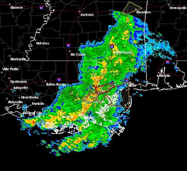 At 428 pm cdt, severe thunderstorms capable of producing both tornadoes and extensive straight line wind damage were located near pearlington, or 7 miles southeast of slidell, moving east at 35 mph (radar indicated rotation). Hazards include tornado. Flying debris will be dangerous to those caught without shelter. mobile homes will be damaged or destroyed. damage to roofs, windows, and vehicles will occur. tree damage is likely. these dangerous storms will be near, pearlington around 435 pm cdt. bay st. Louis, waveland and shoreline park around 500 pm cdt. At 428 pm cdt, severe thunderstorms capable of producing both tornadoes and extensive straight line wind damage were located near pearlington, or 7 miles southeast of slidell, moving east at 35 mph (radar indicated rotation). Hazards include tornado. Flying debris will be dangerous to those caught without shelter. mobile homes will be damaged or destroyed. damage to roofs, windows, and vehicles will occur. tree damage is likely. these dangerous storms will be near, pearlington around 435 pm cdt. bay st. Louis, waveland and shoreline park around 500 pm cdt.
|
| 4/28/2016 5:46 AM CDT |
 At 545 am cdt, a severe thunderstorm capable of producing a tornado was located over lyman, or near gulfport, moving east at 15 mph (radar indicated rotation). Hazards include tornado and two inch hail. Flying debris will be dangerous to those caught without shelter. mobile homes will be damaged or destroyed. damage to roofs, windows, and vehicles will occur. tree damage is likely. this dangerous storm will be near, gulfport and biloxi around 600 am cdt. Other locations impacted by this tornadic thunderstorm include gulfport airport. At 545 am cdt, a severe thunderstorm capable of producing a tornado was located over lyman, or near gulfport, moving east at 15 mph (radar indicated rotation). Hazards include tornado and two inch hail. Flying debris will be dangerous to those caught without shelter. mobile homes will be damaged or destroyed. damage to roofs, windows, and vehicles will occur. tree damage is likely. this dangerous storm will be near, gulfport and biloxi around 600 am cdt. Other locations impacted by this tornadic thunderstorm include gulfport airport.
|
| 4/28/2016 5:35 AM CDT |
 At 535 am cdt, a severe thunderstorm capable of producing a tornado was located over lyman, or 7 miles northwest of gulfport, moving east at 25 mph (radar indicated rotation). Hazards include tornado and golf ball size hail. Flying debris will be dangerous to those caught without shelter. mobile homes will be damaged or destroyed. damage to roofs, windows, and vehicles will occur. tree damage is likely. this dangerous storm will be near, gulfport and biloxi around 550 am cdt. d`iberville around 600 am cdt. Other locations impacted by this tornadic thunderstorm include gulfport airport. At 535 am cdt, a severe thunderstorm capable of producing a tornado was located over lyman, or 7 miles northwest of gulfport, moving east at 25 mph (radar indicated rotation). Hazards include tornado and golf ball size hail. Flying debris will be dangerous to those caught without shelter. mobile homes will be damaged or destroyed. damage to roofs, windows, and vehicles will occur. tree damage is likely. this dangerous storm will be near, gulfport and biloxi around 550 am cdt. d`iberville around 600 am cdt. Other locations impacted by this tornadic thunderstorm include gulfport airport.
|
| 4/28/2016 5:33 AM CDT |
 At 532 am cdt, a severe thunderstorm was located over lyman, or 8 miles northwest of gulfport, moving east at 25 mph (radar indicated). Hazards include golf ball size hail and 60 mph wind gusts. People and animals outdoors will be injured. expect hail damage to roofs, siding, windows, and vehicles. expect wind damage to roofs, siding, and trees. Locations impacted include, gulfport, biloxi, long beach, d`iberville, lyman, saucier and gulfport airport. At 532 am cdt, a severe thunderstorm was located over lyman, or 8 miles northwest of gulfport, moving east at 25 mph (radar indicated). Hazards include golf ball size hail and 60 mph wind gusts. People and animals outdoors will be injured. expect hail damage to roofs, siding, windows, and vehicles. expect wind damage to roofs, siding, and trees. Locations impacted include, gulfport, biloxi, long beach, d`iberville, lyman, saucier and gulfport airport.
|
| 4/28/2016 5:26 AM CDT |
 At 525 am cdt, a severe thunderstorm was located near lyman, or 8 miles north of long beach, moving east at 25 mph (radar indicated). Hazards include 60 mph wind gusts and half dollar size hail. Hail damage to vehicles is expected. Expect wind damage to roofs, siding, and trees. At 525 am cdt, a severe thunderstorm was located near lyman, or 8 miles north of long beach, moving east at 25 mph (radar indicated). Hazards include 60 mph wind gusts and half dollar size hail. Hail damage to vehicles is expected. Expect wind damage to roofs, siding, and trees.
|
| 2/23/2016 8:18 PM CST |
 At 817 pm cst, doppler radar indicated a severe thunderstorm capable of producing quarter size hail and damaging winds in excess of 60 mph. this storm was located over lyman, or 8 miles north of long beach, moving northeast at 45 mph. locations impacted include, gulfport, biloxi, long beach, saucier, lyman and gulfport airport. a tornado watch remains in effect until 1000 pm cst for southeastern mississippi. At 817 pm cst, doppler radar indicated a severe thunderstorm capable of producing quarter size hail and damaging winds in excess of 60 mph. this storm was located over lyman, or 8 miles north of long beach, moving northeast at 45 mph. locations impacted include, gulfport, biloxi, long beach, saucier, lyman and gulfport airport. a tornado watch remains in effect until 1000 pm cst for southeastern mississippi.
|
| 2/23/2016 7:52 PM CST |
 At 750 pm cst, doppler radar indicated a severe thunderstorm capable of producing quarter size hail and damaging winds in excess of 60 mph. this storm was located over shoreline park, or near waveland, and moving northeast at 45 mph. At 750 pm cst, doppler radar indicated a severe thunderstorm capable of producing quarter size hail and damaging winds in excess of 60 mph. this storm was located over shoreline park, or near waveland, and moving northeast at 45 mph.
|
| 2/23/2016 3:54 PM CST |
 At 354 pm cst, a severe thunderstorm was located over long beach, moving northeast at 70 mph (radar indicated). Hazards include 60 mph wind gusts and quarter size hail. Hail damage to vehicles is expected. Expect wind damage to roofs, siding and trees. At 354 pm cst, a severe thunderstorm was located over long beach, moving northeast at 70 mph (radar indicated). Hazards include 60 mph wind gusts and quarter size hail. Hail damage to vehicles is expected. Expect wind damage to roofs, siding and trees.
|
| 2/15/2016 3:26 PM CST |
 At 326 pm cst, a severe thunderstorm was located 8 miles north of diamondhead, moving east at 50 mph (radar indicated). Hazards include 60 mph wind gusts and quarter size hail. Hail damage to vehicles is expected. Expect wind damage to roofs, siding and trees. At 326 pm cst, a severe thunderstorm was located 8 miles north of diamondhead, moving east at 50 mph (radar indicated). Hazards include 60 mph wind gusts and quarter size hail. Hail damage to vehicles is expected. Expect wind damage to roofs, siding and trees.
|
| 2/15/2016 1:57 PM CST |
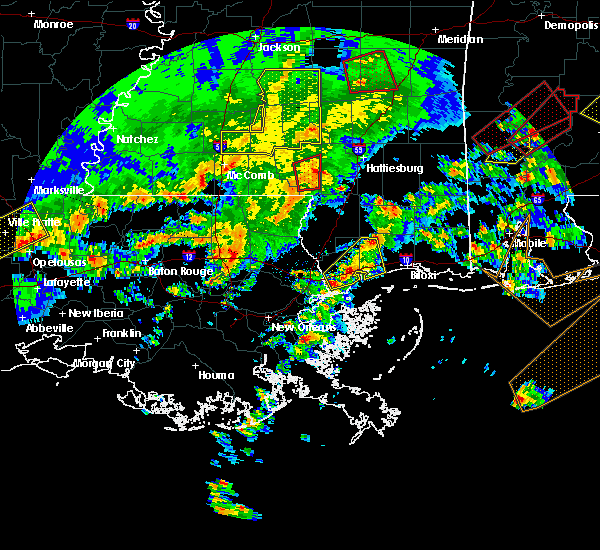 At 156 pm cst, a severe thunderstorm was located over kiln, or over diamondhead, moving northeast at 35 mph (trained weather spotters reported half inch size hail at stennis space center at 154 pm). Hazards include quarter size hail. Damage to vehicles is expected. locations impacted include, gulfport, long beach, bay st. louis, waveland, diamondhead, kiln, shoreline park and lyman. A tornado watch remains in effect until 600 pm cst for southeastern mississippi. At 156 pm cst, a severe thunderstorm was located over kiln, or over diamondhead, moving northeast at 35 mph (trained weather spotters reported half inch size hail at stennis space center at 154 pm). Hazards include quarter size hail. Damage to vehicles is expected. locations impacted include, gulfport, long beach, bay st. louis, waveland, diamondhead, kiln, shoreline park and lyman. A tornado watch remains in effect until 600 pm cst for southeastern mississippi.
|
| 2/15/2016 1:43 PM CST |
 At 142 pm cst, a severe thunderstorm was located near stennis space center, or 10 miles west of waveland, moving northeast at 35 mph (radar indicated). Hazards include quarter size hail. damage to vehicles is expected At 142 pm cst, a severe thunderstorm was located near stennis space center, or 10 miles west of waveland, moving northeast at 35 mph (radar indicated). Hazards include quarter size hail. damage to vehicles is expected
|
| 9/5/2015 5:54 PM CDT |
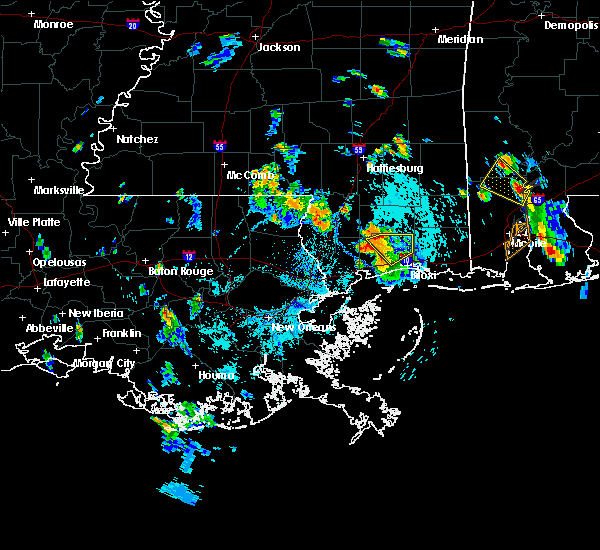 At 554 pm cdt, doppler radar indicated a severe thunderstorm capable of producing damaging winds in excess of 60 mph. this storm was located 8 miles west of lyman, or 11 miles northeast of diamondhead, and moving southwest at 15 mph. At 554 pm cdt, doppler radar indicated a severe thunderstorm capable of producing damaging winds in excess of 60 mph. this storm was located 8 miles west of lyman, or 11 miles northeast of diamondhead, and moving southwest at 15 mph.
|
| 8/8/2015 8:50 PM CDT |
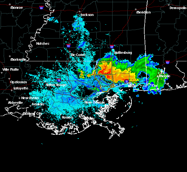 At 850 pm cdt, doppler radar indicated a severe thunderstorm capable of producing damaging winds in excess of 60 mph. this storm was located 7 miles northwest of kiln, or 10 miles east of picayune, and moving south at 45 mph. nickel size hail may also accompany the damaging winds. At 850 pm cdt, doppler radar indicated a severe thunderstorm capable of producing damaging winds in excess of 60 mph. this storm was located 7 miles northwest of kiln, or 10 miles east of picayune, and moving south at 45 mph. nickel size hail may also accompany the damaging winds.
|
| 6/24/2015 4:24 PM CDT | Tree down blocking one lane of road near wolf river road and cable bridge roa in harrison county MS, 6.5 miles S of DeLisle, MS |
| 6/24/2015 3:45 PM CDT |
 At 344 pm cdt, doppler radar indicated a severe thunderstorm capable of producing damaging winds in excess of 60 mph. this storm was located 8 miles northwest of lyman, or 14 miles northeast of diamondhead, and moving south at 20 mph. At 344 pm cdt, doppler radar indicated a severe thunderstorm capable of producing damaging winds in excess of 60 mph. this storm was located 8 miles northwest of lyman, or 14 miles northeast of diamondhead, and moving south at 20 mph.
|
| 4/25/2015 2:21 PM CDT | The severe thunderstorm warning for central st. tammany, st. bernard, northwestern plaquemines, central jefferson and central orleans parishes, southwestern harrison, southern pearl river and hancock counties will expire at 230 pm cdt, the storms which prompted the warning have moved out of the area. therefore the warning will be allowed to expire. to report severe weather, contact your nearest law enforcement agency. they will relay your report to the national weather service new orleans. remember, a severe thunderstorm warning still remains in effect for coastal harrison county at this time. |
| 4/25/2015 2:21 PM CDT | The severe thunderstorm warning for central st. tammany, st. bernard, northwestern plaquemines, central jefferson and central orleans parishes, southwestern harrison, southern pearl river and hancock counties will expire at 230 pm cdt, the storms which prompted the warning have moved out of the area. therefore the warning will be allowed to expire. to report severe weather, contact your nearest law enforcement agency. they will relay your report to the national weather service new orleans. remember, a severe thunderstorm warning still remains in effect for coastal harrison county at this time. |
| 4/25/2015 2:11 PM CDT | At 210 pm cdt, doppler radar indicated a line of severe thunderstorms capable of producing damaging winds in excess of 60 mph. these storms were located along a line extending from 6 miles northwest of long beach to 12 miles south of gulfport to 25 miles southeast of lake catherine to 12 miles northeast of pointe a la hache, and moving east at 60 mph. |
| 4/25/2015 2:11 PM CDT | At 210 pm cdt, doppler radar indicated a line of severe thunderstorms capable of producing damaging winds in excess of 60 mph. these storms were located along a line extending from 6 miles northwest of long beach to 12 miles south of gulfport to 25 miles southeast of lake catherine to 12 miles northeast of pointe a la hache, and moving east at 60 mph. |
| 4/25/2015 1:46 PM CDT | At 145 pm cdt, doppler radar indicated a line of severe thunderstorms capable of producing damaging winds in excess of 60 mph. these storms were located along a line extending from near covington to 6 miles south of lacombe to near east new orleans to near lafitte, and moving east at 55 mph. |
| 4/25/2015 1:46 PM CDT | At 145 pm cdt, doppler radar indicated a line of severe thunderstorms capable of producing damaging winds in excess of 60 mph. these storms were located along a line extending from near covington to 6 miles south of lacombe to near east new orleans to near lafitte, and moving east at 55 mph. |
| 4/14/2013 8:53 AM CDT | Multiple trees and power lines down along cuevas-delisle roa in harrison county MS, 0.7 miles WSW of DeLisle, MS |
| 7/18/2012 4:00 PM CDT | Nws storm survey indicates straight line thunderstorm winds toppled a weakened tree...snapped several large and small tree limbs..and caused damage to a out building. d in harrison county MS, 0.7 miles WSW of DeLisle, MS |
| 3/21/2012 8:32 PM CDT | Harrison county em reported minor roof and skirting damage to a mobile home on walnut road near vidalia road. hail was also reported but unknown size. sporatic powerlin in harrison county MS, 1.8 miles SSE of DeLisle, MS |
| 1/1/0001 12:00 AM | An oak tree and small pine tree blown down by microburst on west side of harrison county just north of i-1 in harrison county MS, 0.7 miles ESE of DeLisle, MS |
Hail Maps for DeLisle, MS

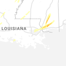
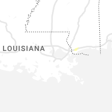
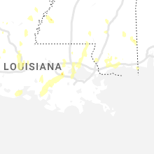


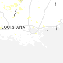


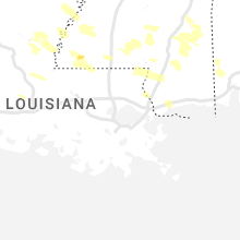

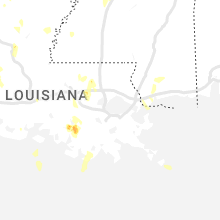
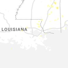
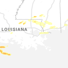
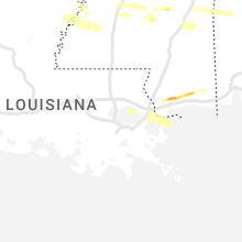
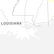
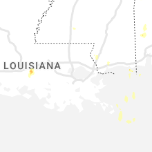

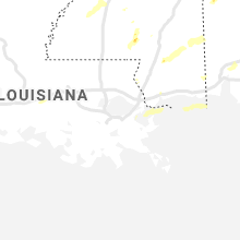


Connect with Interactive Hail Maps